Marlborough new zealand map Stock Photos and Images
(2,670)See marlborough new zealand map stock video clipsQuick filters:
Marlborough new zealand map Stock Photos and Images
 Overlooking Melville Cove in Port Gore and Jacksons Head,Queen Charlotte Sound,Marlborough,South Island,New Zealand. Stock Photohttps://www.alamy.com/image-license-details/?v=1https://www.alamy.com/stock-photo-overlooking-melville-cove-in-port-gore-and-jacksons-headqueen-charlotte-23061205.html
RMB9EEPD–Overlooking Melville Cove in Port Gore and Jacksons Head,Queen Charlotte Sound,Marlborough,South Island,New Zealand.
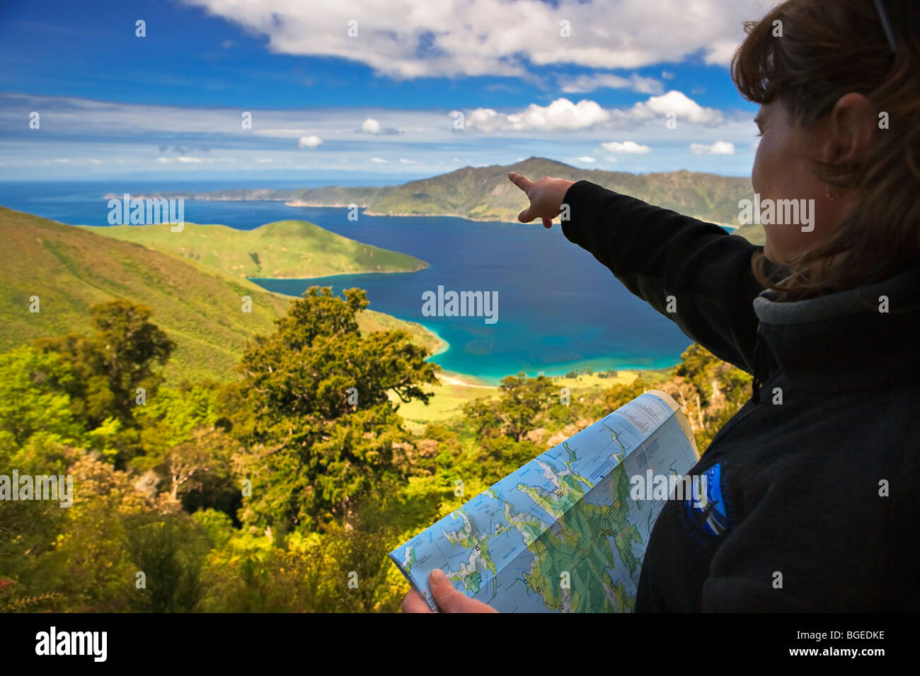 Overlooking Melville Cove in Port Gore and Jacksons Head, Queen Charlotte Sound, Marlborough, South Island, New Zealand. Model R Stock Photohttps://www.alamy.com/image-license-details/?v=1https://www.alamy.com/stock-photo-overlooking-melville-cove-in-port-gore-and-jacksons-head-queen-charlotte-27362930.html
RMBGEDKE–Overlooking Melville Cove in Port Gore and Jacksons Head, Queen Charlotte Sound, Marlborough, South Island, New Zealand. Model R
 Symbol Map of the Unitary Authority Marlborough District (New Zealand) showing the territory with a pattern of colorful buttons Stock Photohttps://www.alamy.com/image-license-details/?v=1https://www.alamy.com/symbol-map-of-the-unitary-authority-marlborough-district-new-zealand-showing-the-territory-with-a-pattern-of-colorful-buttons-image615805871.html
RF2XNTAJR–Symbol Map of the Unitary Authority Marlborough District (New Zealand) showing the territory with a pattern of colorful buttons
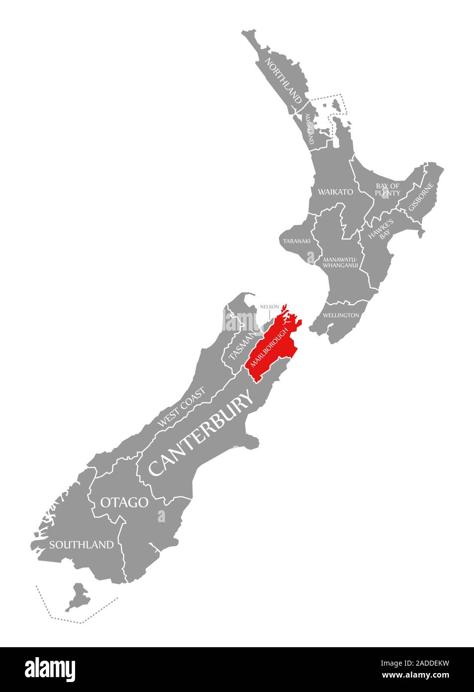 Marlborough red highlighted in map of New Zealand Stock Photohttps://www.alamy.com/image-license-details/?v=1https://www.alamy.com/marlborough-red-highlighted-in-map-of-new-zealand-image335284429.html
RF2ADDEKW–Marlborough red highlighted in map of New Zealand
 Marlborough New Zealand Map grey Stock Photohttps://www.alamy.com/image-license-details/?v=1https://www.alamy.com/stock-image-marlborough-new-zealand-map-grey-169156842.html
RFKR5N7P–Marlborough New Zealand Map grey
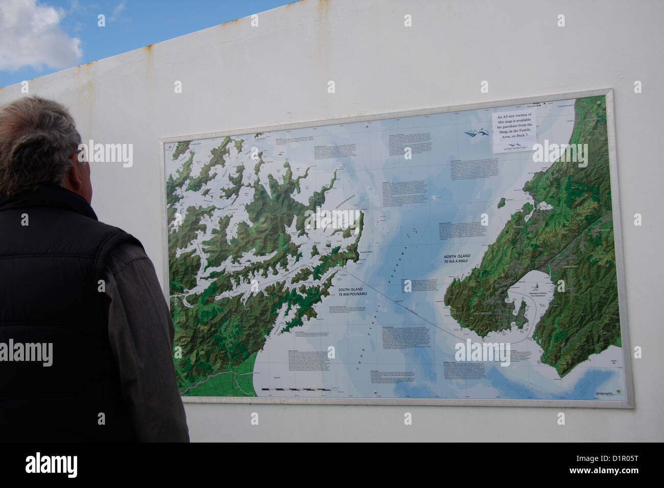 A passenger on the Interislander, a ferry crossing the Cook Strait, studies a map of the Cook Strait and Marlborough Sounds. Stock Photohttps://www.alamy.com/image-license-details/?v=1https://www.alamy.com/stock-photo-a-passenger-on-the-interislander-a-ferry-crossing-the-cook-strait-52750820.html
RMD1R05T–A passenger on the Interislander, a ferry crossing the Cook Strait, studies a map of the Cook Strait and Marlborough Sounds.
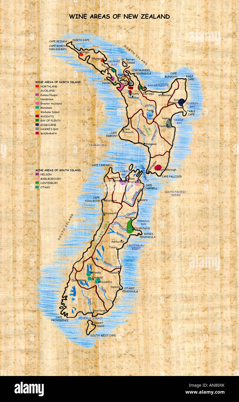 Wine Areas of New Zealand Stock Photohttps://www.alamy.com/image-license-details/?v=1https://www.alamy.com/stock-photo-wine-areas-of-new-zealand-15441978.html
RMAN80XK–Wine Areas of New Zealand
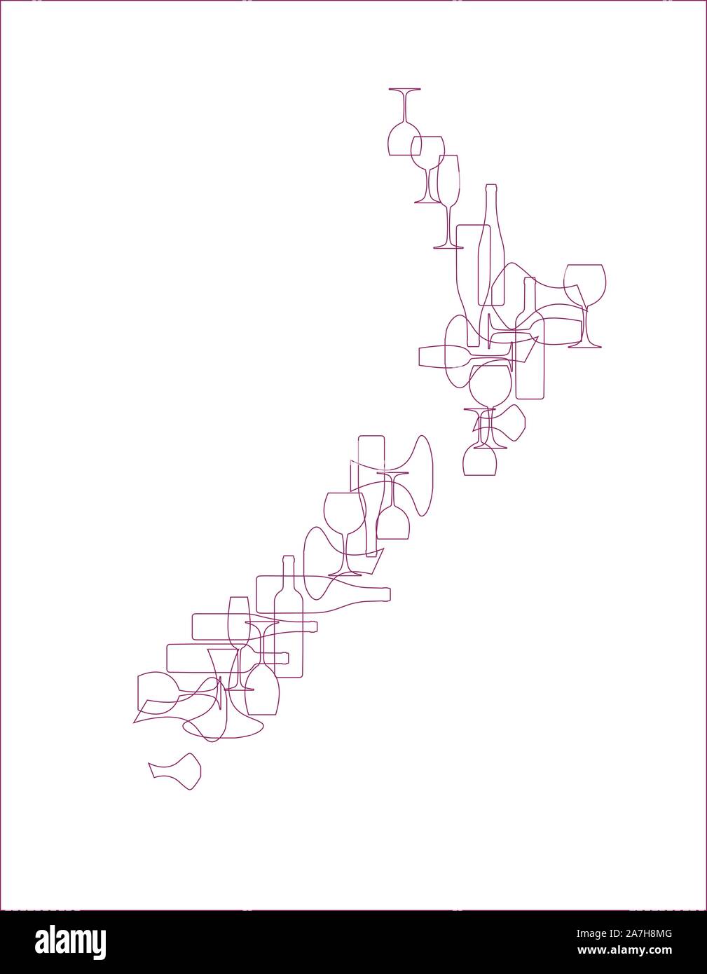 Countries winemakers - stylized maps from silhouettes of wine bottles, glasses and decanters. Map of New Zealand. Stock Vectorhttps://www.alamy.com/image-license-details/?v=1https://www.alamy.com/countries-winemakers-stylized-maps-from-silhouettes-of-wine-bottles-glasses-and-decanters-map-of-new-zealand-image331679616.html
RF2A7H8MG–Countries winemakers - stylized maps from silhouettes of wine bottles, glasses and decanters. Map of New Zealand.
 Okaramio, , NZ, New Zealand, Marlborough, S 41 25' 5'', N 173 45' 0'', map, Cartascapes Map published in 2024. Explore Cartascapes, a map revealing Earth's diverse landscapes, cultures, and ecosystems. Journey through time and space, discovering the interconnectedness of our planet's past, present, and future. Stock Photohttps://www.alamy.com/image-license-details/?v=1https://www.alamy.com/okaramio-nz-new-zealand-marlborough-s-41-25-5-n-173-45-0-map-cartascapes-map-published-in-2024-explore-cartascapes-a-map-revealing-earths-diverse-landscapes-cultures-and-ecosystems-journey-through-time-and-space-discovering-the-interconnectedness-of-our-planets-past-present-and-future-image634062826.html
RM2YRG1GX–Okaramio, , NZ, New Zealand, Marlborough, S 41 25' 5'', N 173 45' 0'', map, Cartascapes Map published in 2024. Explore Cartascapes, a map revealing Earth's diverse landscapes, cultures, and ecosystems. Journey through time and space, discovering the interconnectedness of our planet's past, present, and future.
 To His most Sacred Majesty George III of Great Britain France & Ireland King Defender of the Faith, &c. &c. &c. This View of Charlotte Sound in New Zealand in the South Seas Author Jukes, Francis 116.69. Place of publication: London Publisher: Publish'd according to Act of Parliament by T Martyn at his Academy for Illustrating and Painting Natural History No. 16 Great Marlborough Street Feb.y 5., Date of publication: 1788. Item type: 1 print Medium: etching and aquatint Dimensions: platemark 49.0 x 64.3 cm Former owner: George III, King of Great Britai Stock Photohttps://www.alamy.com/image-license-details/?v=1https://www.alamy.com/to-his-most-sacred-majesty-george-iii-of-great-britain-france-ireland-king-defender-of-the-faith-c-c-c-this-view-of-charlotte-sound-in-new-zealand-in-the-south-seas-author-jukes-francis-11669-place-of-publication-london-publisher-publishd-according-to-act-of-parliament-by-t-martyn-at-his-academy-for-illustrating-and-painting-natural-history-no-16-great-marlborough-street-feby-5-date-of-publication-1788-item-type-1-print-medium-etching-and-aquatint-dimensions-platemark-490-x-643-cm-former-owner-george-iii-king-of-great-britai-image401730089.html
RM2E9GAR5–To His most Sacred Majesty George III of Great Britain France & Ireland King Defender of the Faith, &c. &c. &c. This View of Charlotte Sound in New Zealand in the South Seas Author Jukes, Francis 116.69. Place of publication: London Publisher: Publish'd according to Act of Parliament by T Martyn at his Academy for Illustrating and Painting Natural History No. 16 Great Marlborough Street Feb.y 5., Date of publication: 1788. Item type: 1 print Medium: etching and aquatint Dimensions: platemark 49.0 x 64.3 cm Former owner: George III, King of Great Britai
![Image from page 23 of '[Handbook to Nelson and Marlborough, New Zealand. With map.]' . Stock Photo Image from page 23 of '[Handbook to Nelson and Marlborough, New Zealand. With map.]' . Stock Photo](https://c8.alamy.com/comp/PK9TEF/image-from-page-23-of-handbook-to-nelson-and-marlborough-new-zealand-with-map-PK9TEF.jpg) Image from page 23 of '[Handbook to Nelson and Marlborough, New Zealand. With map.]' . Stock Photohttps://www.alamy.com/image-license-details/?v=1https://www.alamy.com/image-from-page-23-of-handbook-to-nelson-and-marlborough-new-zealand-with-map-image218419671.html
Image from page 23 of '[Handbook to Nelson and Marlborough, New Zealand. With map.]' . Stock Photohttps://www.alamy.com/image-license-details/?v=1https://www.alamy.com/image-from-page-23-of-handbook-to-nelson-and-marlborough-new-zealand-with-map-image218419671.htmlRMPK9TEF–Image from page 23 of '[Handbook to Nelson and Marlborough, New Zealand. With map.]' .
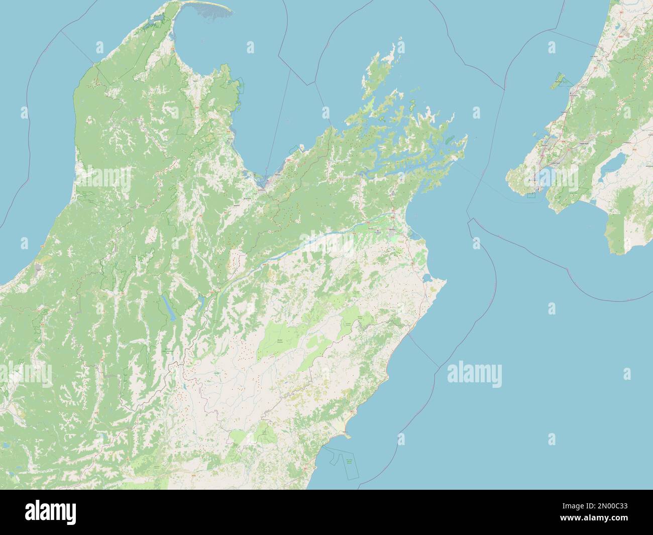 Marlborough, unitary authority of New Zealand. Open Street Map Stock Photohttps://www.alamy.com/image-license-details/?v=1https://www.alamy.com/marlborough-unitary-authority-of-new-zealand-open-street-map-image516320535.html
RF2N00C33–Marlborough, unitary authority of New Zealand. Open Street Map
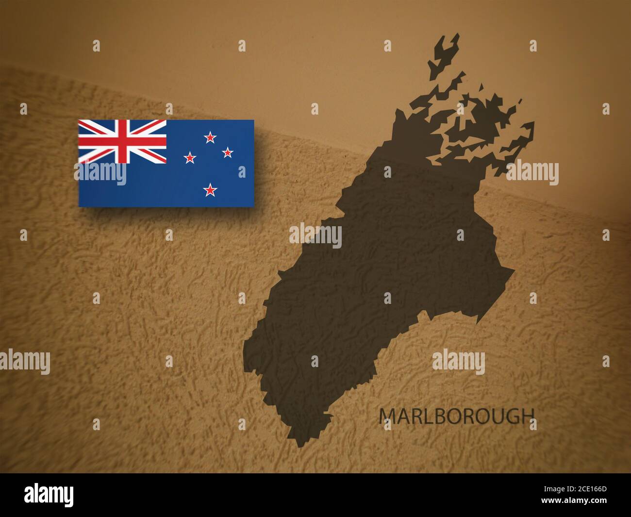 Marlborough map and New Zealand flag, New Zealand region, 3D illustration Stock Photohttps://www.alamy.com/image-license-details/?v=1https://www.alamy.com/marlborough-map-and-new-zealand-flag-new-zealand-region-3d-illustration-image370049749.html
RF2CE166D–Marlborough map and New Zealand flag, New Zealand region, 3D illustration
 Bay of Island, New Zealand, Stock Photohttps://www.alamy.com/image-license-details/?v=1https://www.alamy.com/stock-photo-bay-of-island-new-zealand-72829711.html
RFE6DK13–Bay of Island, New Zealand,
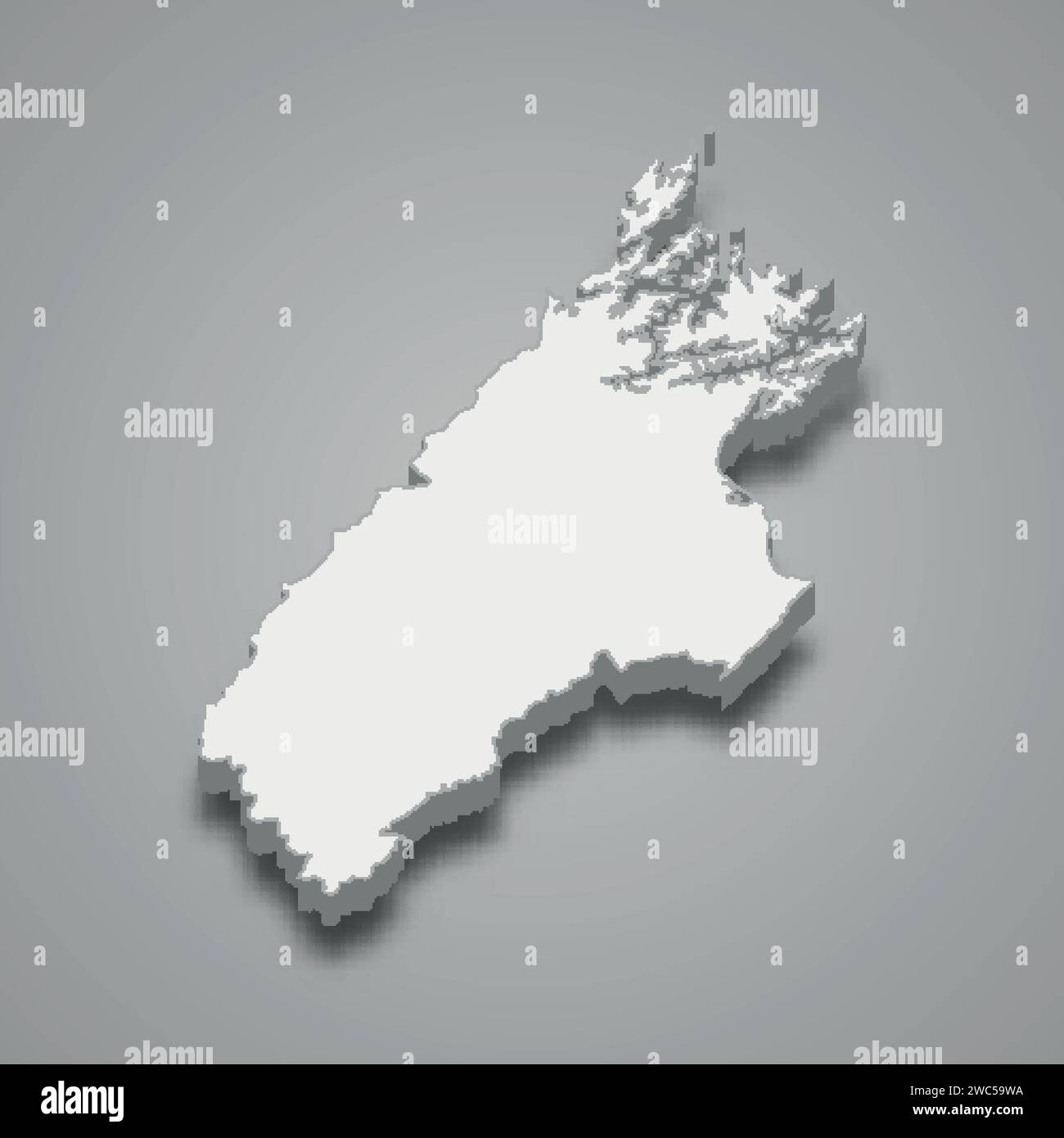 3d isometric map of Marlborough is a region of New Zealand, vector illustration Stock Vectorhttps://www.alamy.com/image-license-details/?v=1https://www.alamy.com/3d-isometric-map-of-marlborough-is-a-region-of-new-zealand-vector-illustration-image592645910.html
RF2WC59WA–3d isometric map of Marlborough is a region of New Zealand, vector illustration
 AUSTRALIA & NEW ZEALAND: NSW Victoria SA QLD; Canterbury Alps. BUTLER, 1888 map Stock Photohttps://www.alamy.com/image-license-details/?v=1https://www.alamy.com/stock-photo-australia-new-zealand-nsw-victoria-sa-qld-canterbury-alps-butler-1888-110383212.html
RFGBGAWG–AUSTRALIA & NEW ZEALAND: NSW Victoria SA QLD; Canterbury Alps. BUTLER, 1888 map
 Bay of Island, New Zealand, Stock Photohttps://www.alamy.com/image-license-details/?v=1https://www.alamy.com/stock-photo-bay-of-island-new-zealand-80118166.html
RFEJ9KF2–Bay of Island, New Zealand,
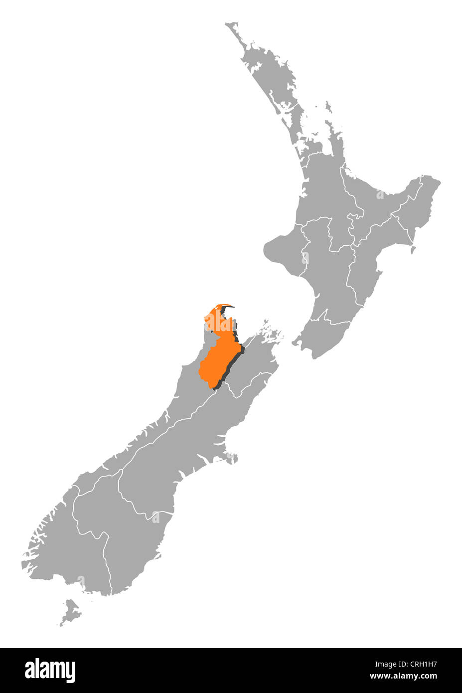 Political map of New Zealand with the several regions where Marlborough is highlighted. Stock Photohttps://www.alamy.com/image-license-details/?v=1https://www.alamy.com/stock-photo-political-map-of-new-zealand-with-the-several-regions-where-marlborough-48932275.html
RFCRH1H7–Political map of New Zealand with the several regions where Marlborough is highlighted.
![Image taken from page 23 of '[Handbook to Nelson and Marlborough, New Zealand. With map.]' Stock Photo Image taken from page 23 of '[Handbook to Nelson and Marlborough, New Zealand. With map.]' Stock Photo](https://c8.alamy.com/comp/J0W372/image-taken-from-page-23-of-handbook-to-nelson-and-marlborough-new-J0W372.jpg) Image taken from page 23 of '[Handbook to Nelson and Marlborough, New Zealand. With map.]' Stock Photohttps://www.alamy.com/image-license-details/?v=1https://www.alamy.com/stock-photo-image-taken-from-page-23-of-handbook-to-nelson-and-marlborough-new-138234294.html
Image taken from page 23 of '[Handbook to Nelson and Marlborough, New Zealand. With map.]' Stock Photohttps://www.alamy.com/image-license-details/?v=1https://www.alamy.com/stock-photo-image-taken-from-page-23-of-handbook-to-nelson-and-marlborough-new-138234294.htmlRMJ0W372–Image taken from page 23 of '[Handbook to Nelson and Marlborough, New Zealand. With map.]'
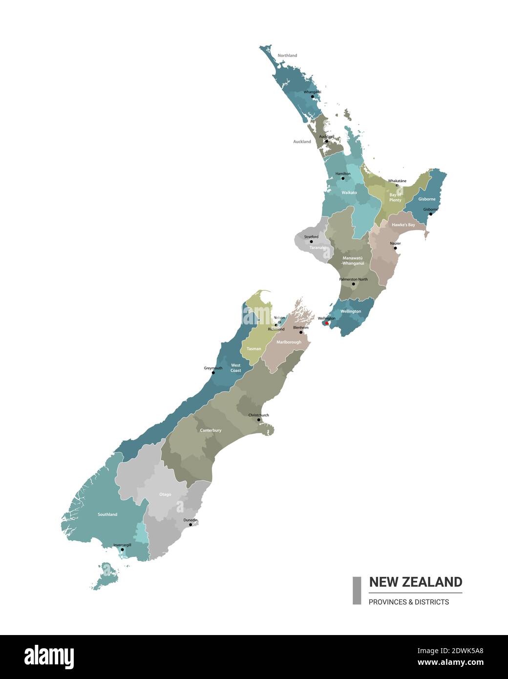 New Zealand higt detailed map with subdivisions. Administrative map of New Zealand with districts and cities name, colored by states and administrativ Stock Vectorhttps://www.alamy.com/image-license-details/?v=1https://www.alamy.com/new-zealand-higt-detailed-map-with-subdivisions-administrative-map-of-new-zealand-with-districts-and-cities-name-colored-by-states-and-administrativ-image394415792.html
RF2DWK5A8–New Zealand higt detailed map with subdivisions. Administrative map of New Zealand with districts and cities name, colored by states and administrativ
 Overlooking Melville Cove, Queen Charlotte Sound, Marlborough, South Island, New Zealand. Model Released. Stock Photohttps://www.alamy.com/image-license-details/?v=1https://www.alamy.com/stock-photo-overlooking-melville-cove-queen-charlotte-sound-marlborough-south-15317873.html
RMAMPRGJ–Overlooking Melville Cove, Queen Charlotte Sound, Marlborough, South Island, New Zealand. Model Released.
 Symbol Map of the Unitary Authority Marlborough District (New Zealand) showing the state with black, crossing lines like Mikado Sticks or a spider web Stock Vectorhttps://www.alamy.com/image-license-details/?v=1https://www.alamy.com/symbol-map-of-the-unitary-authority-marlborough-district-new-zealand-showing-the-state-with-black-crossing-lines-like-mikado-sticks-or-a-spider-web-image615836674.html
RF2XNWNXX–Symbol Map of the Unitary Authority Marlborough District (New Zealand) showing the state with black, crossing lines like Mikado Sticks or a spider web
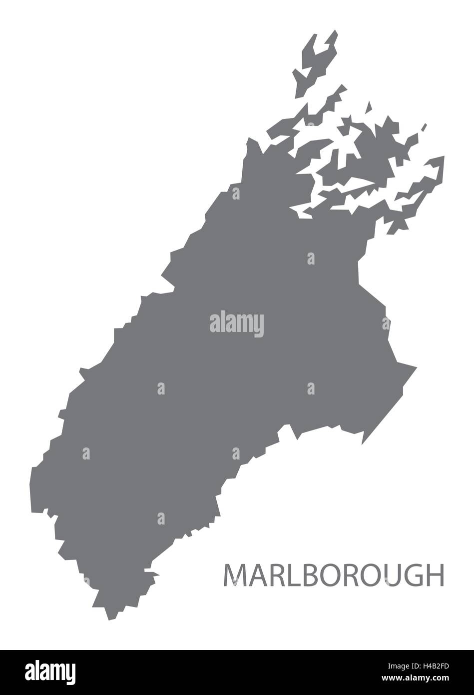 Marlborough New Zealand Map grey Stock Vectorhttps://www.alamy.com/image-license-details/?v=1https://www.alamy.com/stock-photo-marlborough-new-zealand-map-grey-123174673.html
RFH4B2FD–Marlborough New Zealand Map grey
 Marlborough New Zealand map with national flag illustration Stock Photohttps://www.alamy.com/image-license-details/?v=1https://www.alamy.com/marlborough-new-zealand-map-with-national-flag-illustration-image227107862.html
RFR5DJB2–Marlborough New Zealand map with national flag illustration
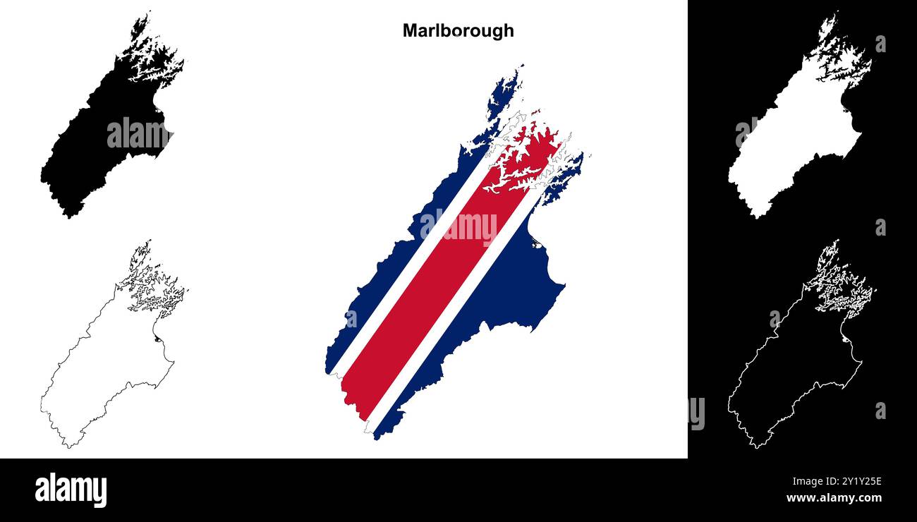 Marlborough blank outline map set Stock Vectorhttps://www.alamy.com/image-license-details/?v=1https://www.alamy.com/marlborough-blank-outline-map-set-image620782330.html
RF2Y1Y25E–Marlborough blank outline map set
 Marlborough Region (Regions of New Zealand, South Island) map vector illustration, scribble sketch Marlborough map Stock Vectorhttps://www.alamy.com/image-license-details/?v=1https://www.alamy.com/marlborough-region-regions-of-new-zealand-south-island-map-vector-illustration-scribble-sketch-marlborough-map-image335854581.html
RF2AEBDXD–Marlborough Region (Regions of New Zealand, South Island) map vector illustration, scribble sketch Marlborough map
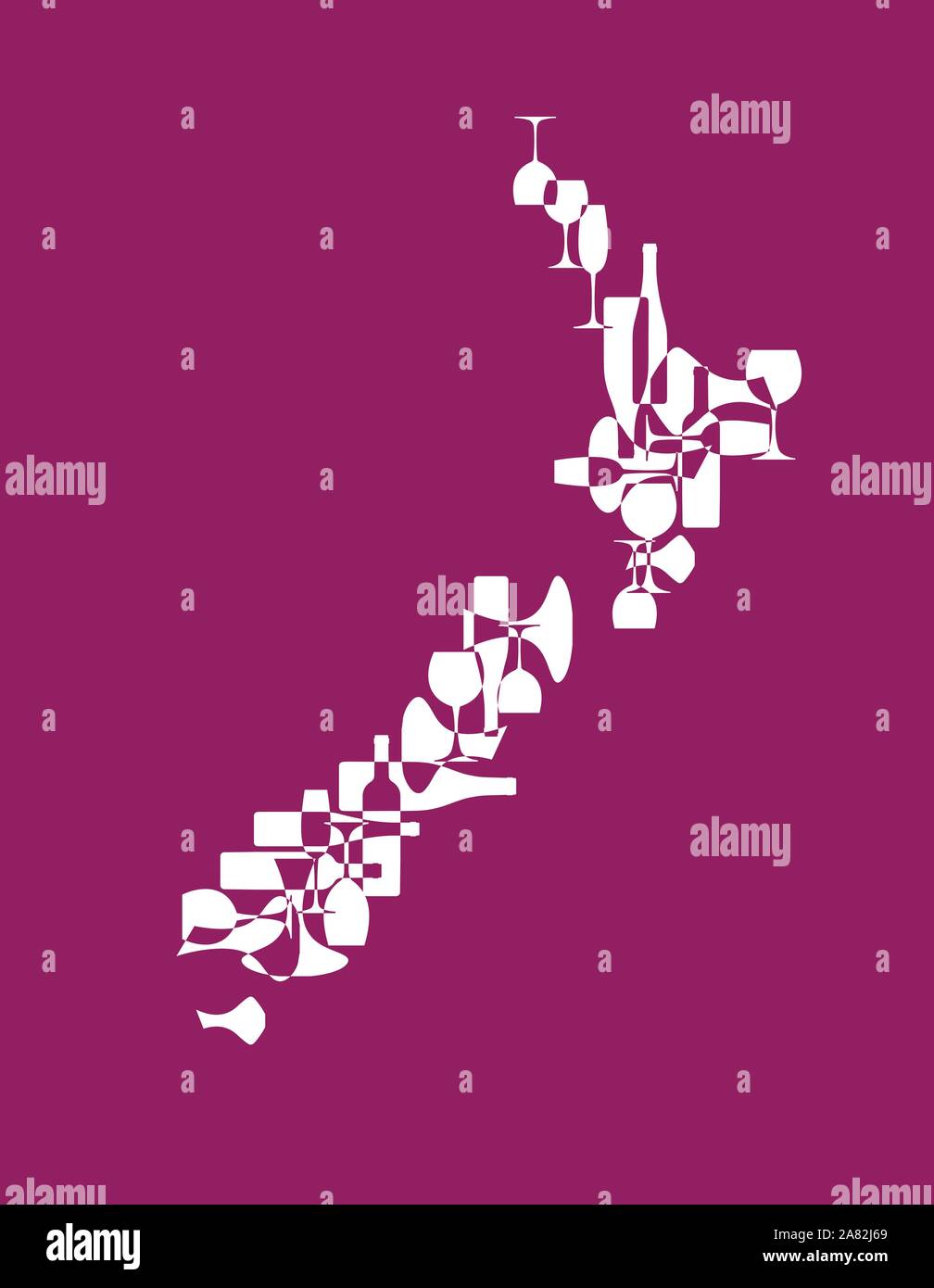 Countries winemakers - stylized maps from silhouettes of wine bottles, glasses and decanters. Map of New Zealand. Stock Vectorhttps://www.alamy.com/image-license-details/?v=1https://www.alamy.com/countries-winemakers-stylized-maps-from-silhouettes-of-wine-bottles-glasses-and-decanters-map-of-new-zealand-image331972433.html
RF2A82J69–Countries winemakers - stylized maps from silhouettes of wine bottles, glasses and decanters. Map of New Zealand.
 Somerland, , NZ, New Zealand, Marlborough, S 41 13' 5'', N 173 22' 12'', map, Cartascapes Map published in 2024. Explore Cartascapes, a map revealing Earth's diverse landscapes, cultures, and ecosystems. Journey through time and space, discovering the interconnectedness of our planet's past, present, and future. Stock Photohttps://www.alamy.com/image-license-details/?v=1https://www.alamy.com/somerland-nz-new-zealand-marlborough-s-41-13-5-n-173-22-12-map-cartascapes-map-published-in-2024-explore-cartascapes-a-map-revealing-earths-diverse-landscapes-cultures-and-ecosystems-journey-through-time-and-space-discovering-the-interconnectedness-of-our-planets-past-present-and-future-image634059532.html
RM2YRFWB8–Somerland, , NZ, New Zealand, Marlborough, S 41 13' 5'', N 173 22' 12'', map, Cartascapes Map published in 2024. Explore Cartascapes, a map revealing Earth's diverse landscapes, cultures, and ecosystems. Journey through time and space, discovering the interconnectedness of our planet's past, present, and future.
 Marlborough, unitary authority of New Zealand. Low resolution satellite map Stock Photohttps://www.alamy.com/image-license-details/?v=1https://www.alamy.com/marlborough-unitary-authority-of-new-zealand-low-resolution-satellite-map-image516320536.html
RF2N00C34–Marlborough, unitary authority of New Zealand. Low resolution satellite map
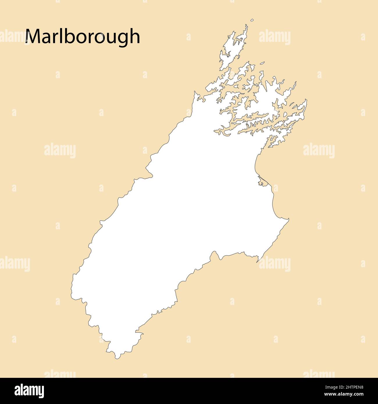 High Quality map of Marlborough is a region of New Zealand, with borders of the districts Stock Vectorhttps://www.alamy.com/image-license-details/?v=1https://www.alamy.com/high-quality-map-of-marlborough-is-a-region-of-new-zealand-with-borders-of-the-districts-image462715828.html
RF2HTPEN8–High Quality map of Marlborough is a region of New Zealand, with borders of the districts
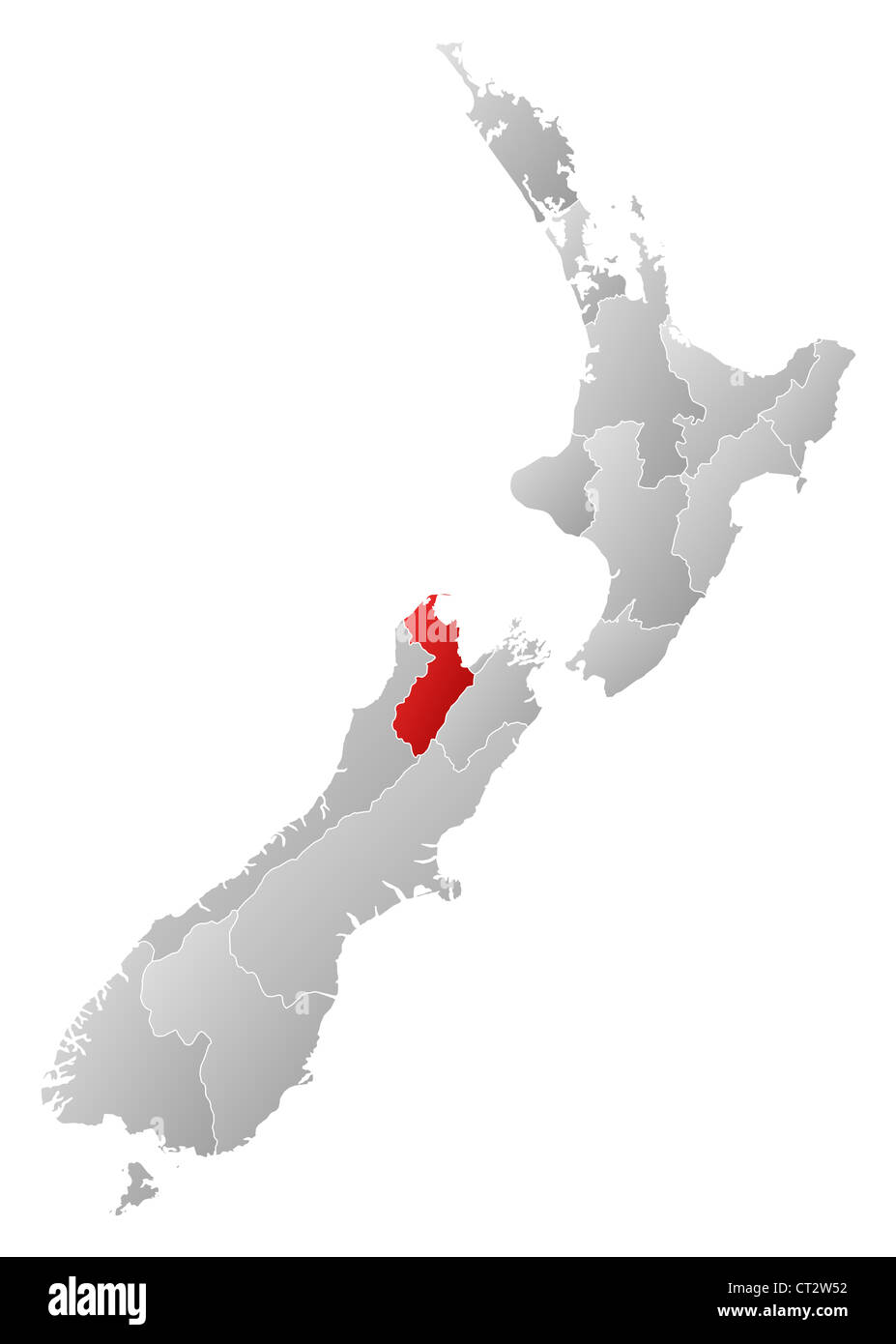 Political map of New Zealand with the several regions where Marlborough is highlighted. Stock Photohttps://www.alamy.com/image-license-details/?v=1https://www.alamy.com/stock-photo-political-map-of-new-zealand-with-the-several-regions-where-marlborough-49236126.html
RFCT2W52–Political map of New Zealand with the several regions where Marlborough is highlighted.
![Image taken from page 23 of '[Handbook to Nelson and Marlborough, New Zealand. With map.]' Image taken from page 23 of '[Handbook t Stock Photo Image taken from page 23 of '[Handbook to Nelson and Marlborough, New Zealand. With map.]' Image taken from page 23 of '[Handbook t Stock Photo](https://c8.alamy.com/comp/HK67CX/image-taken-from-page-23-of-handbook-to-nelson-and-marlborough-new-HK67CX.jpg) Image taken from page 23 of '[Handbook to Nelson and Marlborough, New Zealand. With map.]' Image taken from page 23 of '[Handbook t Stock Photohttps://www.alamy.com/image-license-details/?v=1https://www.alamy.com/stock-photo-image-taken-from-page-23-of-handbook-to-nelson-and-marlborough-new-132288602.html
Image taken from page 23 of '[Handbook to Nelson and Marlborough, New Zealand. With map.]' Image taken from page 23 of '[Handbook t Stock Photohttps://www.alamy.com/image-license-details/?v=1https://www.alamy.com/stock-photo-image-taken-from-page-23-of-handbook-to-nelson-and-marlborough-new-132288602.htmlRMHK67CX–Image taken from page 23 of '[Handbook to Nelson and Marlborough, New Zealand. With map.]' Image taken from page 23 of '[Handbook t
 Symbol Map of the Unitary Authority Marlborough District (New Zealand). Abstract map showing the state/province with a pattern of overlapping colorful Stock Vectorhttps://www.alamy.com/image-license-details/?v=1https://www.alamy.com/symbol-map-of-the-unitary-authority-marlborough-district-new-zealand-abstract-map-showing-the-stateprovince-with-a-pattern-of-overlapping-colorful-image611836534.html
RF2XFBFMP–Symbol Map of the Unitary Authority Marlborough District (New Zealand). Abstract map showing the state/province with a pattern of overlapping colorful
 Marlborough New Zealand map with national flag illustration Stock Vectorhttps://www.alamy.com/image-license-details/?v=1https://www.alamy.com/stock-photo-marlborough-new-zealand-map-with-national-flag-illustration-147759276.html
RFJGB0D0–Marlborough New Zealand map with national flag illustration
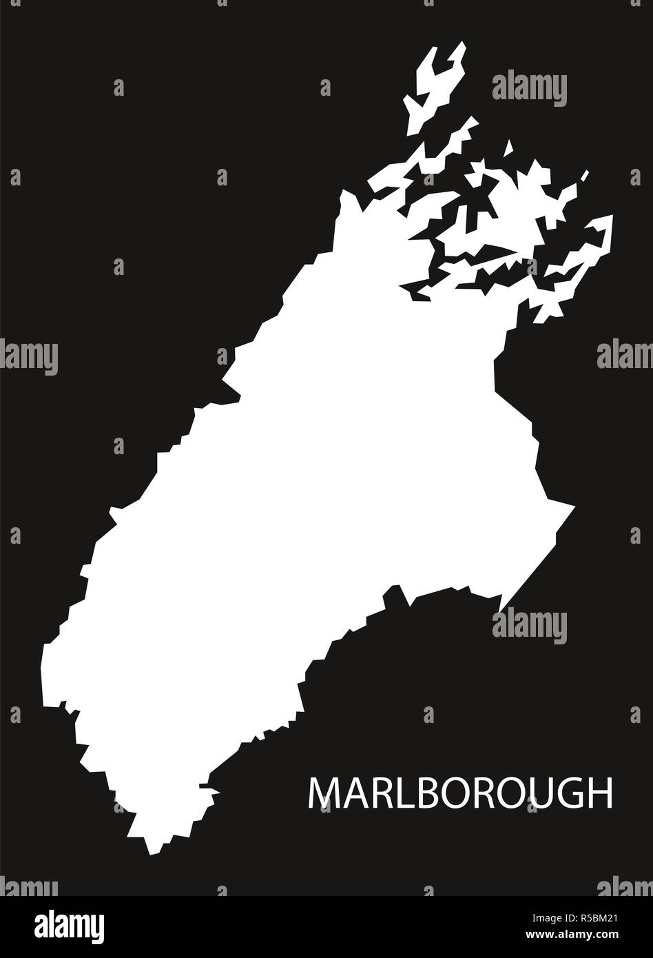 Marlborough New Zealand map black inverted silhouette illustration Stock Photohttps://www.alamy.com/image-license-details/?v=1https://www.alamy.com/marlborough-new-zealand-map-black-inverted-silhouette-illustration-image227065273.html
RFR5BM21–Marlborough New Zealand map black inverted silhouette illustration
 Marlborough Region (Regions of New Zealand, South Island) map vector illustration, scribble sketch Marlborough map Stock Vectorhttps://www.alamy.com/image-license-details/?v=1https://www.alamy.com/marlborough-region-regions-of-new-zealand-south-island-map-vector-illustration-scribble-sketch-marlborough-map-image333619992.html
RF2AANKKM–Marlborough Region (Regions of New Zealand, South Island) map vector illustration, scribble sketch Marlborough map
 The Zoo, , NZ, New Zealand, Marlborough, S 41 55' 5'', N 173 55' 12'', map, Cartascapes Map published in 2024. Explore Cartascapes, a map revealing Earth's diverse landscapes, cultures, and ecosystems. Journey through time and space, discovering the interconnectedness of our planet's past, present, and future. Stock Photohttps://www.alamy.com/image-license-details/?v=1https://www.alamy.com/the-zoo-nz-new-zealand-marlborough-s-41-55-5-n-173-55-12-map-cartascapes-map-published-in-2024-explore-cartascapes-a-map-revealing-earths-diverse-landscapes-cultures-and-ecosystems-journey-through-time-and-space-discovering-the-interconnectedness-of-our-planets-past-present-and-future-image634020153.html
RM2YRE34W–The Zoo, , NZ, New Zealand, Marlborough, S 41 55' 5'', N 173 55' 12'', map, Cartascapes Map published in 2024. Explore Cartascapes, a map revealing Earth's diverse landscapes, cultures, and ecosystems. Journey through time and space, discovering the interconnectedness of our planet's past, present, and future.
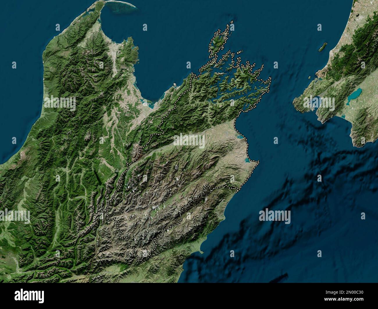 Marlborough, unitary authority of New Zealand. High resolution satellite map Stock Photohttps://www.alamy.com/image-license-details/?v=1https://www.alamy.com/marlborough-unitary-authority-of-new-zealand-high-resolution-satellite-map-image516320532.html
RF2N00C30–Marlborough, unitary authority of New Zealand. High resolution satellite map
 Political map of New Zealand with the several regions where Marlborough is highlighted. Stock Photohttps://www.alamy.com/image-license-details/?v=1https://www.alamy.com/stock-photo-political-map-of-new-zealand-with-the-several-regions-where-marlborough-48932363.html
RFCRH1MB–Political map of New Zealand with the several regions where Marlborough is highlighted.
 Symbol Map of the Unitary Authority Marlborough District (New Zealand) showing the state/province with a pattern of black circles Stock Vectorhttps://www.alamy.com/image-license-details/?v=1https://www.alamy.com/symbol-map-of-the-unitary-authority-marlborough-district-new-zealand-showing-the-stateprovince-with-a-pattern-of-black-circles-image612955432.html
RF2XH6EWC–Symbol Map of the Unitary Authority Marlborough District (New Zealand) showing the state/province with a pattern of black circles
 Marlborough New Zealand map black inverted silhouette illustration Stock Vectorhttps://www.alamy.com/image-license-details/?v=1https://www.alamy.com/stock-photo-marlborough-new-zealand-map-black-inverted-silhouette-illustration-147612684.html
RFJG49DG–Marlborough New Zealand map black inverted silhouette illustration
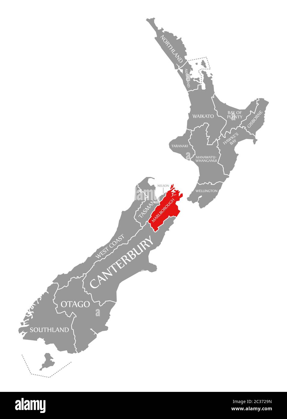 Marlborough red highlighted in map of New Zealand Stock Photohttps://www.alamy.com/image-license-details/?v=1https://www.alamy.com/marlborough-red-highlighted-in-map-of-new-zealand-image363417201.html
RF2C3729N–Marlborough red highlighted in map of New Zealand
 Marlborough Region (Regions of New Zealand, South Island) map vector illustration, scribble sketch Marlborough map Stock Vectorhttps://www.alamy.com/image-license-details/?v=1https://www.alamy.com/marlborough-region-regions-of-new-zealand-south-island-map-vector-illustration-scribble-sketch-marlborough-map-image330584555.html
RF2A5RBY7–Marlborough Region (Regions of New Zealand, South Island) map vector illustration, scribble sketch Marlborough map
 Napoleon, , NZ, New Zealand, Marlborough, S 41 56' 17'', N 174 0' 36'', map, Cartascapes Map published in 2024. Explore Cartascapes, a map revealing Earth's diverse landscapes, cultures, and ecosystems. Journey through time and space, discovering the interconnectedness of our planet's past, present, and future. Stock Photohttps://www.alamy.com/image-license-details/?v=1https://www.alamy.com/napoleon-nz-new-zealand-marlborough-s-41-56-17-n-174-0-36-map-cartascapes-map-published-in-2024-explore-cartascapes-a-map-revealing-earths-diverse-landscapes-cultures-and-ecosystems-journey-through-time-and-space-discovering-the-interconnectedness-of-our-planets-past-present-and-future-image633986545.html
RM2YRCG8H–Napoleon, , NZ, New Zealand, Marlborough, S 41 56' 17'', N 174 0' 36'', map, Cartascapes Map published in 2024. Explore Cartascapes, a map revealing Earth's diverse landscapes, cultures, and ecosystems. Journey through time and space, discovering the interconnectedness of our planet's past, present, and future.
 Marlborough, unitary authority of New Zealand. Bilevel elevation map with lakes and rivers Stock Photohttps://www.alamy.com/image-license-details/?v=1https://www.alamy.com/marlborough-unitary-authority-of-new-zealand-bilevel-elevation-map-with-lakes-and-rivers-image516320499.html
RF2N00C1R–Marlborough, unitary authority of New Zealand. Bilevel elevation map with lakes and rivers
 Political map of New Zealand with the several regions where Marlborough is highlighted. Stock Photohttps://www.alamy.com/image-license-details/?v=1https://www.alamy.com/stock-photo-political-map-of-new-zealand-with-the-several-regions-where-marlborough-48932198.html
RFCRH1EE–Political map of New Zealand with the several regions where Marlborough is highlighted.
 Marlborough region watercolor map of the New Zealand in front of a white background Stock Photohttps://www.alamy.com/image-license-details/?v=1https://www.alamy.com/marlborough-region-watercolor-map-of-the-new-zealand-in-front-of-a-white-background-image224668280.html
RFR1EEK4–Marlborough region watercolor map of the New Zealand in front of a white background
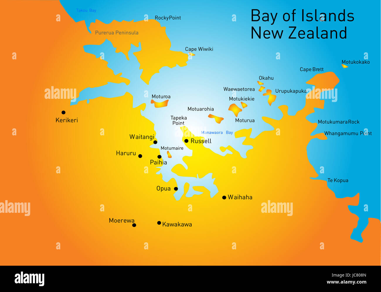 Bay of Island, New Zealand, vector color map Stock Photohttps://www.alamy.com/image-license-details/?v=1https://www.alamy.com/stock-photo-bay-of-island-new-zealand-vector-color-map-145234677.html
RFJC808N–Bay of Island, New Zealand, vector color map
 Eniscote, , NZ, New Zealand, Marlborough, S 42 29' 53'', N 173 20' 24'', map, Cartascapes Map published in 2024. Explore Cartascapes, a map revealing Earth's diverse landscapes, cultures, and ecosystems. Journey through time and space, discovering the interconnectedness of our planet's past, present, and future. Stock Photohttps://www.alamy.com/image-license-details/?v=1https://www.alamy.com/eniscote-nz-new-zealand-marlborough-s-42-29-53-n-173-20-24-map-cartascapes-map-published-in-2024-explore-cartascapes-a-map-revealing-earths-diverse-landscapes-cultures-and-ecosystems-journey-through-time-and-space-discovering-the-interconnectedness-of-our-planets-past-present-and-future-image633967191.html
RM2YRBKHB–Eniscote, , NZ, New Zealand, Marlborough, S 42 29' 53'', N 173 20' 24'', map, Cartascapes Map published in 2024. Explore Cartascapes, a map revealing Earth's diverse landscapes, cultures, and ecosystems. Journey through time and space, discovering the interconnectedness of our planet's past, present, and future.
 Marlborough, unitary authority of New Zealand. Grayscale elevation map with lakes and rivers Stock Photohttps://www.alamy.com/image-license-details/?v=1https://www.alamy.com/marlborough-unitary-authority-of-new-zealand-grayscale-elevation-map-with-lakes-and-rivers-image516320523.html
RF2N00C2K–Marlborough, unitary authority of New Zealand. Grayscale elevation map with lakes and rivers
 Modern Map - Marlborough NZ Stock Vectorhttps://www.alamy.com/image-license-details/?v=1https://www.alamy.com/stock-photo-modern-map-marlborough-nz-136912348.html
RFHXMW2M–Modern Map - Marlborough NZ
 Homai, , NZ, New Zealand, Marlborough, S 41 59' 53'', N 174 0' 0'', map, Cartascapes Map published in 2024. Explore Cartascapes, a map revealing Earth's diverse landscapes, cultures, and ecosystems. Journey through time and space, discovering the interconnectedness of our planet's past, present, and future. Stock Photohttps://www.alamy.com/image-license-details/?v=1https://www.alamy.com/homai-nz-new-zealand-marlborough-s-41-59-53-n-174-0-0-map-cartascapes-map-published-in-2024-explore-cartascapes-a-map-revealing-earths-diverse-landscapes-cultures-and-ecosystems-journey-through-time-and-space-discovering-the-interconnectedness-of-our-planets-past-present-and-future-image633955708.html
RM2YRB4Y8–Homai, , NZ, New Zealand, Marlborough, S 41 59' 53'', N 174 0' 0'', map, Cartascapes Map published in 2024. Explore Cartascapes, a map revealing Earth's diverse landscapes, cultures, and ecosystems. Journey through time and space, discovering the interconnectedness of our planet's past, present, and future.
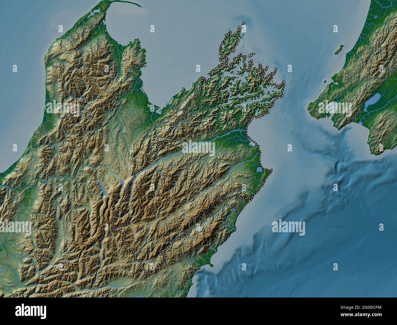 Marlborough, unitary authority of New Zealand. Colored elevation map with lakes and rivers Stock Photohttps://www.alamy.com/image-license-details/?v=1https://www.alamy.com/marlborough-unitary-authority-of-new-zealand-colored-elevation-map-with-lakes-and-rivers-image516321084.html
RF2N00CPM–Marlborough, unitary authority of New Zealand. Colored elevation map with lakes and rivers
 Edgecombe, , NZ, New Zealand, Marlborough, S 42 10' 41'', N 173 52' 12'', map, Cartascapes Map published in 2024. Explore Cartascapes, a map revealing Earth's diverse landscapes, cultures, and ecosystems. Journey through time and space, discovering the interconnectedness of our planet's past, present, and future. Stock Photohttps://www.alamy.com/image-license-details/?v=1https://www.alamy.com/edgecombe-nz-new-zealand-marlborough-s-42-10-41-n-173-52-12-map-cartascapes-map-published-in-2024-explore-cartascapes-a-map-revealing-earths-diverse-landscapes-cultures-and-ecosystems-journey-through-time-and-space-discovering-the-interconnectedness-of-our-planets-past-present-and-future-image633964652.html
RM2YRBGAM–Edgecombe, , NZ, New Zealand, Marlborough, S 42 10' 41'', N 173 52' 12'', map, Cartascapes Map published in 2024. Explore Cartascapes, a map revealing Earth's diverse landscapes, cultures, and ecosystems. Journey through time and space, discovering the interconnectedness of our planet's past, present, and future.
 Marlborough, unitary authority of New Zealand. Open Street Map. Corner auxiliary location maps Stock Photohttps://www.alamy.com/image-license-details/?v=1https://www.alamy.com/marlborough-unitary-authority-of-new-zealand-open-street-map-corner-auxiliary-location-maps-image516320547.html
RF2N00C3F–Marlborough, unitary authority of New Zealand. Open Street Map. Corner auxiliary location maps
 Imphal, , NZ, New Zealand, Marlborough, S 42 5' 53'', N 173 50' 24'', map, Cartascapes Map published in 2024. Explore Cartascapes, a map revealing Earth's diverse landscapes, cultures, and ecosystems. Journey through time and space, discovering the interconnectedness of our planet's past, present, and future. Stock Photohttps://www.alamy.com/image-license-details/?v=1https://www.alamy.com/imphal-nz-new-zealand-marlborough-s-42-5-53-n-173-50-24-map-cartascapes-map-published-in-2024-explore-cartascapes-a-map-revealing-earths-diverse-landscapes-cultures-and-ecosystems-journey-through-time-and-space-discovering-the-interconnectedness-of-our-planets-past-present-and-future-image633946265.html
RM2YRAMX1–Imphal, , NZ, New Zealand, Marlborough, S 42 5' 53'', N 173 50' 24'', map, Cartascapes Map published in 2024. Explore Cartascapes, a map revealing Earth's diverse landscapes, cultures, and ecosystems. Journey through time and space, discovering the interconnectedness of our planet's past, present, and future.
 Marlborough, unitary authority of New Zealand. High resolution satellite map. Corner auxiliary location maps Stock Photohttps://www.alamy.com/image-license-details/?v=1https://www.alamy.com/marlborough-unitary-authority-of-new-zealand-high-resolution-satellite-map-corner-auxiliary-location-maps-image516320542.html
RF2N00C3A–Marlborough, unitary authority of New Zealand. High resolution satellite map. Corner auxiliary location maps
 Cricklewood, , NZ, New Zealand, Marlborough, S 42 9' 29'', N 173 54' 0'', map, Cartascapes Map published in 2024. Explore Cartascapes, a map revealing Earth's diverse landscapes, cultures, and ecosystems. Journey through time and space, discovering the interconnectedness of our planet's past, present, and future. Stock Photohttps://www.alamy.com/image-license-details/?v=1https://www.alamy.com/cricklewood-nz-new-zealand-marlborough-s-42-9-29-n-173-54-0-map-cartascapes-map-published-in-2024-explore-cartascapes-a-map-revealing-earths-diverse-landscapes-cultures-and-ecosystems-journey-through-time-and-space-discovering-the-interconnectedness-of-our-planets-past-present-and-future-image633956119.html
RM2YRB5DY–Cricklewood, , NZ, New Zealand, Marlborough, S 42 9' 29'', N 173 54' 0'', map, Cartascapes Map published in 2024. Explore Cartascapes, a map revealing Earth's diverse landscapes, cultures, and ecosystems. Journey through time and space, discovering the interconnectedness of our planet's past, present, and future.
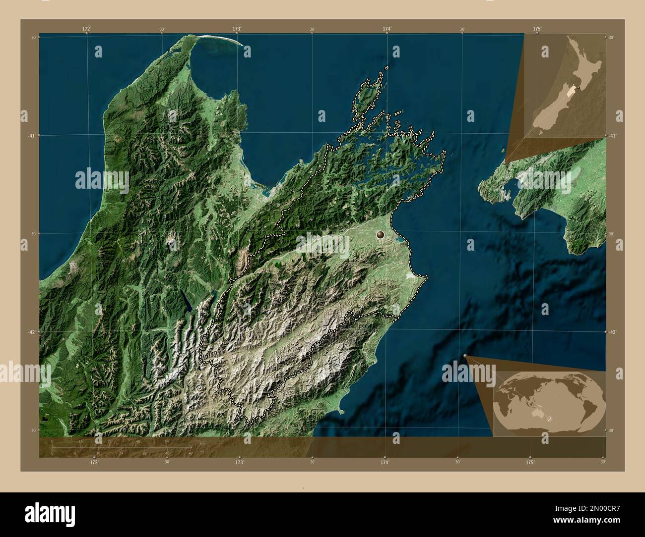 Marlborough, unitary authority of New Zealand. Low resolution satellite map. Corner auxiliary location maps Stock Photohttps://www.alamy.com/image-license-details/?v=1https://www.alamy.com/marlborough-unitary-authority-of-new-zealand-low-resolution-satellite-map-corner-auxiliary-location-maps-image516321099.html
RF2N00CR7–Marlborough, unitary authority of New Zealand. Low resolution satellite map. Corner auxiliary location maps
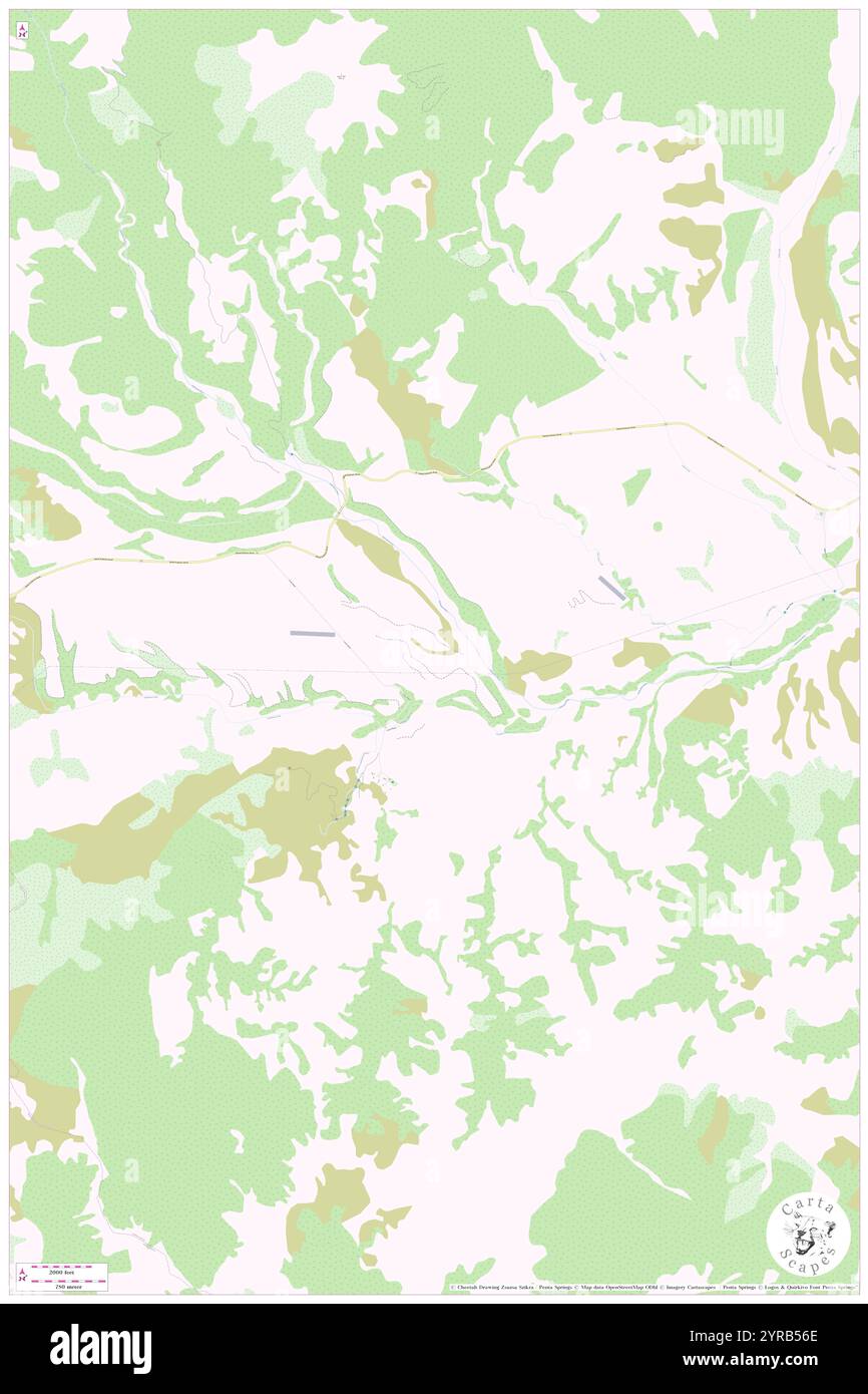 Greenburn, , NZ, New Zealand, Marlborough, S 42 23' 53'', N 173 27' 36'', map, Cartascapes Map published in 2024. Explore Cartascapes, a map revealing Earth's diverse landscapes, cultures, and ecosystems. Journey through time and space, discovering the interconnectedness of our planet's past, present, and future. Stock Photohttps://www.alamy.com/image-license-details/?v=1https://www.alamy.com/greenburn-nz-new-zealand-marlborough-s-42-23-53-n-173-27-36-map-cartascapes-map-published-in-2024-explore-cartascapes-a-map-revealing-earths-diverse-landscapes-cultures-and-ecosystems-journey-through-time-and-space-discovering-the-interconnectedness-of-our-planets-past-present-and-future-image633955910.html
RM2YRB56E–Greenburn, , NZ, New Zealand, Marlborough, S 42 23' 53'', N 173 27' 36'', map, Cartascapes Map published in 2024. Explore Cartascapes, a map revealing Earth's diverse landscapes, cultures, and ecosystems. Journey through time and space, discovering the interconnectedness of our planet's past, present, and future.
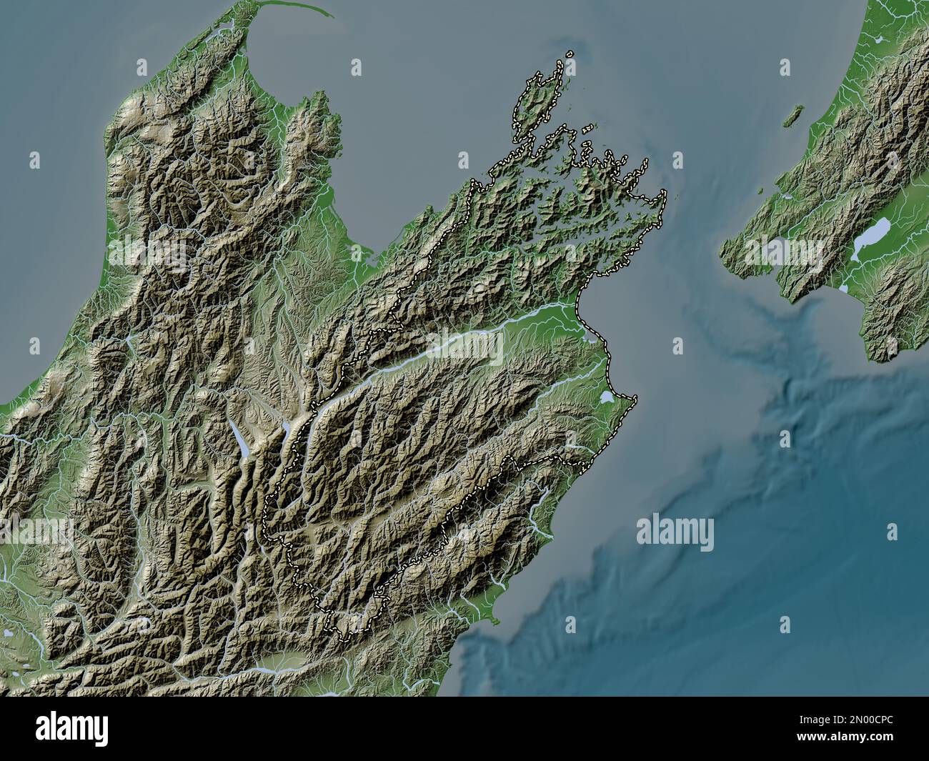 Marlborough, unitary authority of New Zealand. Elevation map colored in wiki style with lakes and rivers Stock Photohttps://www.alamy.com/image-license-details/?v=1https://www.alamy.com/marlborough-unitary-authority-of-new-zealand-elevation-map-colored-in-wiki-style-with-lakes-and-rivers-image516321076.html
RF2N00CPC–Marlborough, unitary authority of New Zealand. Elevation map colored in wiki style with lakes and rivers
 Gibraltar, , NZ, New Zealand, Marlborough, S 42 2' 53'', N 173 43' 12'', map, Cartascapes Map published in 2024. Explore Cartascapes, a map revealing Earth's diverse landscapes, cultures, and ecosystems. Journey through time and space, discovering the interconnectedness of our planet's past, present, and future. Stock Photohttps://www.alamy.com/image-license-details/?v=1https://www.alamy.com/gibraltar-nz-new-zealand-marlborough-s-42-2-53-n-173-43-12-map-cartascapes-map-published-in-2024-explore-cartascapes-a-map-revealing-earths-diverse-landscapes-cultures-and-ecosystems-journey-through-time-and-space-discovering-the-interconnectedness-of-our-planets-past-present-and-future-image634032217.html
RM2YREJFN–Gibraltar, , NZ, New Zealand, Marlborough, S 42 2' 53'', N 173 43' 12'', map, Cartascapes Map published in 2024. Explore Cartascapes, a map revealing Earth's diverse landscapes, cultures, and ecosystems. Journey through time and space, discovering the interconnectedness of our planet's past, present, and future.
 Marlborough, unitary authority of New Zealand. Elevation map colored in sepia tones with lakes and rivers Stock Photohttps://www.alamy.com/image-license-details/?v=1https://www.alamy.com/marlborough-unitary-authority-of-new-zealand-elevation-map-colored-in-sepia-tones-with-lakes-and-rivers-image516320574.html
RF2N00C4E–Marlborough, unitary authority of New Zealand. Elevation map colored in sepia tones with lakes and rivers
 Rakanui, , NZ, New Zealand, Marlborough, S 42 25' 5'', N 173 34' 48'', map, Cartascapes Map published in 2024. Explore Cartascapes, a map revealing Earth's diverse landscapes, cultures, and ecosystems. Journey through time and space, discovering the interconnectedness of our planet's past, present, and future. Stock Photohttps://www.alamy.com/image-license-details/?v=1https://www.alamy.com/rakanui-nz-new-zealand-marlborough-s-42-25-5-n-173-34-48-map-cartascapes-map-published-in-2024-explore-cartascapes-a-map-revealing-earths-diverse-landscapes-cultures-and-ecosystems-journey-through-time-and-space-discovering-the-interconnectedness-of-our-planets-past-present-and-future-image633960034.html
RM2YRBADP–Rakanui, , NZ, New Zealand, Marlborough, S 42 25' 5'', N 173 34' 48'', map, Cartascapes Map published in 2024. Explore Cartascapes, a map revealing Earth's diverse landscapes, cultures, and ecosystems. Journey through time and space, discovering the interconnectedness of our planet's past, present, and future.
 Marlborough, unitary authority of New Zealand. Grayscale elevation map with lakes and rivers. Corner auxiliary location maps Stock Photohttps://www.alamy.com/image-license-details/?v=1https://www.alamy.com/marlborough-unitary-authority-of-new-zealand-grayscale-elevation-map-with-lakes-and-rivers-corner-auxiliary-location-maps-image516320525.html
RF2N00C2N–Marlborough, unitary authority of New Zealand. Grayscale elevation map with lakes and rivers. Corner auxiliary location maps
RM2YRG43A–The Beacon, , NZ, New Zealand, Marlborough, S 42 17' 53'', N 173 16' 48'', map, Cartascapes Map published in 2024. Explore Cartascapes, a map revealing Earth's diverse landscapes, cultures, and ecosystems. Journey through time and space, discovering the interconnectedness of our planet's past, present, and future.
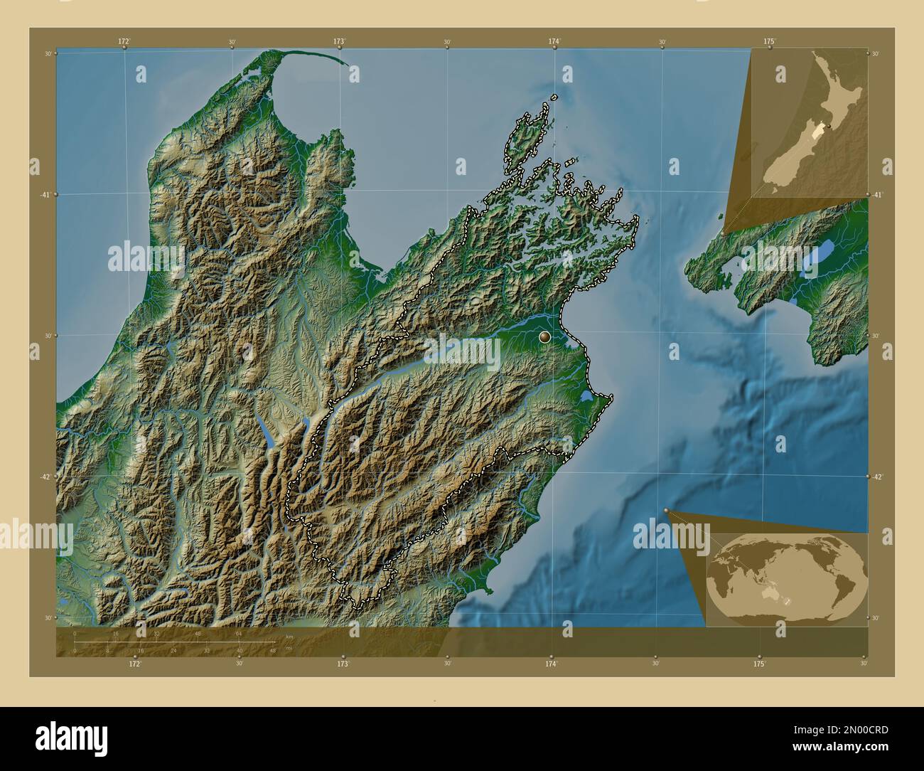 Marlborough, unitary authority of New Zealand. Colored elevation map with lakes and rivers. Corner auxiliary location maps Stock Photohttps://www.alamy.com/image-license-details/?v=1https://www.alamy.com/marlborough-unitary-authority-of-new-zealand-colored-elevation-map-with-lakes-and-rivers-corner-auxiliary-location-maps-image516321105.html
RF2N00CRD–Marlborough, unitary authority of New Zealand. Colored elevation map with lakes and rivers. Corner auxiliary location maps
 Ward, , NZ, New Zealand, Marlborough, S 41 49' 5'', N 174 8' 24'', map, Cartascapes Map published in 2024. Explore Cartascapes, a map revealing Earth's diverse landscapes, cultures, and ecosystems. Journey through time and space, discovering the interconnectedness of our planet's past, present, and future. Stock Photohttps://www.alamy.com/image-license-details/?v=1https://www.alamy.com/ward-nz-new-zealand-marlborough-s-41-49-5-n-174-8-24-map-cartascapes-map-published-in-2024-explore-cartascapes-a-map-revealing-earths-diverse-landscapes-cultures-and-ecosystems-journey-through-time-and-space-discovering-the-interconnectedness-of-our-planets-past-present-and-future-image633985795.html
RM2YRCF9R–Ward, , NZ, New Zealand, Marlborough, S 41 49' 5'', N 174 8' 24'', map, Cartascapes Map published in 2024. Explore Cartascapes, a map revealing Earth's diverse landscapes, cultures, and ecosystems. Journey through time and space, discovering the interconnectedness of our planet's past, present, and future.
 Marlborough, unitary authority of New Zealand. Bilevel elevation map with lakes and rivers. Corner auxiliary location maps Stock Photohttps://www.alamy.com/image-license-details/?v=1https://www.alamy.com/marlborough-unitary-authority-of-new-zealand-bilevel-elevation-map-with-lakes-and-rivers-corner-auxiliary-location-maps-image516320545.html
RF2N00C3D–Marlborough, unitary authority of New Zealand. Bilevel elevation map with lakes and rivers. Corner auxiliary location maps
 Tawhi, , NZ, New Zealand, Marlborough, S 40 54' 29'', N 173 45' 36'', map, Cartascapes Map published in 2024. Explore Cartascapes, a map revealing Earth's diverse landscapes, cultures, and ecosystems. Journey through time and space, discovering the interconnectedness of our planet's past, present, and future. Stock Photohttps://www.alamy.com/image-license-details/?v=1https://www.alamy.com/tawhi-nz-new-zealand-marlborough-s-40-54-29-n-173-45-36-map-cartascapes-map-published-in-2024-explore-cartascapes-a-map-revealing-earths-diverse-landscapes-cultures-and-ecosystems-journey-through-time-and-space-discovering-the-interconnectedness-of-our-planets-past-present-and-future-image634080449.html
RM2YRGT29–Tawhi, , NZ, New Zealand, Marlborough, S 40 54' 29'', N 173 45' 36'', map, Cartascapes Map published in 2024. Explore Cartascapes, a map revealing Earth's diverse landscapes, cultures, and ecosystems. Journey through time and space, discovering the interconnectedness of our planet's past, present, and future.
 Marlborough, unitary authority of New Zealand. Bilevel elevation map with lakes and rivers. Locations and names of major cities of the region. Corner Stock Photohttps://www.alamy.com/image-license-details/?v=1https://www.alamy.com/marlborough-unitary-authority-of-new-zealand-bilevel-elevation-map-with-lakes-and-rivers-locations-and-names-of-major-cities-of-the-region-corner-image516320505.html
RF2N00C21–Marlborough, unitary authority of New Zealand. Bilevel elevation map with lakes and rivers. Locations and names of major cities of the region. Corner
 Kaituna, , NZ, New Zealand, Marlborough, S 41 27' 29'', N 173 48' 0'', map, Cartascapes Map published in 2024. Explore Cartascapes, a map revealing Earth's diverse landscapes, cultures, and ecosystems. Journey through time and space, discovering the interconnectedness of our planet's past, present, and future. Stock Photohttps://www.alamy.com/image-license-details/?v=1https://www.alamy.com/kaituna-nz-new-zealand-marlborough-s-41-27-29-n-173-48-0-map-cartascapes-map-published-in-2024-explore-cartascapes-a-map-revealing-earths-diverse-landscapes-cultures-and-ecosystems-journey-through-time-and-space-discovering-the-interconnectedness-of-our-planets-past-present-and-future-image634077496.html
RM2YRGM8T–Kaituna, , NZ, New Zealand, Marlborough, S 41 27' 29'', N 173 48' 0'', map, Cartascapes Map published in 2024. Explore Cartascapes, a map revealing Earth's diverse landscapes, cultures, and ecosystems. Journey through time and space, discovering the interconnectedness of our planet's past, present, and future.
 Marlborough, unitary authority of New Zealand. Colored elevation map with lakes and rivers. Locations and names of major cities of the region. Corner Stock Photohttps://www.alamy.com/image-license-details/?v=1https://www.alamy.com/marlborough-unitary-authority-of-new-zealand-colored-elevation-map-with-lakes-and-rivers-locations-and-names-of-major-cities-of-the-region-corner-image516320554.html
RF2N00C3P–Marlborough, unitary authority of New Zealand. Colored elevation map with lakes and rivers. Locations and names of major cities of the region. Corner
 Coverham, , NZ, New Zealand, Marlborough, S 41 56' 17'', N 173 52' 48'', map, Cartascapes Map published in 2024. Explore Cartascapes, a map revealing Earth's diverse landscapes, cultures, and ecosystems. Journey through time and space, discovering the interconnectedness of our planet's past, present, and future. Stock Photohttps://www.alamy.com/image-license-details/?v=1https://www.alamy.com/coverham-nz-new-zealand-marlborough-s-41-56-17-n-173-52-48-map-cartascapes-map-published-in-2024-explore-cartascapes-a-map-revealing-earths-diverse-landscapes-cultures-and-ecosystems-journey-through-time-and-space-discovering-the-interconnectedness-of-our-planets-past-present-and-future-image633951667.html
RM2YRAYPY–Coverham, , NZ, New Zealand, Marlborough, S 41 56' 17'', N 173 52' 48'', map, Cartascapes Map published in 2024. Explore Cartascapes, a map revealing Earth's diverse landscapes, cultures, and ecosystems. Journey through time and space, discovering the interconnectedness of our planet's past, present, and future.
 Marlborough, unitary authority of New Zealand. Colored elevation map with lakes and rivers. Locations of major cities of the region. Corner auxiliary Stock Photohttps://www.alamy.com/image-license-details/?v=1https://www.alamy.com/marlborough-unitary-authority-of-new-zealand-colored-elevation-map-with-lakes-and-rivers-locations-of-major-cities-of-the-region-corner-auxiliary-image516321189.html
RF2N00CXD–Marlborough, unitary authority of New Zealand. Colored elevation map with lakes and rivers. Locations of major cities of the region. Corner auxiliary
 The Knobbys, , NZ, New Zealand, Marlborough, S 41 17' 53'', N 174 9' 0'', map, Cartascapes Map published in 2024. Explore Cartascapes, a map revealing Earth's diverse landscapes, cultures, and ecosystems. Journey through time and space, discovering the interconnectedness of our planet's past, present, and future. Stock Photohttps://www.alamy.com/image-license-details/?v=1https://www.alamy.com/the-knobbys-nz-new-zealand-marlborough-s-41-17-53-n-174-9-0-map-cartascapes-map-published-in-2024-explore-cartascapes-a-map-revealing-earths-diverse-landscapes-cultures-and-ecosystems-journey-through-time-and-space-discovering-the-interconnectedness-of-our-planets-past-present-and-future-image634085978.html
RM2YRH33P–The Knobbys, , NZ, New Zealand, Marlborough, S 41 17' 53'', N 174 9' 0'', map, Cartascapes Map published in 2024. Explore Cartascapes, a map revealing Earth's diverse landscapes, cultures, and ecosystems. Journey through time and space, discovering the interconnectedness of our planet's past, present, and future.
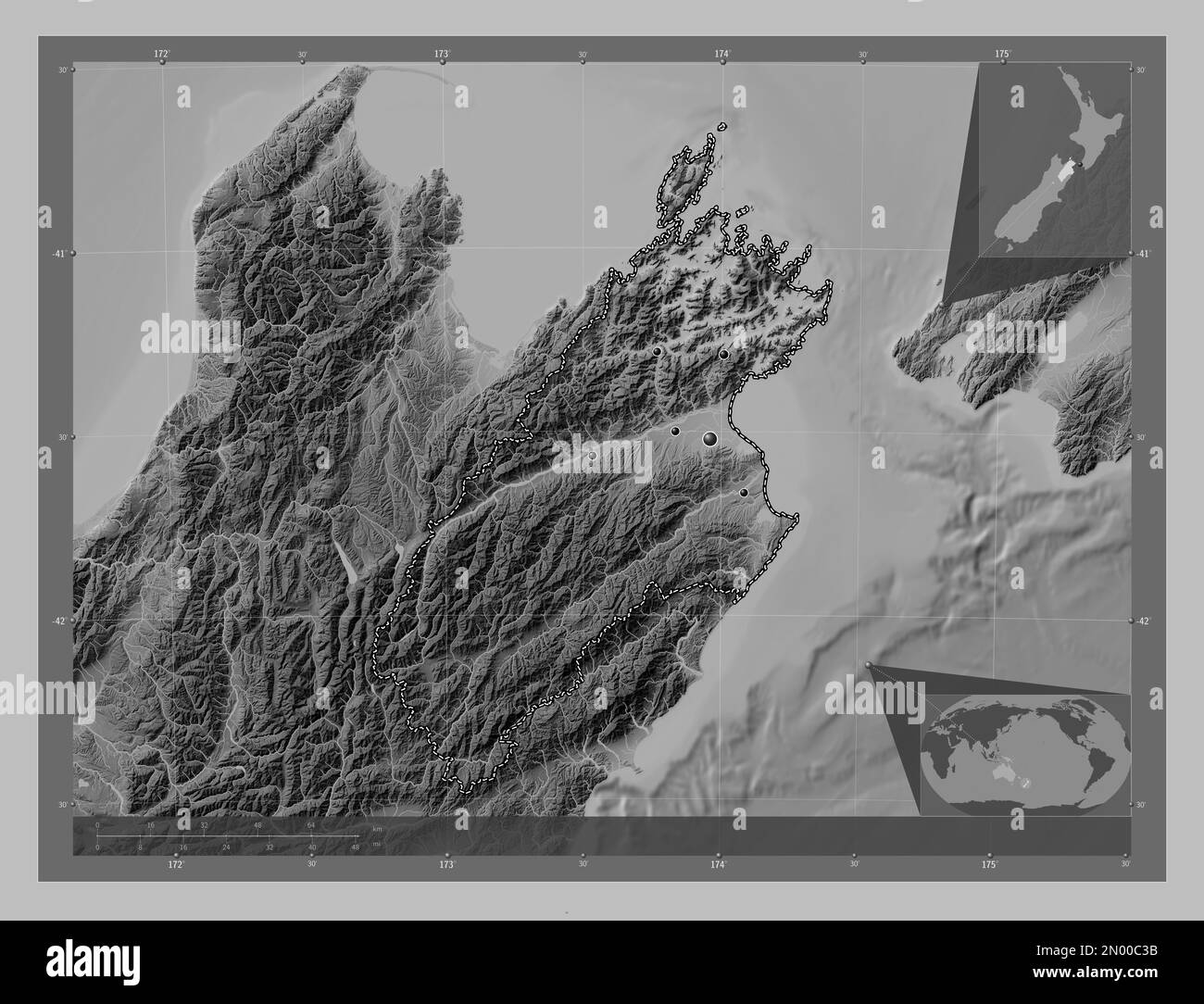 Marlborough, unitary authority of New Zealand. Grayscale elevation map with lakes and rivers. Locations of major cities of the region. Corner auxiliar Stock Photohttps://www.alamy.com/image-license-details/?v=1https://www.alamy.com/marlborough-unitary-authority-of-new-zealand-grayscale-elevation-map-with-lakes-and-rivers-locations-of-major-cities-of-the-region-corner-auxiliar-image516320543.html
RF2N00C3B–Marlborough, unitary authority of New Zealand. Grayscale elevation map with lakes and rivers. Locations of major cities of the region. Corner auxiliar
 The Plateau, , NZ, New Zealand, Marlborough, S 41 42' 29'', N 173 0' 36'', map, Cartascapes Map published in 2024. Explore Cartascapes, a map revealing Earth's diverse landscapes, cultures, and ecosystems. Journey through time and space, discovering the interconnectedness of our planet's past, present, and future. Stock Photohttps://www.alamy.com/image-license-details/?v=1https://www.alamy.com/the-plateau-nz-new-zealand-marlborough-s-41-42-29-n-173-0-36-map-cartascapes-map-published-in-2024-explore-cartascapes-a-map-revealing-earths-diverse-landscapes-cultures-and-ecosystems-journey-through-time-and-space-discovering-the-interconnectedness-of-our-planets-past-present-and-future-image634021923.html
RM2YRE5C3–The Plateau, , NZ, New Zealand, Marlborough, S 41 42' 29'', N 173 0' 36'', map, Cartascapes Map published in 2024. Explore Cartascapes, a map revealing Earth's diverse landscapes, cultures, and ecosystems. Journey through time and space, discovering the interconnectedness of our planet's past, present, and future.
 Marlborough, unitary authority of New Zealand. Grayscale elevation map with lakes and rivers. Locations and names of major cities of the region. Corne Stock Photohttps://www.alamy.com/image-license-details/?v=1https://www.alamy.com/marlborough-unitary-authority-of-new-zealand-grayscale-elevation-map-with-lakes-and-rivers-locations-and-names-of-major-cities-of-the-region-corne-image516320526.html
RF2N00C2P–Marlborough, unitary authority of New Zealand. Grayscale elevation map with lakes and rivers. Locations and names of major cities of the region. Corne
 Winterholme, , NZ, New Zealand, Marlborough, S 41 59' 17'', N 174 0' 0'', map, Cartascapes Map published in 2024. Explore Cartascapes, a map revealing Earth's diverse landscapes, cultures, and ecosystems. Journey through time and space, discovering the interconnectedness of our planet's past, present, and future. Stock Photohttps://www.alamy.com/image-license-details/?v=1https://www.alamy.com/winterholme-nz-new-zealand-marlborough-s-41-59-17-n-174-0-0-map-cartascapes-map-published-in-2024-explore-cartascapes-a-map-revealing-earths-diverse-landscapes-cultures-and-ecosystems-journey-through-time-and-space-discovering-the-interconnectedness-of-our-planets-past-present-and-future-image634077918.html
RM2YRGMRX–Winterholme, , NZ, New Zealand, Marlborough, S 41 59' 17'', N 174 0' 0'', map, Cartascapes Map published in 2024. Explore Cartascapes, a map revealing Earth's diverse landscapes, cultures, and ecosystems. Journey through time and space, discovering the interconnectedness of our planet's past, present, and future.
 Marlborough, unitary authority of New Zealand. Bilevel elevation map with lakes and rivers. Locations of major cities of the region. Corner auxiliary Stock Photohttps://www.alamy.com/image-license-details/?v=1https://www.alamy.com/marlborough-unitary-authority-of-new-zealand-bilevel-elevation-map-with-lakes-and-rivers-locations-of-major-cities-of-the-region-corner-auxiliary-image516320503.html
RF2N00C1Y–Marlborough, unitary authority of New Zealand. Bilevel elevation map with lakes and rivers. Locations of major cities of the region. Corner auxiliary
 Warder, , NZ, New Zealand, Marlborough, S 42 16' 41'', N 173 22' 12'', map, Cartascapes Map published in 2024. Explore Cartascapes, a map revealing Earth's diverse landscapes, cultures, and ecosystems. Journey through time and space, discovering the interconnectedness of our planet's past, present, and future. Stock Photohttps://www.alamy.com/image-license-details/?v=1https://www.alamy.com/warder-nz-new-zealand-marlborough-s-42-16-41-n-173-22-12-map-cartascapes-map-published-in-2024-explore-cartascapes-a-map-revealing-earths-diverse-landscapes-cultures-and-ecosystems-journey-through-time-and-space-discovering-the-interconnectedness-of-our-planets-past-present-and-future-image634042540.html
RM2YRF3MC–Warder, , NZ, New Zealand, Marlborough, S 42 16' 41'', N 173 22' 12'', map, Cartascapes Map published in 2024. Explore Cartascapes, a map revealing Earth's diverse landscapes, cultures, and ecosystems. Journey through time and space, discovering the interconnectedness of our planet's past, present, and future.
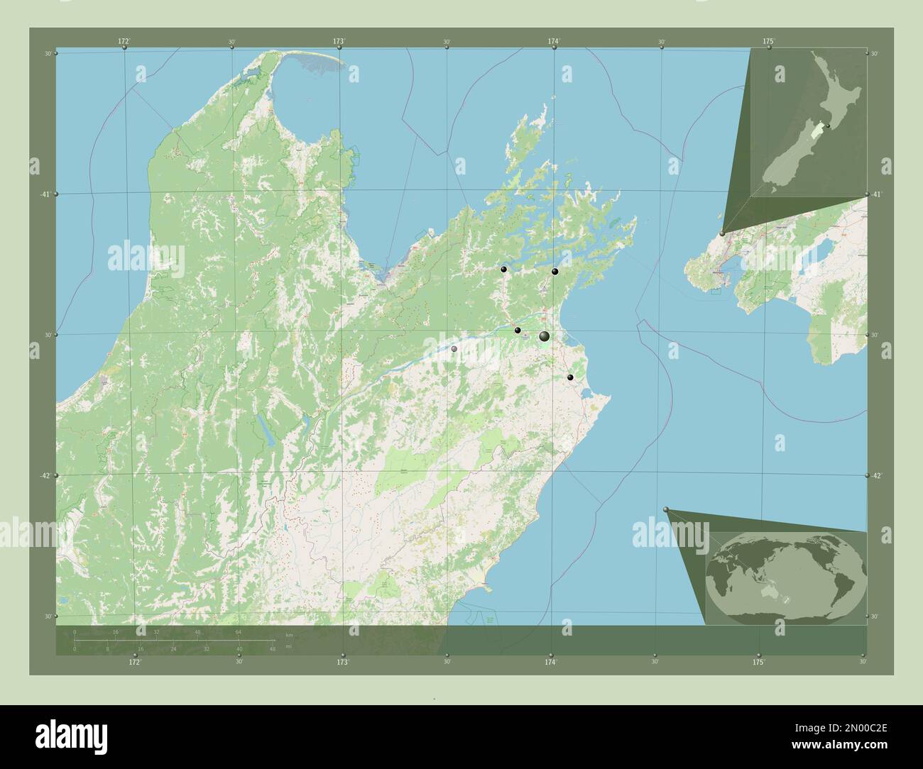 Marlborough, unitary authority of New Zealand. Open Street Map. Locations of major cities of the region. Corner auxiliary location maps Stock Photohttps://www.alamy.com/image-license-details/?v=1https://www.alamy.com/marlborough-unitary-authority-of-new-zealand-open-street-map-locations-of-major-cities-of-the-region-corner-auxiliary-location-maps-image516320518.html
RF2N00C2E–Marlborough, unitary authority of New Zealand. Open Street Map. Locations of major cities of the region. Corner auxiliary location maps
 Claverley, , NZ, New Zealand, Marlborough, S 42 34' 5'', N 173 28' 48'', map, Cartascapes Map published in 2024. Explore Cartascapes, a map revealing Earth's diverse landscapes, cultures, and ecosystems. Journey through time and space, discovering the interconnectedness of our planet's past, present, and future. Stock Photohttps://www.alamy.com/image-license-details/?v=1https://www.alamy.com/claverley-nz-new-zealand-marlborough-s-42-34-5-n-173-28-48-map-cartascapes-map-published-in-2024-explore-cartascapes-a-map-revealing-earths-diverse-landscapes-cultures-and-ecosystems-journey-through-time-and-space-discovering-the-interconnectedness-of-our-planets-past-present-and-future-image634091017.html
RM2YRH9FN–Claverley, , NZ, New Zealand, Marlborough, S 42 34' 5'', N 173 28' 48'', map, Cartascapes Map published in 2024. Explore Cartascapes, a map revealing Earth's diverse landscapes, cultures, and ecosystems. Journey through time and space, discovering the interconnectedness of our planet's past, present, and future.
 Marlborough, unitary authority of New Zealand. Elevation map colored in sepia tones with lakes and rivers. Corner auxiliary location maps Stock Photohttps://www.alamy.com/image-license-details/?v=1https://www.alamy.com/marlborough-unitary-authority-of-new-zealand-elevation-map-colored-in-sepia-tones-with-lakes-and-rivers-corner-auxiliary-location-maps-image516321054.html
RF2N00CNJ–Marlborough, unitary authority of New Zealand. Elevation map colored in sepia tones with lakes and rivers. Corner auxiliary location maps
 The Birches, , NZ, New Zealand, Marlborough, S 42 31' 41'', N 173 27' 0'', map, Cartascapes Map published in 2024. Explore Cartascapes, a map revealing Earth's diverse landscapes, cultures, and ecosystems. Journey through time and space, discovering the interconnectedness of our planet's past, present, and future. Stock Photohttps://www.alamy.com/image-license-details/?v=1https://www.alamy.com/the-birches-nz-new-zealand-marlborough-s-42-31-41-n-173-27-0-map-cartascapes-map-published-in-2024-explore-cartascapes-a-map-revealing-earths-diverse-landscapes-cultures-and-ecosystems-journey-through-time-and-space-discovering-the-interconnectedness-of-our-planets-past-present-and-future-image634030579.html
RM2YREGD7–The Birches, , NZ, New Zealand, Marlborough, S 42 31' 41'', N 173 27' 0'', map, Cartascapes Map published in 2024. Explore Cartascapes, a map revealing Earth's diverse landscapes, cultures, and ecosystems. Journey through time and space, discovering the interconnectedness of our planet's past, present, and future.
 Marlborough, unitary authority of New Zealand. Elevation map colored in wiki style with lakes and rivers. Corner auxiliary location maps Stock Photohttps://www.alamy.com/image-license-details/?v=1https://www.alamy.com/marlborough-unitary-authority-of-new-zealand-elevation-map-colored-in-wiki-style-with-lakes-and-rivers-corner-auxiliary-location-maps-image516321109.html
RF2N00CRH–Marlborough, unitary authority of New Zealand. Elevation map colored in wiki style with lakes and rivers. Corner auxiliary location maps
 Glencree, , NZ, New Zealand, Marlborough, S 42 31' 5'', N 173 28' 12'', map, Cartascapes Map published in 2024. Explore Cartascapes, a map revealing Earth's diverse landscapes, cultures, and ecosystems. Journey through time and space, discovering the interconnectedness of our planet's past, present, and future. Stock Photohttps://www.alamy.com/image-license-details/?v=1https://www.alamy.com/glencree-nz-new-zealand-marlborough-s-42-31-5-n-173-28-12-map-cartascapes-map-published-in-2024-explore-cartascapes-a-map-revealing-earths-diverse-landscapes-cultures-and-ecosystems-journey-through-time-and-space-discovering-the-interconnectedness-of-our-planets-past-present-and-future-image634079955.html
RM2YRGRCK–Glencree, , NZ, New Zealand, Marlborough, S 42 31' 5'', N 173 28' 12'', map, Cartascapes Map published in 2024. Explore Cartascapes, a map revealing Earth's diverse landscapes, cultures, and ecosystems. Journey through time and space, discovering the interconnectedness of our planet's past, present, and future.
 Marlborough, unitary authority of New Zealand. Low resolution satellite map. Locations and names of major cities of the region. Corner auxiliary locat Stock Photohttps://www.alamy.com/image-license-details/?v=1https://www.alamy.com/marlborough-unitary-authority-of-new-zealand-low-resolution-satellite-map-locations-and-names-of-major-cities-of-the-region-corner-auxiliary-locat-image516320546.html
RF2N00C3E–Marlborough, unitary authority of New Zealand. Low resolution satellite map. Locations and names of major cities of the region. Corner auxiliary locat
 Glengarry, , NZ, New Zealand, Marlborough, S 42 20' 53'', N 173 40' 48'', map, Cartascapes Map published in 2024. Explore Cartascapes, a map revealing Earth's diverse landscapes, cultures, and ecosystems. Journey through time and space, discovering the interconnectedness of our planet's past, present, and future. Stock Photohttps://www.alamy.com/image-license-details/?v=1https://www.alamy.com/glengarry-nz-new-zealand-marlborough-s-42-20-53-n-173-40-48-map-cartascapes-map-published-in-2024-explore-cartascapes-a-map-revealing-earths-diverse-landscapes-cultures-and-ecosystems-journey-through-time-and-space-discovering-the-interconnectedness-of-our-planets-past-present-and-future-image634043945.html
RM2YRF5EH–Glengarry, , NZ, New Zealand, Marlborough, S 42 20' 53'', N 173 40' 48'', map, Cartascapes Map published in 2024. Explore Cartascapes, a map revealing Earth's diverse landscapes, cultures, and ecosystems. Journey through time and space, discovering the interconnectedness of our planet's past, present, and future.
 Marlborough, unitary authority of New Zealand. Open Street Map. Locations and names of major cities of the region. Corner auxiliary location maps Stock Photohttps://www.alamy.com/image-license-details/?v=1https://www.alamy.com/marlborough-unitary-authority-of-new-zealand-open-street-map-locations-and-names-of-major-cities-of-the-region-corner-auxiliary-location-maps-image516320553.html
RF2N00C3N–Marlborough, unitary authority of New Zealand. Open Street Map. Locations and names of major cities of the region. Corner auxiliary location maps
 Marlborough County, , NZ, New Zealand, , S 41 29' 49'', N 173 29' 33'', map, Cartascapes Map published in 2024. Explore Cartascapes, a map revealing Earth's diverse landscapes, cultures, and ecosystems. Journey through time and space, discovering the interconnectedness of our planet's past, present, and future. Stock Photohttps://www.alamy.com/image-license-details/?v=1https://www.alamy.com/marlborough-county-nz-new-zealand-s-41-29-49-n-173-29-33-map-cartascapes-map-published-in-2024-explore-cartascapes-a-map-revealing-earths-diverse-landscapes-cultures-and-ecosystems-journey-through-time-and-space-discovering-the-interconnectedness-of-our-planets-past-present-and-future-image634050498.html
RM2YRFDTJ–Marlborough County, , NZ, New Zealand, , S 41 29' 49'', N 173 29' 33'', map, Cartascapes Map published in 2024. Explore Cartascapes, a map revealing Earth's diverse landscapes, cultures, and ecosystems. Journey through time and space, discovering the interconnectedness of our planet's past, present, and future.
 Marlborough, unitary authority of New Zealand. High resolution satellite map. Locations of major cities of the region. Corner auxiliary location maps Stock Photohttps://www.alamy.com/image-license-details/?v=1https://www.alamy.com/marlborough-unitary-authority-of-new-zealand-high-resolution-satellite-map-locations-of-major-cities-of-the-region-corner-auxiliary-location-maps-image516320519.html
RF2N00C2F–Marlborough, unitary authority of New Zealand. High resolution satellite map. Locations of major cities of the region. Corner auxiliary location maps
 Swyncombe, , NZ, New Zealand, Marlborough, S 42 20' 53'', N 173 31' 48'', map, Cartascapes Map published in 2024. Explore Cartascapes, a map revealing Earth's diverse landscapes, cultures, and ecosystems. Journey through time and space, discovering the interconnectedness of our planet's past, present, and future. Stock Photohttps://www.alamy.com/image-license-details/?v=1https://www.alamy.com/swyncombe-nz-new-zealand-marlborough-s-42-20-53-n-173-31-48-map-cartascapes-map-published-in-2024-explore-cartascapes-a-map-revealing-earths-diverse-landscapes-cultures-and-ecosystems-journey-through-time-and-space-discovering-the-interconnectedness-of-our-planets-past-present-and-future-image634059172.html
RM2YRFTXC–Swyncombe, , NZ, New Zealand, Marlborough, S 42 20' 53'', N 173 31' 48'', map, Cartascapes Map published in 2024. Explore Cartascapes, a map revealing Earth's diverse landscapes, cultures, and ecosystems. Journey through time and space, discovering the interconnectedness of our planet's past, present, and future.
 Marlborough, unitary authority of New Zealand. Elevation map colored in sepia tones with lakes and rivers. Locations and names of major cities of the Stock Photohttps://www.alamy.com/image-license-details/?v=1https://www.alamy.com/marlborough-unitary-authority-of-new-zealand-elevation-map-colored-in-sepia-tones-with-lakes-and-rivers-locations-and-names-of-major-cities-of-the-image516321142.html
RF2N00CTP–Marlborough, unitary authority of New Zealand. Elevation map colored in sepia tones with lakes and rivers. Locations and names of major cities of the
 Rockwood, , NZ, New Zealand, Marlborough, S 42 20' 53'', N 173 36' 36'', map, Cartascapes Map published in 2024. Explore Cartascapes, a map revealing Earth's diverse landscapes, cultures, and ecosystems. Journey through time and space, discovering the interconnectedness of our planet's past, present, and future. Stock Photohttps://www.alamy.com/image-license-details/?v=1https://www.alamy.com/rockwood-nz-new-zealand-marlborough-s-42-20-53-n-173-36-36-map-cartascapes-map-published-in-2024-explore-cartascapes-a-map-revealing-earths-diverse-landscapes-cultures-and-ecosystems-journey-through-time-and-space-discovering-the-interconnectedness-of-our-planets-past-present-and-future-image633992529.html
RM2YRCRX9–Rockwood, , NZ, New Zealand, Marlborough, S 42 20' 53'', N 173 36' 36'', map, Cartascapes Map published in 2024. Explore Cartascapes, a map revealing Earth's diverse landscapes, cultures, and ecosystems. Journey through time and space, discovering the interconnectedness of our planet's past, present, and future.
 Marlborough, unitary authority of New Zealand. Low resolution satellite map. Locations of major cities of the region. Corner auxiliary location maps Stock Photohttps://www.alamy.com/image-license-details/?v=1https://www.alamy.com/marlborough-unitary-authority-of-new-zealand-low-resolution-satellite-map-locations-of-major-cities-of-the-region-corner-auxiliary-location-maps-image516320530.html
RF2N00C2X–Marlborough, unitary authority of New Zealand. Low resolution satellite map. Locations of major cities of the region. Corner auxiliary location maps
 The Twins, , NZ, New Zealand, Marlborough, S 41 5' 53'', N 174 19' 12'', map, Cartascapes Map published in 2024. Explore Cartascapes, a map revealing Earth's diverse landscapes, cultures, and ecosystems. Journey through time and space, discovering the interconnectedness of our planet's past, present, and future. Stock Photohttps://www.alamy.com/image-license-details/?v=1https://www.alamy.com/the-twins-nz-new-zealand-marlborough-s-41-5-53-n-174-19-12-map-cartascapes-map-published-in-2024-explore-cartascapes-a-map-revealing-earths-diverse-landscapes-cultures-and-ecosystems-journey-through-time-and-space-discovering-the-interconnectedness-of-our-planets-past-present-and-future-image633940671.html
RM2YRADP7–The Twins, , NZ, New Zealand, Marlborough, S 41 5' 53'', N 174 19' 12'', map, Cartascapes Map published in 2024. Explore Cartascapes, a map revealing Earth's diverse landscapes, cultures, and ecosystems. Journey through time and space, discovering the interconnectedness of our planet's past, present, and future.
 Marlborough, unitary authority of New Zealand. High resolution satellite map. Locations and names of major cities of the region. Corner auxiliary loca Stock Photohttps://www.alamy.com/image-license-details/?v=1https://www.alamy.com/marlborough-unitary-authority-of-new-zealand-high-resolution-satellite-map-locations-and-names-of-major-cities-of-the-region-corner-auxiliary-loca-image516320562.html
RF2N00C42–Marlborough, unitary authority of New Zealand. High resolution satellite map. Locations and names of major cities of the region. Corner auxiliary loca
 Esau, , NZ, New Zealand, Marlborough, S 42 4' 41'', N 173 51' 0'', map, Cartascapes Map published in 2024. Explore Cartascapes, a map revealing Earth's diverse landscapes, cultures, and ecosystems. Journey through time and space, discovering the interconnectedness of our planet's past, present, and future. Stock Photohttps://www.alamy.com/image-license-details/?v=1https://www.alamy.com/esau-nz-new-zealand-marlborough-s-42-4-41-n-173-51-0-map-cartascapes-map-published-in-2024-explore-cartascapes-a-map-revealing-earths-diverse-landscapes-cultures-and-ecosystems-journey-through-time-and-space-discovering-the-interconnectedness-of-our-planets-past-present-and-future-image633952237.html
RM2YRB0F9–Esau, , NZ, New Zealand, Marlborough, S 42 4' 41'', N 173 51' 0'', map, Cartascapes Map published in 2024. Explore Cartascapes, a map revealing Earth's diverse landscapes, cultures, and ecosystems. Journey through time and space, discovering the interconnectedness of our planet's past, present, and future.