Marlborough new zealand map Stock Photos and Images
(2,671)See marlborough new zealand map stock video clipsQuick filters:
Marlborough new zealand map Stock Photos and Images
 Esau, , NZ, New Zealand, Marlborough, S 42 4' 41'', N 173 51' 0'', map, Cartascapes Map published in 2024. Explore Cartascapes, a map revealing Earth's diverse landscapes, cultures, and ecosystems. Journey through time and space, discovering the interconnectedness of our planet's past, present, and future. Stock Photohttps://www.alamy.com/image-license-details/?v=1https://www.alamy.com/esau-nz-new-zealand-marlborough-s-42-4-41-n-173-51-0-map-cartascapes-map-published-in-2024-explore-cartascapes-a-map-revealing-earths-diverse-landscapes-cultures-and-ecosystems-journey-through-time-and-space-discovering-the-interconnectedness-of-our-planets-past-present-and-future-image633952237.html
RM2YRB0F9–Esau, , NZ, New Zealand, Marlborough, S 42 4' 41'', N 173 51' 0'', map, Cartascapes Map published in 2024. Explore Cartascapes, a map revealing Earth's diverse landscapes, cultures, and ecosystems. Journey through time and space, discovering the interconnectedness of our planet's past, present, and future.
 Marlborough, unitary authority of New Zealand. Elevation map colored in sepia tones with lakes and rivers. Locations of major cities of the region. Co Stock Photohttps://www.alamy.com/image-license-details/?v=1https://www.alamy.com/marlborough-unitary-authority-of-new-zealand-elevation-map-colored-in-sepia-tones-with-lakes-and-rivers-locations-of-major-cities-of-the-region-co-image516321082.html
RF2N00CPJ–Marlborough, unitary authority of New Zealand. Elevation map colored in sepia tones with lakes and rivers. Locations of major cities of the region. Co
 Ranui, , NZ, New Zealand, Marlborough, S 42 31' 5'', N 173 29' 24'', map, Cartascapes Map published in 2024. Explore Cartascapes, a map revealing Earth's diverse landscapes, cultures, and ecosystems. Journey through time and space, discovering the interconnectedness of our planet's past, present, and future. Stock Photohttps://www.alamy.com/image-license-details/?v=1https://www.alamy.com/ranui-nz-new-zealand-marlborough-s-42-31-5-n-173-29-24-map-cartascapes-map-published-in-2024-explore-cartascapes-a-map-revealing-earths-diverse-landscapes-cultures-and-ecosystems-journey-through-time-and-space-discovering-the-interconnectedness-of-our-planets-past-present-and-future-image633962535.html
RM2YRBDK3–Ranui, , NZ, New Zealand, Marlborough, S 42 31' 5'', N 173 29' 24'', map, Cartascapes Map published in 2024. Explore Cartascapes, a map revealing Earth's diverse landscapes, cultures, and ecosystems. Journey through time and space, discovering the interconnectedness of our planet's past, present, and future.
 Marlborough, unitary authority of New Zealand. Elevation map colored in wiki style with lakes and rivers. Locations and names of major cities of the r Stock Photohttps://www.alamy.com/image-license-details/?v=1https://www.alamy.com/marlborough-unitary-authority-of-new-zealand-elevation-map-colored-in-wiki-style-with-lakes-and-rivers-locations-and-names-of-major-cities-of-the-r-image516321103.html
RF2N00CRB–Marlborough, unitary authority of New Zealand. Elevation map colored in wiki style with lakes and rivers. Locations and names of major cities of the r
 Karakanui, , NZ, New Zealand, Marlborough, S 42 29' 17'', N 173 30' 36'', map, Cartascapes Map published in 2024. Explore Cartascapes, a map revealing Earth's diverse landscapes, cultures, and ecosystems. Journey through time and space, discovering the interconnectedness of our planet's past, present, and future. Stock Photohttps://www.alamy.com/image-license-details/?v=1https://www.alamy.com/karakanui-nz-new-zealand-marlborough-s-42-29-17-n-173-30-36-map-cartascapes-map-published-in-2024-explore-cartascapes-a-map-revealing-earths-diverse-landscapes-cultures-and-ecosystems-journey-through-time-and-space-discovering-the-interconnectedness-of-our-planets-past-present-and-future-image633973197.html
RM2YRBY7W–Karakanui, , NZ, New Zealand, Marlborough, S 42 29' 17'', N 173 30' 36'', map, Cartascapes Map published in 2024. Explore Cartascapes, a map revealing Earth's diverse landscapes, cultures, and ecosystems. Journey through time and space, discovering the interconnectedness of our planet's past, present, and future.
 Marlborough, unitary authority of New Zealand. Elevation map colored in wiki style with lakes and rivers. Locations of major cities of the region. Cor Stock Photohttps://www.alamy.com/image-license-details/?v=1https://www.alamy.com/marlborough-unitary-authority-of-new-zealand-elevation-map-colored-in-wiki-style-with-lakes-and-rivers-locations-of-major-cities-of-the-region-cor-image516321121.html
RF2N00CT1–Marlborough, unitary authority of New Zealand. Elevation map colored in wiki style with lakes and rivers. Locations of major cities of the region. Cor
 Rangamahoe, , NZ, New Zealand, Marlborough, S 42 22' 5'', N 173 33' 36'', map, Cartascapes Map published in 2024. Explore Cartascapes, a map revealing Earth's diverse landscapes, cultures, and ecosystems. Journey through time and space, discovering the interconnectedness of our planet's past, present, and future. Stock Photohttps://www.alamy.com/image-license-details/?v=1https://www.alamy.com/rangamahoe-nz-new-zealand-marlborough-s-42-22-5-n-173-33-36-map-cartascapes-map-published-in-2024-explore-cartascapes-a-map-revealing-earths-diverse-landscapes-cultures-and-ecosystems-journey-through-time-and-space-discovering-the-interconnectedness-of-our-planets-past-present-and-future-image633966474.html
RM2YRBJKP–Rangamahoe, , NZ, New Zealand, Marlborough, S 42 22' 5'', N 173 33' 36'', map, Cartascapes Map published in 2024. Explore Cartascapes, a map revealing Earth's diverse landscapes, cultures, and ecosystems. Journey through time and space, discovering the interconnectedness of our planet's past, present, and future.
 Marlborough, unitary authority of New Zealand. Solid color shape Stock Photohttps://www.alamy.com/image-license-details/?v=1https://www.alamy.com/marlborough-unitary-authority-of-new-zealand-solid-color-shape-image516320534.html
RF2N00C32–Marlborough, unitary authority of New Zealand. Solid color shape
 Nopera, , NZ, New Zealand, Marlborough, S 41 10' 5'', N 173 58' 12'', map, Cartascapes Map published in 2024. Explore Cartascapes, a map revealing Earth's diverse landscapes, cultures, and ecosystems. Journey through time and space, discovering the interconnectedness of our planet's past, present, and future. Stock Photohttps://www.alamy.com/image-license-details/?v=1https://www.alamy.com/nopera-nz-new-zealand-marlborough-s-41-10-5-n-173-58-12-map-cartascapes-map-published-in-2024-explore-cartascapes-a-map-revealing-earths-diverse-landscapes-cultures-and-ecosystems-journey-through-time-and-space-discovering-the-interconnectedness-of-our-planets-past-present-and-future-image633976390.html
RM2YRC39X–Nopera, , NZ, New Zealand, Marlborough, S 41 10' 5'', N 173 58' 12'', map, Cartascapes Map published in 2024. Explore Cartascapes, a map revealing Earth's diverse landscapes, cultures, and ecosystems. Journey through time and space, discovering the interconnectedness of our planet's past, present, and future.
 Marlborough, unitary authority of New Zealand. Solid color shape. Corner auxiliary location maps Stock Photohttps://www.alamy.com/image-license-details/?v=1https://www.alamy.com/marlborough-unitary-authority-of-new-zealand-solid-color-shape-corner-auxiliary-location-maps-image516320524.html
RF2N00C2M–Marlborough, unitary authority of New Zealand. Solid color shape. Corner auxiliary location maps
 The Shades, , NZ, New Zealand, Marlborough, S 42 2' 53'', N 173 57' 0'', map, Cartascapes Map published in 2024. Explore Cartascapes, a map revealing Earth's diverse landscapes, cultures, and ecosystems. Journey through time and space, discovering the interconnectedness of our planet's past, present, and future. Stock Photohttps://www.alamy.com/image-license-details/?v=1https://www.alamy.com/the-shades-nz-new-zealand-marlborough-s-42-2-53-n-173-57-0-map-cartascapes-map-published-in-2024-explore-cartascapes-a-map-revealing-earths-diverse-landscapes-cultures-and-ecosystems-journey-through-time-and-space-discovering-the-interconnectedness-of-our-planets-past-present-and-future-image634066255.html
RM2YRG5YB–The Shades, , NZ, New Zealand, Marlborough, S 42 2' 53'', N 173 57' 0'', map, Cartascapes Map published in 2024. Explore Cartascapes, a map revealing Earth's diverse landscapes, cultures, and ecosystems. Journey through time and space, discovering the interconnectedness of our planet's past, present, and future.
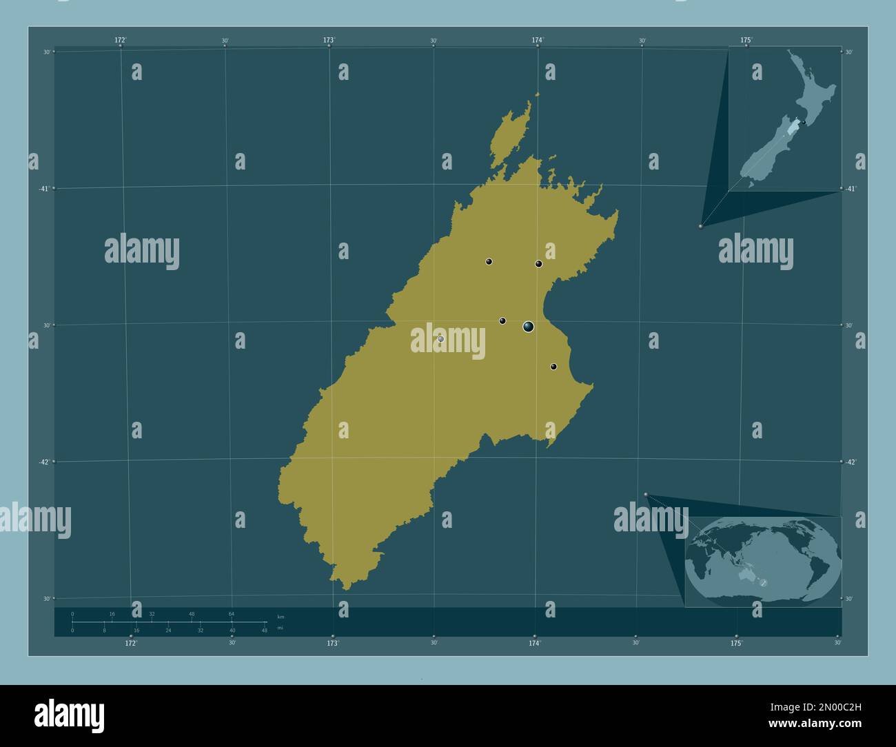 Marlborough, unitary authority of New Zealand. Solid color shape. Locations of major cities of the region. Corner auxiliary location maps Stock Photohttps://www.alamy.com/image-license-details/?v=1https://www.alamy.com/marlborough-unitary-authority-of-new-zealand-solid-color-shape-locations-of-major-cities-of-the-region-corner-auxiliary-location-maps-image516320521.html
RF2N00C2H–Marlborough, unitary authority of New Zealand. Solid color shape. Locations of major cities of the region. Corner auxiliary location maps
 Dashwood, , NZ, New Zealand, Marlborough, S 41 38' 17'', N 174 3' 36'', map, Cartascapes Map published in 2024. Explore Cartascapes, a map revealing Earth's diverse landscapes, cultures, and ecosystems. Journey through time and space, discovering the interconnectedness of our planet's past, present, and future. Stock Photohttps://www.alamy.com/image-license-details/?v=1https://www.alamy.com/dashwood-nz-new-zealand-marlborough-s-41-38-17-n-174-3-36-map-cartascapes-map-published-in-2024-explore-cartascapes-a-map-revealing-earths-diverse-landscapes-cultures-and-ecosystems-journey-through-time-and-space-discovering-the-interconnectedness-of-our-planets-past-present-and-future-image634029541.html
RM2YREF45–Dashwood, , NZ, New Zealand, Marlborough, S 41 38' 17'', N 174 3' 36'', map, Cartascapes Map published in 2024. Explore Cartascapes, a map revealing Earth's diverse landscapes, cultures, and ecosystems. Journey through time and space, discovering the interconnectedness of our planet's past, present, and future.
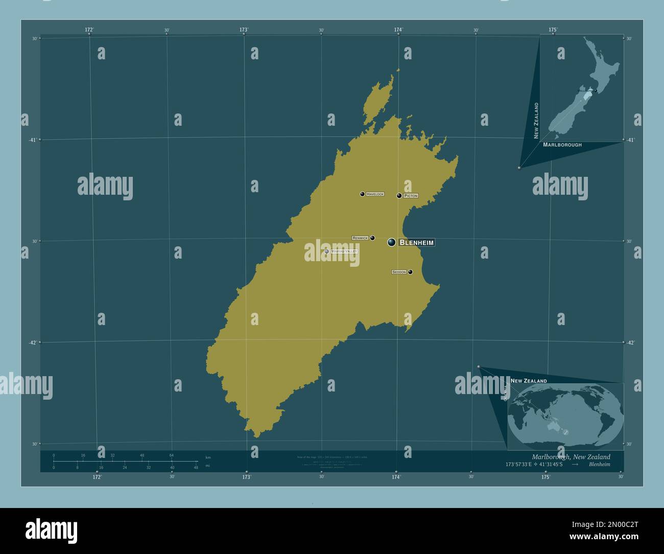 Marlborough, unitary authority of New Zealand. Solid color shape. Locations and names of major cities of the region. Corner auxiliary location maps Stock Photohttps://www.alamy.com/image-license-details/?v=1https://www.alamy.com/marlborough-unitary-authority-of-new-zealand-solid-color-shape-locations-and-names-of-major-cities-of-the-region-corner-auxiliary-location-maps-image516320528.html
RF2N00C2T–Marlborough, unitary authority of New Zealand. Solid color shape. Locations and names of major cities of the region. Corner auxiliary location maps
 Tapanui, , NZ, New Zealand, Marlborough, S 42 22' 41'', N 173 30' 0'', map, Cartascapes Map published in 2024. Explore Cartascapes, a map revealing Earth's diverse landscapes, cultures, and ecosystems. Journey through time and space, discovering the interconnectedness of our planet's past, present, and future. Stock Photohttps://www.alamy.com/image-license-details/?v=1https://www.alamy.com/tapanui-nz-new-zealand-marlborough-s-42-22-41-n-173-30-0-map-cartascapes-map-published-in-2024-explore-cartascapes-a-map-revealing-earths-diverse-landscapes-cultures-and-ecosystems-journey-through-time-and-space-discovering-the-interconnectedness-of-our-planets-past-present-and-future-image634052638.html
RM2YRFGH2–Tapanui, , NZ, New Zealand, Marlborough, S 42 22' 41'', N 173 30' 0'', map, Cartascapes Map published in 2024. Explore Cartascapes, a map revealing Earth's diverse landscapes, cultures, and ecosystems. Journey through time and space, discovering the interconnectedness of our planet's past, present, and future.
 Marlborough, unitary authority of New Zealand. Diagram showing the location of the region on larger-scale maps. Composition of vector frames and PNG s Stock Photohttps://www.alamy.com/image-license-details/?v=1https://www.alamy.com/marlborough-unitary-authority-of-new-zealand-diagram-showing-the-location-of-the-region-on-larger-scale-maps-composition-of-vector-frames-and-png-s-image516320560.html
RF2N00C40–Marlborough, unitary authority of New Zealand. Diagram showing the location of the region on larger-scale maps. Composition of vector frames and PNG s
 Manakau, , NZ, New Zealand, Marlborough, S 42 13' 5'', N 173 36' 36'', map, Cartascapes Map published in 2024. Explore Cartascapes, a map revealing Earth's diverse landscapes, cultures, and ecosystems. Journey through time and space, discovering the interconnectedness of our planet's past, present, and future. Stock Photohttps://www.alamy.com/image-license-details/?v=1https://www.alamy.com/manakau-nz-new-zealand-marlborough-s-42-13-5-n-173-36-36-map-cartascapes-map-published-in-2024-explore-cartascapes-a-map-revealing-earths-diverse-landscapes-cultures-and-ecosystems-journey-through-time-and-space-discovering-the-interconnectedness-of-our-planets-past-present-and-future-image633959167.html
RM2YRB9AR–Manakau, , NZ, New Zealand, Marlborough, S 42 13' 5'', N 173 36' 36'', map, Cartascapes Map published in 2024. Explore Cartascapes, a map revealing Earth's diverse landscapes, cultures, and ecosystems. Journey through time and space, discovering the interconnectedness of our planet's past, present, and future.
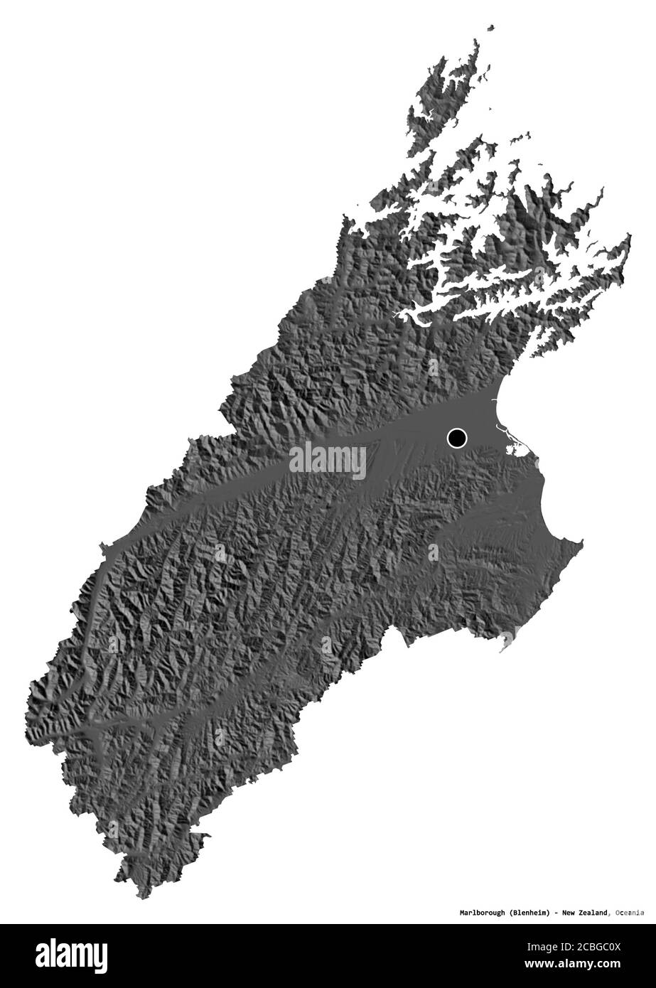 Shape of Marlborough, unitary authority of New Zealand, with its capital isolated on white background. Bilevel elevation map. 3D rendering Stock Photohttps://www.alamy.com/image-license-details/?v=1https://www.alamy.com/shape-of-marlborough-unitary-authority-of-new-zealand-with-its-capital-isolated-on-white-background-bilevel-elevation-map-3d-rendering-image368539610.html
RF2CBGC0X–Shape of Marlborough, unitary authority of New Zealand, with its capital isolated on white background. Bilevel elevation map. 3D rendering
 The Lakes, , NZ, New Zealand, Marlborough, S 42 23' 53'', N 173 35' 24'', map, Cartascapes Map published in 2024. Explore Cartascapes, a map revealing Earth's diverse landscapes, cultures, and ecosystems. Journey through time and space, discovering the interconnectedness of our planet's past, present, and future. Stock Photohttps://www.alamy.com/image-license-details/?v=1https://www.alamy.com/the-lakes-nz-new-zealand-marlborough-s-42-23-53-n-173-35-24-map-cartascapes-map-published-in-2024-explore-cartascapes-a-map-revealing-earths-diverse-landscapes-cultures-and-ecosystems-journey-through-time-and-space-discovering-the-interconnectedness-of-our-planets-past-present-and-future-image633995594.html
RM2YRCYRP–The Lakes, , NZ, New Zealand, Marlborough, S 42 23' 53'', N 173 35' 24'', map, Cartascapes Map published in 2024. Explore Cartascapes, a map revealing Earth's diverse landscapes, cultures, and ecosystems. Journey through time and space, discovering the interconnectedness of our planet's past, present, and future.
 Shape of Marlborough, unitary authority of New Zealand, with its capital isolated on white background. Colored elevation map. 3D rendering Stock Photohttps://www.alamy.com/image-license-details/?v=1https://www.alamy.com/shape-of-marlborough-unitary-authority-of-new-zealand-with-its-capital-isolated-on-white-background-colored-elevation-map-3d-rendering-image368539584.html
RF2CBGC00–Shape of Marlborough, unitary authority of New Zealand, with its capital isolated on white background. Colored elevation map. 3D rendering
 Kairuru, , NZ, New Zealand, Marlborough, S 42 11' 17'', N 173 51' 36'', map, Cartascapes Map published in 2024. Explore Cartascapes, a map revealing Earth's diverse landscapes, cultures, and ecosystems. Journey through time and space, discovering the interconnectedness of our planet's past, present, and future. Stock Photohttps://www.alamy.com/image-license-details/?v=1https://www.alamy.com/kairuru-nz-new-zealand-marlborough-s-42-11-17-n-173-51-36-map-cartascapes-map-published-in-2024-explore-cartascapes-a-map-revealing-earths-diverse-landscapes-cultures-and-ecosystems-journey-through-time-and-space-discovering-the-interconnectedness-of-our-planets-past-present-and-future-image634071455.html
RM2YRGCH3–Kairuru, , NZ, New Zealand, Marlborough, S 42 11' 17'', N 173 51' 36'', map, Cartascapes Map published in 2024. Explore Cartascapes, a map revealing Earth's diverse landscapes, cultures, and ecosystems. Journey through time and space, discovering the interconnectedness of our planet's past, present, and future.
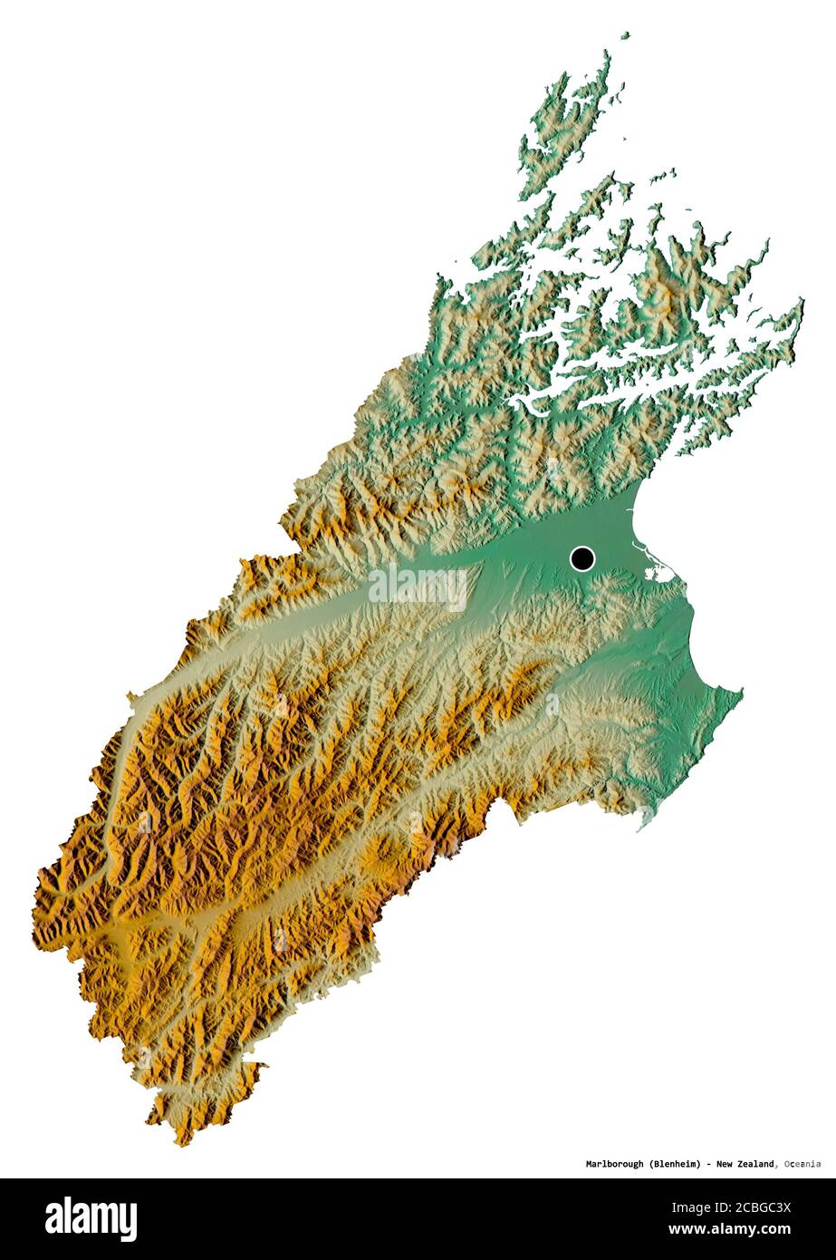 Shape of Marlborough, unitary authority of New Zealand, with its capital isolated on white background. Topographic relief map. 3D rendering Stock Photohttps://www.alamy.com/image-license-details/?v=1https://www.alamy.com/shape-of-marlborough-unitary-authority-of-new-zealand-with-its-capital-isolated-on-white-background-topographic-relief-map-3d-rendering-image368539694.html
RF2CBGC3X–Shape of Marlborough, unitary authority of New Zealand, with its capital isolated on white background. Topographic relief map. 3D rendering
 The Tongue, , NZ, New Zealand, Marlborough, S 42 2' 53'', N 173 36' 36'', map, Cartascapes Map published in 2024. Explore Cartascapes, a map revealing Earth's diverse landscapes, cultures, and ecosystems. Journey through time and space, discovering the interconnectedness of our planet's past, present, and future. Stock Photohttps://www.alamy.com/image-license-details/?v=1https://www.alamy.com/the-tongue-nz-new-zealand-marlborough-s-42-2-53-n-173-36-36-map-cartascapes-map-published-in-2024-explore-cartascapes-a-map-revealing-earths-diverse-landscapes-cultures-and-ecosystems-journey-through-time-and-space-discovering-the-interconnectedness-of-our-planets-past-present-and-future-image634021649.html
RM2YRE529–The Tongue, , NZ, New Zealand, Marlborough, S 42 2' 53'', N 173 36' 36'', map, Cartascapes Map published in 2024. Explore Cartascapes, a map revealing Earth's diverse landscapes, cultures, and ecosystems. Journey through time and space, discovering the interconnectedness of our planet's past, present, and future.
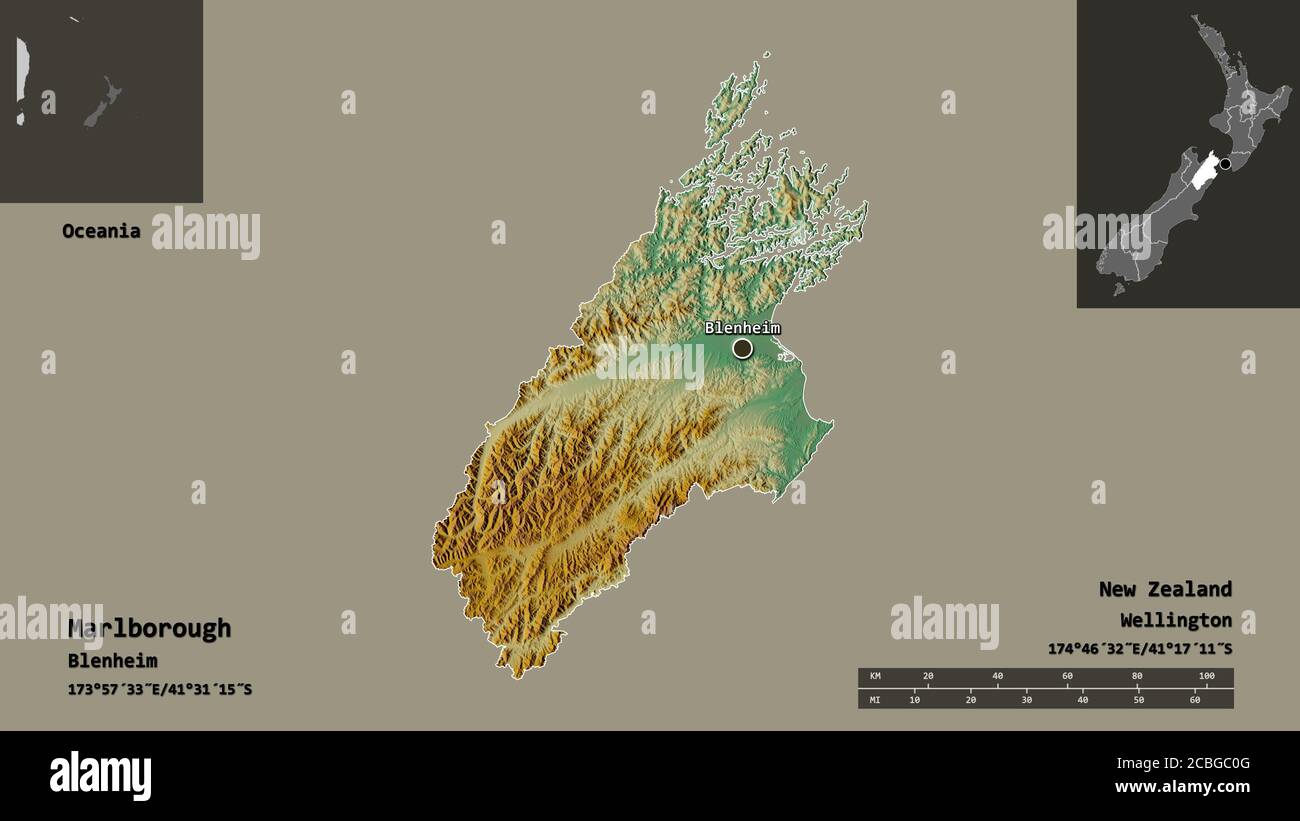 Shape of Marlborough, unitary authority of New Zealand, and its capital. Distance scale, previews and labels. Topographic relief map. 3D rendering Stock Photohttps://www.alamy.com/image-license-details/?v=1https://www.alamy.com/shape-of-marlborough-unitary-authority-of-new-zealand-and-its-capital-distance-scale-previews-and-labels-topographic-relief-map-3d-rendering-image368539600.html
RF2CBGC0G–Shape of Marlborough, unitary authority of New Zealand, and its capital. Distance scale, previews and labels. Topographic relief map. 3D rendering
 Fairhall, , NZ, New Zealand, Marlborough, S 41 31' 41'', N 173 52' 48'', map, Cartascapes Map published in 2024. Explore Cartascapes, a map revealing Earth's diverse landscapes, cultures, and ecosystems. Journey through time and space, discovering the interconnectedness of our planet's past, present, and future. Stock Photohttps://www.alamy.com/image-license-details/?v=1https://www.alamy.com/fairhall-nz-new-zealand-marlborough-s-41-31-41-n-173-52-48-map-cartascapes-map-published-in-2024-explore-cartascapes-a-map-revealing-earths-diverse-landscapes-cultures-and-ecosystems-journey-through-time-and-space-discovering-the-interconnectedness-of-our-planets-past-present-and-future-image633967768.html
RM2YRBMA0–Fairhall, , NZ, New Zealand, Marlborough, S 41 31' 41'', N 173 52' 48'', map, Cartascapes Map published in 2024. Explore Cartascapes, a map revealing Earth's diverse landscapes, cultures, and ecosystems. Journey through time and space, discovering the interconnectedness of our planet's past, present, and future.
 Shape of Marlborough, unitary authority of New Zealand, and its capital. Distance scale, previews and labels. Bilevel elevation map. 3D rendering Stock Photohttps://www.alamy.com/image-license-details/?v=1https://www.alamy.com/shape-of-marlborough-unitary-authority-of-new-zealand-and-its-capital-distance-scale-previews-and-labels-bilevel-elevation-map-3d-rendering-image368539573.html
RF2CBGBYH–Shape of Marlborough, unitary authority of New Zealand, and its capital. Distance scale, previews and labels. Bilevel elevation map. 3D rendering
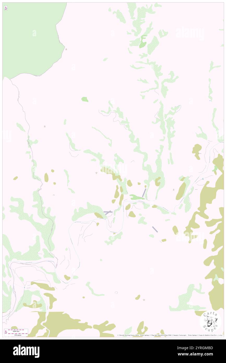 Muzzle, , NZ, New Zealand, Marlborough, S 42 8' 53'', N 173 30' 36'', map, Cartascapes Map published in 2024. Explore Cartascapes, a map revealing Earth's diverse landscapes, cultures, and ecosystems. Journey through time and space, discovering the interconnectedness of our planet's past, present, and future. Stock Photohttps://www.alamy.com/image-license-details/?v=1https://www.alamy.com/muzzle-nz-new-zealand-marlborough-s-42-8-53-n-173-30-36-map-cartascapes-map-published-in-2024-explore-cartascapes-a-map-revealing-earths-diverse-landscapes-cultures-and-ecosystems-journey-through-time-and-space-discovering-the-interconnectedness-of-our-planets-past-present-and-future-image634077569.html
RM2YRGMBD–Muzzle, , NZ, New Zealand, Marlborough, S 42 8' 53'', N 173 30' 36'', map, Cartascapes Map published in 2024. Explore Cartascapes, a map revealing Earth's diverse landscapes, cultures, and ecosystems. Journey through time and space, discovering the interconnectedness of our planet's past, present, and future.
 Shape of Marlborough, unitary authority of New Zealand, and its capital. Distance scale, previews and labels. Colored elevation map. 3D rendering Stock Photohttps://www.alamy.com/image-license-details/?v=1https://www.alamy.com/shape-of-marlborough-unitary-authority-of-new-zealand-and-its-capital-distance-scale-previews-and-labels-colored-elevation-map-3d-rendering-image368539577.html
RF2CBGBYN–Shape of Marlborough, unitary authority of New Zealand, and its capital. Distance scale, previews and labels. Colored elevation map. 3D rendering
 Thistledo, , NZ, New Zealand, Marlborough, S 41 11' 53'', N 173 21' 36'', map, Cartascapes Map published in 2024. Explore Cartascapes, a map revealing Earth's diverse landscapes, cultures, and ecosystems. Journey through time and space, discovering the interconnectedness of our planet's past, present, and future. Stock Photohttps://www.alamy.com/image-license-details/?v=1https://www.alamy.com/thistledo-nz-new-zealand-marlborough-s-41-11-53-n-173-21-36-map-cartascapes-map-published-in-2024-explore-cartascapes-a-map-revealing-earths-diverse-landscapes-cultures-and-ecosystems-journey-through-time-and-space-discovering-the-interconnectedness-of-our-planets-past-present-and-future-image633957059.html
RM2YRB6KF–Thistledo, , NZ, New Zealand, Marlborough, S 41 11' 53'', N 173 21' 36'', map, Cartascapes Map published in 2024. Explore Cartascapes, a map revealing Earth's diverse landscapes, cultures, and ecosystems. Journey through time and space, discovering the interconnectedness of our planet's past, present, and future.
 Marlborough, unitary authority of New Zealand. Grayscaled map with lakes and rivers. Shape outlined against its country area. 3D rendering Stock Photohttps://www.alamy.com/image-license-details/?v=1https://www.alamy.com/marlborough-unitary-authority-of-new-zealand-grayscaled-map-with-lakes-and-rivers-shape-outlined-against-its-country-area-3d-rendering-image364252848.html
RF2C4H468–Marlborough, unitary authority of New Zealand. Grayscaled map with lakes and rivers. Shape outlined against its country area. 3D rendering
 Kaiwhare, , NZ, New Zealand, Marlborough, S 42 18' 29'', N 173 43' 48'', map, Cartascapes Map published in 2024. Explore Cartascapes, a map revealing Earth's diverse landscapes, cultures, and ecosystems. Journey through time and space, discovering the interconnectedness of our planet's past, present, and future. Stock Photohttps://www.alamy.com/image-license-details/?v=1https://www.alamy.com/kaiwhare-nz-new-zealand-marlborough-s-42-18-29-n-173-43-48-map-cartascapes-map-published-in-2024-explore-cartascapes-a-map-revealing-earths-diverse-landscapes-cultures-and-ecosystems-journey-through-time-and-space-discovering-the-interconnectedness-of-our-planets-past-present-and-future-image634086168.html
RM2YRH3AG–Kaiwhare, , NZ, New Zealand, Marlborough, S 42 18' 29'', N 173 43' 48'', map, Cartascapes Map published in 2024. Explore Cartascapes, a map revealing Earth's diverse landscapes, cultures, and ecosystems. Journey through time and space, discovering the interconnectedness of our planet's past, present, and future.
 Marlborough, unitary authority of New Zealand. Grayscaled map with lakes and rivers. Shape presented against its country area with informative overlay Stock Photohttps://www.alamy.com/image-license-details/?v=1https://www.alamy.com/marlborough-unitary-authority-of-new-zealand-grayscaled-map-with-lakes-and-rivers-shape-presented-against-its-country-area-with-informative-overlay-image364252824.html
RF2C4H45C–Marlborough, unitary authority of New Zealand. Grayscaled map with lakes and rivers. Shape presented against its country area with informative overlay
 Tungongo, , NZ, New Zealand, Marlborough, S 41 7' 5'', N 174 22' 48'', map, Cartascapes Map published in 2024. Explore Cartascapes, a map revealing Earth's diverse landscapes, cultures, and ecosystems. Journey through time and space, discovering the interconnectedness of our planet's past, present, and future. Stock Photohttps://www.alamy.com/image-license-details/?v=1https://www.alamy.com/tungongo-nz-new-zealand-marlborough-s-41-7-5-n-174-22-48-map-cartascapes-map-published-in-2024-explore-cartascapes-a-map-revealing-earths-diverse-landscapes-cultures-and-ecosystems-journey-through-time-and-space-discovering-the-interconnectedness-of-our-planets-past-present-and-future-image634053001.html
RM2YRFH21–Tungongo, , NZ, New Zealand, Marlborough, S 41 7' 5'', N 174 22' 48'', map, Cartascapes Map published in 2024. Explore Cartascapes, a map revealing Earth's diverse landscapes, cultures, and ecosystems. Journey through time and space, discovering the interconnectedness of our planet's past, present, and future.
 Desaturated shape of New Zealand with its capital, main regional division and the separated Marlborough area. Labels. Topographic relief map. 3D rende Stock Photohttps://www.alamy.com/image-license-details/?v=1https://www.alamy.com/desaturated-shape-of-new-zealand-with-its-capital-main-regional-division-and-the-separated-marlborough-area-labels-topographic-relief-map-3d-rende-image368539675.html
RF2CBGC37–Desaturated shape of New Zealand with its capital, main regional division and the separated Marlborough area. Labels. Topographic relief map. 3D rende
 Otukakau, , NZ, New Zealand, Marlborough, S 42 8' 53'', N 173 55' 12'', map, Cartascapes Map published in 2024. Explore Cartascapes, a map revealing Earth's diverse landscapes, cultures, and ecosystems. Journey through time and space, discovering the interconnectedness of our planet's past, present, and future. Stock Photohttps://www.alamy.com/image-license-details/?v=1https://www.alamy.com/otukakau-nz-new-zealand-marlborough-s-42-8-53-n-173-55-12-map-cartascapes-map-published-in-2024-explore-cartascapes-a-map-revealing-earths-diverse-landscapes-cultures-and-ecosystems-journey-through-time-and-space-discovering-the-interconnectedness-of-our-planets-past-present-and-future-image634087769.html
RM2YRH5BN–Otukakau, , NZ, New Zealand, Marlborough, S 42 8' 53'', N 173 55' 12'', map, Cartascapes Map published in 2024. Explore Cartascapes, a map revealing Earth's diverse landscapes, cultures, and ecosystems. Journey through time and space, discovering the interconnectedness of our planet's past, present, and future.
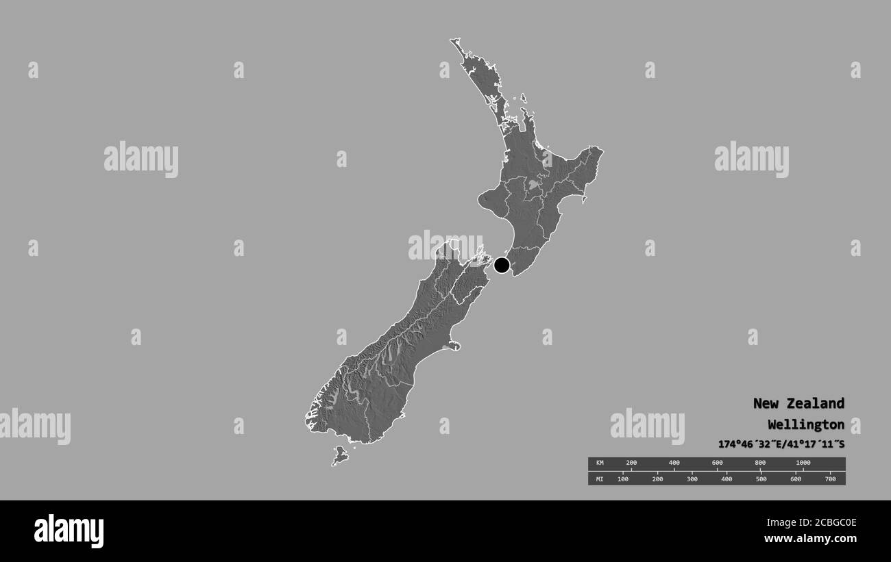 Desaturated shape of New Zealand with its capital, main regional division and the separated Marlborough area. Labels. Bilevel elevation map. 3D render Stock Photohttps://www.alamy.com/image-license-details/?v=1https://www.alamy.com/desaturated-shape-of-new-zealand-with-its-capital-main-regional-division-and-the-separated-marlborough-area-labels-bilevel-elevation-map-3d-render-image368539598.html
RF2CBGC0E–Desaturated shape of New Zealand with its capital, main regional division and the separated Marlborough area. Labels. Bilevel elevation map. 3D render
 Napoleon, , NZ, New Zealand, Marlborough, S 41 58' 41'', N 174 0' 0'', map, Cartascapes Map published in 2024. Explore Cartascapes, a map revealing Earth's diverse landscapes, cultures, and ecosystems. Journey through time and space, discovering the interconnectedness of our planet's past, present, and future. Stock Photohttps://www.alamy.com/image-license-details/?v=1https://www.alamy.com/napoleon-nz-new-zealand-marlborough-s-41-58-41-n-174-0-0-map-cartascapes-map-published-in-2024-explore-cartascapes-a-map-revealing-earths-diverse-landscapes-cultures-and-ecosystems-journey-through-time-and-space-discovering-the-interconnectedness-of-our-planets-past-present-and-future-image634048844.html
RM2YRFBNG–Napoleon, , NZ, New Zealand, Marlborough, S 41 58' 41'', N 174 0' 0'', map, Cartascapes Map published in 2024. Explore Cartascapes, a map revealing Earth's diverse landscapes, cultures, and ecosystems. Journey through time and space, discovering the interconnectedness of our planet's past, present, and future.
 Desaturated shape of New Zealand with its capital, main regional division and the separated Marlborough area. Labels. Colored elevation map. 3D render Stock Photohttps://www.alamy.com/image-license-details/?v=1https://www.alamy.com/desaturated-shape-of-new-zealand-with-its-capital-main-regional-division-and-the-separated-marlborough-area-labels-colored-elevation-map-3d-render-image368539599.html
RF2CBGC0F–Desaturated shape of New Zealand with its capital, main regional division and the separated Marlborough area. Labels. Colored elevation map. 3D render
 The Pimple, , NZ, New Zealand, Marlborough, S 42 5' 17'', N 173 54' 0'', map, Cartascapes Map published in 2024. Explore Cartascapes, a map revealing Earth's diverse landscapes, cultures, and ecosystems. Journey through time and space, discovering the interconnectedness of our planet's past, present, and future. Stock Photohttps://www.alamy.com/image-license-details/?v=1https://www.alamy.com/the-pimple-nz-new-zealand-marlborough-s-42-5-17-n-173-54-0-map-cartascapes-map-published-in-2024-explore-cartascapes-a-map-revealing-earths-diverse-landscapes-cultures-and-ecosystems-journey-through-time-and-space-discovering-the-interconnectedness-of-our-planets-past-present-and-future-image634053381.html
RM2YRFHFH–The Pimple, , NZ, New Zealand, Marlborough, S 42 5' 17'', N 173 54' 0'', map, Cartascapes Map published in 2024. Explore Cartascapes, a map revealing Earth's diverse landscapes, cultures, and ecosystems. Journey through time and space, discovering the interconnectedness of our planet's past, present, and future.
 Zoom in on Marlborough (unitary authority of New Zealand) outlined. Oblique perspective. Colored and bumped map of the administrative division with su Stock Photohttps://www.alamy.com/image-license-details/?v=1https://www.alamy.com/zoom-in-on-marlborough-unitary-authority-of-new-zealand-outlined-oblique-perspective-colored-and-bumped-map-of-the-administrative-division-with-su-image364327701.html
RF2C4MFKH–Zoom in on Marlborough (unitary authority of New Zealand) outlined. Oblique perspective. Colored and bumped map of the administrative division with su
 The Grove, , NZ, New Zealand, Marlborough, S 41 16' 5'', N 173 55' 12'', map, Cartascapes Map published in 2024. Explore Cartascapes, a map revealing Earth's diverse landscapes, cultures, and ecosystems. Journey through time and space, discovering the interconnectedness of our planet's past, present, and future. Stock Photohttps://www.alamy.com/image-license-details/?v=1https://www.alamy.com/the-grove-nz-new-zealand-marlborough-s-41-16-5-n-173-55-12-map-cartascapes-map-published-in-2024-explore-cartascapes-a-map-revealing-earths-diverse-landscapes-cultures-and-ecosystems-journey-through-time-and-space-discovering-the-interconnectedness-of-our-planets-past-present-and-future-image633947000.html
RM2YRANT8–The Grove, , NZ, New Zealand, Marlborough, S 41 16' 5'', N 173 55' 12'', map, Cartascapes Map published in 2024. Explore Cartascapes, a map revealing Earth's diverse landscapes, cultures, and ecosystems. Journey through time and space, discovering the interconnectedness of our planet's past, present, and future.
 Zoom in on Marlborough (unitary authority of New Zealand) extruded. Oblique perspective. Colored and bumped map of the administrative division with su Stock Photohttps://www.alamy.com/image-license-details/?v=1https://www.alamy.com/zoom-in-on-marlborough-unitary-authority-of-new-zealand-extruded-oblique-perspective-colored-and-bumped-map-of-the-administrative-division-with-su-image364327674.html
RF2C4MFJJ–Zoom in on Marlborough (unitary authority of New Zealand) extruded. Oblique perspective. Colored and bumped map of the administrative division with su
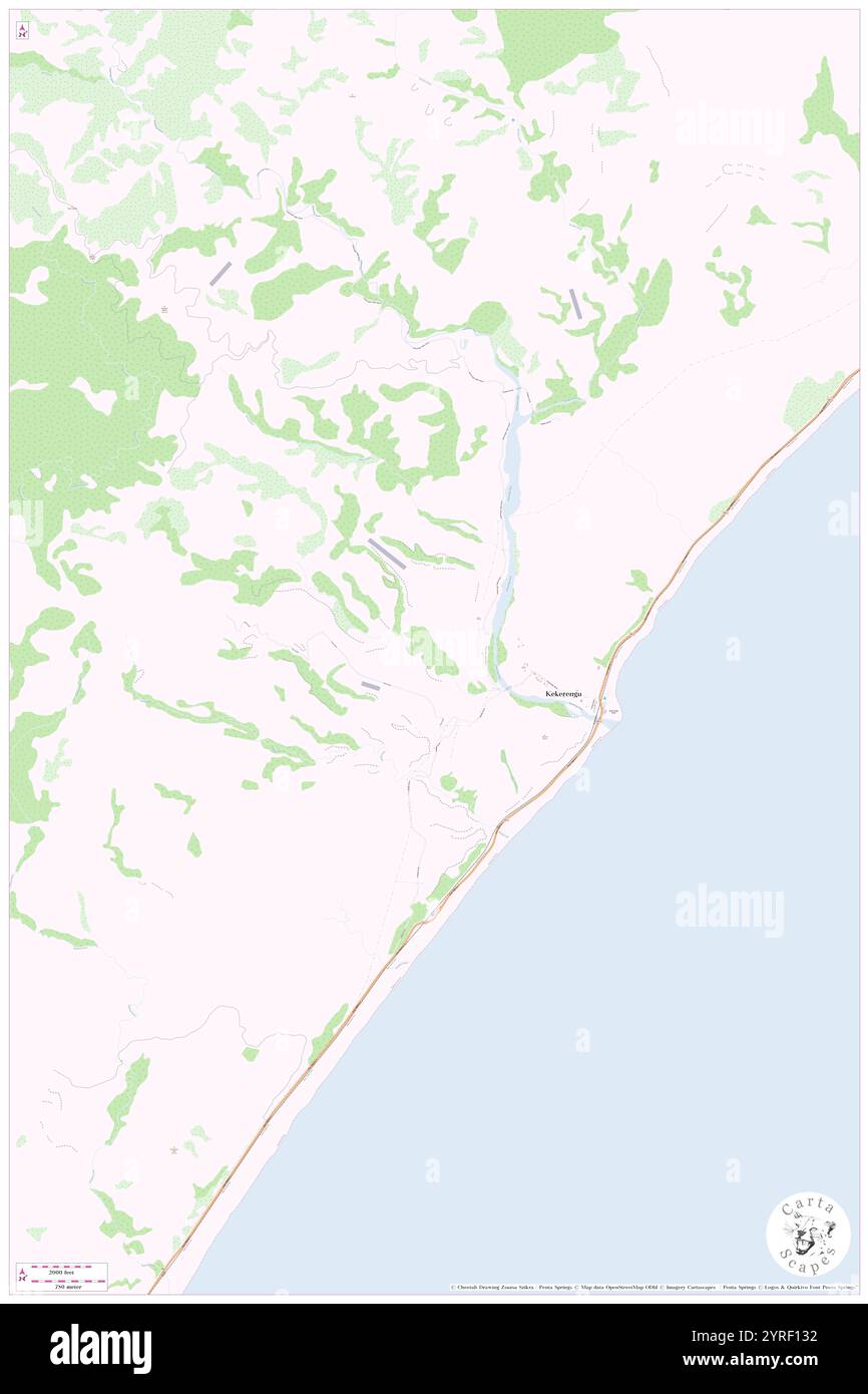 Kekerengu, , NZ, New Zealand, Marlborough, S 41 59' 53'', N 173 59' 24'', map, Cartascapes Map published in 2024. Explore Cartascapes, a map revealing Earth's diverse landscapes, cultures, and ecosystems. Journey through time and space, discovering the interconnectedness of our planet's past, present, and future. Stock Photohttps://www.alamy.com/image-license-details/?v=1https://www.alamy.com/kekerengu-nz-new-zealand-marlborough-s-41-59-53-n-173-59-24-map-cartascapes-map-published-in-2024-explore-cartascapes-a-map-revealing-earths-diverse-landscapes-cultures-and-ecosystems-journey-through-time-and-space-discovering-the-interconnectedness-of-our-planets-past-present-and-future-image634040486.html
RM2YRF132–Kekerengu, , NZ, New Zealand, Marlborough, S 41 59' 53'', N 173 59' 24'', map, Cartascapes Map published in 2024. Explore Cartascapes, a map revealing Earth's diverse landscapes, cultures, and ecosystems. Journey through time and space, discovering the interconnectedness of our planet's past, present, and future.
 Shape of Marlborough, unitary authority of New Zealand, with its capital isolated on a solid color background. Bilevel elevation map. 3D rendering Stock Photohttps://www.alamy.com/image-license-details/?v=1https://www.alamy.com/shape-of-marlborough-unitary-authority-of-new-zealand-with-its-capital-isolated-on-a-solid-color-background-bilevel-elevation-map-3d-rendering-image368539604.html
RF2CBGC0M–Shape of Marlborough, unitary authority of New Zealand, with its capital isolated on a solid color background. Bilevel elevation map. 3D rendering
 Gable, , NZ, New Zealand, Marlborough, S 42 17' 17'', N 173 37' 12'', map, Cartascapes Map published in 2024. Explore Cartascapes, a map revealing Earth's diverse landscapes, cultures, and ecosystems. Journey through time and space, discovering the interconnectedness of our planet's past, present, and future. Stock Photohttps://www.alamy.com/image-license-details/?v=1https://www.alamy.com/gable-nz-new-zealand-marlborough-s-42-17-17-n-173-37-12-map-cartascapes-map-published-in-2024-explore-cartascapes-a-map-revealing-earths-diverse-landscapes-cultures-and-ecosystems-journey-through-time-and-space-discovering-the-interconnectedness-of-our-planets-past-present-and-future-image634059588.html
RM2YRFWD8–Gable, , NZ, New Zealand, Marlborough, S 42 17' 17'', N 173 37' 12'', map, Cartascapes Map published in 2024. Explore Cartascapes, a map revealing Earth's diverse landscapes, cultures, and ecosystems. Journey through time and space, discovering the interconnectedness of our planet's past, present, and future.
 Shape of Marlborough, unitary authority of New Zealand, with its capital isolated on a solid color background. Topographic relief map. 3D rendering Stock Photohttps://www.alamy.com/image-license-details/?v=1https://www.alamy.com/shape-of-marlborough-unitary-authority-of-new-zealand-with-its-capital-isolated-on-a-solid-color-background-topographic-relief-map-3d-rendering-image368539670.html
RF2CBGC32–Shape of Marlborough, unitary authority of New Zealand, with its capital isolated on a solid color background. Topographic relief map. 3D rendering
 Ludstone, , NZ, New Zealand, Marlborough, S 42 23' 53'', N 173 39' 36'', map, Cartascapes Map published in 2024. Explore Cartascapes, a map revealing Earth's diverse landscapes, cultures, and ecosystems. Journey through time and space, discovering the interconnectedness of our planet's past, present, and future. Stock Photohttps://www.alamy.com/image-license-details/?v=1https://www.alamy.com/ludstone-nz-new-zealand-marlborough-s-42-23-53-n-173-39-36-map-cartascapes-map-published-in-2024-explore-cartascapes-a-map-revealing-earths-diverse-landscapes-cultures-and-ecosystems-journey-through-time-and-space-discovering-the-interconnectedness-of-our-planets-past-present-and-future-image634023089.html
RM2YRE6WN–Ludstone, , NZ, New Zealand, Marlborough, S 42 23' 53'', N 173 39' 36'', map, Cartascapes Map published in 2024. Explore Cartascapes, a map revealing Earth's diverse landscapes, cultures, and ecosystems. Journey through time and space, discovering the interconnectedness of our planet's past, present, and future.
 Shape of Marlborough, unitary authority of New Zealand, with its capital isolated on a solid color background. Colored elevation map. 3D rendering Stock Photohttps://www.alamy.com/image-license-details/?v=1https://www.alamy.com/shape-of-marlborough-unitary-authority-of-new-zealand-with-its-capital-isolated-on-a-solid-color-background-colored-elevation-map-3d-rendering-image368539607.html
RF2CBGC0R–Shape of Marlborough, unitary authority of New Zealand, with its capital isolated on a solid color background. Colored elevation map. 3D rendering
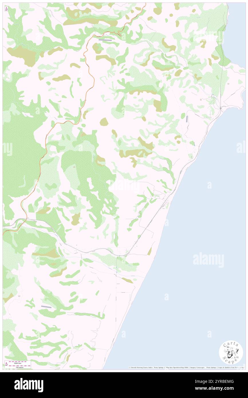 Wenlock, , NZ, New Zealand, Marlborough, S 42 35' 17'', N 173 27' 36'', map, Cartascapes Map published in 2024. Explore Cartascapes, a map revealing Earth's diverse landscapes, cultures, and ecosystems. Journey through time and space, discovering the interconnectedness of our planet's past, present, and future. Stock Photohttps://www.alamy.com/image-license-details/?v=1https://www.alamy.com/wenlock-nz-new-zealand-marlborough-s-42-35-17-n-173-27-36-map-cartascapes-map-published-in-2024-explore-cartascapes-a-map-revealing-earths-diverse-landscapes-cultures-and-ecosystems-journey-through-time-and-space-discovering-the-interconnectedness-of-our-planets-past-present-and-future-image633963360.html
RM2YRBEMG–Wenlock, , NZ, New Zealand, Marlborough, S 42 35' 17'', N 173 27' 36'', map, Cartascapes Map published in 2024. Explore Cartascapes, a map revealing Earth's diverse landscapes, cultures, and ecosystems. Journey through time and space, discovering the interconnectedness of our planet's past, present, and future.
 Zoom in on Marlborough (unitary authority of New Zealand) outlined. Oblique perspective. Bilevel elevation map with surface waters. 3D rendering Stock Photohttps://www.alamy.com/image-license-details/?v=1https://www.alamy.com/zoom-in-on-marlborough-unitary-authority-of-new-zealand-outlined-oblique-perspective-bilevel-elevation-map-with-surface-waters-3d-rendering-image364327716.html
RF2C4MFM4–Zoom in on Marlborough (unitary authority of New Zealand) outlined. Oblique perspective. Bilevel elevation map with surface waters. 3D rendering
 Anakiwa, , NZ, New Zealand, Marlborough, S 41 15' 29'', N 173 54' 0'', map, Cartascapes Map published in 2024. Explore Cartascapes, a map revealing Earth's diverse landscapes, cultures, and ecosystems. Journey through time and space, discovering the interconnectedness of our planet's past, present, and future. Stock Photohttps://www.alamy.com/image-license-details/?v=1https://www.alamy.com/anakiwa-nz-new-zealand-marlborough-s-41-15-29-n-173-54-0-map-cartascapes-map-published-in-2024-explore-cartascapes-a-map-revealing-earths-diverse-landscapes-cultures-and-ecosystems-journey-through-time-and-space-discovering-the-interconnectedness-of-our-planets-past-present-and-future-image634089594.html
RM2YRH7MX–Anakiwa, , NZ, New Zealand, Marlborough, S 41 15' 29'', N 173 54' 0'', map, Cartascapes Map published in 2024. Explore Cartascapes, a map revealing Earth's diverse landscapes, cultures, and ecosystems. Journey through time and space, discovering the interconnectedness of our planet's past, present, and future.
 Zoom in on Marlborough (unitary authority of New Zealand) extruded. Oblique perspective. Bilevel elevation map with surface waters. 3D rendering Stock Photohttps://www.alamy.com/image-license-details/?v=1https://www.alamy.com/zoom-in-on-marlborough-unitary-authority-of-new-zealand-extruded-oblique-perspective-bilevel-elevation-map-with-surface-waters-3d-rendering-image364327714.html
RF2C4MFM2–Zoom in on Marlborough (unitary authority of New Zealand) extruded. Oblique perspective. Bilevel elevation map with surface waters. 3D rendering
 Rapaura, , NZ, New Zealand, Marlborough, S 41 28' 5'', N 173 53' 24'', map, Cartascapes Map published in 2024. Explore Cartascapes, a map revealing Earth's diverse landscapes, cultures, and ecosystems. Journey through time and space, discovering the interconnectedness of our planet's past, present, and future. Stock Photohttps://www.alamy.com/image-license-details/?v=1https://www.alamy.com/rapaura-nz-new-zealand-marlborough-s-41-28-5-n-173-53-24-map-cartascapes-map-published-in-2024-explore-cartascapes-a-map-revealing-earths-diverse-landscapes-cultures-and-ecosystems-journey-through-time-and-space-discovering-the-interconnectedness-of-our-planets-past-present-and-future-image633953622.html
RM2YRB28P–Rapaura, , NZ, New Zealand, Marlborough, S 41 28' 5'', N 173 53' 24'', map, Cartascapes Map published in 2024. Explore Cartascapes, a map revealing Earth's diverse landscapes, cultures, and ecosystems. Journey through time and space, discovering the interconnectedness of our planet's past, present, and future.
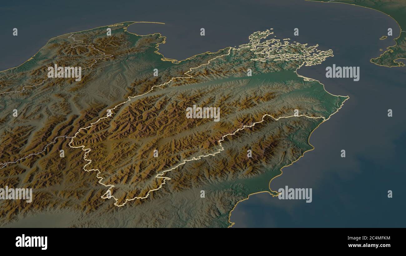 Zoom in on Marlborough (unitary authority of New Zealand) outlined. Oblique perspective. Topographic relief map with surface waters. 3D rendering Stock Photohttps://www.alamy.com/image-license-details/?v=1https://www.alamy.com/zoom-in-on-marlborough-unitary-authority-of-new-zealand-outlined-oblique-perspective-topographic-relief-map-with-surface-waters-3d-rendering-image364327704.html
RF2C4MFKM–Zoom in on Marlborough (unitary authority of New Zealand) outlined. Oblique perspective. Topographic relief map with surface waters. 3D rendering
 Brandean, , NZ, New Zealand, Marlborough, S 41 13' 41'', N 173 23' 24'', map, Cartascapes Map published in 2024. Explore Cartascapes, a map revealing Earth's diverse landscapes, cultures, and ecosystems. Journey through time and space, discovering the interconnectedness of our planet's past, present, and future. Stock Photohttps://www.alamy.com/image-license-details/?v=1https://www.alamy.com/brandean-nz-new-zealand-marlborough-s-41-13-41-n-173-23-24-map-cartascapes-map-published-in-2024-explore-cartascapes-a-map-revealing-earths-diverse-landscapes-cultures-and-ecosystems-journey-through-time-and-space-discovering-the-interconnectedness-of-our-planets-past-present-and-future-image634033586.html
RM2YREM8J–Brandean, , NZ, New Zealand, Marlborough, S 41 13' 41'', N 173 23' 24'', map, Cartascapes Map published in 2024. Explore Cartascapes, a map revealing Earth's diverse landscapes, cultures, and ecosystems. Journey through time and space, discovering the interconnectedness of our planet's past, present, and future.
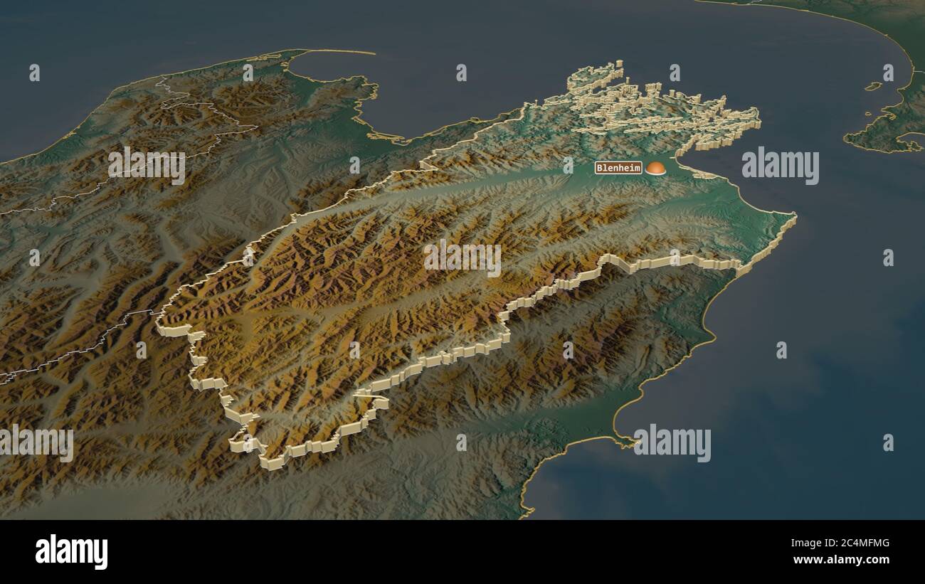 Zoom in on Marlborough (unitary authority of New Zealand) extruded. Oblique perspective. Topographic relief map with surface waters. 3D rendering Stock Photohttps://www.alamy.com/image-license-details/?v=1https://www.alamy.com/zoom-in-on-marlborough-unitary-authority-of-new-zealand-extruded-oblique-perspective-topographic-relief-map-with-surface-waters-3d-rendering-image364327728.html
RF2C4MFMG–Zoom in on Marlborough (unitary authority of New Zealand) extruded. Oblique perspective. Topographic relief map with surface waters. 3D rendering
 The Islands, , NZ, New Zealand, Marlborough, S 41 31' 41'', N 174 5' 24'', map, Cartascapes Map published in 2024. Explore Cartascapes, a map revealing Earth's diverse landscapes, cultures, and ecosystems. Journey through time and space, discovering the interconnectedness of our planet's past, present, and future. Stock Photohttps://www.alamy.com/image-license-details/?v=1https://www.alamy.com/the-islands-nz-new-zealand-marlborough-s-41-31-41-n-174-5-24-map-cartascapes-map-published-in-2024-explore-cartascapes-a-map-revealing-earths-diverse-landscapes-cultures-and-ecosystems-journey-through-time-and-space-discovering-the-interconnectedness-of-our-planets-past-present-and-future-image634026569.html
RM2YREBA1–The Islands, , NZ, New Zealand, Marlborough, S 41 31' 41'', N 174 5' 24'', map, Cartascapes Map published in 2024. Explore Cartascapes, a map revealing Earth's diverse landscapes, cultures, and ecosystems. Journey through time and space, discovering the interconnectedness of our planet's past, present, and future.
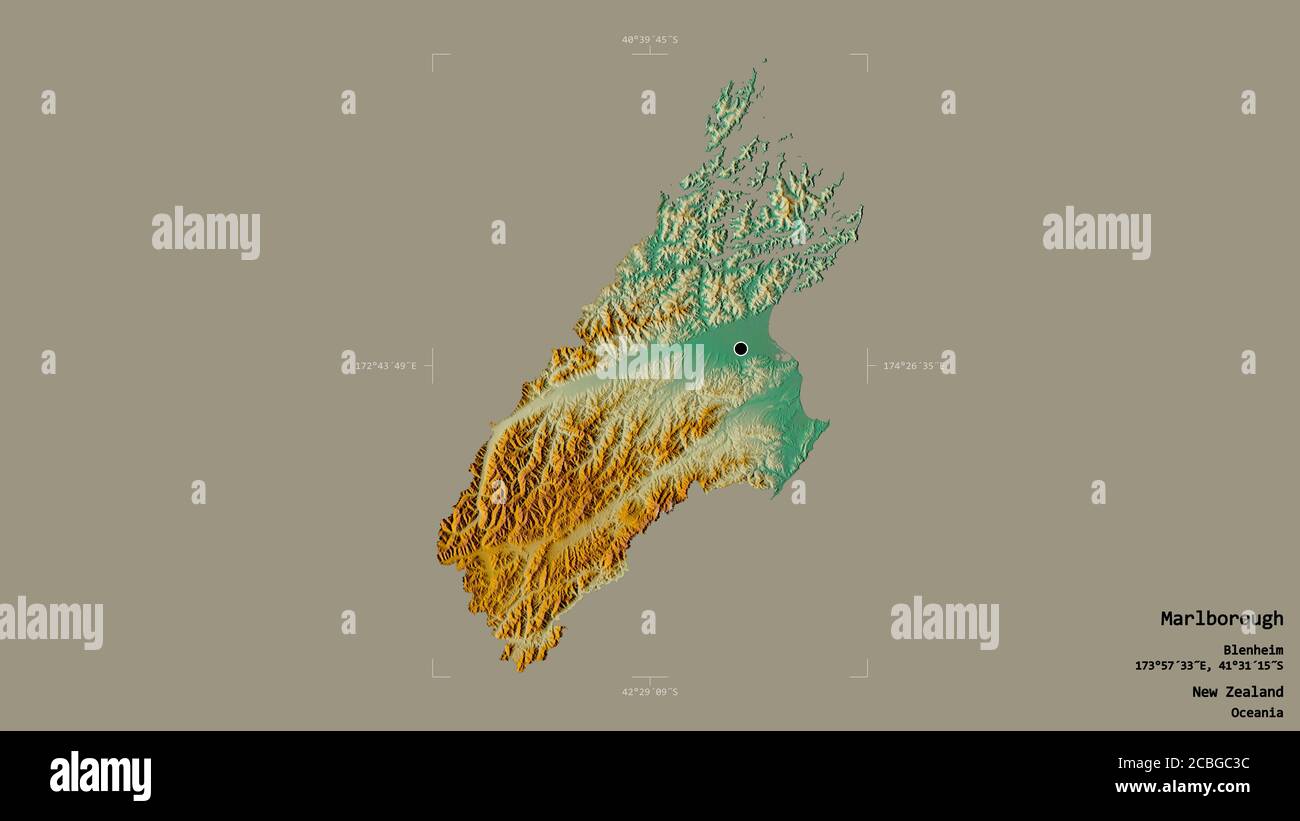 Area of Marlborough, unitary authority of New Zealand, isolated on a solid background in a georeferenced bounding box. Labels. Topographic relief map. Stock Photohttps://www.alamy.com/image-license-details/?v=1https://www.alamy.com/area-of-marlborough-unitary-authority-of-new-zealand-isolated-on-a-solid-background-in-a-georeferenced-bounding-box-labels-topographic-relief-map-image368539680.html
RF2CBGC3C–Area of Marlborough, unitary authority of New Zealand, isolated on a solid background in a georeferenced bounding box. Labels. Topographic relief map.
 Papatoia, , NZ, New Zealand, Marlborough, S 41 7' 5'', N 174 18' 36'', map, Cartascapes Map published in 2024. Explore Cartascapes, a map revealing Earth's diverse landscapes, cultures, and ecosystems. Journey through time and space, discovering the interconnectedness of our planet's past, present, and future. Stock Photohttps://www.alamy.com/image-license-details/?v=1https://www.alamy.com/papatoia-nz-new-zealand-marlborough-s-41-7-5-n-174-18-36-map-cartascapes-map-published-in-2024-explore-cartascapes-a-map-revealing-earths-diverse-landscapes-cultures-and-ecosystems-journey-through-time-and-space-discovering-the-interconnectedness-of-our-planets-past-present-and-future-image634033347.html
RM2YREM03–Papatoia, , NZ, New Zealand, Marlborough, S 41 7' 5'', N 174 18' 36'', map, Cartascapes Map published in 2024. Explore Cartascapes, a map revealing Earth's diverse landscapes, cultures, and ecosystems. Journey through time and space, discovering the interconnectedness of our planet's past, present, and future.
 Area of Marlborough, unitary authority of New Zealand, isolated on a solid background in a georeferenced bounding box. Labels. Colored elevation map. Stock Photohttps://www.alamy.com/image-license-details/?v=1https://www.alamy.com/area-of-marlborough-unitary-authority-of-new-zealand-isolated-on-a-solid-background-in-a-georeferenced-bounding-box-labels-colored-elevation-map-image368539592.html
RF2CBGC08–Area of Marlborough, unitary authority of New Zealand, isolated on a solid background in a georeferenced bounding box. Labels. Colored elevation map.
 Ballyams, , NZ, New Zealand, Marlborough, S 42 2' 53'', N 173 56' 24'', map, Cartascapes Map published in 2024. Explore Cartascapes, a map revealing Earth's diverse landscapes, cultures, and ecosystems. Journey through time and space, discovering the interconnectedness of our planet's past, present, and future. Stock Photohttps://www.alamy.com/image-license-details/?v=1https://www.alamy.com/ballyams-nz-new-zealand-marlborough-s-42-2-53-n-173-56-24-map-cartascapes-map-published-in-2024-explore-cartascapes-a-map-revealing-earths-diverse-landscapes-cultures-and-ecosystems-journey-through-time-and-space-discovering-the-interconnectedness-of-our-planets-past-present-and-future-image634075584.html
RM2YRGHTG–Ballyams, , NZ, New Zealand, Marlborough, S 42 2' 53'', N 173 56' 24'', map, Cartascapes Map published in 2024. Explore Cartascapes, a map revealing Earth's diverse landscapes, cultures, and ecosystems. Journey through time and space, discovering the interconnectedness of our planet's past, present, and future.
 Area of Marlborough, unitary authority of New Zealand, isolated on a solid background in a georeferenced bounding box. Labels. Bilevel elevation map. Stock Photohttps://www.alamy.com/image-license-details/?v=1https://www.alamy.com/area-of-marlborough-unitary-authority-of-new-zealand-isolated-on-a-solid-background-in-a-georeferenced-bounding-box-labels-bilevel-elevation-map-image368539586.html
RF2CBGC02–Area of Marlborough, unitary authority of New Zealand, isolated on a solid background in a georeferenced bounding box. Labels. Bilevel elevation map.
 Cairn, , NZ, New Zealand, Marlborough, S 42 17' 53'', N 173 28' 12'', map, Cartascapes Map published in 2024. Explore Cartascapes, a map revealing Earth's diverse landscapes, cultures, and ecosystems. Journey through time and space, discovering the interconnectedness of our planet's past, present, and future. Stock Photohttps://www.alamy.com/image-license-details/?v=1https://www.alamy.com/cairn-nz-new-zealand-marlborough-s-42-17-53-n-173-28-12-map-cartascapes-map-published-in-2024-explore-cartascapes-a-map-revealing-earths-diverse-landscapes-cultures-and-ecosystems-journey-through-time-and-space-discovering-the-interconnectedness-of-our-planets-past-present-and-future-image634031042.html
RM2YREH1P–Cairn, , NZ, New Zealand, Marlborough, S 42 17' 53'', N 173 28' 12'', map, Cartascapes Map published in 2024. Explore Cartascapes, a map revealing Earth's diverse landscapes, cultures, and ecosystems. Journey through time and space, discovering the interconnectedness of our planet's past, present, and future.
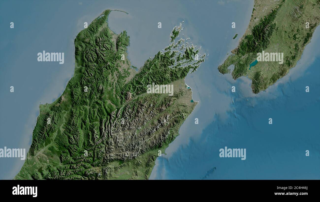 Marlborough, unitary authority of New Zealand. Satellite imagery. Shape outlined against its country area. 3D rendering Stock Photohttps://www.alamy.com/image-license-details/?v=1https://www.alamy.com/marlborough-unitary-authority-of-new-zealand-satellite-imagery-shape-outlined-against-its-country-area-3d-rendering-image364252858.html
RF2C4H46J–Marlborough, unitary authority of New Zealand. Satellite imagery. Shape outlined against its country area. 3D rendering
 The Caves, , NZ, New Zealand, Marlborough, S 42 17' 17'', N 173 18' 0'', map, Cartascapes Map published in 2024. Explore Cartascapes, a map revealing Earth's diverse landscapes, cultures, and ecosystems. Journey through time and space, discovering the interconnectedness of our planet's past, present, and future. Stock Photohttps://www.alamy.com/image-license-details/?v=1https://www.alamy.com/the-caves-nz-new-zealand-marlborough-s-42-17-17-n-173-18-0-map-cartascapes-map-published-in-2024-explore-cartascapes-a-map-revealing-earths-diverse-landscapes-cultures-and-ecosystems-journey-through-time-and-space-discovering-the-interconnectedness-of-our-planets-past-present-and-future-image634009626.html
RM2YRDHMX–The Caves, , NZ, New Zealand, Marlborough, S 42 17' 17'', N 173 18' 0'', map, Cartascapes Map published in 2024. Explore Cartascapes, a map revealing Earth's diverse landscapes, cultures, and ecosystems. Journey through time and space, discovering the interconnectedness of our planet's past, present, and future.
 Shape of Marlborough, unitary authority of New Zealand, with its capital isolated on white background. Satellite imagery. 3D rendering Stock Photohttps://www.alamy.com/image-license-details/?v=1https://www.alamy.com/shape-of-marlborough-unitary-authority-of-new-zealand-with-its-capital-isolated-on-white-background-satellite-imagery-3d-rendering-image368539690.html
RF2CBGC3P–Shape of Marlborough, unitary authority of New Zealand, with its capital isolated on white background. Satellite imagery. 3D rendering
 Humpback, , NZ, New Zealand, Marlborough, S 42 16' 41'', N 173 39' 0'', map, Cartascapes Map published in 2024. Explore Cartascapes, a map revealing Earth's diverse landscapes, cultures, and ecosystems. Journey through time and space, discovering the interconnectedness of our planet's past, present, and future. Stock Photohttps://www.alamy.com/image-license-details/?v=1https://www.alamy.com/humpback-nz-new-zealand-marlborough-s-42-16-41-n-173-39-0-map-cartascapes-map-published-in-2024-explore-cartascapes-a-map-revealing-earths-diverse-landscapes-cultures-and-ecosystems-journey-through-time-and-space-discovering-the-interconnectedness-of-our-planets-past-present-and-future-image634000985.html
RM2YRD6M9–Humpback, , NZ, New Zealand, Marlborough, S 42 16' 41'', N 173 39' 0'', map, Cartascapes Map published in 2024. Explore Cartascapes, a map revealing Earth's diverse landscapes, cultures, and ecosystems. Journey through time and space, discovering the interconnectedness of our planet's past, present, and future.
 Shape of Marlborough, unitary authority of New Zealand, and its capital. Distance scale, previews and labels. Satellite imagery. 3D rendering Stock Photohttps://www.alamy.com/image-license-details/?v=1https://www.alamy.com/shape-of-marlborough-unitary-authority-of-new-zealand-and-its-capital-distance-scale-previews-and-labels-satellite-imagery-3d-rendering-image368539669.html
RF2CBGC31–Shape of Marlborough, unitary authority of New Zealand, and its capital. Distance scale, previews and labels. Satellite imagery. 3D rendering
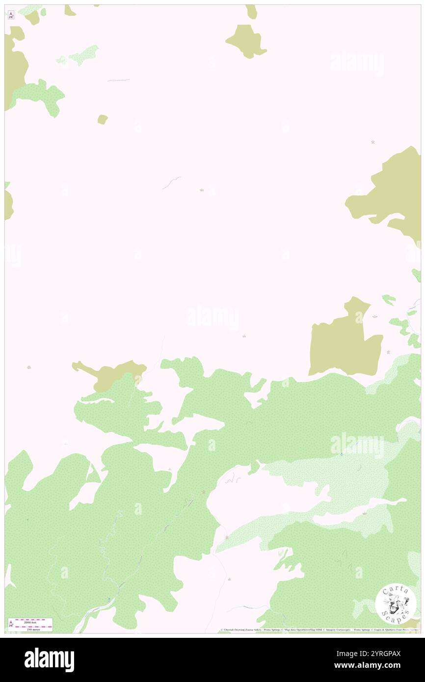 Uwerau, , NZ, New Zealand, Marlborough, S 42 14' 53'', N 173 37' 12'', map, Cartascapes Map published in 2024. Explore Cartascapes, a map revealing Earth's diverse landscapes, cultures, and ecosystems. Journey through time and space, discovering the interconnectedness of our planet's past, present, and future. Stock Photohttps://www.alamy.com/image-license-details/?v=1https://www.alamy.com/uwerau-nz-new-zealand-marlborough-s-42-14-53-n-173-37-12-map-cartascapes-map-published-in-2024-explore-cartascapes-a-map-revealing-earths-diverse-landscapes-cultures-and-ecosystems-journey-through-time-and-space-discovering-the-interconnectedness-of-our-planets-past-present-and-future-image634079122.html
RM2YRGPAX–Uwerau, , NZ, New Zealand, Marlborough, S 42 14' 53'', N 173 37' 12'', map, Cartascapes Map published in 2024. Explore Cartascapes, a map revealing Earth's diverse landscapes, cultures, and ecosystems. Journey through time and space, discovering the interconnectedness of our planet's past, present, and future.
 Desaturated shape of New Zealand with its capital, main regional division and the separated Marlborough area. Labels. Composition of regularly pattern Stock Photohttps://www.alamy.com/image-license-details/?v=1https://www.alamy.com/desaturated-shape-of-new-zealand-with-its-capital-main-regional-division-and-the-separated-marlborough-area-labels-composition-of-regularly-pattern-image368539609.html
RF2CBGC0W–Desaturated shape of New Zealand with its capital, main regional division and the separated Marlborough area. Labels. Composition of regularly pattern
 Kintyre, , NZ, New Zealand, Marlborough, S 41 29' 53'', N 173 15' 0'', map, Cartascapes Map published in 2024. Explore Cartascapes, a map revealing Earth's diverse landscapes, cultures, and ecosystems. Journey through time and space, discovering the interconnectedness of our planet's past, present, and future. Stock Photohttps://www.alamy.com/image-license-details/?v=1https://www.alamy.com/kintyre-nz-new-zealand-marlborough-s-41-29-53-n-173-15-0-map-cartascapes-map-published-in-2024-explore-cartascapes-a-map-revealing-earths-diverse-landscapes-cultures-and-ecosystems-journey-through-time-and-space-discovering-the-interconnectedness-of-our-planets-past-present-and-future-image633958458.html
RM2YRB8DE–Kintyre, , NZ, New Zealand, Marlborough, S 41 29' 53'', N 173 15' 0'', map, Cartascapes Map published in 2024. Explore Cartascapes, a map revealing Earth's diverse landscapes, cultures, and ecosystems. Journey through time and space, discovering the interconnectedness of our planet's past, present, and future.
 Shape of Marlborough, unitary authority of New Zealand, and its capital. Distance scale, previews and labels. Composition of regularly patterned textu Stock Photohttps://www.alamy.com/image-license-details/?v=1https://www.alamy.com/shape-of-marlborough-unitary-authority-of-new-zealand-and-its-capital-distance-scale-previews-and-labels-composition-of-regularly-patterned-textu-image368539608.html
RF2CBGC0T–Shape of Marlborough, unitary authority of New Zealand, and its capital. Distance scale, previews and labels. Composition of regularly patterned textu
 Kahutara, , NZ, New Zealand, Marlborough, S 42 24' 29'', N 173 31' 48'', map, Cartascapes Map published in 2024. Explore Cartascapes, a map revealing Earth's diverse landscapes, cultures, and ecosystems. Journey through time and space, discovering the interconnectedness of our planet's past, present, and future. Stock Photohttps://www.alamy.com/image-license-details/?v=1https://www.alamy.com/kahutara-nz-new-zealand-marlborough-s-42-24-29-n-173-31-48-map-cartascapes-map-published-in-2024-explore-cartascapes-a-map-revealing-earths-diverse-landscapes-cultures-and-ecosystems-journey-through-time-and-space-discovering-the-interconnectedness-of-our-planets-past-present-and-future-image634049785.html
RM2YRFCY5–Kahutara, , NZ, New Zealand, Marlborough, S 42 24' 29'', N 173 31' 48'', map, Cartascapes Map published in 2024. Explore Cartascapes, a map revealing Earth's diverse landscapes, cultures, and ecosystems. Journey through time and space, discovering the interconnectedness of our planet's past, present, and future.
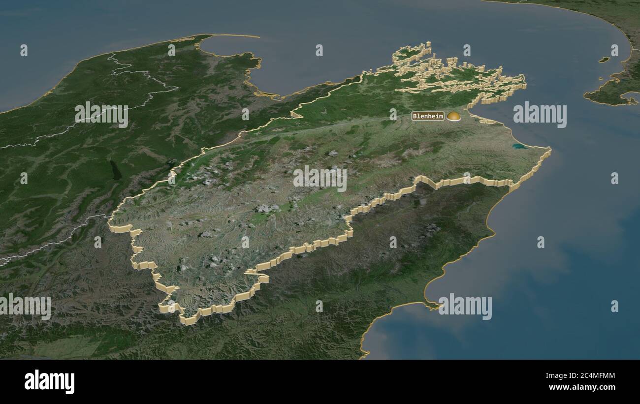 Zoom in on Marlborough (unitary authority of New Zealand) extruded. Oblique perspective. Satellite imagery. 3D rendering Stock Photohttps://www.alamy.com/image-license-details/?v=1https://www.alamy.com/zoom-in-on-marlborough-unitary-authority-of-new-zealand-extruded-oblique-perspective-satellite-imagery-3d-rendering-image364327732.html
RF2C4MFMM–Zoom in on Marlborough (unitary authority of New Zealand) extruded. Oblique perspective. Satellite imagery. 3D rendering
 Carluke, , NZ, New Zealand, Marlborough, S 41 12' 29'', N 173 35' 24'', map, Cartascapes Map published in 2024. Explore Cartascapes, a map revealing Earth's diverse landscapes, cultures, and ecosystems. Journey through time and space, discovering the interconnectedness of our planet's past, present, and future. Stock Photohttps://www.alamy.com/image-license-details/?v=1https://www.alamy.com/carluke-nz-new-zealand-marlborough-s-41-12-29-n-173-35-24-map-cartascapes-map-published-in-2024-explore-cartascapes-a-map-revealing-earths-diverse-landscapes-cultures-and-ecosystems-journey-through-time-and-space-discovering-the-interconnectedness-of-our-planets-past-present-and-future-image634035485.html
RM2YREPMD–Carluke, , NZ, New Zealand, Marlborough, S 41 12' 29'', N 173 35' 24'', map, Cartascapes Map published in 2024. Explore Cartascapes, a map revealing Earth's diverse landscapes, cultures, and ecosystems. Journey through time and space, discovering the interconnectedness of our planet's past, present, and future.
 Zoom in on Marlborough (unitary authority of New Zealand) outlined. Oblique perspective. Satellite imagery. 3D rendering Stock Photohttps://www.alamy.com/image-license-details/?v=1https://www.alamy.com/zoom-in-on-marlborough-unitary-authority-of-new-zealand-outlined-oblique-perspective-satellite-imagery-3d-rendering-image364327707.html
RF2C4MFKR–Zoom in on Marlborough (unitary authority of New Zealand) outlined. Oblique perspective. Satellite imagery. 3D rendering
 The Castles, , NZ, New Zealand, Marlborough, S 41 40' 5'', N 173 45' 36'', map, Cartascapes Map published in 2024. Explore Cartascapes, a map revealing Earth's diverse landscapes, cultures, and ecosystems. Journey through time and space, discovering the interconnectedness of our planet's past, present, and future. Stock Photohttps://www.alamy.com/image-license-details/?v=1https://www.alamy.com/the-castles-nz-new-zealand-marlborough-s-41-40-5-n-173-45-36-map-cartascapes-map-published-in-2024-explore-cartascapes-a-map-revealing-earths-diverse-landscapes-cultures-and-ecosystems-journey-through-time-and-space-discovering-the-interconnectedness-of-our-planets-past-present-and-future-image634086596.html
RM2YRH3WT–The Castles, , NZ, New Zealand, Marlborough, S 41 40' 5'', N 173 45' 36'', map, Cartascapes Map published in 2024. Explore Cartascapes, a map revealing Earth's diverse landscapes, cultures, and ecosystems. Journey through time and space, discovering the interconnectedness of our planet's past, present, and future.
 Shape of Marlborough, unitary authority of New Zealand, with its capital isolated on white background. Composition of patterned textures. 3D rendering Stock Photohttps://www.alamy.com/image-license-details/?v=1https://www.alamy.com/shape-of-marlborough-unitary-authority-of-new-zealand-with-its-capital-isolated-on-white-background-composition-of-patterned-textures-3d-rendering-image368539601.html
RF2CBGC0H–Shape of Marlborough, unitary authority of New Zealand, with its capital isolated on white background. Composition of patterned textures. 3D rendering
 Patutu, , NZ, New Zealand, Marlborough, S 42 11' 17'', N 173 50' 24'', map, Cartascapes Map published in 2024. Explore Cartascapes, a map revealing Earth's diverse landscapes, cultures, and ecosystems. Journey through time and space, discovering the interconnectedness of our planet's past, present, and future. Stock Photohttps://www.alamy.com/image-license-details/?v=1https://www.alamy.com/patutu-nz-new-zealand-marlborough-s-42-11-17-n-173-50-24-map-cartascapes-map-published-in-2024-explore-cartascapes-a-map-revealing-earths-diverse-landscapes-cultures-and-ecosystems-journey-through-time-and-space-discovering-the-interconnectedness-of-our-planets-past-present-and-future-image634048947.html
RM2YRFBW7–Patutu, , NZ, New Zealand, Marlborough, S 42 11' 17'', N 173 50' 24'', map, Cartascapes Map published in 2024. Explore Cartascapes, a map revealing Earth's diverse landscapes, cultures, and ecosystems. Journey through time and space, discovering the interconnectedness of our planet's past, present, and future.
 Desaturated shape of New Zealand with its capital, main regional division and the separated Marlborough area. Labels. Satellite imagery. 3D rendering Stock Photohttps://www.alamy.com/image-license-details/?v=1https://www.alamy.com/desaturated-shape-of-new-zealand-with-its-capital-main-regional-division-and-the-separated-marlborough-area-labels-satellite-imagery-3d-rendering-image368539681.html
RF2CBGC3D–Desaturated shape of New Zealand with its capital, main regional division and the separated Marlborough area. Labels. Satellite imagery. 3D rendering
 Marino, , NZ, New Zealand, Marlborough, S 42 34' 41'', N 173 28' 12'', map, Cartascapes Map published in 2024. Explore Cartascapes, a map revealing Earth's diverse landscapes, cultures, and ecosystems. Journey through time and space, discovering the interconnectedness of our planet's past, present, and future. Stock Photohttps://www.alamy.com/image-license-details/?v=1https://www.alamy.com/marino-nz-new-zealand-marlborough-s-42-34-41-n-173-28-12-map-cartascapes-map-published-in-2024-explore-cartascapes-a-map-revealing-earths-diverse-landscapes-cultures-and-ecosystems-journey-through-time-and-space-discovering-the-interconnectedness-of-our-planets-past-present-and-future-image634065160.html
RM2YRG4G8–Marino, , NZ, New Zealand, Marlborough, S 42 34' 41'', N 173 28' 12'', map, Cartascapes Map published in 2024. Explore Cartascapes, a map revealing Earth's diverse landscapes, cultures, and ecosystems. Journey through time and space, discovering the interconnectedness of our planet's past, present, and future.
 Marlborough, unitary authority of New Zealand. Colored relief with lakes and rivers. Shape outlined against its country area. 3D rendering Stock Photohttps://www.alamy.com/image-license-details/?v=1https://www.alamy.com/marlborough-unitary-authority-of-new-zealand-colored-relief-with-lakes-and-rivers-shape-outlined-against-its-country-area-3d-rendering-image364252846.html
RF2C4H466–Marlborough, unitary authority of New Zealand. Colored relief with lakes and rivers. Shape outlined against its country area. 3D rendering
 Wairimu, , NZ, New Zealand, Marlborough, S 42 15' 29'', N 173 45' 36'', map, Cartascapes Map published in 2024. Explore Cartascapes, a map revealing Earth's diverse landscapes, cultures, and ecosystems. Journey through time and space, discovering the interconnectedness of our planet's past, present, and future. Stock Photohttps://www.alamy.com/image-license-details/?v=1https://www.alamy.com/wairimu-nz-new-zealand-marlborough-s-42-15-29-n-173-45-36-map-cartascapes-map-published-in-2024-explore-cartascapes-a-map-revealing-earths-diverse-landscapes-cultures-and-ecosystems-journey-through-time-and-space-discovering-the-interconnectedness-of-our-planets-past-present-and-future-image634065659.html
RM2YRG563–Wairimu, , NZ, New Zealand, Marlborough, S 42 15' 29'', N 173 45' 36'', map, Cartascapes Map published in 2024. Explore Cartascapes, a map revealing Earth's diverse landscapes, cultures, and ecosystems. Journey through time and space, discovering the interconnectedness of our planet's past, present, and future.
 Marlborough, unitary authority of New Zealand. Patterned solids with lakes and rivers. Shape presented against its country area with informative overl Stock Photohttps://www.alamy.com/image-license-details/?v=1https://www.alamy.com/marlborough-unitary-authority-of-new-zealand-patterned-solids-with-lakes-and-rivers-shape-presented-against-its-country-area-with-informative-overl-image364252855.html
RF2C4H46F–Marlborough, unitary authority of New Zealand. Patterned solids with lakes and rivers. Shape presented against its country area with informative overl
 Rarangi, , NZ, New Zealand, Marlborough, S 41 22' 59'', N 174 4' 0'', map, Cartascapes Map published in 2024. Explore Cartascapes, a map revealing Earth's diverse landscapes, cultures, and ecosystems. Journey through time and space, discovering the interconnectedness of our planet's past, present, and future. Stock Photohttps://www.alamy.com/image-license-details/?v=1https://www.alamy.com/rarangi-nz-new-zealand-marlborough-s-41-22-59-n-174-4-0-map-cartascapes-map-published-in-2024-explore-cartascapes-a-map-revealing-earths-diverse-landscapes-cultures-and-ecosystems-journey-through-time-and-space-discovering-the-interconnectedness-of-our-planets-past-present-and-future-image634064869.html
RM2YRG45W–Rarangi, , NZ, New Zealand, Marlborough, S 41 22' 59'', N 174 4' 0'', map, Cartascapes Map published in 2024. Explore Cartascapes, a map revealing Earth's diverse landscapes, cultures, and ecosystems. Journey through time and space, discovering the interconnectedness of our planet's past, present, and future.
 Marlborough, unitary authority of New Zealand. Satellite imagery. Shape presented against its country area with informative overlays. 3D rendering Stock Photohttps://www.alamy.com/image-license-details/?v=1https://www.alamy.com/marlborough-unitary-authority-of-new-zealand-satellite-imagery-shape-presented-against-its-country-area-with-informative-overlays-3d-rendering-image364252854.html
RF2C4H46E–Marlborough, unitary authority of New Zealand. Satellite imagery. Shape presented against its country area with informative overlays. 3D rendering
 Woodbourne, , NZ, New Zealand, Marlborough, S 41 30' 29'', N 173 51' 36'', map, Cartascapes Map published in 2024. Explore Cartascapes, a map revealing Earth's diverse landscapes, cultures, and ecosystems. Journey through time and space, discovering the interconnectedness of our planet's past, present, and future. Stock Photohttps://www.alamy.com/image-license-details/?v=1https://www.alamy.com/woodbourne-nz-new-zealand-marlborough-s-41-30-29-n-173-51-36-map-cartascapes-map-published-in-2024-explore-cartascapes-a-map-revealing-earths-diverse-landscapes-cultures-and-ecosystems-journey-through-time-and-space-discovering-the-interconnectedness-of-our-planets-past-present-and-future-image633955406.html
RM2YRB4GE–Woodbourne, , NZ, New Zealand, Marlborough, S 41 30' 29'', N 173 51' 36'', map, Cartascapes Map published in 2024. Explore Cartascapes, a map revealing Earth's diverse landscapes, cultures, and ecosystems. Journey through time and space, discovering the interconnectedness of our planet's past, present, and future.
 Marlborough, unitary authority of New Zealand. Colored relief with lakes and rivers. Shape presented against its country area with informative overlay Stock Photohttps://www.alamy.com/image-license-details/?v=1https://www.alamy.com/marlborough-unitary-authority-of-new-zealand-colored-relief-with-lakes-and-rivers-shape-presented-against-its-country-area-with-informative-overlay-image364252847.html
RF2C4H467–Marlborough, unitary authority of New Zealand. Colored relief with lakes and rivers. Shape presented against its country area with informative overlay
 Palmer, , NZ, New Zealand, Marlborough, S 42 15' 29'', N 173 18' 36'', map, Cartascapes Map published in 2024. Explore Cartascapes, a map revealing Earth's diverse landscapes, cultures, and ecosystems. Journey through time and space, discovering the interconnectedness of our planet's past, present, and future. Stock Photohttps://www.alamy.com/image-license-details/?v=1https://www.alamy.com/palmer-nz-new-zealand-marlborough-s-42-15-29-n-173-18-36-map-cartascapes-map-published-in-2024-explore-cartascapes-a-map-revealing-earths-diverse-landscapes-cultures-and-ecosystems-journey-through-time-and-space-discovering-the-interconnectedness-of-our-planets-past-present-and-future-image634052112.html
RM2YRFFX8–Palmer, , NZ, New Zealand, Marlborough, S 42 15' 29'', N 173 18' 36'', map, Cartascapes Map published in 2024. Explore Cartascapes, a map revealing Earth's diverse landscapes, cultures, and ecosystems. Journey through time and space, discovering the interconnectedness of our planet's past, present, and future.
 Shape of Marlborough, unitary authority of New Zealand, with its capital isolated on a solid color background. Satellite imagery. 3D rendering Stock Photohttps://www.alamy.com/image-license-details/?v=1https://www.alamy.com/shape-of-marlborough-unitary-authority-of-new-zealand-with-its-capital-isolated-on-a-solid-color-background-satellite-imagery-3d-rendering-image368539693.html
RF2CBGC3W–Shape of Marlborough, unitary authority of New Zealand, with its capital isolated on a solid color background. Satellite imagery. 3D rendering
 Hillersden, , NZ, New Zealand, Marlborough, S 41 35' 17'', N 173 25' 12'', map, Cartascapes Map published in 2024. Explore Cartascapes, a map revealing Earth's diverse landscapes, cultures, and ecosystems. Journey through time and space, discovering the interconnectedness of our planet's past, present, and future. Stock Photohttps://www.alamy.com/image-license-details/?v=1https://www.alamy.com/hillersden-nz-new-zealand-marlborough-s-41-35-17-n-173-25-12-map-cartascapes-map-published-in-2024-explore-cartascapes-a-map-revealing-earths-diverse-landscapes-cultures-and-ecosystems-journey-through-time-and-space-discovering-the-interconnectedness-of-our-planets-past-present-and-future-image634054584.html
RM2YRFK2G–Hillersden, , NZ, New Zealand, Marlborough, S 41 35' 17'', N 173 25' 12'', map, Cartascapes Map published in 2024. Explore Cartascapes, a map revealing Earth's diverse landscapes, cultures, and ecosystems. Journey through time and space, discovering the interconnectedness of our planet's past, present, and future.
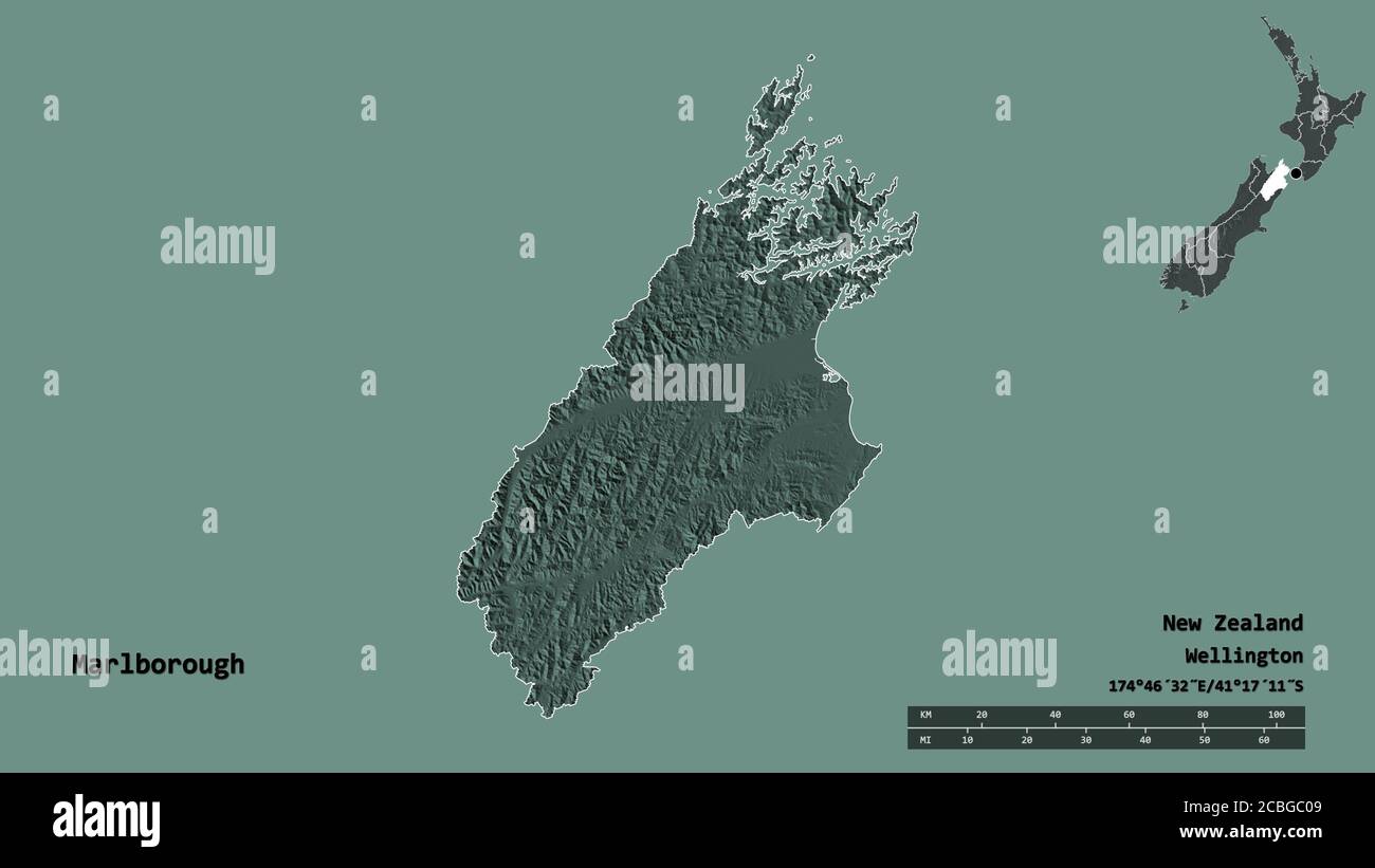 Shape of Marlborough, unitary authority of New Zealand, with its capital isolated on solid background. Distance scale, region preview and labels. Colo Stock Photohttps://www.alamy.com/image-license-details/?v=1https://www.alamy.com/shape-of-marlborough-unitary-authority-of-new-zealand-with-its-capital-isolated-on-solid-background-distance-scale-region-preview-and-labels-colo-image368539593.html
RF2CBGC09–Shape of Marlborough, unitary authority of New Zealand, with its capital isolated on solid background. Distance scale, region preview and labels. Colo
 Tarahaka, , NZ, New Zealand, Marlborough, S 42 8' 53'', N 173 43' 12'', map, Cartascapes Map published in 2024. Explore Cartascapes, a map revealing Earth's diverse landscapes, cultures, and ecosystems. Journey through time and space, discovering the interconnectedness of our planet's past, present, and future. Stock Photohttps://www.alamy.com/image-license-details/?v=1https://www.alamy.com/tarahaka-nz-new-zealand-marlborough-s-42-8-53-n-173-43-12-map-cartascapes-map-published-in-2024-explore-cartascapes-a-map-revealing-earths-diverse-landscapes-cultures-and-ecosystems-journey-through-time-and-space-discovering-the-interconnectedness-of-our-planets-past-present-and-future-image633944407.html
RM2YRAJFK–Tarahaka, , NZ, New Zealand, Marlborough, S 42 8' 53'', N 173 43' 12'', map, Cartascapes Map published in 2024. Explore Cartascapes, a map revealing Earth's diverse landscapes, cultures, and ecosystems. Journey through time and space, discovering the interconnectedness of our planet's past, present, and future.
 Shape of Marlborough, unitary authority of New Zealand, with its capital isolated on solid background. Distance scale, region preview and labels. Sate Stock Photohttps://www.alamy.com/image-license-details/?v=1https://www.alamy.com/shape-of-marlborough-unitary-authority-of-new-zealand-with-its-capital-isolated-on-solid-background-distance-scale-region-preview-and-labels-sate-image368539668.html
RF2CBGC30–Shape of Marlborough, unitary authority of New Zealand, with its capital isolated on solid background. Distance scale, region preview and labels. Sate
 Kaitoa, , NZ, New Zealand, Marlborough, S 42 16' 5'', N 173 42' 36'', map, Cartascapes Map published in 2024. Explore Cartascapes, a map revealing Earth's diverse landscapes, cultures, and ecosystems. Journey through time and space, discovering the interconnectedness of our planet's past, present, and future. Stock Photohttps://www.alamy.com/image-license-details/?v=1https://www.alamy.com/kaitoa-nz-new-zealand-marlborough-s-42-16-5-n-173-42-36-map-cartascapes-map-published-in-2024-explore-cartascapes-a-map-revealing-earths-diverse-landscapes-cultures-and-ecosystems-journey-through-time-and-space-discovering-the-interconnectedness-of-our-planets-past-present-and-future-image634087919.html
RM2YRH5H3–Kaitoa, , NZ, New Zealand, Marlborough, S 42 16' 5'', N 173 42' 36'', map, Cartascapes Map published in 2024. Explore Cartascapes, a map revealing Earth's diverse landscapes, cultures, and ecosystems. Journey through time and space, discovering the interconnectedness of our planet's past, present, and future.
 Shape of Marlborough, unitary authority of New Zealand, with its capital isolated on solid background. Distance scale, region preview and labels. Comp Stock Photohttps://www.alamy.com/image-license-details/?v=1https://www.alamy.com/shape-of-marlborough-unitary-authority-of-new-zealand-with-its-capital-isolated-on-solid-background-distance-scale-region-preview-and-labels-comp-image368539603.html
RF2CBGC0K–Shape of Marlborough, unitary authority of New Zealand, with its capital isolated on solid background. Distance scale, region preview and labels. Comp
 Marlborough, , NZ, New Zealand, Marlborough, S 41 40' 0'', N 173 30' 0'', map, Cartascapes Map published in 2024. Explore Cartascapes, a map revealing Earth's diverse landscapes, cultures, and ecosystems. Journey through time and space, discovering the interconnectedness of our planet's past, present, and future. Stock Photohttps://www.alamy.com/image-license-details/?v=1https://www.alamy.com/marlborough-nz-new-zealand-marlborough-s-41-40-0-n-173-30-0-map-cartascapes-map-published-in-2024-explore-cartascapes-a-map-revealing-earths-diverse-landscapes-cultures-and-ecosystems-journey-through-time-and-space-discovering-the-interconnectedness-of-our-planets-past-present-and-future-image633955278.html
RM2YRB4BX–Marlborough, , NZ, New Zealand, Marlborough, S 41 40' 0'', N 173 30' 0'', map, Cartascapes Map published in 2024. Explore Cartascapes, a map revealing Earth's diverse landscapes, cultures, and ecosystems. Journey through time and space, discovering the interconnectedness of our planet's past, present, and future.
 Shape of Marlborough, unitary authority of New Zealand, with its capital isolated on solid background. Distance scale, region preview and labels. Topo Stock Photohttps://www.alamy.com/image-license-details/?v=1https://www.alamy.com/shape-of-marlborough-unitary-authority-of-new-zealand-with-its-capital-isolated-on-solid-background-distance-scale-region-preview-and-labels-topo-image368539676.html
RF2CBGC38–Shape of Marlborough, unitary authority of New Zealand, with its capital isolated on solid background. Distance scale, region preview and labels. Topo
 Hauwai, , NZ, New Zealand, Marlborough, S 41 44' 17'', N 174 9' 0'', map, Cartascapes Map published in 2024. Explore Cartascapes, a map revealing Earth's diverse landscapes, cultures, and ecosystems. Journey through time and space, discovering the interconnectedness of our planet's past, present, and future. Stock Photohttps://www.alamy.com/image-license-details/?v=1https://www.alamy.com/hauwai-nz-new-zealand-marlborough-s-41-44-17-n-174-9-0-map-cartascapes-map-published-in-2024-explore-cartascapes-a-map-revealing-earths-diverse-landscapes-cultures-and-ecosystems-journey-through-time-and-space-discovering-the-interconnectedness-of-our-planets-past-present-and-future-image634005565.html
RM2YRDCFW–Hauwai, , NZ, New Zealand, Marlborough, S 41 44' 17'', N 174 9' 0'', map, Cartascapes Map published in 2024. Explore Cartascapes, a map revealing Earth's diverse landscapes, cultures, and ecosystems. Journey through time and space, discovering the interconnectedness of our planet's past, present, and future.
 Shape of Marlborough, unitary authority of New Zealand, with its capital isolated on solid background. Distance scale, region preview and labels. Bile Stock Photohttps://www.alamy.com/image-license-details/?v=1https://www.alamy.com/shape-of-marlborough-unitary-authority-of-new-zealand-with-its-capital-isolated-on-solid-background-distance-scale-region-preview-and-labels-bile-image368539591.html
RF2CBGC07–Shape of Marlborough, unitary authority of New Zealand, with its capital isolated on solid background. Distance scale, region preview and labels. Bile