Quick filters:
Marrakech map Stock Photos and Images
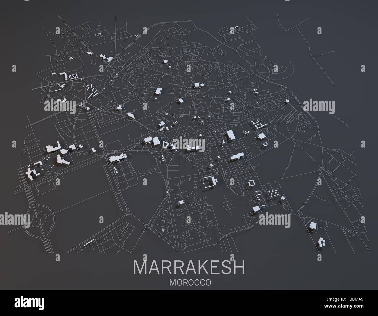 Marrakech map, satellite view, Morocco Stock Photohttps://www.alamy.com/image-license-details/?v=1https://www.alamy.com/stock-photo-marrakech-map-satellite-view-morocco-93070497.html
RFFBBMA9–Marrakech map, satellite view, Morocco
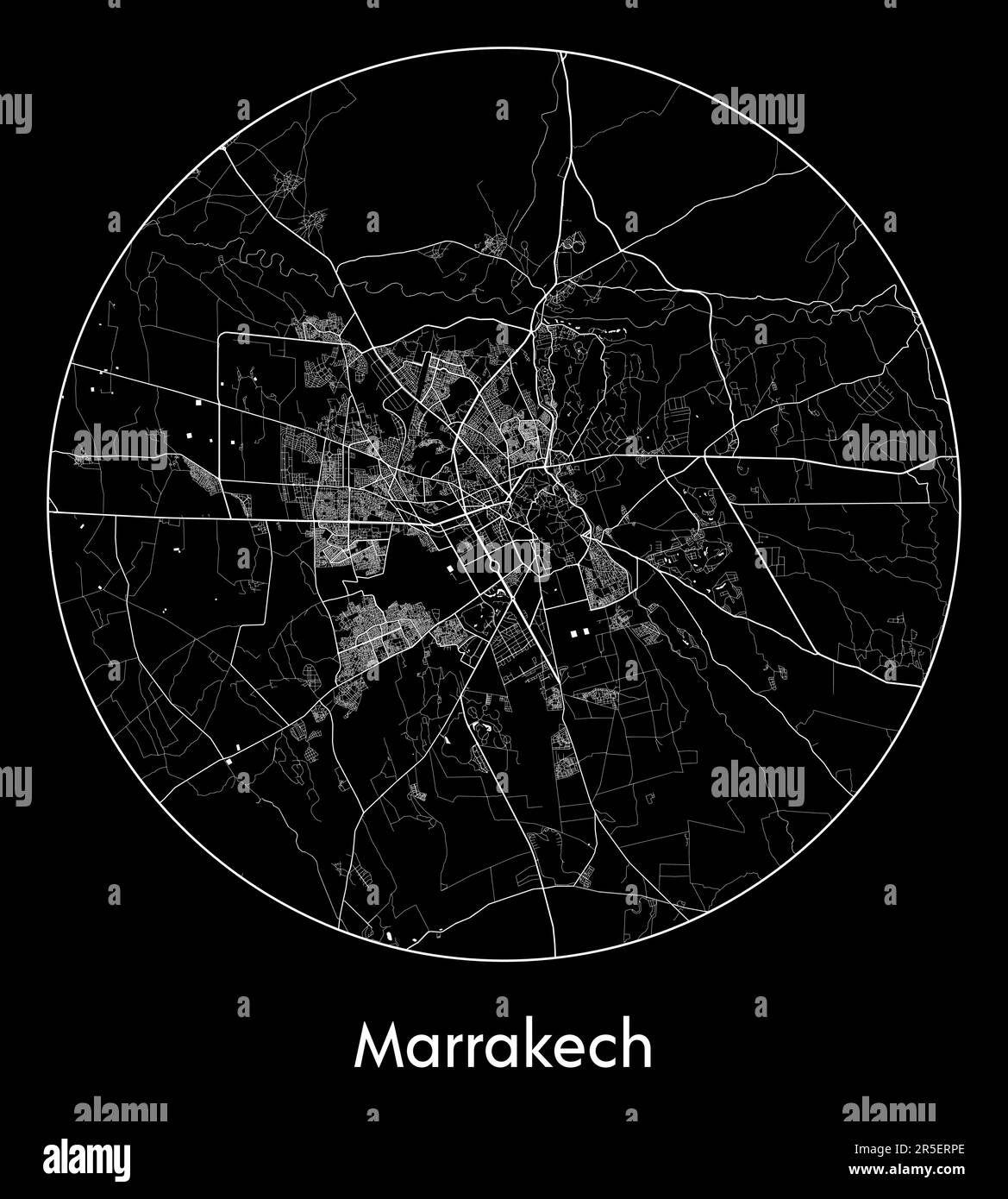 City Map Marrakech Morocco Africa vector illustration Stock Vectorhttps://www.alamy.com/image-license-details/?v=1https://www.alamy.com/city-map-marrakech-morocco-africa-vector-illustration-image554131046.html
RF2R5ERPE–City Map Marrakech Morocco Africa vector illustration
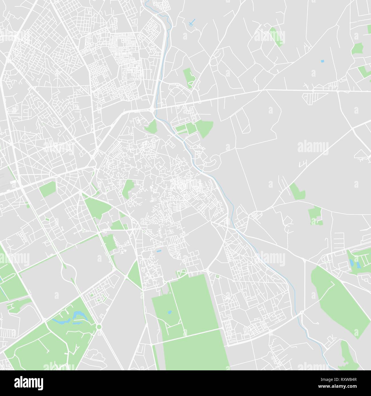 Downtown vector map of Marrakech, Morocco. This printable map of Marrakech contains lines and classic colored shapes for land mass, parks, water, majo Stock Vectorhttps://www.alamy.com/image-license-details/?v=1https://www.alamy.com/downtown-vector-map-of-marrakech-morocco-this-printable-map-of-marrakech-contains-lines-and-classic-colored-shapes-for-land-mass-parks-water-majo-image240273399.html
RFRXWB4R–Downtown vector map of Marrakech, Morocco. This printable map of Marrakech contains lines and classic colored shapes for land mass, parks, water, majo
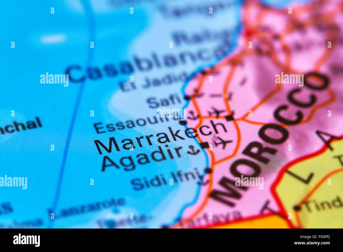 Marrakech City in Morocco, Africa on the World Map Stock Photohttps://www.alamy.com/image-license-details/?v=1https://www.alamy.com/stock-photo-marrakech-city-in-morocco-africa-on-the-world-map-102330470.html
RFFXDFFJ–Marrakech City in Morocco, Africa on the World Map
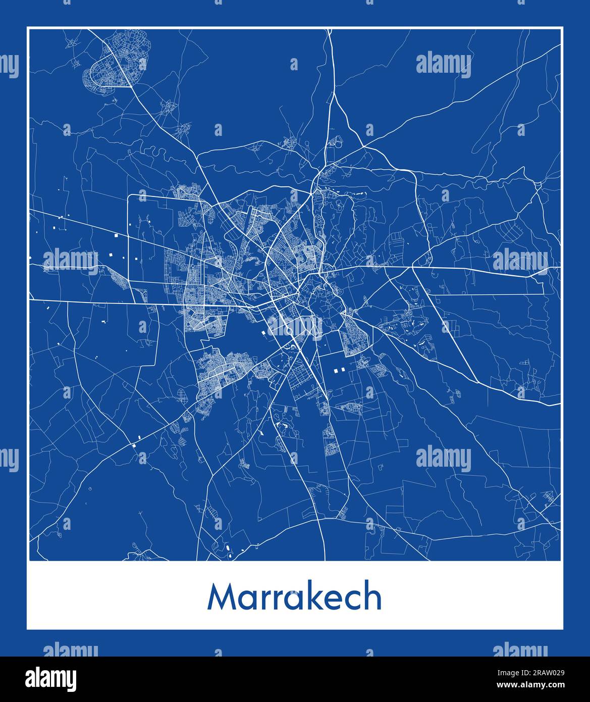 Marrakech Morocco Africa City map blue print vector illustration Stock Vectorhttps://www.alamy.com/image-license-details/?v=1https://www.alamy.com/marrakech-morocco-africa-city-map-blue-print-vector-illustration-image557427201.html
RF2RAW029–Marrakech Morocco Africa City map blue print vector illustration
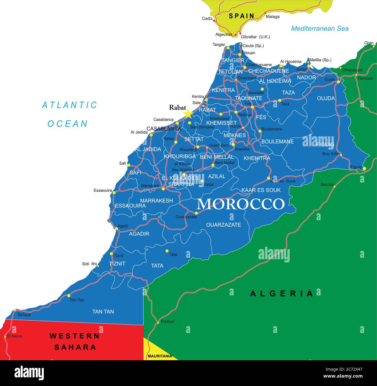 Morocco political map Stock Vectorhttps://www.alamy.com/image-license-details/?v=1https://www.alamy.com/morocco-political-map-image365784727.html
RF2C72X47–Morocco political map
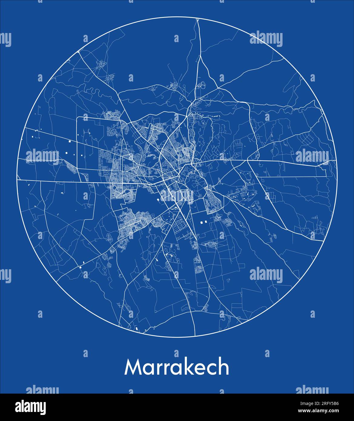 City Map Marrakech Morocco Africa blue print round Circle vector illustration Stock Vectorhttps://www.alamy.com/image-license-details/?v=1https://www.alamy.com/city-map-marrakech-morocco-africa-blue-print-round-circle-vector-illustration-image560548554.html
RF2RFY5B6–City Map Marrakech Morocco Africa blue print round Circle vector illustration
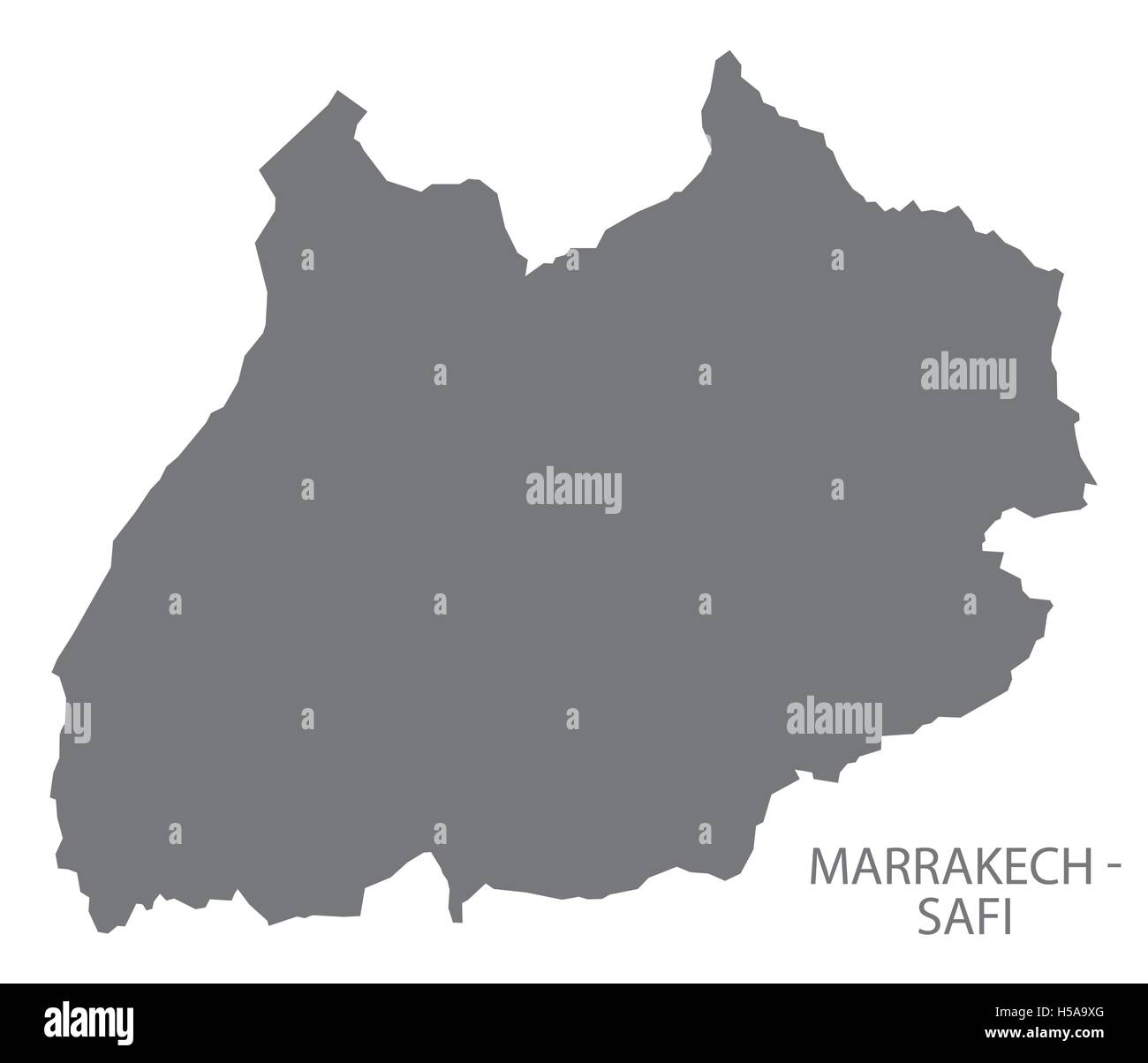 Marrakech - Safi Morocco Map grey Stock Vectorhttps://www.alamy.com/image-license-details/?v=1https://www.alamy.com/stock-photo-marrakech-safi-morocco-map-grey-123773176.html
RFH5A9XG–Marrakech - Safi Morocco Map grey
 City Map Marrakech Morocco Africa vector illustration black white Stock Vectorhttps://www.alamy.com/image-license-details/?v=1https://www.alamy.com/city-map-marrakech-morocco-africa-vector-illustration-black-white-image557056492.html
RF2RA836M–City Map Marrakech Morocco Africa vector illustration black white
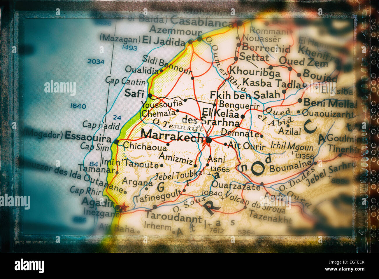 Traveler focused on Marrakech Stock Photohttps://www.alamy.com/image-license-details/?v=1https://www.alamy.com/stock-photo-traveler-focused-on-marrakech-79214203.html
RFEGTEEK–Traveler focused on Marrakech
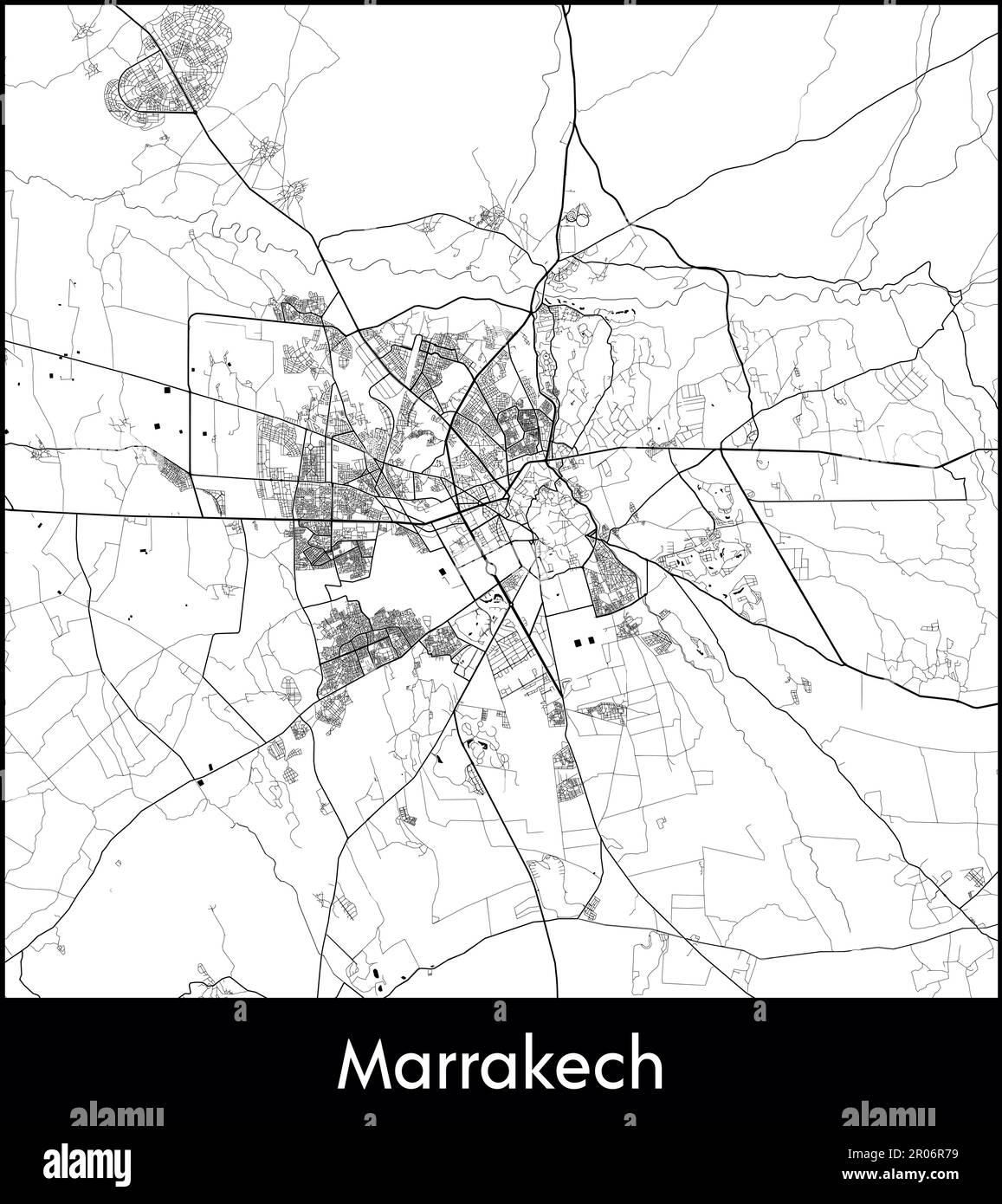 City Map Africa Morocco Marrakech vector illustration Stock Vectorhttps://www.alamy.com/image-license-details/?v=1https://www.alamy.com/city-map-africa-morocco-marrakech-vector-illustration-image550881725.html
RF2R06R79–City Map Africa Morocco Marrakech vector illustration
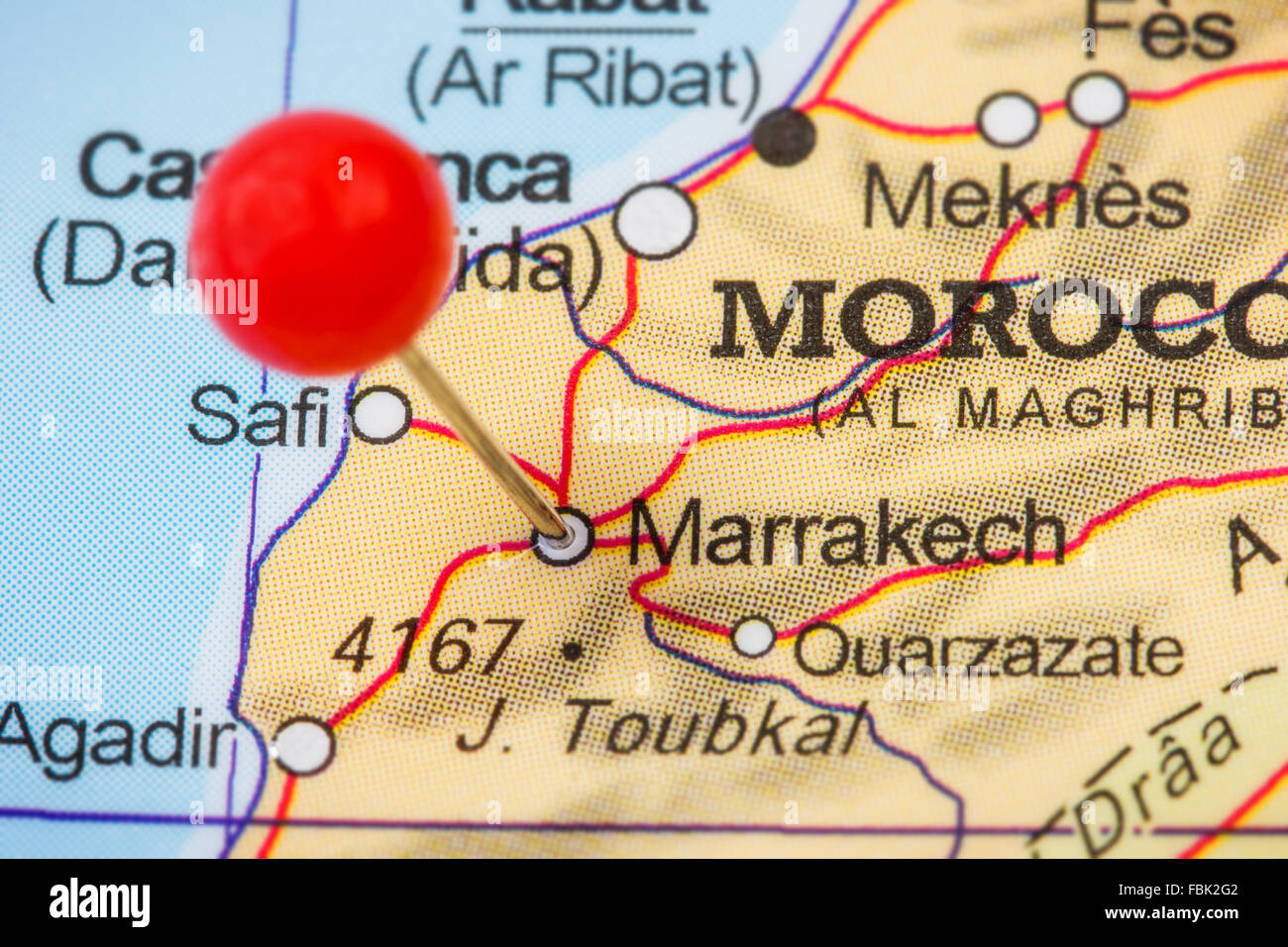 Close-up of a red pushpin in a map of Marrakech (Marrakesh), Morocco. Stock Photohttps://www.alamy.com/image-license-details/?v=1https://www.alamy.com/stock-photo-close-up-of-a-red-pushpin-in-a-map-of-marrakech-marrakesh-morocco-93232162.html
RFFBK2G2–Close-up of a red pushpin in a map of Marrakech (Marrakesh), Morocco.
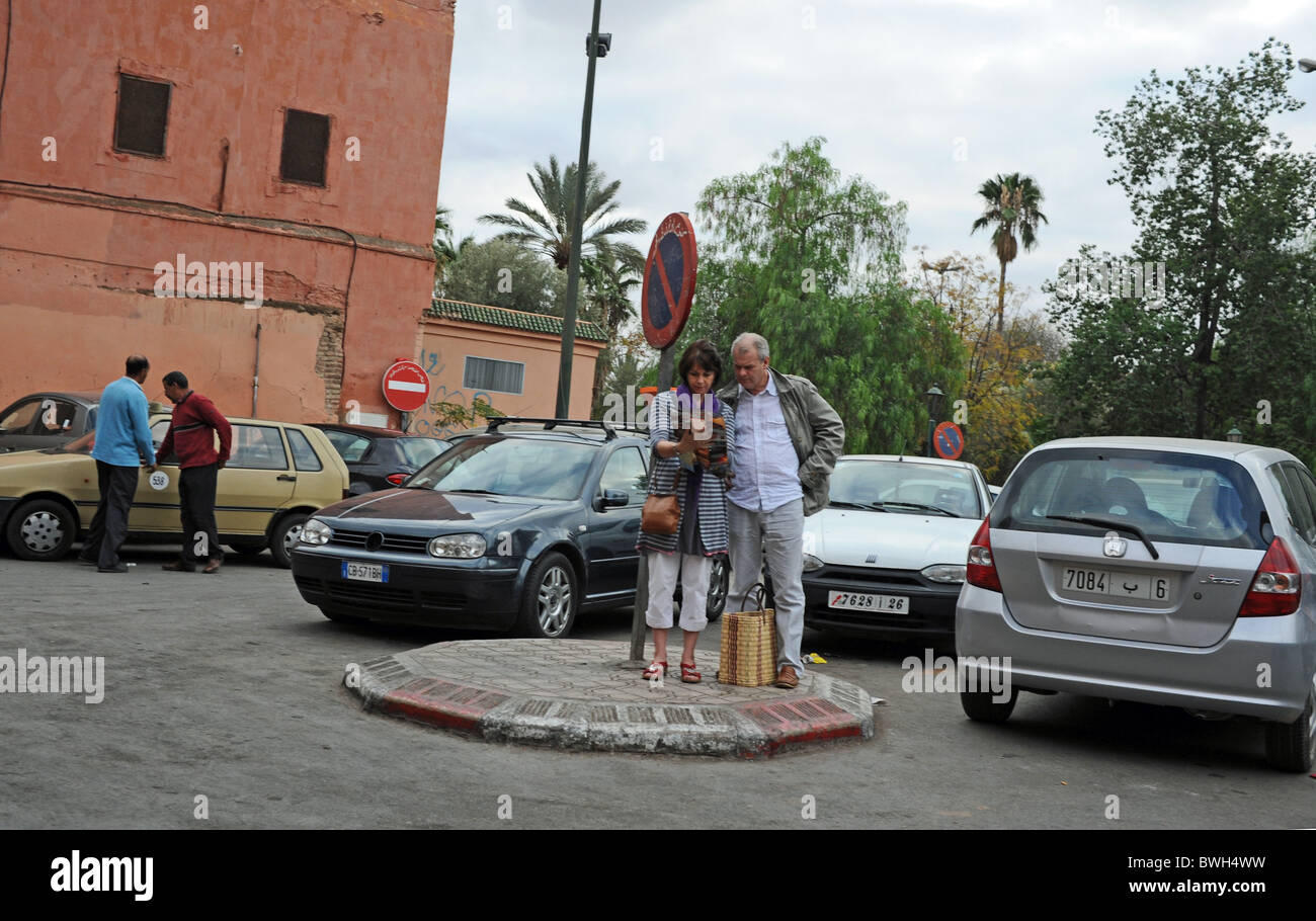 Marrakesh Morocco 2010 - Tourists looking lost check out a map for directions in the centre of Marrakech Stock Photohttps://www.alamy.com/image-license-details/?v=1https://www.alamy.com/stock-photo-marrakesh-morocco-2010-tourists-looking-lost-check-out-a-map-for-directions-32953813.html
RMBWH4WW–Marrakesh Morocco 2010 - Tourists looking lost check out a map for directions in the centre of Marrakech
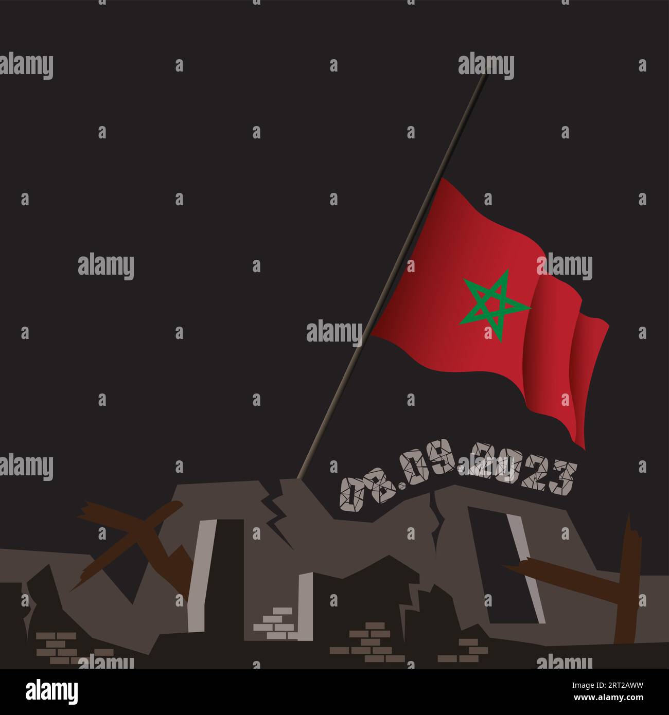 Catastrophic devastating earthquake in Morocco. Natural disaster in Marrakech, High Atlas mountain range on 8.9.2023. Massive cracks Moroccan flag map Stock Vectorhttps://www.alamy.com/image-license-details/?v=1https://www.alamy.com/catastrophic-devastating-earthquake-in-morocco-natural-disaster-in-marrakech-high-atlas-mountain-range-on-892023-massive-cracks-moroccan-flag-map-image565535989.html
RF2RT2AWW–Catastrophic devastating earthquake in Morocco. Natural disaster in Marrakech, High Atlas mountain range on 8.9.2023. Massive cracks Moroccan flag map
 Morocco flag and map, national emblem. with Harmonious Morocco color Red and Green Stock Photohttps://www.alamy.com/image-license-details/?v=1https://www.alamy.com/morocco-flag-and-map-national-emblem-with-harmonious-morocco-color-red-and-green-image470984997.html
RF2JA764N–Morocco flag and map, national emblem. with Harmonious Morocco color Red and Green
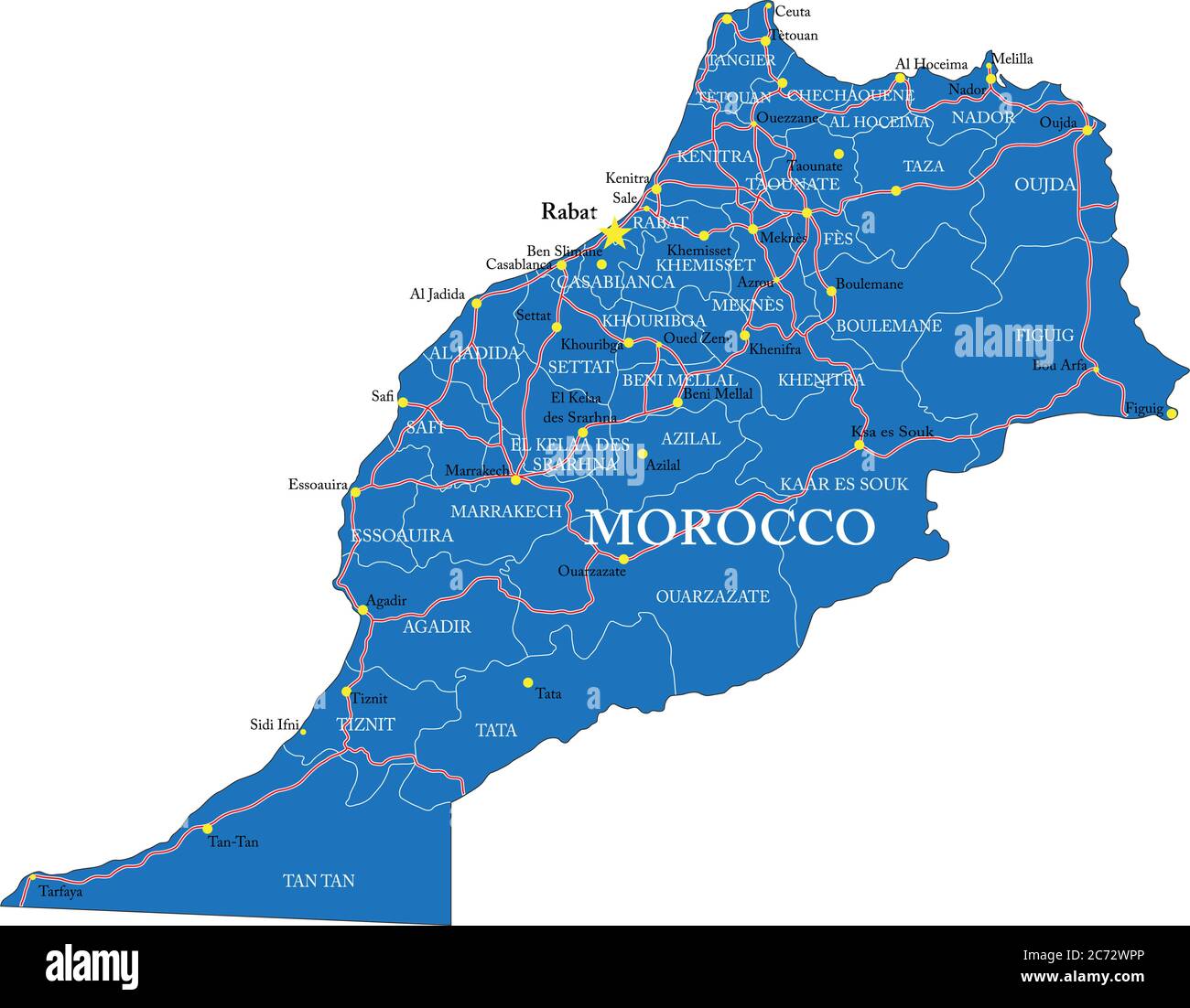 Highly detailed vector map of Morocco with administrative regions, main cities and roads. Stock Vectorhttps://www.alamy.com/image-license-details/?v=1https://www.alamy.com/highly-detailed-vector-map-of-morocco-with-administrative-regions-main-cities-and-roads-image365784462.html
RF2C72WPP–Highly detailed vector map of Morocco with administrative regions, main cities and roads.
 Marrakech City Name (Morocco, Africa) with black white city map illustration vector Stock Vectorhttps://www.alamy.com/image-license-details/?v=1https://www.alamy.com/marrakech-city-name-morocco-africa-with-black-white-city-map-illustration-vector-image569796605.html
RF2T30DAN–Marrakech City Name (Morocco, Africa) with black white city map illustration vector
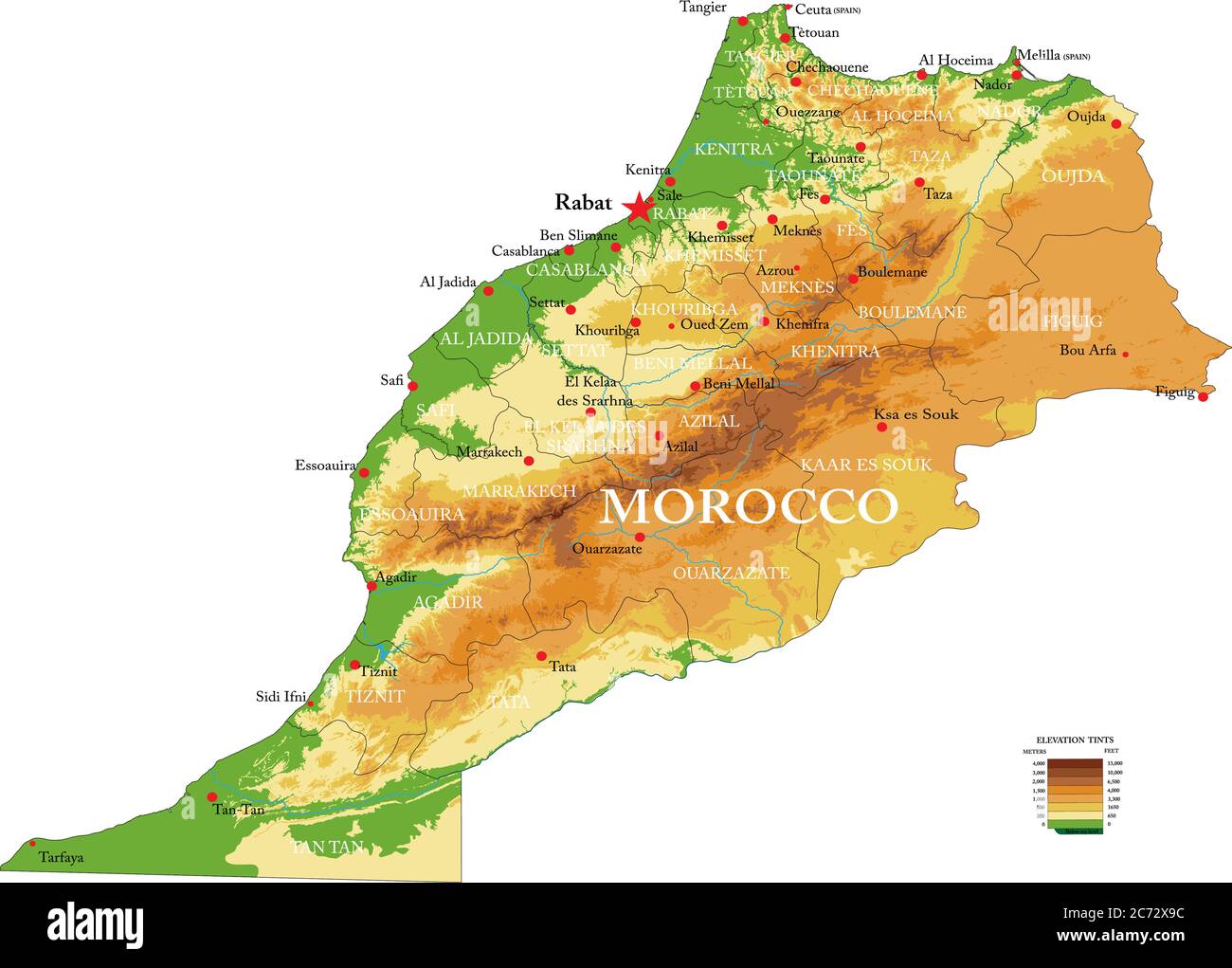 Highly detailed physical map of the Mprocco,in vector format,with all the relief forms,regions and big cities. Stock Vectorhttps://www.alamy.com/image-license-details/?v=1https://www.alamy.com/highly-detailed-physical-map-of-the-mproccoin-vector-formatwith-all-the-relief-formsregions-and-big-cities-image365784872.html
RF2C72X9C–Highly detailed physical map of the Mprocco,in vector format,with all the relief forms,regions and big cities.
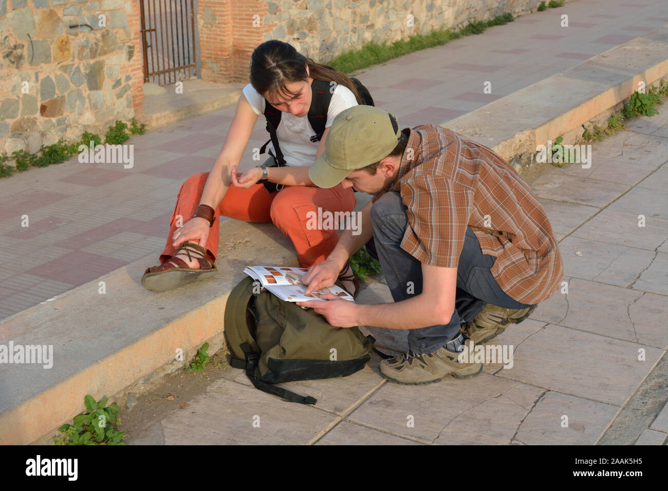 A young couple looking for information in a tourist guide. Marrakech, Morocco Stock Photohttps://www.alamy.com/image-license-details/?v=1https://www.alamy.com/a-young-couple-looking-for-information-in-a-tourist-guide-marrakech-morocco-image333565041.html
RM2AAK5H5–A young couple looking for information in a tourist guide. Marrakech, Morocco
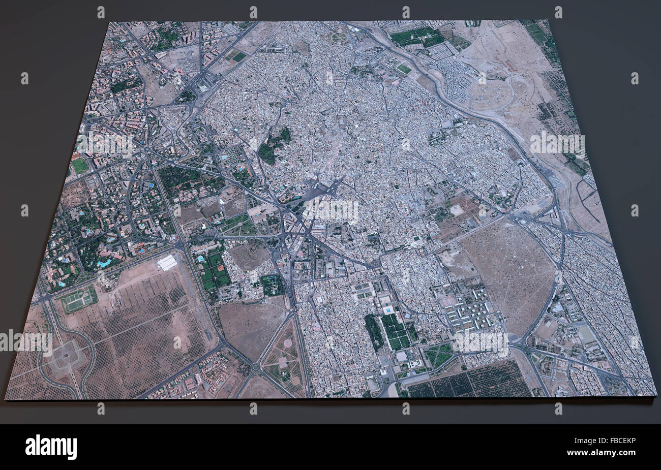 Marrakech map, satellite view, Morocco Stock Photohttps://www.alamy.com/image-license-details/?v=1https://www.alamy.com/stock-photo-marrakech-map-satellite-view-morocco-93088010.html
RFFBCEKP–Marrakech map, satellite view, Morocco
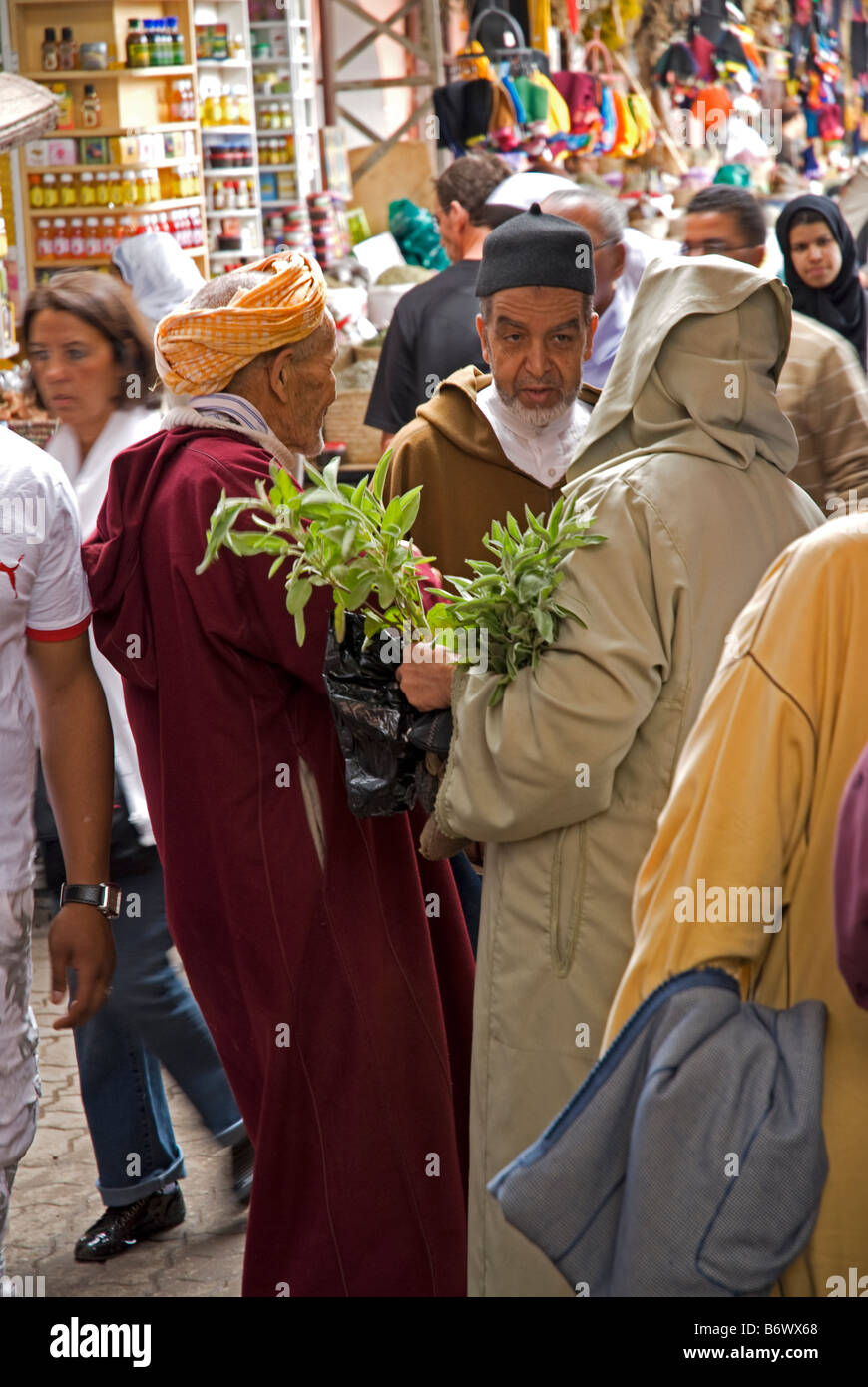 Morocco, Marrakech, Jardin Majorelle. The Majorelle Garden is a botanical garden designed by the French artist Jacques Majorelle Stock Photohttps://www.alamy.com/image-license-details/?v=1https://www.alamy.com/stock-photo-morocco-marrakech-jardin-majorelle-the-majorelle-garden-is-a-botanical-21467664.html
RMB6WX68–Morocco, Marrakech, Jardin Majorelle. The Majorelle Garden is a botanical garden designed by the French artist Jacques Majorelle
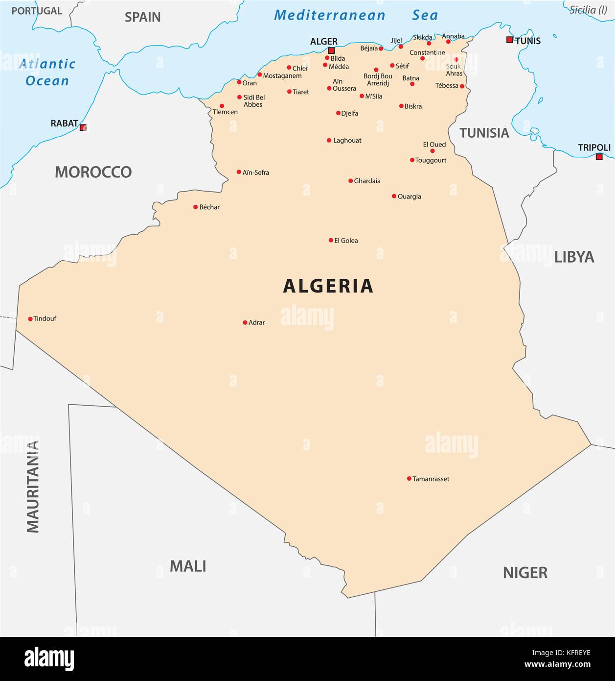 algeria vector map Stock Vectorhttps://www.alamy.com/image-license-details/?v=1https://www.alamy.com/stock-image-algeria-vector-map-164629794.html
RFKFREYE–algeria vector map
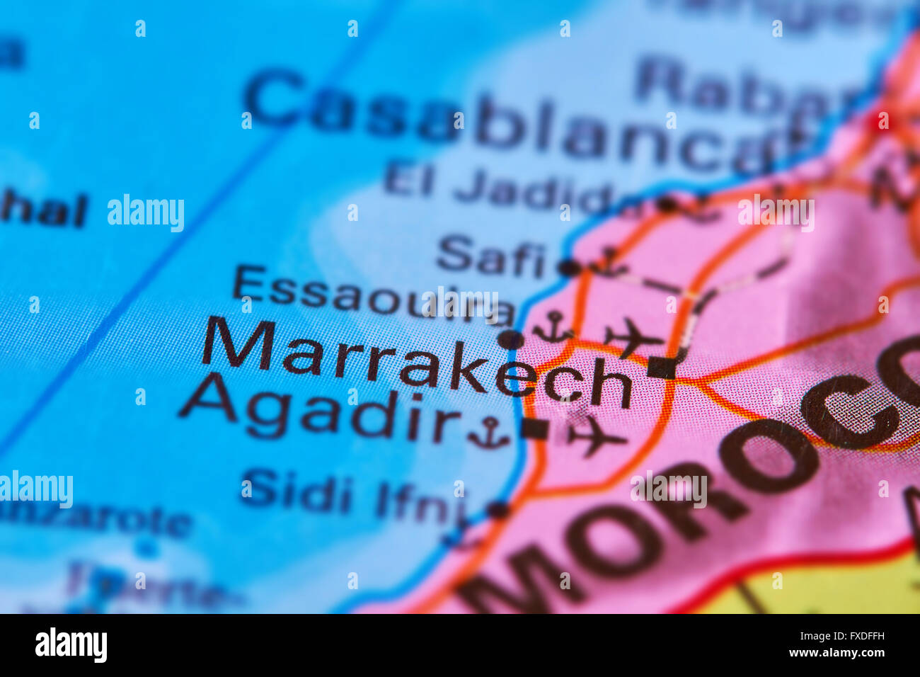 Marrakech City in Morocco, Africa on the World Map Stock Photohttps://www.alamy.com/image-license-details/?v=1https://www.alamy.com/stock-photo-marrakech-city-in-morocco-africa-on-the-world-map-102330469.html
RFFXDFFH–Marrakech City in Morocco, Africa on the World Map
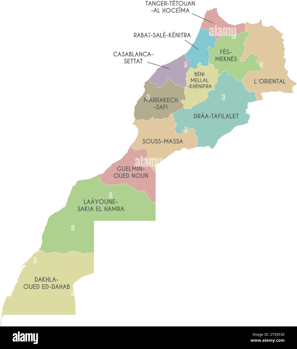 Vector map of Morocco with regions and administrative divisions. Editable and clearly labeled layers. Stock Vectorhttps://www.alamy.com/image-license-details/?v=1https://www.alamy.com/vector-map-of-morocco-with-regions-and-administrative-divisions-editable-and-clearly-labeled-layers-image571238948.html
RF2T5A530–Vector map of Morocco with regions and administrative divisions. Editable and clearly labeled layers.
 Isolated Moroccan flag with green star waving in a blue sky Stock Photohttps://www.alamy.com/image-license-details/?v=1https://www.alamy.com/isolated-moroccan-flag-with-green-star-waving-in-a-blue-sky-image475497452.html
RF2JHGNRT–Isolated Moroccan flag with green star waving in a blue sky
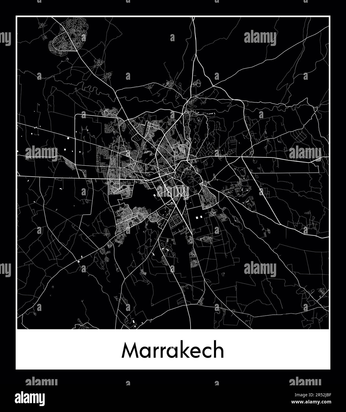 Minimal city map of Marrakech (Morocco Africa) Stock Vectorhttps://www.alamy.com/image-license-details/?v=1https://www.alamy.com/minimal-city-map-of-marrakech-morocco-africa-image553863395.html
RF2R52JBF–Minimal city map of Marrakech (Morocco Africa)
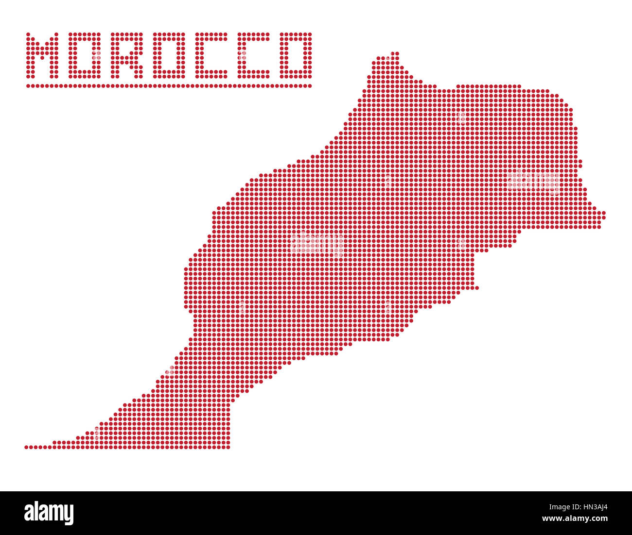 A dot map of morocco isolated on a white background Stock Photohttps://www.alamy.com/image-license-details/?v=1https://www.alamy.com/stock-photo-a-dot-map-of-morocco-isolated-on-a-white-background-133454556.html
RFHN3AJ4–A dot map of morocco isolated on a white background
 Stethoscope on pills in India map shape Stock Photohttps://www.alamy.com/image-license-details/?v=1https://www.alamy.com/stethoscope-on-pills-in-india-map-shape-image368616783.html
RF2CBKXD3–Stethoscope on pills in India map shape
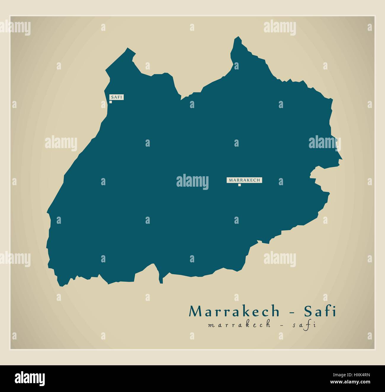 Modern Map - Marrakech - Safi MA Stock Vectorhttps://www.alamy.com/image-license-details/?v=1https://www.alamy.com/stock-photo-modern-map-marrakech-safi-ma-136874521.html
RFHXK4RN–Modern Map - Marrakech - Safi MA
 Casablanca, Morocco - April 2016: suite bedroom and tea service moroccan style with National Geographic guidebook Stock Photohttps://www.alamy.com/image-license-details/?v=1https://www.alamy.com/casablanca-morocco-april-2016-suite-bedroom-and-tea-service-moroccan-style-with-national-geographic-guidebook-image212271453.html
RFP99PB9–Casablanca, Morocco - April 2016: suite bedroom and tea service moroccan style with National Geographic guidebook
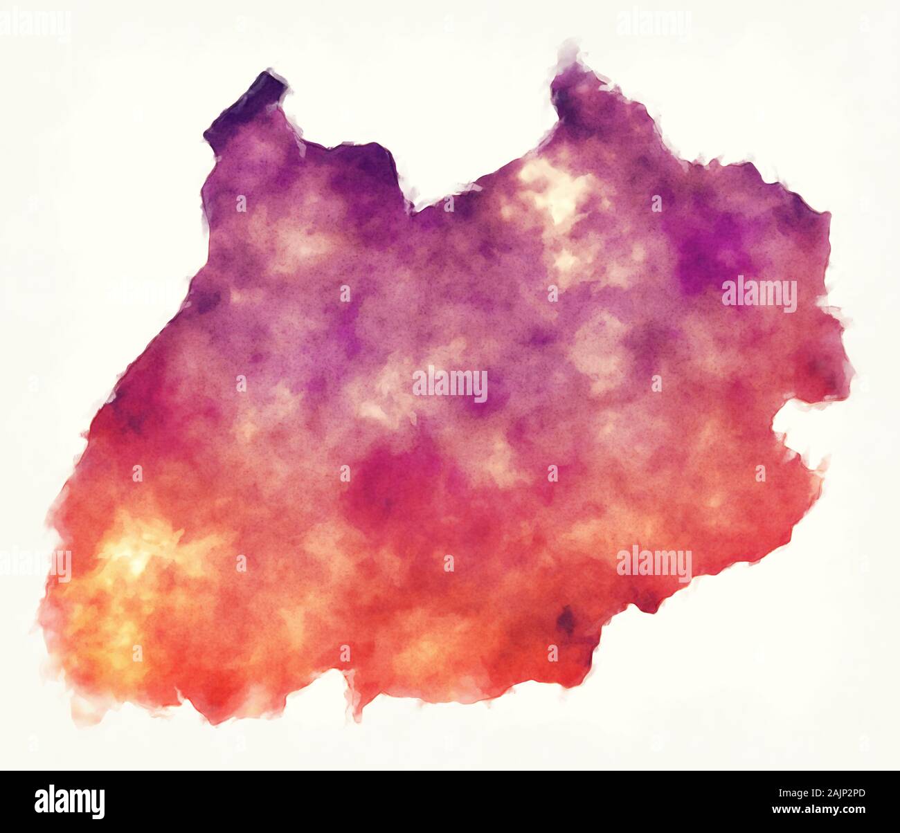 Marrakech-Safi region watercolor map of Morocco Stock Photohttps://www.alamy.com/image-license-details/?v=1https://www.alamy.com/marrakech-safi-region-watercolor-map-of-morocco-image338545941.html
RF2AJP2PD–Marrakech-Safi region watercolor map of Morocco
 A map of the Royal Palace in Marrakech and large cranes (birds) sit on the walls of the palace in the background. Stock Photohttps://www.alamy.com/image-license-details/?v=1https://www.alamy.com/stock-photo-a-map-of-the-royal-palace-in-marrakech-and-large-cranes-birds-sit-102654061.html
RMFY088D–A map of the Royal Palace in Marrakech and large cranes (birds) sit on the walls of the palace in the background.
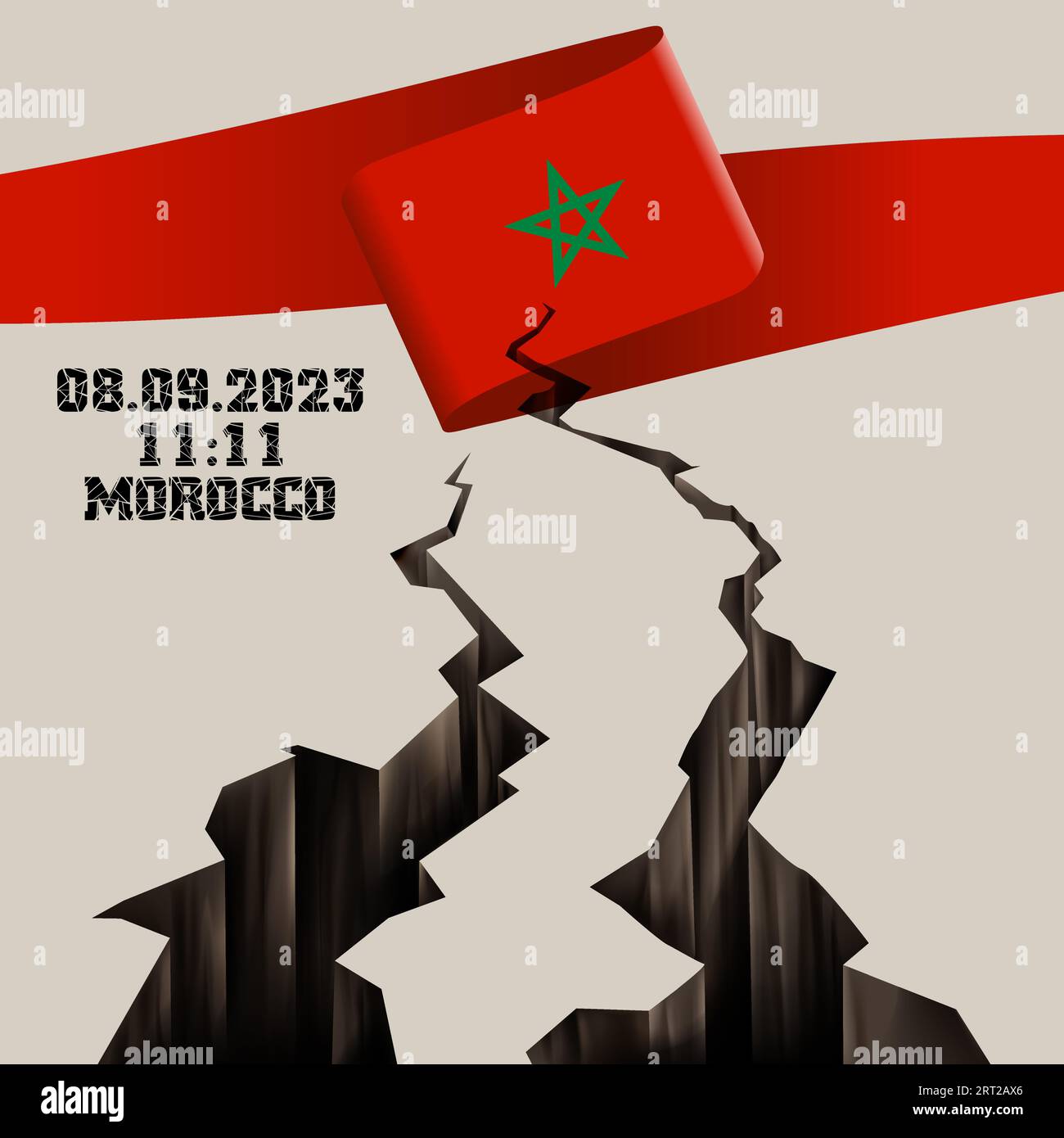 Catastrophic devastating earthquake in Morocco. Natural disaster in Marrakech, High Atlas mountain range on 8.9.2023. Massive cracks Moroccan flag map Stock Vectorhttps://www.alamy.com/image-license-details/?v=1https://www.alamy.com/catastrophic-devastating-earthquake-in-morocco-natural-disaster-in-marrakech-high-atlas-mountain-range-on-892023-massive-cracks-moroccan-flag-map-image565535998.html
RF2RT2AX6–Catastrophic devastating earthquake in Morocco. Natural disaster in Marrakech, High Atlas mountain range on 8.9.2023. Massive cracks Moroccan flag map
 Marrakesh Morocco - Female tourist walking with map near the Koutoubia Mosque Stock Photohttps://www.alamy.com/image-license-details/?v=1https://www.alamy.com/stock-photo-marrakesh-morocco-female-tourist-walking-with-map-near-the-koutoubia-32716870.html
RMBW6AKJ–Marrakesh Morocco - Female tourist walking with map near the Koutoubia Mosque
 Morocco, Marrakesh - two women read a guidebook map in the grounds of the Bahia palace. Stock Photohttps://www.alamy.com/image-license-details/?v=1https://www.alamy.com/stock-photo-morocco-marrakesh-two-women-read-a-guidebook-map-in-the-grounds-of-56314391.html
RFD7H9G7–Morocco, Marrakesh - two women read a guidebook map in the grounds of the Bahia palace.
 Kingdom of morocco on 3D cube, morocco design with isolated background Stock Photohttps://www.alamy.com/image-license-details/?v=1https://www.alamy.com/kingdom-of-morocco-on-3d-cube-morocco-design-with-isolated-background-image470985257.html
RF2JA76E1–Kingdom of morocco on 3D cube, morocco design with isolated background
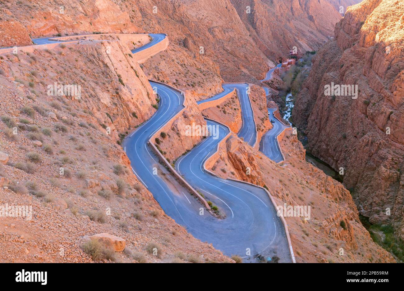 Aerial view of the famous Dades Georges valley, and a traditional Tisdrine Pass winding road among the Atlas mountains peak, in Morocco Stock Photohttps://www.alamy.com/image-license-details/?v=1https://www.alamy.com/aerial-view-of-the-famous-dades-georges-valley-and-a-traditional-tisdrine-pass-winding-road-among-the-atlas-mountains-peak-in-morocco-image540400104.html
RF2PB59RM–Aerial view of the famous Dades Georges valley, and a traditional Tisdrine Pass winding road among the Atlas mountains peak, in Morocco
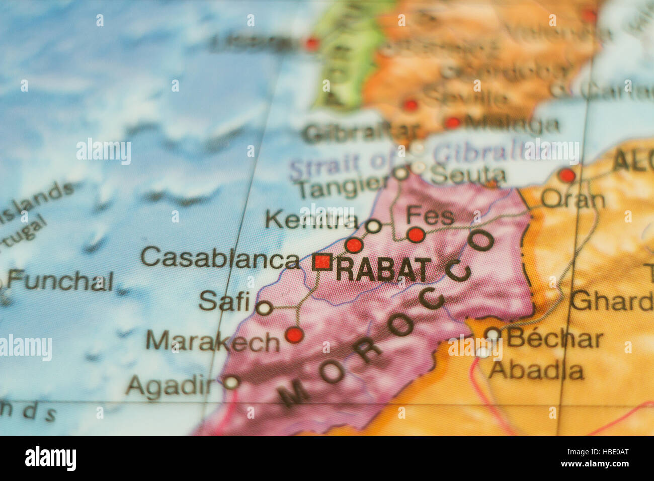 Beautiful photo of a map of Morocco and the capital Rabat . Stock Photohttps://www.alamy.com/image-license-details/?v=1https://www.alamy.com/stock-photo-beautiful-photo-of-a-map-of-morocco-and-the-capital-rabat-127541424.html
RFHBE0AT–Beautiful photo of a map of Morocco and the capital Rabat .
 Map details. Aït-ben-Haddou is a fortified city, or ksar, along the former caravan route between the Sahara and Marrakech. Stock Photohttps://www.alamy.com/image-license-details/?v=1https://www.alamy.com/stock-photo-map-details-at-ben-haddou-is-a-fortified-city-or-ksar-along-the-former-86363200.html
RFF0E540–Map details. Aït-ben-Haddou is a fortified city, or ksar, along the former caravan route between the Sahara and Marrakech.
 Antique map, circa 1875, of Morocco Stock Photohttps://www.alamy.com/image-license-details/?v=1https://www.alamy.com/antique-map-circa-1875-of-morocco-image157745040.html
RMK4HWBC–Antique map, circa 1875, of Morocco
 Morocco travel concept. Moroccan map with suitcases and signpost, 3D rendering Stock Photohttps://www.alamy.com/image-license-details/?v=1https://www.alamy.com/stock-photo-morocco-travel-concept-moroccan-map-with-suitcases-and-signpost-3d-170031762.html
RFKTHH6X–Morocco travel concept. Moroccan map with suitcases and signpost, 3D rendering
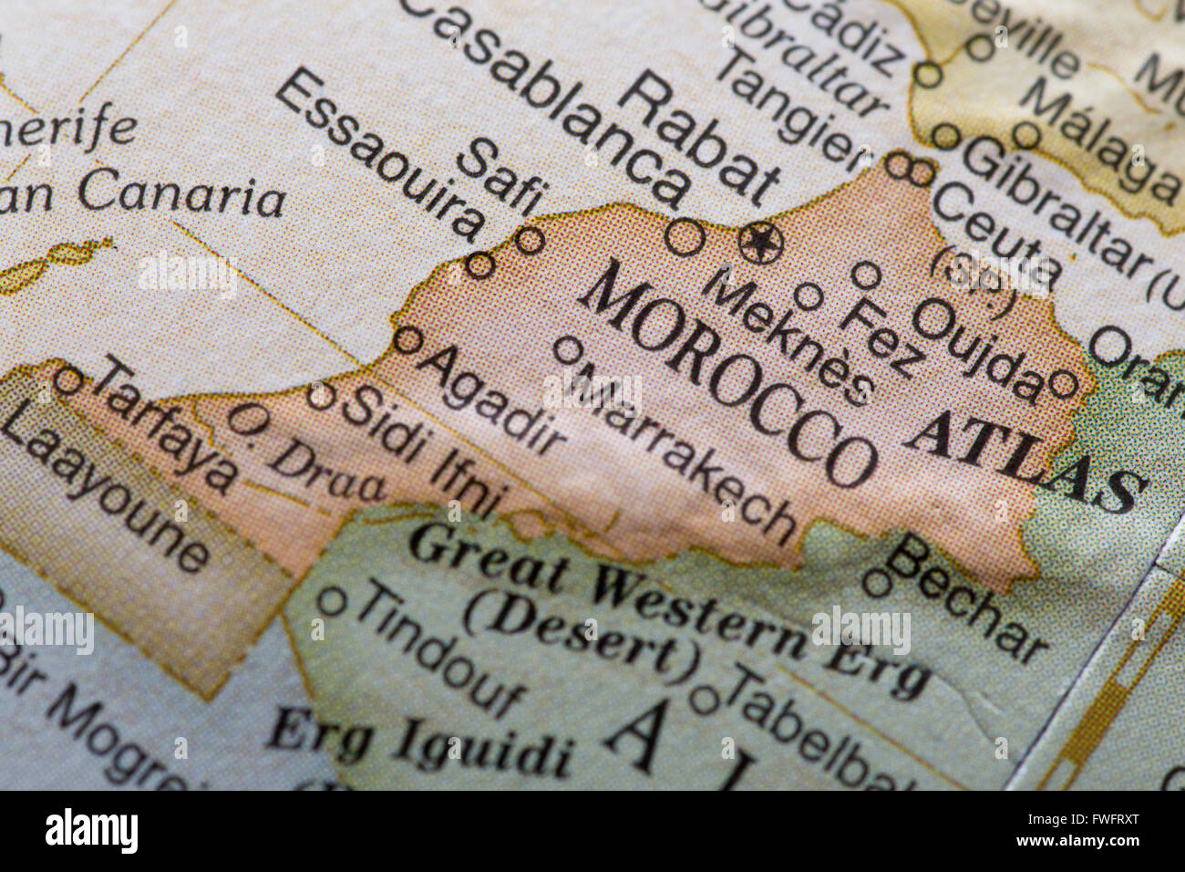 Macro globe map detail Morocco Stock Photohttps://www.alamy.com/image-license-details/?v=1https://www.alamy.com/stock-photo-macro-globe-map-detail-morocco-101766304.html
RFFWFRXT–Macro globe map detail Morocco
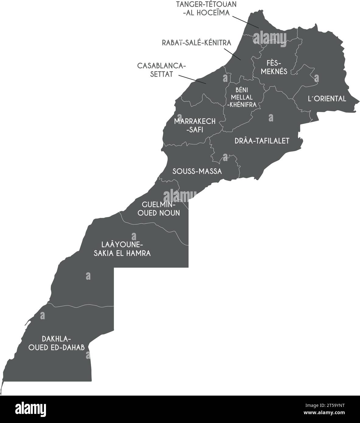 Vector map of Morocco with regions and administrative divisions. Editable and clearly labeled layers. Stock Vectorhttps://www.alamy.com/image-license-details/?v=1https://www.alamy.com/vector-map-of-morocco-with-regions-and-administrative-divisions-editable-and-clearly-labeled-layers-image571234772.html
RF2T59YNT–Vector map of Morocco with regions and administrative divisions. Editable and clearly labeled layers.
 Isolated Moroccan flag with green star waving in a blue sky Stock Photohttps://www.alamy.com/image-license-details/?v=1https://www.alamy.com/isolated-moroccan-flag-with-green-star-waving-in-a-blue-sky-image475497506.html
RF2JHGNWP–Isolated Moroccan flag with green star waving in a blue sky
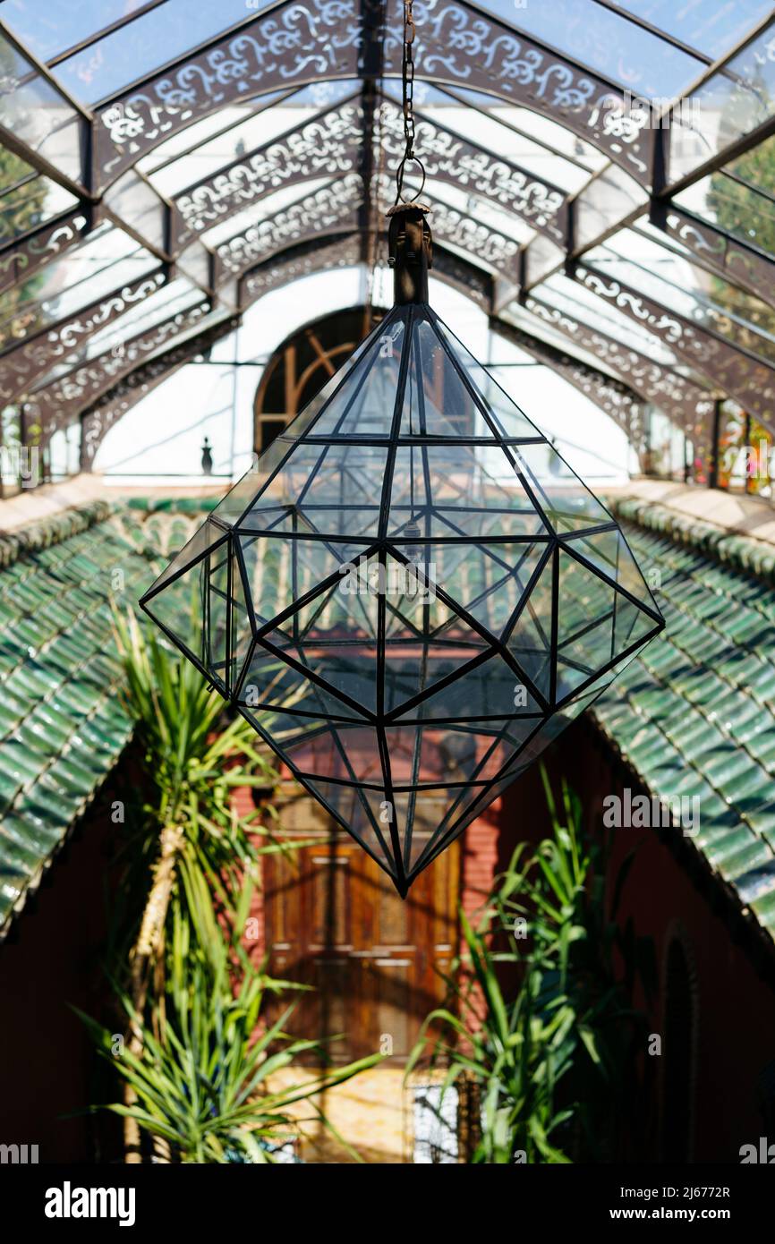 Big glass lantern in Marrakech, Morocco Stock Photohttps://www.alamy.com/image-license-details/?v=1https://www.alamy.com/big-glass-lantern-in-marrakech-morocco-image468527103.html
RF2J6772R–Big glass lantern in Marrakech, Morocco
 Morocco, Anti Atlas, Draa Valley, Agdz, a village on the road from Marrakech to Tomboctou or Timbuktu Stock Photohttps://www.alamy.com/image-license-details/?v=1https://www.alamy.com/stock-photo-morocco-anti-atlas-draa-valley-agdz-a-village-on-the-road-from-marrakech-76638804.html
RMECK5G4–Morocco, Anti Atlas, Draa Valley, Agdz, a village on the road from Marrakech to Tomboctou or Timbuktu
 Traveling in Morocco. Traditional Riad in Marrakech. Stock Photohttps://www.alamy.com/image-license-details/?v=1https://www.alamy.com/traveling-in-morocco-traditional-riad-in-marrakech-image469564720.html
RF2J7XEGG–Traveling in Morocco. Traditional Riad in Marrakech.
 Marrakesh - tourists consult their map. Stock Photohttps://www.alamy.com/image-license-details/?v=1https://www.alamy.com/stock-photo-marrakesh-tourists-consult-their-map-56247877.html
RFD7E8MN–Marrakesh - tourists consult their map.
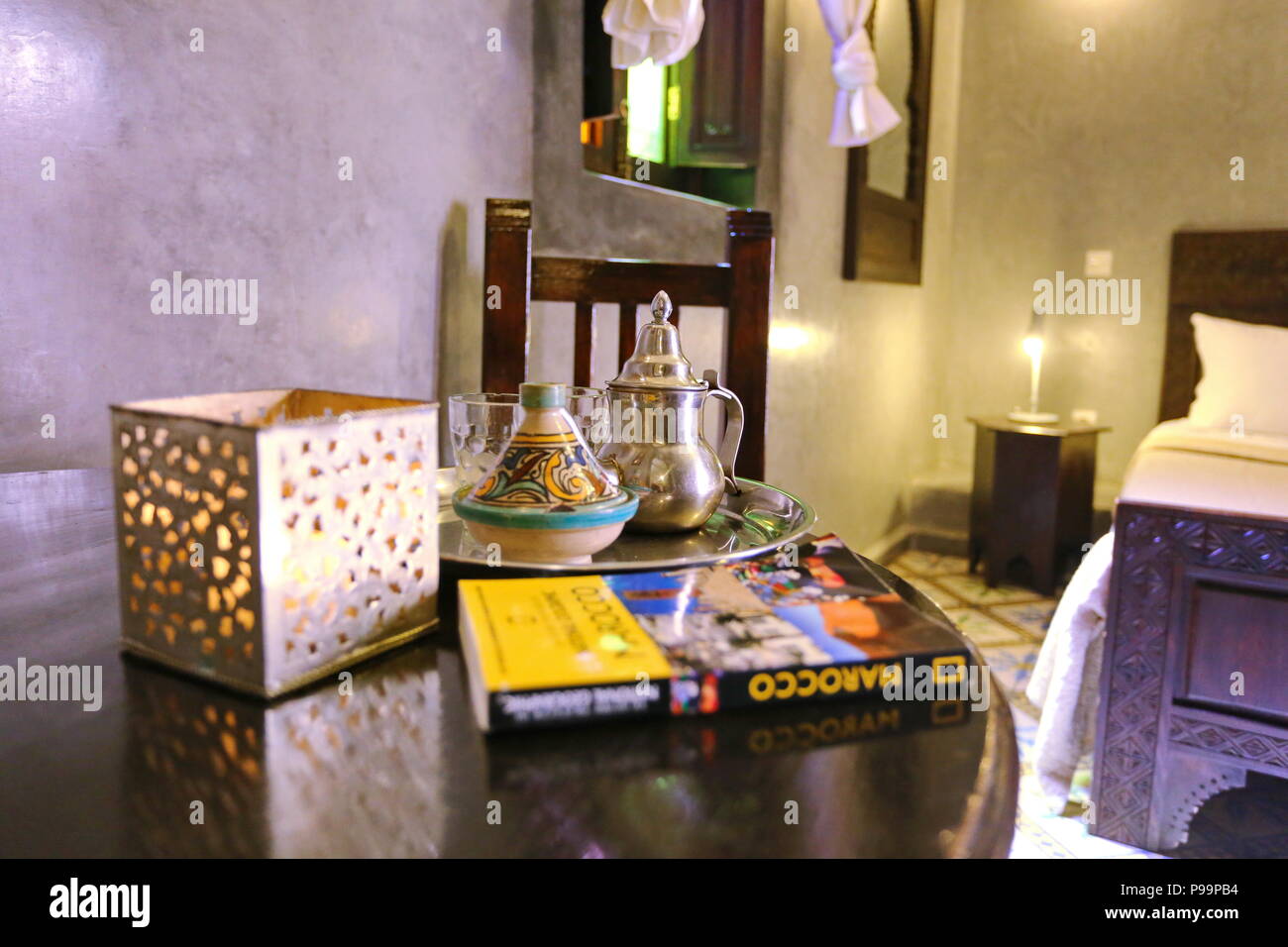 Casablanca, Morocco - April 2016: suite bedroom and tea service moroccan style with National Geographic guidebook Stock Photohttps://www.alamy.com/image-license-details/?v=1https://www.alamy.com/casablanca-morocco-april-2016-suite-bedroom-and-tea-service-moroccan-style-with-national-geographic-guidebook-image212271448.html
RFP99PB4–Casablanca, Morocco - April 2016: suite bedroom and tea service moroccan style with National Geographic guidebook
RF2E4987F–Rectangular map of Morocco with pin icon of Morocco
 Happy young woman taking photos and videos with smartphone camera - Influencer girl having fun with new trend technology - Millennial generation activ Stock Photohttps://www.alamy.com/image-license-details/?v=1https://www.alamy.com/happy-young-woman-taking-photos-and-videos-with-smartphone-camera-influencer-girl-having-fun-with-new-trend-technology-millennial-generation-activ-image352062266.html
RF2BCNR0A–Happy young woman taking photos and videos with smartphone camera - Influencer girl having fun with new trend technology - Millennial generation activ
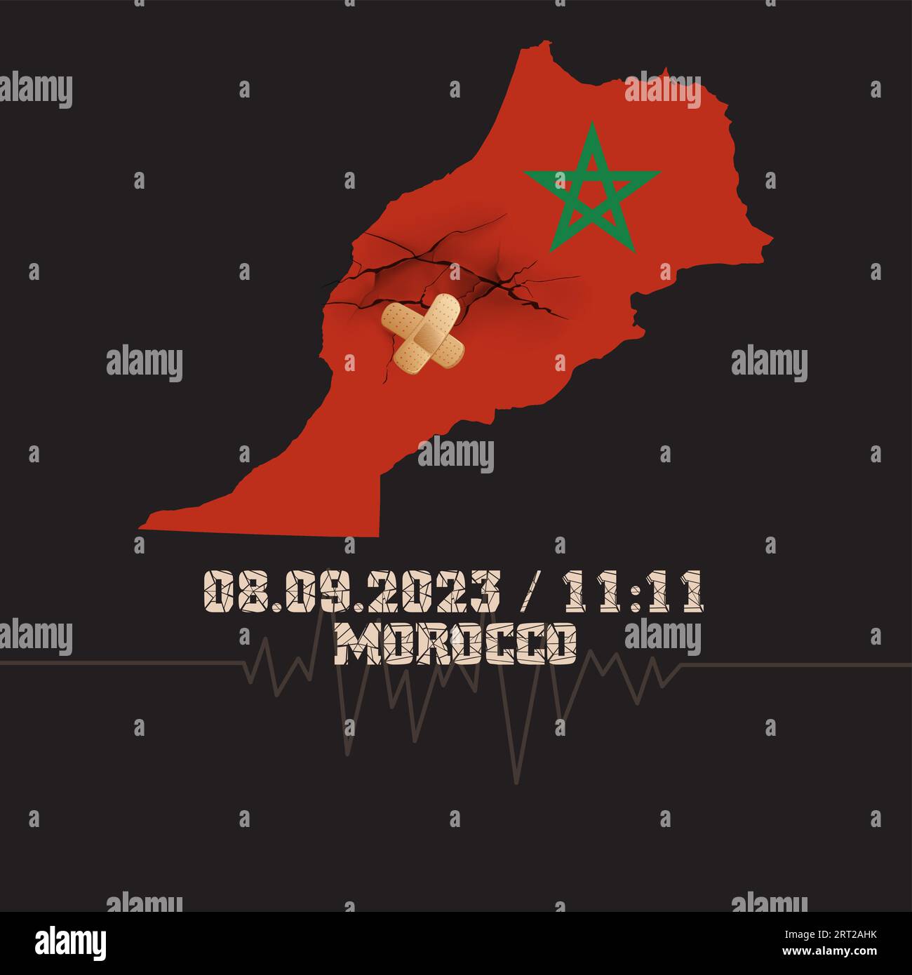 Catastrophic devastating earthquake in Morocco. Natural disaster in Marrakech, High Atlas mountain range on 8.9.2023. Massive cracks Moroccan flag map Stock Vectorhttps://www.alamy.com/image-license-details/?v=1https://www.alamy.com/catastrophic-devastating-earthquake-in-morocco-natural-disaster-in-marrakech-high-atlas-mountain-range-on-892023-massive-cracks-moroccan-flag-map-image565535759.html
RF2RT2AHK–Catastrophic devastating earthquake in Morocco. Natural disaster in Marrakech, High Atlas mountain range on 8.9.2023. Massive cracks Moroccan flag map
RF2E494DN–Rectangular map of Gibraltar with pin icon of Gibraltar
 Happy woman travels alone and looks at a map against the wall of an ancient city in the Middle East region or somewhere in Morocco. Stock Photohttps://www.alamy.com/image-license-details/?v=1https://www.alamy.com/happy-woman-travels-alone-and-looks-at-a-map-against-the-wall-of-an-ancient-city-in-the-middle-east-region-or-somewhere-in-morocco-image437963300.html
RF2GCEXJC–Happy woman travels alone and looks at a map against the wall of an ancient city in the Middle East region or somewhere in Morocco.
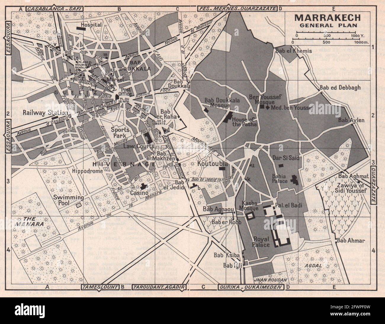 Marrakech - General map vintage town city tourist plan. Morocco 1966 old Stock Photohttps://www.alamy.com/image-license-details/?v=1https://www.alamy.com/marrakech-general-map-vintage-town-city-tourist-plan-morocco-1966-old-image428909961.html
RF2FWPF0W–Marrakech - General map vintage town city tourist plan. Morocco 1966 old
 Souvenirs from Marrakech on white background Stock Photohttps://www.alamy.com/image-license-details/?v=1https://www.alamy.com/souvenirs-from-marrakech-on-white-background-image551043251.html
RM2R0E583–Souvenirs from Marrakech on white background
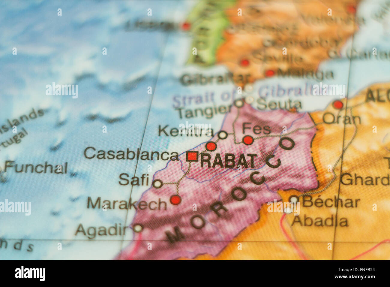 Beautiful photo of a map of Morocco and the capital Rabat . Stock Photohttps://www.alamy.com/image-license-details/?v=1https://www.alamy.com/stock-photo-beautiful-photo-of-a-map-of-morocco-and-the-capital-rabat-99297664.html
RFFNFB54–Beautiful photo of a map of Morocco and the capital Rabat .
 The highway from Marrakech to Ouarzazate has beautiful scenery along the way. It is known as the most beautiful highway in Morocco. Stock Photohttps://www.alamy.com/image-license-details/?v=1https://www.alamy.com/the-highway-from-marrakech-to-ouarzazate-has-beautiful-scenery-along-the-way-it-is-known-as-the-most-beautiful-highway-in-morocco-image609101893.html
RF2XAXYK1–The highway from Marrakech to Ouarzazate has beautiful scenery along the way. It is known as the most beautiful highway in Morocco.
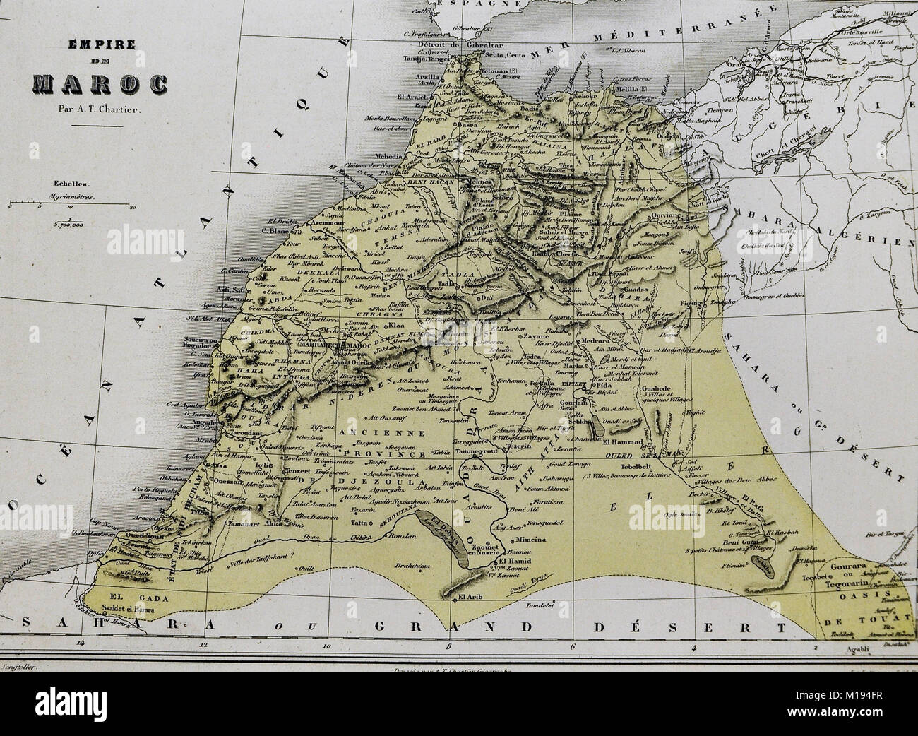 1877 Migeon Map - Morocco - Barbary Coast North Africa Tangier Casa Blanca Fez Marrakech Stock Photohttps://www.alamy.com/image-license-details/?v=1https://www.alamy.com/stock-photo-1877-migeon-map-morocco-barbary-coast-north-africa-tangier-casa-blanca-172919483.html
RFM194FR–1877 Migeon Map - Morocco - Barbary Coast North Africa Tangier Casa Blanca Fez Marrakech
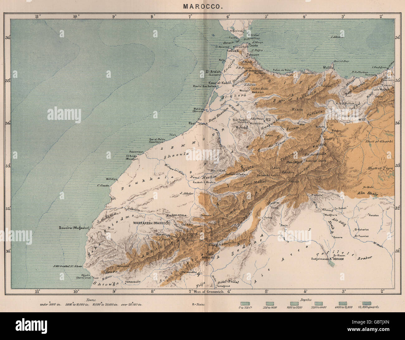 Marrakech. Morocco, 1885 antique map Stock Photohttps://www.alamy.com/image-license-details/?v=1https://www.alamy.com/stock-photo-marrakech-morocco-1885-antique-map-110565133.html
RFGBTJXN–Marrakech. Morocco, 1885 antique map
 Cheerful woman looking at map in Majorelle Gardens Stock Photohttps://www.alamy.com/image-license-details/?v=1https://www.alamy.com/cheerful-woman-looking-at-map-in-majorelle-gardens-image364195719.html
RF2C4EF9Y–Cheerful woman looking at map in Majorelle Gardens
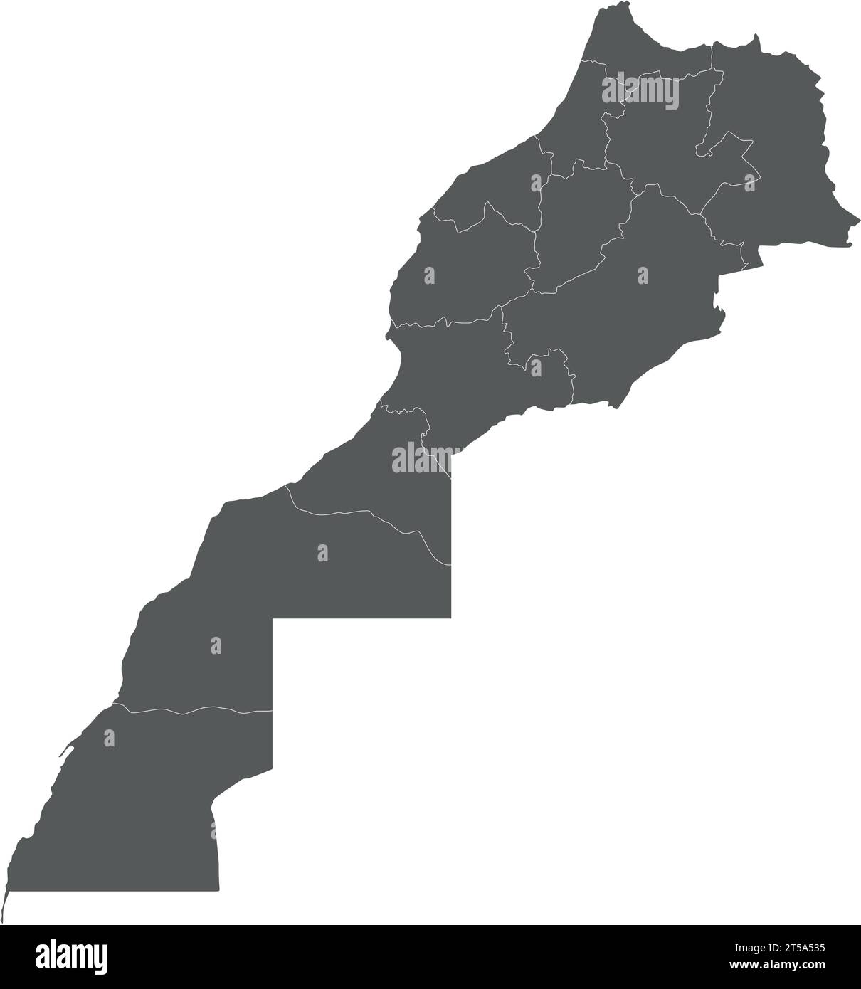 Vector blank map of Morocco with regions and administrative divisions. Editable and clearly labeled layers. Stock Vectorhttps://www.alamy.com/image-license-details/?v=1https://www.alamy.com/vector-blank-map-of-morocco-with-regions-and-administrative-divisions-editable-and-clearly-labeled-layers-image571238953.html
RF2T5A535–Vector blank map of Morocco with regions and administrative divisions. Editable and clearly labeled layers.
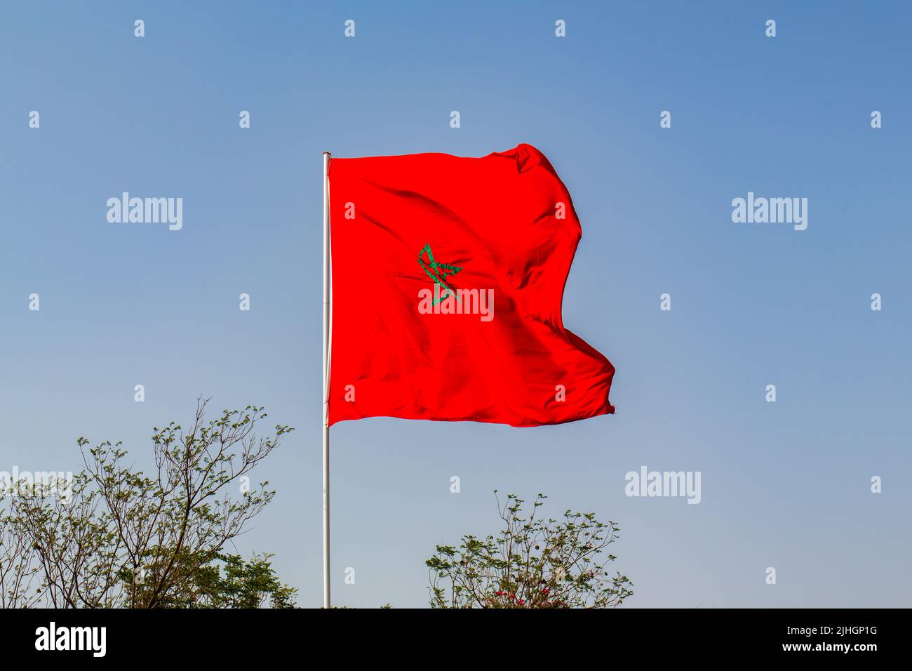 Isolated Moroccan flag with green star waving in a blue sky Stock Photohttps://www.alamy.com/image-license-details/?v=1https://www.alamy.com/isolated-moroccan-flag-with-green-star-waving-in-a-blue-sky-image475497612.html
RF2JHGP1G–Isolated Moroccan flag with green star waving in a blue sky
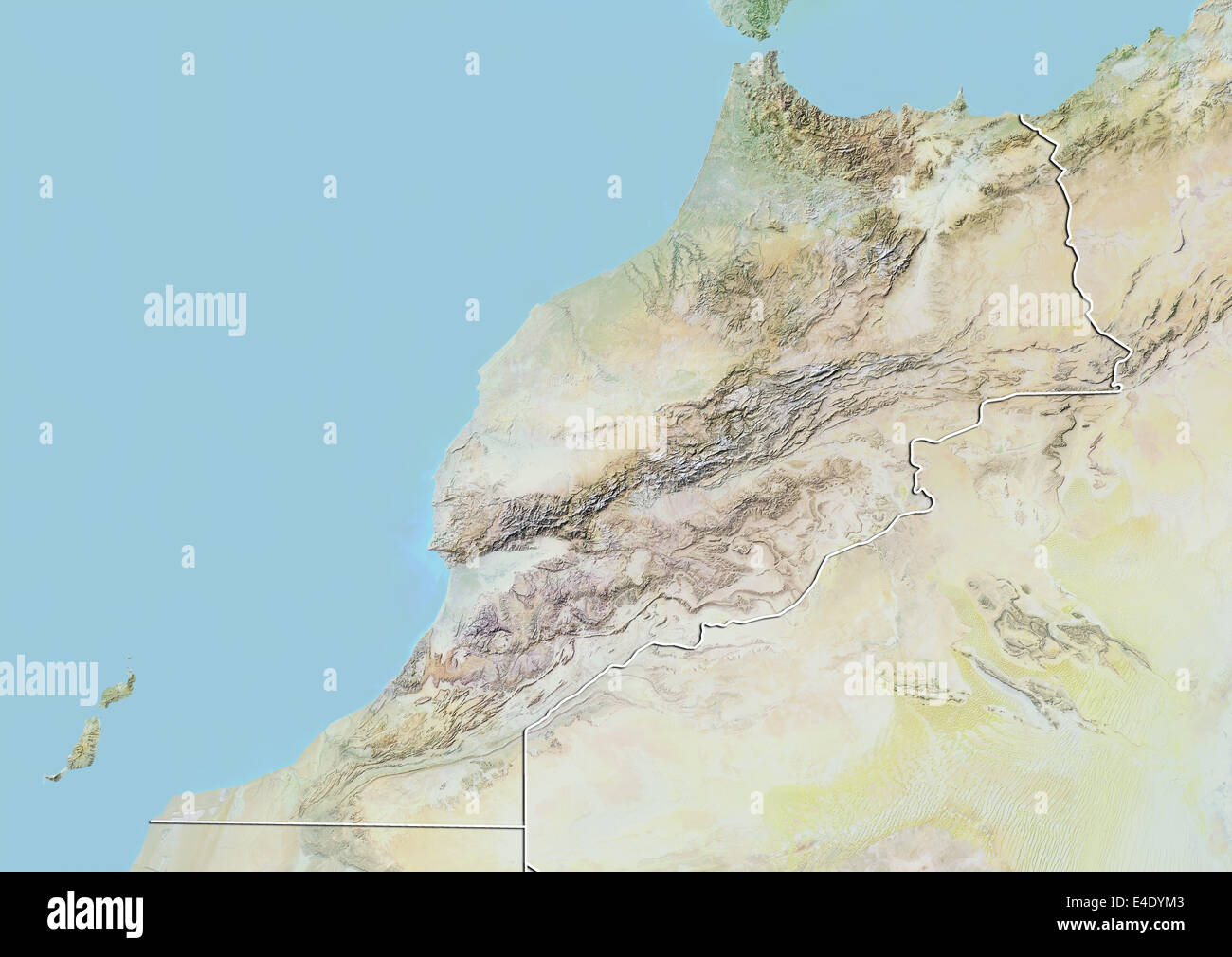 Morocco, Relief Map With Border Stock Photohttps://www.alamy.com/image-license-details/?v=1https://www.alamy.com/stock-photo-morocco-relief-map-with-border-71607203.html
RME4DYM3–Morocco, Relief Map With Border
 Morocco, Anti Atlas, Draa Valley, Agdz, a village on the road from Marrakech to Tomboctou or Timbuktu Stock Photohttps://www.alamy.com/image-license-details/?v=1https://www.alamy.com/stock-photo-morocco-anti-atlas-draa-valley-agdz-a-village-on-the-road-from-marrakech-76638805.html
RMECK5G5–Morocco, Anti Atlas, Draa Valley, Agdz, a village on the road from Marrakech to Tomboctou or Timbuktu
 Traveling in Morocco. Traditional Riad in Marrakech. Stock Photohttps://www.alamy.com/image-license-details/?v=1https://www.alamy.com/traveling-in-morocco-traditional-riad-in-marrakech-image469564706.html
RF2J7XEG2–Traveling in Morocco. Traditional Riad in Marrakech.
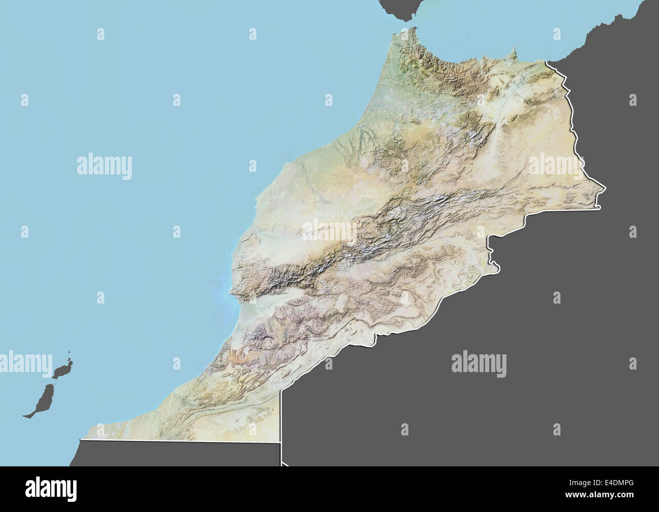 Morocco, Relief Map With Border and Mask Stock Photohttps://www.alamy.com/image-license-details/?v=1https://www.alamy.com/stock-photo-morocco-relief-map-with-border-and-mask-71601784.html
RME4DMPG–Morocco, Relief Map With Border and Mask
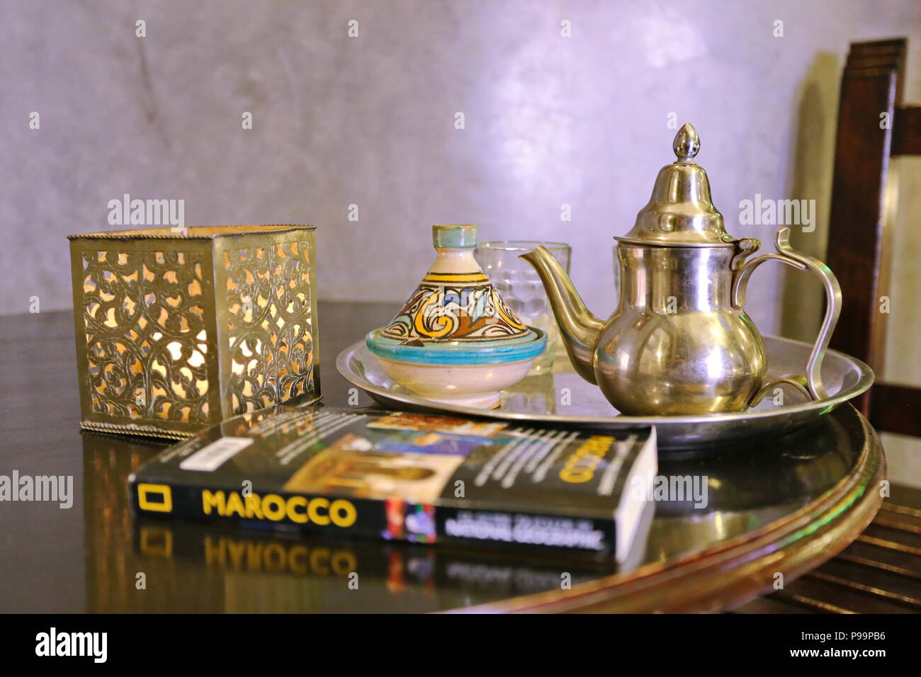 Casablanca, Morocco - April 2016: suite bedroom and tea service moroccan style with National Geographic guidebook Stock Photohttps://www.alamy.com/image-license-details/?v=1https://www.alamy.com/casablanca-morocco-april-2016-suite-bedroom-and-tea-service-moroccan-style-with-national-geographic-guidebook-image212271450.html
RFP99PB6–Casablanca, Morocco - April 2016: suite bedroom and tea service moroccan style with National Geographic guidebook
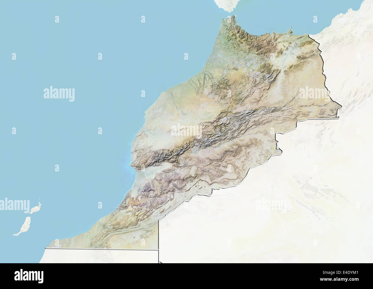 Morocco, Relief Map With Border and Mask Stock Photohttps://www.alamy.com/image-license-details/?v=1https://www.alamy.com/stock-photo-morocco-relief-map-with-border-and-mask-71607201.html
RME4DYM1–Morocco, Relief Map With Border and Mask
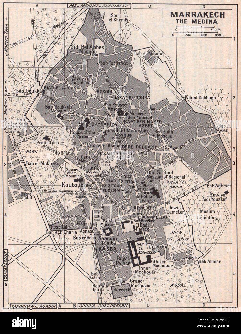 Marrakech - the Medina vintage town city tourist plan. Morocco 1966 old map Stock Photohttps://www.alamy.com/image-license-details/?v=1https://www.alamy.com/marrakech-the-medina-vintage-town-city-tourist-plan-morocco-1966-old-map-image428909951.html
RF2FWPF0F–Marrakech - the Medina vintage town city tourist plan. Morocco 1966 old map
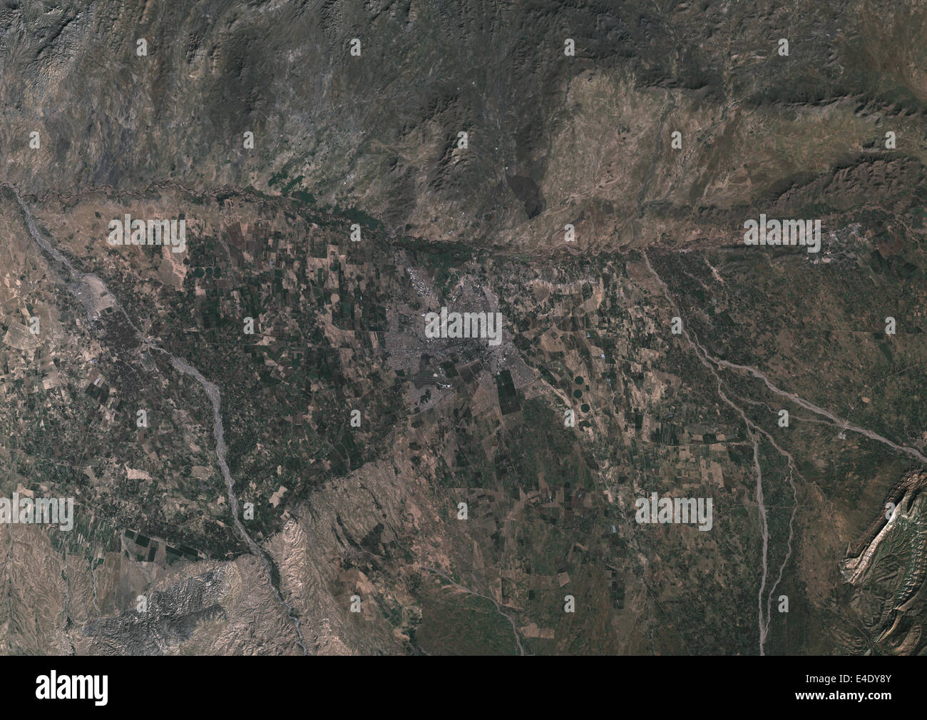 Marrakech, Morocco, True Colour Satellite Image. True colour satellite image of Marrakech, Morocco. Composite image using LANDSA Stock Photohttps://www.alamy.com/image-license-details/?v=1https://www.alamy.com/stock-photo-marrakech-morocco-true-colour-satellite-image-true-colour-satellite-71606891.html
RME4DY8Y–Marrakech, Morocco, True Colour Satellite Image. True colour satellite image of Marrakech, Morocco. Composite image using LANDSA
 Covid-19 outbreak or new Coronavirus, 2019-nCoV, virus on a map of Morocco. Covid 19-NCP virus: contagion and propagation of disease in Marrakech. Pan Stock Photohttps://www.alamy.com/image-license-details/?v=1https://www.alamy.com/covid-19-outbreak-or-new-coronavirus-2019-ncov-virus-on-a-map-of-morocco-covid-19-ncp-virus-contagion-and-propagation-of-disease-in-marrakech-pan-image356261290.html
RF2BKH2WE–Covid-19 outbreak or new Coronavirus, 2019-nCoV, virus on a map of Morocco. Covid 19-NCP virus: contagion and propagation of disease in Marrakech. Pan
 Happy woman travels alone and looks at a map against the wall of an ancient city in the Middle East region or somewhere in Morocco. Stock Photohttps://www.alamy.com/image-license-details/?v=1https://www.alamy.com/happy-woman-travels-alone-and-looks-at-a-map-against-the-wall-of-an-ancient-city-in-the-middle-east-region-or-somewhere-in-morocco-image437960340.html
RF2GCEPTM–Happy woman travels alone and looks at a map against the wall of an ancient city in the Middle East region or somewhere in Morocco.
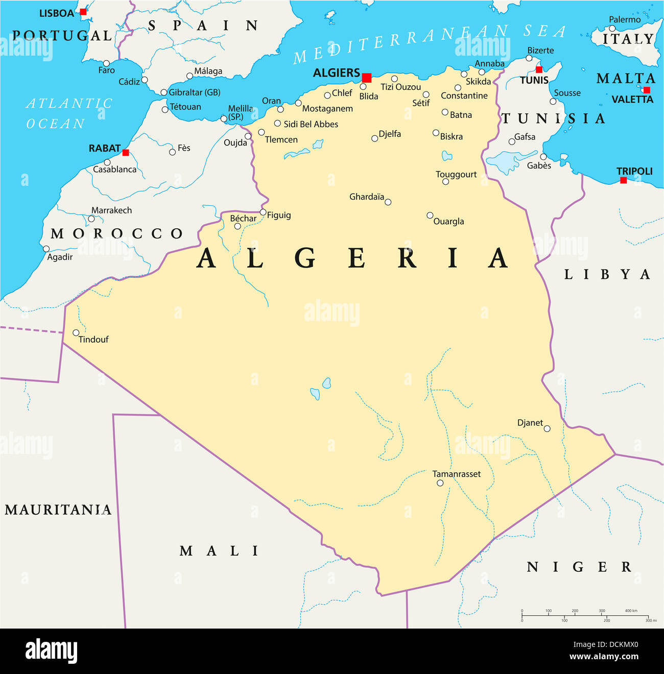 Algeria Political Map Stock Photohttps://www.alamy.com/image-license-details/?v=1https://www.alamy.com/stock-photo-algeria-political-map-59440472.html
RFDCKMX0–Algeria Political Map
 MOROCCO. Showing Atlas mountains rivers towns. Marrakech. JOHNSTON, 1895 map Stock Photohttps://www.alamy.com/image-license-details/?v=1https://www.alamy.com/stock-photo-morocco-showing-atlas-mountains-rivers-towns-marrakech-johnston-1895-115448914.html
RFGKR47E–MOROCCO. Showing Atlas mountains rivers towns. Marrakech. JOHNSTON, 1895 map
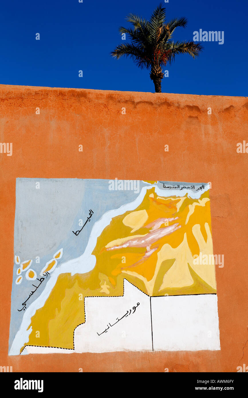 Geographical map of Morocco including Western Sahara, mural painting, Marrakech, Africa Stock Photohttps://www.alamy.com/image-license-details/?v=1https://www.alamy.com/stock-photo-geographical-map-of-morocco-including-western-sahara-mural-painting-16610462.html
RMAWM6FY–Geographical map of Morocco including Western Sahara, mural painting, Marrakech, Africa
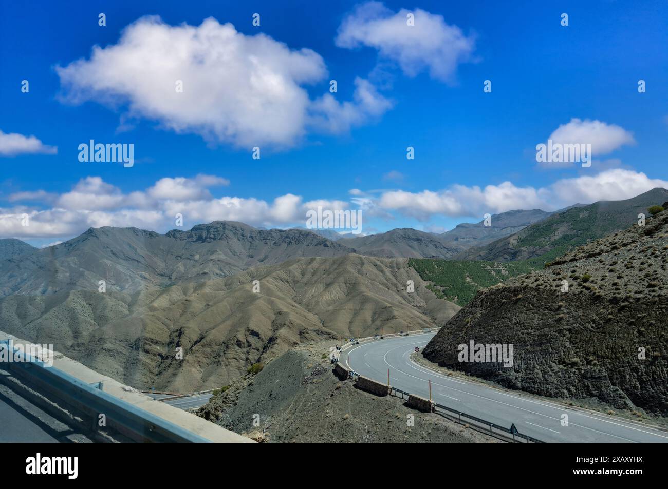 The highway from Marrakech to Ouarzazate has beautiful scenery along the way. It is known as the most beautiful highway in Morocco. Stock Photohttps://www.alamy.com/image-license-details/?v=1https://www.alamy.com/the-highway-from-marrakech-to-ouarzazate-has-beautiful-scenery-along-the-way-it-is-known-as-the-most-beautiful-highway-in-morocco-image609101862.html
RF2XAXYHX–The highway from Marrakech to Ouarzazate has beautiful scenery along the way. It is known as the most beautiful highway in Morocco.
 MOROCCO Marocco 'North Africa or Barbary'. Marrakech city plan. SDUK 1844 map Stock Photohttps://www.alamy.com/image-license-details/?v=1https://www.alamy.com/morocco-marocco-north-africa-or-barbary-marrakech-city-plan-sduk-1844-map-image242595316.html
RFT2K4PC–MOROCCO Marocco 'North Africa or Barbary'. Marrakech city plan. SDUK 1844 map
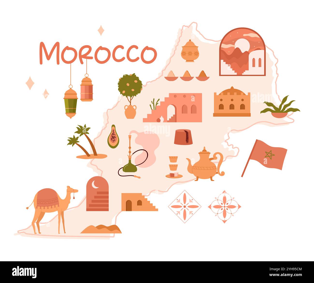 Morocco map with Arabian desert architecture, ancient Islamic culture decorations stickers. Moroccan palace with arch door and windows, traditional pottery and hookah cartoon vector illustration Stock Vectorhttps://www.alamy.com/image-license-details/?v=1https://www.alamy.com/morocco-map-with-arabian-desert-architecture-ancient-islamic-culture-decorations-stickers-moroccan-palace-with-arch-door-and-windows-traditional-pottery-and-hookah-cartoon-vector-illustration-image630224244.html
RF2YH95CM–Morocco map with Arabian desert architecture, ancient Islamic culture decorations stickers. Moroccan palace with arch door and windows, traditional pottery and hookah cartoon vector illustration
 Cheerful woman looking at map in Majorelle Gardens Stock Photohttps://www.alamy.com/image-license-details/?v=1https://www.alamy.com/cheerful-woman-looking-at-map-in-majorelle-gardens-image360636267.html
RF2BXMB6K–Cheerful woman looking at map in Majorelle Gardens
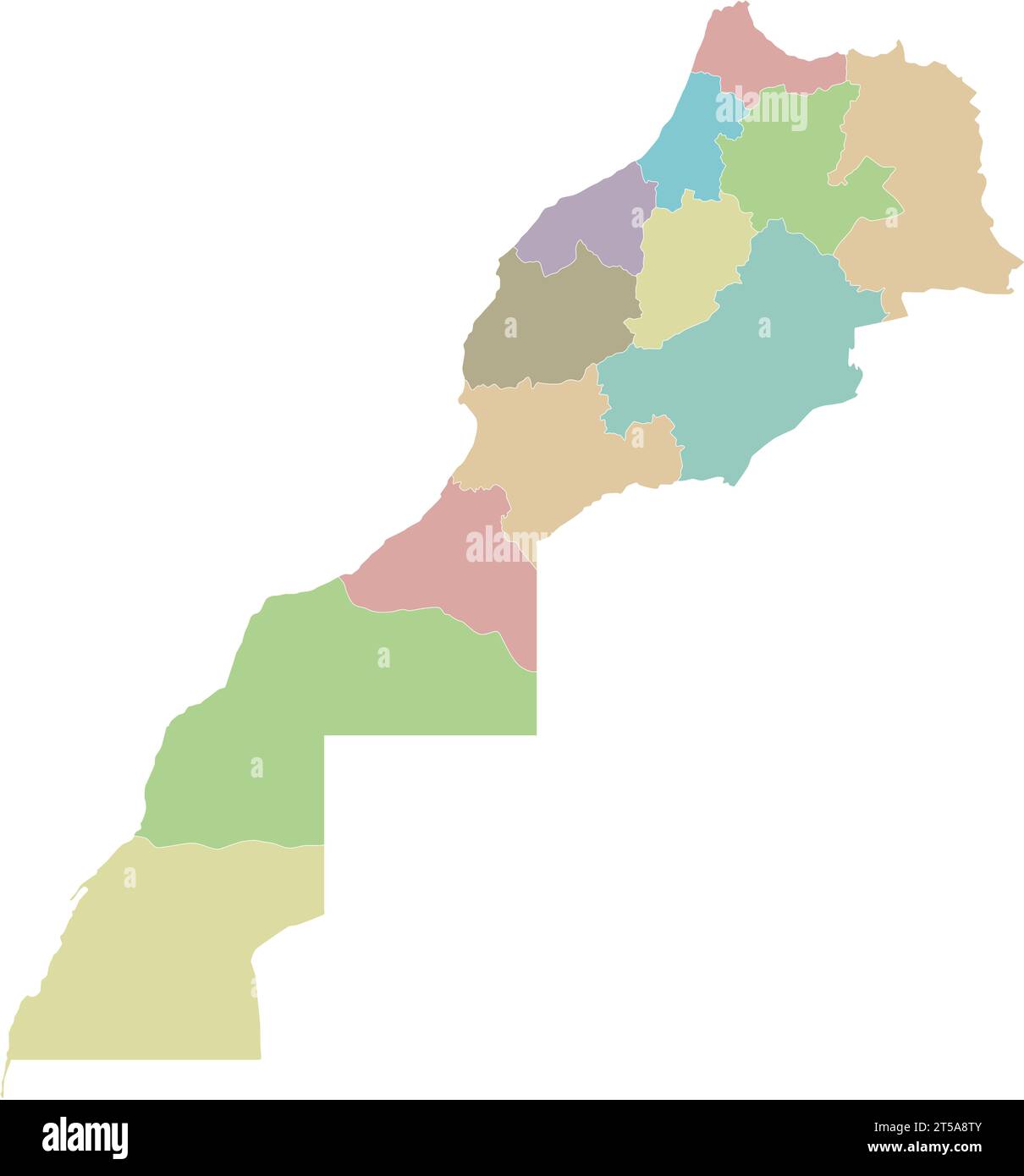 Vector blank map of Morocco with regions and administrative divisions. Editable and clearly labeled layers. Stock Vectorhttps://www.alamy.com/image-license-details/?v=1https://www.alamy.com/vector-blank-map-of-morocco-with-regions-and-administrative-divisions-editable-and-clearly-labeled-layers-image571241915.html
RF2T5A8TY–Vector blank map of Morocco with regions and administrative divisions. Editable and clearly labeled layers.
 Isolated Moroccan flag with green star waving in a blue sky Stock Photohttps://www.alamy.com/image-license-details/?v=1https://www.alamy.com/isolated-moroccan-flag-with-green-star-waving-in-a-blue-sky-image475497526.html
RF2JHGNXE–Isolated Moroccan flag with green star waving in a blue sky
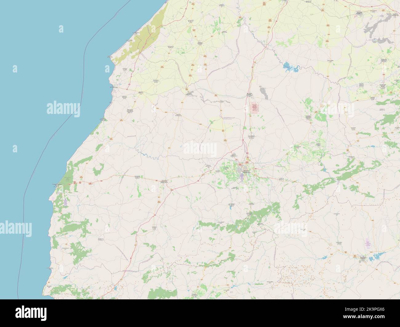 Marrakech-Safi, region of Morocco. Open Street Map Stock Photohttps://www.alamy.com/image-license-details/?v=1https://www.alamy.com/marrakech-safi-region-of-morocco-open-street-map-image487918430.html
RF2K9PGX6–Marrakech-Safi, region of Morocco. Open Street Map
 Morocco, Anti Atlas, Draa Valley, Agdz, a village on the road from Marrakech to Tomboctou or Timbuktuz Stock Photohttps://www.alamy.com/image-license-details/?v=1https://www.alamy.com/stock-photo-morocco-anti-atlas-draa-valley-agdz-a-village-on-the-road-from-marrakech-76638796.html
RMECK5FT–Morocco, Anti Atlas, Draa Valley, Agdz, a village on the road from Marrakech to Tomboctou or Timbuktuz
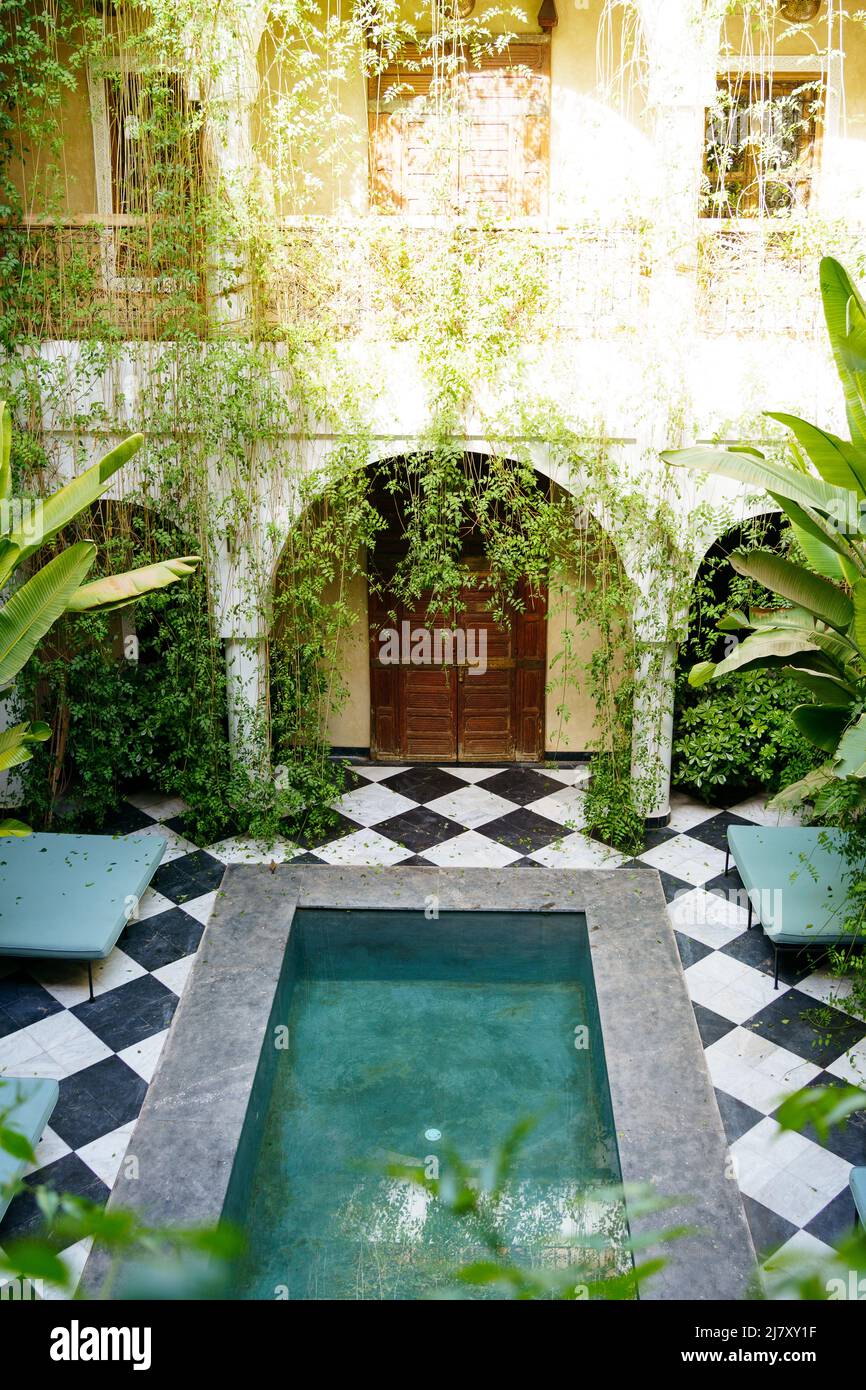 Traveling in Morocco. Traditional Riad in Marrakech. Stock Photohttps://www.alamy.com/image-license-details/?v=1https://www.alamy.com/traveling-in-morocco-traditional-riad-in-marrakech-image469574491.html
RF2J7XY1F–Traveling in Morocco. Traditional Riad in Marrakech.
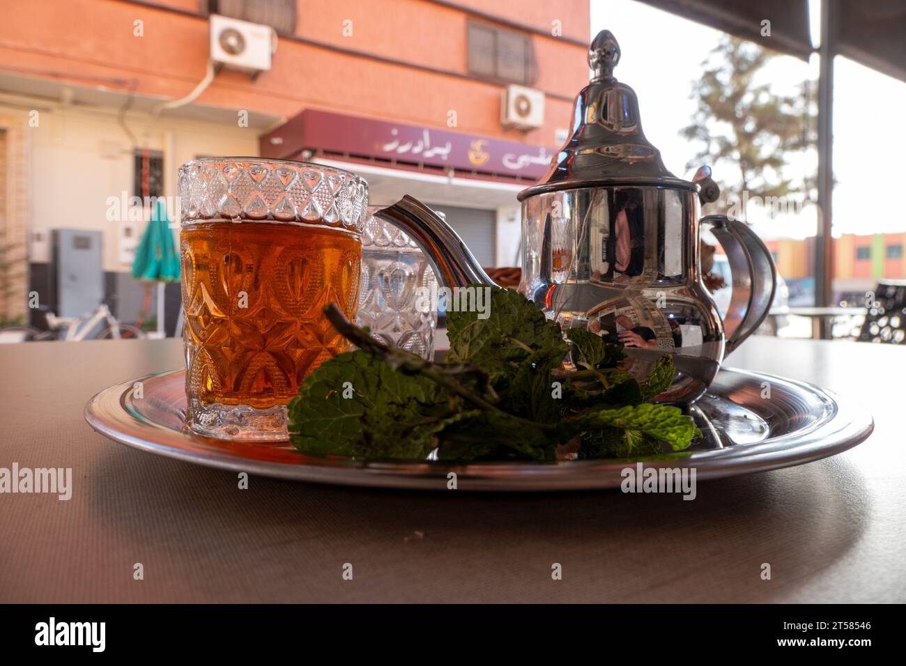 mint tea at terrace in Maroc Stock Photohttps://www.alamy.com/image-license-details/?v=1https://www.alamy.com/mint-tea-at-terrace-in-maroc-image571195078.html
RM2T58546–mint tea at terrace in Maroc
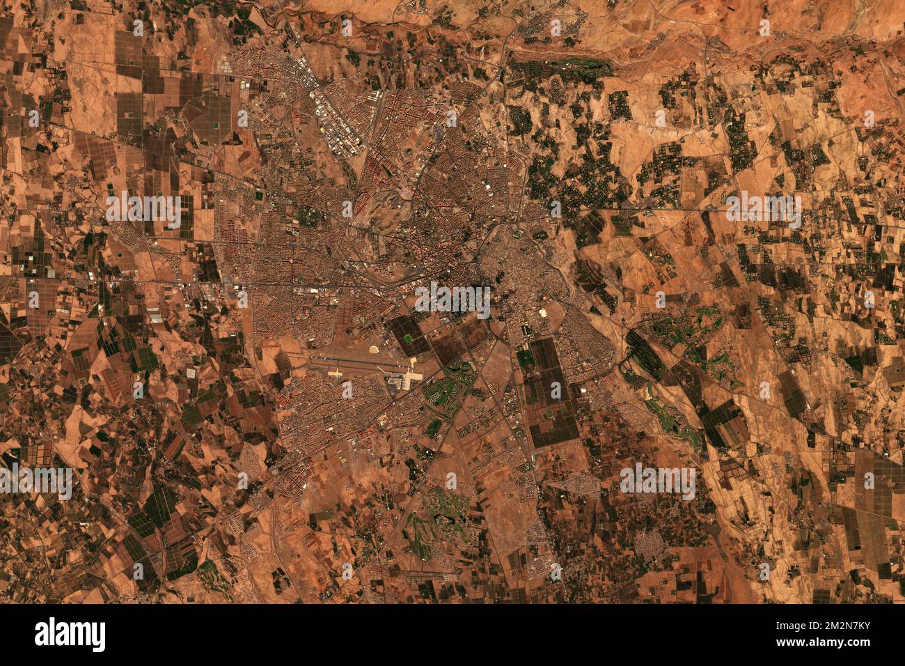 High resolution satellite image of Marrakesh in Morocco - contains modified Copernicus Sentinel Data (2022) Stock Photohttps://www.alamy.com/image-license-details/?v=1https://www.alamy.com/high-resolution-satellite-image-of-marrakesh-in-morocco-contains-modified-copernicus-sentinel-data-2022-image500797023.html
RF2M2N7KY–High resolution satellite image of Marrakesh in Morocco - contains modified Copernicus Sentinel Data (2022)
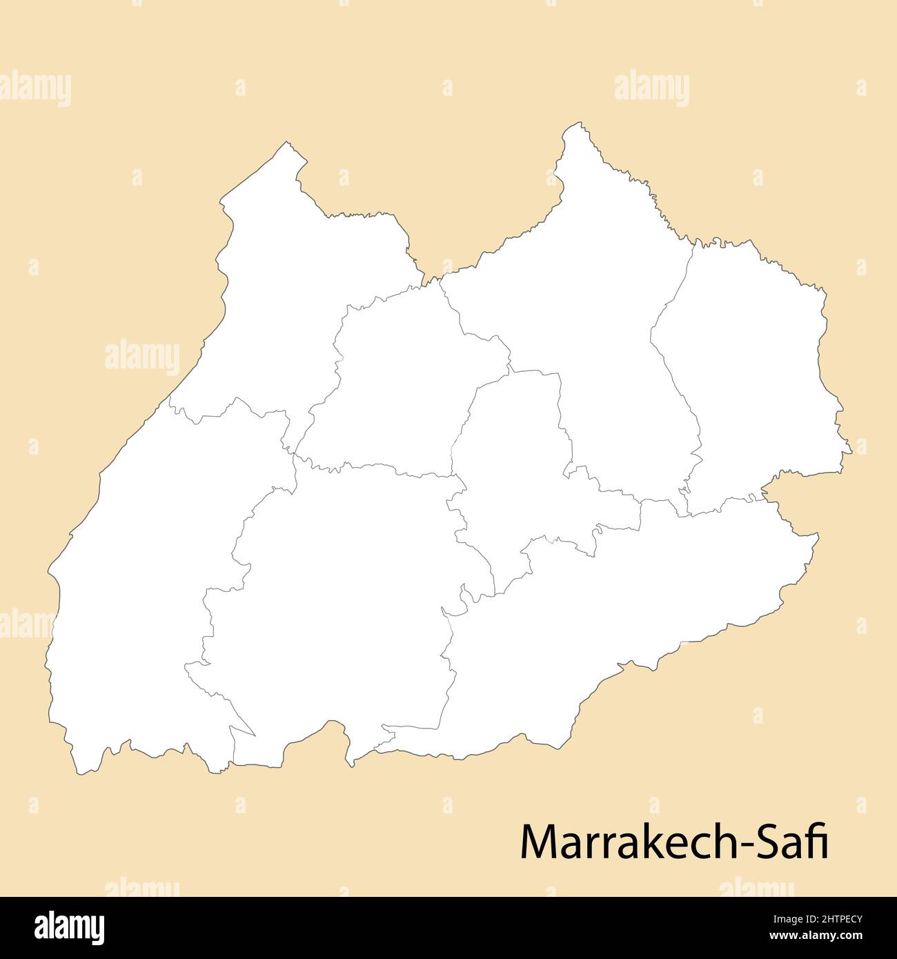 High Quality map of Marrakech-Safi is a province of Morocco, with borders of the districts Stock Vectorhttps://www.alamy.com/image-license-details/?v=1https://www.alamy.com/high-quality-map-of-marrakech-safi-is-a-province-of-morocco-with-borders-of-the-districts-image462715595.html
RF2HTPECY–High Quality map of Marrakech-Safi is a province of Morocco, with borders of the districts
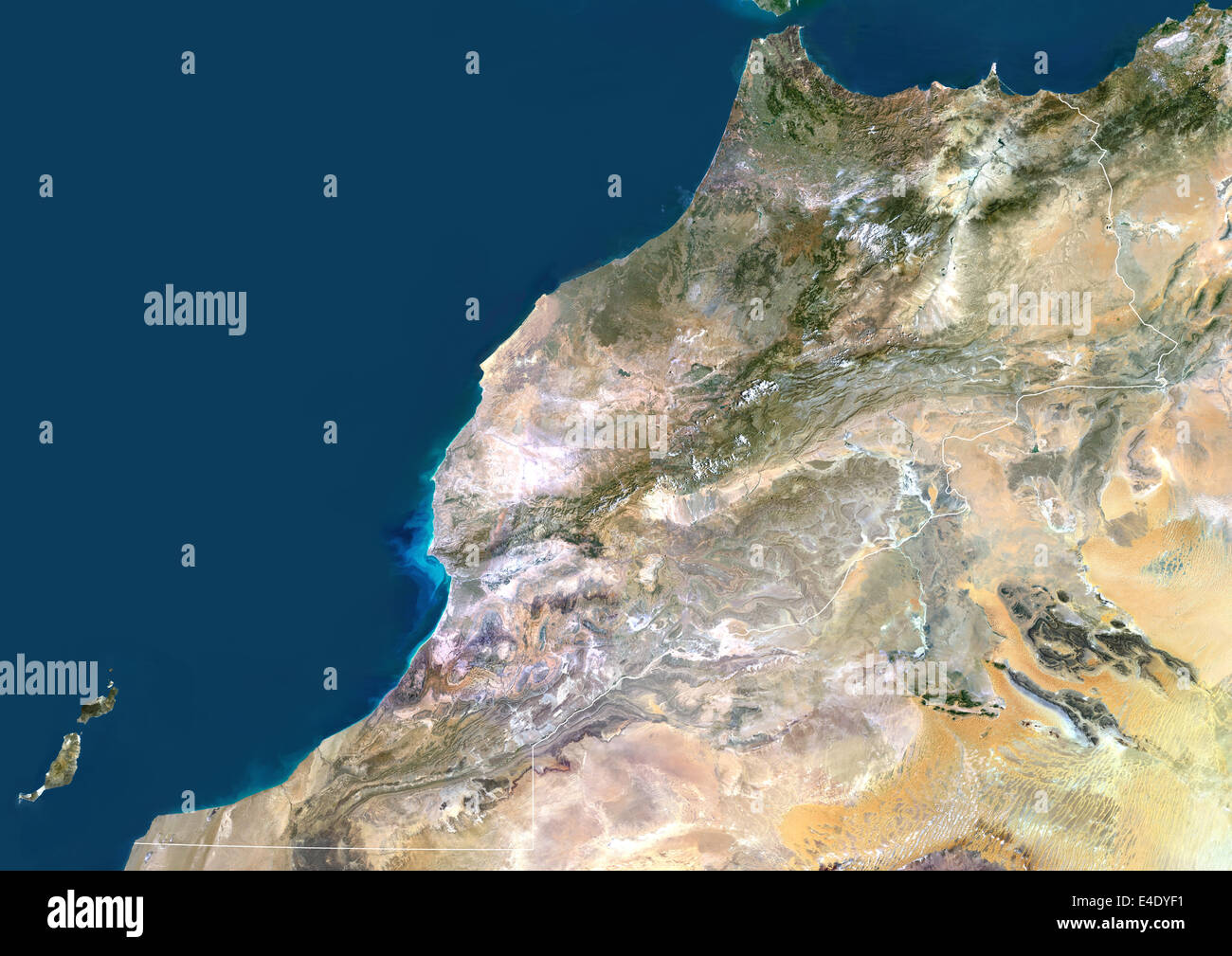 Morocco, True Colour Satellite Image With Border. Morocco. True colour satellite image of Morocco, with border. The Strait of Gi Stock Photohttps://www.alamy.com/image-license-details/?v=1https://www.alamy.com/stock-photo-morocco-true-colour-satellite-image-with-border-morocco-true-colour-71607061.html
RME4DYF1–Morocco, True Colour Satellite Image With Border. Morocco. True colour satellite image of Morocco, with border. The Strait of Gi
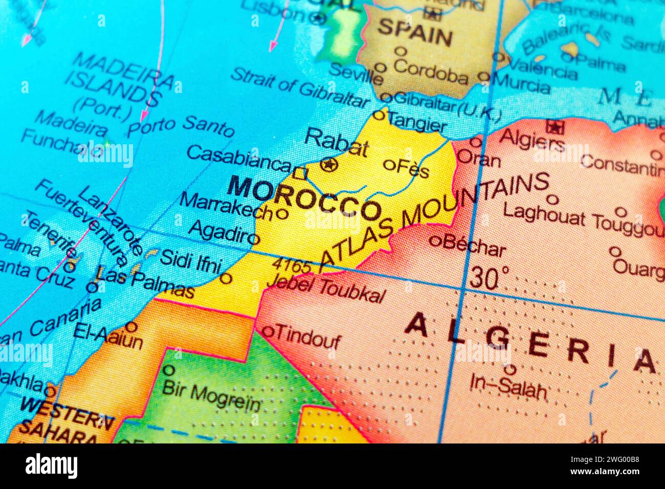 world map of morocco and sahara with neighbour countries Stock Photohttps://www.alamy.com/image-license-details/?v=1https://www.alamy.com/world-map-of-morocco-and-sahara-with-neighbour-countries-image594987324.html
RF2WG00B8–world map of morocco and sahara with neighbour countries
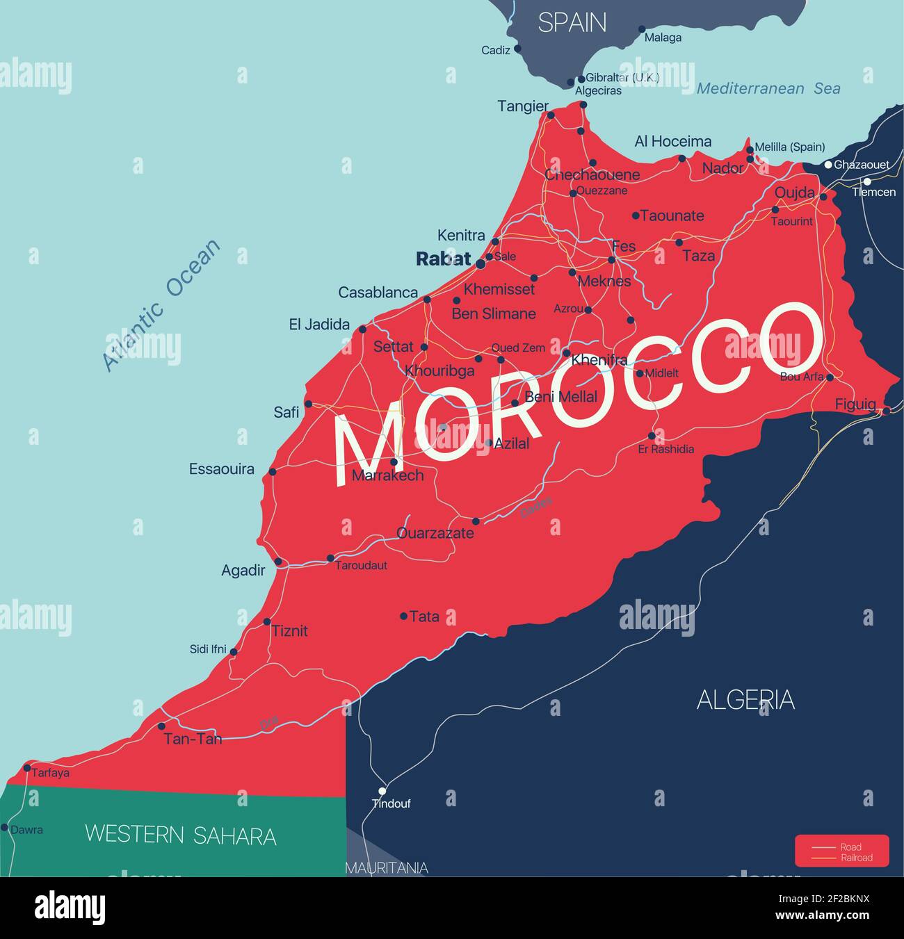 Morocco country detailed editable map with regions cities and towns, roads and railways, geographic sites. Vector EPS-10 file Stock Vectorhttps://www.alamy.com/image-license-details/?v=1https://www.alamy.com/morocco-country-detailed-editable-map-with-regions-cities-and-towns-roads-and-railways-geographic-sites-vector-eps-10-file-image414535126.html
RF2F2BKNX–Morocco country detailed editable map with regions cities and towns, roads and railways, geographic sites. Vector EPS-10 file
 Happy woman travels alone and looks at a map against the wall of an ancient city in the Middle East region or somewhere in Morocco. Stock Photohttps://www.alamy.com/image-license-details/?v=1https://www.alamy.com/happy-woman-travels-alone-and-looks-at-a-map-against-the-wall-of-an-ancient-city-in-the-middle-east-region-or-somewhere-in-morocco-image437960335.html
RF2GCEPTF–Happy woman travels alone and looks at a map against the wall of an ancient city in the Middle East region or somewhere in Morocco.
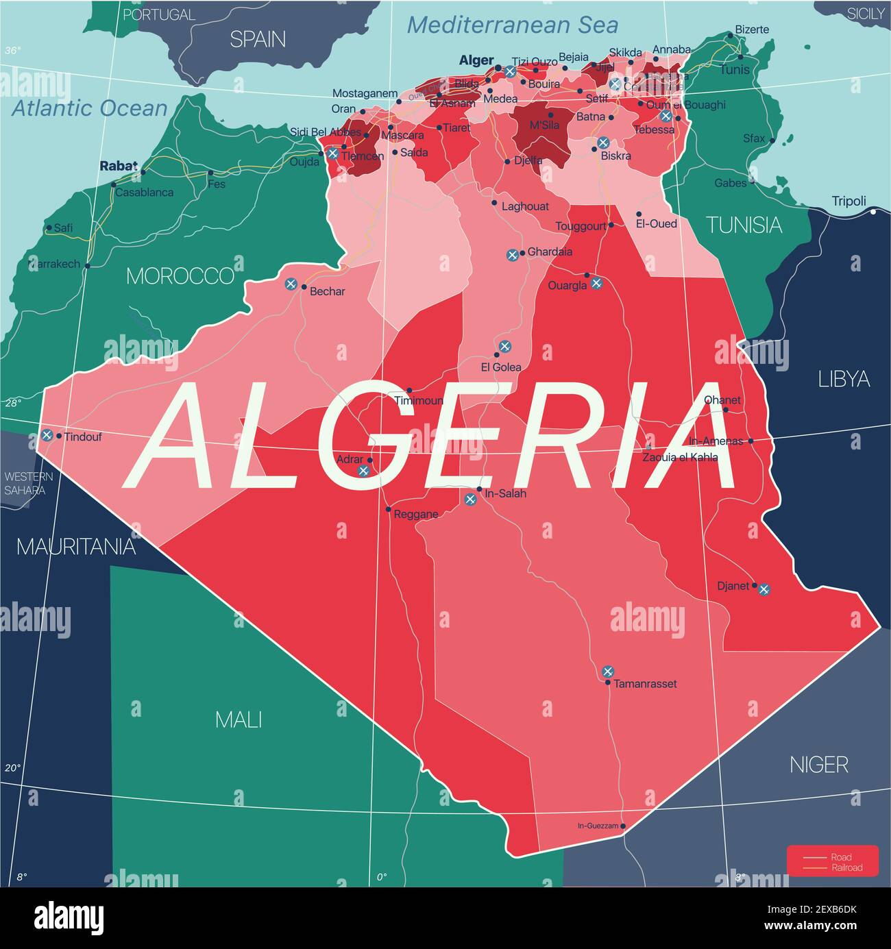 Algeria country detailed editable map with regions cities and towns, roads and railways, geographic sites. Vector EPS-10 file Stock Vectorhttps://www.alamy.com/image-license-details/?v=1https://www.alamy.com/algeria-country-detailed-editable-map-with-regions-cities-and-towns-roads-and-railways-geographic-sites-vector-eps-10-file-image412066079.html
RF2EXB6DK–Algeria country detailed editable map with regions cities and towns, roads and railways, geographic sites. Vector EPS-10 file
 Image of the valley of the mountain range of the Moroccan high atlas Stock Photohttps://www.alamy.com/image-license-details/?v=1https://www.alamy.com/image-of-the-valley-of-the-mountain-range-of-the-moroccan-high-atlas-image329241929.html
RF2A3J7C9–Image of the valley of the mountain range of the Moroccan high atlas
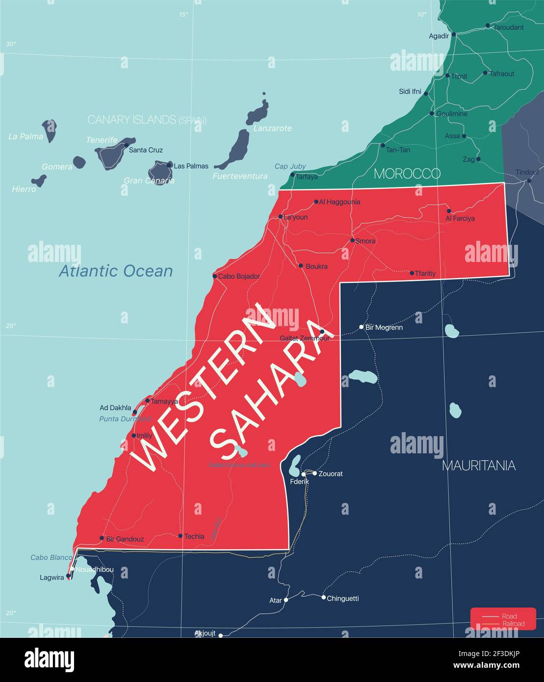 Western Sahara detailed editable map with regions cities and towns, roads and railways, geographic sites. Vector EPS-10 file Stock Vectorhttps://www.alamy.com/image-license-details/?v=1https://www.alamy.com/western-sahara-detailed-editable-map-with-regions-cities-and-towns-roads-and-railways-geographic-sites-vector-eps-10-file-image415193598.html
RF2F3DKJP–Western Sahara detailed editable map with regions cities and towns, roads and railways, geographic sites. Vector EPS-10 file
 brunette girl looking at camera with the Moroccan high atlas in the background Stock Photohttps://www.alamy.com/image-license-details/?v=1https://www.alamy.com/brunette-girl-looking-at-camera-with-the-moroccan-high-atlas-in-the-background-image329241923.html
RF2A3J7C3–brunette girl looking at camera with the Moroccan high atlas in the background
 Morocco flag and national emblem. with Harmonious Morocco color Red and Green Stock Photohttps://www.alamy.com/image-license-details/?v=1https://www.alamy.com/morocco-flag-and-national-emblem-with-harmonious-morocco-color-red-and-green-image470984805.html
RF2JA75WW–Morocco flag and national emblem. with Harmonious Morocco color Red and Green
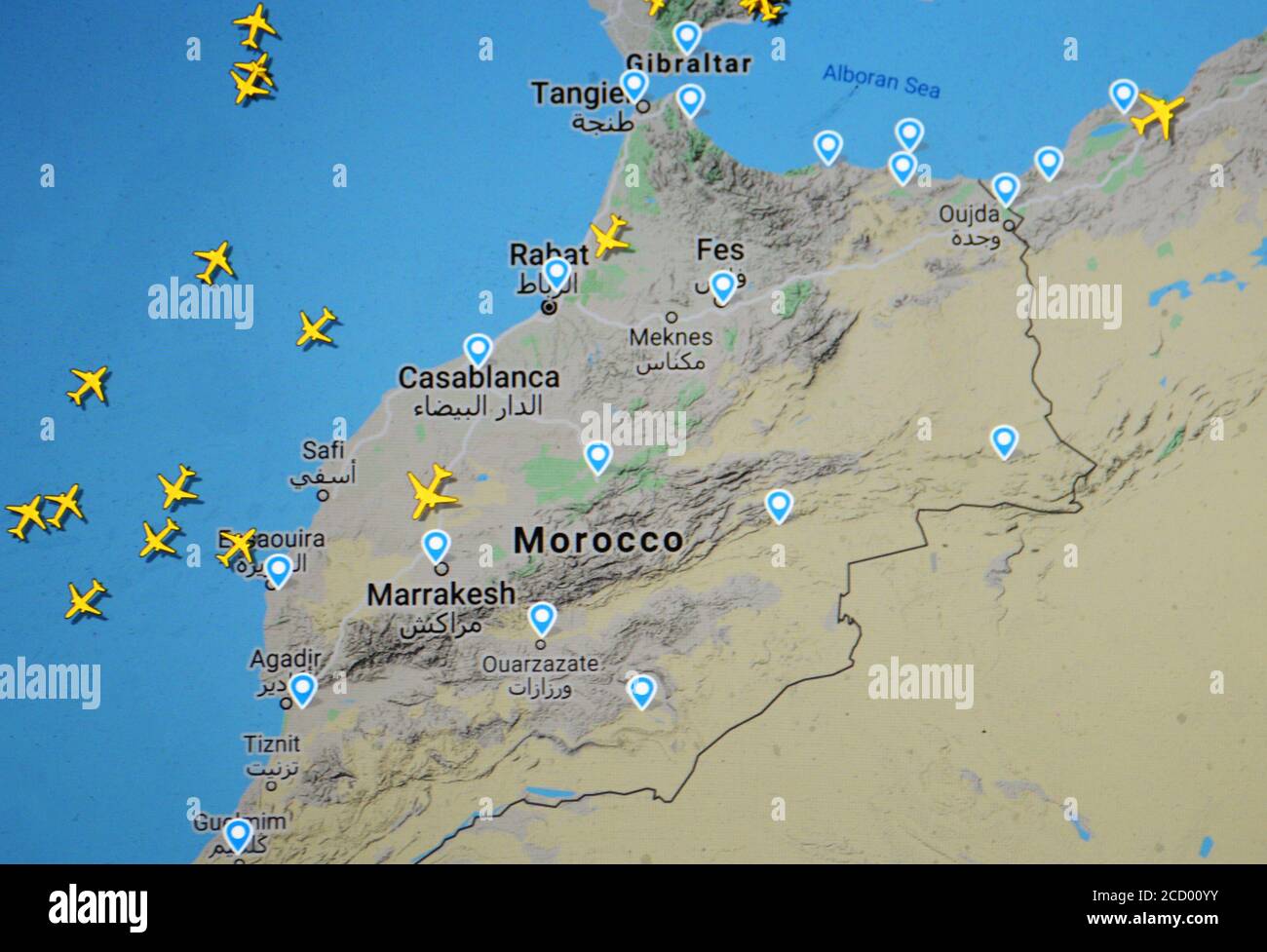 air traffic over Marocco (20 august 2020,UTC 21.36), on Internet with Flightradar 24 site, during the Coronavirus Pandemic period Stock Photohttps://www.alamy.com/image-license-details/?v=1https://www.alamy.com/air-traffic-over-marocco-20-august-2020utc-2136-on-internet-with-flightradar-24-site-during-the-coronavirus-pandemic-period-image369409039.html
RM2CD00YY–air traffic over Marocco (20 august 2020,UTC 21.36), on Internet with Flightradar 24 site, during the Coronavirus Pandemic period
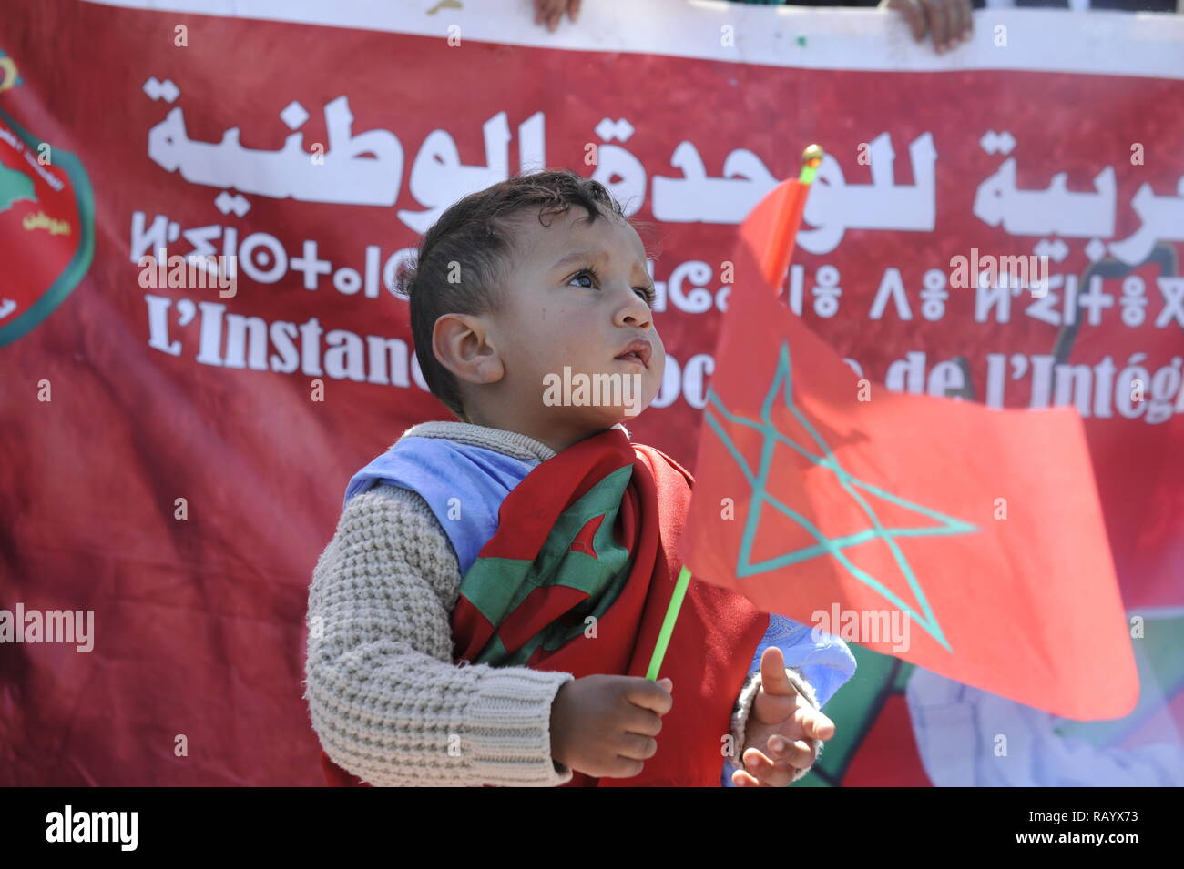 Moroccan child proudly carrying Moroccan flag - child from Moroccan Sahara. The photo was taken in Rabat on March 13, 2016 Stock Photohttps://www.alamy.com/image-license-details/?v=1https://www.alamy.com/moroccan-child-proudly-carrying-moroccan-flag-child-from-moroccan-sahara-the-photo-was-taken-in-rabat-on-march-13-2016-image230494631.html
RFRAYX73–Moroccan child proudly carrying Moroccan flag - child from Moroccan Sahara. The photo was taken in Rabat on March 13, 2016
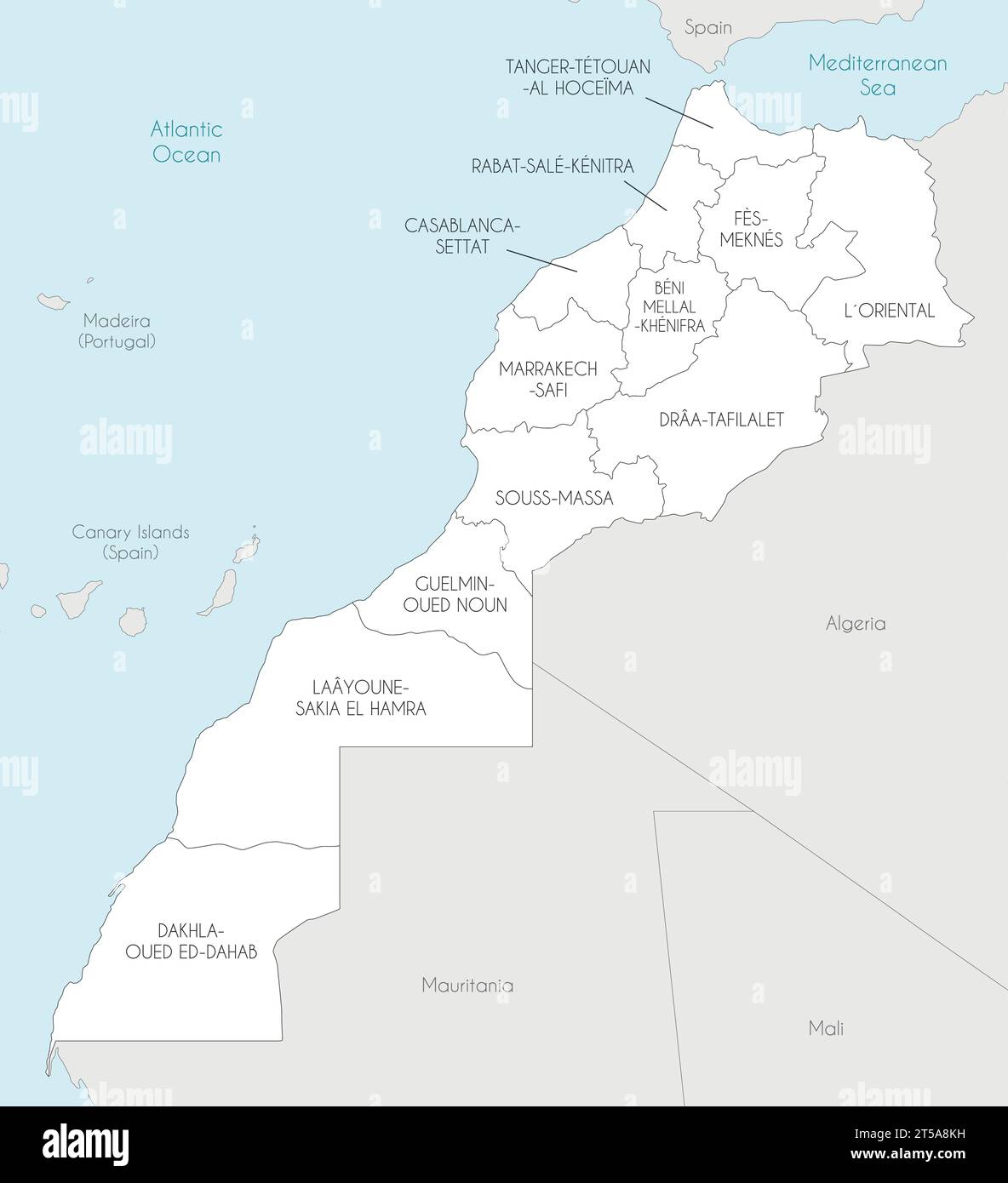 Vector map of Morocco with regions and administrative divisions, and neighbouring countries. Editable and clearly labeled layers. Stock Vectorhttps://www.alamy.com/image-license-details/?v=1https://www.alamy.com/vector-map-of-morocco-with-regions-and-administrative-divisions-and-neighbouring-countries-editable-and-clearly-labeled-layers-image571241765.html
RF2T5A8KH–Vector map of Morocco with regions and administrative divisions, and neighbouring countries. Editable and clearly labeled layers.