Quick filters:
Mato grosso border Stock Photos and Images
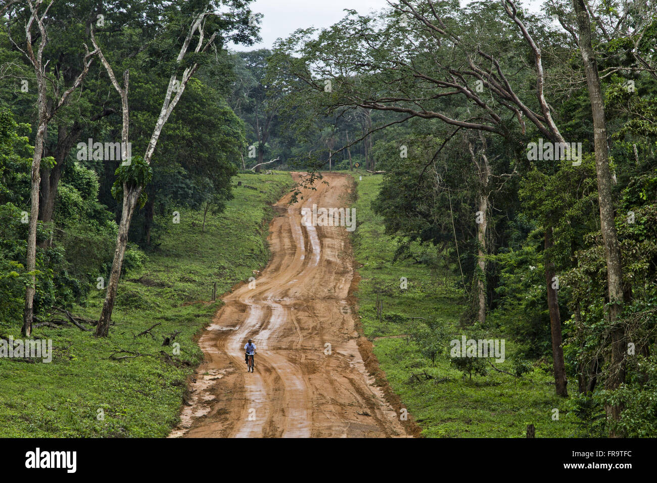 Cyclist on road land next to the border with Mato Grosso Stock Photohttps://www.alamy.com/image-license-details/?v=1https://www.alamy.com/stock-photo-cyclist-on-road-land-next-to-the-border-with-mato-grosso-100405744.html
RMFR9TFC–Cyclist on road land next to the border with Mato Grosso
 Welcome to Brazil sign at the border with Bolivia, near Caceres, Mato Grosso, Brazil Stock Photohttps://www.alamy.com/image-license-details/?v=1https://www.alamy.com/welcome-to-brazil-sign-at-the-border-with-bolivia-near-caceres-mato-grosso-brazil-image515316427.html
RF2MXAKA3–Welcome to Brazil sign at the border with Bolivia, near Caceres, Mato Grosso, Brazil
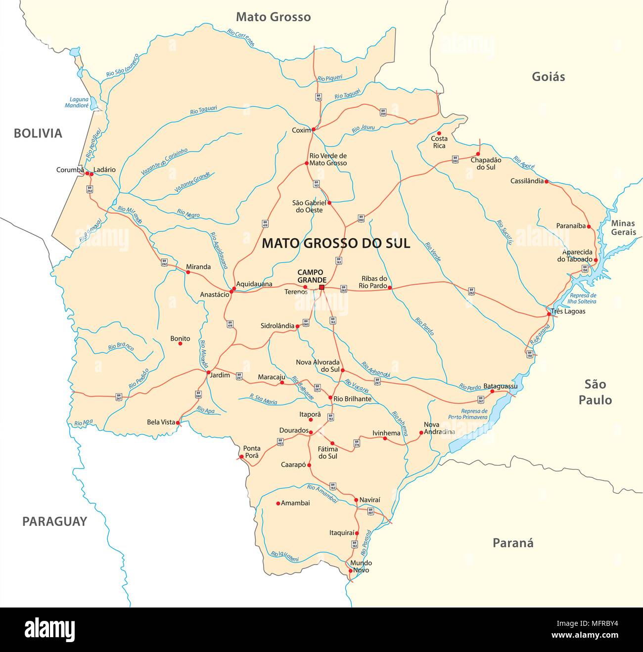 road vector map of the brazilian state mato grosso do sul Stock Vectorhttps://www.alamy.com/image-license-details/?v=1https://www.alamy.com/road-vector-map-of-the-brazilian-state-mato-grosso-do-sul-image181837800.html
RFMFRBY4–road vector map of the brazilian state mato grosso do sul
 Flag of State of Mato Grosso painted on brick wall Stock Photohttps://www.alamy.com/image-license-details/?v=1https://www.alamy.com/flag-of-state-of-mato-grosso-painted-on-brick-wall-image432797374.html
RF2G43HD2–Flag of State of Mato Grosso painted on brick wall
 Mato Grosso blank outline map set Stock Vectorhttps://www.alamy.com/image-license-details/?v=1https://www.alamy.com/mato-grosso-blank-outline-map-set-image177829168.html
RFM98PWM–Mato Grosso blank outline map set
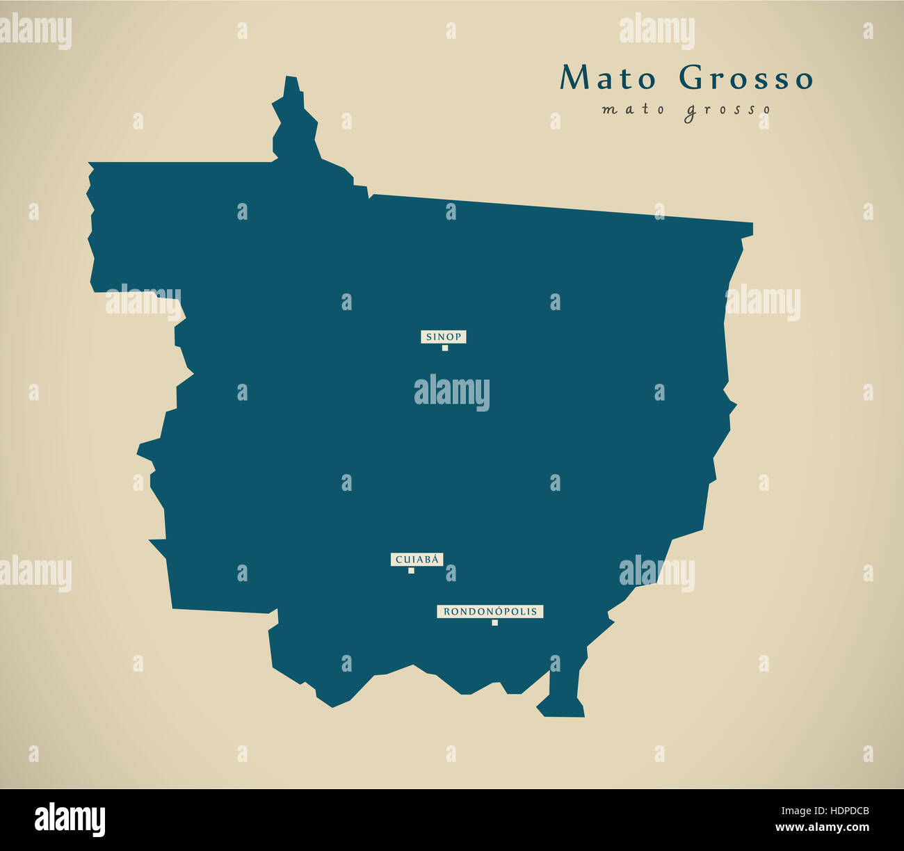 Modern Map - Mato Grosso BR Brazil Illustration Stock Photohttps://www.alamy.com/image-license-details/?v=1https://www.alamy.com/stock-photo-modern-map-mato-grosso-br-brazil-illustration-128956587.html
RFHDPDCB–Modern Map - Mato Grosso BR Brazil Illustration
 flag of State of Mato Grosso painted on brick wall Stock Photohttps://www.alamy.com/image-license-details/?v=1https://www.alamy.com/flag-of-state-of-mato-grosso-painted-on-brick-wall-image415019686.html
RF2F35NRJ–flag of State of Mato Grosso painted on brick wall
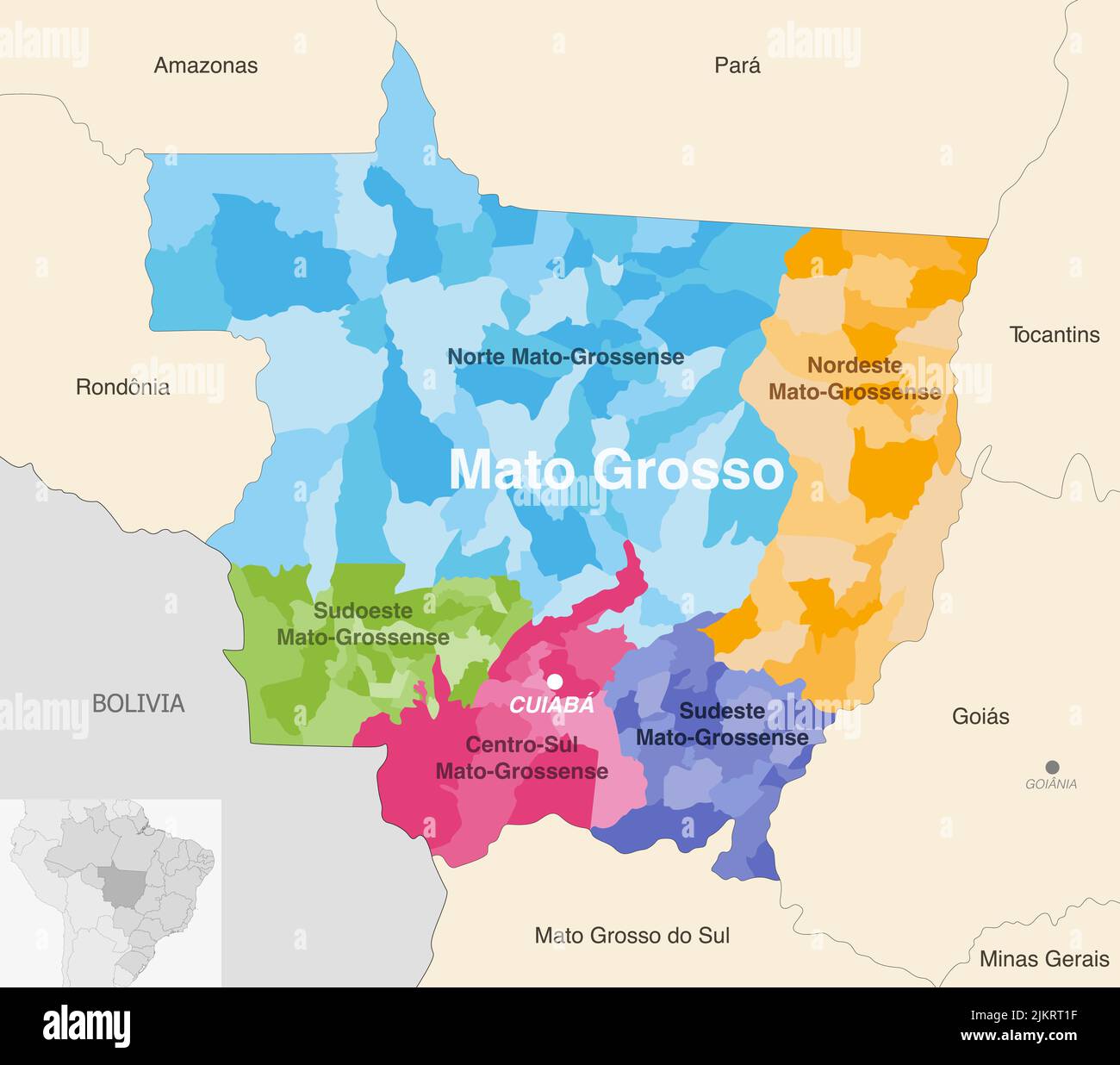 Brazil state Mato Grosso administrative map showing municipalities colored by state regions (mesoregions) Stock Vectorhttps://www.alamy.com/image-license-details/?v=1https://www.alamy.com/brazil-state-mato-grosso-administrative-map-showing-municipalities-colored-by-state-regions-mesoregions-image476882155.html
RF2JKRT1F–Brazil state Mato Grosso administrative map showing municipalities colored by state regions (mesoregions)
 flag of State of Mato Grosso do Sul, Brazil painted on brick wall Stock Photohttps://www.alamy.com/image-license-details/?v=1https://www.alamy.com/flag-of-state-of-mato-grosso-do-sul-brazil-painted-on-brick-wall-image436078858.html
RF2G9D30X–flag of State of Mato Grosso do Sul, Brazil painted on brick wall
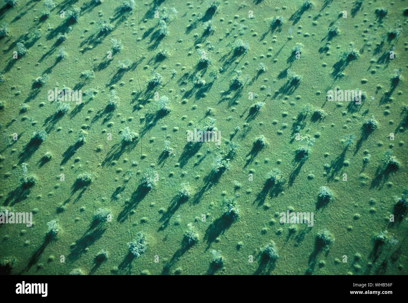 River Araguaia. Swampy border of Pantanal - The Pantanal is the world’s largest area of wetlands, a flat landscape, with gently sloping and meandering rivers. The region, whose name derives from the Portuguese word pântano (meaning swamp or marsh), is situated in South America, mostly within the Brazilian states of Mato Grosso and Mato Grosso do Sul. There are also small portions in Bolivia and Paraguay. In total, the Pantanal covers about 195,000 square kilometers . Stock Photohttps://www.alamy.com/image-license-details/?v=1https://www.alamy.com/river-araguaia-swampy-border-of-pantanal-the-pantanal-is-the-worlds-largest-area-of-wetlands-a-flat-landscape-with-gently-sloping-and-meandering-rivers-the-region-whose-name-derives-from-the-portuguese-word-pntano-meaning-swamp-or-marsh-is-situated-in-south-america-mostly-within-the-brazilian-states-of-mato-grosso-and-mato-grosso-do-sul-there-are-also-small-portions-in-bolivia-and-paraguay-in-total-the-pantanal-covers-about-195000-square-kilometers-image268850247.html
RMWHB56F–River Araguaia. Swampy border of Pantanal - The Pantanal is the world’s largest area of wetlands, a flat landscape, with gently sloping and meandering rivers. The region, whose name derives from the Portuguese word pântano (meaning swamp or marsh), is situated in South America, mostly within the Brazilian states of Mato Grosso and Mato Grosso do Sul. There are also small portions in Bolivia and Paraguay. In total, the Pantanal covers about 195,000 square kilometers .
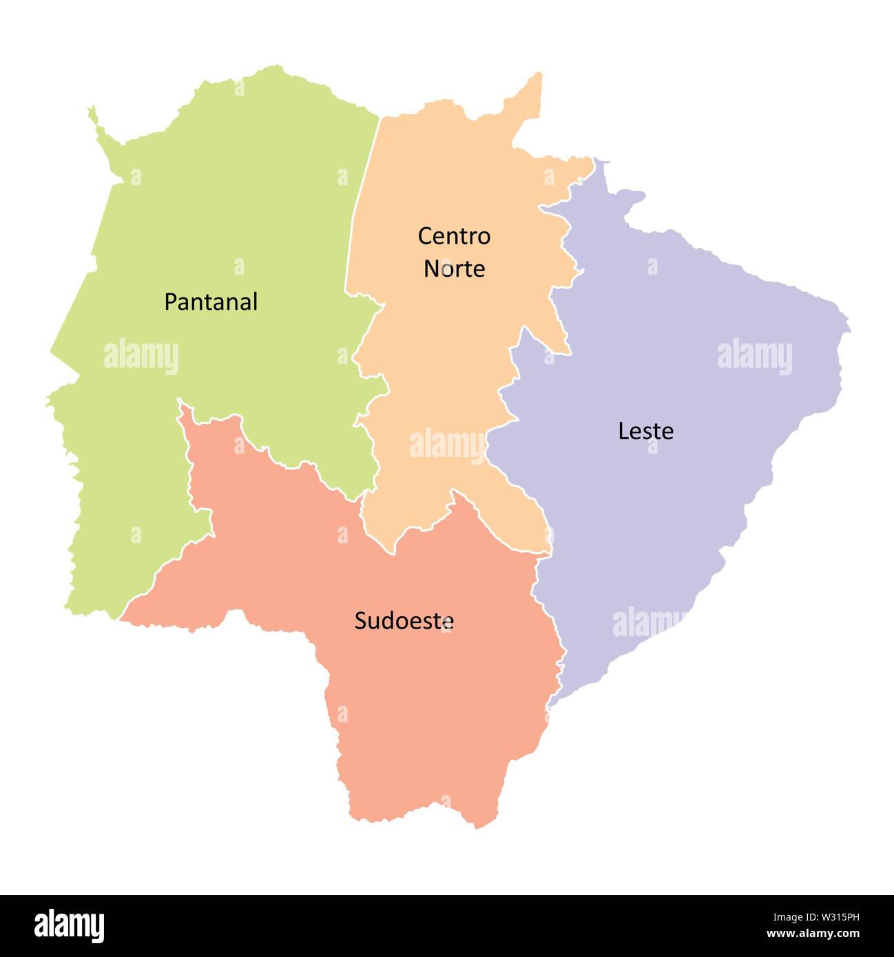 Mato Grosso do Sul State regions Stock Vectorhttps://www.alamy.com/image-license-details/?v=1https://www.alamy.com/mato-grosso-do-sul-state-regions-image260025993.html
RFW315PH–Mato Grosso do Sul State regions
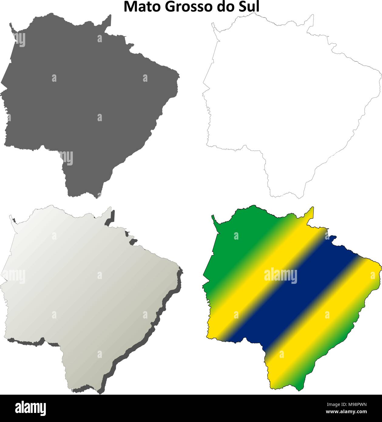 Mato Grosso do Sul blank outline map set Stock Vectorhttps://www.alamy.com/image-license-details/?v=1https://www.alamy.com/mato-grosso-do-sul-blank-outline-map-set-image177829169.html
RFM98PWN–Mato Grosso do Sul blank outline map set
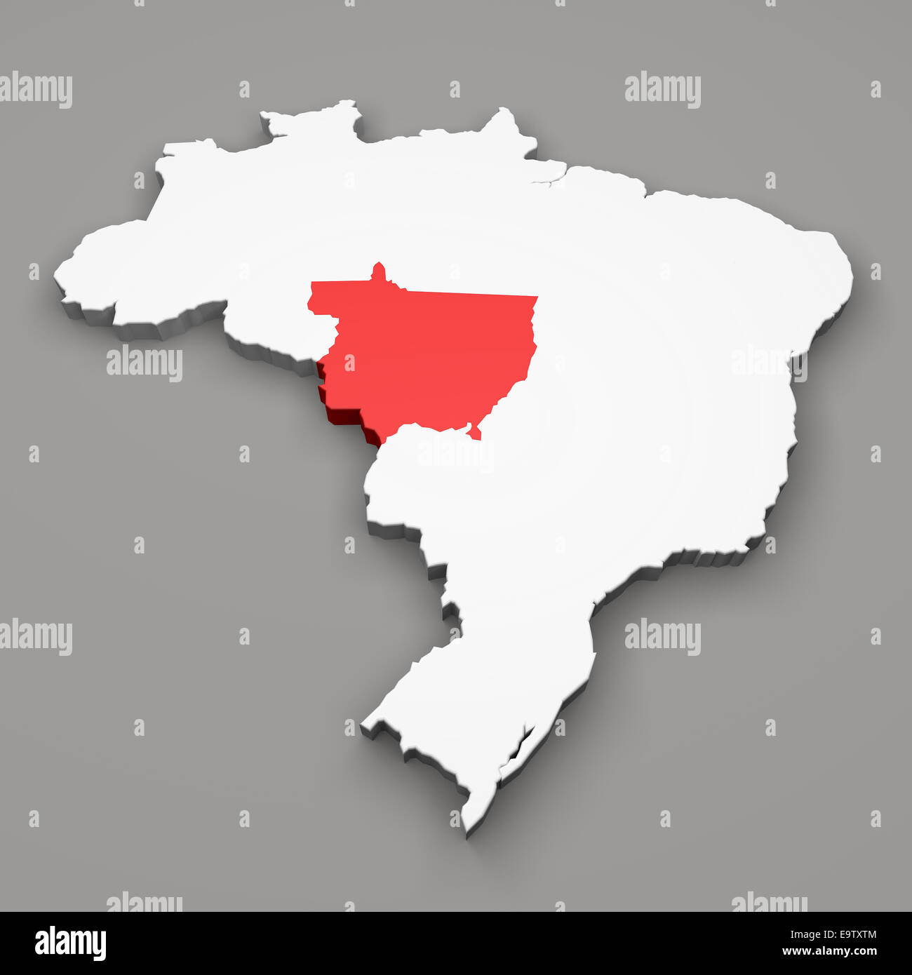 Mato Grosso state on map of Brazil on gray background Stock Photohttps://www.alamy.com/image-license-details/?v=1https://www.alamy.com/stock-photo-mato-grosso-state-on-map-of-brazil-on-gray-background-74921300.html
RFE9TXTM–Mato Grosso state on map of Brazil on gray background
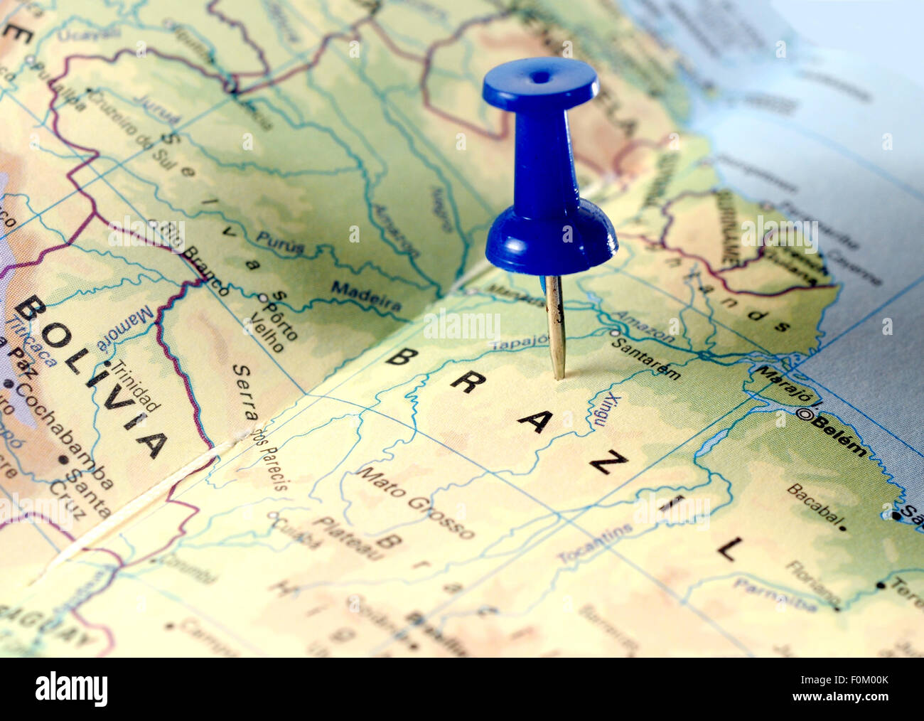 map of Brazil with a blue tag on it Stock Photohttps://www.alamy.com/image-license-details/?v=1https://www.alamy.com/stock-photo-map-of-brazil-with-a-blue-tag-on-it-86490899.html
RFF0M00K–map of Brazil with a blue tag on it
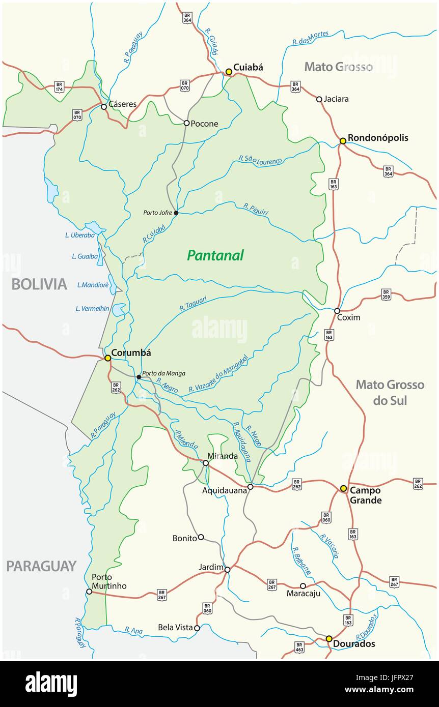 Map Pantanal, the largest tropical wetland in the world, Brazil Stock Vectorhttps://www.alamy.com/image-license-details/?v=1https://www.alamy.com/stock-photo-map-pantanal-the-largest-tropical-wetland-in-the-world-brazil-147406175.html
RFJFPX27–Map Pantanal, the largest tropical wetland in the world, Brazil
 Waving ribbon or banner with flag of Mato Grosso. State of Brazil. Template for poster design Stock Vectorhttps://www.alamy.com/image-license-details/?v=1https://www.alamy.com/waving-ribbon-or-banner-with-flag-of-mato-grosso-state-of-brazil-template-for-poster-design-image334584613.html
RF2AC9J2D–Waving ribbon or banner with flag of Mato Grosso. State of Brazil. Template for poster design
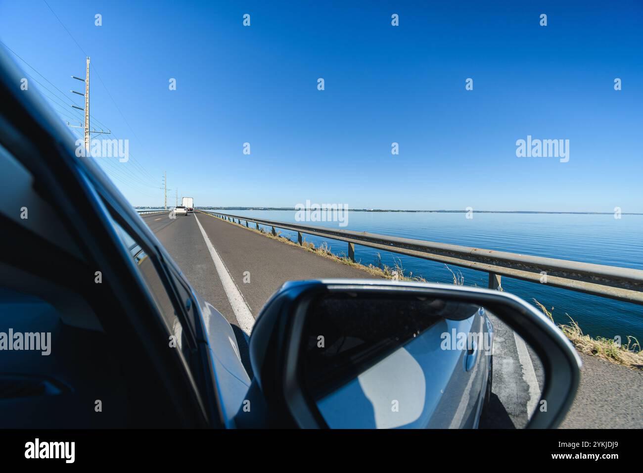 Driving the car on the Helio Serejo bridge, over the Parana river, on the BR-267 highway. Bridge that divides the states of Mato Grosso do Sul and Sao Stock Photohttps://www.alamy.com/image-license-details/?v=1https://www.alamy.com/driving-the-car-on-the-helio-serejo-bridge-over-the-parana-river-on-the-br-267-highway-bridge-that-divides-the-states-of-mato-grosso-do-sul-and-sao-image631657553.html
RF2YKJDJ9–Driving the car on the Helio Serejo bridge, over the Parana river, on the BR-267 highway. Bridge that divides the states of Mato Grosso do Sul and Sao
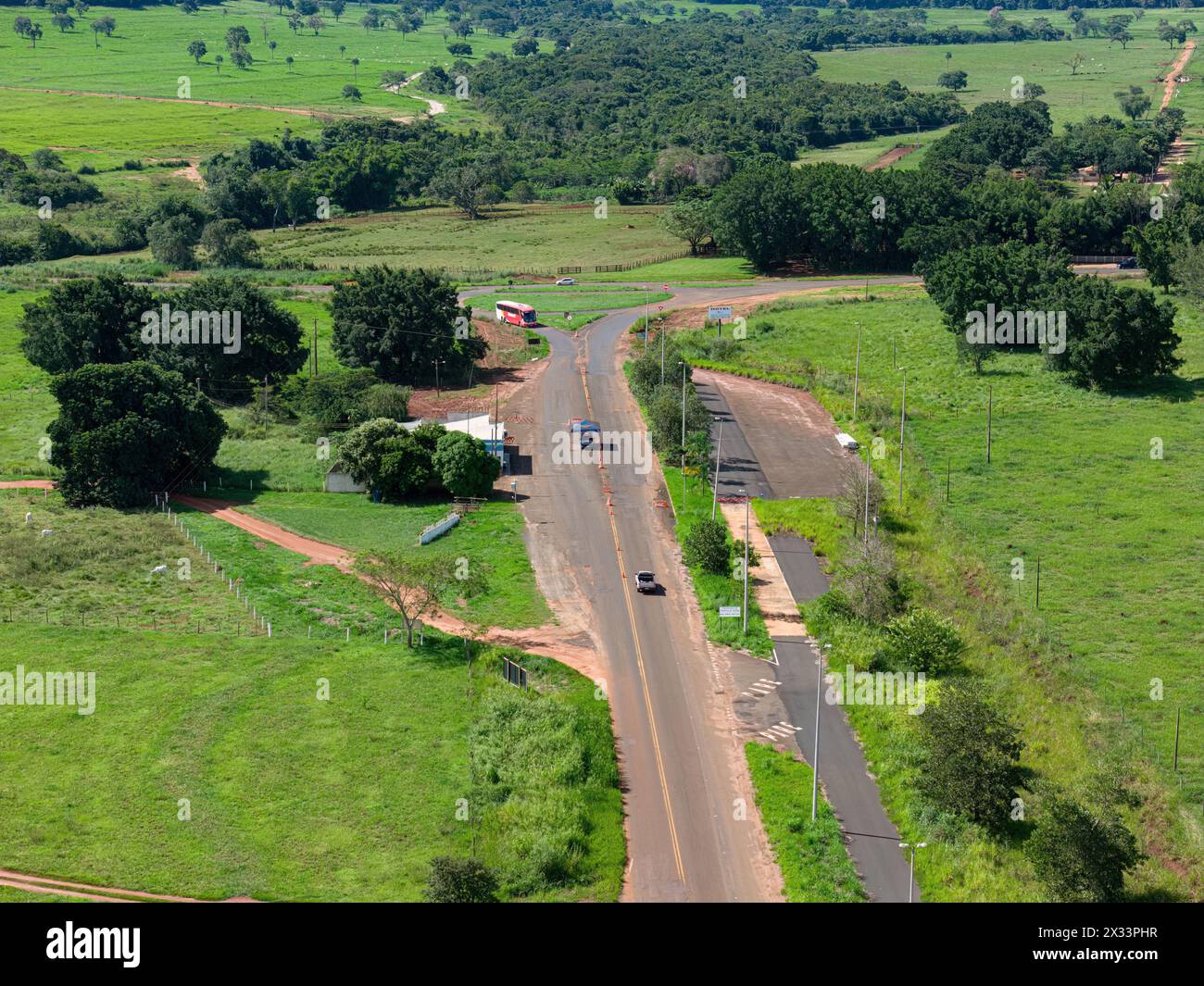 Cassilandia, Mato Grosso do Sul, Brazil - 04 16 2024: Aerial image of a border control police barrier after roundabout at state border Stock Photohttps://www.alamy.com/image-license-details/?v=1https://www.alamy.com/cassilandia-mato-grosso-do-sul-brazil-04-16-2024-aerial-image-of-a-border-control-police-barrier-after-roundabout-at-state-border-image604290451.html
RF2X33PHR–Cassilandia, Mato Grosso do Sul, Brazil - 04 16 2024: Aerial image of a border control police barrier after roundabout at state border
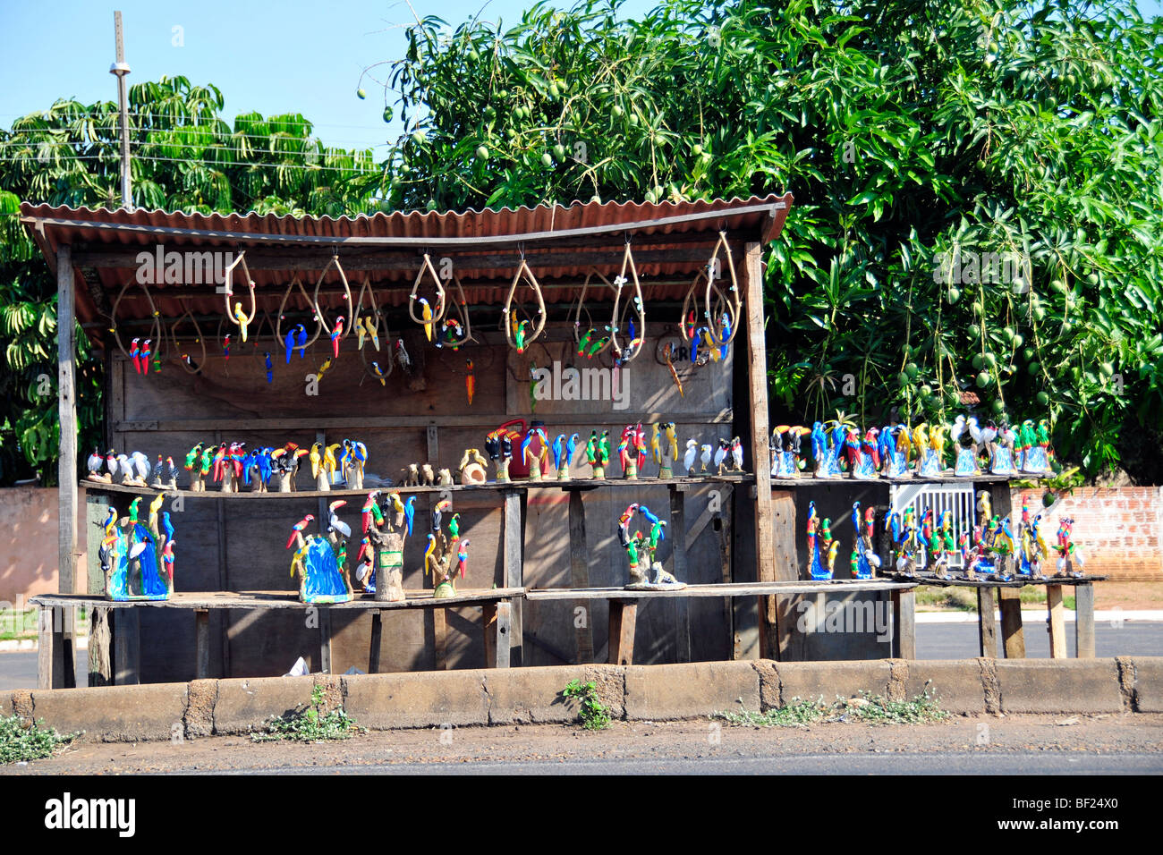 Souvenirs for sale at the roadside near the border between the states of Sao Paulo and Mato Grosso do Sul, Brazil Stock Photohttps://www.alamy.com/image-license-details/?v=1https://www.alamy.com/stock-photo-souvenirs-for-sale-at-the-roadside-near-the-border-between-the-states-26477976.html
RMBF24X0–Souvenirs for sale at the roadside near the border between the states of Sao Paulo and Mato Grosso do Sul, Brazil
 Vehicles traveling at highway land next to the border with Mato Grosso Stock Photohttps://www.alamy.com/image-license-details/?v=1https://www.alamy.com/stock-photo-vehicles-traveling-at-highway-land-next-to-the-border-with-mato-grosso-100405730.html
RMFR9TEX–Vehicles traveling at highway land next to the border with Mato Grosso
 Off-road vehicle, Toyota Land Cruiser at the sign Welcome to Brazil at the border with Bolivia, near Caceres, Mato Grosso, Brazil Stock Photohttps://www.alamy.com/image-license-details/?v=1https://www.alamy.com/off-road-vehicle-toyota-land-cruiser-at-the-sign-welcome-to-brazil-at-the-border-with-bolivia-near-caceres-mato-grosso-brazil-image515316430.html
RF2MXAKA6–Off-road vehicle, Toyota Land Cruiser at the sign Welcome to Brazil at the border with Bolivia, near Caceres, Mato Grosso, Brazil
 Brazil, Mato Grosso. cowboys or gauchos in the Guapore valley near the bolivian border. Cattle is very important in this region Stock Photohttps://www.alamy.com/image-license-details/?v=1https://www.alamy.com/brazil-mato-grosso-cowboys-or-gauchos-in-the-guapore-valley-near-the-bolivian-border-cattle-is-very-important-in-this-region-image469436668.html
RM2J7MK78–Brazil, Mato Grosso. cowboys or gauchos in the Guapore valley near the bolivian border. Cattle is very important in this region
 Close up of Guira cuckoo in a tree, Amazon, Brazil Stock Photohttps://www.alamy.com/image-license-details/?v=1https://www.alamy.com/close-up-of-guira-cuckoo-in-a-tree-amazon-brazil-image566416087.html
RF2RWEDDY–Close up of Guira cuckoo in a tree, Amazon, Brazil
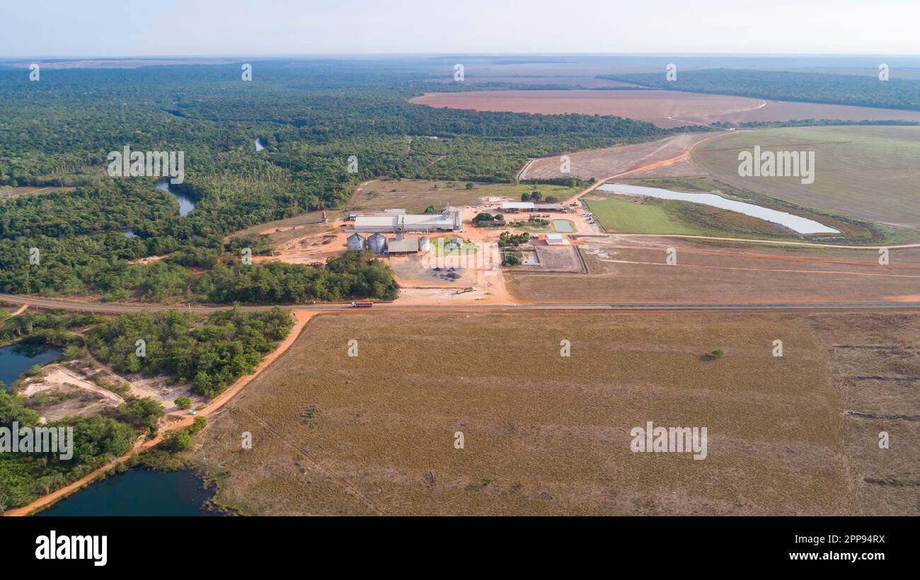 Aerial view of agricultural landscape with a big farm, border to remaining rainforest, signs of deforestation, San Jose do Rio Claro, Mato Grosso, Bra Stock Photohttps://www.alamy.com/image-license-details/?v=1https://www.alamy.com/aerial-view-of-agricultural-landscape-with-a-big-farm-border-to-remaining-rainforest-signs-of-deforestation-san-jose-do-rio-claro-mato-grosso-bra-image547245214.html
RF2PP94RX–Aerial view of agricultural landscape with a big farm, border to remaining rainforest, signs of deforestation, San Jose do Rio Claro, Mato Grosso, Bra
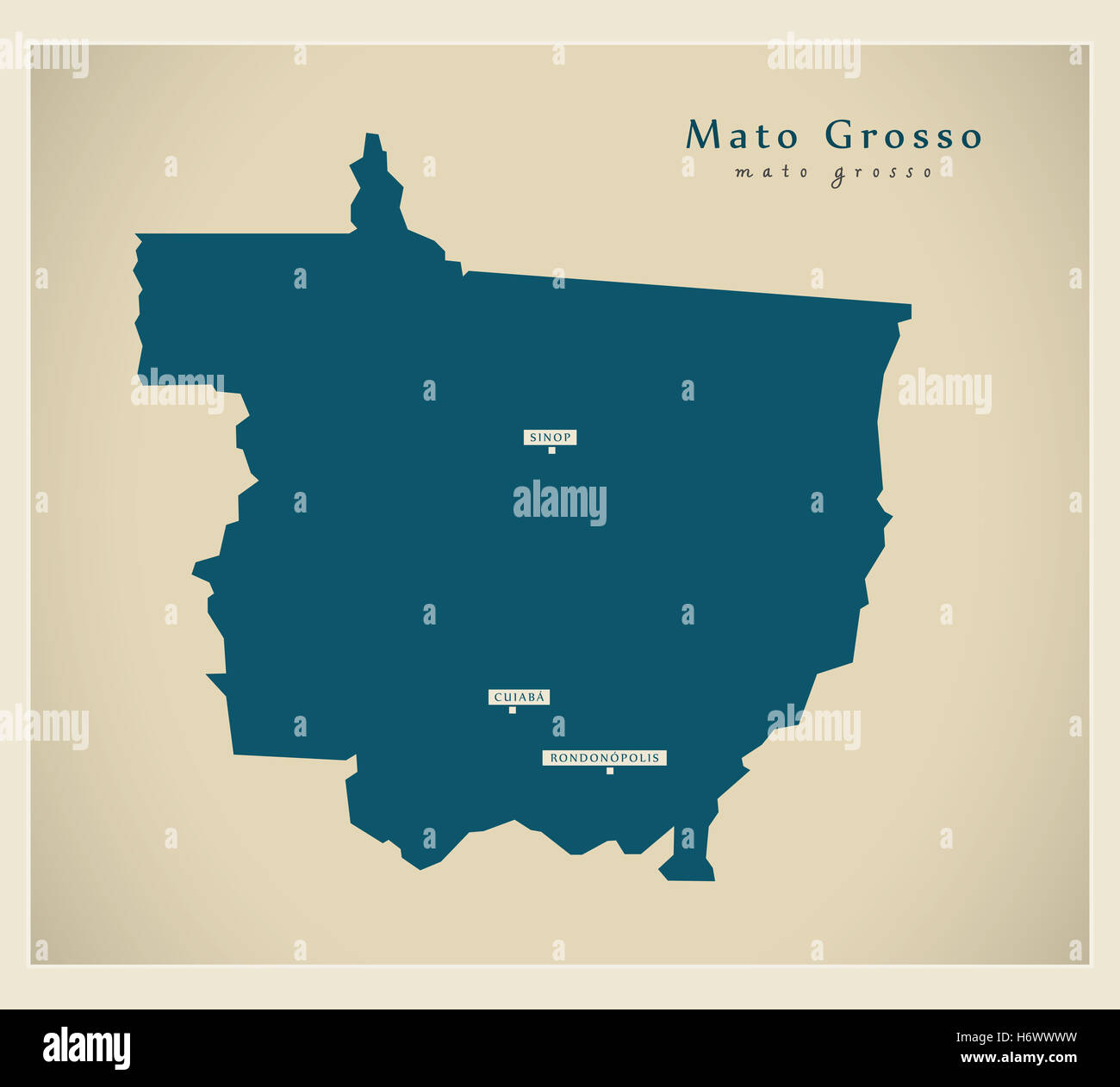 Modern Map - Mato Grosso BR Stock Photohttps://www.alamy.com/image-license-details/?v=1https://www.alamy.com/stock-photo-modern-map-mato-grosso-br-124729637.html
RFH6WWWW–Modern Map - Mato Grosso BR
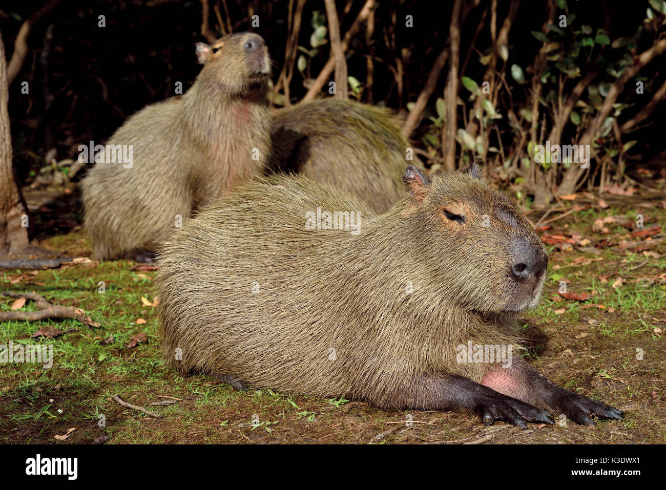 Brazil, Pantanal, water pig's family, Hydrochoerus hydrochaeris, in the bank border, Stock Photohttps://www.alamy.com/image-license-details/?v=1https://www.alamy.com/brazil-pantanal-water-pigs-family-hydrochoerus-hydrochaeris-in-the-image157042985.html
RMK3DWX1–Brazil, Pantanal, water pig's family, Hydrochoerus hydrochaeris, in the bank border,
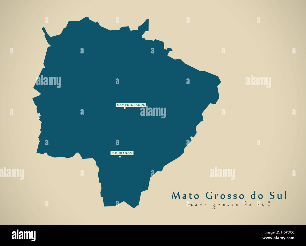 Modern Map - Mato Grosso do Sul BR Brazil Illustration Stock Photohttps://www.alamy.com/image-license-details/?v=1https://www.alamy.com/stock-photo-modern-map-mato-grosso-do-sul-br-brazil-illustration-128956588.html
RFHDPDCC–Modern Map - Mato Grosso do Sul BR Brazil Illustration
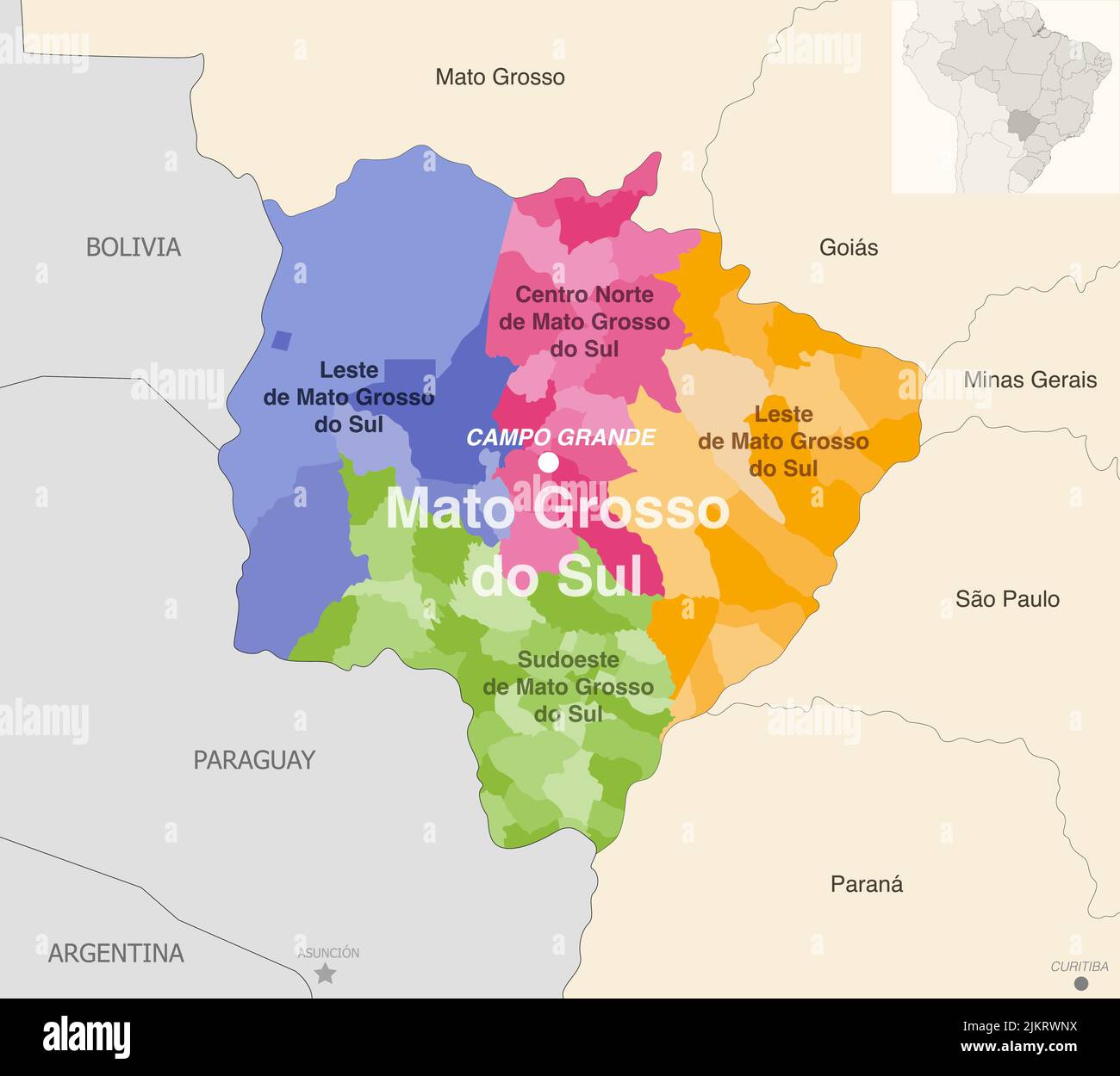 Brazil state Mato Grosso de Sul administrative map showing municipalities colored by state regions (mesoregions) Stock Vectorhttps://www.alamy.com/image-license-details/?v=1https://www.alamy.com/brazil-state-mato-grosso-de-sul-administrative-map-showing-municipalities-colored-by-state-regions-mesoregions-image476883510.html
RF2JKRWNX–Brazil state Mato Grosso de Sul administrative map showing municipalities colored by state regions (mesoregions)
 Swampy border of pantanal River Araguaia Stock Photohttps://www.alamy.com/image-license-details/?v=1https://www.alamy.com/swampy-border-of-pantanal-river-araguaia-image268819262.html
RMWH9NKX–Swampy border of pantanal River Araguaia
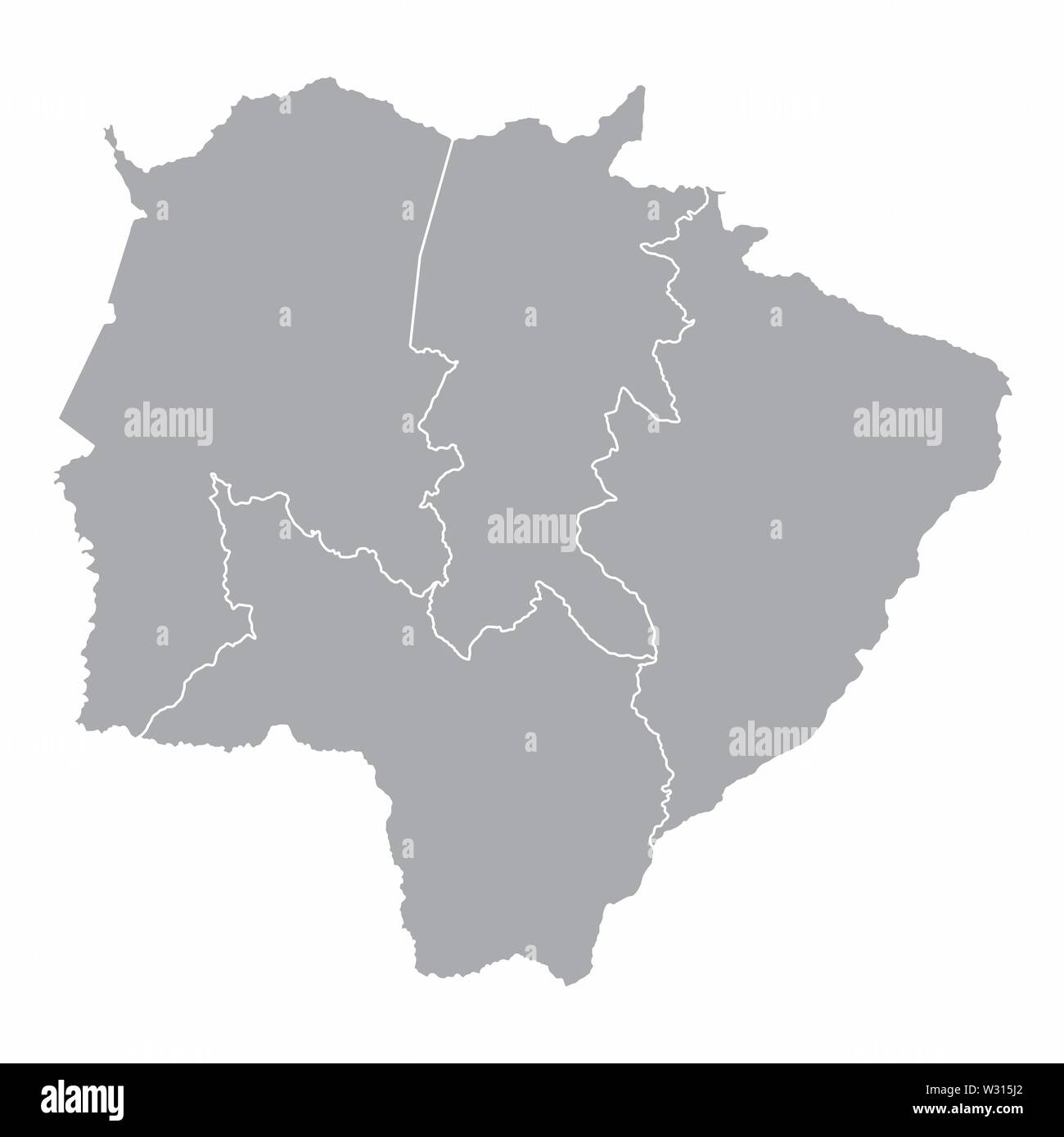 Mato Grosso do Sul State regions Stock Vectorhttps://www.alamy.com/image-license-details/?v=1https://www.alamy.com/mato-grosso-do-sul-state-regions-image260025866.html
RFW315J2–Mato Grosso do Sul State regions
 Brazil, Pantanal, cayman, Caiman yacare, portrait, at the side, sunbathing in the bank border in the midst of water lilies, Stock Photohttps://www.alamy.com/image-license-details/?v=1https://www.alamy.com/brazil-pantanal-cayman-caiman-yacare-portrait-at-the-side-sunbathing-image157042957.html
RMK3DWW1–Brazil, Pantanal, cayman, Caiman yacare, portrait, at the side, sunbathing in the bank border in the midst of water lilies,
 The brazilian Mato Grosso State silhouette maps isolated on white background Stock Vectorhttps://www.alamy.com/image-license-details/?v=1https://www.alamy.com/the-brazilian-mato-grosso-state-silhouette-maps-isolated-on-white-background-image262870620.html
RFW7JP4C–The brazilian Mato Grosso State silhouette maps isolated on white background
 Mato Grosso do Sul state on map of Brazil on gray background Stock Photohttps://www.alamy.com/image-license-details/?v=1https://www.alamy.com/stock-photo-mato-grosso-do-sul-state-on-map-of-brazil-on-gray-background-74921299.html
RFE9TXTK–Mato Grosso do Sul state on map of Brazil on gray background
 Mato Grosso State regions map Stock Vectorhttps://www.alamy.com/image-license-details/?v=1https://www.alamy.com/mato-grosso-state-regions-map-image397967801.html
RF2E3CYYN–Mato Grosso State regions map
 Waving ribbon or banner with flag of Mato Grosso do Sul. State of Brazil. Template for poster design Stock Vectorhttps://www.alamy.com/image-license-details/?v=1https://www.alamy.com/waving-ribbon-or-banner-with-flag-of-mato-grosso-do-sul-state-of-brazil-template-for-poster-design-image334584443.html
RF2AC9HTB–Waving ribbon or banner with flag of Mato Grosso do Sul. State of Brazil. Template for poster design
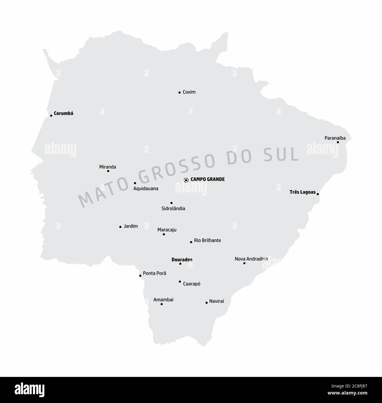 Mato Grosso do Sul State map Stock Vectorhttps://www.alamy.com/image-license-details/?v=1https://www.alamy.com/mato-grosso-do-sul-state-map-image366678599.html
RF2C8FJ87–Mato Grosso do Sul State map
 Driving the car on the Helio Serejo bridge, over the Parana river, on the BR-267 highway. Bridge that divides the states of Mato Grosso do Sul and Sao Stock Photohttps://www.alamy.com/image-license-details/?v=1https://www.alamy.com/driving-the-car-on-the-helio-serejo-bridge-over-the-parana-river-on-the-br-267-highway-bridge-that-divides-the-states-of-mato-grosso-do-sul-and-sao-image631657556.html
RF2YKJDJC–Driving the car on the Helio Serejo bridge, over the Parana river, on the BR-267 highway. Bridge that divides the states of Mato Grosso do Sul and Sao
 Mato Grosso do Sul State regions map Stock Vectorhttps://www.alamy.com/image-license-details/?v=1https://www.alamy.com/mato-grosso-do-sul-state-regions-map-image366355049.html
RF2C80WGW–Mato Grosso do Sul State regions map
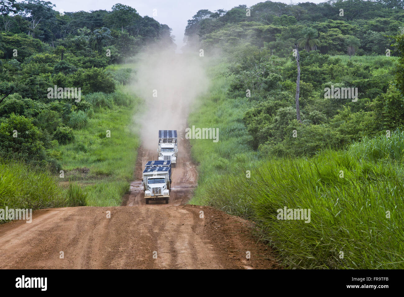 Vehicles traveling at highway land next to the border with Mato Grosso Stock Photohttps://www.alamy.com/image-license-details/?v=1https://www.alamy.com/stock-photo-vehicles-traveling-at-highway-land-next-to-the-border-with-mato-grosso-100405743.html
RMFR9TFB–Vehicles traveling at highway land next to the border with Mato Grosso
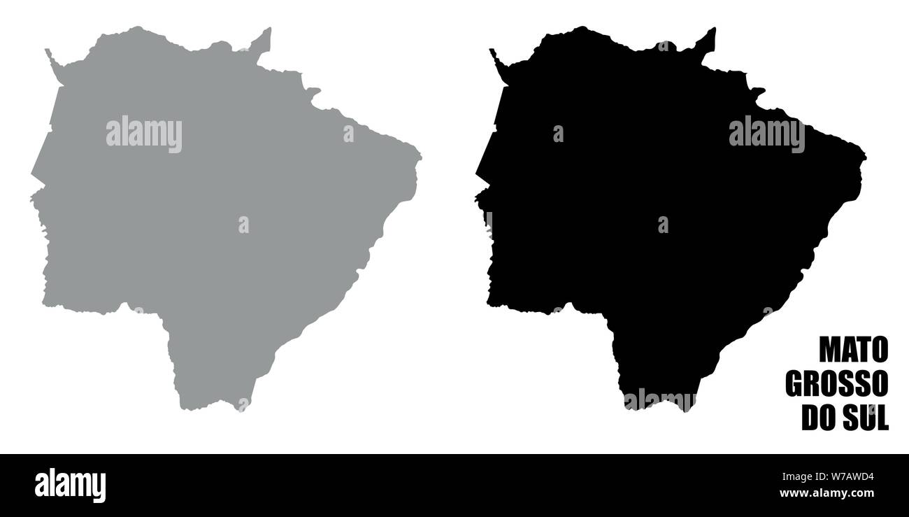 Mato Grosso do Sul silhouette maps isolated on white background Stock Vectorhttps://www.alamy.com/image-license-details/?v=1https://www.alamy.com/mato-grosso-do-sul-silhouette-maps-isolated-on-white-background-image262697600.html
RFW7AWD4–Mato Grosso do Sul silhouette maps isolated on white background
 Cassilandia, Mato Grosso do Sul, Brazil - 04 16 2024: Aerial image of a border control police barrier after roundabout at state border Stock Photohttps://www.alamy.com/image-license-details/?v=1https://www.alamy.com/cassilandia-mato-grosso-do-sul-brazil-04-16-2024-aerial-image-of-a-border-control-police-barrier-after-roundabout-at-state-border-image604289953.html
RF2X33P01–Cassilandia, Mato Grosso do Sul, Brazil - 04 16 2024: Aerial image of a border control police barrier after roundabout at state border
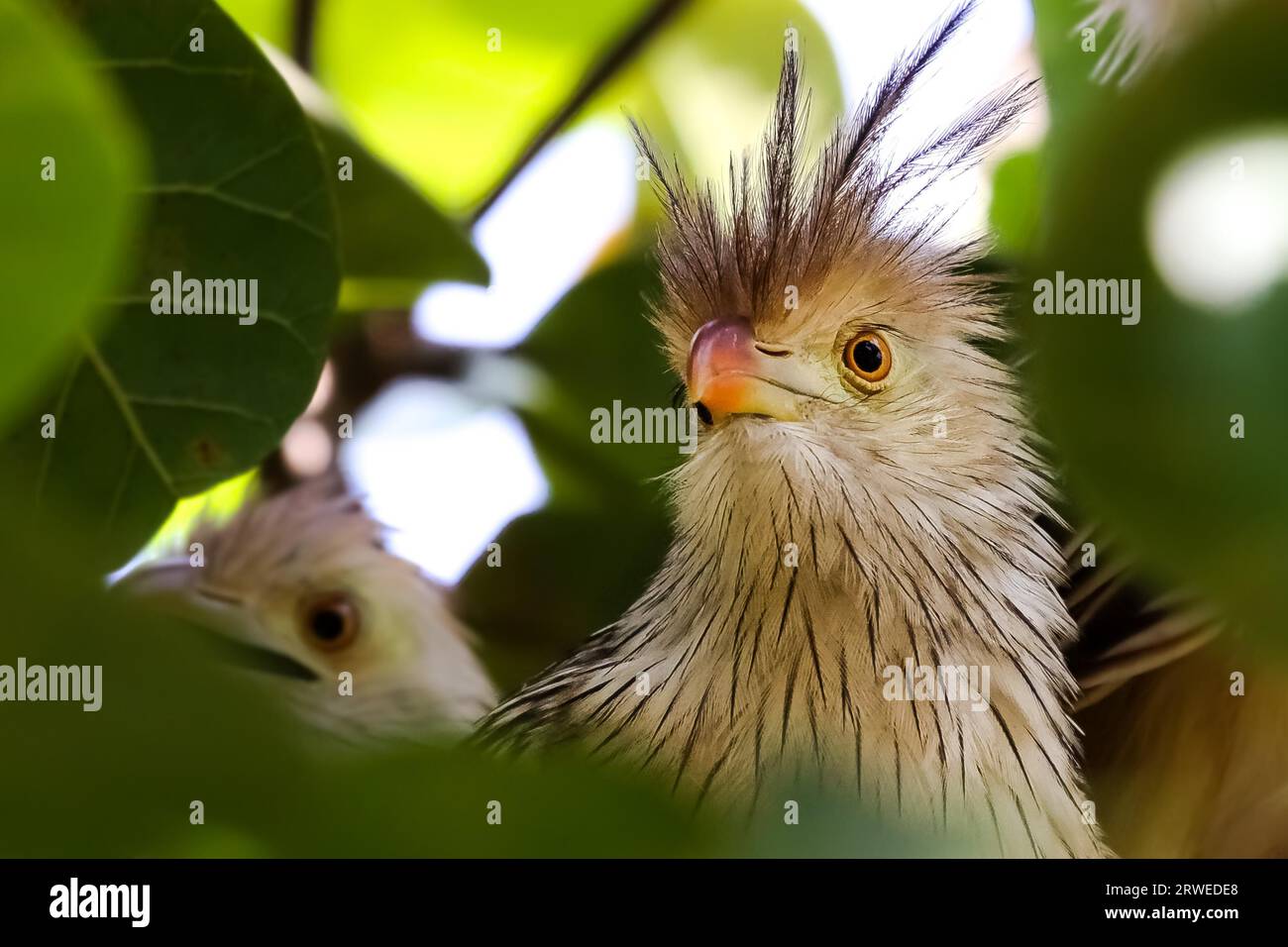 Close up of Guira cuckoo in a tree, Amazon, Brazil Stock Photohttps://www.alamy.com/image-license-details/?v=1https://www.alamy.com/close-up-of-guira-cuckoo-in-a-tree-amazon-brazil-image566416096.html
RF2RWEDE8–Close up of Guira cuckoo in a tree, Amazon, Brazil
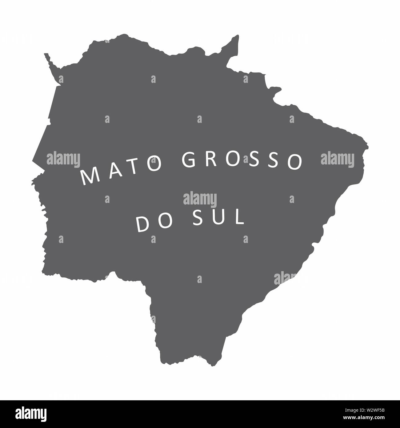 Mato Grosso do Sul State map silhouette Stock Vectorhttps://www.alamy.com/image-license-details/?v=1https://www.alamy.com/mato-grosso-do-sul-state-map-silhouette-image259945543.html
RFW2WF5B–Mato Grosso do Sul State map silhouette
 Wonderful mirror reflection of a rare Agami Heron standing in shallow water at river edge, Pantanal Wetlands, Mato Grosso, Brazil, South America Stock Photohttps://www.alamy.com/image-license-details/?v=1https://www.alamy.com/wonderful-mirror-reflection-of-a-rare-agami-heron-standing-in-shallow-water-at-river-edge-pantanal-wetlands-mato-grosso-brazil-south-america-image620840739.html
RF2Y21MKF–Wonderful mirror reflection of a rare Agami Heron standing in shallow water at river edge, Pantanal Wetlands, Mato Grosso, Brazil, South America
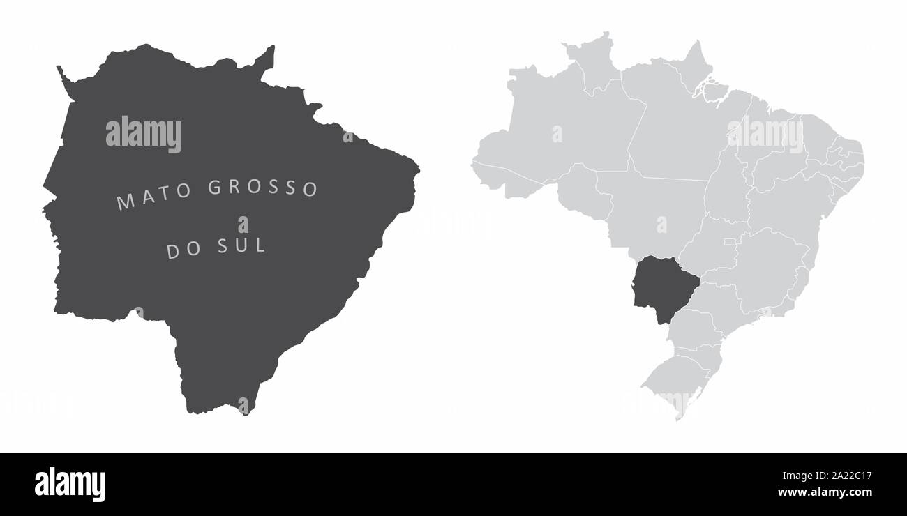 Mato Grosso do Sul State Brazil Stock Vectorhttps://www.alamy.com/image-license-details/?v=1https://www.alamy.com/mato-grosso-do-sul-state-brazil-image328279651.html
RF2A22C17–Mato Grosso do Sul State Brazil
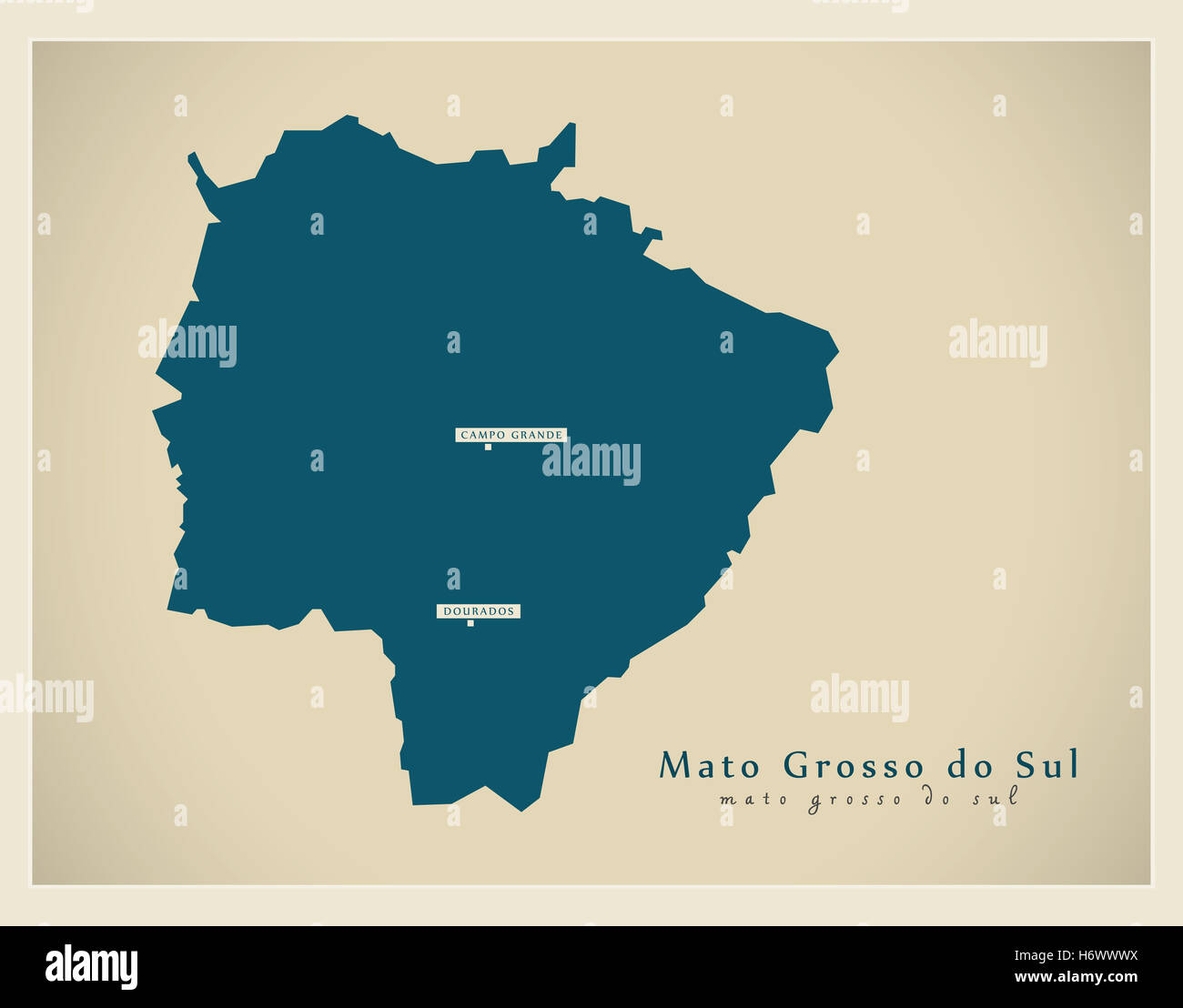 Modern Map - Mato Grosso do Sul BR Stock Photohttps://www.alamy.com/image-license-details/?v=1https://www.alamy.com/stock-photo-modern-map-mato-grosso-do-sul-br-124729638.html
RFH6WWWX–Modern Map - Mato Grosso do Sul BR
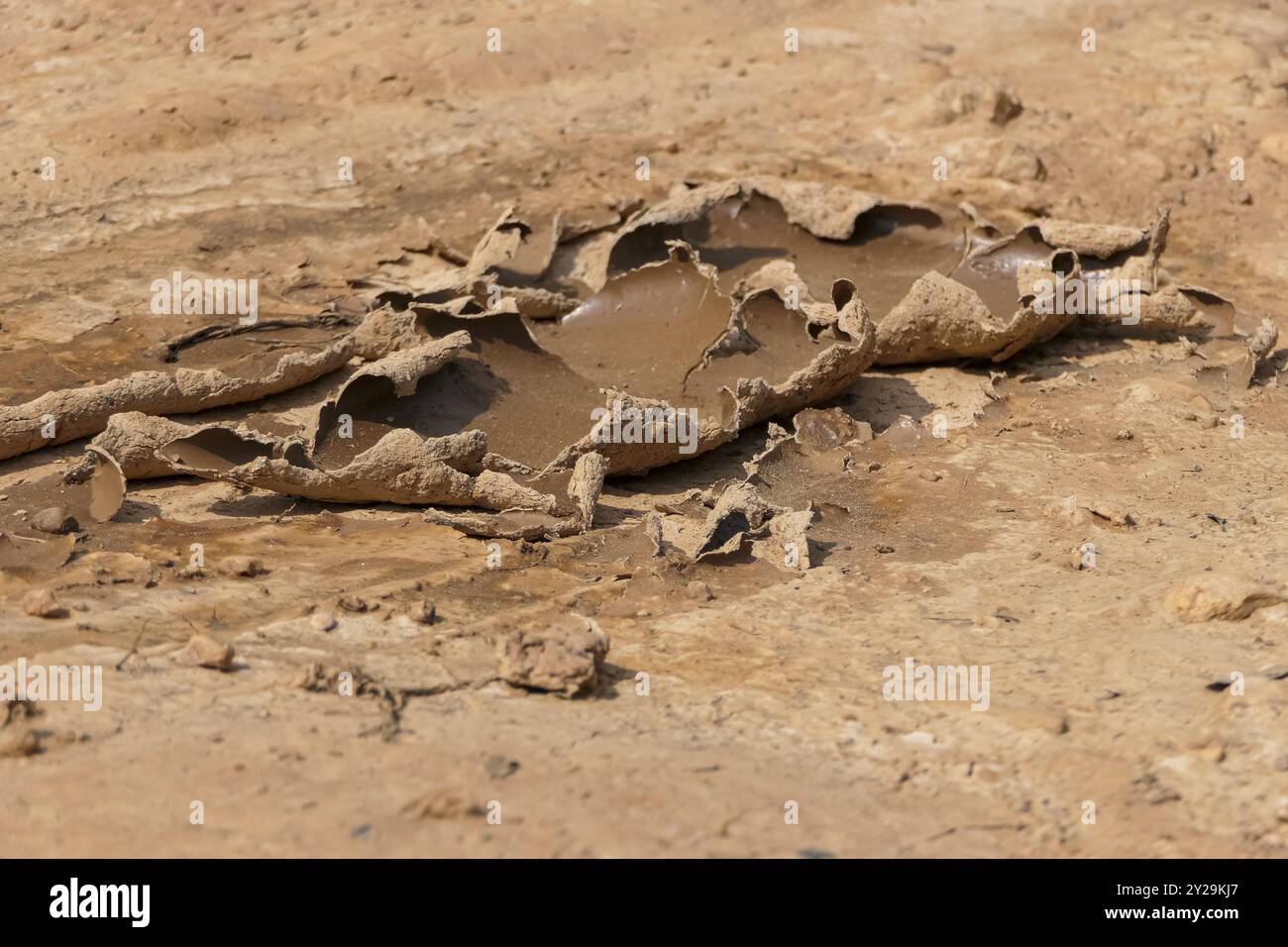 Dried cracked mud puddle at a sandy river edge, Pantanal Wetlands, Mato Grosso, Brazil, South America Stock Photohttps://www.alamy.com/image-license-details/?v=1https://www.alamy.com/dried-cracked-mud-puddle-at-a-sandy-river-edge-pantanal-wetlands-mato-grosso-brazil-south-america-image621015535.html
RM2Y29KJ7–Dried cracked mud puddle at a sandy river edge, Pantanal Wetlands, Mato Grosso, Brazil, South America
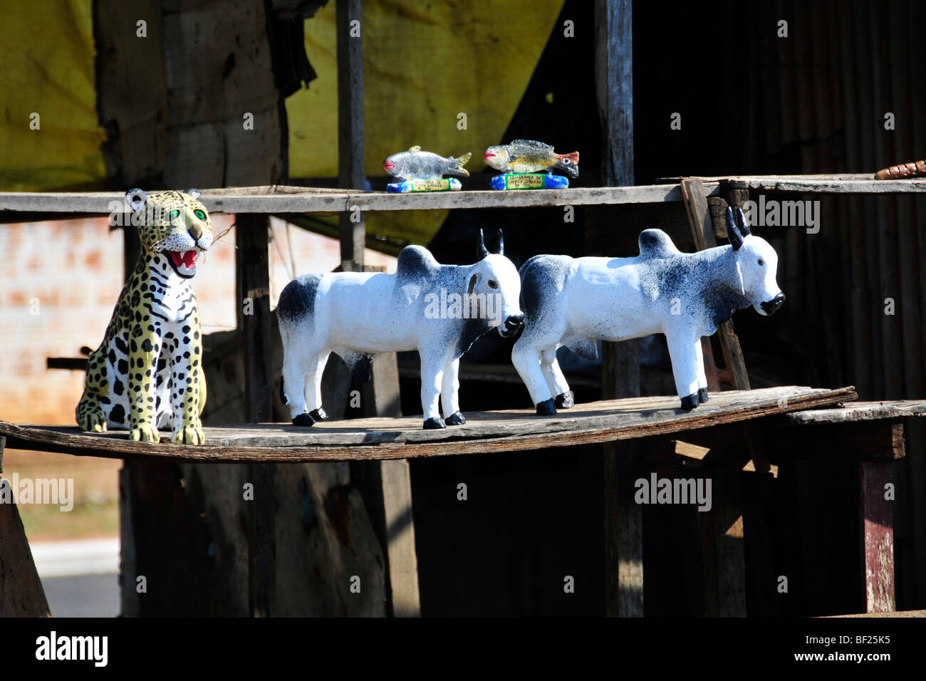 Souvenirs for sale at the roadside near the border between the states of Sao Paulo and Mato Grosso do Sul, Brazil Stock Photohttps://www.alamy.com/image-license-details/?v=1https://www.alamy.com/stock-photo-souvenirs-for-sale-at-the-roadside-near-the-border-between-the-states-26478569.html
RMBF25K5–Souvenirs for sale at the roadside near the border between the states of Sao Paulo and Mato Grosso do Sul, Brazil
 Beautiful Capped Heron in water with plants at lagoon edge, Pantanal Wetlands, Mato Grosso, Brazil, South America Stock Photohttps://www.alamy.com/image-license-details/?v=1https://www.alamy.com/beautiful-capped-heron-in-water-with-plants-at-lagoon-edge-pantanal-wetlands-mato-grosso-brazil-south-america-image621016132.html
RM2Y29MBG–Beautiful Capped Heron in water with plants at lagoon edge, Pantanal Wetlands, Mato Grosso, Brazil, South America
 Aerial image of a bridge over the Apore River, the border of the state of Mato Grosso do Sul with Goias Stock Photohttps://www.alamy.com/image-license-details/?v=1https://www.alamy.com/aerial-image-of-a-bridge-over-the-apore-river-the-border-of-the-state-of-mato-grosso-do-sul-with-goias-image604191287.html
RF2X2Y847–Aerial image of a bridge over the Apore River, the border of the state of Mato Grosso do Sul with Goias
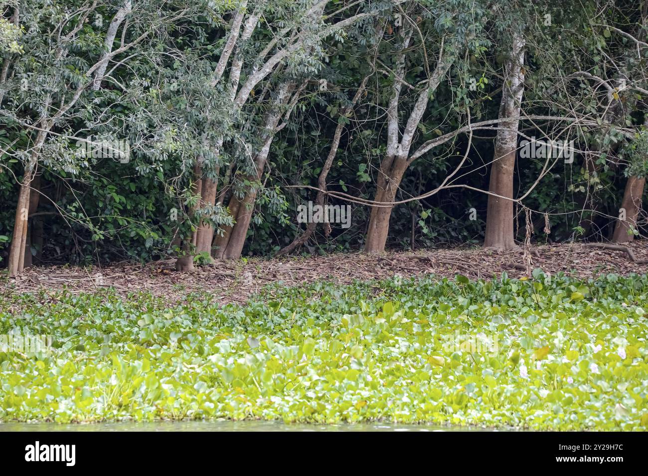 Lagoon edge with water plants, dry foliage and trees with water marks, Pantanal Wetlands, Mato Grosso, Brazil, South America Stock Photohttps://www.alamy.com/image-license-details/?v=1https://www.alamy.com/lagoon-edge-with-water-plants-dry-foliage-and-trees-with-water-marks-pantanal-wetlands-mato-grosso-brazil-south-america-image621013664.html
RM2Y29H7C–Lagoon edge with water plants, dry foliage and trees with water marks, Pantanal Wetlands, Mato Grosso, Brazil, South America
 Brazil, Mato Grosso. cowboys or gauchos in the Guapore valley near the bolivian border. Cattle is very important in this region Stock Photohttps://www.alamy.com/image-license-details/?v=1https://www.alamy.com/brazil-mato-grosso-cowboys-or-gauchos-in-the-guapore-valley-near-the-bolivian-border-cattle-is-very-important-in-this-region-image469436669.html
RM2J7MK79–Brazil, Mato Grosso. cowboys or gauchos in the Guapore valley near the bolivian border. Cattle is very important in this region
 Wood stork foraging at a green lagoon edge, Pantanal Wetlands, Mato Grosso, Brazil, South America Stock Photohttps://www.alamy.com/image-license-details/?v=1https://www.alamy.com/wood-stork-foraging-at-a-green-lagoon-edge-pantanal-wetlands-mato-grosso-brazil-south-america-image621015827.html
RM2Y29M0K–Wood stork foraging at a green lagoon edge, Pantanal Wetlands, Mato Grosso, Brazil, South America
 Mato Grosso map with Brazilian national flag illustration Stock Vectorhttps://www.alamy.com/image-license-details/?v=1https://www.alamy.com/stock-photo-mato-grosso-map-with-brazilian-national-flag-illustration-141167199.html
RFJ5JM5K–Mato Grosso map with Brazilian national flag illustration
 Young Jaguar in a bed of water hyacinths, view to its back, looking attentive to river edge, dawn mood, Pantanal Wetlands, Mato Grosso, Brazil, South Stock Photohttps://www.alamy.com/image-license-details/?v=1https://www.alamy.com/young-jaguar-in-a-bed-of-water-hyacinths-view-to-its-back-looking-attentive-to-river-edge-dawn-mood-pantanal-wetlands-mato-grosso-brazil-south-image621013075.html
RM2Y29GEB–Young Jaguar in a bed of water hyacinths, view to its back, looking attentive to river edge, dawn mood, Pantanal Wetlands, Mato Grosso, Brazil, South
 Mato Grosso Brazil Map black inverted silhouette Stock Vectorhttps://www.alamy.com/image-license-details/?v=1https://www.alamy.com/stock-photo-mato-grosso-brazil-map-black-inverted-silhouette-133128995.html
RFHMGFAY–Mato Grosso Brazil Map black inverted silhouette
 Parana River, border between States of Mato Grosso do Sul and São Paulo - Brazil Stock Photohttps://www.alamy.com/image-license-details/?v=1https://www.alamy.com/parana-river-border-between-states-of-mato-grosso-do-sul-and-so-paulo-brazil-image367969971.html
RF2CAJDCK–Parana River, border between States of Mato Grosso do Sul and São Paulo - Brazil
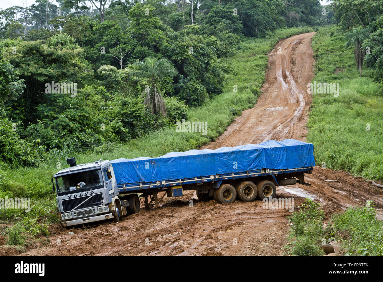 Vehicle jammed cargo road next land border with Mato Grosso Stock Photohttps://www.alamy.com/image-license-details/?v=1https://www.alamy.com/stock-photo-vehicle-jammed-cargo-road-next-land-border-with-mato-grosso-100405751.html
RMFR9TFK–Vehicle jammed cargo road next land border with Mato Grosso
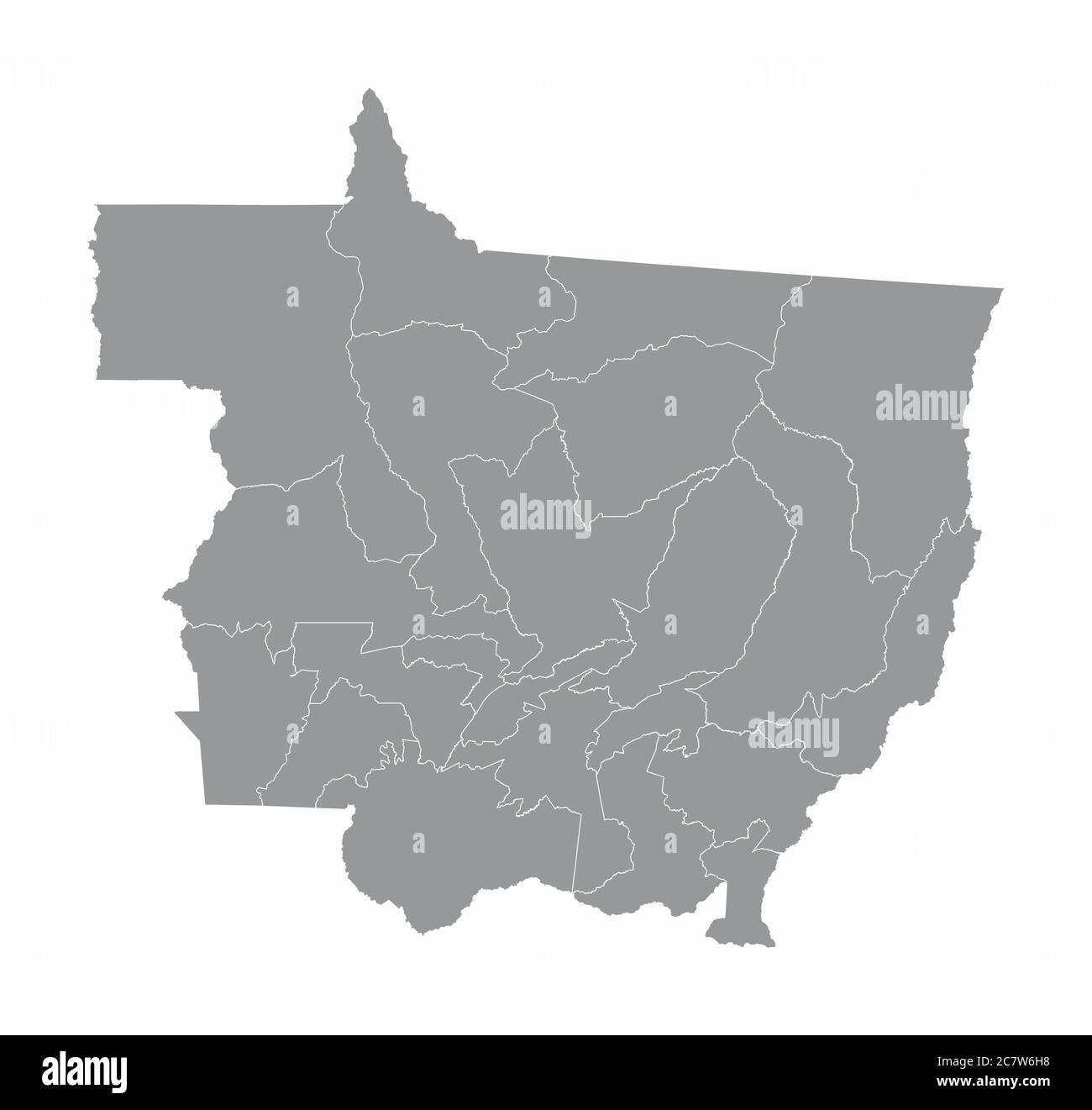 Mato Grosso State regions map Stock Vectorhttps://www.alamy.com/image-license-details/?v=1https://www.alamy.com/mato-grosso-state-regions-map-image366274308.html
RF2C7W6H8–Mato Grosso State regions map
 Border between the Brazilian city of Ponta Pora - MS and the Paraguayan city of Pedro Juan Caballero Stock Photohttps://www.alamy.com/image-license-details/?v=1https://www.alamy.com/stock-photo-border-between-the-brazilian-city-of-ponta-pora-ms-and-the-paraguayan-97937286.html
RMFK9C06–Border between the Brazilian city of Ponta Pora - MS and the Paraguayan city of Pedro Juan Caballero
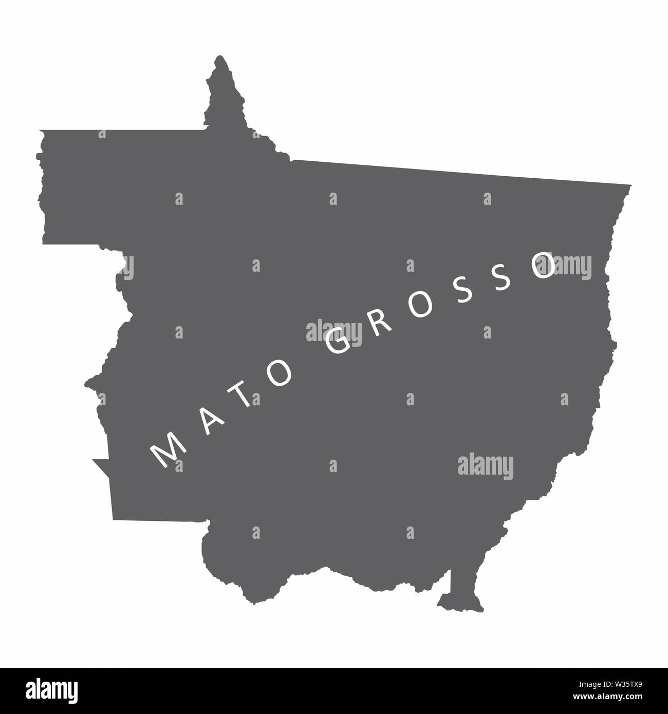 Mato Grosso State map Stock Vectorhttps://www.alamy.com/image-license-details/?v=1https://www.alamy.com/mato-grosso-state-map-image260128801.html
RFW35TX9–Mato Grosso State map
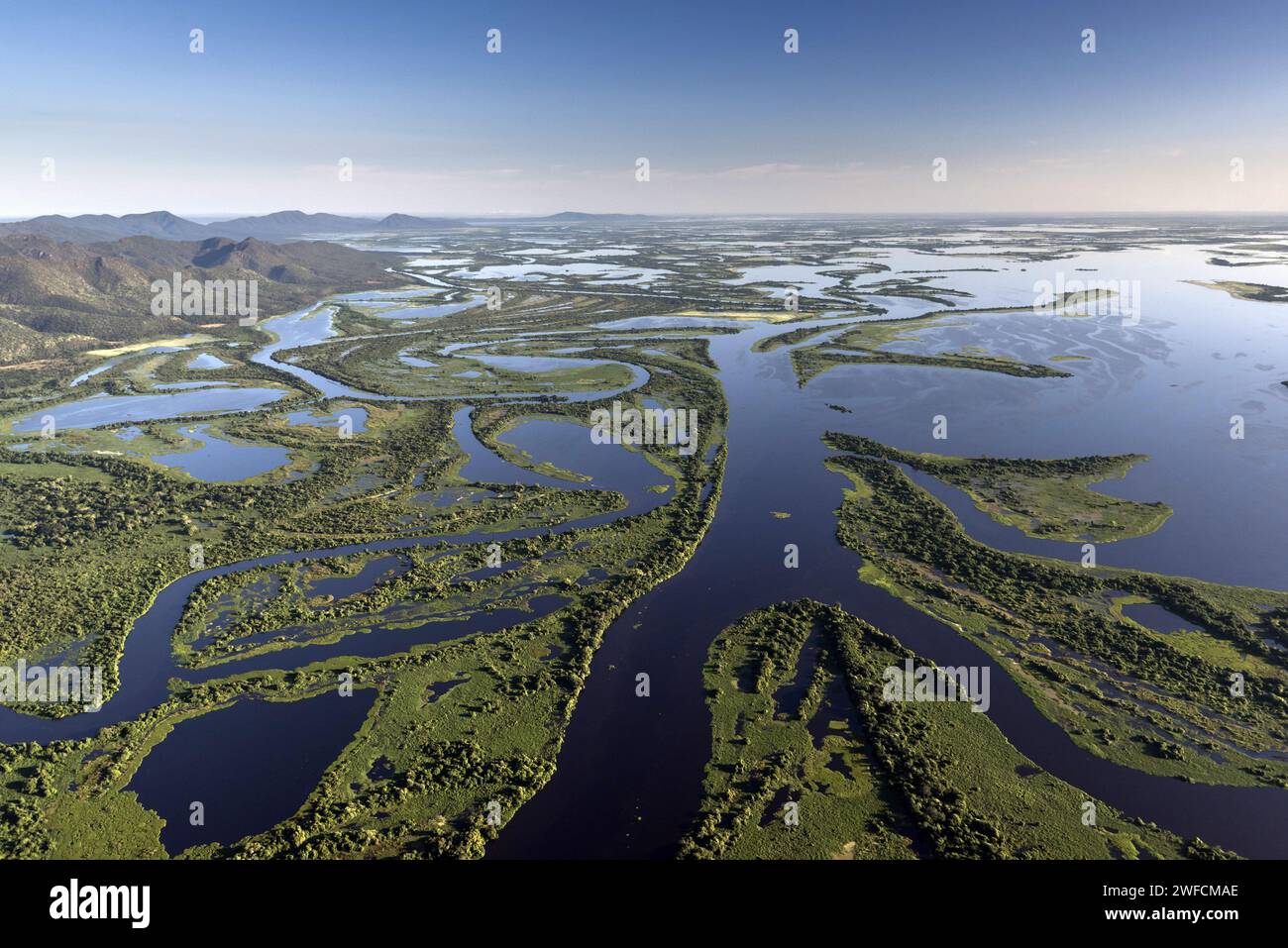 Aerial view of the Pantanal mato-grossense National Park - Serra do Amolar in the background on the left - On the border of the states of Mato Grosso and Mato Grosso do Sul Stock Photohttps://www.alamy.com/image-license-details/?v=1https://www.alamy.com/aerial-view-of-the-pantanal-mato-grossense-national-park-serra-do-amolar-in-the-background-on-the-left-on-the-border-of-the-states-of-mato-grosso-and-mato-grosso-do-sul-image594651750.html
RM2WFCMAE–Aerial view of the Pantanal mato-grossense National Park - Serra do Amolar in the background on the left - On the border of the states of Mato Grosso and Mato Grosso do Sul
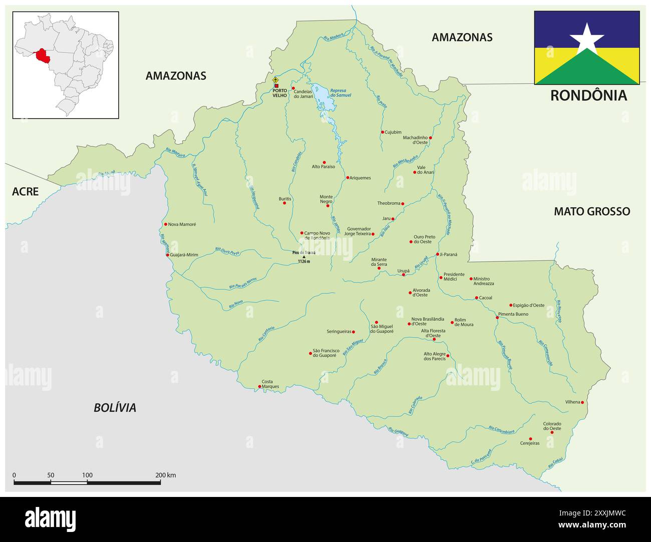 Map of the Brazilian state of Rondonia Stock Photohttps://www.alamy.com/image-license-details/?v=1https://www.alamy.com/map-of-the-brazilian-state-of-rondonia-image618755464.html
RF2XXJMWC–Map of the Brazilian state of Rondonia
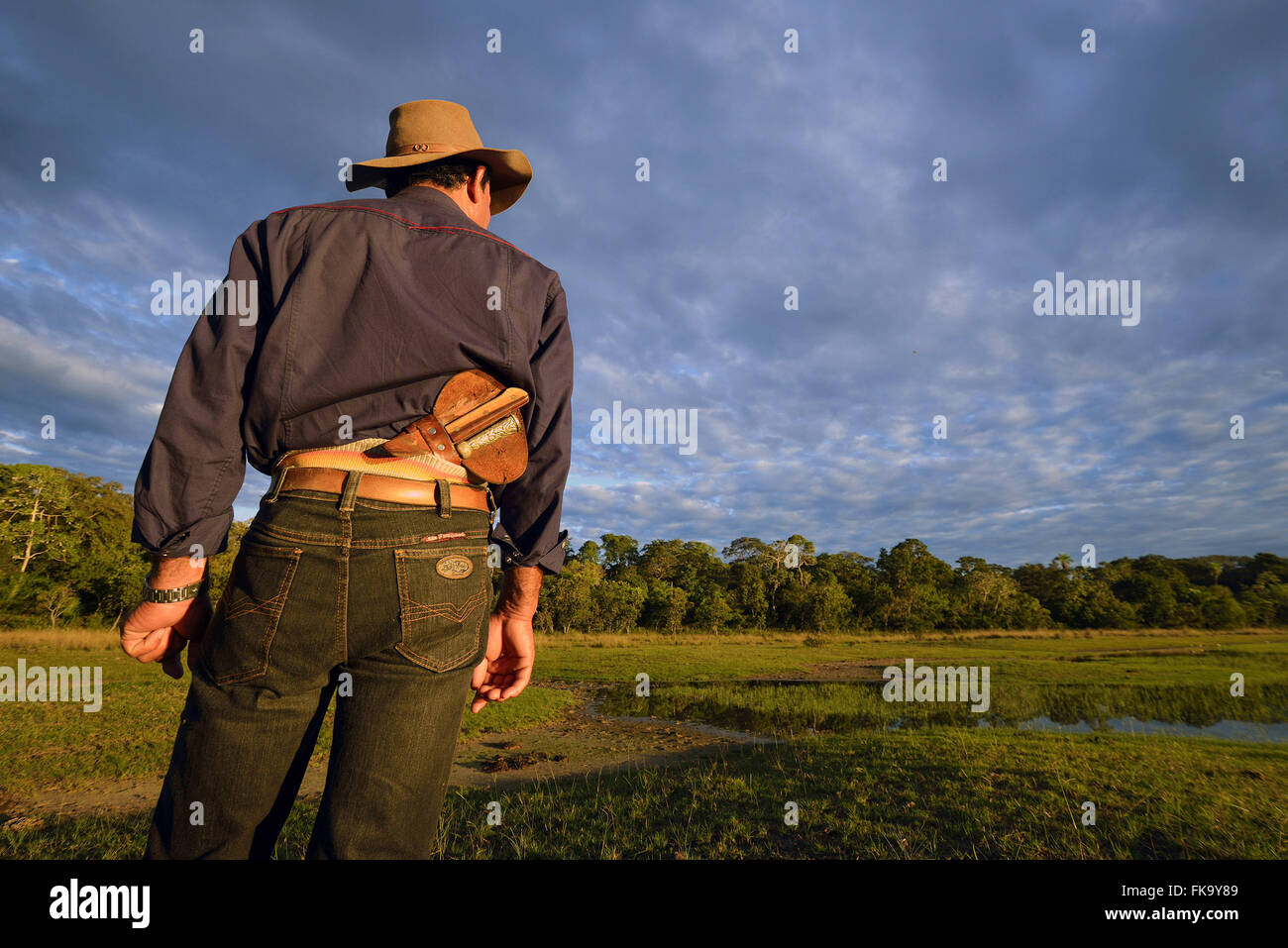 Pantanal in saltpeter border on South Pantanal Stock Photohttps://www.alamy.com/image-license-details/?v=1https://www.alamy.com/stock-photo-pantanal-in-saltpeter-border-on-south-pantanal-97949273.html
RMFK9Y89–Pantanal in saltpeter border on South Pantanal
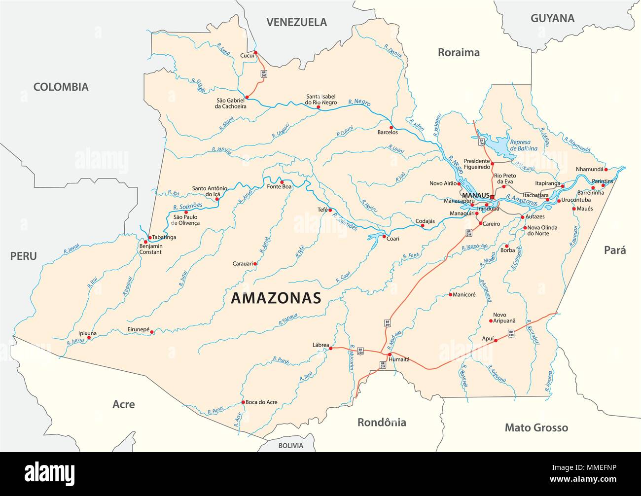 road vector map of the brazilian state amazonas Stock Vectorhttps://www.alamy.com/image-license-details/?v=1https://www.alamy.com/road-vector-map-of-the-brazilian-state-amazonas-image184716498.html
RFMMEFNP–road vector map of the brazilian state amazonas
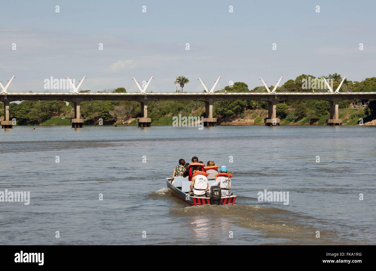 Araguaia River in the city of Barra do Garcas - wet state border between Goias and Mato Grosso Stock Photohttps://www.alamy.com/image-license-details/?v=1https://www.alamy.com/stock-photo-araguaia-river-in-the-city-of-barra-do-garcas-wet-state-border-between-97951268.html
RMFKA1RG–Araguaia River in the city of Barra do Garcas - wet state border between Goias and Mato Grosso
 Typical souvenirs for sale at the roadside near the border between the states of Sao Paulo and Mato Grosso do Sul, Brazil Stock Photohttps://www.alamy.com/image-license-details/?v=1https://www.alamy.com/stock-photo-typical-souvenirs-for-sale-at-the-roadside-near-the-border-between-26478087.html
RMBF251Y–Typical souvenirs for sale at the roadside near the border between the states of Sao Paulo and Mato Grosso do Sul, Brazil
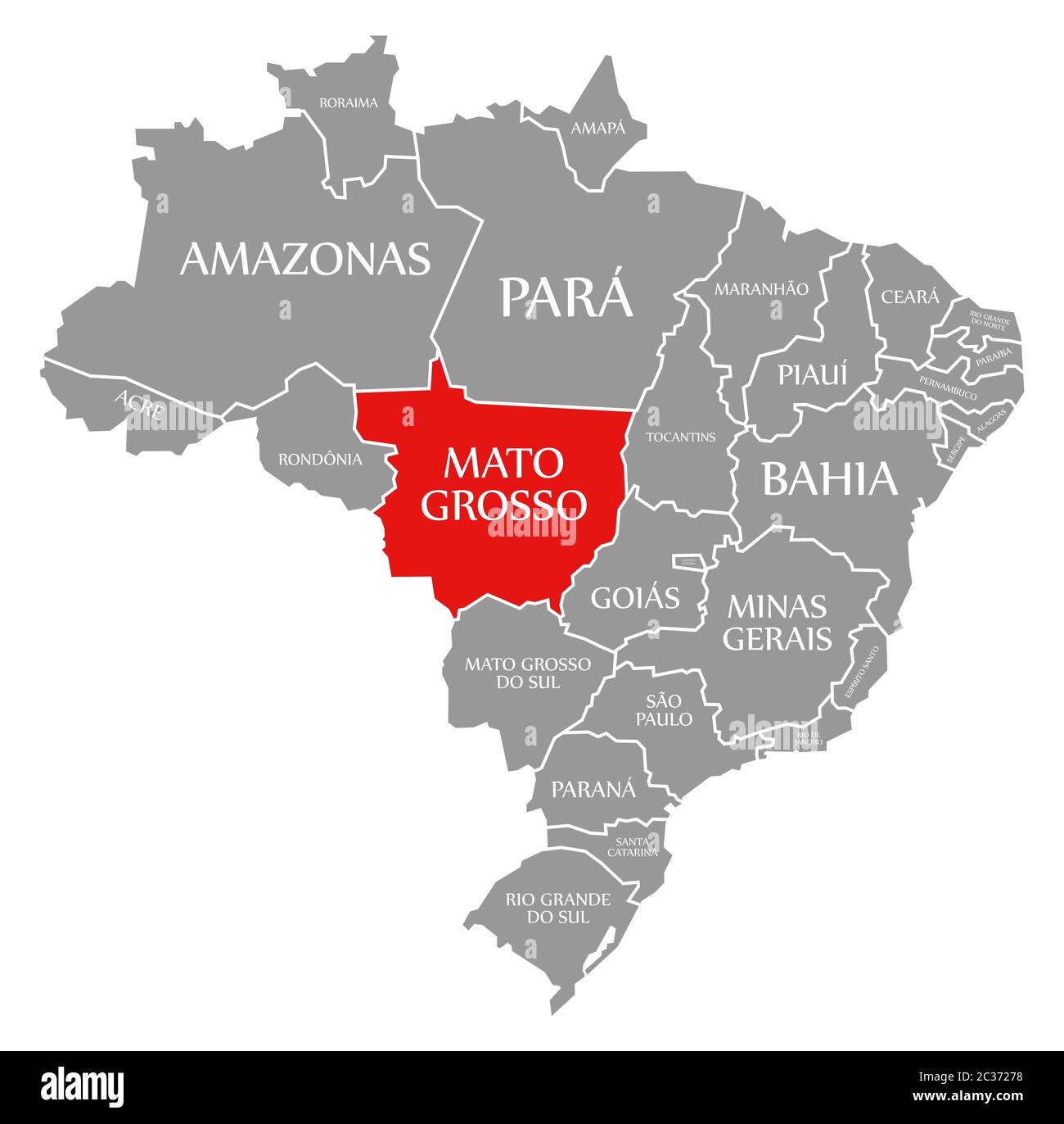 Mato Grosso red highlighted in map of Brazil Stock Photohttps://www.alamy.com/image-license-details/?v=1https://www.alamy.com/mato-grosso-red-highlighted-in-map-of-brazil-image363417132.html
RF2C37278–Mato Grosso red highlighted in map of Brazil
 Cassilandia, Mato Grosso do Sul, Brazil - 04 12 2024: Aerial image of a bridge over the Apore River, the border of the state of Mato Grosso do Sul wit Stock Photohttps://www.alamy.com/image-license-details/?v=1https://www.alamy.com/cassilandia-mato-grosso-do-sul-brazil-04-12-2024-aerial-image-of-a-bridge-over-the-apore-river-the-border-of-the-state-of-mato-grosso-do-sul-wit-image604287511.html
RF2X33JTR–Cassilandia, Mato Grosso do Sul, Brazil - 04 12 2024: Aerial image of a bridge over the Apore River, the border of the state of Mato Grosso do Sul wit
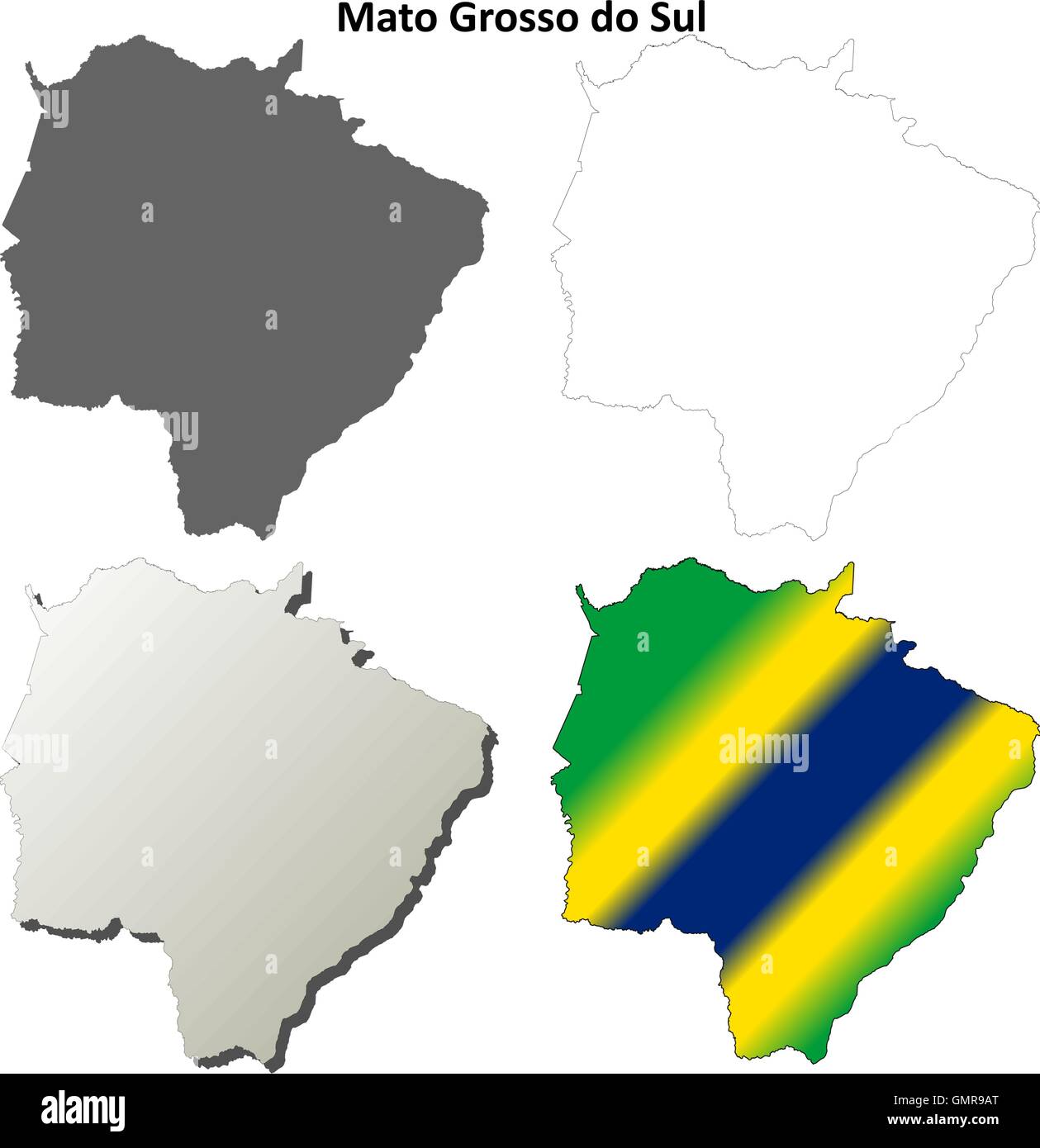 Mato Grosso do Sul blank outline map set Stock Vectorhttps://www.alamy.com/image-license-details/?v=1https://www.alamy.com/stock-photo-mato-grosso-do-sul-blank-outline-map-set-116067584.html
RFGMR9AT–Mato Grosso do Sul blank outline map set
 Brazil, Mato Grosso. cowboys or gauchos in the Guapore valley near the bolivian border. Cattle is very important in this region Stock Photohttps://www.alamy.com/image-license-details/?v=1https://www.alamy.com/brazil-mato-grosso-cowboys-or-gauchos-in-the-guapore-valley-near-the-bolivian-border-cattle-is-very-important-in-this-region-image469436685.html
RM2J7MK7W–Brazil, Mato Grosso. cowboys or gauchos in the Guapore valley near the bolivian border. Cattle is very important in this region
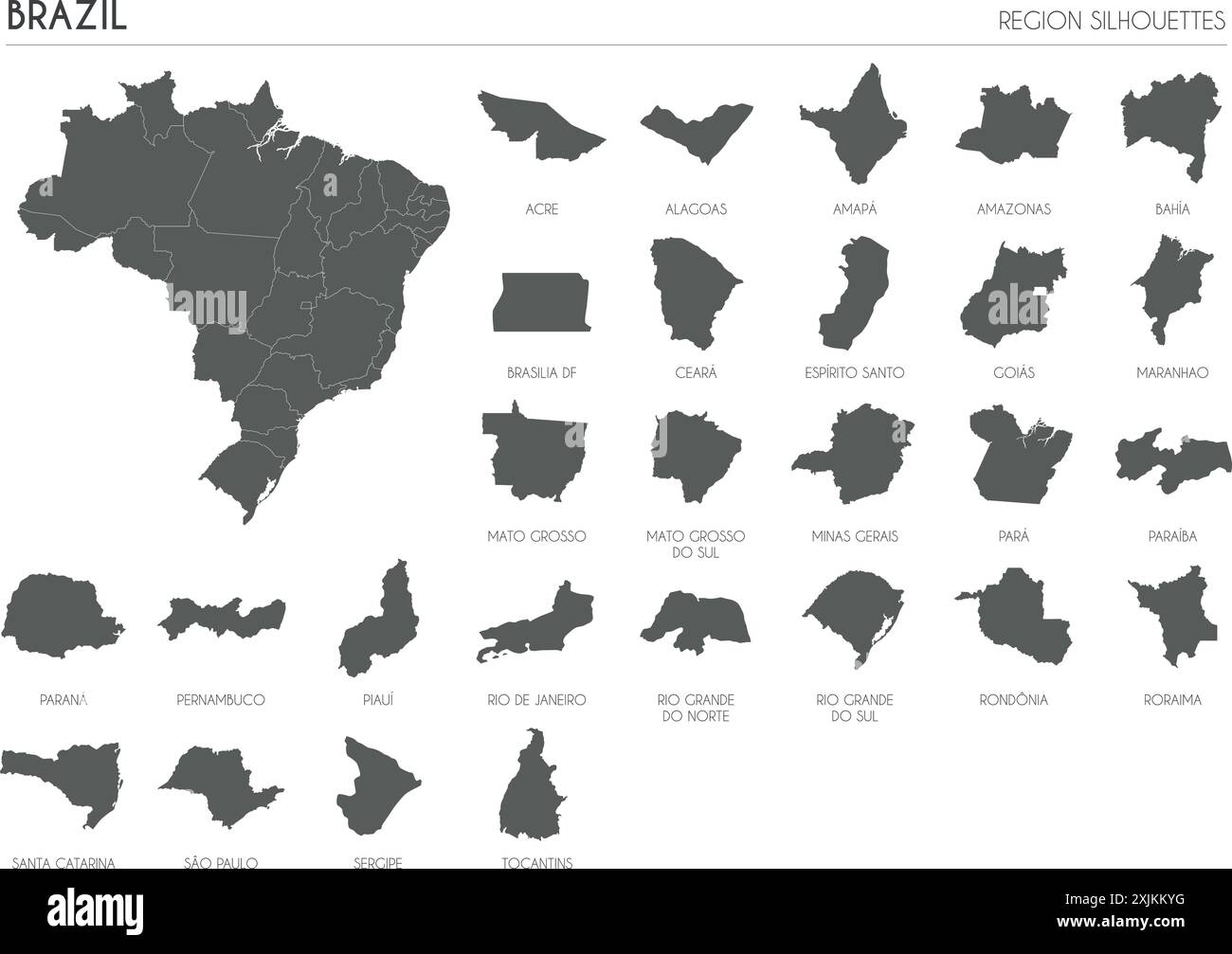 Brazil region silhouettes set and blank map of the country isolated on white background. Vector illustration design Stock Vectorhttps://www.alamy.com/image-license-details/?v=1https://www.alamy.com/brazil-region-silhouettes-set-and-blank-map-of-the-country-isolated-on-white-background-vector-illustration-design-image613859444.html
RF2XJKKYG–Brazil region silhouettes set and blank map of the country isolated on white background. Vector illustration design
 Shinning Milkyway visible in rural aereas in Brazil, Mato Grosso state. Stock Photohttps://www.alamy.com/image-license-details/?v=1https://www.alamy.com/shinning-milkyway-visible-in-rural-aereas-in-brazil-mato-grosso-state-image367035401.html
RF2C93WB5–Shinning Milkyway visible in rural aereas in Brazil, Mato Grosso state.
 Driving the car on the Helio Serejo bridge, over the Parana river, on the BR-267 highway. Bridge that divides the states of Mato Grosso do Sul and São Stock Photohttps://www.alamy.com/image-license-details/?v=1https://www.alamy.com/driving-the-car-on-the-helio-serejo-bridge-over-the-parana-river-on-the-br-267-highway-bridge-that-divides-the-states-of-mato-grosso-do-sul-and-so-image630369677.html
RF2YHFPXN–Driving the car on the Helio Serejo bridge, over the Parana river, on the BR-267 highway. Bridge that divides the states of Mato Grosso do Sul and São
 Mato Grosso do sul Brazil Map black inverted silhouette Stock Vectorhttps://www.alamy.com/image-license-details/?v=1https://www.alamy.com/stock-photo-mato-grosso-do-sul-brazil-map-black-inverted-silhouette-133128990.html
RFHMGFAP–Mato Grosso do sul Brazil Map black inverted silhouette
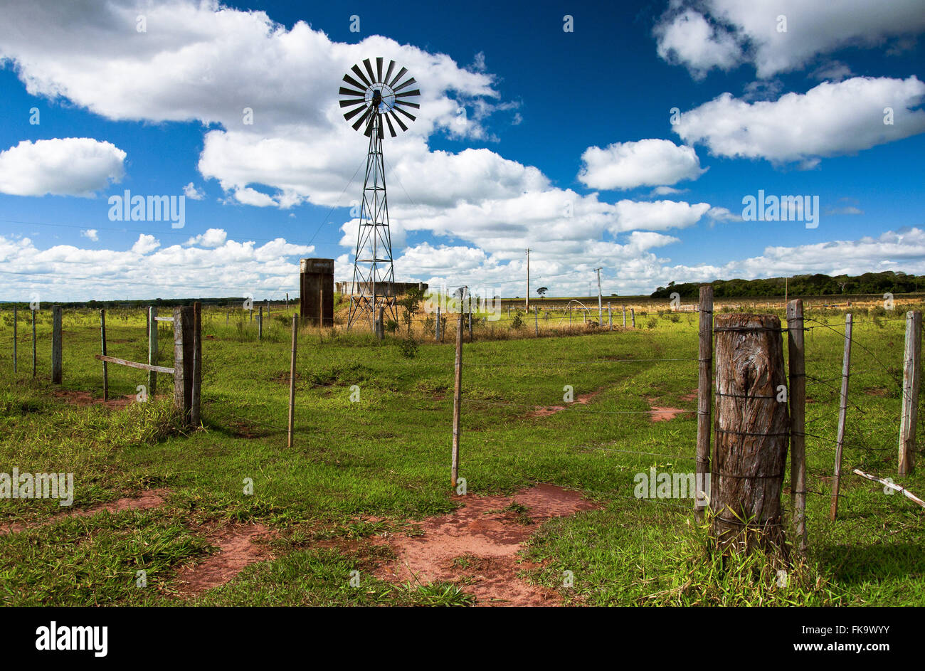 Weathervane to capture water in the tank farm next to the border with Paraguay Stock Photohttps://www.alamy.com/image-license-details/?v=1https://www.alamy.com/stock-photo-weathervane-to-capture-water-in-the-tank-farm-next-to-the-border-with-97948255.html
RMFK9WYY–Weathervane to capture water in the tank farm next to the border with Paraguay
 Mato Grosso do Sul map with Brazilian national flag illustration Stock Vectorhttps://www.alamy.com/image-license-details/?v=1https://www.alamy.com/stock-photo-mato-grosso-do-sul-map-with-brazilian-national-flag-illustration-141167188.html
RFJ5JM58–Mato Grosso do Sul map with Brazilian national flag illustration
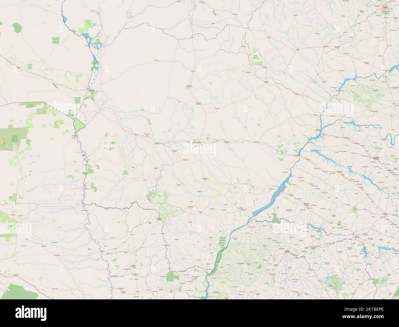 Mato Grosso do Sul, state of Brazil. Open Street Map Stock Photohttps://www.alamy.com/image-license-details/?v=1https://www.alamy.com/mato-grosso-do-sul-state-of-brazil-open-street-map-image482758038.html
RF2K1BEPE–Mato Grosso do Sul, state of Brazil. Open Street Map
 mato grosso do sul state on admistration map of brazil with flags Stock Photohttps://www.alamy.com/image-license-details/?v=1https://www.alamy.com/stock-photo-mato-grosso-do-sul-state-on-admistration-map-of-brazil-with-flags-126045706.html
RFH91TGA–mato grosso do sul state on admistration map of brazil with flags
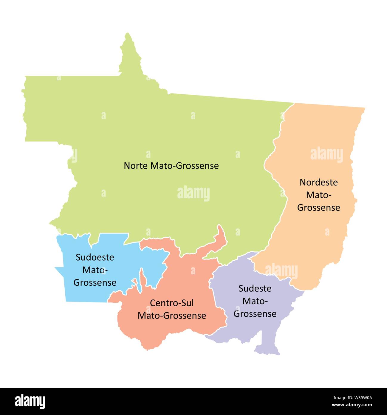 Mato Grosso State regions Stock Vectorhttps://www.alamy.com/image-license-details/?v=1https://www.alamy.com/mato-grosso-state-regions-image260128858.html
RFW35W0A–Mato Grosso State regions
 PORTO JOFRE, MATO GROSSO, BRAZIL, JULY 25, 2018: Street sign to the Hotel Pantanal Norte coming from the Transpantaneira Stock Photohttps://www.alamy.com/image-license-details/?v=1https://www.alamy.com/porto-jofre-mato-grosso-brazil-july-25-2018-street-sign-to-the-hotel-pantanal-norte-coming-from-the-transpantaneira-image239181975.html
RFRW3K1B–PORTO JOFRE, MATO GROSSO, BRAZIL, JULY 25, 2018: Street sign to the Hotel Pantanal Norte coming from the Transpantaneira
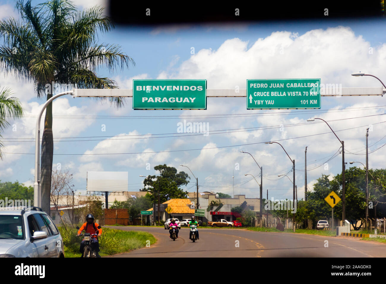 Road signs on the border between Brazil (Mato Grosso do Sul) and Paraguay (Pedro Juan Caballero). Stock Photohttps://www.alamy.com/image-license-details/?v=1https://www.alamy.com/road-signs-on-the-border-between-brazil-mato-grosso-do-sul-and-paraguay-pedro-juan-caballero-image333505508.html
RM2AAGDK0–Road signs on the border between Brazil (Mato Grosso do Sul) and Paraguay (Pedro Juan Caballero).
 Map of Mato Grosso - Brazil Stock Photohttps://www.alamy.com/image-license-details/?v=1https://www.alamy.com/stock-photo-map-of-mato-grosso-brazil-33061850.html
RFBWP2MA–Map of Mato Grosso - Brazil
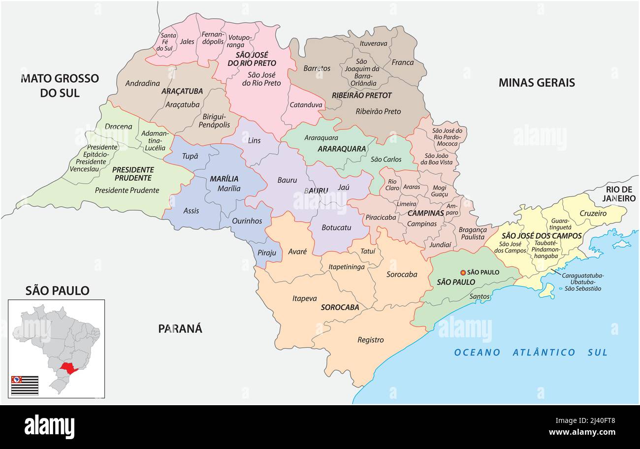 Map of intermediate and immediate geographic regions of Sao Paulo, Brazil Stock Vectorhttps://www.alamy.com/image-license-details/?v=1https://www.alamy.com/map-of-intermediate-and-immediate-geographic-regions-of-sao-paulo-brazil-image467151000.html
RF2J40FT8–Map of intermediate and immediate geographic regions of Sao Paulo, Brazil
 Mato Grosso (Region of Brazil, Federated state, Federative Republic of Brazil) map vector illustration, scribble sketch Mato Grosso map Stock Vectorhttps://www.alamy.com/image-license-details/?v=1https://www.alamy.com/mato-grosso-region-of-brazil-federated-state-federative-republic-of-brazil-map-vector-illustration-scribble-sketch-mato-grosso-map-image223875045.html
RFR06AW9–Mato Grosso (Region of Brazil, Federated state, Federative Republic of Brazil) map vector illustration, scribble sketch Mato Grosso map
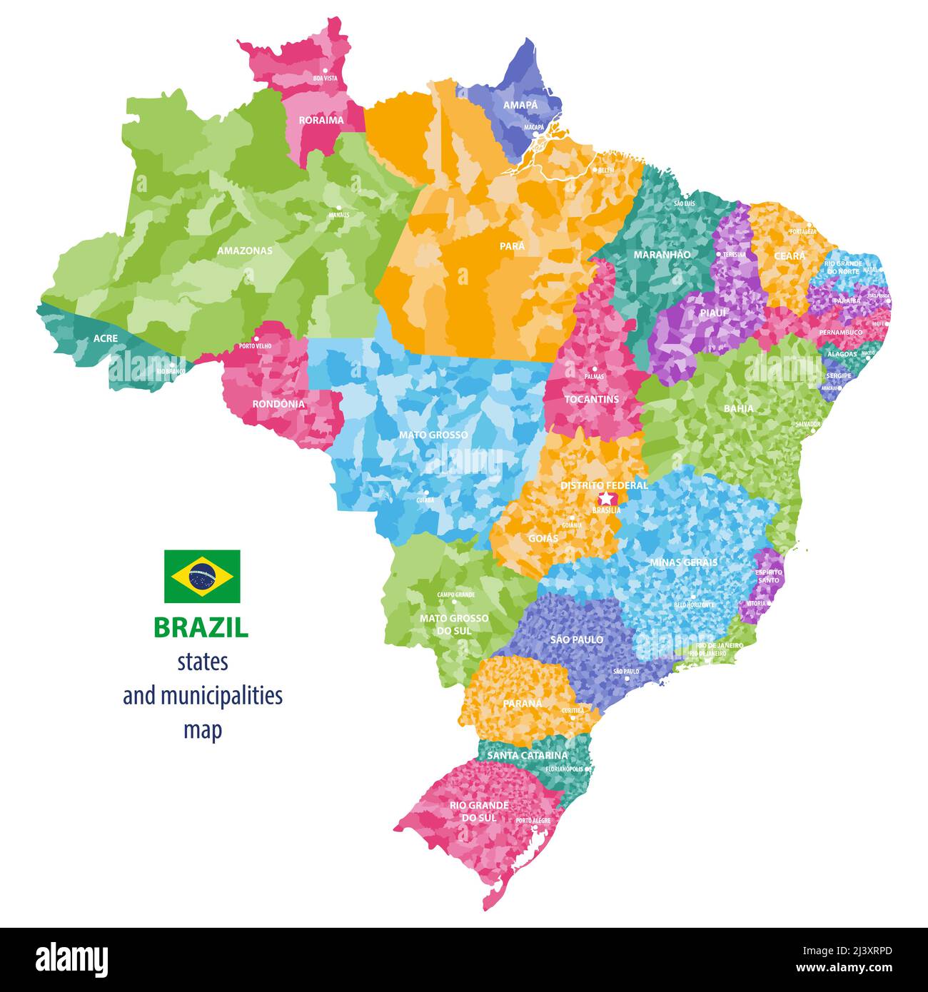 Brazil states and municipalities vector high detailed colored map Stock Vectorhttps://www.alamy.com/image-license-details/?v=1https://www.alamy.com/brazil-states-and-municipalities-vector-high-detailed-colored-map-image467113317.html
RF2J3XRPD–Brazil states and municipalities vector high detailed colored map
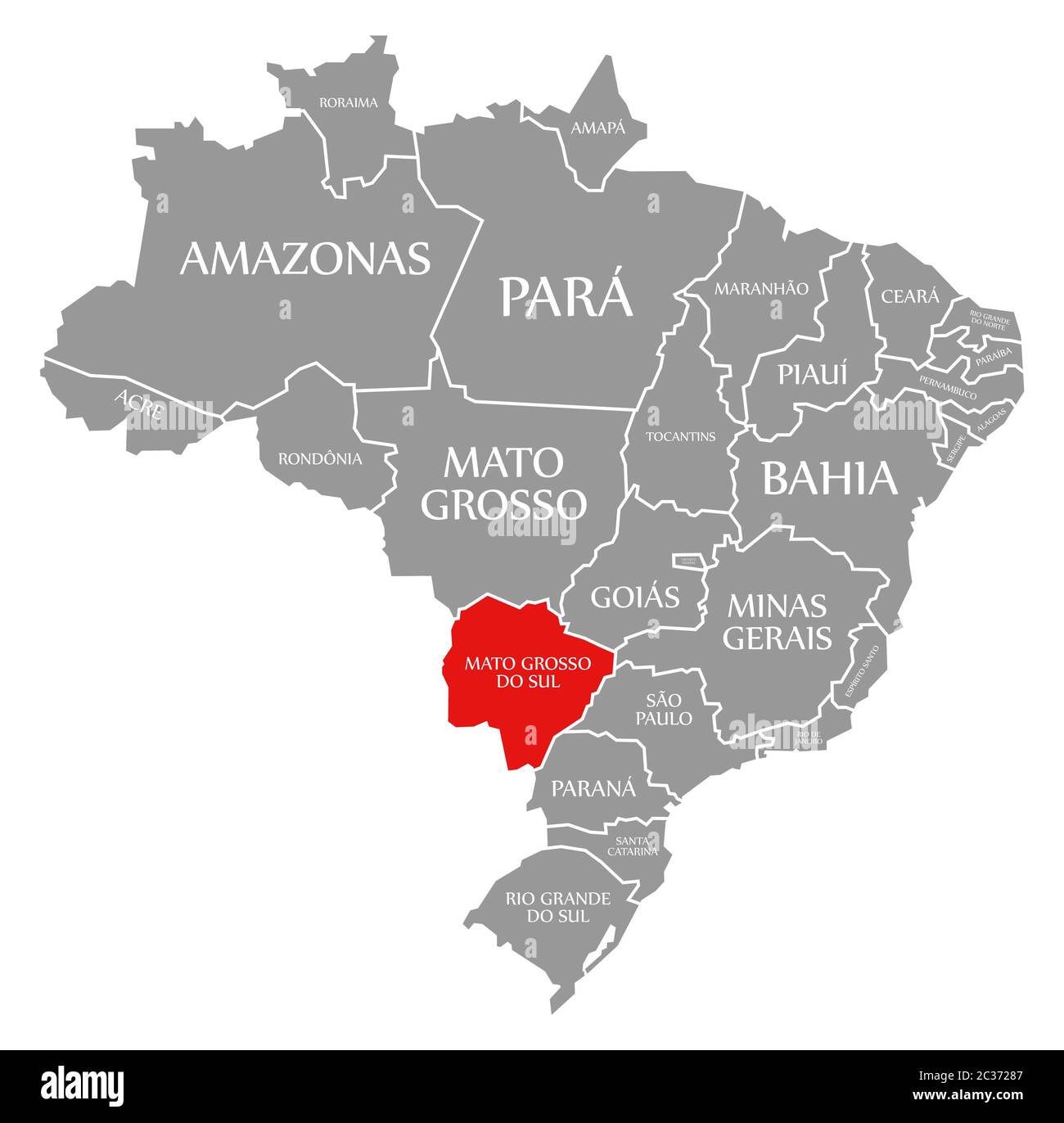 Mato Grosso do Sul red highlighted in map of Brazil Stock Photohttps://www.alamy.com/image-license-details/?v=1https://www.alamy.com/mato-grosso-do-sul-red-highlighted-in-map-of-brazil-image363417159.html
RF2C37287–Mato Grosso do Sul red highlighted in map of Brazil
 Cassilandia, Mato Grosso do Sul, Brazil - 04 12 2024: Aerial image of a bridge over the Apore River, the border of the state of Mato Grosso do Sul wit Stock Photohttps://www.alamy.com/image-license-details/?v=1https://www.alamy.com/cassilandia-mato-grosso-do-sul-brazil-04-12-2024-aerial-image-of-a-bridge-over-the-apore-river-the-border-of-the-state-of-mato-grosso-do-sul-wit-image604287662.html
RF2X33K26–Cassilandia, Mato Grosso do Sul, Brazil - 04 12 2024: Aerial image of a bridge over the Apore River, the border of the state of Mato Grosso do Sul wit
 Mato Grosso blank outline map set Stock Vectorhttps://www.alamy.com/image-license-details/?v=1https://www.alamy.com/stock-photo-mato-grosso-blank-outline-map-set-116137295.html
RFGMXE8F–Mato Grosso blank outline map set
 Brazil, Mato Grosso. cowboys or gauchos in the Guapore valley near the bolivian border. Cattle is very important in this region Stock Photohttps://www.alamy.com/image-license-details/?v=1https://www.alamy.com/brazil-mato-grosso-cowboys-or-gauchos-in-the-guapore-valley-near-the-bolivian-border-cattle-is-very-important-in-this-region-image469436691.html
RM2J7MK83–Brazil, Mato Grosso. cowboys or gauchos in the Guapore valley near the bolivian border. Cattle is very important in this region
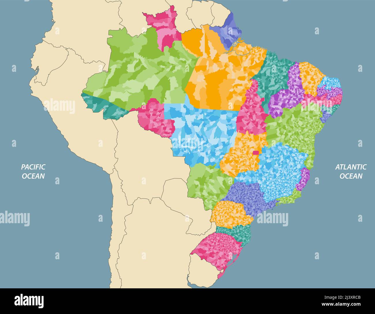 Brazil states and municipalities vector high detailed map with neighbouring countries and territories Stock Vectorhttps://www.alamy.com/image-license-details/?v=1https://www.alamy.com/brazil-states-and-municipalities-vector-high-detailed-map-with-neighbouring-countries-and-territories-image467113035.html
RF2J3XRCB–Brazil states and municipalities vector high detailed map with neighbouring countries and territories
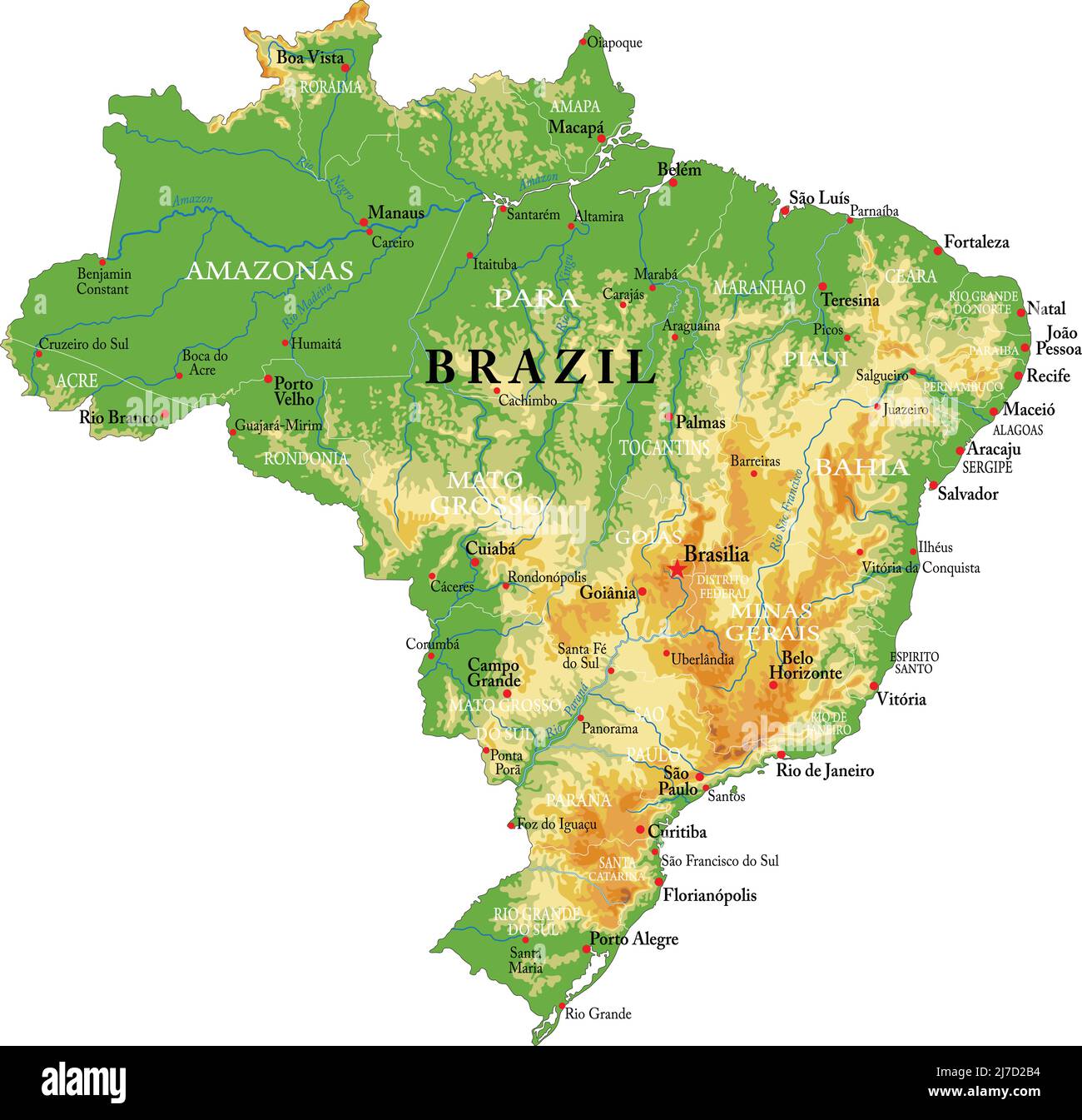 Highly detailed physical map of the Brazil,in vector format,with all the relief forms,regions and big cities. Stock Vectorhttps://www.alamy.com/image-license-details/?v=1https://www.alamy.com/highly-detailed-physical-map-of-the-brazilin-vector-formatwith-all-the-relief-formsregions-and-big-cities-image469269784.html
RF2J7D2B4–Highly detailed physical map of the Brazil,in vector format,with all the relief forms,regions and big cities.
 Driving the car on the Helio Serejo bridge, over the Parana river, on the BR-267 highway. Bridge that divides the states of Mato Grosso do Sul and São Stock Photohttps://www.alamy.com/image-license-details/?v=1https://www.alamy.com/driving-the-car-on-the-helio-serejo-bridge-over-the-parana-river-on-the-br-267-highway-bridge-that-divides-the-states-of-mato-grosso-do-sul-and-so-image630369733.html
RF2YHFR0N–Driving the car on the Helio Serejo bridge, over the Parana river, on the BR-267 highway. Bridge that divides the states of Mato Grosso do Sul and São
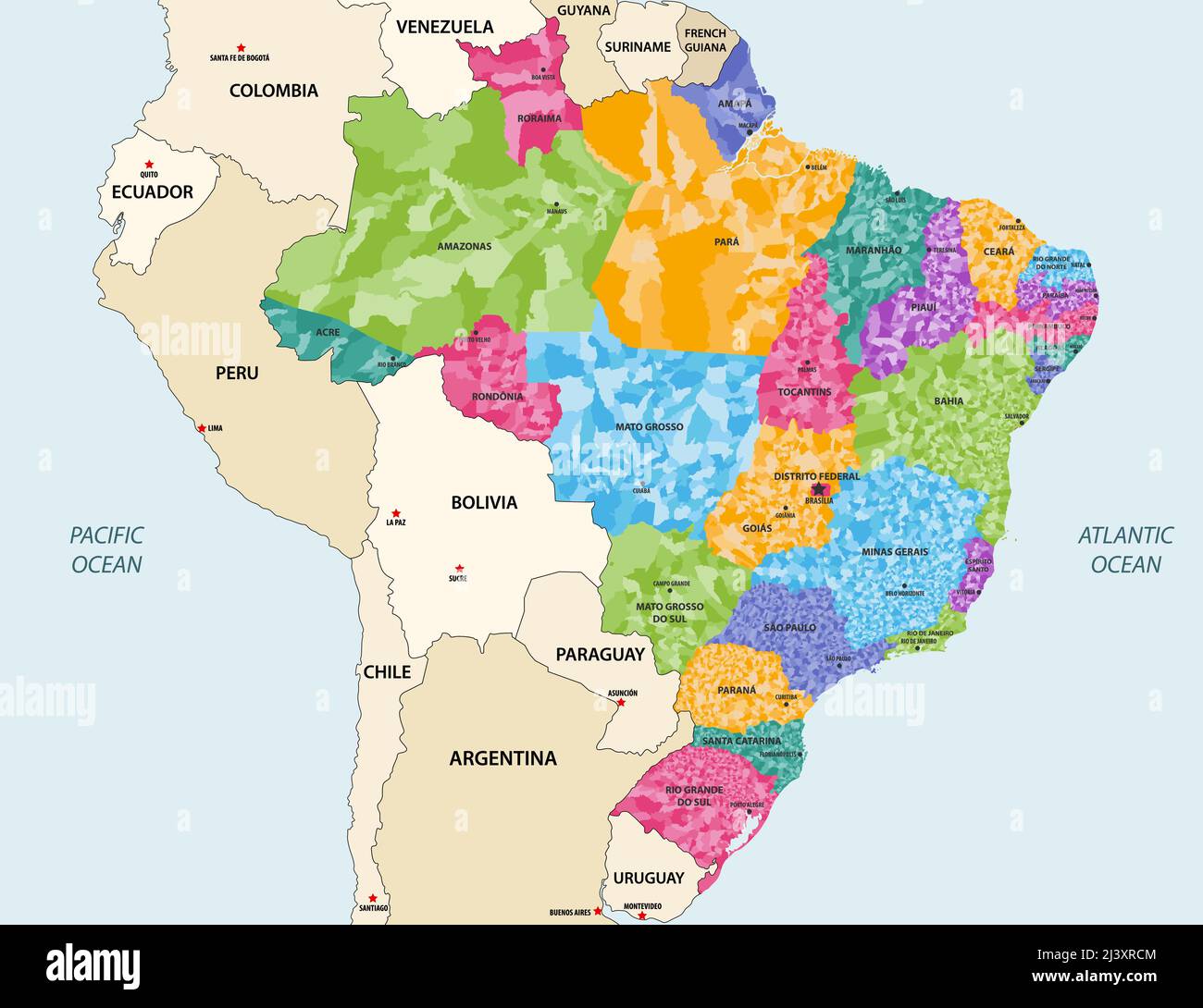 Brazil states and municipalities vector high detailed colored map with neighbouring countries and territories Stock Vectorhttps://www.alamy.com/image-license-details/?v=1https://www.alamy.com/brazil-states-and-municipalities-vector-high-detailed-colored-map-with-neighbouring-countries-and-territories-image467113044.html
RF2J3XRCM–Brazil states and municipalities vector high detailed colored map with neighbouring countries and territories
 Pantanal entrance gate along Transpantaneira dirt road. Brazilian landmark. Road in perpective Stock Photohttps://www.alamy.com/image-license-details/?v=1https://www.alamy.com/stock-photo-pantanal-entrance-gate-along-transpantaneira-dirt-road-brazilian-landmark-126707110.html
RMHA405X–Pantanal entrance gate along Transpantaneira dirt road. Brazilian landmark. Road in perpective
 Mato Grosso Goias state border Brazil Boundary between virgin rainforest and cleared land with access roads Stock Photohttps://www.alamy.com/image-license-details/?v=1https://www.alamy.com/mato-grosso-goias-state-border-brazil-boundary-between-virgin-rainforest-image218963.html
RMA35753–Mato Grosso Goias state border Brazil Boundary between virgin rainforest and cleared land with access roads
 Mato Grosso do Sul, state of Brazil. Solid color shape Stock Photohttps://www.alamy.com/image-license-details/?v=1https://www.alamy.com/mato-grosso-do-sul-state-of-brazil-solid-color-shape-image482758032.html
RF2K1BEP8–Mato Grosso do Sul, state of Brazil. Solid color shape
 mato grosso do sul state on admistration map of brazil with flags Stock Photohttps://www.alamy.com/image-license-details/?v=1https://www.alamy.com/stock-photo-mato-grosso-do-sul-state-on-admistration-map-of-brazil-with-flags-126045712.html
RFH91TGG–mato grosso do sul state on admistration map of brazil with flags
