Maumee ohio map Stock Photos and Images
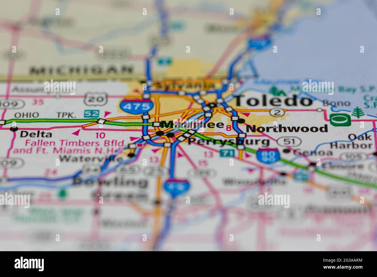 Maumee Ohio USA shown on a Geography map or Road map Stock Photohttps://www.alamy.com/image-license-details/?v=1https://www.alamy.com/maumee-ohio-usa-shown-on-a-geography-map-or-road-map-image432331192.html
RM2G3AARM–Maumee Ohio USA shown on a Geography map or Road map
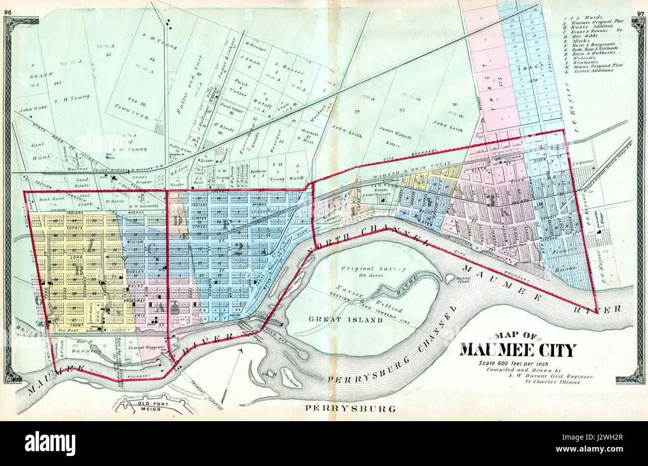 1875 Maumee Ohio map Stock Photohttps://www.alamy.com/image-license-details/?v=1https://www.alamy.com/stock-photo-1875-maumee-ohio-map-139474463.html
RMJ2WH2R–1875 Maumee Ohio map
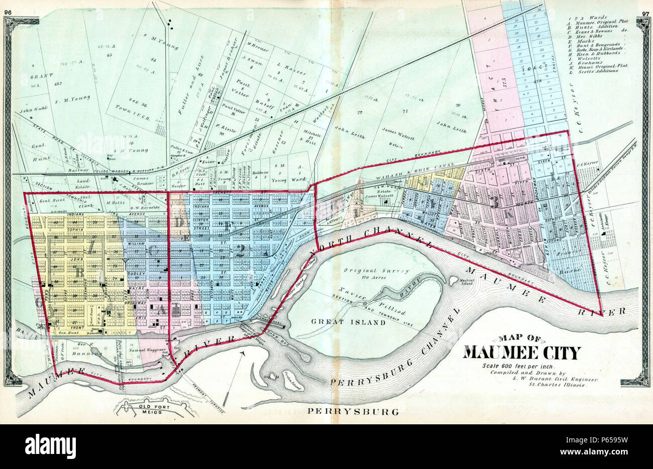 1875 Maumee Ohio map. Stock Photohttps://www.alamy.com/image-license-details/?v=1https://www.alamy.com/1875-maumee-ohio-map-image210329333.html
RMP6595W–1875 Maumee Ohio map.
 Maumee, Lucas County, US, United States, Ohio, N 41 33' 46'', S 83 39' 13'', map, Cartascapes Map published in 2024. Explore Cartascapes, a map revealing Earth's diverse landscapes, cultures, and ecosystems. Journey through time and space, discovering the interconnectedness of our planet's past, present, and future. Stock Photohttps://www.alamy.com/image-license-details/?v=1https://www.alamy.com/maumee-lucas-county-us-united-states-ohio-n-41-33-46-s-83-39-13-map-cartascapes-map-published-in-2024-explore-cartascapes-a-map-revealing-earths-diverse-landscapes-cultures-and-ecosystems-journey-through-time-and-space-discovering-the-interconnectedness-of-our-planets-past-present-and-future-image621441671.html
RM2Y3135B–Maumee, Lucas County, US, United States, Ohio, N 41 33' 46'', S 83 39' 13'', map, Cartascapes Map published in 2024. Explore Cartascapes, a map revealing Earth's diverse landscapes, cultures, and ecosystems. Journey through time and space, discovering the interconnectedness of our planet's past, present, and future.
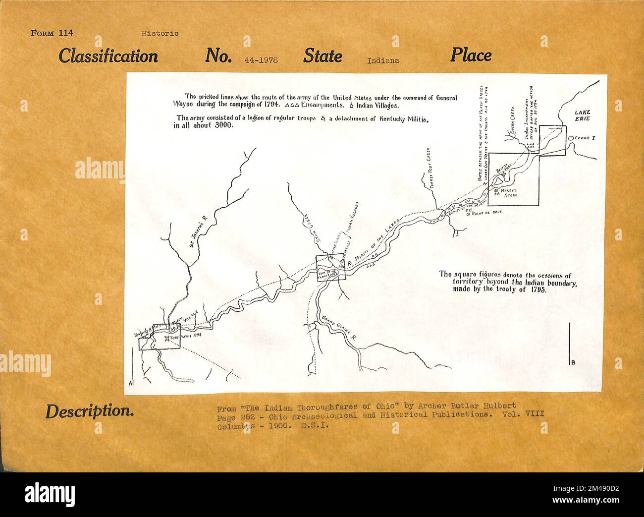 Dr. Belknap's Map of Wayne's Route Along the Maumee. Original caption: From 'The Indian Thoroughfares of Ohio' by Archer Butler Hulbert. Page 282 - Ohio Archaeological and Historical Publications. Vol. VIII. Columbus - 1900. State: Indiana. Stock Photohttps://www.alamy.com/image-license-details/?v=1https://www.alamy.com/dr-belknaps-map-of-waynes-route-along-the-maumee-original-caption-from-the-indian-thoroughfares-of-ohio-by-archer-butler-hulbert-page-282-ohio-archaeological-and-historical-publications-vol-viii-columbus-1900-state-indiana-image501757230.html
RM2M490D2–Dr. Belknap's Map of Wayne's Route Along the Maumee. Original caption: From 'The Indian Thoroughfares of Ohio' by Archer Butler Hulbert. Page 282 - Ohio Archaeological and Historical Publications. Vol. VIII. Columbus - 1900. State: Indiana.
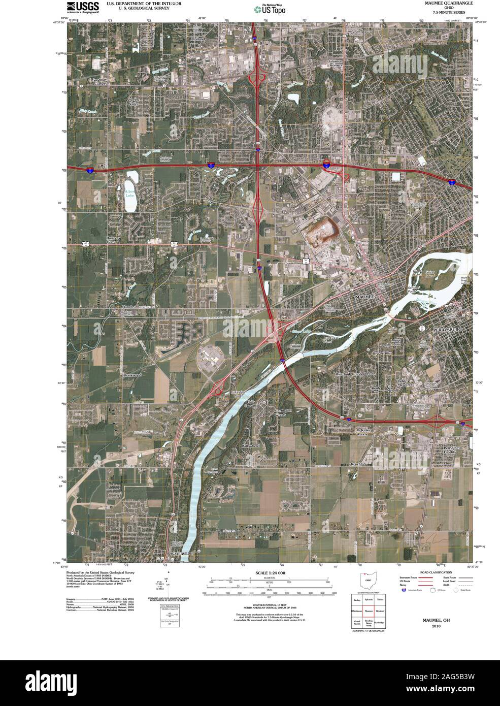 USGS TOPO Map Ohio OH Maumee 20100803 TM Restoration Stock Photohttps://www.alamy.com/image-license-details/?v=1https://www.alamy.com/usgs-topo-map-ohio-oh-maumee-20100803-tm-restoration-image336949981.html
RM2AG5B3W–USGS TOPO Map Ohio OH Maumee 20100803 TM Restoration
 . Book of the Royal blue . rowne in ameeting, in 1833, of the citizens of thetowns of Port Lawrence and istula to con-sider the question of consolidating the inter-ests of two rival municipalities. Human nature was about the same inearly days as now; the pioneers were ambi-tious and rival towns sprang up along theMaumee. From a map made in 1836 thereappeared on the west bank of the river, insuccession, Maumee, Miami, Marengo, TOLEDO, OHIO, IN HISTORY Toledo and Manhattan, while on the eastside were found Perrysburg, Oregon andLucas City. Of these Marengo, Oregonand Lucas City soon ceased to e Stock Photohttps://www.alamy.com/image-license-details/?v=1https://www.alamy.com/book-of-the-royal-blue-rowne-in-ameeting-in-1833-of-the-citizens-of-thetowns-of-port-lawrence-and-istula-to-con-sider-the-question-of-consolidating-the-inter-ests-of-two-rival-municipalities-human-nature-was-about-the-same-inearly-days-as-now-the-pioneers-were-ambi-tious-and-rival-towns-sprang-up-along-themaumee-from-a-map-made-in-1836-thereappeared-on-the-west-bank-of-the-river-insuccession-maumee-miami-marengo-toledo-ohio-in-history-toledo-and-manhattan-while-on-the-eastside-were-found-perrysburg-oregon-andlucas-city-of-these-marengo-oregonand-lucas-city-soon-ceased-to-e-image371831168.html
RM2CGXACG–. Book of the Royal blue . rowne in ameeting, in 1833, of the citizens of thetowns of Port Lawrence and istula to con-sider the question of consolidating the inter-ests of two rival municipalities. Human nature was about the same inearly days as now; the pioneers were ambi-tious and rival towns sprang up along theMaumee. From a map made in 1836 thereappeared on the west bank of the river, insuccession, Maumee, Miami, Marengo, TOLEDO, OHIO, IN HISTORY Toledo and Manhattan, while on the eastside were found Perrysburg, Oregon andLucas City. Of these Marengo, Oregonand Lucas City soon ceased to e
 35467 Maumee River below the State Dam, Defiance, Ohio The richest collecting ground in the river Stock Photohttps://www.alamy.com/image-license-details/?v=1https://www.alamy.com/stock-photo-35467-maumee-river-below-the-state-dam-defiance-ohio-the-richest-collecting-115082866.html
RMGK6DAA–35467 Maumee River below the State Dam, Defiance, Ohio The richest collecting ground in the river
 United States, Toledo tourism landmarks, vector city travel illustration Stock Vectorhttps://www.alamy.com/image-license-details/?v=1https://www.alamy.com/united-states-toledo-tourism-landmarks-vector-city-travel-illustration-image542308033.html
RF2PE87C1–United States, Toledo tourism landmarks, vector city travel illustration
 Maumee Valley Mobile Home Park, Henry County, US, United States, Ohio, N 41 22' 45'', S 84 7' 42'', map, Cartascapes Map published in 2024. Explore Cartascapes, a map revealing Earth's diverse landscapes, cultures, and ecosystems. Journey through time and space, discovering the interconnectedness of our planet's past, present, and future. Stock Photohttps://www.alamy.com/image-license-details/?v=1https://www.alamy.com/maumee-valley-mobile-home-park-henry-county-us-united-states-ohio-n-41-22-45-s-84-7-42-map-cartascapes-map-published-in-2024-explore-cartascapes-a-map-revealing-earths-diverse-landscapes-cultures-and-ecosystems-journey-through-time-and-space-discovering-the-interconnectedness-of-our-planets-past-present-and-future-image621427111.html
RM2Y30CHB–Maumee Valley Mobile Home Park, Henry County, US, United States, Ohio, N 41 22' 45'', S 84 7' 42'', map, Cartascapes Map published in 2024. Explore Cartascapes, a map revealing Earth's diverse landscapes, cultures, and ecosystems. Journey through time and space, discovering the interconnectedness of our planet's past, present, and future.
 Ohio boundary no. 2 : map exhibiting the positions occupied on the Maumee Bay and river: viz: Turtle Island, the North Cape, and that above Toledo, together with the position of the 'east line,' in its passage of the Maumee River surveyed under the direction of Capt. Talcott, U.S. Engineers, by Lieuts. Hood & R.E. Lee , Lucas County Ohio, Maps, Maumee River Ind. and Ohio, Maps, Erie, Lake, Maps, Toledo Ohio, Maps, Michigan, Boundaries, Ohio, Maps, Ohio, Boundaries, Michigan, Maps Norman B. Leventhal Map Center Collection Stock Photohttps://www.alamy.com/image-license-details/?v=1https://www.alamy.com/ohio-boundary-no-2-map-exhibiting-the-positions-occupied-on-the-maumee-bay-and-river-viz-turtle-island-the-north-cape-and-that-above-toledo-together-with-the-position-of-the-east-line-in-its-passage-of-the-maumee-river-surveyed-under-the-direction-of-capt-talcott-us-engineers-by-lieuts-hood-re-lee-lucas-county-ohio-maps-maumee-river-ind-and-ohio-maps-erie-lake-maps-toledo-ohio-maps-michigan-boundaries-ohio-maps-ohio-boundaries-michigan-maps-norman-b-leventhal-map-center-collection-image501354863.html
RM2M3JK6R–Ohio boundary no. 2 : map exhibiting the positions occupied on the Maumee Bay and river: viz: Turtle Island, the North Cape, and that above Toledo, together with the position of the 'east line,' in its passage of the Maumee River surveyed under the direction of Capt. Talcott, U.S. Engineers, by Lieuts. Hood & R.E. Lee , Lucas County Ohio, Maps, Maumee River Ind. and Ohio, Maps, Erie, Lake, Maps, Toledo Ohio, Maps, Michigan, Boundaries, Ohio, Maps, Ohio, Boundaries, Michigan, Maps Norman B. Leventhal Map Center Collection
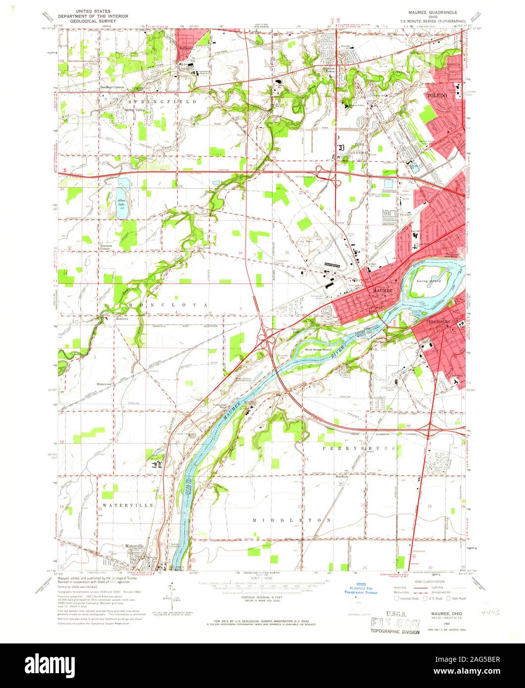 USGS TOPO Map Ohio OH Maumee 227768 1964 24000 Restoration Stock Photohttps://www.alamy.com/image-license-details/?v=1https://www.alamy.com/usgs-topo-map-ohio-oh-maumee-227768-1964-24000-restoration-image336950287.html
RM2AG5BER–USGS TOPO Map Ohio OH Maumee 227768 1964 24000 Restoration
 . Book of the Royal blue . in ameeting, in 18.?.?, of the citizens of thetowns of Port Lawrence and Vistula to con-sider the question of consolidating the inter-ests of two rival municipalities. Human nature was about the same inearly days as now; the pioneers were ambi-tious and rival towns sprang up along theMaumee. From a map made in 183() thereappeared on the west bank of the river, insuccession, Maumee, Miami, Marengo, TOLEDO, OHIO, IN HISTORY Toledo and Manhattan, wliile on the eastside were found Perrysbiirg, Oregon andLucas City. Of these Marengo, Oregonand Lucas City soon ceased to ex Stock Photohttps://www.alamy.com/image-license-details/?v=1https://www.alamy.com/book-of-the-royal-blue-in-ameeting-in-18-of-the-citizens-of-thetowns-of-port-lawrence-and-vistula-to-con-sider-the-question-of-consolidating-the-inter-ests-of-two-rival-municipalities-human-nature-was-about-the-same-inearly-days-as-now-the-pioneers-were-ambi-tious-and-rival-towns-sprang-up-along-themaumee-from-a-map-made-in-183-thereappeared-on-the-west-bank-of-the-river-insuccession-maumee-miami-marengo-toledo-ohio-in-history-toledo-and-manhattan-wliile-on-the-eastside-were-found-perrysbiirg-oregon-andlucas-city-of-these-marengo-oregonand-lucas-city-soon-ceased-to-ex-image375643155.html
RM2CR40JY–. Book of the Royal blue . in ameeting, in 18.?.?, of the citizens of thetowns of Port Lawrence and Vistula to con-sider the question of consolidating the inter-ests of two rival municipalities. Human nature was about the same inearly days as now; the pioneers were ambi-tious and rival towns sprang up along theMaumee. From a map made in 183() thereappeared on the west bank of the river, insuccession, Maumee, Miami, Marengo, TOLEDO, OHIO, IN HISTORY Toledo and Manhattan, wliile on the eastside were found Perrysbiirg, Oregon andLucas City. Of these Marengo, Oregonand Lucas City soon ceased to ex
 Image taken from page 729 of 'History of the Maumee Valley, commencing with its occupation by the French in 1680. To which is added Sketches of some of its moral and material resources as they exist in 1872' Image taken from page 729 of 'History o Stock Photohttps://www.alamy.com/image-license-details/?v=1https://www.alamy.com/stock-photo-image-taken-from-page-729-of-history-of-the-maumee-valley-commencing-132354247.html
RMHK975B–Image taken from page 729 of 'History of the Maumee Valley, commencing with its occupation by the French in 1680. To which is added Sketches of some of its moral and material resources as they exist in 1872' Image taken from page 729 of 'History o
 Maumee, Lucas County, US, United States, Ohio, N 41 33' 46'', S 83 39' 13'', map, Cartascapes Map published in 2024. Explore Cartascapes, a map revealing Earth's diverse landscapes, cultures, and ecosystems. Journey through time and space, discovering the interconnectedness of our planet's past, present, and future. Stock Photohttps://www.alamy.com/image-license-details/?v=1https://www.alamy.com/maumee-lucas-county-us-united-states-ohio-n-41-33-46-s-83-39-13-map-cartascapes-map-published-in-2024-explore-cartascapes-a-map-revealing-earths-diverse-landscapes-cultures-and-ecosystems-journey-through-time-and-space-discovering-the-interconnectedness-of-our-planets-past-present-and-future-image620825465.html
RM2Y21161–Maumee, Lucas County, US, United States, Ohio, N 41 33' 46'', S 83 39' 13'', map, Cartascapes Map published in 2024. Explore Cartascapes, a map revealing Earth's diverse landscapes, cultures, and ecosystems. Journey through time and space, discovering the interconnectedness of our planet's past, present, and future.
 Map, exhibiting the position of the several lines connected with the settlement of the Ohio boundary question. Includes list of latitudes of several points.. Shows the territorial line established by the commissioners in 1818, the parallel, tangent to the south bend of Lake Michigan, and the line between the south bend of Lake Michigan and the North Cape of Maumee Bay... , Ohio Michigan Stock Photohttps://www.alamy.com/image-license-details/?v=1https://www.alamy.com/map-exhibiting-the-position-of-the-several-lines-connected-with-the-settlement-of-the-ohio-boundary-question-includes-list-of-latitudes-of-several-points-shows-the-territorial-line-established-by-the-commissioners-in-1818-the-parallel-tangent-to-the-south-bend-of-lake-michigan-and-the-line-between-the-south-bend-of-lake-michigan-and-the-north-cape-of-maumee-bay-ohio-michigan-image502717264.html
RM2M5TN00–Map, exhibiting the position of the several lines connected with the settlement of the Ohio boundary question. Includes list of latitudes of several points.. Shows the territorial line established by the commissioners in 1818, the parallel, tangent to the south bend of Lake Michigan, and the line between the south bend of Lake Michigan and the North Cape of Maumee Bay... , Ohio Michigan
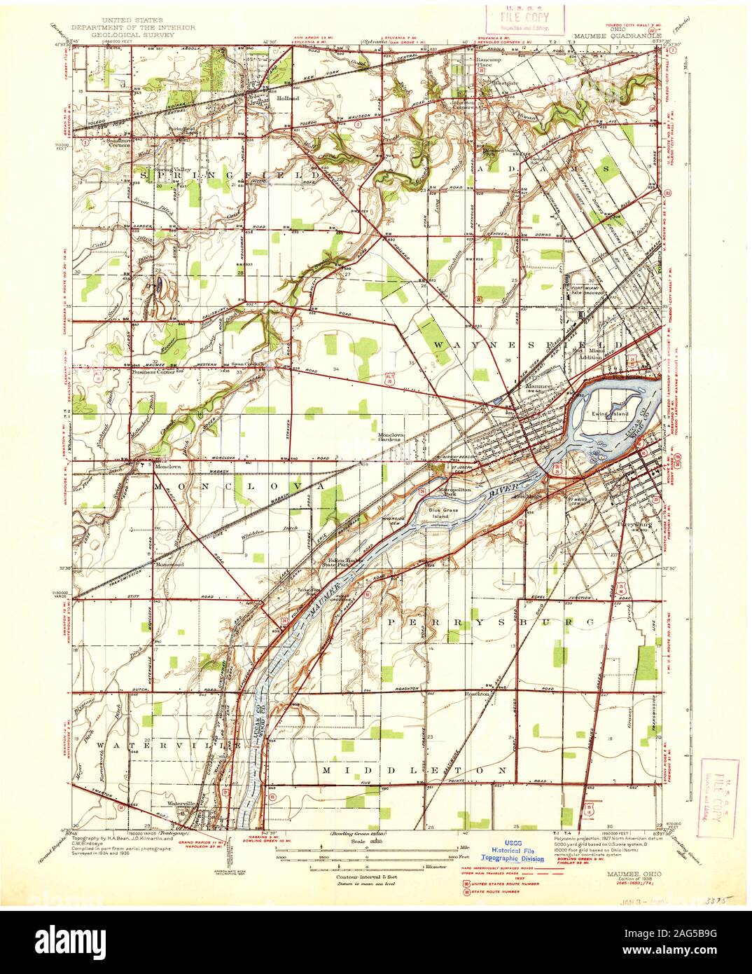 USGS TOPO Map Ohio OH Maumee 227765 1938 31680 Restoration Stock Photohttps://www.alamy.com/image-license-details/?v=1https://www.alamy.com/usgs-topo-map-ohio-oh-maumee-227765-1938-31680-restoration-image336950140.html
RM2AG5B9G–USGS TOPO Map Ohio OH Maumee 227765 1938 31680 Restoration
 Image taken from page 195 of 'History of the Maumee Valley, commencing with its occupation by the French in 1680. To which is added Sketches of some of its moral and material resources as they exist in 1872' Image taken from page 195 of 'History o Stock Photohttps://www.alamy.com/image-license-details/?v=1https://www.alamy.com/stock-photo-image-taken-from-page-195-of-history-of-the-maumee-valley-commencing-132272519.html
RMHK5EXF–Image taken from page 195 of 'History of the Maumee Valley, commencing with its occupation by the French in 1680. To which is added Sketches of some of its moral and material resources as they exist in 1872' Image taken from page 195 of 'History o
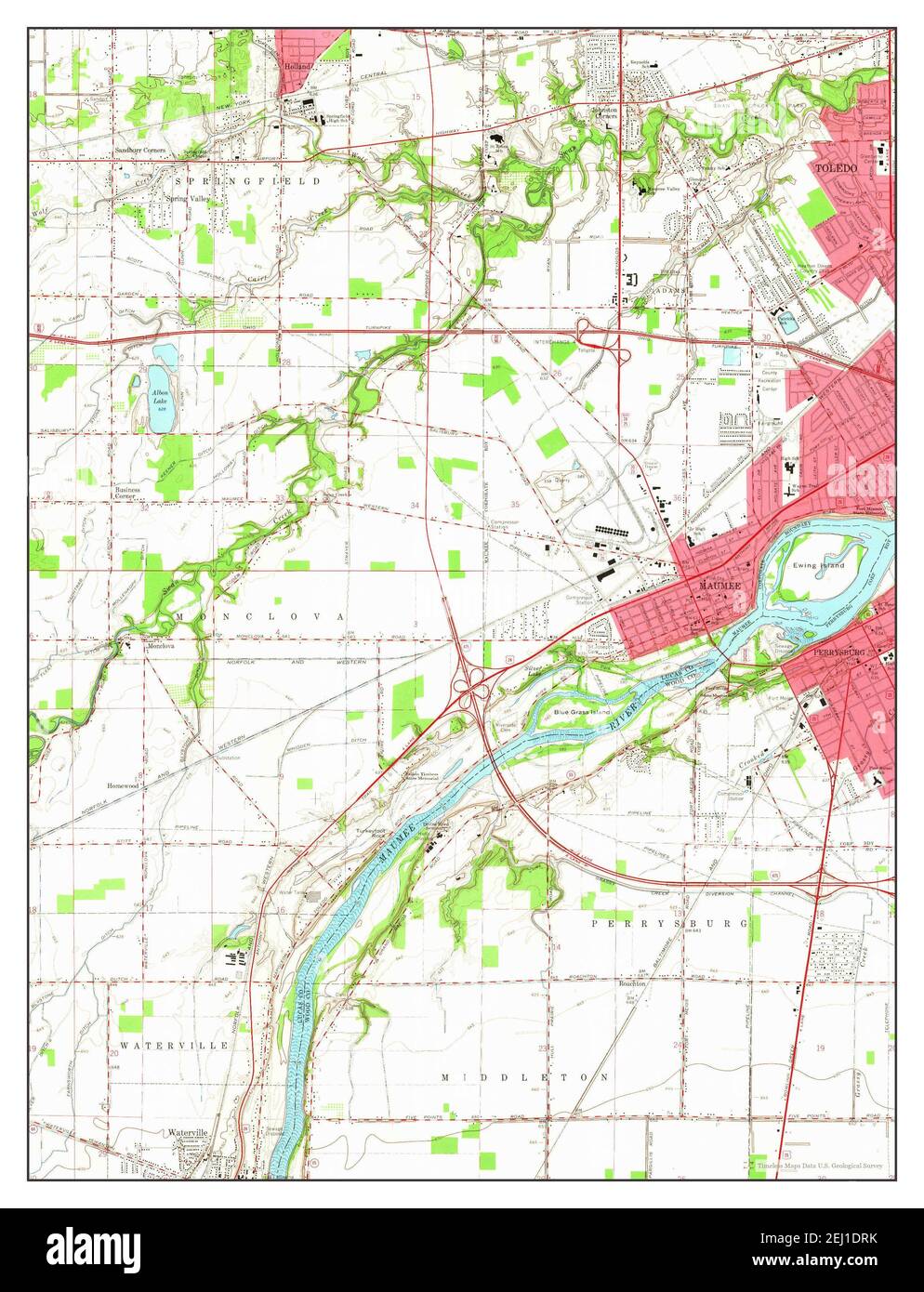 Maumee, Ohio, map 1964, 1:24000, United States of America by Timeless Maps, data U.S. Geological Survey Stock Photohttps://www.alamy.com/image-license-details/?v=1https://www.alamy.com/maumee-ohio-map-1964-124000-united-states-of-america-by-timeless-maps-data-us-geological-survey-image406935079.html
RM2EJ1DRK–Maumee, Ohio, map 1964, 1:24000, United States of America by Timeless Maps, data U.S. Geological Survey
 Ohio boundary no. 2 : map exhibiting the positions occupied on the Maumee Bay and river: viz: Turtle Island, the North Cape, and that above Toledo, together with the position of the 'east line,' in its passage of the Maumee River surveyed under the direction of Capt. Talcott, U.S. Engineers, by Lieuts. Hood & R.E. Lee. Relief shown by hachures and land forms. Shows portion of the Maumee River south of Toledo, Ohio; portion of the North Cape of the Maumee in Maumee Bay in Lake Erie. From: Ohio and Michigan boundary ..., 1836. (Ex. Doc./HR 24th Congress, 1st Session, no. 54). In lower right corn Stock Photohttps://www.alamy.com/image-license-details/?v=1https://www.alamy.com/ohio-boundary-no-2-map-exhibiting-the-positions-occupied-on-the-maumee-bay-and-river-viz-turtle-island-the-north-cape-and-that-above-toledo-together-with-the-position-of-the-east-line-in-its-passage-of-the-maumee-river-surveyed-under-the-direction-of-capt-talcott-us-engineers-by-lieuts-hood-re-lee-relief-shown-by-hachures-and-land-forms-shows-portion-of-the-maumee-river-south-of-toledo-ohio-portion-of-the-north-cape-of-the-maumee-in-maumee-bay-in-lake-erie-from-ohio-and-michigan-boundary-1836-ex-dochr-24th-congress-1st-session-no-54-in-lower-right-corn-image502711213.html
RM2M5TD7W–Ohio boundary no. 2 : map exhibiting the positions occupied on the Maumee Bay and river: viz: Turtle Island, the North Cape, and that above Toledo, together with the position of the 'east line,' in its passage of the Maumee River surveyed under the direction of Capt. Talcott, U.S. Engineers, by Lieuts. Hood & R.E. Lee. Relief shown by hachures and land forms. Shows portion of the Maumee River south of Toledo, Ohio; portion of the North Cape of the Maumee in Maumee Bay in Lake Erie. From: Ohio and Michigan boundary ..., 1836. (Ex. Doc./HR 24th Congress, 1st Session, no. 54). In lower right corn
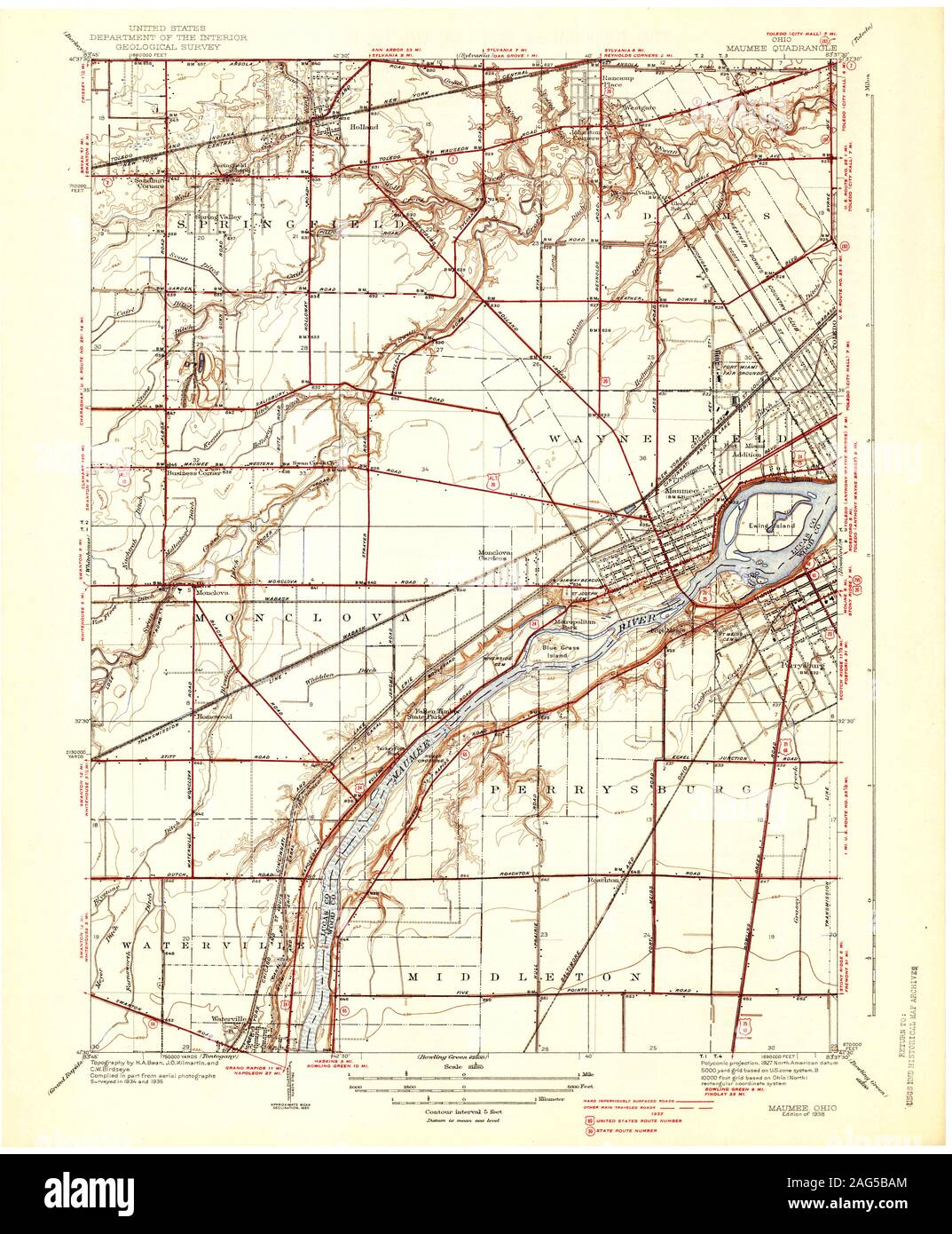 USGS TOPO Map Ohio OH Maumee 227764 1938 31680 Restoration Stock Photohttps://www.alamy.com/image-license-details/?v=1https://www.alamy.com/usgs-topo-map-ohio-oh-maumee-227764-1938-31680-restoration-image336950172.html
RM2AG5BAM–USGS TOPO Map Ohio OH Maumee 227764 1938 31680 Restoration
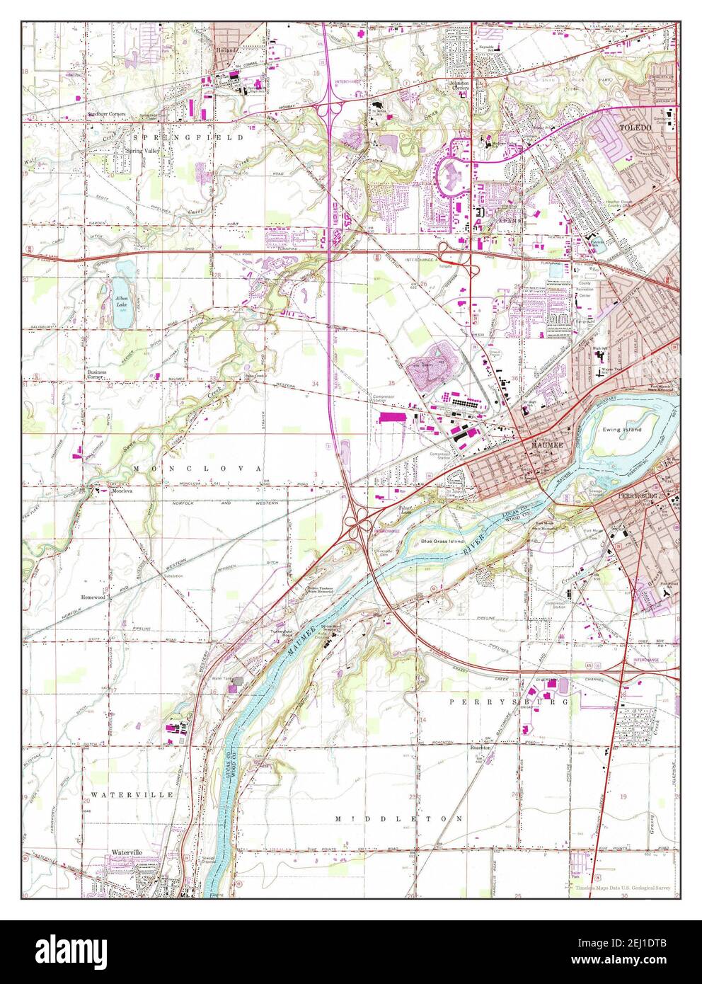 Maumee, Ohio, map 1964, 1:24000, United States of America by Timeless Maps, data U.S. Geological Survey Stock Photohttps://www.alamy.com/image-license-details/?v=1https://www.alamy.com/maumee-ohio-map-1964-124000-united-states-of-america-by-timeless-maps-data-us-geological-survey-image406935099.html
RM2EJ1DTB–Maumee, Ohio, map 1964, 1:24000, United States of America by Timeless Maps, data U.S. Geological Survey
 USGS TOPO Map Ohio OH Maumee 227769 1964 24000 Restoration Stock Photohttps://www.alamy.com/image-license-details/?v=1https://www.alamy.com/usgs-topo-map-ohio-oh-maumee-227769-1964-24000-restoration-image336950294.html
RM2AG5BF2–USGS TOPO Map Ohio OH Maumee 227769 1964 24000 Restoration
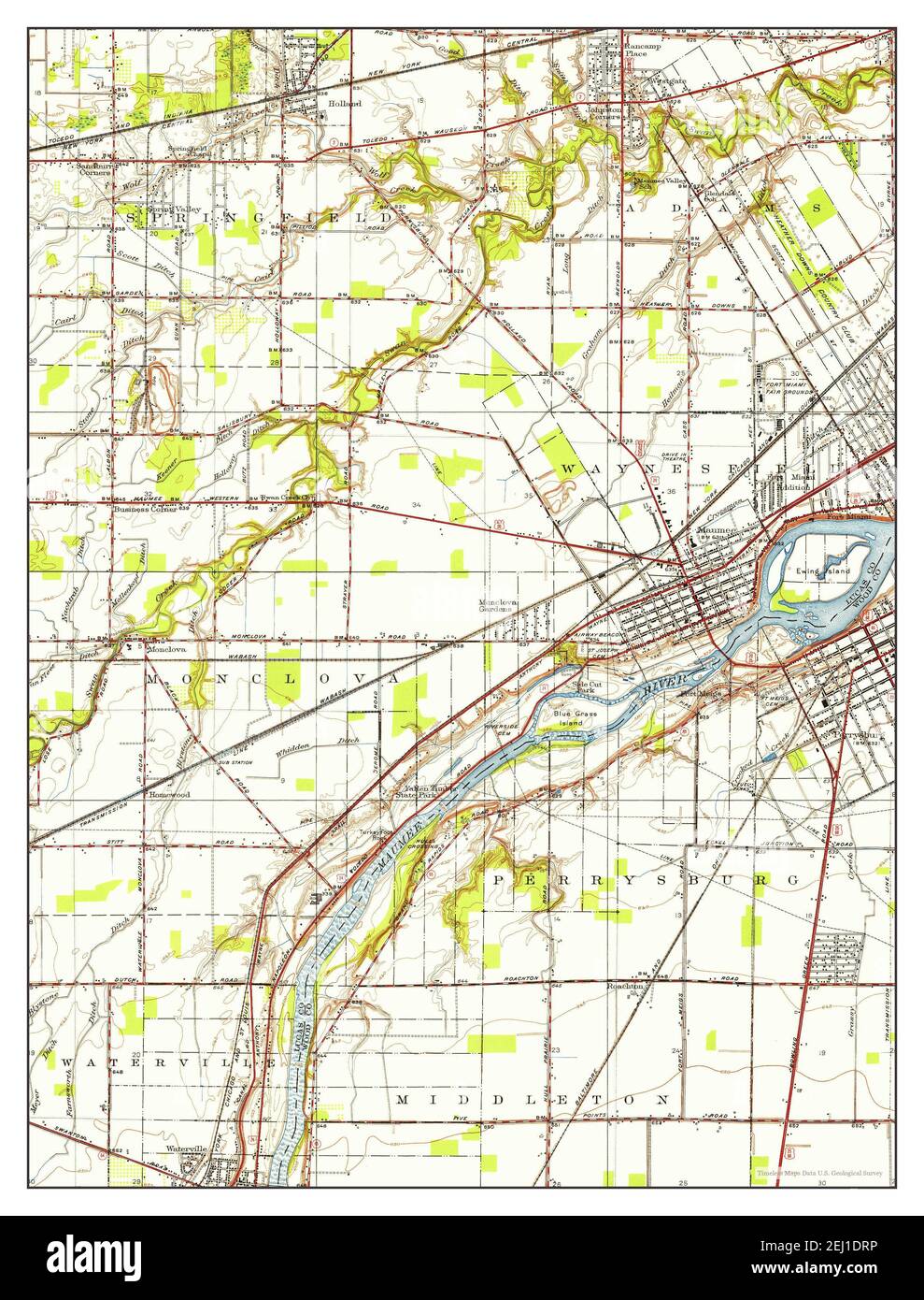 Maumee, Ohio, map 1951, 1:24000, United States of America by Timeless Maps, data U.S. Geological Survey Stock Photohttps://www.alamy.com/image-license-details/?v=1https://www.alamy.com/maumee-ohio-map-1951-124000-united-states-of-america-by-timeless-maps-data-us-geological-survey-image406935082.html
RM2EJ1DRP–Maumee, Ohio, map 1951, 1:24000, United States of America by Timeless Maps, data U.S. Geological Survey
 USGS TOPO Map Ohio OH Maumee 20100803 TM Inverted Restoration Stock Photohttps://www.alamy.com/image-license-details/?v=1https://www.alamy.com/usgs-topo-map-ohio-oh-maumee-20100803-tm-inverted-restoration-image336949850.html
RM2AG5AY6–USGS TOPO Map Ohio OH Maumee 20100803 TM Inverted Restoration
 Maumee, Ohio, map 1964, 1:24000, United States of America by Timeless Maps, data U.S. Geological Survey Stock Photohttps://www.alamy.com/image-license-details/?v=1https://www.alamy.com/maumee-ohio-map-1964-124000-united-states-of-america-by-timeless-maps-data-us-geological-survey-image406935097.html
RM2EJ1DT9–Maumee, Ohio, map 1964, 1:24000, United States of America by Timeless Maps, data U.S. Geological Survey
 USGS TOPO Map Ohio OH Maumee 227767 1951 24000 Restoration Stock Photohttps://www.alamy.com/image-license-details/?v=1https://www.alamy.com/usgs-topo-map-ohio-oh-maumee-227767-1951-24000-restoration-image336950315.html
RM2AG5BFR–USGS TOPO Map Ohio OH Maumee 227767 1951 24000 Restoration
 Maumee, Ohio, map 1938, 1:31680, United States of America by Timeless Maps, data U.S. Geological Survey Stock Photohttps://www.alamy.com/image-license-details/?v=1https://www.alamy.com/maumee-ohio-map-1938-131680-united-states-of-america-by-timeless-maps-data-us-geological-survey-image414165422.html
RM2F1PT66–Maumee, Ohio, map 1938, 1:31680, United States of America by Timeless Maps, data U.S. Geological Survey
 USGS TOPO Map Ohio OH Maumee 227770 1964 24000 Restoration Stock Photohttps://www.alamy.com/image-license-details/?v=1https://www.alamy.com/usgs-topo-map-ohio-oh-maumee-227770-1964-24000-restoration-image336950524.html
RM2AG5BR8–USGS TOPO Map Ohio OH Maumee 227770 1964 24000 Restoration
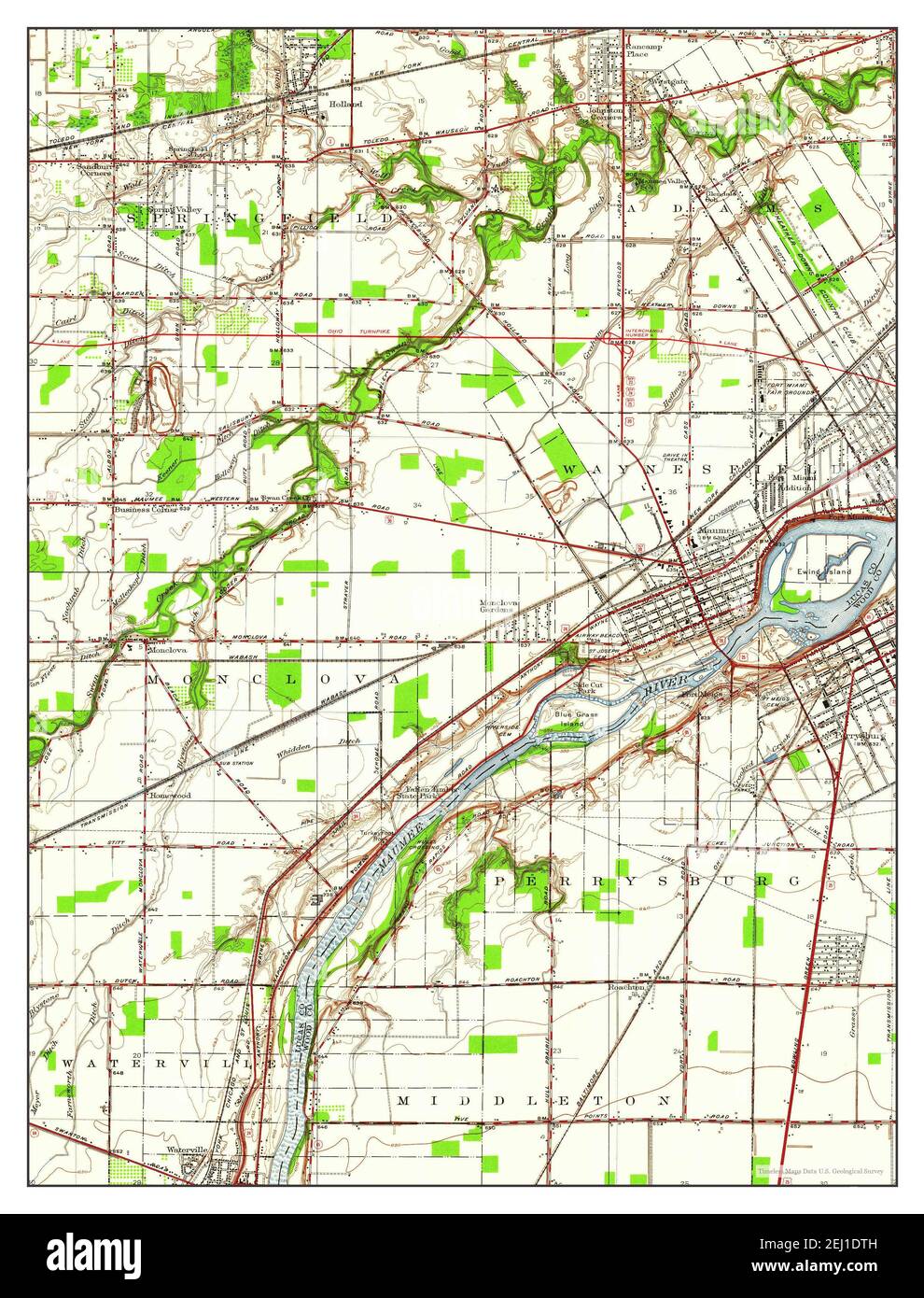 Maumee, Ohio, map 1951, 1:24000, United States of America by Timeless Maps, data U.S. Geological Survey Stock Photohttps://www.alamy.com/image-license-details/?v=1https://www.alamy.com/maumee-ohio-map-1951-124000-united-states-of-america-by-timeless-maps-data-us-geological-survey-image406935105.html
RM2EJ1DTH–Maumee, Ohio, map 1951, 1:24000, United States of America by Timeless Maps, data U.S. Geological Survey
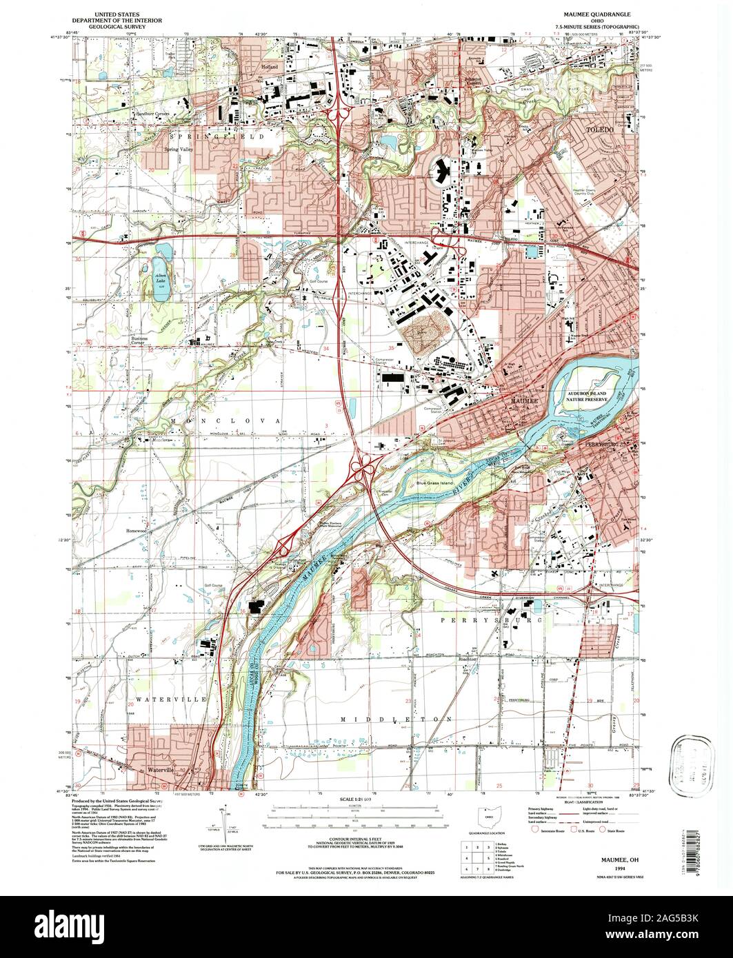 USGS TOPO Map Ohio OH Maumee 225962 1994 24000 Restoration Stock Photohttps://www.alamy.com/image-license-details/?v=1https://www.alamy.com/usgs-topo-map-ohio-oh-maumee-225962-1994-24000-restoration-image336949975.html
RM2AG5B3K–USGS TOPO Map Ohio OH Maumee 225962 1994 24000 Restoration
 Maumee, Ohio, map 1938, 1:31680, United States of America by Timeless Maps, data U.S. Geological Survey Stock Photohttps://www.alamy.com/image-license-details/?v=1https://www.alamy.com/maumee-ohio-map-1938-131680-united-states-of-america-by-timeless-maps-data-us-geological-survey-image414165423.html
RM2F1PT67–Maumee, Ohio, map 1938, 1:31680, United States of America by Timeless Maps, data U.S. Geological Survey
 USGS TOPO Map Ohio OH Maumee 227763 1935 24000 Restoration Stock Photohttps://www.alamy.com/image-license-details/?v=1https://www.alamy.com/usgs-topo-map-ohio-oh-maumee-227763-1935-24000-restoration-image336950156.html
RM2AG5BA4–USGS TOPO Map Ohio OH Maumee 227763 1935 24000 Restoration
 Maumee, Ohio, map 1935, 1:24000, United States of America by Timeless Maps, data U.S. Geological Survey Stock Photohttps://www.alamy.com/image-license-details/?v=1https://www.alamy.com/maumee-ohio-map-1935-124000-united-states-of-america-by-timeless-maps-data-us-geological-survey-image406935081.html
RM2EJ1DRN–Maumee, Ohio, map 1935, 1:24000, United States of America by Timeless Maps, data U.S. Geological Survey
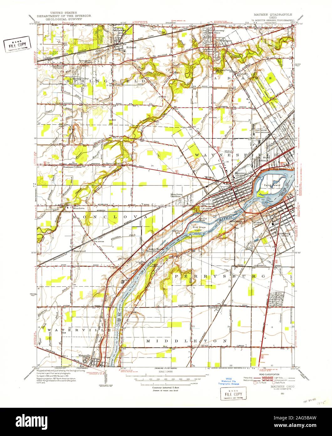 USGS TOPO Map Ohio OH Maumee 227766 1951 24000 Restoration Stock Photohttps://www.alamy.com/image-license-details/?v=1https://www.alamy.com/usgs-topo-map-ohio-oh-maumee-227766-1951-24000-restoration-image336950177.html
RM2AG5BAW–USGS TOPO Map Ohio OH Maumee 227766 1951 24000 Restoration
 Maumee, Ohio, map 1994, 1:24000, United States of America by Timeless Maps, data U.S. Geological Survey Stock Photohttps://www.alamy.com/image-license-details/?v=1https://www.alamy.com/maumee-ohio-map-1994-124000-united-states-of-america-by-timeless-maps-data-us-geological-survey-image406935084.html
RM2EJ1DRT–Maumee, Ohio, map 1994, 1:24000, United States of America by Timeless Maps, data U.S. Geological Survey
 USGS TOPO Map Ohio OH Maumee Bay 227761 1900 62500 Restoration Stock Photohttps://www.alamy.com/image-license-details/?v=1https://www.alamy.com/usgs-topo-map-ohio-oh-maumee-bay-227761-1900-62500-restoration-image336950413.html
RM2AG5BK9–USGS TOPO Map Ohio OH Maumee Bay 227761 1900 62500 Restoration
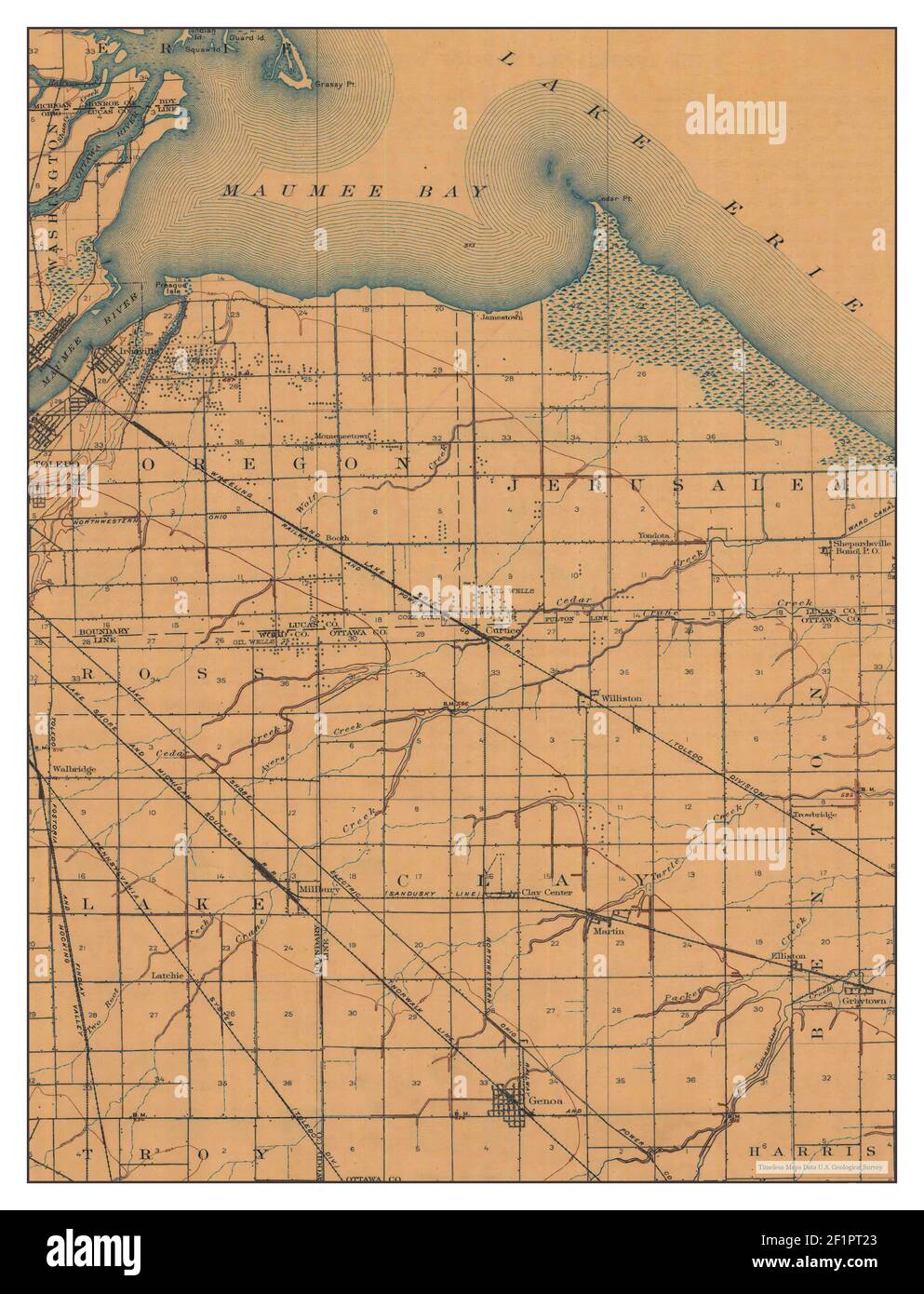 Maumee Bay, Ohio, map 1900, 1:62500, United States of America by Timeless Maps, data U.S. Geological Survey Stock Photohttps://www.alamy.com/image-license-details/?v=1https://www.alamy.com/maumee-bay-ohio-map-1900-162500-united-states-of-america-by-timeless-maps-data-us-geological-survey-image414165307.html
RM2F1PT23–Maumee Bay, Ohio, map 1900, 1:62500, United States of America by Timeless Maps, data U.S. Geological Survey
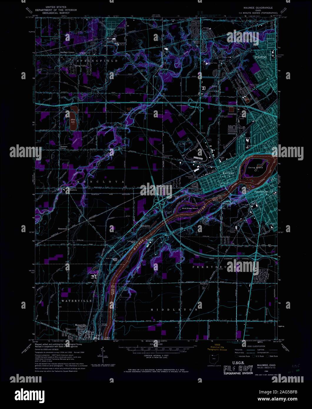 USGS TOPO Map Ohio OH Maumee 227769 1964 24000 Inverted Restoration Stock Photohttps://www.alamy.com/image-license-details/?v=1https://www.alamy.com/usgs-topo-map-ohio-oh-maumee-227769-1964-24000-inverted-restoration-image336950303.html
RM2AG5BFB–USGS TOPO Map Ohio OH Maumee 227769 1964 24000 Inverted Restoration
 Maumee Bay, Ohio, map 1900, 1:62500, United States of America by Timeless Maps, data U.S. Geological Survey Stock Photohttps://www.alamy.com/image-license-details/?v=1https://www.alamy.com/maumee-bay-ohio-map-1900-162500-united-states-of-america-by-timeless-maps-data-us-geological-survey-image414165301.html
RM2F1PT1W–Maumee Bay, Ohio, map 1900, 1:62500, United States of America by Timeless Maps, data U.S. Geological Survey
 USGS TOPO Map Ohio OH Maumee 227764 1938 31680 Inverted Restoration Stock Photohttps://www.alamy.com/image-license-details/?v=1https://www.alamy.com/usgs-topo-map-ohio-oh-maumee-227764-1938-31680-inverted-restoration-image336950121.html
RM2AG5B8W–USGS TOPO Map Ohio OH Maumee 227764 1938 31680 Inverted Restoration
 USGS TOPO Map Ohio OH Maumee 227763 1935 24000 Inverted Restoration Stock Photohttps://www.alamy.com/image-license-details/?v=1https://www.alamy.com/usgs-topo-map-ohio-oh-maumee-227763-1935-24000-inverted-restoration-image336949976.html
RM2AG5B3M–USGS TOPO Map Ohio OH Maumee 227763 1935 24000 Inverted Restoration
 USGS TOPO Map Ohio OH Maumee 225962 1994 24000 Inverted Restoration Stock Photohttps://www.alamy.com/image-license-details/?v=1https://www.alamy.com/usgs-topo-map-ohio-oh-maumee-225962-1994-24000-inverted-restoration-image336950040.html
RM2AG5B60–USGS TOPO Map Ohio OH Maumee 225962 1994 24000 Inverted Restoration
 USGS TOPO Map Ohio OH Maumee 227770 1964 24000 Inverted Restoration Stock Photohttps://www.alamy.com/image-license-details/?v=1https://www.alamy.com/usgs-topo-map-ohio-oh-maumee-227770-1964-24000-inverted-restoration-image336950486.html
RM2AG5BNX–USGS TOPO Map Ohio OH Maumee 227770 1964 24000 Inverted Restoration
 USGS TOPO Map Ohio OH Maumee 227768 1964 24000 Inverted Restoration Stock Photohttps://www.alamy.com/image-license-details/?v=1https://www.alamy.com/usgs-topo-map-ohio-oh-maumee-227768-1964-24000-inverted-restoration-image336950165.html
RM2AG5BAD–USGS TOPO Map Ohio OH Maumee 227768 1964 24000 Inverted Restoration
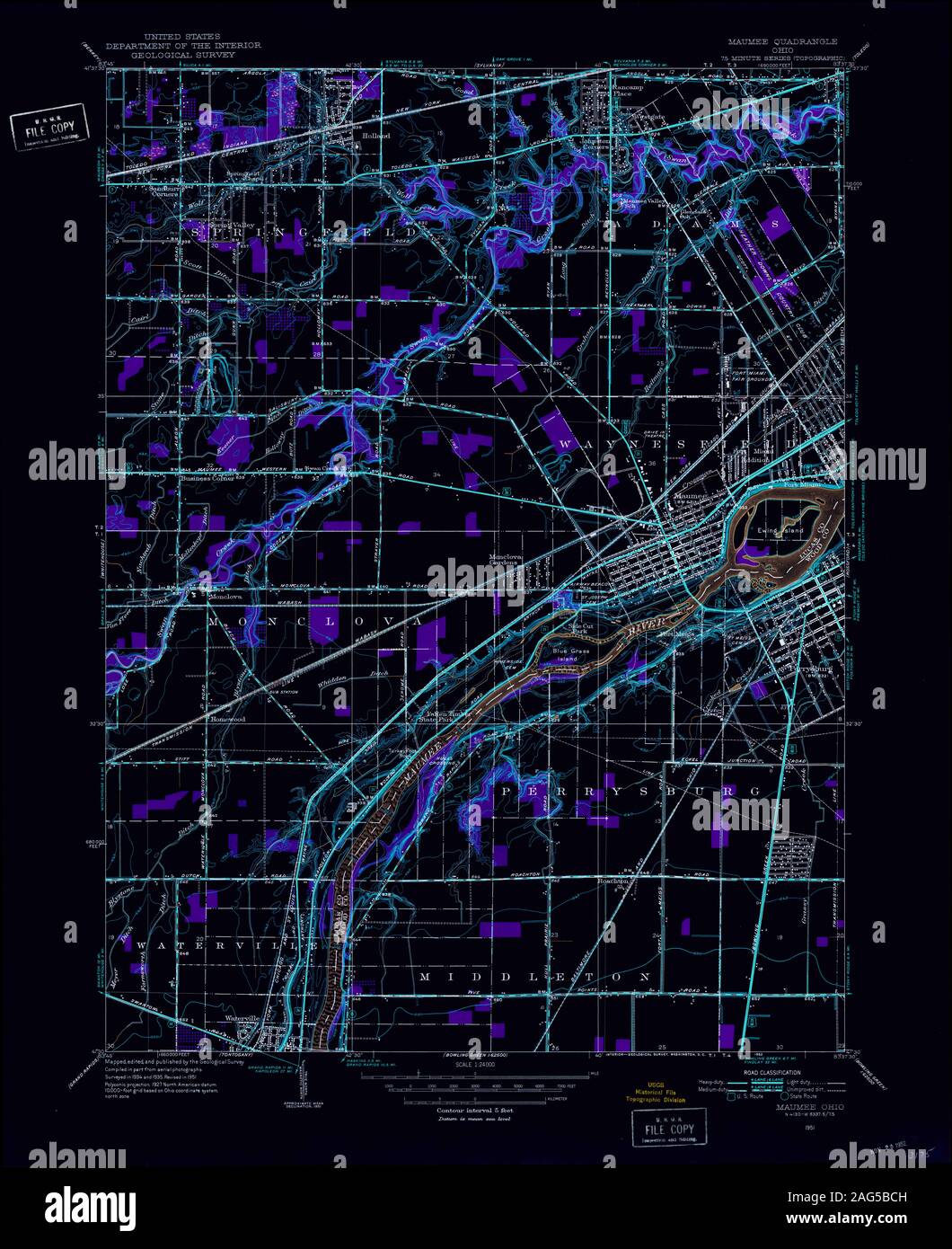 USGS TOPO Map Ohio OH Maumee 227766 1951 24000 Inverted Restoration Stock Photohttps://www.alamy.com/image-license-details/?v=1https://www.alamy.com/usgs-topo-map-ohio-oh-maumee-227766-1951-24000-inverted-restoration-image336950225.html
RM2AG5BCH–USGS TOPO Map Ohio OH Maumee 227766 1951 24000 Inverted Restoration
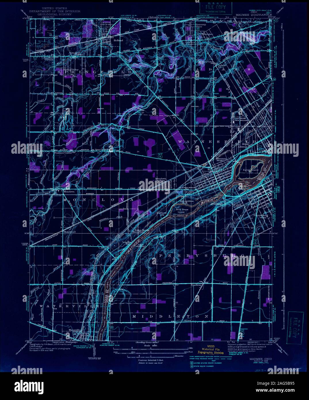 USGS TOPO Map Ohio OH Maumee 227765 1938 31680 Inverted Restoration Stock Photohttps://www.alamy.com/image-license-details/?v=1https://www.alamy.com/usgs-topo-map-ohio-oh-maumee-227765-1938-31680-inverted-restoration-image336950129.html
RM2AG5B95–USGS TOPO Map Ohio OH Maumee 227765 1938 31680 Inverted Restoration
 USGS TOPO Map Ohio OH Maumee Bay 516648 1900 62500 Restoration Stock Photohttps://www.alamy.com/image-license-details/?v=1https://www.alamy.com/usgs-topo-map-ohio-oh-maumee-bay-516648-1900-62500-restoration-image336950480.html
RM2AG5BNM–USGS TOPO Map Ohio OH Maumee Bay 516648 1900 62500 Restoration
 USGS TOPO Map Ohio OH Maumee 227767 1951 24000 Inverted Restoration Stock Photohttps://www.alamy.com/image-license-details/?v=1https://www.alamy.com/usgs-topo-map-ohio-oh-maumee-227767-1951-24000-inverted-restoration-image336950301.html
RM2AG5BF9–USGS TOPO Map Ohio OH Maumee 227767 1951 24000 Inverted Restoration
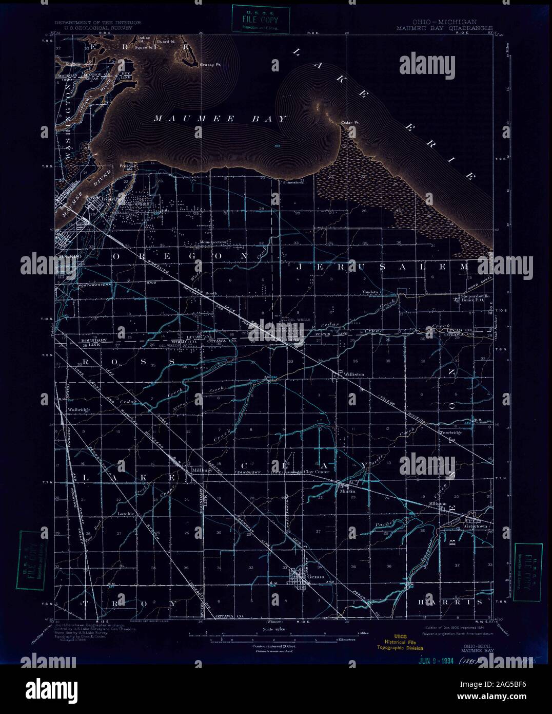 USGS TOPO Map Ohio OH Maumee Bay 227761 1900 62500 Inverted Restoration Stock Photohttps://www.alamy.com/image-license-details/?v=1https://www.alamy.com/usgs-topo-map-ohio-oh-maumee-bay-227761-1900-62500-inverted-restoration-image336950298.html
RM2AG5BF6–USGS TOPO Map Ohio OH Maumee Bay 227761 1900 62500 Inverted Restoration
 USGS TOPO Map Ohio OH Maumee Bay 516648 1900 62500 Inverted Restoration Stock Photohttps://www.alamy.com/image-license-details/?v=1https://www.alamy.com/usgs-topo-map-ohio-oh-maumee-bay-516648-1900-62500-inverted-restoration-image336950467.html
RM2AG5BN7–USGS TOPO Map Ohio OH Maumee Bay 516648 1900 62500 Inverted Restoration