Quick filters:
Meall breac Stock Photos and Images
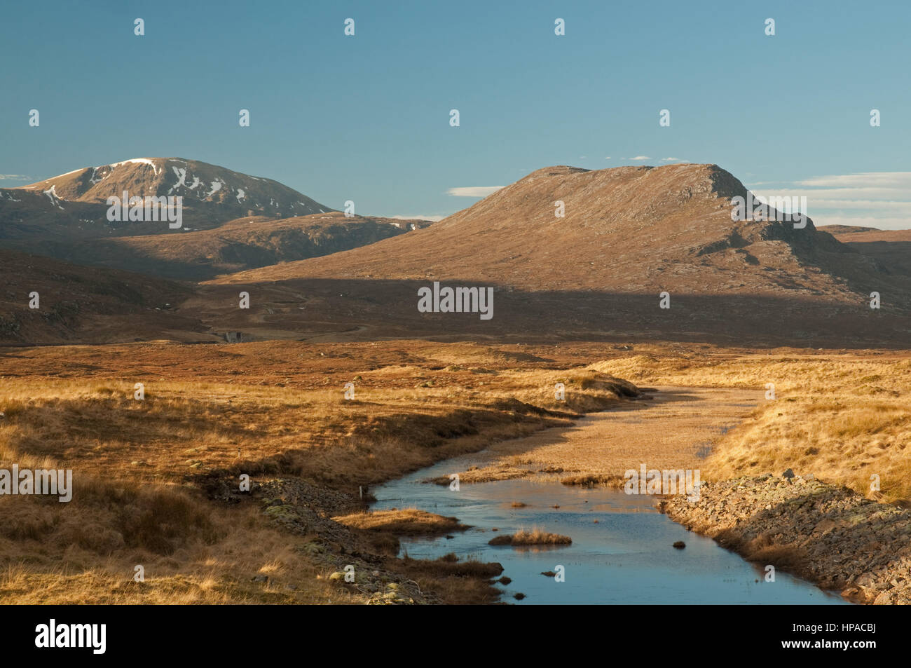 Meall Breac within the Fannich Range Stock Photohttps://www.alamy.com/image-license-details/?v=1https://www.alamy.com/stock-photo-meall-breac-within-the-fannich-range-134224262.html
RMHPACBJ–Meall Breac within the Fannich Range
 Frozen Loch Droma backed by Meall Breac, Dirrie More, Scottish Highlands, Scotland, United Kingdom, Europe Stock Photohttps://www.alamy.com/image-license-details/?v=1https://www.alamy.com/frozen-loch-droma-backed-by-meall-breac-dirrie-more-scottish-highlands-scotland-united-kingdom-europe-image615843795.html
RF2XNX317–Frozen Loch Droma backed by Meall Breac, Dirrie More, Scottish Highlands, Scotland, United Kingdom, Europe
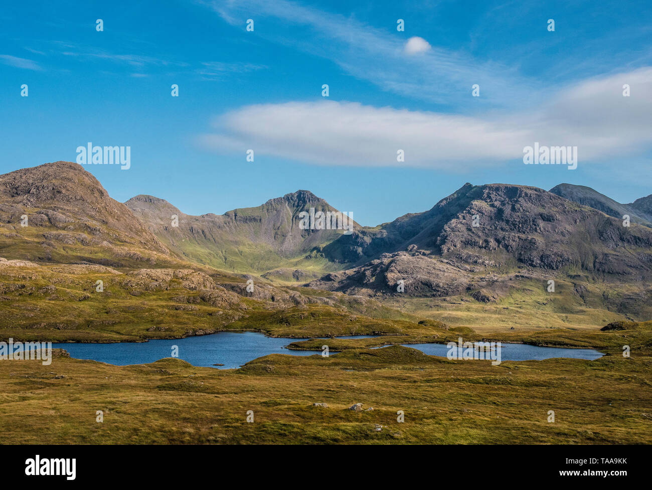 mountains of rum Stock Photohttps://www.alamy.com/image-license-details/?v=1https://www.alamy.com/mountains-of-rum-image247318839.html
RMTAA9KK–mountains of rum
 Meall Breac with cloud cover over the peak and the River Tummel flowing below towards Loch Rannoch, Glen Lyon, Scotland, United Kingdom Stock Photohttps://www.alamy.com/image-license-details/?v=1https://www.alamy.com/meall-breac-with-cloud-cover-over-the-peak-and-the-river-tummel-flowing-below-towards-loch-rannoch-glen-lyon-scotland-united-kingdom-image462308578.html
RF2HT3Y8J–Meall Breac with cloud cover over the peak and the River Tummel flowing below towards Loch Rannoch, Glen Lyon, Scotland, United Kingdom
 Goatfell & Coire Lan from Meall Breac on Corrieburn Bridge to Goatfell Path, Isle of Arran, N. Ayrshire, Scotland Stock Photohttps://www.alamy.com/image-license-details/?v=1https://www.alamy.com/stock-photo-goatfell-coire-lan-from-meall-breac-on-corrieburn-bridge-to-goatfell-122247529.html
RFH2TRY5–Goatfell & Coire Lan from Meall Breac on Corrieburn Bridge to Goatfell Path, Isle of Arran, N. Ayrshire, Scotland
 Frozen Loch Droma backed by Meall Breac, Dirrie More, Scottish Highlands, Scotland, United Kingdom, Europe Copyright: AlanxNovelli 1353-730 RECORD DA Stock Photohttps://www.alamy.com/image-license-details/?v=1https://www.alamy.com/frozen-loch-droma-backed-by-meall-breac-dirrie-more-scottish-highlands-scotland-united-kingdom-europe-copyright-alanxnovelli-1353-730-record-da-image615851588.html
RM2XNXCYG–Frozen Loch Droma backed by Meall Breac, Dirrie More, Scottish Highlands, Scotland, United Kingdom, Europe Copyright: AlanxNovelli 1353-730 RECORD DA
 View west across the Corran Narrows on Loch Linnhe with the Glen Coe mountains as a backdrop Stock Photohttps://www.alamy.com/image-license-details/?v=1https://www.alamy.com/stock-photo-view-west-across-the-corran-narrows-on-loch-linnhe-with-the-glen-coe-54464060.html
RMD4H1D0–View west across the Corran Narrows on Loch Linnhe with the Glen Coe mountains as a backdrop
 The iron age stone 'broch' house of Dun Telve stands in the valley floor of Gleann Beag near Glenelg village in the Northwest Highlands of Scotland. Stock Photohttps://www.alamy.com/image-license-details/?v=1https://www.alamy.com/the-iron-age-stone-broch-house-of-dun-telve-stands-in-the-valley-floor-of-gleann-beag-near-glenelg-village-in-the-northwest-highlands-of-scotland-image236701855.html
RFRN2KHK–The iron age stone 'broch' house of Dun Telve stands in the valley floor of Gleann Beag near Glenelg village in the Northwest Highlands of Scotland.
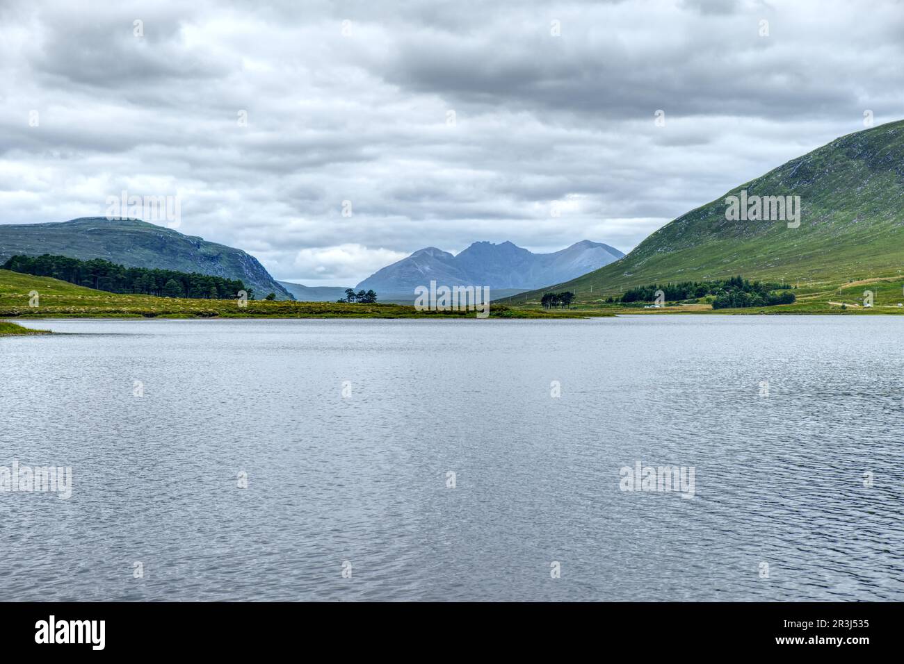 Loch Droma, Scoraig, Highland, Scotland, Great Britain Stock Photohttps://www.alamy.com/image-license-details/?v=1https://www.alamy.com/loch-droma-scoraig-highland-scotland-great-britain-image552974889.html
RF2R3J535–Loch Droma, Scoraig, Highland, Scotland, Great Britain
 Clouds lifting over Dubh Loch, Letterewe and Fisherfield Forest, Ross & Cromarty, Scotland Stock Photohttps://www.alamy.com/image-license-details/?v=1https://www.alamy.com/clouds-lifting-over-dubh-loch-letterewe-and-fisherfield-forest-ross-cromarty-scotland-image261994362.html
RFW66TDE–Clouds lifting over Dubh Loch, Letterewe and Fisherfield Forest, Ross & Cromarty, Scotland
 Meall Breac, Highland, GB, United Kingdom, Scotland, N 57 6' 38'', S 5 38' 41'', map, Cartascapes Map published in 2024. Explore Cartascapes, a map revealing Earth's diverse landscapes, cultures, and ecosystems. Journey through time and space, discovering the interconnectedness of our planet's past, present, and future. Stock Photohttps://www.alamy.com/image-license-details/?v=1https://www.alamy.com/meall-breac-highland-gb-united-kingdom-scotland-n-57-6-38-s-5-38-41-map-cartascapes-map-published-in-2024-explore-cartascapes-a-map-revealing-earths-diverse-landscapes-cultures-and-ecosystems-journey-through-time-and-space-discovering-the-interconnectedness-of-our-planets-past-present-and-future-image604116710.html
RM2X2RW0P–Meall Breac, Highland, GB, United Kingdom, Scotland, N 57 6' 38'', S 5 38' 41'', map, Cartascapes Map published in 2024. Explore Cartascapes, a map revealing Earth's diverse landscapes, cultures, and ecosystems. Journey through time and space, discovering the interconnectedness of our planet's past, present, and future.
 Meall a Chrasgaidh within the Fannich Range Stock Photohttps://www.alamy.com/image-license-details/?v=1https://www.alamy.com/stock-photo-meall-a-chrasgaidh-within-the-fannich-range-134224227.html
RMHPACAB–Meall a Chrasgaidh within the Fannich Range
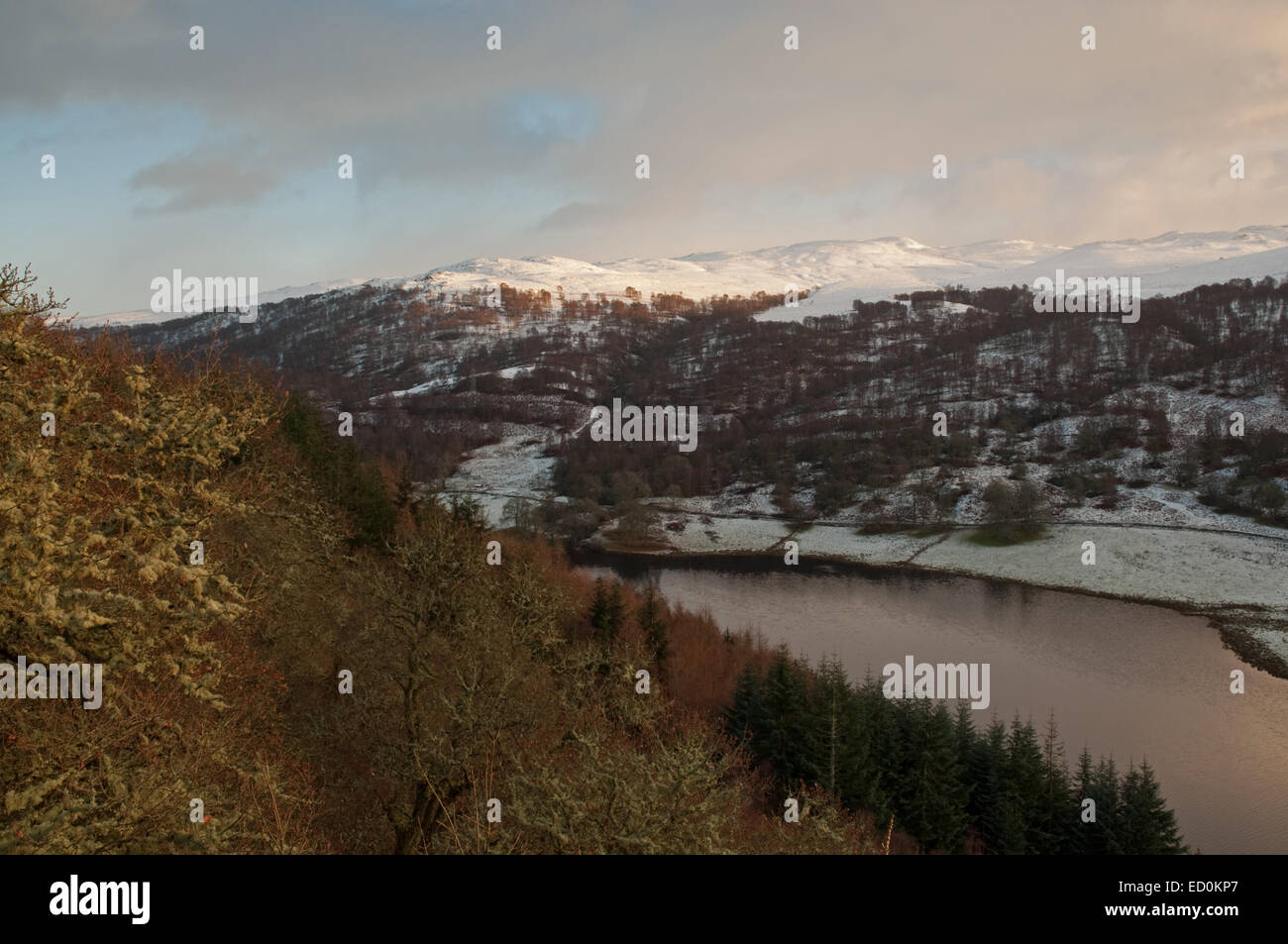 Loch Tummel in the snow Stock Photohttps://www.alamy.com/image-license-details/?v=1https://www.alamy.com/stock-photo-loch-tummel-in-the-snow-76847519.html
RMED0KP7–Loch Tummel in the snow
 Meall Breac with cloud cover over the peak and the River Tummel flowing below towards Loch Rannoch, Glen Lyon, Scotland, United Kingdom Stock Photohttps://www.alamy.com/image-license-details/?v=1https://www.alamy.com/meall-breac-with-cloud-cover-over-the-peak-and-the-river-tummel-flowing-below-towards-loch-rannoch-glen-lyon-scotland-united-kingdom-image462308579.html
RF2HT3Y8K–Meall Breac with cloud cover over the peak and the River Tummel flowing below towards Loch Rannoch, Glen Lyon, Scotland, United Kingdom
 Goatfell & Coire Lan from Meall Breac on Corrieburn Bridge to Goatfell Path, Isle of Arran, N. Ayrshire, Scotland Stock Photohttps://www.alamy.com/image-license-details/?v=1https://www.alamy.com/stock-photo-goatfell-coire-lan-from-meall-breac-on-corrieburn-bridge-to-goatfell-122247522.html
RFH2TRXX–Goatfell & Coire Lan from Meall Breac on Corrieburn Bridge to Goatfell Path, Isle of Arran, N. Ayrshire, Scotland
 View west across the Corran Narrows on Loch Linnhe with the Glen Coe mountains as a backdrop Stock Photohttps://www.alamy.com/image-license-details/?v=1https://www.alamy.com/stock-photo-view-west-across-the-corran-narrows-on-loch-linnhe-with-the-glen-coe-54463818.html
RMD4H14A–View west across the Corran Narrows on Loch Linnhe with the Glen Coe mountains as a backdrop
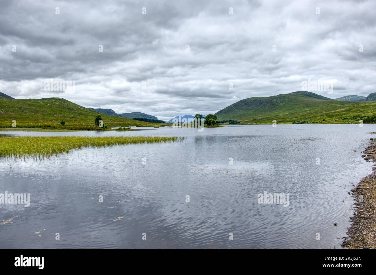 Loch Droma, Scoraig, Highland, Scotland, Great Britain Stock Photohttps://www.alamy.com/image-license-details/?v=1https://www.alamy.com/loch-droma-scoraig-highland-scotland-great-britain-image552974905.html
RF2R3J53N–Loch Droma, Scoraig, Highland, Scotland, Great Britain
 Clouds lifting over Dubh Loch, Letterewe and Fisherfield Forest, Ross & Cromarty, Scotland Stock Photohttps://www.alamy.com/image-license-details/?v=1https://www.alamy.com/clouds-lifting-over-dubh-loch-letterewe-and-fisherfield-forest-ross-cromarty-scotland-image261979410.html
RFW665BE–Clouds lifting over Dubh Loch, Letterewe and Fisherfield Forest, Ross & Cromarty, Scotland
 Meall Breac, Highland, GB, United Kingdom, Scotland, N 57 43' 48'', S 4 59' 6'', map, Cartascapes Map published in 2024. Explore Cartascapes, a map revealing Earth's diverse landscapes, cultures, and ecosystems. Journey through time and space, discovering the interconnectedness of our planet's past, present, and future. Stock Photohttps://www.alamy.com/image-license-details/?v=1https://www.alamy.com/meall-breac-highland-gb-united-kingdom-scotland-n-57-43-48-s-4-59-6-map-cartascapes-map-published-in-2024-explore-cartascapes-a-map-revealing-earths-diverse-landscapes-cultures-and-ecosystems-journey-through-time-and-space-discovering-the-interconnectedness-of-our-planets-past-present-and-future-image604127310.html
RM2X2TAFA–Meall Breac, Highland, GB, United Kingdom, Scotland, N 57 43' 48'', S 4 59' 6'', map, Cartascapes Map published in 2024. Explore Cartascapes, a map revealing Earth's diverse landscapes, cultures, and ecosystems. Journey through time and space, discovering the interconnectedness of our planet's past, present, and future.
 Meall Breac with cloud cover over the peak, with a winding path leading towards the peak, near Loch Rannoch, Glen Lyon, Scotland, United Kingdom Stock Photohttps://www.alamy.com/image-license-details/?v=1https://www.alamy.com/meall-breac-with-cloud-cover-over-the-peak-with-a-winding-path-leading-towards-the-peak-near-loch-rannoch-glen-lyon-scotland-united-kingdom-image462308628.html
RF2HT3YAC–Meall Breac with cloud cover over the peak, with a winding path leading towards the peak, near Loch Rannoch, Glen Lyon, Scotland, United Kingdom
 Goatfell & Coire Lan from Meall Breac on Corrieburn Bridge to Goatfell Path, Isle of Arran, N. Ayrshire, Scotland Stock Photohttps://www.alamy.com/image-license-details/?v=1https://www.alamy.com/stock-photo-goatfell-coire-lan-from-meall-breac-on-corrieburn-bridge-to-goatfell-122247516.html
RFH2TRXM–Goatfell & Coire Lan from Meall Breac on Corrieburn Bridge to Goatfell Path, Isle of Arran, N. Ayrshire, Scotland
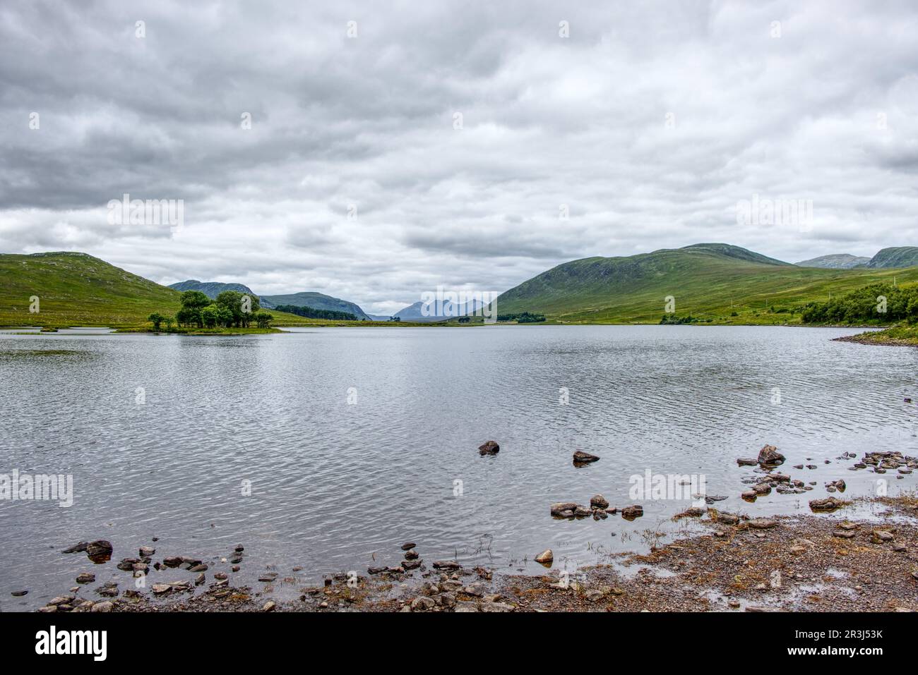 Loch Droma, Scoraig, Highland, Scotland, Great Britain Stock Photohttps://www.alamy.com/image-license-details/?v=1https://www.alamy.com/loch-droma-scoraig-highland-scotland-great-britain-image552974903.html
RF2R3J53K–Loch Droma, Scoraig, Highland, Scotland, Great Britain
 Clouds lifting over Dubh Loch, Letterewe and Fisherfield Forest, Ross & Cromarty, Scotland Stock Photohttps://www.alamy.com/image-license-details/?v=1https://www.alamy.com/clouds-lifting-over-dubh-loch-letterewe-and-fisherfield-forest-ross-cromarty-scotland-image261980623.html
RFW666XR–Clouds lifting over Dubh Loch, Letterewe and Fisherfield Forest, Ross & Cromarty, Scotland
 Meall Breac, Highland, GB, United Kingdom, Scotland, N 57 29' 11'', S 5 38' 55'', map, Cartascapes Map published in 2024. Explore Cartascapes, a map revealing Earth's diverse landscapes, cultures, and ecosystems. Journey through time and space, discovering the interconnectedness of our planet's past, present, and future. Stock Photohttps://www.alamy.com/image-license-details/?v=1https://www.alamy.com/meall-breac-highland-gb-united-kingdom-scotland-n-57-29-11-s-5-38-55-map-cartascapes-map-published-in-2024-explore-cartascapes-a-map-revealing-earths-diverse-landscapes-cultures-and-ecosystems-journey-through-time-and-space-discovering-the-interconnectedness-of-our-planets-past-present-and-future-image604119469.html
RM2X2T0F9–Meall Breac, Highland, GB, United Kingdom, Scotland, N 57 29' 11'', S 5 38' 55'', map, Cartascapes Map published in 2024. Explore Cartascapes, a map revealing Earth's diverse landscapes, cultures, and ecosystems. Journey through time and space, discovering the interconnectedness of our planet's past, present, and future.
 Looking up the Waterfall in Kinloch Rannoch towards Meall Breac in Rannoch, Scotland, United Kingdom Stock Photohttps://www.alamy.com/image-license-details/?v=1https://www.alamy.com/looking-up-the-waterfall-in-kinloch-rannoch-towards-meall-breac-in-rannoch-scotland-united-kingdom-image461634177.html
RF2HR172W–Looking up the Waterfall in Kinloch Rannoch towards Meall Breac in Rannoch, Scotland, United Kingdom
 Meall Breac, Highland, GB, United Kingdom, Scotland, N 57 0' 2'', S 6 18' 28'', map, Cartascapes Map published in 2024. Explore Cartascapes, a map revealing Earth's diverse landscapes, cultures, and ecosystems. Journey through time and space, discovering the interconnectedness of our planet's past, present, and future. Stock Photohttps://www.alamy.com/image-license-details/?v=1https://www.alamy.com/meall-breac-highland-gb-united-kingdom-scotland-n-57-0-2-s-6-18-28-map-cartascapes-map-published-in-2024-explore-cartascapes-a-map-revealing-earths-diverse-landscapes-cultures-and-ecosystems-journey-through-time-and-space-discovering-the-interconnectedness-of-our-planets-past-present-and-future-image604123514.html
RM2X2T5KP–Meall Breac, Highland, GB, United Kingdom, Scotland, N 57 0' 2'', S 6 18' 28'', map, Cartascapes Map published in 2024. Explore Cartascapes, a map revealing Earth's diverse landscapes, cultures, and ecosystems. Journey through time and space, discovering the interconnectedness of our planet's past, present, and future.
 Looking up the Waterfall in Kinloch Rannoch towards Meall Breac in Rannoch, Scotland, United Kingdom Stock Photohttps://www.alamy.com/image-license-details/?v=1https://www.alamy.com/looking-up-the-waterfall-in-kinloch-rannoch-towards-meall-breac-in-rannoch-scotland-united-kingdom-image461634169.html
RF2HR172H–Looking up the Waterfall in Kinloch Rannoch towards Meall Breac in Rannoch, Scotland, United Kingdom
 Meall Breac, Highland, GB, United Kingdom, Scotland, N 57 11' 49'', S 5 34' 14'', map, Cartascapes Map published in 2024. Explore Cartascapes, a map revealing Earth's diverse landscapes, cultures, and ecosystems. Journey through time and space, discovering the interconnectedness of our planet's past, present, and future. Stock Photohttps://www.alamy.com/image-license-details/?v=1https://www.alamy.com/meall-breac-highland-gb-united-kingdom-scotland-n-57-11-49-s-5-34-14-map-cartascapes-map-published-in-2024-explore-cartascapes-a-map-revealing-earths-diverse-landscapes-cultures-and-ecosystems-journey-through-time-and-space-discovering-the-interconnectedness-of-our-planets-past-present-and-future-image604127612.html
RM2X2TAX4–Meall Breac, Highland, GB, United Kingdom, Scotland, N 57 11' 49'', S 5 34' 14'', map, Cartascapes Map published in 2024. Explore Cartascapes, a map revealing Earth's diverse landscapes, cultures, and ecosystems. Journey through time and space, discovering the interconnectedness of our planet's past, present, and future.
 Looking up the Waterfall in Kinloch Rannoch towards Meall Breac in Rannoch, Scotland, United Kingdom Stock Photohttps://www.alamy.com/image-license-details/?v=1https://www.alamy.com/looking-up-the-waterfall-in-kinloch-rannoch-towards-meall-breac-in-rannoch-scotland-united-kingdom-image461634203.html
RF2HR173R–Looking up the Waterfall in Kinloch Rannoch towards Meall Breac in Rannoch, Scotland, United Kingdom
 Meall Breac, Perth and Kinross, GB, United Kingdom, Scotland, N 56 39' 35'', S 4 13' 22'', map, Cartascapes Map published in 2024. Explore Cartascapes, a map revealing Earth's diverse landscapes, cultures, and ecosystems. Journey through time and space, discovering the interconnectedness of our planet's past, present, and future. Stock Photohttps://www.alamy.com/image-license-details/?v=1https://www.alamy.com/meall-breac-perth-and-kinross-gb-united-kingdom-scotland-n-56-39-35-s-4-13-22-map-cartascapes-map-published-in-2024-explore-cartascapes-a-map-revealing-earths-diverse-landscapes-cultures-and-ecosystems-journey-through-time-and-space-discovering-the-interconnectedness-of-our-planets-past-present-and-future-image604111136.html
RM2X2RHWM–Meall Breac, Perth and Kinross, GB, United Kingdom, Scotland, N 56 39' 35'', S 4 13' 22'', map, Cartascapes Map published in 2024. Explore Cartascapes, a map revealing Earth's diverse landscapes, cultures, and ecosystems. Journey through time and space, discovering the interconnectedness of our planet's past, present, and future.
 Meall Breac, Argyll and Bute, GB, United Kingdom, Scotland, N 56 5' 25'', S 5 1' 12'', map, Cartascapes Map published in 2024. Explore Cartascapes, a map revealing Earth's diverse landscapes, cultures, and ecosystems. Journey through time and space, discovering the interconnectedness of our planet's past, present, and future. Stock Photohttps://www.alamy.com/image-license-details/?v=1https://www.alamy.com/meall-breac-argyll-and-bute-gb-united-kingdom-scotland-n-56-5-25-s-5-1-12-map-cartascapes-map-published-in-2024-explore-cartascapes-a-map-revealing-earths-diverse-landscapes-cultures-and-ecosystems-journey-through-time-and-space-discovering-the-interconnectedness-of-our-planets-past-present-and-future-image604137735.html
RM2X2TRRK–Meall Breac, Argyll and Bute, GB, United Kingdom, Scotland, N 56 5' 25'', S 5 1' 12'', map, Cartascapes Map published in 2024. Explore Cartascapes, a map revealing Earth's diverse landscapes, cultures, and ecosystems. Journey through time and space, discovering the interconnectedness of our planet's past, present, and future.
 Meall Breac, Perth and Kinross, GB, United Kingdom, Scotland, N 56 47' 55'', S 4 10' 56'', map, Cartascapes Map published in 2024. Explore Cartascapes, a map revealing Earth's diverse landscapes, cultures, and ecosystems. Journey through time and space, discovering the interconnectedness of our planet's past, present, and future. Stock Photohttps://www.alamy.com/image-license-details/?v=1https://www.alamy.com/meall-breac-perth-and-kinross-gb-united-kingdom-scotland-n-56-47-55-s-4-10-56-map-cartascapes-map-published-in-2024-explore-cartascapes-a-map-revealing-earths-diverse-landscapes-cultures-and-ecosystems-journey-through-time-and-space-discovering-the-interconnectedness-of-our-planets-past-present-and-future-image604127087.html
RM2X2TA7B–Meall Breac, Perth and Kinross, GB, United Kingdom, Scotland, N 56 47' 55'', S 4 10' 56'', map, Cartascapes Map published in 2024. Explore Cartascapes, a map revealing Earth's diverse landscapes, cultures, and ecosystems. Journey through time and space, discovering the interconnectedness of our planet's past, present, and future.
 Meall Breac South Top, Argyll and Bute, GB, United Kingdom, Scotland, N 56 5' 14'', S 5 1' 23'', map, Cartascapes Map published in 2024. Explore Cartascapes, a map revealing Earth's diverse landscapes, cultures, and ecosystems. Journey through time and space, discovering the interconnectedness of our planet's past, present, and future. Stock Photohttps://www.alamy.com/image-license-details/?v=1https://www.alamy.com/meall-breac-south-top-argyll-and-bute-gb-united-kingdom-scotland-n-56-5-14-s-5-1-23-map-cartascapes-map-published-in-2024-explore-cartascapes-a-map-revealing-earths-diverse-landscapes-cultures-and-ecosystems-journey-through-time-and-space-discovering-the-interconnectedness-of-our-planets-past-present-and-future-image604130239.html
RM2X2TE7Y–Meall Breac South Top, Argyll and Bute, GB, United Kingdom, Scotland, N 56 5' 14'', S 5 1' 23'', map, Cartascapes Map published in 2024. Explore Cartascapes, a map revealing Earth's diverse landscapes, cultures, and ecosystems. Journey through time and space, discovering the interconnectedness of our planet's past, present, and future.