Quick filters:
Medan map Stock Photos and Images
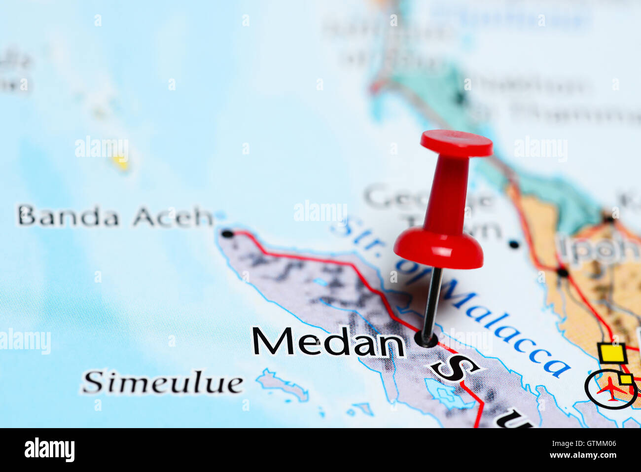 Medan pinned on a map of Indonesia Stock Photohttps://www.alamy.com/image-license-details/?v=1https://www.alamy.com/stock-photo-medan-pinned-on-a-map-of-indonesia-118468678.html
RFGTMM06–Medan pinned on a map of Indonesia
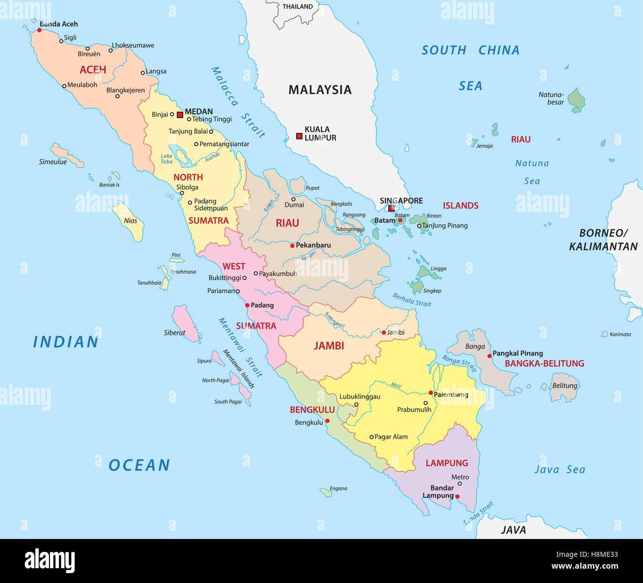 sumatra administrative map Stock Vectorhttps://www.alamy.com/image-license-details/?v=1https://www.alamy.com/stock-photo-sumatra-administrative-map-125839927.html
RFH8ME33–sumatra administrative map
 Vector map of Medan, Indonesia. Urban city road map poster illustration. Medan map art. Stock Vectorhttps://www.alamy.com/image-license-details/?v=1https://www.alamy.com/vector-map-of-medan-indonesia-urban-city-road-map-poster-illustration-medan-map-art-image555940599.html
RF2R8D7WB–Vector map of Medan, Indonesia. Urban city road map poster illustration. Medan map art.
 Map of the surroundings of Medan, Map of the railway in Deli (title on object), Map of the surroundings of Medan, showing the railways., print maker: J.W. Stemfoort, printer: Johannes Ykema, The Hague, 1884, paper, height 522 mm × width 353 mm, print Stock Photohttps://www.alamy.com/image-license-details/?v=1https://www.alamy.com/map-of-the-surroundings-of-medan-map-of-the-railway-in-deli-title-on-object-map-of-the-surroundings-of-medan-showing-the-railways-print-maker-jw-stemfoort-printer-johannes-ykema-the-hague-1884-paper-height-522-mm-width-353-mm-print-image599477225.html
RM2WR8F8W–Map of the surroundings of Medan, Map of the railway in Deli (title on object), Map of the surroundings of Medan, showing the railways., print maker: J.W. Stemfoort, printer: Johannes Ykema, The Hague, 1884, paper, height 522 mm × width 353 mm, print
 Medan Indonesia Asia City map blue print vector illustration Stock Vectorhttps://www.alamy.com/image-license-details/?v=1https://www.alamy.com/medan-indonesia-asia-city-map-blue-print-vector-illustration-image557425885.html
RF2RATXB9–Medan Indonesia Asia City map blue print vector illustration
![Photo album Deli Maatschappij: Deli Maatschappij. East Coast of Sumatra (C.J. Kleingrothe, Medan) [Map of the East Coast of Sumatra] Location: Indonesia, Dutch East Indies, Sumatra Stock Photo Photo album Deli Maatschappij: Deli Maatschappij. East Coast of Sumatra (C.J. Kleingrothe, Medan) [Map of the East Coast of Sumatra] Location: Indonesia, Dutch East Indies, Sumatra Stock Photo](https://c8.alamy.com/comp/2ARR0FE/photo-album-deli-maatschappij-deli-maatschappij-east-coast-of-sumatra-cj-kleingrothe-medan-map-of-the-east-coast-of-sumatra-location-indonesia-dutch-east-indies-sumatra-2ARR0FE.jpg) Photo album Deli Maatschappij: Deli Maatschappij. East Coast of Sumatra (C.J. Kleingrothe, Medan) [Map of the East Coast of Sumatra] Location: Indonesia, Dutch East Indies, Sumatra Stock Photohttps://www.alamy.com/image-license-details/?v=1https://www.alamy.com/photo-album-deli-maatschappij-deli-maatschappij-east-coast-of-sumatra-cj-kleingrothe-medan-map-of-the-east-coast-of-sumatra-location-indonesia-dutch-east-indies-sumatra-image341639410.html
Photo album Deli Maatschappij: Deli Maatschappij. East Coast of Sumatra (C.J. Kleingrothe, Medan) [Map of the East Coast of Sumatra] Location: Indonesia, Dutch East Indies, Sumatra Stock Photohttps://www.alamy.com/image-license-details/?v=1https://www.alamy.com/photo-album-deli-maatschappij-deli-maatschappij-east-coast-of-sumatra-cj-kleingrothe-medan-map-of-the-east-coast-of-sumatra-location-indonesia-dutch-east-indies-sumatra-image341639410.htmlRM2ARR0FE–Photo album Deli Maatschappij: Deli Maatschappij. East Coast of Sumatra (C.J. Kleingrothe, Medan) [Map of the East Coast of Sumatra] Location: Indonesia, Dutch East Indies, Sumatra
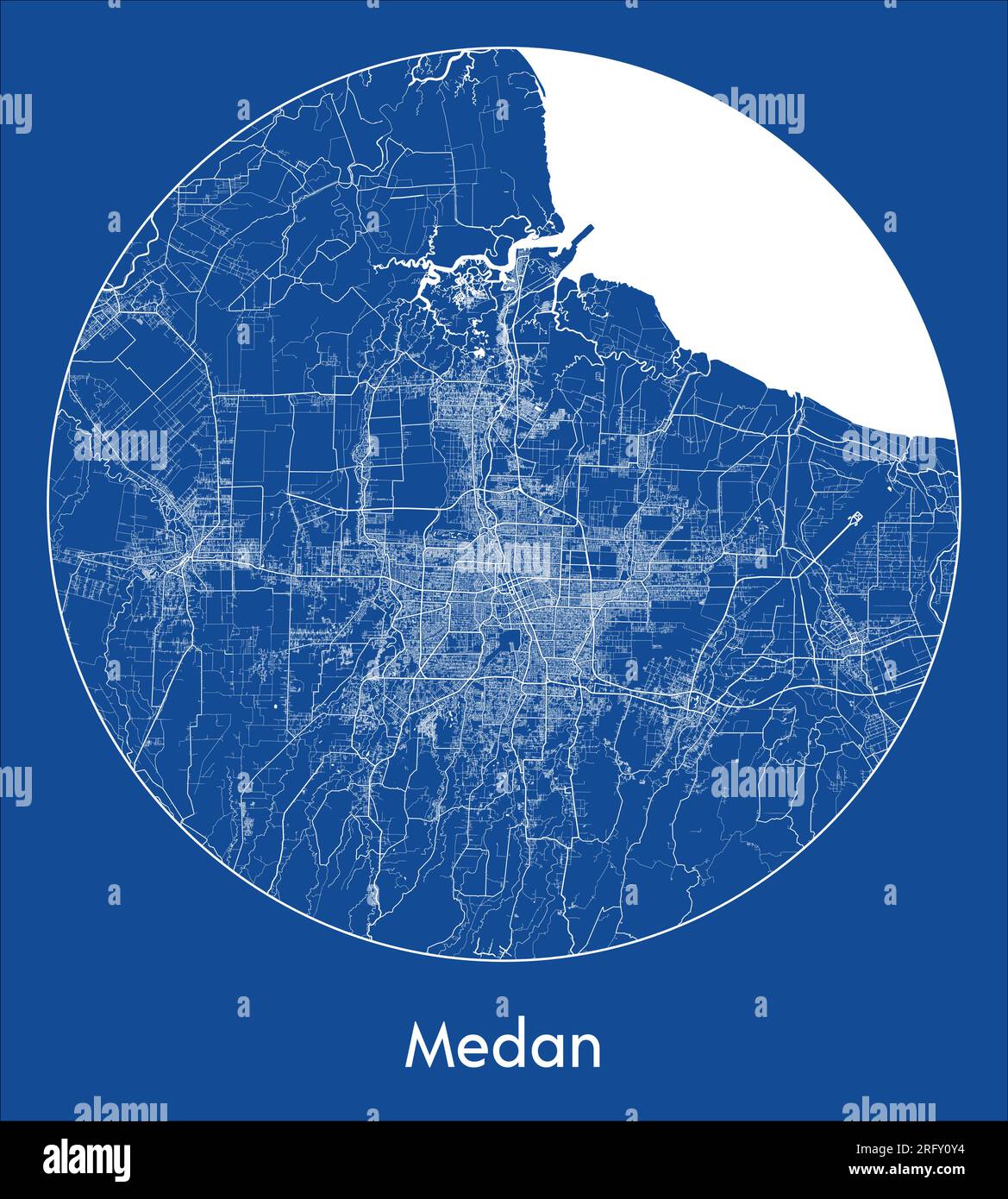 City Map Medan Indonesia Asia blue print round Circle vector illustration Stock Vectorhttps://www.alamy.com/image-license-details/?v=1https://www.alamy.com/city-map-medan-indonesia-asia-blue-print-round-circle-vector-illustration-image560545080.html
RF2RFY0Y4–City Map Medan Indonesia Asia blue print round Circle vector illustration
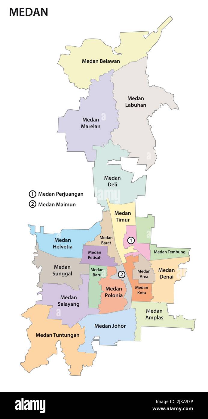 administrative and political map of the Indonesian city of Medan Stock Photohttps://www.alamy.com/image-license-details/?v=1https://www.alamy.com/administrative-and-political-map-of-the-indonesian-city-of-medan-image476585194.html
RF2JKA97P–administrative and political map of the Indonesian city of Medan
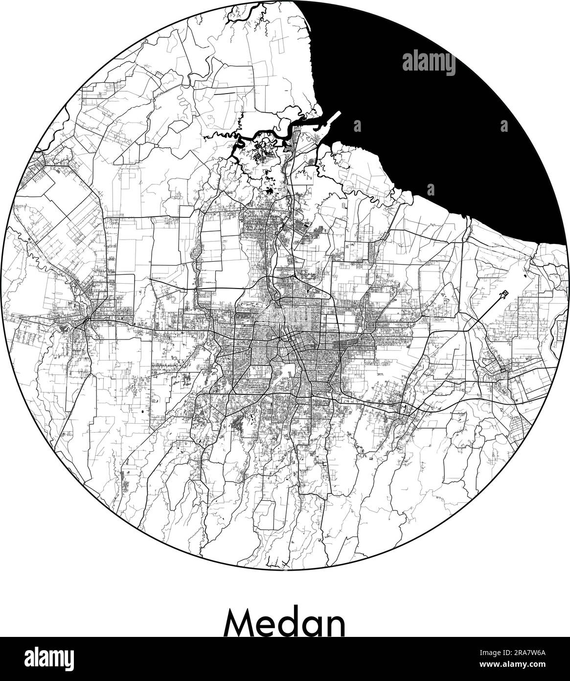 City Map Medan Indonesia Asia vector illustration black white Stock Vectorhttps://www.alamy.com/image-license-details/?v=1https://www.alamy.com/city-map-medan-indonesia-asia-vector-illustration-black-white-image557051778.html
RF2RA7W6A–City Map Medan Indonesia Asia vector illustration black white
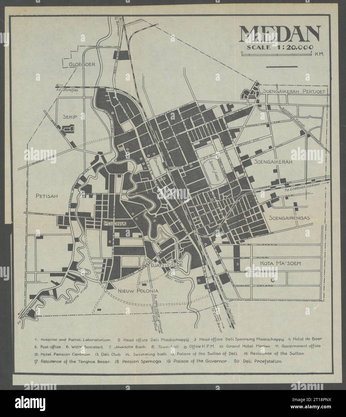 Medan city plan. Sumatra, Dutch East Indies. Indonesia. VAN STOCKUM 1930 map Stock Photohttps://www.alamy.com/image-license-details/?v=1https://www.alamy.com/medan-city-plan-sumatra-dutch-east-indies-indonesia-van-stockum-1930-map-image568750278.html
RF2T18PNX–Medan city plan. Sumatra, Dutch East Indies. Indonesia. VAN STOCKUM 1930 map
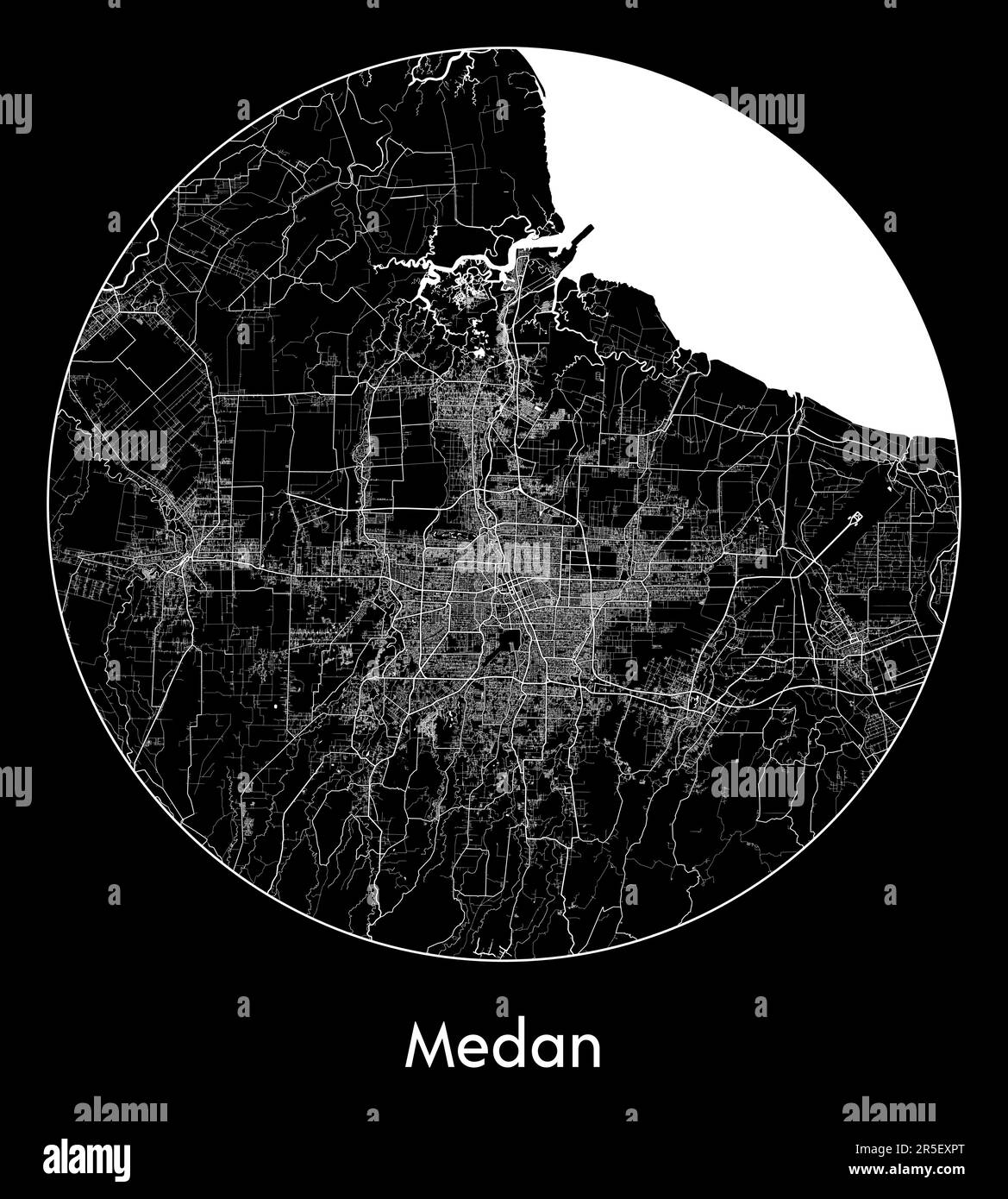 City Map Medan Indonesia Asia vector illustration Stock Vectorhttps://www.alamy.com/image-license-details/?v=1https://www.alamy.com/city-map-medan-indonesia-asia-vector-illustration-image554133408.html
RF2R5EXPT–City Map Medan Indonesia Asia vector illustration
 Medan, Yvelines, FR, France, Île-de-France, N 48 57' 11'', N 1 59' 45'', map, Cartascapes Map published in 2024. Explore Cartascapes, a map revealing Earth's diverse landscapes, cultures, and ecosystems. Journey through time and space, discovering the interconnectedness of our planet's past, present, and future. Stock Photohttps://www.alamy.com/image-license-details/?v=1https://www.alamy.com/medan-yvelines-fr-france-le-de-france-n-48-57-11-n-1-59-45-map-cartascapes-map-published-in-2024-explore-cartascapes-a-map-revealing-earths-diverse-landscapes-cultures-and-ecosystems-journey-through-time-and-space-discovering-the-interconnectedness-of-our-planets-past-present-and-future-image614331219.html
RM2XKD5MK–Medan, Yvelines, FR, France, Île-de-France, N 48 57' 11'', N 1 59' 45'', map, Cartascapes Map published in 2024. Explore Cartascapes, a map revealing Earth's diverse landscapes, cultures, and ecosystems. Journey through time and space, discovering the interconnectedness of our planet's past, present, and future.
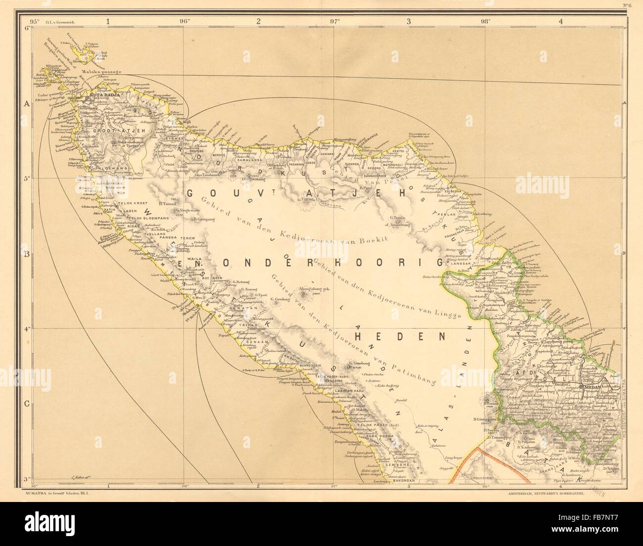 DUTCH EAST INDIES: Indonesia: N SUMATRA. Banda Aceh.Medan.DORNSEIFFEN, 1892 map Stock Photohttps://www.alamy.com/image-license-details/?v=1https://www.alamy.com/stock-photo-dutch-east-indies-indonesia-n-sumatra-banda-acehmedandornseiffen-1892-92983863.html
RFFB7NT7–DUTCH EAST INDIES: Indonesia: N SUMATRA. Banda Aceh.Medan.DORNSEIFFEN, 1892 map
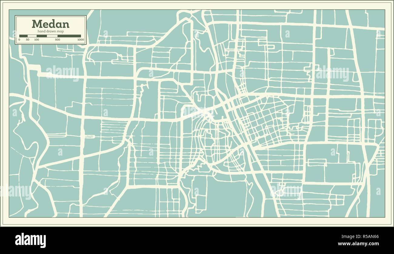 Medan Indonesia City Map in Retro Style. Outline Map. Vector Illustration. Stock Vectorhttps://www.alamy.com/image-license-details/?v=1https://www.alamy.com/medan-indonesia-city-map-in-retro-style-outline-map-vector-illustration-image227044222.html
RFR5AN66–Medan Indonesia City Map in Retro Style. Outline Map. Vector Illustration.
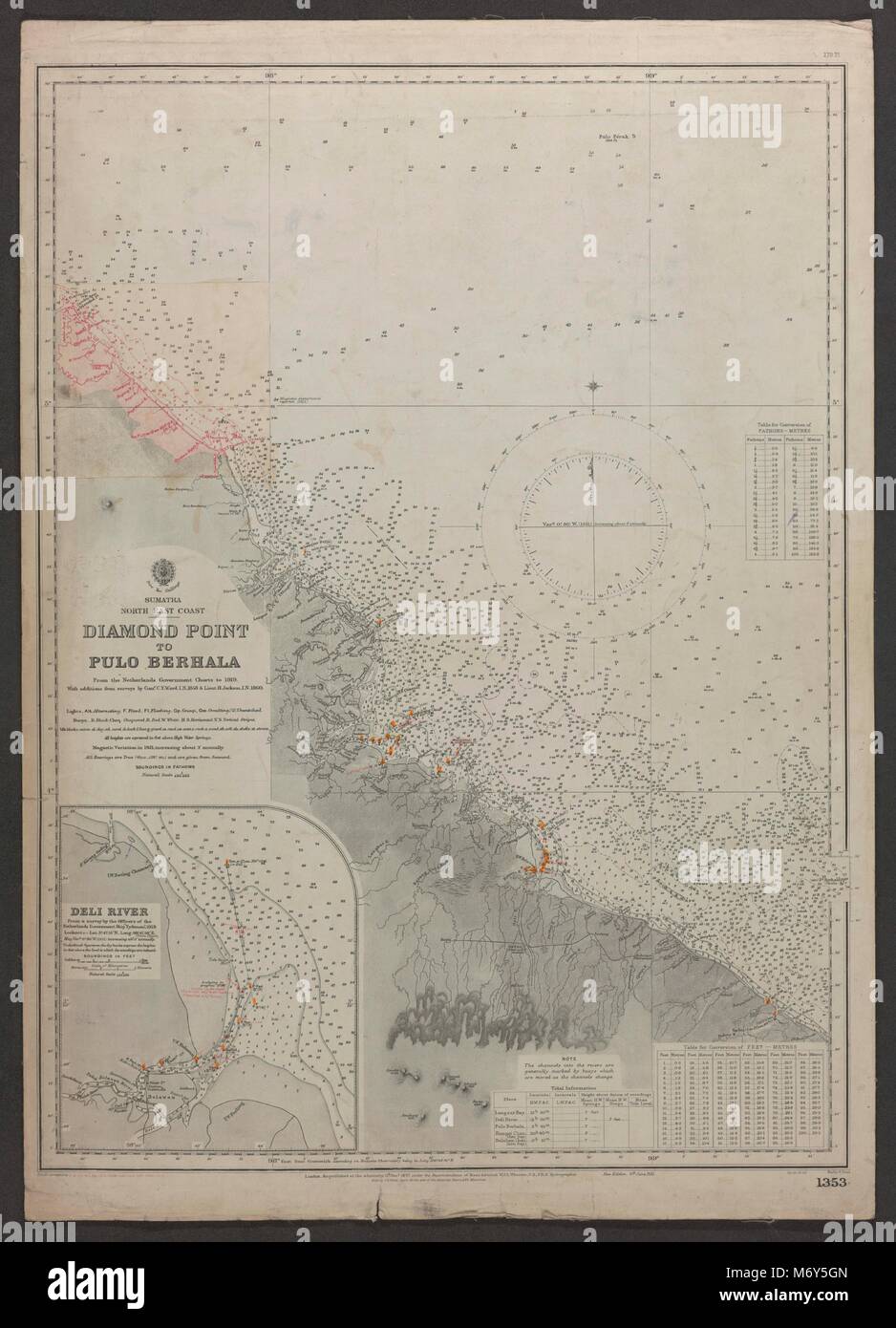 Sumatra NE Coast Belawan Medan Pulo Berhala. Admiralty sea chart 1921 old map Stock Photohttps://www.alamy.com/image-license-details/?v=1https://www.alamy.com/stock-photo-sumatra-ne-coast-belawan-medan-pulo-berhala-admiralty-sea-chart-1921-176388709.html
RFM6Y5GN–Sumatra NE Coast Belawan Medan Pulo Berhala. Admiralty sea chart 1921 old map
 Medan Indonesia City Map in Black and White Color. Outline Map. Vector Illustration. Stock Vectorhttps://www.alamy.com/image-license-details/?v=1https://www.alamy.com/medan-indonesia-city-map-in-black-and-white-color-outline-map-vector-illustration-image328150295.html
RF2A1TF1B–Medan Indonesia City Map in Black and White Color. Outline Map. Vector Illustration.
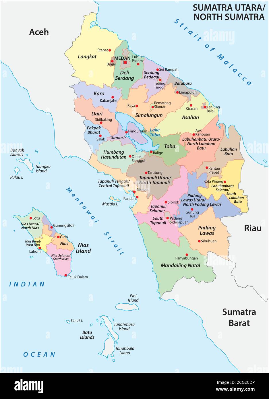 Administrative vector map of the Indonesian province of North Sumatra, Sumatra, Indonesia Stock Vectorhttps://www.alamy.com/image-license-details/?v=1https://www.alamy.com/administrative-vector-map-of-the-indonesian-province-of-north-sumatra-sumatra-indonesia-image371305922.html
RF2CG2CDP–Administrative vector map of the Indonesian province of North Sumatra, Sumatra, Indonesia
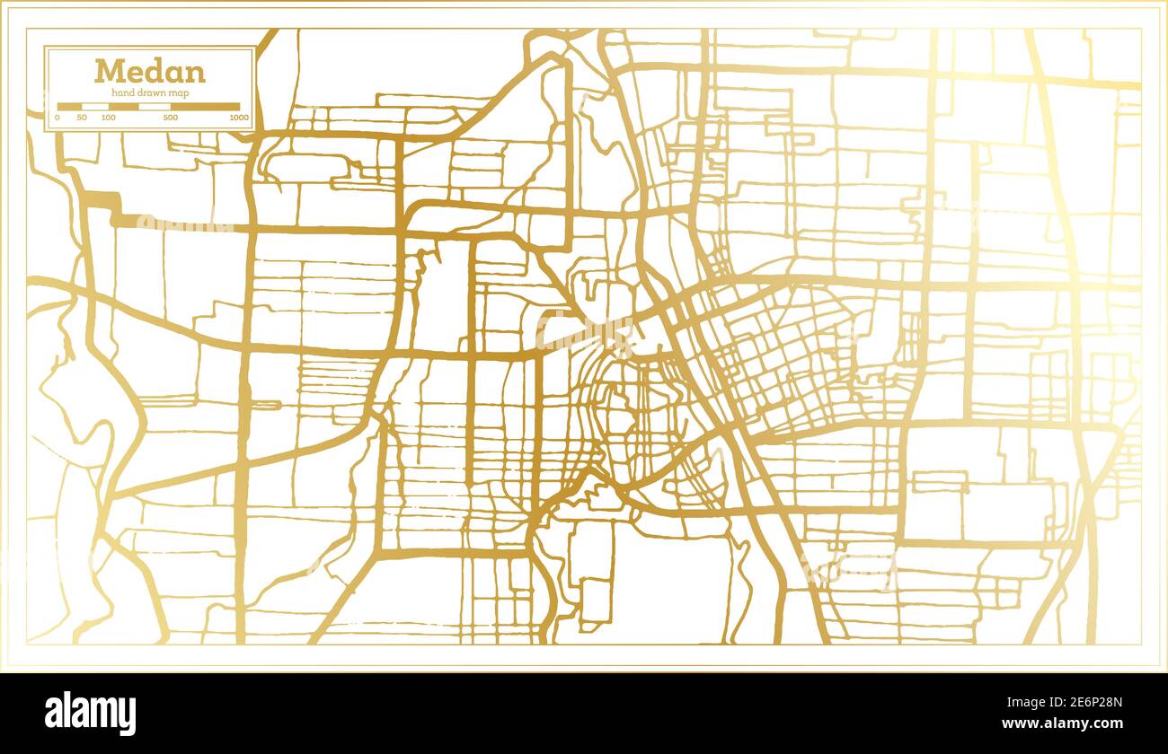 Medan Indonesia City Map in Retro Style in Golden Color. Outline Map. Vector Illustration. Stock Vectorhttps://www.alamy.com/image-license-details/?v=1https://www.alamy.com/medan-indonesia-city-map-in-retro-style-in-golden-color-outline-map-vector-illustration-image400011157.html
RF2E6P28N–Medan Indonesia City Map in Retro Style in Golden Color. Outline Map. Vector Illustration.
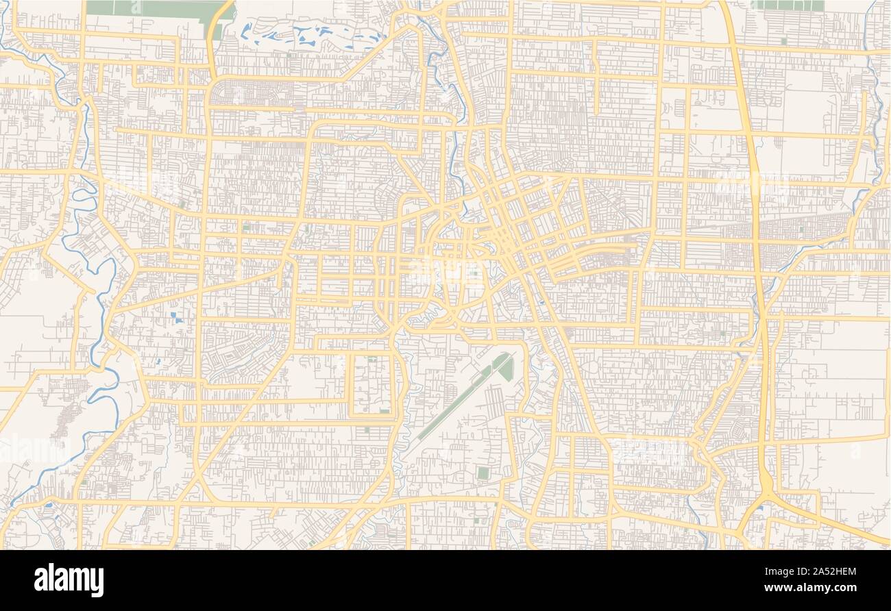 Printable street map of Medan, Province North Sumatra, Indonesia. Map template for business use. Stock Vectorhttps://www.alamy.com/image-license-details/?v=1https://www.alamy.com/printable-street-map-of-medan-province-north-sumatra-indonesia-map-template-for-business-use-image330127916.html
RF2A52HEM–Printable street map of Medan, Province North Sumatra, Indonesia. Map template for business use.
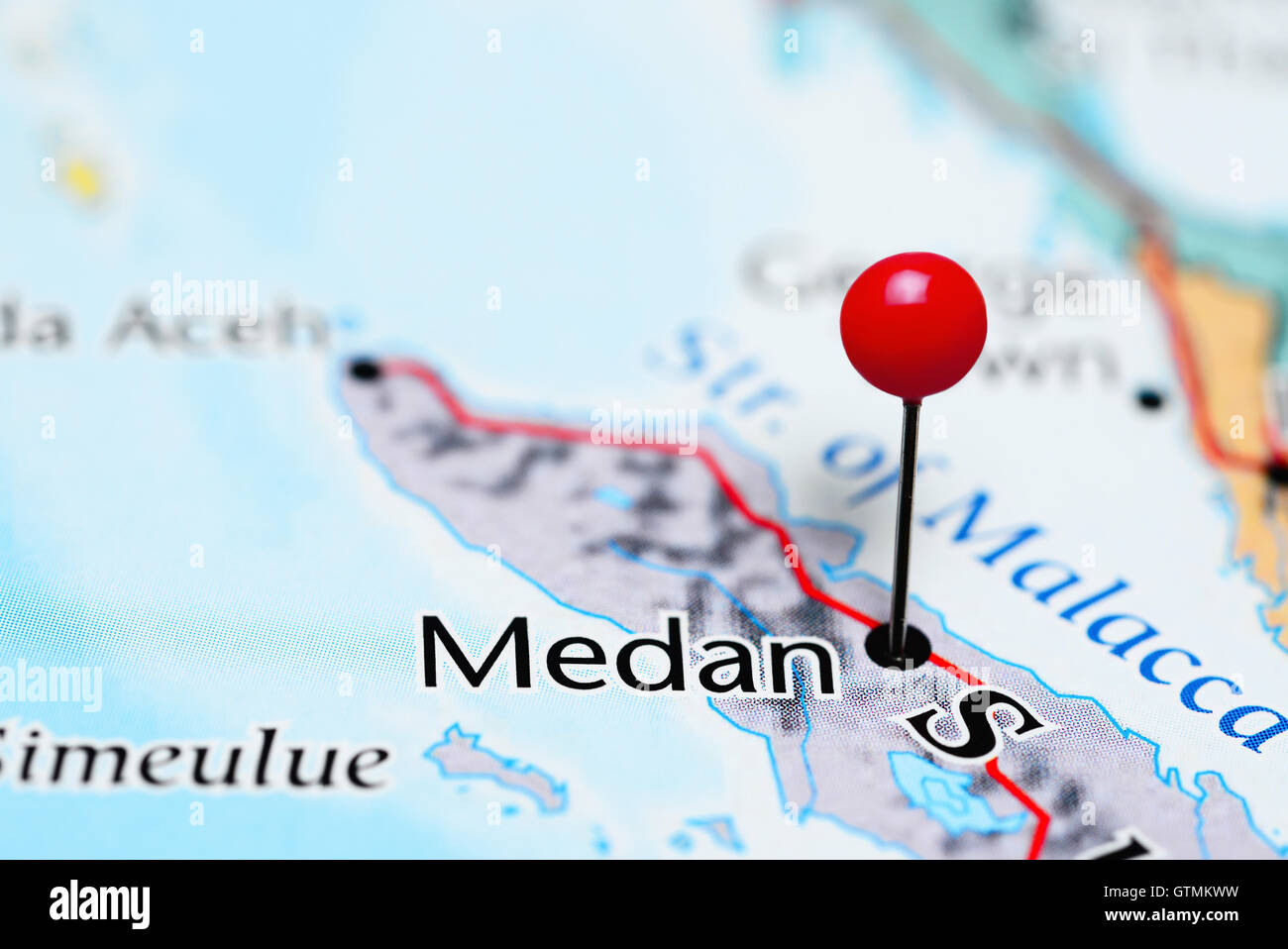 Medan pinned on a map of Indonesia Stock Photohttps://www.alamy.com/image-license-details/?v=1https://www.alamy.com/stock-photo-medan-pinned-on-a-map-of-indonesia-118468613.html
RFGTMKWW–Medan pinned on a map of Indonesia
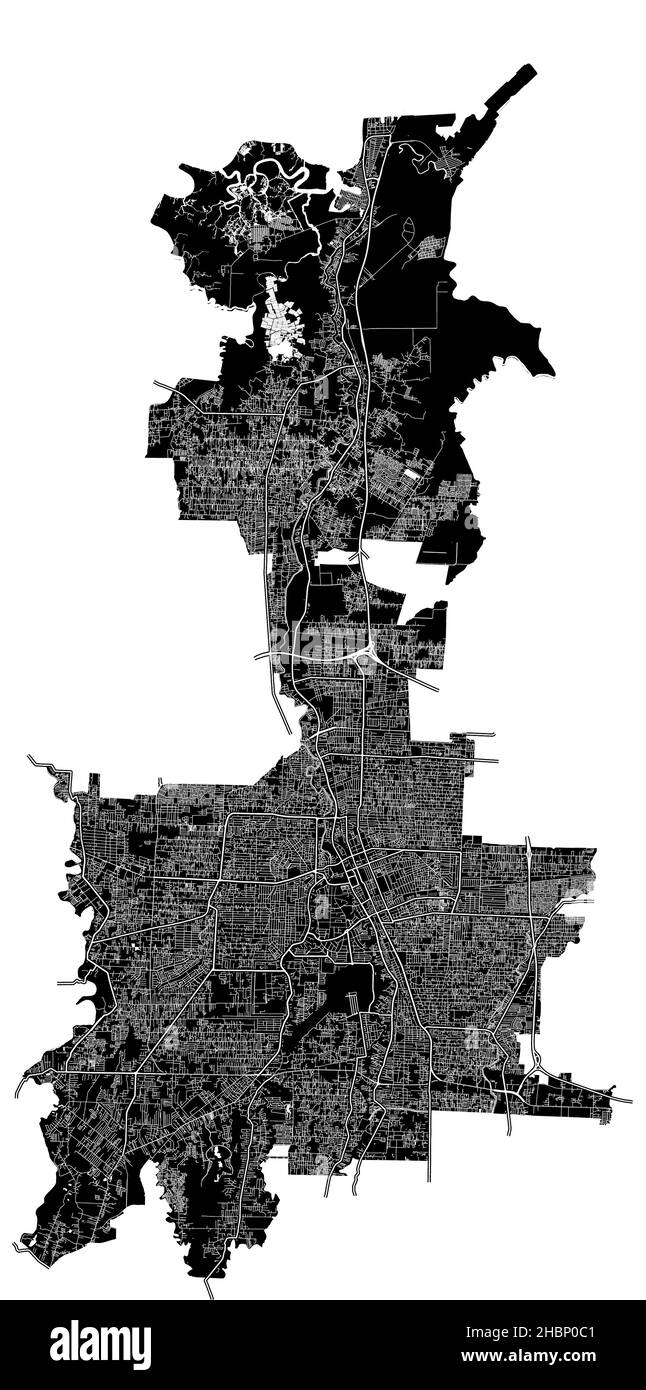 Medan, Indonesia, high resolution vector map with city boundaries, and editable paths. The city map was drawn with white areas and lines for main road Stock Vectorhttps://www.alamy.com/image-license-details/?v=1https://www.alamy.com/medan-indonesia-high-resolution-vector-map-with-city-boundaries-and-editable-paths-the-city-map-was-drawn-with-white-areas-and-lines-for-main-road-image454714065.html
RF2HBP0C1–Medan, Indonesia, high resolution vector map with city boundaries, and editable paths. The city map was drawn with white areas and lines for main road
 Background Medan map, Indonesia, green city poster. Vector map with roads and water. Widescreen proportion, digital flat design roadmap. Stock Vectorhttps://www.alamy.com/image-license-details/?v=1https://www.alamy.com/background-medan-map-indonesia-green-city-poster-vector-map-with-roads-and-water-widescreen-proportion-digital-flat-design-roadmap-image596473731.html
RF2WJBM97–Background Medan map, Indonesia, green city poster. Vector map with roads and water. Widescreen proportion, digital flat design roadmap.
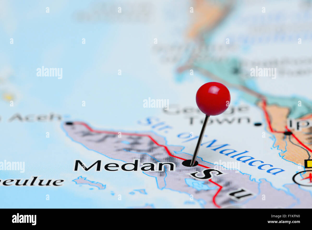 Medan pinned on a map of Asia Stock Photohttps://www.alamy.com/image-license-details/?v=1https://www.alamy.com/stock-photo-medan-pinned-on-a-map-of-asia-87095932.html
RFF1KFN0–Medan pinned on a map of Asia
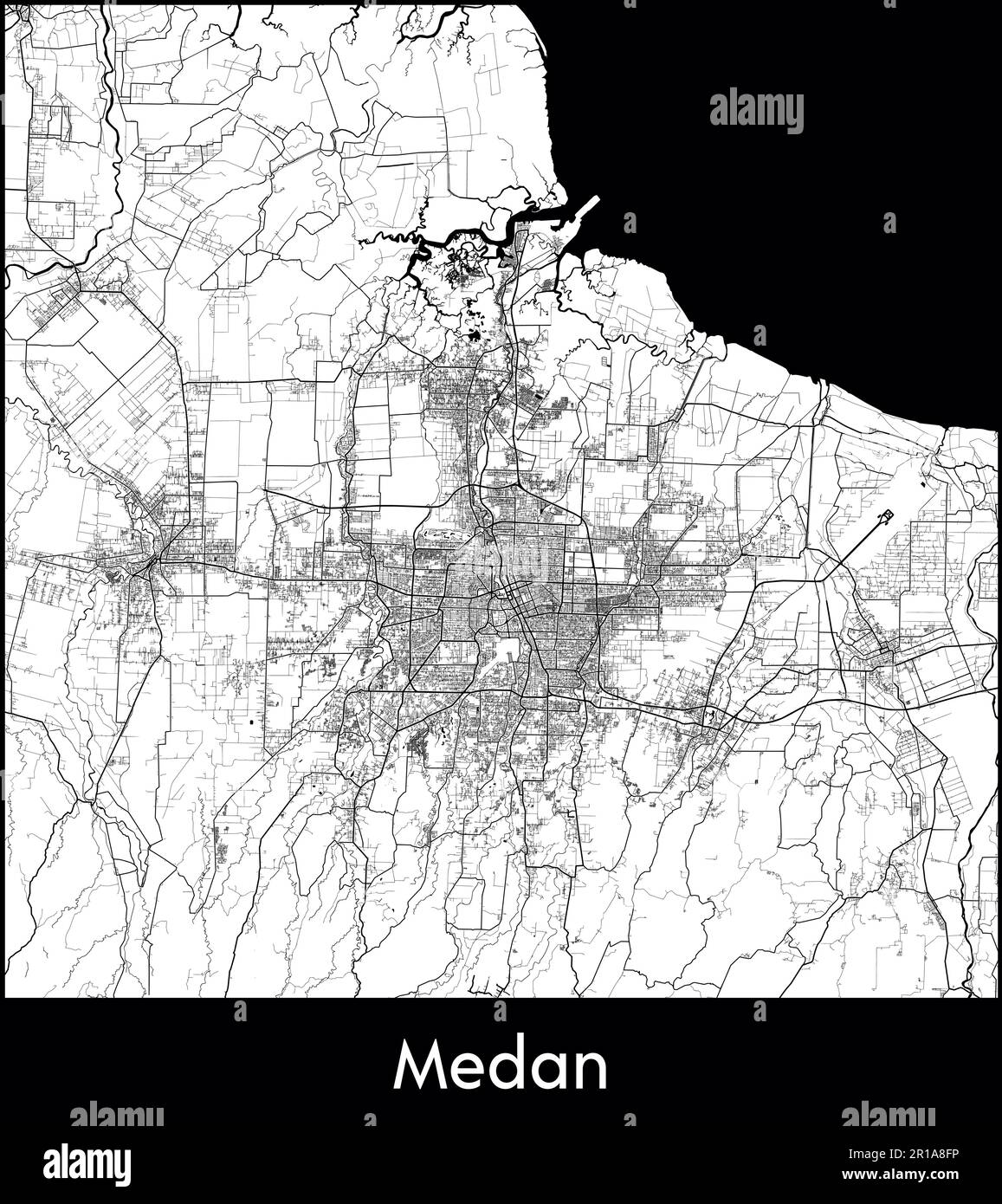 City Map Asia Indonesia Medan vector illustration Stock Vectorhttps://www.alamy.com/image-license-details/?v=1https://www.alamy.com/city-map-asia-indonesia-medan-vector-illustration-image551572666.html
RF2R1A8FP–City Map Asia Indonesia Medan vector illustration
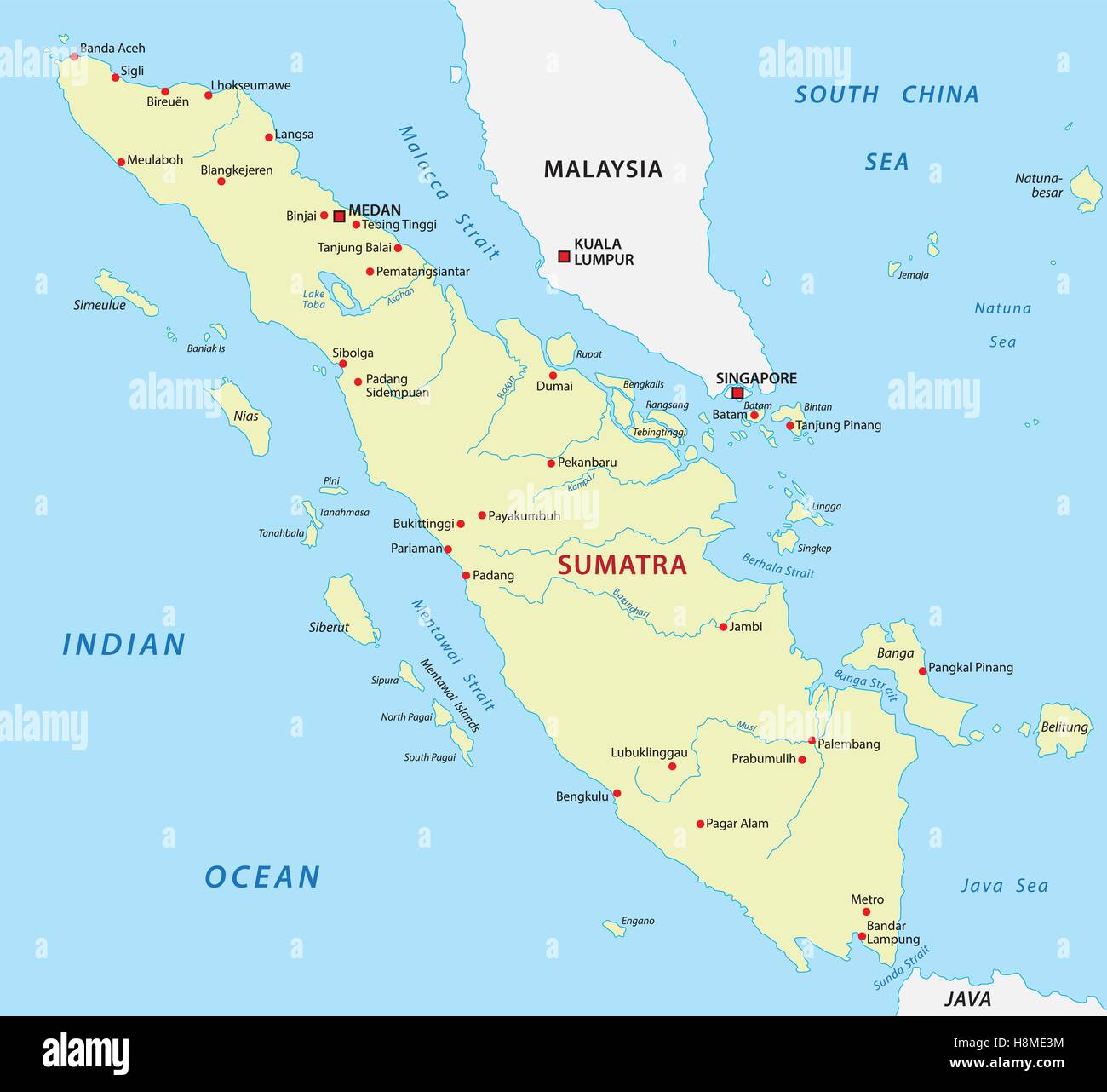 sumatra map Stock Vectorhttps://www.alamy.com/image-license-details/?v=1https://www.alamy.com/stock-photo-sumatra-map-125839944.html
RFH8ME3M–sumatra map
RF2XPGCD9–map icon for the island of Sumatra, one of the islands of Indonesia
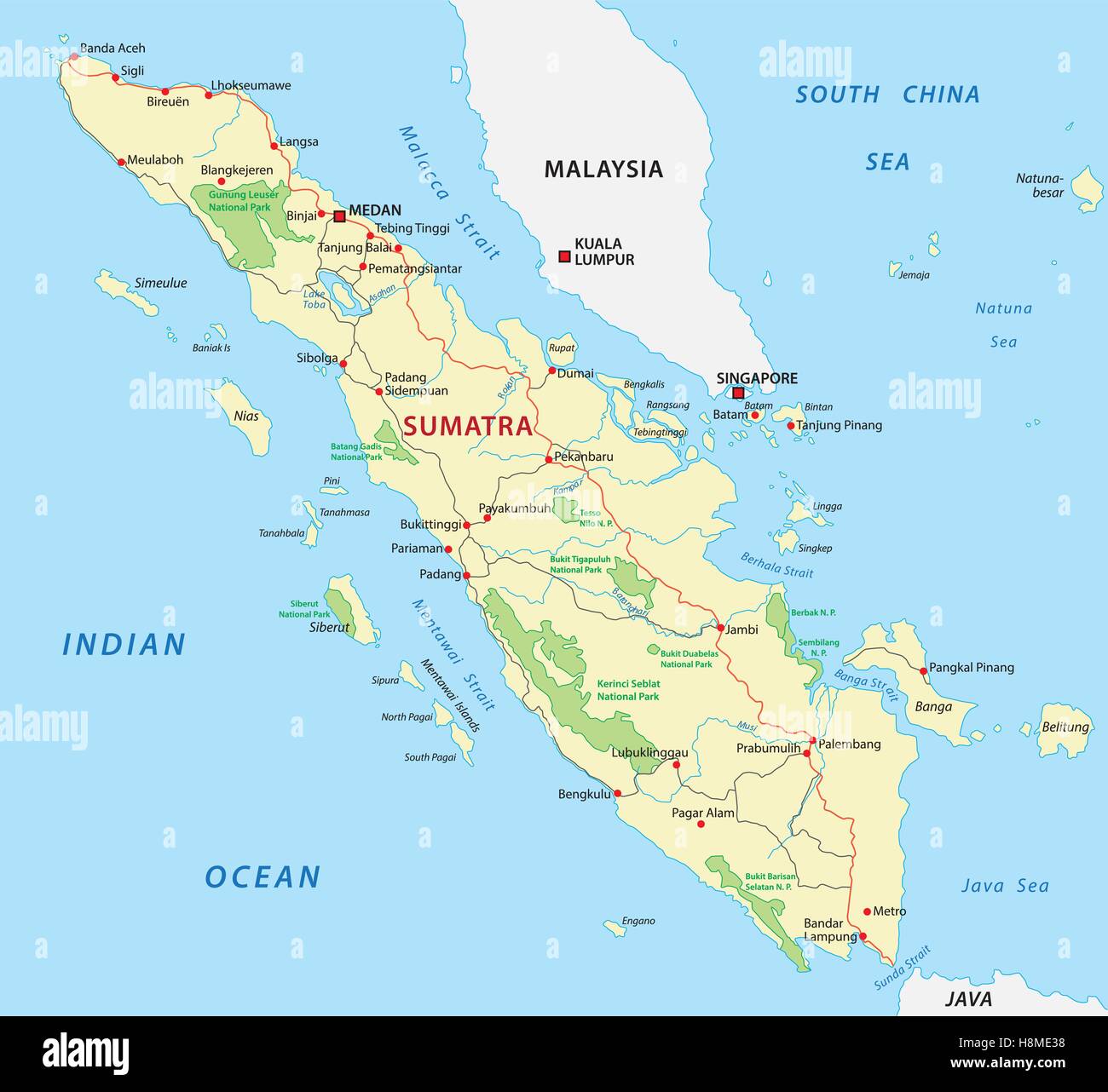 sumatra road and national park map Stock Vectorhttps://www.alamy.com/image-license-details/?v=1https://www.alamy.com/stock-photo-sumatra-road-and-national-park-map-125839932.html
RFH8ME38–sumatra road and national park map
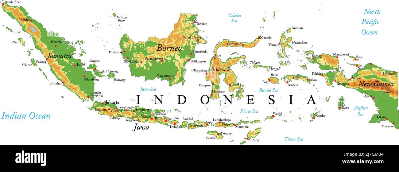 Highly detailed physical map of Indonesia,in vector format,with all the relief forms,regions and big cities. Stock Vectorhttps://www.alamy.com/image-license-details/?v=1https://www.alamy.com/highly-detailed-physical-map-of-indonesiain-vector-formatwith-all-the-relief-formsregions-and-big-cities-image469349528.html
RF2J7GM34–Highly detailed physical map of Indonesia,in vector format,with all the relief forms,regions and big cities.
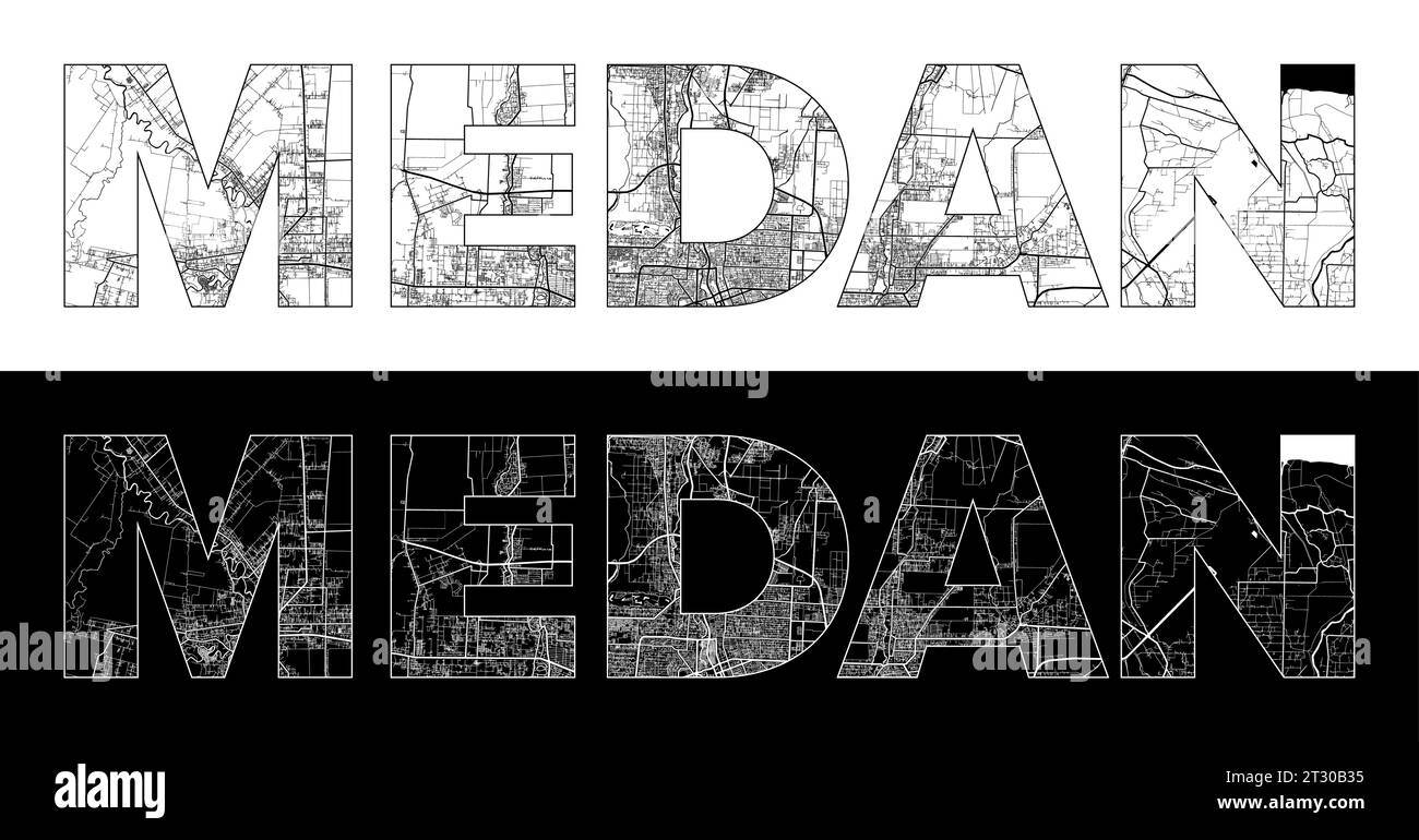 Medan City Name (Indonesia, Asia) with black white city map illustration vector Stock Vectorhttps://www.alamy.com/image-license-details/?v=1https://www.alamy.com/medan-city-name-indonesia-asia-with-black-white-city-map-illustration-vector-image569794825.html
RF2T30B35–Medan City Name (Indonesia, Asia) with black white city map illustration vector
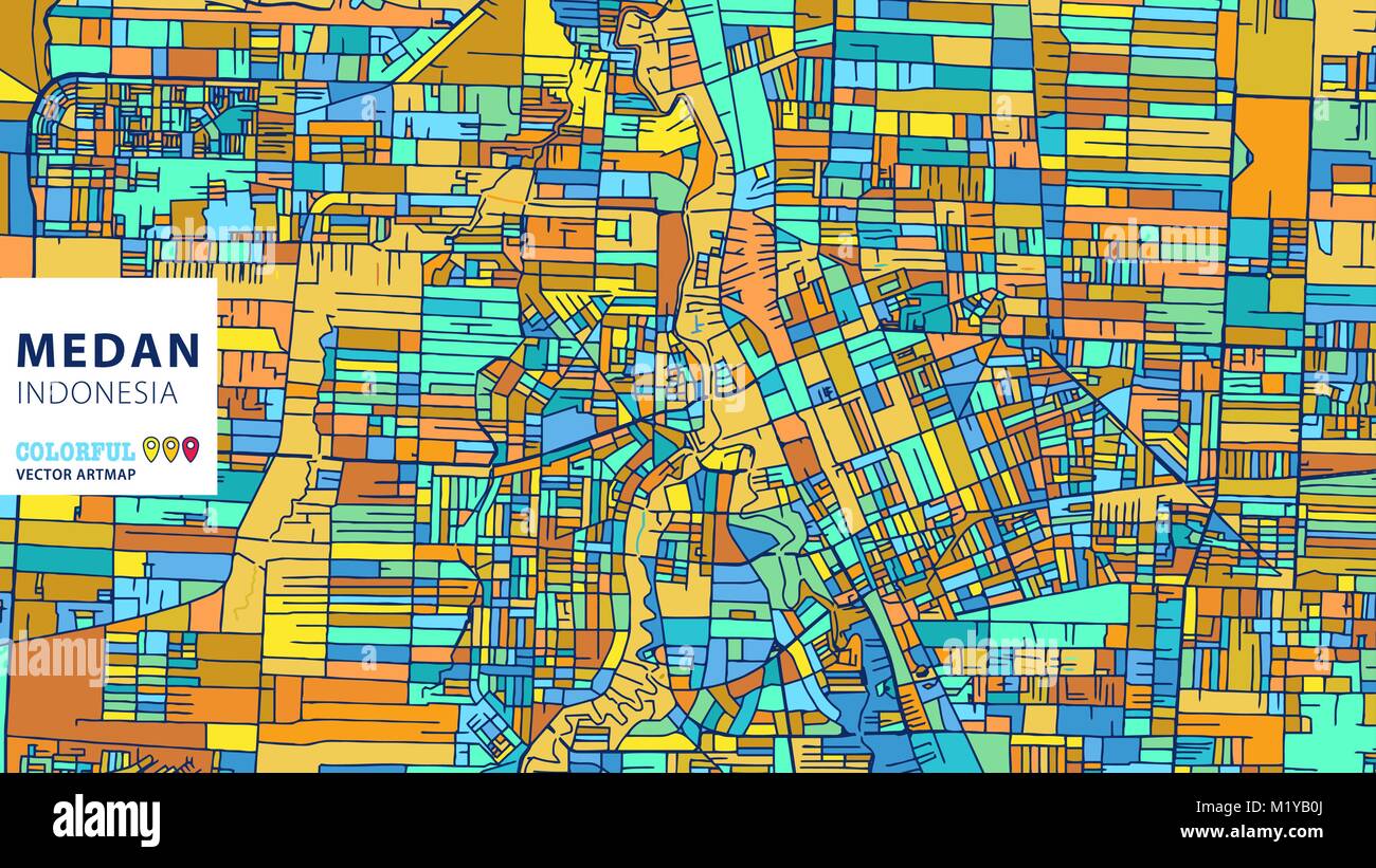 Medan, Indonesia, Colorful Vector Artmap. Blue-Orange-Yellow Version for Website Infographic, Wall Art and Greeting Card Backgrounds. Stock Vectorhttps://www.alamy.com/image-license-details/?v=1https://www.alamy.com/stock-photo-medanindonesia-colorful-vector-artmap-blue-orange-yellow-version-for-173319682.html
RFM1YB0J–Medan, Indonesia, Colorful Vector Artmap. Blue-Orange-Yellow Version for Website Infographic, Wall Art and Greeting Card Backgrounds.
 Médan, Yvelines, France, Île-de-France, N 48 57' 19'', E 1 59' 41'', map, Timeless Map published in 2021. Travelers, explorers and adventurers like Florence Nightingale, David Livingstone, Ernest Shackleton, Lewis and Clark and Sherlock Holmes relied on maps to plan travels to the world's most remote corners, Timeless Maps is mapping most locations on the globe, showing the achievement of great dreams Stock Photohttps://www.alamy.com/image-license-details/?v=1https://www.alamy.com/mdan-yvelines-france-le-de-france-n-48-57-19-e-1-59-41-map-timeless-map-published-in-2021-travelers-explorers-and-adventurers-like-florence-nightingale-david-livingstone-ernest-shackleton-lewis-and-clark-and-sherlock-holmes-relied-on-maps-to-plan-travels-to-the-worlds-most-remote-corners-timeless-maps-is-mapping-most-locations-on-the-globe-showing-the-achievement-of-great-dreams-image445085028.html
RM2GT3ADT–Médan, Yvelines, France, Île-de-France, N 48 57' 19'', E 1 59' 41'', map, Timeless Map published in 2021. Travelers, explorers and adventurers like Florence Nightingale, David Livingstone, Ernest Shackleton, Lewis and Clark and Sherlock Holmes relied on maps to plan travels to the world's most remote corners, Timeless Maps is mapping most locations on the globe, showing the achievement of great dreams
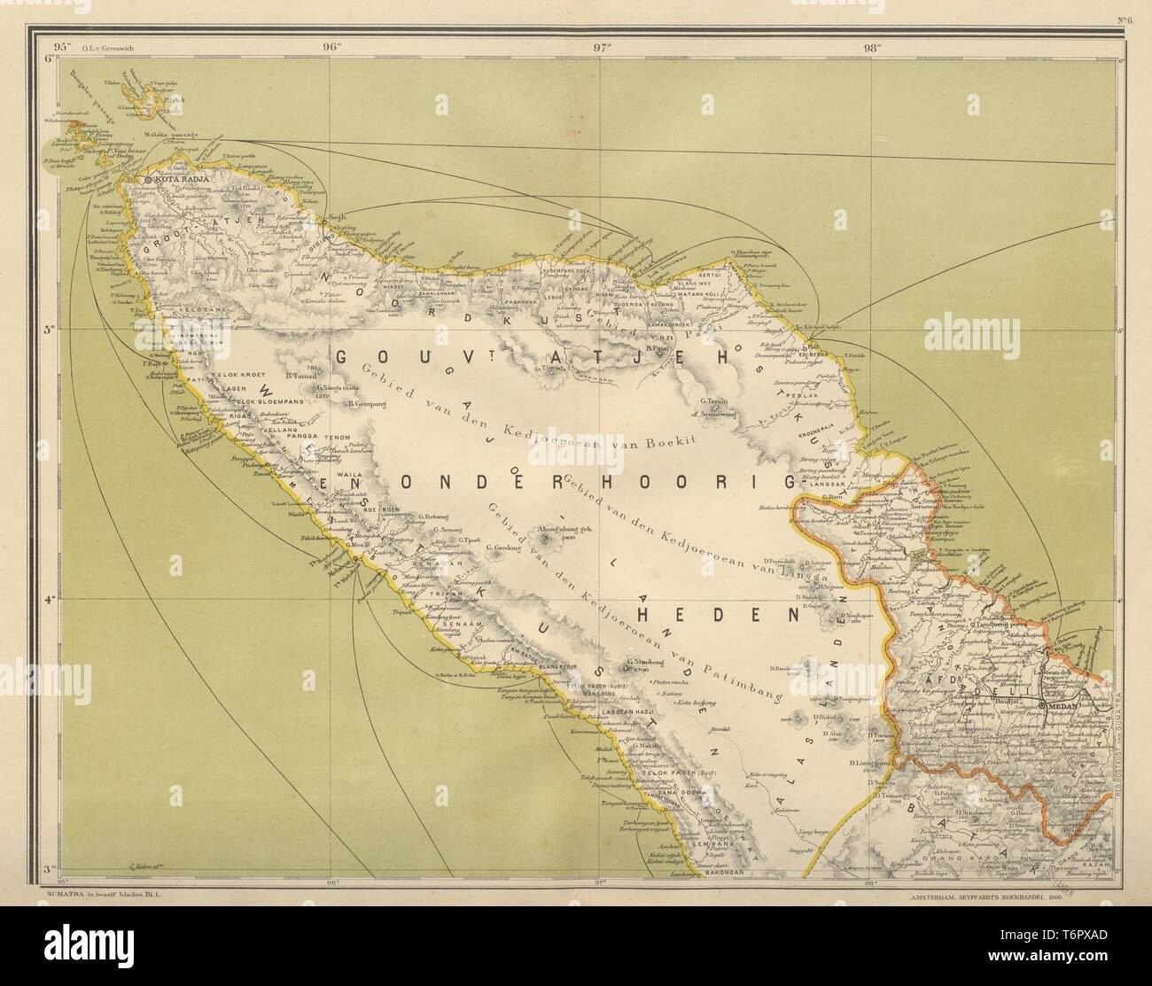 DUTCH EAST INDIES Indonesia N SUMATRA Banda Aceh Medan DORNSEIFFEN 1902 map Stock Photohttps://www.alamy.com/image-license-details/?v=1https://www.alamy.com/dutch-east-indies-indonesia-n-sumatra-banda-aceh-medan-dornseiffen-1902-map-image245136709.html
RFT6PXAD–DUTCH EAST INDIES Indonesia N SUMATRA Banda Aceh Medan DORNSEIFFEN 1902 map
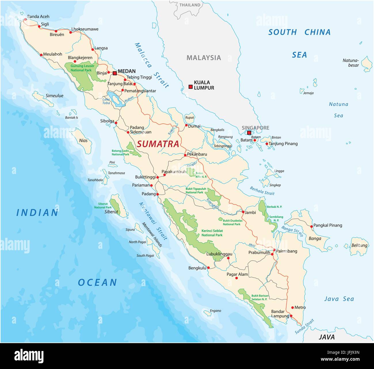 Road map of the indonesian island sumatra Stock Vectorhttps://www.alamy.com/image-license-details/?v=1https://www.alamy.com/stock-photo-road-map-of-the-indonesian-island-sumatra-147305081.html
RFJFJ93N–Road map of the indonesian island sumatra
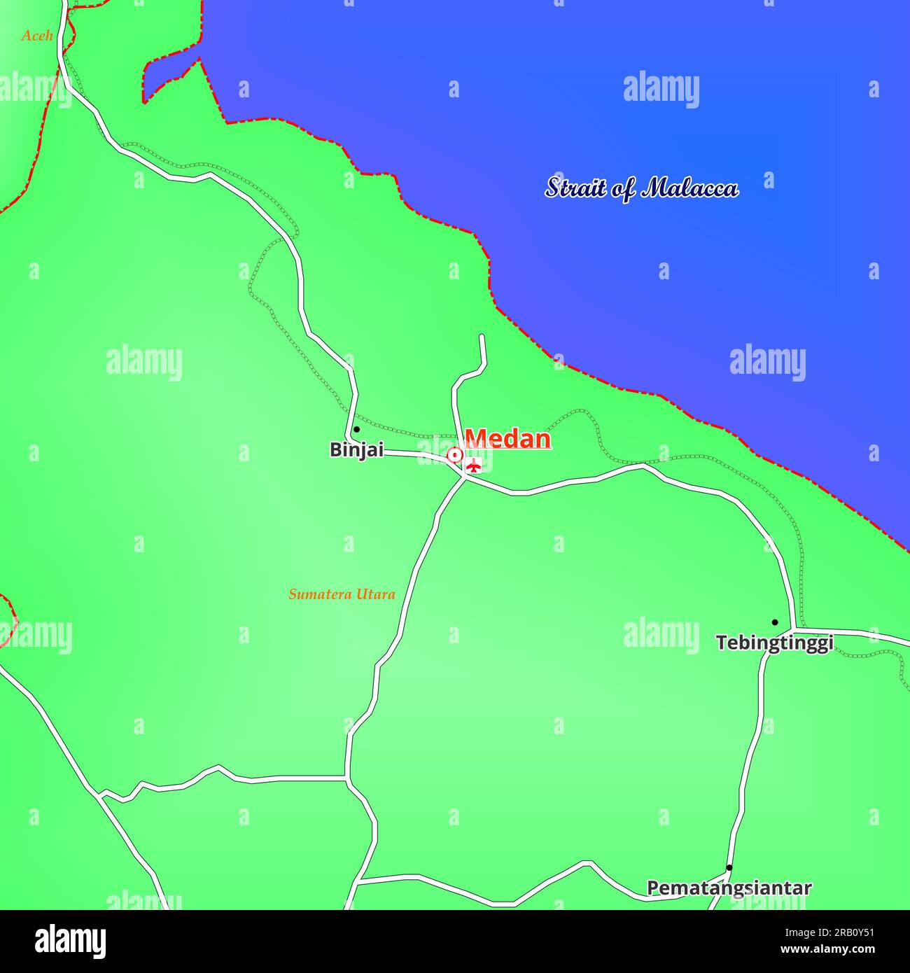 Map of Medan City in Indonesia Stock Photohttps://www.alamy.com/image-license-details/?v=1https://www.alamy.com/map-of-medan-city-in-indonesia-image557514301.html
RF2RB0Y51–Map of Medan City in Indonesia
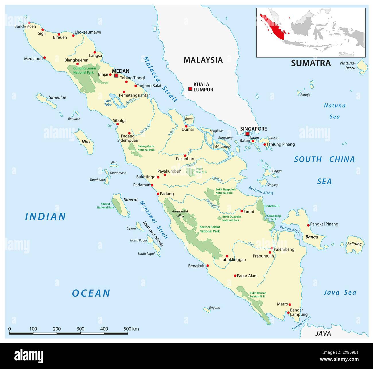 Vector map of the Indonesian island of Sumatra Stock Photohttps://www.alamy.com/image-license-details/?v=1https://www.alamy.com/vector-map-of-the-indonesian-island-of-sumatra-image607397337.html
RF2X859E1–Vector map of the Indonesian island of Sumatra
 Indonesian map design banner with frame autumn plant leaf and flowers decoration flat style Stock Vectorhttps://www.alamy.com/image-license-details/?v=1https://www.alamy.com/indonesian-map-design-banner-with-frame-autumn-plant-leaf-and-flowers-decoration-flat-style-image368564700.html
RF2CBHG10–Indonesian map design banner with frame autumn plant leaf and flowers decoration flat style
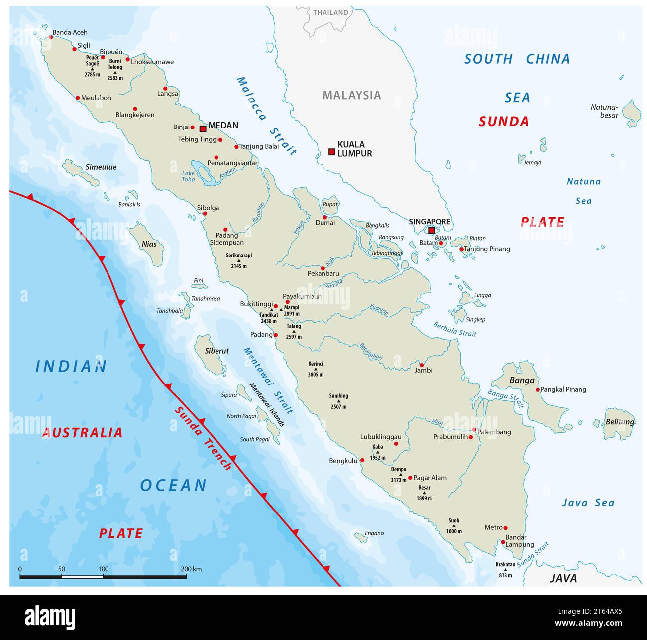 Map of the Sunda Trench off the west coast of Sumatra, Indonesia Stock Photohttps://www.alamy.com/image-license-details/?v=1https://www.alamy.com/map-of-the-sunda-trench-off-the-west-coast-of-sumatra-indonesia-image571726461.html
RF2T64AX5–Map of the Sunda Trench off the west coast of Sumatra, Indonesia
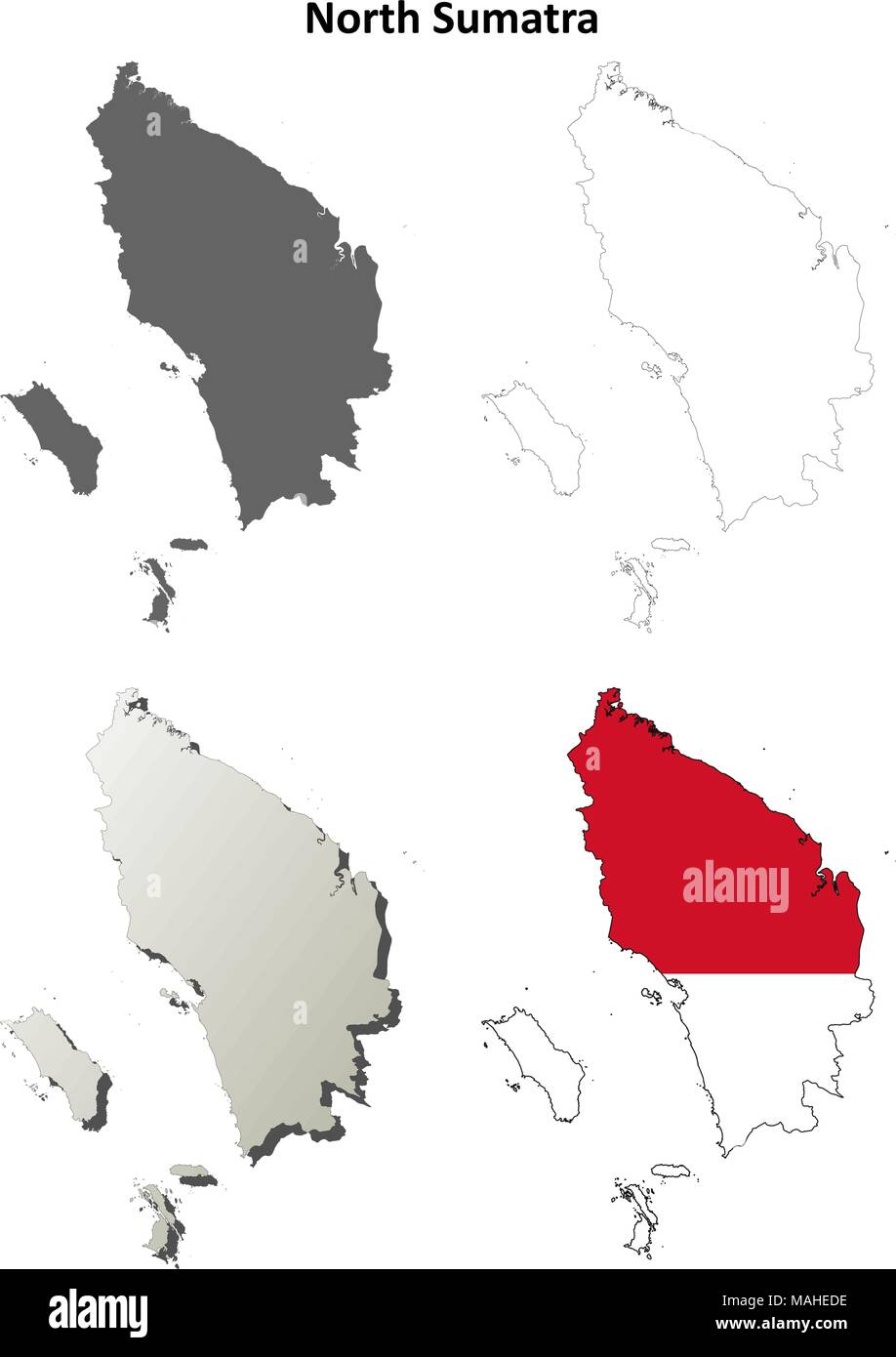 North Sumatra blank outline map set Stock Vectorhttps://www.alamy.com/image-license-details/?v=1https://www.alamy.com/north-sumatra-blank-outline-map-set-image178634778.html
RFMAHEDE–North Sumatra blank outline map set
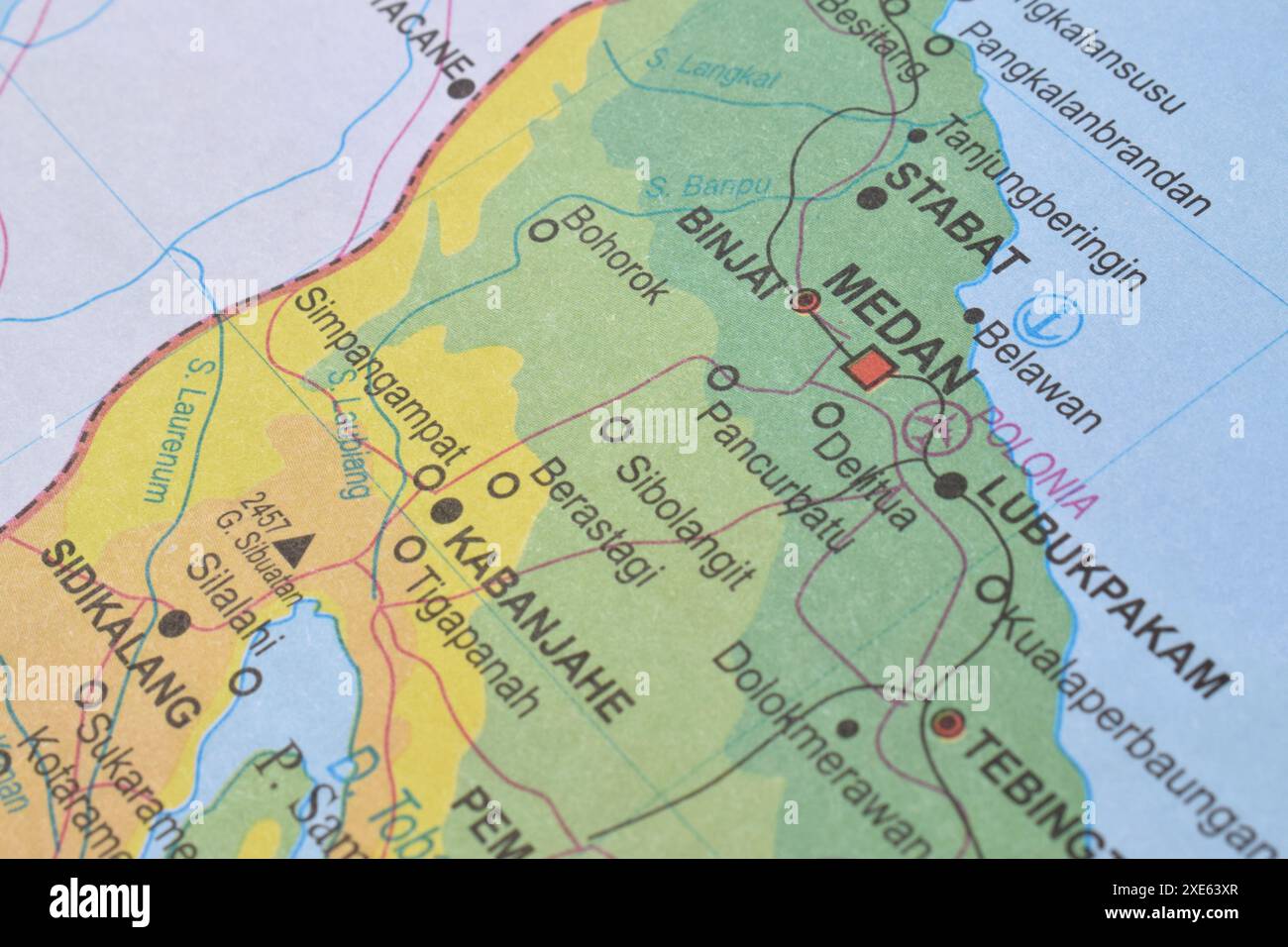 Map of Medan City, is the capital of North Sumatra Province, Indonesia Stock Photohttps://www.alamy.com/image-license-details/?v=1https://www.alamy.com/map-of-medan-city-is-the-capital-of-north-sumatra-province-indonesia-image611102879.html
RF2XE63XR–Map of Medan City, is the capital of North Sumatra Province, Indonesia
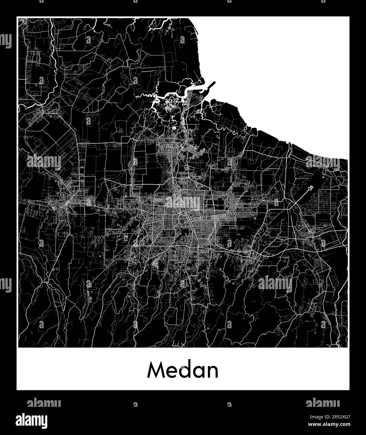 Minimal city map of Medan (Indonesia AMinimal city map of Medan (Indonesia Asia)sia) Stock Vectorhttps://www.alamy.com/image-license-details/?v=1https://www.alamy.com/minimal-city-map-of-medan-indonesia-aminimal-city-map-of-medan-indonesia-asiasia-image553869799.html
RF2R52XG7–Minimal city map of Medan (Indonesia AMinimal city map of Medan (Indonesia Asia)sia)
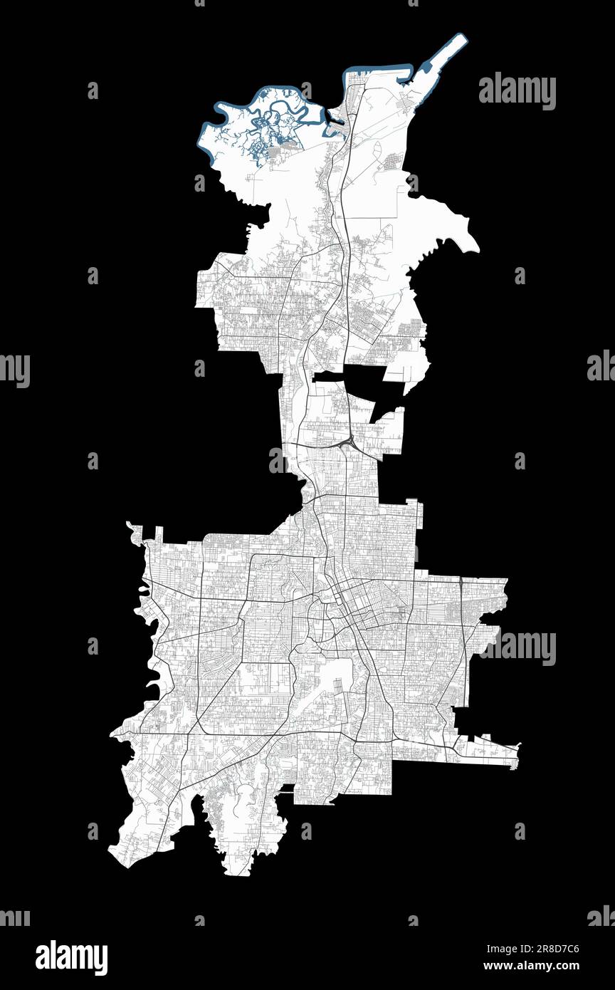 Medan map. Detailed map of Medan city administrative area. Cityscape panorama. Road map with highways, rivers. Royalty free vector illustration. Stock Vectorhttps://www.alamy.com/image-license-details/?v=1https://www.alamy.com/medan-map-detailed-map-of-medan-city-administrative-area-cityscape-panorama-road-map-with-highways-rivers-royalty-free-vector-illustration-image555940230.html
RF2R8D7C6–Medan map. Detailed map of Medan city administrative area. Cityscape panorama. Road map with highways, rivers. Royalty free vector illustration.
 Highly detailed vector map of Indonesia with administrative regions, main cities and roads. Stock Vectorhttps://www.alamy.com/image-license-details/?v=1https://www.alamy.com/highly-detailed-vector-map-of-indonesia-with-administrative-regions-main-cities-and-roads-image469349611.html
RF2J7GM63–Highly detailed vector map of Indonesia with administrative regions, main cities and roads.
 medan indonesia city isometric financial economy condition concept for describe cities growth expand - vector Stock Vectorhttps://www.alamy.com/image-license-details/?v=1https://www.alamy.com/medan-indonesia-city-isometric-financial-economy-condition-concept-for-describe-cities-growth-expand-vector-image243296308.html
RFT3R2WT–medan indonesia city isometric financial economy condition concept for describe cities growth expand - vector
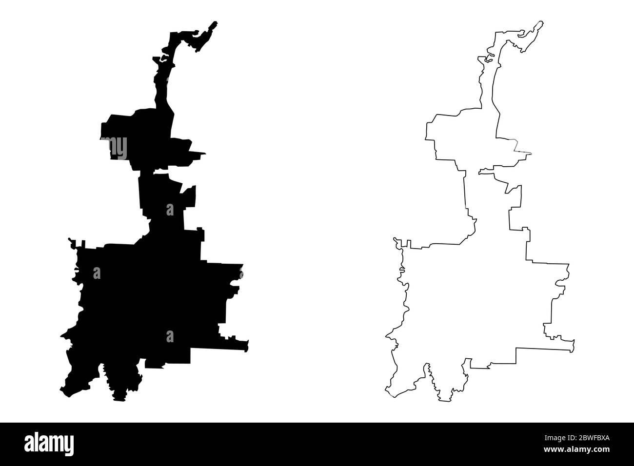 Medan City (Republic of Indonesia, Sumatra island) map vector illustration, scribble sketch City of Medan map Stock Vectorhttps://www.alamy.com/image-license-details/?v=1https://www.alamy.com/medan-city-republic-of-indonesia-sumatra-island-map-vector-illustration-scribble-sketch-city-of-medan-map-image359912402.html
RF2BWFBXA–Medan City (Republic of Indonesia, Sumatra island) map vector illustration, scribble sketch City of Medan map
RF2XPGCYF–map icon for the island of Sumatra, one of the islands of Indonesia
 Visit of Professor Romme to Medan Dr. C.P.M. Romme (in light shirt) views a relief map of the port city of Belawan Date: February 1947 Location: Indonesia, Medan, Dutch East Indies, Sumatra Personal name: Romme, C.P.M. Stock Photohttps://www.alamy.com/image-license-details/?v=1https://www.alamy.com/visit-of-professor-romme-to-medan-dr-cpm-romme-in-light-shirt-views-a-relief-map-of-the-port-city-of-belawan-date-february-1947-location-indonesia-medan-dutch-east-indies-sumatra-personal-name-romme-cpm-image341754481.html
RM2AT0795–Visit of Professor Romme to Medan Dr. C.P.M. Romme (in light shirt) views a relief map of the port city of Belawan Date: February 1947 Location: Indonesia, Medan, Dutch East Indies, Sumatra Personal name: Romme, C.P.M.
 Indonesian flag on the background of the map Stock Photohttps://www.alamy.com/image-license-details/?v=1https://www.alamy.com/stock-photo-indonesian-flag-on-the-background-of-the-map-177130149.html
RFM84Y8N–Indonesian flag on the background of the map
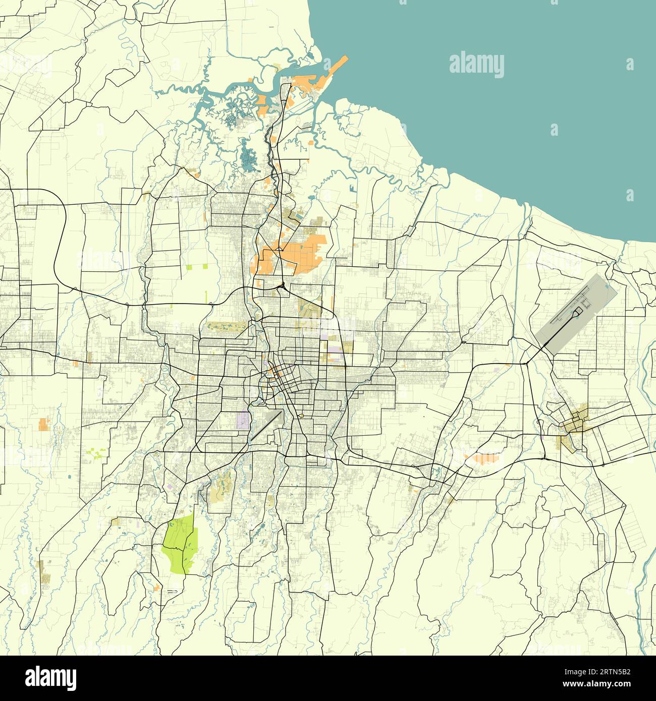 Map of Medan, Medan City, North Sumatra, Indonesia Stock Vectorhttps://www.alamy.com/image-license-details/?v=1https://www.alamy.com/map-of-medan-medan-city-north-sumatra-indonesia-image565948742.html
RF2RTN5B2–Map of Medan, Medan City, North Sumatra, Indonesia
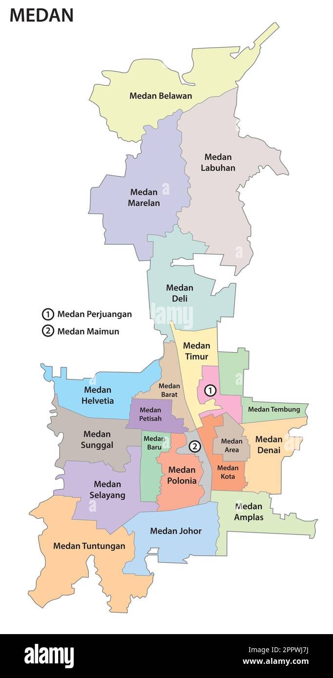 administrative and political map of the Indonesian city of Medan Stock Vectorhttps://www.alamy.com/image-license-details/?v=1https://www.alamy.com/administrative-and-political-map-of-the-indonesian-city-of-medan-image547606966.html
RF2PPWJ7J–administrative and political map of the Indonesian city of Medan
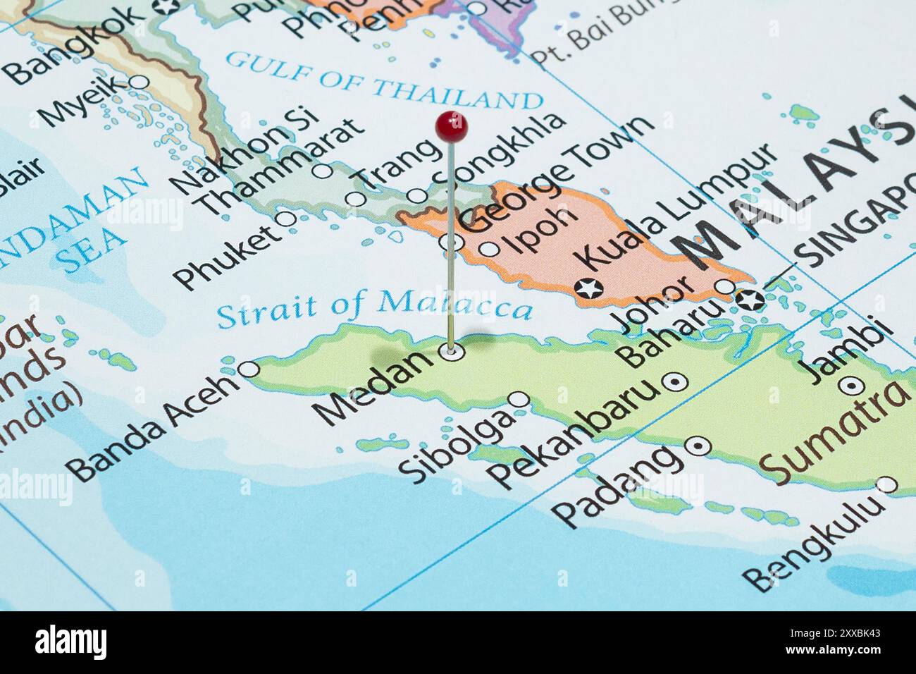 Close up to a Medan city with a red pin needle into Indonesia country political map Stock Photohttps://www.alamy.com/image-license-details/?v=1https://www.alamy.com/close-up-to-a-medan-city-with-a-red-pin-needle-into-indonesia-country-political-map-image618600419.html
RF2XXBK43–Close up to a Medan city with a red pin needle into Indonesia country political map
 Medan Stock Photohttps://www.alamy.com/image-license-details/?v=1https://www.alamy.com/stock-photo-medan-140192106.html
RMJ428CX–Medan
 Map of the surroundings of Medan, J.W. Votfoort, 1884 print Map of the surroundings of Medan, on which the railways are indicated. paper maps of separate countries or regions. railway, train While Stock Photohttps://www.alamy.com/image-license-details/?v=1https://www.alamy.com/map-of-the-surroundings-of-medan-jw-votfoort-1884-print-map-of-the-surroundings-of-medan-on-which-the-railways-are-indicated-paper-maps-of-separate-countries-or-regions-railway-train-while-image594296885.html
RM2WETFMN–Map of the surroundings of Medan, J.W. Votfoort, 1884 print Map of the surroundings of Medan, on which the railways are indicated. paper maps of separate countries or regions. railway, train While
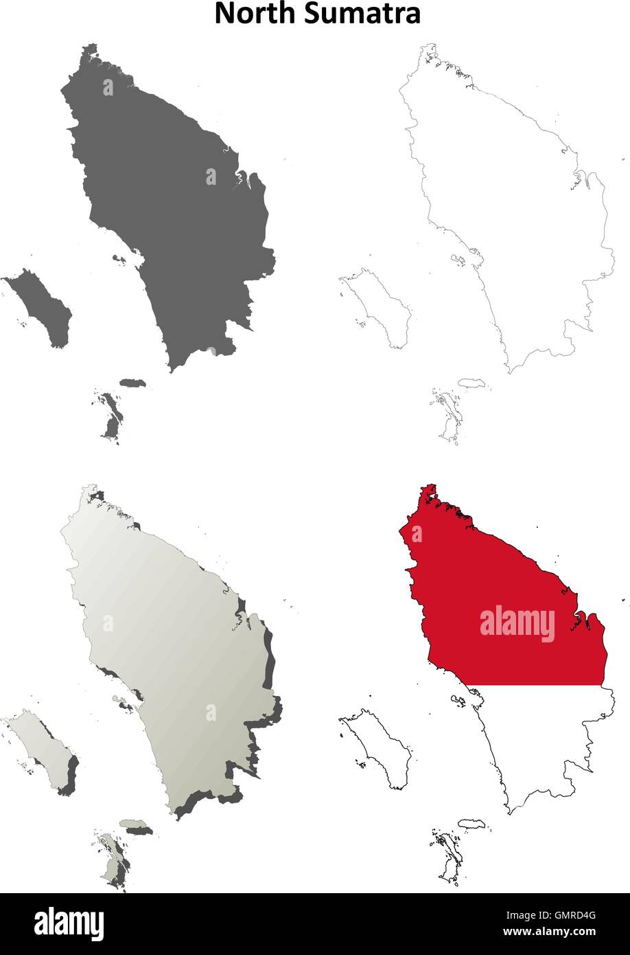 North Sumatra blank outline map set Stock Vectorhttps://www.alamy.com/image-license-details/?v=1https://www.alamy.com/stock-photo-north-sumatra-blank-outline-map-set-116070544.html
RFGMRD4G–North Sumatra blank outline map set
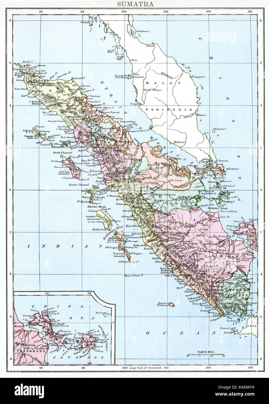 Antique map, circa 1875, of Sumatra Stock Photohttps://www.alamy.com/image-license-details/?v=1https://www.alamy.com/antique-map-circa-1875-of-sumatra-image157939128.html
RMK4XMY4–Antique map, circa 1875, of Sumatra
 Shallow depth of field focus on geographical map location of Medan city Indonesia Asia continent on atlas Stock Photohttps://www.alamy.com/image-license-details/?v=1https://www.alamy.com/shallow-depth-of-field-focus-on-geographical-map-location-of-medan-city-indonesia-asia-continent-on-atlas-image386080652.html
RF2DC3DPM–Shallow depth of field focus on geographical map location of Medan city Indonesia Asia continent on atlas
 3D Illustration of a waving Indonesia city flag of Medan Stock Photohttps://www.alamy.com/image-license-details/?v=1https://www.alamy.com/3d-illustration-of-a-waving-indonesia-city-flag-of-medan-image557094518.html
RF2RA9RMP–3D Illustration of a waving Indonesia city flag of Medan
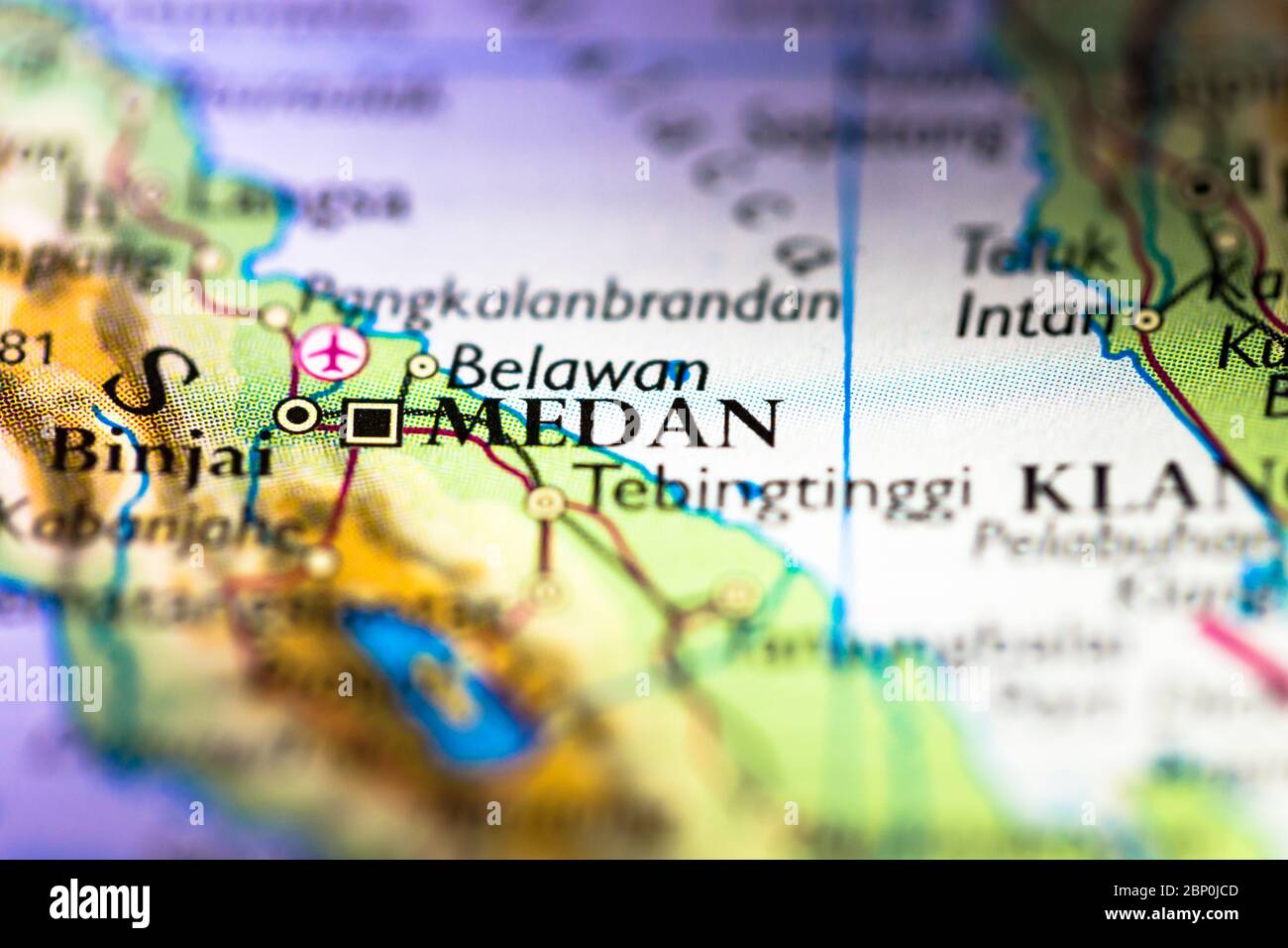 Shallow depth of field focus on geographical map location of Medan city in Indonesia Asia continent on atlas Stock Photohttps://www.alamy.com/image-license-details/?v=1https://www.alamy.com/shallow-depth-of-field-focus-on-geographical-map-location-of-medan-city-in-indonesia-asia-continent-on-atlas-image357744253.html
RF2BP0JCD–Shallow depth of field focus on geographical map location of Medan city in Indonesia Asia continent on atlas
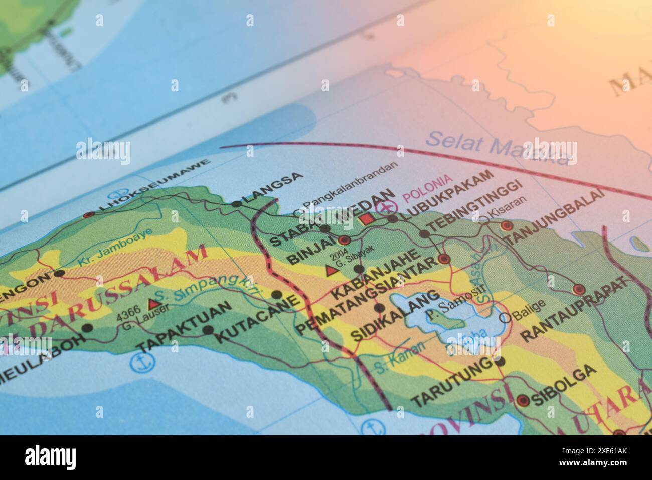 Map of Medan City, is the capital of North Sumatra Province, Indonesia Stock Photohttps://www.alamy.com/image-license-details/?v=1https://www.alamy.com/map-of-medan-city-is-the-capital-of-north-sumatra-province-indonesia-image611100859.html
RF2XE61AK–Map of Medan City, is the capital of North Sumatra Province, Indonesia
 Country Political Geographical Map of Indonesia with Provinces with Shadows Stock Photohttps://www.alamy.com/image-license-details/?v=1https://www.alamy.com/country-political-geographical-map-of-indonesia-with-provinces-with-shadows-image472176533.html
RF2JC5DYH–Country Political Geographical Map of Indonesia with Provinces with Shadows
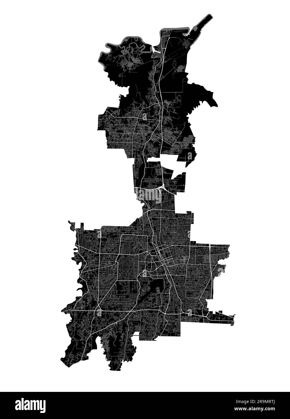 Medan map. Detailed black map of Medan city administrative area. Cityscape poster metropolitan aria view. Black land with white roads and avenues. Whi Stock Vectorhttps://www.alamy.com/image-license-details/?v=1https://www.alamy.com/medan-map-detailed-black-map-of-medan-city-administrative-area-cityscape-poster-metropolitan-aria-view-black-land-with-white-roads-and-avenues-whi-image556721442.html
RF2R9MRTJ–Medan map. Detailed black map of Medan city administrative area. Cityscape poster metropolitan aria view. Black land with white roads and avenues. Whi
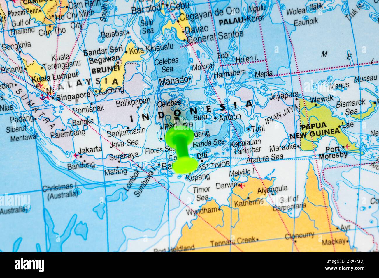 This stock image shows the location of Indonesia on a world map Stock Photohttps://www.alamy.com/image-license-details/?v=1https://www.alamy.com/this-stock-image-shows-the-location-of-indonesia-on-a-world-map-image566882558.html
RF2RX7MDJ–This stock image shows the location of Indonesia on a world map
RF2PFJ33T–Set of illustrations of flag, outline map, icons of PAPUA PROVINCE. INDONESIAN TERRITORIES. Travel concept.
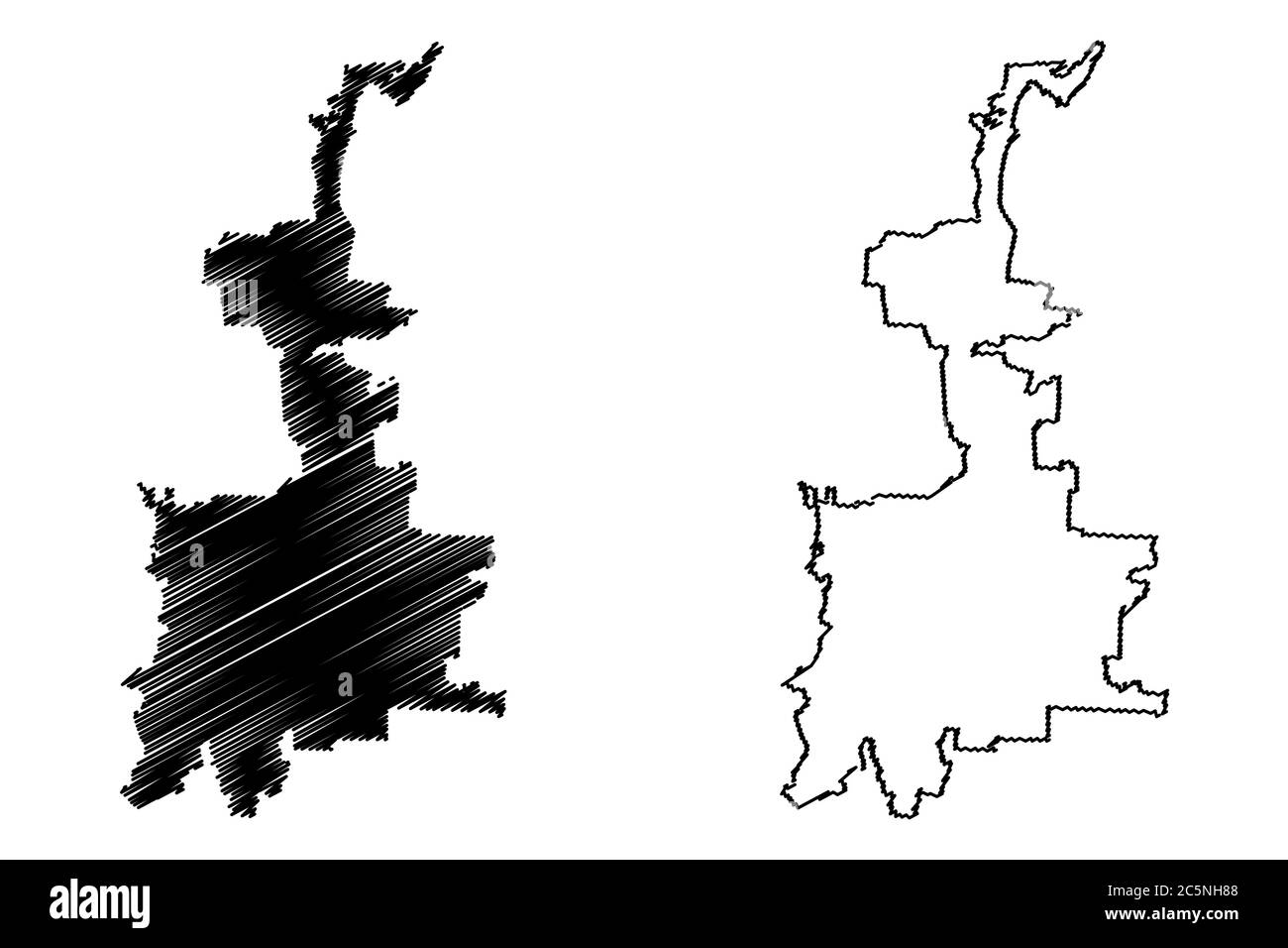 Medan City (Republic of Indonesia, Sumatra island) map vector illustration, scribble sketch City of Medan map Stock Vectorhttps://www.alamy.com/image-license-details/?v=1https://www.alamy.com/medan-city-republic-of-indonesia-sumatra-island-map-vector-illustration-scribble-sketch-city-of-medan-map-image364965560.html
RF2C5NH88–Medan City (Republic of Indonesia, Sumatra island) map vector illustration, scribble sketch City of Medan map
RF2XPGCFF–map icon for the island of Sumatra, one of the islands of Indonesia
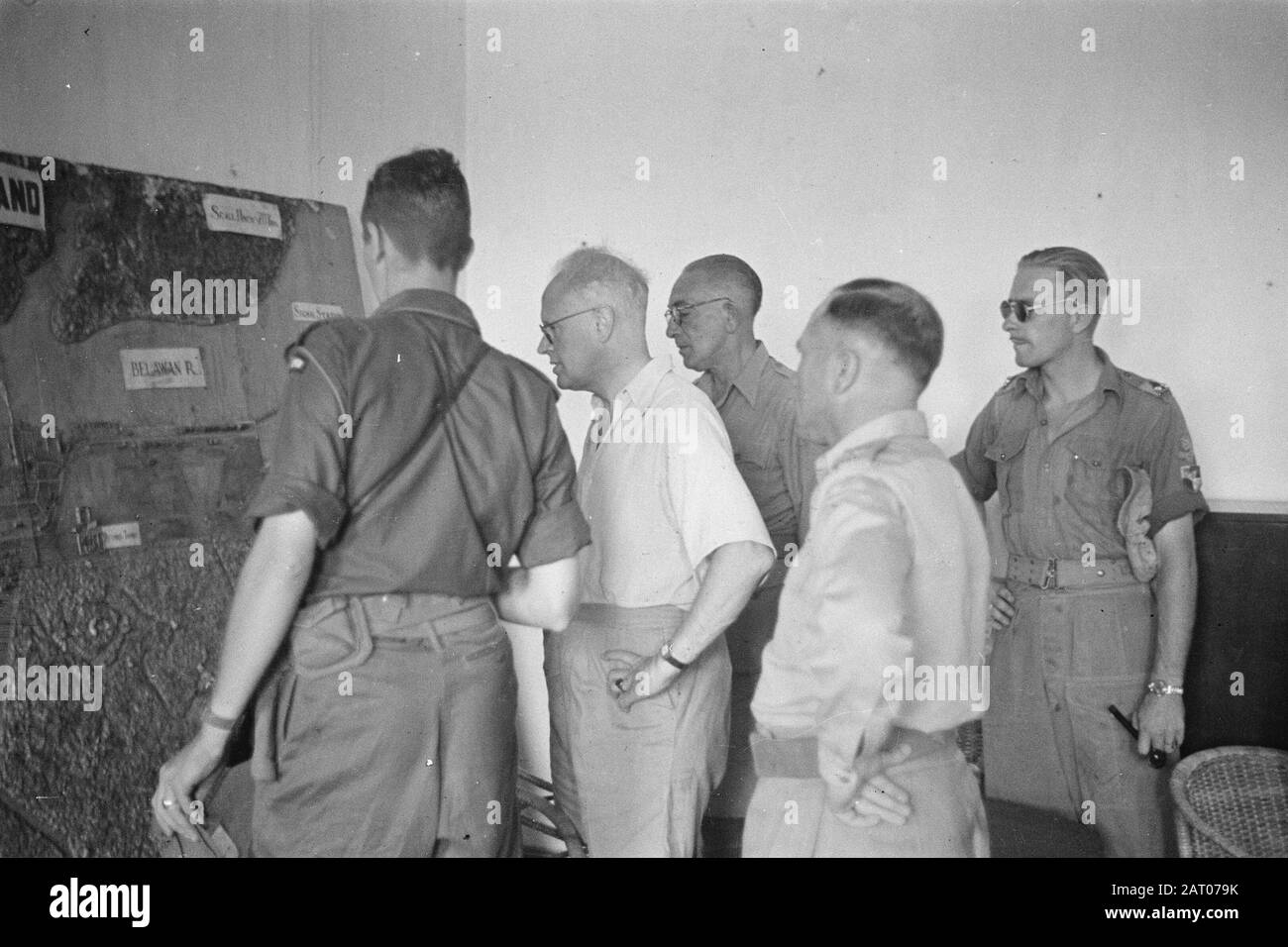 Visit of Professor Romme to Medan Dr. C.P.M. Romme (in light shirt) views a relief map of the port city of Belawan Date: February 1947 Location: Indonesia, Medan, Dutch East Indies, Sumatra Personal name: Romme, C.P.M. Stock Photohttps://www.alamy.com/image-license-details/?v=1https://www.alamy.com/visit-of-professor-romme-to-medan-dr-cpm-romme-in-light-shirt-views-a-relief-map-of-the-port-city-of-belawan-date-february-1947-location-indonesia-medan-dutch-east-indies-sumatra-personal-name-romme-cpm-image341754495.html
RM2AT079K–Visit of Professor Romme to Medan Dr. C.P.M. Romme (in light shirt) views a relief map of the port city of Belawan Date: February 1947 Location: Indonesia, Medan, Dutch East Indies, Sumatra Personal name: Romme, C.P.M.
 Indonesian flag on the background of the map Stock Photohttps://www.alamy.com/image-license-details/?v=1https://www.alamy.com/stock-photo-indonesian-flag-on-the-background-of-the-map-177130150.html
RFM84Y8P–Indonesian flag on the background of the map
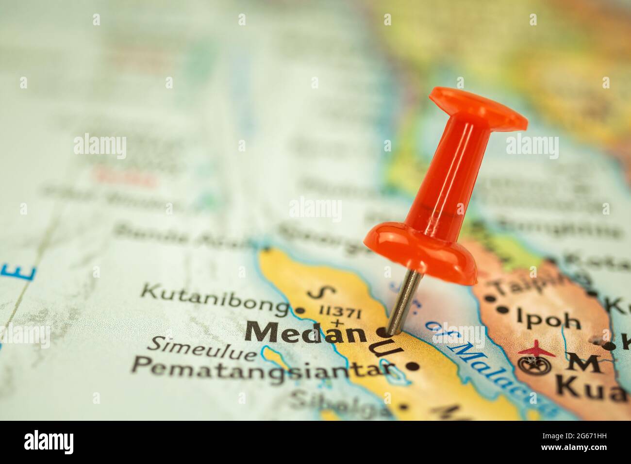 Location Medan in Sumatra, map with push pin closeup, travel and journey concept, Asia Stock Photohttps://www.alamy.com/image-license-details/?v=1https://www.alamy.com/location-medan-in-sumatra-map-with-push-pin-closeup-travel-and-journey-concept-asia-image434102077.html
RF2G671HH–Location Medan in Sumatra, map with push pin closeup, travel and journey concept, Asia
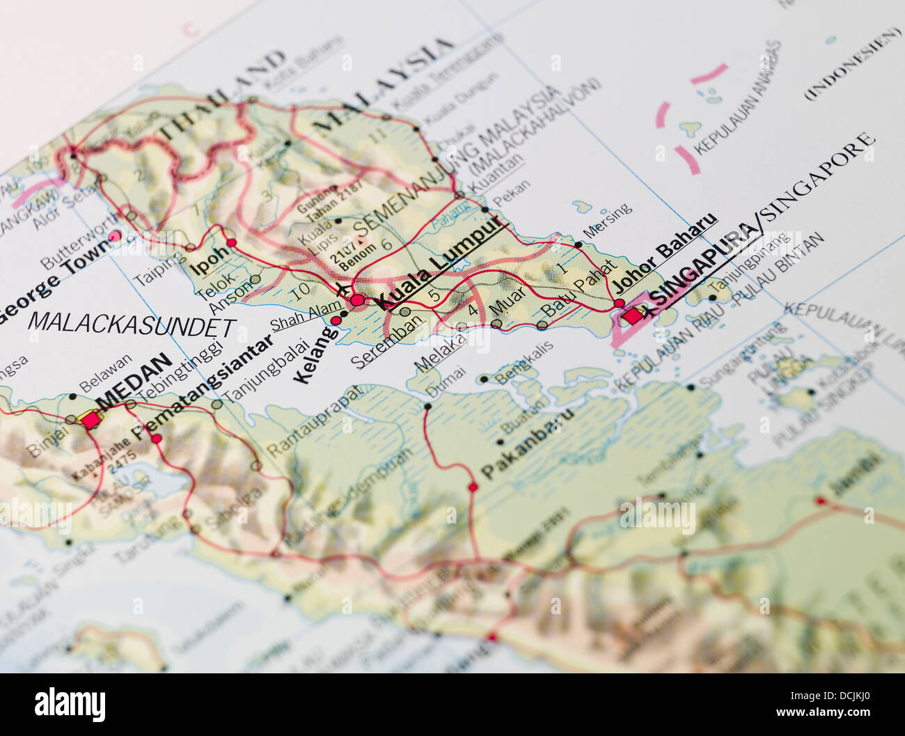 Map Stock Photohttps://www.alamy.com/image-license-details/?v=1https://www.alamy.com/stock-photo-map-59417512.html
RFDCJKJ0–Map
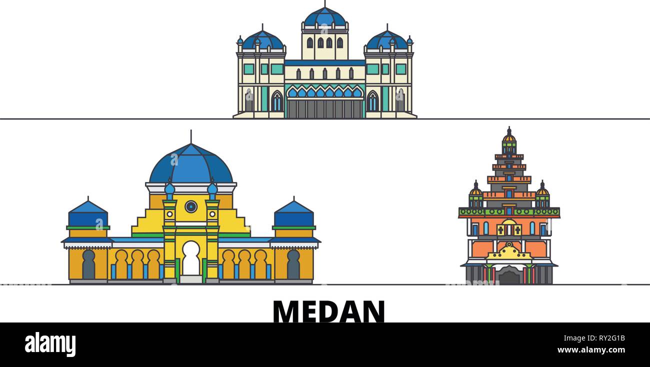 Indonesia, Medan flat landmarks vector illustration. Indonesia, Medan line city with famous travel sights, skyline, design. Stock Vectorhttps://www.alamy.com/image-license-details/?v=1https://www.alamy.com/indonesia-medan-flat-landmarks-vector-illustration-indonesia-medan-line-city-with-famous-travel-sights-skyline-design-image240386983.html
RFRY2G1B–Indonesia, Medan flat landmarks vector illustration. Indonesia, Medan line city with famous travel sights, skyline, design.
 Medan Rennbahn Stock Photohttps://www.alamy.com/image-license-details/?v=1https://www.alamy.com/stock-photo-medan-rennbahn-140184051.html
RMJ41X57–Medan Rennbahn
RFMPKAP5–Medan silhouette skyline. Indonesia - Medan vector city, indonesian linear architecture, buildings. Medan travel illustration, outline landmarks. Indonesia flat icon, indonesian line banner
 medan indonesia explore maps with isometric style and pin location tag on top vector illustration Stock Photohttps://www.alamy.com/image-license-details/?v=1https://www.alamy.com/medan-indonesia-explore-maps-with-isometric-style-and-pin-location-tag-on-top-vector-illustration-image223702697.html
RFPYXF21–medan indonesia explore maps with isometric style and pin location tag on top vector illustration
 Image taken from page 148 of 'The Victoria Nyanza: the land, the races and their customs, with specimens of some of the dialects ... With a map, and 372 illustrations from native objects in the author's own collections. [Translated from the German by H. A Image taken from page 148 of 'The Victoria Nyanza the Stock Photohttps://www.alamy.com/image-license-details/?v=1https://www.alamy.com/stock-photo-image-taken-from-page-148-of-the-victoria-nyanza-the-land-the-races-127775454.html
RMHBTJW2–Image taken from page 148 of 'The Victoria Nyanza: the land, the races and their customs, with specimens of some of the dialects ... With a map, and 372 illustrations from native objects in the author's own collections. [Translated from the German by H. A Image taken from page 148 of 'The Victoria Nyanza the
RF2YR172W–Indonesia detailed Riau Islands map shape, Flat web graphic concept icon symbol vector illustration .
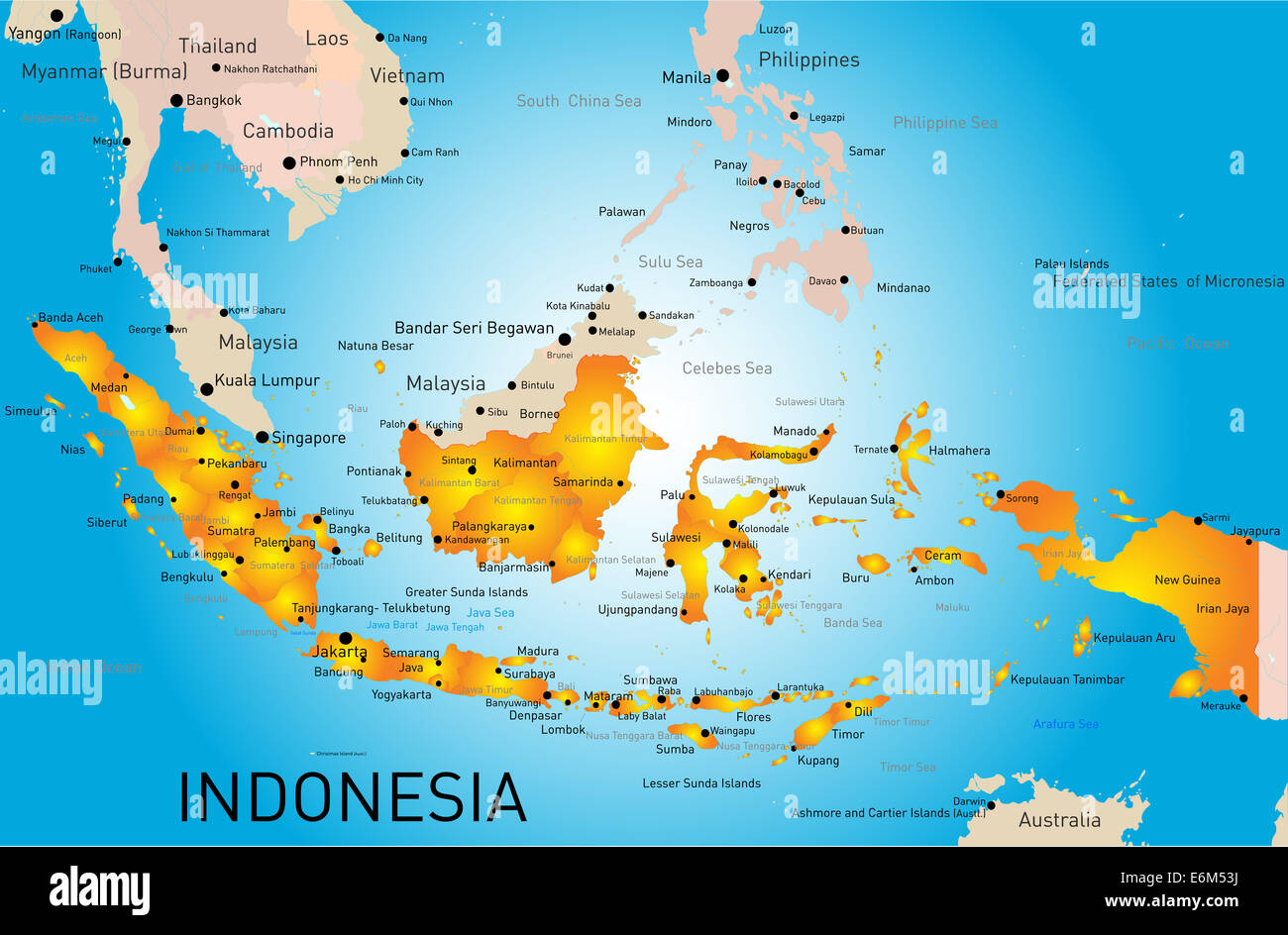 Indonesia Stock Photohttps://www.alamy.com/image-license-details/?v=1https://www.alamy.com/stock-photo-indonesia-72972470.html
RFE6M53J–Indonesia
 Shallow depth of field focus on geographical map location of Lake Toba in Indonesia Asia continent on atlas Stock Photohttps://www.alamy.com/image-license-details/?v=1https://www.alamy.com/shallow-depth-of-field-focus-on-geographical-map-location-of-lake-toba-in-indonesia-asia-continent-on-atlas-image357744212.html
RF2BP0JB0–Shallow depth of field focus on geographical map location of Lake Toba in Indonesia Asia continent on atlas
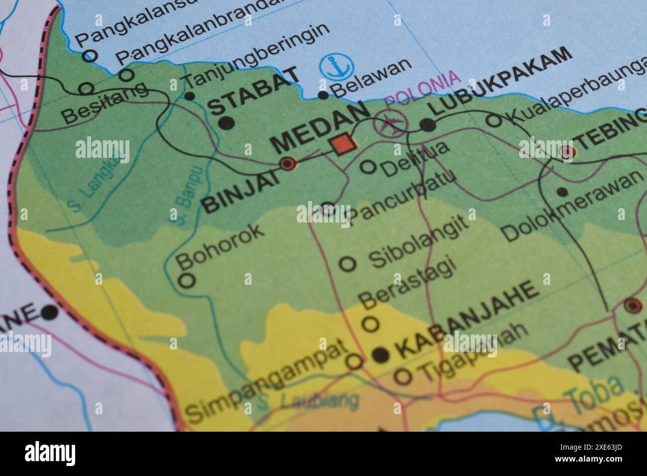 Map of Medan City, is the capital of North Sumatra Province, Indonesia Stock Photohttps://www.alamy.com/image-license-details/?v=1https://www.alamy.com/map-of-medan-city-is-the-capital-of-north-sumatra-province-indonesia-image611102645.html
RF2XE63JD–Map of Medan City, is the capital of North Sumatra Province, Indonesia
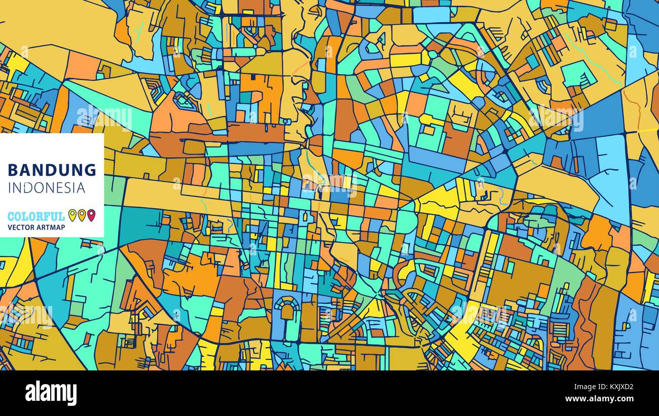 Bandung, Indonesia, Colorful Vector Artmap. Blue-Orange-Yellow Version for Website Infographic, Wall Art and Greeting Card Backgrounds. Stock Vectorhttps://www.alamy.com/image-license-details/?v=1https://www.alamy.com/stock-photo-bandungindonesia-colorful-vector-artmap-blue-orange-yellow-version-171290254.html
RFKXJXD2–Bandung, Indonesia, Colorful Vector Artmap. Blue-Orange-Yellow Version for Website Infographic, Wall Art and Greeting Card Backgrounds.
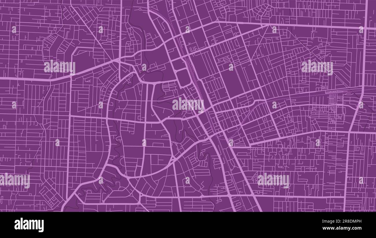 Detailed map poster of Medan city administrative area. Purple skyline panorama. Decorative graphic tourist map of Medan territory. Royalty free vector Stock Vectorhttps://www.alamy.com/image-license-details/?v=1https://www.alamy.com/detailed-map-poster-of-medan-city-administrative-area-purple-skyline-panorama-decorative-graphic-tourist-map-of-medan-territory-royalty-free-vector-image555950713.html
RF2R8DMPH–Detailed map poster of Medan city administrative area. Purple skyline panorama. Decorative graphic tourist map of Medan territory. Royalty free vector
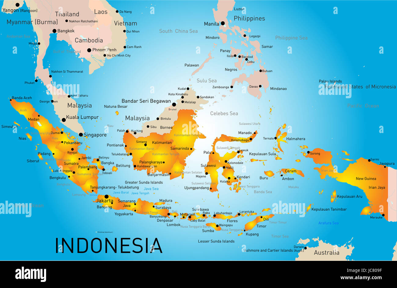 Indonesia country vector color map Stock Photohttps://www.alamy.com/image-license-details/?v=1https://www.alamy.com/stock-photo-indonesia-country-vector-color-map-145234699.html
RFJC809F–Indonesia country vector color map
 Map of Kuala Lumpor Stock Photohttps://www.alamy.com/image-license-details/?v=1https://www.alamy.com/map-of-kuala-lumpor-image270604316.html
RFWM72FT–Map of Kuala Lumpor
 Medan City (Republic of Indonesia, Sumatra island) map vector illustration, scribble sketch City of Medan map Stock Vectorhttps://www.alamy.com/image-license-details/?v=1https://www.alamy.com/medan-city-republic-of-indonesia-sumatra-island-map-vector-illustration-scribble-sketch-city-of-medan-map-image370968661.html
RF2CFF28N–Medan City (Republic of Indonesia, Sumatra island) map vector illustration, scribble sketch City of Medan map
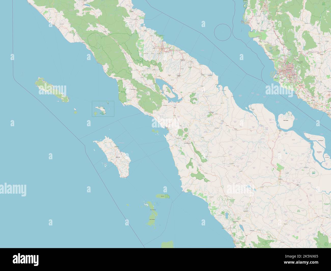 Sumatera Utara, province of Indonesia. Open Street Map Stock Photohttps://www.alamy.com/image-license-details/?v=1https://www.alamy.com/sumatera-utara-province-of-indonesia-open-street-map-image485445133.html
RF2K5NX65–Sumatera Utara, province of Indonesia. Open Street Map
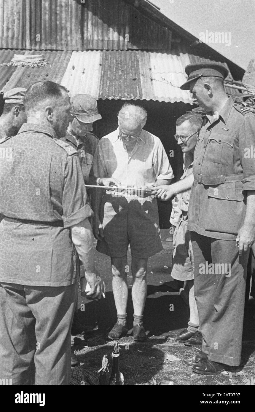 Visit of Professor Romme to Medan Dr. C.P.M. Romme (in light shirt) looks together with some officers and G. Pastor a map Annotation: Right a lieutenant-colonel by KNIL, probably T.J.W.F.M. Stupheert Date: February 1947 Location: Indonesia, Medan, Dutch East Indies, Sumatra Personal name: Romme, C.P.M. Stock Photohttps://www.alamy.com/image-license-details/?v=1https://www.alamy.com/visit-of-professor-romme-to-medan-dr-cpm-romme-in-light-shirt-looks-together-with-some-officers-and-g-pastor-a-map-annotation-right-a-lieutenant-colonel-by-knil-probably-tjwfm-stupheert-date-february-1947-location-indonesia-medan-dutch-east-indies-sumatra-personal-name-romme-cpm-image341754483.html
RM2AT0797–Visit of Professor Romme to Medan Dr. C.P.M. Romme (in light shirt) looks together with some officers and G. Pastor a map Annotation: Right a lieutenant-colonel by KNIL, probably T.J.W.F.M. Stupheert Date: February 1947 Location: Indonesia, Medan, Dutch East Indies, Sumatra Personal name: Romme, C.P.M.
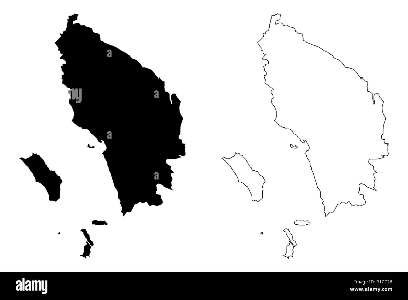 North Sumatra (Subdivisions of Indonesia, Provinces of Indonesia) map vector illustration, scribble sketch Sumatera Utara map Stock Vectorhttps://www.alamy.com/image-license-details/?v=1https://www.alamy.com/north-sumatra-subdivisions-of-indonesia-provinces-of-indonesia-map-vector-illustration-scribble-sketch-sumatera-utara-map-image224622334.html
RFR1CC26–North Sumatra (Subdivisions of Indonesia, Provinces of Indonesia) map vector illustration, scribble sketch Sumatera Utara map
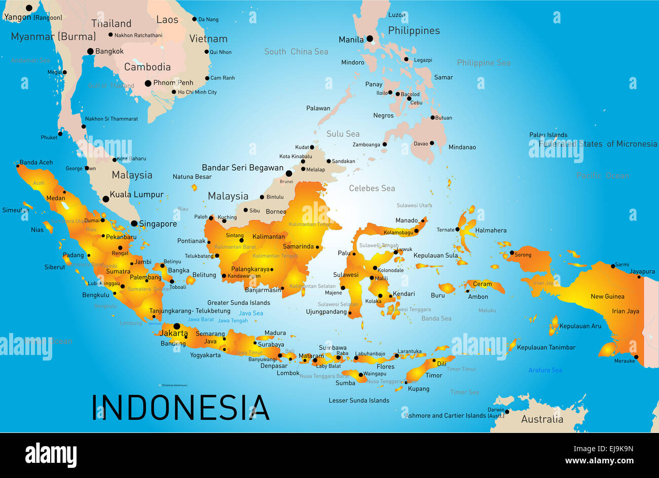 Indonesia Stock Photohttps://www.alamy.com/image-license-details/?v=1https://www.alamy.com/stock-photo-indonesia-80118017.html
RFEJ9K9N–Indonesia
 Medan Hotel Stock Photohttps://www.alamy.com/image-license-details/?v=1https://www.alamy.com/stock-photo-medan-hotel-140197891.html
RMJ42FRF–Medan Hotel
 medan indonesia city region economy growth with team discuss on fold maps view from top vector illustration Stock Photohttps://www.alamy.com/image-license-details/?v=1https://www.alamy.com/medan-indonesia-city-region-economy-growth-with-team-discuss-on-fold-maps-view-from-top-vector-illustration-image227161141.html
RFR5G29W–medan indonesia city region economy growth with team discuss on fold maps view from top vector illustration
![Image taken from page 431 of 'The Philippine Islands and their people: a record of personal observation and experience, with a short summary of the more important facts in the history of the archipelago. [With illustrations.]' Image taken from page 431 of 'The Philippine Islands and Stock Photo Image taken from page 431 of 'The Philippine Islands and their people: a record of personal observation and experience, with a short summary of the more important facts in the history of the archipelago. [With illustrations.]' Image taken from page 431 of 'The Philippine Islands and Stock Photo](https://c8.alamy.com/comp/HFN2W8/image-taken-from-page-431-of-the-philippine-islands-and-their-people-HFN2W8.jpg) Image taken from page 431 of 'The Philippine Islands and their people: a record of personal observation and experience, with a short summary of the more important facts in the history of the archipelago. [With illustrations.]' Image taken from page 431 of 'The Philippine Islands and Stock Photohttps://www.alamy.com/image-license-details/?v=1https://www.alamy.com/stock-photo-image-taken-from-page-431-of-the-philippine-islands-and-their-people-130155684.html
Image taken from page 431 of 'The Philippine Islands and their people: a record of personal observation and experience, with a short summary of the more important facts in the history of the archipelago. [With illustrations.]' Image taken from page 431 of 'The Philippine Islands and Stock Photohttps://www.alamy.com/image-license-details/?v=1https://www.alamy.com/stock-photo-image-taken-from-page-431-of-the-philippine-islands-and-their-people-130155684.htmlRMHFN2W8–Image taken from page 431 of 'The Philippine Islands and their people: a record of personal observation and experience, with a short summary of the more important facts in the history of the archipelago. [With illustrations.]' Image taken from page 431 of 'The Philippine Islands and
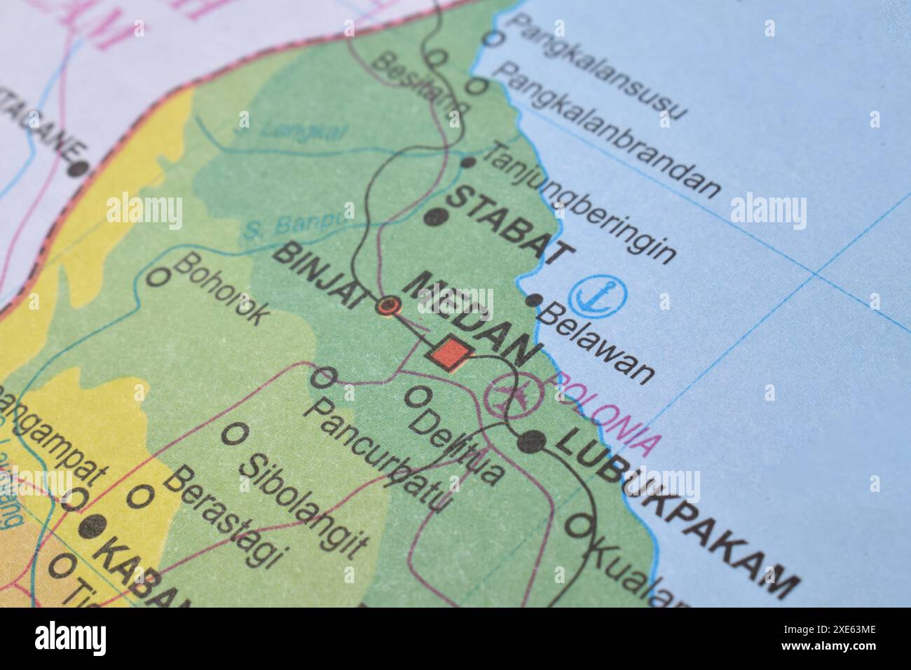 Map of Medan City, is the capital of North Sumatra Province, Indonesia Stock Photohttps://www.alamy.com/image-license-details/?v=1https://www.alamy.com/map-of-medan-city-is-the-capital-of-north-sumatra-province-indonesia-image611102702.html
RF2XE63ME–Map of Medan City, is the capital of North Sumatra Province, Indonesia
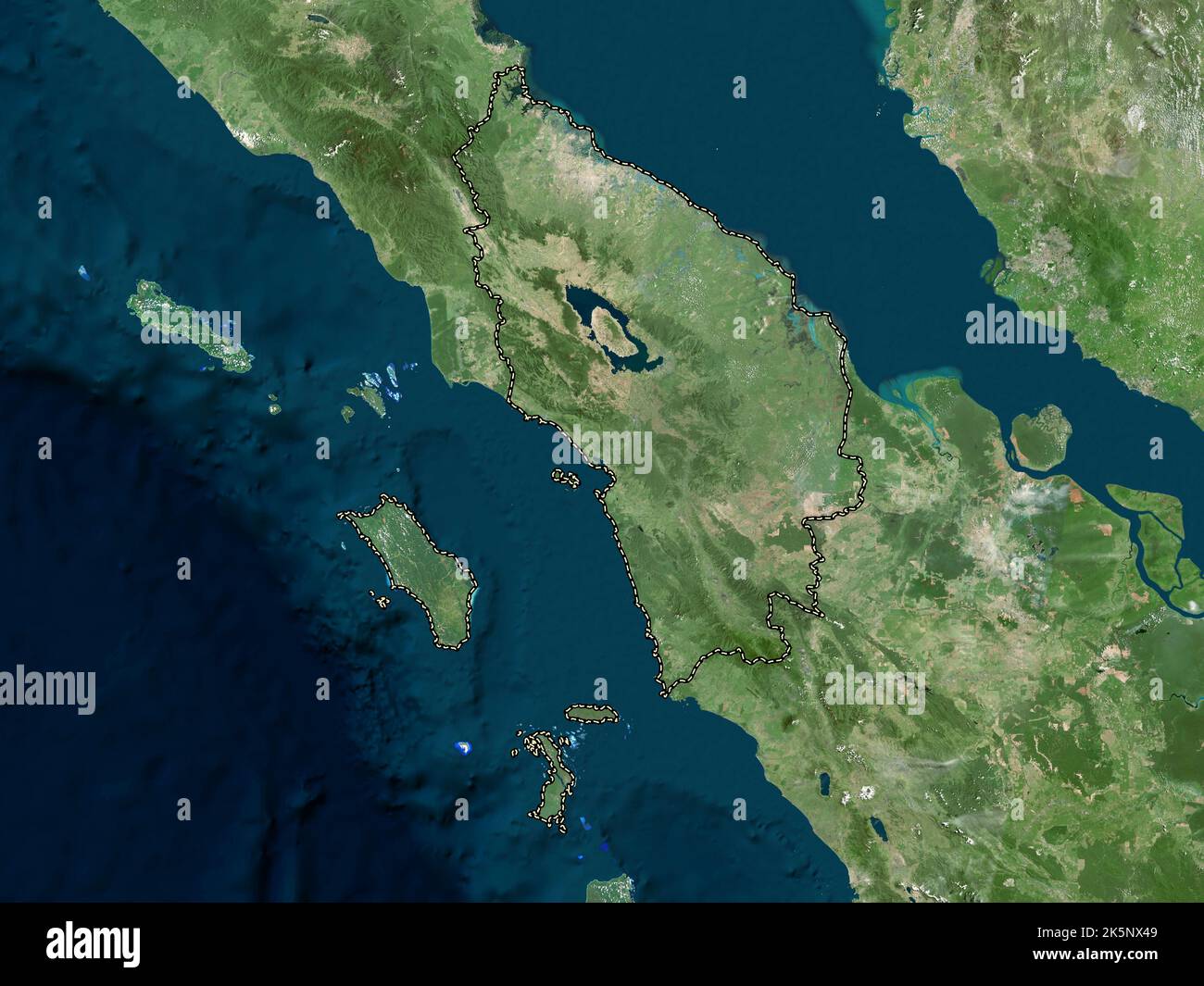 Sumatera Utara, province of Indonesia. High resolution satellite map Stock Photohttps://www.alamy.com/image-license-details/?v=1https://www.alamy.com/sumatera-utara-province-of-indonesia-high-resolution-satellite-map-image485445081.html
RF2K5NX49–Sumatera Utara, province of Indonesia. High resolution satellite map
 Visit of Professor Romme to Medan Dr. C.P.M. Romme (in light shirt) looks together with some officers and G. Pastor a map Annotation: Right a lieutenant-colonel by KNIL, probably T.J.W.F.M. Stupheert Date: February 1947 Location: Indonesia, Medan, Dutch East Indies, Sumatra Personal name: Romme, C.P.M. Stock Photohttps://www.alamy.com/image-license-details/?v=1https://www.alamy.com/visit-of-professor-romme-to-medan-dr-cpm-romme-in-light-shirt-looks-together-with-some-officers-and-g-pastor-a-map-annotation-right-a-lieutenant-colonel-by-knil-probably-tjwfm-stupheert-date-february-1947-location-indonesia-medan-dutch-east-indies-sumatra-personal-name-romme-cpm-image341754506.html
RM2AT07A2–Visit of Professor Romme to Medan Dr. C.P.M. Romme (in light shirt) looks together with some officers and G. Pastor a map Annotation: Right a lieutenant-colonel by KNIL, probably T.J.W.F.M. Stupheert Date: February 1947 Location: Indonesia, Medan, Dutch East Indies, Sumatra Personal name: Romme, C.P.M.
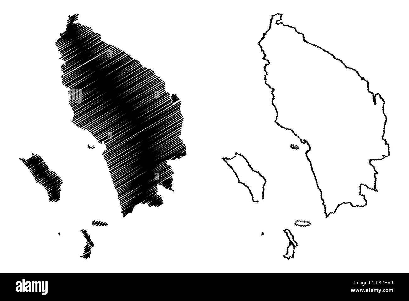 North Sumatra (Subdivisions of Indonesia, Provinces of Indonesia) map vector illustration, scribble sketch Sumatera Utara map Stock Vectorhttps://www.alamy.com/image-license-details/?v=1https://www.alamy.com/north-sumatra-subdivisions-of-indonesia-provinces-of-indonesia-map-vector-illustration-scribble-sketch-sumatera-utara-map-image225877759.html
RFR3DHAR–North Sumatra (Subdivisions of Indonesia, Provinces of Indonesia) map vector illustration, scribble sketch Sumatera Utara map
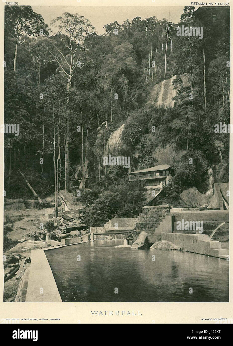 Medan Sumatra Waterfall Stock Photohttps://www.alamy.com/image-license-details/?v=1https://www.alamy.com/stock-photo-medan-sumatra-waterfall-140187792.html
RMJ422XT–Medan Sumatra Waterfall
 Image taken from page 94 of 'Resa i Afrika, genom Angola, Ovampo och Damaraland ... Med 30 helsidsplanscher ... och en karta' Image taken from page 94 of 'Resa i Afrika, genom Stock Photohttps://www.alamy.com/image-license-details/?v=1https://www.alamy.com/stock-photo-image-taken-from-page-94-of-resa-i-afrika-genom-angola-ovampo-och-130125152.html
RMHFKKXT–Image taken from page 94 of 'Resa i Afrika, genom Angola, Ovampo och Damaraland ... Med 30 helsidsplanscher ... och en karta' Image taken from page 94 of 'Resa i Afrika, genom
 Sumatera Utara, province of Indonesia. Low resolution satellite map Stock Photohttps://www.alamy.com/image-license-details/?v=1https://www.alamy.com/sumatera-utara-province-of-indonesia-low-resolution-satellite-map-image485445086.html
RF2K5NX4E–Sumatera Utara, province of Indonesia. Low resolution satellite map
 Visit of Professor Romme to Medan Dr. C.P.M. Romme (in light shirt) views a relief map of the port city of Belawan Annotation: The officer on the left is of the regiment Shock troops. The officer on the right the emblem of KNIL Infantry IV Prins Bernhard Date: February 1947 Location: Indonesia, Medan, Dutch East Indies, Sumatra Personal name: Romme, C.P.M. Stock Photohttps://www.alamy.com/image-license-details/?v=1https://www.alamy.com/visit-of-professor-romme-to-medan-dr-cpm-romme-in-light-shirt-views-a-relief-map-of-the-port-city-of-belawan-annotation-the-officer-on-the-left-is-of-the-regiment-shock-troops-the-officer-on-the-right-the-emblem-of-knil-infantry-iv-prins-bernhard-date-february-1947-location-indonesia-medan-dutch-east-indies-sumatra-personal-name-romme-cpm-image341754468.html
RM2AT078M–Visit of Professor Romme to Medan Dr. C.P.M. Romme (in light shirt) views a relief map of the port city of Belawan Annotation: The officer on the left is of the regiment Shock troops. The officer on the right the emblem of KNIL Infantry IV Prins Bernhard Date: February 1947 Location: Indonesia, Medan, Dutch East Indies, Sumatra Personal name: Romme, C.P.M.
 North Sumatra (Subdivisions of Indonesia, Provinces of Indonesia) map vector illustration, scribble sketch Sumatera Utara map Stock Vectorhttps://www.alamy.com/image-license-details/?v=1https://www.alamy.com/north-sumatra-subdivisions-of-indonesia-provinces-of-indonesia-map-vector-illustration-scribble-sketch-sumatera-utara-map-image228792180.html
RFR86AN8–North Sumatra (Subdivisions of Indonesia, Provinces of Indonesia) map vector illustration, scribble sketch Sumatera Utara map
 Sumatra (Greater Sunda Islands) - map of coffee bean, Sumatra (Republic of Indonesia) map made of coffee beans, Stock Vectorhttps://www.alamy.com/image-license-details/?v=1https://www.alamy.com/sumatra-greater-sunda-islands-map-of-coffee-bean-sumatra-republic-of-indonesia-map-made-of-coffee-beans-image241590194.html
RFT11AN6–Sumatra (Greater Sunda Islands) - map of coffee bean, Sumatra (Republic of Indonesia) map made of coffee beans,
