Quick filters:
Memphis aerial Stock Photos and Images
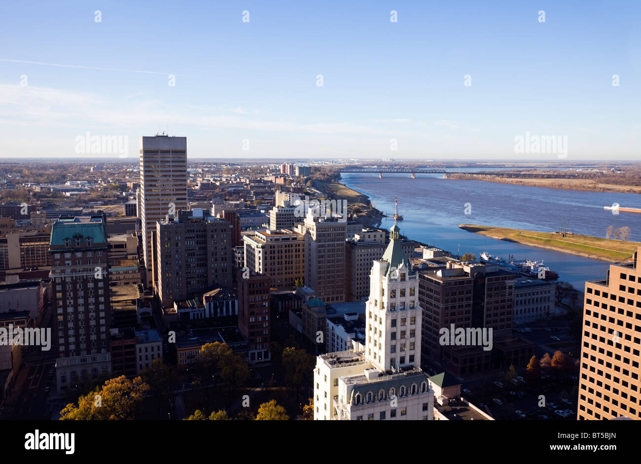 Aerial Memphis Stock Photohttps://www.alamy.com/image-license-details/?v=1https://www.alamy.com/stock-photo-aerial-memphis-32081021.html
RFBT5BJN–Aerial Memphis
 Downtown Memphis, Tennessee Stock Photohttps://www.alamy.com/image-license-details/?v=1https://www.alamy.com/downtown-memphis-tennessee-image401397308.html
RM2E916A4–Downtown Memphis, Tennessee
 Aerial view of Harbor Town residential area on Mud Island and a covered marina in Wolf River Harbor in Memphis, Tennessee Stock Photohttps://www.alamy.com/image-license-details/?v=1https://www.alamy.com/aerial-view-of-harbor-town-residential-area-on-mud-island-and-a-covered-marina-in-wolf-river-harbor-in-memphis-tennessee-image186058582.html
RMMPKKHA–Aerial view of Harbor Town residential area on Mud Island and a covered marina in Wolf River Harbor in Memphis, Tennessee
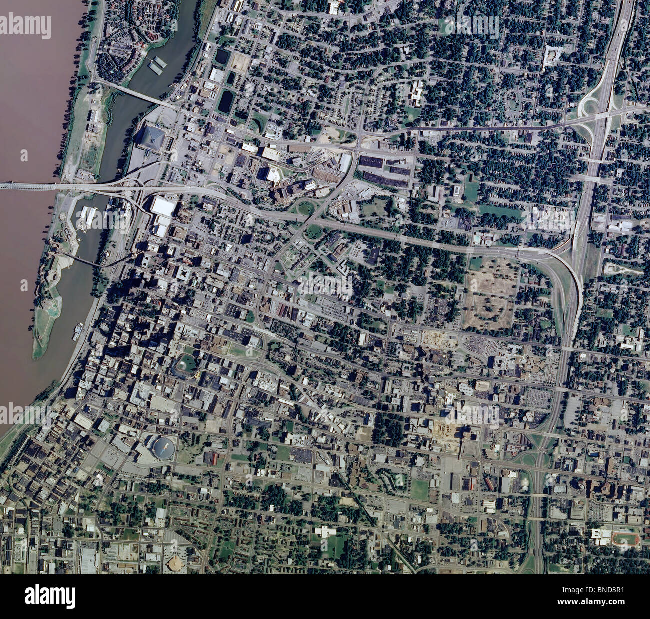 aerial map view above Memphis Tennessee Mississippi river Stock Photohttps://www.alamy.com/image-license-details/?v=1https://www.alamy.com/stock-photo-aerial-map-view-above-memphis-tennessee-mississippi-river-30406517.html
RFBND3R1–aerial map view above Memphis Tennessee Mississippi river
 Memphis, Tennessee, USA aerial skyline view with downtown and Mud Island. Stock Photohttps://www.alamy.com/image-license-details/?v=1https://www.alamy.com/memphis-tennessee-usa-aerial-skyline-view-with-downtown-and-mud-island-image327768038.html
RF2A173DA–Memphis, Tennessee, USA aerial skyline view with downtown and Mud Island.
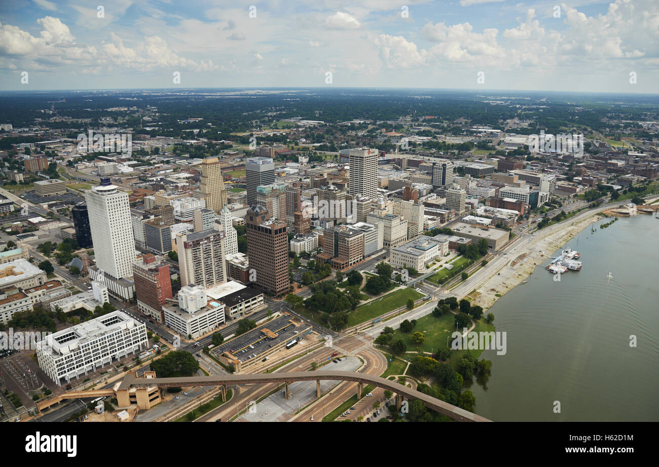 USA, Tennessee, Aerial photograph of downtown Memphis and the Mississippi River Stock Photohttps://www.alamy.com/image-license-details/?v=1https://www.alamy.com/stock-photo-usa-tennessee-aerial-photograph-of-downtown-memphis-and-the-mississippi-124214656.html
RFH62D1M–USA, Tennessee, Aerial photograph of downtown Memphis and the Mississippi River
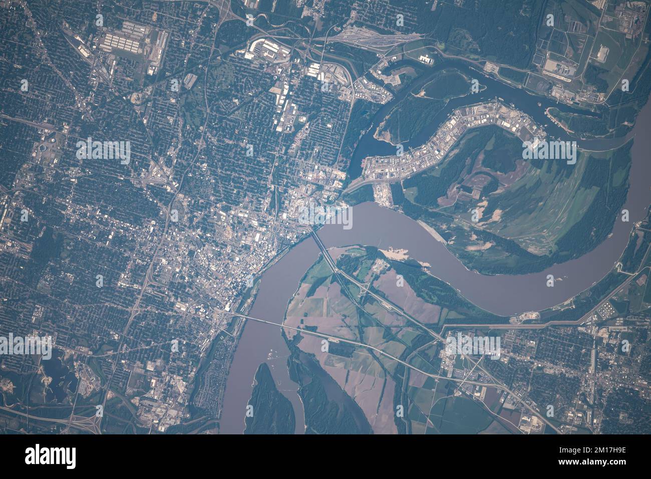 Aerial view of Memphis, Tennessee and the Mississippi River as seen from space. Digitally enhanced. Elements of this image furnished by NASA. Stock Photohttps://www.alamy.com/image-license-details/?v=1https://www.alamy.com/aerial-view-of-memphis-tennessee-and-the-mississippi-river-as-seen-from-space-digitally-enhanced-elements-of-this-image-furnished-by-nasa-image499882586.html
RF2M17H9E–Aerial view of Memphis, Tennessee and the Mississippi River as seen from space. Digitally enhanced. Elements of this image furnished by NASA.
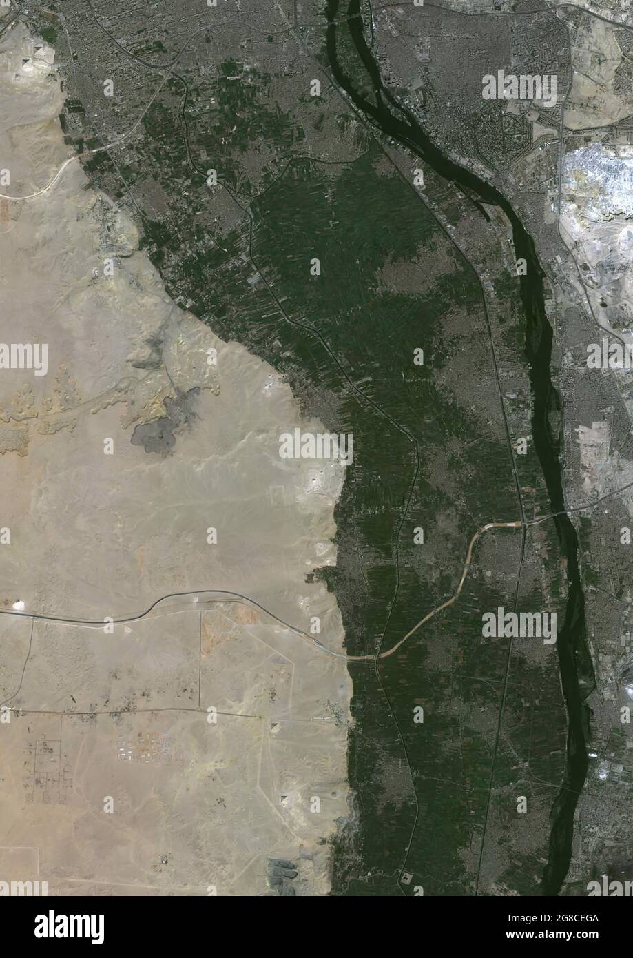 From Gizeh to Memphis, Egypt Stock Photohttps://www.alamy.com/image-license-details/?v=1https://www.alamy.com/from-gizeh-to-memphis-egypt-image435451306.html
RM2G8CEGA–From Gizeh to Memphis, Egypt
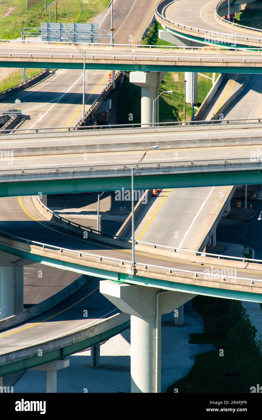 Interstate interchange in Memphis, Tennessee Stock Photohttps://www.alamy.com/image-license-details/?v=1https://www.alamy.com/interstate-interchange-in-memphis-tennessee-image553688081.html
RF2R4PJP9–Interstate interchange in Memphis, Tennessee
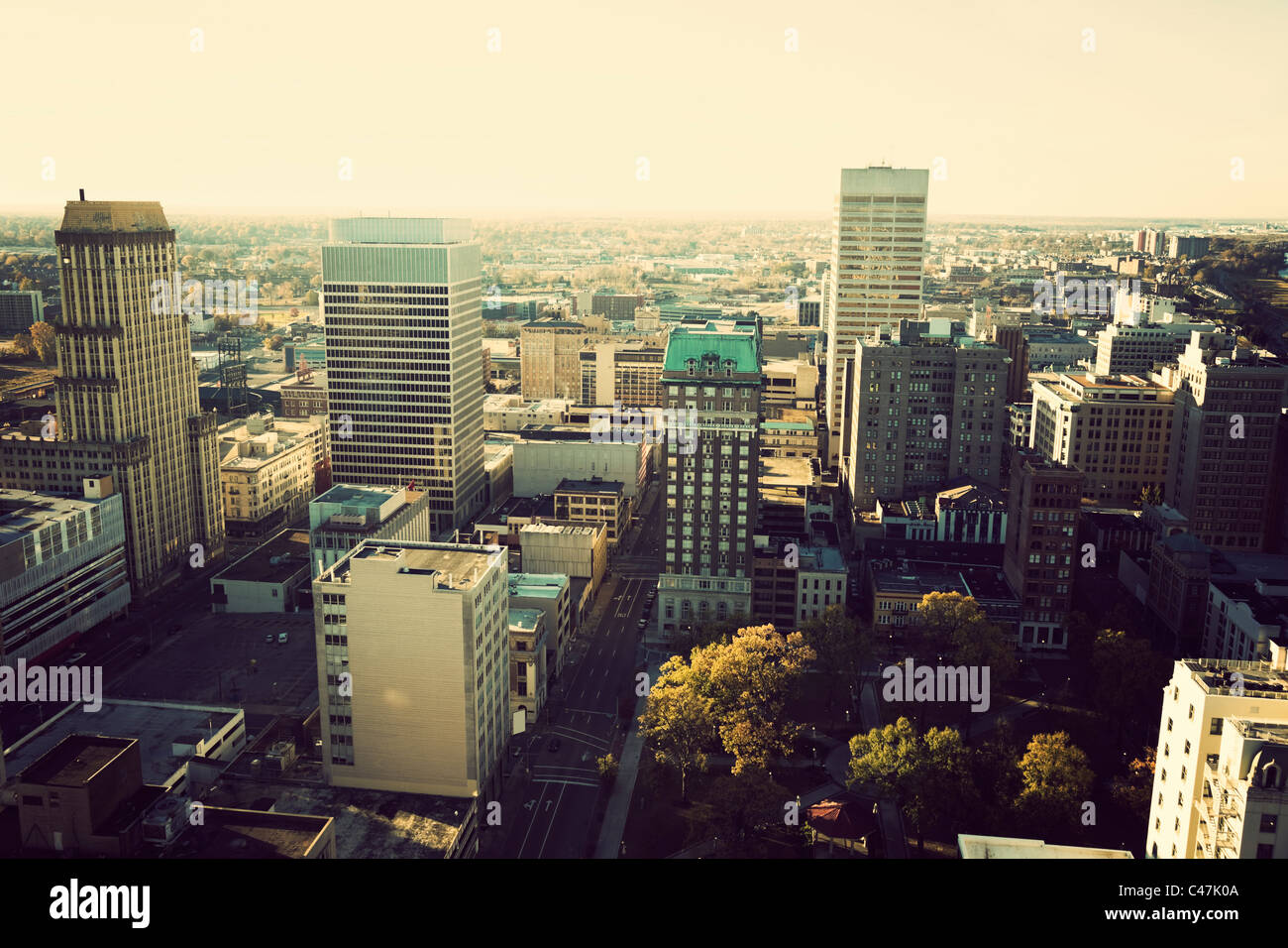 Aerial downtown of Memphis, Tennessee Stock Photohttps://www.alamy.com/image-license-details/?v=1https://www.alamy.com/stock-photo-aerial-downtown-of-memphis-tennessee-37047930.html
RFC47K0A–Aerial downtown of Memphis, Tennessee
 Memphis Belle Boeing B 17 Sally B bomber flying over Biggin Hill airfield Stock Photohttps://www.alamy.com/image-license-details/?v=1https://www.alamy.com/memphis-belle-boeing-b-17-sally-b-bomber-flying-over-biggin-hill-airfield-image551238065.html
RF2R0R1NN–Memphis Belle Boeing B 17 Sally B bomber flying over Biggin Hill airfield
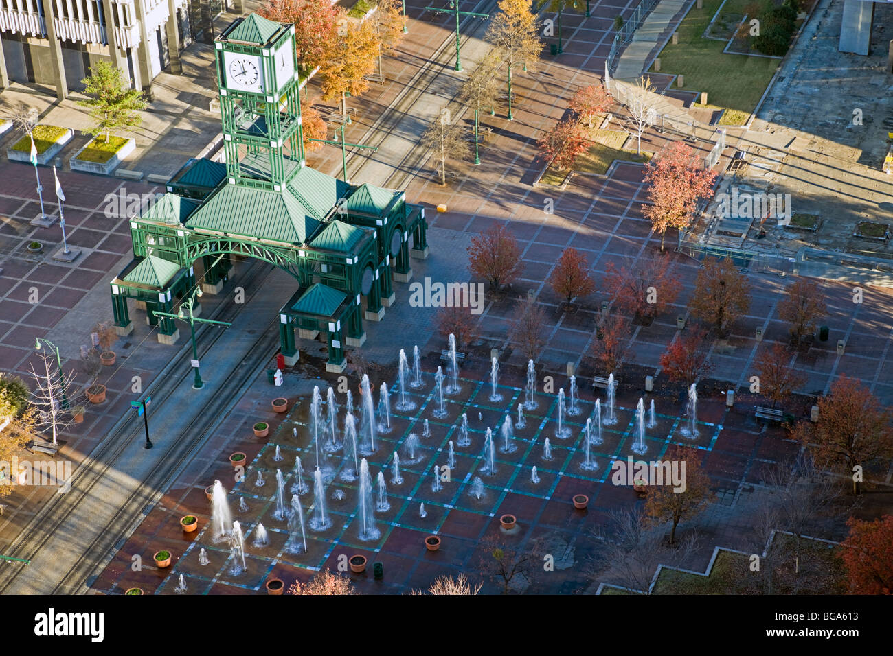 Clock tower square in downtown Memphis Stock Photohttps://www.alamy.com/image-license-details/?v=1https://www.alamy.com/stock-photo-clock-tower-square-in-downtown-memphis-27269119.html
RFBGA613–Clock tower square in downtown Memphis
 Memphis, Tennessee, USA Downtown Skyline Aerial. Stock Photohttps://www.alamy.com/image-license-details/?v=1https://www.alamy.com/memphis-tennessee-usa-downtown-skyline-aerial-image331543825.html
RF2A7B3EW–Memphis, Tennessee, USA Downtown Skyline Aerial.
 Memphis, Tennessee, United States Stock Photohttps://www.alamy.com/image-license-details/?v=1https://www.alamy.com/memphis-tennessee-united-states-image185802035.html
RMMP80AY–Memphis, Tennessee, United States
 Memphis, TN - February 11, 2023: Memphis skyline with FedEx Forum Stock Photohttps://www.alamy.com/image-license-details/?v=1https://www.alamy.com/memphis-tn-february-11-2023-memphis-skyline-with-fedex-forum-image592517366.html
RF2WBYDXE–Memphis, TN - February 11, 2023: Memphis skyline with FedEx Forum
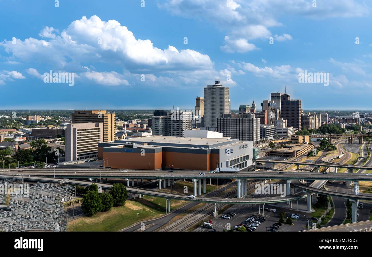 City of Memphis, TN Stock Photohttps://www.alamy.com/image-license-details/?v=1https://www.alamy.com/city-of-memphis-tn-image502516142.html
RF2M5FGD2–City of Memphis, TN
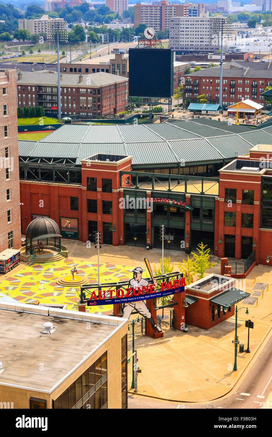 Aerial view of the Autozone Park baseball stadium in Memphis TN Stock Photohttps://www.alamy.com/image-license-details/?v=1https://www.alamy.com/stock-photo-aerial-view-of-the-autozone-park-baseball-stadium-in-memphis-tn-88137381.html
RMF3B03H–Aerial view of the Autozone Park baseball stadium in Memphis TN
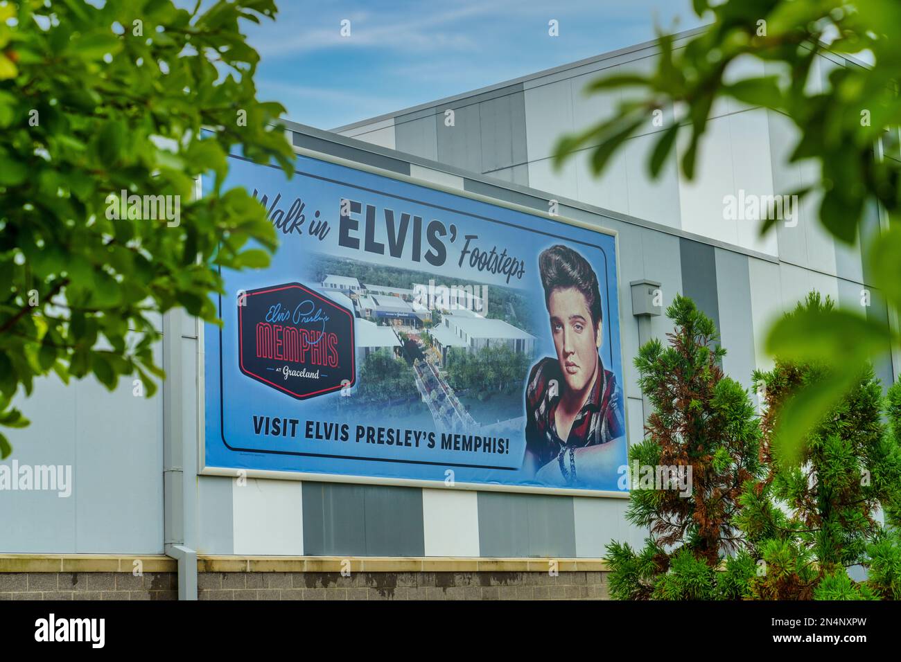 Walk in Elvis’ Footsteps sign at the Elvis Presley's Memphis Entertainment Complex at Graceland in Memphis, Tennessee. Stock Photohttps://www.alamy.com/image-license-details/?v=1https://www.alamy.com/walk-in-elvis-footsteps-sign-at-the-elvis-presleys-memphis-entertainment-complex-at-graceland-in-memphis-tennessee-image519251681.html
RF2N4NXPW–Walk in Elvis’ Footsteps sign at the Elvis Presley's Memphis Entertainment Complex at Graceland in Memphis, Tennessee.
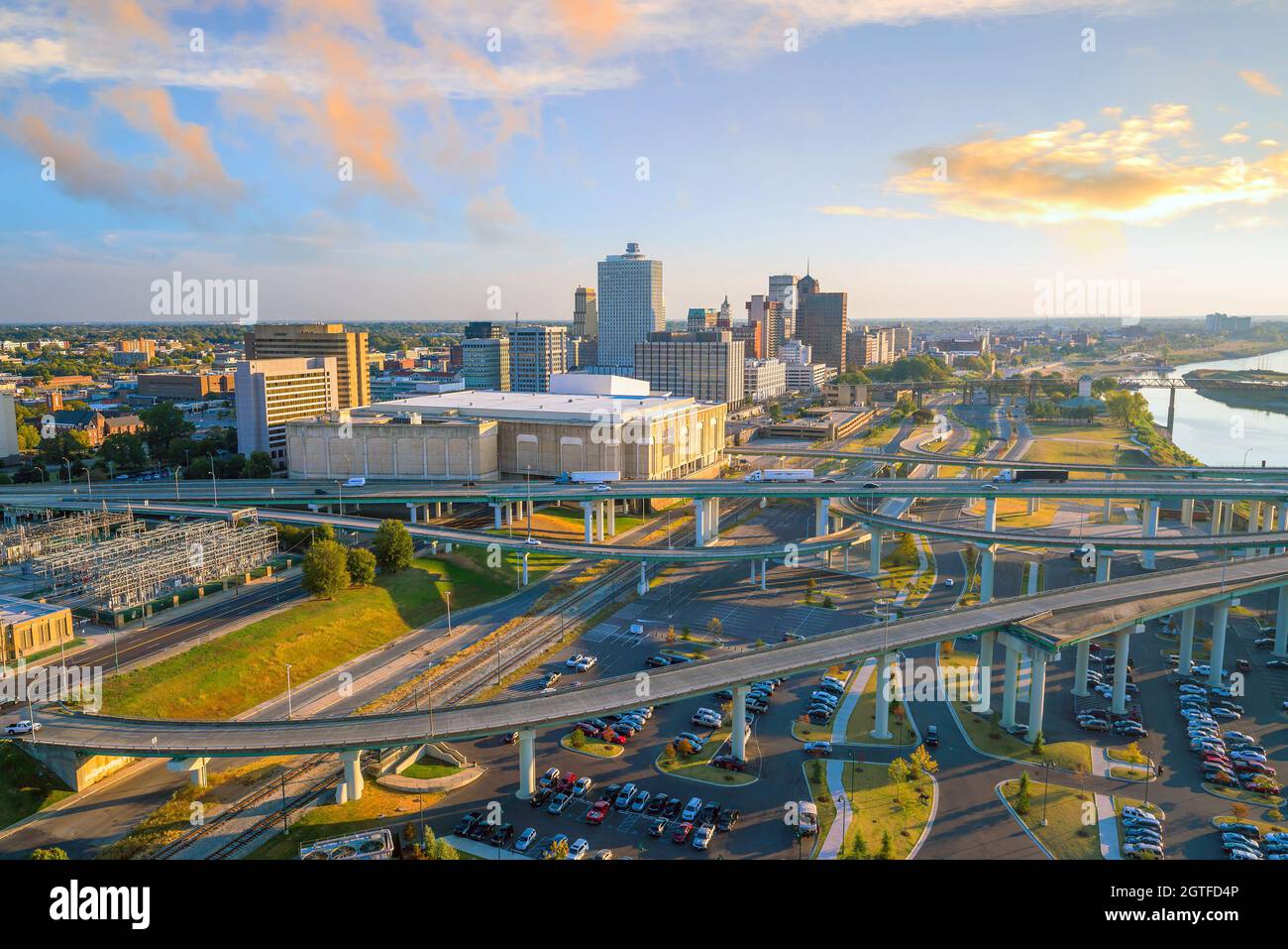 Aerial view of downtown Memphis skyline in Tennessee, USA Stock Photohttps://www.alamy.com/image-license-details/?v=1https://www.alamy.com/aerial-view-of-downtown-memphis-skyline-in-tennessee-usa-image445350550.html
RF2GTFD4P–Aerial view of downtown Memphis skyline in Tennessee, USA
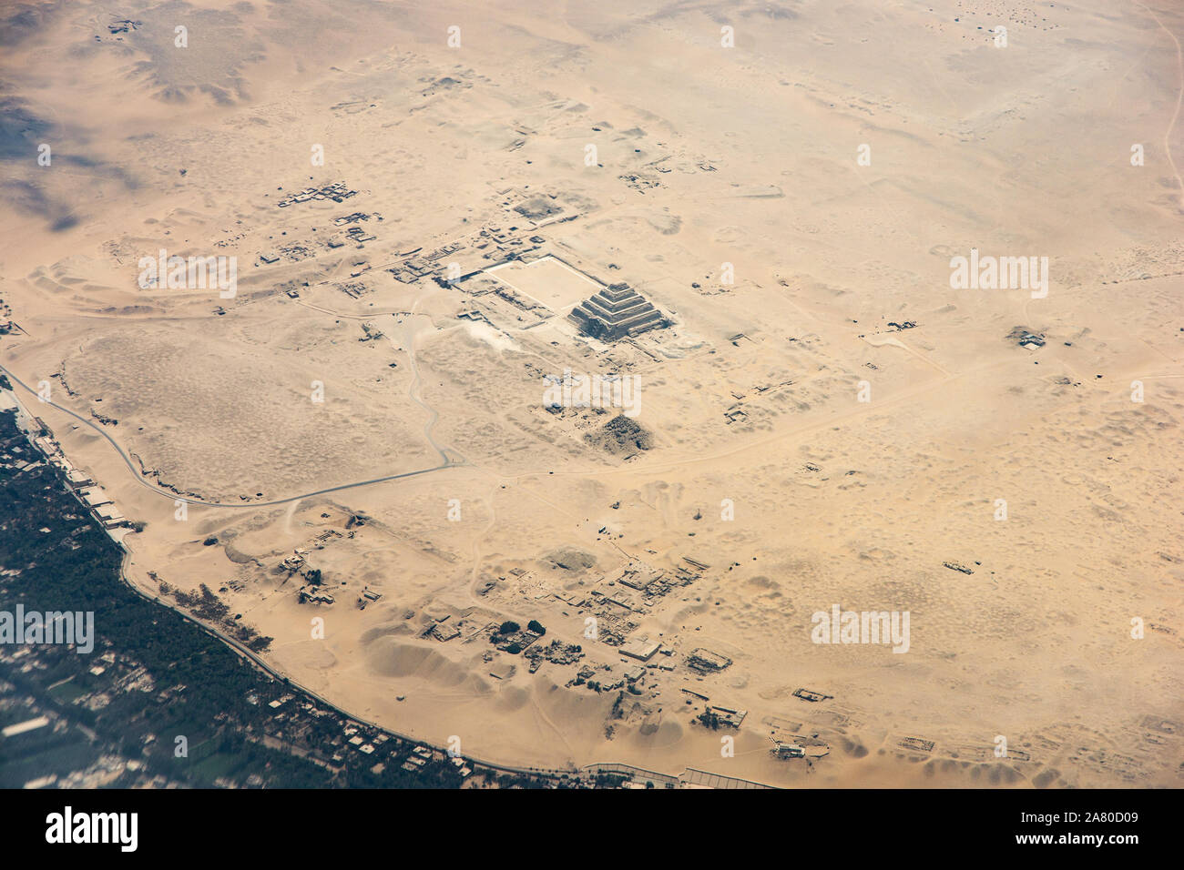 Aerial photo of Pyramid of Djoser (or Djeser and Zoser), or Step Pyramid in Egypt Stock Photohttps://www.alamy.com/image-license-details/?v=1https://www.alamy.com/aerial-photo-of-pyramid-of-djoser-or-djeser-and-zoser-or-step-pyramid-in-egypt-image331924441.html
RF2A80D09–Aerial photo of Pyramid of Djoser (or Djeser and Zoser), or Step Pyramid in Egypt
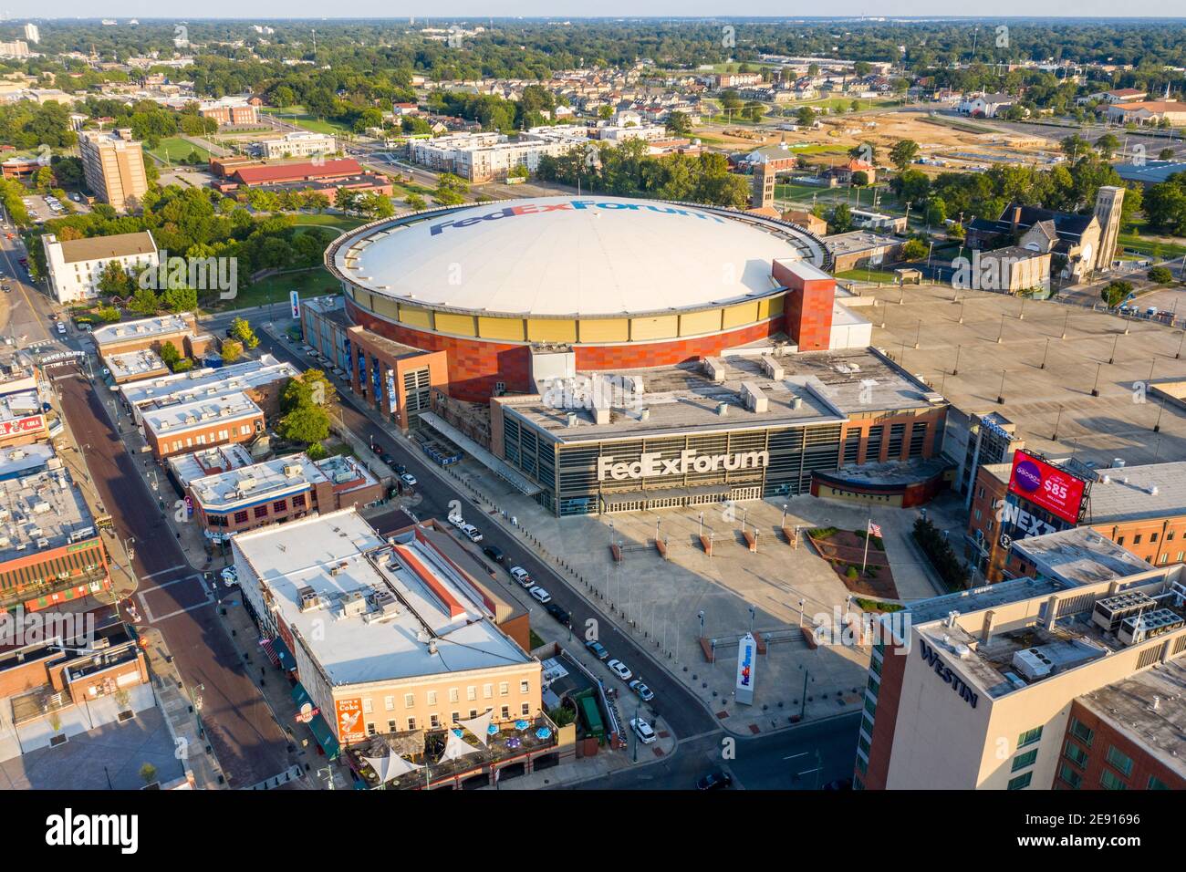 FedExForum, Memphis, Tennessee Stock Photohttps://www.alamy.com/image-license-details/?v=1https://www.alamy.com/fedexforum-memphis-tennessee-image401397282.html
RM2E91696–FedExForum, Memphis, Tennessee
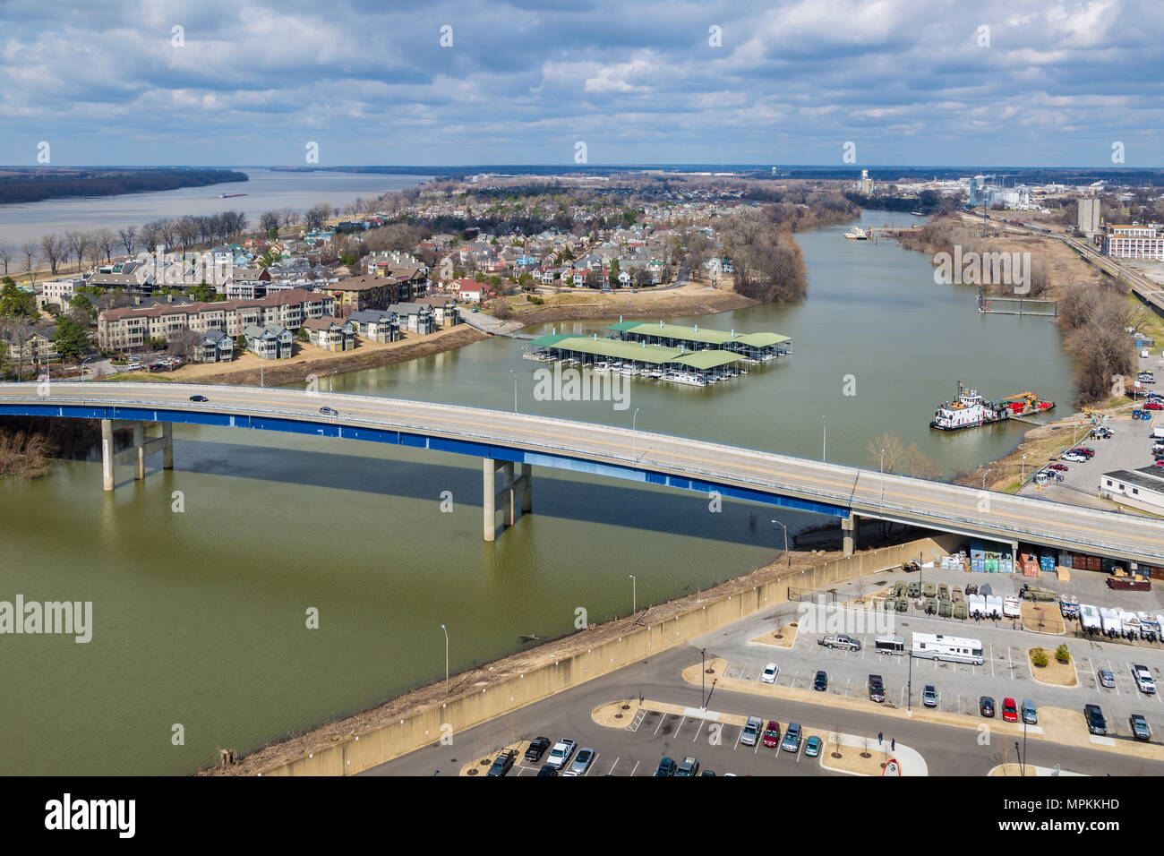 Aerial view of Harbor Town residential area on Mud Island and a covered marina in Wolf River Harbor in Memphis, Tennessee Stock Photohttps://www.alamy.com/image-license-details/?v=1https://www.alamy.com/aerial-view-of-harbor-town-residential-area-on-mud-island-and-a-covered-marina-in-wolf-river-harbor-in-memphis-tennessee-image186058585.html
RMMPKKHD–Aerial view of Harbor Town residential area on Mud Island and a covered marina in Wolf River Harbor in Memphis, Tennessee
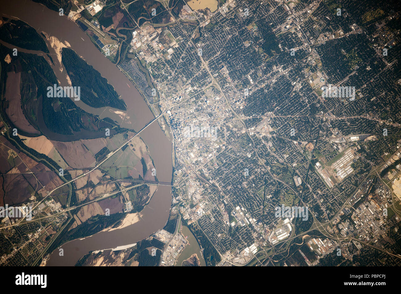 NASA satellite image of city of Memphis, Tennessee, Mississippi River, USA, 2014, Stock Photohttps://www.alamy.com/image-license-details/?v=1https://www.alamy.com/nasa-satellite-image-of-city-of-memphis-tennessee-mississippi-river-usa-2014-image213778618.html
RFPBPCPJ–NASA satellite image of city of Memphis, Tennessee, Mississippi River, USA, 2014,
 Memphis, Tennessee, USA aerial skyline view with downtown and Mud Island. Stock Photohttps://www.alamy.com/image-license-details/?v=1https://www.alamy.com/stock-photo-memphis-tennessee-usa-aerial-skyline-view-with-downtown-and-mud-island-171429278.html
RFKXW7P6–Memphis, Tennessee, USA aerial skyline view with downtown and Mud Island.
 Aerial view of downtown Memphis skyline in Tennessee, USA Stock Photohttps://www.alamy.com/image-license-details/?v=1https://www.alamy.com/aerial-view-of-downtown-memphis-skyline-in-tennessee-usa-image447092671.html
RF2GYAR7B–Aerial view of downtown Memphis skyline in Tennessee, USA
 View of the clouds above Memphis, TN Stock Photohttps://www.alamy.com/image-license-details/?v=1https://www.alamy.com/stock-photo-view-of-the-clouds-above-memphis-tn-133616197.html
RMHNAMR1–View of the clouds above Memphis, TN
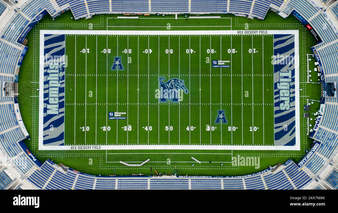 Simmons Bank Liberty Stadium of Memphis - home of the Tigers Football Team - aerial view - MEMPHIS, UNITED STATES - NOVEMBER 7, 2022 Stock Photohttps://www.alamy.com/image-license-details/?v=1https://www.alamy.com/simmons-bank-liberty-stadium-of-memphis-home-of-the-tigers-football-team-aerial-view-memphis-united-states-november-7-2022-image493738355.html
RF2KK7M8K–Simmons Bank Liberty Stadium of Memphis - home of the Tigers Football Team - aerial view - MEMPHIS, UNITED STATES - NOVEMBER 7, 2022
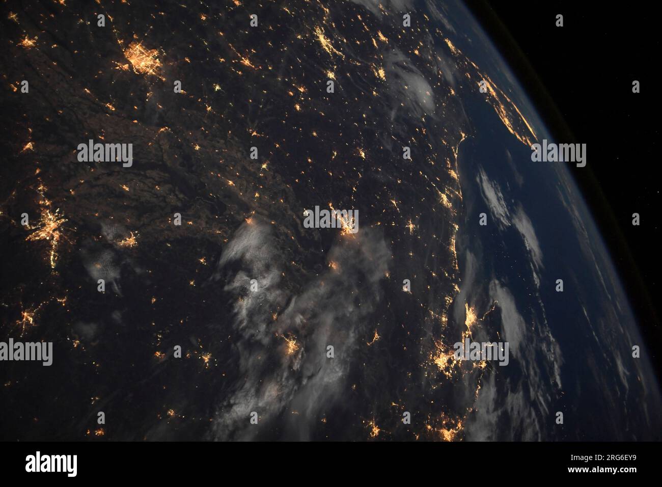 City lights of Little Rock, Memphis, Jackson, New Orleans, Birmingham, Miami, and many places in between. Stock Photohttps://www.alamy.com/image-license-details/?v=1https://www.alamy.com/city-lights-of-little-rock-memphis-jackson-new-orleans-birmingham-miami-and-many-places-in-between-image560709725.html
RF2RG6EY9–City lights of Little Rock, Memphis, Jackson, New Orleans, Birmingham, Miami, and many places in between.
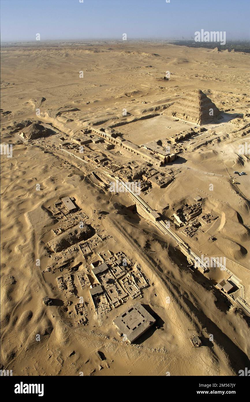 Egypt. Aerial view of the site of the ancient city of Memphis: the necropolis of Saqqara from the southeast. In the foreground, the remains of the mon Stock Photohttps://www.alamy.com/image-license-details/?v=1https://www.alamy.com/egypt-aerial-view-of-the-site-of-the-ancient-city-of-memphis-the-necropolis-of-saqqara-from-the-southeast-in-the-foreground-the-remains-of-the-mon-image502311683.html
RM2M567JY–Egypt. Aerial view of the site of the ancient city of Memphis: the necropolis of Saqqara from the southeast. In the foreground, the remains of the mon
 Memphis, Tennessee, USA, viewed from space Stock Photohttps://www.alamy.com/image-license-details/?v=1https://www.alamy.com/memphis-tennessee-usa-viewed-from-space-image179685906.html
RMMC9B5P–Memphis, Tennessee, USA, viewed from space
 Clock Tower in downtown Memphis Stock Photohttps://www.alamy.com/image-license-details/?v=1https://www.alamy.com/stock-photo-clock-tower-in-downtown-memphis-27268875.html
RFBGA5MB–Clock Tower in downtown Memphis
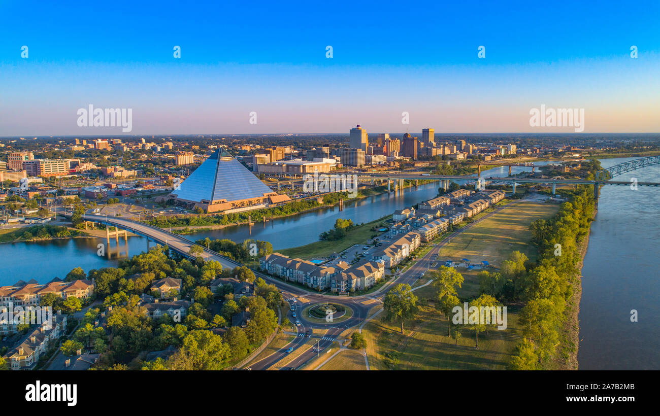 Downtown Memphis, Tennessee, USA Skyline Aerial. Stock Photohttps://www.alamy.com/image-license-details/?v=1https://www.alamy.com/downtown-memphis-tennessee-usa-skyline-aerial-image331543195.html
RF2A7B2MB–Downtown Memphis, Tennessee, USA Skyline Aerial.
 Memphis, Tennessee, United States Stock Photohttps://www.alamy.com/image-license-details/?v=1https://www.alamy.com/memphis-tennessee-united-states-image185802024.html
RMMP80AG–Memphis, Tennessee, United States
 High altitude aerial view of Mississippi River and surrounding agricultural fields near Memphis Tennessee on clear sunny day. Stock Photohttps://www.alamy.com/image-license-details/?v=1https://www.alamy.com/high-altitude-aerial-view-of-mississippi-river-and-surrounding-agricultural-fields-near-memphis-tennessee-on-clear-sunny-day-image550910347.html
RF2R083NF–High altitude aerial view of Mississippi River and surrounding agricultural fields near Memphis Tennessee on clear sunny day.
 River Mississippi on a clear day in Memphis, TN Stock Photohttps://www.alamy.com/image-license-details/?v=1https://www.alamy.com/river-mississippi-on-a-clear-day-in-memphis-tn-image502516146.html
RF2M5FGD6–River Mississippi on a clear day in Memphis, TN
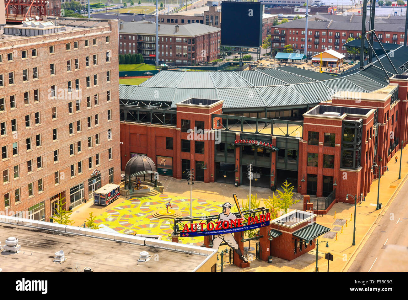 Aerial view of the Autozone Park baseball stadium in Memphis TN Stock Photohttps://www.alamy.com/image-license-details/?v=1https://www.alamy.com/stock-photo-aerial-view-of-the-autozone-park-baseball-stadium-in-memphis-tn-88137380.html
RMF3B03G–Aerial view of the Autozone Park baseball stadium in Memphis TN
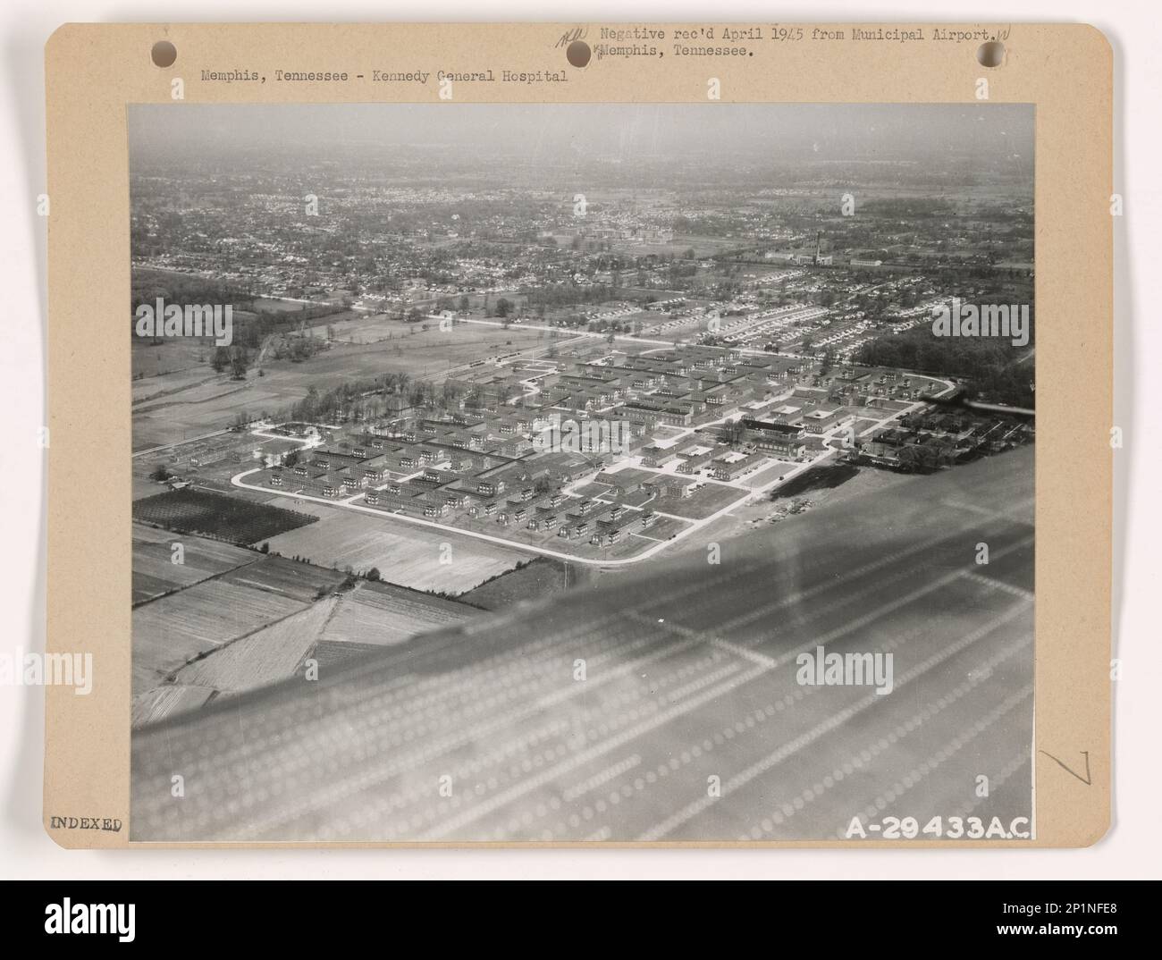 Tennessee - Memphis, Aerial Photograph. Stock Photohttps://www.alamy.com/image-license-details/?v=1https://www.alamy.com/tennessee-memphis-aerial-photograph-image534609216.html
RM2P1NFE8–Tennessee - Memphis, Aerial Photograph.
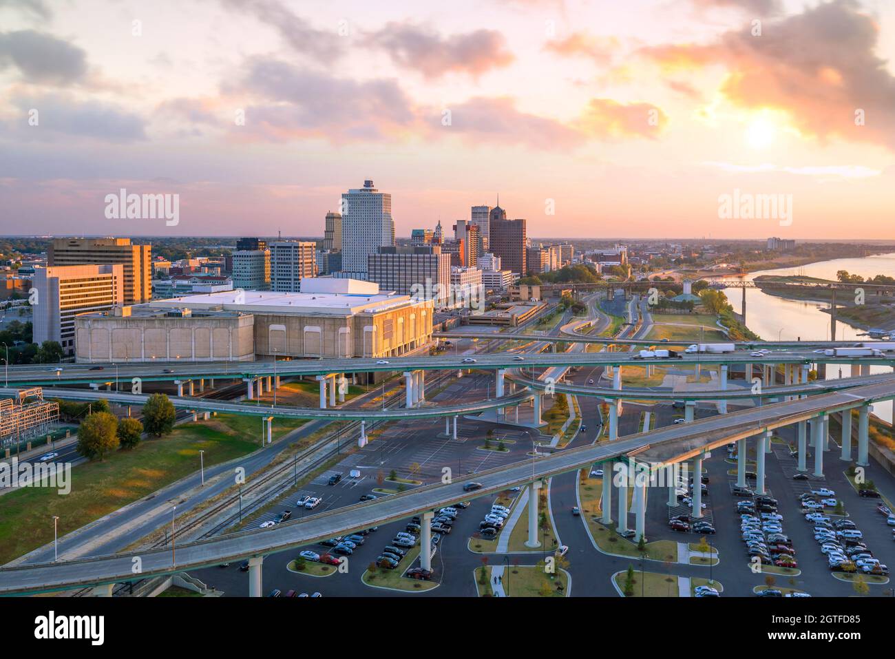 Aerial view of downtown Memphis skyline in Tennessee, USA Stock Photohttps://www.alamy.com/image-license-details/?v=1https://www.alamy.com/aerial-view-of-downtown-memphis-skyline-in-tennessee-usa-image445350645.html
RF2GTFD85–Aerial view of downtown Memphis skyline in Tennessee, USA
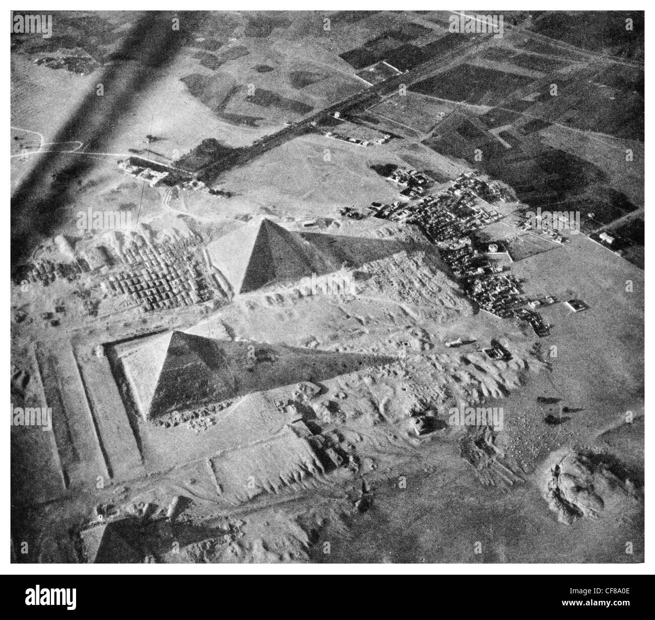 1926 Pyramids of Giza Sphinx aerial view Stock Photohttps://www.alamy.com/image-license-details/?v=1https://www.alamy.com/stock-photo-1926-pyramids-of-giza-sphinx-aerial-view-43824046.html
RFCF8A0E–1926 Pyramids of Giza Sphinx aerial view
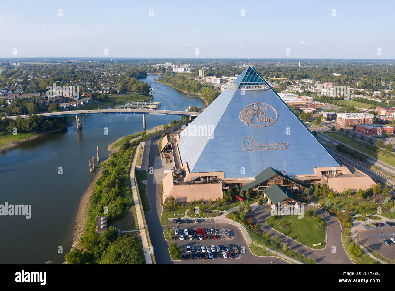 Bass Pro Shops at the Pyramid, Memphis, Tennessee, USA Stock Photohttps://www.alamy.com/image-license-details/?v=1https://www.alamy.com/bass-pro-shops-at-the-pyramid-memphis-tennessee-usa-image397044492.html
RM2E1XX8C–Bass Pro Shops at the Pyramid, Memphis, Tennessee, USA
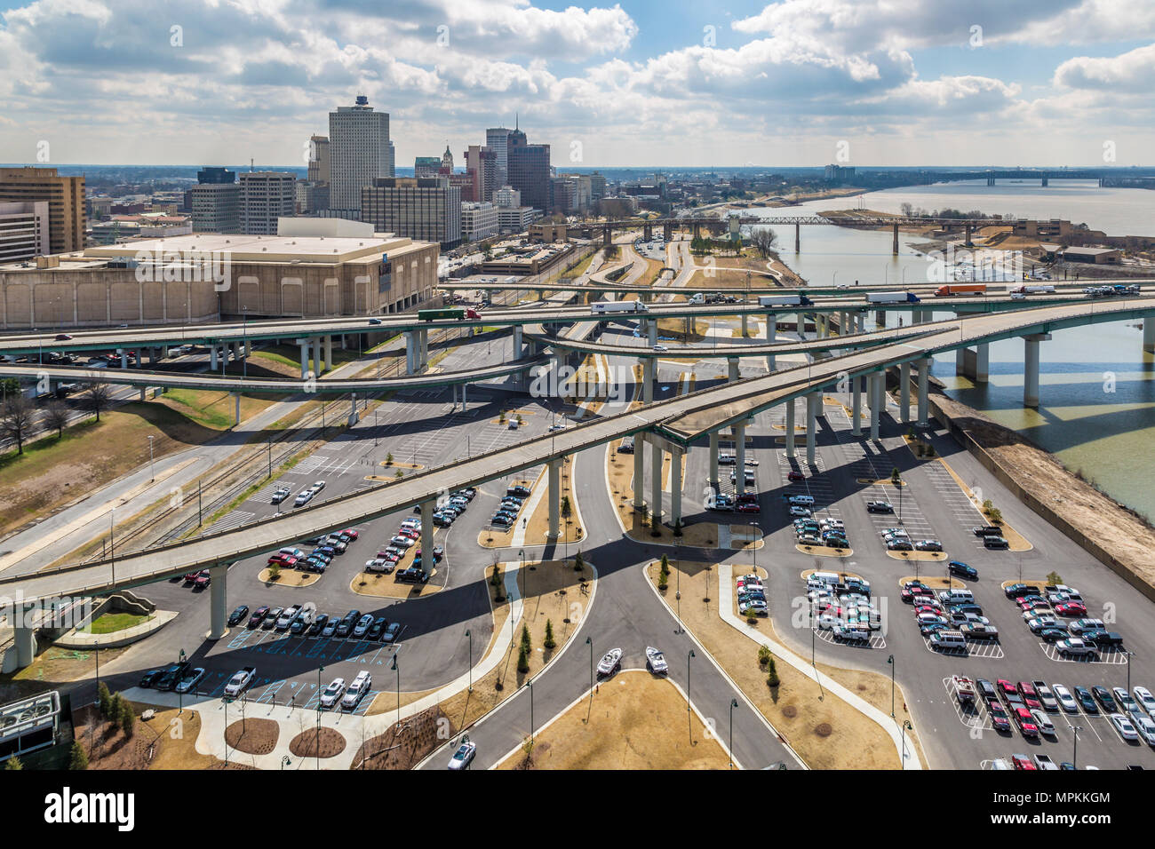 Aerial view of downtown Memphis, Tennessee Stock Photohttps://www.alamy.com/image-license-details/?v=1https://www.alamy.com/aerial-view-of-downtown-memphis-tennessee-image186058564.html
RMMPKKGM–Aerial view of downtown Memphis, Tennessee
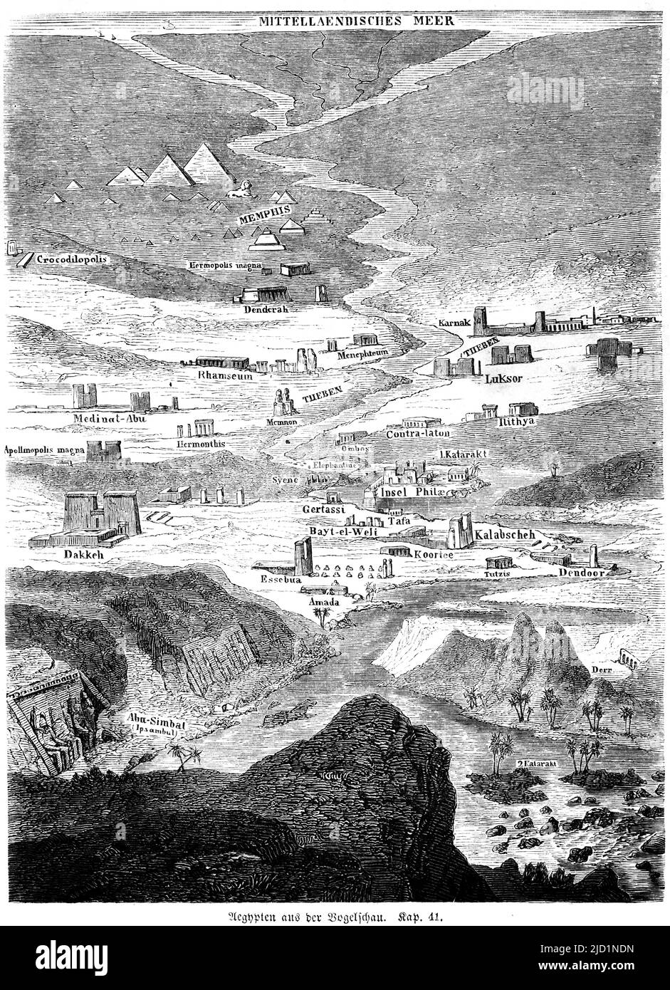 Bird's eye view of Egypt, map, Nile, Mediterranean, pyramids, cataracts, sanctuaries, Abu Simbel, Thebes, Memphis, Luksor, Luxor, view from above Stock Photohttps://www.alamy.com/image-license-details/?v=1https://www.alamy.com/birds-eye-view-of-egypt-map-nile-mediterranean-pyramids-cataracts-sanctuaries-abu-simbel-thebes-memphis-luksor-luxor-view-from-above-image472709265.html
RM2JD1NDN–Bird's eye view of Egypt, map, Nile, Mediterranean, pyramids, cataracts, sanctuaries, Abu Simbel, Thebes, Memphis, Luksor, Luxor, view from above
 Memphis, Tennessee, USA aerial skyline view with downtown and Mud Island. Stock Photohttps://www.alamy.com/image-license-details/?v=1https://www.alamy.com/memphis-tennessee-usa-aerial-skyline-view-with-downtown-and-mud-island-image327767963.html
RF2A173AK–Memphis, Tennessee, USA aerial skyline view with downtown and Mud Island.
 USA, Tennessee, Aerial photograph of tug and barges heading up the Mississippi River near Memphis Stock Photohttps://www.alamy.com/image-license-details/?v=1https://www.alamy.com/stock-photo-usa-tennessee-aerial-photograph-of-tug-and-barges-heading-up-the-mississippi-124257634.html
RFH64BTJ–USA, Tennessee, Aerial photograph of tug and barges heading up the Mississippi River near Memphis
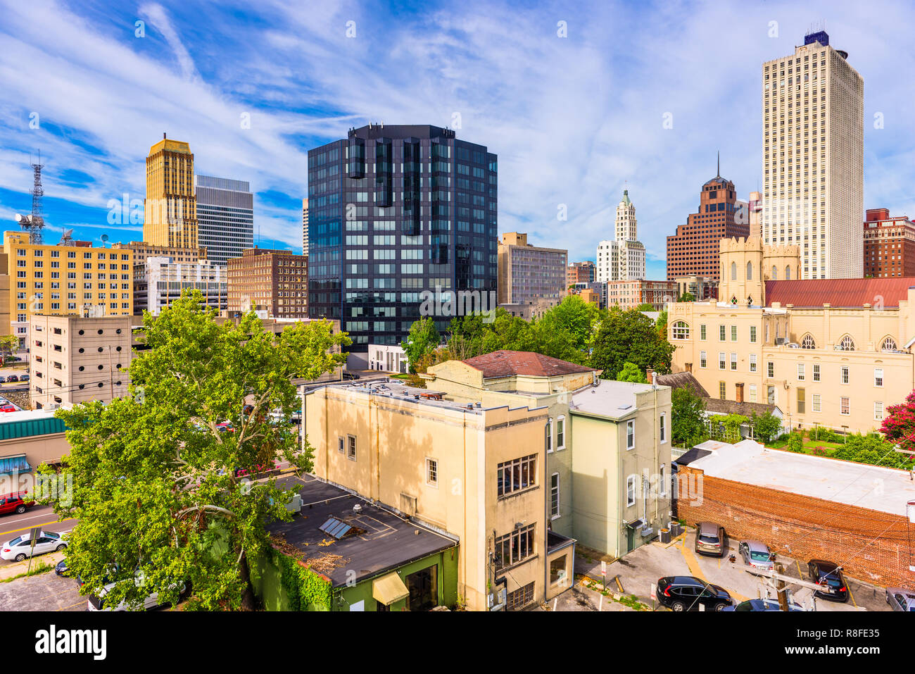 Memphis, Tennessee, USA downtown city skyline in the daytime. Stock Photohttps://www.alamy.com/image-license-details/?v=1https://www.alamy.com/memphis-tennessee-usa-downtown-city-skyline-in-the-daytime-image228992377.html
RFR8FE35–Memphis, Tennessee, USA downtown city skyline in the daytime.
 View of the clouds above Memphis, TN Stock Photohttps://www.alamy.com/image-license-details/?v=1https://www.alamy.com/stock-photo-view-of-the-clouds-above-memphis-tn-133616202.html
RMHNAMR6–View of the clouds above Memphis, TN
 Simmons Bank Liberty Stadium of Memphis - home of the Tigers Football Team - aerial view - MEMPHIS, UNITED STATES - NOVEMBER 7, 2022 Stock Photohttps://www.alamy.com/image-license-details/?v=1https://www.alamy.com/simmons-bank-liberty-stadium-of-memphis-home-of-the-tigers-football-team-aerial-view-memphis-united-states-november-7-2022-image493736844.html
RF2KK7JAM–Simmons Bank Liberty Stadium of Memphis - home of the Tigers Football Team - aerial view - MEMPHIS, UNITED STATES - NOVEMBER 7, 2022
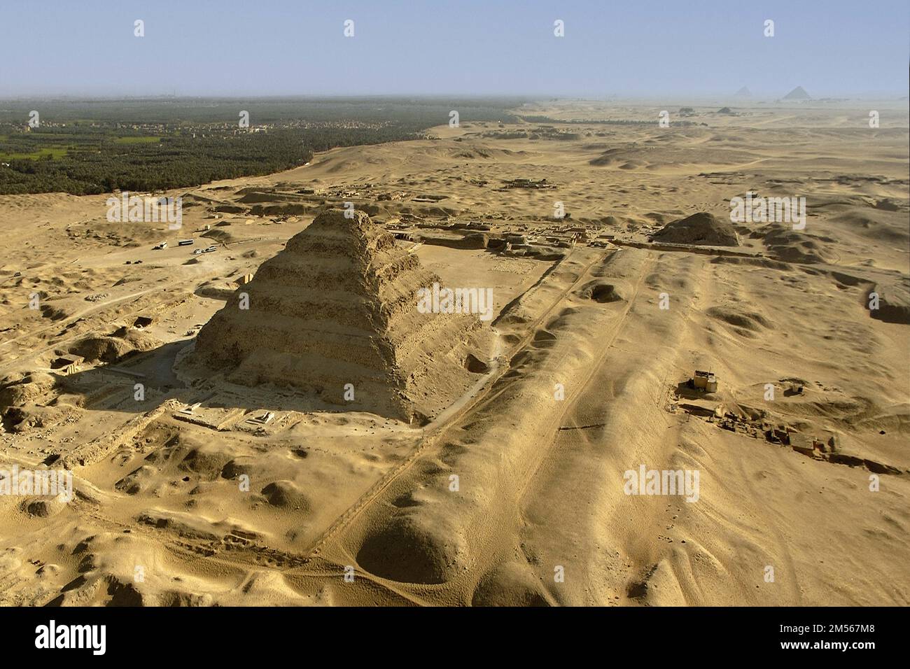 Egypt. Aerial view of the site of the ancient city of Memphis: the necropolis of Saqqara from the North. In the foreground, the pyramid of Djoser (3rd Stock Photohttps://www.alamy.com/image-license-details/?v=1https://www.alamy.com/egypt-aerial-view-of-the-site-of-the-ancient-city-of-memphis-the-necropolis-of-saqqara-from-the-north-in-the-foreground-the-pyramid-of-djoser-3rd-image502311720.html
RM2M567M8–Egypt. Aerial view of the site of the ancient city of Memphis: the necropolis of Saqqara from the North. In the foreground, the pyramid of Djoser (3rd
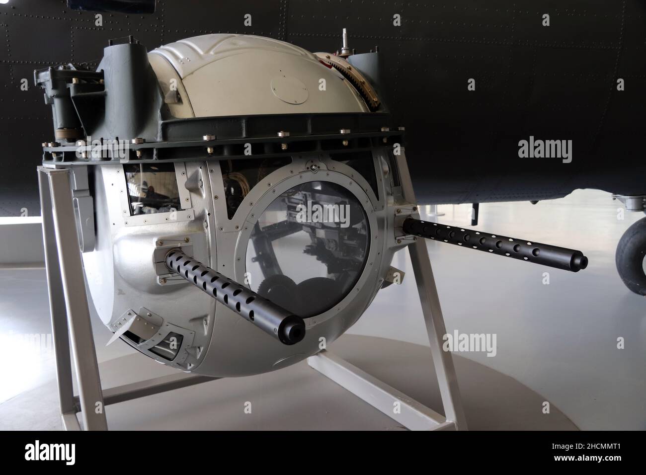 Ball turret of an B17 flying fortress Stock Photohttps://www.alamy.com/image-license-details/?v=1https://www.alamy.com/ball-turret-of-an-b17-flying-fortress-image455300833.html
RM2HCMMT1–Ball turret of an B17 flying fortress
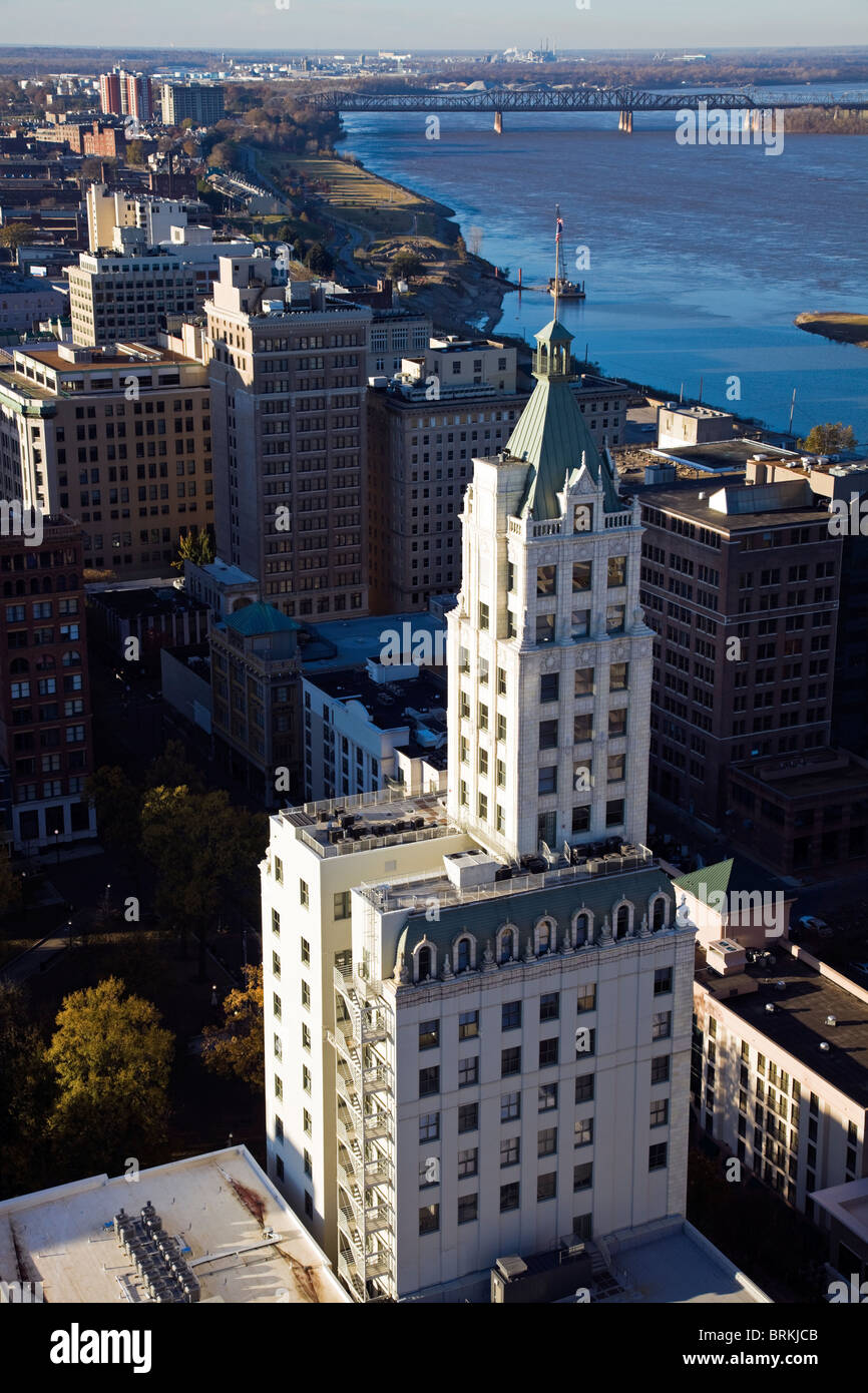 Aerial view of Memphis Stock Photohttps://www.alamy.com/image-license-details/?v=1https://www.alamy.com/stock-photo-aerial-view-of-memphis-31779003.html
RFBRKJCB–Aerial view of Memphis
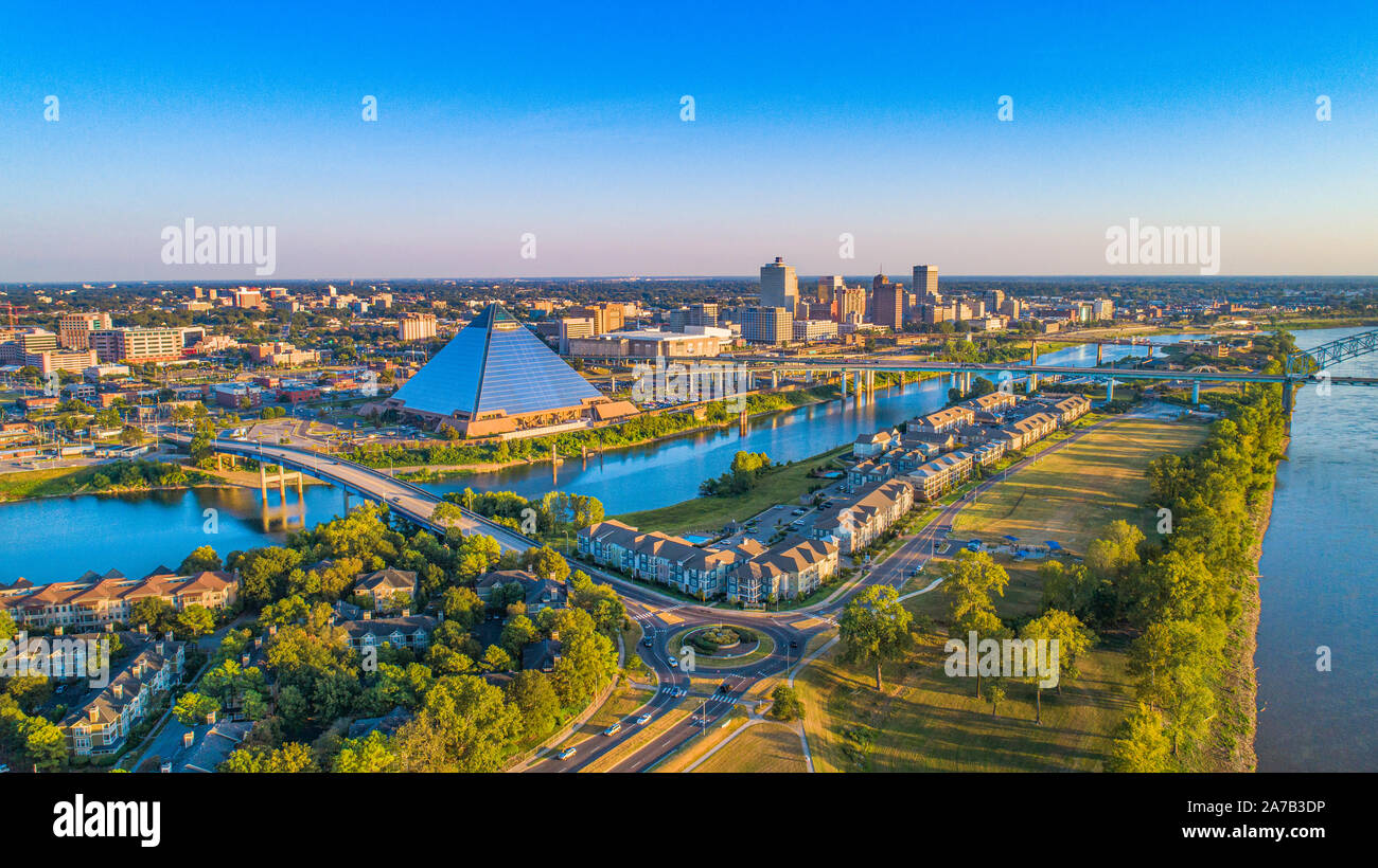 Memphis, Tennessee, USA Downtown Skyline Aerial Panorama. Stock Photohttps://www.alamy.com/image-license-details/?v=1https://www.alamy.com/memphis-tennessee-usa-downtown-skyline-aerial-panorama-image331543794.html
RF2A7B3DP–Memphis, Tennessee, USA Downtown Skyline Aerial Panorama.
 Madison Avenue, Memphis, Tennessee, USA Stock Photohttps://www.alamy.com/image-license-details/?v=1https://www.alamy.com/madison-avenue-memphis-tennessee-usa-image235077613.html
RMRJCKW1–Madison Avenue, Memphis, Tennessee, USA
 High altitude aerial view of Mississippi River and surrounding agricultural fields near Memphis Tennessee on clear sunny day. Stock Photohttps://www.alamy.com/image-license-details/?v=1https://www.alamy.com/high-altitude-aerial-view-of-mississippi-river-and-surrounding-agricultural-fields-near-memphis-tennessee-on-clear-sunny-day-image550910226.html
RF2R083H6–High altitude aerial view of Mississippi River and surrounding agricultural fields near Memphis Tennessee on clear sunny day.
 American B-17 Flying Fortresses taking flak on a daylight bombing operation over occupied France in late 1942. These aircraft ar Stock Photohttps://www.alamy.com/image-license-details/?v=1https://www.alamy.com/stock-photo-american-b-17-flying-fortresses-taking-flak-on-a-daylight-bombing-71687527.html
RME4HJ4R–American B-17 Flying Fortresses taking flak on a daylight bombing operation over occupied France in late 1942. These aircraft ar
 Aerial view of Memphis Tennessee Stock Photohttps://www.alamy.com/image-license-details/?v=1https://www.alamy.com/stock-photo-aerial-view-of-memphis-tennessee-88137155.html
RMF3AYRF–Aerial view of Memphis Tennessee
 Tennessee - Memphis, Aerial Photograph. Stock Photohttps://www.alamy.com/image-license-details/?v=1https://www.alamy.com/tennessee-memphis-aerial-photograph-image534609211.html
RM2P1NFE3–Tennessee - Memphis, Aerial Photograph.
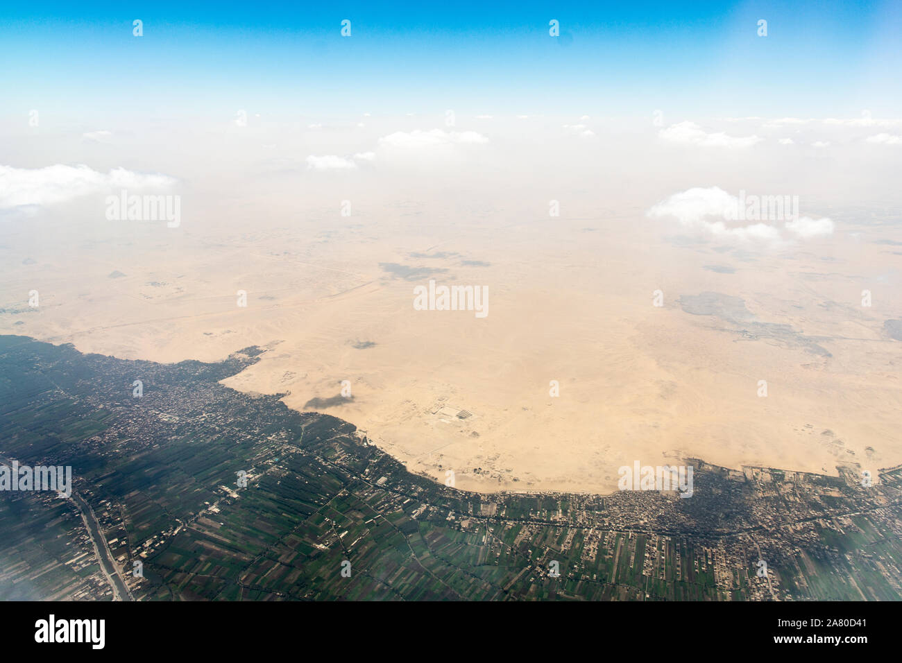 Border between sand desert and green zone of Helwan city. The Pyramid of Djoser can be seen from airplane. Stock Photohttps://www.alamy.com/image-license-details/?v=1https://www.alamy.com/border-between-sand-desert-and-green-zone-of-helwan-city-the-pyramid-of-djoser-can-be-seen-from-airplane-image331924545.html
RF2A80D41–Border between sand desert and green zone of Helwan city. The Pyramid of Djoser can be seen from airplane.
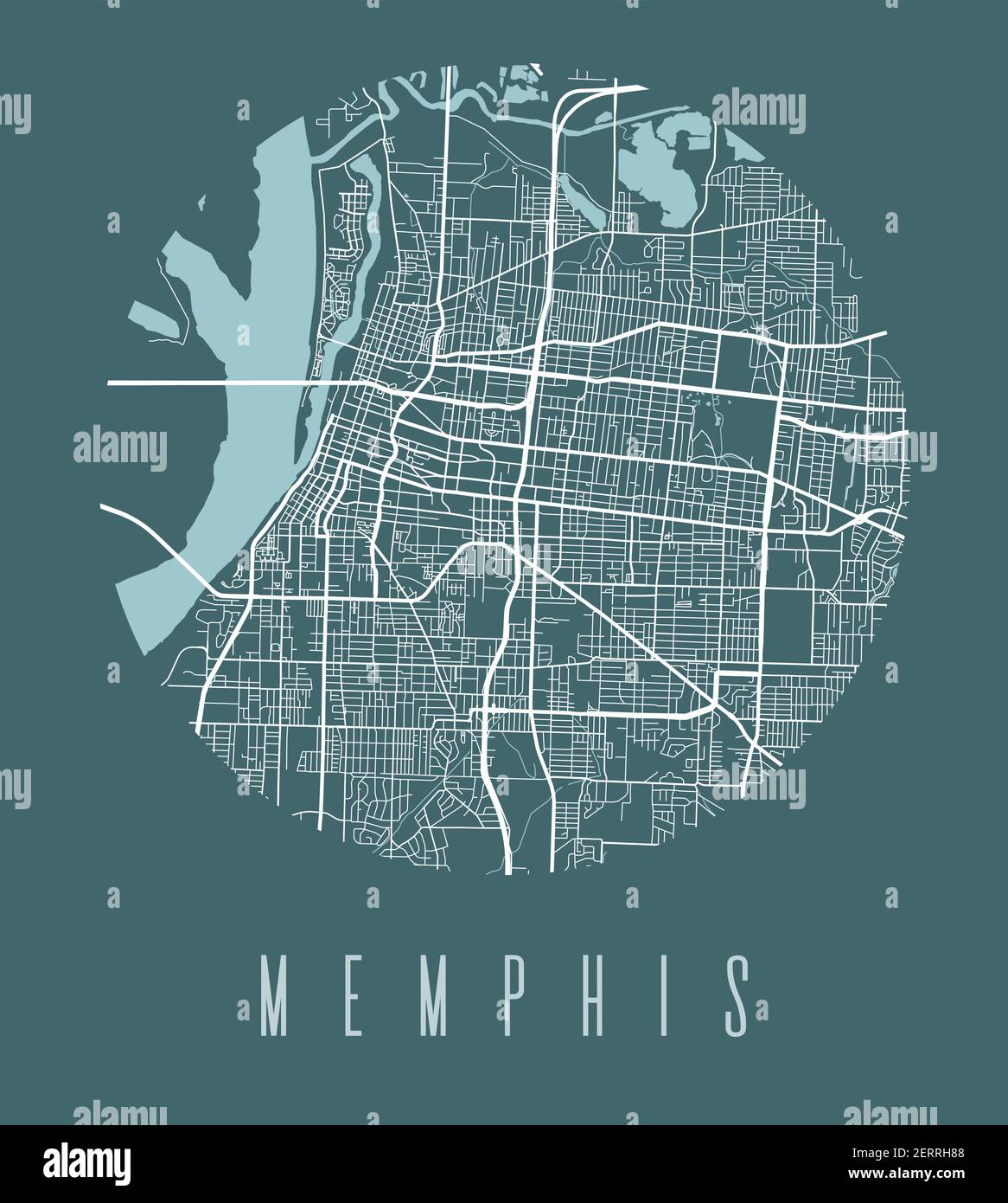 Memphis map poster. Decorative design street map of Memphis city. Cityscape aria panorama silhouette aerial view, typography style. Land, river, highw Stock Vectorhttps://www.alamy.com/image-license-details/?v=1https://www.alamy.com/memphis-map-poster-decorative-design-street-map-of-memphis-city-cityscape-aria-panorama-silhouette-aerial-view-typography-style-land-river-highw-image410494008.html
RF2ERRH88–Memphis map poster. Decorative design street map of Memphis city. Cityscape aria panorama silhouette aerial view, typography style. Land, river, highw
 Beale Street, Memphis, Tennessee Stock Photohttps://www.alamy.com/image-license-details/?v=1https://www.alamy.com/beale-street-memphis-tennessee-image401397294.html
RM2E9169J–Beale Street, Memphis, Tennessee
 Aerial view of downtown Memphis, Tennessee Stock Photohttps://www.alamy.com/image-license-details/?v=1https://www.alamy.com/aerial-view-of-downtown-memphis-tennessee-image186058575.html
RMMPKKH3–Aerial view of downtown Memphis, Tennessee
 Memphis Belle Boeing B 17 Sally B bomber flying over Biggin Hill airfield Stock Photohttps://www.alamy.com/image-license-details/?v=1https://www.alamy.com/stock-photo-memphis-belle-boeing-b-17-sally-b-bomber-flying-over-biggin-hill-airfield-95748613.html
RMFFNM99–Memphis Belle Boeing B 17 Sally B bomber flying over Biggin Hill airfield
 The B-17 Flying Fortress was an American heavy bomber in World War Two. Stock Photohttps://www.alamy.com/image-license-details/?v=1https://www.alamy.com/stock-photo-the-b-17-flying-fortress-was-an-american-heavy-bomber-in-world-war-147952894.html
RFJGKRBX–The B-17 Flying Fortress was an American heavy bomber in World War Two.
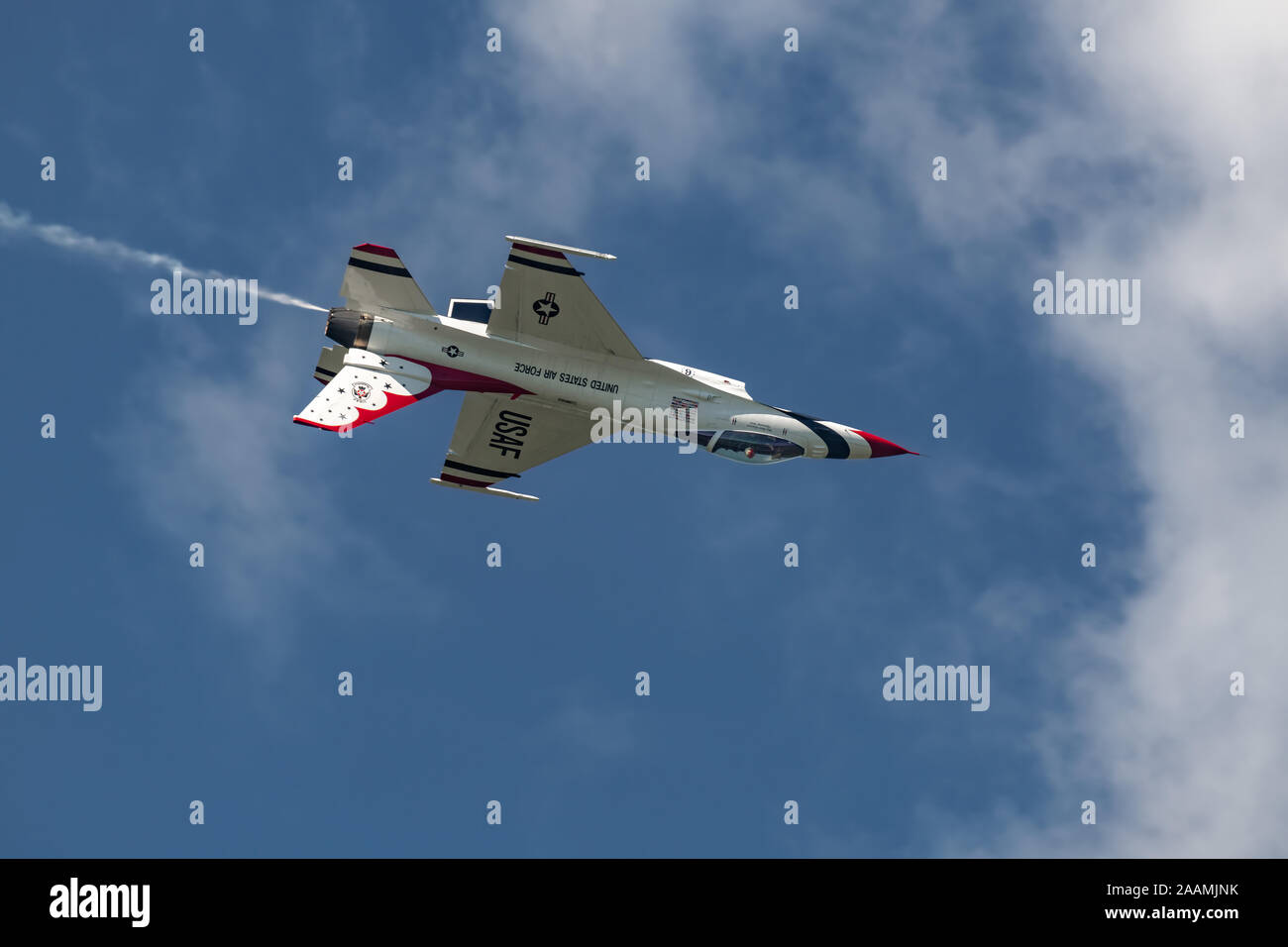 NEW WINDSOR NY - SEPTEMBER 15 2018: USAF Thunderbirds perform at the Stewart International Airport during the New York Airshow. Squadron is the offici Stock Photohttps://www.alamy.com/image-license-details/?v=1https://www.alamy.com/new-windsor-ny-september-15-2018-usaf-thunderbirds-perform-at-the-stewart-international-airport-during-the-new-york-airshow-squadron-is-the-offici-image333597311.html
RF2AAMJNK–NEW WINDSOR NY - SEPTEMBER 15 2018: USAF Thunderbirds perform at the Stewart International Airport during the New York Airshow. Squadron is the offici
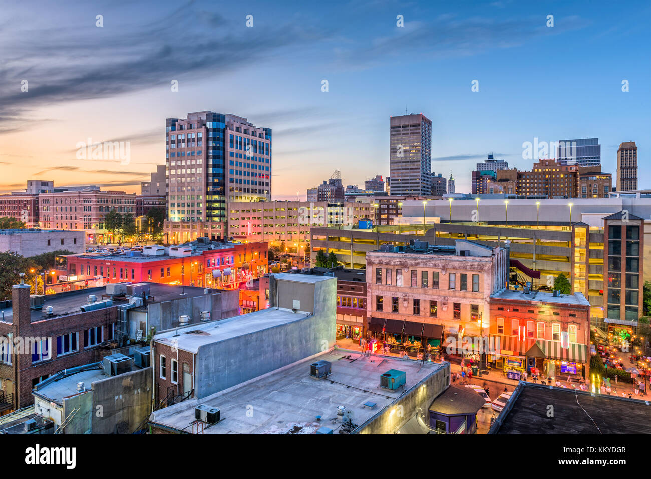 Memphis, Tennessee, USA downtown skyline. Stock Photohttps://www.alamy.com/image-license-details/?v=1https://www.alamy.com/stock-image-memphis-tennessee-usa-downtown-skyline-167175143.html
RFKKYDGR–Memphis, Tennessee, USA downtown skyline.
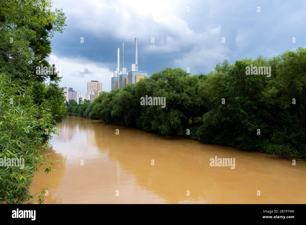 The Ihme, a river in Hanover, Germany full of mud due to heavy rain Stock Photohttps://www.alamy.com/image-license-details/?v=1https://www.alamy.com/the-ihme-a-river-in-hanover-germany-full-of-mud-due-to-heavy-rain-image345311201.html
RF2B1P7XW–The Ihme, a river in Hanover, Germany full of mud due to heavy rain
 Memphis, Tennessee, USA downtown skyline. Stock Photohttps://www.alamy.com/image-license-details/?v=1https://www.alamy.com/stock-image-memphis-tennessee-usa-downtown-skyline-167125607.html
RFKKW6BK–Memphis, Tennessee, USA downtown skyline.
 Simmons Bank Liberty Stadium of Memphis - home of the Tigers Football Team - aerial view - MEMPHIS, UNITED STATES - NOVEMBER 7, 2022 Stock Photohttps://www.alamy.com/image-license-details/?v=1https://www.alamy.com/simmons-bank-liberty-stadium-of-memphis-home-of-the-tigers-football-team-aerial-view-memphis-united-states-november-7-2022-image493734419.html
RF2KK7F83–Simmons Bank Liberty Stadium of Memphis - home of the Tigers Football Team - aerial view - MEMPHIS, UNITED STATES - NOVEMBER 7, 2022
 Egypt. Aerial view of the site of the ancient city of Memphis: the necropolis of Saqqara. The pyramid of Djoser (3rd dynasty). It was built by the bri Stock Photohttps://www.alamy.com/image-license-details/?v=1https://www.alamy.com/egypt-aerial-view-of-the-site-of-the-ancient-city-of-memphis-the-necropolis-of-saqqara-the-pyramid-of-djoser-3rd-dynasty-it-was-built-by-the-bri-image502311808.html
RM2M567RC–Egypt. Aerial view of the site of the ancient city of Memphis: the necropolis of Saqqara. The pyramid of Djoser (3rd dynasty). It was built by the bri
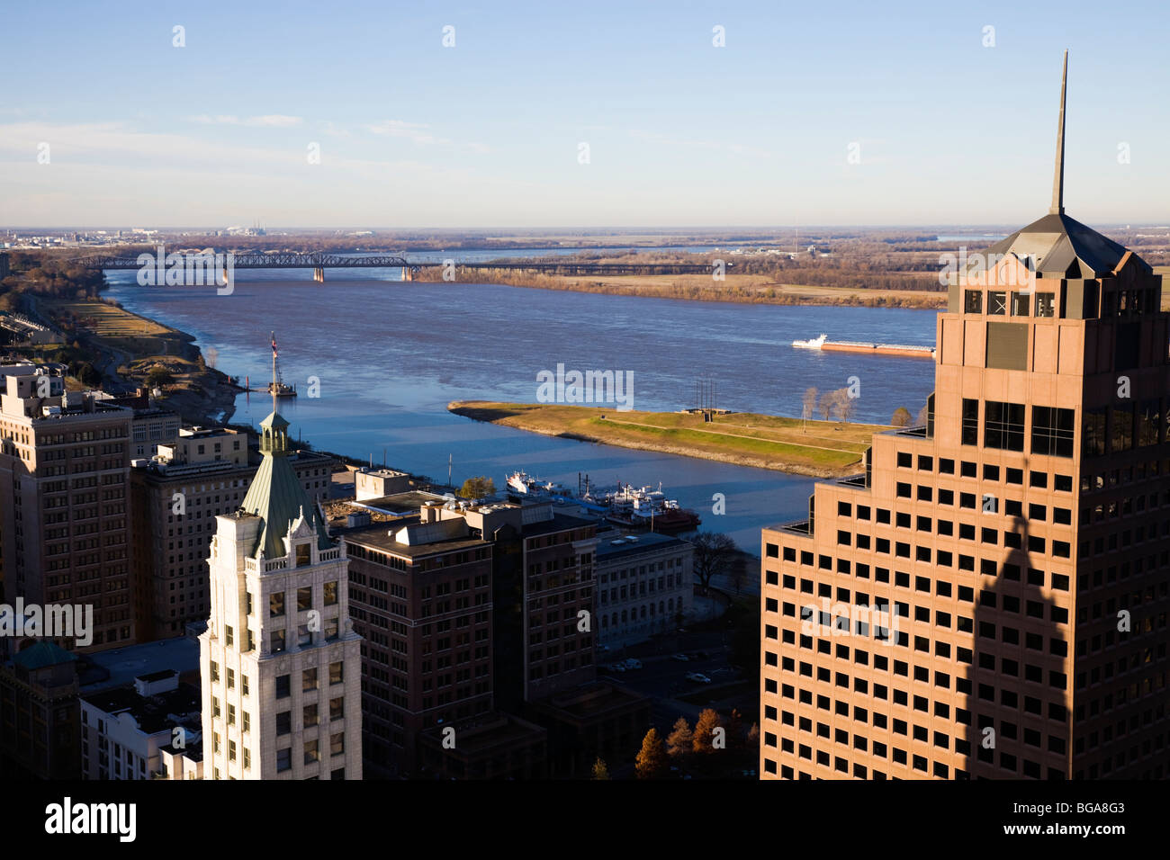 Aerial view of downtown Memphis, Tennessee, USA. Stock Photohttps://www.alamy.com/image-license-details/?v=1https://www.alamy.com/stock-photo-aerial-view-of-downtown-memphis-tennessee-usa-27271107.html
RFBGA8G3–Aerial view of downtown Memphis, Tennessee, USA.
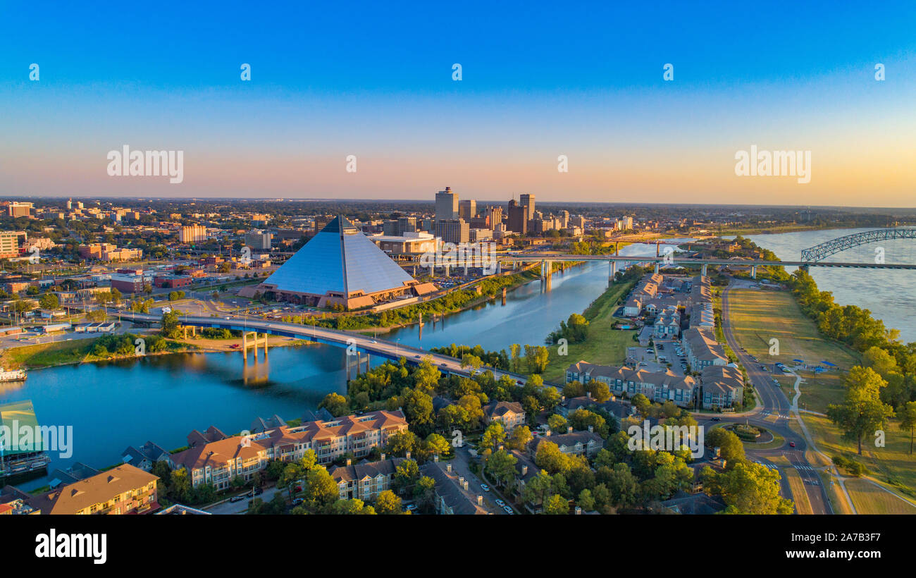 Memphis, Tennessee, USA Drone Skyline Aerial Panorama. Stock Photohttps://www.alamy.com/image-license-details/?v=1https://www.alamy.com/memphis-tennessee-usa-drone-skyline-aerial-panorama-image331543835.html
RF2A7B3F7–Memphis, Tennessee, USA Drone Skyline Aerial Panorama.
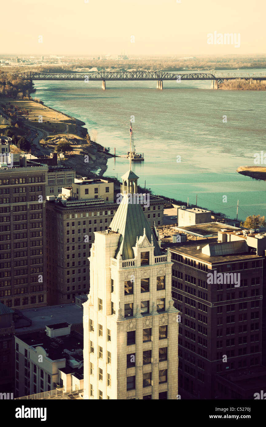 Aerial view of Memphis and Mississippi River Stock Photohttps://www.alamy.com/image-license-details/?v=1https://www.alamy.com/stock-photo-aerial-view-of-memphis-and-mississippi-river-37543426.html
RFC5270J–Aerial view of Memphis and Mississippi River
 top turret on an B17 Flying fortess Stock Photohttps://www.alamy.com/image-license-details/?v=1https://www.alamy.com/top-turret-on-an-b17-flying-fortess-image455300832.html
RM2HCMMT0–top turret on an B17 Flying fortess
 American B-17 Flying Fortresses depicted taking flak on a daylight bombing operation over occupied France in late 1942. Stock Photohttps://www.alamy.com/image-license-details/?v=1https://www.alamy.com/stock-photo-american-b-17-flying-fortresses-depicted-taking-flak-on-a-daylight-71687698.html
RME4HJAX–American B-17 Flying Fortresses depicted taking flak on a daylight bombing operation over occupied France in late 1942.
 Aerial view of Memphis Tennessee Stock Photohttps://www.alamy.com/image-license-details/?v=1https://www.alamy.com/stock-photo-aerial-view-of-memphis-tennessee-88137154.html
RMF3AYRE–Aerial view of Memphis Tennessee
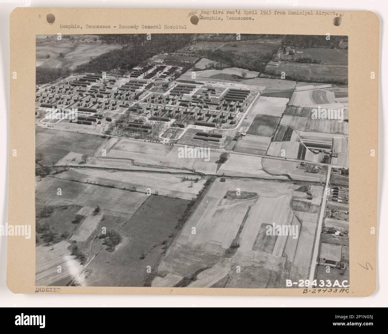 Tennessee - Memphis, Aerial Photograph. Stock Photohttps://www.alamy.com/image-license-details/?v=1https://www.alamy.com/tennessee-memphis-aerial-photograph-image534609758.html
RM2P1NG5J–Tennessee - Memphis, Aerial Photograph.
 Madison Avenue, Memphis, Tennessee, USA Stock Photohttps://www.alamy.com/image-license-details/?v=1https://www.alamy.com/madison-avenue-memphis-tennessee-usa-image235077607.html
RMRJCKTR–Madison Avenue, Memphis, Tennessee, USA
 Aerial of low water level in the Mississippi River near Memphis on August, 2023. Stock Photohttps://www.alamy.com/image-license-details/?v=1https://www.alamy.com/aerial-of-low-water-level-in-the-mississippi-river-near-memphis-on-august-2023-image567962293.html
RF2T00WKH–Aerial of low water level in the Mississippi River near Memphis on August, 2023.
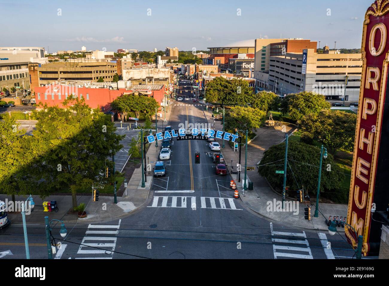 Beale Street, Memphis, Tennessee Stock Photohttps://www.alamy.com/image-license-details/?v=1https://www.alamy.com/beale-street-memphis-tennessee-image401397292.html
RM2E9169G–Beale Street, Memphis, Tennessee
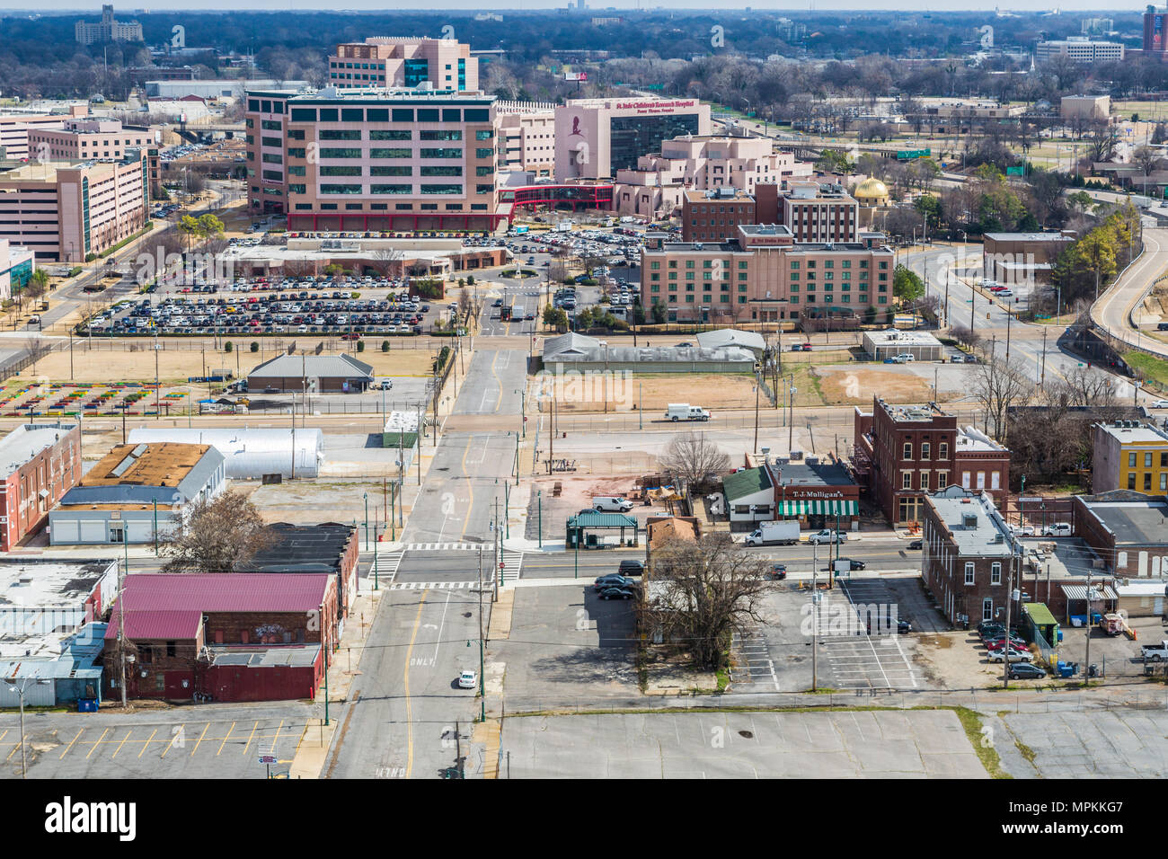 Aerial view of downtown Memphis, Tennessee Stock Photohttps://www.alamy.com/image-license-details/?v=1https://www.alamy.com/aerial-view-of-downtown-memphis-tennessee-image186058551.html
RMMPKKG7–Aerial view of downtown Memphis, Tennessee
 Memphis Belle Boeing B 17 Sally B bomber flying over Biggin Hill airfield Stock Photohttps://www.alamy.com/image-license-details/?v=1https://www.alamy.com/stock-photo-memphis-belle-boeing-b-17-sally-b-bomber-flying-over-biggin-hill-airfield-95748621.html
RMFFNM9H–Memphis Belle Boeing B 17 Sally B bomber flying over Biggin Hill airfield
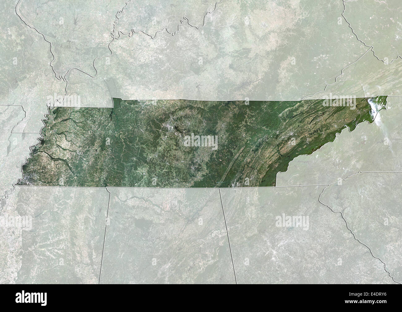 State of Tennessee, United States, True Colour Satellite Image Stock Photohttps://www.alamy.com/image-license-details/?v=1https://www.alamy.com/stock-photo-state-of-tennessee-united-states-true-colour-satellite-image-71604266.html
RME4DRY6–State of Tennessee, United States, True Colour Satellite Image
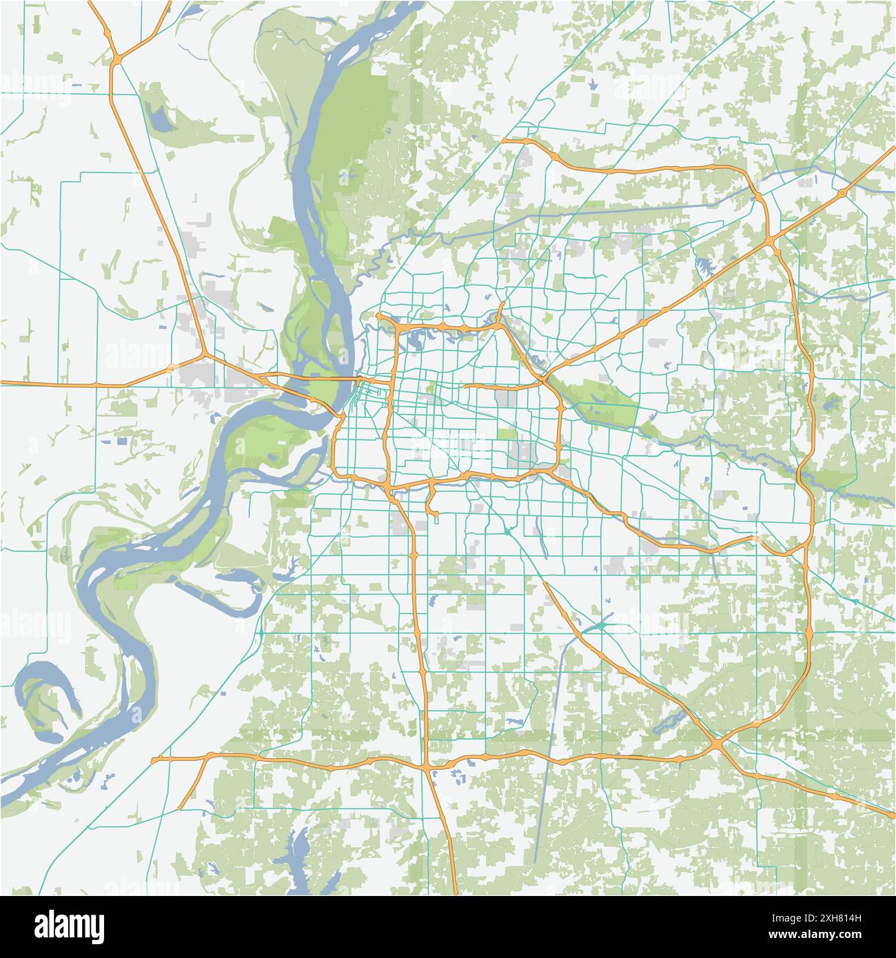 Road map of Memphis in Tennessee. Contains layered vector with roads water, parks, etc. Stock Vectorhttps://www.alamy.com/image-license-details/?v=1https://www.alamy.com/road-map-of-memphis-in-tennessee-contains-layered-vector-with-roads-water-parks-etc-image612988561.html
RF2XH814H–Road map of Memphis in Tennessee. Contains layered vector with roads water, parks, etc.
 United States and the State of Tennessee, Satellite Image With Bump Effect Stock Photohttps://www.alamy.com/image-license-details/?v=1https://www.alamy.com/stock-photo-united-states-and-the-state-of-tennessee-satellite-image-with-bump-71609106.html
RME4E242–United States and the State of Tennessee, Satellite Image With Bump Effect
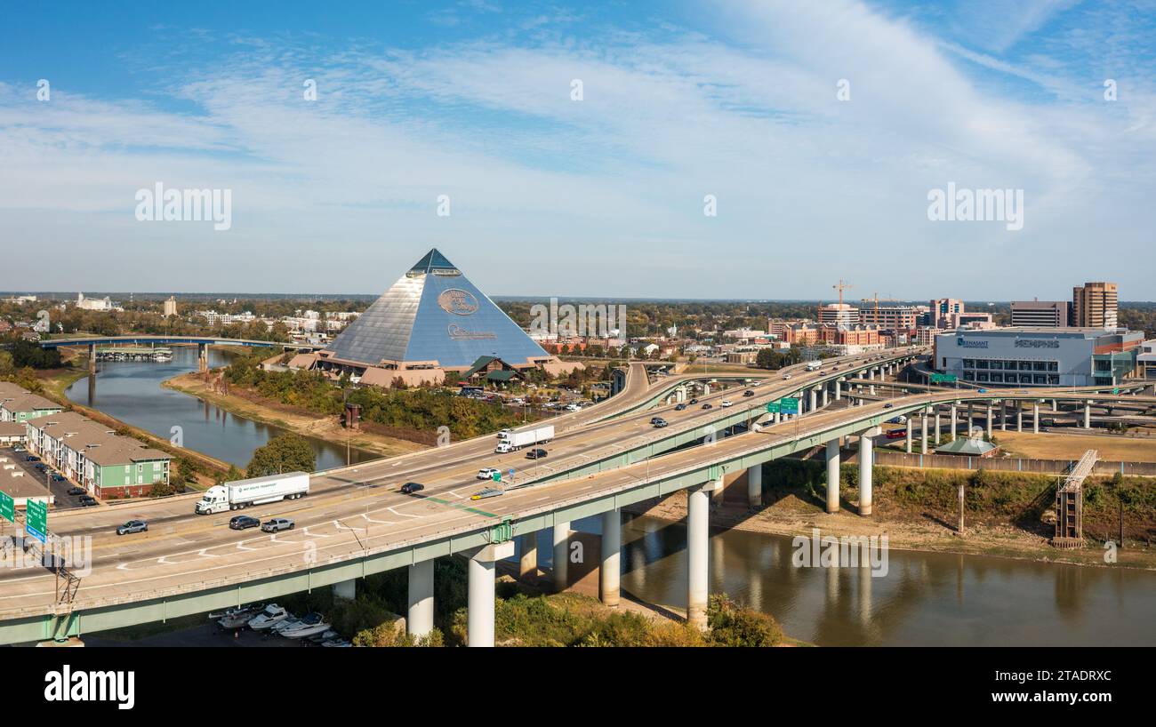 Memphis, TN - 23 October 2023: Panoramic view of Memphis Tennessee with Hernando de Soto bridge and Memphis Pyramid housing Bass Pro Shops Stock Photohttps://www.alamy.com/image-license-details/?v=1https://www.alamy.com/memphis-tn-23-october-2023-panoramic-view-of-memphis-tennessee-with-hernando-de-soto-bridge-and-memphis-pyramid-housing-bass-pro-shops-image574392852.html
RF2TADRXC–Memphis, TN - 23 October 2023: Panoramic view of Memphis Tennessee with Hernando de Soto bridge and Memphis Pyramid housing Bass Pro Shops
 Memphis, Tennessee, USA downtown skyline at dusk. Stock Photohttps://www.alamy.com/image-license-details/?v=1https://www.alamy.com/stock-image-memphis-tennessee-usa-downtown-skyline-at-dusk-165858559.html
RFKHRE7Y–Memphis, Tennessee, USA downtown skyline at dusk.
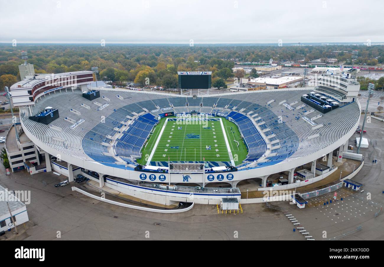 Simmons Bank Liberty Stadium of Memphis - home of the Tigers Football Team - aerial view - MEMPHIS, UNITED STATES - NOVEMBER 7, 2022 Stock Photohttps://www.alamy.com/image-license-details/?v=1https://www.alamy.com/simmons-bank-liberty-stadium-of-memphis-home-of-the-tigers-football-team-aerial-view-memphis-united-states-november-7-2022-image493735353.html
RF2KK7GDD–Simmons Bank Liberty Stadium of Memphis - home of the Tigers Football Team - aerial view - MEMPHIS, UNITED STATES - NOVEMBER 7, 2022
 Mud Island River Park aerial-type view Memphis, TN, mississippi river replica Stock Photohttps://www.alamy.com/image-license-details/?v=1https://www.alamy.com/mud-island-river-park-aerial-type-view-memphis-tn-mississippi-river-image5552050.html
RMAY5YB3–Mud Island River Park aerial-type view Memphis, TN, mississippi river replica
 An aerial view of the city of Memphis, Tennessee, during the morning hours under partly cloudy skies Stock Photohttps://www.alamy.com/image-license-details/?v=1https://www.alamy.com/an-aerial-view-of-the-city-of-memphis-tennessee-during-the-morning-hours-under-partly-cloudy-skies-image562799033.html
RF2RKHKWD–An aerial view of the city of Memphis, Tennessee, during the morning hours under partly cloudy skies
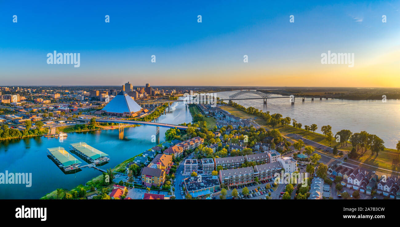 Memphis Tennessee TN Downtown Drone Skyline Aerial. Stock Photohttps://www.alamy.com/image-license-details/?v=1https://www.alamy.com/memphis-tennessee-tn-downtown-drone-skyline-aerial-image331543769.html
RF2A7B3CW–Memphis Tennessee TN Downtown Drone Skyline Aerial.
 Aerial view of the tram station in the center of Memphis Stock Photohttps://www.alamy.com/image-license-details/?v=1https://www.alamy.com/stock-photo-aerial-view-of-the-tram-station-in-the-center-of-memphis-36683216.html
RFC3K1PT–Aerial view of the tram station in the center of Memphis
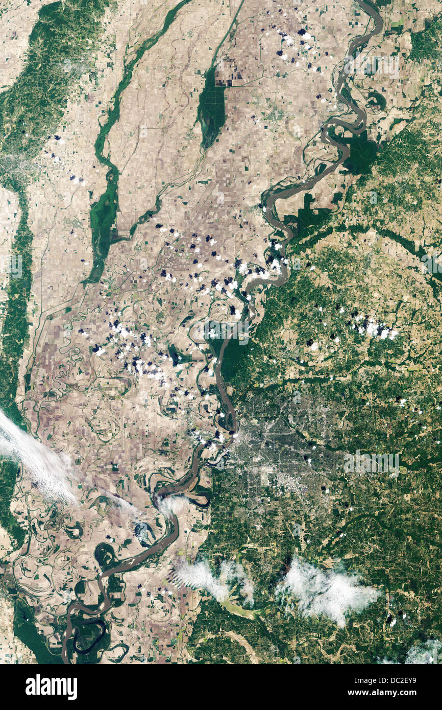 Satellite image of flooding in Memphis caused by the Mississippi River during May 2010 Stock Photohttps://www.alamy.com/image-license-details/?v=1https://www.alamy.com/stock-photo-satellite-image-of-flooding-in-memphis-caused-by-the-mississippi-river-59062621.html
RMDC2EY9–Satellite image of flooding in Memphis caused by the Mississippi River during May 2010
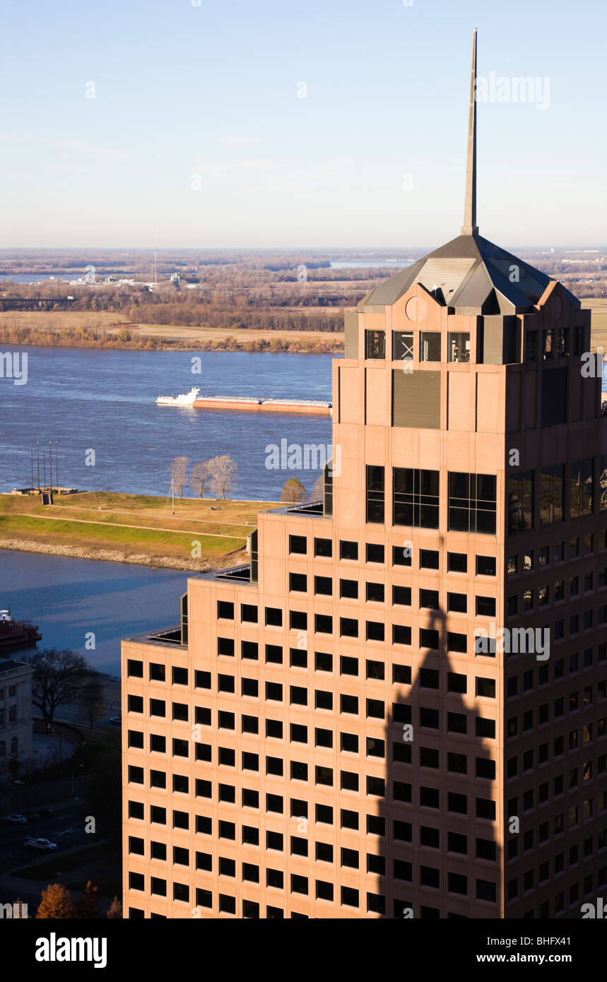 Tall buildings in downtown of Memphis Stock Photohttps://www.alamy.com/image-license-details/?v=1https://www.alamy.com/stock-photo-tall-buildings-in-downtown-of-memphis-28009297.html
RFBHFX41–Tall buildings in downtown of Memphis
 Aerial view of a summer city crossed by a wide river. Clip. Bridge connecting two sides of a town Stock Photohttps://www.alamy.com/image-license-details/?v=1https://www.alamy.com/aerial-view-of-a-summer-city-crossed-by-a-wide-river-clip-bridge-connecting-two-sides-of-a-town-image533088131.html
RF2NY879R–Aerial view of a summer city crossed by a wide river. Clip. Bridge connecting two sides of a town
 Tennessee - Memphis, Aerial Photograph. Stock Photohttps://www.alamy.com/image-license-details/?v=1https://www.alamy.com/tennessee-memphis-aerial-photograph-image534609218.html
RM2P1NFEA–Tennessee - Memphis, Aerial Photograph.
 The Boeing B-17G Fortress Bomber of the second World War.This aircraft was used in the film 'The Memphis Belle'. Stock Photohttps://www.alamy.com/image-license-details/?v=1https://www.alamy.com/stock-photo-the-boeing-b-17g-fortress-bomber-of-the-second-world-warthis-aircraft-25656837.html
RMBDMNFH–The Boeing B-17G Fortress Bomber of the second World War.This aircraft was used in the film 'The Memphis Belle'.
 Memphis Belle Boeing B-17F Flying Fortress at Duxford Air Base Stock Photohttps://www.alamy.com/image-license-details/?v=1https://www.alamy.com/stock-photo-memphis-belle-boeing-b-17f-flying-fortress-at-duxford-air-base-105085643.html
RMG2Y1PK–Memphis Belle Boeing B-17F Flying Fortress at Duxford Air Base
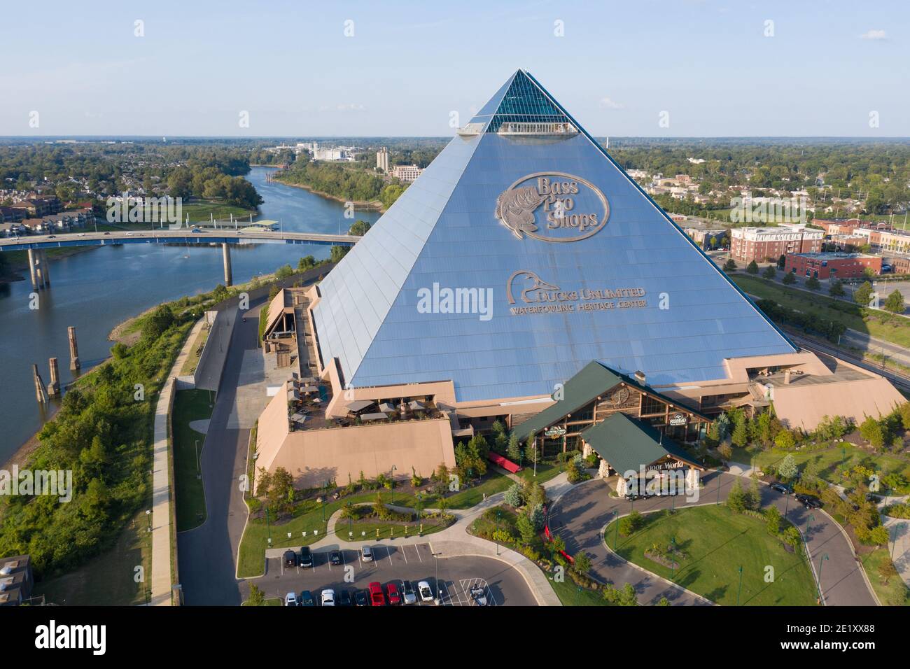 Bass Pro Shops at the Pyramid, Memphis, Tennessee, USA Stock Photohttps://www.alamy.com/image-license-details/?v=1https://www.alamy.com/bass-pro-shops-at-the-pyramid-memphis-tennessee-usa-image397044488.html
RM2E1XX88–Bass Pro Shops at the Pyramid, Memphis, Tennessee, USA
 Aerial view of downtown Memphis, Tennessee Stock Photohttps://www.alamy.com/image-license-details/?v=1https://www.alamy.com/aerial-view-of-downtown-memphis-tennessee-image186058566.html
RMMPKKGP–Aerial view of downtown Memphis, Tennessee
 Memphis Belle Boeing B 17 Sally B bomber flying over Biggin Hill airfield Stock Photohttps://www.alamy.com/image-license-details/?v=1https://www.alamy.com/stock-photo-memphis-belle-boeing-b-17-sally-b-bomber-flying-over-biggin-hill-airfield-95748605.html
RMFFNM91–Memphis Belle Boeing B 17 Sally B bomber flying over Biggin Hill airfield
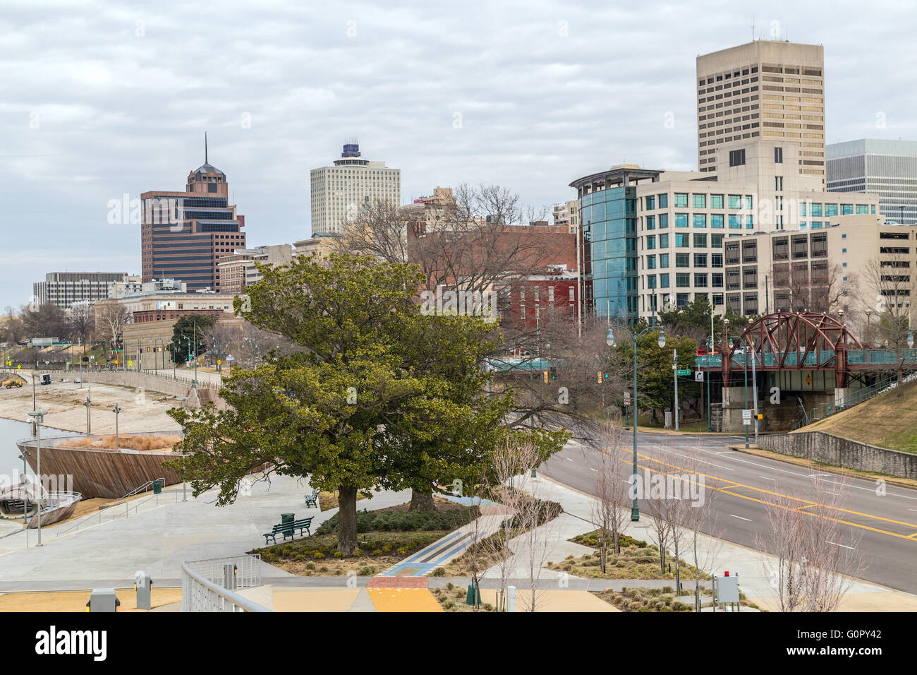 Panorama of Downtown Memphis, Tennessee from Beale Street Landing Stock Photohttps://www.alamy.com/image-license-details/?v=1https://www.alamy.com/stock-photo-panorama-of-downtown-memphis-tennessee-from-beale-street-landing-103766434.html
RFG0PY42–Panorama of Downtown Memphis, Tennessee from Beale Street Landing