Quick filters:
Mexican plateau Stock Photos and Images
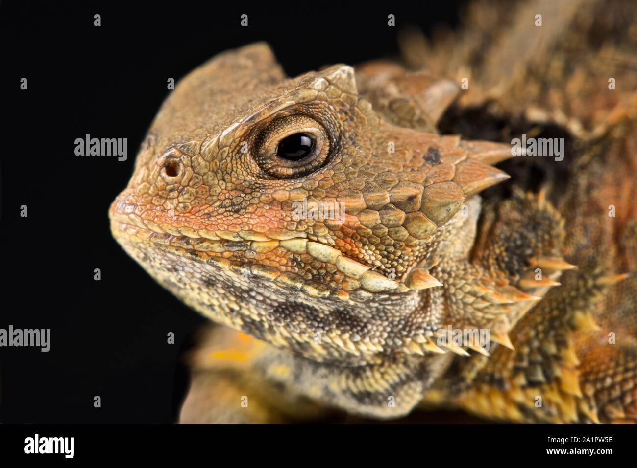 Mexican Plateau horned lizard(Phrynosoma orbiculare cortezii) Stock Photohttps://www.alamy.com/image-license-details/?v=1https://www.alamy.com/mexican-plateau-horned-lizardphrynosoma-orbiculare-cortezii-image328114346.html
RF2A1PW5E–Mexican Plateau horned lizard(Phrynosoma orbiculare cortezii)
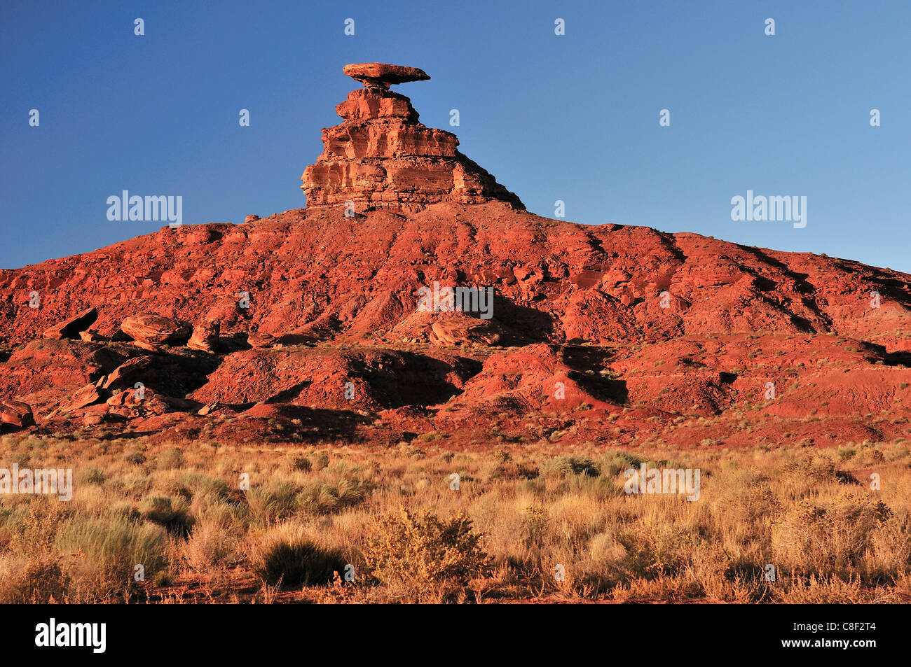 Mexican hat, Rock, Mexican, Colorado Plateau, Utah, USA, United States, America, red Stock Photohttps://www.alamy.com/image-license-details/?v=1https://www.alamy.com/stock-photo-mexican-hat-rock-mexican-colorado-plateau-utah-usa-united-states-america-39669508.html
RMC8F2T4–Mexican hat, Rock, Mexican, Colorado Plateau, Utah, USA, United States, America, red
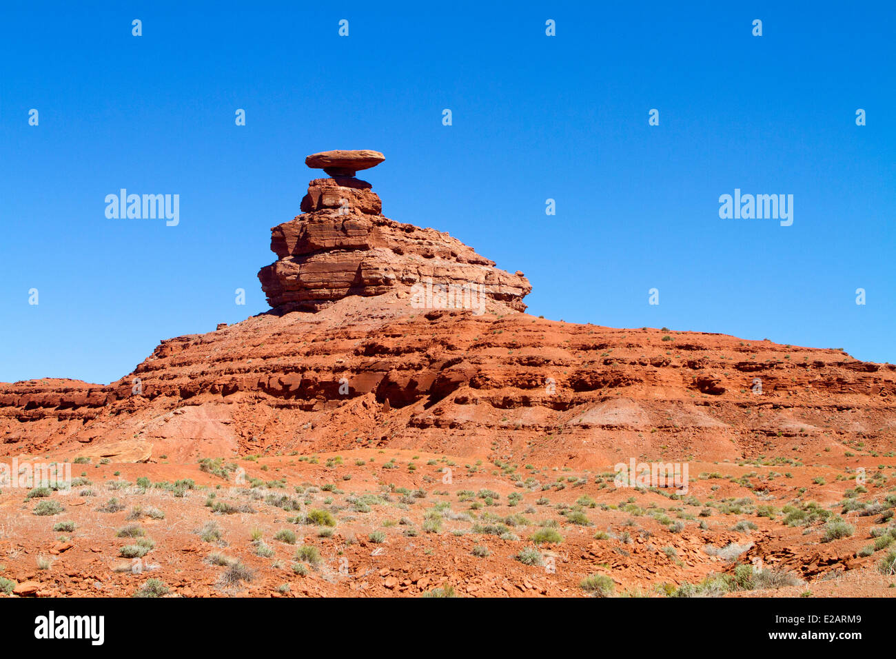 United States, Utah, Colorado plateau, Mexican Hat, Mexican Hat rock Stock Photohttps://www.alamy.com/image-license-details/?v=1https://www.alamy.com/stock-photo-united-states-utah-colorado-plateau-mexican-hat-mexican-hat-rock-70308905.html
RME2ARM9–United States, Utah, Colorado plateau, Mexican Hat, Mexican Hat rock
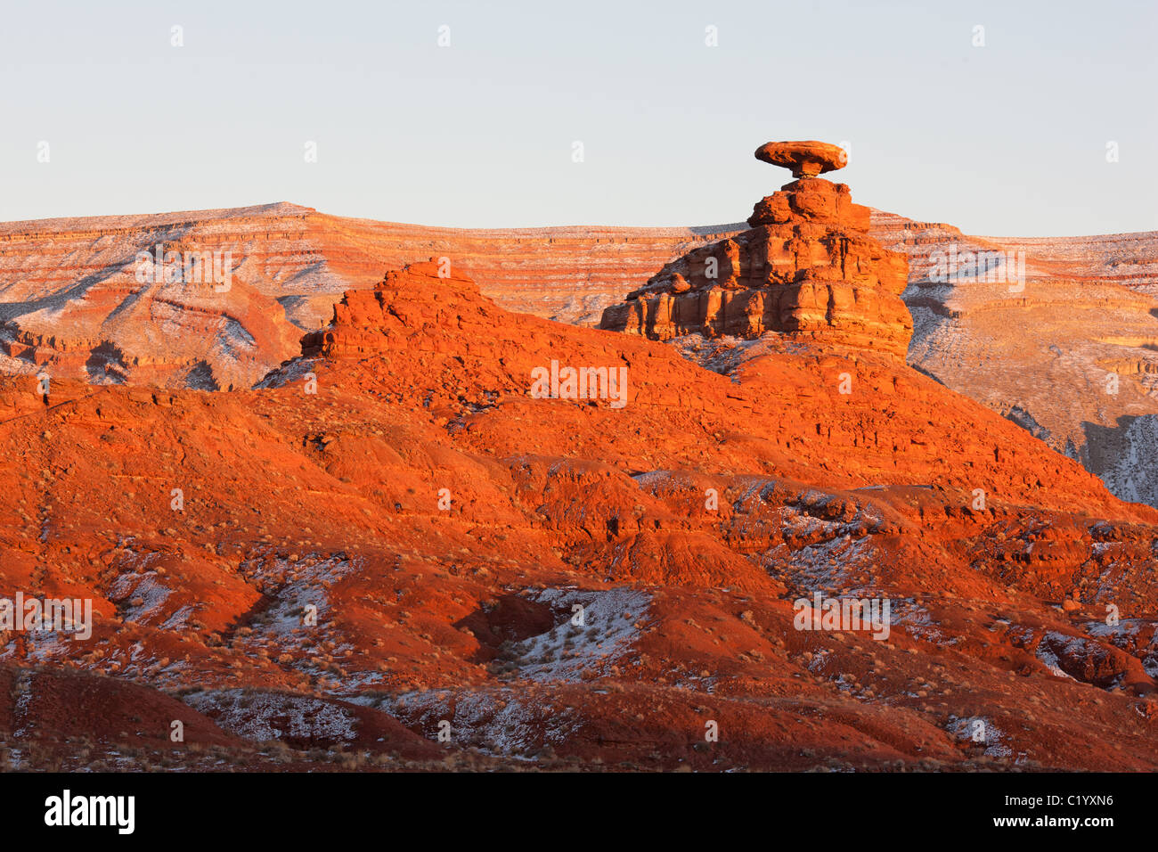 Sunset photo of a balanced rock defying the laws of gravity. Mexican Hat rock formation. San Juan County, Utah, USA. Stock Photohttps://www.alamy.com/image-license-details/?v=1https://www.alamy.com/stock-photo-sunset-photo-of-a-balanced-rock-defying-the-laws-of-gravity-mexican-35649074.html
RMC1YXN6–Sunset photo of a balanced rock defying the laws of gravity. Mexican Hat rock formation. San Juan County, Utah, USA.
 Distant view of Guanajuato at Mexican Plateau Mexico Stock Photohttps://www.alamy.com/image-license-details/?v=1https://www.alamy.com/stock-photo-distant-view-of-guanajuato-at-mexican-plateau-mexico-11357727.html
RFA5NWCG–Distant view of Guanajuato at Mexican Plateau Mexico
 The Valley of the Gods is a scenic sandstone valley near Mexican Hat in San Juan County, southeastern Utah, part of Bears Ears National Monument. Stock Photohttps://www.alamy.com/image-license-details/?v=1https://www.alamy.com/the-valley-of-the-gods-is-a-scenic-sandstone-valley-near-mexican-hat-image153257407.html
RFJW9DAR–The Valley of the Gods is a scenic sandstone valley near Mexican Hat in San Juan County, southeastern Utah, part of Bears Ears National Monument.
 USA, United States of America, Monument Valley, Navajo Reserve, Utah,Colorado Plateau, Mexican Hat, Four Corner Region,Olijato, three sisters, valley drive Stock Photohttps://www.alamy.com/image-license-details/?v=1https://www.alamy.com/usa-united-states-of-america-monument-valley-navajo-reserve-utahcolorado-plateau-mexican-hat-four-corner-regionolijato-three-sisters-valley-drive-image347096889.html
RM2B4KHHD–USA, United States of America, Monument Valley, Navajo Reserve, Utah,Colorado Plateau, Mexican Hat, Four Corner Region,Olijato, three sisters, valley drive
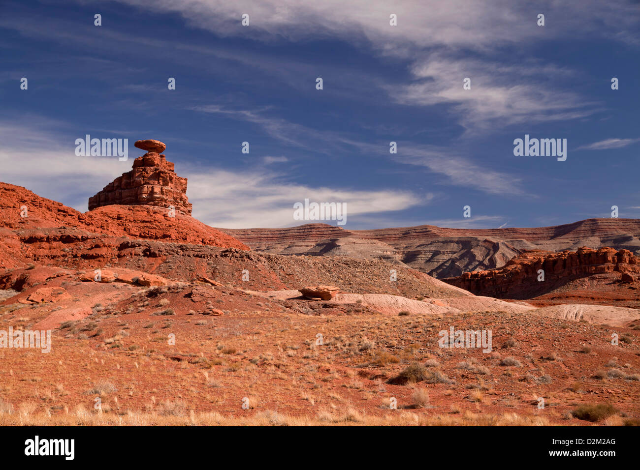 Mexican Hat Rock near Mexican Hat, Utah, United States of America, USA Stock Photohttps://www.alamy.com/image-license-details/?v=1https://www.alamy.com/stock-photo-mexican-hat-rock-near-mexican-hat-utah-united-states-of-america-usa-53301320.html
RMD2M2AG–Mexican Hat Rock near Mexican Hat, Utah, United States of America, USA
 A view of Mexican Hat in Utah, USA Stock Photohttps://www.alamy.com/image-license-details/?v=1https://www.alamy.com/a-view-of-mexican-hat-in-utah-usa-image329758422.html
RF2A4DP6E–A view of Mexican Hat in Utah, USA
 Storm clouds over the buttes south of Mexican Hat, Utah. Stock Photohttps://www.alamy.com/image-license-details/?v=1https://www.alamy.com/storm-clouds-over-the-buttes-south-of-mexican-hat-utah-image224352889.html
RMR104B5–Storm clouds over the buttes south of Mexican Hat, Utah.
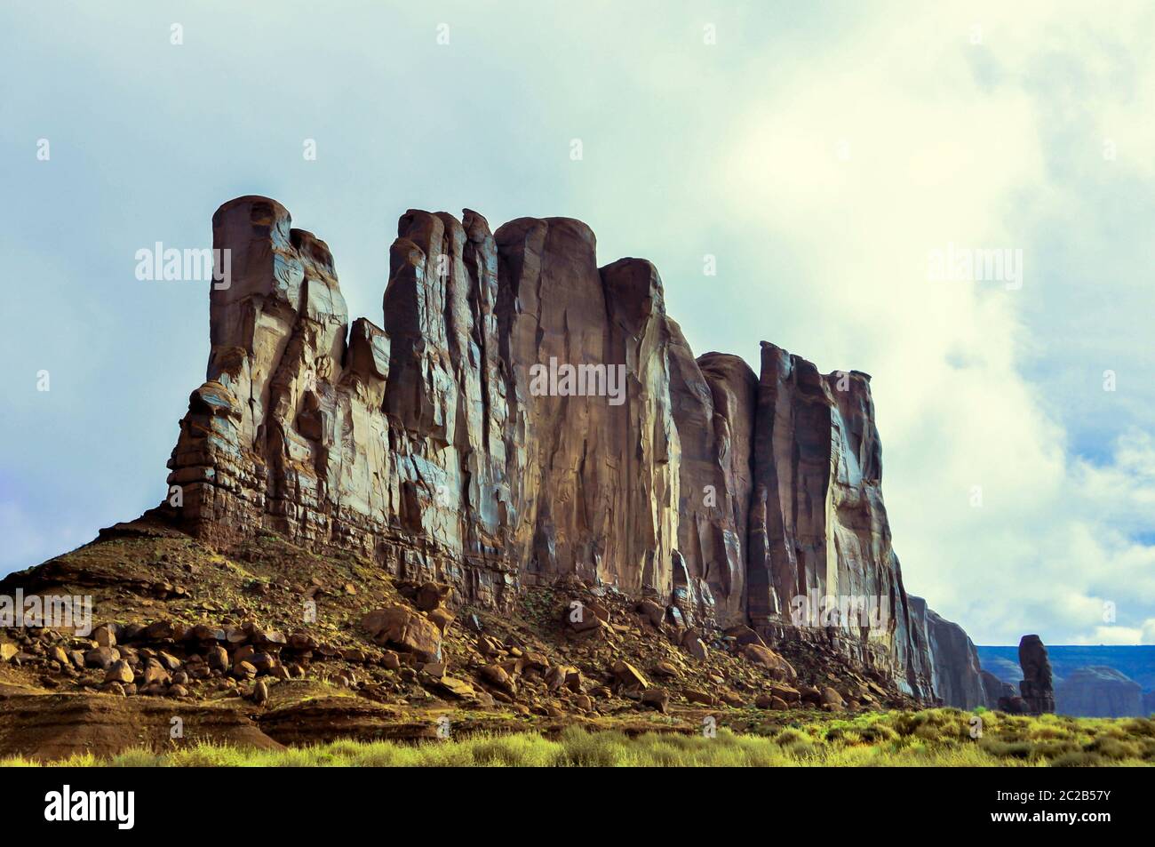 Rock Stock Photohttps://www.alamy.com/image-license-details/?v=1https://www.alamy.com/rock-image362892655.html
RF2C2B57Y–Rock
 Desert plateau Stock Photohttps://www.alamy.com/image-license-details/?v=1https://www.alamy.com/stock-photo-desert-plateau-76662621.html
RFECM7XN–Desert plateau
 Valley of the Gods, Utah Stock Photohttps://www.alamy.com/image-license-details/?v=1https://www.alamy.com/valley-of-the-gods-utah-image185884338.html
RMMPBNAA–Valley of the Gods, Utah
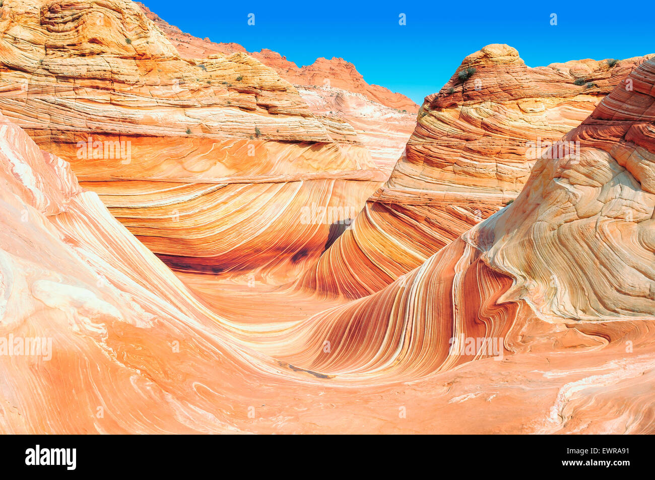 The Wave, Coyote Buttes North, Arizona Stock Photohttps://www.alamy.com/image-license-details/?v=1https://www.alamy.com/stock-photo-the-wave-coyote-buttes-north-arizona-84720861.html
RFEWRA91–The Wave, Coyote Buttes North, Arizona
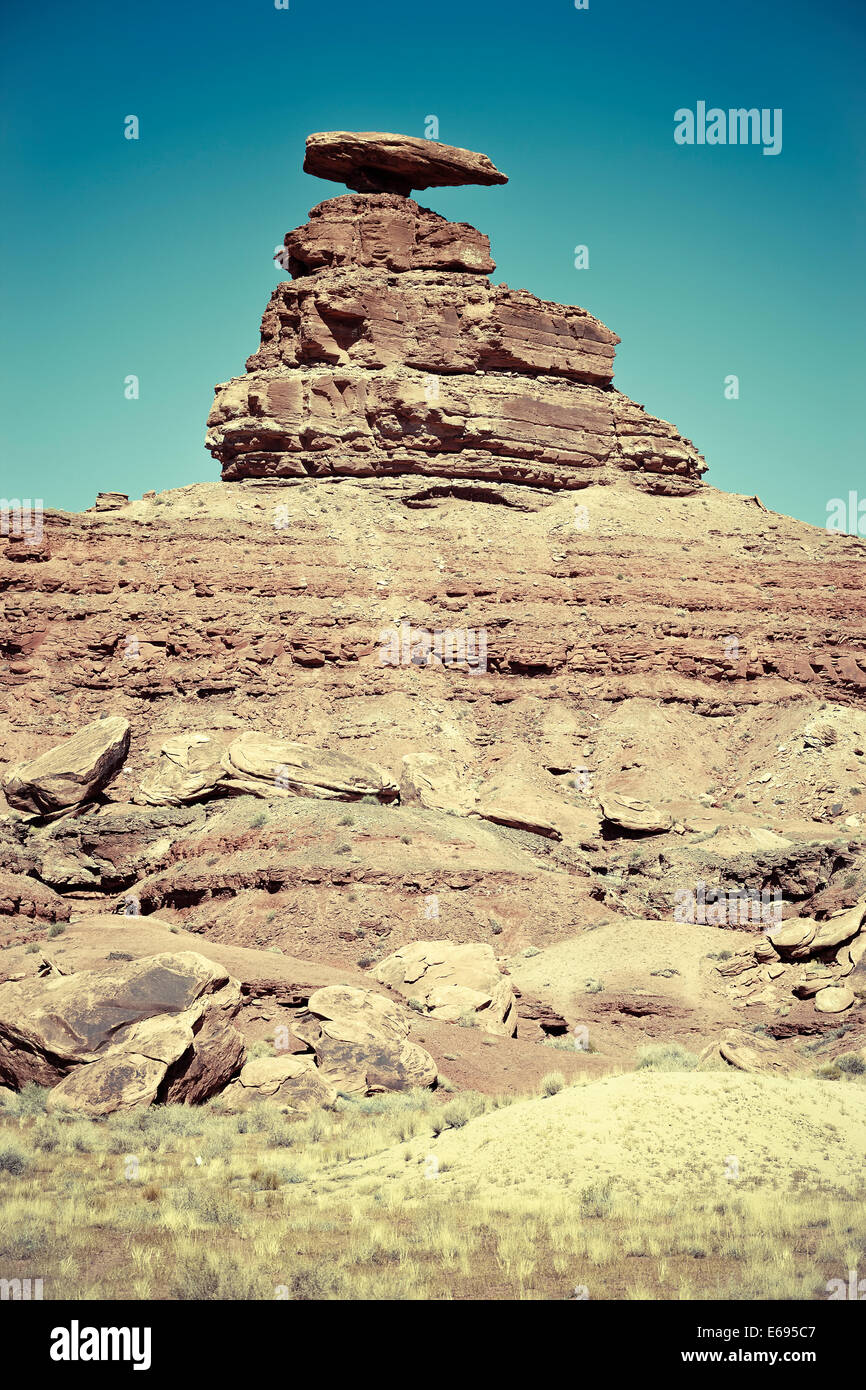 The Mexican Hat rock formation, Utah, USA Stock Photohttps://www.alamy.com/image-license-details/?v=1https://www.alamy.com/stock-photo-the-mexican-hat-rock-formation-utah-usa-72731239.html
RFE695C7–The Mexican Hat rock formation, Utah, USA
 The plateau of Monte Alban offers panoramic views of the Valles Central Stock Photohttps://www.alamy.com/image-license-details/?v=1https://www.alamy.com/stock-photo-the-plateau-of-monte-alban-offers-panoramic-views-of-the-valles-central-13693818.html
RMAEJ62K–The plateau of Monte Alban offers panoramic views of the Valles Central
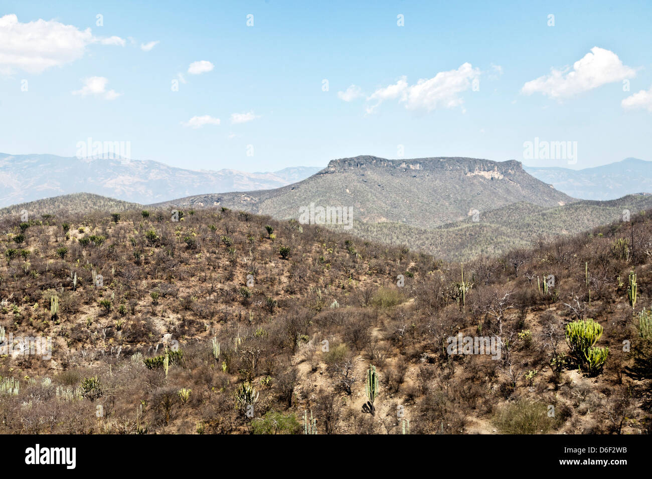 delicate coloration beautiful arid mountainous landscape dotted with cactus on the altiplano high plain south of Puebla Mexico Stock Photohttps://www.alamy.com/image-license-details/?v=1https://www.alamy.com/stock-photo-delicate-coloration-beautiful-arid-mountainous-landscape-dotted-with-55650599.html
RMD6F2WB–delicate coloration beautiful arid mountainous landscape dotted with cactus on the altiplano high plain south of Puebla Mexico
 The south entry sign for Valley of the Gods off of Highway 261 in Utah. Located northwest of Monument Valley and Mexican Hat. Stock Photohttps://www.alamy.com/image-license-details/?v=1https://www.alamy.com/the-south-entry-sign-for-valley-of-the-gods-off-of-highway-261-in-utah-located-northwest-of-monument-valley-and-mexican-hat-image556301485.html
RF2R91M65–The south entry sign for Valley of the Gods off of Highway 261 in Utah. Located northwest of Monument Valley and Mexican Hat.
 North America, USA, American; Colorado Plateau; Utah; Mexican Hat, Goosenecks , State Park; San Juan River; canyon, river, Bears Ears, National Monum Stock Photohttps://www.alamy.com/image-license-details/?v=1https://www.alamy.com/north-america-usa-american-colorado-plateau-utah-mexican-hat-goosenecks-state-park-san-juan-river-canyon-river-bears-ears-national-monum-image235078349.html
RMRJCMR9–North America, USA, American; Colorado Plateau; Utah; Mexican Hat, Goosenecks , State Park; San Juan River; canyon, river, Bears Ears, National Monum
 The slopes of Bell Butte in Valley of the Gods in Utah. Located northwest of Monument Valley and the town of Mexican Hat off of Highway 261 and US163. Stock Photohttps://www.alamy.com/image-license-details/?v=1https://www.alamy.com/the-slopes-of-bell-butte-in-valley-of-the-gods-in-utah-located-northwest-of-monument-valley-and-the-town-of-mexican-hat-off-of-highway-261-and-us163-image556301109.html
RF2R91KMN–The slopes of Bell Butte in Valley of the Gods in Utah. Located northwest of Monument Valley and the town of Mexican Hat off of Highway 261 and US163.
 Mexican hat, Rock, Mexican, Colorado Plateau, Utah, USA, United States, America, red Stock Photohttps://www.alamy.com/image-license-details/?v=1https://www.alamy.com/stock-photo-mexican-hat-rock-mexican-colorado-plateau-utah-usa-united-states-america-39669524.html
RMC8F2TM–Mexican hat, Rock, Mexican, Colorado Plateau, Utah, USA, United States, America, red
 United States, Utah, Colorado plateau, Mexican Hat, Mexican Hat rock Stock Photohttps://www.alamy.com/image-license-details/?v=1https://www.alamy.com/stock-photo-united-states-utah-colorado-plateau-mexican-hat-mexican-hat-rock-70308903.html
RME2ARM7–United States, Utah, Colorado plateau, Mexican Hat, Mexican Hat rock
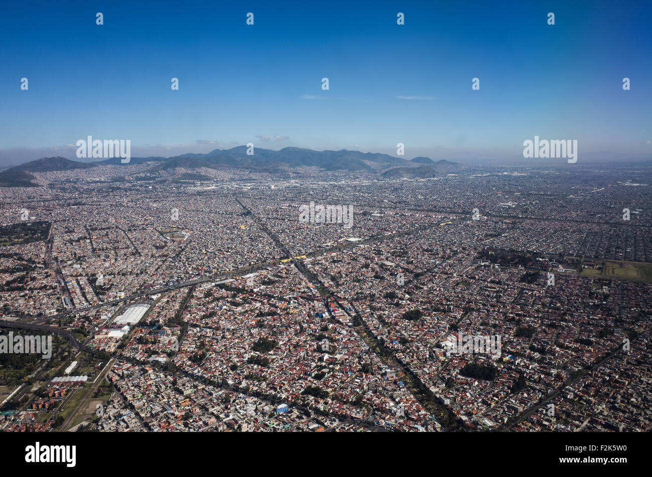 An aerial view of Mexico unfolds beneath the plane, revealing a diverse tapestry of landscapes. From rugged mountain ranges and sprawling deserts to lush forests and winding coastlines, this bird's-eye perspective showcases the country's rich geographical variety. Cities and rural areas alike punctuate the terrain, offering a stunning visual representation of Mexico's natural beauty and human development. Stock Photohttps://www.alamy.com/image-license-details/?v=1https://www.alamy.com/stock-photo-an-aerial-view-of-mexico-unfolds-beneath-the-plane-revealing-a-diverse-87702860.html
RMF2K5W0–An aerial view of Mexico unfolds beneath the plane, revealing a diverse tapestry of landscapes. From rugged mountain ranges and sprawling deserts to lush forests and winding coastlines, this bird's-eye perspective showcases the country's rich geographical variety. Cities and rural areas alike punctuate the terrain, offering a stunning visual representation of Mexico's natural beauty and human development.
 Prickly pear cactus at semi desert in Sierra Madre Occidental near Dolores Hidalgo Mexico Stock Photohttps://www.alamy.com/image-license-details/?v=1https://www.alamy.com/stock-photo-prickly-pear-cactus-at-semi-desert-in-sierra-madre-occidental-near-11357774.html
RMA5NWFY–Prickly pear cactus at semi desert in Sierra Madre Occidental near Dolores Hidalgo Mexico
 The Valley of the Gods is a scenic sandstone valley near Mexican Hat in San Juan County, southeastern Utah, part of Bears Ears National Monument. Stock Photohttps://www.alamy.com/image-license-details/?v=1https://www.alamy.com/the-valley-of-the-gods-is-a-scenic-sandstone-valley-near-mexican-hat-image153257262.html
RFJW9D5J–The Valley of the Gods is a scenic sandstone valley near Mexican Hat in San Juan County, southeastern Utah, part of Bears Ears National Monument.
 USA, United States of America, Monument Valley, Navajo Reserve, Utah,Colorado Plateau, Mexican Hat, Four Corner Region,Olijato, three sisters, valley drive Stock Photohttps://www.alamy.com/image-license-details/?v=1https://www.alamy.com/usa-united-states-of-america-monument-valley-navajo-reserve-utahcolorado-plateau-mexican-hat-four-corner-regionolijato-three-sisters-valley-drive-image347096840.html
RM2B4KHFM–USA, United States of America, Monument Valley, Navajo Reserve, Utah,Colorado Plateau, Mexican Hat, Four Corner Region,Olijato, three sisters, valley drive
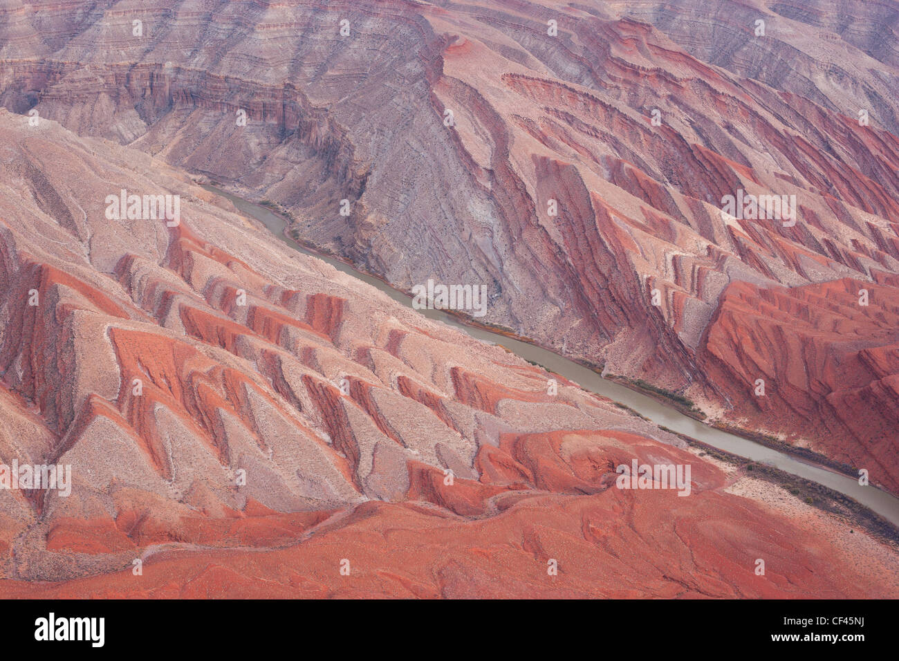 AERIAL VIEW. San Juan River bisecting the Raplee Anticline. Mexican Hat, San Juan County, Utah, USA. Stock Photohttps://www.alamy.com/image-license-details/?v=1https://www.alamy.com/stock-photo-aerial-view-san-juan-river-bisecting-the-raplee-anticline-mexican-43732910.html
RMCF45NJ–AERIAL VIEW. San Juan River bisecting the Raplee Anticline. Mexican Hat, San Juan County, Utah, USA.
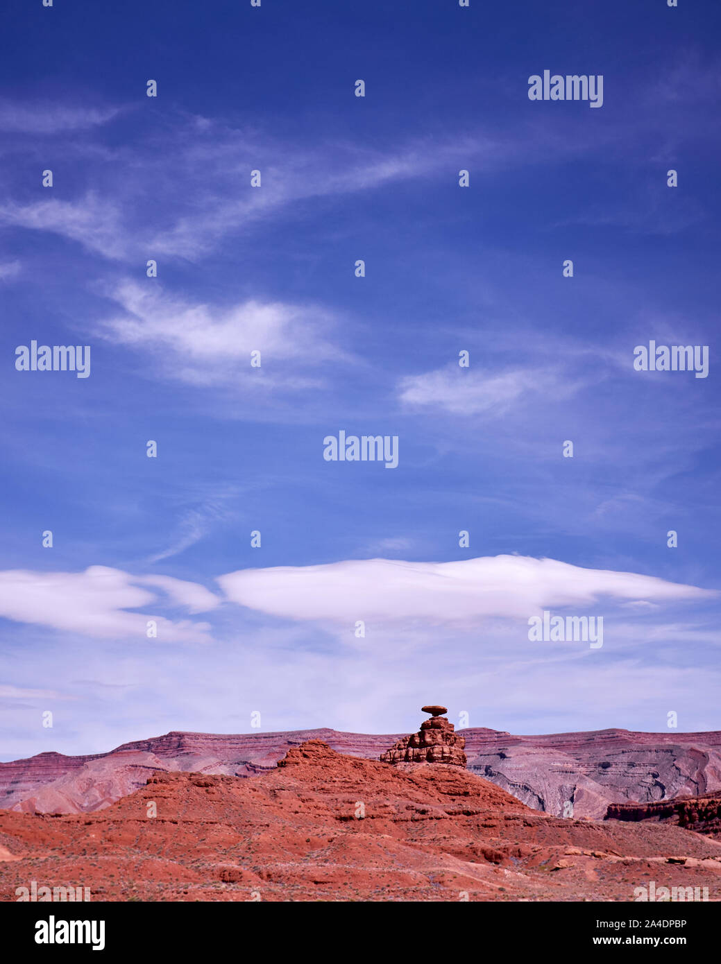 A view of Mexican Hat in Utah, USA Stock Photohttps://www.alamy.com/image-license-details/?v=1https://www.alamy.com/a-view-of-mexican-hat-in-utah-usa-image329758570.html
RF2A4DPBP–A view of Mexican Hat in Utah, USA
 Storm clouds over the buttes south of Mexican Hat, Utah. Stock Photohttps://www.alamy.com/image-license-details/?v=1https://www.alamy.com/storm-clouds-over-the-buttes-south-of-mexican-hat-utah-image224352845.html
RMR1049H–Storm clouds over the buttes south of Mexican Hat, Utah.
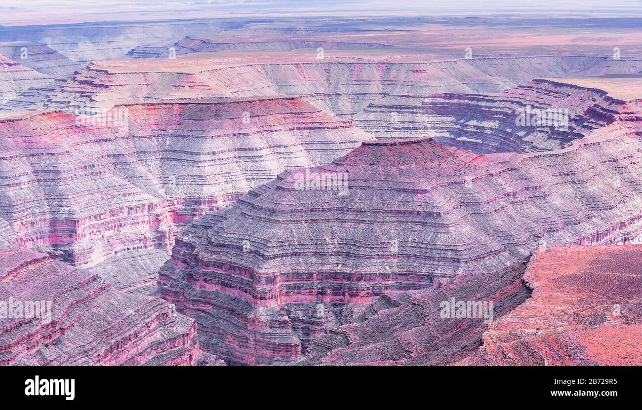 Goosenecks State Park, Utah, USA, Stock Photohttps://www.alamy.com/image-license-details/?v=1https://www.alamy.com/goosenecks-state-park-utah-usa-image348561561.html
RM2B729R5–Goosenecks State Park, Utah, USA,
 Mexico City,Polanco,Hispanic ethnic Museo Nacional de Antropologia National Museum of Anthropology,interior inside,exhibit exhibition collection High Stock Photohttps://www.alamy.com/image-license-details/?v=1https://www.alamy.com/mexico-citypolancohispanic-ethnic-museo-nacional-de-antropologia-national-museum-of-anthropologyinterior-insideexhibit-exhibition-collection-high-image184574362.html
RMMM82DE–Mexico City,Polanco,Hispanic ethnic Museo Nacional de Antropologia National Museum of Anthropology,interior inside,exhibit exhibition collection High
 Valley of the Gods, Utah Stock Photohttps://www.alamy.com/image-license-details/?v=1https://www.alamy.com/valley-of-the-gods-utah-image327895312.html
RM2A1CWPT–Valley of the Gods, Utah
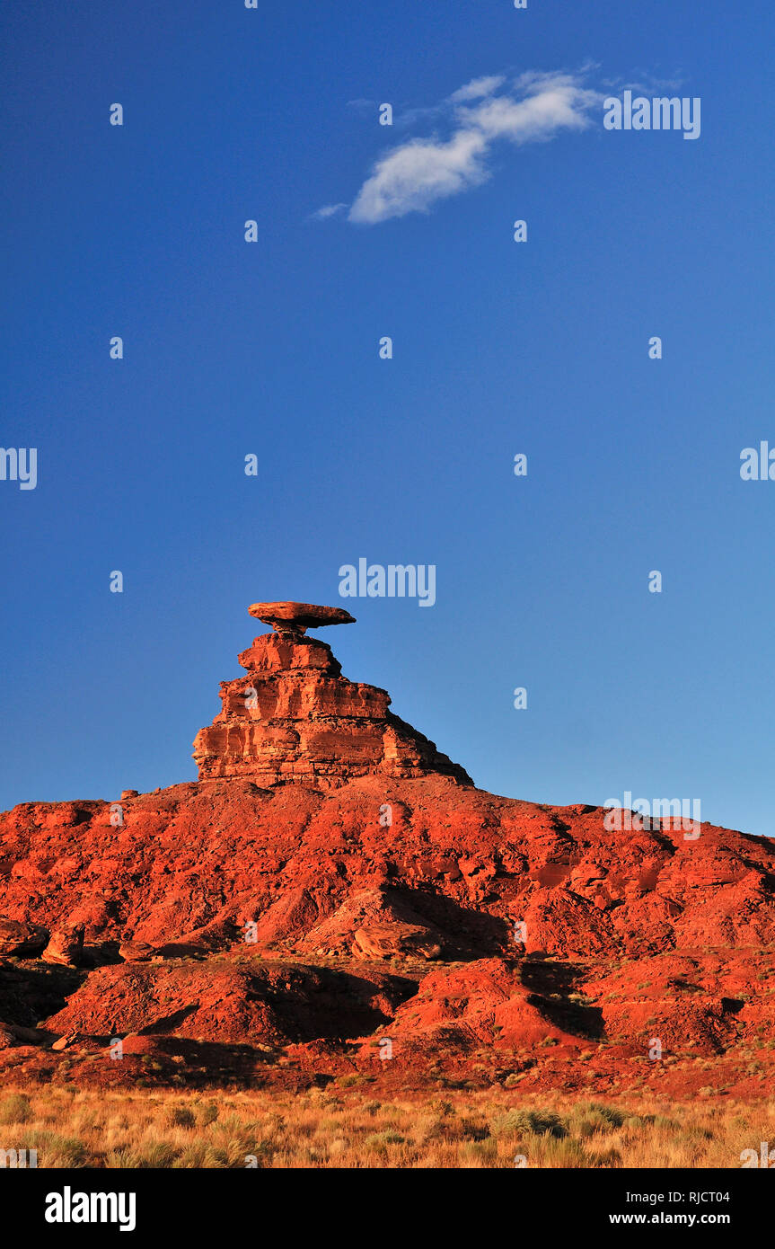 North America, USA, American; Colorado Plateau; Utah; Mexican Hat, Stock Photohttps://www.alamy.com/image-license-details/?v=1https://www.alamy.com/north-america-usa-american-colorado-plateau-utah-mexican-hat-image235080836.html
RMRJCT04–North America, USA, American; Colorado Plateau; Utah; Mexican Hat,
 Balanced rock formation known as Mexican Hat Rock, Mexican Hat, Utah Stock Photohttps://www.alamy.com/image-license-details/?v=1https://www.alamy.com/balanced-rock-formation-known-as-mexican-hat-rock-mexican-hat-utah-image327895273.html
RM2A1CWND–Balanced rock formation known as Mexican Hat Rock, Mexican Hat, Utah
 The plateau of Monte Alban offers panoramic views of the Valles Central Stock Photohttps://www.alamy.com/image-license-details/?v=1https://www.alamy.com/stock-photo-the-plateau-of-monte-alban-offers-panoramic-views-of-the-valles-central-13691639.html
RMAEHYGT–The plateau of Monte Alban offers panoramic views of the Valles Central
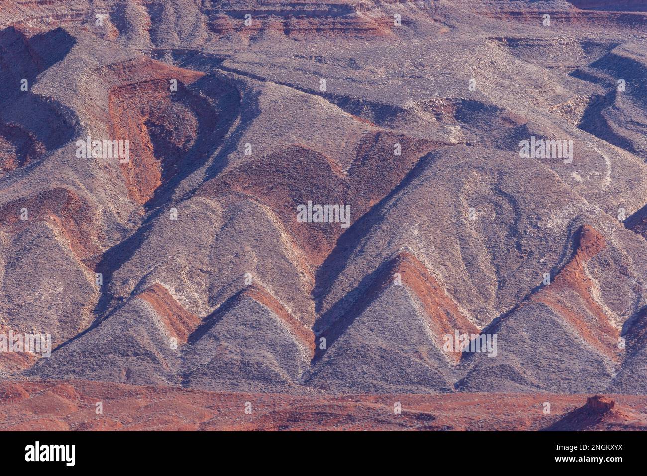 Geometric pattern on Raplee Ridge near Mexican Hat, San Juan County, Utah Stock Photohttps://www.alamy.com/image-license-details/?v=1https://www.alamy.com/geometric-pattern-on-raplee-ridge-near-mexican-hat-san-juan-county-utah-image526583790.html
RM2NGKXYX–Geometric pattern on Raplee Ridge near Mexican Hat, San Juan County, Utah
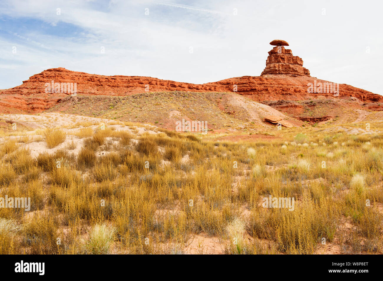 Mexican Hat rock formation, San Juan County, Utah, USA. Stock Photohttps://www.alamy.com/image-license-details/?v=1https://www.alamy.com/mexican-hat-rock-formation-san-juan-county-utah-usa-image263562400.html
RMW8P8ET–Mexican Hat rock formation, San Juan County, Utah, USA.
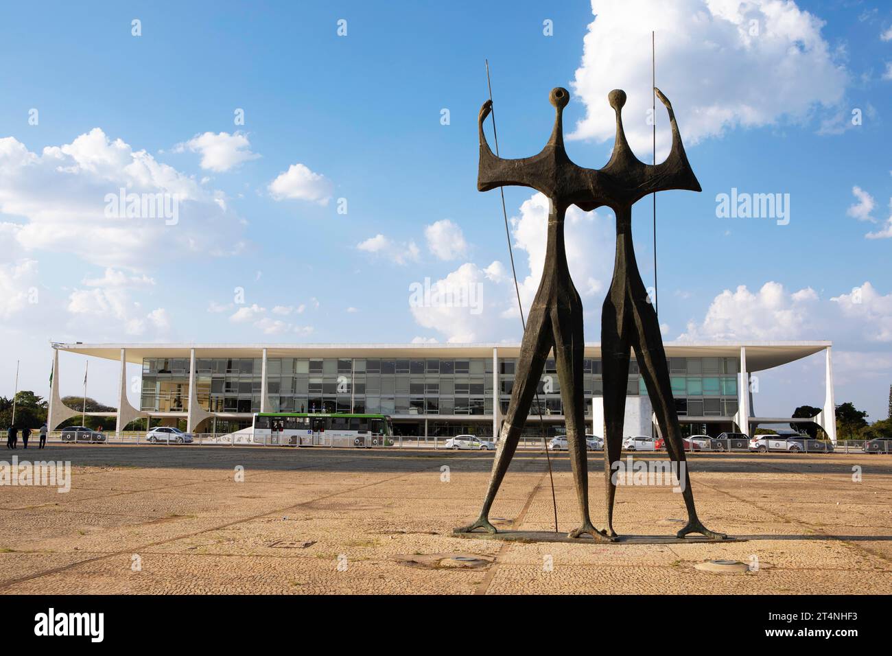 Bronze sculpture by Bruno Giorgi, OS Candangos or The Warriors on the Praca dos Tres Poderes or Three Powers Square, behind the seat of government Stock Photohttps://www.alamy.com/image-license-details/?v=1https://www.alamy.com/bronze-sculpture-by-bruno-giorgi-os-candangos-or-the-warriors-on-the-praca-dos-tres-poderes-or-three-powers-square-behind-the-seat-of-government-image570875511.html
RM2T4NHF3–Bronze sculpture by Bruno Giorgi, OS Candangos or The Warriors on the Praca dos Tres Poderes or Three Powers Square, behind the seat of government
 Valley of the Gods in Utah viewed from the north slope of Bell Butte. Located northwest of Monument Valley and Mexican Hat off of highway 261 and US16 Stock Photohttps://www.alamy.com/image-license-details/?v=1https://www.alamy.com/valley-of-the-gods-in-utah-viewed-from-the-north-slope-of-bell-butte-located-northwest-of-monument-valley-and-mexican-hat-off-of-highway-261-and-us16-image556301291.html
RF2R91KY7–Valley of the Gods in Utah viewed from the north slope of Bell Butte. Located northwest of Monument Valley and Mexican Hat off of highway 261 and US16
 San Juan River, between Bluff and Mexican Hat, Colorado Plateau, Utah, USA, United States, America, Stock Photohttps://www.alamy.com/image-license-details/?v=1https://www.alamy.com/stock-photo-san-juan-river-between-bluff-and-mexican-hat-colorado-plateau-utah-39669753.html
RMC8F34W–San Juan River, between Bluff and Mexican Hat, Colorado Plateau, Utah, USA, United States, America,
 United States, Utah, Colorado plateau, Mexican Hat, Mexican Hat rock Stock Photohttps://www.alamy.com/image-license-details/?v=1https://www.alamy.com/stock-photo-united-states-utah-colorado-plateau-mexican-hat-mexican-hat-rock-70308904.html
RME2ARM8–United States, Utah, Colorado plateau, Mexican Hat, Mexican Hat rock
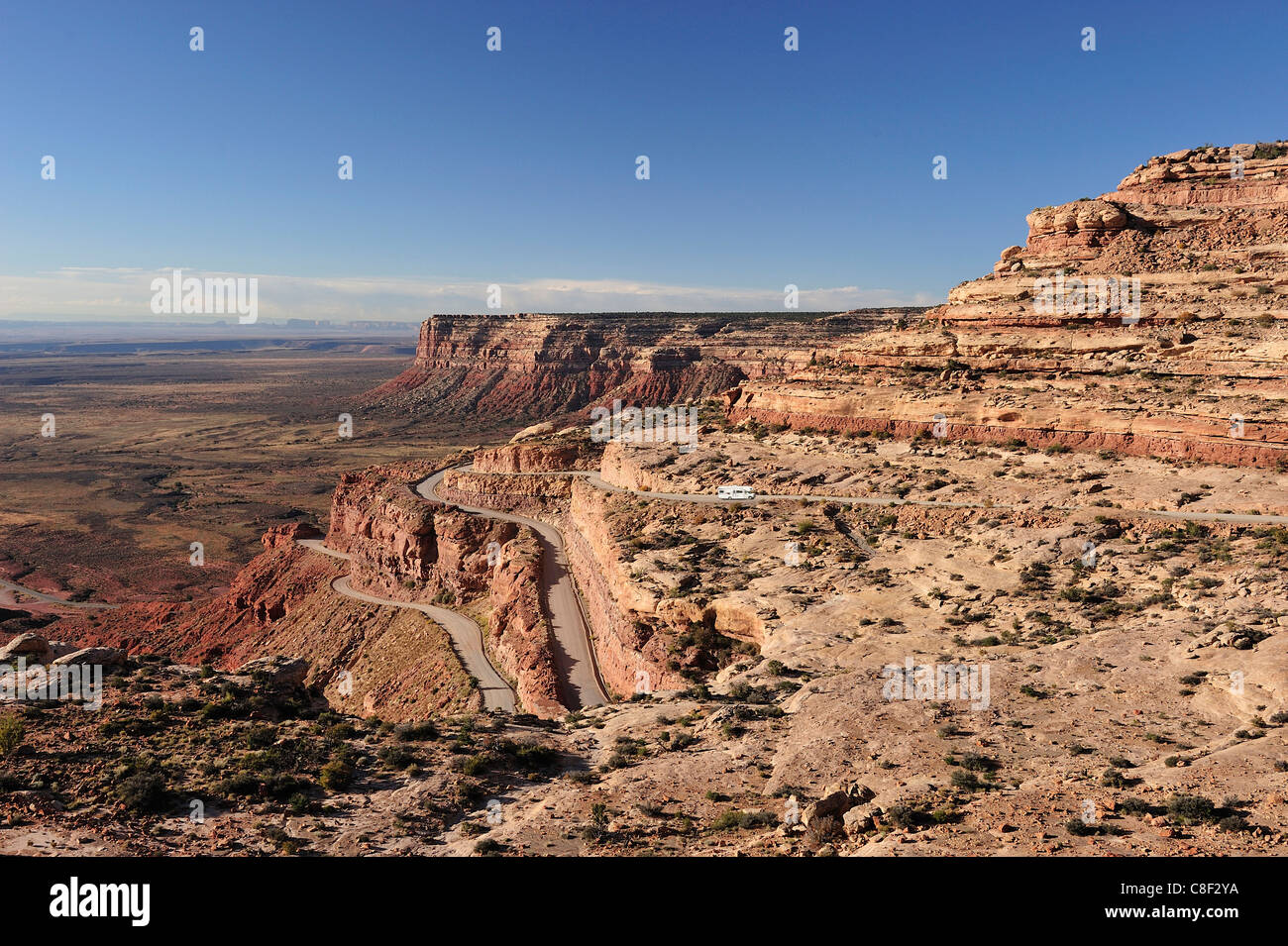 Highway, 261, pass, Cedar Mesa, near Mexican Hat Colorado Plateau, Utah, USA, United States, America, road Stock Photohttps://www.alamy.com/image-license-details/?v=1https://www.alamy.com/stock-photo-highway-261-pass-cedar-mesa-near-mexican-hat-colorado-plateau-utah-39669598.html
RMC8F2YA–Highway, 261, pass, Cedar Mesa, near Mexican Hat Colorado Plateau, Utah, USA, United States, America, road
 Sierra de las Tunas, Mexican Plateau near Buenaventura, State of Chihuahua, Mexico Stock Photohttps://www.alamy.com/image-license-details/?v=1https://www.alamy.com/stock-photo-sierra-de-las-tunas-mexican-plateau-near-buenaventura-state-of-chihuahua-15404023.html
RFAN3YYM–Sierra de las Tunas, Mexican Plateau near Buenaventura, State of Chihuahua, Mexico
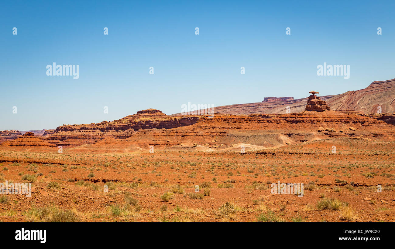 mexican Hat is a curiously sombrero-shaped rock outcropping in southwestern Utah. The rock measures 60 feet across. The 'Hat'' has two rock climbing r Stock Photohttps://www.alamy.com/image-license-details/?v=1https://www.alamy.com/mexican-hat-is-a-curiously-sombrero-shaped-rock-outcropping-in-southwestern-image153257048.html
RFJW9CX0–mexican Hat is a curiously sombrero-shaped rock outcropping in southwestern Utah. The rock measures 60 feet across. The 'Hat'' has two rock climbing r
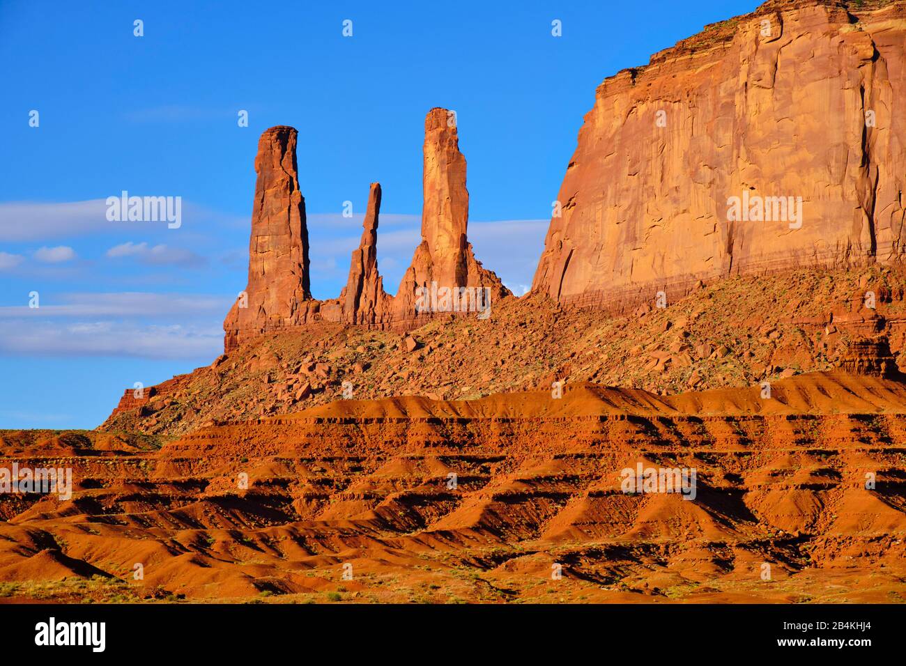 USA, United States of America, Monument Valley, Navajo Reserve, Utah,Colorado Plateau, Mexican Hat, Four Corner Region,Olijato, three sisters, valley drive Stock Photohttps://www.alamy.com/image-license-details/?v=1https://www.alamy.com/usa-united-states-of-america-monument-valley-navajo-reserve-utahcolorado-plateau-mexican-hat-four-corner-regionolijato-three-sisters-valley-drive-image347096908.html
RM2B4KHJ4–USA, United States of America, Monument Valley, Navajo Reserve, Utah,Colorado Plateau, Mexican Hat, Four Corner Region,Olijato, three sisters, valley drive
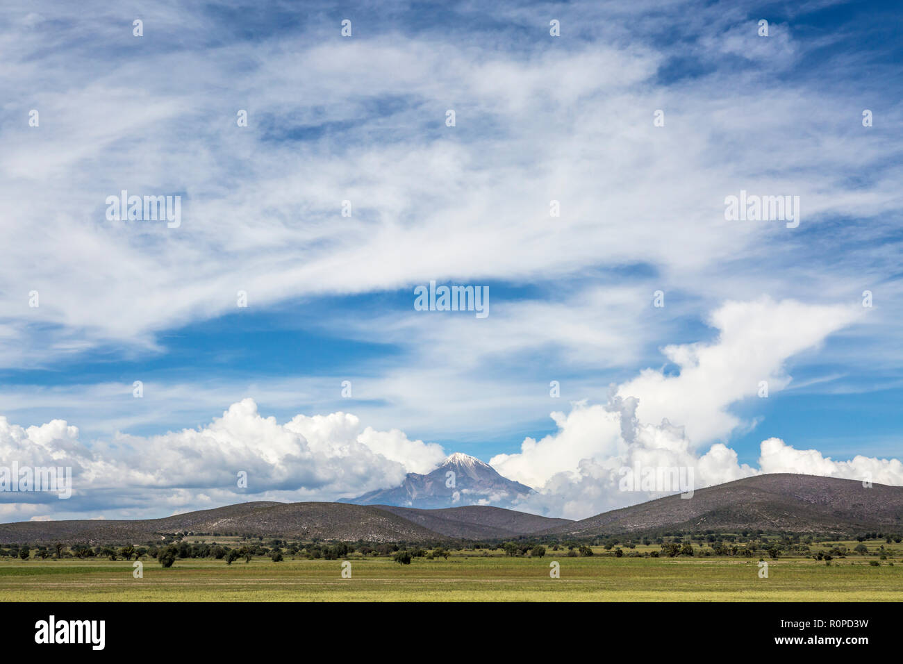 El Pico de Orizaba volcano as viewed from Tehuacán, Puebla State, Mexico, North America Stock Photohttps://www.alamy.com/image-license-details/?v=1https://www.alamy.com/el-pico-de-orizaba-volcano-as-viewed-from-tehuacn-puebla-state-mexico-north-america-image224228029.html
RMR0PD3W–El Pico de Orizaba volcano as viewed from Tehuacán, Puebla State, Mexico, North America
 An aerial view of Mexico unfolds beneath the plane, revealing a diverse tapestry of landscapes. From rugged mountain ranges and sprawling deserts to lush forests and winding coastlines, this bird's-eye perspective showcases the country's rich geographical variety. Cities and rural areas alike punctuate the terrain, offering a stunning visual representation of Mexico's natural beauty and human development. Stock Photohttps://www.alamy.com/image-license-details/?v=1https://www.alamy.com/stock-photo-an-aerial-view-of-mexico-unfolds-beneath-the-plane-revealing-a-diverse-87702852.html
RMF2K5TM–An aerial view of Mexico unfolds beneath the plane, revealing a diverse tapestry of landscapes. From rugged mountain ranges and sprawling deserts to lush forests and winding coastlines, this bird's-eye perspective showcases the country's rich geographical variety. Cities and rural areas alike punctuate the terrain, offering a stunning visual representation of Mexico's natural beauty and human development.
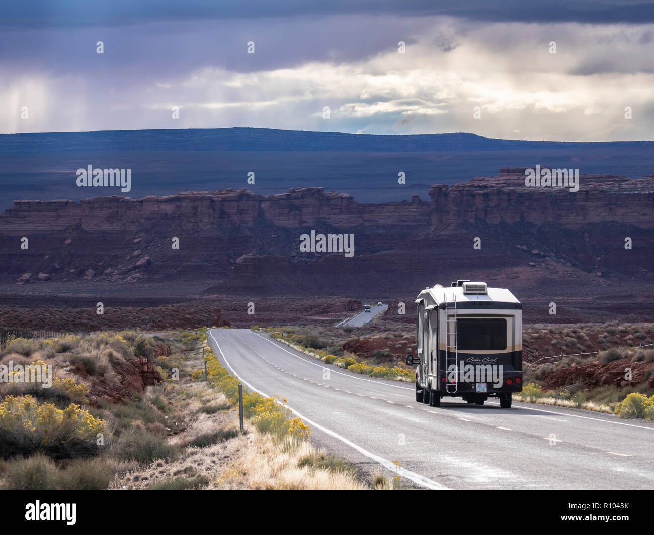 RV motors down U.S. 163 between Bluff and Mexican Hat, Utah. Stock Photohttps://www.alamy.com/image-license-details/?v=1https://www.alamy.com/rv-motors-down-us-163-between-bluff-and-mexican-hat-utah-image224352679.html
RMR1043K–RV motors down U.S. 163 between Bluff and Mexican Hat, Utah.
 Tarantula of the genus Heterophrictus from Kaas, Satara district, Maharashtra, India Stock Photohttps://www.alamy.com/image-license-details/?v=1https://www.alamy.com/stock-image-tarantula-of-the-genus-heterophrictus-from-kaas-satara-district-maharashtra-166993092.html
RFKKK5B0–Tarantula of the genus Heterophrictus from Kaas, Satara district, Maharashtra, India
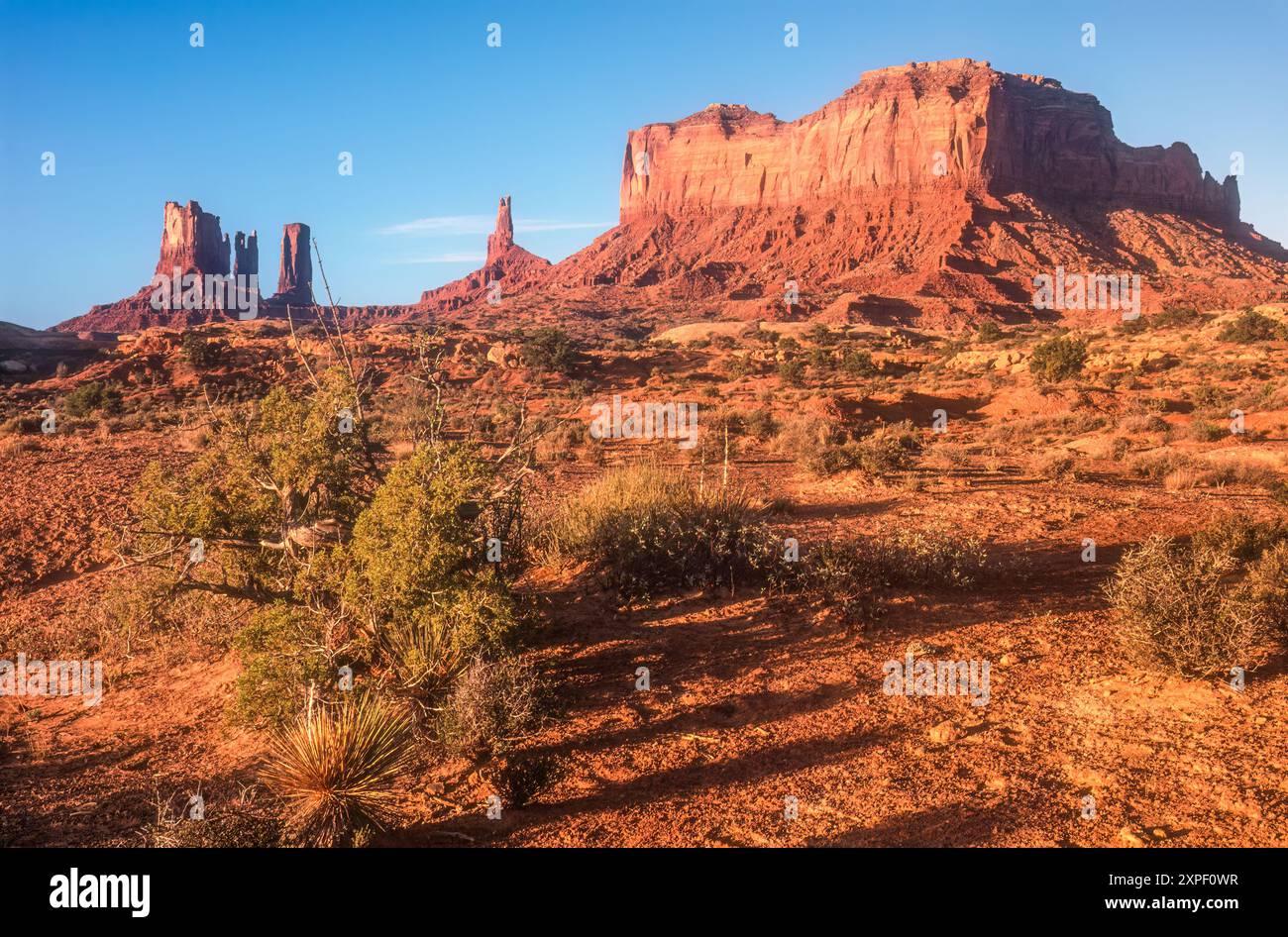 Monument Vally, Utah, sunrise view of (L to R) Stagecoach, Bear and Rabbit, Castle Butte, King on his Throne, and Brigham's Tomb. (USA) Stock Photohttps://www.alamy.com/image-license-details/?v=1https://www.alamy.com/monument-vally-utah-sunrise-view-of-l-to-r-stagecoach-bear-and-rabbit-castle-butte-king-on-his-throne-and-brighams-tomb-usa-image616215315.html
RM2XPF0WR–Monument Vally, Utah, sunrise view of (L to R) Stagecoach, Bear and Rabbit, Castle Butte, King on his Throne, and Brigham's Tomb. (USA)
 Flowering Astrophytum Ornatum or Bishops Cap from the Central Plateau of Mexico Stock Photohttps://www.alamy.com/image-license-details/?v=1https://www.alamy.com/flowering-astrophytum-ornatum-or-bishops-cap-from-the-central-plateau-of-mexico-image329254147.html
RF2A3JR0K–Flowering Astrophytum Ornatum or Bishops Cap from the Central Plateau of Mexico
 San Juan River meanders, from viewpoint at Goosenecks State Park, near Mexican Hat, Utah, USA Stock Photohttps://www.alamy.com/image-license-details/?v=1https://www.alamy.com/stock-photo-san-juan-river-meanders-from-viewpoint-at-goosenecks-state-park-near-132893404.html
RFHM5PW0–San Juan River meanders, from viewpoint at Goosenecks State Park, near Mexican Hat, Utah, USA
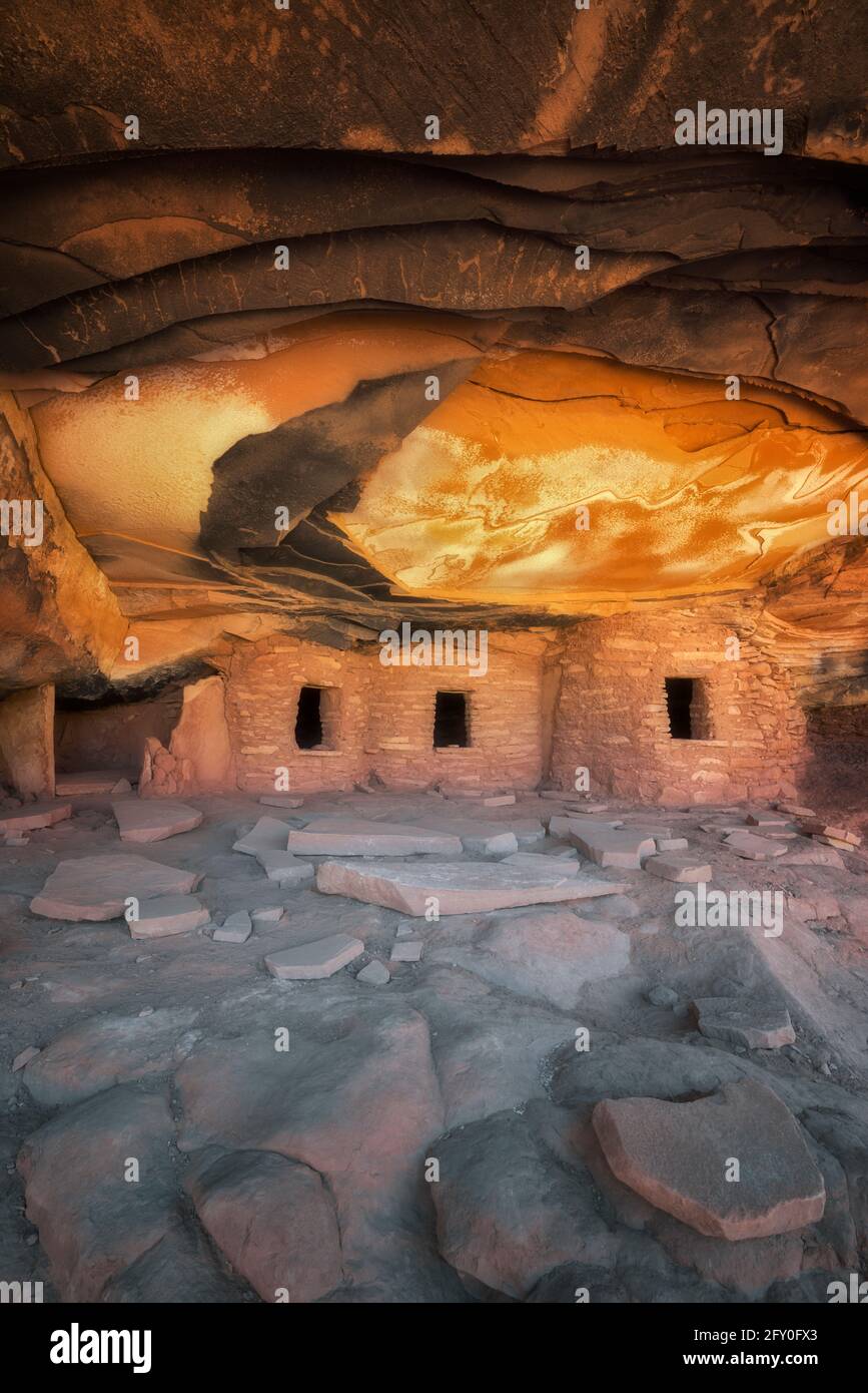 Reflective sunlight illuminates the ceiling of this ancient Anasazi Granary and aptly named Falling Roof Ruin in SE Utah’s Cedar Mesa Plateau. Stock Photohttps://www.alamy.com/image-license-details/?v=1https://www.alamy.com/reflective-sunlight-illuminates-the-ceiling-of-this-ancient-anasazi-granary-and-aptly-named-falling-roof-ruin-in-se-utahs-cedar-mesa-plateau-image429657035.html
RM2FY0FX3–Reflective sunlight illuminates the ceiling of this ancient Anasazi Granary and aptly named Falling Roof Ruin in SE Utah’s Cedar Mesa Plateau.
 The Gran Plaza of Monte Alban with the Plataforma Sur in the distance Stock Photohttps://www.alamy.com/image-license-details/?v=1https://www.alamy.com/stock-photo-the-gran-plaza-of-monte-alban-with-the-plataforma-sur-in-the-distance-13681223.html
RMAEGTGT–The Gran Plaza of Monte Alban with the Plataforma Sur in the distance
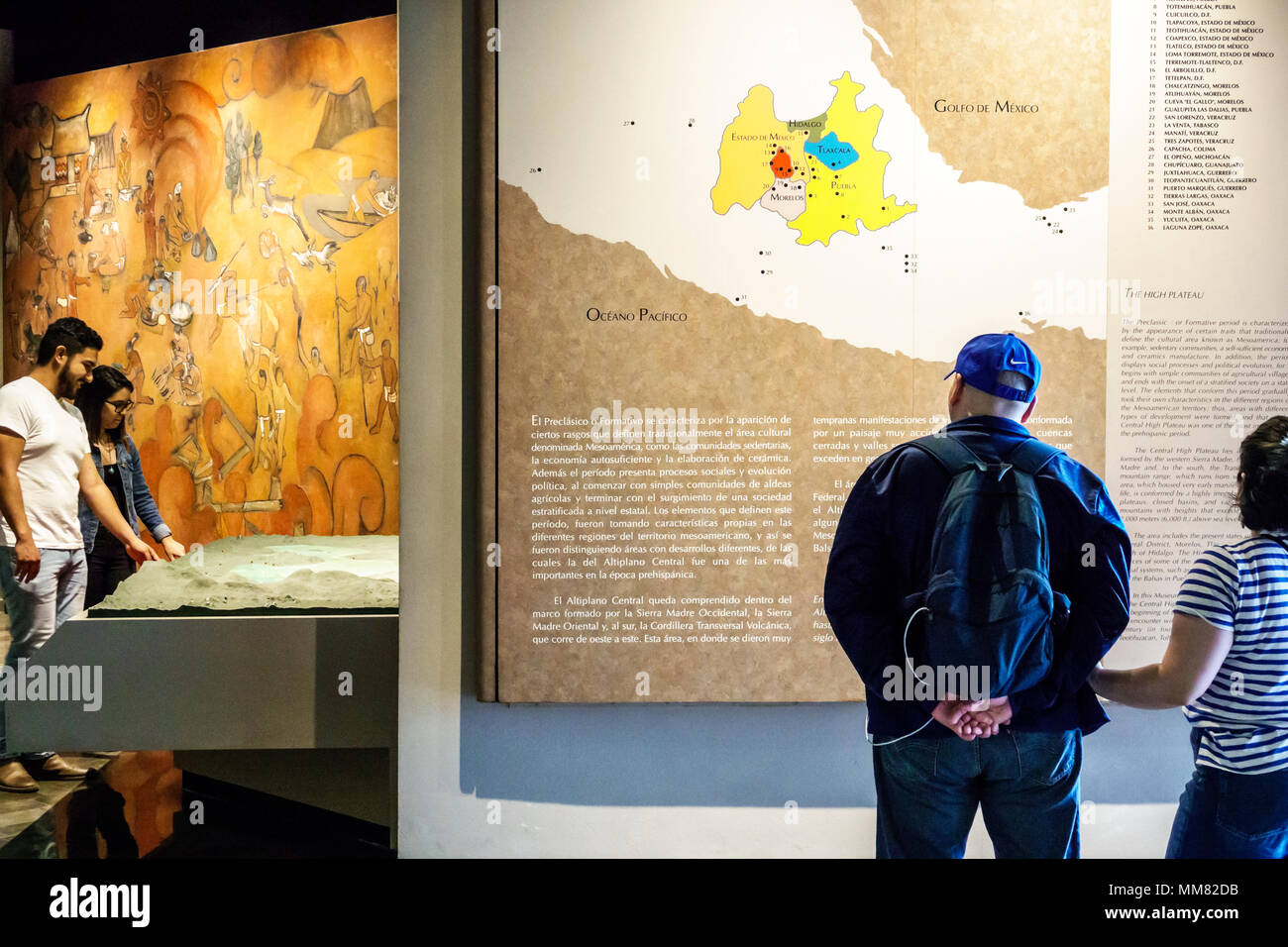 Mexico City,Polanco,Hispanic Latin Latino ethnic minority,immigrant immigrants,Mexican,Museo Nacional de Antropologia National Museum of Anthropology, Stock Photohttps://www.alamy.com/image-license-details/?v=1https://www.alamy.com/mexico-citypolancohispanic-latin-latino-ethnic-minorityimmigrant-immigrantsmexicanmuseo-nacional-de-antropologia-national-museum-of-anthropology-image184574359.html
RMMM82DB–Mexico City,Polanco,Hispanic Latin Latino ethnic minority,immigrant immigrants,Mexican,Museo Nacional de Antropologia National Museum of Anthropology,
 Fading 'Cold Drinks Here' ad painted on a red rock cliff near Mexican Hat, Utah, USA. Stock Photohttps://www.alamy.com/image-license-details/?v=1https://www.alamy.com/fading-cold-drinks-here-ad-painted-on-a-red-rock-cliff-near-mexican-hat-utah-usa-image211809291.html
RMP8GMWF–Fading 'Cold Drinks Here' ad painted on a red rock cliff near Mexican Hat, Utah, USA.
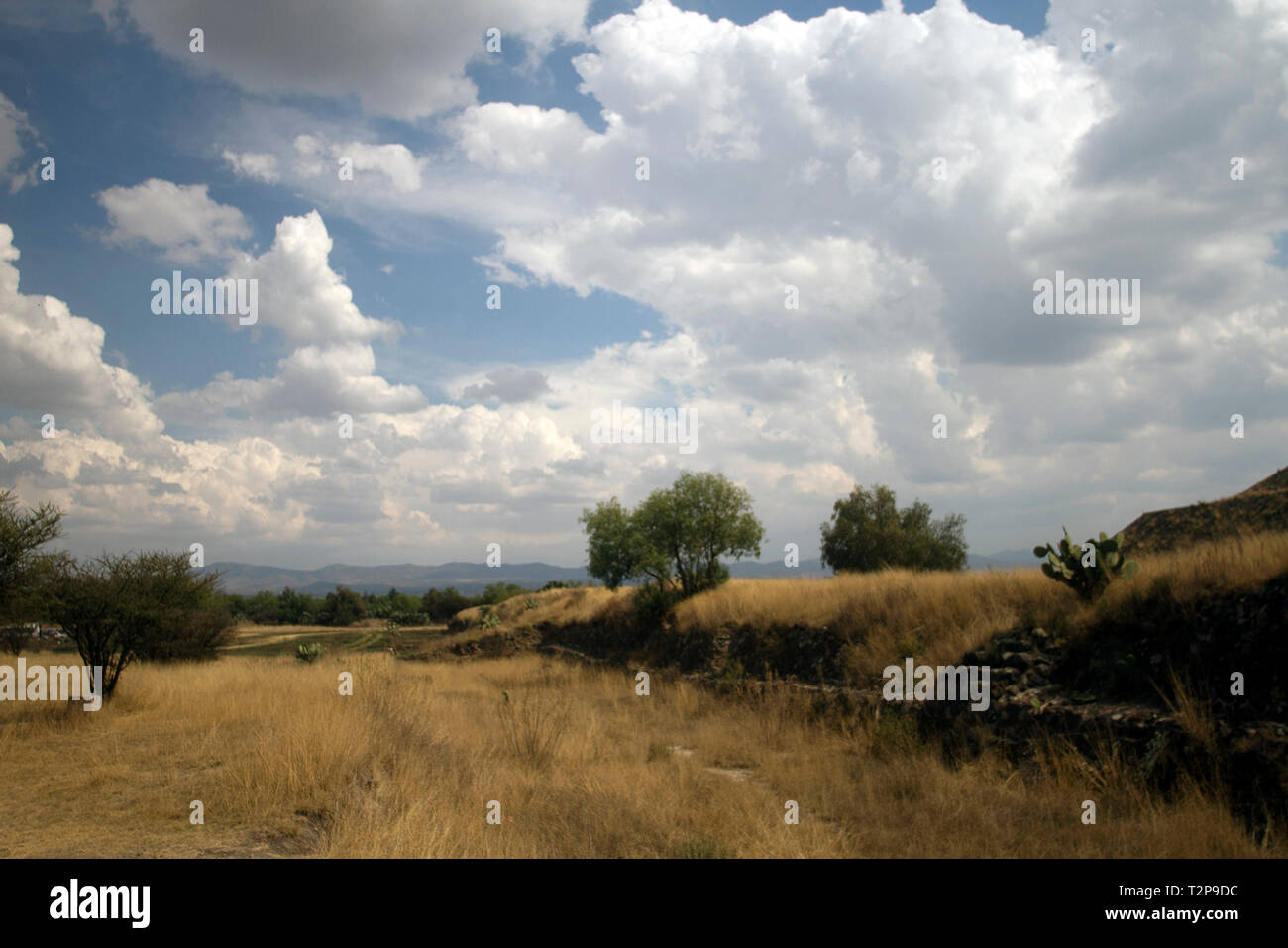 Rural landscape with desertic vegetation near the Pyramid of the Sun (San Juan de Teotihuacán de Arista, Mexico State, Mexico) Stock Photohttps://www.alamy.com/image-license-details/?v=1https://www.alamy.com/rural-landscape-with-desertic-vegetation-near-the-pyramid-of-the-sun-san-juan-de-teotihuacn-de-arista-mexico-state-mexico-image242664840.html
RFT2P9DC–Rural landscape with desertic vegetation near the Pyramid of the Sun (San Juan de Teotihuacán de Arista, Mexico State, Mexico)
 Cedar Mesa on the west side of Valley of the Gods in Utah viewed from the west slope of Bell Butte. Located northwest of Monument Valley and Mexican H Stock Photohttps://www.alamy.com/image-license-details/?v=1https://www.alamy.com/cedar-mesa-on-the-west-side-of-valley-of-the-gods-in-utah-viewed-from-the-west-slope-of-bell-butte-located-northwest-of-monument-valley-and-mexican-h-image556301385.html
RF2R91M2H–Cedar Mesa on the west side of Valley of the Gods in Utah viewed from the west slope of Bell Butte. Located northwest of Monument Valley and Mexican H
 Rugged Stock Photohttps://www.alamy.com/image-license-details/?v=1https://www.alamy.com/stock-image-rugged-167520984.html
RFKMF6M8–Rugged
 United States, Utah, Colorado plateau, Mexican Hat, Mexican Hat rock Stock Photohttps://www.alamy.com/image-license-details/?v=1https://www.alamy.com/stock-photo-united-states-utah-colorado-plateau-mexican-hat-mexican-hat-rock-70308886.html
RME2ARKJ–United States, Utah, Colorado plateau, Mexican Hat, Mexican Hat rock
 Highway, 261, pass, Cedar Mesa, near Mexican Hat Colorado Plateau, Utah, USA, United States, America, road Stock Photohttps://www.alamy.com/image-license-details/?v=1https://www.alamy.com/stock-photo-highway-261-pass-cedar-mesa-near-mexican-hat-colorado-plateau-utah-39669591.html
RMC8F2Y3–Highway, 261, pass, Cedar Mesa, near Mexican Hat Colorado Plateau, Utah, USA, United States, America, road
 A view of Goosenecks of the San Juan River, Goosenecks State Park, Utah, USA Stock Photohttps://www.alamy.com/image-license-details/?v=1https://www.alamy.com/a-view-of-goosenecks-of-the-san-juan-river-goosenecks-state-park-utah-usa-image329757101.html
RF2A4DMF9–A view of Goosenecks of the San Juan River, Goosenecks State Park, Utah, USA
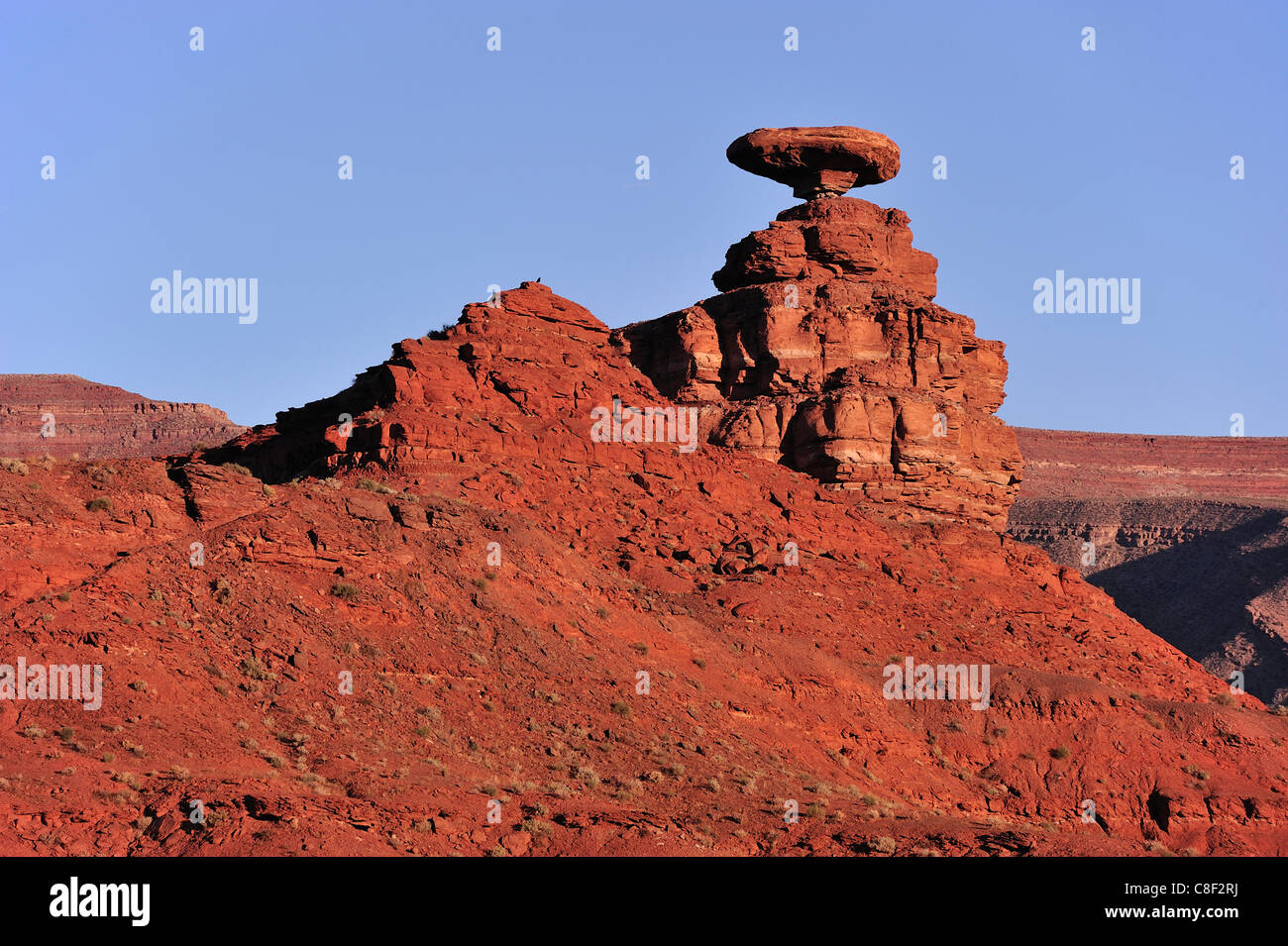 Mexican hat, Rock, Mexican, Colorado Plateau, Utah, USA, United States, America, red Stock Photohttps://www.alamy.com/image-license-details/?v=1https://www.alamy.com/stock-photo-mexican-hat-rock-mexican-colorado-plateau-utah-usa-united-states-america-39669494.html
RMC8F2RJ–Mexican hat, Rock, Mexican, Colorado Plateau, Utah, USA, United States, America, red
 USA, United States of America, Monument Valley, Navajo Reserve, Utah,Colorado Plateau, Mexican Hat, Four Corner Region,Olijato, three sisters, valley drive Stock Photohttps://www.alamy.com/image-license-details/?v=1https://www.alamy.com/usa-united-states-of-america-monument-valley-navajo-reserve-utahcolorado-plateau-mexican-hat-four-corner-regionolijato-three-sisters-valley-drive-image347096897.html
RM2B4KHHN–USA, United States of America, Monument Valley, Navajo Reserve, Utah,Colorado Plateau, Mexican Hat, Four Corner Region,Olijato, three sisters, valley drive
 Mexican Hat is a curiously sombrero-shaped rock outcropping in southwestern Utah. The rock measures 60 feet across. The 'Hat'' has two rock climbing r Stock Photohttps://www.alamy.com/image-license-details/?v=1https://www.alamy.com/mexican-hat-is-a-curiously-sombrero-shaped-rock-outcropping-in-southwestern-image153256937.html
RFJW9CP1–Mexican Hat is a curiously sombrero-shaped rock outcropping in southwestern Utah. The rock measures 60 feet across. The 'Hat'' has two rock climbing r
 An aerial view of Mexico unfolds beneath the plane, revealing a diverse tapestry of landscapes. From rugged mountain ranges and sprawling deserts to lush forests and winding coastlines, this bird's-eye perspective showcases the country's rich geographical variety. Cities and rural areas alike punctuate the terrain, offering a stunning visual representation of Mexico's natural beauty and human development. Stock Photohttps://www.alamy.com/image-license-details/?v=1https://www.alamy.com/stock-photo-an-aerial-view-of-mexico-unfolds-beneath-the-plane-revealing-a-diverse-87702865.html
RMF2K5W5–An aerial view of Mexico unfolds beneath the plane, revealing a diverse tapestry of landscapes. From rugged mountain ranges and sprawling deserts to lush forests and winding coastlines, this bird's-eye perspective showcases the country's rich geographical variety. Cities and rural areas alike punctuate the terrain, offering a stunning visual representation of Mexico's natural beauty and human development.
 RV motors down U.S. 163 between Bluff and Mexican Hat, Utah. Stock Photohttps://www.alamy.com/image-license-details/?v=1https://www.alamy.com/rv-motors-down-us-163-between-bluff-and-mexican-hat-utah-image224352730.html
RMR1045E–RV motors down U.S. 163 between Bluff and Mexican Hat, Utah.
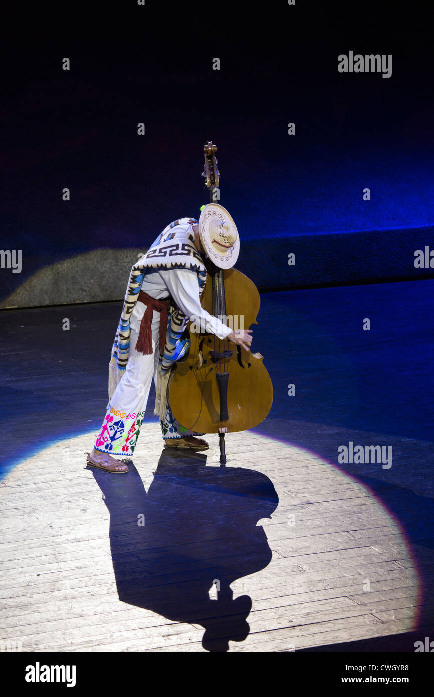 Music from the Purepecha plateau from the Mexican state of Michoacan, as performed at Xcaret Mexico Espectacular Stock Photohttps://www.alamy.com/image-license-details/?v=1https://www.alamy.com/stock-photo-music-from-the-purepecha-plateau-from-the-mexican-state-of-michoacan-50160188.html
RMCWGYR8–Music from the Purepecha plateau from the Mexican state of Michoacan, as performed at Xcaret Mexico Espectacular
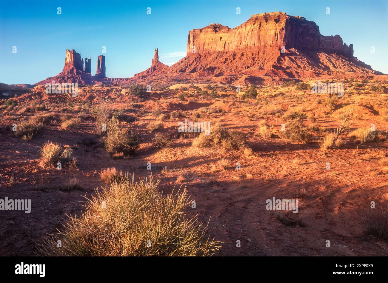 Monument Vally, Utah, sunrise view of (L to R) Stagecoach, Bear and Rabbit, Castle Butte, King on his Throne, and Brigham's Tomb. (USA) Stock Photohttps://www.alamy.com/image-license-details/?v=1https://www.alamy.com/monument-vally-utah-sunrise-view-of-l-to-r-stagecoach-bear-and-rabbit-castle-butte-king-on-his-throne-and-brighams-tomb-usa-image616215329.html
RM2XPF0X9–Monument Vally, Utah, sunrise view of (L to R) Stagecoach, Bear and Rabbit, Castle Butte, King on his Throne, and Brigham's Tomb. (USA)
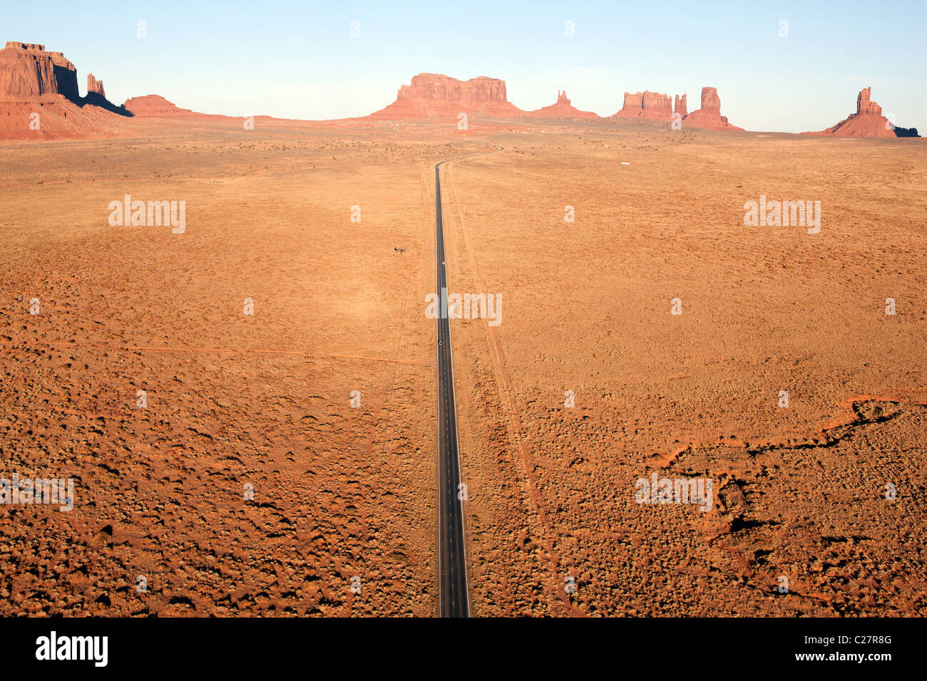 AERIAL VIEW. Road 163 heading north towards Mexican Hat. Navajo Indian land, Monument Valley, Arizona / Utah, USA. Stock Photohttps://www.alamy.com/image-license-details/?v=1https://www.alamy.com/stock-photo-aerial-view-road-163-heading-north-towards-mexican-hat-navajo-indian-35821984.html
RMC27R8G–AERIAL VIEW. Road 163 heading north towards Mexican Hat. Navajo Indian land, Monument Valley, Arizona / Utah, USA.
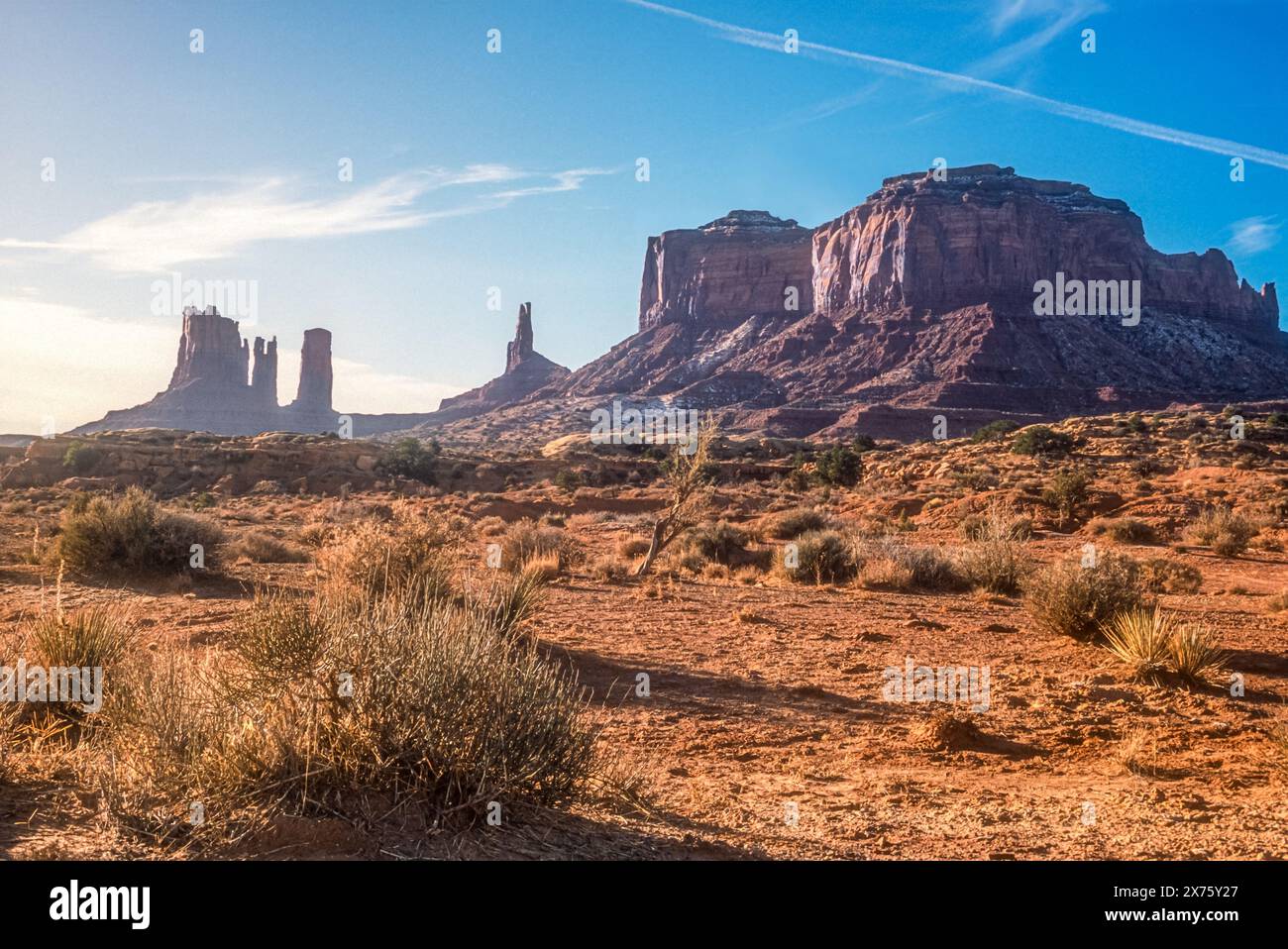 Sunrise view of the towering sandstone buttes of Monument Valley along the Utah/Arizona border in the American Southwest. (USA) Stock Photohttps://www.alamy.com/image-license-details/?v=1https://www.alamy.com/sunrise-view-of-the-towering-sandstone-buttes-of-monument-valley-along-the-utaharizona-border-in-the-american-southwest-usa-image606796463.html
RM2X75Y27–Sunrise view of the towering sandstone buttes of Monument Valley along the Utah/Arizona border in the American Southwest. (USA)
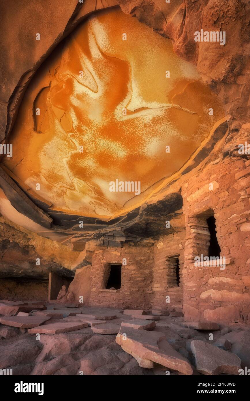 Reflective sunlight illuminates the ceiling of this ancient Anasazi Granary and aptly named Falling Roof Ruin in SE Utah’s Cedar Mesa Plateau. Stock Photohttps://www.alamy.com/image-license-details/?v=1https://www.alamy.com/reflective-sunlight-illuminates-the-ceiling-of-this-ancient-anasazi-granary-and-aptly-named-falling-roof-ruin-in-se-utahs-cedar-mesa-plateau-image429647609.html
RM2FY03WD–Reflective sunlight illuminates the ceiling of this ancient Anasazi Granary and aptly named Falling Roof Ruin in SE Utah’s Cedar Mesa Plateau.
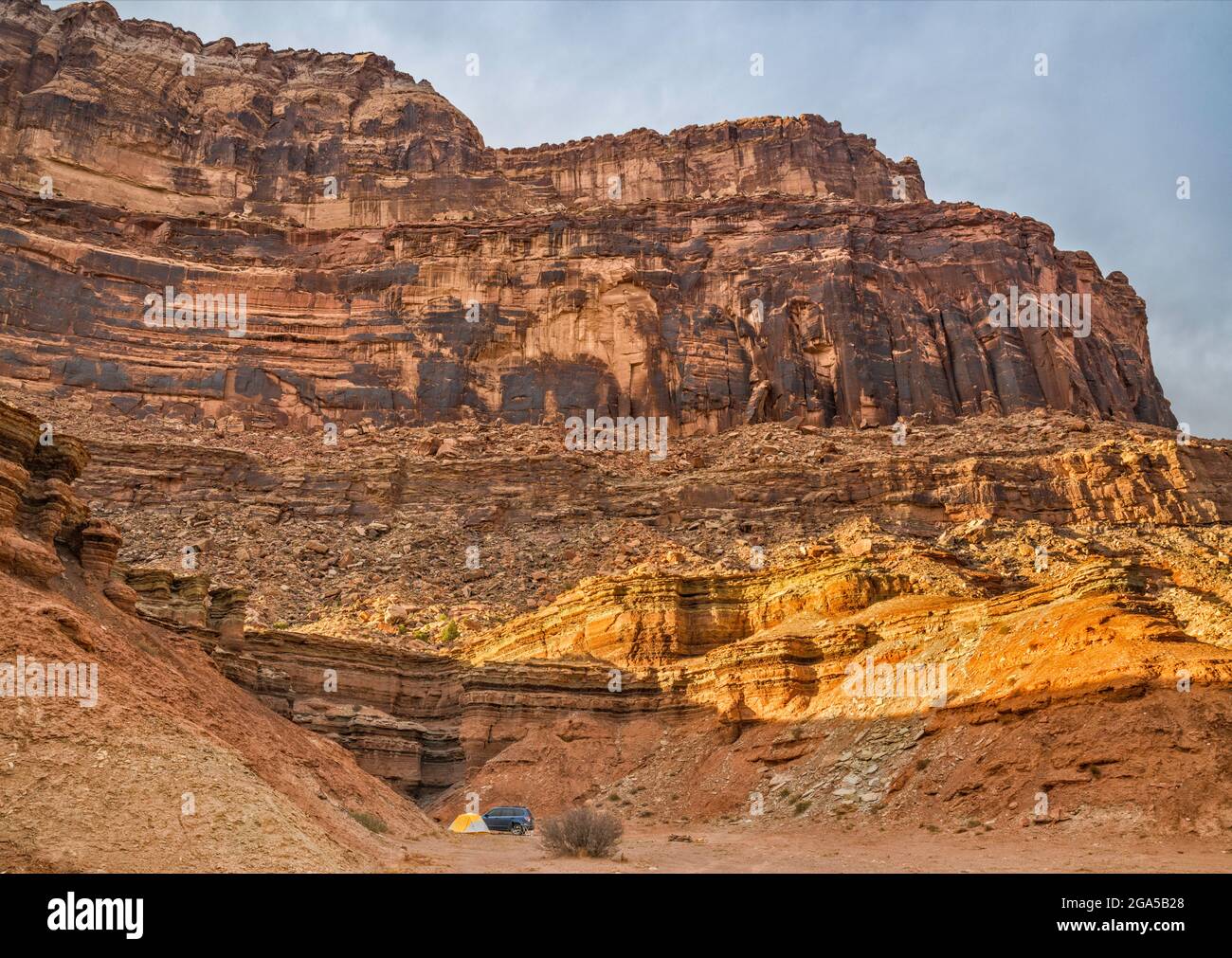 Secluded campsite under cliffs near Mexican Mountain Road and San Rafael River, at sunset, near Buckhorn Wash, San Rafael Swell area, Utah, USA Stock Photohttps://www.alamy.com/image-license-details/?v=1https://www.alamy.com/secluded-campsite-under-cliffs-near-mexican-mountain-road-and-san-rafael-river-at-sunset-near-buckhorn-wash-san-rafael-swell-area-utah-usa-image436524208.html
RF2GA5B28–Secluded campsite under cliffs near Mexican Mountain Road and San Rafael River, at sunset, near Buckhorn Wash, San Rafael Swell area, Utah, USA
 Mexico City,Polanco,Hispanic Latin Latino ethnic minority,immigrant immigrants,Mexican,Museo Nacional de Antropologia National Museum of Anthropology, Stock Photohttps://www.alamy.com/image-license-details/?v=1https://www.alamy.com/mexico-citypolancohispanic-latin-latino-ethnic-minorityimmigrant-immigrantsmexicanmuseo-nacional-de-antropologia-national-museum-of-anthropology-image184574355.html
RMMM82D7–Mexico City,Polanco,Hispanic Latin Latino ethnic minority,immigrant immigrants,Mexican,Museo Nacional de Antropologia National Museum of Anthropology,
 Goosenecks State Park in Utah Stock Photohttps://www.alamy.com/image-license-details/?v=1https://www.alamy.com/goosenecks-state-park-in-utah-image552252697.html
RF2R2D7XH–Goosenecks State Park in Utah
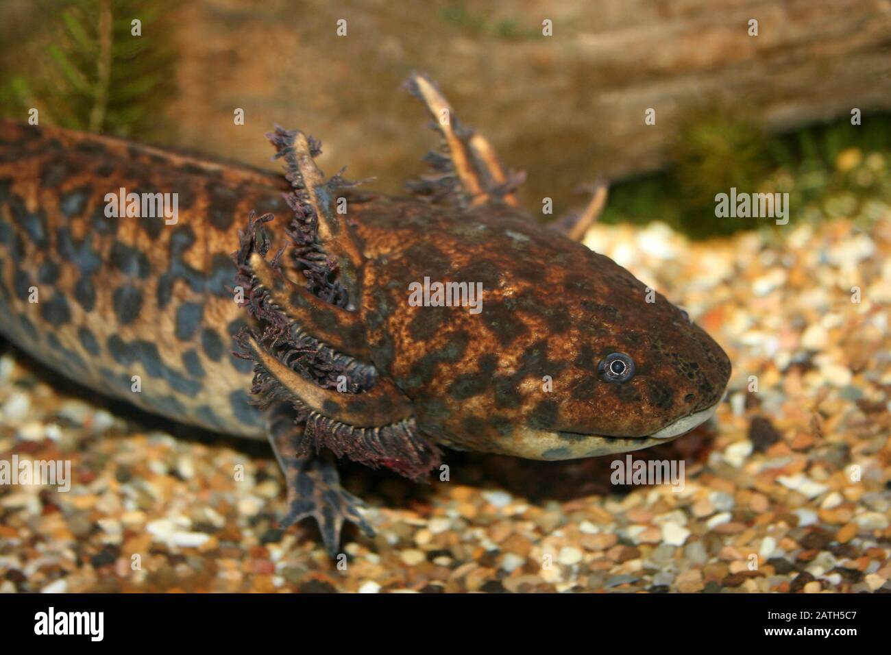 Lake Zacapu Salamander a.k.a. Anderson's Salamander Ambystoma andersoni Stock Photohttps://www.alamy.com/image-license-details/?v=1https://www.alamy.com/lake-zacapu-salamander-aka-andersons-salamander-ambystoma-andersoni-image342126183.html
RM2ATH5C7–Lake Zacapu Salamander a.k.a. Anderson's Salamander Ambystoma andersoni
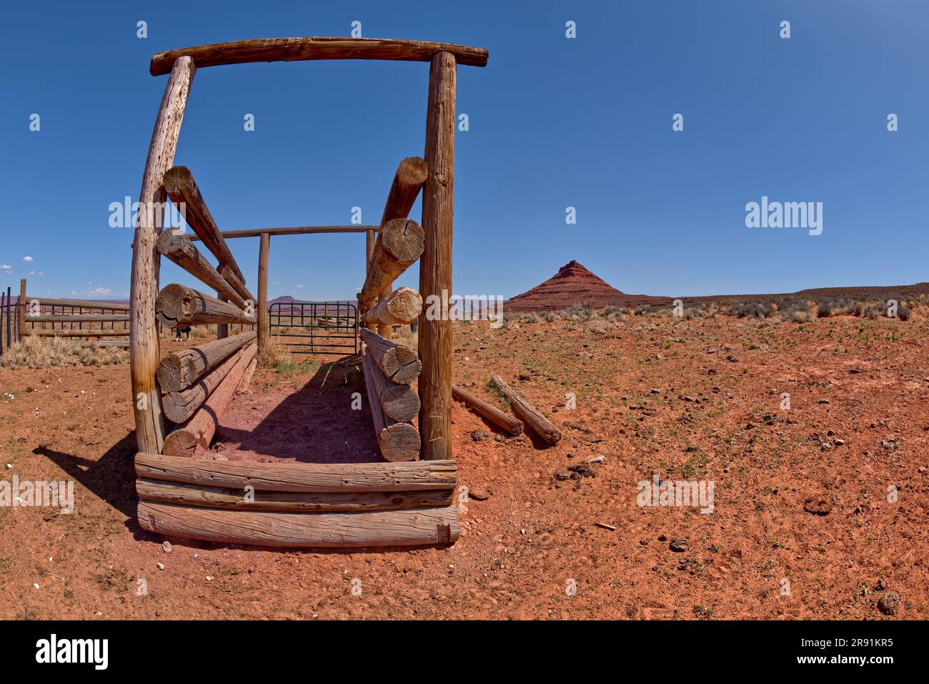 A cattle corral near Bell Butte in Valley of the Gods in Utah. Located northwest of Monument Valley and the town of Mexican Hat off of Highway 261 and Stock Photohttps://www.alamy.com/image-license-details/?v=1https://www.alamy.com/a-cattle-corral-near-bell-butte-in-valley-of-the-gods-in-utah-located-northwest-of-monument-valley-and-the-town-of-mexican-hat-off-of-highway-261-and-image556301177.html
RF2R91KR5–A cattle corral near Bell Butte in Valley of the Gods in Utah. Located northwest of Monument Valley and the town of Mexican Hat off of Highway 261 and
 Mexico Yucatan 2009 Tulum the ancient Mayan ruined walled town with temples Limestone plateau Stock Photohttps://www.alamy.com/image-license-details/?v=1https://www.alamy.com/stock-photo-mexico-yucatan-2009-tulum-the-ancient-mayan-ruined-walled-town-with-23240125.html
RFB9PK0D–Mexico Yucatan 2009 Tulum the ancient Mayan ruined walled town with temples Limestone plateau
 United States, Utah, Colorado plateau, Mexican Hat, Mexican Hat rock Stock Photohttps://www.alamy.com/image-license-details/?v=1https://www.alamy.com/stock-photo-united-states-utah-colorado-plateau-mexican-hat-mexican-hat-rock-70308887.html
RME2ARKK–United States, Utah, Colorado plateau, Mexican Hat, Mexican Hat rock
 Monte Albán, Oaxaca, Mexico Stock Photohttps://www.alamy.com/image-license-details/?v=1https://www.alamy.com/monte-albn-oaxaca-mexico-image552970875.html
RF2R3HYYR–Monte Albán, Oaxaca, Mexico
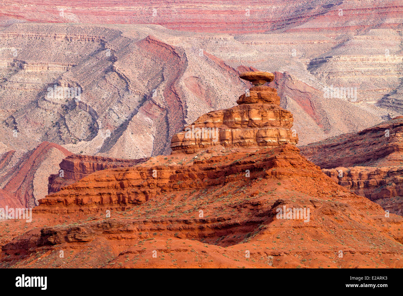 United States, Utah, Colorado plateau, Mexican Hat, Mexican Hat rock Stock Photohttps://www.alamy.com/image-license-details/?v=1https://www.alamy.com/stock-photo-united-states-utah-colorado-plateau-mexican-hat-mexican-hat-rock-70308871.html
RME2ARK3–United States, Utah, Colorado plateau, Mexican Hat, Mexican Hat rock
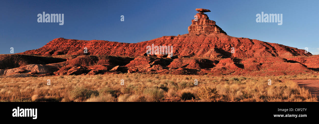 Mexican hat, Rock, Mexican, Colorado Plateau, Utah, USA, United States, America, red Stock Photohttps://www.alamy.com/image-license-details/?v=1https://www.alamy.com/stock-photo-mexican-hat-rock-mexican-colorado-plateau-utah-usa-united-states-america-39669531.html
RMC8F2TY–Mexican hat, Rock, Mexican, Colorado Plateau, Utah, USA, United States, America, red
 USA, United States of America, Monument Valley, Navajo Reserve, Utah,Colorado Plateau, Mexican Hat, Four Corner Region,Olijato, three sisters, valley drive Stock Photohttps://www.alamy.com/image-license-details/?v=1https://www.alamy.com/usa-united-states-of-america-monument-valley-navajo-reserve-utahcolorado-plateau-mexican-hat-four-corner-regionolijato-three-sisters-valley-drive-image347096831.html
RM2B4KHFB–USA, United States of America, Monument Valley, Navajo Reserve, Utah,Colorado Plateau, Mexican Hat, Four Corner Region,Olijato, three sisters, valley drive
 United States Utah Colorado Plateau Cedar Mesa Utah State Road 161 Moki Dugway switchbacks (The Moki Dugway was built in 1958 by a uranium mining company to move ore Fry Canyon to Mexican Hat) Stock Photohttps://www.alamy.com/image-license-details/?v=1https://www.alamy.com/stock-photo-united-states-utah-colorado-plateau-cedar-mesa-utah-state-road-161-70443223.html
RME2GY1B–United States Utah Colorado Plateau Cedar Mesa Utah State Road 161 Moki Dugway switchbacks (The Moki Dugway was built in 1958 by a uranium mining company to move ore Fry Canyon to Mexican Hat)
 An aerial view of Mexico unfolds beneath the plane, revealing a diverse tapestry of landscapes. From rugged mountain ranges and sprawling deserts to lush forests and winding coastlines, this bird's-eye perspective showcases the country's rich geographical variety. Cities and rural areas alike punctuate the terrain, offering a stunning visual representation of Mexico's natural beauty and human development. Stock Photohttps://www.alamy.com/image-license-details/?v=1https://www.alamy.com/stock-photo-an-aerial-view-of-mexico-unfolds-beneath-the-plane-revealing-a-diverse-87702863.html
RMF2K5W3–An aerial view of Mexico unfolds beneath the plane, revealing a diverse tapestry of landscapes. From rugged mountain ranges and sprawling deserts to lush forests and winding coastlines, this bird's-eye perspective showcases the country's rich geographical variety. Cities and rural areas alike punctuate the terrain, offering a stunning visual representation of Mexico's natural beauty and human development.
 Storm clouds over a small butte north of U.S. 163 between Bluff and Mexican Hat, Utah. Stock Photohttps://www.alamy.com/image-license-details/?v=1https://www.alamy.com/storm-clouds-over-a-small-butte-north-of-us-163-between-bluff-and-mexican-hat-utah-image224352794.html
RMR1047P–Storm clouds over a small butte north of U.S. 163 between Bluff and Mexican Hat, Utah.
 Canada, province of Quebec, Montreal, Plateau-Mont-Royal, sign of a Mexican fast food restaurant and grocery store on avenue du Mont-Royal Stock Photohttps://www.alamy.com/image-license-details/?v=1https://www.alamy.com/canada-province-of-quebec-montreal-plateau-mont-royal-sign-of-a-mexican-fast-food-restaurant-and-grocery-store-on-avenue-du-mont-royal-image400080574.html
RM2E6W6RX–Canada, province of Quebec, Montreal, Plateau-Mont-Royal, sign of a Mexican fast food restaurant and grocery store on avenue du Mont-Royal
 A view of Goosenecks of the San Juan River, Goosenecks State Park, Utah, USA Stock Photohttps://www.alamy.com/image-license-details/?v=1https://www.alamy.com/a-view-of-goosenecks-of-the-san-juan-river-goosenecks-state-park-utah-usa-image329757838.html
RF2A4DNDJ–A view of Goosenecks of the San Juan River, Goosenecks State Park, Utah, USA
 United States Utah Colorado Plateau between Bluff and Mexican Hat San Juan river Stock Photohttps://www.alamy.com/image-license-details/?v=1https://www.alamy.com/stock-photo-united-states-utah-colorado-plateau-between-bluff-and-mexican-hat-70362045.html
RME2D7E5–United States Utah Colorado Plateau between Bluff and Mexican Hat San Juan river
 Music from the Purepecha plateau from the Mexican state of Michoacan, as performed at Xcaret Mexico Espectacular Stock Photohttps://www.alamy.com/image-license-details/?v=1https://www.alamy.com/stock-photo-music-from-the-purepecha-plateau-from-the-mexican-state-of-michoacan-50160174.html
RMCWGYPP–Music from the Purepecha plateau from the Mexican state of Michoacan, as performed at Xcaret Mexico Espectacular
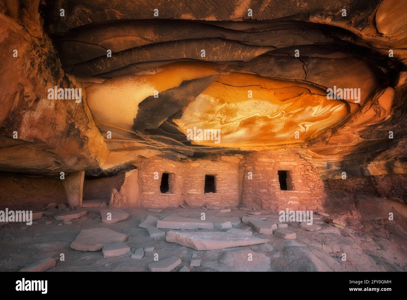 Reflective sunlight illuminates the ceiling of this ancient Anasazi Granary and aptly named Falling Roof Ruin in SE Utah’s Cedar Mesa Plateau. Stock Photohttps://www.alamy.com/image-license-details/?v=1https://www.alamy.com/reflective-sunlight-illuminates-the-ceiling-of-this-ancient-anasazi-granary-and-aptly-named-falling-roof-ruin-in-se-utahs-cedar-mesa-plateau-image429657665.html
RM2FY0GMH–Reflective sunlight illuminates the ceiling of this ancient Anasazi Granary and aptly named Falling Roof Ruin in SE Utah’s Cedar Mesa Plateau.
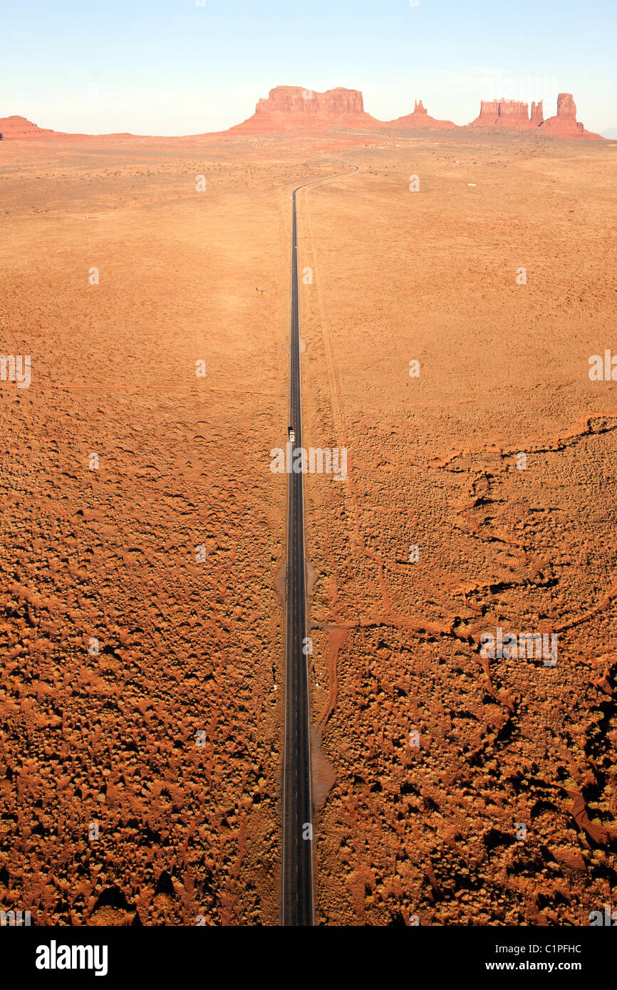 AERIAL VIEW. Monument Valley. Road 163 heading north towards Mexican Hat. Navajo Indian land, Arizona / Utah border, USA. Stock Photohttps://www.alamy.com/image-license-details/?v=1https://www.alamy.com/stock-photo-aerial-view-monument-valley-road-163-heading-north-towards-mexican-35530584.html
RMC1PFHC–AERIAL VIEW. Monument Valley. Road 163 heading north towards Mexican Hat. Navajo Indian land, Arizona / Utah border, USA.
 Window Blind Peak over San Rafael River, Mexican Mountain Road, at sunset, near Buckhorn Wash, San Rafael Swell area, Utah, USA Stock Photohttps://www.alamy.com/image-license-details/?v=1https://www.alamy.com/window-blind-peak-over-san-rafael-river-mexican-mountain-road-at-sunset-near-buckhorn-wash-san-rafael-swell-area-utah-usa-image435606877.html
RF2G8KH0D–Window Blind Peak over San Rafael River, Mexican Mountain Road, at sunset, near Buckhorn Wash, San Rafael Swell area, Utah, USA
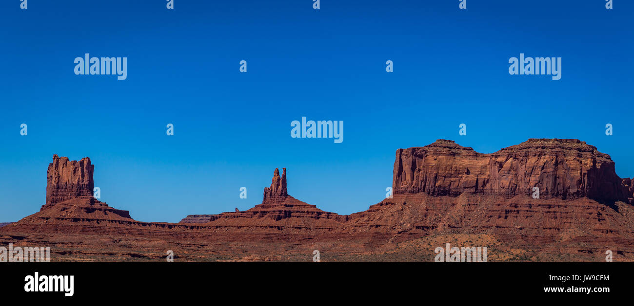 On Route 163 the southeastern part of Utah is for the viewing with incredible views in any direction. Stock Photohttps://www.alamy.com/image-license-details/?v=1https://www.alamy.com/on-route-163-the-southeastern-part-of-utah-is-for-the-viewing-with-image153256760.html
RFJW9CFM–On Route 163 the southeastern part of Utah is for the viewing with incredible views in any direction.
 Specialty act rider Felix Santana and his dancing Andalusian horse perform at a rodeo in a small rural Utah town. Stock Photohttps://www.alamy.com/image-license-details/?v=1https://www.alamy.com/specialty-act-rider-felix-santana-and-his-dancing-andalusian-horse-perform-at-a-rodeo-in-a-small-rural-utah-town-image611806516.html
RM2XFA5CM–Specialty act rider Felix Santana and his dancing Andalusian horse perform at a rodeo in a small rural Utah town.
 The meanders of the San Juan River viewed at sundown from the overlook in Goosenecks State Park near the town of Mexican Hat Utah. Stock Photohttps://www.alamy.com/image-license-details/?v=1https://www.alamy.com/the-meanders-of-the-san-juan-river-viewed-at-sundown-from-the-overlook-in-goosenecks-state-park-near-the-town-of-mexican-hat-utah-image556296559.html
RF2R91DX7–The meanders of the San Juan River viewed at sundown from the overlook in Goosenecks State Park near the town of Mexican Hat Utah.
 Landscape sunset nature flower Tung Bua Tong Mexican sunflower in Maehongson Province, Thailand Stock Photohttps://www.alamy.com/image-license-details/?v=1https://www.alamy.com/landscape-sunset-nature-flower-tung-bua-tong-mexican-sunflower-in-maehongson-province-thailand-image327379933.html
RF2A0HCCD–Landscape sunset nature flower Tung Bua Tong Mexican sunflower in Maehongson Province, Thailand
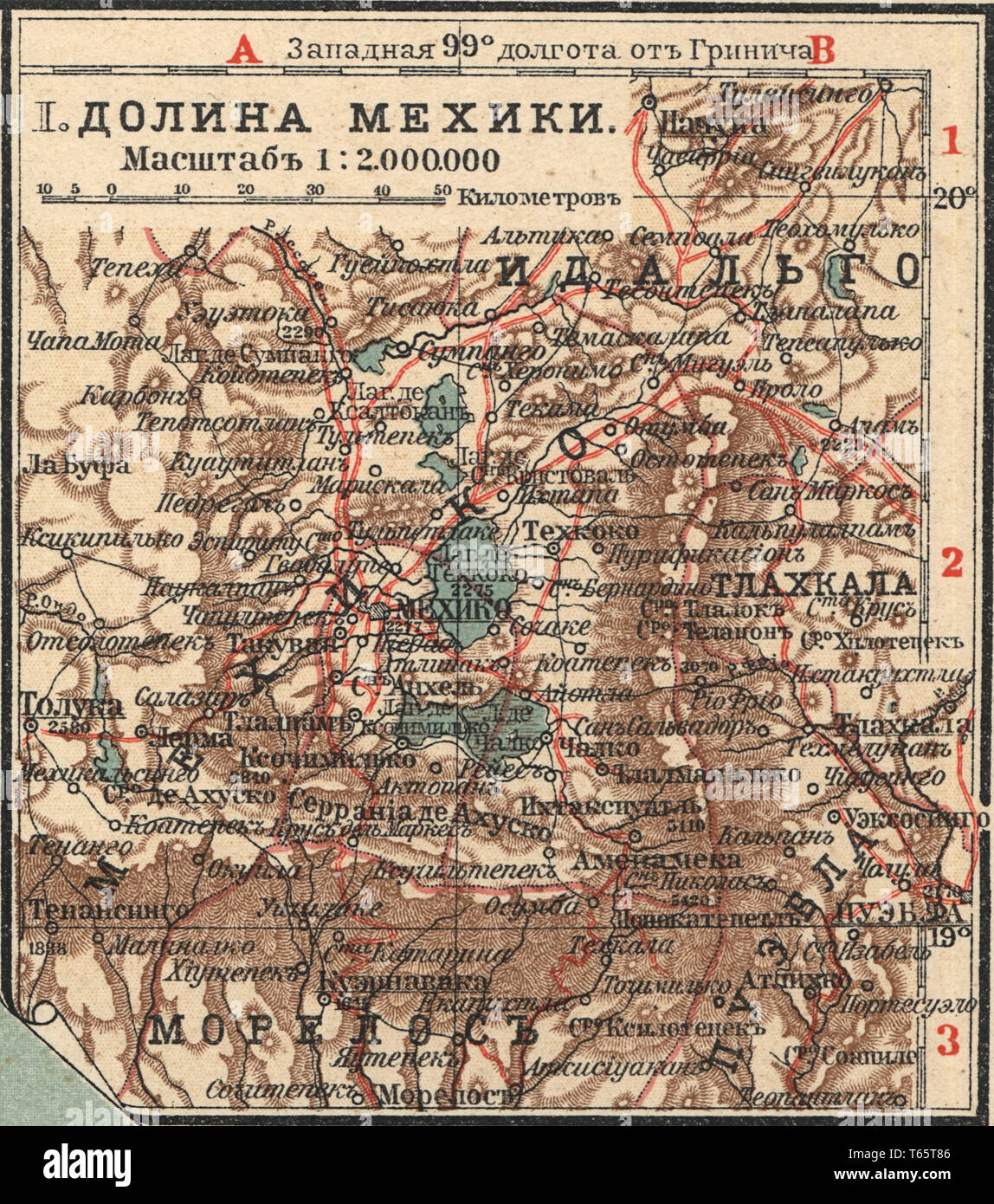 Valley of Mexico New table atlas A.F. Marcks St. Petersburg, 1910 Stock Photohttps://www.alamy.com/image-license-details/?v=1https://www.alamy.com/valley-of-mexico-new-table-atlas-af-marcks-st-petersburg-1910-image244761894.html
RMT65T86–Valley of Mexico New table atlas A.F. Marcks St. Petersburg, 1910

