Micronesia kosrae Cut Out Stock Images
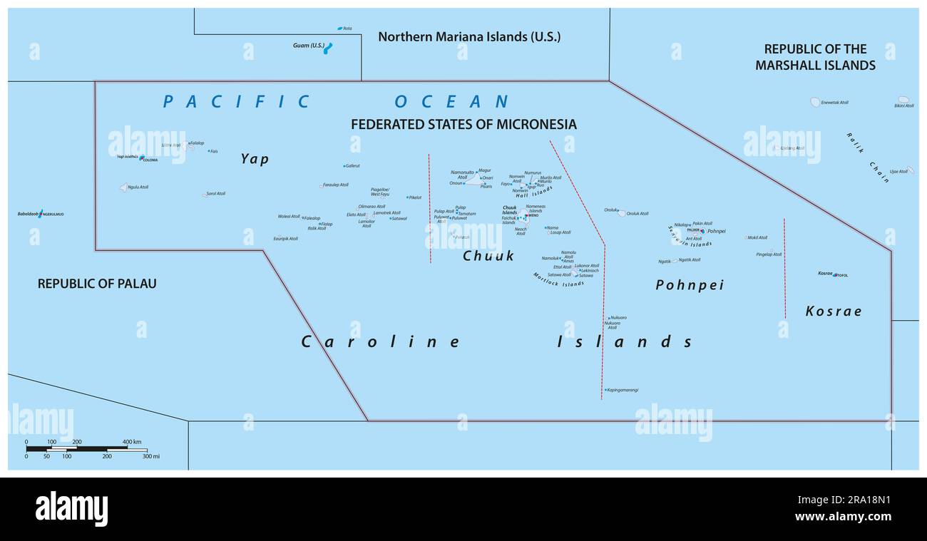 political vector map of the Federated States of Micronesia Stock Photohttps://www.alamy.com/image-license-details/?v=1https://www.alamy.com/political-vector-map-of-the-federated-states-of-micronesia-image556907149.html
RF2RA18N1–political vector map of the Federated States of Micronesia
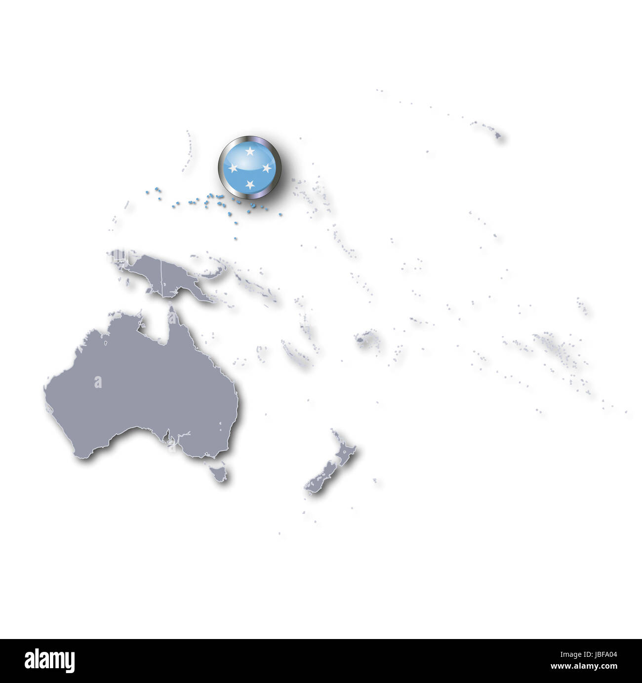 pacific map micronesia Stock Photohttps://www.alamy.com/image-license-details/?v=1https://www.alamy.com/stock-photo-pacific-map-micronesia-144781284.html
RFJBFA04–pacific map micronesia
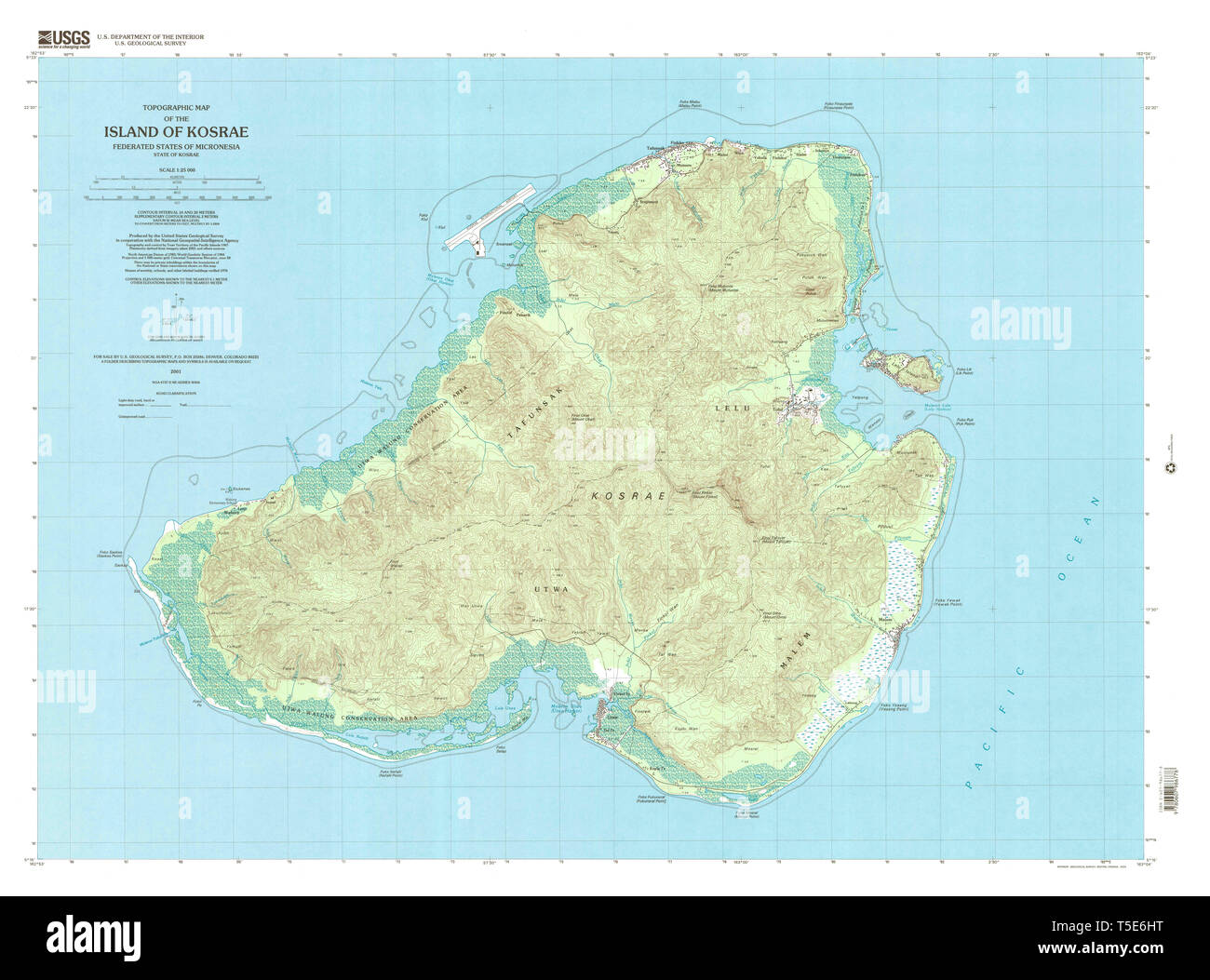 USGS TOPO Map Federated States of Micronesia FM Island of Kosrae 363616 2001 25000 Restoration Stock Photohttps://www.alamy.com/image-license-details/?v=1https://www.alamy.com/usgs-topo-map-federated-states-of-micronesia-fm-island-of-kosrae-363616-2001-25000-restoration-image244330964.html
RMT5E6HT–USGS TOPO Map Federated States of Micronesia FM Island of Kosrae 363616 2001 25000 Restoration
 flag of the federated states of micronesia Stock Photohttps://www.alamy.com/image-license-details/?v=1https://www.alamy.com/stock-photo-flag-of-the-federated-states-of-micronesia-131576203.html
RFHJ1PP3–flag of the federated states of micronesia
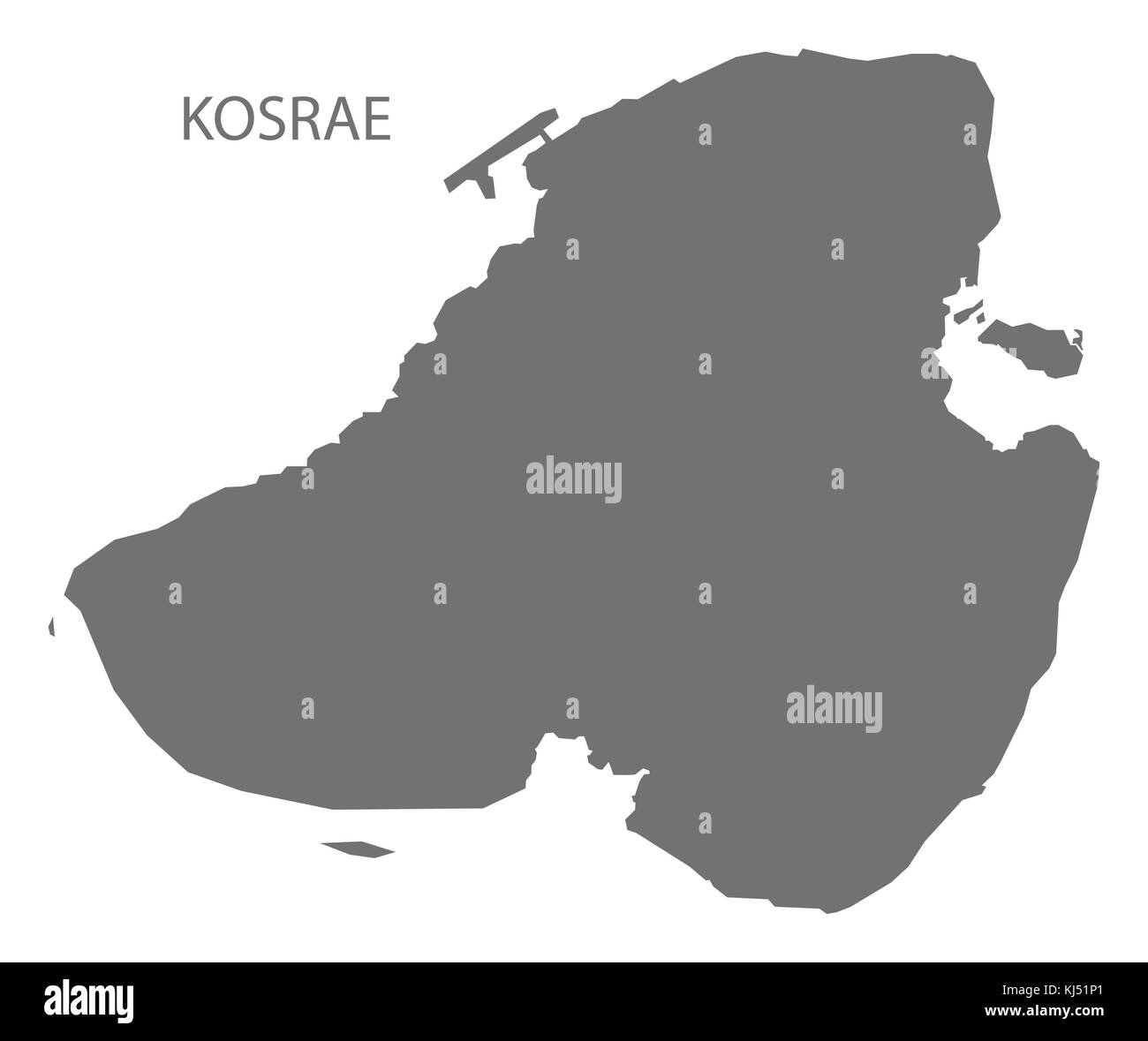 Kosrae Island map of Micronesia grey illustration silhouette shape Stock Vectorhttps://www.alamy.com/image-license-details/?v=1https://www.alamy.com/stock-image-kosrae-island-map-of-micronesia-grey-illustration-silhouette-shape-166068281.html
RFKJ51P1–Kosrae Island map of Micronesia grey illustration silhouette shape
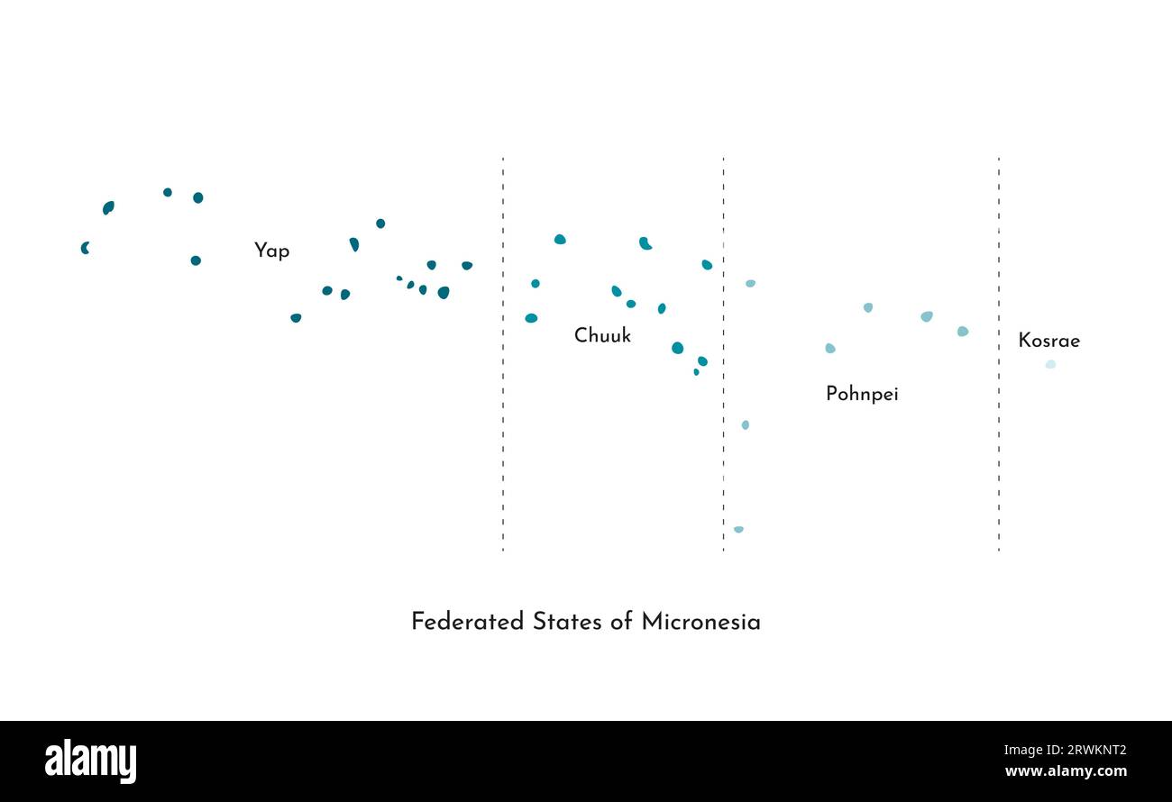 Vector isolated illustration of simplified administrative map of Federated States of Micronesia. Borders and names of the states (Chuuk, Kosrae, Pohnp Stock Vectorhttps://www.alamy.com/image-license-details/?v=1https://www.alamy.com/vector-isolated-illustration-of-simplified-administrative-map-of-federated-states-of-micronesia-borders-and-names-of-the-states-chuuk-kosrae-pohnp-image566532402.html
RF2RWKNT2–Vector isolated illustration of simplified administrative map of Federated States of Micronesia. Borders and names of the states (Chuuk, Kosrae, Pohnp
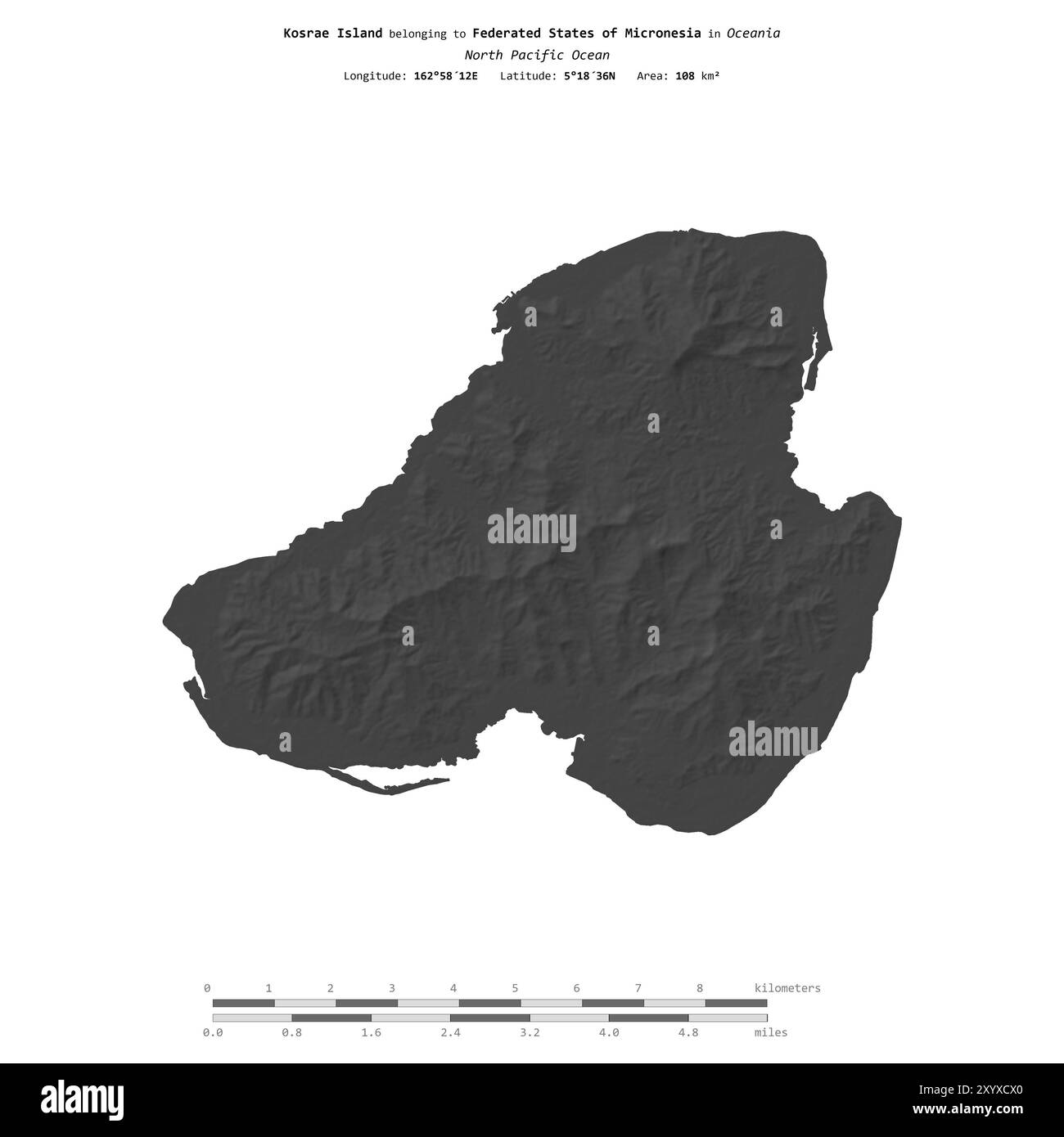 Kosrae Island in the North Pacific Ocean, belonging to Federated States of Micronesia, isolated on a bilevel elevation map, with distance scale Stock Photohttps://www.alamy.com/image-license-details/?v=1https://www.alamy.com/kosrae-island-in-the-north-pacific-ocean-belonging-to-federated-states-of-micronesia-isolated-on-a-bilevel-elevation-map-with-distance-scale-image619539480.html
RF2XYXCX0–Kosrae Island in the North Pacific Ocean, belonging to Federated States of Micronesia, isolated on a bilevel elevation map, with distance scale
 Flag of Kosrae. Federated States of Micronesia. Vector cut sign here, isolated on white. Can be used for design, stickers, souvenirs Stock Vectorhttps://www.alamy.com/image-license-details/?v=1https://www.alamy.com/flag-of-kosrae-federated-states-of-micronesia-vector-cut-sign-here-isolated-on-white-can-be-used-for-design-stickers-souvenirs-image368316753.html
RF2CB67NN–Flag of Kosrae. Federated States of Micronesia. Vector cut sign here, isolated on white. Can be used for design, stickers, souvenirs
RF2K3X853–micronesia Flag in glossy round button of icon. micronesia emblem isolated on white background. National concept sign. Independence Day. Vector illust
 election election micronesia Stock Photohttps://www.alamy.com/image-license-details/?v=1https://www.alamy.com/stock-photo-election-election-micronesia-131481099.html
RFHHWDDF–election election micronesia
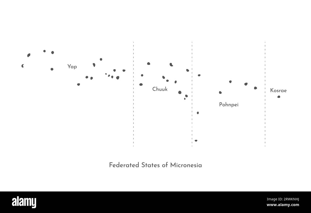 Vector isolated illustration of simplified administrative map of Federated States of Micronesia. Borders and names of the states (Chuuk, Kosrae, Pohnp Stock Vectorhttps://www.alamy.com/image-license-details/?v=1https://www.alamy.com/vector-isolated-illustration-of-simplified-administrative-map-of-federated-states-of-micronesia-borders-and-names-of-the-states-chuuk-kosrae-pohnp-image566532222.html
RF2RWKNHJ–Vector isolated illustration of simplified administrative map of Federated States of Micronesia. Borders and names of the states (Chuuk, Kosrae, Pohnp
 Kosrae Island in the North Pacific Ocean, belonging to Federated States of Micronesia, isolated on a topographic, OSM standard style map, with distanc Stock Photohttps://www.alamy.com/image-license-details/?v=1https://www.alamy.com/kosrae-island-in-the-north-pacific-ocean-belonging-to-federated-states-of-micronesia-isolated-on-a-topographic-osm-standard-style-map-with-distanc-image619568540.html
RF2XYYNYT–Kosrae Island in the North Pacific Ocean, belonging to Federated States of Micronesia, isolated on a topographic, OSM standard style map, with distanc
 Kosrae Island in the North Pacific Ocean, belonging to Federated States of Micronesia, isolated on a satellite image taken in December 31, 2021, with Stock Photohttps://www.alamy.com/image-license-details/?v=1https://www.alamy.com/kosrae-island-in-the-north-pacific-ocean-belonging-to-federated-states-of-micronesia-isolated-on-a-satellite-image-taken-in-december-31-2021-with-image619547409.html
RF2XYXR15–Kosrae Island in the North Pacific Ocean, belonging to Federated States of Micronesia, isolated on a satellite image taken in December 31, 2021, with