Quick filters:
Milos map Stock Photos and Images
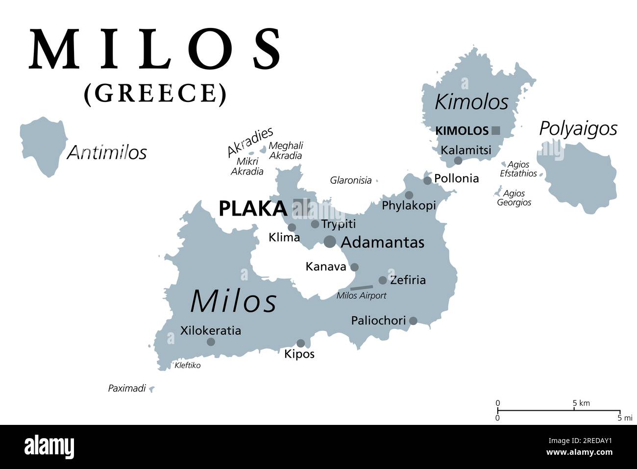 Milos or Melos, Greek island, gray political map. Island in the Aegean Sea, part of the Cyclades. With Antimilos and smaller islets a municipality. Stock Photohttps://www.alamy.com/image-license-details/?v=1https://www.alamy.com/milos-or-melos-greek-island-gray-political-map-island-in-the-aegean-sea-part-of-the-cyclades-with-antimilos-and-smaller-islets-a-municipality-image559630933.html
RF2REDAY1–Milos or Melos, Greek island, gray political map. Island in the Aegean Sea, part of the Cyclades. With Antimilos and smaller islets a municipality.
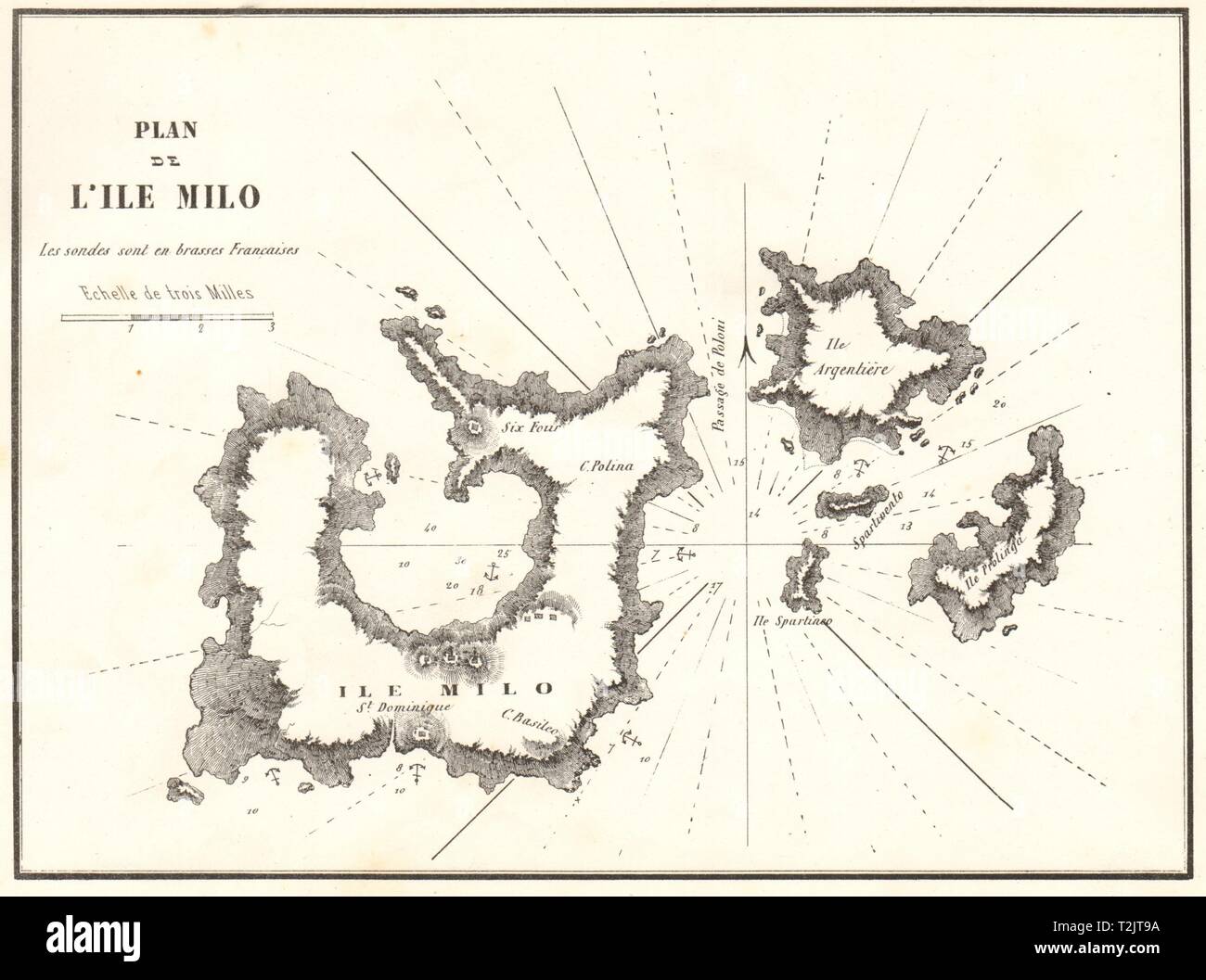 Milos. 'Plan de L'ile Milo'. Greece. Kimilos Poliegos. GAUTTIER 1854 old map Stock Photohttps://www.alamy.com/image-license-details/?v=1https://www.alamy.com/milos-plan-de-lile-milo-greece-kimilos-poliegos-gauttier-1854-old-map-image242588678.html
RFT2JT9A–Milos. 'Plan de L'ile Milo'. Greece. Kimilos Poliegos. GAUTTIER 1854 old map
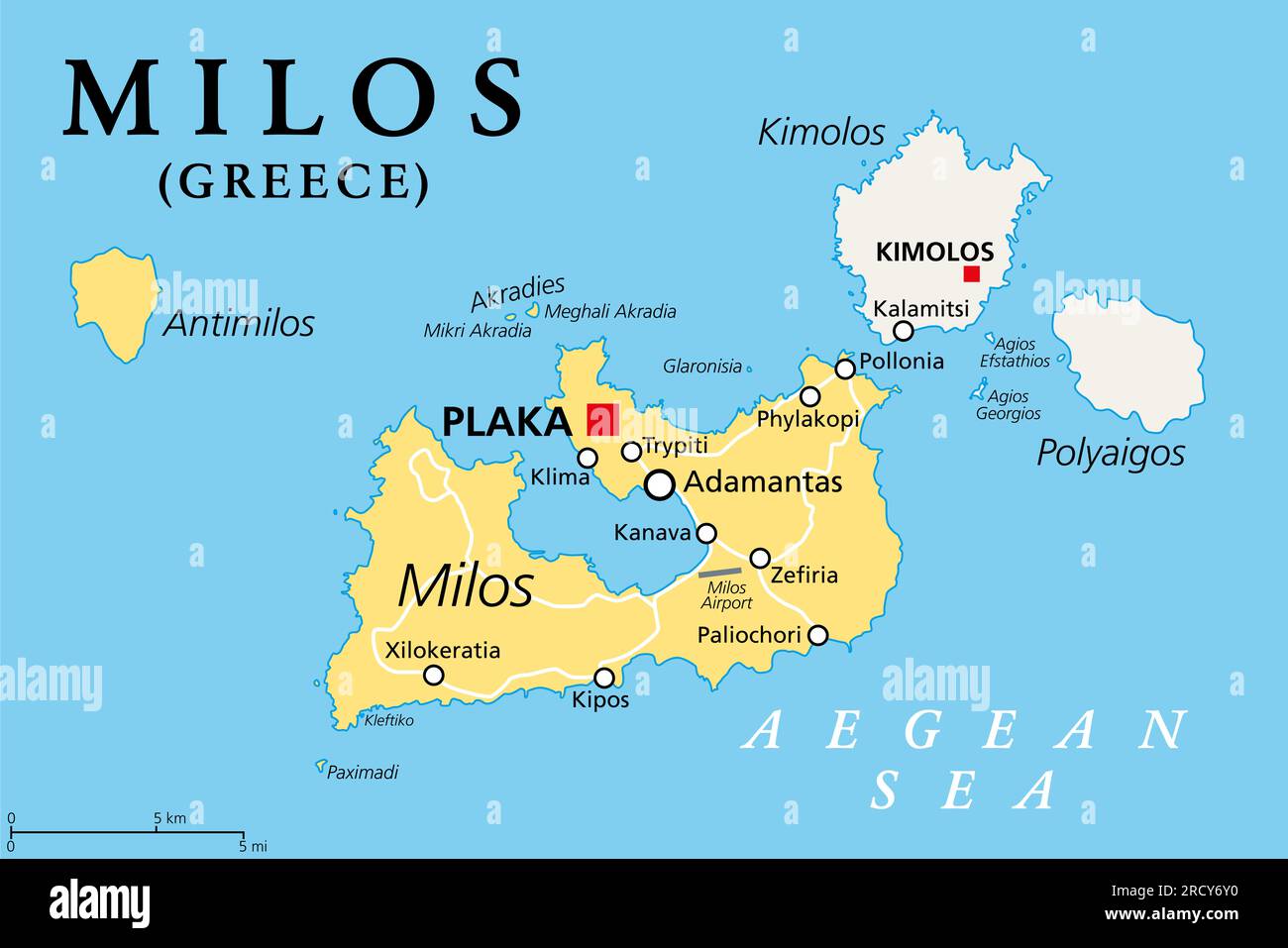 Milos, island of Greece, political map. Volcanic Greek island in the Aegean Sea and part of the Cyclades. With Antimilos, Kimolos and Polyaigos. Stock Photohttps://www.alamy.com/image-license-details/?v=1https://www.alamy.com/milos-island-of-greece-political-map-volcanic-greek-island-in-the-aegean-sea-and-part-of-the-cyclades-with-antimilos-kimolos-and-polyaigos-image558705812.html
RF2RCY6Y0–Milos, island of Greece, political map. Volcanic Greek island in the Aegean Sea and part of the Cyclades. With Antimilos, Kimolos and Polyaigos.
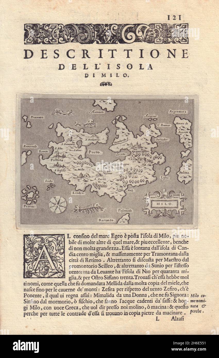 Descrittione dell' Isola di Milo. PORCACCHI. Milos Cyclades Greece 1590 map Stock Photohttps://www.alamy.com/image-license-details/?v=1https://www.alamy.com/descrittione-dell-isola-di-milo-porcacchi-milos-cyclades-greece-1590-map-image451468893.html
RF2H6E551–Descrittione dell' Isola di Milo. PORCACCHI. Milos Cyclades Greece 1590 map
 Milo, Map of the island of Milos, Fig. 29, p. 121, Porro, Girolamo (ill.), 1575, Thomaso Porcacchi, Girolamo Porro: L' isole piu famose del mondo. Il secondo libro. In Venetia: apresso gli Heredi di Simon Galignani, 1590 Stock Photohttps://www.alamy.com/image-license-details/?v=1https://www.alamy.com/milo-map-of-the-island-of-milos-fig-29-p-121-porro-girolamo-ill-1575-thomaso-porcacchi-girolamo-porro-l-isole-piu-famose-del-mondo-il-secondo-libro-in-venetia-apresso-gli-heredi-di-simon-galignani-1590-image328753190.html
RM2A2T01A–Milo, Map of the island of Milos, Fig. 29, p. 121, Porro, Girolamo (ill.), 1575, Thomaso Porcacchi, Girolamo Porro: L' isole piu famose del mondo. Il secondo libro. In Venetia: apresso gli Heredi di Simon Galignani, 1590
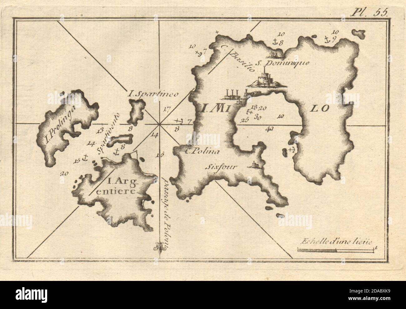 Milo Argentiere Prolinga. Milos Kimilos Poliegos Cyclades Greece ROUX 1804 map Stock Photohttps://www.alamy.com/image-license-details/?v=1https://www.alamy.com/milo-argentiere-prolinga-milos-kimilos-poliegos-cyclades-greece-roux-1804-map-image385037053.html
RF2DABXK9–Milo Argentiere Prolinga. Milos Kimilos Poliegos Cyclades Greece ROUX 1804 map
 Milos map. Blank vector map of the Island. Borders of Milos for your infographic. Vector illustration. Stock Vectorhttps://www.alamy.com/image-license-details/?v=1https://www.alamy.com/milos-map-blank-vector-map-of-the-island-borders-of-milos-for-your-infographic-vector-illustration-image573067790.html
RF2T89DPP–Milos map. Blank vector map of the Island. Borders of Milos for your infographic. Vector illustration.
 Milos Bore, Menzies, AU, Australia, Western Australia, S 28 51' 48'', N 119 52' 14'', map, Cartascapes Map published in 2024. Explore Cartascapes, a map revealing Earth's diverse landscapes, cultures, and ecosystems. Journey through time and space, discovering the interconnectedness of our planet's past, present, and future. Stock Photohttps://www.alamy.com/image-license-details/?v=1https://www.alamy.com/milos-bore-menzies-au-australia-western-australia-s-28-51-48-n-119-52-14-map-cartascapes-map-published-in-2024-explore-cartascapes-a-map-revealing-earths-diverse-landscapes-cultures-and-ecosystems-journey-through-time-and-space-discovering-the-interconnectedness-of-our-planets-past-present-and-future-image625807990.html
RM2YA40DA–Milos Bore, Menzies, AU, Australia, Western Australia, S 28 51' 48'', N 119 52' 14'', map, Cartascapes Map published in 2024. Explore Cartascapes, a map revealing Earth's diverse landscapes, cultures, and ecosystems. Journey through time and space, discovering the interconnectedness of our planet's past, present, and future.
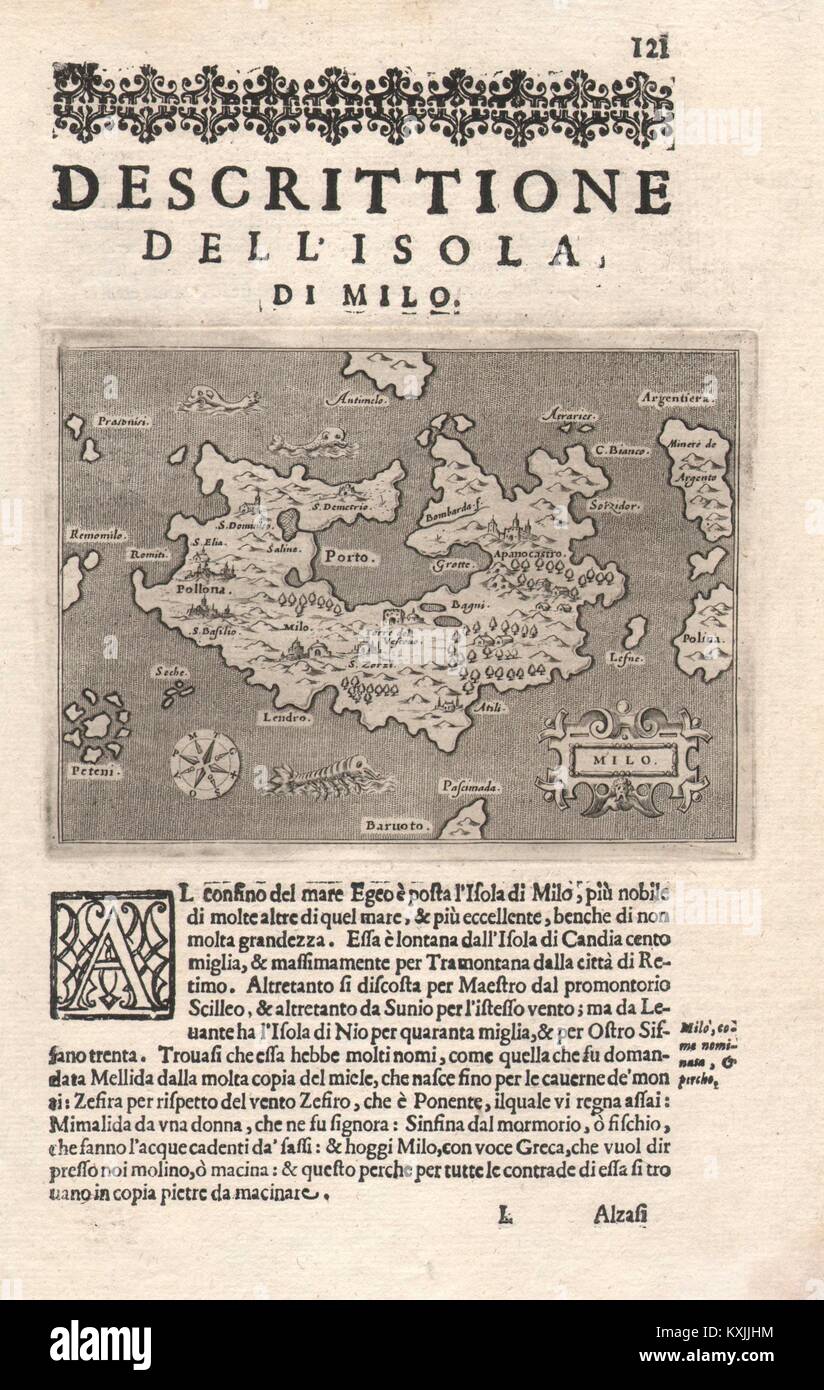 'Descrittione dell' Isola di Milo'. PORCACCHI. Milos Cyclades Greece 1620 map Stock Photohttps://www.alamy.com/image-license-details/?v=1https://www.alamy.com/stock-photo-descrittione-dell-isola-di-milo-porcacchi-milos-cyclades-greece-1620-171284112.html
RFKXJJHM–'Descrittione dell' Isola di Milo'. PORCACCHI. Milos Cyclades Greece 1620 map
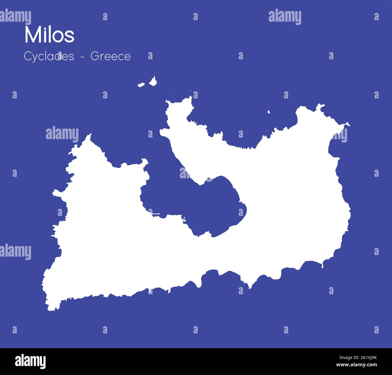 An isometric map of Milos is an island in the Dodecanese archipelago, Greece Stock Vectorhttps://www.alamy.com/image-license-details/?v=1https://www.alamy.com/an-isometric-map-of-milos-is-an-island-in-the-dodecanese-archipelago-greece-image482651055.html
RF2K16J9K–An isometric map of Milos is an island in the Dodecanese archipelago, Greece
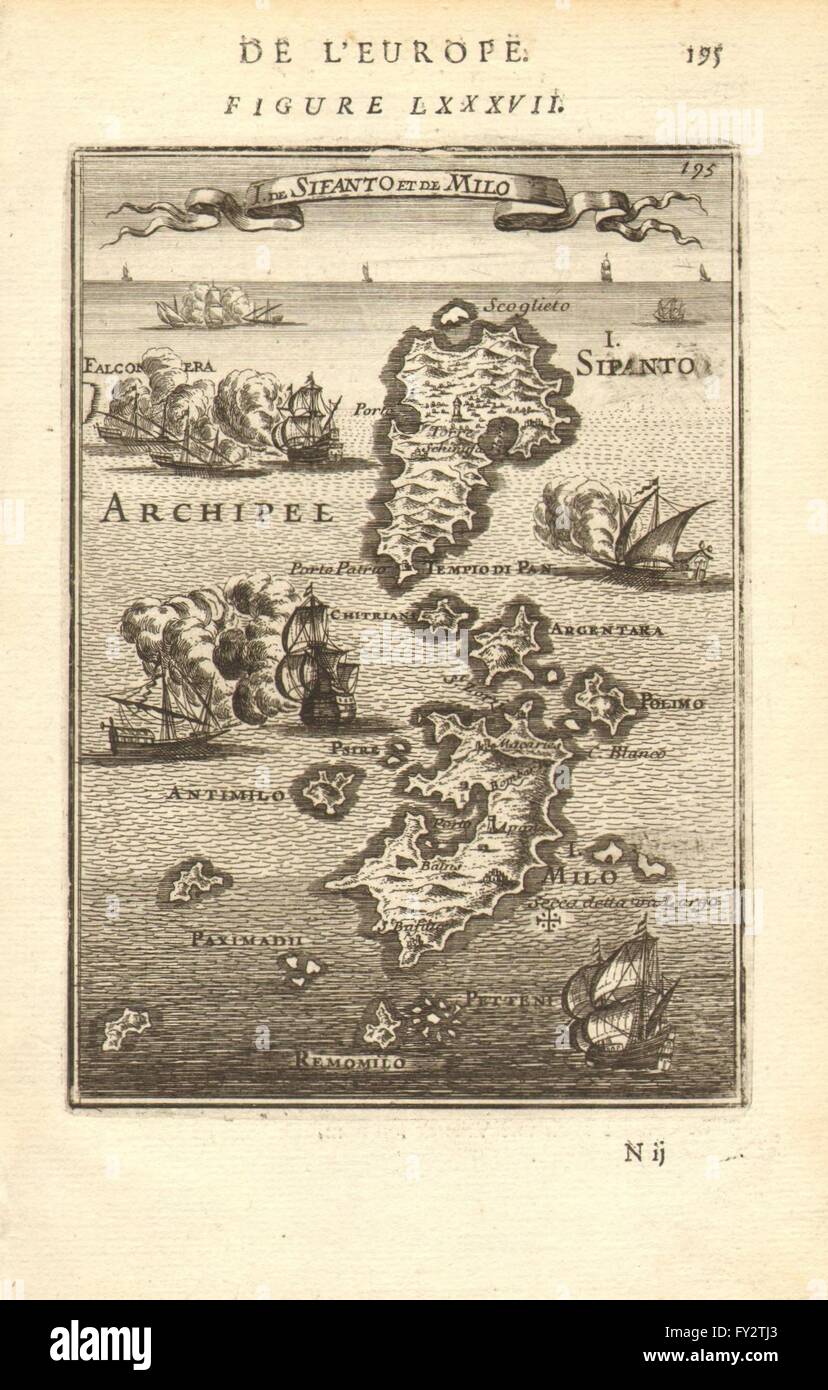 CYCLADES: Sifnos Milos Antimilos Kimilos Polyaigos.Aegean. MALLET, 1683 map Stock Photohttps://www.alamy.com/image-license-details/?v=1https://www.alamy.com/stock-photo-cyclades-sifnos-milos-antimilos-kimilos-polyaigosaegean-mallet-1683-102710779.html
RFFY2TJ3–CYCLADES: Sifnos Milos Antimilos Kimilos Polyaigos.Aegean. MALLET, 1683 map
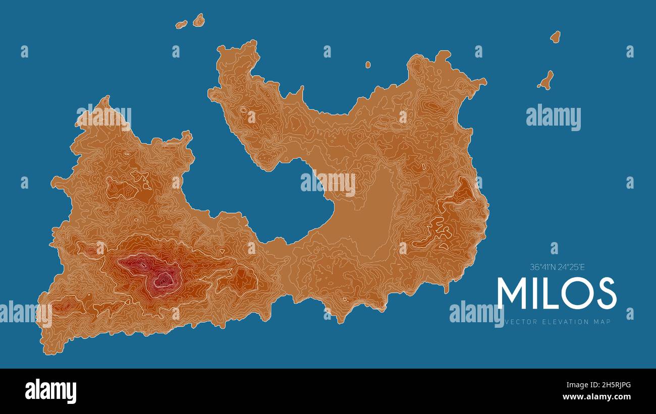 Topographic map of Milos, Greece. Vector detailed elevation map of island. Geographic elegant landscape outline poster. Stock Vectorhttps://www.alamy.com/image-license-details/?v=1https://www.alamy.com/topographic-map-of-milos-greece-vector-detailed-elevation-map-of-island-geographic-elegant-landscape-outline-poster-image451062488.html
RF2H5RJPG–Topographic map of Milos, Greece. Vector detailed elevation map of island. Geographic elegant landscape outline poster.
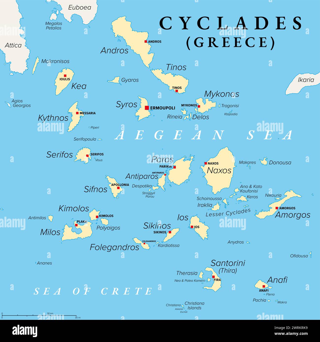 Cyclades, group of Greek islands in the Aegean Sea, political map. Southeast of mainland Greece. Stock Photohttps://www.alamy.com/image-license-details/?v=1https://www.alamy.com/cyclades-group-of-greek-islands-in-the-aegean-sea-political-map-southeast-of-mainland-greece-image599725261.html
RF2WRKRK9–Cyclades, group of Greek islands in the Aegean Sea, political map. Southeast of mainland Greece.
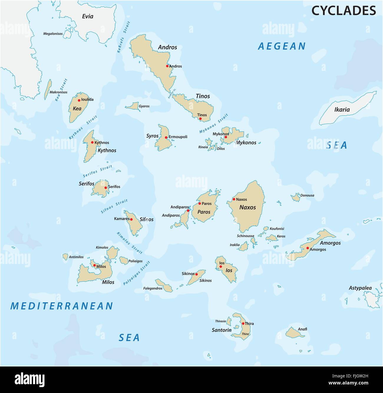 map of the greek cyclades Iceland group Stock Vectorhttps://www.alamy.com/image-license-details/?v=1https://www.alamy.com/stock-photo-map-of-the-greek-cyclades-iceland-group-97486553.html
RFFJGW2H–map of the greek cyclades Iceland group
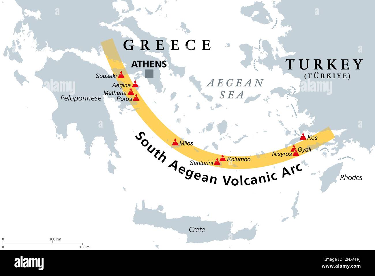 South Aegean Volcanic Arc map. Chain of volcanoes formed by plate tectonics, caused by subduction of the African beneath the Eurasian plate. Stock Photohttps://www.alamy.com/image-license-details/?v=1https://www.alamy.com/south-aegean-volcanic-arc-map-chain-of-volcanoes-formed-by-plate-tectonics-caused-by-subduction-of-the-african-beneath-the-eurasian-plate-image532392326.html
RF2NX4FRJ–South Aegean Volcanic Arc map. Chain of volcanoes formed by plate tectonics, caused by subduction of the African beneath the Eurasian plate.
 Map of Milos Bordone Benedetto 1547 Stock Photohttps://www.alamy.com/image-license-details/?v=1https://www.alamy.com/stock-photo-map-of-milos-bordone-benedetto-1547-140206114.html
RMJ42X96–Map of Milos Bordone Benedetto 1547
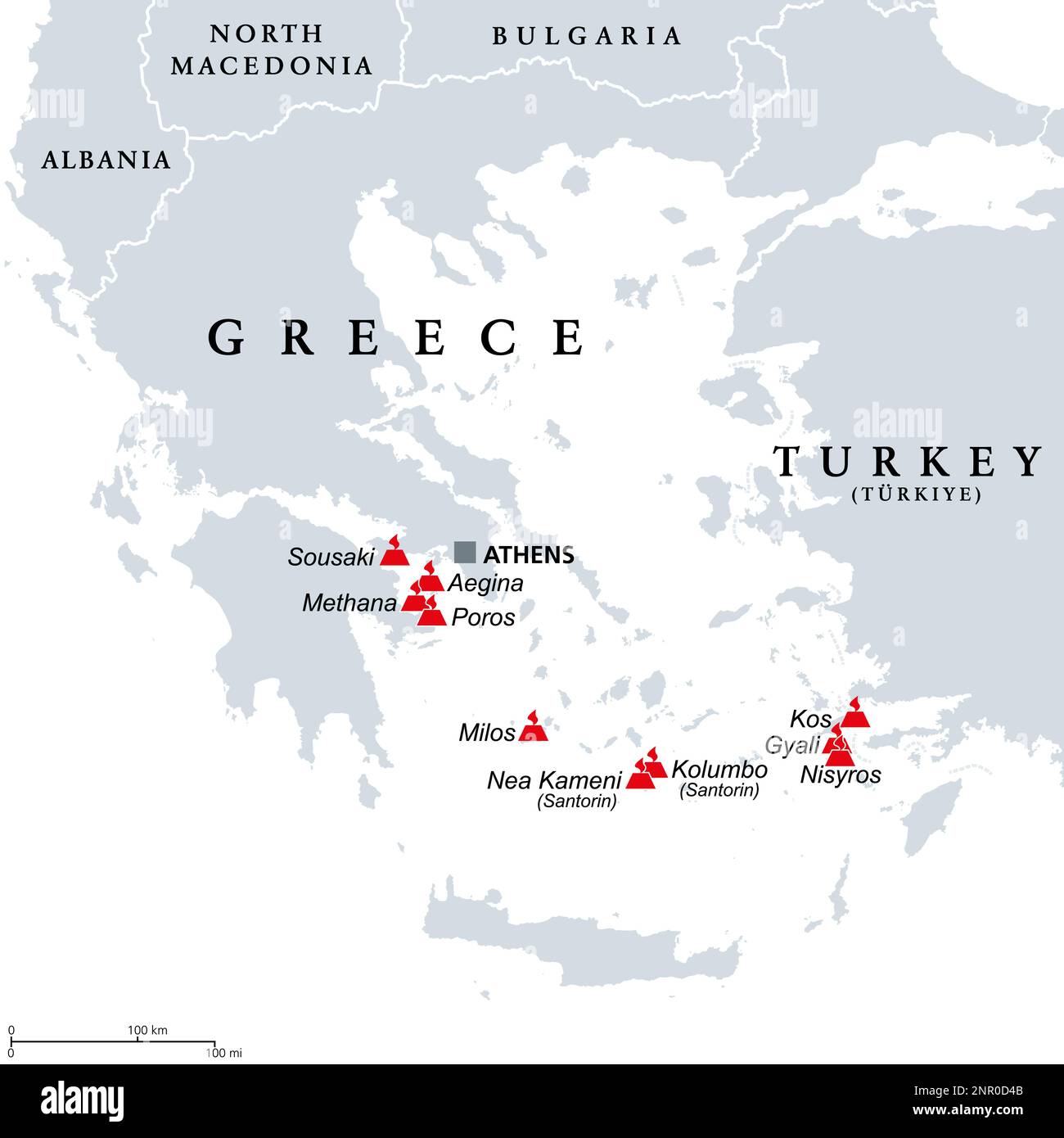 Greece, active and extinct volcanoes in the Aegean Sea region, political map. The latest eruption occured on the Greek island Santorini. Stock Photohttps://www.alamy.com/image-license-details/?v=1https://www.alamy.com/greece-active-and-extinct-volcanoes-in-the-aegean-sea-region-political-map-the-latest-eruption-occured-on-the-greek-island-santorini-image530458443.html
RF2NR0D4B–Greece, active and extinct volcanoes in the Aegean Sea region, political map. The latest eruption occured on the Greek island Santorini.
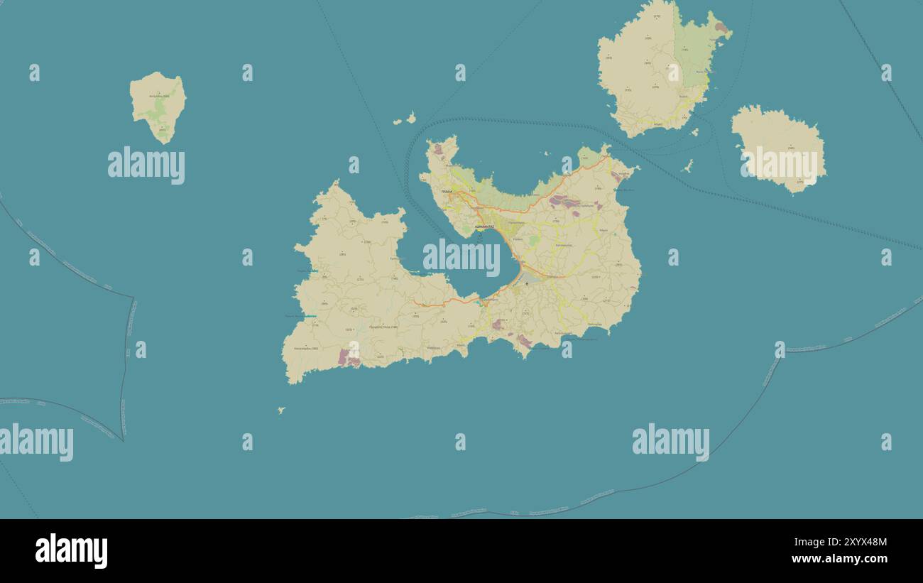 Milos Island in the Aegean Sea on a topographic, OSM Humanitarian style map Stock Photohttps://www.alamy.com/image-license-details/?v=1https://www.alamy.com/milos-island-in-the-aegean-sea-on-a-topographic-osm-humanitarian-style-map-image619532724.html
RF2XYX48M–Milos Island in the Aegean Sea on a topographic, OSM Humanitarian style map
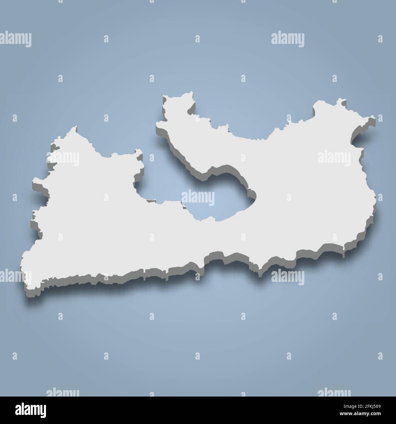 3d isometric map of Milos is an island in Greece, isolated vector illustration Stock Vectorhttps://www.alamy.com/image-license-details/?v=1https://www.alamy.com/3d-isometric-map-of-milos-is-an-island-in-greece-isolated-vector-illustration-image425126585.html
RF2FKJ589–3d isometric map of Milos is an island in Greece, isolated vector illustration
 393 Map of Milos - Bordone Benedetto - 1547 Stock Photohttps://www.alamy.com/image-license-details/?v=1https://www.alamy.com/393-map-of-milos-bordone-benedetto-1547-image213947472.html
RMPC2454–393 Map of Milos - Bordone Benedetto - 1547
 Cerný Petr Black Peter Year : 1964 Czechoslovakia Director : Milos Forman Ladislav Jakim Stock Photohttps://www.alamy.com/image-license-details/?v=1https://www.alamy.com/cern-petr-black-peter-year-1964-czechoslovakia-director-milos-forman-ladislav-jakim-image210735450.html
RMP6RR62–Cerný Petr Black Peter Year : 1964 Czechoslovakia Director : Milos Forman Ladislav Jakim
 Map of Milos Bordone Benedetto 1547 Stock Photohttps://www.alamy.com/image-license-details/?v=1https://www.alamy.com/stock-photo-map-of-milos-bordone-benedetto-1547-132511697.html
RMHKGC0H–Map of Milos Bordone Benedetto 1547
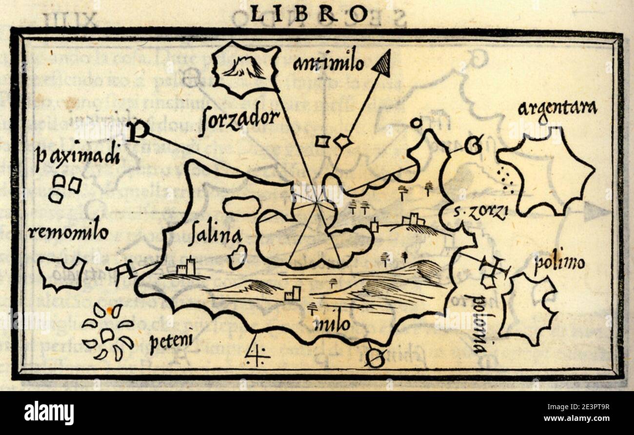 Map of Milos - Bordone Benedetto - 1547. Stock Photohttps://www.alamy.com/image-license-details/?v=1https://www.alamy.com/map-of-milos-bordone-benedetto-1547-image398184467.html
RM2E3PT9R–Map of Milos - Bordone Benedetto - 1547.
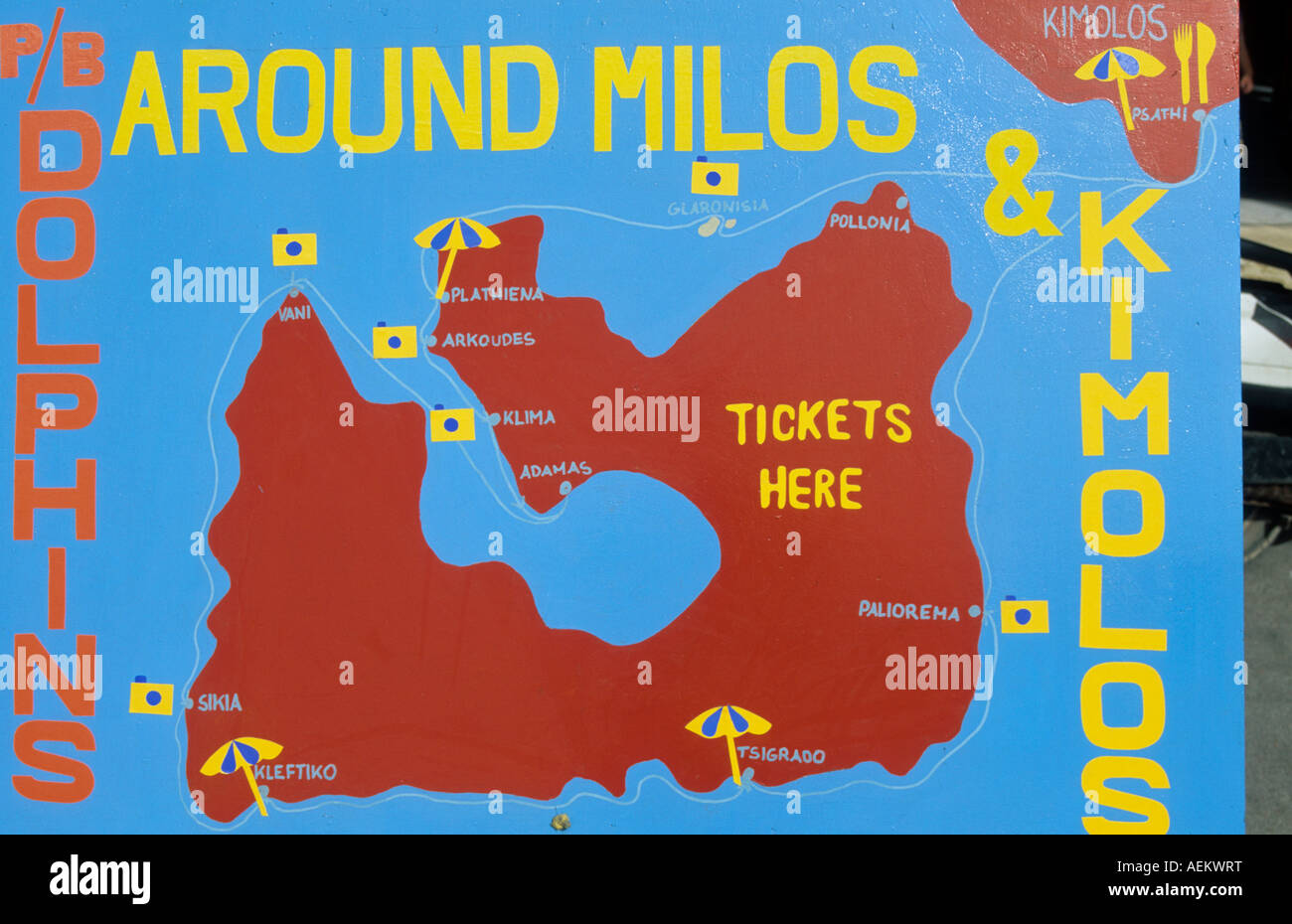 europe greece western cyclades islands milos a sign with a map of the island Stock Photohttps://www.alamy.com/image-license-details/?v=1https://www.alamy.com/stock-photo-europe-greece-western-cyclades-islands-milos-a-sign-with-a-map-of-13709867.html
RMAEKWRT–europe greece western cyclades islands milos a sign with a map of the island
 Cyclades, group of Greek islands in the Aegean Sea, gray political map. Southeast of mainland Greece. Stock Photohttps://www.alamy.com/image-license-details/?v=1https://www.alamy.com/cyclades-group-of-greek-islands-in-the-aegean-sea-gray-political-map-southeast-of-mainland-greece-image604678374.html
RF2X3NDC6–Cyclades, group of Greek islands in the Aegean Sea, gray political map. Southeast of mainland Greece.
 Milos map filled with concentric circles. Sketch style circles in shape of the island. Vector Illustration. Stock Vectorhttps://www.alamy.com/image-license-details/?v=1https://www.alamy.com/milos-map-filled-with-concentric-circles-sketch-style-circles-in-shape-of-the-island-vector-illustration-image559143082.html
RF2RDK4KP–Milos map filled with concentric circles. Sketch style circles in shape of the island. Vector Illustration.
 Milos, Nomós Kykládon, Greece, South Aegean, N 36 44' 43'', E 24 25' 35'', map, Timeless Map published in 2021. Travelers, explorers and adventurers like Florence Nightingale, David Livingstone, Ernest Shackleton, Lewis and Clark and Sherlock Holmes relied on maps to plan travels to the world's most remote corners, Timeless Maps is mapping most locations on the globe, showing the achievement of great dreams Stock Photohttps://www.alamy.com/image-license-details/?v=1https://www.alamy.com/milos-noms-kykldon-greece-south-aegean-n-36-44-43-e-24-25-35-map-timeless-map-published-in-2021-travelers-explorers-and-adventurers-like-florence-nightingale-david-livingstone-ernest-shackleton-lewis-and-clark-and-sherlock-holmes-relied-on-maps-to-plan-travels-to-the-worlds-most-remote-corners-timeless-maps-is-mapping-most-locations-on-the-globe-showing-the-achievement-of-great-dreams-image457949040.html
RM2HH1AJT–Milos, Nomós Kykládon, Greece, South Aegean, N 36 44' 43'', E 24 25' 35'', map, Timeless Map published in 2021. Travelers, explorers and adventurers like Florence Nightingale, David Livingstone, Ernest Shackleton, Lewis and Clark and Sherlock Holmes relied on maps to plan travels to the world's most remote corners, Timeless Maps is mapping most locations on the globe, showing the achievement of great dreams
 Prague, Czech Republic. 11th December, 2014. Presidents from left Heinz Fischer (Austria), Milos Zeman (Czech Republic) and Borut Pahor (Slovenia) watch the giant map during an opening of the exhibition 'Completion of the Danube-Oder-Elbe Water Corridor as a part of the transport network V4' during two-day Summit of the Visegrad Group and Austria and Slovenia at Prague Castle, Czech Republic, on December 11, 2014. (CTK Photo/Michal Kamaryt) Credit: CTK/Alamy Live News Stock Photohttps://www.alamy.com/image-license-details/?v=1https://www.alamy.com/stock-photo-prague-czech-republic-11th-december-2014-presidents-from-left-heinz-76505840.html
RMECD3YC–Prague, Czech Republic. 11th December, 2014. Presidents from left Heinz Fischer (Austria), Milos Zeman (Czech Republic) and Borut Pahor (Slovenia) watch the giant map during an opening of the exhibition 'Completion of the Danube-Oder-Elbe Water Corridor as a part of the transport network V4' during two-day Summit of the Visegrad Group and Austria and Slovenia at Prague Castle, Czech Republic, on December 11, 2014. (CTK Photo/Michal Kamaryt) Credit: CTK/Alamy Live News
 Marie-Gabriel-Florent-Auguste Choiseul-Gouffier (An der Entstehung Beteiligte r) View and map of the port of Milos. Etching, copper engraving 1782 , 1782 Stock Photohttps://www.alamy.com/image-license-details/?v=1https://www.alamy.com/marie-gabriel-florent-auguste-choiseul-gouffier-an-der-entstehung-beteiligte-r-view-and-map-of-the-port-of-milos-etching-copper-engraving-1782-1782-image572949481.html
RM2T842WD–Marie-Gabriel-Florent-Auguste Choiseul-Gouffier (An der Entstehung Beteiligte r) View and map of the port of Milos. Etching, copper engraving 1782 , 1782
 CANDIA/CRETE CYCLADES:Milos Santorini Astypalaia Anafi Sikinos.MALLET, 1683 map Stock Photohttps://www.alamy.com/image-license-details/?v=1https://www.alamy.com/stock-photo-candiacrete-cycladesmilos-santorini-astypalaia-anafi-sikinosmallet-102710782.html
RFFY2TJ6–CANDIA/CRETE CYCLADES:Milos Santorini Astypalaia Anafi Sikinos.MALLET, 1683 map
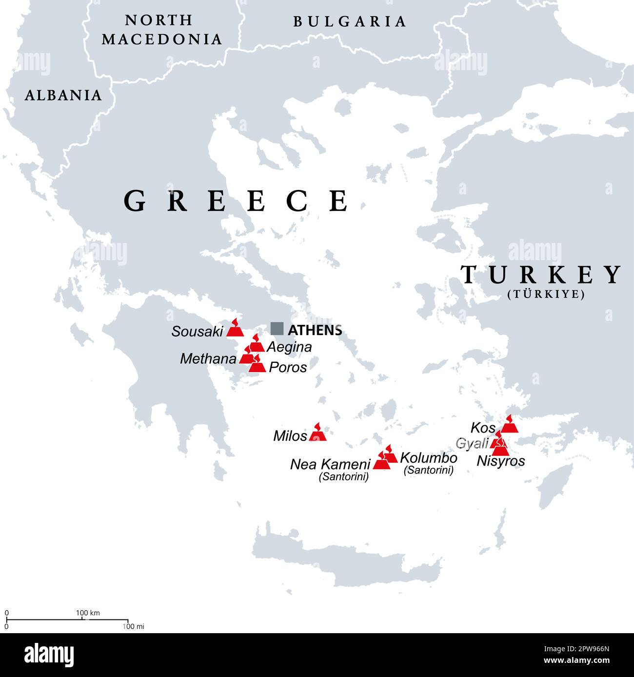 Greece, active and extinct volcanoes in the Aegean Sea region, map Stock Vectorhttps://www.alamy.com/image-license-details/?v=1https://www.alamy.com/greece-active-and-extinct-volcanoes-in-the-aegean-sea-region-map-image549090269.html
RF2PW966N–Greece, active and extinct volcanoes in the Aegean Sea region, map
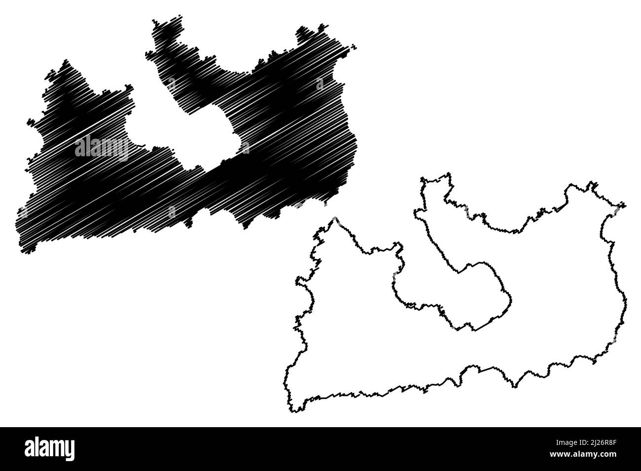 Milos island (Hellenic Republic, Greece, Aegean Sea) map vector illustration, scribble sketch Melos map Stock Vectorhttps://www.alamy.com/image-license-details/?v=1https://www.alamy.com/milos-island-hellenic-republic-greece-aegean-sea-map-vector-illustration-scribble-sketch-melos-map-image466059231.html
RF2J26R8F–Milos island (Hellenic Republic, Greece, Aegean Sea) map vector illustration, scribble sketch Melos map
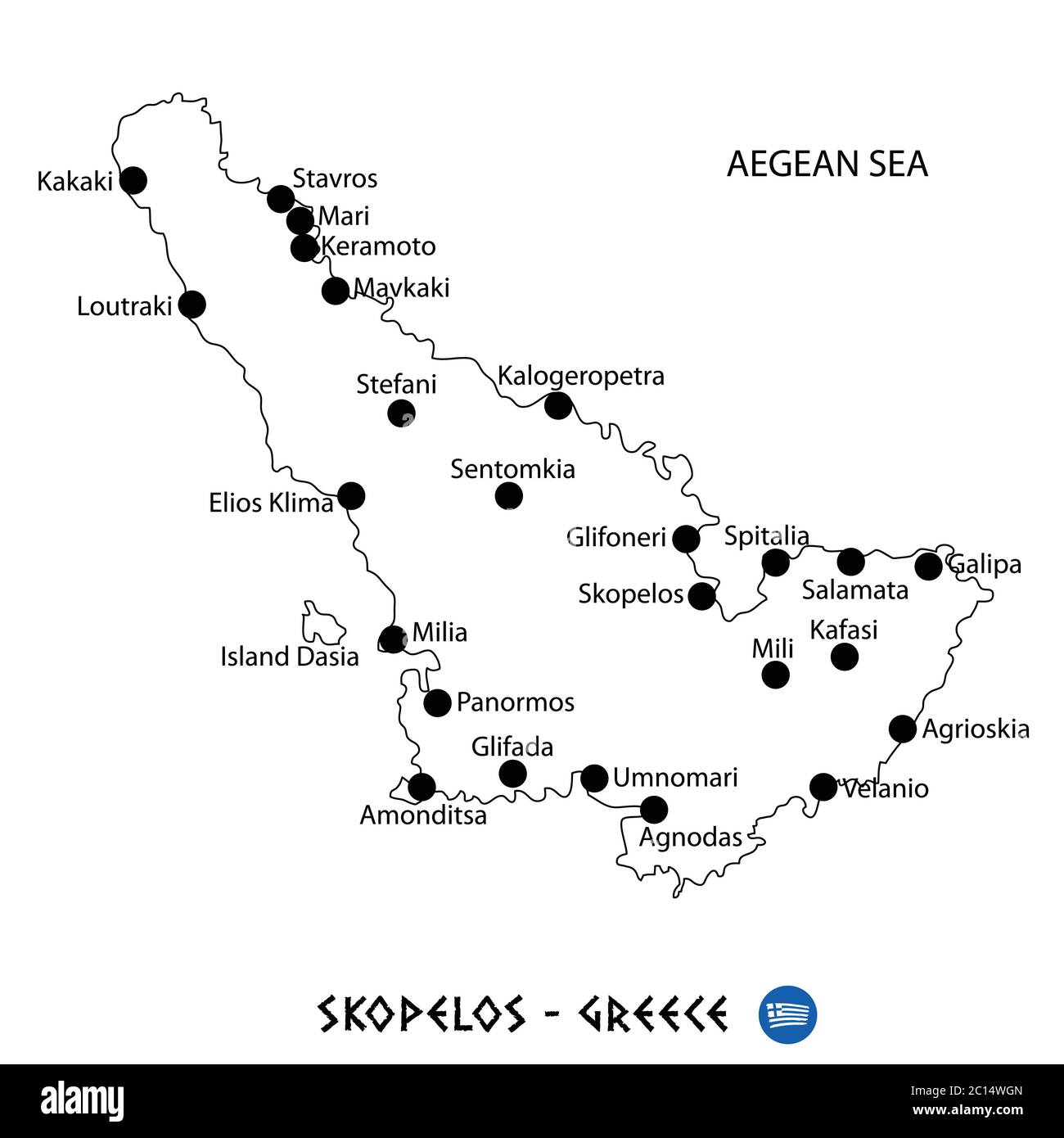 Island of Skopelos in Greece map art on white background Stock Vectorhttps://www.alamy.com/image-license-details/?v=1https://www.alamy.com/island-of-skopelos-in-greece-map-art-on-white-background-image362140261.html
RF2C14WGN–Island of Skopelos in Greece map art on white background
 . Bulletin of the British Ornithologists' Club. Cr V/s/Gfa !07/1 C402.3 ' Meridionolis i08.3 !C5. r:.^^i^03.8 ^^ A 1021 gf'o^ ^02 102' ^ Map 1. Eastern Mediterranean showing the ranges of the subspecies recognized, ? designates areas from which no specimens have apparently been collected; type localities of named populations mentioned in text are designated by the same letters as in Table 2; locations of two 'soil races" (• Drama and A> Milos); and the mean wing length of males in millimeters. the specimens available were collected in late May and June and are very worn. The bills, ho Stock Photohttps://www.alamy.com/image-license-details/?v=1https://www.alamy.com/bulletin-of-the-british-ornithologists-club-cr-vsgfa-!071-c4023-meridionolis-i083-!c5-ri038-a-1021-gfo-02-102-map-1-eastern-mediterranean-showing-the-ranges-of-the-subspecies-recognized-designates-areas-from-which-no-specimens-have-apparently-been-collected-type-localities-of-named-populations-mentioned-in-text-are-designated-by-the-same-letters-as-in-table-2-locations-of-two-soil-racesquot-drama-and-agt-milos-and-the-mean-wing-length-of-males-in-millimeters-the-specimens-available-were-collected-in-late-may-and-june-and-are-very-worn-the-bills-ho-image233970127.html
RMRGJ77Y–. Bulletin of the British Ornithologists' Club. Cr V/s/Gfa !07/1 C402.3 ' Meridionolis i08.3 !C5. r:.^^i^03.8 ^^ A 1021 gf'o^ ^02 102' ^ Map 1. Eastern Mediterranean showing the ranges of the subspecies recognized, ? designates areas from which no specimens have apparently been collected; type localities of named populations mentioned in text are designated by the same letters as in Table 2; locations of two 'soil races" (• Drama and A> Milos); and the mean wing length of males in millimeters. the specimens available were collected in late May and June and are very worn. The bills, ho
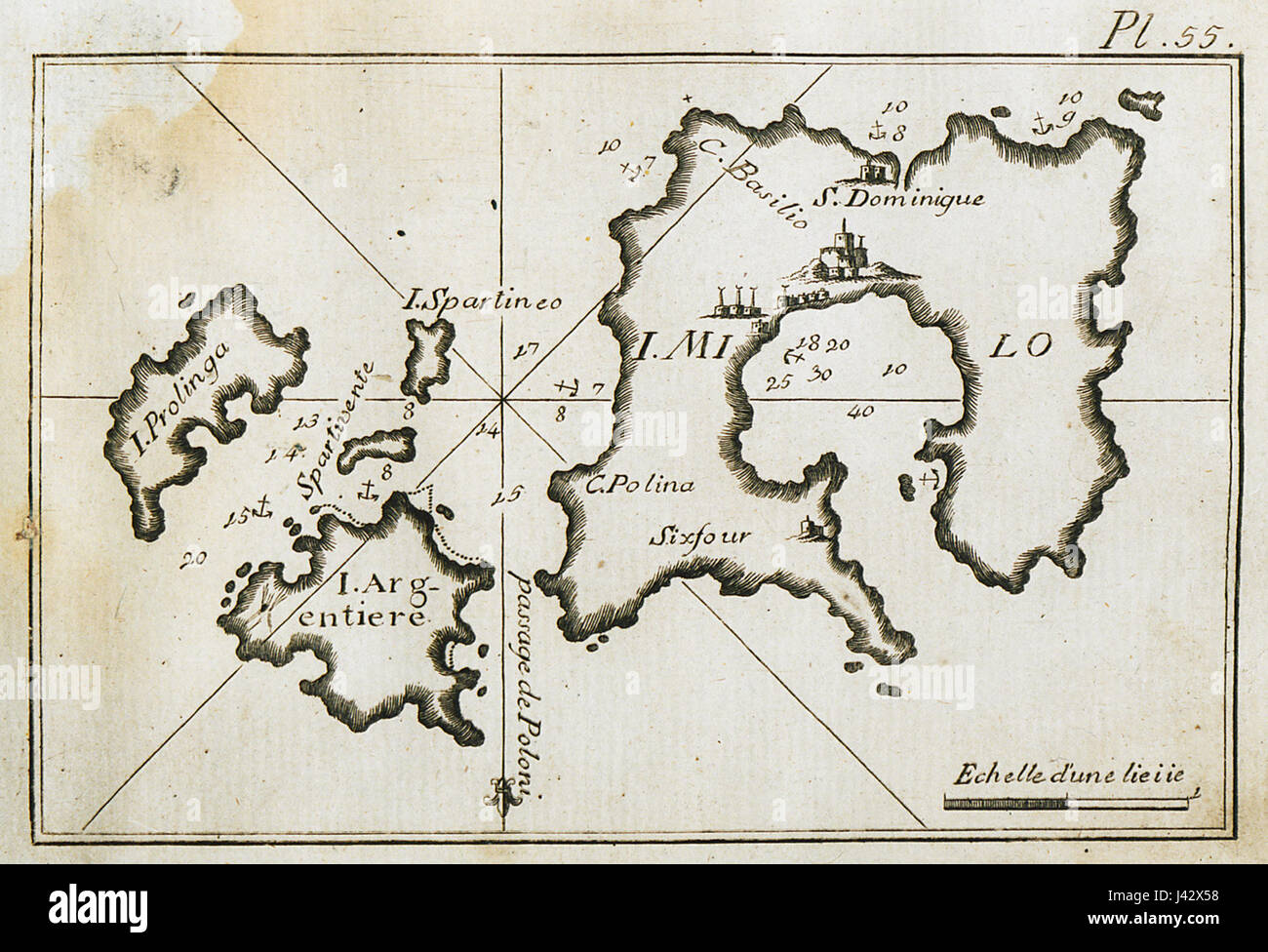 Map of Milos and surrounding islands, charting the port of Milos and the port waters Roux Joseph 1804 Stock Photohttps://www.alamy.com/image-license-details/?v=1https://www.alamy.com/stock-photo-map-of-milos-and-surrounding-islands-charting-the-port-of-milos-and-140206004.html
RMJ42X58–Map of Milos and surrounding islands, charting the port of Milos and the port waters Roux Joseph 1804
RFT824DN–100 world examination icons set, flat style
 Milos Island in the Aegean Sea, belonging to Greece, cropped to square on a bilevel elevation map Stock Photohttps://www.alamy.com/image-license-details/?v=1https://www.alamy.com/milos-island-in-the-aegean-sea-belonging-to-greece-cropped-to-square-on-a-bilevel-elevation-map-image620369972.html
RF2Y1886C–Milos Island in the Aegean Sea, belonging to Greece, cropped to square on a bilevel elevation map
 166 Map of Milos - Bordone Benedetto - 1547 Stock Photohttps://www.alamy.com/image-license-details/?v=1https://www.alamy.com/166-map-of-milos-bordone-benedetto-1547-image212876156.html
RMPA99KT–166 Map of Milos - Bordone Benedetto - 1547
 Cerný Petr Black Peter Year : 1964 Czechoslovakia Director : Milos Forman Ladislav Jakim, Pavla Martinkova Stock Photohttps://www.alamy.com/image-license-details/?v=1https://www.alamy.com/cern-petr-black-peter-year-1964-czechoslovakia-director-milos-forman-ladislav-jakim-pavla-martinkova-image210735449.html
RMP6RR61–Cerný Petr Black Peter Year : 1964 Czechoslovakia Director : Milos Forman Ladislav Jakim, Pavla Martinkova
 Map of Milos and surrounding islands, charting the port of Milos and the port waters Roux Joseph 1804 Stock Photohttps://www.alamy.com/image-license-details/?v=1https://www.alamy.com/stock-photo-map-of-milos-and-surrounding-islands-charting-the-port-of-milos-and-132511144.html
RMHKGB8T–Map of Milos and surrounding islands, charting the port of Milos and the port waters Roux Joseph 1804
 Map of Milos and surrounding islands, charting the port of Milos and the port waters - Roux Joseph - 1804. Stock Photohttps://www.alamy.com/image-license-details/?v=1https://www.alamy.com/map-of-milos-and-surrounding-islands-charting-the-port-of-milos-and-the-port-waters-roux-joseph-1804-image398184482.html
RM2E3PTAA–Map of Milos and surrounding islands, charting the port of Milos and the port waters - Roux Joseph - 1804.
 Milos map. Map of Milos in dotted style. Borders of the island filled with rectangles for your design. Vector illustration. Stock Vectorhttps://www.alamy.com/image-license-details/?v=1https://www.alamy.com/milos-map-map-of-milos-in-dotted-style-borders-of-the-island-filled-with-rectangles-for-your-design-vector-illustration-image561630425.html
RF2RHMD9D–Milos map. Map of Milos in dotted style. Borders of the island filled with rectangles for your design. Vector illustration.
 Mílos Kostianoú, Heraklion Regional Unit, Greece, Crete, N 35 1' 59'', E 25 22' 59'', map, Timeless Map published in 2021. Travelers, explorers and adventurers like Florence Nightingale, David Livingstone, Ernest Shackleton, Lewis and Clark and Sherlock Holmes relied on maps to plan travels to the world's most remote corners, Timeless Maps is mapping most locations on the globe, showing the achievement of great dreams Stock Photohttps://www.alamy.com/image-license-details/?v=1https://www.alamy.com/mlos-kostiano-heraklion-regional-unit-greece-crete-n-35-1-59-e-25-22-59-map-timeless-map-published-in-2021-travelers-explorers-and-adventurers-like-florence-nightingale-david-livingstone-ernest-shackleton-lewis-and-clark-and-sherlock-holmes-relied-on-maps-to-plan-travels-to-the-worlds-most-remote-corners-timeless-maps-is-mapping-most-locations-on-the-globe-showing-the-achievement-of-great-dreams-image457949020.html
RM2HH1AJ4–Mílos Kostianoú, Heraklion Regional Unit, Greece, Crete, N 35 1' 59'', E 25 22' 59'', map, Timeless Map published in 2021. Travelers, explorers and adventurers like Florence Nightingale, David Livingstone, Ernest Shackleton, Lewis and Clark and Sherlock Holmes relied on maps to plan travels to the world's most remote corners, Timeless Maps is mapping most locations on the globe, showing the achievement of great dreams
 CANDIA/CRETE & CYCLADES: Milos Sifnos Astypalaia. Aegean. MALLET, 1683 old map Stock Photohttps://www.alamy.com/image-license-details/?v=1https://www.alamy.com/stock-photo-candiacrete-cyclades-milos-sifnos-astypalaia-aegean-mallet-1683-old-102710780.html
RFFY2TJ4–CANDIA/CRETE & CYCLADES: Milos Sifnos Astypalaia. Aegean. MALLET, 1683 old map
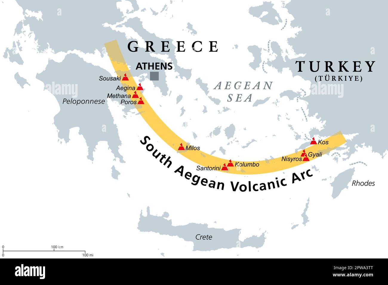 South Aegean Volcanic Arc map, chain of volcanoes formed by plate tectonics Stock Vectorhttps://www.alamy.com/image-license-details/?v=1https://www.alamy.com/south-aegean-volcanic-arc-map-chain-of-volcanoes-formed-by-plate-tectonics-image549110376.html
RF2PWA3TT–South Aegean Volcanic Arc map, chain of volcanoes formed by plate tectonics
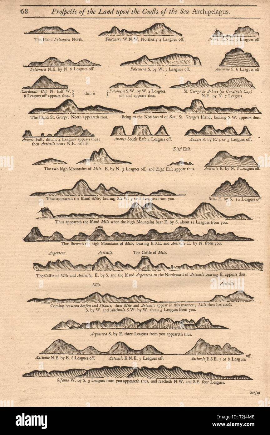 Greek islands coast profiles Milos Kimilos Serifos Zia &c. MOUNT & PAGE 1747 map Stock Photohttps://www.alamy.com/image-license-details/?v=1https://www.alamy.com/greek-islands-coast-profiles-milos-kimilos-serifos-zia-c-mount-page-1747-map-image242573310.html
RFT2J4ME–Greek islands coast profiles Milos Kimilos Serifos Zia &c. MOUNT & PAGE 1747 map
 Milos island (Hellenic Republic, Greece, Aegean Sea) map vector illustration, scribble sketch Melos map Stock Vectorhttps://www.alamy.com/image-license-details/?v=1https://www.alamy.com/milos-island-hellenic-republic-greece-aegean-sea-map-vector-illustration-scribble-sketch-melos-map-image457032058.html
RF2HFFH1E–Milos island (Hellenic Republic, Greece, Aegean Sea) map vector illustration, scribble sketch Melos map
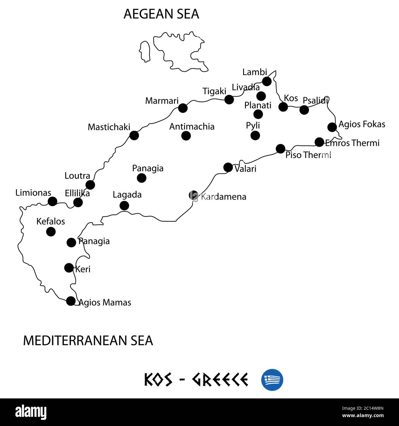 Island of Kos in Greece map art on white background Stock Vectorhttps://www.alamy.com/image-license-details/?v=1https://www.alamy.com/island-of-kos-in-greece-map-art-on-white-background-image362140037.html
RF2C14W8N–Island of Kos in Greece map art on white background
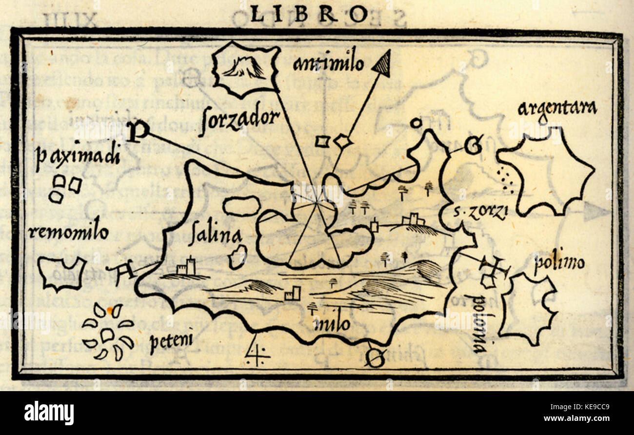 Map of Milos Bordone Benedetto 1547 Stock Photohttps://www.alamy.com/image-license-details/?v=1https://www.alamy.com/stock-image-map-of-milos-bordone-benedetto-1547-163705817.html
RMKE9CC9–Map of Milos Bordone Benedetto 1547
RFK2XPMN–100 world examination icons set, flat style
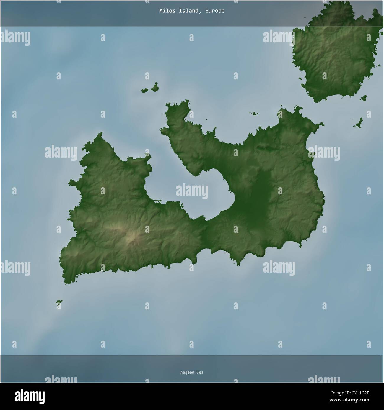 Milos Island in the Aegean Sea, belonging to Greece, cropped to square on a colored elevation map Stock Photohttps://www.alamy.com/image-license-details/?v=1https://www.alamy.com/milos-island-in-the-aegean-sea-belonging-to-greece-cropped-to-square-on-a-colored-elevation-map-image620222470.html
RF2Y11G2E–Milos Island in the Aegean Sea, belonging to Greece, cropped to square on a colored elevation map
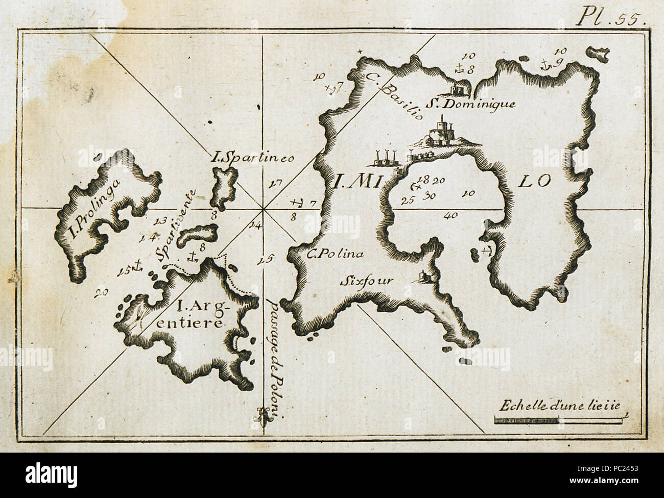 393 Map of Milos and surrounding islands, charting the port of Milos and the port waters - Roux Joseph - 1804 Stock Photohttps://www.alamy.com/image-license-details/?v=1https://www.alamy.com/393-map-of-milos-and-surrounding-islands-charting-the-port-of-milos-and-the-port-waters-roux-joseph-1804-image213947471.html
RMPC2453–393 Map of Milos and surrounding islands, charting the port of Milos and the port waters - Roux Joseph - 1804
 [Milos Ristic from the Monte Carlo Russian Ballet, sitting on 33845759772 o Stock Photohttps://www.alamy.com/image-license-details/?v=1https://www.alamy.com/stock-photo-milos-ristic-from-the-monte-carlo-russian-ballet-sitting-on-33845759772-147111476.html
RMJF9E58–[Milos Ristic from the Monte Carlo Russian Ballet, sitting on 33845759772 o
 Milos map. Collection of map of Milos in dotted style. Borders of the island filled with rectangles for your design. Vector illustration. Stock Vectorhttps://www.alamy.com/image-license-details/?v=1https://www.alamy.com/milos-map-collection-of-map-of-milos-in-dotted-style-borders-of-the-island-filled-with-rectangles-for-your-design-vector-illustration-image553515808.html
RF2R4ER1M–Milos map. Collection of map of Milos in dotted style. Borders of the island filled with rectangles for your design. Vector illustration.
 Milos island (Hellenic Republic, Greece, Aegean Sea) map vector illustration, scribble sketch Melos map Stock Vectorhttps://www.alamy.com/image-license-details/?v=1https://www.alamy.com/milos-island-hellenic-republic-greece-aegean-sea-map-vector-illustration-scribble-sketch-melos-map-image474591576.html
RF2JG3EB4–Milos island (Hellenic Republic, Greece, Aegean Sea) map vector illustration, scribble sketch Melos map
 Island of Thassos in Greece map art on white background Stock Vectorhttps://www.alamy.com/image-license-details/?v=1https://www.alamy.com/island-of-thassos-in-greece-map-art-on-white-background-image362140050.html
RF2C14W96–Island of Thassos in Greece map art on white background
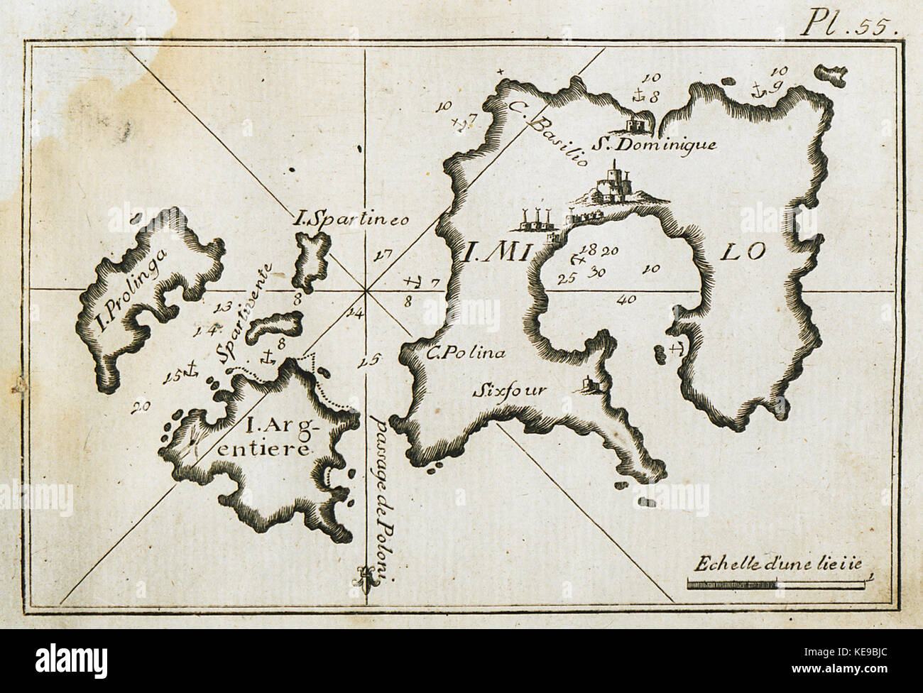 Map of Milos and surrounding islands, charting the port of Milos and the port waters Roux Joseph 1804 Stock Photohttps://www.alamy.com/image-license-details/?v=1https://www.alamy.com/stock-image-map-of-milos-and-surrounding-islands-charting-the-port-of-milos-and-163705204.html
RMKE9BJC–Map of Milos and surrounding islands, charting the port of Milos and the port waters Roux Joseph 1804
 Milos Island in the Aegean Sea, belonging to Greece, isolated on a bilevel elevation map, with distance scale Stock Photohttps://www.alamy.com/image-license-details/?v=1https://www.alamy.com/milos-island-in-the-aegean-sea-belonging-to-greece-isolated-on-a-bilevel-elevation-map-with-distance-scale-image619541237.html
RF2XYXF4N–Milos Island in the Aegean Sea, belonging to Greece, isolated on a bilevel elevation map, with distance scale
 166 Map of Milos and surrounding islands, charting the port of Milos and the port waters - Roux Joseph - 1804 Stock Photohttps://www.alamy.com/image-license-details/?v=1https://www.alamy.com/166-map-of-milos-and-surrounding-islands-charting-the-port-of-milos-and-the-port-waters-roux-joseph-1804-image212876157.html
RMPA99KW–166 Map of Milos and surrounding islands, charting the port of Milos and the port waters - Roux Joseph - 1804
 Milos map. Map of the island with beautiful geometric waves in red blue colors. Vivid Milos shape. Vector illustration. Stock Vectorhttps://www.alamy.com/image-license-details/?v=1https://www.alamy.com/milos-map-map-of-the-island-with-beautiful-geometric-waves-in-red-blue-colors-vivid-milos-shape-vector-illustration-image553525795.html
RF2R4F7PB–Milos map. Map of the island with beautiful geometric waves in red blue colors. Vivid Milos shape. Vector illustration.
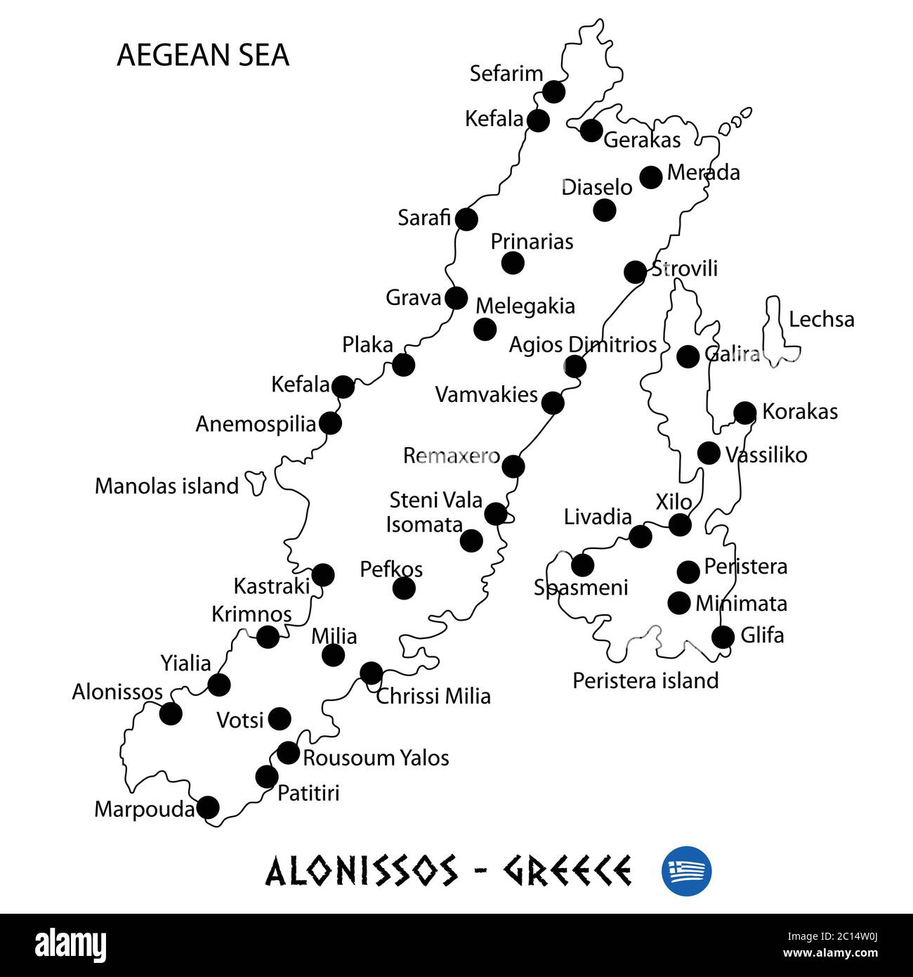 Island of Alonissos in Greece map art on white background Stock Vectorhttps://www.alamy.com/image-license-details/?v=1https://www.alamy.com/island-of-alonissos-in-greece-map-art-on-white-background-image362139810.html
RF2C14W0J–Island of Alonissos in Greece map art on white background
 Milos Obilic Medal Stock Photohttps://www.alamy.com/image-license-details/?v=1https://www.alamy.com/stock-photo-milos-obilic-medal-140294603.html
RMJ46Y5F–Milos Obilic Medal
 Milos Island in the Aegean Sea, belonging to Greece, cropped to square on a topographic, OSM Humanitarian style map Stock Photohttps://www.alamy.com/image-license-details/?v=1https://www.alamy.com/milos-island-in-the-aegean-sea-belonging-to-greece-cropped-to-square-on-a-topographic-osm-humanitarian-style-map-image620393281.html
RF2Y199XW–Milos Island in the Aegean Sea, belonging to Greece, cropped to square on a topographic, OSM Humanitarian style map
 Vector polygonal Milos map. Vibrant geometric island in low poly style. Stylish illustration for your infographics. Technology, internet, network conc Stock Vectorhttps://www.alamy.com/image-license-details/?v=1https://www.alamy.com/vector-polygonal-milos-map-vibrant-geometric-island-in-low-poly-style-stylish-illustration-for-your-infographics-technology-internet-network-conc-image553501677.html
RF2R4E511–Vector polygonal Milos map. Vibrant geometric island in low poly style. Stylish illustration for your infographics. Technology, internet, network conc
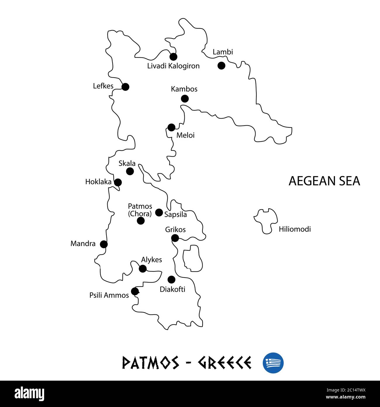 Island of Patmos in Greece map art on white background Stock Vectorhttps://www.alamy.com/image-license-details/?v=1https://www.alamy.com/island-of-patmos-in-greece-map-art-on-white-background-image362139734.html
RF2C14TWX–Island of Patmos in Greece map art on white background
 Prince Milos Obrenovic Stock Photohttps://www.alamy.com/image-license-details/?v=1https://www.alamy.com/stock-photo-prince-milos-obrenovic-140364825.html
RMJ4A4ND–Prince Milos Obrenovic
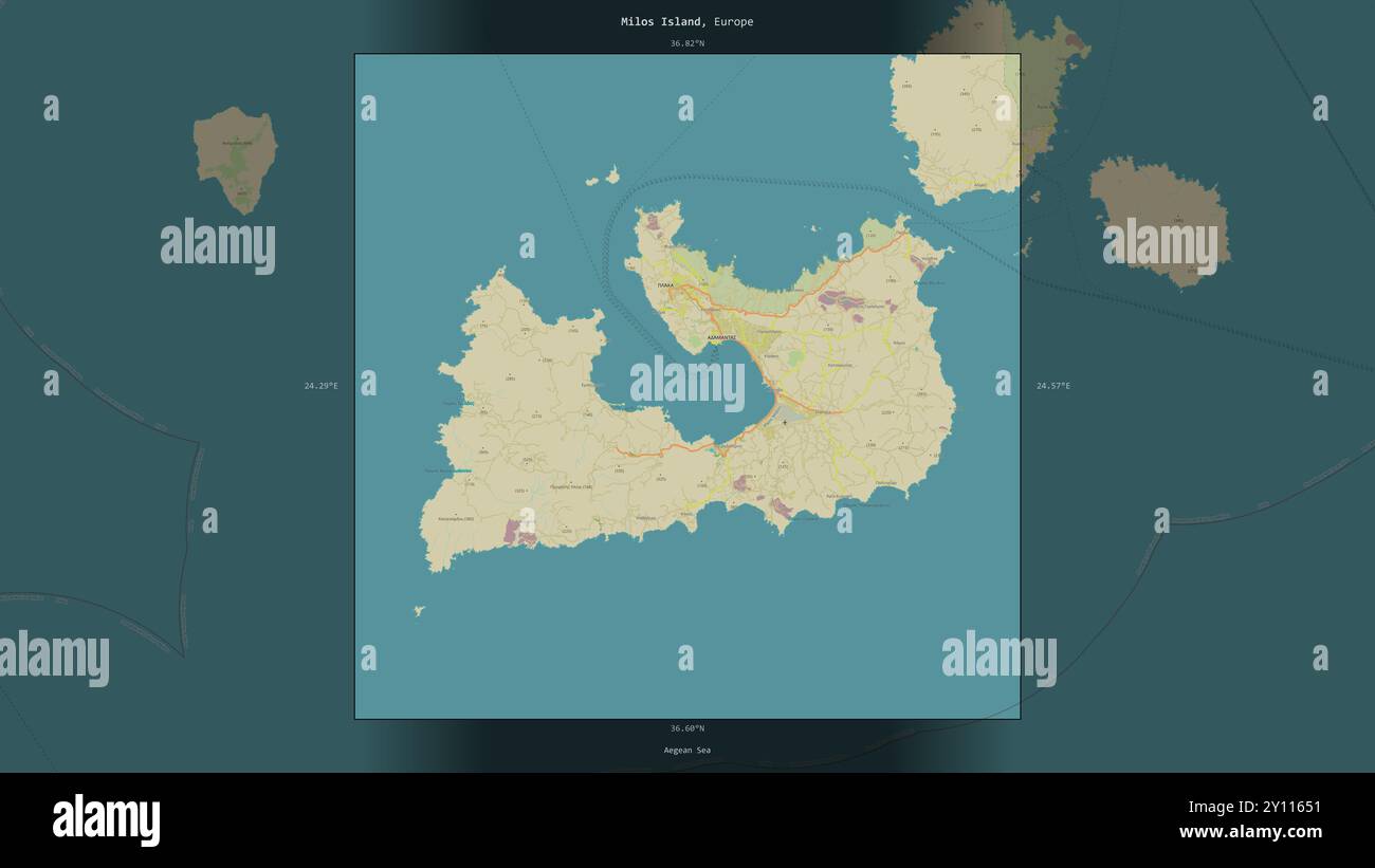 Milos Island in the Aegean Sea, belonging to Greece, described and highlighted on a topographic, OSM Humanitarian style map Stock Photohttps://www.alamy.com/image-license-details/?v=1https://www.alamy.com/milos-island-in-the-aegean-sea-belonging-to-greece-described-and-highlighted-on-a-topographic-osm-humanitarian-style-map-image620214701.html
RF2Y11651–Milos Island in the Aegean Sea, belonging to Greece, described and highlighted on a topographic, OSM Humanitarian style map
 Polygonal map of Milos. Geometric illustration of the island in emerald amethyst colors. Milos map in low poly style. Technology, internet, network co Stock Vectorhttps://www.alamy.com/image-license-details/?v=1https://www.alamy.com/polygonal-map-of-milos-geometric-illustration-of-the-island-in-emerald-amethyst-colors-milos-map-in-low-poly-style-technology-internet-network-co-image563304441.html
RF2RMCMFN–Polygonal map of Milos. Geometric illustration of the island in emerald amethyst colors. Milos map in low poly style. Technology, internet, network co
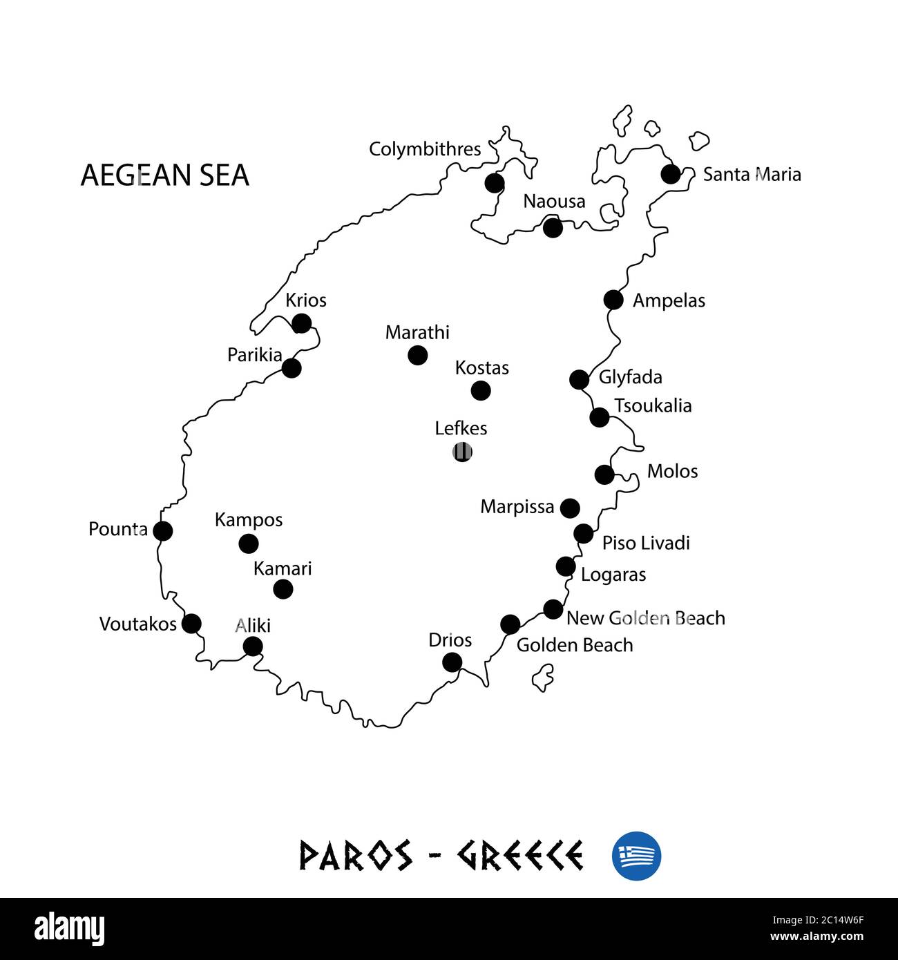 Island of Paros in Greece map art on white background Stock Vectorhttps://www.alamy.com/image-license-details/?v=1https://www.alamy.com/island-of-paros-in-greece-map-art-on-white-background-image362139975.html
RF2C14W6F–Island of Paros in Greece map art on white background
 Milos Perilla Francesco 1935 Stock Photohttps://www.alamy.com/image-license-details/?v=1https://www.alamy.com/stock-photo-milos-perilla-francesco-1935-140298323.html
RMJ473XB–Milos Perilla Francesco 1935
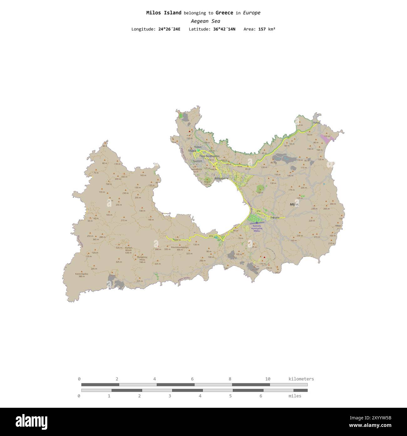 Milos Island in the Aegean Sea, belonging to Greece, isolated on a topographic, OSM standard style map, with distance scale Stock Photohttps://www.alamy.com/image-license-details/?v=1https://www.alamy.com/milos-island-in-the-aegean-sea-belonging-to-greece-isolated-on-a-topographic-osm-standard-style-map-with-distance-scale-image619571047.html
RF2XYYW5B–Milos Island in the Aegean Sea, belonging to Greece, isolated on a topographic, OSM standard style map, with distance scale
 Shape of Milos Island in the Aegean Sea, belonging to Greece Stock Photohttps://www.alamy.com/image-license-details/?v=1https://www.alamy.com/shape-of-milos-island-in-the-aegean-sea-belonging-to-greece-image620359612.html
RF2Y17R0C–Shape of Milos Island in the Aegean Sea, belonging to Greece
 Milos Island in the Aegean Sea on a satellite image taken in February 24, 2021 Stock Photohttps://www.alamy.com/image-license-details/?v=1https://www.alamy.com/milos-island-in-the-aegean-sea-on-a-satellite-image-taken-in-february-24-2021-image619391460.html
RF2XYKM3G–Milos Island in the Aegean Sea on a satellite image taken in February 24, 2021
 Milos Island in the Aegean Sea - belonging to Greece. Described location diagram with yellow shape of the island and sample maps of its surroundings Stock Photohttps://www.alamy.com/image-license-details/?v=1https://www.alamy.com/milos-island-in-the-aegean-sea-belonging-to-greece-described-location-diagram-with-yellow-shape-of-the-island-and-sample-maps-of-its-surroundings-image617419333.html
RF2XTDTJD–Milos Island in the Aegean Sea - belonging to Greece. Described location diagram with yellow shape of the island and sample maps of its surroundings
RF2PWG6M8–Milos icon. Island map on dark background. Stylish Milos map with island name. Vector illustration.
 Milos Island in the Aegean Sea, belonging to Greece, cropped to square on a satellite image taken in February 9, 2024 Stock Photohttps://www.alamy.com/image-license-details/?v=1https://www.alamy.com/milos-island-in-the-aegean-sea-belonging-to-greece-cropped-to-square-on-a-satellite-image-taken-in-february-9-2024-image620231600.html
RF2Y11YMG–Milos Island in the Aegean Sea, belonging to Greece, cropped to square on a satellite image taken in February 9, 2024
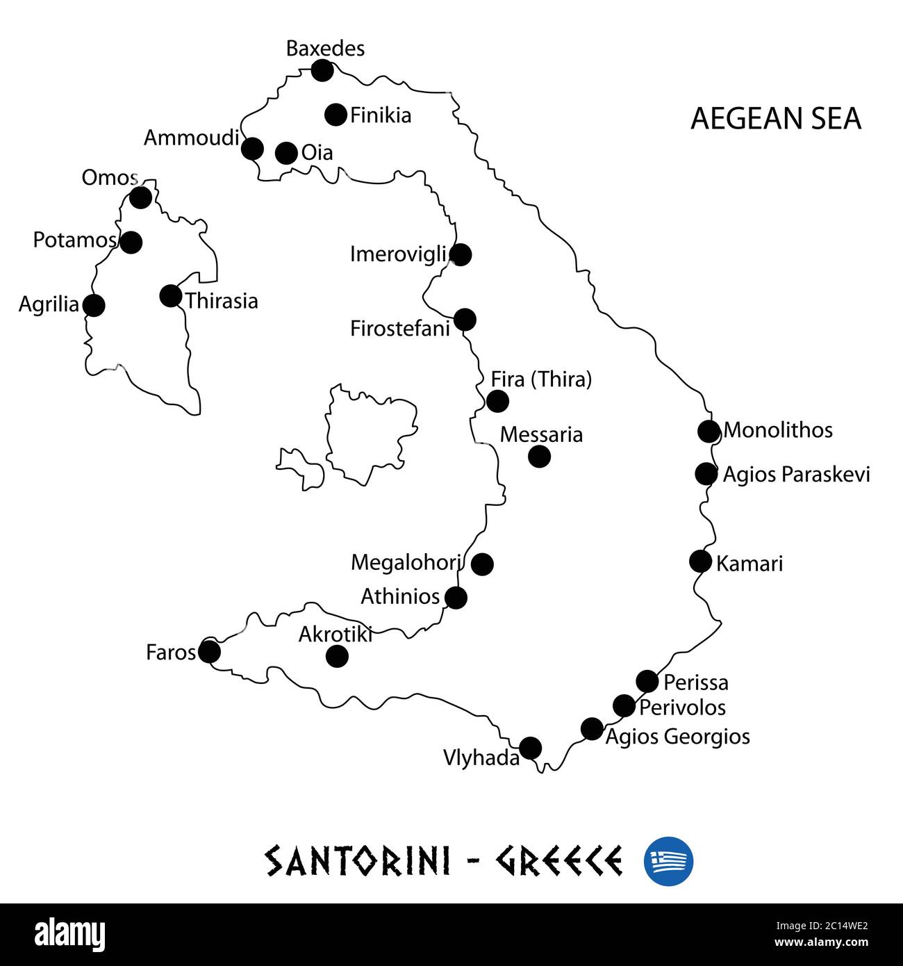 Island of Santorini in Greece map art on white background Stock Vectorhttps://www.alamy.com/image-license-details/?v=1https://www.alamy.com/island-of-santorini-in-greece-map-art-on-white-background-image362140186.html
RF2C14WE2–Island of Santorini in Greece map art on white background
 Prince Milos Obrenovic 1 Stock Photohttps://www.alamy.com/image-license-details/?v=1https://www.alamy.com/stock-photo-prince-milos-obrenovic-1-140390689.html
RMJ4B9N5–Prince Milos Obrenovic 1
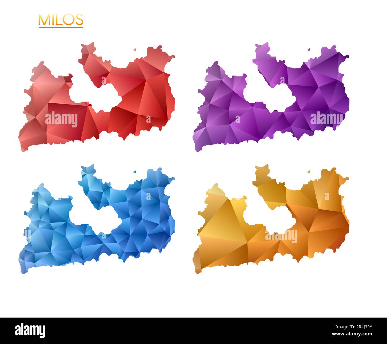 Set of vector polygonal maps of Milos. Bright gradient map of island in low poly style. Multicolored Milos map in geometric style for your infographic Stock Vectorhttps://www.alamy.com/image-license-details/?v=1https://www.alamy.com/set-of-vector-polygonal-maps-of-milos-bright-gradient-map-of-island-in-low-poly-style-multicolored-milos-map-in-geometric-style-for-your-infographic-image553588167.html
RF2R4J39Y–Set of vector polygonal maps of Milos. Bright gradient map of island in low poly style. Multicolored Milos map in geometric style for your infographic
 Milos Island in the Aegean Sea, belonging to Greece, isolated on a satellite image taken in February 9, 2024, with distance scale Stock Photohttps://www.alamy.com/image-license-details/?v=1https://www.alamy.com/milos-island-in-the-aegean-sea-belonging-to-greece-isolated-on-a-satellite-image-taken-in-february-9-2024-with-distance-scale-image619549750.html
RF2XYXX0P–Milos Island in the Aegean Sea, belonging to Greece, isolated on a satellite image taken in February 9, 2024, with distance scale
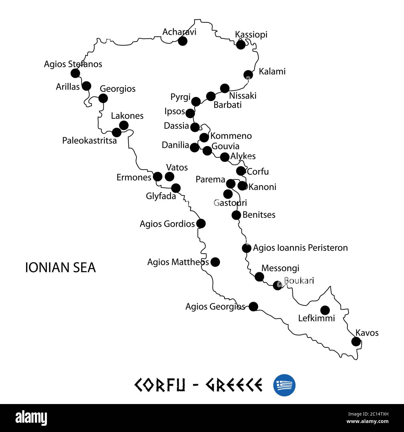 Island of Corfu in Greece map art on white background Stock Vectorhttps://www.alamy.com/image-license-details/?v=1https://www.alamy.com/island-of-corfu-in-greece-map-art-on-white-background-image362139753.html
RF2C14TXH–Island of Corfu in Greece map art on white background
 I Milos Buondelmonti Cristoforo 1420 Stock Photohttps://www.alamy.com/image-license-details/?v=1https://www.alamy.com/stock-photo-i-milos-buondelmonti-cristoforo-1420-139977189.html
RMJ3ME99–I Milos Buondelmonti Cristoforo 1420
 Milos Obrenovic Stock Photohttps://www.alamy.com/image-license-details/?v=1https://www.alamy.com/stock-image-milos-obrenovic-160733284.html
RMK9E0XC–Milos Obrenovic
 Milos Cvetic Stock Photohttps://www.alamy.com/image-license-details/?v=1https://www.alamy.com/stock-image-milos-cvetic-160733101.html
RMK9E0KW–Milos Cvetic
 Milos Kljajic Stock Photohttps://www.alamy.com/image-license-details/?v=1https://www.alamy.com/milos-kljajic-image153754793.html
RMJX43PH–Milos Kljajic
 Corona virus in Milos sign. Round badge with shape of virus and Milos map. Yellow island epidemy lock down stamp. Vector illustration. Stock Vectorhttps://www.alamy.com/image-license-details/?v=1https://www.alamy.com/corona-virus-in-milos-sign-round-badge-with-shape-of-virus-and-milos-map-yellow-island-epidemy-lock-down-stamp-vector-illustration-image528198257.html
RF2NK9E7D–Corona virus in Milos sign. Round badge with shape of virus and Milos map. Yellow island epidemy lock down stamp. Vector illustration.
 Peninsula of Halkidiki in Greece map art on white background Stock Vectorhttps://www.alamy.com/image-license-details/?v=1https://www.alamy.com/peninsula-of-halkidiki-in-greece-map-art-on-white-background-image362140757.html
RF2C14X6D–Peninsula of Halkidiki in Greece map art on white background
 Milos Kljajic Stock Photohttps://www.alamy.com/image-license-details/?v=1https://www.alamy.com/milos-kljajic-image153146916.html
RMJW4CCM–Milos Kljajic
 Milos Jiranek 19. 11. 1875-2. 11. 1911 - Silnice Stock Photohttps://www.alamy.com/image-license-details/?v=1https://www.alamy.com/stock-photo-milos-jiranek-19-11-1875-2-11-1911-silnice-148498433.html
RMJHGK7D–Milos Jiranek 19. 11. 1875-2. 11. 1911 - Silnice
 Milos sunburst. Low poly striped rays and map of the island. Elegant vector illustration. Stock Vectorhttps://www.alamy.com/image-license-details/?v=1https://www.alamy.com/milos-sunburst-low-poly-striped-rays-and-map-of-the-island-elegant-vector-illustration-image553677040.html
RF2R4P4M0–Milos sunburst. Low poly striped rays and map of the island. Elegant vector illustration.
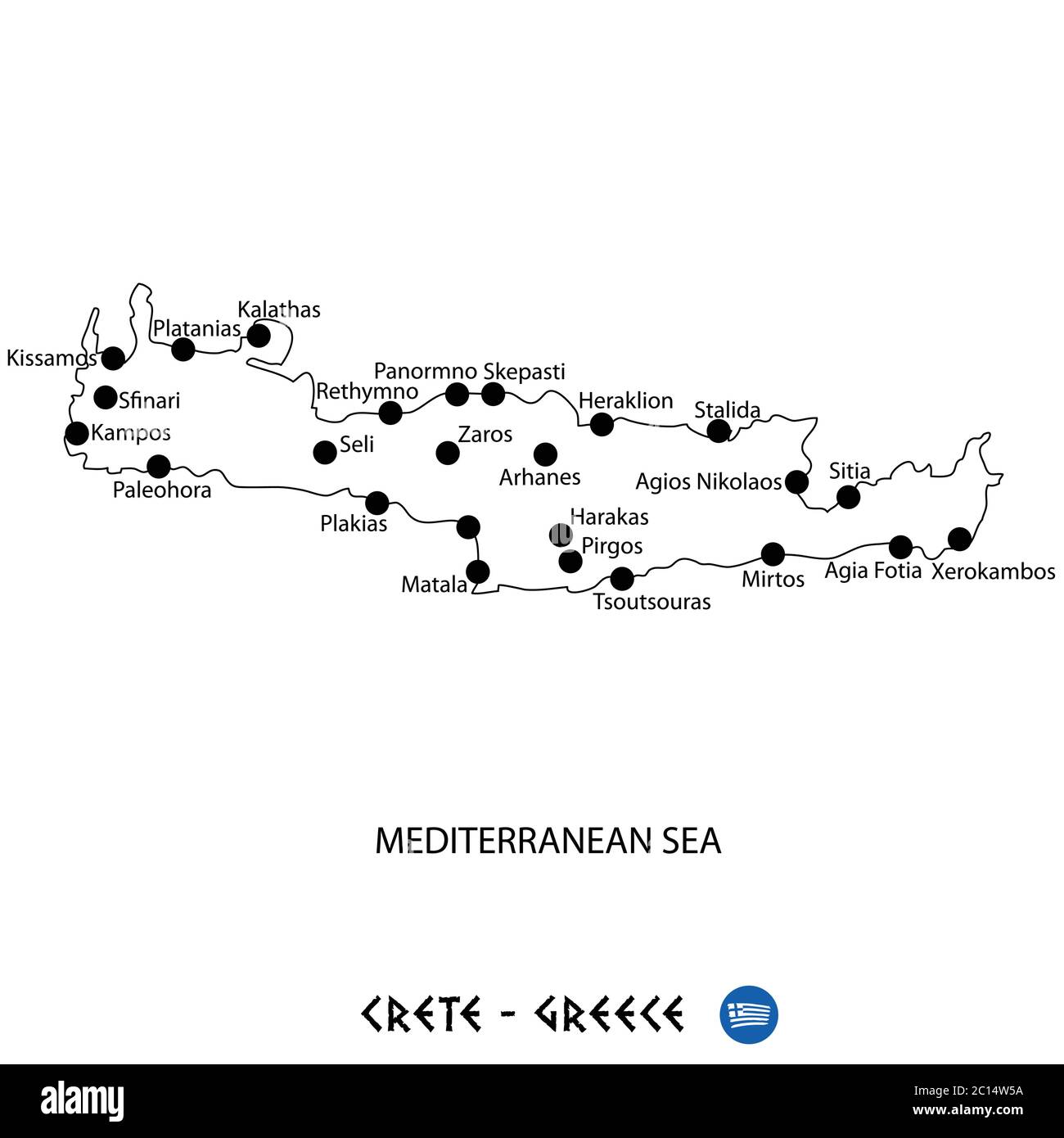 Island of Crete in Greece map art on white background Stock Vectorhttps://www.alamy.com/image-license-details/?v=1https://www.alamy.com/island-of-crete-in-greece-map-art-on-white-background-image362139942.html
RF2C14W5A–Island of Crete in Greece map art on white background
 Milos Jiranek 19. 11. 1875-2. 11. 1911 - Stoh Stock Photohttps://www.alamy.com/image-license-details/?v=1https://www.alamy.com/stock-photo-milos-jiranek-19-11-1875-2-11-1911-stoh-148509117.html
RMJHH4W1–Milos Jiranek 19. 11. 1875-2. 11. 1911 - Stoh
 Milos vintage map. Grunge map of the island with distressed texture. Milos poster. Vector illustration. Stock Vectorhttps://www.alamy.com/image-license-details/?v=1https://www.alamy.com/milos-vintage-map-grunge-map-of-the-island-with-distressed-texture-milos-poster-vector-illustration-image515519061.html
RF2MXKWR1–Milos vintage map. Grunge map of the island with distressed texture. Milos poster. Vector illustration.
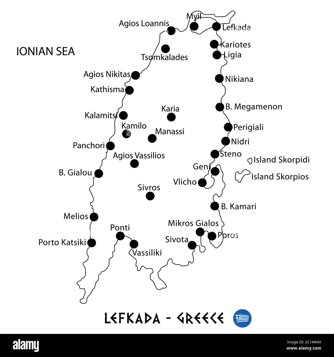 Island of Lefkada in Greece map art on white background Stock Vectorhttps://www.alamy.com/image-license-details/?v=1https://www.alamy.com/island-of-lefkada-in-greece-map-art-on-white-background-image362139930.html
RF2C14W4X–Island of Lefkada in Greece map art on white background
 Milos Jiranek 19. 11. 1875-2. 11. 1911 - Terst Stock Photohttps://www.alamy.com/image-license-details/?v=1https://www.alamy.com/stock-photo-milos-jiranek-19-11-1875-2-11-1911-terst-148509088.html
RMJHH4T0–Milos Jiranek 19. 11. 1875-2. 11. 1911 - Terst
 Kid style map of Milos. Hand drawn polygons in the shape of Milos. Vector illustration. Stock Vectorhttps://www.alamy.com/image-license-details/?v=1https://www.alamy.com/kid-style-map-of-milos-hand-drawn-polygons-in-the-shape-of-milos-vector-illustration-image556364144.html
RF2R94G40–Kid style map of Milos. Hand drawn polygons in the shape of Milos. Vector illustration.
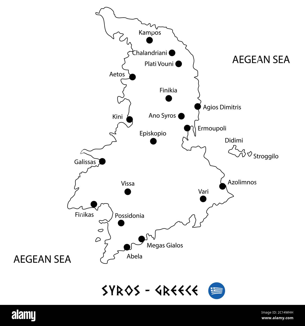 Island of Syros in Greece map art on white background Stock Vectorhttps://www.alamy.com/image-license-details/?v=1https://www.alamy.com/island-of-syros-in-greece-map-art-on-white-background-image362140285.html
RF2C14WHH–Island of Syros in Greece map art on white background
 Milos Jiranek 19. 11. 1875-2. 11. 1911 - U stolu Stock Photohttps://www.alamy.com/image-license-details/?v=1https://www.alamy.com/stock-photo-milos-jiranek-19-11-1875-2-11-1911-u-stolu-148498428.html
RMJHGK78–Milos Jiranek 19. 11. 1875-2. 11. 1911 - U stolu
 Map of Milos. Low poly illustration of the island. Purple geometric design. Polygonal vector illustration. Stock Vectorhttps://www.alamy.com/image-license-details/?v=1https://www.alamy.com/map-of-milos-low-poly-illustration-of-the-island-purple-geometric-design-polygonal-vector-illustration-image502194564.html
RF2M50X84–Map of Milos. Low poly illustration of the island. Purple geometric design. Polygonal vector illustration.
