Quick filters:
Missouri old map Stock Photos and Images
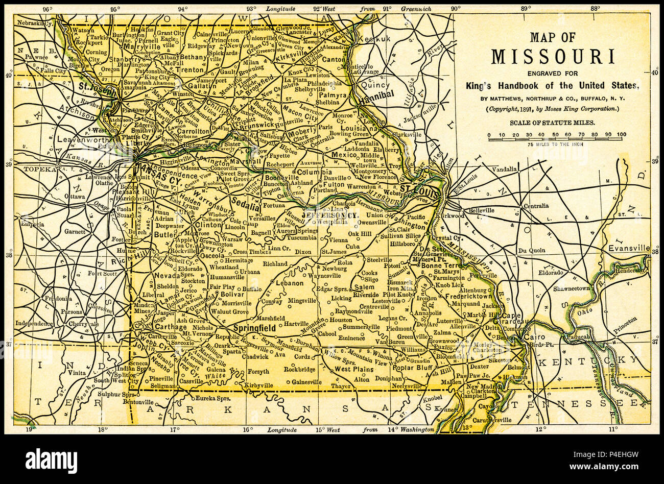 Missouri Antique Map 1891: Map of Missouri from an 1891 guidebook: 'King's Hand-Book of the United States.' Date of Publishing: 1891. Moses King (1853 1909) was an American editor and publisher of travel books. Stock Photohttps://www.alamy.com/image-license-details/?v=1https://www.alamy.com/missouri-antique-map-1891-map-of-missouri-from-an-1891-guidebook-kings-hand-book-of-the-united-states-date-of-publishing-1891-moses-king-1853-1909-was-an-american-editor-and-publisher-of-travel-books-image209304169.html
RFP4EHGW–Missouri Antique Map 1891: Map of Missouri from an 1891 guidebook: 'King's Hand-Book of the United States.' Date of Publishing: 1891. Moses King (1853 1909) was an American editor and publisher of travel books.
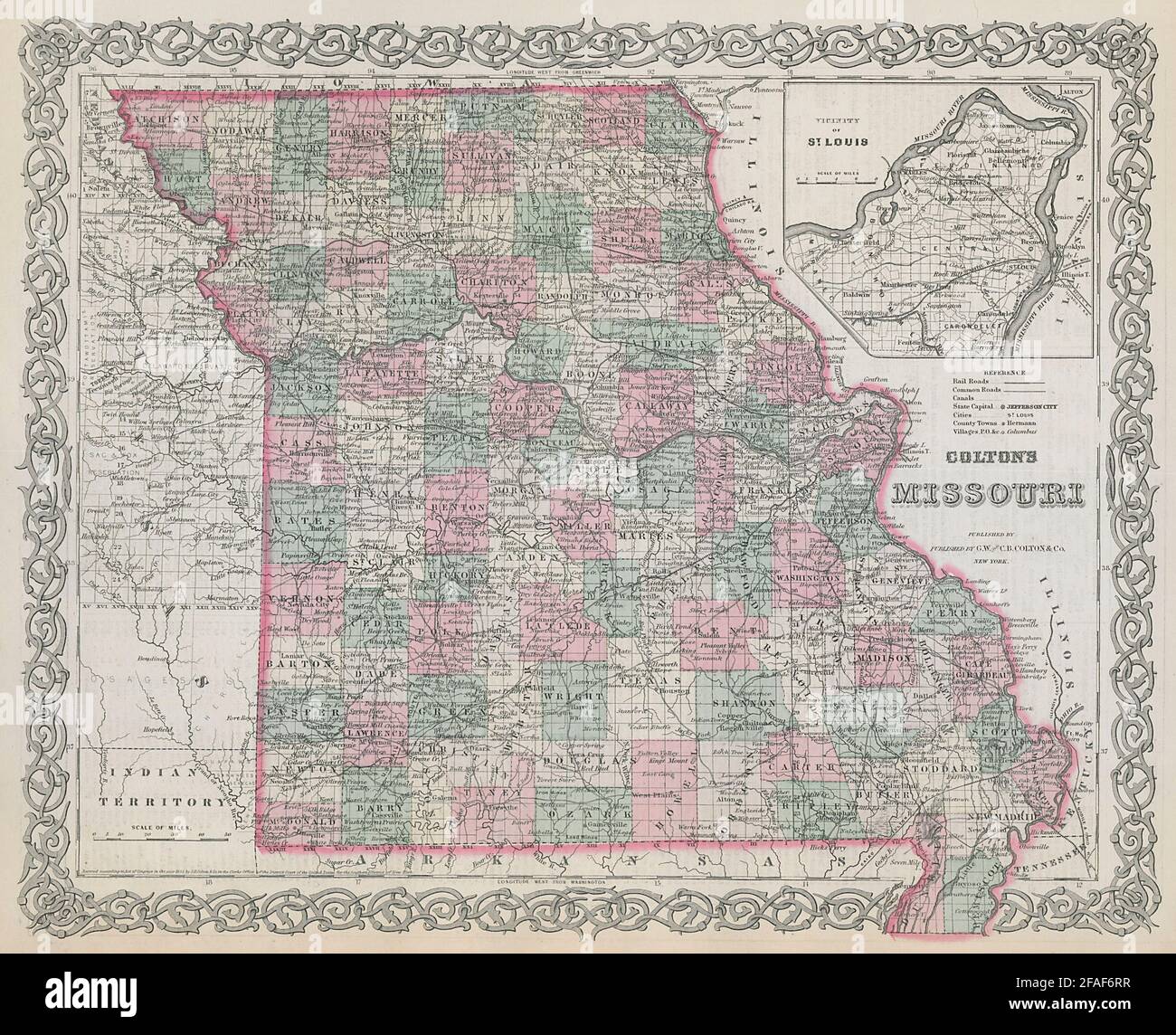 Colton's Missouri. Decorative antique US state map 1869 old chart Stock Photohttps://www.alamy.com/image-license-details/?v=1https://www.alamy.com/coltons-missouri-decorative-antique-us-state-map-1869-old-chart-image419530043.html
RF2FAF6RR–Colton's Missouri. Decorative antique US state map 1869 old chart
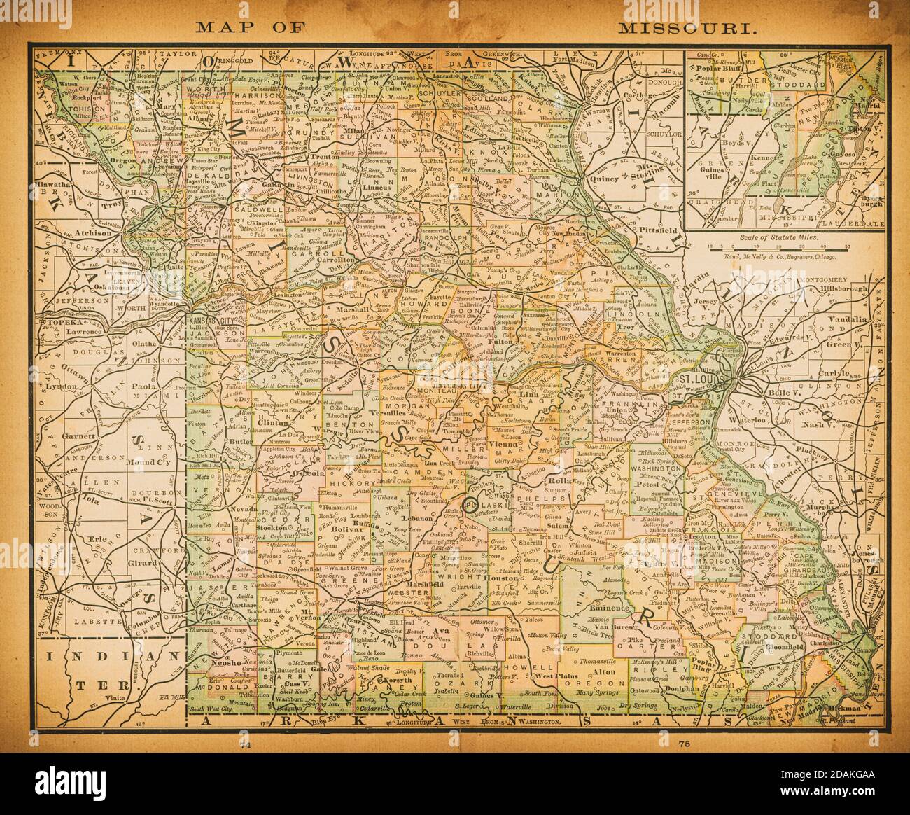 19th century map of Missouri. Published in New Dollar Atlas of the United States and Dominion of Canada. (Rand McNally & Co's, Chicago, 1884). Stock Photohttps://www.alamy.com/image-license-details/?v=1https://www.alamy.com/19th-century-map-of-missouri-published-in-new-dollar-atlas-of-the-united-states-and-dominion-of-canada-rand-mcnally-cos-chicago-1884-image385204578.html
RF2DAKGAA–19th century map of Missouri. Published in New Dollar Atlas of the United States and Dominion of Canada. (Rand McNally & Co's, Chicago, 1884).
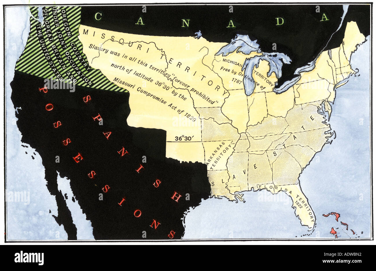 United States map showing extension of slavery resulting from the Missouri Compromise Act in 1820. Hand-colored woodcut Stock Photohttps://www.alamy.com/image-license-details/?v=1https://www.alamy.com/united-states-map-showing-extension-of-slavery-resulting-from-the-image7713169.html
RMADWBN2–United States map showing extension of slavery resulting from the Missouri Compromise Act in 1820. Hand-colored woodcut
 Old map of part of Missouri basin in Nebraska, USA Stock Photohttps://www.alamy.com/image-license-details/?v=1https://www.alamy.com/stock-photo-old-map-of-part-of-missouri-basin-in-nebraska-usa-50336387.html
RFCWW0G3–Old map of part of Missouri basin in Nebraska, USA
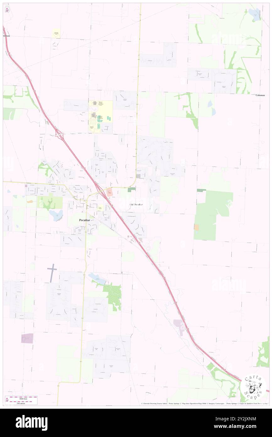 Old Peculiar, Cass County, US, United States, Missouri, N 38 43' 9'', S 94 26' 29'', map, Cartascapes Map published in 2024. Explore Cartascapes, a map revealing Earth's diverse landscapes, cultures, and ecosystems. Journey through time and space, discovering the interconnectedness of our planet's past, present, and future. Stock Photohttps://www.alamy.com/image-license-details/?v=1https://www.alamy.com/old-peculiar-cass-county-us-united-states-missouri-n-38-43-9-s-94-26-29-map-cartascapes-map-published-in-2024-explore-cartascapes-a-map-revealing-earths-diverse-landscapes-cultures-and-ecosystems-journey-through-time-and-space-discovering-the-interconnectedness-of-our-planets-past-present-and-future-image621218688.html
RM2Y2JXNM–Old Peculiar, Cass County, US, United States, Missouri, N 38 43' 9'', S 94 26' 29'', map, Cartascapes Map published in 2024. Explore Cartascapes, a map revealing Earth's diverse landscapes, cultures, and ecosystems. Journey through time and space, discovering the interconnectedness of our planet's past, present, and future.
 Old map of Missouri state, 1930's Stock Photohttps://www.alamy.com/image-license-details/?v=1https://www.alamy.com/old-map-of-missouri-state-1930s-image62040771.html
RMDGX5HR–Old map of Missouri state, 1930's
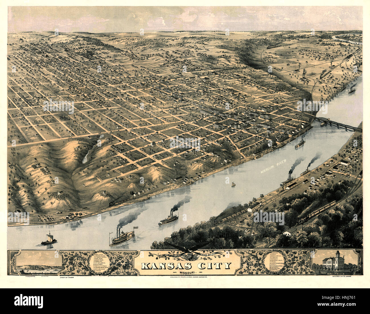 Map Of Kansas City 1869 Stock Photohttps://www.alamy.com/image-license-details/?v=1https://www.alamy.com/stock-photo-map-of-kansas-city-1869-133781145.html
RFHNJ761–Map Of Kansas City 1869
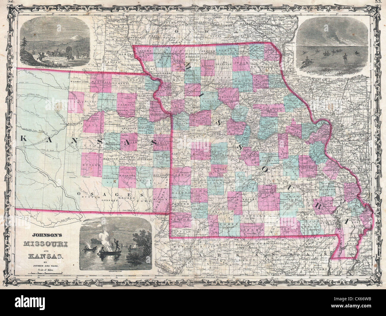 1862 Johnson Map of Kansas and Missouri Stock Photohttps://www.alamy.com/image-license-details/?v=1https://www.alamy.com/stock-photo-1862-johnson-map-of-kansas-and-missouri-50538919.html
RMCX66WB–1862 Johnson Map of Kansas and Missouri
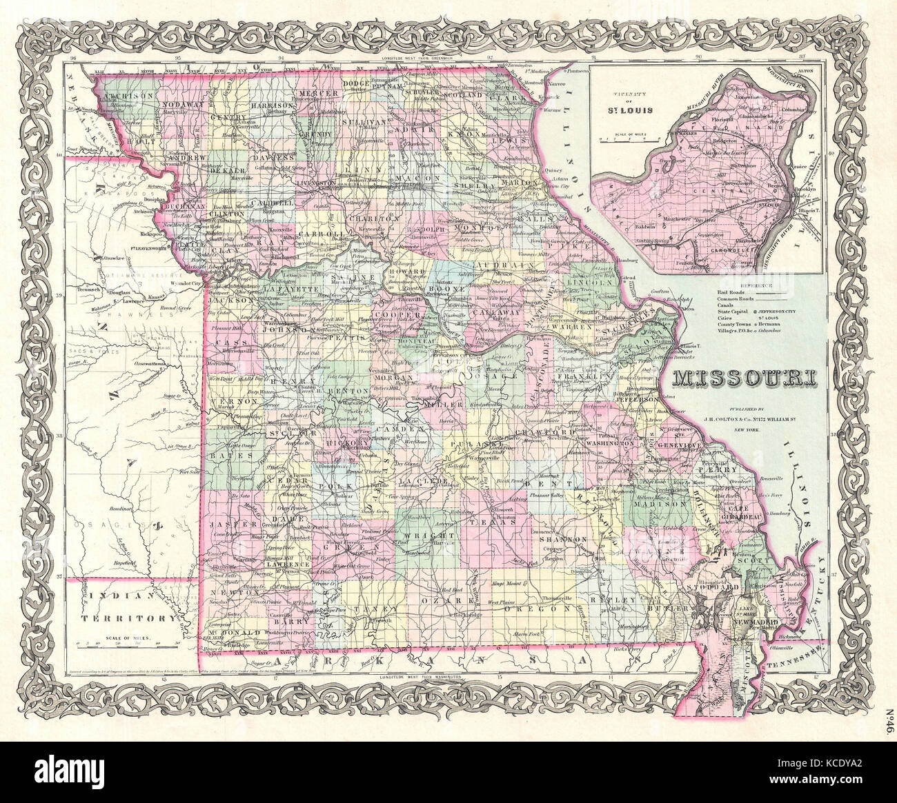 1855, Colton Map of Missouri Stock Photohttps://www.alamy.com/image-license-details/?v=1https://www.alamy.com/stock-image-1855-colton-map-of-missouri-162576010.html
RMKCDYA2–1855, Colton Map of Missouri
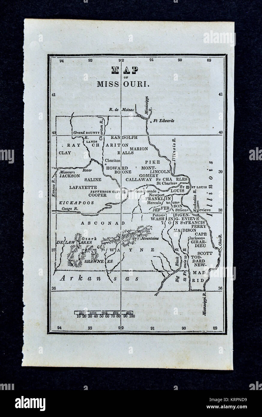 1830 Nathan Hale Map - Missouri - St. Louis Kansas City Springfield United States Stock Photohttps://www.alamy.com/image-license-details/?v=1https://www.alamy.com/stock-image-1830-nathan-hale-map-missouri-st-louis-kansas-city-springfield-united-169530181.html
RFKRPND9–1830 Nathan Hale Map - Missouri - St. Louis Kansas City Springfield United States
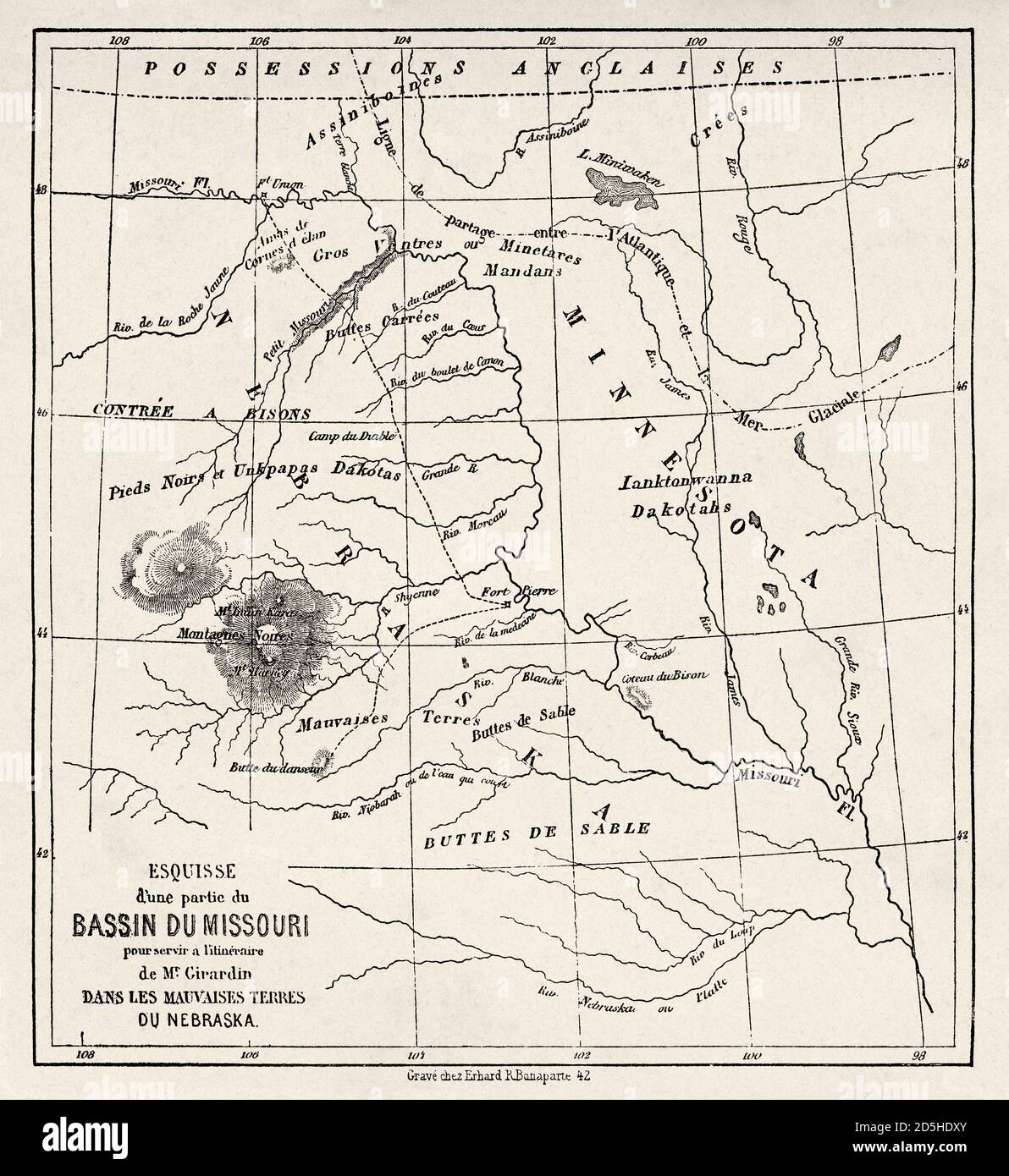 Old map of part of Missouri basin in Nebraska, USA. Old XIX century engraved from Trip to Nebraska Le Tour du Monde 1864 Stock Photohttps://www.alamy.com/image-license-details/?v=1https://www.alamy.com/old-map-of-part-of-missouri-basin-in-nebraska-usa-old-xix-century-engraved-from-trip-to-nebraska-le-tour-du-monde-1864-image382085507.html
RM2D5HDXY–Old map of part of Missouri basin in Nebraska, USA. Old XIX century engraved from Trip to Nebraska Le Tour du Monde 1864
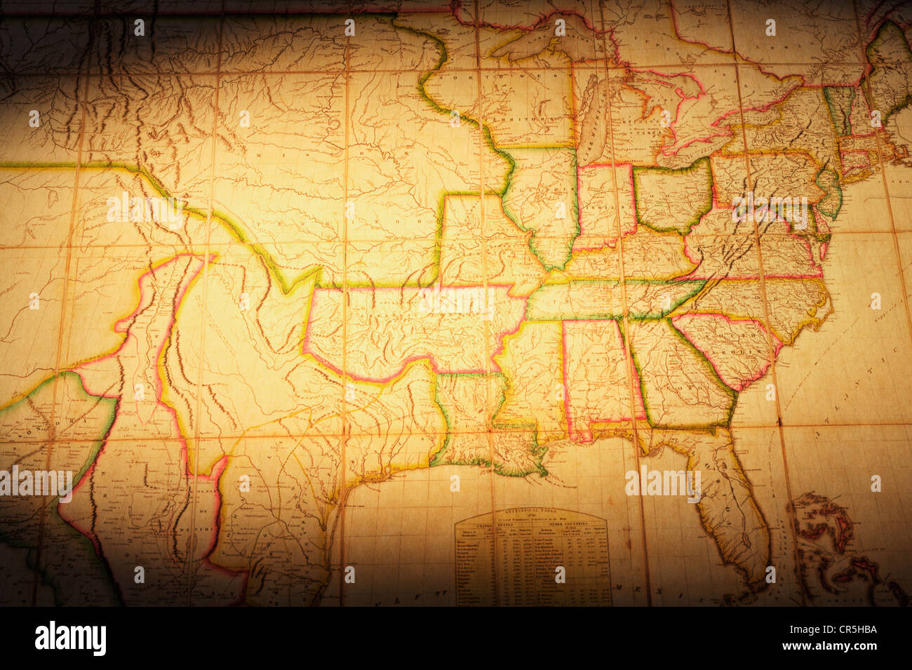 Vintage map of part of the United States. Map is from 1820 and is out of copyright. Focus on 'Missouri Territory'. Stock Photohttps://www.alamy.com/image-license-details/?v=1https://www.alamy.com/stock-photo-vintage-map-of-part-of-the-united-states-map-is-from-1820-and-is-out-48681230.html
RFCR5HBA–Vintage map of part of the United States. Map is from 1820 and is out of copyright. Focus on 'Missouri Territory'.
 Beautiful vintage hand drawn Colton's map of Missouri from 1860 with beautiful colorful maps and illustrations of countries, regions and oceans. Stock Photohttps://www.alamy.com/image-license-details/?v=1https://www.alamy.com/beautiful-vintage-hand-drawn-coltons-map-of-missouri-from-1860-with-beautiful-colorful-maps-and-illustrations-of-countries-regions-and-oceans-image418923964.html
RF2F9FHP4–Beautiful vintage hand drawn Colton's map of Missouri from 1860 with beautiful colorful maps and illustrations of countries, regions and oceans.
 Map of Missouri on rusty metal Stock Photohttps://www.alamy.com/image-license-details/?v=1https://www.alamy.com/map-of-missouri-on-rusty-metal-image634539686.html
RF2YT9NRJ–Map of Missouri on rusty metal
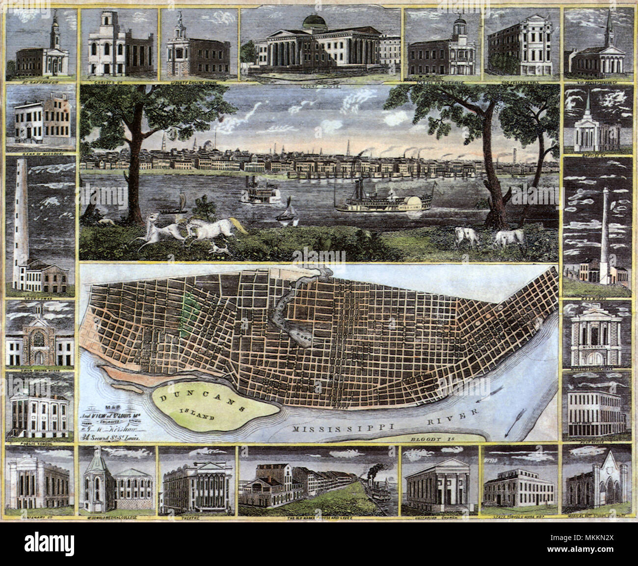 1848 Map of St. Louis 1848 Stock Photohttps://www.alamy.com/image-license-details/?v=1https://www.alamy.com/1848-map-of-st-louis-1848-image184215778.html
RMMKKN2X–1848 Map of St. Louis 1848
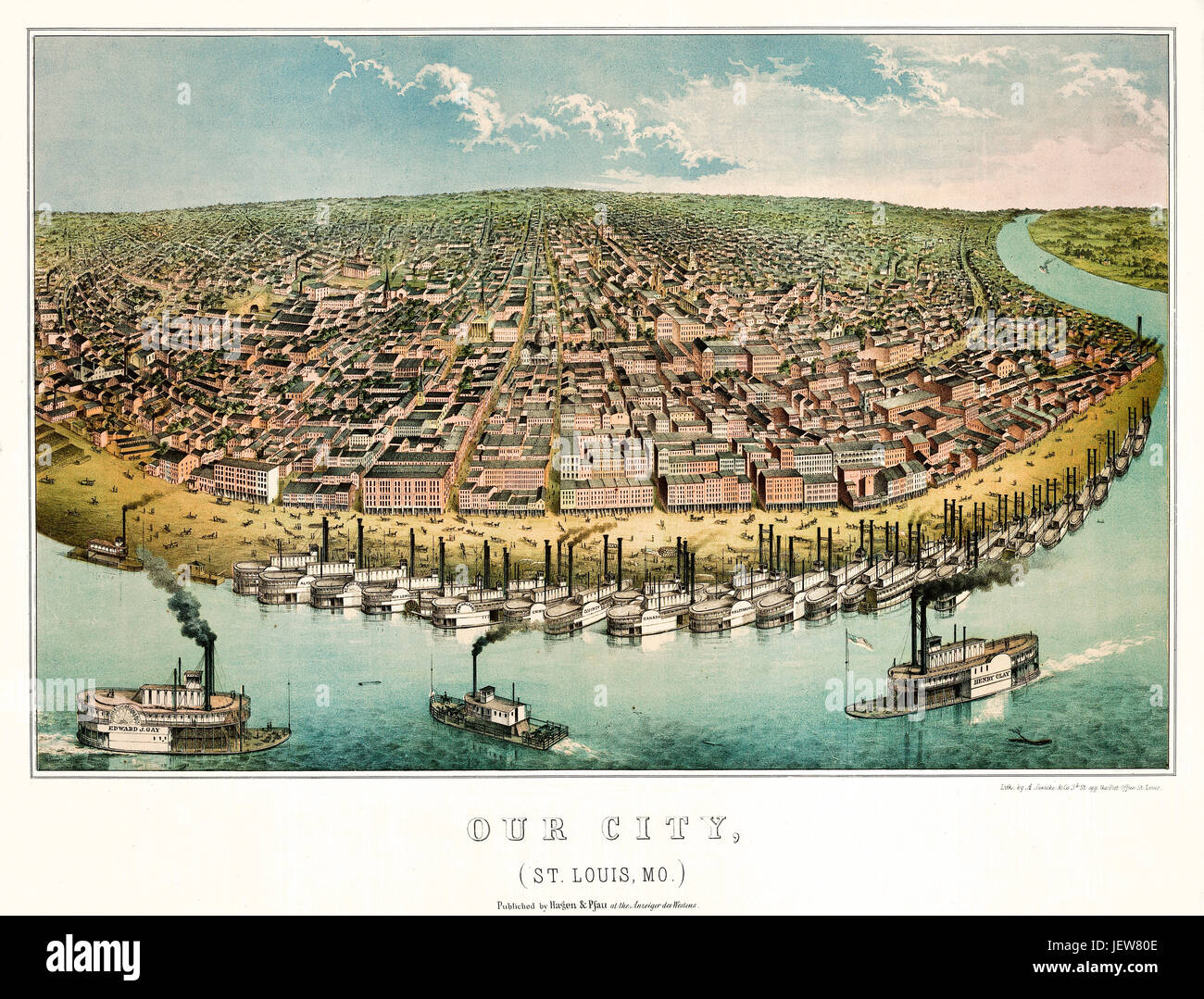 Old aerial view of Saint-Louis, Missouri. Created by Janicke & Co., publ. Hagen & Pfau on Anzeiger des Westen, Saint Louis, 1859 Stock Photohttps://www.alamy.com/image-license-details/?v=1https://www.alamy.com/stock-photo-old-aerial-view-of-saint-louis-missouri-created-by-janicke-co-publ-146843214.html
RFJEW80E–Old aerial view of Saint-Louis, Missouri. Created by Janicke & Co., publ. Hagen & Pfau on Anzeiger des Westen, Saint Louis, 1859
RF2GCK577–Missouri Map on American Flag. MO, USA State Map on US Flag. EPS Vector Graphic Clipart Icon
 Kansas City, Missouri. Red flag pin on an old map showing travel destination. Stock Photohttps://www.alamy.com/image-license-details/?v=1https://www.alamy.com/stock-photo-kansas-city-missouri-red-flag-pin-on-an-old-map-showing-travel-destination-172504847.html
RFM0J7KB–Kansas City, Missouri. Red flag pin on an old map showing travel destination.
 Young African American boy looking at the Butterfly house Directory board in Chesterfield Missouri USA Stock Photohttps://www.alamy.com/image-license-details/?v=1https://www.alamy.com/stock-photo-young-african-american-boy-looking-at-the-butterfly-house-directory-10716659.html
RMA39NDT–Young African American boy looking at the Butterfly house Directory board in Chesterfield Missouri USA
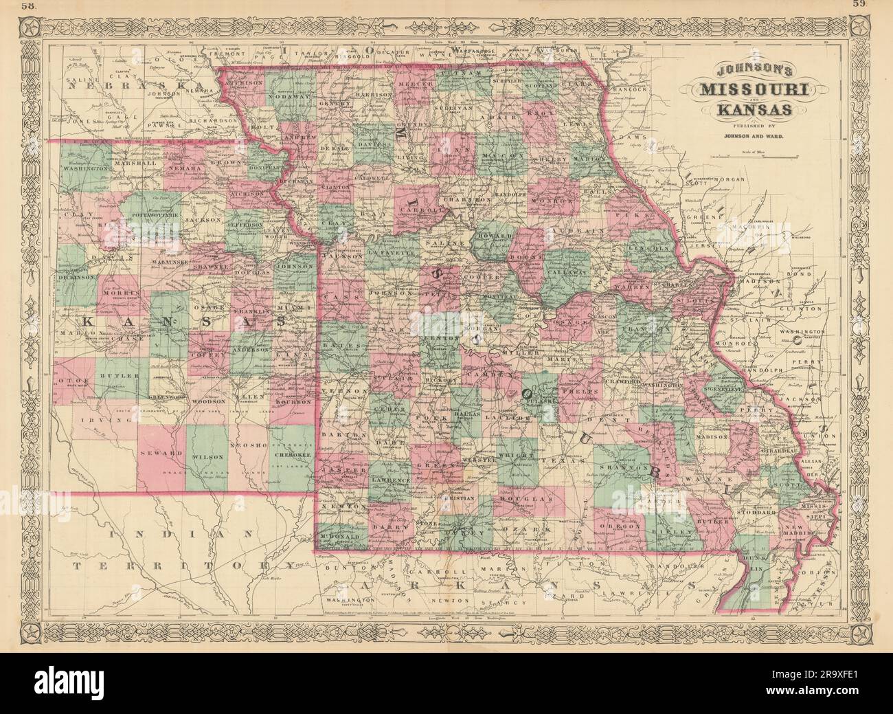 Johnson's Missouri & Kansas. US state map showing counties 1866 old Stock Photohttps://www.alamy.com/image-license-details/?v=1https://www.alamy.com/johnsons-missouri-kansas-us-state-map-showing-counties-1866-old-image556846585.html
RF2R9XFE1–Johnson's Missouri & Kansas. US state map showing counties 1866 old
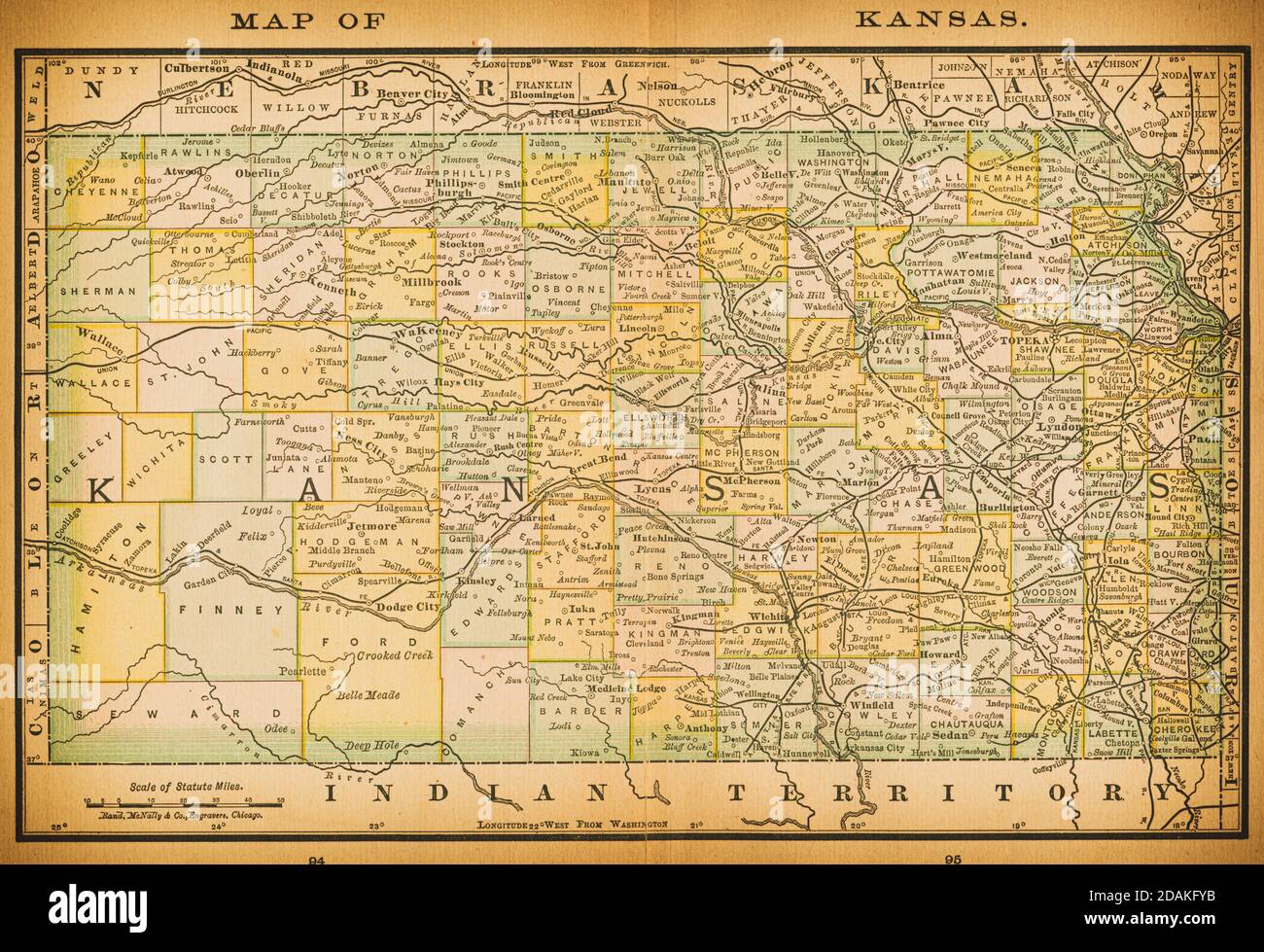 19th century map of Kansas. Published in New Dollar Atlas of the United States and Dominion of Canada. (Rand McNally & Co's, Chicago, 1884). Stock Photohttps://www.alamy.com/image-license-details/?v=1https://www.alamy.com/19th-century-map-of-kansas-published-in-new-dollar-atlas-of-the-united-states-and-dominion-of-canada-rand-mcnally-cos-chicago-1884-image385204271.html
RF2DAKFYB–19th century map of Kansas. Published in New Dollar Atlas of the United States and Dominion of Canada. (Rand McNally & Co's, Chicago, 1884).
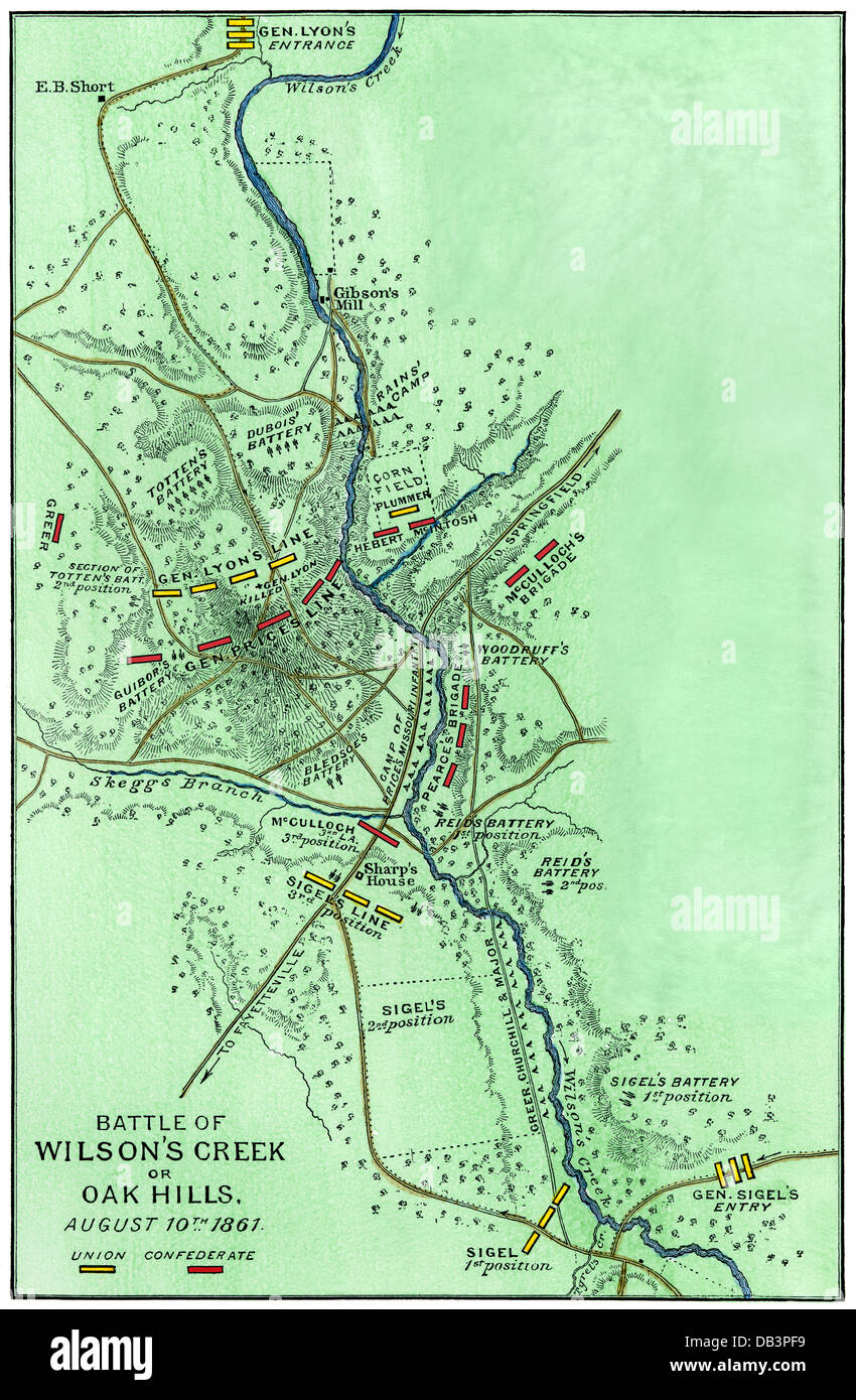 Map of the Battle of Wilson's Creek, Missouri, 1861. Hand-colored woodcut Stock Photohttps://www.alamy.com/image-license-details/?v=1https://www.alamy.com/stock-photo-map-of-the-battle-of-wilsons-creek-missouri-1861-hand-colored-woodcut-58475853.html
RMDB3PF9–Map of the Battle of Wilson's Creek, Missouri, 1861. Hand-colored woodcut
 Old map of Nebraska badlands, Usa Stock Photohttps://www.alamy.com/image-license-details/?v=1https://www.alamy.com/stock-photo-old-map-of-nebraska-badlands-usa-50336428.html
RFCWW0HG–Old map of Nebraska badlands, Usa
 Old Woollam, Gasconade County, US, United States, Missouri, N 38 23' 34'', S 91 33' 12'', map, Cartascapes Map published in 2024. Explore Cartascapes, a map revealing Earth's diverse landscapes, cultures, and ecosystems. Journey through time and space, discovering the interconnectedness of our planet's past, present, and future. Stock Photohttps://www.alamy.com/image-license-details/?v=1https://www.alamy.com/old-woollam-gasconade-county-us-united-states-missouri-n-38-23-34-s-91-33-12-map-cartascapes-map-published-in-2024-explore-cartascapes-a-map-revealing-earths-diverse-landscapes-cultures-and-ecosystems-journey-through-time-and-space-discovering-the-interconnectedness-of-our-planets-past-present-and-future-image621308429.html
RM2Y2R16N–Old Woollam, Gasconade County, US, United States, Missouri, N 38 23' 34'', S 91 33' 12'', map, Cartascapes Map published in 2024. Explore Cartascapes, a map revealing Earth's diverse landscapes, cultures, and ecosystems. Journey through time and space, discovering the interconnectedness of our planet's past, present, and future.
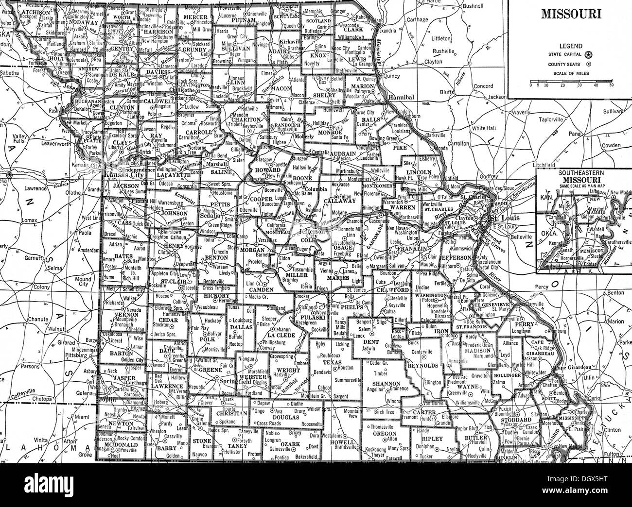 Old map of Missouri state, 1930's Stock Photohttps://www.alamy.com/image-license-details/?v=1https://www.alamy.com/old-map-of-missouri-state-1930s-image62040772.html
RMDGX5HT–Old map of Missouri state, 1930's
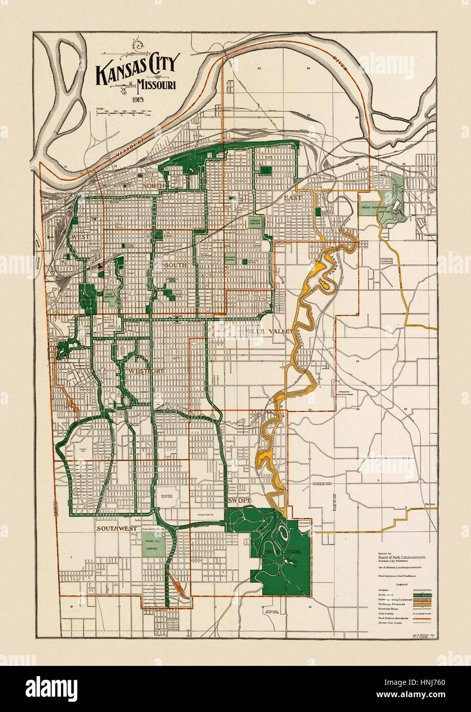 Map Of Kansas City 1915 Stock Photohttps://www.alamy.com/image-license-details/?v=1https://www.alamy.com/stock-photo-map-of-kansas-city-1915-133781144.html
RFHNJ760–Map Of Kansas City 1915
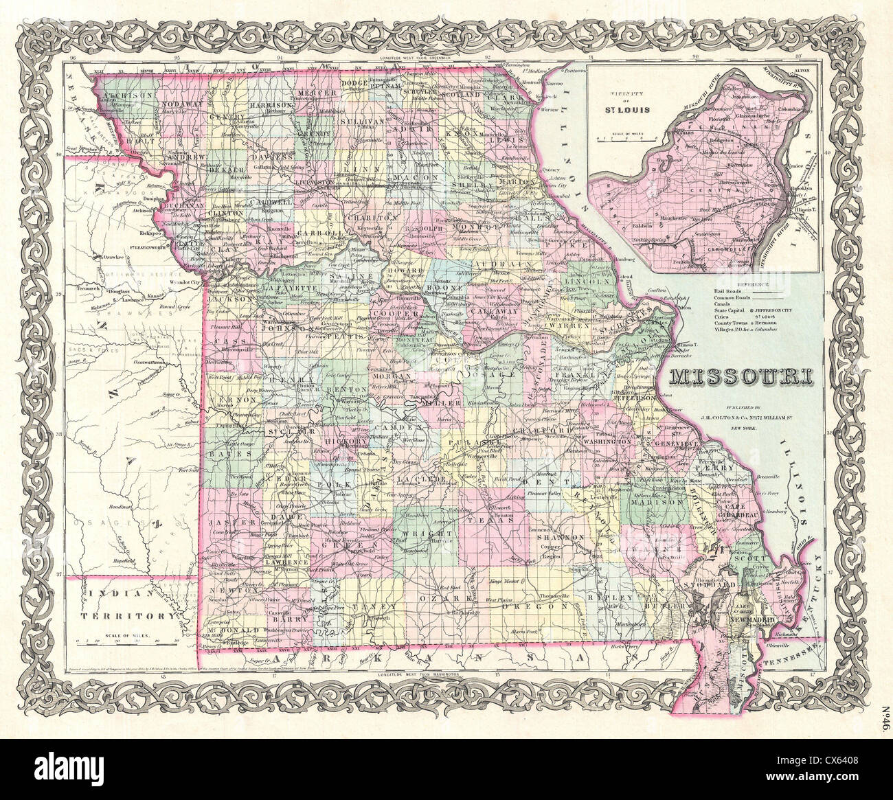 1855 Colton Map of Missouri Stock Photohttps://www.alamy.com/image-license-details/?v=1https://www.alamy.com/stock-photo-1855-colton-map-of-missouri-50536648.html
RMCX6408–1855 Colton Map of Missouri
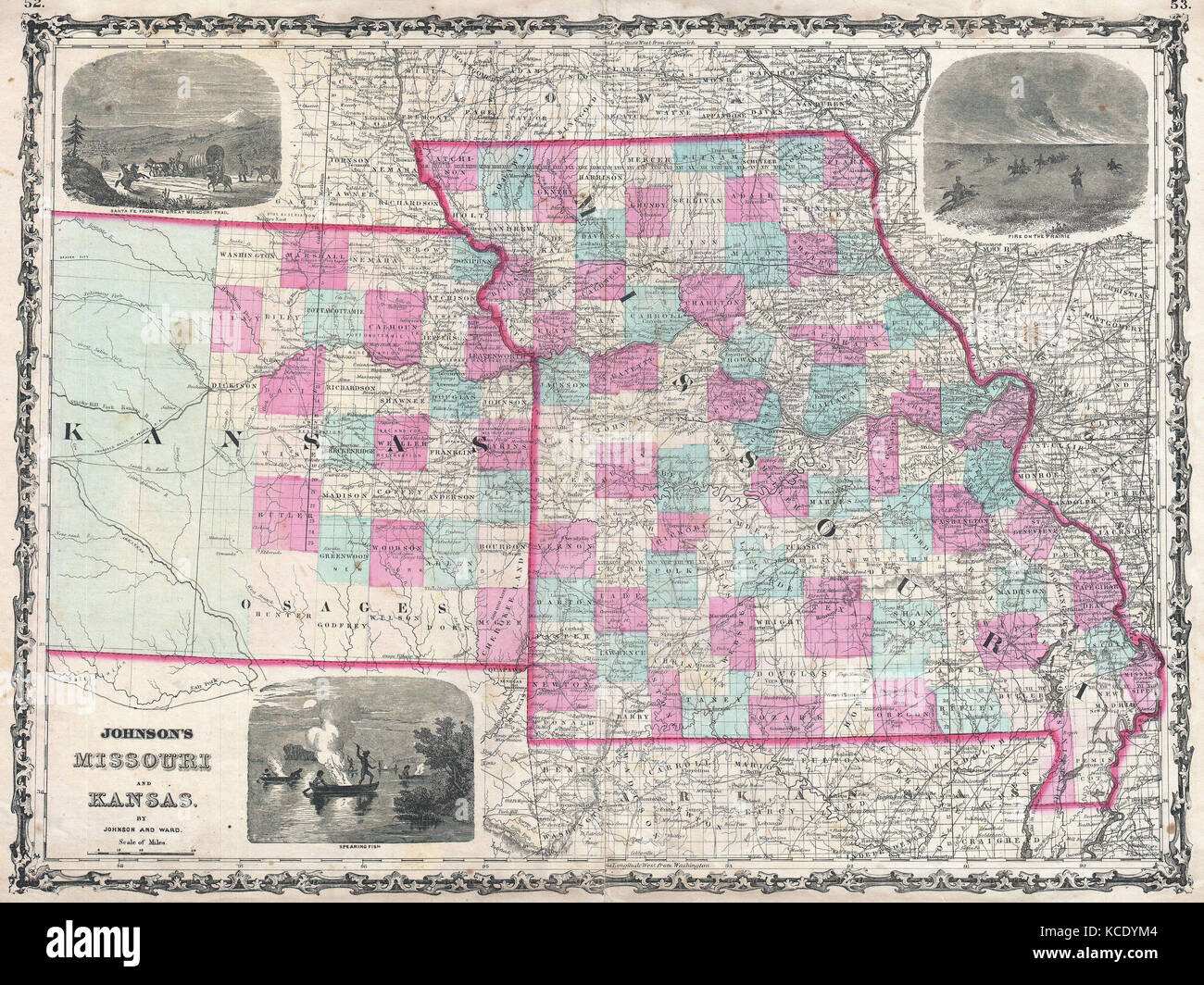 1862, Johnson Map of Kansas and Missouri Stock Photohttps://www.alamy.com/image-license-details/?v=1https://www.alamy.com/stock-image-1862-johnson-map-of-kansas-and-missouri-162576292.html
RMKCDYM4–1862, Johnson Map of Kansas and Missouri
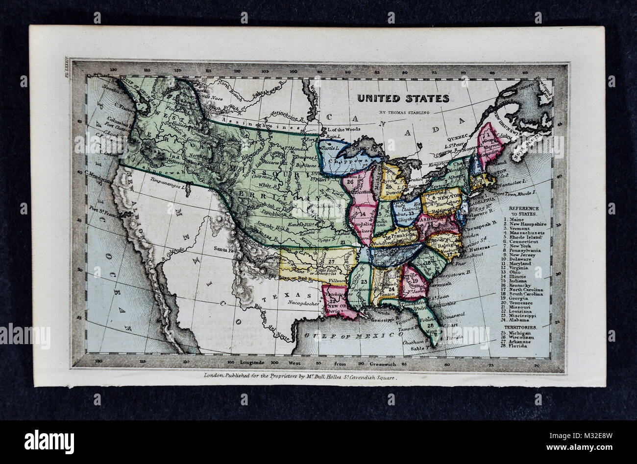 Starling 1834 Map - United States Missouri Territory Stock Photohttps://www.alamy.com/image-license-details/?v=1https://www.alamy.com/stock-photo-starling-1834-map-united-states-missouri-territory-174002777.html
RFM32E8W–Starling 1834 Map - United States Missouri Territory
 Old map of the course of the Mississippi River. Unites States of America. Adventures of a Kansas Abolitionist in Missouri, 1855. Story by Doctor John Doy (1812-1869) Le Tour du Monde 1862 Stock Photohttps://www.alamy.com/image-license-details/?v=1https://www.alamy.com/old-map-of-the-course-of-the-mississippi-river-unites-states-of-americaadventures-of-a-kansas-abolitionist-in-missouri-1855-story-by-doctor-john-doy-1812-1869-le-tour-du-monde-1862-image612429261.html
RM2XGAFNH–Old map of the course of the Mississippi River. Unites States of America. Adventures of a Kansas Abolitionist in Missouri, 1855. Story by Doctor John Doy (1812-1869) Le Tour du Monde 1862
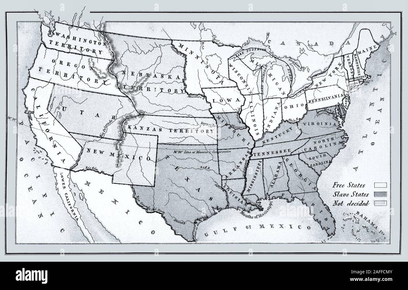 Map of free, slave and undecided states before the Civil War. from 1857, restored reproduction. Stock Photohttps://www.alamy.com/image-license-details/?v=1https://www.alamy.com/map-of-free-slave-and-undecided-states-before-the-civil-war-from-1857-restored-reproduction-image336556107.html
RM2AFFCMY–Map of free, slave and undecided states before the Civil War. from 1857, restored reproduction.
 Vintage copper engraved map of Missouri from 19th century. All maps are beautifully colored and illustrated showing the world at the time. Stock Photohttps://www.alamy.com/image-license-details/?v=1https://www.alamy.com/vintage-copper-engraved-map-of-missouri-from-19th-century-all-maps-are-beautifully-colored-and-illustrated-showing-the-world-at-the-time-image425457141.html
RF2FM56WW–Vintage copper engraved map of Missouri from 19th century. All maps are beautifully colored and illustrated showing the world at the time.
 Map of Missouri on old linen Stock Photohttps://www.alamy.com/image-license-details/?v=1https://www.alamy.com/map-of-missouri-on-old-linen-image385917521.html
RF2DBT1MH–Map of Missouri on old linen
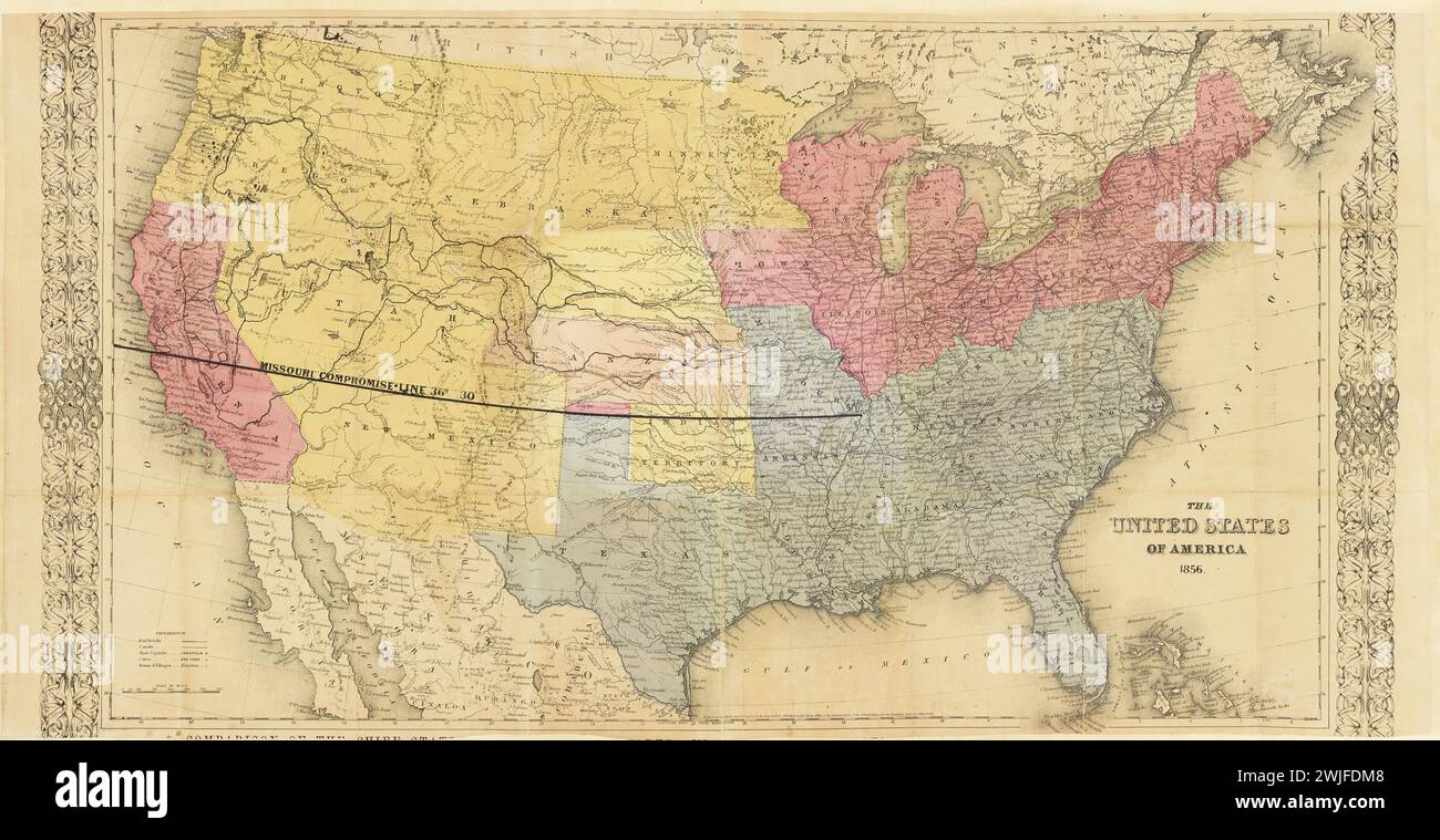 Vintage Colton Map. Title: Map of the United States and territories : showing Pike's Peak, and the newly discovered GOLD REGIONS, with the DIFFERENT .ROUTES and necessary outfit., United States of America; Map of the United States, showing by colors the area of freedom and slavery, and the territories whose destiny is yet to be decided, exhibiting also the Missouri compromise line, and the routes of Colonel Fremont. 1856. Published by J.H. Colton Stock Photohttps://www.alamy.com/image-license-details/?v=1https://www.alamy.com/vintage-colton-map-title-map-of-the-united-states-and-territories-showing-pikes-peak-and-the-newly-discovered-gold-regions-with-the-different-routes-and-necessary-outfit-united-states-of-america-map-of-the-united-states-showing-by-colors-the-area-of-freedom-and-slavery-and-the-territories-whose-destiny-is-yet-to-be-decided-exhibiting-also-the-missouri-compromise-line-and-the-routes-of-colonel-fremont-1856-published-by-jh-colton-image596556360.html
RM2WJFDM8–Vintage Colton Map. Title: Map of the United States and territories : showing Pike's Peak, and the newly discovered GOLD REGIONS, with the DIFFERENT .ROUTES and necessary outfit., United States of America; Map of the United States, showing by colors the area of freedom and slavery, and the territories whose destiny is yet to be decided, exhibiting also the Missouri compromise line, and the routes of Colonel Fremont. 1856. Published by J.H. Colton
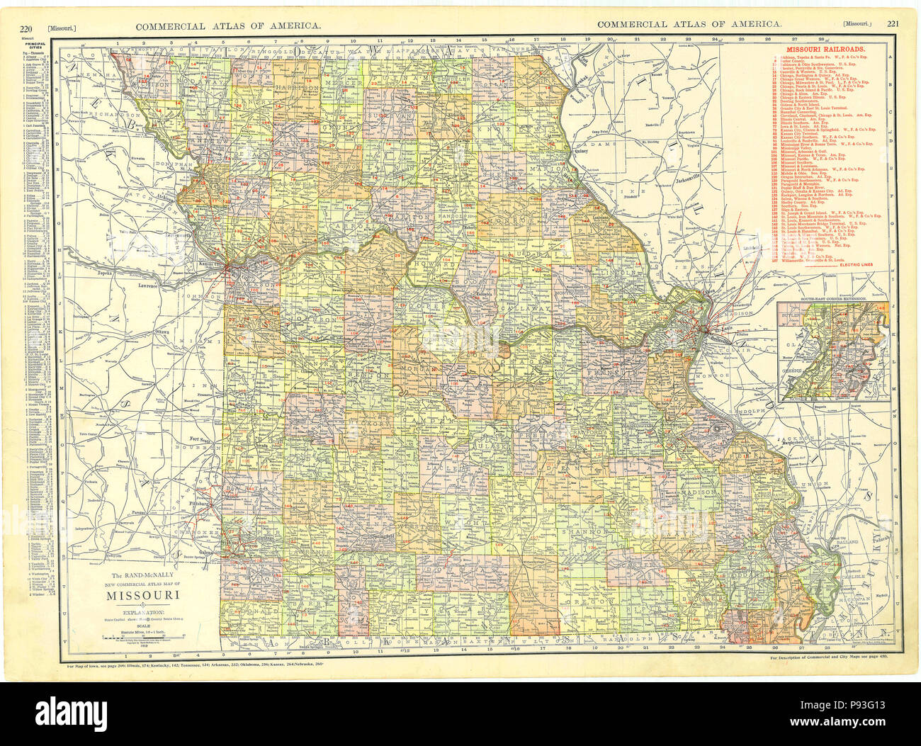 1913 Missouri Map Stock Photohttps://www.alamy.com/image-license-details/?v=1https://www.alamy.com/1913-missouri-map-image212134751.html
RMP93G13–1913 Missouri Map
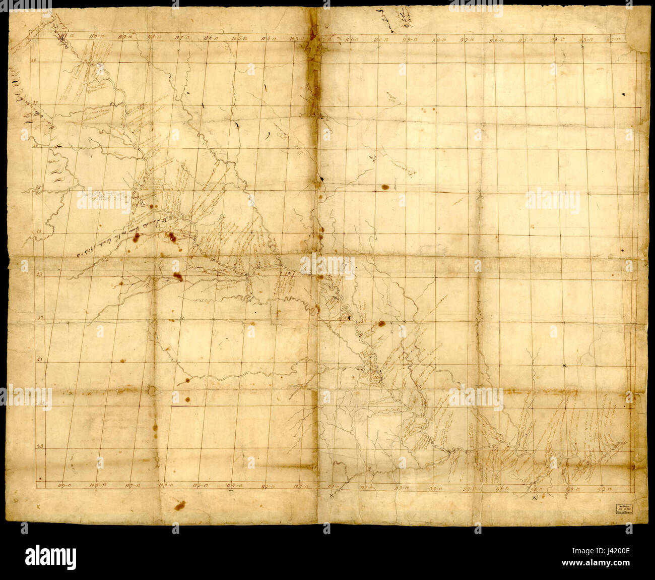 Map of Missouri River and Vicinity Stock Photohttps://www.alamy.com/image-license-details/?v=1https://www.alamy.com/stock-photo-map-of-missouri-river-and-vicinity-140185486.html
RMJ4200E–Map of Missouri River and Vicinity
 missouri on old vintage map of usa with state borders Stock Photohttps://www.alamy.com/image-license-details/?v=1https://www.alamy.com/stock-photo-missouri-on-old-vintage-map-of-usa-with-state-borders-126227260.html
RFH9A44C–missouri on old vintage map of usa with state borders
 Missouri State Flag background illustration Stock Photohttps://www.alamy.com/image-license-details/?v=1https://www.alamy.com/missouri-state-flag-background-illustration-image621010427.html
RF2Y29D3R–Missouri State Flag background illustration
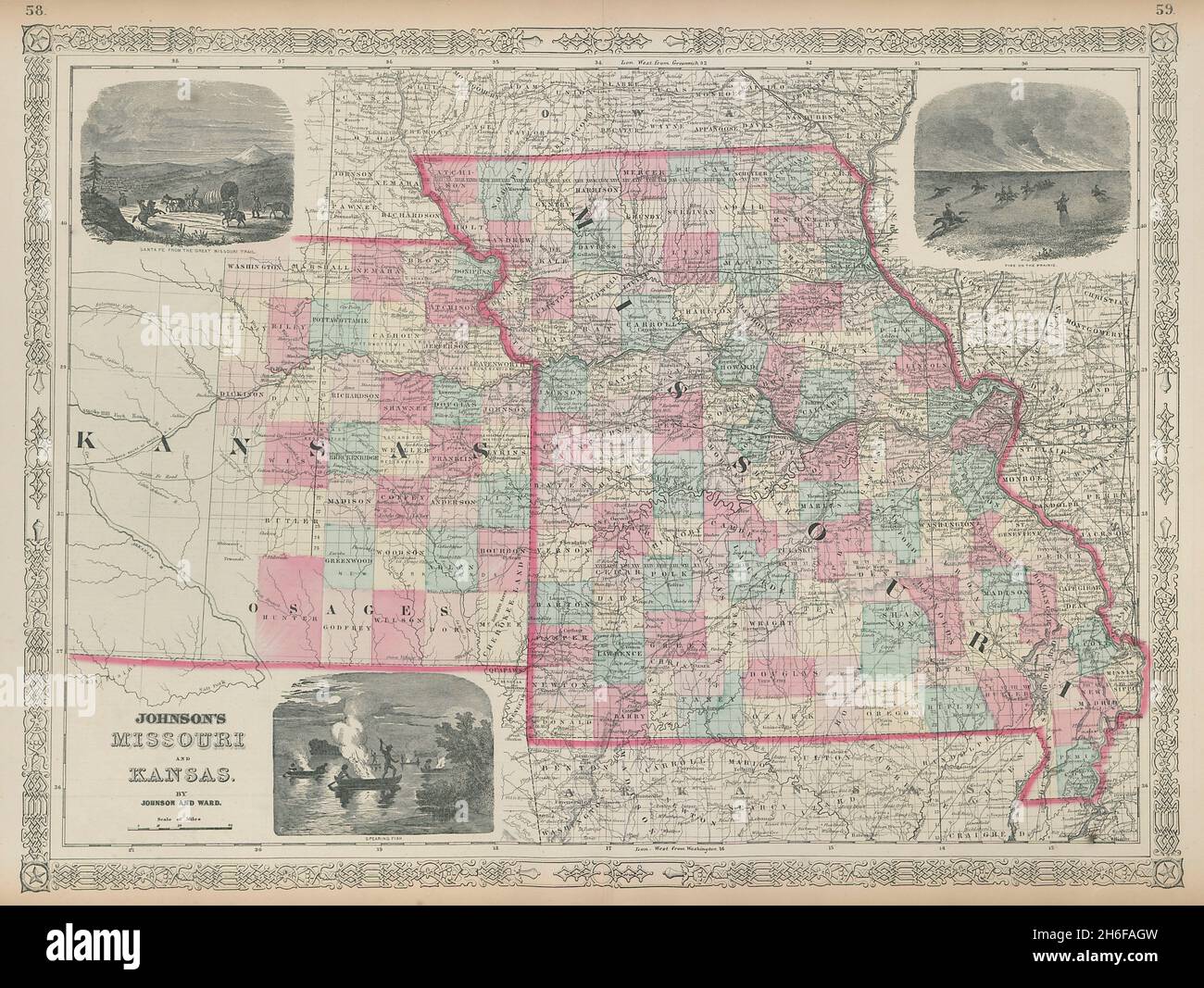 Johnson's Missouri & Kansas. US state map showing counties 1865 old Stock Photohttps://www.alamy.com/image-license-details/?v=1https://www.alamy.com/johnsons-missouri-kansas-us-state-map-showing-counties-1865-old-image451495097.html
RF2H6FAGW–Johnson's Missouri & Kansas. US state map showing counties 1865 old
 19th century map of Nebraska. Published in New Dollar Atlas of the United States and Dominion of Canada. (Rand McNally & Co's, Chicago, 1884). Stock Photohttps://www.alamy.com/image-license-details/?v=1https://www.alamy.com/19th-century-map-of-nebraska-published-in-new-dollar-atlas-of-the-united-states-and-dominion-of-canada-rand-mcnally-cos-chicago-1884-image385204649.html
RF2DAKGCW–19th century map of Nebraska. Published in New Dollar Atlas of the United States and Dominion of Canada. (Rand McNally & Co's, Chicago, 1884).
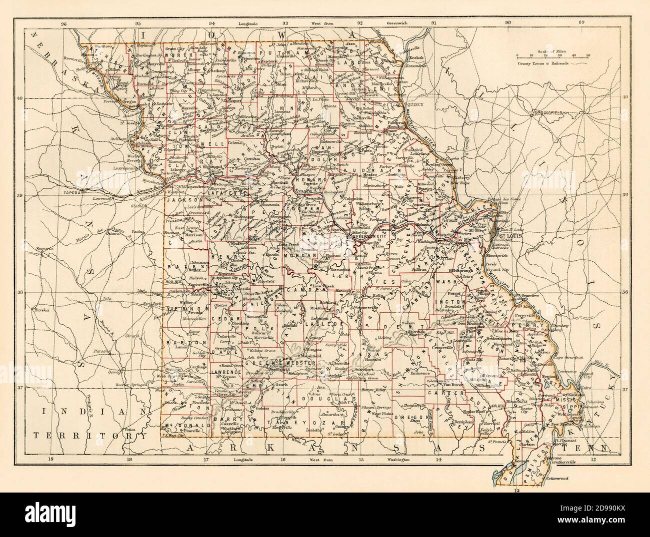 Missouri map, 1870s. Color lithograph Stock Photohttps://www.alamy.com/image-license-details/?v=1https://www.alamy.com/missouri-map-1870s-color-lithograph-image384358126.html
RM2D990KX–Missouri map, 1870s. Color lithograph
 U.S. states - map of Missouri against an American flag. Rivers and lakes are shown on the map. American Flag and State Map can be used separately and Stock Vectorhttps://www.alamy.com/image-license-details/?v=1https://www.alamy.com/us-states-map-of-missouri-against-an-american-flag-rivers-and-lakes-are-shown-on-the-map-american-flag-and-state-map-can-be-used-separately-and-image490062640.html
RF2KD87W4–U.S. states - map of Missouri against an American flag. Rivers and lakes are shown on the map. American Flag and State Map can be used separately and
 Old Success, Texas County, US, United States, Missouri, N 37 27' 27'', S 92 5' 13'', map, Cartascapes Map published in 2024. Explore Cartascapes, a map revealing Earth's diverse landscapes, cultures, and ecosystems. Journey through time and space, discovering the interconnectedness of our planet's past, present, and future. Stock Photohttps://www.alamy.com/image-license-details/?v=1https://www.alamy.com/old-success-texas-county-us-united-states-missouri-n-37-27-27-s-92-5-13-map-cartascapes-map-published-in-2024-explore-cartascapes-a-map-revealing-earths-diverse-landscapes-cultures-and-ecosystems-journey-through-time-and-space-discovering-the-interconnectedness-of-our-planets-past-present-and-future-image621399131.html
RM2Y2Y4X3–Old Success, Texas County, US, United States, Missouri, N 37 27' 27'', S 92 5' 13'', map, Cartascapes Map published in 2024. Explore Cartascapes, a map revealing Earth's diverse landscapes, cultures, and ecosystems. Journey through time and space, discovering the interconnectedness of our planet's past, present, and future.
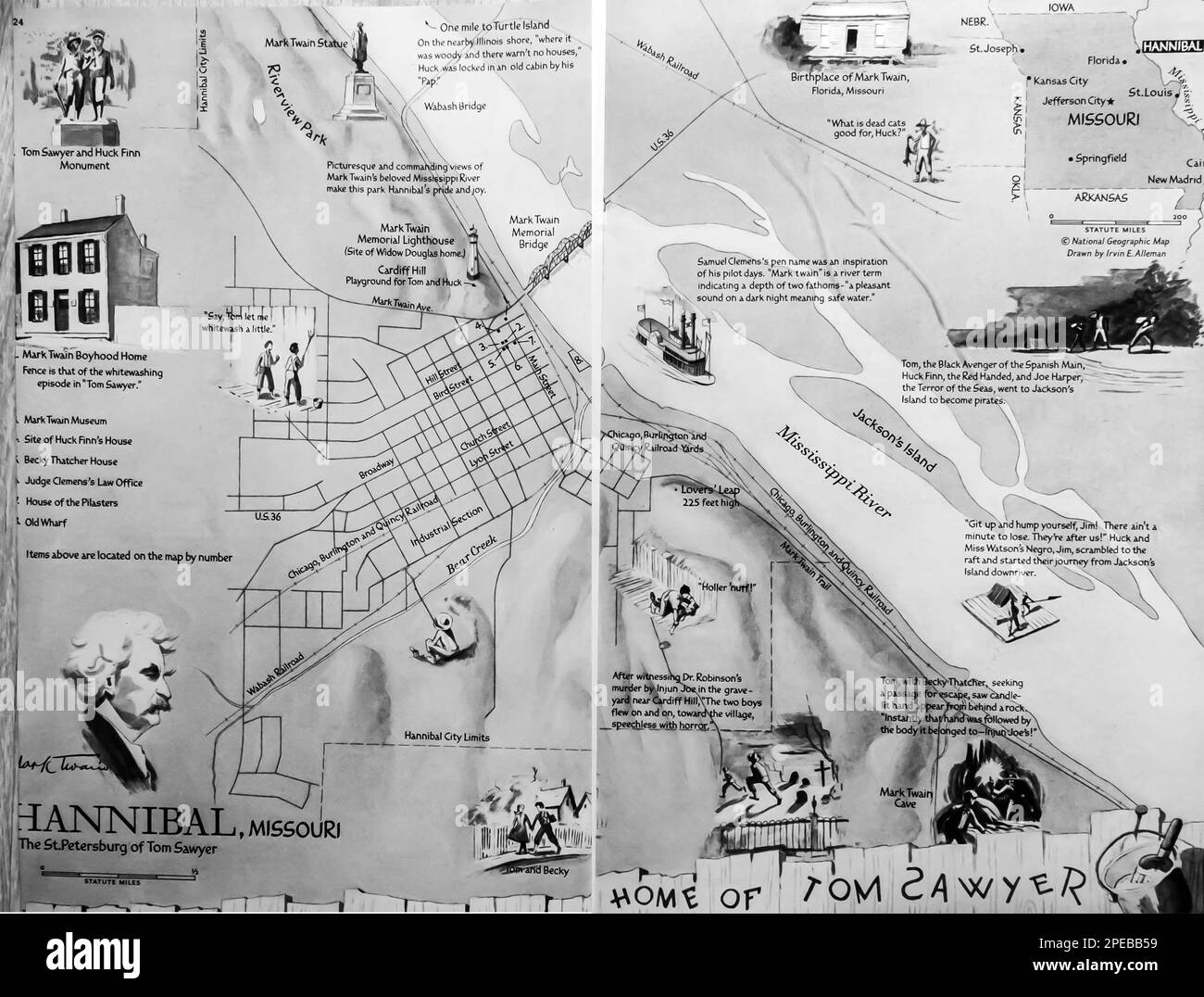 Home of Tom Sawyer map of Missouri published in a Natgeo magazine 1956 Stock Photohttps://www.alamy.com/image-license-details/?v=1https://www.alamy.com/home-of-tom-sawyer-map-of-missouri-published-in-a-natgeo-magazine-1956-image542376837.html
RM2PEBB59–Home of Tom Sawyer map of Missouri published in a Natgeo magazine 1956
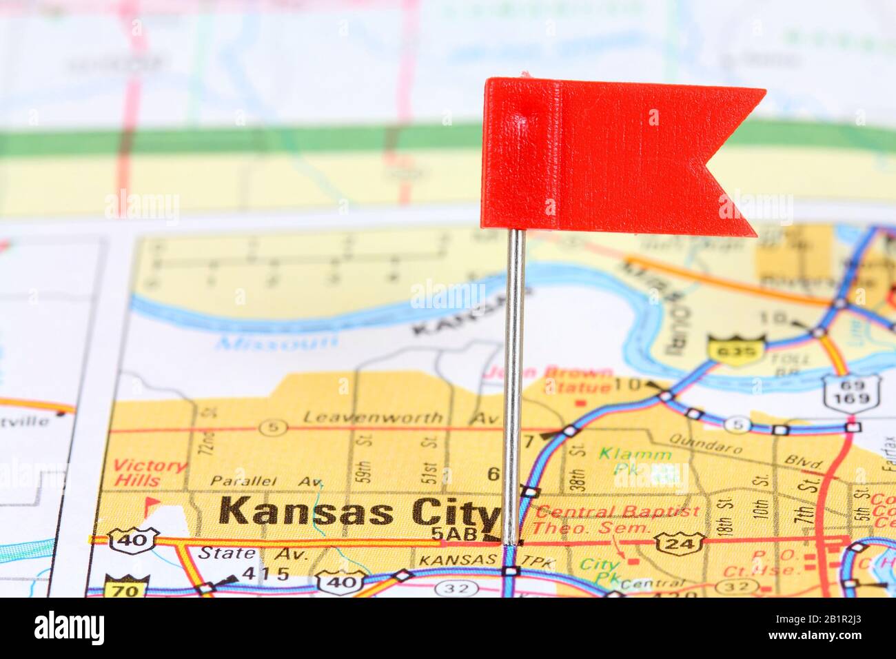 Kansas City, Missouri. Red flag pin on an old map showing travel destination. Stock Photohttps://www.alamy.com/image-license-details/?v=1https://www.alamy.com/kansas-city-missouri-red-flag-pin-on-an-old-map-showing-travel-destination-image345328987.html
RF2B1R2J3–Kansas City, Missouri. Red flag pin on an old map showing travel destination.
 1827 Finley Map of Missouri Stock Photohttps://www.alamy.com/image-license-details/?v=1https://www.alamy.com/stock-photo-1827-finley-map-of-missouri-50537134.html
RMCX64HJ–1827 Finley Map of Missouri
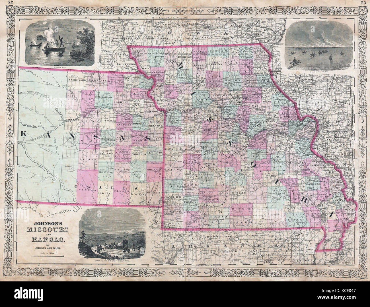 1874, Johnson Map of Missouri and Kansas Stock Photohttps://www.alamy.com/image-license-details/?v=1https://www.alamy.com/stock-image-1874-johnson-map-of-missouri-and-kansas-162576631.html
RMKCE047–1874, Johnson Map of Missouri and Kansas
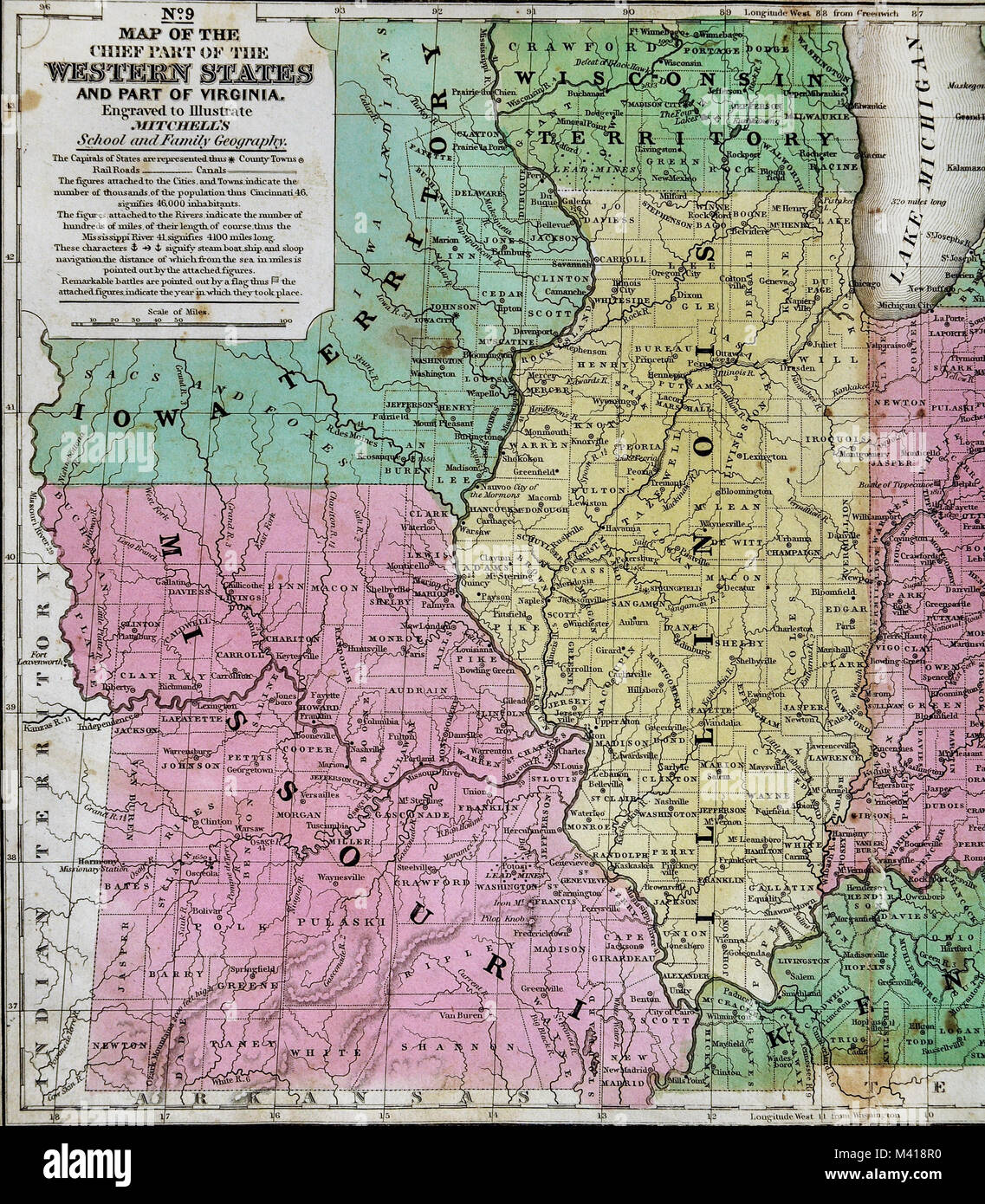 1839 Mitchell Map - Upper Midwest States - Missouri Illinois Indiana Ohio Kentucky Michigan - United States Stock Photohttps://www.alamy.com/image-license-details/?v=1https://www.alamy.com/stock-photo-1839-mitchell-map-upper-midwest-states-missouri-illinois-indiana-ohio-174591172.html
RFM418R0–1839 Mitchell Map - Upper Midwest States - Missouri Illinois Indiana Ohio Kentucky Michigan - United States
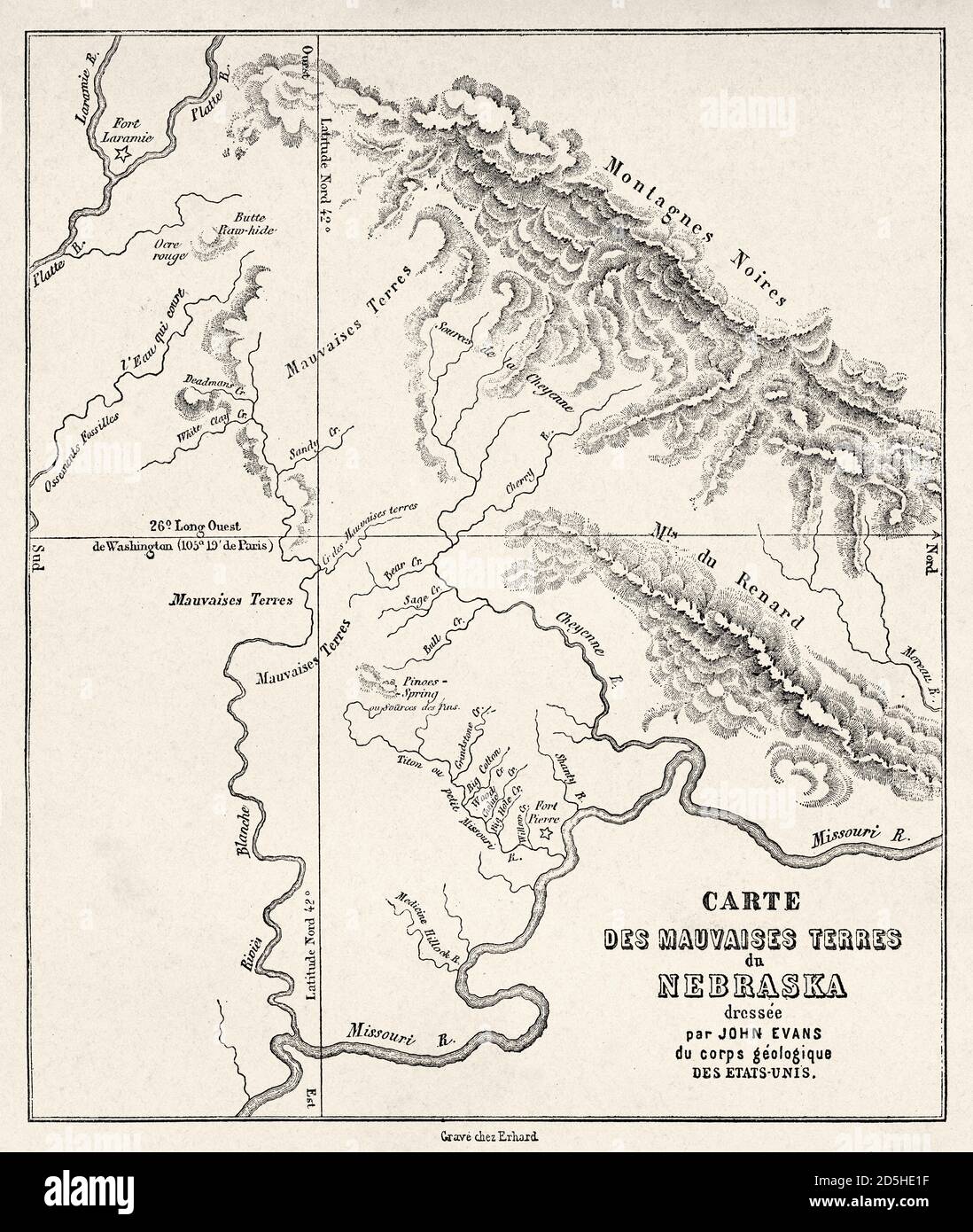 Nebraska badlands map, USA. Old XIX century engraved from Trip to Nebraska Le Tour du Monde 1864 Stock Photohttps://www.alamy.com/image-license-details/?v=1https://www.alamy.com/nebraska-badlands-map-usa-old-xix-century-engraved-from-trip-to-nebraska-le-tour-du-monde-1864-image382085579.html
RM2D5HE1F–Nebraska badlands map, USA. Old XIX century engraved from Trip to Nebraska Le Tour du Monde 1864
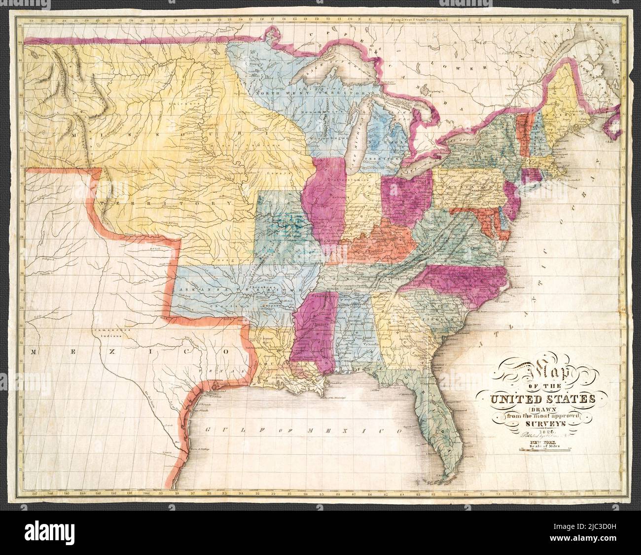 Original title: Map of the United States: drawn from the most approved surveys. Published 1826.Shows borders and other important political and geographic features. Gives prime meridians from both Greenwich and Washington, D.C. Gives general locations of Native American tribes. Stock Photohttps://www.alamy.com/image-license-details/?v=1https://www.alamy.com/original-title-map-of-the-united-states-drawn-from-the-most-approved-surveys-published-1826shows-borders-and-other-important-political-and-geographic-features-gives-prime-meridians-from-both-greenwich-and-washington-dc-gives-general-locations-of-native-american-tribes-image472131873.html
RM2JC3D0H–Original title: Map of the United States: drawn from the most approved surveys. Published 1826.Shows borders and other important political and geographic features. Gives prime meridians from both Greenwich and Washington, D.C. Gives general locations of Native American tribes.
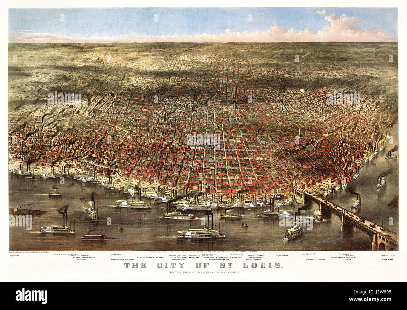 Old aerial view of Saint-Louis, Missouri. Currier & Yves, New York, 1874 Stock Photohttps://www.alamy.com/image-license-details/?v=1https://www.alamy.com/stock-photo-old-aerial-view-of-saint-louis-missouri-currier-yves-new-york-1874-146843205.html
RFJEW805–Old aerial view of Saint-Louis, Missouri. Currier & Yves, New York, 1874
 Map of Missouri on old linen Stock Photohttps://www.alamy.com/image-license-details/?v=1https://www.alamy.com/map-of-missouri-on-old-linen-image447181380.html
RF2GYETBG–Map of Missouri on old linen
 Map of the South West 1881 by South Western Immigration Company Stock Photohttps://www.alamy.com/image-license-details/?v=1https://www.alamy.com/map-of-the-south-west-1881-by-south-western-immigration-company-image633124403.html
RM2YP18HR–Map of the South West 1881 by South Western Immigration Company
 small, blank, square sheet of rough handmade paper floating over vintage defocused map of Missouri State Stock Photohttps://www.alamy.com/image-license-details/?v=1https://www.alamy.com/small-blank-square-sheet-of-rough-handmade-paper-floating-over-vintage-defocused-map-of-missouri-state-image455689439.html
RF2HDACER–small, blank, square sheet of rough handmade paper floating over vintage defocused map of Missouri State
 1850 Land Survey Map of Missouri - Geographicus - MO-ls-1850 Stock Photohttps://www.alamy.com/image-license-details/?v=1https://www.alamy.com/stock-photo-1850-land-survey-map-of-missouri-geographicus-mo-ls-1850-139470927.html
RMJ2WCGF–1850 Land Survey Map of Missouri - Geographicus - MO-ls-1850
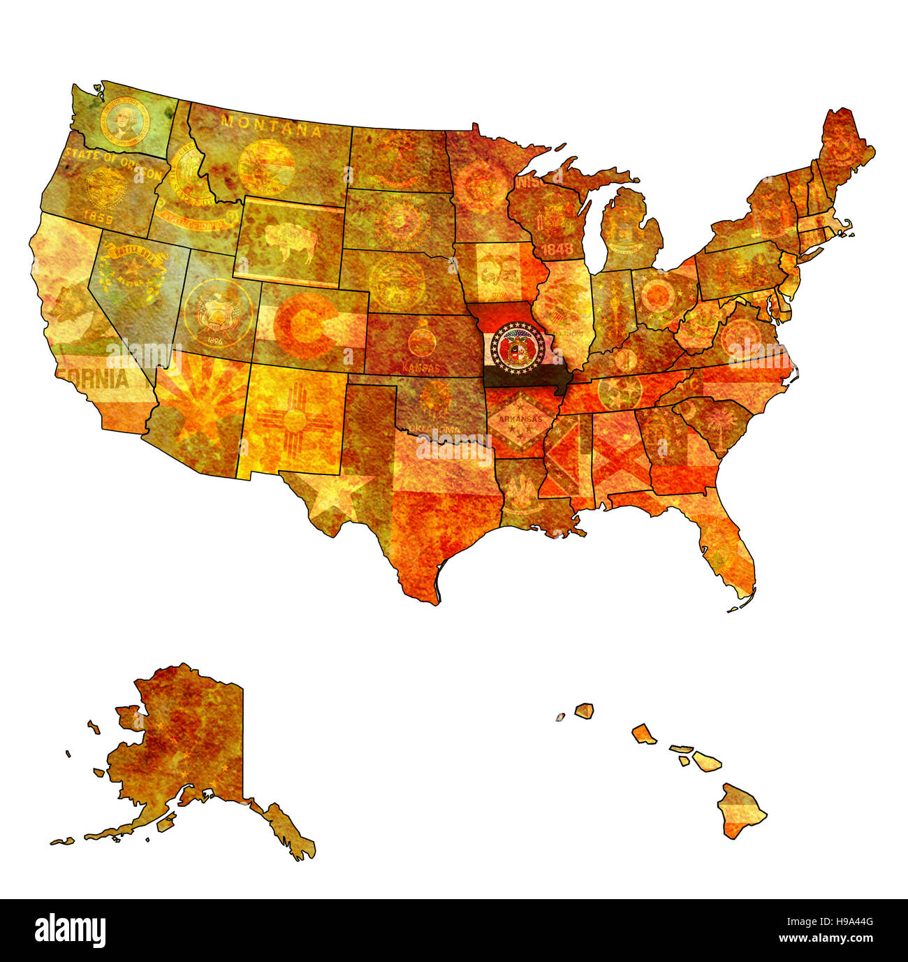 missouri on old vintage map of usa with state borders Stock Photohttps://www.alamy.com/image-license-details/?v=1https://www.alamy.com/stock-photo-missouri-on-old-vintage-map-of-usa-with-state-borders-126227264.html
RFH9A44G–missouri on old vintage map of usa with state borders
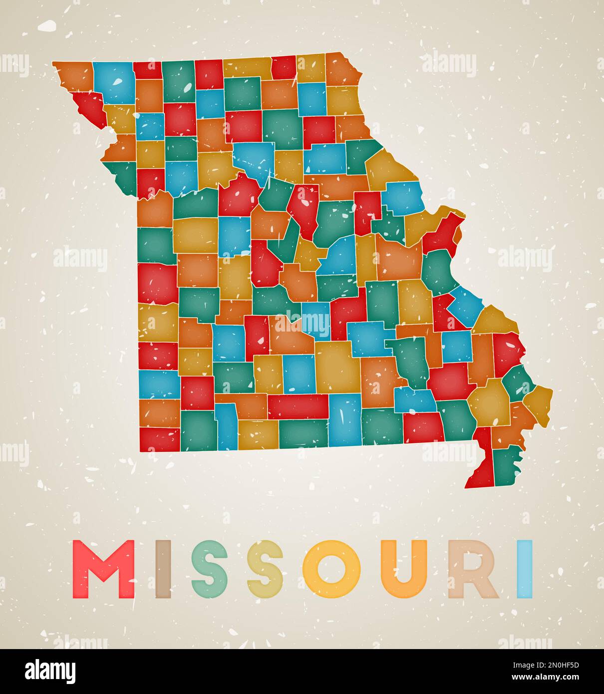 Missouri map. Us state poster with colored regions. Old grunge texture. Vector illustration of Missouri with us state name. Stock Vectorhttps://www.alamy.com/image-license-details/?v=1https://www.alamy.com/missouri-map-us-state-poster-with-colored-regions-old-grunge-texture-vector-illustration-of-missouri-with-us-state-name-image516696137.html
RF2N0HF5D–Missouri map. Us state poster with colored regions. Old grunge texture. Vector illustration of Missouri with us state name.
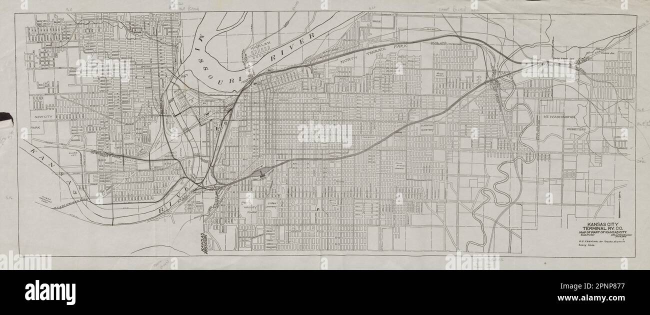 Kansas City plan showing Terminal Railway Co. Missouri 1907 old antique map Stock Photohttps://www.alamy.com/image-license-details/?v=1https://www.alamy.com/kansas-city-plan-showing-terminal-railway-co-missouri-1907-old-antique-map-image546918603.html
RF2PNP877–Kansas City plan showing Terminal Railway Co. Missouri 1907 old antique map
 19th century map of Dakota. Published in New Dollar Atlas of the United States and Dominion of Canada. (Rand McNally & Co's, Chicago, 1884). Stock Photohttps://www.alamy.com/image-license-details/?v=1https://www.alamy.com/19th-century-map-of-dakota-published-in-new-dollar-atlas-of-the-united-states-and-dominion-of-canada-rand-mcnally-cos-chicago-1884-image385204163.html
RF2DAKFRF–19th century map of Dakota. Published in New Dollar Atlas of the United States and Dominion of Canada. (Rand McNally & Co's, Chicago, 1884).
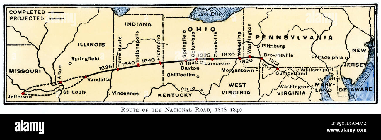 Map of the National Road from Maryland to Illinois 1818 to1840. Hand-colored woodcut Stock Photohttps://www.alamy.com/image-license-details/?v=1https://www.alamy.com/map-of-the-national-road-from-maryland-to-illinois-1818-to1840-hand-image6549553.html
RMA64XY2–Map of the National Road from Maryland to Illinois 1818 to1840. Hand-colored woodcut
 American flag in missouri state map. Vector grunge style with Typography hand drawn lettering missouri on map shaped old grunge vintage American natio Stock Vectorhttps://www.alamy.com/image-license-details/?v=1https://www.alamy.com/american-flag-in-missouri-state-map-vector-grunge-style-with-typography-hand-drawn-lettering-missouri-on-map-shaped-old-grunge-vintage-american-natio-image362210213.html
RF2C182R1–American flag in missouri state map. Vector grunge style with Typography hand drawn lettering missouri on map shaped old grunge vintage American natio
 Old Bland, Gasconade County, US, United States, Missouri, N 38 18' 54'', S 91 37' 22'', map, Cartascapes Map published in 2024. Explore Cartascapes, a map revealing Earth's diverse landscapes, cultures, and ecosystems. Journey through time and space, discovering the interconnectedness of our planet's past, present, and future. Stock Photohttps://www.alamy.com/image-license-details/?v=1https://www.alamy.com/old-bland-gasconade-county-us-united-states-missouri-n-38-18-54-s-91-37-22-map-cartascapes-map-published-in-2024-explore-cartascapes-a-map-revealing-earths-diverse-landscapes-cultures-and-ecosystems-journey-through-time-and-space-discovering-the-interconnectedness-of-our-planets-past-present-and-future-image621425095.html
RM2Y30A1B–Old Bland, Gasconade County, US, United States, Missouri, N 38 18' 54'', S 91 37' 22'', map, Cartascapes Map published in 2024. Explore Cartascapes, a map revealing Earth's diverse landscapes, cultures, and ecosystems. Journey through time and space, discovering the interconnectedness of our planet's past, present, and future.
 Closeup of St. Louis, Missouri on a road map of the United States. Stock Photohttps://www.alamy.com/image-license-details/?v=1https://www.alamy.com/stock-image-closeup-of-st-louis-missouri-on-a-road-map-of-the-united-states-163467453.html
RFKDXGB9–Closeup of St. Louis, Missouri on a road map of the United States.
RF2GCJCB2–Missouri Map on American Flag. MO, USA State Map on US Flag. EPS Vector Graphic Clipart Icon
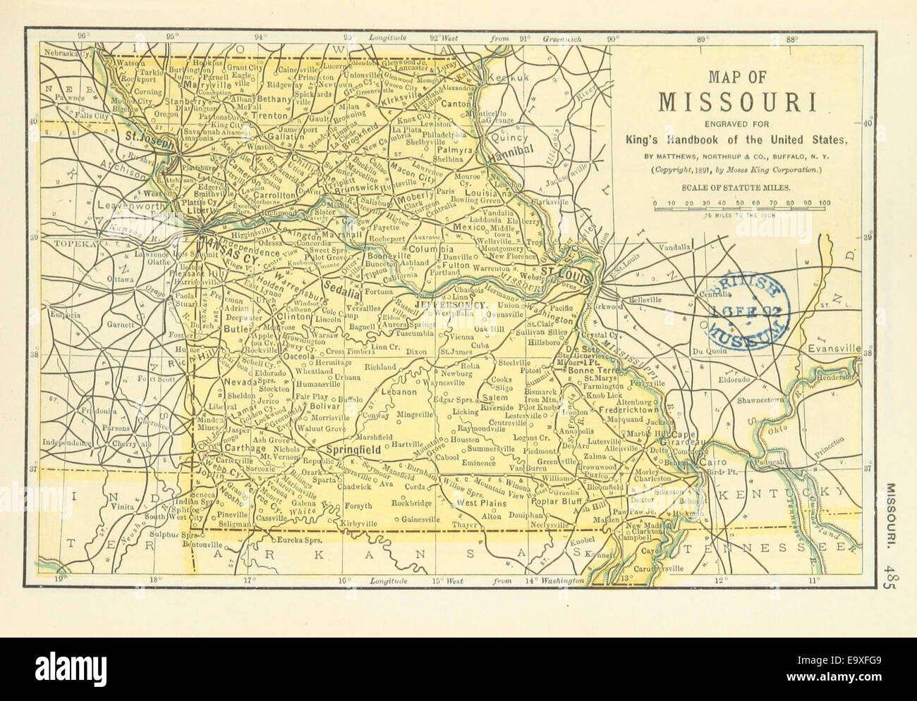 US-MAPS(1891) p487 - MAP OF MISSOURI Stock Photohttps://www.alamy.com/image-license-details/?v=1https://www.alamy.com/stock-photo-us-maps1891-p487-map-of-missouri-74956345.html
RME9XFG9–US-MAPS(1891) p487 - MAP OF MISSOURI
 1874, Mitchell Map of Iowa and Missouri Stock Photohttps://www.alamy.com/image-license-details/?v=1https://www.alamy.com/stock-image-1874-mitchell-map-of-iowa-and-missouri-162576634.html
RMKCE04A–1874, Mitchell Map of Iowa and Missouri
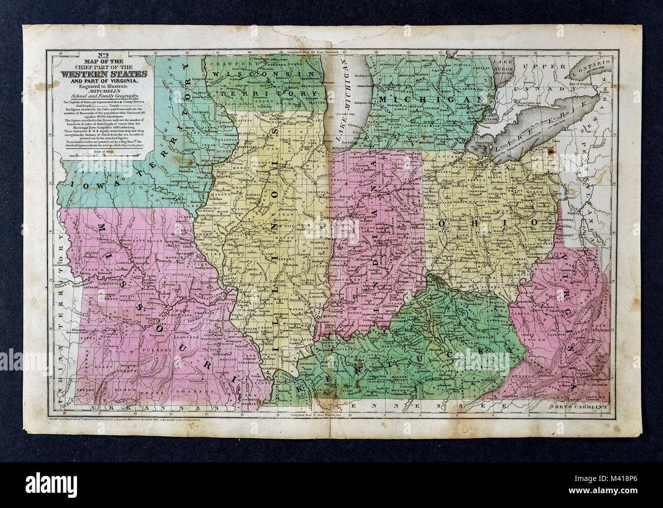 1839 Mitchell Map - Upper Midwest States - Missouri Illinois Indiana Ohio Kentucky Michigan - United States Stock Photohttps://www.alamy.com/image-license-details/?v=1https://www.alamy.com/stock-photo-1839-mitchell-map-upper-midwest-states-missouri-illinois-indiana-ohio-174591150.html
RFM418P6–1839 Mitchell Map - Upper Midwest States - Missouri Illinois Indiana Ohio Kentucky Michigan - United States
 Old map of the course of the Mississippi River. Unites States of America. Adventures of a Kansas Abolitionist in Missouri, 1855. Story by Doctor John Doy (1812-1869) Le Tour du Monde 1862 Stock Photohttps://www.alamy.com/image-license-details/?v=1https://www.alamy.com/old-map-of-the-course-of-the-mississippi-river-unites-states-of-americaadventures-of-a-kansas-abolitionist-in-missouri-1855-story-by-doctor-john-doy-1812-1869-le-tour-du-monde-1862-image619673807.html
RM2Y04G7B–Old map of the course of the Mississippi River. Unites States of America. Adventures of a Kansas Abolitionist in Missouri, 1855. Story by Doctor John Doy (1812-1869) Le Tour du Monde 1862
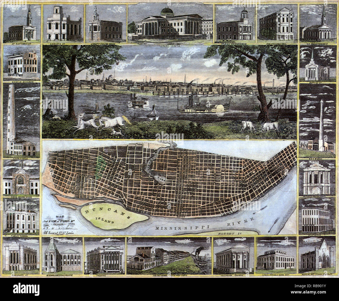 1848 Map of St. Louis 1848 Stock Photohttps://www.alamy.com/image-license-details/?v=1https://www.alamy.com/1848-map-of-st-louis-1848-image230693623.html
RMRB901Y–1848 Map of St. Louis 1848
 State of Missouri vector graphic map with flag and presidential day vote stamp Stock Vectorhttps://www.alamy.com/image-license-details/?v=1https://www.alamy.com/state-of-missouri-vector-graphic-map-with-flag-and-presidential-day-vote-stamp-image216952322.html
RFPGY0W6–State of Missouri vector graphic map with flag and presidential day vote stamp
 Missouri rubber stamp Stock Vectorhttps://www.alamy.com/image-license-details/?v=1https://www.alamy.com/missouri-rubber-stamp-image444256548.html
RF2GPNHN8–Missouri rubber stamp
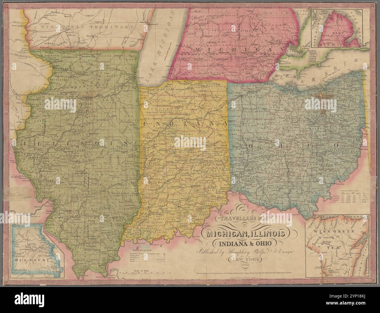 Traveller's map of Michigan, Illinois, Indiana & Ohio 1843 by Hammond, John T., approximately 1820- Stock Photohttps://www.alamy.com/image-license-details/?v=1https://www.alamy.com/travellers-map-of-michigan-illinois-indiana-ohio-1843-by-hammond-john-t-approximately-1820-image633124454.html
RM2YP18KJ–Traveller's map of Michigan, Illinois, Indiana & Ohio 1843 by Hammond, John T., approximately 1820-
 welcome to Missouri, the show-me state - handwriting on a square sheet of rough handmade paper floating over vintage defocused map of Missouri Stock Photohttps://www.alamy.com/image-license-details/?v=1https://www.alamy.com/welcome-to-missouri-the-show-me-state-handwriting-on-a-square-sheet-of-rough-handmade-paper-floating-over-vintage-defocused-map-of-missouri-image456434817.html
RF2HEGB7D–welcome to Missouri, the show-me state - handwriting on a square sheet of rough handmade paper floating over vintage defocused map of Missouri
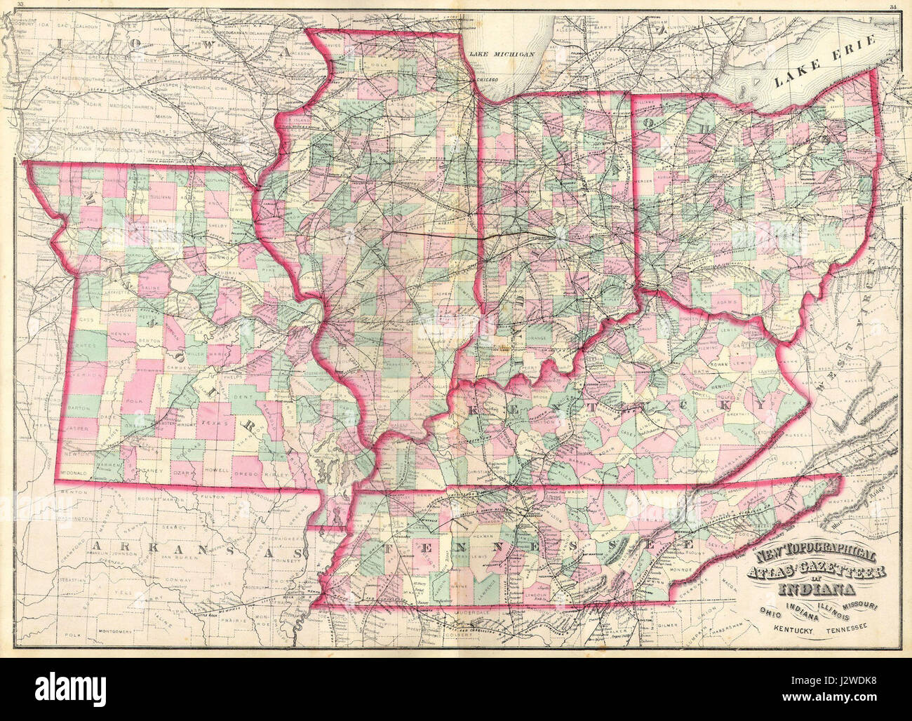 1873 Asher Adams Map of the Midwest ( Ohio, Indiana, Illinois, Missouri, Kentucky ) - Geographicus - INILOHMOKTTN-aa-1873 Stock Photohttps://www.alamy.com/image-license-details/?v=1https://www.alamy.com/stock-photo-1873-asher-adams-map-of-the-midwest-ohio-indiana-illinois-missouri-139471788.html
RMJ2WDK8–1873 Asher Adams Map of the Midwest ( Ohio, Indiana, Illinois, Missouri, Kentucky ) - Geographicus - INILOHMOKTTN-aa-1873
 missouri on old vintage map of usa with state borders Stock Photohttps://www.alamy.com/image-license-details/?v=1https://www.alamy.com/stock-photo-missouri-on-old-vintage-map-of-usa-with-state-borders-126227242.html
RFH9A43P–missouri on old vintage map of usa with state borders
 Missouri map. Us state poster with regions. Old grunge texture. Shape of Missouri with us state name. Trendy vector illustration. Stock Vectorhttps://www.alamy.com/image-license-details/?v=1https://www.alamy.com/missouri-map-us-state-poster-with-regions-old-grunge-texture-shape-of-missouri-with-us-state-name-trendy-vector-illustration-image546438338.html
RF2PN0BJX–Missouri map. Us state poster with regions. Old grunge texture. Shape of Missouri with us state name. Trendy vector illustration.
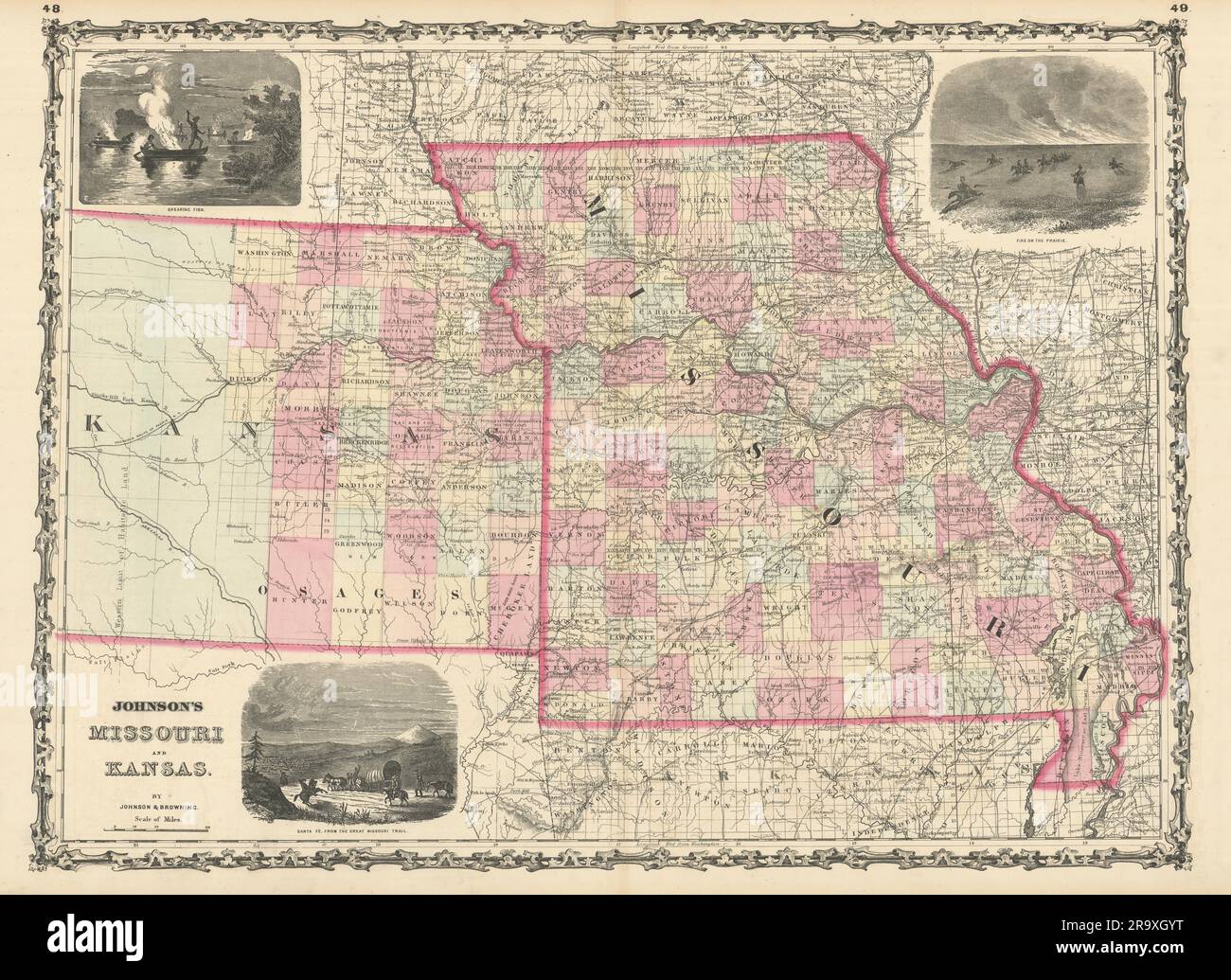 Johnson's Missouri & Kansas. US state map showing counties 1861 old Stock Photohttps://www.alamy.com/image-license-details/?v=1https://www.alamy.com/johnsons-missouri-kansas-us-state-map-showing-counties-1861-old-image556847756.html
RF2R9XGYT–Johnson's Missouri & Kansas. US state map showing counties 1861 old
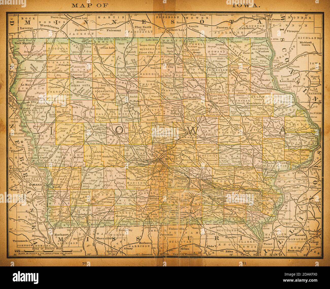 19th century map of Iowa. Published in New Dollar Atlas of the United States and Dominion of Canada. (Rand McNally & Co's, Chicago, 1884). Stock Photohttps://www.alamy.com/image-license-details/?v=1https://www.alamy.com/19th-century-map-of-iowa-published-in-new-dollar-atlas-of-the-united-states-and-dominion-of-canada-rand-mcnally-cos-chicago-1884-image385204232.html
RF2DAKFX0–19th century map of Iowa. Published in New Dollar Atlas of the United States and Dominion of Canada. (Rand McNally & Co's, Chicago, 1884).
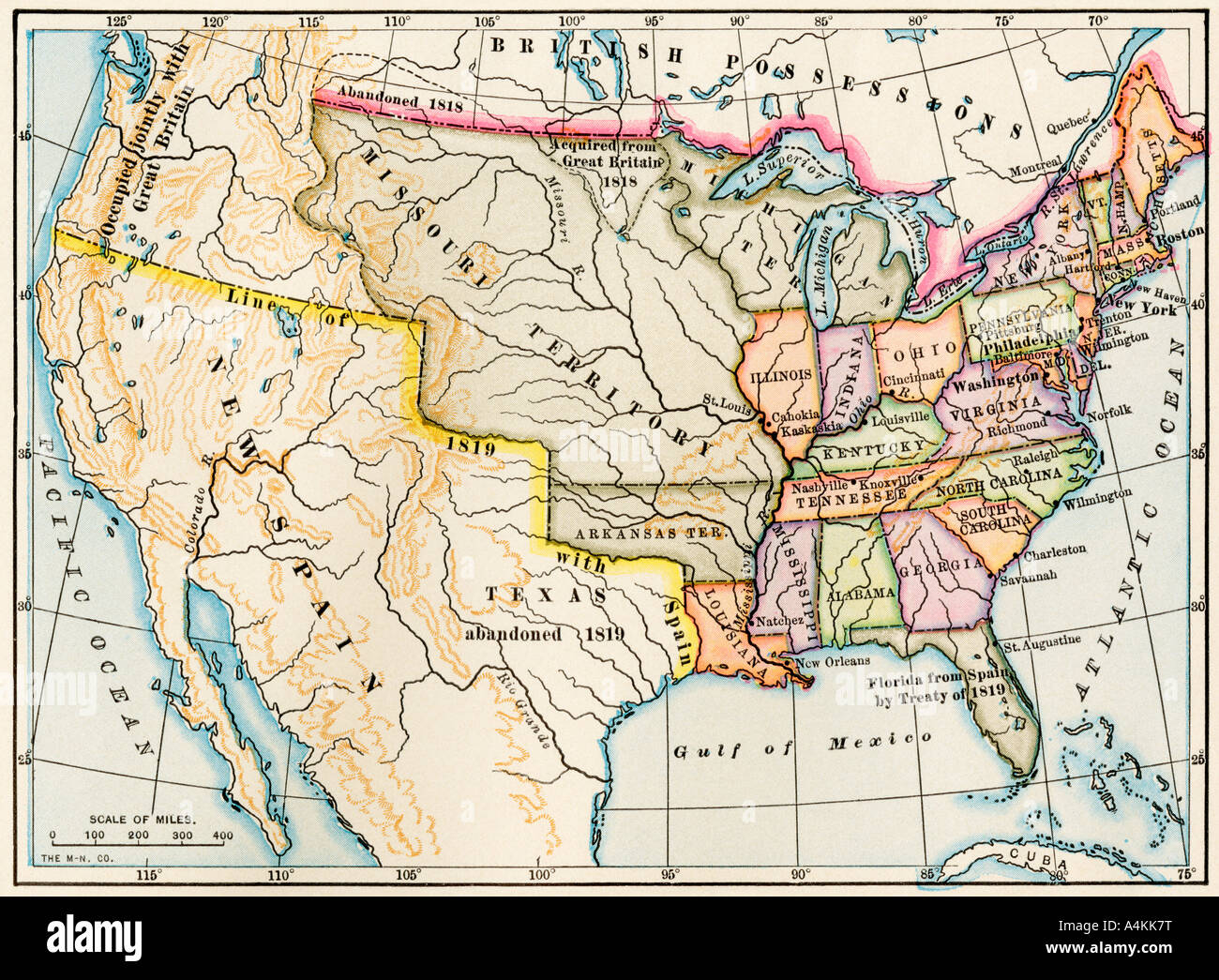 Map of the United States in 1819, showing territory under Spanish and British control. Color lithograph Stock Photohttps://www.alamy.com/image-license-details/?v=1https://www.alamy.com/stock-photo-map-of-the-united-states-in-1819-showing-territory-under-spanish-and-11073419.html
RMA4KK7T–Map of the United States in 1819, showing territory under Spanish and British control. Color lithograph
 close up of usa map showing the state of Missouri Stock Photohttps://www.alamy.com/image-license-details/?v=1https://www.alamy.com/close-up-of-usa-map-showing-the-state-of-missouri-image574371372.html
RM2TACTF8–close up of usa map showing the state of Missouri
 Old Pattonsburg, Daviess County, US, United States, Missouri, N 40 2' 48'', S 94 8' 8'', map, Cartascapes Map published in 2024. Explore Cartascapes, a map revealing Earth's diverse landscapes, cultures, and ecosystems. Journey through time and space, discovering the interconnectedness of our planet's past, present, and future. Stock Photohttps://www.alamy.com/image-license-details/?v=1https://www.alamy.com/old-pattonsburg-daviess-county-us-united-states-missouri-n-40-2-48-s-94-8-8-map-cartascapes-map-published-in-2024-explore-cartascapes-a-map-revealing-earths-diverse-landscapes-cultures-and-ecosystems-journey-through-time-and-space-discovering-the-interconnectedness-of-our-planets-past-present-and-future-image621198269.html
RM2Y2J0MD–Old Pattonsburg, Daviess County, US, United States, Missouri, N 40 2' 48'', S 94 8' 8'', map, Cartascapes Map published in 2024. Explore Cartascapes, a map revealing Earth's diverse landscapes, cultures, and ecosystems. Journey through time and space, discovering the interconnectedness of our planet's past, present, and future.
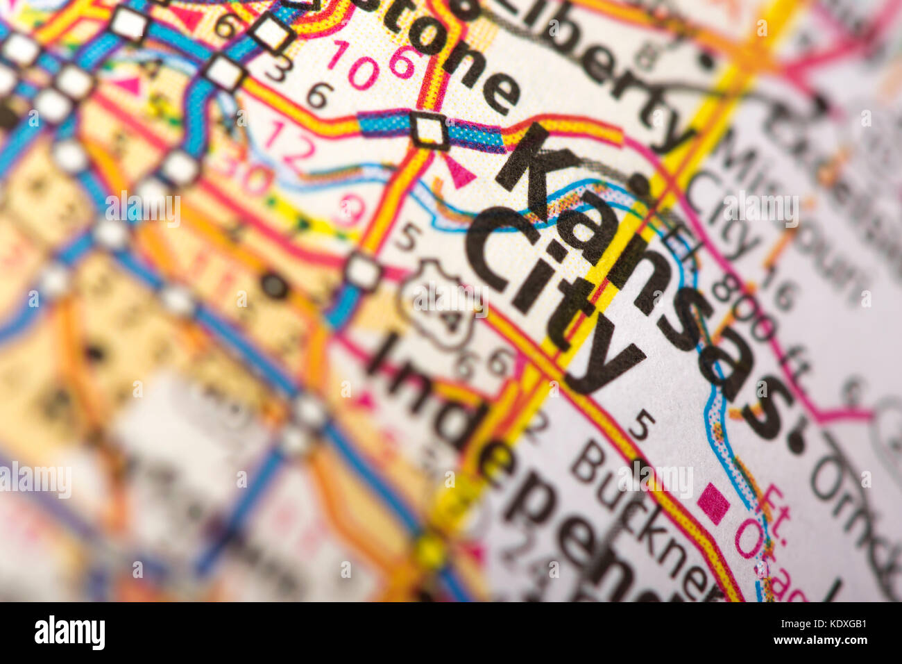 Closeup of Kansas City, Missouri on a road map of the United States. Stock Photohttps://www.alamy.com/image-license-details/?v=1https://www.alamy.com/stock-image-closeup-of-kansas-city-missouri-on-a-road-map-of-the-united-states-163467445.html
RFKDXGB1–Closeup of Kansas City, Missouri on a road map of the United States.
 US-MAPS(1891) p487 - MAP OF MISSOURI Stock Photohttps://www.alamy.com/image-license-details/?v=1https://www.alamy.com/stock-photo-us-maps1891-p487-map-of-missouri-75594924.html
RMEAYJ2M–US-MAPS(1891) p487 - MAP OF MISSOURI
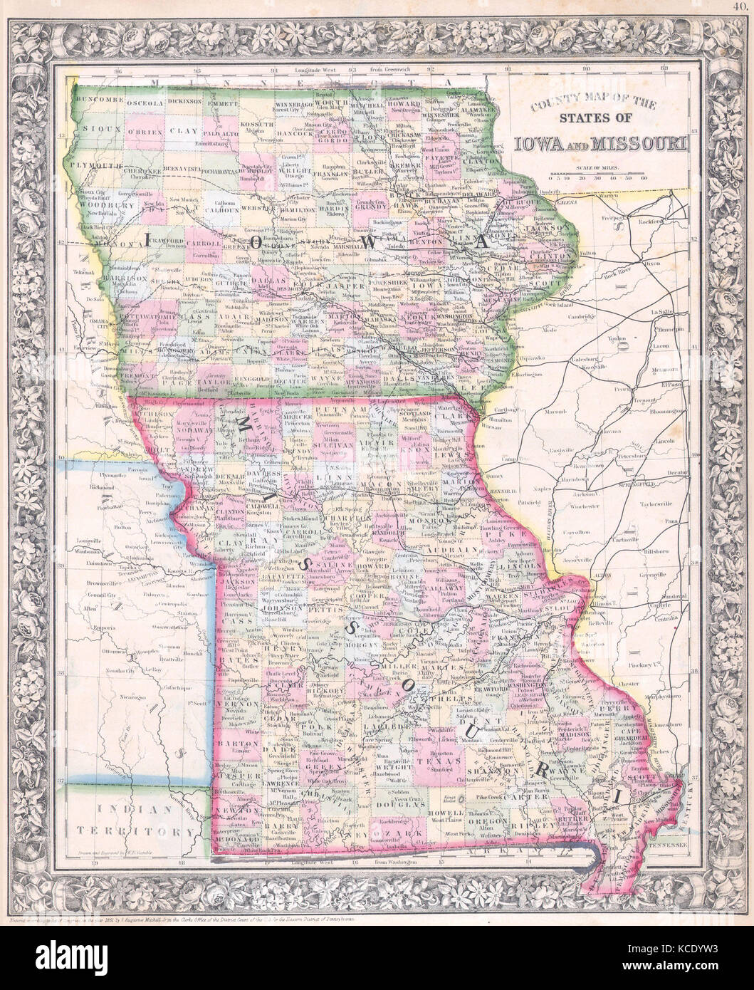 1864, Mitchell Map of Iowa and Missouri Stock Photohttps://www.alamy.com/image-license-details/?v=1https://www.alamy.com/stock-image-1864-mitchell-map-of-iowa-and-missouri-162576431.html
RMKCDYW3–1864, Mitchell Map of Iowa and Missouri
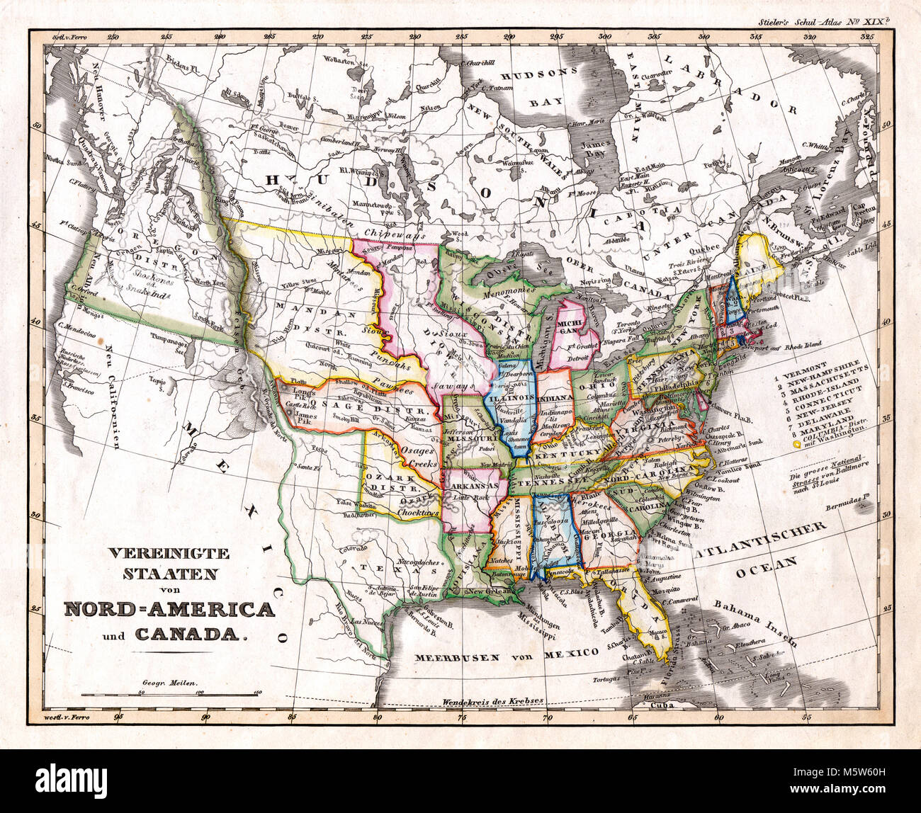 1844 Stieler Map - United States & Western Territories Stock Photohttps://www.alamy.com/image-license-details/?v=1https://www.alamy.com/stock-photo-1844-stieler-map-united-states-western-territories-175730481.html
RFM5W60H–1844 Stieler Map - United States & Western Territories
 Map of Missouri on weathered wood Stock Photohttps://www.alamy.com/image-license-details/?v=1https://www.alamy.com/map-of-missouri-on-weathered-wood-image385897718.html
RF2DBR4DA–Map of Missouri on weathered wood
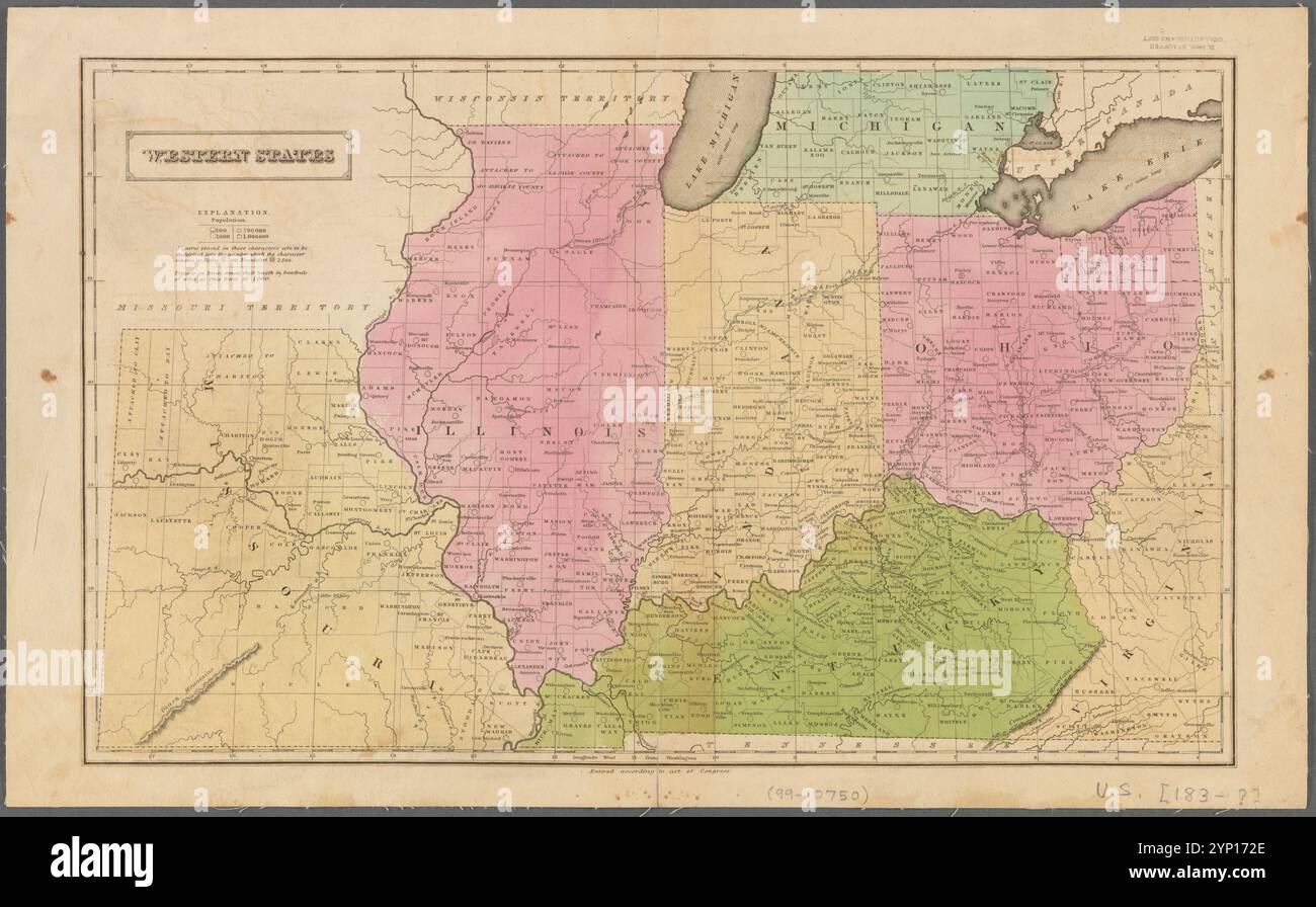 Western states 1830 - 1839 Stock Photohttps://www.alamy.com/image-license-details/?v=1https://www.alamy.com/western-states-1830-1839-image633123190.html
RM2YP172E–Western states 1830 - 1839
 1865 U.S.C.S. Map of the Mississippi River From Cairo, Illinois to St. Marys, Missouri - Geographicus - CairoStMarys2-USCS-1865 Stock Photohttps://www.alamy.com/image-license-details/?v=1https://www.alamy.com/stock-photo-1865-uscs-map-of-the-mississippi-river-from-cairo-illinois-to-st-marys-139471886.html
RMJ2WDPP–1865 U.S.C.S. Map of the Mississippi River From Cairo, Illinois to St. Marys, Missouri - Geographicus - CairoStMarys2-USCS-1865
 missouri on old vintage map of usa with state borders Stock Photohttps://www.alamy.com/image-license-details/?v=1https://www.alamy.com/stock-photo-missouri-on-old-vintage-map-of-usa-with-state-borders-126226264.html
RFH9A2TT–missouri on old vintage map of usa with state borders
 Missouri map design. Shape of the us state with beautiful geometric waves and grunge texture. Astonishing vector illustration. Stock Vectorhttps://www.alamy.com/image-license-details/?v=1https://www.alamy.com/missouri-map-design-shape-of-the-us-state-with-beautiful-geometric-waves-and-grunge-texture-astonishing-vector-illustration-image550725999.html
RF2PYYMHK–Missouri map design. Shape of the us state with beautiful geometric waves and grunge texture. Astonishing vector illustration.
 J. H. Colton's map of Missouri and Kansas 1864 old antique plan chart Stock Photohttps://www.alamy.com/image-license-details/?v=1https://www.alamy.com/j-h-coltons-map-of-missouri-and-kansas-1864-old-antique-plan-chart-image419554346.html
RF2FAG9RP–J. H. Colton's map of Missouri and Kansas 1864 old antique plan chart
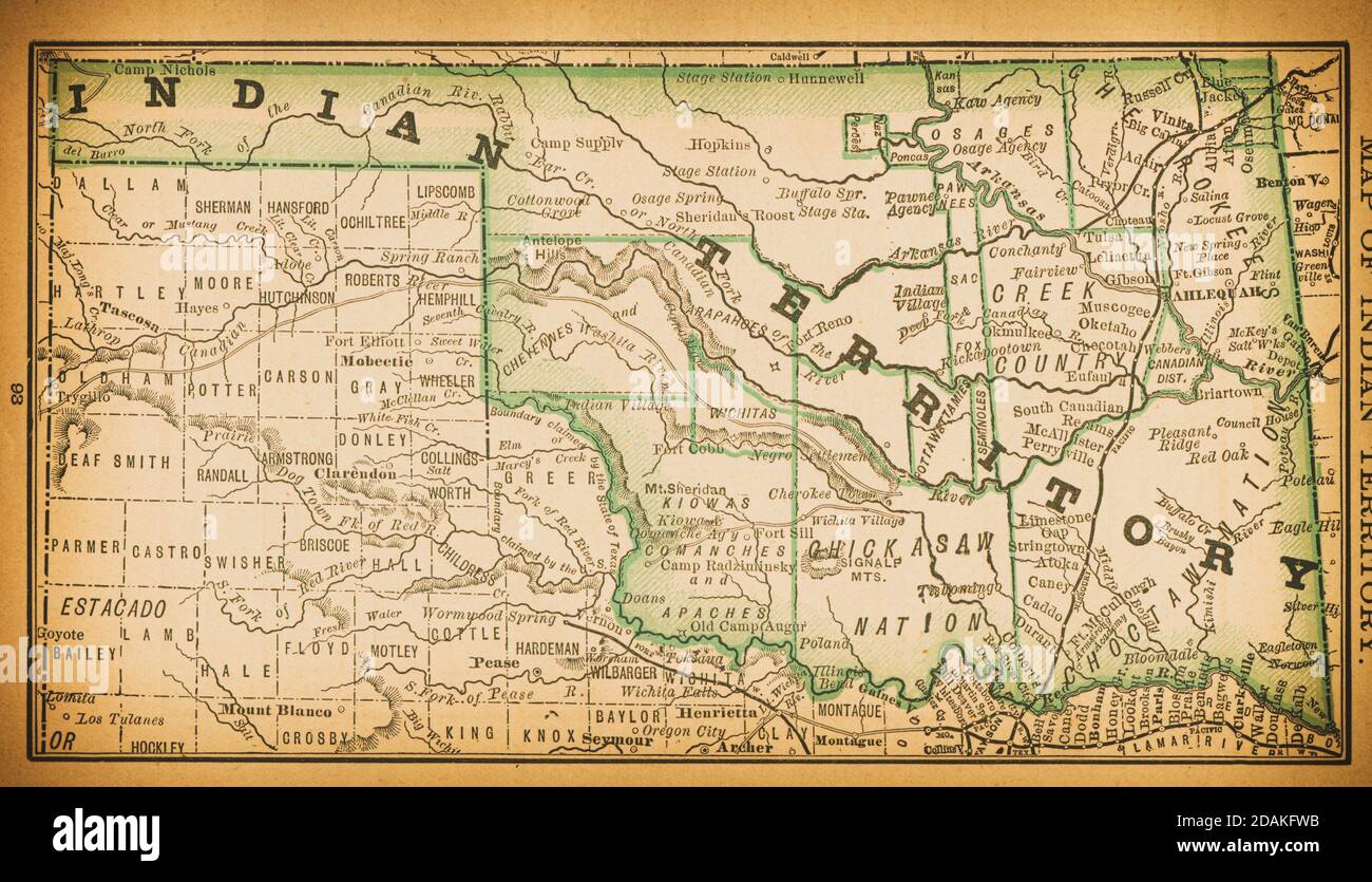 19th century map of Indian Territory. Published in New Dollar Atlas of the United States and Dominion of Canada. (Rand McNally & Co's, Chicago, 1884). Stock Photohttps://www.alamy.com/image-license-details/?v=1https://www.alamy.com/19th-century-map-of-indian-territory-published-in-new-dollar-atlas-of-the-united-states-and-dominion-of-canada-rand-mcnally-cos-chicago-1884-image385204215.html
RF2DAKFWB–19th century map of Indian Territory. Published in New Dollar Atlas of the United States and Dominion of Canada. (Rand McNally & Co's, Chicago, 1884).
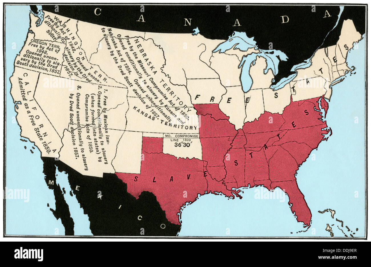 US map of freedom and slavery in 1857. Digitally colored woodcut Stock Photohttps://www.alamy.com/image-license-details/?v=1https://www.alamy.com/us-map-of-freedom-and-slavery-in-1857-digitally-colored-woodcut-image60024239.html
RMDDJ9ER–US map of freedom and slavery in 1857. Digitally colored woodcut
 Old Linn Creek, Camden County, US, United States, Missouri, N 38 4' 21'', S 92 44' 11'', map, Cartascapes Map published in 2024. Explore Cartascapes, a map revealing Earth's diverse landscapes, cultures, and ecosystems. Journey through time and space, discovering the interconnectedness of our planet's past, present, and future. Stock Photohttps://www.alamy.com/image-license-details/?v=1https://www.alamy.com/old-linn-creek-camden-county-us-united-states-missouri-n-38-4-21-s-92-44-11-map-cartascapes-map-published-in-2024-explore-cartascapes-a-map-revealing-earths-diverse-landscapes-cultures-and-ecosystems-journey-through-time-and-space-discovering-the-interconnectedness-of-our-planets-past-present-and-future-image621236957.html
RM2Y2KP25–Old Linn Creek, Camden County, US, United States, Missouri, N 38 4' 21'', S 92 44' 11'', map, Cartascapes Map published in 2024. Explore Cartascapes, a map revealing Earth's diverse landscapes, cultures, and ecosystems. Journey through time and space, discovering the interconnectedness of our planet's past, present, and future.
 Closeup of St. Joseph, Missouri on a road map of the United States. Stock Photohttps://www.alamy.com/image-license-details/?v=1https://www.alamy.com/stock-photo-closeup-of-st-joseph-missouri-on-a-road-map-of-the-united-states-170743171.html
RFKWP0JB–Closeup of St. Joseph, Missouri on a road map of the United States.
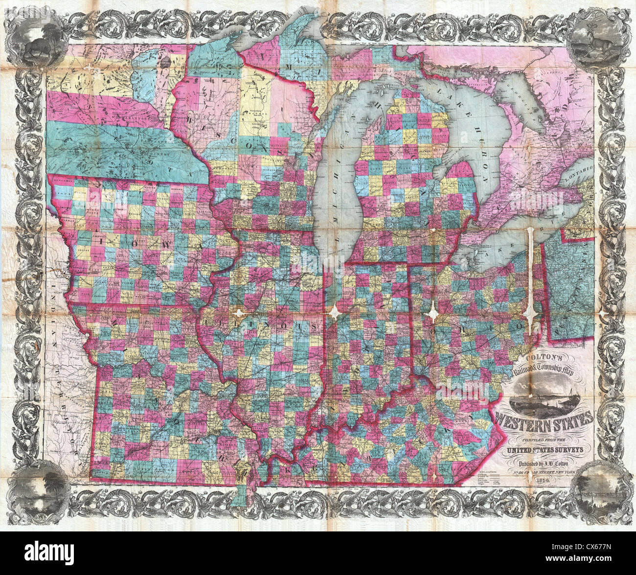 1854 Colton Pocket Map of Ohio, Michigan, Wisconsin, Iowa, Illinois, Missouri, Indiana and Kentucky Stock Photohttps://www.alamy.com/image-license-details/?v=1https://www.alamy.com/stock-photo-1854-colton-pocket-map-of-ohio-michigan-wisconsin-iowa-illinois-missouri-50539209.html
RMCX677N–1854 Colton Pocket Map of Ohio, Michigan, Wisconsin, Iowa, Illinois, Missouri, Indiana and Kentucky
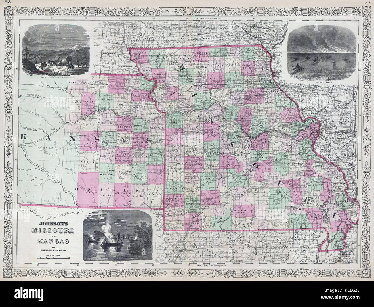 1866, Johnson's Map of Missouri and Kansas Stock Photohttps://www.alamy.com/image-license-details/?v=1https://www.alamy.com/stock-image-1866-johnsons-map-of-missouri-and-kansas-162589118.html
RMKCEG26–1866, Johnson's Map of Missouri and Kansas
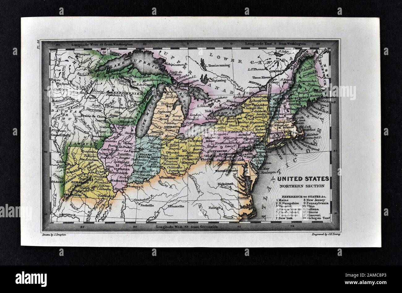 1834 Carey Map United States of America Northeastern and Midwestern States including Maine Massachusetts Connecticut Pennsylvania Ohio Indiana Illinois Missouri Michigan New York Stock Photohttps://www.alamy.com/image-license-details/?v=1https://www.alamy.com/1834-carey-map-united-states-of-america-northeastern-and-midwestern-states-including-maine-massachusetts-connecticut-pennsylvania-ohio-indiana-illinois-missouri-michigan-new-york-image339560427.html
RF2AMC8P3–1834 Carey Map United States of America Northeastern and Midwestern States including Maine Massachusetts Connecticut Pennsylvania Ohio Indiana Illinois Missouri Michigan New York
