Mitchell map of vermont and new hampshire Stock Photos and Images
(20)See mitchell map of vermont and new hampshire stock video clipsMitchell map of vermont and new hampshire Stock Photos and Images
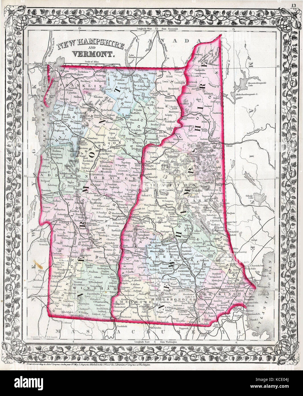 1874, Mitchell Map of Vermont and New Hampshire Stock Photohttps://www.alamy.com/image-license-details/?v=1https://www.alamy.com/stock-image-1874-mitchell-map-of-vermont-and-new-hampshire-162576642.html
RMKCE04J–1874, Mitchell Map of Vermont and New Hampshire
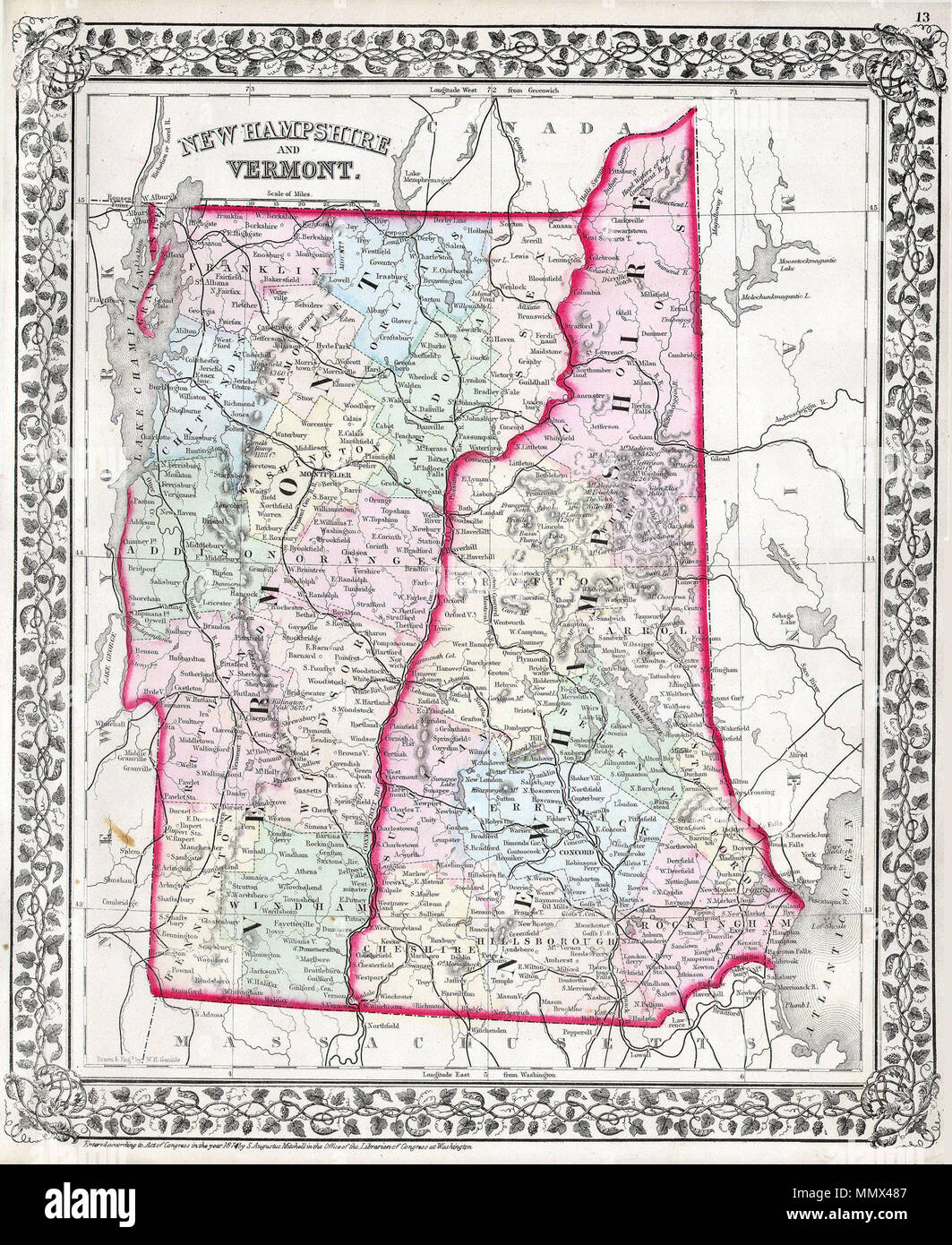 . English: This hand colored antique map of Vermont and New Hampshire is a lithographic engraving dating to 1874 by the legendary American map publisher Samuel Augustus Mitchell Jr. Cities and towns are shown in considerable detail. New Hampshire and Vermont.. 1874. 1874 Mitchell Map of Vermont and New Hampshire - Geographicus - VTNH-m-1874 Stock Photohttps://www.alamy.com/image-license-details/?v=1https://www.alamy.com/english-this-hand-colored-antique-map-of-vermont-and-new-hampshire-is-a-lithographic-engraving-dating-to-1874-by-the-legendary-american-map-publisher-samuel-augustus-mitchell-jr-cities-and-towns-are-shown-in-considerable-detail-new-hampshire-and-vermont-1874-1874-mitchell-map-of-vermont-and-new-hampshire-geographicus-vtnh-m-1874-image184970919.html
RMMMX487–. English: This hand colored antique map of Vermont and New Hampshire is a lithographic engraving dating to 1874 by the legendary American map publisher Samuel Augustus Mitchell Jr. Cities and towns are shown in considerable detail. New Hampshire and Vermont.. 1874. 1874 Mitchell Map of Vermont and New Hampshire - Geographicus - VTNH-m-1874
 1874 Mitchell Map of Vermont and New Hampshire - Geographicus - VTNH-m-1874 Stock Photohttps://www.alamy.com/image-license-details/?v=1https://www.alamy.com/stock-photo-1874-mitchell-map-of-vermont-and-new-hampshire-geographicus-vtnh-m-132594678.html
RMHKM5T6–1874 Mitchell Map of Vermont and New Hampshire - Geographicus - VTNH-m-1874
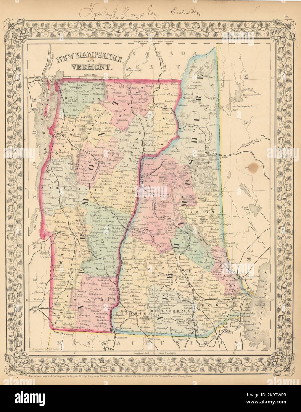 New Hampshire and Vermont State map in counties by S. Augustus Mitchell 1869 Stock Photohttps://www.alamy.com/image-license-details/?v=1https://www.alamy.com/new-hampshire-and-vermont-state-map-in-counties-by-s-augustus-mitchell-1869-image487969295.html
RF2K9TWPR–New Hampshire and Vermont State map in counties by S. Augustus Mitchell 1869
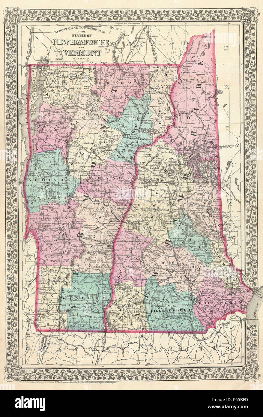 1877 Mitchell Map of Vermont and New Hampshire - Geographicus - VTNH-mitchell-1877. Stock Photohttps://www.alamy.com/image-license-details/?v=1https://www.alamy.com/1877-mitchell-map-of-vermont-and-new-hampshire-geographicus-vtnh-mitchell-1877-image210331169.html
RMP65BFD–1877 Mitchell Map of Vermont and New Hampshire - Geographicus - VTNH-mitchell-1877.
 1874, Mitchell Map of Vermont and New Hampshire. Reimagined by Gibon. Classic art with a modern twist reimagined Stock Photohttps://www.alamy.com/image-license-details/?v=1https://www.alamy.com/1874-mitchell-map-of-vermont-and-new-hampshire-reimagined-by-gibon-classic-art-with-a-modern-twist-reimagined-image230073711.html
RFRA8NA7–1874, Mitchell Map of Vermont and New Hampshire. Reimagined by Gibon. Classic art with a modern twist reimagined
 1839 Mitchell Map - New England - Massachusetts Rhode Island Vermont Connecticut New Hampshire Maine - United States Stock Photohttps://www.alamy.com/image-license-details/?v=1https://www.alamy.com/stock-photo-1839-mitchell-map-new-england-massachusetts-rhode-island-vermont-connecticut-174591179.html
RFM418R7–1839 Mitchell Map - New England - Massachusetts Rhode Island Vermont Connecticut New Hampshire Maine - United States
 New Hampshire & Vermont 1846 by Mitchell, S. Augustus (Samuel Augustus), 1792-1868 Stock Photohttps://www.alamy.com/image-license-details/?v=1https://www.alamy.com/new-hampshire-vermont-1846-by-mitchell-s-augustus-samuel-augustus-1792-1868-image633421491.html
RM2YPERG3–New Hampshire & Vermont 1846 by Mitchell, S. Augustus (Samuel Augustus), 1792-1868
 1877, Mitchell Map of Vermont and New Hampshire Stock Photohttps://www.alamy.com/image-license-details/?v=1https://www.alamy.com/stock-image-1877-mitchell-map-of-vermont-and-new-hampshire-162576653.html
RMKCE051–1877, Mitchell Map of Vermont and New Hampshire
 . English: This hand colored antique map of Vermont & New Hampshire is a lithographic engraving dating to 1862 by the legendary American map publisher Samuel Augustus Mitchell Jr. Detailed to the county level with attention to trains, roadways and cities. Features the floral border typical of Mitchell maps from the 1860-65 period. Prepared by W. H. Gamble for inclusion as plate 14 in the 1864 issue of Mitchell’s New General Atlas . Dated and copyrighted, “Entered according to Act of Congress in the Year 1862 by S. Augustus Mitchell Jr. in the Clerk’s Office of the District Court of the U.S. f Stock Photohttps://www.alamy.com/image-license-details/?v=1https://www.alamy.com/english-this-hand-colored-antique-map-of-vermont-new-hampshire-is-a-lithographic-engraving-dating-to-1862-by-the-legendary-american-map-publisher-samuel-augustus-mitchell-jr-detailed-to-the-county-level-with-attention-to-trains-roadways-and-cities-features-the-floral-border-typical-of-mitchell-maps-from-the-1860-65-period-prepared-by-w-h-gamble-for-inclusion-as-plate-14-in-the-1864-issue-of-mitchells-new-general-atlas-dated-and-copyrighted-entered-according-to-act-of-congress-in-the-year-1862-by-s-augustus-mitchell-jr-in-the-clerks-office-of-the-district-court-of-the-us-f-image184964677.html
RMMMWT99–. English: This hand colored antique map of Vermont & New Hampshire is a lithographic engraving dating to 1862 by the legendary American map publisher Samuel Augustus Mitchell Jr. Detailed to the county level with attention to trains, roadways and cities. Features the floral border typical of Mitchell maps from the 1860-65 period. Prepared by W. H. Gamble for inclusion as plate 14 in the 1864 issue of Mitchell’s New General Atlas . Dated and copyrighted, “Entered according to Act of Congress in the Year 1862 by S. Augustus Mitchell Jr. in the Clerk’s Office of the District Court of the U.S. f
 1877 Mitchell Map of Vermont and New Hampshire - Geographicus - VTNH-mitchell-1877 Stock Photohttps://www.alamy.com/image-license-details/?v=1https://www.alamy.com/stock-photo-1877-mitchell-map-of-vermont-and-new-hampshire-geographicus-vtnh-mitchell-132600045.html
RMHKMCKW–1877 Mitchell Map of Vermont and New Hampshire - Geographicus - VTNH-mitchell-1877
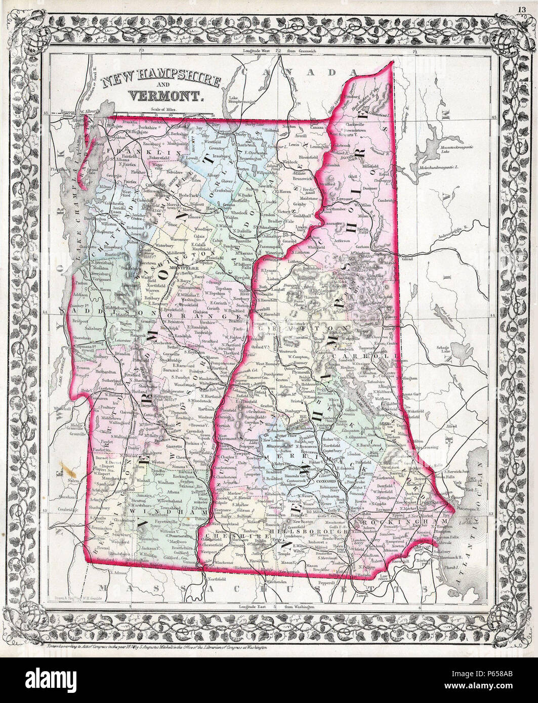 1874 Mitchell Map of Vermont and New Hampshire - Geographicus - VTNH-m-1874. Stock Photohttps://www.alamy.com/image-license-details/?v=1https://www.alamy.com/1874-mitchell-map-of-vermont-and-new-hampshire-geographicus-vtnh-m-1874-image210328675.html
RMP658AB–1874 Mitchell Map of Vermont and New Hampshire - Geographicus - VTNH-m-1874.
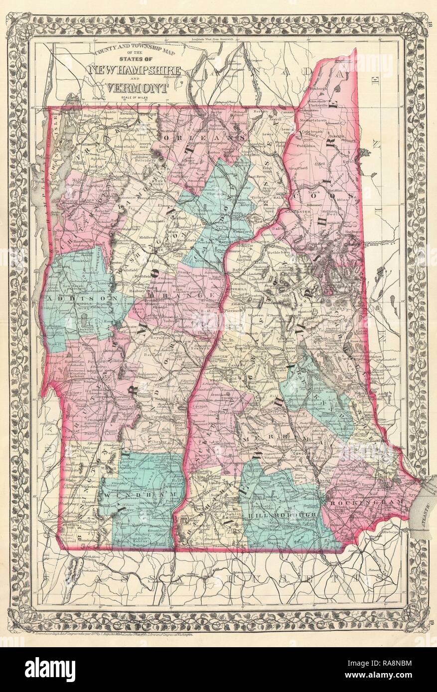 1877, Mitchell Map of Vermont and New Hampshire. Reimagined by Gibon. Classic art with a modern twist reimagined Stock Photohttps://www.alamy.com/image-license-details/?v=1https://www.alamy.com/1877-mitchell-map-of-vermont-and-new-hampshire-reimagined-by-gibon-classic-art-with-a-modern-twist-reimagined-image230073752.html
RFRA8NBM–1877, Mitchell Map of Vermont and New Hampshire. Reimagined by Gibon. Classic art with a modern twist reimagined
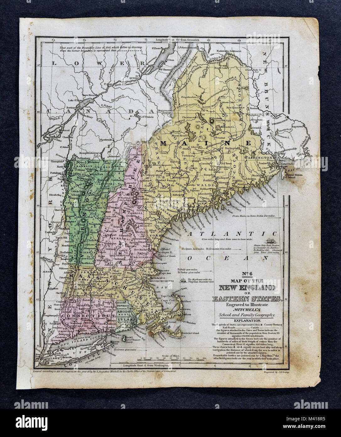 1839 Mitchell Map - United States Stock Photohttps://www.alamy.com/image-license-details/?v=1https://www.alamy.com/stock-photo-1839-mitchell-map-united-states-174591177.html
RFM418R5–1839 Mitchell Map - United States
 1864, Mitchell Map of New York, Massachusetts, Connecticut, Rhode Island, New Hampshire and Vermont Stock Photohttps://www.alamy.com/image-license-details/?v=1https://www.alamy.com/stock-image-1864-mitchell-map-of-new-york-massachusetts-connecticut-rhode-island-162589042.html
RMKCEFYE–1864, Mitchell Map of New York, Massachusetts, Connecticut, Rhode Island, New Hampshire and Vermont
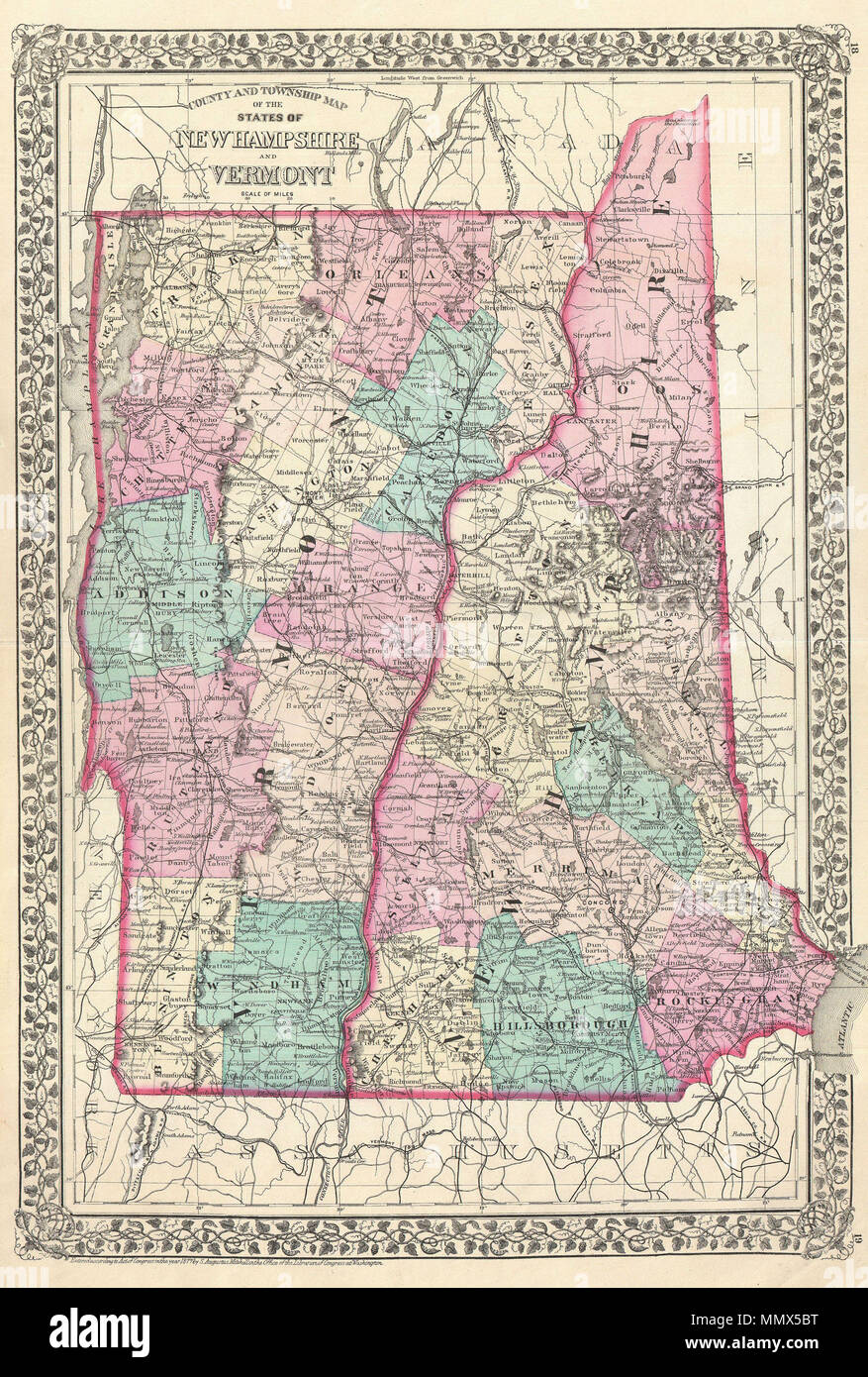 . English: A beautiful example of S. A. Mitchell Jr.’s 1877 map of Vermont and New Hampshire. Denotes both political and geographical details. Divided according to counties and highlighted with Mitchell’s typical pastels. One of the most attractive American atlas maps of this region to appear in the mid 19th century. Features the vine motif border typical of Mitchell maps from the 1866 - 1882 period. Prepared by S.A. Mitchell for inclusion as plate nos. 18 and 19 in the 1878 issue of Mitchell’s New General Atlas . Dated and copyrighted, “Entered according to Act of Congress in the Year 1877 b Stock Photohttps://www.alamy.com/image-license-details/?v=1https://www.alamy.com/english-a-beautiful-example-of-s-a-mitchell-jrs-1877-map-of-vermont-and-new-hampshire-denotes-both-political-and-geographical-details-divided-according-to-counties-and-highlighted-with-mitchells-typical-pastels-one-of-the-most-attractive-american-atlas-maps-of-this-region-to-appear-in-the-mid-19th-century-features-the-vine-motif-border-typical-of-mitchell-maps-from-the-1866-1882-period-prepared-by-sa-mitchell-for-inclusion-as-plate-nos-18-and-19-in-the-1878-issue-of-mitchells-new-general-atlas-dated-and-copyrighted-entered-according-to-act-of-congress-in-the-year-1877-b-image184971804.html
RMMMX5BT–. English: A beautiful example of S. A. Mitchell Jr.’s 1877 map of Vermont and New Hampshire. Denotes both political and geographical details. Divided according to counties and highlighted with Mitchell’s typical pastels. One of the most attractive American atlas maps of this region to appear in the mid 19th century. Features the vine motif border typical of Mitchell maps from the 1866 - 1882 period. Prepared by S.A. Mitchell for inclusion as plate nos. 18 and 19 in the 1878 issue of Mitchell’s New General Atlas . Dated and copyrighted, “Entered according to Act of Congress in the Year 1877 b
 Connecticut, Massachusetts, New Hampshire ^ Vermont - Geographicus - NYNewEngland-mitchell-1864, Rhode Island, 1864 Mitchell Map of New York Stock Photohttps://www.alamy.com/image-license-details/?v=1https://www.alamy.com/stock-photo-connecticut-massachusetts-new-hampshire-vermont-geographicus-nynewengland-133518337.html
RMHN6801–Connecticut, Massachusetts, New Hampshire ^ Vermont - Geographicus - NYNewEngland-mitchell-1864, Rhode Island, 1864 Mitchell Map of New York
 1864 Mitchell Map of New York, Massachusetts, Connecticut, Rhode Island, New Hampshire ^ Vermont - Geographicus - NYNewEngland-mitchell-1864. Stock Photohttps://www.alamy.com/image-license-details/?v=1https://www.alamy.com/1864-mitchell-map-of-new-york-massachusetts-connecticut-rhode-island-new-hampshire-vermont-geographicus-nynewengland-mitchell-1864-image210298299.html
RMP63WHF–1864 Mitchell Map of New York, Massachusetts, Connecticut, Rhode Island, New Hampshire ^ Vermont - Geographicus - NYNewEngland-mitchell-1864.
 1864, Mitchell Map of New York, Massachusetts, Connecticut, Rhode Island, New Hampshire and Vermont. Reimagined Stock Photohttps://www.alamy.com/image-license-details/?v=1https://www.alamy.com/1864-mitchell-map-of-new-york-massachusetts-connecticut-rhode-island-new-hampshire-and-vermont-reimagined-image230062074.html
RFRA86EJ–1864, Mitchell Map of New York, Massachusetts, Connecticut, Rhode Island, New Hampshire and Vermont. Reimagined
 . English: A fine example of Mitchell’s 1864 map of New York, Connecticut, Rhode Island, Massachusetts, Vermont and New Hampshire. Depicts the region in considerable detail with notations regarding political divisions, rail lines, roads, and geographical features. Features two inset maps in the lower left quadrant, one of Boston Harbor and the other of New York Harbor. No notable variations from earlier issues. One of the most attractive American atlas maps of New York and New England to appear in the mid 19th century. Features the floral border typical of Mitchell maps from the 1860-65 perio Stock Photohttps://www.alamy.com/image-license-details/?v=1https://www.alamy.com/english-a-fine-example-of-mitchells-1864-map-of-new-york-connecticut-rhode-island-massachusetts-vermont-and-new-hampshire-depicts-the-region-in-considerable-detail-with-notations-regarding-political-divisions-rail-lines-roads-and-geographical-features-features-two-inset-maps-in-the-lower-left-quadrant-one-of-boston-harbor-and-the-other-of-new-york-harbor-no-notable-variations-from-earlier-issues-one-of-the-most-attractive-american-atlas-maps-of-new-york-and-new-england-to-appear-in-the-mid-19th-century-features-the-floral-border-typical-of-mitchell-maps-from-the-1860-65-perio-image184966315.html
RMMMWXBR–. English: A fine example of Mitchell’s 1864 map of New York, Connecticut, Rhode Island, Massachusetts, Vermont and New Hampshire. Depicts the region in considerable detail with notations regarding political divisions, rail lines, roads, and geographical features. Features two inset maps in the lower left quadrant, one of Boston Harbor and the other of New York Harbor. No notable variations from earlier issues. One of the most attractive American atlas maps of New York and New England to appear in the mid 19th century. Features the floral border typical of Mitchell maps from the 1860-65 perio