Modern map of yorkshire england Stock Photos and Images
(2,368)See modern map of yorkshire england stock video clipsQuick filters:
Modern map of yorkshire england Stock Photos and Images
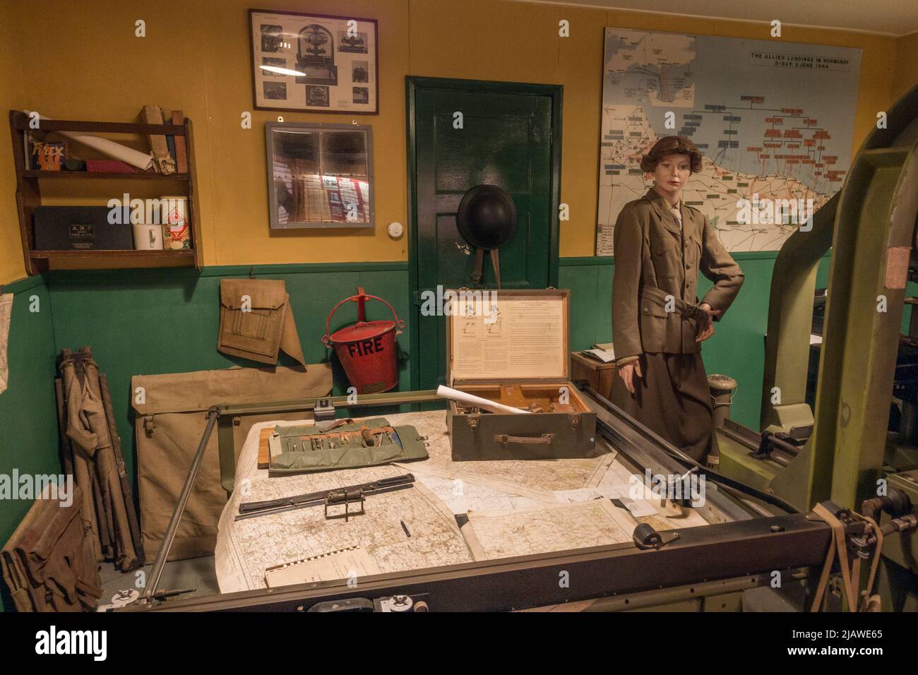 D-Day map plotting machine (Wild A5 No 54) on display in Eden Camp Modern History Theme Museum near Malton, North Yorkshire, England. Stock Photohttps://www.alamy.com/image-license-details/?v=1https://www.alamy.com/d-day-map-plotting-machine-wild-a5-no-54-on-display-in-eden-camp-modern-history-theme-museum-near-malton-north-yorkshire-england-image471386445.html
RM2JAWE65–D-Day map plotting machine (Wild A5 No 54) on display in Eden Camp Modern History Theme Museum near Malton, North Yorkshire, England.
 Large map on a wall on Templar Street in Leeds City Centre, West Yorkshire, England. Stock Photohttps://www.alamy.com/image-license-details/?v=1https://www.alamy.com/large-map-on-a-wall-on-templar-street-in-leeds-city-centre-west-yorkshire-england-image215484004.html
RMPEG418–Large map on a wall on Templar Street in Leeds City Centre, West Yorkshire, England.
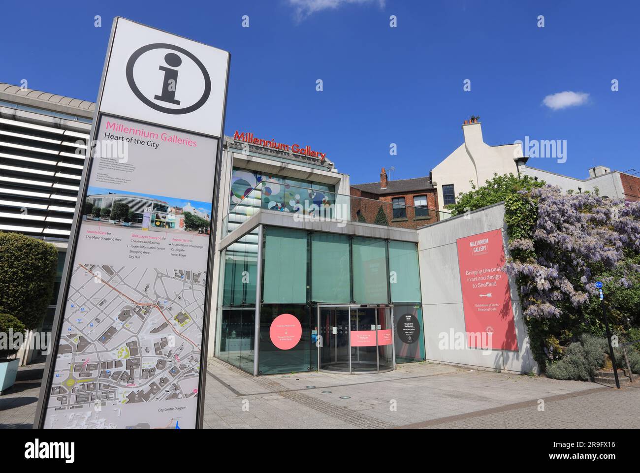 The Millennium Galleries, art galleries and museums in the centre of Sheffield, South Yorkshire, UK Stock Photohttps://www.alamy.com/image-license-details/?v=1https://www.alamy.com/the-millennium-galleries-art-galleries-and-museums-in-the-centre-of-sheffield-south-yorkshire-uk-image556613378.html
RM2R9FX16–The Millennium Galleries, art galleries and museums in the centre of Sheffield, South Yorkshire, UK
 Watercolor Map of Israel Stock Photohttps://www.alamy.com/image-license-details/?v=1https://www.alamy.com/stock-photo-watercolor-map-of-israel-121626452.html
RFH1TFNT–Watercolor Map of Israel
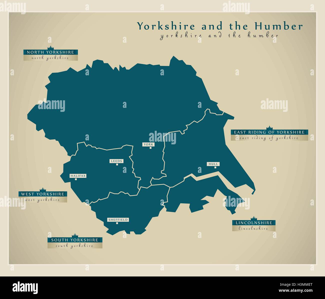 Modern Map - Yorkshire and the Humber UK Stock Vectorhttps://www.alamy.com/image-license-details/?v=1https://www.alamy.com/stock-photo-modern-map-yorkshire-and-the-humber-uk-122771680.html
RFH3MMET–Modern Map - Yorkshire and the Humber UK
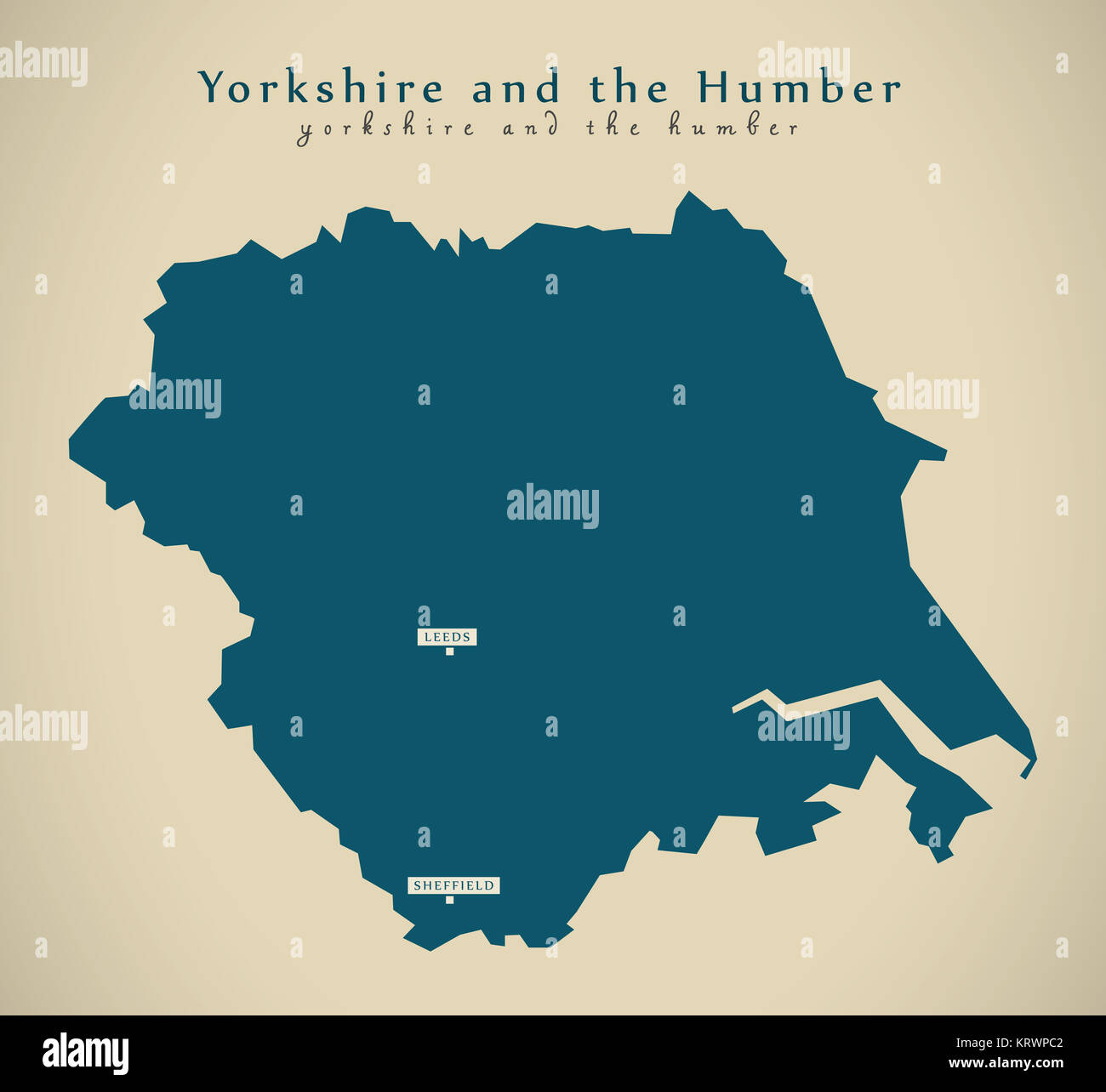 Modern Map - Yorkshire and the humber UK England Illustration Stock Photohttps://www.alamy.com/image-license-details/?v=1https://www.alamy.com/stock-image-modern-map-yorkshire-and-the-humber-uk-england-illustration-169596786.html
RFKRWPC2–Modern Map - Yorkshire and the humber UK England Illustration
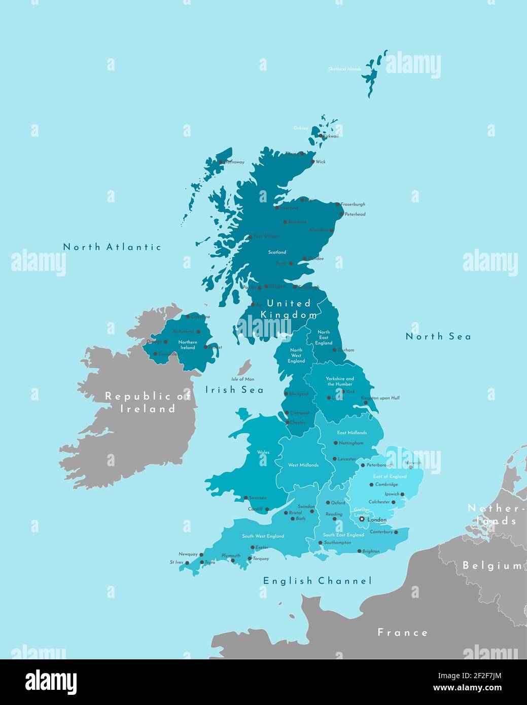 Vector modern illustration. Simplified geographical map of United Kingdom of Great Britain and Northern Ireland (UK). Blue background of Irish sea Stock Photohttps://www.alamy.com/image-license-details/?v=1https://www.alamy.com/vector-modern-illustration-simplified-geographical-map-of-united-kingdom-of-great-britain-and-northern-ireland-uk-blue-background-of-irish-sea-image414613436.html
RF2F2F7JM–Vector modern illustration. Simplified geographical map of United Kingdom of Great Britain and Northern Ireland (UK). Blue background of Irish sea
 West Yorkshire county, silhouette map isolated on white background, England Stock Vectorhttps://www.alamy.com/image-license-details/?v=1https://www.alamy.com/west-yorkshire-county-silhouette-map-isolated-on-white-background-england-image466496800.html
RF2J2XNC0–West Yorkshire county, silhouette map isolated on white background, England
 Crakehall, North Yorkshire, GB, United Kingdom, England, N 54 18' 17'', S 1 37' 5'', map, Cartascapes Map published in 2024. Explore Cartascapes, a map revealing Earth's diverse landscapes, cultures, and ecosystems. Journey through time and space, discovering the interconnectedness of our planet's past, present, and future. Stock Photohttps://www.alamy.com/image-license-details/?v=1https://www.alamy.com/crakehall-north-yorkshire-gb-united-kingdom-england-n-54-18-17-s-1-37-5-map-cartascapes-map-published-in-2024-explore-cartascapes-a-map-revealing-earths-diverse-landscapes-cultures-and-ecosystems-journey-through-time-and-space-discovering-the-interconnectedness-of-our-planets-past-present-and-future-image604236172.html
RM2X319B8–Crakehall, North Yorkshire, GB, United Kingdom, England, N 54 18' 17'', S 1 37' 5'', map, Cartascapes Map published in 2024. Explore Cartascapes, a map revealing Earth's diverse landscapes, cultures, and ecosystems. Journey through time and space, discovering the interconnectedness of our planet's past, present, and future.
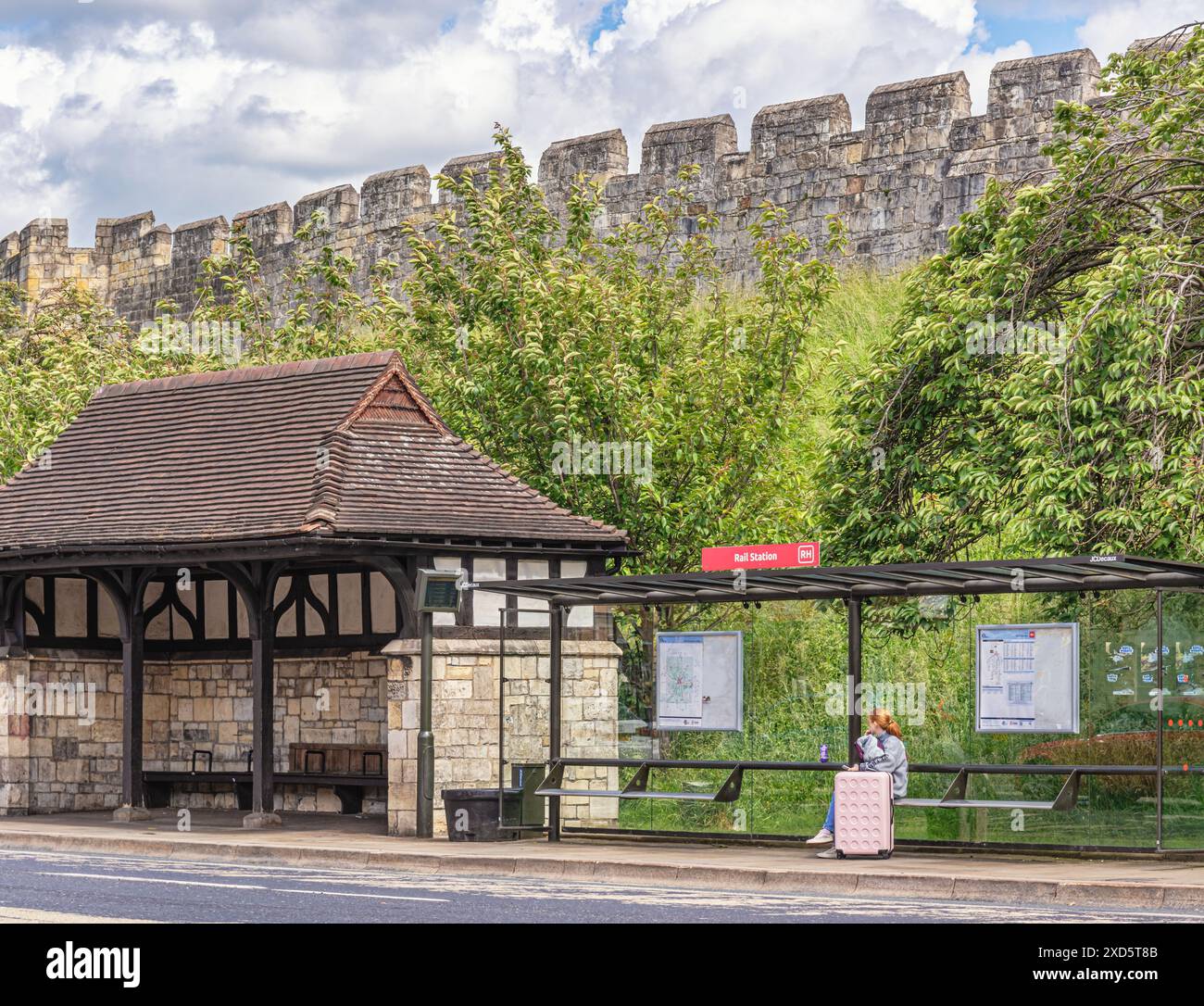 A bus stop underneath historic city walls. A passenger waits, sat with a suitcase in modern perspex shelter. Trees are behind and a sky with cloud is Stock Photohttps://www.alamy.com/image-license-details/?v=1https://www.alamy.com/a-bus-stop-underneath-historic-city-walls-a-passenger-waits-sat-with-a-suitcase-in-modern-perspex-shelter-trees-are-behind-and-a-sky-with-cloud-is-image610482219.html
RF2XD5T8B–A bus stop underneath historic city walls. A passenger waits, sat with a suitcase in modern perspex shelter. Trees are behind and a sky with cloud is
 Yorkshire and the humber marked on united kingdom map. Light gray background. Stock Vectorhttps://www.alamy.com/image-license-details/?v=1https://www.alamy.com/yorkshire-and-the-humber-marked-on-united-kingdom-map-light-gray-background-image357603930.html
RF2BNP7CX–Yorkshire and the humber marked on united kingdom map. Light gray background.
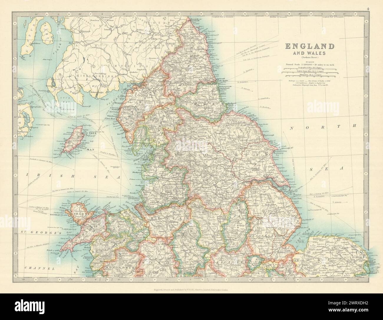 NORTHERN ENGLAND & WALES Yorkshire Ridings Lincolnshire Parts. JOHNSTON 1913 map Stock Photohttps://www.alamy.com/image-license-details/?v=1https://www.alamy.com/northern-england-wales-yorkshire-ridings-lincolnshire-parts-johnston-1913-map-image599871022.html
RF2WRXDH2–NORTHERN ENGLAND & WALES Yorkshire Ridings Lincolnshire Parts. JOHNSTON 1913 map
 Map of Yorkshire and the Humber, region of England and the flag of England, on a dirty metal background, 3D illustration Stock Photohttps://www.alamy.com/image-license-details/?v=1https://www.alamy.com/map-of-yorkshire-and-the-humber-region-of-england-and-the-flag-of-england-on-a-dirty-metal-background-3d-illustration-image368944047.html
RF2CC6RW3–Map of Yorkshire and the Humber, region of England and the flag of England, on a dirty metal background, 3D illustration
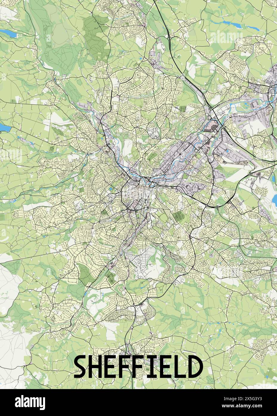 Sheffield United Kingdom map poster art Stock Vectorhttps://www.alamy.com/image-license-details/?v=1https://www.alamy.com/sheffield-united-kingdom-map-poster-art-image605790503.html
RF2X5G3Y3–Sheffield United Kingdom map poster art
 Image taken from page 286 of 'Ilkley, Ancient and Modern ... Eighty illustrations' Image taken from page 286 of 'Ilkley, Ancient and Modern Stock Photohttps://www.alamy.com/image-license-details/?v=1https://www.alamy.com/stock-photo-image-taken-from-page-286-of-ilkley-ancient-and-modern-eighty-illustrations-127790644.html
RMHBWA7G–Image taken from page 286 of 'Ilkley, Ancient and Modern ... Eighty illustrations' Image taken from page 286 of 'Ilkley, Ancient and Modern
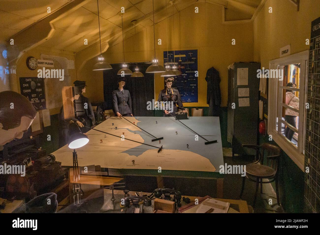 RAF Bomber Command Control Room reconstruction in the Eden Camp Modern History Theme Museum near Malton, North Yorkshire, England. Stock Photohttps://www.alamy.com/image-license-details/?v=1https://www.alamy.com/raf-bomber-command-control-room-reconstruction-in-the-eden-camp-modern-history-theme-museum-near-malton-north-yorkshire-england-image471387129.html
RM2JAWF2H–RAF Bomber Command Control Room reconstruction in the Eden Camp Modern History Theme Museum near Malton, North Yorkshire, England.
 Large map on a wall on Templar Street in Leeds City Centre, West Yorkshire, England. Stock Photohttps://www.alamy.com/image-license-details/?v=1https://www.alamy.com/large-map-on-a-wall-on-templar-street-in-leeds-city-centre-west-yorkshire-england-image215483946.html
RMPEG3Y6–Large map on a wall on Templar Street in Leeds City Centre, West Yorkshire, England.
 Watercolor Map of Denmark Stock Photohttps://www.alamy.com/image-license-details/?v=1https://www.alamy.com/stock-photo-watercolor-map-of-denmark-78684904.html
RFEG0BB4–Watercolor Map of Denmark
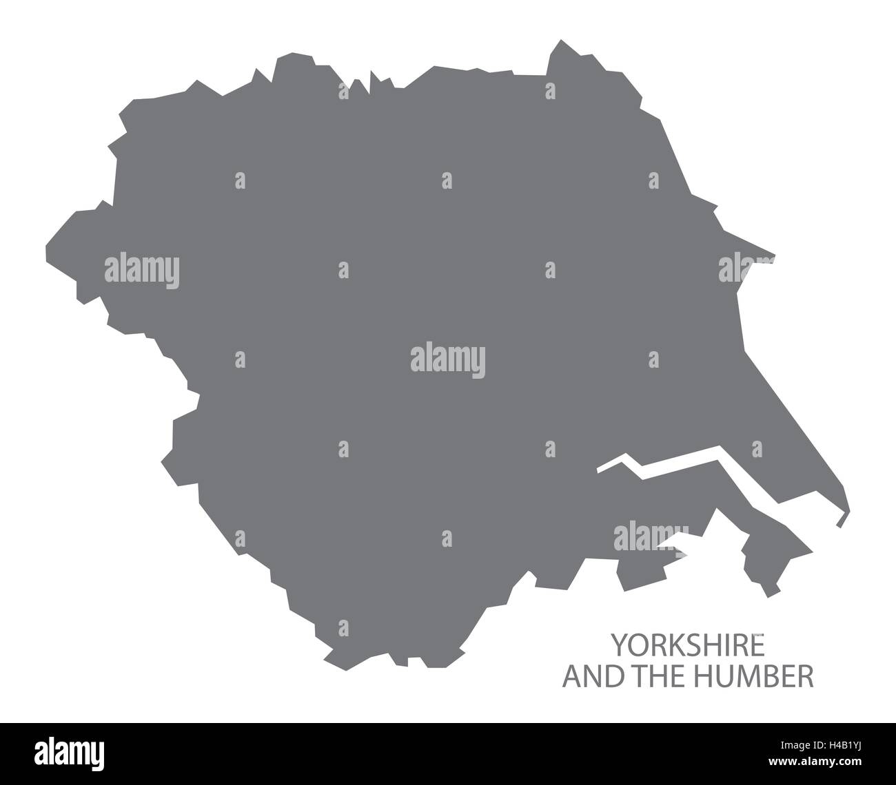 Grey county map of England, Yorkshire and the Humber Stock Vectorhttps://www.alamy.com/image-license-details/?v=1https://www.alamy.com/stock-photo-grey-county-map-of-england-yorkshire-and-the-humber-123174230.html
RFH4B1YJ–Grey county map of England, Yorkshire and the Humber
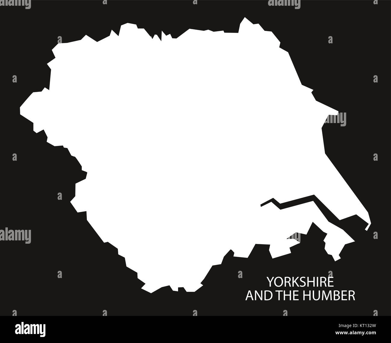 Yorkshire and the Humber England Map black inverted Stock Photohttps://www.alamy.com/image-license-details/?v=1https://www.alamy.com/stock-image-yorkshire-and-the-humber-england-map-black-inverted-169669441.html
RFKT132W–Yorkshire and the Humber England Map black inverted
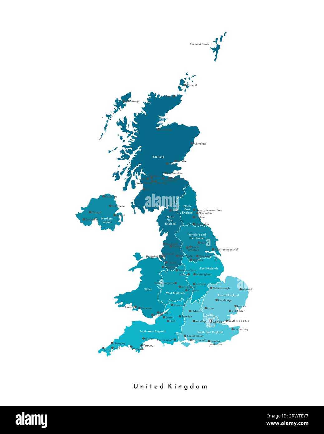 Vector modern isolated illustration. Simplified administrative map of United Kingdom of Great Britain and Northern Ireland (UK). Blue shapes. Names of Stock Vectorhttps://www.alamy.com/image-license-details/?v=1https://www.alamy.com/vector-modern-isolated-illustration-simplified-administrative-map-of-united-kingdom-of-great-britain-and-northern-ireland-uk-blue-shapes-names-of-image566636763.html
RF2RWTEY7–Vector modern isolated illustration. Simplified administrative map of United Kingdom of Great Britain and Northern Ireland (UK). Blue shapes. Names of
 Buckinghamshire county silhouette map isolated on white background, England Stock Vectorhttps://www.alamy.com/image-license-details/?v=1https://www.alamy.com/buckinghamshire-county-silhouette-map-isolated-on-white-background-england-image438379198.html
RF2GD5W3X–Buckinghamshire county silhouette map isolated on white background, England
 Calton, North Yorkshire, GB, United Kingdom, England, N 54 2' 20'', S 2 7' 55'', map, Cartascapes Map published in 2024. Explore Cartascapes, a map revealing Earth's diverse landscapes, cultures, and ecosystems. Journey through time and space, discovering the interconnectedness of our planet's past, present, and future. Stock Photohttps://www.alamy.com/image-license-details/?v=1https://www.alamy.com/calton-north-yorkshire-gb-united-kingdom-england-n-54-2-20-s-2-7-55-map-cartascapes-map-published-in-2024-explore-cartascapes-a-map-revealing-earths-diverse-landscapes-cultures-and-ecosystems-journey-through-time-and-space-discovering-the-interconnectedness-of-our-planets-past-present-and-future-image604260328.html
RM2X32C60–Calton, North Yorkshire, GB, United Kingdom, England, N 54 2' 20'', S 2 7' 55'', map, Cartascapes Map published in 2024. Explore Cartascapes, a map revealing Earth's diverse landscapes, cultures, and ecosystems. Journey through time and space, discovering the interconnectedness of our planet's past, present, and future.
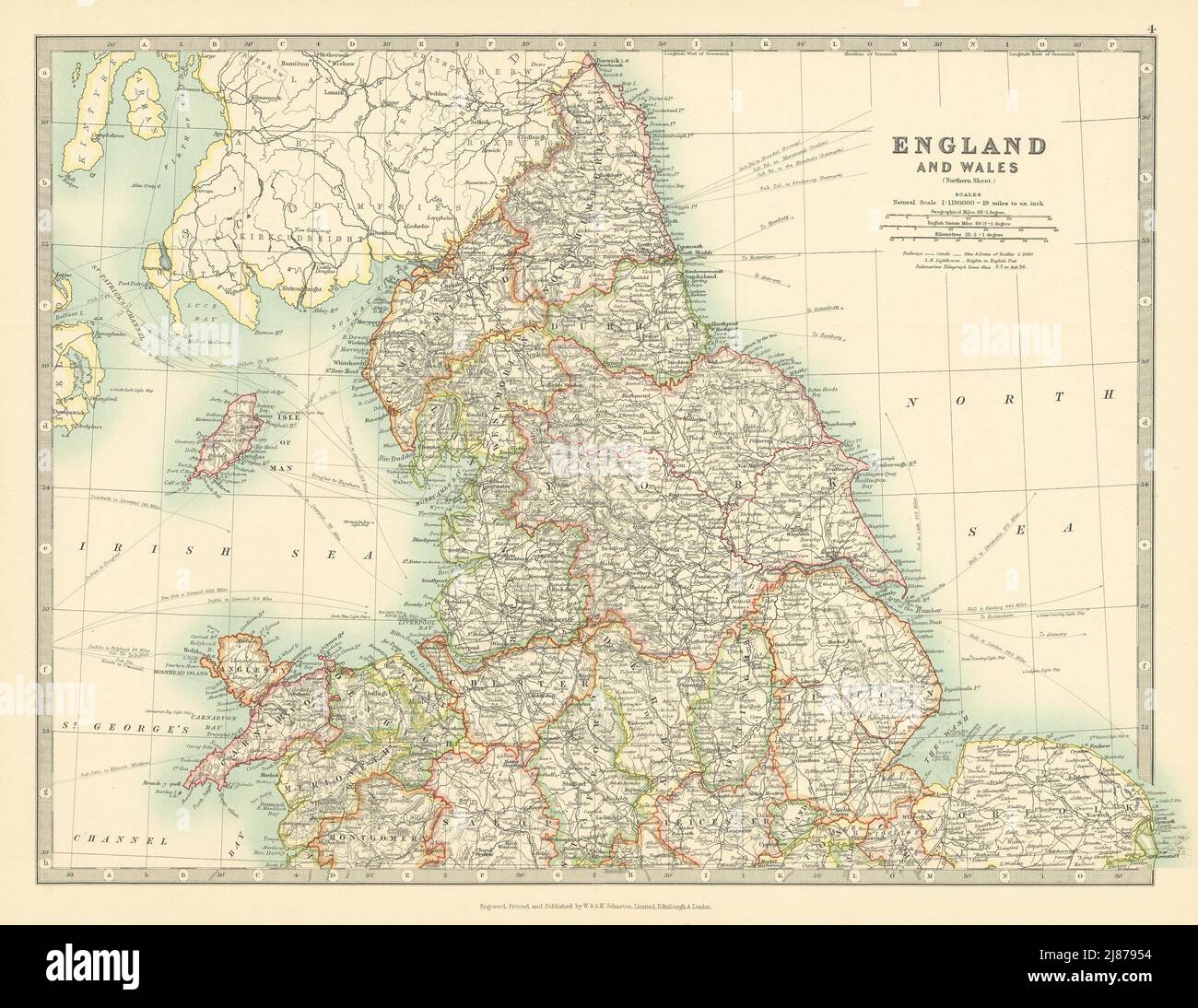 NORTHERN ENGLAND & WALES Yorkshire Ridings Lincolnshire Parts. JOHNSTON 1911 map Stock Photohttps://www.alamy.com/image-license-details/?v=1https://www.alamy.com/northern-england-wales-yorkshire-ridings-lincolnshire-parts-johnston-1911-map-image469758048.html
RF2J87954–NORTHERN ENGLAND & WALES Yorkshire Ridings Lincolnshire Parts. JOHNSTON 1911 map
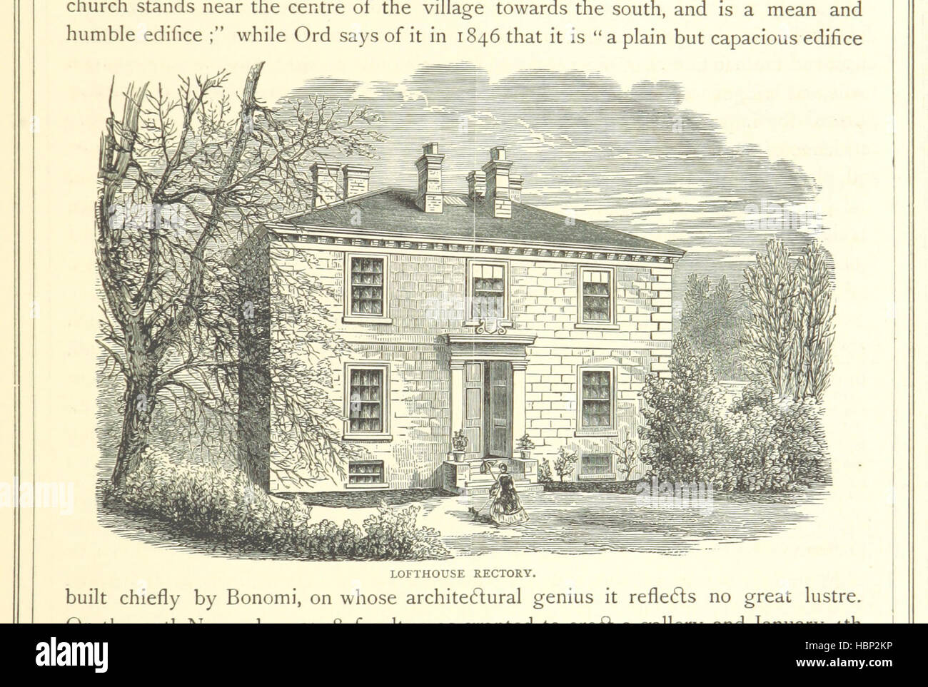 Image taken from page 291 of 'The History of Cleveland, ancient and modern. vol. 1, 2' Image taken from page 291 of 'The History of Cleveland, Stock Photohttps://www.alamy.com/image-license-details/?v=1https://www.alamy.com/stock-photo-image-taken-from-page-291-of-the-history-of-cleveland-ancient-and-127718858.html
RMHBP2KP–Image taken from page 291 of 'The History of Cleveland, ancient and modern. vol. 1, 2' Image taken from page 291 of 'The History of Cleveland,
 RAF Bomber Command Control Room reconstruction in the Eden Camp Modern History Theme Museum near Malton, North Yorkshire, England. Stock Photohttps://www.alamy.com/image-license-details/?v=1https://www.alamy.com/raf-bomber-command-control-room-reconstruction-in-the-eden-camp-modern-history-theme-museum-near-malton-north-yorkshire-england-image471387132.html
RM2JAWF2M–RAF Bomber Command Control Room reconstruction in the Eden Camp Modern History Theme Museum near Malton, North Yorkshire, England.
 Great Britain Watercolor Map Stock Photohttps://www.alamy.com/image-license-details/?v=1https://www.alamy.com/stock-photo-great-britain-watercolor-map-74143073.html
RFE8HE6W–Great Britain Watercolor Map
 Yorkshire and the humber England Map grey 3D Stock Vectorhttps://www.alamy.com/image-license-details/?v=1https://www.alamy.com/stock-photo-yorkshire-and-the-humber-england-map-grey-3d-125368105.html
RFH7Y089–Yorkshire and the humber England Map grey 3D
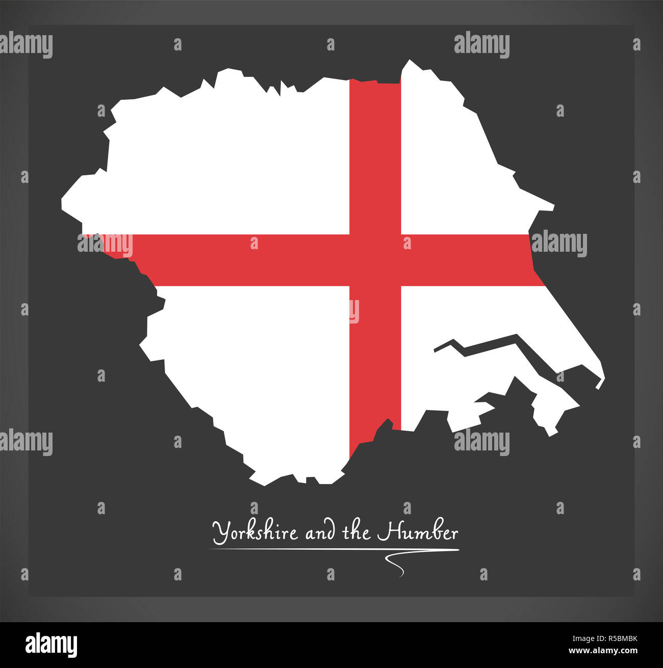 Yorkshire and the Humber map with flag of England illustration Stock Photohttps://www.alamy.com/image-license-details/?v=1https://www.alamy.com/yorkshire-and-the-humber-map-with-flag-of-england-illustration-image227065543.html
RFR5BMBK–Yorkshire and the Humber map with flag of England illustration
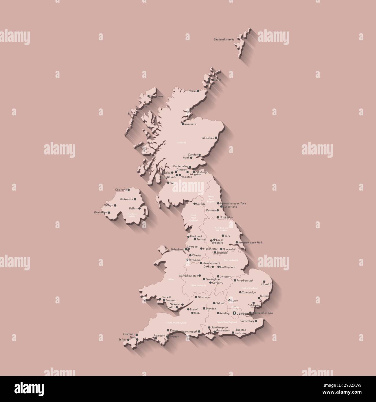 Vector modern isolated illustration. Simplified administrative map of United Kingdom of Great Britain and Northern Ireland. Beige shapes. Names of UK Stock Vectorhttps://www.alamy.com/image-license-details/?v=1https://www.alamy.com/vector-modern-isolated-illustration-simplified-administrative-map-of-united-kingdom-of-great-britain-and-northern-ireland-beige-shapes-names-of-uk-image621482213.html
RF2Y32XW9–Vector modern isolated illustration. Simplified administrative map of United Kingdom of Great Britain and Northern Ireland. Beige shapes. Names of UK
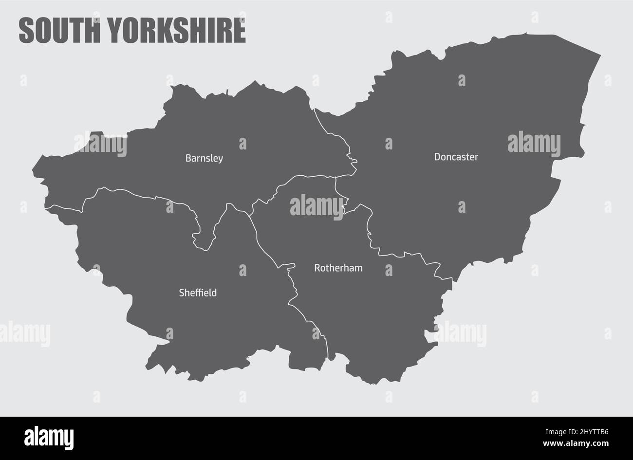 South Yorkshire county, administrative map with labels, England Stock Vectorhttps://www.alamy.com/image-license-details/?v=1https://www.alamy.com/south-yorkshire-county-administrative-map-with-labels-england-image464611258.html
RF2HYTTB6–South Yorkshire county, administrative map with labels, England
 Seamer, North Yorkshire, GB, United Kingdom, England, N 54 28' 50'', S 1 13' 44'', map, Cartascapes Map published in 2024. Explore Cartascapes, a map revealing Earth's diverse landscapes, cultures, and ecosystems. Journey through time and space, discovering the interconnectedness of our planet's past, present, and future. Stock Photohttps://www.alamy.com/image-license-details/?v=1https://www.alamy.com/seamer-north-yorkshire-gb-united-kingdom-england-n-54-28-50-s-1-13-44-map-cartascapes-map-published-in-2024-explore-cartascapes-a-map-revealing-earths-diverse-landscapes-cultures-and-ecosystems-journey-through-time-and-space-discovering-the-interconnectedness-of-our-planets-past-present-and-future-image604260408.html
RM2X32C8T–Seamer, North Yorkshire, GB, United Kingdom, England, N 54 28' 50'', S 1 13' 44'', map, Cartascapes Map published in 2024. Explore Cartascapes, a map revealing Earth's diverse landscapes, cultures, and ecosystems. Journey through time and space, discovering the interconnectedness of our planet's past, present, and future.
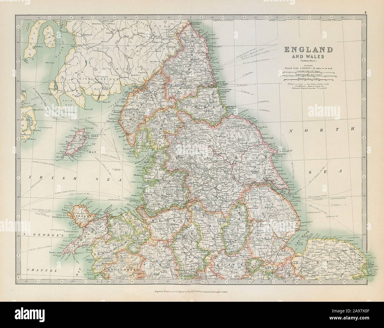 NORTHERN ENGLAND & WALES Yorkshire Ridings Lincolnshire Parts. JOHNSTON 1915 map Stock Photohttps://www.alamy.com/image-license-details/?v=1https://www.alamy.com/northern-england-wales-yorkshire-ridings-lincolnshire-parts-johnston-1915-map-image332702959.html
RF2A97X0F–NORTHERN ENGLAND & WALES Yorkshire Ridings Lincolnshire Parts. JOHNSTON 1915 map
 Image taken from page 138 of 'By Moor and Fell: landscapes and lang-settle lore from West Yorkshire ... With seventy-seven illustrations by George Hering' Image taken from page 138 of 'By Moor and Fell Stock Photohttps://www.alamy.com/image-license-details/?v=1https://www.alamy.com/stock-photo-image-taken-from-page-138-of-by-moor-and-fell-landscapes-and-lang-130040775.html
RMHFFT9B–Image taken from page 138 of 'By Moor and Fell: landscapes and lang-settle lore from West Yorkshire ... With seventy-seven illustrations by George Hering' Image taken from page 138 of 'By Moor and Fell
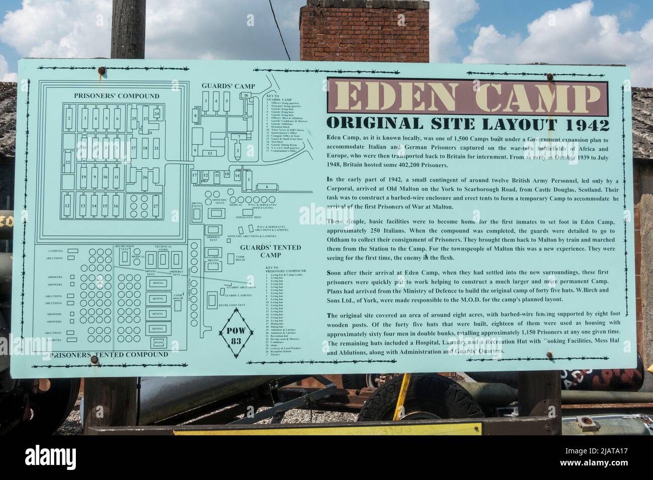 Information panel showing layout and history of the Eden Camp Modern History Theme Museum near Malton, North Yorkshire, England. Stock Photohttps://www.alamy.com/image-license-details/?v=1https://www.alamy.com/information-panel-showing-layout-and-history-of-the-eden-camp-modern-history-theme-museum-near-malton-north-yorkshire-england-image471361219.html
RM2JATA17–Information panel showing layout and history of the Eden Camp Modern History Theme Museum near Malton, North Yorkshire, England.
 Great Britain Watercolor Map Stock Photohttps://www.alamy.com/image-license-details/?v=1https://www.alamy.com/stock-photo-great-britain-watercolor-map-74143077.html
RFE8HE71–Great Britain Watercolor Map
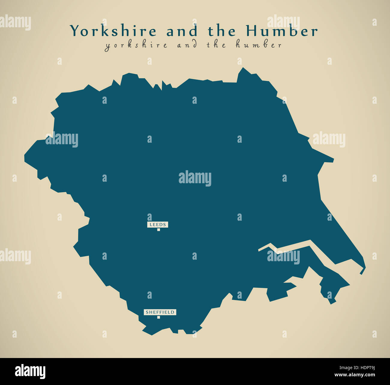 Modern Map - Yorkshire and the humber UK England Illustration Stock Photohttps://www.alamy.com/image-license-details/?v=1https://www.alamy.com/stock-photo-modern-map-yorkshire-and-the-humber-uk-england-illustration-128965134.html
RFHDPT9J–Modern Map - Yorkshire and the humber UK England Illustration
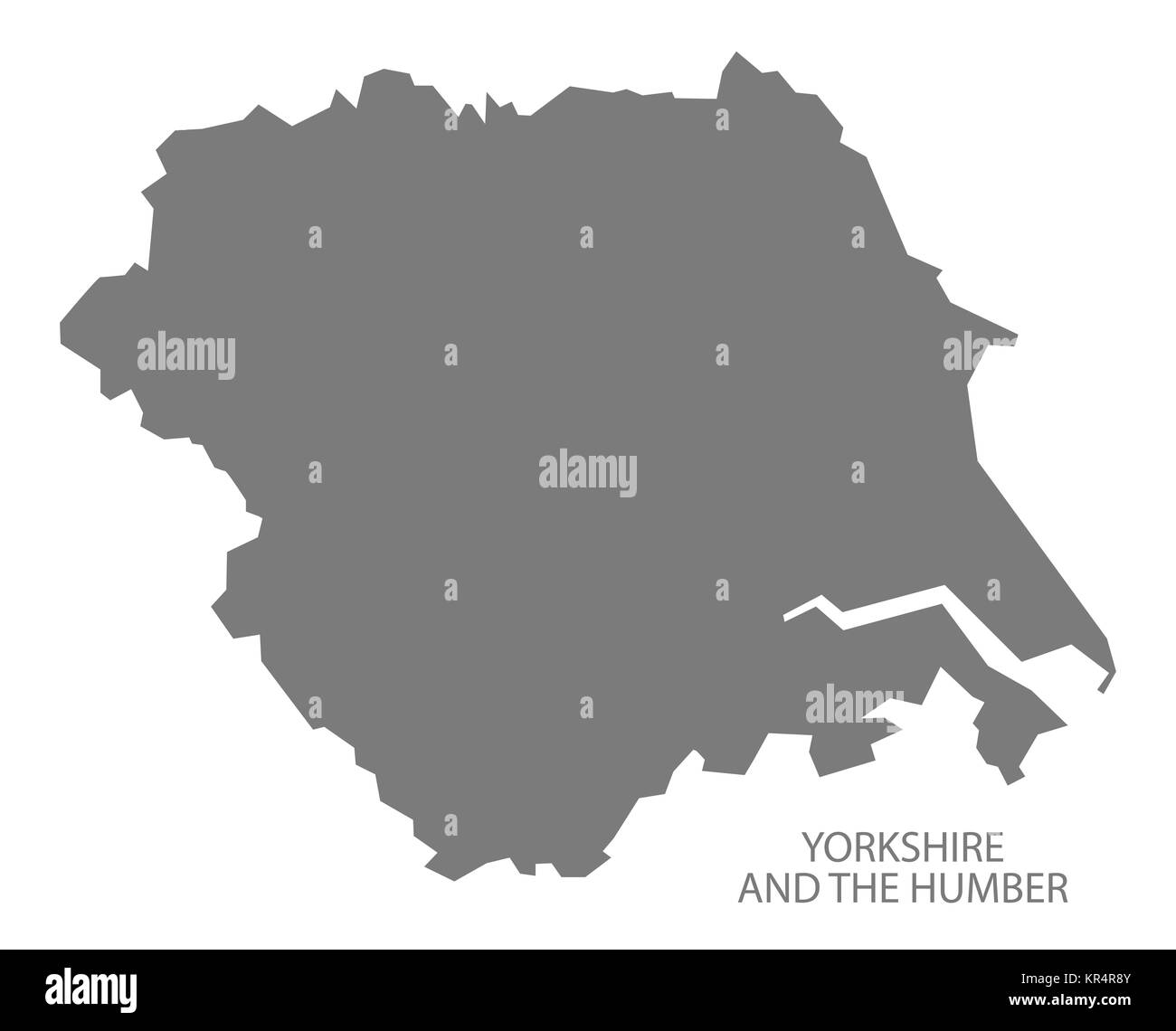 Grey county map of England, Yorkshire and the Humber Stock Photohttps://www.alamy.com/image-license-details/?v=1https://www.alamy.com/stock-image-grey-county-map-of-england-yorkshire-and-the-humber-169136491.html
RFKR4R8Y–Grey county map of England, Yorkshire and the Humber
 Vector modern isolated illustration. Simplified administrative map of United Kingdom of Great Britain and Northern Ireland. Grey shapes. Names of UK r Stock Vectorhttps://www.alamy.com/image-license-details/?v=1https://www.alamy.com/vector-modern-isolated-illustration-simplified-administrative-map-of-united-kingdom-of-great-britain-and-northern-ireland-grey-shapes-names-of-uk-r-image621482218.html
RF2Y32XWE–Vector modern isolated illustration. Simplified administrative map of United Kingdom of Great Britain and Northern Ireland. Grey shapes. Names of UK r
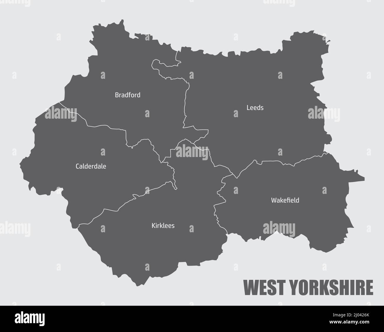 West Yorkshire county, administrative map with labels, England Stock Vectorhttps://www.alamy.com/image-license-details/?v=1https://www.alamy.com/west-yorkshire-county-administrative-map-with-labels-england-image464769499.html
RF2J0426K–West Yorkshire county, administrative map with labels, England
 Weeton, North Yorkshire, GB, United Kingdom, England, N 53 55' 5'', S 1 34' 41'', map, Cartascapes Map published in 2024. Explore Cartascapes, a map revealing Earth's diverse landscapes, cultures, and ecosystems. Journey through time and space, discovering the interconnectedness of our planet's past, present, and future. Stock Photohttps://www.alamy.com/image-license-details/?v=1https://www.alamy.com/weeton-north-yorkshire-gb-united-kingdom-england-n-53-55-5-s-1-34-41-map-cartascapes-map-published-in-2024-explore-cartascapes-a-map-revealing-earths-diverse-landscapes-cultures-and-ecosystems-journey-through-time-and-space-discovering-the-interconnectedness-of-our-planets-past-present-and-future-image604278071.html
RM2X336RK–Weeton, North Yorkshire, GB, United Kingdom, England, N 53 55' 5'', S 1 34' 41'', map, Cartascapes Map published in 2024. Explore Cartascapes, a map revealing Earth's diverse landscapes, cultures, and ecosystems. Journey through time and space, discovering the interconnectedness of our planet's past, present, and future.
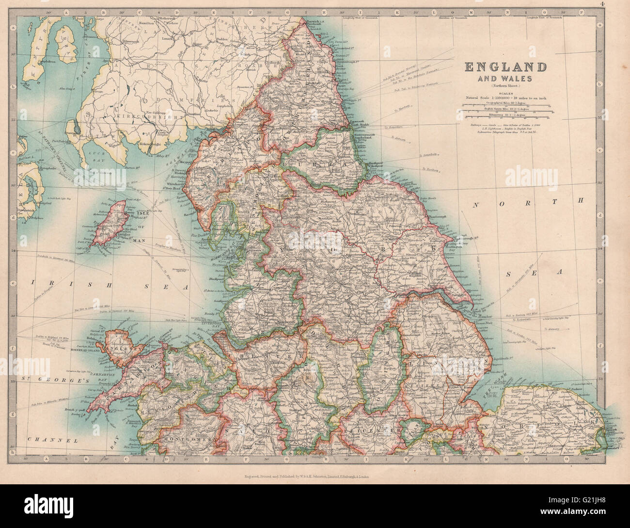 NORTHERN ENGLAND & WALES Yorkshire Ridings Lincolnshire Parts. JOHNSTON 1912 map Stock Photohttps://www.alamy.com/image-license-details/?v=1https://www.alamy.com/stock-photo-northern-england-wales-yorkshire-ridings-lincolnshire-parts-johnston-104528068.html
RFG21JH8–NORTHERN ENGLAND & WALES Yorkshire Ridings Lincolnshire Parts. JOHNSTON 1912 map
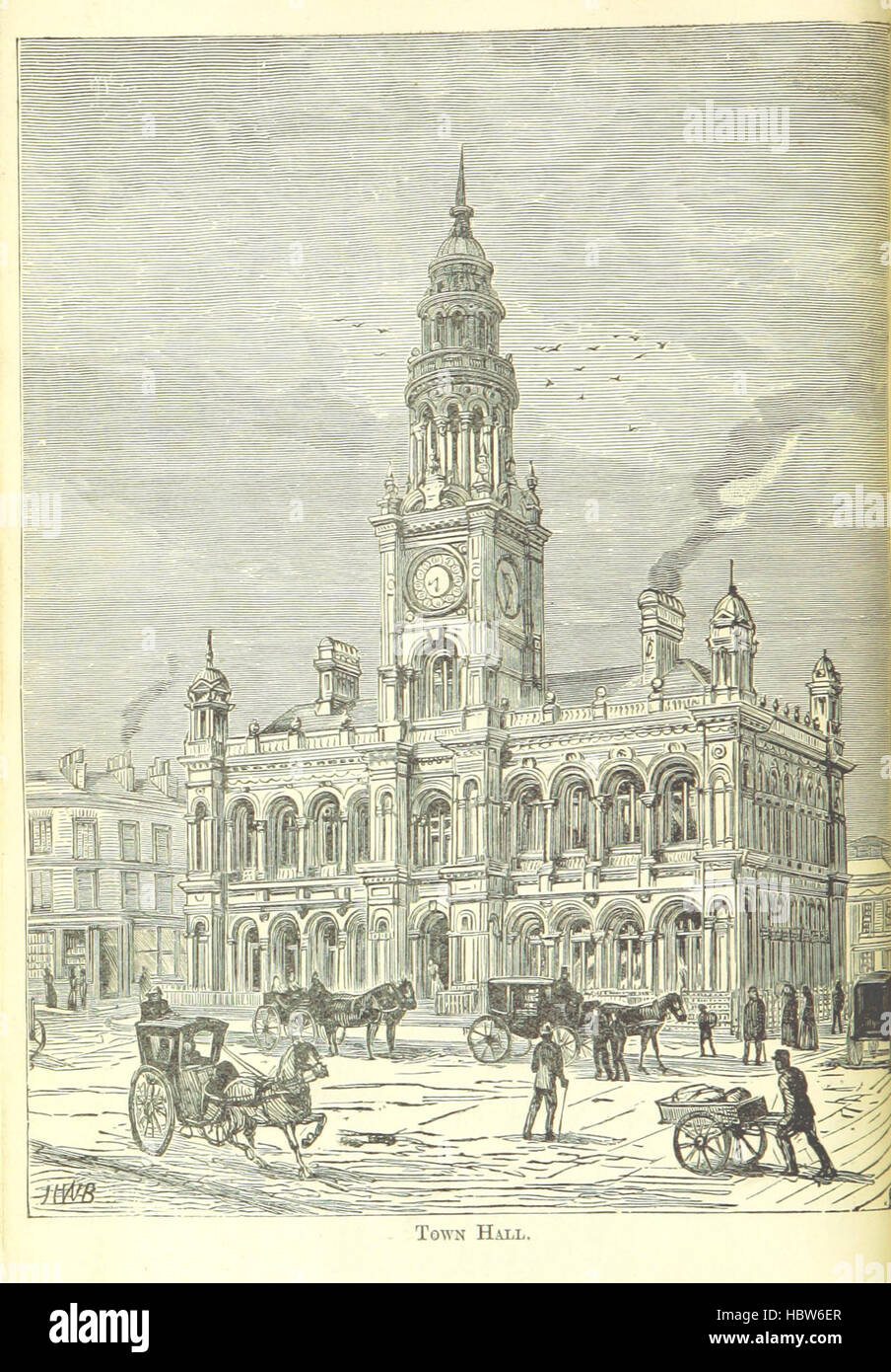 Image taken from page 12 of 'Browns' Illustrated guide to Hull, with a glance at its history' Image taken from page 12 of 'Browns' Illustrated guide to Stock Photohttps://www.alamy.com/image-license-details/?v=1https://www.alamy.com/stock-photo-image-taken-from-page-12-of-browns-illustrated-guide-to-hull-with-127787711.html
RMHBW6ER–Image taken from page 12 of 'Browns' Illustrated guide to Hull, with a glance at its history' Image taken from page 12 of 'Browns' Illustrated guide to
 Information panel showing layout and history of the Eden Camp Modern History Theme Museum near Malton, North Yorkshire, England. Stock Photohttps://www.alamy.com/image-license-details/?v=1https://www.alamy.com/information-panel-showing-layout-and-history-of-the-eden-camp-modern-history-theme-museum-near-malton-north-yorkshire-england-image471361218.html
RM2JATA16–Information panel showing layout and history of the Eden Camp Modern History Theme Museum near Malton, North Yorkshire, England.
 Great Britain Watercolor Map Stock Photohttps://www.alamy.com/image-license-details/?v=1https://www.alamy.com/stock-photo-great-britain-watercolor-map-75334648.html
RFEAFP34–Great Britain Watercolor Map
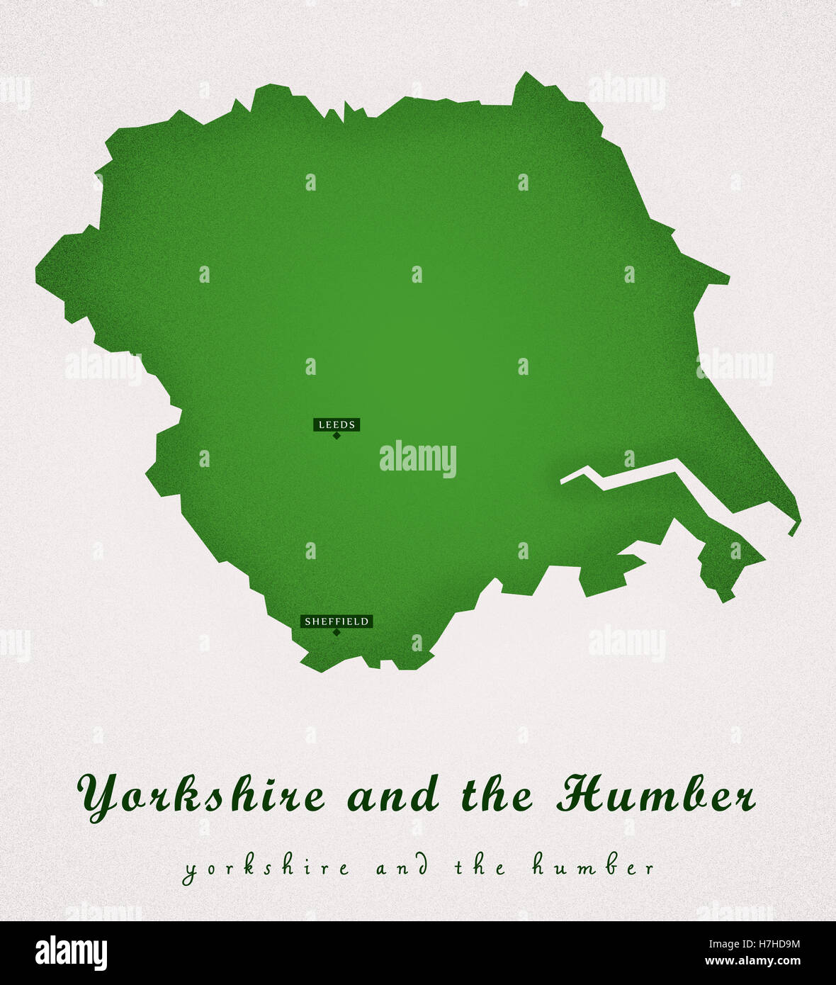 Yorkshire and the Humber UK Art Map Stock Photohttps://www.alamy.com/image-license-details/?v=1https://www.alamy.com/stock-photo-yorkshire-and-the-humber-uk-art-map-125158816.html
RFH7HD9M–Yorkshire and the Humber UK Art Map
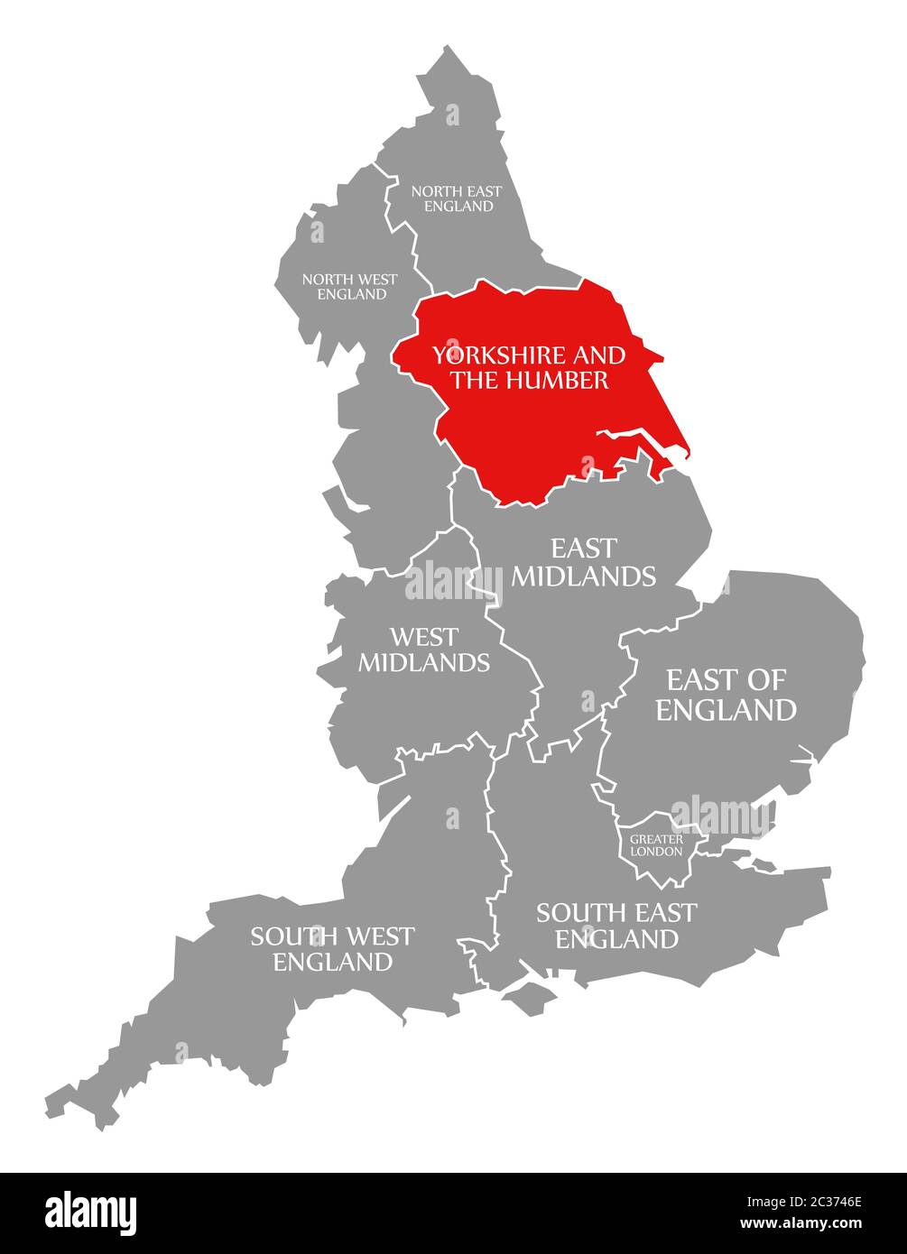 Yorkshire and the Humber red highlighted in map of England UK Stock Photohttps://www.alamy.com/image-license-details/?v=1https://www.alamy.com/yorkshire-and-the-humber-red-highlighted-in-map-of-england-uk-image363418678.html
RF2C3746E–Yorkshire and the Humber red highlighted in map of England UK
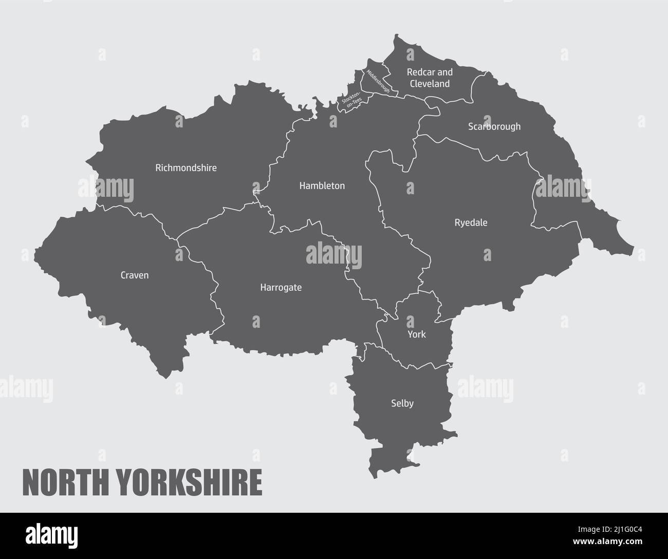 North Yorkshire county, administrative map with labels, England Stock Vectorhttps://www.alamy.com/image-license-details/?v=1https://www.alamy.com/north-yorkshire-county-administrative-map-with-labels-england-image465646164.html
RF2J1G0C4–North Yorkshire county, administrative map with labels, England
 Firby, North Yorkshire, GB, United Kingdom, England, N 54 16' 21'', S 1 35' 44'', map, Cartascapes Map published in 2024. Explore Cartascapes, a map revealing Earth's diverse landscapes, cultures, and ecosystems. Journey through time and space, discovering the interconnectedness of our planet's past, present, and future. Stock Photohttps://www.alamy.com/image-license-details/?v=1https://www.alamy.com/firby-north-yorkshire-gb-united-kingdom-england-n-54-16-21-s-1-35-44-map-cartascapes-map-published-in-2024-explore-cartascapes-a-map-revealing-earths-diverse-landscapes-cultures-and-ecosystems-journey-through-time-and-space-discovering-the-interconnectedness-of-our-planets-past-present-and-future-image604236173.html
RM2X319B9–Firby, North Yorkshire, GB, United Kingdom, England, N 54 16' 21'', S 1 35' 44'', map, Cartascapes Map published in 2024. Explore Cartascapes, a map revealing Earth's diverse landscapes, cultures, and ecosystems. Journey through time and space, discovering the interconnectedness of our planet's past, present, and future.
 NORTH EAST ENGLAND Coast. North York Moors. Yorkshire Durham &c. SDUK 1874 map Stock Photohttps://www.alamy.com/image-license-details/?v=1https://www.alamy.com/north-east-england-coast-north-york-moors-yorkshire-durham-c-sduk-1874-map-image248876451.html
RFTCW8CK–NORTH EAST ENGLAND Coast. North York Moors. Yorkshire Durham &c. SDUK 1874 map
![Image taken from page 14 of 'Sutton-in-Holderness. The manor, the berewic, and the village community. [With illustrations.]' Image taken from page 14 of 'Sutton-in-Holderness The manor, the Stock Photo Image taken from page 14 of 'Sutton-in-Holderness. The manor, the berewic, and the village community. [With illustrations.]' Image taken from page 14 of 'Sutton-in-Holderness The manor, the Stock Photo](https://c8.alamy.com/comp/HC1X97/image-taken-from-page-14-of-sutton-in-holderness-the-manor-the-berewic-HC1X97.jpg) Image taken from page 14 of 'Sutton-in-Holderness. The manor, the berewic, and the village community. [With illustrations.]' Image taken from page 14 of 'Sutton-in-Holderness The manor, the Stock Photohttps://www.alamy.com/image-license-details/?v=1https://www.alamy.com/stock-photo-image-taken-from-page-14-of-sutton-in-holderness-the-manor-the-berewic-127891043.html
Image taken from page 14 of 'Sutton-in-Holderness. The manor, the berewic, and the village community. [With illustrations.]' Image taken from page 14 of 'Sutton-in-Holderness The manor, the Stock Photohttps://www.alamy.com/image-license-details/?v=1https://www.alamy.com/stock-photo-image-taken-from-page-14-of-sutton-in-holderness-the-manor-the-berewic-127891043.htmlRMHC1X97–Image taken from page 14 of 'Sutton-in-Holderness. The manor, the berewic, and the village community. [With illustrations.]' Image taken from page 14 of 'Sutton-in-Holderness The manor, the
 Great Britain Watercolor Map Stock Photohttps://www.alamy.com/image-license-details/?v=1https://www.alamy.com/stock-photo-great-britain-watercolor-map-78685252.html
RFEG0BRG–Great Britain Watercolor Map
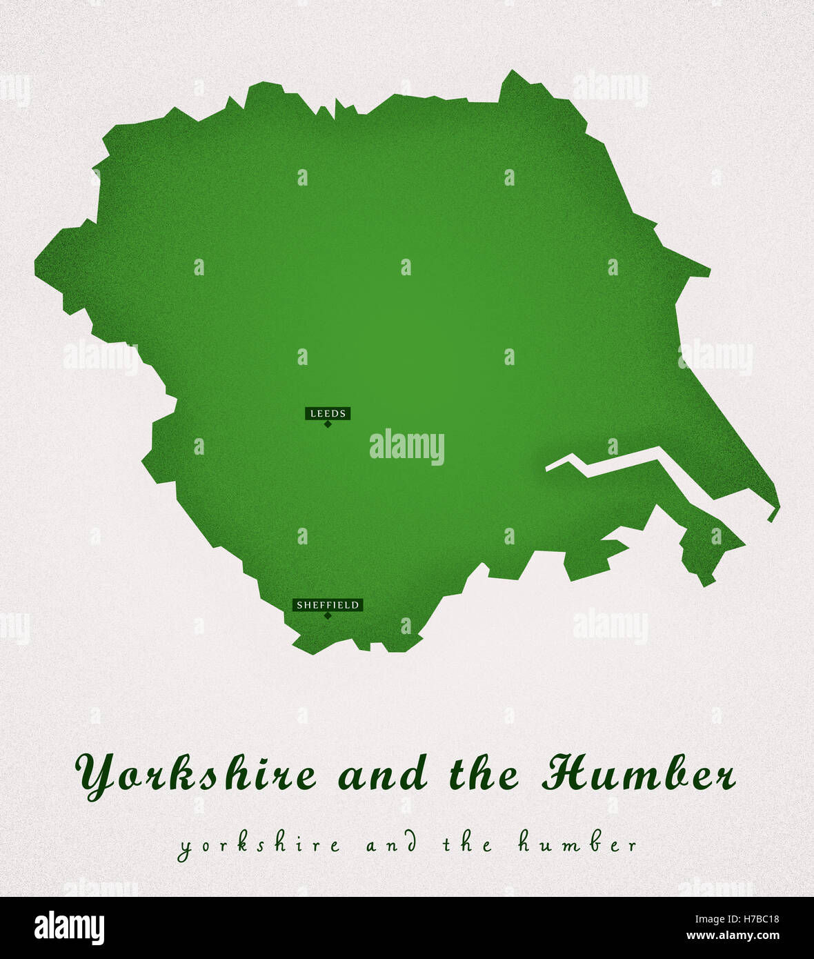 Yorkshire and the Humber UK Art Map Stock Photohttps://www.alamy.com/image-license-details/?v=1https://www.alamy.com/stock-photo-yorkshire-and-the-humber-uk-art-map-125026084.html
RFH7BC18–Yorkshire and the Humber UK Art Map
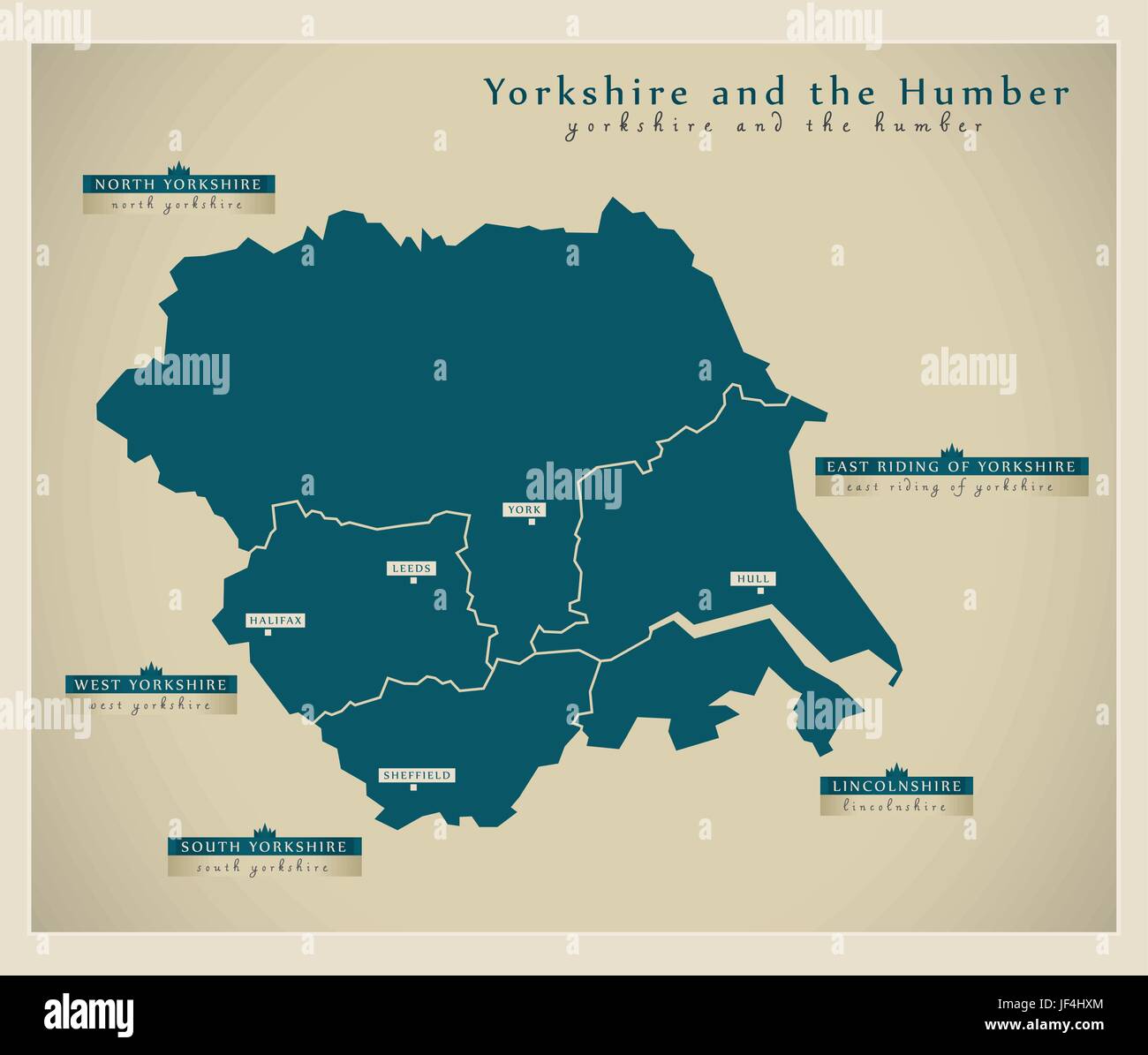 modern map - yorkshire uk Stock Vectorhttps://www.alamy.com/image-license-details/?v=1https://www.alamy.com/stock-photo-modern-map-yorkshire-uk-147004668.html
RFJF4HXM–modern map - yorkshire uk
 South Yorkshire county, silhouette map isolated on white background, England Stock Vectorhttps://www.alamy.com/image-license-details/?v=1https://www.alamy.com/south-yorkshire-county-silhouette-map-isolated-on-white-background-england-image466403458.html
RF2J2PEAA–South Yorkshire county, silhouette map isolated on white background, England
 Eshton, North Yorkshire, GB, United Kingdom, England, N 54 0' 20'', S 2 7' 2'', map, Cartascapes Map published in 2024. Explore Cartascapes, a map revealing Earth's diverse landscapes, cultures, and ecosystems. Journey through time and space, discovering the interconnectedness of our planet's past, present, and future. Stock Photohttps://www.alamy.com/image-license-details/?v=1https://www.alamy.com/eshton-north-yorkshire-gb-united-kingdom-england-n-54-0-20-s-2-7-2-map-cartascapes-map-published-in-2024-explore-cartascapes-a-map-revealing-earths-diverse-landscapes-cultures-and-ecosystems-journey-through-time-and-space-discovering-the-interconnectedness-of-our-planets-past-present-and-future-image604236108.html
RM2X31990–Eshton, North Yorkshire, GB, United Kingdom, England, N 54 0' 20'', S 2 7' 2'', map, Cartascapes Map published in 2024. Explore Cartascapes, a map revealing Earth's diverse landscapes, cultures, and ecosystems. Journey through time and space, discovering the interconnectedness of our planet's past, present, and future.
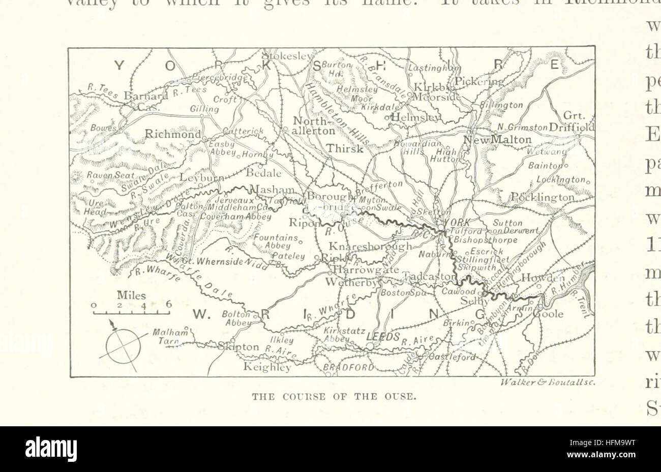 Image taken from page 326 of 'The rivers of Great Britain. Descriptive, historical, pictorial. Rivers of the east coast' Image taken from page 326 of 'The rivers of Great Stock Photohttps://www.alamy.com/image-license-details/?v=1https://www.alamy.com/stock-photo-image-taken-from-page-326-of-the-rivers-of-great-britain-descriptive-130139236.html
RMHFM9WT–Image taken from page 326 of 'The rivers of Great Britain. Descriptive, historical, pictorial. Rivers of the east coast' Image taken from page 326 of 'The rivers of Great
 Great Britain Watercolor Map Stock Photohttps://www.alamy.com/image-license-details/?v=1https://www.alamy.com/stock-photo-great-britain-watercolor-map-75334651.html
RFEAFP37–Great Britain Watercolor Map
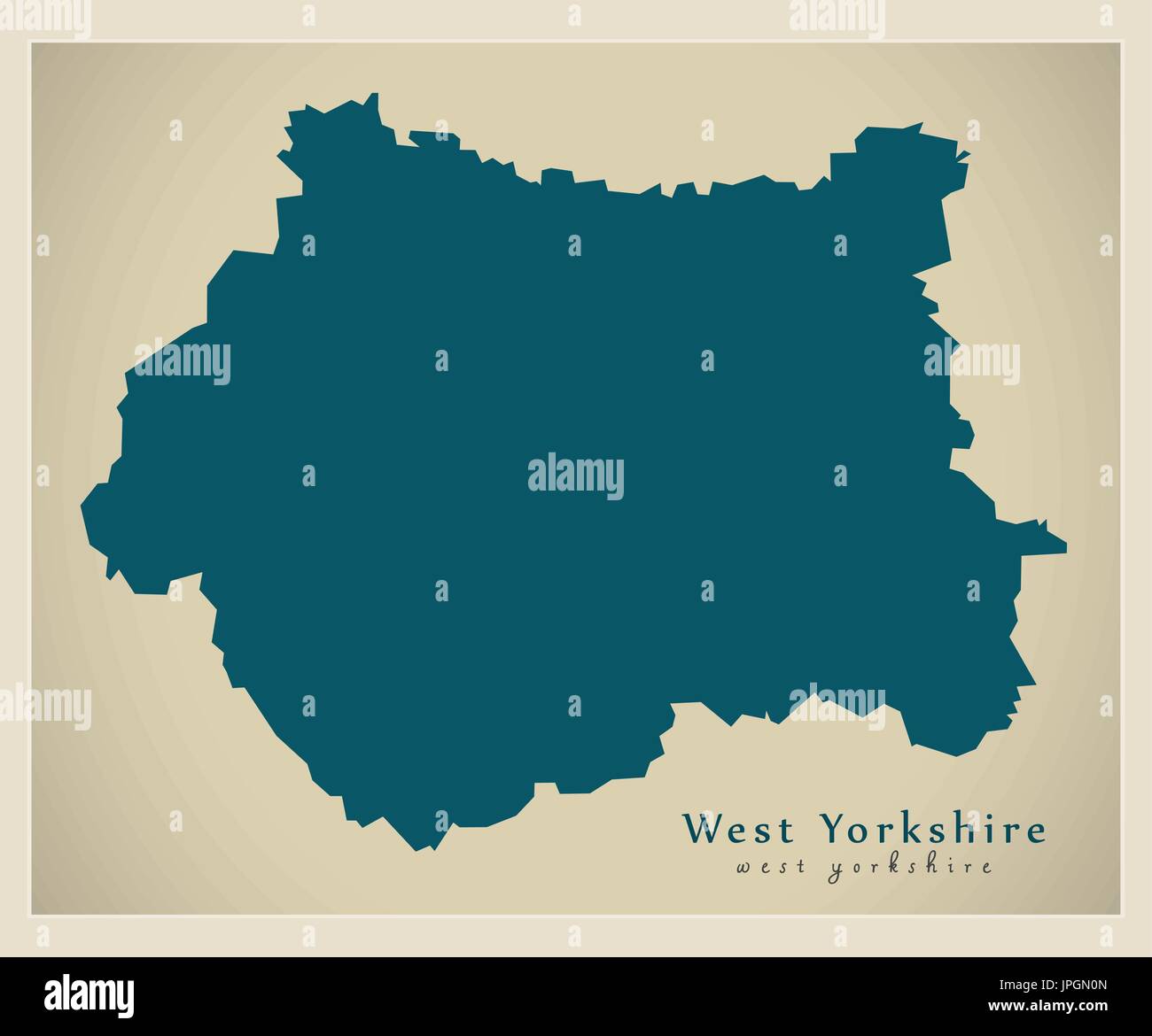 Modern Map - West Yorkshire metropolitan county England UK Stock Vectorhttps://www.alamy.com/image-license-details/?v=1https://www.alamy.com/modern-map-west-yorkshire-metropolitan-county-england-uk-image151573093.html
RFJPGN0N–Modern Map - West Yorkshire metropolitan county England UK
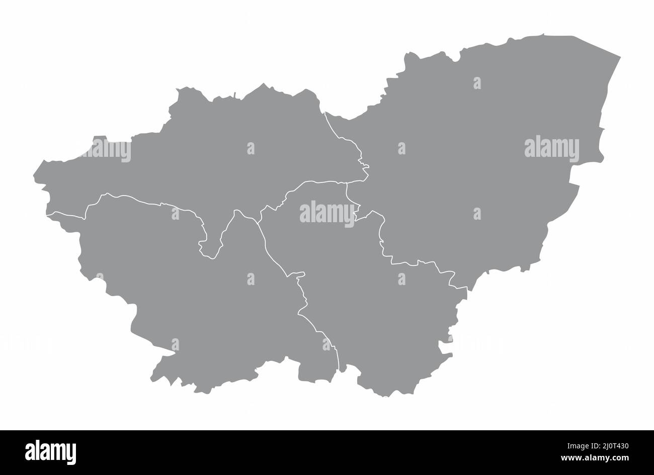 South Yorkshire county, administrative map isolated on white background , England Stock Vectorhttps://www.alamy.com/image-license-details/?v=1https://www.alamy.com/south-yorkshire-county-administrative-map-isolated-on-white-background-england-image465210004.html
RF2J0T430–South Yorkshire county, administrative map isolated on white background , England
 Kiplin, North Yorkshire, GB, United Kingdom, England, N 54 22' 24'', S 1 33' 46'', map, Cartascapes Map published in 2024. Explore Cartascapes, a map revealing Earth's diverse landscapes, cultures, and ecosystems. Journey through time and space, discovering the interconnectedness of our planet's past, present, and future. Stock Photohttps://www.alamy.com/image-license-details/?v=1https://www.alamy.com/kiplin-north-yorkshire-gb-united-kingdom-england-n-54-22-24-s-1-33-46-map-cartascapes-map-published-in-2024-explore-cartascapes-a-map-revealing-earths-diverse-landscapes-cultures-and-ecosystems-journey-through-time-and-space-discovering-the-interconnectedness-of-our-planets-past-present-and-future-image604236168.html
RM2X319B4–Kiplin, North Yorkshire, GB, United Kingdom, England, N 54 22' 24'', S 1 33' 46'', map, Cartascapes Map published in 2024. Explore Cartascapes, a map revealing Earth's diverse landscapes, cultures, and ecosystems. Journey through time and space, discovering the interconnectedness of our planet's past, present, and future.
 Canada Watercolor Map Stock Photohttps://www.alamy.com/image-license-details/?v=1https://www.alamy.com/stock-photo-canada-watercolor-map-78684368.html
RFEG0AM0–Canada Watercolor Map
 Modern Map - North Yorkshire county England UK illustration Stock Vectorhttps://www.alamy.com/image-license-details/?v=1https://www.alamy.com/modern-map-north-yorkshire-county-england-uk-illustration-image150168301.html
RFJM8N5H–Modern Map - North Yorkshire county England UK illustration
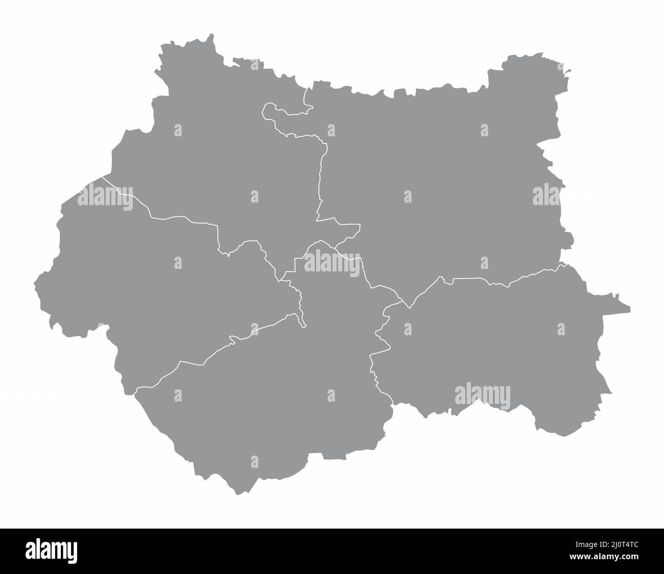 West Yorkshire county, administrative map isolated on white background, England Stock Vectorhttps://www.alamy.com/image-license-details/?v=1https://www.alamy.com/west-yorkshire-county-administrative-map-isolated-on-white-background-england-image465210604.html
RF2J0T4TC–West Yorkshire county, administrative map isolated on white background, England
 Aysgarth, North Yorkshire, GB, United Kingdom, England, N 54 17' 13'', S 2 0' 42'', map, Cartascapes Map published in 2024. Explore Cartascapes, a map revealing Earth's diverse landscapes, cultures, and ecosystems. Journey through time and space, discovering the interconnectedness of our planet's past, present, and future. Stock Photohttps://www.alamy.com/image-license-details/?v=1https://www.alamy.com/aysgarth-north-yorkshire-gb-united-kingdom-england-n-54-17-13-s-2-0-42-map-cartascapes-map-published-in-2024-explore-cartascapes-a-map-revealing-earths-diverse-landscapes-cultures-and-ecosystems-journey-through-time-and-space-discovering-the-interconnectedness-of-our-planets-past-present-and-future-image604278142.html
RM2X336X6–Aysgarth, North Yorkshire, GB, United Kingdom, England, N 54 17' 13'', S 2 0' 42'', map, Cartascapes Map published in 2024. Explore Cartascapes, a map revealing Earth's diverse landscapes, cultures, and ecosystems. Journey through time and space, discovering the interconnectedness of our planet's past, present, and future.
 Canada Watercolor Map Stock Photohttps://www.alamy.com/image-license-details/?v=1https://www.alamy.com/stock-photo-canada-watercolor-map-75334602.html
RFEAFP1E–Canada Watercolor Map
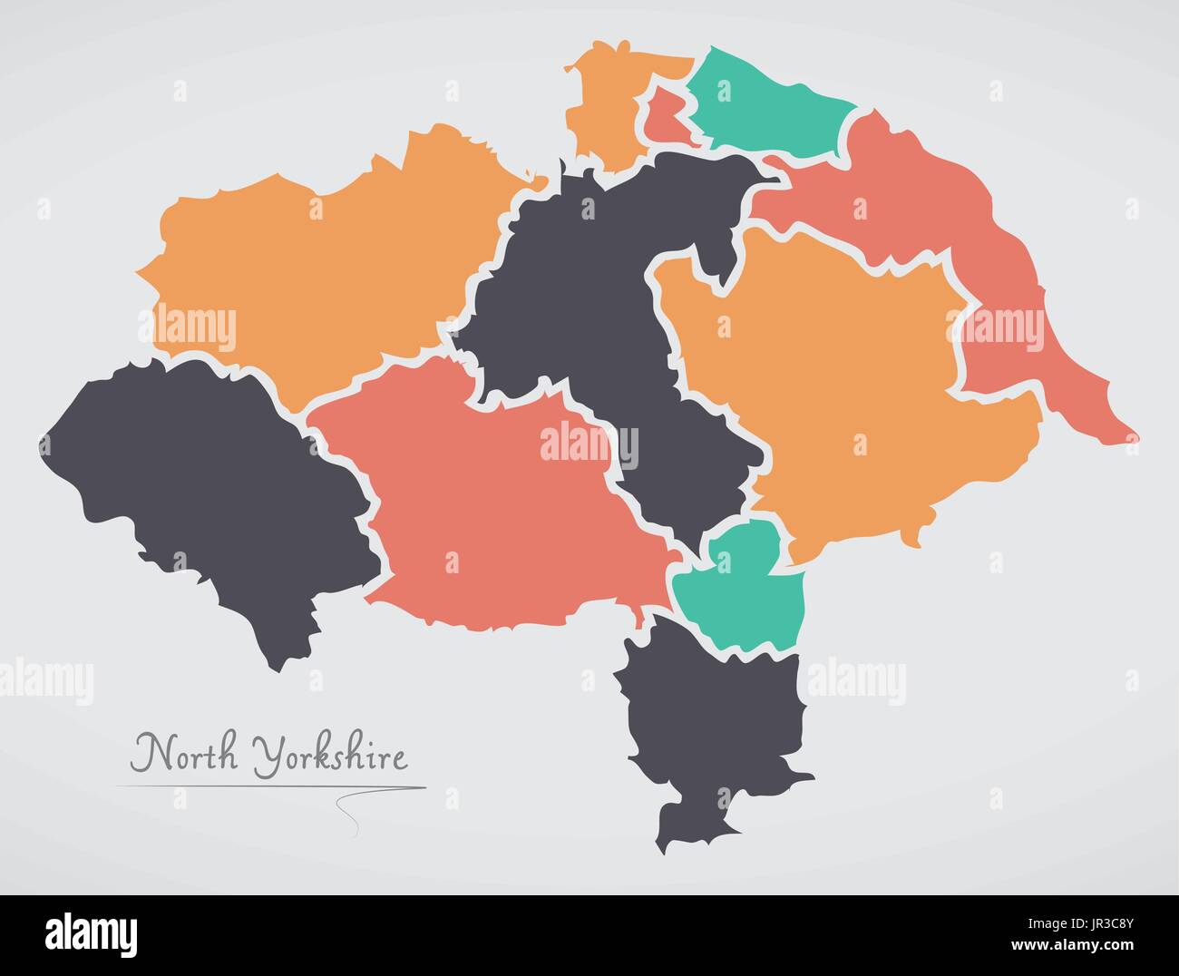 North Yorkshire England Map with states and modern round shapes Stock Vectorhttps://www.alamy.com/image-license-details/?v=1https://www.alamy.com/north-yorkshire-england-map-with-states-and-modern-round-shapes-image151895547.html
RFJR3C8Y–North Yorkshire England Map with states and modern round shapes
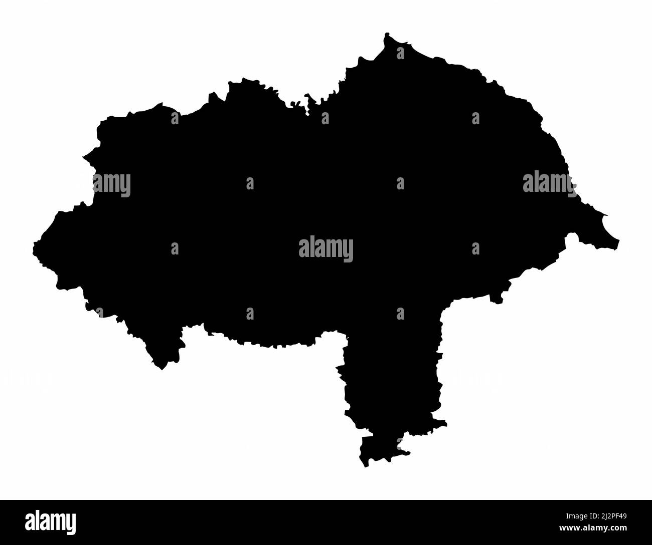 North Yorkshire county, silhouette map isolated on white background, England Stock Vectorhttps://www.alamy.com/image-license-details/?v=1https://www.alamy.com/north-yorkshire-county-silhouette-map-isolated-on-white-background-england-image466404073.html
RF2J2PF49–North Yorkshire county, silhouette map isolated on white background, England
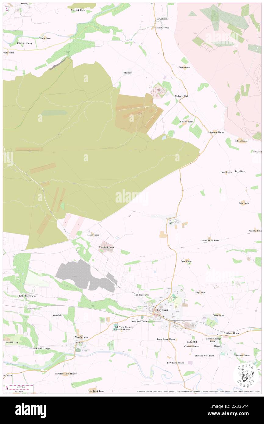 Bellerby, North Yorkshire, GB, United Kingdom, England, N 54 20' 9'', S 1 50' 19'', map, Cartascapes Map published in 2024. Explore Cartascapes, a map revealing Earth's diverse landscapes, cultures, and ecosystems. Journey through time and space, discovering the interconnectedness of our planet's past, present, and future. Stock Photohttps://www.alamy.com/image-license-details/?v=1https://www.alamy.com/bellerby-north-yorkshire-gb-united-kingdom-england-n-54-20-9-s-1-50-19-map-cartascapes-map-published-in-2024-explore-cartascapes-a-map-revealing-earths-diverse-landscapes-cultures-and-ecosystems-journey-through-time-and-space-discovering-the-interconnectedness-of-our-planets-past-present-and-future-image604278168.html
RM2X336Y4–Bellerby, North Yorkshire, GB, United Kingdom, England, N 54 20' 9'', S 1 50' 19'', map, Cartascapes Map published in 2024. Explore Cartascapes, a map revealing Earth's diverse landscapes, cultures, and ecosystems. Journey through time and space, discovering the interconnectedness of our planet's past, present, and future.
 Canada Watercolor Map Stock Photohttps://www.alamy.com/image-license-details/?v=1https://www.alamy.com/stock-photo-canada-watercolor-map-75334605.html
RFEAFP1H–Canada Watercolor Map
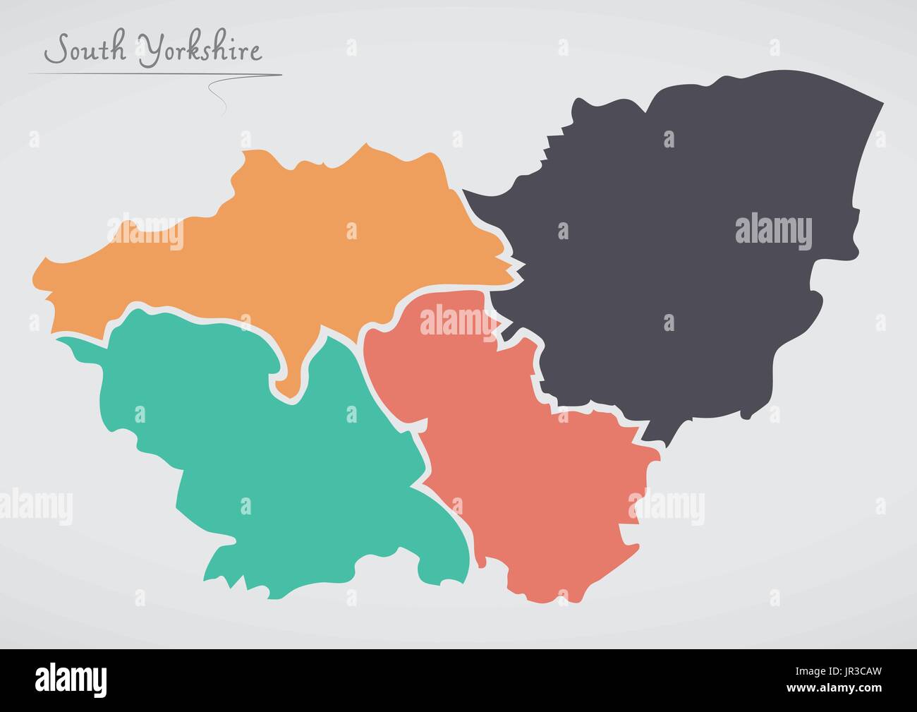 South Yorkshire England Map with states and modern round shapes Stock Vectorhttps://www.alamy.com/image-license-details/?v=1https://www.alamy.com/south-yorkshire-england-map-with-states-and-modern-round-shapes-image151895601.html
RFJR3CAW–South Yorkshire England Map with states and modern round shapes
 Sutton, North Yorkshire, GB, United Kingdom, England, N 53 52' 59'', S 2 0' 12'', map, Cartascapes Map published in 2024. Explore Cartascapes, a map revealing Earth's diverse landscapes, cultures, and ecosystems. Journey through time and space, discovering the interconnectedness of our planet's past, present, and future. Stock Photohttps://www.alamy.com/image-license-details/?v=1https://www.alamy.com/sutton-north-yorkshire-gb-united-kingdom-england-n-53-52-59-s-2-0-12-map-cartascapes-map-published-in-2024-explore-cartascapes-a-map-revealing-earths-diverse-landscapes-cultures-and-ecosystems-journey-through-time-and-space-discovering-the-interconnectedness-of-our-planets-past-present-and-future-image604268147.html
RM2X32P57–Sutton, North Yorkshire, GB, United Kingdom, England, N 53 52' 59'', S 2 0' 12'', map, Cartascapes Map published in 2024. Explore Cartascapes, a map revealing Earth's diverse landscapes, cultures, and ecosystems. Journey through time and space, discovering the interconnectedness of our planet's past, present, and future.
 Australia Watercolor Map Stock Photohttps://www.alamy.com/image-license-details/?v=1https://www.alamy.com/stock-photo-australia-watercolor-map-74136198.html
RFE8H5DA–Australia Watercolor Map
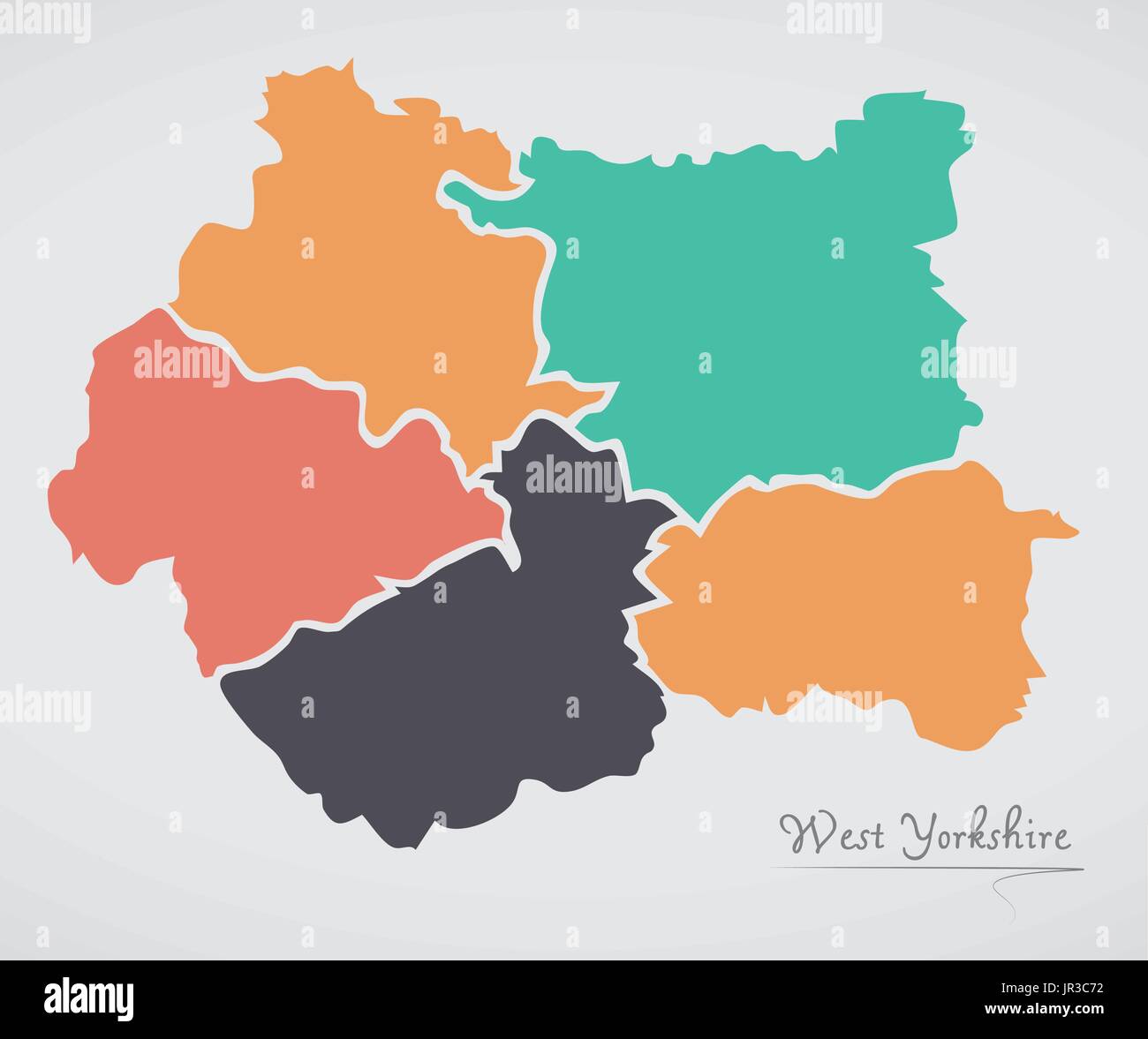 West Yorkshire England Map with states and modern round shapes Stock Vectorhttps://www.alamy.com/image-license-details/?v=1https://www.alamy.com/west-yorkshire-england-map-with-states-and-modern-round-shapes-image151895494.html
RFJR3C72–West Yorkshire England Map with states and modern round shapes
 Nunnington, North Yorkshire, GB, United Kingdom, England, N 54 12' 47'', S 0 56' 59'', map, Cartascapes Map published in 2024. Explore Cartascapes, a map revealing Earth's diverse landscapes, cultures, and ecosystems. Journey through time and space, discovering the interconnectedness of our planet's past, present, and future. Stock Photohttps://www.alamy.com/image-license-details/?v=1https://www.alamy.com/nunnington-north-yorkshire-gb-united-kingdom-england-n-54-12-47-s-0-56-59-map-cartascapes-map-published-in-2024-explore-cartascapes-a-map-revealing-earths-diverse-landscapes-cultures-and-ecosystems-journey-through-time-and-space-discovering-the-interconnectedness-of-our-planets-past-present-and-future-image604265426.html
RM2X32JM2–Nunnington, North Yorkshire, GB, United Kingdom, England, N 54 12' 47'', S 0 56' 59'', map, Cartascapes Map published in 2024. Explore Cartascapes, a map revealing Earth's diverse landscapes, cultures, and ecosystems. Journey through time and space, discovering the interconnectedness of our planet's past, present, and future.
 Australia Watercolor Map Stock Photohttps://www.alamy.com/image-license-details/?v=1https://www.alamy.com/stock-photo-australia-watercolor-map-74975411.html
RFE9YBW7–Australia Watercolor Map
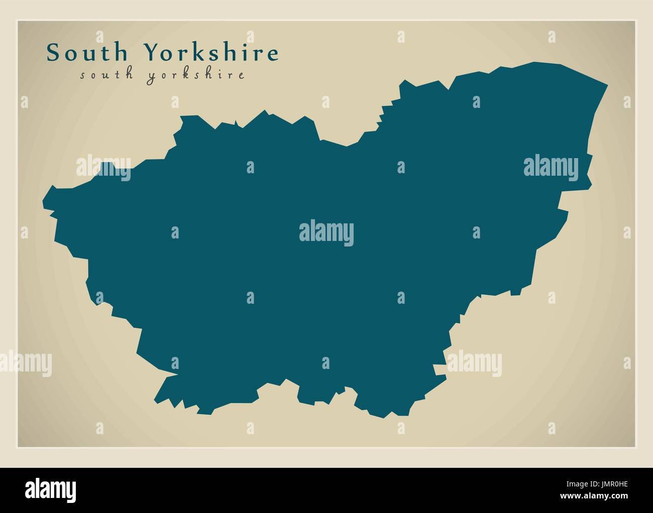 Modern Map - South Yorkshire Metropolitan County England UK illustration Stock Vectorhttps://www.alamy.com/image-license-details/?v=1https://www.alamy.com/modern-map-south-yorkshire-metropolitan-county-england-uk-illustration-image150481450.html
RFJMR0HE–Modern Map - South Yorkshire Metropolitan County England UK illustration
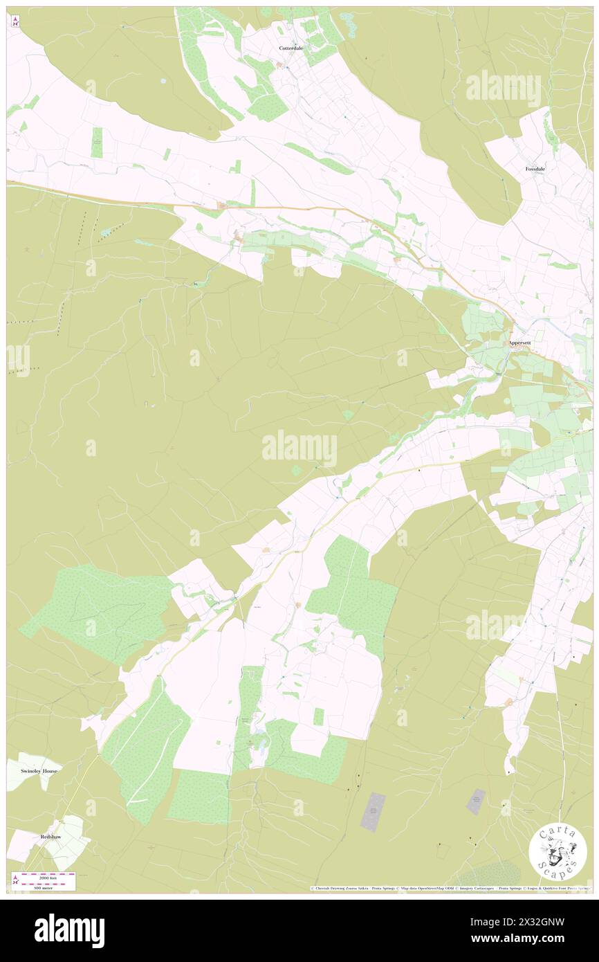 Hawes, North Yorkshire, GB, United Kingdom, England, N 54 18' 4'', S 2 15' 24'', map, Cartascapes Map published in 2024. Explore Cartascapes, a map revealing Earth's diverse landscapes, cultures, and ecosystems. Journey through time and space, discovering the interconnectedness of our planet's past, present, and future. Stock Photohttps://www.alamy.com/image-license-details/?v=1https://www.alamy.com/hawes-north-yorkshire-gb-united-kingdom-england-n-54-18-4-s-2-15-24-map-cartascapes-map-published-in-2024-explore-cartascapes-a-map-revealing-earths-diverse-landscapes-cultures-and-ecosystems-journey-through-time-and-space-discovering-the-interconnectedness-of-our-planets-past-present-and-future-image604263909.html
RM2X32GNW–Hawes, North Yorkshire, GB, United Kingdom, England, N 54 18' 4'', S 2 15' 24'', map, Cartascapes Map published in 2024. Explore Cartascapes, a map revealing Earth's diverse landscapes, cultures, and ecosystems. Journey through time and space, discovering the interconnectedness of our planet's past, present, and future.
 Austria Watercolor Map. Beautiful Wall Art / Home Decor Canvas Prints Image. great presentation in both corporate and personal s Stock Photohttps://www.alamy.com/image-license-details/?v=1https://www.alamy.com/stock-photo-austria-watercolor-map-beautiful-wall-art-home-decor-canvas-prints-74976227.html
RFE9YCXB–Austria Watercolor Map. Beautiful Wall Art / Home Decor Canvas Prints Image. great presentation in both corporate and personal s
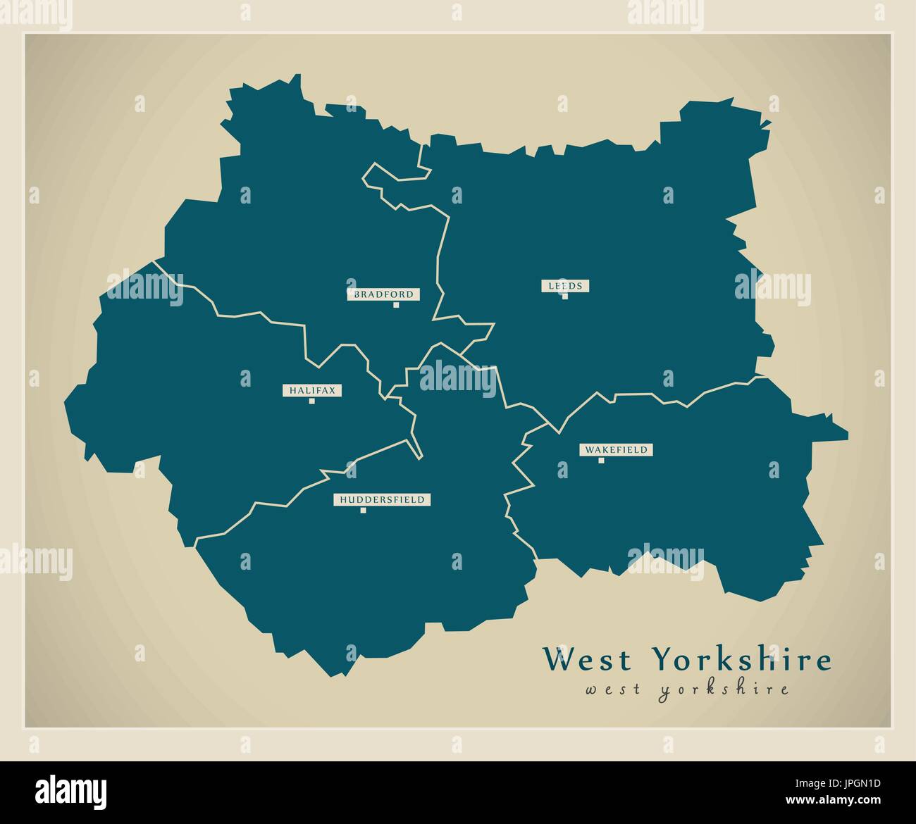 Modern Map - West Yorkshire metropolitan county with cities and districts England UK Stock Vectorhttps://www.alamy.com/image-license-details/?v=1https://www.alamy.com/modern-map-west-yorkshire-metropolitan-county-with-cities-and-districts-image151573113.html
RFJPGN1D–Modern Map - West Yorkshire metropolitan county with cities and districts England UK
 Amotherby, North Yorkshire, GB, United Kingdom, England, N 54 8' 59'', S 0 51' 15'', map, Cartascapes Map published in 2024. Explore Cartascapes, a map revealing Earth's diverse landscapes, cultures, and ecosystems. Journey through time and space, discovering the interconnectedness of our planet's past, present, and future. Stock Photohttps://www.alamy.com/image-license-details/?v=1https://www.alamy.com/amotherby-north-yorkshire-gb-united-kingdom-england-n-54-8-59-s-0-51-15-map-cartascapes-map-published-in-2024-explore-cartascapes-a-map-revealing-earths-diverse-landscapes-cultures-and-ecosystems-journey-through-time-and-space-discovering-the-interconnectedness-of-our-planets-past-present-and-future-image604185444.html
RM2X2Y0KG–Amotherby, North Yorkshire, GB, United Kingdom, England, N 54 8' 59'', S 0 51' 15'', map, Cartascapes Map published in 2024. Explore Cartascapes, a map revealing Earth's diverse landscapes, cultures, and ecosystems. Journey through time and space, discovering the interconnectedness of our planet's past, present, and future.
 Mexico Watercolor Map. Beautiful Wall Art / Home Decor Canvas Prints Image. great presentation in both corporate and personal se Stock Photohttps://www.alamy.com/image-license-details/?v=1https://www.alamy.com/stock-photo-mexico-watercolor-map-beautiful-wall-art-home-decor-canvas-prints-75334647.html
RFEAFP33–Mexico Watercolor Map. Beautiful Wall Art / Home Decor Canvas Prints Image. great presentation in both corporate and personal se
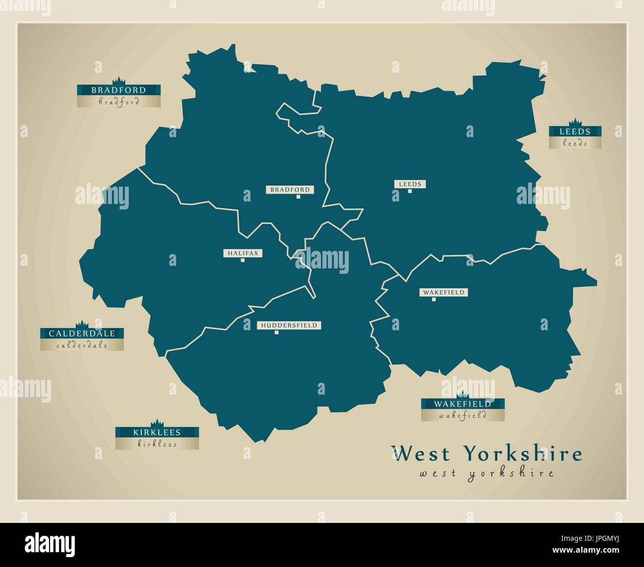 Modern Map - West Yorkshire metropolitan county with district labels England UK Stock Vectorhttps://www.alamy.com/image-license-details/?v=1https://www.alamy.com/modern-map-west-yorkshire-metropolitan-county-with-district-labels-image151573062.html
RFJPGMYJ–Modern Map - West Yorkshire metropolitan county with district labels England UK
 Camblesforth, North Yorkshire, GB, United Kingdom, England, N 53 43' 57'', S 1 1' 27'', map, Cartascapes Map published in 2024. Explore Cartascapes, a map revealing Earth's diverse landscapes, cultures, and ecosystems. Journey through time and space, discovering the interconnectedness of our planet's past, present, and future. Stock Photohttps://www.alamy.com/image-license-details/?v=1https://www.alamy.com/camblesforth-north-yorkshire-gb-united-kingdom-england-n-53-43-57-s-1-1-27-map-cartascapes-map-published-in-2024-explore-cartascapes-a-map-revealing-earths-diverse-landscapes-cultures-and-ecosystems-journey-through-time-and-space-discovering-the-interconnectedness-of-our-planets-past-present-and-future-image604269356.html
RM2X32RMC–Camblesforth, North Yorkshire, GB, United Kingdom, England, N 53 43' 57'', S 1 1' 27'', map, Cartascapes Map published in 2024. Explore Cartascapes, a map revealing Earth's diverse landscapes, cultures, and ecosystems. Journey through time and space, discovering the interconnectedness of our planet's past, present, and future.
 Austria Watercolor Map. Beautiful Wall Art / Home Decor Canvas Prints Image. great presentation in both corporate and personal s Stock Photohttps://www.alamy.com/image-license-details/?v=1https://www.alamy.com/stock-photo-austria-watercolor-map-beautiful-wall-art-home-decor-canvas-prints-75334593.html
RFEAFP15–Austria Watercolor Map. Beautiful Wall Art / Home Decor Canvas Prints Image. great presentation in both corporate and personal s
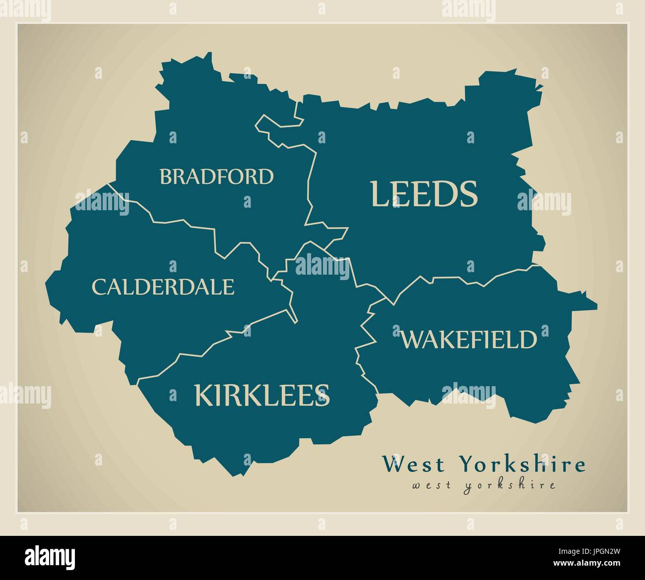 Modern Map - West Yorkshire metropolitan county with distirct captions England UK Stock Vectorhttps://www.alamy.com/image-license-details/?v=1https://www.alamy.com/modern-map-west-yorkshire-metropolitan-county-with-distirct-captions-image151573153.html
RFJPGN2W–Modern Map - West Yorkshire metropolitan county with distirct captions England UK
 Camblesforth, North Yorkshire, GB, United Kingdom, England, N 53 43' 57'', S 1 1' 27'', map, Cartascapes Map published in 2024. Explore Cartascapes, a map revealing Earth's diverse landscapes, cultures, and ecosystems. Journey through time and space, discovering the interconnectedness of our planet's past, present, and future. Stock Photohttps://www.alamy.com/image-license-details/?v=1https://www.alamy.com/camblesforth-north-yorkshire-gb-united-kingdom-england-n-53-43-57-s-1-1-27-map-cartascapes-map-published-in-2024-explore-cartascapes-a-map-revealing-earths-diverse-landscapes-cultures-and-ecosystems-journey-through-time-and-space-discovering-the-interconnectedness-of-our-planets-past-present-and-future-image604269343.html
RM2X32RKY–Camblesforth, North Yorkshire, GB, United Kingdom, England, N 53 43' 57'', S 1 1' 27'', map, Cartascapes Map published in 2024. Explore Cartascapes, a map revealing Earth's diverse landscapes, cultures, and ecosystems. Journey through time and space, discovering the interconnectedness of our planet's past, present, and future.
 Austria Watercolor Map. Beautiful Wall Art / Home Decor Canvas Prints Image. great presentation in both corporate and personal s Stock Photohttps://www.alamy.com/image-license-details/?v=1https://www.alamy.com/stock-photo-austria-watercolor-map-beautiful-wall-art-home-decor-canvas-prints-75334590.html
RFEAFP12–Austria Watercolor Map. Beautiful Wall Art / Home Decor Canvas Prints Image. great presentation in both corporate and personal s
 Modern Map - North Yorkshire county with labels England UK illustration Stock Vectorhttps://www.alamy.com/image-license-details/?v=1https://www.alamy.com/modern-map-north-yorkshire-county-with-labels-england-uk-illustration-image150168331.html
RFJM8N6K–Modern Map - North Yorkshire county with labels England UK illustration
 Baldersby, North Yorkshire, GB, United Kingdom, England, N 54 11' 47'', S 1 27' 4'', map, Cartascapes Map published in 2024. Explore Cartascapes, a map revealing Earth's diverse landscapes, cultures, and ecosystems. Journey through time and space, discovering the interconnectedness of our planet's past, present, and future. Stock Photohttps://www.alamy.com/image-license-details/?v=1https://www.alamy.com/baldersby-north-yorkshire-gb-united-kingdom-england-n-54-11-47-s-1-27-4-map-cartascapes-map-published-in-2024-explore-cartascapes-a-map-revealing-earths-diverse-landscapes-cultures-and-ecosystems-journey-through-time-and-space-discovering-the-interconnectedness-of-our-planets-past-present-and-future-image604260498.html
RM2X32CC2–Baldersby, North Yorkshire, GB, United Kingdom, England, N 54 11' 47'', S 1 27' 4'', map, Cartascapes Map published in 2024. Explore Cartascapes, a map revealing Earth's diverse landscapes, cultures, and ecosystems. Journey through time and space, discovering the interconnectedness of our planet's past, present, and future.
 Mexico Watercolor Map. Beautiful Wall Art / Home Decor Canvas Prints Image. great presentation in both corporate and personal se Stock Photohttps://www.alamy.com/image-license-details/?v=1https://www.alamy.com/stock-photo-mexico-watercolor-map-beautiful-wall-art-home-decor-canvas-prints-78685233.html
RFEG0BPW–Mexico Watercolor Map. Beautiful Wall Art / Home Decor Canvas Prints Image. great presentation in both corporate and personal se
 Modern Map - North Yorkshire county with cities and districts England UK illustration Stock Vectorhttps://www.alamy.com/image-license-details/?v=1https://www.alamy.com/modern-map-north-yorkshire-county-with-cities-and-districts-england-image150168243.html
RFJM8N3F–Modern Map - North Yorkshire county with cities and districts England UK illustration
 Elslack, North Yorkshire, GB, United Kingdom, England, N 53 56' 11'', S 2 6' 16'', map, Cartascapes Map published in 2024. Explore Cartascapes, a map revealing Earth's diverse landscapes, cultures, and ecosystems. Journey through time and space, discovering the interconnectedness of our planet's past, present, and future. Stock Photohttps://www.alamy.com/image-license-details/?v=1https://www.alamy.com/elslack-north-yorkshire-gb-united-kingdom-england-n-53-56-11-s-2-6-16-map-cartascapes-map-published-in-2024-explore-cartascapes-a-map-revealing-earths-diverse-landscapes-cultures-and-ecosystems-journey-through-time-and-space-discovering-the-interconnectedness-of-our-planets-past-present-and-future-image604236134.html
RM2X3199X–Elslack, North Yorkshire, GB, United Kingdom, England, N 53 56' 11'', S 2 6' 16'', map, Cartascapes Map published in 2024. Explore Cartascapes, a map revealing Earth's diverse landscapes, cultures, and ecosystems. Journey through time and space, discovering the interconnectedness of our planet's past, present, and future.
 Austria Watercolor Map. Beautiful Wall Art / Home Decor Canvas Prints Image. great presentation in both corporate and personal s Stock Photohttps://www.alamy.com/image-license-details/?v=1https://www.alamy.com/stock-photo-austria-watercolor-map-beautiful-wall-art-home-decor-canvas-prints-74136270.html
RFE8H5FX–Austria Watercolor Map. Beautiful Wall Art / Home Decor Canvas Prints Image. great presentation in both corporate and personal s
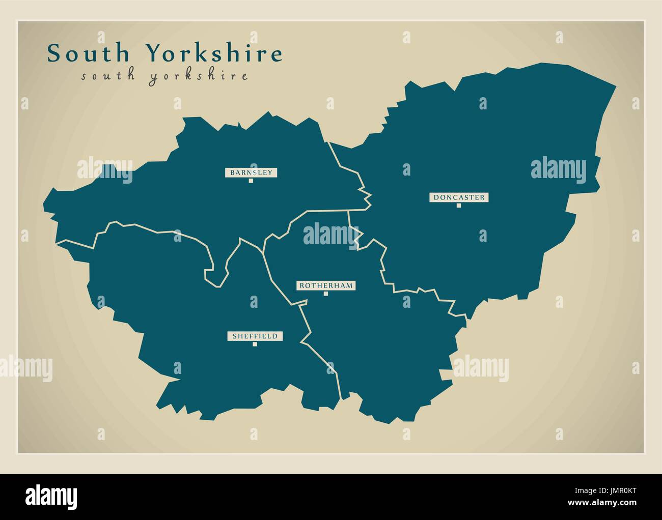 Modern Map - South Yorkshire Metropolitan County with cities and districts England UK illustration Stock Vectorhttps://www.alamy.com/image-license-details/?v=1https://www.alamy.com/modern-map-south-yorkshire-metropolitan-county-with-cities-and-districts-image150481516.html
RFJMR0KT–Modern Map - South Yorkshire Metropolitan County with cities and districts England UK illustration
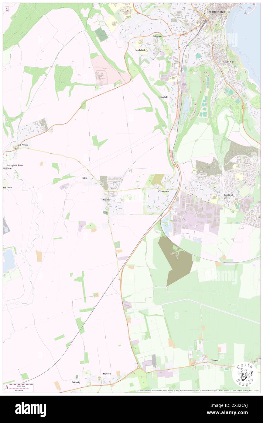 Seamer, North Yorkshire, GB, United Kingdom, England, N 54 28' 50'', S 1 13' 44'', map, Cartascapes Map published in 2024. Explore Cartascapes, a map revealing Earth's diverse landscapes, cultures, and ecosystems. Journey through time and space, discovering the interconnectedness of our planet's past, present, and future. Stock Photohttps://www.alamy.com/image-license-details/?v=1https://www.alamy.com/seamer-north-yorkshire-gb-united-kingdom-england-n-54-28-50-s-1-13-44-map-cartascapes-map-published-in-2024-explore-cartascapes-a-map-revealing-earths-diverse-landscapes-cultures-and-ecosystems-journey-through-time-and-space-discovering-the-interconnectedness-of-our-planets-past-present-and-future-image604260430.html
RM2X32C9J–Seamer, North Yorkshire, GB, United Kingdom, England, N 54 28' 50'', S 1 13' 44'', map, Cartascapes Map published in 2024. Explore Cartascapes, a map revealing Earth's diverse landscapes, cultures, and ecosystems. Journey through time and space, discovering the interconnectedness of our planet's past, present, and future.
 Watercolor Map of Hungary Stock Photohttps://www.alamy.com/image-license-details/?v=1https://www.alamy.com/stock-photo-watercolor-map-of-hungary-121628963.html
RFH1TJYF–Watercolor Map of Hungary
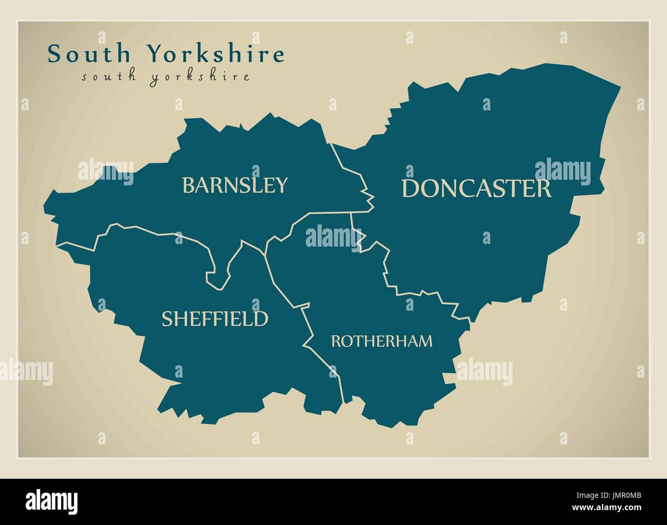 Modern Map - South Yorkshire Metropolitan County with district captions England UK illustration Stock Vectorhttps://www.alamy.com/image-license-details/?v=1https://www.alamy.com/modern-map-south-yorkshire-metropolitan-county-with-district-captions-image150481531.html
RFJMR0MB–Modern Map - South Yorkshire Metropolitan County with district captions England UK illustration
 Dunsforths, North Yorkshire, GB, United Kingdom, England, N 54 4' 14'', S 1 19' 22'', map, Cartascapes Map published in 2024. Explore Cartascapes, a map revealing Earth's diverse landscapes, cultures, and ecosystems. Journey through time and space, discovering the interconnectedness of our planet's past, present, and future. Stock Photohttps://www.alamy.com/image-license-details/?v=1https://www.alamy.com/dunsforths-north-yorkshire-gb-united-kingdom-england-n-54-4-14-s-1-19-22-map-cartascapes-map-published-in-2024-explore-cartascapes-a-map-revealing-earths-diverse-landscapes-cultures-and-ecosystems-journey-through-time-and-space-discovering-the-interconnectedness-of-our-planets-past-present-and-future-image604235150.html
RM2X3182P–Dunsforths, North Yorkshire, GB, United Kingdom, England, N 54 4' 14'', S 1 19' 22'', map, Cartascapes Map published in 2024. Explore Cartascapes, a map revealing Earth's diverse landscapes, cultures, and ecosystems. Journey through time and space, discovering the interconnectedness of our planet's past, present, and future.
