Quick filters:
Mohall north dakota map Stock Photos and Images
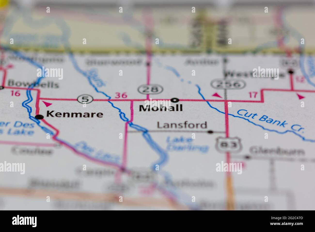 Mohall North Dakota USA shown of a Road map or Geography map Stock Photohttps://www.alamy.com/image-license-details/?v=1https://www.alamy.com/mohall-north-dakota-usa-shown-of-a-road-map-or-geography-map-image431755281.html
RM2G2C47D–Mohall North Dakota USA shown of a Road map or Geography map
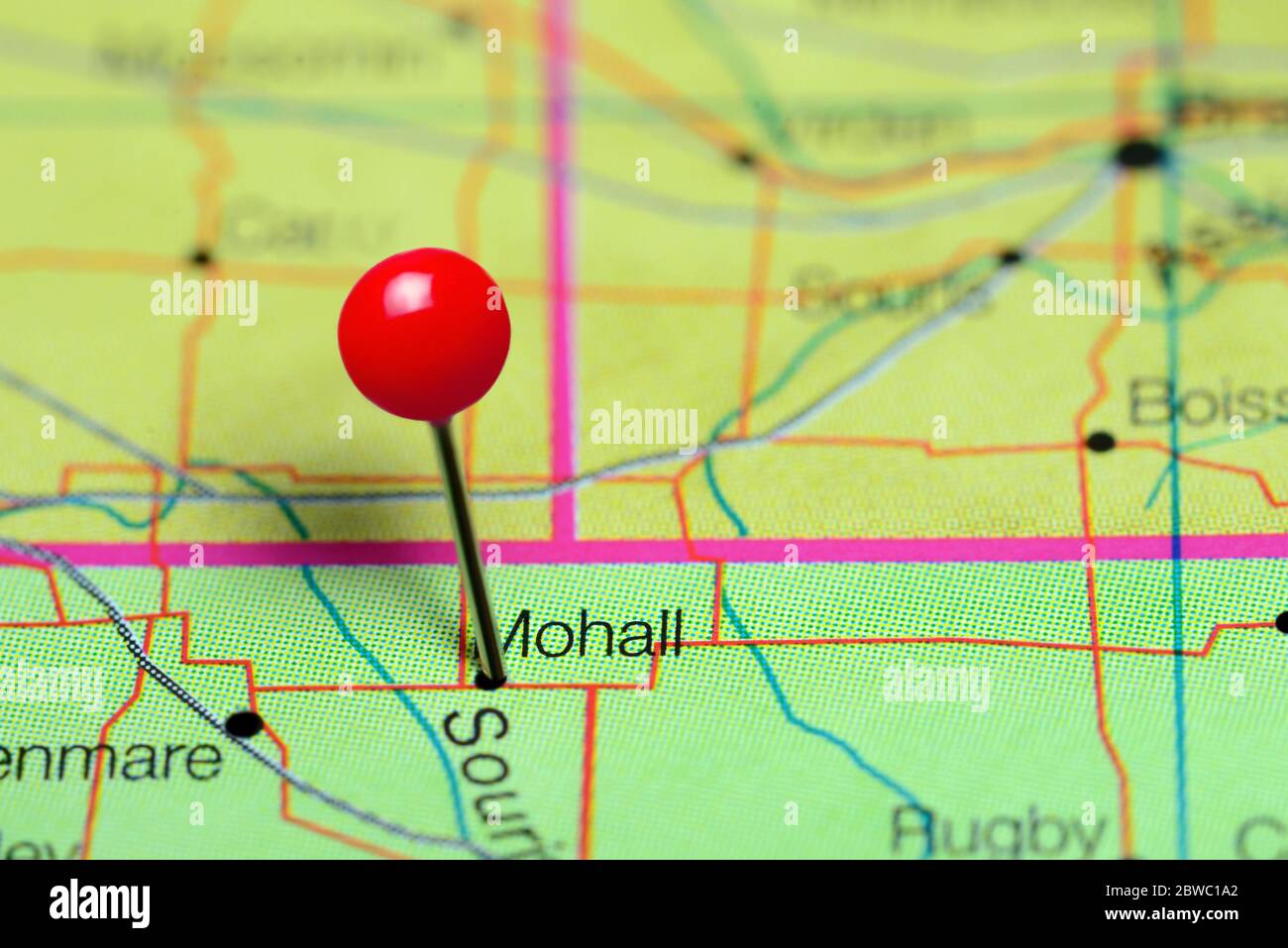 Mohall pinned on a map of North Dakota, USA Stock Photohttps://www.alamy.com/image-license-details/?v=1https://www.alamy.com/mohall-pinned-on-a-map-of-north-dakota-usa-image359838250.html
RF2BWC1A2–Mohall pinned on a map of North Dakota, USA
 Mohall, Renville County, US, United States, North Dakota, N 48 45' 48'', S 101 30' 47'', map, Cartascapes Map published in 2024. Explore Cartascapes, a map revealing Earth's diverse landscapes, cultures, and ecosystems. Journey through time and space, discovering the interconnectedness of our planet's past, present, and future. Stock Photohttps://www.alamy.com/image-license-details/?v=1https://www.alamy.com/mohall-renville-county-us-united-states-north-dakota-n-48-45-48-s-101-30-47-map-cartascapes-map-published-in-2024-explore-cartascapes-a-map-revealing-earths-diverse-landscapes-cultures-and-ecosystems-journey-through-time-and-space-discovering-the-interconnectedness-of-our-planets-past-present-and-future-image621464406.html
RM2Y3245A–Mohall, Renville County, US, United States, North Dakota, N 48 45' 48'', S 101 30' 47'', map, Cartascapes Map published in 2024. Explore Cartascapes, a map revealing Earth's diverse landscapes, cultures, and ecosystems. Journey through time and space, discovering the interconnectedness of our planet's past, present, and future.
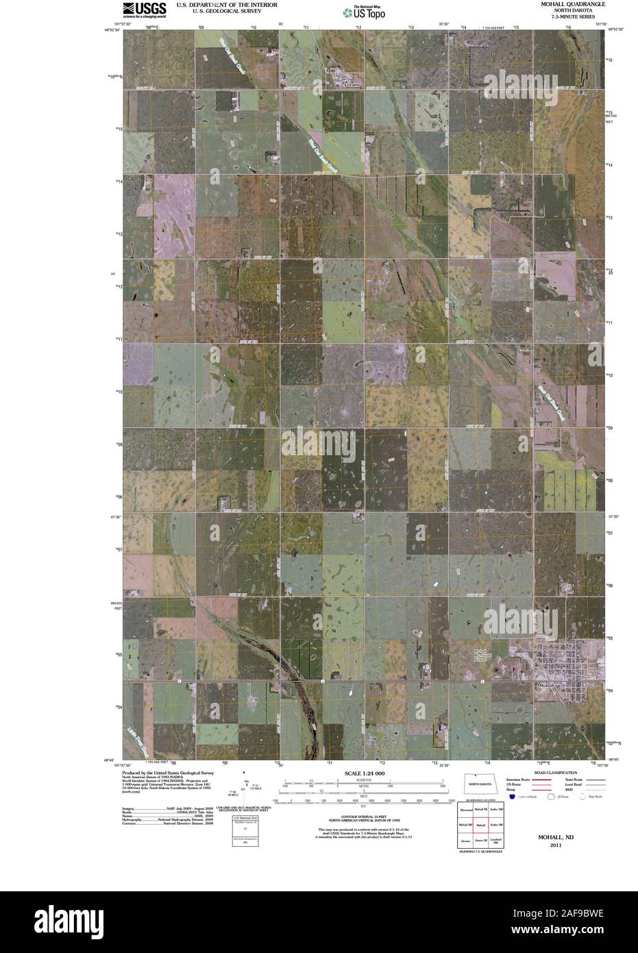 USGS TOPO Map North Dakota ND Mohall 20110406 TM Restoration Stock Photohttps://www.alamy.com/image-license-details/?v=1https://www.alamy.com/usgs-topo-map-north-dakota-nd-mohall-20110406-tm-restoration-image336423738.html
RM2AF9BWE–USGS TOPO Map North Dakota ND Mohall 20110406 TM Restoration
 Mohall, Renville County, US, United States, North Dakota, N 48 45' 48'', S 101 30' 47'', map, Cartascapes Map published in 2024. Explore Cartascapes, a map revealing Earth's diverse landscapes, cultures, and ecosystems. Journey through time and space, discovering the interconnectedness of our planet's past, present, and future. Stock Photohttps://www.alamy.com/image-license-details/?v=1https://www.alamy.com/mohall-renville-county-us-united-states-north-dakota-n-48-45-48-s-101-30-47-map-cartascapes-map-published-in-2024-explore-cartascapes-a-map-revealing-earths-diverse-landscapes-cultures-and-ecosystems-journey-through-time-and-space-discovering-the-interconnectedness-of-our-planets-past-present-and-future-image620902549.html
RM2Y24FF1–Mohall, Renville County, US, United States, North Dakota, N 48 45' 48'', S 101 30' 47'', map, Cartascapes Map published in 2024. Explore Cartascapes, a map revealing Earth's diverse landscapes, cultures, and ecosystems. Journey through time and space, discovering the interconnectedness of our planet's past, present, and future.
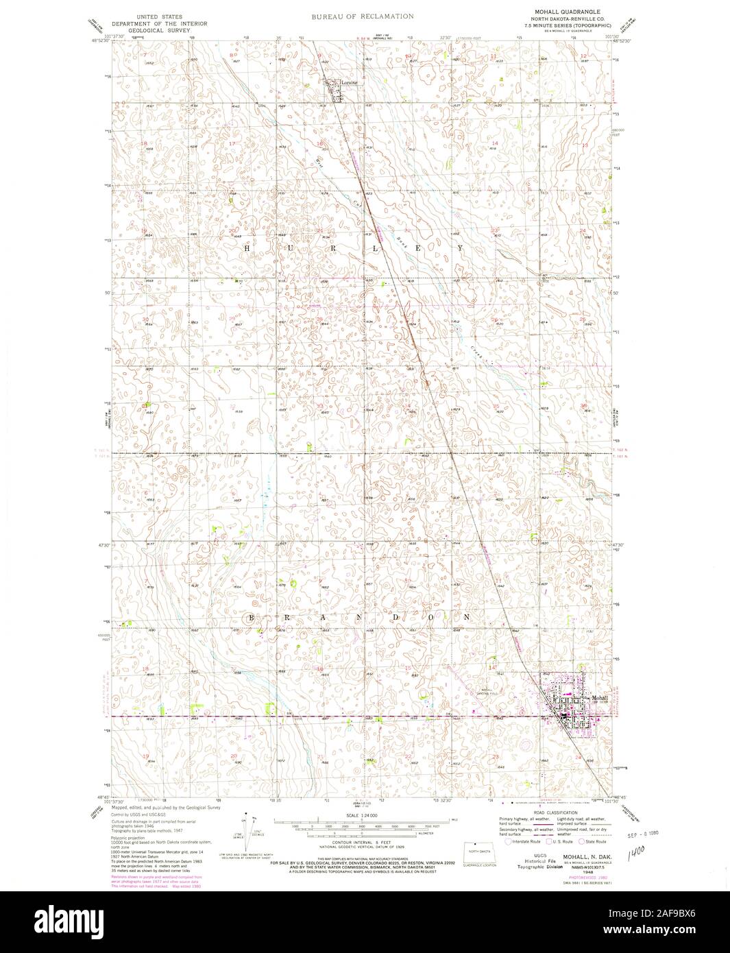 USGS TOPO Map North Dakota ND Mohall 284562 1948 24000 Restoration Stock Photohttps://www.alamy.com/image-license-details/?v=1https://www.alamy.com/usgs-topo-map-north-dakota-nd-mohall-284562-1948-24000-restoration-image336423758.html
RM2AF9BX6–USGS TOPO Map North Dakota ND Mohall 284562 1948 24000 Restoration
 City of Mohall, Renville County, US, United States, North Dakota, N 48 45' 57'', S 101 31' 1'', map, Cartascapes Map published in 2024. Explore Cartascapes, a map revealing Earth's diverse landscapes, cultures, and ecosystems. Journey through time and space, discovering the interconnectedness of our planet's past, present, and future. Stock Photohttps://www.alamy.com/image-license-details/?v=1https://www.alamy.com/city-of-mohall-renville-county-us-united-states-north-dakota-n-48-45-57-s-101-31-1-map-cartascapes-map-published-in-2024-explore-cartascapes-a-map-revealing-earths-diverse-landscapes-cultures-and-ecosystems-journey-through-time-and-space-discovering-the-interconnectedness-of-our-planets-past-present-and-future-image633824305.html
RM2YR55A9–City of Mohall, Renville County, US, United States, North Dakota, N 48 45' 57'', S 101 31' 1'', map, Cartascapes Map published in 2024. Explore Cartascapes, a map revealing Earth's diverse landscapes, cultures, and ecosystems. Journey through time and space, discovering the interconnectedness of our planet's past, present, and future.
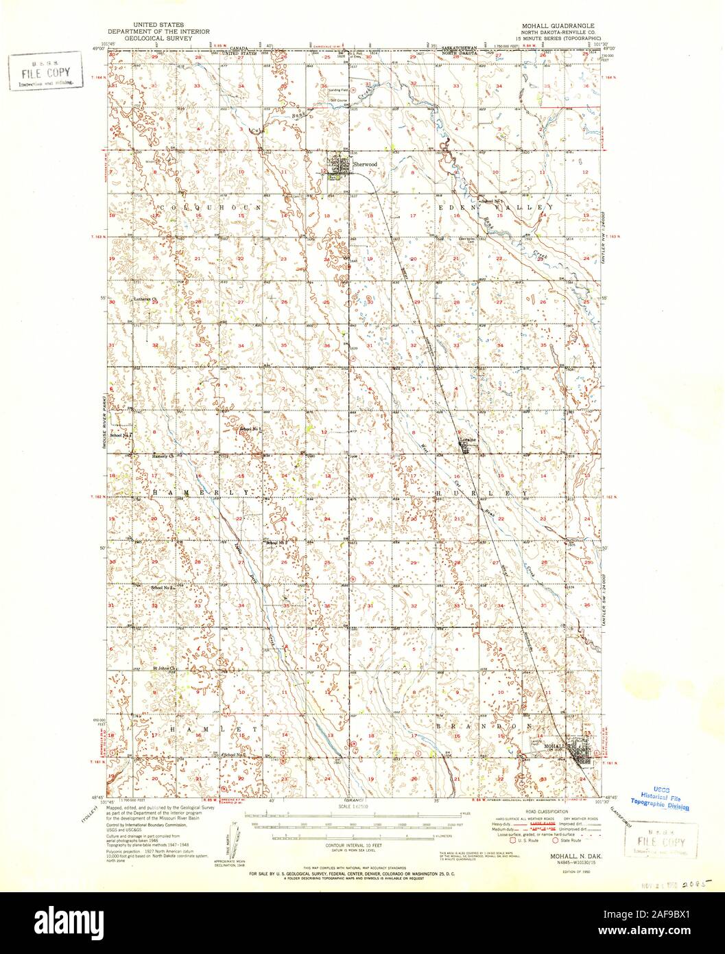 USGS TOPO Map North Dakota ND Mohall 285351 1950 62500 Restoration Stock Photohttps://www.alamy.com/image-license-details/?v=1https://www.alamy.com/usgs-topo-map-north-dakota-nd-mohall-285351-1950-62500-restoration-image336423753.html
RM2AF9BX1–USGS TOPO Map North Dakota ND Mohall 285351 1950 62500 Restoration
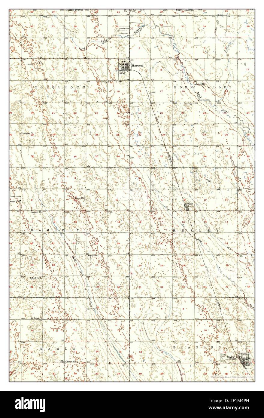 Mohall, North Dakota, map 1950, 1:62500, United States of America by Timeless Maps, data U.S. Geological Survey Stock Photohttps://www.alamy.com/image-license-details/?v=1https://www.alamy.com/mohall-north-dakota-map-1950-162500-united-states-of-america-by-timeless-maps-data-us-geological-survey-image414106297.html
RM2F1M4PH–Mohall, North Dakota, map 1950, 1:62500, United States of America by Timeless Maps, data U.S. Geological Survey
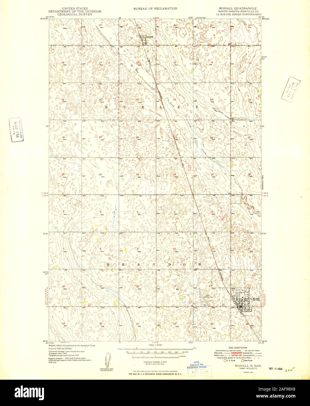 USGS TOPO Map North Dakota ND Mohall 284561 1948 24000 Restoration Stock Photohttps://www.alamy.com/image-license-details/?v=1https://www.alamy.com/usgs-topo-map-north-dakota-nd-mohall-284561-1948-24000-restoration-image336423760.html
RM2AF9BX8–USGS TOPO Map North Dakota ND Mohall 284561 1948 24000 Restoration
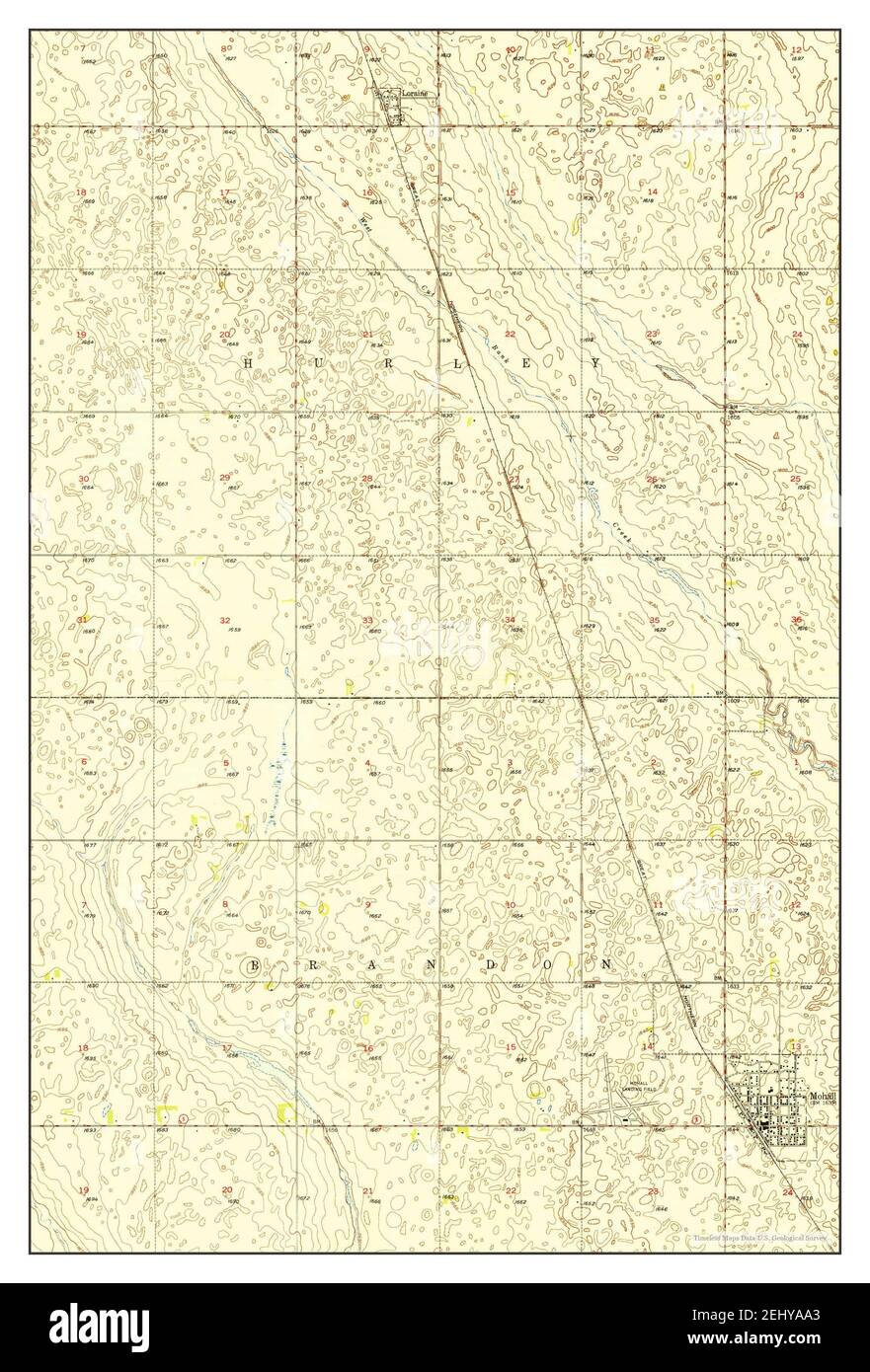 Mohall, North Dakota, map 1948, 1:24000, United States of America by Timeless Maps, data U.S. Geological Survey Stock Photohttps://www.alamy.com/image-license-details/?v=1https://www.alamy.com/mohall-north-dakota-map-1948-124000-united-states-of-america-by-timeless-maps-data-us-geological-survey-image406888443.html
RM2EHYAA3–Mohall, North Dakota, map 1948, 1:24000, United States of America by Timeless Maps, data U.S. Geological Survey
 USGS TOPO Map North Dakota ND Mohall 285352 1950 62500 Restoration Stock Photohttps://www.alamy.com/image-license-details/?v=1https://www.alamy.com/usgs-topo-map-north-dakota-nd-mohall-285352-1950-62500-restoration-image336423779.html
RM2AF9BXY–USGS TOPO Map North Dakota ND Mohall 285352 1950 62500 Restoration
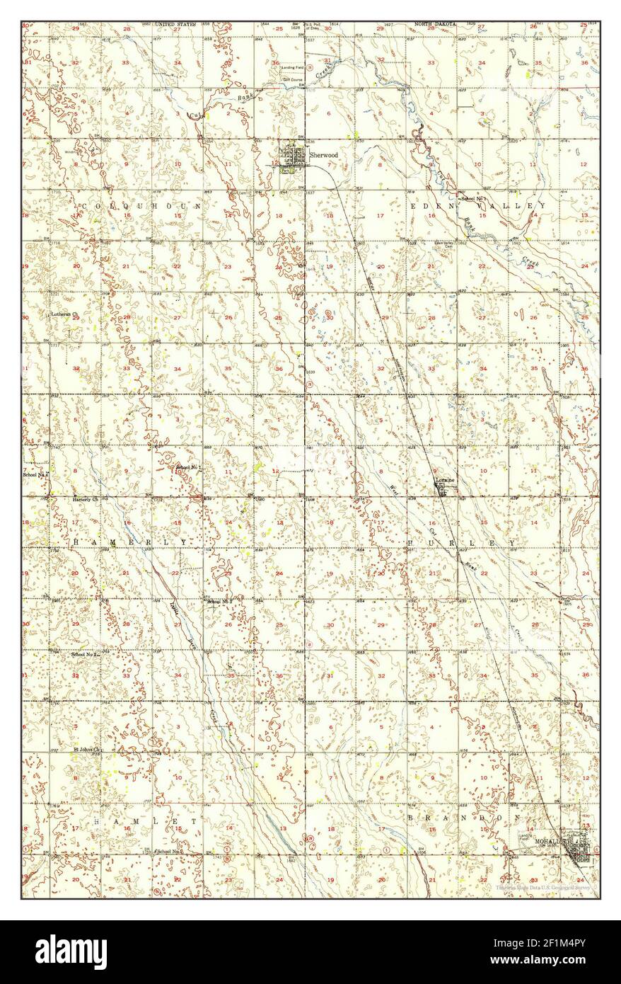 Mohall, North Dakota, map 1950, 1:62500, United States of America by Timeless Maps, data U.S. Geological Survey Stock Photohttps://www.alamy.com/image-license-details/?v=1https://www.alamy.com/mohall-north-dakota-map-1950-162500-united-states-of-america-by-timeless-maps-data-us-geological-survey-image414106307.html
RM2F1M4PY–Mohall, North Dakota, map 1950, 1:62500, United States of America by Timeless Maps, data U.S. Geological Survey
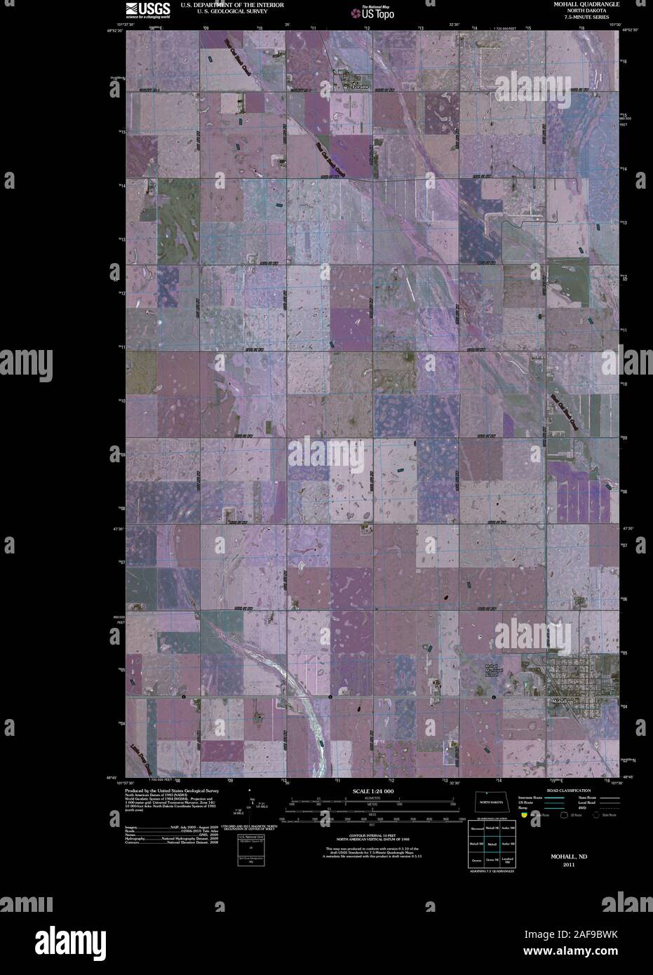 USGS TOPO Map North Dakota ND Mohall 20110406 TM Inverted Restoration Stock Photohttps://www.alamy.com/image-license-details/?v=1https://www.alamy.com/usgs-topo-map-north-dakota-nd-mohall-20110406-tm-inverted-restoration-image336423743.html
RM2AF9BWK–USGS TOPO Map North Dakota ND Mohall 20110406 TM Inverted Restoration
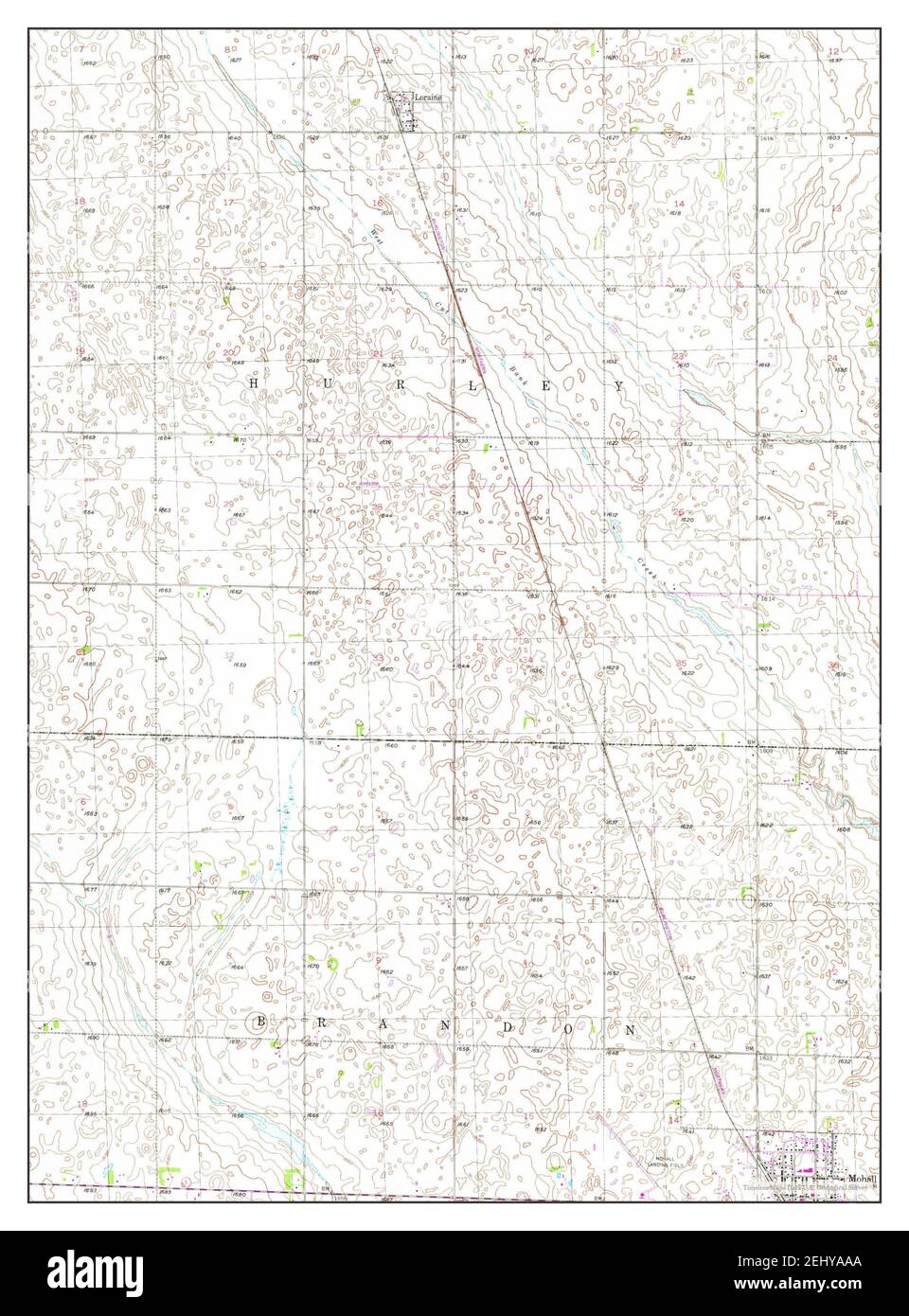 Mohall, North Dakota, map 1948, 1:24000, United States of America by Timeless Maps, data U.S. Geological Survey Stock Photohttps://www.alamy.com/image-license-details/?v=1https://www.alamy.com/mohall-north-dakota-map-1948-124000-united-states-of-america-by-timeless-maps-data-us-geological-survey-image406888450.html
RM2EHYAAA–Mohall, North Dakota, map 1948, 1:24000, United States of America by Timeless Maps, data U.S. Geological Survey
 USGS TOPO Map North Dakota ND Mohall SW 20110406 TM Restoration Stock Photohttps://www.alamy.com/image-license-details/?v=1https://www.alamy.com/usgs-topo-map-north-dakota-nd-mohall-sw-20110406-tm-restoration-image336423784.html
RM2AF9BY4–USGS TOPO Map North Dakota ND Mohall SW 20110406 TM Restoration
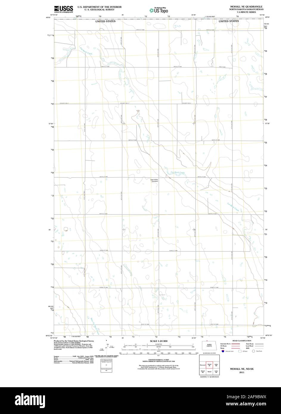 USGS TOPO Map North Dakota ND Mohall NE 20110506 TM Restoration Stock Photohttps://www.alamy.com/image-license-details/?v=1https://www.alamy.com/usgs-topo-map-north-dakota-nd-mohall-ne-20110506-tm-restoration-image336423750.html
RM2AF9BWX–USGS TOPO Map North Dakota ND Mohall NE 20110506 TM Restoration
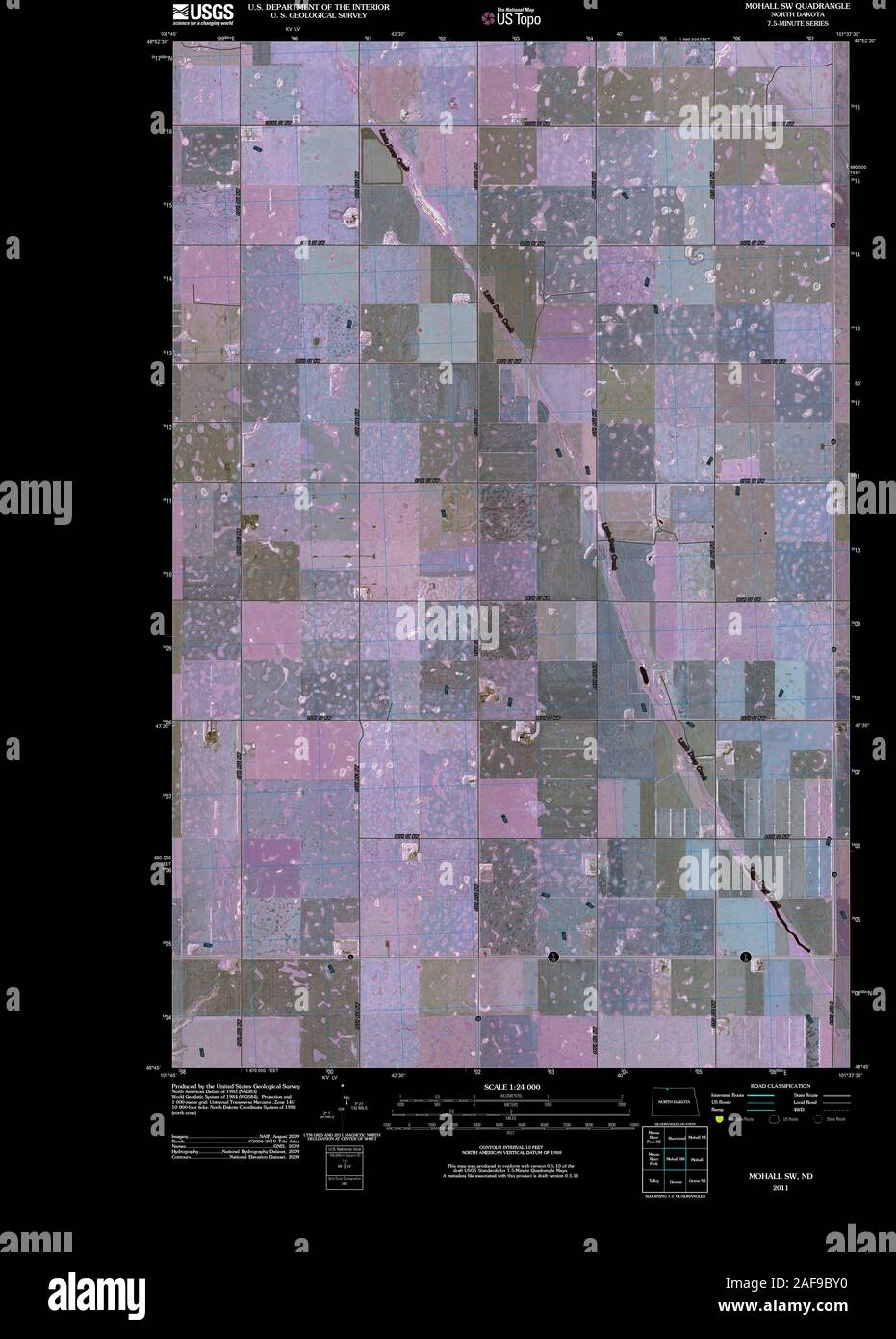 USGS TOPO Map North Dakota ND Mohall SW 20110406 TM Inverted Restoration Stock Photohttps://www.alamy.com/image-license-details/?v=1https://www.alamy.com/usgs-topo-map-north-dakota-nd-mohall-sw-20110406-tm-inverted-restoration-image336423780.html
RM2AF9BY0–USGS TOPO Map North Dakota ND Mohall SW 20110406 TM Inverted Restoration
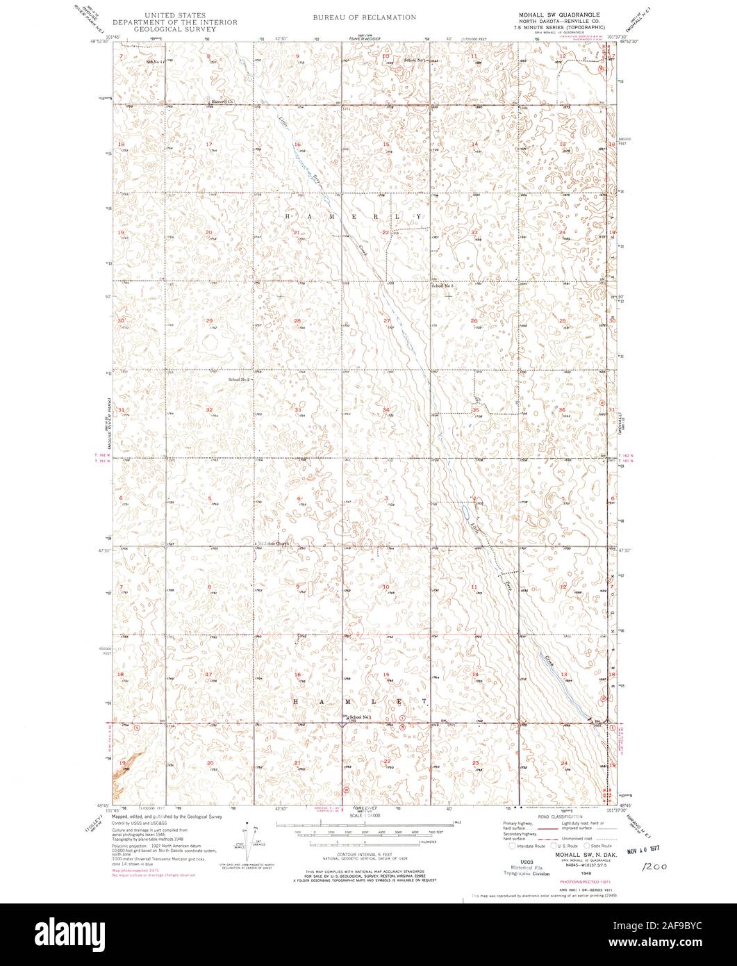 USGS TOPO Map North Dakota ND Mohall SW 284565 1949 24000 Restoration Stock Photohttps://www.alamy.com/image-license-details/?v=1https://www.alamy.com/usgs-topo-map-north-dakota-nd-mohall-sw-284565-1949-24000-restoration-image336423792.html
RM2AF9BYC–USGS TOPO Map North Dakota ND Mohall SW 284565 1949 24000 Restoration
 USGS TOPO Map North Dakota ND Mohall NE 20110506 TM Inverted Restoration Stock Photohttps://www.alamy.com/image-license-details/?v=1https://www.alamy.com/usgs-topo-map-north-dakota-nd-mohall-ne-20110506-tm-inverted-restoration-image336423749.html
RM2AF9BWW–USGS TOPO Map North Dakota ND Mohall NE 20110506 TM Inverted Restoration
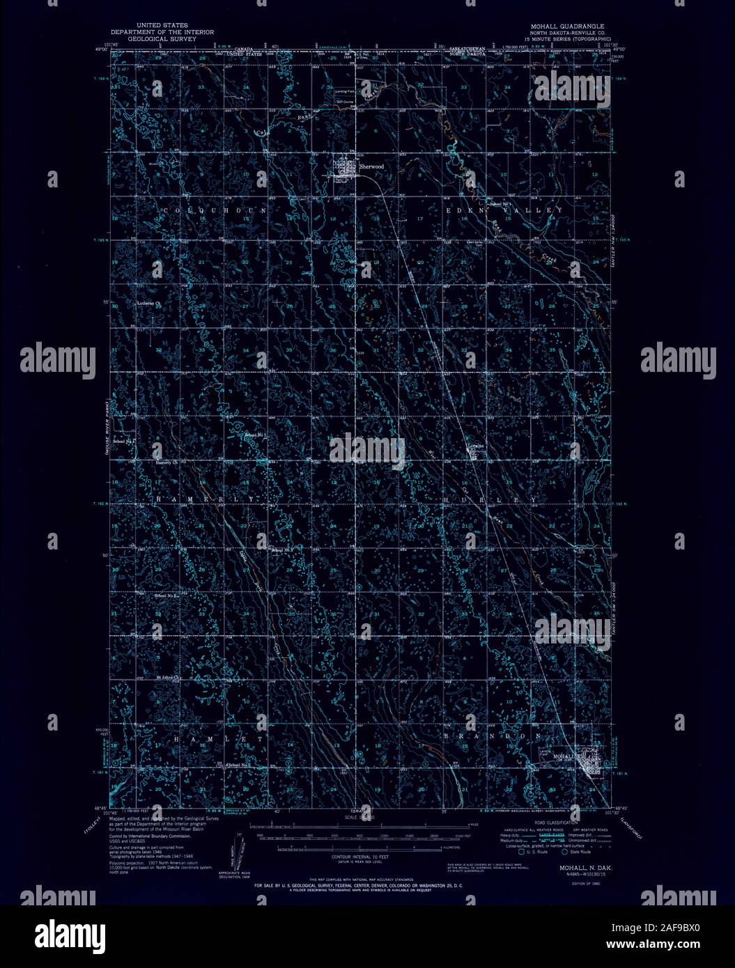 USGS TOPO Map North Dakota ND Mohall 285352 1950 62500 Inverted Restoration Stock Photohttps://www.alamy.com/image-license-details/?v=1https://www.alamy.com/usgs-topo-map-north-dakota-nd-mohall-285352-1950-62500-inverted-restoration-image336423752.html
RM2AF9BX0–USGS TOPO Map North Dakota ND Mohall 285352 1950 62500 Inverted Restoration
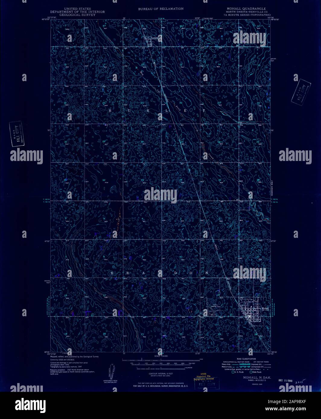 USGS TOPO Map North Dakota ND Mohall 284561 1948 24000 Inverted Restoration Stock Photohttps://www.alamy.com/image-license-details/?v=1https://www.alamy.com/usgs-topo-map-north-dakota-nd-mohall-284561-1948-24000-inverted-restoration-image336423767.html
RM2AF9BXF–USGS TOPO Map North Dakota ND Mohall 284561 1948 24000 Inverted Restoration
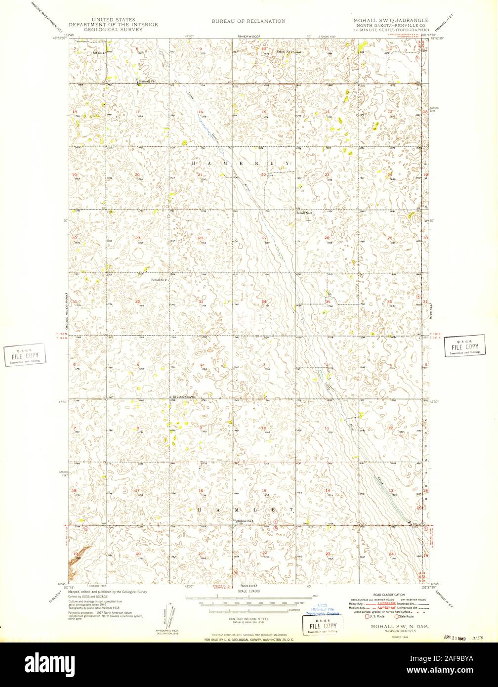 USGS TOPO Map North Dakota ND Mohall SW 284564 1949 24000 Restoration Stock Photohttps://www.alamy.com/image-license-details/?v=1https://www.alamy.com/usgs-topo-map-north-dakota-nd-mohall-sw-284564-1949-24000-restoration-image336423790.html
RM2AF9BYA–USGS TOPO Map North Dakota ND Mohall SW 284564 1949 24000 Restoration
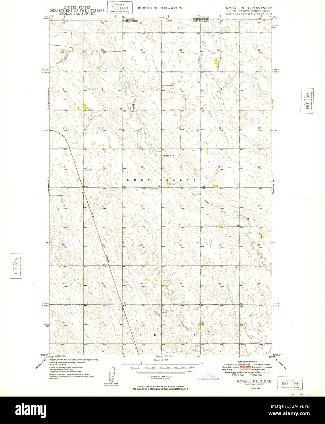 USGS TOPO Map North Dakota ND Mohall NE 284563 1949 24000 Restoration Stock Photohttps://www.alamy.com/image-license-details/?v=1https://www.alamy.com/usgs-topo-map-north-dakota-nd-mohall-ne-284563-1949-24000-restoration-image336423791.html
RM2AF9BYB–USGS TOPO Map North Dakota ND Mohall NE 284563 1949 24000 Restoration
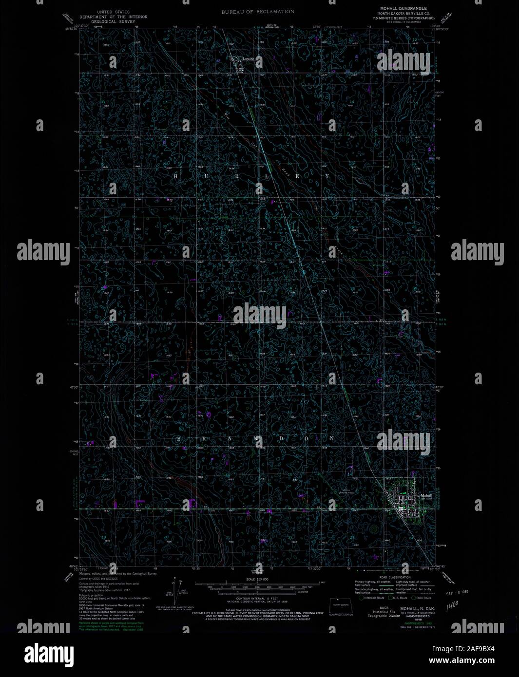 USGS TOPO Map North Dakota ND Mohall 284562 1948 24000 Inverted Restoration Stock Photohttps://www.alamy.com/image-license-details/?v=1https://www.alamy.com/usgs-topo-map-north-dakota-nd-mohall-284562-1948-24000-inverted-restoration-image336423756.html
RM2AF9BX4–USGS TOPO Map North Dakota ND Mohall 284562 1948 24000 Inverted Restoration
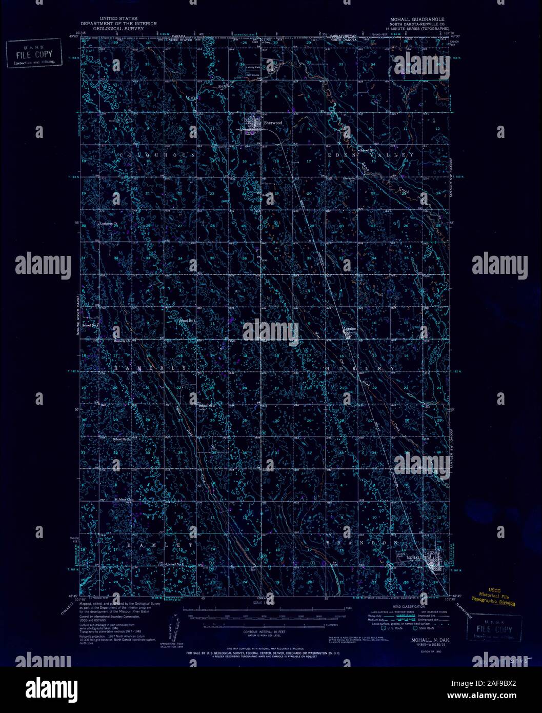 USGS TOPO Map North Dakota ND Mohall 285351 1950 62500 Inverted Restoration Stock Photohttps://www.alamy.com/image-license-details/?v=1https://www.alamy.com/usgs-topo-map-north-dakota-nd-mohall-285351-1950-62500-inverted-restoration-image336423754.html
RM2AF9BX2–USGS TOPO Map North Dakota ND Mohall 285351 1950 62500 Inverted Restoration
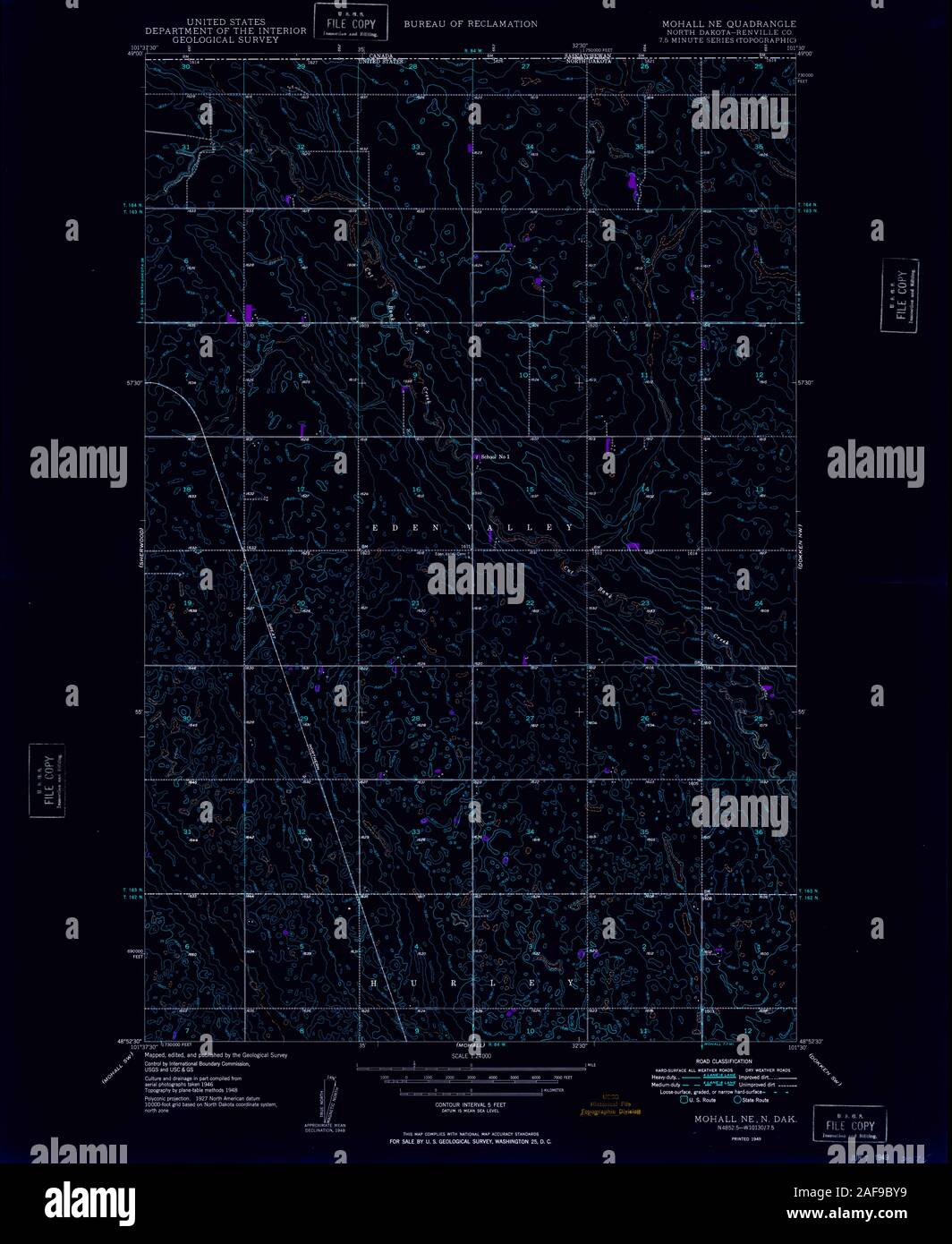 USGS TOPO Map North Dakota ND Mohall NE 284563 1949 24000 Inverted Restoration Stock Photohttps://www.alamy.com/image-license-details/?v=1https://www.alamy.com/usgs-topo-map-north-dakota-nd-mohall-ne-284563-1949-24000-inverted-restoration-image336423789.html
RM2AF9BY9–USGS TOPO Map North Dakota ND Mohall NE 284563 1949 24000 Inverted Restoration
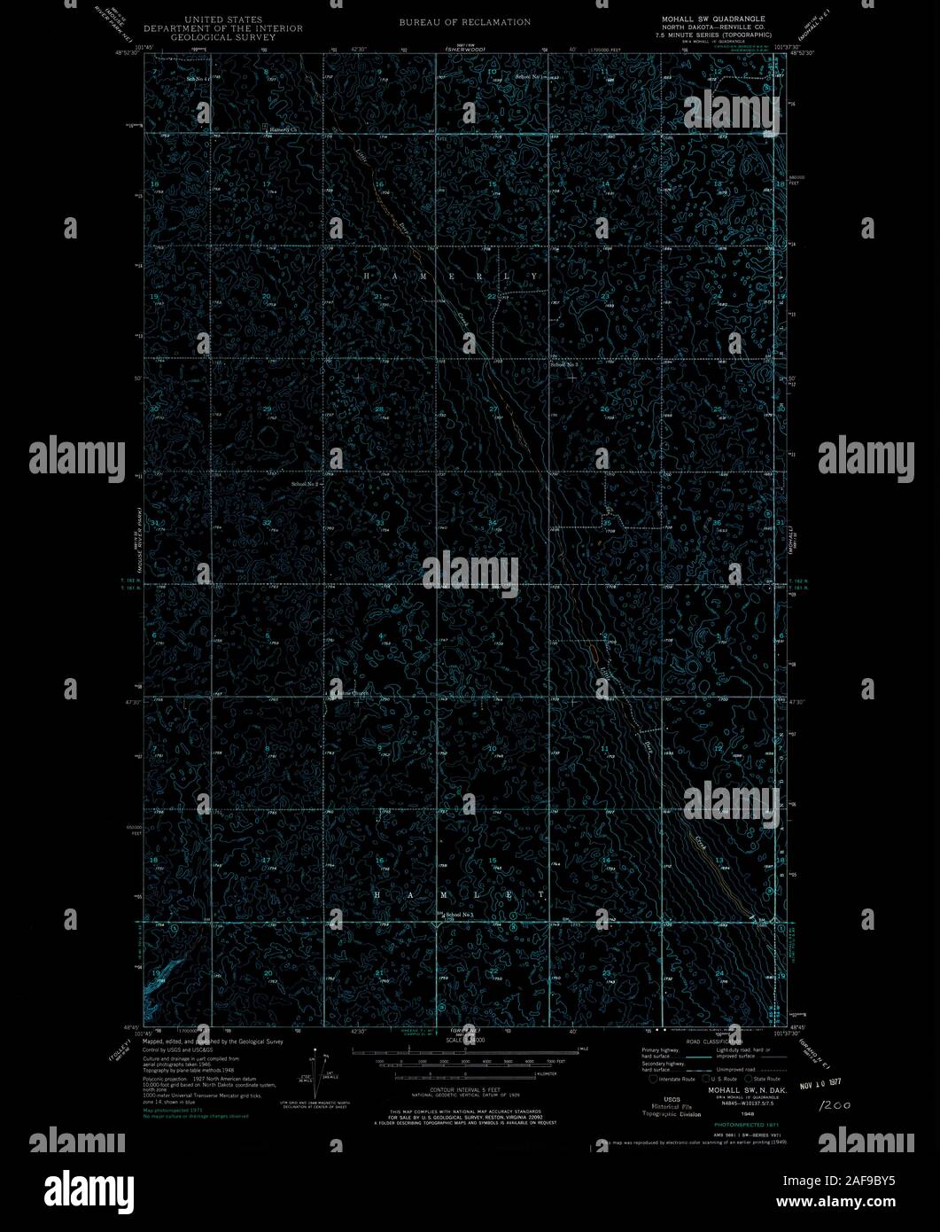 USGS TOPO Map North Dakota ND Mohall SW 284565 1949 24000 Inverted Restoration Stock Photohttps://www.alamy.com/image-license-details/?v=1https://www.alamy.com/usgs-topo-map-north-dakota-nd-mohall-sw-284565-1949-24000-inverted-restoration-image336423785.html
RM2AF9BY5–USGS TOPO Map North Dakota ND Mohall SW 284565 1949 24000 Inverted Restoration
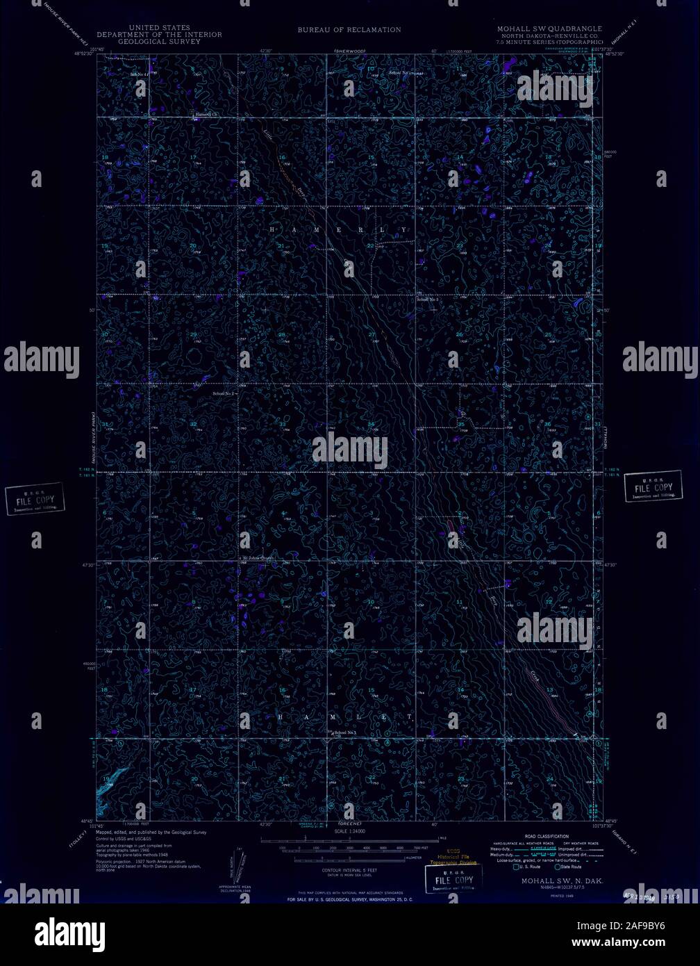 USGS TOPO Map North Dakota ND Mohall SW 284564 1949 24000 Inverted Restoration Stock Photohttps://www.alamy.com/image-license-details/?v=1https://www.alamy.com/usgs-topo-map-north-dakota-nd-mohall-sw-284564-1949-24000-inverted-restoration-image336423786.html
RM2AF9BY6–USGS TOPO Map North Dakota ND Mohall SW 284564 1949 24000 Inverted Restoration