Moorefield west virginia Cut Out Stock Images
 Moorefield, Hardy County, US, United States, West Virginia, N 39 3' 44'', S 78 58' 10'', map, Cartascapes Map published in 2024. Explore Cartascapes, a map revealing Earth's diverse landscapes, cultures, and ecosystems. Journey through time and space, discovering the interconnectedness of our planet's past, present, and future. Stock Photohttps://www.alamy.com/image-license-details/?v=1https://www.alamy.com/moorefield-hardy-county-us-united-states-west-virginia-n-39-3-44-s-78-58-10-map-cartascapes-map-published-in-2024-explore-cartascapes-a-map-revealing-earths-diverse-landscapes-cultures-and-ecosystems-journey-through-time-and-space-discovering-the-interconnectedness-of-our-planets-past-present-and-future-image621403651.html
RM2Y2YAKF–Moorefield, Hardy County, US, United States, West Virginia, N 39 3' 44'', S 78 58' 10'', map, Cartascapes Map published in 2024. Explore Cartascapes, a map revealing Earth's diverse landscapes, cultures, and ecosystems. Journey through time and space, discovering the interconnectedness of our planet's past, present, and future.
 Rendering of a green 3d highway sign for Hardy County Stock Photohttps://www.alamy.com/image-license-details/?v=1https://www.alamy.com/rendering-of-a-green-3d-highway-sign-for-hardy-county-image336182515.html
RF2AEXC6B–Rendering of a green 3d highway sign for Hardy County
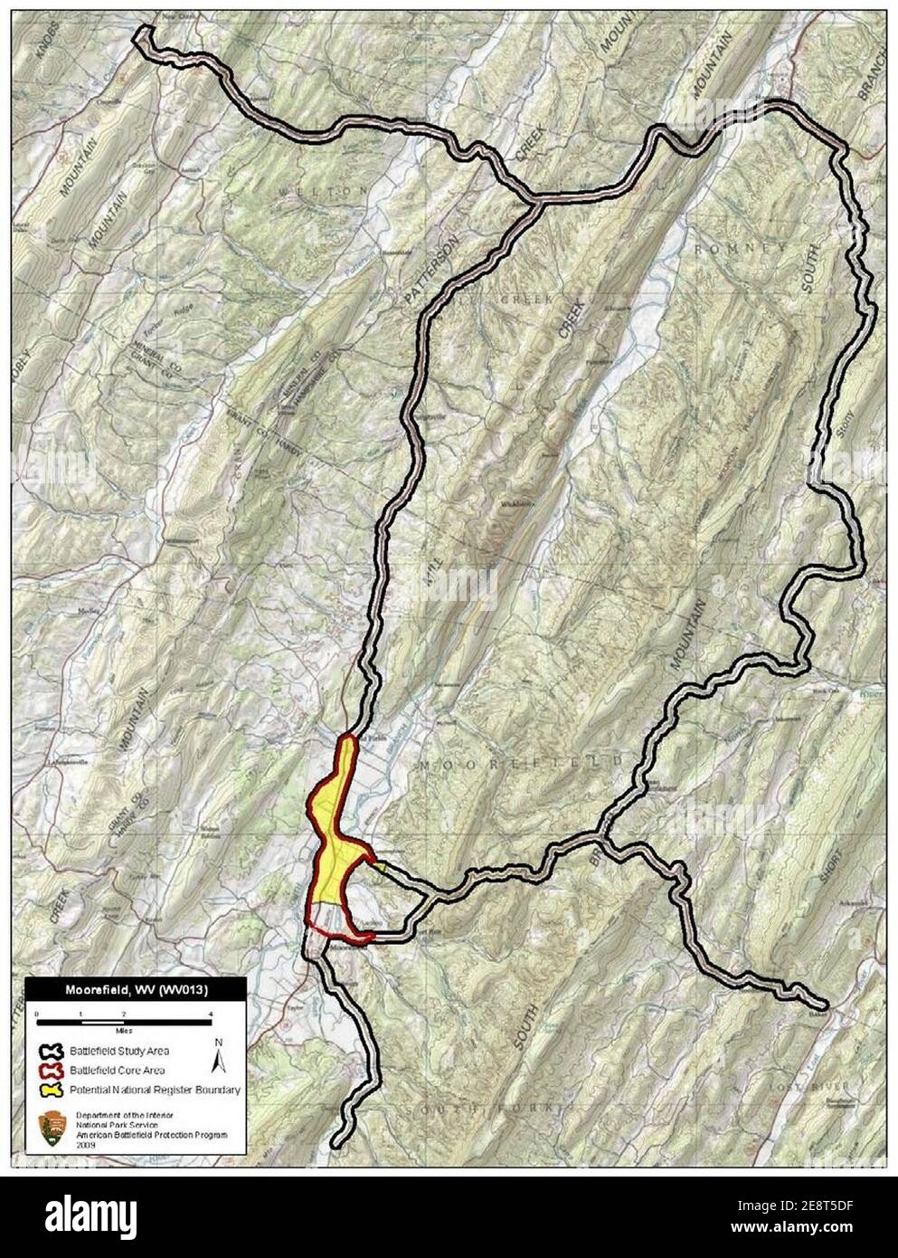 Moorefield Battlefield West Virginia. Stock Photohttps://www.alamy.com/image-license-details/?v=1https://www.alamy.com/moorefield-battlefield-west-virginia-image401286859.html
RM2E8T5DF–Moorefield Battlefield West Virginia.
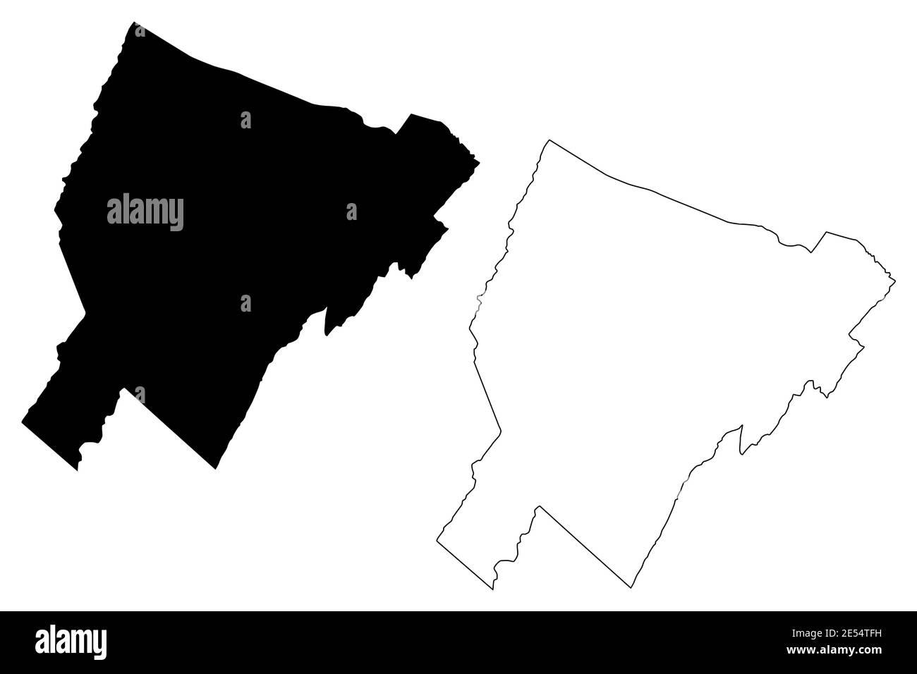 Hardy County, State of West Virginia (U.S. county, United States of America, USA, U.S., US) map vector illustration, scribble sketch Hardy map Stock Vectorhttps://www.alamy.com/image-license-details/?v=1https://www.alamy.com/hardy-county-state-of-west-virginia-us-county-united-states-of-america-usa-us-us-map-vector-illustration-scribble-sketch-hardy-map-image399018805.html
RF2E54TFH–Hardy County, State of West Virginia (U.S. county, United States of America, USA, U.S., US) map vector illustration, scribble sketch Hardy map
 Moorefield, Hardy County, US, United States, West Virginia, N 39 3' 44'', S 78 58' 10'', map, Cartascapes Map published in 2024. Explore Cartascapes, a map revealing Earth's diverse landscapes, cultures, and ecosystems. Journey through time and space, discovering the interconnectedness of our planet's past, present, and future. Stock Photohttps://www.alamy.com/image-license-details/?v=1https://www.alamy.com/moorefield-hardy-county-us-united-states-west-virginia-n-39-3-44-s-78-58-10-map-cartascapes-map-published-in-2024-explore-cartascapes-a-map-revealing-earths-diverse-landscapes-cultures-and-ecosystems-journey-through-time-and-space-discovering-the-interconnectedness-of-our-planets-past-present-and-future-image621243503.html
RM2Y2M2BY–Moorefield, Hardy County, US, United States, West Virginia, N 39 3' 44'', S 78 58' 10'', map, Cartascapes Map published in 2024. Explore Cartascapes, a map revealing Earth's diverse landscapes, cultures, and ecosystems. Journey through time and space, discovering the interconnectedness of our planet's past, present, and future.
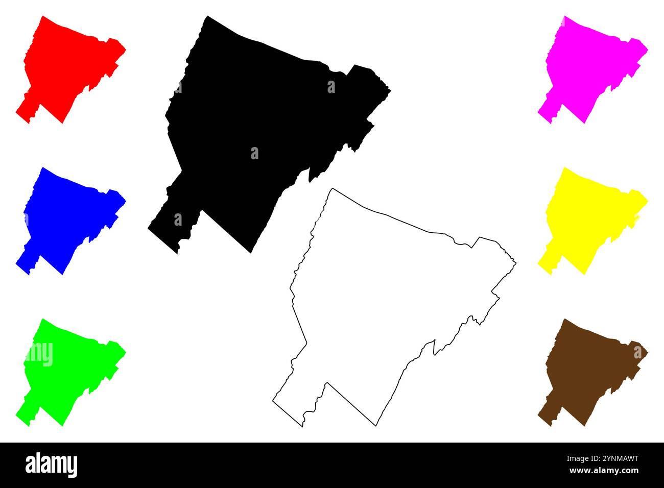 Hardy County, State of West Virginia (U.S. county, United States of America, USA, U.S., US) map vector illustration, scribble sketch Hardy map Stock Vectorhttps://www.alamy.com/image-license-details/?v=1https://www.alamy.com/hardy-county-state-of-west-virginia-us-county-united-states-of-america-usa-us-us-map-vector-illustration-scribble-sketch-hardy-map-image632928628.html
RF2YNMAWT–Hardy County, State of West Virginia (U.S. county, United States of America, USA, U.S., US) map vector illustration, scribble sketch Hardy map
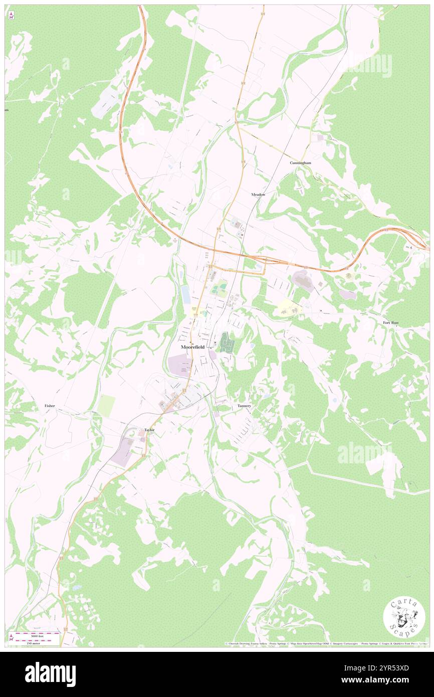 Town of Moorefield, Hardy County, US, United States, West Virginia, N 39 3' 58'', S 78 57' 49'', map, Cartascapes Map published in 2024. Explore Cartascapes, a map revealing Earth's diverse landscapes, cultures, and ecosystems. Journey through time and space, discovering the interconnectedness of our planet's past, present, and future. Stock Photohttps://www.alamy.com/image-license-details/?v=1https://www.alamy.com/town-of-moorefield-hardy-county-us-united-states-west-virginia-n-39-3-58-s-78-57-49-map-cartascapes-map-published-in-2024-explore-cartascapes-a-map-revealing-earths-diverse-landscapes-cultures-and-ecosystems-journey-through-time-and-space-discovering-the-interconnectedness-of-our-planets-past-present-and-future-image633823189.html
RM2YR53XD–Town of Moorefield, Hardy County, US, United States, West Virginia, N 39 3' 58'', S 78 57' 49'', map, Cartascapes Map published in 2024. Explore Cartascapes, a map revealing Earth's diverse landscapes, cultures, and ecosystems. Journey through time and space, discovering the interconnectedness of our planet's past, present, and future.
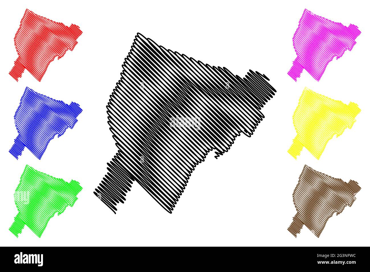 Hardy County, State of West Virginia (U.S. county, United States of America, USA, U.S., US) map vector illustration, scribble sketch Hardy map Stock Vectorhttps://www.alamy.com/image-license-details/?v=1https://www.alamy.com/hardy-county-state-of-west-virginia-us-county-united-states-of-america-usa-us-us-map-vector-illustration-scribble-sketch-hardy-map-image432576632.html
RF2G3NFWC–Hardy County, State of West Virginia (U.S. county, United States of America, USA, U.S., US) map vector illustration, scribble sketch Hardy map
 Moorefield District, Hardy County, US, United States, West Virginia, N 39 3' 8'', S 78 54' 38'', map, Cartascapes Map published in 2024. Explore Cartascapes, a map revealing Earth's diverse landscapes, cultures, and ecosystems. Journey through time and space, discovering the interconnectedness of our planet's past, present, and future. Stock Photohttps://www.alamy.com/image-license-details/?v=1https://www.alamy.com/moorefield-district-hardy-county-us-united-states-west-virginia-n-39-3-8-s-78-54-38-map-cartascapes-map-published-in-2024-explore-cartascapes-a-map-revealing-earths-diverse-landscapes-cultures-and-ecosystems-journey-through-time-and-space-discovering-the-interconnectedness-of-our-planets-past-present-and-future-image633860399.html
RM2YR6RBB–Moorefield District, Hardy County, US, United States, West Virginia, N 39 3' 8'', S 78 54' 38'', map, Cartascapes Map published in 2024. Explore Cartascapes, a map revealing Earth's diverse landscapes, cultures, and ecosystems. Journey through time and space, discovering the interconnectedness of our planet's past, present, and future.
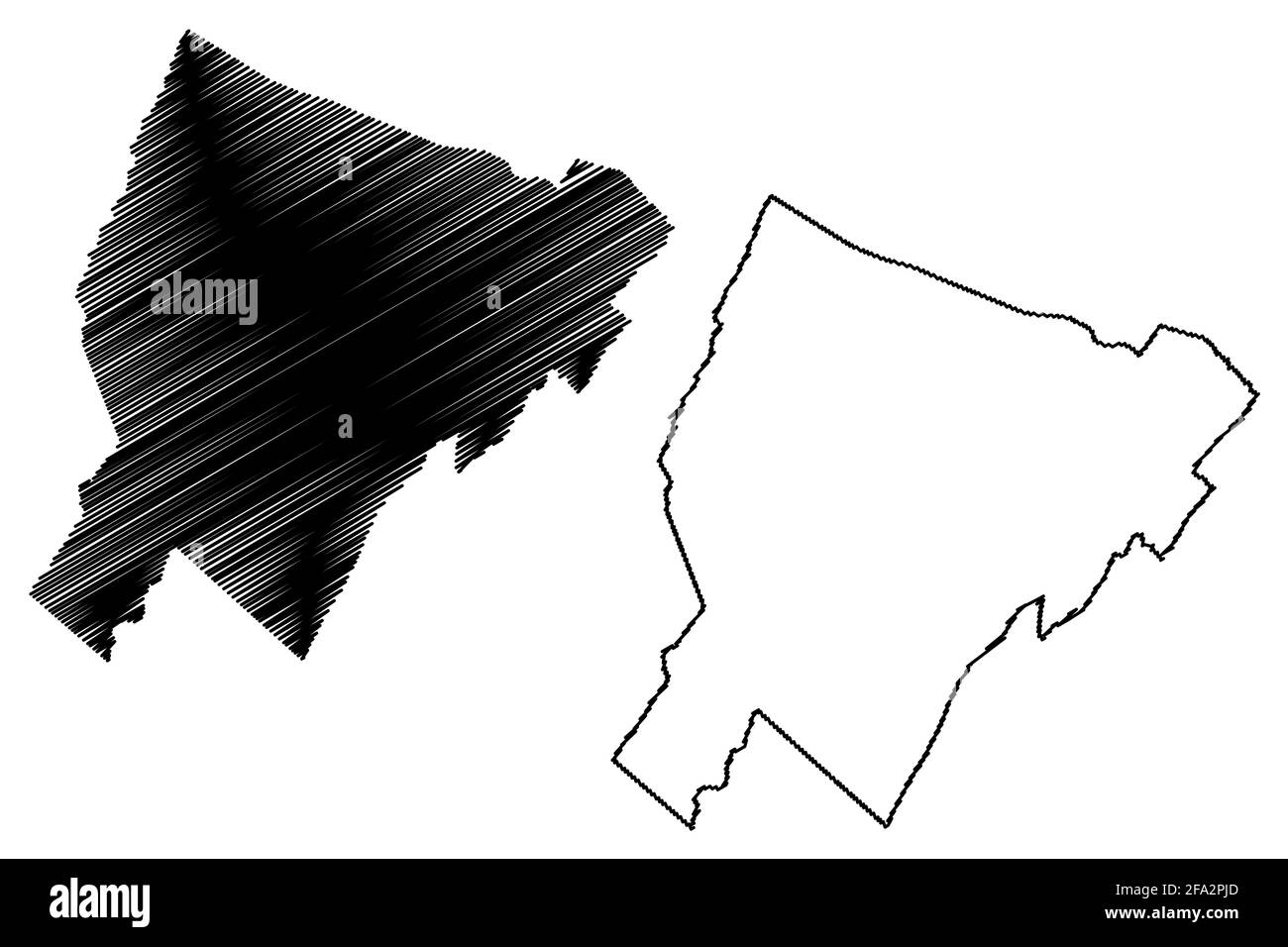 Hardy County, State of West Virginia (U.S. county, United States of America, USA, U.S., US) map vector illustration, scribble sketch Hardy map Stock Vectorhttps://www.alamy.com/image-license-details/?v=1https://www.alamy.com/hardy-county-state-of-west-virginia-us-county-united-states-of-america-usa-us-us-map-vector-illustration-scribble-sketch-hardy-map-image419257061.html
RF2FA2PJD–Hardy County, State of West Virginia (U.S. county, United States of America, USA, U.S., US) map vector illustration, scribble sketch Hardy map
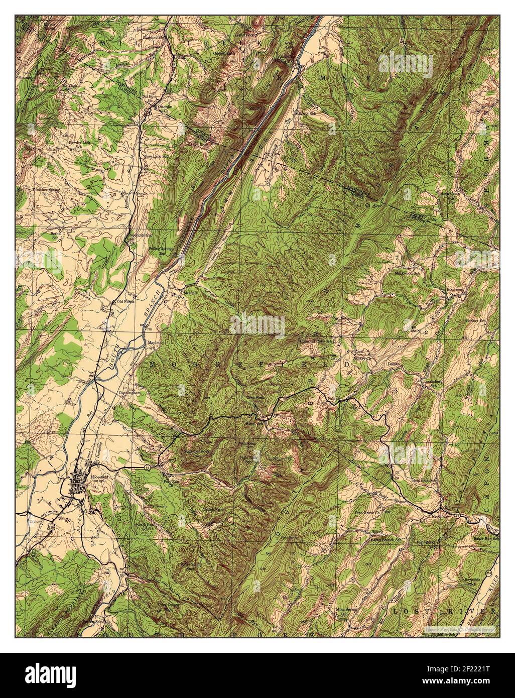 Moorefield, West Virginia, map 1945, 1:62500, United States of America by Timeless Maps, data U.S. Geological Survey Stock Photohttps://www.alamy.com/image-license-details/?v=1https://www.alamy.com/moorefield-west-virginia-map-1945-162500-united-states-of-america-by-timeless-maps-data-us-geological-survey-image414323668.html
RM2F2221T–Moorefield, West Virginia, map 1945, 1:62500, United States of America by Timeless Maps, data U.S. Geological Survey
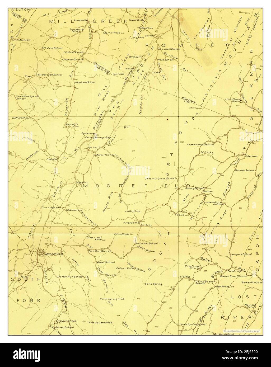 Moorefield, West Virginia, map 1921, 1:48000, United States of America by Timeless Maps, data U.S. Geological Survey Stock Photohttps://www.alamy.com/image-license-details/?v=1https://www.alamy.com/moorefield-west-virginia-map-1921-148000-united-states-of-america-by-timeless-maps-data-us-geological-survey-image407038156.html
RM2EJ6590–Moorefield, West Virginia, map 1921, 1:48000, United States of America by Timeless Maps, data U.S. Geological Survey
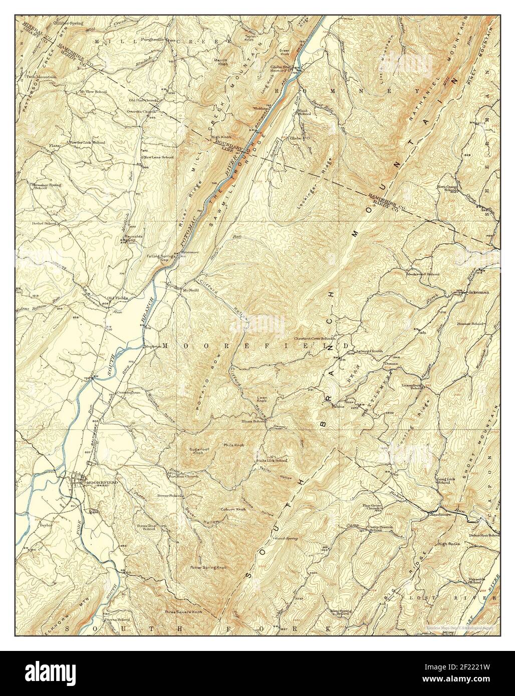 Moorefield, West Virginia, map 1922, 1:62500, United States of America by Timeless Maps, data U.S. Geological Survey Stock Photohttps://www.alamy.com/image-license-details/?v=1https://www.alamy.com/moorefield-west-virginia-map-1922-162500-united-states-of-america-by-timeless-maps-data-us-geological-survey-image414323669.html
RM2F2221W–Moorefield, West Virginia, map 1922, 1:62500, United States of America by Timeless Maps, data U.S. Geological Survey
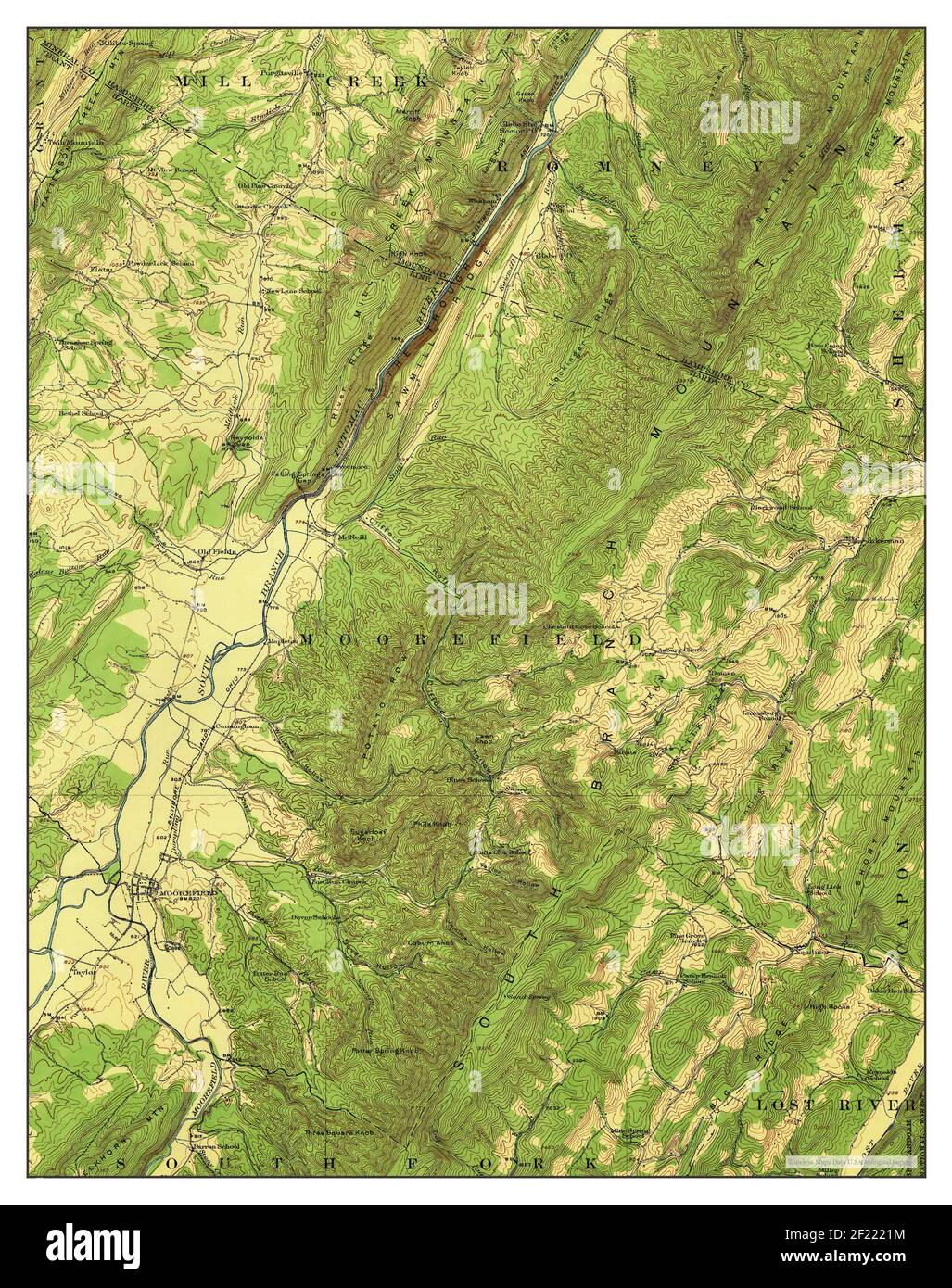 Moorefield, West Virginia, map 1922, 1:62500, United States of America by Timeless Maps, data U.S. Geological Survey Stock Photohttps://www.alamy.com/image-license-details/?v=1https://www.alamy.com/moorefield-west-virginia-map-1922-162500-united-states-of-america-by-timeless-maps-data-us-geological-survey-image414323664.html
RM2F2221M–Moorefield, West Virginia, map 1922, 1:62500, United States of America by Timeless Maps, data U.S. Geological Survey
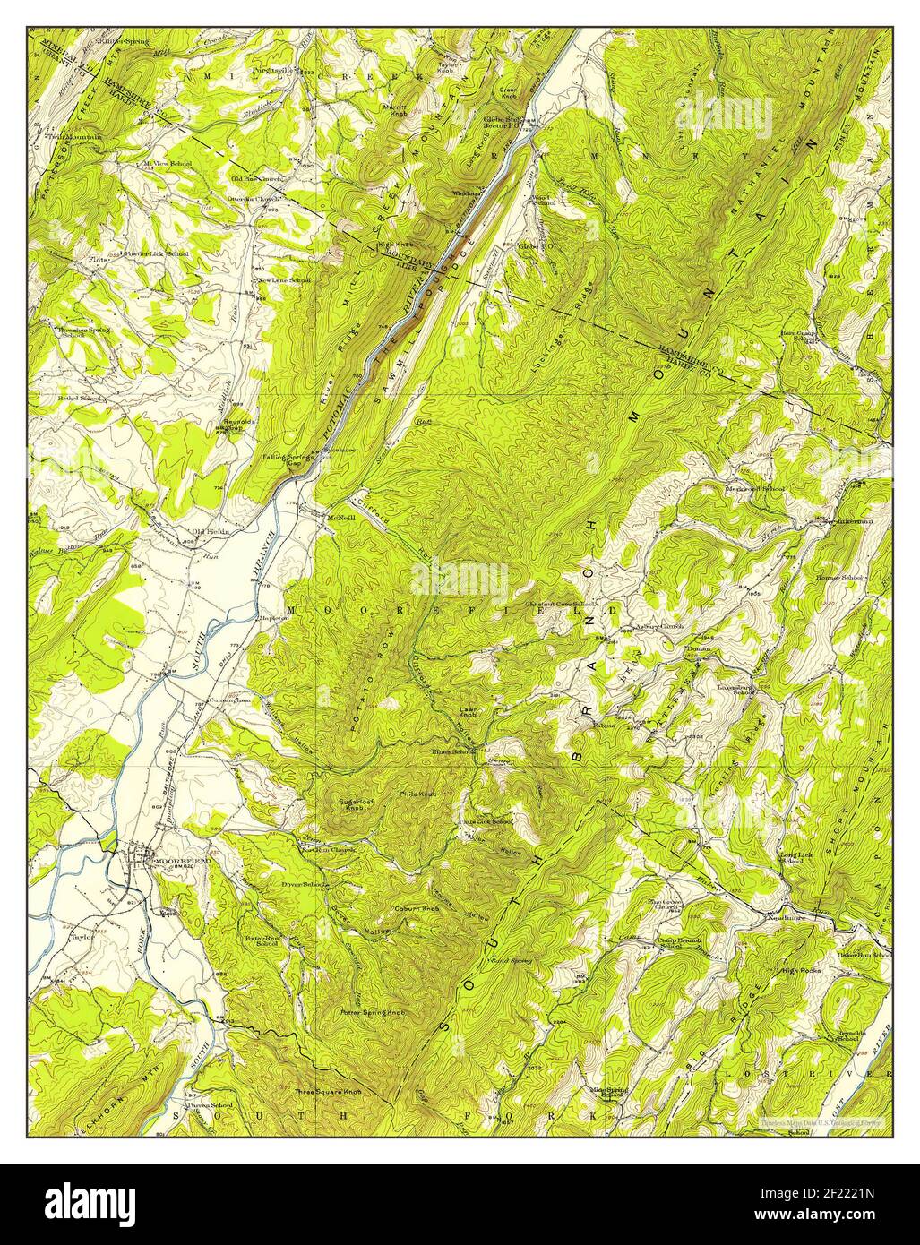 Moorefield, West Virginia, map 1920, 1:62500, United States of America by Timeless Maps, data U.S. Geological Survey Stock Photohttps://www.alamy.com/image-license-details/?v=1https://www.alamy.com/moorefield-west-virginia-map-1920-162500-united-states-of-america-by-timeless-maps-data-us-geological-survey-image414323665.html
RM2F2221N–Moorefield, West Virginia, map 1920, 1:62500, United States of America by Timeless Maps, data U.S. Geological Survey
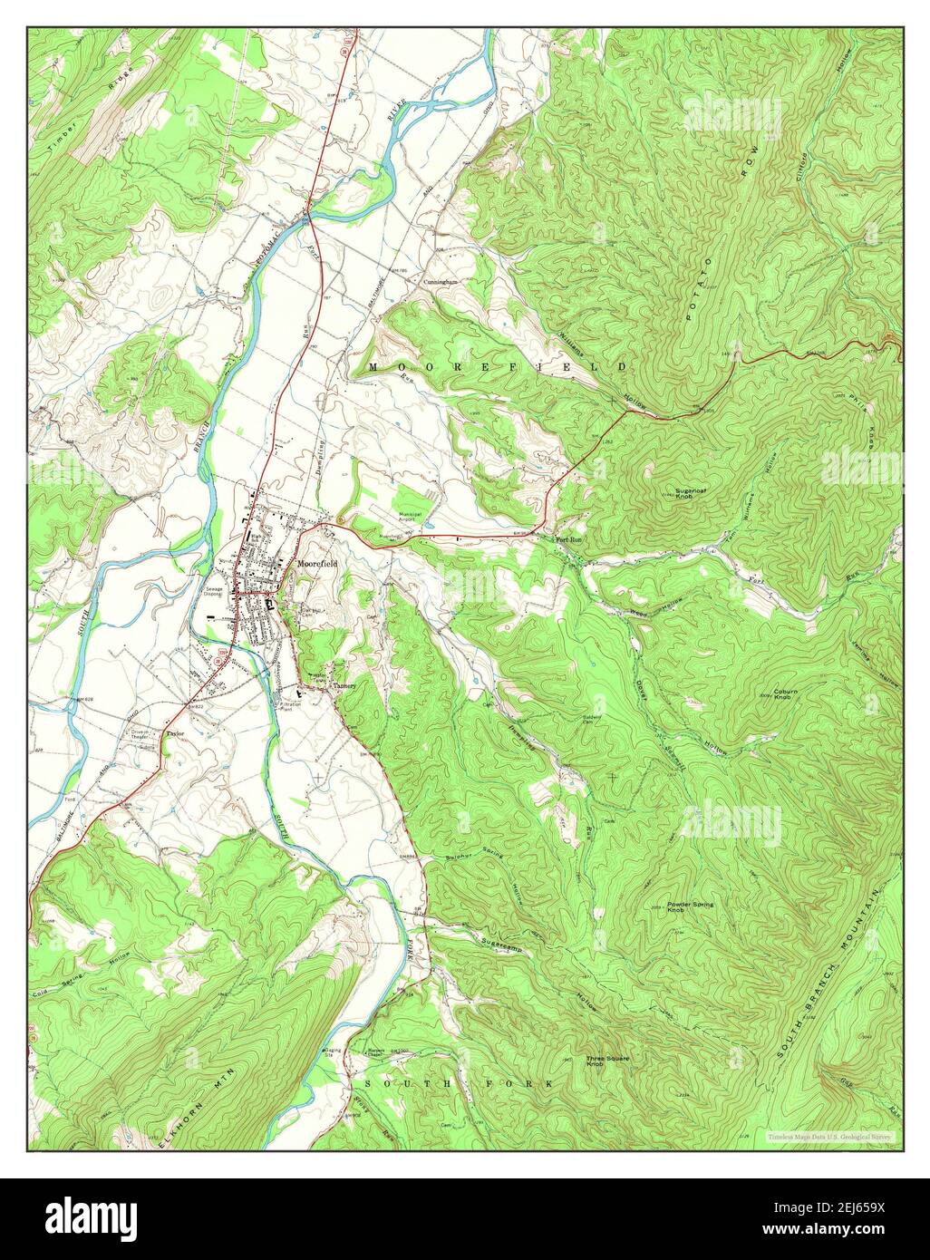 Moorefield, West Virginia, map 1970, 1:24000, United States of America by Timeless Maps, data U.S. Geological Survey Stock Photohttps://www.alamy.com/image-license-details/?v=1https://www.alamy.com/moorefield-west-virginia-map-1970-124000-united-states-of-america-by-timeless-maps-data-us-geological-survey-image407038182.html
RM2EJ659X–Moorefield, West Virginia, map 1970, 1:24000, United States of America by Timeless Maps, data U.S. Geological Survey
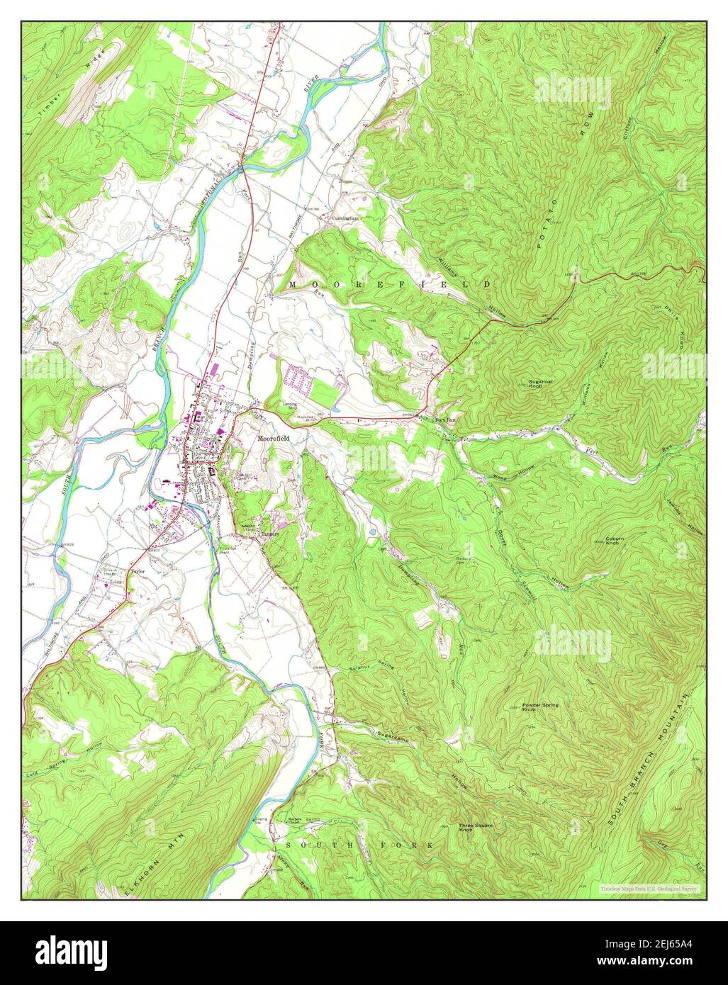 Moorefield, West Virginia, map 1970, 1:24000, United States of America by Timeless Maps, data U.S. Geological Survey Stock Photohttps://www.alamy.com/image-license-details/?v=1https://www.alamy.com/moorefield-west-virginia-map-1970-124000-united-states-of-america-by-timeless-maps-data-us-geological-survey-image407038188.html
RM2EJ65A4–Moorefield, West Virginia, map 1970, 1:24000, United States of America by Timeless Maps, data U.S. Geological Survey
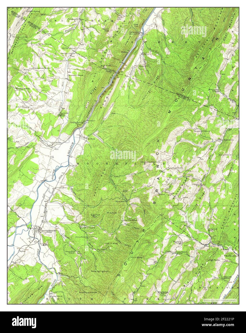 Moorefield, West Virginia, map 1920, 1:62500, United States of America by Timeless Maps, data U.S. Geological Survey Stock Photohttps://www.alamy.com/image-license-details/?v=1https://www.alamy.com/moorefield-west-virginia-map-1920-162500-united-states-of-america-by-timeless-maps-data-us-geological-survey-image414323666.html
RM2F2221P–Moorefield, West Virginia, map 1920, 1:62500, United States of America by Timeless Maps, data U.S. Geological Survey