Quick filters:
Moulton map Stock Photos and Images
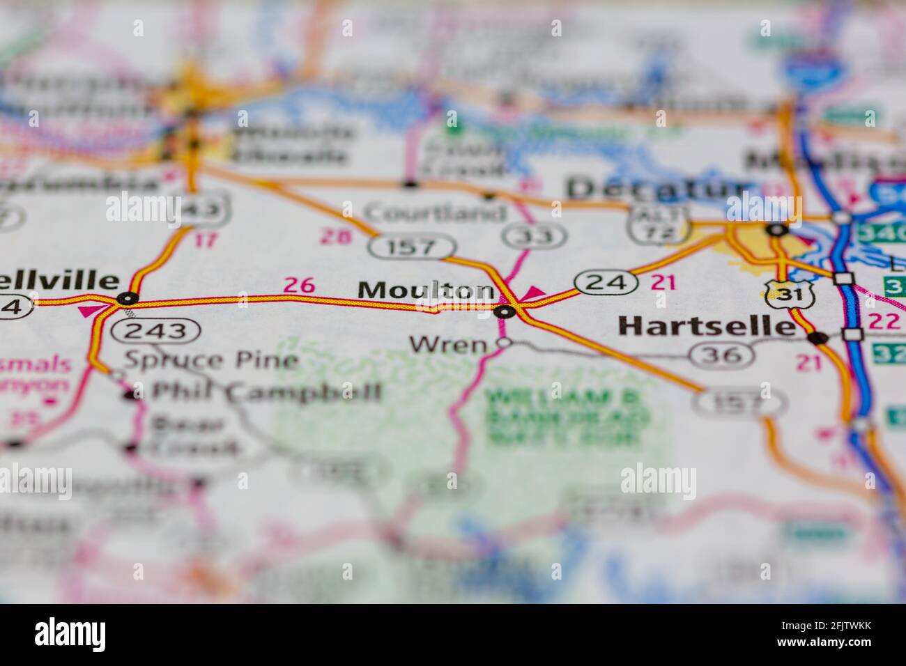 Moulton Alabama USA shown on a road map or geography map Stock Photohttps://www.alamy.com/image-license-details/?v=1https://www.alamy.com/moulton-alabama-usa-shown-on-a-road-map-or-geography-map-image424659639.html
RM2FJTWKK–Moulton Alabama USA shown on a road map or geography map
 Moulton Hill, Northern Midlands, AU, Australia, Tasmania, S 42 6' 0'', N 147 34' 12'', map, Cartascapes Map published in 2024. Explore Cartascapes, a map revealing Earth's diverse landscapes, cultures, and ecosystems. Journey through time and space, discovering the interconnectedness of our planet's past, present, and future. Stock Photohttps://www.alamy.com/image-license-details/?v=1https://www.alamy.com/moulton-hill-northern-midlands-au-australia-tasmania-s-42-6-0-n-147-34-12-map-cartascapes-map-published-in-2024-explore-cartascapes-a-map-revealing-earths-diverse-landscapes-cultures-and-ecosystems-journey-through-time-and-space-discovering-the-interconnectedness-of-our-planets-past-present-and-future-image625749446.html
RM2YA19PE–Moulton Hill, Northern Midlands, AU, Australia, Tasmania, S 42 6' 0'', N 147 34' 12'', map, Cartascapes Map published in 2024. Explore Cartascapes, a map revealing Earth's diverse landscapes, cultures, and ecosystems. Journey through time and space, discovering the interconnectedness of our planet's past, present, and future.
 Map of the city of Cleveland, Ohio 1881 by Moulton, W. J. Stock Photohttps://www.alamy.com/image-license-details/?v=1https://www.alamy.com/map-of-the-city-of-cleveland-ohio-1881-by-moulton-w-j-image633424529.html
RM2YPEYCH–Map of the city of Cleveland, Ohio 1881 by Moulton, W. J.
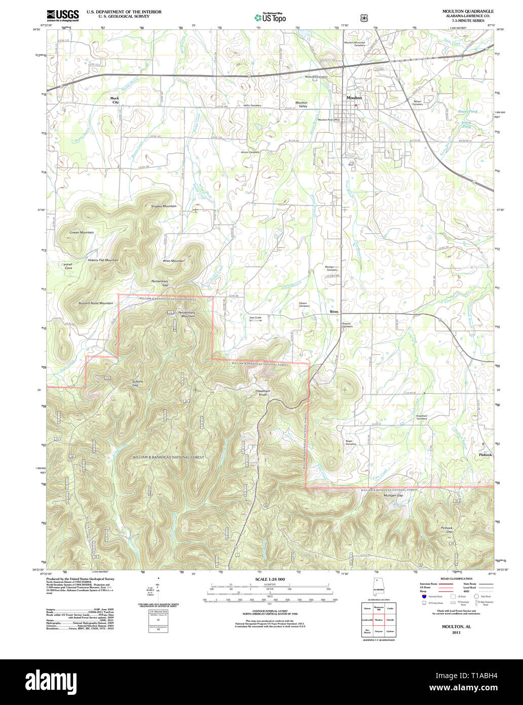 USGS TOPO Map Alabama AL Moulton 20111013 TM Stock Photohttps://www.alamy.com/image-license-details/?v=1https://www.alamy.com/usgs-topo-map-alabama-al-moulton-20111013-tm-image241788432.html
RMT1ABH4–USGS TOPO Map Alabama AL Moulton 20111013 TM
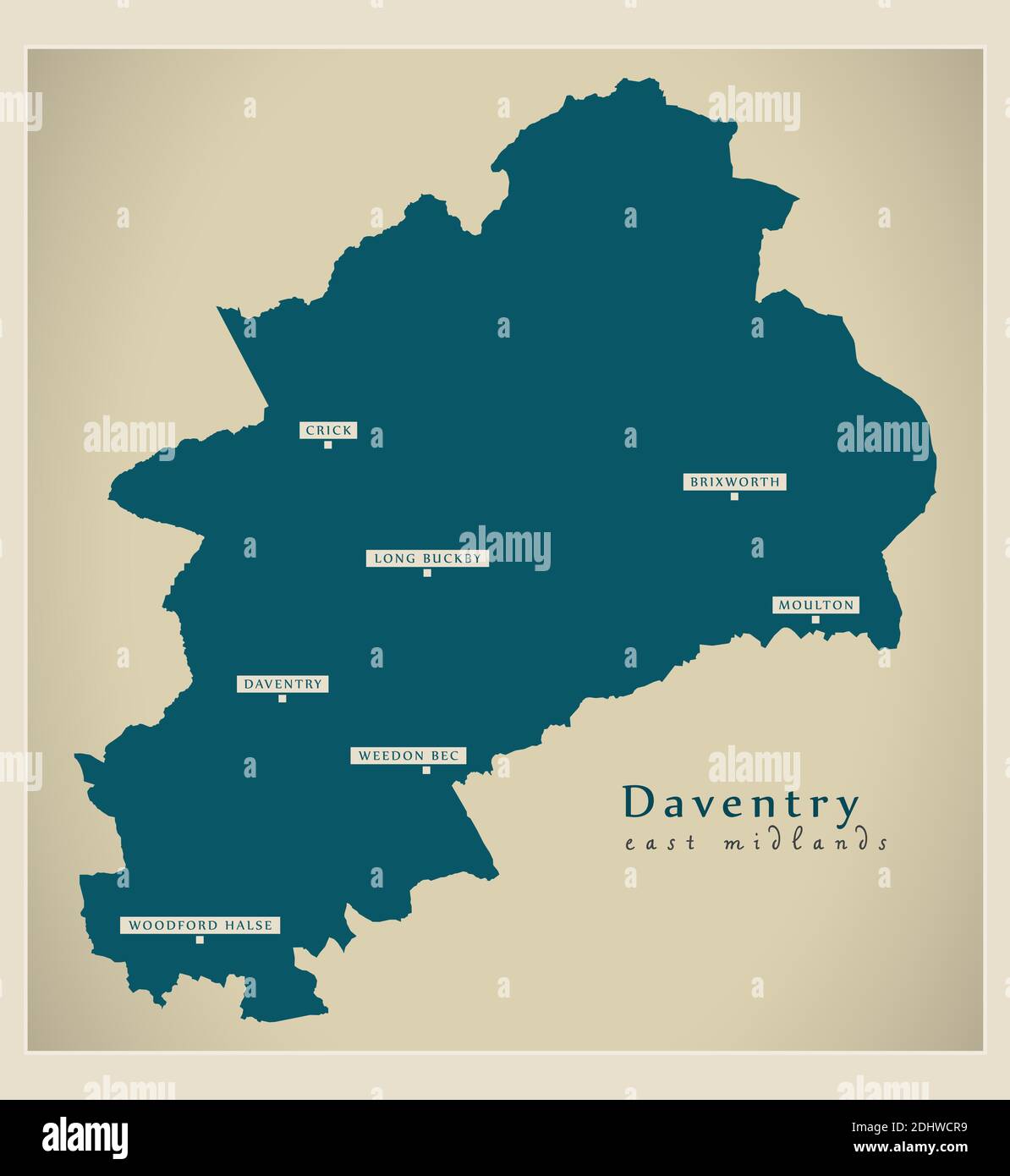 Daventry district map - England UK Stock Vectorhttps://www.alamy.com/image-license-details/?v=1https://www.alamy.com/daventry-district-map-england-uk-image389636109.html
RF2DHWCR9–Daventry district map - England UK
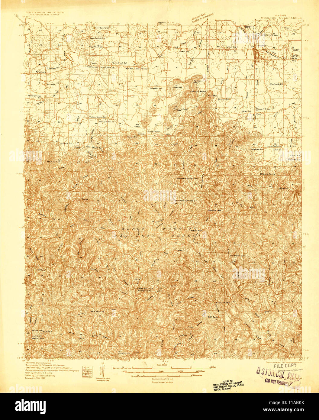 USGS TOPO Map Alabama AL Moulton 305464 1936 48000 Stock Photohttps://www.alamy.com/image-license-details/?v=1https://www.alamy.com/usgs-topo-map-alabama-al-moulton-305464-1936-48000-image241788510.html
RMT1ABKX–USGS TOPO Map Alabama AL Moulton 305464 1936 48000
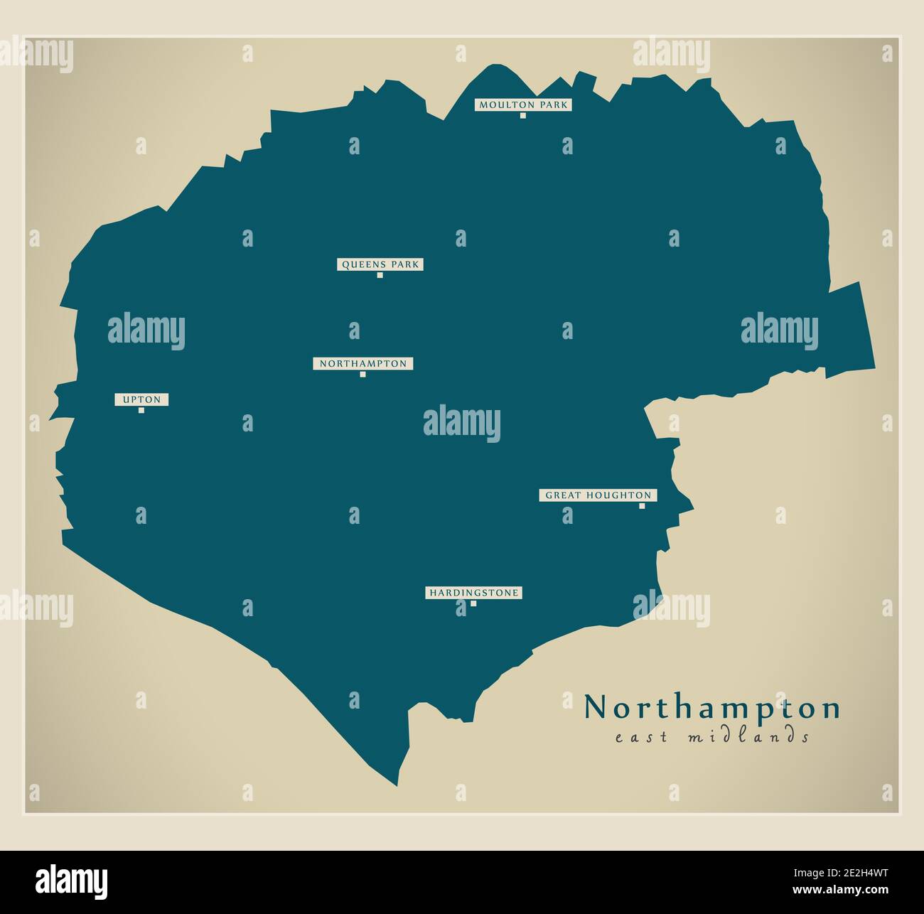 Northampton district map - England UK Stock Vectorhttps://www.alamy.com/image-license-details/?v=1https://www.alamy.com/northampton-district-map-england-uk-image397444820.html
RF2E2H4WT–Northampton district map - England UK
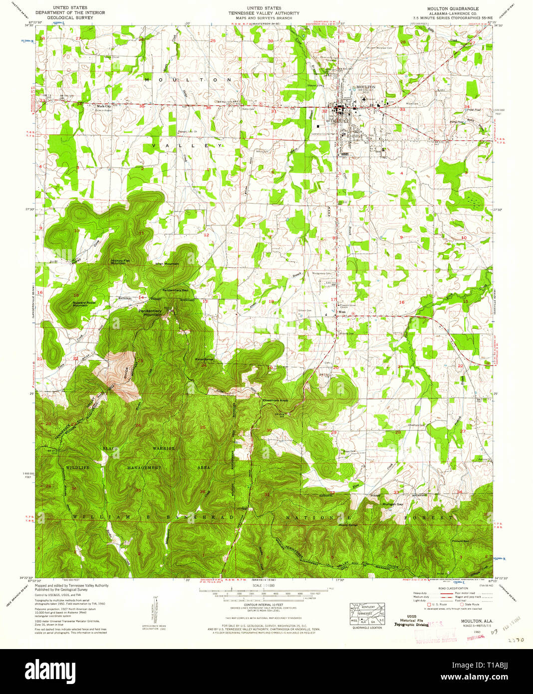 USGS TOPO Map Alabama AL Moulton 304612 1960 24000 Stock Photohttps://www.alamy.com/image-license-details/?v=1https://www.alamy.com/usgs-topo-map-alabama-al-moulton-304612-1960-24000-image241788474.html
RMT1ABJJ–USGS TOPO Map Alabama AL Moulton 304612 1960 24000
 Lord moulton Stock Photohttps://www.alamy.com/image-license-details/?v=1https://www.alamy.com/stock-photo-lord-moulton-140176464.html
RMJ41GE8–Lord moulton
 Sanborn Fire Insurance Map from Moulton, Appanoose County, Iowa. Stock Photohttps://www.alamy.com/image-license-details/?v=1https://www.alamy.com/sanborn-fire-insurance-map-from-moulton-appanoose-county-iowa-image456445445.html
RM2HEGTR1–Sanborn Fire Insurance Map from Moulton, Appanoose County, Iowa.
![To The Rev.d Maurice Johnson D.D. Patron, and Vicar of Moulton, This View of Moulton Church, near Spalding Lincolnshire., Author Burgess, William 19.50. Place of publication: [Fleet] Publisher: Published as the Act directs, Oct. 1.st 1800, by W. , H. Burgess, Fleet, near Holbeach, Lincolnshire., Date of publication: [1800] Item type: 1 print Medium: etching and engraving Dimensions: platemark 25.1 x 35.7 cm Former owner: George III, King of Great Britain, 1738-1820 Stock Photo To The Rev.d Maurice Johnson D.D. Patron, and Vicar of Moulton, This View of Moulton Church, near Spalding Lincolnshire., Author Burgess, William 19.50. Place of publication: [Fleet] Publisher: Published as the Act directs, Oct. 1.st 1800, by W. , H. Burgess, Fleet, near Holbeach, Lincolnshire., Date of publication: [1800] Item type: 1 print Medium: etching and engraving Dimensions: platemark 25.1 x 35.7 cm Former owner: George III, King of Great Britain, 1738-1820 Stock Photo](https://c8.alamy.com/comp/2E9HCCY/to-the-revd-maurice-johnson-dd-patron-and-vicar-of-moulton-this-view-of-moulton-church-near-spalding-lincolnshire-author-burgess-william-1950-place-of-publication-fleet-publisher-published-as-the-act-directs-oct-1st-1800-by-w-h-burgess-fleet-near-holbeach-lincolnshire-date-of-publication-1800-item-type-1-print-medium-etching-and-engraving-dimensions-platemark-251-x-357-cm-former-owner-george-iii-king-of-great-britain-1738-1820-2E9HCCY.jpg) To The Rev.d Maurice Johnson D.D. Patron, and Vicar of Moulton, This View of Moulton Church, near Spalding Lincolnshire., Author Burgess, William 19.50. Place of publication: [Fleet] Publisher: Published as the Act directs, Oct. 1.st 1800, by W. , H. Burgess, Fleet, near Holbeach, Lincolnshire., Date of publication: [1800] Item type: 1 print Medium: etching and engraving Dimensions: platemark 25.1 x 35.7 cm Former owner: George III, King of Great Britain, 1738-1820 Stock Photohttps://www.alamy.com/image-license-details/?v=1https://www.alamy.com/to-the-revd-maurice-johnson-dd-patron-and-vicar-of-moulton-this-view-of-moulton-church-near-spalding-lincolnshire-author-burgess-william-1950-place-of-publication-fleet-publisher-published-as-the-act-directs-oct-1st-1800-by-w-h-burgess-fleet-near-holbeach-lincolnshire-date-of-publication-1800-item-type-1-print-medium-etching-and-engraving-dimensions-platemark-251-x-357-cm-former-owner-george-iii-king-of-great-britain-1738-1820-image401753323.html
To The Rev.d Maurice Johnson D.D. Patron, and Vicar of Moulton, This View of Moulton Church, near Spalding Lincolnshire., Author Burgess, William 19.50. Place of publication: [Fleet] Publisher: Published as the Act directs, Oct. 1.st 1800, by W. , H. Burgess, Fleet, near Holbeach, Lincolnshire., Date of publication: [1800] Item type: 1 print Medium: etching and engraving Dimensions: platemark 25.1 x 35.7 cm Former owner: George III, King of Great Britain, 1738-1820 Stock Photohttps://www.alamy.com/image-license-details/?v=1https://www.alamy.com/to-the-revd-maurice-johnson-dd-patron-and-vicar-of-moulton-this-view-of-moulton-church-near-spalding-lincolnshire-author-burgess-william-1950-place-of-publication-fleet-publisher-published-as-the-act-directs-oct-1st-1800-by-w-h-burgess-fleet-near-holbeach-lincolnshire-date-of-publication-1800-item-type-1-print-medium-etching-and-engraving-dimensions-platemark-251-x-357-cm-former-owner-george-iii-king-of-great-britain-1738-1820-image401753323.htmlRM2E9HCCY–To The Rev.d Maurice Johnson D.D. Patron, and Vicar of Moulton, This View of Moulton Church, near Spalding Lincolnshire., Author Burgess, William 19.50. Place of publication: [Fleet] Publisher: Published as the Act directs, Oct. 1.st 1800, by W. , H. Burgess, Fleet, near Holbeach, Lincolnshire., Date of publication: [1800] Item type: 1 print Medium: etching and engraving Dimensions: platemark 25.1 x 35.7 cm Former owner: George III, King of Great Britain, 1738-1820
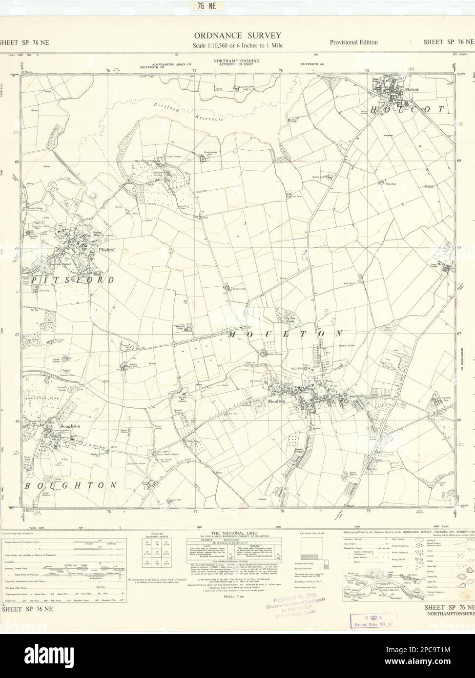 Ordnance Survey SP76NE Northants Pitsford Holcot Moulton Boughton 1958 old map Stock Photohttps://www.alamy.com/image-license-details/?v=1https://www.alamy.com/ordnance-survey-sp76ne-northants-pitsford-holcot-moulton-boughton-1958-old-map-image541113712.html
RF2PC9T1M–Ordnance Survey SP76NE Northants Pitsford Holcot Moulton Boughton 1958 old map
 South Holland, non metropolitan district of England - Great Britain. Open Street Map Stock Photohttps://www.alamy.com/image-license-details/?v=1https://www.alamy.com/south-holland-non-metropolitan-district-of-england-great-britain-open-street-map-image546504231.html
RF2PN3BM7–South Holland, non metropolitan district of England - Great Britain. Open Street Map
 . The past and present of Warren County, Illinois, containing a history of the county--its cities, towns &c., a biogrpahical directory of its citizens, war record of its volunteers in the late rebellion, portraits of early settlers and prominent men, general and local statistics, map of Warren County, history of Illinois, Constitution of the United States ... andStock Raiser, also money loaner and notesat discount; Sec. 38; P. O. Youngstown;born in Smyrna, Chenango Co., N. Y.,Jan. 10, 1830; came to this Co. in 1845;Bapt; owns 175 acres, val. $10,500; wife. was Elizabeth Sargeant Moulton, bornM Stock Photohttps://www.alamy.com/image-license-details/?v=1https://www.alamy.com/the-past-and-present-of-warren-county-illinois-containing-a-history-of-the-county-its-cities-towns-c-a-biogrpahical-directory-of-its-citizens-war-record-of-its-volunteers-in-the-late-rebellion-portraits-of-early-settlers-and-prominent-men-general-and-local-statistics-map-of-warren-county-history-of-illinois-constitution-of-the-united-states-andstock-raiser-also-money-loaner-and-notesat-discount-sec-38-p-o-youngstownborn-in-smyrna-chenango-co-n-yjan-10-1830-came-to-this-co-in-1845bapt-owns-175-acres-val-10500-wife-was-elizabeth-sargeant-moulton-bornm-image336967055.html
RM2AG64WK–. The past and present of Warren County, Illinois, containing a history of the county--its cities, towns &c., a biogrpahical directory of its citizens, war record of its volunteers in the late rebellion, portraits of early settlers and prominent men, general and local statistics, map of Warren County, history of Illinois, Constitution of the United States ... andStock Raiser, also money loaner and notesat discount; Sec. 38; P. O. Youngstown;born in Smyrna, Chenango Co., N. Y.,Jan. 10, 1830; came to this Co. in 1845;Bapt; owns 175 acres, val. $10,500; wife. was Elizabeth Sargeant Moulton, bornM
 Lawrence County, Alabama (Counties in Alabama, United States of America,USA, U.S., US) map vector illustration, scribble sketch Lawrence map Stock Vectorhttps://www.alamy.com/image-license-details/?v=1https://www.alamy.com/lawrence-county-alabama-counties-in-alabama-united-states-of-americausa-us-us-map-vector-illustration-scribble-sketch-lawrence-map-image330363116.html
RF2A5D9EM–Lawrence County, Alabama (Counties in Alabama, United States of America,USA, U.S., US) map vector illustration, scribble sketch Lawrence map
 Image taken from page 180 of 'At the Wind's Will. Lyrics and sonnets' Image taken from page 180 of 'At the Wind's Will Stock Photohttps://www.alamy.com/image-license-details/?v=1https://www.alamy.com/stock-photo-image-taken-from-page-180-of-at-the-winds-will-lyrics-and-sonnets-127702291.html
RMHBN9G3–Image taken from page 180 of 'At the Wind's Will. Lyrics and sonnets' Image taken from page 180 of 'At the Wind's Will
 Moulton, Auglaize County, US, United States, Ohio, N 40 33' 22'', S 84 17' 49'', map, Cartascapes Map published in 2024. Explore Cartascapes, a map revealing Earth's diverse landscapes, cultures, and ecosystems. Journey through time and space, discovering the interconnectedness of our planet's past, present, and future. Stock Photohttps://www.alamy.com/image-license-details/?v=1https://www.alamy.com/moulton-auglaize-county-us-united-states-ohio-n-40-33-22-s-84-17-49-map-cartascapes-map-published-in-2024-explore-cartascapes-a-map-revealing-earths-diverse-landscapes-cultures-and-ecosystems-journey-through-time-and-space-discovering-the-interconnectedness-of-our-planets-past-present-and-future-image621276104.html
RM2Y2NG08–Moulton, Auglaize County, US, United States, Ohio, N 40 33' 22'', S 84 17' 49'', map, Cartascapes Map published in 2024. Explore Cartascapes, a map revealing Earth's diverse landscapes, cultures, and ecosystems. Journey through time and space, discovering the interconnectedness of our planet's past, present, and future.
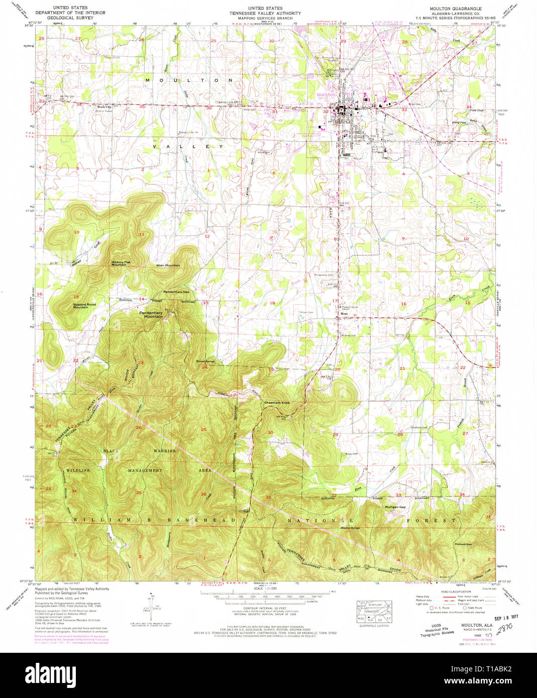 USGS TOPO Map Alabama AL Moulton 304613 1960 24000 Stock Photohttps://www.alamy.com/image-license-details/?v=1https://www.alamy.com/usgs-topo-map-alabama-al-moulton-304613-1960-24000-image241788486.html
RMT1ABK2–USGS TOPO Map Alabama AL Moulton 304613 1960 24000
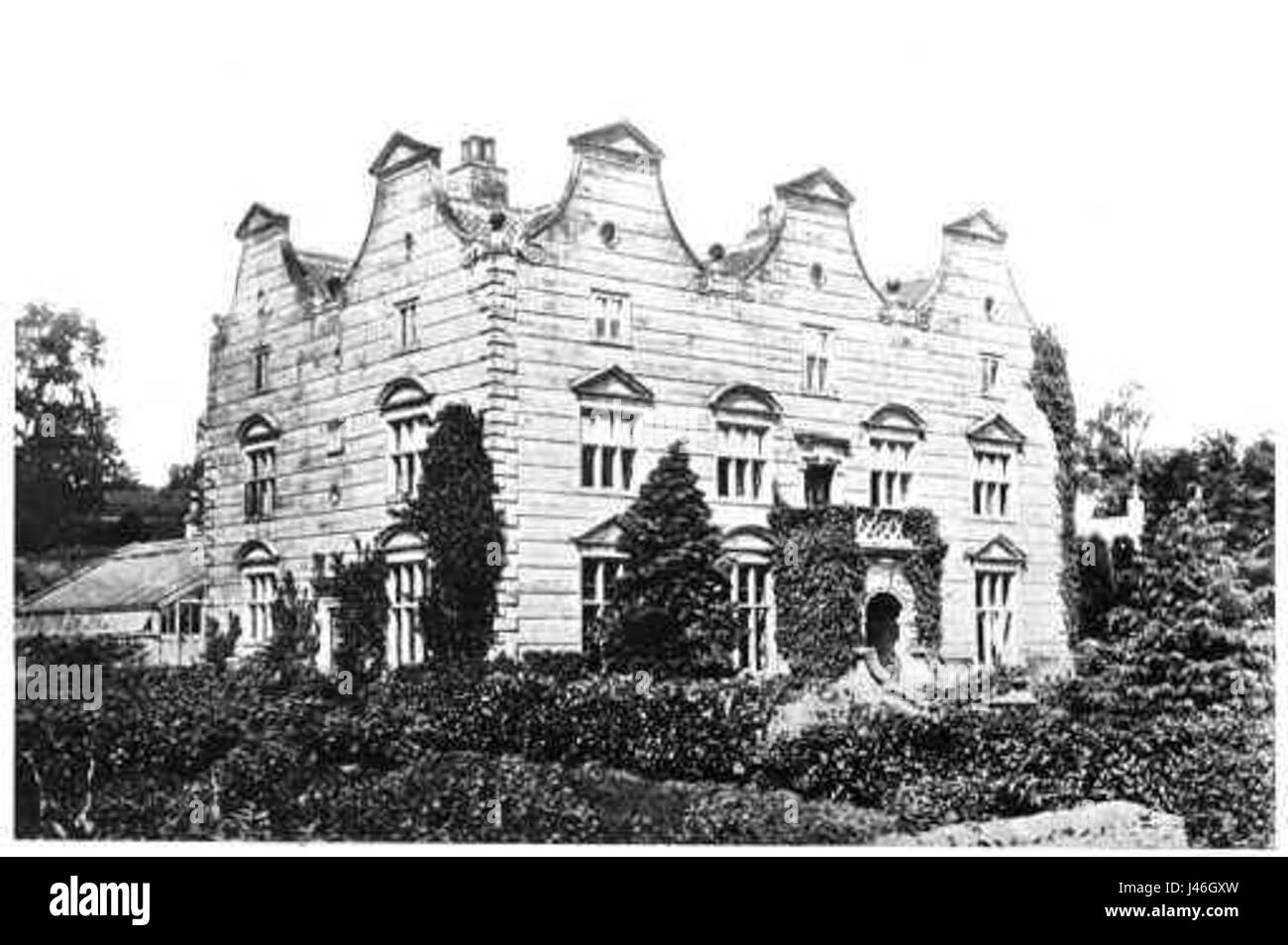 Moulton Hall North Yorkshire Stock Photohttps://www.alamy.com/image-license-details/?v=1https://www.alamy.com/stock-photo-moulton-hall-north-yorkshire-140286577.html
RMJ46GXW–Moulton Hall North Yorkshire
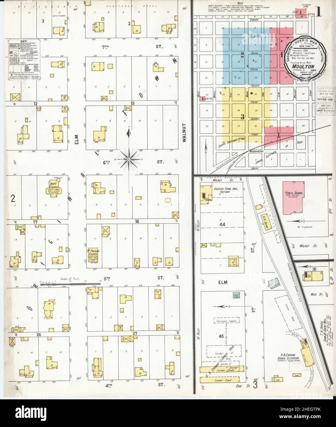 Sanborn Fire Insurance Map from Moulton, Appanoose County, Iowa. Stock Photohttps://www.alamy.com/image-license-details/?v=1https://www.alamy.com/sanborn-fire-insurance-map-from-moulton-appanoose-county-iowa-image456445435.html
RM2HEGTPK–Sanborn Fire Insurance Map from Moulton, Appanoose County, Iowa.
 West Suffolk, non metropolitan district of England - Great Britain. Open Street Map Stock Photohttps://www.alamy.com/image-license-details/?v=1https://www.alamy.com/west-suffolk-non-metropolitan-district-of-england-great-britain-open-street-map-image546517777.html
RF2PN4101–West Suffolk, non metropolitan district of England - Great Britain. Open Street Map
![The illustrated atlas and history of Yolo County, Cal., containing a history of California from 1513 to 1850, a history of Yolo County from 1825 to 1880, with statistics ..portraits of well-known citizens, and the official county map . eat^-d inYolo couuty. He w.is marrie.l to H. R. Moulton in Lo-rain county, Ohio, in May, ]8,v4, by Rev. Natl.an Harker.Their children have beon Freeman, aged twenty-fonrCarlton twenty-one, Ida twenty, Ellsworth seventeenWaiter nine, Mable six; Willie, born 1865, died 1868Bertie, bom 1866, died 1868. Mr. Blodgelf s occupation before coming to Cabforuia.was that o Stock Photo The illustrated atlas and history of Yolo County, Cal., containing a history of California from 1513 to 1850, a history of Yolo County from 1825 to 1880, with statistics ..portraits of well-known citizens, and the official county map . eat^-d inYolo couuty. He w.is marrie.l to H. R. Moulton in Lo-rain county, Ohio, in May, ]8,v4, by Rev. Natl.an Harker.Their children have beon Freeman, aged twenty-fonrCarlton twenty-one, Ida twenty, Ellsworth seventeenWaiter nine, Mable six; Willie, born 1865, died 1868Bertie, bom 1866, died 1868. Mr. Blodgelf s occupation before coming to Cabforuia.was that o Stock Photo](https://c8.alamy.com/comp/2AKY62C/the-illustrated-atlas-and-history-of-yolo-county-cal-containing-a-history-of-california-from-1513-to-1850-a-history-of-yolo-county-from-1825-to-1880-with-statistics-portraits-of-well-known-citizens-and-the-official-county-map-eat-d-inyolo-couuty-he-wis-marriel-to-h-r-moulton-in-lo-rain-county-ohio-in-may-8v4-by-rev-natlan-harkertheir-children-have-beon-freeman-aged-twenty-fonrcarlton-twenty-one-ida-twenty-ellsworth-seventeenwaiter-nine-mable-six-willie-born-1865-died-1868bertie-bom-1866-died-1868-mr-blodgelf-s-occupation-before-coming-to-cabforuiawas-that-o-2AKY62C.jpg) The illustrated atlas and history of Yolo County, Cal., containing a history of California from 1513 to 1850, a history of Yolo County from 1825 to 1880, with statistics ..portraits of well-known citizens, and the official county map . eat^-d inYolo couuty. He w.is marrie.l to H. R. Moulton in Lo-rain county, Ohio, in May, ]8,v4, by Rev. Natl.an Harker.Their children have beon Freeman, aged twenty-fonrCarlton twenty-one, Ida twenty, Ellsworth seventeenWaiter nine, Mable six; Willie, born 1865, died 1868Bertie, bom 1866, died 1868. Mr. Blodgelf s occupation before coming to Cabforuia.was that o Stock Photohttps://www.alamy.com/image-license-details/?v=1https://www.alamy.com/the-illustrated-atlas-and-history-of-yolo-county-cal-containing-a-history-of-california-from-1513-to-1850-a-history-of-yolo-county-from-1825-to-1880-with-statistics-portraits-of-well-known-citizens-and-the-official-county-map-eat-d-inyolo-couuty-he-wis-marriel-to-h-r-moulton-in-lo-rain-county-ohio-in-may-8v4-by-rev-natlan-harkertheir-children-have-beon-freeman-aged-twenty-fonrcarlton-twenty-one-ida-twenty-ellsworth-seventeenwaiter-nine-mable-six-willie-born-1865-died-1868bertie-bom-1866-died-1868-mr-blodgelf-s-occupation-before-coming-to-cabforuiawas-that-o-image339272932.html
The illustrated atlas and history of Yolo County, Cal., containing a history of California from 1513 to 1850, a history of Yolo County from 1825 to 1880, with statistics ..portraits of well-known citizens, and the official county map . eat^-d inYolo couuty. He w.is marrie.l to H. R. Moulton in Lo-rain county, Ohio, in May, ]8,v4, by Rev. Natl.an Harker.Their children have beon Freeman, aged twenty-fonrCarlton twenty-one, Ida twenty, Ellsworth seventeenWaiter nine, Mable six; Willie, born 1865, died 1868Bertie, bom 1866, died 1868. Mr. Blodgelf s occupation before coming to Cabforuia.was that o Stock Photohttps://www.alamy.com/image-license-details/?v=1https://www.alamy.com/the-illustrated-atlas-and-history-of-yolo-county-cal-containing-a-history-of-california-from-1513-to-1850-a-history-of-yolo-county-from-1825-to-1880-with-statistics-portraits-of-well-known-citizens-and-the-official-county-map-eat-d-inyolo-couuty-he-wis-marriel-to-h-r-moulton-in-lo-rain-county-ohio-in-may-8v4-by-rev-natlan-harkertheir-children-have-beon-freeman-aged-twenty-fonrcarlton-twenty-one-ida-twenty-ellsworth-seventeenwaiter-nine-mable-six-willie-born-1865-died-1868bertie-bom-1866-died-1868-mr-blodgelf-s-occupation-before-coming-to-cabforuiawas-that-o-image339272932.htmlRM2AKY62C–The illustrated atlas and history of Yolo County, Cal., containing a history of California from 1513 to 1850, a history of Yolo County from 1825 to 1880, with statistics ..portraits of well-known citizens, and the official county map . eat^-d inYolo couuty. He w.is marrie.l to H. R. Moulton in Lo-rain county, Ohio, in May, ]8,v4, by Rev. Natl.an Harker.Their children have beon Freeman, aged twenty-fonrCarlton twenty-one, Ida twenty, Ellsworth seventeenWaiter nine, Mable six; Willie, born 1865, died 1868Bertie, bom 1866, died 1868. Mr. Blodgelf s occupation before coming to Cabforuia.was that o
 Lawrence County, Alabama (Counties in Alabama, United States of America,USA, U.S., US) map vector illustration, scribble sketch Lawrence map Stock Vectorhttps://www.alamy.com/image-license-details/?v=1https://www.alamy.com/lawrence-county-alabama-counties-in-alabama-united-states-of-americausa-us-us-map-vector-illustration-scribble-sketch-lawrence-map-image329080521.html
RF2A3AWFN–Lawrence County, Alabama (Counties in Alabama, United States of America,USA, U.S., US) map vector illustration, scribble sketch Lawrence map
 Image taken from page 173 of 'At the Wind's Will. Lyrics and sonnets' Image taken from page 173 of 'At the Wind's Will Stock Photohttps://www.alamy.com/image-license-details/?v=1https://www.alamy.com/stock-photo-image-taken-from-page-173-of-at-the-winds-will-lyrics-and-sonnets-127723994.html
RMHBP976–Image taken from page 173 of 'At the Wind's Will. Lyrics and sonnets' Image taken from page 173 of 'At the Wind's Will
 Moulton, Lavaca County, US, United States, Texas, N 29 34' 29'', S 97 8' 33'', map, Cartascapes Map published in 2024. Explore Cartascapes, a map revealing Earth's diverse landscapes, cultures, and ecosystems. Journey through time and space, discovering the interconnectedness of our planet's past, present, and future. Stock Photohttps://www.alamy.com/image-license-details/?v=1https://www.alamy.com/moulton-lavaca-county-us-united-states-texas-n-29-34-29-s-97-8-33-map-cartascapes-map-published-in-2024-explore-cartascapes-a-map-revealing-earths-diverse-landscapes-cultures-and-ecosystems-journey-through-time-and-space-discovering-the-interconnectedness-of-our-planets-past-present-and-future-image621160076.html
RM2Y2G80C–Moulton, Lavaca County, US, United States, Texas, N 29 34' 29'', S 97 8' 33'', map, Cartascapes Map published in 2024. Explore Cartascapes, a map revealing Earth's diverse landscapes, cultures, and ecosystems. Journey through time and space, discovering the interconnectedness of our planet's past, present, and future.
 USGS TOPO Map Alabama AL Moulton 304611 1935 24000 Stock Photohttps://www.alamy.com/image-license-details/?v=1https://www.alamy.com/usgs-topo-map-alabama-al-moulton-304611-1935-24000-image241788451.html
RMT1ABHR–USGS TOPO Map Alabama AL Moulton 304611 1935 24000
 John Fletcher Moulton, Vanity Fair, 1900 10 04 Stock Photohttps://www.alamy.com/image-license-details/?v=1https://www.alamy.com/stock-image-john-fletcher-moulton-vanity-fair-1900-10-04-162227254.html
RMKBX2EE–John Fletcher Moulton, Vanity Fair, 1900 10 04
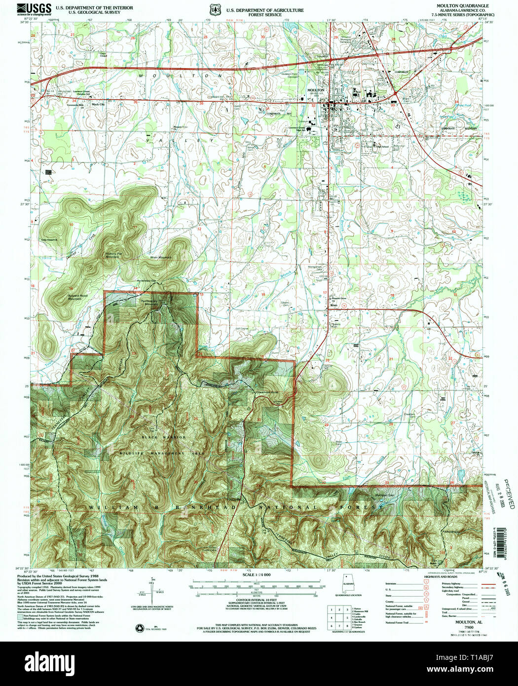 USGS TOPO Map Alabama AL Moulton 304610 2000 24000 Stock Photohttps://www.alamy.com/image-license-details/?v=1https://www.alamy.com/usgs-topo-map-alabama-al-moulton-304610-2000-24000-image241788463.html
RMT1ABJ7–USGS TOPO Map Alabama AL Moulton 304610 2000 24000
 Sanborn Fire Insurance Map from Moulton, Appanoose County, Iowa. Stock Photohttps://www.alamy.com/image-license-details/?v=1https://www.alamy.com/sanborn-fire-insurance-map-from-moulton-appanoose-county-iowa-image456445457.html
RM2HEGTRD–Sanborn Fire Insurance Map from Moulton, Appanoose County, Iowa.
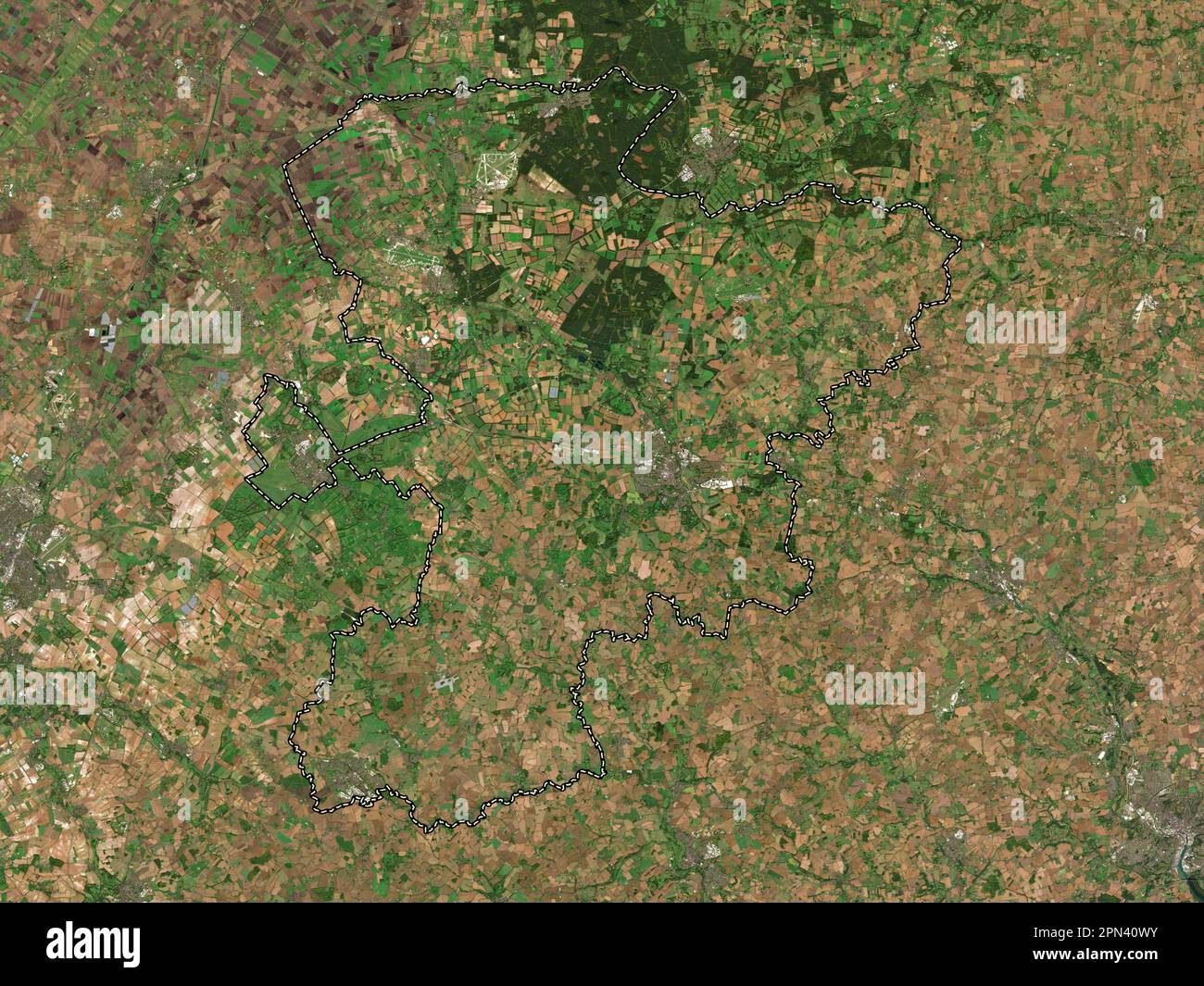 West Suffolk, non metropolitan district of England - Great Britain. Low resolution satellite map Stock Photohttps://www.alamy.com/image-license-details/?v=1https://www.alamy.com/west-suffolk-non-metropolitan-district-of-england-great-britain-low-resolution-satellite-map-image546517719.html
RF2PN40WY–West Suffolk, non metropolitan district of England - Great Britain. Low resolution satellite map
 . The past and present of Warren County, Illinois : containing a history of the county--its cities, towns, &c., a biographical directory of its citizens, war record of its volunteers in the late rebellion, portraits of early settlers and prominent men, general and local statistics, map of Warren County, history of Illinois, Constitution of the United States .. . andStock Raiser, also monev loaner and notesat discount; Sec. 28; P O. Youngstown;born in Smvrna, Chenango Co., N. Y.,Jan. 10, 1830; came to this Co. in 1845;Bapt; owns 175 acres, val. $10,500; wifewas Elizabeth Sargeant Moulton, born3 Stock Photohttps://www.alamy.com/image-license-details/?v=1https://www.alamy.com/the-past-and-present-of-warren-county-illinois-containing-a-history-of-the-county-its-cities-towns-c-a-biographical-directory-of-its-citizens-war-record-of-its-volunteers-in-the-late-rebellion-portraits-of-early-settlers-and-prominent-men-general-and-local-statistics-map-of-warren-county-history-of-illinois-constitution-of-the-united-states-andstock-raiser-also-monev-loaner-and-notesat-discount-sec-28-p-o-youngstownborn-in-smvrna-chenango-co-n-yjan-10-1830-came-to-this-co-in-1845bapt-owns-175-acres-val-10500-wifewas-elizabeth-sargeant-moulton-born3-image369805273.html
RM2CDJ2B5–. The past and present of Warren County, Illinois : containing a history of the county--its cities, towns, &c., a biographical directory of its citizens, war record of its volunteers in the late rebellion, portraits of early settlers and prominent men, general and local statistics, map of Warren County, history of Illinois, Constitution of the United States .. . andStock Raiser, also monev loaner and notesat discount; Sec. 28; P O. Youngstown;born in Smvrna, Chenango Co., N. Y.,Jan. 10, 1830; came to this Co. in 1845;Bapt; owns 175 acres, val. $10,500; wifewas Elizabeth Sargeant Moulton, born3
 Lawrence County, Alabama (Counties in Alabama, United States of America,USA, U.S., US) map vector illustration, scribble sketch Lawrence map Stock Vectorhttps://www.alamy.com/image-license-details/?v=1https://www.alamy.com/lawrence-county-alabama-counties-in-alabama-united-states-of-americausa-us-us-map-vector-illustration-scribble-sketch-lawrence-map-image274673675.html
RFWXTD23–Lawrence County, Alabama (Counties in Alabama, United States of America,USA, U.S., US) map vector illustration, scribble sketch Lawrence map
 Image taken from page 66 of 'At the Wind's Will. Lyrics and sonnets' Image taken from page 66 of 'At the Wind's Will Stock Photohttps://www.alamy.com/image-license-details/?v=1https://www.alamy.com/stock-photo-image-taken-from-page-66-of-at-the-winds-will-lyrics-and-sonnets-image-127719225.html
RMHBP34W–Image taken from page 66 of 'At the Wind's Will. Lyrics and sonnets' Image taken from page 66 of 'At the Wind's Will
 Moulton, Clark County, US, United States, Washington, N 45 50' 4'', S 122 23' 5'', map, Cartascapes Map published in 2024. Explore Cartascapes, a map revealing Earth's diverse landscapes, cultures, and ecosystems. Journey through time and space, discovering the interconnectedness of our planet's past, present, and future. Stock Photohttps://www.alamy.com/image-license-details/?v=1https://www.alamy.com/moulton-clark-county-us-united-states-washington-n-45-50-4-s-122-23-5-map-cartascapes-map-published-in-2024-explore-cartascapes-a-map-revealing-earths-diverse-landscapes-cultures-and-ecosystems-journey-through-time-and-space-discovering-the-interconnectedness-of-our-planets-past-present-and-future-image621401093.html
RM2Y2Y7C5–Moulton, Clark County, US, United States, Washington, N 45 50' 4'', S 122 23' 5'', map, Cartascapes Map published in 2024. Explore Cartascapes, a map revealing Earth's diverse landscapes, cultures, and ecosystems. Journey through time and space, discovering the interconnectedness of our planet's past, present, and future.
 Thomas Lawrence Sarah Barrett Moulton, Pinkie Stock Photohttps://www.alamy.com/image-license-details/?v=1https://www.alamy.com/thomas-lawrence-sarah-barrett-moulton-pinkie-image152737475.html
RMJTDP5R–Thomas Lawrence Sarah Barrett Moulton, Pinkie
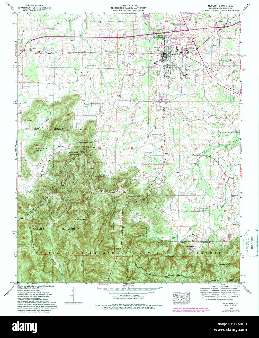 USGS TOPO Map Alabama AL Moulton 304609 1960 24000 Stock Photohttps://www.alamy.com/image-license-details/?v=1https://www.alamy.com/usgs-topo-map-alabama-al-moulton-304609-1960-24000-image241788445.html
RMT1ABHH–USGS TOPO Map Alabama AL Moulton 304609 1960 24000
 Sanborn Fire Insurance Map from Moulton, Appanoose County, Iowa. Stock Photohttps://www.alamy.com/image-license-details/?v=1https://www.alamy.com/sanborn-fire-insurance-map-from-moulton-appanoose-county-iowa-image456445423.html
RM2HEGTP7–Sanborn Fire Insurance Map from Moulton, Appanoose County, Iowa.
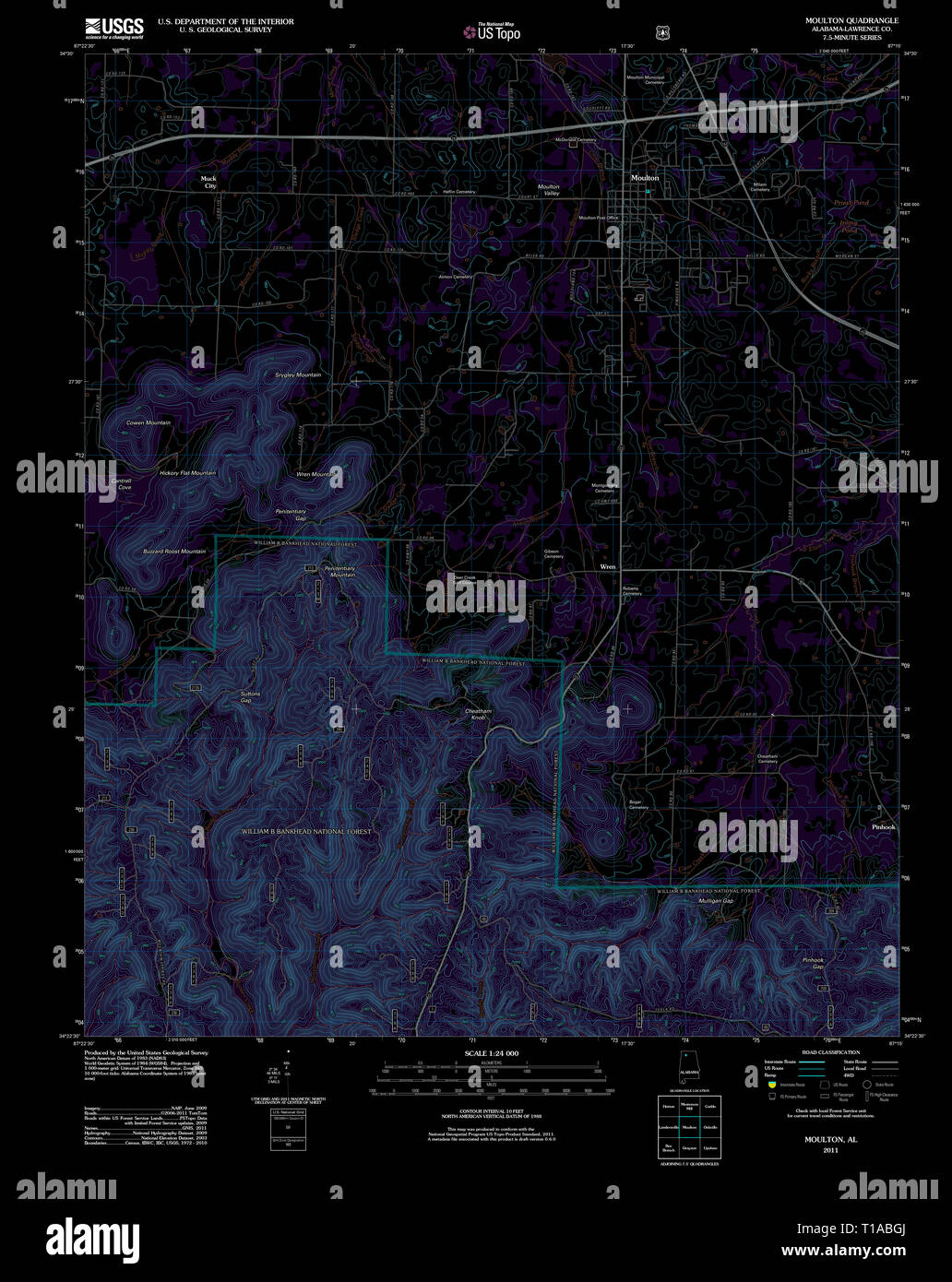 USGS TOPO Map Alabama AL Moulton 20111013 TM Inverted Stock Photohttps://www.alamy.com/image-license-details/?v=1https://www.alamy.com/usgs-topo-map-alabama-al-moulton-20111013-tm-inverted-image241788418.html
RMT1ABGJ–USGS TOPO Map Alabama AL Moulton 20111013 TM Inverted
 South Holland, non metropolitan district of England - Great Britain. Low resolution satellite map Stock Photohttps://www.alamy.com/image-license-details/?v=1https://www.alamy.com/south-holland-non-metropolitan-district-of-england-great-britain-low-resolution-satellite-map-image546504056.html
RF2PN3BE0–South Holland, non metropolitan district of England - Great Britain. Low resolution satellite map
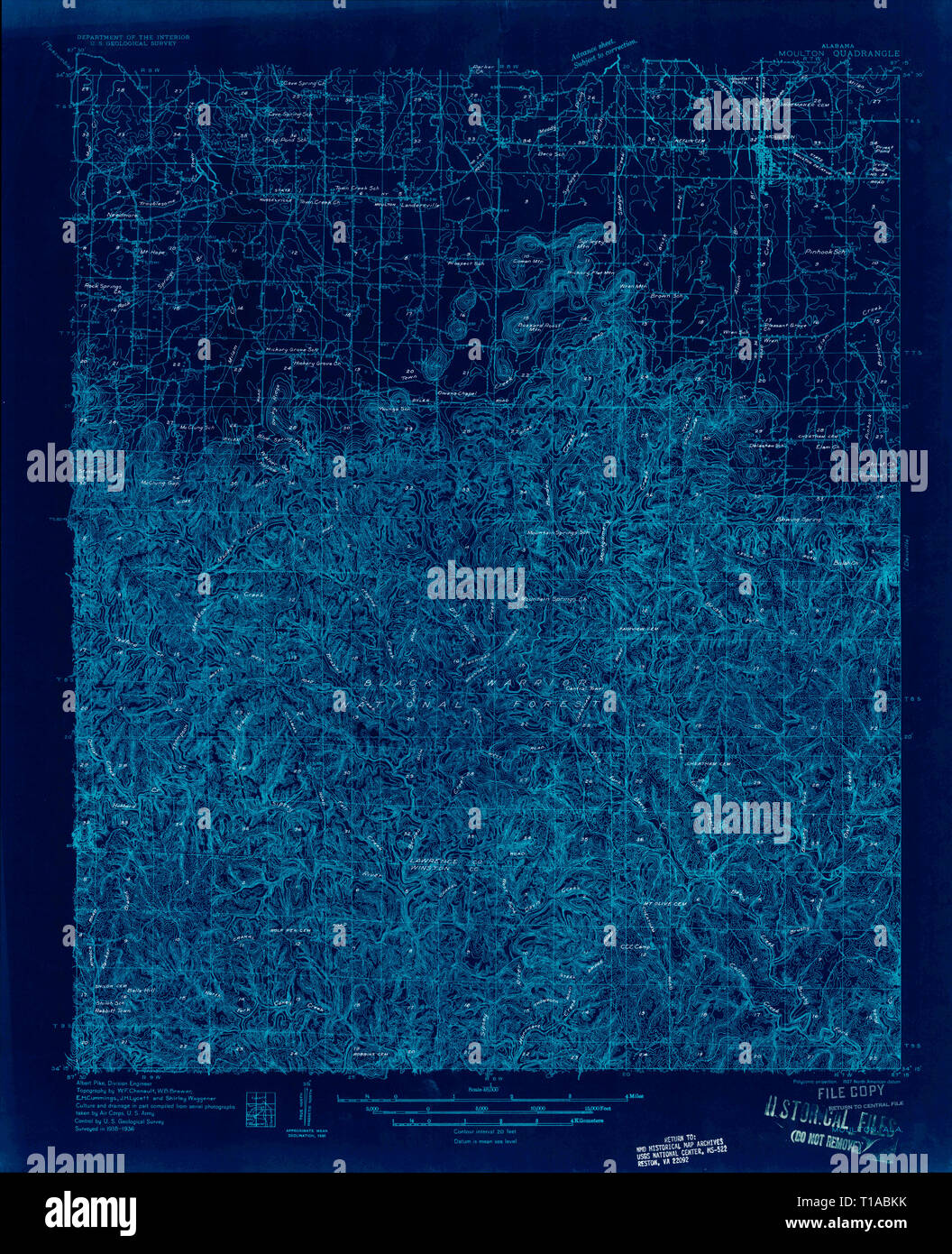 USGS TOPO Map Alabama AL Moulton 305464 1936 48000 Inverted Stock Photohttps://www.alamy.com/image-license-details/?v=1https://www.alamy.com/usgs-topo-map-alabama-al-moulton-305464-1936-48000-inverted-image241788503.html
RMT1ABKK–USGS TOPO Map Alabama AL Moulton 305464 1936 48000 Inverted
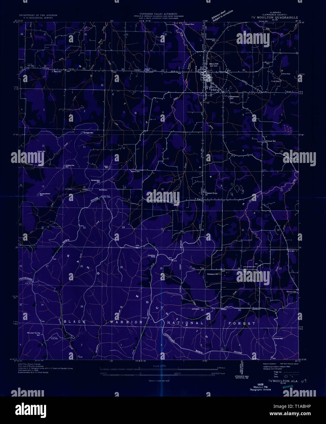 USGS TOPO Map Alabama AL Moulton 304611 1935 24000 Inverted Stock Photohttps://www.alamy.com/image-license-details/?v=1https://www.alamy.com/usgs-topo-map-alabama-al-moulton-304611-1935-24000-inverted-image241788450.html
RMT1ABHP–USGS TOPO Map Alabama AL Moulton 304611 1935 24000 Inverted
 Moulton, Lawrence County, US, United States, Alabama, N 34 28' 52'', S 87 17' 36'', map, Cartascapes Map published in 2024. Explore Cartascapes, a map revealing Earth's diverse landscapes, cultures, and ecosystems. Journey through time and space, discovering the interconnectedness of our planet's past, present, and future. Stock Photohttps://www.alamy.com/image-license-details/?v=1https://www.alamy.com/moulton-lawrence-county-us-united-states-alabama-n-34-28-52-s-87-17-36-map-cartascapes-map-published-in-2024-explore-cartascapes-a-map-revealing-earths-diverse-landscapes-cultures-and-ecosystems-journey-through-time-and-space-discovering-the-interconnectedness-of-our-planets-past-present-and-future-image621218387.html
RM2Y2JXAY–Moulton, Lawrence County, US, United States, Alabama, N 34 28' 52'', S 87 17' 36'', map, Cartascapes Map published in 2024. Explore Cartascapes, a map revealing Earth's diverse landscapes, cultures, and ecosystems. Journey through time and space, discovering the interconnectedness of our planet's past, present, and future.
 Sanborn Fire Insurance Map from Moulton, Appanoose County, Iowa. Stock Photohttps://www.alamy.com/image-license-details/?v=1https://www.alamy.com/sanborn-fire-insurance-map-from-moulton-appanoose-county-iowa-image456445438.html
RM2HEGTPP–Sanborn Fire Insurance Map from Moulton, Appanoose County, Iowa.
 South Holland, non metropolitan district of England - Great Britain. High resolution satellite map Stock Photohttps://www.alamy.com/image-license-details/?v=1https://www.alamy.com/south-holland-non-metropolitan-district-of-england-great-britain-high-resolution-satellite-map-image546504063.html
RF2PN3BE7–South Holland, non metropolitan district of England - Great Britain. High resolution satellite map
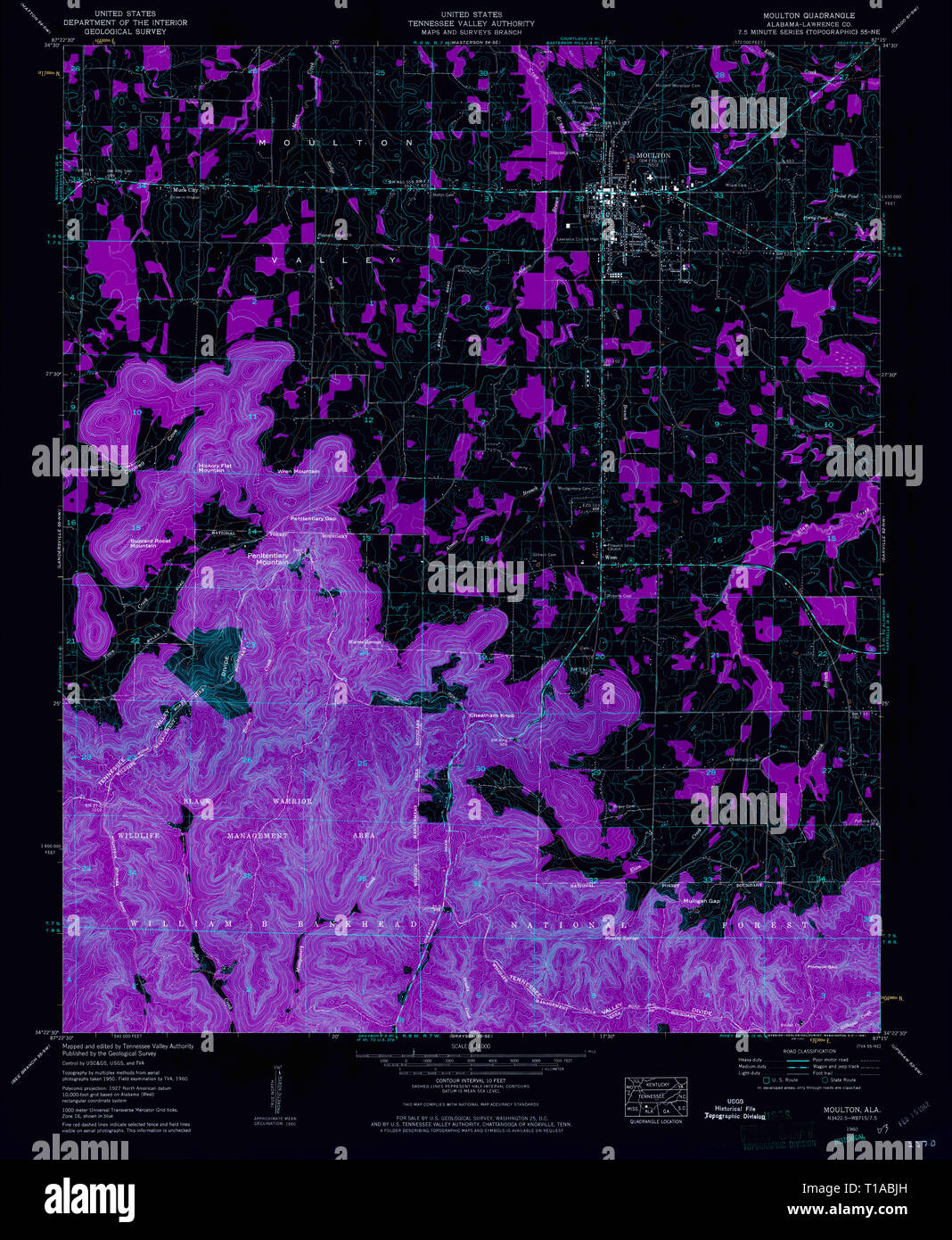 USGS TOPO Map Alabama AL Moulton 304612 1960 24000 Inverted Stock Photohttps://www.alamy.com/image-license-details/?v=1https://www.alamy.com/usgs-topo-map-alabama-al-moulton-304612-1960-24000-inverted-image241788473.html
RMT1ABJH–USGS TOPO Map Alabama AL Moulton 304612 1960 24000 Inverted
 Moulton (historical), Lawrence County, US, United States, Ohio, N 38 43' 3'', S 82 37' 39'', map, Cartascapes Map published in 2024. Explore Cartascapes, a map revealing Earth's diverse landscapes, cultures, and ecosystems. Journey through time and space, discovering the interconnectedness of our planet's past, present, and future. Stock Photohttps://www.alamy.com/image-license-details/?v=1https://www.alamy.com/moulton-historical-lawrence-county-us-united-states-ohio-n-38-43-3-s-82-37-39-map-cartascapes-map-published-in-2024-explore-cartascapes-a-map-revealing-earths-diverse-landscapes-cultures-and-ecosystems-journey-through-time-and-space-discovering-the-interconnectedness-of-our-planets-past-present-and-future-image621308412.html
RM2Y2R164–Moulton (historical), Lawrence County, US, United States, Ohio, N 38 43' 3'', S 82 37' 39'', map, Cartascapes Map published in 2024. Explore Cartascapes, a map revealing Earth's diverse landscapes, cultures, and ecosystems. Journey through time and space, discovering the interconnectedness of our planet's past, present, and future.
 Sanborn Fire Insurance Map from Moulton, Appanoose County, Iowa. Stock Photohttps://www.alamy.com/image-license-details/?v=1https://www.alamy.com/sanborn-fire-insurance-map-from-moulton-appanoose-county-iowa-image456445469.html
RM2HEGTRW–Sanborn Fire Insurance Map from Moulton, Appanoose County, Iowa.
 West Suffolk, non metropolitan district of England - Great Britain. High resolution satellite map Stock Photohttps://www.alamy.com/image-license-details/?v=1https://www.alamy.com/west-suffolk-non-metropolitan-district-of-england-great-britain-high-resolution-satellite-map-image546517723.html
RF2PN40X3–West Suffolk, non metropolitan district of England - Great Britain. High resolution satellite map
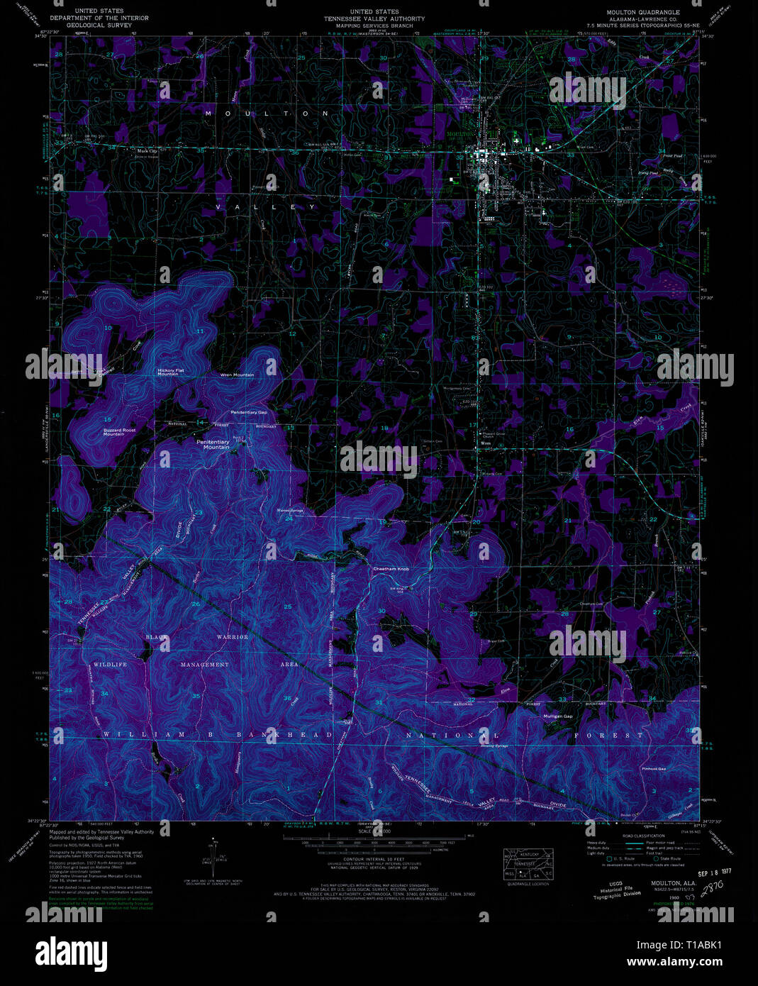 USGS TOPO Map Alabama AL Moulton 304613 1960 24000 Inverted Stock Photohttps://www.alamy.com/image-license-details/?v=1https://www.alamy.com/usgs-topo-map-alabama-al-moulton-304613-1960-24000-inverted-image241788485.html
RMT1ABK1–USGS TOPO Map Alabama AL Moulton 304613 1960 24000 Inverted
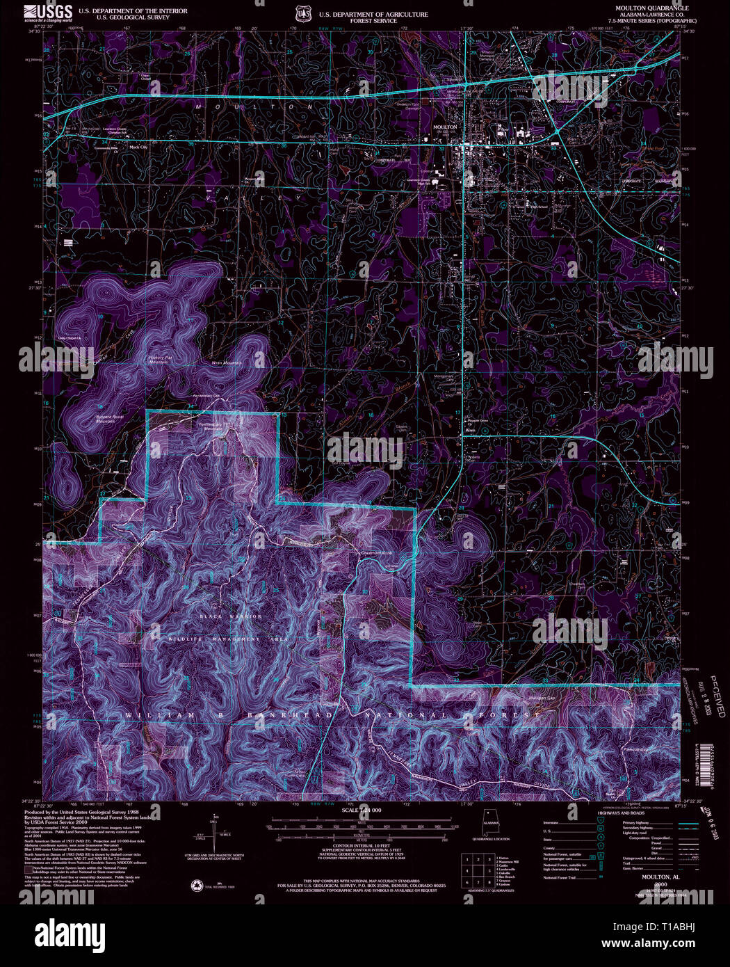 USGS TOPO Map Alabama AL Moulton 304610 2000 24000 Inverted Stock Photohttps://www.alamy.com/image-license-details/?v=1https://www.alamy.com/usgs-topo-map-alabama-al-moulton-304610-2000-24000-inverted-image241788446.html
RMT1ABHJ–USGS TOPO Map Alabama AL Moulton 304610 2000 24000 Inverted
 Moulton, Franklin County, US, United States, North Carolina, N 36 10' 17'', S 78 15' 7'', map, Cartascapes Map published in 2024. Explore Cartascapes, a map revealing Earth's diverse landscapes, cultures, and ecosystems. Journey through time and space, discovering the interconnectedness of our planet's past, present, and future. Stock Photohttps://www.alamy.com/image-license-details/?v=1https://www.alamy.com/moulton-franklin-county-us-united-states-north-carolina-n-36-10-17-s-78-15-7-map-cartascapes-map-published-in-2024-explore-cartascapes-a-map-revealing-earths-diverse-landscapes-cultures-and-ecosystems-journey-through-time-and-space-discovering-the-interconnectedness-of-our-planets-past-present-and-future-image621277286.html
RM2Y2NHEE–Moulton, Franklin County, US, United States, North Carolina, N 36 10' 17'', S 78 15' 7'', map, Cartascapes Map published in 2024. Explore Cartascapes, a map revealing Earth's diverse landscapes, cultures, and ecosystems. Journey through time and space, discovering the interconnectedness of our planet's past, present, and future.
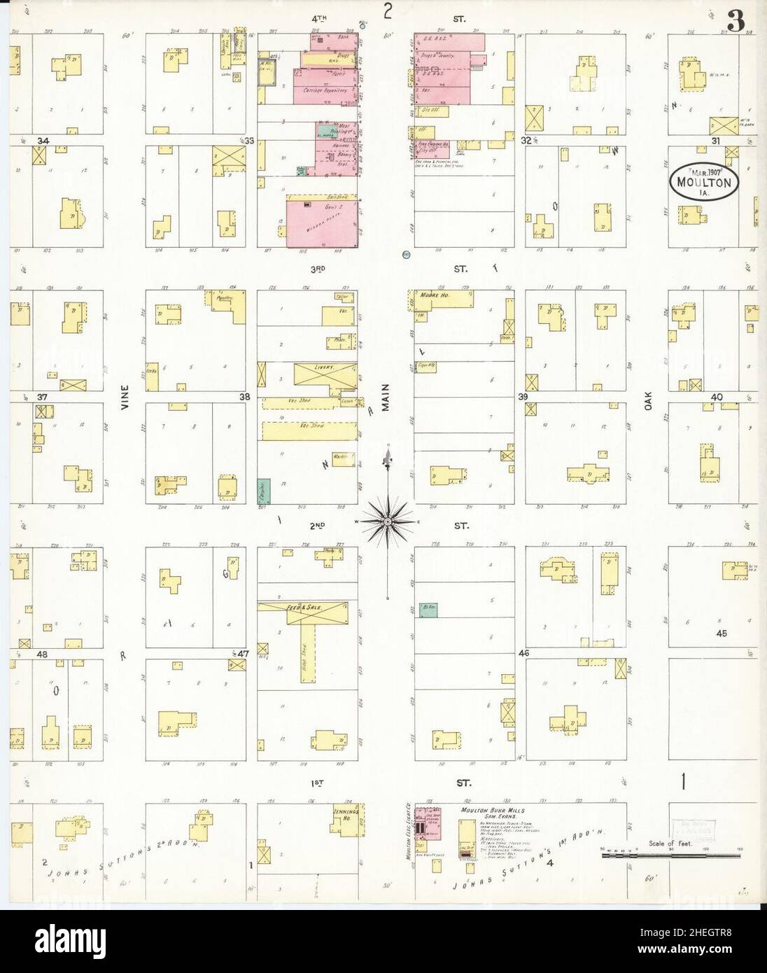 Sanborn Fire Insurance Map from Moulton, Appanoose County, Iowa. Stock Photohttps://www.alamy.com/image-license-details/?v=1https://www.alamy.com/sanborn-fire-insurance-map-from-moulton-appanoose-county-iowa-image456445452.html
RM2HEGTR8–Sanborn Fire Insurance Map from Moulton, Appanoose County, Iowa.
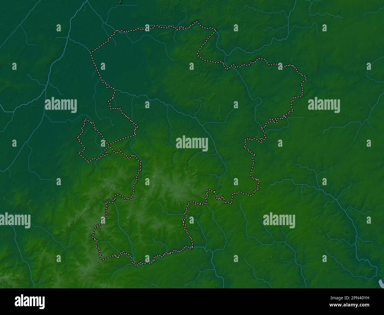 West Suffolk, non metropolitan district of England - Great Britain. Colored elevation map with lakes and rivers Stock Photohttps://www.alamy.com/image-license-details/?v=1https://www.alamy.com/west-suffolk-non-metropolitan-district-of-england-great-britain-colored-elevation-map-with-lakes-and-rivers-image546517765.html
RF2PN40YH–West Suffolk, non metropolitan district of England - Great Britain. Colored elevation map with lakes and rivers
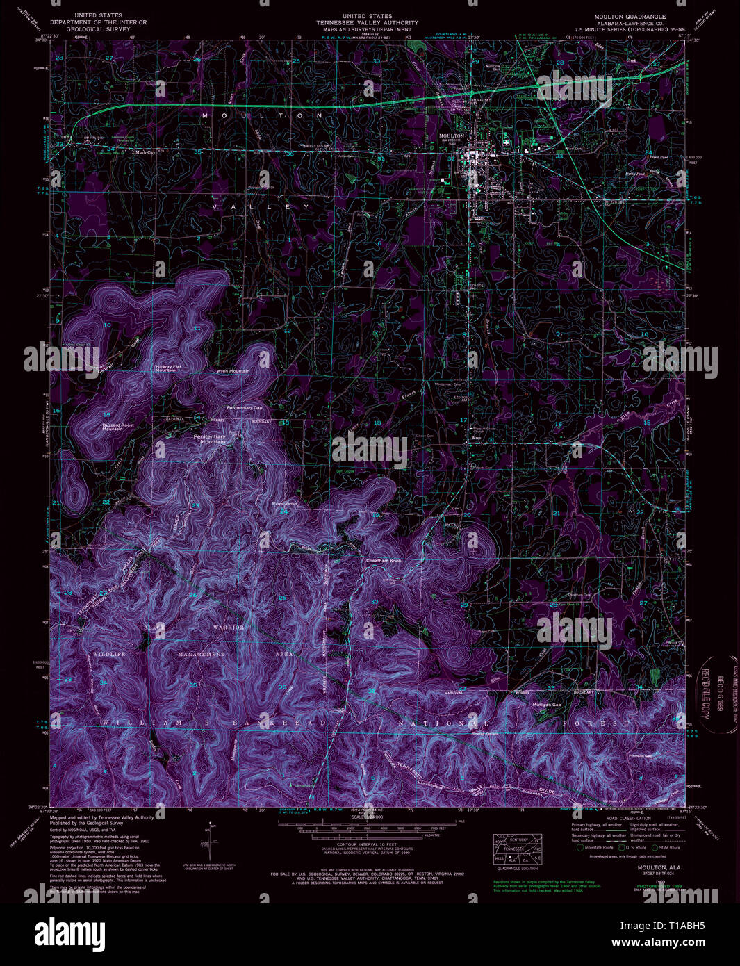 USGS TOPO Map Alabama AL Moulton 304609 1960 24000 Inverted Stock Photohttps://www.alamy.com/image-license-details/?v=1https://www.alamy.com/usgs-topo-map-alabama-al-moulton-304609-1960-24000-inverted-image241788433.html
RMT1ABH5–USGS TOPO Map Alabama AL Moulton 304609 1960 24000 Inverted
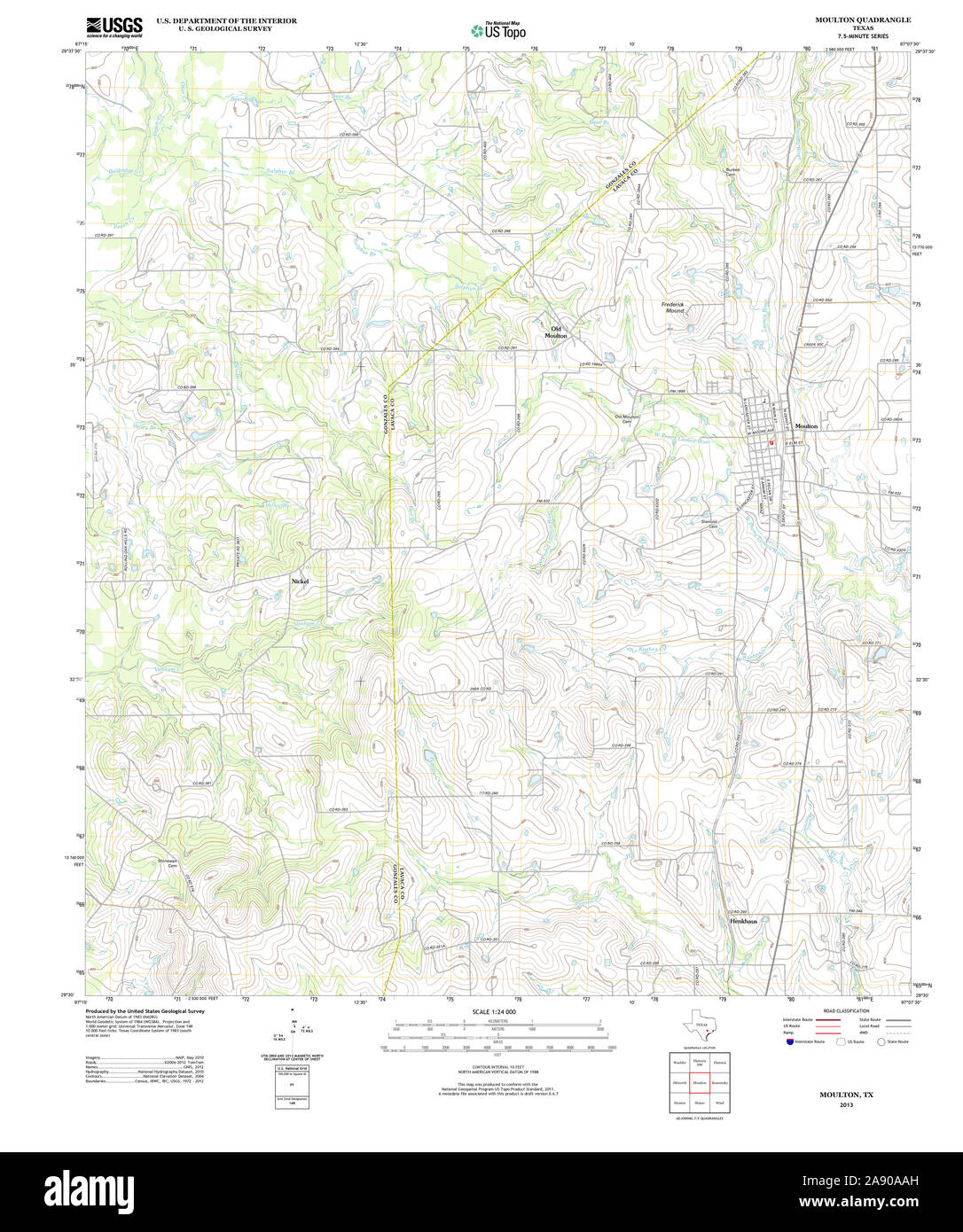 USGS TOPO Map Texas TX Moulton 20130202 TM Restoration Stock Photohttps://www.alamy.com/image-license-details/?v=1https://www.alamy.com/usgs-topo-map-texas-tx-moulton-20130202-tm-restoration-image332537033.html
RM2A90AAH–USGS TOPO Map Texas TX Moulton 20130202 TM Restoration
 Old Moulton, Lavaca County, US, United States, Texas, N 29 35' 16'', S 97 10' 35'', map, Cartascapes Map published in 2024. Explore Cartascapes, a map revealing Earth's diverse landscapes, cultures, and ecosystems. Journey through time and space, discovering the interconnectedness of our planet's past, present, and future. Stock Photohttps://www.alamy.com/image-license-details/?v=1https://www.alamy.com/old-moulton-lavaca-county-us-united-states-texas-n-29-35-16-s-97-10-35-map-cartascapes-map-published-in-2024-explore-cartascapes-a-map-revealing-earths-diverse-landscapes-cultures-and-ecosystems-journey-through-time-and-space-discovering-the-interconnectedness-of-our-planets-past-present-and-future-image621265113.html
RM2Y2N1YN–Old Moulton, Lavaca County, US, United States, Texas, N 29 35' 16'', S 97 10' 35'', map, Cartascapes Map published in 2024. Explore Cartascapes, a map revealing Earth's diverse landscapes, cultures, and ecosystems. Journey through time and space, discovering the interconnectedness of our planet's past, present, and future.
 Sanborn Fire Insurance Map from Moulton, Appanoose County, Iowa. Stock Photohttps://www.alamy.com/image-license-details/?v=1https://www.alamy.com/sanborn-fire-insurance-map-from-moulton-appanoose-county-iowa-image456445408.html
RM2HEGTNM–Sanborn Fire Insurance Map from Moulton, Appanoose County, Iowa.
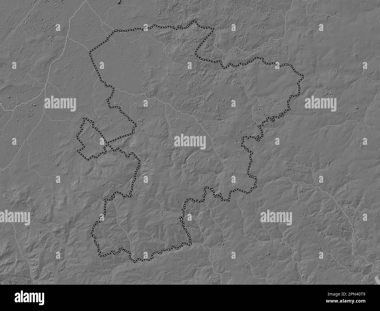 West Suffolk, non metropolitan district of England - Great Britain. Bilevel elevation map with lakes and rivers Stock Photohttps://www.alamy.com/image-license-details/?v=1https://www.alamy.com/west-suffolk-non-metropolitan-district-of-england-great-britain-bilevel-elevation-map-with-lakes-and-rivers-image546517673.html
RF2PN40T9–West Suffolk, non metropolitan district of England - Great Britain. Bilevel elevation map with lakes and rivers
 USGS TOPO Map Ohio OH Moulton 20100816 TM Restoration Stock Photohttps://www.alamy.com/image-license-details/?v=1https://www.alamy.com/usgs-topo-map-ohio-oh-moulton-20100816-tm-restoration-image336960706.html
RM2AG5TPX–USGS TOPO Map Ohio OH Moulton 20100816 TM Restoration
 Moulton Heights, Morgan County, US, United States, Alabama, N 34 35' 50'', S 87 0' 52'', map, Cartascapes Map published in 2024. Explore Cartascapes, a map revealing Earth's diverse landscapes, cultures, and ecosystems. Journey through time and space, discovering the interconnectedness of our planet's past, present, and future. Stock Photohttps://www.alamy.com/image-license-details/?v=1https://www.alamy.com/moulton-heights-morgan-county-us-united-states-alabama-n-34-35-50-s-87-0-52-map-cartascapes-map-published-in-2024-explore-cartascapes-a-map-revealing-earths-diverse-landscapes-cultures-and-ecosystems-journey-through-time-and-space-discovering-the-interconnectedness-of-our-planets-past-present-and-future-image621321254.html
RM2Y2RHGP–Moulton Heights, Morgan County, US, United States, Alabama, N 34 35' 50'', S 87 0' 52'', map, Cartascapes Map published in 2024. Explore Cartascapes, a map revealing Earth's diverse landscapes, cultures, and ecosystems. Journey through time and space, discovering the interconnectedness of our planet's past, present, and future.
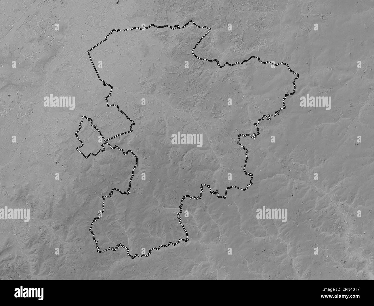 West Suffolk, non metropolitan district of England - Great Britain. Grayscale elevation map with lakes and rivers Stock Photohttps://www.alamy.com/image-license-details/?v=1https://www.alamy.com/west-suffolk-non-metropolitan-district-of-england-great-britain-grayscale-elevation-map-with-lakes-and-rivers-image546517671.html
RF2PN40T7–West Suffolk, non metropolitan district of England - Great Britain. Grayscale elevation map with lakes and rivers
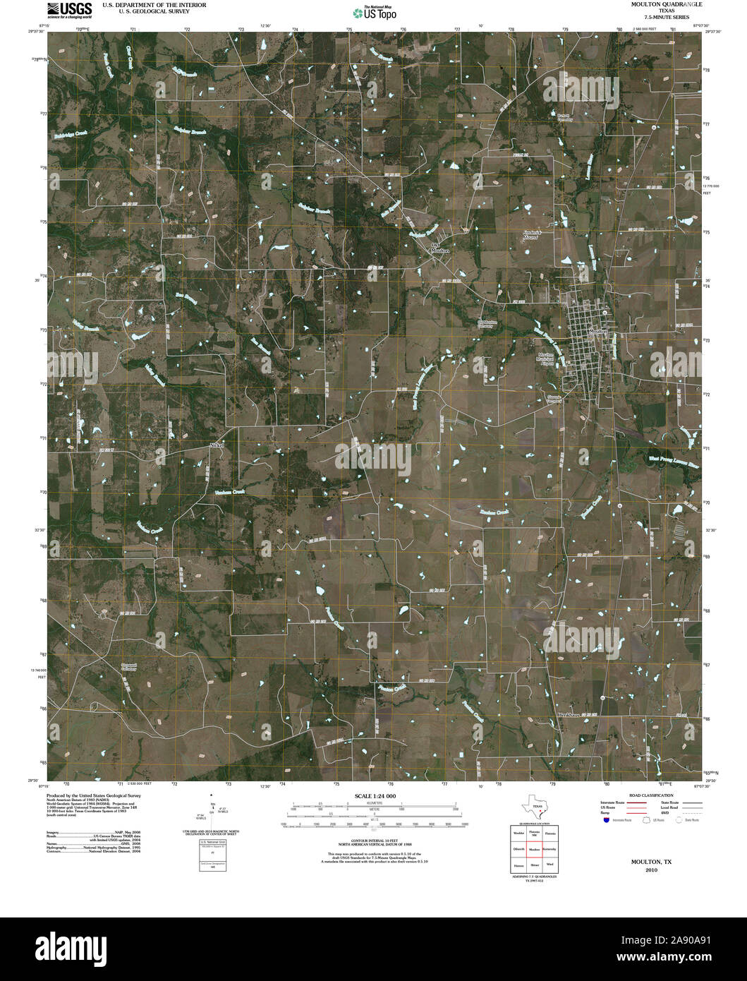 USGS TOPO Map Texas TX Moulton 20100609 TM Restoration Stock Photohttps://www.alamy.com/image-license-details/?v=1https://www.alamy.com/usgs-topo-map-texas-tx-moulton-20100609-tm-restoration-image332536989.html
RM2A90A91–USGS TOPO Map Texas TX Moulton 20100609 TM Restoration
 Moulton, Lincolnshire, GB, United Kingdom, England, N 52 47' 49'', S 0 3' 16'', map, Cartascapes Map published in 2024. Explore Cartascapes, a map revealing Earth's diverse landscapes, cultures, and ecosystems. Journey through time and space, discovering the interconnectedness of our planet's past, present, and future. Stock Photohttps://www.alamy.com/image-license-details/?v=1https://www.alamy.com/moulton-lincolnshire-gb-united-kingdom-england-n-52-47-49-s-0-3-16-map-cartascapes-map-published-in-2024-explore-cartascapes-a-map-revealing-earths-diverse-landscapes-cultures-and-ecosystems-journey-through-time-and-space-discovering-the-interconnectedness-of-our-planets-past-present-and-future-image604268843.html
RM2X32R23–Moulton, Lincolnshire, GB, United Kingdom, England, N 52 47' 49'', S 0 3' 16'', map, Cartascapes Map published in 2024. Explore Cartascapes, a map revealing Earth's diverse landscapes, cultures, and ecosystems. Journey through time and space, discovering the interconnectedness of our planet's past, present, and future.
 West Suffolk, non metropolitan district of England - Great Britain. Elevation map colored in sepia tones with lakes and rivers Stock Photohttps://www.alamy.com/image-license-details/?v=1https://www.alamy.com/west-suffolk-non-metropolitan-district-of-england-great-britain-elevation-map-colored-in-sepia-tones-with-lakes-and-rivers-image546517875.html
RF2PN413F–West Suffolk, non metropolitan district of England - Great Britain. Elevation map colored in sepia tones with lakes and rivers
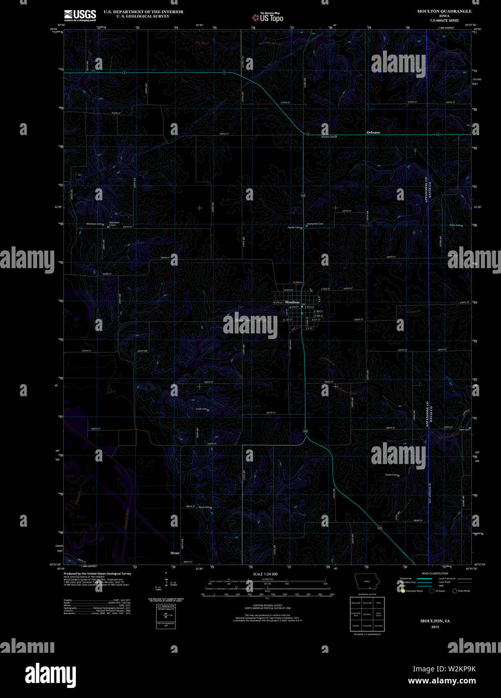 USGS TOPO Map Iowa IA Moulton 20130403 TM Inverted Restoration Stock Photohttps://www.alamy.com/image-license-details/?v=1https://www.alamy.com/usgs-topo-map-iowa-ia-moulton-20130403-tm-inverted-restoration-image259819439.html
RMW2KP9K–USGS TOPO Map Iowa IA Moulton 20130403 TM Inverted Restoration
 Moulton, Northamptonshire, GB, United Kingdom, England, N 52 17' 56'', S 0 51' 42'', map, Cartascapes Map published in 2024. Explore Cartascapes, a map revealing Earth's diverse landscapes, cultures, and ecosystems. Journey through time and space, discovering the interconnectedness of our planet's past, present, and future. Stock Photohttps://www.alamy.com/image-license-details/?v=1https://www.alamy.com/moulton-northamptonshire-gb-united-kingdom-england-n-52-17-56-s-0-51-42-map-cartascapes-map-published-in-2024-explore-cartascapes-a-map-revealing-earths-diverse-landscapes-cultures-and-ecosystems-journey-through-time-and-space-discovering-the-interconnectedness-of-our-planets-past-present-and-future-image604270510.html
RM2X32W5J–Moulton, Northamptonshire, GB, United Kingdom, England, N 52 17' 56'', S 0 51' 42'', map, Cartascapes Map published in 2024. Explore Cartascapes, a map revealing Earth's diverse landscapes, cultures, and ecosystems. Journey through time and space, discovering the interconnectedness of our planet's past, present, and future.
 West Suffolk, non metropolitan district of England - Great Britain. Grayscale elevation map with lakes and rivers. Locations of major cities of the re Stock Photohttps://www.alamy.com/image-license-details/?v=1https://www.alamy.com/west-suffolk-non-metropolitan-district-of-england-great-britain-grayscale-elevation-map-with-lakes-and-rivers-locations-of-major-cities-of-the-re-image546517677.html
RF2PN40TD–West Suffolk, non metropolitan district of England - Great Britain. Grayscale elevation map with lakes and rivers. Locations of major cities of the re
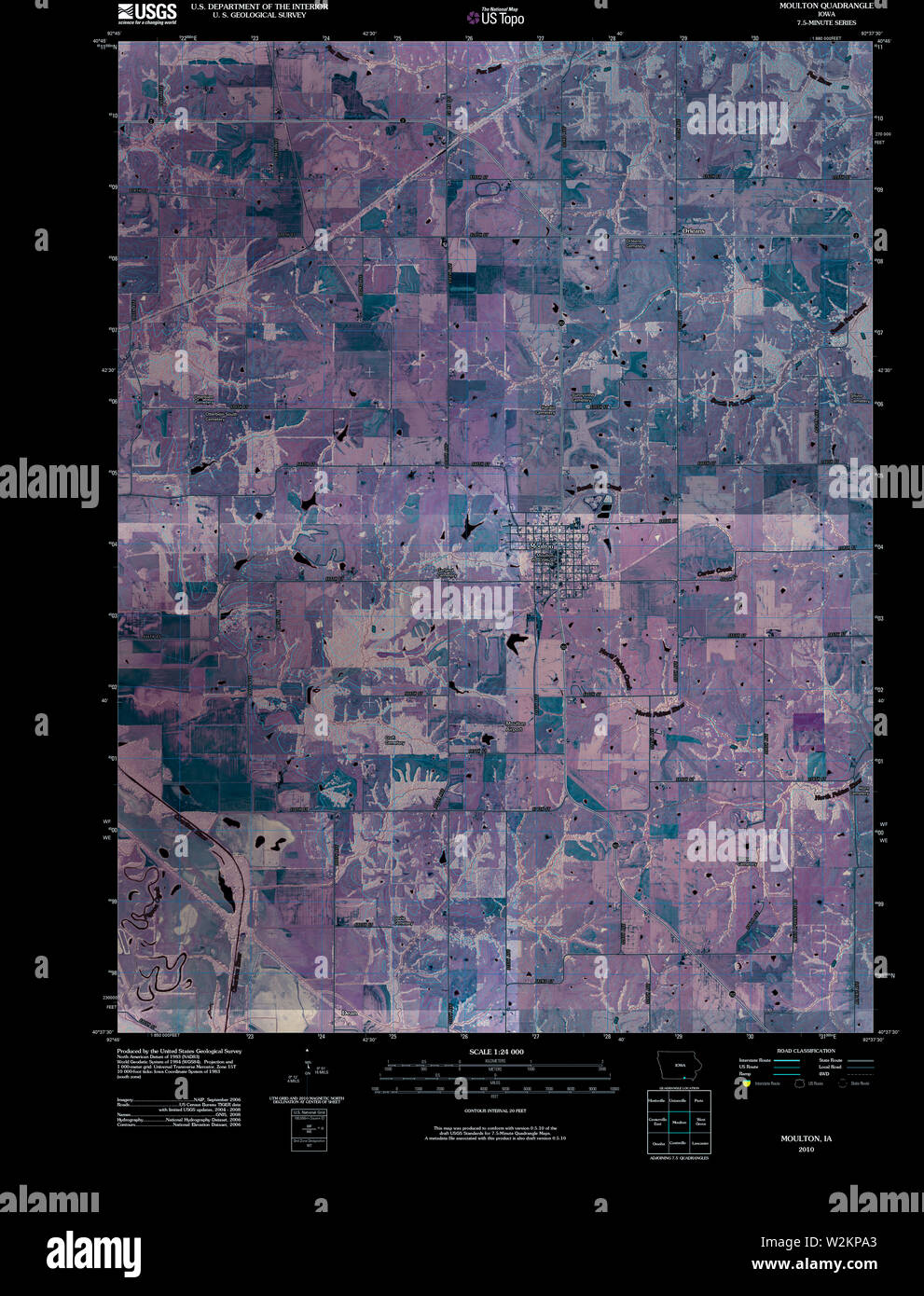 USGS TOPO Map Iowa IA Moulton 20100422 TM Inverted Restoration Stock Photohttps://www.alamy.com/image-license-details/?v=1https://www.alamy.com/usgs-topo-map-iowa-ia-moulton-20100422-tm-inverted-restoration-image259819451.html
RMW2KPA3–USGS TOPO Map Iowa IA Moulton 20100422 TM Inverted Restoration
 Moulton, Lincolnshire, GB, United Kingdom, England, N 52 46' 23'', S 0 3' 20'', map, Cartascapes Map published in 2024. Explore Cartascapes, a map revealing Earth's diverse landscapes, cultures, and ecosystems. Journey through time and space, discovering the interconnectedness of our planet's past, present, and future. Stock Photohttps://www.alamy.com/image-license-details/?v=1https://www.alamy.com/moulton-lincolnshire-gb-united-kingdom-england-n-52-46-23-s-0-3-20-map-cartascapes-map-published-in-2024-explore-cartascapes-a-map-revealing-earths-diverse-landscapes-cultures-and-ecosystems-journey-through-time-and-space-discovering-the-interconnectedness-of-our-planets-past-present-and-future-image604191981.html
RM2X2Y911–Moulton, Lincolnshire, GB, United Kingdom, England, N 52 46' 23'', S 0 3' 20'', map, Cartascapes Map published in 2024. Explore Cartascapes, a map revealing Earth's diverse landscapes, cultures, and ecosystems. Journey through time and space, discovering the interconnectedness of our planet's past, present, and future.
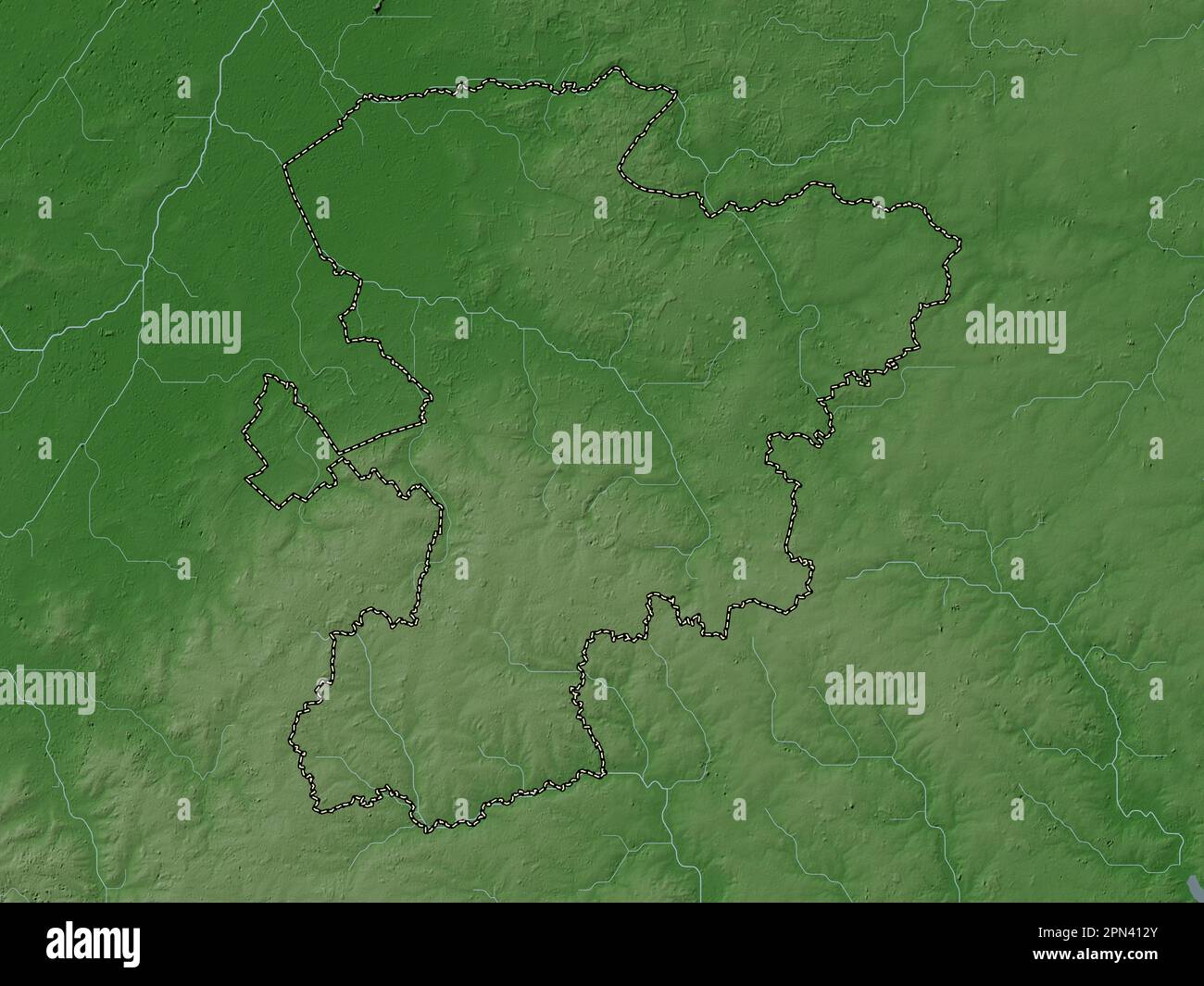 West Suffolk, non metropolitan district of England - Great Britain. Elevation map colored in wiki style with lakes and rivers Stock Photohttps://www.alamy.com/image-license-details/?v=1https://www.alamy.com/west-suffolk-non-metropolitan-district-of-england-great-britain-elevation-map-colored-in-wiki-style-with-lakes-and-rivers-image546517859.html
RF2PN412Y–West Suffolk, non metropolitan district of England - Great Britain. Elevation map colored in wiki style with lakes and rivers
 USGS TOPO Map Ohio OH Moulton 227544 1960 24000 Restoration Stock Photohttps://www.alamy.com/image-license-details/?v=1https://www.alamy.com/usgs-topo-map-ohio-oh-moulton-227544-1960-24000-restoration-image336960859.html
RM2AG5W0B–USGS TOPO Map Ohio OH Moulton 227544 1960 24000 Restoration
 Moulton, Suffolk, GB, United Kingdom, England, N 52 15' 6'', N 0 28' 8'', map, Cartascapes Map published in 2024. Explore Cartascapes, a map revealing Earth's diverse landscapes, cultures, and ecosystems. Journey through time and space, discovering the interconnectedness of our planet's past, present, and future. Stock Photohttps://www.alamy.com/image-license-details/?v=1https://www.alamy.com/moulton-suffolk-gb-united-kingdom-england-n-52-15-6-n-0-28-8-map-cartascapes-map-published-in-2024-explore-cartascapes-a-map-revealing-earths-diverse-landscapes-cultures-and-ecosystems-journey-through-time-and-space-discovering-the-interconnectedness-of-our-planets-past-present-and-future-image604261993.html
RM2X32E9D–Moulton, Suffolk, GB, United Kingdom, England, N 52 15' 6'', N 0 28' 8'', map, Cartascapes Map published in 2024. Explore Cartascapes, a map revealing Earth's diverse landscapes, cultures, and ecosystems. Journey through time and space, discovering the interconnectedness of our planet's past, present, and future.
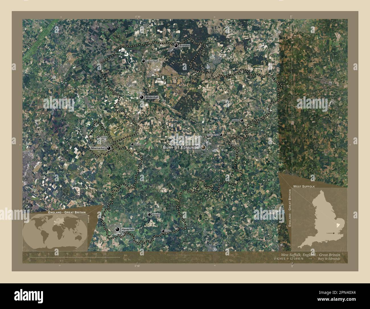 West Suffolk, non metropolitan district of England - Great Britain. High resolution satellite map. Locations and names of major cities of the region. Stock Photohttps://www.alamy.com/image-license-details/?v=1https://www.alamy.com/west-suffolk-non-metropolitan-district-of-england-great-britain-high-resolution-satellite-map-locations-and-names-of-major-cities-of-the-region-image546517724.html
RF2PN40X4–West Suffolk, non metropolitan district of England - Great Britain. High resolution satellite map. Locations and names of major cities of the region.
 USGS TOPO Map Texas TX Moulton 20130202 TM Inverted Restoration Stock Photohttps://www.alamy.com/image-license-details/?v=1https://www.alamy.com/usgs-topo-map-texas-tx-moulton-20130202-tm-inverted-restoration-image332536985.html
RM2A90A8W–USGS TOPO Map Texas TX Moulton 20130202 TM Inverted Restoration
 Moulton, Lincolnshire, GB, United Kingdom, England, N 52 47' 49'', S 0 3' 16'', map, Cartascapes Map published in 2024. Explore Cartascapes, a map revealing Earth's diverse landscapes, cultures, and ecosystems. Journey through time and space, discovering the interconnectedness of our planet's past, present, and future. Stock Photohttps://www.alamy.com/image-license-details/?v=1https://www.alamy.com/moulton-lincolnshire-gb-united-kingdom-england-n-52-47-49-s-0-3-16-map-cartascapes-map-published-in-2024-explore-cartascapes-a-map-revealing-earths-diverse-landscapes-cultures-and-ecosystems-journey-through-time-and-space-discovering-the-interconnectedness-of-our-planets-past-present-and-future-image604268844.html
RM2X32R24–Moulton, Lincolnshire, GB, United Kingdom, England, N 52 47' 49'', S 0 3' 16'', map, Cartascapes Map published in 2024. Explore Cartascapes, a map revealing Earth's diverse landscapes, cultures, and ecosystems. Journey through time and space, discovering the interconnectedness of our planet's past, present, and future.
 South Holland, non metropolitan district of England - Great Britain. Low resolution satellite map. Locations and names of major cities of the region. Stock Photohttps://www.alamy.com/image-license-details/?v=1https://www.alamy.com/south-holland-non-metropolitan-district-of-england-great-britain-low-resolution-satellite-map-locations-and-names-of-major-cities-of-the-region-image546504250.html
RF2PN3BMX–South Holland, non metropolitan district of England - Great Britain. Low resolution satellite map. Locations and names of major cities of the region.
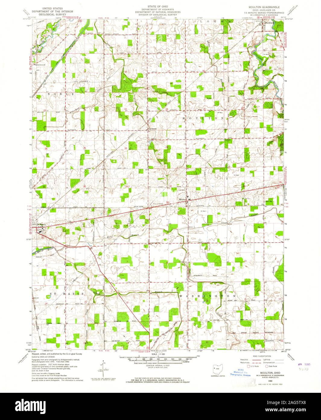 USGS TOPO Map Ohio OH Moulton 227545 1960 24000 Restoration Stock Photohttps://www.alamy.com/image-license-details/?v=1https://www.alamy.com/usgs-topo-map-ohio-oh-moulton-227545-1960-24000-restoration-image336960800.html
RM2AG5TX8–USGS TOPO Map Ohio OH Moulton 227545 1960 24000 Restoration
 Moulton, Northamptonshire, GB, United Kingdom, England, N 52 17' 56'', S 0 51' 42'', map, Cartascapes Map published in 2024. Explore Cartascapes, a map revealing Earth's diverse landscapes, cultures, and ecosystems. Journey through time and space, discovering the interconnectedness of our planet's past, present, and future. Stock Photohttps://www.alamy.com/image-license-details/?v=1https://www.alamy.com/moulton-northamptonshire-gb-united-kingdom-england-n-52-17-56-s-0-51-42-map-cartascapes-map-published-in-2024-explore-cartascapes-a-map-revealing-earths-diverse-landscapes-cultures-and-ecosystems-journey-through-time-and-space-discovering-the-interconnectedness-of-our-planets-past-present-and-future-image604270512.html
RM2X32W5M–Moulton, Northamptonshire, GB, United Kingdom, England, N 52 17' 56'', S 0 51' 42'', map, Cartascapes Map published in 2024. Explore Cartascapes, a map revealing Earth's diverse landscapes, cultures, and ecosystems. Journey through time and space, discovering the interconnectedness of our planet's past, present, and future.
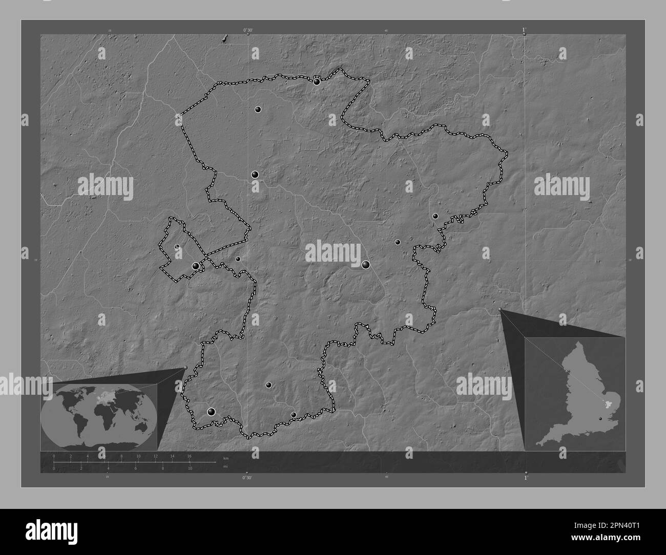 West Suffolk, non metropolitan district of England - Great Britain. Bilevel elevation map with lakes and rivers. Locations of major cities of the regi Stock Photohttps://www.alamy.com/image-license-details/?v=1https://www.alamy.com/west-suffolk-non-metropolitan-district-of-england-great-britain-bilevel-elevation-map-with-lakes-and-rivers-locations-of-major-cities-of-the-regi-image546517665.html
RF2PN40T1–West Suffolk, non metropolitan district of England - Great Britain. Bilevel elevation map with lakes and rivers. Locations of major cities of the regi
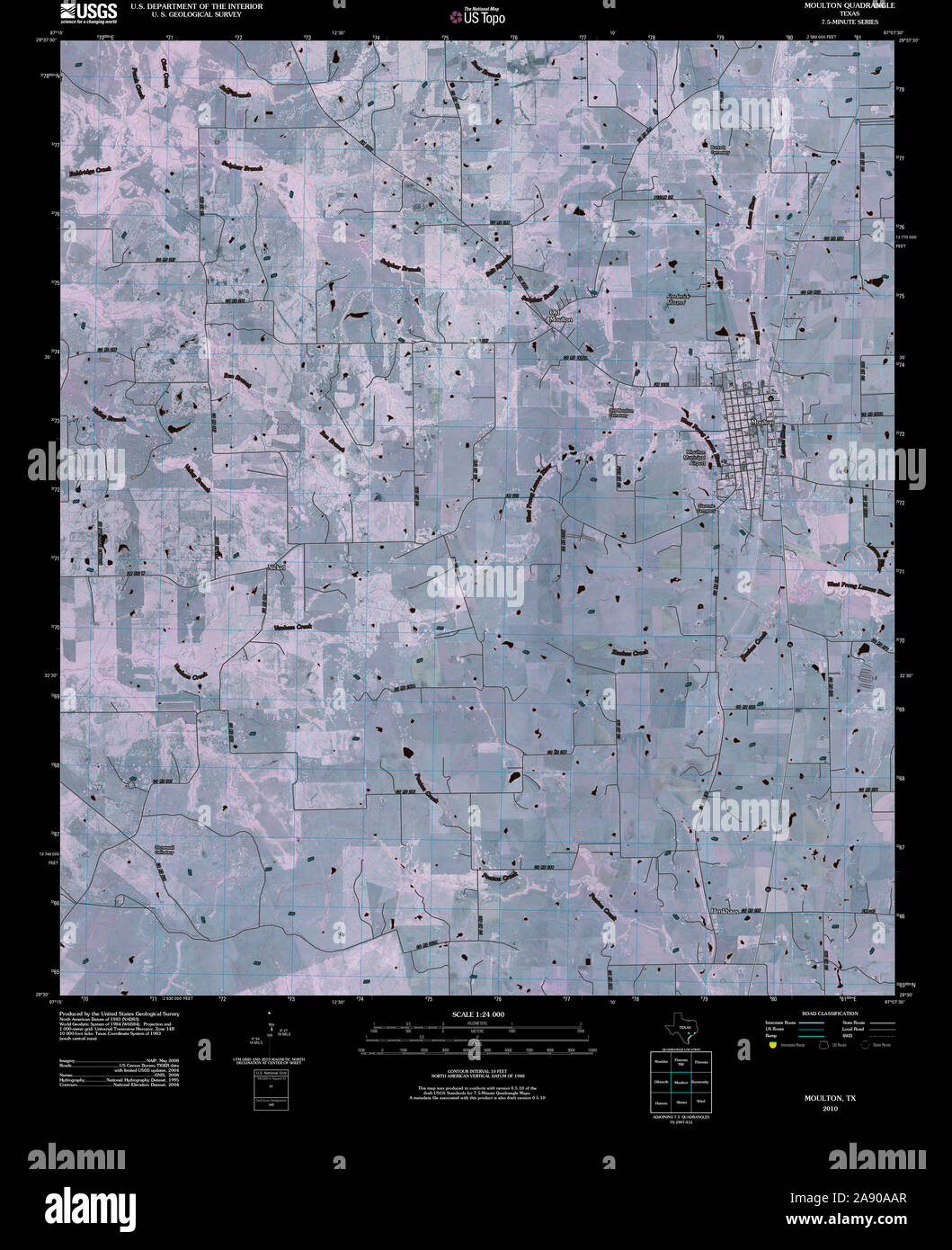 USGS TOPO Map Texas TX Moulton 20100609 TM Inverted Restoration Stock Photohttps://www.alamy.com/image-license-details/?v=1https://www.alamy.com/usgs-topo-map-texas-tx-moulton-20100609-tm-inverted-restoration-image332537039.html
RM2A90AAR–USGS TOPO Map Texas TX Moulton 20100609 TM Inverted Restoration
 Moulton, Lincolnshire, GB, United Kingdom, England, N 52 46' 23'', S 0 3' 20'', map, Cartascapes Map published in 2024. Explore Cartascapes, a map revealing Earth's diverse landscapes, cultures, and ecosystems. Journey through time and space, discovering the interconnectedness of our planet's past, present, and future. Stock Photohttps://www.alamy.com/image-license-details/?v=1https://www.alamy.com/moulton-lincolnshire-gb-united-kingdom-england-n-52-46-23-s-0-3-20-map-cartascapes-map-published-in-2024-explore-cartascapes-a-map-revealing-earths-diverse-landscapes-cultures-and-ecosystems-journey-through-time-and-space-discovering-the-interconnectedness-of-our-planets-past-present-and-future-image604191979.html
RM2X2Y90Y–Moulton, Lincolnshire, GB, United Kingdom, England, N 52 46' 23'', S 0 3' 20'', map, Cartascapes Map published in 2024. Explore Cartascapes, a map revealing Earth's diverse landscapes, cultures, and ecosystems. Journey through time and space, discovering the interconnectedness of our planet's past, present, and future.
 West Suffolk, non metropolitan district of England - Great Britain. Grayscale elevation map with lakes and rivers. Locations and names of major cities Stock Photohttps://www.alamy.com/image-license-details/?v=1https://www.alamy.com/west-suffolk-non-metropolitan-district-of-england-great-britain-grayscale-elevation-map-with-lakes-and-rivers-locations-and-names-of-major-cities-image546517667.html
RF2PN40T3–West Suffolk, non metropolitan district of England - Great Britain. Grayscale elevation map with lakes and rivers. Locations and names of major cities
 USGS TOPO Map Texas TX Moulton 111195 1965 24000 Restoration Stock Photohttps://www.alamy.com/image-license-details/?v=1https://www.alamy.com/usgs-topo-map-texas-tx-moulton-111195-1965-24000-restoration-image332536988.html
RM2A90A90–USGS TOPO Map Texas TX Moulton 111195 1965 24000 Restoration
 Moulton, Suffolk, GB, United Kingdom, England, N 52 15' 6'', N 0 28' 8'', map, Cartascapes Map published in 2024. Explore Cartascapes, a map revealing Earth's diverse landscapes, cultures, and ecosystems. Journey through time and space, discovering the interconnectedness of our planet's past, present, and future. Stock Photohttps://www.alamy.com/image-license-details/?v=1https://www.alamy.com/moulton-suffolk-gb-united-kingdom-england-n-52-15-6-n-0-28-8-map-cartascapes-map-published-in-2024-explore-cartascapes-a-map-revealing-earths-diverse-landscapes-cultures-and-ecosystems-journey-through-time-and-space-discovering-the-interconnectedness-of-our-planets-past-present-and-future-image604261972.html
RM2X32E8M–Moulton, Suffolk, GB, United Kingdom, England, N 52 15' 6'', N 0 28' 8'', map, Cartascapes Map published in 2024. Explore Cartascapes, a map revealing Earth's diverse landscapes, cultures, and ecosystems. Journey through time and space, discovering the interconnectedness of our planet's past, present, and future.
 South Holland, non metropolitan district of England - Great Britain. High resolution satellite map. Locations and names of major cities of the region. Stock Photohttps://www.alamy.com/image-license-details/?v=1https://www.alamy.com/south-holland-non-metropolitan-district-of-england-great-britain-high-resolution-satellite-map-locations-and-names-of-major-cities-of-the-region-image546504050.html
RF2PN3BDP–South Holland, non metropolitan district of England - Great Britain. High resolution satellite map. Locations and names of major cities of the region.
 USGS TOPO Map Ohio OH Moulton 227546 1960 24000 Restoration Stock Photohttps://www.alamy.com/image-license-details/?v=1https://www.alamy.com/usgs-topo-map-ohio-oh-moulton-227546-1960-24000-restoration-image336960984.html
RM2AG5W4T–USGS TOPO Map Ohio OH Moulton 227546 1960 24000 Restoration
 Moulton, North Yorkshire, GB, United Kingdom, England, N 54 25' 38'', S 1 37' 14'', map, Cartascapes Map published in 2024. Explore Cartascapes, a map revealing Earth's diverse landscapes, cultures, and ecosystems. Journey through time and space, discovering the interconnectedness of our planet's past, present, and future. Stock Photohttps://www.alamy.com/image-license-details/?v=1https://www.alamy.com/moulton-north-yorkshire-gb-united-kingdom-england-n-54-25-38-s-1-37-14-map-cartascapes-map-published-in-2024-explore-cartascapes-a-map-revealing-earths-diverse-landscapes-cultures-and-ecosystems-journey-through-time-and-space-discovering-the-interconnectedness-of-our-planets-past-present-and-future-image604235335.html
RM2X3189B–Moulton, North Yorkshire, GB, United Kingdom, England, N 54 25' 38'', S 1 37' 14'', map, Cartascapes Map published in 2024. Explore Cartascapes, a map revealing Earth's diverse landscapes, cultures, and ecosystems. Journey through time and space, discovering the interconnectedness of our planet's past, present, and future.
 West Suffolk, non metropolitan district of England - Great Britain. Colored elevation map with lakes and rivers. Locations of major cities of the regi Stock Photohttps://www.alamy.com/image-license-details/?v=1https://www.alamy.com/west-suffolk-non-metropolitan-district-of-england-great-britain-colored-elevation-map-with-lakes-and-rivers-locations-of-major-cities-of-the-regi-image546517783.html
RF2PN4107–West Suffolk, non metropolitan district of England - Great Britain. Colored elevation map with lakes and rivers. Locations of major cities of the regi
 USGS TOPO Map Ohio OH Moulton 20100816 TM Inverted Restoration Stock Photohttps://www.alamy.com/image-license-details/?v=1https://www.alamy.com/usgs-topo-map-ohio-oh-moulton-20100816-tm-inverted-restoration-image336960901.html
RM2AG5W1W–USGS TOPO Map Ohio OH Moulton 20100816 TM Inverted Restoration
 Moulton, Fergus County, US, United States, Montana, N 47 20' 44'', S 109 21' 16'', map, Cartascapes Map published in 2024. Explore Cartascapes, a map revealing Earth's diverse landscapes, cultures, and ecosystems. Journey through time and space, discovering the interconnectedness of our planet's past, present, and future. Stock Photohttps://www.alamy.com/image-license-details/?v=1https://www.alamy.com/moulton-fergus-county-us-united-states-montana-n-47-20-44-s-109-21-16-map-cartascapes-map-published-in-2024-explore-cartascapes-a-map-revealing-earths-diverse-landscapes-cultures-and-ecosystems-journey-through-time-and-space-discovering-the-interconnectedness-of-our-planets-past-present-and-future-image620709081.html
RM2Y1RMND–Moulton, Fergus County, US, United States, Montana, N 47 20' 44'', S 109 21' 16'', map, Cartascapes Map published in 2024. Explore Cartascapes, a map revealing Earth's diverse landscapes, cultures, and ecosystems. Journey through time and space, discovering the interconnectedness of our planet's past, present, and future.
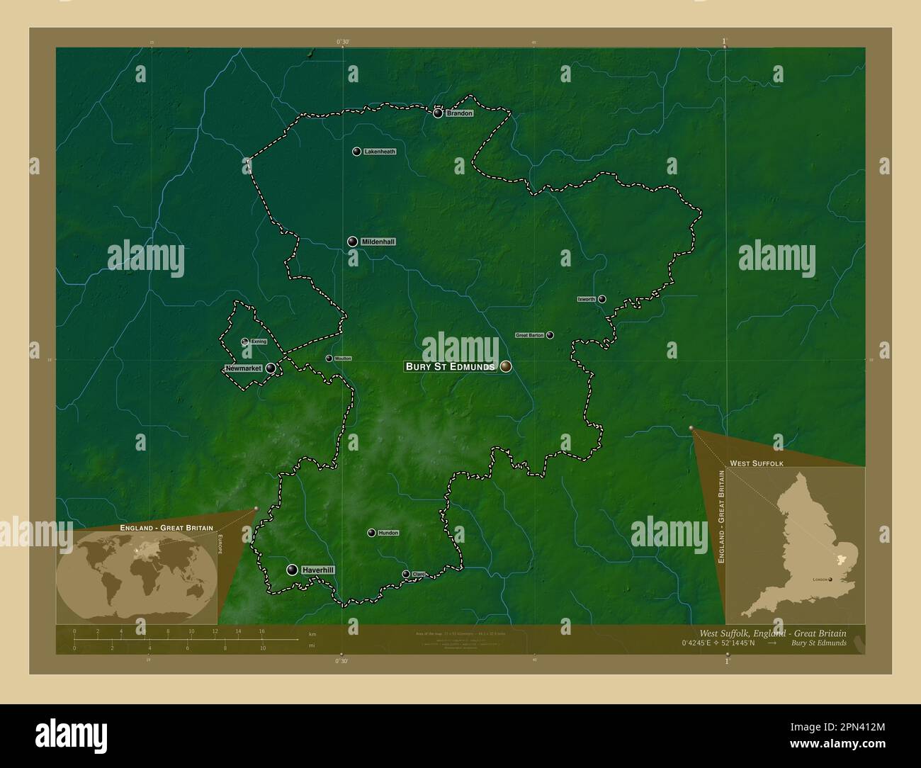 West Suffolk, non metropolitan district of England - Great Britain. Colored elevation map with lakes and rivers. Locations and names of major cities o Stock Photohttps://www.alamy.com/image-license-details/?v=1https://www.alamy.com/west-suffolk-non-metropolitan-district-of-england-great-britain-colored-elevation-map-with-lakes-and-rivers-locations-and-names-of-major-cities-o-image546517852.html
RF2PN412M–West Suffolk, non metropolitan district of England - Great Britain. Colored elevation map with lakes and rivers. Locations and names of major cities o
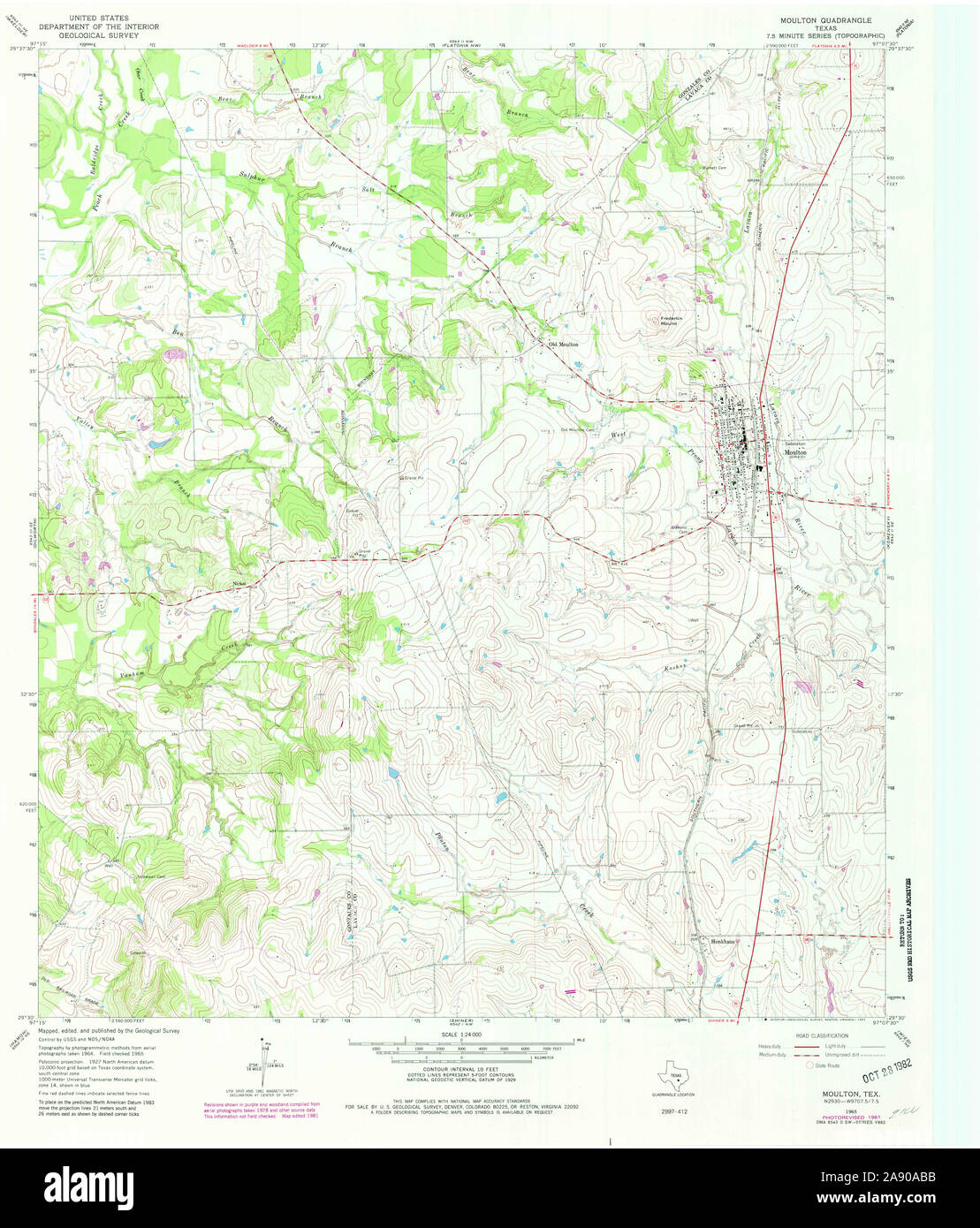 USGS TOPO Map Texas TX Moulton 111196 1965 24000 Restoration Stock Photohttps://www.alamy.com/image-license-details/?v=1https://www.alamy.com/usgs-topo-map-texas-tx-moulton-111196-1965-24000-restoration-image332537055.html
RM2A90ABB–USGS TOPO Map Texas TX Moulton 111196 1965 24000 Restoration
 Moulton, Appanoose County, US, United States, Iowa, N 40 41' 9'', S 92 40' 38'', map, Cartascapes Map published in 2024. Explore Cartascapes, a map revealing Earth's diverse landscapes, cultures, and ecosystems. Journey through time and space, discovering the interconnectedness of our planet's past, present, and future. Stock Photohttps://www.alamy.com/image-license-details/?v=1https://www.alamy.com/moulton-appanoose-county-us-united-states-iowa-n-40-41-9-s-92-40-38-map-cartascapes-map-published-in-2024-explore-cartascapes-a-map-revealing-earths-diverse-landscapes-cultures-and-ecosystems-journey-through-time-and-space-discovering-the-interconnectedness-of-our-planets-past-present-and-future-image620838710.html
RM2Y21J32–Moulton, Appanoose County, US, United States, Iowa, N 40 41' 9'', S 92 40' 38'', map, Cartascapes Map published in 2024. Explore Cartascapes, a map revealing Earth's diverse landscapes, cultures, and ecosystems. Journey through time and space, discovering the interconnectedness of our planet's past, present, and future.
 South Holland, non metropolitan district of England - Great Britain. Low resolution satellite map. Locations of major cities of the region. Corner aux Stock Photohttps://www.alamy.com/image-license-details/?v=1https://www.alamy.com/south-holland-non-metropolitan-district-of-england-great-britain-low-resolution-satellite-map-locations-of-major-cities-of-the-region-corner-aux-image546504112.html
RF2PN3BG0–South Holland, non metropolitan district of England - Great Britain. Low resolution satellite map. Locations of major cities of the region. Corner aux
 USGS TOPO Map Iowa IA Moulton 175204 1979 24000 Inverted Restoration Stock Photohttps://www.alamy.com/image-license-details/?v=1https://www.alamy.com/usgs-topo-map-iowa-ia-moulton-175204-1979-24000-inverted-restoration-image259819400.html
RMW2KP88–USGS TOPO Map Iowa IA Moulton 175204 1979 24000 Inverted Restoration
 Great Moulton, Norfolk, GB, United Kingdom, England, N 52 28' 9'', N 1 11' 44'', map, Cartascapes Map published in 2024. Explore Cartascapes, a map revealing Earth's diverse landscapes, cultures, and ecosystems. Journey through time and space, discovering the interconnectedness of our planet's past, present, and future. Stock Photohttps://www.alamy.com/image-license-details/?v=1https://www.alamy.com/great-moulton-norfolk-gb-united-kingdom-england-n-52-28-9-n-1-11-44-map-cartascapes-map-published-in-2024-explore-cartascapes-a-map-revealing-earths-diverse-landscapes-cultures-and-ecosystems-journey-through-time-and-space-discovering-the-interconnectedness-of-our-planets-past-present-and-future-image604255202.html
RM2X325JX–Great Moulton, Norfolk, GB, United Kingdom, England, N 52 28' 9'', N 1 11' 44'', map, Cartascapes Map published in 2024. Explore Cartascapes, a map revealing Earth's diverse landscapes, cultures, and ecosystems. Journey through time and space, discovering the interconnectedness of our planet's past, present, and future.
 South Holland, non metropolitan district of England - Great Britain. High resolution satellite map. Locations of major cities of the region. Corner au Stock Photohttps://www.alamy.com/image-license-details/?v=1https://www.alamy.com/south-holland-non-metropolitan-district-of-england-great-britain-high-resolution-satellite-map-locations-of-major-cities-of-the-region-corner-au-image546504043.html
RF2PN3BDF–South Holland, non metropolitan district of England - Great Britain. High resolution satellite map. Locations of major cities of the region. Corner au
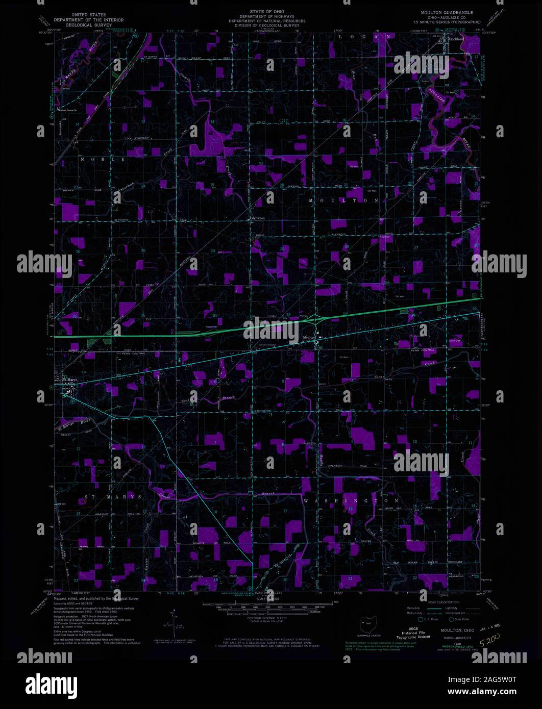 USGS TOPO Map Ohio OH Moulton 227546 1960 24000 Inverted Restoration Stock Photohttps://www.alamy.com/image-license-details/?v=1https://www.alamy.com/usgs-topo-map-ohio-oh-moulton-227546-1960-24000-inverted-restoration-image336960872.html
RM2AG5W0T–USGS TOPO Map Ohio OH Moulton 227546 1960 24000 Inverted Restoration
 Moulton, Appanoose County, US, United States, Iowa, N 40 41' 9'', S 92 40' 38'', map, Cartascapes Map published in 2024. Explore Cartascapes, a map revealing Earth's diverse landscapes, cultures, and ecosystems. Journey through time and space, discovering the interconnectedness of our planet's past, present, and future. Stock Photohttps://www.alamy.com/image-license-details/?v=1https://www.alamy.com/moulton-appanoose-county-us-united-states-iowa-n-40-41-9-s-92-40-38-map-cartascapes-map-published-in-2024-explore-cartascapes-a-map-revealing-earths-diverse-landscapes-cultures-and-ecosystems-journey-through-time-and-space-discovering-the-interconnectedness-of-our-planets-past-present-and-future-image620678177.html
RM2Y1P99N–Moulton, Appanoose County, US, United States, Iowa, N 40 41' 9'', S 92 40' 38'', map, Cartascapes Map published in 2024. Explore Cartascapes, a map revealing Earth's diverse landscapes, cultures, and ecosystems. Journey through time and space, discovering the interconnectedness of our planet's past, present, and future.
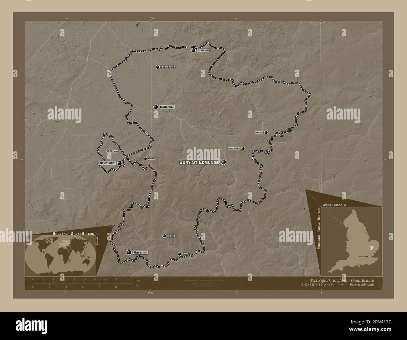 West Suffolk, non metropolitan district of England - Great Britain. Elevation map colored in sepia tones with lakes and rivers. Locations and names of Stock Photohttps://www.alamy.com/image-license-details/?v=1https://www.alamy.com/west-suffolk-non-metropolitan-district-of-england-great-britain-elevation-map-colored-in-sepia-tones-with-lakes-and-rivers-locations-and-names-of-image546517872.html
RF2PN413C–West Suffolk, non metropolitan district of England - Great Britain. Elevation map colored in sepia tones with lakes and rivers. Locations and names of