Quick filters:
Mudug Stock Photos and Images
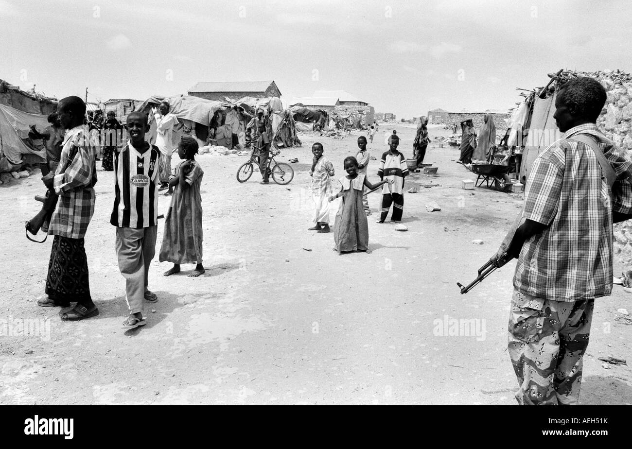 Somali displaced camp Stock Photohttps://www.alamy.com/image-license-details/?v=1https://www.alamy.com/stock-photo-somali-displaced-camp-13684062.html
RMAEH51K–Somali displaced camp
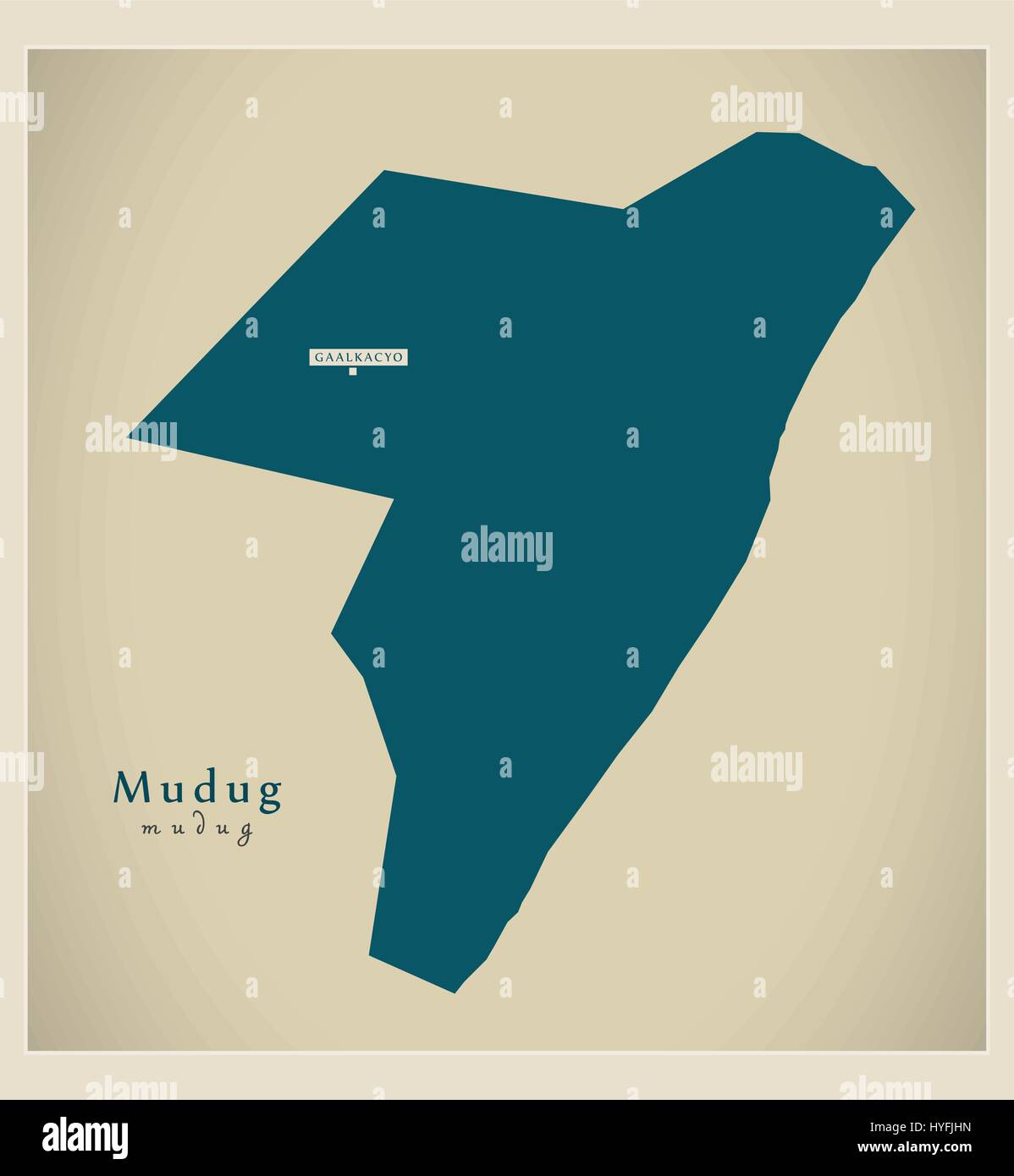 Modern Map - Mudug SO Stock Vectorhttps://www.alamy.com/image-license-details/?v=1https://www.alamy.com/stock-photo-modern-map-mudug-so-137412177.html
RFHYFJHN–Modern Map - Mudug SO
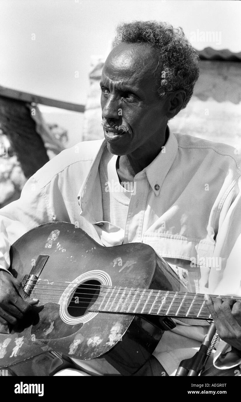 Somali guitar man Stock Photohttps://www.alamy.com/image-license-details/?v=1https://www.alamy.com/stock-photo-somali-guitar-man-13680695.html
RMAEGR0T–Somali guitar man
 Mudug map of Somalia grey illustration shape Stock Vectorhttps://www.alamy.com/image-license-details/?v=1https://www.alamy.com/stock-photo-mudug-map-of-somalia-grey-illustration-shape-176601532.html
RFM78W1G–Mudug map of Somalia grey illustration shape
 Water Tower Galkayo Stock Photohttps://www.alamy.com/image-license-details/?v=1https://www.alamy.com/stock-photo-water-tower-galkayo-13667804.html
RMAEFCJN–Water Tower Galkayo
 Mudug region watercolor map of Somalia Stock Photohttps://www.alamy.com/image-license-details/?v=1https://www.alamy.com/mudug-region-watercolor-map-of-somalia-image342743133.html
RF2AWH8A5–Mudug region watercolor map of Somalia
 Mudug, region of Somalia. Solid color shape Stock Photohttps://www.alamy.com/image-license-details/?v=1https://www.alamy.com/mudug-region-of-somalia-solid-color-shape-image530751589.html
RF2NRDR1W–Mudug, region of Somalia. Solid color shape
 The book of antelopes . 20 miles. Travelling eastward from Hodayu they gradually appeared to grow less plentiful,and the last record I have of having seen one was about 150 miles from Hodayu.After this I saw no more until between Dagha Dalola and Mudug, about 130 milesfrom tbe former, in the Mijourten country. Here I was surprised to find them again veryplenti ul for three days, and I saw a few on the following three days, after which theyagain ceased. A week afterwards I found them again plentiful in the Marehan country,gradually diminishing in numbers as we travelled south; the last I saw wa Stock Photohttps://www.alamy.com/image-license-details/?v=1https://www.alamy.com/the-book-of-antelopes-20-miles-travelling-eastward-from-hodayu-they-gradually-appeared-to-grow-less-plentifuland-the-last-record-i-have-of-having-seen-one-was-about-150-miles-from-hodayuafter-this-i-saw-no-more-until-between-dagha-dalola-and-mudug-about-130-milesfrom-tbe-former-in-the-mijourten-country-here-i-was-surprised-to-find-them-again-veryplenti-ul-for-three-days-and-i-saw-a-few-on-the-following-three-days-after-which-theyagain-ceased-a-week-afterwards-i-found-them-again-plentiful-in-the-marehan-countrygradually-diminishing-in-numbers-as-we-travelled-south-the-last-i-saw-wa-image339193168.html
RM2AKRG9M–The book of antelopes . 20 miles. Travelling eastward from Hodayu they gradually appeared to grow less plentiful,and the last record I have of having seen one was about 150 miles from Hodayu.After this I saw no more until between Dagha Dalola and Mudug, about 130 milesfrom tbe former, in the Mijourten country. Here I was surprised to find them again veryplenti ul for three days, and I saw a few on the following three days, after which theyagain ceased. A week afterwards I found them again plentiful in the Marehan country,gradually diminishing in numbers as we travelled south; the last I saw wa
 National Flag of Somalia, Somalia sign, Somalia Flag Stock Vectorhttps://www.alamy.com/image-license-details/?v=1https://www.alamy.com/national-flag-of-somalia-somalia-sign-somalia-flag-image605108364.html
RF2X4D1W0–National Flag of Somalia, Somalia sign, Somalia Flag
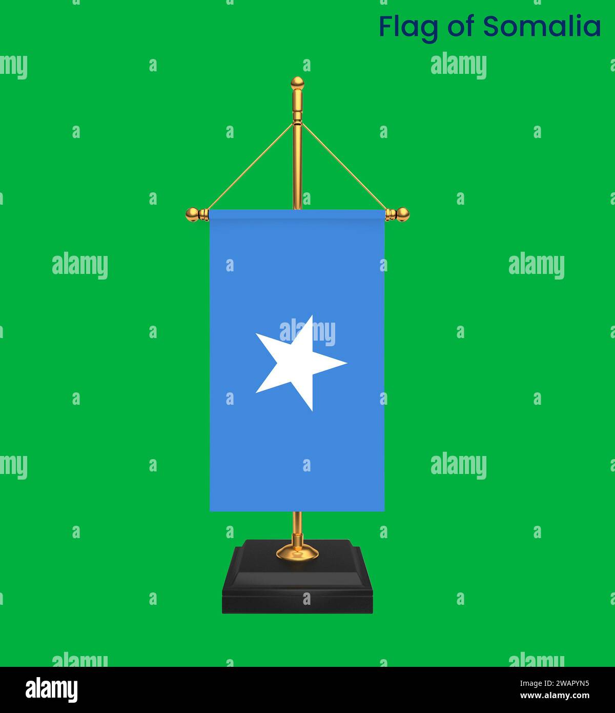 High detailed flag of Somalia. National Somalia flag. Africa. 3D illustration. Stock Photohttps://www.alamy.com/image-license-details/?v=1https://www.alamy.com/high-detailed-flag-of-somalia-national-somalia-flag-africa-3d-illustration-image591803777.html
RF2WAPYN5–High detailed flag of Somalia. National Somalia flag. Africa. 3D illustration.
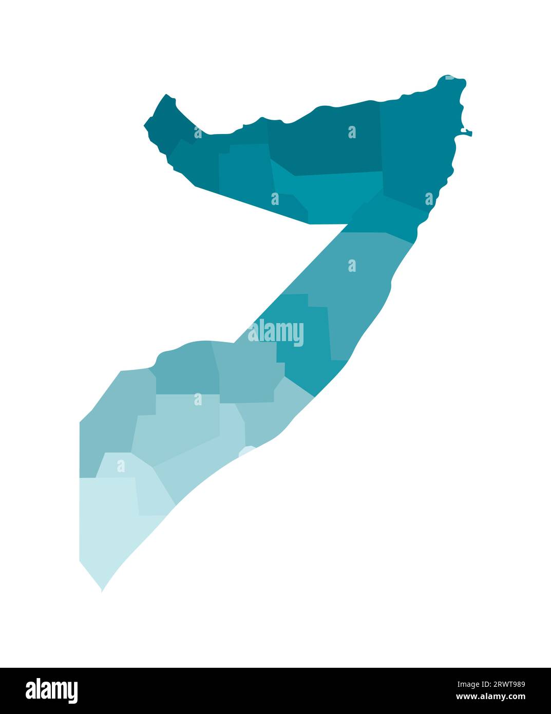 Vector isolated illustration of simplified administrative map of Somalia. Borders of the regions. Colorful blue khaki silhouettes. Stock Vectorhttps://www.alamy.com/image-license-details/?v=1https://www.alamy.com/vector-isolated-illustration-of-simplified-administrative-map-of-somalia-borders-of-the-regions-colorful-blue-khaki-silhouettes-image566632313.html
RF2RWT989–Vector isolated illustration of simplified administrative map of Somalia. Borders of the regions. Colorful blue khaki silhouettes.
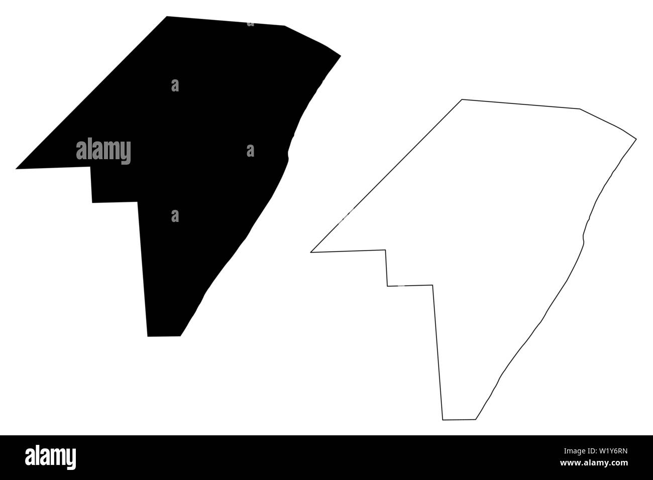 Mudug region (Federal Republic of Somalia, Horn of Africa) map vector illustration, scribble sketch Mudug map Stock Vectorhttps://www.alamy.com/image-license-details/?v=1https://www.alamy.com/mudug-region-federal-republic-of-somalia-horn-of-africa-map-vector-illustration-scribble-sketch-mudug-map-image259368249.html
RFW1Y6RN–Mudug region (Federal Republic of Somalia, Horn of Africa) map vector illustration, scribble sketch Mudug map
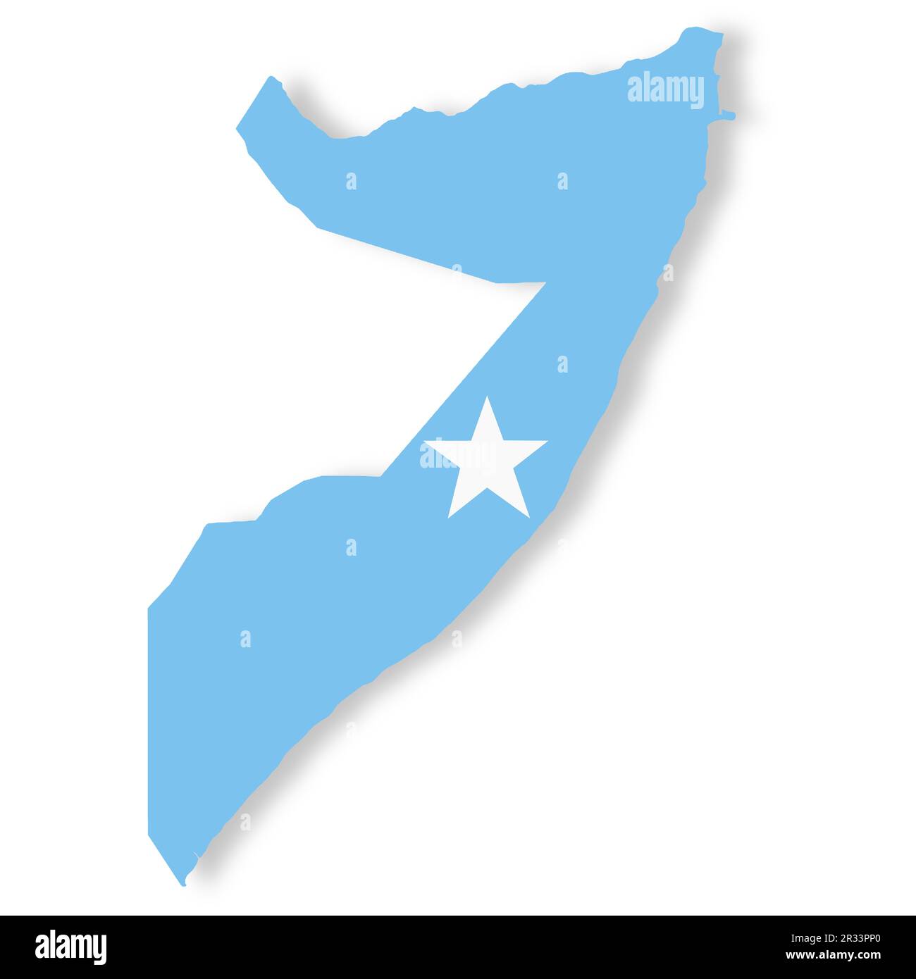 Somalia flag map with clipping path 3d illustration Stock Photohttps://www.alamy.com/image-license-details/?v=1https://www.alamy.com/somalia-flag-map-with-clipping-path-3d-illustration-image552659464.html
RF2R33PP0–Somalia flag map with clipping path 3d illustration
 Somali food aid Stock Photohttps://www.alamy.com/image-license-details/?v=1https://www.alamy.com/stock-photo-somali-food-aid-13667618.html
RMAEFC2Y–Somali food aid
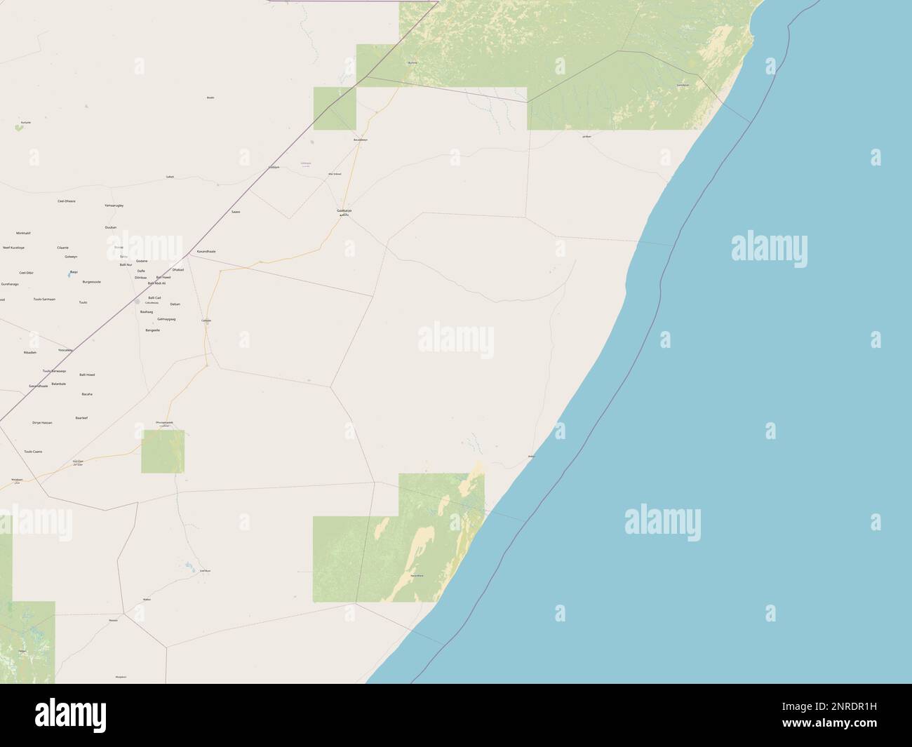 Mudug, region of Somalia. Open Street Map Stock Photohttps://www.alamy.com/image-license-details/?v=1https://www.alamy.com/mudug-region-of-somalia-open-street-map-image530751581.html
RF2NRDR1H–Mudug, region of Somalia. Open Street Map
 High detailed flag of Somalia. National Somalia flag. Africa. 3D illustration. Stock Vectorhttps://www.alamy.com/image-license-details/?v=1https://www.alamy.com/high-detailed-flag-of-somalia-national-somalia-flag-africa-3d-illustration-image591803815.html
RF2WAPYPF–High detailed flag of Somalia. National Somalia flag. Africa. 3D illustration.
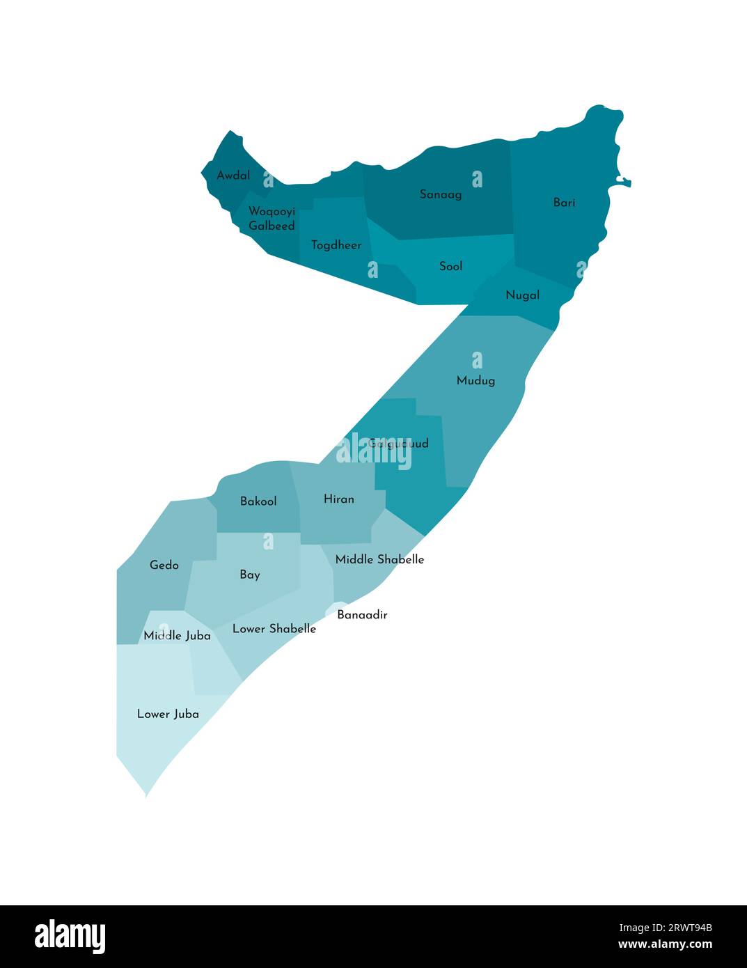 Vector isolated illustration of simplified administrative map of Somalia. Borders and names of the regions. Colorful blue khaki silhouettes Stock Vectorhttps://www.alamy.com/image-license-details/?v=1https://www.alamy.com/vector-isolated-illustration-of-simplified-administrative-map-of-somalia-borders-and-names-of-the-regions-colorful-blue-khaki-silhouettes-image566632203.html
RF2RWT94B–Vector isolated illustration of simplified administrative map of Somalia. Borders and names of the regions. Colorful blue khaki silhouettes
 Mudug region (Federal Republic of Somalia, Horn of Africa) map vector illustration, scribble sketch Mudug map Stock Vectorhttps://www.alamy.com/image-license-details/?v=1https://www.alamy.com/mudug-region-federal-republic-of-somalia-horn-of-africa-map-vector-illustration-scribble-sketch-mudug-map-image264207272.html
RFW9RK20–Mudug region (Federal Republic of Somalia, Horn of Africa) map vector illustration, scribble sketch Mudug map
 Somali food aid Stock Photohttps://www.alamy.com/image-license-details/?v=1https://www.alamy.com/stock-photo-somali-food-aid-13684745.html
RMAEH72J–Somali food aid
 Mudug, region of Somalia. Low resolution satellite map Stock Photohttps://www.alamy.com/image-license-details/?v=1https://www.alamy.com/mudug-region-of-somalia-low-resolution-satellite-map-image530751578.html
RF2NRDR1E–Mudug, region of Somalia. Low resolution satellite map
 High detailed flag of Somalia. National Somalia flag. Africa. 3D illustration. Stock Vectorhttps://www.alamy.com/image-license-details/?v=1https://www.alamy.com/high-detailed-flag-of-somalia-national-somalia-flag-africa-3d-illustration-image591803984.html
RF2WAR00G–High detailed flag of Somalia. National Somalia flag. Africa. 3D illustration.
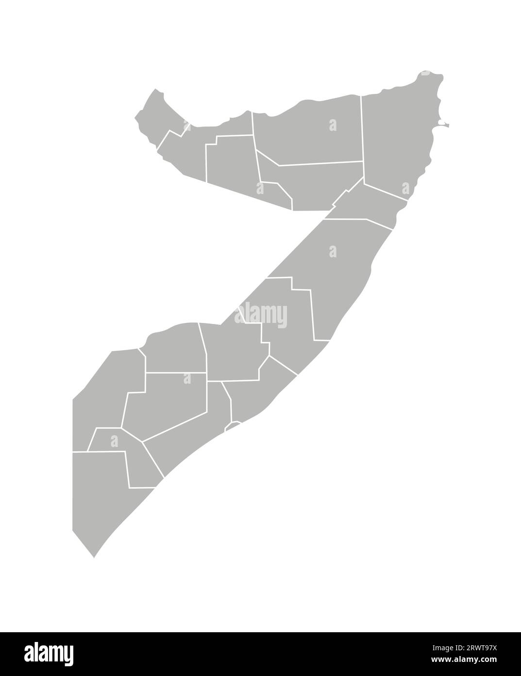 Vector isolated illustration of simplified administrative map of Somalia. Borders of the regions. Grey silhouettes. White outline. Stock Vectorhttps://www.alamy.com/image-license-details/?v=1https://www.alamy.com/vector-isolated-illustration-of-simplified-administrative-map-of-somalia-borders-of-the-regions-grey-silhouettes-white-outline-image566632302.html
RF2RWT97X–Vector isolated illustration of simplified administrative map of Somalia. Borders of the regions. Grey silhouettes. White outline.
 Mudug region (Federal Republic of Somalia, Horn of Africa) map vector illustration, scribble sketch Mudug map Stock Vectorhttps://www.alamy.com/image-license-details/?v=1https://www.alamy.com/mudug-region-federal-republic-of-somalia-horn-of-africa-map-vector-illustration-scribble-sketch-mudug-map-image262488536.html
RFW71APG–Mudug region (Federal Republic of Somalia, Horn of Africa) map vector illustration, scribble sketch Mudug map
 Somali woman Galkayo Stock Photohttps://www.alamy.com/image-license-details/?v=1https://www.alamy.com/stock-photo-somali-woman-galkayo-13681289.html
RMAEGTPJ–Somali woman Galkayo
 Mudug, region of Somalia Mainland. Open Street Map Stock Photohttps://www.alamy.com/image-license-details/?v=1https://www.alamy.com/mudug-region-of-somalia-mainland-open-street-map-image530760889.html
RF2NRE6X1–Mudug, region of Somalia Mainland. Open Street Map
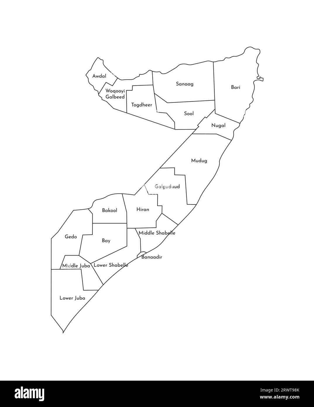 Vector isolated illustration of simplified administrative map of Somalia. Borders and names of the regions. Black line silhouettes. Stock Vectorhttps://www.alamy.com/image-license-details/?v=1https://www.alamy.com/vector-isolated-illustration-of-simplified-administrative-map-of-somalia-borders-and-names-of-the-regions-black-line-silhouettes-image566632323.html
RF2RWT98K–Vector isolated illustration of simplified administrative map of Somalia. Borders and names of the regions. Black line silhouettes.
 Galkayo City (Federal Republic of Somalia, Mudug Region) map vector illustration, scribble sketch City of Gallacaio or Rocca Littorio map Stock Vectorhttps://www.alamy.com/image-license-details/?v=1https://www.alamy.com/galkayo-city-federal-republic-of-somalia-mudug-region-map-vector-illustration-scribble-sketch-city-of-gallacaio-or-rocca-littorio-map-image385119639.html
RF2DAFM0R–Galkayo City (Federal Republic of Somalia, Mudug Region) map vector illustration, scribble sketch City of Gallacaio or Rocca Littorio map
 Somali hospital patient Galkayo Stock Photohttps://www.alamy.com/image-license-details/?v=1https://www.alamy.com/stock-photo-somali-hospital-patient-galkayo-13667605.html
RMAEFC1X–Somali hospital patient Galkayo
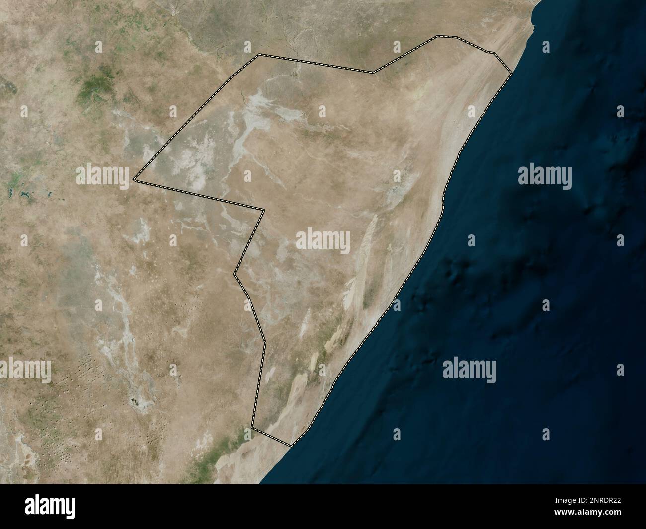 Mudug, region of Somalia. High resolution satellite map Stock Photohttps://www.alamy.com/image-license-details/?v=1https://www.alamy.com/mudug-region-of-somalia-high-resolution-satellite-map-image530751594.html
RF2NRDR22–Mudug, region of Somalia. High resolution satellite map
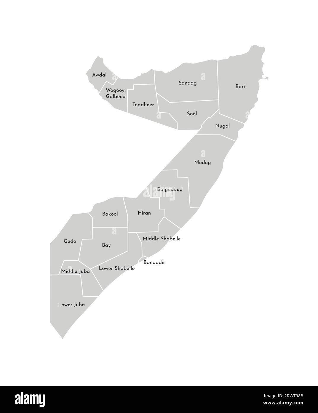 Vector isolated illustration of simplified administrative map of Somalia. Borders and names of the regions. Grey silhouettes. White outline. Stock Vectorhttps://www.alamy.com/image-license-details/?v=1https://www.alamy.com/vector-isolated-illustration-of-simplified-administrative-map-of-somalia-borders-and-names-of-the-regions-grey-silhouettes-white-outline-image566632315.html
RF2RWT98B–Vector isolated illustration of simplified administrative map of Somalia. Borders and names of the regions. Grey silhouettes. White outline.
 Galkayo City (Federal Republic of Somalia, Mudug Region) map vector illustration, scribble sketch City of Gallacaio or Rocca Littorio map Stock Vectorhttps://www.alamy.com/image-license-details/?v=1https://www.alamy.com/galkayo-city-federal-republic-of-somalia-mudug-region-map-vector-illustration-scribble-sketch-city-of-gallacaio-or-rocca-littorio-map-image383663119.html
RF2D85A67–Galkayo City (Federal Republic of Somalia, Mudug Region) map vector illustration, scribble sketch City of Gallacaio or Rocca Littorio map
 Somali displaced camp Stock Photohttps://www.alamy.com/image-license-details/?v=1https://www.alamy.com/stock-photo-somali-displaced-camp-13667554.html
RMAEFBWR–Somali displaced camp
 Mudug, region of Somalia Mainland. Solid color shape Stock Photohttps://www.alamy.com/image-license-details/?v=1https://www.alamy.com/mudug-region-of-somalia-mainland-solid-color-shape-image530760845.html
RF2NRE6TD–Mudug, region of Somalia Mainland. Solid color shape
 Galkayo City (Federal Republic of Somalia, Mudug Region) map vector illustration, scribble sketch City of Gallacaio or Rocca Littorio map Stock Vectorhttps://www.alamy.com/image-license-details/?v=1https://www.alamy.com/galkayo-city-federal-republic-of-somalia-mudug-region-map-vector-illustration-scribble-sketch-city-of-gallacaio-or-rocca-littorio-map-image376691898.html
RF2CTRPA2–Galkayo City (Federal Republic of Somalia, Mudug Region) map vector illustration, scribble sketch City of Gallacaio or Rocca Littorio map
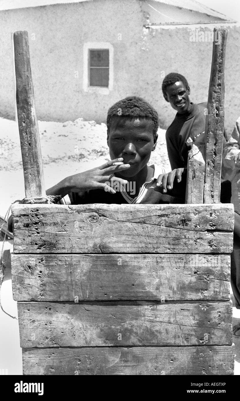 Somali teenage barrow boy Stock Photohttps://www.alamy.com/image-license-details/?v=1https://www.alamy.com/stock-photo-somali-teenage-barrow-boy-13681341.html
RMAEGTXP–Somali teenage barrow boy
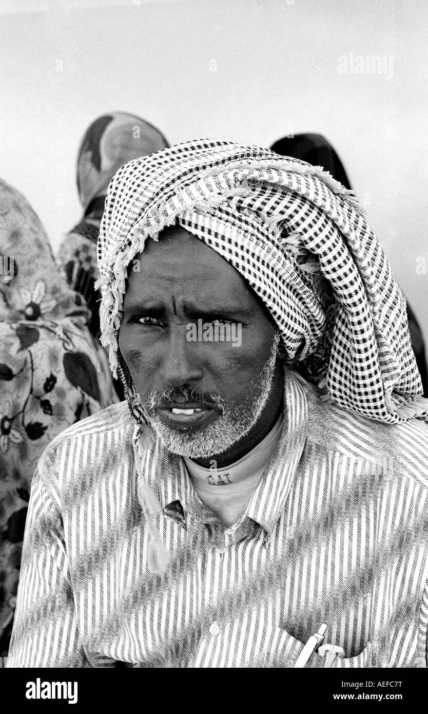 Somali man Stock Photohttps://www.alamy.com/image-license-details/?v=1https://www.alamy.com/stock-photo-somali-man-13667675.html
RMAEFC7T–Somali man
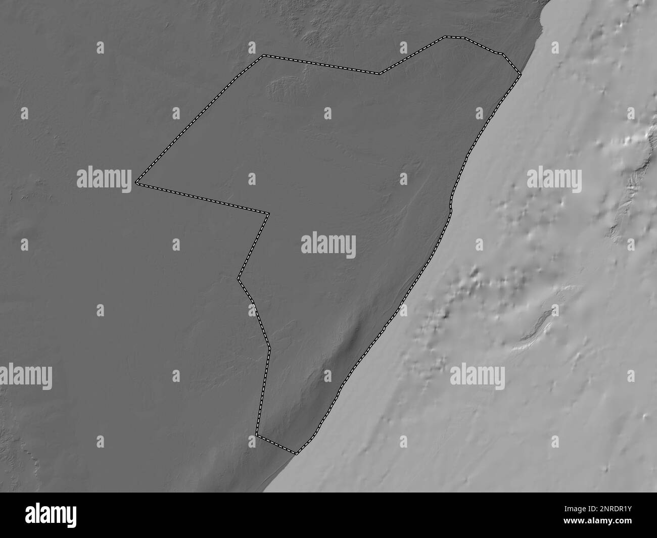 Mudug, region of Somalia. Bilevel elevation map with lakes and rivers Stock Photohttps://www.alamy.com/image-license-details/?v=1https://www.alamy.com/mudug-region-of-somalia-bilevel-elevation-map-with-lakes-and-rivers-image530751591.html
RF2NRDR1Y–Mudug, region of Somalia. Bilevel elevation map with lakes and rivers
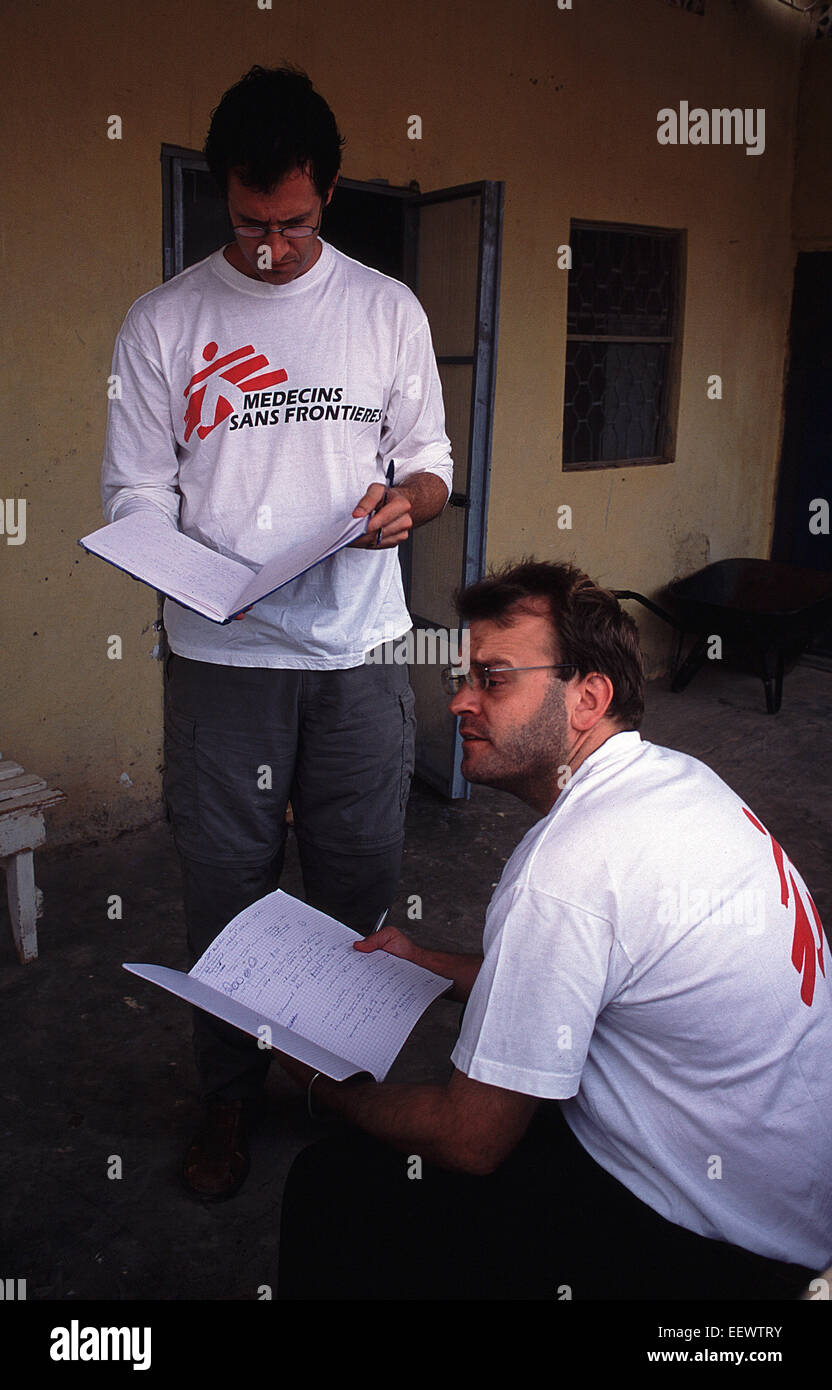 Morning briefing by MSF Canada in Galkayo Somalia Stock Photohttps://www.alamy.com/image-license-details/?v=1https://www.alamy.com/stock-photo-morning-briefing-by-msf-canada-in-galkayo-somalia-78014943.html
RMEEWTRY–Morning briefing by MSF Canada in Galkayo Somalia
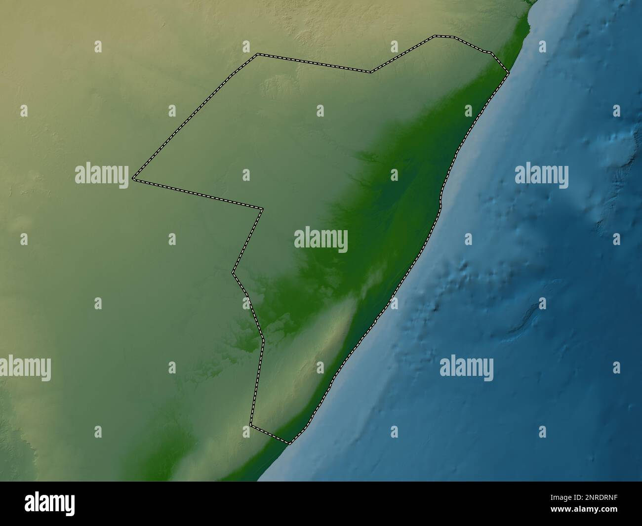 Mudug, region of Somalia. Colored elevation map with lakes and rivers Stock Photohttps://www.alamy.com/image-license-details/?v=1https://www.alamy.com/mudug-region-of-somalia-colored-elevation-map-with-lakes-and-rivers-image530752139.html
RF2NRDRNF–Mudug, region of Somalia. Colored elevation map with lakes and rivers
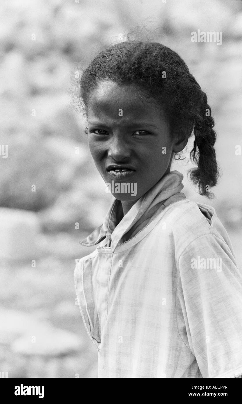 Somali girl Stock Photohttps://www.alamy.com/image-license-details/?v=1https://www.alamy.com/stock-photo-somali-girl-13680622.html
RMAEGPPR–Somali girl
 Mudug, region of Somalia. Grayscale elevation map with lakes and rivers Stock Photohttps://www.alamy.com/image-license-details/?v=1https://www.alamy.com/mudug-region-of-somalia-grayscale-elevation-map-with-lakes-and-rivers-image530751599.html
RF2NRDR27–Mudug, region of Somalia. Grayscale elevation map with lakes and rivers
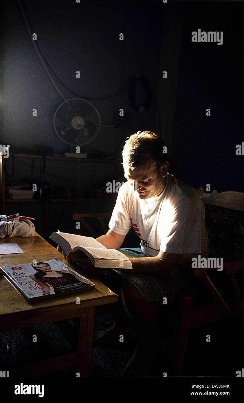 MSF technician catches up on some reading in the early morning in Galkayo Somalia Stock Photohttps://www.alamy.com/image-license-details/?v=1https://www.alamy.com/msf-technician-catches-up-on-some-reading-in-the-early-morning-in-image67068643.html
RMDW36MK–MSF technician catches up on some reading in the early morning in Galkayo Somalia
 Mudug, region of Somalia Mainland. High resolution satellite map Stock Photohttps://www.alamy.com/image-license-details/?v=1https://www.alamy.com/mudug-region-of-somalia-mainland-high-resolution-satellite-map-image530760878.html
RF2NRE6WJ–Mudug, region of Somalia Mainland. High resolution satellite map
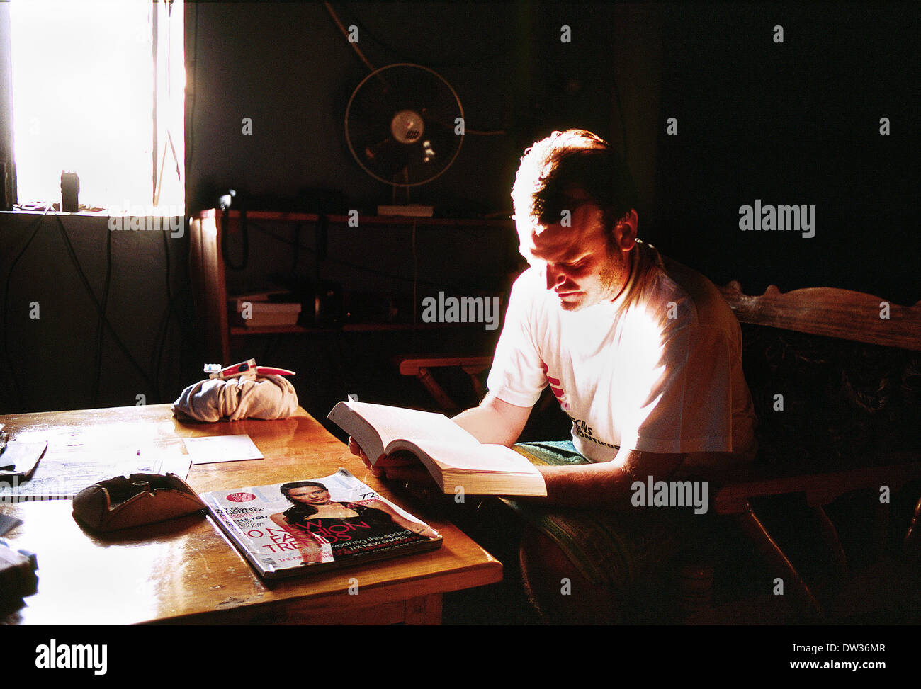 Aid worker enjoys early morning reading time in Galkayo Somalia 2007 Stock Photohttps://www.alamy.com/image-license-details/?v=1https://www.alamy.com/aid-worker-enjoys-early-morning-reading-time-in-galkayo-somalia-2007-image67068647.html
RMDW36MR–Aid worker enjoys early morning reading time in Galkayo Somalia 2007
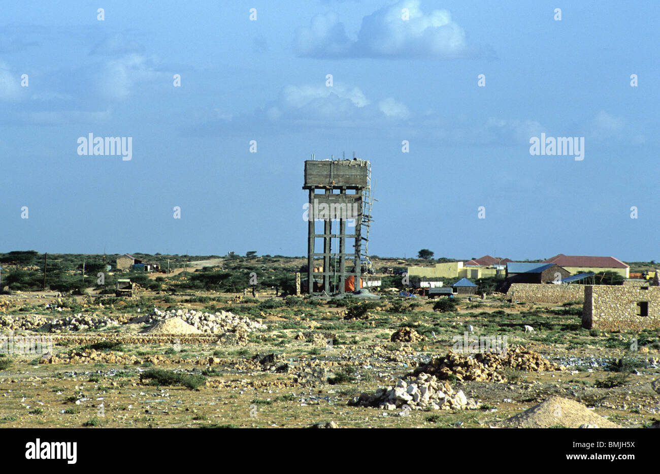 Water tower in Galkayo Somalia Stock Photohttps://www.alamy.com/image-license-details/?v=1https://www.alamy.com/stock-photo-water-tower-in-galkayo-somalia-29912118.html
RMBMJH5X–Water tower in Galkayo Somalia
 Somali hospital guard Galkayo Stock Photohttps://www.alamy.com/image-license-details/?v=1https://www.alamy.com/stock-photo-somali-hospital-guard-galkayo-13667598.html
RMAEFC1K–Somali hospital guard Galkayo
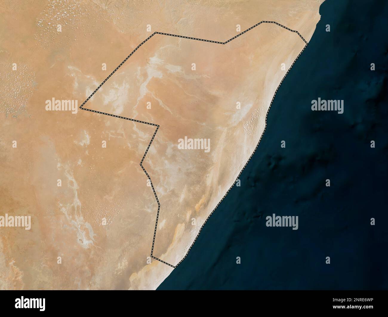 Mudug, region of Somalia Mainland. Low resolution satellite map Stock Photohttps://www.alamy.com/image-license-details/?v=1https://www.alamy.com/mudug-region-of-somalia-mainland-low-resolution-satellite-map-image530760882.html
RF2NRE6WP–Mudug, region of Somalia Mainland. Low resolution satellite map
 Somali Guitar man Stock Photohttps://www.alamy.com/image-license-details/?v=1https://www.alamy.com/stock-photo-somali-guitar-man-13680232.html
RMAEGNJH–Somali Guitar man
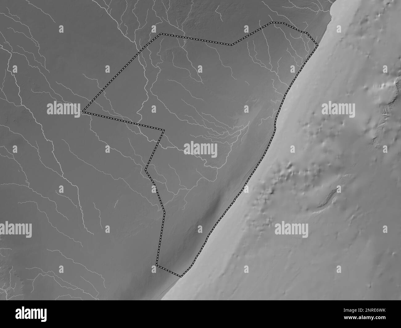 Mudug, region of Somalia Mainland. Grayscale elevation map with lakes and rivers Stock Photohttps://www.alamy.com/image-license-details/?v=1https://www.alamy.com/mudug-region-of-somalia-mainland-grayscale-elevation-map-with-lakes-and-rivers-image530760879.html
RF2NRE6WK–Mudug, region of Somalia Mainland. Grayscale elevation map with lakes and rivers
 Somali woman Stock Photohttps://www.alamy.com/image-license-details/?v=1https://www.alamy.com/stock-photo-somali-woman-13667760.html
RMAEFCEW–Somali woman
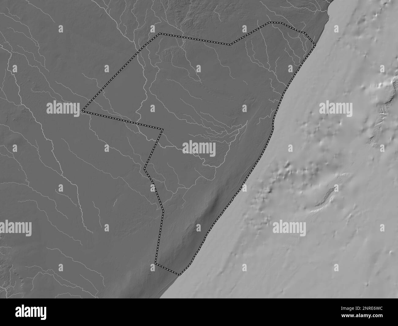 Mudug, region of Somalia Mainland. Bilevel elevation map with lakes and rivers Stock Photohttps://www.alamy.com/image-license-details/?v=1https://www.alamy.com/mudug-region-of-somalia-mainland-bilevel-elevation-map-with-lakes-and-rivers-image530760872.html
RF2NRE6WC–Mudug, region of Somalia Mainland. Bilevel elevation map with lakes and rivers
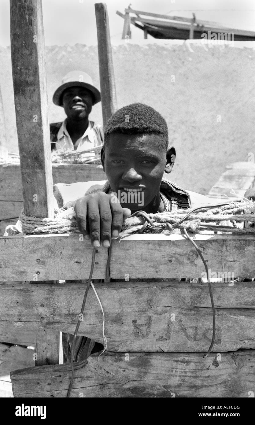 Somali barrow boy Stock Photohttps://www.alamy.com/image-license-details/?v=1https://www.alamy.com/stock-photo-somali-barrow-boy-13667739.html
RMAEFCDG–Somali barrow boy
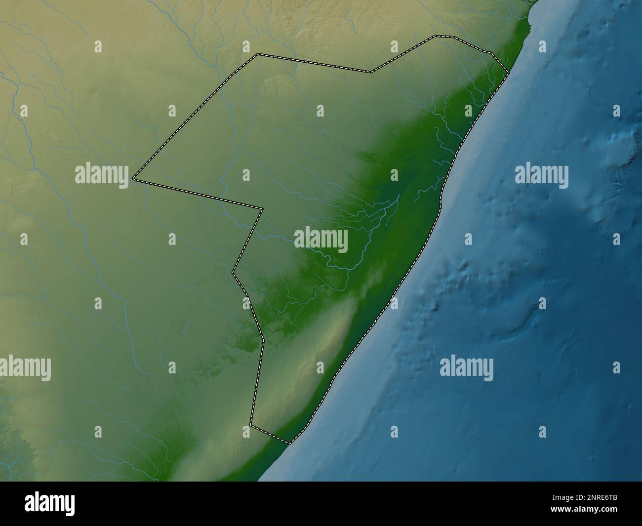 Mudug, region of Somalia Mainland. Colored elevation map with lakes and rivers Stock Photohttps://www.alamy.com/image-license-details/?v=1https://www.alamy.com/mudug-region-of-somalia-mainland-colored-elevation-map-with-lakes-and-rivers-image530760843.html
RF2NRE6TB–Mudug, region of Somalia Mainland. Colored elevation map with lakes and rivers
 Somali Meat market in Galkayo Stock Photohttps://www.alamy.com/image-license-details/?v=1https://www.alamy.com/stock-photo-somali-meat-market-in-galkayo-13667612.html
RMAEFC2N–Somali Meat market in Galkayo
 Morning briefing by MSF in Galkayo in Somalia 2006 Stock Photohttps://www.alamy.com/image-license-details/?v=1https://www.alamy.com/stock-photo-morning-briefing-by-msf-in-galkayo-in-somalia-2006-78014951.html
RMEEWTT7–Morning briefing by MSF in Galkayo in Somalia 2006
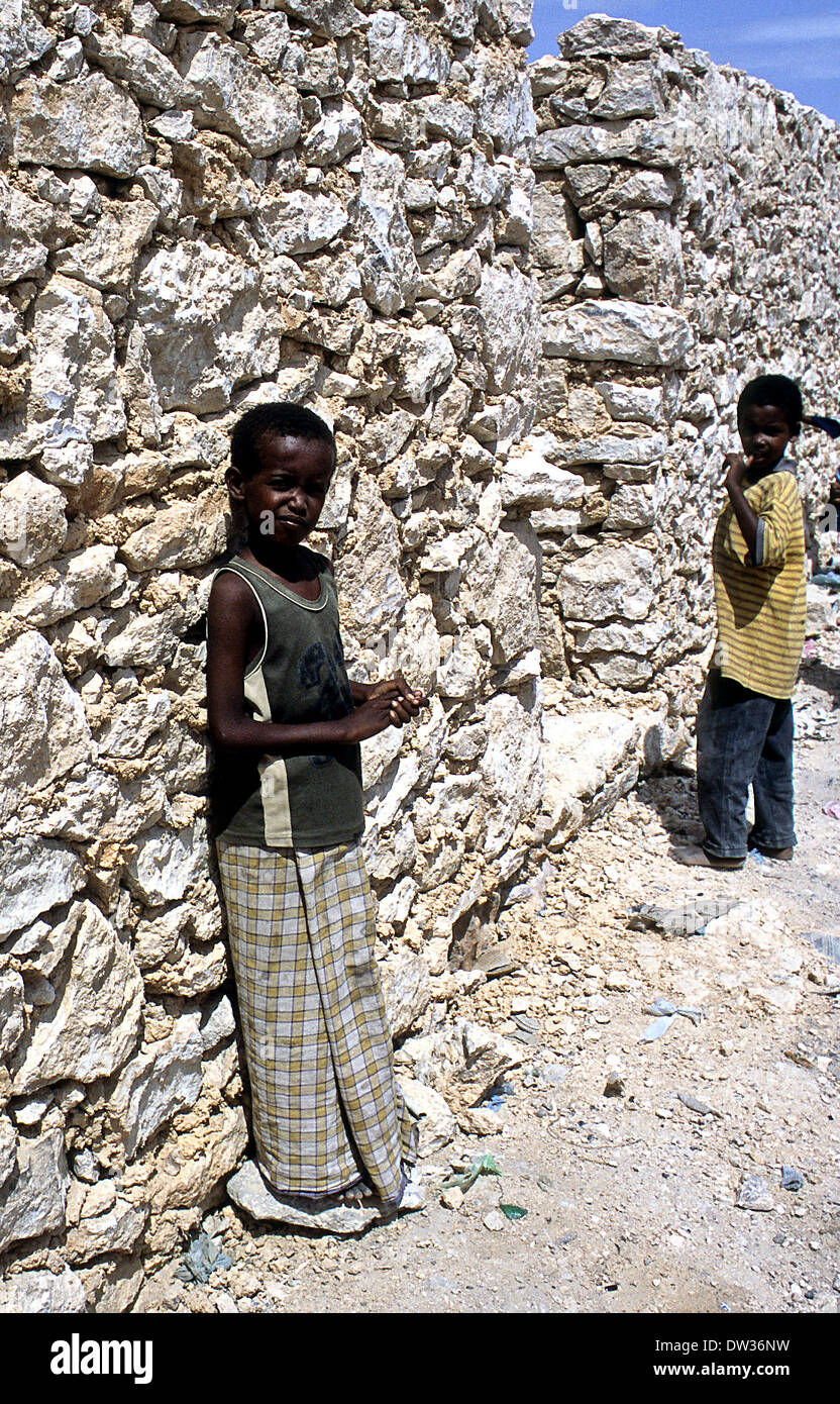 children in the streets of Galkayo Somalia Stock Photohttps://www.alamy.com/image-license-details/?v=1https://www.alamy.com/children-in-the-streets-of-galkayo-somalia-image67068677.html
RMDW36NW–children in the streets of Galkayo Somalia
 Mudug, region of Somalia. Open Street Map. Corner auxiliary location maps Stock Photohttps://www.alamy.com/image-license-details/?v=1https://www.alamy.com/mudug-region-of-somalia-open-street-map-corner-auxiliary-location-maps-image528165497.html
RF2NK80DD–Mudug, region of Somalia. Open Street Map. Corner auxiliary location maps
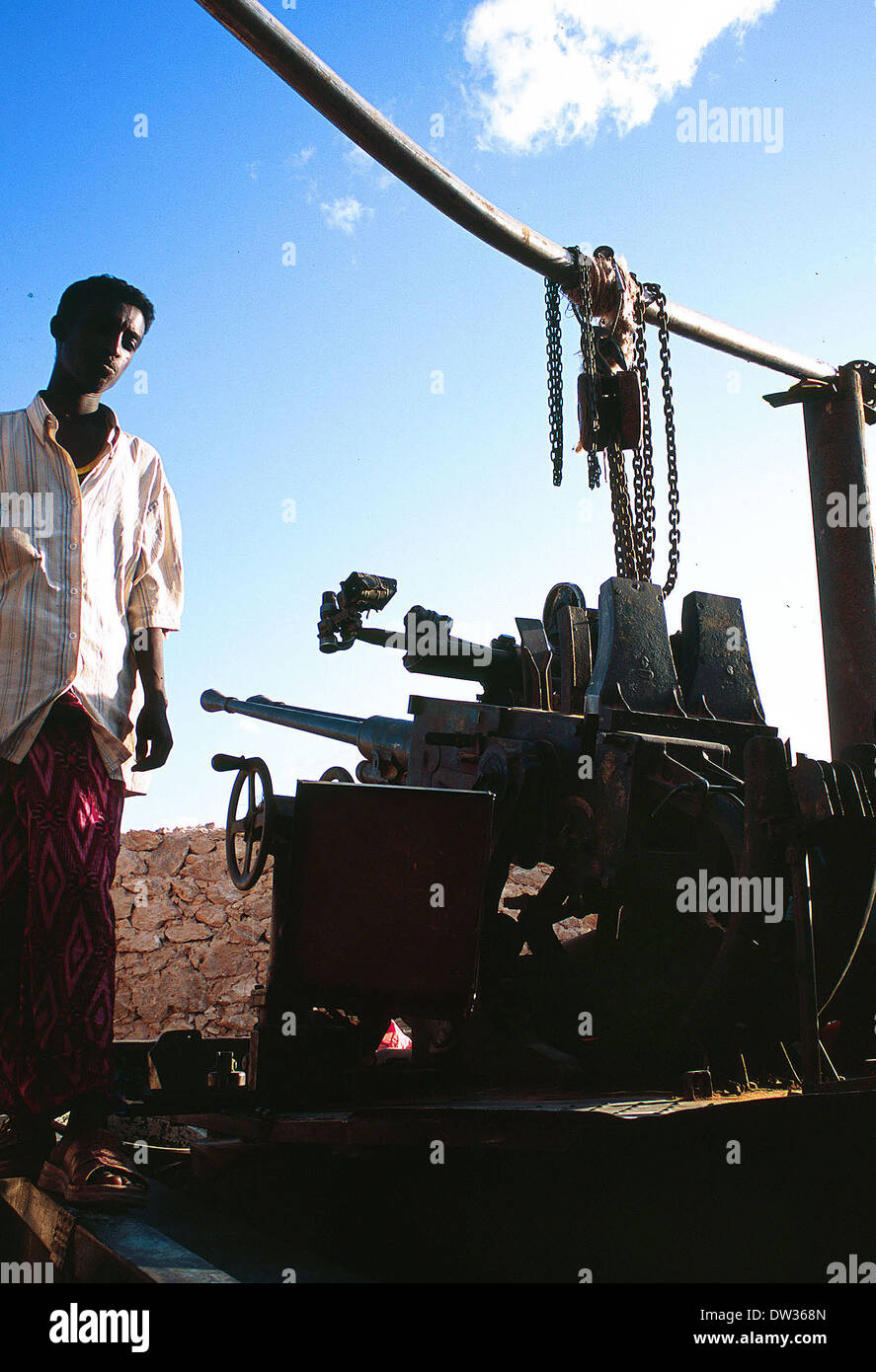 Somali Clan anti aircraft gun fixed to a flatbed lorry in Galkayo Somalia Stock Photohttps://www.alamy.com/image-license-details/?v=1https://www.alamy.com/somali-clan-anti-aircraft-gun-fixed-to-a-flatbed-lorry-in-galkayo-image67068309.html
RMDW368N–Somali Clan anti aircraft gun fixed to a flatbed lorry in Galkayo Somalia
 MSF aid workers tending to patients at the Galkayo Hospital in Somalia 2005 Stock Photohttps://www.alamy.com/image-license-details/?v=1https://www.alamy.com/msf-aid-workers-tending-to-patients-at-the-galkayo-hospital-in-somalia-2005-image363522201.html
RM2C3BT7N–MSF aid workers tending to patients at the Galkayo Hospital in Somalia 2005
 Mudug, region of Somalia. Solid color shape. Corner auxiliary location maps Stock Photohttps://www.alamy.com/image-license-details/?v=1https://www.alamy.com/mudug-region-of-somalia-solid-color-shape-corner-auxiliary-location-maps-image528165480.html
RF2NK80CT–Mudug, region of Somalia. Solid color shape. Corner auxiliary location maps
 MSF Nurse treating baby in Galkayo hospital in Somalia 2005 Stock Photohttps://www.alamy.com/image-license-details/?v=1https://www.alamy.com/msf-nurse-treating-baby-in-galkayo-hospital-in-somalia-2005-image363522115.html
RM2C3BT4K–MSF Nurse treating baby in Galkayo hospital in Somalia 2005
 Mudug, region of Somalia. High resolution satellite map. Corner auxiliary location maps Stock Photohttps://www.alamy.com/image-license-details/?v=1https://www.alamy.com/mudug-region-of-somalia-high-resolution-satellite-map-corner-auxiliary-location-maps-image528165482.html
RF2NK80CX–Mudug, region of Somalia. High resolution satellite map. Corner auxiliary location maps
 Woman lying on hospital floor in Galkayo Somalia 2005 Stock Photohttps://www.alamy.com/image-license-details/?v=1https://www.alamy.com/woman-lying-on-hospital-floor-in-galkayo-somalia-2005-image363522279.html
RM2C3BTAF–Woman lying on hospital floor in Galkayo Somalia 2005
 market traders in galkayo in Somalia circa 2006 Stock Photohttps://www.alamy.com/image-license-details/?v=1https://www.alamy.com/stock-photo-market-traders-in-galkayo-in-somalia-circa-2006-78014945.html
RMEEWTT1–market traders in galkayo in Somalia circa 2006
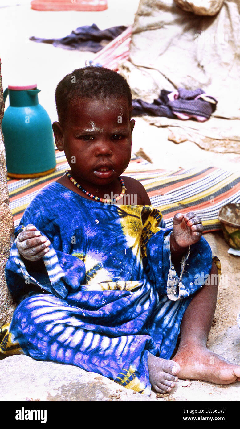 Displaced Somali Bantu child in Galkayo in Somalia Stock Photohttps://www.alamy.com/image-license-details/?v=1https://www.alamy.com/displaced-somali-bantu-child-in-galkayo-in-somalia-image67068453.html
RMDW36DW–Displaced Somali Bantu child in Galkayo in Somalia
 Mudug, region of Somalia. Low resolution satellite map. Corner auxiliary location maps Stock Photohttps://www.alamy.com/image-license-details/?v=1https://www.alamy.com/mudug-region-of-somalia-low-resolution-satellite-map-corner-auxiliary-location-maps-image528165517.html
RF2NK80E5–Mudug, region of Somalia. Low resolution satellite map. Corner auxiliary location maps
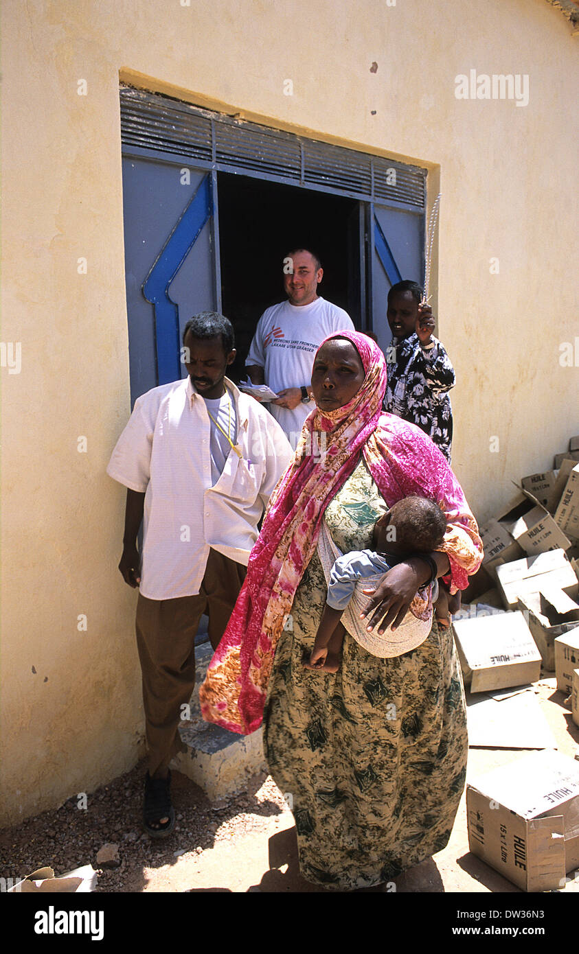 MSF distribute food aid from warehouse in Galkayo Somalia Stock Photohttps://www.alamy.com/image-license-details/?v=1https://www.alamy.com/msf-distribute-food-aid-from-warehouse-in-galkayo-somalia-image67068655.html
RMDW36N3–MSF distribute food aid from warehouse in Galkayo Somalia
 Mudug, region of Somalia Mainland. Solid color shape. Corner auxiliary location maps Stock Photohttps://www.alamy.com/image-license-details/?v=1https://www.alamy.com/mudug-region-of-somalia-mainland-solid-color-shape-corner-auxiliary-location-maps-image528186885.html
RF2NK8YN9–Mudug, region of Somalia Mainland. Solid color shape. Corner auxiliary location maps
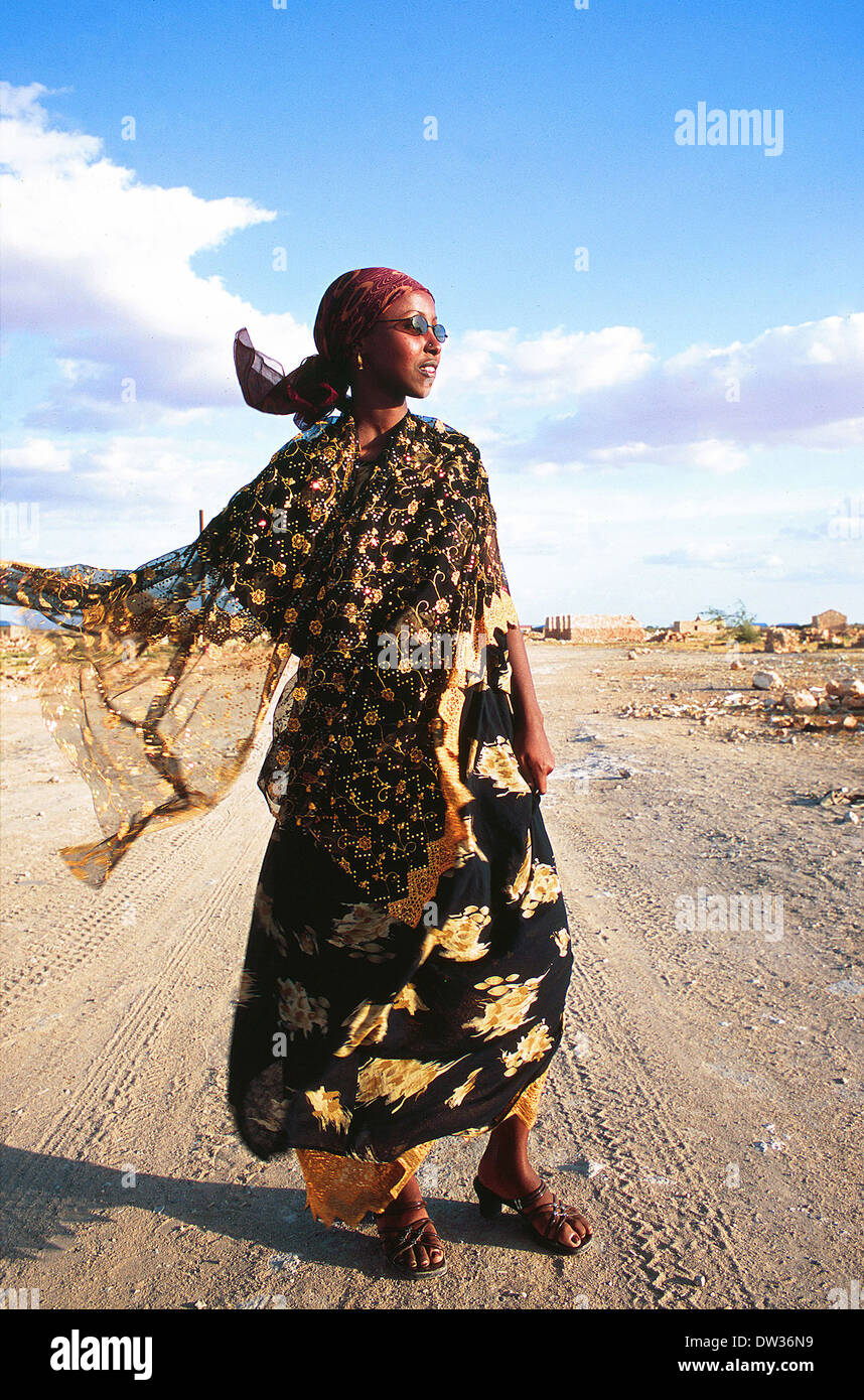 Somali Clan chief teenage daughter dressed in Islamic clothes poses on waste land in northern Galkayo Somalia,circa June 2006 Stock Photohttps://www.alamy.com/image-license-details/?v=1https://www.alamy.com/somali-clan-chief-teenage-daughter-dressed-in-islamic-clothes-poses-image67068661.html
RMDW36N9–Somali Clan chief teenage daughter dressed in Islamic clothes poses on waste land in northern Galkayo Somalia,circa June 2006
 Mudug, region of Somalia Mainland. Open Street Map. Corner auxiliary location maps Stock Photohttps://www.alamy.com/image-license-details/?v=1https://www.alamy.com/mudug-region-of-somalia-mainland-open-street-map-corner-auxiliary-location-maps-image528186438.html
RF2NK8Y5A–Mudug, region of Somalia Mainland. Open Street Map. Corner auxiliary location maps
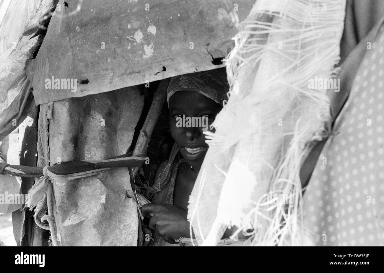 A young Bantu tribe woman in a hut made of cloth sheets in a displaced camp on the outskirts of Galkayo Somalia Stock Photohttps://www.alamy.com/image-license-details/?v=1https://www.alamy.com/a-young-bantu-tribe-woman-in-a-hut-made-of-cloth-sheets-in-a-displaced-image67068582.html
RMDW36JE–A young Bantu tribe woman in a hut made of cloth sheets in a displaced camp on the outskirts of Galkayo Somalia
 Mudug, region of Somalia. Elevation map colored in wiki style with lakes and rivers Stock Photohttps://www.alamy.com/image-license-details/?v=1https://www.alamy.com/mudug-region-of-somalia-elevation-map-colored-in-wiki-style-with-lakes-and-rivers-image530752110.html
RF2NRDRME–Mudug, region of Somalia. Elevation map colored in wiki style with lakes and rivers
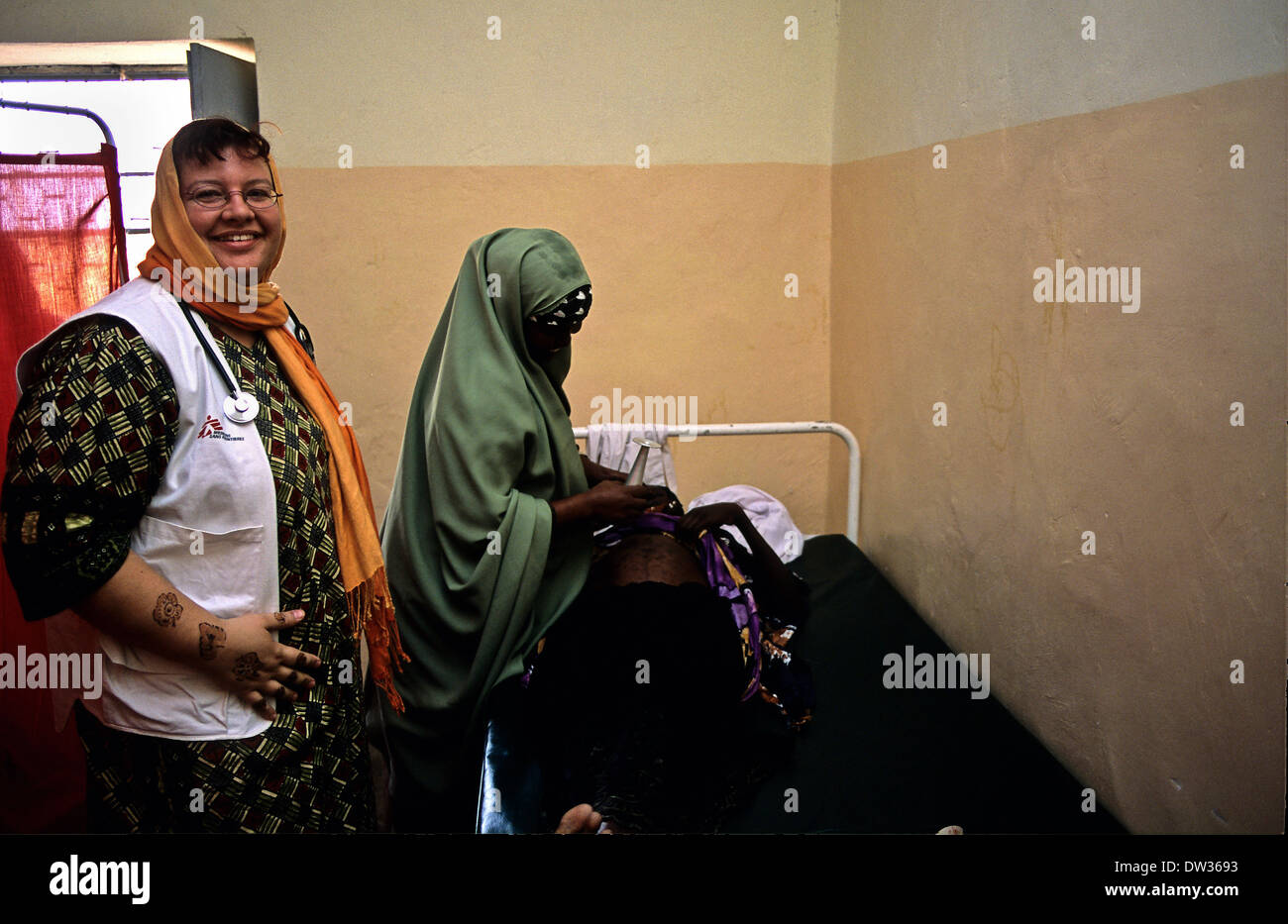 Australian nurse working for the NGO MSF in Galkayo hospital Somalia Stock Photohttps://www.alamy.com/image-license-details/?v=1https://www.alamy.com/australian-nurse-working-for-the-ngo-msf-in-galkayo-hospital-somalia-image67068319.html
RMDW3693–Australian nurse working for the NGO MSF in Galkayo hospital Somalia
 Mudug, region of Somalia. Elevation map colored in sepia tones with lakes and rivers Stock Photohttps://www.alamy.com/image-license-details/?v=1https://www.alamy.com/mudug-region-of-somalia-elevation-map-colored-in-sepia-tones-with-lakes-and-rivers-image530751586.html
RF2NRDR1P–Mudug, region of Somalia. Elevation map colored in sepia tones with lakes and rivers
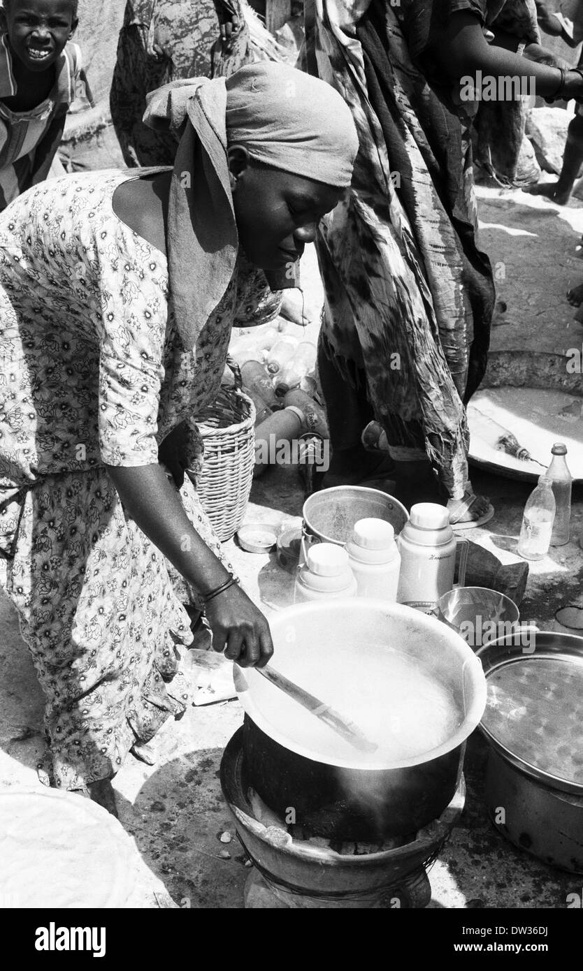 Bantu woman cooking pasta in a displaced camp in Galkayo Somalia Stock Photohttps://www.alamy.com/image-license-details/?v=1https://www.alamy.com/bantu-woman-cooking-pasta-in-a-displaced-camp-in-galkayo-somalia-image67068446.html
RMDW36DJ–Bantu woman cooking pasta in a displaced camp in Galkayo Somalia
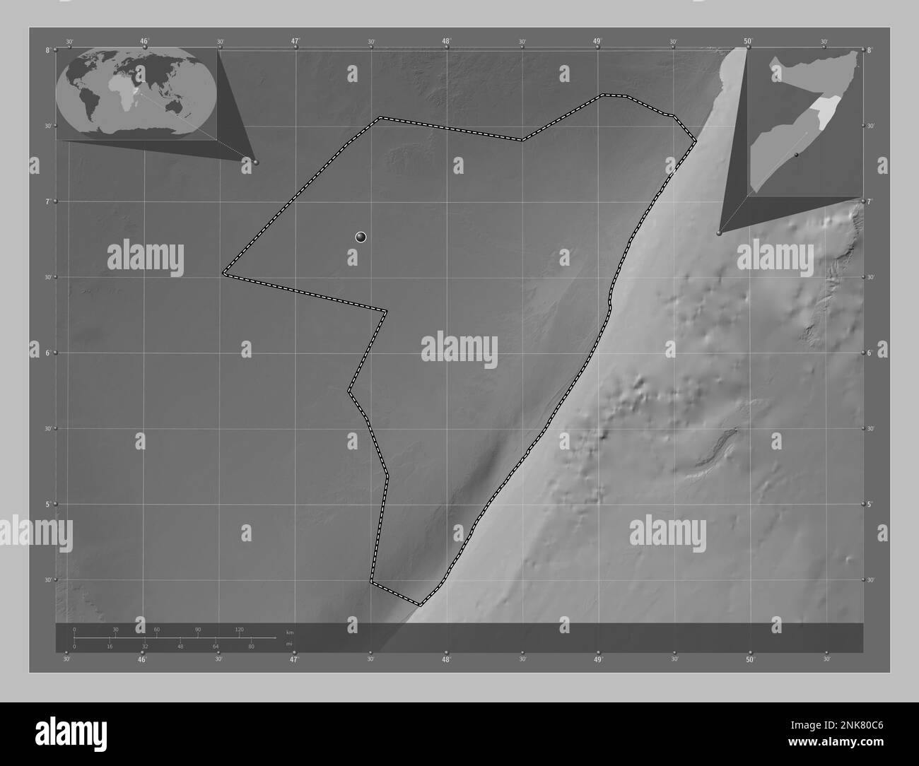 Mudug, region of Somalia. Grayscale elevation map with lakes and rivers. Corner auxiliary location maps Stock Photohttps://www.alamy.com/image-license-details/?v=1https://www.alamy.com/mudug-region-of-somalia-grayscale-elevation-map-with-lakes-and-rivers-corner-auxiliary-location-maps-image528165462.html
RF2NK80C6–Mudug, region of Somalia. Grayscale elevation map with lakes and rivers. Corner auxiliary location maps
 MSF nurse watches over a wounded solider in Galkayo Hospital Somalia Stock Photohttps://www.alamy.com/image-license-details/?v=1https://www.alamy.com/msf-nurse-watches-over-a-wounded-solider-in-galkayo-hospital-somalia-image67068433.html
RMDW36D5–MSF nurse watches over a wounded solider in Galkayo Hospital Somalia
 Mudug, region of Somalia Mainland. High resolution satellite map. Corner auxiliary location maps Stock Photohttps://www.alamy.com/image-license-details/?v=1https://www.alamy.com/mudug-region-of-somalia-mainland-high-resolution-satellite-map-corner-auxiliary-location-maps-image528186891.html
RF2NK8YNF–Mudug, region of Somalia Mainland. High resolution satellite map. Corner auxiliary location maps
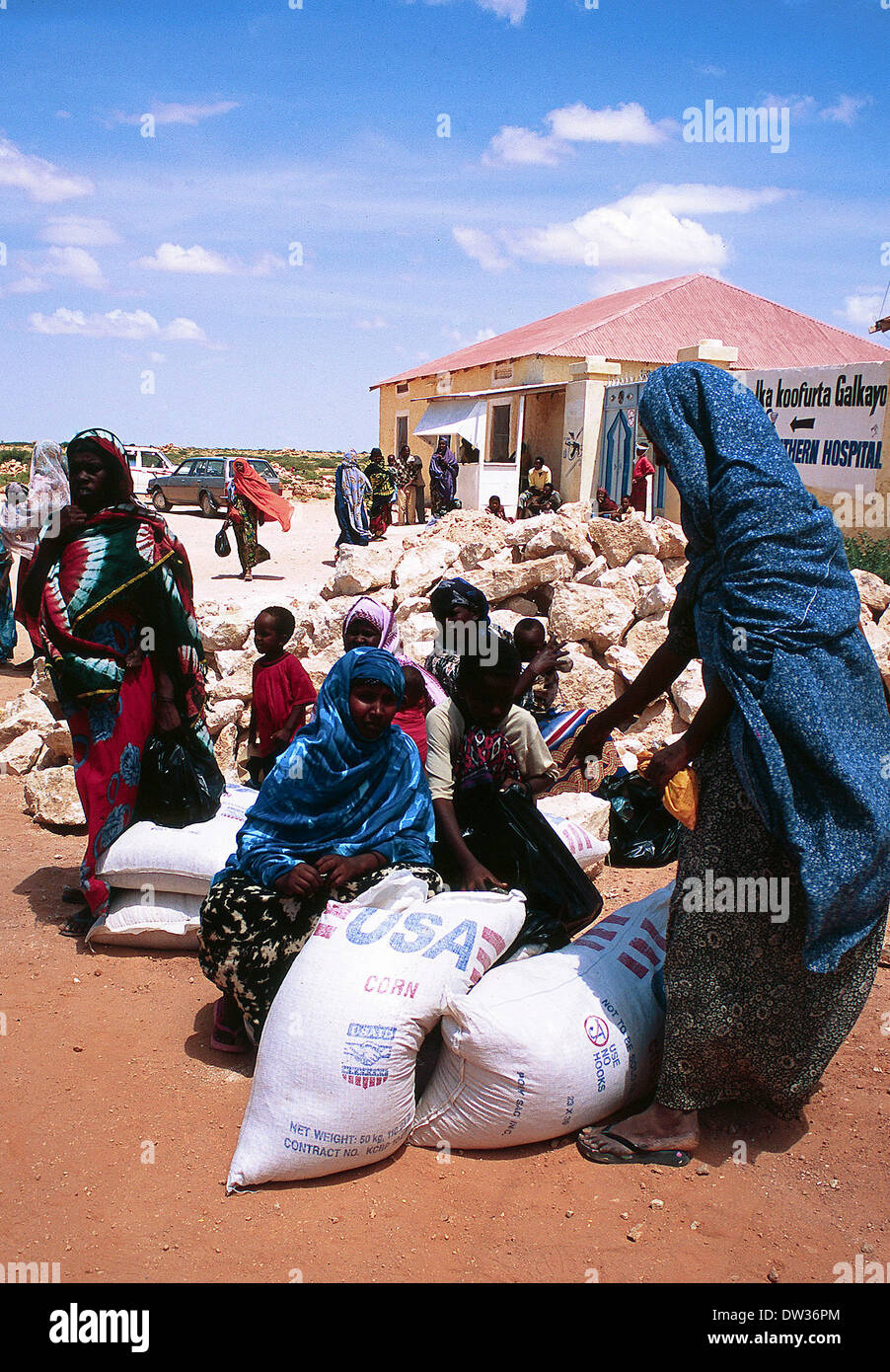 USAID delivery of food aid in Galkayo Somalia Stock Photohttps://www.alamy.com/image-license-details/?v=1https://www.alamy.com/usaid-delivery-of-food-aid-in-galkayo-somalia-image67068700.html
RMDW36PM–USAID delivery of food aid in Galkayo Somalia
 Somali teenager Stock Photohttps://www.alamy.com/image-license-details/?v=1https://www.alamy.com/stock-photo-somali-teenager-13680645.html
RMAEGPTP–Somali teenager
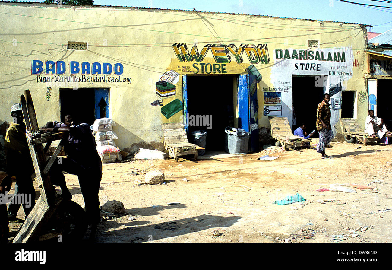 painted store fronts in Galkayo Somalia Stock Photohttps://www.alamy.com/image-license-details/?v=1https://www.alamy.com/painted-store-fronts-in-galkayo-somalia-image67068665.html
RMDW36ND–painted store fronts in Galkayo Somalia
 Mudug, region of Somalia Mainland. Low resolution satellite map. Corner auxiliary location maps Stock Photohttps://www.alamy.com/image-license-details/?v=1https://www.alamy.com/mudug-region-of-somalia-mainland-low-resolution-satellite-map-corner-auxiliary-location-maps-image528186881.html
RF2NK8YN5–Mudug, region of Somalia Mainland. Low resolution satellite map. Corner auxiliary location maps
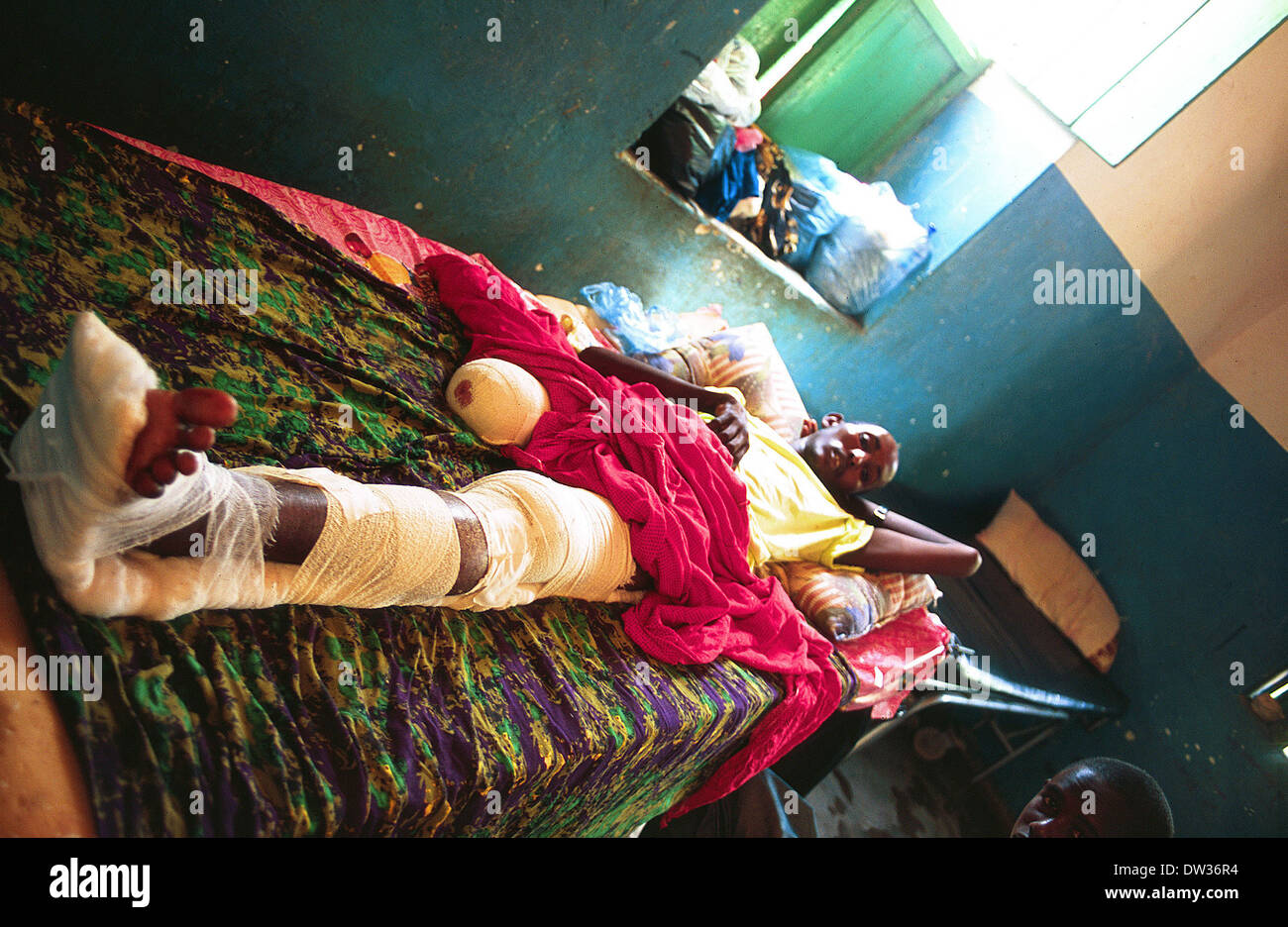 wounded clan member MSF hospital Galkayo Stock Photohttps://www.alamy.com/image-license-details/?v=1https://www.alamy.com/wounded-clan-member-msf-hospital-galkayo-image67068712.html
RMDW36R4–wounded clan member MSF hospital Galkayo
 Mudug, region of Somalia. Colored elevation map with lakes and rivers. Corner auxiliary location maps Stock Photohttps://www.alamy.com/image-license-details/?v=1https://www.alamy.com/mudug-region-of-somalia-colored-elevation-map-with-lakes-and-rivers-corner-auxiliary-location-maps-image528165488.html
RF2NK80D4–Mudug, region of Somalia. Colored elevation map with lakes and rivers. Corner auxiliary location maps
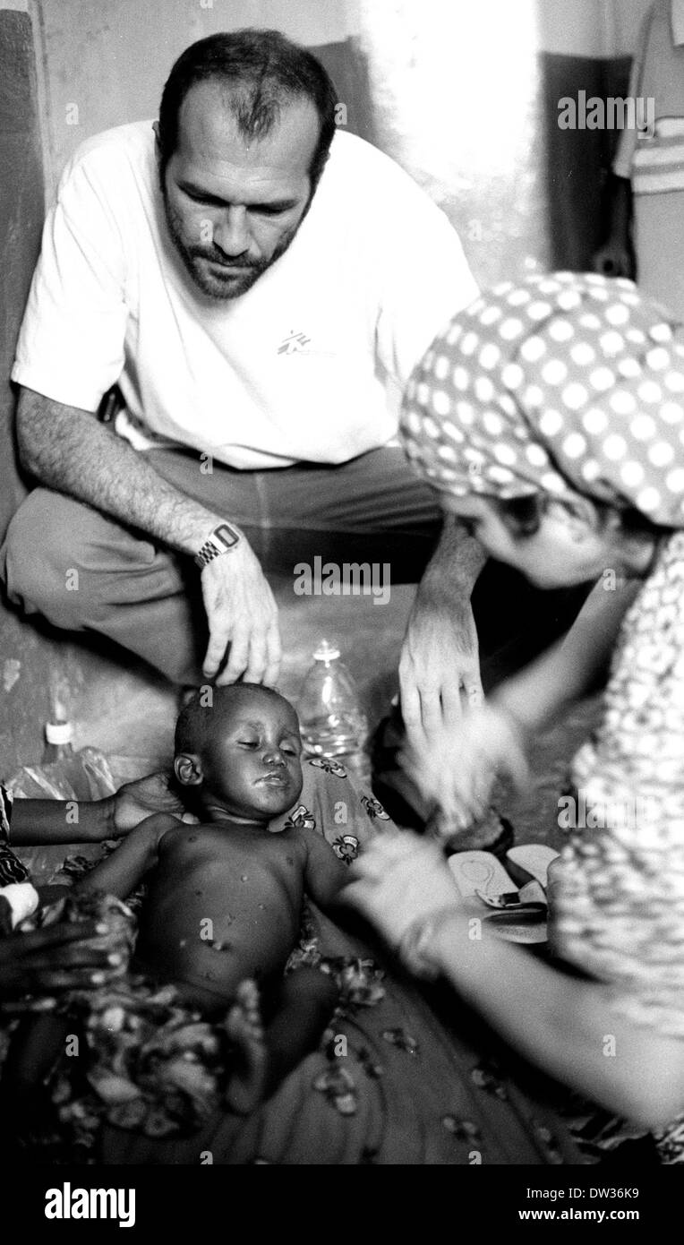 MSF staff tend to sick baby in Galkayo hospital Somalia Stock Photohttps://www.alamy.com/image-license-details/?v=1https://www.alamy.com/msf-staff-tend-to-sick-baby-in-galkayo-hospital-somalia-image67068605.html
RMDW36K9–MSF staff tend to sick baby in Galkayo hospital Somalia
 Mudug, region of Somalia. Bilevel elevation map with lakes and rivers. Corner auxiliary location maps Stock Photohttps://www.alamy.com/image-license-details/?v=1https://www.alamy.com/mudug-region-of-somalia-bilevel-elevation-map-with-lakes-and-rivers-corner-auxiliary-location-maps-image528165479.html
RF2NK80CR–Mudug, region of Somalia. Bilevel elevation map with lakes and rivers. Corner auxiliary location maps
 typical market street in Galkayo Somalia circa 2006 Stock Photohttps://www.alamy.com/image-license-details/?v=1https://www.alamy.com/stock-photo-typical-market-street-in-galkayo-somalia-circa-2006-78015580.html
RMEEWWJM–typical market street in Galkayo Somalia circa 2006
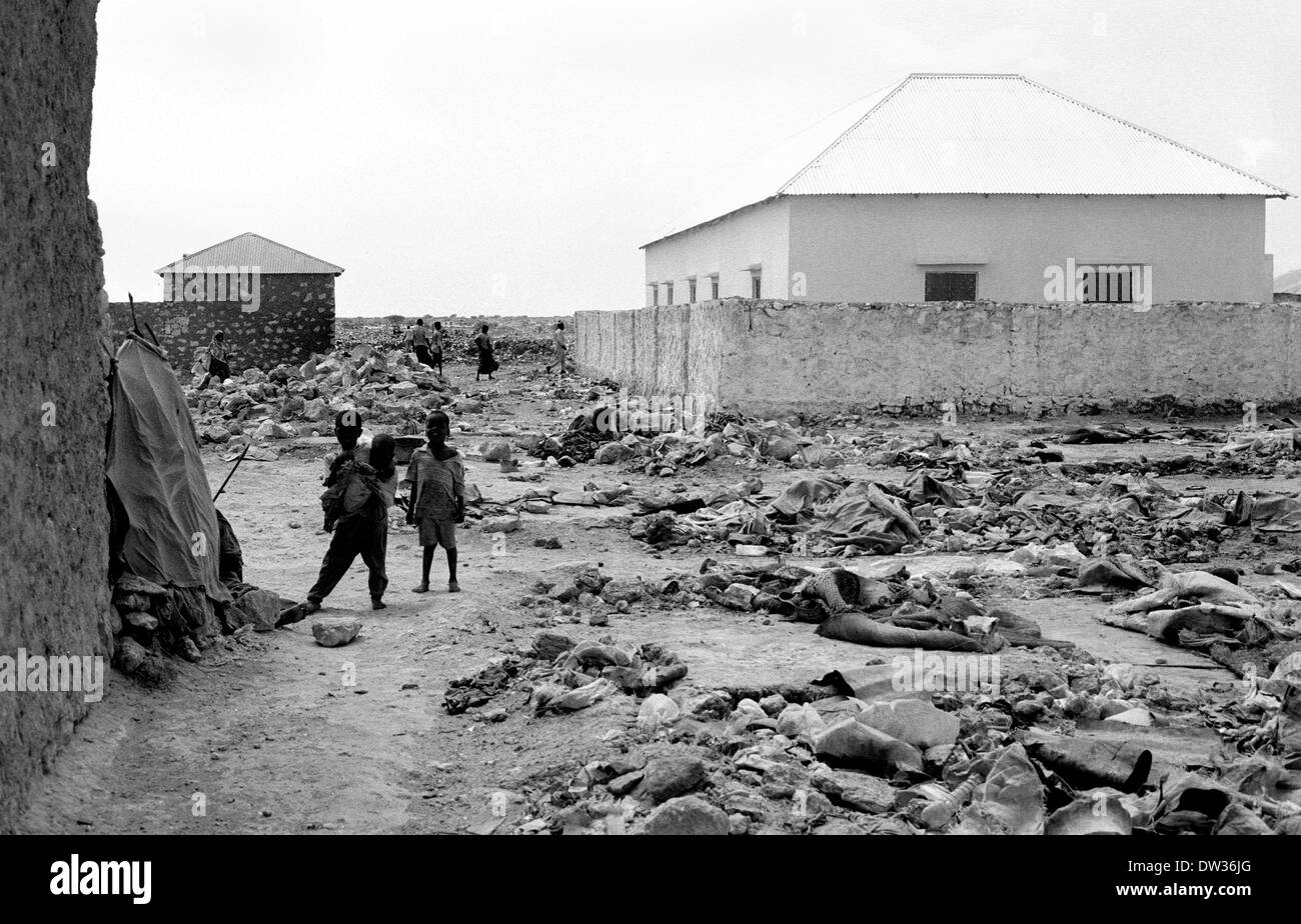 children play in a Bantu tribal displaced camp on outskirts of Galkayo Somalia Stock Photohttps://www.alamy.com/image-license-details/?v=1https://www.alamy.com/children-play-in-a-bantu-tribal-displaced-camp-on-outskirts-of-galkayo-image67068584.html
RMDW36JG–children play in a Bantu tribal displaced camp on outskirts of Galkayo Somalia
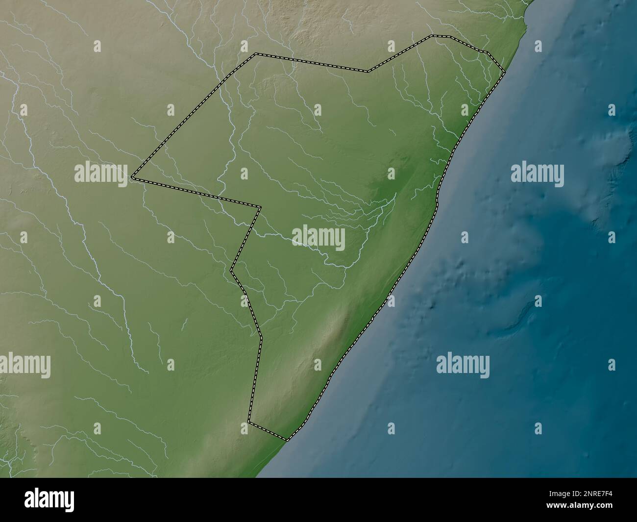 Mudug, region of Somalia Mainland. Elevation map colored in wiki style with lakes and rivers Stock Photohttps://www.alamy.com/image-license-details/?v=1https://www.alamy.com/mudug-region-of-somalia-mainland-elevation-map-colored-in-wiki-style-with-lakes-and-rivers-image530761368.html
RF2NRE7F4–Mudug, region of Somalia Mainland. Elevation map colored in wiki style with lakes and rivers
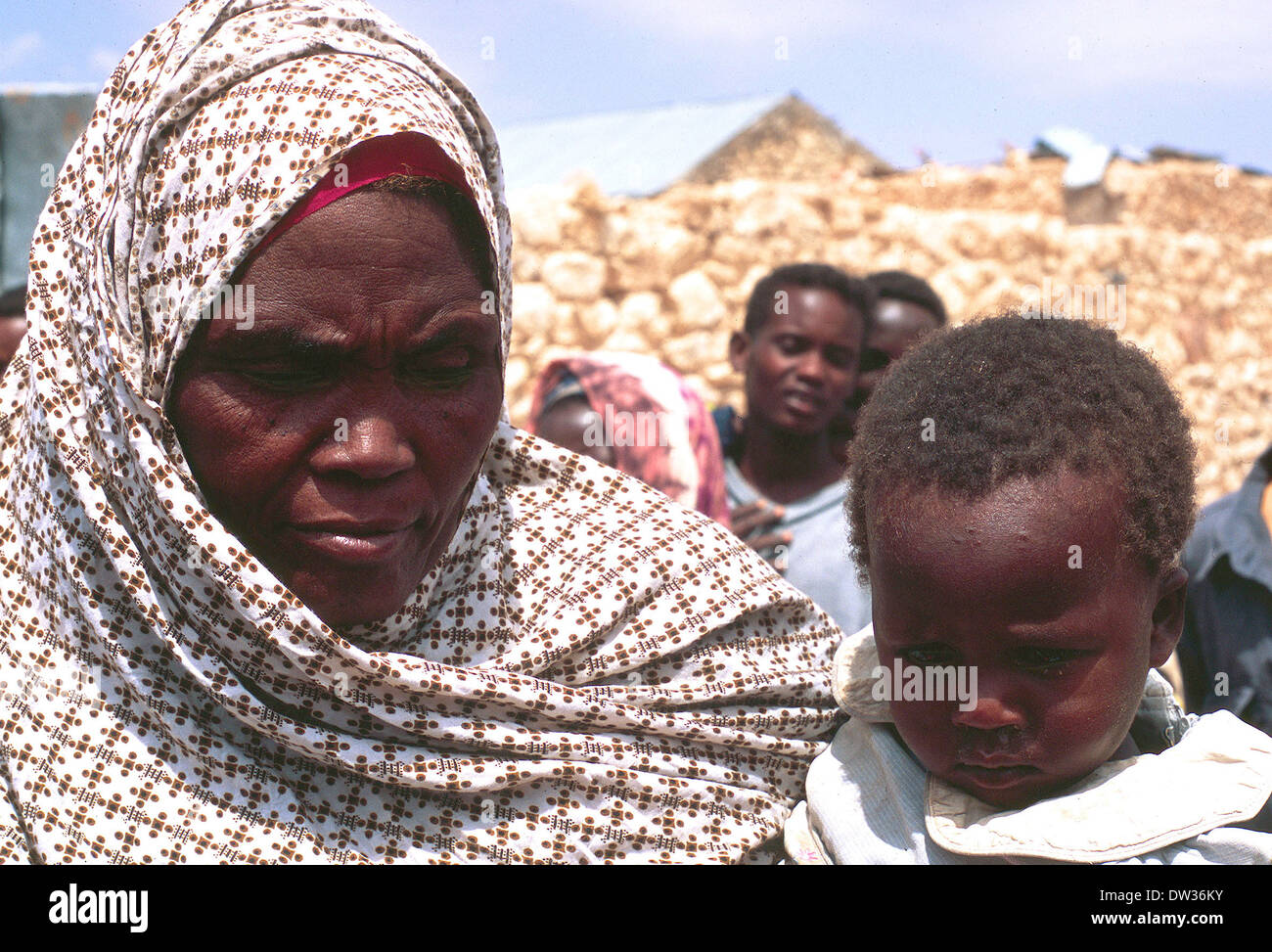 Bantu woman with child in displaced camp on outskirts of Galkayo Somalia Stock Photohttps://www.alamy.com/image-license-details/?v=1https://www.alamy.com/bantu-woman-with-child-in-displaced-camp-on-outskirts-of-galkayo-somalia-image67068623.html
RMDW36KY–Bantu woman with child in displaced camp on outskirts of Galkayo Somalia
 MSF nurse examines x-ray of broken arm due to gunshot wound in Galkayo hospital Somalia 2005 Stock Photohttps://www.alamy.com/image-license-details/?v=1https://www.alamy.com/msf-nurse-examines-x-ray-of-broken-arm-due-to-gunshot-wound-in-galkayo-hospital-somalia-2005-image363522073.html
RM2C3BT35–MSF nurse examines x-ray of broken arm due to gunshot wound in Galkayo hospital Somalia 2005
 Somali children on food sacks Stock Photohttps://www.alamy.com/image-license-details/?v=1https://www.alamy.com/stock-photo-somali-children-on-food-sacks-13680545.html
RMAEGPGJ–Somali children on food sacks
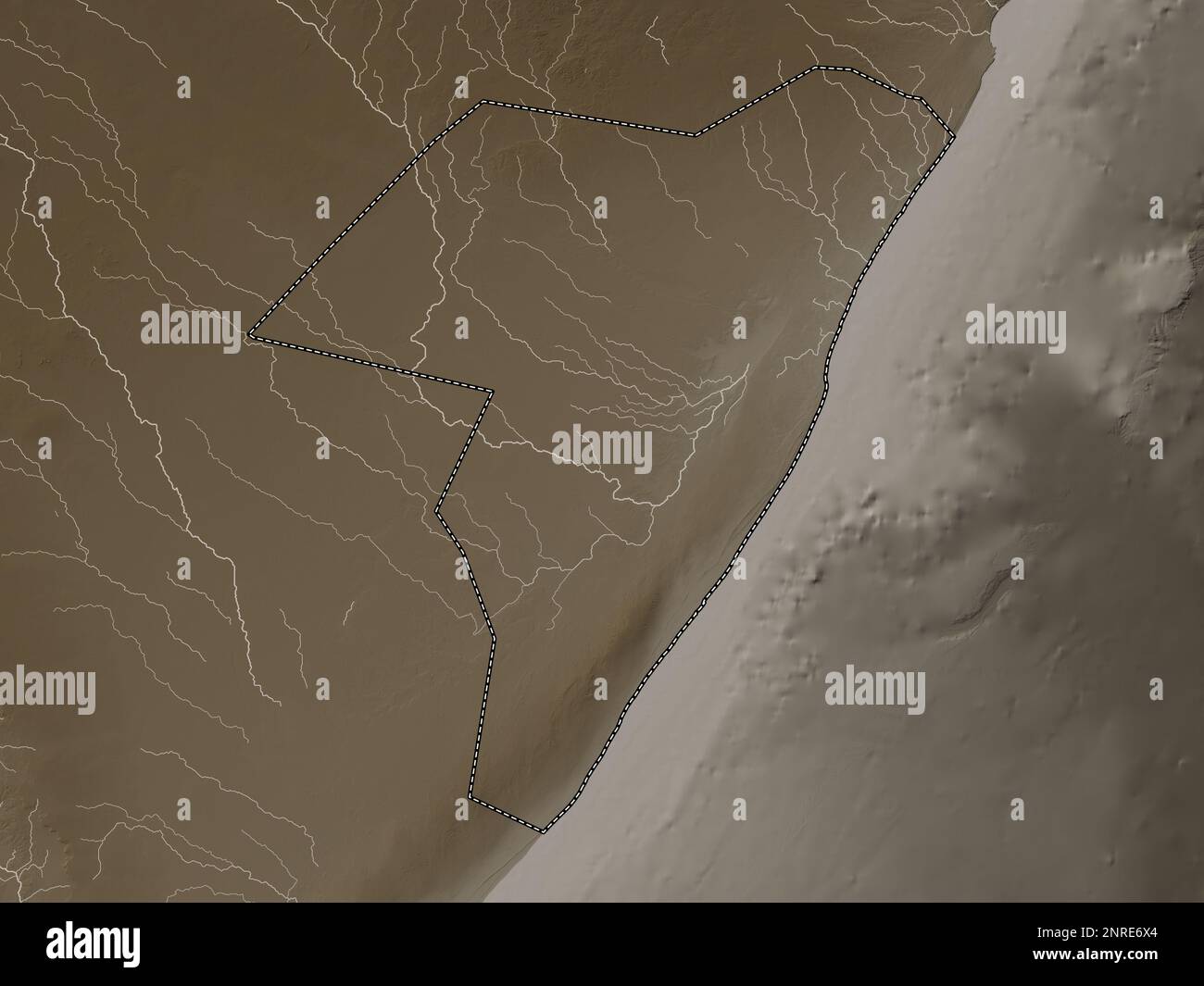 Mudug, region of Somalia Mainland. Elevation map colored in sepia tones with lakes and rivers Stock Photohttps://www.alamy.com/image-license-details/?v=1https://www.alamy.com/mudug-region-of-somalia-mainland-elevation-map-colored-in-sepia-tones-with-lakes-and-rivers-image530760892.html
RF2NRE6X4–Mudug, region of Somalia Mainland. Elevation map colored in sepia tones with lakes and rivers
 Somali gunman Mogadishu Stock Photohttps://www.alamy.com/image-license-details/?v=1https://www.alamy.com/stock-photo-somali-gunman-mogadishu-13679774.html
RMAEGM7Y–Somali gunman Mogadishu
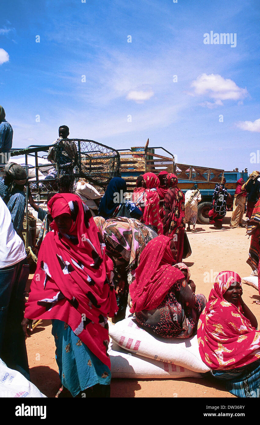 USAID delivery of food aid in Galkayo Somalia Stock Photohttps://www.alamy.com/image-license-details/?v=1https://www.alamy.com/usaid-delivery-of-food-aid-in-galkayo-somalia-image67068735.html
RMDW36RY–USAID delivery of food aid in Galkayo Somalia
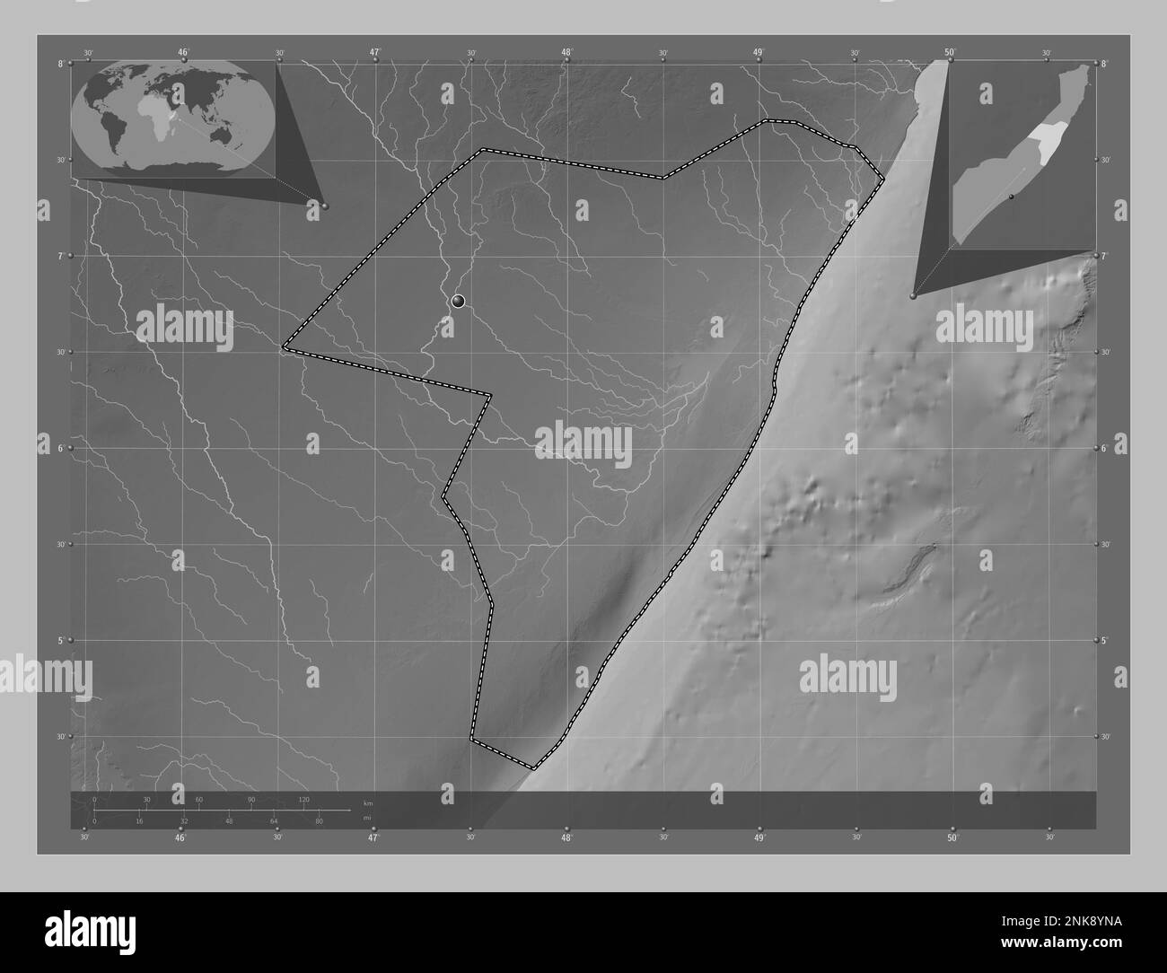 Mudug, region of Somalia Mainland. Grayscale elevation map with lakes and rivers. Corner auxiliary location maps Stock Photohttps://www.alamy.com/image-license-details/?v=1https://www.alamy.com/mudug-region-of-somalia-mainland-grayscale-elevation-map-with-lakes-and-rivers-corner-auxiliary-location-maps-image528186886.html
RF2NK8YNA–Mudug, region of Somalia Mainland. Grayscale elevation map with lakes and rivers. Corner auxiliary location maps
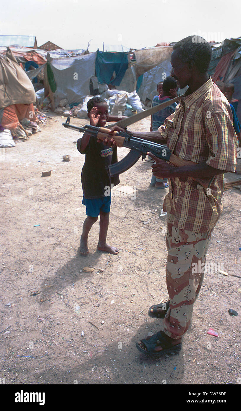 Militia - displaced camp Galcayo Stock Photohttps://www.alamy.com/image-license-details/?v=1https://www.alamy.com/militia-displaced-camp-galcayo-image67068450.html
RMDW36DP–Militia - displaced camp Galcayo
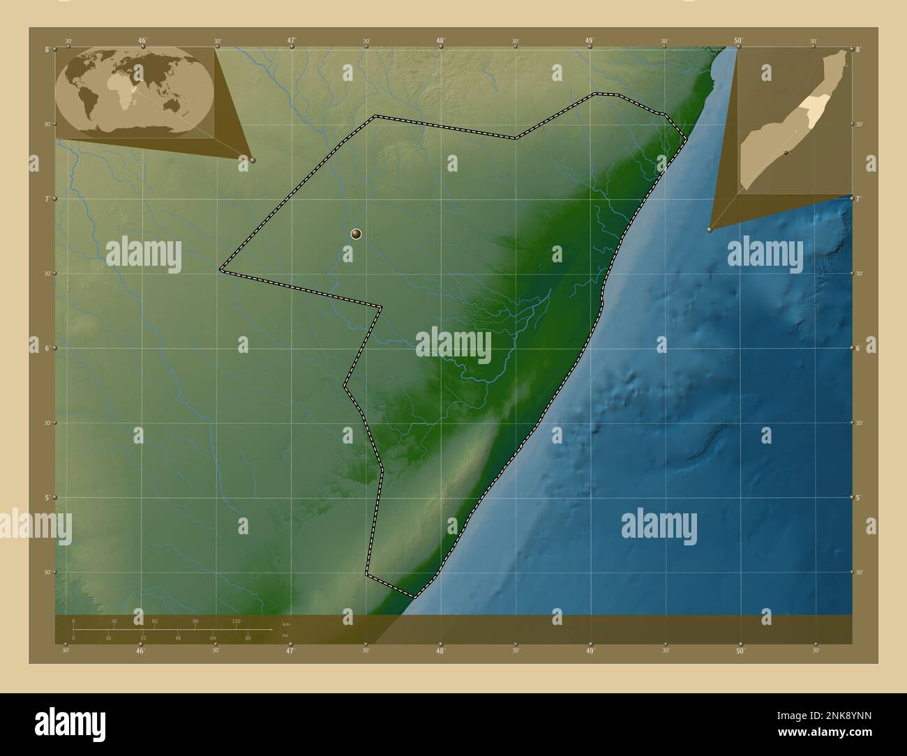 Mudug, region of Somalia Mainland. Colored elevation map with lakes and rivers. Corner auxiliary location maps Stock Photohttps://www.alamy.com/image-license-details/?v=1https://www.alamy.com/mudug-region-of-somalia-mainland-colored-elevation-map-with-lakes-and-rivers-corner-auxiliary-location-maps-image528186897.html
RF2NK8YNN–Mudug, region of Somalia Mainland. Colored elevation map with lakes and rivers. Corner auxiliary location maps
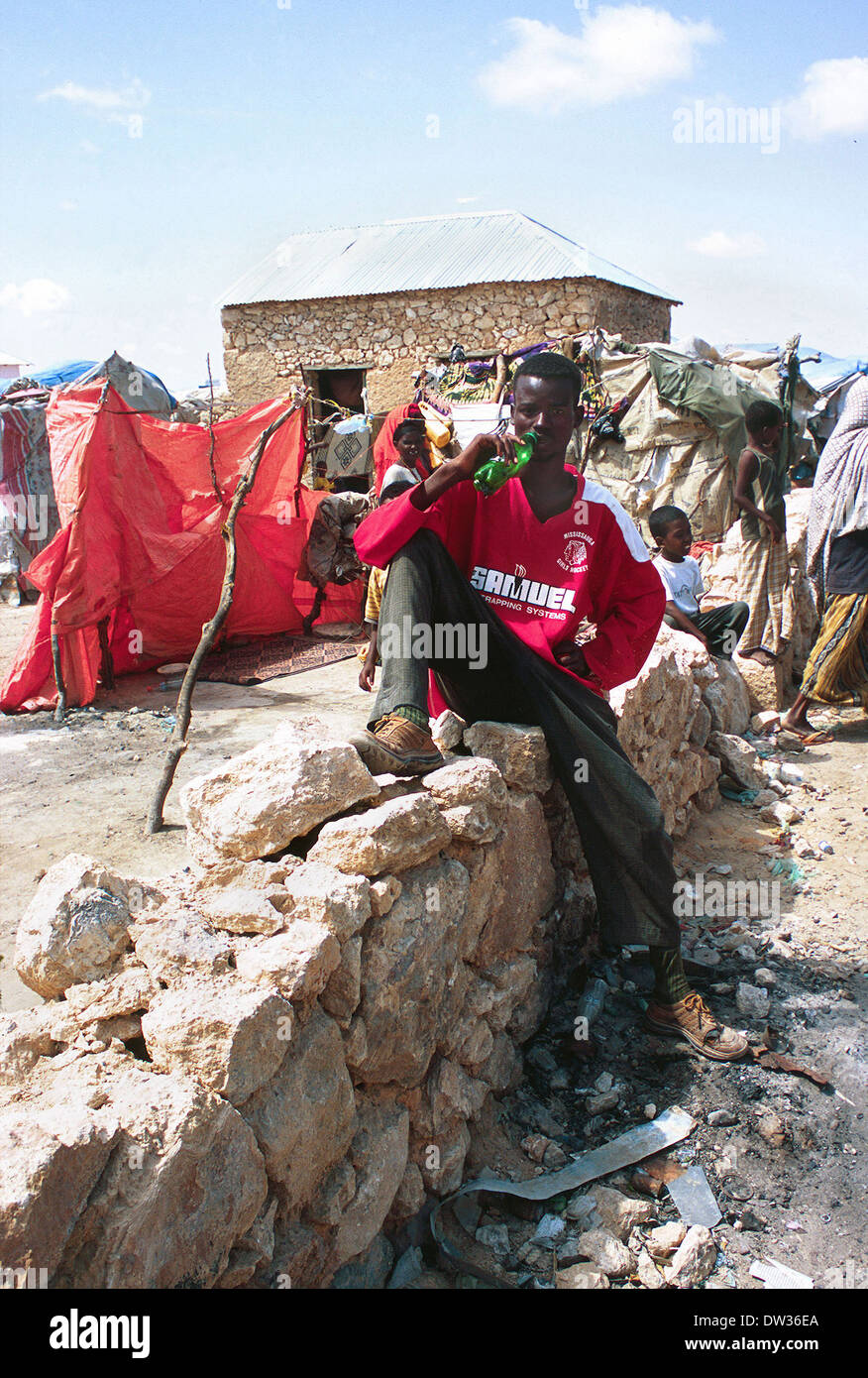 Teenage glue sniffer in Galkayo Somalia June 2006 Stock Photohttps://www.alamy.com/image-license-details/?v=1https://www.alamy.com/teenage-glue-sniffer-in-galkayo-somalia-june-2006-image67068466.html
RMDW36EA–Teenage glue sniffer in Galkayo Somalia June 2006
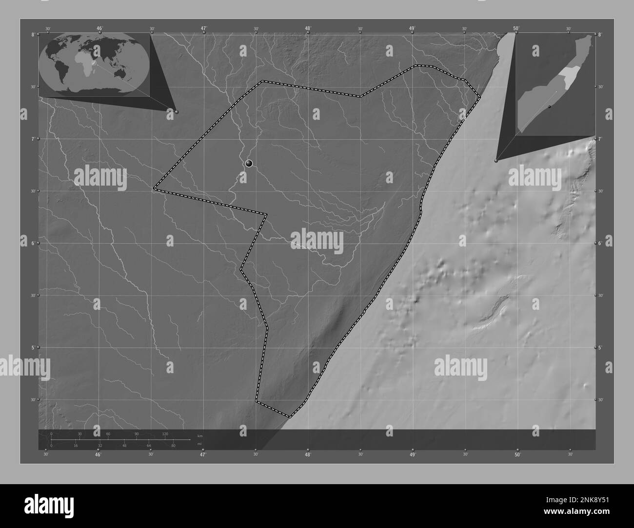 Mudug, region of Somalia Mainland. Bilevel elevation map with lakes and rivers. Corner auxiliary location maps Stock Photohttps://www.alamy.com/image-license-details/?v=1https://www.alamy.com/mudug-region-of-somalia-mainland-bilevel-elevation-map-with-lakes-and-rivers-corner-auxiliary-location-maps-image528186429.html
RF2NK8Y51–Mudug, region of Somalia Mainland. Bilevel elevation map with lakes and rivers. Corner auxiliary location maps