Quick filters:
Murchison new zealand Stock Photos and Images
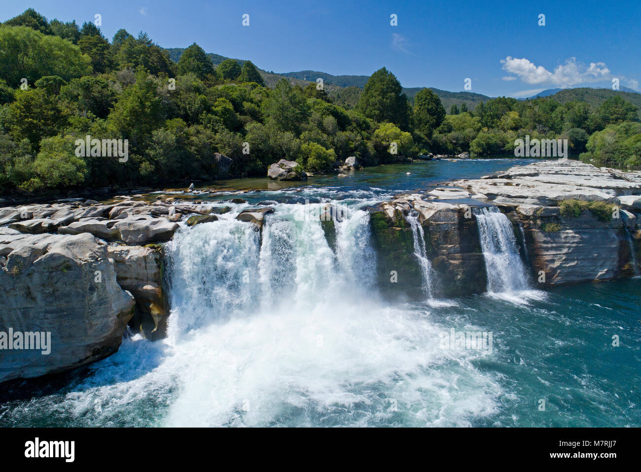 Maruia Falls and Maruia River, near Murchison, Tasman District, South Island, New Zealand - drone aerial Stock Photohttps://www.alamy.com/image-license-details/?v=1https://www.alamy.com/stock-photo-maruia-falls-and-maruia-river-near-murchison-tasman-district-south-176925791.html
RMM7RJJ7–Maruia Falls and Maruia River, near Murchison, Tasman District, South Island, New Zealand - drone aerial
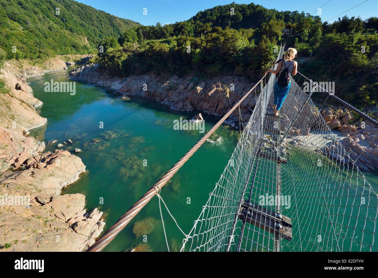 New Zealand South island West Coast 14 km from Murchison Buller River is famous for fishing and water sports but also for the Stock Photohttps://www.alamy.com/image-license-details/?v=1https://www.alamy.com/stock-photo-new-zealand-south-island-west-coast-14-km-from-murchison-buller-river-70375749.html
RME2DTYH–New Zealand South island West Coast 14 km from Murchison Buller River is famous for fishing and water sports but also for the
 Farm Lifestyle Homestead, Upper Buller Gorge, Murchison, Tasman, South Island, New Zealand Stock Photohttps://www.alamy.com/image-license-details/?v=1https://www.alamy.com/stock-photo-farm-lifestyle-homestead-upper-buller-gorge-murchison-tasman-south-23105720.html
RMB9GFG8–Farm Lifestyle Homestead, Upper Buller Gorge, Murchison, Tasman, South Island, New Zealand
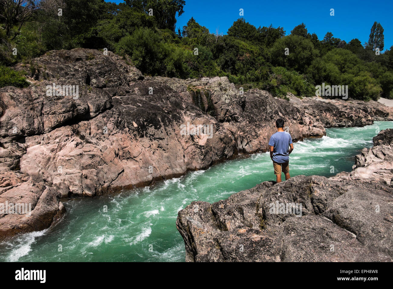 View into the Buller river at Akiri falls, Murchison, New Zealand. Stock Photohttps://www.alamy.com/image-license-details/?v=1https://www.alamy.com/stock-photo-view-into-the-buller-river-at-akiri-falls-murchison-new-zealand-82744068.html
RMEPH8W8–View into the Buller river at Akiri falls, Murchison, New Zealand.
 Artisan Tutaki Bakery caravan, Fairfax Street, Murchison, Tasman Region, New Zealand Stock Photohttps://www.alamy.com/image-license-details/?v=1https://www.alamy.com/stock-photo-artisan-tutaki-bakery-caravan-fairfax-street-murchison-tasman-region-176871082.html
RMM7N4TA–Artisan Tutaki Bakery caravan, Fairfax Street, Murchison, Tasman Region, New Zealand
 Land SAR search and rescue volunteers with dogs, Owen River near Murchison, New Zealand Stock Photohttps://www.alamy.com/image-license-details/?v=1https://www.alamy.com/stock-photo-land-sar-search-and-rescue-volunteers-with-dogs-owen-river-near-murchison-125290571.html
RMH7RDB7–Land SAR search and rescue volunteers with dogs, Owen River near Murchison, New Zealand
 Maruia Falls were created by the 1929 Murchison earthquake when a slip blocked the original channel, Murchison, New Zealand. Stock Photohttps://www.alamy.com/image-license-details/?v=1https://www.alamy.com/stock-photo-maruia-falls-were-created-by-the-1929-murchison-earthquake-when-a-82845554.html
RFEPNX9P–Maruia Falls were created by the 1929 Murchison earthquake when a slip blocked the original channel, Murchison, New Zealand.
 Buller River, Murchison, New Zealand Stock Photohttps://www.alamy.com/image-license-details/?v=1https://www.alamy.com/buller-river-murchison-new-zealand-image356635802.html
RM2BM64GX–Buller River, Murchison, New Zealand
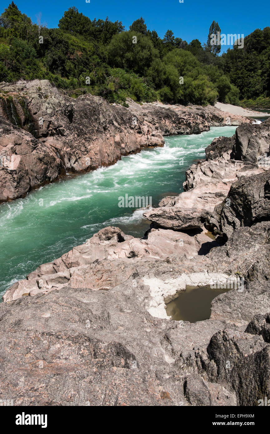 View into the Buller river at Akiri falls, Murchison, New Zealand. Stock Photohttps://www.alamy.com/image-license-details/?v=1https://www.alamy.com/stock-photo-view-into-the-buller-river-at-akiri-falls-murchison-new-zealand-82744892.html
RFEPH9XM–View into the Buller river at Akiri falls, Murchison, New Zealand.
 Murchison, Tasman region/New Zealand - March 6, 2022: Tutaki Bakery, claimed to be the smallest bakery on the south island. Stock Photohttps://www.alamy.com/image-license-details/?v=1https://www.alamy.com/murchison-tasman-regionnew-zealand-march-6-2022-tutaki-bakery-claimed-to-be-the-smallest-bakery-on-the-south-island-image465692713.html
RF2J1J3PH–Murchison, Tasman region/New Zealand - March 6, 2022: Tutaki Bakery, claimed to be the smallest bakery on the south island.
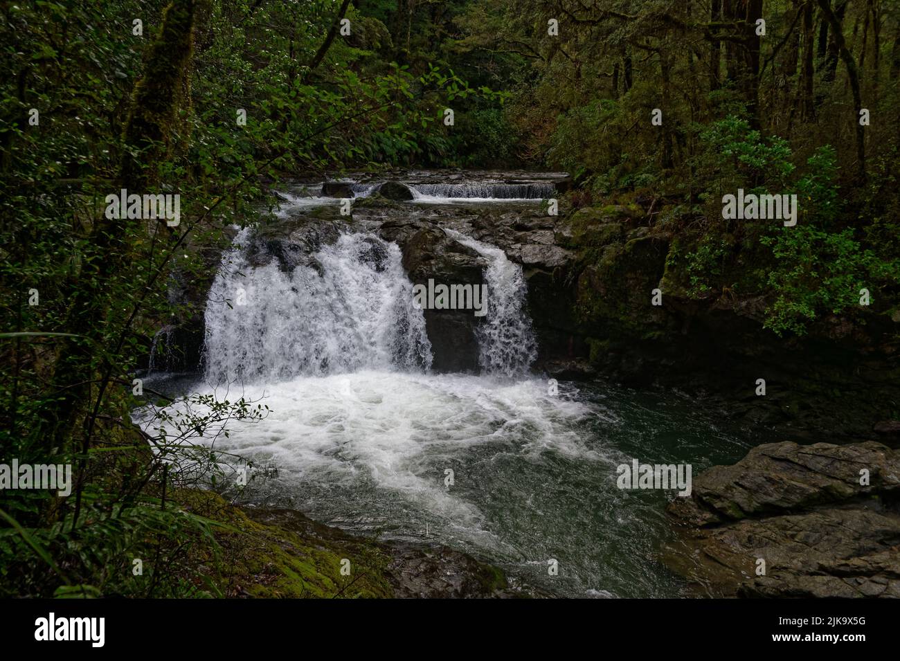 The weir at Six Mile Creek, Murchison, New Zealand Stock Photohttps://www.alamy.com/image-license-details/?v=1https://www.alamy.com/the-weir-at-six-mile-creek-murchison-new-zealand-image476576508.html
RF2JK9X5G–The weir at Six Mile Creek, Murchison, New Zealand
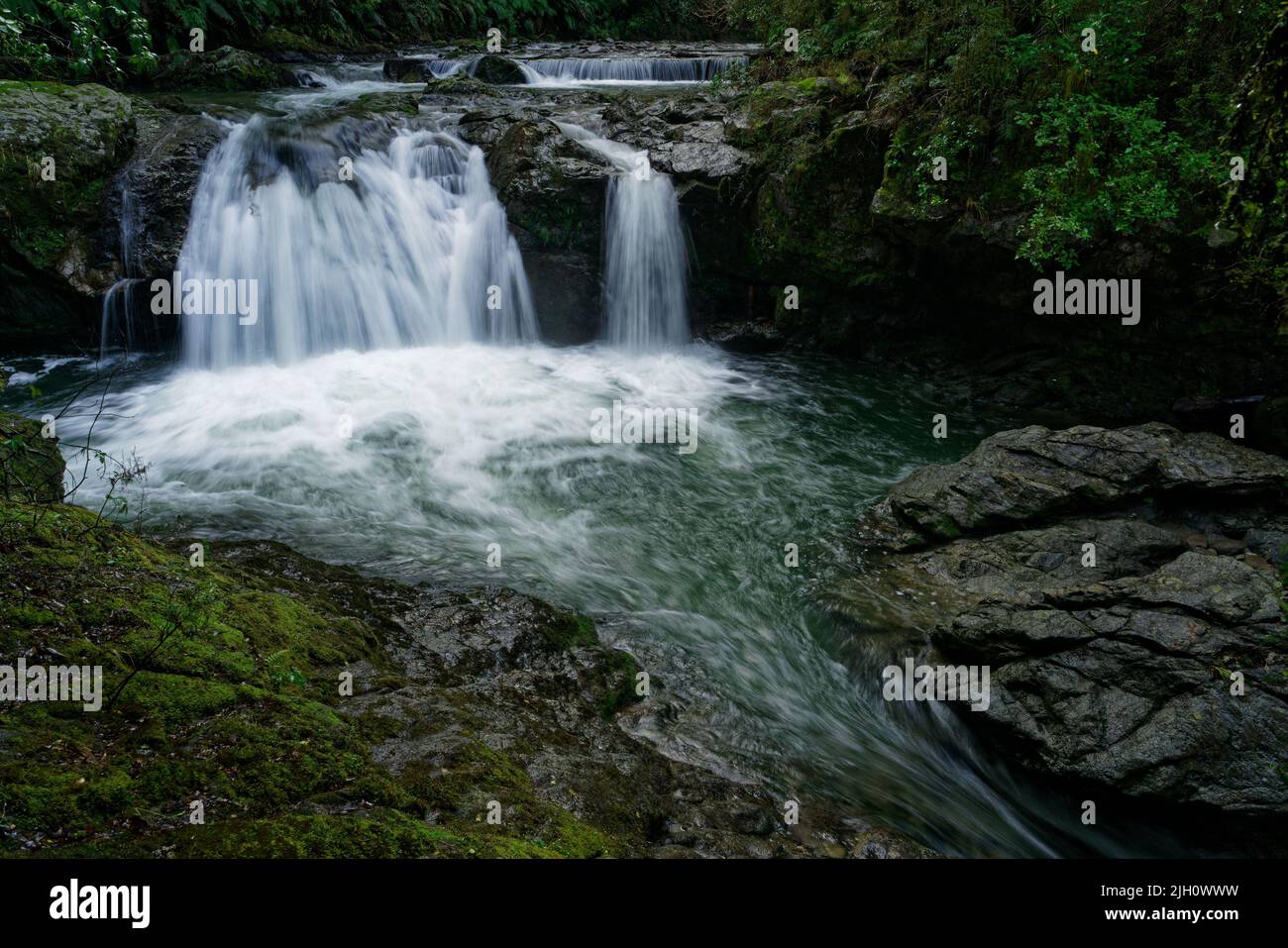 Six Mile Creek walkway, the weir, waterfall and remains of the old Six Mile hydro power station, Murchison, south island, Aotearoa / New Zealand Stock Photohttps://www.alamy.com/image-license-details/?v=1https://www.alamy.com/six-mile-creek-walkway-the-weir-waterfall-and-remains-of-the-old-six-mile-hydro-power-station-murchison-south-island-aotearoa-new-zealand-image475149413.html
RF2JH0WWW–Six Mile Creek walkway, the weir, waterfall and remains of the old Six Mile hydro power station, Murchison, south island, Aotearoa / New Zealand
 Maruia Falls, Maruia Valley, Murchison, Tasman, South Island, New Zealand Stock Photohttps://www.alamy.com/image-license-details/?v=1https://www.alamy.com/maruia-falls-maruia-valley-murchison-tasman-south-island-new-zealand-image344218749.html
RF2B00EEN–Maruia Falls, Maruia Valley, Murchison, Tasman, South Island, New Zealand
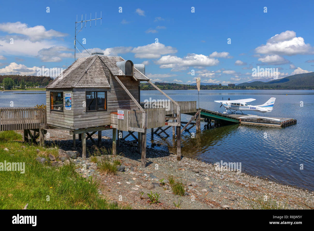 Te Anau, South Island, Fiordland, New Zealand Stock Photohttps://www.alamy.com/image-license-details/?v=1https://www.alamy.com/te-anau-south-island-fiordland-new-zealand-image229066935.html
RFR8JW5Y–Te Anau, South Island, Fiordland, New Zealand
 Two-way traffic as visitors cross New Zealand's longest swing bridge high above the Buller river at Buller Gorge Adventure & Heritage Park near Murchi Stock Photohttps://www.alamy.com/image-license-details/?v=1https://www.alamy.com/two-way-traffic-as-visitors-cross-new-zealands-longest-swing-bridge-high-above-the-buller-river-at-buller-gorge-adventure-heritage-park-near-murchi-image477722975.html
RM2JN64ER–Two-way traffic as visitors cross New Zealand's longest swing bridge high above the Buller river at Buller Gorge Adventure & Heritage Park near Murchi
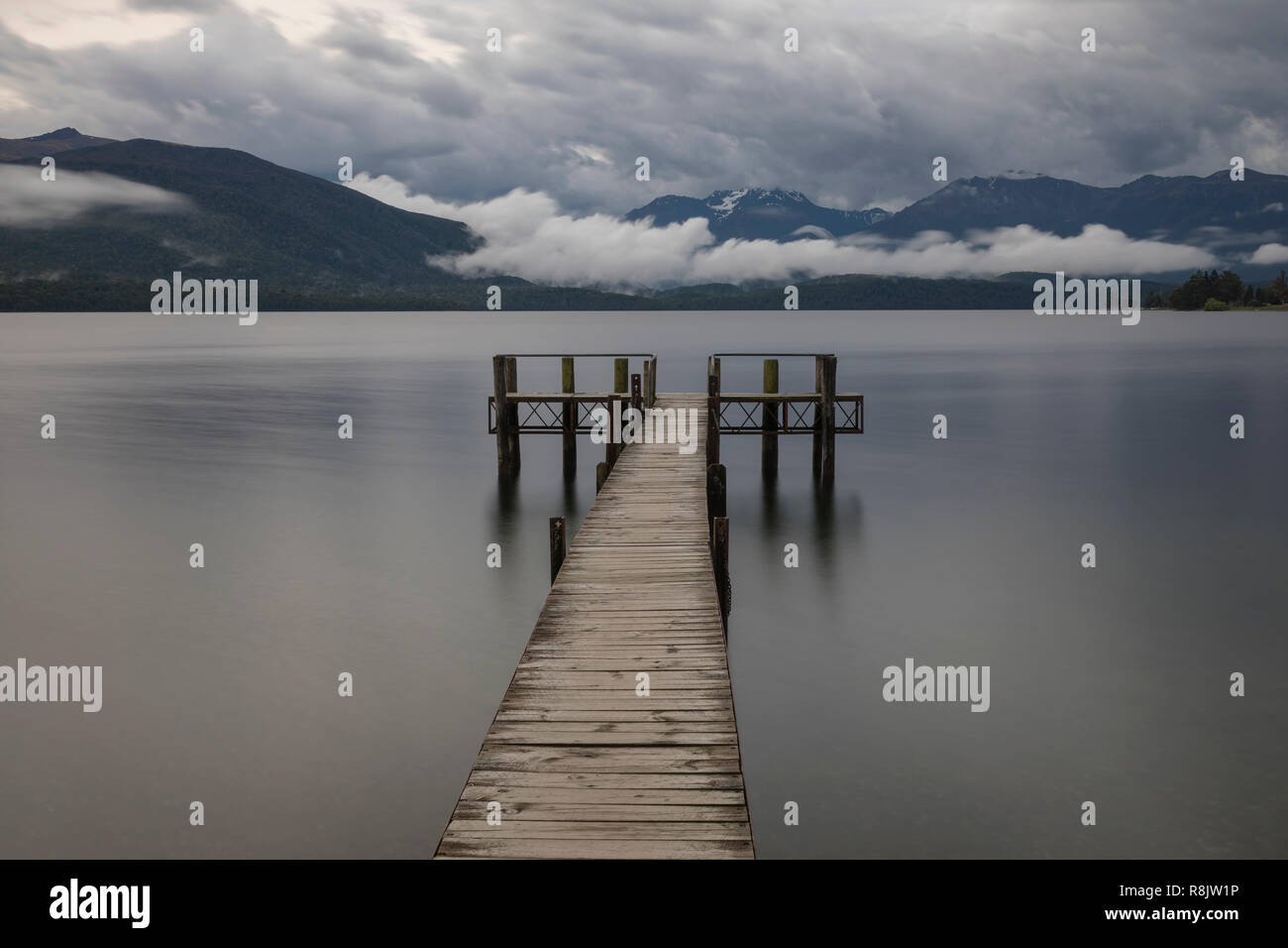 Te Anau, South Island, Fiordland, New Zealand Stock Photohttps://www.alamy.com/image-license-details/?v=1https://www.alamy.com/te-anau-south-island-fiordland-new-zealand-image229066818.html
RFR8JW1P–Te Anau, South Island, Fiordland, New Zealand
 Maruia waterfalls, near Murchison, a New Zealand landmark. Stock Photohttps://www.alamy.com/image-license-details/?v=1https://www.alamy.com/maruia-waterfalls-near-murchison-a-new-zealand-landmark-image249039407.html
RFTD4M8F–Maruia waterfalls, near Murchison, a New Zealand landmark.
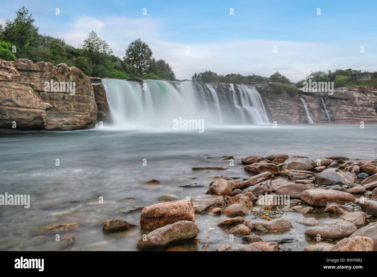 Maruia Falls, Tasman, South Island, New Zealand Stock Photohttps://www.alamy.com/image-license-details/?v=1https://www.alamy.com/maruia-falls-tasman-south-island-new-zealand-image229867010.html
RFR9Y9M2–Maruia Falls, Tasman, South Island, New Zealand
 Lake Stanley, created by the Murchison earthquake in 1929, accessed via the Killdevil Track, Kahurangi National Park, Golden Bay, New Zealand. Stock Photohttps://www.alamy.com/image-license-details/?v=1https://www.alamy.com/lake-stanley-created-by-the-murchison-earthquake-in-1929-accessed-via-the-killdevil-track-kahurangi-national-park-golden-bay-new-zealand-image397078783.html
RF2E20E13–Lake Stanley, created by the Murchison earthquake in 1929, accessed via the Killdevil Track, Kahurangi National Park, Golden Bay, New Zealand.
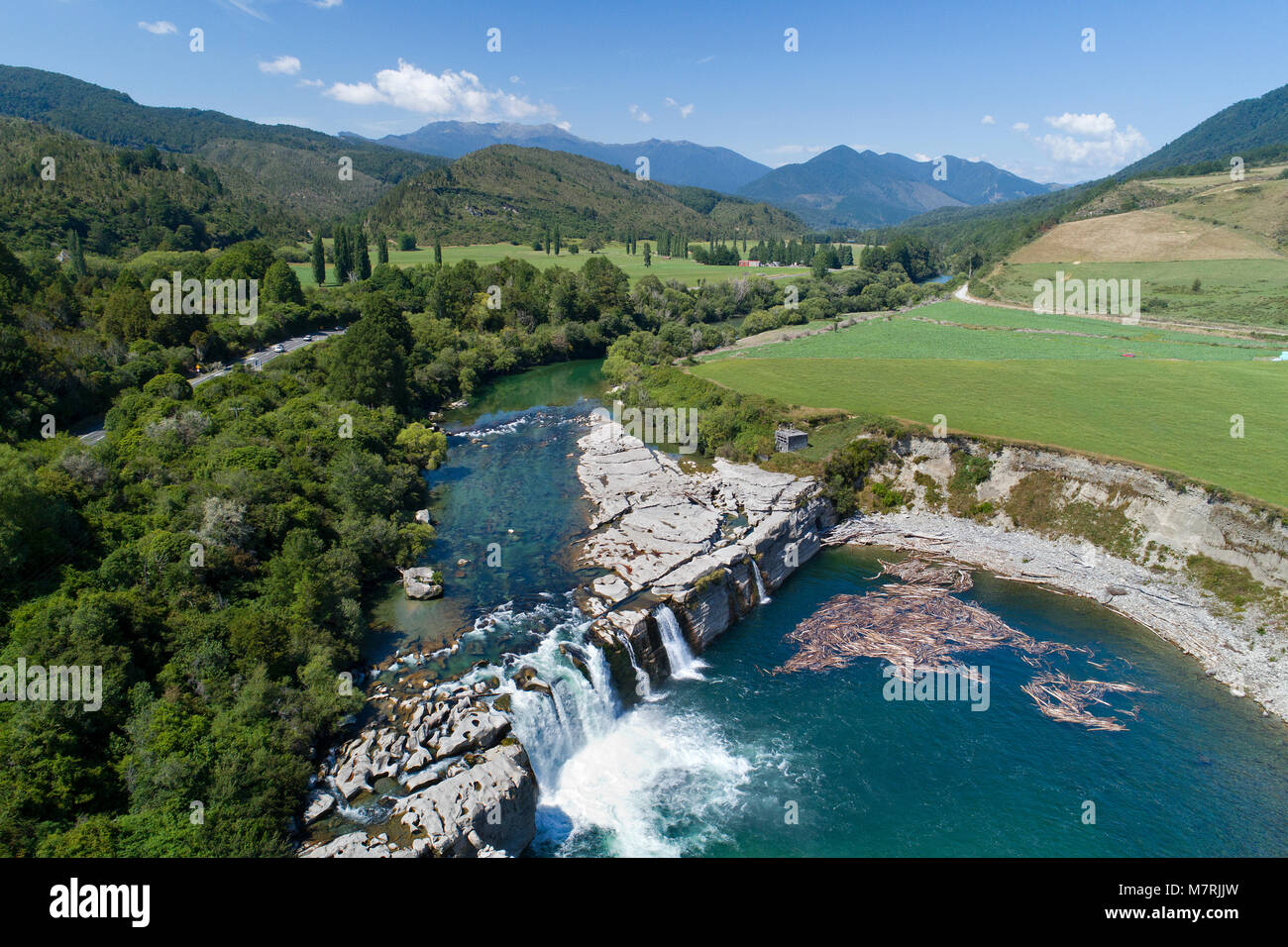 Maruia Falls and Maruia River, near Murchison, Tasman District, South Island, New Zealand - drone aerial Stock Photohttps://www.alamy.com/image-license-details/?v=1https://www.alamy.com/stock-photo-maruia-falls-and-maruia-river-near-murchison-tasman-district-south-176925809.html
RMM7RJJW–Maruia Falls and Maruia River, near Murchison, Tasman District, South Island, New Zealand - drone aerial
 New Zealand South island West Coast 14 km from Murchison Buller River is famous for fishing and water sports but also for the Stock Photohttps://www.alamy.com/image-license-details/?v=1https://www.alamy.com/stock-photo-new-zealand-south-island-west-coast-14-km-from-murchison-buller-river-70375753.html
RME2DTYN–New Zealand South island West Coast 14 km from Murchison Buller River is famous for fishing and water sports but also for the
 Lake Stanley, created by the Murchison earthquake in 1929, accessed via the Killdevil Track, Kahurangi National Park, Golden Bay, New Zealand. Stock Photohttps://www.alamy.com/image-license-details/?v=1https://www.alamy.com/lake-stanley-created-by-the-murchison-earthquake-in-1929-accessed-via-the-killdevil-track-kahurangi-national-park-golden-bay-new-zealand-image397078787.html
RF2E20E17–Lake Stanley, created by the Murchison earthquake in 1929, accessed via the Killdevil Track, Kahurangi National Park, Golden Bay, New Zealand.
 Pastoral landscape with meadows, cattle, trees and hills in Tutaki, near Murchison, Nelson Lakes National Park, South Island, New Zealand Stock Photohttps://www.alamy.com/image-license-details/?v=1https://www.alamy.com/pastoral-landscape-with-meadows-cattle-trees-and-hills-in-tutaki-near-murchison-nelson-lakes-national-park-south-island-new-zealand-image490648204.html
RF2KE6XP4–Pastoral landscape with meadows, cattle, trees and hills in Tutaki, near Murchison, Nelson Lakes National Park, South Island, New Zealand
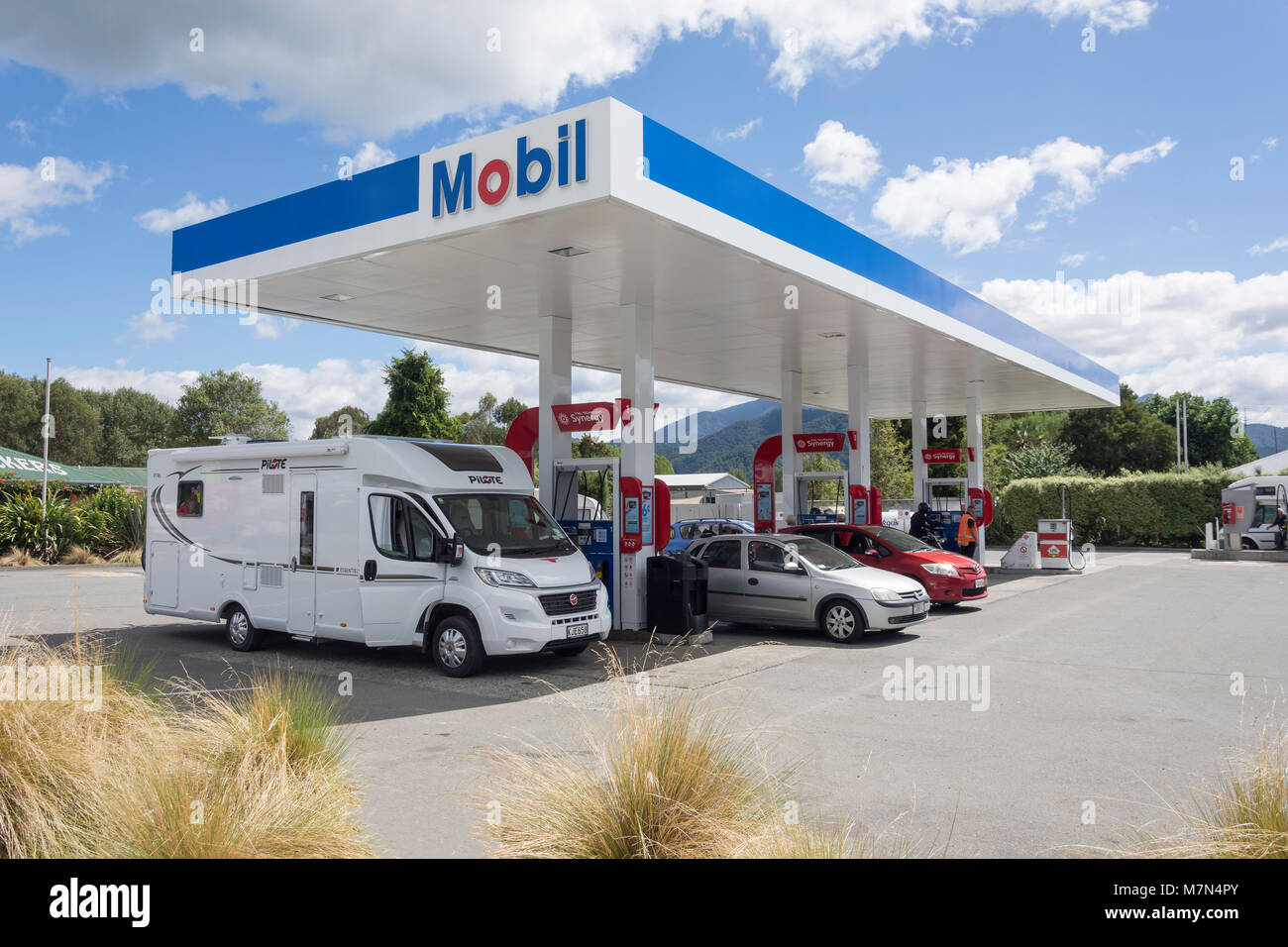 Mobil Service Station, State Highway, Murchison, Tasman Region, New Zealand Stock Photohttps://www.alamy.com/image-license-details/?v=1https://www.alamy.com/stock-photo-mobil-service-station-state-highway-murchison-tasman-region-new-zealand-176871043.html
RMM7N4PY–Mobil Service Station, State Highway, Murchison, Tasman Region, New Zealand
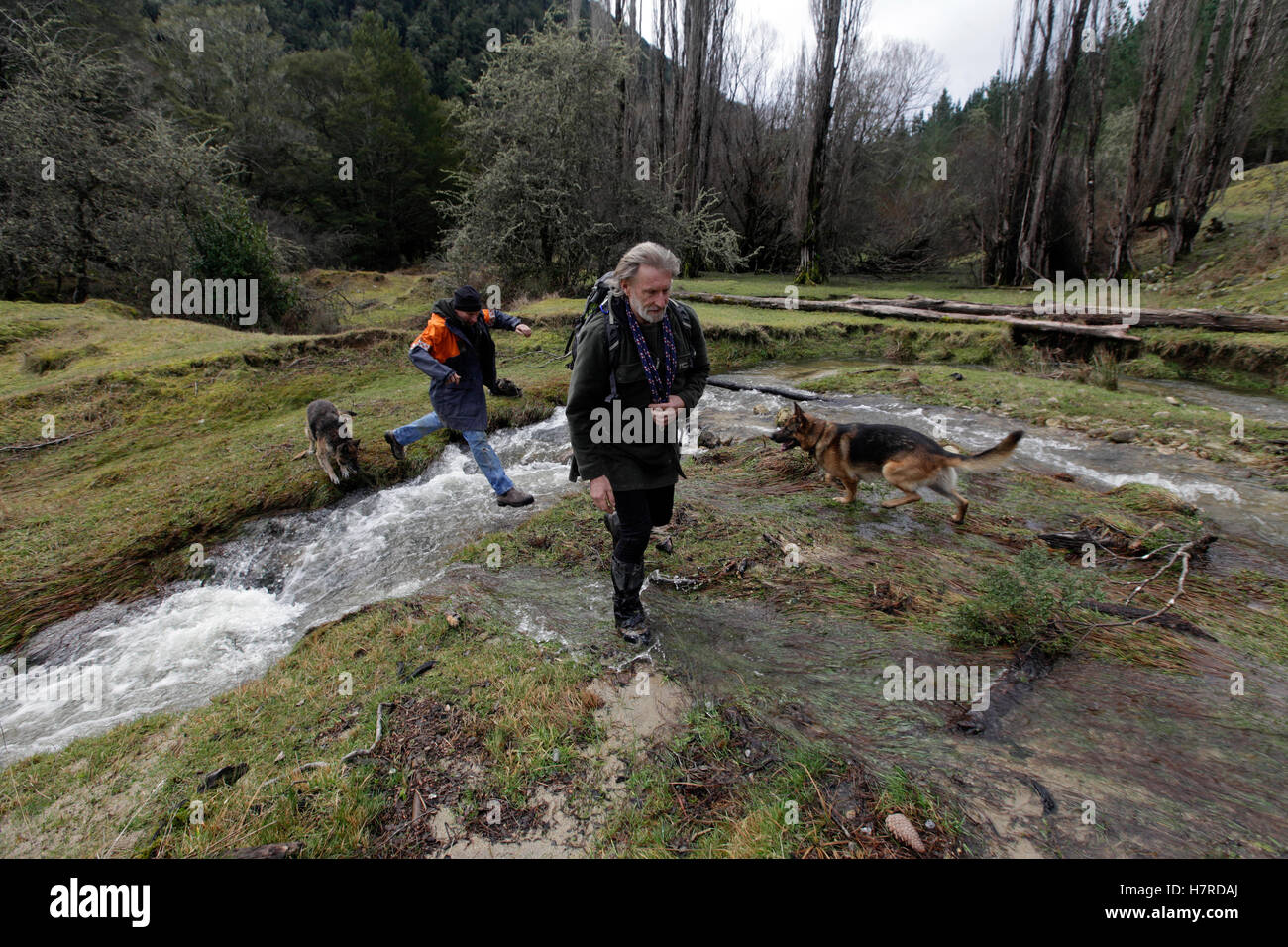 Land SAR search and rescue volunteers with dogs, Owen River near Murchison, New Zealand Stock Photohttps://www.alamy.com/image-license-details/?v=1https://www.alamy.com/stock-photo-land-sar-search-and-rescue-volunteers-with-dogs-owen-river-near-murchison-125290554.html
RMH7RDAJ–Land SAR search and rescue volunteers with dogs, Owen River near Murchison, New Zealand
 The Murchison Mountains from Te Anau, South Island, New Zealand Stock Photohttps://www.alamy.com/image-license-details/?v=1https://www.alamy.com/stock-photo-the-murchison-mountains-from-te-anau-south-island-new-zealand-21301988.html
RMB6JAW8–The Murchison Mountains from Te Anau, South Island, New Zealand
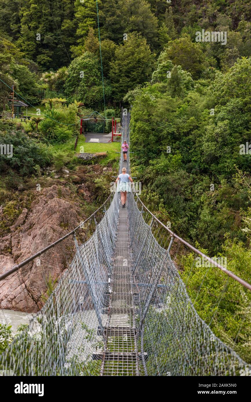 Buller Gorge Swing Bridge, pedestrian suspension bridge over Buller River, near Murchison, Tasman District, South Island, New Zealand Stock Photohttps://www.alamy.com/image-license-details/?v=1https://www.alamy.com/buller-gorge-swing-bridge-pedestrian-suspension-bridge-over-buller-river-near-murchison-tasman-district-south-island-new-zealand-image343399644.html
RF2AXK5N0–Buller Gorge Swing Bridge, pedestrian suspension bridge over Buller River, near Murchison, Tasman District, South Island, New Zealand
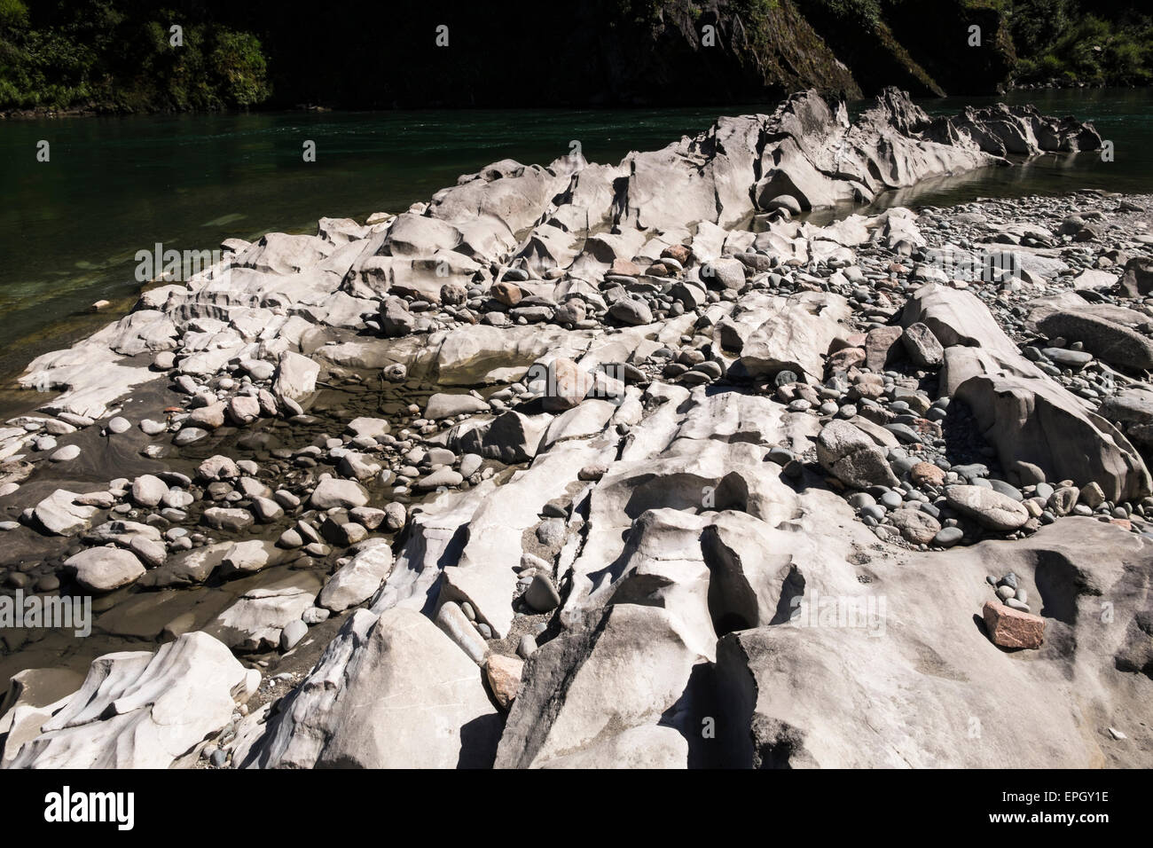 Limestone rock erosion in the Buller River gorge, Murchison, New Zealand. Stock Photohttps://www.alamy.com/image-license-details/?v=1https://www.alamy.com/stock-photo-limestone-rock-erosion-in-the-buller-river-gorge-murchison-new-zealand-82736346.html
RFEPGY1E–Limestone rock erosion in the Buller River gorge, Murchison, New Zealand.
 Maruia Falls Murchison Tasman Region New Zealand Stock Photohttps://www.alamy.com/image-license-details/?v=1https://www.alamy.com/stock-photo-maruia-falls-murchison-tasman-region-new-zealand-48285883.html
RFCPFH3R–Maruia Falls Murchison Tasman Region New Zealand
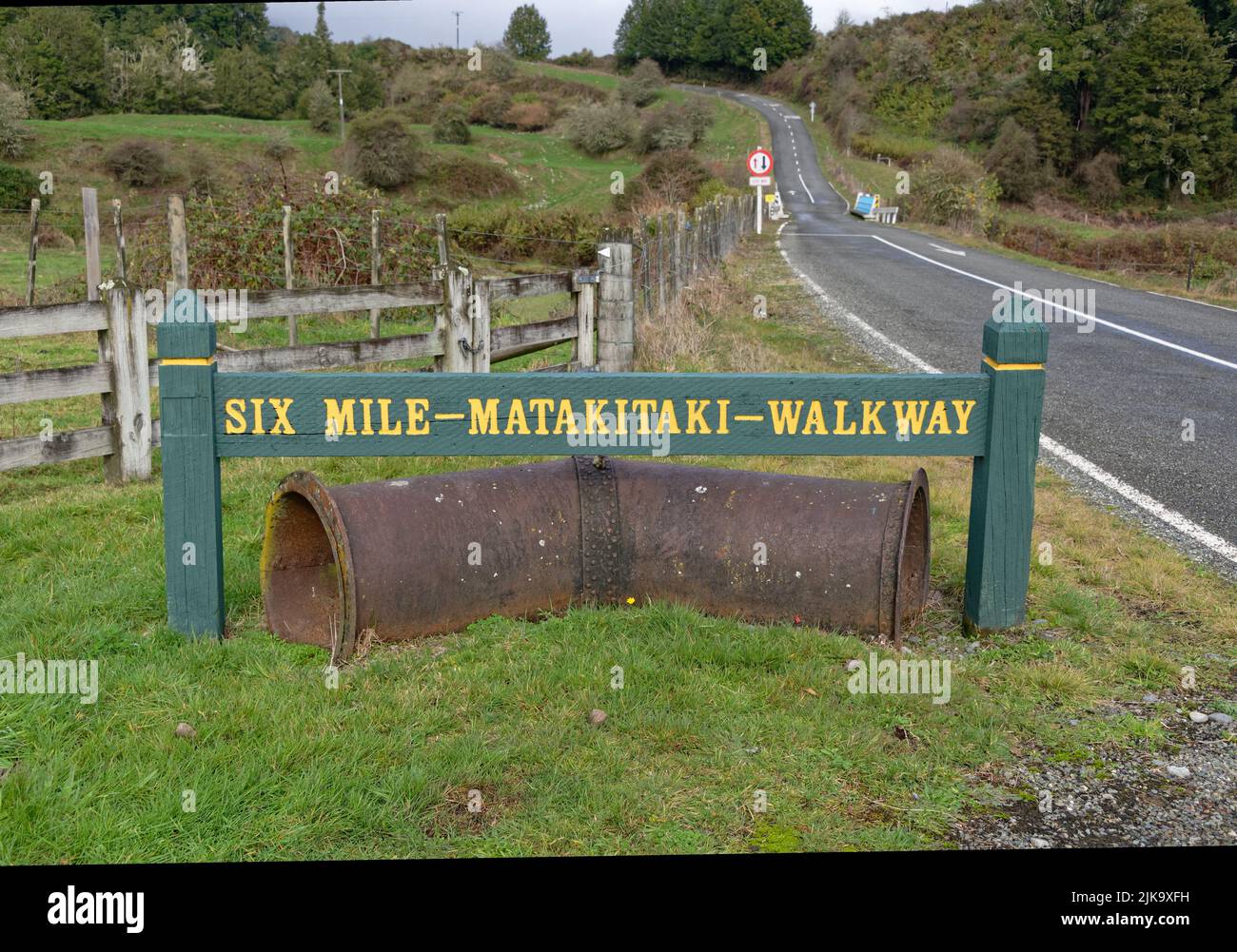 Six Mile Creek walkway, a short walk near Murchison, South Island, New Zealand Stock Photohttps://www.alamy.com/image-license-details/?v=1https://www.alamy.com/six-mile-creek-walkway-a-short-walk-near-murchison-south-island-new-zealand-image476576789.html
RF2JK9XFH–Six Mile Creek walkway, a short walk near Murchison, South Island, New Zealand
 Kepler Track Fiordland New Zealand Stock Photohttps://www.alamy.com/image-license-details/?v=1https://www.alamy.com/kepler-track-fiordland-new-zealand-image465914477.html
RM2J206JN–Kepler Track Fiordland New Zealand
 Maruia Falls, Maruia Valley, Murchison, Tasman, South Island, New Zealand Stock Photohttps://www.alamy.com/image-license-details/?v=1https://www.alamy.com/maruia-falls-maruia-valley-murchison-tasman-south-island-new-zealand-image344218742.html
RF2B00EEE–Maruia Falls, Maruia Valley, Murchison, Tasman, South Island, New Zealand
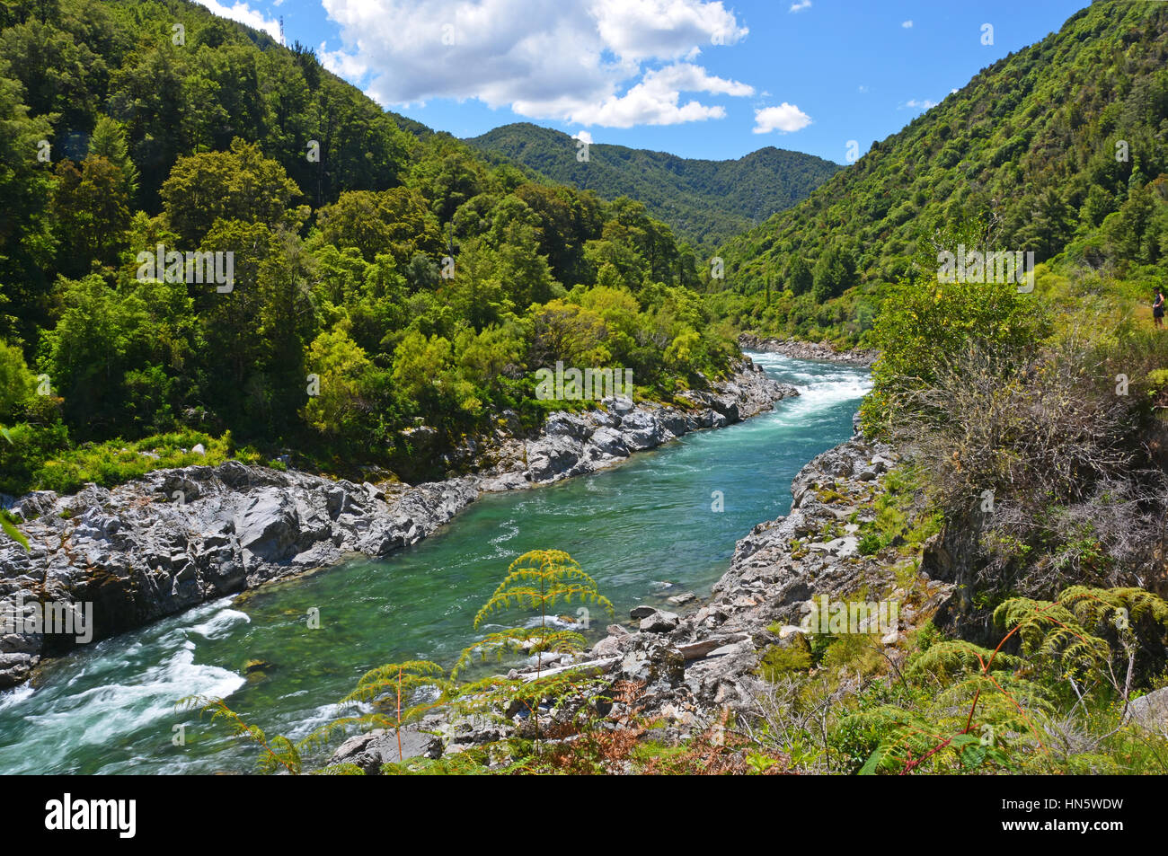 The majestic Buller River entering the Buller Gorge below Murchison. Famous for adventure tourist attractions and trout fishing. Stock Photohttps://www.alamy.com/image-license-details/?v=1https://www.alamy.com/stock-photo-the-majestic-buller-river-entering-the-buller-gorge-below-murchison-133510101.html
RFHN5WDW–The majestic Buller River entering the Buller Gorge below Murchison. Famous for adventure tourist attractions and trout fishing.
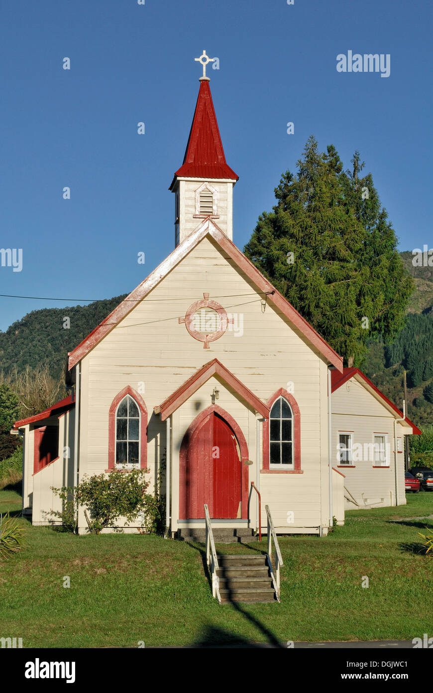 Anglican Church of St. Paul's, Murchison, Highway 6, South Island, New Zealand Stock Photohttps://www.alamy.com/image-license-details/?v=1https://www.alamy.com/anglican-church-of-st-pauls-murchison-highway-6-south-island-new-zealand-image61880673.html
RMDGJWC1–Anglican Church of St. Paul's, Murchison, Highway 6, South Island, New Zealand
 An old barn on a small holding in the Buller Gorge near Murchison in the Tasman Region of the South Island, New Zealand. Stock Photohttps://www.alamy.com/image-license-details/?v=1https://www.alamy.com/an-old-barn-on-a-small-holding-in-the-buller-gorge-near-murchison-in-the-tasman-region-of-the-south-island-new-zealand-image477722853.html
RM2JN64AD–An old barn on a small holding in the Buller Gorge near Murchison in the Tasman Region of the South Island, New Zealand.
 Hiker on Kepler Track, Great Walk, views of Murchison Mountains, Fiordland National Park, Southland, New Zealand Stock Photohttps://www.alamy.com/image-license-details/?v=1https://www.alamy.com/hiker-on-kepler-track-great-walk-views-of-murchison-mountains-fiordland-national-park-southland-new-zealand-image389767936.html
RM2DJ3CYC–Hiker on Kepler Track, Great Walk, views of Murchison Mountains, Fiordland National Park, Southland, New Zealand
 Maruia Falls, Tasman, South Island, New Zealand Stock Photohttps://www.alamy.com/image-license-details/?v=1https://www.alamy.com/maruia-falls-tasman-south-island-new-zealand-image229867012.html
RFR9Y9M4–Maruia Falls, Tasman, South Island, New Zealand
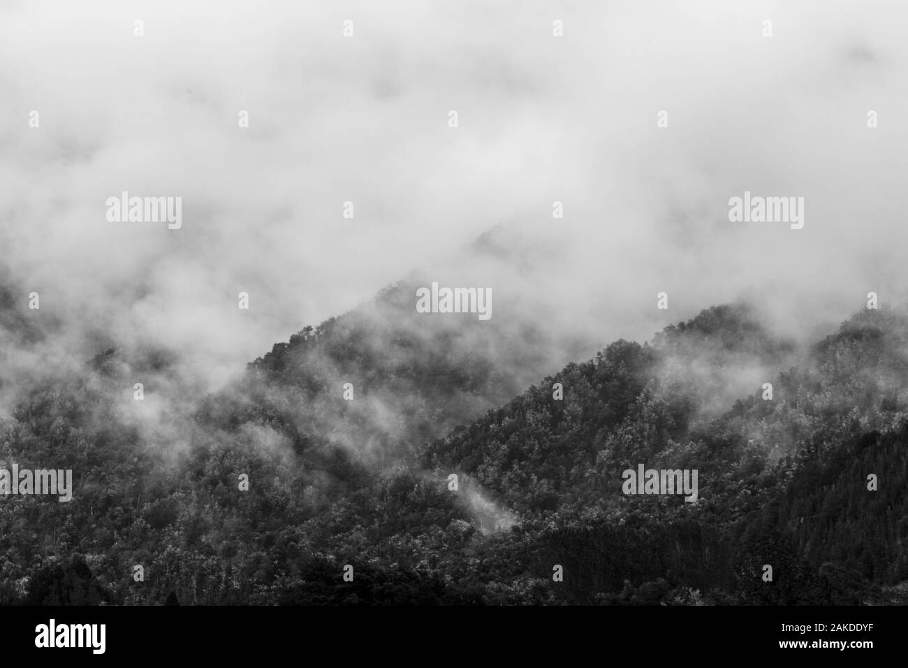 mist and cloud rises off tree covered mountains in New Zealand Stock Photohttps://www.alamy.com/image-license-details/?v=1https://www.alamy.com/mist-and-cloud-rises-off-tree-covered-mountains-in-new-zealand-image338971795.html
RF2AKDDYF–mist and cloud rises off tree covered mountains in New Zealand
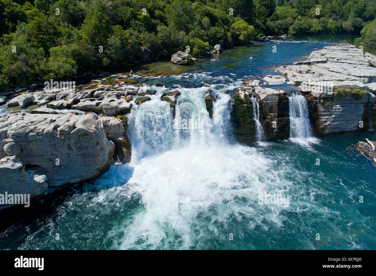 Maruia Falls and Maruia River, near Murchison, Tasman District, South Island, New Zealand - drone aerial Stock Photohttps://www.alamy.com/image-license-details/?v=1https://www.alamy.com/stock-photo-maruia-falls-and-maruia-river-near-murchison-tasman-district-south-176925784.html
RMM7RJJ0–Maruia Falls and Maruia River, near Murchison, Tasman District, South Island, New Zealand - drone aerial
 New Zealand South island West Coast 14 km from Murchison Buller River is famous for fishing and water sports but also for the Stock Photohttps://www.alamy.com/image-license-details/?v=1https://www.alamy.com/stock-photo-new-zealand-south-island-west-coast-14-km-from-murchison-buller-river-70375750.html
RME2DTYJ–New Zealand South island West Coast 14 km from Murchison Buller River is famous for fishing and water sports but also for the
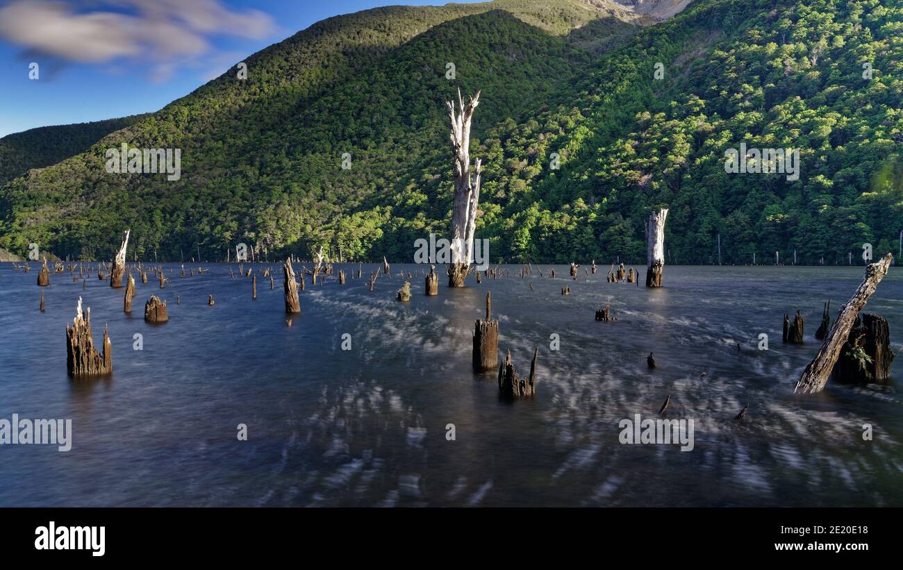 Lake Stanley, created by the Murchison earthquake in 1929, accessed via the Killdevil Track, Kahurangi National Park, Golden Bay, New Zealand. Stock Photohttps://www.alamy.com/image-license-details/?v=1https://www.alamy.com/lake-stanley-created-by-the-murchison-earthquake-in-1929-accessed-via-the-killdevil-track-kahurangi-national-park-golden-bay-new-zealand-image397078788.html
RF2E20E18–Lake Stanley, created by the Murchison earthquake in 1929, accessed via the Killdevil Track, Kahurangi National Park, Golden Bay, New Zealand.
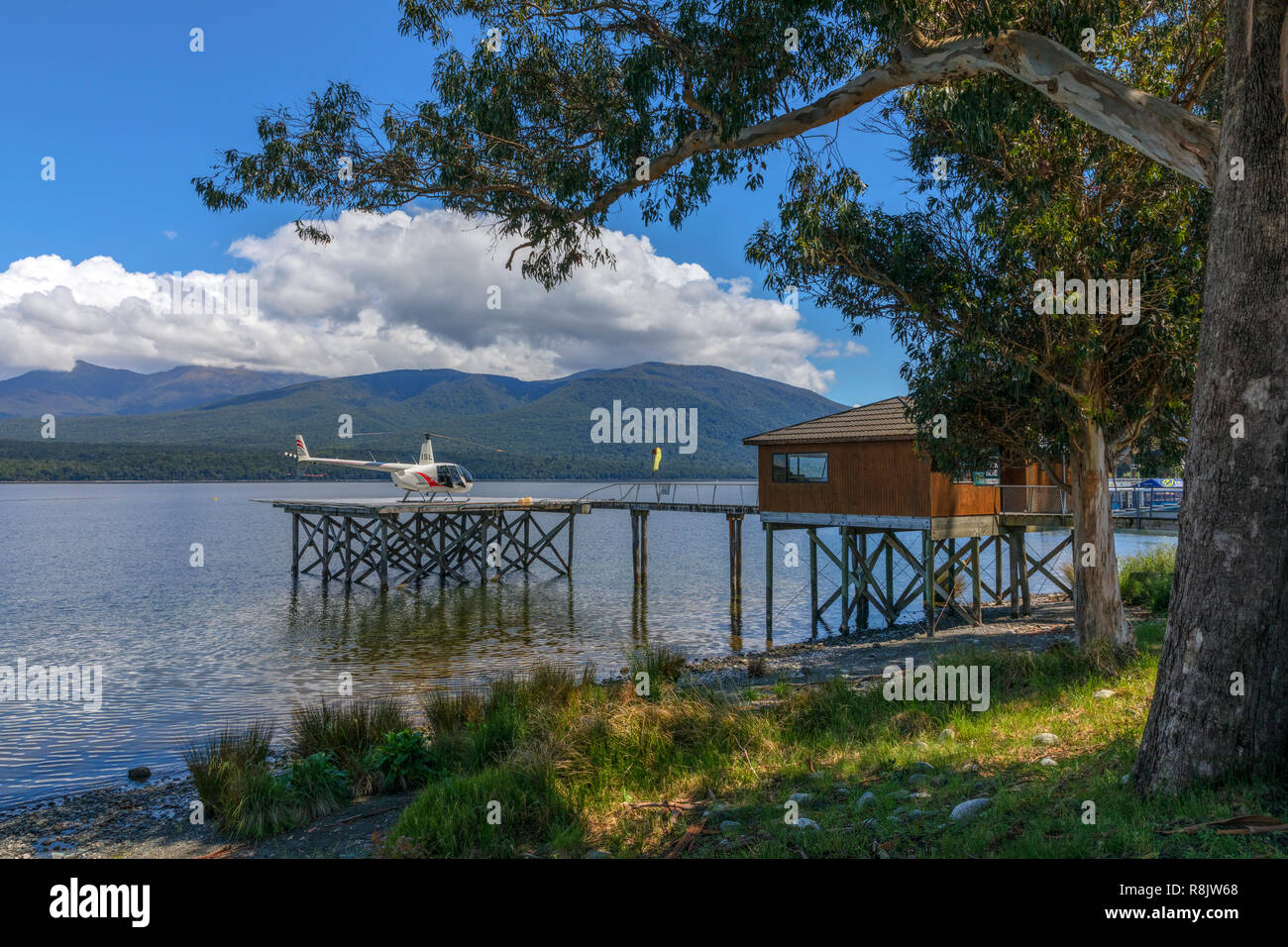 Te Anau, South Island, Fiordland, New Zealand Stock Photohttps://www.alamy.com/image-license-details/?v=1https://www.alamy.com/te-anau-south-island-fiordland-new-zealand-image229066944.html
RFR8JW68–Te Anau, South Island, Fiordland, New Zealand
 Anglican Church of St.Paul, Fairfax Street, Murchison, Tasman, New Zealand Stock Photohttps://www.alamy.com/image-license-details/?v=1https://www.alamy.com/stock-photo-anglican-church-of-stpaul-fairfax-street-murchison-tasman-new-zealand-176871114.html
RMM7N4WE–Anglican Church of St.Paul, Fairfax Street, Murchison, Tasman, New Zealand
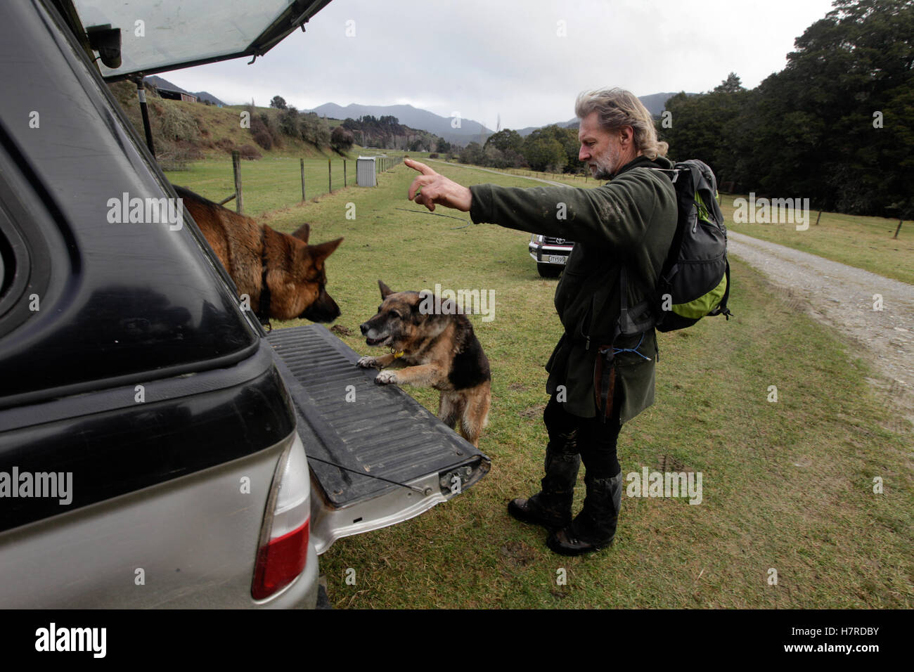 search and rescue dogs being put back into a car by their owner at Owen River, near Murchison, New Zealand Stock Photohttps://www.alamy.com/image-license-details/?v=1https://www.alamy.com/stock-photo-search-and-rescue-dogs-being-put-back-into-a-car-by-their-owner-at-125290591.html
RMH7RDBY–search and rescue dogs being put back into a car by their owner at Owen River, near Murchison, New Zealand
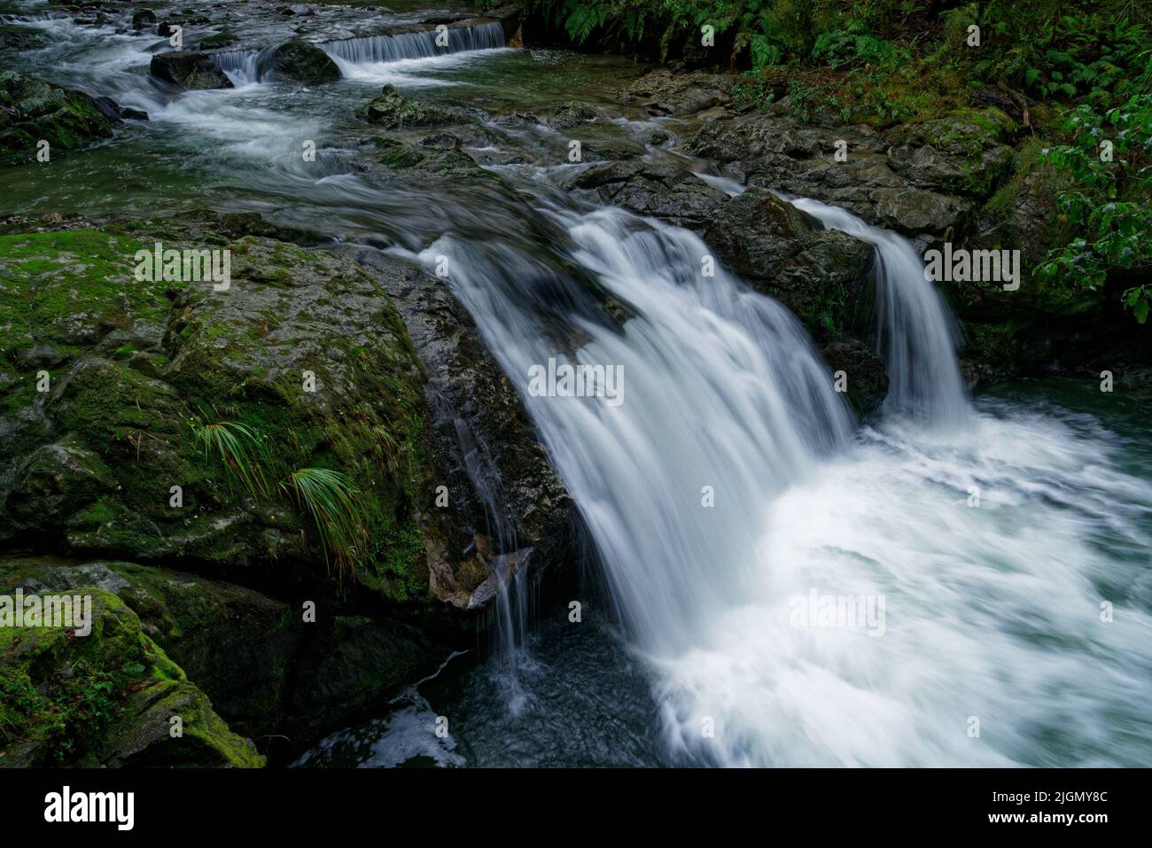 Six Mile Creek walkway, the weir, waterfall and remains of the old Six Mile hydro power station, Murchison, south island, Aotearoa / New Zealand Stock Photohttps://www.alamy.com/image-license-details/?v=1https://www.alamy.com/six-mile-creek-walkway-the-weir-waterfall-and-remains-of-the-old-six-mile-hydro-power-station-murchison-south-island-aotearoa-new-zealand-image474974876.html
RF2JGMY8C–Six Mile Creek walkway, the weir, waterfall and remains of the old Six Mile hydro power station, Murchison, south island, Aotearoa / New Zealand
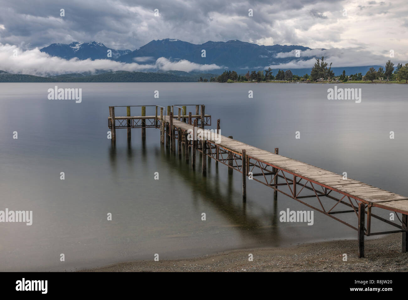 Te Anau, South Island, Fiordland, New Zealand Stock Photohttps://www.alamy.com/image-license-details/?v=1https://www.alamy.com/te-anau-south-island-fiordland-new-zealand-image229066824.html
RFR8JW20–Te Anau, South Island, Fiordland, New Zealand
 Buller Canyon Jet boat with tourists on a thrilling ride through a rocky ravine on the river, Murchison, New Zealand. Stock Photohttps://www.alamy.com/image-license-details/?v=1https://www.alamy.com/stock-photo-buller-canyon-jet-boat-with-tourists-on-a-thrilling-ride-through-a-82744952.html
RMEPHA0T–Buller Canyon Jet boat with tourists on a thrilling ride through a rocky ravine on the river, Murchison, New Zealand.
 Historic stables, Murchison, Tasman District, South Island, New Zealand Stock Photohttps://www.alamy.com/image-license-details/?v=1https://www.alamy.com/historic-stables-murchison-tasman-district-south-island-new-zealand-image207689352.html
RMP1W1TT–Historic stables, Murchison, Tasman District, South Island, New Zealand
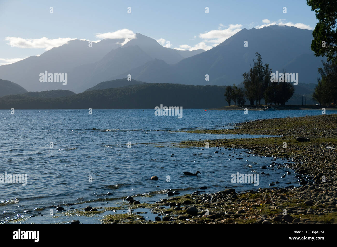 The Murchison Mountains over lake Te Anau, South Island, New Zealand Stock Photohttps://www.alamy.com/image-license-details/?v=1https://www.alamy.com/stock-photo-the-murchison-mountains-over-lake-te-anau-south-island-new-zealand-21301944.html
RMB6JARM–The Murchison Mountains over lake Te Anau, South Island, New Zealand
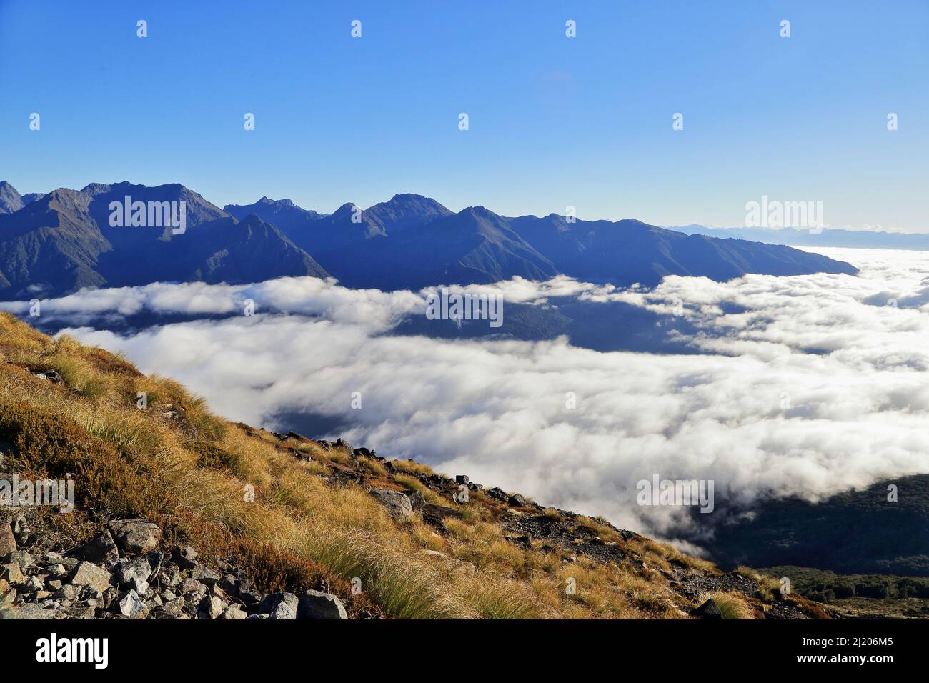 Kepler Track Fiordland New Zealand Stock Photohttps://www.alamy.com/image-license-details/?v=1https://www.alamy.com/kepler-track-fiordland-new-zealand-image465914517.html
RM2J206M5–Kepler Track Fiordland New Zealand
 WW2 British truck wreck, trail near Swing Bridge at Buller River, near Murchison, Tasman District, South Island, New Zealand Stock Photohttps://www.alamy.com/image-license-details/?v=1https://www.alamy.com/ww2-british-truck-wreck-trail-near-swing-bridge-at-buller-river-near-murchison-tasman-district-south-island-new-zealand-image343400182.html
RF2AXK6C6–WW2 British truck wreck, trail near Swing Bridge at Buller River, near Murchison, Tasman District, South Island, New Zealand
 Maruia Falls, Tasman, New Zealand. This waterfall was created during an earthquake in 1929. Stock Photohttps://www.alamy.com/image-license-details/?v=1https://www.alamy.com/stock-photo-maruia-falls-tasman-new-zealand-this-waterfall-was-created-during-47267624.html
RFCMW69C–Maruia Falls, Tasman, New Zealand. This waterfall was created during an earthquake in 1929.
 Maruia Falls in the South Island of New Zealand Stock Photohttps://www.alamy.com/image-license-details/?v=1https://www.alamy.com/maruia-falls-in-the-south-island-of-new-zealand-image348180904.html
RM2B6D088–Maruia Falls in the South Island of New Zealand
 An old barn on a small holding in the Buller Gorge near Murchison in the Tasman Region of the South Island, New Zealand. Stock Photohttps://www.alamy.com/image-license-details/?v=1https://www.alamy.com/an-old-barn-on-a-small-holding-in-the-buller-gorge-near-murchison-in-the-tasman-region-of-the-south-island-new-zealand-image477722843.html
RM2JN64A3–An old barn on a small holding in the Buller Gorge near Murchison in the Tasman Region of the South Island, New Zealand.
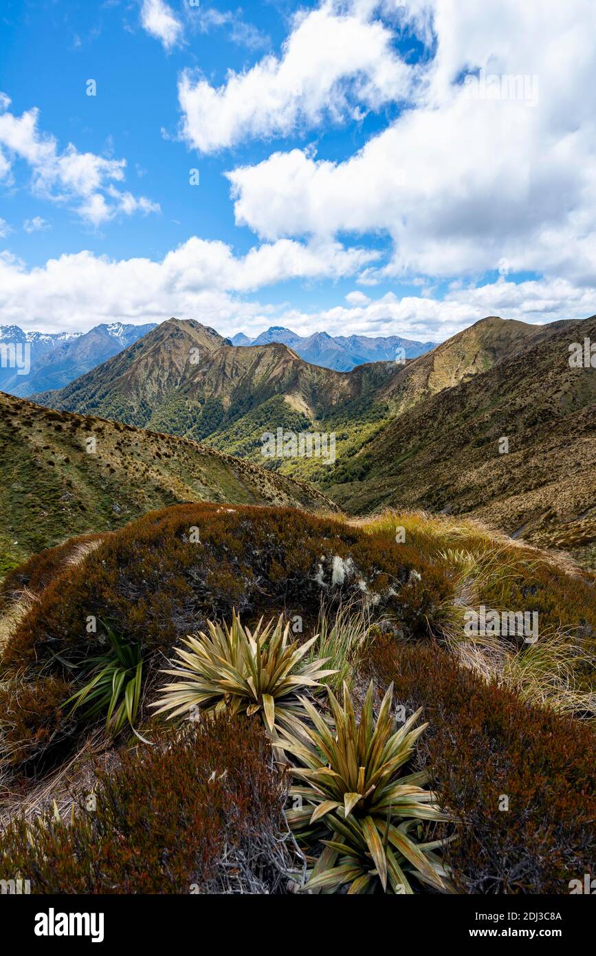 View of Murchison Mountains and Kepler Mountains, from the Kepler Track, Great Walk, Fiordland National Park, Southland, New Zealand Stock Photohttps://www.alamy.com/image-license-details/?v=1https://www.alamy.com/view-of-murchison-mountains-and-kepler-mountains-from-the-kepler-track-great-walk-fiordland-national-park-southland-new-zealand-image389767402.html
RF2DJ3C8A–View of Murchison Mountains and Kepler Mountains, from the Kepler Track, Great Walk, Fiordland National Park, Southland, New Zealand
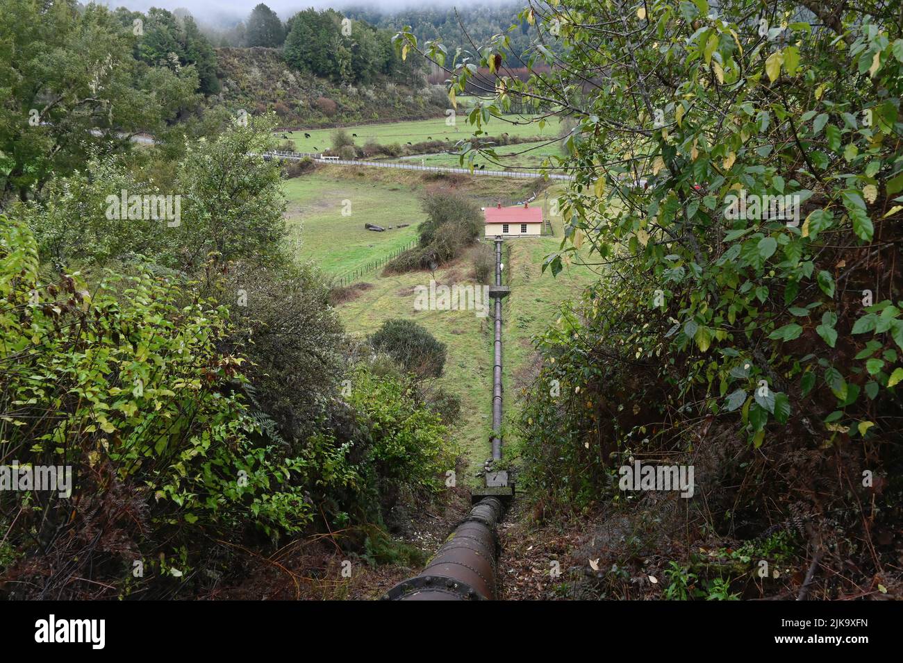 The Six Mile hydro power station is an historical power station near Murchison in New Zealand's South Island. Stock Photohttps://www.alamy.com/image-license-details/?v=1https://www.alamy.com/the-six-mile-hydro-power-station-is-an-historical-power-station-near-murchison-in-new-zealands-south-island-image476576793.html
RF2JK9XFN–The Six Mile hydro power station is an historical power station near Murchison in New Zealand's South Island.
 dirt road curls through mountain landscape, South Island New Zealand Stock Photohttps://www.alamy.com/image-license-details/?v=1https://www.alamy.com/dirt-road-curls-through-mountain-landscape-south-island-new-zealand-image338971796.html
RF2AKDDYG–dirt road curls through mountain landscape, South Island New Zealand
 the Maruia Falls were created by the 1929 Murchison earthquake when a slip blocked the original channel. It is off the Shenandoah Highway on the way t Stock Photohttps://www.alamy.com/image-license-details/?v=1https://www.alamy.com/the-maruia-falls-were-created-by-the1929-murchison-earthquakewhen-a-slip-blocked-the-original-channel-it-is-off-the-shenandoah-highway-on-the-way-t-image572608042.html
RF2T7GFB6–the Maruia Falls were created by the 1929 Murchison earthquake when a slip blocked the original channel. It is off the Shenandoah Highway on the way t
 New Zealand South island West Coast 14 km from Murchison Buller River is famous for fishing and water sports but also for the Stock Photohttps://www.alamy.com/image-license-details/?v=1https://www.alamy.com/stock-photo-new-zealand-south-island-west-coast-14-km-from-murchison-buller-river-70375752.html
RME2DTYM–New Zealand South island West Coast 14 km from Murchison Buller River is famous for fishing and water sports but also for the
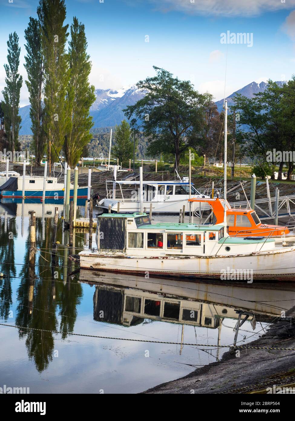 The Murchison Mountains behind Bluegum Point Marina, Te Anau, Fiordland. Stock Photohttps://www.alamy.com/image-license-details/?v=1https://www.alamy.com/the-murchison-mountains-behind-bluegum-point-marina-te-anau-fiordland-image358831484.html
RF2BRP564–The Murchison Mountains behind Bluegum Point Marina, Te Anau, Fiordland.
 Morning sun brightens lush green foliage of natural New Zealand bush environment along West Bank of Matakitaki River near Murchison South Ilsand New Z Stock Photohttps://www.alamy.com/image-license-details/?v=1https://www.alamy.com/morning-sun-brightens-lush-green-foliage-of-natural-new-zealand-bush-environment-along-west-bank-of-matakitaki-river-near-murchison-south-ilsand-new-z-image231004452.html
RFRBR4F0–Morning sun brightens lush green foliage of natural New Zealand bush environment along West Bank of Matakitaki River near Murchison South Ilsand New Z
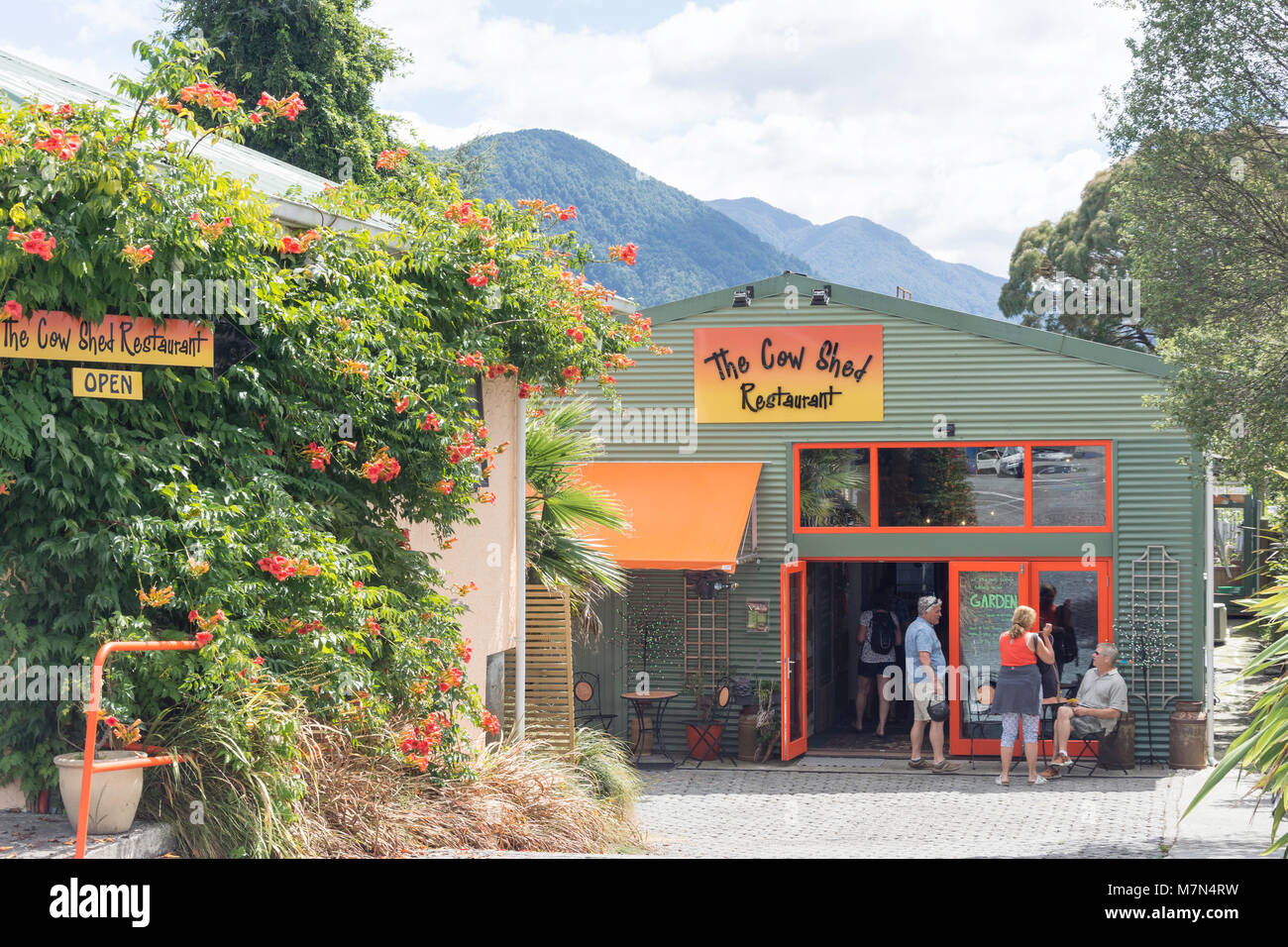 The Cow Shed Restaurant, Waller Street (State Highway 6), Murchison, Tasman Region, New Zealand Stock Photohttps://www.alamy.com/image-license-details/?v=1https://www.alamy.com/stock-photo-the-cow-shed-restaurant-waller-street-state-highway-6-murchison-tasman-176871069.html
RMM7N4RW–The Cow Shed Restaurant, Waller Street (State Highway 6), Murchison, Tasman Region, New Zealand
 ANZAC memorial statue at Murchison, New Zealand Stock Photohttps://www.alamy.com/image-license-details/?v=1https://www.alamy.com/anzac-memorial-statue-at-murchison-new-zealand-image328445594.html
RF2A29YKP–ANZAC memorial statue at Murchison, New Zealand
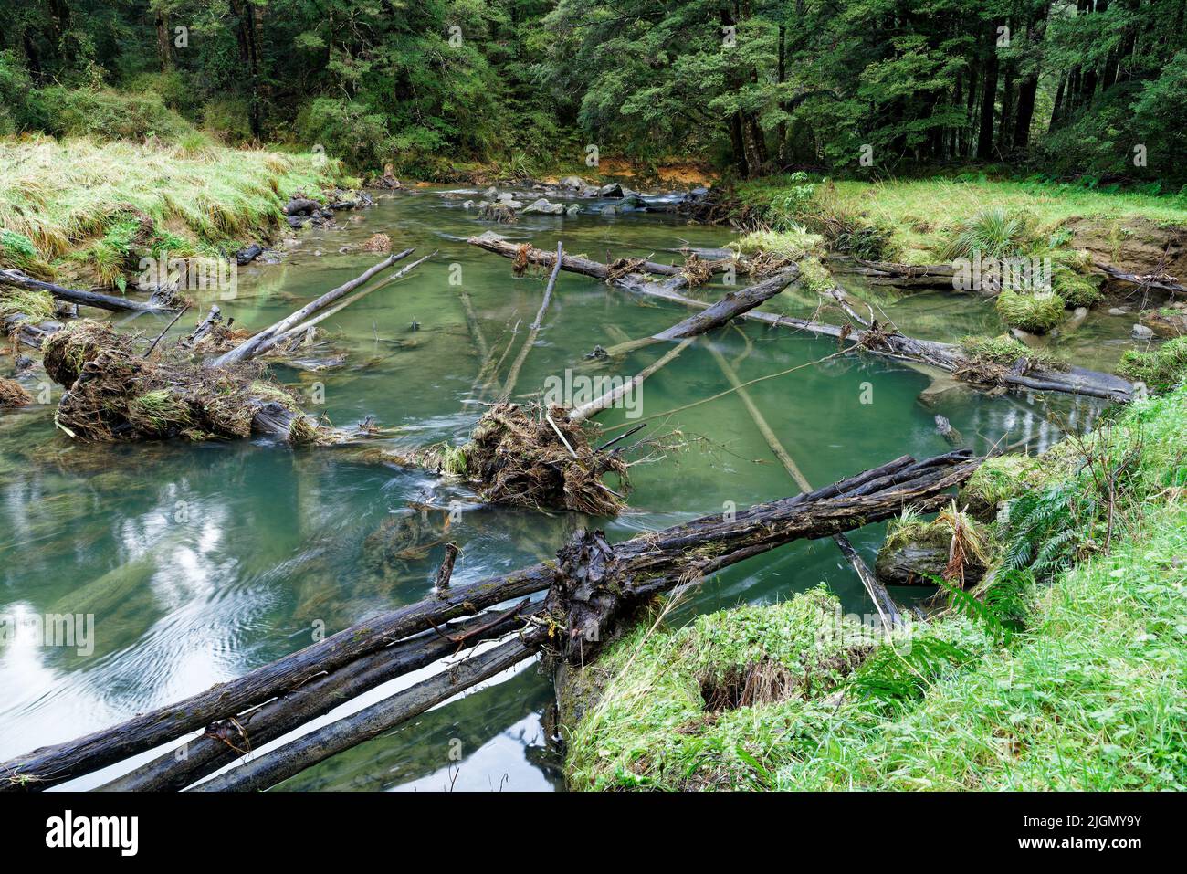 Six Mile Creek walkway, a lagoon above the weir and waterfall, Murchison, south island, Aotearoa / New Zealand Stock Photohttps://www.alamy.com/image-license-details/?v=1https://www.alamy.com/six-mile-creek-walkway-a-lagoon-above-the-weir-and-waterfall-murchison-south-island-aotearoa-new-zealand-image474974919.html
RF2JGMY9Y–Six Mile Creek walkway, a lagoon above the weir and waterfall, Murchison, south island, Aotearoa / New Zealand
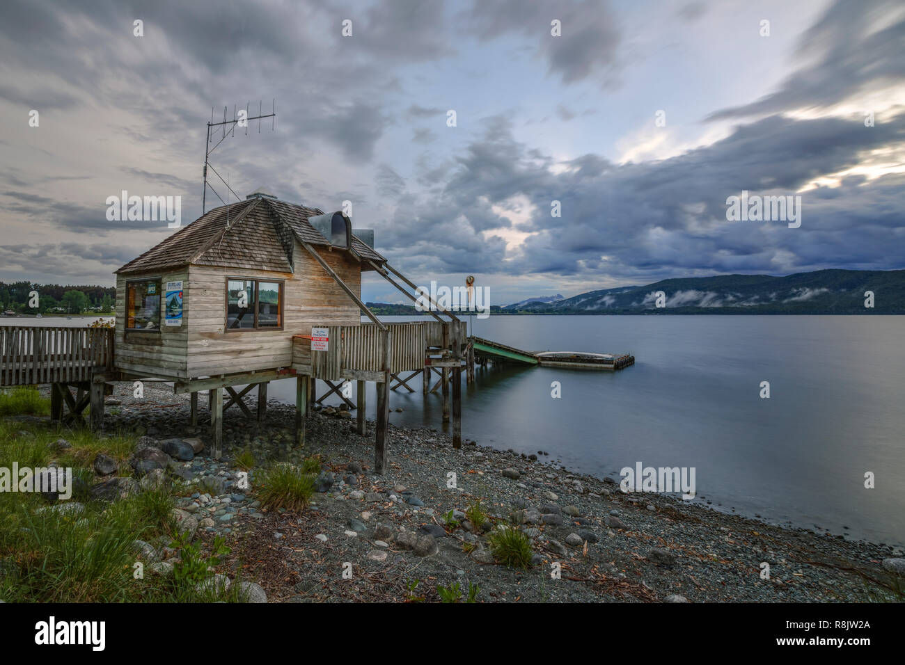 Te Anau, South Island, Fiordland, New Zealand Stock Photohttps://www.alamy.com/image-license-details/?v=1https://www.alamy.com/te-anau-south-island-fiordland-new-zealand-image229066834.html
RFR8JW2A–Te Anau, South Island, Fiordland, New Zealand
 Buller Canyon Jet boat with tourists on a thrilling ride through a rocky ravine on the river, Murchison, New Zealand. Stock Photohttps://www.alamy.com/image-license-details/?v=1https://www.alamy.com/stock-photo-buller-canyon-jet-boat-with-tourists-on-a-thrilling-ride-through-a-82744965.html
RMEPHA19–Buller Canyon Jet boat with tourists on a thrilling ride through a rocky ravine on the river, Murchison, New Zealand.
 Old Austin truck, Murchison, Tasman District, South Island, New Zealand Stock Photohttps://www.alamy.com/image-license-details/?v=1https://www.alamy.com/old-austin-truck-murchison-tasman-district-south-island-new-zealand-image207689508.html
RMP1W22C–Old Austin truck, Murchison, Tasman District, South Island, New Zealand
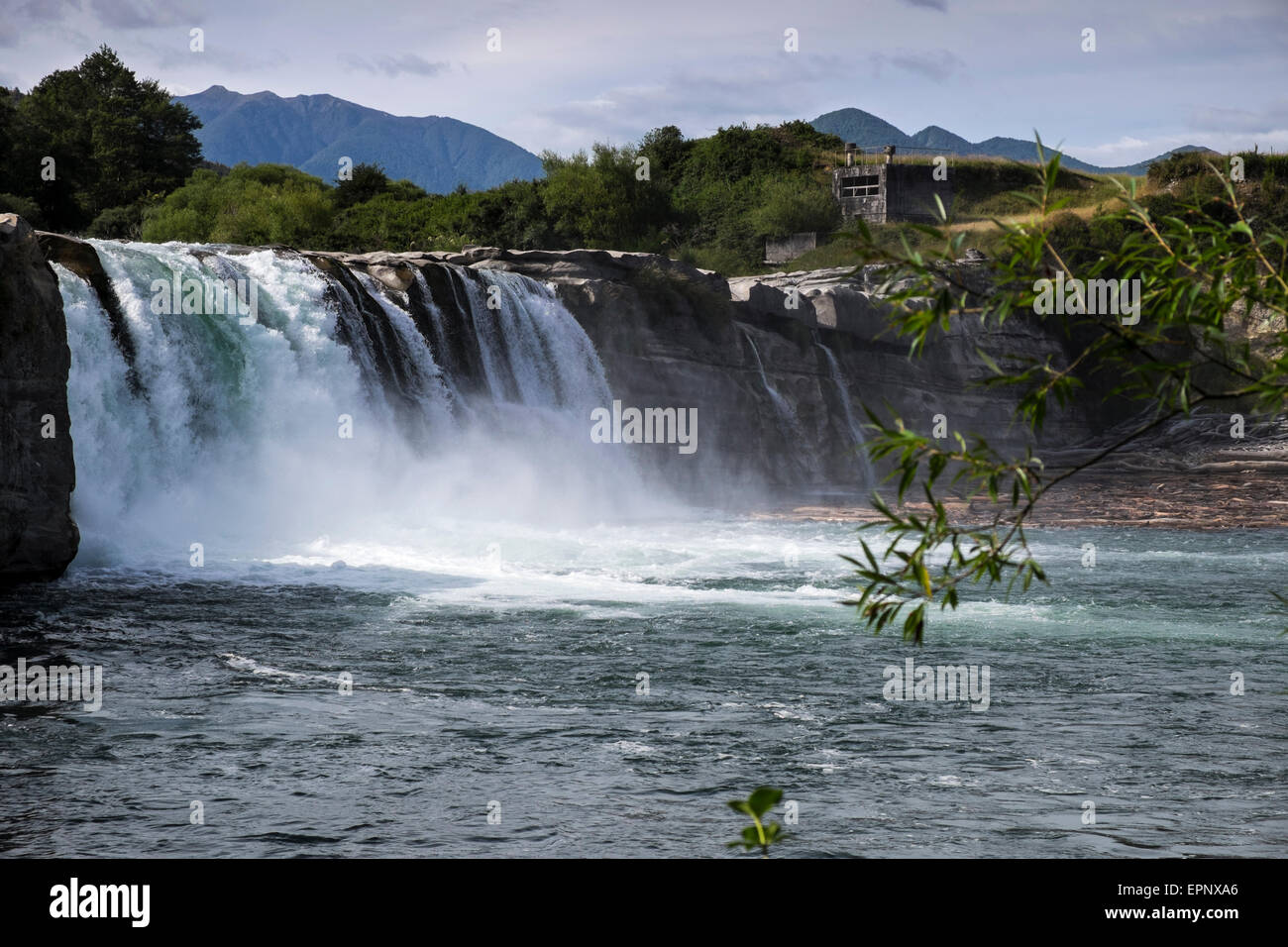 Maruia Falls were created by the 1929 Murchison earthquake when a slip blocked the original channel, Murchison, New Zealand. Stock Photohttps://www.alamy.com/image-license-details/?v=1https://www.alamy.com/stock-photo-maruia-falls-were-created-by-the-1929-murchison-earthquake-when-a-82845566.html
RFEPNXA6–Maruia Falls were created by the 1929 Murchison earthquake when a slip blocked the original channel, Murchison, New Zealand.
 O'Sullivans Bridge to Inangahua Junction, road bridge over the Buller river on the way to the west coast, at Murchison, Tasman, New Zealand. Stock Photohttps://www.alamy.com/image-license-details/?v=1https://www.alamy.com/osullivans-bridge-to-inangahua-junction-road-bridge-over-the-buller-river-on-the-way-to-the-west-coast-at-murchison-tasman-new-zealand-image262255402.html
RFW6JNCA–O'Sullivans Bridge to Inangahua Junction, road bridge over the Buller river on the way to the west coast, at Murchison, Tasman, New Zealand.
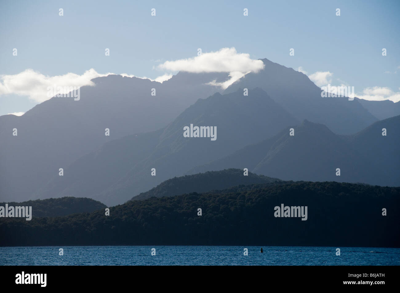 The Murchison Mountains over lake Te Anau, South Island, New Zealand Stock Photohttps://www.alamy.com/image-license-details/?v=1https://www.alamy.com/stock-photo-the-murchison-mountains-over-lake-te-anau-south-island-new-zealand-21301969.html
RMB6JATH–The Murchison Mountains over lake Te Anau, South Island, New Zealand
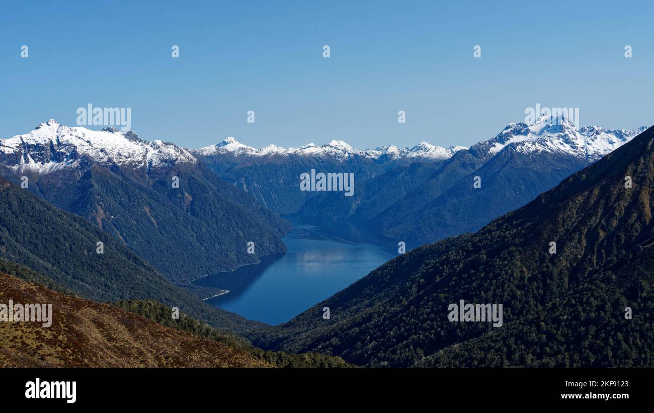 South Fiord and the snow capped Murchison Mountains viewed from the Kepler Track. Fiordland National Park, Southland, south island, New Zealand Stock Photohttps://www.alamy.com/image-license-details/?v=1https://www.alamy.com/south-fiord-and-the-snow-capped-murchison-mountains-viewed-from-the-kepler-track-fiordland-national-park-southland-south-island-new-zealand-image491308555.html
RF2KF9123–South Fiord and the snow capped Murchison Mountains viewed from the Kepler Track. Fiordland National Park, Southland, south island, New Zealand
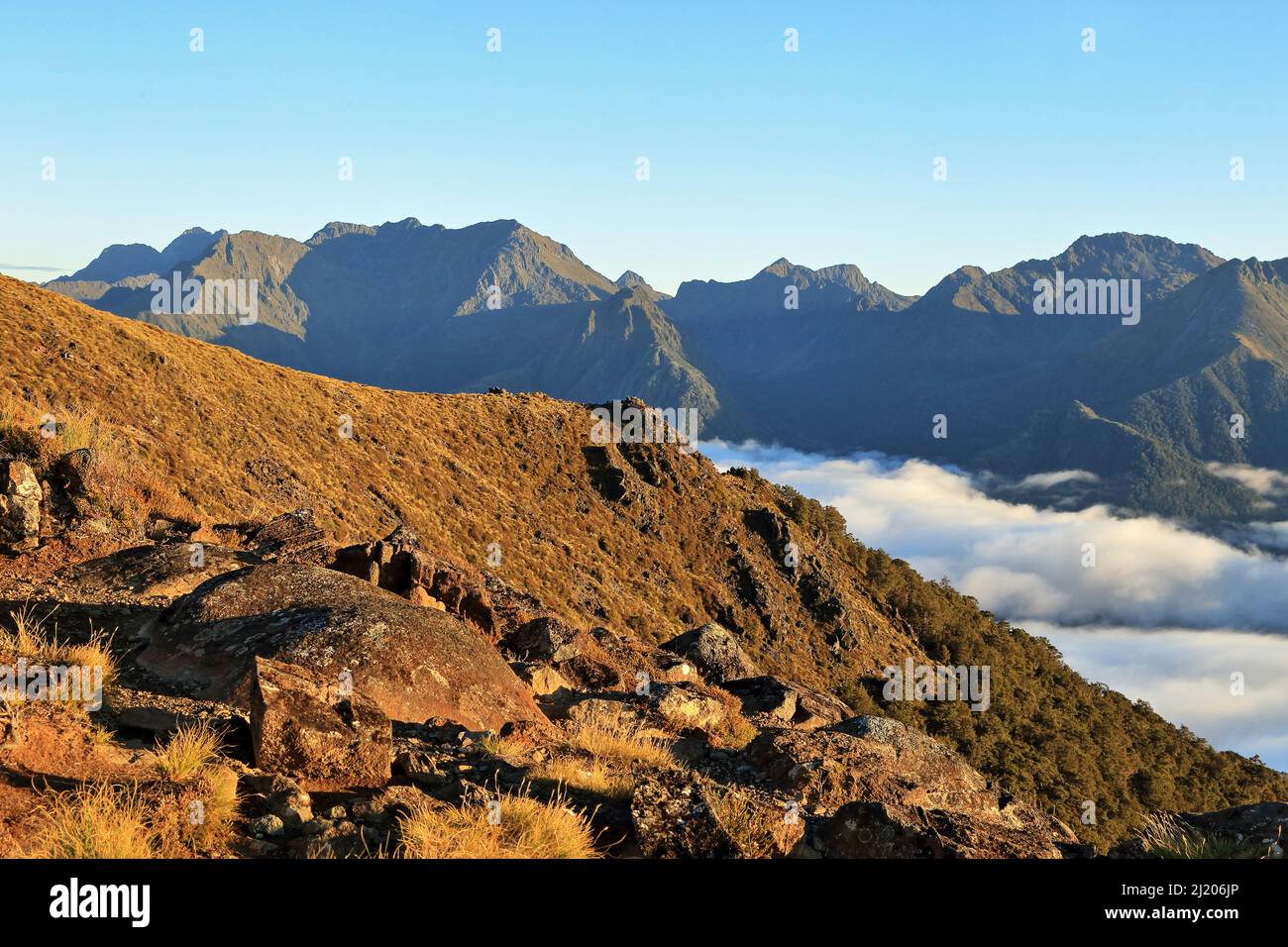 Kepler Track Fiordland New Zealand Stock Photohttps://www.alamy.com/image-license-details/?v=1https://www.alamy.com/kepler-track-fiordland-new-zealand-image465914478.html
RM2J206JP–Kepler Track Fiordland New Zealand
 New Zealand's longest swing bridge across the Buller river at Buller Gorge Adventure & Heritage Park near Murchison on State Highway 6 northwest on So Stock Photohttps://www.alamy.com/image-license-details/?v=1https://www.alamy.com/new-zealands-longest-swing-bridge-across-the-buller-river-at-buller-gorge-adventure-heritage-park-near-murchison-on-state-highway-6-northwest-on-so-image477722951.html
RM2JN64DY–New Zealand's longest swing bridge across the Buller river at Buller Gorge Adventure & Heritage Park near Murchison on State Highway 6 northwest on So
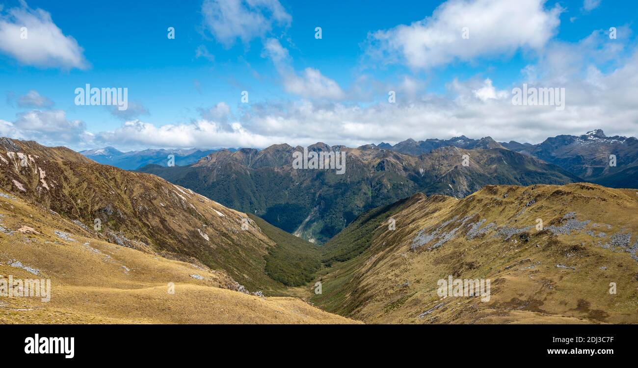 View of the Murchison Mountains and Southern Alps from the Kepler Track, Great Walk, Fiordland National Park, Southland, New Zealand Stock Photohttps://www.alamy.com/image-license-details/?v=1https://www.alamy.com/view-of-the-murchison-mountains-and-southern-alps-from-the-kepler-track-great-walk-fiordland-national-park-southland-new-zealand-image389767379.html
RF2DJ3C7F–View of the Murchison Mountains and Southern Alps from the Kepler Track, Great Walk, Fiordland National Park, Southland, New Zealand
 Murchison, Tasman Region / Aotearoa / New Zealand - August 20, 2022: Streetscape of Murchison looking east along Faifax Street from state highway 6 Stock Photohttps://www.alamy.com/image-license-details/?v=1https://www.alamy.com/murchison-tasman-region-aotearoa-new-zealand-august-20-2022-streetscape-of-murchison-looking-east-along-faifax-street-from-state-highway-6-image481883464.html
RF2JYYK7M–Murchison, Tasman Region / Aotearoa / New Zealand - August 20, 2022: Streetscape of Murchison looking east along Faifax Street from state highway 6
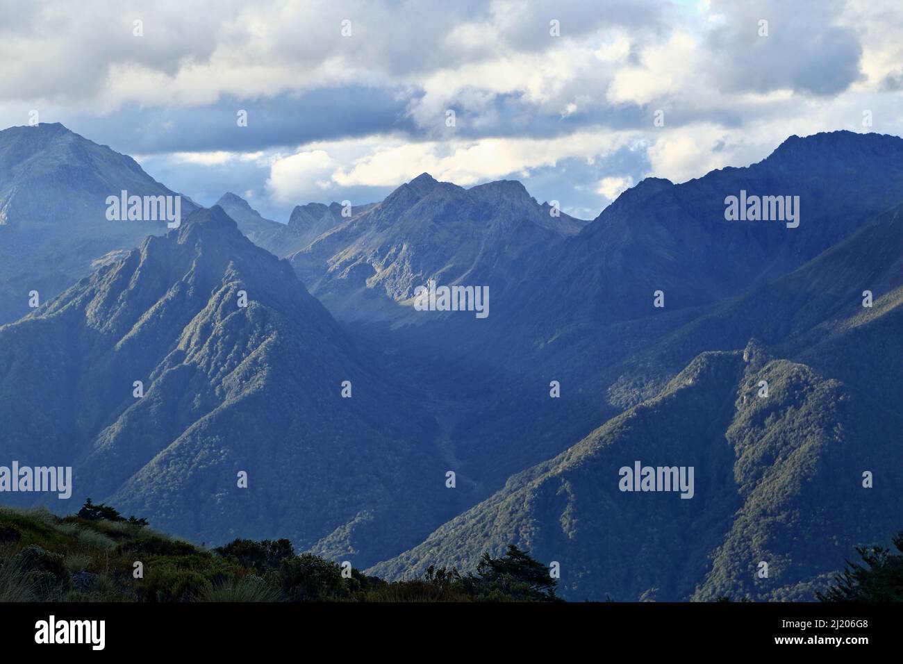 Kepler Track Fiordland New Zealand Stock Photohttps://www.alamy.com/image-license-details/?v=1https://www.alamy.com/kepler-track-fiordland-new-zealand-image465914408.html
RM2J206G8–Kepler Track Fiordland New Zealand
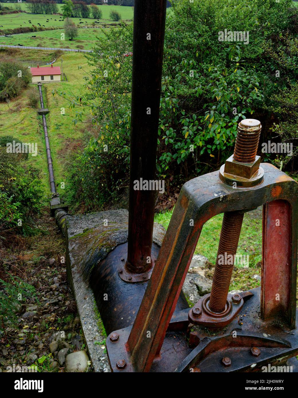 Six Mile Creek walkway,remains of the old Six Mile hydro power station with inlet pipe and shut-off valve, Murchison, south island, New Zealand Stock Photohttps://www.alamy.com/image-license-details/?v=1https://www.alamy.com/six-mile-creek-walkwayremains-of-the-old-six-mile-hydro-power-station-with-inlet-pipe-and-shut-off-valve-murchison-south-island-new-zealand-image475149359.html
RF2JH0WRY–Six Mile Creek walkway,remains of the old Six Mile hydro power station with inlet pipe and shut-off valve, Murchison, south island, New Zealand
 New Zealand South island West Coast 14 km from Murchison Buller River is famous for fishing and water sports but also for the Stock Photohttps://www.alamy.com/image-license-details/?v=1https://www.alamy.com/stock-photo-new-zealand-south-island-west-coast-14-km-from-murchison-buller-river-70375751.html
RME2DTYK–New Zealand South island West Coast 14 km from Murchison Buller River is famous for fishing and water sports but also for the
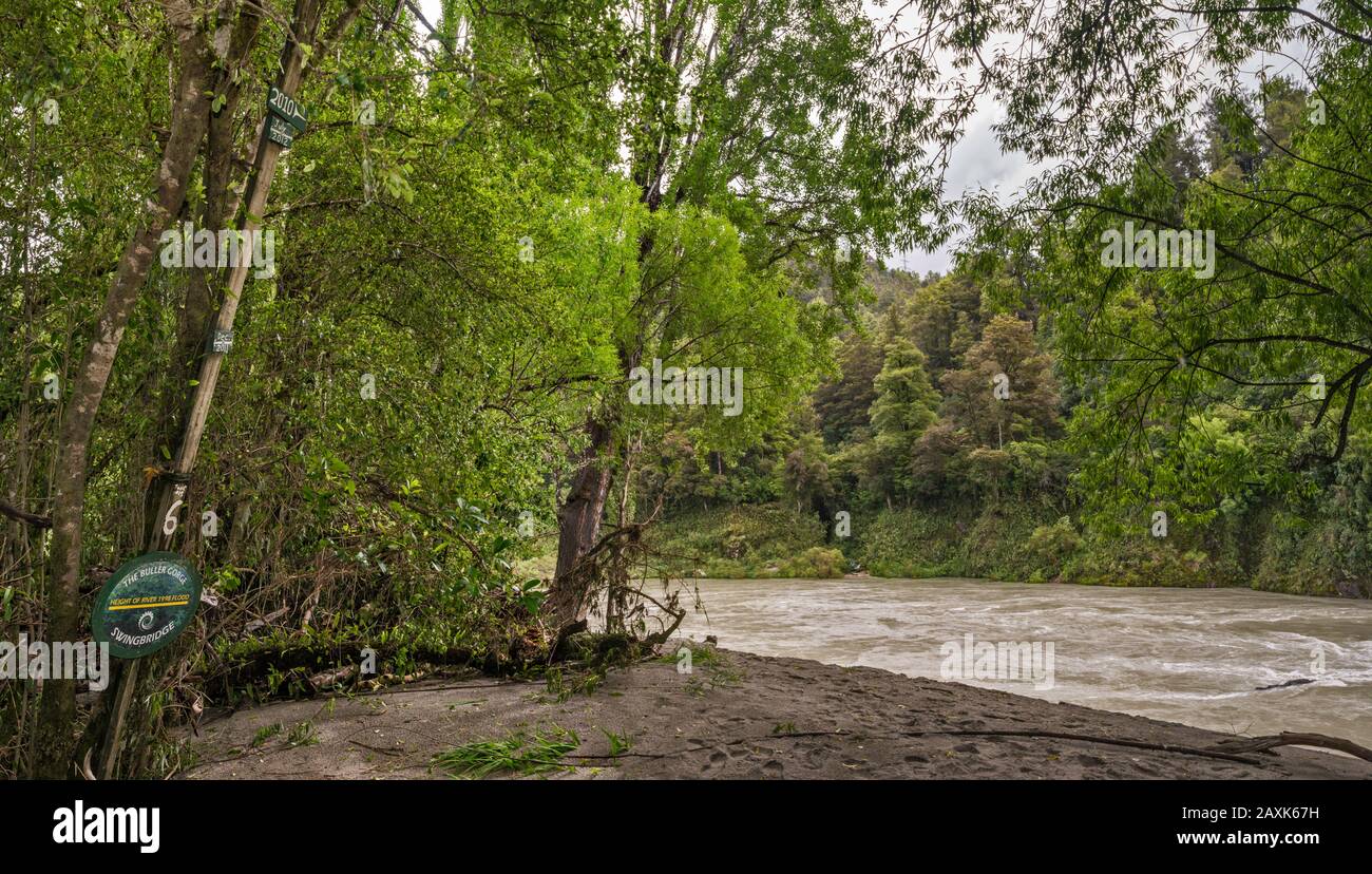 Historical flood water level signs at Buller River, trail near Swing Bridge, near Murchison, Tasman District, South Island, New Zealand Stock Photohttps://www.alamy.com/image-license-details/?v=1https://www.alamy.com/historical-flood-water-level-signs-at-buller-river-trail-near-swing-bridge-near-murchison-tasman-district-south-island-new-zealand-image343400053.html
RF2AXK67H–Historical flood water level signs at Buller River, trail near Swing Bridge, near Murchison, Tasman District, South Island, New Zealand
 New Zealand, South Island, Tasman region, Murchison flea market Stock Photohttps://www.alamy.com/image-license-details/?v=1https://www.alamy.com/new-zealand-south-island-tasman-region-murchison-flea-market-image246109972.html
RMT8B7NT–New Zealand, South Island, Tasman region, Murchison flea market
 Waller Street (State Highway 6), Murchison, Tasman Region, New Zealand Stock Photohttps://www.alamy.com/image-license-details/?v=1https://www.alamy.com/stock-photo-waller-street-state-highway-6-murchison-tasman-region-new-zealand-176871060.html
RMM7N4RG–Waller Street (State Highway 6), Murchison, Tasman Region, New Zealand
 Maruia Falls, Tasman, New Zealand. This waterfall was created during an earthquake in 1929. Stock Photohttps://www.alamy.com/image-license-details/?v=1https://www.alamy.com/stock-photo-maruia-falls-tasman-new-zealand-this-waterfall-was-created-during-47267652.html
RFCMW6AC–Maruia Falls, Tasman, New Zealand. This waterfall was created during an earthquake in 1929.
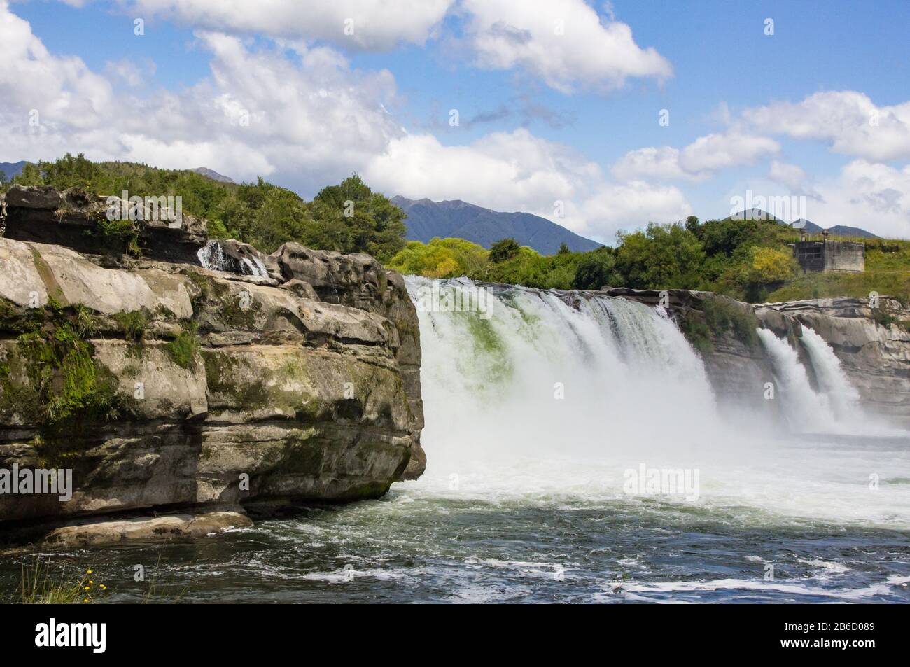 Maruia Falls in the South Island of New Zealand Stock Photohttps://www.alamy.com/image-license-details/?v=1https://www.alamy.com/maruia-falls-in-the-south-island-of-new-zealand-image348180905.html
RM2B6D089–Maruia Falls in the South Island of New Zealand
 the Maruia Falls were created by the 1929 Murchison earthquake when a slip blocked the original channel. It is off the Shenandoah Highway on the way t Stock Photohttps://www.alamy.com/image-license-details/?v=1https://www.alamy.com/the-maruia-falls-were-created-by-the1929-murchison-earthquakewhen-a-slip-blocked-the-original-channel-it-is-off-the-shenandoah-highway-on-the-way-t-image572608043.html
RF2T7GFB7–the Maruia Falls were created by the 1929 Murchison earthquake when a slip blocked the original channel. It is off the Shenandoah Highway on the way t
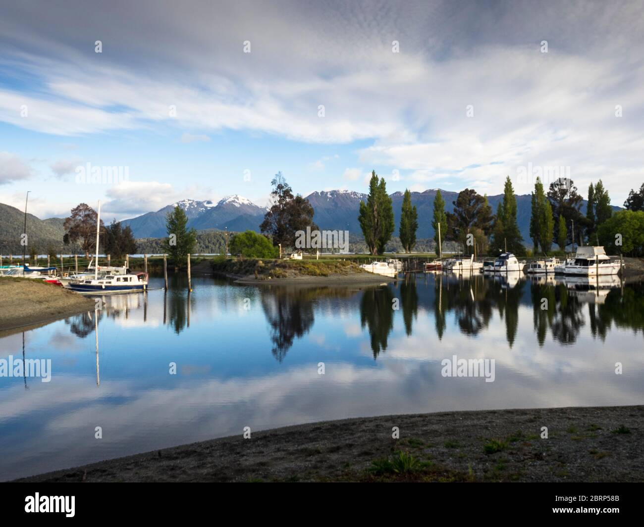 The Murchison Mountains behind Bluegum Point Marina, Te Anau, Fiordland. Stock Photohttps://www.alamy.com/image-license-details/?v=1https://www.alamy.com/the-murchison-mountains-behind-bluegum-point-marina-te-anau-fiordland-image358831547.html
RF2BRP58B–The Murchison Mountains behind Bluegum Point Marina, Te Anau, Fiordland.
 Old Bedford and Morris trucks, Murchison, Tasman District, South Island, New Zealand Stock Photohttps://www.alamy.com/image-license-details/?v=1https://www.alamy.com/old-bedford-and-morris-trucks-murchison-tasman-district-south-island-new-zealand-image207689561.html
RMP1W249–Old Bedford and Morris trucks, Murchison, Tasman District, South Island, New Zealand
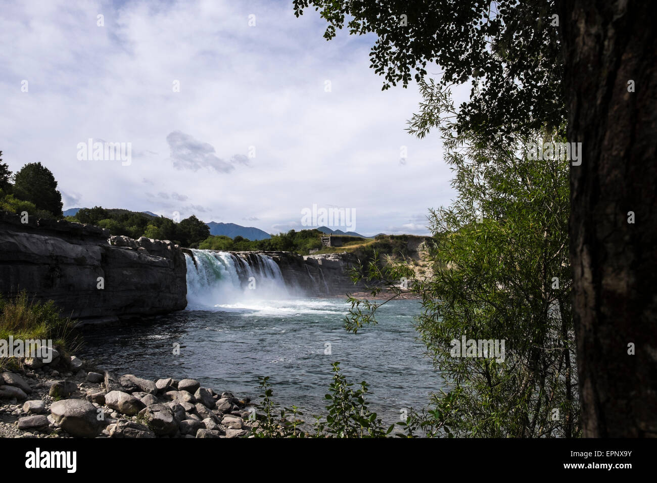 Maruia Falls were created by the 1929 Murchison earthquake when a slip blocked the original channel, Murchison, New Zealand. Stock Photohttps://www.alamy.com/image-license-details/?v=1https://www.alamy.com/stock-photo-maruia-falls-were-created-by-the-1929-murchison-earthquake-when-a-82845559.html
RFEPNX9Y–Maruia Falls were created by the 1929 Murchison earthquake when a slip blocked the original channel, Murchison, New Zealand.
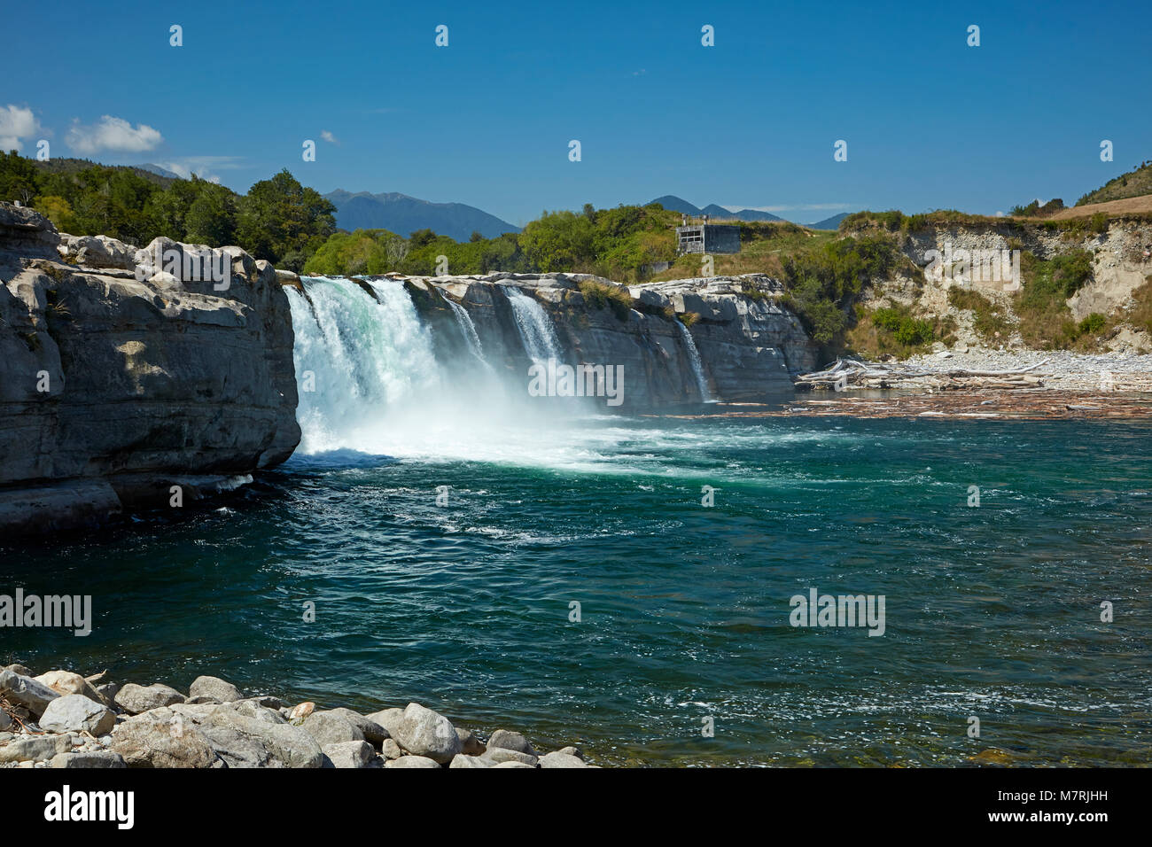 Maruia Falls and Maruia River, near Murchison, Tasman District, South Island, New Zealand Stock Photohttps://www.alamy.com/image-license-details/?v=1https://www.alamy.com/stock-photo-maruia-falls-and-maruia-river-near-murchison-tasman-district-south-176925773.html
RMM7RJHH–Maruia Falls and Maruia River, near Murchison, Tasman District, South Island, New Zealand
 Young bulls at a farm near Murchison, New Zealand. Stock Photohttps://www.alamy.com/image-license-details/?v=1https://www.alamy.com/stock-photo-young-bulls-at-a-farm-near-murchison-new-zealand-82844124.html
RMEPNTEM–Young bulls at a farm near Murchison, New Zealand.
 Old Austin truck and historic stables, Murchison, Tasman District, South Island, New Zealand Stock Photohttps://www.alamy.com/image-license-details/?v=1https://www.alamy.com/old-austin-truck-and-historic-stables-murchison-tasman-district-south-island-new-zealand-image207689458.html
RMP1W20J–Old Austin truck and historic stables, Murchison, Tasman District, South Island, New Zealand
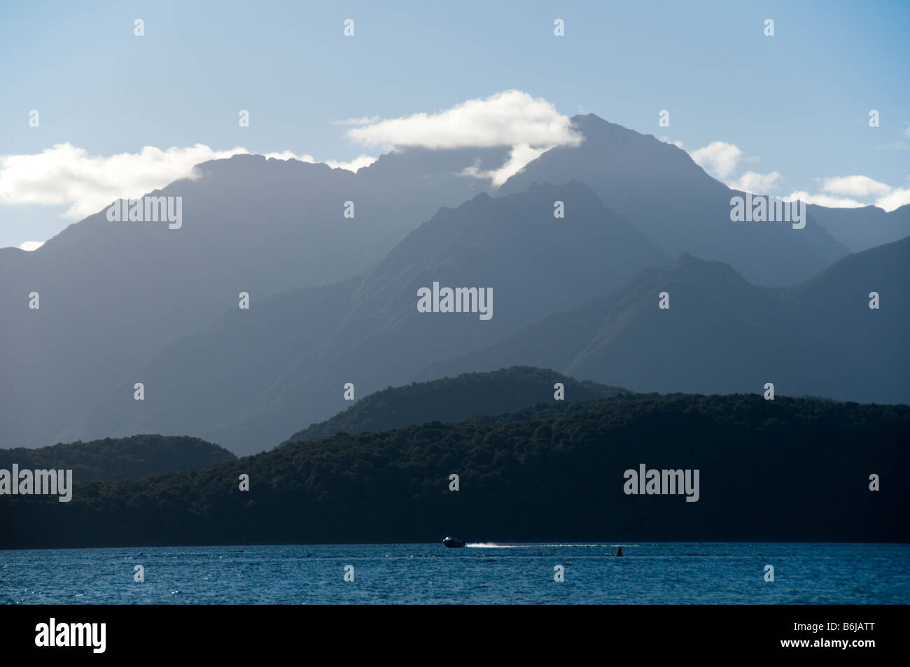 The Murchison Mountains over lake Te Anau, South Island, New Zealand Stock Photohttps://www.alamy.com/image-license-details/?v=1https://www.alamy.com/stock-photo-the-murchison-mountains-over-lake-te-anau-south-island-new-zealand-21301976.html
RMB6JATT–The Murchison Mountains over lake Te Anau, South Island, New Zealand
 New Zealand's longest swing bridge across the Buller river at Buller Gorge Adventure & Heritage Park near Murchison on State Highway 6 northwest on So Stock Photohttps://www.alamy.com/image-license-details/?v=1https://www.alamy.com/new-zealands-longest-swing-bridge-across-the-buller-river-at-buller-gorge-adventure-heritage-park-near-murchison-on-state-highway-6-northwest-on-so-image477722938.html
RM2JN64DE–New Zealand's longest swing bridge across the Buller river at Buller Gorge Adventure & Heritage Park near Murchison on State Highway 6 northwest on So
 South Fiord of Lake Te Anau, Murchison Mountains, Southern Alps at back, Kepler Track, Fiordland National Park, Southland, New Zealand Stock Photohttps://www.alamy.com/image-license-details/?v=1https://www.alamy.com/south-fiord-of-lake-te-anau-murchison-mountains-southern-alps-at-back-kepler-track-fiordland-national-park-southland-new-zealand-image389767411.html
RF2DJ3C8K–South Fiord of Lake Te Anau, Murchison Mountains, Southern Alps at back, Kepler Track, Fiordland National Park, Southland, New Zealand
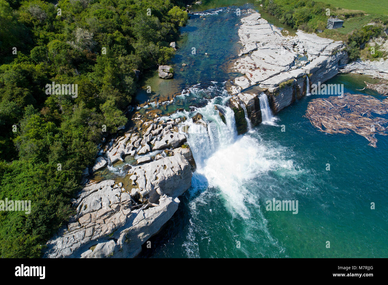 Maruia Falls and Maruia River, near Murchison, Tasman District, South Island, New Zealand - drone aerial Stock Photohttps://www.alamy.com/image-license-details/?v=1https://www.alamy.com/stock-photo-maruia-falls-and-maruia-river-near-murchison-tasman-district-south-176925800.html
RMM7RJJG–Maruia Falls and Maruia River, near Murchison, Tasman District, South Island, New Zealand - drone aerial
 ANZAC memorial statue at Murchison, New Zealand Stock Photohttps://www.alamy.com/image-license-details/?v=1https://www.alamy.com/anzac-memorial-statue-at-murchison-new-zealand-image328445596.html
RF2A29YKT–ANZAC memorial statue at Murchison, New Zealand
 buller river south island Stock Photohttps://www.alamy.com/image-license-details/?v=1https://www.alamy.com/stock-photo-buller-river-south-island-49334614.html
RFCT7APE–buller river south island
 Maruia Falls near Murchison in the Buller Region of the South Island Stock Photohttps://www.alamy.com/image-license-details/?v=1https://www.alamy.com/maruia-falls-near-murchison-in-the-buller-region-of-the-south-island-image402564856.html
RF2EAXBG8–Maruia Falls near Murchison in the Buller Region of the South Island
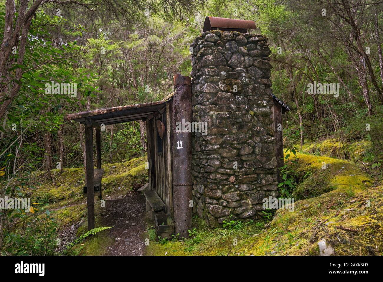 Gold Miners Cottage, trail near Swing Bridge at Buller River, near Murchison, Tasman District, South Island, New Zealand Stock Photohttps://www.alamy.com/image-license-details/?v=1https://www.alamy.com/gold-miners-cottage-trail-near-swing-bridge-at-buller-river-near-murchison-tasman-district-south-island-new-zealand-image343400319.html
RF2AXK6H3–Gold Miners Cottage, trail near Swing Bridge at Buller River, near Murchison, Tasman District, South Island, New Zealand
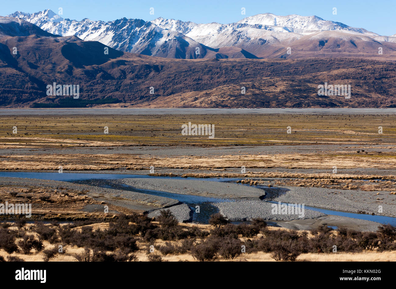 View of the Tasman River flowing through the wide flat-bottomed Tasman Valley in the Southern Alps, South Island, New Zealand Stock Photohttps://www.alamy.com/image-license-details/?v=1https://www.alamy.com/stock-image-view-of-the-tasman-river-flowing-through-the-wide-flat-bottomed-tasman-167032840.html
RMKKN02G–View of the Tasman River flowing through the wide flat-bottomed Tasman Valley in the Southern Alps, South Island, New Zealand
 Waller Street (State Highway 6), Murchison, Tasman Region, New Zealand Stock Photohttps://www.alamy.com/image-license-details/?v=1https://www.alamy.com/stock-photo-waller-street-state-highway-6-murchison-tasman-region-new-zealand-176871053.html
RMM7N4R9–Waller Street (State Highway 6), Murchison, Tasman Region, New Zealand