Quick filters:
Murewa Stock Photos and Images
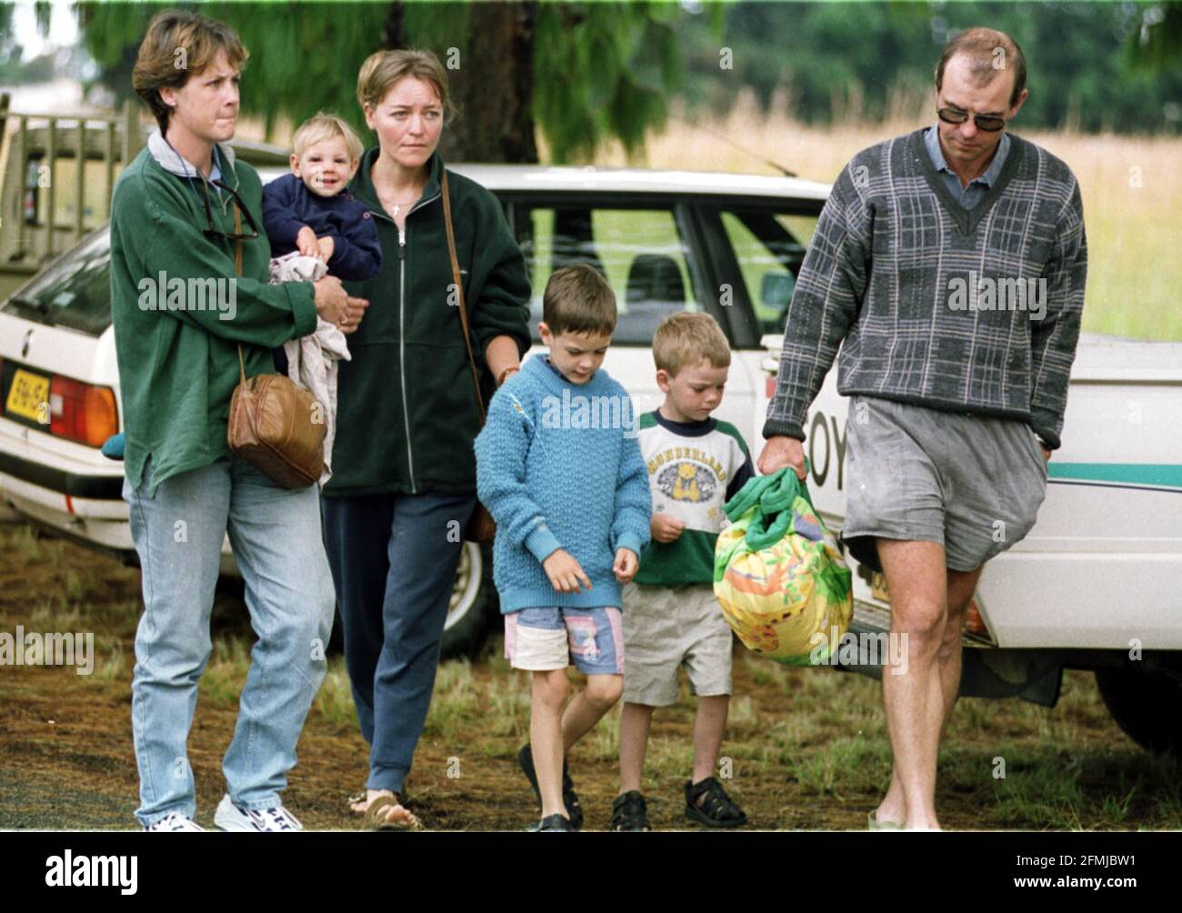 White farmers and their families arriving for a meeting in Marondera, Zimbabwe, after white farmers from the Murewa region were abducted and one killed. The white farmers have abandonded the area, and are unsure when they will return. Stock Photohttps://www.alamy.com/image-license-details/?v=1https://www.alamy.com/white-farmers-and-their-families-arriving-for-a-meeting-in-marondera-zimbabwe-after-white-farmers-from-the-murewa-region-were-abducted-and-one-killed-the-white-farmers-have-abandonded-the-area-and-are-unsure-when-they-will-return-image425746413.html
RM2FMJBW1–White farmers and their families arriving for a meeting in Marondera, Zimbabwe, after white farmers from the Murewa region were abducted and one killed. The white farmers have abandonded the area, and are unsure when they will return.
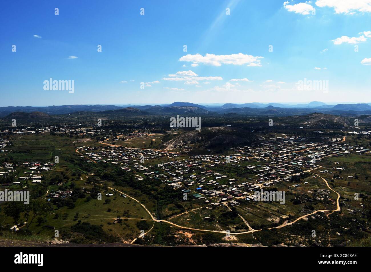 An view of an African rural township Stock Photohttps://www.alamy.com/image-license-details/?v=1https://www.alamy.com/an-view-of-an-african-rural-township-image366473254.html
RF2C868AE–An view of an African rural township
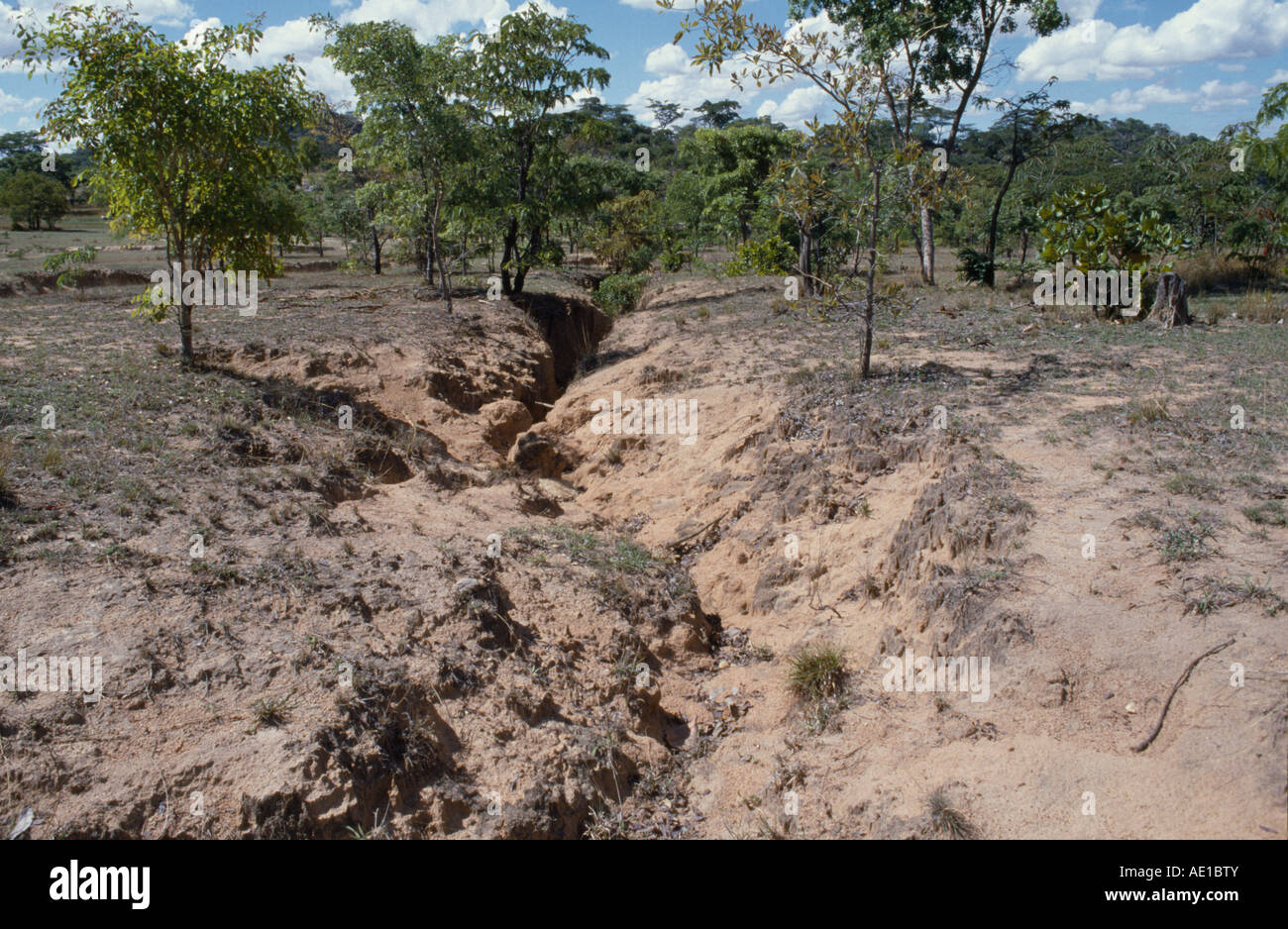 ZIMBABWE East Africa Murewa District Agriculture Fertile land becoming barren due to erosion of soil. Stock Photohttps://www.alamy.com/image-license-details/?v=1https://www.alamy.com/stock-photo-zimbabwe-east-africa-murewa-district-agriculture-fertile-land-becoming-13535834.html
RMAE1BTY–ZIMBABWE East Africa Murewa District Agriculture Fertile land becoming barren due to erosion of soil.
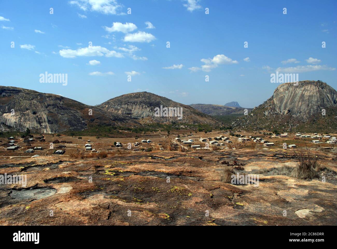 A view of an African township, between mountains Stock Photohttps://www.alamy.com/image-license-details/?v=1https://www.alamy.com/a-view-of-an-african-township-between-mountains-image366477547.html
RF2C86DRR–A view of an African township, between mountains
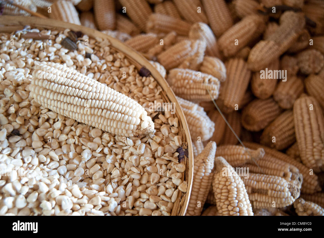 June 18, 2012 - Chingara (Village, Zimbabwe - June 18, 2012, Murewa, Zimbabwe - Maize harvested by a CRS beneficiary using Conservation Agriculture (CA) techniques he learned through CRS as part of the Protracted Recovery Program (PRP). Through PRP, CRS is combating food insecurity in 12 districts of Zimbabwe. (Credit Image: © David Snyder/ZUMAPRESS.com) Stock Photohttps://www.alamy.com/image-license-details/?v=1https://www.alamy.com/stock-photo-june-18-2012-chingara-village-zimbabwe-june-18-2012-murewa-zimbabwe-46976832.html
RMCMBYC0–June 18, 2012 - Chingara (Village, Zimbabwe - June 18, 2012, Murewa, Zimbabwe - Maize harvested by a CRS beneficiary using Conservation Agriculture (CA) techniques he learned through CRS as part of the Protracted Recovery Program (PRP). Through PRP, CRS is combating food insecurity in 12 districts of Zimbabwe. (Credit Image: © David Snyder/ZUMAPRESS.com)
 White farmers and their families arriving for a meeting in Marondera, Zimbabwe, after white farmers from the Murewa region were abducted and one killed. The white farmers have abandonded the area, and are unsure when they will return. Stock Photohttps://www.alamy.com/image-license-details/?v=1https://www.alamy.com/white-farmers-and-their-families-arriving-for-a-meeting-in-marondera-zimbabwe-after-white-farmers-from-the-murewa-region-were-abducted-and-one-killed-the-white-farmers-have-abandonded-the-area-and-are-unsure-when-they-will-return-image425490853.html
RM2FM6NWW–White farmers and their families arriving for a meeting in Marondera, Zimbabwe, after white farmers from the Murewa region were abducted and one killed. The white farmers have abandonded the area, and are unsure when they will return.
 Mashonaland East, province of Zimbabwe. Open Street Map Stock Photohttps://www.alamy.com/image-license-details/?v=1https://www.alamy.com/mashonaland-east-province-of-zimbabwe-open-street-map-image546166696.html
RF2PMG15C–Mashonaland East, province of Zimbabwe. Open Street Map
 PRINCESS MARGARET LAYS FOUNDATION STONE OF AFRICAN WOMEN'S CLUBPhotot shows HRH Prnincess Margaret laying the foundation stone of a new African women's club at Mrewa. 16 July 1953 Stock Photohttps://www.alamy.com/image-license-details/?v=1https://www.alamy.com/princess-margaret-lays-foundation-stone-of-african-womens-clubphotot-shows-hrh-prnincess-margaret-laying-the-foundation-stone-of-a-new-african-womens-club-at-mrewa-16-july-1953-image624400008.html
RM2Y7RTG8–PRINCESS MARGARET LAYS FOUNDATION STONE OF AFRICAN WOMEN'S CLUBPhotot shows HRH Prnincess Margaret laying the foundation stone of a new African women's club at Mrewa. 16 July 1953
 June 18, 2012 - Chikupo (Village, Zimbabwe - June 18, 2012, Murewa, Zimbabwe - A teacher at the Chikupo Secondary School in the Murewa District of Zimbabwe teaches a health class after he himself was trained by CRS through partner agency the Community Technology Development Trust (CTDT). Health and hygiene are key elements of CRS efforts to combat food insecurity through the Protracted Recovery Program (PRP) (Credit Image: © David Snyder/ZUMAPRESS.com) Stock Photohttps://www.alamy.com/image-license-details/?v=1https://www.alamy.com/stock-photo-june-18-2012-chikupo-village-zimbabwe-june-18-2012-murewa-zimbabwe-46976811.html
RMCMBYB7–June 18, 2012 - Chikupo (Village, Zimbabwe - June 18, 2012, Murewa, Zimbabwe - A teacher at the Chikupo Secondary School in the Murewa District of Zimbabwe teaches a health class after he himself was trained by CRS through partner agency the Community Technology Development Trust (CTDT). Health and hygiene are key elements of CRS efforts to combat food insecurity through the Protracted Recovery Program (PRP) (Credit Image: © David Snyder/ZUMAPRESS.com)
 White farmers and their families arriving for a meeting in Marondera, Zimbabwe, after white farmers from the Murewa region were abducted and one killed. The white farmers have abandonded the area, and are unsure when they will return. Stock Photohttps://www.alamy.com/image-license-details/?v=1https://www.alamy.com/white-farmers-and-their-families-arriving-for-a-meeting-in-marondera-zimbabwe-after-white-farmers-from-the-murewa-region-were-abducted-and-one-killed-the-white-farmers-have-abandonded-the-area-and-are-unsure-when-they-will-return-image425468465.html
RM2FM5NA9–White farmers and their families arriving for a meeting in Marondera, Zimbabwe, after white farmers from the Murewa region were abducted and one killed. The white farmers have abandonded the area, and are unsure when they will return.
 Mashonaland East, province of Zimbabwe. Low resolution satellite map. Locations of major cities of the region. Corner auxiliary location maps Stock Photohttps://www.alamy.com/image-license-details/?v=1https://www.alamy.com/mashonaland-east-province-of-zimbabwe-low-resolution-satellite-map-locations-of-major-cities-of-the-region-corner-auxiliary-location-maps-image546166789.html
RF2PMG18N–Mashonaland East, province of Zimbabwe. Low resolution satellite map. Locations of major cities of the region. Corner auxiliary location maps
 NATIVES ENTERTAIN ROYAL VISITORS (Original caption)Photo shows Queen Elizabeth the Queen Mopther and Princess Margaret are entertained by native dancers, accompanied by a native band, at the Mangwende Agricultural Show at Mrewa. 16 July 1953 Stock Photohttps://www.alamy.com/image-license-details/?v=1https://www.alamy.com/natives-entertain-royal-visitors-original-captionphoto-shows-queen-elizabeth-the-queen-mopther-and-princess-margaret-are-entertained-by-native-dancers-accompanied-by-a-native-band-at-the-mangwende-agricultural-show-at-mrewa-16-july-1953-image624400031.html
RM2Y7RTH3–NATIVES ENTERTAIN ROYAL VISITORS (Original caption)Photo shows Queen Elizabeth the Queen Mopther and Princess Margaret are entertained by native dancers, accompanied by a native band, at the Mangwende Agricultural Show at Mrewa. 16 July 1953
 June 18, 2012 - Chikupo (Village, Zimbabwe - June 18, 2012, Murewa, Zimbabwe - A student of the Chikupo Secondary School in the Murewa District of Zimbabwe waters the school garden using water from the nearby elephant pump. Working through partner agency the Community Technology Development Trust (CTDT), CRS installed the pump in 2010 under the Protracted Recovery Program. Water and sanitation efforts are one part of that approach. (Credit Image: © David Snyder/ZUMAPRESS.com) Stock Photohttps://www.alamy.com/image-license-details/?v=1https://www.alamy.com/stock-photo-june-18-2012-chikupo-village-zimbabwe-june-18-2012-murewa-zimbabwe-46976843.html
RMCMBYCB–June 18, 2012 - Chikupo (Village, Zimbabwe - June 18, 2012, Murewa, Zimbabwe - A student of the Chikupo Secondary School in the Murewa District of Zimbabwe waters the school garden using water from the nearby elephant pump. Working through partner agency the Community Technology Development Trust (CTDT), CRS installed the pump in 2010 under the Protracted Recovery Program. Water and sanitation efforts are one part of that approach. (Credit Image: © David Snyder/ZUMAPRESS.com)
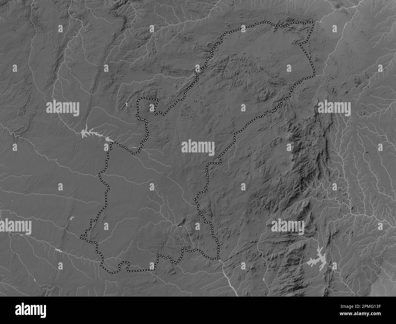 Mashonaland East, province of Zimbabwe. Grayscale elevation map with lakes and rivers Stock Photohttps://www.alamy.com/image-license-details/?v=1https://www.alamy.com/mashonaland-east-province-of-zimbabwe-grayscale-elevation-map-with-lakes-and-rivers-image546166643.html
RF2PMG13F–Mashonaland East, province of Zimbabwe. Grayscale elevation map with lakes and rivers
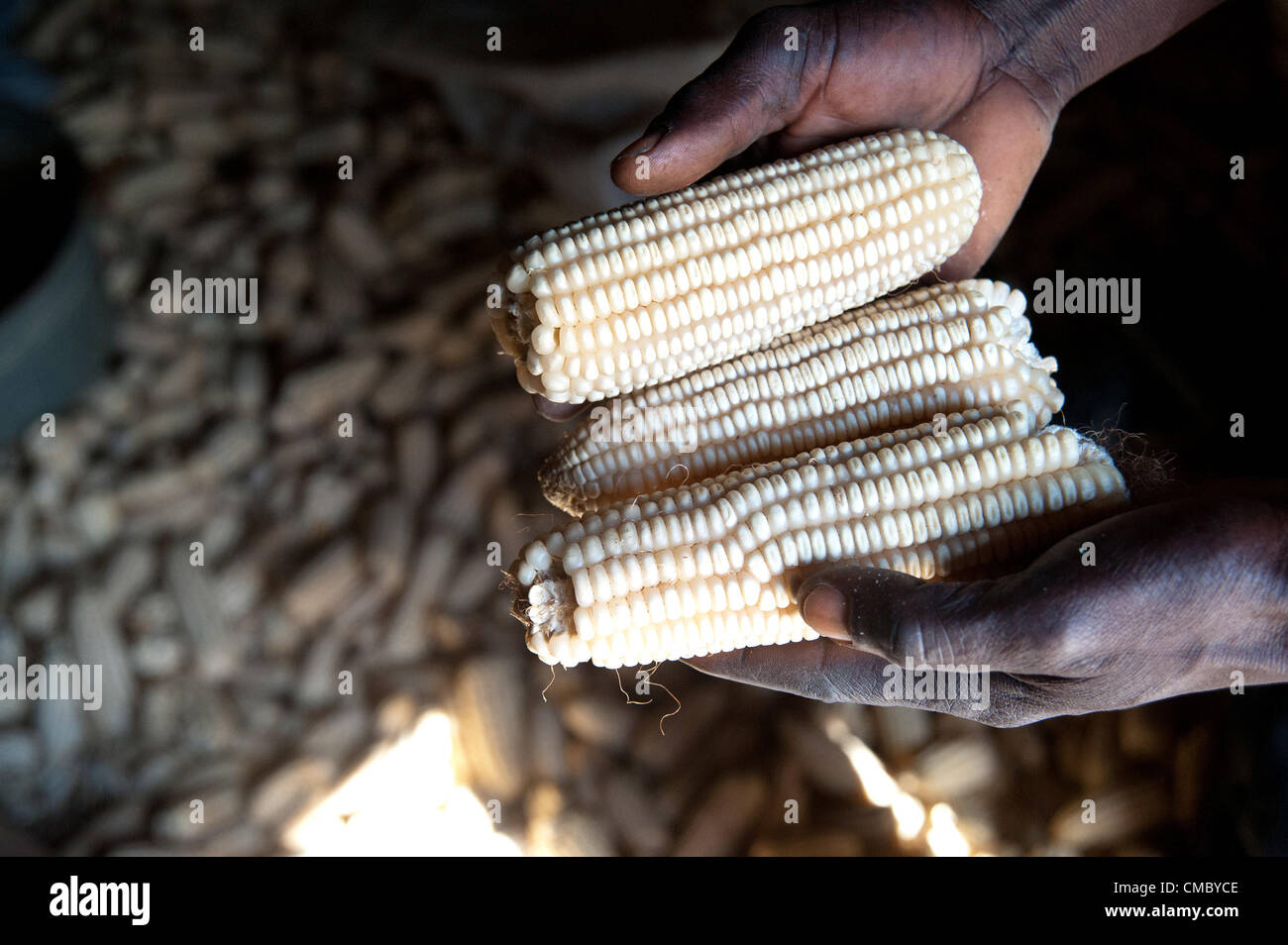 June 18, 2012 - Chingara (Village, Zimbabwe - June 18, 2012, Murewa, Zimbabwe - A CRS beneficiary inspects some of the three tons of maize he harvested in 2011using Conservation Agriculture (CA) techniques taught him by CRS. Working through local partner agency the Community Technology Development Trust (CTDT), this farmer learned the techniques of mulching, seed selection and basin farming that have allowed him to dramatically increase his yield. CA is part of the Protracted Recovery Program (PRP) CRS is implementing in 12 districts of Zimbabwe. (Credit Image: © David Snyder/ZUMAPRESS.com) Stock Photohttps://www.alamy.com/image-license-details/?v=1https://www.alamy.com/stock-photo-june-18-2012-chingara-village-zimbabwe-june-18-2012-murewa-zimbabwe-46976846.html
RMCMBYCE–June 18, 2012 - Chingara (Village, Zimbabwe - June 18, 2012, Murewa, Zimbabwe - A CRS beneficiary inspects some of the three tons of maize he harvested in 2011using Conservation Agriculture (CA) techniques taught him by CRS. Working through local partner agency the Community Technology Development Trust (CTDT), this farmer learned the techniques of mulching, seed selection and basin farming that have allowed him to dramatically increase his yield. CA is part of the Protracted Recovery Program (PRP) CRS is implementing in 12 districts of Zimbabwe. (Credit Image: © David Snyder/ZUMAPRESS.com)
 Mashonaland East, province of Zimbabwe. Elevation map colored in sepia tones with lakes and rivers. Locations and names of major cities of the region. Stock Photohttps://www.alamy.com/image-license-details/?v=1https://www.alamy.com/mashonaland-east-province-of-zimbabwe-elevation-map-colored-in-sepia-tones-with-lakes-and-rivers-locations-and-names-of-major-cities-of-the-region-image546166854.html
RF2PMG1B2–Mashonaland East, province of Zimbabwe. Elevation map colored in sepia tones with lakes and rivers. Locations and names of major cities of the region.
 June 18, 2012 - Chingara (Village, Zimbabwe - June 18, 2012, Murewa, Zimbabwe - A CRS beneficiary demonstrates the practice of using basins as a way to maximize the use of both water and fertilizer at his 2.5 acre field in the Murewa District of Zimbabwe. Taught Conservation Agriculture (CA) techniques by CRS through partner agency the Community Technology Development Trust (CTDT), this farmer is one of more than 50,000 beneficiaries CRS has reached through the Protracted Recovery Program (PRP) (Credit Image: © David Snyder/ZUMAPRESS.com) Stock Photohttps://www.alamy.com/image-license-details/?v=1https://www.alamy.com/stock-photo-june-18-2012-chingara-village-zimbabwe-june-18-2012-murewa-zimbabwe-46976834.html
RMCMBYC2–June 18, 2012 - Chingara (Village, Zimbabwe - June 18, 2012, Murewa, Zimbabwe - A CRS beneficiary demonstrates the practice of using basins as a way to maximize the use of both water and fertilizer at his 2.5 acre field in the Murewa District of Zimbabwe. Taught Conservation Agriculture (CA) techniques by CRS through partner agency the Community Technology Development Trust (CTDT), this farmer is one of more than 50,000 beneficiaries CRS has reached through the Protracted Recovery Program (PRP) (Credit Image: © David Snyder/ZUMAPRESS.com)
 Mashonaland East, province of Zimbabwe. Colored elevation map with lakes and rivers. Locations and names of major cities of the region. Corner auxilia Stock Photohttps://www.alamy.com/image-license-details/?v=1https://www.alamy.com/mashonaland-east-province-of-zimbabwe-colored-elevation-map-with-lakes-and-rivers-locations-and-names-of-major-cities-of-the-region-corner-auxilia-image546166788.html
RF2PMG18M–Mashonaland East, province of Zimbabwe. Colored elevation map with lakes and rivers. Locations and names of major cities of the region. Corner auxilia
 June 18, 2012 - Chikupo (Village, Zimbabwe - June 18, 2012, Murewa, Zimbabwe - A Senior Teacher at the Chikupo Secondary School in the Murewa District of Zimbabwe. Through CRS partner agency the Community Technology Development Trust (CTDT), the school received a hand pump known as an elephant pump in 2010 to improve sanitation at the school. Through water and sanitation programs - part of the Protracted Recovery Program - CRS is helping to fight food insecurity in 12 districts of Zimbabwe. (Credit Image: © David Snyder/ZUMAPRESS.com) Stock Photohttps://www.alamy.com/image-license-details/?v=1https://www.alamy.com/stock-photo-june-18-2012-chikupo-village-zimbabwe-june-18-2012-murewa-zimbabwe-46976650.html
RMCMBY5E–June 18, 2012 - Chikupo (Village, Zimbabwe - June 18, 2012, Murewa, Zimbabwe - A Senior Teacher at the Chikupo Secondary School in the Murewa District of Zimbabwe. Through CRS partner agency the Community Technology Development Trust (CTDT), the school received a hand pump known as an elephant pump in 2010 to improve sanitation at the school. Through water and sanitation programs - part of the Protracted Recovery Program - CRS is helping to fight food insecurity in 12 districts of Zimbabwe. (Credit Image: © David Snyder/ZUMAPRESS.com)
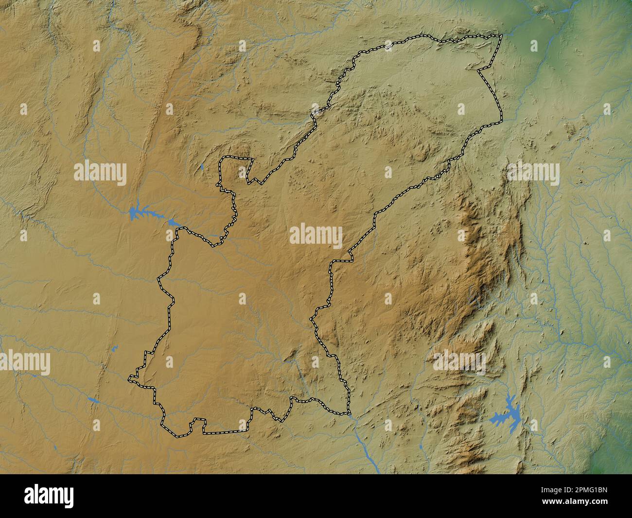 Mashonaland East, province of Zimbabwe. Colored elevation map with lakes and rivers Stock Photohttps://www.alamy.com/image-license-details/?v=1https://www.alamy.com/mashonaland-east-province-of-zimbabwe-colored-elevation-map-with-lakes-and-rivers-image546166873.html
RF2PMG1BN–Mashonaland East, province of Zimbabwe. Colored elevation map with lakes and rivers
 June 18, 2012 - Chikupo (Village, Zimbabwe - June 18, 2012, Murewa, Zimbabwe - Teachers at the Chikupo Secondary School in the Murewa District of Zimbabwe draw water from an open well on the school grounds in the village of Chikupo. Until CRS installed an elephant pump in 2010, the school' s pupils and teachers were dependent on open wells for all of their water - an unclean source. CRS is working with local partner agency the Community Technology Development Trust (CTDT) as part of the Protracted Recovery Program. (Credit Image: © David Snyder/ZUMAPRESS.com) Stock Photohttps://www.alamy.com/image-license-details/?v=1https://www.alamy.com/stock-photo-june-18-2012-chikupo-village-zimbabwe-june-18-2012-murewa-zimbabwe-46976812.html
RMCMBYB8–June 18, 2012 - Chikupo (Village, Zimbabwe - June 18, 2012, Murewa, Zimbabwe - Teachers at the Chikupo Secondary School in the Murewa District of Zimbabwe draw water from an open well on the school grounds in the village of Chikupo. Until CRS installed an elephant pump in 2010, the school' s pupils and teachers were dependent on open wells for all of their water - an unclean source. CRS is working with local partner agency the Community Technology Development Trust (CTDT) as part of the Protracted Recovery Program. (Credit Image: © David Snyder/ZUMAPRESS.com)
 Mashonaland East, province of Zimbabwe. Grayscale elevation map with lakes and rivers. Locations and names of major cities of the region. Corner auxil Stock Photohttps://www.alamy.com/image-license-details/?v=1https://www.alamy.com/mashonaland-east-province-of-zimbabwe-grayscale-elevation-map-with-lakes-and-rivers-locations-and-names-of-major-cities-of-the-region-corner-auxil-image546166622.html
RF2PMG12P–Mashonaland East, province of Zimbabwe. Grayscale elevation map with lakes and rivers. Locations and names of major cities of the region. Corner auxil
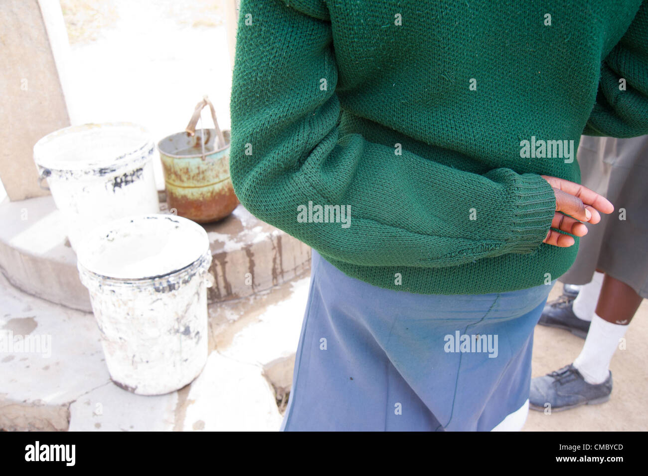 June 18, 2012 - Chikupo (Village, Zimbabwe - June 18, 2012, Murewa, Zimbabwe - Students at the Chikupo Secondary School in the Murewa District of Zimbabwe draw water from an open well on the school grounds. Open wells are unclean as they allow in contaminants that can cause health problems. CRS installed an elephant pump at the school in 2010 - a covered well structure with an external hand pump - through partner agency the Community Technology Development Trust (CTDT) as part of the Protracted Recovery Program. (Credit Image: © David Snyder/ZUMAPRESS.com) Stock Photohttps://www.alamy.com/image-license-details/?v=1https://www.alamy.com/stock-photo-june-18-2012-chikupo-village-zimbabwe-june-18-2012-murewa-zimbabwe-46976845.html
RMCMBYCD–June 18, 2012 - Chikupo (Village, Zimbabwe - June 18, 2012, Murewa, Zimbabwe - Students at the Chikupo Secondary School in the Murewa District of Zimbabwe draw water from an open well on the school grounds. Open wells are unclean as they allow in contaminants that can cause health problems. CRS installed an elephant pump at the school in 2010 - a covered well structure with an external hand pump - through partner agency the Community Technology Development Trust (CTDT) as part of the Protracted Recovery Program. (Credit Image: © David Snyder/ZUMAPRESS.com)
 Mashonaland East, province of Zimbabwe. High resolution satellite map. Locations of major cities of the region. Corner auxiliary location maps Stock Photohttps://www.alamy.com/image-license-details/?v=1https://www.alamy.com/mashonaland-east-province-of-zimbabwe-high-resolution-satellite-map-locations-of-major-cities-of-the-region-corner-auxiliary-location-maps-image546166869.html
RF2PMG1BH–Mashonaland East, province of Zimbabwe. High resolution satellite map. Locations of major cities of the region. Corner auxiliary location maps
 June 18, 2012 - Chingara (Village, Zimbabwe - June 18, 2012, Murewa, Zimbabwe -The wife of a CRS beneficiary prepares a meal of sadza - a local dish of ground maize and water - in the family home in the Murewa District of Zimbabwe. Her husband learned a variety of Conservation Agriculture (CA) techniques from CRS through partner agency the Community Technology Development Trust (CTDT) that helped him to increase his yield from half a ton of maize to more than three tons. CRS is working through CTDT to implement the Protracted Recovery Program (PRP) in the Murewa district. (Credit Image: © Dav Stock Photohttps://www.alamy.com/image-license-details/?v=1https://www.alamy.com/stock-photo-june-18-2012-chingara-village-zimbabwe-june-18-2012-murewa-zimbabwe-46976808.html
RMCMBYB4–June 18, 2012 - Chingara (Village, Zimbabwe - June 18, 2012, Murewa, Zimbabwe -The wife of a CRS beneficiary prepares a meal of sadza - a local dish of ground maize and water - in the family home in the Murewa District of Zimbabwe. Her husband learned a variety of Conservation Agriculture (CA) techniques from CRS through partner agency the Community Technology Development Trust (CTDT) that helped him to increase his yield from half a ton of maize to more than three tons. CRS is working through CTDT to implement the Protracted Recovery Program (PRP) in the Murewa district. (Credit Image: © Dav
 Mashonaland East, province of Zimbabwe. Solid color shape. Locations and names of major cities of the region. Corner auxiliary location maps Stock Photohttps://www.alamy.com/image-license-details/?v=1https://www.alamy.com/mashonaland-east-province-of-zimbabwe-solid-color-shape-locations-and-names-of-major-cities-of-the-region-corner-auxiliary-location-maps-image546166782.html
RF2PMG18E–Mashonaland East, province of Zimbabwe. Solid color shape. Locations and names of major cities of the region. Corner auxiliary location maps
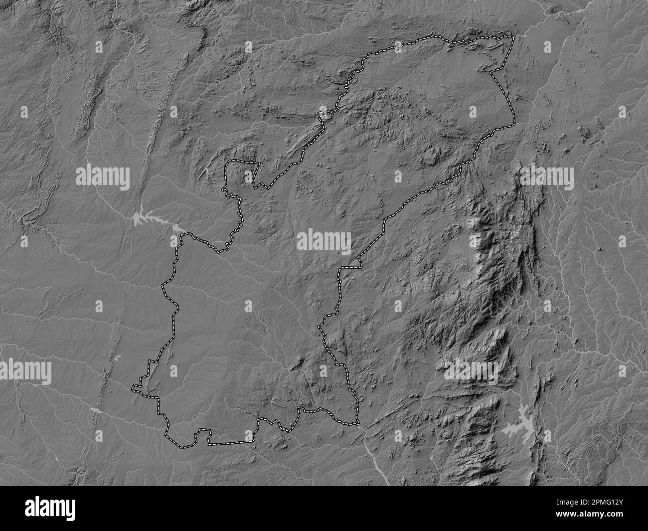 Mashonaland East, province of Zimbabwe. Bilevel elevation map with lakes and rivers Stock Photohttps://www.alamy.com/image-license-details/?v=1https://www.alamy.com/mashonaland-east-province-of-zimbabwe-bilevel-elevation-map-with-lakes-and-rivers-image546166627.html
RF2PMG12Y–Mashonaland East, province of Zimbabwe. Bilevel elevation map with lakes and rivers
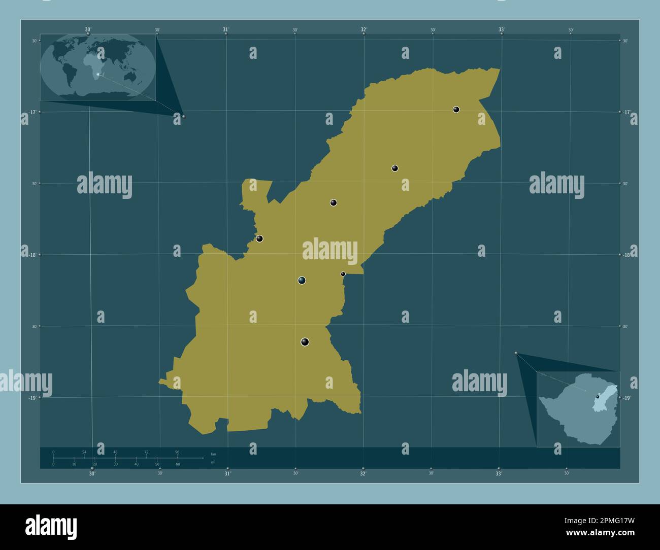 Mashonaland East, province of Zimbabwe. Solid color shape. Locations of major cities of the region. Corner auxiliary location maps Stock Photohttps://www.alamy.com/image-license-details/?v=1https://www.alamy.com/mashonaland-east-province-of-zimbabwe-solid-color-shape-locations-of-major-cities-of-the-region-corner-auxiliary-location-maps-image546166765.html
RF2PMG17W–Mashonaland East, province of Zimbabwe. Solid color shape. Locations of major cities of the region. Corner auxiliary location maps
 Mashonaland East, province of Zimbabwe. Solid color shape Stock Photohttps://www.alamy.com/image-license-details/?v=1https://www.alamy.com/mashonaland-east-province-of-zimbabwe-solid-color-shape-image546166763.html
RF2PMG17R–Mashonaland East, province of Zimbabwe. Solid color shape
 Mashonaland East, province of Zimbabwe. Elevation map colored in sepia tones with lakes and rivers. Locations of major cities of the region. Corner au Stock Photohttps://www.alamy.com/image-license-details/?v=1https://www.alamy.com/mashonaland-east-province-of-zimbabwe-elevation-map-colored-in-sepia-tones-with-lakes-and-rivers-locations-of-major-cities-of-the-region-corner-au-image546166930.html
RF2PMG1DP–Mashonaland East, province of Zimbabwe. Elevation map colored in sepia tones with lakes and rivers. Locations of major cities of the region. Corner au
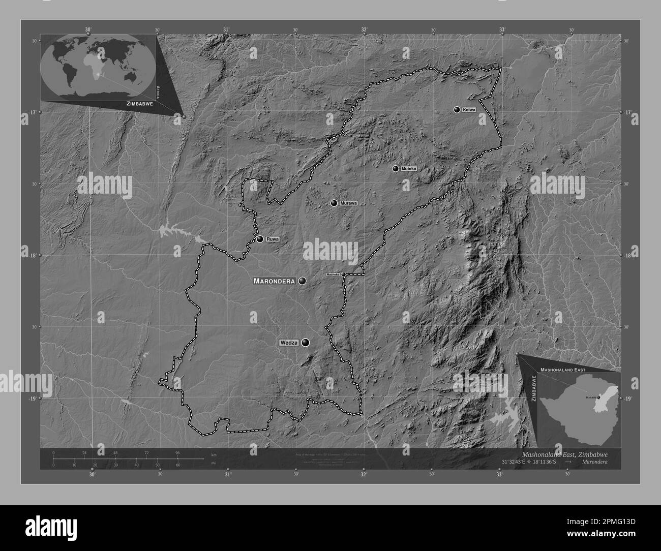 Mashonaland East, province of Zimbabwe. Bilevel elevation map with lakes and rivers. Locations and names of major cities of the region. Corner auxilia Stock Photohttps://www.alamy.com/image-license-details/?v=1https://www.alamy.com/mashonaland-east-province-of-zimbabwe-bilevel-elevation-map-with-lakes-and-rivers-locations-and-names-of-major-cities-of-the-region-corner-auxilia-image546166641.html
RF2PMG13D–Mashonaland East, province of Zimbabwe. Bilevel elevation map with lakes and rivers. Locations and names of major cities of the region. Corner auxilia
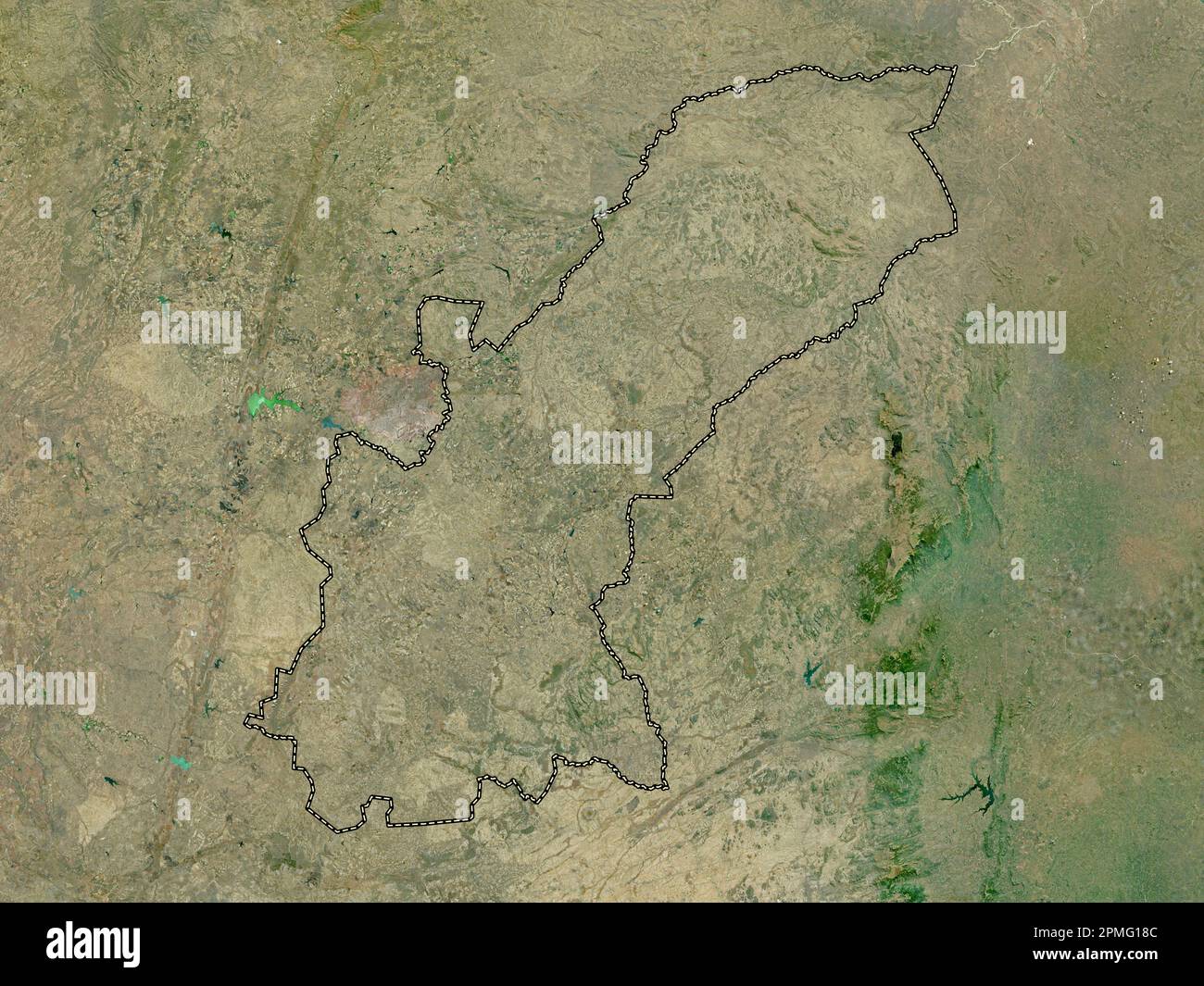 Mashonaland East, province of Zimbabwe. High resolution satellite map Stock Photohttps://www.alamy.com/image-license-details/?v=1https://www.alamy.com/mashonaland-east-province-of-zimbabwe-high-resolution-satellite-map-image546166780.html
RF2PMG18C–Mashonaland East, province of Zimbabwe. High resolution satellite map
 Mashonaland East, province of Zimbabwe. Low resolution satellite map. Locations and names of major cities of the region. Corner auxiliary location map Stock Photohttps://www.alamy.com/image-license-details/?v=1https://www.alamy.com/mashonaland-east-province-of-zimbabwe-low-resolution-satellite-map-locations-and-names-of-major-cities-of-the-region-corner-auxiliary-location-map-image546166865.html
RF2PMG1BD–Mashonaland East, province of Zimbabwe. Low resolution satellite map. Locations and names of major cities of the region. Corner auxiliary location map
 Mashonaland East, province of Zimbabwe. Open Street Map. Locations of major cities of the region. Corner auxiliary location maps Stock Photohttps://www.alamy.com/image-license-details/?v=1https://www.alamy.com/mashonaland-east-province-of-zimbabwe-open-street-map-locations-of-major-cities-of-the-region-corner-auxiliary-location-maps-image546166697.html
RF2PMG15D–Mashonaland East, province of Zimbabwe. Open Street Map. Locations of major cities of the region. Corner auxiliary location maps
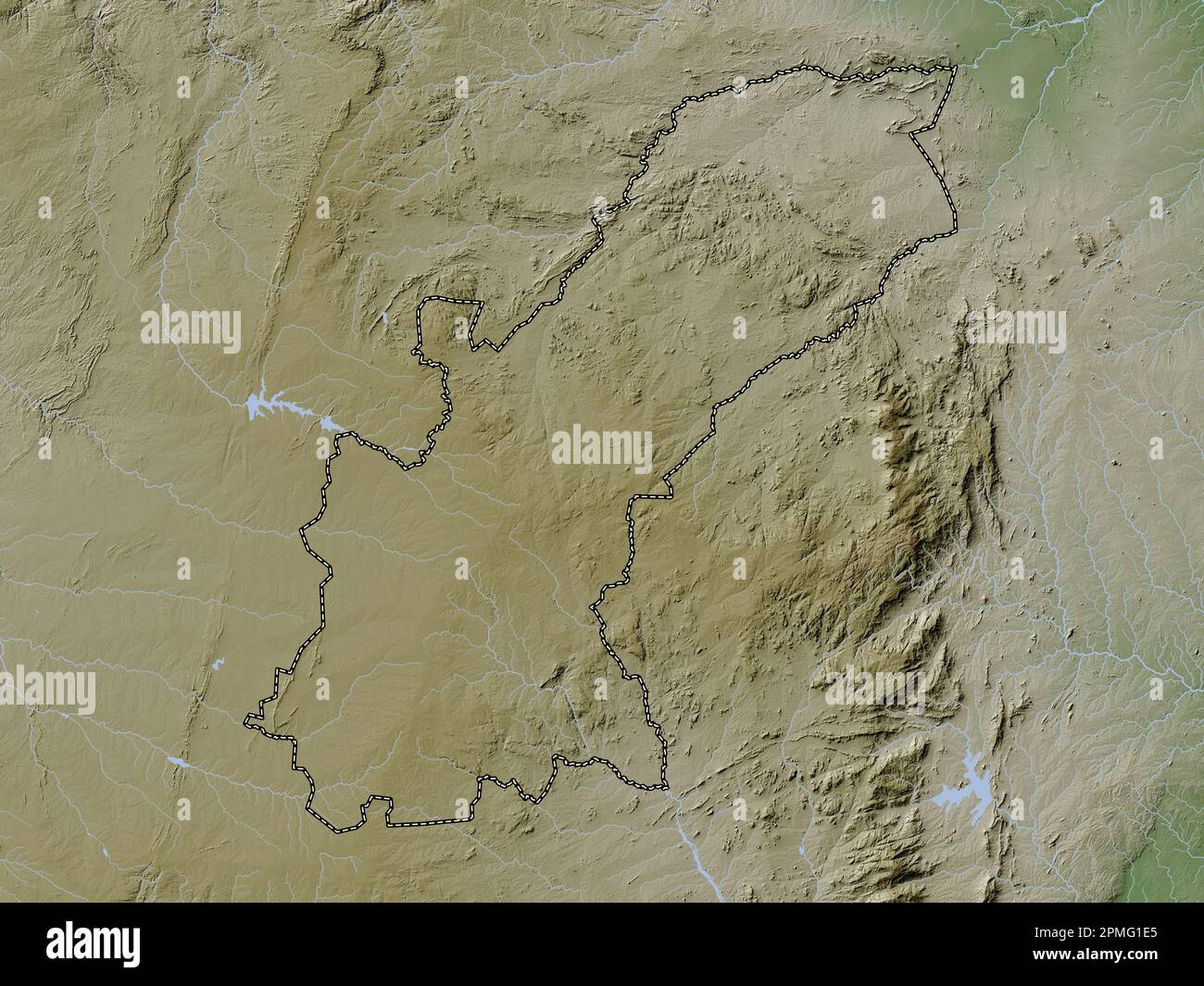 Mashonaland East, province of Zimbabwe. Elevation map colored in wiki style with lakes and rivers Stock Photohttps://www.alamy.com/image-license-details/?v=1https://www.alamy.com/mashonaland-east-province-of-zimbabwe-elevation-map-colored-in-wiki-style-with-lakes-and-rivers-image546166941.html
RF2PMG1E5–Mashonaland East, province of Zimbabwe. Elevation map colored in wiki style with lakes and rivers
 Mashonaland East, province of Zimbabwe. Elevation map colored in wiki style with lakes and rivers. Locations and names of major cities of the region. Stock Photohttps://www.alamy.com/image-license-details/?v=1https://www.alamy.com/mashonaland-east-province-of-zimbabwe-elevation-map-colored-in-wiki-style-with-lakes-and-rivers-locations-and-names-of-major-cities-of-the-region-image546166943.html
RF2PMG1E7–Mashonaland East, province of Zimbabwe. Elevation map colored in wiki style with lakes and rivers. Locations and names of major cities of the region.
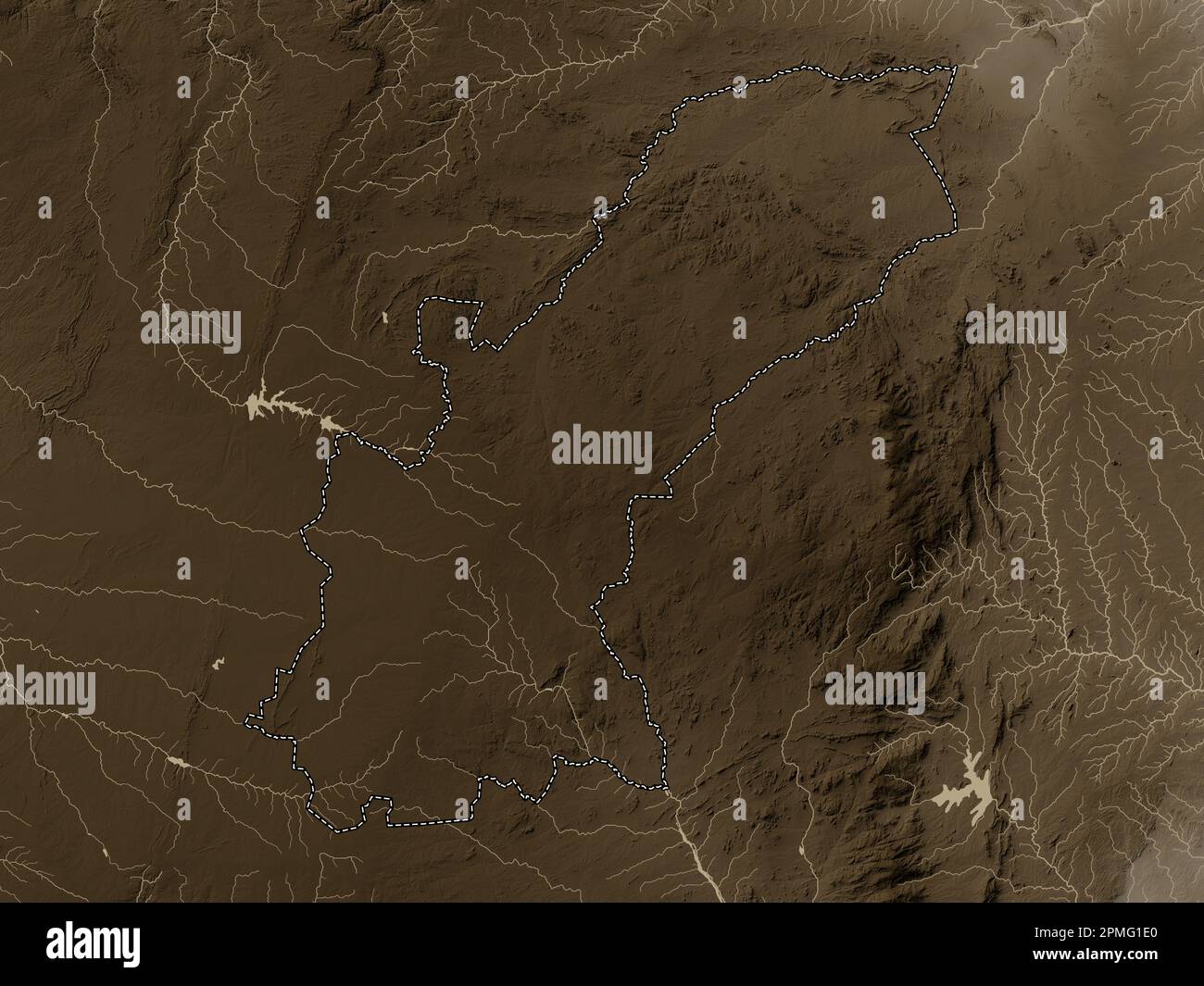 Mashonaland East, province of Zimbabwe. Elevation map colored in sepia tones with lakes and rivers Stock Photohttps://www.alamy.com/image-license-details/?v=1https://www.alamy.com/mashonaland-east-province-of-zimbabwe-elevation-map-colored-in-sepia-tones-with-lakes-and-rivers-image546166936.html
RF2PMG1E0–Mashonaland East, province of Zimbabwe. Elevation map colored in sepia tones with lakes and rivers
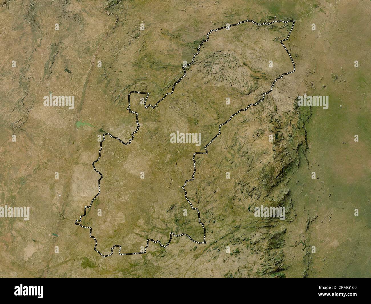 Mashonaland East, province of Zimbabwe. Low resolution satellite map Stock Photohttps://www.alamy.com/image-license-details/?v=1https://www.alamy.com/mashonaland-east-province-of-zimbabwe-low-resolution-satellite-map-image546166712.html
RF2PMG160–Mashonaland East, province of Zimbabwe. Low resolution satellite map
 Mashonaland East, province of Zimbabwe. Colored elevation map with lakes and rivers. Locations of major cities of the region. Corner auxiliary locatio Stock Photohttps://www.alamy.com/image-license-details/?v=1https://www.alamy.com/mashonaland-east-province-of-zimbabwe-colored-elevation-map-with-lakes-and-rivers-locations-of-major-cities-of-the-region-corner-auxiliary-locatio-image546166778.html
RF2PMG18A–Mashonaland East, province of Zimbabwe. Colored elevation map with lakes and rivers. Locations of major cities of the region. Corner auxiliary locatio
 Mashonaland East, province of Zimbabwe. Bilevel elevation map with lakes and rivers. Locations of major cities of the region. Corner auxiliary locatio Stock Photohttps://www.alamy.com/image-license-details/?v=1https://www.alamy.com/mashonaland-east-province-of-zimbabwe-bilevel-elevation-map-with-lakes-and-rivers-locations-of-major-cities-of-the-region-corner-auxiliary-locatio-image546166554.html
RF2PMG10A–Mashonaland East, province of Zimbabwe. Bilevel elevation map with lakes and rivers. Locations of major cities of the region. Corner auxiliary locatio
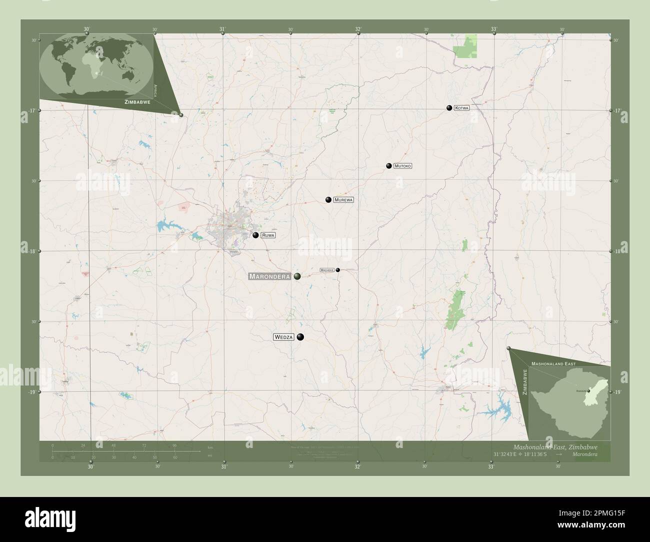 Mashonaland East, province of Zimbabwe. Open Street Map. Locations and names of major cities of the region. Corner auxiliary location maps Stock Photohttps://www.alamy.com/image-license-details/?v=1https://www.alamy.com/mashonaland-east-province-of-zimbabwe-open-street-map-locations-and-names-of-major-cities-of-the-region-corner-auxiliary-location-maps-image546166699.html
RF2PMG15F–Mashonaland East, province of Zimbabwe. Open Street Map. Locations and names of major cities of the region. Corner auxiliary location maps
 Mashonaland East, province of Zimbabwe. High resolution satellite map. Locations and names of major cities of the region. Corner auxiliary location ma Stock Photohttps://www.alamy.com/image-license-details/?v=1https://www.alamy.com/mashonaland-east-province-of-zimbabwe-high-resolution-satellite-map-locations-and-names-of-major-cities-of-the-region-corner-auxiliary-location-ma-image546166708.html
RF2PMG15T–Mashonaland East, province of Zimbabwe. High resolution satellite map. Locations and names of major cities of the region. Corner auxiliary location ma
 Mashonaland East, province of Zimbabwe. Grayscale elevation map with lakes and rivers. Locations of major cities of the region. Corner auxiliary locat Stock Photohttps://www.alamy.com/image-license-details/?v=1https://www.alamy.com/mashonaland-east-province-of-zimbabwe-grayscale-elevation-map-with-lakes-and-rivers-locations-of-major-cities-of-the-region-corner-auxiliary-locat-image546166706.html
RF2PMG15P–Mashonaland East, province of Zimbabwe. Grayscale elevation map with lakes and rivers. Locations of major cities of the region. Corner auxiliary locat
 Mashonaland East, province of Zimbabwe. Elevation map colored in wiki style with lakes and rivers. Locations of major cities of the region. Corner aux Stock Photohttps://www.alamy.com/image-license-details/?v=1https://www.alamy.com/mashonaland-east-province-of-zimbabwe-elevation-map-colored-in-wiki-style-with-lakes-and-rivers-locations-of-major-cities-of-the-region-corner-aux-image546166868.html
RF2PMG1BG–Mashonaland East, province of Zimbabwe. Elevation map colored in wiki style with lakes and rivers. Locations of major cities of the region. Corner aux