Quick filters:
Nanga landscape Stock Photos and Images
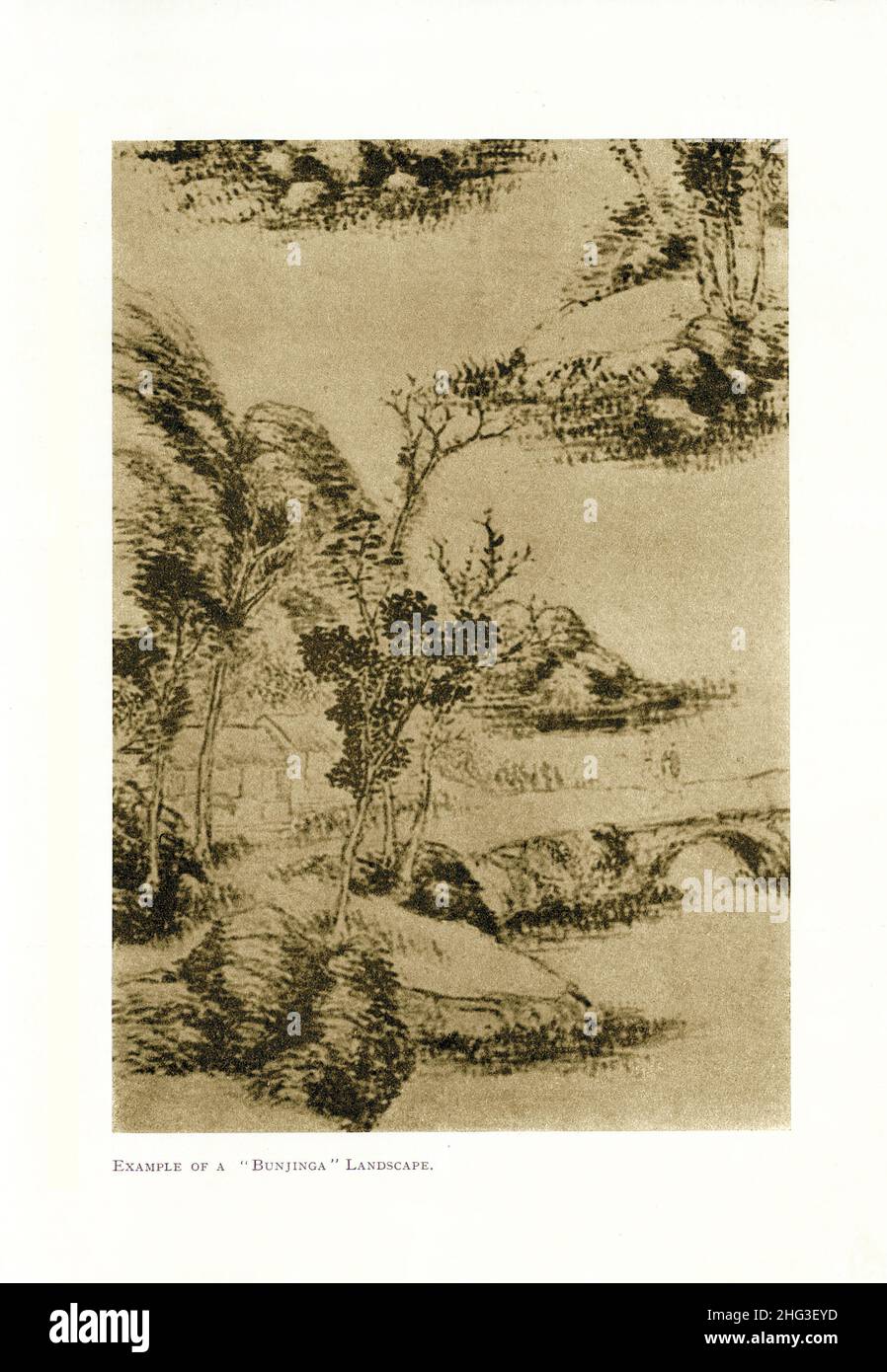 Vintage Chinese painting: Example of a 'Bunjinga' Landscape. Reproduction of book illustration of 1912 Nanga (Japanese painting) 'Southern painting', Stock Photohttps://www.alamy.com/image-license-details/?v=1https://www.alamy.com/vintage-chinese-painting-example-of-a-bunjinga-landscape-reproduction-of-book-illustration-of-1912-nanga-japanese-painting-southern-painting-image457381665.html
RM2HG3EYD–Vintage Chinese painting: Example of a 'Bunjinga' Landscape. Reproduction of book illustration of 1912 Nanga (Japanese painting) 'Southern painting',
 A part of Nanga Raun village on the side of Manday river in Kalis, Kapuas Hulu, West Kalimantan, Indonesia. Stock Photohttps://www.alamy.com/image-license-details/?v=1https://www.alamy.com/a-part-of-nanga-raun-village-on-the-side-of-manday-river-in-kalis-kapuas-hulu-west-kalimantan-indonesia-image630985008.html
RM2YJFRPT–A part of Nanga Raun village on the side of Manday river in Kalis, Kapuas Hulu, West Kalimantan, Indonesia.
 Nanga parbat mountain reflection in lake on Fairy meadows valley beautiful winter snowy landscape Karakoram Pakistan Stock Photohttps://www.alamy.com/image-license-details/?v=1https://www.alamy.com/nanga-parbat-mountain-reflection-in-lake-on-fairy-meadows-valley-beautiful-winter-snowy-landscape-karakoram-pakistan-image348793811.html
RF2B7CX1R–Nanga parbat mountain reflection in lake on Fairy meadows valley beautiful winter snowy landscape Karakoram Pakistan
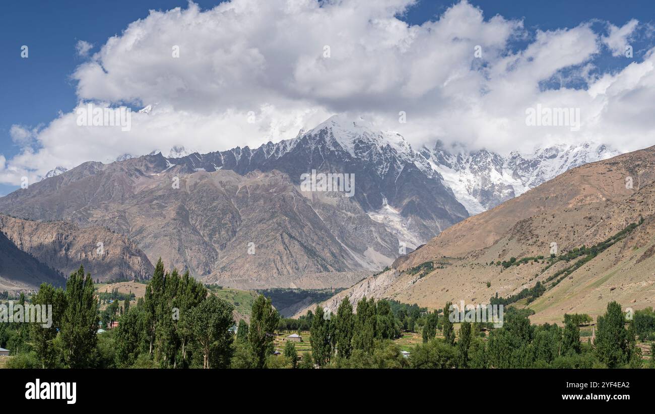 Scenic landscape view of Tarishing valley with Nanga Parbat massif in background, Astore, Gilgit-Baltistan, Pakistan Stock Photohttps://www.alamy.com/image-license-details/?v=1https://www.alamy.com/scenic-landscape-view-of-tarishing-valley-with-nanga-parbat-massif-in-background-astore-gilgit-baltistan-pakistan-image628892154.html
RF2YF4EA2–Scenic landscape view of Tarishing valley with Nanga Parbat massif in background, Astore, Gilgit-Baltistan, Pakistan
 A view of rainforest landscape and Bukit Tilung, a sacred hill according to the locals, in Nanga Raun, Kalis, Kapuas Hulu, West Kalimantan, Indonesia. Stock Photohttps://www.alamy.com/image-license-details/?v=1https://www.alamy.com/a-view-of-rainforest-landscape-and-bukit-tilung-a-sacred-hill-according-to-the-locals-in-nanga-raun-kalis-kapuas-hulu-west-kalimantan-indonesia-image630985295.html
RM2YJFT53–A view of rainforest landscape and Bukit Tilung, a sacred hill according to the locals, in Nanga Raun, Kalis, Kapuas Hulu, West Kalimantan, Indonesia.
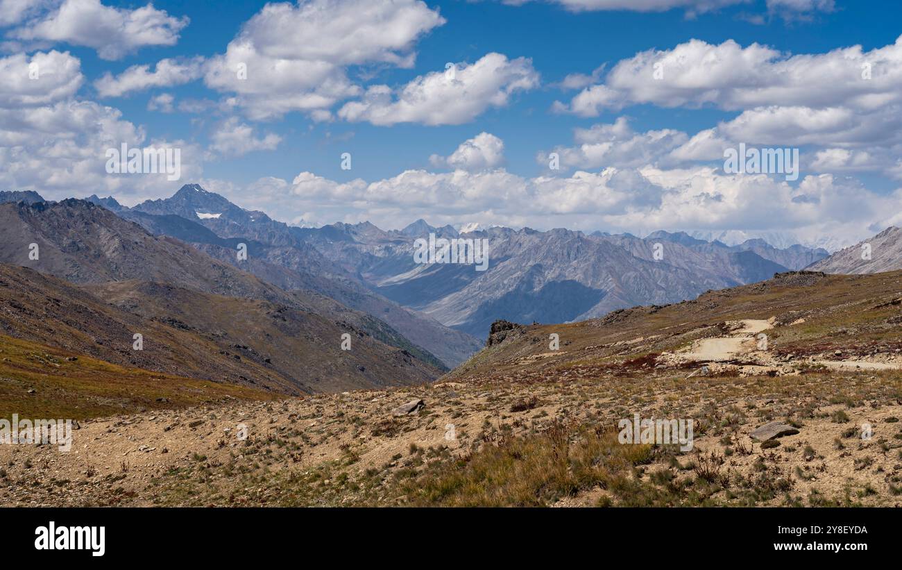 Scenic summer landscape view of high-altitude Deosai Plains with Nanga Parbat in clouds, Astore, Gilgit-Baltistan, Pakistan Stock Photohttps://www.alamy.com/image-license-details/?v=1https://www.alamy.com/scenic-summer-landscape-view-of-high-altitude-deosai-plains-with-nanga-parbat-in-clouds-astore-gilgit-baltistan-pakistan-image624819366.html
RF2Y8EYDA–Scenic summer landscape view of high-altitude Deosai Plains with Nanga Parbat in clouds, Astore, Gilgit-Baltistan, Pakistan
 A view of rainforest landscape and Bukit Tilung, a sacred hill according to the locals, in Nanga Raun, Kalis, Kapuas Hulu, West Kalimantan, Indonesia. Stock Photohttps://www.alamy.com/image-license-details/?v=1https://www.alamy.com/a-view-of-rainforest-landscape-and-bukit-tilung-a-sacred-hill-according-to-the-locals-in-nanga-raun-kalis-kapuas-hulu-west-kalimantan-indonesia-image630985096.html
RM2YJFRX0–A view of rainforest landscape and Bukit Tilung, a sacred hill according to the locals, in Nanga Raun, Kalis, Kapuas Hulu, West Kalimantan, Indonesia.
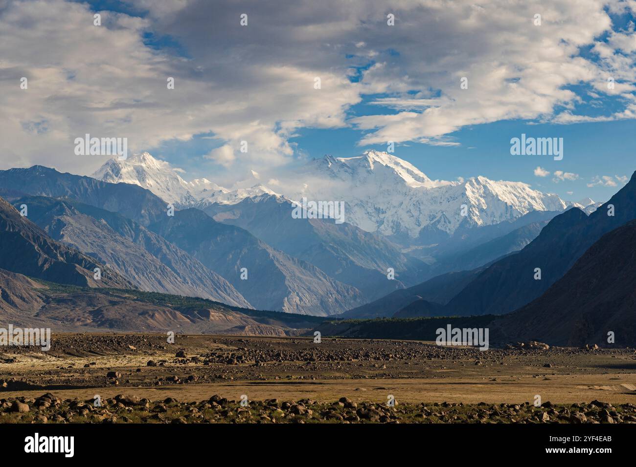 Scenic landscape view of Nanga Parbat mountain north face aka Rakhiot face near Jaglot, Gilgit, Gilgit-Baltistan, Pakistan Stock Photohttps://www.alamy.com/image-license-details/?v=1https://www.alamy.com/scenic-landscape-view-of-nanga-parbat-mountain-north-face-aka-rakhiot-face-near-jaglot-gilgit-gilgit-baltistan-pakistan-image628892163.html
RF2YF4EAB–Scenic landscape view of Nanga Parbat mountain north face aka Rakhiot face near Jaglot, Gilgit, Gilgit-Baltistan, Pakistan
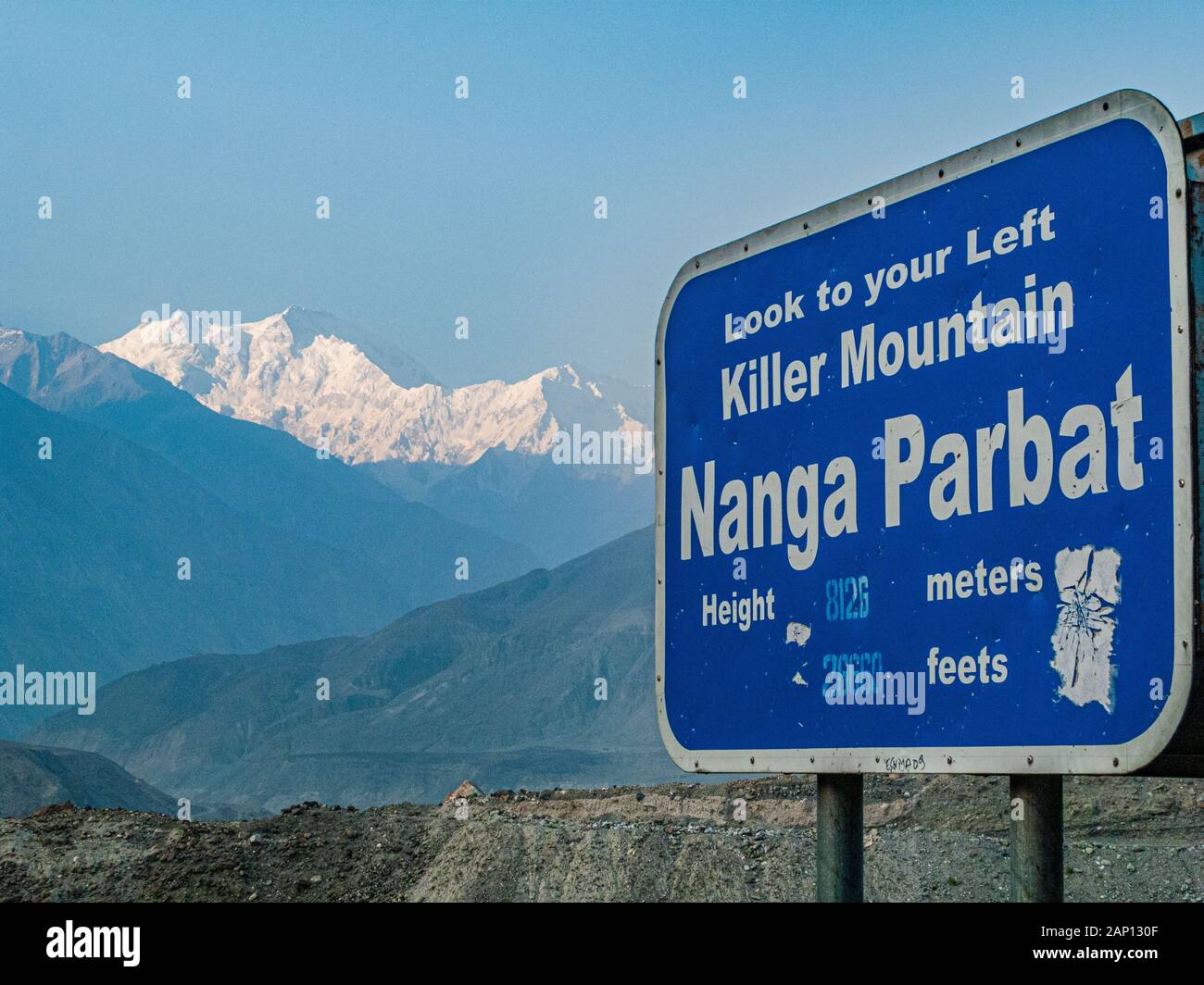 Road sign of and view to Nanga Parbat from Thalichi, a little village at Karakorum Highway Stock Photohttps://www.alamy.com/image-license-details/?v=1https://www.alamy.com/road-sign-of-and-view-to-nanga-parbat-from-thalichi-a-little-village-at-karakorum-highway-image340543743.html
RM2AP130F–Road sign of and view to Nanga Parbat from Thalichi, a little village at Karakorum Highway
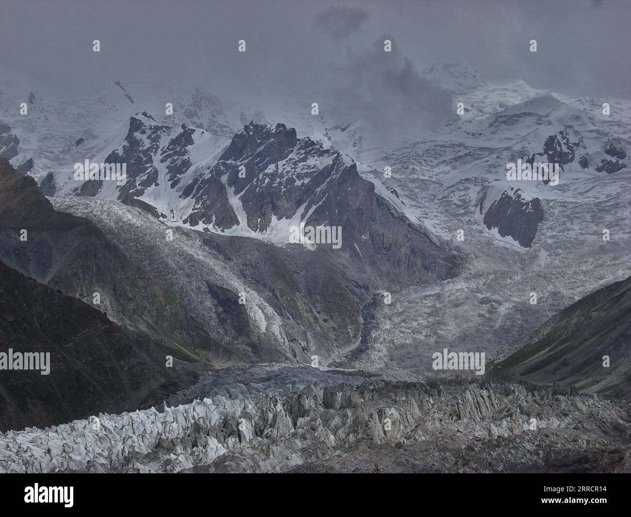 Cloudy Glacier: Nanga Parbat View Stock Photohttps://www.alamy.com/image-license-details/?v=1https://www.alamy.com/cloudy-glacier-nanga-parbat-view-image565150352.html
RF2RRCR14–Cloudy Glacier: Nanga Parbat View
 Modern printing of Nanga Landscape, Japanese ukiyoe woodblock print by Nakabayashi Chikuto, carved by David Bull, and printed by Mokuhankan staff. Stock Photohttps://www.alamy.com/image-license-details/?v=1https://www.alamy.com/modern-printing-of-nanga-landscape-japanese-ukiyoe-woodblock-print-by-nakabayashi-chikuto-carved-by-david-bull-and-printed-by-mokuhankan-staff-image255620139.html
RMTRTE2K–Modern printing of Nanga Landscape, Japanese ukiyoe woodblock print by Nakabayashi Chikuto, carved by David Bull, and printed by Mokuhankan staff.
 On the Way to Nanga Parbat Basecamp: A Journey Through Majestic Mountain Landscapes Stock Photohttps://www.alamy.com/image-license-details/?v=1https://www.alamy.com/on-the-way-to-nanga-parbat-basecamp-a-journey-through-majestic-mountain-landscapes-image634468659.html
RF2YT6F6Y–On the Way to Nanga Parbat Basecamp: A Journey Through Majestic Mountain Landscapes
 Aerial view of the Nanga Parbat peak during sunset. Stock Photohttps://www.alamy.com/image-license-details/?v=1https://www.alamy.com/aerial-view-of-the-nanga-parbat-peak-during-sunset-image624188574.html
RM2Y7E6W2–Aerial view of the Nanga Parbat peak during sunset.
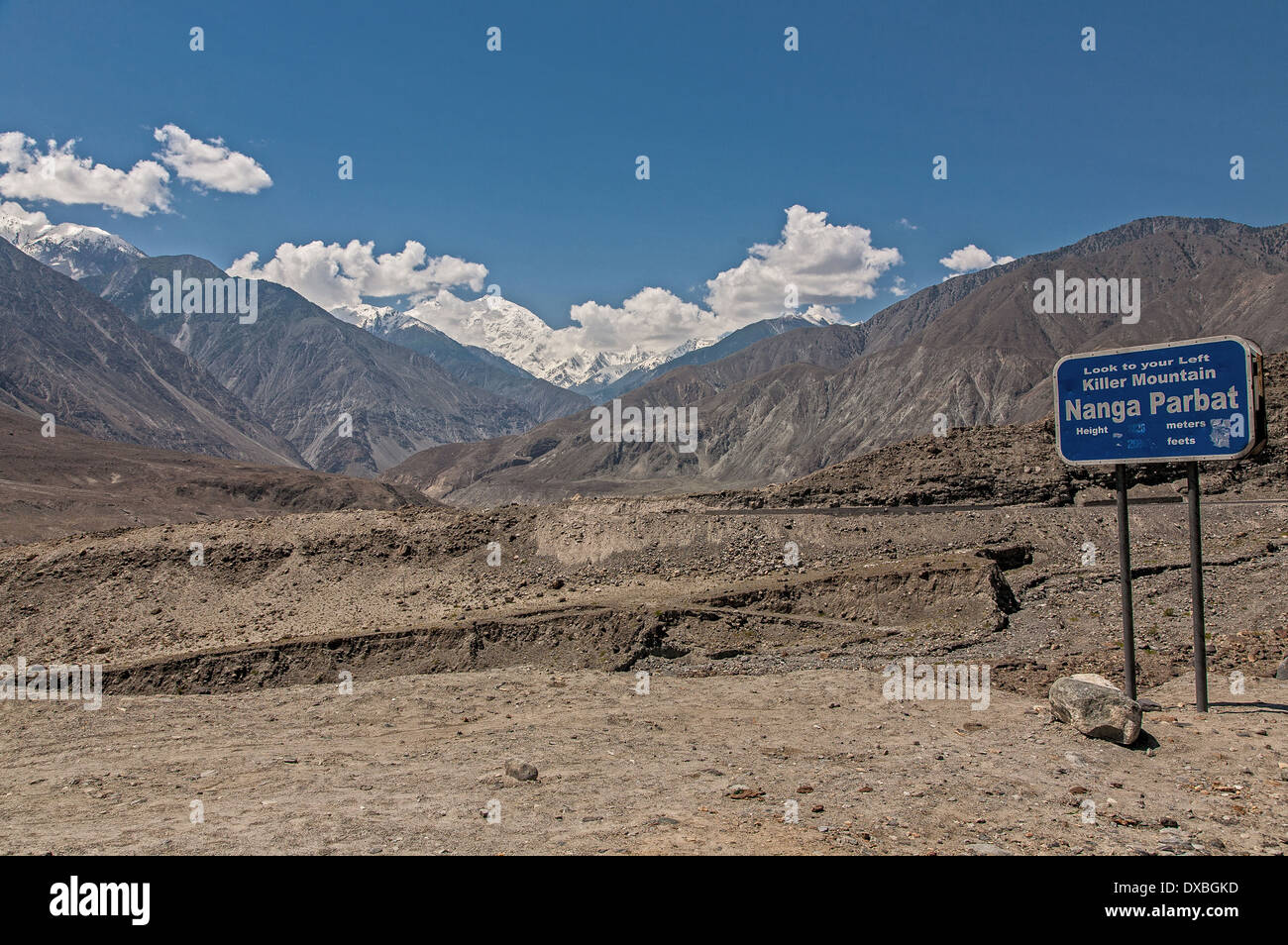 Nanga Parbat Killer Mountain sign on Karakoram highway Stock Photohttps://www.alamy.com/image-license-details/?v=1https://www.alamy.com/nanga-parbat-killer-mountain-sign-on-karakoram-highway-image67866721.html
RFDXBGKD–Nanga Parbat Killer Mountain sign on Karakoram highway
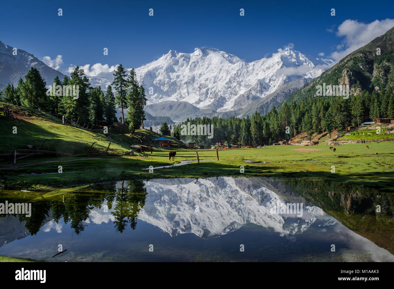 View of mighty Nanga Parbat Mountain (8,126 meters), also known as the Killer Mountain is one among the 14 eight-thousanders. Stock Photohttps://www.alamy.com/image-license-details/?v=1https://www.alamy.com/stock-photo-view-of-mighty-nanga-parbat-mountain-8126-meters-also-known-as-the-172946231.html
RFM1AAK3–View of mighty Nanga Parbat Mountain (8,126 meters), also known as the Killer Mountain is one among the 14 eight-thousanders.
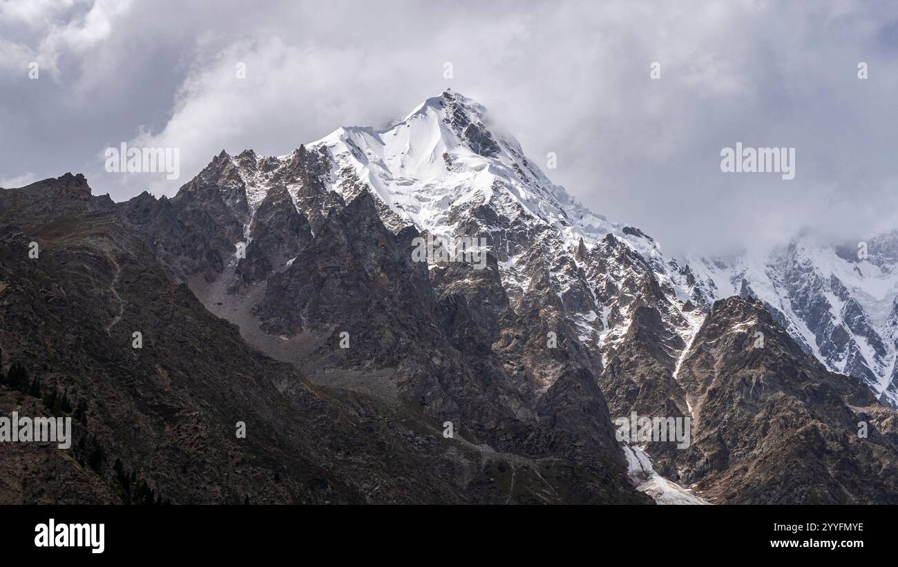 Scenic detail view of Nanga Parbat north face with Rakhiot peak under cloudy sky, Tarishing, Astore, Gilgit-Baltistan, Pakistan Stock Photohttps://www.alamy.com/image-license-details/?v=1https://www.alamy.com/scenic-detail-view-of-nanga-parbat-north-face-with-rakhiot-peak-under-cloudy-sky-tarishing-astore-gilgit-baltistan-pakistan-image636514690.html
RF2YYFMYE–Scenic detail view of Nanga Parbat north face with Rakhiot peak under cloudy sky, Tarishing, Astore, Gilgit-Baltistan, Pakistan
 Beautiful view of the Nanga Parbat from the base camp. Its also know as a killer mountain on the earth situated in the Himalayan range in the Pakistan Stock Photohttps://www.alamy.com/image-license-details/?v=1https://www.alamy.com/beautiful-view-of-the-nanga-parbat-from-the-base-camp-its-also-know-as-a-killer-mountain-on-the-earth-situated-in-the-himalayan-range-in-the-pakistan-image617710047.html
RF2XTY3D3–Beautiful view of the Nanga Parbat from the base camp. Its also know as a killer mountain on the earth situated in the Himalayan range in the Pakistan
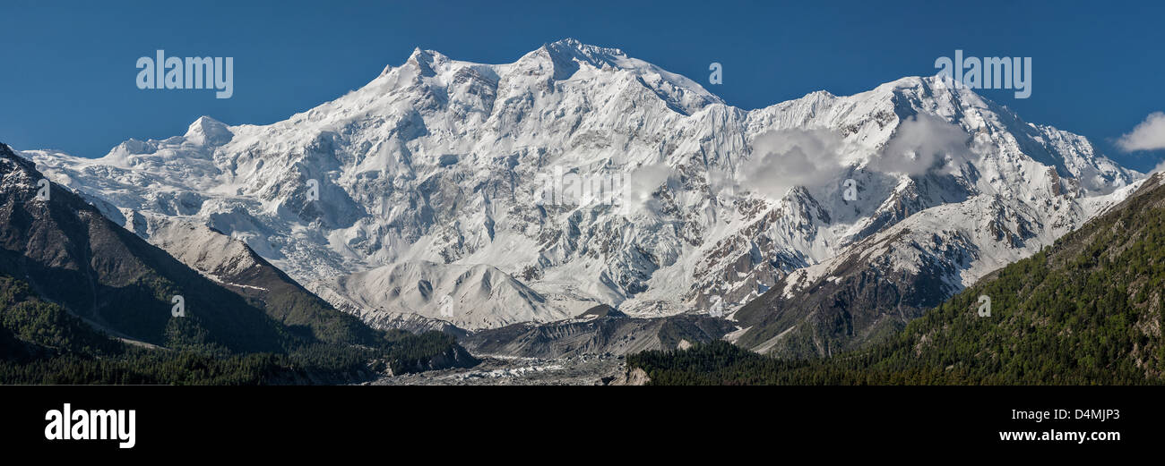 Nanga Parbat 8126m is the ninth highest mountain in the world Stock Photohttps://www.alamy.com/image-license-details/?v=1https://www.alamy.com/stock-photo-nanga-parbat-8126m-is-the-ninth-highest-mountain-in-the-world-54543499.html
RFD4MJP3–Nanga Parbat 8126m is the ninth highest mountain in the world
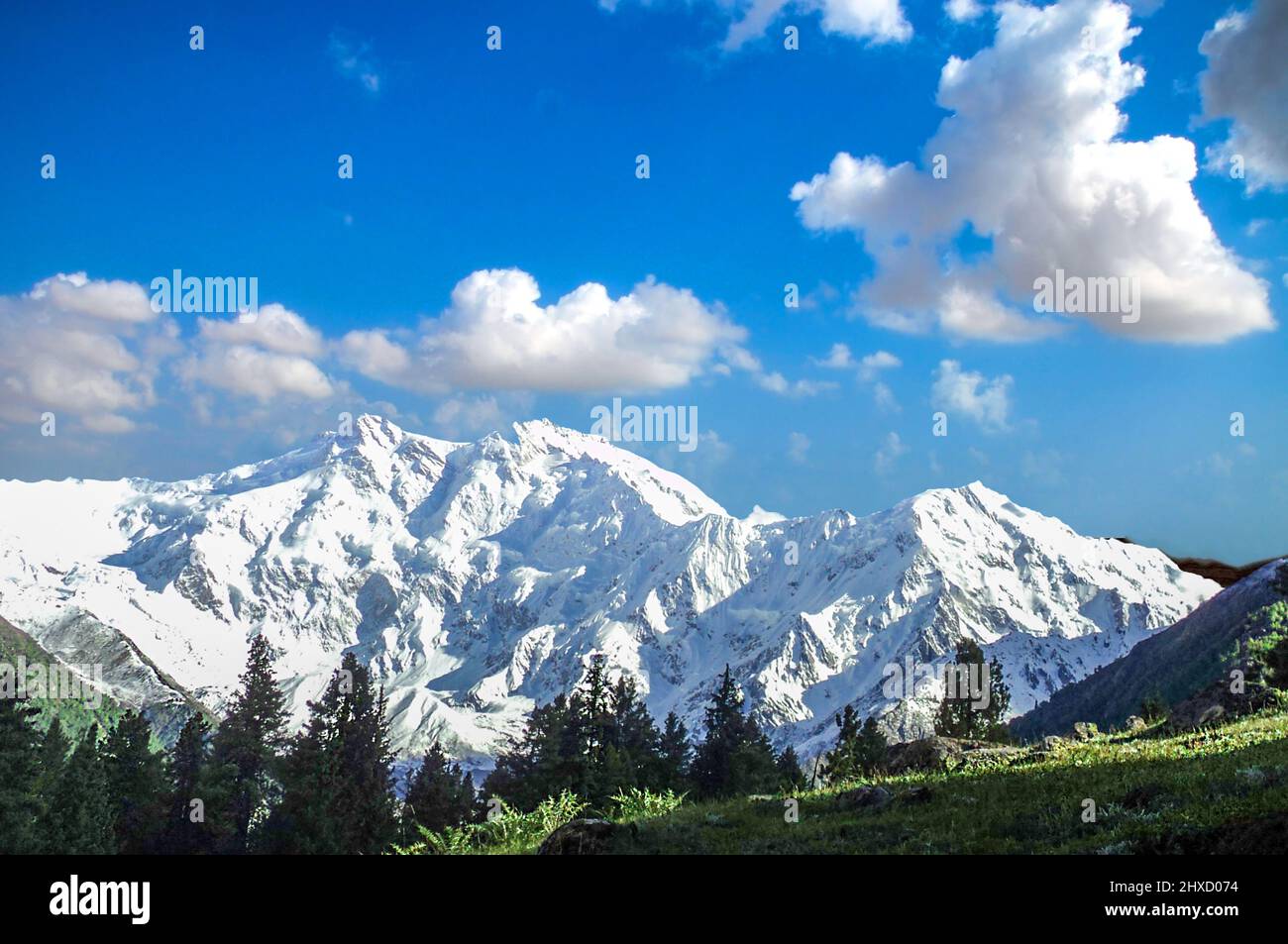 Fairy Meadows, named by German climbers and locally known as Joot, is a grassland near one of the base camp sites of the Nanga Parbat the killer peak Stock Photohttps://www.alamy.com/image-license-details/?v=1https://www.alamy.com/fairy-meadows-named-by-german-climbers-and-locally-known-as-joot-is-a-grassland-near-one-of-the-base-camp-sites-of-the-nanga-parbat-the-killer-peak-image463736200.html
RF2HXD074–Fairy Meadows, named by German climbers and locally known as Joot, is a grassland near one of the base camp sites of the Nanga Parbat the killer peak
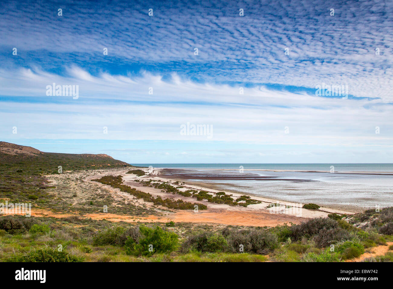 sandy beach at Nanga Staion, Australia, Western Australia, Nanga Station Stock Photohttps://www.alamy.com/image-license-details/?v=1https://www.alamy.com/stock-photo-sandy-beach-at-nanga-staion-australia-western-australia-nanga-station-76157090.html
RMEBW742–sandy beach at Nanga Staion, Australia, Western Australia, Nanga Station
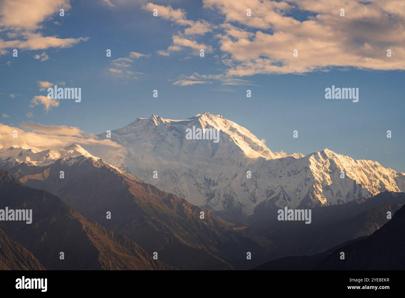 Scenic landscape view of the north face aka Rakhiot face of mighty Nanga Parbat mountain near Jaglot, Gilgit, Gilgit-Baltistan, Pakistan Stock Photohttps://www.alamy.com/image-license-details/?v=1https://www.alamy.com/scenic-landscape-view-of-the-north-face-aka-rakhiot-face-of-mighty-nanga-parbat-mountain-near-jaglot-gilgit-gilgit-baltistan-pakistan-image628365579.html
RF2YE8EKR–Scenic landscape view of the north face aka Rakhiot face of mighty Nanga Parbat mountain near Jaglot, Gilgit, Gilgit-Baltistan, Pakistan
 Nanga Parbat, 8126 metres, Indus valley, Himalaya mountain, Karakoram Hwy, Chilas,Gilgit-Baltistan Province,Northern Areas, Pakistan, South Asia, Asia Stock Photohttps://www.alamy.com/image-license-details/?v=1https://www.alamy.com/nanga-parbat-8126-metres-indus-valley-himalaya-mountain-karakoram-hwy-chilasgilgit-baltistan-provincenorthern-areas-pakistan-south-asia-asia-image359979873.html
RM2BWJE01–Nanga Parbat, 8126 metres, Indus valley, Himalaya mountain, Karakoram Hwy, Chilas,Gilgit-Baltistan Province,Northern Areas, Pakistan, South Asia, Asia
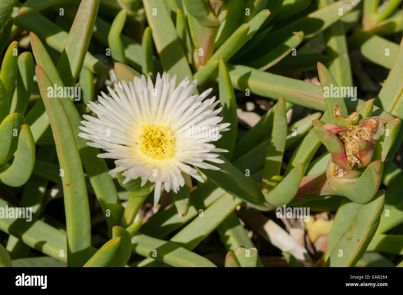 Carpobrotus rossii, White Pigface at Nanga Bay, WA, Australia Stock Photohttps://www.alamy.com/image-license-details/?v=1https://www.alamy.com/stock-photo-carpobrotus-rossii-white-pigface-at-nanga-bay-wa-australia-75494668.html
RMEAR264–Carpobrotus rossii, White Pigface at Nanga Bay, WA, Australia
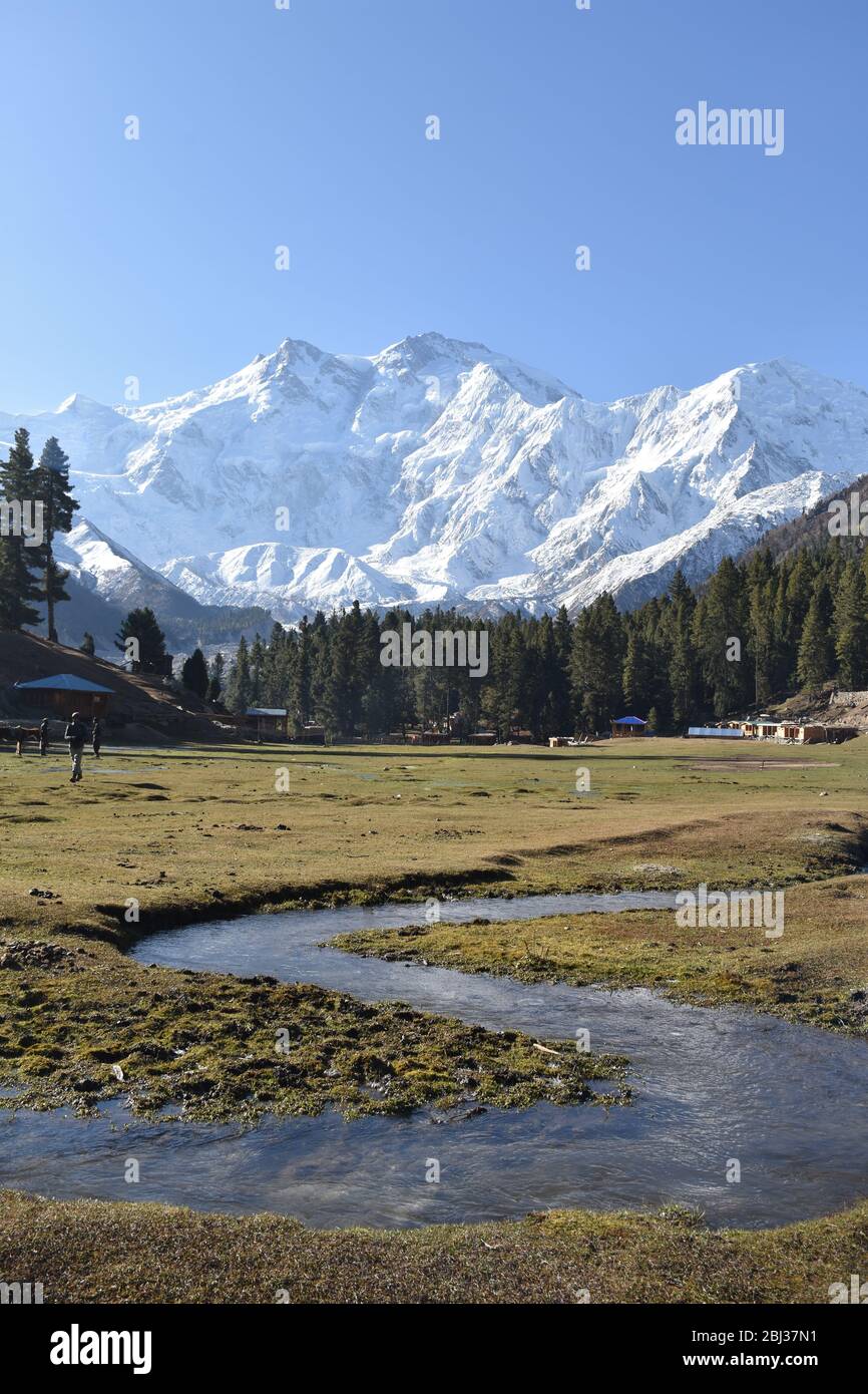 Nanga Parbat towering above verdant wilderness near Fairy meadows, Pakistan. Stock Photohttps://www.alamy.com/image-license-details/?v=1https://www.alamy.com/nanga-parbat-towering-above-verdant-wilderness-near-fairy-meadows-pakistan-image355343101.html
RF2BJ37N1–Nanga Parbat towering above verdant wilderness near Fairy meadows, Pakistan.
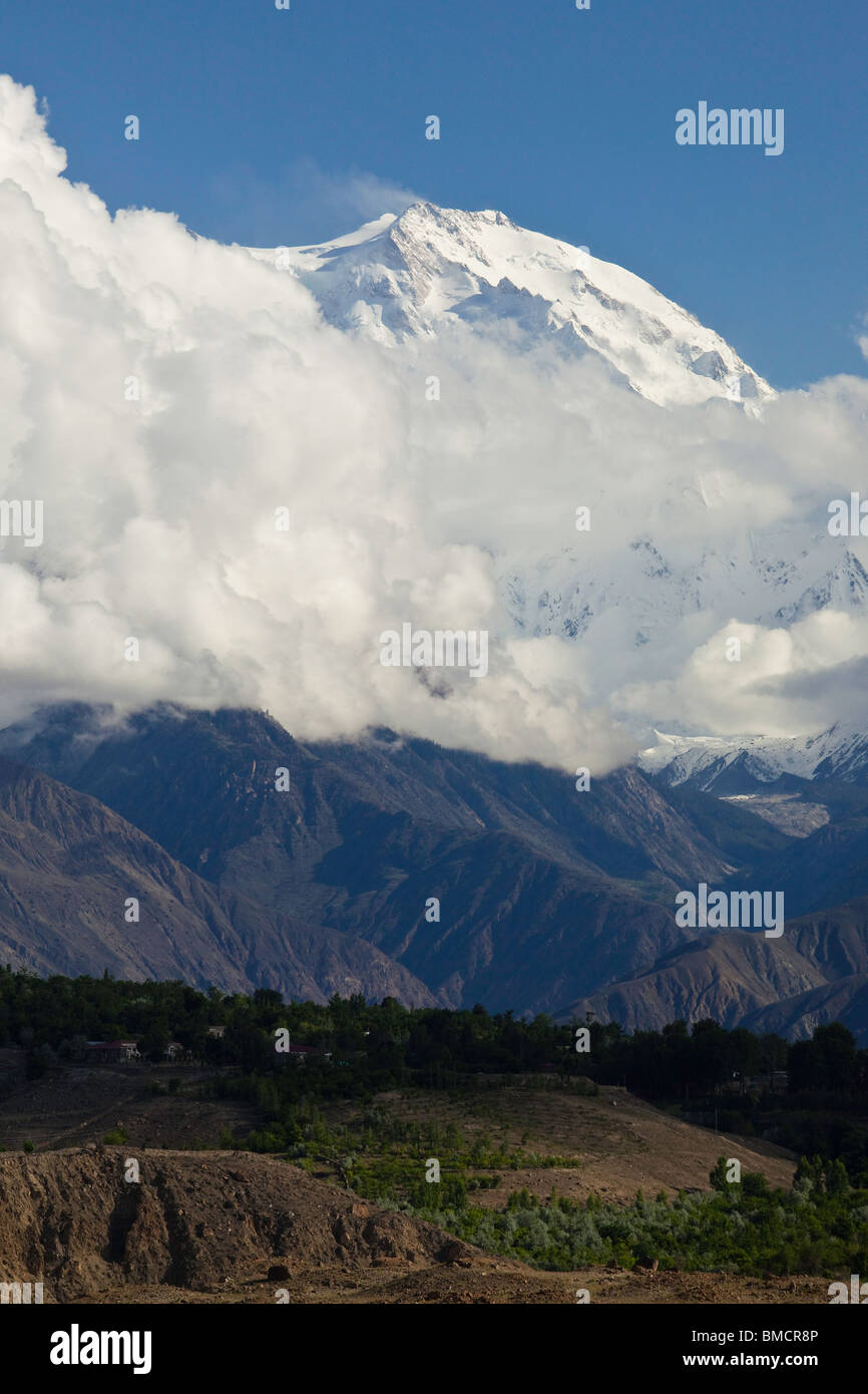 A view of the summit of Nanga Parbat near Gilgit, Pakistan Stock Photohttps://www.alamy.com/image-license-details/?v=1https://www.alamy.com/stock-photo-a-view-of-the-summit-of-nanga-parbat-near-gilgit-pakistan-29785190.html
RMBMCR8P–A view of the summit of Nanga Parbat near Gilgit, Pakistan
 Agricultural field in Nanga Raun village, Kalis, Kapuas Hulu, West Kalimantan, Indonesia. Stock Photohttps://www.alamy.com/image-license-details/?v=1https://www.alamy.com/agricultural-field-in-nanga-raun-village-kalis-kapuas-hulu-west-kalimantan-indonesia-image635490144.html
RM2YWW24G–Agricultural field in Nanga Raun village, Kalis, Kapuas Hulu, West Kalimantan, Indonesia.
 Snow forest near Nanga Parbat mountain glacier winter. Fairy meadows, Pakistan Stock Photohttps://www.alamy.com/image-license-details/?v=1https://www.alamy.com/snow-forest-near-nanga-parbat-mountain-glacier-winter-fairy-meadows-pakistan-image343522324.html
RF2AXTP6C–Snow forest near Nanga Parbat mountain glacier winter. Fairy meadows, Pakistan
 Rainforest on Amalambit hill is seen from Nanga Raun village in Kalis, Kapuas Hulu, West Kalimantan, Indonesia. Stock Photohttps://www.alamy.com/image-license-details/?v=1https://www.alamy.com/rainforest-on-amalambit-hill-is-seen-from-nanga-raun-village-in-kalis-kapuas-hulu-west-kalimantan-indonesia-image630856321.html
RM2YJ9YJW–Rainforest on Amalambit hill is seen from Nanga Raun village in Kalis, Kapuas Hulu, West Kalimantan, Indonesia.
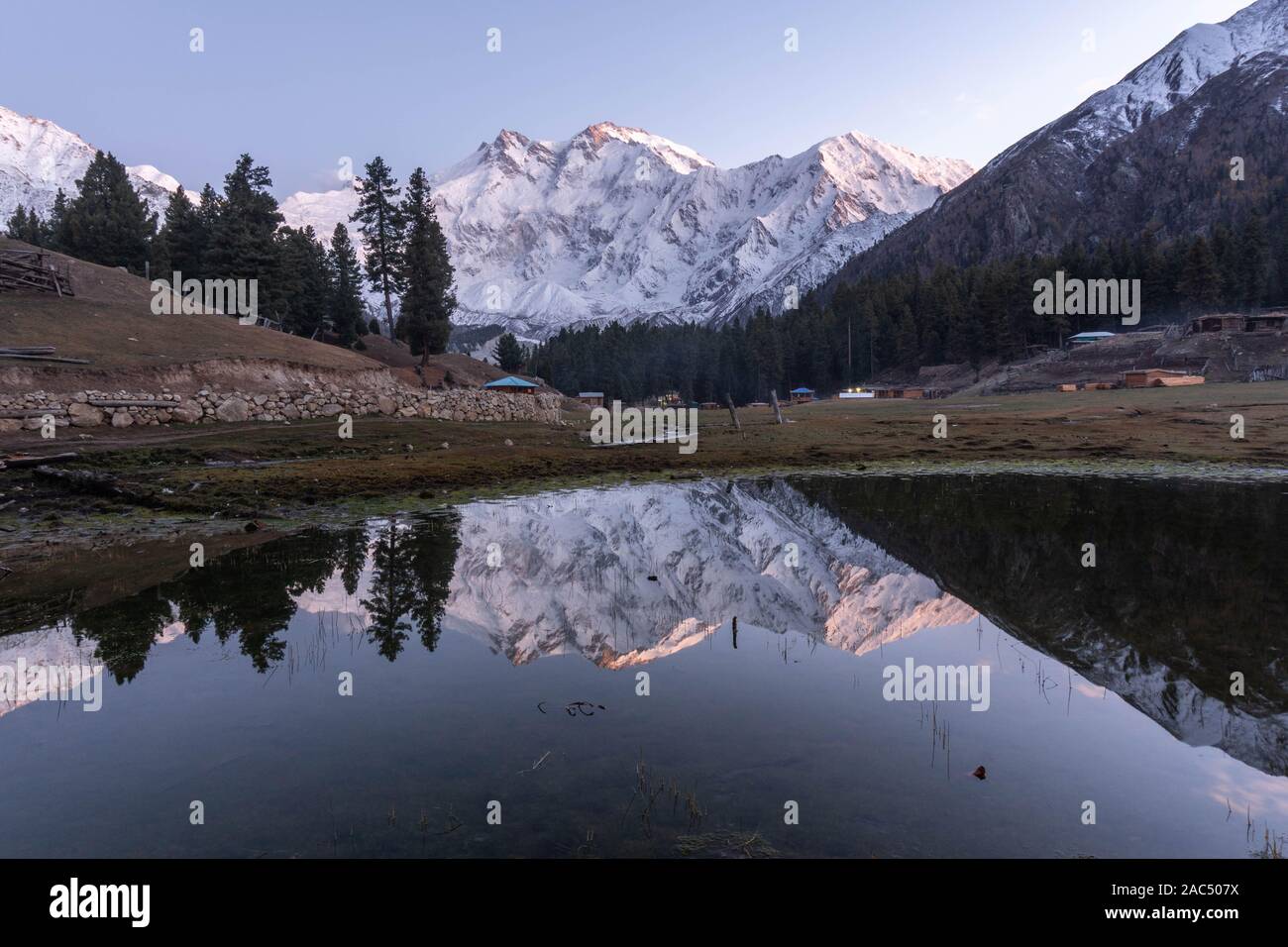 Blue hour at Fairy Meadows, Pakistan Stock Photohttps://www.alamy.com/image-license-details/?v=1https://www.alamy.com/blue-hour-at-fairy-meadows-pakistan-image334482846.html
RF2AC507X–Blue hour at Fairy Meadows, Pakistan
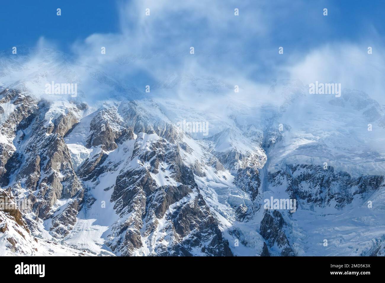 Nanga Parbat, the killer mountain in the clouds Stock Photohttps://www.alamy.com/image-license-details/?v=1https://www.alamy.com/nanga-parbat-the-killer-mountain-in-the-clouds-image507215966.html
RF2MD5K3X–Nanga Parbat, the killer mountain in the clouds
 Nanga Parbat towering above verdant wilderness near Fairy meadows, Pakistan. Stock Photohttps://www.alamy.com/image-license-details/?v=1https://www.alamy.com/nanga-parbat-towering-above-verdant-wilderness-near-fairy-meadows-pakistan-image355344653.html
RF2BJ39MD–Nanga Parbat towering above verdant wilderness near Fairy meadows, Pakistan.
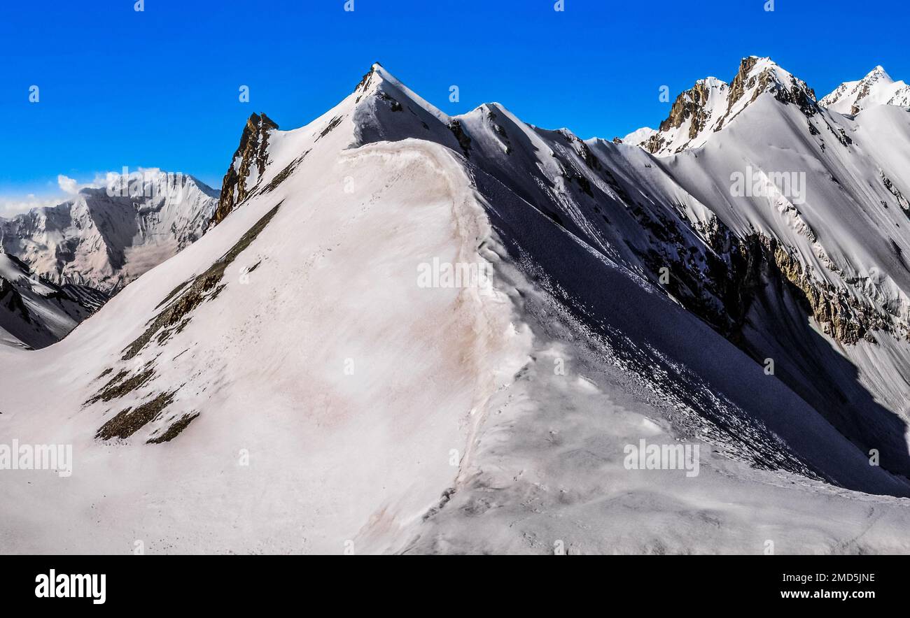 Frozen Mazeno Pass on the way to Nanga Parbat peak well known as Killer mountain in the Himalaya mountains range Stock Photohttps://www.alamy.com/image-license-details/?v=1https://www.alamy.com/frozen-mazeno-pass-on-the-way-to-nanga-parbat-peak-well-known-as-killer-mountain-in-the-himalaya-mountains-range-image507215674.html
RF2MD5JNE–Frozen Mazeno Pass on the way to Nanga Parbat peak well known as Killer mountain in the Himalaya mountains range
 Nanga Parbat towering above verdant wilderness near Fairy meadows, Pakistan. Stock Photohttps://www.alamy.com/image-license-details/?v=1https://www.alamy.com/nanga-parbat-towering-above-verdant-wilderness-near-fairy-meadows-pakistan-image355343822.html
RF2BJ38JP–Nanga Parbat towering above verdant wilderness near Fairy meadows, Pakistan.
 Trek to the Nanga Parbat at 8,126 meters above sea level also known as the Killer mountain in the Himalaya range in the Pakistan Stock Photohttps://www.alamy.com/image-license-details/?v=1https://www.alamy.com/trek-to-the-nanga-parbat-at-8126-meters-above-sea-level-also-known-as-the-killer-mountain-in-the-himalaya-range-in-the-pakistan-image507215169.html
RF2MD5J3D–Trek to the Nanga Parbat at 8,126 meters above sea level also known as the Killer mountain in the Himalaya range in the Pakistan
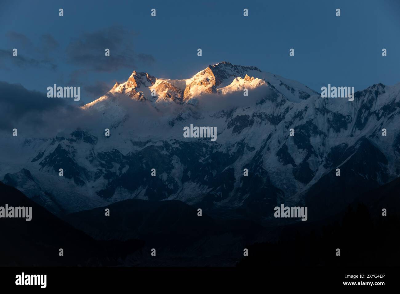 Nanga Parbat mountain, Pakistan Stock Photohttps://www.alamy.com/image-license-details/?v=1https://www.alamy.com/nanga-parbat-mountain-pakistan-image619313374.html
RF2XYG4EP–Nanga Parbat mountain, Pakistan
 Nanga Parbat, known locally as Diamer which means “king of the mountains”, is the ninth-highest mountain on Earth,the summit at 8,126 meters Stock Photohttps://www.alamy.com/image-license-details/?v=1https://www.alamy.com/nanga-parbat-known-locally-as-diamer-which-means-king-of-the-mountains-is-the-ninth-highest-mountain-on-earththe-summit-at-8126-meters-image507215450.html
RF2MD5JDE–Nanga Parbat, known locally as Diamer which means “king of the mountains”, is the ninth-highest mountain on Earth,the summit at 8,126 meters
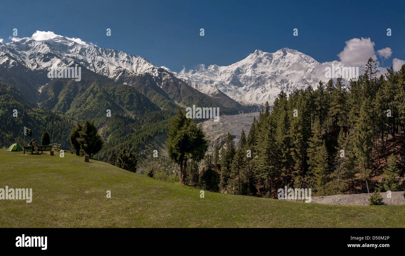 Nanga Parbat 8126m is the ninth highest mountain in the world Stock Photohttps://www.alamy.com/image-license-details/?v=1https://www.alamy.com/stock-photo-nanga-parbat-8126m-is-the-ninth-highest-mountain-in-the-world-54720142.html
RMD50M2P–Nanga Parbat 8126m is the ninth highest mountain in the world
 Nanga Parbat, ninth tallest mountain in the world. Pakistan Stock Photohttps://www.alamy.com/image-license-details/?v=1https://www.alamy.com/nanga-parbat-ninth-tallest-mountain-in-the-world-pakistan-image622020775.html
RF2Y3YDRK–Nanga Parbat, ninth tallest mountain in the world. Pakistan
 Snowy mountain peak - Beautiful cloudy Nanga Parbat, Gilgit Northern Pakistan Stock Photohttps://www.alamy.com/image-license-details/?v=1https://www.alamy.com/snowy-mountain-peak-beautiful-cloudy-nanga-parbat-gilgit-northern-pakistan-image331111232.html
RF2A6KBN4–Snowy mountain peak - Beautiful cloudy Nanga Parbat, Gilgit Northern Pakistan
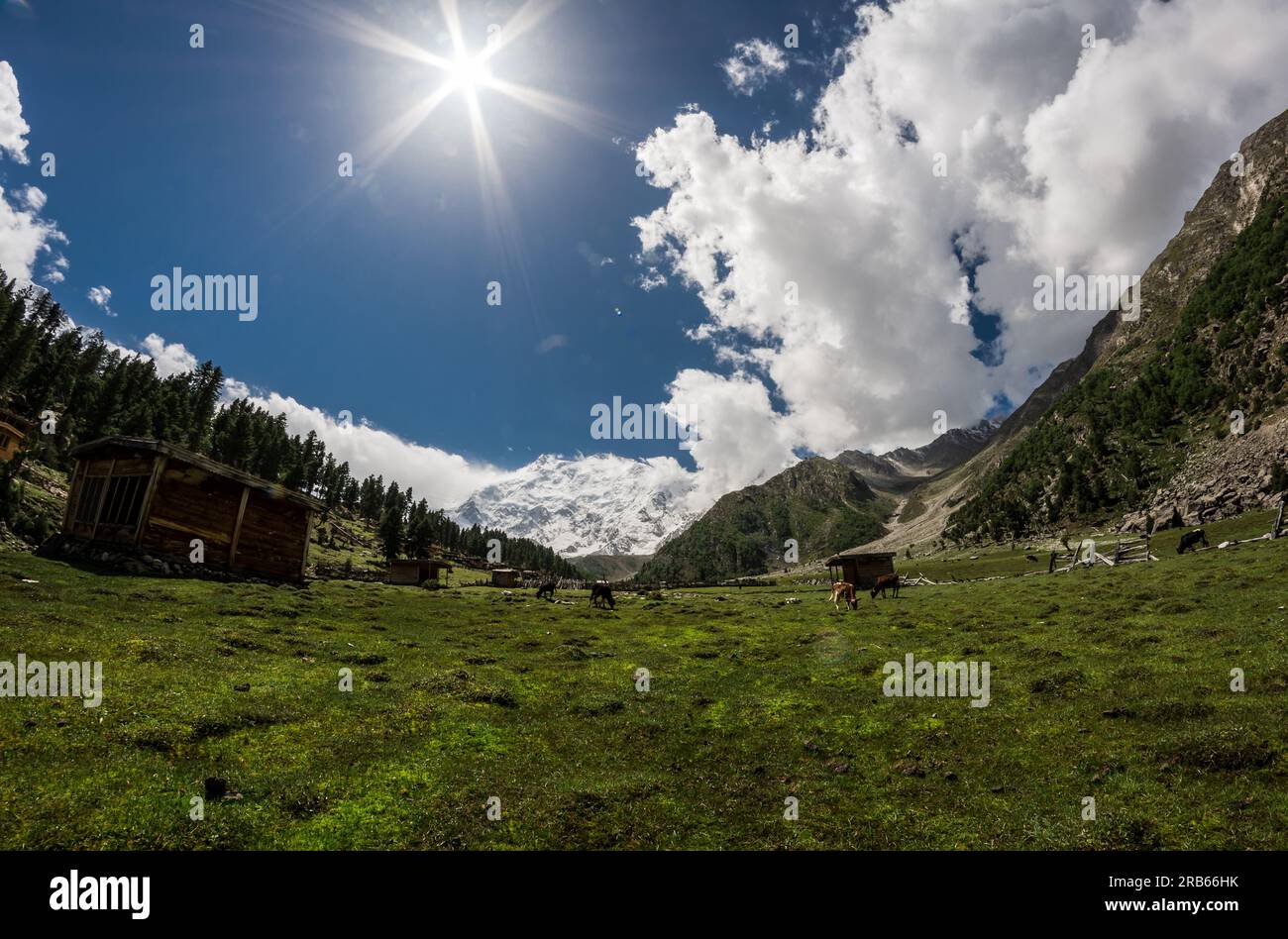 Beyal Camp (Altitude: 3550 m), Nanga Parbat Base Camp Track, Pakistan. Standing in the background, the mighty Nanga Parbat (8126 m). Stock Photohttps://www.alamy.com/image-license-details/?v=1https://www.alamy.com/beyal-camp-altitude-3550-m-nanga-parbat-base-camp-track-pakistan-standing-in-the-background-the-mighty-nanga-parbat-8126-m-image557629903.html
RF2RB66HK–Beyal Camp (Altitude: 3550 m), Nanga Parbat Base Camp Track, Pakistan. Standing in the background, the mighty Nanga Parbat (8126 m).
 Nanga Parbat, 8126 metres, Indus valley, Himalaya mountain, Karakoram Hwy, Chilas,Gilgit-Baltistan Province,Northern Areas, Pakistan, South Asia, Asia Stock Photohttps://www.alamy.com/image-license-details/?v=1https://www.alamy.com/nanga-parbat-8126-metres-indus-valley-himalaya-mountain-karakoram-hwy-chilasgilgit-baltistan-provincenorthern-areas-pakistan-south-asia-asia-image359979989.html
RM2BWJE45–Nanga Parbat, 8126 metres, Indus valley, Himalaya mountain, Karakoram Hwy, Chilas,Gilgit-Baltistan Province,Northern Areas, Pakistan, South Asia, Asia
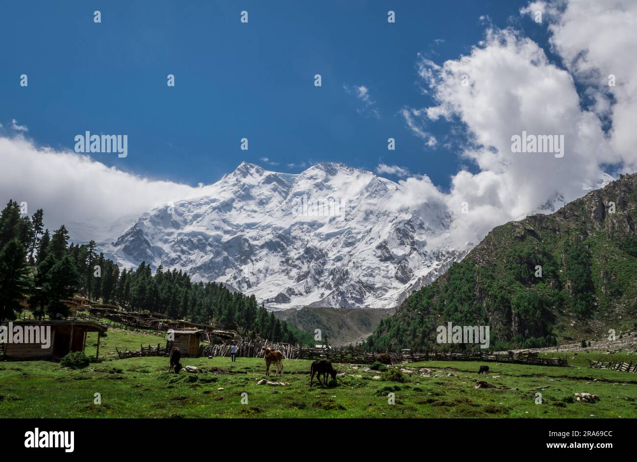 Beyal Camp (Altitude: 3550 m), Nanga Parbat Base Camp Track, Pakistan. Pure wilderness and un-spoiled nature. The mighty Nanga Parbat in background. Stock Photohttps://www.alamy.com/image-license-details/?v=1https://www.alamy.com/beyal-camp-altitude-3550-m-nanga-parbat-base-camp-track-pakistan-pure-wilderness-and-un-spoiled-nature-the-mighty-nanga-parbat-in-background-image557017452.html
RF2RA69CC–Beyal Camp (Altitude: 3550 m), Nanga Parbat Base Camp Track, Pakistan. Pure wilderness and un-spoiled nature. The mighty Nanga Parbat in background.
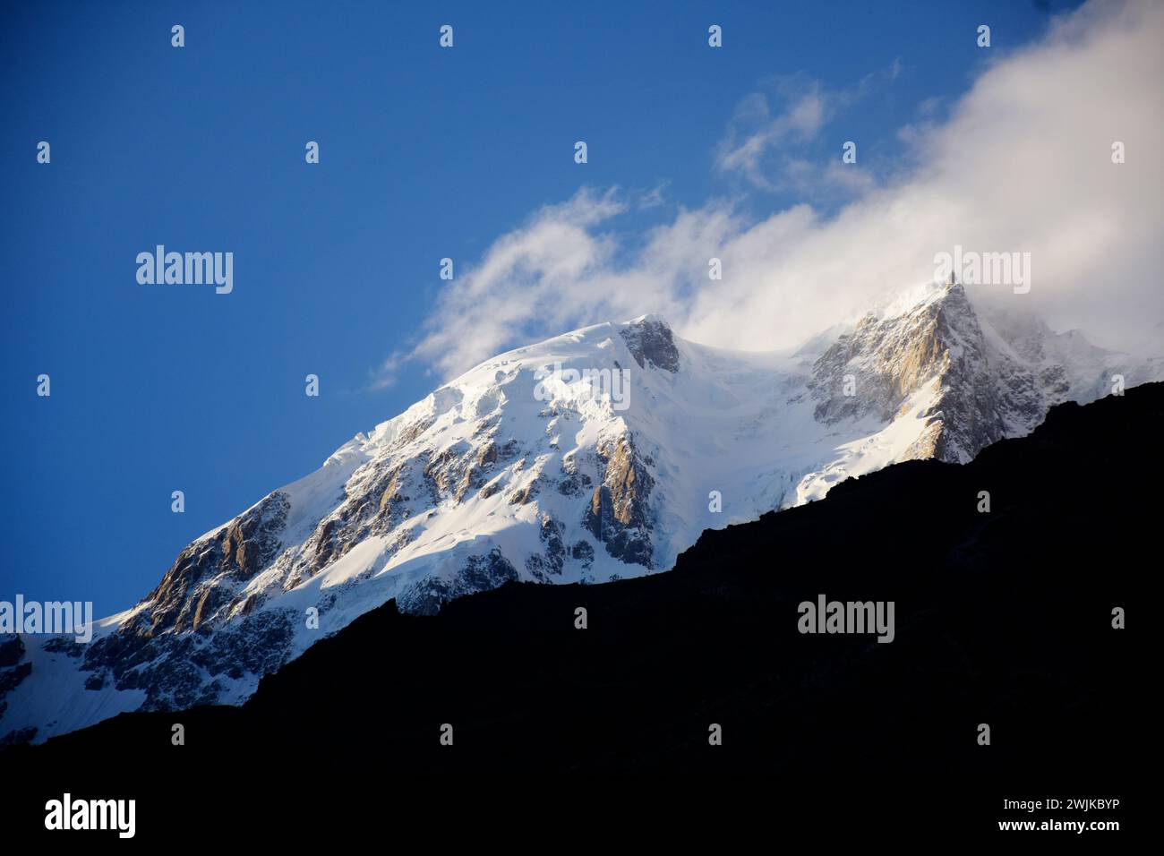 Nanga Parbat Mountain Landscape in Winters Stock Photohttps://www.alamy.com/image-license-details/?v=1https://www.alamy.com/nanga-parbat-mountain-landscape-in-winters-image596642810.html
RF2WJKBYP–Nanga Parbat Mountain Landscape in Winters
 Panorama of Nanga-Parbat mountain,Gilgit-Baltistan Pakistan Stock Photohttps://www.alamy.com/image-license-details/?v=1https://www.alamy.com/panorama-of-nanga-parbat-mountaingilgit-baltistan-pakistan-image362225106.html
RM2C18NPX–Panorama of Nanga-Parbat mountain,Gilgit-Baltistan Pakistan
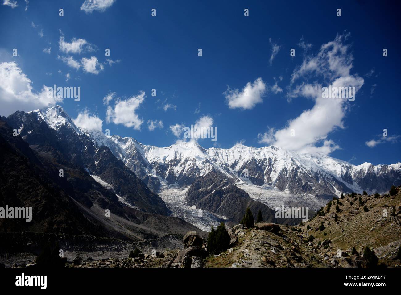 Nanga Parbat Mountain Landscape in Winters Stock Photohttps://www.alamy.com/image-license-details/?v=1https://www.alamy.com/nanga-parbat-mountain-landscape-in-winters-image596642815.html
RF2WJKBYY–Nanga Parbat Mountain Landscape in Winters
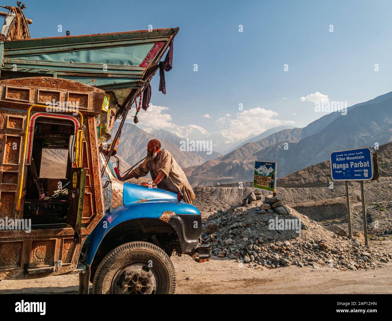 A driver is cleaning his colorfully decorated and painted truck, driving on the dusty roads of Karakorum Highway Stock Photohttps://www.alamy.com/image-license-details/?v=1https://www.alamy.com/a-driver-is-cleaning-his-colorfully-decorated-and-painted-truck-driving-on-the-dusty-roads-of-karakorum-highway-image340543441.html
RM2AP12HN–A driver is cleaning his colorfully decorated and painted truck, driving on the dusty roads of Karakorum Highway
 A view of rainforest landscape and Bukit Tilung, a sacred hill according to the locals, in Kapuas Hulu, West Kalimantan, Indonesia. Stock Photohttps://www.alamy.com/image-license-details/?v=1https://www.alamy.com/a-view-of-rainforest-landscape-and-bukit-tilung-a-sacred-hill-according-to-the-locals-in-kapuas-hulu-west-kalimantan-indonesia-image614381334.html
RM2XKFDJE–A view of rainforest landscape and Bukit Tilung, a sacred hill according to the locals, in Kapuas Hulu, West Kalimantan, Indonesia.
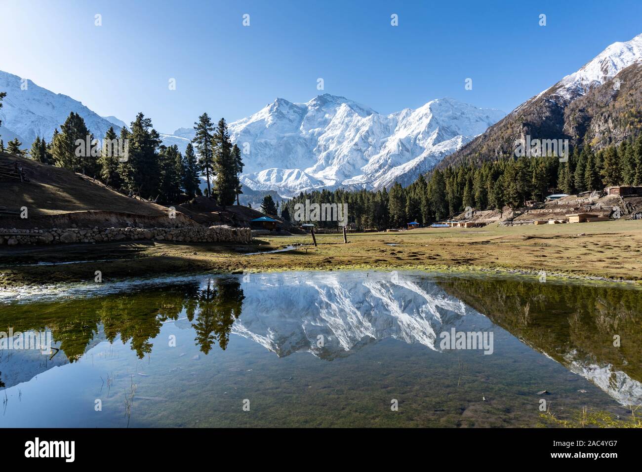 Fairy Meadows, Pakistan Stock Photohttps://www.alamy.com/image-license-details/?v=1https://www.alamy.com/fairy-meadows-pakistan-image334482295.html
RF2AC4YG7–Fairy Meadows, Pakistan
 Agricultural field in a background of forest and hills in Nanga Raun village, Kalis, Kapuas Hulu, West Kalimantan, Indonesia. Stock Photohttps://www.alamy.com/image-license-details/?v=1https://www.alamy.com/agricultural-field-in-a-background-of-forest-and-hills-in-nanga-raun-village-kalis-kapuas-hulu-west-kalimantan-indonesia-image614381881.html
RM2XKFEA1–Agricultural field in a background of forest and hills in Nanga Raun village, Kalis, Kapuas Hulu, West Kalimantan, Indonesia.
 Karimabad Hunza Valley Breathtaking Picturesque Panoramic View of Snow Capped Mountains and Landscape on a Sunny Blue Sky Day Stock Photohttps://www.alamy.com/image-license-details/?v=1https://www.alamy.com/karimabad-hunza-valley-breathtaking-picturesque-panoramic-view-of-snow-capped-mountains-and-landscape-on-a-sunny-blue-sky-day-image337826648.html
RF2AHH99C–Karimabad Hunza Valley Breathtaking Picturesque Panoramic View of Snow Capped Mountains and Landscape on a Sunny Blue Sky Day
 The wilderness of Rakhiot Glacier, reaching an altitude of up to 7000+ meters, Himalayan Mountain Range, Pakistan. Stock Photohttps://www.alamy.com/image-license-details/?v=1https://www.alamy.com/the-wilderness-of-rakhiot-glacier-reaching-an-altitude-of-up-to-7000-meters-himalayan-mountain-range-pakistan-image558111861.html
RF2RC05AD–The wilderness of Rakhiot Glacier, reaching an altitude of up to 7000+ meters, Himalayan Mountain Range, Pakistan.
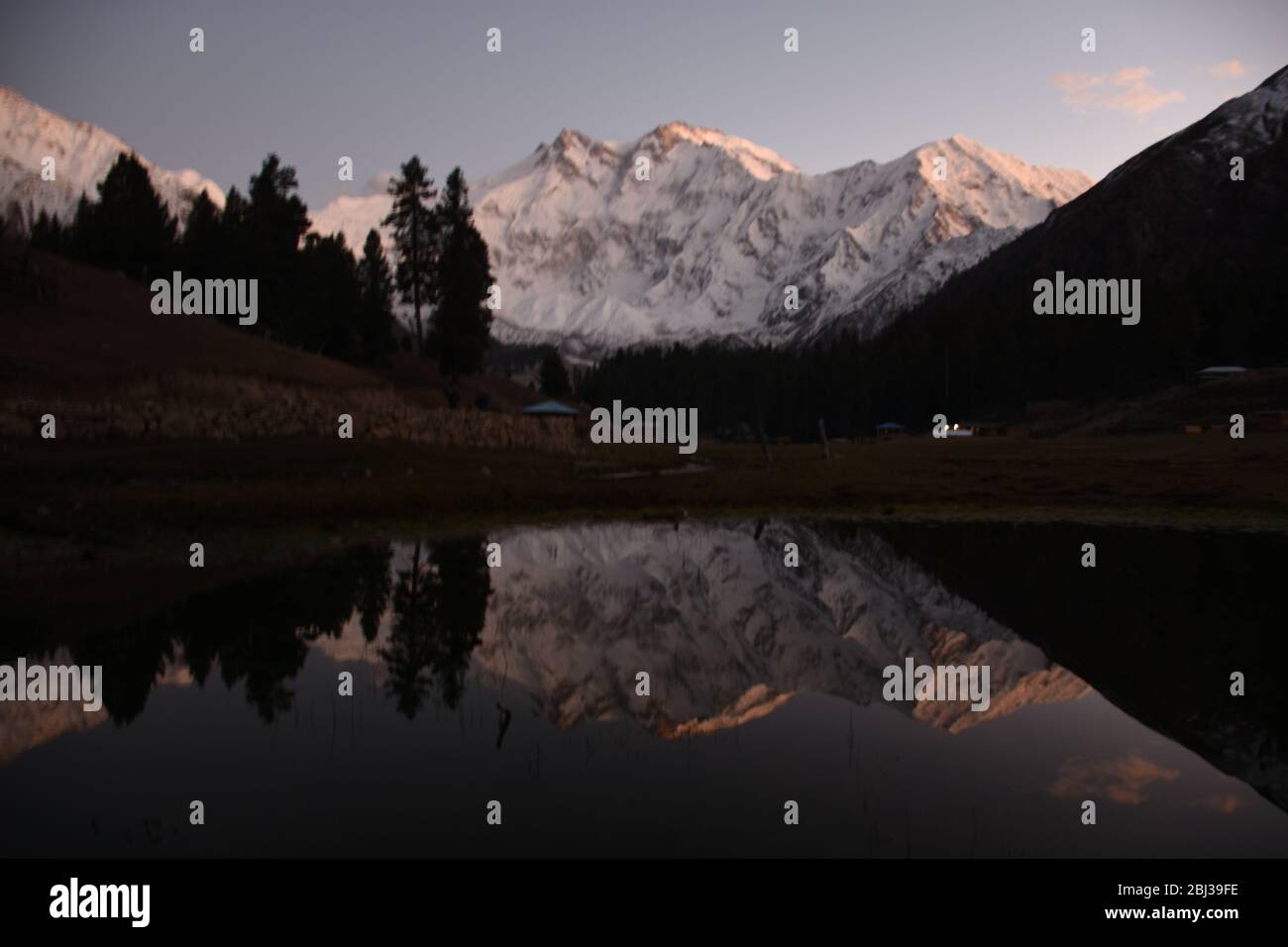 Nanga Parbat towering above verdant wilderness near Fairy meadows, Pakistan. Stock Photohttps://www.alamy.com/image-license-details/?v=1https://www.alamy.com/nanga-parbat-towering-above-verdant-wilderness-near-fairy-meadows-pakistan-image355344514.html
RF2BJ39FE–Nanga Parbat towering above verdant wilderness near Fairy meadows, Pakistan.
 Snow forest near Nanga Parbat mountain glacier winter. Fairy meadows, Pakistan Stock Photohttps://www.alamy.com/image-license-details/?v=1https://www.alamy.com/snow-forest-near-nanga-parbat-mountain-glacier-winter-fairy-meadows-pakistan-image343281944.html
RF2AXDRHC–Snow forest near Nanga Parbat mountain glacier winter. Fairy meadows, Pakistan
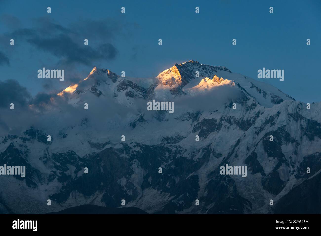 Nanga Parbat mountain, Pakistan Stock Photohttps://www.alamy.com/image-license-details/?v=1https://www.alamy.com/nanga-parbat-mountain-pakistan-image619313372.html
RF2XYG4EM–Nanga Parbat mountain, Pakistan
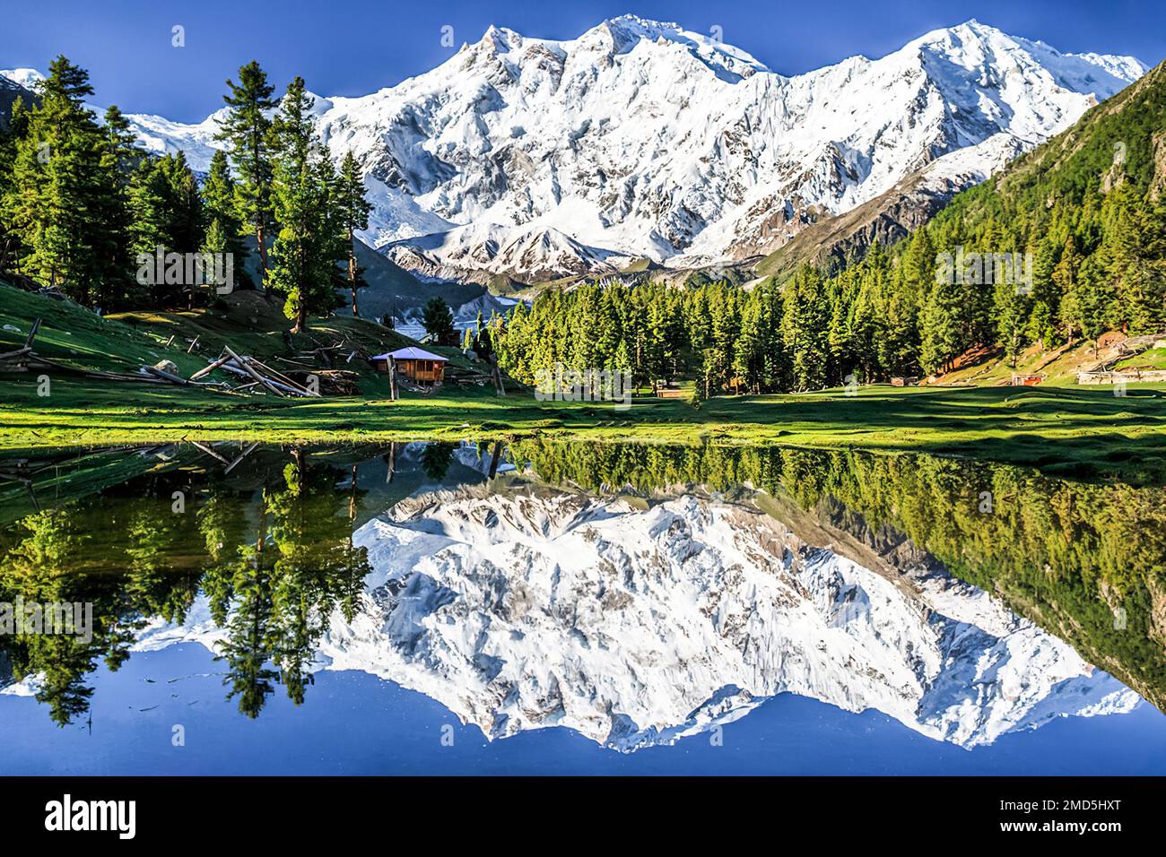 Reflection of glacial Nanga Parbat peak in the Lake, also called a killer mountain on the earth Stock Photohttps://www.alamy.com/image-license-details/?v=1https://www.alamy.com/reflection-of-glacial-nanga-parbat-peak-in-the-lake-also-called-a-killer-mountain-on-the-earth-image507215040.html
RF2MD5HXT–Reflection of glacial Nanga Parbat peak in the Lake, also called a killer mountain on the earth
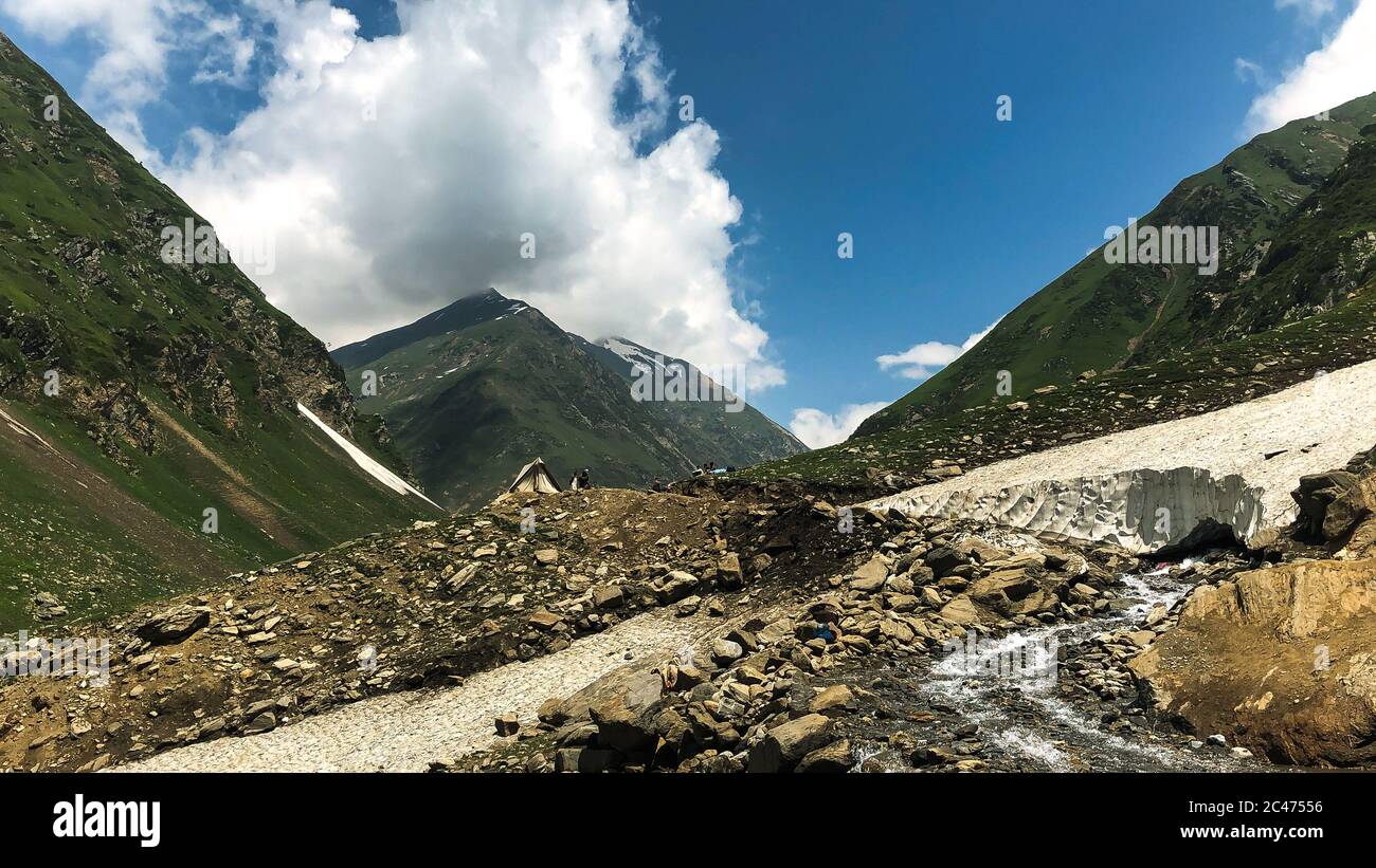 Pakistan Beautiful landscape Stock Photohttps://www.alamy.com/image-license-details/?v=1https://www.alamy.com/pakistan-beautiful-landscape-image364034082.html
RF2C47556–Pakistan Beautiful landscape
 Nanga Parbat, ninth tallest mountain in the world. Pakistan Stock Photohttps://www.alamy.com/image-license-details/?v=1https://www.alamy.com/nanga-parbat-ninth-tallest-mountain-in-the-world-pakistan-image622020779.html
RF2Y3YDRR–Nanga Parbat, ninth tallest mountain in the world. Pakistan
 Majestic view of the Nanga Parbat peak at 8,186 m, from the Fairy meadows in the Baltistan region of the Pakistan Stock Photohttps://www.alamy.com/image-license-details/?v=1https://www.alamy.com/majestic-view-of-the-nanga-parbat-peak-at-8186-m-from-the-fairy-meadows-in-the-baltistan-region-of-the-pakistan-image617710155.html
RF2XTY3GY–Majestic view of the Nanga Parbat peak at 8,186 m, from the Fairy meadows in the Baltistan region of the Pakistan
 Nanga Parbat and Fairy Meadows Panorama, Himalaya, Pakistan Stock Photohttps://www.alamy.com/image-license-details/?v=1https://www.alamy.com/stock-photo-nanga-parbat-and-fairy-meadows-panorama-himalaya-pakistan-171168286.html
RFKXDAW2–Nanga Parbat and Fairy Meadows Panorama, Himalaya, Pakistan
 Nanga Parbat, 8126 metres, Indus valley, Himalaya mountain, Karakoram Hwy, Chilas,Gilgit-Baltistan Province,Northern Areas, Pakistan, South Asia, Asia Stock Photohttps://www.alamy.com/image-license-details/?v=1https://www.alamy.com/nanga-parbat-8126-metres-indus-valley-himalaya-mountain-karakoram-hwy-chilasgilgit-baltistan-provincenorthern-areas-pakistan-south-asia-asia-image359979912.html
RM2BWJE1C–Nanga Parbat, 8126 metres, Indus valley, Himalaya mountain, Karakoram Hwy, Chilas,Gilgit-Baltistan Province,Northern Areas, Pakistan, South Asia, Asia
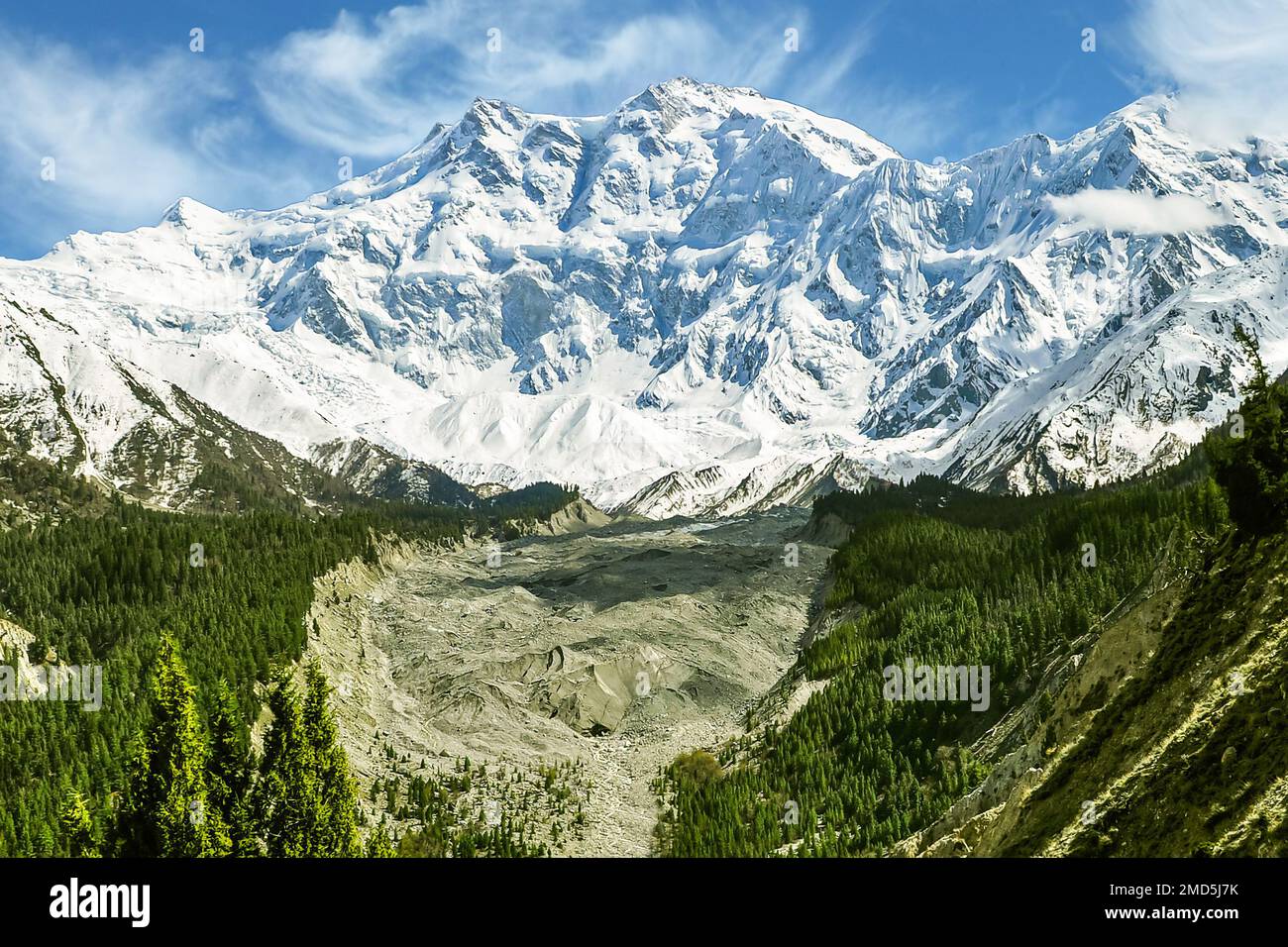 View of Nanga Parbat (Killer mountain) 8,126 m above sea level from the Fairy meadows in the Himalayas Stock Photohttps://www.alamy.com/image-license-details/?v=1https://www.alamy.com/view-of-nanga-parbat-killer-mountain-8126-m-above-sea-level-from-the-fairy-meadows-in-the-himalayas-image507215287.html
RF2MD5J7K–View of Nanga Parbat (Killer mountain) 8,126 m above sea level from the Fairy meadows in the Himalayas
 Nanga Parbat is lying on the borderline between Pakistan and India is known as King of Mountains. It is the world’s 9th highest mountains. Stock Photohttps://www.alamy.com/image-license-details/?v=1https://www.alamy.com/stock-photo-nanga-parbat-is-lying-on-the-borderline-between-pakistan-and-india-172461901.html
RFM0G8WH–Nanga Parbat is lying on the borderline between Pakistan and India is known as King of Mountains. It is the world’s 9th highest mountains.
 Majestic view of the Nanga Parbat peak well know as a Killer mountain for the climbers. It is 8,186 meters above sea level in the Himalayas Stock Photohttps://www.alamy.com/image-license-details/?v=1https://www.alamy.com/majestic-view-of-the-nanga-parbat-peak-well-know-as-a-killer-mountain-for-the-climbers-it-is-8186-meters-above-sea-level-in-the-himalayas-image617710190.html
RF2XTY3J6–Majestic view of the Nanga Parbat peak well know as a Killer mountain for the climbers. It is 8,186 meters above sea level in the Himalayas
 Nanga Parbat Mountain Landscape in Winters Stock Photohttps://www.alamy.com/image-license-details/?v=1https://www.alamy.com/nanga-parbat-mountain-landscape-in-winters-image596643314.html
RF2WJKCHP–Nanga Parbat Mountain Landscape in Winters
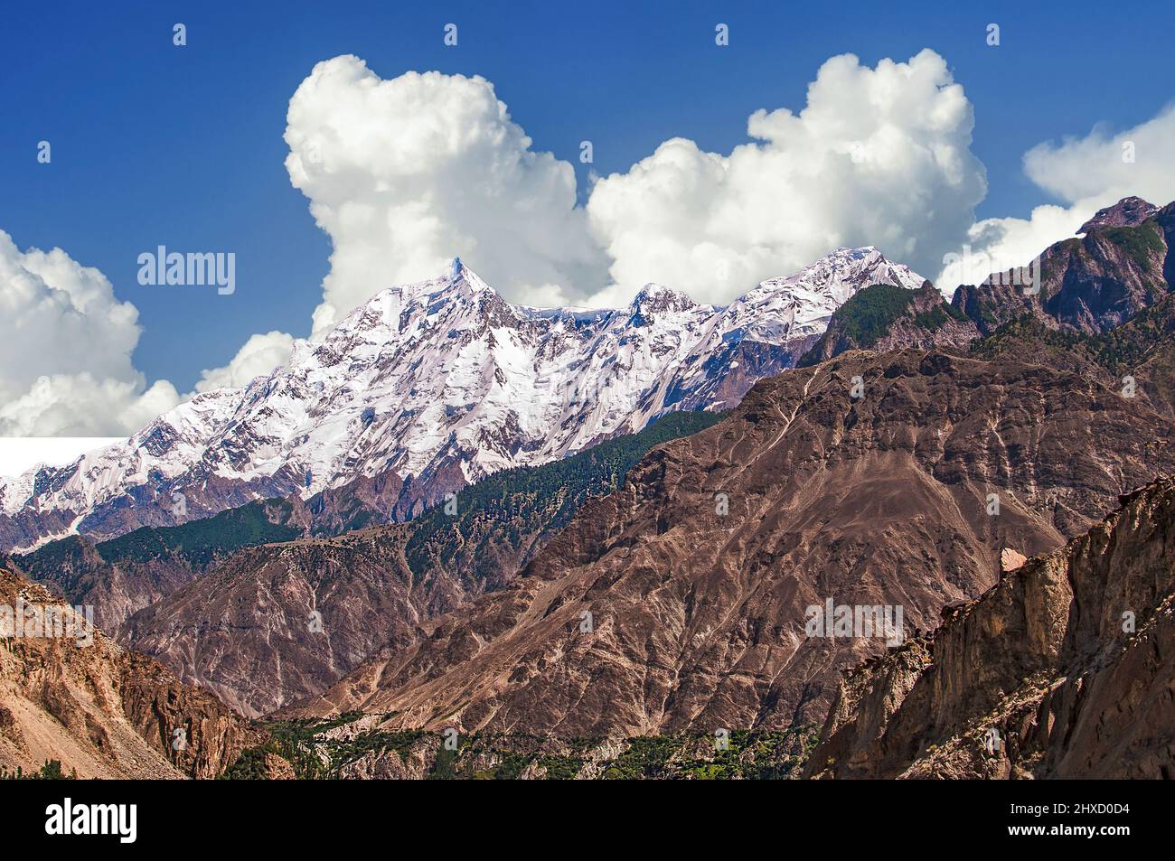 Rakaposhi 7,788 m above sea level is a mountain in the Karakoram mountain range in the Gilgit-Baltistan territory of Pakistan Stock Photohttps://www.alamy.com/image-license-details/?v=1https://www.alamy.com/rakaposhi-7788-m-above-sea-level-is-a-mountain-in-the-karakoram-mountain-range-in-the-gilgit-baltistan-territory-of-pakistan-image463736368.html
RF2HXD0D4–Rakaposhi 7,788 m above sea level is a mountain in the Karakoram mountain range in the Gilgit-Baltistan territory of Pakistan
 Nanga Parbat Stock Photohttps://www.alamy.com/image-license-details/?v=1https://www.alamy.com/nanga-parbat-image362068933.html
RM2C11JH9–Nanga Parbat
 A valley with a small waterfall in a river and big snow capped mountains behind. Nanga Parbat, Pakistan Stock Photohttps://www.alamy.com/image-license-details/?v=1https://www.alamy.com/a-valley-with-a-small-waterfall-in-a-river-and-big-snow-capped-mountains-behind-nanga-parbat-pakistan-image334482556.html
RF2AC4YWG–A valley with a small waterfall in a river and big snow capped mountains behind. Nanga Parbat, Pakistan
 Agricultural field in a background of forest and hills in Nanga Raun village, Kalis, Kapuas Hulu, West Kalimantan, Indonesia. Stock Photohttps://www.alamy.com/image-license-details/?v=1https://www.alamy.com/agricultural-field-in-a-background-of-forest-and-hills-in-nanga-raun-village-kalis-kapuas-hulu-west-kalimantan-indonesia-image614382473.html
RM2XKFF35–Agricultural field in a background of forest and hills in Nanga Raun village, Kalis, Kapuas Hulu, West Kalimantan, Indonesia.
 Karimabad Hunza Valley Breathtaking Picturesque Panoramic View of Snow Capped Mountains and Landscape on a Sunny Blue Sky Day Stock Photohttps://www.alamy.com/image-license-details/?v=1https://www.alamy.com/karimabad-hunza-valley-breathtaking-picturesque-panoramic-view-of-snow-capped-mountains-and-landscape-on-a-sunny-blue-sky-day-image337826704.html
RF2AHH9BC–Karimabad Hunza Valley Breathtaking Picturesque Panoramic View of Snow Capped Mountains and Landscape on a Sunny Blue Sky Day
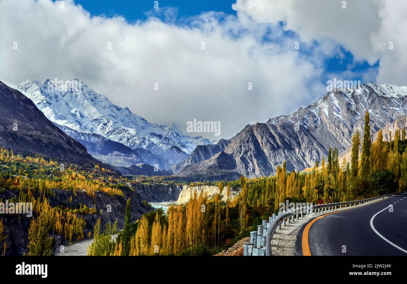 Fascinating view of the Rakaposhi 7,788 m peak from the Karakoram highway, the 27th highest mountain on the earth situated in the Hunza valley, Pakis Stock Photohttps://www.alamy.com/image-license-details/?v=1https://www.alamy.com/fascinating-view-of-the-rakaposhi-7788-m-peak-from-the-karakoram-highway-the-27th-highest-mountain-on-the-earth-situated-in-the-hunza-valley-pakis-image480104483.html
RF2JW2J4K–Fascinating view of the Rakaposhi 7,788 m peak from the Karakoram highway, the 27th highest mountain on the earth situated in the Hunza valley, Pakis
 Nanga Parbat towering above verdant wilderness near Fairy meadows, Pakistan. Stock Photohttps://www.alamy.com/image-license-details/?v=1https://www.alamy.com/nanga-parbat-towering-above-verdant-wilderness-near-fairy-meadows-pakistan-image355343278.html
RF2BJ37YA–Nanga Parbat towering above verdant wilderness near Fairy meadows, Pakistan.
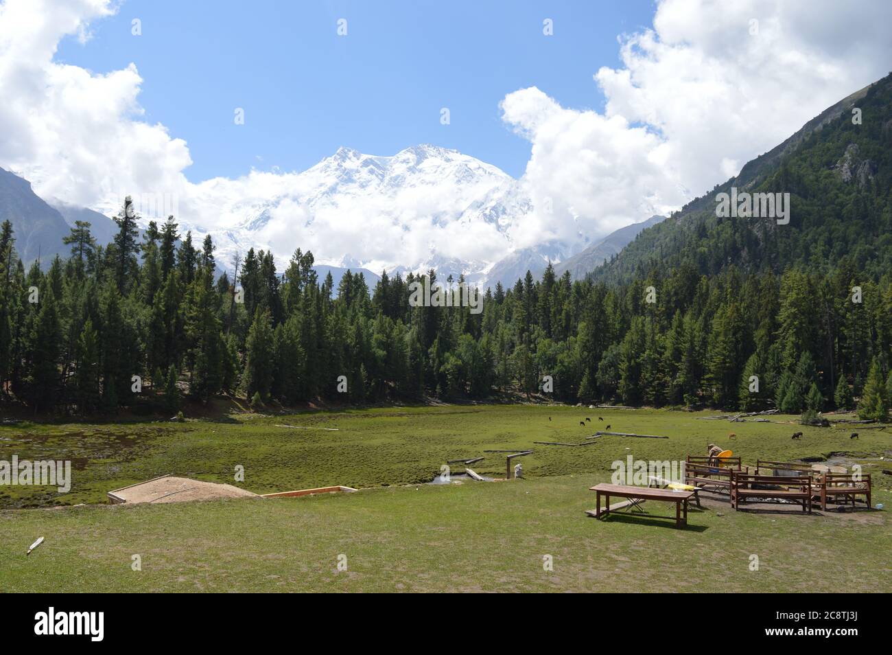 View of Nanga Parbat from Fairy Medows, Gilgit Baltistan, Pakistan Stock Photohttps://www.alamy.com/image-license-details/?v=1https://www.alamy.com/view-of-nanga-parbat-from-fairy-medows-gilgit-baltistan-pakistan-image366876038.html
RF2C8TJ3J–View of Nanga Parbat from Fairy Medows, Gilgit Baltistan, Pakistan
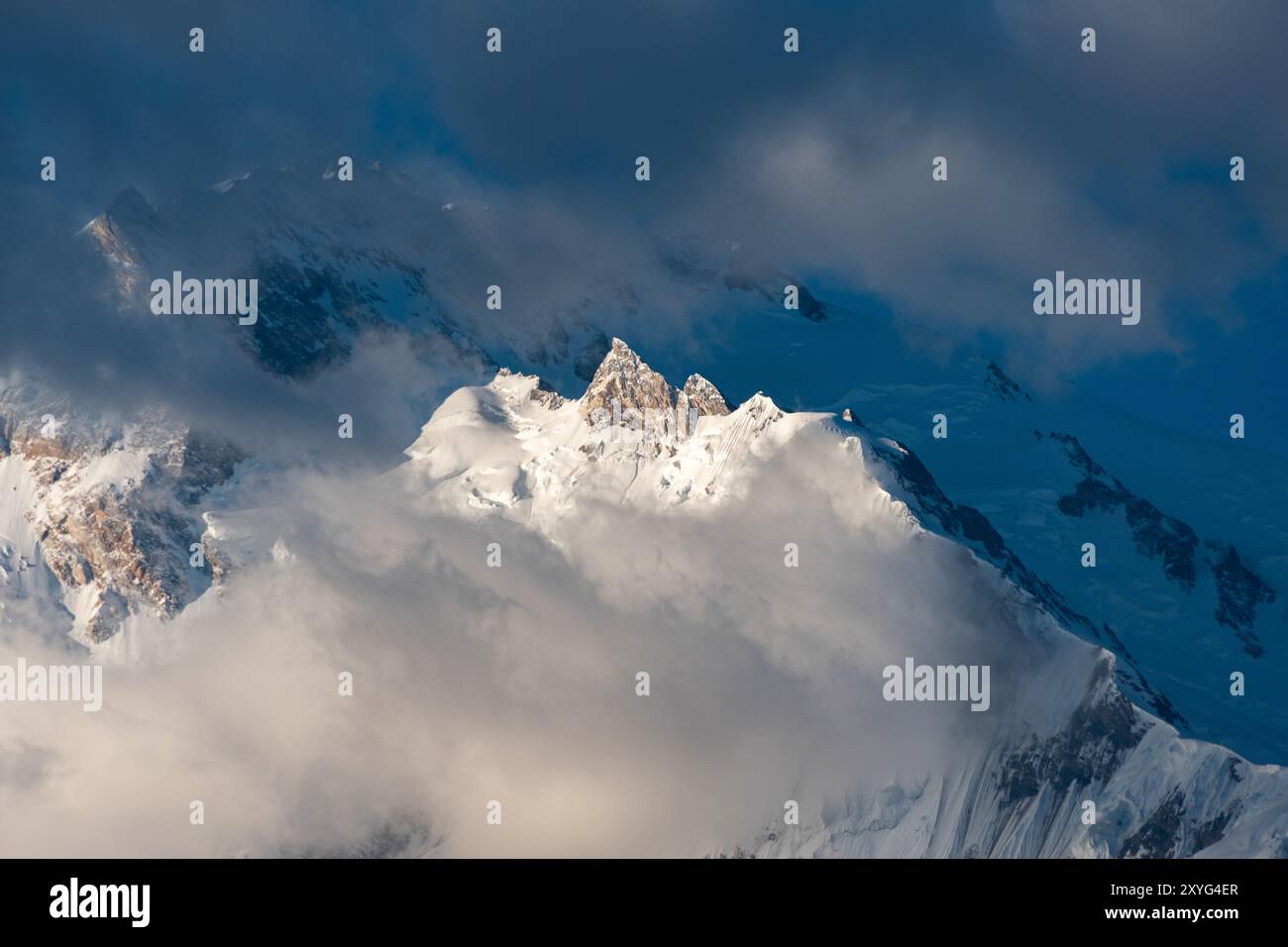 Nanga Parbat mountain, Pakistan Stock Photohttps://www.alamy.com/image-license-details/?v=1https://www.alamy.com/nanga-parbat-mountain-pakistan-image619313375.html
RF2XYG4ER–Nanga Parbat mountain, Pakistan
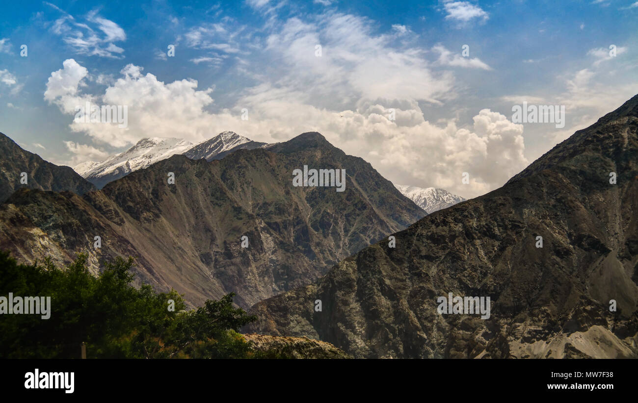 Panorama of Nanga-Parbat mountain, Gilgit-Baltistan province, Pakistan Stock Photohttps://www.alamy.com/image-license-details/?v=1https://www.alamy.com/panorama-of-nanga-parbat-mountain-gilgit-baltistan-province-pakistan-image187635596.html
RFMW7F38–Panorama of Nanga-Parbat mountain, Gilgit-Baltistan province, Pakistan
 Pakistan Beautiful landscape Stock Photohttps://www.alamy.com/image-license-details/?v=1https://www.alamy.com/pakistan-beautiful-landscape-image364034074.html
RF2C4754X–Pakistan Beautiful landscape
 Nanga Parbat, ninth tallest mountain in the world. Pakistan Stock Photohttps://www.alamy.com/image-license-details/?v=1https://www.alamy.com/nanga-parbat-ninth-tallest-mountain-in-the-world-pakistan-image622020730.html
RF2Y3YDP2–Nanga Parbat, ninth tallest mountain in the world. Pakistan
 Nanga Parbat locally known as Diamer is the ninth-highest mountain on Earth and its summit is at 8,126 m above sea level Stock Photohttps://www.alamy.com/image-license-details/?v=1https://www.alamy.com/nanga-parbat-locally-known-as-diamer-is-the-ninth-highest-mountain-on-earth-and-its-summit-is-at-8126-m-above-sea-level-image617710244.html
RF2XTY3M4–Nanga Parbat locally known as Diamer is the ninth-highest mountain on Earth and its summit is at 8,126 m above sea level
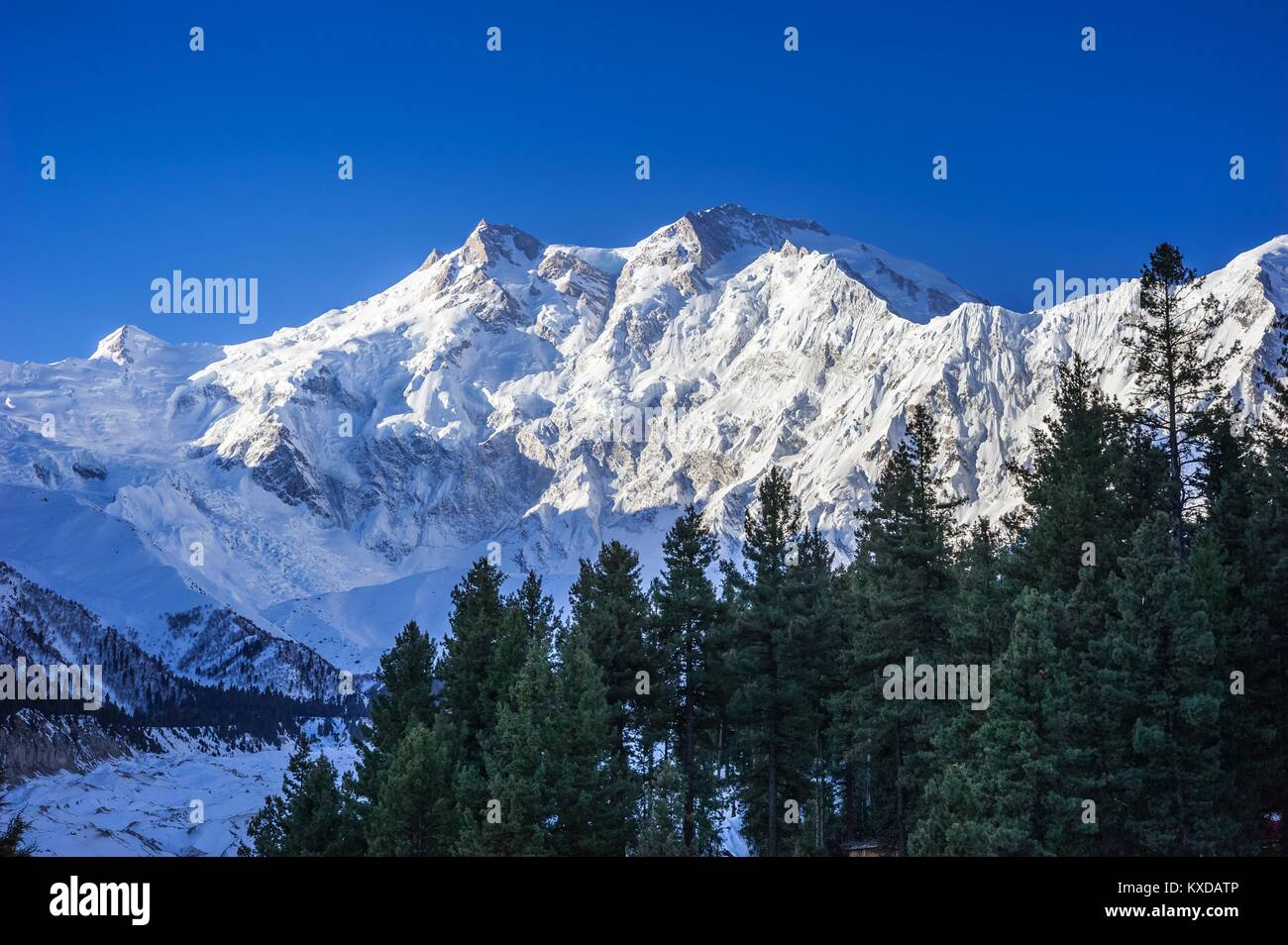 Nanga Parbat and Fairy Meadows Panorama, Himalaya, Pakistan Stock Photohttps://www.alamy.com/image-license-details/?v=1https://www.alamy.com/stock-photo-nanga-parbat-and-fairy-meadows-panorama-himalaya-pakistan-171168278.html
RFKXDATP–Nanga Parbat and Fairy Meadows Panorama, Himalaya, Pakistan
 Nanga Parbat, 8126 metres, Indus valley, Himalaya mountain, Karakoram Hwy, Chilas,Gilgit-Baltistan Province,Northern Areas, Pakistan, South Asia, Asia Stock Photohttps://www.alamy.com/image-license-details/?v=1https://www.alamy.com/nanga-parbat-8126-metres-indus-valley-himalaya-mountain-karakoram-hwy-chilasgilgit-baltistan-provincenorthern-areas-pakistan-south-asia-asia-image359979995.html
RM2BWJE4B–Nanga Parbat, 8126 metres, Indus valley, Himalaya mountain, Karakoram Hwy, Chilas,Gilgit-Baltistan Province,Northern Areas, Pakistan, South Asia, Asia
 Nanga Parbat is lying on the borderline between Pakistan and India is known as King of Mountains. It is the world’s 9th highest mountains. Stock Photohttps://www.alamy.com/image-license-details/?v=1https://www.alamy.com/stock-photo-nanga-parbat-is-lying-on-the-borderline-between-pakistan-and-india-172461917.html
RFM0G8X5–Nanga Parbat is lying on the borderline between Pakistan and India is known as King of Mountains. It is the world’s 9th highest mountains.
 Nanga Parbat the westernmost mountain in the Himalaya 8215m Pakistan Optimised and enhanced version of an original NASA image Stock Photohttps://www.alamy.com/image-license-details/?v=1https://www.alamy.com/stock-photo-nanga-parbat-the-westernmost-mountain-in-the-himalaya-8215m-pakistan-11134179.html
RMA4X43G–Nanga Parbat the westernmost mountain in the Himalaya 8215m Pakistan Optimised and enhanced version of an original NASA image
 Nanga Parbat is lying on the borderline between Pakistan and India is known as King of Mountains. It is the world’s 9th highest mountains. Stock Photohttps://www.alamy.com/image-license-details/?v=1https://www.alamy.com/stock-photo-nanga-parbat-is-lying-on-the-borderline-between-pakistan-and-india-172461905.html
RFM0G8WN–Nanga Parbat is lying on the borderline between Pakistan and India is known as King of Mountains. It is the world’s 9th highest mountains.
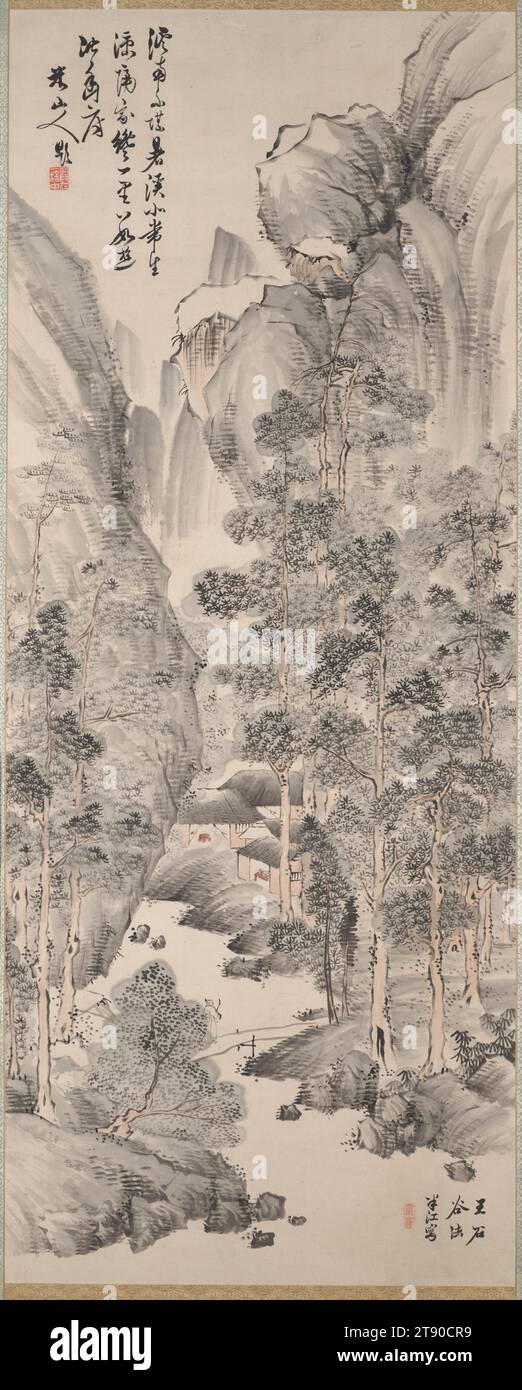 Landscape with Pines in the Manner of Wang Hui, first half 19th century, Okada Hankō, Japanese, 1782 - 1846, 52 3/8 × 20 7/8 in. (133.03 × 53.02 cm) (image)82 3/8 × 27 7/8 in. (209.23 × 70.8 cm) (mount, without roller), Ink and light colors on paper, Japan, 19th century, The painting is by Okada Hankō, who was one of the third generation of Nanga artist, and the calligraphy on the upper left is by Hankō’s father, Okada Beisanjin, who a Nanga painter and scholar in Chinese classics. His father, literati artist Okada Beisanjin painted more eccentric works that broke away from the Chinese model Stock Photohttps://www.alamy.com/image-license-details/?v=1https://www.alamy.com/landscape-with-pines-in-the-manner-of-wang-hui-first-half-19th-century-okada-hank-japanese-1782-1846-52-38-20-78-in-13303-5302-cm-image82-38-27-78-in-20923-708-cm-mount-without-roller-ink-and-light-colors-on-paper-japan-19th-century-the-painting-is-by-okada-hank-who-was-one-of-the-third-generation-of-nanga-artist-and-the-calligraphy-on-the-upper-left-is-by-hanks-father-okada-beisanjin-who-a-nanga-painter-and-scholar-in-chinese-classics-his-father-literati-artist-okada-beisanjin-painted-more-eccentric-works-that-broke-away-from-the-chinese-model-image573484109.html
RM2T90CR9–Landscape with Pines in the Manner of Wang Hui, first half 19th century, Okada Hankō, Japanese, 1782 - 1846, 52 3/8 × 20 7/8 in. (133.03 × 53.02 cm) (image)82 3/8 × 27 7/8 in. (209.23 × 70.8 cm) (mount, without roller), Ink and light colors on paper, Japan, 19th century, The painting is by Okada Hankō, who was one of the third generation of Nanga artist, and the calligraphy on the upper left is by Hankō’s father, Okada Beisanjin, who a Nanga painter and scholar in Chinese classics. His father, literati artist Okada Beisanjin painted more eccentric works that broke away from the Chinese model
 Kashmir Himalaya, Indian Himalayan Region Jammu and Kashmir, India. Great Himalayan axis runs southeast from Nanga Parbat to Nun Kun and Pir Panjal pa Stock Photohttps://www.alamy.com/image-license-details/?v=1https://www.alamy.com/kashmir-himalaya-indian-himalayan-region-jammu-and-kashmir-india-great-himalayan-axis-runs-southeast-from-nanga-parbat-to-nun-kun-and-pir-panjal-pa-image256514672.html
RFTW9728–Kashmir Himalaya, Indian Himalayan Region Jammu and Kashmir, India. Great Himalayan axis runs southeast from Nanga Parbat to Nun Kun and Pir Panjal pa
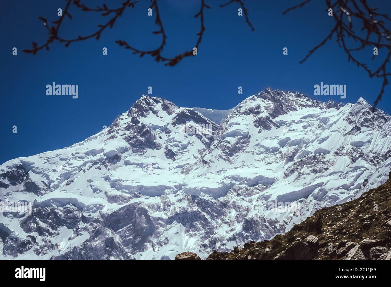 Nanga Parbat Stock Photohttps://www.alamy.com/image-license-details/?v=1https://www.alamy.com/nanga-parbat-image362068849.html
RM2C11JE9–Nanga Parbat
 Shallow depth of field focus on geographical map location of Mount Nanga Parbat in Pakistan Asia continent on atlas Stock Photohttps://www.alamy.com/image-license-details/?v=1https://www.alamy.com/shallow-depth-of-field-focus-on-geographical-map-location-of-mount-nanga-parbat-in-pakistan-asia-continent-on-atlas-image384588041.html
RF2D9KDY5–Shallow depth of field focus on geographical map location of Mount Nanga Parbat in Pakistan Asia continent on atlas
 Agricultural field in a background of forest and hills in Nanga Raun village, Kalis, Kapuas Hulu, West Kalimantan, Indonesia. Stock Photohttps://www.alamy.com/image-license-details/?v=1https://www.alamy.com/agricultural-field-in-a-background-of-forest-and-hills-in-nanga-raun-village-kalis-kapuas-hulu-west-kalimantan-indonesia-image614517007.html
RM2XKNJKY–Agricultural field in a background of forest and hills in Nanga Raun village, Kalis, Kapuas Hulu, West Kalimantan, Indonesia.
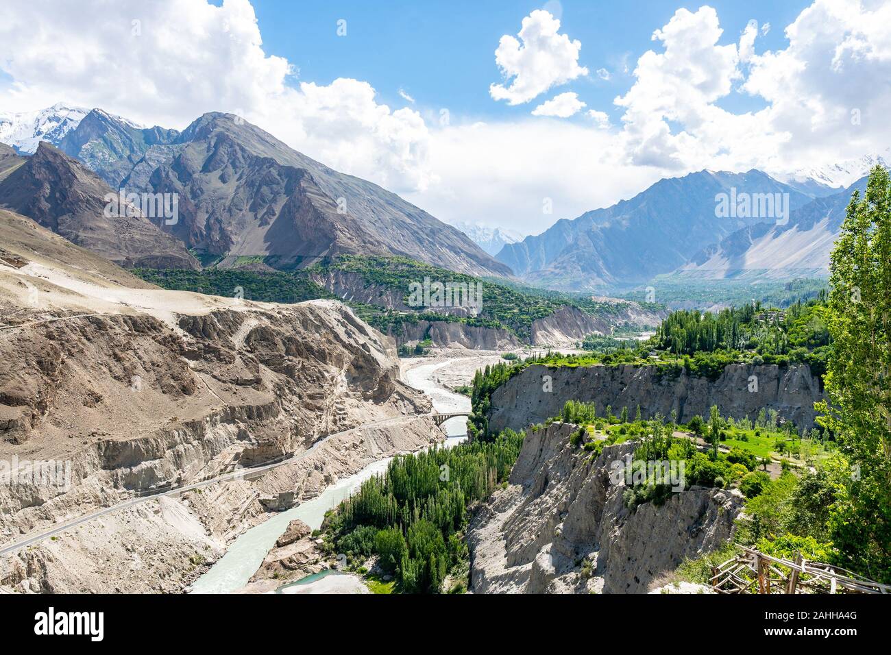 Karimabad Hunza Valley Breathtaking Picturesque Panoramic View of Snow Capped Mountains and Landscape on a Sunny Blue Sky Day Stock Photohttps://www.alamy.com/image-license-details/?v=1https://www.alamy.com/karimabad-hunza-valley-breathtaking-picturesque-panoramic-view-of-snow-capped-mountains-and-landscape-on-a-sunny-blue-sky-day-image337827296.html
RF2AHHA4G–Karimabad Hunza Valley Breathtaking Picturesque Panoramic View of Snow Capped Mountains and Landscape on a Sunny Blue Sky Day
 Annapurna Circuit in Nepal taken in May 2022 Stock Photohttps://www.alamy.com/image-license-details/?v=1https://www.alamy.com/annapurna-circuit-in-nepal-taken-in-may-2022-image504065629.html
RF2M824RW–Annapurna Circuit in Nepal taken in May 2022
 Nanga Parbat towering above verdant wilderness near Fairy meadows, Pakistan. Stock Photohttps://www.alamy.com/image-license-details/?v=1https://www.alamy.com/nanga-parbat-towering-above-verdant-wilderness-near-fairy-meadows-pakistan-image355344161.html
RF2BJ392W–Nanga Parbat towering above verdant wilderness near Fairy meadows, Pakistan.
 a mesmerizing shot of Nanga Parbat mountain in karakoram , Pakistan Stock Photohttps://www.alamy.com/image-license-details/?v=1https://www.alamy.com/a-mesmerizing-shot-of-nanga-parbat-mountain-in-karakoram-pakistan-image482482196.html
RF2K0XXY0–a mesmerizing shot of Nanga Parbat mountain in karakoram , Pakistan
 Nanga Parbat mountain, Pakistan Stock Photohttps://www.alamy.com/image-license-details/?v=1https://www.alamy.com/nanga-parbat-mountain-pakistan-image619313378.html
RF2XYG4EX–Nanga Parbat mountain, Pakistan
 Panorama of Nanga-Parbat mountain, Gilgit-Baltistan province, Pakistan Stock Photohttps://www.alamy.com/image-license-details/?v=1https://www.alamy.com/panorama-of-nanga-parbat-mountain-gilgit-baltistan-province-pakistan-image184521233.html
RFMM5JM1–Panorama of Nanga-Parbat mountain, Gilgit-Baltistan province, Pakistan
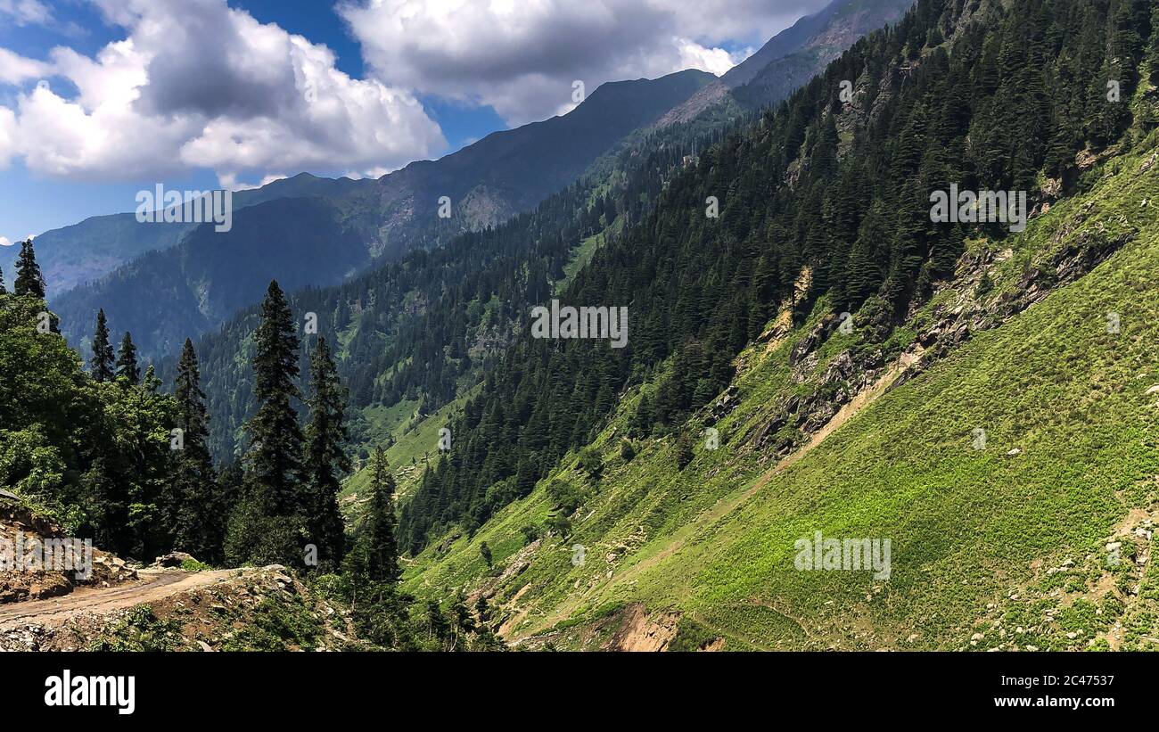 Pakistan Beautiful landscape Stock Photohttps://www.alamy.com/image-license-details/?v=1https://www.alamy.com/pakistan-beautiful-landscape-image364034027.html
RF2C47537–Pakistan Beautiful landscape
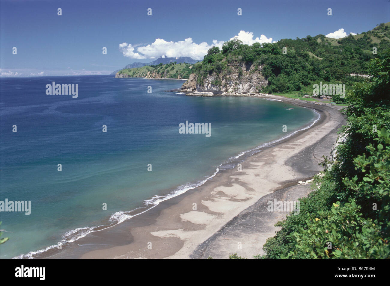 Nanga Kio Beach near Ende, Flores, Indonesia Stock Photohttps://www.alamy.com/image-license-details/?v=1https://www.alamy.com/stock-photo-nanga-kio-beach-near-ende-flores-indonesia-21070132.html
RMB67R4M–Nanga Kio Beach near Ende, Flores, Indonesia
 Panoramic view of the Nanga Parbat also know as a killer peak is a ninth-highest mountain on Earth and the summit is at 8,126 m above sea level Stock Photohttps://www.alamy.com/image-license-details/?v=1https://www.alamy.com/panoramic-view-of-the-nanga-parbat-also-know-as-a-killer-peak-is-a-ninth-highest-mountain-on-earth-and-the-summit-is-at-8126-m-above-sea-level-image617710142.html
RF2XTY3GE–Panoramic view of the Nanga Parbat also know as a killer peak is a ninth-highest mountain on Earth and the summit is at 8,126 m above sea level
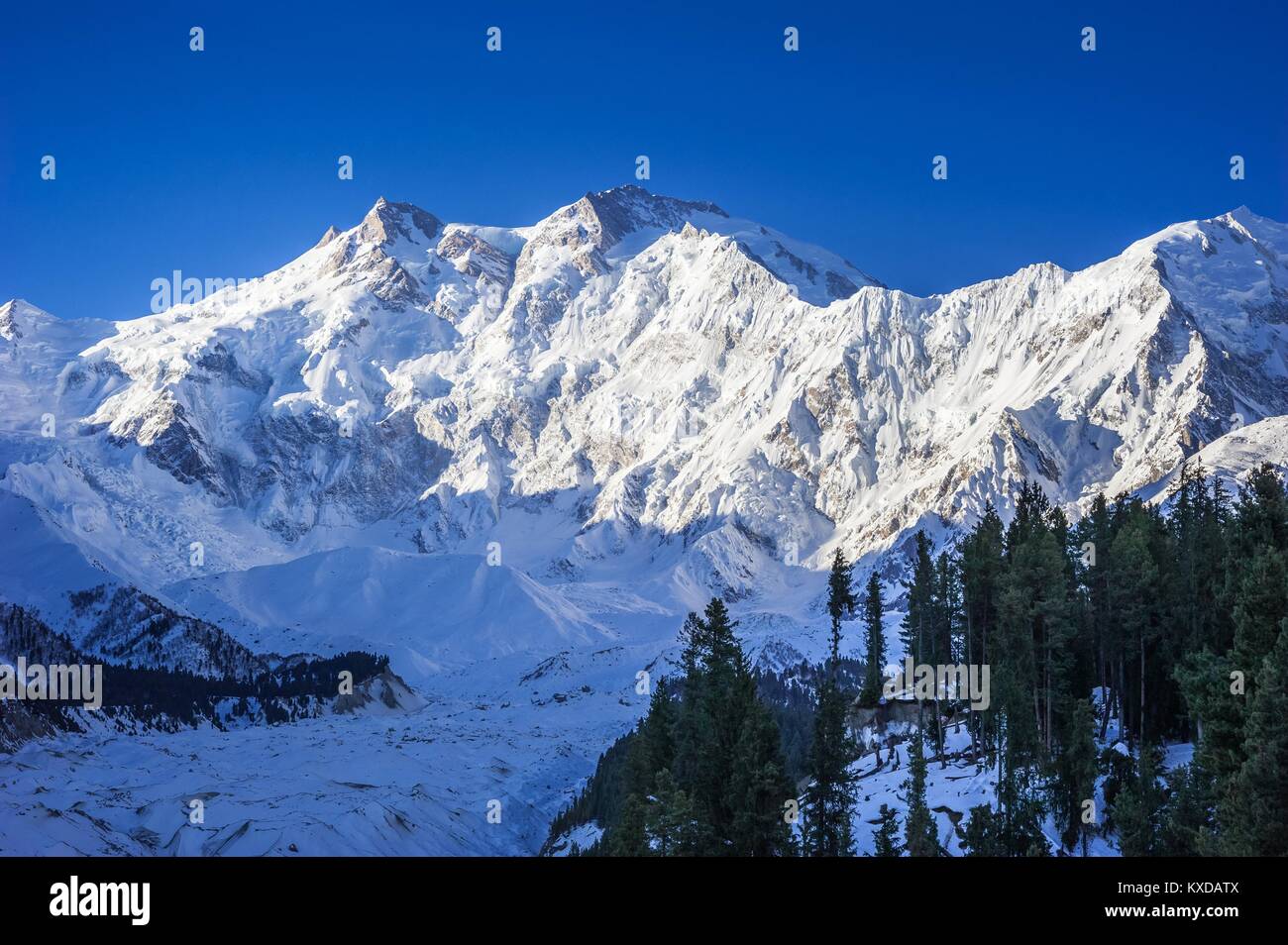 Nanga Parbat and Fairy Meadows Panorama, Himalaya, Pakistan Stock Photohttps://www.alamy.com/image-license-details/?v=1https://www.alamy.com/stock-photo-nanga-parbat-and-fairy-meadows-panorama-himalaya-pakistan-171168282.html
RFKXDATX–Nanga Parbat and Fairy Meadows Panorama, Himalaya, Pakistan
 Nanga Parbat, 8126 metres, Indus valley, Himalaya mountain, Karakoram Hwy, Chilas,Gilgit-Baltistan Province,Northern Areas, Pakistan, South Asia, Asia Stock Photohttps://www.alamy.com/image-license-details/?v=1https://www.alamy.com/nanga-parbat-8126-metres-indus-valley-himalaya-mountain-karakoram-hwy-chilasgilgit-baltistan-provincenorthern-areas-pakistan-south-asia-asia-image359979868.html
RM2BWJDYT–Nanga Parbat, 8126 metres, Indus valley, Himalaya mountain, Karakoram Hwy, Chilas,Gilgit-Baltistan Province,Northern Areas, Pakistan, South Asia, Asia
 Nanga Parbat and Fairy Meadows Panorama, Himalaya, Pakistan Stock Photohttps://www.alamy.com/image-license-details/?v=1https://www.alamy.com/stock-photo-nanga-parbat-and-fairy-meadows-panorama-himalaya-pakistan-171168258.html
RFKXDAT2–Nanga Parbat and Fairy Meadows Panorama, Himalaya, Pakistan
 Art inspired by Finger Painting of a Landscape, Edo period (1615–1868), 18th century, Japan, Hanging scroll; ink and color on paper, Image: 37 13/16 x 10 11/16 in. (96 x 27.2 cm), Paintings, Ike Taiga (Japanese, 1723–1776), Taiga was one of the most prolific artists of the Nanga school, Classic works modernized by Artotop with a splash of modernity. Shapes, color and value, eye-catching visual impact on art. Emotions through freedom of artworks in a contemporary way. A timeless message pursuing a wildly creative new direction. Artists turning to the digital medium and creating the Artotop NFT Stock Photohttps://www.alamy.com/image-license-details/?v=1https://www.alamy.com/art-inspired-by-finger-painting-of-a-landscape-edo-period-16151868-18th-century-japan-hanging-scroll-ink-and-color-on-paper-image-37-1316-x-10-1116-in-96-x-272-cm-paintings-ike-taiga-japanese-17231776-taiga-was-one-of-the-most-prolific-artists-of-the-nanga-school-classic-works-modernized-by-artotop-with-a-splash-of-modernity-shapes-color-and-value-eye-catching-visual-impact-on-art-emotions-through-freedom-of-artworks-in-a-contemporary-way-a-timeless-message-pursuing-a-wildly-creative-new-direction-artists-turning-to-the-digital-medium-and-creating-the-artotop-nft-image462911022.html
RF2HW3BME–Art inspired by Finger Painting of a Landscape, Edo period (1615–1868), 18th century, Japan, Hanging scroll; ink and color on paper, Image: 37 13/16 x 10 11/16 in. (96 x 27.2 cm), Paintings, Ike Taiga (Japanese, 1723–1776), Taiga was one of the most prolific artists of the Nanga school, Classic works modernized by Artotop with a splash of modernity. Shapes, color and value, eye-catching visual impact on art. Emotions through freedom of artworks in a contemporary way. A timeless message pursuing a wildly creative new direction. Artists turning to the digital medium and creating the Artotop NFT