Quick filters:
Nanterre map Stock Photos and Images
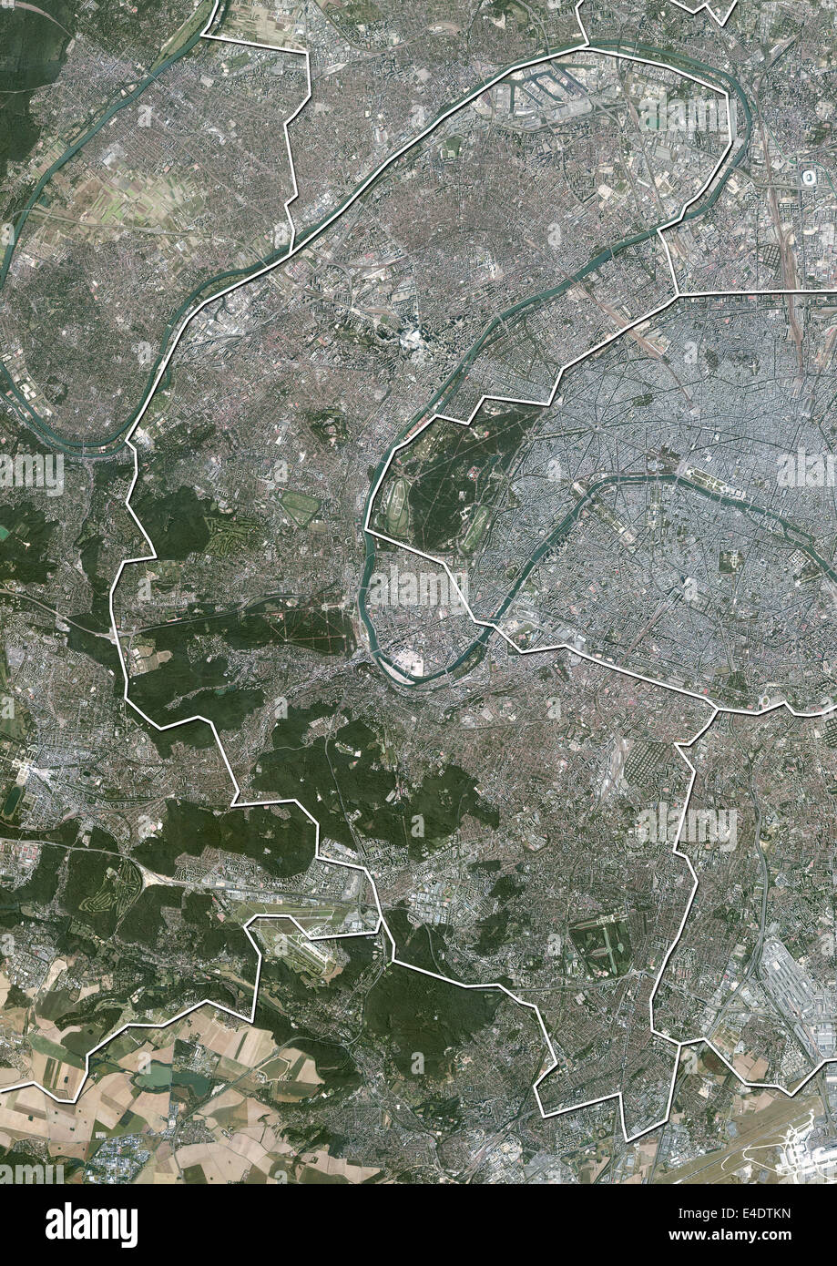 Departement of Hauts-de-Seine, France, Aerial View Stock Photohttps://www.alamy.com/image-license-details/?v=1https://www.alamy.com/stock-photo-departement-of-hauts-de-seine-france-aerial-view-71604841.html
RME4DTKN–Departement of Hauts-de-Seine, France, Aerial View
 2011 wikicake 10 years of wikimedia at declics of nanterre 036 Stock Photohttps://www.alamy.com/image-license-details/?v=1https://www.alamy.com/stock-photo-2011-wikicake-10-years-of-wikimedia-at-declics-of-nanterre-036-142414781.html
RMJ7KFE5–2011 wikicake 10 years of wikimedia at declics of nanterre 036
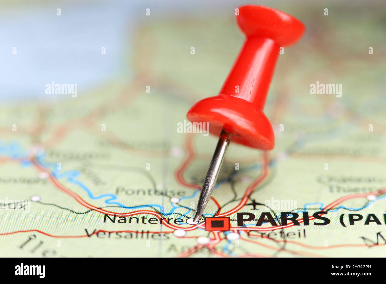 Nanterre, France pin on map Stock Photohttps://www.alamy.com/image-license-details/?v=1https://www.alamy.com/nanterre-france-pin-on-map-image629508733.html
RF2YG4GPN–Nanterre, France pin on map
 Nanterre, Hauts-de-Seine, FR, France, Île-de-France, N 48 53' 26'', N 2 12' 12'', map, Cartascapes Map published in 2024. Explore Cartascapes, a map revealing Earth's diverse landscapes, cultures, and ecosystems. Journey through time and space, discovering the interconnectedness of our planet's past, present, and future. Stock Photohttps://www.alamy.com/image-license-details/?v=1https://www.alamy.com/nanterre-hauts-de-seine-fr-france-le-de-france-n-48-53-26-n-2-12-12-map-cartascapes-map-published-in-2024-explore-cartascapes-a-map-revealing-earths-diverse-landscapes-cultures-and-ecosystems-journey-through-time-and-space-discovering-the-interconnectedness-of-our-planets-past-present-and-future-image614348248.html
RM2XKDYCT–Nanterre, Hauts-de-Seine, FR, France, Île-de-France, N 48 53' 26'', N 2 12' 12'', map, Cartascapes Map published in 2024. Explore Cartascapes, a map revealing Earth's diverse landscapes, cultures, and ecosystems. Journey through time and space, discovering the interconnectedness of our planet's past, present, and future.
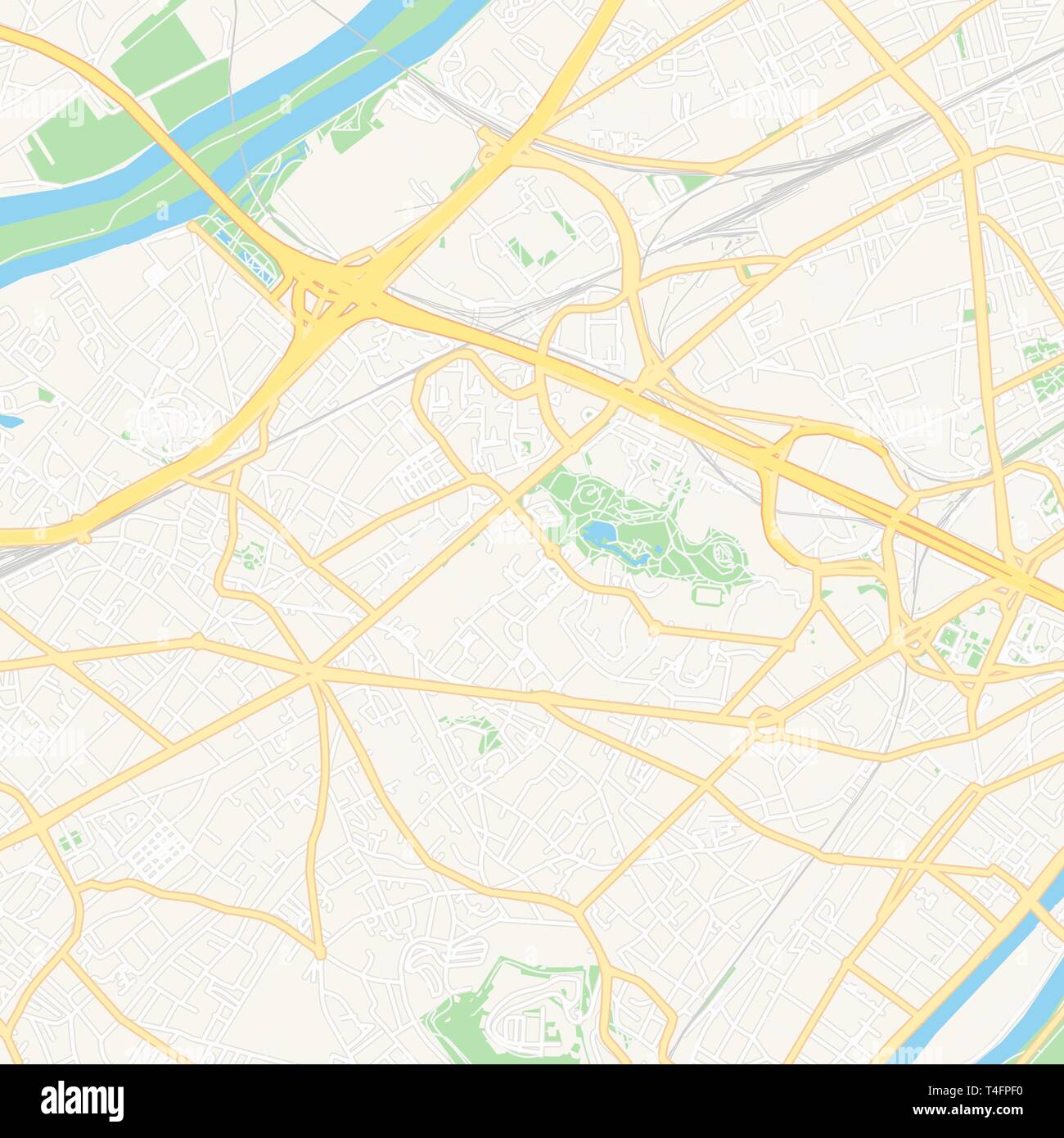 Printable map of Nanterre, France with main and secondary roads and larger railways. This map is carefully designed for routing and placing individual Stock Vectorhttps://www.alamy.com/image-license-details/?v=1https://www.alamy.com/printable-map-of-nanterre-france-with-main-and-secondary-roads-and-larger-railways-this-map-is-carefully-designed-for-routing-and-placing-individual-image243750724.html
RFT4FPF0–Printable map of Nanterre, France with main and secondary roads and larger railways. This map is carefully designed for routing and placing individual
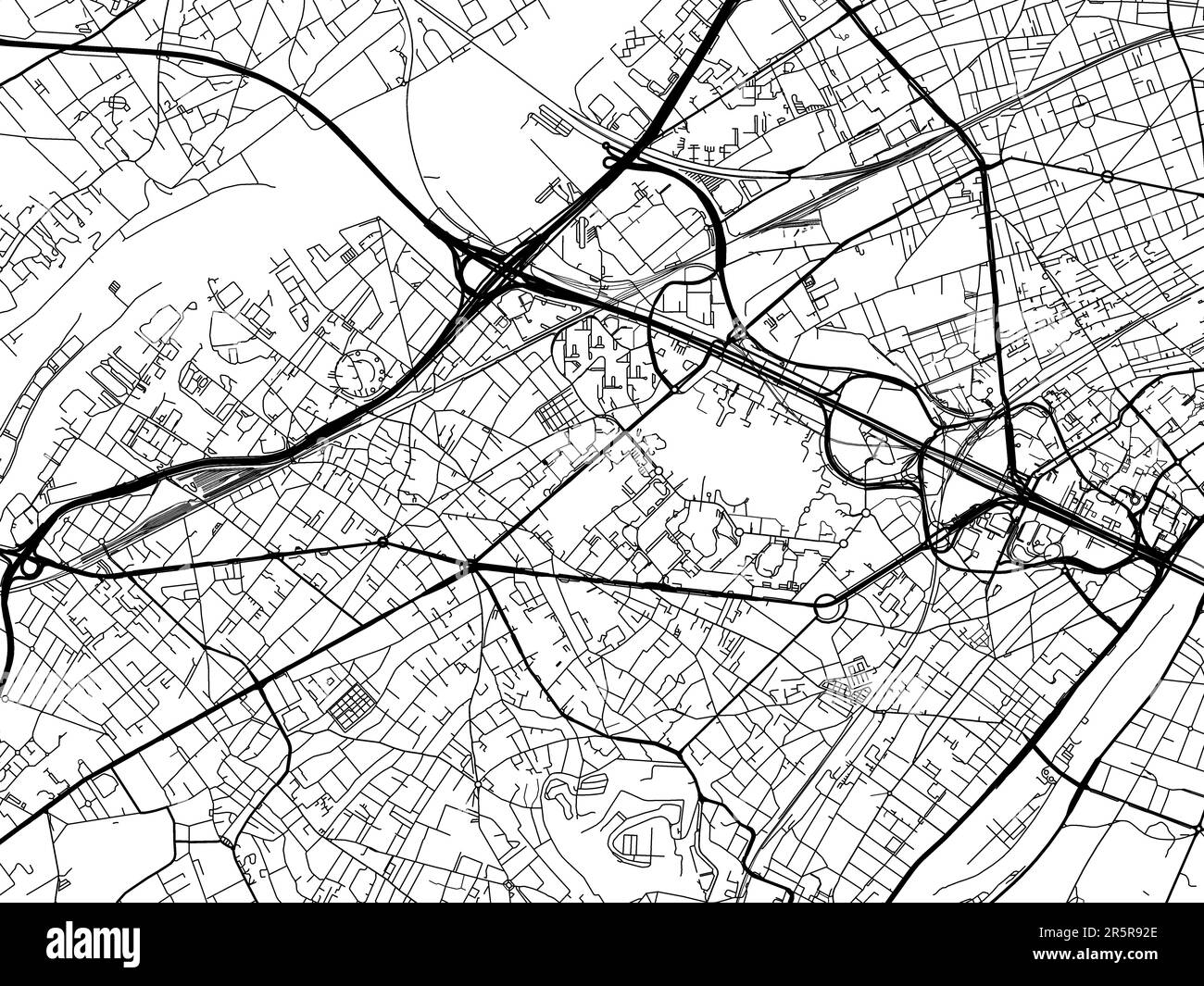 Road map of the city of Nanterre in France on a white background. Stock Photohttps://www.alamy.com/image-license-details/?v=1https://www.alamy.com/road-map-of-the-city-of-nanterre-in-france-on-a-white-background-image554317078.html
RF2R5R92E–Road map of the city of Nanterre in France on a white background.
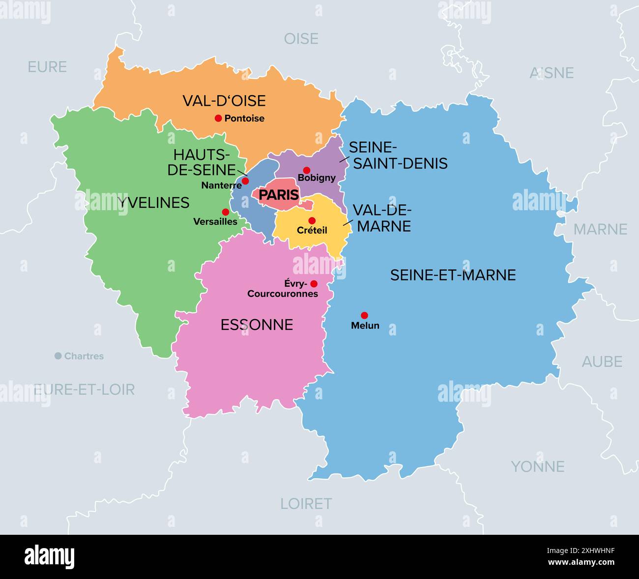 Ile-de-France, departments and prefectures of the Paris Region, multi colored political map. Most populous region of France. Stock Photohttps://www.alamy.com/image-license-details/?v=1https://www.alamy.com/ile-de-france-departments-and-prefectures-of-the-paris-region-multi-colored-political-map-most-populous-region-of-france-image613374763.html
RF2XHWHNF–Ile-de-France, departments and prefectures of the Paris Region, multi colored political map. Most populous region of France.
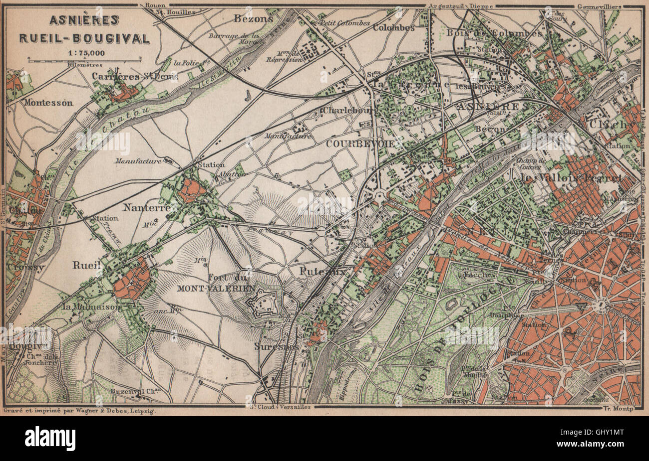 ASNIÈRES RUEIL-MALMAISON Nanterre Neuilly Courbevoie. Hauts-de-Seine, 1898 map Stock Photohttps://www.alamy.com/image-license-details/?v=1https://www.alamy.com/stock-photo-asnires-rueil-malmaison-nanterre-neuilly-courbevoie-hauts-de-seine-114305432.html
RFGHY1MT–ASNIÈRES RUEIL-MALMAISON Nanterre Neuilly Courbevoie. Hauts-de-Seine, 1898 map
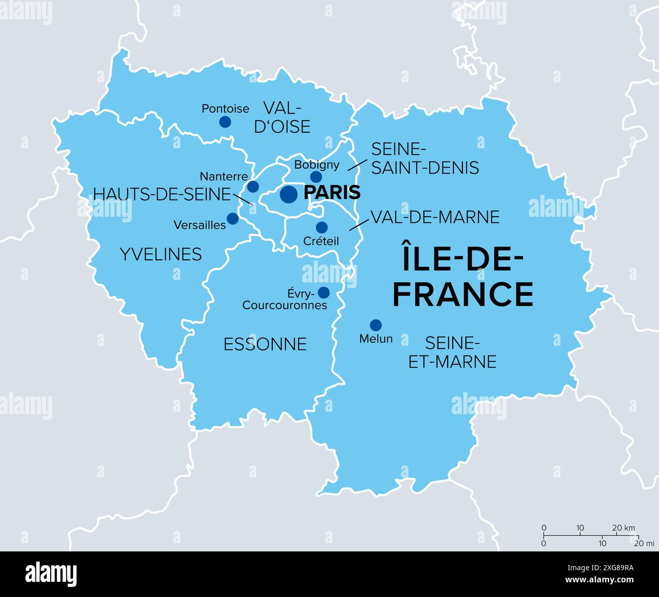 Ile-de-France, departments and prefectures of the Paris Region, political map. Most populous of the regions of France, centered on the capital Paris. Stock Photohttps://www.alamy.com/image-license-details/?v=1https://www.alamy.com/ile-de-france-departments-and-prefectures-of-the-paris-region-political-map-most-populous-of-the-regions-of-france-centered-on-the-capital-paris-image612380702.html
RF2XG89RA–Ile-de-France, departments and prefectures of the Paris Region, political map. Most populous of the regions of France, centered on the capital Paris.
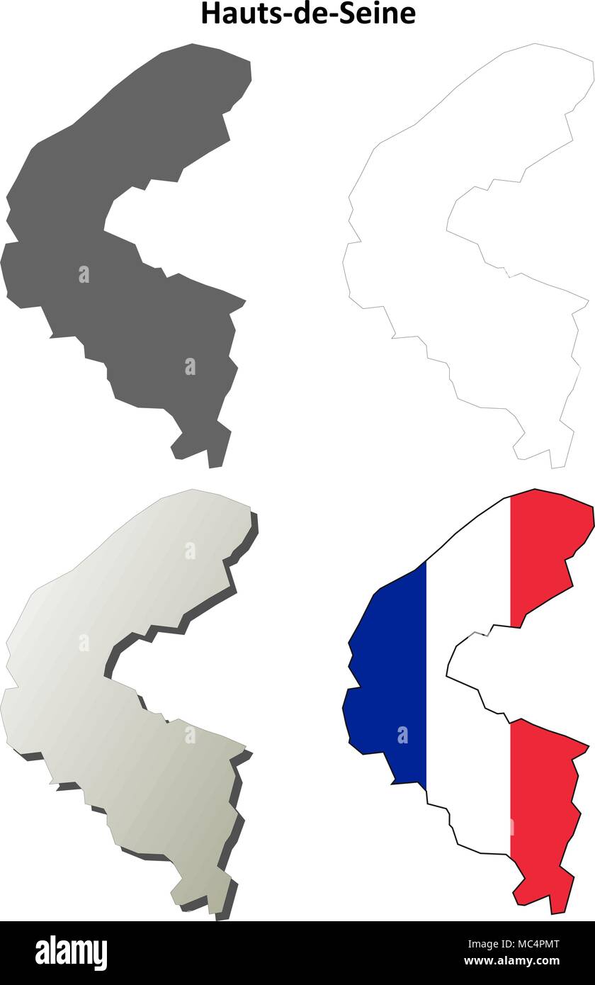 Hauts-de-Seine, Ile-de-France outline map set Stock Vectorhttps://www.alamy.com/image-license-details/?v=1https://www.alamy.com/hauts-de-seine-ile-de-france-outline-map-set-image179585192.html
RFMC4PMT–Hauts-de-Seine, Ile-de-France outline map set
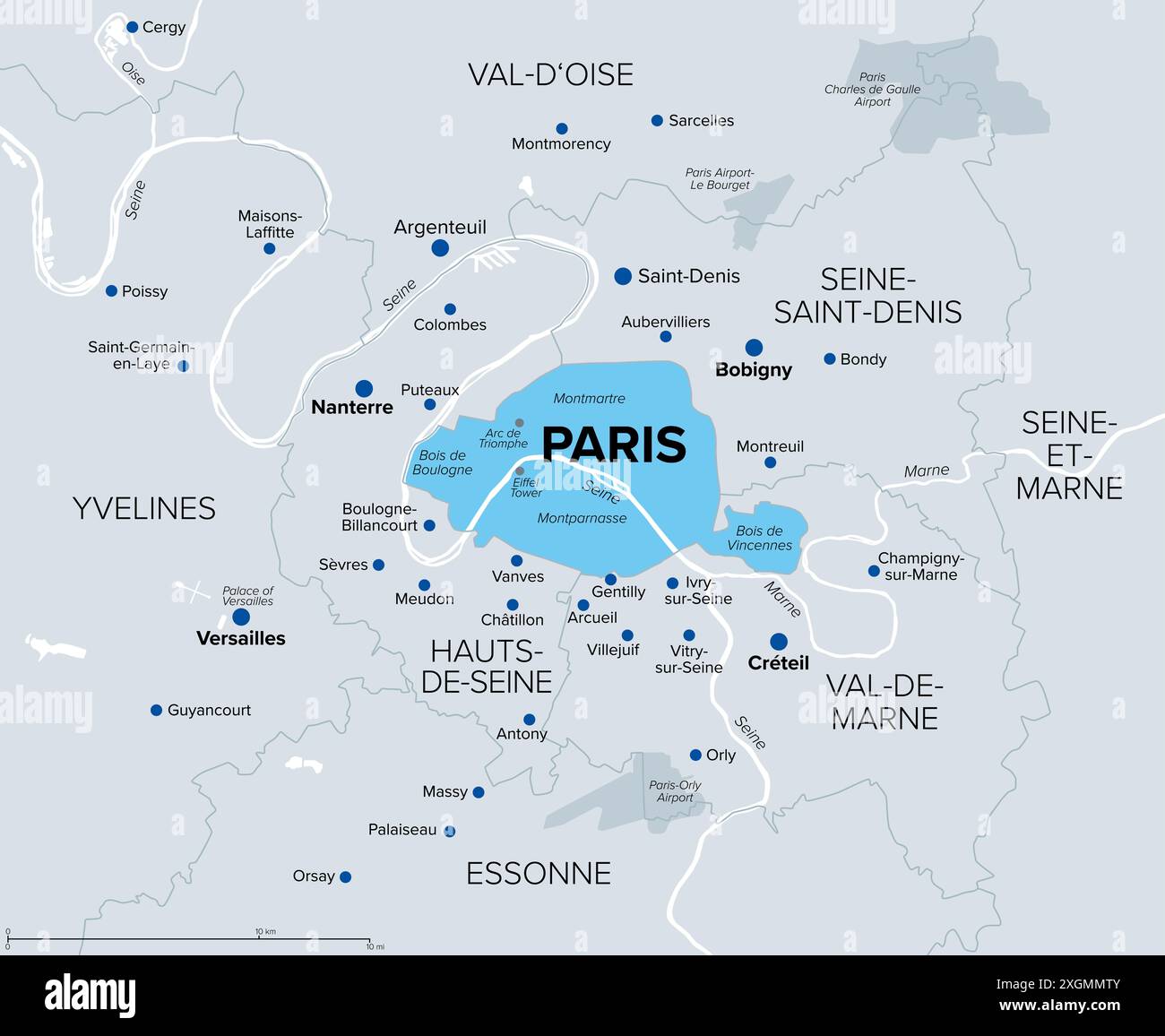 Paris, department and capital of France, political map. Part of Ile-de-France, with Petite Couronne, the inner ring, formed by 3 departments. Stock Photohttps://www.alamy.com/image-license-details/?v=1https://www.alamy.com/paris-department-and-capital-of-france-political-map-part-of-ile-de-france-with-petite-couronne-the-inner-ring-formed-by-3-departments-image612652795.html
RF2XGMMTY–Paris, department and capital of France, political map. Part of Ile-de-France, with Petite Couronne, the inner ring, formed by 3 departments.
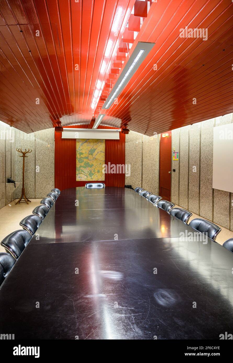 Retro design meeting room. Empty oblong room with long back shiny table and soft padded chairs. Interior of police prefecture Hauts-de-Seine building. Stock Photohttps://www.alamy.com/image-license-details/?v=1https://www.alamy.com/retro-design-meeting-room-empty-oblong-room-with-long-back-shiny-table-and-soft-padded-chairs-interior-of-police-prefecture-hauts-de-seine-building-image417004098.html
RM2F6C4YE–Retro design meeting room. Empty oblong room with long back shiny table and soft padded chairs. Interior of police prefecture Hauts-de-Seine building.
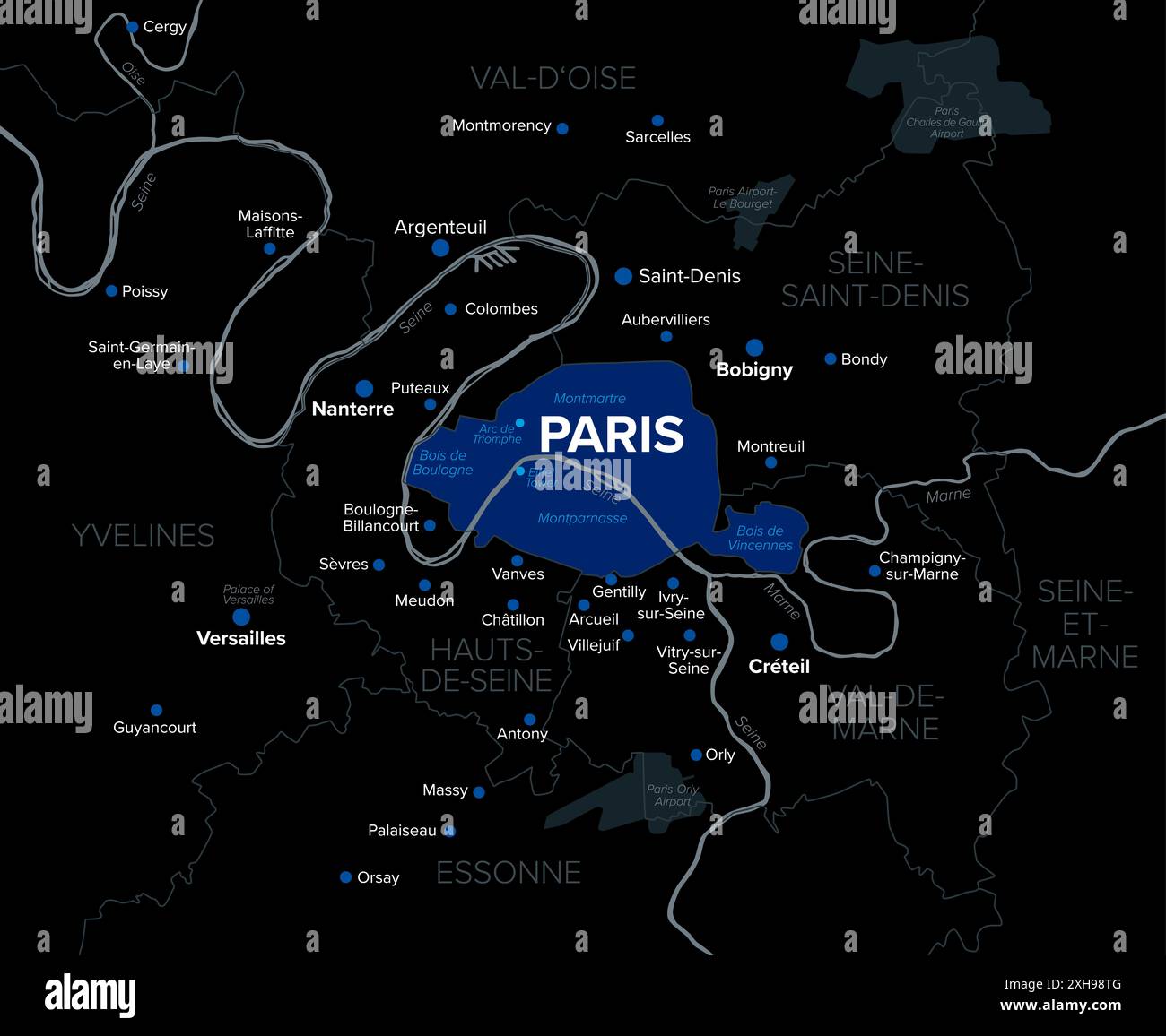 Paris, department and capital of France, dark political map. Petite Couronne, the inner ring, a part of Ile-de-France, formed by 3 departments. Stock Photohttps://www.alamy.com/image-license-details/?v=1https://www.alamy.com/paris-department-and-capital-of-france-dark-political-map-petite-couronne-the-inner-ring-a-part-of-ile-de-france-formed-by-3-departments-image613016560.html
RF2XH98TG–Paris, department and capital of France, dark political map. Petite Couronne, the inner ring, a part of Ile-de-France, formed by 3 departments.
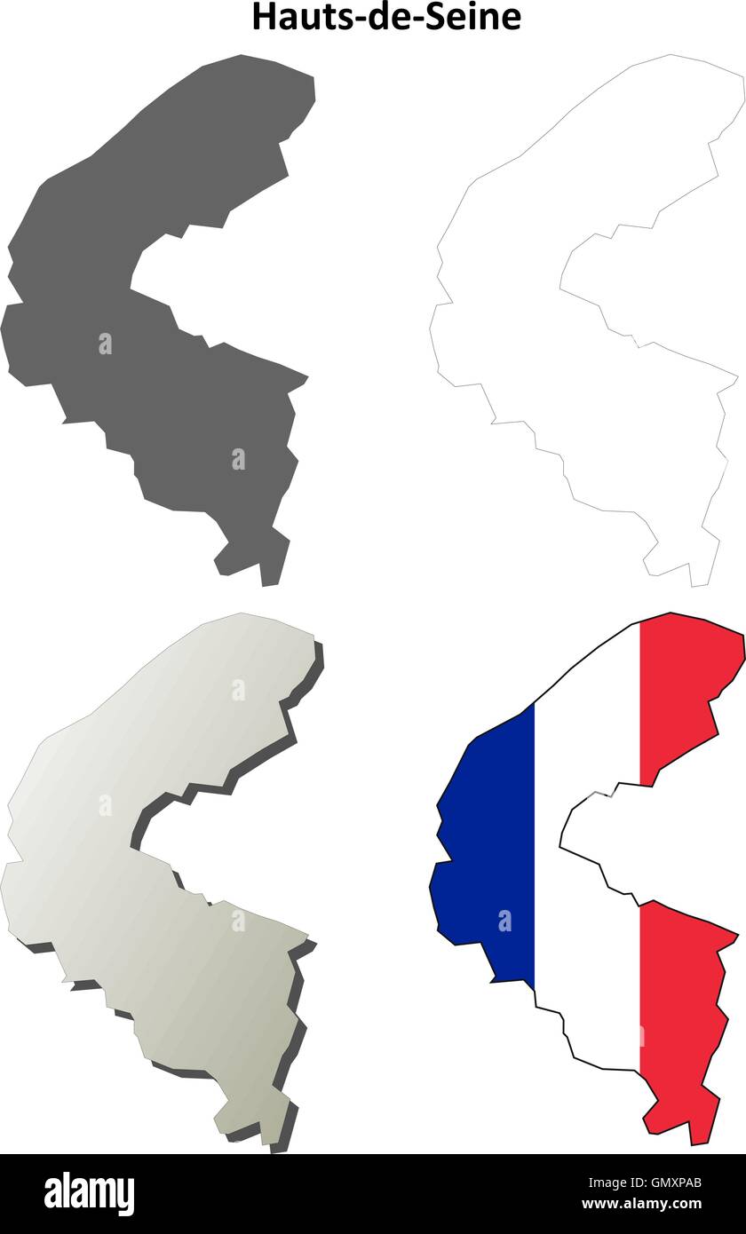 Hauts-de-Seine, Ile-de-France outline map set Stock Vectorhttps://www.alamy.com/image-license-details/?v=1https://www.alamy.com/stock-photo-hauts-de-seine-ile-de-france-outline-map-set-116143619.html
RFGMXPAB–Hauts-de-Seine, Ile-de-France outline map set
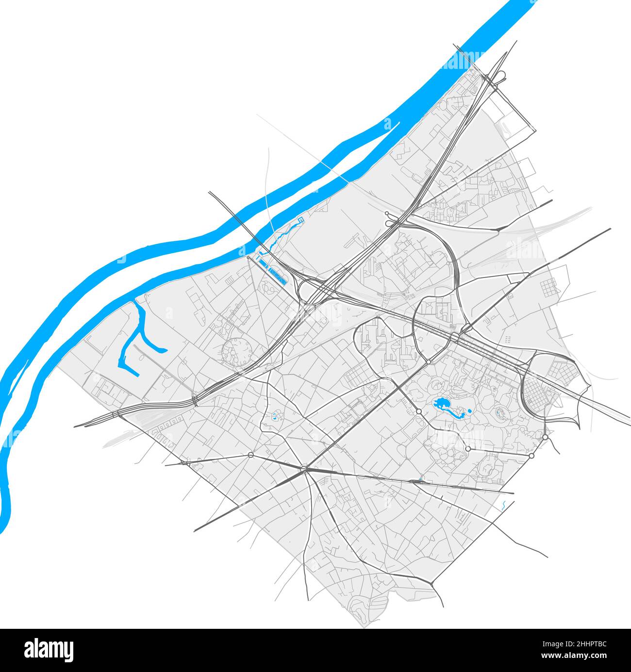 Nanterre, Hauts-de-Seine, France high resolution vector map with city boundaries and editable paths. White outlines for main roads. Many detailed path Stock Vectorhttps://www.alamy.com/image-license-details/?v=1https://www.alamy.com/nanterre-hauts-de-seine-france-high-resolution-vector-map-with-city-boundaries-and-editable-paths-white-outlines-for-main-roads-many-detailed-path-image458420800.html
RF2HHPTBC–Nanterre, Hauts-de-Seine, France high resolution vector map with city boundaries and editable paths. White outlines for main roads. Many detailed path
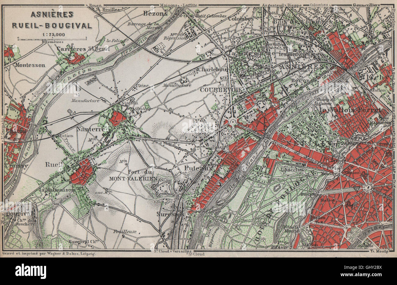 ASNIÈRES RUEIL-MALMAISON Nanterre Neuilly Courbevoie. Hauts-de-Seine, 1910 map Stock Photohttps://www.alamy.com/image-license-details/?v=1https://www.alamy.com/stock-photo-asnires-rueil-malmaison-nanterre-neuilly-courbevoie-hauts-de-seine-114305966.html
RFGHY2BX–ASNIÈRES RUEIL-MALMAISON Nanterre Neuilly Courbevoie. Hauts-de-Seine, 1910 map
 Nanterre City (French Republic, France) map vector illustration, scribble sketch City of Nanterre map Stock Vectorhttps://www.alamy.com/image-license-details/?v=1https://www.alamy.com/nanterre-city-french-republic-france-map-vector-illustration-scribble-sketch-city-of-nanterre-map-image348068373.html
RF2B67TN9–Nanterre City (French Republic, France) map vector illustration, scribble sketch City of Nanterre map
 ASNIÈRES RUEIL-MALMAISON Nanterre Neuilly Courbevoie. Hauts-de-Seine, 1907 map Stock Photohttps://www.alamy.com/image-license-details/?v=1https://www.alamy.com/stock-photo-asnires-rueil-malmaison-nanterre-neuilly-courbevoie-hauts-de-seine-108853569.html
RFG92KRD–ASNIÈRES RUEIL-MALMAISON Nanterre Neuilly Courbevoie. Hauts-de-Seine, 1907 map
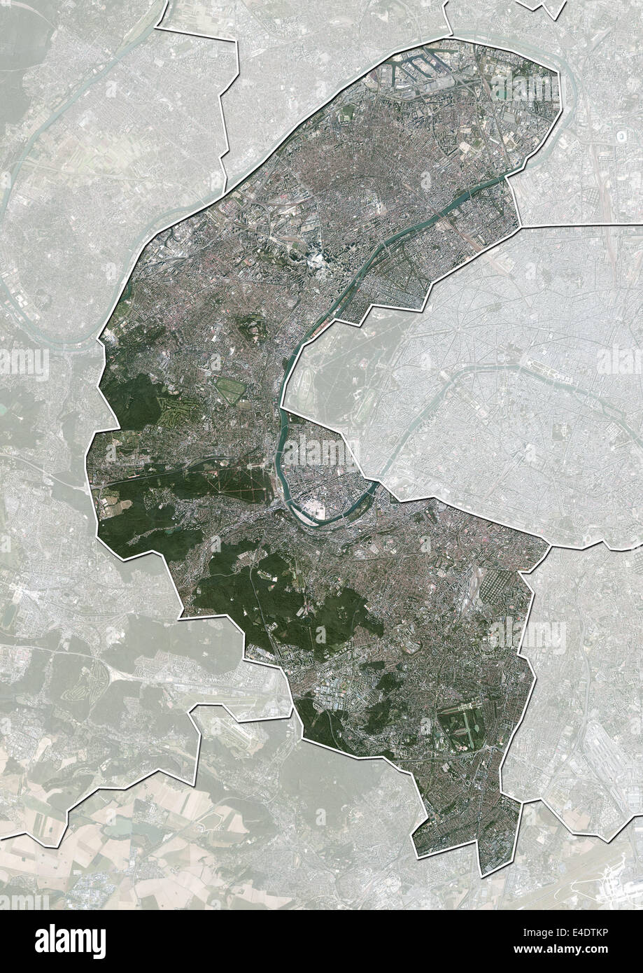 Departement of Hauts-de-Seine, France, Aerial View Stock Photohttps://www.alamy.com/image-license-details/?v=1https://www.alamy.com/stock-photo-departement-of-hauts-de-seine-france-aerial-view-71604842.html
RME4DTKP–Departement of Hauts-de-Seine, France, Aerial View
 2011 wikimedia fete 10 ans a declics de nanterre Stock Photohttps://www.alamy.com/image-license-details/?v=1https://www.alamy.com/stock-photo-2011-wikimedia-fete-10-ans-a-declics-de-nanterre-142414761.html
RMJ7KFDD–2011 wikimedia fete 10 ans a declics de nanterre
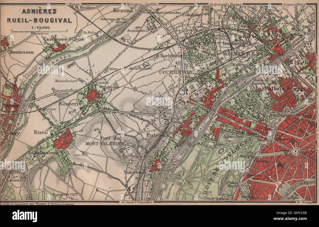 ASNIÈRES RUEIL-MALMAISON Nanterre Neuilly Courbevoie. Hauts-de-Seine, 1900 map Stock Photohttps://www.alamy.com/image-license-details/?v=1https://www.alamy.com/stock-photo-asnires-rueil-malmaison-nanterre-neuilly-courbevoie-hauts-de-seine-114305727.html
RFGHY23B–ASNIÈRES RUEIL-MALMAISON Nanterre Neuilly Courbevoie. Hauts-de-Seine, 1900 map
 Petit Nanterre, Hauts-de-Seine, FR, France, Île-de-France, N 48 54' 40'', N 2 13' 8'', map, Cartascapes Map published in 2024. Explore Cartascapes, a map revealing Earth's diverse landscapes, cultures, and ecosystems. Journey through time and space, discovering the interconnectedness of our planet's past, present, and future. Stock Photohttps://www.alamy.com/image-license-details/?v=1https://www.alamy.com/petit-nanterre-hauts-de-seine-fr-france-le-de-france-n-48-54-40-n-2-13-8-map-cartascapes-map-published-in-2024-explore-cartascapes-a-map-revealing-earths-diverse-landscapes-cultures-and-ecosystems-journey-through-time-and-space-discovering-the-interconnectedness-of-our-planets-past-present-and-future-image614311264.html
RM2XKC880–Petit Nanterre, Hauts-de-Seine, FR, France, Île-de-France, N 48 54' 40'', N 2 13' 8'', map, Cartascapes Map published in 2024. Explore Cartascapes, a map revealing Earth's diverse landscapes, cultures, and ecosystems. Journey through time and space, discovering the interconnectedness of our planet's past, present, and future.
 Rosière Nanterre 1907 Stock Photohttps://www.alamy.com/image-license-details/?v=1https://www.alamy.com/stock-photo-rosire-nanterre-1907-147666812.html
RMJG6PEM–Rosière Nanterre 1907
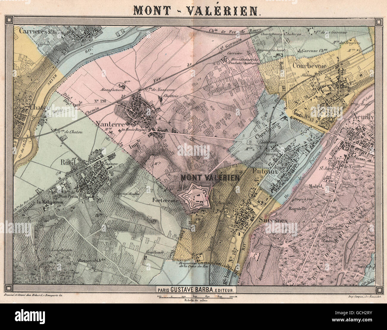 PARIS NW. Mont-Valérien Neuilly Suresnes Courbevoie Rueil Nanterre, 1860 map Stock Photohttps://www.alamy.com/image-license-details/?v=1https://www.alamy.com/stock-photo-paris-nw-mont-valrien-neuilly-suresnes-courbevoie-rueil-nanterre-1860-111013503.html
RFGCH2RY–PARIS NW. Mont-Valérien Neuilly Suresnes Courbevoie Rueil Nanterre, 1860 map
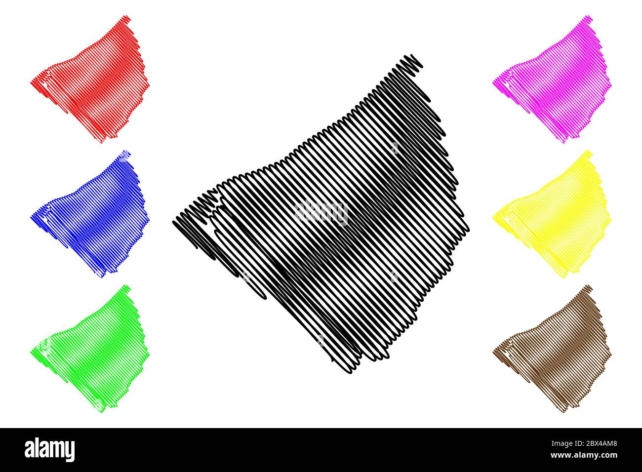 Nanterre City (French Republic, France) map vector illustration, scribble sketch City of Nanterre map Stock Vectorhttps://www.alamy.com/image-license-details/?v=1https://www.alamy.com/nanterre-city-french-republic-france-map-vector-illustration-scribble-sketch-city-of-nanterre-map-image360284632.html
RF2BX4AM8–Nanterre City (French Republic, France) map vector illustration, scribble sketch City of Nanterre map
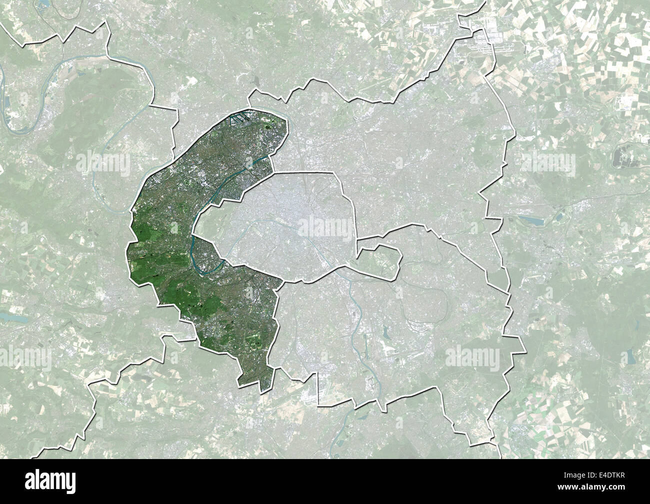 Departement of Hauts-de-Seine, France, True Colour Satellite Image Stock Photohttps://www.alamy.com/image-license-details/?v=1https://www.alamy.com/stock-photo-departement-of-hauts-de-seine-france-true-colour-satellite-image-71604843.html
RME4DTKR–Departement of Hauts-de-Seine, France, True Colour Satellite Image
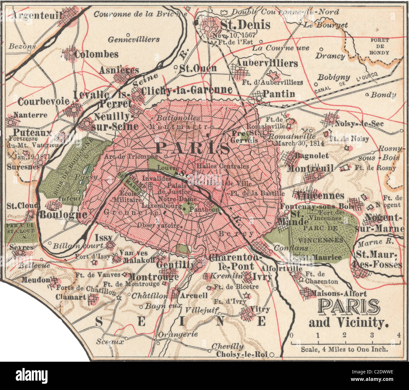 Map of Paris Stock Photohttps://www.alamy.com/image-license-details/?v=1https://www.alamy.com/stock-photo-map-of-paris-35955738.html
RMC2DWWE–Map of Paris
 Arrondissement de Nanterre, Hauts-de-Seine, FR, France, Île-de-France, N 48 53' 45'', N 2 12' 57'', map, Cartascapes Map published in 2024. Explore Cartascapes, a map revealing Earth's diverse landscapes, cultures, and ecosystems. Journey through time and space, discovering the interconnectedness of our planet's past, present, and future. Stock Photohttps://www.alamy.com/image-license-details/?v=1https://www.alamy.com/arrondissement-de-nanterre-hauts-de-seine-fr-france-le-de-france-n-48-53-45-n-2-12-57-map-cartascapes-map-published-in-2024-explore-cartascapes-a-map-revealing-earths-diverse-landscapes-cultures-and-ecosystems-journey-through-time-and-space-discovering-the-interconnectedness-of-our-planets-past-present-and-future-image614335553.html
RM2XKDB7D–Arrondissement de Nanterre, Hauts-de-Seine, FR, France, Île-de-France, N 48 53' 45'', N 2 12' 57'', map, Cartascapes Map published in 2024. Explore Cartascapes, a map revealing Earth's diverse landscapes, cultures, and ecosystems. Journey through time and space, discovering the interconnectedness of our planet's past, present, and future.
 Commune de Paris combats à Nanterre Stock Photohttps://www.alamy.com/image-license-details/?v=1https://www.alamy.com/stock-photo-commune-de-paris-combats-nanterre-147475174.html
RMJFX22E–Commune de Paris combats à Nanterre
 Nanterre City (French Republic, France) map vector illustration, scribble sketch City of Nanterre map Stock Vectorhttps://www.alamy.com/image-license-details/?v=1https://www.alamy.com/nanterre-city-french-republic-france-map-vector-illustration-scribble-sketch-city-of-nanterre-map-image355039840.html
RF2BHHCX8–Nanterre City (French Republic, France) map vector illustration, scribble sketch City of Nanterre map
 Nanterre, Hauts-de-Seine, France, Île-de-France, N 48 53' 31'', E 2 12' 24'', map, Timeless Map published in 2021. Travelers, explorers and adventurers like Florence Nightingale, David Livingstone, Ernest Shackleton, Lewis and Clark and Sherlock Holmes relied on maps to plan travels to the world's most remote corners, Timeless Maps is mapping most locations on the globe, showing the achievement of great dreams Stock Photohttps://www.alamy.com/image-license-details/?v=1https://www.alamy.com/nanterre-hauts-de-seine-france-le-de-france-n-48-53-31-e-2-12-24-map-timeless-map-published-in-2021-travelers-explorers-and-adventurers-like-florence-nightingale-david-livingstone-ernest-shackleton-lewis-and-clark-and-sherlock-holmes-relied-on-maps-to-plan-travels-to-the-worlds-most-remote-corners-timeless-maps-is-mapping-most-locations-on-the-globe-showing-the-achievement-of-great-dreams-image445067633.html
RM2GT2G8H–Nanterre, Hauts-de-Seine, France, Île-de-France, N 48 53' 31'', E 2 12' 24'', map, Timeless Map published in 2021. Travelers, explorers and adventurers like Florence Nightingale, David Livingstone, Ernest Shackleton, Lewis and Clark and Sherlock Holmes relied on maps to plan travels to the world's most remote corners, Timeless Maps is mapping most locations on the globe, showing the achievement of great dreams
 Mlle Cherrier - Rosière de Nanterre 1908 Stock Photohttps://www.alamy.com/image-license-details/?v=1https://www.alamy.com/stock-photo-mlle-cherrier-rosire-de-nanterre-1908-147602620.html
RMJG3TJ4–Mlle Cherrier - Rosière de Nanterre 1908
 Hauts-de-Seine Department (France, French Republic, Ile-de-France region) map vector illustration, scribble sketch Hauts de Seine map Stock Vectorhttps://www.alamy.com/image-license-details/?v=1https://www.alamy.com/hauts-de-seine-department-france-french-republic-ile-de-france-region-map-vector-illustration-scribble-sketch-hauts-de-seine-map-image368112693.html
RF2CATYDW–Hauts-de-Seine Department (France, French Republic, Ile-de-France region) map vector illustration, scribble sketch Hauts de Seine map
 C'est nous les pompiers de Nanterre Stock Photohttps://www.alamy.com/image-license-details/?v=1https://www.alamy.com/cest-nous-les-pompiers-de-nanterre-image158943351.html
RMK6GDT7–C'est nous les pompiers de Nanterre
 Hauts-de-Seine Department (France, French Republic, Ile-de-France region) map vector illustration, scribble sketch Hauts de Seine map Stock Vectorhttps://www.alamy.com/image-license-details/?v=1https://www.alamy.com/hauts-de-seine-department-france-french-republic-ile-de-france-region-map-vector-illustration-scribble-sketch-hauts-de-seine-map-image358429871.html
RF2BR3TXR–Hauts-de-Seine Department (France, French Republic, Ile-de-France region) map vector illustration, scribble sketch Hauts de Seine map
 Hauts-de-Seine Department (France, French Republic, Ile-de-France region) map vector illustration, scribble sketch Hauts de Seine map Stock Vectorhttps://www.alamy.com/image-license-details/?v=1https://www.alamy.com/hauts-de-seine-department-france-french-republic-ile-de-france-region-map-vector-illustration-scribble-sketch-hauts-de-seine-map-image364538085.html
RF2C52419–Hauts-de-Seine Department (France, French Republic, Ile-de-France region) map vector illustration, scribble sketch Hauts de Seine map