Quick filters:
National cycle network 1 Stock Photos and Images
 A National Cycle Network 1 sign by Rockland Staithe on the Norfolk Broads at Rockland St Mary, Norfolk, England, United Kingdom. Stock Photohttps://www.alamy.com/image-license-details/?v=1https://www.alamy.com/a-national-cycle-network-1-sign-by-rockland-staithe-on-the-norfolk-broads-at-rockland-st-mary-norfolk-england-united-kingdom-image430721177.html
RM2G0N175–A National Cycle Network 1 sign by Rockland Staithe on the Norfolk Broads at Rockland St Mary, Norfolk, England, United Kingdom.
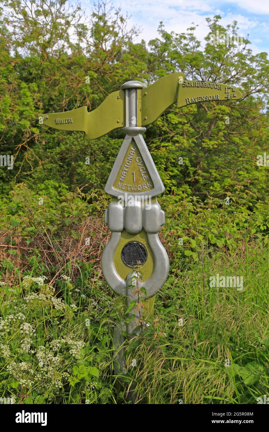 Sustrans milepost on the National Cycle Network 1 in Robin Hoods Bay in the North York Moors National Park, North Yorkshire, England, UK. Stock Photohttps://www.alamy.com/image-license-details/?v=1https://www.alamy.com/sustrans-milepost-on-the-national-cycle-network-1-in-robin-hoods-bay-in-the-north-york-moors-national-park-north-yorkshire-england-uk-image433837620.html
RM2G5R08M–Sustrans milepost on the National Cycle Network 1 in Robin Hoods Bay in the North York Moors National Park, North Yorkshire, England, UK.
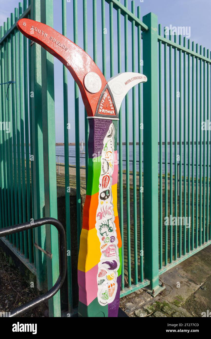 Waymarker for the National Cycle Network 1 or NCN 1 at Sunderland, UK Stock Photohttps://www.alamy.com/image-license-details/?v=1https://www.alamy.com/waymarker-for-the-national-cycle-network-1-or-ncn-1-at-sunderland-uk-image569330957.html
RF2T277CD–Waymarker for the National Cycle Network 1 or NCN 1 at Sunderland, UK
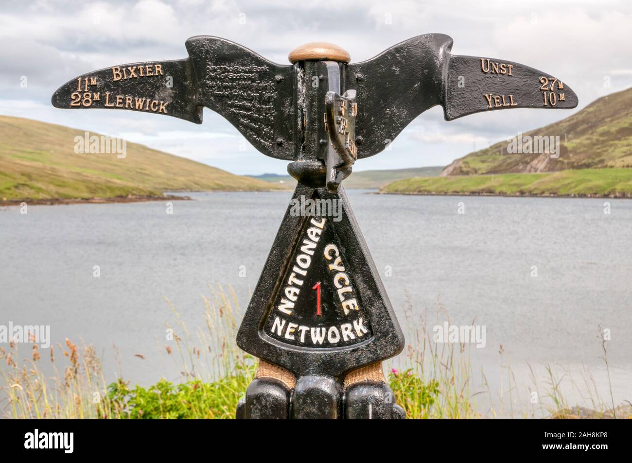 A sign at Voe in Shetland for National Cycle Network Route 1. The route runs 2,728 km (1,695 miles) the length of the country from Dover to Shetland. Stock Photohttps://www.alamy.com/image-license-details/?v=1https://www.alamy.com/a-sign-at-voe-in-shetland-for-national-cycle-network-route-1-the-route-runs-2728-km-1695-miles-the-length-of-the-country-from-dover-to-shetland-image337637280.html
RM2AH8KP8–A sign at Voe in Shetland for National Cycle Network Route 1. The route runs 2,728 km (1,695 miles) the length of the country from Dover to Shetland.
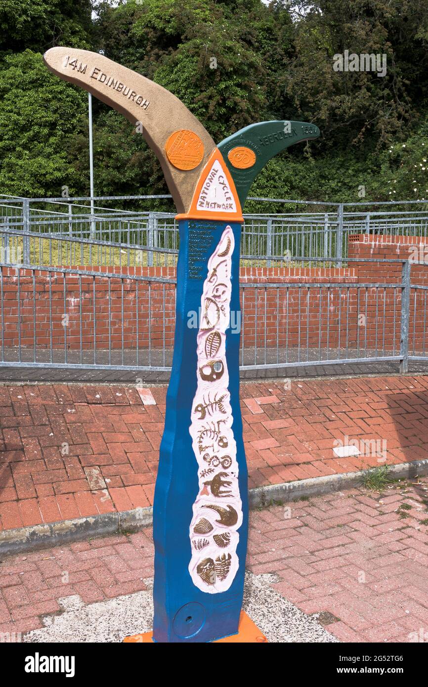 dh INVERKEITHING SCOTLAND Walking footpath trail sign at railway station National cycle network 1 uk path walk paths Stock Photohttps://www.alamy.com/image-license-details/?v=1https://www.alamy.com/dh-inverkeithing-scotland-walking-footpath-trail-sign-at-railway-station-national-cycle-network-1-uk-path-walk-paths-image433395654.html
RM2G52TG6–dh INVERKEITHING SCOTLAND Walking footpath trail sign at railway station National cycle network 1 uk path walk paths
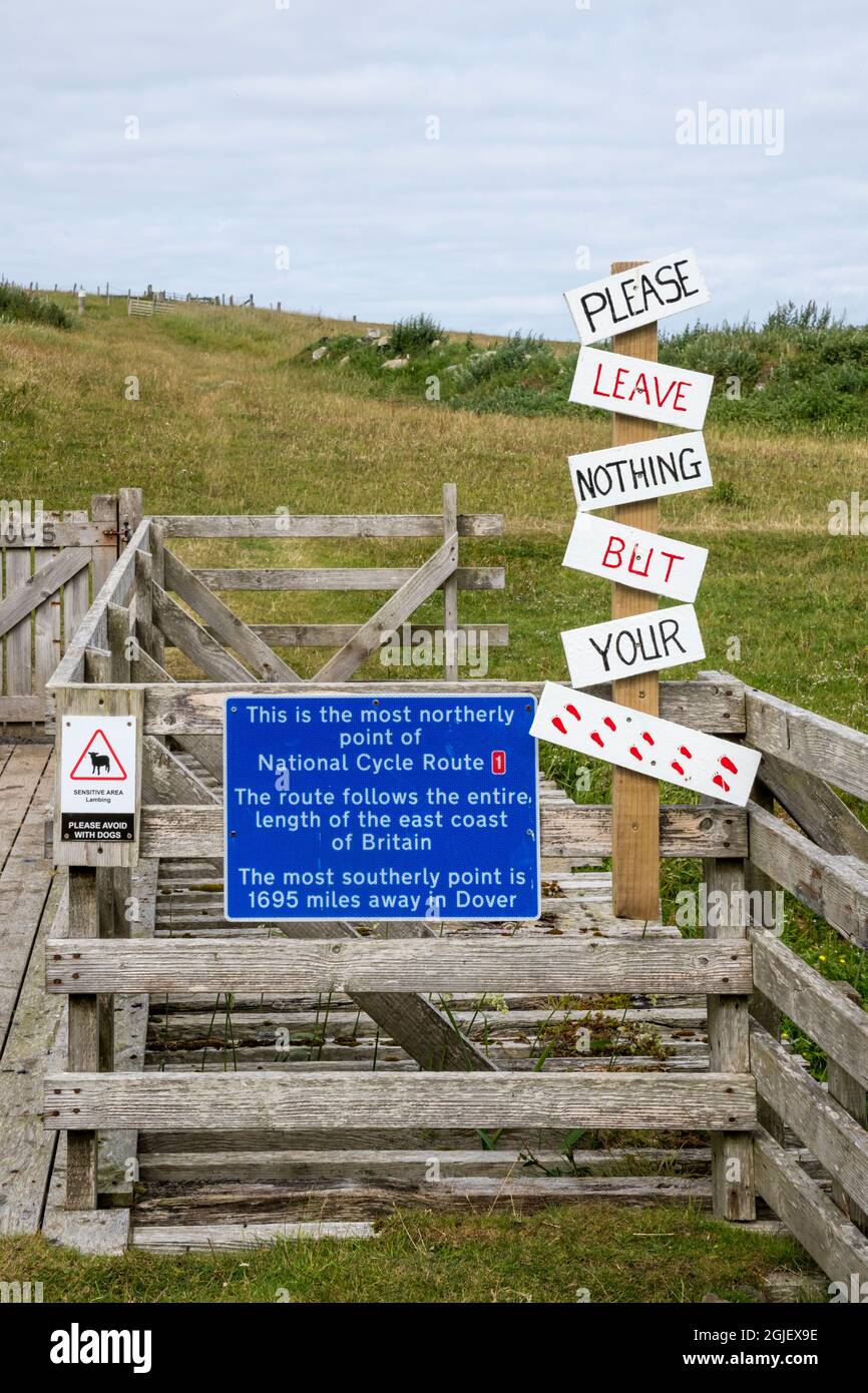 The most northerly point of National Cycle Route 1 at Skaw on the island of Unst, Shetland. Stock Photohttps://www.alamy.com/image-license-details/?v=1https://www.alamy.com/the-most-northerly-point-of-national-cycle-route-1-at-skaw-on-the-island-of-unst-shetland-image441650986.html
RM2GJEX9E–The most northerly point of National Cycle Route 1 at Skaw on the island of Unst, Shetland.
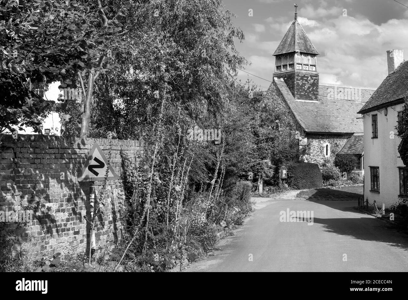 St Mary’s Church Stodmarsh Kent, the road is part of National Cycle network route 1 Stock Photohttps://www.alamy.com/image-license-details/?v=1https://www.alamy.com/st-marys-church-stodmarsh-kent-the-road-is-part-of-national-cycle-network-route-1-image370295877.html
RM2CECC4N–St Mary’s Church Stodmarsh Kent, the road is part of National Cycle network route 1
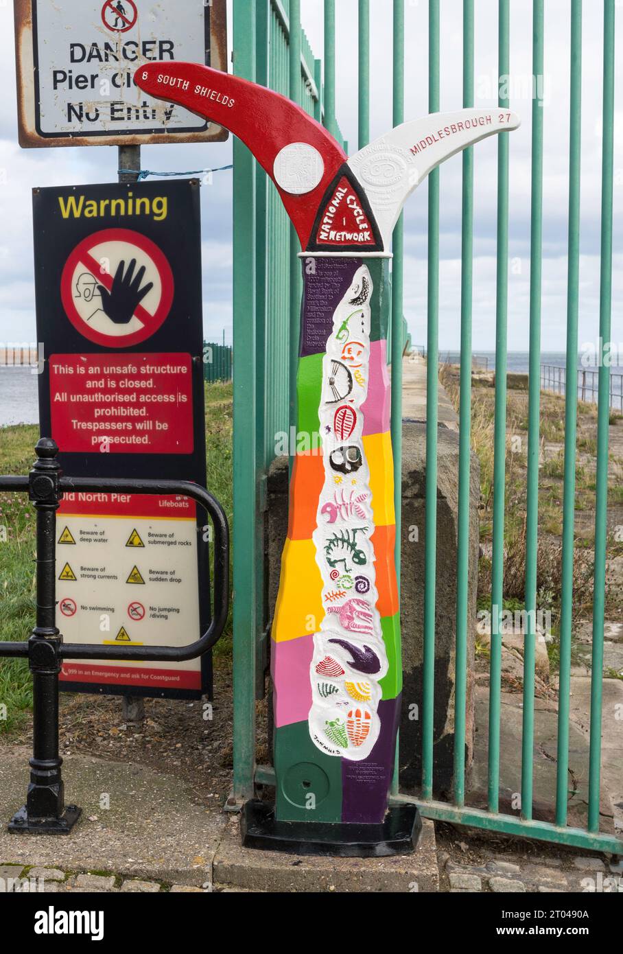 A brightly painted millennium milepost on National Cycle Route 1 in Roker, Sunderland, England, UK Stock Photohttps://www.alamy.com/image-license-details/?v=1https://www.alamy.com/a-brightly-painted-millennium-milepost-on-national-cycle-route-1-in-roker-sunderland-england-uk-image568037018.html
RM2T0490A–A brightly painted millennium milepost on National Cycle Route 1 in Roker, Sunderland, England, UK
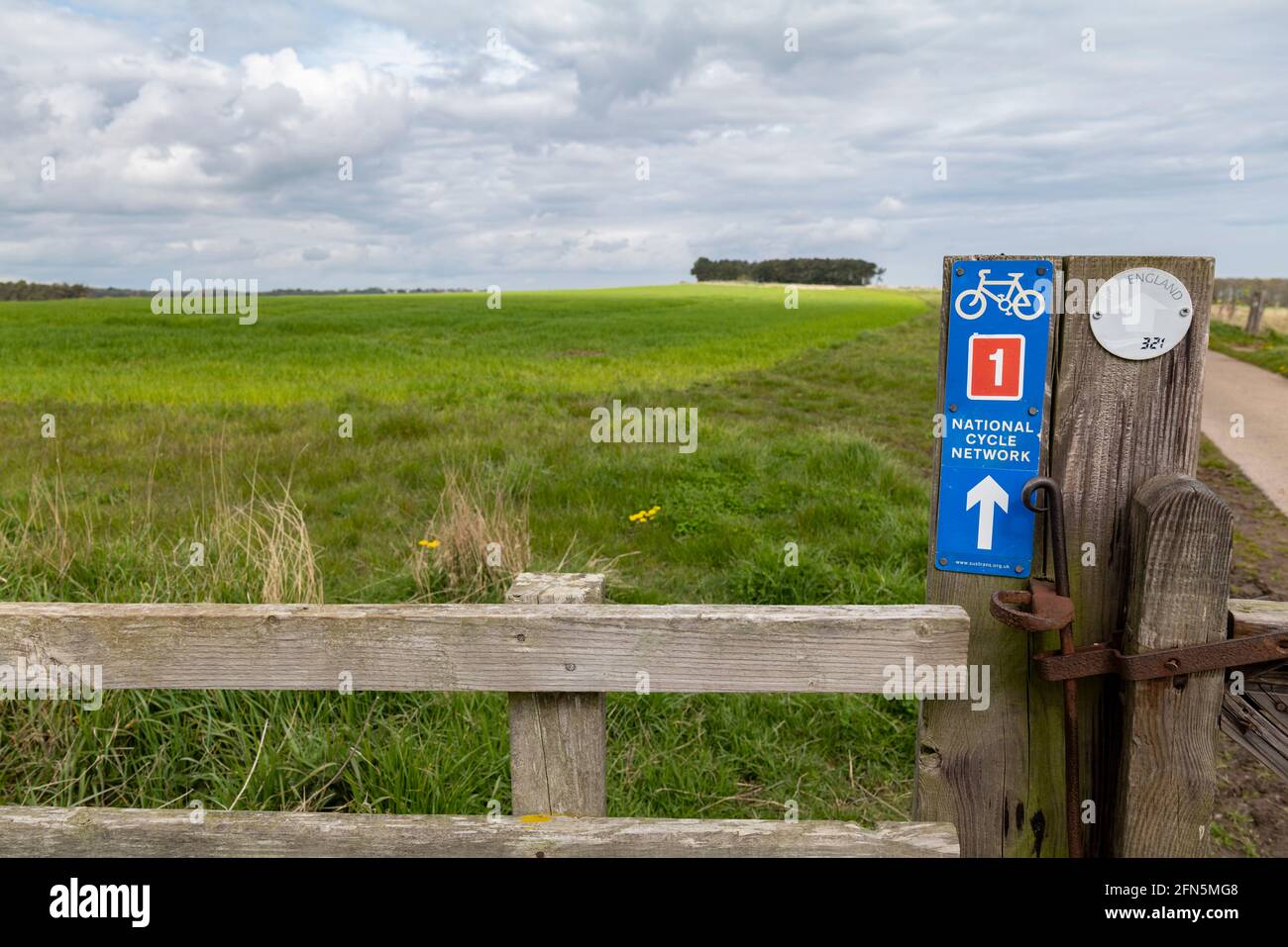 Sustrans national cycle route 1 sign, Dunstanburgh, Northumberland, UK. Stock Photohttps://www.alamy.com/image-license-details/?v=1https://www.alamy.com/sustrans-national-cycle-route-1-sign-dunstanburgh-northumberland-uk-image426082504.html
RM2FN5MG8–Sustrans national cycle route 1 sign, Dunstanburgh, Northumberland, UK.
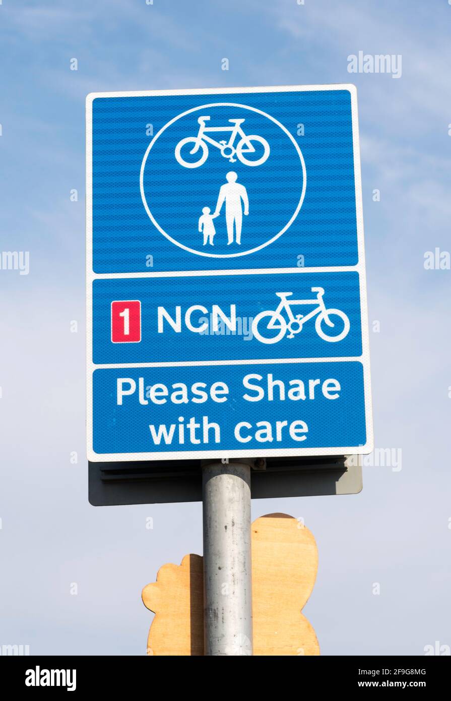 National Cycle Network NCN route 1 sign, Please Share with care, Whitley Bay, north east England, UK Stock Photohttps://www.alamy.com/image-license-details/?v=1https://www.alamy.com/national-cycle-network-ncn-route-1-sign-please-share-with-care-whitley-bay-north-east-england-uk-image418938816.html
RM2F9G8MG–National Cycle Network NCN route 1 sign, Please Share with care, Whitley Bay, north east England, UK
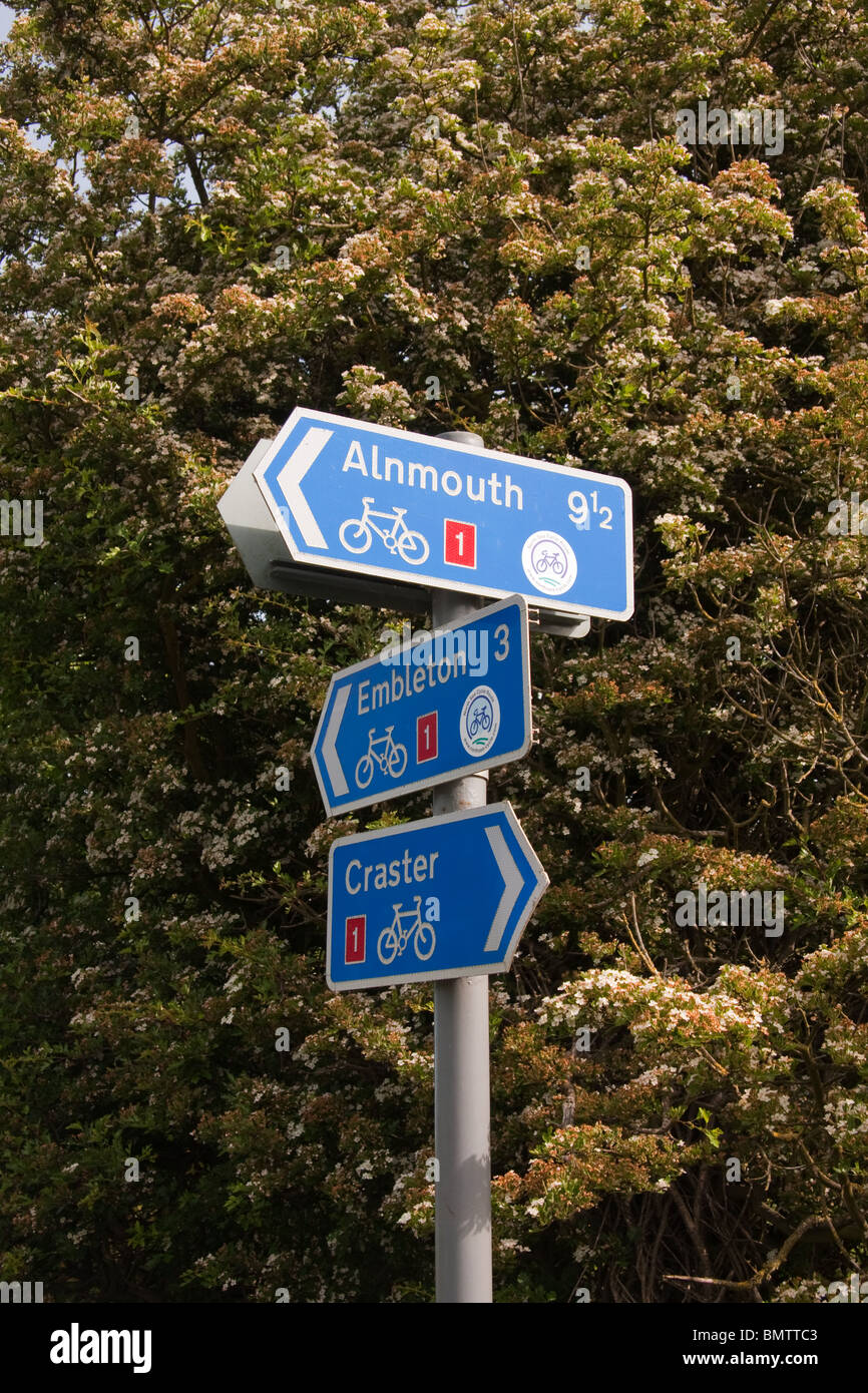 National Cycling Network route 1 sign Stock Photohttps://www.alamy.com/image-license-details/?v=1https://www.alamy.com/stock-photo-national-cycling-network-route-1-sign-30049491.html
RMBMTTC3–National Cycling Network route 1 sign
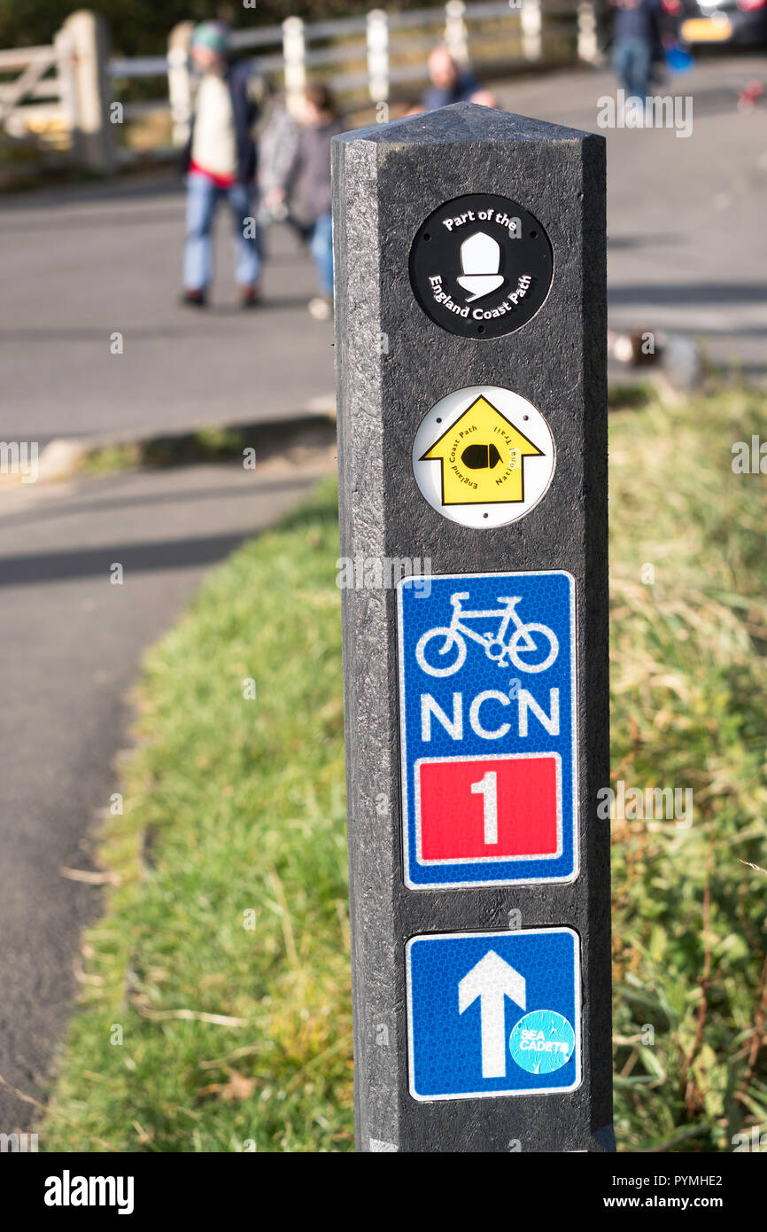 Signpost or route marker on National Cycle Network NCN route 1 and England Coast Path, north east England, UK Stock Photohttps://www.alamy.com/image-license-details/?v=1https://www.alamy.com/signpost-or-route-marker-on-national-cycle-network-ncn-route-1-and-england-coast-path-north-east-england-uk-image223572890.html
RMPYMHE2–Signpost or route marker on National Cycle Network NCN route 1 and England Coast Path, north east England, UK
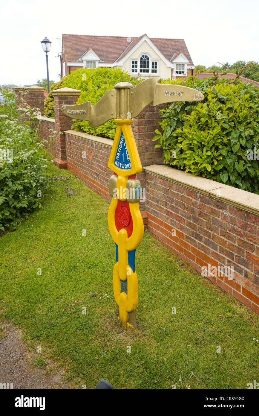 Directional signpost on the National Cycle Network route 1 at Burniston Stock Photohttps://www.alamy.com/image-license-details/?v=1https://www.alamy.com/directional-signpost-on-the-national-cycle-network-route-1-at-burniston-image556249258.html
RM2R8Y9GX–Directional signpost on the National Cycle Network route 1 at Burniston
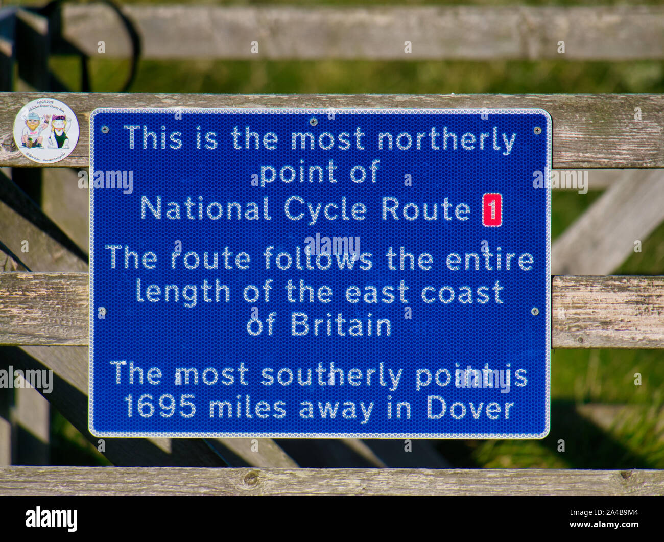 A blue sign marking the most northerly point of UK National Cycle Route 1, in Skaw on the island of Unst in Shetland, Scotland, UK. Stock Photohttps://www.alamy.com/image-license-details/?v=1https://www.alamy.com/a-blue-sign-marking-the-most-northerly-point-of-uk-national-cycle-route-1-in-skaw-on-the-island-of-unst-in-shetland-scotland-uk-image329704708.html
RF2A4B9M4–A blue sign marking the most northerly point of UK National Cycle Route 1, in Skaw on the island of Unst in Shetland, Scotland, UK.
 A wooden fingerpost at Ravenscar Peakside showing directions to the Alum Works the old brick works and the cleveland way and No 1 National cycle track Stock Photohttps://www.alamy.com/image-license-details/?v=1https://www.alamy.com/a-wooden-fingerpost-at-ravenscar-peakside-showing-directions-to-the-alum-works-the-old-brick-works-and-the-cleveland-way-and-no-1-national-cycle-track-image178087225.html
RMM9MG21–A wooden fingerpost at Ravenscar Peakside showing directions to the Alum Works the old brick works and the cleveland way and No 1 National cycle track
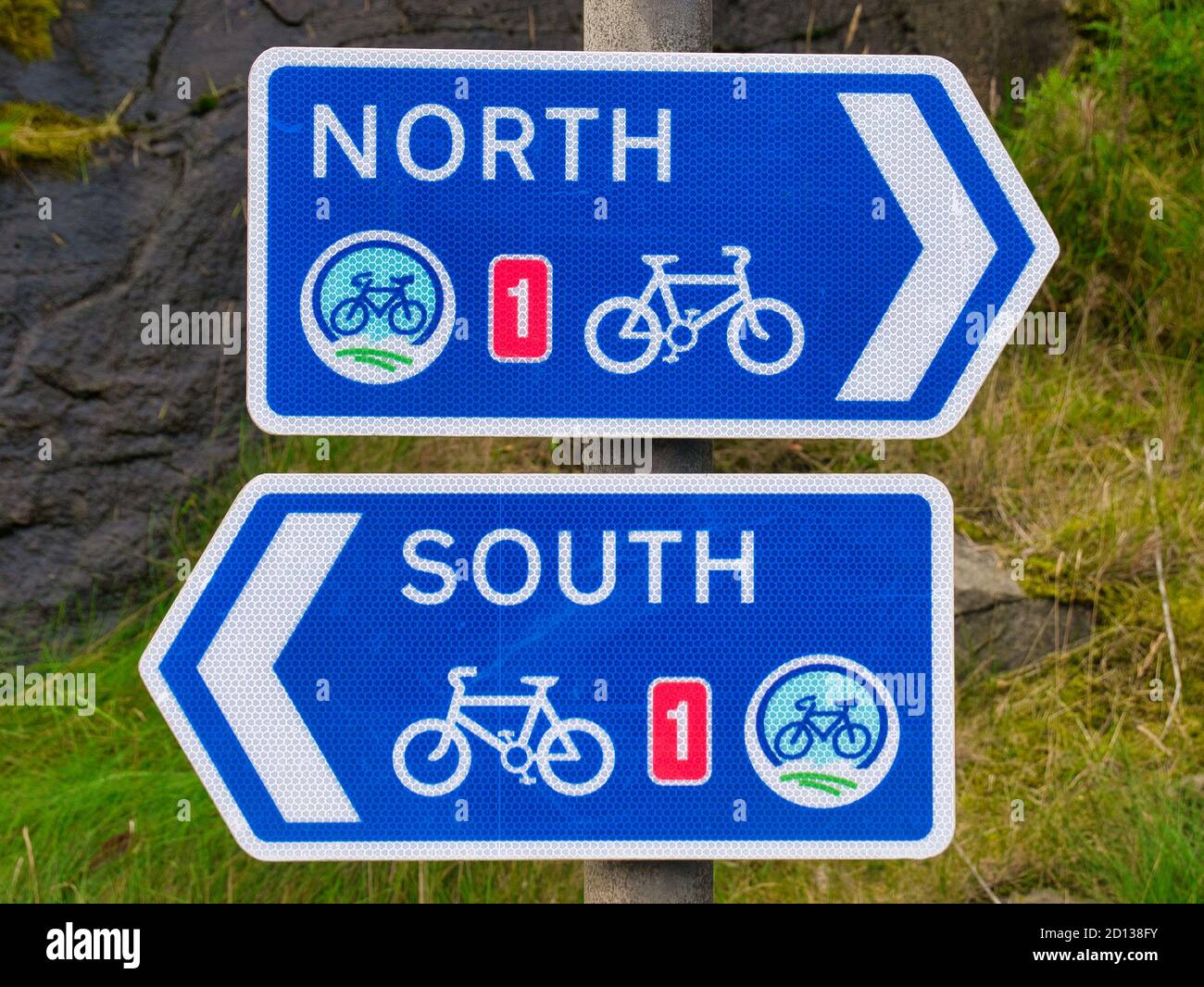 Two white on blue signs for the UK National Cycle Route 1 in Lerwick, Shetland, Scotland, UK - one pointing North, the other pointing South. Stock Photohttps://www.alamy.com/image-license-details/?v=1https://www.alamy.com/two-white-on-blue-signs-for-the-uk-national-cycle-route-1-in-lerwick-shetland-scotland-uk-one-pointing-north-the-other-pointing-south-image379315327.html
RF2D138FY–Two white on blue signs for the UK National Cycle Route 1 in Lerwick, Shetland, Scotland, UK - one pointing North, the other pointing South.
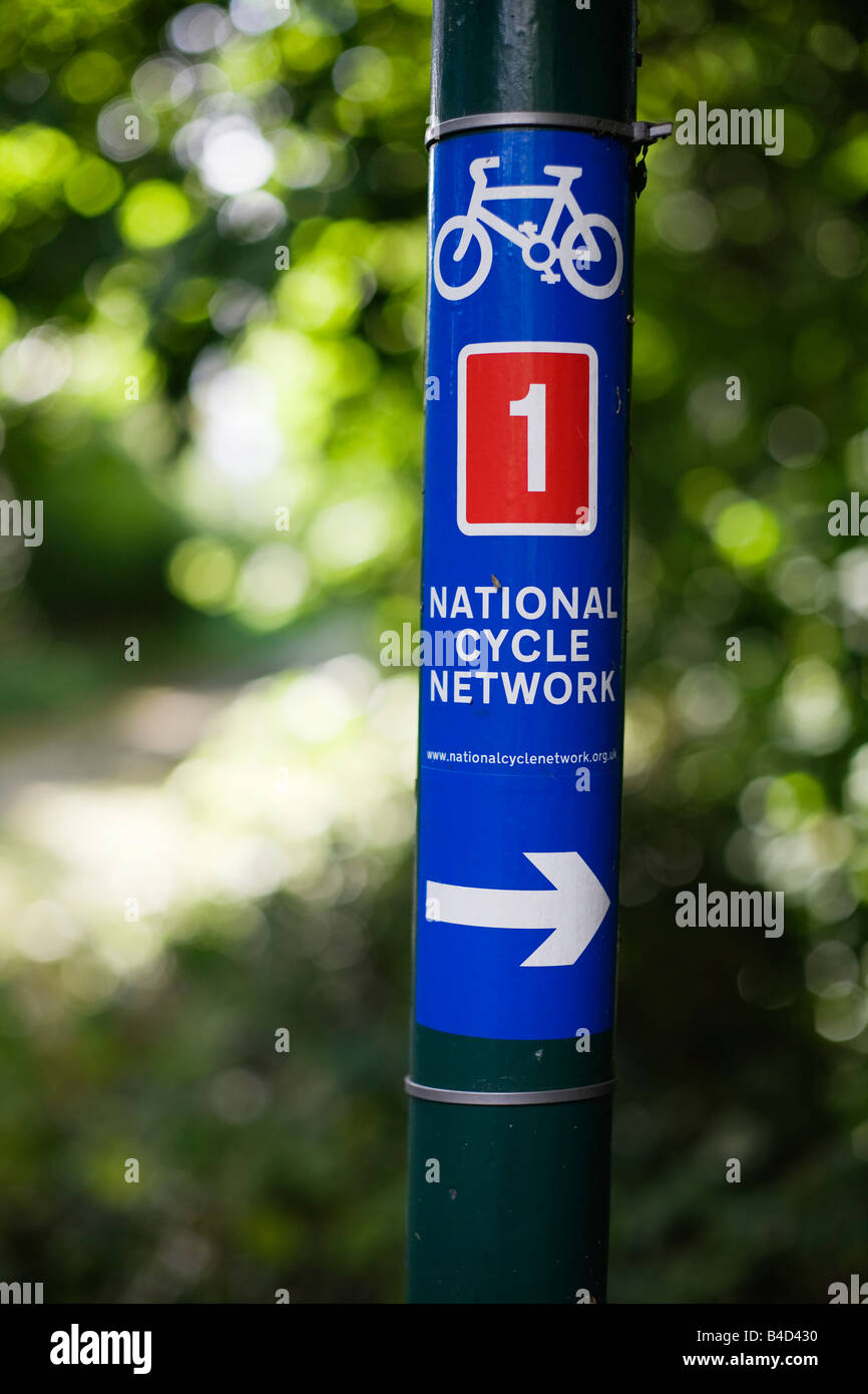 National Cycle Network sign in Harlow Town Park Stock Photohttps://www.alamy.com/image-license-details/?v=1https://www.alamy.com/stock-photo-national-cycle-network-sign-in-harlow-town-park-19957588.html
RMB4D430–National Cycle Network sign in Harlow Town Park
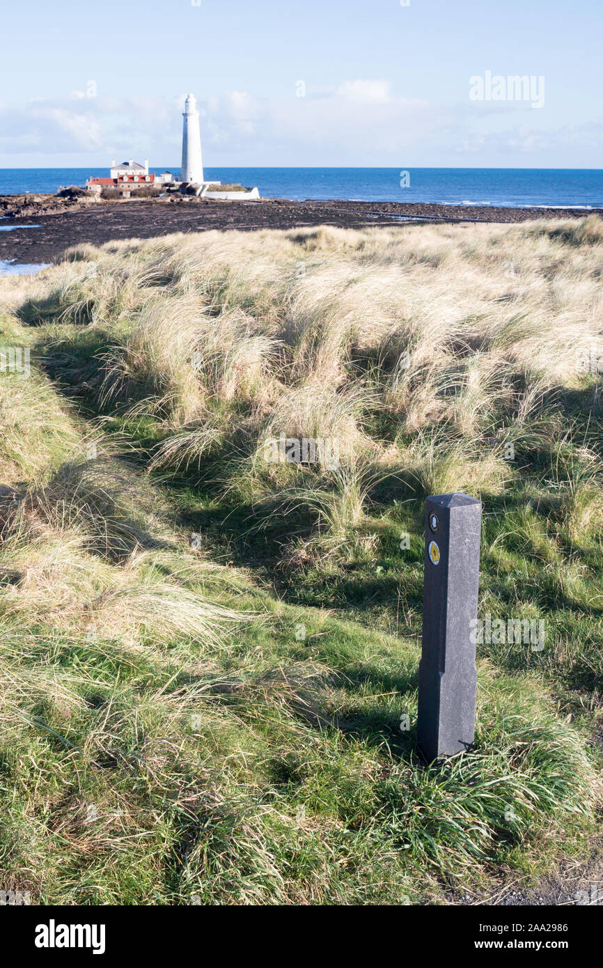 A recycled plastic way marker along the England Coast Path and National Cycle Network route 1 in Whitley Bay, North East, England, UK Stock Photohttps://www.alamy.com/image-license-details/?v=1https://www.alamy.com/a-recycled-plastic-way-marker-along-the-england-coast-path-and-national-cycle-network-route-1-in-whitley-bay-north-east-england-uk-image333194742.html
RM2AA2986–A recycled plastic way marker along the England Coast Path and National Cycle Network route 1 in Whitley Bay, North East, England, UK
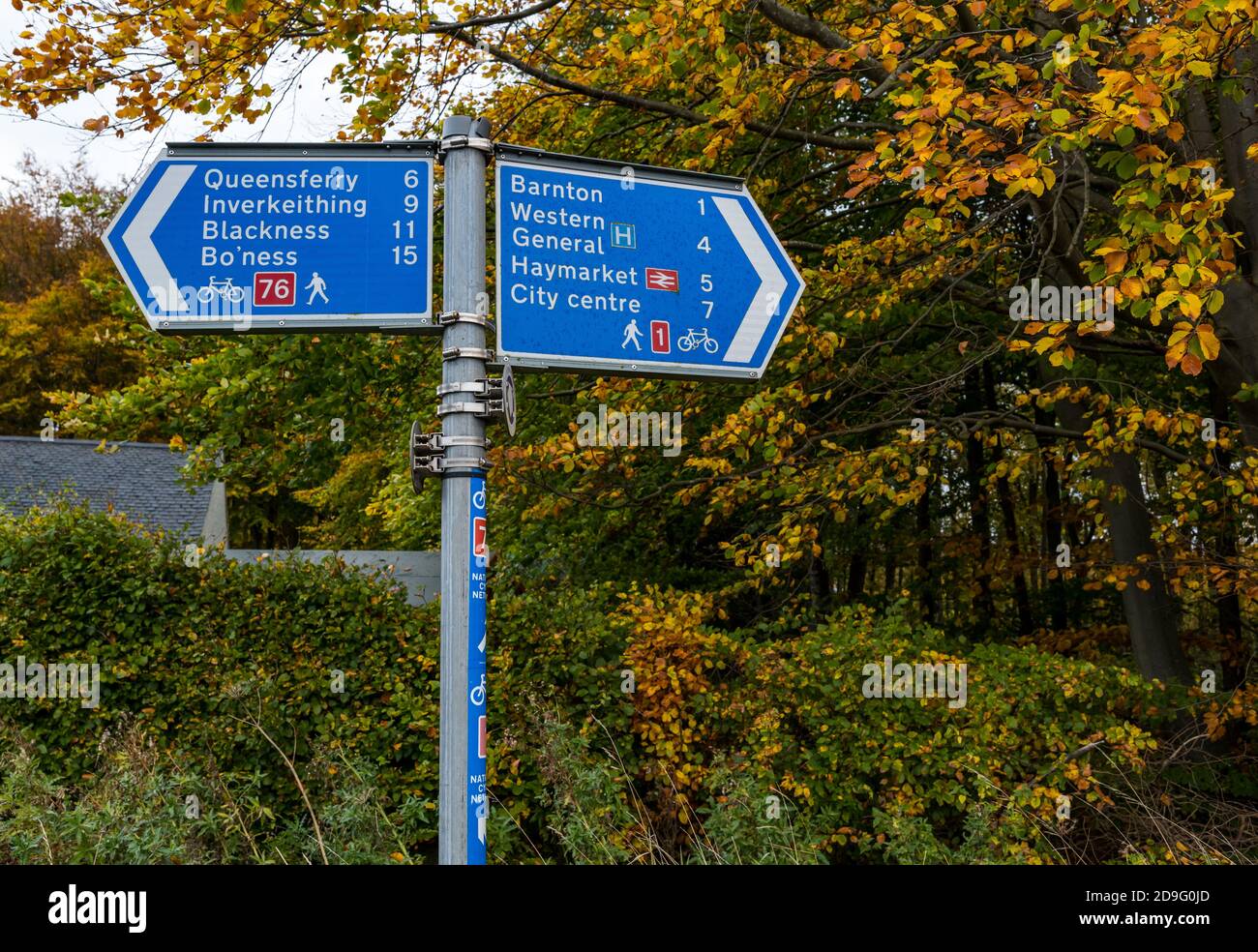 Signpost with walking and cycling directions for cycle route 1 and 76 with Autumn trees, Edinburgh, Scotland, UK Stock Photohttps://www.alamy.com/image-license-details/?v=1https://www.alamy.com/signpost-with-walking-and-cycling-directions-for-cycle-route-1-and-76-with-autumn-trees-edinburgh-scotland-uk-image384511749.html
RM2D9G0JD–Signpost with walking and cycling directions for cycle route 1 and 76 with Autumn trees, Edinburgh, Scotland, UK
 Details of a National Cycle Network 1 sign by Rockland Staithe on the Norfolk Broads at Rockland St Mary, Norfolk, England, United Kingdom. Stock Photohttps://www.alamy.com/image-license-details/?v=1https://www.alamy.com/details-of-a-national-cycle-network-1-sign-by-rockland-staithe-on-the-norfolk-broads-at-rockland-st-mary-norfolk-england-united-kingdom-image430721324.html
RM2G0N1CC–Details of a National Cycle Network 1 sign by Rockland Staithe on the Norfolk Broads at Rockland St Mary, Norfolk, England, United Kingdom.
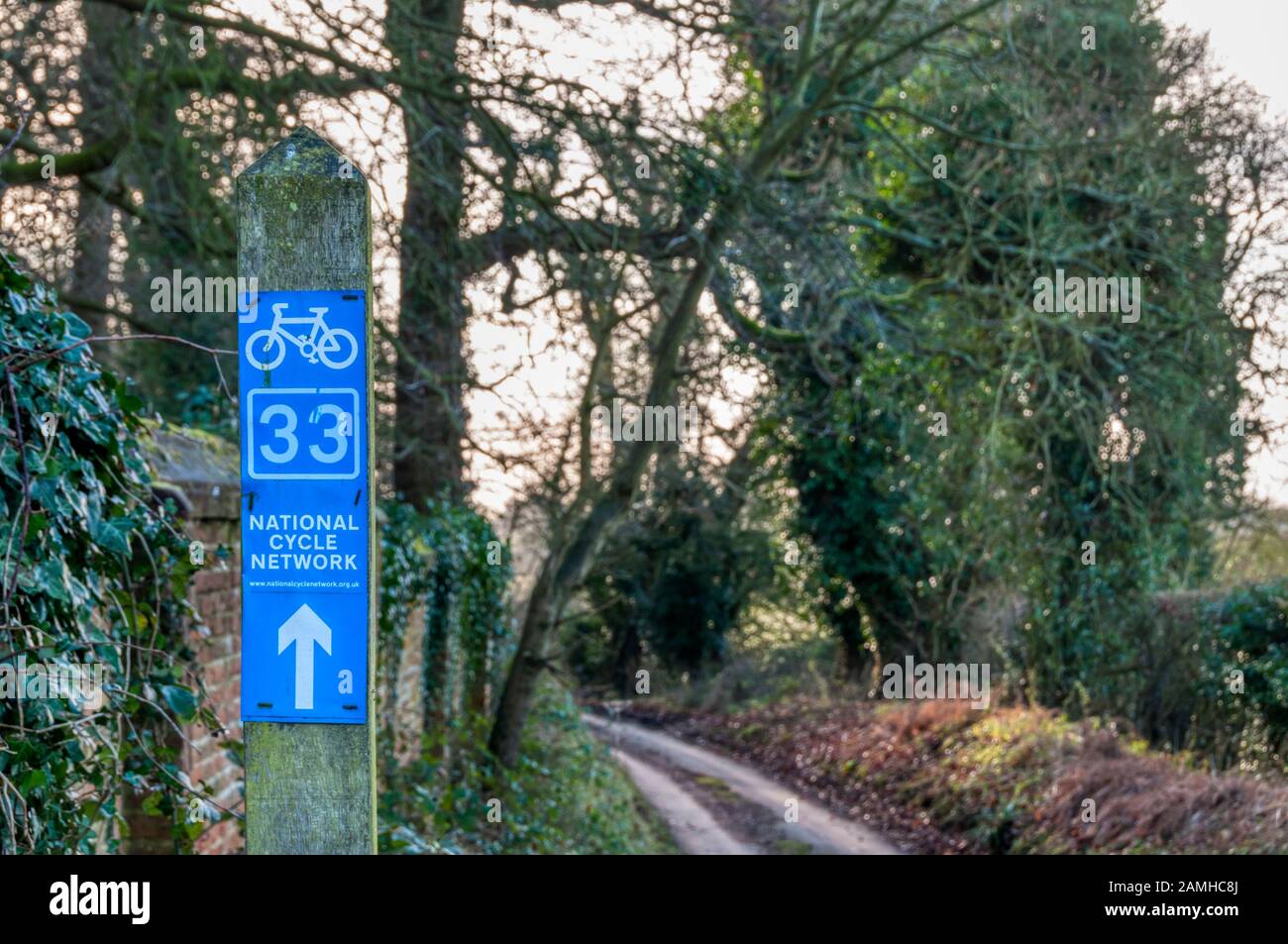 A sign for the National Cycle Network on the lane known as The Lion's Mouth at Felbrigg in Norfolk. Stock Photohttps://www.alamy.com/image-license-details/?v=1https://www.alamy.com/a-sign-for-the-national-cycle-network-on-the-lane-known-as-the-lions-mouth-at-felbrigg-in-norfolk-image339672946.html
RM2AMHC8J–A sign for the National Cycle Network on the lane known as The Lion's Mouth at Felbrigg in Norfolk.
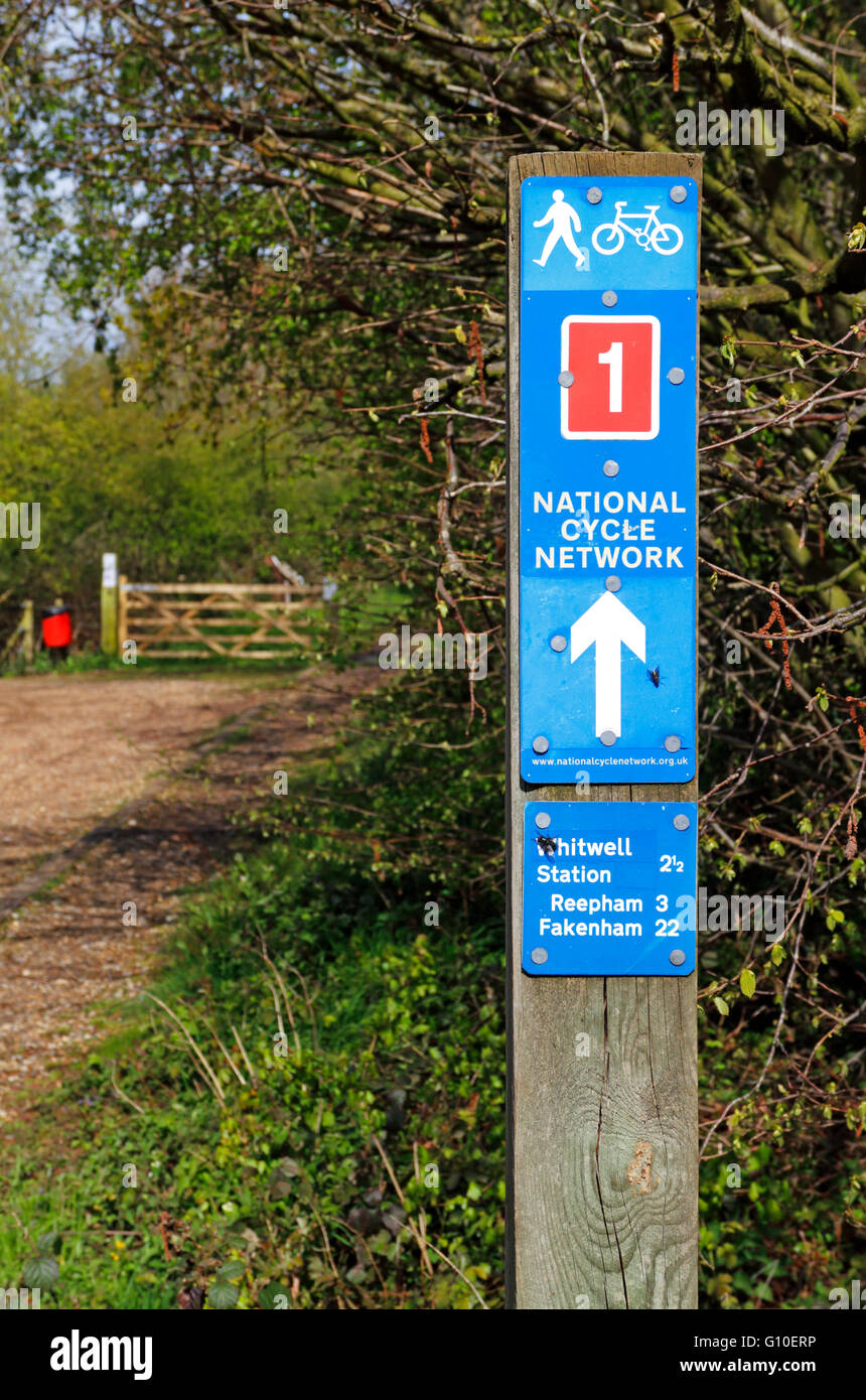 National Cycle Network 1 sign on the Marriott's Way long distance track at Lenwade, Norfolk, England, United Kingdom. Stock Photohttps://www.alamy.com/image-license-details/?v=1https://www.alamy.com/stock-photo-national-cycle-network-1-sign-on-the-marriotts-way-long-distance-track-103888506.html
RMG10ERP–National Cycle Network 1 sign on the Marriott's Way long distance track at Lenwade, Norfolk, England, United Kingdom.
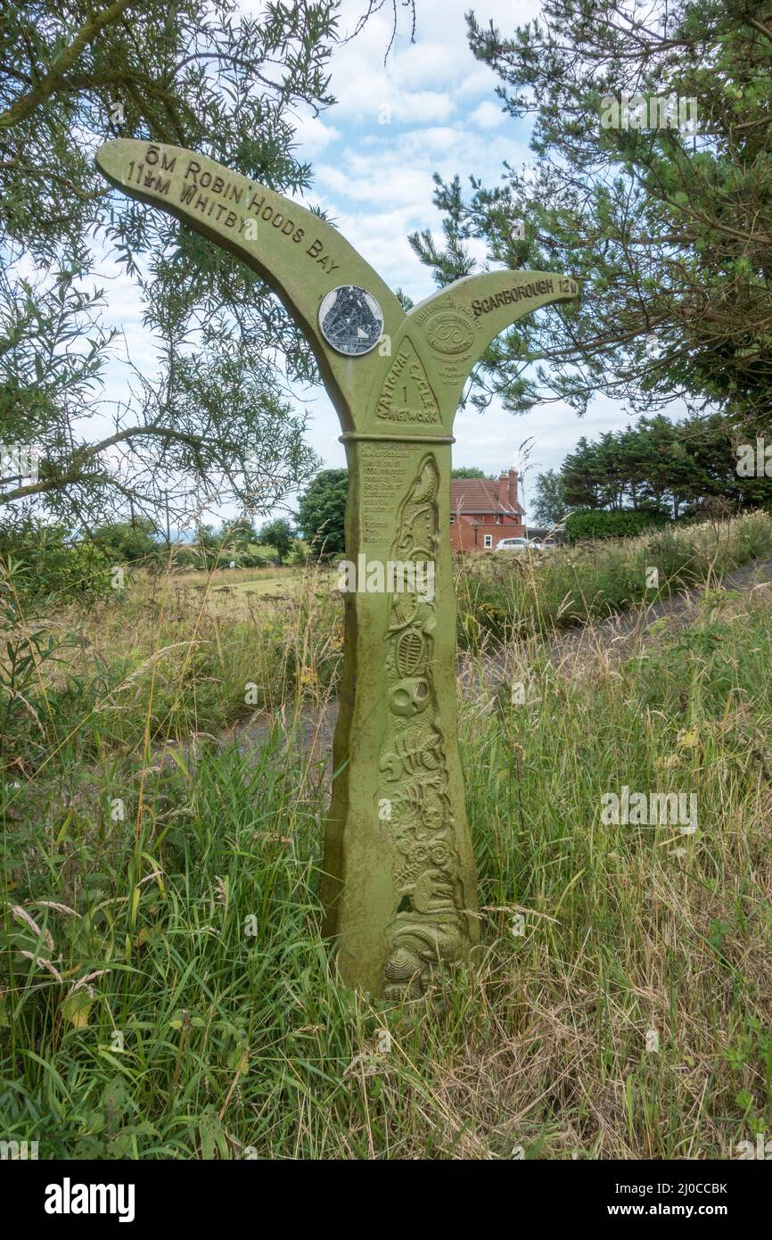 National Cycle Network marker post on Route number 1 in Ravenscar, Yorkshire, UK. Stock Photohttps://www.alamy.com/image-license-details/?v=1https://www.alamy.com/national-cycle-network-marker-post-on-route-number-1-in-ravenscar-yorkshire-uk-image464953095.html
RM2J0CCBK–National Cycle Network marker post on Route number 1 in Ravenscar, Yorkshire, UK.
 A National Cycle Network 1 sign by the roadside at Rockland St Mary, Norfolk, England, United Kingdom. Stock Photohttps://www.alamy.com/image-license-details/?v=1https://www.alamy.com/stock-photo-a-national-cycle-network-1-sign-by-the-roadside-at-rockland-st-mary-103696005.html
RMG0KN8N–A National Cycle Network 1 sign by the roadside at Rockland St Mary, Norfolk, England, United Kingdom.
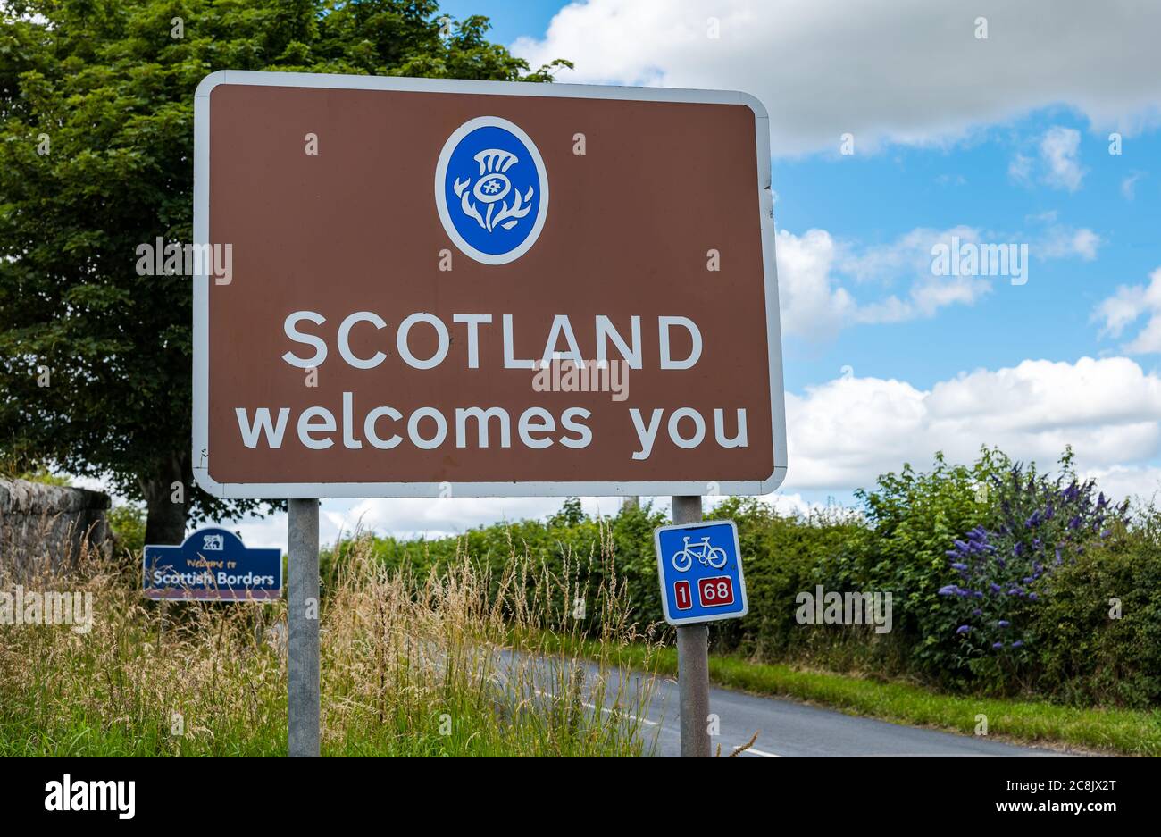 Scotland welcomes you sign on B6461, Scottish Borders, Scottish English border, UK Stock Photohttps://www.alamy.com/image-license-details/?v=1https://www.alamy.com/scotland-welcomes-you-sign-on-b6461-scottish-borders-scottish-english-border-uk-image366750576.html
RM2C8JX2T–Scotland welcomes you sign on B6461, Scottish Borders, Scottish English border, UK
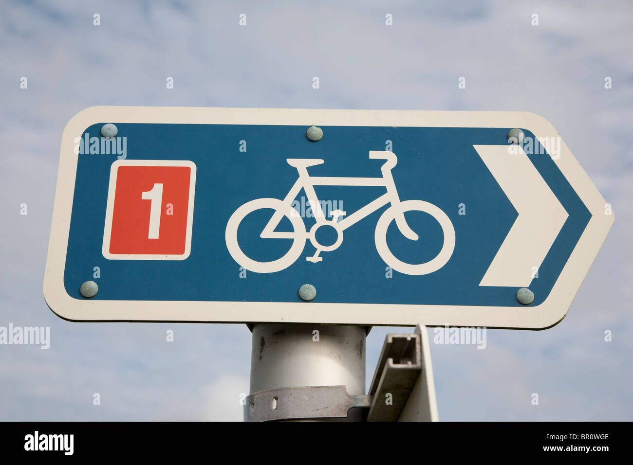 National Cycle Network Route Number 1 Stock Photohttps://www.alamy.com/image-license-details/?v=1https://www.alamy.com/stock-photo-national-cycle-network-route-number-1-31367518.html
RFBR0WGE–National Cycle Network Route Number 1
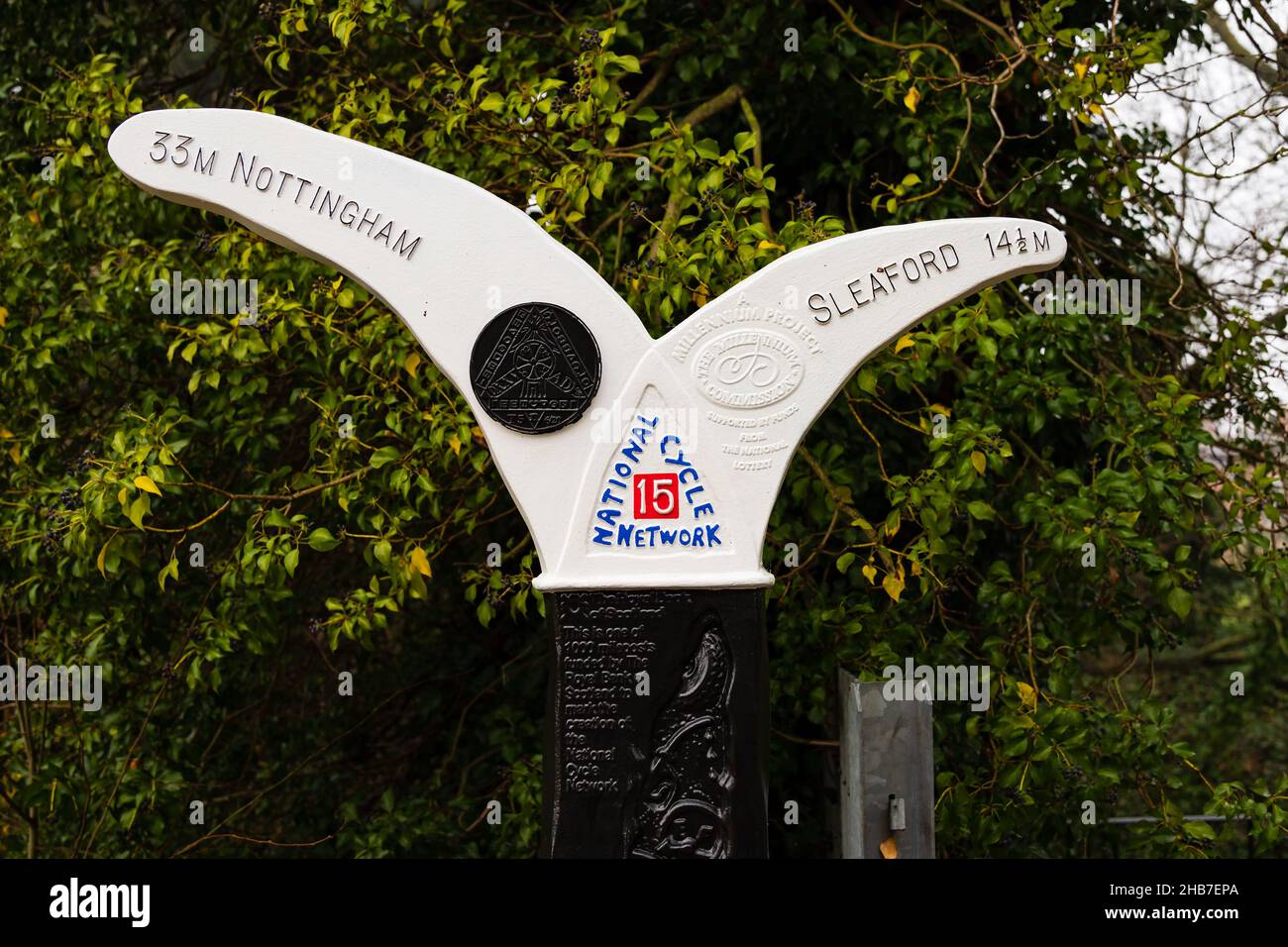 National Cycle Network sign showing distances to Nottingham and Sleaford. A Millennium Project sponsored by the National Lottery. Wyndham Park, Granth Stock Photohttps://www.alamy.com/image-license-details/?v=1https://www.alamy.com/national-cycle-network-sign-showing-distances-to-nottingham-and-sleaford-a-millennium-project-sponsored-by-the-national-lottery-wyndham-park-granth-image454396050.html
RM2HB7EPA–National Cycle Network sign showing distances to Nottingham and Sleaford. A Millennium Project sponsored by the National Lottery. Wyndham Park, Granth
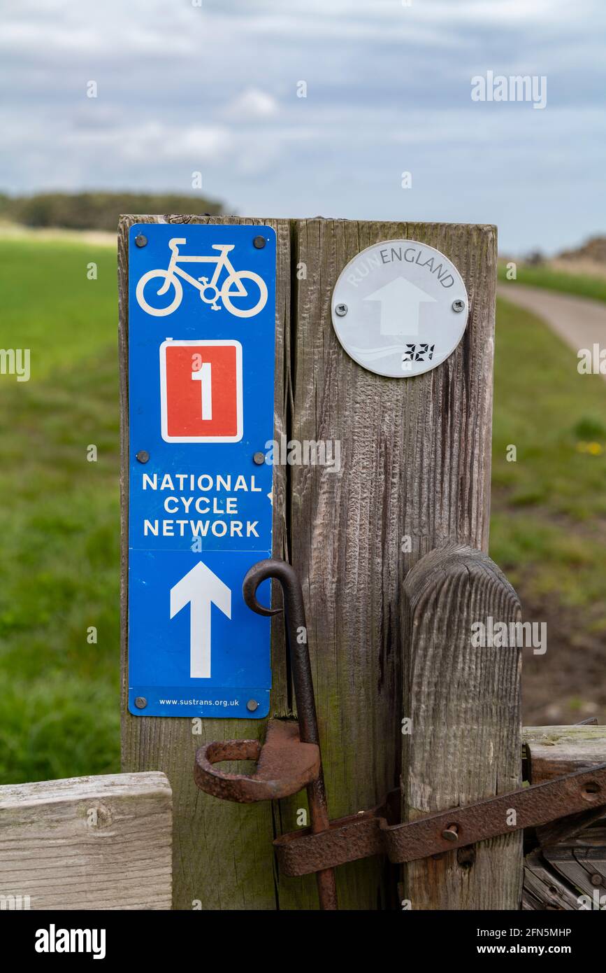 Sustrans national cycle route 1 sign, Dunstanburgh, Northumberland, UK. Stock Photohttps://www.alamy.com/image-license-details/?v=1https://www.alamy.com/sustrans-national-cycle-route-1-sign-dunstanburgh-northumberland-uk-image426082546.html
RM2FN5MHP–Sustrans national cycle route 1 sign, Dunstanburgh, Northumberland, UK.
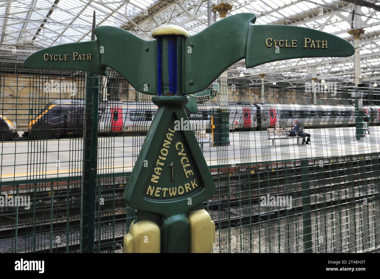 National Cycle route 1 sign, inside Edinburgh Waverley station; Edinburgh City, Scotland, UK Stock Photohttps://www.alamy.com/image-license-details/?v=1https://www.alamy.com/national-cycle-route-1-sign-inside-edinburgh-waverley-station-edinburgh-city-scotland-uk-image570589820.html
RF2T48H3T–National Cycle route 1 sign, inside Edinburgh Waverley station; Edinburgh City, Scotland, UK
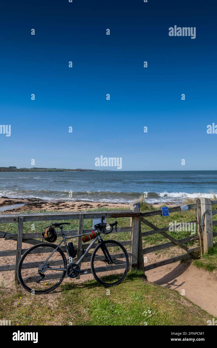 Cycling on Sustrans national cycle network route 1, close to Craster, Northumberland, UK. Stock Photohttps://www.alamy.com/image-license-details/?v=1https://www.alamy.com/cycling-on-sustrans-national-cycle-network-route-1-close-to-craster-northumberland-uk-image426449521.html
RF2FNPCM1–Cycling on Sustrans national cycle network route 1, close to Craster, Northumberland, UK.
 A blue metal sign on a wooden post shows the route of UK National Cycle Network route 1 and the Northumberland Coast Path, which appears in the backgr Stock Photohttps://www.alamy.com/image-license-details/?v=1https://www.alamy.com/a-blue-metal-sign-on-a-wooden-post-shows-the-route-of-uk-national-cycle-network-route-1-and-the-northumberland-coast-path-which-appears-in-the-backgr-image447608857.html
RF2H069JH–A blue metal sign on a wooden post shows the route of UK National Cycle Network route 1 and the Northumberland Coast Path, which appears in the backgr
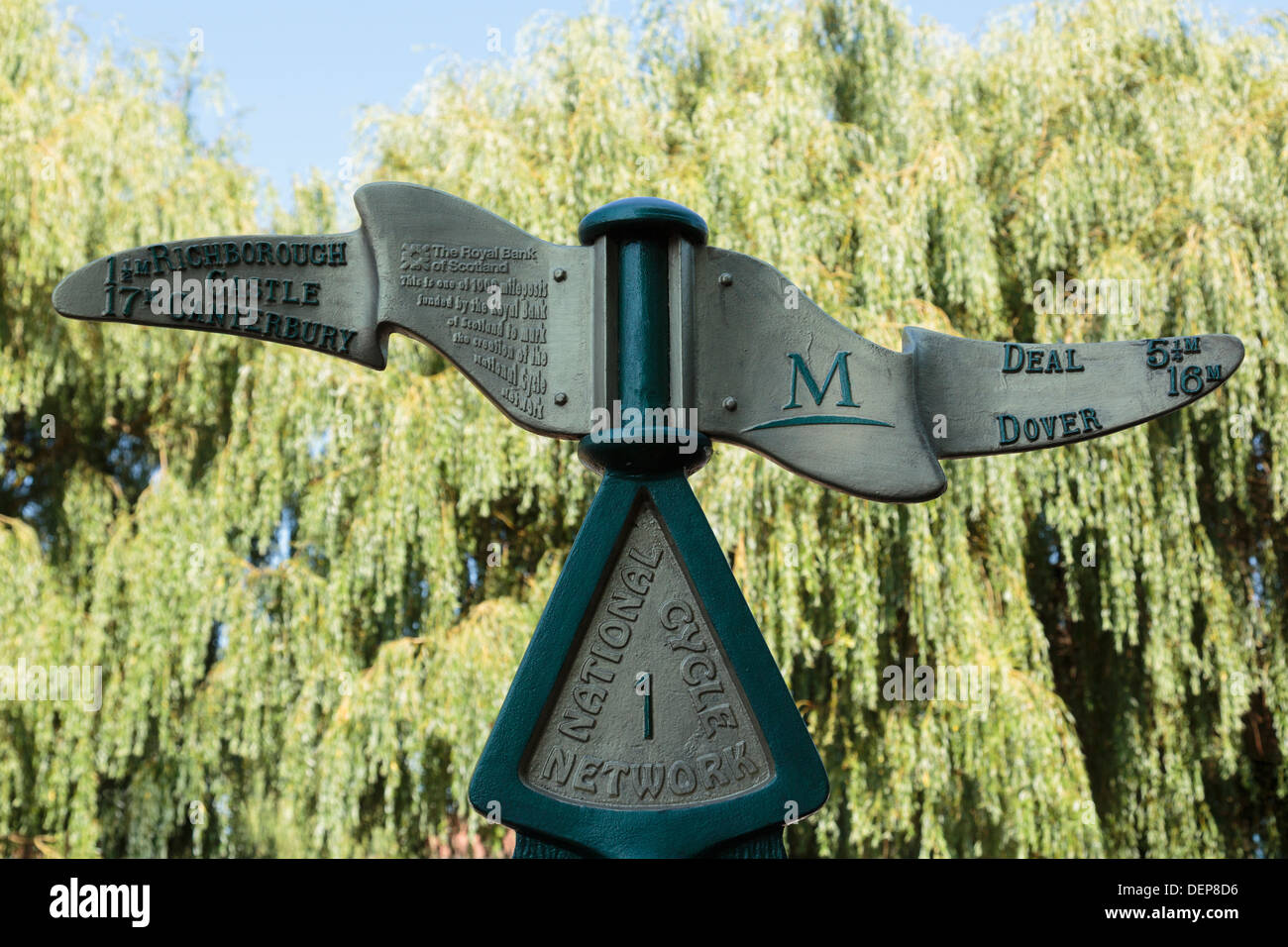 Milepost sign for National Cycle Network route 1 in Sandwich, Kent, England, UK, Britain Stock Photohttps://www.alamy.com/image-license-details/?v=1https://www.alamy.com/milepost-sign-for-national-cycle-network-route-1-in-sandwich-kent-image60725874.html
RMDEP8D6–Milepost sign for National Cycle Network route 1 in Sandwich, Kent, England, UK, Britain
 Route One, National Cycle Network milepost near Findochty, Moray, Scotland Stock Photohttps://www.alamy.com/image-license-details/?v=1https://www.alamy.com/stock-photo-route-one-national-cycle-network-milepost-near-findochty-moray-scotland-125939281.html
RMH8W0RD–Route One, National Cycle Network milepost near Findochty, Moray, Scotland
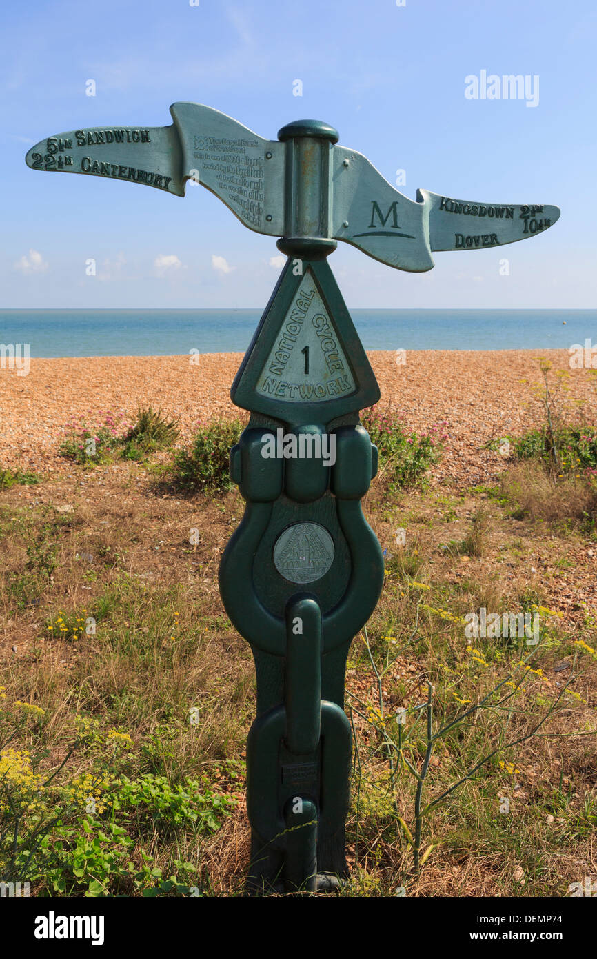 RBS milepost signpost for National Cycle Network route 1 on south coast seafront in Deal, Kent, England, UK, Britain Stock Photohttps://www.alamy.com/image-license-details/?v=1https://www.alamy.com/rbs-milepost-signpost-for-national-cycle-network-route-1-on-south-image60692776.html
RMDEMP74–RBS milepost signpost for National Cycle Network route 1 on south coast seafront in Deal, Kent, England, UK, Britain
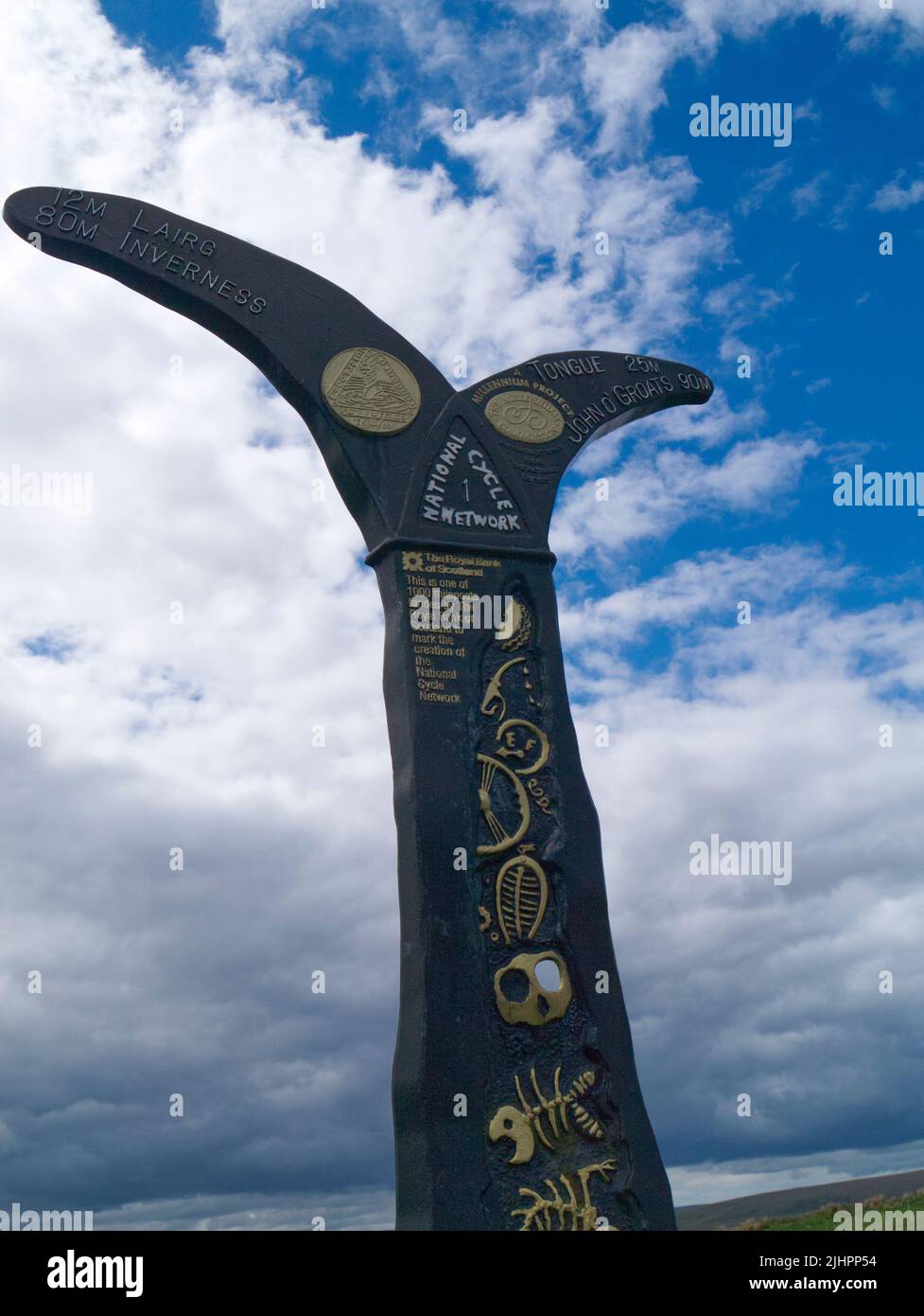 National Cycle Network milepost, Crask, Sutherland Stock Photohttps://www.alamy.com/image-license-details/?v=1https://www.alamy.com/national-cycle-network-milepost-crask-sutherland-image475629424.html
RF2JHPP54–National Cycle Network milepost, Crask, Sutherland
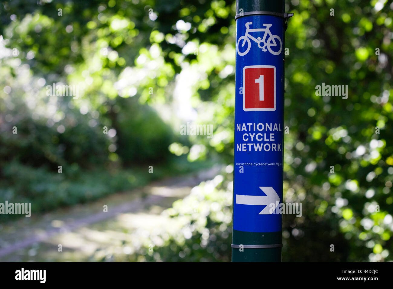 National Cycle Network sign in Harlow Town Park Essex UK Stock Photohttps://www.alamy.com/image-license-details/?v=1https://www.alamy.com/stock-photo-national-cycle-network-sign-in-harlow-town-park-essex-uk-19956452.html
RMB4D2JC–National Cycle Network sign in Harlow Town Park Essex UK
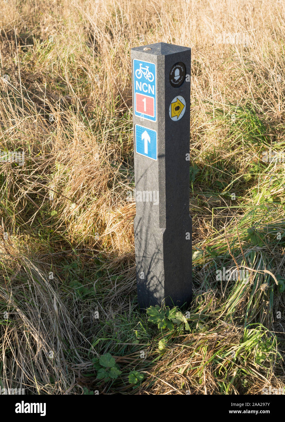 A recycled plastic way marker along the England Coast Path and National Cycle Network route 1 in Whitley Bay, North East, England, UK Stock Photohttps://www.alamy.com/image-license-details/?v=1https://www.alamy.com/a-recycled-plastic-way-marker-along-the-england-coast-path-and-national-cycle-network-route-1-in-whitley-bay-north-east-england-uk-image333194735.html
RM2AA297Y–A recycled plastic way marker along the England Coast Path and National Cycle Network route 1 in Whitley Bay, North East, England, UK
 National Cycle Network sign in Harlow Town Park Essex UK Stock Photohttps://www.alamy.com/image-license-details/?v=1https://www.alamy.com/stock-photo-national-cycle-network-sign-in-harlow-town-park-essex-uk-19961442.html
RMB4D90J–National Cycle Network sign in Harlow Town Park Essex UK
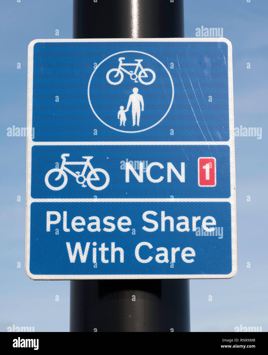 Sign on National Cycle Network NCN 1 shared use cycle and pedestrian path Please Share with Care, in Tynemouth, north east England, UK Stock Photohttps://www.alamy.com/image-license-details/?v=1https://www.alamy.com/sign-on-national-cycle-network-ncn-1-shared-use-cycle-and-pedestrian-path-please-share-with-care-in-tynemouth-north-east-england-uk-image237168411.html
RMRNRXMB–Sign on National Cycle Network NCN 1 shared use cycle and pedestrian path Please Share with Care, in Tynemouth, north east England, UK
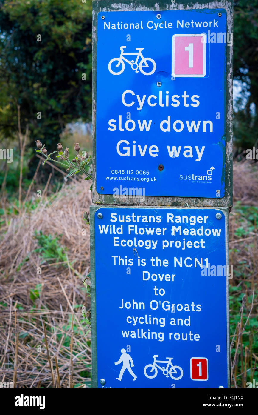 National Cycle Network NCNI Route 1 Dover to John o’Groats Sign warning cyclists to slow down and give way (to pedestrians). Stock Photohttps://www.alamy.com/image-license-details/?v=1https://www.alamy.com/stock-photo-national-cycle-network-ncni-route-1-dover-to-john-ogroats-sign-warning-88906998.html
RMF4J1NX–National Cycle Network NCNI Route 1 Dover to John o’Groats Sign warning cyclists to slow down and give way (to pedestrians).
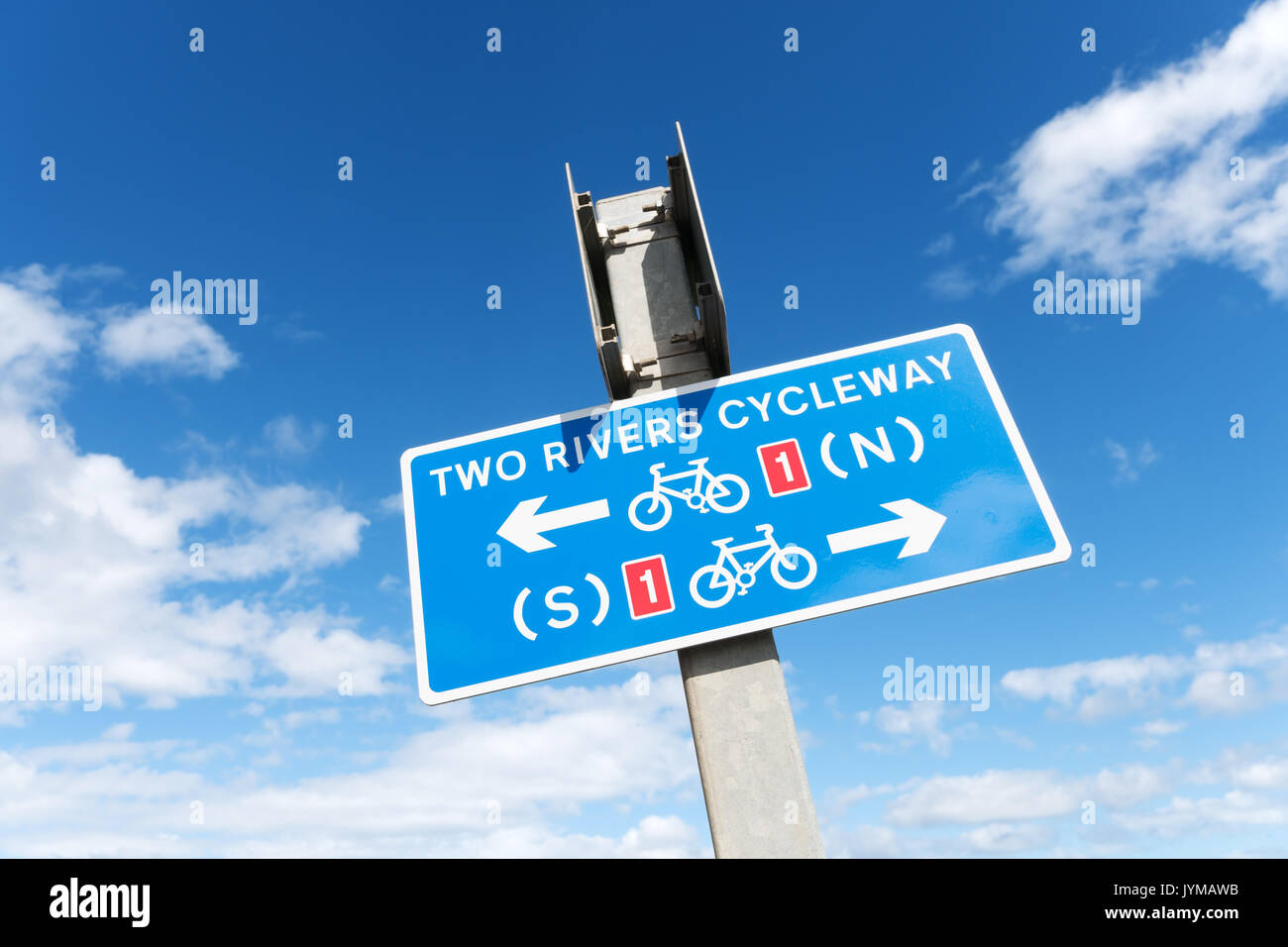 Two rivers (Tyne and Wear) cycleway sign, Whitburn, north east England, UK Stock Photohttps://www.alamy.com/image-license-details/?v=1https://www.alamy.com/two-rivers-tyne-and-wear-cycleway-sign-whitburn-north-east-england-image154726247.html
RMJYMAWB–Two rivers (Tyne and Wear) cycleway sign, Whitburn, north east England, UK
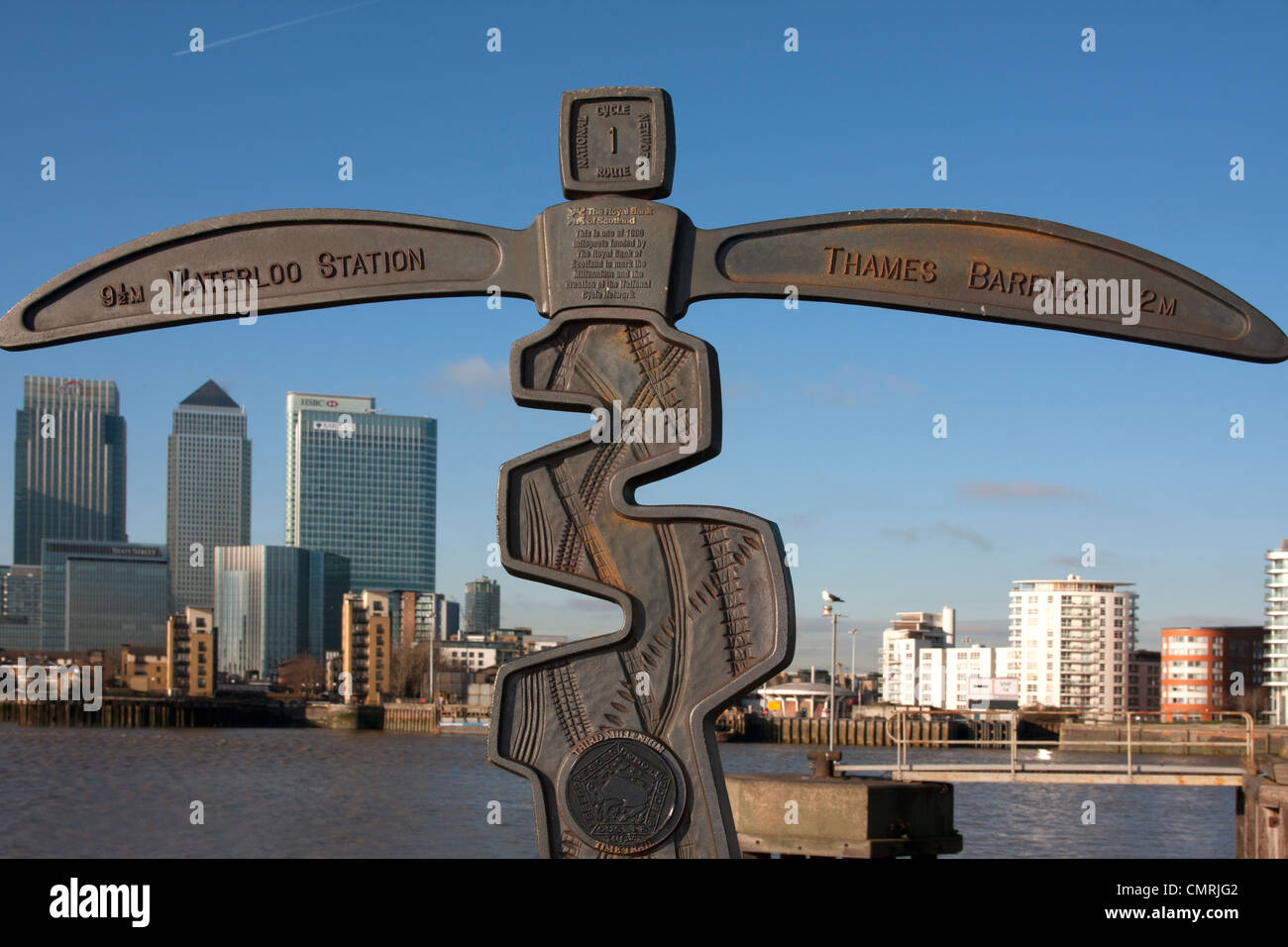 Third millennium time trail National Cycle Network, Greenwich, London Stock Photohttps://www.alamy.com/image-license-details/?v=1https://www.alamy.com/stock-photo-third-millennium-time-trail-national-cycle-network-greenwich-london-47233314.html
RMCMRJG2–Third millennium time trail National Cycle Network, Greenwich, London
 National Cycle Network sign by the Staithe at Langley, Norfolk, England, United Kingdom. Stock Photohttps://www.alamy.com/image-license-details/?v=1https://www.alamy.com/stock-photo-national-cycle-network-sign-by-the-staithe-at-langley-norfolk-england-101773787.html
RMFWG5E3–National Cycle Network sign by the Staithe at Langley, Norfolk, England, United Kingdom.
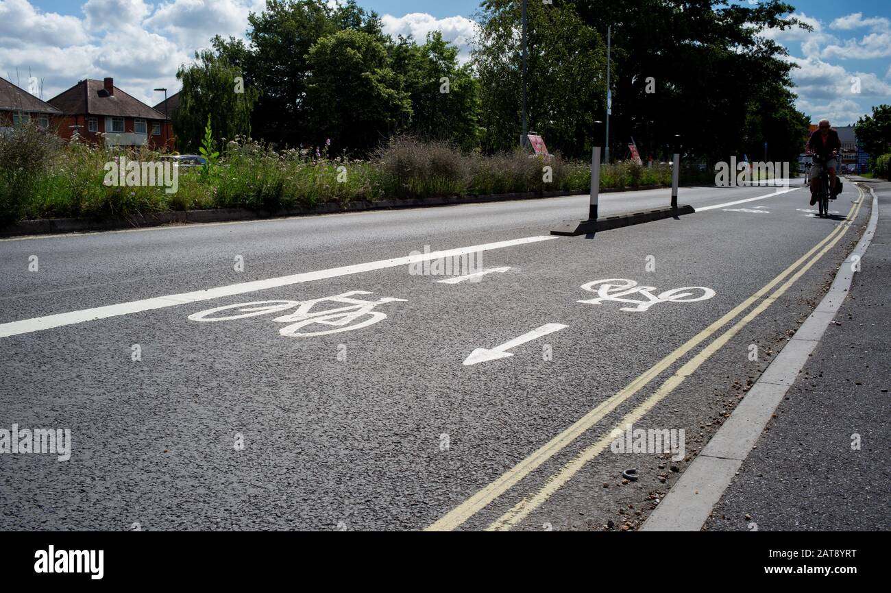 National cycle network paths that connect Southampton city centre with Totton area. The scheme enables cyclists and commuters to safely ride. Stock Photohttps://www.alamy.com/image-license-details/?v=1https://www.alamy.com/national-cycle-network-paths-that-connect-southampton-city-centre-with-totton-area-the-scheme-enables-cyclists-and-commuters-to-safely-ride-image341946188.html
RM2AT8YRT–National cycle network paths that connect Southampton city centre with Totton area. The scheme enables cyclists and commuters to safely ride.
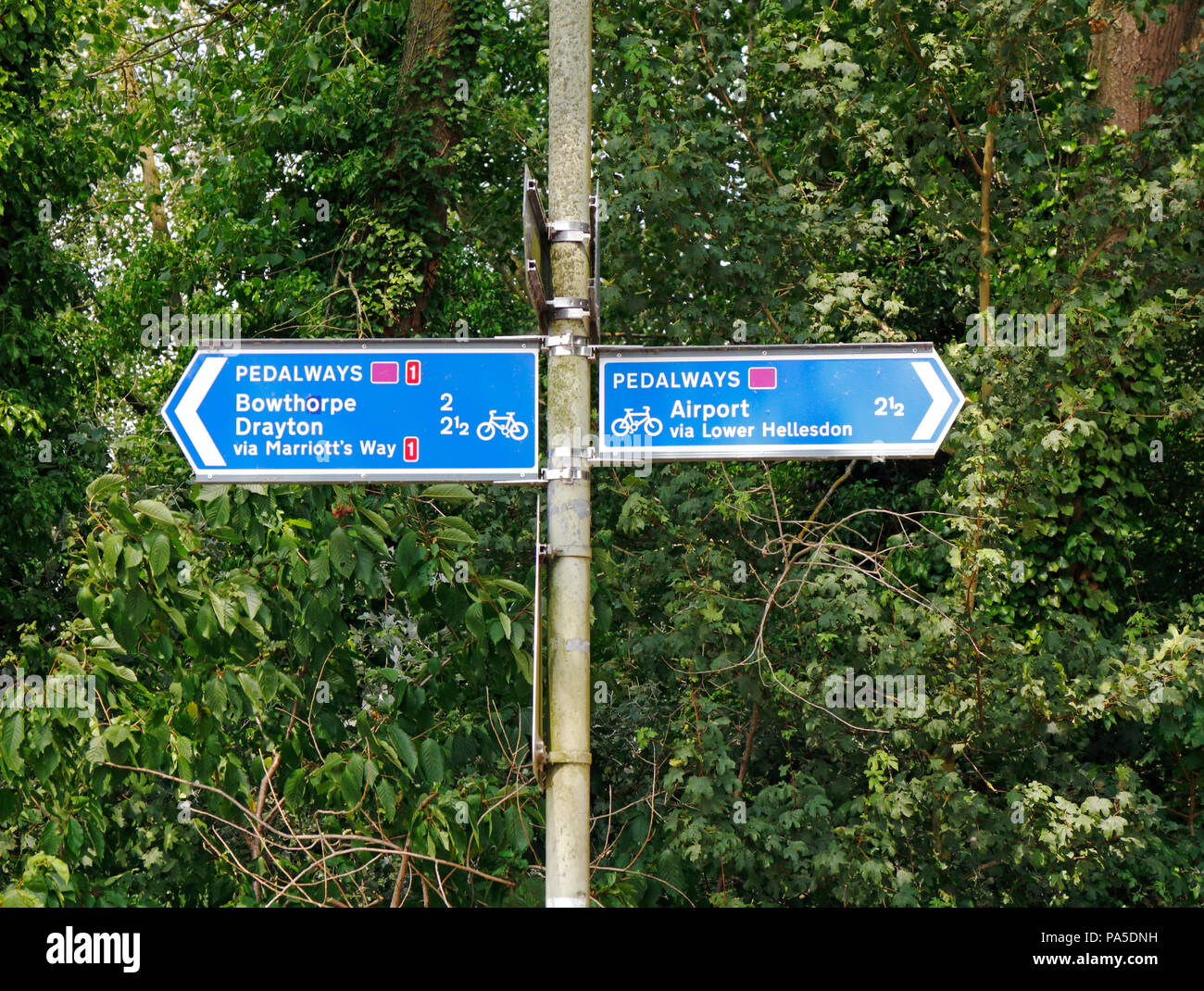 A road sign indicating Pedalways including National Cycle Route 1 at Hellesdon, Norfolk, England, United Kingdom, Europe. Stock Photohttps://www.alamy.com/image-license-details/?v=1https://www.alamy.com/a-road-sign-indicating-pedalways-including-national-cycle-route-1-at-hellesdon-norfolk-england-united-kingdom-europe-image212791533.html
RMPA5DNH–A road sign indicating Pedalways including National Cycle Route 1 at Hellesdon, Norfolk, England, United Kingdom, Europe.
 Signpost from the National Cycle Network route 1 in Northumberland Stock Photohttps://www.alamy.com/image-license-details/?v=1https://www.alamy.com/stock-photo-signpost-from-the-national-cycle-network-route-1-in-northumberland-95636922.html
RFFFGHTA–Signpost from the National Cycle Network route 1 in Northumberland
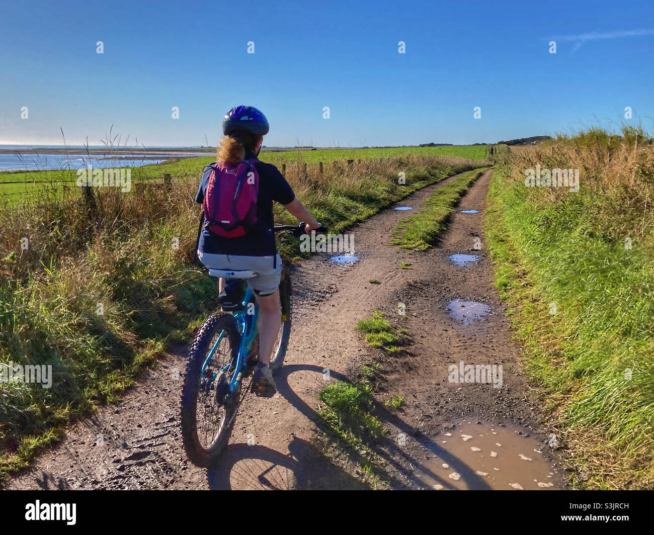 Woman cycling on National Cycle Network Route 1 in Northumberland Stock Photohttps://www.alamy.com/image-license-details/?v=1https://www.alamy.com/woman-cycling-on-national-cycle-network-route-1-in-northumberland-image312044113.html
RMS3JRCH–Woman cycling on National Cycle Network Route 1 in Northumberland
 National cycle network signpost Ravenscar on the east coast of Yorkshire. 1 of 1000 sign post. Stock Photohttps://www.alamy.com/image-license-details/?v=1https://www.alamy.com/stock-photo-national-cycle-network-signpost-ravenscar-on-the-east-coast-of-yorkshire-59181731.html
RMDC7XW7–National cycle network signpost Ravenscar on the east coast of Yorkshire. 1 of 1000 sign post.
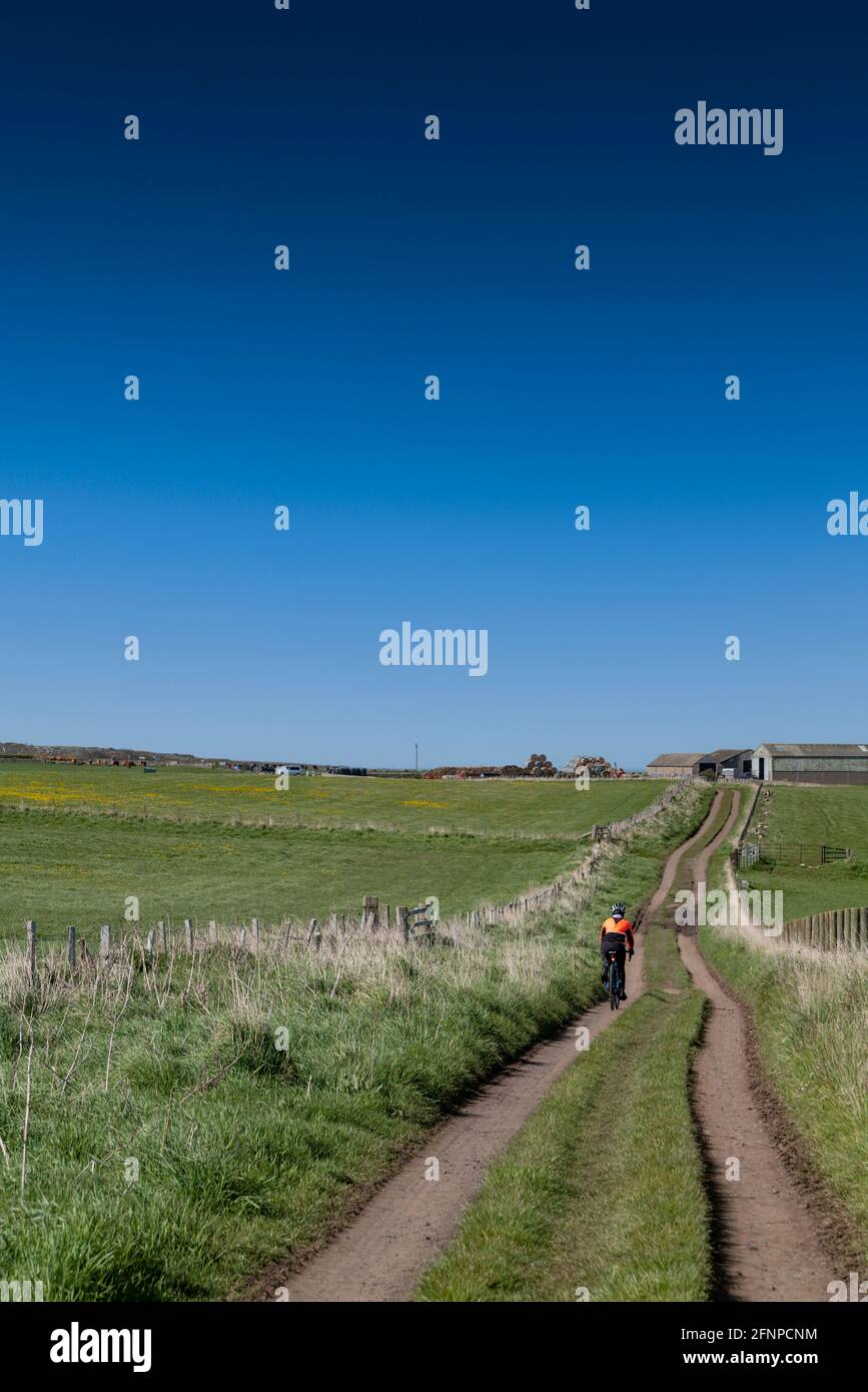 Cycling on Sustrans national cycle network route 1, close to Craster, Northumberland, UK. Stock Photohttps://www.alamy.com/image-license-details/?v=1https://www.alamy.com/cycling-on-sustrans-national-cycle-network-route-1-close-to-craster-northumberland-uk-image426449568.html
RF2FNPCNM–Cycling on Sustrans national cycle network route 1, close to Craster, Northumberland, UK.
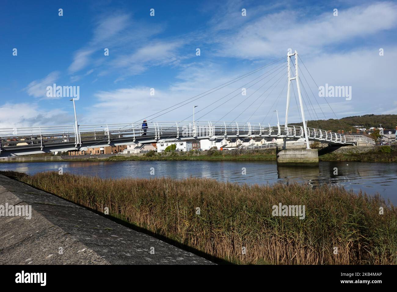 Trefechan Footbridge - 1 Stock Photohttps://www.alamy.com/image-license-details/?v=1https://www.alamy.com/trefechan-footbridge-1-image488755310.html
RM2KB4MAP–Trefechan Footbridge - 1
 A colourfully decorated signpost at Upper Upnor showing the mileage to local destinations along the National Cycle Route 1, Kent Stock Photohttps://www.alamy.com/image-license-details/?v=1https://www.alamy.com/stock-photo-a-colourfully-decorated-signpost-at-upper-upnor-showing-the-mileage-78535033.html
RMEFNG6H–A colourfully decorated signpost at Upper Upnor showing the mileage to local destinations along the National Cycle Route 1, Kent
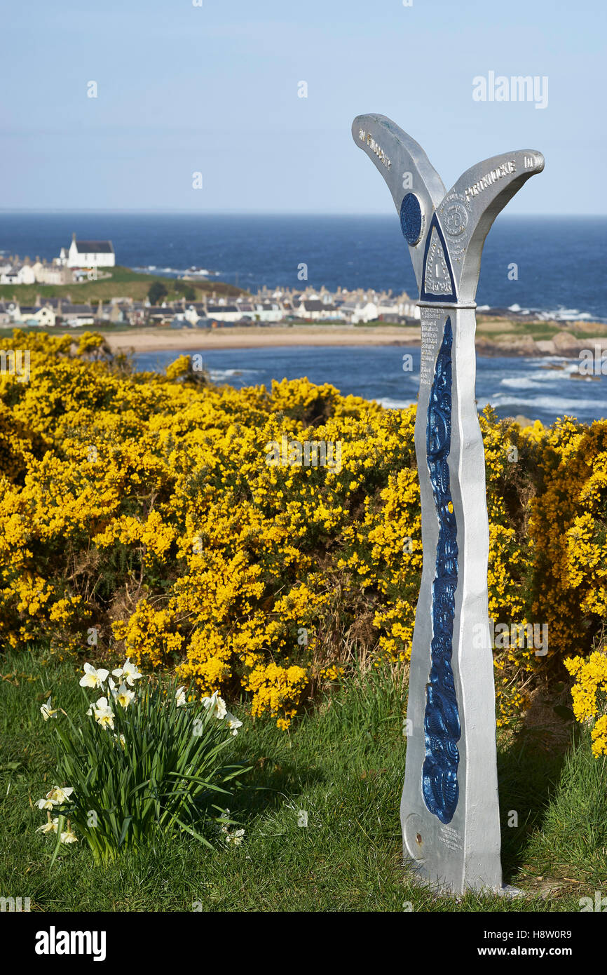 Route One, National Cycle Network milepost near Findochty, Moray, Scotland Stock Photohttps://www.alamy.com/image-license-details/?v=1https://www.alamy.com/stock-photo-route-one-national-cycle-network-milepost-near-findochty-moray-scotland-125939277.html
RMH8W0R9–Route One, National Cycle Network milepost near Findochty, Moray, Scotland
 National Cycle Network route 1 with sign on seafront promenade by Walmer beach in Deal, Kent, England, UK, Britain Stock Photohttps://www.alamy.com/image-license-details/?v=1https://www.alamy.com/national-cycle-network-route-1-with-sign-on-seafront-promenade-by-image61086407.html
RMDFAM9B–National Cycle Network route 1 with sign on seafront promenade by Walmer beach in Deal, Kent, England, UK, Britain
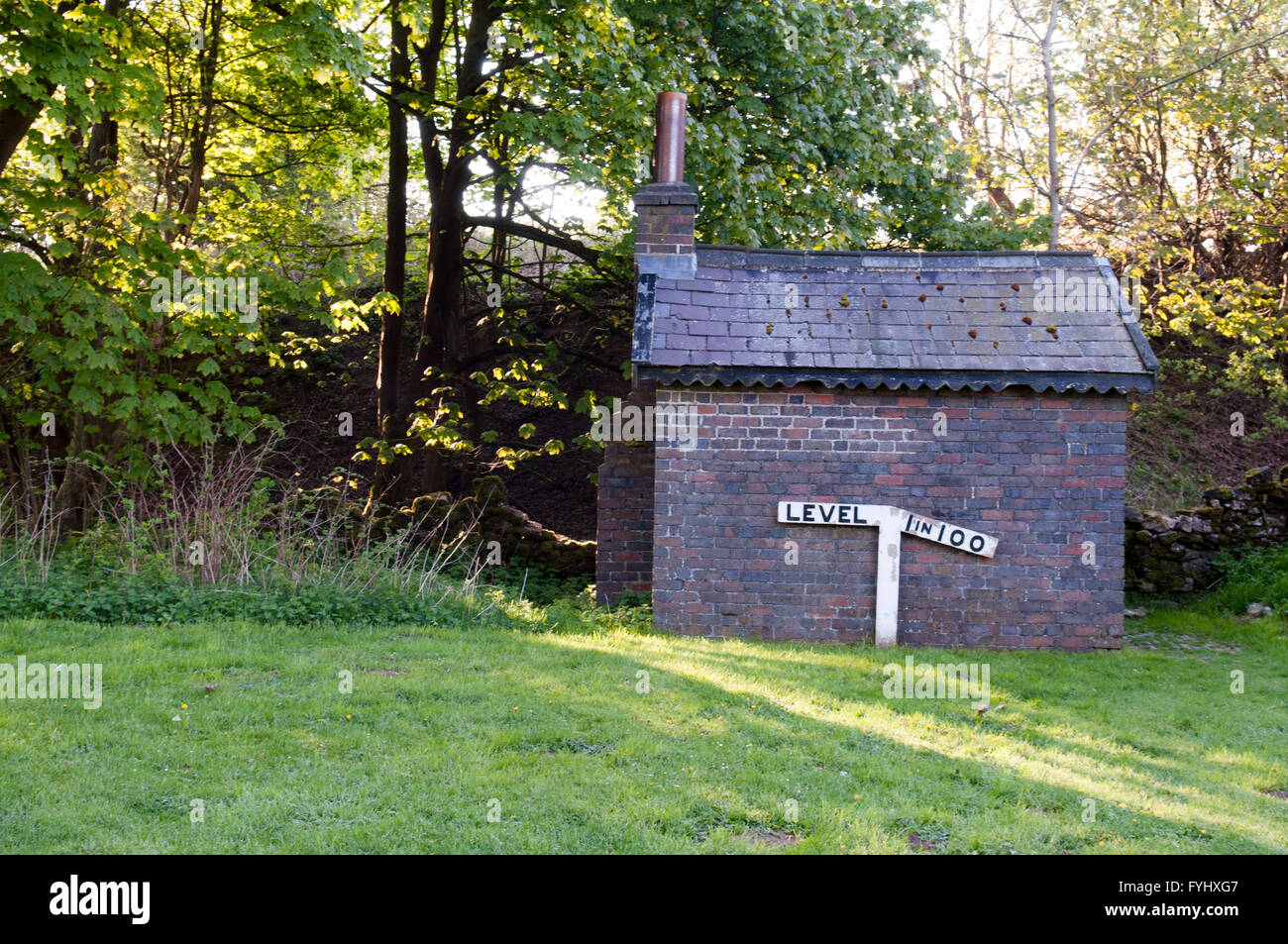 A 19th century Victorian railway trackside building and sign indicating a 1 in 100 incline, in Derbyshire, England. Stock Photohttps://www.alamy.com/image-license-details/?v=1https://www.alamy.com/stock-photo-a-19th-century-victorian-railway-trackside-building-and-sign-indicating-103041575.html
RFFYHXG7–A 19th century Victorian railway trackside building and sign indicating a 1 in 100 incline, in Derbyshire, England.
 JUL 27, 2019, Washougal, WA USA : # 1 Eli Tomac coming out of turn 25 during the Lucas Oil Pro Motocross Washougal National 450 class championship at Washougal MX park Washougal, WA Thurman James / CSM Stock Photohttps://www.alamy.com/image-license-details/?v=1https://www.alamy.com/jul-27-2019-washougal-wa-usa-1-eli-tomac-coming-out-of-turn-25-during-the-lucas-oil-pro-motocross-washougal-national-450-class-championship-at-washougal-mx-park-washougal-wa-thurman-james-csm-image261580364.html
RMW5G0BT–JUL 27, 2019, Washougal, WA USA : # 1 Eli Tomac coming out of turn 25 during the Lucas Oil Pro Motocross Washougal National 450 class championship at Washougal MX park Washougal, WA Thurman James / CSM
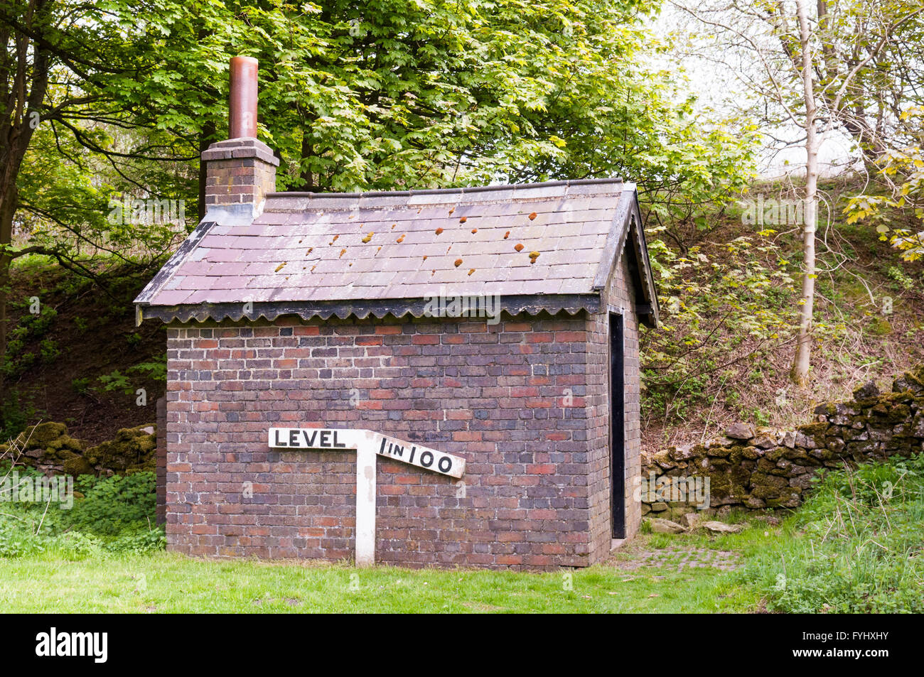 A 19th century Victorian railway trackside building and sign indicating a 1 in 100 incline, in Derbyshire, England. Stock Photohttps://www.alamy.com/image-license-details/?v=1https://www.alamy.com/stock-photo-a-19th-century-victorian-railway-trackside-building-and-sign-indicating-103041623.html
RFFYHXHY–A 19th century Victorian railway trackside building and sign indicating a 1 in 100 incline, in Derbyshire, England.
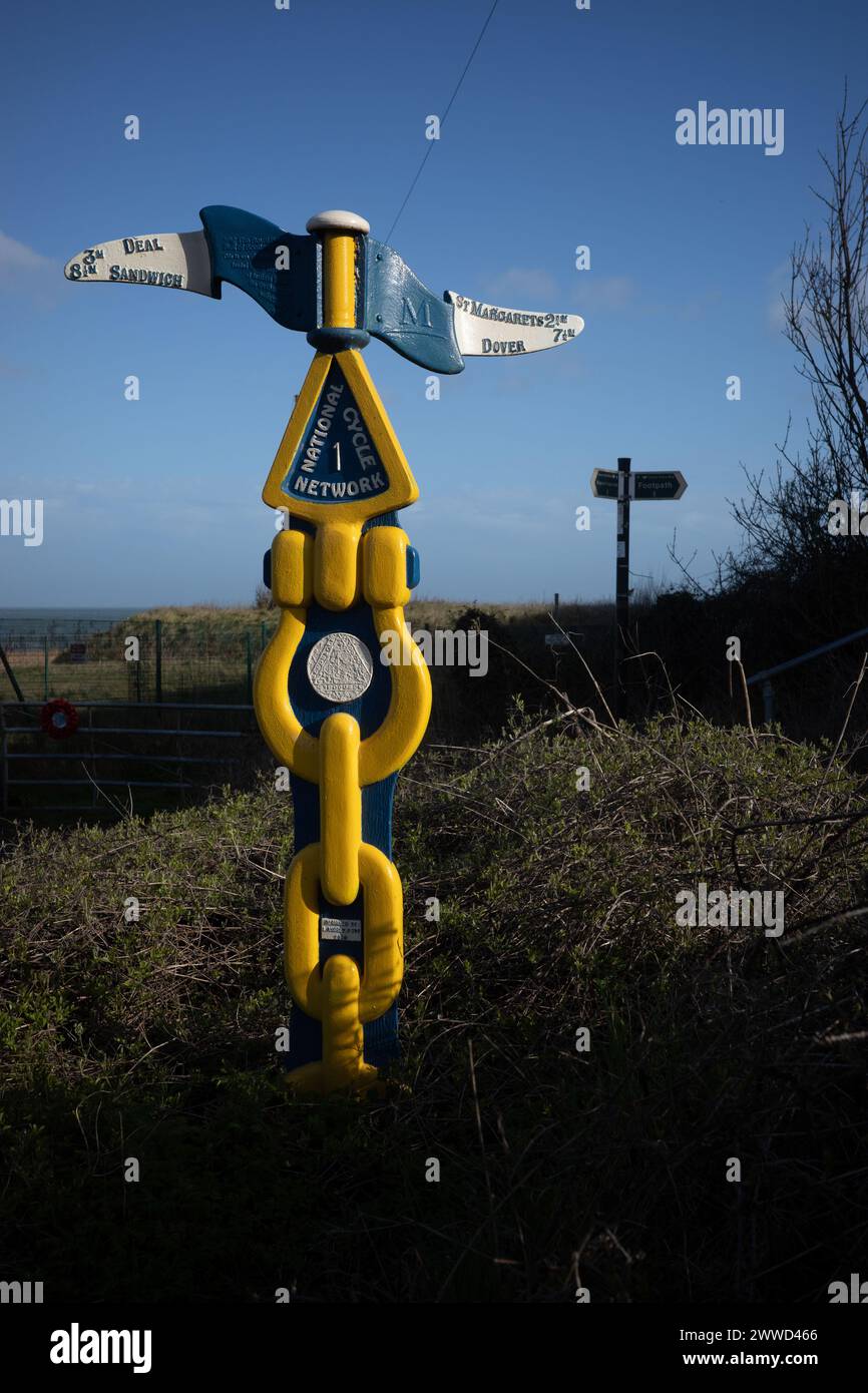 Signpost for National Cycle Network route 1, Kingsdown, Stock Photohttps://www.alamy.com/image-license-details/?v=1https://www.alamy.com/signpost-for-national-cycle-network-route-1-kingsdown-image600807598.html
RM2WWD466–Signpost for National Cycle Network route 1, Kingsdown,
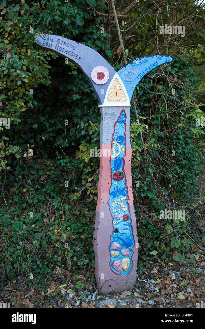 Milepost on the National Cycle Network, Route 1, at Upnor Kent UK Stock Photohttps://www.alamy.com/image-license-details/?v=1https://www.alamy.com/stock-photo-milepost-on-the-national-cycle-network-route-1-at-upnor-kent-uk-26524847.html
RMBF48KY–Milepost on the National Cycle Network, Route 1, at Upnor Kent UK
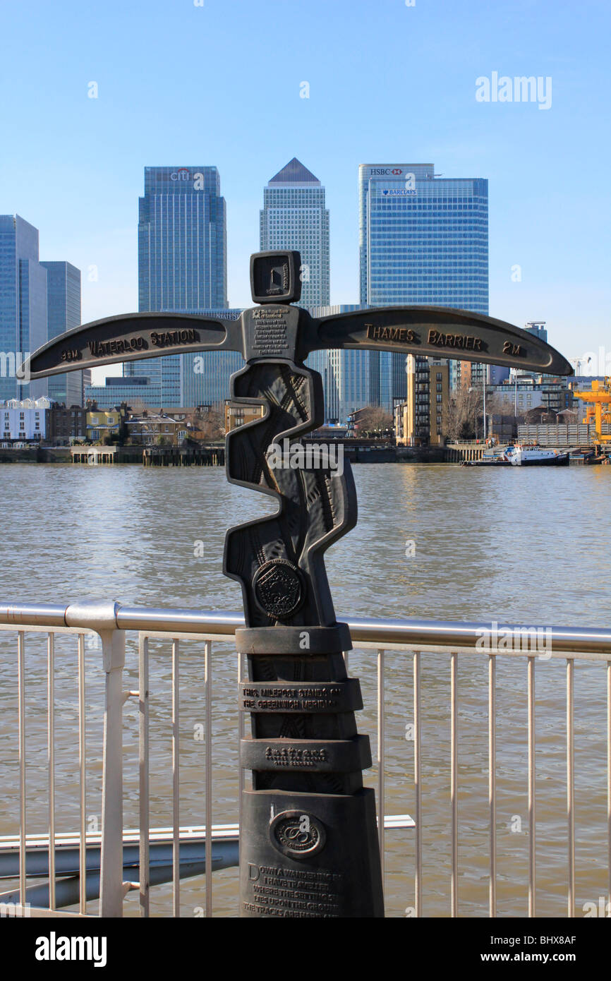 greenwich area of london, england, uk gb Stock Photohttps://www.alamy.com/image-license-details/?v=1https://www.alamy.com/stock-photo-greenwich-area-of-london-england-uk-gb-28236839.html
RMBHX8AF–greenwich area of london, england, uk gb
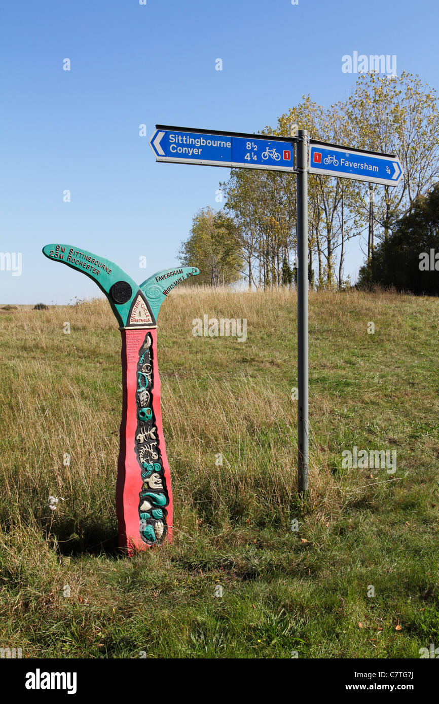 A sign for the National cycle network route 1 Stock Photohttps://www.alamy.com/image-license-details/?v=1https://www.alamy.com/stock-photo-a-sign-for-the-national-cycle-network-route-1-39262934.html
RMC7TG7J–A sign for the National cycle network route 1
 Tue 26 May 2020. Cyclists in Edinburgh, Scotland, using the dedicated bike path as part of the city’s response to more people choosing to walk and cycle under the Covid-19 lockdown restrictions. Edinburgh is to benefit from £5 million of Places for Everyone funding for more pop-up walking and cycling routes to ensure social distancing as Scotland's lockdown restrictions are lifted. The Scottish Government funding comes in response to more people choosing to walk and cycle under the Covid-19 lockdown restrictions. Stock Photohttps://www.alamy.com/image-license-details/?v=1https://www.alamy.com/tue-26-may-2020-cyclists-in-edinburgh-scotland-using-the-dedicated-bike-path-as-part-of-the-citys-response-to-more-people-choosing-to-walk-and-cycle-under-the-covid-19-lockdown-restrictions-edinburgh-is-to-benefit-from-5-million-of-places-for-everyone-funding-for-more-pop-up-walking-and-cycling-routes-to-ensure-social-distancing-as-scotlands-lockdown-restrictions-are-lifted-the-scottish-government-funding-comes-in-response-to-more-people-choosing-to-walk-and-cycle-under-the-covid-19-lockdown-restrictions-image359557106.html
RM2BTY6N6–Tue 26 May 2020. Cyclists in Edinburgh, Scotland, using the dedicated bike path as part of the city’s response to more people choosing to walk and cycle under the Covid-19 lockdown restrictions. Edinburgh is to benefit from £5 million of Places for Everyone funding for more pop-up walking and cycling routes to ensure social distancing as Scotland's lockdown restrictions are lifted. The Scottish Government funding comes in response to more people choosing to walk and cycle under the Covid-19 lockdown restrictions.
 Cyclists on the Sustrans cycle path way at the former Mangotsfield Railway Station part of National Cycle Network near Bristol Stock Photohttps://www.alamy.com/image-license-details/?v=1https://www.alamy.com/stock-photo-cyclists-on-the-sustrans-cycle-path-way-at-the-former-mangotsfield-28380387.html
RMBJ4RD7–Cyclists on the Sustrans cycle path way at the former Mangotsfield Railway Station part of National Cycle Network near Bristol
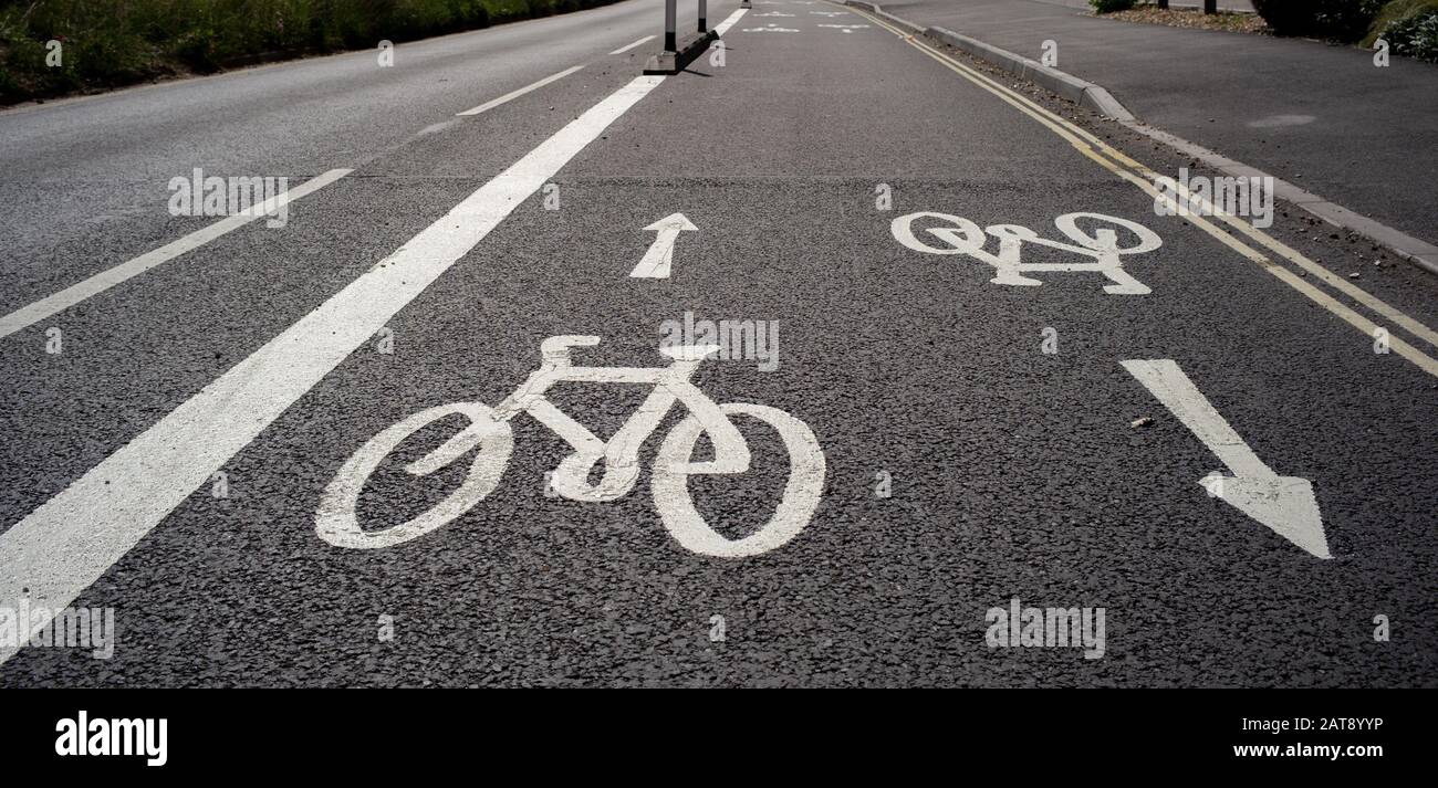 National cycle network paths that connect Southampton city centre with Totton area. The scheme enables cyclists and commuters to safely ride. Stock Photohttps://www.alamy.com/image-license-details/?v=1https://www.alamy.com/national-cycle-network-paths-that-connect-southampton-city-centre-with-totton-area-the-scheme-enables-cyclists-and-commuters-to-safely-ride-image341946298.html
RM2AT8YYP–National cycle network paths that connect Southampton city centre with Totton area. The scheme enables cyclists and commuters to safely ride.
 A sign indicating the National Cycle Route 1 on a section of the Marriotts Way at Hellesdon, Norfolk, England, United Kingdom, Europe. Stock Photohttps://www.alamy.com/image-license-details/?v=1https://www.alamy.com/a-sign-indicating-the-national-cycle-route-1-on-a-section-of-the-marriotts-way-at-hellesdon-norfolk-england-united-kingdom-europe-image212791518.html
RMPA5DN2–A sign indicating the National Cycle Route 1 on a section of the Marriotts Way at Hellesdon, Norfolk, England, United Kingdom, Europe.
 Lerwick, UK - Aug 22 2024 white on blue signs for the UK National Cycle Route 1 . High quality photo Stock Photohttps://www.alamy.com/image-license-details/?v=1https://www.alamy.com/lerwick-uk-aug-22-2024-white-on-blue-signs-for-the-uk-national-cycle-route-1-high-quality-photo-image628912694.html
RF2YF5CFJ–Lerwick, UK - Aug 22 2024 white on blue signs for the UK National Cycle Route 1 . High quality photo
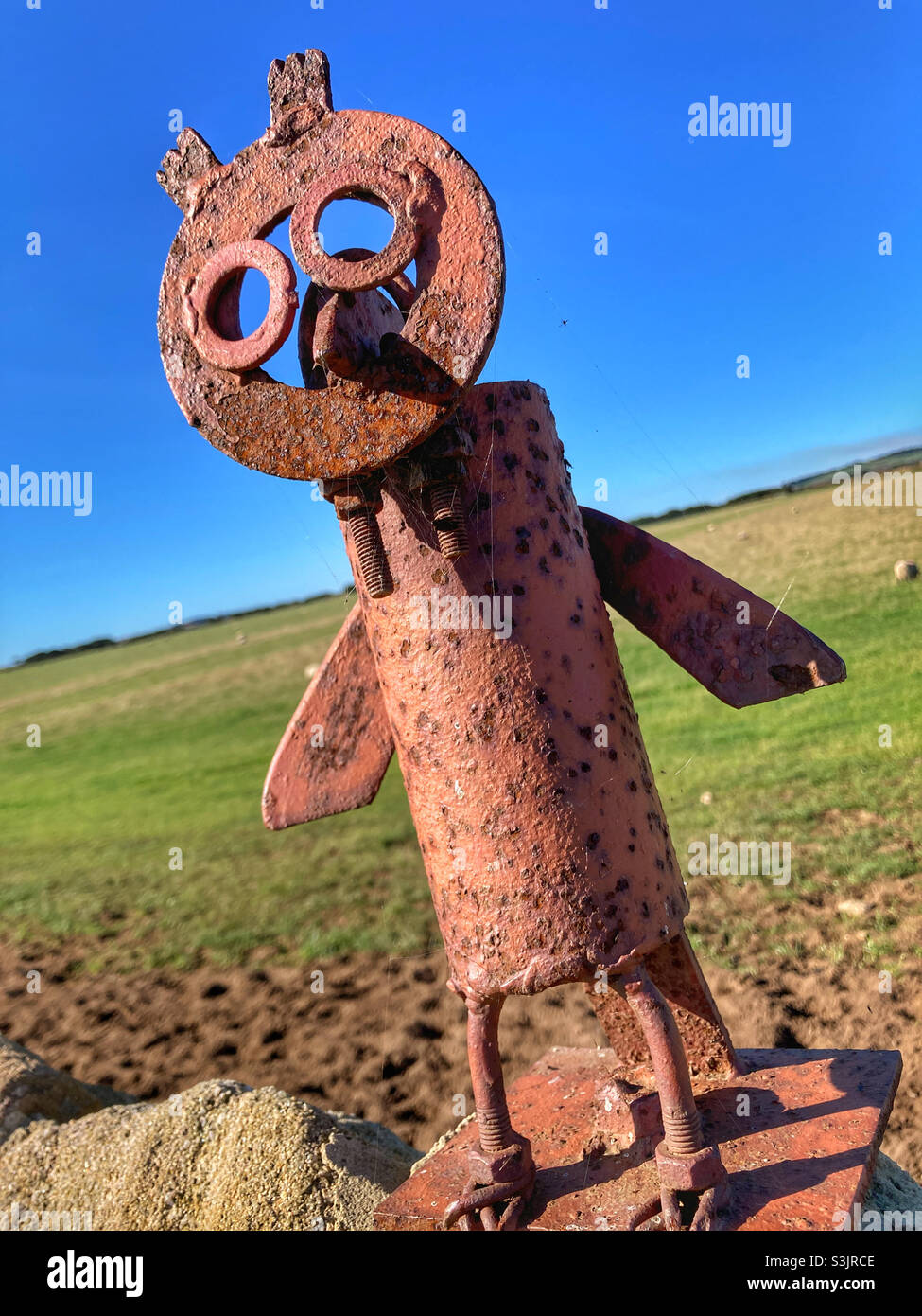 Owl sculpture on a wall on National Cycle Network Route 1 Stock Photohttps://www.alamy.com/image-license-details/?v=1https://www.alamy.com/owl-sculpture-on-a-wall-on-national-cycle-network-route-1-image312044110.html
RFS3JRCE–Owl sculpture on a wall on National Cycle Network Route 1
 A National Cycle Network mile post by the Staithe at Loddon, Norfolk, England, United Kingdom. Stock Photohttps://www.alamy.com/image-license-details/?v=1https://www.alamy.com/stock-photo-a-national-cycle-network-mile-post-by-the-staithe-at-loddon-norfolk-100584887.html
RMFRJ11B–A National Cycle Network mile post by the Staithe at Loddon, Norfolk, England, United Kingdom.
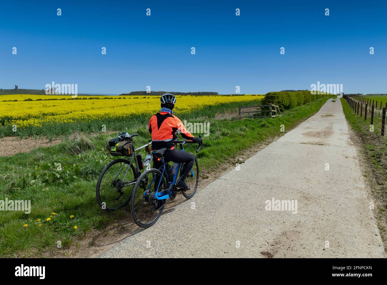 Cycling on Sustrans national cycle network route 1, close to Craster, Northumberland, UK. Stock Photohttps://www.alamy.com/image-license-details/?v=1https://www.alamy.com/cycling-on-sustrans-national-cycle-network-route-1-close-to-craster-northumberland-uk-image426449513.html
RF2FNPCKN–Cycling on Sustrans national cycle network route 1, close to Craster, Northumberland, UK.
 A view of Marriott's Way long distance footpath and cycle way at Lenwade, Norfolk, England, United Kingdom. Stock Photohttps://www.alamy.com/image-license-details/?v=1https://www.alamy.com/stock-photo-a-view-of-marriotts-way-long-distance-footpath-and-cycle-way-at-lenwade-103953297.html
RMG13DDN–A view of Marriott's Way long distance footpath and cycle way at Lenwade, Norfolk, England, United Kingdom.
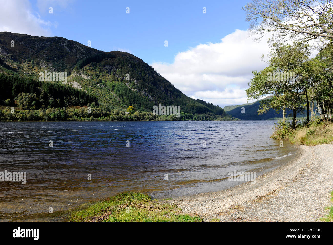 Loch Lubnaig, Stirlingshire, Scotland-1 Stock Photohttps://www.alamy.com/image-license-details/?v=1https://www.alamy.com/stock-photo-loch-lubnaig-stirlingshire-scotland-1-31705416.html
RMBRG8G8–Loch Lubnaig, Stirlingshire, Scotland-1
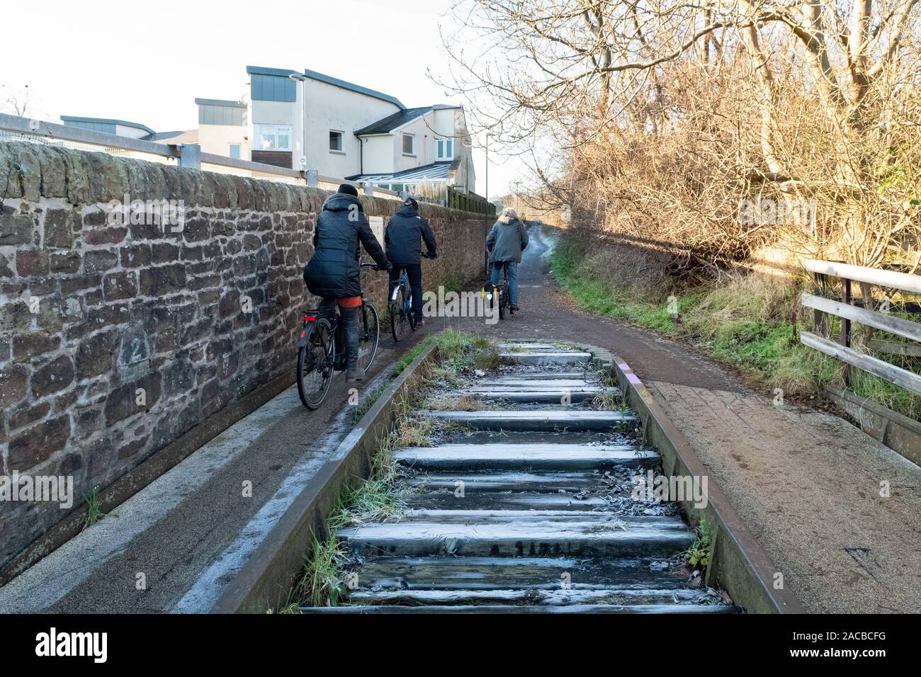 cyclists passing a section of original railway track on The Innocent Railway path - Edinburgh's earliest railway, Scotland, UK Stock Photohttps://www.alamy.com/image-license-details/?v=1https://www.alamy.com/cyclists-passing-a-section-of-original-railway-track-on-the-innocent-railway-path-edinburghs-earliest-railway-scotland-uk-image334624180.html
RF2ACBCFG–cyclists passing a section of original railway track on The Innocent Railway path - Edinburgh's earliest railway, Scotland, UK
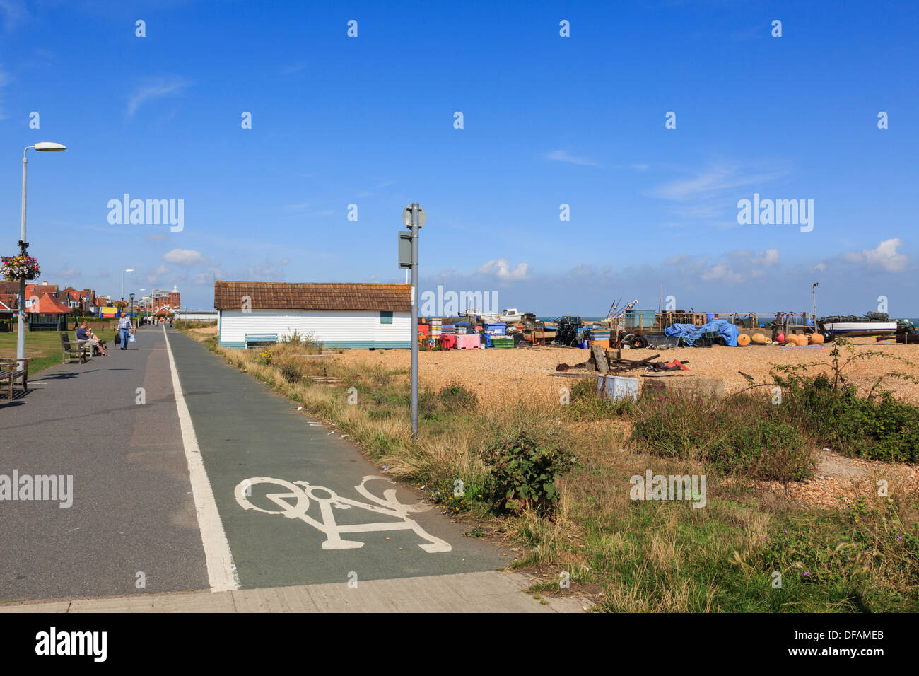 National Cycle Network route 1 with sign on seafront promenade by Walmer beach in Deal, Kent, England, UK, Britain Stock Photohttps://www.alamy.com/image-license-details/?v=1https://www.alamy.com/national-cycle-network-route-1-with-sign-on-seafront-promenade-by-image61086547.html
RMDFAMEB–National Cycle Network route 1 with sign on seafront promenade by Walmer beach in Deal, Kent, England, UK, Britain
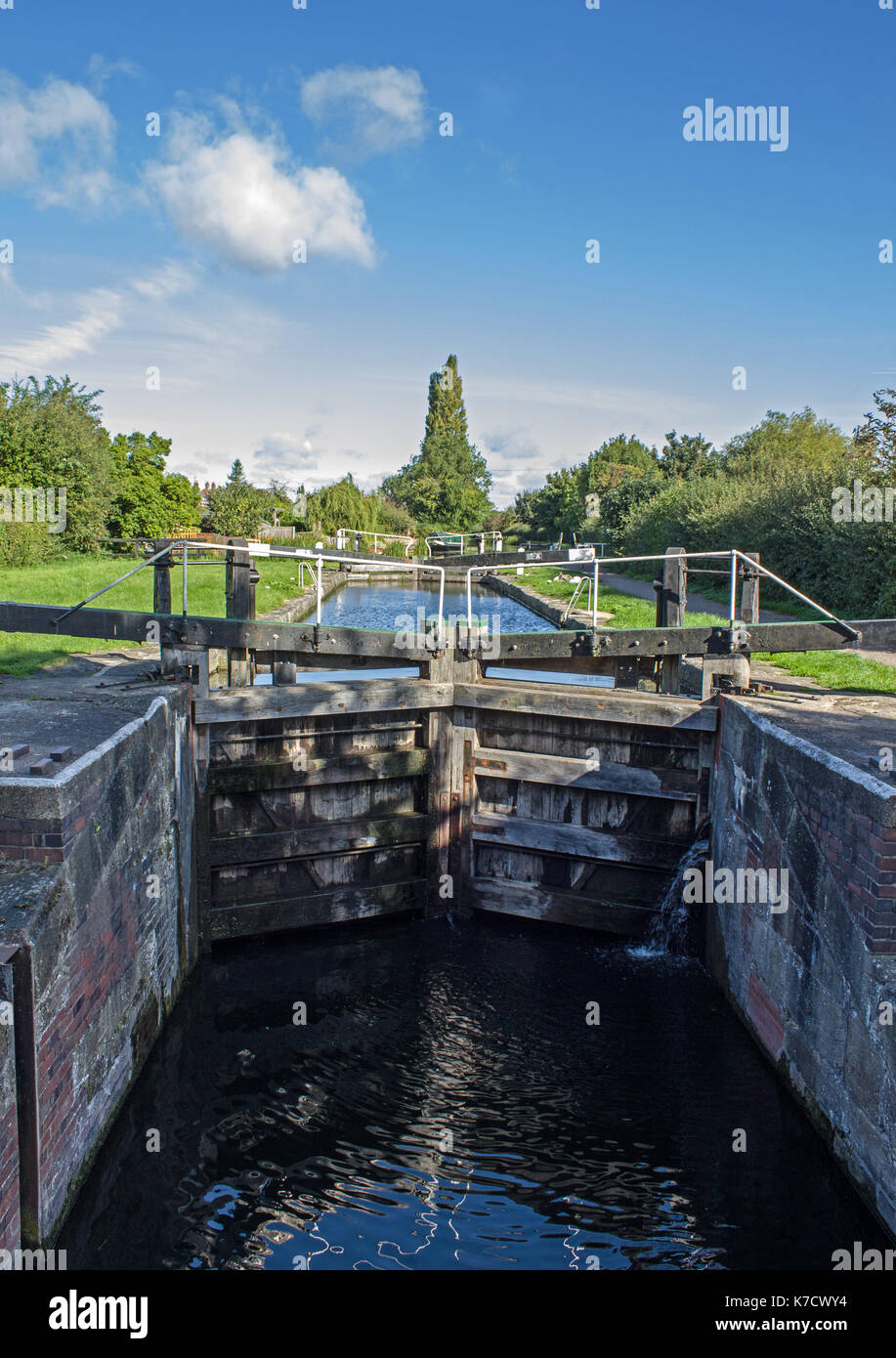 Dockholme Canal Lock Stock Photohttps://www.alamy.com/image-license-details/?v=1https://www.alamy.com/dockholme-canal-lock-image159479688.html
RFK7CWY4–Dockholme Canal Lock
 Washougal, WA USA. 27th July, 2019. # 1 Eli Tomac on the podium after the Lucas Oil Pro Motocross Washougal National 450 class championship at Washougal MX park Washougal, WA Thurman James/CSM/Alamy Live News Stock Photohttps://www.alamy.com/image-license-details/?v=1https://www.alamy.com/washougal-wa-usa-27th-july-2019-1-eli-tomac-on-the-podium-after-the-lucas-oil-pro-motocross-washougal-national-450-class-championship-at-washougal-mx-park-washougal-wa-thurman-jamescsmalamy-live-news-image261588519.html
RMW5GAR3–Washougal, WA USA. 27th July, 2019. # 1 Eli Tomac on the podium after the Lucas Oil Pro Motocross Washougal National 450 class championship at Washougal MX park Washougal, WA Thurman James/CSM/Alamy Live News
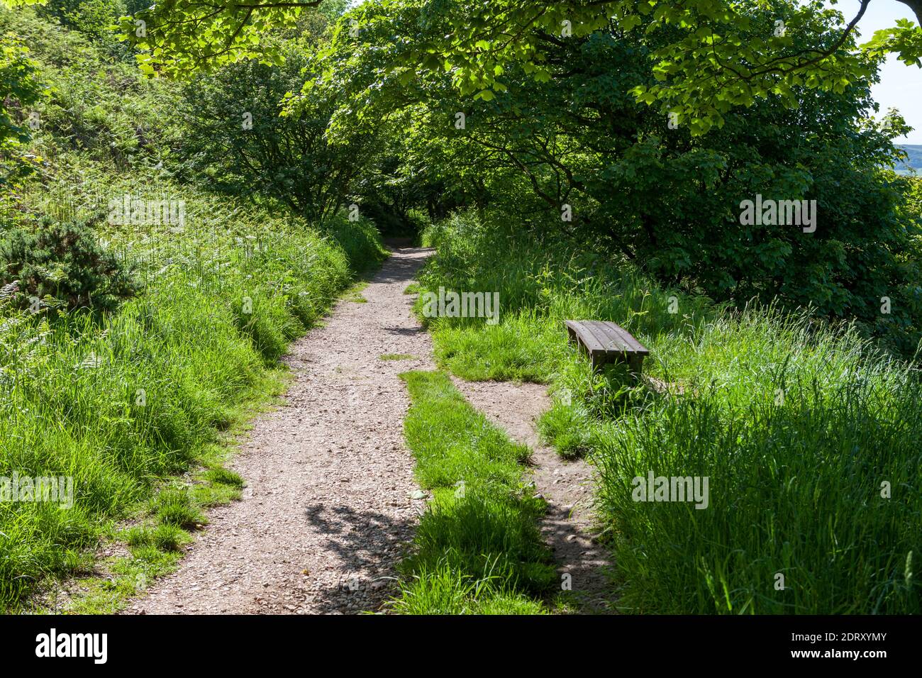 The Cinder Track - an old railway now an off road route - at Robin Hood's bay on the Yorkshire coast Stock Photohttps://www.alamy.com/image-license-details/?v=1https://www.alamy.com/the-cinder-track-an-old-railway-now-an-off-road-route-at-robin-hoods-bay-on-the-yorkshire-coast-image393357691.html
RM2DRXYMY–The Cinder Track - an old railway now an off road route - at Robin Hood's bay on the Yorkshire coast
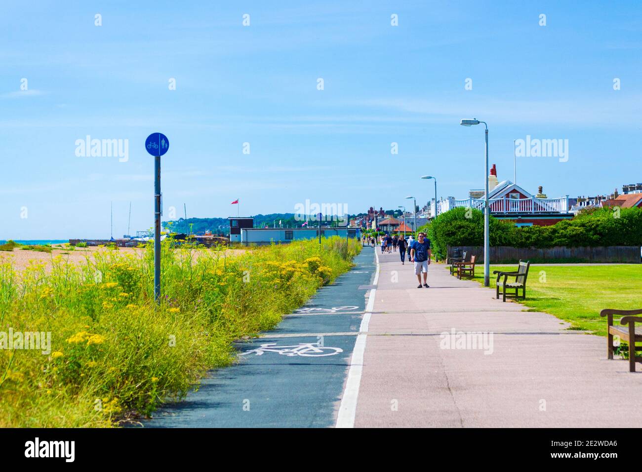 Memorial benches and National Cycle Network route 1 on seafront promenade Deal- Walmer against nice skies,July 2016,kENT,UK Stock Photohttps://www.alamy.com/image-license-details/?v=1https://www.alamy.com/memorial-benches-and-national-cycle-network-route-1-on-seafront-promenade-deal-walmer-against-nice-skiesjuly-2016kentuk-image397627054.html
RF2E2WDA6–Memorial benches and National Cycle Network route 1 on seafront promenade Deal- Walmer against nice skies,July 2016,kENT,UK
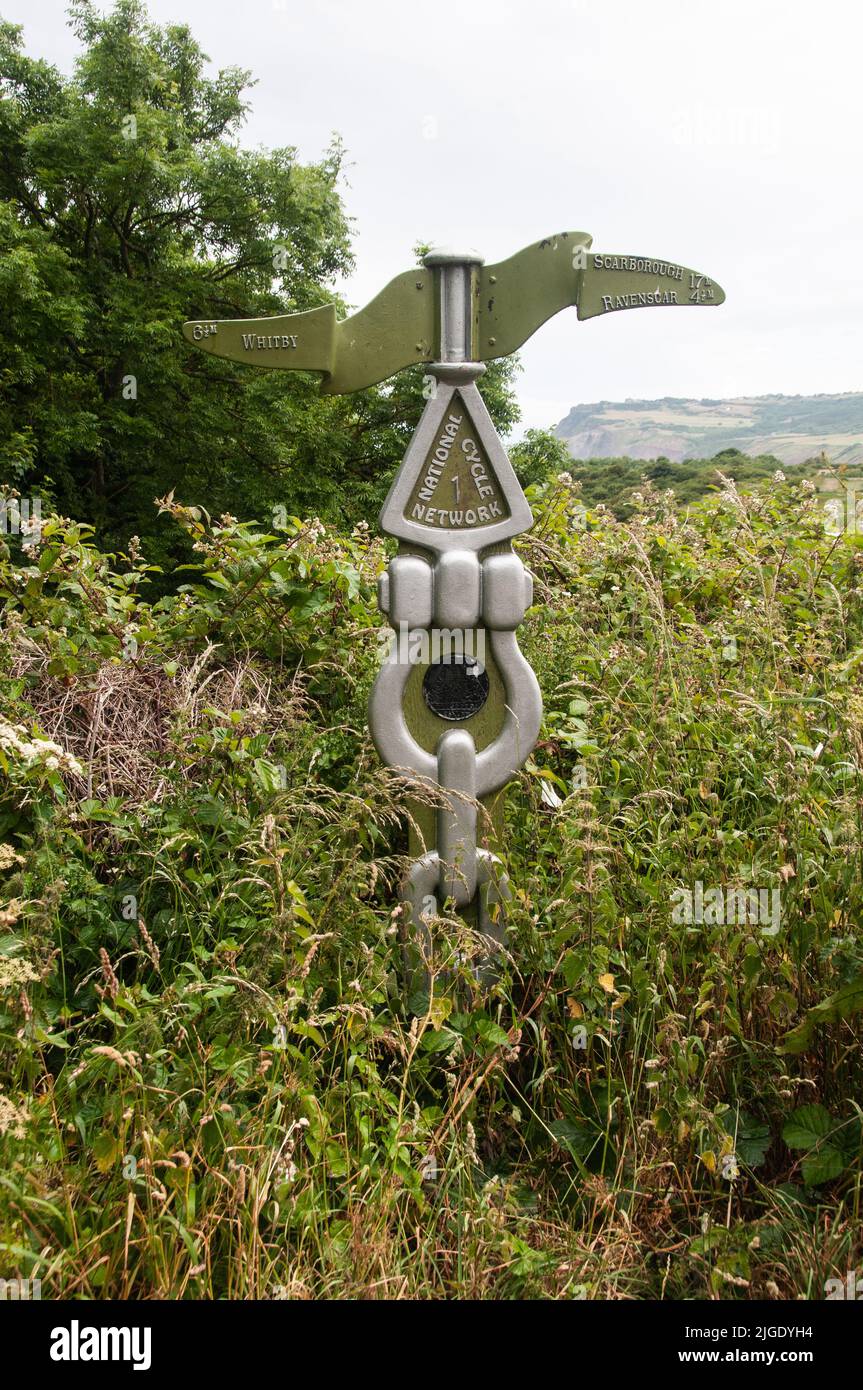 Around the UK - Sustrans Finger Post on Route No. 1, Cleveland Way, North Yorkshire Stock Photohttps://www.alamy.com/image-license-details/?v=1https://www.alamy.com/around-the-uk-sustrans-finger-post-on-route-no-1-cleveland-way-north-yorkshire-image474821456.html
RF2JGDYH4–Around the UK - Sustrans Finger Post on Route No. 1, Cleveland Way, North Yorkshire
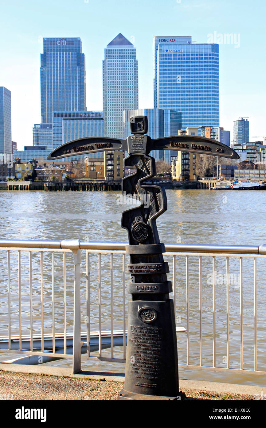 greenwich area of london, england, uk gb Stock Photohttps://www.alamy.com/image-license-details/?v=1https://www.alamy.com/stock-photo-greenwich-area-of-london-england-uk-gb-28236880.html
RMBHX8C0–greenwich area of london, england, uk gb
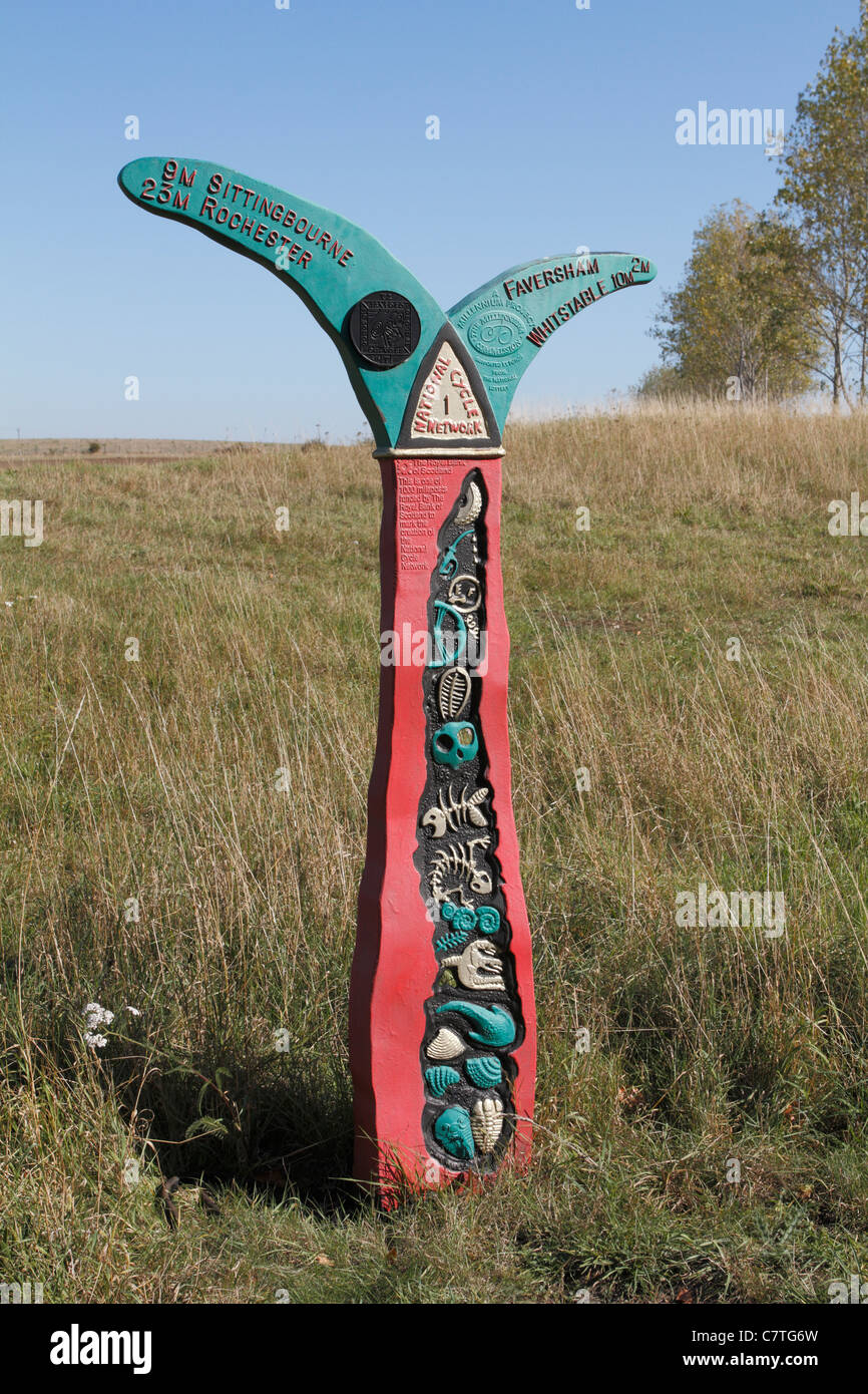 A sign for the National cycle network route 1 Stock Photohttps://www.alamy.com/image-license-details/?v=1https://www.alamy.com/stock-photo-a-sign-for-the-national-cycle-network-route-1-39262913.html
RMC7TG6W–A sign for the National cycle network route 1
 Tue 26 May 2020. Cyclists in Edinburgh, Scotland, using the dedicated bike path as part of the city’s response to more people choosing to walk and cycle under the Covid-19 lockdown restrictions. Edinburgh is to benefit from £5 million of Places for Everyone funding for more pop-up walking and cycling routes to ensure social distancing as Scotland's lockdown restrictions are lifted. The Scottish Government funding comes in response to more people choosing to walk and cycle under the Covid-19 lockdown restrictions, which restrict car travel to only essential journeys. Stock Photohttps://www.alamy.com/image-license-details/?v=1https://www.alamy.com/tue-26-may-2020-cyclists-in-edinburgh-scotland-using-the-dedicated-bike-path-as-part-of-the-citys-response-to-more-people-choosing-to-walk-and-cycle-under-the-covid-19-lockdown-restrictions-edinburgh-is-to-benefit-from-5-million-of-places-for-everyone-funding-for-more-pop-up-walking-and-cycling-routes-to-ensure-social-distancing-as-scotlands-lockdown-restrictions-are-lifted-the-scottish-government-funding-comes-in-response-to-more-people-choosing-to-walk-and-cycle-under-the-covid-19-lockdown-restrictions-which-restrict-car-travel-to-only-essential-journeys-image359556386.html
RM2BTY5RE–Tue 26 May 2020. Cyclists in Edinburgh, Scotland, using the dedicated bike path as part of the city’s response to more people choosing to walk and cycle under the Covid-19 lockdown restrictions. Edinburgh is to benefit from £5 million of Places for Everyone funding for more pop-up walking and cycling routes to ensure social distancing as Scotland's lockdown restrictions are lifted. The Scottish Government funding comes in response to more people choosing to walk and cycle under the Covid-19 lockdown restrictions, which restrict car travel to only essential journeys.
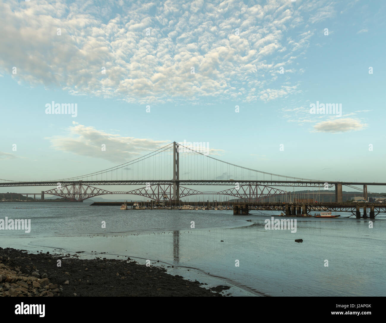 Forth bridges from Port Edgar, Queensferry, Lothian, Scotland, United Kingdom Stock Photohttps://www.alamy.com/image-license-details/?v=1https://www.alamy.com/stock-photo-forth-bridges-from-port-edgar-queensferry-lothian-scotland-united-139149491.html
RFJ2APGK–Forth bridges from Port Edgar, Queensferry, Lothian, Scotland, United Kingdom
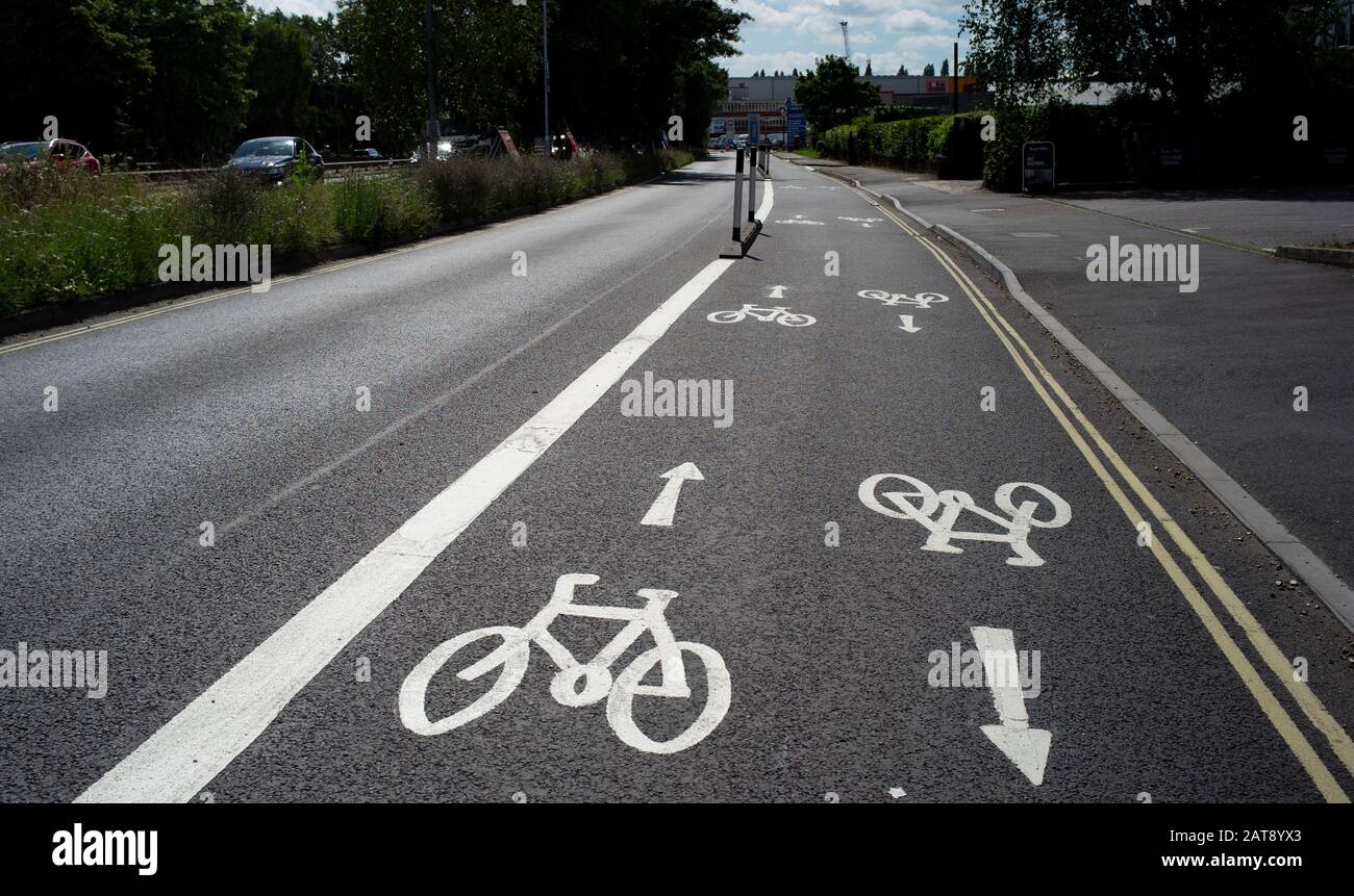 National cycle network paths that connect Southampton city centre with Totton area. The scheme enables cyclists and commuters to safely ride. Stock Photohttps://www.alamy.com/image-license-details/?v=1https://www.alamy.com/national-cycle-network-paths-that-connect-southampton-city-centre-with-totton-area-the-scheme-enables-cyclists-and-commuters-to-safely-ride-image341946251.html
RM2AT8YX3–National cycle network paths that connect Southampton city centre with Totton area. The scheme enables cyclists and commuters to safely ride.
 Cullen Sandy Beach, Scotland Stock Photohttps://www.alamy.com/image-license-details/?v=1https://www.alamy.com/cullen-sandy-beach-scotland-image69644344.html
RME18G20–Cullen Sandy Beach, Scotland
 Cullen, Small boat Marina, Moray. Grampian Region. XPL 3267-324 Stock Photohttps://www.alamy.com/image-license-details/?v=1https://www.alamy.com/cullen-small-boat-marina-moray-grampian-region-xpl-3267-324-image8809991.html
RMAN5CG8–Cullen, Small boat Marina, Moray. Grampian Region. XPL 3267-324
 Bird sculpture on a wall on National Cycle Network Route 1 Stock Photohttps://www.alamy.com/image-license-details/?v=1https://www.alamy.com/bird-sculpture-on-a-wall-on-national-cycle-network-route-1-image312044107.html
RFS3JRCB–Bird sculpture on a wall on National Cycle Network Route 1
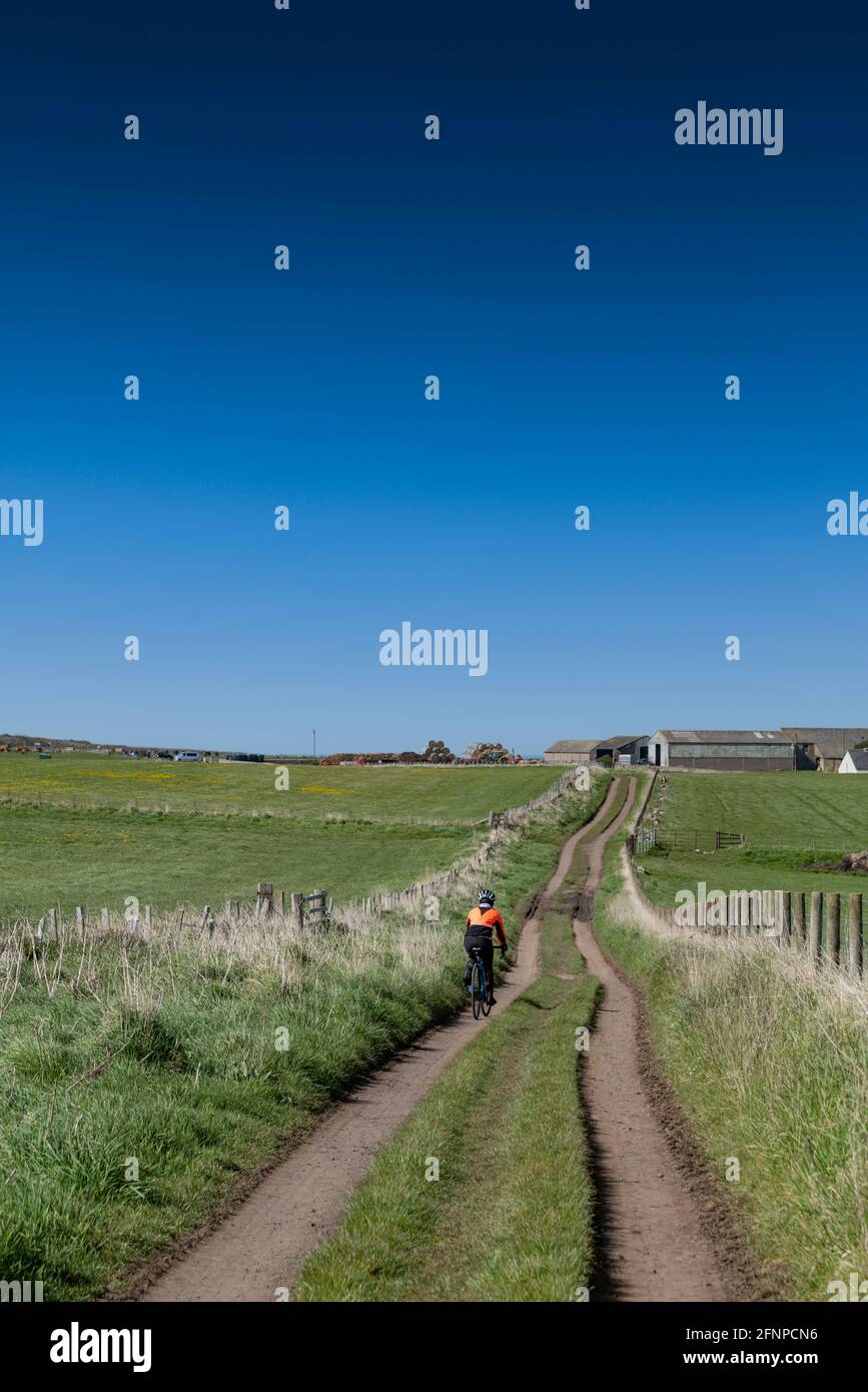 Cycling on Sustrans national cycle network route 1, close to Craster, Northumberland, UK. Stock Photohttps://www.alamy.com/image-license-details/?v=1https://www.alamy.com/cycling-on-sustrans-national-cycle-network-route-1-close-to-craster-northumberland-uk-image426449554.html
RF2FNPCN6–Cycling on Sustrans national cycle network route 1, close to Craster, Northumberland, UK.
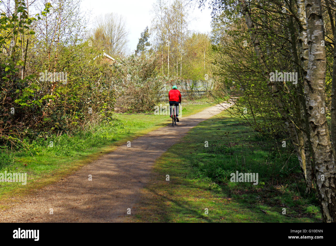 A cyclist on the Marriott's Way long distance track at Lenwade, Norfolk, England, United Kingdom. Stock Photohttps://www.alamy.com/image-license-details/?v=1https://www.alamy.com/stock-photo-a-cyclist-on-the-marriotts-way-long-distance-track-at-lenwade-norfolk-103888449.html
RMG10ENN–A cyclist on the Marriott's Way long distance track at Lenwade, Norfolk, England, United Kingdom.
 Washougal, WA USA. 27th July, 2019. # 1 Eli Tomac on the podium after the Lucas Oil Pro Motocross Washougal National 450 class championship at Washougal MX park Washougal, WA Thurman James/CSM/Alamy Live News Stock Photohttps://www.alamy.com/image-license-details/?v=1https://www.alamy.com/washougal-wa-usa-27th-july-2019-1-eli-tomac-on-the-podium-after-the-lucas-oil-pro-motocross-washougal-national-450-class-championship-at-washougal-mx-park-washougal-wa-thurman-jamescsmalamy-live-news-image261589613.html
RMW5GC65–Washougal, WA USA. 27th July, 2019. # 1 Eli Tomac on the podium after the Lucas Oil Pro Motocross Washougal National 450 class championship at Washougal MX park Washougal, WA Thurman James/CSM/Alamy Live News
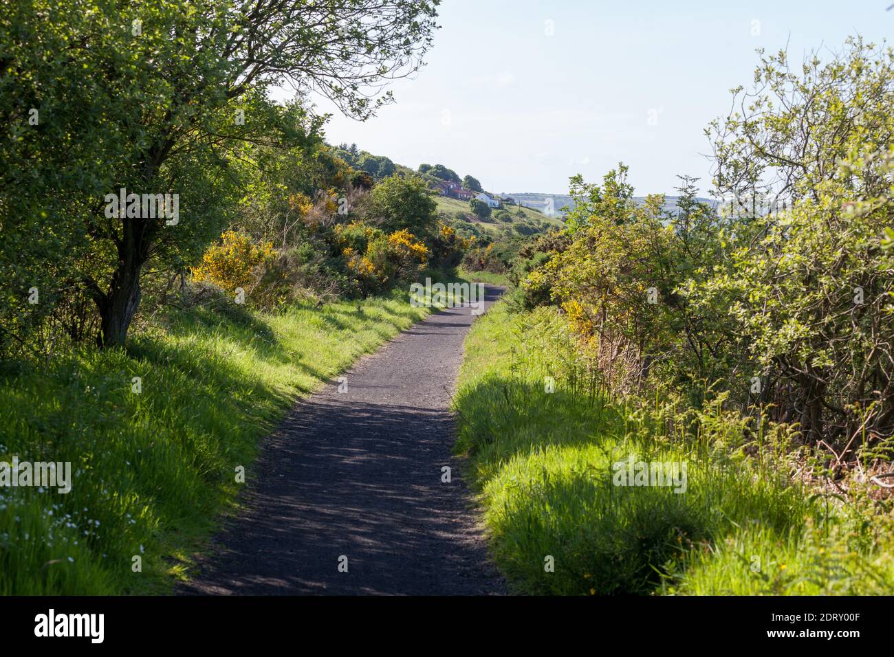 The Cinder Track - an old railway now an off road route - at Robin Hood's bay on the Yorkshire coast Stock Photohttps://www.alamy.com/image-license-details/?v=1https://www.alamy.com/the-cinder-track-an-old-railway-now-an-off-road-route-at-robin-hoods-bay-on-the-yorkshire-coast-image393357903.html
RM2DRY00F–The Cinder Track - an old railway now an off road route - at Robin Hood's bay on the Yorkshire coast
 greenwich area of london, england, uk gb Stock Photohttps://www.alamy.com/image-license-details/?v=1https://www.alamy.com/stock-photo-greenwich-area-of-london-england-uk-gb-28236945.html
RMBHX8E9–greenwich area of london, england, uk gb
 Tue 26 May 2020. Cyclists in Edinburgh, Scotland, using the dedicated bike path as part of the city’s response to more people choosing to walk and cycle under the Covid-19 lockdown restrictions. Edinburgh is to benefit from £5 million of Places for Everyone funding for more pop-up walking and cycling routes to ensure social distancing as Scotland's lockdown restrictions are lifted. The Scottish Government funding comes in response to more people choosing to walk and cycle under the Covid-19 lockdown restrictions, which restrict car travel to only essential journeys. Stock Photohttps://www.alamy.com/image-license-details/?v=1https://www.alamy.com/tue-26-may-2020-cyclists-in-edinburgh-scotland-using-the-dedicated-bike-path-as-part-of-the-citys-response-to-more-people-choosing-to-walk-and-cycle-under-the-covid-19-lockdown-restrictions-edinburgh-is-to-benefit-from-5-million-of-places-for-everyone-funding-for-more-pop-up-walking-and-cycling-routes-to-ensure-social-distancing-as-scotlands-lockdown-restrictions-are-lifted-the-scottish-government-funding-comes-in-response-to-more-people-choosing-to-walk-and-cycle-under-the-covid-19-lockdown-restrictions-which-restrict-car-travel-to-only-essential-journeys-image359556584.html
RM2BTY62G–Tue 26 May 2020. Cyclists in Edinburgh, Scotland, using the dedicated bike path as part of the city’s response to more people choosing to walk and cycle under the Covid-19 lockdown restrictions. Edinburgh is to benefit from £5 million of Places for Everyone funding for more pop-up walking and cycling routes to ensure social distancing as Scotland's lockdown restrictions are lifted. The Scottish Government funding comes in response to more people choosing to walk and cycle under the Covid-19 lockdown restrictions, which restrict car travel to only essential journeys.
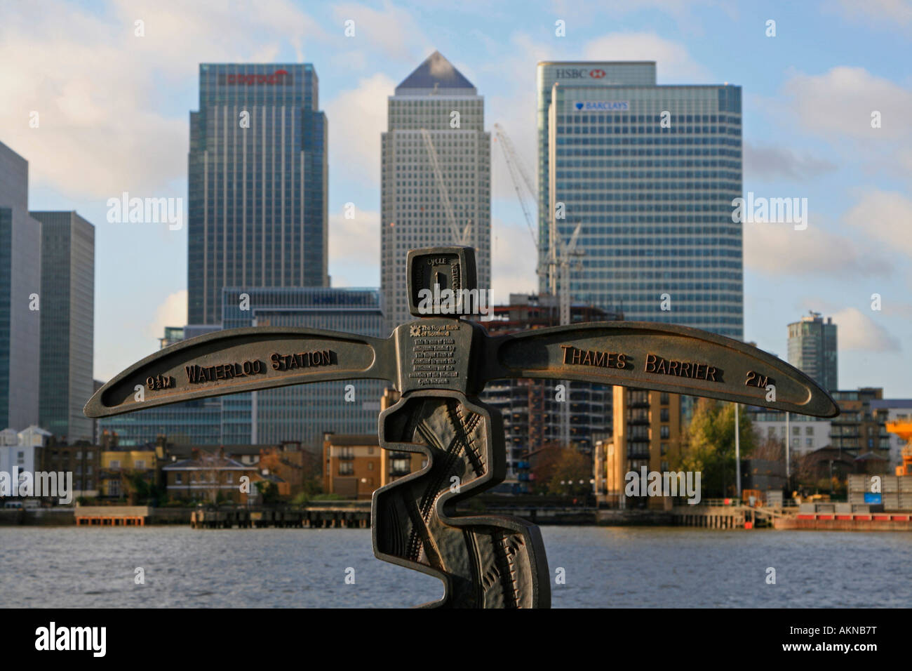 royal bank of scotland funded cycle network signposts national cycle network canary wharf network no 1 london england Stock Photohttps://www.alamy.com/image-license-details/?v=1https://www.alamy.com/stock-photo-royal-bank-of-scotland-funded-cycle-network-signposts-national-cycle-15040907.html
RMAKNB7T–royal bank of scotland funded cycle network signposts national cycle network canary wharf network no 1 london england
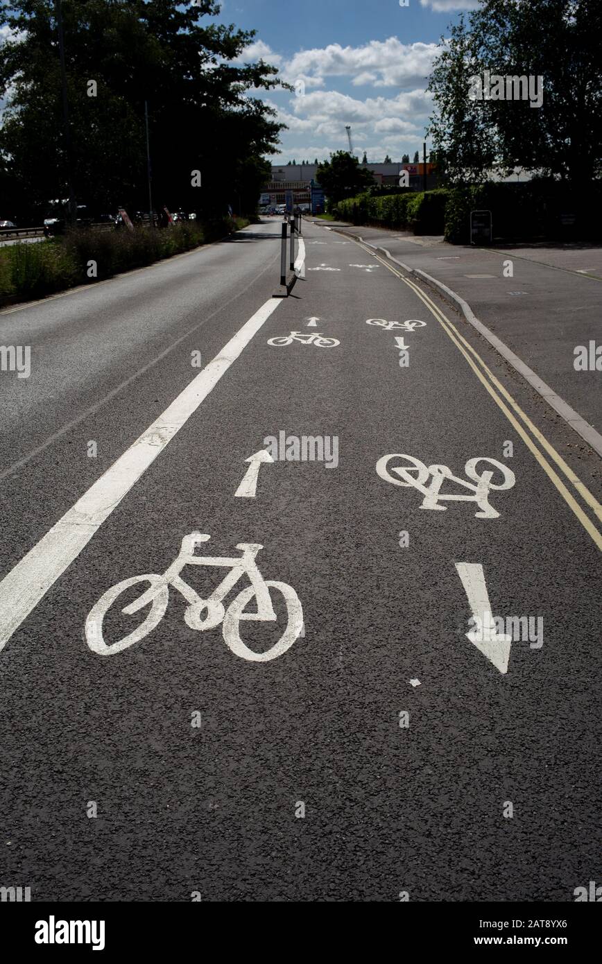 National cycle network paths that connect Southampton city centre with Totton area. The scheme enables cyclists and commuters to safely ride. Stock Photohttps://www.alamy.com/image-license-details/?v=1https://www.alamy.com/national-cycle-network-paths-that-connect-southampton-city-centre-with-totton-area-the-scheme-enables-cyclists-and-commuters-to-safely-ride-image341946254.html
RM2AT8YX6–National cycle network paths that connect Southampton city centre with Totton area. The scheme enables cyclists and commuters to safely ride.
 Forth bridges from Port Edgar, Queensferry, Lothian, Scotland, United Kingdom Stock Photohttps://www.alamy.com/image-license-details/?v=1https://www.alamy.com/stock-photo-forth-bridges-from-port-edgar-queensferry-lothian-scotland-united-139149492.html
RFJ2APGM–Forth bridges from Port Edgar, Queensferry, Lothian, Scotland, United Kingdom
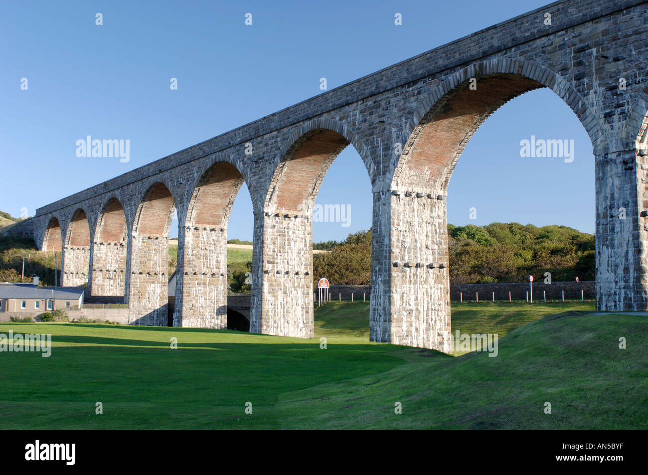 Cullen, Moray-shire. Railway Viaduct for the Aberdeen to Inverness main line. XPL 3263-324 Stock Photohttps://www.alamy.com/image-license-details/?v=1https://www.alamy.com/cullen-moray-shire-railway-viaduct-for-the-aberdeen-to-inverness-main-image8809982.html
RMAN5BYF–Cullen, Moray-shire. Railway Viaduct for the Aberdeen to Inverness main line. XPL 3263-324
 Bird sculpture on a wall on National Cycle Network Route 1 Stock Photohttps://www.alamy.com/image-license-details/?v=1https://www.alamy.com/bird-sculpture-on-a-wall-on-national-cycle-network-route-1-image312044109.html
RFS3JRCD–Bird sculpture on a wall on National Cycle Network Route 1
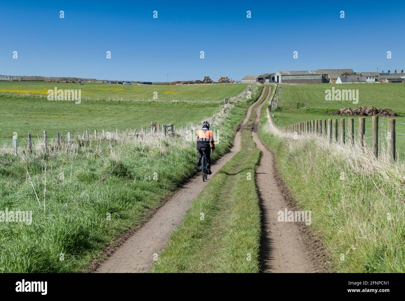 Cycling on Sustrans national cycle network route 1, close to Craster, Northumberland, UK. Stock Photohttps://www.alamy.com/image-license-details/?v=1https://www.alamy.com/cycling-on-sustrans-national-cycle-network-route-1-close-to-craster-northumberland-uk-image426449549.html
RF2FNPCN1–Cycling on Sustrans national cycle network route 1, close to Craster, Northumberland, UK.
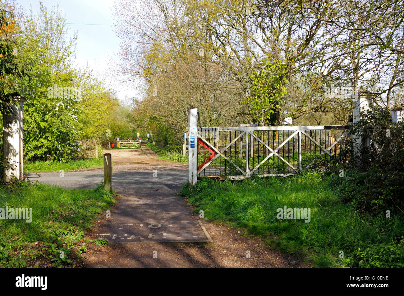 The Marriott's Way long distance path with old level crossing gate at Lenwade, Norfolk, England, United Kingdom. Stock Photohttps://www.alamy.com/image-license-details/?v=1https://www.alamy.com/stock-photo-the-marriotts-way-long-distance-path-with-old-level-crossing-gate-103888439.html
RMG10ENB–The Marriott's Way long distance path with old level crossing gate at Lenwade, Norfolk, England, United Kingdom.
 Washougal, WA USA. 27th July, 2019. # 1 Eli Tomac on the podium after the Lucas Oil Pro Motocross Washougal National 450 class championship at Washougal MX park Washougal, WA Thurman James/CSM/Alamy Live News Stock Photohttps://www.alamy.com/image-license-details/?v=1https://www.alamy.com/washougal-wa-usa-27th-july-2019-1-eli-tomac-on-the-podium-after-the-lucas-oil-pro-motocross-washougal-national-450-class-championship-at-washougal-mx-park-washougal-wa-thurman-jamescsmalamy-live-news-image261587756.html
RMW5G9RT–Washougal, WA USA. 27th July, 2019. # 1 Eli Tomac on the podium after the Lucas Oil Pro Motocross Washougal National 450 class championship at Washougal MX park Washougal, WA Thurman James/CSM/Alamy Live News
 Tue 26 May 2020. Cyclists in Edinburgh, Scotland, using the dedicated bike path as part of the city’s response to more people choosing to walk and cycle under the Covid-19 lockdown restrictions. Edinburgh is to benefit from £5 million of Places for Everyone funding for more pop-up walking and cycling routes to ensure social distancing as Scotland's lockdown restrictions are lifted. The Scottish Government funding comes in response to more people choosing to walk and cycle under the Covid-19 lockdown restrictions, which restrict car travel to only essential journeys. Stock Photohttps://www.alamy.com/image-license-details/?v=1https://www.alamy.com/tue-26-may-2020-cyclists-in-edinburgh-scotland-using-the-dedicated-bike-path-as-part-of-the-citys-response-to-more-people-choosing-to-walk-and-cycle-under-the-covid-19-lockdown-restrictions-edinburgh-is-to-benefit-from-5-million-of-places-for-everyone-funding-for-more-pop-up-walking-and-cycling-routes-to-ensure-social-distancing-as-scotlands-lockdown-restrictions-are-lifted-the-scottish-government-funding-comes-in-response-to-more-people-choosing-to-walk-and-cycle-under-the-covid-19-lockdown-restrictions-which-restrict-car-travel-to-only-essential-journeys-image359556952.html
RM2BTY6FM–Tue 26 May 2020. Cyclists in Edinburgh, Scotland, using the dedicated bike path as part of the city’s response to more people choosing to walk and cycle under the Covid-19 lockdown restrictions. Edinburgh is to benefit from £5 million of Places for Everyone funding for more pop-up walking and cycling routes to ensure social distancing as Scotland's lockdown restrictions are lifted. The Scottish Government funding comes in response to more people choosing to walk and cycle under the Covid-19 lockdown restrictions, which restrict car travel to only essential journeys.