Quick filters:
Navigational tool Stock Photos and Images
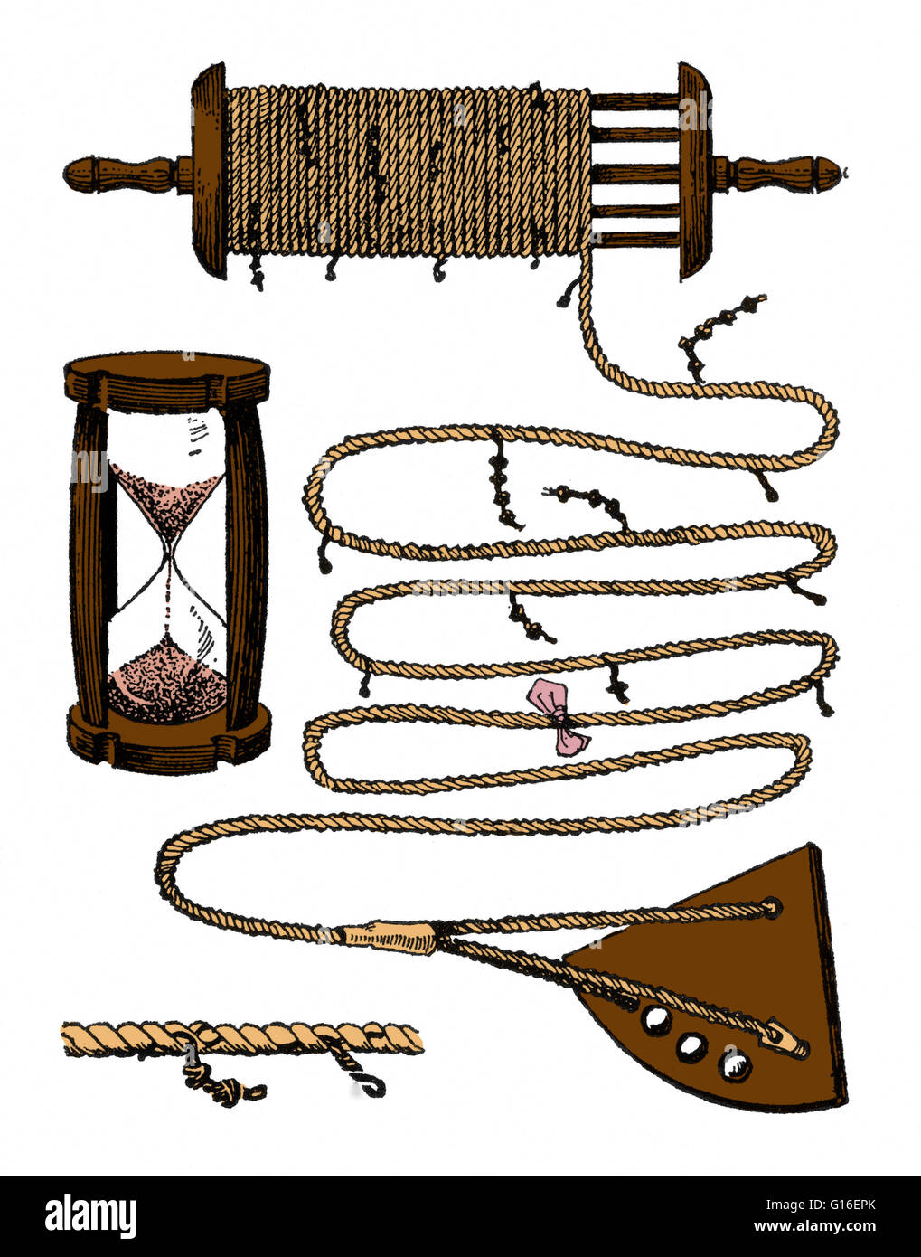 Colorized drawing of a chip log and hour glass timer. This is a navigation tool used by mariners to estimate the speed of a vessel through water. A chip log consists of a wooden board attached to a line (the log-line). The log-line has a number of knots t Stock Photohttps://www.alamy.com/image-license-details/?v=1https://www.alamy.com/stock-photo-colorized-drawing-of-a-chip-log-and-hour-glass-timer-this-is-a-navigation-104020187.html
RMG16EPK–Colorized drawing of a chip log and hour glass timer. This is a navigation tool used by mariners to estimate the speed of a vessel through water. A chip log consists of a wooden board attached to a line (the log-line). The log-line has a number of knots t
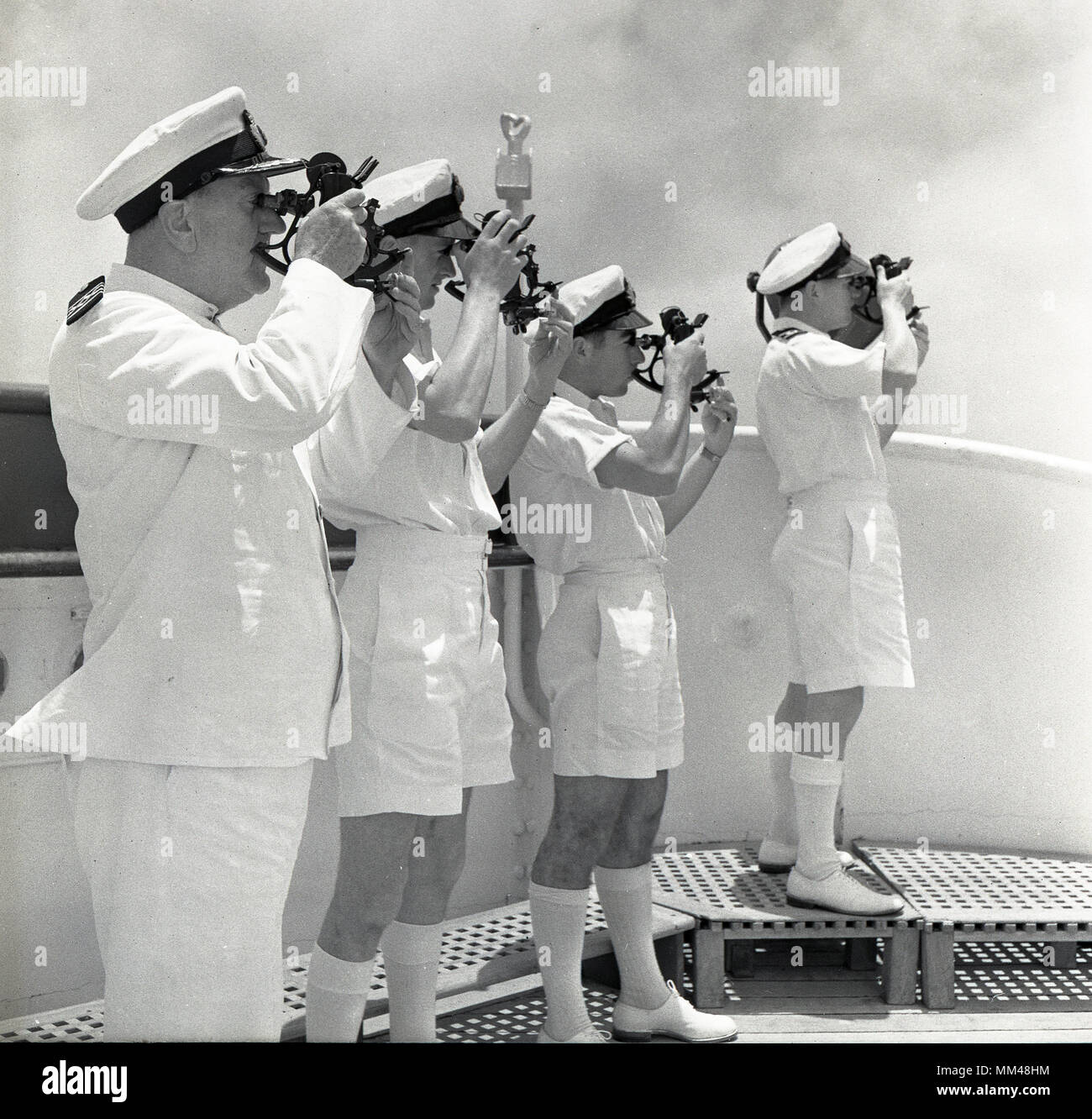 1950s, historical, four deck officers onboard a steamship using sextants to determine the position of the ship. Invented in the 18th century, this maritime instrument was a vitally important navigational tool. Stock Photohttps://www.alamy.com/image-license-details/?v=1https://www.alamy.com/1950s-historical-four-deck-officers-onboard-a-steamship-using-sextants-to-determine-the-position-of-the-ship-invented-in-the-18th-century-this-maritime-instrument-was-a-vitally-important-navigational-tool-image184491376.html
RMMM48HM–1950s, historical, four deck officers onboard a steamship using sextants to determine the position of the ship. Invented in the 18th century, this maritime instrument was a vitally important navigational tool.
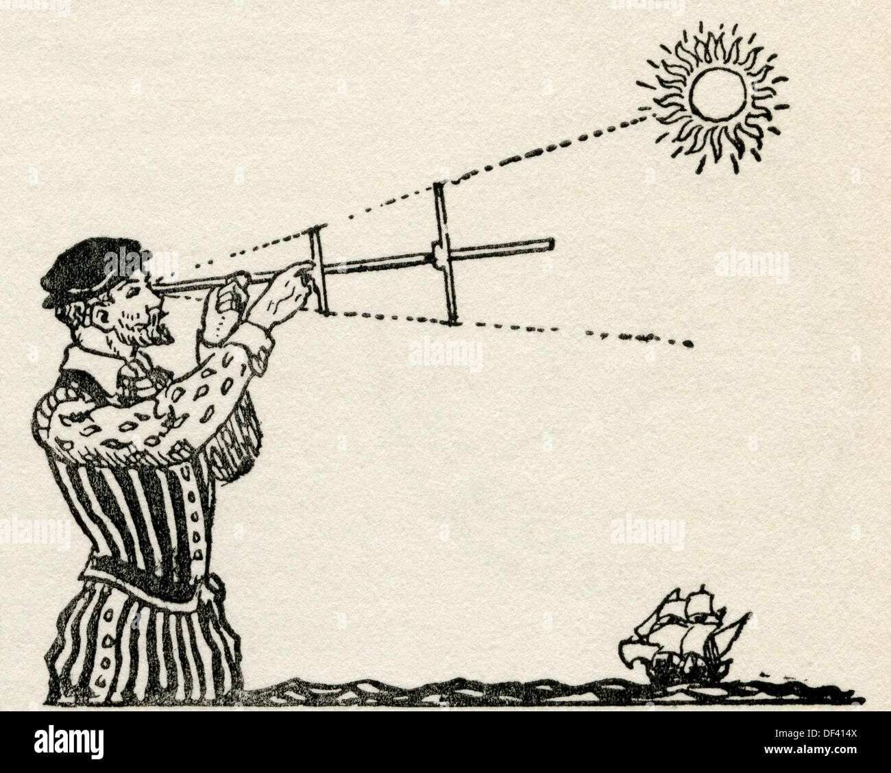 A fifteenth century navigator using a cross-staff. An instrument used to determine angles. Stock Photohttps://www.alamy.com/image-license-details/?v=1https://www.alamy.com/a-fifteenth-century-navigator-using-a-cross-staff-an-instrument-used-image60939674.html
RMDF414X–A fifteenth century navigator using a cross-staff. An instrument used to determine angles.
 An etching depicting a fictionalized likeness of Christopher Columbus, he is shown holding a navigational tool while resting his elbow on a large compass and a book of sea charts, a boat can be seen sailing on the water behind him, the portrait is surrounded by an ornate border framed by two large fish and laurels, 1800. From the New York Public Library. Stock Photohttps://www.alamy.com/image-license-details/?v=1https://www.alamy.com/stock-image-an-etching-depicting-a-fictionalized-likeness-of-christopher-columbus-166340187.html
RMKJHCGY–An etching depicting a fictionalized likeness of Christopher Columbus, he is shown holding a navigational tool while resting his elbow on a large compass and a book of sea charts, a boat can be seen sailing on the water behind him, the portrait is surrounded by an ornate border framed by two large fish and laurels, 1800. From the New York Public Library.
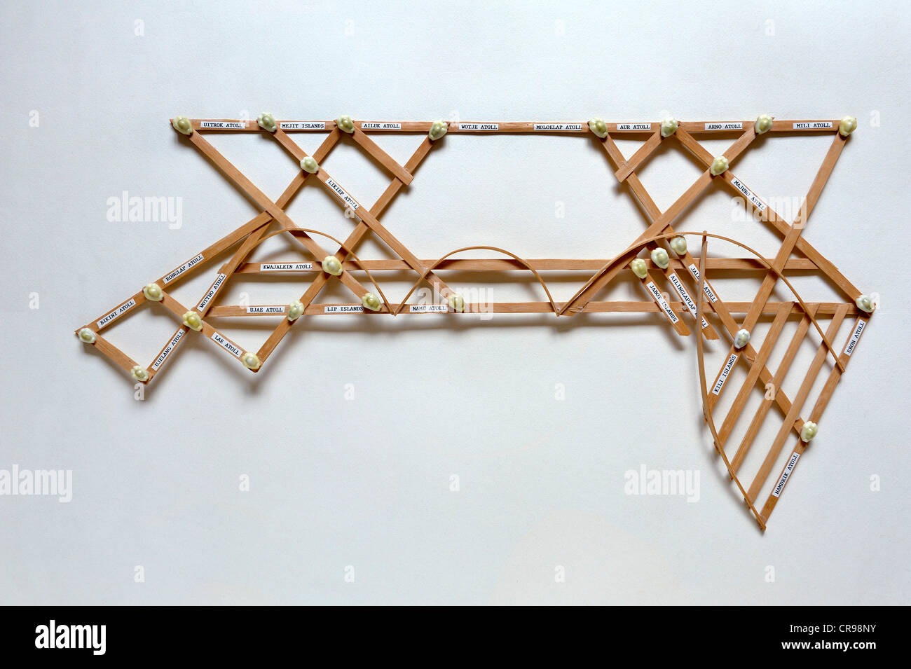 Polynesian navigation device, an important navigational tool of Polynesia, Majuro Atoll, Marshall Islands, Northern Pacific Stock Photohttps://www.alamy.com/image-license-details/?v=1https://www.alamy.com/stock-photo-polynesian-navigation-device-an-important-navigational-tool-of-polynesia-48762279.html
RMCR98NY–Polynesian navigation device, an important navigational tool of Polynesia, Majuro Atoll, Marshall Islands, Northern Pacific
 Navigational tool and techniques From the Encyclopédie méthodique Maritime Encyclopedia Publisher Paris : Panckoucke ; Liège : Plomteux in 1787 containing drawings and blueprints of shipbuilding, and Illustrations of maritime subjects plates drawn by Benard direxit Stock Photohttps://www.alamy.com/image-license-details/?v=1https://www.alamy.com/navigational-tool-and-techniques-from-the-encyclopedie-methodique-maritime-encyclopedia-publisher-paris-panckoucke-liege-plomteux-in-1787-containing-drawings-and-blueprints-of-shipbuilding-and-illustrations-of-maritime-subjects-plates-drawn-by-benard-direxit-image466666912.html
RF2J36EBC–Navigational tool and techniques From the Encyclopédie méthodique Maritime Encyclopedia Publisher Paris : Panckoucke ; Liège : Plomteux in 1787 containing drawings and blueprints of shipbuilding, and Illustrations of maritime subjects plates drawn by Benard direxit
RMFYXYCE–Falsterbo, Sweden - April 11, 2016: A small and red lighthouse or beacon in the harbor. Very helpful navigational tool in bad we
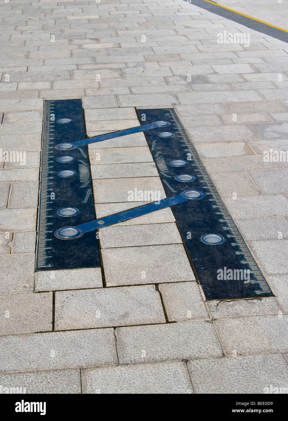 Parallel Plotter, (a navigational tool) on Poole Quay. Artwork by Simon Watkinson Stock Photohttps://www.alamy.com/image-license-details/?v=1https://www.alamy.com/stock-photo-parallel-plotter-a-navigational-tool-on-poole-quay-artwork-by-simon-26123253.html
RMBEE0D9–Parallel Plotter, (a navigational tool) on Poole Quay. Artwork by Simon Watkinson
 McGulpin Rock has been a navigational tool in the Straights of Mackinaw for centuries. The Mackinac Bridge is in the distance. Stock Photohttps://www.alamy.com/image-license-details/?v=1https://www.alamy.com/mcgulpin-rock-has-been-a-navigational-tool-in-the-straights-of-mackinaw-for-centuries-the-mackinac-bridge-is-in-the-distance-image212398927.html
RMP9FGYY–McGulpin Rock has been a navigational tool in the Straights of Mackinaw for centuries. The Mackinac Bridge is in the distance.
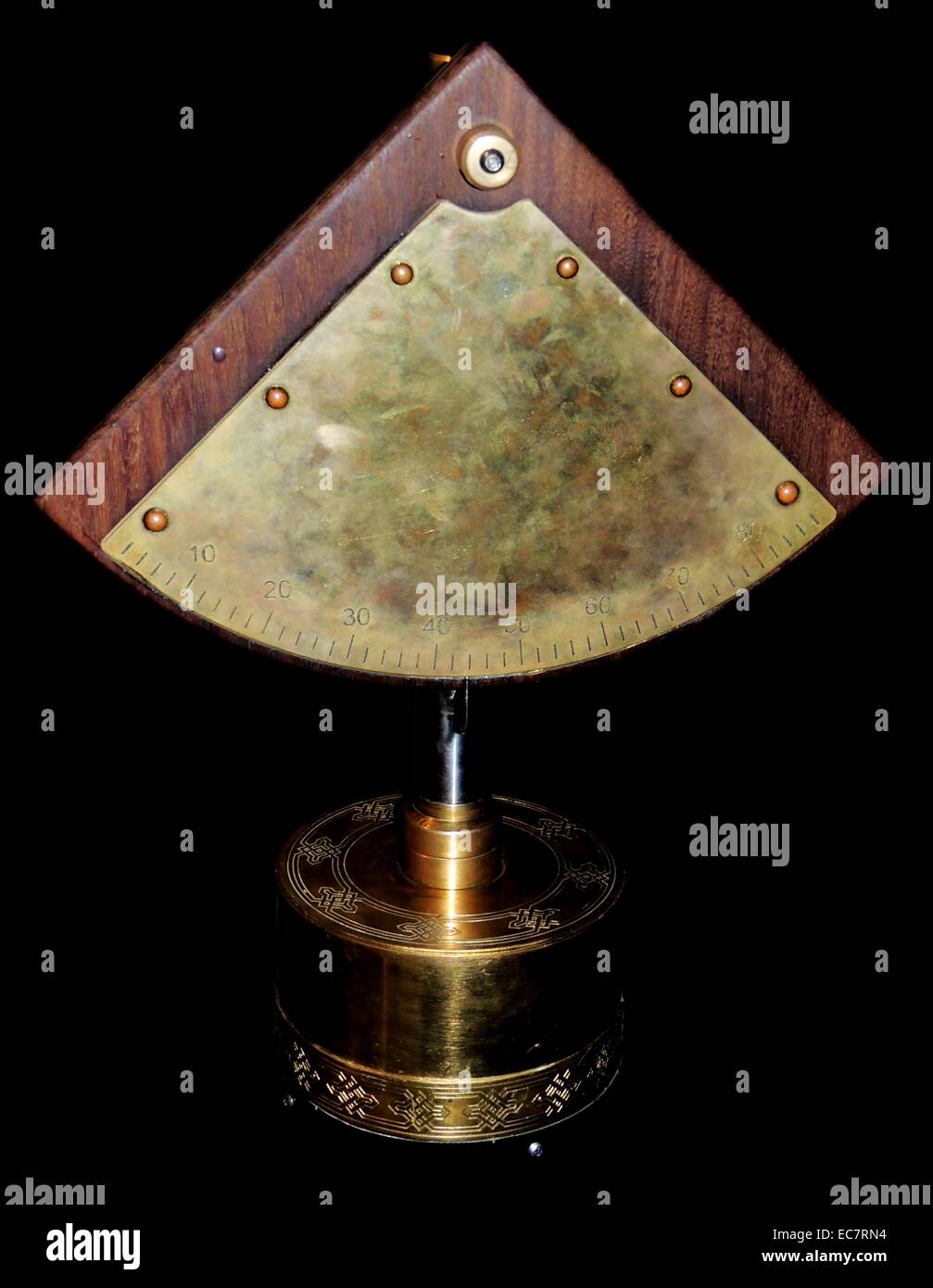 Quadrant, an ancient tool. Islamic astronomers greatly improved the quadrant before introducing it to Europe centuries later. The quadrant was an important navigational aid at sea and in the desert. For Muslims, one of its most important functions was determining the qibla, or direction of Makkah. The origin of the first quadrant is unknown. Stock Photohttps://www.alamy.com/image-license-details/?v=1https://www.alamy.com/stock-photo-quadrant-an-ancient-tool-islamic-astronomers-greatly-improved-the-76389632.html
RMEC7RN4–Quadrant, an ancient tool. Islamic astronomers greatly improved the quadrant before introducing it to Europe centuries later. The quadrant was an important navigational aid at sea and in the desert. For Muslims, one of its most important functions was determining the qibla, or direction of Makkah. The origin of the first quadrant is unknown.
 In this intriguing image, three siblings are consulting a compass. The youngest sibling, with a surprised expression, holds the compass while the othe Stock Photohttps://www.alamy.com/image-license-details/?v=1https://www.alamy.com/in-this-intriguing-image-three-siblings-are-consulting-a-compass-the-youngest-sibling-with-a-surprised-expression-holds-the-compass-while-the-othe-image552337694.html
RF2R2H4A6–In this intriguing image, three siblings are consulting a compass. The youngest sibling, with a surprised expression, holds the compass while the othe
 Lonely compass. A navigational tool on a white background. Stock Photohttps://www.alamy.com/image-license-details/?v=1https://www.alamy.com/lonely-compass-a-navigational-tool-on-a-white-background-image186837005.html
RFMRY4E5–Lonely compass. A navigational tool on a white background.
 Yellow Bouy in solent UK drone,aerial Stock Photohttps://www.alamy.com/image-license-details/?v=1https://www.alamy.com/yellow-bouy-in-solent-uk-droneaerial-image592923868.html
RF2WCJ0CC–Yellow Bouy in solent UK drone,aerial
 WA23062-00...WASHINGTON - Detail on the North Point Lighthouse and Oil House, viewed at sunrise. Stock Photohttps://www.alamy.com/image-license-details/?v=1https://www.alamy.com/wa23062-00washington-detail-on-the-north-point-lighthouse-and-oil-house-viewed-at-sunrise-image529816998.html
RM2NNY6YJ–WA23062-00...WASHINGTON - Detail on the North Point Lighthouse and Oil House, viewed at sunrise.
 Navigating officers on board the U.S.S. George Washington determining their position using sextants. This photograph, taken in December 1918, shows the officers utilizing this navigational tool. The image is part of collection 63439 from the Signal Corps, which documents American military activities during World War One. Stock Photohttps://www.alamy.com/image-license-details/?v=1https://www.alamy.com/navigating-officers-on-board-the-uss-george-washington-determining-their-position-using-sextants-this-photograph-taken-in-december-1918-shows-the-officers-utilizing-this-navigational-tool-the-image-is-part-of-collection-63439-from-the-signal-corps-which-documents-american-military-activities-during-world-war-one-image558277968.html
RM2RC7N6T–Navigating officers on board the U.S.S. George Washington determining their position using sextants. This photograph, taken in December 1918, shows the officers utilizing this navigational tool. The image is part of collection 63439 from the Signal Corps, which documents American military activities during World War One.
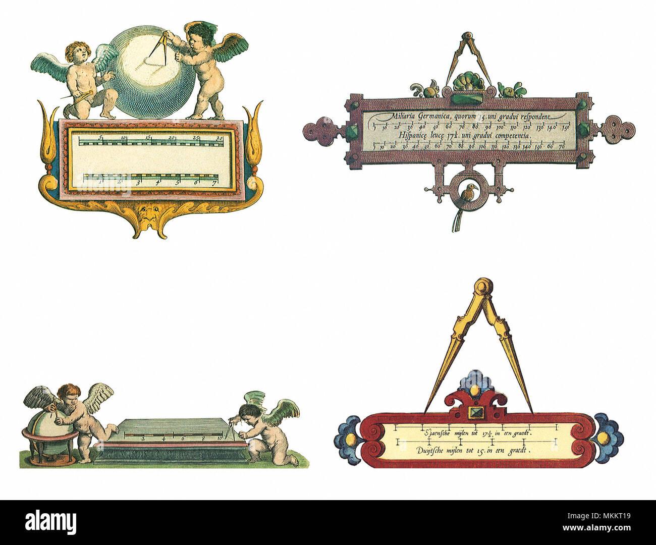 Navigational Tools Stock Photohttps://www.alamy.com/image-license-details/?v=1https://www.alamy.com/navigational-tools-image184218085.html
RMMKKT19–Navigational Tools
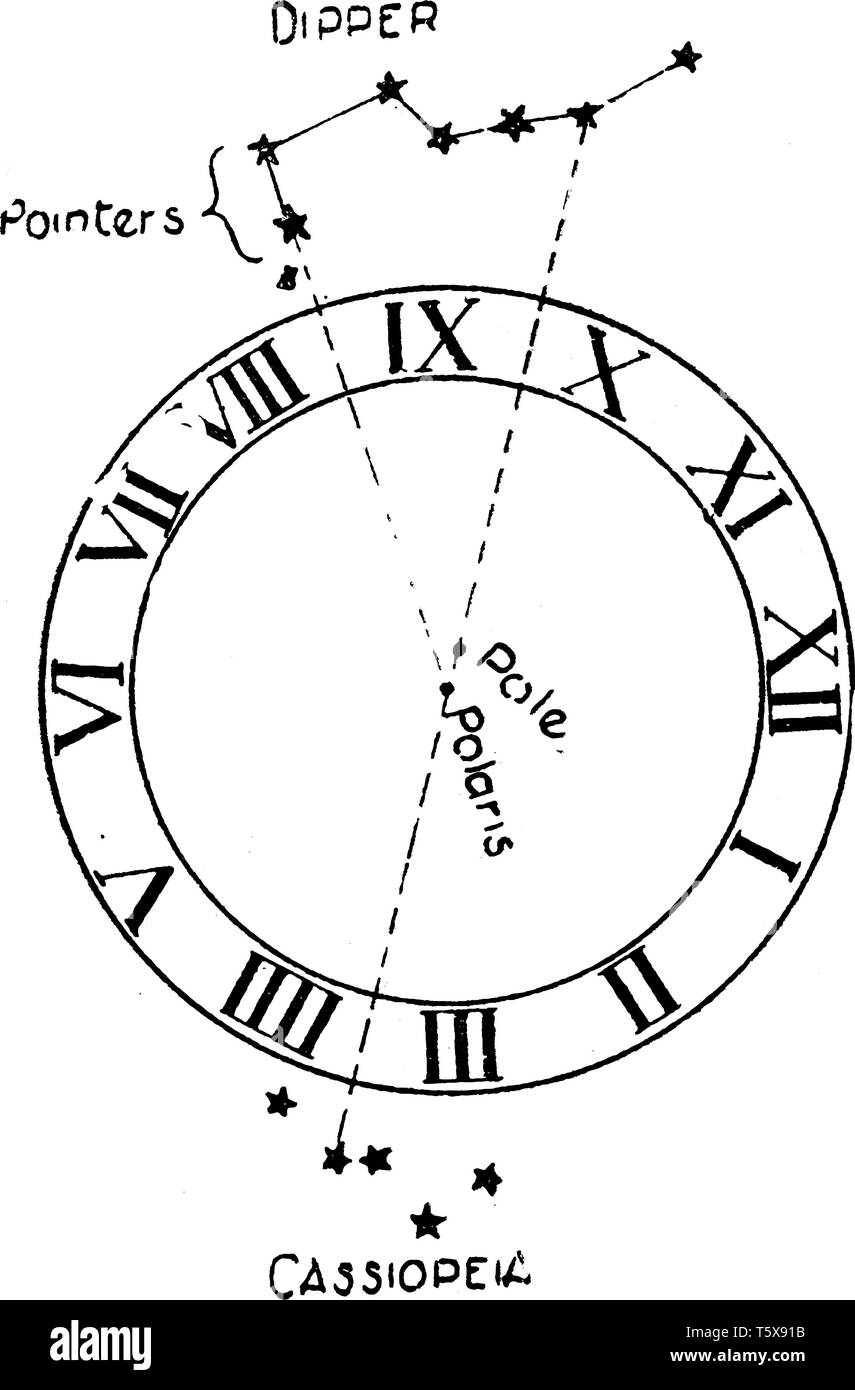 Astronomical Compass is a navigational tool for determining the direction of true north through the positions of various astronomical bodies, vintage Stock Vectorhttps://www.alamy.com/image-license-details/?v=1https://www.alamy.com/astronomical-compass-is-a-navigational-tool-for-determining-the-direction-of-true-north-through-the-positions-of-various-astronomical-bodies-vintage-image244596279.html
RFT5X91B–Astronomical Compass is a navigational tool for determining the direction of true north through the positions of various astronomical bodies, vintage
 A German hiker demonstrates a navigational tool Stock Photohttps://www.alamy.com/image-license-details/?v=1https://www.alamy.com/stock-photo-a-german-hiker-demonstrates-a-navigational-tool-125800715.html
RFH8JM2K–A German hiker demonstrates a navigational tool
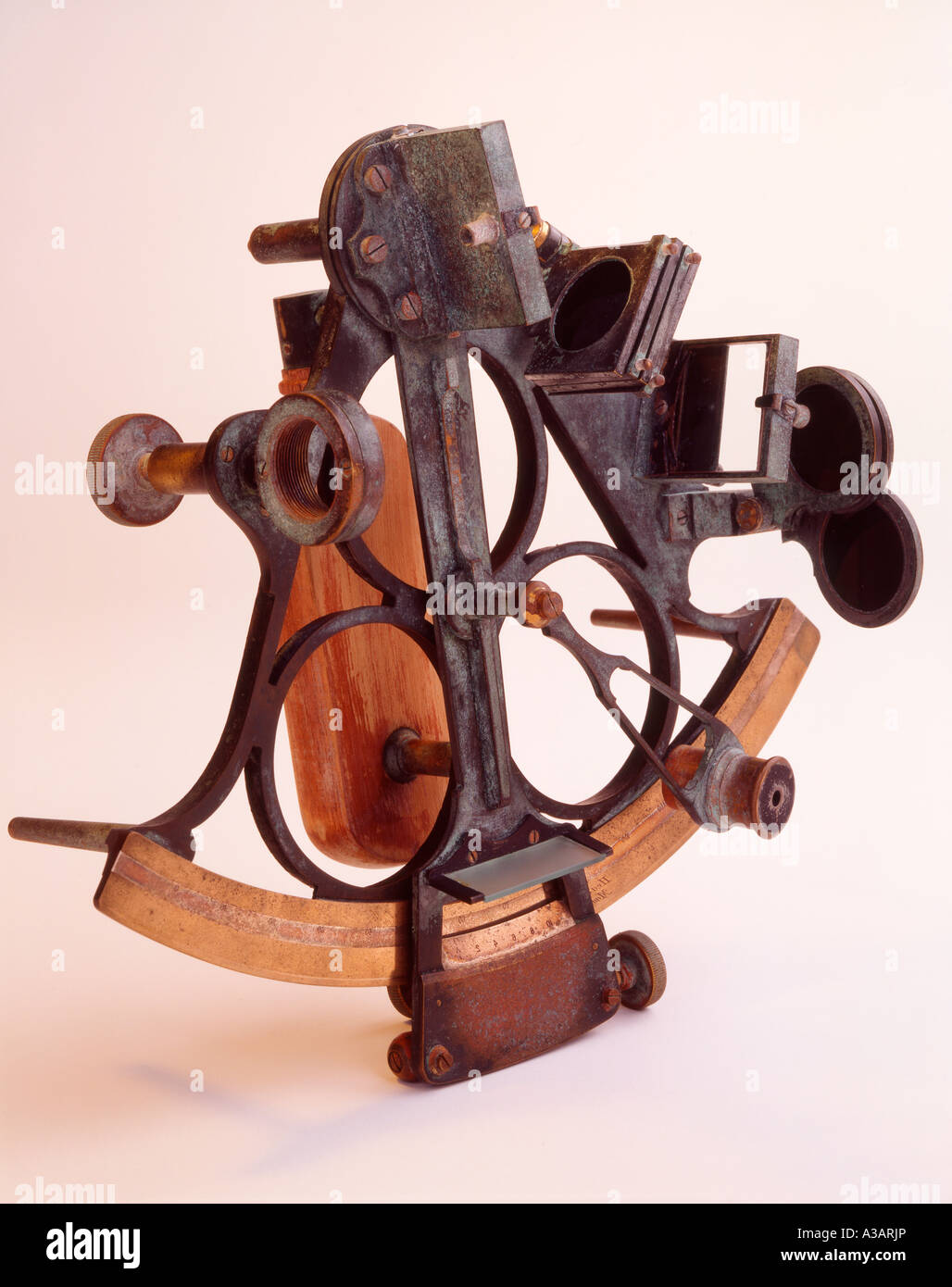 Navigational Sextant on white background cut out. Stock Photohttps://www.alamy.com/image-license-details/?v=1https://www.alamy.com/stock-photo-navigational-sextant-on-white-background-cut-out-10726797.html
RMA3ARJP–Navigational Sextant on white background cut out.
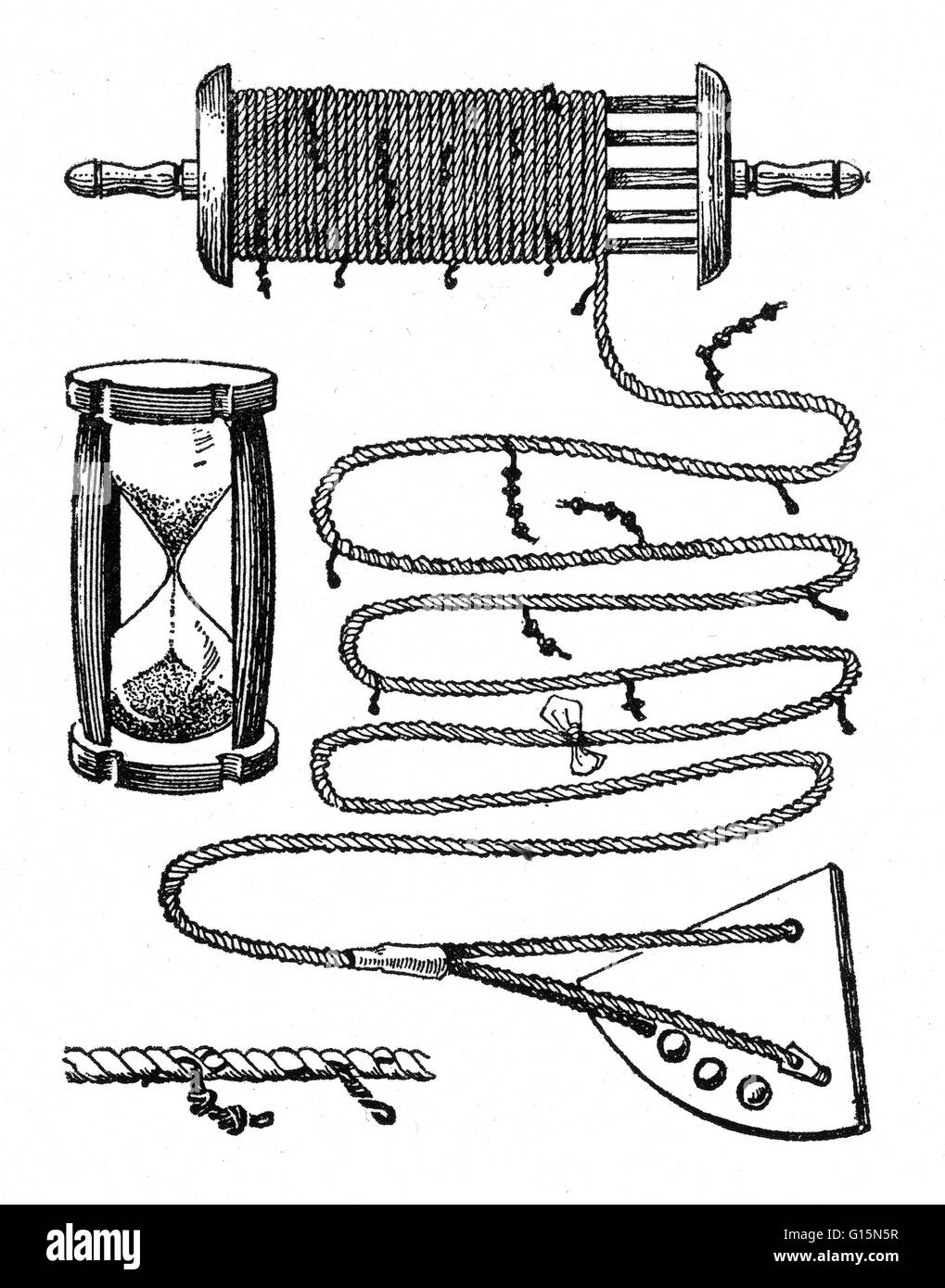 A chip log, also called common log, or ship log, is a navigation tool used by mariners to estimate the speed of a vessel through water. The name of the unit knot, for nautical mile per hour, was derived from this method of measurement. A chip log consists Stock Photohttps://www.alamy.com/image-license-details/?v=1https://www.alamy.com/stock-photo-a-chip-log-also-called-common-log-or-ship-log-is-a-navigation-tool-104003251.html
RMG15N5R–A chip log, also called common log, or ship log, is a navigation tool used by mariners to estimate the speed of a vessel through water. The name of the unit knot, for nautical mile per hour, was derived from this method of measurement. A chip log consists
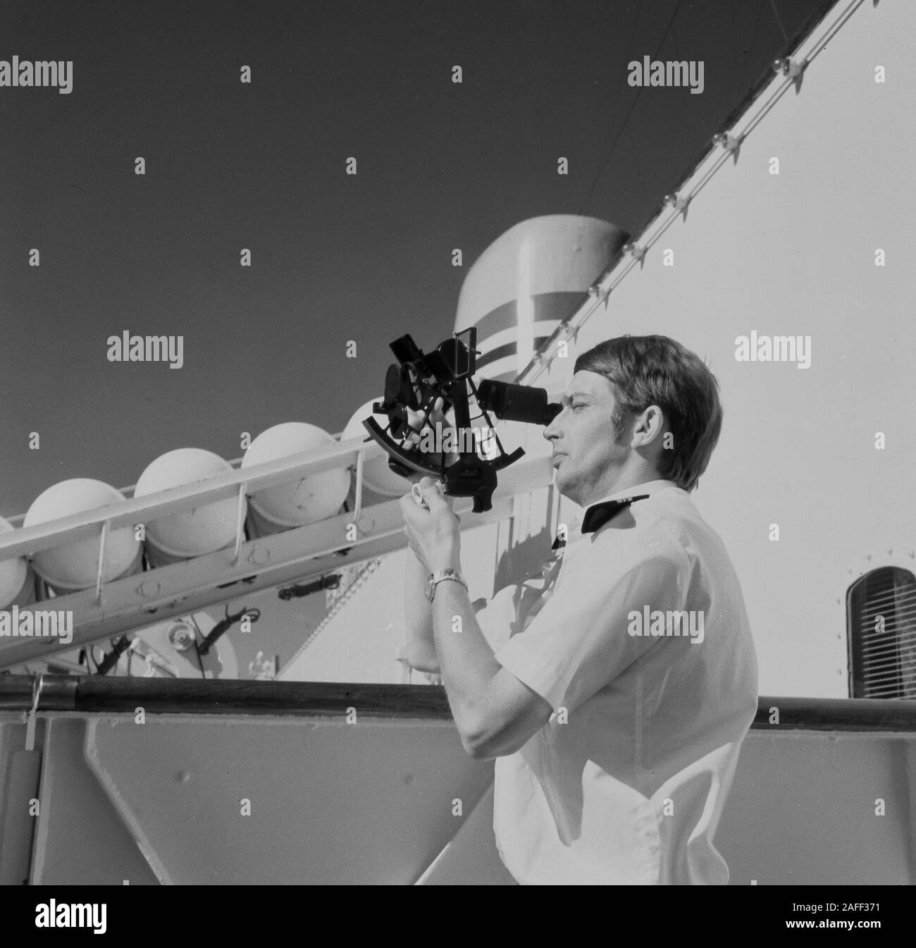 1960s, historical, a uniformed navigator outside on the deck of a cruise ship using a sextant, a maritime instrument used for determining the angle between the horizon and a celestial body, such as the sun, so calculations can be made on latiitude and longitude, so to ascertain where the ship is located. Stock Photohttps://www.alamy.com/image-license-details/?v=1https://www.alamy.com/1960s-historical-a-uniformed-navigator-outside-on-the-deck-of-a-cruise-ship-using-a-sextant-a-maritime-instrument-used-for-determining-the-angle-between-the-horizon-and-a-celestial-body-such-as-the-sun-so-calculations-can-be-made-on-latiitude-and-longitude-so-to-ascertain-where-the-ship-is-located-image336548661.html
RM2AFF371–1960s, historical, a uniformed navigator outside on the deck of a cruise ship using a sextant, a maritime instrument used for determining the angle between the horizon and a celestial body, such as the sun, so calculations can be made on latiitude and longitude, so to ascertain where the ship is located.
 watercolor old metal navigation compass with cardinal direction, vintage brown compass, naval equipment, captain, sailor and travelers tool isolated o Stock Photohttps://www.alamy.com/image-license-details/?v=1https://www.alamy.com/watercolor-old-metal-navigation-compass-with-cardinal-direction-vintage-brown-compass-naval-equipment-captain-sailor-and-travelers-tool-isolated-o-image605526386.html
RF2X5432A–watercolor old metal navigation compass with cardinal direction, vintage brown compass, naval equipment, captain, sailor and travelers tool isolated o
 tool, object, travel, detail, closeup, navigation, black, swarthy, jetblack, Stock Photohttps://www.alamy.com/image-license-details/?v=1https://www.alamy.com/stock-photo-tool-object-travel-detail-closeup-navigation-black-swarthy-jetblack-143974450.html
RFJA6GTJ–tool, object, travel, detail, closeup, navigation, black, swarthy, jetblack,
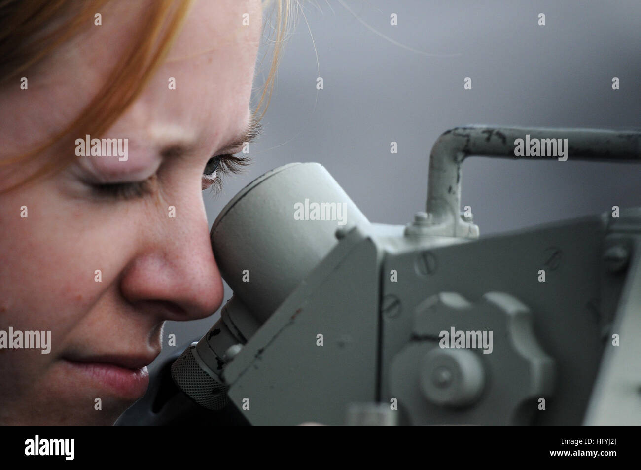 Petty Officer 3rd Class Jaime Plym, a quartermaster, looks through a sextant on the port bridge wing of the aircraft carrier USS Ronald Reagan (CVN 76) as the ship departs its homeport of San Diego. A sextant is a navigational tool used to measure the distance between two ships at sea. Ronald Reagan is currently underway conducting operations in preparation for an upcoming deployment. (Photo by: Petty Officer 3rd Class Kevin B. Gray) USS Ronald Reagan DVIDS350211 Stock Photohttps://www.alamy.com/image-license-details/?v=1https://www.alamy.com/stock-photo-petty-officer-3rd-class-jaime-plym-a-quartermaster-looks-through-a-130299306.html
RMHFYJ2J–Petty Officer 3rd Class Jaime Plym, a quartermaster, looks through a sextant on the port bridge wing of the aircraft carrier USS Ronald Reagan (CVN 76) as the ship departs its homeport of San Diego. A sextant is a navigational tool used to measure the distance between two ships at sea. Ronald Reagan is currently underway conducting operations in preparation for an upcoming deployment. (Photo by: Petty Officer 3rd Class Kevin B. Gray) USS Ronald Reagan DVIDS350211
 Navigational tool and techniques From the Encyclopédie méthodique Maritime Encyclopedia Publisher Paris : Panckoucke ; Liège : Plomteux in 1787 containing drawings and blueprints of shipbuilding, and Illustrations of maritime subjects plates drawn by Benard direxit Stock Photohttps://www.alamy.com/image-license-details/?v=1https://www.alamy.com/navigational-tool-and-techniques-from-the-encyclopedie-methodique-maritime-encyclopedia-publisher-paris-panckoucke-liege-plomteux-in-1787-containing-drawings-and-blueprints-of-shipbuilding-and-illustrations-of-maritime-subjects-plates-drawn-by-benard-direxit-image466664115.html
RF2J36ARF–Navigational tool and techniques From the Encyclopédie méthodique Maritime Encyclopedia Publisher Paris : Panckoucke ; Liège : Plomteux in 1787 containing drawings and blueprints of shipbuilding, and Illustrations of maritime subjects plates drawn by Benard direxit
RMFYXYCH–Falsterbo, Sweden - April 11, 2016: A small and red lighthouse or beacon in the harbor. Very helpful navigational tool in bad we
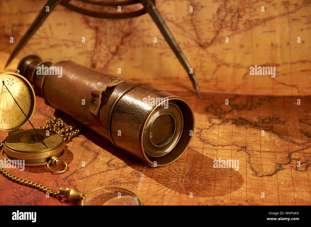 Old compass and spyglass on the old map Stock Photohttps://www.alamy.com/image-license-details/?v=1https://www.alamy.com/old-compass-and-spyglass-on-the-old-map-image274482871.html
RMWXFNKK–Old compass and spyglass on the old map
 The CN Tower is a navigational tool for any tourist walking around Toronto. Stock Photohttps://www.alamy.com/image-license-details/?v=1https://www.alamy.com/stock-photo-the-cn-tower-is-a-navigational-tool-for-any-tourist-walking-around-86494788.html
RFF0M4YG–The CN Tower is a navigational tool for any tourist walking around Toronto.
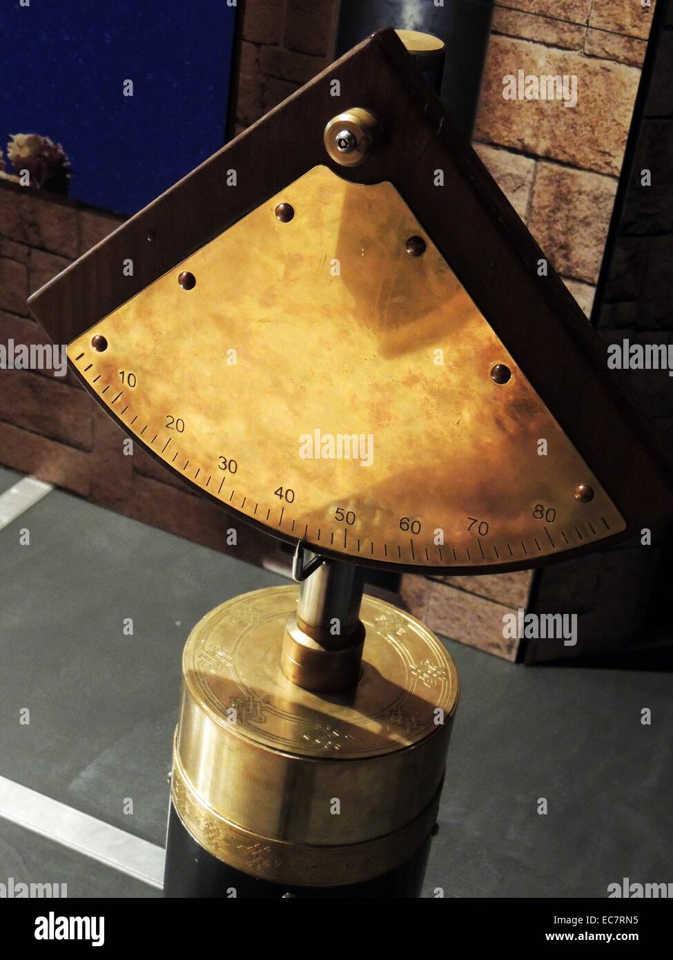 Quadrant, an ancient tool. Islamic astronomers greatly improved the quadrant before introducing it to Europe centuries later. The quadrant was an important navigational aid at sea and in the desert. For Muslims, one of its most important functions was determining the qibla, or direction of Makkah. The origin of the first quadrant is unknown. Stock Photohttps://www.alamy.com/image-license-details/?v=1https://www.alamy.com/stock-photo-quadrant-an-ancient-tool-islamic-astronomers-greatly-improved-the-76389633.html
RMEC7RN5–Quadrant, an ancient tool. Islamic astronomers greatly improved the quadrant before introducing it to Europe centuries later. The quadrant was an important navigational aid at sea and in the desert. For Muslims, one of its most important functions was determining the qibla, or direction of Makkah. The origin of the first quadrant is unknown.
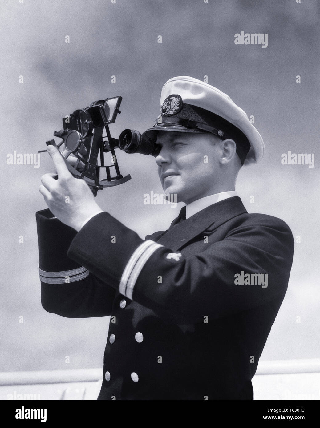 1930s SHIP’S OFFICER USING SEXTANT TO MEASURE ANGULAR DISTANCES BETWEEN OBJECTS TOOL USED IN CELESTIAL NAVIGATION - s5654 HAR001 HARS TRANSPORTATION B&W SEXTANT SKILL OCCUPATION SKILLS ADVENTURE NAVAL CAREERS NAVIGATION DIRECTION OBJECTS OCCUPATIONS USING CONNECTION USED CONCEPTUAL SHIP'S CELESTIAL ANGULAR NAVIGATIONAL PRECISION SHIPPING YOUNG ADULT MAN BLACK AND WHITE CAUCASIAN ETHNICITY HAR001 OLD FASHIONED Stock Photohttps://www.alamy.com/image-license-details/?v=1https://www.alamy.com/1930s-ships-officer-using-sextant-to-measure-angular-distances-between-objects-tool-used-in-celestial-navigation-s5654-har001-hars-transportation-bw-sextant-skill-occupation-skills-adventure-naval-careers-navigation-direction-objects-occupations-using-connection-used-conceptual-ships-celestial-angular-navigational-precision-shipping-young-adult-man-black-and-white-caucasian-ethnicity-har001-old-fashioned-image244699479.html
RMT630K3–1930s SHIP’S OFFICER USING SEXTANT TO MEASURE ANGULAR DISTANCES BETWEEN OBJECTS TOOL USED IN CELESTIAL NAVIGATION - s5654 HAR001 HARS TRANSPORTATION B&W SEXTANT SKILL OCCUPATION SKILLS ADVENTURE NAVAL CAREERS NAVIGATION DIRECTION OBJECTS OCCUPATIONS USING CONNECTION USED CONCEPTUAL SHIP'S CELESTIAL ANGULAR NAVIGATIONAL PRECISION SHIPPING YOUNG ADULT MAN BLACK AND WHITE CAUCASIAN ETHNICITY HAR001 OLD FASHIONED
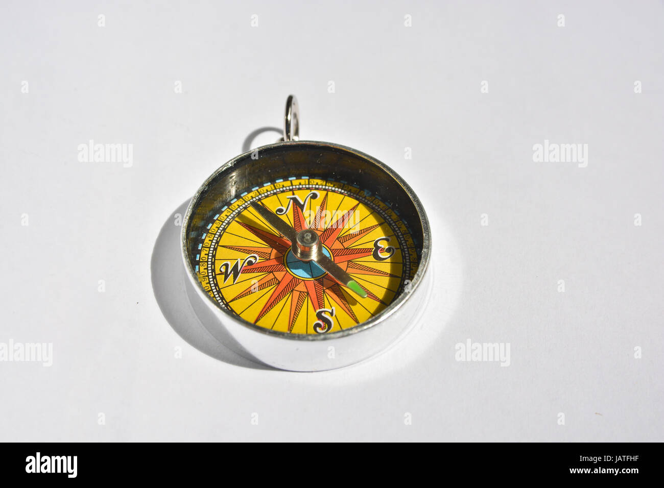 Compass. A reliable navigation tool on a white background. Stock Photohttps://www.alamy.com/image-license-details/?v=1https://www.alamy.com/stock-photo-compass-a-reliable-navigation-tool-on-a-white-background-144368603.html
RFJATFHF–Compass. A reliable navigation tool on a white background.
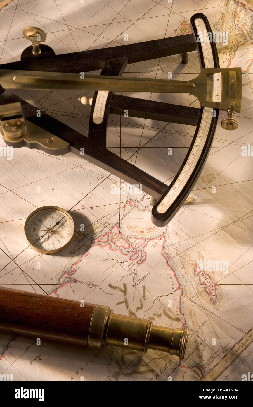 Still life of navigational instruments Stock Photohttps://www.alamy.com/image-license-details/?v=1https://www.alamy.com/still-life-of-navigational-instruments-image3559827.html
RFA41N94–Still life of navigational instruments
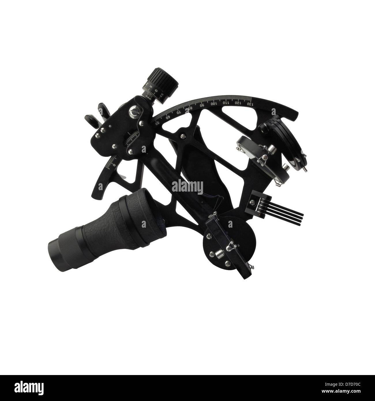 Navigational instrument. A sextant isolated on white background Stock Photohttps://www.alamy.com/image-license-details/?v=1https://www.alamy.com/stock-photo-navigational-instrument-a-sextant-isolated-on-white-background-56224572.html
RFD7D70C–Navigational instrument. A sextant isolated on white background
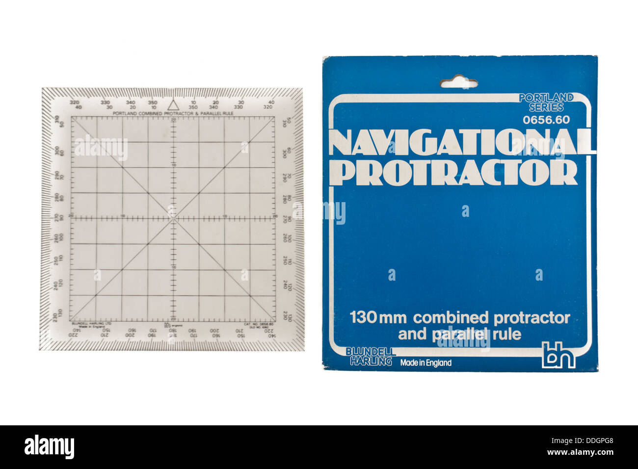 Navigational Protractor by Blundell Harling (130mm combined protractor and parallel rule) Stock Photohttps://www.alamy.com/image-license-details/?v=1https://www.alamy.com/stock-photo-navigational-protractor-by-blundell-harling-130mm-combined-protractor-59990568.html
RMDDGPG8–Navigational Protractor by Blundell Harling (130mm combined protractor and parallel rule)
 Navigational Tools Stock Photohttps://www.alamy.com/image-license-details/?v=1https://www.alamy.com/navigational-tools-image184245268.html
RMMKN2M4–Navigational Tools
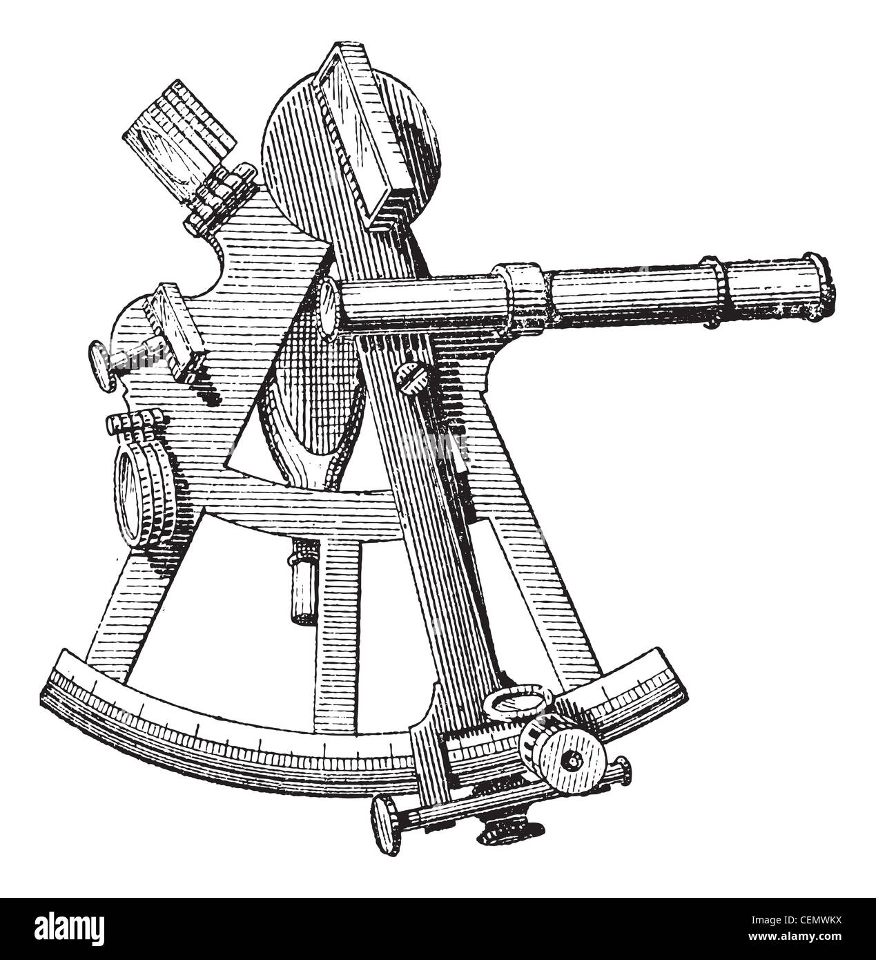 Sextant isolated on white, vintage engraved illustration. Dictionary of words and things - Larive and Fleury - 1895. Stock Photohttps://www.alamy.com/image-license-details/?v=1https://www.alamy.com/stock-photo-sextant-isolated-on-white-vintage-engraved-illustration-dictionary-43485118.html
RFCEMWKX–Sextant isolated on white, vintage engraved illustration. Dictionary of words and things - Larive and Fleury - 1895.
![Navigational tools from the book ' A voyage towards the North Pole : undertaken by His Majesty's command, 1773 ' by Constantine John Phipps, Baron Mulgrave, 1744-1792; The 1773 Phipps expedition towards the North Pole was a British Royal Navy expedition in which two ships under the commands of Constantine John Phipps as Captain of the HMS Racehorse [an 18-gun ship-rigged sloop of the Royal Navy.] and Skeffington Lutwidge as Captain of the HMS Carcass [a bomb vessel of the Royal Navy], sailed towards the North Pole in the summer of 1773 and became stuck in ice near Svalbard. A young Horatio Ne Stock Photo Navigational tools from the book ' A voyage towards the North Pole : undertaken by His Majesty's command, 1773 ' by Constantine John Phipps, Baron Mulgrave, 1744-1792; The 1773 Phipps expedition towards the North Pole was a British Royal Navy expedition in which two ships under the commands of Constantine John Phipps as Captain of the HMS Racehorse [an 18-gun ship-rigged sloop of the Royal Navy.] and Skeffington Lutwidge as Captain of the HMS Carcass [a bomb vessel of the Royal Navy], sailed towards the North Pole in the summer of 1773 and became stuck in ice near Svalbard. A young Horatio Ne Stock Photo](https://c8.alamy.com/comp/2GB5C8B/navigational-tools-from-the-book-a-voyage-towards-the-north-pole-undertaken-by-his-majestys-command-1773-by-constantine-john-phipps-baron-mulgrave-1744-1792-the-1773-phipps-expedition-towards-the-north-pole-was-a-british-royal-navy-expedition-in-which-two-ships-under-the-commands-of-constantine-john-phipps-as-captain-of-the-hms-racehorse-an-18-gun-ship-rigged-sloop-of-the-royal-navy-and-skeffington-lutwidge-as-captain-of-the-hms-carcass-a-bomb-vessel-of-the-royal-navy-sailed-towards-the-north-pole-in-the-summer-of-1773-and-became-stuck-in-ice-near-svalbard-a-young-horatio-ne-2GB5C8B.jpg) Navigational tools from the book ' A voyage towards the North Pole : undertaken by His Majesty's command, 1773 ' by Constantine John Phipps, Baron Mulgrave, 1744-1792; The 1773 Phipps expedition towards the North Pole was a British Royal Navy expedition in which two ships under the commands of Constantine John Phipps as Captain of the HMS Racehorse [an 18-gun ship-rigged sloop of the Royal Navy.] and Skeffington Lutwidge as Captain of the HMS Carcass [a bomb vessel of the Royal Navy], sailed towards the North Pole in the summer of 1773 and became stuck in ice near Svalbard. A young Horatio Ne Stock Photohttps://www.alamy.com/image-license-details/?v=1https://www.alamy.com/navigational-tools-from-the-book-a-voyage-towards-the-north-pole-undertaken-by-his-majestys-command-1773-by-constantine-john-phipps-baron-mulgrave-1744-1792-the-1773-phipps-expedition-towards-the-north-pole-was-a-british-royal-navy-expedition-in-which-two-ships-under-the-commands-of-constantine-john-phipps-as-captain-of-the-hms-racehorse-an-18-gun-ship-rigged-sloop-of-the-royal-navy-and-skeffington-lutwidge-as-captain-of-the-hms-carcass-a-bomb-vessel-of-the-royal-navy-sailed-towards-the-north-pole-in-the-summer-of-1773-and-became-stuck-in-ice-near-svalbard-a-young-horatio-ne-image437139819.html
Navigational tools from the book ' A voyage towards the North Pole : undertaken by His Majesty's command, 1773 ' by Constantine John Phipps, Baron Mulgrave, 1744-1792; The 1773 Phipps expedition towards the North Pole was a British Royal Navy expedition in which two ships under the commands of Constantine John Phipps as Captain of the HMS Racehorse [an 18-gun ship-rigged sloop of the Royal Navy.] and Skeffington Lutwidge as Captain of the HMS Carcass [a bomb vessel of the Royal Navy], sailed towards the North Pole in the summer of 1773 and became stuck in ice near Svalbard. A young Horatio Ne Stock Photohttps://www.alamy.com/image-license-details/?v=1https://www.alamy.com/navigational-tools-from-the-book-a-voyage-towards-the-north-pole-undertaken-by-his-majestys-command-1773-by-constantine-john-phipps-baron-mulgrave-1744-1792-the-1773-phipps-expedition-towards-the-north-pole-was-a-british-royal-navy-expedition-in-which-two-ships-under-the-commands-of-constantine-john-phipps-as-captain-of-the-hms-racehorse-an-18-gun-ship-rigged-sloop-of-the-royal-navy-and-skeffington-lutwidge-as-captain-of-the-hms-carcass-a-bomb-vessel-of-the-royal-navy-sailed-towards-the-north-pole-in-the-summer-of-1773-and-became-stuck-in-ice-near-svalbard-a-young-horatio-ne-image437139819.htmlRM2GB5C8B–Navigational tools from the book ' A voyage towards the North Pole : undertaken by His Majesty's command, 1773 ' by Constantine John Phipps, Baron Mulgrave, 1744-1792; The 1773 Phipps expedition towards the North Pole was a British Royal Navy expedition in which two ships under the commands of Constantine John Phipps as Captain of the HMS Racehorse [an 18-gun ship-rigged sloop of the Royal Navy.] and Skeffington Lutwidge as Captain of the HMS Carcass [a bomb vessel of the Royal Navy], sailed towards the North Pole in the summer of 1773 and became stuck in ice near Svalbard. A young Horatio Ne
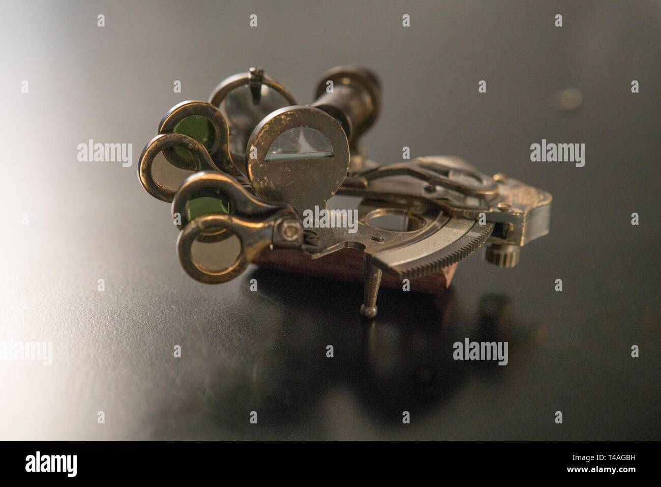 Brass Nautical Vintage Sextant navigational instrument Stock Photohttps://www.alamy.com/image-license-details/?v=1https://www.alamy.com/brass-nautical-vintage-sextant-navigational-instrument-image243636165.html
RFT4AGBH–Brass Nautical Vintage Sextant navigational instrument
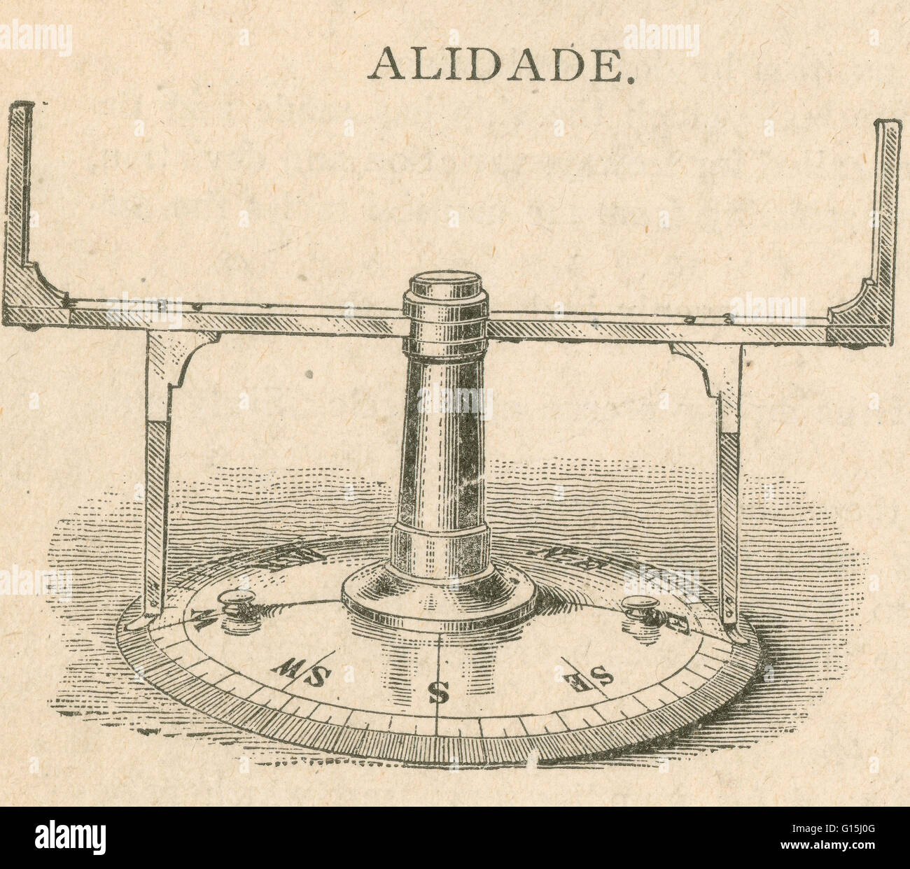 An alidade (archaic forms include alhidade, alhidad, alidad) is an instrument for taking bearings, consisting of two arms revolving around a circular brass plate or dial marked with points and degrees of the compass. It is secures on top of the binnacle h Stock Photohttps://www.alamy.com/image-license-details/?v=1https://www.alamy.com/stock-photo-an-alidade-archaic-forms-include-alhidade-alhidad-alidad-is-an-instrument-104000752.html
RMG15J0G–An alidade (archaic forms include alhidade, alhidad, alidad) is an instrument for taking bearings, consisting of two arms revolving around a circular brass plate or dial marked with points and degrees of the compass. It is secures on top of the binnacle h
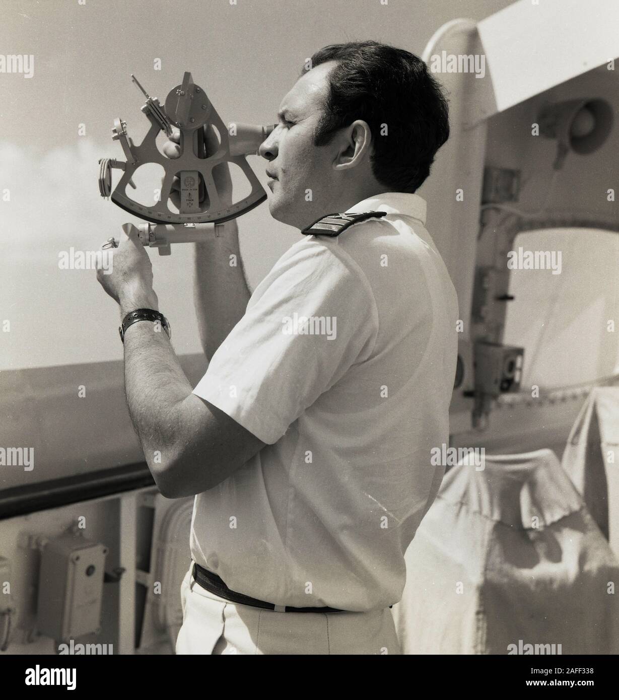 1960s, historical, a uniformed navigator outside on the deck of a cruise ship using a sextant, a maritime instrument used for determining the angle between the horizon and a celestial body, such as the sun, so calculations can be made on latiitude and longitude, so to ascertain where the ship is located. Stock Photohttps://www.alamy.com/image-license-details/?v=1https://www.alamy.com/1960s-historical-a-uniformed-navigator-outside-on-the-deck-of-a-cruise-ship-using-a-sextant-a-maritime-instrument-used-for-determining-the-angle-between-the-horizon-and-a-celestial-body-such-as-the-sun-so-calculations-can-be-made-on-latiitude-and-longitude-so-to-ascertain-where-the-ship-is-located-image336548556.html
RM2AFF338–1960s, historical, a uniformed navigator outside on the deck of a cruise ship using a sextant, a maritime instrument used for determining the angle between the horizon and a celestial body, such as the sun, so calculations can be made on latiitude and longitude, so to ascertain where the ship is located.
 watercolor old metal navigation compass with lid, vintage brown compass, naval equipment, captain, sailor and travelers tool isolated on white backgro Stock Photohttps://www.alamy.com/image-license-details/?v=1https://www.alamy.com/watercolor-old-metal-navigation-compass-with-lid-vintage-brown-compass-naval-equipment-captain-sailor-and-travelers-tool-isolated-on-white-backgro-image605526445.html
RF2X5434D–watercolor old metal navigation compass with lid, vintage brown compass, naval equipment, captain, sailor and travelers tool isolated on white backgro
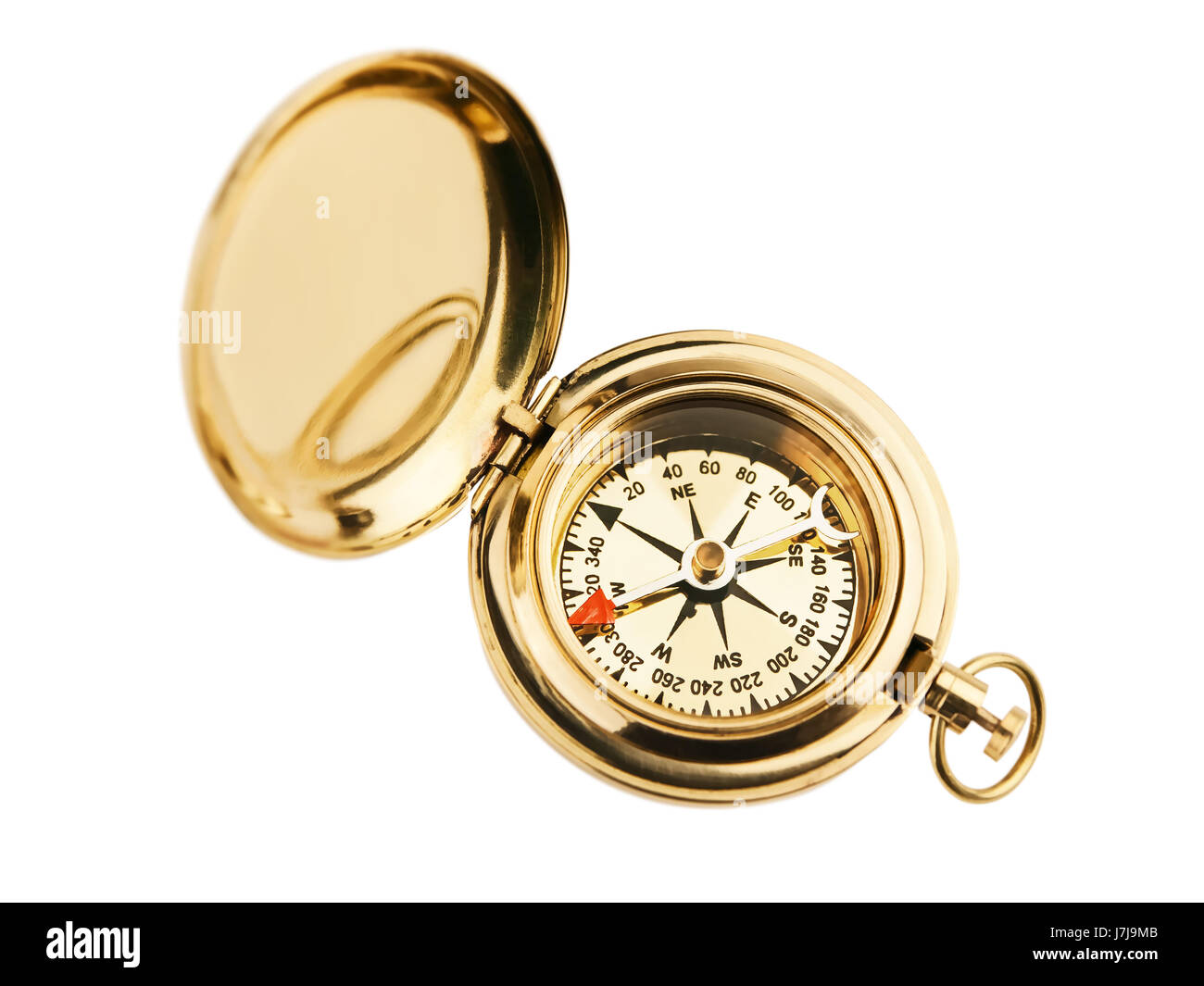 tool object antique navigation south direction west east orientation north Stock Photohttps://www.alamy.com/image-license-details/?v=1https://www.alamy.com/stock-photo-tool-object-antique-navigation-south-direction-west-east-orientation-142388299.html
RFJ7J9MB–tool object antique navigation south direction west east orientation north
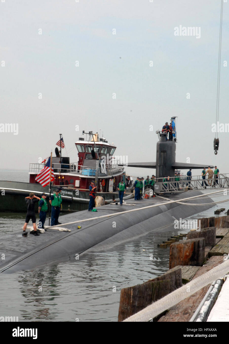 070512-N-5268S-005 NORFOLK, Va. (May 12, 2007) - USS Oklahoma City (SSN 723) prepare to pull out for deployment at Naval Station Norfolk. This will the first time Oklahoma City will deploy using the new Voyage Management System (VMS) the Navy's newest navigational tool. U.S. Navy photo by Mass Communication Specialist 1st Class Christina M. Shaw (RELEASED) US Navy 070512-N-5268S-005 USS Oklahoma City (SSN 723) prepare to pull out for deployment at Naval Station Norfolk Stock Photohttps://www.alamy.com/image-license-details/?v=1https://www.alamy.com/stock-photo-070512-n-5268s-005-norfolk-va-may-12-2007-uss-oklahoma-city-ssn-723-130271746.html
RMHFXAXA–070512-N-5268S-005 NORFOLK, Va. (May 12, 2007) - USS Oklahoma City (SSN 723) prepare to pull out for deployment at Naval Station Norfolk. This will the first time Oklahoma City will deploy using the new Voyage Management System (VMS) the Navy's newest navigational tool. U.S. Navy photo by Mass Communication Specialist 1st Class Christina M. Shaw (RELEASED) US Navy 070512-N-5268S-005 USS Oklahoma City (SSN 723) prepare to pull out for deployment at Naval Station Norfolk
 Compass rose Navigational tool and techniques From the Encyclopédie méthodique Maritime Encyclopedia Publisher Paris : Panckoucke ; Liège : Plomteux in 1787 containing drawings and blueprints of shipbuilding, and Illustrations of maritime subjects plates drawn by Benard direxit Stock Photohttps://www.alamy.com/image-license-details/?v=1https://www.alamy.com/compass-rose-navigational-tool-and-techniques-from-the-encyclopedie-methodique-maritime-encyclopedia-publisher-paris-panckoucke-liege-plomteux-in-1787-containing-drawings-and-blueprints-of-shipbuilding-and-illustrations-of-maritime-subjects-plates-drawn-by-benard-direxit-image466664148.html
RF2J36ATM–Compass rose Navigational tool and techniques From the Encyclopédie méthodique Maritime Encyclopedia Publisher Paris : Panckoucke ; Liège : Plomteux in 1787 containing drawings and blueprints of shipbuilding, and Illustrations of maritime subjects plates drawn by Benard direxit
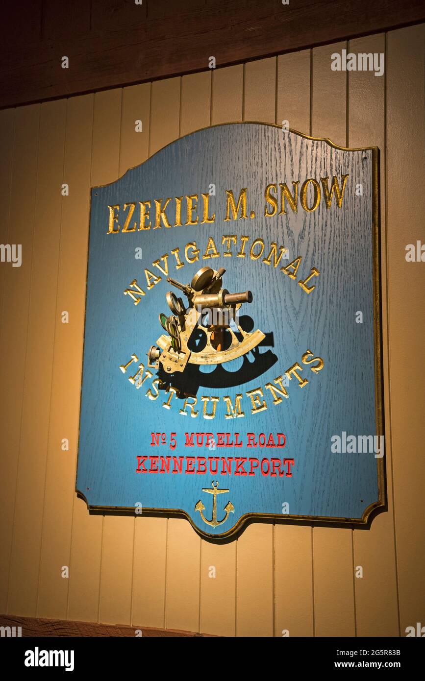 Wall decor with nautical themes. Stock Photohttps://www.alamy.com/image-license-details/?v=1https://www.alamy.com/wall-decor-with-nautical-themes-image433843743.html
RF2G5R83B–Wall decor with nautical themes.
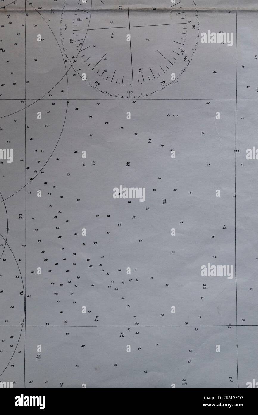 Detail of an old nautical navigational chart with compass deviation symbol on paper. Stock Photohttps://www.alamy.com/image-license-details/?v=1https://www.alamy.com/detail-of-an-old-nautical-navigational-chart-with-compass-deviation-symbol-on-paper-image563388240.html
RF2RMGFCG–Detail of an old nautical navigational chart with compass deviation symbol on paper.
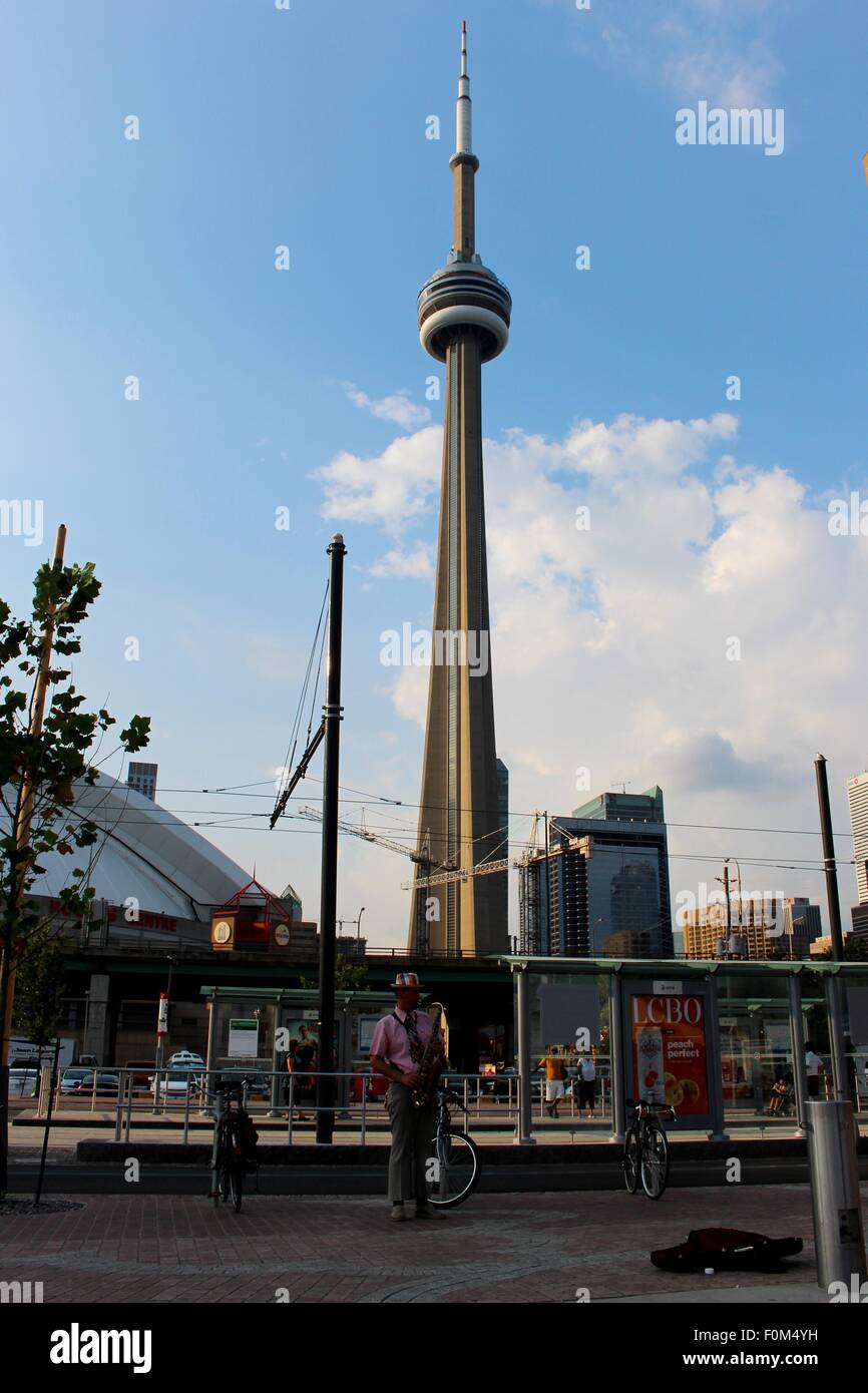 The CN Tower is a navigational tool for any tourist walking around Toronto. Stock Photohttps://www.alamy.com/image-license-details/?v=1https://www.alamy.com/stock-photo-the-cn-tower-is-a-navigational-tool-for-any-tourist-walking-around-86494789.html
RFF0M4YH–The CN Tower is a navigational tool for any tourist walking around Toronto.
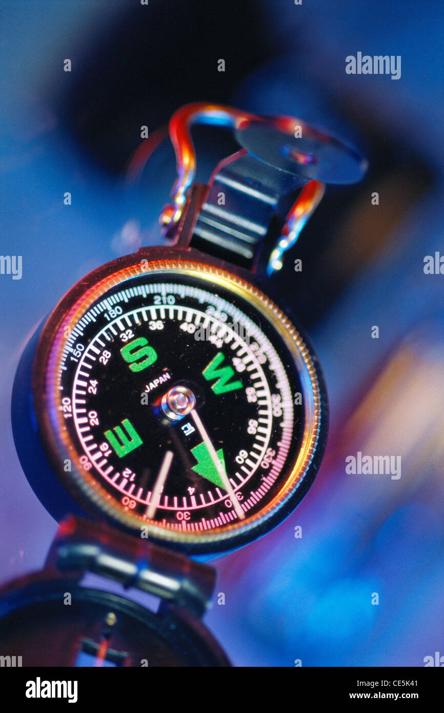 compass Stock Photohttps://www.alamy.com/image-license-details/?v=1https://www.alamy.com/stock-photo-compass-43150689.html
RMCE5K41–compass
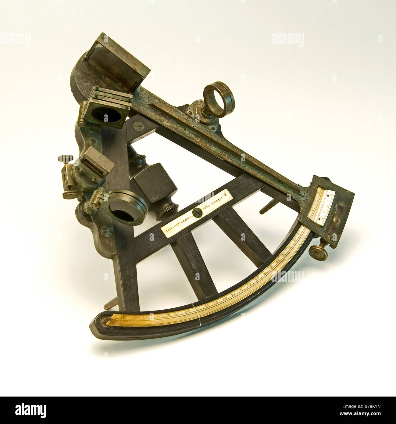 Close-up of an antique sextant a navigational device Stock Photohttps://www.alamy.com/image-license-details/?v=1https://www.alamy.com/stock-photo-close-up-of-an-antique-sextant-a-navigational-device-21704249.html
RMB78KYN–Close-up of an antique sextant a navigational device
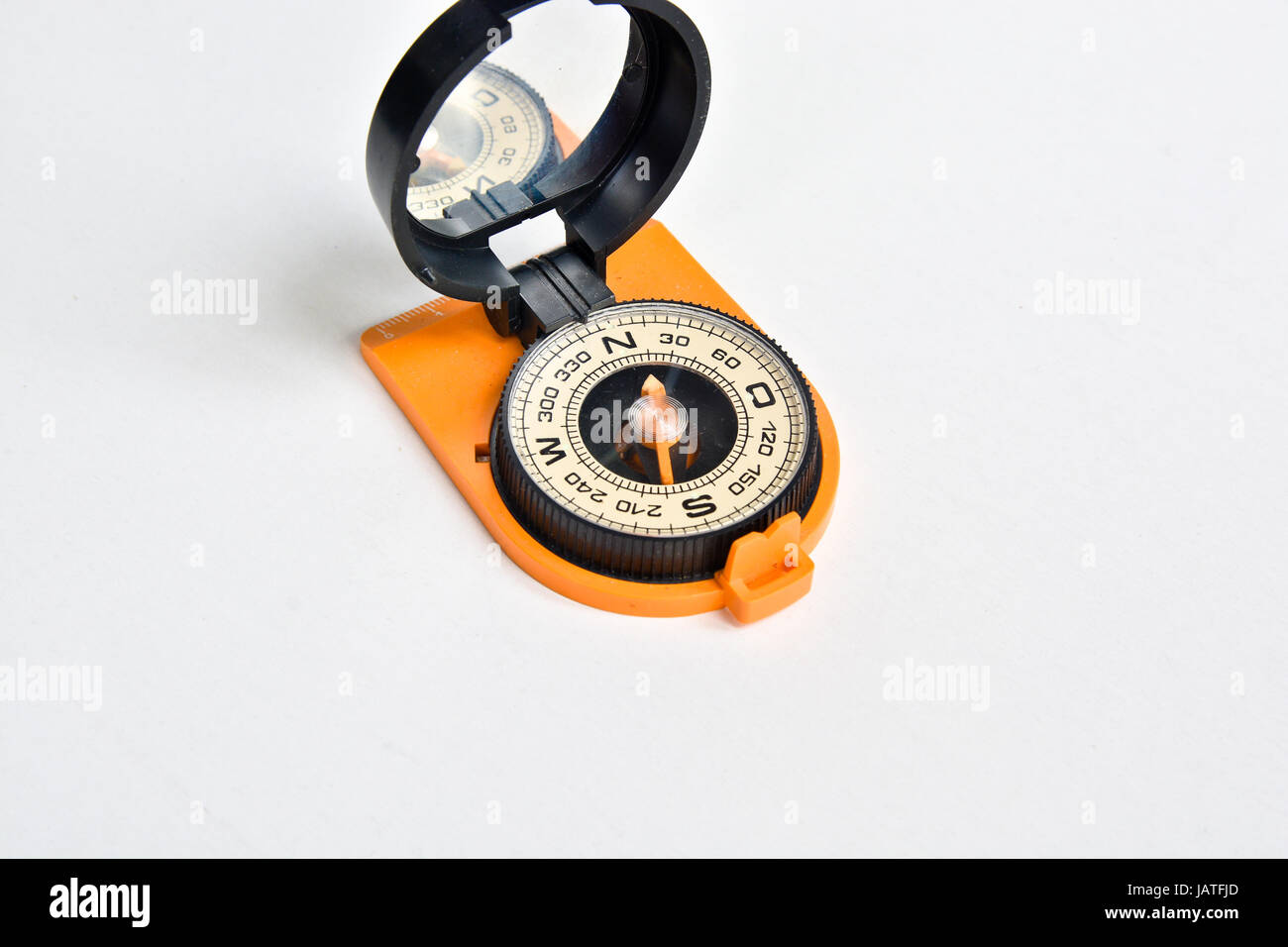 Compass. A reliable navigation tool on a white background. Stock Photohttps://www.alamy.com/image-license-details/?v=1https://www.alamy.com/stock-photo-compass-a-reliable-navigation-tool-on-a-white-background-144368629.html
RFJATFJD–Compass. A reliable navigation tool on a white background.
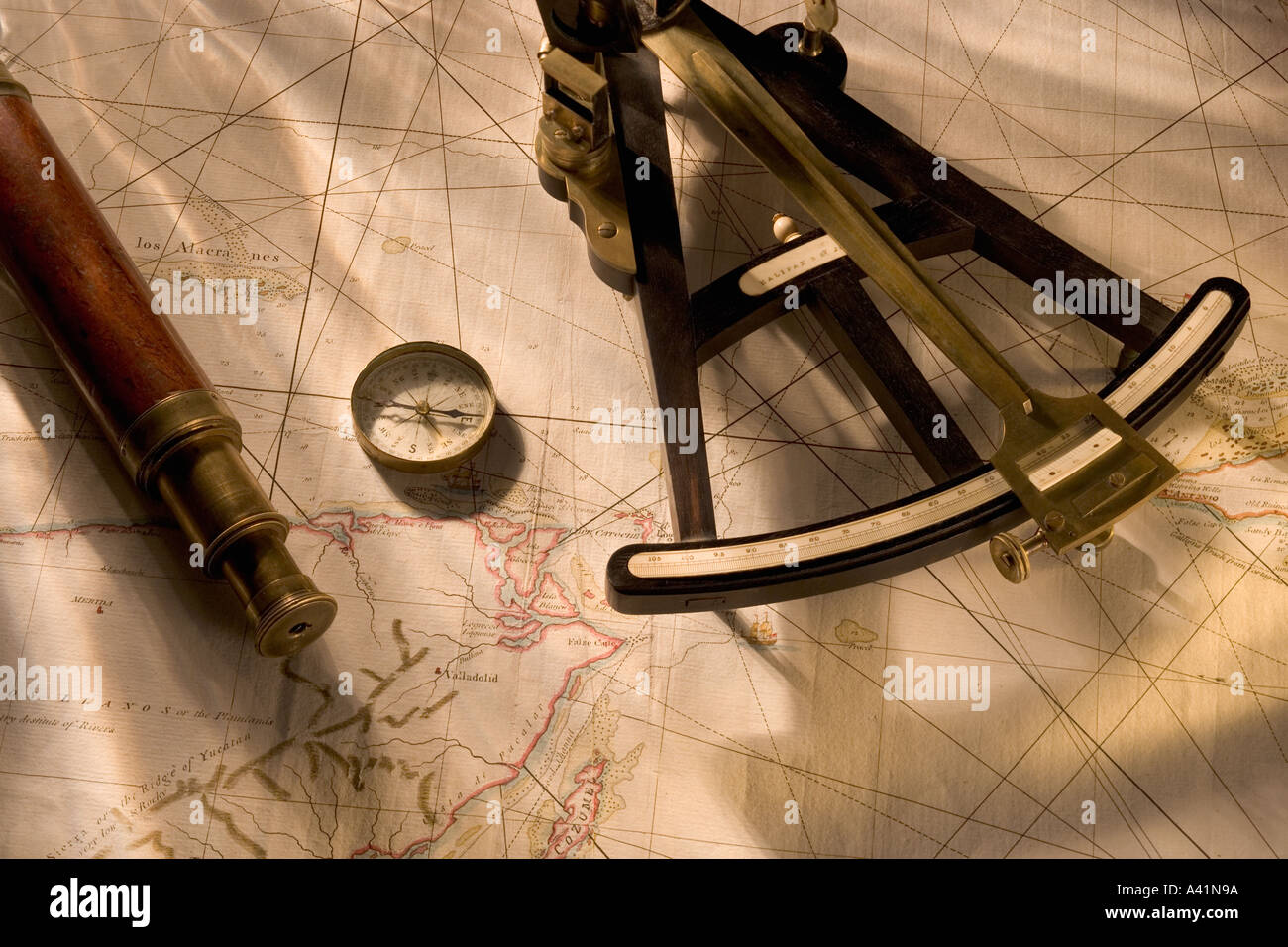 Still life of navigational instruments Stock Photohttps://www.alamy.com/image-license-details/?v=1https://www.alamy.com/still-life-of-navigational-instruments-image3559833.html
RFA41N9A–Still life of navigational instruments
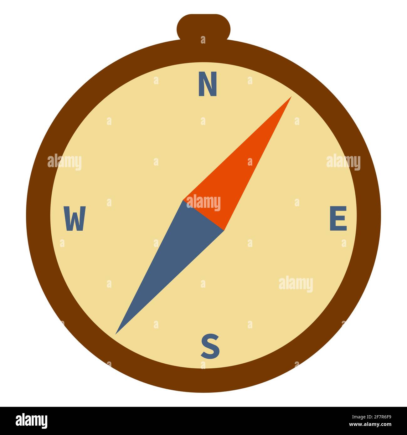 Compass -Vector illustration of measuring tool.Flat minimalism style. Stock Vectorhttps://www.alamy.com/image-license-details/?v=1https://www.alamy.com/compass-vector-illustration-of-measuring-toolflat-minimalism-style-image417861453.html
RF2F7R6F9–Compass -Vector illustration of measuring tool.Flat minimalism style.
 Upper part of a white luxury yacht with the navigational equipment on blue sky with clouds Stock Photohttps://www.alamy.com/image-license-details/?v=1https://www.alamy.com/upper-part-of-a-white-luxury-yacht-with-the-navigational-equipment-on-blue-sky-with-clouds-image466821576.html
RF2J3DFK4–Upper part of a white luxury yacht with the navigational equipment on blue sky with clouds
 WA23114-00...WASHINGTON - North Head Lighthouse located 2 miles north of the Columbia River in Cape Disappointment State Park. Stock Photohttps://www.alamy.com/image-license-details/?v=1https://www.alamy.com/wa23114-00washington-north-head-lighthouse-located-2-miles-north-of-the-columbia-river-in-cape-disappointment-state-park-image529839889.html
RM2NP0855–WA23114-00...WASHINGTON - North Head Lighthouse located 2 miles north of the Columbia River in Cape Disappointment State Park.
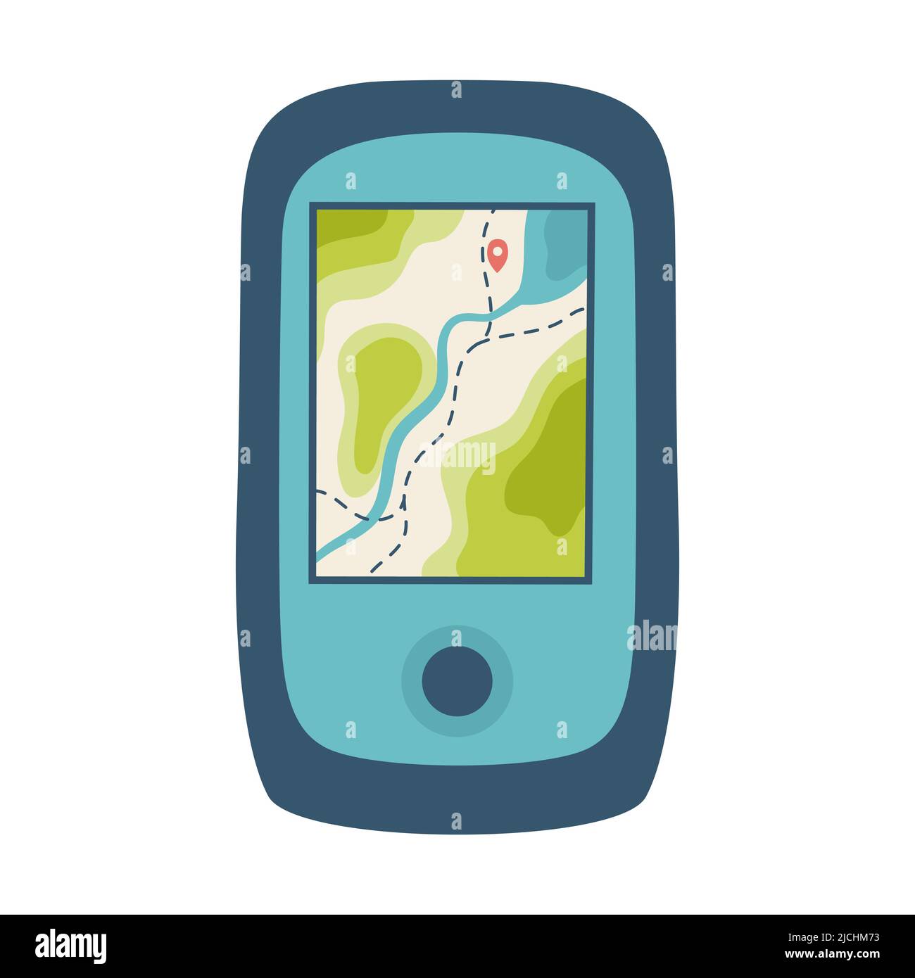 Tourist navigator with a map. A tool for navigation, orientation on the terrain. Equipment for tourism, travel, hiking, sports. Flat vector illustrati Stock Vectorhttps://www.alamy.com/image-license-details/?v=1https://www.alamy.com/tourist-navigator-with-a-map-a-tool-for-navigation-orientation-on-the-terrain-equipment-for-tourism-travel-hiking-sports-flat-vector-illustrati-image472444871.html
RF2JCHM73–Tourist navigator with a map. A tool for navigation, orientation on the terrain. Equipment for tourism, travel, hiking, sports. Flat vector illustrati
![Navigational tools from the book ' A voyage towards the North Pole : undertaken by His Majesty's command, 1773 ' by Constantine John Phipps, Baron Mulgrave, 1744-1792; The 1773 Phipps expedition towards the North Pole was a British Royal Navy expedition in which two ships under the commands of Constantine John Phipps as Captain of the HMS Racehorse [an 18-gun ship-rigged sloop of the Royal Navy.] and Skeffington Lutwidge as Captain of the HMS Carcass [a bomb vessel of the Royal Navy], sailed towards the North Pole in the summer of 1773 and became stuck in ice near Svalbard. A young Horatio Ne Stock Photo Navigational tools from the book ' A voyage towards the North Pole : undertaken by His Majesty's command, 1773 ' by Constantine John Phipps, Baron Mulgrave, 1744-1792; The 1773 Phipps expedition towards the North Pole was a British Royal Navy expedition in which two ships under the commands of Constantine John Phipps as Captain of the HMS Racehorse [an 18-gun ship-rigged sloop of the Royal Navy.] and Skeffington Lutwidge as Captain of the HMS Carcass [a bomb vessel of the Royal Navy], sailed towards the North Pole in the summer of 1773 and became stuck in ice near Svalbard. A young Horatio Ne Stock Photo](https://c8.alamy.com/comp/2GB5C8P/navigational-tools-from-the-book-a-voyage-towards-the-north-pole-undertaken-by-his-majestys-command-1773-by-constantine-john-phipps-baron-mulgrave-1744-1792-the-1773-phipps-expedition-towards-the-north-pole-was-a-british-royal-navy-expedition-in-which-two-ships-under-the-commands-of-constantine-john-phipps-as-captain-of-the-hms-racehorse-an-18-gun-ship-rigged-sloop-of-the-royal-navy-and-skeffington-lutwidge-as-captain-of-the-hms-carcass-a-bomb-vessel-of-the-royal-navy-sailed-towards-the-north-pole-in-the-summer-of-1773-and-became-stuck-in-ice-near-svalbard-a-young-horatio-ne-2GB5C8P.jpg) Navigational tools from the book ' A voyage towards the North Pole : undertaken by His Majesty's command, 1773 ' by Constantine John Phipps, Baron Mulgrave, 1744-1792; The 1773 Phipps expedition towards the North Pole was a British Royal Navy expedition in which two ships under the commands of Constantine John Phipps as Captain of the HMS Racehorse [an 18-gun ship-rigged sloop of the Royal Navy.] and Skeffington Lutwidge as Captain of the HMS Carcass [a bomb vessel of the Royal Navy], sailed towards the North Pole in the summer of 1773 and became stuck in ice near Svalbard. A young Horatio Ne Stock Photohttps://www.alamy.com/image-license-details/?v=1https://www.alamy.com/navigational-tools-from-the-book-a-voyage-towards-the-north-pole-undertaken-by-his-majestys-command-1773-by-constantine-john-phipps-baron-mulgrave-1744-1792-the-1773-phipps-expedition-towards-the-north-pole-was-a-british-royal-navy-expedition-in-which-two-ships-under-the-commands-of-constantine-john-phipps-as-captain-of-the-hms-racehorse-an-18-gun-ship-rigged-sloop-of-the-royal-navy-and-skeffington-lutwidge-as-captain-of-the-hms-carcass-a-bomb-vessel-of-the-royal-navy-sailed-towards-the-north-pole-in-the-summer-of-1773-and-became-stuck-in-ice-near-svalbard-a-young-horatio-ne-image437139830.html
Navigational tools from the book ' A voyage towards the North Pole : undertaken by His Majesty's command, 1773 ' by Constantine John Phipps, Baron Mulgrave, 1744-1792; The 1773 Phipps expedition towards the North Pole was a British Royal Navy expedition in which two ships under the commands of Constantine John Phipps as Captain of the HMS Racehorse [an 18-gun ship-rigged sloop of the Royal Navy.] and Skeffington Lutwidge as Captain of the HMS Carcass [a bomb vessel of the Royal Navy], sailed towards the North Pole in the summer of 1773 and became stuck in ice near Svalbard. A young Horatio Ne Stock Photohttps://www.alamy.com/image-license-details/?v=1https://www.alamy.com/navigational-tools-from-the-book-a-voyage-towards-the-north-pole-undertaken-by-his-majestys-command-1773-by-constantine-john-phipps-baron-mulgrave-1744-1792-the-1773-phipps-expedition-towards-the-north-pole-was-a-british-royal-navy-expedition-in-which-two-ships-under-the-commands-of-constantine-john-phipps-as-captain-of-the-hms-racehorse-an-18-gun-ship-rigged-sloop-of-the-royal-navy-and-skeffington-lutwidge-as-captain-of-the-hms-carcass-a-bomb-vessel-of-the-royal-navy-sailed-towards-the-north-pole-in-the-summer-of-1773-and-became-stuck-in-ice-near-svalbard-a-young-horatio-ne-image437139830.htmlRM2GB5C8P–Navigational tools from the book ' A voyage towards the North Pole : undertaken by His Majesty's command, 1773 ' by Constantine John Phipps, Baron Mulgrave, 1744-1792; The 1773 Phipps expedition towards the North Pole was a British Royal Navy expedition in which two ships under the commands of Constantine John Phipps as Captain of the HMS Racehorse [an 18-gun ship-rigged sloop of the Royal Navy.] and Skeffington Lutwidge as Captain of the HMS Carcass [a bomb vessel of the Royal Navy], sailed towards the North Pole in the summer of 1773 and became stuck in ice near Svalbard. A young Horatio Ne
 Globe showing details of the Americas, close up, cropped, plain background, brown background Stock Photohttps://www.alamy.com/image-license-details/?v=1https://www.alamy.com/globe-showing-details-of-the-americas-close-up-cropped-plain-background-brown-background-image231550352.html
RMRCM0RC–Globe showing details of the Americas, close up, cropped, plain background, brown background
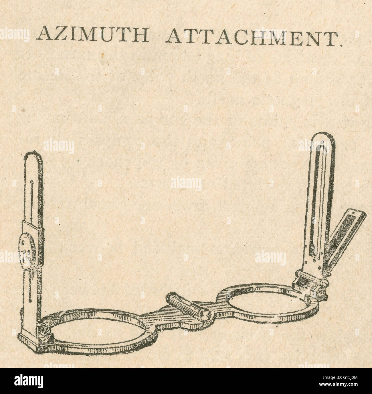 Azimuth attachment is a small, portable, mechanical device, consisting of two revolving arms or sight vanes for resting on the compass glass and by which bearings are taken. Stock Photohttps://www.alamy.com/image-license-details/?v=1https://www.alamy.com/stock-photo-azimuth-attachment-is-a-small-portable-mechanical-device-consisting-104000756.html
RMG15J0M–Azimuth attachment is a small, portable, mechanical device, consisting of two revolving arms or sight vanes for resting on the compass glass and by which bearings are taken.
 Retro items for marine navigation telescope and compass Stock Photohttps://www.alamy.com/image-license-details/?v=1https://www.alamy.com/retro-items-for-marine-navigation-telescope-and-compass-image274482870.html
RMWXFNKJ–Retro items for marine navigation telescope and compass
 vintage globe of earth, watercolor old history spy glass, brown grunge navigation compass, composition of study and adventure theme, navigation tool i Stock Photohttps://www.alamy.com/image-license-details/?v=1https://www.alamy.com/vintage-globe-of-earth-watercolor-old-history-spy-glass-brown-grunge-navigation-compass-composition-of-study-and-adventure-theme-navigation-tool-i-image606078557.html
RF2X617AN–vintage globe of earth, watercolor old history spy glass, brown grunge navigation compass, composition of study and adventure theme, navigation tool i
 tool, object, travel, single, isolated, antique, navigation, metal, south, Stock Photohttps://www.alamy.com/image-license-details/?v=1https://www.alamy.com/stock-photo-tool-object-travel-single-isolated-antique-navigation-metal-south-131681852.html
RFHJ6HF8–tool, object, travel, single, isolated, antique, navigation, metal, south,
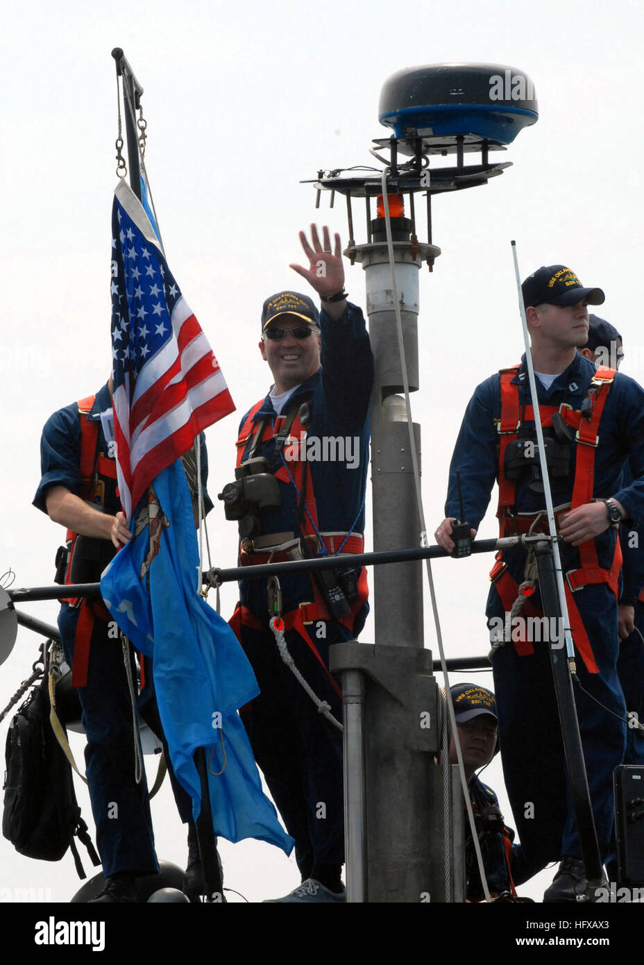 070512-N-5268S-001 NORFOLK, Va. (May 12, 2007) Ð USS Oklahoma City (SSN 723) Commanding Officer, Cmdr. Ed Mayer, waves to his family before pulling out for deployment. This will the first time Oklahoma City will deploy using the new Voyage Management System (VMS) the Navy's newest navigational tool. U.S. Navy photo by Mass Communication Specialist 1st Class Christina M. Shaw (RELEASED) US Navy 070512-N-5268S-001 USS Oklahoma City (SSN 723) Commanding Officer, Cmdr. Ed Mayer, waves to his family before pulling out for deployment Stock Photohttps://www.alamy.com/image-license-details/?v=1https://www.alamy.com/stock-photo-070512-n-5268s-001-norfolk-va-may-12-2007-uss-oklahoma-city-ssn-723-130271739.html
RMHFXAX3–070512-N-5268S-001 NORFOLK, Va. (May 12, 2007) Ð USS Oklahoma City (SSN 723) Commanding Officer, Cmdr. Ed Mayer, waves to his family before pulling out for deployment. This will the first time Oklahoma City will deploy using the new Voyage Management System (VMS) the Navy's newest navigational tool. U.S. Navy photo by Mass Communication Specialist 1st Class Christina M. Shaw (RELEASED) US Navy 070512-N-5268S-001 USS Oklahoma City (SSN 723) Commanding Officer, Cmdr. Ed Mayer, waves to his family before pulling out for deployment
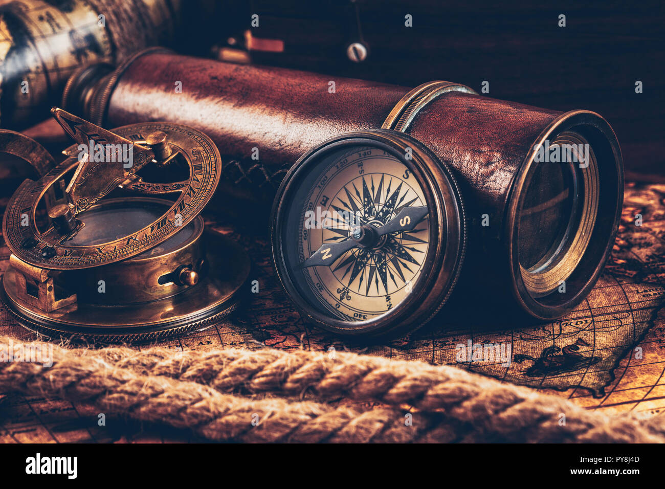 Old vintage compass on ancient map Stock Photohttps://www.alamy.com/image-license-details/?v=1https://www.alamy.com/old-vintage-compass-on-ancient-map-image223309981.html
RFPY8J4D–Old vintage compass on ancient map
 Compass on the grass close up outdoors concept Stock Photohttps://www.alamy.com/image-license-details/?v=1https://www.alamy.com/stock-photo-compass-on-the-grass-close-up-outdoors-concept-80335397.html
RFEJKGH9–Compass on the grass close up outdoors concept
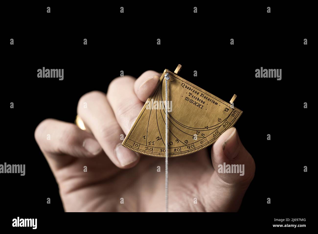 Precise replica of a 14th Century quadrant sundial, crafted by Master Terebrus, a Ukranian producer of ancient navigation and mathematical tools. Stock Photohttps://www.alamy.com/image-license-details/?v=1https://www.alamy.com/precise-replica-of-a-14th-century-quadrant-sundial-crafted-by-master-terebrus-a-ukranian-producer-of-ancient-navigation-and-mathematical-tools-image468571504.html
RM2J697MG–Precise replica of a 14th Century quadrant sundial, crafted by Master Terebrus, a Ukranian producer of ancient navigation and mathematical tools.
 A great circle the shortest possible route across the Pacific from the Article THE PROPOSED PACIFIC CABLES. By Harrington Emerson. from The Engineering Magazine Devoted to Industrial Progress Volume XVIII 1899-1900 The Engineering Magazine Co Stock Photohttps://www.alamy.com/image-license-details/?v=1https://www.alamy.com/a-great-circle-the-shortest-possible-route-across-the-pacific-from-the-article-the-proposed-pacific-cables-by-harrington-emerson-from-the-engineering-magazine-devoted-to-industrial-progress-volume-xviii-1899-1900-the-engineering-magazine-co-image611361699.html
RM2XEHX2B–A great circle the shortest possible route across the Pacific from the Article THE PROPOSED PACIFIC CABLES. By Harrington Emerson. from The Engineering Magazine Devoted to Industrial Progress Volume XVIII 1899-1900 The Engineering Magazine Co
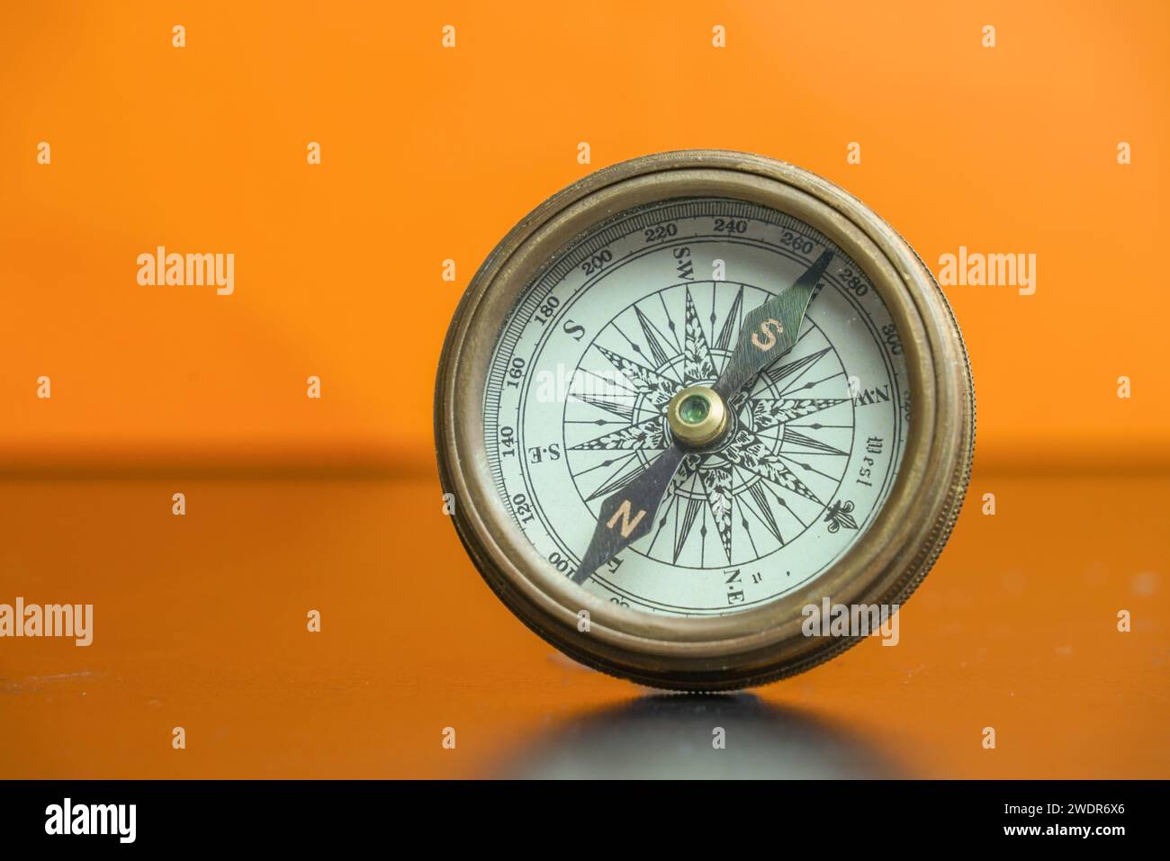 An antique navigational compass with an orange background. Stock Photohttps://www.alamy.com/image-license-details/?v=1https://www.alamy.com/an-antique-navigational-compass-with-an-orange-background-image593653374.html
RF2WDR6X6–An antique navigational compass with an orange background.
 Navigational heiau at Mahukona North Kohala The Big Island Hawaii Stock Photohttps://www.alamy.com/image-license-details/?v=1https://www.alamy.com/stock-photo-navigational-heiau-at-mahukona-north-kohala-the-big-island-hawaii-16401975.html
RMATX22G–Navigational heiau at Mahukona North Kohala The Big Island Hawaii
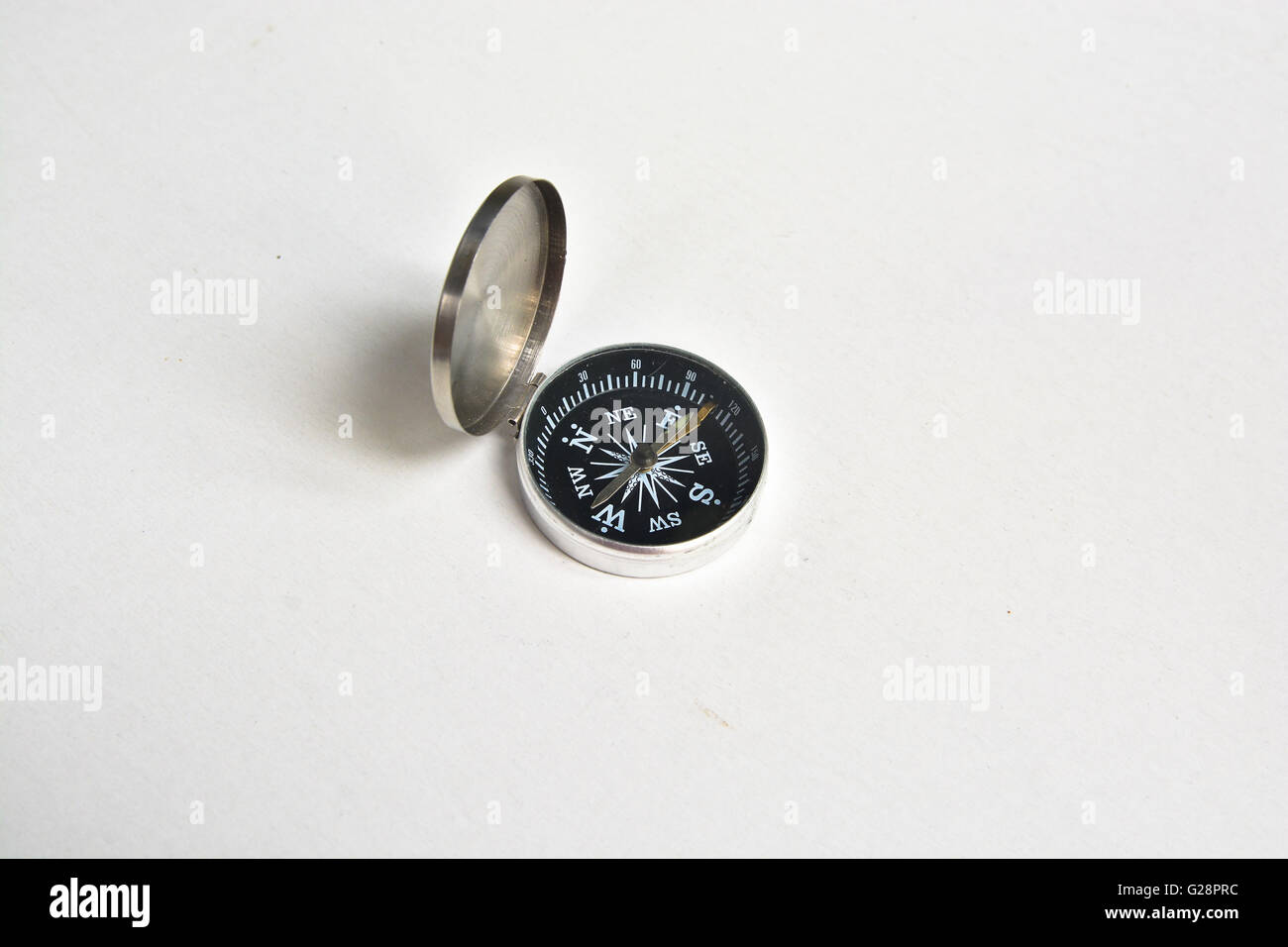 Lone compass. The magnetic compass is located on a white background. Stock Photohttps://www.alamy.com/image-license-details/?v=1https://www.alamy.com/stock-photo-lone-compass-the-magnetic-compass-is-located-on-a-white-background-104685040.html
RFG28PRC–Lone compass. The magnetic compass is located on a white background.
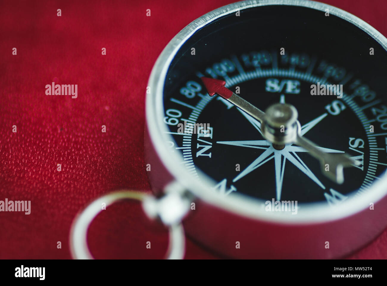 Black traditional compass with arrow on red background Stock Photohttps://www.alamy.com/image-license-details/?v=1https://www.alamy.com/black-traditional-compass-with-arrow-on-red-background-image187582084.html
RFMW52T4–Black traditional compass with arrow on red background
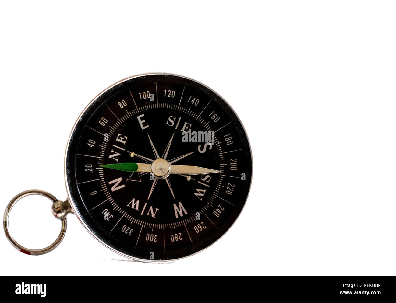 Isolated black navigation compass on a white background, hand pointing north Stock Photohttps://www.alamy.com/image-license-details/?v=1https://www.alamy.com/stock-image-isolated-black-navigation-compass-on-a-white-background-hand-pointing-163929411.html
RFKEKHHR–Isolated black navigation compass on a white background, hand pointing north
 Upper part of a white luxury yacht with the navigational equipment on blue sky with clouds Stock Photohttps://www.alamy.com/image-license-details/?v=1https://www.alamy.com/upper-part-of-a-white-luxury-yacht-with-the-navigational-equipment-on-blue-sky-with-clouds-image453390662.html
RF2H9HMBJ–Upper part of a white luxury yacht with the navigational equipment on blue sky with clouds
 WA23063-00...WASHINGTON - Dawn, on a cloudy day, at North Head Lighthouse overlooking the Pacific Ocean in Cape Disappointment State Park. Stock Photohttps://www.alamy.com/image-license-details/?v=1https://www.alamy.com/wa23063-00washington-dawn-on-a-cloudy-day-at-north-head-lighthouse-overlooking-the-pacific-ocean-in-cape-disappointment-state-park-image529817123.html
RM2NNY743–WA23063-00...WASHINGTON - Dawn, on a cloudy day, at North Head Lighthouse overlooking the Pacific Ocean in Cape Disappointment State Park.
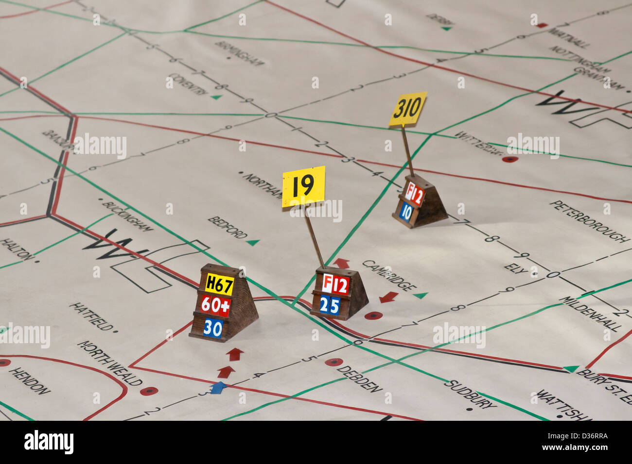 WW2 Plotting map Stock Photohttps://www.alamy.com/image-license-details/?v=1https://www.alamy.com/stock-photo-ww2-plotting-map-53625470.html
RMD36RRA–WW2 Plotting map
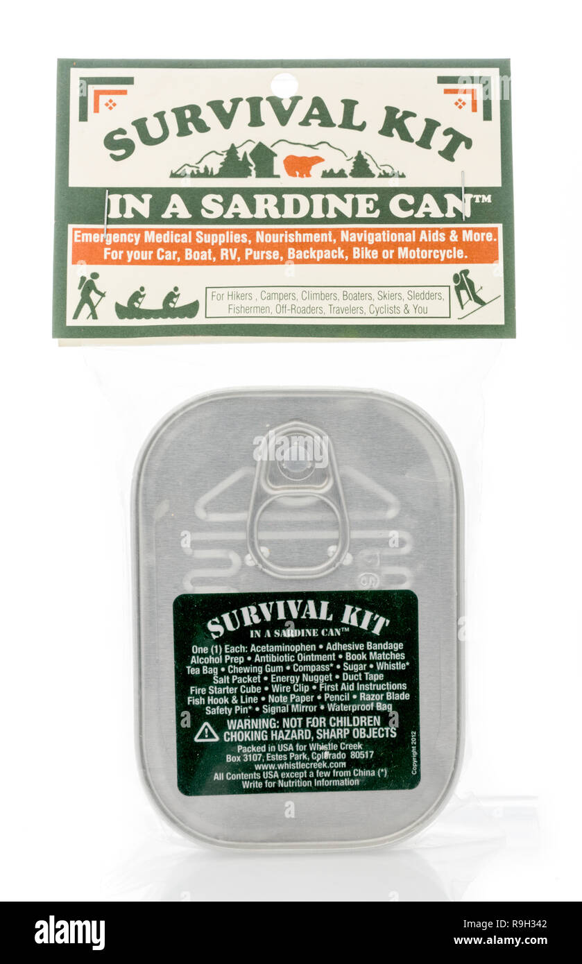 Winneconne, WI - 10 December 2018: A Survival kit in a sardine can that includes medical supples, nourishment, navigational aids and more on an isolat Stock Photohttps://www.alamy.com/image-license-details/?v=1https://www.alamy.com/winneconne-wi-10-december-2018-a-survival-kit-in-a-sardine-can-that-includes-medical-supples-nourishment-navigational-aids-and-more-on-an-isolat-image229642338.html
RFR9H342–Winneconne, WI - 10 December 2018: A Survival kit in a sardine can that includes medical supples, nourishment, navigational aids and more on an isolat
 Globe showing details of the Americas, close up, cropped, plain background, grey background Stock Photohttps://www.alamy.com/image-license-details/?v=1https://www.alamy.com/globe-showing-details-of-the-americas-close-up-cropped-plain-background-grey-background-image231550346.html
RMRCM0R6–Globe showing details of the Americas, close up, cropped, plain background, grey background
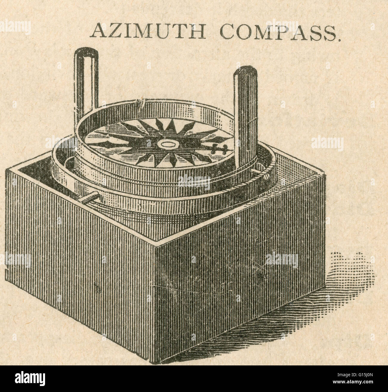 Azimuth compass a portable, dry card compass provided with sight vanes and used for taking bearings. Stock Photohttps://www.alamy.com/image-license-details/?v=1https://www.alamy.com/stock-photo-azimuth-compass-a-portable-dry-card-compass-provided-with-sight-vanes-104000757.html
RMG15J0N–Azimuth compass a portable, dry card compass provided with sight vanes and used for taking bearings.
 St.Johns River Water Management Division working on a slide gate at the Burrell Lock and dam located in Leesburg, Florida USA Stock Photohttps://www.alamy.com/image-license-details/?v=1https://www.alamy.com/stock-photo-stjohns-river-water-management-division-working-on-a-slide-gate-at-56677585.html
RMD85TRD–St.Johns River Water Management Division working on a slide gate at the Burrell Lock and dam located in Leesburg, Florida USA
 watercolor old textured brown grunge paper map, vintage navigation rose wing, naval equipment, captain, sailor and travelers tool isolated on white ba Stock Photohttps://www.alamy.com/image-license-details/?v=1https://www.alamy.com/watercolor-old-textured-brown-grunge-paper-map-vintage-navigation-rose-wing-naval-equipment-captain-sailor-and-travelers-tool-isolated-on-white-ba-image606078696.html
RF2X617FM–watercolor old textured brown grunge paper map, vintage navigation rose wing, naval equipment, captain, sailor and travelers tool isolated on white ba
 3d rendered compass for visual financial metaphor concept: Rose pointing on GROWTH message. Symbol aiming on a particular position or strategy. Stock Photohttps://www.alamy.com/image-license-details/?v=1https://www.alamy.com/3d-rendered-compass-for-visual-financial-metaphor-concept-rose-pointing-on-growth-message-symbol-aiming-on-a-particular-position-or-strategy-image454784378.html
RF2HBW636–3d rendered compass for visual financial metaphor concept: Rose pointing on GROWTH message. Symbol aiming on a particular position or strategy.
 101215-N-0232G-061 SAN DIEGO (Dec. 15, 2010) Quartermaster 3rd Class Jaime Plym looks through a sextant on the port bridge wing of the aircraft carrier USS Ronald Reagan (CVN 76) as the ship departs homeport at San Diego. A sextant is a navigational tool used to measure the distance between two ships at sea. Ronald Reagan is underway conducting operations in preparation for an upcoming deployment. (U.S. Navy photo by Mass Communication Specialist 3rd Class Kevin B. Gray/Released) US Navy 101215-N-0232G-061 Quartermaster 3rd Class Jaime Plym looks through a sextant on the port bridge wing of th Stock Photohttps://www.alamy.com/image-license-details/?v=1https://www.alamy.com/stock-photo-101215-n-0232g-061-san-diego-dec-15-2010-quartermaster-3rd-class-jaime-130299305.html
RMHFYJ2H–101215-N-0232G-061 SAN DIEGO (Dec. 15, 2010) Quartermaster 3rd Class Jaime Plym looks through a sextant on the port bridge wing of the aircraft carrier USS Ronald Reagan (CVN 76) as the ship departs homeport at San Diego. A sextant is a navigational tool used to measure the distance between two ships at sea. Ronald Reagan is underway conducting operations in preparation for an upcoming deployment. (U.S. Navy photo by Mass Communication Specialist 3rd Class Kevin B. Gray/Released) US Navy 101215-N-0232G-061 Quartermaster 3rd Class Jaime Plym looks through a sextant on the port bridge wing of th
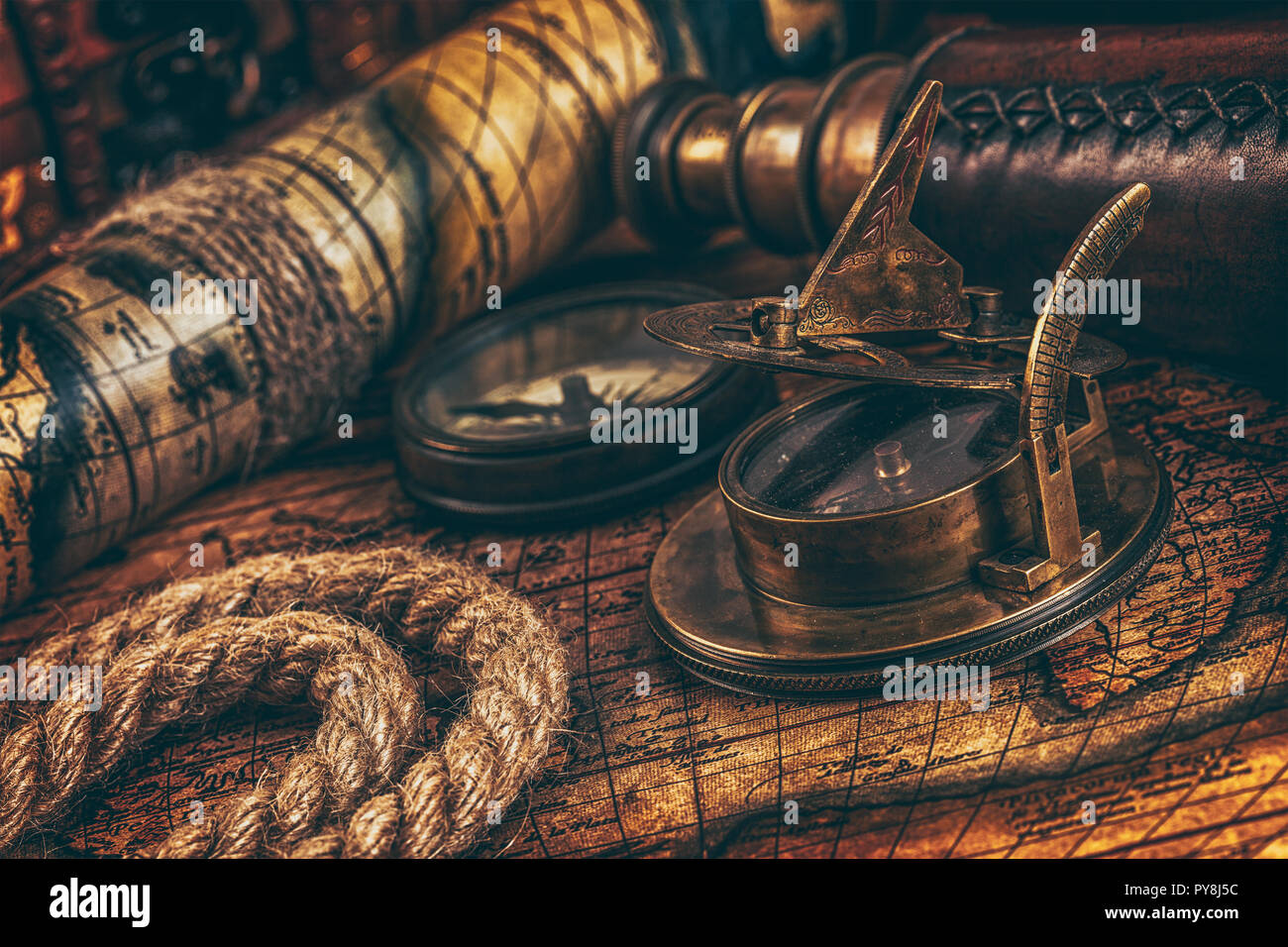 Old vintage compass on ancient map Stock Photohttps://www.alamy.com/image-license-details/?v=1https://www.alamy.com/old-vintage-compass-on-ancient-map-image223310008.html
RFPY8J5C–Old vintage compass on ancient map
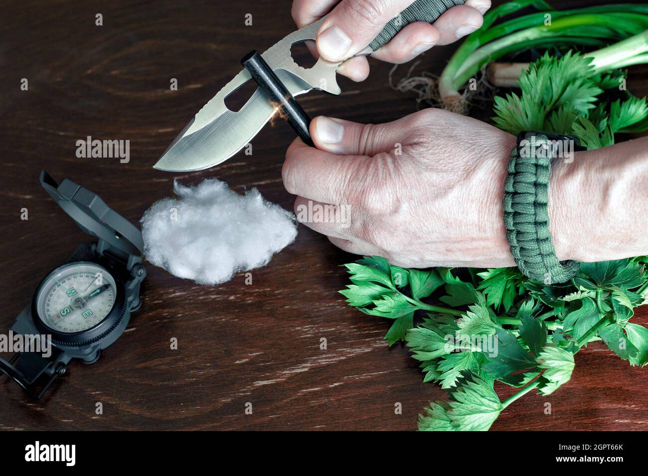 Preparing Campfire Stock Photohttps://www.alamy.com/image-license-details/?v=1https://www.alamy.com/preparing-campfire-image444313371.html
RF2GPT66K–Preparing Campfire
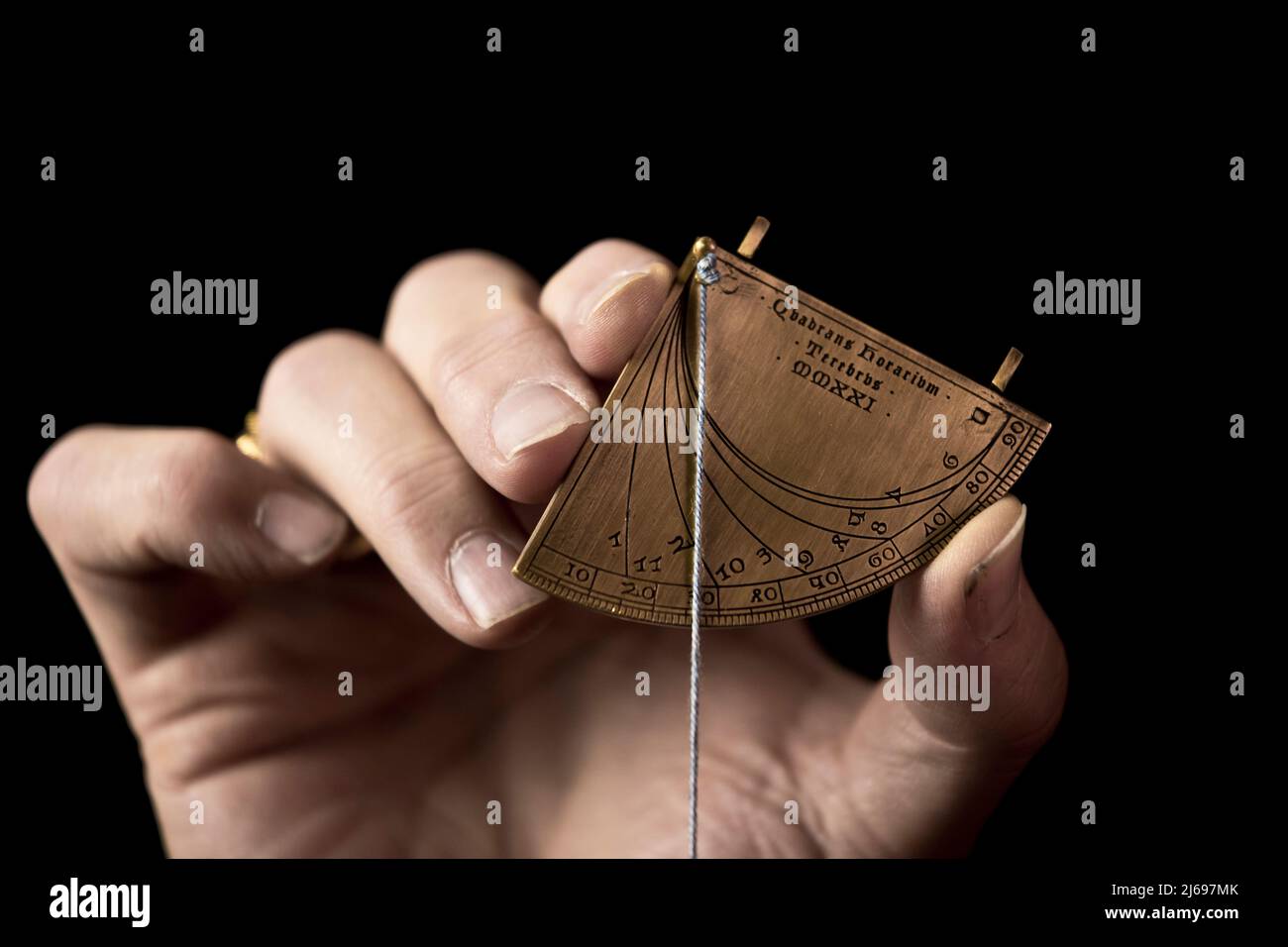 Precise replica of a 14th Century quadrant sundial, crafted by Master Terebrus, a Ukranian producer of ancient navigation and mathematical tools. Stock Photohttps://www.alamy.com/image-license-details/?v=1https://www.alamy.com/precise-replica-of-a-14th-century-quadrant-sundial-crafted-by-master-terebrus-a-ukranian-producer-of-ancient-navigation-and-mathematical-tools-image468571507.html
RF2J697MK–Precise replica of a 14th Century quadrant sundial, crafted by Master Terebrus, a Ukranian producer of ancient navigation and mathematical tools.
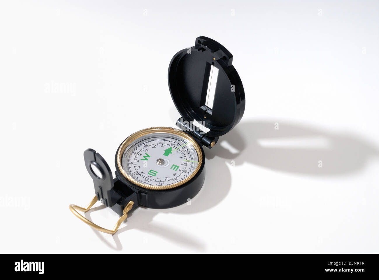 Navigational compass Stock Photohttps://www.alamy.com/image-license-details/?v=1https://www.alamy.com/stock-photo-navigational-compass-19530275.html
RFB3NK1R–Navigational compass
 Vintage camping colorful emblems with navigational compass stone tool eagle tent forest and mountains isolated vector illustration Stock Vectorhttps://www.alamy.com/image-license-details/?v=1https://www.alamy.com/vintage-camping-colorful-emblems-with-navigational-compass-stone-tool-eagle-tent-forest-and-mountains-isolated-vector-illustration-image466392301.html
RF2J2P03W–Vintage camping colorful emblems with navigational compass stone tool eagle tent forest and mountains isolated vector illustration
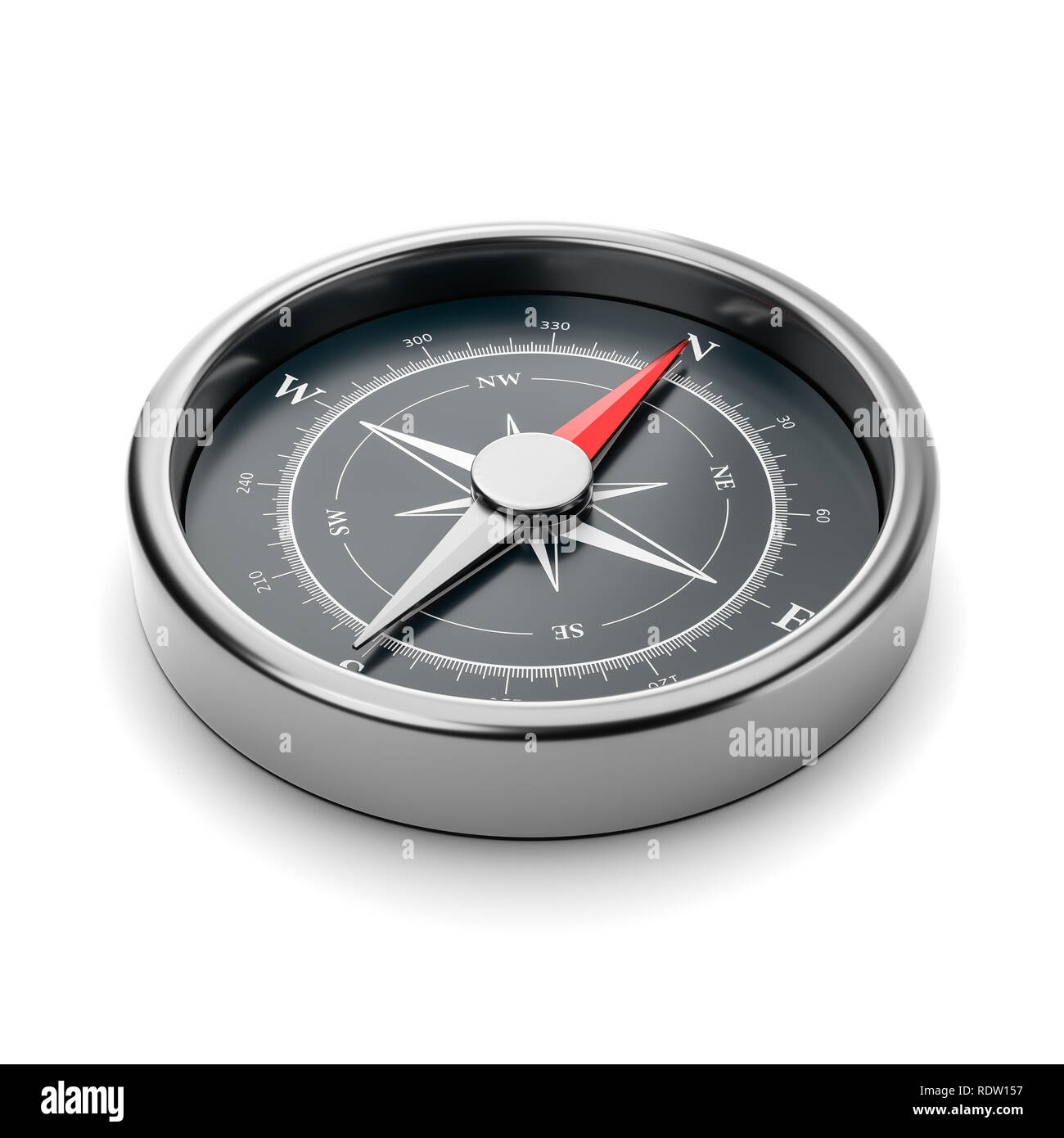 Metallic Compass with Red Magnetic Needle Pointing Toward the North on White Background 3D Illustration Stock Photohttps://www.alamy.com/image-license-details/?v=1https://www.alamy.com/metallic-compass-with-red-magnetic-needle-pointing-toward-the-north-on-white-background-3d-illustration-image232275043.html
RFRDW157–Metallic Compass with Red Magnetic Needle Pointing Toward the North on White Background 3D Illustration
 Lone compass. The magnetic compass is located on a white background. Stock Photohttps://www.alamy.com/image-license-details/?v=1https://www.alamy.com/stock-photo-lone-compass-the-magnetic-compass-is-located-on-a-white-background-104685039.html
RFG28PRB–Lone compass. The magnetic compass is located on a white background.
 Old yellow retro compass on a green background Stock Photohttps://www.alamy.com/image-license-details/?v=1https://www.alamy.com/old-yellow-retro-compass-on-a-green-background-image187582078.html
RFMW52RX–Old yellow retro compass on a green background
RF2F4KT5R–Navigational Compass Tool Icon Vector
 Upper part of a white luxury yacht with the navigational equipment on blue sky with clouds Stock Photohttps://www.alamy.com/image-license-details/?v=1https://www.alamy.com/upper-part-of-a-white-luxury-yacht-with-the-navigational-equipment-on-blue-sky-with-clouds-image453644020.html
RF2HA17G4–Upper part of a white luxury yacht with the navigational equipment on blue sky with clouds
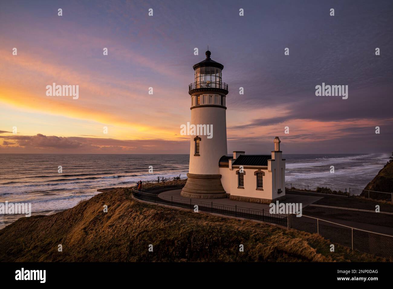 WA23119-00...WASHINGTON - North Head Lighthouse in the late afternoon located on the Pacific Coast in Cape Disappointment State Park. Stock Photohttps://www.alamy.com/image-license-details/?v=1https://www.alamy.com/wa23119-00washington-north-head-lighthouse-in-the-late-afternoon-located-on-the-pacific-coast-in-cape-disappointment-state-park-image529843960.html
RM2NP0DAG–WA23119-00...WASHINGTON - North Head Lighthouse in the late afternoon located on the Pacific Coast in Cape Disappointment State Park.
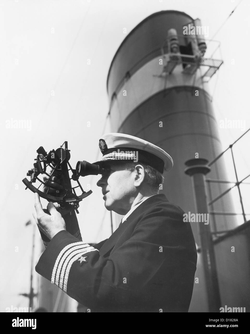 Historic shot of ship's captain using navigational equipment Stock Photohttps://www.alamy.com/image-license-details/?v=1https://www.alamy.com/stock-photo-historic-shot-of-ships-captain-using-navigational-equipment-52423178.html
RMD1828A–Historic shot of ship's captain using navigational equipment
 direction, north, equipment, magnetism, compass, tool, measured, sured, Stock Photohttps://www.alamy.com/image-license-details/?v=1https://www.alamy.com/stock-photo-direction-north-equipment-magnetism-compass-tool-measured-sured-132027305.html
RFHJPA4W–direction, north, equipment, magnetism, compass, tool, measured, sured,
 Navigational heiau at Mahukona North Kohala The Big Island Hawaii Stock Photohttps://www.alamy.com/image-license-details/?v=1https://www.alamy.com/stock-photo-navigational-heiau-at-mahukona-north-kohala-the-big-island-hawaii-16399549.html
RMATWPRX–Navigational heiau at Mahukona North Kohala The Big Island Hawaii
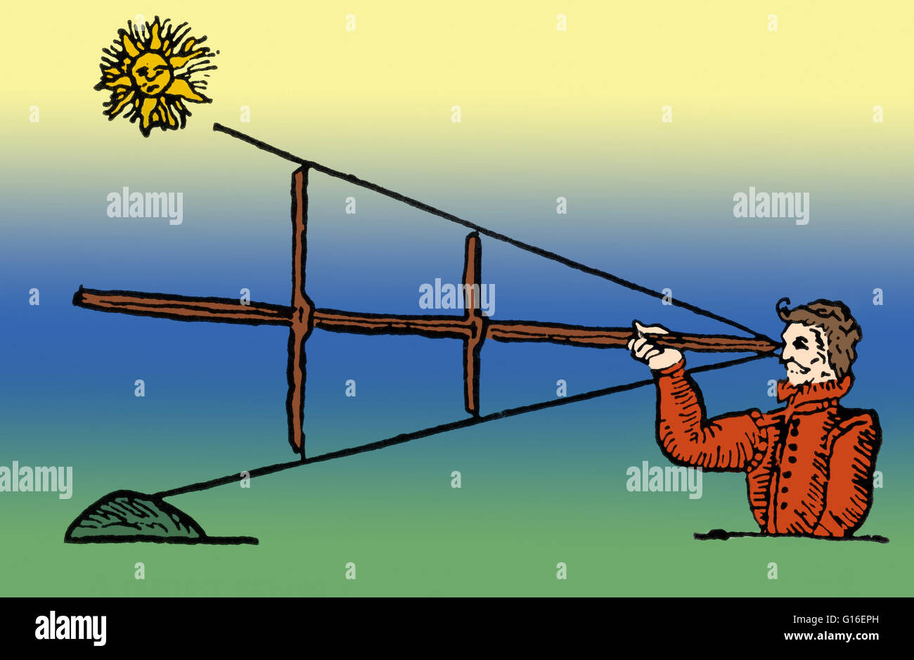 Colorized illustration of the cross-staff, or fore-staff. This navigational instrument is composed of a square staff and three vanes of different lengths. The sides of the staff have different scales, each corresponding to one of the vanes. When observing Stock Photohttps://www.alamy.com/image-license-details/?v=1https://www.alamy.com/stock-photo-colorized-illustration-of-the-cross-staff-or-fore-staff-this-navigational-104020185.html
RMG16EPH–Colorized illustration of the cross-staff, or fore-staff. This navigational instrument is composed of a square staff and three vanes of different lengths. The sides of the staff have different scales, each corresponding to one of the vanes. When observing
 St.Johns River Water Management Division working on a slide gate at the Burrell Lock and dam located in Leesburg, Florida USA Stock Photohttps://www.alamy.com/image-license-details/?v=1https://www.alamy.com/stock-photo-stjohns-river-water-management-division-working-on-a-slide-gate-at-56677748.html
RMD85W18–St.Johns River Water Management Division working on a slide gate at the Burrell Lock and dam located in Leesburg, Florida USA
 watercolor wind rose, navigation compass rose with cardinal direction, vintage brown, naval symbol, captain, sailor and travelers tool isolated on whi Stock Photohttps://www.alamy.com/image-license-details/?v=1https://www.alamy.com/watercolor-wind-rose-navigation-compass-rose-with-cardinal-direction-vintage-brown-naval-symbol-captain-sailor-and-travelers-tool-isolated-on-whi-image605526442.html
RF2X5434A–watercolor wind rose, navigation compass rose with cardinal direction, vintage brown, naval symbol, captain, sailor and travelers tool isolated on whi
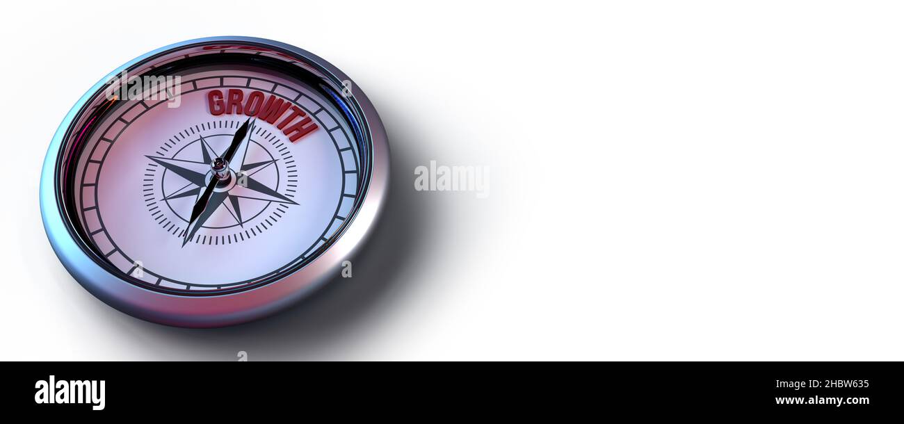 3d rendered compass for visual financial metaphor concept: Rose pointing on GROWTH message. Symbol aiming on a particular position or strategy. Stock Photohttps://www.alamy.com/image-license-details/?v=1https://www.alamy.com/3d-rendered-compass-for-visual-financial-metaphor-concept-rose-pointing-on-growth-message-symbol-aiming-on-a-particular-position-or-strategy-image454784377.html
RF2HBW635–3d rendered compass for visual financial metaphor concept: Rose pointing on GROWTH message. Symbol aiming on a particular position or strategy.
 200116-N-SS432-075 SANTA RITA, Guam (Jan. 16, 2020) Construction Mechanic 2nd Class Graham Milsted, assigned to Underwater Construction Team (UCT) 2 Construction Dive Detachment Charlie (CDD/C), lowers a tool line into the project site. The Seabee divers of CDD/C are performing maintenance on navigational buoys in the harbor at Naval Base Guam. (U.S. Navy photo by Mass Communication Specialist 1st Class Omar-Kareem L. Powell / Released) Stock Photohttps://www.alamy.com/image-license-details/?v=1https://www.alamy.com/200116-n-ss432-075-santa-rita-guam-jan-16-2020-construction-mechanic-2nd-class-graham-milsted-assigned-to-underwater-construction-team-uct-2-construction-dive-detachment-charlie-cddc-lowers-a-tool-line-into-the-project-site-the-seabee-divers-of-cddc-are-performing-maintenance-on-navigational-buoys-in-the-harbor-at-naval-base-guam-us-navy-photo-by-mass-communication-specialist-1st-class-omar-kareem-l-powell-released-image447278620.html
RM2GYK8CC–200116-N-SS432-075 SANTA RITA, Guam (Jan. 16, 2020) Construction Mechanic 2nd Class Graham Milsted, assigned to Underwater Construction Team (UCT) 2 Construction Dive Detachment Charlie (CDD/C), lowers a tool line into the project site. The Seabee divers of CDD/C are performing maintenance on navigational buoys in the harbor at Naval Base Guam. (U.S. Navy photo by Mass Communication Specialist 1st Class Omar-Kareem L. Powell / Released)