Quick filters:
Nebraska drawing Stock Photos and Images
 Nebraska line art map Stock Vectorhttps://www.alamy.com/image-license-details/?v=1https://www.alamy.com/nebraska-line-art-map-image245524605.html
RFT7CH3W–Nebraska line art map
 Nebraska US state outline map with the handwritten HOME word. Continuous line drawing of patriotic home sign. A love for a small homeland. Interior de Stock Vectorhttps://www.alamy.com/image-license-details/?v=1https://www.alamy.com/nebraska-us-state-outline-map-with-the-handwritten-home-word-continuous-line-drawing-of-patriotic-home-sign-a-love-for-a-small-homeland-interior-de-image441294929.html
RF2GHXM55–Nebraska US state outline map with the handwritten HOME word. Continuous line drawing of patriotic home sign. A love for a small homeland. Interior de
 Kansas-Nebraska Bill Stock Photohttps://www.alamy.com/image-license-details/?v=1https://www.alamy.com/stock-photo-kansas-nebraska-bill-134994037.html
RMHRHE7H–Kansas-Nebraska Bill
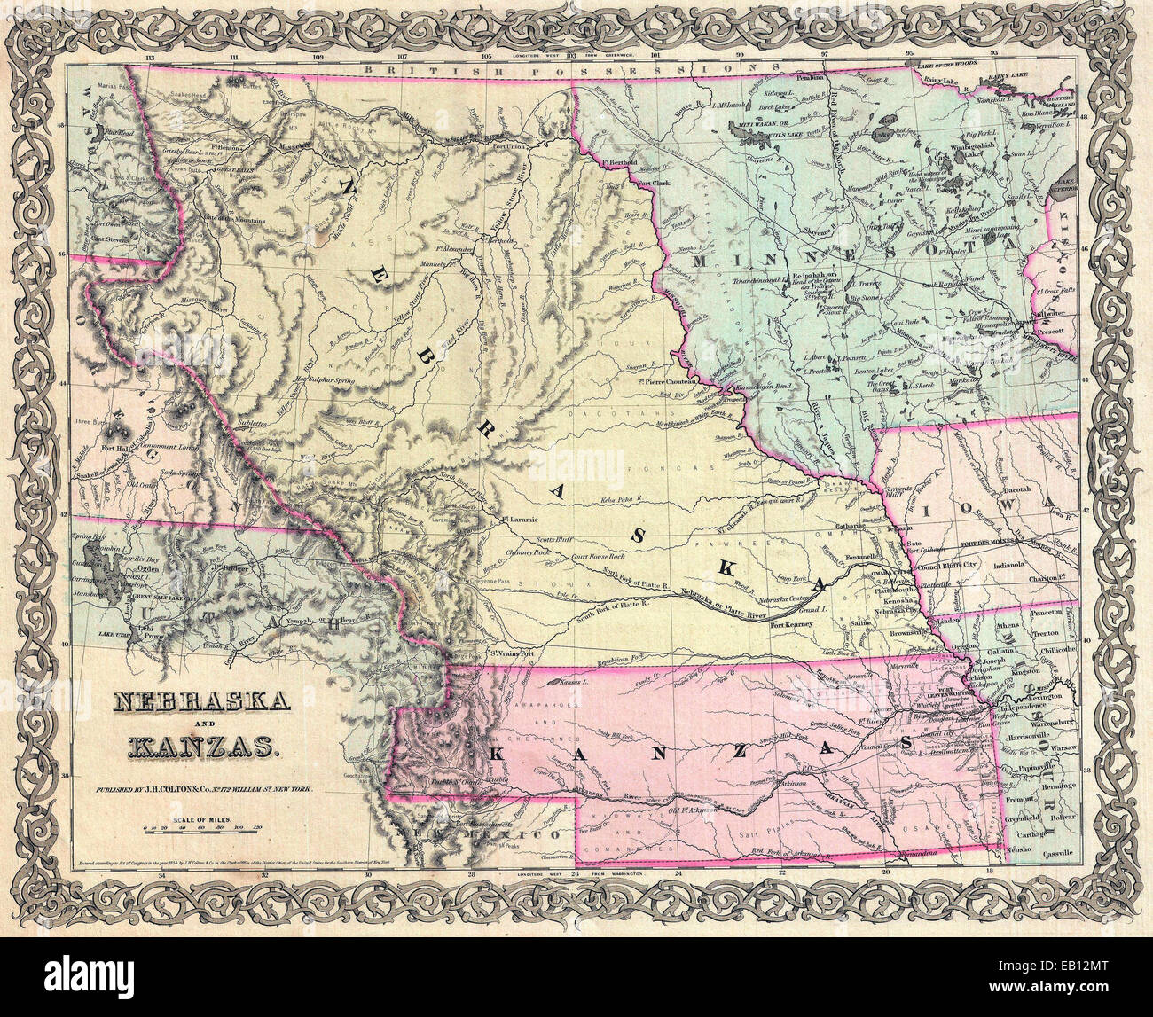 The Kansas–Nebraska Act organized Kansas (in pink) and Nebraska Territory (yellow). 1855 first edition of Colton's map of Nebraska and Kansas Territories Stock Photohttps://www.alamy.com/image-license-details/?v=1https://www.alamy.com/stock-photo-the-kansasnebraska-act-organized-kansas-in-pink-and-nebraska-territory-75626792.html
RMEB12MT–The Kansas–Nebraska Act organized Kansas (in pink) and Nebraska Territory (yellow). 1855 first edition of Colton's map of Nebraska and Kansas Territories
 Wooden mannequin made a drawing of a flag - Nebraska Stock Photohttps://www.alamy.com/image-license-details/?v=1https://www.alamy.com/stock-photo-wooden-mannequin-made-a-drawing-of-a-flag-nebraska-92226847.html
RFFA187Y–Wooden mannequin made a drawing of a flag - Nebraska
 Clipboard with drawing Nebraska map. Vector illustration. Stock Vectorhttps://www.alamy.com/image-license-details/?v=1https://www.alamy.com/stock-photo-clipboard-with-drawing-nebraska-map-vector-illustration-89617018.html
RFF5PBBP–Clipboard with drawing Nebraska map. Vector illustration.
 Frontispiece to 'Horrors of Tornado Flood and Fire,' by Frederick E. Drinker. 1913. An account of tornados, flooding and accompanying fires from Nebraska to New York in the year 1913. Stock Photohttps://www.alamy.com/image-license-details/?v=1https://www.alamy.com/frontispiece-to-horrors-of-tornado-flood-and-fire-by-frederick-e-drinker-1913-an-account-of-tornados-flooding-and-accompanying-fires-from-nebraska-to-new-york-in-the-year-1913-image330685216.html
RM2A600A8–Frontispiece to 'Horrors of Tornado Flood and Fire,' by Frederick E. Drinker. 1913. An account of tornados, flooding and accompanying fires from Nebraska to New York in the year 1913.
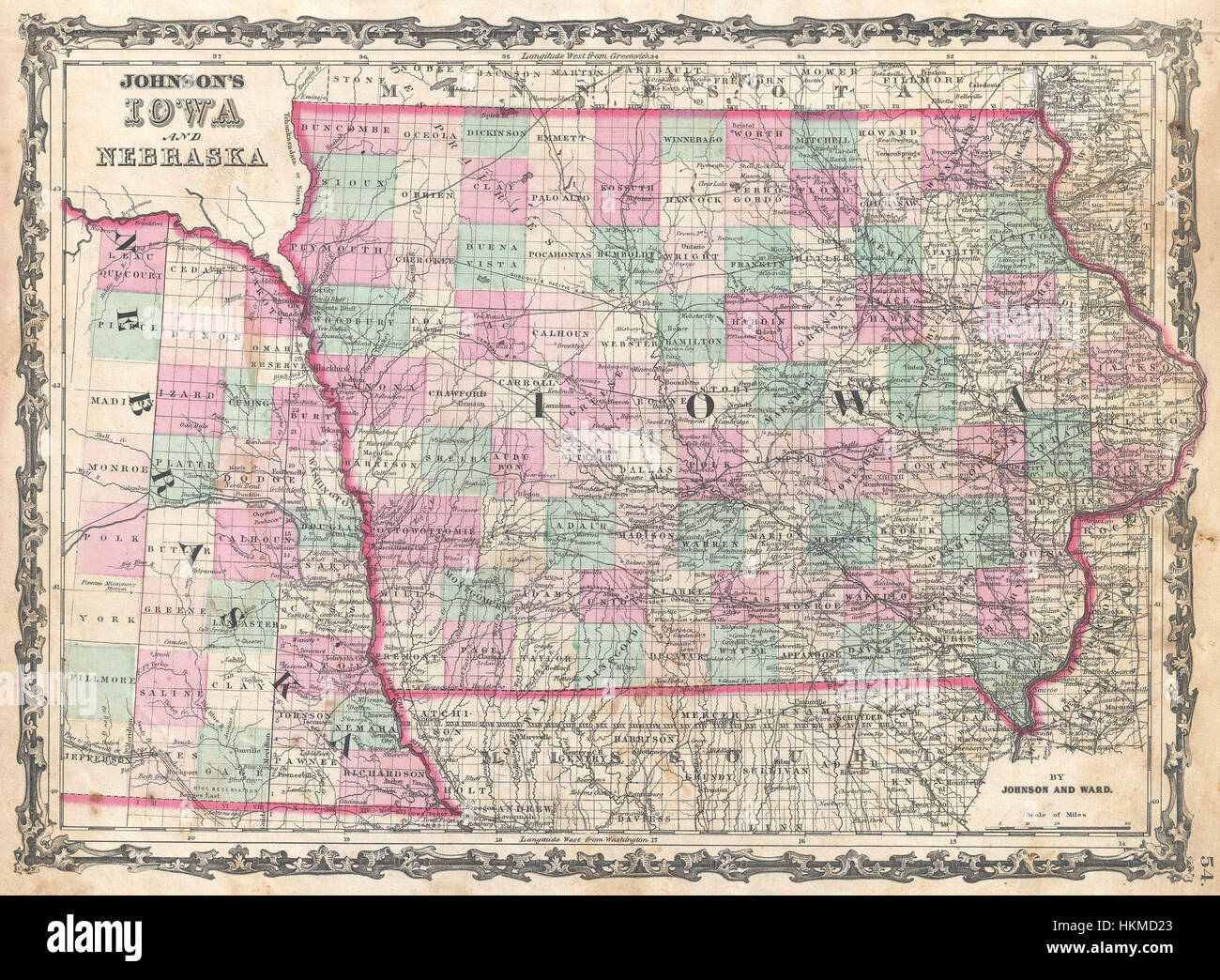 1862 Johnson Map of Iowa and Nebraska - Geographicus - IANE-johnson-1862 Stock Photohttps://www.alamy.com/image-license-details/?v=1https://www.alamy.com/stock-photo-1862-johnson-map-of-iowa-and-nebraska-geographicus-iane-johnson-1862-132600331.html
RMHKMD23–1862 Johnson Map of Iowa and Nebraska - Geographicus - IANE-johnson-1862
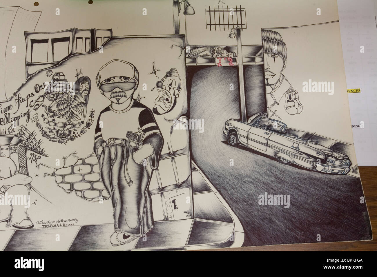 Gang art. Confiscated from suspected gang member in prison. Nebraska State Penitentiary, Lincoln, Nebraska, USA. Stock Photohttps://www.alamy.com/image-license-details/?v=1https://www.alamy.com/stock-photo-gang-art-confiscated-from-suspected-gang-member-in-prison-nebraska-29318138.html
RMBKKFGA–Gang art. Confiscated from suspected gang member in prison. Nebraska State Penitentiary, Lincoln, Nebraska, USA.
 Petalesharro of the Pawnee tribe, Nebraska, c. 1797 - c. 1832. A Native American reputed to have rescued an Ietan girl from Stock Photohttps://www.alamy.com/image-license-details/?v=1https://www.alamy.com/stock-photo-petalesharro-of-the-pawnee-tribe-nebraska-c-1797-c-1832-a-native-american-83331574.html
RMERG27J–Petalesharro of the Pawnee tribe, Nebraska, c. 1797 - c. 1832. A Native American reputed to have rescued an Ietan girl from
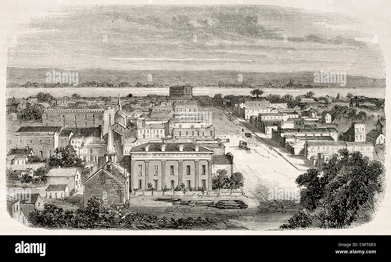 Old view of Omaha, Nebraska Stock Photohttps://www.alamy.com/image-license-details/?v=1https://www.alamy.com/stock-photo-old-view-of-omaha-nebraska-50319335.html
RFCWT6R3–Old view of Omaha, Nebraska
 A bear hunter in the state of Nebraska, United States of America Stock Photohttps://www.alamy.com/image-license-details/?v=1https://www.alamy.com/stock-photo-a-bear-hunter-in-the-state-of-nebraska-united-states-of-america-147758728.html
RMJGAYNC–A bear hunter in the state of Nebraska, United States of America
 Chalk drawing on a sidewalk of love flying out the window; Lincoln, Nebraska, United States of America Stock Photohttps://www.alamy.com/image-license-details/?v=1https://www.alamy.com/chalk-drawing-on-a-sidewalk-of-love-flying-out-the-window-lincoln-nebraska-united-states-of-america-image611424503.html
RF2XEMP5B–Chalk drawing on a sidewalk of love flying out the window; Lincoln, Nebraska, United States of America
 Rainbow Wall Nebraska Stock Vectorhttps://www.alamy.com/image-license-details/?v=1https://www.alamy.com/stock-photo-rainbow-wall-nebraska-116371553.html
RFGN952W–Rainbow Wall Nebraska
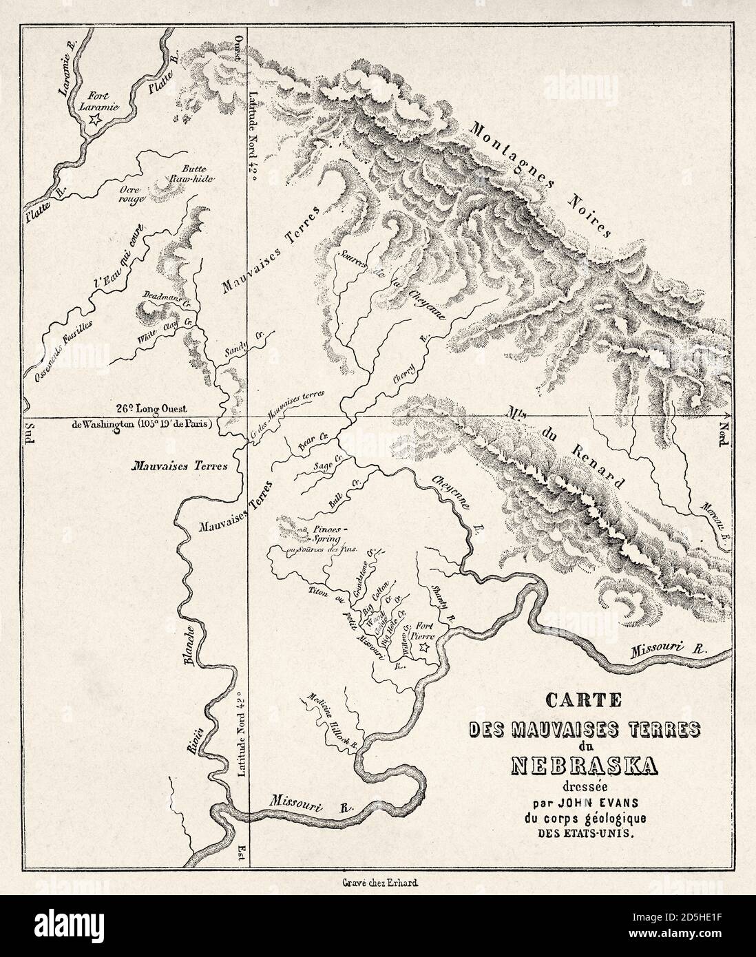 Nebraska badlands map, USA. Old XIX century engraved from Trip to Nebraska Le Tour du Monde 1864 Stock Photohttps://www.alamy.com/image-license-details/?v=1https://www.alamy.com/nebraska-badlands-map-usa-old-xix-century-engraved-from-trip-to-nebraska-le-tour-du-monde-1864-image382085579.html
RM2D5HE1F–Nebraska badlands map, USA. Old XIX century engraved from Trip to Nebraska Le Tour du Monde 1864
 Indian Picture-writing : A Petroglyph in Nebraska From the Book ' The myths of the North American Indians ' by Lewis Spence, Published in London by George G. Harrap & Company in 1912 Stock Photohttps://www.alamy.com/image-license-details/?v=1https://www.alamy.com/indian-picture-writing-a-petroglyph-in-nebraska-from-the-book-the-myths-of-the-north-american-indians-by-lewis-spence-published-in-london-by-george-g-harrap-company-in-1912-image455029030.html
RF2HC8A4P–Indian Picture-writing : A Petroglyph in Nebraska From the Book ' The myths of the North American Indians ' by Lewis Spence, Published in London by George G. Harrap & Company in 1912
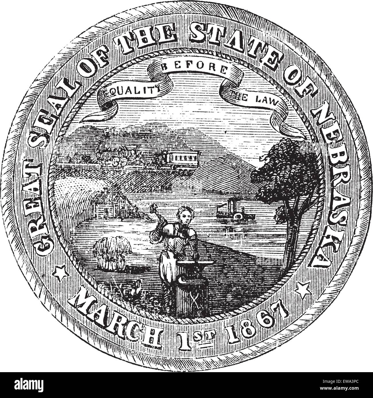 Seal of the State of Nebraska, vintage engraved illustration. Trousset encyclopedia (1886 - 1891). Stock Vectorhttps://www.alamy.com/image-license-details/?v=1https://www.alamy.com/stock-photo-seal-of-the-state-of-nebraska-vintage-engraved-illustration-trousset-84430372.html
RFEWA3PC–Seal of the State of Nebraska, vintage engraved illustration. Trousset encyclopedia (1886 - 1891).
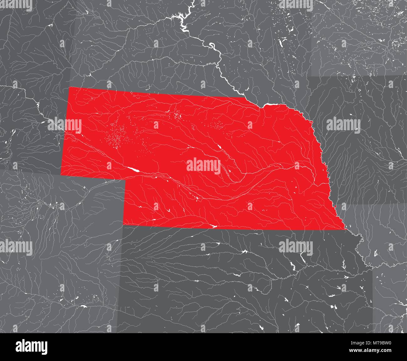 U.S. states - map of Nebraska. Hand made. Rivers and lakes are shown. Please look at my other images of cartographic series - they are all very detail Stock Vectorhttps://www.alamy.com/image-license-details/?v=1https://www.alamy.com/us-states-map-of-nebraska-hand-made-rivers-and-lakes-are-shown-please-look-at-my-other-images-of-cartographic-series-they-are-all-very-detail-image187062316.html
RFMT9BW0–U.S. states - map of Nebraska. Hand made. Rivers and lakes are shown. Please look at my other images of cartographic series - they are all very detail
 Graphite drawing of wagon train at Pappea Creek in present-day Nebraska by English Mormon artist Frederick Piercy, one of several original works reproduced as an engraving to illustrate his 'Route from Liverpool to Great Salt Lake Valley,' published in 1855. Title: Graphite Drawing, 'Pappea Creek, Nebraska' by Charles Piercy . 1853. Piercy, Frederick Hawkins, 1830-1891 Stock Photohttps://www.alamy.com/image-license-details/?v=1https://www.alamy.com/graphite-drawing-of-wagon-train-at-pappea-creek-in-present-day-nebraska-by-english-mormon-artist-frederick-piercy-one-of-several-original-works-reproduced-as-an-engraving-to-illustrate-his-route-from-liverpool-to-great-salt-lake-valley-published-in-1855-title-graphite-drawing-pappea-creek-nebraska-by-charles-piercy-1853-piercy-frederick-hawkins-1830-1891-image178687935.html
RMMAKX7Y–Graphite drawing of wagon train at Pappea Creek in present-day Nebraska by English Mormon artist Frederick Piercy, one of several original works reproduced as an engraving to illustrate his 'Route from Liverpool to Great Salt Lake Valley,' published in 1855. Title: Graphite Drawing, 'Pappea Creek, Nebraska' by Charles Piercy . 1853. Piercy, Frederick Hawkins, 1830-1891
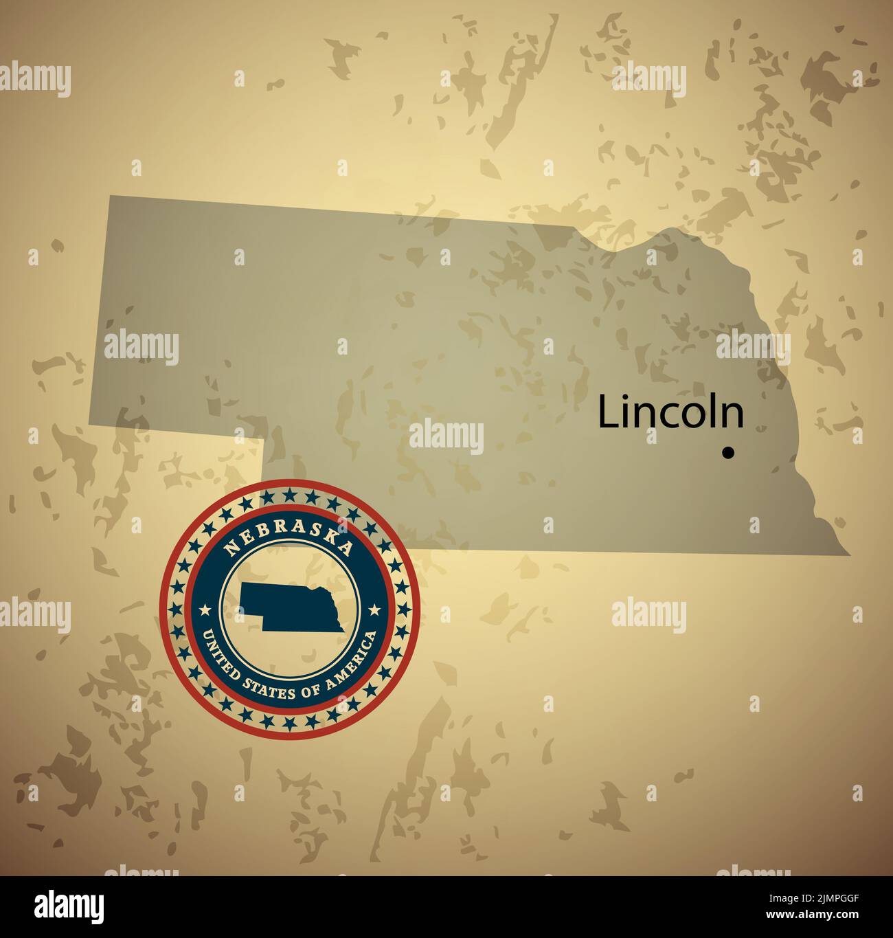 Nebraska map with stamp vintage vector background Stock Photohttps://www.alamy.com/image-license-details/?v=1https://www.alamy.com/nebraska-map-with-stamp-vintage-vector-background-image477469007.html
RF2JMPGGF–Nebraska map with stamp vintage vector background
 Nebraska US state outline map with the handwritten state name. Continuous line drawing of patriotic home sign. A love for a small homeland. T-shirt pr Stock Photohttps://www.alamy.com/image-license-details/?v=1https://www.alamy.com/nebraska-us-state-outline-map-with-the-handwritten-state-name-continuous-line-drawing-of-patriotic-home-sign-a-love-for-a-small-homeland-t-shirt-pr-image471025922.html
RM2JA92AA–Nebraska US state outline map with the handwritten state name. Continuous line drawing of patriotic home sign. A love for a small homeland. T-shirt pr
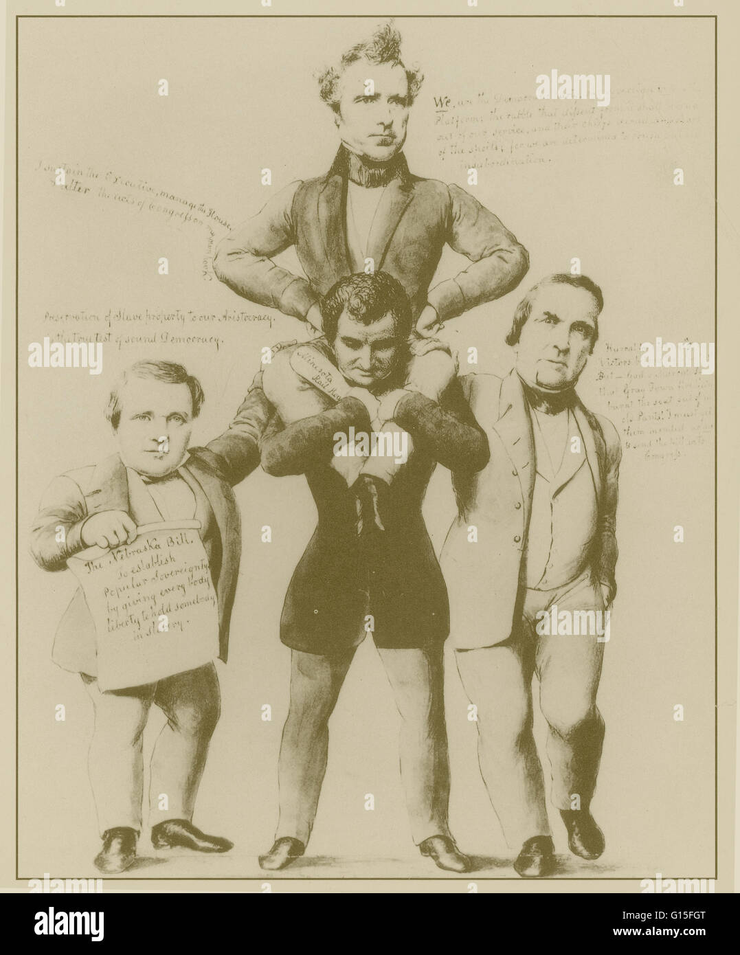 New Englanders hated the Kansas-Nebraska bill, which established, as a popular political cartoon explained, 'popular sovereignty by giving every body liberty to hold somebody in slavery'. Stock Photohttps://www.alamy.com/image-license-details/?v=1https://www.alamy.com/stock-photo-new-englanders-hated-the-kansas-nebraska-bill-which-established-as-103998856.html
RMG15FGT–New Englanders hated the Kansas-Nebraska bill, which established, as a popular political cartoon explained, 'popular sovereignty by giving every body liberty to hold somebody in slavery'.
 Bryan's thanksgiving - Print shows William Jennings Bryan chasing a turkey labeled 'Nov. Election'; the tail feathers of the turkey are labeled with the states of the union, Bryan has managed to pull out the one labeled 'Nebraska'. Political Cartoon, 1899 Stock Photohttps://www.alamy.com/image-license-details/?v=1https://www.alamy.com/bryans-thanksgiving-print-shows-william-jennings-bryan-chasing-a-turkey-labeled-nov-election-the-tail-feathers-of-the-turkey-are-labeled-with-the-states-of-the-union-bryan-has-managed-to-pull-out-the-one-labeled-nebraska-political-cartoon-1899-image340216009.html
RM2ANE4YN–Bryan's thanksgiving - Print shows William Jennings Bryan chasing a turkey labeled 'Nov. Election'; the tail feathers of the turkey are labeled with the states of the union, Bryan has managed to pull out the one labeled 'Nebraska'. Political Cartoon, 1899
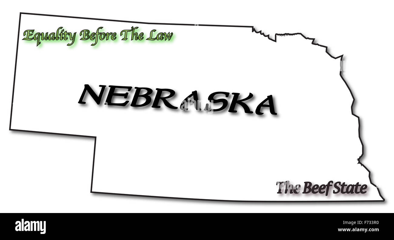 A Nebraska state outline with the date of statehood isolated on a white background Stock Photohttps://www.alamy.com/image-license-details/?v=1https://www.alamy.com/stock-photo-a-nebraska-state-outline-with-the-date-of-statehood-isolated-on-a-90423284.html
RFF733R0–A Nebraska state outline with the date of statehood isolated on a white background
 Flags of USA and Nebraska. Political concept. American and Nebraska flags Stock Photohttps://www.alamy.com/image-license-details/?v=1https://www.alamy.com/flags-of-usa-and-nebraska-political-concept-american-and-nebraska-flags-image550494113.html
RF2PYH4T1–Flags of USA and Nebraska. Political concept. American and Nebraska flags
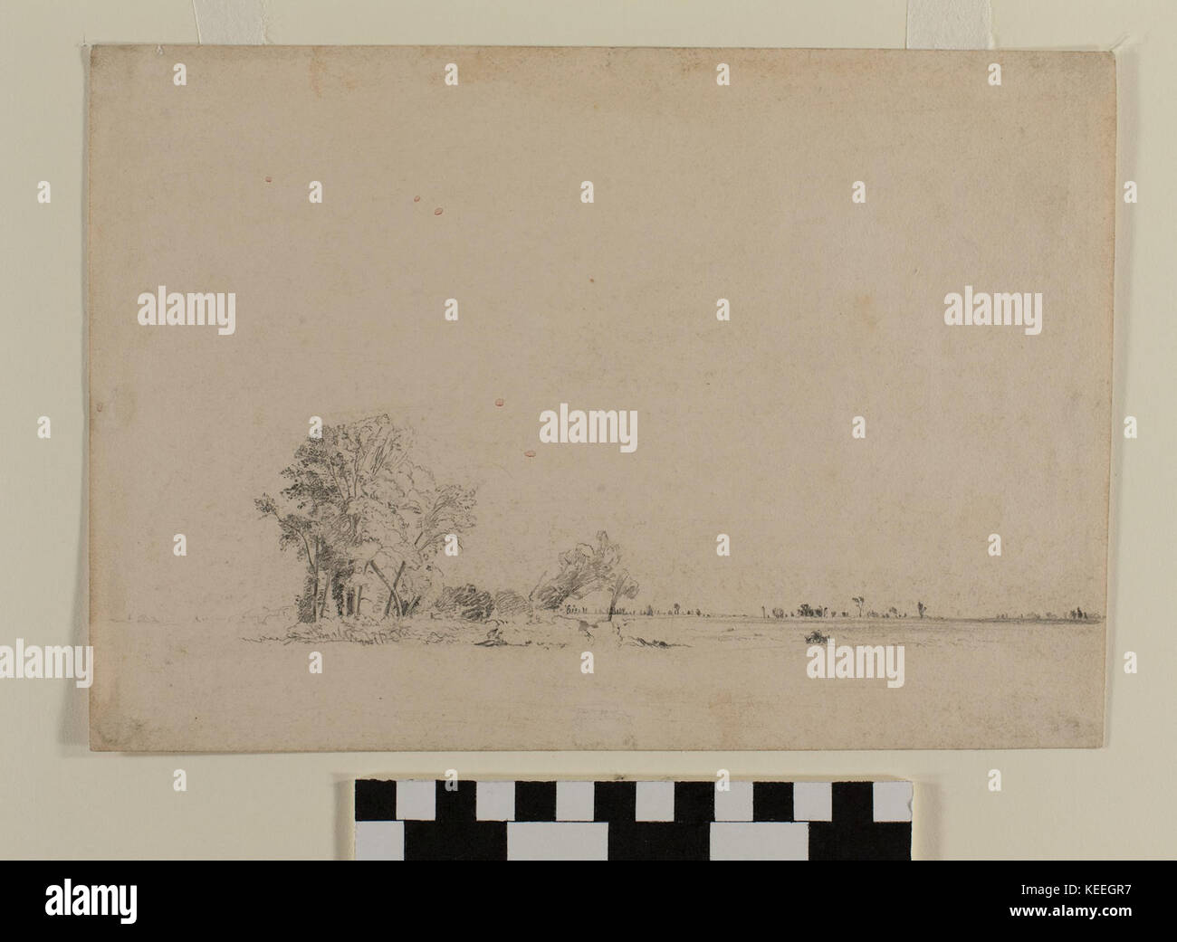 Graphite Drawing, Trees, Nebraska by Frederick Piercy Stock Photohttps://www.alamy.com/image-license-details/?v=1https://www.alamy.com/stock-image-graphite-drawing-trees-nebraska-by-frederick-piercy-163819019.html
RMKEEGR7–Graphite Drawing, Trees, Nebraska by Frederick Piercy
 1862 Johnson Map of Kansas, Nebraska and Dakota - Geographicus - NEKADK-johnson-1862 Stock Photohttps://www.alamy.com/image-license-details/?v=1https://www.alamy.com/stock-photo-1862-johnson-map-of-kansas-nebraska-and-dakota-geographicus-nekadk-132600470.html
RMHKMD72–1862 Johnson Map of Kansas, Nebraska and Dakota - Geographicus - NEKADK-johnson-1862
 One continuous line drawing of Omaha city skyline, Nebraska. World beautiful landscape tourism and travel vacation for wall decor print. Stylish singl Stock Vectorhttps://www.alamy.com/image-license-details/?v=1https://www.alamy.com/one-continuous-line-drawing-of-omaha-city-skyline-nebraska-world-beautiful-landscape-tourism-and-travel-vacation-for-wall-decor-print-stylish-singl-image605696933.html
RF2X5BTH9–One continuous line drawing of Omaha city skyline, Nebraska. World beautiful landscape tourism and travel vacation for wall decor print. Stylish singl
 Flag illustration made with pen - Nebraska Stock Photohttps://www.alamy.com/image-license-details/?v=1https://www.alamy.com/stock-photo-flag-illustration-made-with-pen-nebraska-87887581.html
RFF2YHE5–Flag illustration made with pen - Nebraska
 Old map of Nebraska badlands, Usa Stock Photohttps://www.alamy.com/image-license-details/?v=1https://www.alamy.com/stock-photo-old-map-of-nebraska-badlands-usa-50336428.html
RFCWW0HG–Old map of Nebraska badlands, Usa
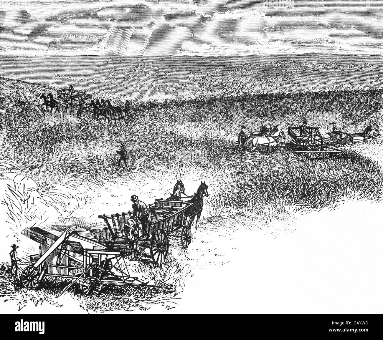 1879: Harvesting wheat in Nebraska, United States of America Stock Photohttps://www.alamy.com/image-license-details/?v=1https://www.alamy.com/stock-photo-1879-harvesting-wheat-in-nebraska-united-states-of-america-147758841.html
RMJGAYWD–1879: Harvesting wheat in Nebraska, United States of America
 The definitive rock and roll guitar with the Nebraska State flag seal flag isolated over a white background. Stock Vectorhttps://www.alamy.com/image-license-details/?v=1https://www.alamy.com/stock-photo-the-definitive-rock-and-roll-guitar-with-the-nebraska-state-flag-seal-121932436.html
RFH2AE1T–The definitive rock and roll guitar with the Nebraska State flag seal flag isolated over a white background.
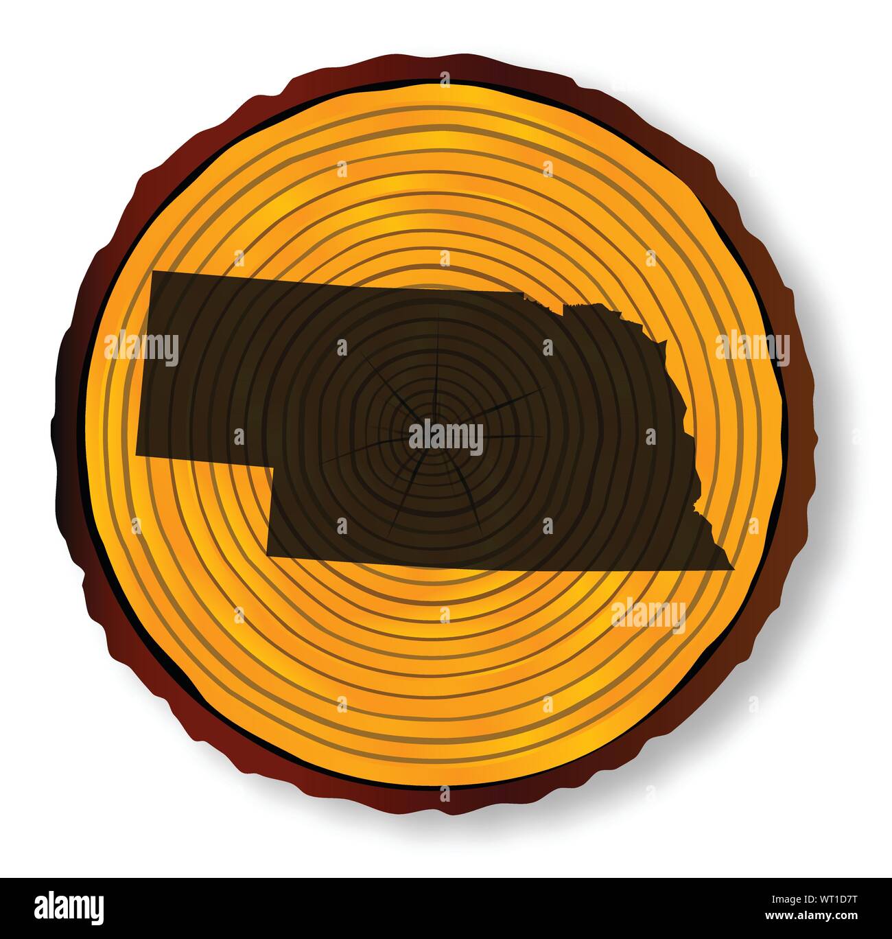 Nebraska Map On Timber Stock Vectorhttps://www.alamy.com/image-license-details/?v=1https://www.alamy.com/nebraska-map-on-timber-image272939628.html
RFWT1D7T–Nebraska Map On Timber
 White river badlands, Nebraska, USA. Old XIX century engraved from Trip to Nebraska Le Tour du Monde 1864 Stock Photohttps://www.alamy.com/image-license-details/?v=1https://www.alamy.com/white-river-badlands-nebraska-usa-old-xix-century-engraved-from-trip-to-nebraska-le-tour-du-monde-1864-image382085535.html
RM2D5HDYY–White river badlands, Nebraska, USA. Old XIX century engraved from Trip to Nebraska Le Tour du Monde 1864
 Architecture student works on drawing for a Visual Literacy class Stock Photohttps://www.alamy.com/image-license-details/?v=1https://www.alamy.com/stock-photo-architecture-student-works-on-drawing-for-a-visual-literacy-class-17811512.html
RMB0YANC–Architecture student works on drawing for a Visual Literacy class
 Seal of the State of Nebraska, vintage engraved illustration. Trousset encyclopedia (1886 - 1891). Stock Photohttps://www.alamy.com/image-license-details/?v=1https://www.alamy.com/stock-photo-seal-of-the-state-of-nebraska-vintage-engraved-illustration-trousset-39162281.html
RFC7KYTW–Seal of the State of Nebraska, vintage engraved illustration. Trousset encyclopedia (1886 - 1891).
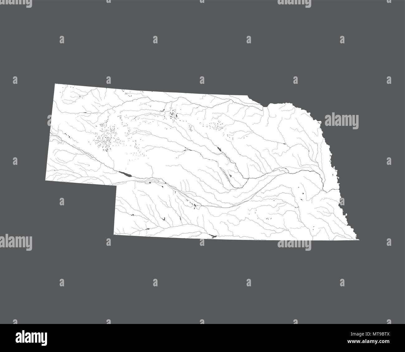 U.S. states - map of Nebraska. Hand made. Rivers and lakes are shown. Please look at my other images of cartographic series - they are all very detail Stock Vectorhttps://www.alamy.com/image-license-details/?v=1https://www.alamy.com/us-states-map-of-nebraska-hand-made-rivers-and-lakes-are-shown-please-look-at-my-other-images-of-cartographic-series-they-are-all-very-detail-image187062314.html
RFMT9BTX–U.S. states - map of Nebraska. Hand made. Rivers and lakes are shown. Please look at my other images of cartographic series - they are all very detail
 Graphite drawing by English Mormon artist Frederick Piercy, documenting his journey to Utah in 1853. The drawing depicts a grove of trees in present-day Nebraska. Several of Piercy's works were reproduced as prints in his 'Route from Liverpool to Great Salt Lake Valley,' published in 1855. Title: Graphite Drawing, 'Trees, Nebraska' by Frederick Piercy . 1853. Piercy, Frederick Hawkins, 1830-1891 Stock Photohttps://www.alamy.com/image-license-details/?v=1https://www.alamy.com/graphite-drawing-by-english-mormon-artist-frederick-piercy-documenting-his-journey-to-utah-in-1853-the-drawing-depicts-a-grove-of-trees-in-present-day-nebraska-several-of-piercys-works-were-reproduced-as-prints-in-his-route-from-liverpool-to-great-salt-lake-valley-published-in-1855-title-graphite-drawing-trees-nebraska-by-frederick-piercy-1853-piercy-frederick-hawkins-1830-1891-image178687943.html
RMMAKX87–Graphite drawing by English Mormon artist Frederick Piercy, documenting his journey to Utah in 1853. The drawing depicts a grove of trees in present-day Nebraska. Several of Piercy's works were reproduced as prints in his 'Route from Liverpool to Great Salt Lake Valley,' published in 1855. Title: Graphite Drawing, 'Trees, Nebraska' by Frederick Piercy . 1853. Piercy, Frederick Hawkins, 1830-1891
 Flags of USA and Nebraska. Political concept. Flags of Nebraska and United states of America. Americ Stock Photohttps://www.alamy.com/image-license-details/?v=1https://www.alamy.com/flags-of-usa-and-nebraska-political-concept-flags-of-nebraska-and-united-states-of-america-americ-image595970384.html
RF2WHGP8G–Flags of USA and Nebraska. Political concept. Flags of Nebraska and United states of America. Americ
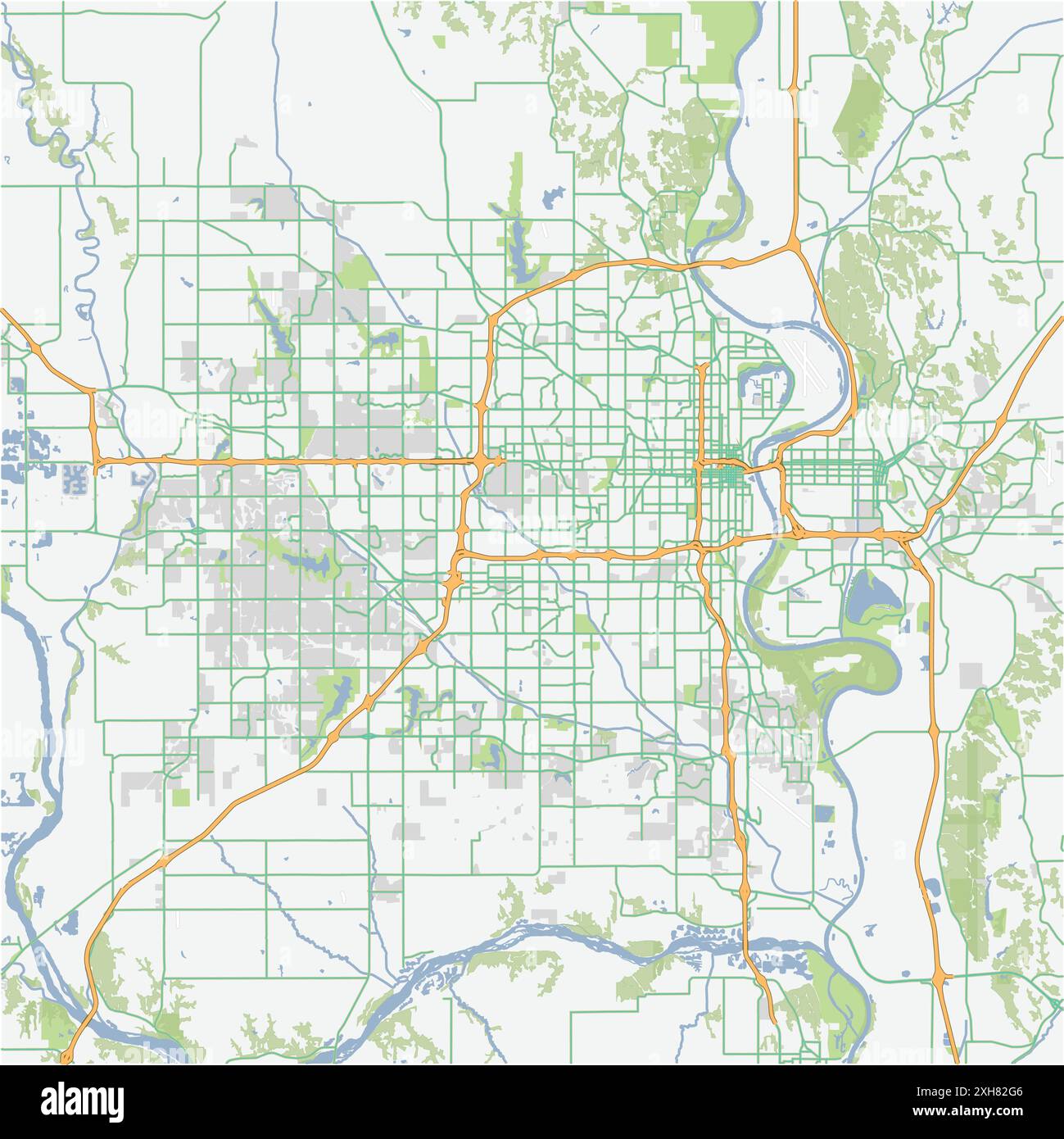 Road map of Omaha in Nebraska. Contains layered vector with roads water, parks, etc. Stock Vectorhttps://www.alamy.com/image-license-details/?v=1https://www.alamy.com/road-map-of-omaha-in-nebraska-contains-layered-vector-with-roads-water-parks-etc-image612989670.html
RF2XH82G6–Road map of Omaha in Nebraska. Contains layered vector with roads water, parks, etc.
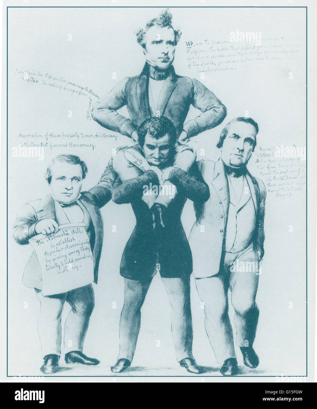 New Englanders hated the Kansas-Nebraska bill, which established, as a popular political cartoon explained, 'popular sovereignty by giving every body liberty to hold somebody in slavery'. Stock Photohttps://www.alamy.com/image-license-details/?v=1https://www.alamy.com/stock-photo-new-englanders-hated-the-kansas-nebraska-bill-which-established-as-103998857.html
RMG15FGW–New Englanders hated the Kansas-Nebraska bill, which established, as a popular political cartoon explained, 'popular sovereignty by giving every body liberty to hold somebody in slavery'.
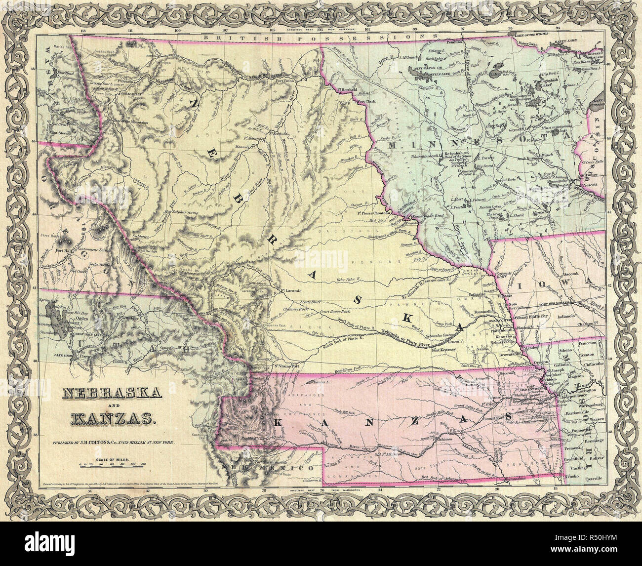 Colton Map of Kansas and Nebraska, circa 1855 Stock Photohttps://www.alamy.com/image-license-details/?v=1https://www.alamy.com/colton-map-of-kansas-and-nebraska-circa-1855-image226822168.html
RMR50HYM–Colton Map of Kansas and Nebraska, circa 1855
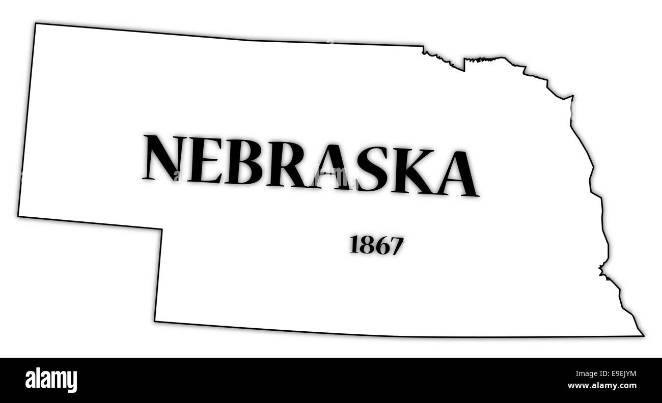 A Nebraska state outline with the date of statehood isolated on a white background Stock Photohttps://www.alamy.com/image-license-details/?v=1https://www.alamy.com/stock-photo-a-nebraska-state-outline-with-the-date-of-statehood-isolated-on-a-74695592.html
RFE9EJYM–A Nebraska state outline with the date of statehood isolated on a white background
 Frontispiece to 'Horrors of Tornado Flood and Fire,' by Frederick E. Drinker. 1913. An account of tornados, flooding and accompanying fires from Nebraska to New York in the year 1913. Stock Photohttps://www.alamy.com/image-license-details/?v=1https://www.alamy.com/stock-photo-frontispiece-to-horrors-of-tornado-flood-and-fire-by-frederick-e-drinker-104149935.html
RMG1CC8F–Frontispiece to 'Horrors of Tornado Flood and Fire,' by Frederick E. Drinker. 1913. An account of tornados, flooding and accompanying fires from Nebraska to New York in the year 1913.
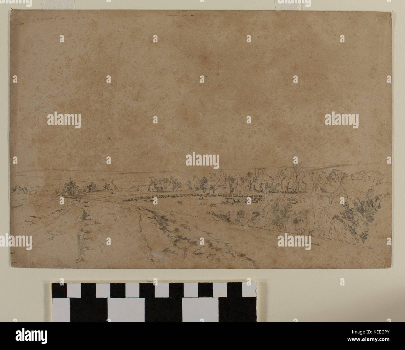 Graphite Drawing, Pappea Creek, Nebraska by Charles Piercy Stock Photohttps://www.alamy.com/image-license-details/?v=1https://www.alamy.com/stock-image-graphite-drawing-pappea-creek-nebraska-by-charles-piercy-163819011.html
RMKEEGPY–Graphite Drawing, Pappea Creek, Nebraska by Charles Piercy
 1866 Mitchell Map of Colorado, Nebraska, and Kansas - Geographicus - KansasNebraskaColorado-mitchell-1866 Stock Photohttps://www.alamy.com/image-license-details/?v=1https://www.alamy.com/stock-photo-1866-mitchell-map-of-colorado-nebraska-and-kansas-geographicus-kansasnebraskacolorado-132589764.html
RMHKKYGM–1866 Mitchell Map of Colorado, Nebraska, and Kansas - Geographicus - KansasNebraskaColorado-mitchell-1866
 One continuous line drawing of Omaha city skyline, Nebraska. World beautiful landscape tourism and travel vacation for wall decor print. Stylish singl Stock Vectorhttps://www.alamy.com/image-license-details/?v=1https://www.alamy.com/one-continuous-line-drawing-of-omaha-city-skyline-nebraska-world-beautiful-landscape-tourism-and-travel-vacation-for-wall-decor-print-stylish-singl-image605336035.html
RF2X4RC83–One continuous line drawing of Omaha city skyline, Nebraska. World beautiful landscape tourism and travel vacation for wall decor print. Stylish singl
 American West, Caravan. I rest. Women cooking. Engraving. 1856: Drawing-room Companion, John Andrew. Stock Photohttps://www.alamy.com/image-license-details/?v=1https://www.alamy.com/american-west-caravan-i-rest-women-cooking-engraving-1856-drawing-room-companion-john-andrew-image615297749.html
RM2XN16FH–American West, Caravan. I rest. Women cooking. Engraving. 1856: Drawing-room Companion, John Andrew.
 Old map of part of Missouri basin in Nebraska, USA Stock Photohttps://www.alamy.com/image-license-details/?v=1https://www.alamy.com/stock-photo-old-map-of-part-of-missouri-basin-in-nebraska-usa-50336387.html
RFCWW0G3–Old map of part of Missouri basin in Nebraska, USA
 1879: The Railway Station in Omaha, Nebraska, United States of America Stock Photohttps://www.alamy.com/image-license-details/?v=1https://www.alamy.com/stock-photo-1879-the-railway-station-in-omaha-nebraska-united-states-of-america-147758847.html
RMJGAYWK–1879: The Railway Station in Omaha, Nebraska, United States of America
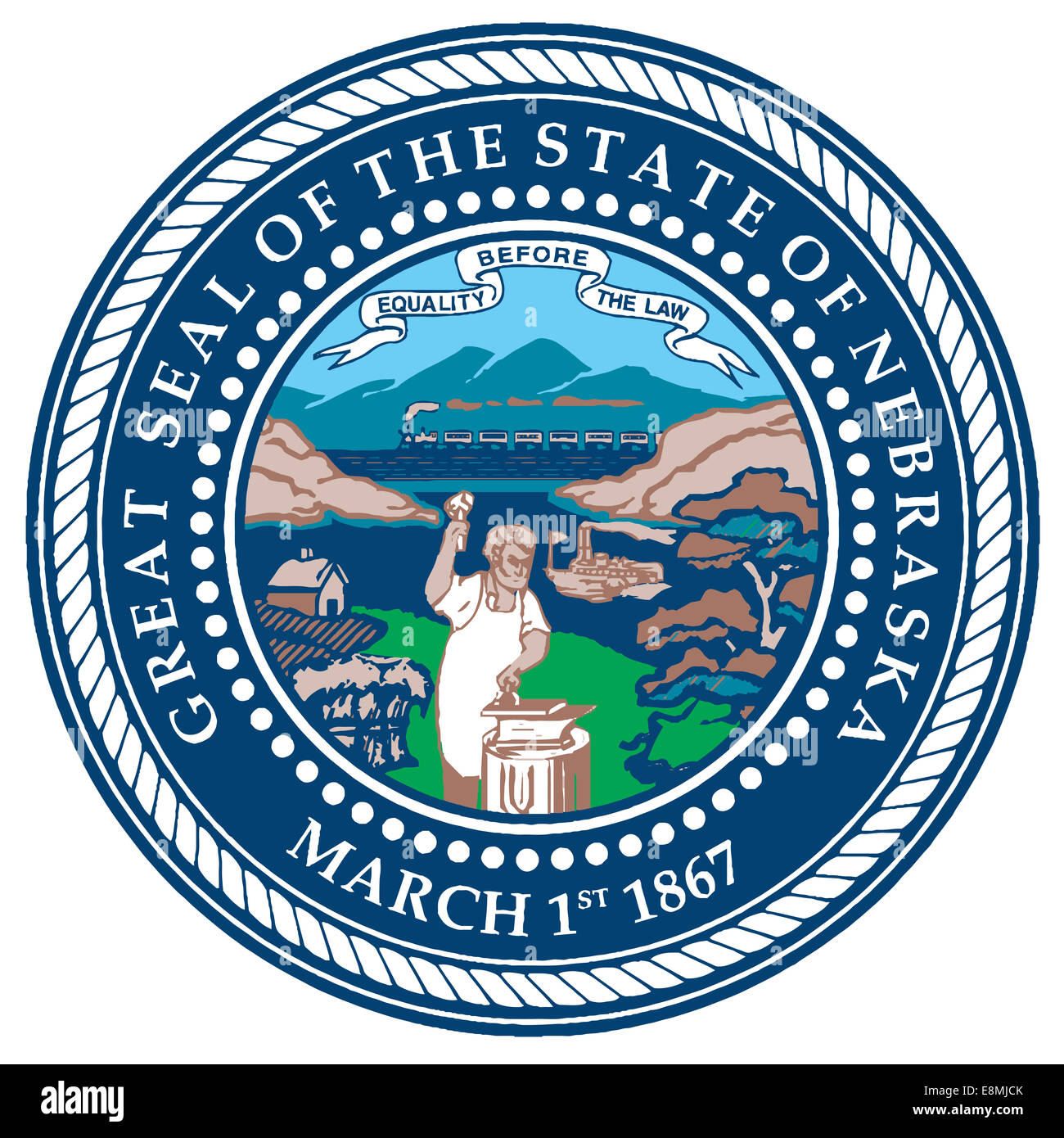 The seal of the American state of Nebraska Stock Photohttps://www.alamy.com/image-license-details/?v=1https://www.alamy.com/stock-photo-the-seal-of-the-american-state-of-nebraska-74212227.html
RFE8MJCK–The seal of the American state of Nebraska
 Nebraska Map Brand Stock Vectorhttps://www.alamy.com/image-license-details/?v=1https://www.alamy.com/stock-photo-nebraska-map-brand-116258371.html
RFGN40MK–Nebraska Map Brand
 White river badlands, Nebraska, USA. Old XIX century engraved from Trip to Nebraska Le Tour du Monde 1864 Stock Photohttps://www.alamy.com/image-license-details/?v=1https://www.alamy.com/white-river-badlands-nebraska-usa-old-xix-century-engraved-from-trip-to-nebraska-le-tour-du-monde-1864-image382085561.html
RM2D5HE0W–White river badlands, Nebraska, USA. Old XIX century engraved from Trip to Nebraska Le Tour du Monde 1864
 Art student works on charcoal drawing in Visual Literacy class Stock Photohttps://www.alamy.com/image-license-details/?v=1https://www.alamy.com/stock-photo-art-student-works-on-charcoal-drawing-in-visual-literacy-class-17817221.html
RMB0YJ19–Art student works on charcoal drawing in Visual Literacy class
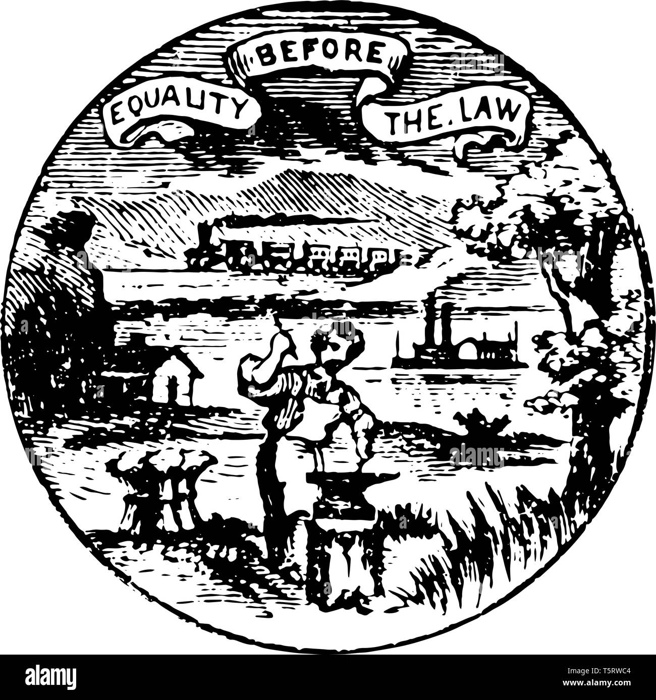 Nebraska seal with motto Equality before the Law vintage line drawing. Stock Vectorhttps://www.alamy.com/image-license-details/?v=1https://www.alamy.com/nebraska-seal-with-motto-equality-before-the-law-vintage-line-drawing-image244543268.html
RFT5RWC4–Nebraska seal with motto Equality before the Law vintage line drawing.
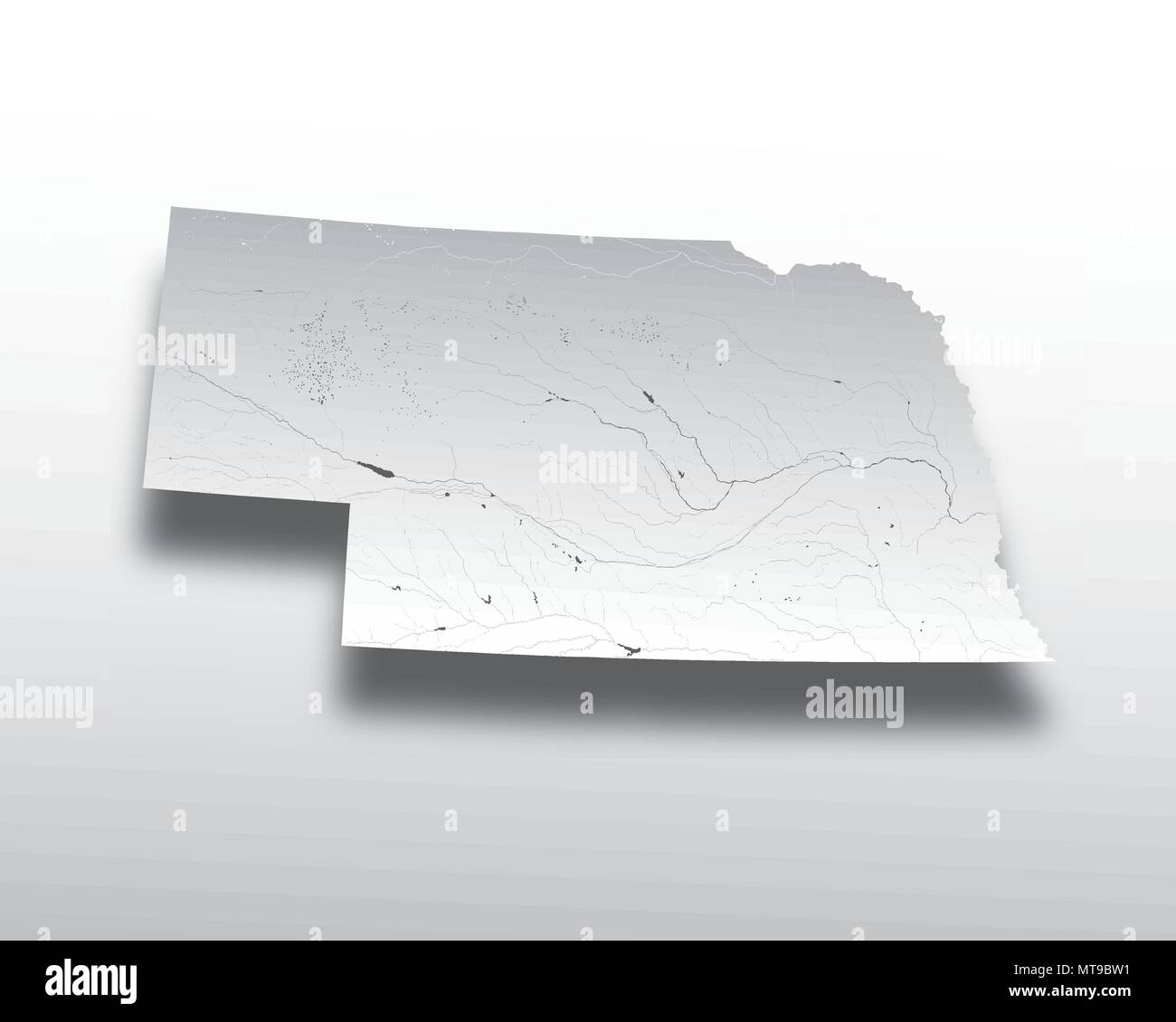 U.S. states - map of Nebraska with paper cut effect. Hand made. Rivers and lakes are shown. Please look at my other images of cartographic series - th Stock Vectorhttps://www.alamy.com/image-license-details/?v=1https://www.alamy.com/us-states-map-of-nebraska-with-paper-cut-effect-hand-made-rivers-and-lakes-are-shown-please-look-at-my-other-images-of-cartographic-series-th-image187062317.html
RFMT9BW1–U.S. states - map of Nebraska with paper cut effect. Hand made. Rivers and lakes are shown. Please look at my other images of cartographic series - th
 Graphite drawing showing the west side of the Ancient Bluff Ruins in present-day Nebraska by English Mormon artist Frederick Piercy, one of several original works documenting his journey to Utah in 1853. Several of Piercy's drawings and watercolors were reproduced as prints in his 'Route from Liverpool to Great Salt Lake Valley,' published in 1855. Title: Graphite Drawing, 'West Side of Ancient Bluff Ruins' by Frederick Piercy . 1853. Piercy, Frederick Hawkins, 1830-1891 Stock Photohttps://www.alamy.com/image-license-details/?v=1https://www.alamy.com/graphite-drawing-showing-the-west-side-of-the-ancient-bluff-ruins-in-present-day-nebraska-by-english-mormon-artist-frederick-piercy-one-of-several-original-works-documenting-his-journey-to-utah-in-1853-several-of-piercys-drawings-and-watercolors-were-reproduced-as-prints-in-his-route-from-liverpool-to-great-salt-lake-valley-published-in-1855-title-graphite-drawing-west-side-of-ancient-bluff-ruins-by-frederick-piercy-1853-piercy-frederick-hawkins-1830-1891-image178687940.html
RMMAKX84–Graphite drawing showing the west side of the Ancient Bluff Ruins in present-day Nebraska by English Mormon artist Frederick Piercy, one of several original works documenting his journey to Utah in 1853. Several of Piercy's drawings and watercolors were reproduced as prints in his 'Route from Liverpool to Great Salt Lake Valley,' published in 1855. Title: Graphite Drawing, 'West Side of Ancient Bluff Ruins' by Frederick Piercy . 1853. Piercy, Frederick Hawkins, 1830-1891
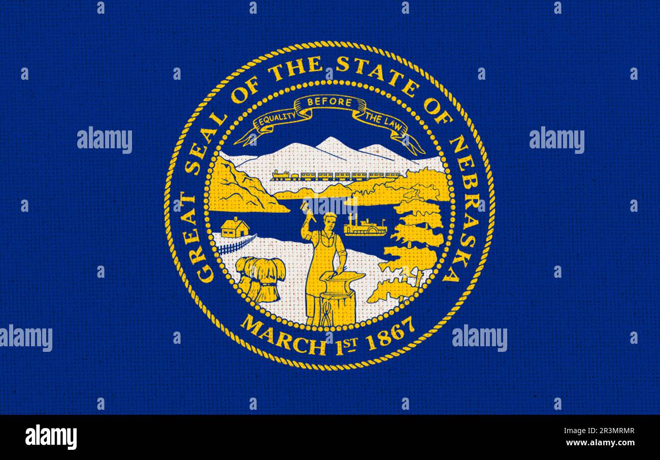 Flag of American state Nebraska on textured surface. Flags of U.S. states Fabric Flag Nebraska. Symb Stock Photohttps://www.alamy.com/image-license-details/?v=1https://www.alamy.com/flag-of-american-state-nebraska-on-textured-surface-flags-of-us-states-fabric-flag-nebraska-symb-image553033399.html
RF2R3MRMR–Flag of American state Nebraska on textured surface. Flags of U.S. states Fabric Flag Nebraska. Symb
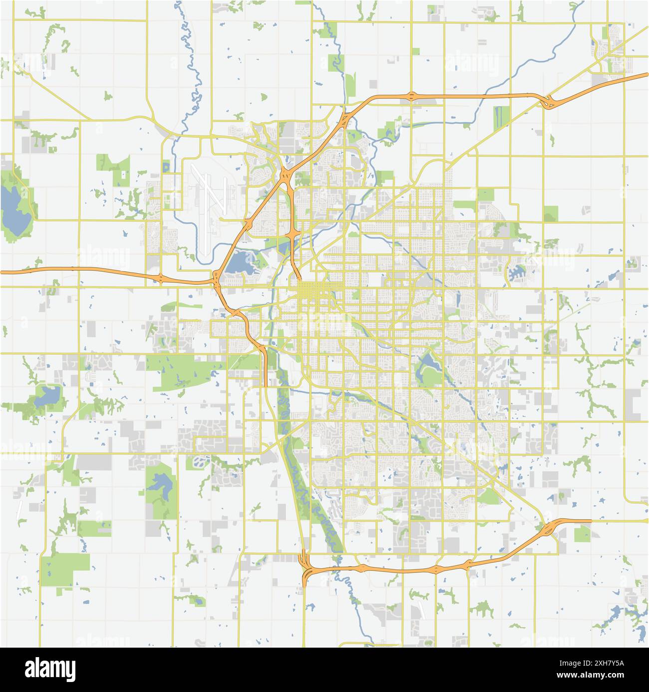 Road map of Lincoln in Nebraska. Contains layered vector with roads water, parks, etc. Stock Vectorhttps://www.alamy.com/image-license-details/?v=1https://www.alamy.com/road-map-of-lincoln-in-nebraska-contains-layered-vector-with-roads-water-parks-etc-image612987014.html
RF2XH7Y5A–Road map of Lincoln in Nebraska. Contains layered vector with roads water, parks, etc.
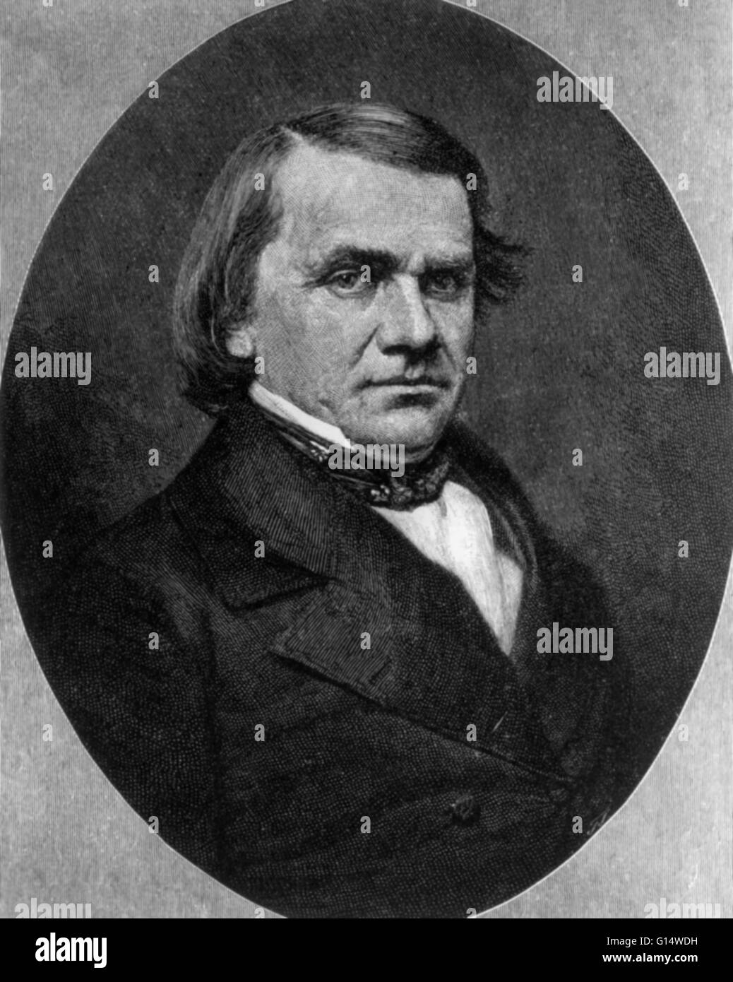 Portrait of Stephen A. Douglas in 1887. Stephen Arnold Douglas (April 23, 1813 - June 3, 1861) was an American politician from Illinois. He designed the Kansas-Nebraska Act of 1854, creating the territories of Kansas and Nebraska, as well as effectively r Stock Photohttps://www.alamy.com/image-license-details/?v=1https://www.alamy.com/stock-photo-portrait-of-stephen-a-douglas-in-1887-stephen-arnold-douglas-april-103984653.html
RMG14WDH–Portrait of Stephen A. Douglas in 1887. Stephen Arnold Douglas (April 23, 1813 - June 3, 1861) was an American politician from Illinois. He designed the Kansas-Nebraska Act of 1854, creating the territories of Kansas and Nebraska, as well as effectively r
 Map of Minnesota and Dakota ; Nebraska by Samuel Augustus Mitchell 1866 Stock Photohttps://www.alamy.com/image-license-details/?v=1https://www.alamy.com/map-of-minnesota-and-dakota-nebraska-by-samuel-augustus-mitchell-1866-image414571612.html
RM2F2DA90–Map of Minnesota and Dakota ; Nebraska by Samuel Augustus Mitchell 1866
 A Nebraska state license plate design isolated on a white background Stock Photohttps://www.alamy.com/image-license-details/?v=1https://www.alamy.com/stock-photo-a-nebraska-state-license-plate-design-isolated-on-a-white-background-90423290.html
RFF733R6–A Nebraska state license plate design isolated on a white background
 Typography of The USA Nebraska States Handwritten Illustration on Official U.S. State Colors. Modern Calligraphy Element for your design. Simple vecto Stock Photohttps://www.alamy.com/image-license-details/?v=1https://www.alamy.com/typography-of-the-usa-nebraska-states-handwritten-illustration-on-official-us-state-colors-modern-calligraphy-element-for-your-design-simple-vecto-image255299892.html
RFTR9WH8–Typography of The USA Nebraska States Handwritten Illustration on Official U.S. State Colors. Modern Calligraphy Element for your design. Simple vecto
 Map of Nebraska is a state USA with flag. Vector Illustration Stock Vectorhttps://www.alamy.com/image-license-details/?v=1https://www.alamy.com/map-of-nebraska-is-a-state-usa-with-flag-vector-illustration-image248251457.html
RFTBTR7D–Map of Nebraska is a state USA with flag. Vector Illustration
 1855 Colton Map of Kansas and Nebraska (first edition) - Geographicus - NebraskaKansas-colton-1855 Stock Photohttps://www.alamy.com/image-license-details/?v=1https://www.alamy.com/stock-photo-1855-colton-map-of-kansas-and-nebraska-first-edition-geographicus-132574390.html
RMHKK7YJ–1855 Colton Map of Kansas and Nebraska (first edition) - Geographicus - NebraskaKansas-colton-1855
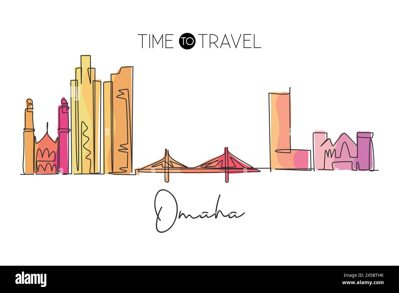 Single continuous line drawing of Omaha city skyline, Nebraska, United States. Famous city for wall decor print. World travel concept. Editable stroke Stock Vectorhttps://www.alamy.com/image-license-details/?v=1https://www.alamy.com/single-continuous-line-drawing-of-omaha-city-skyline-nebraska-united-states-famous-city-for-wall-decor-print-world-travel-concept-editable-stroke-image605696943.html
RF2X5BTHK–Single continuous line drawing of Omaha city skyline, Nebraska, United States. Famous city for wall decor print. World travel concept. Editable stroke
 Photographic copy of construction drawing 1958 (original drawing located in Building 301, Offutt AFB, Bellevue, Nebraska). Elevations and roof plan. - Offutt Air Force Base, Looking Glass Airborne Command Post, Squadron Operations Building, At southwestern-most boundary of Project Looking Glass Historic District, Bellevue, Sarpy County, NE Stock Photohttps://www.alamy.com/image-license-details/?v=1https://www.alamy.com/photographic-copy-of-construction-drawing-1958-original-drawing-located-in-building-301-offutt-afb-bellevue-nebraska-elevations-and-roof-plan-offutt-air-force-base-looking-glass-airborne-command-post-squadron-operations-building-at-southwestern-most-boundary-of-project-looking-glass-historic-district-bellevue-sarpy-county-ne-image249455679.html
RMTDRK7B–Photographic copy of construction drawing 1958 (original drawing located in Building 301, Offutt AFB, Bellevue, Nebraska). Elevations and roof plan. - Offutt Air Force Base, Looking Glass Airborne Command Post, Squadron Operations Building, At southwestern-most boundary of Project Looking Glass Historic District, Bellevue, Sarpy County, NE
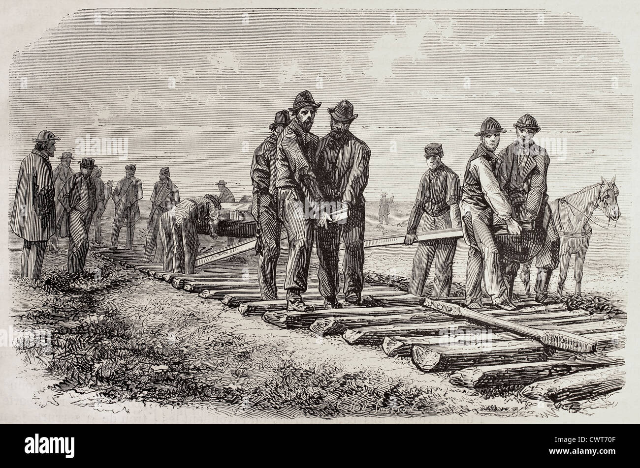 workers setting rails Stock Photohttps://www.alamy.com/image-license-details/?v=1https://www.alamy.com/stock-photo-workers-setting-rails-50319487.html
RFCWT70F–workers setting rails
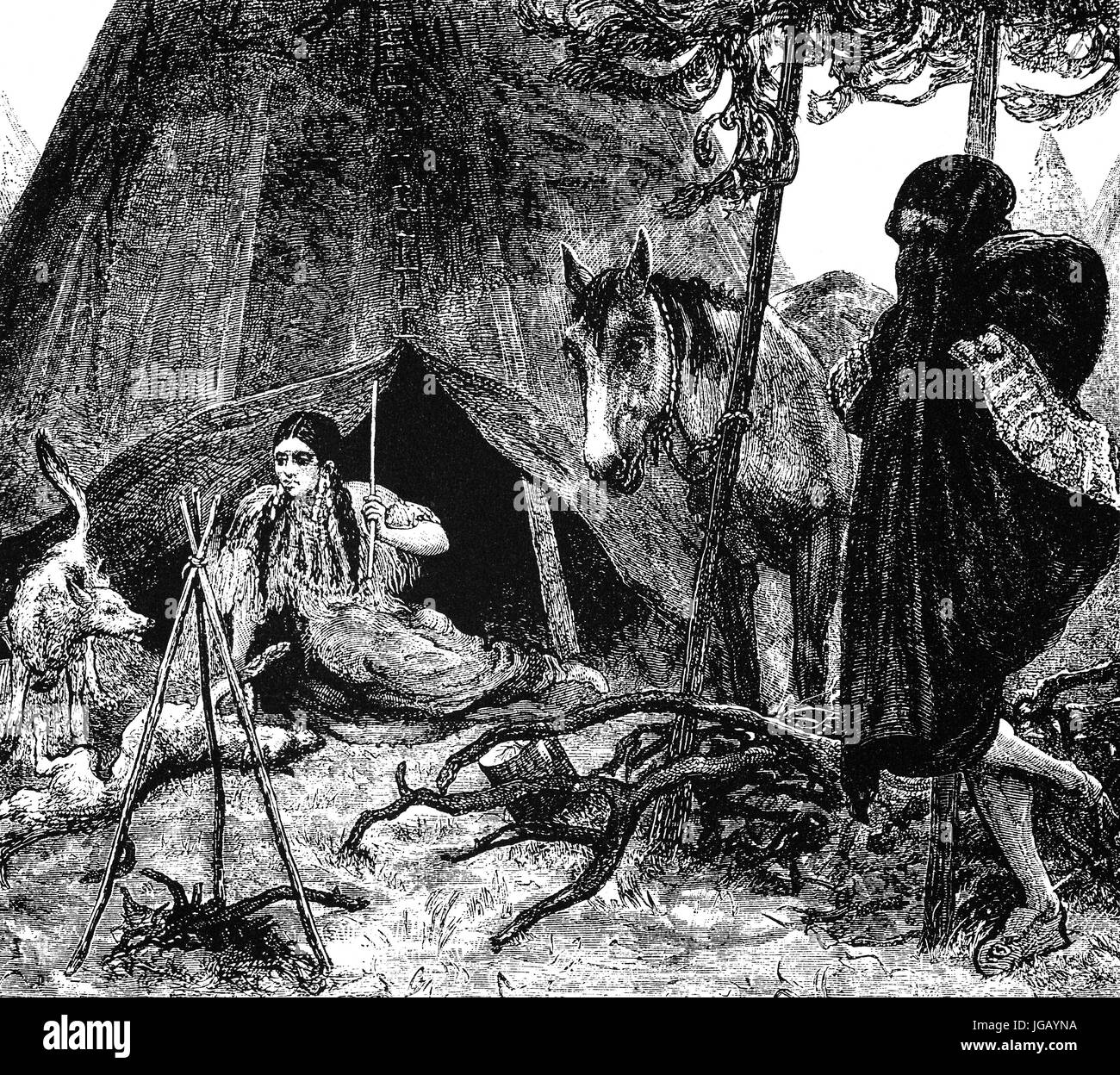 An 'Indian Courtship', native Americans in the state of Nebraska, United States of America Stock Photohttps://www.alamy.com/image-license-details/?v=1https://www.alamy.com/stock-photo-an-indian-courtship-native-americans-in-the-state-of-nebraska-united-147758726.html
RMJGAYNA–An 'Indian Courtship', native Americans in the state of Nebraska, United States of America
 The flag of the American state of Nebraska Stock Photohttps://www.alamy.com/image-license-details/?v=1https://www.alamy.com/stock-photo-the-flag-of-the-american-state-of-nebraska-84730087.html
RFEWRP2F–The flag of the American state of Nebraska
 Nebraska Flag TV Stock Vectorhttps://www.alamy.com/image-license-details/?v=1https://www.alamy.com/stock-photo-nebraska-flag-tv-116584609.html
RFGNJTT1–Nebraska Flag TV
 Sioux Native Indian Warrior, Nebraska, USA. Old XIX century engraved from Trip to Nebraska Le Tour du Monde 1864 Stock Photohttps://www.alamy.com/image-license-details/?v=1https://www.alamy.com/sioux-native-indian-warrior-nebraska-usa-old-xix-century-engraved-from-trip-to-nebraska-le-tour-du-monde-1864-image397949431.html
RM2E3C4FK–Sioux Native Indian Warrior, Nebraska, USA. Old XIX century engraved from Trip to Nebraska Le Tour du Monde 1864
 Graffiti found in corn research field Stock Photohttps://www.alamy.com/image-license-details/?v=1https://www.alamy.com/stock-photo-graffiti-found-in-corn-research-field-17708539.html
RMB0PKBR–Graffiti found in corn research field
 Julius Sterling Morton 1832 to 1902 he was a Nebraska newspaper editor vintage line drawing or engraving illustration Stock Vectorhttps://www.alamy.com/image-license-details/?v=1https://www.alamy.com/julius-sterling-morton-1832-to-1902-he-was-a-nebraska-newspaper-editor-vintage-line-drawing-or-engraving-illustration-image244591777.html
RFT5X38H–Julius Sterling Morton 1832 to 1902 he was a Nebraska newspaper editor vintage line drawing or engraving illustration
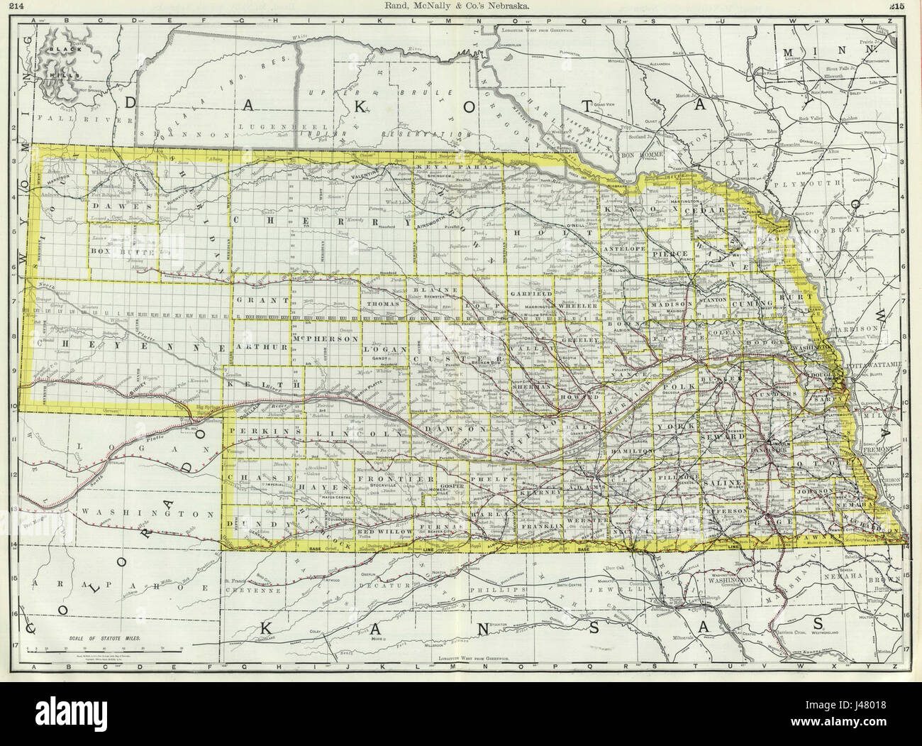 Nebraska 1889 Stock Photohttps://www.alamy.com/image-license-details/?v=1https://www.alamy.com/stock-photo-nebraska-1889-140317220.html
RMJ48018–Nebraska 1889
 Graphite drawing by English Mormon artist Frederick Piercy, documenting his journey to Utah in 1853. The drawing depicts a view of the Ancient Bluff Ruins in present-day Nebraska from the east. Several of Piercy's works were reproduced as prints in his 'Route from Liverpool to Great Salt Lake Valley,' published in 1855. Title: Graphite Drawing, 'East of Ancient Bluff Ruins' by Frederick Piercy . 1853. Piercy, Frederick Hawkins, 1830-1891 Stock Photohttps://www.alamy.com/image-license-details/?v=1https://www.alamy.com/graphite-drawing-by-english-mormon-artist-frederick-piercy-documenting-his-journey-to-utah-in-1853-the-drawing-depicts-a-view-of-the-ancient-bluff-ruins-in-present-day-nebraska-from-the-east-several-of-piercys-works-were-reproduced-as-prints-in-his-route-from-liverpool-to-great-salt-lake-valley-published-in-1855-title-graphite-drawing-east-of-ancient-bluff-ruins-by-frederick-piercy-1853-piercy-frederick-hawkins-1830-1891-image178687942.html
RMMAKX86–Graphite drawing by English Mormon artist Frederick Piercy, documenting his journey to Utah in 1853. The drawing depicts a view of the Ancient Bluff Ruins in present-day Nebraska from the east. Several of Piercy's works were reproduced as prints in his 'Route from Liverpool to Great Salt Lake Valley,' published in 1855. Title: Graphite Drawing, 'East of Ancient Bluff Ruins' by Frederick Piercy . 1853. Piercy, Frederick Hawkins, 1830-1891
 Nebraska Stock Photohttps://www.alamy.com/image-license-details/?v=1https://www.alamy.com/nebraska-image477466382.html
RF2JMPD6P–Nebraska
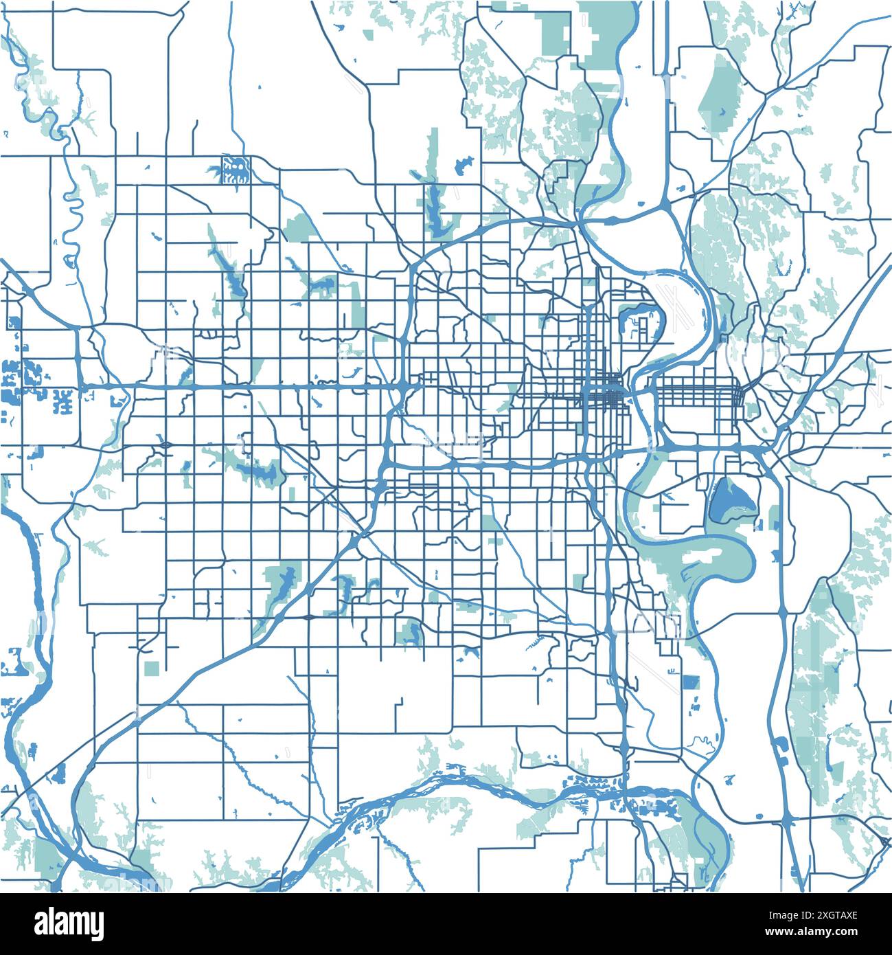 Map of Omaha in Nebraska in blue. Contains layered vector with roads water, parks, etc. Stock Vectorhttps://www.alamy.com/image-license-details/?v=1https://www.alamy.com/map-of-omaha-in-nebraska-in-blue-contains-layered-vector-with-roads-water-parks-etc-image612732806.html
RF2XGTAXE–Map of Omaha in Nebraska in blue. Contains layered vector with roads water, parks, etc.
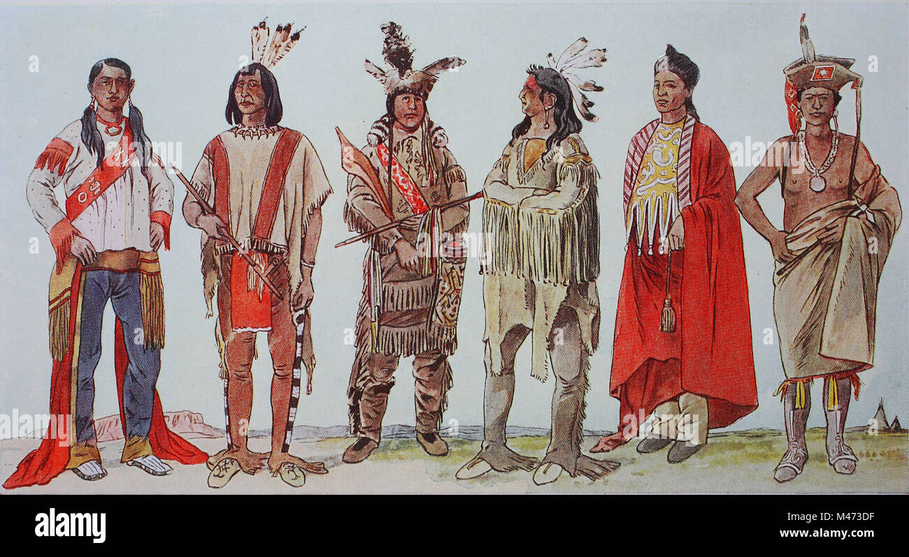 Clothing, fashion in North America, Indians, from the left, a Utah Indian, a Shoshone tribe, young Indians in ornate leather suits, then a Cvih Indians warrior, then an Indian from Kansas and one from Nebraska, digital improved reproduction from an original from the year 1900 Stock Photohttps://www.alamy.com/image-license-details/?v=1https://www.alamy.com/stock-photo-clothing-fashion-in-north-america-indians-from-the-left-a-utah-indian-174718699.html
RFM473DF–Clothing, fashion in North America, Indians, from the left, a Utah Indian, a Shoshone tribe, young Indians in ornate leather suits, then a Cvih Indians warrior, then an Indian from Kansas and one from Nebraska, digital improved reproduction from an original from the year 1900
 Congressman George Washington Emery Dorsey of Nebraska, circa 1890 Stock Photohttps://www.alamy.com/image-license-details/?v=1https://www.alamy.com/congressman-george-washington-emery-dorsey-of-nebraska-circa-1890-image400134373.html
RM2E6YKD9–Congressman George Washington Emery Dorsey of Nebraska, circa 1890
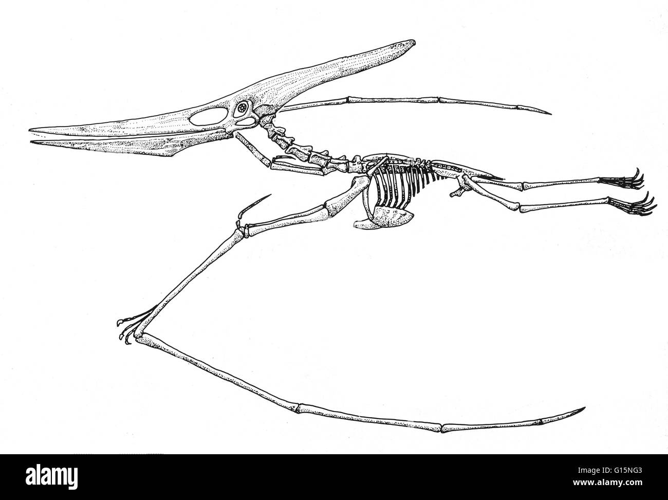 Pteranodon is a genus of pterosaurs which included some of the largest known flying reptiles, with wingspans over 20 feet. It existed during the late Cretaceous geological period of North America in present day Kansas, Alabama, Nebraska, Wyoming, and Sout Stock Photohttps://www.alamy.com/image-license-details/?v=1https://www.alamy.com/stock-photo-pteranodon-is-a-genus-of-pterosaurs-which-included-some-of-the-largest-104003539.html
RMG15NG3–Pteranodon is a genus of pterosaurs which included some of the largest known flying reptiles, with wingspans over 20 feet. It existed during the late Cretaceous geological period of North America in present day Kansas, Alabama, Nebraska, Wyoming, and Sout
 Typography of The USA Nebraska States Handwritten Illustration on Official U.S. State Colors. Modern Calligraphy Element for your design. Simple vecto Stock Vectorhttps://www.alamy.com/image-license-details/?v=1https://www.alamy.com/typography-of-the-usa-nebraska-states-handwritten-illustration-on-official-us-state-colors-modern-calligraphy-element-for-your-design-simple-vecto-image249454060.html
RFTDRH5G–Typography of The USA Nebraska States Handwritten Illustration on Official U.S. State Colors. Modern Calligraphy Element for your design. Simple vecto
 Mr. Nick Blanchette, Student, MIT, participates in a panel discussion at United States Strategic Command's 13th annual Deterrence Symposium in La Vista, Nebraska, 28 July 2022. The Deterrence Symposium is the premiere event for United States Strategic Command, drawing from academic, government, military, and international experts, with the goal of exploring a broad range of deterrence issues and thinking. Stock Photohttps://www.alamy.com/image-license-details/?v=1https://www.alamy.com/mr-nick-blanchette-student-mit-participates-in-a-panel-discussion-at-united-states-strategic-commands-13th-annual-deterrence-symposium-in-la-vista-nebraska-28-july-2022-the-deterrence-symposium-is-the-premiere-event-for-united-states-strategic-command-drawing-from-academic-government-military-and-international-experts-with-the-goal-of-exploring-a-broad-range-of-deterrence-issues-and-thinking-image527000805.html
RM2NHAXW9–Mr. Nick Blanchette, Student, MIT, participates in a panel discussion at United States Strategic Command's 13th annual Deterrence Symposium in La Vista, Nebraska, 28 July 2022. The Deterrence Symposium is the premiere event for United States Strategic Command, drawing from academic, government, military, and international experts, with the goal of exploring a broad range of deterrence issues and thinking.
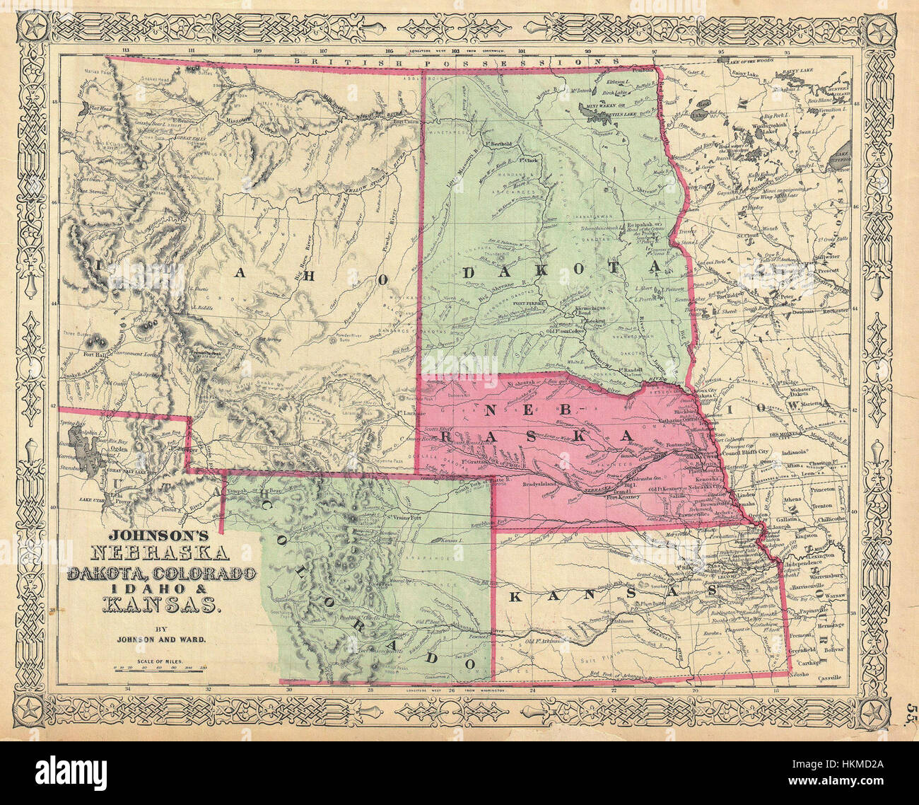 1864 Johnson Map of Idaho, Dakota, Nebraska, Kansas and Colorado - Geographicus - NEDKCOIAKA-johnson-1864 Stock Photohttps://www.alamy.com/image-license-details/?v=1https://www.alamy.com/stock-photo-1864-johnson-map-of-idaho-dakota-nebraska-kansas-and-colorado-geographicus-132600338.html
RMHKMD2A–1864 Johnson Map of Idaho, Dakota, Nebraska, Kansas and Colorado - Geographicus - NEDKCOIAKA-johnson-1864
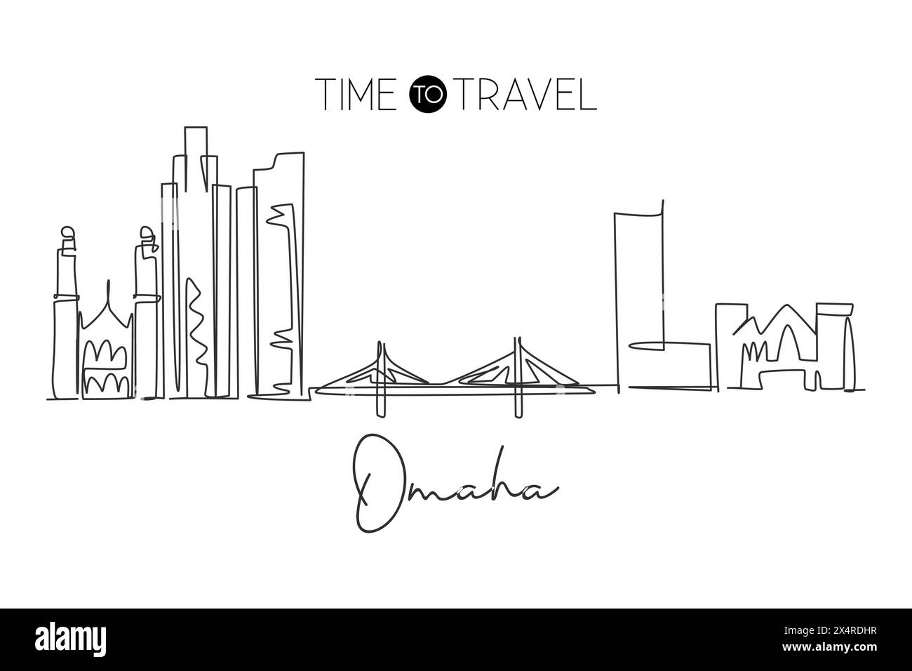 Single continuous line drawing of Omaha city skyline, Nebraska, United States. Famous city for wall decor print. World travel concept. Editable stroke Stock Vectorhttps://www.alamy.com/image-license-details/?v=1https://www.alamy.com/single-continuous-line-drawing-of-omaha-city-skyline-nebraska-united-states-famous-city-for-wall-decor-print-world-travel-concept-editable-stroke-image605337091.html
RF2X4RDHR–Single continuous line drawing of Omaha city skyline, Nebraska, United States. Famous city for wall decor print. World travel concept. Editable stroke
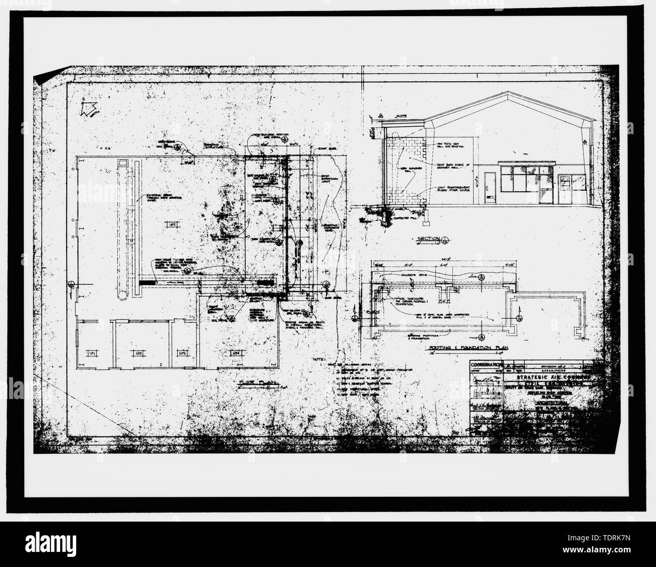 Photographic copy of construction drawing 1970 (original drawing located in Building 301, Offutt AFB, Bellevue, Nebraska). Floor plan and section. - Offutt Air Force Base, Looking Glass Airborne Command Post, Vehicle Refueling Shop, In west corner of Project Looking Glass Historic District, Bellevue, Sarpy County, NE Stock Photohttps://www.alamy.com/image-license-details/?v=1https://www.alamy.com/photographic-copy-of-construction-drawing-1970-original-drawing-located-in-building-301-offutt-afb-bellevue-nebraska-floor-plan-and-section-offutt-air-force-base-looking-glass-airborne-command-post-vehicle-refueling-shop-in-west-corner-of-project-looking-glass-historic-district-bellevue-sarpy-county-ne-image249455689.html
RMTDRK7N–Photographic copy of construction drawing 1970 (original drawing located in Building 301, Offutt AFB, Bellevue, Nebraska). Floor plan and section. - Offutt Air Force Base, Looking Glass Airborne Command Post, Vehicle Refueling Shop, In west corner of Project Looking Glass Historic District, Bellevue, Sarpy County, NE
 Sioux graveyard Stock Photohttps://www.alamy.com/image-license-details/?v=1https://www.alamy.com/stock-photo-sioux-graveyard-50336559.html
RFCWW0P7–Sioux graveyard
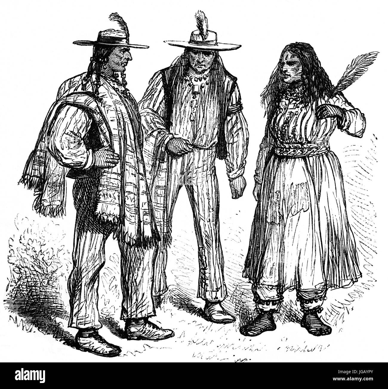 1879: Native Americans encountered near Omaha, Nebraska, United States of America Stock Photohttps://www.alamy.com/image-license-details/?v=1https://www.alamy.com/stock-photo-1879-native-americans-encountered-near-omaha-nebraska-united-states-147758771.html
RMJGAYPY–1879: Native Americans encountered near Omaha, Nebraska, United States of America
 The flag of the American state of Nebraska Stock Photohttps://www.alamy.com/image-license-details/?v=1https://www.alamy.com/stock-photo-the-flag-of-the-american-state-of-nebraska-74212228.html
RFE8MJCM–The flag of the American state of Nebraska
 Thumbs Up Nebraska Stock Vectorhttps://www.alamy.com/image-license-details/?v=1https://www.alamy.com/stock-photo-thumbs-up-nebraska-117787538.html
RFGRHK5P–Thumbs Up Nebraska
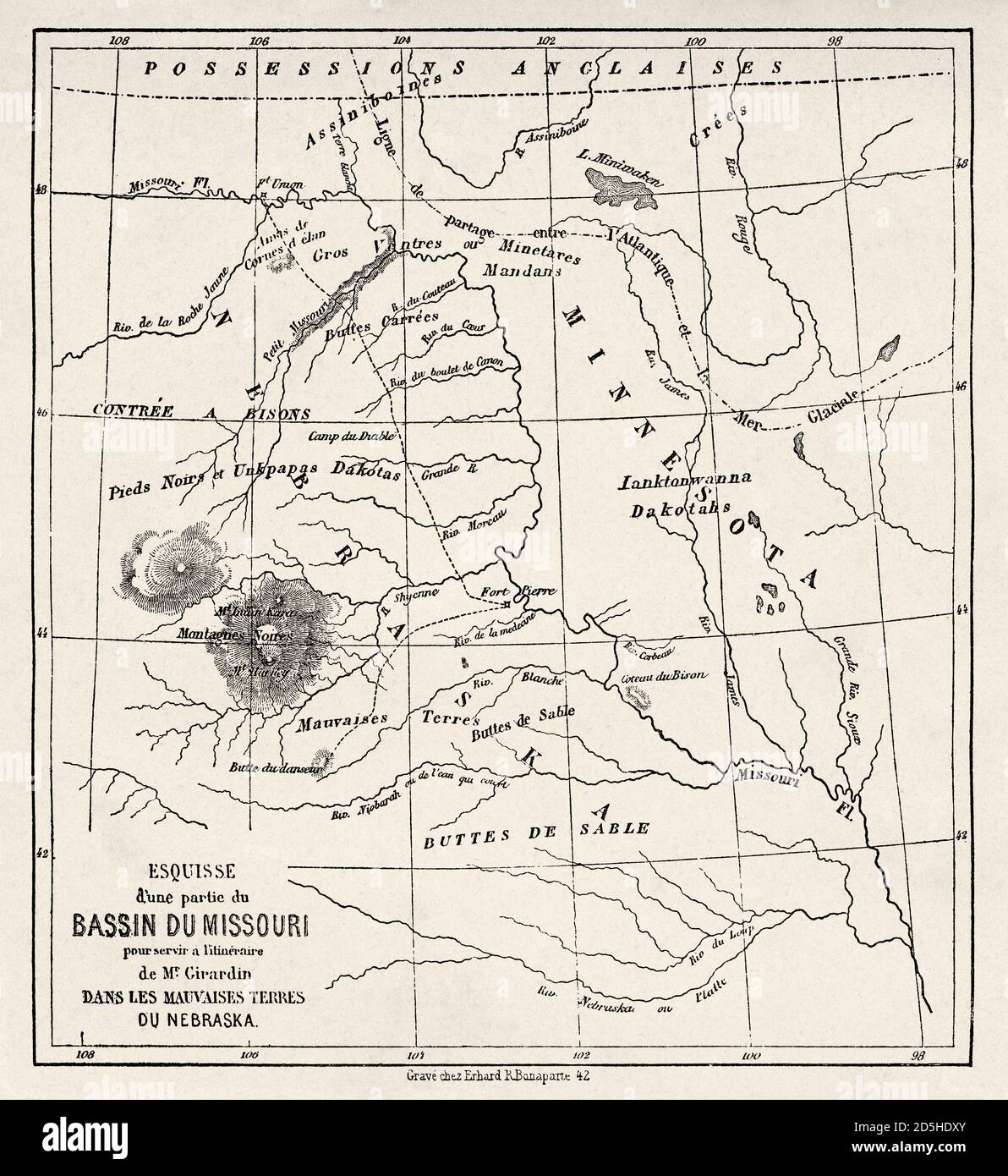 Old map of part of Missouri basin in Nebraska, USA. Old XIX century engraved from Trip to Nebraska Le Tour du Monde 1864 Stock Photohttps://www.alamy.com/image-license-details/?v=1https://www.alamy.com/old-map-of-part-of-missouri-basin-in-nebraska-usa-old-xix-century-engraved-from-trip-to-nebraska-le-tour-du-monde-1864-image382085507.html
RM2D5HDXY–Old map of part of Missouri basin in Nebraska, USA. Old XIX century engraved from Trip to Nebraska Le Tour du Monde 1864
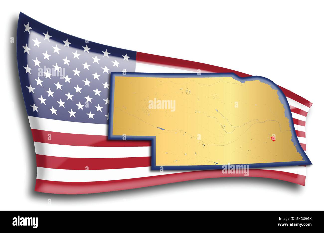 U.S. states - map of Nebraska against an American flag. Rivers and lakes are shown on the map. American Flag and State Map can be used separately and Stock Vectorhttps://www.alamy.com/image-license-details/?v=1https://www.alamy.com/us-states-map-of-nebraska-against-an-american-flag-rivers-and-lakes-are-shown-on-the-map-american-flag-and-state-map-can-be-used-separately-and-image490063978.html
RF2KD89GX–U.S. states - map of Nebraska against an American flag. Rivers and lakes are shown on the map. American Flag and State Map can be used separately and
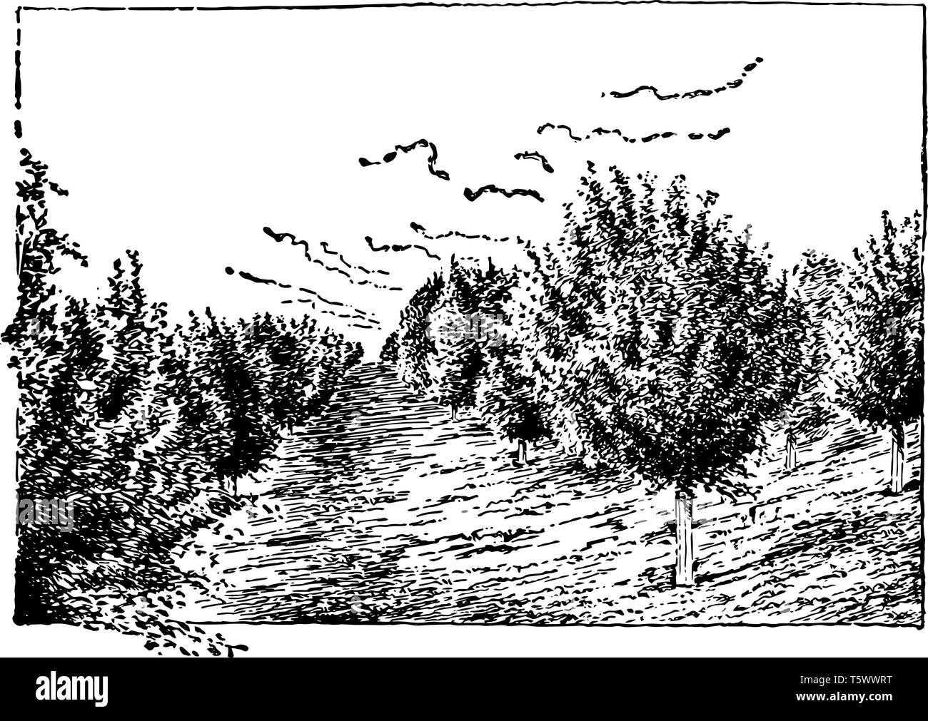 This illustration represents Nebraska Apple Orchard where trunks are protected from the sun by board jackets, vintage line drawing or engraving illust Stock Vectorhttps://www.alamy.com/image-license-details/?v=1https://www.alamy.com/this-illustration-represents-nebraska-apple-orchard-wheretrunks-are-protected-from-the-sun-by-board-jackets-vintage-line-drawing-or-engraving-illust-image244587500.html
RFT5WWRT–This illustration represents Nebraska Apple Orchard where trunks are protected from the sun by board jackets, vintage line drawing or engraving illust
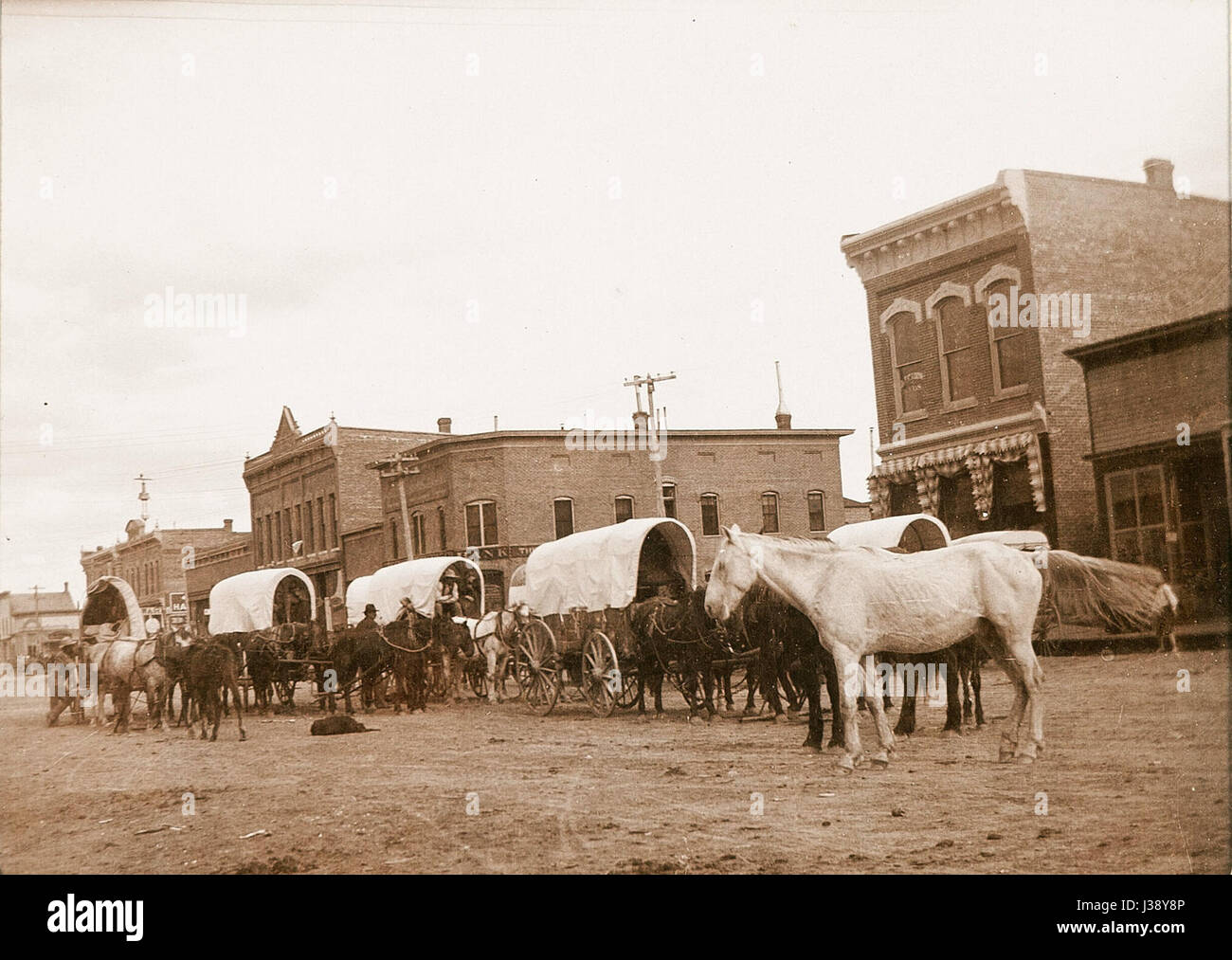 Covered wagons in Chadron, Nebraska Stock Photohttps://www.alamy.com/image-license-details/?v=1https://www.alamy.com/stock-photo-covered-wagons-in-chadron-nebraska-139723942.html
RMJ38Y8P–Covered wagons in Chadron, Nebraska
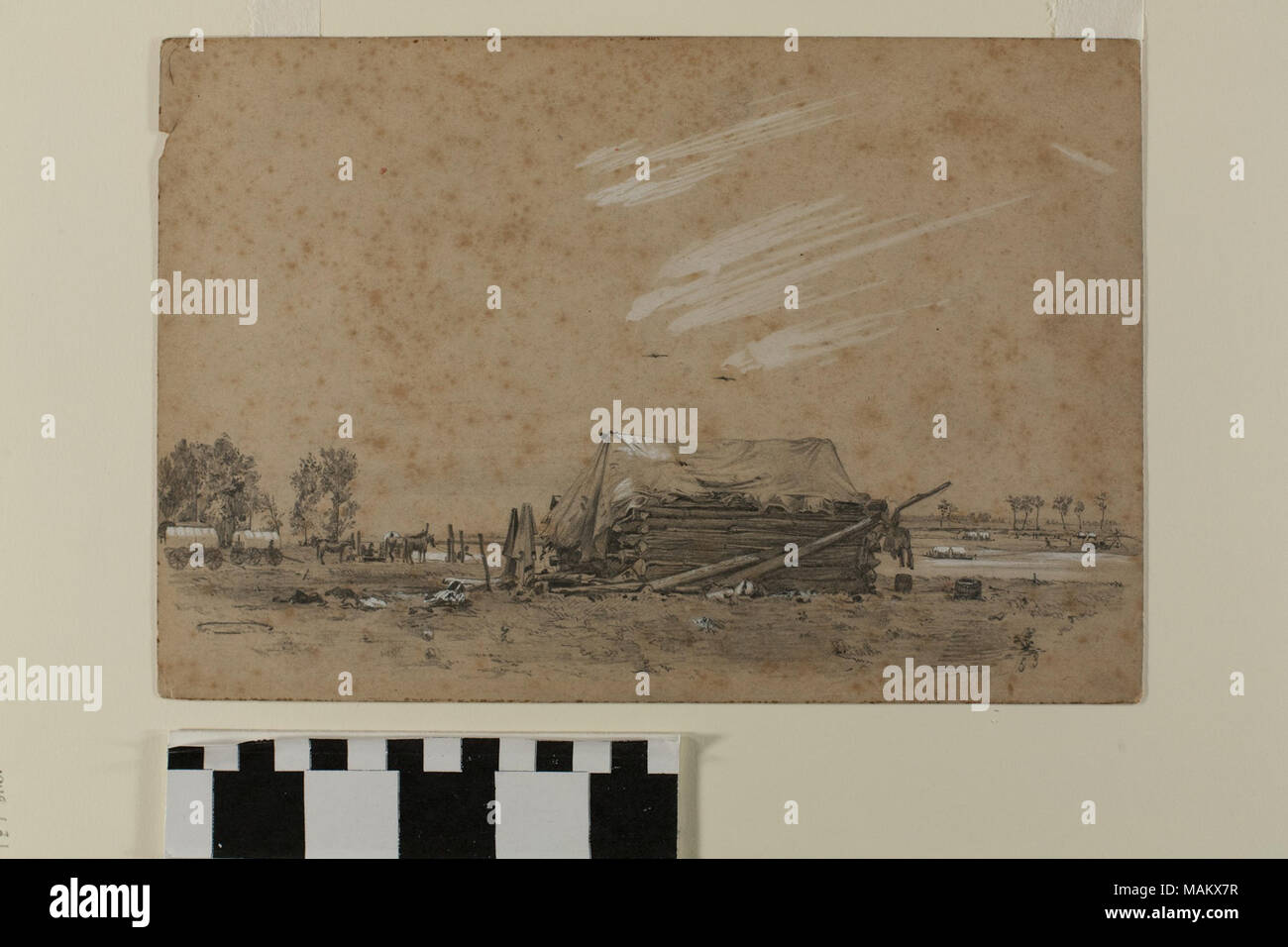 Drawing of the Loup Fork Ferry (alternately identified as the Major Burrow & Company Ferry) in present-day Nebraska by English Mormon artist Frederick Piercy, one of several original works reproduced as an engraving to illustrate his 'Route from Liverpool to Great Salt Lake Valley,' published in 1855. Title: Graphite Drawing, 'Loup Fork Ferry / Major Burrow & Co. Ferry' by Frederick Piercy . 1853. Piercy, Frederick Hawkins, 1830-1891 Stock Photohttps://www.alamy.com/image-license-details/?v=1https://www.alamy.com/drawing-of-the-loup-fork-ferry-alternately-identified-as-the-major-burrow-company-ferry-in-present-day-nebraska-by-english-mormon-artist-frederick-piercy-one-of-several-original-works-reproduced-as-an-engraving-to-illustrate-his-route-from-liverpool-to-great-salt-lake-valley-published-in-1855-title-graphite-drawing-loup-fork-ferry-major-burrow-co-ferry-by-frederick-piercy-1853-piercy-frederick-hawkins-1830-1891-image178687931.html
RMMAKX7R–Drawing of the Loup Fork Ferry (alternately identified as the Major Burrow & Company Ferry) in present-day Nebraska by English Mormon artist Frederick Piercy, one of several original works reproduced as an engraving to illustrate his 'Route from Liverpool to Great Salt Lake Valley,' published in 1855. Title: Graphite Drawing, 'Loup Fork Ferry / Major Burrow & Co. Ferry' by Frederick Piercy . 1853. Piercy, Frederick Hawkins, 1830-1891
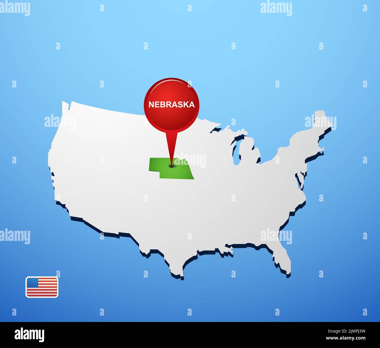 Nebraska on USA map Stock Photohttps://www.alamy.com/image-license-details/?v=1https://www.alamy.com/nebraska-on-usa-map-image477470221.html
RF2JMPJ3W–Nebraska on USA map
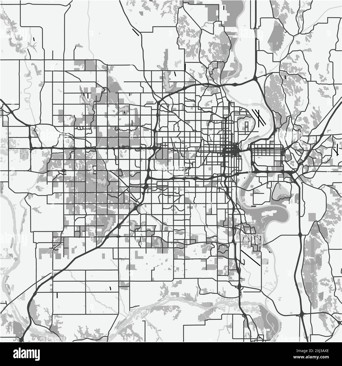 Map of Omaha in Nebraska in grayscale. Contains layered vector with roads water, parks, etc. Stock Vectorhttps://www.alamy.com/image-license-details/?v=1https://www.alamy.com/map-of-omaha-in-nebraska-in-grayscale-contains-layered-vector-with-roads-water-parks-etc-image613501126.html
RF2XJ3AXE–Map of Omaha in Nebraska in grayscale. Contains layered vector with roads water, parks, etc.
 Omaha Union Station by night. Omaha, Nebraska. American railways, 20th century postcard Stock Photohttps://www.alamy.com/image-license-details/?v=1https://www.alamy.com/stock-photo-omaha-union-station-by-night-omaha-nebraska-american-railways-20th-147099731.html
RMJF8Y5R–Omaha Union Station by night. Omaha, Nebraska. American railways, 20th century postcard
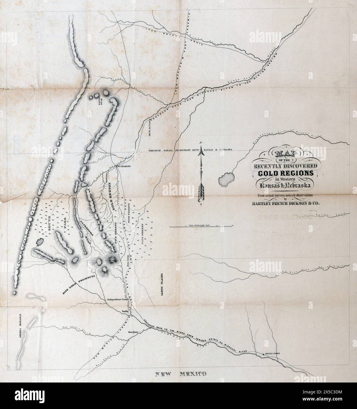 Map of the recently discovered gold regions in Western Kansas & Nebraska, 1859 Stock Photohttps://www.alamy.com/image-license-details/?v=1https://www.alamy.com/map-of-the-recently-discovered-gold-regions-in-western-kansas-nebraska-1859-image605702320.html
RM2X5C3DM–Map of the recently discovered gold regions in Western Kansas & Nebraska, 1859
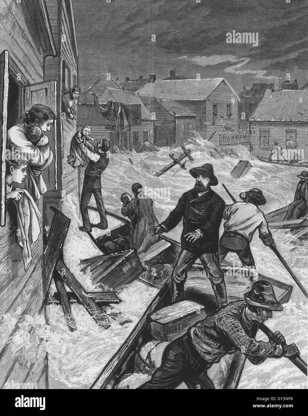 The Great Flood of 1881 refers to flooding events on the Missouri River during the spring of 1881. The flood struck Omaha, Nebraska and Council Bluffs, Iowa between April 1, 1881 and April 27, 1881. The events provided the first detailed reporting of Miss Stock Photohttps://www.alamy.com/image-license-details/?v=1https://www.alamy.com/stock-photo-the-great-flood-of-1881-refers-to-flooding-events-on-the-missouri-104003514.html
RMG15NF6–The Great Flood of 1881 refers to flooding events on the Missouri River during the spring of 1881. The flood struck Omaha, Nebraska and Council Bluffs, Iowa between April 1, 1881 and April 27, 1881. The events provided the first detailed reporting of Miss