Quick filters:
New jersey aerial shore Stock Photos and Images
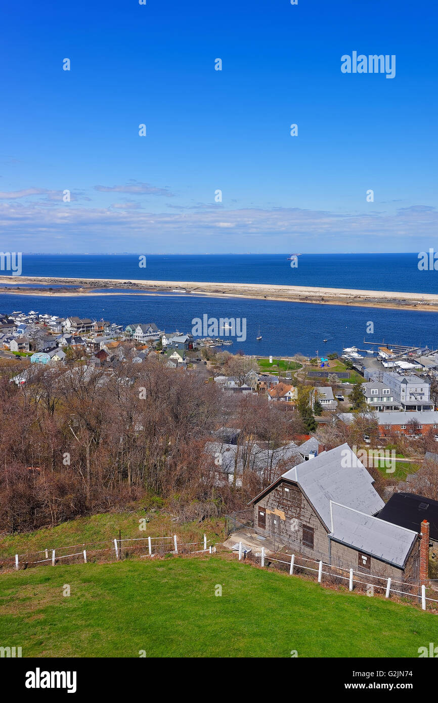 View of Houses and Atlantic Ocean shore from light house at Sandy Hook. Sandy Hook is in New Jersey, USA Stock Photohttps://www.alamy.com/image-license-details/?v=1https://www.alamy.com/stock-photo-view-of-houses-and-atlantic-ocean-shore-from-light-house-at-sandy-104903320.html
RFG2JN74–View of Houses and Atlantic Ocean shore from light house at Sandy Hook. Sandy Hook is in New Jersey, USA
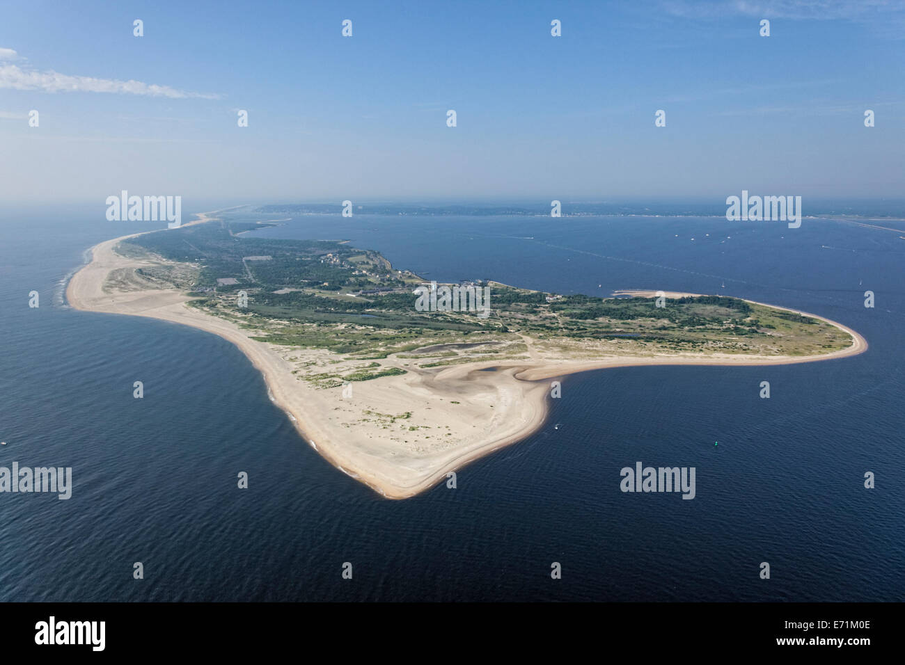 Aerial of Sandy Hook, Gateway National Recreation Area, New Jersey Stock Photohttps://www.alamy.com/image-license-details/?v=1https://www.alamy.com/stock-photo-aerial-of-sandy-hook-gateway-national-recreation-area-new-jersey-73181710.html
RME71M0E–Aerial of Sandy Hook, Gateway National Recreation Area, New Jersey
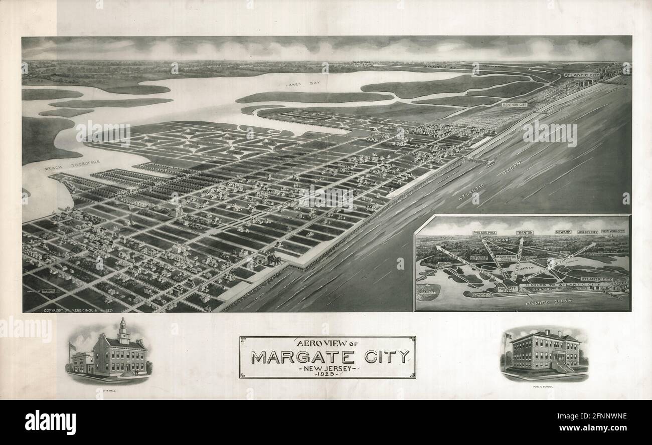 Aeroview of Margate City, New Jersey 1925. Stock Photohttps://www.alamy.com/image-license-details/?v=1https://www.alamy.com/aeroview-of-margate-city-new-jersey-1925-image426437802.html
RM2FNNWNE–Aeroview of Margate City, New Jersey 1925.
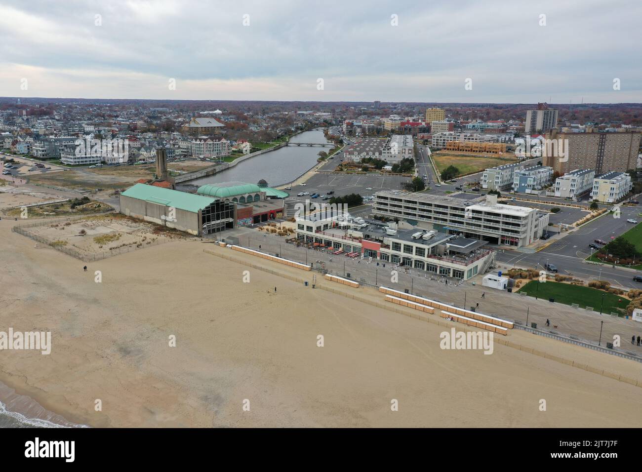 An aerial view of an ocean city New Jersey shore beaches near Absury park Stock Photohttps://www.alamy.com/image-license-details/?v=1https://www.alamy.com/an-aerial-view-of-an-ocean-city-new-jersey-shore-beaches-near-absury-park-image479599667.html
RF2JT7J7F–An aerial view of an ocean city New Jersey shore beaches near Absury park
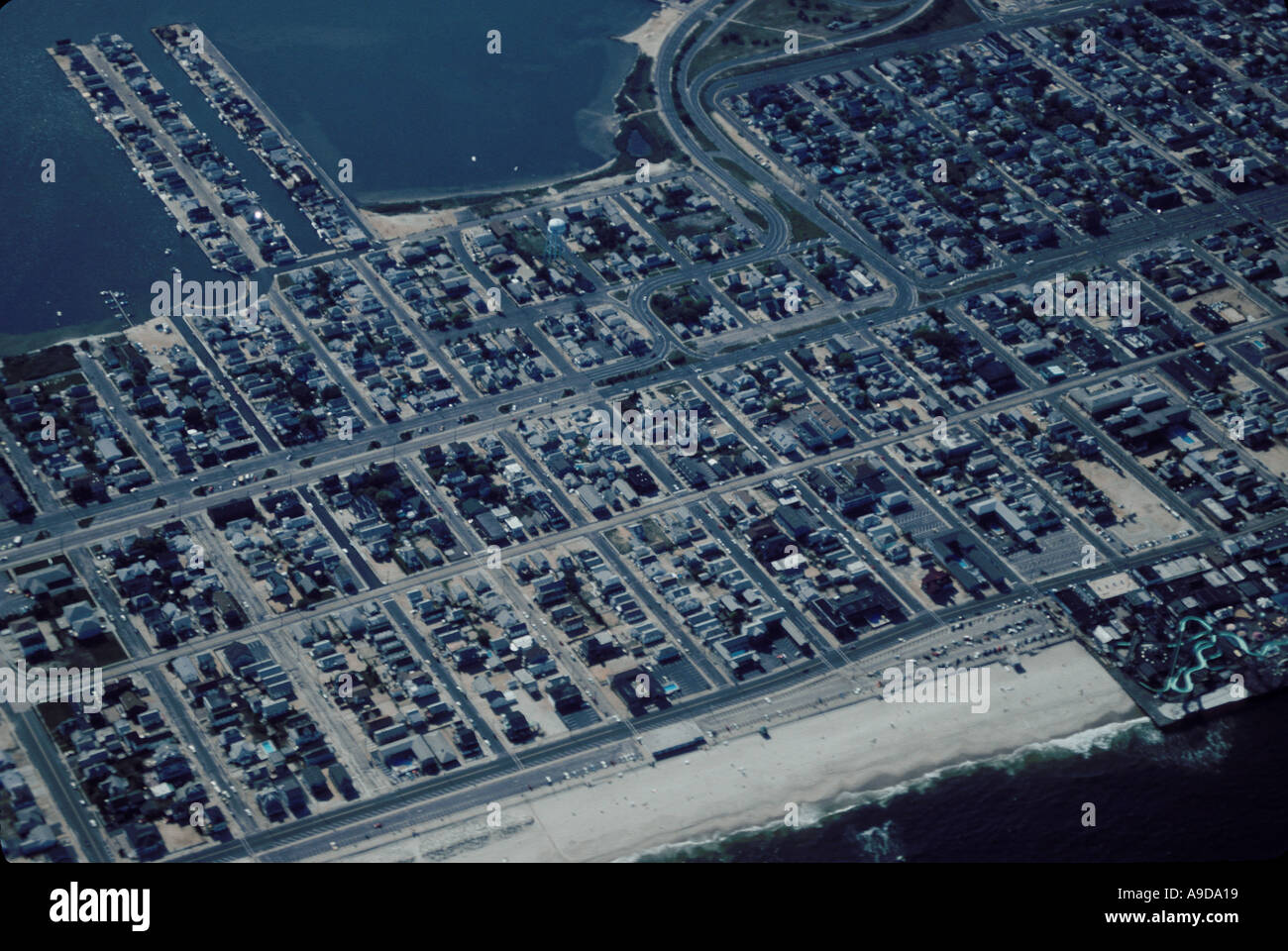 AERIAL HOMES NEW JERSEY SHORE USA Stock Photohttps://www.alamy.com/image-license-details/?v=1https://www.alamy.com/aerial-homes-new-jersey-shore-usa-image645657.html
RMA9DA19–AERIAL HOMES NEW JERSEY SHORE USA
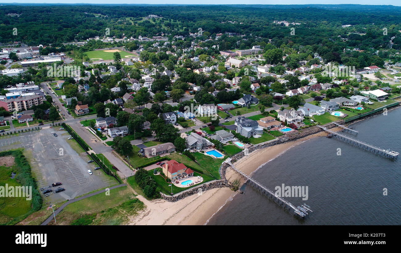 Aerial view of Atlantic Highlands, New Jersey Stock Photohttps://www.alamy.com/image-license-details/?v=1https://www.alamy.com/aerial-view-of-atlantic-highlands-new-jersey-image156128787.html
RMK207T3–Aerial view of Atlantic Highlands, New Jersey
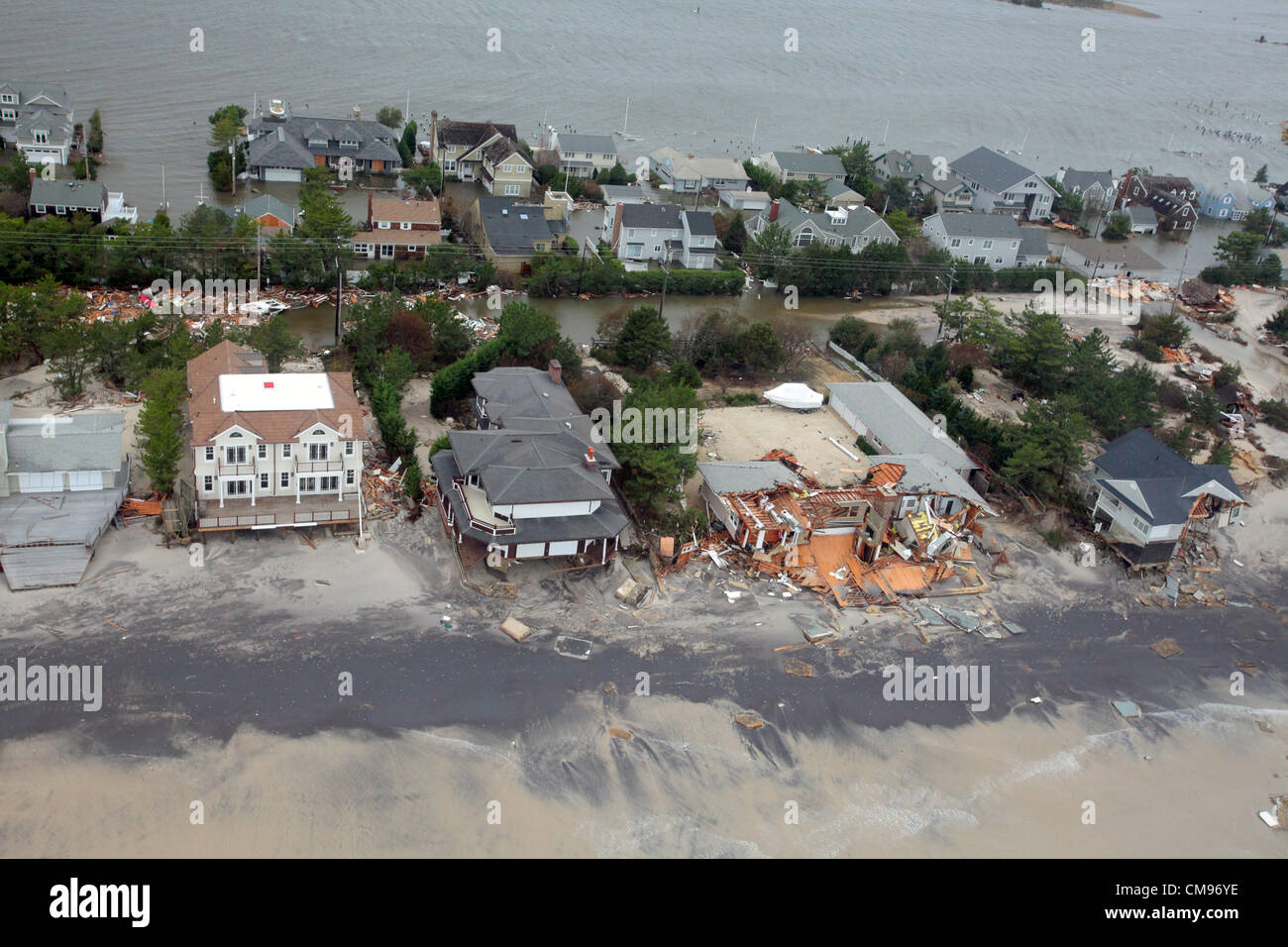 Aerial views of the damage caused by Hurricane Sandy to the New Jersey October 30, 2012. Stock Photohttps://www.alamy.com/image-license-details/?v=1https://www.alamy.com/stock-photo-aerial-views-of-the-damage-caused-by-hurricane-sandy-to-the-new-jersey-46916898.html
RMCM96YE–Aerial views of the damage caused by Hurricane Sandy to the New Jersey October 30, 2012.
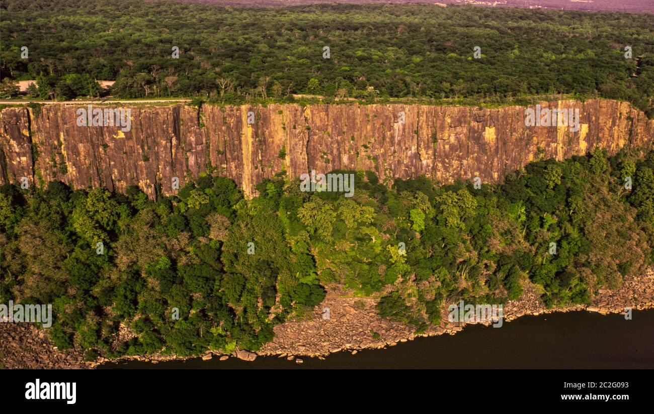 Palisades cliffs along the western shore of the Hudson River in New Jersey Stock Photohttps://www.alamy.com/image-license-details/?v=1https://www.alamy.com/palisades-cliffs-along-the-western-shore-of-the-hudson-river-in-new-jersey-image362998527.html
RM2C2G093–Palisades cliffs along the western shore of the Hudson River in New Jersey
 USA New Jersey Aerial Shot Stock Photohttps://www.alamy.com/image-license-details/?v=1https://www.alamy.com/usa-new-jersey-aerial-shot-image7314537.html
RMAB77JA–USA New Jersey Aerial Shot
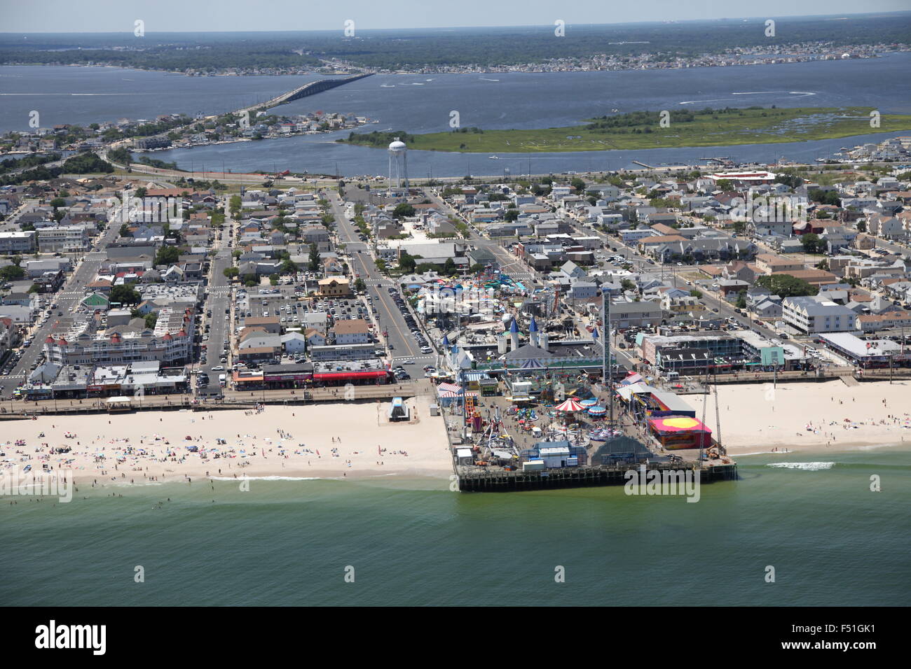 Aerial view of Lavalette, New Jersey Stock Photohttps://www.alamy.com/image-license-details/?v=1https://www.alamy.com/stock-photo-aerial-view-of-lavalette-new-jersey-89160149.html
RMF51GK1–Aerial view of Lavalette, New Jersey
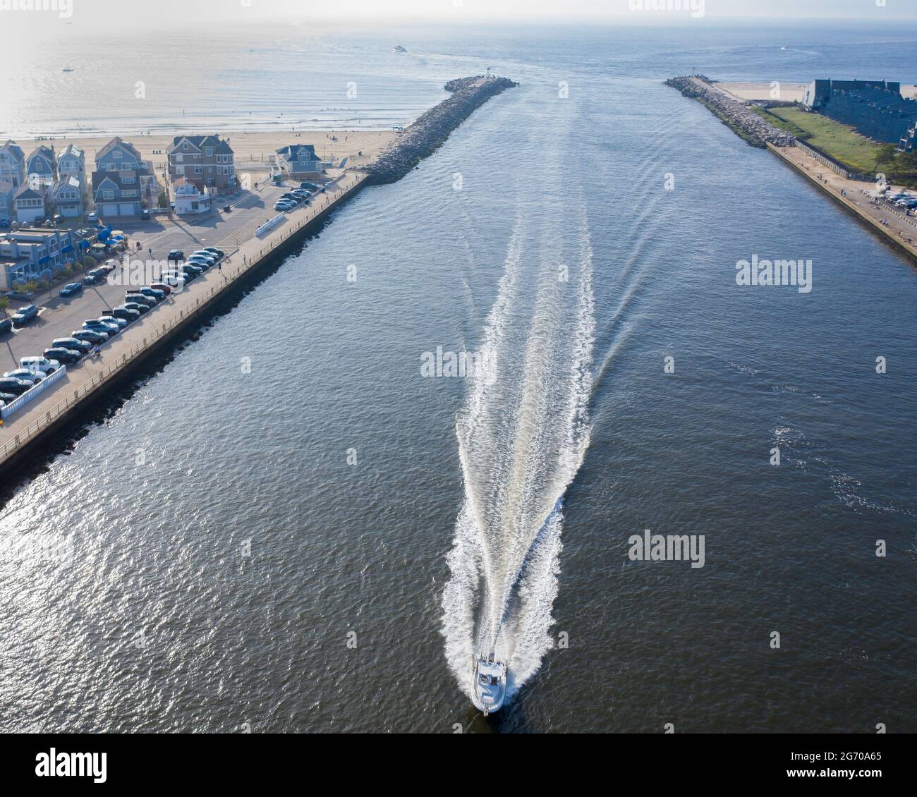 Aerial of one boat coming through a channel from the sea, throwing a big wake, on the New Jersey shore. Stock Photohttps://www.alamy.com/image-license-details/?v=1https://www.alamy.com/aerial-of-one-boat-coming-through-a-channel-from-the-sea-throwing-a-big-wake-on-the-new-jersey-shore-image434569805.html
RF2G70A65–Aerial of one boat coming through a channel from the sea, throwing a big wake, on the New Jersey shore.
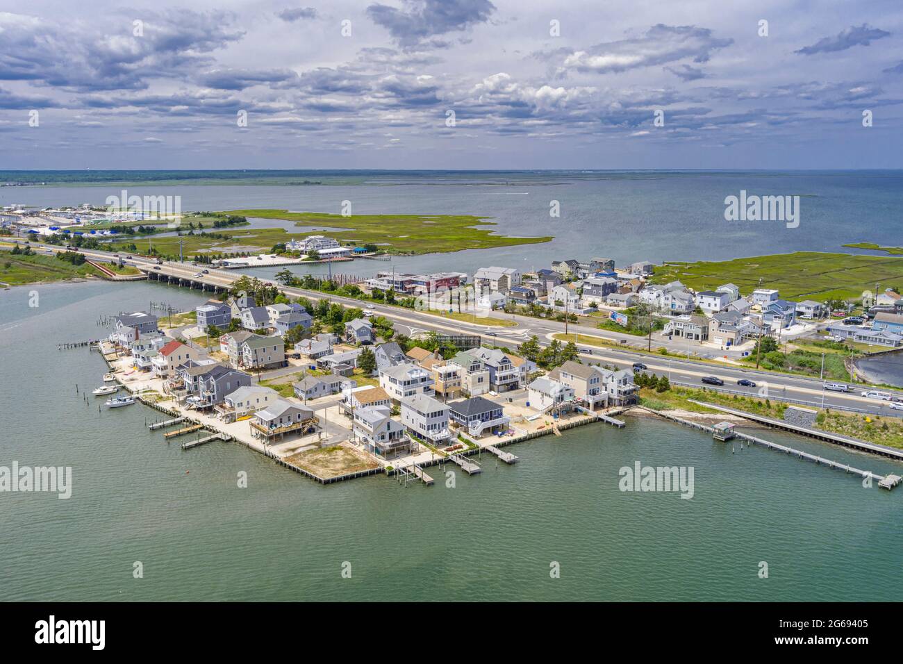 Aerial View of Ship Bottom Long Beach Island New Jersey USA Stock Photohttps://www.alamy.com/image-license-details/?v=1https://www.alamy.com/aerial-view-of-ship-bottom-long-beach-island-new-jersey-usa-image434147845.html
RF2G69405–Aerial View of Ship Bottom Long Beach Island New Jersey USA
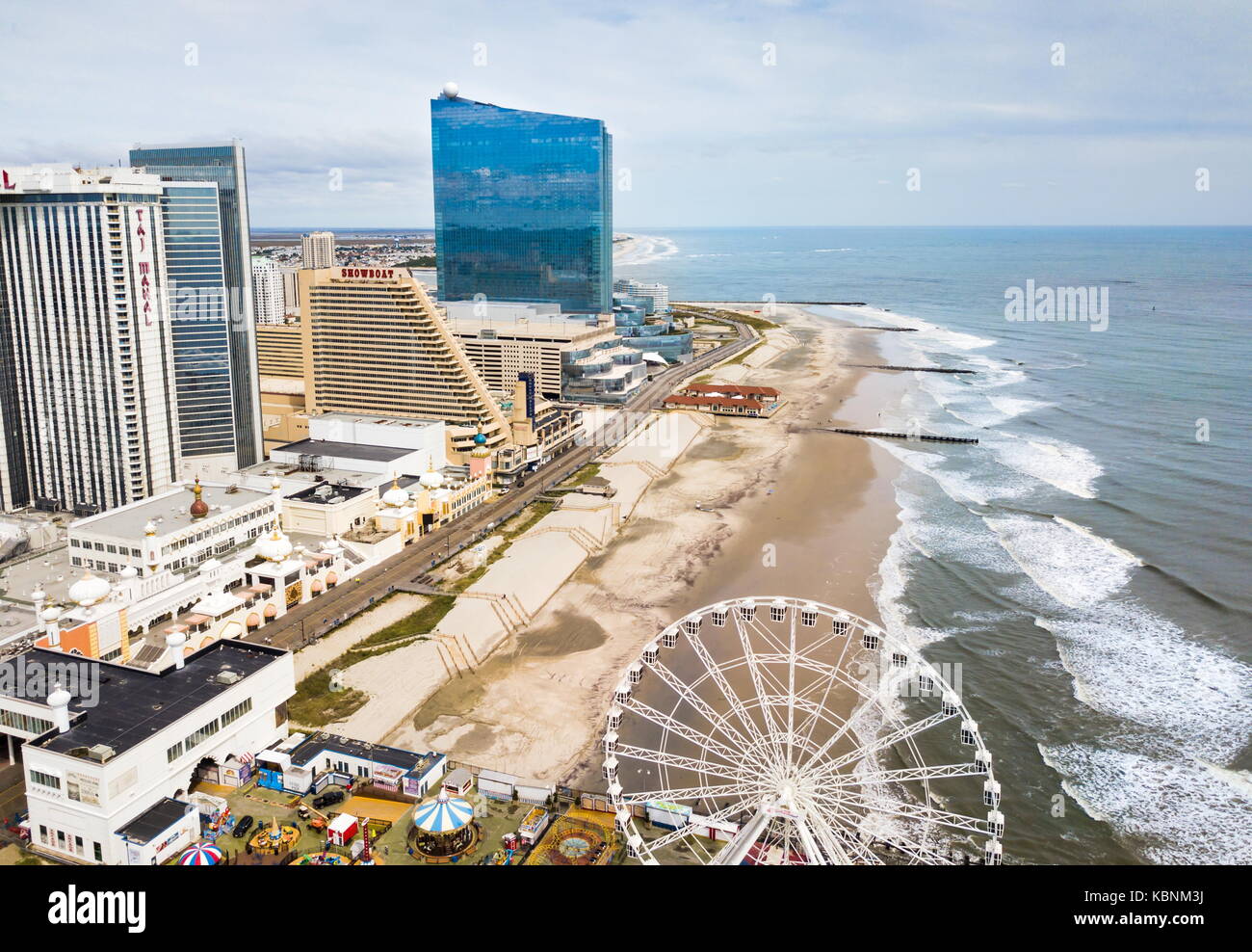 ATLANTIC CITY, USA - SEPTEMBER 20, 2017: Atlantic city waterline aerial view. AC is a tourist city in New Jersey famous for its casinos, boardwalks, a Stock Photohttps://www.alamy.com/image-license-details/?v=1https://www.alamy.com/stock-image-atlantic-city-usa-september-20-2017-atlantic-city-waterline-aerial-162131302.html
RFKBNM3J–ATLANTIC CITY, USA - SEPTEMBER 20, 2017: Atlantic city waterline aerial view. AC is a tourist city in New Jersey famous for its casinos, boardwalks, a
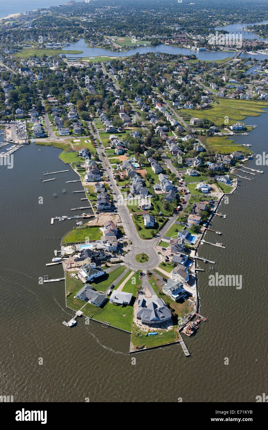 Million Dollar Homes on the Shrewsbury River, Monmouth Beach, NJ (Down the Shore) Stock Photohttps://www.alamy.com/image-license-details/?v=1https://www.alamy.com/stock-photo-million-dollar-homes-on-the-shrewsbury-river-monmouth-beach-nj-down-73181679.html
RME71KYB–Million Dollar Homes on the Shrewsbury River, Monmouth Beach, NJ (Down the Shore)
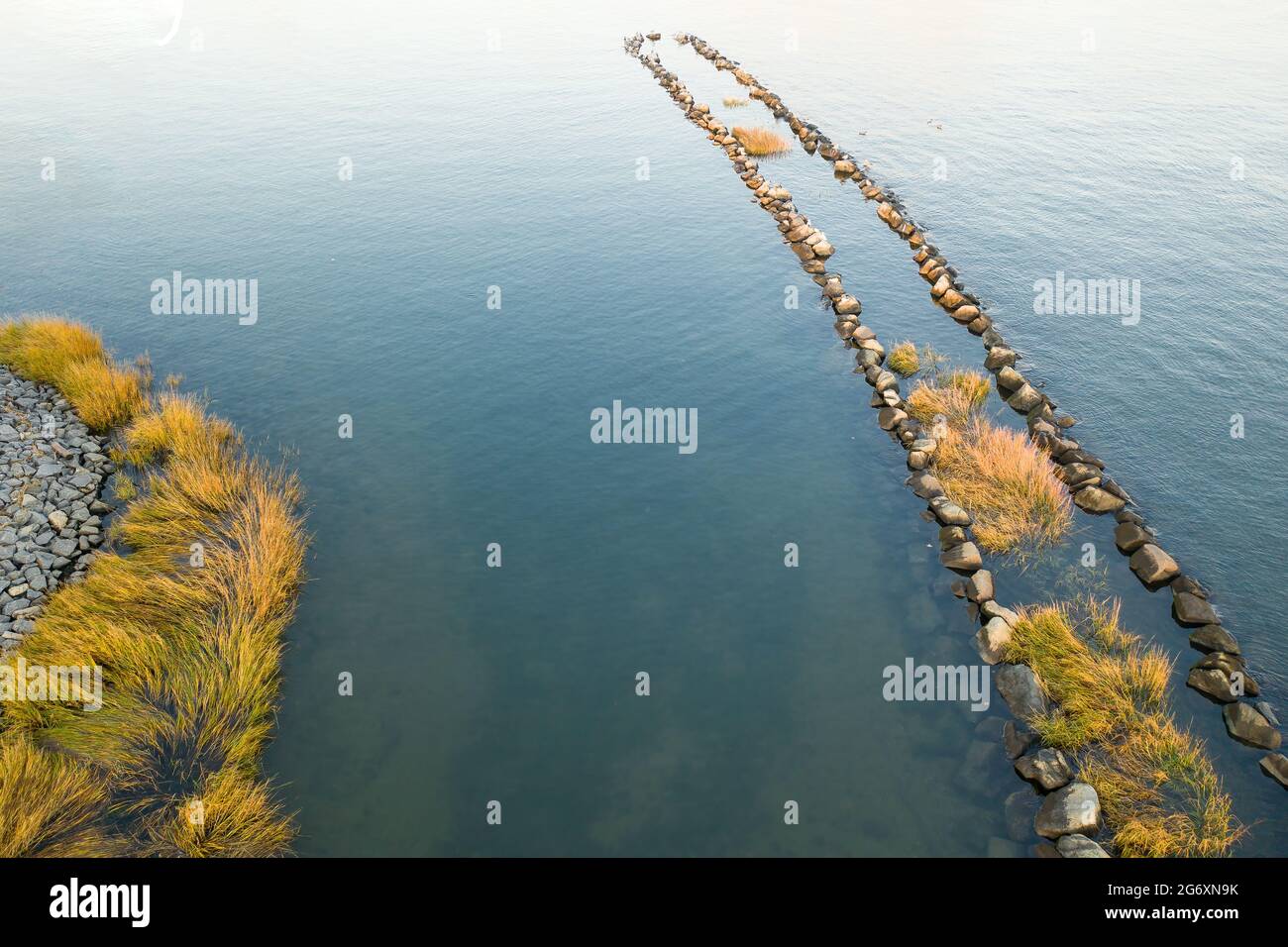 Aerial of calm water with a row of large rocks covered in sea grass jutting out into the bay. Stock Photohttps://www.alamy.com/image-license-details/?v=1https://www.alamy.com/aerial-of-calm-water-with-a-row-of-large-rocks-covered-in-sea-grass-jutting-out-into-the-bay-image434534623.html
RF2G6XN9K–Aerial of calm water with a row of large rocks covered in sea grass jutting out into the bay.
 Aerial view facing northeast of New York Harbor, the coastline of Staten Island's East Shore, and the western tip of Brooklyn, 1957. In the hazy background are the outlines of Bayonne, New Jersey, and Manhattan Island along the Hudson River, all in the waters of Upper New York Bay. Stock Photohttps://www.alamy.com/image-license-details/?v=1https://www.alamy.com/aerial-view-facing-northeast-of-new-york-harbor-the-coastline-of-staten-islands-east-shore-and-the-western-tip-of-brooklyn-1957-in-the-hazy-background-are-the-outlines-of-bayonne-new-jersey-and-manhattan-island-along-the-hudson-river-all-in-the-waters-of-upper-new-york-bay-image215963284.html
RMPF9YAC–Aerial view facing northeast of New York Harbor, the coastline of Staten Island's East Shore, and the western tip of Brooklyn, 1957. In the hazy background are the outlines of Bayonne, New Jersey, and Manhattan Island along the Hudson River, all in the waters of Upper New York Bay.
 Lavalette, Ortly, and Normandy used to be full of these little cottages, now there are very few remaining; they were all destroyed by Hurricane Sandy. Stock Photohttps://www.alamy.com/image-license-details/?v=1https://www.alamy.com/lavalette-ortly-and-normandy-used-to-be-full-of-these-little-cottages-now-there-are-very-few-remaining-they-were-all-destroyed-by-hurricane-sandy-image559388989.html
RF2RE2AA5–Lavalette, Ortly, and Normandy used to be full of these little cottages, now there are very few remaining; they were all destroyed by Hurricane Sandy.
 Aerial, Labor Day, Atlantic City, New Jersey Stock Photohttps://www.alamy.com/image-license-details/?v=1https://www.alamy.com/stock-photo-aerial-labor-day-atlantic-city-new-jersey-73551901.html
RME7JG5H–Aerial, Labor Day, Atlantic City, New Jersey
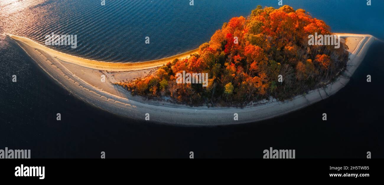 Aerial view to Treasure Island officially know as Osborn Island in New Jersey during the peak colors of fall foliage. Stock Photohttps://www.alamy.com/image-license-details/?v=1https://www.alamy.com/aerial-view-to-treasure-island-officially-know-as-osborn-island-in-new-jersey-during-the-peak-colors-of-fall-foliage-image451089609.html
RM2H5TWB5–Aerial view to Treasure Island officially know as Osborn Island in New Jersey during the peak colors of fall foliage.
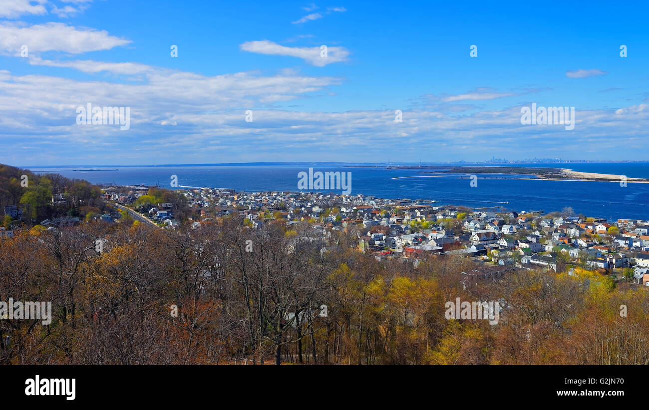 Houses and Atlantic Ocean shore at Sandy Hook with a view to NYC. View from light house. Sandy Hook is in New Jersey, USA Stock Photohttps://www.alamy.com/image-license-details/?v=1https://www.alamy.com/stock-photo-houses-and-atlantic-ocean-shore-at-sandy-hook-with-a-view-to-nyc-view-104903316.html
RFG2JN70–Houses and Atlantic Ocean shore at Sandy Hook with a view to NYC. View from light house. Sandy Hook is in New Jersey, USA
 An Aerial View gives a glimpse of Sandy Hook, the beach, Raritan Bay Atlantic Ocean and the Naval Station Earle, in New Jersey Stock Photohttps://www.alamy.com/image-license-details/?v=1https://www.alamy.com/an-aerial-view-gives-a-glimpse-of-sandy-hook-the-beach-raritan-bay-atlantic-ocean-and-the-naval-station-earle-in-new-jersey-image572364600.html
RF2T75CTT–An Aerial View gives a glimpse of Sandy Hook, the beach, Raritan Bay Atlantic Ocean and the Naval Station Earle, in New Jersey
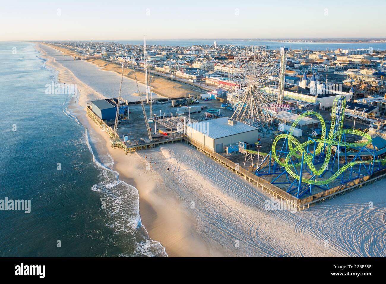 Aerial of New Jersey shoreline with amusement rides along the boardwalk and sand. Stock Photohttps://www.alamy.com/image-license-details/?v=1https://www.alamy.com/aerial-of-new-jersey-shoreline-with-amusement-rides-along-the-boardwalk-and-sand-image434257055.html
RF2G6E38F–Aerial of New Jersey shoreline with amusement rides along the boardwalk and sand.
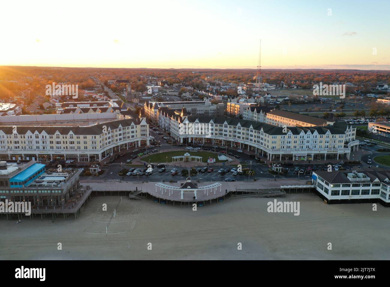 An aerial view of Pier Village long branch near ocean city New Jersey shore beach at sunset Stock Photohttps://www.alamy.com/image-license-details/?v=1https://www.alamy.com/an-aerial-view-of-pier-village-long-branch-near-ocean-city-new-jersey-shore-beach-at-sunset-image479599678.html
RF2JT7J7X–An aerial view of Pier Village long branch near ocean city New Jersey shore beach at sunset
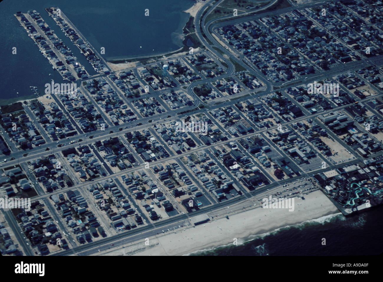 AERIAL HOMES NEW JERSEY SHORE USA Stock Photohttps://www.alamy.com/image-license-details/?v=1https://www.alamy.com/aerial-homes-new-jersey-shore-usa-image645647.html
RMA9DA0F–AERIAL HOMES NEW JERSEY SHORE USA
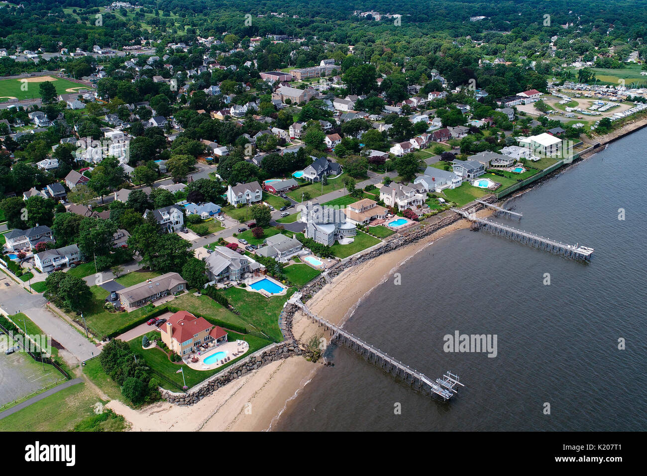 Aerial view of Atlantic Highlands, New Jersey Stock Photohttps://www.alamy.com/image-license-details/?v=1https://www.alamy.com/aerial-view-of-atlantic-highlands-new-jersey-image156128785.html
RFK207T1–Aerial view of Atlantic Highlands, New Jersey
 Aerial views of the damage caused by Hurricane Sandy to the New Jersey October 30, 2012. Stock Photohttps://www.alamy.com/image-license-details/?v=1https://www.alamy.com/stock-photo-aerial-views-of-the-damage-caused-by-hurricane-sandy-to-the-new-jersey-46916901.html
RMCM96YH–Aerial views of the damage caused by Hurricane Sandy to the New Jersey October 30, 2012.
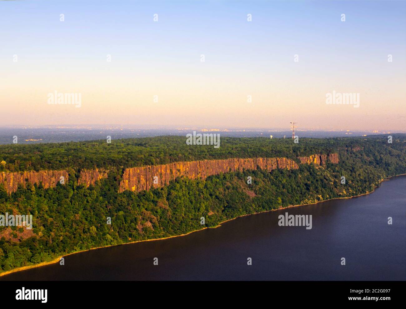 Palisades cliffs along the western shore of the Hudson River in New Jersey Stock Photohttps://www.alamy.com/image-license-details/?v=1https://www.alamy.com/palisades-cliffs-along-the-western-shore-of-the-hudson-river-in-new-jersey-image362998531.html
RM2C2G097–Palisades cliffs along the western shore of the Hudson River in New Jersey
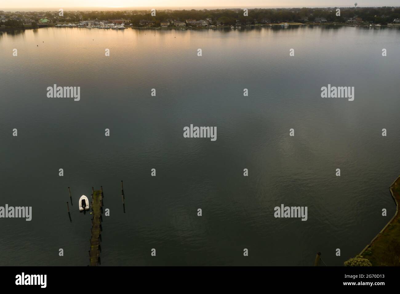 Aerial of one, lone, white boat docked on a calm bay, leading to the Atlantic Ocean in New Jersey, at sunset. Stock Photohttps://www.alamy.com/image-license-details/?v=1https://www.alamy.com/aerial-of-one-lone-white-boat-docked-on-a-calm-bay-leading-to-the-atlantic-ocean-in-new-jersey-at-sunset-image434572015.html
RF2G70D13–Aerial of one, lone, white boat docked on a calm bay, leading to the Atlantic Ocean in New Jersey, at sunset.
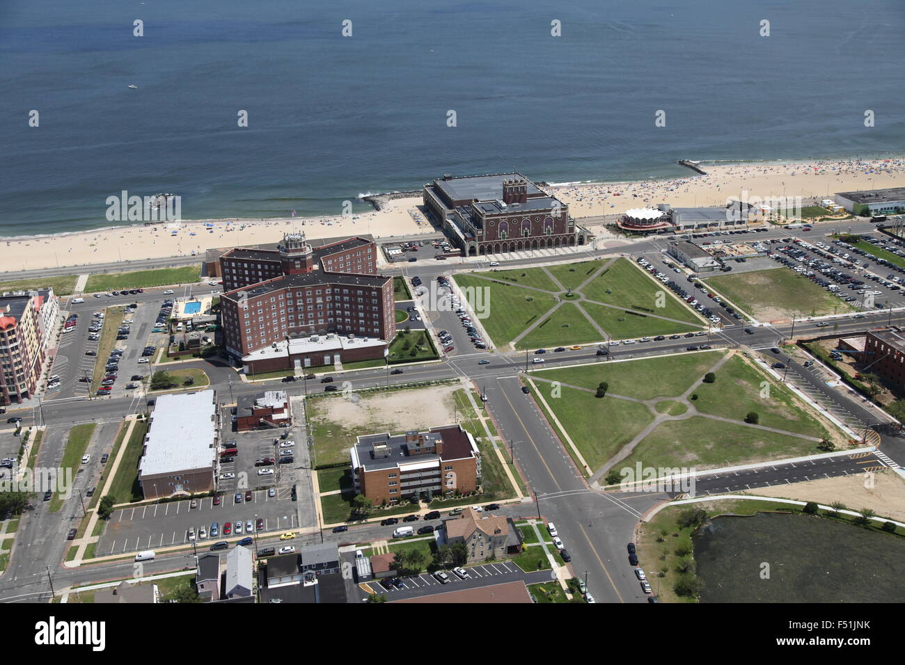 Aerial view of Convention Hall, Asbury Park, New Jersey Stock Photohttps://www.alamy.com/image-license-details/?v=1https://www.alamy.com/stock-photo-aerial-view-of-convention-hall-asbury-park-new-jersey-89161791.html
RMF51JNK–Aerial view of Convention Hall, Asbury Park, New Jersey
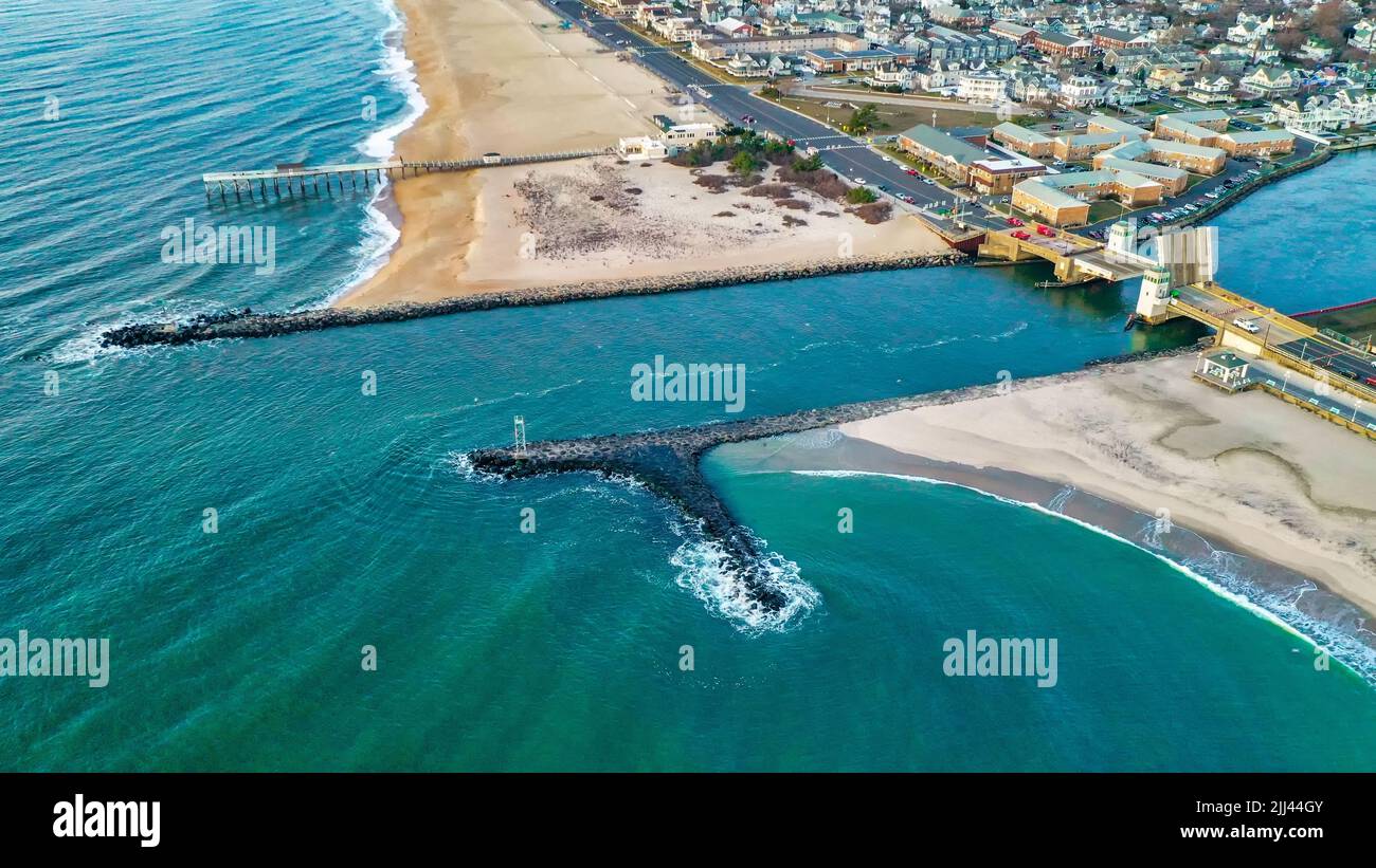 Aerial view of Shark River Inlet at Belmar New Jersey Stock Photohttps://www.alamy.com/image-license-details/?v=1https://www.alamy.com/aerial-view-of-shark-river-inlet-at-belmar-new-jersey-image475835163.html
RM2JJ44GY–Aerial view of Shark River Inlet at Belmar New Jersey
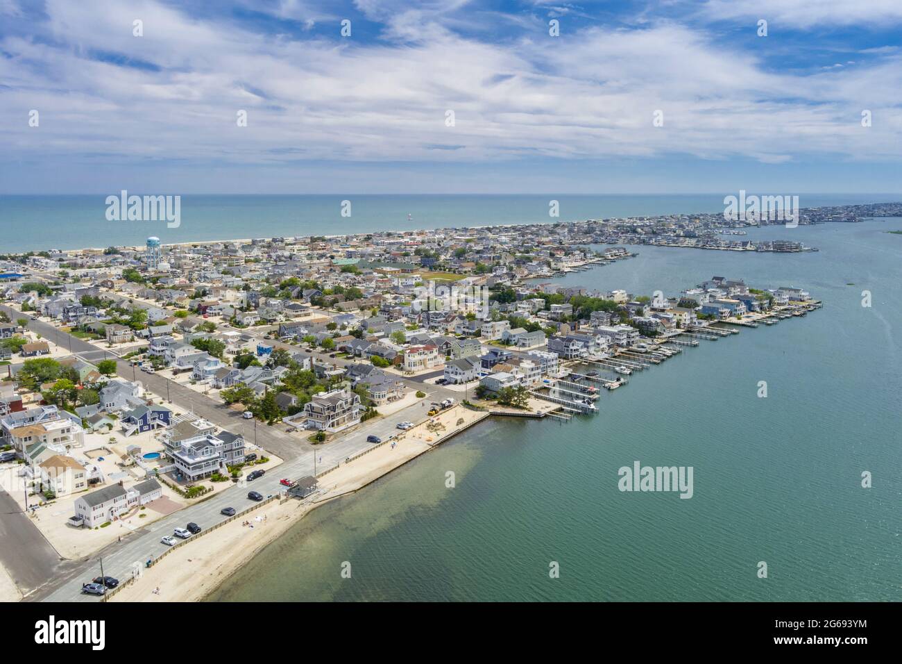 Aerial View of Ship Bottom Long Beach Island New Jersey USA Stock Photohttps://www.alamy.com/image-license-details/?v=1https://www.alamy.com/aerial-view-of-ship-bottom-long-beach-island-new-jersey-usa-image434147832.html
RF2G693YM–Aerial View of Ship Bottom Long Beach Island New Jersey USA
 ATLANTIC CITY, USA - SEPTEMBER 20, 2017: Atlantic city waterline aerial view. AC is a tourist city in New Jersey famous for its casinos, boardwalks, a Stock Photohttps://www.alamy.com/image-license-details/?v=1https://www.alamy.com/stock-image-atlantic-city-usa-september-20-2017-atlantic-city-waterline-aerial-162131211.html
RFKBNM0B–ATLANTIC CITY, USA - SEPTEMBER 20, 2017: Atlantic city waterline aerial view. AC is a tourist city in New Jersey famous for its casinos, boardwalks, a
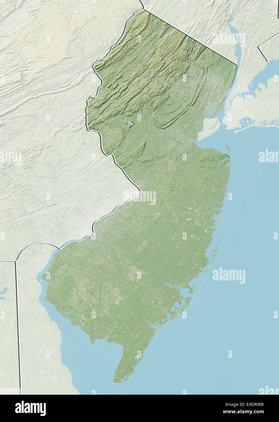 State of New Jersey, United States, Relief Map Stock Photohttps://www.alamy.com/image-license-details/?v=1https://www.alamy.com/stock-photo-state-of-new-jersey-united-states-relief-map-71604227.html
RME4DRWR–State of New Jersey, United States, Relief Map
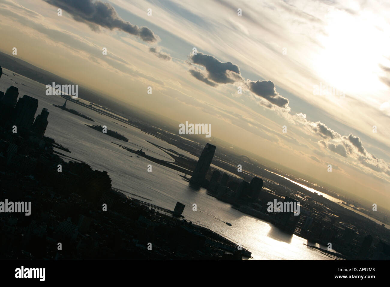 sunset view of lower manhatten hudson river jersey city and liberty island from observation deck 86th floor Stock Photohttps://www.alamy.com/image-license-details/?v=1https://www.alamy.com/sunset-view-of-lower-manhatten-hudson-river-jersey-city-and-liberty-image7927426.html
RMAF97M3–sunset view of lower manhatten hudson river jersey city and liberty island from observation deck 86th floor
 The capital statehouse of New Jersey close to the Delaware River in the city of Trenton Stock Photohttps://www.alamy.com/image-license-details/?v=1https://www.alamy.com/the-capital-statehouse-of-new-jersey-close-to-the-delaware-river-in-the-city-of-trenton-image273831553.html
RFWWE2X9–The capital statehouse of New Jersey close to the Delaware River in the city of Trenton
 Lavalette, Ortly, and Normandy used to be full of these little cottages, now there are very few remaining; they were all destroyed by Hurricane Sandy. Stock Photohttps://www.alamy.com/image-license-details/?v=1https://www.alamy.com/lavalette-ortly-and-normandy-used-to-be-full-of-these-little-cottages-now-there-are-very-few-remaining-they-were-all-destroyed-by-hurricane-sandy-image559389529.html
RF2RE2B1D–Lavalette, Ortly, and Normandy used to be full of these little cottages, now there are very few remaining; they were all destroyed by Hurricane Sandy.
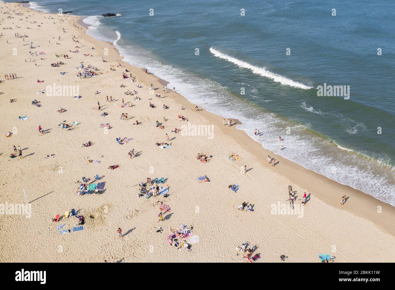 Aerial view of a crowded Jersey Shore beach in Long Branch, New Jersey. Despite the Coronavirus pandemic beachgoers flocked to the shore amidst the warm weather and recent beach re-openings. Stock Photohttps://www.alamy.com/image-license-details/?v=1https://www.alamy.com/aerial-view-of-a-crowded-jersey-shore-beach-in-long-branch-new-jersey-despite-the-coronavirus-pandemic-beachgoers-flocked-to-the-shore-amidst-the-warm-weather-and-recent-beach-re-openings-image356303749.html
RM2BKK11W–Aerial view of a crowded Jersey Shore beach in Long Branch, New Jersey. Despite the Coronavirus pandemic beachgoers flocked to the shore amidst the warm weather and recent beach re-openings.
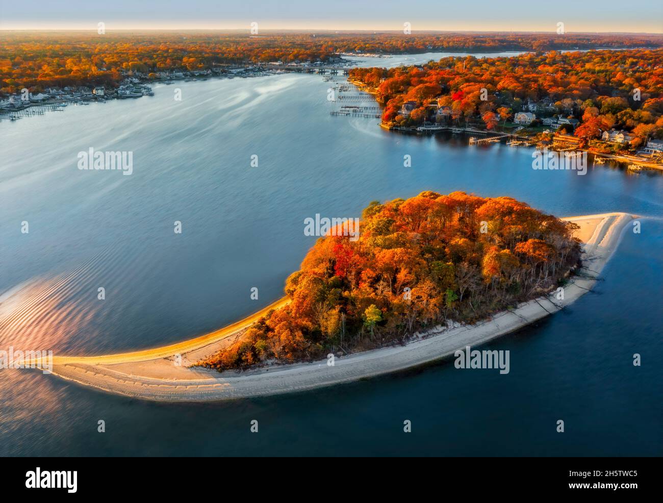 Aerial view to Treasure Island officially know as Osborn Island in New Jersey during the peak colors of fall foliage. Stock Photohttps://www.alamy.com/image-license-details/?v=1https://www.alamy.com/aerial-view-to-treasure-island-officially-know-as-osborn-island-in-new-jersey-during-the-peak-colors-of-fall-foliage-image451089637.html
RM2H5TWC5–Aerial view to Treasure Island officially know as Osborn Island in New Jersey during the peak colors of fall foliage.
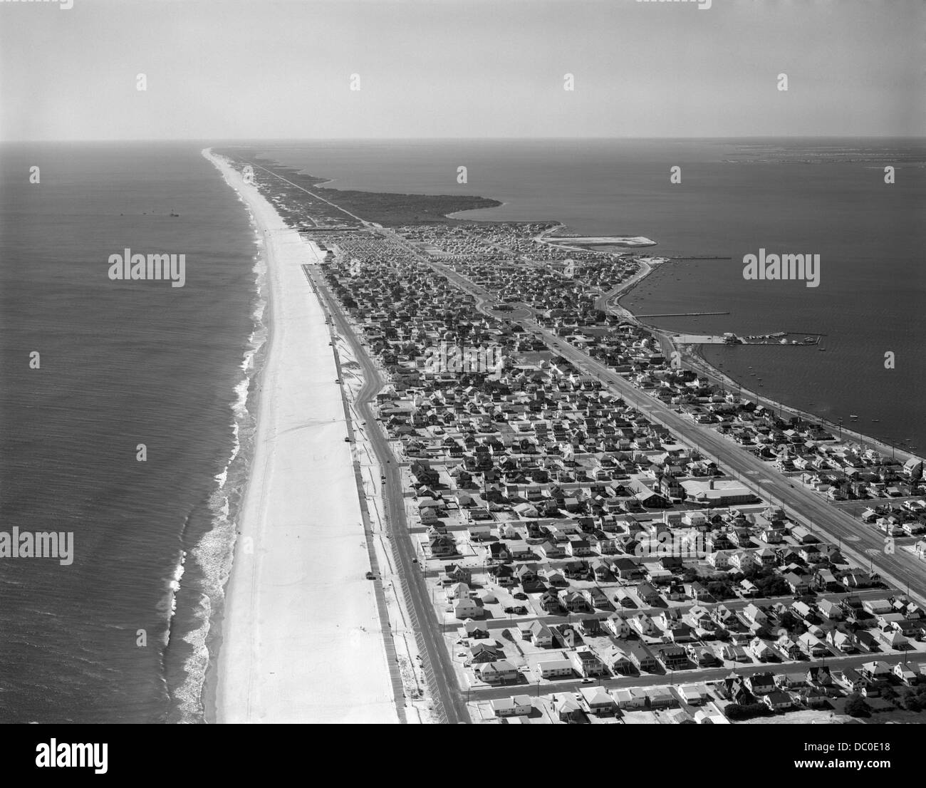 1970s 1980s AERIAL OF JERSEY SHORE BARNEGAT PENINSULA BARRIER ISLAND SEASIDE PARK NEW JERSEY USA Stock Photohttps://www.alamy.com/image-license-details/?v=1https://www.alamy.com/stock-photo-1970s-1980s-aerial-of-jersey-shore-barnegat-peninsula-barrier-island-59017988.html
RMDC0E18–1970s 1980s AERIAL OF JERSEY SHORE BARNEGAT PENINSULA BARRIER ISLAND SEASIDE PARK NEW JERSEY USA
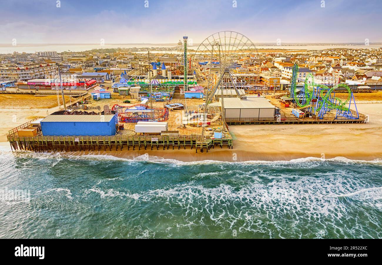 Seaside Casino Pier Aerial - Aerial view to Casino Pier ammusement park and beach at Seaside Park at the New Jersey shore. This image is available in Stock Photohttps://www.alamy.com/image-license-details/?v=1https://www.alamy.com/seaside-casino-pier-aerial-aerial-view-to-casino-pier-ammusement-park-and-beach-at-seaside-park-at-the-new-jersey-shore-this-image-is-available-in-image553851268.html
RM2R522XC–Seaside Casino Pier Aerial - Aerial view to Casino Pier ammusement park and beach at Seaside Park at the New Jersey shore. This image is available in
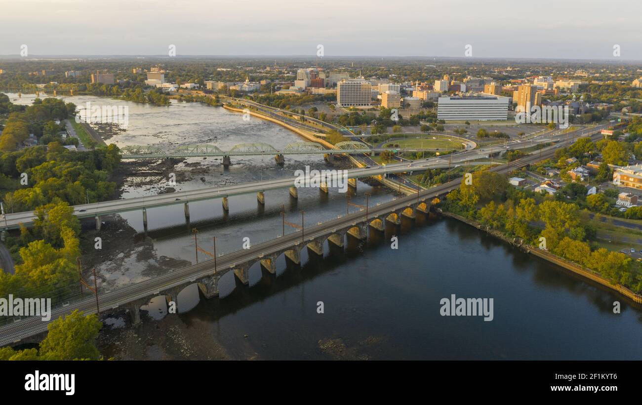 Waterfront Section Trenton New Jersey Delaware River and Capital Statehouse Stock Photohttps://www.alamy.com/image-license-details/?v=1https://www.alamy.com/waterfront-section-trenton-new-jersey-delaware-river-and-capital-statehouse-image414102422.html
RF2F1KYT6–Waterfront Section Trenton New Jersey Delaware River and Capital Statehouse
 A vertical of Sandy Hook Lighthouse in New Jersey on a cloudy day Stock Photohttps://www.alamy.com/image-license-details/?v=1https://www.alamy.com/a-vertical-of-sandy-hook-lighthouse-in-new-jersey-on-a-cloudy-day-image554723560.html
RF2R6DRFM–A vertical of Sandy Hook Lighthouse in New Jersey on a cloudy day
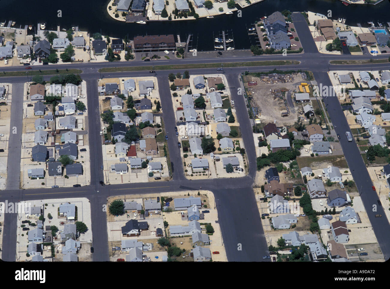 AERIAL HOMES NEW JERSEY SHORE USA Stock Photohttps://www.alamy.com/image-license-details/?v=1https://www.alamy.com/aerial-homes-new-jersey-shore-usa-image645746.html
RMA9DA72–AERIAL HOMES NEW JERSEY SHORE USA
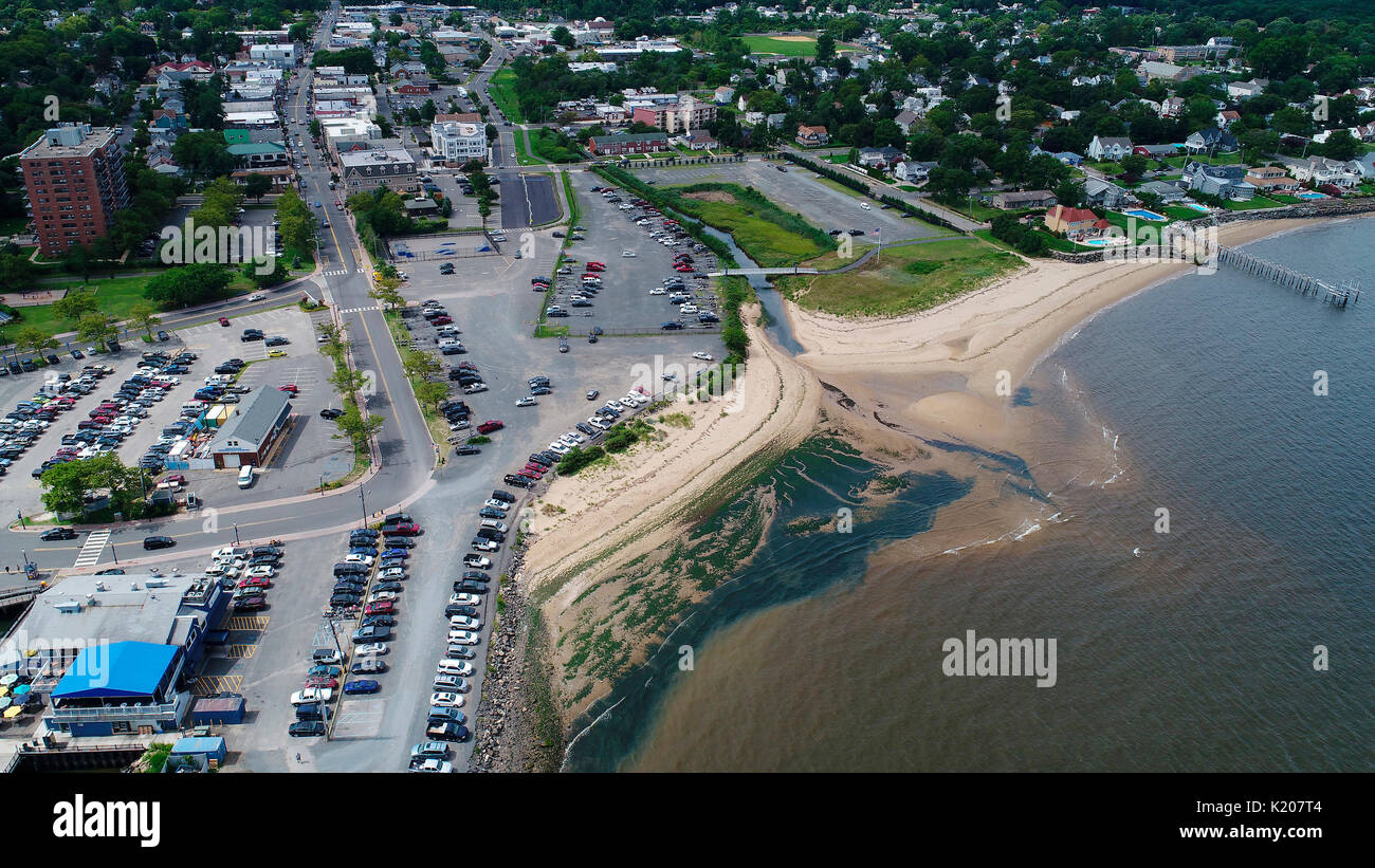 Aerial View of Atlantic Highlands, New Jersey Stock Photohttps://www.alamy.com/image-license-details/?v=1https://www.alamy.com/aerial-view-of-atlantic-highlands-new-jersey-image156128788.html
RFK207T4–Aerial View of Atlantic Highlands, New Jersey
 Aerial views of the damage caused by Hurricane Sandy to the New Jersey October 30, 2012. Stock Photohttps://www.alamy.com/image-license-details/?v=1https://www.alamy.com/stock-photo-aerial-views-of-the-damage-caused-by-hurricane-sandy-to-the-new-jersey-46916897.html
RMCM96YD–Aerial views of the damage caused by Hurricane Sandy to the New Jersey October 30, 2012.
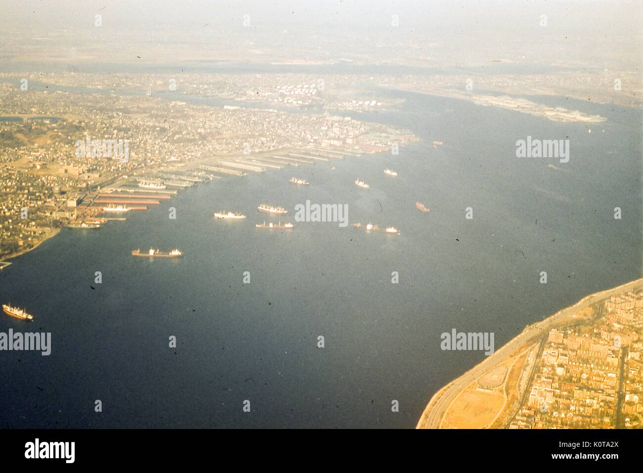 Aerial view facing northwest of The Narrows tidal strait between the Upper and Lower Bays of New York Harbor, New York City, 1957. In the background across the upper edge of the frame is the New Jersey coastline and the Port of Newark. Across Newark Bay is Bayonne, New Jersey, where the Military Ocean Terminal is located on the east side. Just south is the Constable Hook area on the Kill Van Kull waterway, which separates the mainland from the North Shore of Staten Island. At center, from left to right along the shoreline, are the neighborhoods of Rosebank, Stapleton, Tompkinsville, and St. Ge Stock Photohttps://www.alamy.com/image-license-details/?v=1https://www.alamy.com/aerial-view-facing-northwest-of-the-narrows-tidal-strait-between-the-image155428082.html
RMK0TA2X–Aerial view facing northwest of The Narrows tidal strait between the Upper and Lower Bays of New York Harbor, New York City, 1957. In the background across the upper edge of the frame is the New Jersey coastline and the Port of Newark. Across Newark Bay is Bayonne, New Jersey, where the Military Ocean Terminal is located on the east side. Just south is the Constable Hook area on the Kill Van Kull waterway, which separates the mainland from the North Shore of Staten Island. At center, from left to right along the shoreline, are the neighborhoods of Rosebank, Stapleton, Tompkinsville, and St. Ge
 A Philippine Marine with Shore Based Air Defense Battalion observes an aerial sector of fire while U.S. Marine Corps Lance Cpl. Nikolas Ruiz, a native of New Jersey and a low altitude air defense gunner with 3rd Littoral Anti-Air Battalion, 3rd Marine Littoral Regiment, 3rd Marine Division, aims a FIM-92 Stinger during LAAD training on Naval Station Leovigildo Gantioqui, Philippines, April 26, 2024. U.S. Marines with 3rd LAAB and Philippine Marines with SBAD Battalion conducted the training as part of Balikatan 24, an annual exercise between the Armed Forces of the Philippines and the U.S. mil Stock Photohttps://www.alamy.com/image-license-details/?v=1https://www.alamy.com/a-philippine-marine-with-shore-based-air-defense-battalion-observes-an-aerial-sector-of-fire-while-us-marine-corps-lance-cpl-nikolas-ruiz-a-native-of-new-jersey-and-a-low-altitude-air-defense-gunner-with-3rd-littoral-anti-air-battalion-3rd-marine-littoral-regiment-3rd-marine-division-aims-a-fim-92-stinger-during-laad-training-on-naval-station-leovigildo-gantioqui-philippines-april-26-2024-us-marines-with-3rd-laab-and-philippine-marines-with-sbad-battalion-conducted-the-training-as-part-of-balikatan-24-an-annual-exercise-between-the-armed-forces-of-the-philippines-and-the-us-mil-image604649671.html
RM2X3M4R3–A Philippine Marine with Shore Based Air Defense Battalion observes an aerial sector of fire while U.S. Marine Corps Lance Cpl. Nikolas Ruiz, a native of New Jersey and a low altitude air defense gunner with 3rd Littoral Anti-Air Battalion, 3rd Marine Littoral Regiment, 3rd Marine Division, aims a FIM-92 Stinger during LAAD training on Naval Station Leovigildo Gantioqui, Philippines, April 26, 2024. U.S. Marines with 3rd LAAB and Philippine Marines with SBAD Battalion conducted the training as part of Balikatan 24, an annual exercise between the Armed Forces of the Philippines and the U.S. mil
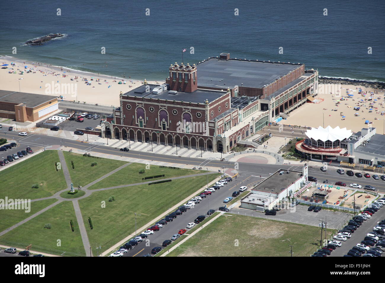 Aerial view of Convention Hall, Asbury Park, New Jersey Stock Photohttps://www.alamy.com/image-license-details/?v=1https://www.alamy.com/stock-photo-aerial-view-of-convention-hall-asbury-park-new-jersey-89161789.html
RMF51JNH–Aerial view of Convention Hall, Asbury Park, New Jersey
 Stock Photohttps://www.alamy.com/image-license-details/?v=1https://www.alamy.com/-image226013069.html
RFR3KNY9–
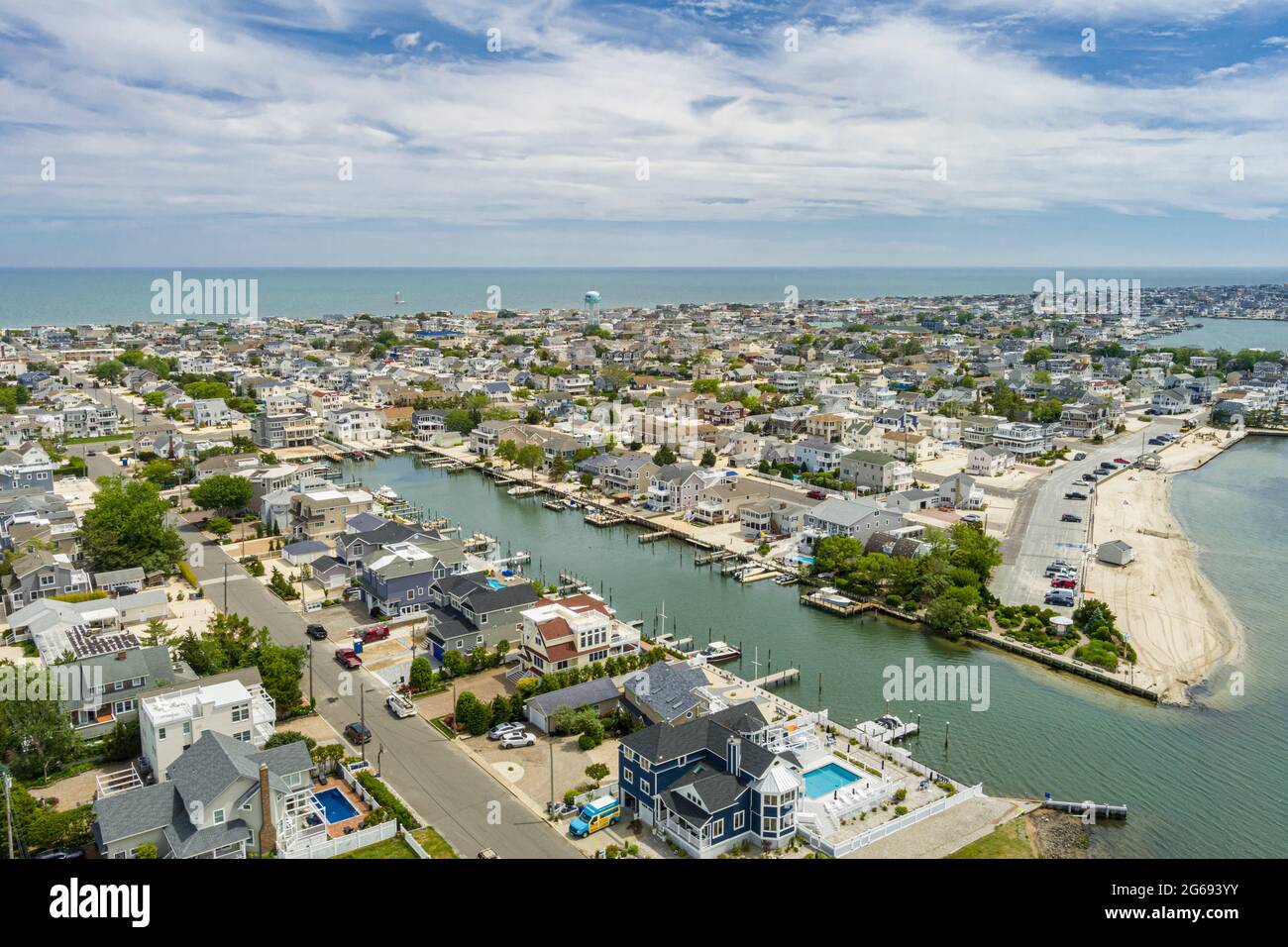 Aerial View of Ship Bottom Long Beach Island New Jersey USA Stock Photohttps://www.alamy.com/image-license-details/?v=1https://www.alamy.com/aerial-view-of-ship-bottom-long-beach-island-new-jersey-usa-image434147839.html
RF2G693YY–Aerial View of Ship Bottom Long Beach Island New Jersey USA
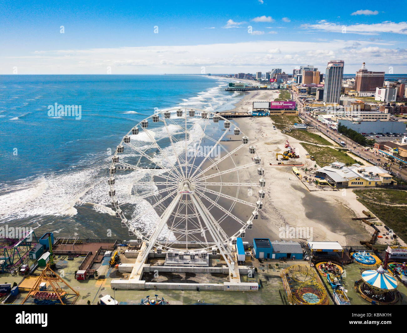 ATLANTIC CITY, USA - SEPTEMBER 20, 2017: Atlantic city waterline aerial view. AC is a tourist city in New Jersey famous for its casinos, boardwalks, a Stock Photohttps://www.alamy.com/image-license-details/?v=1https://www.alamy.com/stock-image-atlantic-city-usa-september-20-2017-atlantic-city-waterline-aerial-162131189.html
RFKBNKYH–ATLANTIC CITY, USA - SEPTEMBER 20, 2017: Atlantic city waterline aerial view. AC is a tourist city in New Jersey famous for its casinos, boardwalks, a
 State of New Jersey, United States, Relief Map Stock Photohttps://www.alamy.com/image-license-details/?v=1https://www.alamy.com/stock-photo-state-of-new-jersey-united-states-relief-map-71604226.html
RME4DRWP–State of New Jersey, United States, Relief Map
 Aerial view of waves splashing sandy beach of the Atlantic ocean Stock Photohttps://www.alamy.com/image-license-details/?v=1https://www.alamy.com/stock-image-aerial-view-of-waves-splashing-sandy-beach-of-the-atlantic-ocean-162131702.html
RFKBNMHX–Aerial view of waves splashing sandy beach of the Atlantic ocean
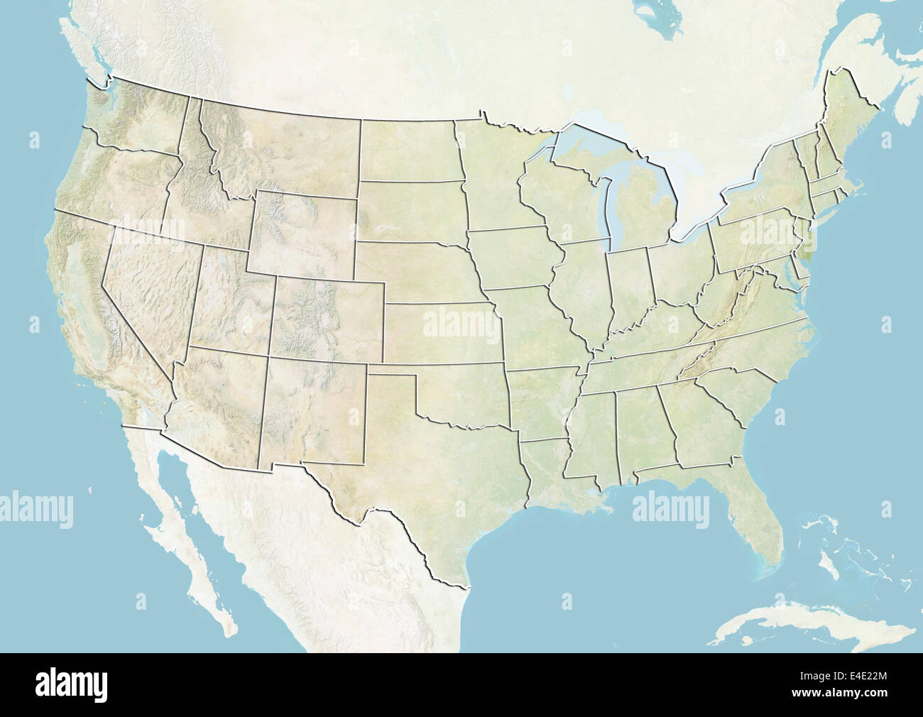 United States and the State of New Jersey, Relief Map Stock Photohttps://www.alamy.com/image-license-details/?v=1https://www.alamy.com/stock-photo-united-states-and-the-state-of-new-jersey-relief-map-71609068.html
RME4E22M–United States and the State of New Jersey, Relief Map
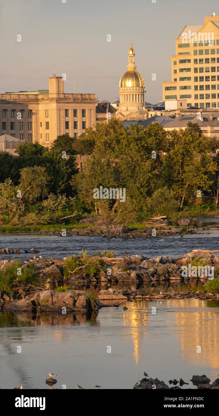 The capital statehouse of New Jersey reflects in the Delaware River in the city of Trenton Stock Photohttps://www.alamy.com/image-license-details/?v=1https://www.alamy.com/the-capital-statehouse-of-new-jersey-reflects-in-the-delaware-river-in-the-city-of-trenton-image327957768.html
RF2A1FNDC–The capital statehouse of New Jersey reflects in the Delaware River in the city of Trenton
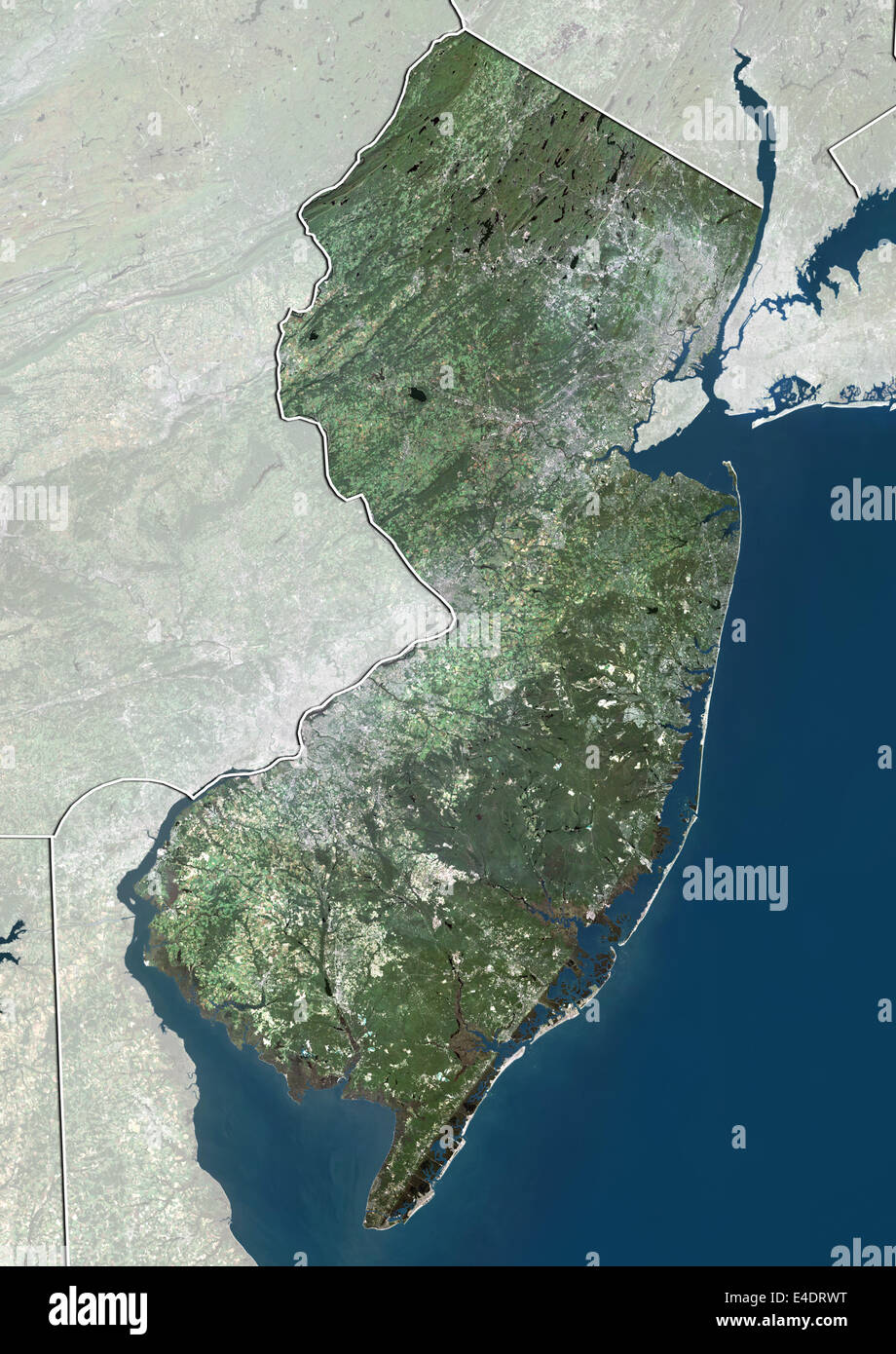 State of New Jersey, United States, True Colour Satellite Image Stock Photohttps://www.alamy.com/image-license-details/?v=1https://www.alamy.com/stock-photo-state-of-new-jersey-united-states-true-colour-satellite-image-71604228.html
RME4DRWT–State of New Jersey, United States, True Colour Satellite Image
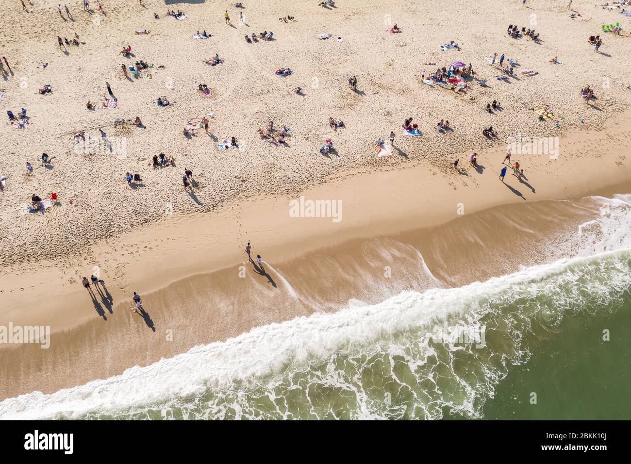 Aerial view of a crowded Jersey Shore beach in Long Branch, New Jersey. Despite the Coronavirus pandemic beachgoers flocked to the shore amidst the warm weather and recent beach re-openings. Stock Photohttps://www.alamy.com/image-license-details/?v=1https://www.alamy.com/aerial-view-of-a-crowded-jersey-shore-beach-in-long-branch-new-jersey-despite-the-coronavirus-pandemic-beachgoers-flocked-to-the-shore-amidst-the-warm-weather-and-recent-beach-re-openings-image356303714.html
RM2BKK10J–Aerial view of a crowded Jersey Shore beach in Long Branch, New Jersey. Despite the Coronavirus pandemic beachgoers flocked to the shore amidst the warm weather and recent beach re-openings.
 United States and the State of New Jersey, Satellite Image With Bump Effect Stock Photohttps://www.alamy.com/image-license-details/?v=1https://www.alamy.com/stock-photo-united-states-and-the-state-of-new-jersey-satellite-image-with-bump-71609069.html
RME4E22N–United States and the State of New Jersey, Satellite Image With Bump Effect
 Seaside Park Aerial - Sunset aerial view to the grasses, sand dunes and and beach at Seaside Park at the New Jersey shore during a beautiful summer af Stock Photohttps://www.alamy.com/image-license-details/?v=1https://www.alamy.com/seaside-park-aerial-sunset-aerial-view-to-the-grasses-sand-dunes-and-and-beach-at-seaside-park-at-the-new-jersey-shore-during-a-beautiful-summer-af-image442603168.html
RM2GM28T0–Seaside Park Aerial - Sunset aerial view to the grasses, sand dunes and and beach at Seaside Park at the New Jersey shore during a beautiful summer af
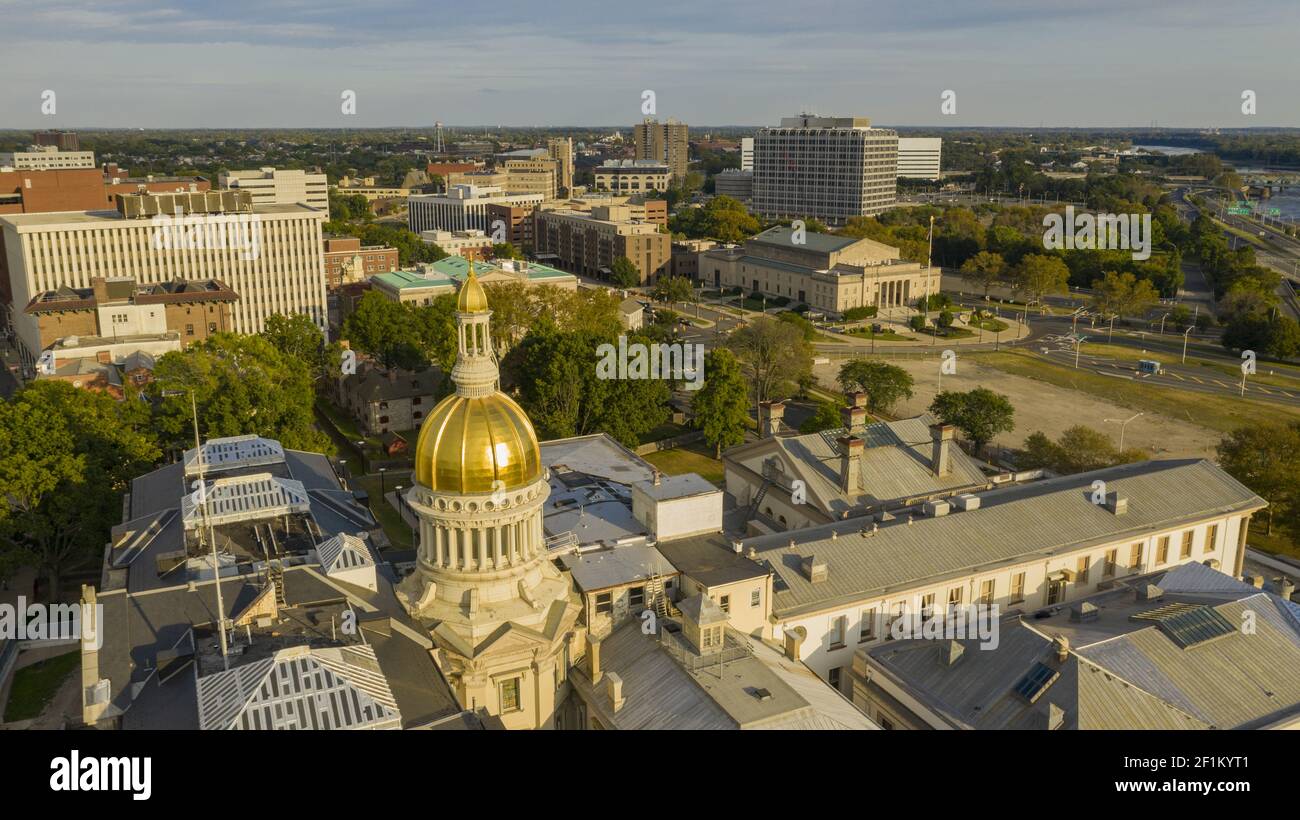 Waterfront Section Trenton New Jersey Delaware River and Capital Statehouse Stock Photohttps://www.alamy.com/image-license-details/?v=1https://www.alamy.com/waterfront-section-trenton-new-jersey-delaware-river-and-capital-statehouse-image414102417.html
RF2F1KYT1–Waterfront Section Trenton New Jersey Delaware River and Capital Statehouse
 An aerial view of Sea Breeze Beach in New Jersey. Stock Photohttps://www.alamy.com/image-license-details/?v=1https://www.alamy.com/an-aerial-view-of-sea-breeze-beach-in-new-jersey-image556247918.html
RF2R8Y7W2–An aerial view of Sea Breeze Beach in New Jersey.
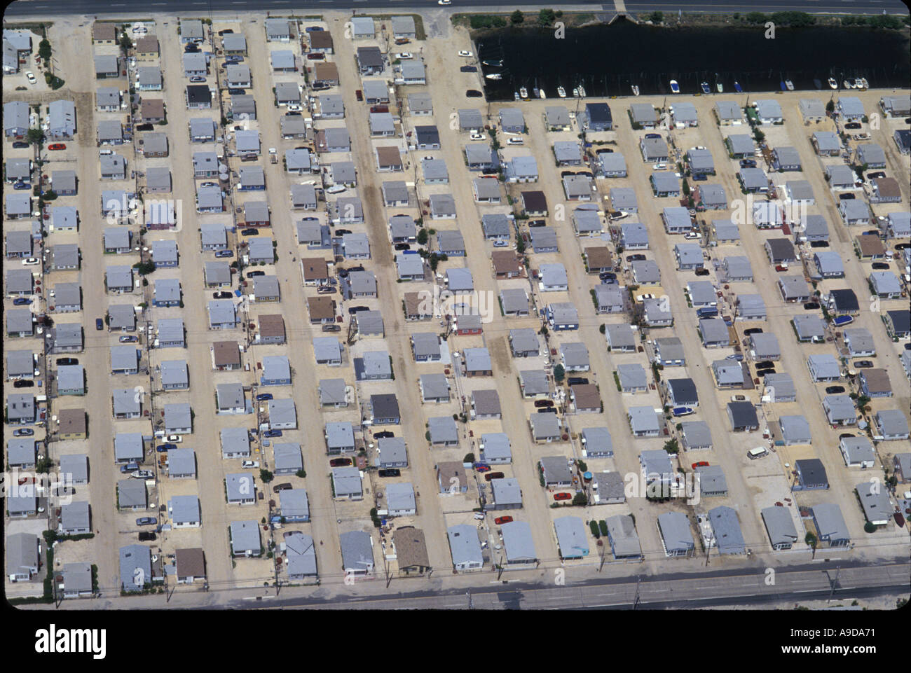 AERIAL HOMES NEW JERSEY SHORE USA Stock Photohttps://www.alamy.com/image-license-details/?v=1https://www.alamy.com/aerial-homes-new-jersey-shore-usa-image645745.html
RMA9DA71–AERIAL HOMES NEW JERSEY SHORE USA
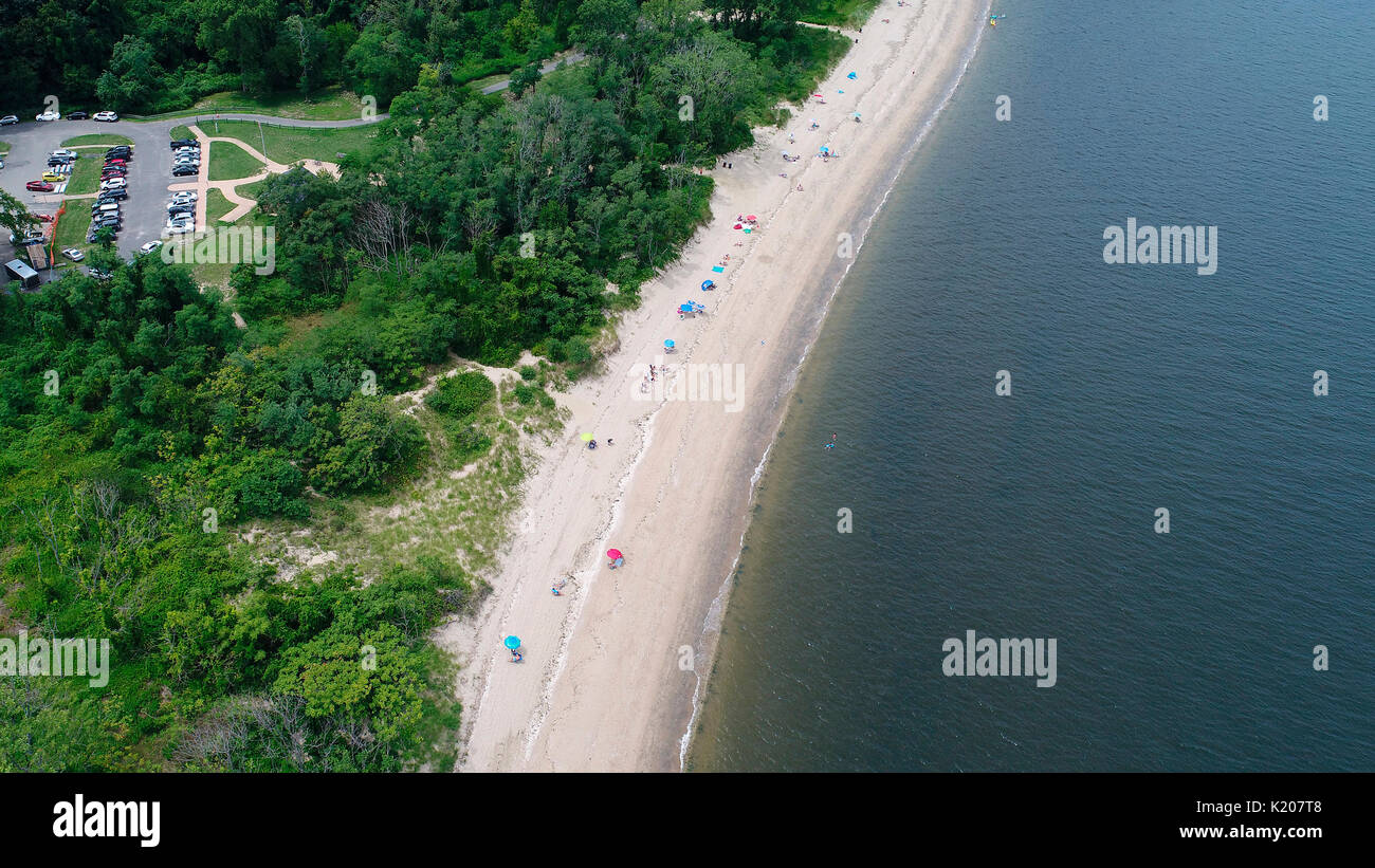 Aerial view of beach near Atlantic Highlands, New Jersey Stock Photohttps://www.alamy.com/image-license-details/?v=1https://www.alamy.com/aerial-view-of-beach-near-atlantic-highlands-new-jersey-image156128792.html
RFK207T8–Aerial view of beach near Atlantic Highlands, New Jersey
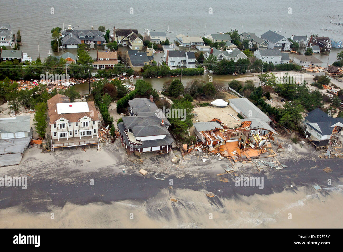 Aerial views of the damage caused by Hurricane Sandy to the New Jersey coast October 30, 2012. Stock Photohttps://www.alamy.com/image-license-details/?v=1https://www.alamy.com/stock-photo-aerial-views-of-the-damage-caused-by-hurricane-sandy-to-the-new-jersey-56264655.html
RMD7F23Y–Aerial views of the damage caused by Hurricane Sandy to the New Jersey coast October 30, 2012.
 Aerial view of Atlantic City, NJ June 1925 Stock Photohttps://www.alamy.com/image-license-details/?v=1https://www.alamy.com/aerial-view-of-atlantic-city-nj-june-1925-image575677885.html
RM2TCGB0D–Aerial view of Atlantic City, NJ June 1925
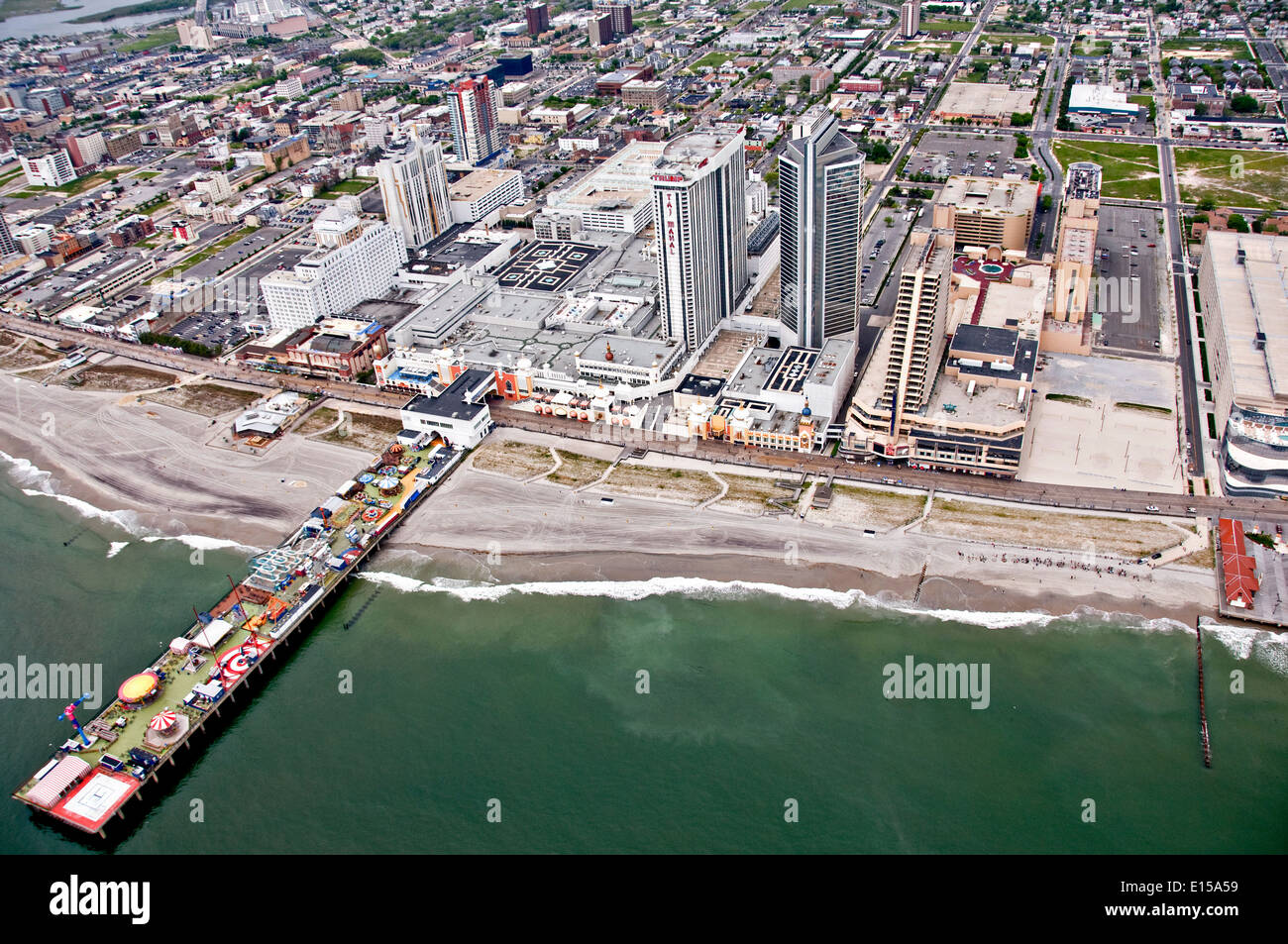 Aerial view showing the ocean, boardwalk and casino's of Atlantic City, New Jersey. Stock Photohttps://www.alamy.com/image-license-details/?v=1https://www.alamy.com/aerial-view-showing-the-ocean-boardwalk-and-casinos-of-atlantic-city-image69573877.html
RME15A59–Aerial view showing the ocean, boardwalk and casino's of Atlantic City, New Jersey.
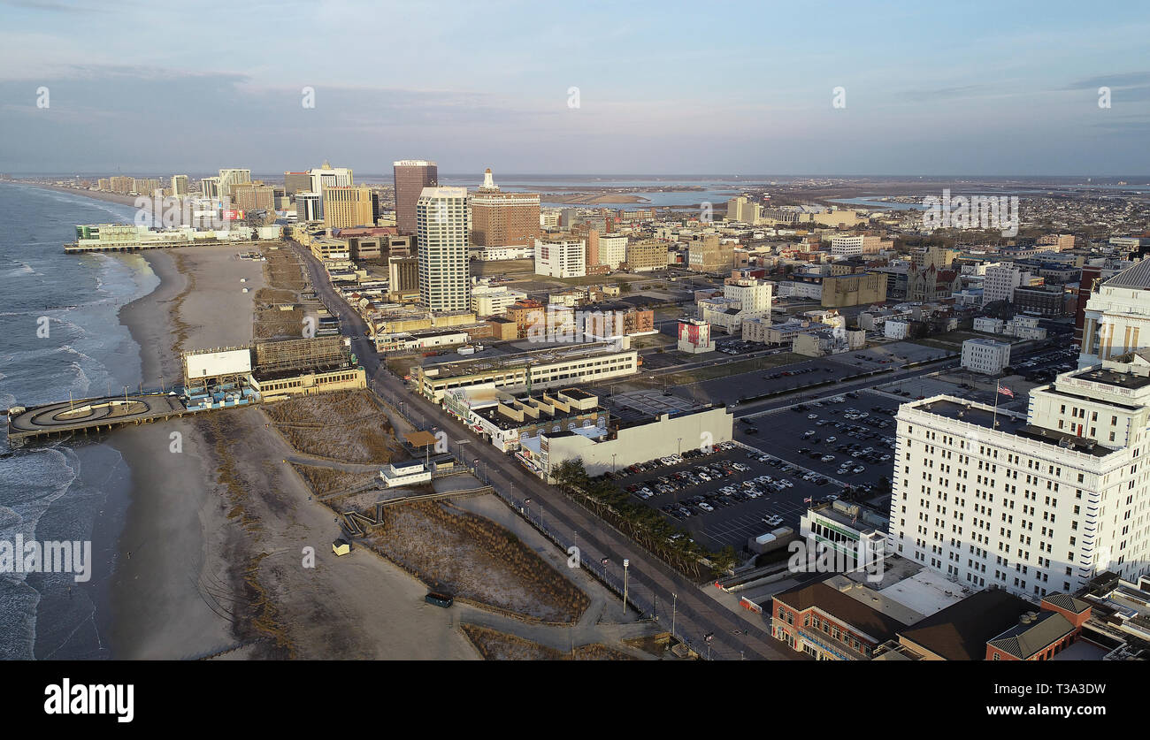 Aerial view of Atlantic City Strip and Boardwalk Stock Photohttps://www.alamy.com/image-license-details/?v=1https://www.alamy.com/aerial-view-of-atlantic-city-strip-and-boardwalk-image243011381.html
RMT3A3DW–Aerial view of Atlantic City Strip and Boardwalk
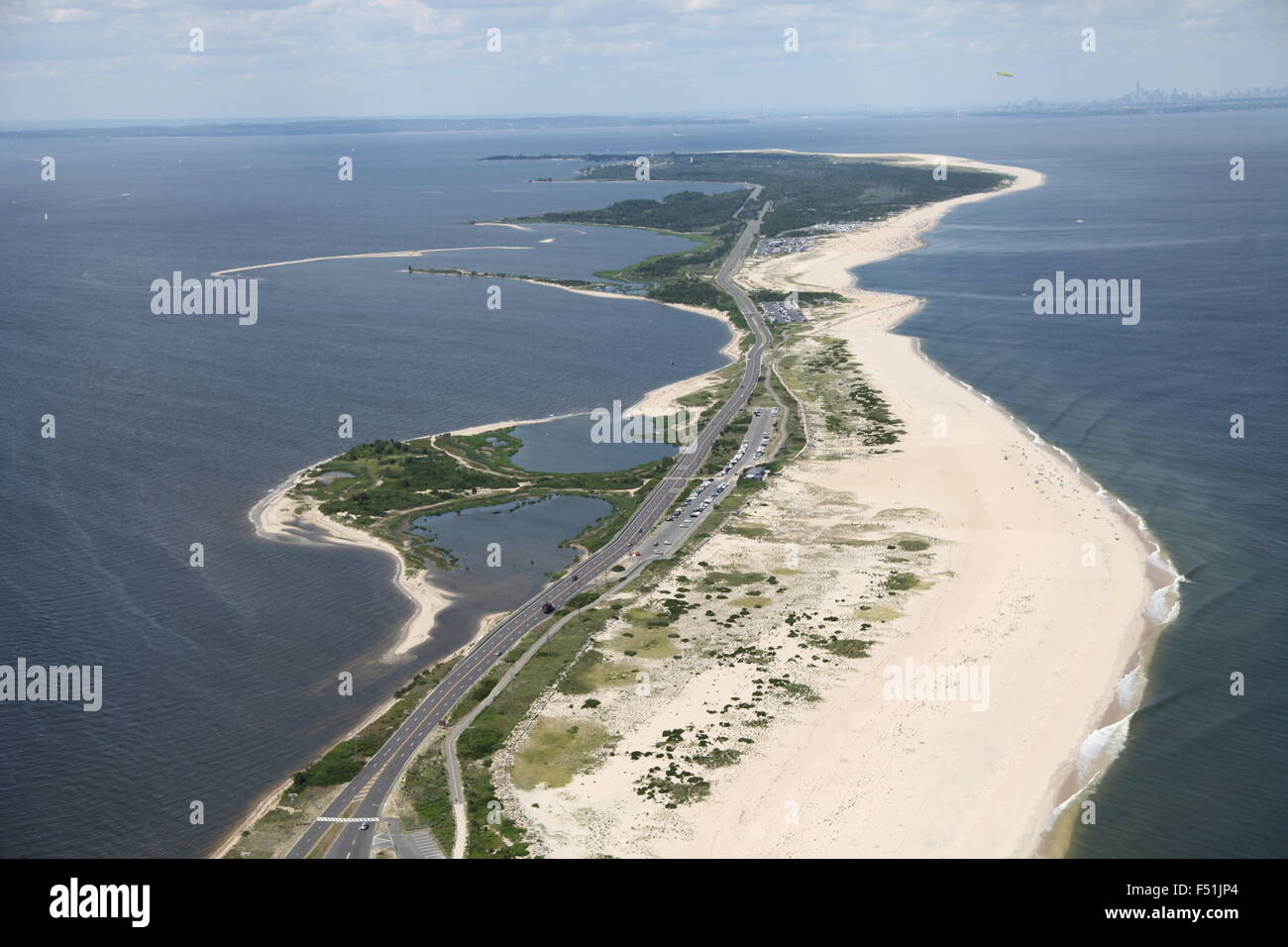 Aerial view of Gateway National Recreation Area / Sandy Hook, New Jersey (post Hurricane Sandy) Stock Photohttps://www.alamy.com/image-license-details/?v=1https://www.alamy.com/stock-photo-aerial-view-of-gateway-national-recreation-area-sandy-hook-new-jersey-89161804.html
RMF51JP4–Aerial view of Gateway National Recreation Area / Sandy Hook, New Jersey (post Hurricane Sandy)
 Painting of aerial view of Wildwoods Sign and large beach balls in Wildwood, New Jersey Stock Photohttps://www.alamy.com/image-license-details/?v=1https://www.alamy.com/painting-of-aerial-view-of-wildwoods-sign-and-large-beach-balls-in-wildwood-new-jersey-image627200084.html
RF2YCBC30–Painting of aerial view of Wildwoods Sign and large beach balls in Wildwood, New Jersey
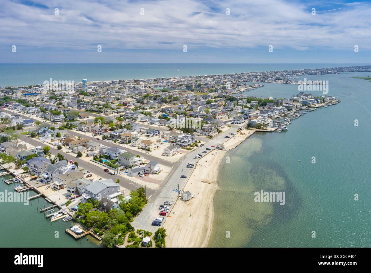 Aerial View of Ship Bottom Long Beach Island New Jersey USA Stock Photohttps://www.alamy.com/image-license-details/?v=1https://www.alamy.com/aerial-view-of-ship-bottom-long-beach-island-new-jersey-usa-image434147844.html
RF2G69404–Aerial View of Ship Bottom Long Beach Island New Jersey USA
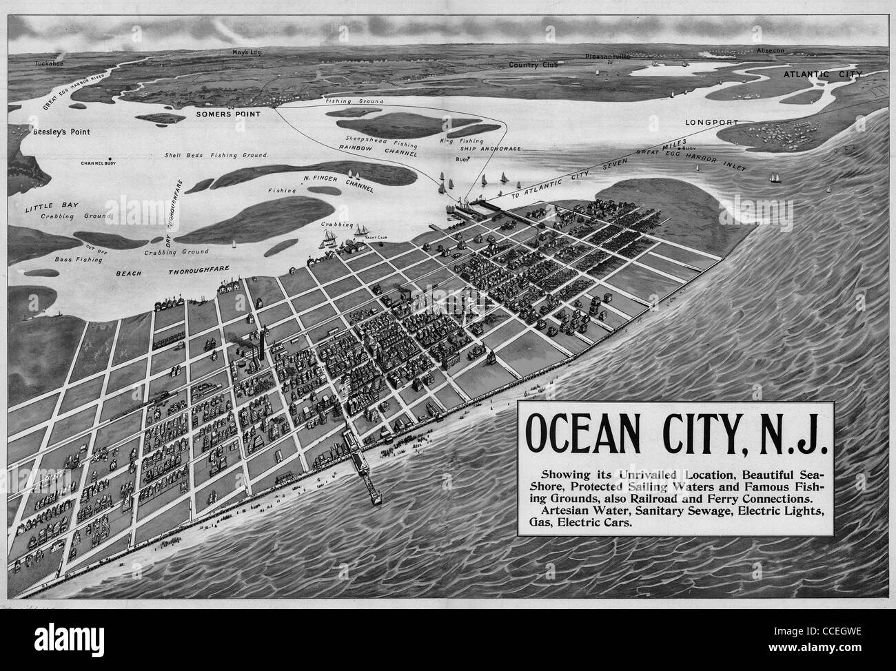 Ocean City, N.J. showing its unrivaled location, beautiful sea-shore, protected sailing waters, and famous fishing grounds 1903 Stock Photohttps://www.alamy.com/image-license-details/?v=1https://www.alamy.com/stock-photo-ocean-city-nj-showing-its-unrivaled-location-beautiful-sea-shore-protected-42117194.html
RMCCEGWE–Ocean City, N.J. showing its unrivaled location, beautiful sea-shore, protected sailing waters, and famous fishing grounds 1903
 Aerial view of waves splashing sandy beach of the Atlantic ocean Stock Photohttps://www.alamy.com/image-license-details/?v=1https://www.alamy.com/stock-image-aerial-view-of-waves-splashing-sandy-beach-of-the-atlantic-ocean-162131710.html
RFKBNMJ6–Aerial view of waves splashing sandy beach of the Atlantic ocean
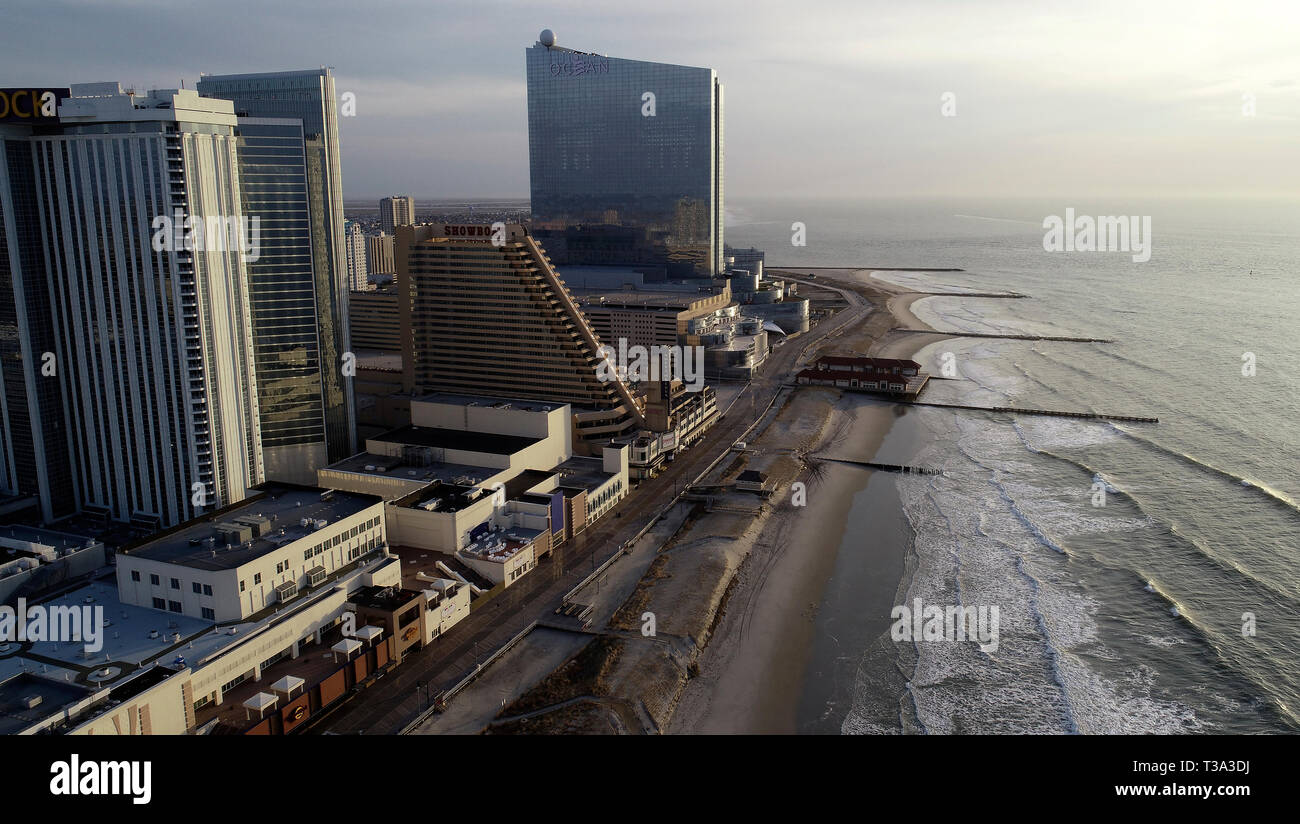 Aerial view of Atlantic City Strip and Boardwalk Stock Photohttps://www.alamy.com/image-license-details/?v=1https://www.alamy.com/aerial-view-of-atlantic-city-strip-and-boardwalk-image243011374.html
RMT3A3DJ–Aerial view of Atlantic City Strip and Boardwalk
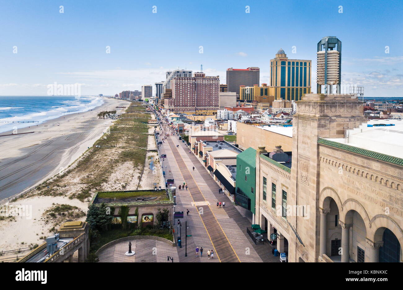 ATLANTIC CITY, USA - SEPTEMBER 20, 2017: Atlantic city boardwalk aerial view. Boardwalk is the hub of casinos, restaurants and travel spots Stock Photohttps://www.alamy.com/image-license-details/?v=1https://www.alamy.com/stock-image-atlantic-city-usa-september-20-2017-atlantic-city-boardwalk-aerial-162131156.html
RFKBNKXC–ATLANTIC CITY, USA - SEPTEMBER 20, 2017: Atlantic city boardwalk aerial view. Boardwalk is the hub of casinos, restaurants and travel spots
 Aerial view of boardwalk on Wildwood Beach with the Wildwoods sign in the back Stock Photohttps://www.alamy.com/image-license-details/?v=1https://www.alamy.com/aerial-view-of-boardwalk-on-wildwood-beach-with-the-wildwoods-sign-in-the-back-image442354426.html
RF2GKJYGA–Aerial view of boardwalk on Wildwood Beach with the Wildwoods sign in the back
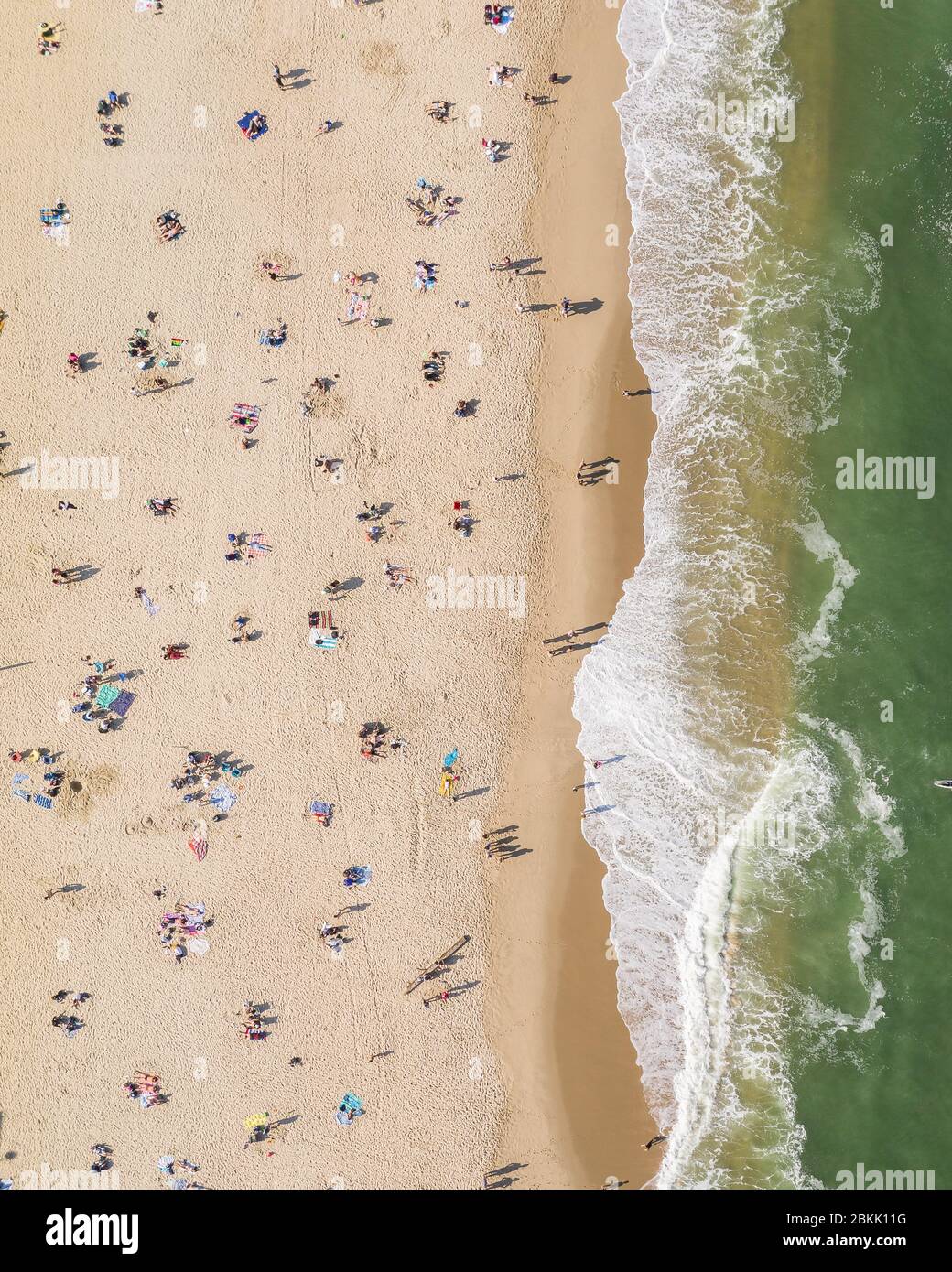 Aerial view of a crowded Jersey Shore beach in Long Branch, New Jersey. Despite the Coronavirus pandemic beachgoers flocked to the shore amidst the warm weather and recent beach re-openings. Stock Photohttps://www.alamy.com/image-license-details/?v=1https://www.alamy.com/aerial-view-of-a-crowded-jersey-shore-beach-in-long-branch-new-jersey-despite-the-coronavirus-pandemic-beachgoers-flocked-to-the-shore-amidst-the-warm-weather-and-recent-beach-re-openings-image356303740.html
RM2BKK11G–Aerial view of a crowded Jersey Shore beach in Long Branch, New Jersey. Despite the Coronavirus pandemic beachgoers flocked to the shore amidst the warm weather and recent beach re-openings.
 Aerial view of Morey’s Pier from the Ferris Wheel in Wildwood, NJ Stock Photohttps://www.alamy.com/image-license-details/?v=1https://www.alamy.com/aerial-view-of-moreys-pier-from-the-ferris-wheel-in-wildwood-nj-image443079654.html
RF2GMT0HA–Aerial view of Morey’s Pier from the Ferris Wheel in Wildwood, NJ
 United States and the State of New Jersey, True Colour Satellite Image Stock Photohttps://www.alamy.com/image-license-details/?v=1https://www.alamy.com/stock-photo-united-states-and-the-state-of-new-jersey-true-colour-satellite-image-71609070.html
RME4E22P–United States and the State of New Jersey, True Colour Satellite Image
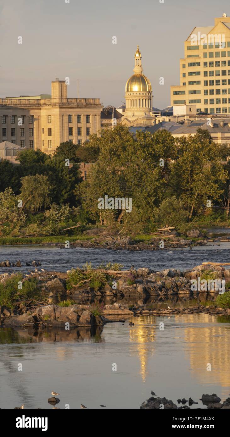 Waterfront Section Trenton New Jersey Delaware River and Capital Statehouse Stock Photohttps://www.alamy.com/image-license-details/?v=1https://www.alamy.com/waterfront-section-trenton-new-jersey-delaware-river-and-capital-statehouse-image414106411.html
RF2F1M4XK–Waterfront Section Trenton New Jersey Delaware River and Capital Statehouse
 A aerial view of a tree line visible on the shore of a lake found in New Jersey Stock Photohttps://www.alamy.com/image-license-details/?v=1https://www.alamy.com/a-aerial-view-of-a-tree-line-visible-on-the-shore-of-a-lake-found-in-new-jersey-image503623757.html
RF2M7A16N–A aerial view of a tree line visible on the shore of a lake found in New Jersey
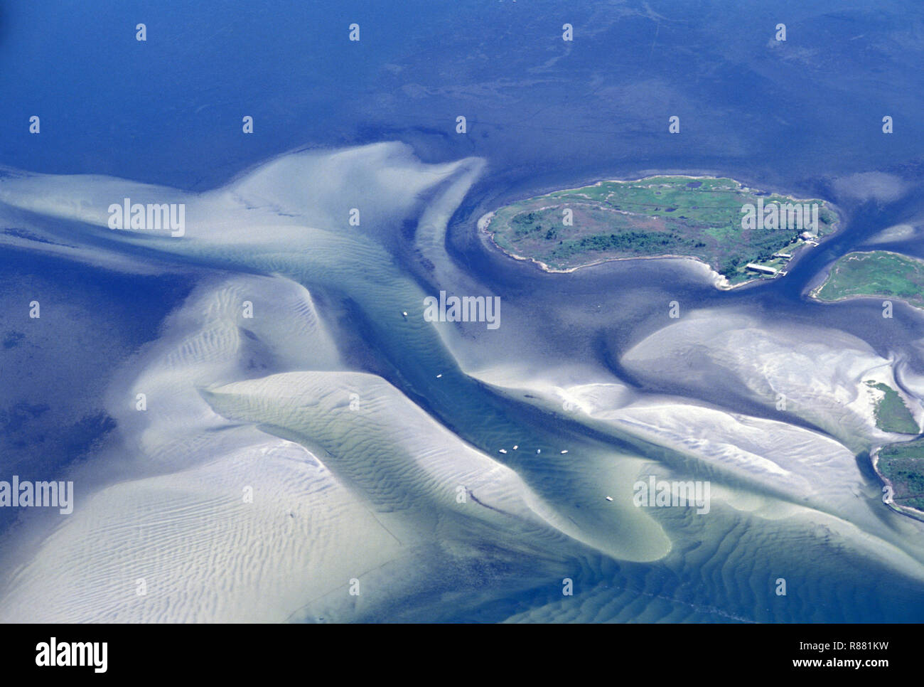 NOT 956176 NEW JEERSEY Shore aerial Stock Photohttps://www.alamy.com/image-license-details/?v=1https://www.alamy.com/not-956176-new-jeersey-shore-aerial-image228828989.html
RMR881KW–NOT 956176 NEW JEERSEY Shore aerial
 Judges Shack New Jersey Shore - The Judge's Shack at Island Beach State Park (IBSP) at the New Jersey shore. This original fishing shack is believed Stock Photohttps://www.alamy.com/image-license-details/?v=1https://www.alamy.com/judges-shack-new-jersey-shore-the-judges-shack-at-island-beach-state-park-ibsp-at-the-new-jersey-shore-this-original-fishing-shack-is-believed-image442605103.html
RM2GM2B93–Judges Shack New Jersey Shore - The Judge's Shack at Island Beach State Park (IBSP) at the New Jersey shore. This original fishing shack is believed
 Aerial view facing west from Sunset Park and Red Hook, Brooklyn, across Upper New York Bay to the New Jersey shore of the Hudson River, 1957. At center in the harbor is the Statue of Liberty and Ellis Island. To the right edge is Governor's Island, just beyond the tip of southern Manhattan at Battery Park. In the background, the docks of Bayonne and Jersey City, New Jersey are visible to the west. In the right foreground are the arms of the Erie Basin at the Gowanus Bay Terminal in Red Hook, Brooklyn. The Bush Terminal Company piers line the waterfront at center foreground. The Gowanus Express Stock Photohttps://www.alamy.com/image-license-details/?v=1https://www.alamy.com/stock-photo-aerial-view-facing-west-from-sunset-park-and-red-hook-brooklyn-across-136171302.html
RMHWF3TP–Aerial view facing west from Sunset Park and Red Hook, Brooklyn, across Upper New York Bay to the New Jersey shore of the Hudson River, 1957. At center in the harbor is the Statue of Liberty and Ellis Island. To the right edge is Governor's Island, just beyond the tip of southern Manhattan at Battery Park. In the background, the docks of Bayonne and Jersey City, New Jersey are visible to the west. In the right foreground are the arms of the Erie Basin at the Gowanus Bay Terminal in Red Hook, Brooklyn. The Bush Terminal Company piers line the waterfront at center foreground. The Gowanus Express
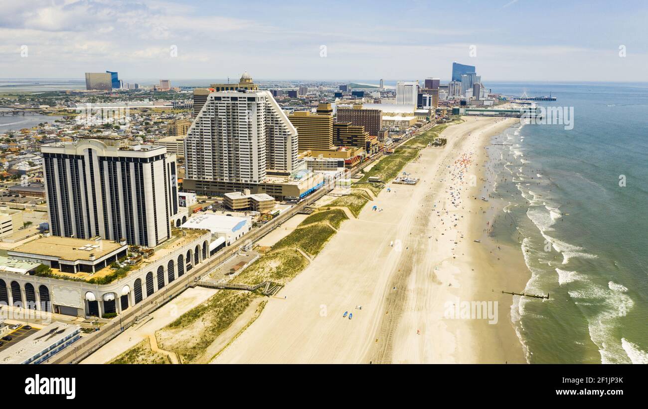 Buildings Boardwalk and Skyline of Atlantic City New Jersey Stock Photohttps://www.alamy.com/image-license-details/?v=1https://www.alamy.com/buildings-boardwalk-and-skyline-of-atlantic-city-new-jersey-image414075975.html
RF2F1JP3K–Buildings Boardwalk and Skyline of Atlantic City New Jersey
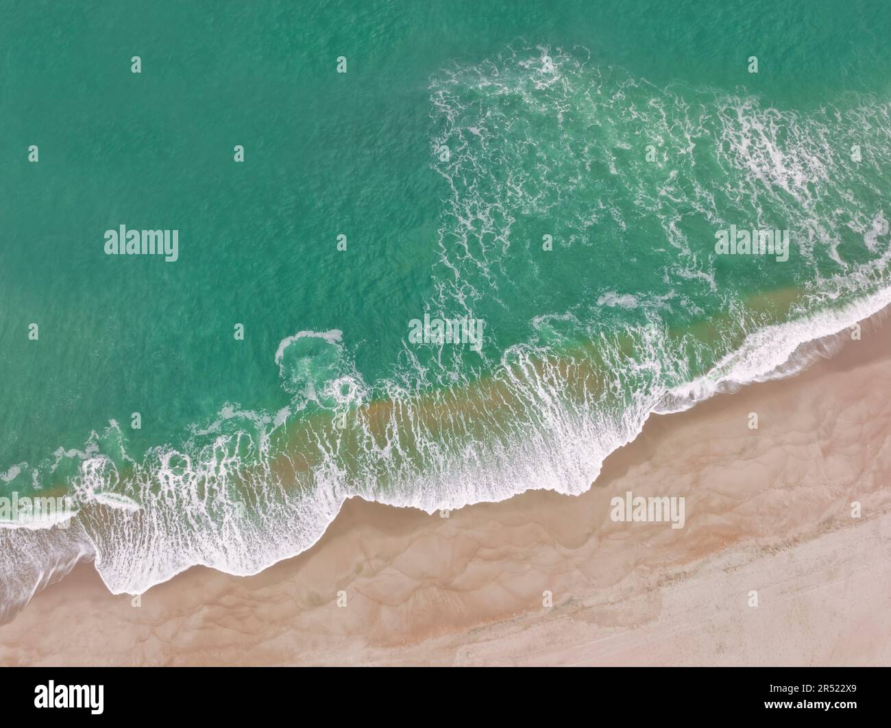 Seaside Shoreline - Aerial top down drone view of the whitewater at the shoreline at Seaside Heights Beach in New Jersey. This image is available in Stock Photohttps://www.alamy.com/image-license-details/?v=1https://www.alamy.com/seaside-shoreline-aerial-top-down-drone-view-of-the-whitewater-at-the-shoreline-at-seaside-heights-beach-in-new-jersey-this-image-is-available-in-image553851265.html
RM2R522X9–Seaside Shoreline - Aerial top down drone view of the whitewater at the shoreline at Seaside Heights Beach in New Jersey. This image is available in
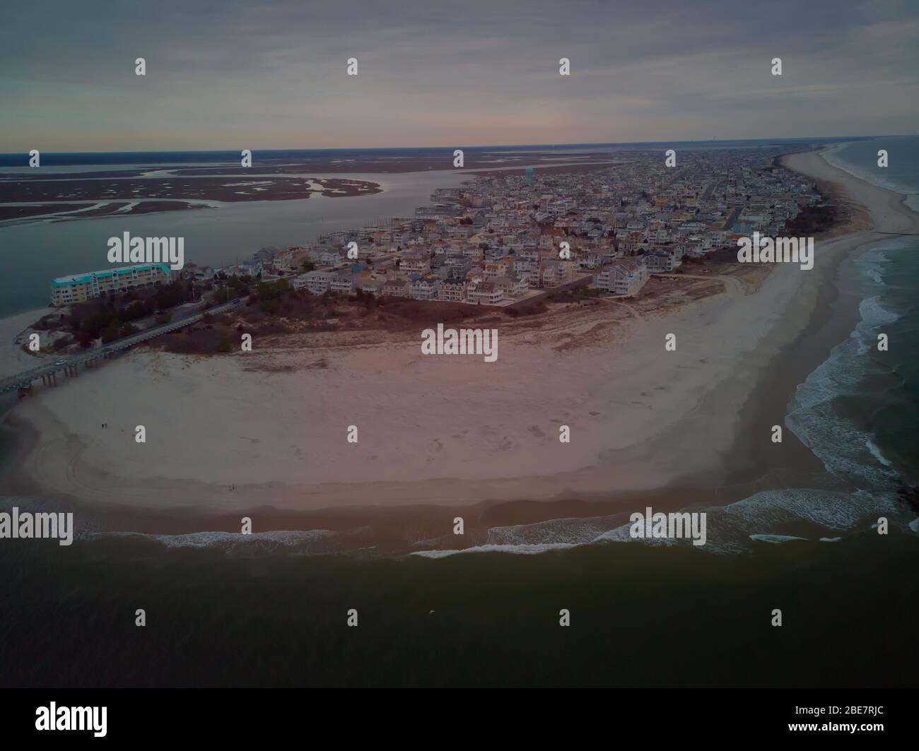 Aerial View Of Sea Isle City Stock Photohttps://www.alamy.com/image-license-details/?v=1https://www.alamy.com/aerial-view-of-sea-isle-city-image352984756.html
RF2BE7RJC–Aerial View Of Sea Isle City
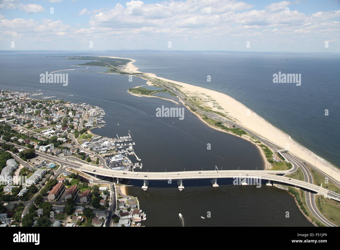 Aerial view of Highlands, New Jersey, and Gateway National Recreation Area / Sandy Hook (post Hurricane Sandy) Stock Photohttps://www.alamy.com/image-license-details/?v=1https://www.alamy.com/stock-photo-aerial-view-of-highlands-new-jersey-and-gateway-national-recreation-89161809.html
RMF51JP9–Aerial view of Highlands, New Jersey, and Gateway National Recreation Area / Sandy Hook (post Hurricane Sandy)
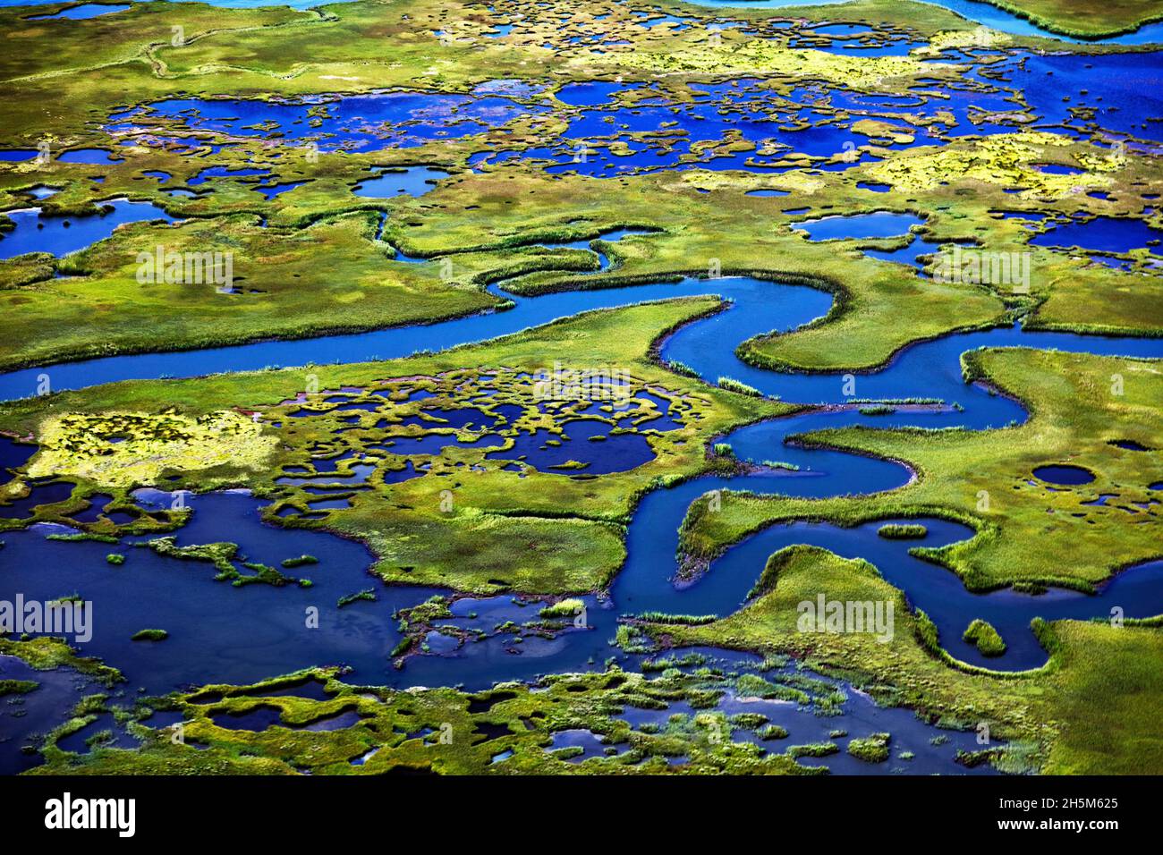 Marshlands on the New Jersey Shore near Little Egg Harbor, New Jersey. Original image from Carol M. Highsmith’s America, Library of Congress collectio Stock Photohttps://www.alamy.com/image-license-details/?v=1https://www.alamy.com/marshlands-on-the-new-jersey-shore-near-little-egg-harbor-new-jersey-original-image-from-carol-m-highsmiths-america-library-of-congress-collectio-image450986653.html
RF2H5M625–Marshlands on the New Jersey Shore near Little Egg Harbor, New Jersey. Original image from Carol M. Highsmith’s America, Library of Congress collectio
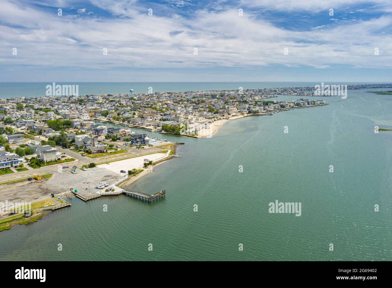 Aerial View of Ship Bottom Long Beach Island New Jersey USA Stock Photohttps://www.alamy.com/image-license-details/?v=1https://www.alamy.com/aerial-view-of-ship-bottom-long-beach-island-new-jersey-usa-image434147842.html
RF2G69402–Aerial View of Ship Bottom Long Beach Island New Jersey USA
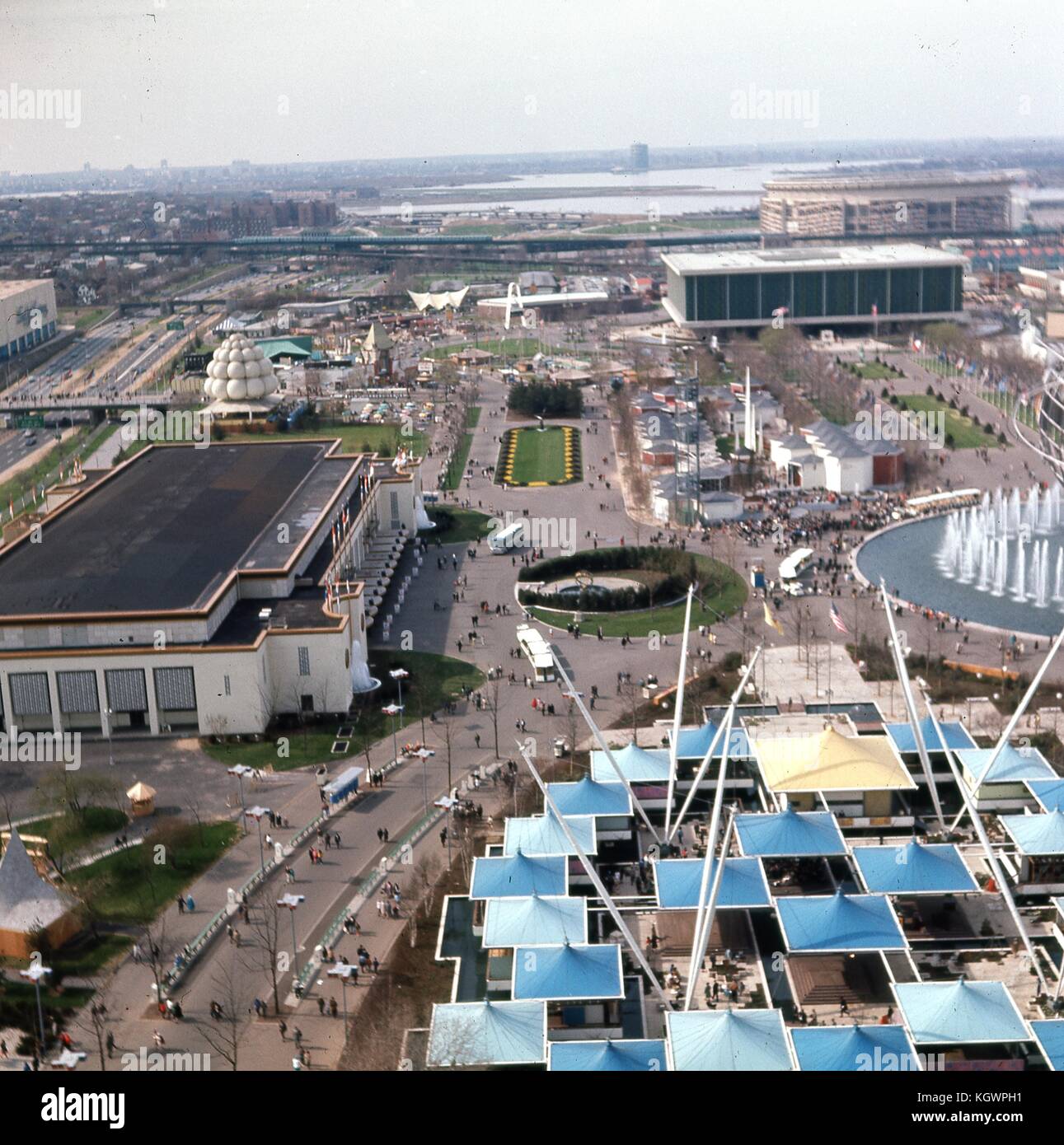 Panoramic aerial view facing north from the New York State Pavilion observation towers along the Avenue of The States, at the New York World's Fair in Flushing Meadows Park, Corona, Queens, New York, May, 1964. In the distance, LaGuardia Airport on the shore of Flushing Bay can be seen, with Shea Stadium to the right in the background. At upper right is the United States Pavilion building at the base of the Court of States. At center vertical is the New Amsterdam Plaza with the New York City Pavilion building to the left edge. At right are the hexagonal buildings of the New England States Pavi Stock Photohttps://www.alamy.com/image-license-details/?v=1https://www.alamy.com/stock-image-panoramic-aerial-view-facing-north-from-the-new-york-state-pavilion-165294333.html
RMKGWPH1–Panoramic aerial view facing north from the New York State Pavilion observation towers along the Avenue of The States, at the New York World's Fair in Flushing Meadows Park, Corona, Queens, New York, May, 1964. In the distance, LaGuardia Airport on the shore of Flushing Bay can be seen, with Shea Stadium to the right in the background. At upper right is the United States Pavilion building at the base of the Court of States. At center vertical is the New Amsterdam Plaza with the New York City Pavilion building to the left edge. At right are the hexagonal buildings of the New England States Pavi
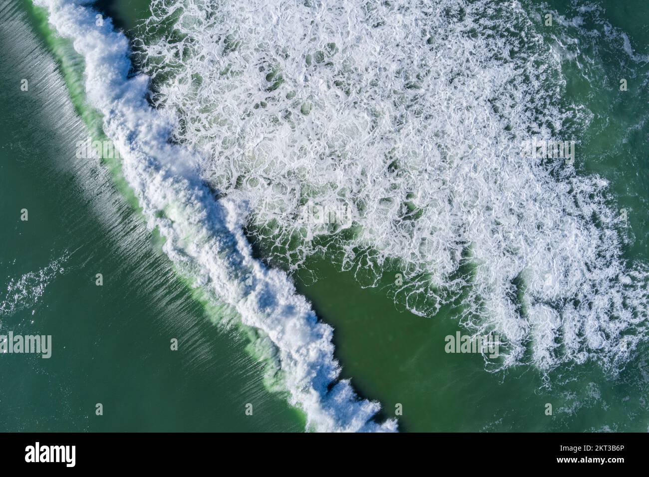 Aerial view looking down on waves crashing, New Jersey, USA Stock Photohttps://www.alamy.com/image-license-details/?v=1https://www.alamy.com/aerial-view-looking-down-on-waves-crashing-new-jersey-usa-image496716718.html
RF2KT3B6P–Aerial view looking down on waves crashing, New Jersey, USA
 ATLANTIC CITY NJ CASINOS AND HOTELS ALONG BOARDWALK Stock Photohttps://www.alamy.com/image-license-details/?v=1https://www.alamy.com/stock-photo-atlantic-city-nj-casinos-and-hotels-along-boardwalk-59024437.html
RMDC0P7H–ATLANTIC CITY NJ CASINOS AND HOTELS ALONG BOARDWALK
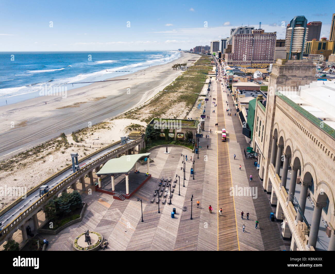 ATLANTIC CITY, USA - SEPTEMBER 20, 2017: Atlantic city boardwalk aerial view. Boardwalk is the hub of casinos, restaurants and travel spots Stock Photohttps://www.alamy.com/image-license-details/?v=1https://www.alamy.com/stock-image-atlantic-city-usa-september-20-2017-atlantic-city-boardwalk-aerial-162131170.html
RFKBNKXX–ATLANTIC CITY, USA - SEPTEMBER 20, 2017: Atlantic city boardwalk aerial view. Boardwalk is the hub of casinos, restaurants and travel spots
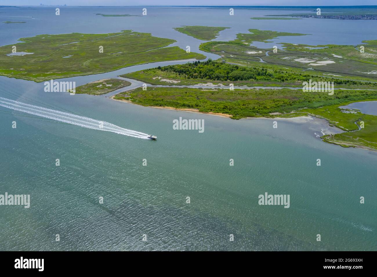 Boat on bay side, Long Beach New Jersey, USA Stock Photohttps://www.alamy.com/image-license-details/?v=1https://www.alamy.com/boat-on-bay-side-long-beach-new-jersey-usa-image434147801.html
RF2G693XH–Boat on bay side, Long Beach New Jersey, USA
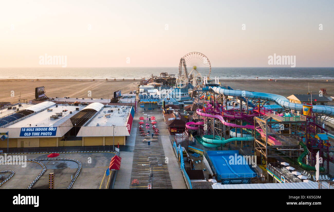 WILDWOOD, NEW JERSEY, USA - SEPTEMBER 5, 2017: Aerial view of the the Moreys Piers and Beachfront Water Parks complex in Wildwood, New Jearsey on the Stock Photohttps://www.alamy.com/image-license-details/?v=1https://www.alamy.com/wildwood-new-jersey-usa-september-5-2017-aerial-view-of-the-the-moreys-image158703656.html
RFK65G3M–WILDWOOD, NEW JERSEY, USA - SEPTEMBER 5, 2017: Aerial view of the the Moreys Piers and Beachfront Water Parks complex in Wildwood, New Jearsey on the
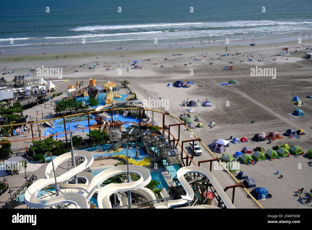 Aerial view of Morey’s Pier from the Ferris Wheel in Wildwood, NJ Stock Photohttps://www.alamy.com/image-license-details/?v=1https://www.alamy.com/aerial-view-of-moreys-pier-from-the-ferris-wheel-in-wildwood-nj-image443079652.html
RF2GMT0H8–Aerial view of Morey’s Pier from the Ferris Wheel in Wildwood, NJ
 State of New Jersey and Northeastern United States, Relief Map Stock Photohttps://www.alamy.com/image-license-details/?v=1https://www.alamy.com/stock-photo-state-of-new-jersey-and-northeastern-united-states-relief-map-71609298.html
RME4E2AX–State of New Jersey and Northeastern United States, Relief Map
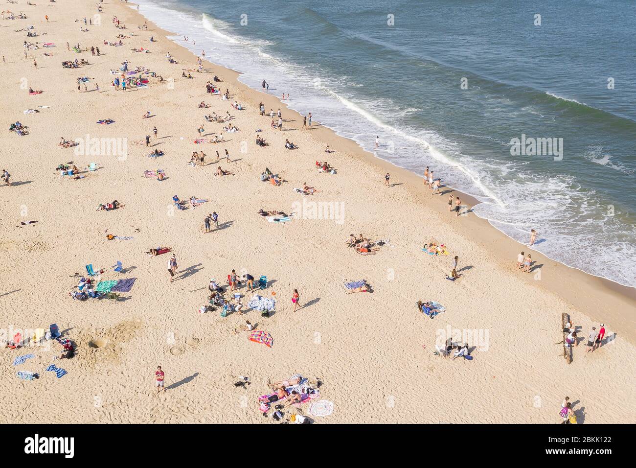 Aerial view of a crowded Jersey Shore beach in Long Branch, New Jersey. Despite the Coronavirus pandemic beachgoers flocked to the shore amidst the warm weather and recent beach re-openings. Stock Photohttps://www.alamy.com/image-license-details/?v=1https://www.alamy.com/aerial-view-of-a-crowded-jersey-shore-beach-in-long-branch-new-jersey-despite-the-coronavirus-pandemic-beachgoers-flocked-to-the-shore-amidst-the-warm-weather-and-recent-beach-re-openings-image356303754.html
RM2BKK122–Aerial view of a crowded Jersey Shore beach in Long Branch, New Jersey. Despite the Coronavirus pandemic beachgoers flocked to the shore amidst the warm weather and recent beach re-openings.

