New york city map Black & White Stock Photos
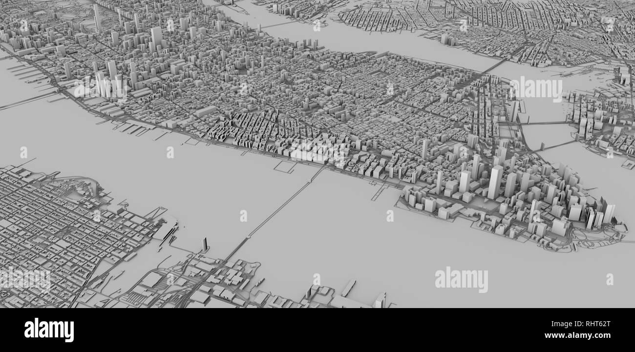 Satellite view of New York city, map, 3d buildings, 3d rendering. Streets and skyscraper of Manhattan Stock Photohttps://www.alamy.com/image-license-details/?v=1https://www.alamy.com/satellite-view-of-new-york-city-map-3d-buildings-3d-rendering-streets-and-skyscraper-of-manhattan-image234715568.html
RFRHT62T–Satellite view of New York city, map, 3d buildings, 3d rendering. Streets and skyscraper of Manhattan
 Vintage map of Underground railway network of New York at the end of 19th century Stock Photohttps://www.alamy.com/image-license-details/?v=1https://www.alamy.com/stock-photo-vintage-map-of-underground-railway-network-of-new-york-at-the-end-52308655.html
RFD12T67–Vintage map of Underground railway network of New York at the end of 19th century
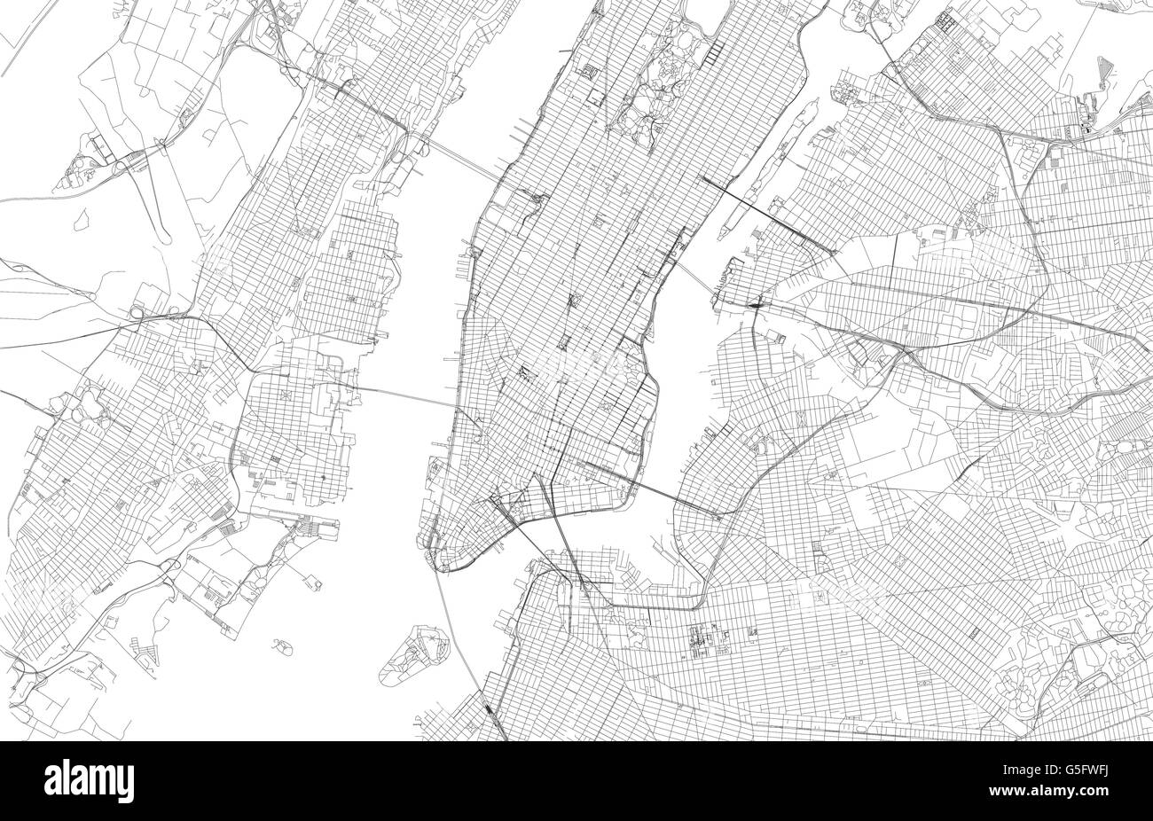 Map of New York City, satellite view, streets and highways of the USA city Stock Vectorhttps://www.alamy.com/image-license-details/?v=1https://www.alamy.com/stock-photo-map-of-new-york-city-satellite-view-streets-and-highways-of-the-usa-106684806.html
RFG5FWFJ–Map of New York City, satellite view, streets and highways of the USA city
 Plan de New-York et des environs, Paris, Montrésor, John, Chez le Rouge, 1777. New York City Map, circa 1877 Stock Photohttps://www.alamy.com/image-license-details/?v=1https://www.alamy.com/stock-photo-plan-de-new-york-et-des-environs-paris-montresor-john-chez-le-rouge-56351480.html
RMD7K0TT–Plan de New-York et des environs, Paris, Montrésor, John, Chez le Rouge, 1777. New York City Map, circa 1877
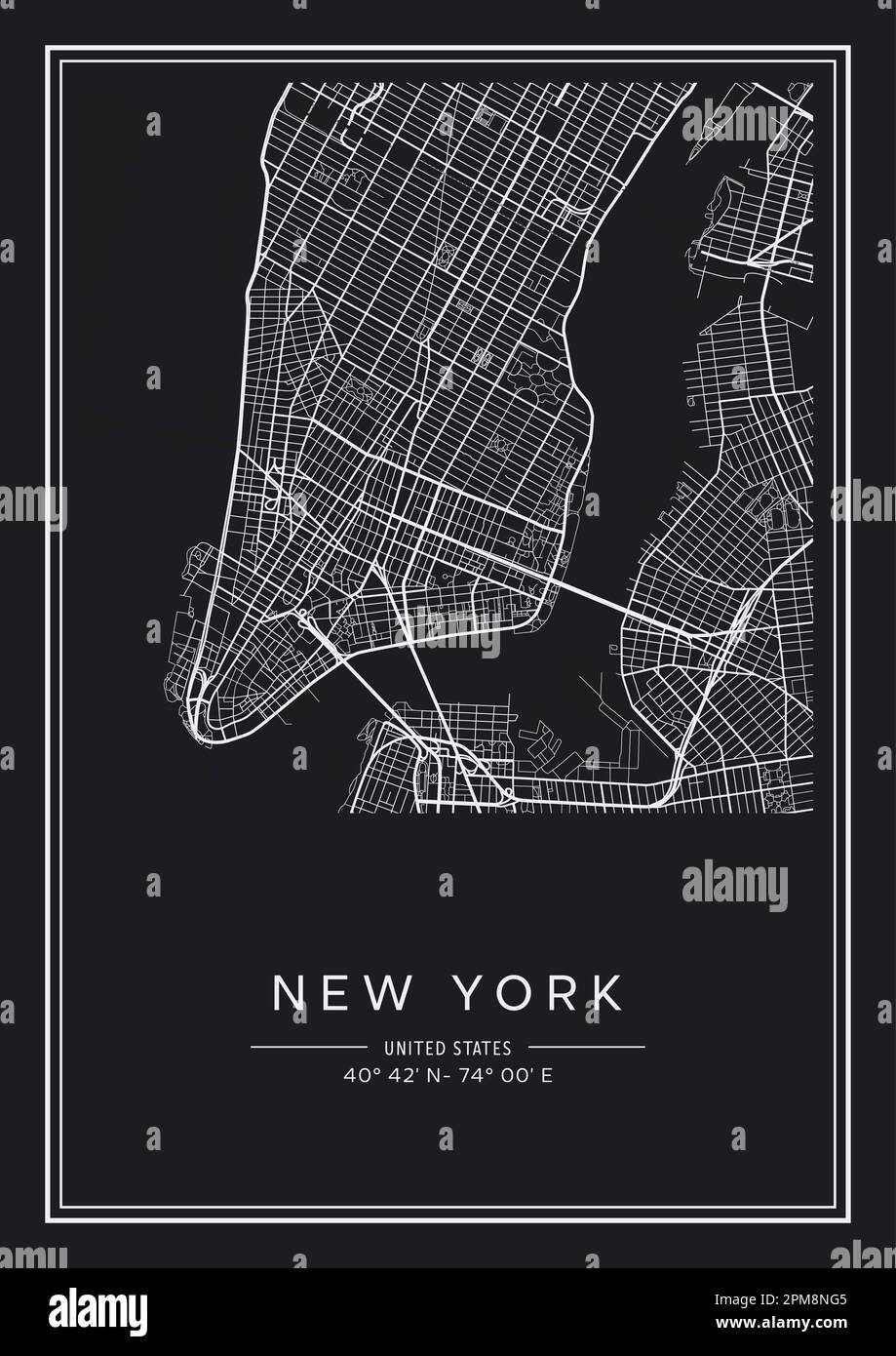 Black and white printable New York city map, poster design, vector illistration. Stock Vectorhttps://www.alamy.com/image-license-details/?v=1https://www.alamy.com/black-and-white-printable-new-york-city-map-poster-design-vector-illistration-image546007061.html
RF2PM8NG5–Black and white printable New York city map, poster design, vector illistration.
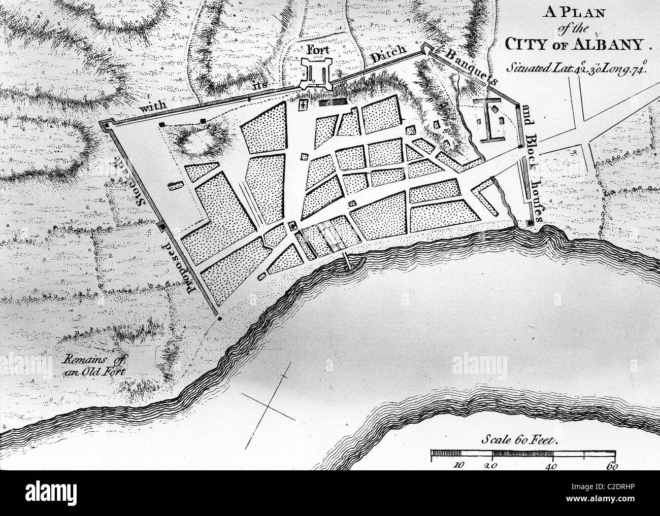 City map of Albany, New York Stock Photohttps://www.alamy.com/image-license-details/?v=1https://www.alamy.com/stock-photo-city-map-of-albany-new-york-35953954.html
RMC2DRHP–City map of Albany, New York
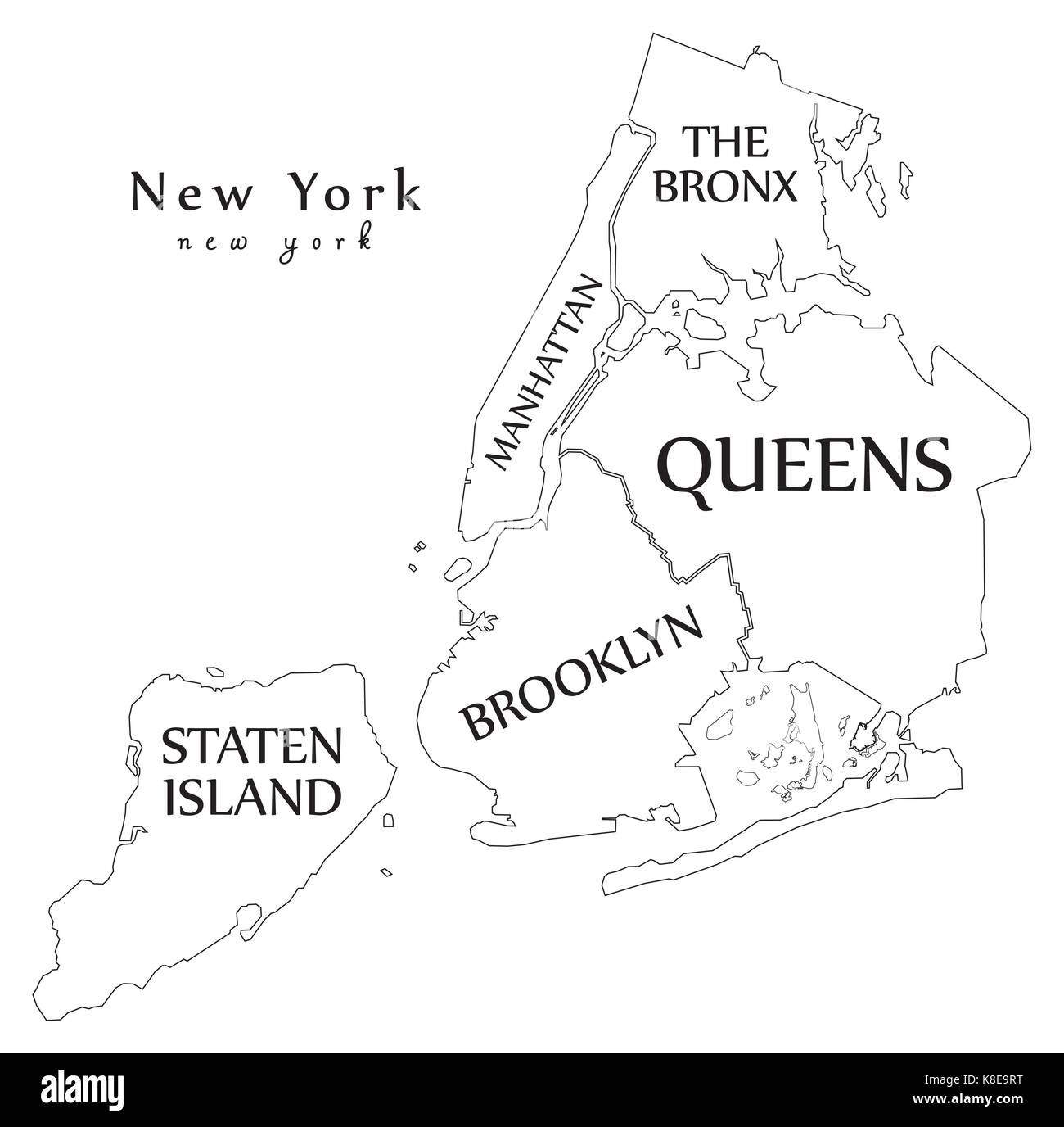 Modern City Map - New York city of the USA with boroughs and titles outline map Stock Vectorhttps://www.alamy.com/image-license-details/?v=1https://www.alamy.com/stock-image-modern-city-map-new-york-city-of-the-usa-with-boroughs-and-titles-160125612.html
RFK8E9RT–Modern City Map - New York city of the USA with boroughs and titles outline map
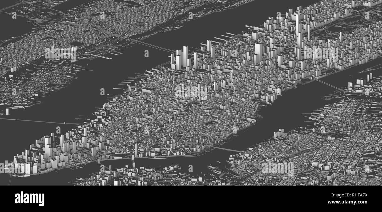 Satellite view of New York city, map, 3d buildings, 3d rendering. Streets and skyscraper of Manhattan Stock Photohttps://www.alamy.com/image-license-details/?v=1https://www.alamy.com/satellite-view-of-new-york-city-map-3d-buildings-3d-rendering-streets-and-skyscraper-of-manhattan-image234718846.html
RFRHTA7X–Satellite view of New York city, map, 3d buildings, 3d rendering. Streets and skyscraper of Manhattan
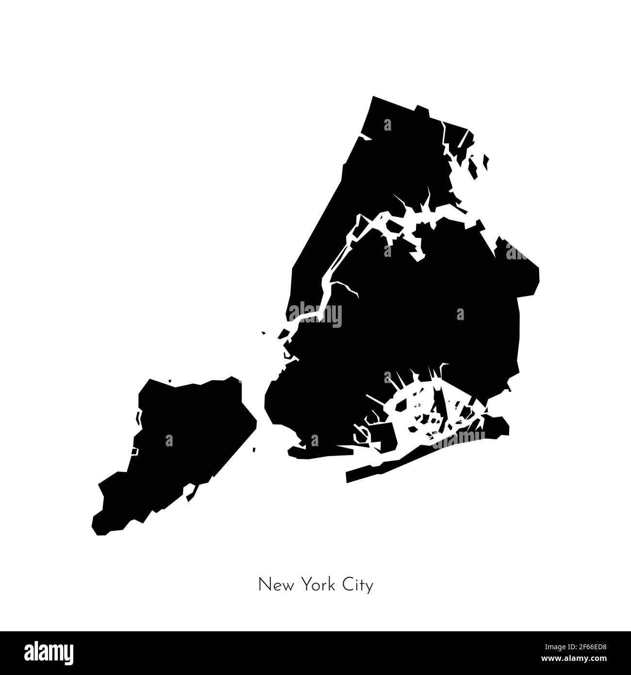 Vector isolated illustration with simplified geometrical shape of New York City map (city in the United States). Black silhouette of The Big Apple (NY Stock Vectorhttps://www.alamy.com/image-license-details/?v=1https://www.alamy.com/vector-isolated-illustration-with-simplified-geometrical-shape-of-new-york-city-map-city-in-the-united-states-black-silhouette-of-the-big-apple-ny-image416879828.html
RF2F66ED8–Vector isolated illustration with simplified geometrical shape of New York City map (city in the United States). Black silhouette of The Big Apple (NY
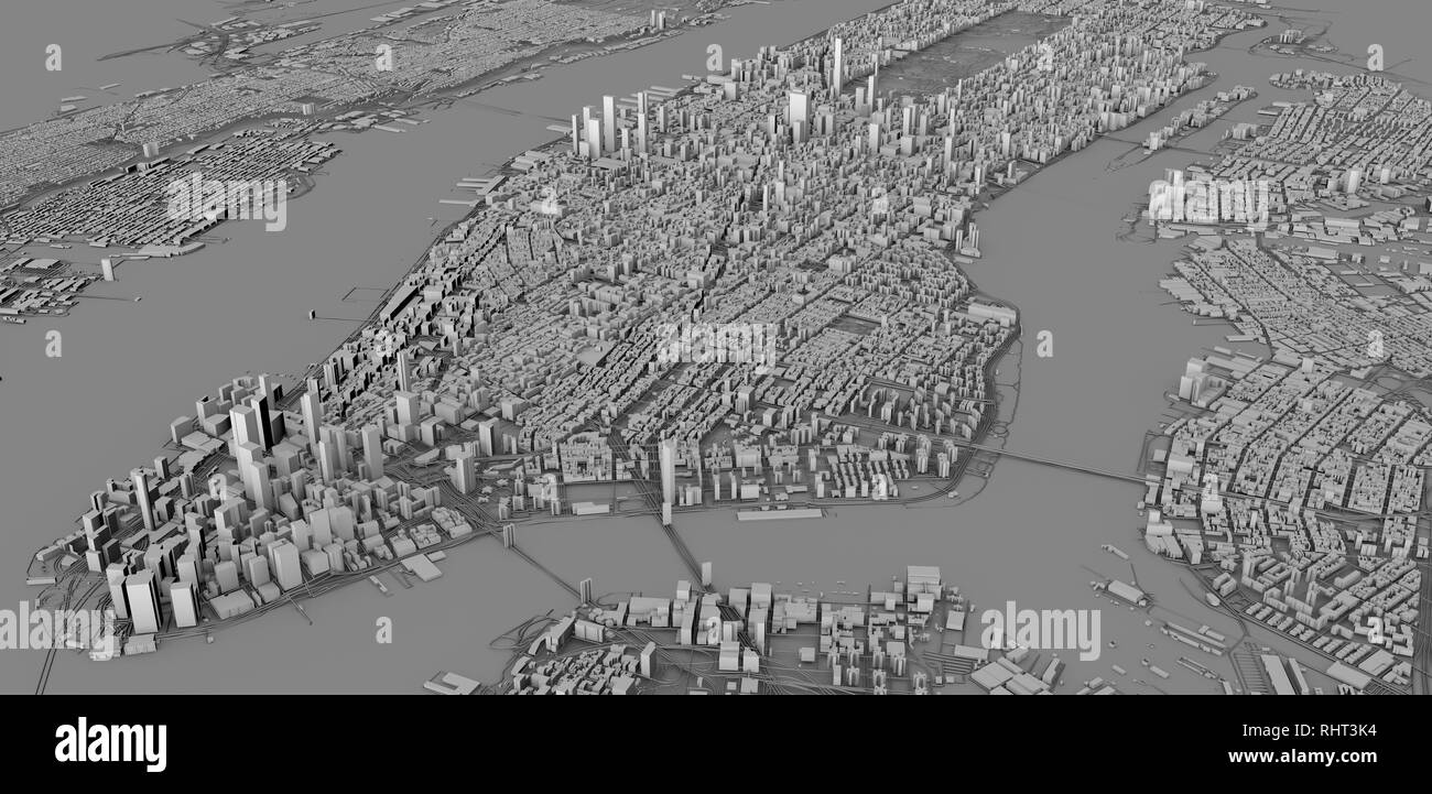 Satellite view of New York city, map, 3d buildings, 3d rendering. Streets and skyscraper of Manhattan Stock Photohttps://www.alamy.com/image-license-details/?v=1https://www.alamy.com/satellite-view-of-new-york-city-map-3d-buildings-3d-rendering-streets-and-skyscraper-of-manhattan-image234713672.html
RFRHT3K4–Satellite view of New York city, map, 3d buildings, 3d rendering. Streets and skyscraper of Manhattan
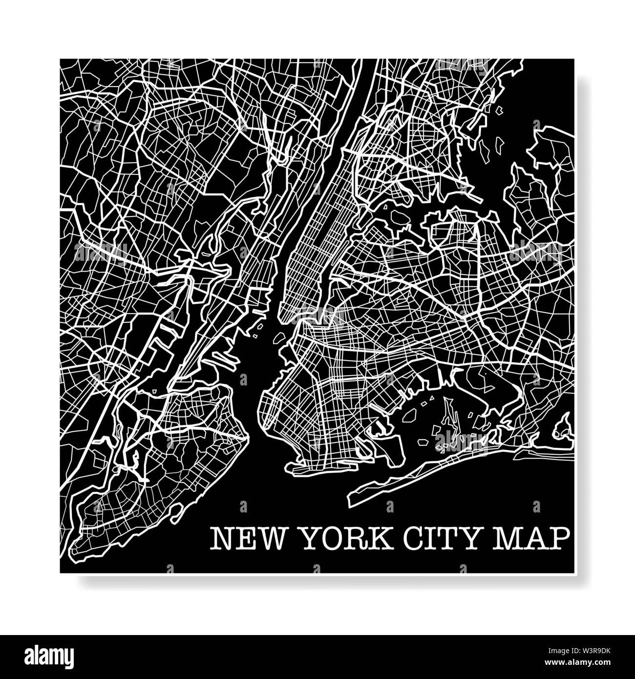 Black and white New York city map background Stock Vectorhttps://www.alamy.com/image-license-details/?v=1https://www.alamy.com/black-and-white-new-york-city-map-background-image260511823.html
RFW3R9DK–Black and white New York city map background
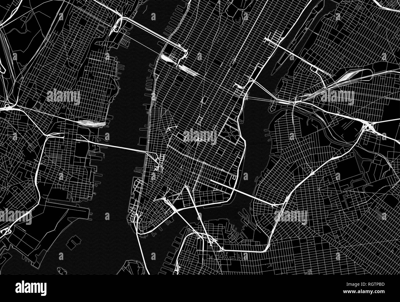 Black map of downtown New York City. This vector artmap is created as a decorative background or a unique travel sign. Stock Vectorhttps://www.alamy.com/image-license-details/?v=1https://www.alamy.com/black-map-of-downtown-new-york-city-this-vector-artmap-is-created-as-a-decorative-background-or-a-unique-travel-sign-image234113697.html
RFRGTPBD–Black map of downtown New York City. This vector artmap is created as a decorative background or a unique travel sign.
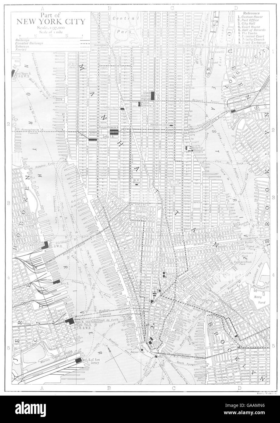 MANHATTAN: Part of New York City NYC, 1910 antique map Stock Photohttps://www.alamy.com/image-license-details/?v=1https://www.alamy.com/stock-photo-manhattan-part-of-new-york-city-nyc-1910-antique-map-109644562.html
RFGAAMN6–MANHATTAN: Part of New York City NYC, 1910 antique map
 Sinclair Oil Co., 600 5th Ave., New York City. Map room. Gottscho-Schleisner Collection Stock Photohttps://www.alamy.com/image-license-details/?v=1https://www.alamy.com/sinclair-oil-co-600-5th-ave-new-york-city-map-room-gottscho-schleisner-collection-image610765127.html
RM2XDJN47–Sinclair Oil Co., 600 5th Ave., New York City. Map room. Gottscho-Schleisner Collection
 NEW YORK. Vicinity of New York City 1893 old antique vintage map plan chart Stock Photohttps://www.alamy.com/image-license-details/?v=1https://www.alamy.com/new-york-vicinity-of-new-york-city-1893-old-antique-vintage-map-plan-chart-image242652359.html
RFT2NNFK–NEW YORK. Vicinity of New York City 1893 old antique vintage map plan chart
 Map Of New York 1789 Stock Photohttps://www.alamy.com/image-license-details/?v=1https://www.alamy.com/map-of-new-york-1789-image6079627.html
RMA31FMC–Map Of New York 1789
 Vector background with all streets of New York and surroundings map. Stock Vectorhttps://www.alamy.com/image-license-details/?v=1https://www.alamy.com/stock-image-vector-background-with-all-streets-of-new-york-and-surroundings-map-163841297.html
RFKEFH6W–Vector background with all streets of New York and surroundings map.
 New York City travel sketches, set of hand drawn a vector drawings. Stock Vectorhttps://www.alamy.com/image-license-details/?v=1https://www.alamy.com/new-york-city-travel-sketches-set-of-hand-drawn-a-vector-drawings-image185120236.html
RFMN4XN0–New York City travel sketches, set of hand drawn a vector drawings.
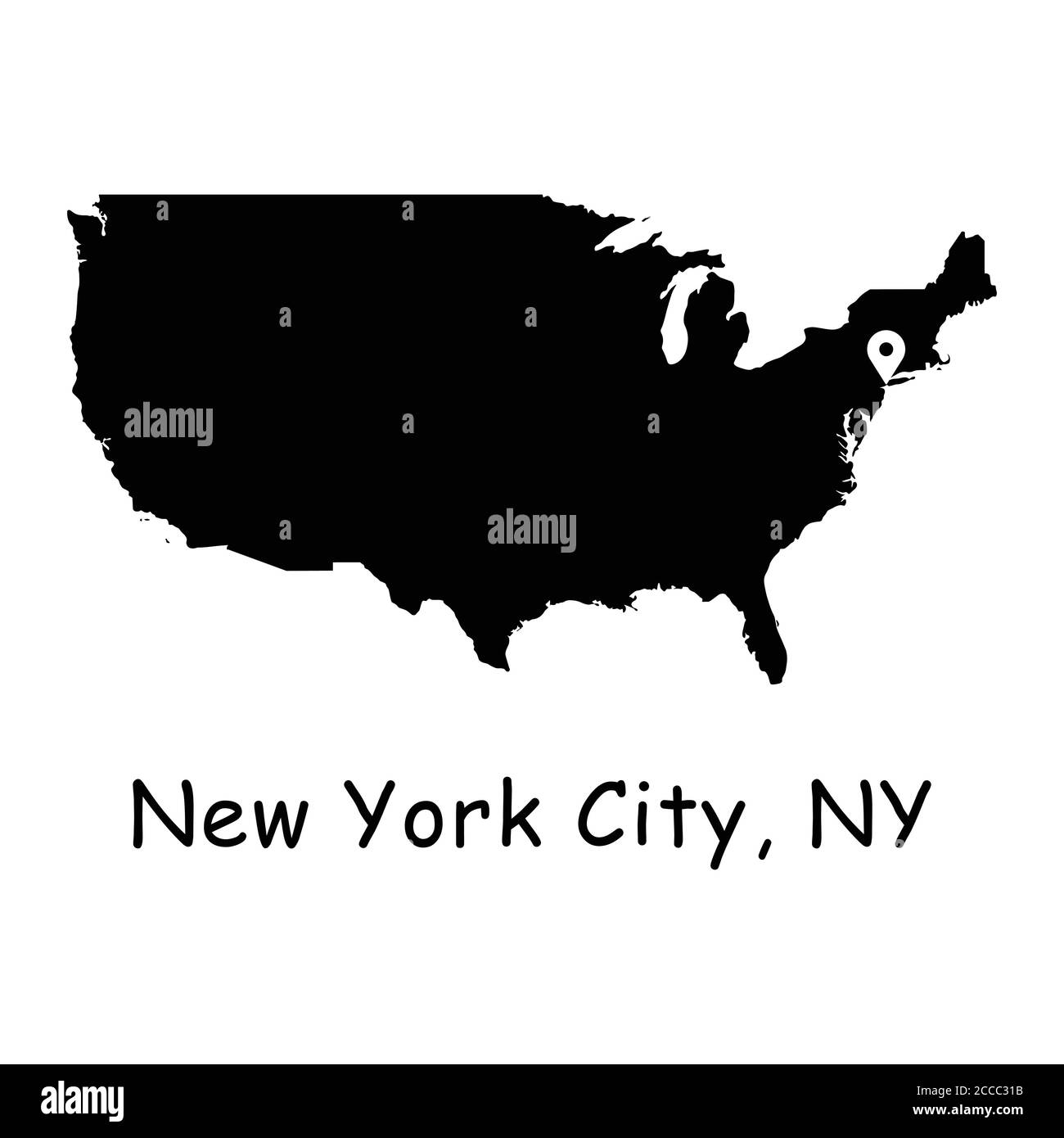 New York City on USA Map. Detailed America Country Map with Location Pin on NYC. Black silhouette and outline vector maps isolated on white background Stock Vectorhttps://www.alamy.com/image-license-details/?v=1https://www.alamy.com/new-york-city-on-usa-map-detailed-america-country-map-with-location-pin-on-nyc-black-silhouette-and-outline-vector-maps-isolated-on-white-background-image369059415.html
RF2CCC31B–New York City on USA Map. Detailed America Country Map with Location Pin on NYC. Black silhouette and outline vector maps isolated on white background
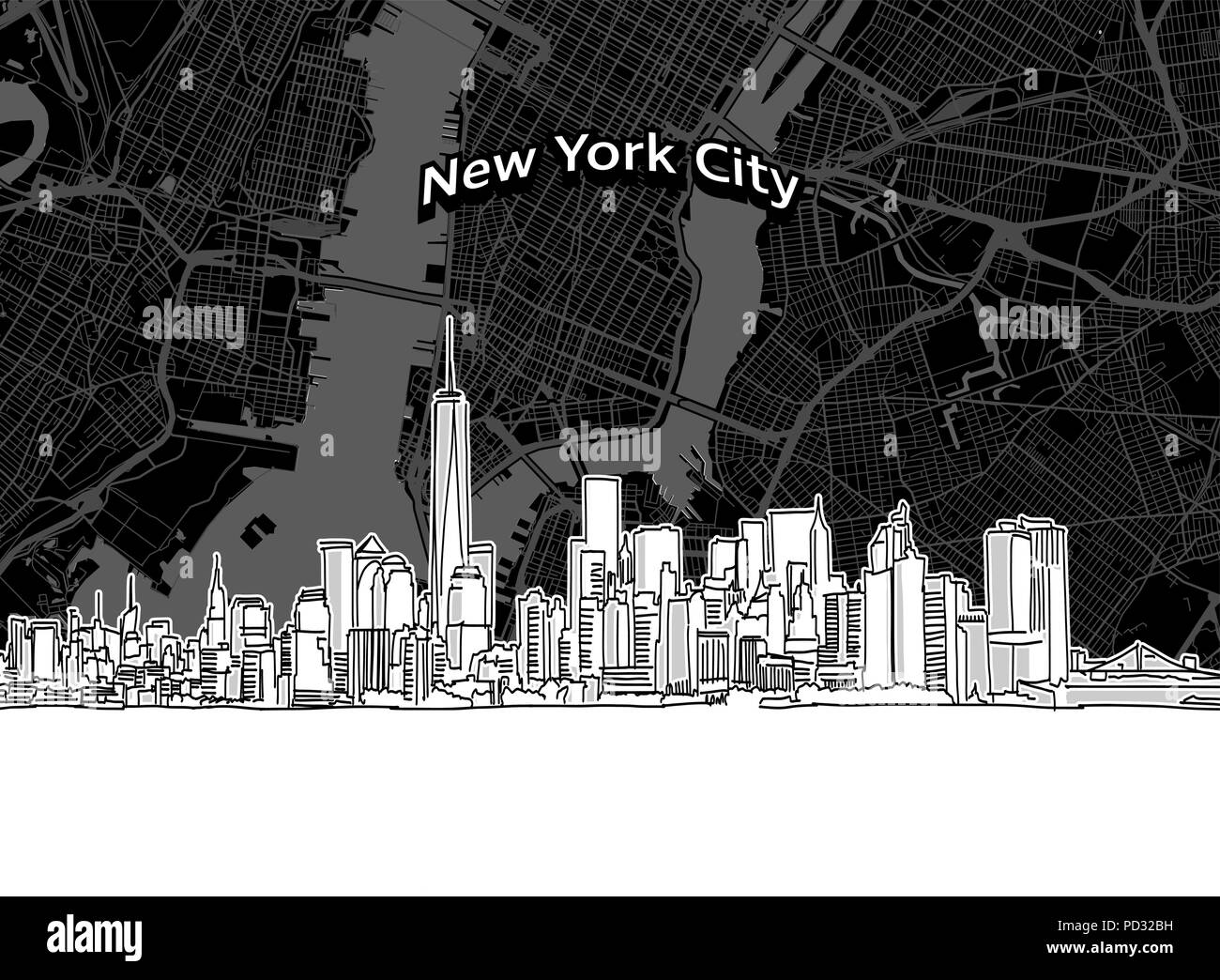 Vector drawing of New York City skyline with map. USA travel landmark. Black and white cover and background concept. Stock Vectorhttps://www.alamy.com/image-license-details/?v=1https://www.alamy.com/vector-drawing-of-new-york-city-skyline-with-map-usa-travel-landmark-black-and-white-cover-and-background-concept-image214582693.html
RFPD32BH–Vector drawing of New York City skyline with map. USA travel landmark. Black and white cover and background concept.
 1660s TOWNE OF MANNADOS OR NEW AMSTERDAM IN SEPTEMBER 1661 NOW KNOWN AS DOWNTOWN OF ISLAND OF MANHATTAN NEW YORK CITY USA - a952 LAN001 HARS TIP NEW YORK CITY OR 1660s CARTOGRAPHY BLACK AND WHITE GEOGRAPHICAL HUDSON RIVER KNOWN NEW AMSTERDAM OLD FASHIONED SEPTEMBER Stock Photohttps://www.alamy.com/image-license-details/?v=1https://www.alamy.com/1660s-towne-of-mannados-or-new-amsterdam-in-september-1661-now-known-as-downtown-of-island-of-manhattan-new-york-city-usa-a952-lan001-hars-tip-new-york-city-or-1660s-cartography-black-and-white-geographical-hudson-river-known-new-amsterdam-old-fashioned-september-image467970165.html
RM2J59TM5–1660s TOWNE OF MANNADOS OR NEW AMSTERDAM IN SEPTEMBER 1661 NOW KNOWN AS DOWNTOWN OF ISLAND OF MANHATTAN NEW YORK CITY USA - a952 LAN001 HARS TIP NEW YORK CITY OR 1660s CARTOGRAPHY BLACK AND WHITE GEOGRAPHICAL HUDSON RIVER KNOWN NEW AMSTERDAM OLD FASHIONED SEPTEMBER
RF2CBJ4P2–Manhattan nyc map lineart. Black and white hand drawn illustration. Icon sign for print and labelling.
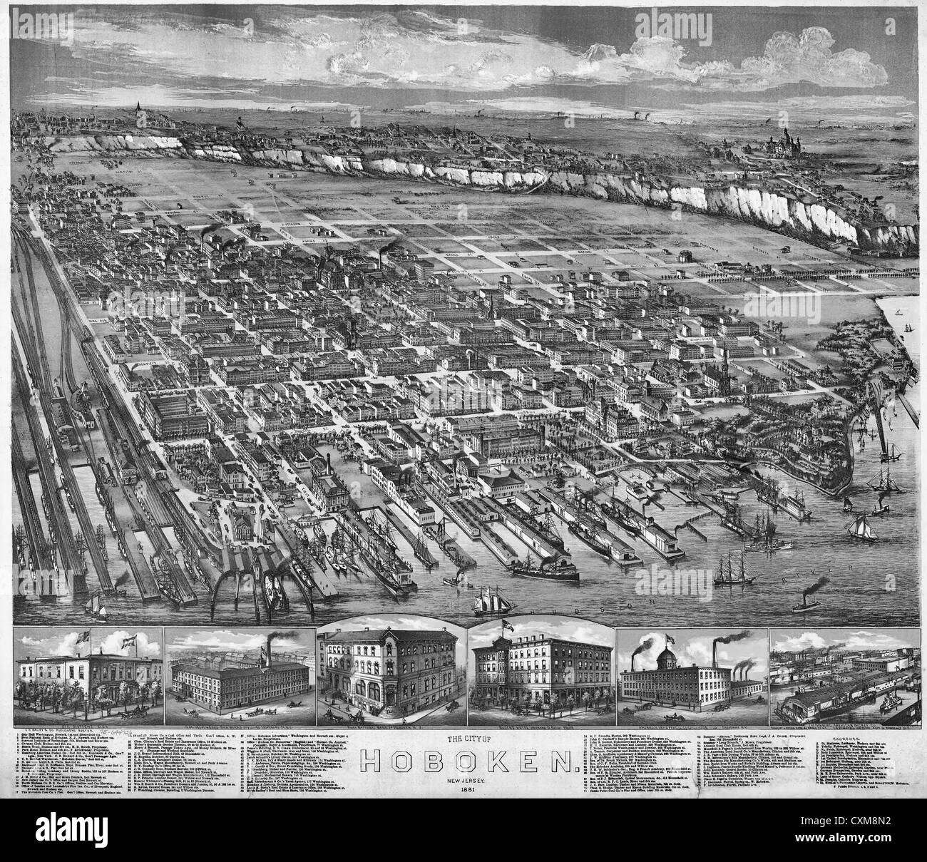 Map of The city of Hoboken, New Jersey, 1881. Stock Photohttps://www.alamy.com/image-license-details/?v=1https://www.alamy.com/stock-photo-map-of-the-city-of-hoboken-new-jersey-1881-50847694.html
RMCXM8N2–Map of The city of Hoboken, New Jersey, 1881.
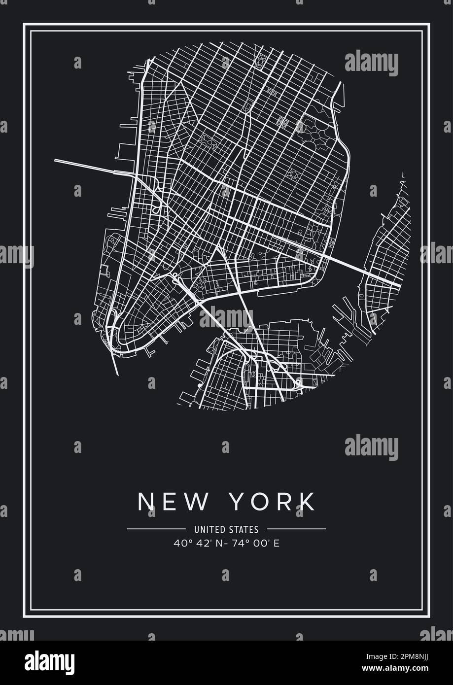 Black and white printable New York city map, poster design, vector illistration. Stock Vectorhttps://www.alamy.com/image-license-details/?v=1https://www.alamy.com/black-and-white-printable-new-york-city-map-poster-design-vector-illistration-image546007130.html
RF2PM8NJJ–Black and white printable New York city map, poster design, vector illistration.
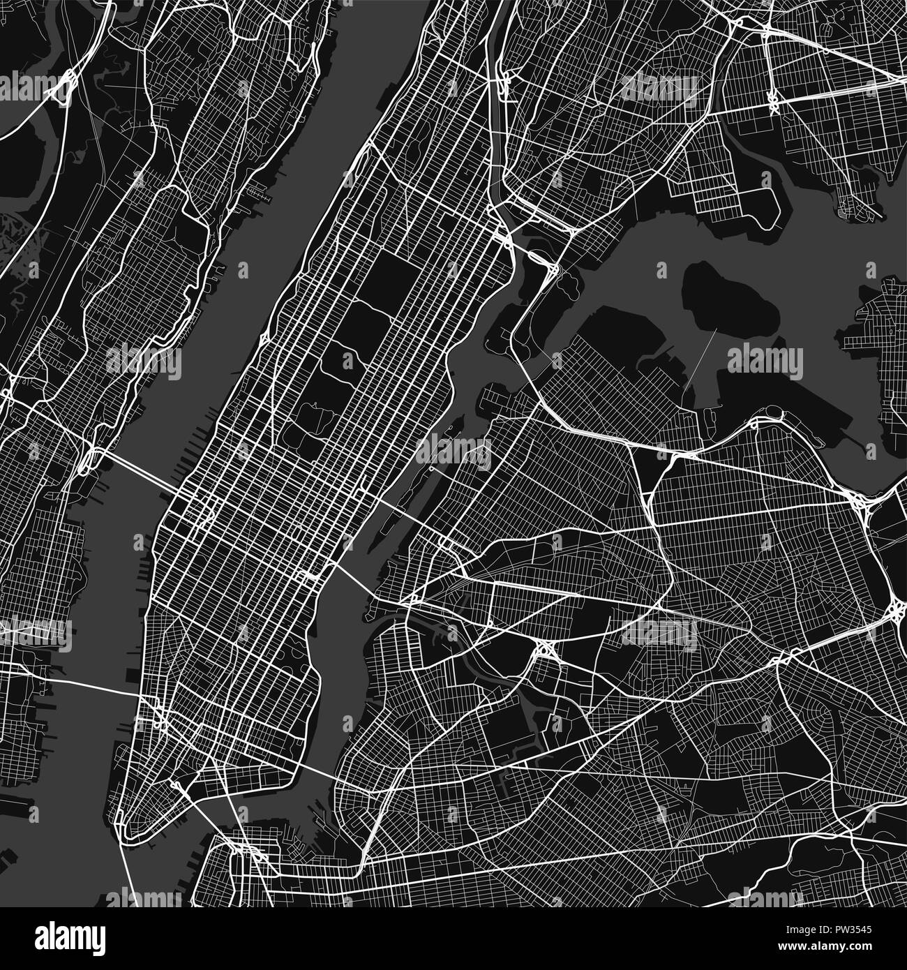 Vector city map of New York in black and white Stock Vectorhttps://www.alamy.com/image-license-details/?v=1https://www.alamy.com/vector-city-map-of-new-york-in-black-and-white-image221960709.html
RFPW3545–Vector city map of New York in black and white
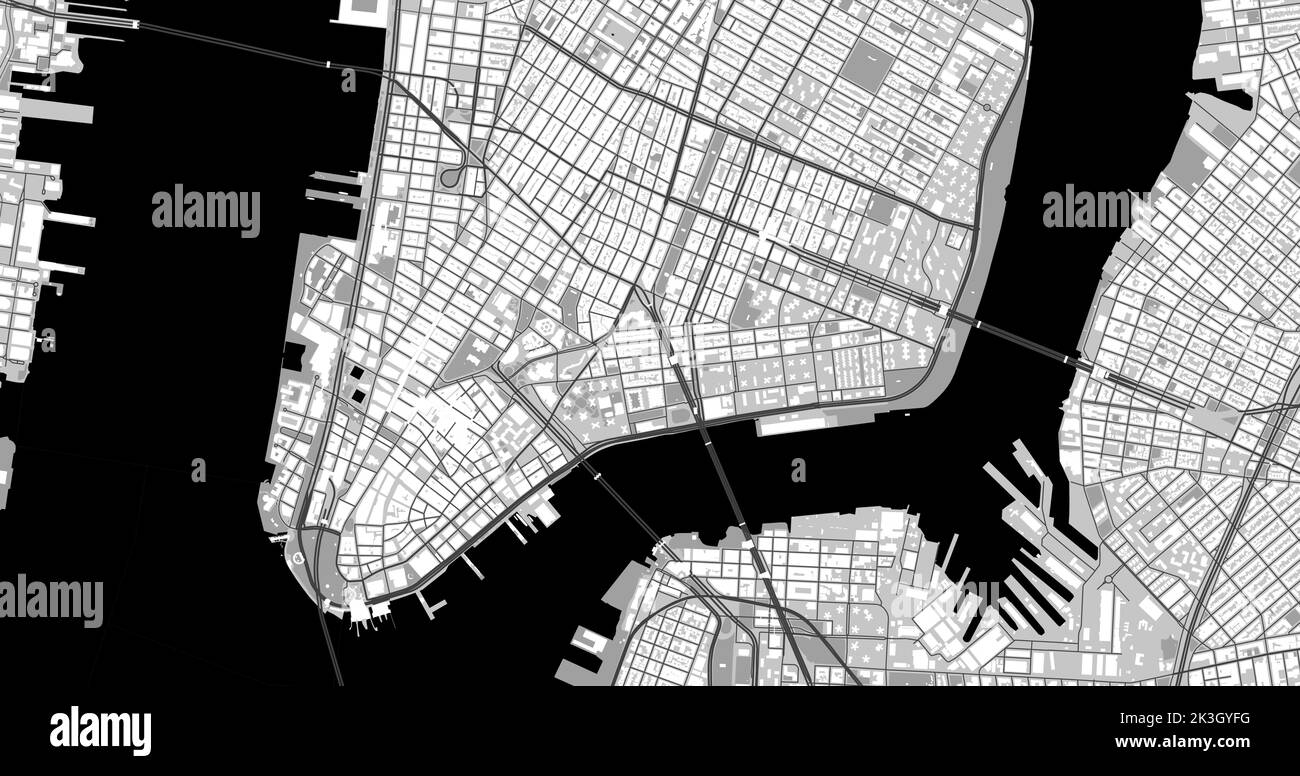 Black and grey New York City center area vector background map, roads and water cartography illustration. Widescreen proportion, digital flat design r Stock Vectorhttps://www.alamy.com/image-license-details/?v=1https://www.alamy.com/black-and-grey-new-york-city-center-area-vector-background-map-roads-and-water-cartography-illustration-widescreen-proportion-digital-flat-design-r-image484107108.html
RF2K3GYFG–Black and grey New York City center area vector background map, roads and water cartography illustration. Widescreen proportion, digital flat design r
 CANADA: Montreal, Canada; City of Montreal from Mount Royal, 1907 antique map Stock Photohttps://www.alamy.com/image-license-details/?v=1https://www.alamy.com/stock-photo-canada-montreal-canada-city-of-montreal-from-mount-royal-1907-antique-105601886.html
RFG3PG7X–CANADA: Montreal, Canada; City of Montreal from Mount Royal, 1907 antique map
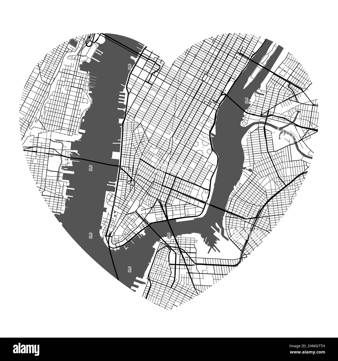 Heart shaped New York city vector map. Black and white colors illustration. Roads, streets, rivers. Stock Vectorhttps://www.alamy.com/image-license-details/?v=1https://www.alamy.com/heart-shaped-new-york-city-vector-map-black-and-white-colors-illustration-roads-streets-rivers-image460120097.html
RF2HMG7TH–Heart shaped New York city vector map. Black and white colors illustration. Roads, streets, rivers.
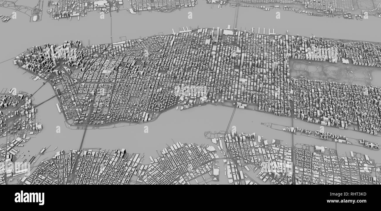 Satellite view of New York city, map, 3d buildings, 3d rendering. Streets and skyscraper of Manhattan Stock Photohttps://www.alamy.com/image-license-details/?v=1https://www.alamy.com/satellite-view-of-new-york-city-map-3d-buildings-3d-rendering-streets-and-skyscraper-of-manhattan-image234713681.html
RFRHT3KD–Satellite view of New York city, map, 3d buildings, 3d rendering. Streets and skyscraper of Manhattan
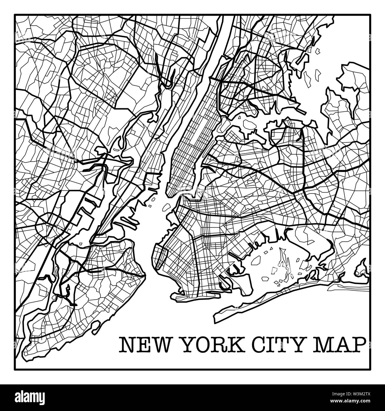 Black and white New York City map silhouette background Stock Vectorhttps://www.alamy.com/image-license-details/?v=1https://www.alamy.com/black-and-white-new-york-city-map-silhouette-background-image260440794.html
RFW3M2TX–Black and white New York City map silhouette background
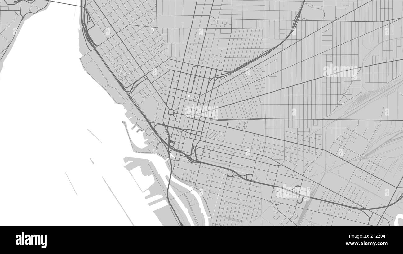 Map of Buffalo city, New York, United States. Urban black and white poster. Road map image with metropolitan city area view. Stock Vectorhttps://www.alamy.com/image-license-details/?v=1https://www.alamy.com/map-of-buffalo-city-new-york-united-states-urban-black-and-white-poster-road-map-image-with-metropolitan-city-area-view-image569215487.html
RF2T2204F–Map of Buffalo city, New York, United States. Urban black and white poster. Road map image with metropolitan city area view.
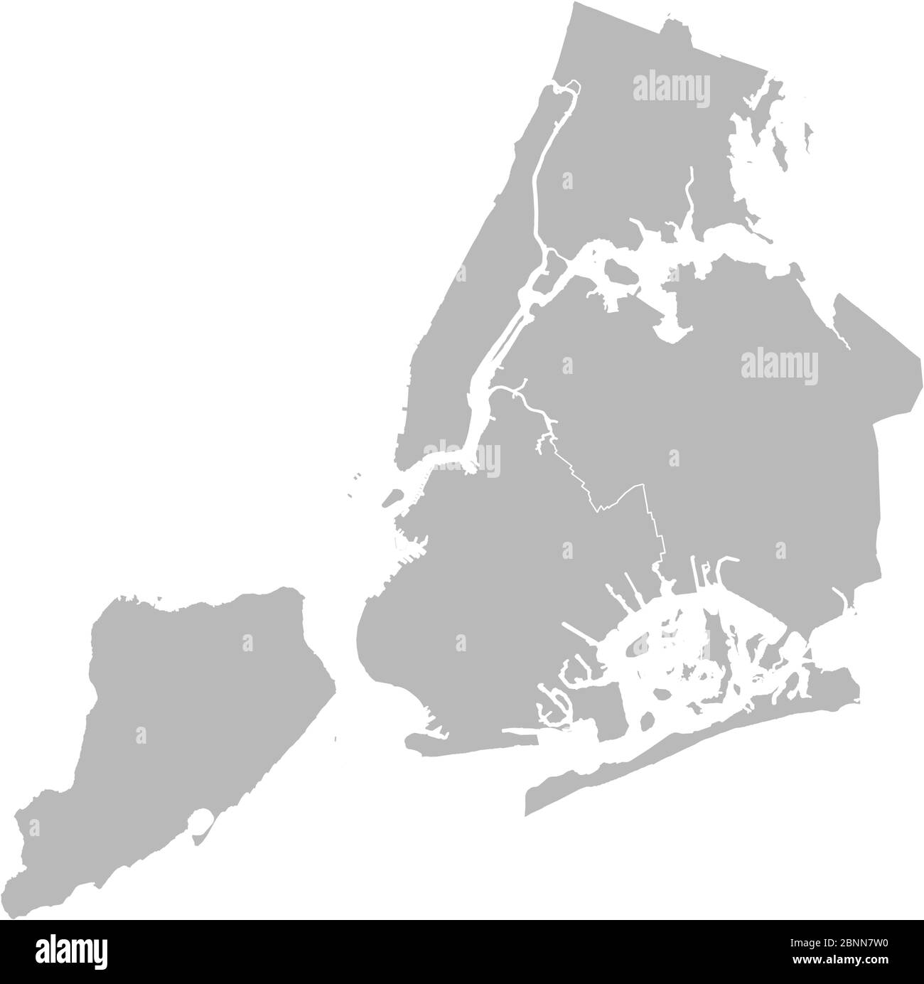 New york city map vector graphics design. Gray background. Perfect for backgrounds, backdrop, business concepts, education, poster and wallpapers. Stock Vectorhttps://www.alamy.com/image-license-details/?v=1https://www.alamy.com/new-york-city-map-vector-graphics-design-gray-background-perfect-for-backgrounds-backdrop-business-concepts-education-poster-and-wallpapers-image357582316.html
RF2BNN7W0–New york city map vector graphics design. Gray background. Perfect for backgrounds, backdrop, business concepts, education, poster and wallpapers.
 Seamen's Bank for Savings, 74 Wall St., New York City. Map detail. Gottscho-Schleisner Collection Stock Photohttps://www.alamy.com/image-license-details/?v=1https://www.alamy.com/seamens-bank-for-savings-74-wall-st-new-york-city-map-detail-gottscho-schleisner-collection-image610769510.html
RM2XDJXMP–Seamen's Bank for Savings, 74 Wall St., New York City. Map detail. Gottscho-Schleisner Collection
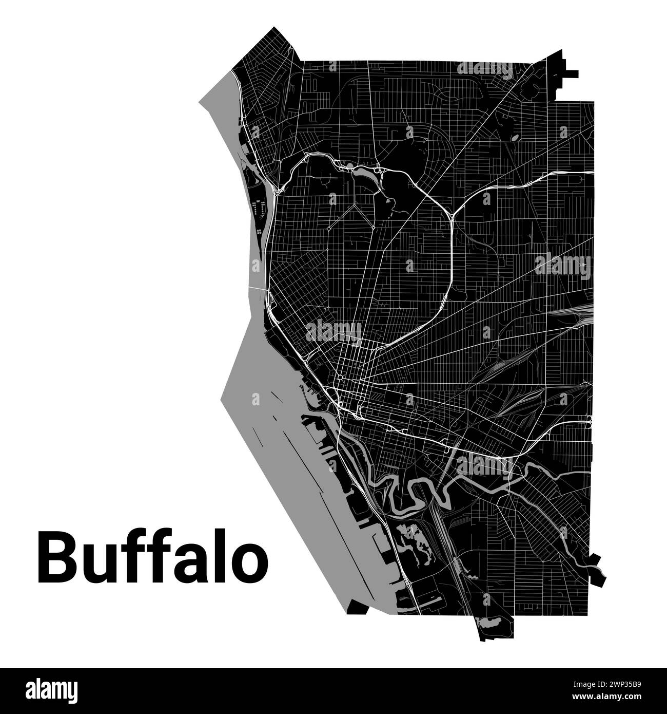 Buffalo city map, New York, United States. Municipal administrative borders, black and white area map with rivers and roads, parks and railways. Vecto Stock Vectorhttps://www.alamy.com/image-license-details/?v=1https://www.alamy.com/buffalo-city-map-new-york-united-states-municipal-administrative-borders-black-and-white-area-map-with-rivers-and-roads-parks-and-railways-vecto-image598745037.html
RF2WP35B9–Buffalo city map, New York, United States. Municipal administrative borders, black and white area map with rivers and roads, parks and railways. Vecto
 NEW YORK STATE: Plan of the city of Albany about the year 1770, 1850 old map Stock Photohttps://www.alamy.com/image-license-details/?v=1https://www.alamy.com/stock-photo-new-york-state-plan-of-the-city-of-albany-about-the-year-1770-1850-105866810.html
RFG46J5E–NEW YORK STATE: Plan of the city of Albany about the year 1770, 1850 old map
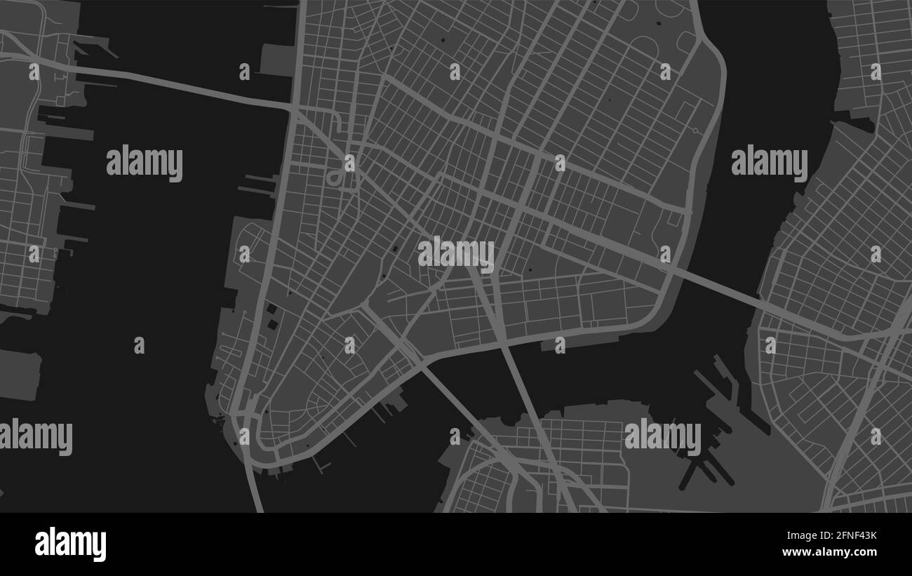 Black and white New York city area vector background map, streets and water cartography illustration. Widescreen proportion, digital flat design stree Stock Vectorhttps://www.alamy.com/image-license-details/?v=1https://www.alamy.com/black-and-white-new-york-city-area-vector-background-map-streets-and-water-cartography-illustration-widescreen-proportion-digital-flat-design-stree-image426289127.html
RF2FNF43K–Black and white New York city area vector background map, streets and water cartography illustration. Widescreen proportion, digital flat design stree
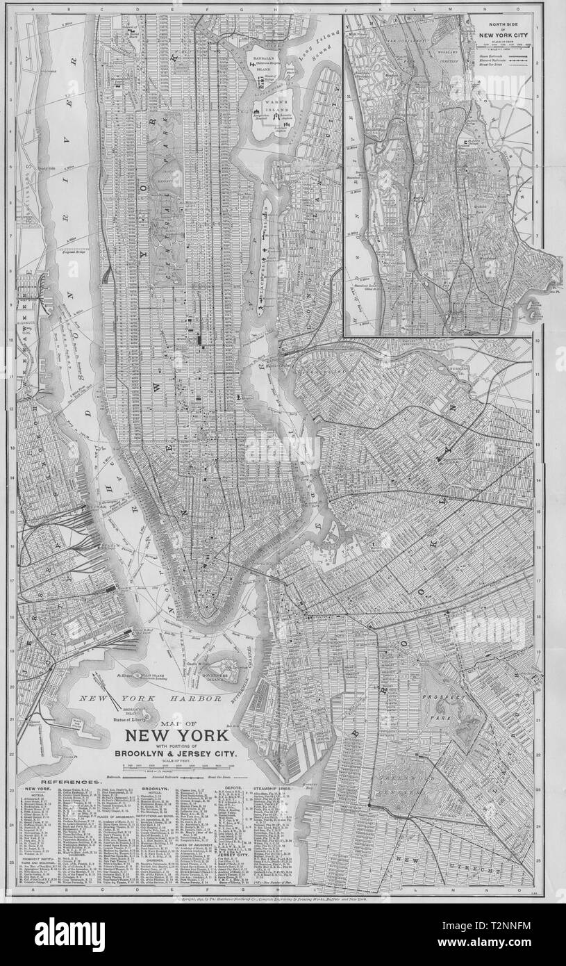 NEW YORK CITY PLAN. Showing Manhattan Brooklyn Jersey Plan 1893 old map Stock Photohttps://www.alamy.com/image-license-details/?v=1https://www.alamy.com/new-york-city-plan-showing-manhattan-brooklyn-jersey-plan-1893-old-map-image242652360.html
RFT2NNFM–NEW YORK CITY PLAN. Showing Manhattan Brooklyn Jersey Plan 1893 old map
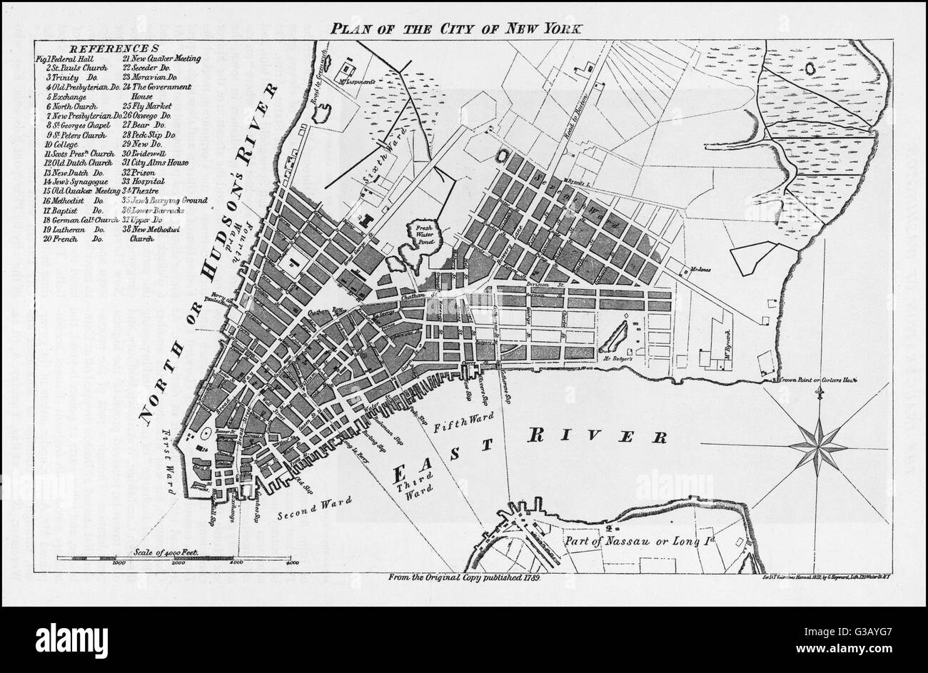 MAP OF NEW YORK 1789 Stock Photohttps://www.alamy.com/image-license-details/?v=1https://www.alamy.com/stock-photo-map-of-new-york-1789-105347319.html
RMG3AYG7–MAP OF NEW YORK 1789
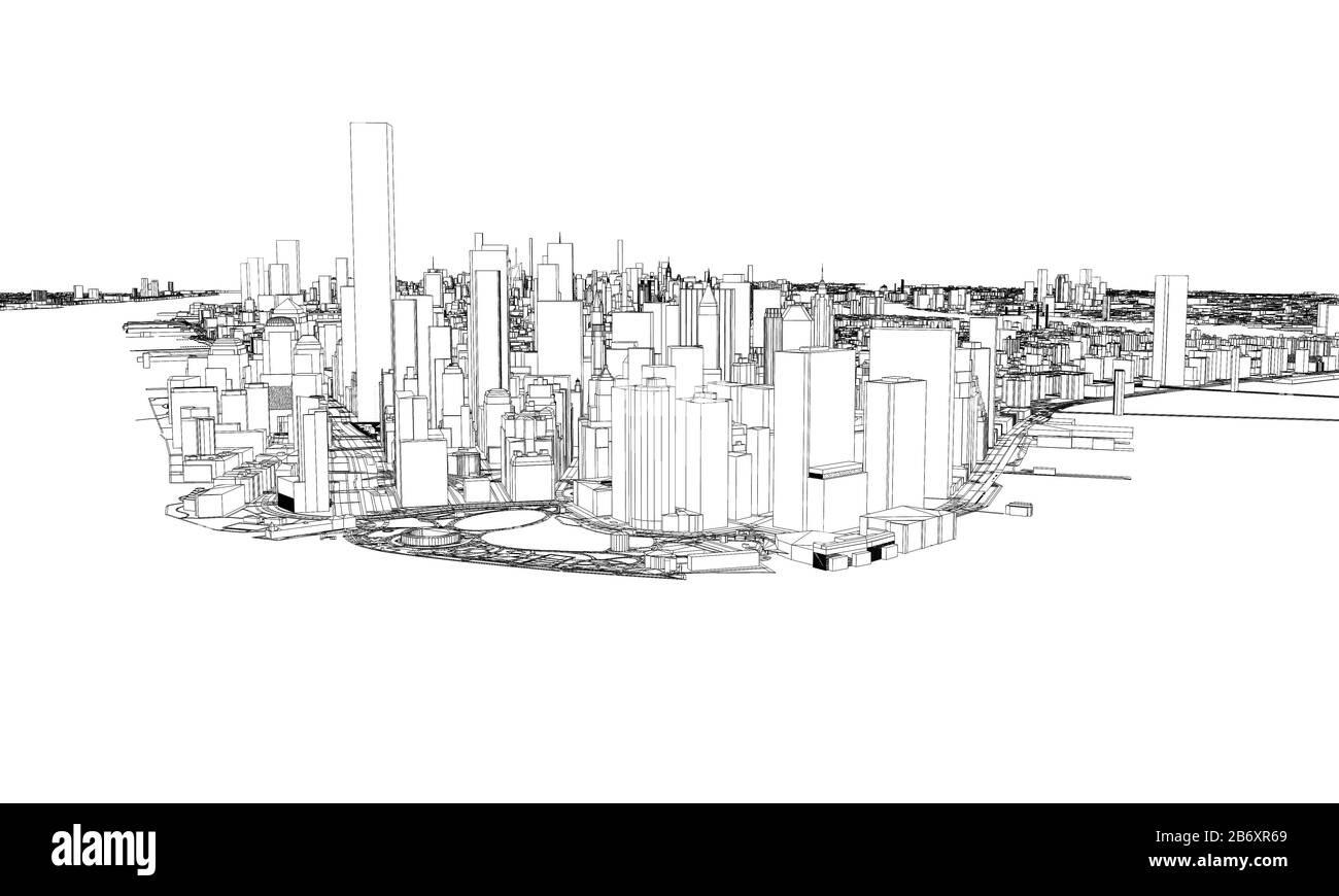 New York minimal blueprint style city map. 3D Rendering Stock Photohttps://www.alamy.com/image-license-details/?v=1https://www.alamy.com/new-york-minimal-blueprint-style-city-map-3d-rendering-image348484257.html
RF2B6XR69–New York minimal blueprint style city map. 3D Rendering
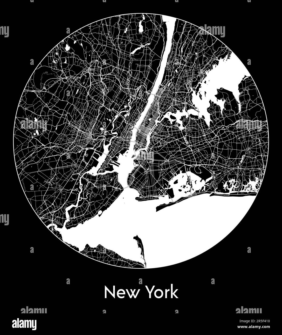 City Map New York United States North America vector illustration Stock Vectorhttps://www.alamy.com/image-license-details/?v=1https://www.alamy.com/city-map-new-york-united-states-north-america-vector-illustration-image554137500.html
RF2R5F410–City Map New York United States North America vector illustration
RF2CBJ4PJ–Manhattan nyc map on black . Black and white hand drawn illustration. Icon sign for print and labelling.
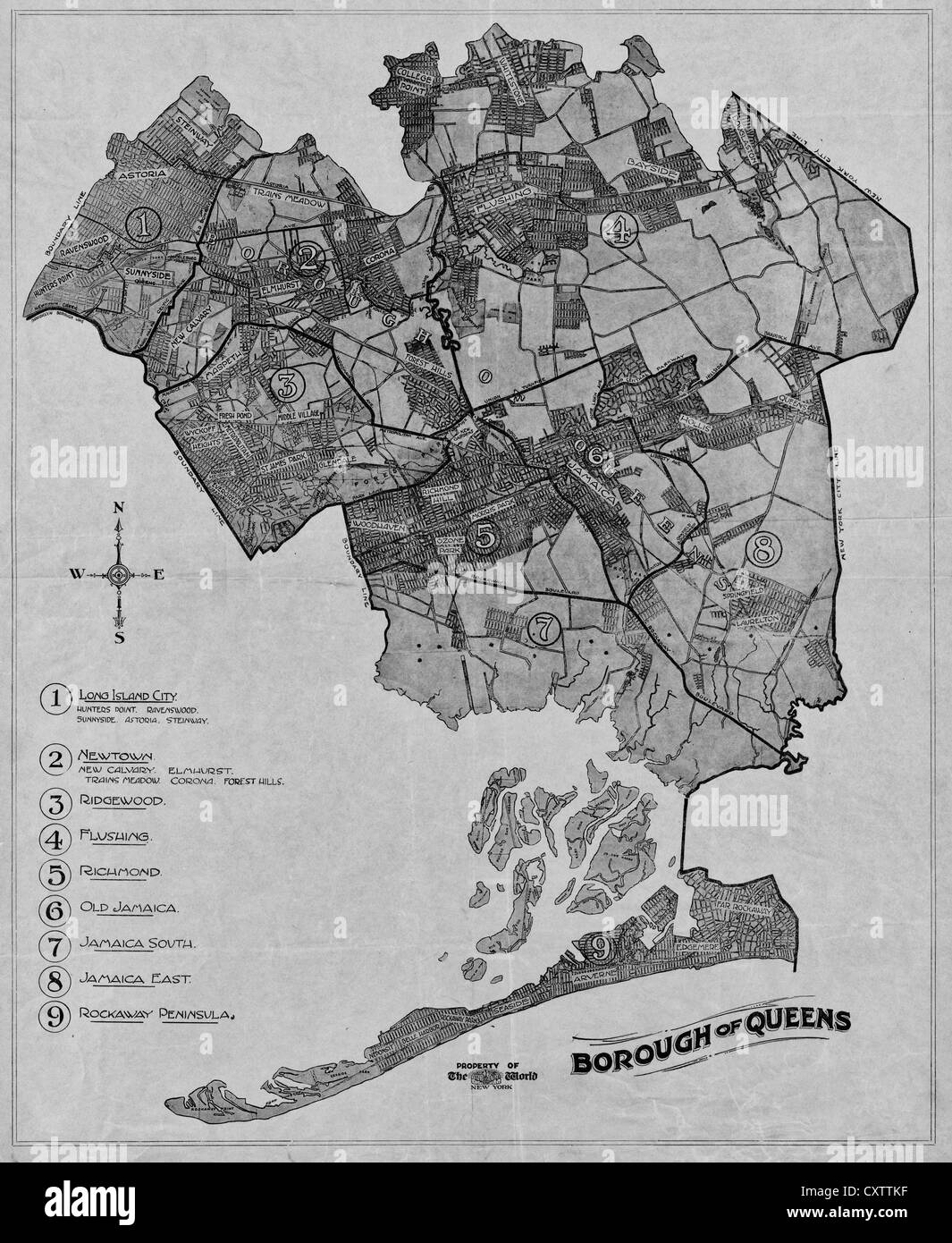 Borough of Queens, New York, 1918 Stock Photohttps://www.alamy.com/image-license-details/?v=1https://www.alamy.com/stock-photo-borough-of-queens-new-york-1918-50948003.html
RMCXTTKF–Borough of Queens, New York, 1918
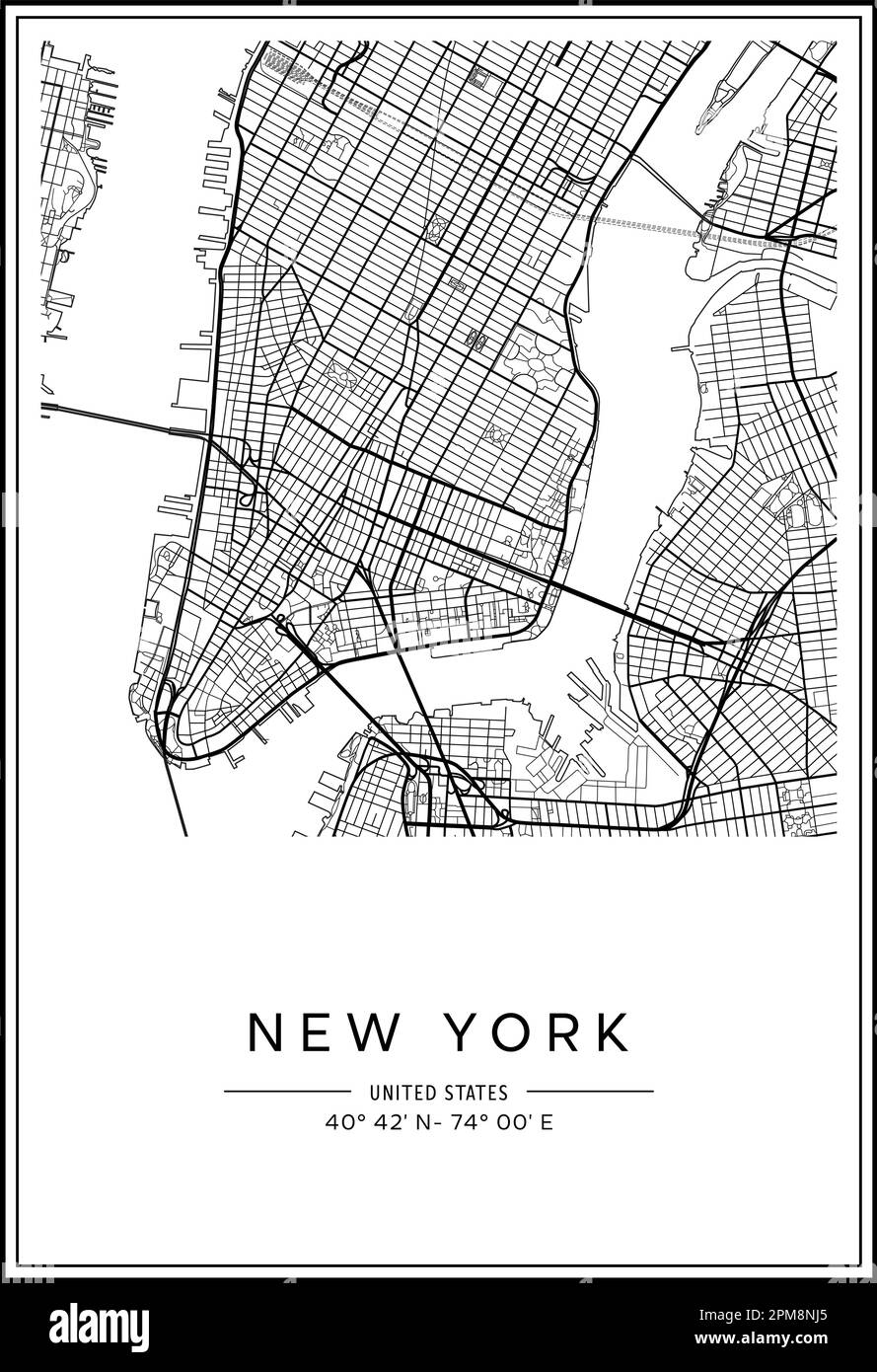 Black and white printable New York city map, poster design, vector illistration. Stock Vectorhttps://www.alamy.com/image-license-details/?v=1https://www.alamy.com/black-and-white-printable-new-york-city-map-poster-design-vector-illistration-image546007117.html
RF2PM8NJ5–Black and white printable New York city map, poster design, vector illistration.
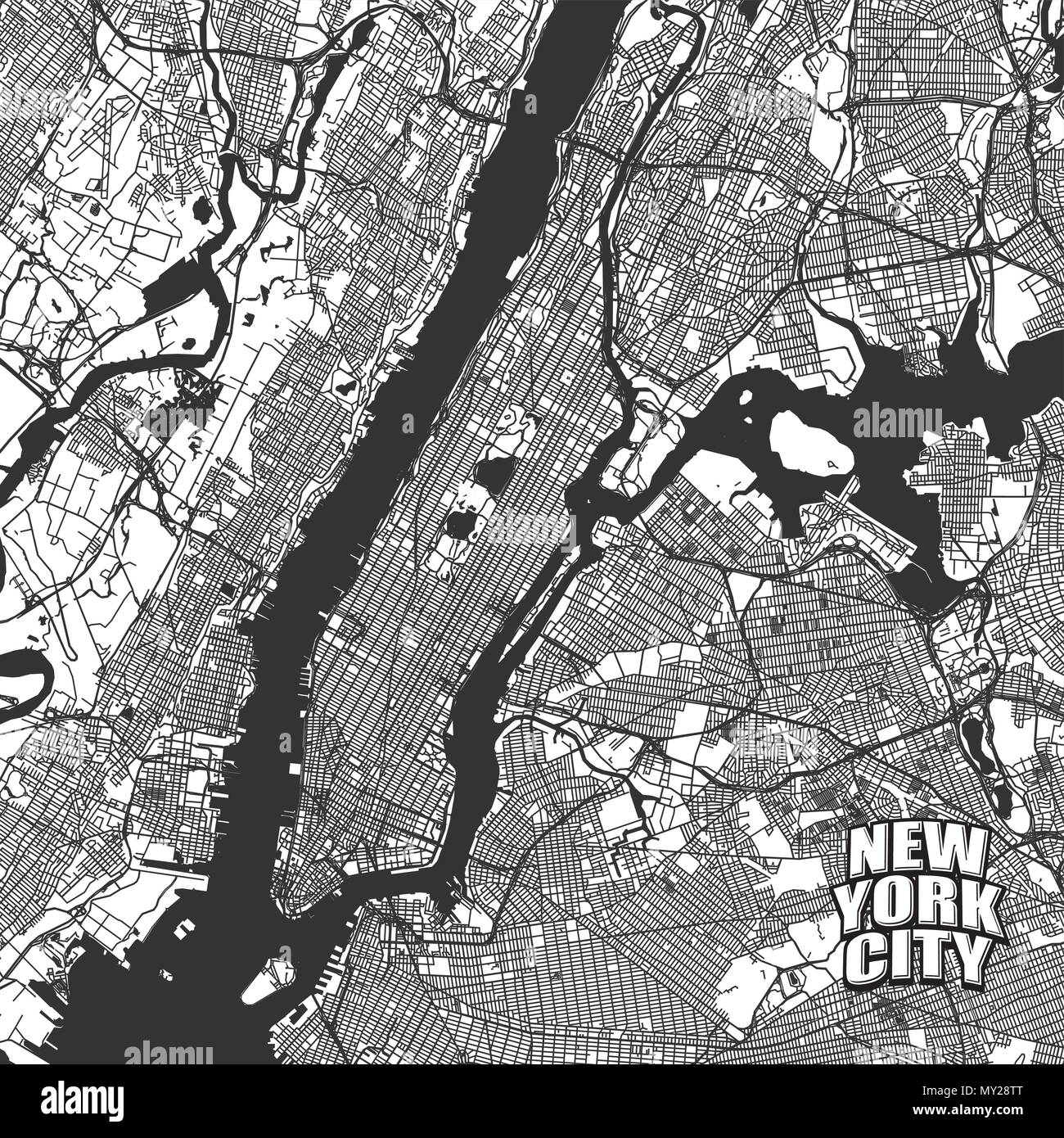 New York City vector map. Very detailled version without bridges and names. NYC logo grouped seperatly. Stock Vectorhttps://www.alamy.com/image-license-details/?v=1https://www.alamy.com/new-york-city-vector-map-very-detailled-version-without-bridges-and-names-nyc-logo-grouped-seperatly-image188750264.html
RFMY28TT–New York City vector map. Very detailled version without bridges and names. NYC logo grouped seperatly.
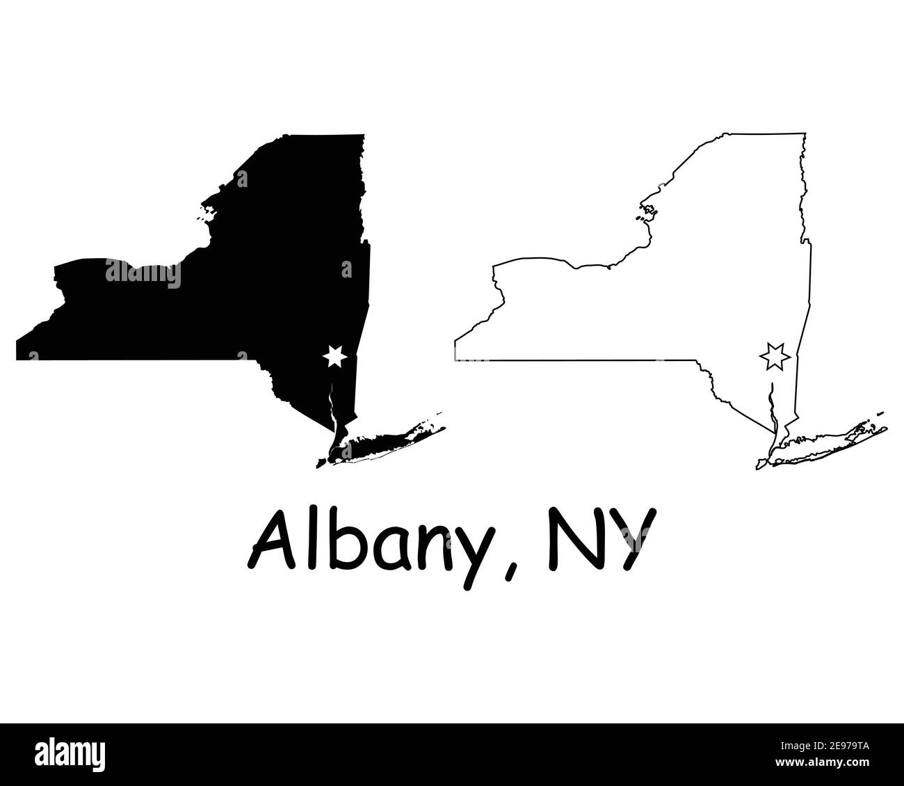 New York NY state Map USA with Capital City Star at Albany. Black silhouette and outline isolated on a white background. EPS Vector Stock Vectorhttps://www.alamy.com/image-license-details/?v=1https://www.alamy.com/new-york-ny-state-map-usa-with-capital-city-star-at-albany-black-silhouette-and-outline-isolated-on-a-white-background-eps-vector-image401531770.html
RF2E979TA–New York NY state Map USA with Capital City Star at Albany. Black silhouette and outline isolated on a white background. EPS Vector
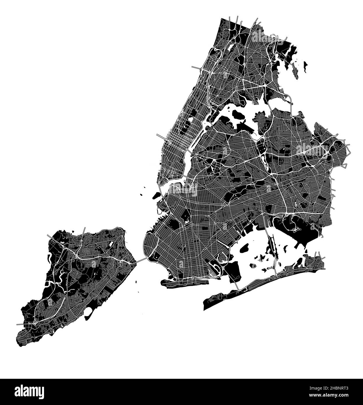 New York City, New York, United States, high resolution vector map with city boundaries, and editable paths. The city map was drawn with white areas a Stock Vectorhttps://www.alamy.com/image-license-details/?v=1https://www.alamy.com/new-york-city-new-york-united-states-high-resolution-vector-map-with-city-boundaries-and-editable-paths-the-city-map-was-drawn-with-white-areas-a-image454710483.html
RF2HBNRT3–New York City, New York, United States, high resolution vector map with city boundaries, and editable paths. The city map was drawn with white areas a
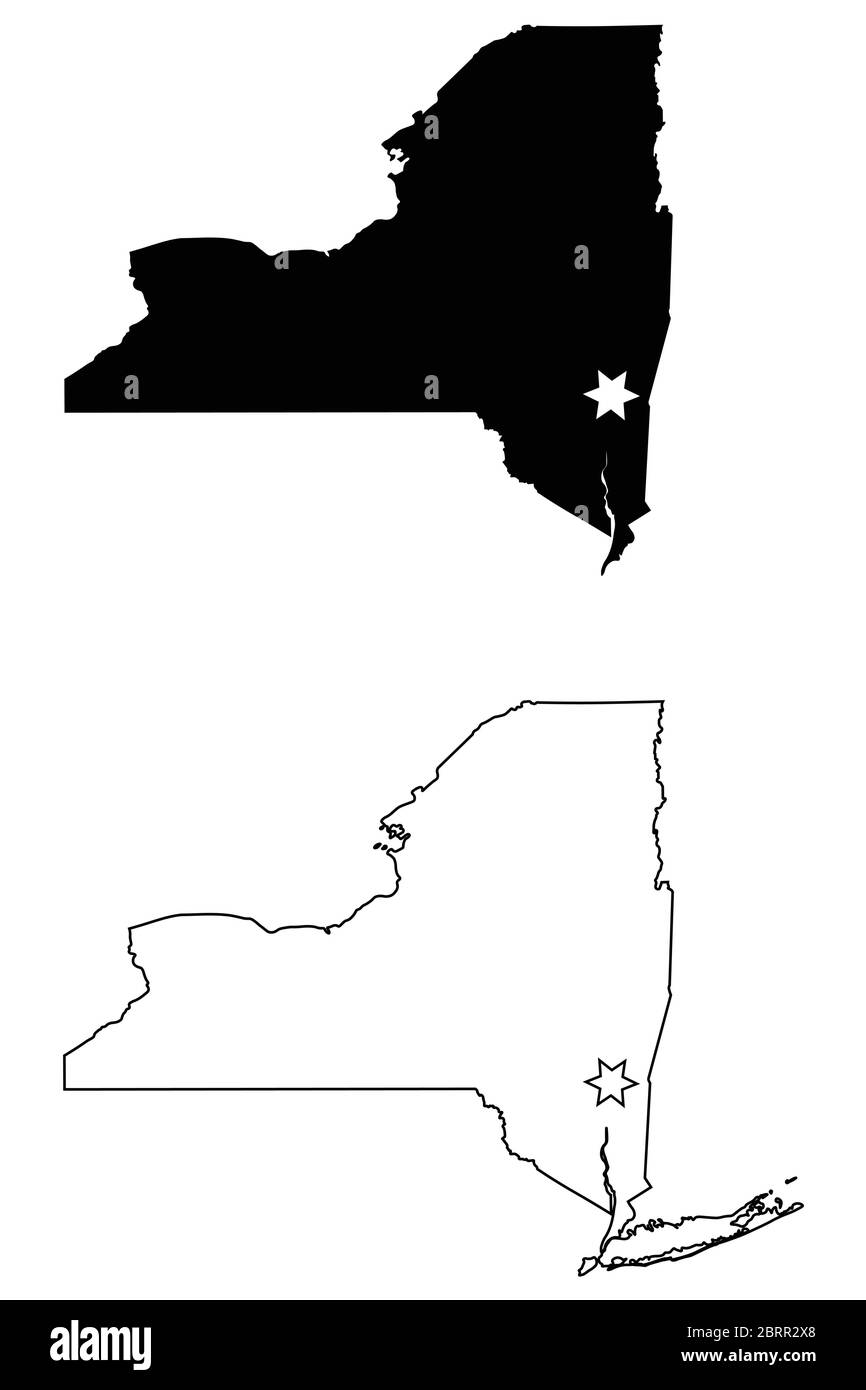 New York NY state Map USA with Capital City Star at Albany. Black silhouette and outline isolated on a white background. EPS Vector Stock Vectorhttps://www.alamy.com/image-license-details/?v=1https://www.alamy.com/new-york-ny-state-map-usa-with-capital-city-star-at-albany-black-silhouette-and-outline-isolated-on-a-white-background-eps-vector-image358851648.html
RF2BRR2X8–New York NY state Map USA with Capital City Star at Albany. Black silhouette and outline isolated on a white background. EPS Vector
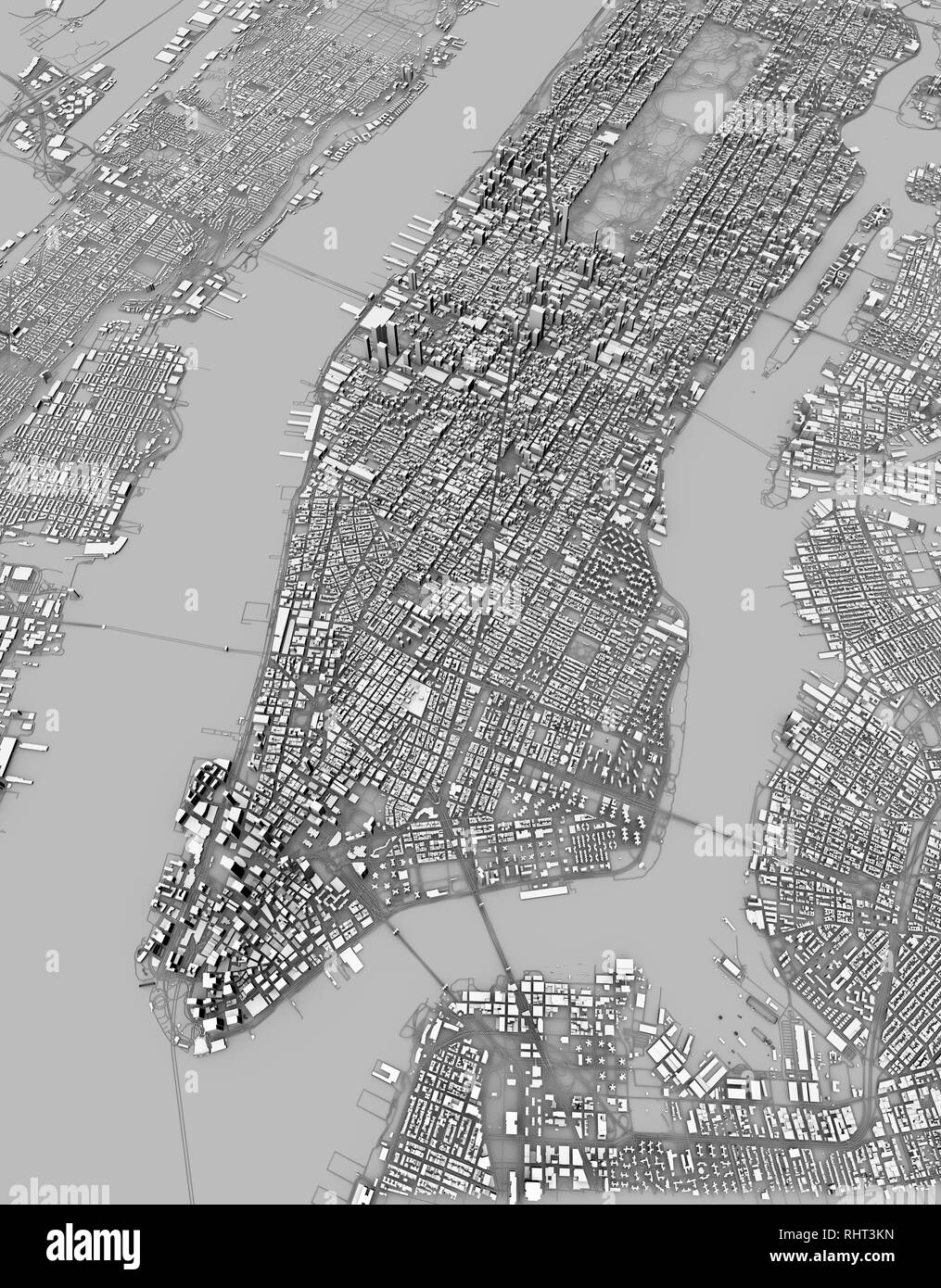 Satellite view of New York city, map, 3d buildings, 3d rendering. Streets and skyscraper of Manhattan Stock Photohttps://www.alamy.com/image-license-details/?v=1https://www.alamy.com/satellite-view-of-new-york-city-map-3d-buildings-3d-rendering-streets-and-skyscraper-of-manhattan-image234713689.html
RFRHT3KN–Satellite view of New York city, map, 3d buildings, 3d rendering. Streets and skyscraper of Manhattan
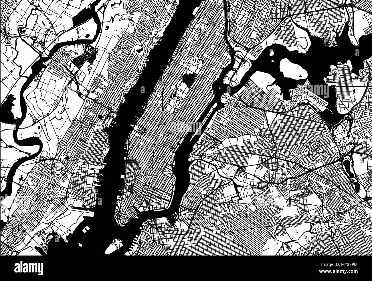 Map of Manhattan with parts of the Bronx, Queens, Brooklyn and Jersey City. Very detailled version without bridges and names. Stock Vectorhttps://www.alamy.com/image-license-details/?v=1https://www.alamy.com/map-of-manhattan-with-parts-of-the-bronx-queens-brooklyn-and-jersey-city-very-detailled-version-without-bridges-and-names-image188750204.html
RFMY28PM–Map of Manhattan with parts of the Bronx, Queens, Brooklyn and Jersey City. Very detailled version without bridges and names.
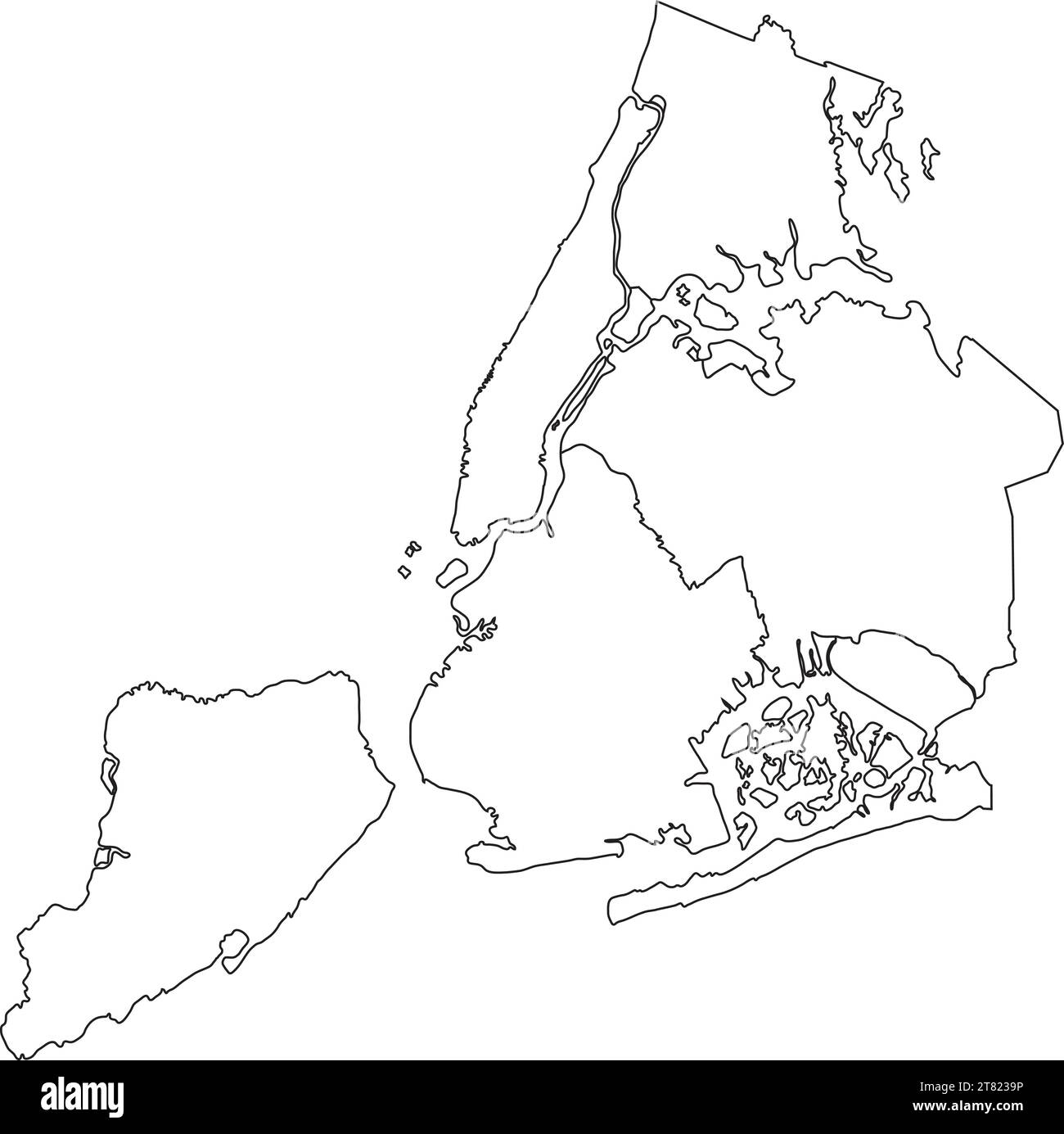 White boroughs map of the NEW YORK CITY, UNITED STATES Stock Vectorhttps://www.alamy.com/image-license-details/?v=1https://www.alamy.com/white-boroughs-map-of-the-new-york-city-united-states-image572905922.html
RF2T8239P–White boroughs map of the NEW YORK CITY, UNITED STATES
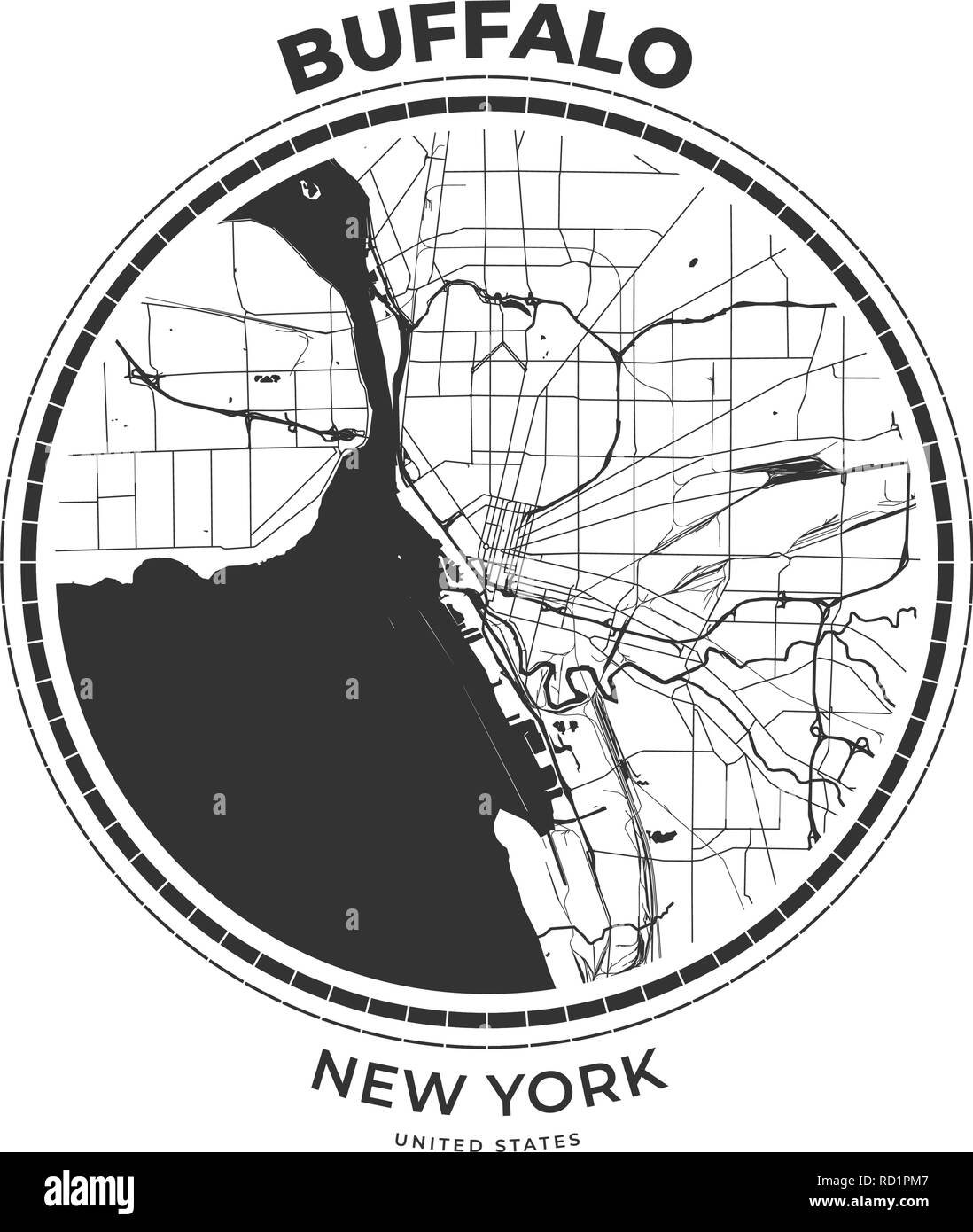 T-shirt map badge of Buffalo, New York. Tee shirt print typography label badge emblem. Vector illustration Stock Vectorhttps://www.alamy.com/image-license-details/?v=1https://www.alamy.com/t-shirt-map-badge-of-buffalo-new-york-tee-shirt-print-typography-label-badge-emblem-vector-illustration-image231765079.html
RFRD1PM7–T-shirt map badge of Buffalo, New York. Tee shirt print typography label badge emblem. Vector illustration
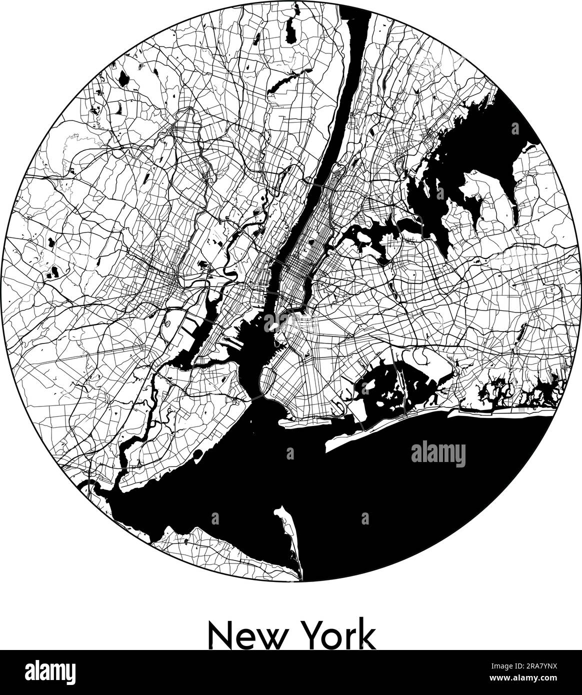 City Map New York United States North America vector illustration black white Stock Vectorhttps://www.alamy.com/image-license-details/?v=1https://www.alamy.com/city-map-new-york-united-states-north-america-vector-illustration-black-white-image557053782.html
RF2RA7YNX–City Map New York United States North America vector illustration black white
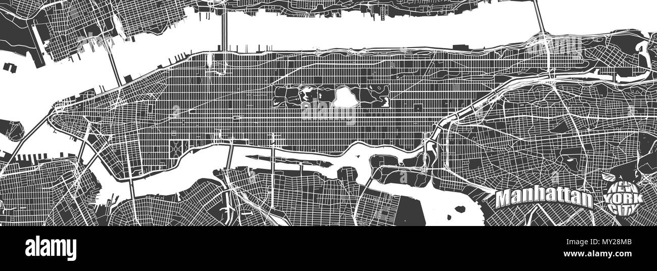 Map of Manhattan with Typography Logo. Very detailled version with bridges and without names. Manhattan logo and Big apple sign grouped seperatly. Stock Vectorhttps://www.alamy.com/image-license-details/?v=1https://www.alamy.com/map-of-manhattan-with-typography-logo-very-detailled-version-with-bridges-and-without-names-manhattan-logo-and-big-apple-sign-grouped-seperatly-image188750139.html
RFMY28MB–Map of Manhattan with Typography Logo. Very detailled version with bridges and without names. Manhattan logo and Big apple sign grouped seperatly.
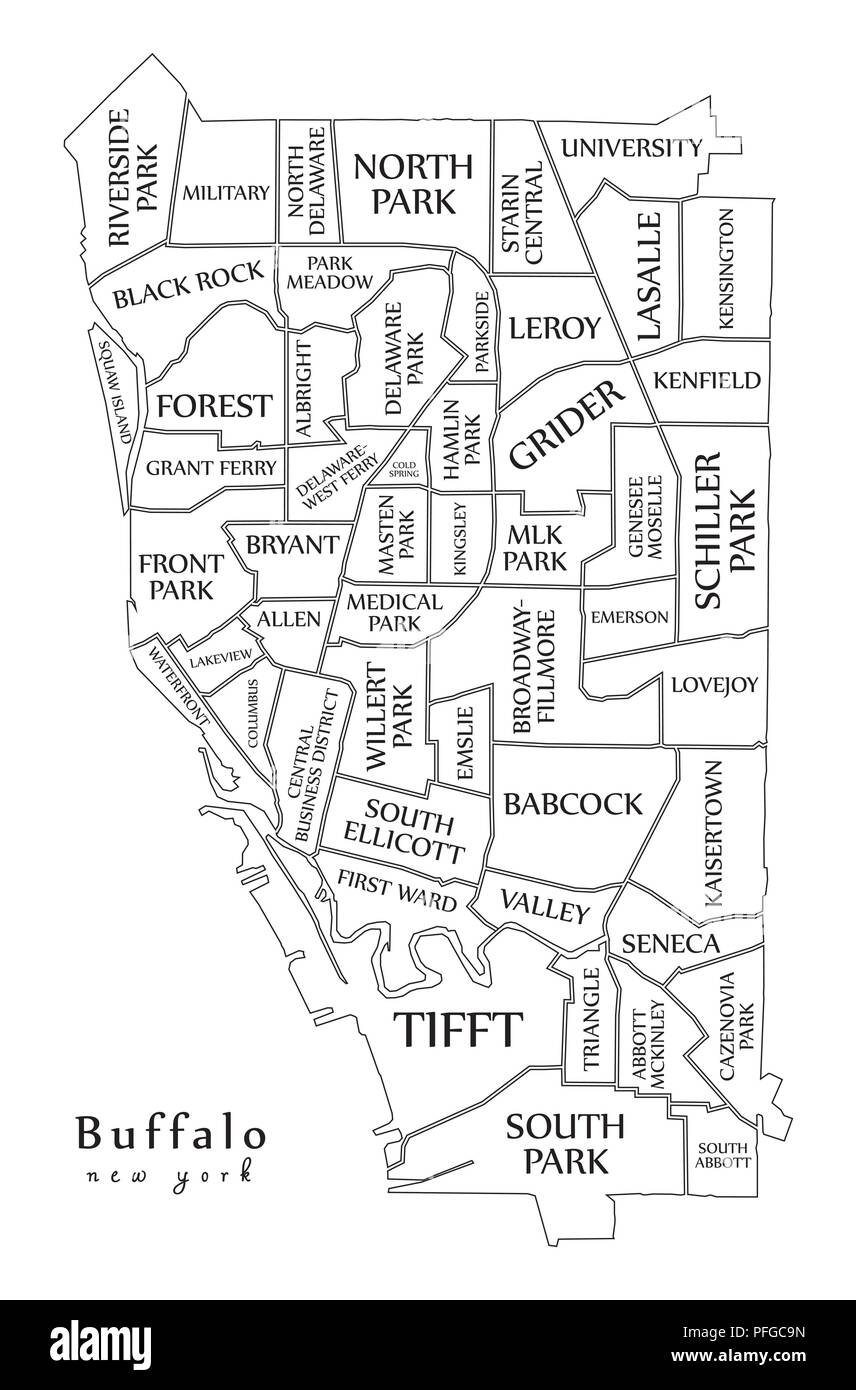 Modern City Map - Buffalo New York city of the USA with neighborhoods and titles outline map Stock Vectorhttps://www.alamy.com/image-license-details/?v=1https://www.alamy.com/modern-city-map-buffalo-new-york-city-of-the-usa-with-neighborhoods-and-titles-outline-map-image216105169.html
RFPFGC9N–Modern City Map - Buffalo New York city of the USA with neighborhoods and titles outline map
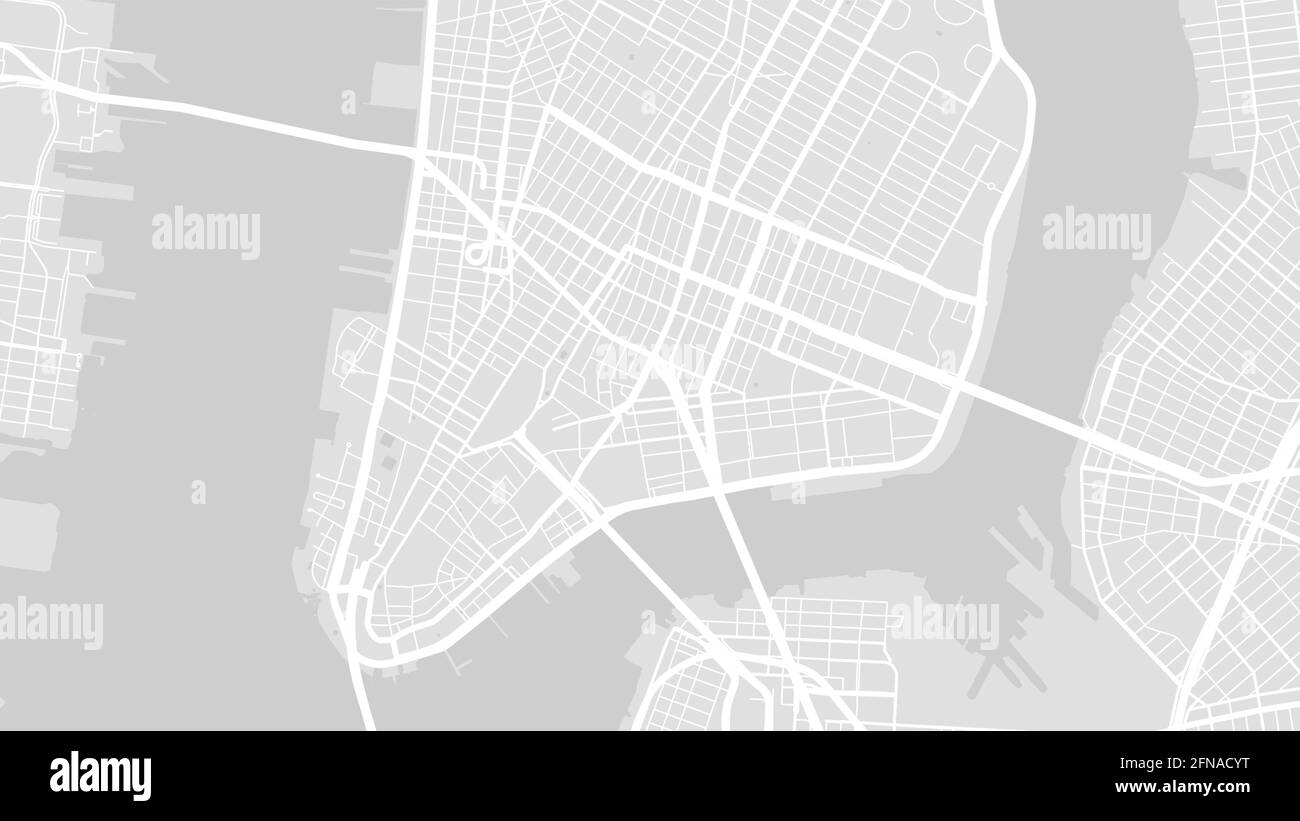 Grey and white New York city area vector background map, streets and water cartography illustration. Widescreen proportion, digital flat design street Stock Vectorhttps://www.alamy.com/image-license-details/?v=1https://www.alamy.com/grey-and-white-new-york-city-area-vector-background-map-streets-and-water-cartography-illustration-widescreen-proportion-digital-flat-design-street-image426186316.html
RF2FNACYT–Grey and white New York city area vector background map, streets and water cartography illustration. Widescreen proportion, digital flat design street
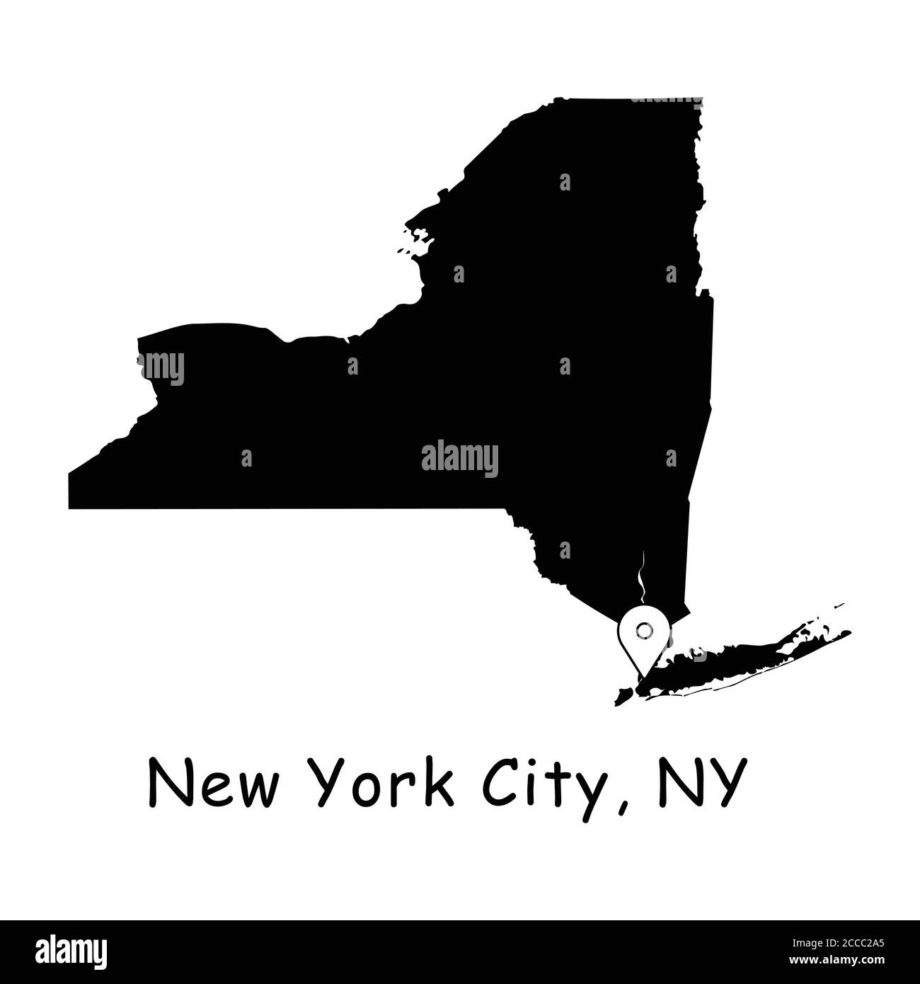 New York City on New York State Map. Detailed NY State Map with Location Pin on NYC City. Black silhouette vector maps isolated on white background. Stock Vectorhttps://www.alamy.com/image-license-details/?v=1https://www.alamy.com/new-york-city-on-new-york-state-map-detailed-ny-state-map-with-location-pin-on-nyc-city-black-silhouette-vector-maps-isolated-on-white-background-image369058877.html
RF2CCC2A5–New York City on New York State Map. Detailed NY State Map with Location Pin on NYC City. Black silhouette vector maps isolated on white background.
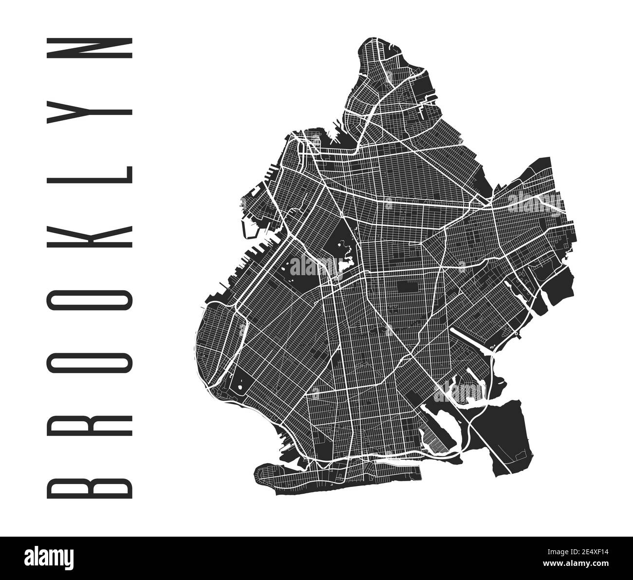 Brooklyn map poster. New York city borough street map. Cityscape aria panorama silhouette aerial view, typography style. Jamaica Bay, the Atlantic Oce Stock Vectorhttps://www.alamy.com/image-license-details/?v=1https://www.alamy.com/brooklyn-map-poster-new-york-city-borough-street-map-cityscape-aria-panorama-silhouette-aerial-view-typography-style-jamaica-bay-the-atlantic-oce-image398879632.html
RF2E4XF14–Brooklyn map poster. New York city borough street map. Cityscape aria panorama silhouette aerial view, typography style. Jamaica Bay, the Atlantic Oce
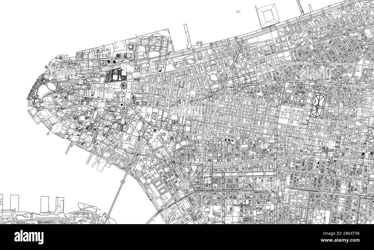 New York minimal blueprint style city map. 3D Rendering Stock Photohttps://www.alamy.com/image-license-details/?v=1https://www.alamy.com/new-york-minimal-blueprint-style-city-map-3d-rendering-image348485124.html
RF2B6XT98–New York minimal blueprint style city map. 3D Rendering
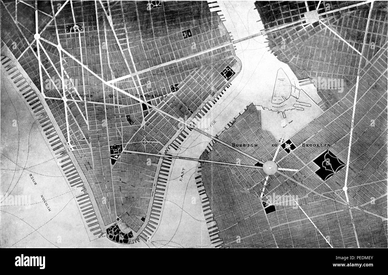 Engraved map of Brooklyn and Lower Manhattan, New York City, 1907. Courtesy Internet Archive. () Stock Photohttps://www.alamy.com/image-license-details/?v=1https://www.alamy.com/engraved-map-of-brooklyn-and-lower-manhattan-new-york-city-1907-courtesy-internet-archive-image215431075.html
RMPEDMEY–Engraved map of Brooklyn and Lower Manhattan, New York City, 1907. Courtesy Internet Archive. ()
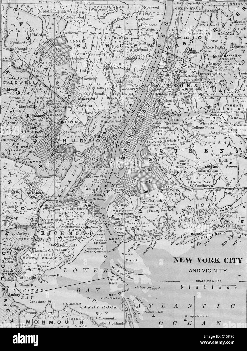 Old map of New York City from original geography textbook, 1903 Stock Photohttps://www.alamy.com/image-license-details/?v=1https://www.alamy.com/stock-photo-old-map-of-new-york-city-from-original-geography-textbook-1903-35160300.html
RMC15K90–Old map of New York City from original geography textbook, 1903
 Syracuse USA City Map in Black and White Color in Retro Style. Outline Map. Vector Illustration. Stock Vectorhttps://www.alamy.com/image-license-details/?v=1https://www.alamy.com/syracuse-usa-city-map-in-black-and-white-color-in-retro-style-outline-map-vector-illustration-image365473225.html
RF2C6GMR5–Syracuse USA City Map in Black and White Color in Retro Style. Outline Map. Vector Illustration.
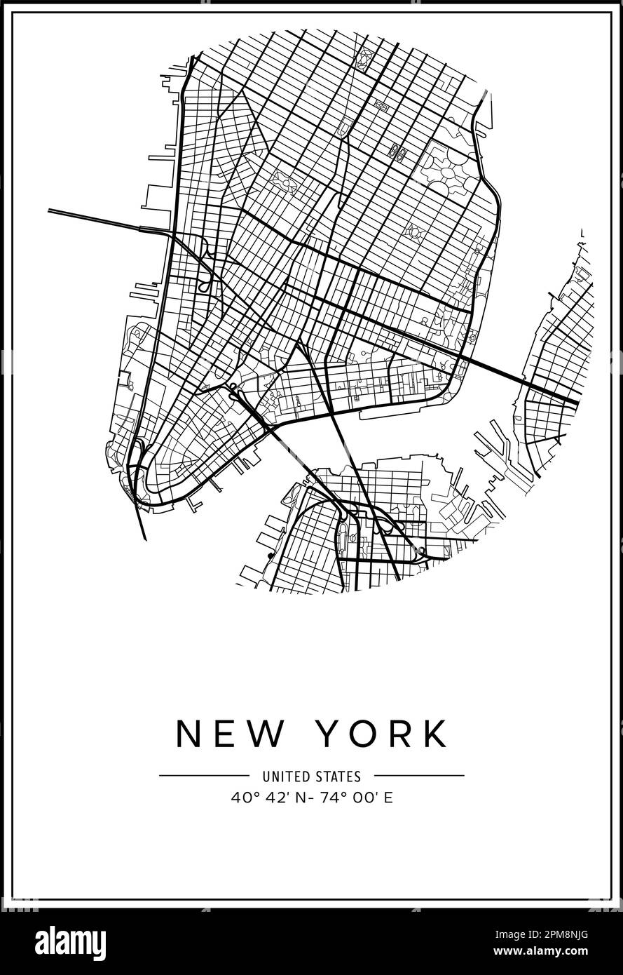 Black and white printable New York city map, poster design, vector illistration. Stock Vectorhttps://www.alamy.com/image-license-details/?v=1https://www.alamy.com/black-and-white-printable-new-york-city-map-poster-design-vector-illistration-image546007128.html
RF2PM8NJG–Black and white printable New York city map, poster design, vector illistration.
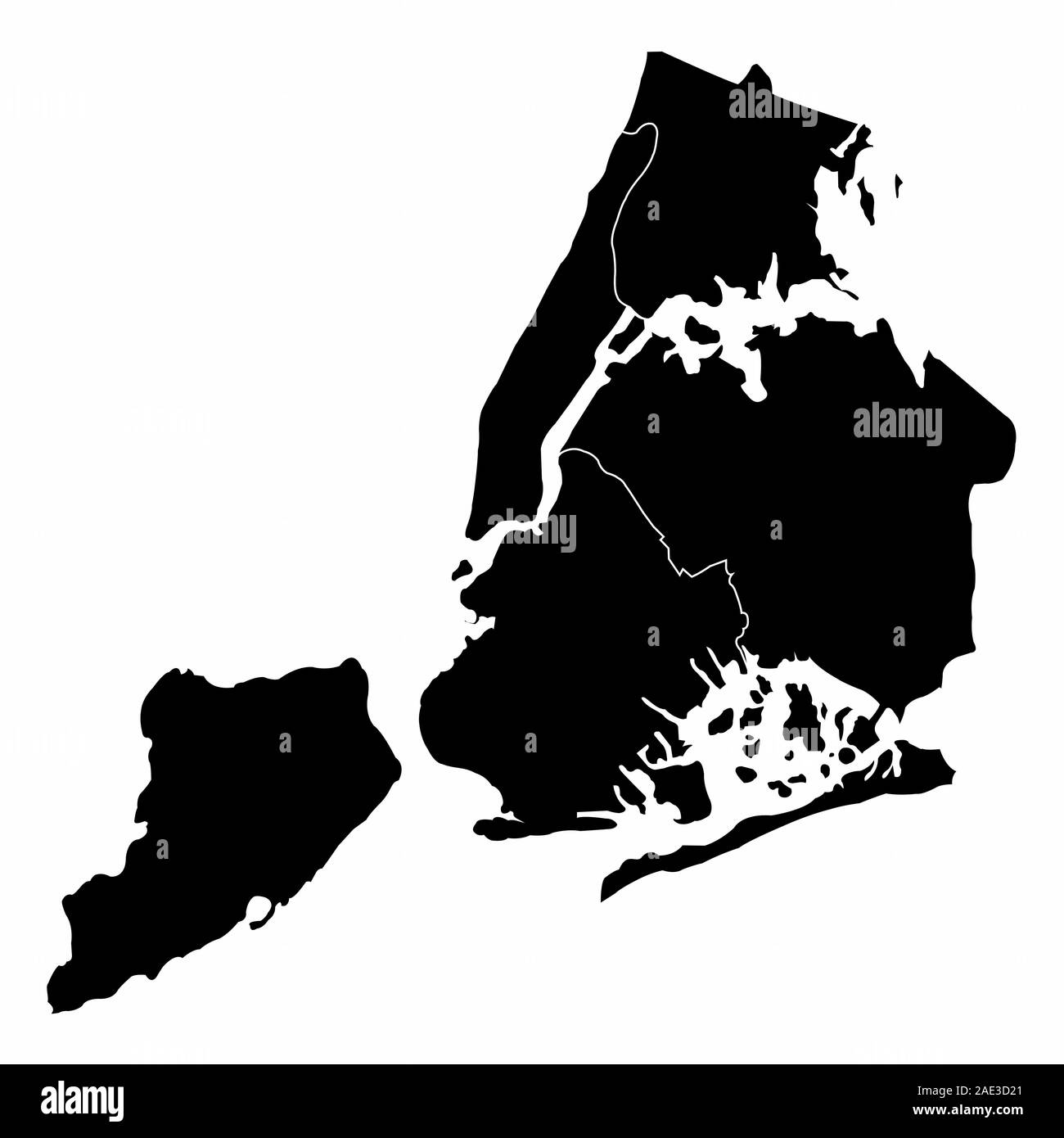 New York City silhouette map Stock Vectorhttps://www.alamy.com/image-license-details/?v=1https://www.alamy.com/new-york-city-silhouette-map-image335678281.html
RF2AE3D21–New York City silhouette map
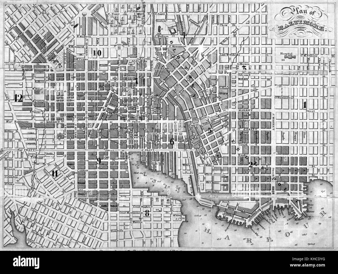 Map showing plan of the city, Baltimore, Maryland, 1832. From the New York Public Library. Stock Photohttps://www.alamy.com/image-license-details/?v=1https://www.alamy.com/stock-image-map-showing-plan-of-the-city-baltimore-maryland-1832-from-the-new-165616852.html
RMKHCDYG–Map showing plan of the city, Baltimore, Maryland, 1832. From the New York Public Library.
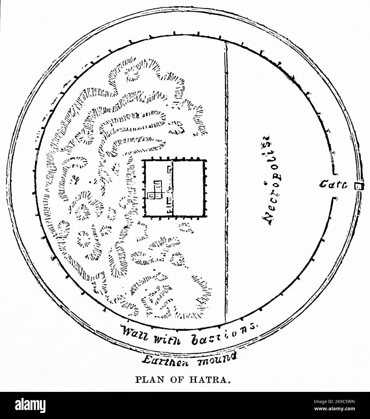 Plan of Hatra, Illustration, Ridpath's History of the World, Volume I, by John Clark Ridpath, LL. D., Merrill & Baker Publishers, New York, 1894 Stock Photohttps://www.alamy.com/image-license-details/?v=1https://www.alamy.com/plan-of-hatra-illustration-ridpaths-history-of-the-world-volume-i-by-john-clark-ridpath-ll-d-merrill-baker-publishers-new-york-1894-image487690273.html
RM2K9C5WN–Plan of Hatra, Illustration, Ridpath's History of the World, Volume I, by John Clark Ridpath, LL. D., Merrill & Baker Publishers, New York, 1894
 A vector illustration of New York state map typography Stock Vectorhttps://www.alamy.com/image-license-details/?v=1https://www.alamy.com/a-vector-illustration-of-new-york-state-map-typography-image477296598.html
RF2JMEMK2–A vector illustration of New York state map typography
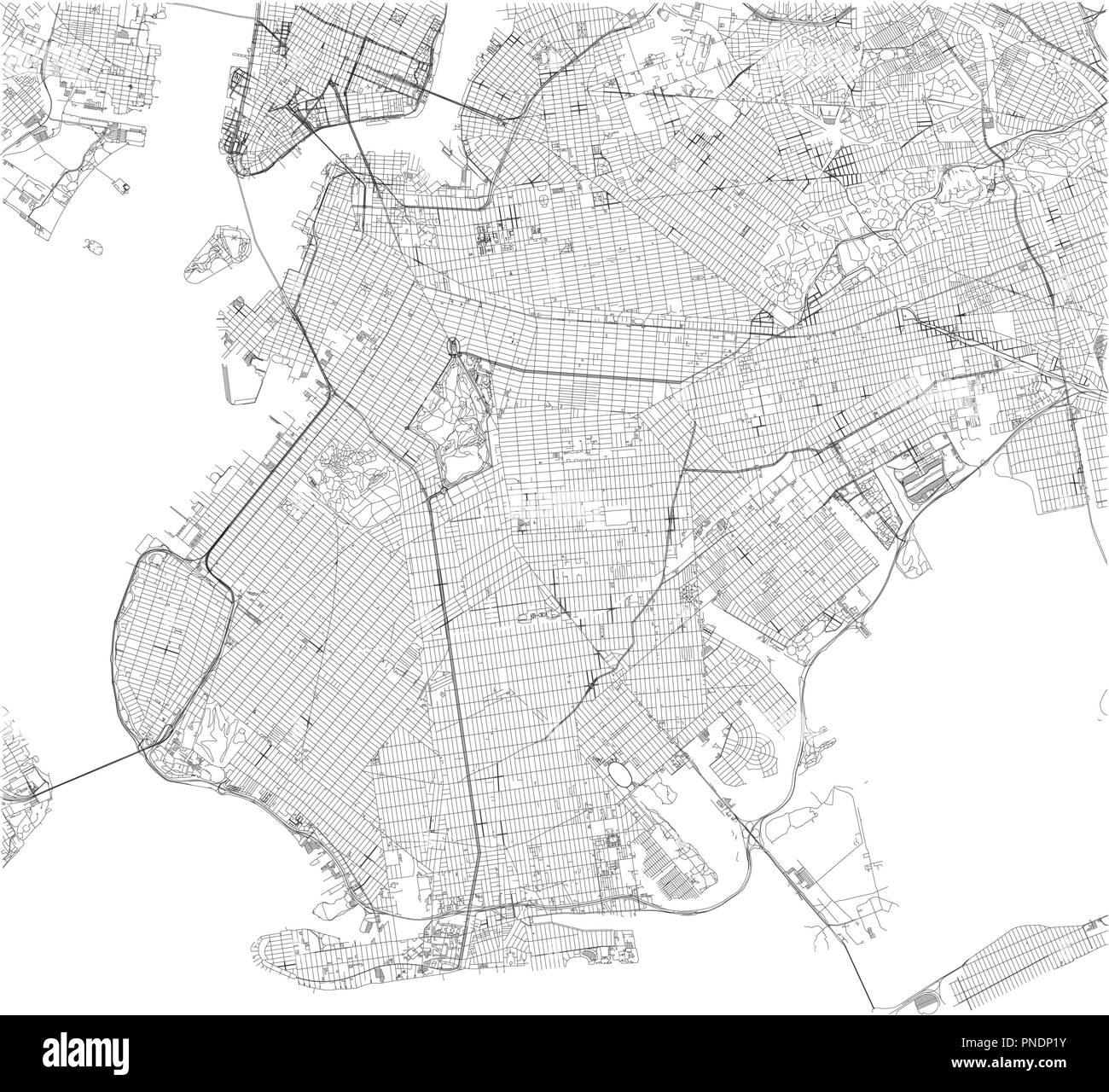 Brooklyn map, New York city, streets and district. City map. Usa Stock Vectorhttps://www.alamy.com/image-license-details/?v=1https://www.alamy.com/brooklyn-map-new-york-city-streets-and-district-city-map-usa-image219734871.html
RFPNDP1Y–Brooklyn map, New York city, streets and district. City map. Usa
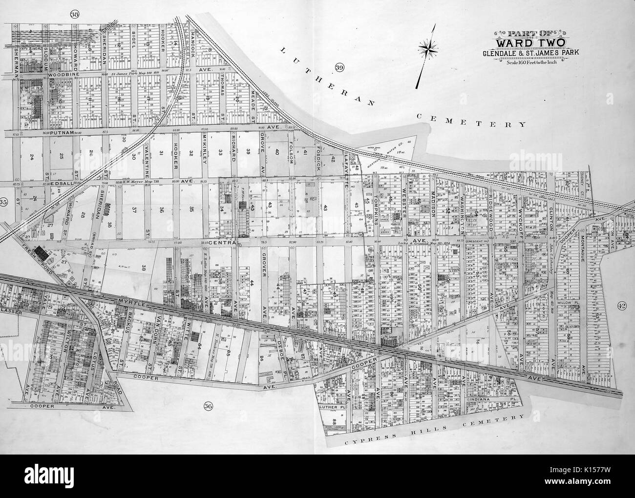 Map of Ward 2 in Queens, New York, with original caption reading 'Map bounded by Sherman St, Slocum St, Howard St, Sheridan St, Sigel St, Hooker St, Hancock St, Thomas St, Meade St, Folsom Ave, Fosdick Ave, Tompkins Ave, Webster Ave, Madison Ave, Washington Ave, Including Ridgewood Ave, Wyckoff Ave, Clinton Ave, Cooper Ave, Montague Ave, Fulton Ave, Myrtle Ave, Indiana PL, Luther PL, Yale Ave, Glasser St, Harman Ave, Fresh Pond Road, Edsall Ave, Putnam Ave, Woodbine Ave', Washington, DC, 1742. Stock Photohttps://www.alamy.com/image-license-details/?v=1https://www.alamy.com/map-of-ward-2-in-queens-new-york-with-original-caption-reading-map-image155623437.html
RMK1577W–Map of Ward 2 in Queens, New York, with original caption reading 'Map bounded by Sherman St, Slocum St, Howard St, Sheridan St, Sigel St, Hooker St, Hancock St, Thomas St, Meade St, Folsom Ave, Fosdick Ave, Tompkins Ave, Webster Ave, Madison Ave, Washington Ave, Including Ridgewood Ave, Wyckoff Ave, Clinton Ave, Cooper Ave, Montague Ave, Fulton Ave, Myrtle Ave, Indiana PL, Luther PL, Yale Ave, Glasser St, Harman Ave, Fresh Pond Road, Edsall Ave, Putnam Ave, Woodbine Ave', Washington, DC, 1742.
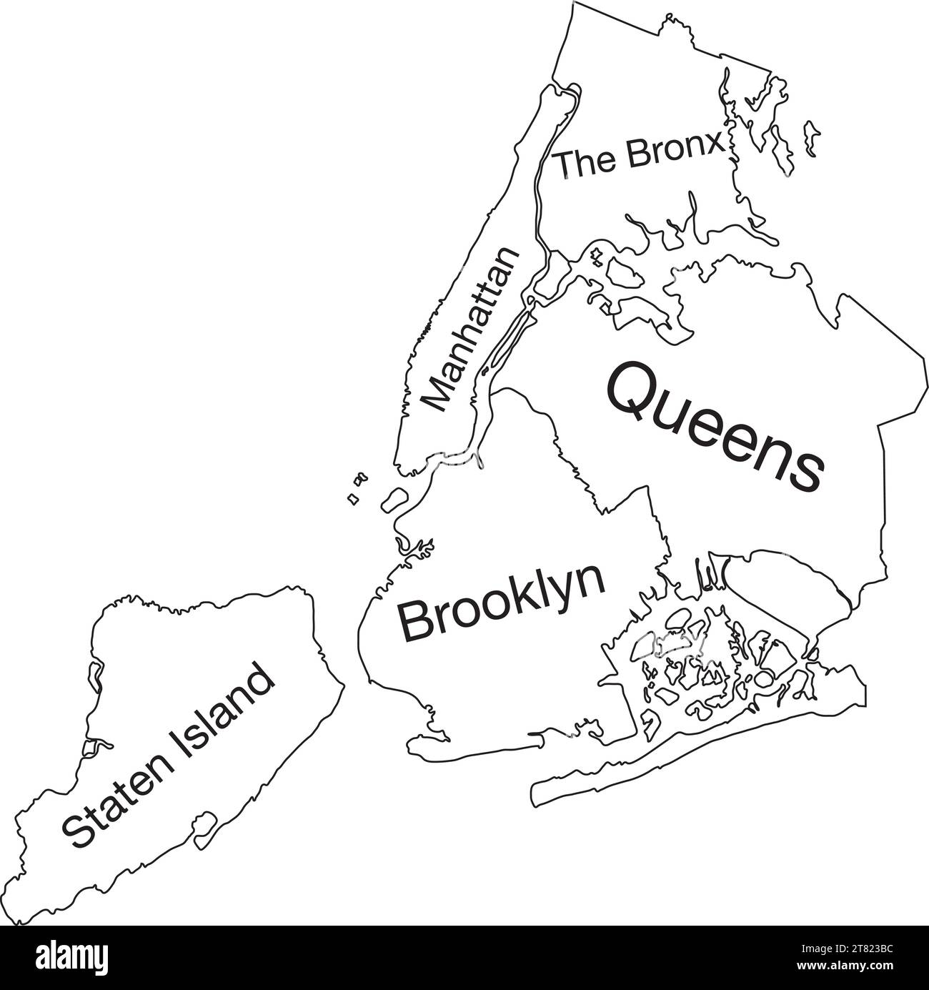 White tagged boroughs map of the NEW YORK CITY, UNITED STATES Stock Vectorhttps://www.alamy.com/image-license-details/?v=1https://www.alamy.com/white-tagged-boroughs-map-of-the-new-york-city-united-states-image572905968.html
RF2T823BC–White tagged boroughs map of the NEW YORK CITY, UNITED STATES
 Engraving of a map of the city of New York titled 'A new and accurate plan of the city of New York in the state of New York in North America', by John Roberts, Benjamin Taylor surveyor, 1797. From the New York Public Library. Stock Photohttps://www.alamy.com/image-license-details/?v=1https://www.alamy.com/stock-image-engraving-of-a-map-of-the-city-of-new-york-titled-a-new-and-accurate-166054598.html
RMKJ4C9A–Engraving of a map of the city of New York titled 'A new and accurate plan of the city of New York in the state of New York in North America', by John Roberts, Benjamin Taylor surveyor, 1797. From the New York Public Library.
 New York City Name (United States, North America) with black white city map illustration vector Stock Vectorhttps://www.alamy.com/image-license-details/?v=1https://www.alamy.com/new-york-city-name-united-states-north-america-with-black-white-city-map-illustration-vector-image569791623.html
RF2T3070R–New York City Name (United States, North America) with black white city map illustration vector
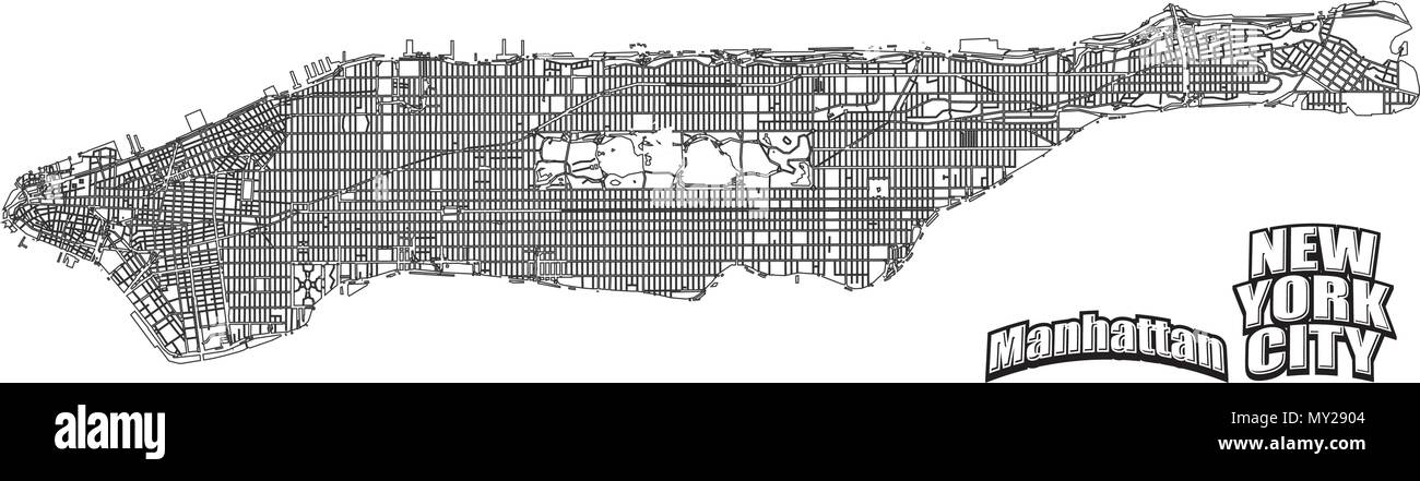 Manhattan map horizontal alinged . Very detailled version without bridges and names. NYC and Manhattan logo grouped seperatly in vector version. Stock Vectorhttps://www.alamy.com/image-license-details/?v=1https://www.alamy.com/manhattan-map-horizontal-alinged-very-detailled-version-without-bridges-and-names-nyc-and-manhattan-logo-grouped-seperatly-in-vector-version-image188750356.html
RFMY2904–Manhattan map horizontal alinged . Very detailled version without bridges and names. NYC and Manhattan logo grouped seperatly in vector version.
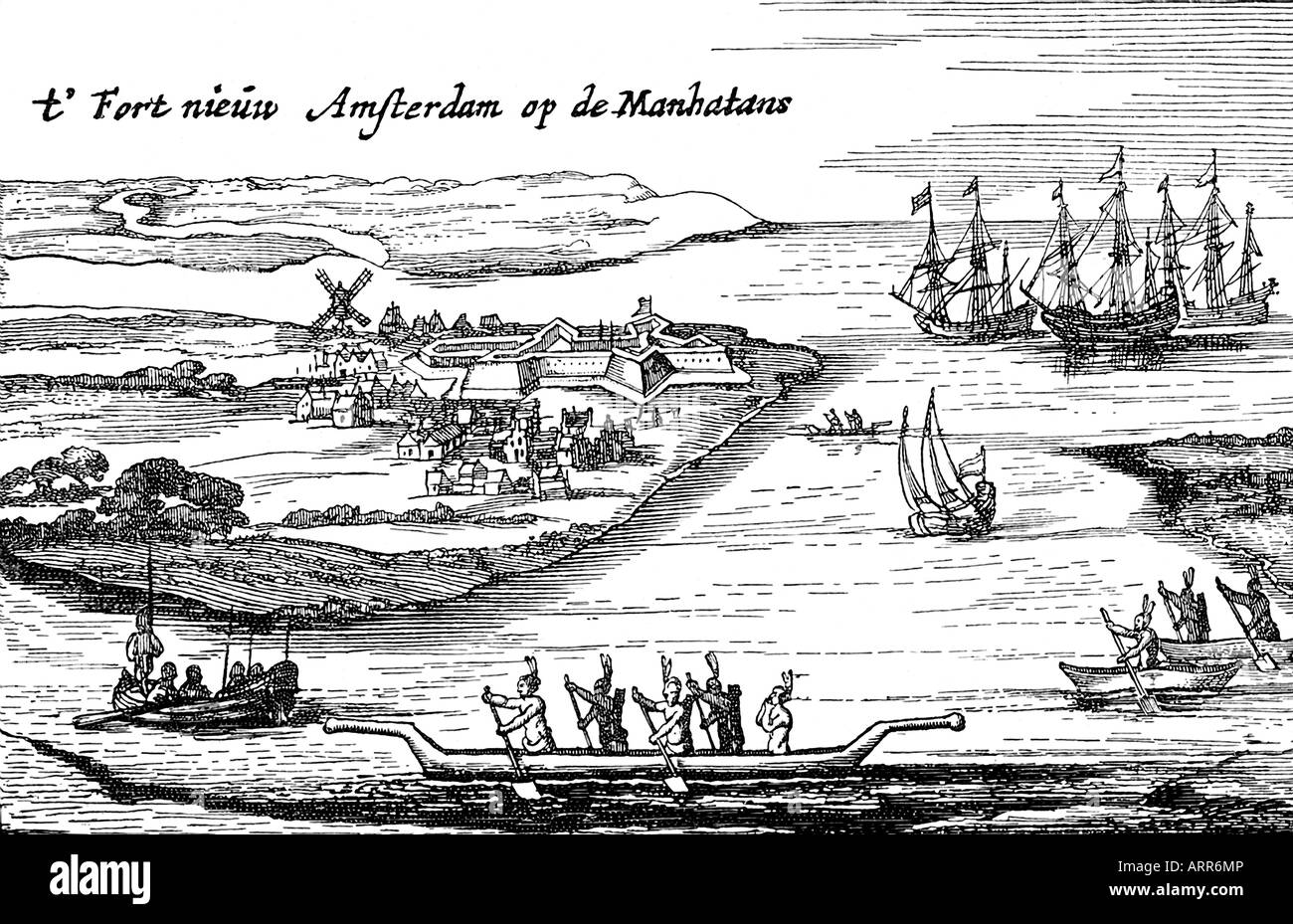 First Map of New Amsterdam Stock Photohttps://www.alamy.com/image-license-details/?v=1https://www.alamy.com/stock-photo-first-map-of-new-amsterdam-16111893.html
RFARR6MP–First Map of New Amsterdam
 New York City, USA, Monochrome Map Artprint, Vector Outline Version, ready for color change, Separated On White Stock Vectorhttps://www.alamy.com/image-license-details/?v=1https://www.alamy.com/new-york-city-usa-monochrome-map-artprint-vector-outline-version-ready-for-color-change-separated-on-white-image185232387.html
RFMNA1PB–New York City, USA, Monochrome Map Artprint, Vector Outline Version, ready for color change, Separated On White
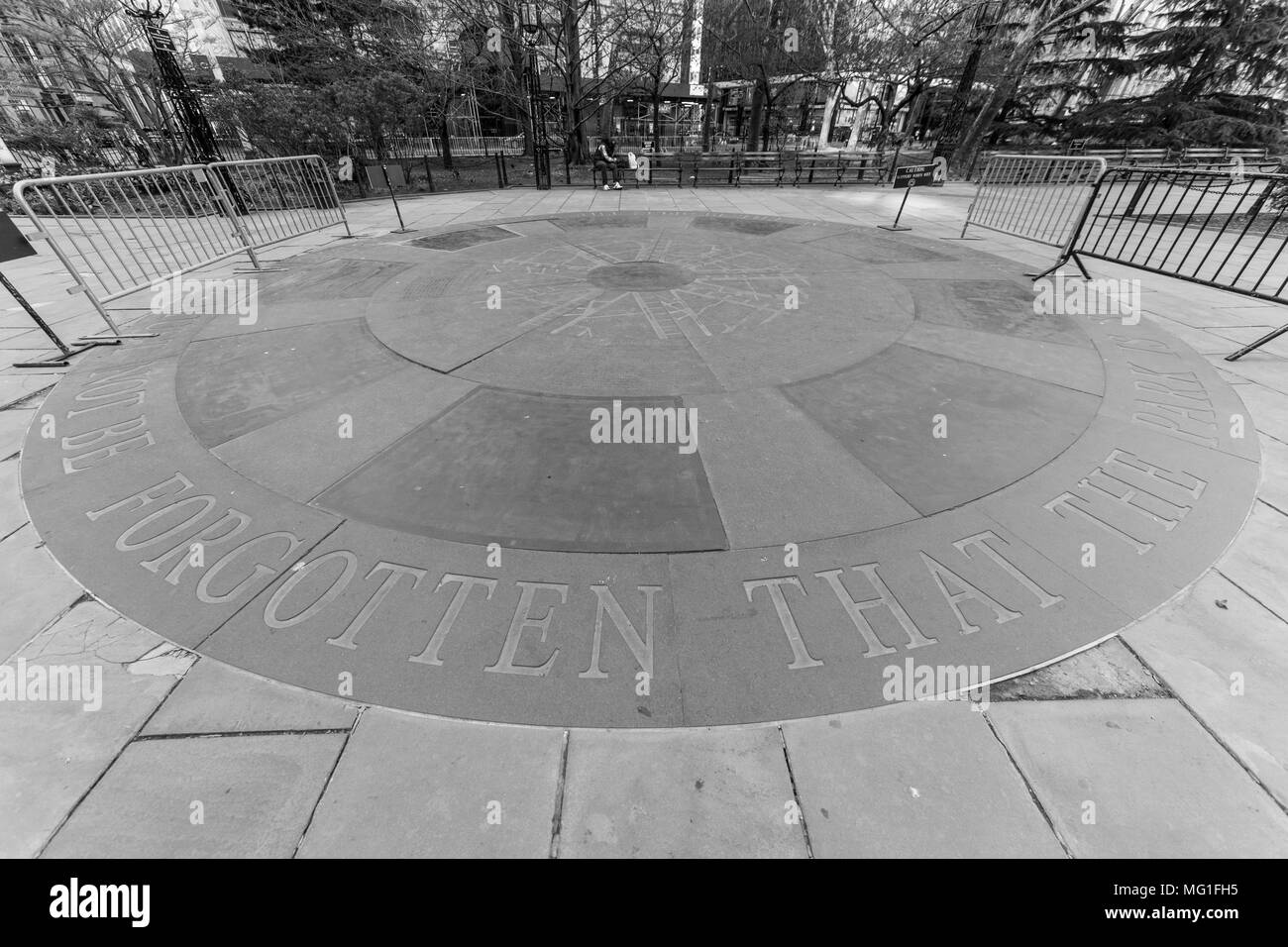 City Hall Park, New York, NY Stock Photohttps://www.alamy.com/image-license-details/?v=1https://www.alamy.com/city-hall-park-new-york-ny-image181972369.html
RFMG1FH5–City Hall Park, New York, NY
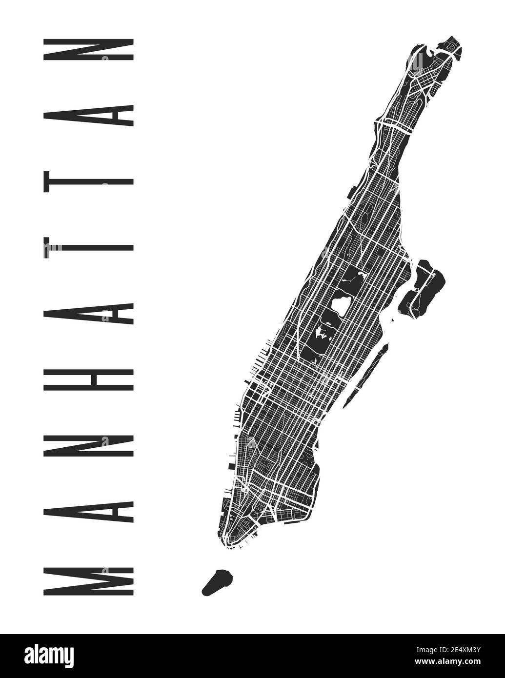 Manhattan map poster. New York city borough street map. Cityscape aria panorama silhouette aerial view, typography style. Hudson, East, Harlem, Marble Stock Vectorhttps://www.alamy.com/image-license-details/?v=1https://www.alamy.com/manhattan-map-poster-new-york-city-borough-street-map-cityscape-aria-panorama-silhouette-aerial-view-typography-style-hudson-east-harlem-marble-image398883631.html
RF2E4XM3Y–Manhattan map poster. New York city borough street map. Cityscape aria panorama silhouette aerial view, typography style. Hudson, East, Harlem, Marble
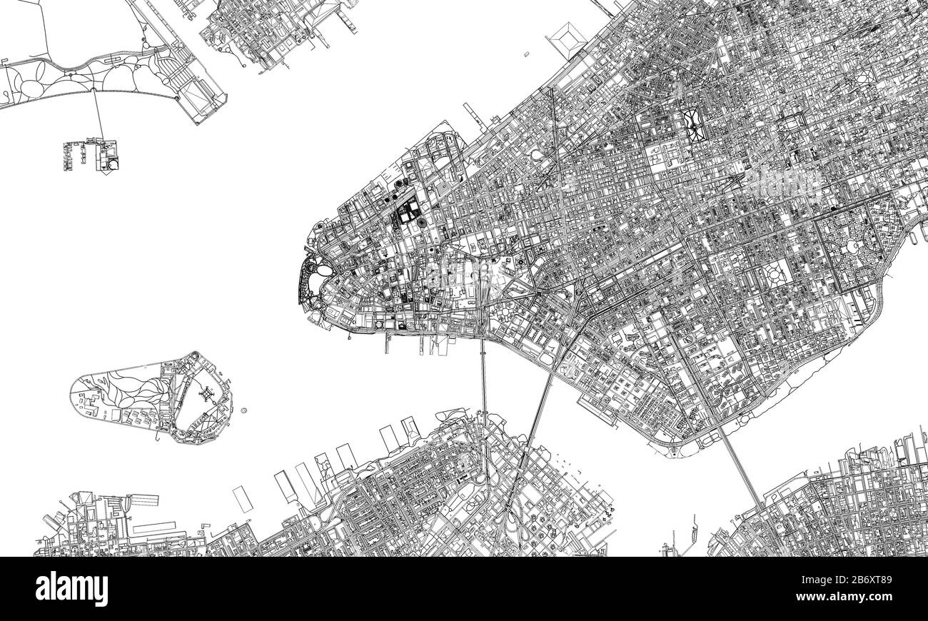 New York minimal blueprint style city map. 3D Rendering Stock Photohttps://www.alamy.com/image-license-details/?v=1https://www.alamy.com/new-york-minimal-blueprint-style-city-map-3d-rendering-image348485097.html
RF2B6XT89–New York minimal blueprint style city map. 3D Rendering
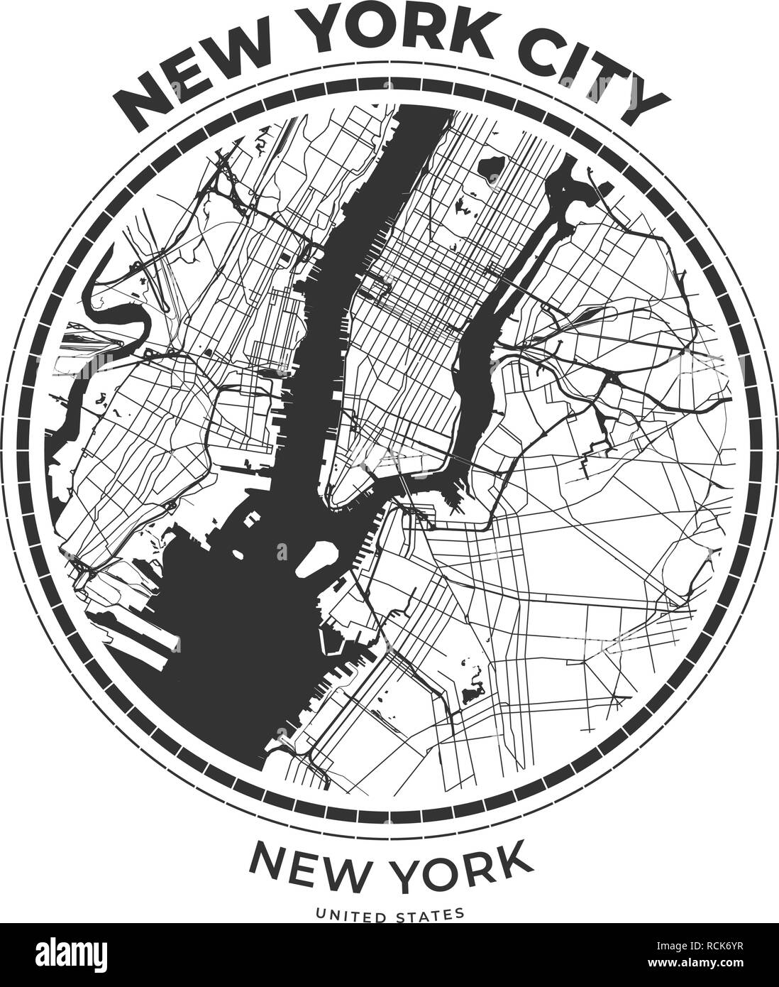 T-shirt map badge of New York City, New York. Tee shirt print typography label badge emblem. Vector illustration Stock Vectorhttps://www.alamy.com/image-license-details/?v=1https://www.alamy.com/t-shirt-map-badge-of-new-york-city-new-york-tee-shirt-print-typography-label-badge-emblem-vector-illustration-image231533227.html
RFRCK6YR–T-shirt map badge of New York City, New York. Tee shirt print typography label badge emblem. Vector illustration
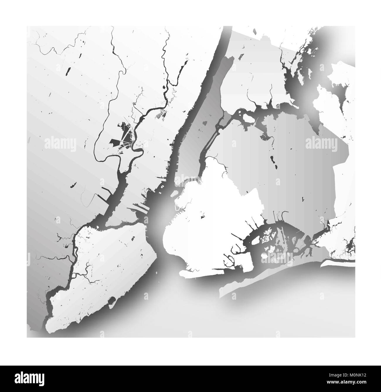 High resolution map of New York City with NYC boroughs. Stock Vectorhttps://www.alamy.com/image-license-details/?v=1https://www.alamy.com/stock-photo-high-resolution-map-of-new-york-city-with-nyc-boroughs-172579598.html
RFM0NK12–High resolution map of New York City with NYC boroughs.
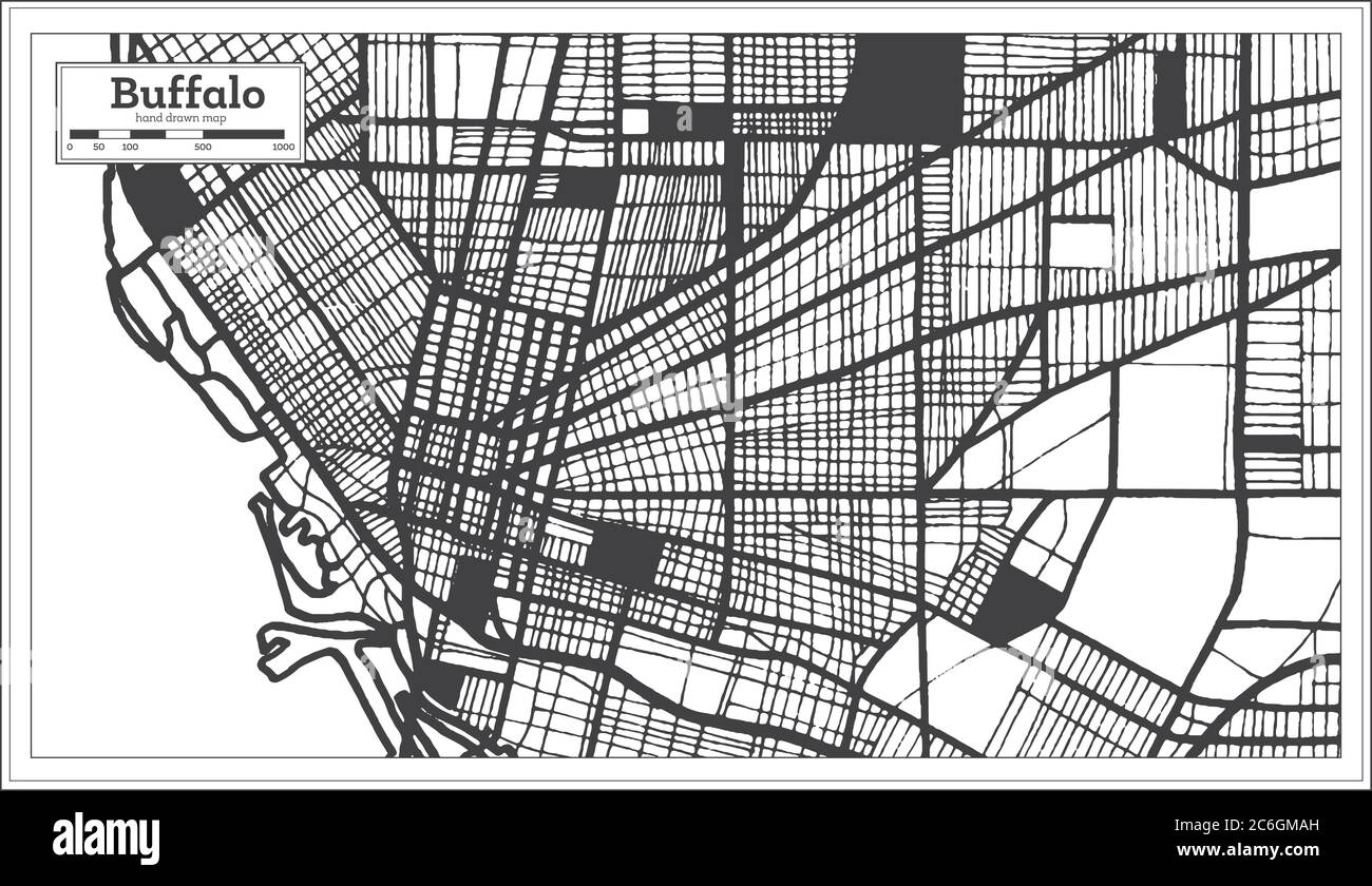 Buffalo USA City Map in Black and White Color in Retro Style. Outline Map. Vector Illustration. Stock Vectorhttps://www.alamy.com/image-license-details/?v=1https://www.alamy.com/buffalo-usa-city-map-in-black-and-white-color-in-retro-style-outline-map-vector-illustration-image365472873.html
RF2C6GMAH–Buffalo USA City Map in Black and White Color in Retro Style. Outline Map. Vector Illustration.
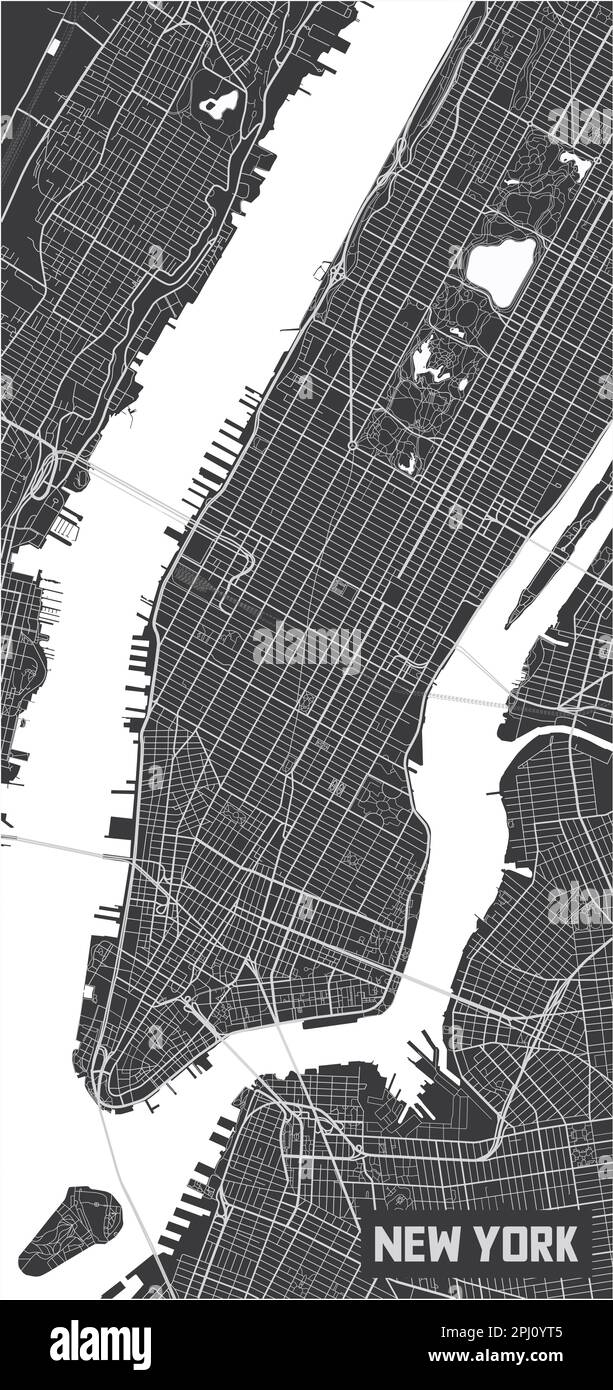 Minimalistic New York city map poster design. Stock Vectorhttps://www.alamy.com/image-license-details/?v=1https://www.alamy.com/minimalistic-new-york-city-map-poster-design-image544607061.html
RF2PJ0YT5–Minimalistic New York city map poster design.
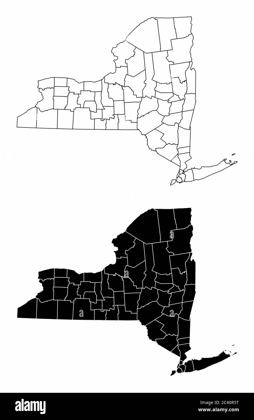 New York County Maps Stock Vectorhttps://www.alamy.com/image-license-details/?v=1https://www.alamy.com/new-york-county-maps-image363894548.html
RF2C40R5T–New York County Maps
 Vector drawing of New York City skyline, outline. USA travel landmark. Black and white cover and background concept. Stock Vectorhttps://www.alamy.com/image-license-details/?v=1https://www.alamy.com/vector-drawing-of-new-york-city-skyline-outline-usa-travel-landmark-black-and-white-cover-and-background-concept-image215347467.html
RFPE9WTY–Vector drawing of New York City skyline, outline. USA travel landmark. Black and white cover and background concept.
 Manhattan dark silhouette map isolated on white background Stock Vectorhttps://www.alamy.com/image-license-details/?v=1https://www.alamy.com/manhattan-dark-silhouette-map-isolated-on-white-background-image265384597.html
RFWBN8N9–Manhattan dark silhouette map isolated on white background
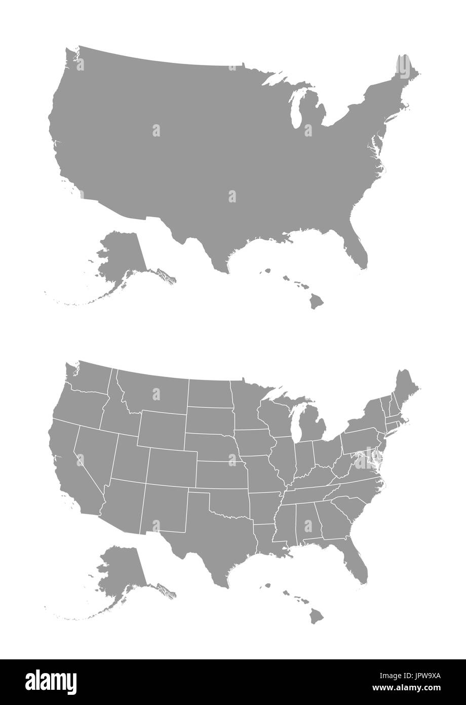 Vector map of the United States of America Stock Vectorhttps://www.alamy.com/image-license-details/?v=1https://www.alamy.com/vector-map-of-the-united-states-of-america-image151761970.html
RFJPW9XA–Vector map of the United States of America
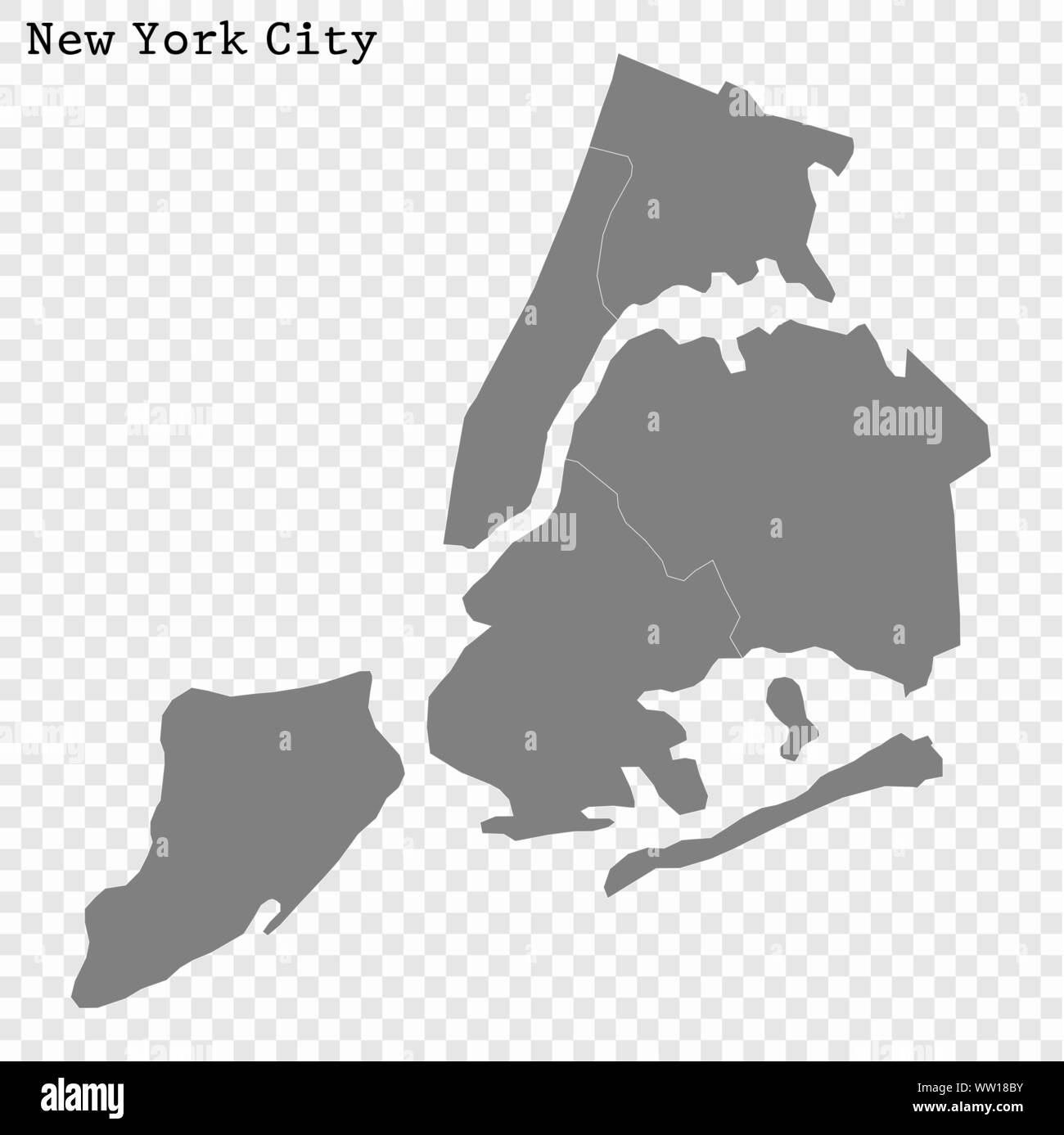 High quality Map New York City. vector illustration Stock Vectorhttps://www.alamy.com/image-license-details/?v=1https://www.alamy.com/high-quality-map-new-york-city-vector-illustration-image273550479.html
RFWW18BY–High quality Map New York City. vector illustration
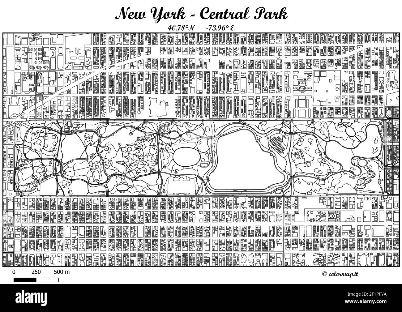 ColorMap JPG HI-RES (6000x4000px -513dpi) New York Central Park, U.S. Printable for any size you want Stock Photohttps://www.alamy.com/image-license-details/?v=1https://www.alamy.com/colormap-jpg-hi-res-6000x4000px-513dpi-new-york-central-park-us-printable-for-any-size-you-want-image414164446.html
RF2F1PPYA–ColorMap JPG HI-RES (6000x4000px -513dpi) New York Central Park, U.S. Printable for any size you want
 Coat of arms of the NEW YORK CITY, UNITED STATES Stock Vectorhttps://www.alamy.com/image-license-details/?v=1https://www.alamy.com/coat-of-arms-of-the-new-york-city-united-states-image572905881.html
RF2T82389–Coat of arms of the NEW YORK CITY, UNITED STATES
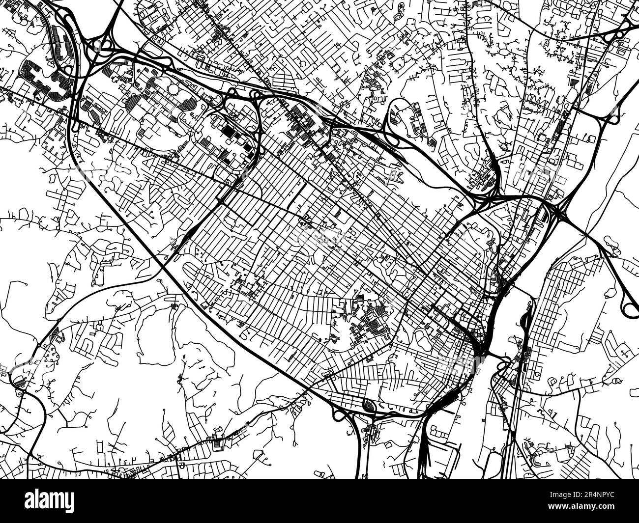 Vector road map of the city of Albany New York in the United States of America on a white background. Stock Photohttps://www.alamy.com/image-license-details/?v=1https://www.alamy.com/vector-road-map-of-the-city-of-albany-new-york-in-the-united-states-of-america-on-a-white-background-image553669408.html
RF2R4NPYC–Vector road map of the city of Albany New York in the United States of America on a white background.
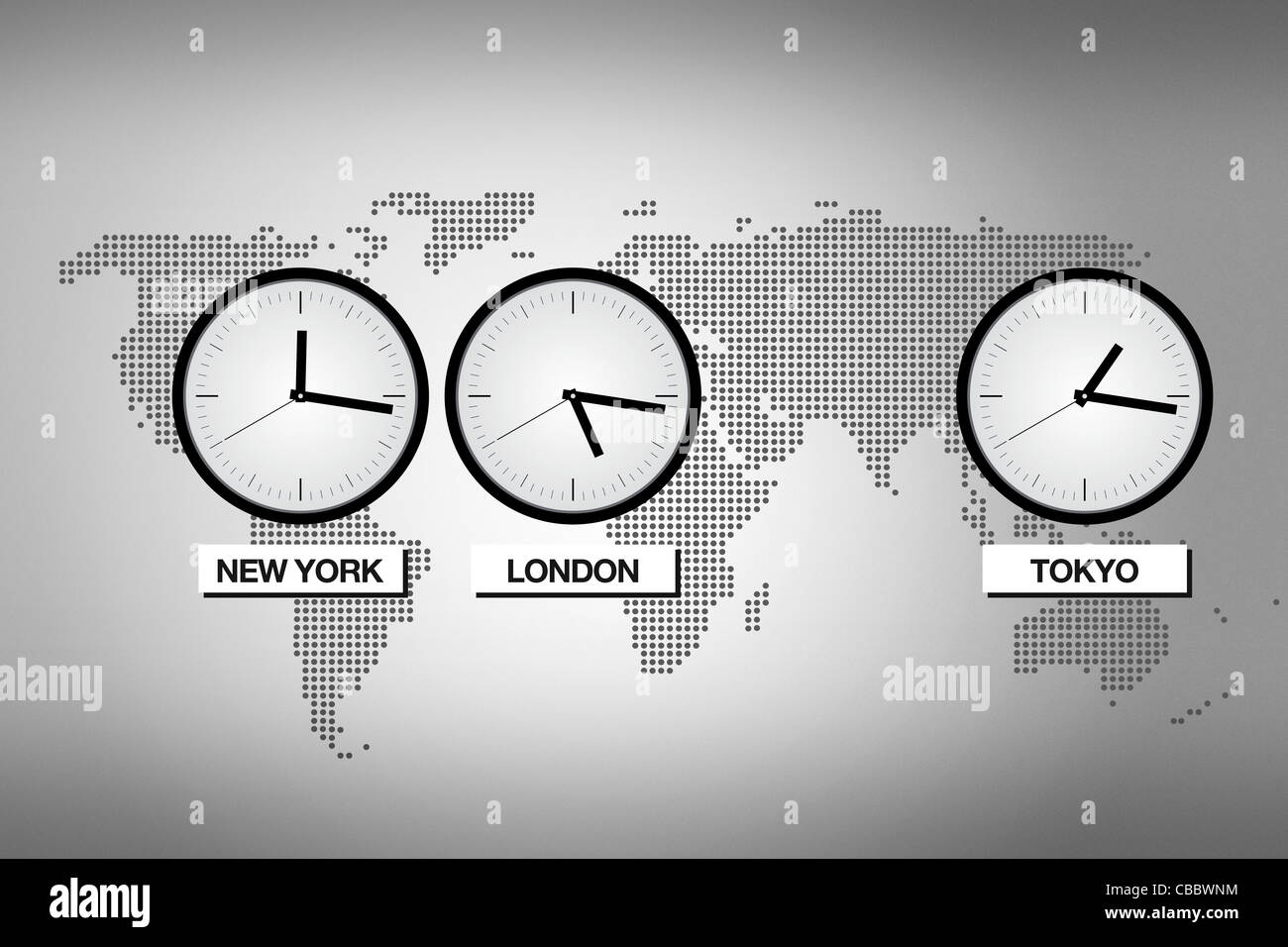 Abstract world map with clocks representing different time zones in big cities like Tokyo, London and New York. Stock Photohttps://www.alamy.com/image-license-details/?v=1https://www.alamy.com/stock-photo-abstract-world-map-with-clocks-representing-different-time-zones-in-41443632.html
RFCBBWNM–Abstract world map with clocks representing different time zones in big cities like Tokyo, London and New York.
 Elementary school child with the world in his arms during a geography class in the library in New York City Stock Photohttps://www.alamy.com/image-license-details/?v=1https://www.alamy.com/stock-photo-elementary-school-child-with-the-world-in-his-arms-during-a-geography-16548165.html
RMAWDH4P–Elementary school child with the world in his arms during a geography class in the library in New York City
 Map of New York on poppies Stock Photohttps://www.alamy.com/image-license-details/?v=1https://www.alamy.com/map-of-new-york-on-poppies-image634537984.html
RF2YT9KJT–Map of New York on poppies
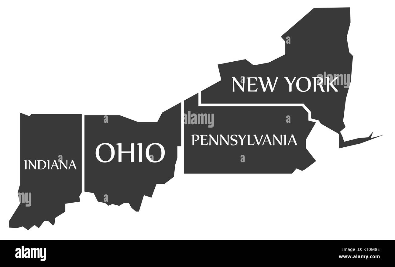 Indiana - Ohio - Pennsylvania - New York Map labelled black Stock Photohttps://www.alamy.com/image-license-details/?v=1https://www.alamy.com/stock-image-indiana-ohio-pennsylvania-new-york-map-labelled-black-169660974.html
RFKT0M8E–Indiana - Ohio - Pennsylvania - New York Map labelled black
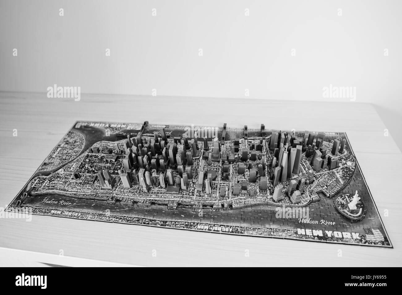 Close-up photo of a 3d New York City map assembled from puzzles. Stock Photohttps://www.alamy.com/image-license-details/?v=1https://www.alamy.com/close-up-photo-of-a-3d-new-york-city-map-assembled-from-puzzles-image154417569.html
RFJY6955–Close-up photo of a 3d New York City map assembled from puzzles.
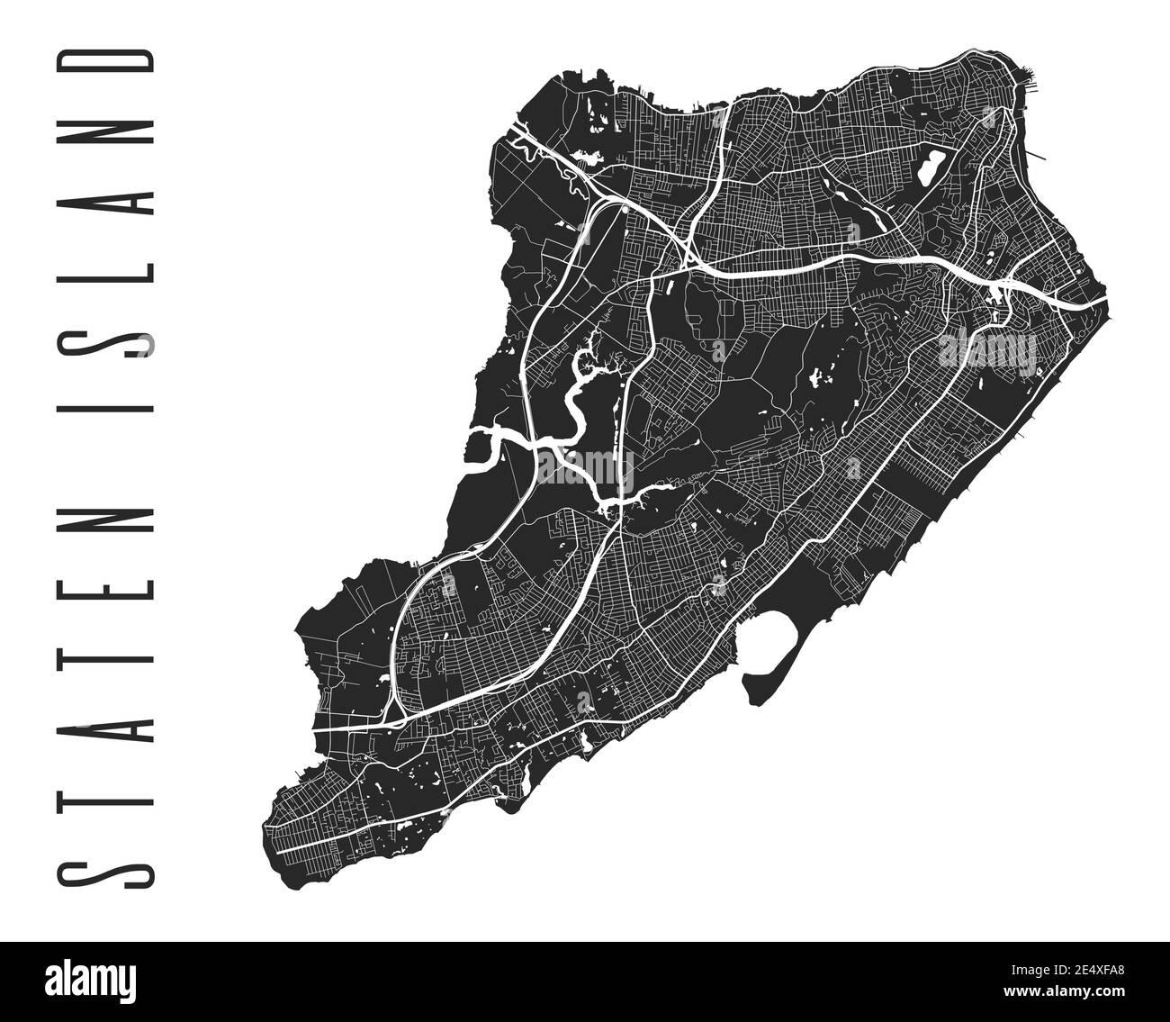 Staten Island map poster. New York city borough street map. Cityscape aria panorama silhouette aerial view, typography style. St George, Tompkinsville Stock Vectorhttps://www.alamy.com/image-license-details/?v=1https://www.alamy.com/staten-island-map-poster-new-york-city-borough-street-map-cityscape-aria-panorama-silhouette-aerial-view-typography-style-st-george-tompkinsville-image398879888.html
RF2E4XFA8–Staten Island map poster. New York city borough street map. Cityscape aria panorama silhouette aerial view, typography style. St George, Tompkinsville
 New York minimal blueprint style city map. 3D Rendering Stock Photohttps://www.alamy.com/image-license-details/?v=1https://www.alamy.com/new-york-minimal-blueprint-style-city-map-3d-rendering-image348484701.html
RF2B6XRP5–New York minimal blueprint style city map. 3D Rendering
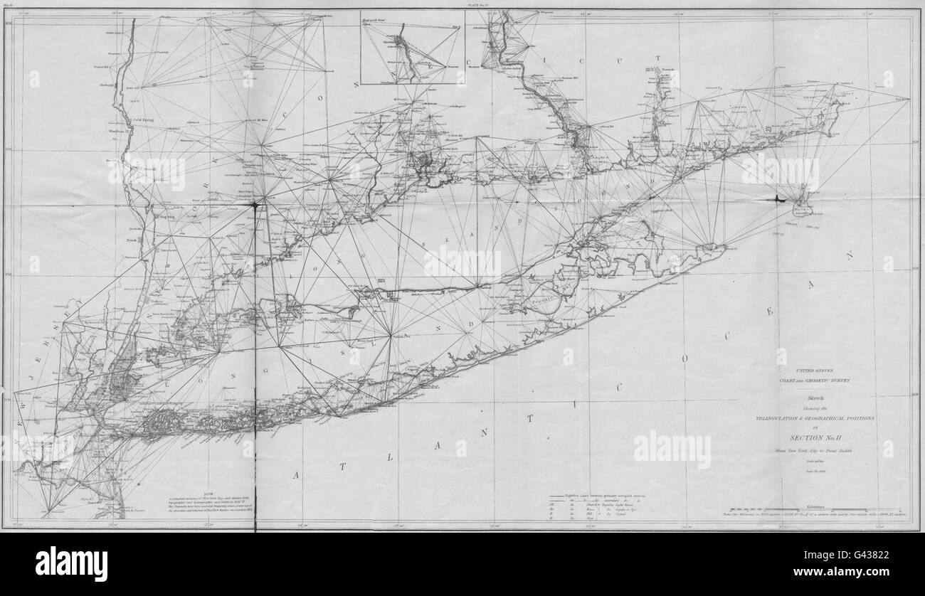 NEW YORK CONNECTICUT NJ Coastal survey: USCGS LONG ISLAND NYC-Pt Judith 1881 map Stock Photohttps://www.alamy.com/image-license-details/?v=1https://www.alamy.com/stock-photo-new-york-connecticut-nj-coastal-survey-uscgs-long-island-nyc-pt-judith-105793018.html
RFG43822–NEW YORK CONNECTICUT NJ Coastal survey: USCGS LONG ISLAND NYC-Pt Judith 1881 map
RF2F66NKM–Vector isolated simplified illustration icon with black silhouette of New York map - state of the USA. White background.
 Rochester USA City Map in Black and White Color in Retro Style. Outline Map. Vector Illustration. Stock Vectorhttps://www.alamy.com/image-license-details/?v=1https://www.alamy.com/rochester-usa-city-map-in-black-and-white-color-in-retro-style-outline-map-vector-illustration-image365473192.html
RF2C6GMP0–Rochester USA City Map in Black and White Color in Retro Style. Outline Map. Vector Illustration.
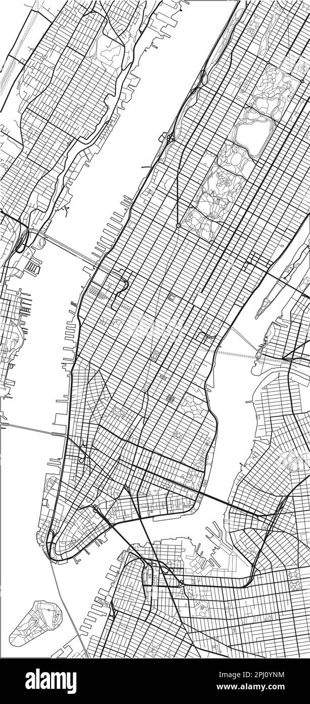 Black and white vector city map of New York with well organized separated layers. Stock Vectorhttps://www.alamy.com/image-license-details/?v=1https://www.alamy.com/black-and-white-vector-city-map-of-new-york-with-well-organized-separated-layers-image544606992.html
RF2PJ0YNM–Black and white vector city map of New York with well organized separated layers.