New york indian map Cut Out Stock Images
 Town of Indian Lake, Hamilton County, US, United States, New York, N 43 47' 14'', S 74 19' 19'', map, Cartascapes Map published in 2024. Explore Cartascapes, a map revealing Earth's diverse landscapes, cultures, and ecosystems. Journey through time and space, discovering the interconnectedness of our planet's past, present, and future. Stock Photohttps://www.alamy.com/image-license-details/?v=1https://www.alamy.com/town-of-indian-lake-hamilton-county-us-united-states-new-york-n-43-47-14-s-74-19-19-map-cartascapes-map-published-in-2024-explore-cartascapes-a-map-revealing-earths-diverse-landscapes-cultures-and-ecosystems-journey-through-time-and-space-discovering-the-interconnectedness-of-our-planets-past-present-and-future-image633803532.html
RM2YR46TC–Town of Indian Lake, Hamilton County, US, United States, New York, N 43 47' 14'', S 74 19' 19'', map, Cartascapes Map published in 2024. Explore Cartascapes, a map revealing Earth's diverse landscapes, cultures, and ecosystems. Journey through time and space, discovering the interconnectedness of our planet's past, present, and future.
 New York NY Indian Lake 20100415 TM Restoration Stock Photohttps://www.alamy.com/image-license-details/?v=1https://www.alamy.com/new-york-ny-indian-lake-20100415-tm-restoration-image271270426.html
RMWN9C5E–New York NY Indian Lake 20100415 TM Restoration
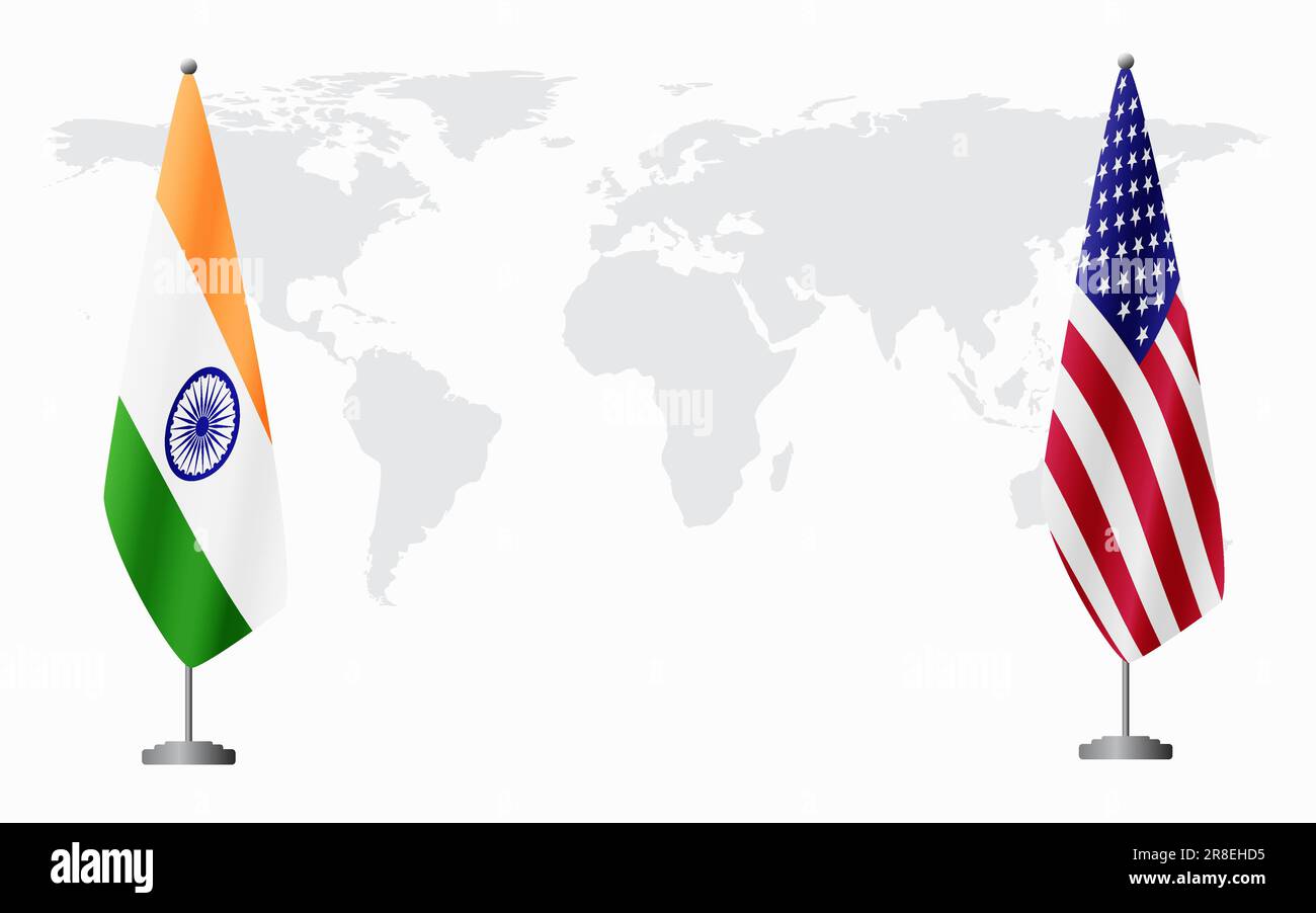 India and USA flags for official meeting against background of world map. Stock Vectorhttps://www.alamy.com/image-license-details/?v=1https://www.alamy.com/india-and-usa-flags-for-official-meeting-against-background-of-world-map-image555970049.html
RF2R8EHD5–India and USA flags for official meeting against background of world map.
 Taj Mahal, India vector Illustration Editable Image Stock Vectorhttps://www.alamy.com/image-license-details/?v=1https://www.alamy.com/taj-mahal-india-vector-illustration-editable-image-image572171327.html
RF2T6TJA7–Taj Mahal, India vector Illustration Editable Image
RF2A2D82D–USA Flat Icon Set Travel and tourism concept. Vector illustration
RFR05P9A–USA icon set
 american flag on map and bridge landmark Stock Vectorhttps://www.alamy.com/image-license-details/?v=1https://www.alamy.com/american-flag-on-map-and-bridge-landmark-image178823888.html
RFMAX3KC–american flag on map and bridge landmark
 Travel to USA, culture, nature and city landmarks in infographic collage. City monuments and nature landmarks, map with flag, Independence day celebration elements cartoon vector illustration Stock Vectorhttps://www.alamy.com/image-license-details/?v=1https://www.alamy.com/travel-to-usa-culture-nature-and-city-landmarks-in-infographic-collage-city-monuments-and-nature-landmarks-map-with-flag-independence-day-celebration-elements-cartoon-vector-illustration-image634925295.html
RF2YTY9KB–Travel to USA, culture, nature and city landmarks in infographic collage. City monuments and nature landmarks, map with flag, Independence day celebration elements cartoon vector illustration
![A general map of the middle British colonies, in America : viz Virginia, Màriland, Dèlaware, Pensilvania, New-Jersey, New-York, Connecticut, and Rhode Island : of Aquanishuonîgy, the country of the Confederate Indians ; comprehending Aquanishounigy proper, their place of residence, Ohio and Tiuuxsoxruntie, their deer-hunting countries, Couxsaxràge and Skaniadarâde, their beaver-hunting countries ; of the lakes Erie, Ontário and Champlain, and part of New-France: wherein is shewn the antient [sic] and present seats of the Indian nations. Prime meridian: London and Philadelphia. Relief shown by Stock Photo A general map of the middle British colonies, in America : viz Virginia, Màriland, Dèlaware, Pensilvania, New-Jersey, New-York, Connecticut, and Rhode Island : of Aquanishuonîgy, the country of the Confederate Indians ; comprehending Aquanishounigy proper, their place of residence, Ohio and Tiuuxsoxruntie, their deer-hunting countries, Couxsaxràge and Skaniadarâde, their beaver-hunting countries ; of the lakes Erie, Ontário and Champlain, and part of New-France: wherein is shewn the antient [sic] and present seats of the Indian nations. Prime meridian: London and Philadelphia. Relief shown by Stock Photo](https://c8.alamy.com/comp/2M5TGDW/a-general-map-of-the-middle-british-colonies-in-america-viz-virginia-mriland-dlaware-pensilvania-new-jersey-new-york-connecticut-and-rhode-island-of-aquanishuongy-the-country-of-the-confederate-indians-comprehending-aquanishounigy-proper-their-place-of-residence-ohio-and-tiuuxsoxruntie-their-deer-hunting-countries-couxsaxrge-and-skaniadarde-their-beaver-hunting-countries-of-the-lakes-erie-ontrio-and-champlain-and-part-of-new-france-wherein-is-shewn-the-antient-sic-and-present-seats-of-the-indian-nations-prime-meridian-london-and-philadelphia-relief-shown-by-2M5TGDW.jpg) A general map of the middle British colonies, in America : viz Virginia, Màriland, Dèlaware, Pensilvania, New-Jersey, New-York, Connecticut, and Rhode Island : of Aquanishuonîgy, the country of the Confederate Indians ; comprehending Aquanishounigy proper, their place of residence, Ohio and Tiuuxsoxruntie, their deer-hunting countries, Couxsaxràge and Skaniadarâde, their beaver-hunting countries ; of the lakes Erie, Ontário and Champlain, and part of New-France: wherein is shewn the antient [sic] and present seats of the Indian nations. Prime meridian: London and Philadelphia. Relief shown by Stock Photohttps://www.alamy.com/image-license-details/?v=1https://www.alamy.com/a-general-map-of-the-middle-british-colonies-in-america-viz-virginia-mriland-dlaware-pensilvania-new-jersey-new-york-connecticut-and-rhode-island-of-aquanishuongy-the-country-of-the-confederate-indians-comprehending-aquanishounigy-proper-their-place-of-residence-ohio-and-tiuuxsoxruntie-their-deer-hunting-countries-couxsaxrge-and-skaniadarde-their-beaver-hunting-countries-of-the-lakes-erie-ontrio-and-champlain-and-part-of-new-france-wherein-is-shewn-the-antient-sic-and-present-seats-of-the-indian-nations-prime-meridian-london-and-philadelphia-relief-shown-by-image502713733.html
A general map of the middle British colonies, in America : viz Virginia, Màriland, Dèlaware, Pensilvania, New-Jersey, New-York, Connecticut, and Rhode Island : of Aquanishuonîgy, the country of the Confederate Indians ; comprehending Aquanishounigy proper, their place of residence, Ohio and Tiuuxsoxruntie, their deer-hunting countries, Couxsaxràge and Skaniadarâde, their beaver-hunting countries ; of the lakes Erie, Ontário and Champlain, and part of New-France: wherein is shewn the antient [sic] and present seats of the Indian nations. Prime meridian: London and Philadelphia. Relief shown by Stock Photohttps://www.alamy.com/image-license-details/?v=1https://www.alamy.com/a-general-map-of-the-middle-british-colonies-in-america-viz-virginia-mriland-dlaware-pensilvania-new-jersey-new-york-connecticut-and-rhode-island-of-aquanishuongy-the-country-of-the-confederate-indians-comprehending-aquanishounigy-proper-their-place-of-residence-ohio-and-tiuuxsoxruntie-their-deer-hunting-countries-couxsaxrge-and-skaniadarde-their-beaver-hunting-countries-of-the-lakes-erie-ontrio-and-champlain-and-part-of-new-france-wherein-is-shewn-the-antient-sic-and-present-seats-of-the-indian-nations-prime-meridian-london-and-philadelphia-relief-shown-by-image502713733.htmlRM2M5TGDW–A general map of the middle British colonies, in America : viz Virginia, Màriland, Dèlaware, Pensilvania, New-Jersey, New-York, Connecticut, and Rhode Island : of Aquanishuonîgy, the country of the Confederate Indians ; comprehending Aquanishounigy proper, their place of residence, Ohio and Tiuuxsoxruntie, their deer-hunting countries, Couxsaxràge and Skaniadarâde, their beaver-hunting countries ; of the lakes Erie, Ontário and Champlain, and part of New-France: wherein is shewn the antient [sic] and present seats of the Indian nations. Prime meridian: London and Philadelphia. Relief shown by
RF2AF7HF4–american icon on white background. Simple element illustration from Halloween concept. american icon symbol design.
 Image taken from page 582 of 'The Civil War on the Border. A narrative of operations in Missouri, Kansas, Arkansas, and the Indian Territory during the years 1861-62 (1863-65), based upon the official reports ... Second edition, revised. [With portraits a Image taken from page 582 of 'The Civil War on Stock Photohttps://www.alamy.com/image-license-details/?v=1https://www.alamy.com/stock-photo-image-taken-from-page-582-of-the-civil-war-on-the-border-a-narrative-127724782.html
RMHBPA7A–Image taken from page 582 of 'The Civil War on the Border. A narrative of operations in Missouri, Kansas, Arkansas, and the Indian Territory during the years 1861-62 (1863-65), based upon the official reports ... Second edition, revised. [With portraits a Image taken from page 582 of 'The Civil War on
 USA travel infographic concept, simple style Stock Vectorhttps://www.alamy.com/image-license-details/?v=1https://www.alamy.com/stock-photo-usa-travel-infographic-concept-simple-style-146562607.html
RFJECE2R–USA travel infographic concept, simple style
RFMPD886–Set Of 13 simple editable icons such as cincinnati skyline, st paul skyline on white background, , india map, fort worth giraffe, gandhi, long island
 Town of Indian Lake, Hamilton County, US, United States, New York, N 43 47' 14'', S 74 19' 19'', map, Cartascapes Map published in 2024. Explore Cartascapes, a map revealing Earth's diverse landscapes, cultures, and ecosystems. Journey through time and space, discovering the interconnectedness of our planet's past, present, and future. Stock Photohttps://www.alamy.com/image-license-details/?v=1https://www.alamy.com/town-of-indian-lake-hamilton-county-us-united-states-new-york-n-43-47-14-s-74-19-19-map-cartascapes-map-published-in-2024-explore-cartascapes-a-map-revealing-earths-diverse-landscapes-cultures-and-ecosystems-journey-through-time-and-space-discovering-the-interconnectedness-of-our-planets-past-present-and-future-image633836260.html
RM2YR5MH8–Town of Indian Lake, Hamilton County, US, United States, New York, N 43 47' 14'', S 74 19' 19'', map, Cartascapes Map published in 2024. Explore Cartascapes, a map revealing Earth's diverse landscapes, cultures, and ecosystems. Journey through time and space, discovering the interconnectedness of our planet's past, present, and future.
 Indian Hill, Orange County, US, United States, New York, N 41 15' 36'', S 74 10' 25'', map, Cartascapes Map published in 2024. Explore Cartascapes, a map revealing Earth's diverse landscapes, cultures, and ecosystems. Journey through time and space, discovering the interconnectedness of our planet's past, present, and future. Stock Photohttps://www.alamy.com/image-license-details/?v=1https://www.alamy.com/indian-hill-orange-county-us-united-states-new-york-n-41-15-36-s-74-10-25-map-cartascapes-map-published-in-2024-explore-cartascapes-a-map-revealing-earths-diverse-landscapes-cultures-and-ecosystems-journey-through-time-and-space-discovering-the-interconnectedness-of-our-planets-past-present-and-future-image621217620.html
RM2Y2JWBG–Indian Hill, Orange County, US, United States, New York, N 41 15' 36'', S 74 10' 25'', map, Cartascapes Map published in 2024. Explore Cartascapes, a map revealing Earth's diverse landscapes, cultures, and ecosystems. Journey through time and space, discovering the interconnectedness of our planet's past, present, and future.
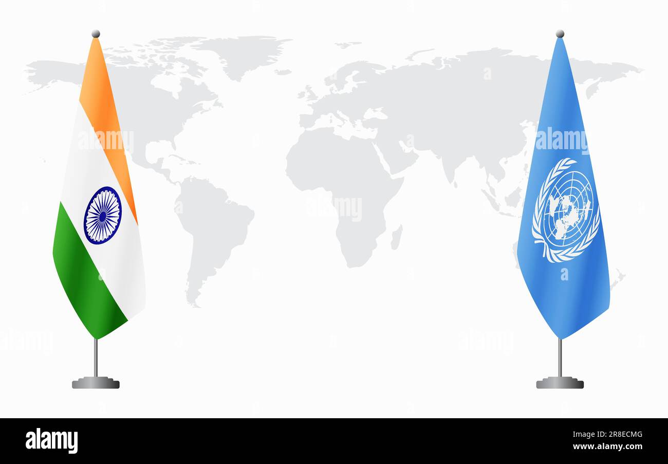 India and United Nations flags for official meeting against background of world map. Stock Vectorhttps://www.alamy.com/image-license-details/?v=1https://www.alamy.com/india-and-united-nations-flags-for-official-meeting-against-background-of-world-map-image555966336.html
RF2R8ECMG–India and United Nations flags for official meeting against background of world map.
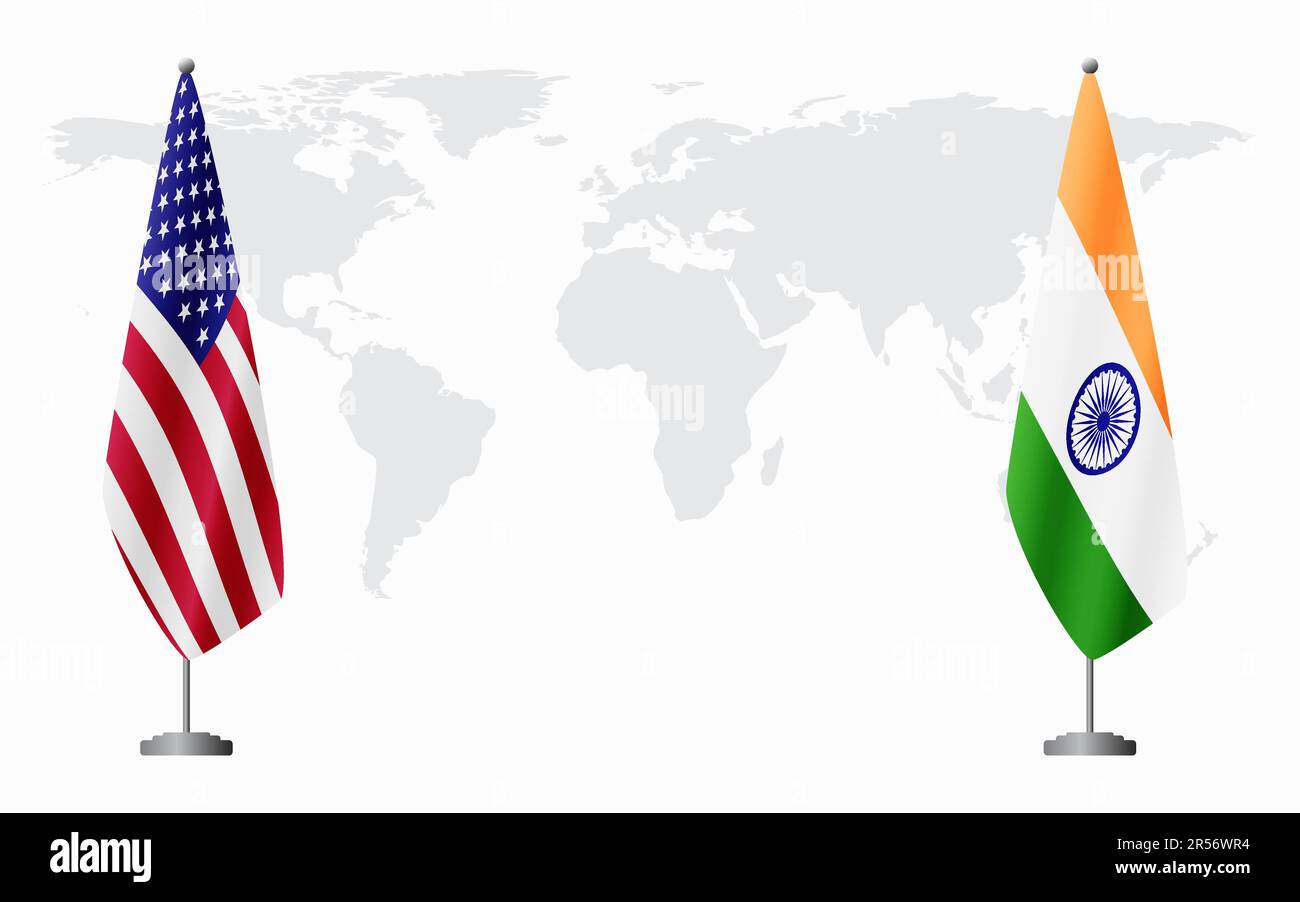 United States and India flags for official meeting against background of world map. Stock Vectorhttps://www.alamy.com/image-license-details/?v=1https://www.alamy.com/united-states-and-india-flags-for-official-meeting-against-background-of-world-map-image553957016.html
RF2R56WR4–United States and India flags for official meeting against background of world map.
 american flag on map and bridge landmark Stock Vectorhttps://www.alamy.com/image-license-details/?v=1https://www.alamy.com/american-flag-on-map-and-bridge-landmark-image178825878.html
RFMAX66E–american flag on map and bridge landmark
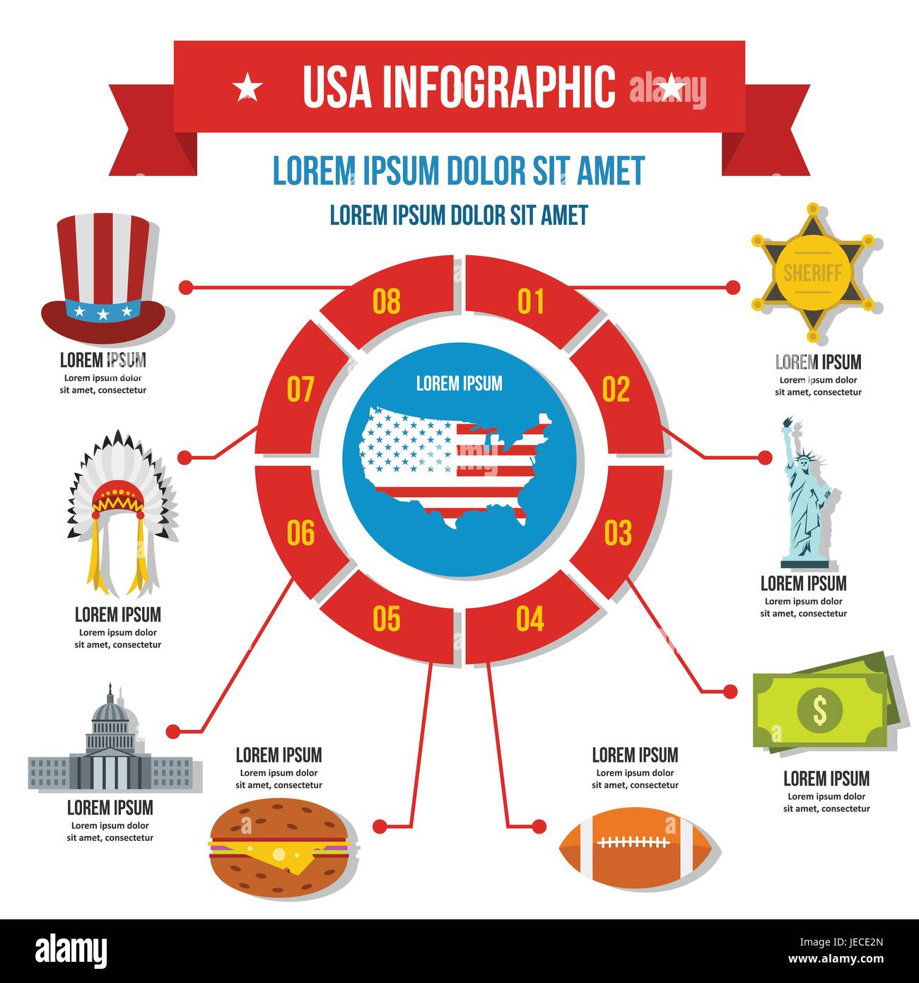 USA travel infographic concept, flat style Stock Vectorhttps://www.alamy.com/image-license-details/?v=1https://www.alamy.com/stock-photo-usa-travel-infographic-concept-flat-style-146562605.html
RFJECE2N–USA travel infographic concept, flat style
RFMPD8GA–Set Of 13 simple editable icons such as seattle skyline on white background, , india map, kansas city skyline, nyc t rex, las vegas can be used for mo
 Indian Village, Onondaga County, US, United States, New York, N 42 56' 38'', S 76 9' 44'', map, Cartascapes Map published in 2024. Explore Cartascapes, a map revealing Earth's diverse landscapes, cultures, and ecosystems. Journey through time and space, discovering the interconnectedness of our planet's past, present, and future. Stock Photohttps://www.alamy.com/image-license-details/?v=1https://www.alamy.com/indian-village-onondaga-county-us-united-states-new-york-n-42-56-38-s-76-9-44-map-cartascapes-map-published-in-2024-explore-cartascapes-a-map-revealing-earths-diverse-landscapes-cultures-and-ecosystems-journey-through-time-and-space-discovering-the-interconnectedness-of-our-planets-past-present-and-future-image621412345.html
RM2Y2YNP1–Indian Village, Onondaga County, US, United States, New York, N 42 56' 38'', S 76 9' 44'', map, Cartascapes Map published in 2024. Explore Cartascapes, a map revealing Earth's diverse landscapes, cultures, and ecosystems. Journey through time and space, discovering the interconnectedness of our planet's past, present, and future.
 american flag on map and bridge landmark Stock Vectorhttps://www.alamy.com/image-license-details/?v=1https://www.alamy.com/american-flag-on-map-and-bridge-landmark-image178822759.html
RFMAX273–american flag on map and bridge landmark
RFMPHGNH–Set Of 16 simple editable icons such as long island, wisconsin, karate kick, seattle, stork, lord shiva, austin, jaguar face, florida can be used for
 Indian Cove, Cayuga County, US, United States, New York, N 42 46' 18'', S 76 28' 3'', map, Cartascapes Map published in 2024. Explore Cartascapes, a map revealing Earth's diverse landscapes, cultures, and ecosystems. Journey through time and space, discovering the interconnectedness of our planet's past, present, and future. Stock Photohttps://www.alamy.com/image-license-details/?v=1https://www.alamy.com/indian-cove-cayuga-county-us-united-states-new-york-n-42-46-18-s-76-28-3-map-cartascapes-map-published-in-2024-explore-cartascapes-a-map-revealing-earths-diverse-landscapes-cultures-and-ecosystems-journey-through-time-and-space-discovering-the-interconnectedness-of-our-planets-past-present-and-future-image621216395.html
RM2Y2JRRR–Indian Cove, Cayuga County, US, United States, New York, N 42 46' 18'', S 76 28' 3'', map, Cartascapes Map published in 2024. Explore Cartascapes, a map revealing Earth's diverse landscapes, cultures, and ecosystems. Journey through time and space, discovering the interconnectedness of our planet's past, present, and future.
 american flag on map and bridge landmark vector illustration Stock Vectorhttps://www.alamy.com/image-license-details/?v=1https://www.alamy.com/american-flag-on-map-and-bridge-landmark-vector-illustration-image178736562.html
RFMAP48J–american flag on map and bridge landmark vector illustration
RFMPD8JN–Set Of 13 simple editable icons such as las vegas skyline, long island, charlotte kansas city gandhi, dallas skyline on white background, can be used
 Indian Lake, Hamilton County, US, United States, New York, N 43 46' 57'', S 74 16' 18'', map, Cartascapes Map published in 2024. Explore Cartascapes, a map revealing Earth's diverse landscapes, cultures, and ecosystems. Journey through time and space, discovering the interconnectedness of our planet's past, present, and future. Stock Photohttps://www.alamy.com/image-license-details/?v=1https://www.alamy.com/indian-lake-hamilton-county-us-united-states-new-york-n-43-46-57-s-74-16-18-map-cartascapes-map-published-in-2024-explore-cartascapes-a-map-revealing-earths-diverse-landscapes-cultures-and-ecosystems-journey-through-time-and-space-discovering-the-interconnectedness-of-our-planets-past-present-and-future-image621447603.html
RM2Y31AN7–Indian Lake, Hamilton County, US, United States, New York, N 43 46' 57'', S 74 16' 18'', map, Cartascapes Map published in 2024. Explore Cartascapes, a map revealing Earth's diverse landscapes, cultures, and ecosystems. Journey through time and space, discovering the interconnectedness of our planet's past, present, and future.
 american flag on map and bridge landmark vector illustration Stock Vectorhttps://www.alamy.com/image-license-details/?v=1https://www.alamy.com/american-flag-on-map-and-bridge-landmark-vector-illustration-image178736914.html
RFMAP4N6–american flag on map and bridge landmark vector illustration
RFMPRP02–Set Of 9 simple editable icons such as koala, austin, minneapolis, lord shiva, pocket watch, nyc, florida, pittsburgh, can be used for mobile, web
 Big Indian, Ulster County, US, United States, New York, N 42 6' 9'', S 74 26' 37'', map, Cartascapes Map published in 2024. Explore Cartascapes, a map revealing Earth's diverse landscapes, cultures, and ecosystems. Journey through time and space, discovering the interconnectedness of our planet's past, present, and future. Stock Photohttps://www.alamy.com/image-license-details/?v=1https://www.alamy.com/big-indian-ulster-county-us-united-states-new-york-n-42-6-9-s-74-26-37-map-cartascapes-map-published-in-2024-explore-cartascapes-a-map-revealing-earths-diverse-landscapes-cultures-and-ecosystems-journey-through-time-and-space-discovering-the-interconnectedness-of-our-planets-past-present-and-future-image621270229.html
RM2Y2N8ED–Big Indian, Ulster County, US, United States, New York, N 42 6' 9'', S 74 26' 37'', map, Cartascapes Map published in 2024. Explore Cartascapes, a map revealing Earth's diverse landscapes, cultures, and ecosystems. Journey through time and space, discovering the interconnectedness of our planet's past, present, and future.
RFMPRP3G–Set Of 9 simple editable icons such as boston, nyc, chicago, houston, pittsburgh, florida, dubai, apple, lord shiva, can be used for mobile, web
 Indian Castle, Herkimer County, US, United States, New York, N 43 0' 29'', S 74 47' 21'', map, Cartascapes Map published in 2024. Explore Cartascapes, a map revealing Earth's diverse landscapes, cultures, and ecosystems. Journey through time and space, discovering the interconnectedness of our planet's past, present, and future. Stock Photohttps://www.alamy.com/image-license-details/?v=1https://www.alamy.com/indian-castle-herkimer-county-us-united-states-new-york-n-43-0-29-s-74-47-21-map-cartascapes-map-published-in-2024-explore-cartascapes-a-map-revealing-earths-diverse-landscapes-cultures-and-ecosystems-journey-through-time-and-space-discovering-the-interconnectedness-of-our-planets-past-present-and-future-image621172931.html
RM2Y2GTBF–Indian Castle, Herkimer County, US, United States, New York, N 43 0' 29'', S 74 47' 21'', map, Cartascapes Map published in 2024. Explore Cartascapes, a map revealing Earth's diverse landscapes, cultures, and ecosystems. Journey through time and space, discovering the interconnectedness of our planet's past, present, and future.
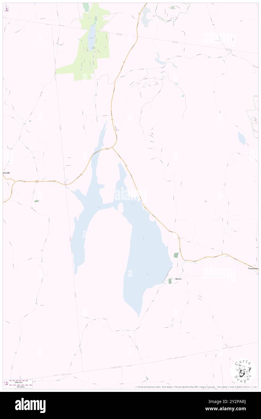 Indian Fields (historical), Albany County, US, United States, New York, N 42 29' 34'', S 73 56' 39'', map, Cartascapes Map published in 2024. Explore Cartascapes, a map revealing Earth's diverse landscapes, cultures, and ecosystems. Journey through time and space, discovering the interconnectedness of our planet's past, present, and future. Stock Photohttps://www.alamy.com/image-license-details/?v=1https://www.alamy.com/indian-fields-historical-albany-county-us-united-states-new-york-n-42-29-34-s-73-56-39-map-cartascapes-map-published-in-2024-explore-cartascapes-a-map-revealing-earths-diverse-landscapes-cultures-and-ecosystems-journey-through-time-and-space-discovering-the-interconnectedness-of-our-planets-past-present-and-future-image621294006.html
RM2Y2PARJ–Indian Fields (historical), Albany County, US, United States, New York, N 42 29' 34'', S 73 56' 39'', map, Cartascapes Map published in 2024. Explore Cartascapes, a map revealing Earth's diverse landscapes, cultures, and ecosystems. Journey through time and space, discovering the interconnectedness of our planet's past, present, and future.
 Indian Village Mobile Home Park, Fulton County, US, United States, New York, N 43 4' 43'', S 74 9' 43'', map, Cartascapes Map published in 2024. Explore Cartascapes, a map revealing Earth's diverse landscapes, cultures, and ecosystems. Journey through time and space, discovering the interconnectedness of our planet's past, present, and future. Stock Photohttps://www.alamy.com/image-license-details/?v=1https://www.alamy.com/indian-village-mobile-home-park-fulton-county-us-united-states-new-york-n-43-4-43-s-74-9-43-map-cartascapes-map-published-in-2024-explore-cartascapes-a-map-revealing-earths-diverse-landscapes-cultures-and-ecosystems-journey-through-time-and-space-discovering-the-interconnectedness-of-our-planets-past-present-and-future-image621221390.html
RM2Y2K266–Indian Village Mobile Home Park, Fulton County, US, United States, New York, N 43 4' 43'', S 74 9' 43'', map, Cartascapes Map published in 2024. Explore Cartascapes, a map revealing Earth's diverse landscapes, cultures, and ecosystems. Journey through time and space, discovering the interconnectedness of our planet's past, present, and future.
 Indian Falls, Genesee County, US, United States, New York, N 43 1' 30'', S 78 23' 52'', map, Cartascapes Map published in 2024. Explore Cartascapes, a map revealing Earth's diverse landscapes, cultures, and ecosystems. Journey through time and space, discovering the interconnectedness of our planet's past, present, and future. Stock Photohttps://www.alamy.com/image-license-details/?v=1https://www.alamy.com/indian-falls-genesee-county-us-united-states-new-york-n-43-1-30-s-78-23-52-map-cartascapes-map-published-in-2024-explore-cartascapes-a-map-revealing-earths-diverse-landscapes-cultures-and-ecosystems-journey-through-time-and-space-discovering-the-interconnectedness-of-our-planets-past-present-and-future-image621327185.html
RM2Y2RW4H–Indian Falls, Genesee County, US, United States, New York, N 43 1' 30'', S 78 23' 52'', map, Cartascapes Map published in 2024. Explore Cartascapes, a map revealing Earth's diverse landscapes, cultures, and ecosystems. Journey through time and space, discovering the interconnectedness of our planet's past, present, and future.
 Indian River, Lewis County, US, United States, New York, N 43 58' 35'', S 75 22' 7'', map, Cartascapes Map published in 2024. Explore Cartascapes, a map revealing Earth's diverse landscapes, cultures, and ecosystems. Journey through time and space, discovering the interconnectedness of our planet's past, present, and future. Stock Photohttps://www.alamy.com/image-license-details/?v=1https://www.alamy.com/indian-river-lewis-county-us-united-states-new-york-n-43-58-35-s-75-22-7-map-cartascapes-map-published-in-2024-explore-cartascapes-a-map-revealing-earths-diverse-landscapes-cultures-and-ecosystems-journey-through-time-and-space-discovering-the-interconnectedness-of-our-planets-past-present-and-future-image621180317.html
RM2Y2H5R9–Indian River, Lewis County, US, United States, New York, N 43 58' 35'', S 75 22' 7'', map, Cartascapes Map published in 2024. Explore Cartascapes, a map revealing Earth's diverse landscapes, cultures, and ecosystems. Journey through time and space, discovering the interconnectedness of our planet's past, present, and future.
 Indian Hills Mobile Home Park, Oswego County, US, United States, New York, N 43 14' 1'', S 76 21' 29'', map, Cartascapes Map published in 2024. Explore Cartascapes, a map revealing Earth's diverse landscapes, cultures, and ecosystems. Journey through time and space, discovering the interconnectedness of our planet's past, present, and future. Stock Photohttps://www.alamy.com/image-license-details/?v=1https://www.alamy.com/indian-hills-mobile-home-park-oswego-county-us-united-states-new-york-n-43-14-1-s-76-21-29-map-cartascapes-map-published-in-2024-explore-cartascapes-a-map-revealing-earths-diverse-landscapes-cultures-and-ecosystems-journey-through-time-and-space-discovering-the-interconnectedness-of-our-planets-past-present-and-future-image621425008.html
RM2Y309X8–Indian Hills Mobile Home Park, Oswego County, US, United States, New York, N 43 14' 1'', S 76 21' 29'', map, Cartascapes Map published in 2024. Explore Cartascapes, a map revealing Earth's diverse landscapes, cultures, and ecosystems. Journey through time and space, discovering the interconnectedness of our planet's past, present, and future.
 Indian Hills Mobile Home Community, Seneca County, US, United States, New York, N 42 53' 39'', S 76 51' 34'', map, Cartascapes Map published in 2024. Explore Cartascapes, a map revealing Earth's diverse landscapes, cultures, and ecosystems. Journey through time and space, discovering the interconnectedness of our planet's past, present, and future. Stock Photohttps://www.alamy.com/image-license-details/?v=1https://www.alamy.com/indian-hills-mobile-home-community-seneca-county-us-united-states-new-york-n-42-53-39-s-76-51-34-map-cartascapes-map-published-in-2024-explore-cartascapes-a-map-revealing-earths-diverse-landscapes-cultures-and-ecosystems-journey-through-time-and-space-discovering-the-interconnectedness-of-our-planets-past-present-and-future-image621380137.html
RM2Y2X8KN–Indian Hills Mobile Home Community, Seneca County, US, United States, New York, N 42 53' 39'', S 76 51' 34'', map, Cartascapes Map published in 2024. Explore Cartascapes, a map revealing Earth's diverse landscapes, cultures, and ecosystems. Journey through time and space, discovering the interconnectedness of our planet's past, present, and future.
 Indian River Estates Mobile Home Park, Jefferson County, US, United States, New York, N 44 10' 33'', S 75 47' 37'', map, Cartascapes Map published in 2024. Explore Cartascapes, a map revealing Earth's diverse landscapes, cultures, and ecosystems. Journey through time and space, discovering the interconnectedness of our planet's past, present, and future. Stock Photohttps://www.alamy.com/image-license-details/?v=1https://www.alamy.com/indian-river-estates-mobile-home-park-jefferson-county-us-united-states-new-york-n-44-10-33-s-75-47-37-map-cartascapes-map-published-in-2024-explore-cartascapes-a-map-revealing-earths-diverse-landscapes-cultures-and-ecosystems-journey-through-time-and-space-discovering-the-interconnectedness-of-our-planets-past-present-and-future-image621210755.html
RM2Y2JGJB–Indian River Estates Mobile Home Park, Jefferson County, US, United States, New York, N 44 10' 33'', S 75 47' 37'', map, Cartascapes Map published in 2024. Explore Cartascapes, a map revealing Earth's diverse landscapes, cultures, and ecosystems. Journey through time and space, discovering the interconnectedness of our planet's past, present, and future.
 Indian Landing, Suffolk County, US, United States, New York, N 40 46' 43'', S 72 53' 30'', map, Cartascapes Map published in 2024. Explore Cartascapes, a map revealing Earth's diverse landscapes, cultures, and ecosystems. Journey through time and space, discovering the interconnectedness of our planet's past, present, and future. Stock Photohttps://www.alamy.com/image-license-details/?v=1https://www.alamy.com/indian-landing-suffolk-county-us-united-states-new-york-n-40-46-43-s-72-53-30-map-cartascapes-map-published-in-2024-explore-cartascapes-a-map-revealing-earths-diverse-landscapes-cultures-and-ecosystems-journey-through-time-and-space-discovering-the-interconnectedness-of-our-planets-past-present-and-future-image620659795.html
RM2Y1NDW7–Indian Landing, Suffolk County, US, United States, New York, N 40 46' 43'', S 72 53' 30'', map, Cartascapes Map published in 2024. Explore Cartascapes, a map revealing Earth's diverse landscapes, cultures, and ecosystems. Journey through time and space, discovering the interconnectedness of our planet's past, present, and future.
 Indian Kettles, Warren County, US, United States, New York, N 43 46' 24'', S 73 29' 18'', map, Cartascapes Map published in 2024. Explore Cartascapes, a map revealing Earth's diverse landscapes, cultures, and ecosystems. Journey through time and space, discovering the interconnectedness of our planet's past, present, and future. Stock Photohttps://www.alamy.com/image-license-details/?v=1https://www.alamy.com/indian-kettles-warren-county-us-united-states-new-york-n-43-46-24-s-73-29-18-map-cartascapes-map-published-in-2024-explore-cartascapes-a-map-revealing-earths-diverse-landscapes-cultures-and-ecosystems-journey-through-time-and-space-discovering-the-interconnectedness-of-our-planets-past-present-and-future-image620738435.html
RM2Y1W25R–Indian Kettles, Warren County, US, United States, New York, N 43 46' 24'', S 73 29' 18'', map, Cartascapes Map published in 2024. Explore Cartascapes, a map revealing Earth's diverse landscapes, cultures, and ecosystems. Journey through time and space, discovering the interconnectedness of our planet's past, present, and future.
 Indian Park, Orange County, US, United States, New York, N 41 12' 30'', S 74 18' 43'', map, Cartascapes Map published in 2024. Explore Cartascapes, a map revealing Earth's diverse landscapes, cultures, and ecosystems. Journey through time and space, discovering the interconnectedness of our planet's past, present, and future. Stock Photohttps://www.alamy.com/image-license-details/?v=1https://www.alamy.com/indian-park-orange-county-us-united-states-new-york-n-41-12-30-s-74-18-43-map-cartascapes-map-published-in-2024-explore-cartascapes-a-map-revealing-earths-diverse-landscapes-cultures-and-ecosystems-journey-through-time-and-space-discovering-the-interconnectedness-of-our-planets-past-present-and-future-image620842034.html
RM2Y21P9P–Indian Park, Orange County, US, United States, New York, N 41 12' 30'', S 74 18' 43'', map, Cartascapes Map published in 2024. Explore Cartascapes, a map revealing Earth's diverse landscapes, cultures, and ecosystems. Journey through time and space, discovering the interconnectedness of our planet's past, present, and future.
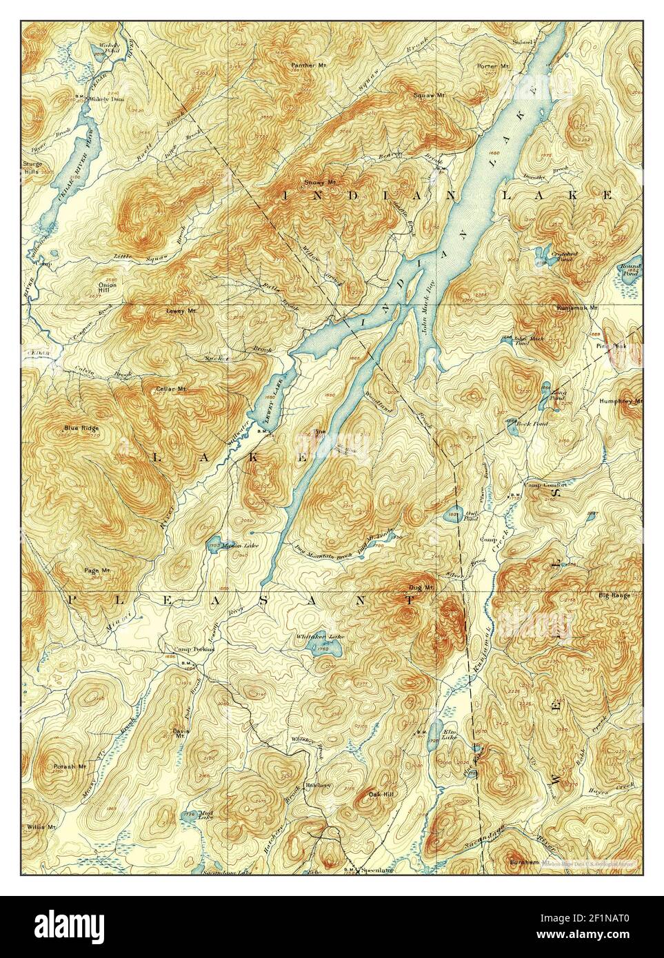 Indian Lake, New York, map 1902, 1:62500, United States of America by Timeless Maps, data U.S. Geological Survey Stock Photohttps://www.alamy.com/image-license-details/?v=1https://www.alamy.com/indian-lake-new-york-map-1902-162500-united-states-of-america-by-timeless-maps-data-us-geological-survey-image414132992.html
RM2F1NAT0–Indian Lake, New York, map 1902, 1:62500, United States of America by Timeless Maps, data U.S. Geological Survey
 Indian Lake, New York, map 1954, 1:62500, United States of America by Timeless Maps, data U.S. Geological Survey Stock Photohttps://www.alamy.com/image-license-details/?v=1https://www.alamy.com/indian-lake-new-york-map-1954-162500-united-states-of-america-by-timeless-maps-data-us-geological-survey-image414132622.html
RM2F1NAAP–Indian Lake, New York, map 1954, 1:62500, United States of America by Timeless Maps, data U.S. Geological Survey
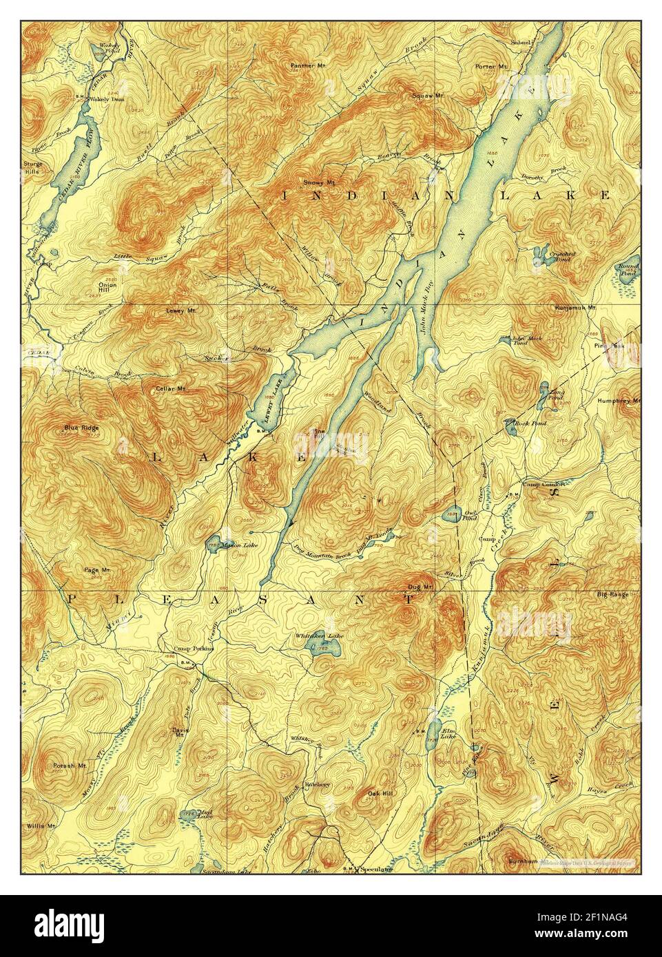 Indian Lake, New York, map 1902, 1:62500, United States of America by Timeless Maps, data U.S. Geological Survey Stock Photohttps://www.alamy.com/image-license-details/?v=1https://www.alamy.com/indian-lake-new-york-map-1902-162500-united-states-of-america-by-timeless-maps-data-us-geological-survey-image414132772.html
RM2F1NAG4–Indian Lake, New York, map 1902, 1:62500, United States of America by Timeless Maps, data U.S. Geological Survey
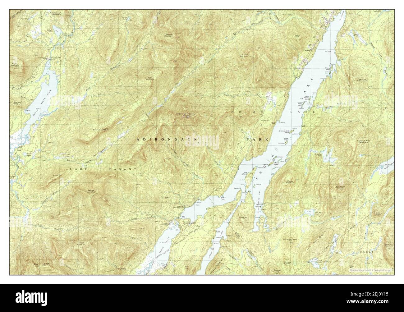 Indian Lake, New York, map 1990, 1:25000, United States of America by Timeless Maps, data U.S. Geological Survey Stock Photohttps://www.alamy.com/image-license-details/?v=1https://www.alamy.com/indian-lake-new-york-map-1990-125000-united-states-of-america-by-timeless-maps-data-us-geological-survey-image406923473.html
RM2EJ0Y15–Indian Lake, New York, map 1990, 1:25000, United States of America by Timeless Maps, data U.S. Geological Survey
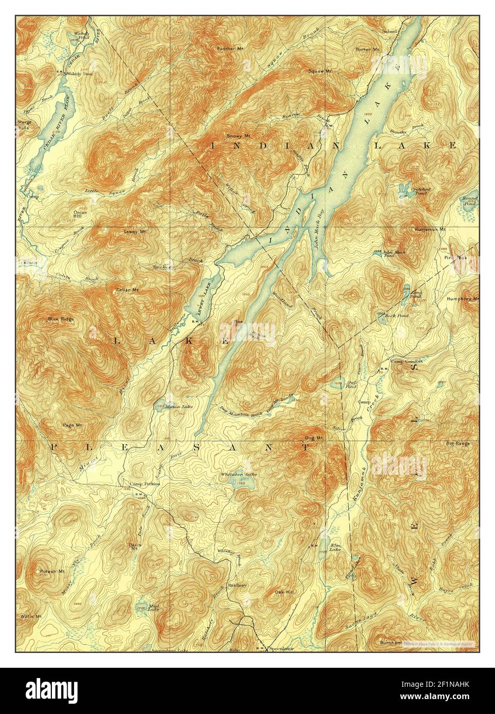 Indian Lake, New York, map 1899, 1:62500, United States of America by Timeless Maps, data U.S. Geological Survey Stock Photohttps://www.alamy.com/image-license-details/?v=1https://www.alamy.com/indian-lake-new-york-map-1899-162500-united-states-of-america-by-timeless-maps-data-us-geological-survey-image414132815.html
RM2F1NAHK–Indian Lake, New York, map 1899, 1:62500, United States of America by Timeless Maps, data U.S. Geological Survey
 Indian Lake, New York, map 1902, 1:62500, United States of America by Timeless Maps, data U.S. Geological Survey Stock Photohttps://www.alamy.com/image-license-details/?v=1https://www.alamy.com/indian-lake-new-york-map-1902-162500-united-states-of-america-by-timeless-maps-data-us-geological-survey-image414132968.html
RM2F1NAR4–Indian Lake, New York, map 1902, 1:62500, United States of America by Timeless Maps, data U.S. Geological Survey
 Indian Lake, New York, map 1902, 1:62500, United States of America by Timeless Maps, data U.S. Geological Survey Stock Photohttps://www.alamy.com/image-license-details/?v=1https://www.alamy.com/indian-lake-new-york-map-1902-162500-united-states-of-america-by-timeless-maps-data-us-geological-survey-image414132619.html
RM2F1NAAK–Indian Lake, New York, map 1902, 1:62500, United States of America by Timeless Maps, data U.S. Geological Survey
 Indian Lake, New York, map 1954, 1:62500, United States of America by Timeless Maps, data U.S. Geological Survey Stock Photohttps://www.alamy.com/image-license-details/?v=1https://www.alamy.com/indian-lake-new-york-map-1954-162500-united-states-of-america-by-timeless-maps-data-us-geological-survey-image414132810.html
RM2F1NAHE–Indian Lake, New York, map 1954, 1:62500, United States of America by Timeless Maps, data U.S. Geological Survey
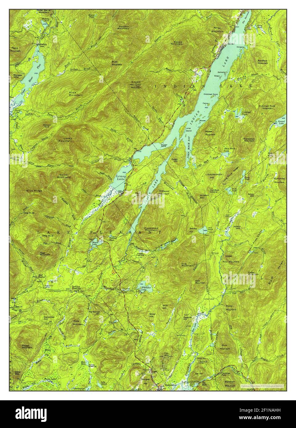 Indian Lake, New York, map 1954, 1:62500, United States of America by Timeless Maps, data U.S. Geological Survey Stock Photohttps://www.alamy.com/image-license-details/?v=1https://www.alamy.com/indian-lake-new-york-map-1954-162500-united-states-of-america-by-timeless-maps-data-us-geological-survey-image414132813.html
RM2F1NAHH–Indian Lake, New York, map 1954, 1:62500, United States of America by Timeless Maps, data U.S. Geological Survey
 Indian Lake, New York, map 1902, 1:62500, United States of America by Timeless Maps, data U.S. Geological Survey Stock Photohttps://www.alamy.com/image-license-details/?v=1https://www.alamy.com/indian-lake-new-york-map-1902-162500-united-states-of-america-by-timeless-maps-data-us-geological-survey-image414132625.html
RM2F1NAAW–Indian Lake, New York, map 1902, 1:62500, United States of America by Timeless Maps, data U.S. Geological Survey
 Indian Lake, New York, map 1902, 1:62500, United States of America by Timeless Maps, data U.S. Geological Survey Stock Photohttps://www.alamy.com/image-license-details/?v=1https://www.alamy.com/indian-lake-new-york-map-1902-162500-united-states-of-america-by-timeless-maps-data-us-geological-survey-image414132816.html
RM2F1NAHM–Indian Lake, New York, map 1902, 1:62500, United States of America by Timeless Maps, data U.S. Geological Survey
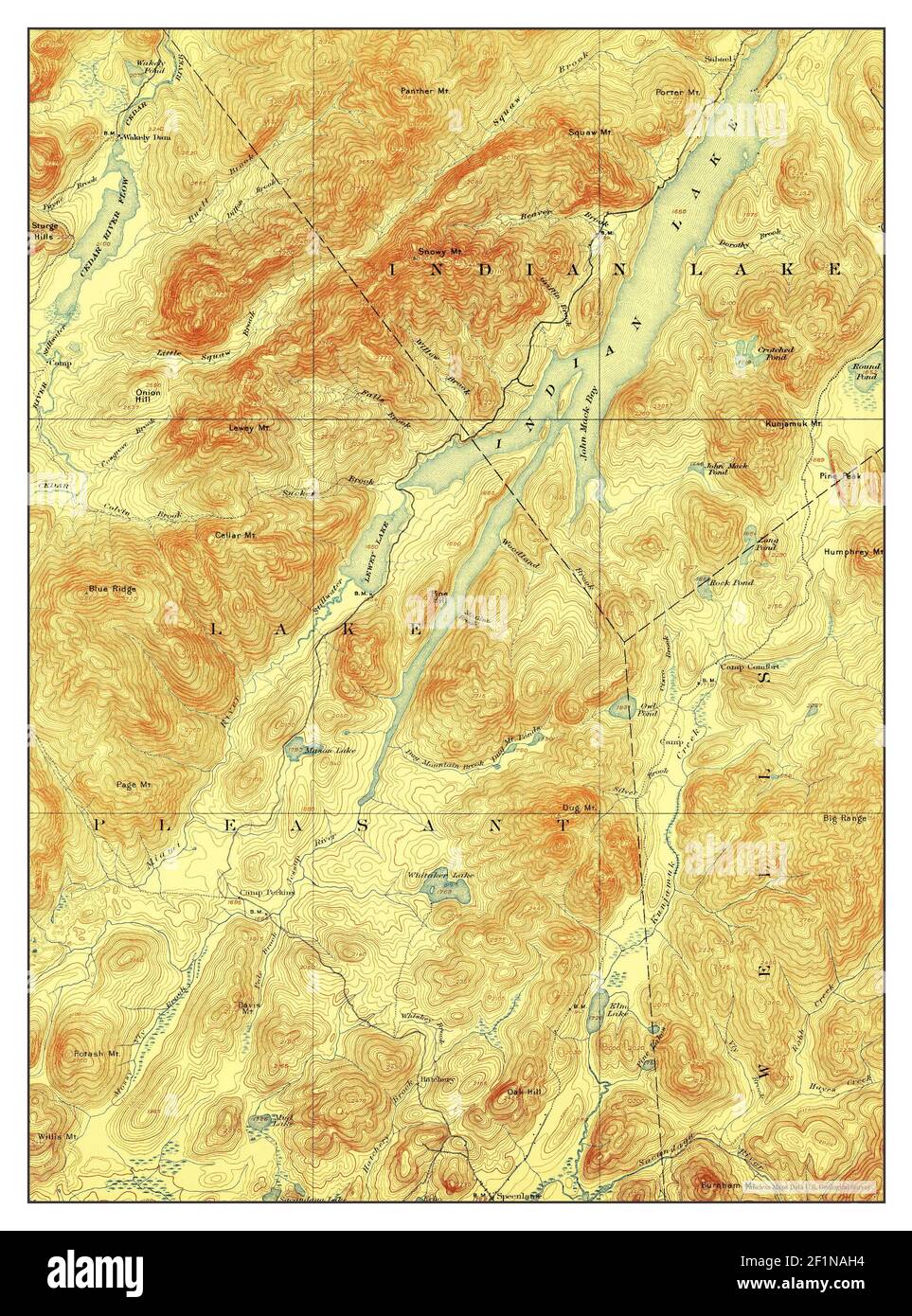 Indian Lake, New York, map 1902, 1:62500, United States of America by Timeless Maps, data U.S. Geological Survey Stock Photohttps://www.alamy.com/image-license-details/?v=1https://www.alamy.com/indian-lake-new-york-map-1902-162500-united-states-of-america-by-timeless-maps-data-us-geological-survey-image414132800.html
RM2F1NAH4–Indian Lake, New York, map 1902, 1:62500, United States of America by Timeless Maps, data U.S. Geological Survey
 Indian Lake, New York, map 1954, 1:62500, United States of America by Timeless Maps, data U.S. Geological Survey Stock Photohttps://www.alamy.com/image-license-details/?v=1https://www.alamy.com/indian-lake-new-york-map-1954-162500-united-states-of-america-by-timeless-maps-data-us-geological-survey-image414132814.html
RM2F1NAHJ–Indian Lake, New York, map 1954, 1:62500, United States of America by Timeless Maps, data U.S. Geological Survey
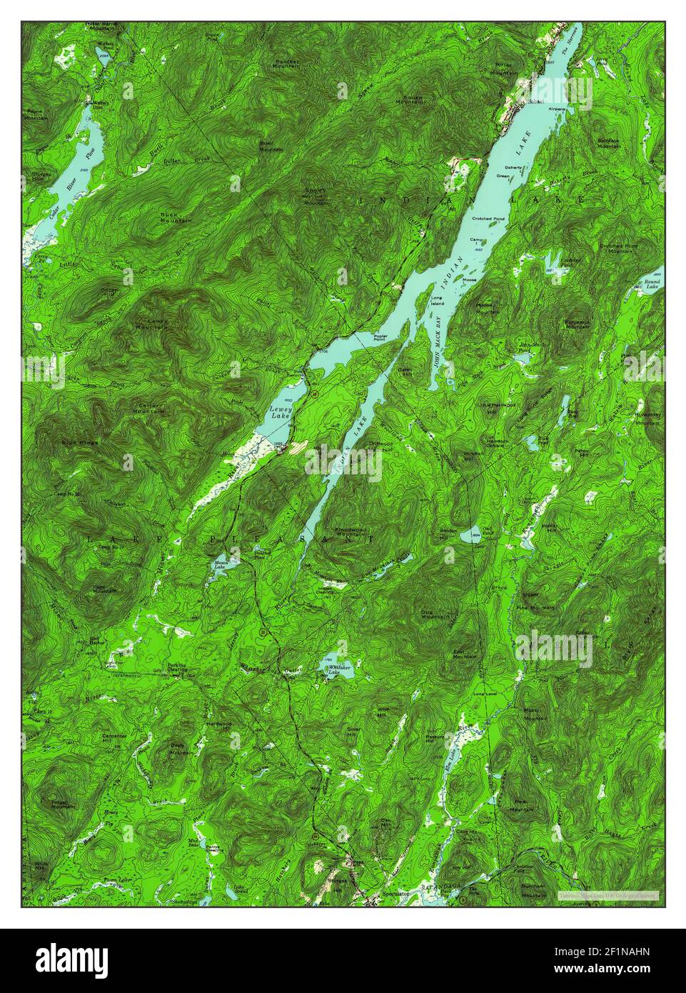 Indian Lake, New York, map 1954, 1:62500, United States of America by Timeless Maps, data U.S. Geological Survey Stock Photohttps://www.alamy.com/image-license-details/?v=1https://www.alamy.com/indian-lake-new-york-map-1954-162500-united-states-of-america-by-timeless-maps-data-us-geological-survey-image414132817.html
RM2F1NAHN–Indian Lake, New York, map 1954, 1:62500, United States of America by Timeless Maps, data U.S. Geological Survey
 Indian Lake, New York, map 1902, 1:62500, United States of America by Timeless Maps, data U.S. Geological Survey Stock Photohttps://www.alamy.com/image-license-details/?v=1https://www.alamy.com/indian-lake-new-york-map-1902-162500-united-states-of-america-by-timeless-maps-data-us-geological-survey-image414132613.html
RM2F1NAAD–Indian Lake, New York, map 1902, 1:62500, United States of America by Timeless Maps, data U.S. Geological Survey
 Indian Lake, New York, map 1902, 1:62500, United States of America by Timeless Maps, data U.S. Geological Survey Stock Photohttps://www.alamy.com/image-license-details/?v=1https://www.alamy.com/indian-lake-new-york-map-1902-162500-united-states-of-america-by-timeless-maps-data-us-geological-survey-image414132778.html
RM2F1NAGA–Indian Lake, New York, map 1902, 1:62500, United States of America by Timeless Maps, data U.S. Geological Survey
 Indian Lake, New York, map 1997, 1:25000, United States of America by Timeless Maps, data U.S. Geological Survey Stock Photohttps://www.alamy.com/image-license-details/?v=1https://www.alamy.com/indian-lake-new-york-map-1997-125000-united-states-of-america-by-timeless-maps-data-us-geological-survey-image406923472.html
RM2EJ0Y14–Indian Lake, New York, map 1997, 1:25000, United States of America by Timeless Maps, data U.S. Geological Survey
 Indian Lake, New York, map 1954, 1:62500, United States of America by Timeless Maps, data U.S. Geological Survey Stock Photohttps://www.alamy.com/image-license-details/?v=1https://www.alamy.com/indian-lake-new-york-map-1954-162500-united-states-of-america-by-timeless-maps-data-us-geological-survey-image414132793.html
RM2F1NAGW–Indian Lake, New York, map 1954, 1:62500, United States of America by Timeless Maps, data U.S. Geological Survey