Quick filters:
New york maps Stock Photos and Images
 Hooker's new pocket plan of the city of New York, still image, Maps, 1824, Hooker, William Stock Photohttps://www.alamy.com/image-license-details/?v=1https://www.alamy.com/hookers-new-pocket-plan-of-the-city-of-new-york-still-image-maps-1824-hooker-william-image376444366.html
RM2CTCEHJ–Hooker's new pocket plan of the city of New York, still image, Maps, 1824, Hooker, William
 New York - 1844 Stock Photohttps://www.alamy.com/image-license-details/?v=1https://www.alamy.com/stock-photo-new-york-1844-36034142.html
RMC2HDWJ–New York - 1844
 New York - 1844 Stock Photohttps://www.alamy.com/image-license-details/?v=1https://www.alamy.com/new-york-1844-image370867535.html
RM2CFAD93–New York - 1844
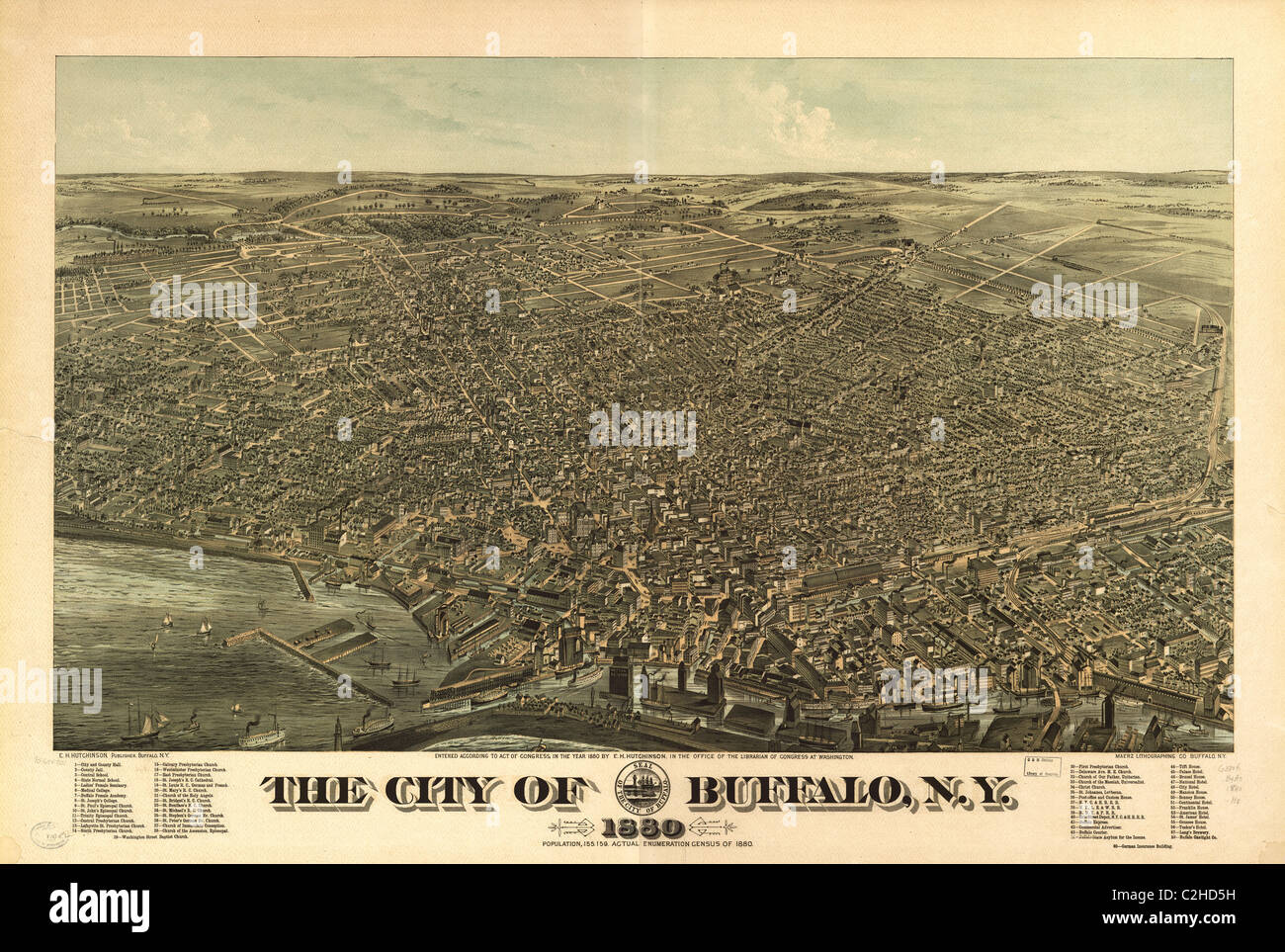
 The City of Buffalo, New York 1880 Stock Photohttps://www.alamy.com/image-license-details/?v=1https://www.alamy.com/the-city-of-buffalo-new-york-1880-image184253378.html
RMMKND1P–The City of Buffalo, New York 1880
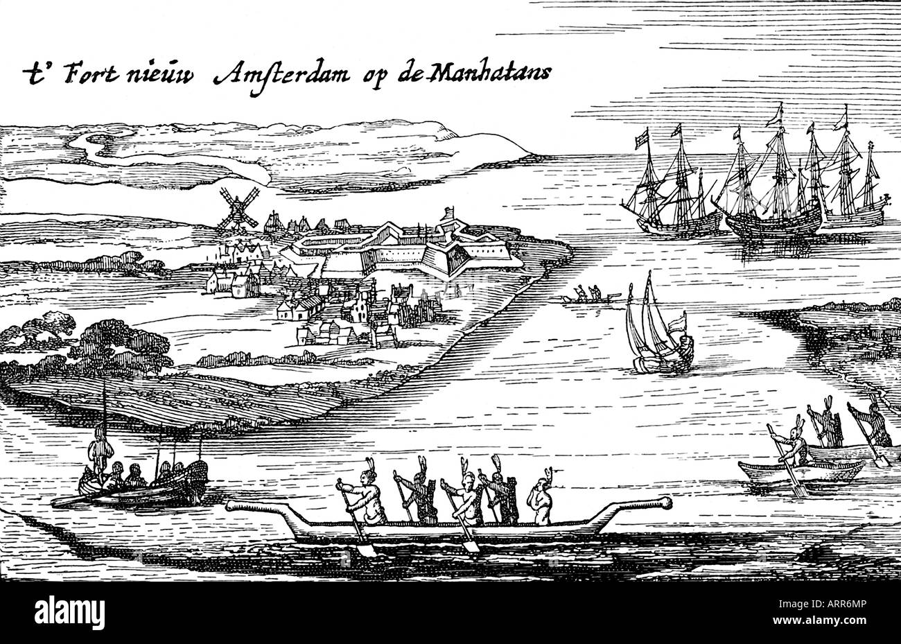 First Map of New Amsterdam Stock Photohttps://www.alamy.com/image-license-details/?v=1https://www.alamy.com/stock-photo-first-map-of-new-amsterdam-16111893.html
RFARR6MP–First Map of New Amsterdam
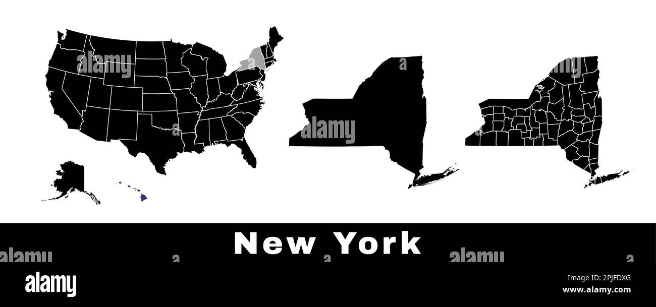 New York state map, USA. Set of New York maps with outline border, counties and US states map. Black and white color vector illustration. Stock Vectorhttps://www.alamy.com/image-license-details/?v=1https://www.alamy.com/new-york-state-map-usa-set-of-new-york-maps-with-outline-border-counties-and-us-states-map-black-and-white-color-vector-illustration-image544925432.html
RF2PJFDXG–New York state map, USA. Set of New York maps with outline border, counties and US states map. Black and white color vector illustration.
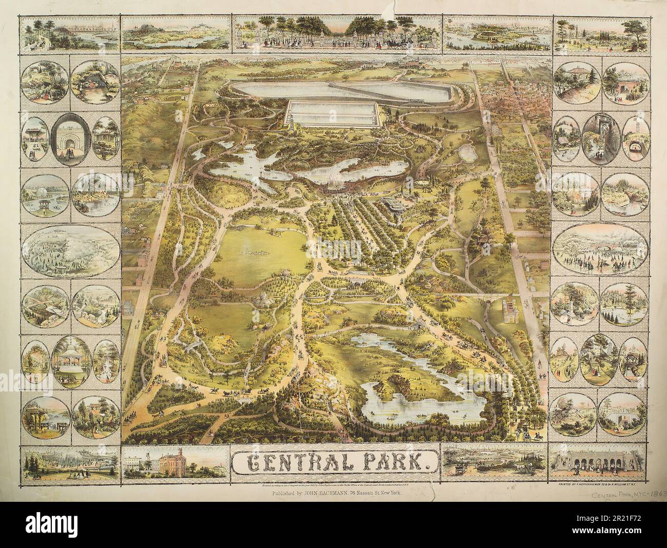 Vintage 19th century illustrated map of Central Park ca. 1863 in New York City, USA. Published by John Bachmann. Stock Photohttps://www.alamy.com/image-license-details/?v=1https://www.alamy.com/vintage-19th-century-illustrated-map-of-central-park-ca-1863-in-new-york-city-usa-published-by-john-bachmann-image551994998.html
RM2R21F72–Vintage 19th century illustrated map of Central Park ca. 1863 in New York City, USA. Published by John Bachmann.
 New Scotland, York, Canada, Ontario, N 43 57' 0'', W 79 36' 58'', map, Timeless Map published in 2021. Travelers, explorers and adventurers like Florence Nightingale, David Livingstone, Ernest Shackleton, Lewis and Clark and Sherlock Holmes relied on maps to plan travels to the world's most remote corners, Timeless Maps is mapping most locations on the globe, showing the achievement of great dreams Stock Photohttps://www.alamy.com/image-license-details/?v=1https://www.alamy.com/new-scotland-york-canada-ontario-n-43-57-0-w-79-36-58-map-timeless-map-published-in-2021-travelers-explorers-and-adventurers-like-florence-nightingale-david-livingstone-ernest-shackleton-lewis-and-clark-and-sherlock-holmes-relied-on-maps-to-plan-travels-to-the-worlds-most-remote-corners-timeless-maps-is-mapping-most-locations-on-the-globe-showing-the-achievement-of-great-dreams-image457876265.html
RM2HGX1RN–New Scotland, York, Canada, Ontario, N 43 57' 0'', W 79 36' 58'', map, Timeless Map published in 2021. Travelers, explorers and adventurers like Florence Nightingale, David Livingstone, Ernest Shackleton, Lewis and Clark and Sherlock Holmes relied on maps to plan travels to the world's most remote corners, Timeless Maps is mapping most locations on the globe, showing the achievement of great dreams
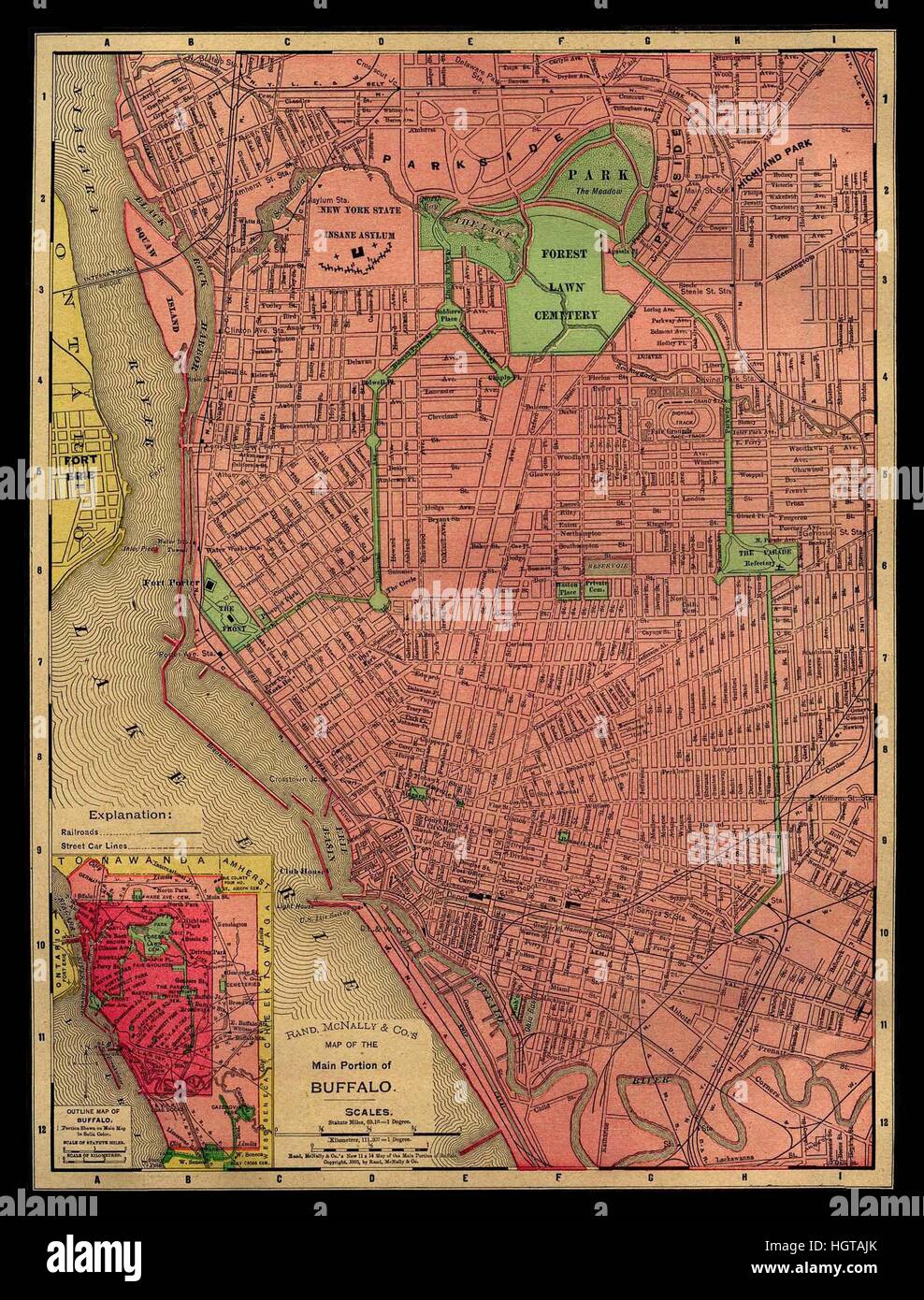 Map Of Buffalo 1896 Stock Photohttps://www.alamy.com/image-license-details/?v=1https://www.alamy.com/stock-photo-map-of-buffalo-1896-130842283.html
RFHGTAJK–Map Of Buffalo 1896
 A new map of New England and New York Roberts, Robert, -1702?. Cartographic. Maps. 1700. Lionel Pincus and Princess Firyal Map Division. New England , Maps , Early works to 1800, New York , Maps , Early works to 1800 Stock Photohttps://www.alamy.com/image-license-details/?v=1https://www.alamy.com/a-new-map-of-new-england-and-new-york-roberts-robert-1702-cartographic-maps-1700-lionel-pincus-and-princess-firyal-map-division-new-england-maps-early-works-to-1800-new-york-maps-early-works-to-1800-image484328309.html
RM2K3Y1KH–A new map of New England and New York Roberts, Robert, -1702?. Cartographic. Maps. 1700. Lionel Pincus and Princess Firyal Map Division. New England , Maps , Early works to 1800, New York , Maps , Early works to 1800
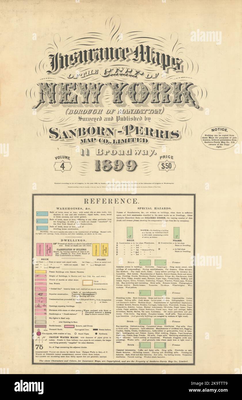 City of New York Insurance maps Vol 4 Title page. Manhattan. SANBORN 1899 Stock Photohttps://www.alamy.com/image-license-details/?v=1https://www.alamy.com/city-of-new-york-insurance-maps-vol-4-title-page-manhattan-sanborn-1899-image487968553.html
RF2K9TTT9–City of New York Insurance maps Vol 4 Title page. Manhattan. SANBORN 1899
 New York, USA, Car Camera with Google Maps Street View Stock Photohttps://www.alamy.com/image-license-details/?v=1https://www.alamy.com/stock-photo-new-york-usa-car-camera-with-google-maps-street-view-71455047.html
RME471HY–New York, USA, Car Camera with Google Maps Street View
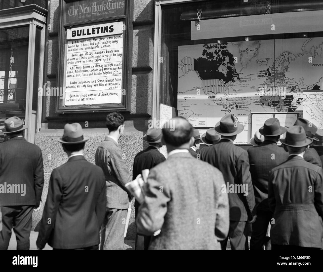 1940s CROWD AROUND THE WAR BULLETINS AT NEW YORK TIMES BUILDING STUDYING THE WORLD WAR II NEWS AND MAPS NYC USA - q41088 CPC001 HARS WORLD WAR 2 MID-ADULT MID-ADULT MAN YOUNG ADULT MAN B&W BLACK AND WHITE BULLETINS CAUCASIAN ETHNICITY NEW YORK TIMES OLD FASHIONED WORLD WAS II Stock Photohttps://www.alamy.com/image-license-details/?v=1https://www.alamy.com/stock-photo-1940s-crowd-around-the-war-bulletins-at-new-york-times-building-studying-175940729.html
RMM66P5D–1940s CROWD AROUND THE WAR BULLETINS AT NEW YORK TIMES BUILDING STUDYING THE WORLD WAR II NEWS AND MAPS NYC USA - q41088 CPC001 HARS WORLD WAR 2 MID-ADULT MID-ADULT MAN YOUNG ADULT MAN B&W BLACK AND WHITE BULLETINS CAUCASIAN ETHNICITY NEW YORK TIMES OLD FASHIONED WORLD WAS II
 Colorful Marks Navigator Over The New York Cityscape Destination At Dubai Usa Stock Photohttps://www.alamy.com/image-license-details/?v=1https://www.alamy.com/colorful-marks-navigator-over-the-new-york-cityscape-destination-at-dubai-usa-image264291513.html
RFW9YEEH–Colorful Marks Navigator Over The New York Cityscape Destination At Dubai Usa
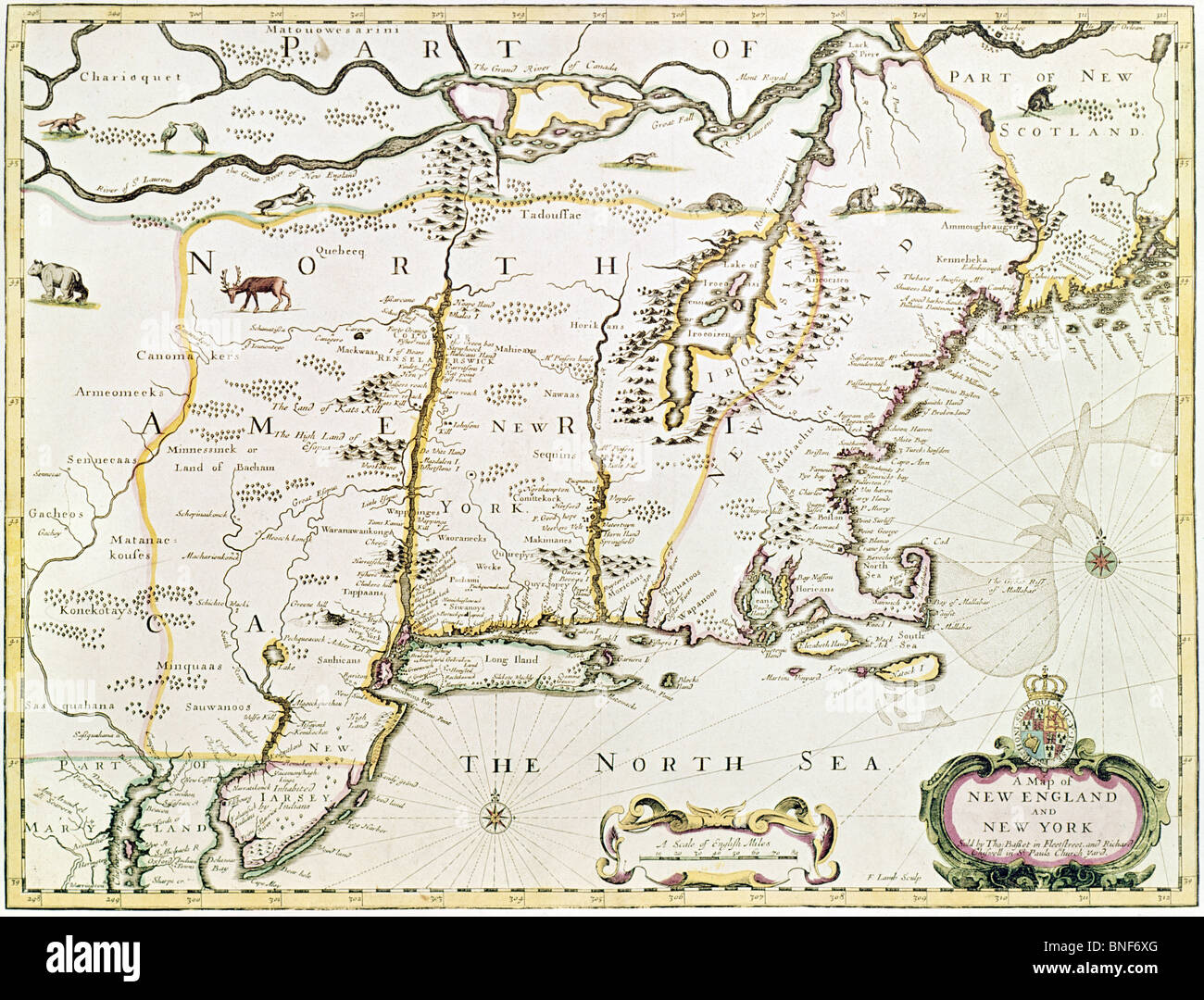 New England and New York, 1676, Maps Stock Photohttps://www.alamy.com/image-license-details/?v=1https://www.alamy.com/stock-photo-new-england-and-new-york-1676-maps-30452872.html
RMBNF6XG–New England and New York, 1676, Maps
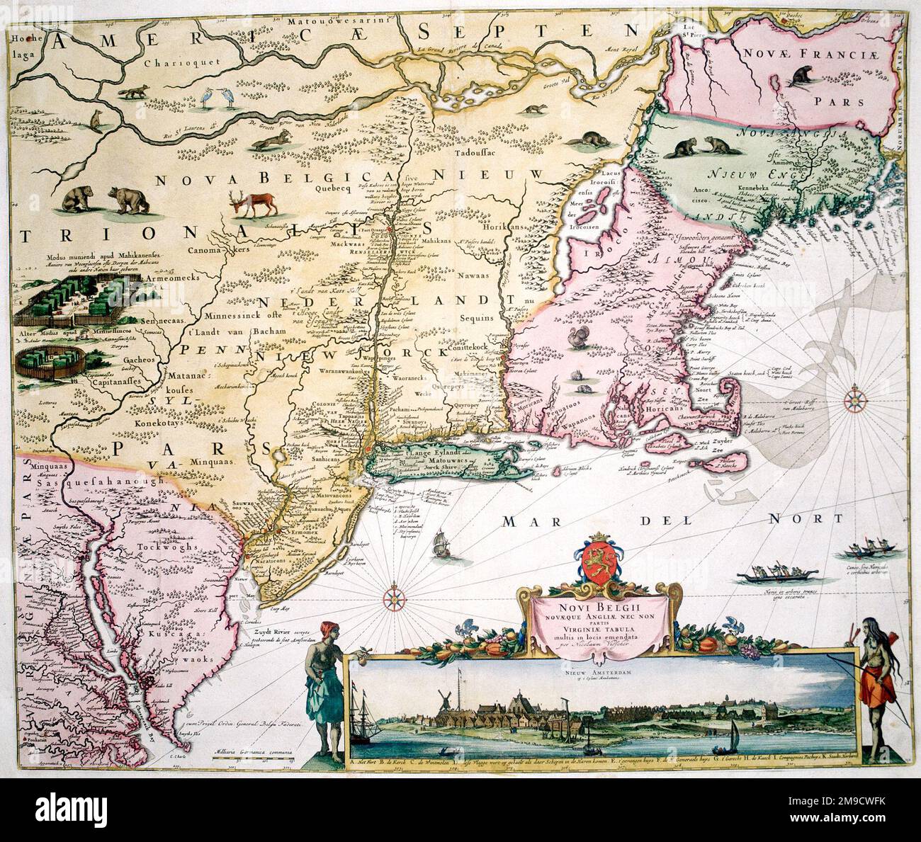 17th century Map of New Belgium, America - New York, New Jersey and Pennsylvania - Nova Belgii Novaque Angliae nec non Partis Virginiae Tabula Stock Photohttps://www.alamy.com/image-license-details/?v=1https://www.alamy.com/17th-century-map-of-new-belgium-america-new-york-new-jersey-and-pennsylvania-nova-belgii-novaque-angliae-nec-non-partis-virginiae-tabula-image504916039.html
RM2M9CWFK–17th century Map of New Belgium, America - New York, New Jersey and Pennsylvania - Nova Belgii Novaque Angliae nec non Partis Virginiae Tabula
 Using the Apple Maps app on iPhone 5S, USA Stock Photohttps://www.alamy.com/image-license-details/?v=1https://www.alamy.com/stock-photo-using-the-apple-maps-app-on-iphone-5s-usa-71909851.html
RME4YNMY–Using the Apple Maps app on iPhone 5S, USA
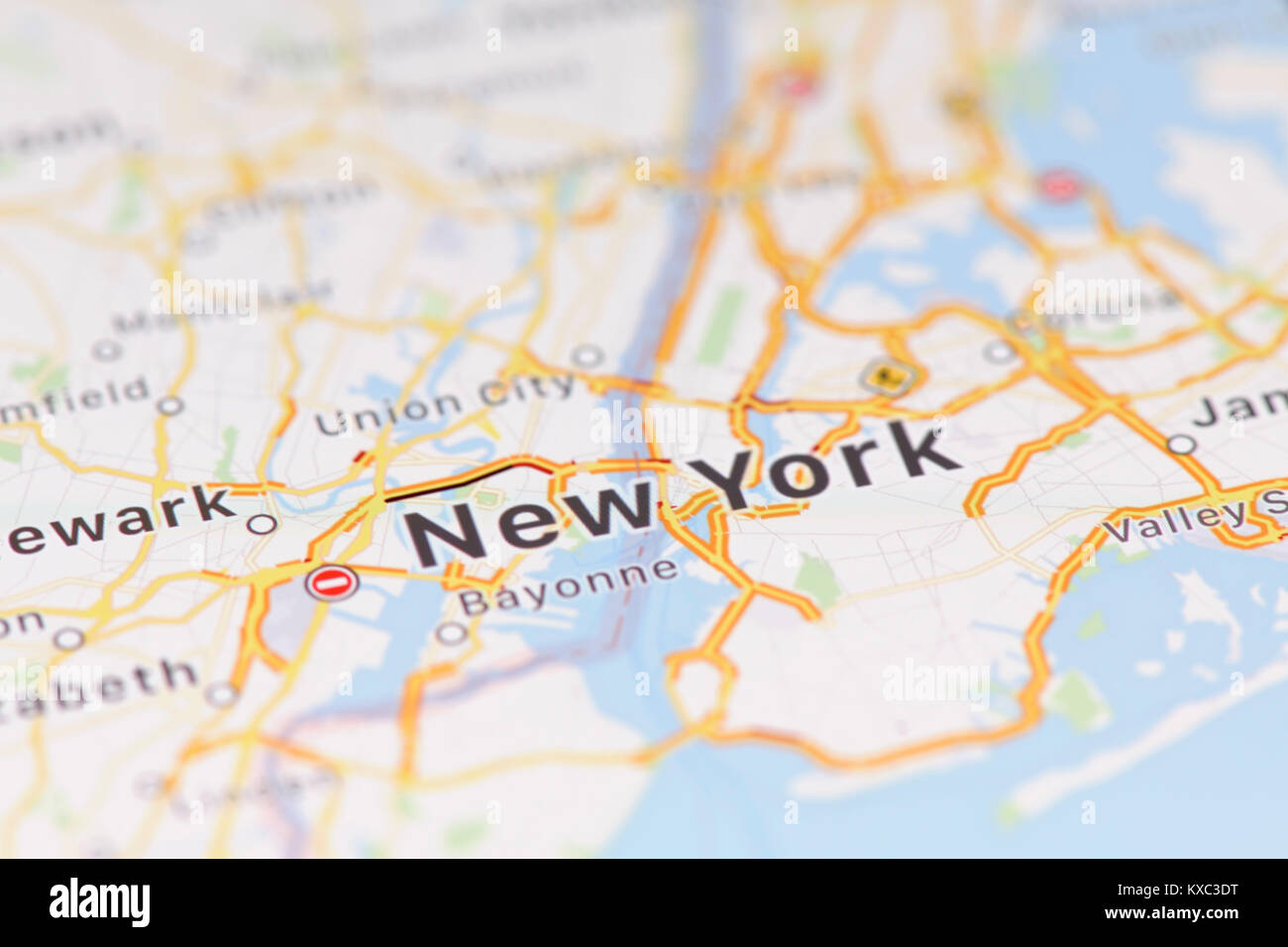 Closeup of New York city map on the screen of a GPS device, Apple iPhone maps app Stock Photohttps://www.alamy.com/image-license-details/?v=1https://www.alamy.com/stock-photo-closeup-of-new-york-city-map-on-the-screen-of-a-gps-device-apple-iphone-171140532.html
RFKXC3DT–Closeup of New York city map on the screen of a GPS device, Apple iPhone maps app
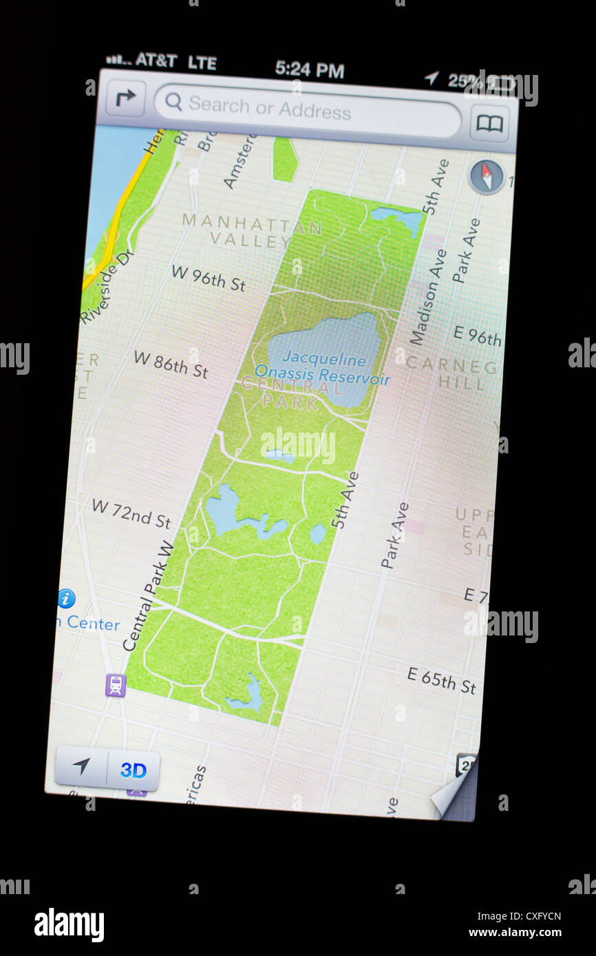 New Apple's iOS 6 Maps app showing satellite view/detail of the Central Park, NYC on the screen of a new iPhone 5 Stock Photohttps://www.alamy.com/image-license-details/?v=1https://www.alamy.com/stock-photo-new-apples-ios-6-maps-app-showing-satellite-viewdetail-of-the-central-50752597.html
RMCXFYCN–New Apple's iOS 6 Maps app showing satellite view/detail of the Central Park, NYC on the screen of a new iPhone 5
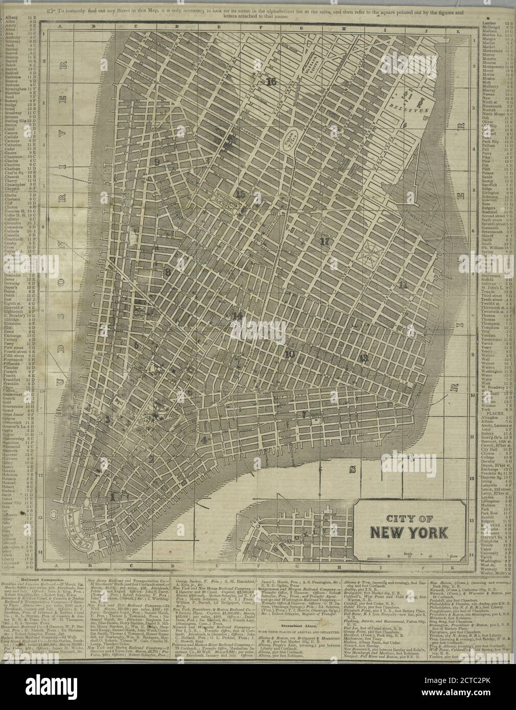 City of New York., still image, Maps, 1850 Stock Photohttps://www.alamy.com/image-license-details/?v=1https://www.alamy.com/city-of-new-york-still-image-maps-1850-image376435099.html
RM2CTC2PK–City of New York., still image, Maps, 1850
 A Marine from the 2nd Battalion, 25th Marines Regiment, Garden City, New York, maps out targets for a combined artillery and close air support mission with Joint Terminal Attack Controllers, Aug. 10, 2016, at Grayling Air Gunnery Range, Grayling, Michigan, during Northern Strike 2016. Northern Strike 16 is a National Guard Bureau-sponsored exercise uniting approximately 5,000 Army, Air Force, Marine, and Special Forces service members from 20 states and three coalition countries during the first three weeks of August 2016 at the Camp Grayling Joint Maneuver Training Center and the Alpena Comba Stock Photohttps://www.alamy.com/image-license-details/?v=1https://www.alamy.com/stock-photo-a-marine-from-the-2nd-battalion-25th-marines-regiment-garden-city-129782767.html
RMHF436R–A Marine from the 2nd Battalion, 25th Marines Regiment, Garden City, New York, maps out targets for a combined artillery and close air support mission with Joint Terminal Attack Controllers, Aug. 10, 2016, at Grayling Air Gunnery Range, Grayling, Michigan, during Northern Strike 2016. Northern Strike 16 is a National Guard Bureau-sponsored exercise uniting approximately 5,000 Army, Air Force, Marine, and Special Forces service members from 20 states and three coalition countries during the first three weeks of August 2016 at the Camp Grayling Joint Maneuver Training Center and the Alpena Comba
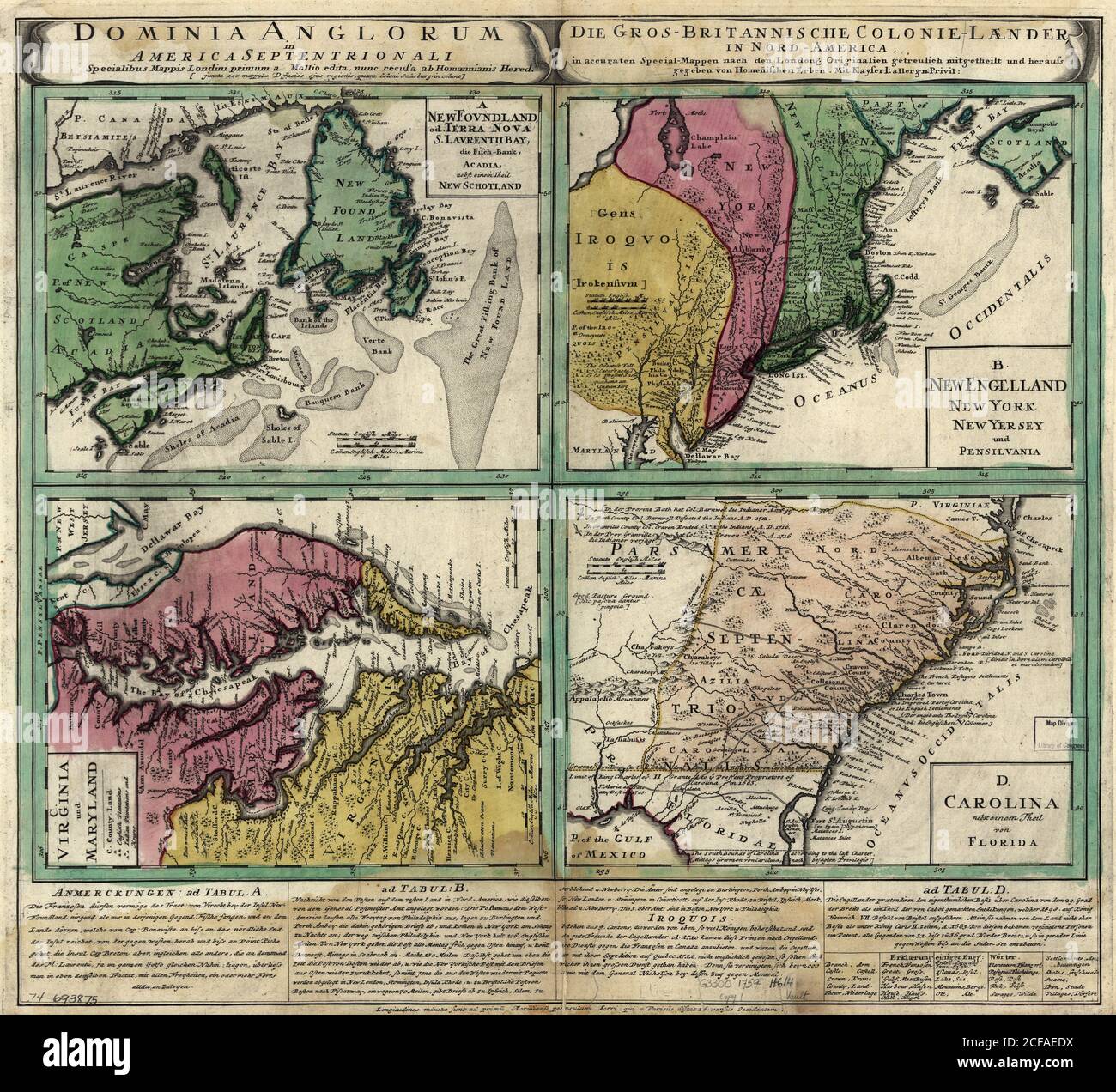 British Doinions in Norther America from New Foundland to Carolina -1770's Stock Photohttps://www.alamy.com/image-license-details/?v=1https://www.alamy.com/british-doinions-in-norther-america-from-new-foundland-to-carolina-1770s-image370868454.html
RM2CFAEDX–British Doinions in Norther America from New Foundland to Carolina -1770's
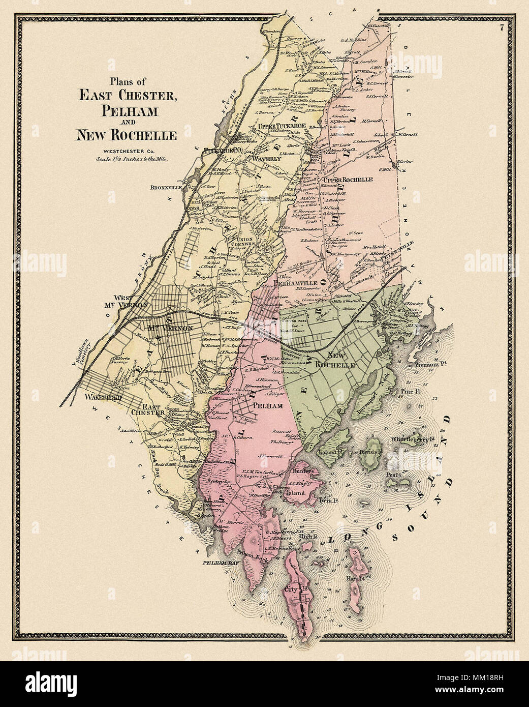 Maps of East Chester, Pelham, & New Rochelle. 1867 Stock Photohttps://www.alamy.com/image-license-details/?v=1https://www.alamy.com/maps-of-east-chester-pelham-new-rochelle-1867-image184425685.html
RMMM18RH–Maps of East Chester, Pelham, & New Rochelle. 1867
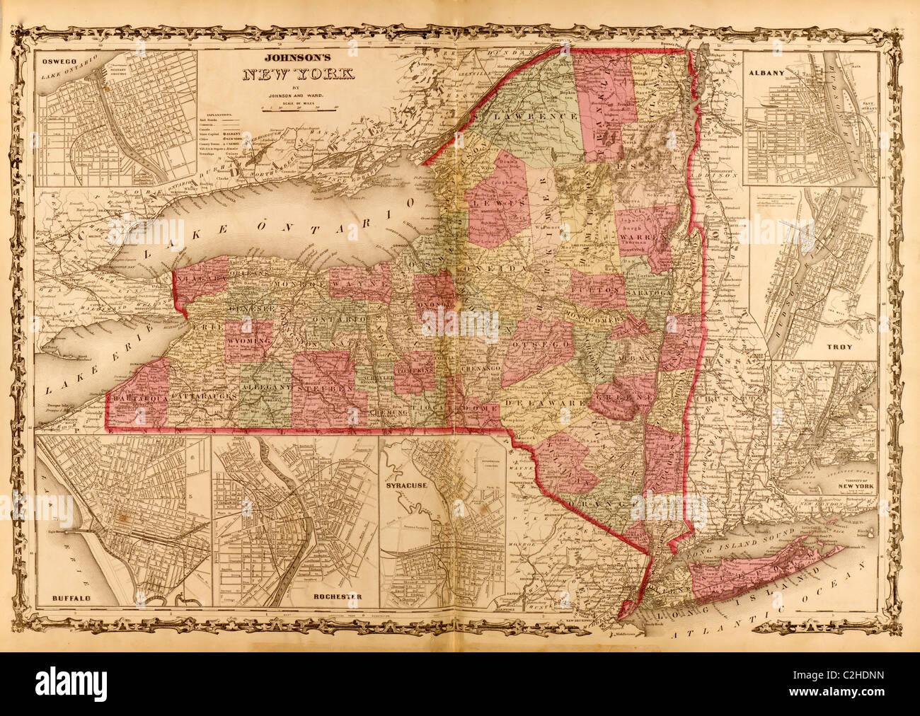 New York - 1862 Stock Photohttps://www.alamy.com/image-license-details/?v=1https://www.alamy.com/stock-photo-new-york-1862-36034033.html
RMC2HDNN–New York - 1862
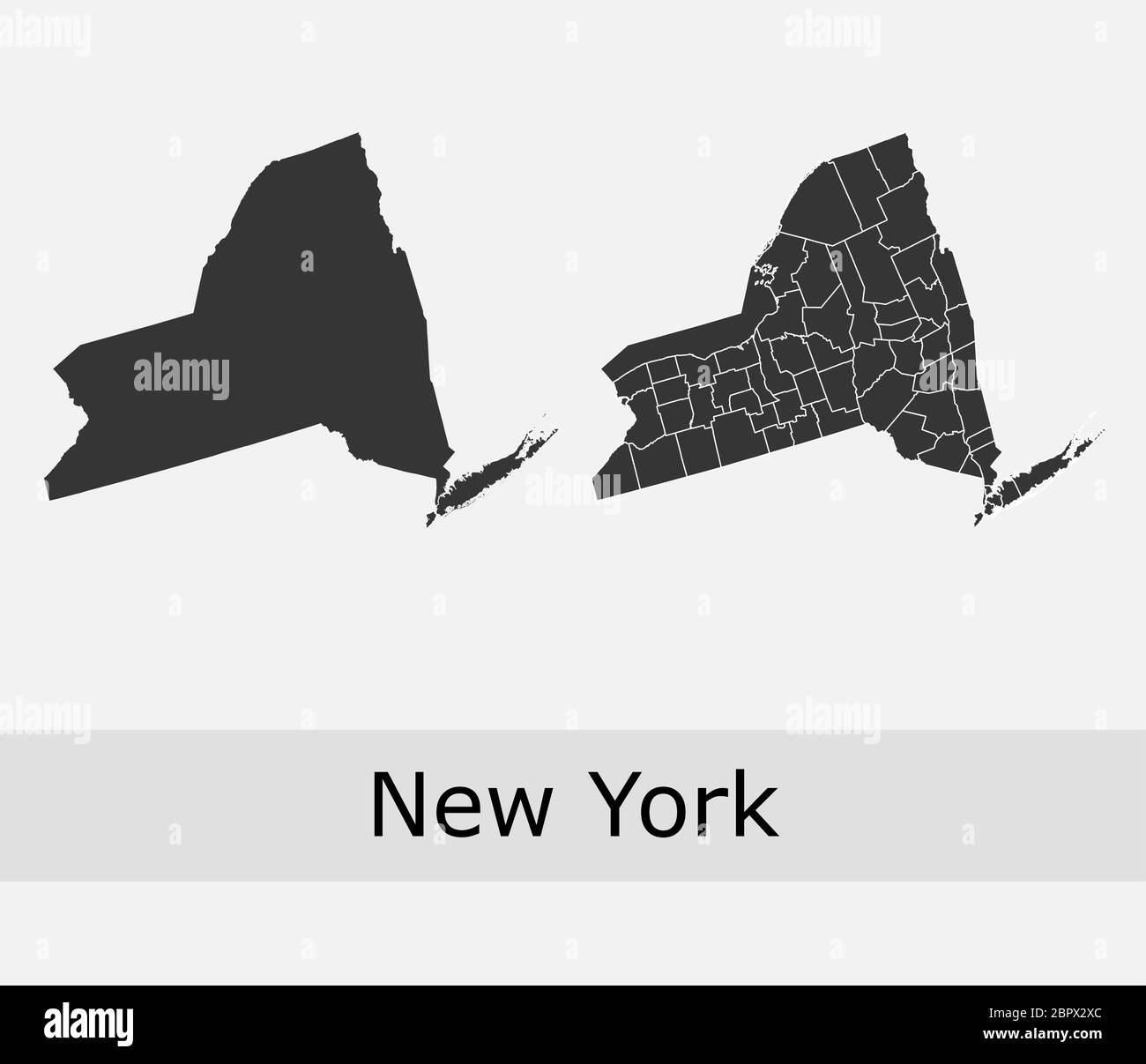 New York maps vector outline counties, townships, regions, municipalities, departments, borders Stock Vectorhttps://www.alamy.com/image-license-details/?v=1https://www.alamy.com/new-york-maps-vector-outline-counties-townships-regions-municipalities-departments-borders-image358302852.html
RF2BPX2XC–New York maps vector outline counties, townships, regions, municipalities, departments, borders
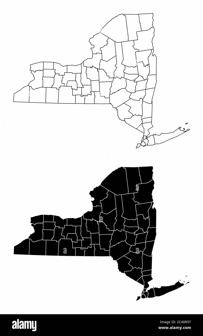 New York County Maps Stock Vectorhttps://www.alamy.com/image-license-details/?v=1https://www.alamy.com/new-york-county-maps-image363894548.html
RF2C40R5T–New York County Maps
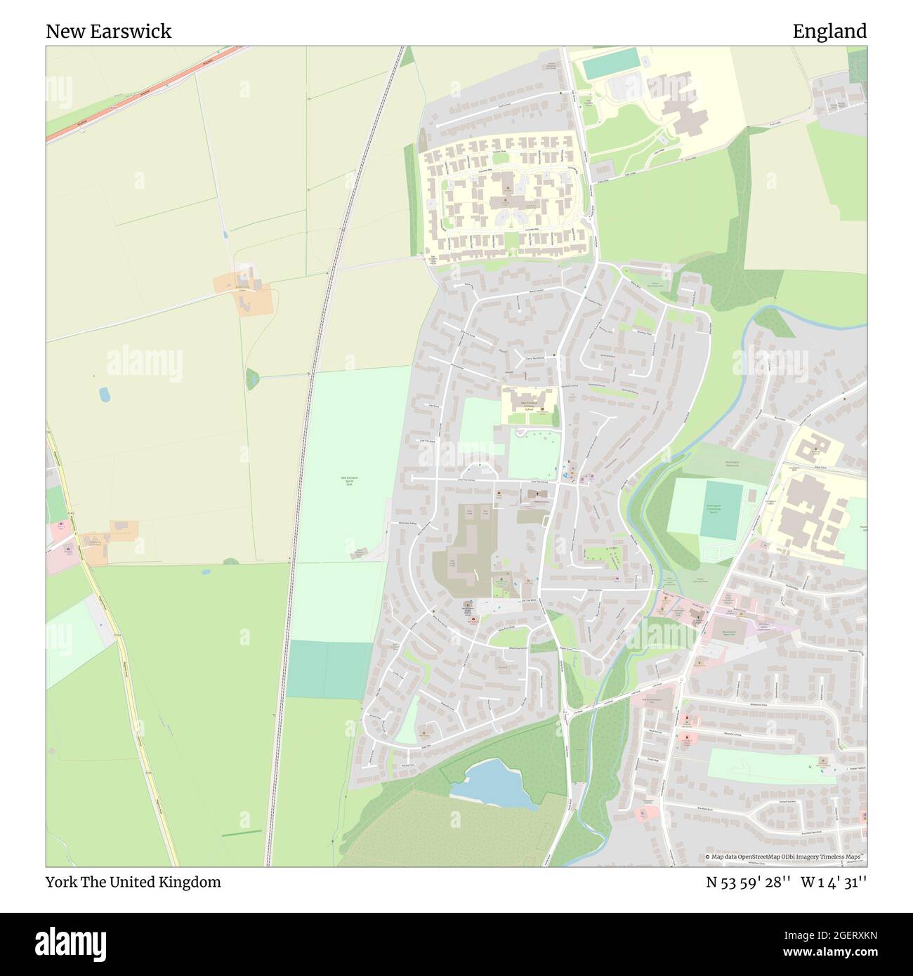 New Earswick, York, United Kingdom, England, N 53 59' 28'', W 1 4' 31'', map, Timeless Map published in 2021. Travelers, explorers and adventurers like Florence Nightingale, David Livingstone, Ernest Shackleton, Lewis and Clark and Sherlock Holmes relied on maps to plan travels to the world's most remote corners, Timeless Maps is mapping most locations on the globe, showing the achievement of great dreams Stock Photohttps://www.alamy.com/image-license-details/?v=1https://www.alamy.com/new-earswick-york-united-kingdom-england-n-53-59-28-w-1-4-31-map-timeless-map-published-in-2021-travelers-explorers-and-adventurers-like-florence-nightingale-david-livingstone-ernest-shackleton-lewis-and-clark-and-sherlock-holmes-relied-on-maps-to-plan-travels-to-the-worlds-most-remote-corners-timeless-maps-is-mapping-most-locations-on-the-globe-showing-the-achievement-of-great-dreams-image439390217.html
RM2GERXKN–New Earswick, York, United Kingdom, England, N 53 59' 28'', W 1 4' 31'', map, Timeless Map published in 2021. Travelers, explorers and adventurers like Florence Nightingale, David Livingstone, Ernest Shackleton, Lewis and Clark and Sherlock Holmes relied on maps to plan travels to the world's most remote corners, Timeless Maps is mapping most locations on the globe, showing the achievement of great dreams
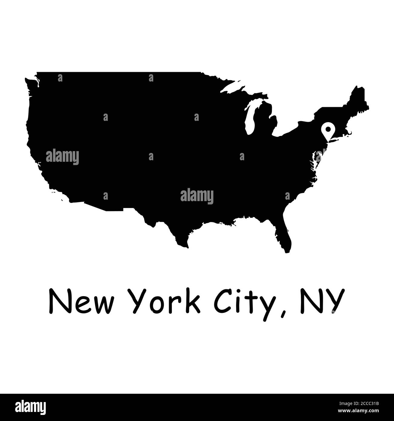 New York City on USA Map. Detailed America Country Map with Location Pin on NYC. Black silhouette and outline vector maps isolated on white background Stock Vectorhttps://www.alamy.com/image-license-details/?v=1https://www.alamy.com/new-york-city-on-usa-map-detailed-america-country-map-with-location-pin-on-nyc-black-silhouette-and-outline-vector-maps-isolated-on-white-background-image369059415.html
RF2CCC31B–New York City on USA Map. Detailed America Country Map with Location Pin on NYC. Black silhouette and outline vector maps isolated on white background
 New York (N.Y.). Croton Aqueduct Department. text. Title pages. 1853. Lionel Pincus and Princess Firyal Map Division. New York (N.Y.), Reservoirs , New York (State) , New York Maps and Profiles of Ground for New Reservoir Situated Between 86th & 96th Streets and 5th & 7th Avenues. 1853. Stock Photohttps://www.alamy.com/image-license-details/?v=1https://www.alamy.com/new-york-ny-croton-aqueduct-department-text-title-pages-1853-lionel-pincus-and-princess-firyal-map-division-new-york-ny-reservoirs-new-york-state-new-york-maps-and-profiles-of-ground-for-new-reservoir-situated-between-86th-96th-streets-and-5th-7th-avenues-1853-image483576901.html
RM2K2MR7H–New York (N.Y.). Croton Aqueduct Department. text. Title pages. 1853. Lionel Pincus and Princess Firyal Map Division. New York (N.Y.), Reservoirs , New York (State) , New York Maps and Profiles of Ground for New Reservoir Situated Between 86th & 96th Streets and 5th & 7th Avenues. 1853.
 USA: United States; Inset maps of San Francisco; New York City, 1909 Stock Photohttps://www.alamy.com/image-license-details/?v=1https://www.alamy.com/stock-photo-usa-united-states-inset-maps-of-san-francisco-new-york-city-1909-106702953.html
RFG5GMKN–USA: United States; Inset maps of San Francisco; New York City, 1909
 A new map of the Hudson River : the post roads between N. York & Albany, the northern and western canals, &c., &c. 1829-05 Stock Photohttps://www.alamy.com/image-license-details/?v=1https://www.alamy.com/a-new-map-of-the-hudson-river-the-post-roads-between-n-york-albany-the-northern-and-western-canals-c-c-1829-05-image633214340.html
RM2YP5B9T–A new map of the Hudson River : the post roads between N. York & Albany, the northern and western canals, &c., &c. 1829-05
RF2J8RN07–A Military Topographical Map of Harlem Heights and Plain 1814 The iconography of Manhattan Island, 1498-1909 compiled from original sources and illustrated by photo-intaglio reproductions of important maps, plans, views, and documents in public and private collections - Volume 3 by Isaac Newton Phelps Stokes, Publisher New York : Robert H. Dodd 1918
 world maps and globes New York public library NYC Stock Photohttps://www.alamy.com/image-license-details/?v=1https://www.alamy.com/stock-photo-world-maps-and-globes-new-york-public-library-nyc-130752654.html
RMHGM89J–world maps and globes New York public library NYC
 1660s TOWNE OF MANNADOS OR NEW AMSTERDAM IN SEPTEMBER 1661 NOW KNOWN AS DOWNTOWN OF ISLAND OF MANHATTAN NEW YORK CITY USA - a952 LAN001 HARS TIP NEW YORK CITY OR 1660s CARTOGRAPHY BLACK AND WHITE GEOGRAPHICAL HUDSON RIVER KNOWN NEW AMSTERDAM OLD FASHIONED SEPTEMBER Stock Photohttps://www.alamy.com/image-license-details/?v=1https://www.alamy.com/1660s-towne-of-mannados-or-new-amsterdam-in-september-1661-now-known-as-downtown-of-island-of-manhattan-new-york-city-usa-a952-lan001-hars-tip-new-york-city-or-1660s-cartography-black-and-white-geographical-hudson-river-known-new-amsterdam-old-fashioned-september-image467970165.html
RM2J59TM5–1660s TOWNE OF MANNADOS OR NEW AMSTERDAM IN SEPTEMBER 1661 NOW KNOWN AS DOWNTOWN OF ISLAND OF MANHATTAN NEW YORK CITY USA - a952 LAN001 HARS TIP NEW YORK CITY OR 1660s CARTOGRAPHY BLACK AND WHITE GEOGRAPHICAL HUDSON RIVER KNOWN NEW AMSTERDAM OLD FASHIONED SEPTEMBER
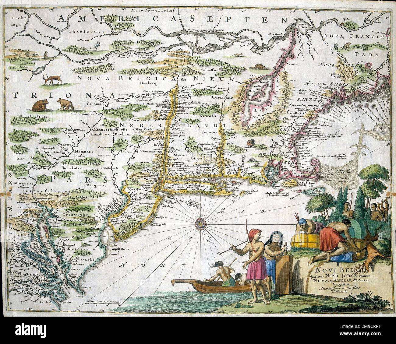 17th century Map of New Belgium and New York, America Stock Photohttps://www.alamy.com/image-license-details/?v=1https://www.alamy.com/17th-century-map-of-new-belgium-and-new-york-america-image504914691.html
RM2M9CRRF–17th century Map of New Belgium and New York, America
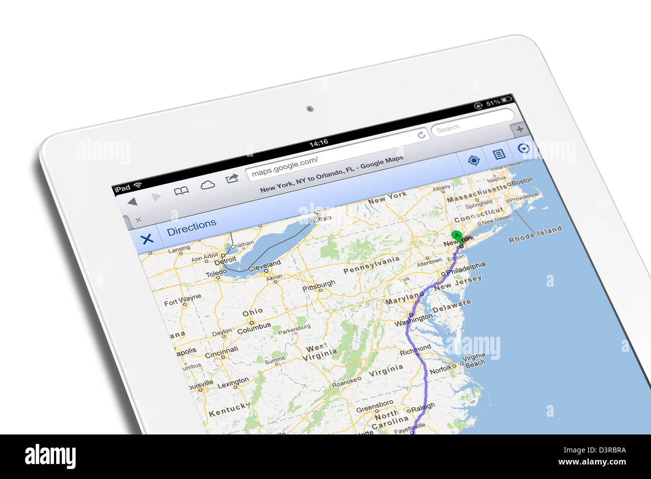 Planning a route from New York to Orlando using Maps on Google.com, viewed on a 4th generation white iPad Stock Photohttps://www.alamy.com/image-license-details/?v=1https://www.alamy.com/stock-photo-planning-a-route-from-new-york-to-orlando-using-maps-on-googlecom-53989246.html
RMD3RBRA–Planning a route from New York to Orlando using Maps on Google.com, viewed on a 4th generation white iPad
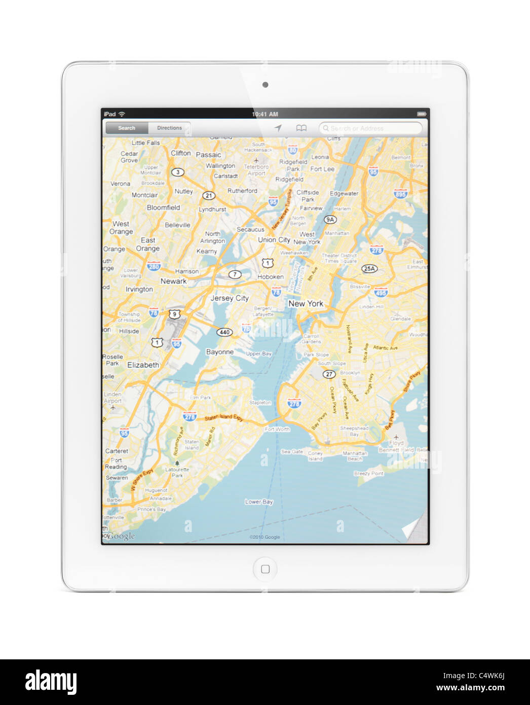 Apple iPad 2 tablet computer with a map of New York by Google Maps on its display. Isolated on white background. Stock Photohttps://www.alamy.com/image-license-details/?v=1https://www.alamy.com/stock-photo-apple-ipad-2-tablet-computer-with-a-map-of-new-york-by-google-maps-37443242.html
RFC4WK6J–Apple iPad 2 tablet computer with a map of New York by Google Maps on its display. Isolated on white background.
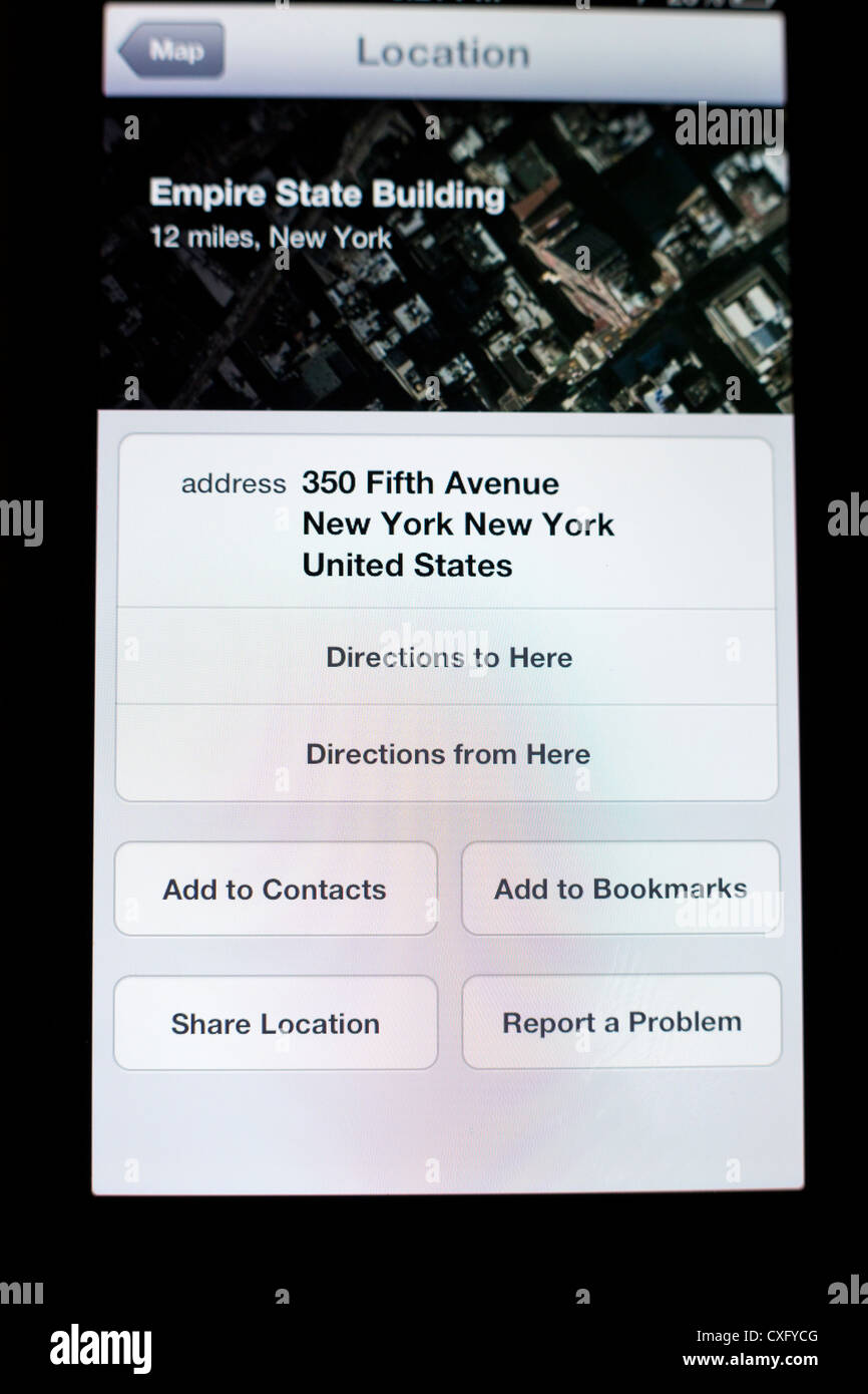 Empire State Building location info shown in a new Maps app on the screen of a iPhone 5/iOS 6 - Yelp reviews Stock Photohttps://www.alamy.com/image-license-details/?v=1https://www.alamy.com/stock-photo-empire-state-building-location-info-shown-in-a-new-maps-app-on-the-50752592.html
RMCXFYCG–Empire State Building location info shown in a new Maps app on the screen of a iPhone 5/iOS 6 - Yelp reviews
 Map of the city of New York., still image, Maps, 1848 Stock Photohttps://www.alamy.com/image-license-details/?v=1https://www.alamy.com/map-of-the-city-of-new-york-still-image-maps-1848-image376407320.html
RM2CTARAG–Map of the city of New York., still image, Maps, 1848
 A Marine from the 2nd Battalion, 25th Marines Regiment, Garden City, New York, maps out targets for a combined artillery and close air support mission with Joint Terminal Attack Controllers, Aug. 10, 2016, at Grayling Air Gunnery Range, Grayling, Michigan, during Northern Strike 2016. Northern Strike 16 is a National Guard Bureau-sponsored exercise uniting approximately 5,000 Army, Air Force, Marine, and Special Forces service members from 20 states and three coalition countries during the first three weeks of August 2016 at the Camp Grayling Joint Maneuver Training Center and the Alpena Comba Stock Photohttps://www.alamy.com/image-license-details/?v=1https://www.alamy.com/stock-photo-a-marine-from-the-2nd-battalion-25th-marines-regiment-garden-city-129782768.html
RMHF436T–A Marine from the 2nd Battalion, 25th Marines Regiment, Garden City, New York, maps out targets for a combined artillery and close air support mission with Joint Terminal Attack Controllers, Aug. 10, 2016, at Grayling Air Gunnery Range, Grayling, Michigan, during Northern Strike 2016. Northern Strike 16 is a National Guard Bureau-sponsored exercise uniting approximately 5,000 Army, Air Force, Marine, and Special Forces service members from 20 states and three coalition countries during the first three weeks of August 2016 at the Camp Grayling Joint Maneuver Training Center and the Alpena Comba
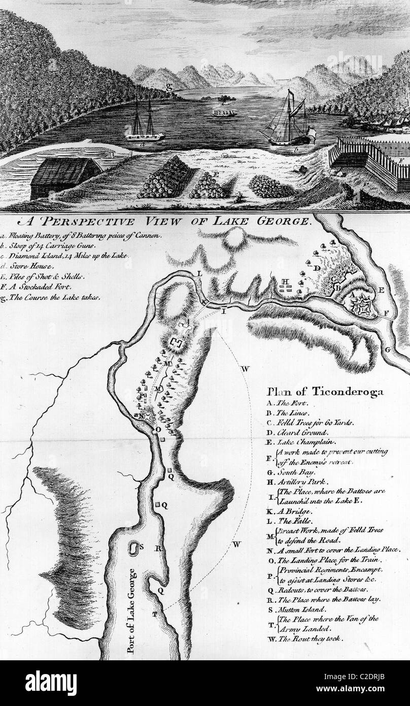 Lake George, New York Stock Photohttps://www.alamy.com/image-license-details/?v=1https://www.alamy.com/stock-photo-lake-george-new-york-35953971.html
RMC2DRJB–Lake George, New York
 One young woman resting in armchair and holding a tablet with Google Maps site in the screen. She is watching a New York map. Stock Photohttps://www.alamy.com/image-license-details/?v=1https://www.alamy.com/one-young-woman-resting-in-armchair-and-holding-a-tablet-with-google-maps-site-in-the-screen-she-is-watching-a-new-york-map-image384357443.html
RF2D98YRF–One young woman resting in armchair and holding a tablet with Google Maps site in the screen. She is watching a New York map.
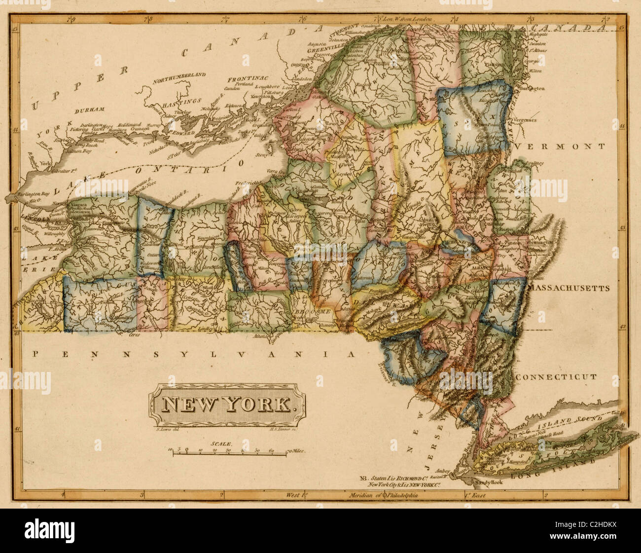 New York - 1817 Stock Photohttps://www.alamy.com/image-license-details/?v=1https://www.alamy.com/stock-photo-new-york-1817-36033982.html
RMC2HDKX–New York - 1817
 Android Auto Maps Navigation Car Vehicle Interface Showing New York City Stock Photohttps://www.alamy.com/image-license-details/?v=1https://www.alamy.com/stock-photo-android-auto-maps-navigation-car-vehicle-interface-showing-new-york-136591474.html
RMHX67PX–Android Auto Maps Navigation Car Vehicle Interface Showing New York City
 Vintage Colton Map: New York City. Title: Map of the country thirty three miles around the city of New York / drawn by G.W. Colton ; engraved by J.M. Atwood, N.Y.; Maps of New York City and State / New York City / Whole 1849 Published by J.H. Colton Stock Photohttps://www.alamy.com/image-license-details/?v=1https://www.alamy.com/vintage-colton-map-new-york-city-title-map-of-the-country-thirty-three-miles-around-the-city-of-new-york-drawn-by-gw-colton-engraved-by-jm-atwood-ny-maps-of-new-york-city-and-state-new-york-city-whole-1849-published-by-jh-colton-image596556349.html
RM2WJFDKW–Vintage Colton Map: New York City. Title: Map of the country thirty three miles around the city of New York / drawn by G.W. Colton ; engraved by J.M. Atwood, N.Y.; Maps of New York City and State / New York City / Whole 1849 Published by J.H. Colton
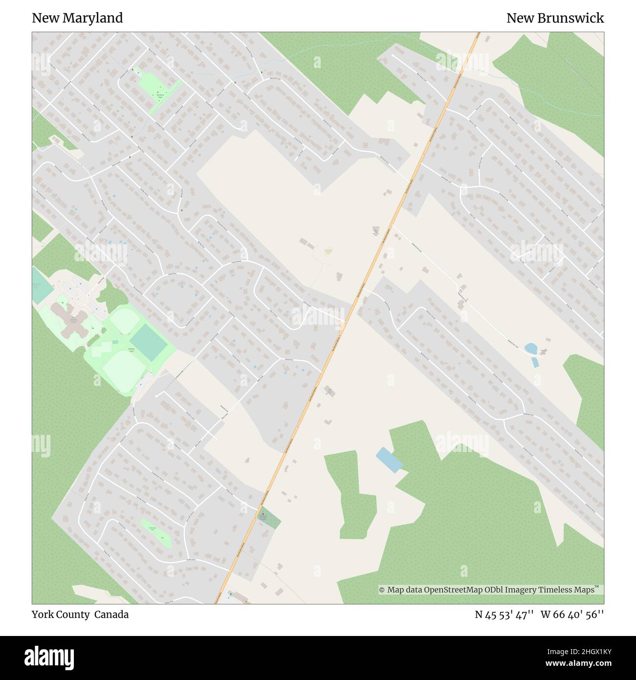 New Maryland, York County, Canada, New Brunswick, N 45 53' 47'', W 66 40' 56'', map, Timeless Map published in 2021. Travelers, explorers and adventurers like Florence Nightingale, David Livingstone, Ernest Shackleton, Lewis and Clark and Sherlock Holmes relied on maps to plan travels to the world's most remote corners, Timeless Maps is mapping most locations on the globe, showing the achievement of great dreams Stock Photohttps://www.alamy.com/image-license-details/?v=1https://www.alamy.com/new-maryland-york-county-canada-new-brunswick-n-45-53-47-w-66-40-56-map-timeless-map-published-in-2021-travelers-explorers-and-adventurers-like-florence-nightingale-david-livingstone-ernest-shackleton-lewis-and-clark-and-sherlock-holmes-relied-on-maps-to-plan-travels-to-the-worlds-most-remote-corners-timeless-maps-is-mapping-most-locations-on-the-globe-showing-the-achievement-of-great-dreams-image457876159.html
RM2HGX1KY–New Maryland, York County, Canada, New Brunswick, N 45 53' 47'', W 66 40' 56'', map, Timeless Map published in 2021. Travelers, explorers and adventurers like Florence Nightingale, David Livingstone, Ernest Shackleton, Lewis and Clark and Sherlock Holmes relied on maps to plan travels to the world's most remote corners, Timeless Maps is mapping most locations on the globe, showing the achievement of great dreams
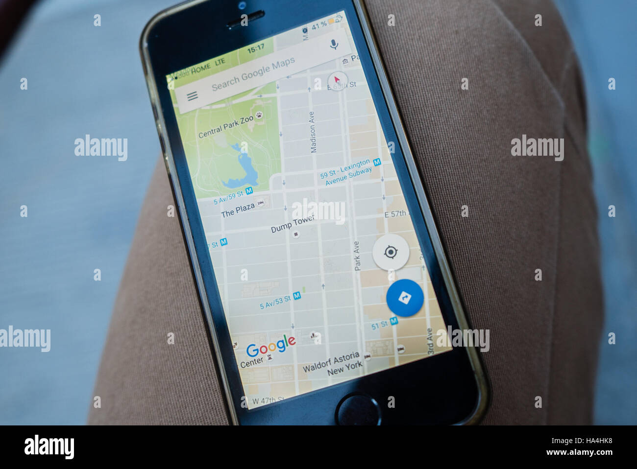 New York City, USA. 26th November, 2016. On Saturday November 26 it was seen in Manhattan that Google Maps showed Trump Tower as Dump Tower. After the election Trump Tower, a Site that draws Tourists, Under Heavy Security. Blockade around Trump Tower is new normal for New Yorkers. Inside - the restaurants and shops of souvenirs with the symbols of the elected president. Tourists queuing. Activists continue to protest outside the blockade. Credit: Andrey Borodulin/Alamy Live News Stock Photohttps://www.alamy.com/image-license-details/?v=1https://www.alamy.com/stock-photo-new-york-city-usa-26th-november-2016-on-saturday-november-26-it-was-126720812.html
RMHA4HK8–New York City, USA. 26th November, 2016. On Saturday November 26 it was seen in Manhattan that Google Maps showed Trump Tower as Dump Tower. After the election Trump Tower, a Site that draws Tourists, Under Heavy Security. Blockade around Trump Tower is new normal for New Yorkers. Inside - the restaurants and shops of souvenirs with the symbols of the elected president. Tourists queuing. Activists continue to protest outside the blockade. Credit: Andrey Borodulin/Alamy Live News
 E.B. Hyde & Co.. Cartographic, Maps. 1916. Lionel Pincus and Princess Firyal Map Division. Brooklyn (New York, N.Y.), Real property , New York (State) , New York, Maps Atlas of the borough of Brooklyn City of New York. The First Twentyeight Wards complete in Three Volumes. Volume One, Containing the first 28 wards. Volume Two, Flatbush and New Utrecht, (29th & 30th Wards.) Volume Three, Gravesend and Flatlands, (31st & 32nd Wards). Based upon official maps and plans on file in the various city offices. Supplemented by careful field measurements and observations. By and under the direction of H Stock Photohttps://www.alamy.com/image-license-details/?v=1https://www.alamy.com/eb-hyde-co-cartographic-maps-1916-lionel-pincus-and-princess-firyal-map-division-brooklyn-new-york-ny-real-property-new-york-state-new-york-maps-atlas-of-the-borough-of-brooklyn-city-of-new-york-the-first-twentyeight-wards-complete-in-three-volumes-volume-one-containing-the-first-28-wards-volume-two-flatbush-and-new-utrecht-29th-30th-wards-volume-three-gravesend-and-flatlands-31st-32nd-wards-based-upon-official-maps-and-plans-on-file-in-the-various-city-offices-supplemented-by-careful-field-measurements-and-observations-by-and-under-the-direction-of-h-image483743588.html
RM2K30BTM–E.B. Hyde & Co.. Cartographic, Maps. 1916. Lionel Pincus and Princess Firyal Map Division. Brooklyn (New York, N.Y.), Real property , New York (State) , New York, Maps Atlas of the borough of Brooklyn City of New York. The First Twentyeight Wards complete in Three Volumes. Volume One, Containing the first 28 wards. Volume Two, Flatbush and New Utrecht, (29th & 30th Wards.) Volume Three, Gravesend and Flatlands, (31st & 32nd Wards). Based upon official maps and plans on file in the various city offices. Supplemented by careful field measurements and observations. By and under the direction of H
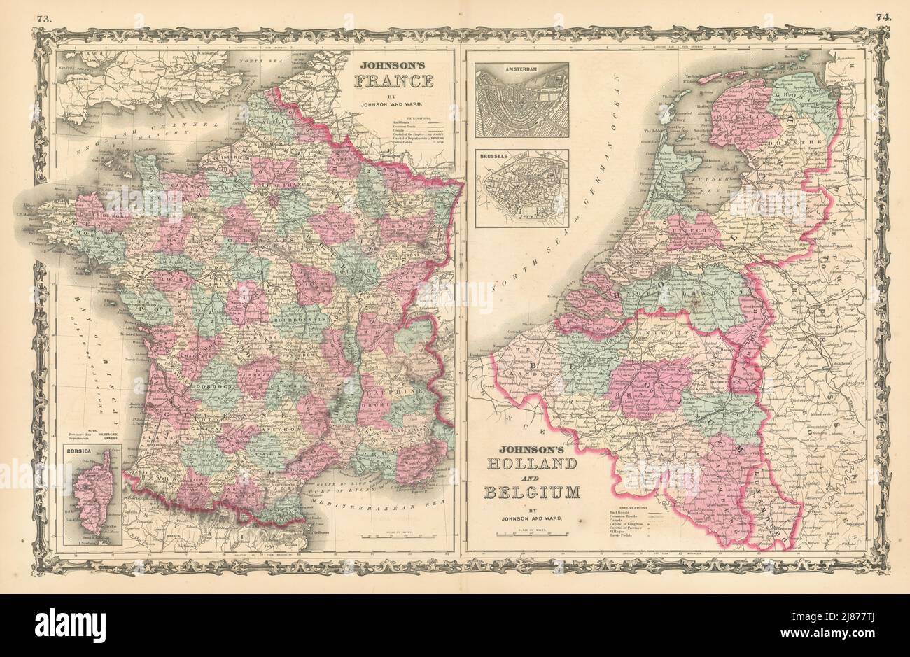 Johnson's France, Holland & Belgium. 2 maps on one sheet 1862 old antique Stock Photohttps://www.alamy.com/image-license-details/?v=1https://www.alamy.com/johnsons-france-holland-belgium-2-maps-on-one-sheet-1862-old-antique-image469757026.html
RF2J877TJ–Johnson's France, Holland & Belgium. 2 maps on one sheet 1862 old antique
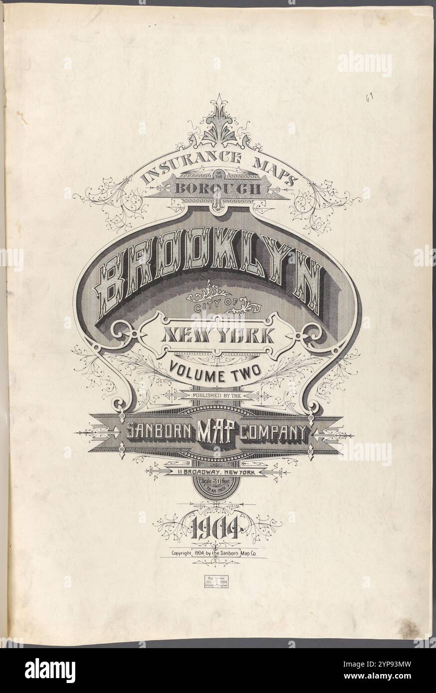 Insurance Maps Borough of Brooklyn New York V. 2, Published by the Sanborn map co. 113Broadway, New York. 1904. 1884 - 1936 Stock Photohttps://www.alamy.com/image-license-details/?v=1https://www.alamy.com/insurance-maps-borough-of-brooklyn-new-york-v-2-published-by-the-sanborn-map-co-113broadway-new-york-1904-1884-1936-image633296185.html
RM2YP93MW–Insurance Maps Borough of Brooklyn New York V. 2, Published by the Sanborn map co. 113Broadway, New York. 1904. 1884 - 1936
RF2J8RN03–Map of THE COUNTRY THIRTY MILES ROUND THE CITY OF New York [The Eddy Map] 1811 The iconography of Manhattan Island, 1498-1909 compiled from original sources and illustrated by photo-intaglio reproductions of important maps, plans, views, and documents in public and private collections - Volume 3 by Isaac Newton Phelps Stokes, Publisher New York : Robert H. Dodd 1918
 world maps and globes New York public library NYC Stock Photohttps://www.alamy.com/image-license-details/?v=1https://www.alamy.com/stock-photo-world-maps-and-globes-new-york-public-library-nyc-130752720.html
RMHGM8C0–world maps and globes New York public library NYC
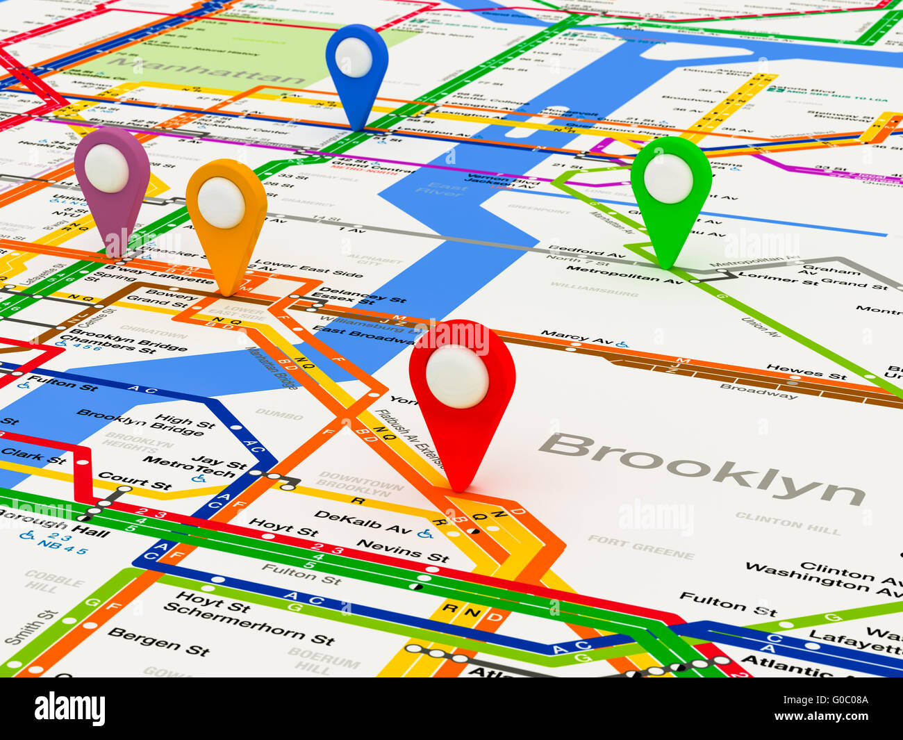 New York navigation subway map Stock Photohttps://www.alamy.com/image-license-details/?v=1https://www.alamy.com/stock-photo-new-york-navigation-subway-map-103525866.html
RMG0C08A–New York navigation subway map
 A close up of a map of New York City or Manhattan with car keys Stock Photohttps://www.alamy.com/image-license-details/?v=1https://www.alamy.com/stock-photo-a-close-up-of-a-map-of-new-york-city-or-manhattan-with-car-keys-15959069.html
RFAR6YWJ–A close up of a map of New York City or Manhattan with car keys
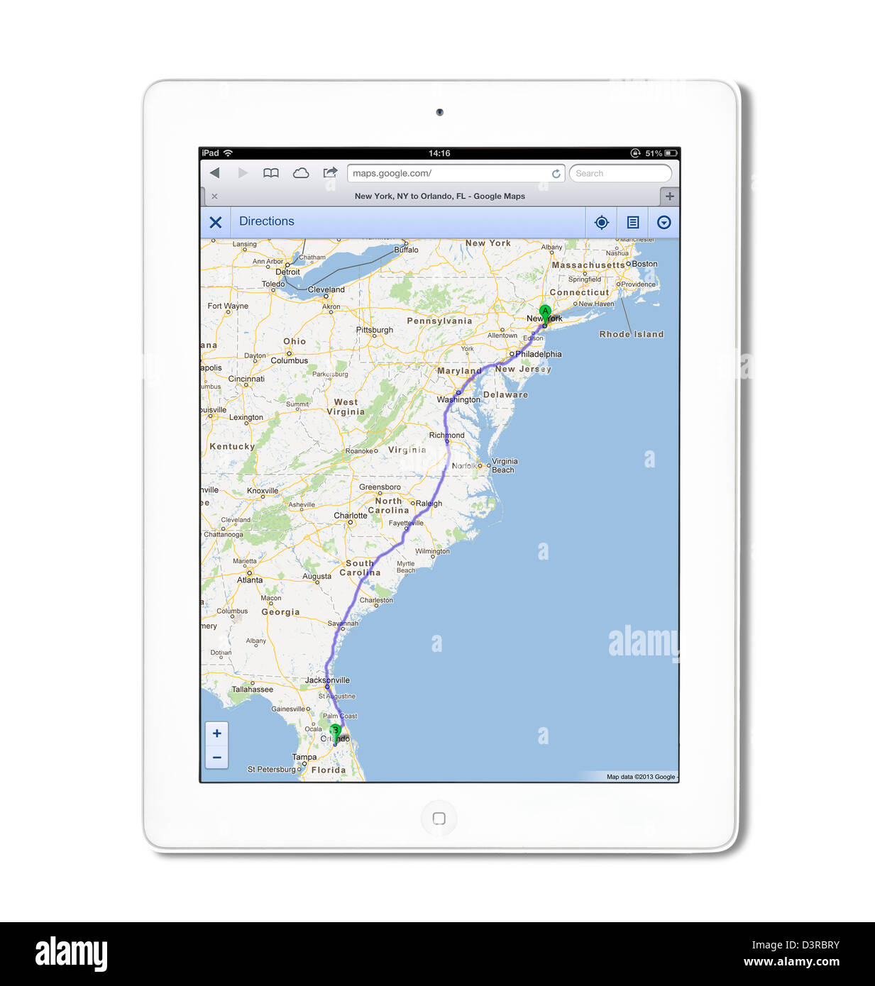 Planning a route from New York to Orlando using Maps on Google.com, viewed on a 4th generation white iPad Stock Photohttps://www.alamy.com/image-license-details/?v=1https://www.alamy.com/stock-photo-planning-a-route-from-new-york-to-orlando-using-maps-on-googlecom-53989263.html
RMD3RBRY–Planning a route from New York to Orlando using Maps on Google.com, viewed on a 4th generation white iPad
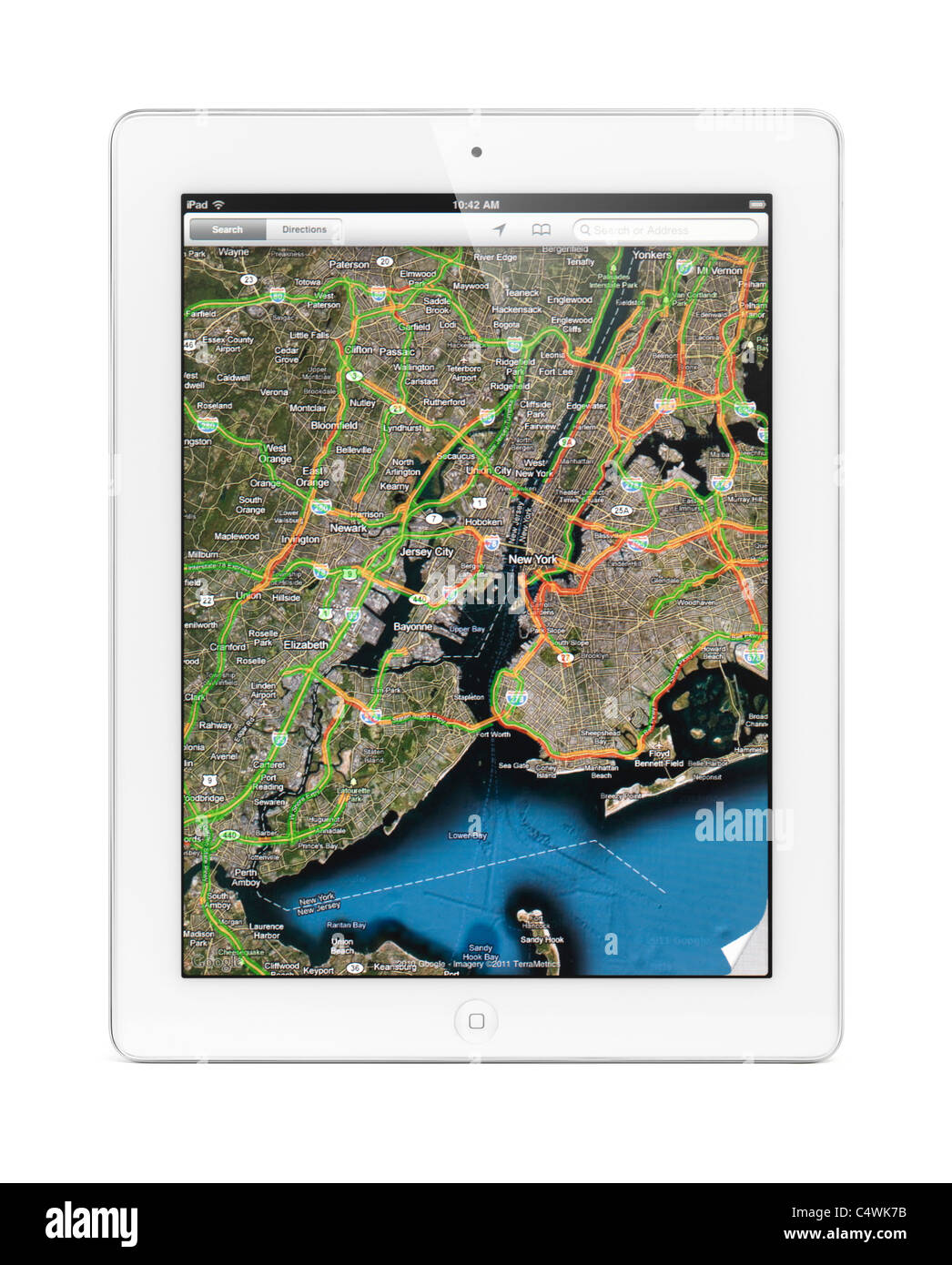 Apple iPad 2 tablet computer displaying a map of New York with traffic by Google Maps on its screen Isolated on white background Stock Photohttps://www.alamy.com/image-license-details/?v=1https://www.alamy.com/stock-photo-apple-ipad-2-tablet-computer-displaying-a-map-of-new-york-with-traffic-37443263.html
RFC4WK7B–Apple iPad 2 tablet computer displaying a map of New York with traffic by Google Maps on its screen Isolated on white background
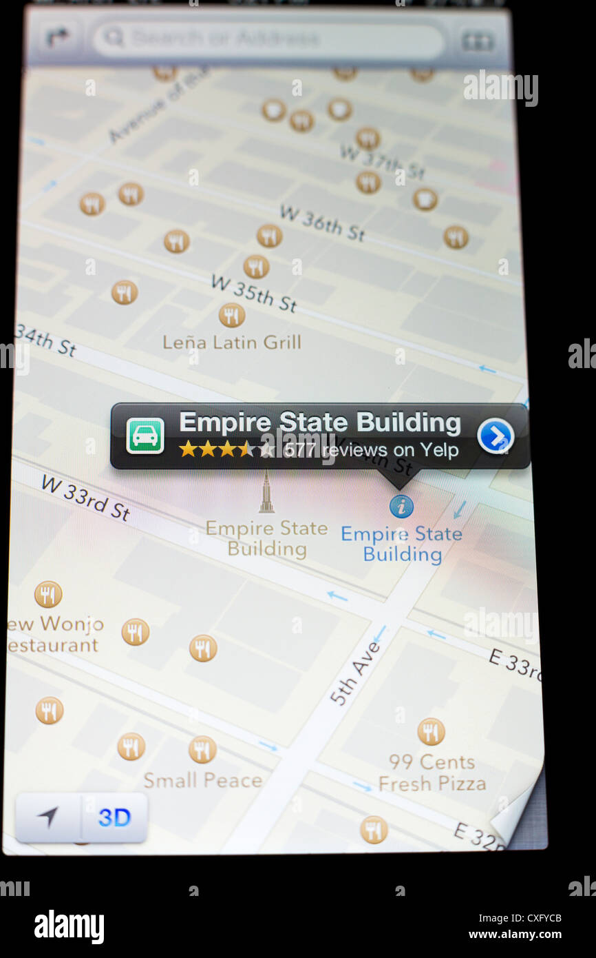 Empire State Building shown in a new Maps app on the screen of a iPhone 5/iOS 6 - Yelp reviews, 3D map view, detail Stock Photohttps://www.alamy.com/image-license-details/?v=1https://www.alamy.com/stock-photo-empire-state-building-shown-in-a-new-maps-app-on-the-screen-of-a-iphone-50752587.html
RMCXFYCB–Empire State Building shown in a new Maps app on the screen of a iPhone 5/iOS 6 - Yelp reviews, 3D map view, detail
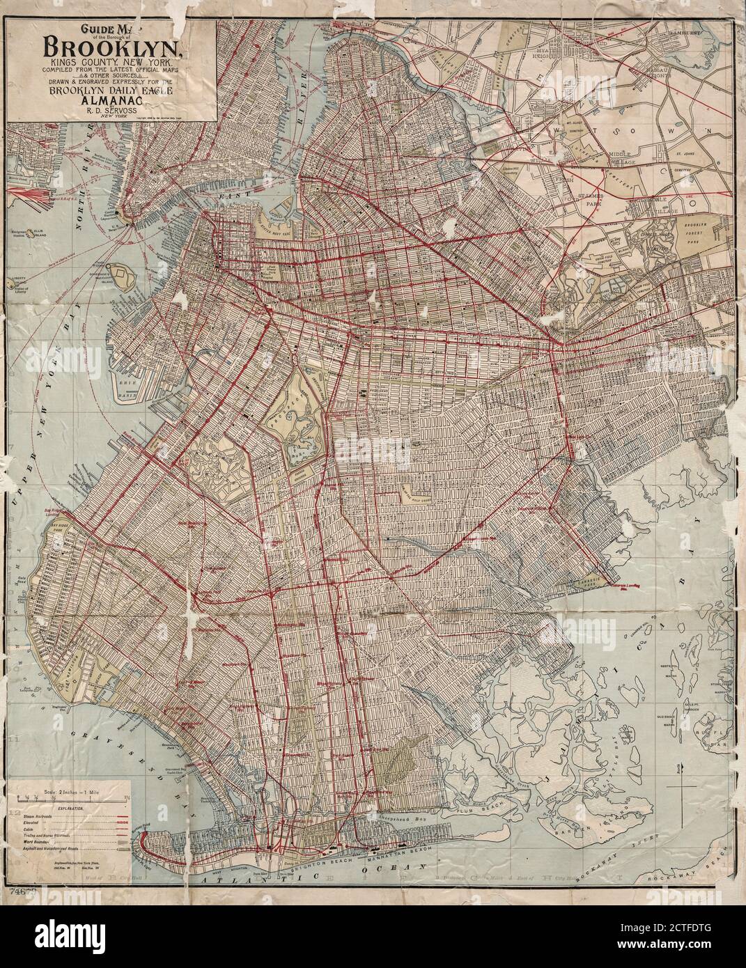 Guide map of the borough of Brooklyn, Kings County, New York., still image, Maps, 1898, Servoss, R. D Stock Photohttps://www.alamy.com/image-license-details/?v=1https://www.alamy.com/guide-map-of-the-borough-of-brooklyn-kings-county-new-york-still-image-maps-1898-servoss-r-d-image376509632.html
RM2CTFDTG–Guide map of the borough of Brooklyn, Kings County, New York., still image, Maps, 1898, Servoss, R. D
 Antique maps / vintage maps - Plan of New York and Staten Islands with part of Long Island ca. 1780s Stock Photohttps://www.alamy.com/image-license-details/?v=1https://www.alamy.com/antique-maps-vintage-maps-plan-of-new-york-and-staten-islands-with-part-of-long-island-ca-1780s-image223645370.html
RMPYRWXJ–Antique maps / vintage maps - Plan of New York and Staten Islands with part of Long Island ca. 1780s
 New York in 1728, Seutter, M. Stock Photohttps://www.alamy.com/image-license-details/?v=1https://www.alamy.com/new-york-in-1728-seutter-m-image226623195.html
RMR4KG5F–New York in 1728, Seutter, M.
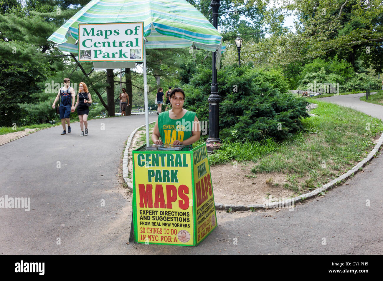 New York City,NY NYC Upper Manhattan,Central Park,urban park,kiosk,maps,vendor,Asian adult adults,woman female women,NY160716132 Stock Photohttps://www.alamy.com/image-license-details/?v=1https://www.alamy.com/stock-photo-new-york-cityny-nyc-upper-manhattancentral-parkurban-parkkioskmapsvendorasian-120248833.html
RMGYHPH5–New York City,NY NYC Upper Manhattan,Central Park,urban park,kiosk,maps,vendor,Asian adult adults,woman female women,NY160716132
 British Doinions in Norther America from New Foundland to Carolina -1770's Stock Photohttps://www.alamy.com/image-license-details/?v=1https://www.alamy.com/stock-photo-british-doinions-in-norther-america-from-new-foundland-to-carolina-36034817.html
RMC2HENN–British Doinions in Norther America from New Foundland to Carolina -1770's
RM2AXWBDM–Visitors to Flatiron Plaza in New York vie for prizes as they participate in a Google Maps brand activation on Saturday, February 8, 2020. Google celebrated 15 years of their Maps app with a new design with various new features and a new icon. (© Richard B. Levine)
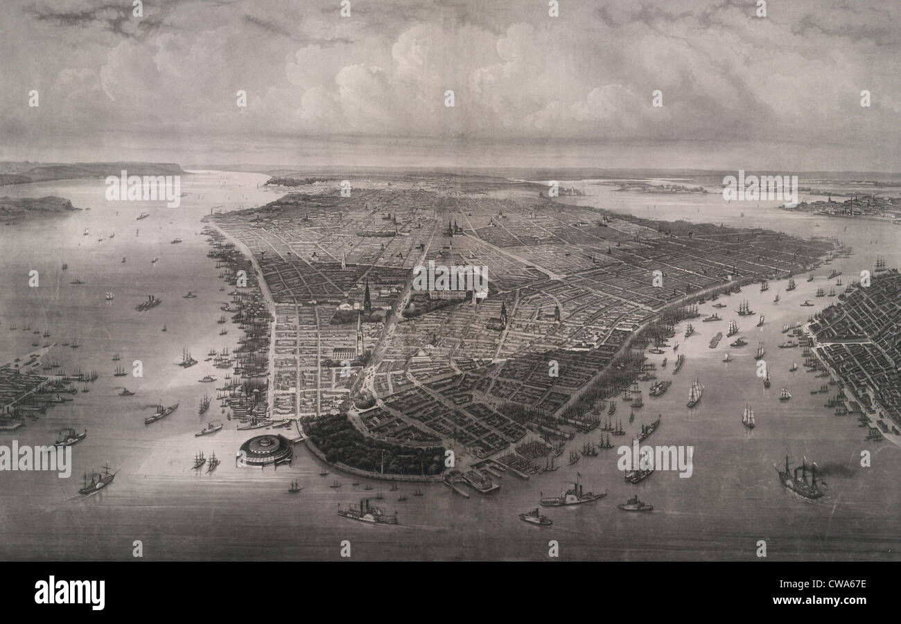 1851 bird's eye view of New-York, looking north over the length of Manhattan with Battery Park and Castle Garden in the Stock Photohttps://www.alamy.com/image-license-details/?v=1https://www.alamy.com/stock-photo-1851-birds-eye-view-of-new-york-looking-north-over-the-length-of-manhattan-50011570.html
RMCWA67E–1851 bird's eye view of New-York, looking north over the length of Manhattan with Battery Park and Castle Garden in the
 York Mills, Canada, New Brunswick, N 45 40' 8'', W 67 5' 34'', map, Timeless Map published in 2021. Travelers, explorers and adventurers like Florence Nightingale, David Livingstone, Ernest Shackleton, Lewis and Clark and Sherlock Holmes relied on maps to plan travels to the world's most remote corners, Timeless Maps is mapping most locations on the globe, showing the achievement of great dreams Stock Photohttps://www.alamy.com/image-license-details/?v=1https://www.alamy.com/york-mills-canada-new-brunswick-n-45-40-8-w-67-5-34-map-timeless-map-published-in-2021-travelers-explorers-and-adventurers-like-florence-nightingale-david-livingstone-ernest-shackleton-lewis-and-clark-and-sherlock-holmes-relied-on-maps-to-plan-travels-to-the-worlds-most-remote-corners-timeless-maps-is-mapping-most-locations-on-the-globe-showing-the-achievement-of-great-dreams-image457891540.html
RM2HGXN98–York Mills, Canada, New Brunswick, N 45 40' 8'', W 67 5' 34'', map, Timeless Map published in 2021. Travelers, explorers and adventurers like Florence Nightingale, David Livingstone, Ernest Shackleton, Lewis and Clark and Sherlock Holmes relied on maps to plan travels to the world's most remote corners, Timeless Maps is mapping most locations on the globe, showing the achievement of great dreams
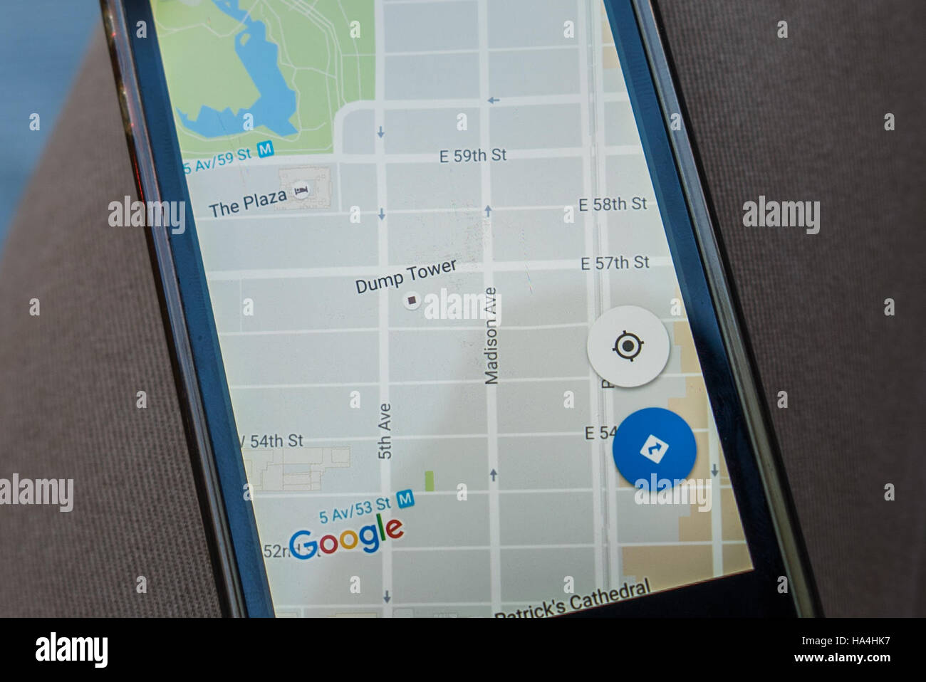 New York City, USA. 26th November, 2016. On Saturday November 26 it was seen in Manhattan that Google Maps showed Trump Tower as Dump Tower. After the election Trump Tower, a Site that draws Tourists, Under Heavy Security. Blockade around Trump Tower is new normal for New Yorkers. Inside - the restaurants and shops of souvenirs with the symbols of the elected president. Tourists queuing. Activists continue to protest outside the blockade. Credit: Andrey Borodulin/Alamy Live News Stock Photohttps://www.alamy.com/image-license-details/?v=1https://www.alamy.com/stock-photo-new-york-city-usa-26th-november-2016-on-saturday-november-26-it-was-126720811.html
RMHA4HK7–New York City, USA. 26th November, 2016. On Saturday November 26 it was seen in Manhattan that Google Maps showed Trump Tower as Dump Tower. After the election Trump Tower, a Site that draws Tourists, Under Heavy Security. Blockade around Trump Tower is new normal for New Yorkers. Inside - the restaurants and shops of souvenirs with the symbols of the elected president. Tourists queuing. Activists continue to protest outside the blockade. Credit: Andrey Borodulin/Alamy Live News
 New map of New York City : from the latest authentic surveys, showing all ferries, and all steamship docks both foreign and coastwise lines , Local transit, New York State, New York, Maps, Ferries, New York State, New York, Maps, Railroads, New York State, New York, Maps, New York N.Y., Maps, Manhattan New York, N.Y., Maps Norman B. Leventhal Map Center Collection Stock Photohttps://www.alamy.com/image-license-details/?v=1https://www.alamy.com/new-map-of-new-york-city-from-the-latest-authentic-surveys-showing-all-ferries-and-all-steamship-docks-both-foreign-and-coastwise-lines-local-transit-new-york-state-new-york-maps-ferries-new-york-state-new-york-maps-railroads-new-york-state-new-york-maps-new-york-ny-maps-manhattan-new-york-ny-maps-norman-b-leventhal-map-center-collection-image501342442.html
RM2M3J3B6–New map of New York City : from the latest authentic surveys, showing all ferries, and all steamship docks both foreign and coastwise lines , Local transit, New York State, New York, Maps, Ferries, New York State, New York, Maps, Railroads, New York State, New York, Maps, New York N.Y., Maps, Manhattan New York, N.Y., Maps Norman B. Leventhal Map Center Collection
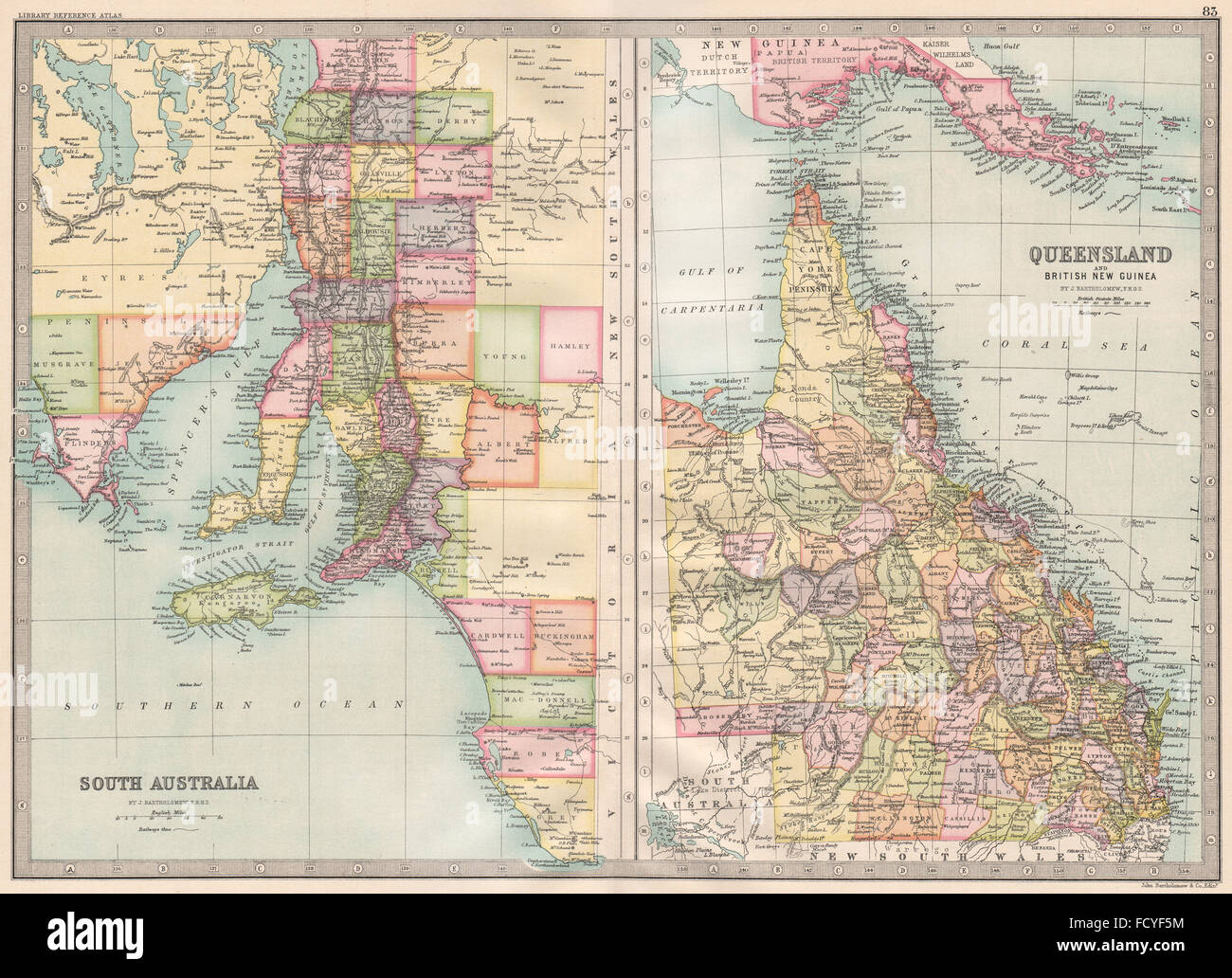 AUSTRALIA:South Australia;Queensland & British New Guinea.BARTHOLOMEW, 1890 map Stock Photohttps://www.alamy.com/image-license-details/?v=1https://www.alamy.com/stock-photo-australiasouth-australiaqueensland-british-new-guineabartholomew-1890-94032336.html
RFFCYF5M–AUSTRALIA:South Australia;Queensland & British New Guinea.BARTHOLOMEW, 1890 map
 Insurance Maps of the Brooklyn city of New York Volume Five. Published by the Sanborn map co. 11, Broadway, New York. 1908. 1884 - 1936 Stock Photohttps://www.alamy.com/image-license-details/?v=1https://www.alamy.com/insurance-maps-of-the-brooklyn-city-of-new-york-volume-five-published-by-the-sanborn-map-co-11-broadway-new-york-1908-1884-1936-image633296729.html
RM2YP94C9–Insurance Maps of the Brooklyn city of New York Volume Five. Published by the Sanborn map co. 11, Broadway, New York. 1908. 1884 - 1936
RF2J8RNCK–The City of New York AS LAID OUT BY THE COMMISSIONERS WITH THE SURROUNDING Country [The Randel Plan] 1814 The iconography of Manhattan Island, 1498-1909 compiled from original sources and illustrated by photo-intaglio reproductions of important maps, plans, views, and documents in public and private collections - Volume 3 by Isaac Newton Phelps Stokes, Publisher New York : Robert H. Dodd 1918
 Map Of New York Stock Photohttps://www.alamy.com/image-license-details/?v=1https://www.alamy.com/stock-photo-map-of-new-york-130842182.html
RFHGTAF2–Map Of New York
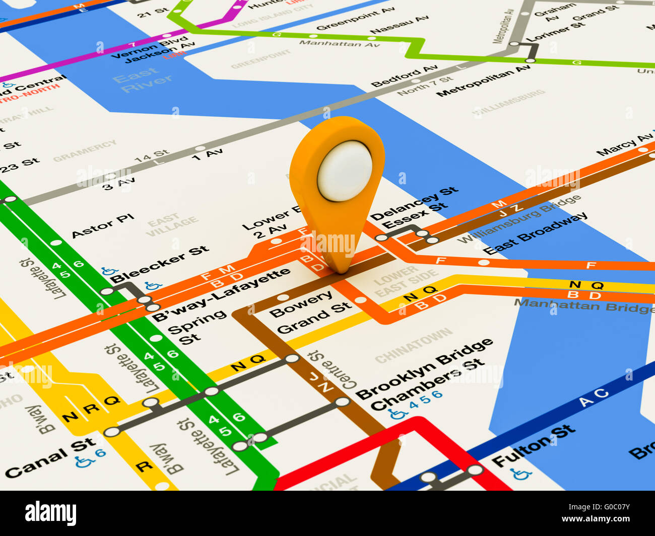 New York navigation subway map Stock Photohttps://www.alamy.com/image-license-details/?v=1https://www.alamy.com/stock-photo-new-york-navigation-subway-map-103525855.html
RMG0C07Y–New York navigation subway map
RFPPFX1W–New york, USA - september 24, 2018: Google maps icon on smartphone screen close up
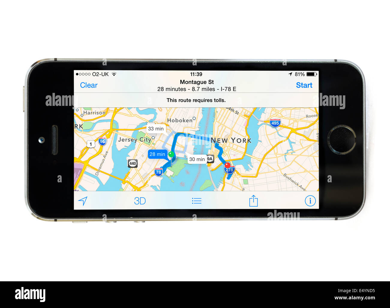 Using the Apple Maps app on iPhone 5S, USA Stock Photohttps://www.alamy.com/image-license-details/?v=1https://www.alamy.com/stock-photo-using-the-apple-maps-app-on-iphone-5s-usa-71909633.html
RME4YND5–Using the Apple Maps app on iPhone 5S, USA
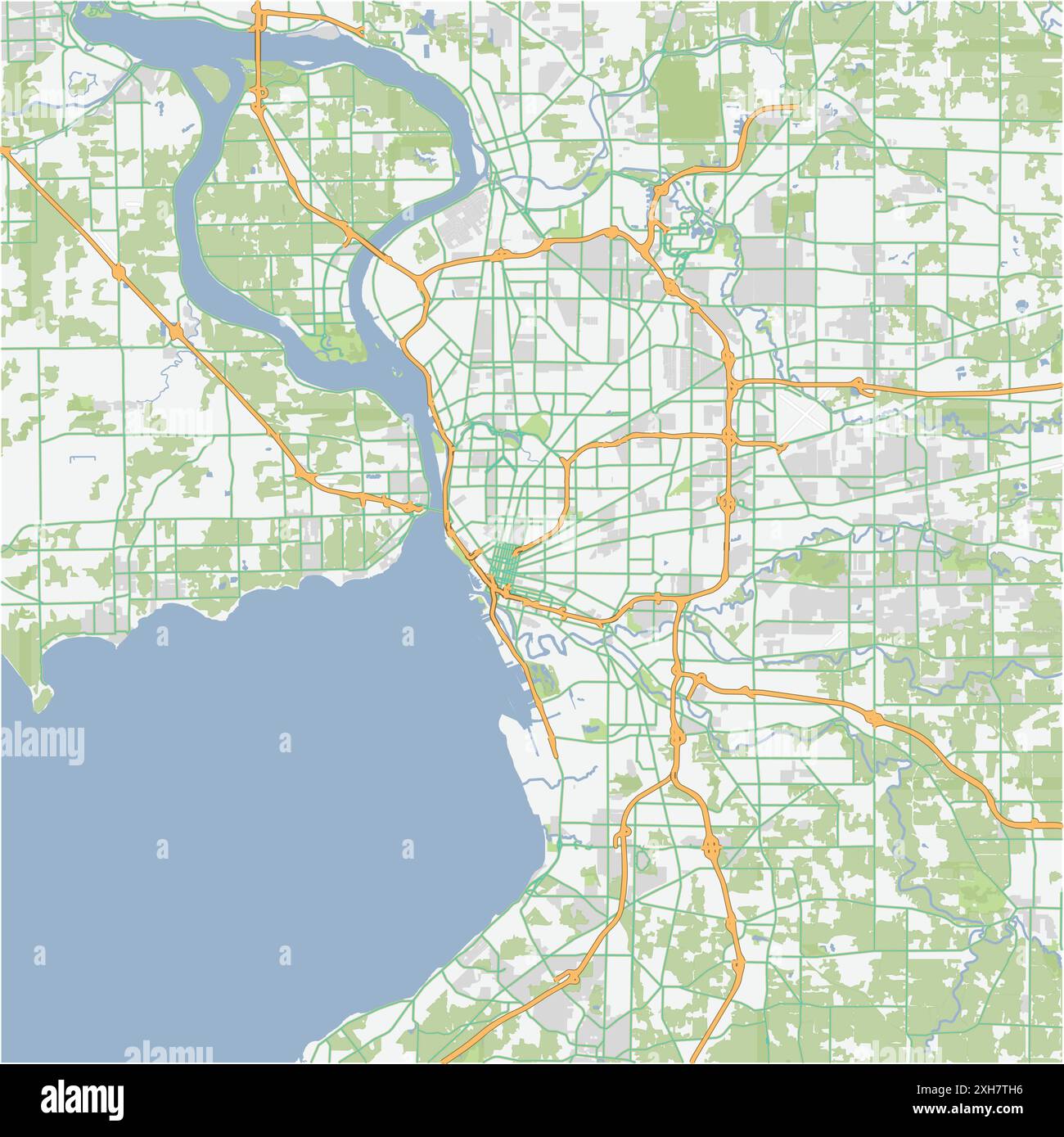 Road map of Buffalo in New York. Contains layered vector with roads water, parks, etc. Stock Vectorhttps://www.alamy.com/image-license-details/?v=1https://www.alamy.com/road-map-of-buffalo-in-new-york-contains-layered-vector-with-roads-water-parks-etc-image612984994.html
RF2XH7TH6–Road map of Buffalo in New York. Contains layered vector with roads water, parks, etc.
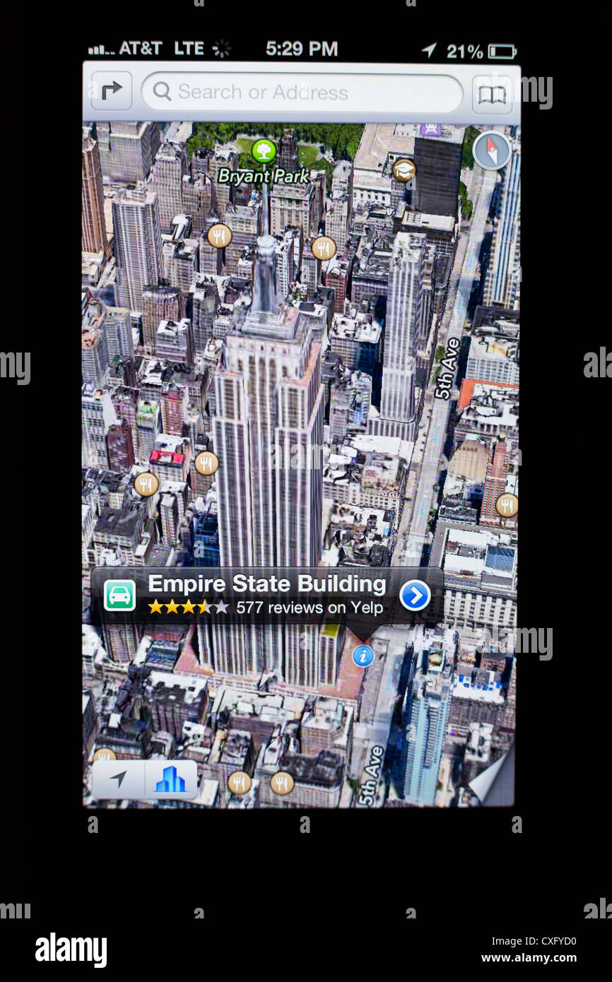 3D satellite view of the Empire State Building shown in a new Maps app on the screen of a iPhone 5/iOS 6 - Yelp reviews, detail Stock Photohttps://www.alamy.com/image-license-details/?v=1https://www.alamy.com/stock-photo-3d-satellite-view-of-the-empire-state-building-shown-in-a-new-maps-50752604.html
RMCXFYD0–3D satellite view of the Empire State Building shown in a new Maps app on the screen of a iPhone 5/iOS 6 - Yelp reviews, detail
 City of New-York, still image, Maps, 1837, Burr, David H. (1803-1875 ), S. Stiles & Co Stock Photohttps://www.alamy.com/image-license-details/?v=1https://www.alamy.com/city-of-new-york-still-image-maps-1837-burr-david-h-1803-1875-s-stiles-co-image376463698.html
RM2CTDB82–City of New-York, still image, Maps, 1837, Burr, David H. (1803-1875 ), S. Stiles & Co
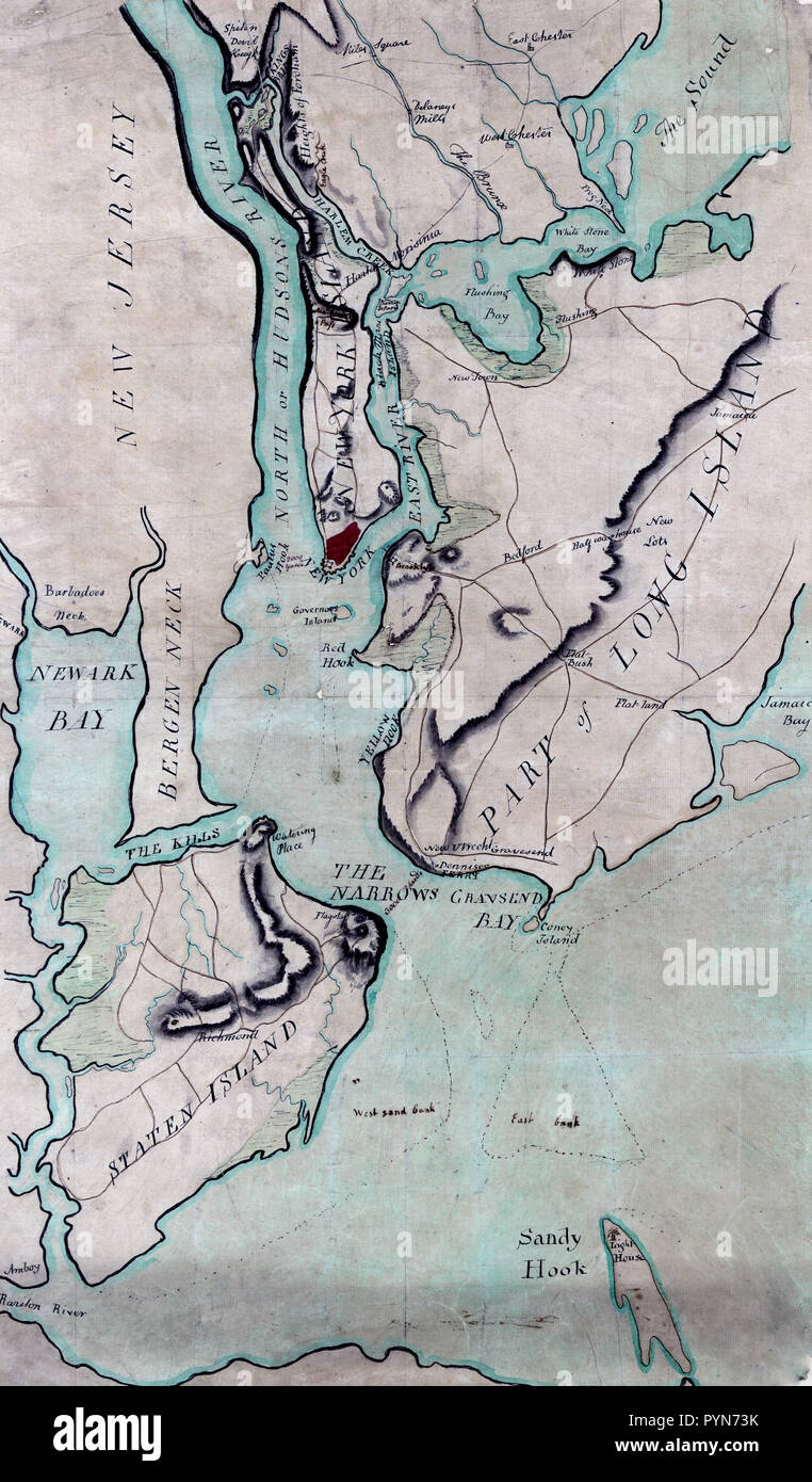 Antique maps / vintage maps - Plan of New York and Staten Islands with part of Long Island ca. 1780s Stock Photohttps://www.alamy.com/image-license-details/?v=1https://www.alamy.com/antique-maps-vintage-maps-plan-of-new-york-and-staten-islands-with-part-of-long-island-ca-1780s-image223586711.html
RMPYN73K–Antique maps / vintage maps - Plan of New York and Staten Islands with part of Long Island ca. 1780s
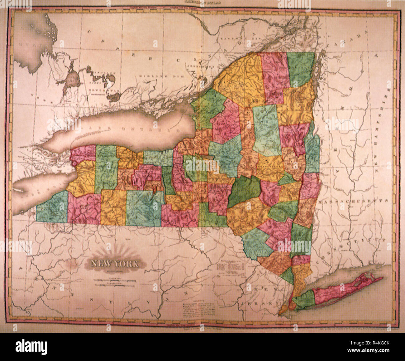 New York Counties 1823, Tanner, Henry S. Stock Photohttps://www.alamy.com/image-license-details/?v=1https://www.alamy.com/new-york-counties-1823-tanner-henry-s-image226623395.html
RMR4KGCK–New York Counties 1823, Tanner, Henry S.
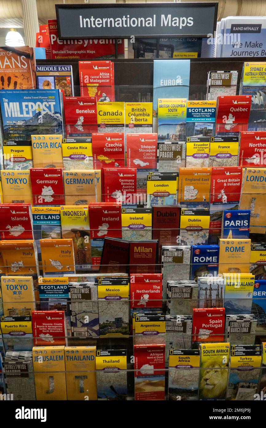 Barnes & Noble booksellers on Union Square has a large selection of maps, New York City, USA 2023 Stock Photohttps://www.alamy.com/image-license-details/?v=1https://www.alamy.com/barnes-noble-booksellers-on-union-square-has-a-large-selection-of-maps-new-york-city-usa-2023-image503201262.html
RM2M6JP9J–Barnes & Noble booksellers on Union Square has a large selection of maps, New York City, USA 2023
 New Amsterdam in the Americas - 1672 Stock Photohttps://www.alamy.com/image-license-details/?v=1https://www.alamy.com/stock-photo-new-amsterdam-in-the-americas-1672-36043493.html
RMC2HWRH–New Amsterdam in the Americas - 1672
RM2AXWBD4–Visitors to Flatiron Plaza in New York vie for prizes as they participate in a Google Maps brand activation on Saturday, February 8, 2020. Google celebrated 15 years of their Maps app with a new design with various new features and a new icon. (© Richard B. Levine)
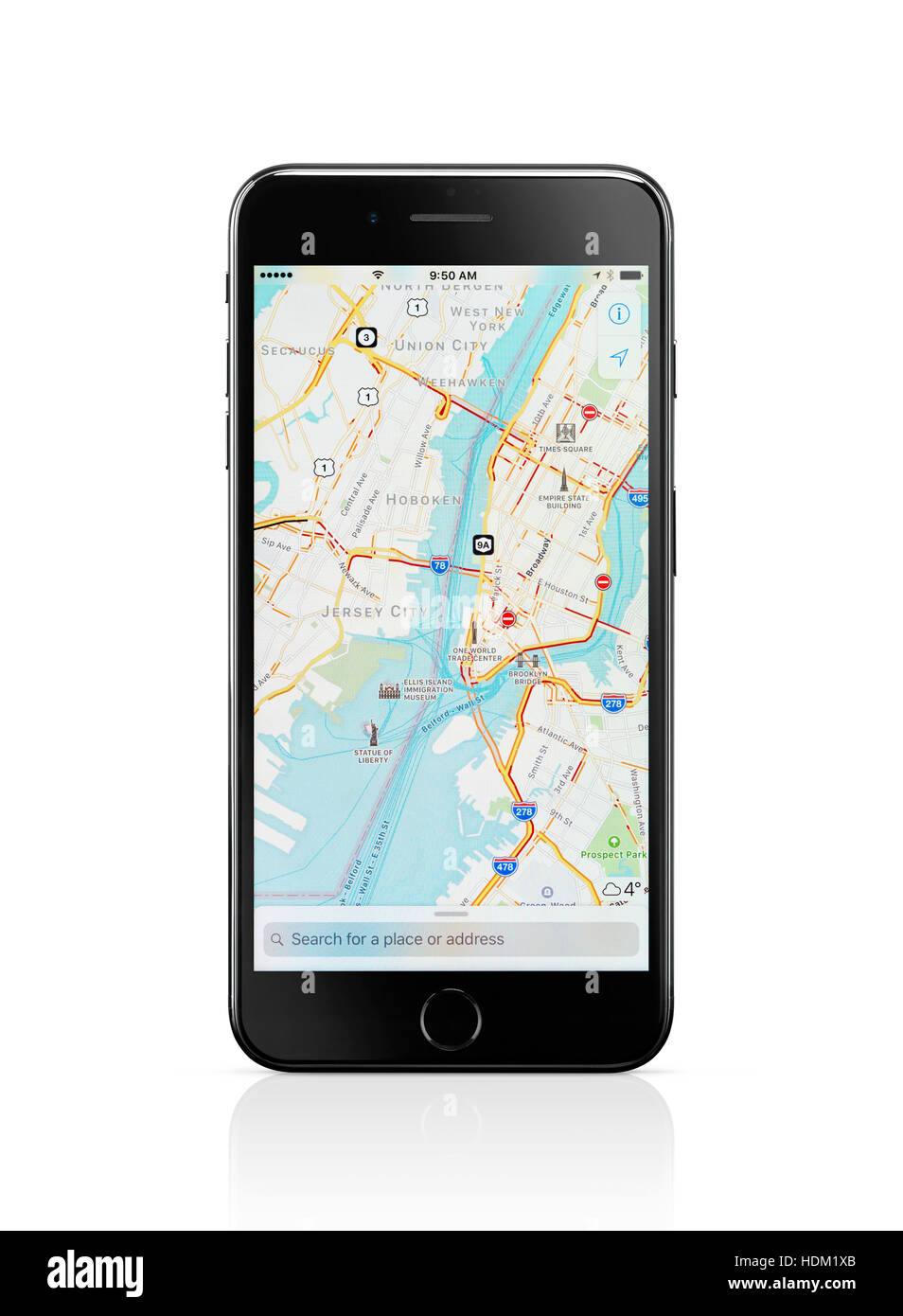 Apple iPhone 7 Plus with Apple Maps GPS navigation map showing New York City downtown on its display isolated on white background with clipping path Stock Photohttps://www.alamy.com/image-license-details/?v=1https://www.alamy.com/stock-photo-apple-iphone-7-plus-with-apple-maps-gps-navigation-map-showing-new-128903667.html
RFHDM1XB–Apple iPhone 7 Plus with Apple Maps GPS navigation map showing New York City downtown on its display isolated on white background with clipping path
 Limekiln, York County, Canada, New Brunswick, N 46 16' 5'', W 66 46' 45'', map, Timeless Map published in 2021. Travelers, explorers and adventurers like Florence Nightingale, David Livingstone, Ernest Shackleton, Lewis and Clark and Sherlock Holmes relied on maps to plan travels to the world's most remote corners, Timeless Maps is mapping most locations on the globe, showing the achievement of great dreams Stock Photohttps://www.alamy.com/image-license-details/?v=1https://www.alamy.com/limekiln-york-county-canada-new-brunswick-n-46-16-5-w-66-46-45-map-timeless-map-published-in-2021-travelers-explorers-and-adventurers-like-florence-nightingale-david-livingstone-ernest-shackleton-lewis-and-clark-and-sherlock-holmes-relied-on-maps-to-plan-travels-to-the-worlds-most-remote-corners-timeless-maps-is-mapping-most-locations-on-the-globe-showing-the-achievement-of-great-dreams-image457847672.html
RM2HGTNAG–Limekiln, York County, Canada, New Brunswick, N 46 16' 5'', W 66 46' 45'', map, Timeless Map published in 2021. Travelers, explorers and adventurers like Florence Nightingale, David Livingstone, Ernest Shackleton, Lewis and Clark and Sherlock Holmes relied on maps to plan travels to the world's most remote corners, Timeless Maps is mapping most locations on the globe, showing the achievement of great dreams
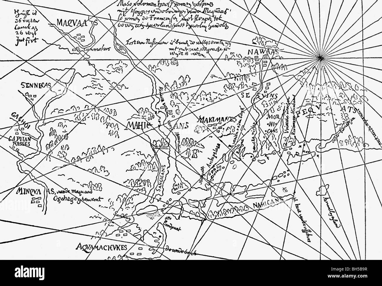 This map, dating to around the time of the first settlement, in the early 1600s, is one of the earliest to show New Netherland. Stock Photohttps://www.alamy.com/image-license-details/?v=1https://www.alamy.com/stock-photo-this-map-dating-to-around-the-time-of-the-first-settlement-in-the-27778179.html
RFBH5B9R–This map, dating to around the time of the first settlement, in the early 1600s, is one of the earliest to show New Netherland.
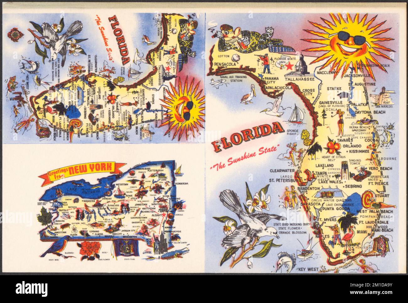 Florida, the sunshine state. Greetings from New York , Maps, Tichnor Brothers Collection, postcards of the United States Stock Photohttps://www.alamy.com/image-license-details/?v=1https://www.alamy.com/florida-the-sunshine-state-greetings-from-new-york-maps-tichnor-brothers-collection-postcards-of-the-united-states-image500008823.html
RM2M1DA9Y–Florida, the sunshine state. Greetings from New York , Maps, Tichnor Brothers Collection, postcards of the United States
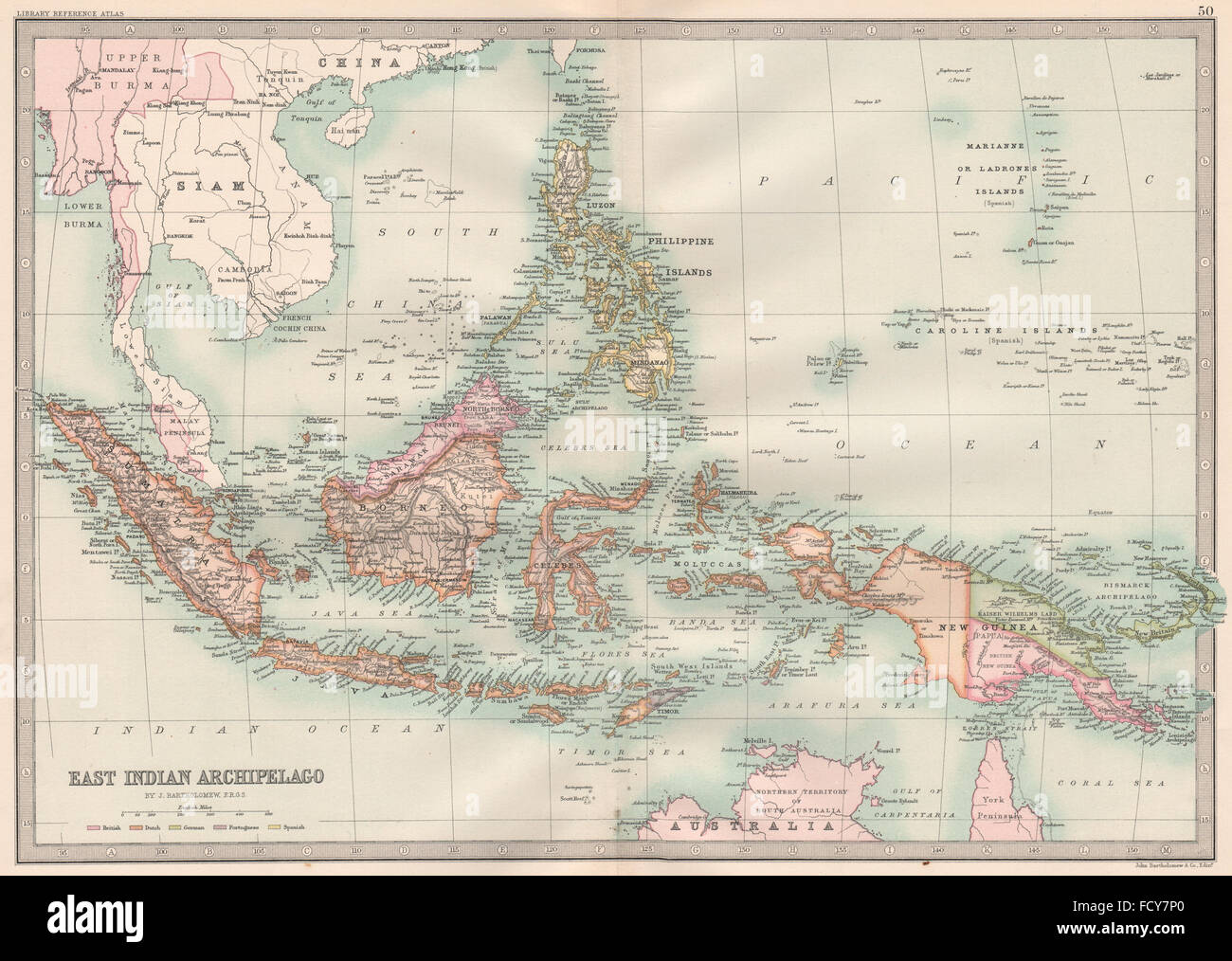 INDIES: Dutch East Indies Philippines New Guinea Bismarck Archipelago, 1890 map Stock Photohttps://www.alamy.com/image-license-details/?v=1https://www.alamy.com/stock-photo-indies-dutch-east-indies-philippines-new-guinea-bismarck-archipelago-94026520.html
RFFCY7P0–INDIES: Dutch East Indies Philippines New Guinea Bismarck Archipelago, 1890 map
 Insurance Maps of the Brooklyn city of New York Volume Five. Published by the Sanborn map co. 117, Broadway, New York. 1888. 1884 - 1936 Stock Photohttps://www.alamy.com/image-license-details/?v=1https://www.alamy.com/insurance-maps-of-the-brooklyn-city-of-new-york-volume-five-published-by-the-sanborn-map-co-117-broadway-new-york-1888-1884-1936-image633296698.html
RM2YP94B6–Insurance Maps of the Brooklyn city of New York Volume Five. Published by the Sanborn map co. 117, Broadway, New York. 1888. 1884 - 1936
RF2J8RN9K–Panorama of New York from the Post Office 1874 (Top) Sanitary & TopographicaL Map of the City and Island of New York [The Veille Map] 1864 (Centre) Panorama of New York from Brooklyn 1875 (Bottom) The iconography of Manhattan Island, 1498-1909 compiled from original sources and illustrated by photo-intaglio reproductions of important maps, plans, views, and documents in public and private collections - Volume 3 by Isaac Newton Phelps Stokes, Publisher New York : Robert H. Dodd 1918
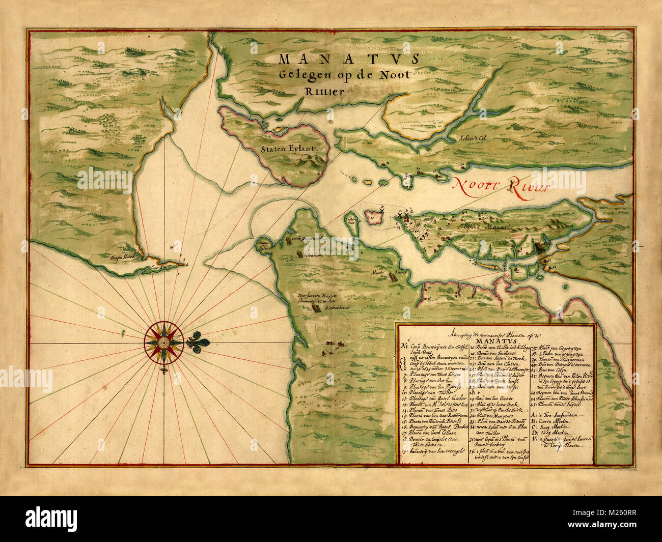 Historical map of New York circa 1639. Stock Photohttps://www.alamy.com/image-license-details/?v=1https://www.alamy.com/stock-photo-historical-map-of-new-york-circa-1639-173465371.html
RFM260RR–Historical map of New York circa 1639.
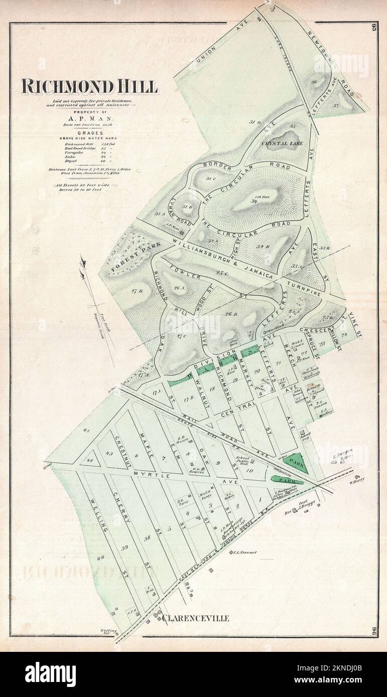 Vintage plan of New York city from 19th century. Maps are hand illustrated and engraved showing central park, Long Island, Brooklyn and Manhattan. Stock Photohttps://www.alamy.com/image-license-details/?v=1https://www.alamy.com/vintage-plan-of-new-york-city-from-19th-century-maps-are-hand-illustrated-and-engraved-showing-central-park-long-island-brooklyn-and-manhattan-image495097579.html
RF2KNDJ0B–Vintage plan of New York city from 19th century. Maps are hand illustrated and engraved showing central park, Long Island, Brooklyn and Manhattan.
 New york, USA - march 6, 2019: Google maps application on smartphone screen laying on wooden desk Stock Photohttps://www.alamy.com/image-license-details/?v=1https://www.alamy.com/new-york-usa-march-6-2019-google-maps-application-on-smartphone-screen-laying-on-wooden-desk-image239521054.html
RFRWK3FA–New york, USA - march 6, 2019: Google maps application on smartphone screen laying on wooden desk
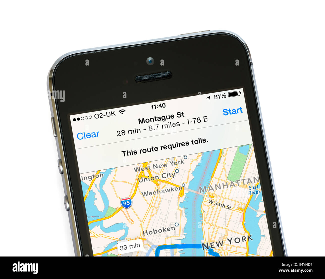 Using the Apple Maps app on iPhone 5S, USA Stock Photohttps://www.alamy.com/image-license-details/?v=1https://www.alamy.com/stock-photo-using-the-apple-maps-app-on-iphone-5s-usa-71909635.html
RME4YND7–Using the Apple Maps app on iPhone 5S, USA
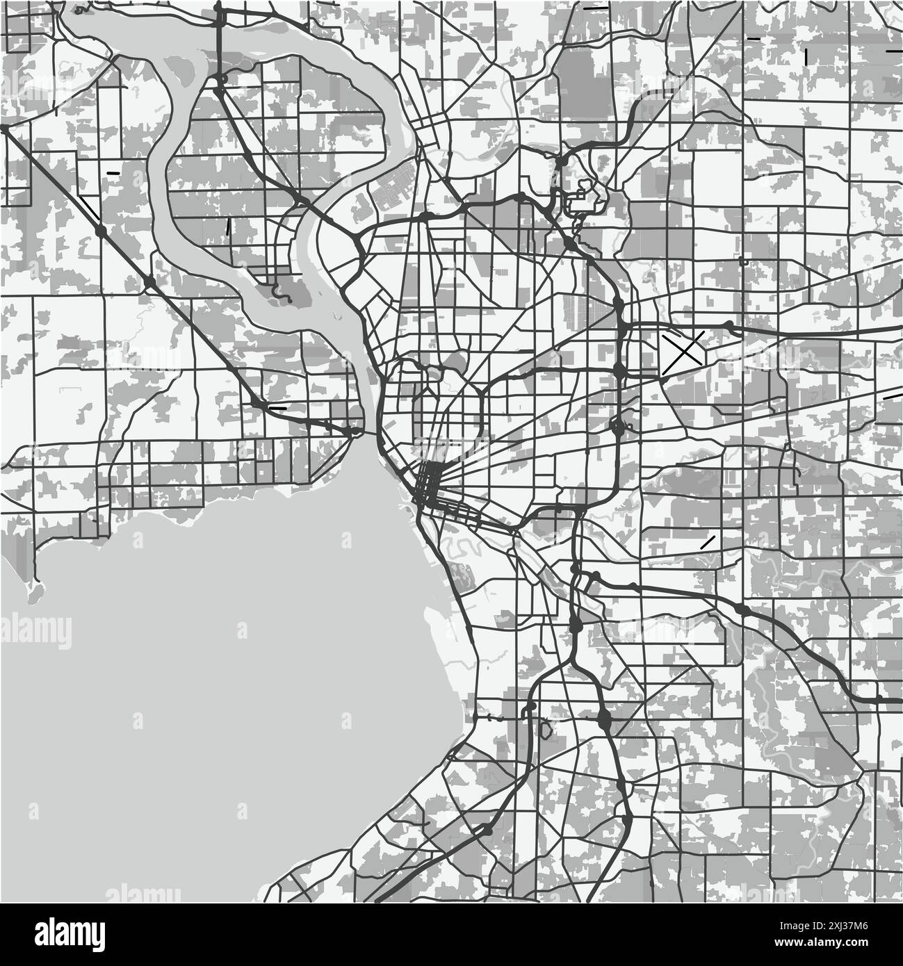 Map of Buffalo in New York in grayscale. Contains layered vector with roads water, parks, etc. Stock Vectorhttps://www.alamy.com/image-license-details/?v=1https://www.alamy.com/map-of-buffalo-in-new-york-in-grayscale-contains-layered-vector-with-roads-water-parks-etc-image613498598.html
RF2XJ37M6–Map of Buffalo in New York in grayscale. Contains layered vector with roads water, parks, etc.
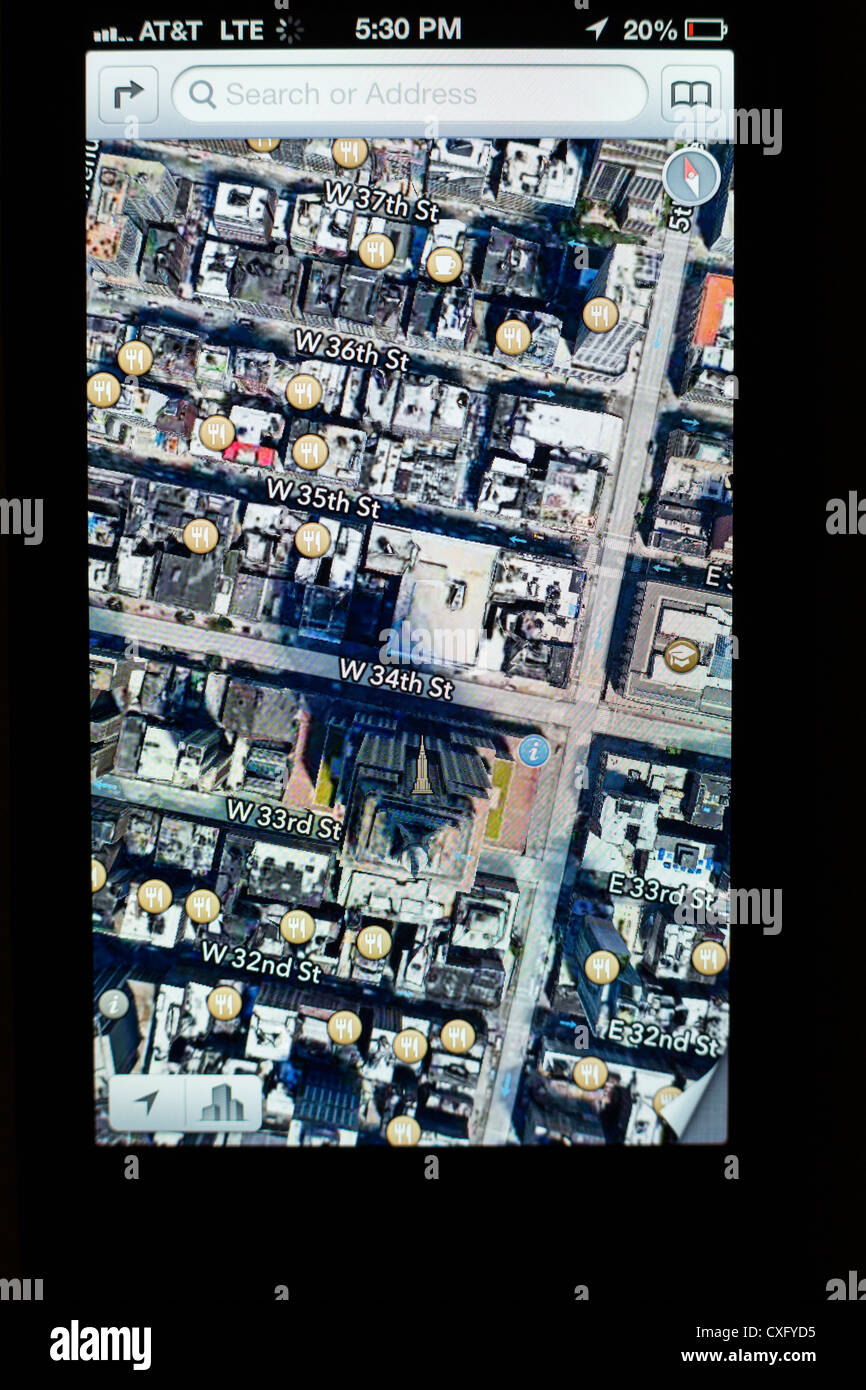 Satellite view of the Empire State Building shown in a new Maps app on the screen of a iPhone 5/iOS 6 - Yelp reviews, 3D map Stock Photohttps://www.alamy.com/image-license-details/?v=1https://www.alamy.com/stock-photo-satellite-view-of-the-empire-state-building-shown-in-a-new-maps-app-50752609.html
RMCXFYD5–Satellite view of the Empire State Building shown in a new Maps app on the screen of a iPhone 5/iOS 6 - Yelp reviews, 3D map
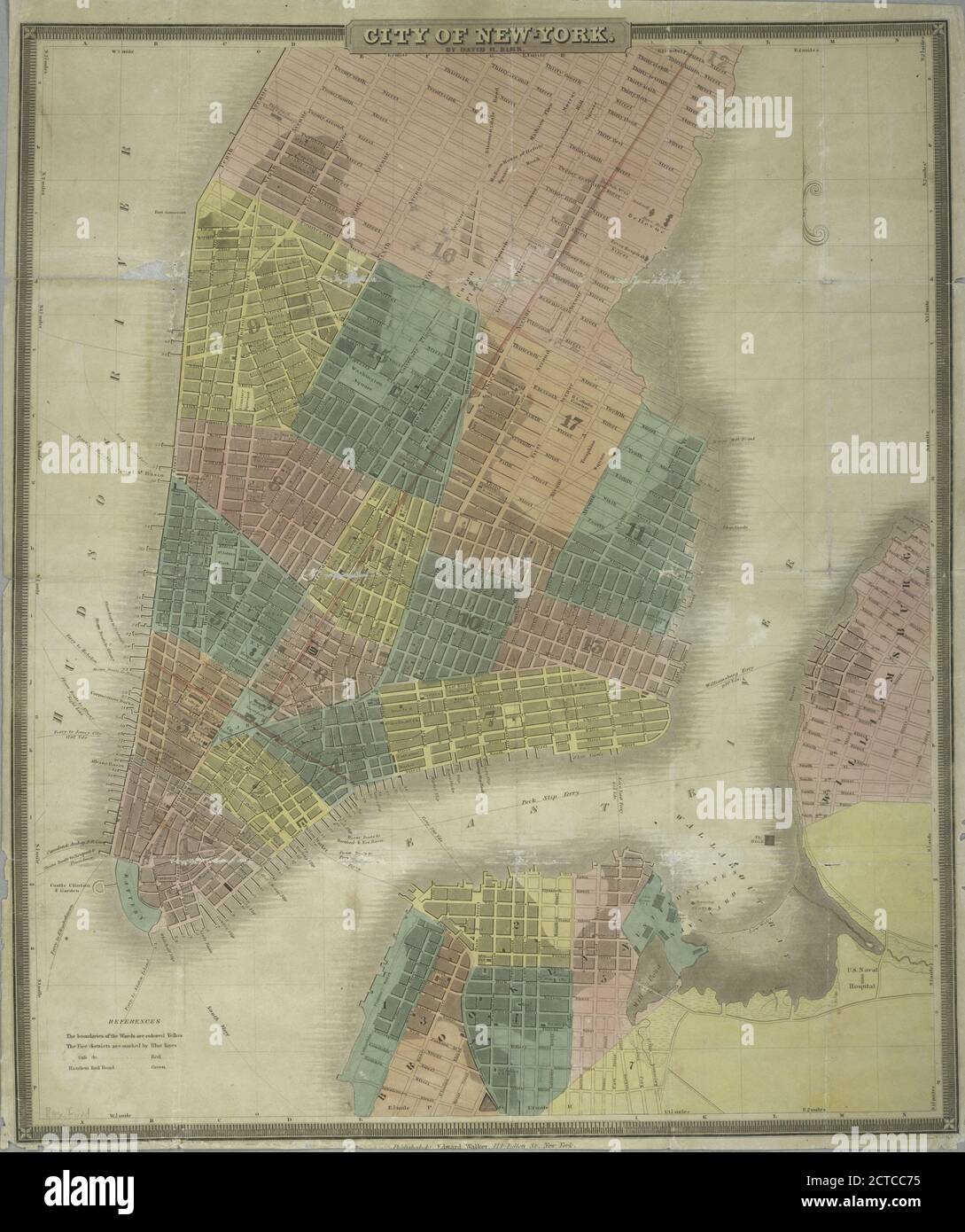 City of New-York, still image, Maps, 1845, Burr, David H. (1803-1875 ), S. Stiles & Co Stock Photohttps://www.alamy.com/image-license-details/?v=1https://www.alamy.com/city-of-new-york-still-image-maps-1845-burr-david-h-1803-1875-s-stiles-co-image376442505.html
RM2CTCC75–City of New-York, still image, Maps, 1845, Burr, David H. (1803-1875 ), S. Stiles & Co
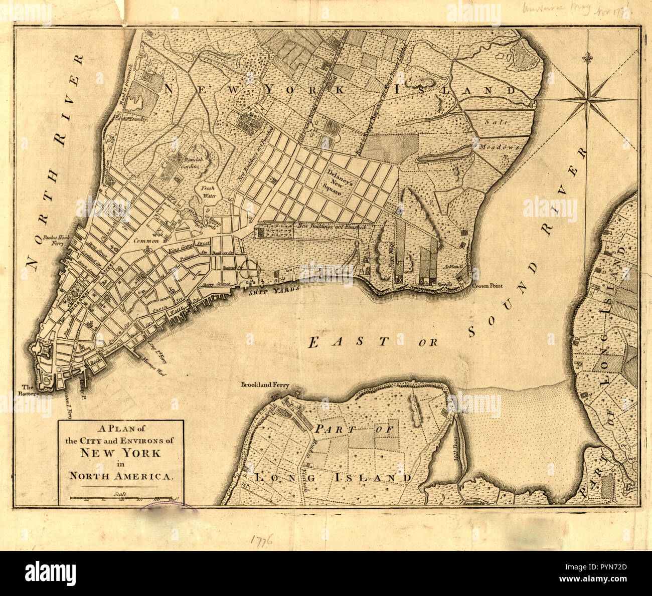 Vintage Maps / Antique Maps - New York City map ca. 1776 Stock Photohttps://www.alamy.com/image-license-details/?v=1https://www.alamy.com/vintage-maps-antique-maps-new-york-city-map-ca-1776-image223586677.html
RMPYN72D–Vintage Maps / Antique Maps - New York City map ca. 1776
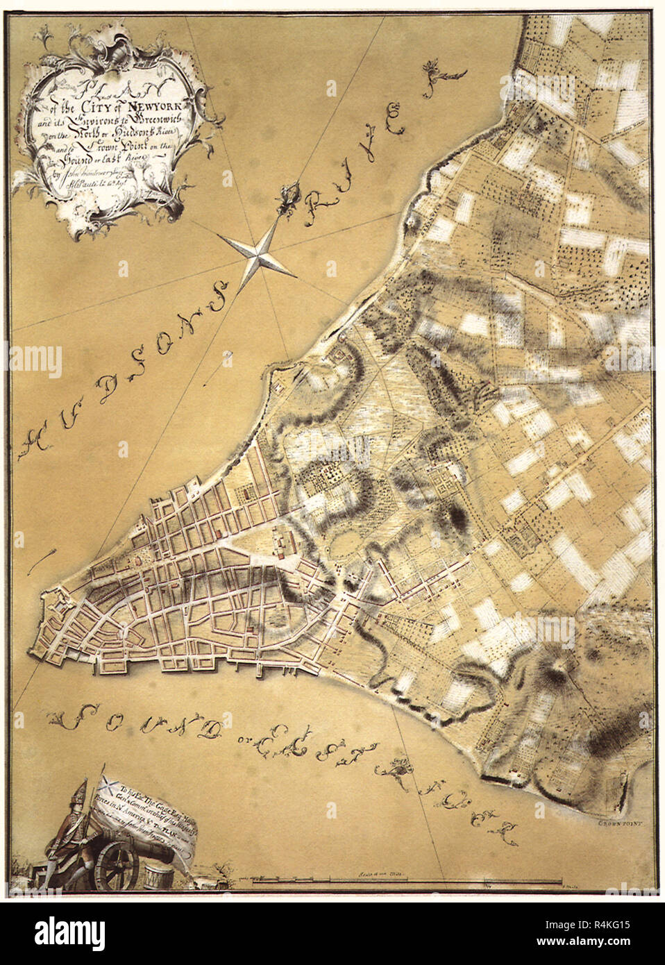 Plan of New York City. 1766, Montresor, John. Stock Photohttps://www.alamy.com/image-license-details/?v=1https://www.alamy.com/plan-of-new-york-city-1766-montresor-john-image226623073.html
RMR4KG15–Plan of New York City. 1766, Montresor, John.
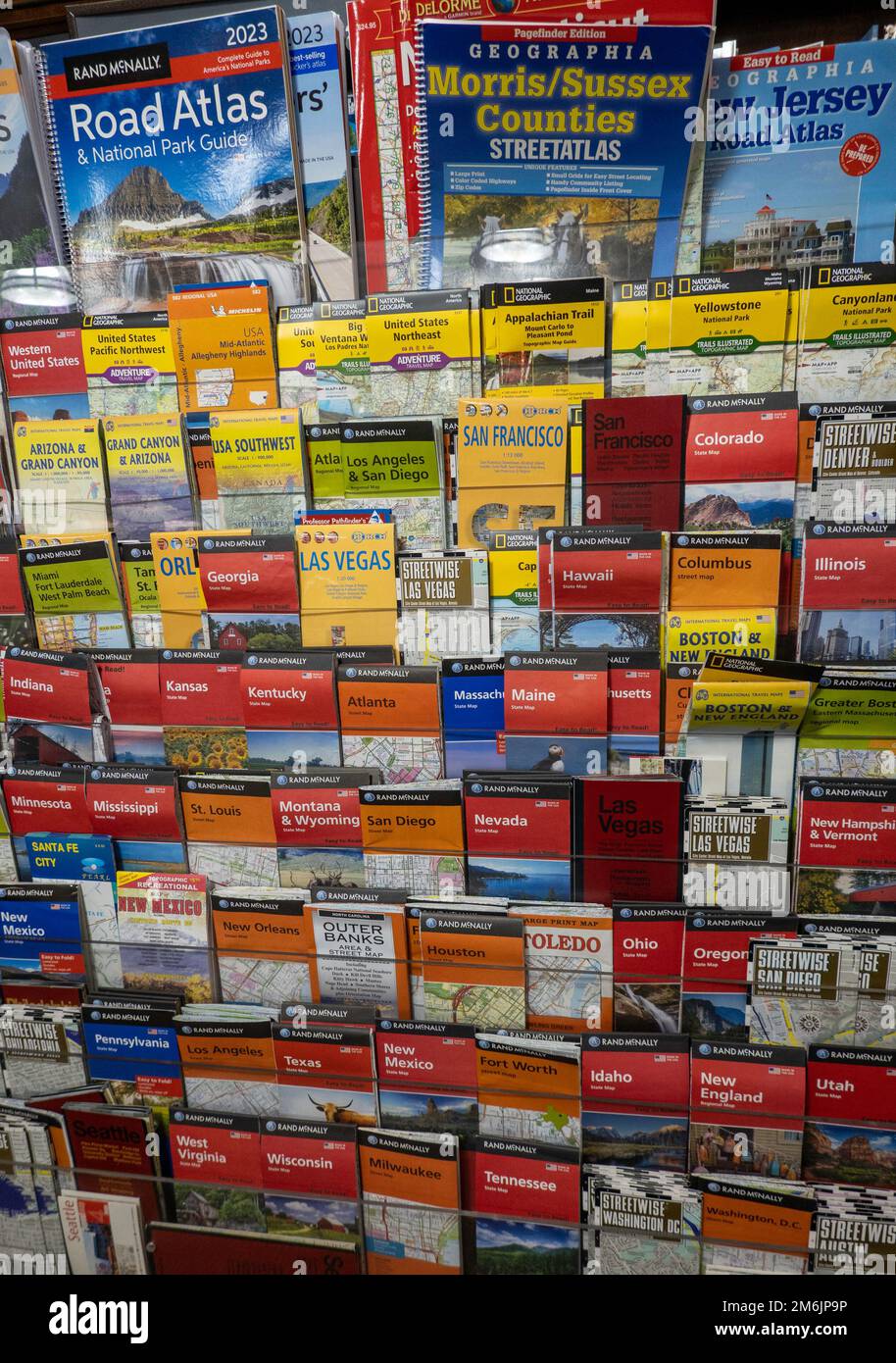 Barnes & Noble booksellers on Union Square has a large selection of maps, New York City, USA 2023 Stock Photohttps://www.alamy.com/image-license-details/?v=1https://www.alamy.com/barnes-noble-booksellers-on-union-square-has-a-large-selection-of-maps-new-york-city-usa-2023-image503201266.html
RM2M6JP9P–Barnes & Noble booksellers on Union Square has a large selection of maps, New York City, USA 2023
