Quick filters:
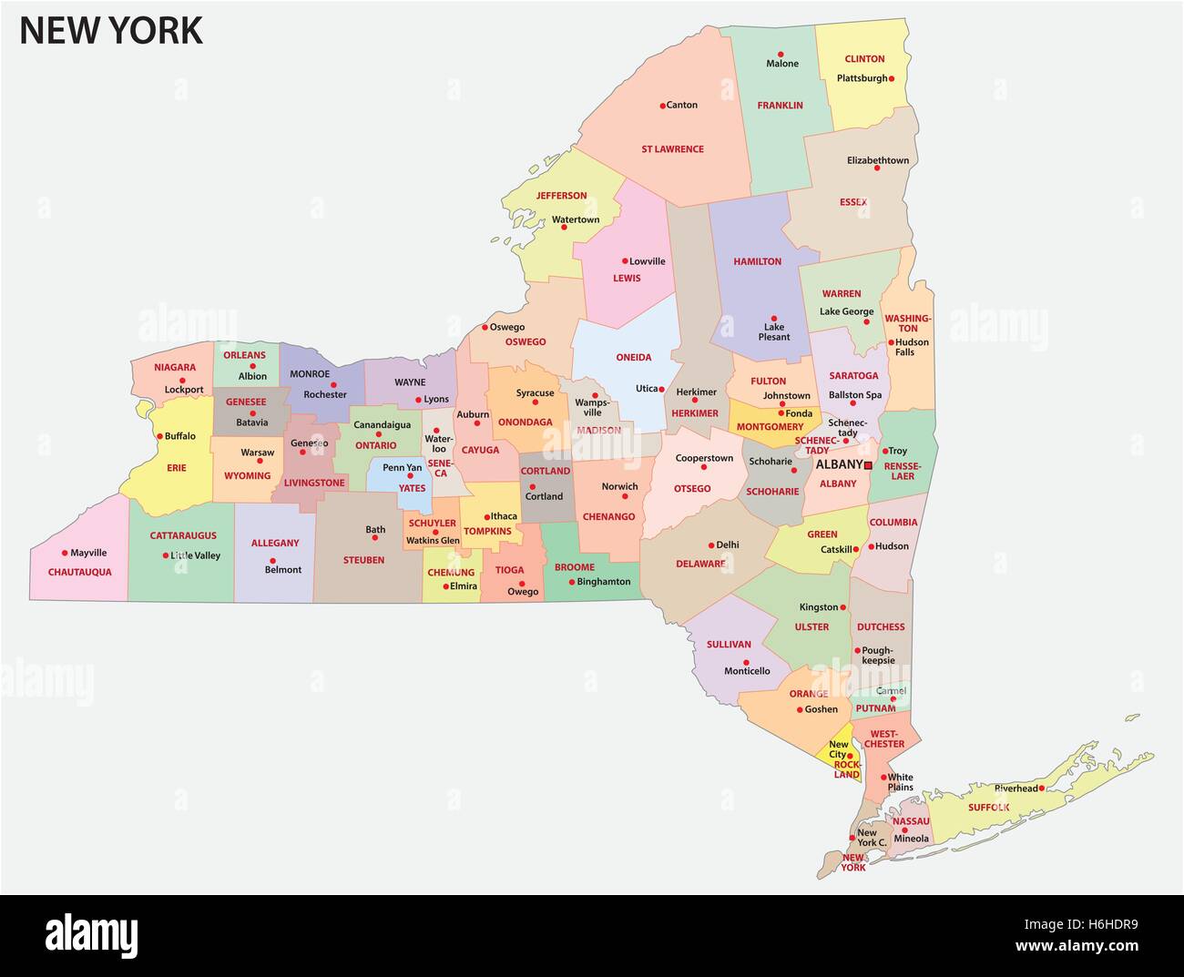
New york state map Stock Photos and Images
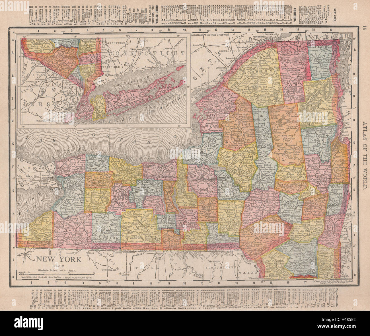 New York state map showing counties. RAND MCNALLY 1912 old antique chart Stock Photohttps://www.alamy.com/image-license-details/?v=1https://www.alamy.com/stock-photo-new-york-state-map-showing-counties-rand-mcnally-1912-old-antique-123111130.html
RFH485E2–New York state map showing counties. RAND MCNALLY 1912 old antique chart
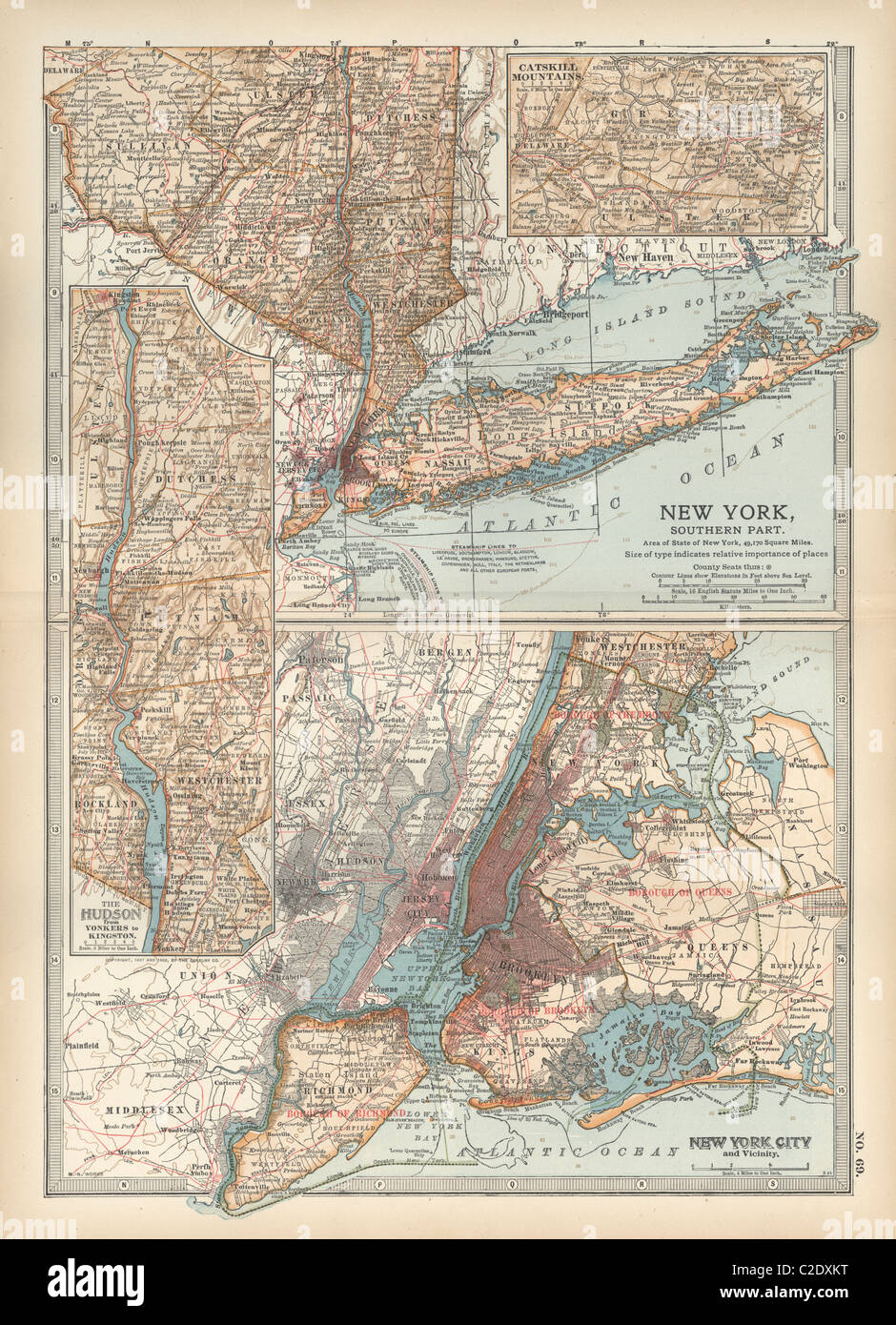 Map of New York State Stock Photohttps://www.alamy.com/image-license-details/?v=1https://www.alamy.com/stock-photo-map-of-new-york-state-35956364.html
RMC2DXKT–Map of New York State
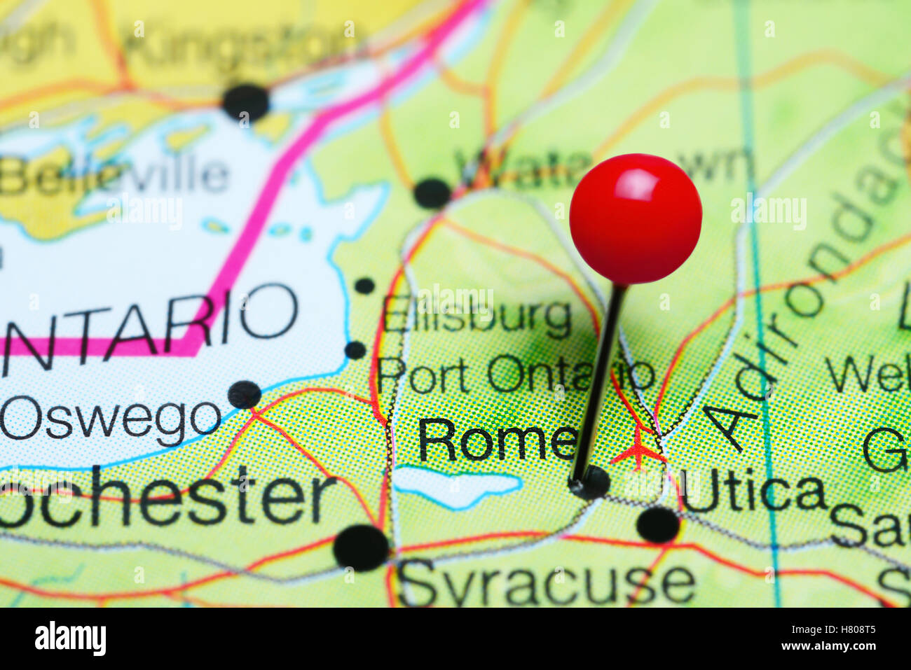 Rome pinned on a map of New York state, USA Stock Photohttps://www.alamy.com/image-license-details/?v=1https://www.alamy.com/stock-photo-rome-pinned-on-a-map-of-new-york-state-usa-125396773.html
RFH808T5–Rome pinned on a map of New York state, USA
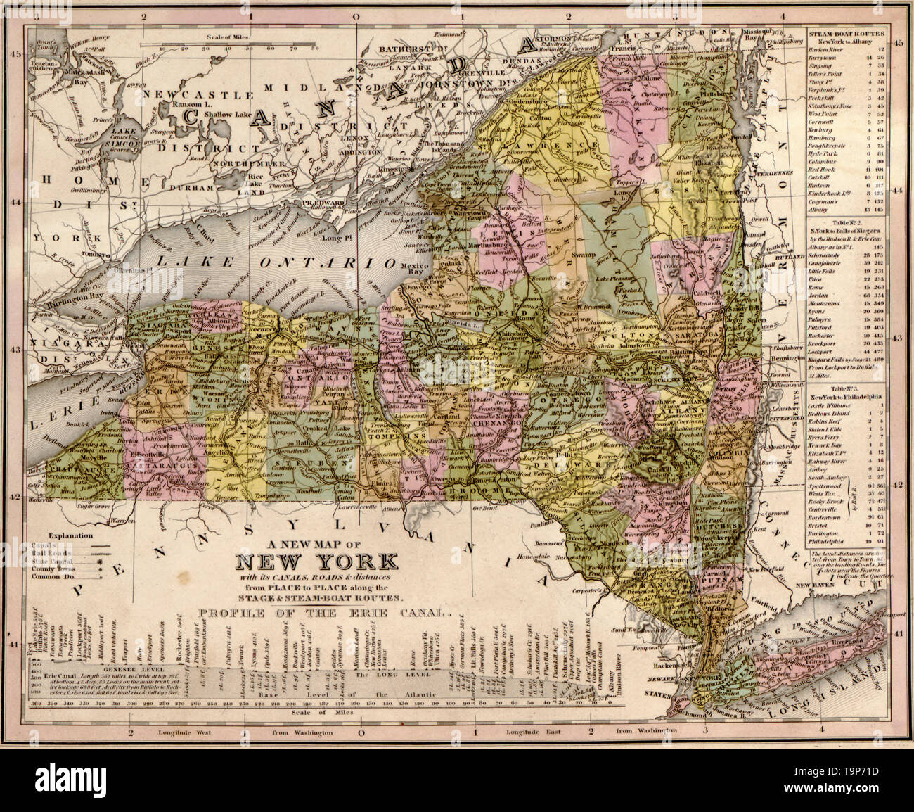 Map of New York, 1844 Stock Photohttps://www.alamy.com/image-license-details/?v=1https://www.alamy.com/map-of-new-york-1844-image246965529.html
RMT9P71D–Map of New York, 1844
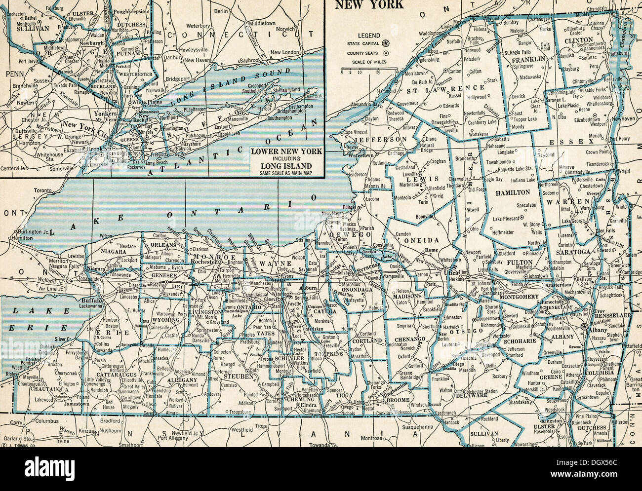 Old map of New York state, 1930's Stock Photohttps://www.alamy.com/image-license-details/?v=1https://www.alamy.com/old-map-of-new-york-state-1930s-image62040452.html
RMDGX56C–Old map of New York state, 1930's
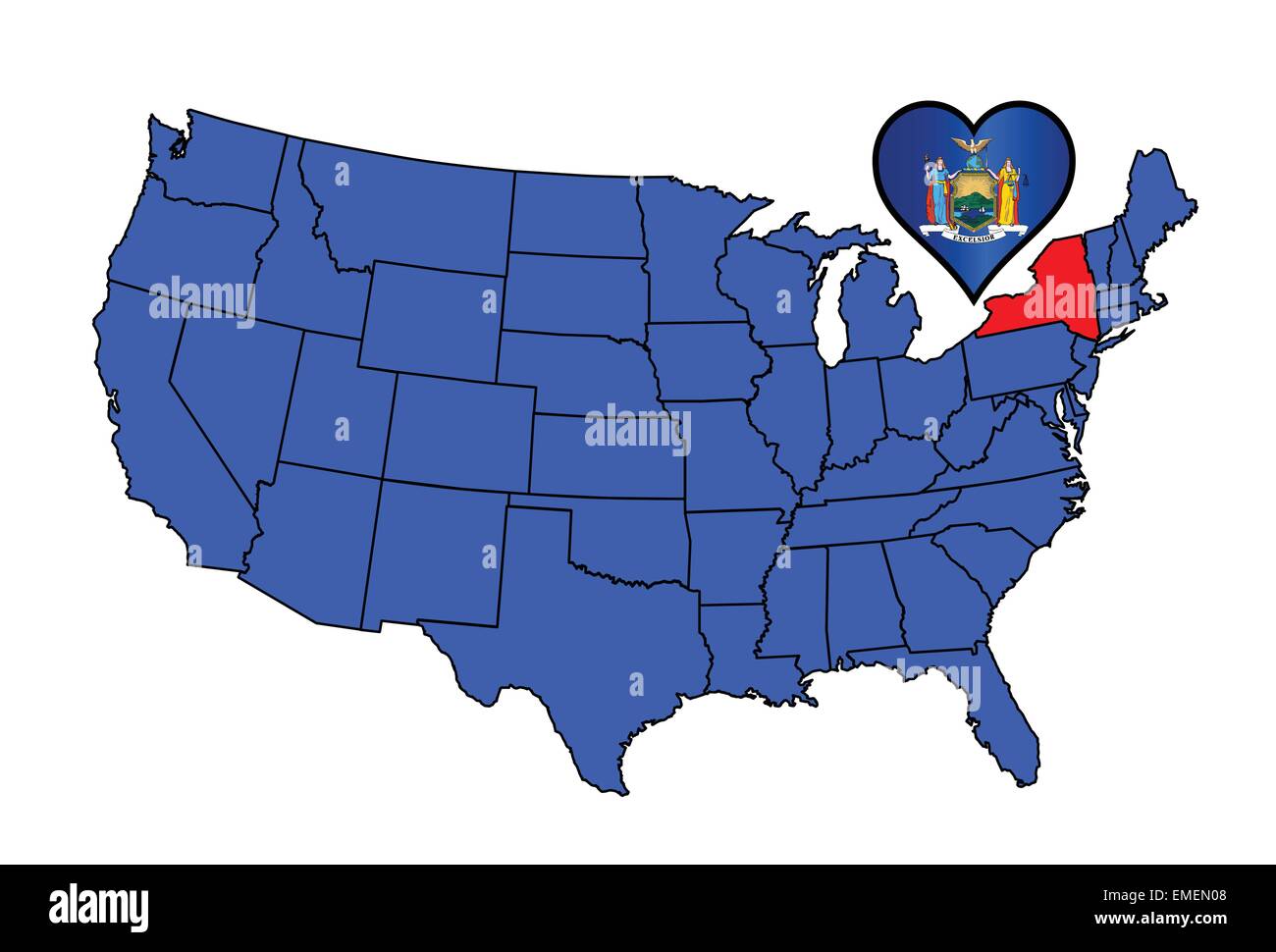 State of New York Stock Vectorhttps://www.alamy.com/image-license-details/?v=1https://www.alamy.com/stock-photo-state-of-new-york-81458392.html
RFEMEN08–State of New York
 1846 Emmons Agricultural Map of New York State Stock Photohttps://www.alamy.com/image-license-details/?v=1https://www.alamy.com/stock-photo-1846-emmons-agricultural-map-of-new-york-state-50539063.html
RMCX672F–1846 Emmons Agricultural Map of New York State
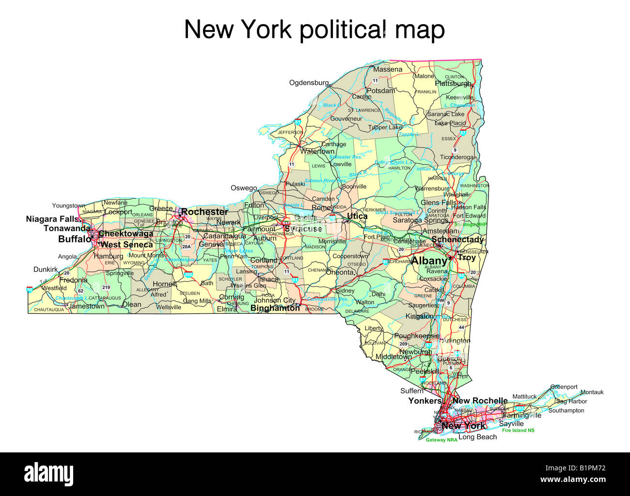 New York state political map Stock Photohttps://www.alamy.com/image-license-details/?v=1https://www.alamy.com/stock-photo-new-york-state-political-map-18323846.html
RFB1PM72–New York state political map
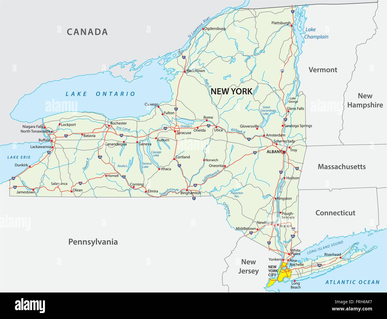 road map of the US American Federal State new york Stock Vectorhttps://www.alamy.com/image-license-details/?v=1https://www.alamy.com/stock-photo-road-map-of-the-us-american-federal-state-new-york-100567383.html
RFFRH6M7–road map of the US American Federal State new york
 Map of the State of New York, cartographic, Atlases, 1874, Nichols, Beach Stock Photohttps://www.alamy.com/image-license-details/?v=1https://www.alamy.com/map-of-the-state-of-new-york-cartographic-atlases-1874-nichols-beach-image376422741.html
RM2CTBF19–Map of the State of New York, cartographic, Atlases, 1874, Nichols, Beach
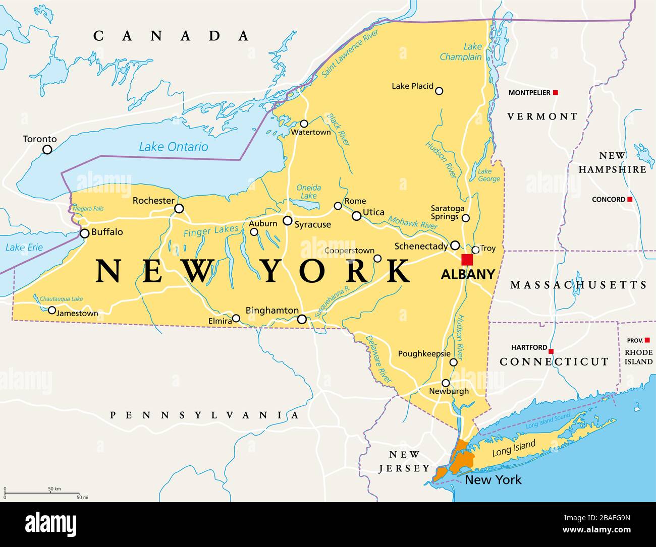 New York State (NYS), political map, with capital Albany, borders, important cities, rivers and lakes. State in the Northeastern United States. Stock Photohttps://www.alamy.com/image-license-details/?v=1https://www.alamy.com/new-york-state-nys-political-map-with-capital-albany-borders-important-cities-rivers-and-lakes-state-in-the-northeastern-united-states-image350696017.html
RF2BAFG9N–New York State (NYS), political map, with capital Albany, borders, important cities, rivers and lakes. State in the Northeastern United States.
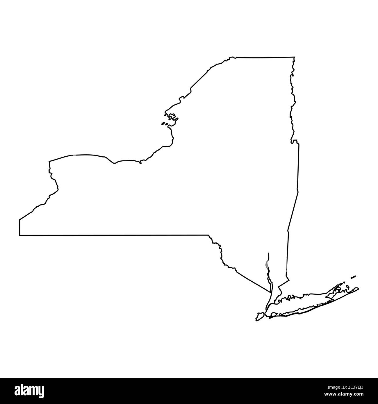 New York NY state Maps. Black outline map isolated on a white background. EPS Vector Stock Vectorhttps://www.alamy.com/image-license-details/?v=1https://www.alamy.com/new-york-ny-state-maps-black-outline-map-isolated-on-a-white-background-eps-vector-image363865883.html
RF2C3YEJ3–New York NY state Maps. Black outline map isolated on a white background. EPS Vector
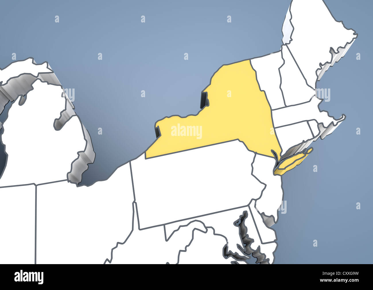 Map of New York State, NY, USA, United States of America, contour, 3D illustration Stock Photohttps://www.alamy.com/image-license-details/?v=1https://www.alamy.com/stock-photo-map-of-new-york-state-ny-usa-united-states-of-america-contour-3d-illustration-50985365.html
RFCXXG9W–Map of New York State, NY, USA, United States of America, contour, 3D illustration
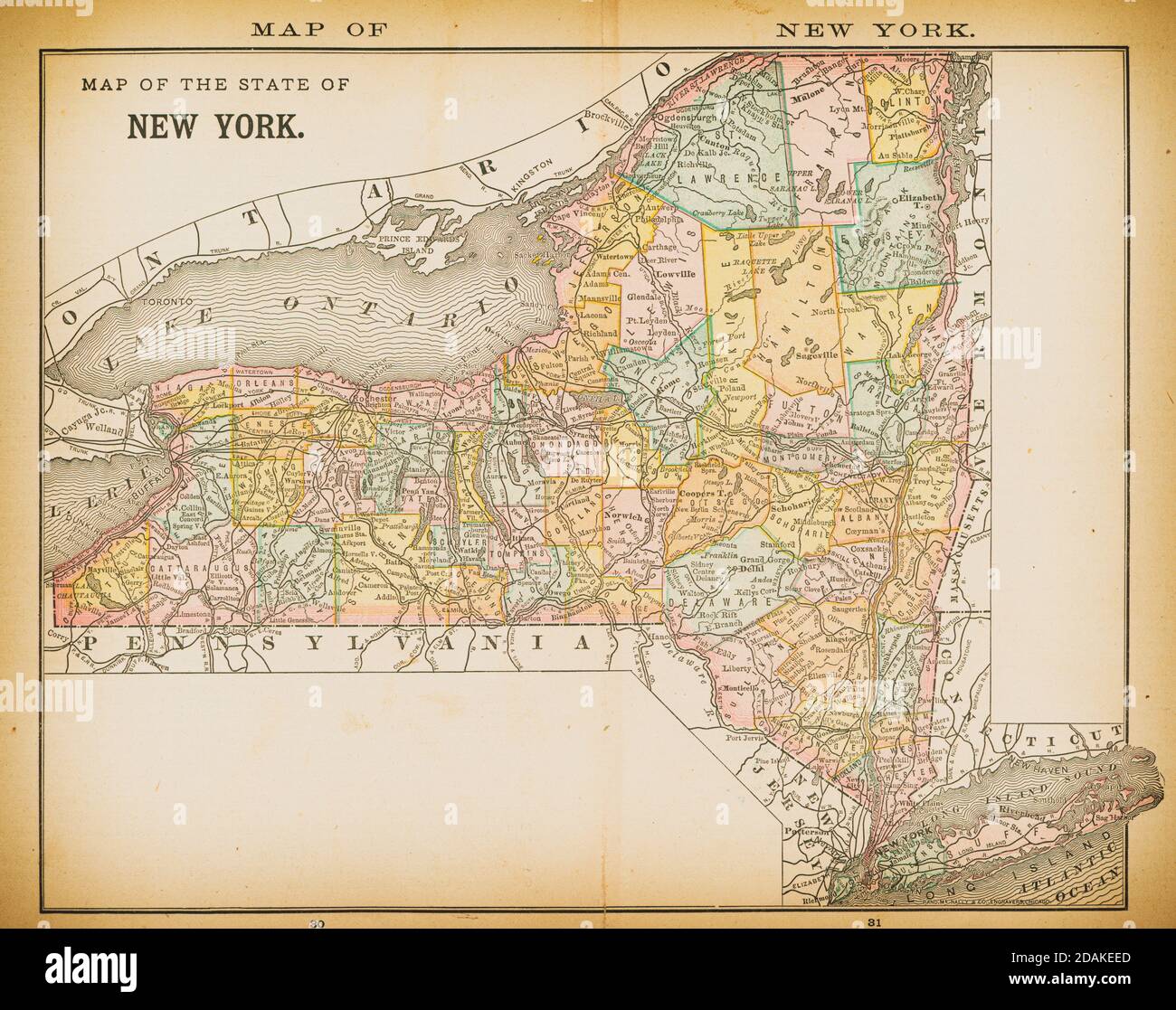 19th century map of New York. Published in New Dollar Atlas of the United States and Dominion of Canada. (Rand McNally & Co's, Chicago, 1884). Stock Photohttps://www.alamy.com/image-license-details/?v=1https://www.alamy.com/19th-century-map-of-new-york-published-in-new-dollar-atlas-of-the-united-states-and-dominion-of-canada-rand-mcnally-cos-chicago-1884-image385203125.html
RF2DAKEED–19th century map of New York. Published in New Dollar Atlas of the United States and Dominion of Canada. (Rand McNally & Co's, Chicago, 1884).
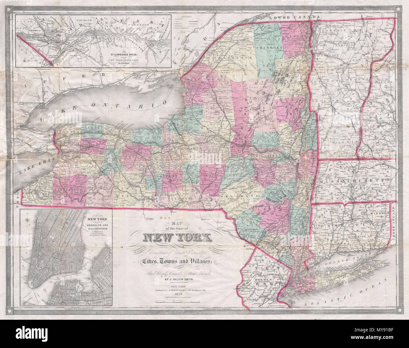 . Map of the State of New York Showing the location of Boundaries of Counties & Townships Cities, Towns and Villages: the Courses of Rail Roads, Canals & Stage Roads. English: This is a rare pocket issue map of the state of New York by Calvin Smith and J. Disturnell. Depicts the entire state of New York as well as Vermont and Connecticut and parts of Massachusetts, New Hampshire and New Jersey. An inset in the upper left quadrant features the course of the St. Lawrence River from New York to Quebec. Another inset in the lower right features Disturnell’s plan of New York City (to 32nd st) with Stock Photohttps://www.alamy.com/image-license-details/?v=1https://www.alamy.com/map-of-the-state-of-new-york-showing-the-location-of-boundaries-of-counties-townships-cities-towns-and-villages-the-courses-of-rail-roads-canals-stage-roads-english-this-is-a-rare-pocket-issue-map-of-the-state-of-new-york-by-calvin-smith-and-j-disturnell-depicts-the-entire-state-of-new-york-as-well-as-vermont-and-connecticut-and-parts-of-massachusetts-new-hampshire-and-new-jersey-an-inset-in-the-upper-left-quadrant-features-the-course-of-the-st-lawrence-river-from-new-york-to-quebec-another-inset-in-the-lower-right-features-disturnells-plan-of-new-york-city-to-32nd-st-with-image188898067.html
RMMY91BF–. Map of the State of New York Showing the location of Boundaries of Counties & Townships Cities, Towns and Villages: the Courses of Rail Roads, Canals & Stage Roads. English: This is a rare pocket issue map of the state of New York by Calvin Smith and J. Disturnell. Depicts the entire state of New York as well as Vermont and Connecticut and parts of Massachusetts, New Hampshire and New Jersey. An inset in the upper left quadrant features the course of the St. Lawrence River from New York to Quebec. Another inset in the lower right features Disturnell’s plan of New York City (to 32nd st) with
RF2T5A3YJ–New York state map silhouette icon
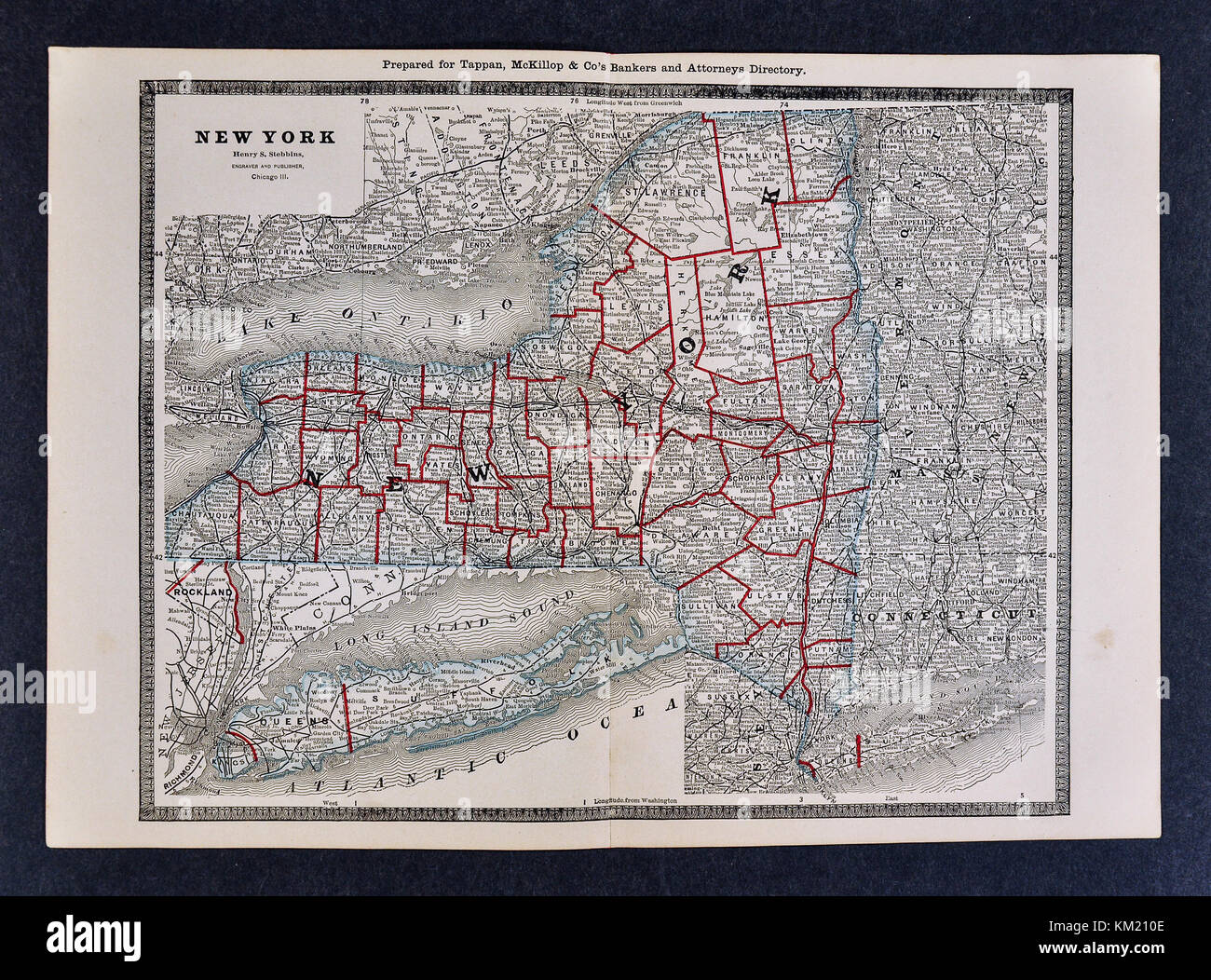 George Cram Antique Map from 1866 Atlas for Attorneys and Bankers: United States - New York - NY City Albany Buffalo Niagara Falls Syracuse Rochester Stock Photohttps://www.alamy.com/image-license-details/?v=1https://www.alamy.com/stock-image-george-cram-antique-map-from-1866-atlas-for-attorneys-and-bankers-167231134.html
RFKM210E–George Cram Antique Map from 1866 Atlas for Attorneys and Bankers: United States - New York - NY City Albany Buffalo Niagara Falls Syracuse Rochester
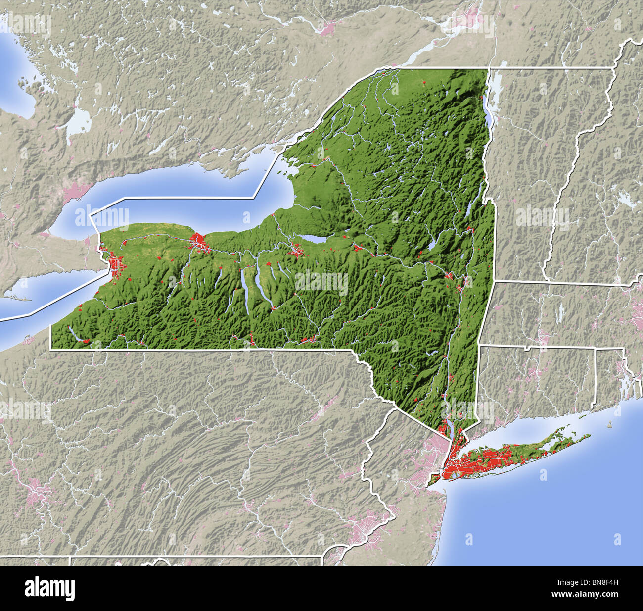 New York, shaded relief map. Stock Photohttps://www.alamy.com/image-license-details/?v=1https://www.alamy.com/stock-photo-new-york-shaded-relief-map-30305649.html
RFBN8F4H–New York, shaded relief map.
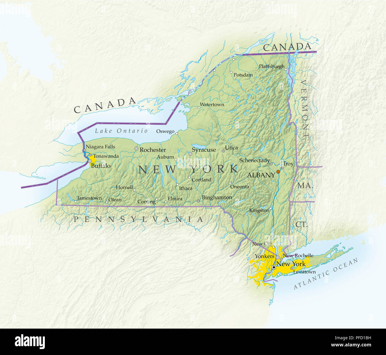 Map of New York state, close-up Stock Photohttps://www.alamy.com/image-license-details/?v=1https://www.alamy.com/map-of-new-york-state-close-up-image216030741.html
RMPFD1BH–Map of New York state, close-up
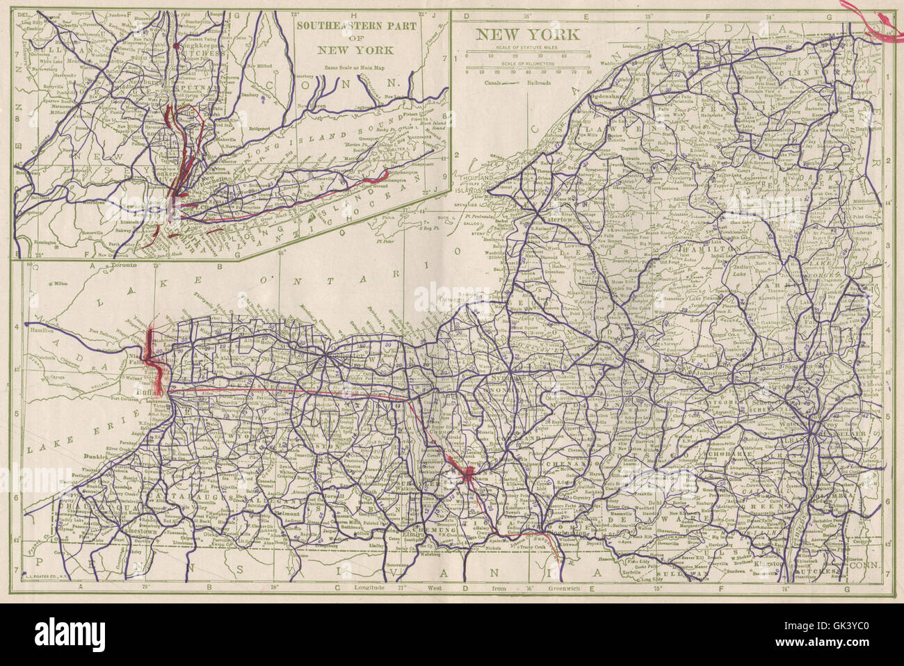 New York state State Highways. POATES, 1925 vintage map Stock Photohttps://www.alamy.com/image-license-details/?v=1https://www.alamy.com/stock-photo-new-york-state-state-highways-poates-1925-vintage-map-115028032.html
RFGK3YC0–New York state State Highways. POATES, 1925 vintage map
 Map of New York State Stock Photohttps://www.alamy.com/image-license-details/?v=1https://www.alamy.com/stock-photo-map-of-new-york-state-35956383.html
RMC2DXMF–Map of New York State
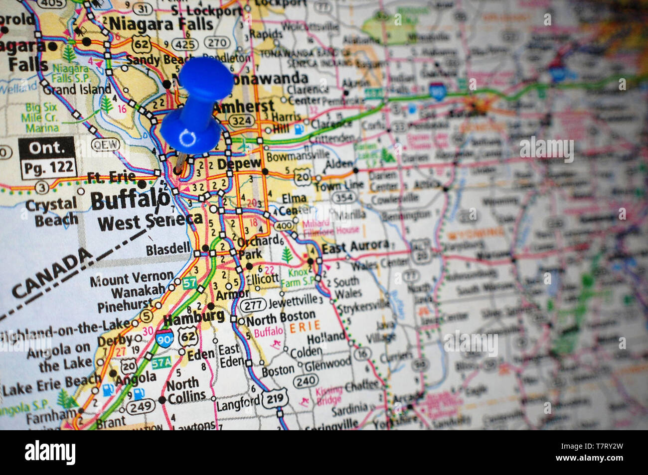 A map of Buffalo, New York marked with a push pin. Stock Photohttps://www.alamy.com/image-license-details/?v=1https://www.alamy.com/a-map-of-buffalo-new-york-marked-with-a-push-pin-image245773889.html
RFT7RY2W–A map of Buffalo, New York marked with a push pin.
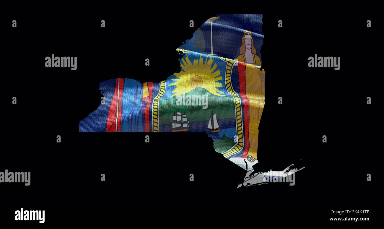 New York state map with waving flag. Alpha channel background. Stock Photohttps://www.alamy.com/image-license-details/?v=1https://www.alamy.com/new-york-state-map-with-waving-flag-alpha-channel-background-image484767486.html
RF2K4K1TE–New York state map with waving flag. Alpha channel background.
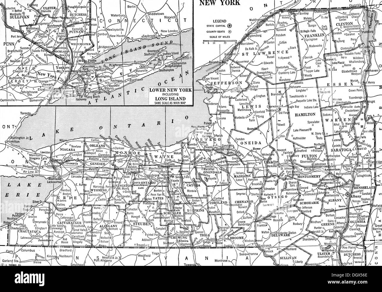 Old map of New York state, 1930's Stock Photohttps://www.alamy.com/image-license-details/?v=1https://www.alamy.com/old-map-of-new-york-state-1930s-image62040454.html
RMDGX56E–Old map of New York state, 1930's
 New York state map brand on wooden boards with map outline and state motto Stock Vectorhttps://www.alamy.com/image-license-details/?v=1https://www.alamy.com/stock-photo-new-york-state-map-brand-on-wooden-boards-with-map-outline-and-state-95382536.html
RFFF51B4–New York state map brand on wooden boards with map outline and state motto
 1862 Johnson Map of New York State Stock Photohttps://www.alamy.com/image-license-details/?v=1https://www.alamy.com/stock-photo-1862-johnson-map-of-new-york-state-50538928.html
RMCX66WM–1862 Johnson Map of New York State
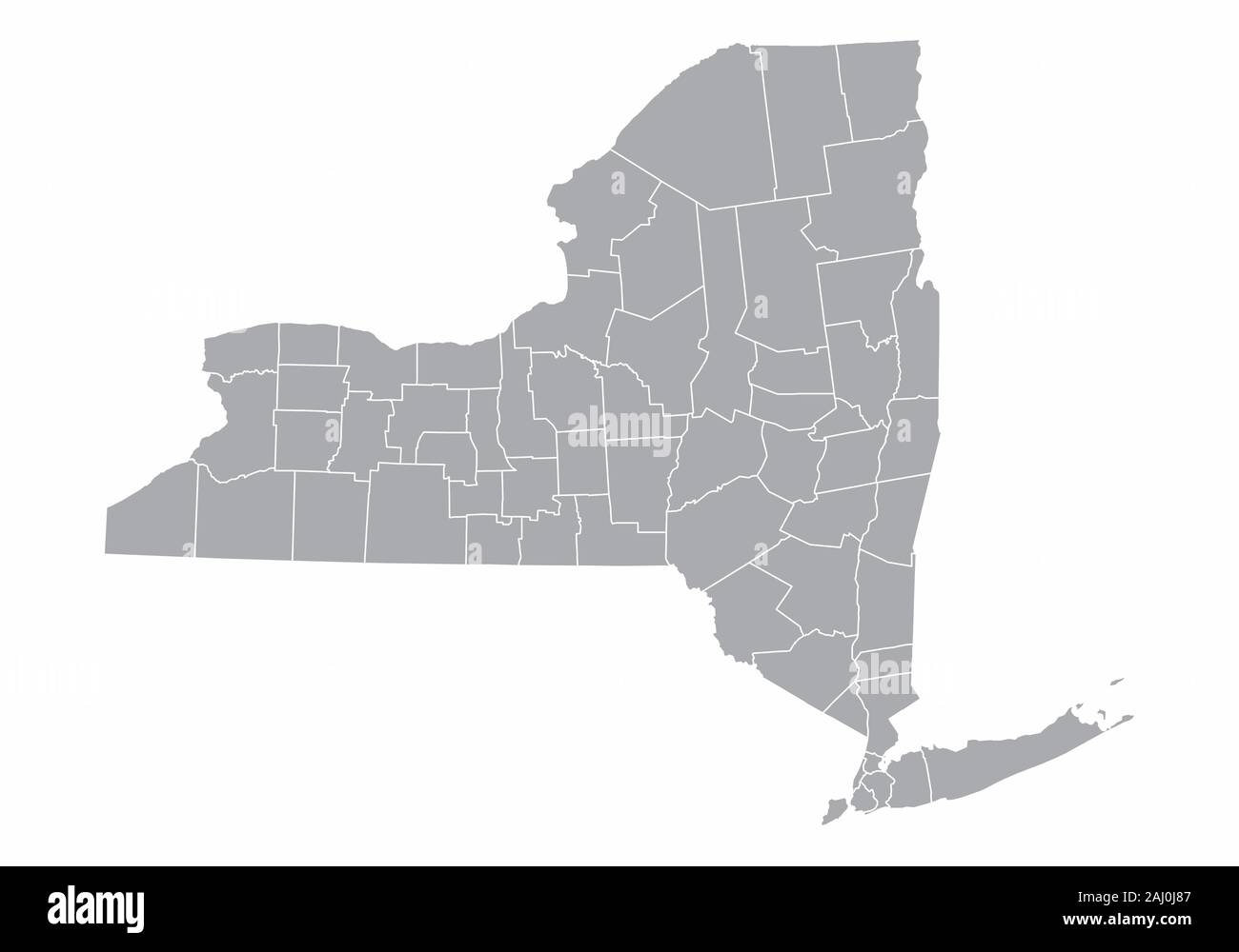 New York State map Stock Vectorhttps://www.alamy.com/image-license-details/?v=1https://www.alamy.com/new-york-state-map-image338075143.html
RF2AJ0J87–New York State map
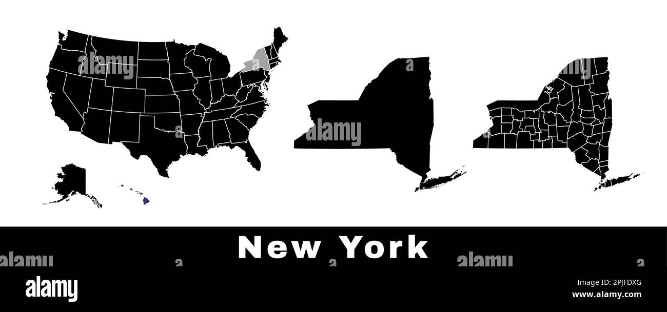 New York state map, USA. Set of New York maps with outline border, counties and US states map. Black and white color vector illustration. Stock Vectorhttps://www.alamy.com/image-license-details/?v=1https://www.alamy.com/new-york-state-map-usa-set-of-new-york-maps-with-outline-border-counties-and-us-states-map-black-and-white-color-vector-illustration-image544925432.html
RF2PJFDXG–New York state map, USA. Set of New York maps with outline border, counties and US states map. Black and white color vector illustration.
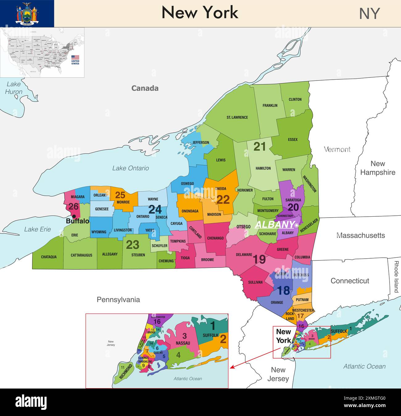 New York state map with counties borders and colored congressional districts boundaries due to The 2020 United States census and which is valid since Stock Vectorhttps://www.alamy.com/image-license-details/?v=1https://www.alamy.com/new-york-state-map-with-counties-borders-and-colored-congressional-districts-boundaries-due-to-the-2020-united-states-census-and-which-is-valid-since-image615026496.html
RF2XMGTG0–New York state map with counties borders and colored congressional districts boundaries due to The 2020 United States census and which is valid since
 Red Dot Map of New York State Stock Vectorhttps://www.alamy.com/image-license-details/?v=1https://www.alamy.com/stock-photo-red-dot-map-of-new-york-state-115998855.html
RFGMM5M7–Red Dot Map of New York State
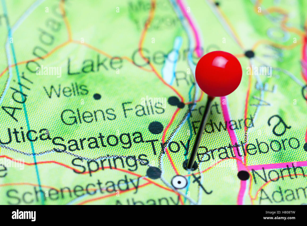 Troy pinned on a map of New York state, USA Stock Photohttps://www.alamy.com/image-license-details/?v=1https://www.alamy.com/stock-photo-troy-pinned-on-a-map-of-new-york-state-usa-125396793.html
RFH808TW–Troy pinned on a map of New York state, USA
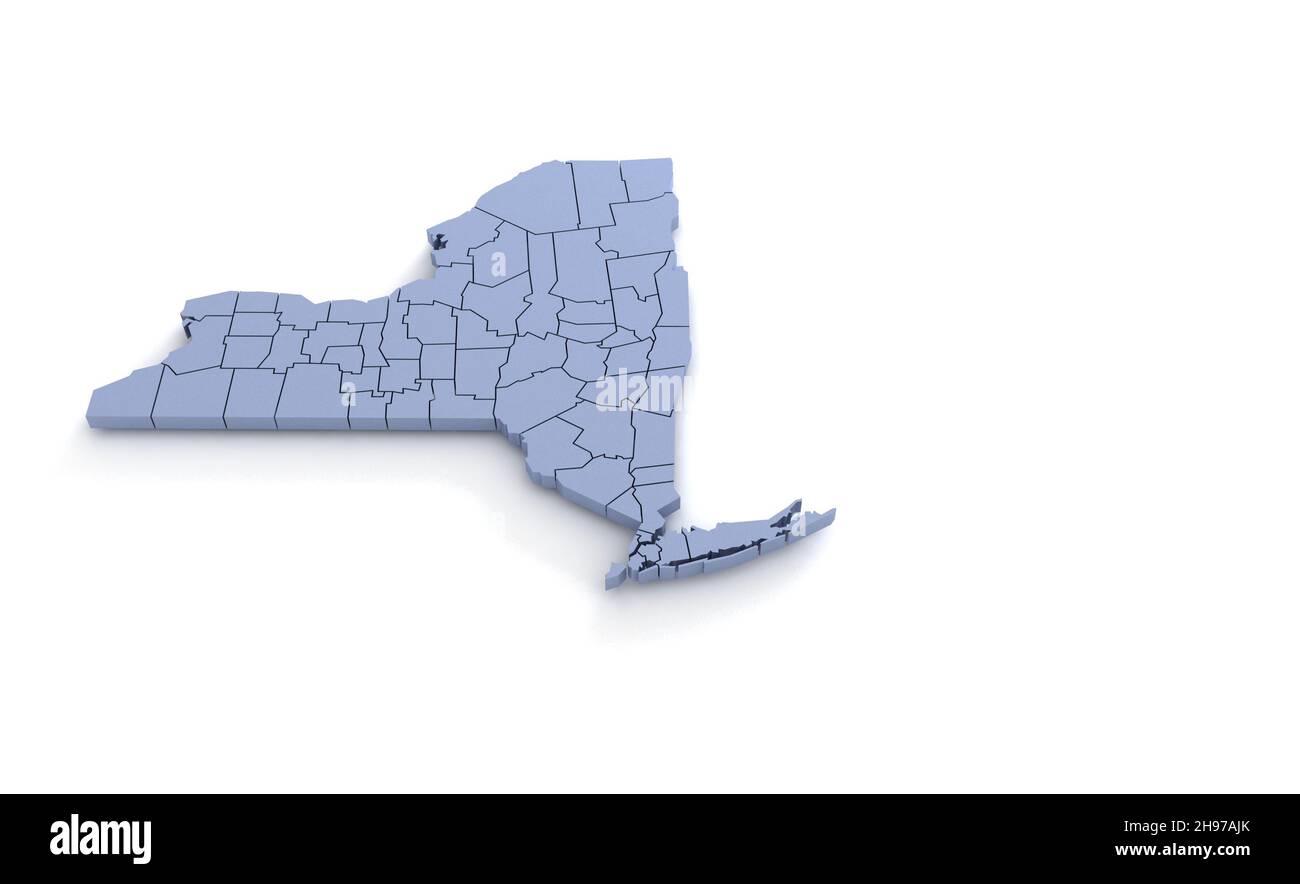 New York State Map 3d. State 3D rendering set in the United States. Stock Photohttps://www.alamy.com/image-license-details/?v=1https://www.alamy.com/new-york-state-map-3d-state-3d-rendering-set-in-the-united-states-image453163499.html
RF2H97AJK–New York State Map 3d. State 3D rendering set in the United States.
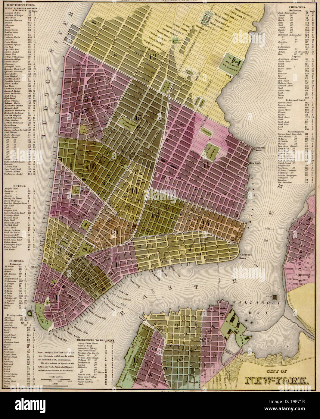 Map of New York City, 1844 Stock Photohttps://www.alamy.com/image-license-details/?v=1https://www.alamy.com/map-of-new-york-city-1844-image246965539.html
RMT9P71R–Map of New York City, 1844
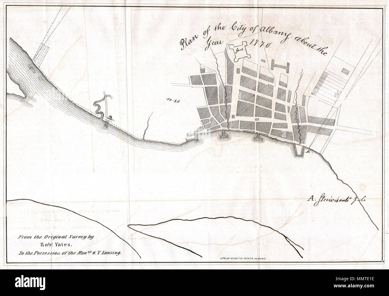 . English: This is a fascinating 1770 map of the City of Albany, capitol of New York state. Map was drawn from an original survey by Robert Yates from the collection of the Honorable G. Y. Lansing. Drawn and engraved by Richard Pease of Albany. Show the fort and port areas. Undated but given the paper and style we can accurately say it is an early 19th century reprint. Plan of the City of Albany about the Year 1770.. 1820. 1820 Yates Map of Albany circa 1770 - Geographicus - Albany-yates-1820 Stock Photohttps://www.alamy.com/image-license-details/?v=1https://www.alamy.com/english-this-is-a-fascinating-1770-map-of-the-city-of-albany-capitol-of-new-york-state-map-was-drawn-from-an-original-survey-by-robert-yates-from-the-collection-of-the-honorable-g-y-lansing-drawn-and-engraved-by-richard-pease-of-albany-show-the-fort-and-port-areas-undated-but-given-the-paper-and-style-we-can-accurately-say-it-is-an-early-19th-century-reprint-plan-of-the-city-of-albany-about-the-year-1770-1820-1820-yates-map-of-albany-circa-1770-geographicus-albany-yates-1820-image184934666.html
RMMMTE1E–. English: This is a fascinating 1770 map of the City of Albany, capitol of New York state. Map was drawn from an original survey by Robert Yates from the collection of the Honorable G. Y. Lansing. Drawn and engraved by Richard Pease of Albany. Show the fort and port areas. Undated but given the paper and style we can accurately say it is an early 19th century reprint. Plan of the City of Albany about the Year 1770.. 1820. 1820 Yates Map of Albany circa 1770 - Geographicus - Albany-yates-1820
 Oval stamp with New York state map contour Stock Vectorhttps://www.alamy.com/image-license-details/?v=1https://www.alamy.com/stock-image-oval-stamp-with-new-york-state-map-contour-163005008.html
RFKD5EFC–Oval stamp with New York state map contour
 New York state map flag on hex code illustration Stock Photohttps://www.alamy.com/image-license-details/?v=1https://www.alamy.com/stock-photo-new-york-state-map-flag-on-hex-code-illustration-75238966.html
RFEABC1X–New York state map flag on hex code illustration
 New York State Map Flag. Map of NY, USA with the state flag isolated on white background. United States, America, American, United States of America, Stock Vectorhttps://www.alamy.com/image-license-details/?v=1https://www.alamy.com/new-york-state-map-flag-map-of-ny-usa-with-the-state-flag-isolated-on-white-background-united-states-america-american-united-states-of-america-image417023743.html
RF2F6D213–New York State Map Flag. Map of NY, USA with the state flag isolated on white background. United States, America, American, United States of America,
 New York state map USA with halloween pumpkin face illustration Stock Photohttps://www.alamy.com/image-license-details/?v=1https://www.alamy.com/new-york-state-map-usa-with-halloween-pumpkin-face-illustration-image217120581.html
RFPH6KED–New York state map USA with halloween pumpkin face illustration
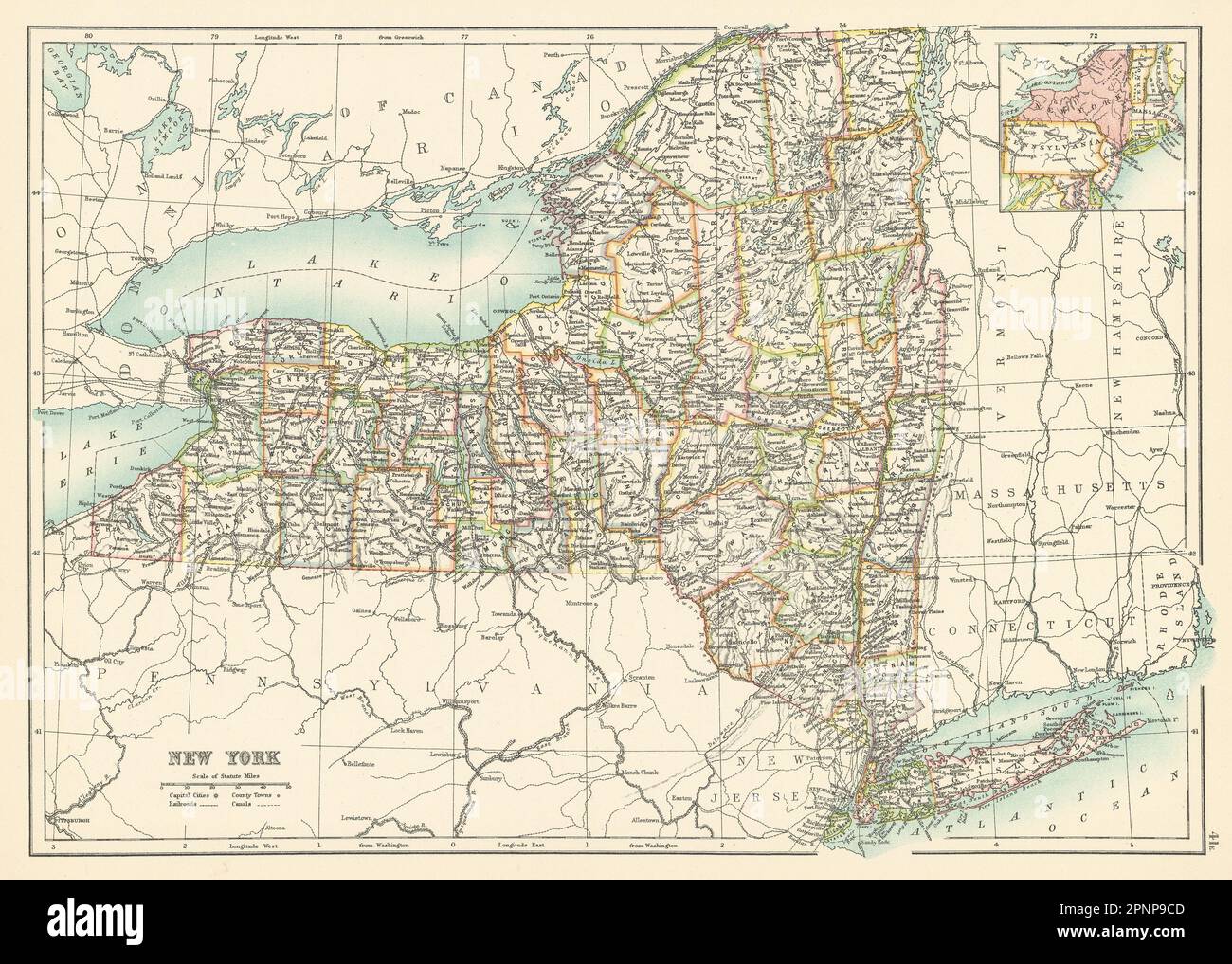 New York state map showing counties. BARTHOLOMEW 1898 old antique chart Stock Photohttps://www.alamy.com/image-license-details/?v=1https://www.alamy.com/new-york-state-map-showing-counties-bartholomew-1898-old-antique-chart-image546919533.html
RF2PNP9CD–New York state map showing counties. BARTHOLOMEW 1898 old antique chart
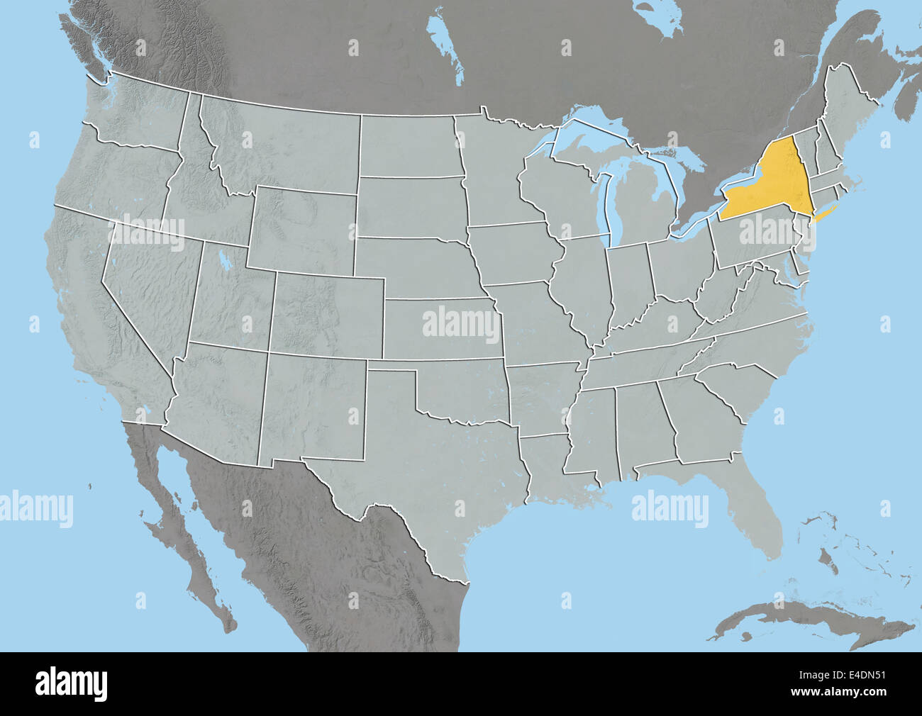 State of New York, United States, Relief Map Stock Photohttps://www.alamy.com/image-license-details/?v=1https://www.alamy.com/stock-photo-state-of-new-york-united-states-relief-map-71602077.html
RME4DN51–State of New York, United States, Relief Map
 New York State Map. Vector Design illustration Stock Vectorhttps://www.alamy.com/image-license-details/?v=1https://www.alamy.com/new-york-state-map-vector-design-illustration-image352907940.html
RF2BE49K0–New York State Map. Vector Design illustration
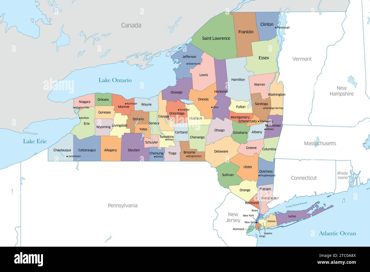 Counties of New York State Map Stock Photohttps://www.alamy.com/image-license-details/?v=1https://www.alamy.com/counties-of-new-york-state-map-image575326106.html
RF2TC0A8X–Counties of New York State Map
 New York state map outline - smooth simplified US state shape map vector. Stock Vectorhttps://www.alamy.com/image-license-details/?v=1https://www.alamy.com/new-york-state-map-outline-smooth-simplified-us-state-shape-map-vector-image230392537.html
RFRAR80W–New York state map outline - smooth simplified US state shape map vector.
 New York outline map set Stock Vectorhttps://www.alamy.com/image-license-details/?v=1https://www.alamy.com/new-york-outline-map-set-image177776415.html
RFM96BHK–New York outline map set
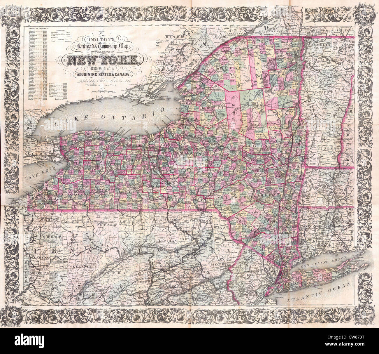 1876 Colton Railroad Pocket Map of New York State Stock Photohttps://www.alamy.com/image-license-details/?v=1https://www.alamy.com/stock-photo-1876-colton-railroad-pocket-map-of-new-york-state-49968348.html
RMCW873T–1876 Colton Railroad Pocket Map of New York State
 A vector illustration of New York state map typography Stock Vectorhttps://www.alamy.com/image-license-details/?v=1https://www.alamy.com/a-vector-illustration-of-new-york-state-map-typography-image477296598.html
RF2JMEMK2–A vector illustration of New York state map typography
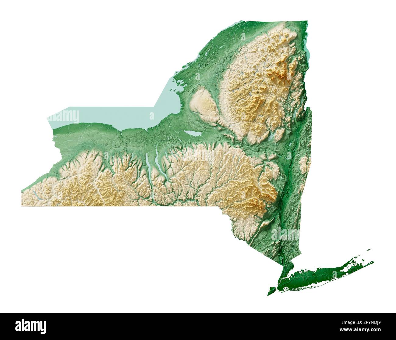 The US state of New York. Highly detailed 3D rendering of shaded relief map with rivers and lakes. Colored by elevation. Created with satellite data. Stock Photohttps://www.alamy.com/image-license-details/?v=1https://www.alamy.com/the-us-state-of-new-york-highly-detailed-3d-rendering-of-shaded-relief-map-with-rivers-and-lakes-colored-by-elevation-created-with-satellite-data-image550588817.html
RF2PYNDJ9–The US state of New York. Highly detailed 3D rendering of shaded relief map with rivers and lakes. Colored by elevation. Created with satellite data.
 Map of New York State 1870s. Color lithograph Stock Photohttps://www.alamy.com/image-license-details/?v=1https://www.alamy.com/map-of-new-york-state-1870s-color-lithograph-image8052332.html
RMAG4DXD–Map of New York State 1870s. Color lithograph
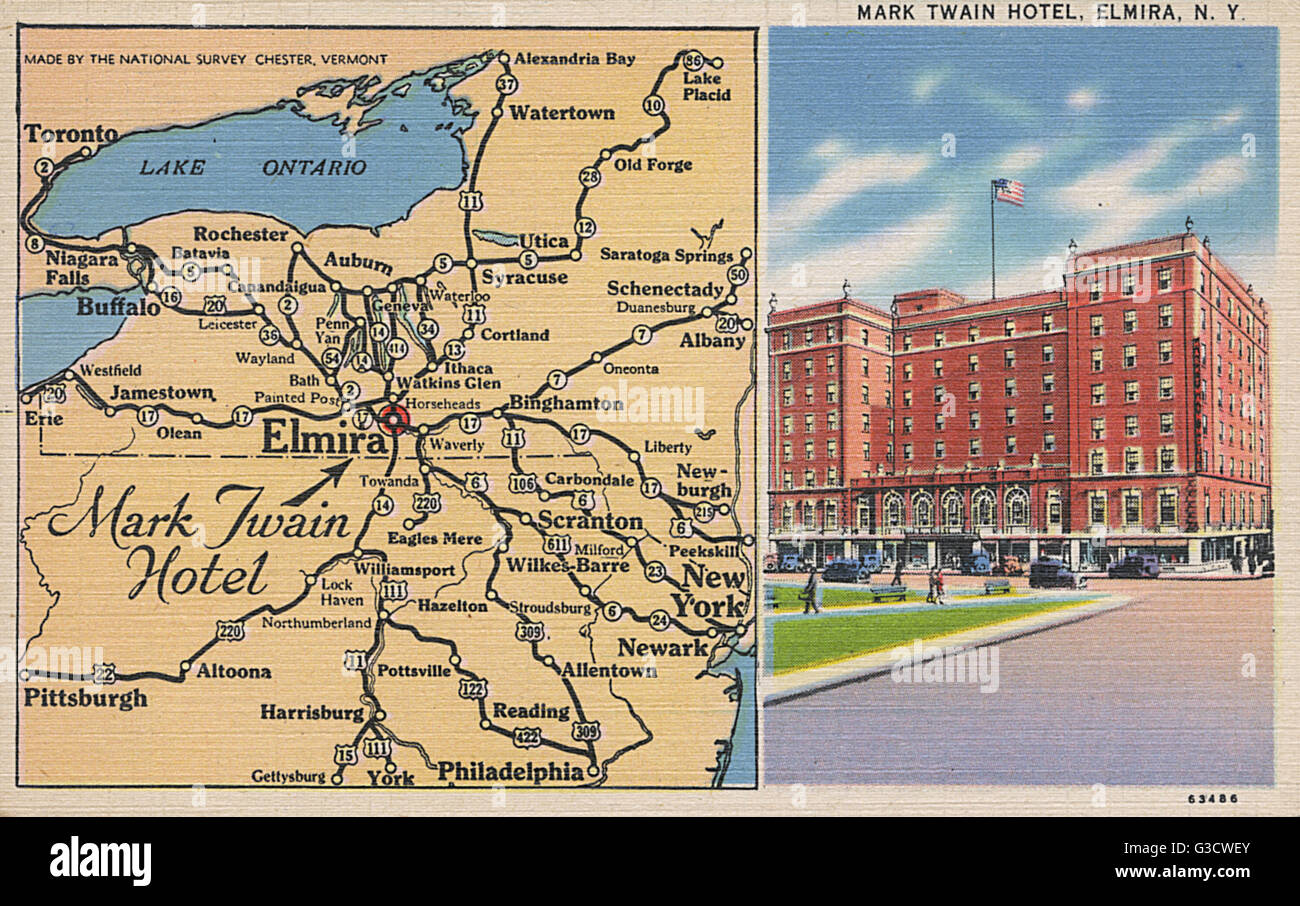 Mark Twain Hotel and map, Elmira, New York State, USA Stock Photohttps://www.alamy.com/image-license-details/?v=1https://www.alamy.com/stock-photo-mark-twain-hotel-and-map-elmira-new-york-state-usa-105389619.html
RMG3CWEY–Mark Twain Hotel and map, Elmira, New York State, USA
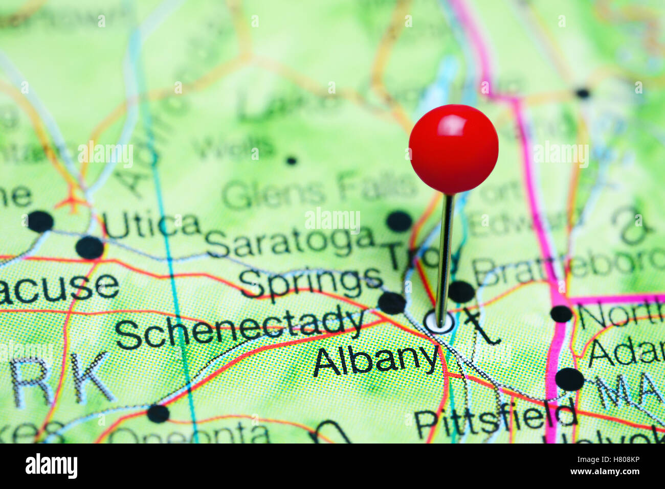 Albany pinned on a map of New York state, USA Stock Photohttps://www.alamy.com/image-license-details/?v=1https://www.alamy.com/stock-photo-albany-pinned-on-a-map-of-new-york-state-usa-125396650.html
RFH808KP–Albany pinned on a map of New York state, USA
 New York Map On Timber Stock Vectorhttps://www.alamy.com/image-license-details/?v=1https://www.alamy.com/stock-photo-new-york-map-on-timber-115818363.html
RFGMBYE3–New York Map On Timber
 A map of Saratoga Springs, New York marked with a push pin. Stock Photohttps://www.alamy.com/image-license-details/?v=1https://www.alamy.com/a-map-of-saratoga-springs-new-york-marked-with-a-push-pin-image245773897.html
RFT7RY35–A map of Saratoga Springs, New York marked with a push pin.
 The City of Buffalo, New York 1880 Stock Photohttps://www.alamy.com/image-license-details/?v=1https://www.alamy.com/the-city-of-buffalo-new-york-1880-image184253378.html
RMMKND1P–The City of Buffalo, New York 1880
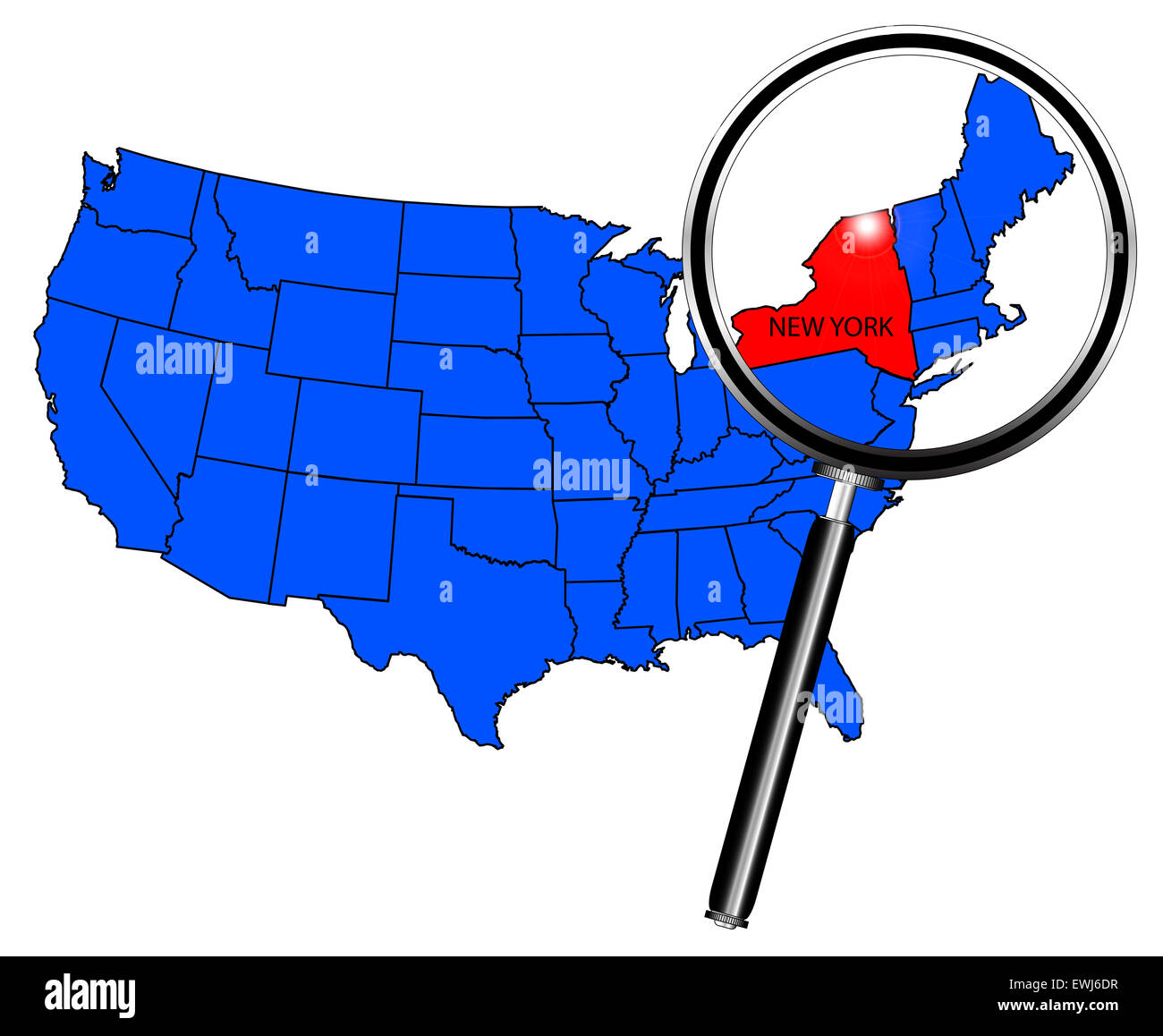 Map of the United States of America with the state of New York in red under a magnifying glass Stock Photohttps://www.alamy.com/image-license-details/?v=1https://www.alamy.com/stock-photo-map-of-the-united-states-of-america-with-the-state-of-new-york-in-84608099.html
RFEWJ6DR–Map of the United States of America with the state of New York in red under a magnifying glass
 New York state map with blue gradient Stock Vectorhttps://www.alamy.com/image-license-details/?v=1https://www.alamy.com/stock-photo-new-york-state-map-with-blue-gradient-91242546.html
RFF8CCPA–New York state map with blue gradient
 New York State Map Flag. Map of NY, USA with the state flag. United States, America, American, United States of America, US State Banner. Vector illus Stock Vectorhttps://www.alamy.com/image-license-details/?v=1https://www.alamy.com/new-york-state-map-flag-map-of-ny-usa-with-the-state-flag-united-states-america-american-united-states-of-america-us-state-banner-vector-illus-image465273621.html
RF2J0Y171–New York State Map Flag. Map of NY, USA with the state flag. United States, America, American, United States of America, US State Banner. Vector illus
 New York state map with Social Distancing stayathome tag Stock Vectorhttps://www.alamy.com/image-license-details/?v=1https://www.alamy.com/new-york-state-map-with-social-distancing-stayathome-tag-image351406337.html
RF2BBKXA9–New York state map with Social Distancing stayathome tag
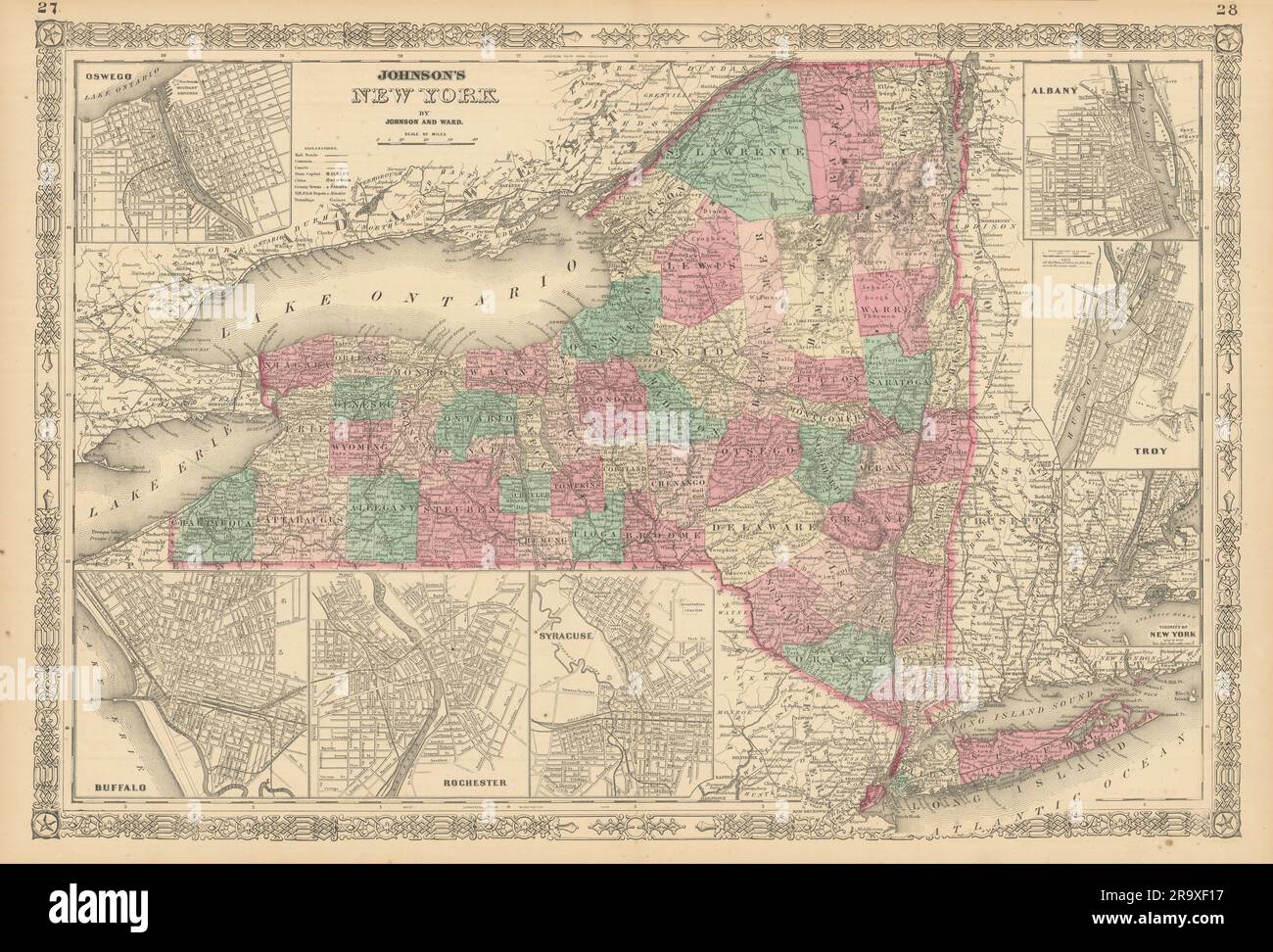 Johnson's New York state map. Albany Troy Rochester Buffalo Syracuse 1866 Stock Photohttps://www.alamy.com/image-license-details/?v=1https://www.alamy.com/johnsons-new-york-state-map-albany-troy-rochester-buffalo-syracuse-1866-image556846227.html
RF2R9XF17–Johnson's New York state map. Albany Troy Rochester Buffalo Syracuse 1866
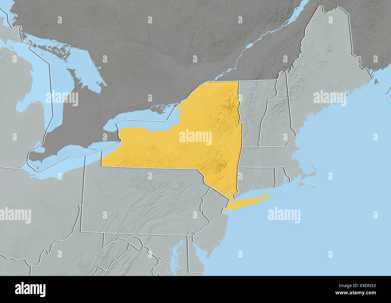 State of New York, United States, Relief Map Stock Photohttps://www.alamy.com/image-license-details/?v=1https://www.alamy.com/stock-photo-state-of-new-york-united-states-relief-map-71602079.html
RME4DN53–State of New York, United States, Relief Map
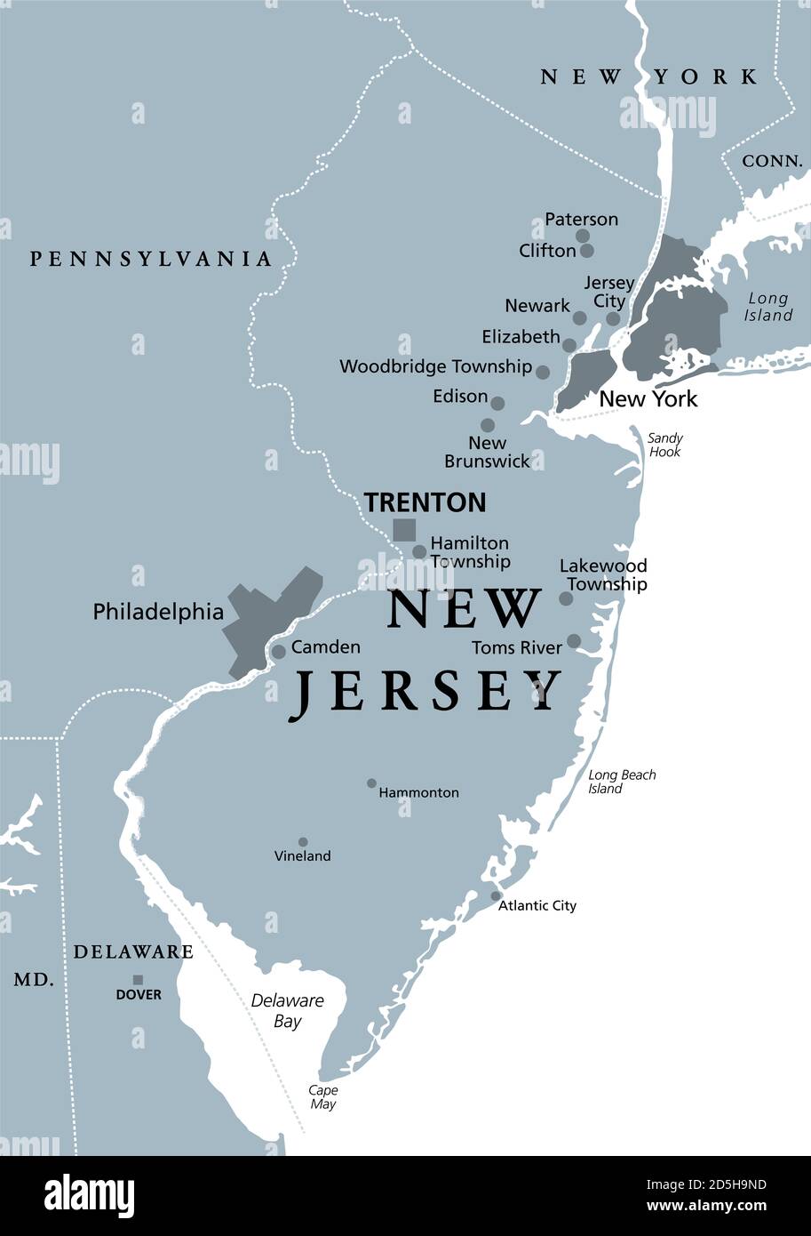 New Jersey, NJ, gray political map with capital Trenton. State in the Mid-Atlantic region of the Northeastern United States of America. Stock Photohttps://www.alamy.com/image-license-details/?v=1https://www.alamy.com/new-jersey-nj-gray-political-map-with-capital-trenton-state-in-the-mid-atlantic-region-of-the-northeastern-united-states-of-america-image382082217.html
RF2D5H9ND–New Jersey, NJ, gray political map with capital Trenton. State in the Mid-Atlantic region of the Northeastern United States of America.
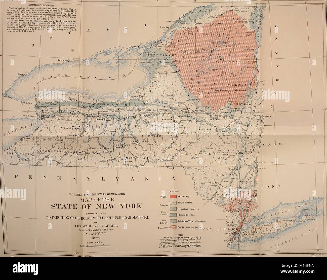 Color illustration of a map of the state of New York, United States of America, captioned 'Showing the Distribution of Rocks Most Useful for Building Materials, ' with a scale and a color-coded legend to indicate rock types, from the 'Bulletin of the New York State Museum, ' Vol, 1887. 4, No. 17, authored by Frederick J H Merrill and the New York State Museum. () Stock Photohttps://www.alamy.com/image-license-details/?v=1https://www.alamy.com/stock-photo-color-illustration-of-a-map-of-the-state-of-new-york-united-states-173103889.html
RMM1HFNN–Color illustration of a map of the state of New York, United States of America, captioned 'Showing the Distribution of Rocks Most Useful for Building Materials, ' with a scale and a color-coded legend to indicate rock types, from the 'Bulletin of the New York State Museum, ' Vol, 1887. 4, No. 17, authored by Frederick J H Merrill and the New York State Museum. ()
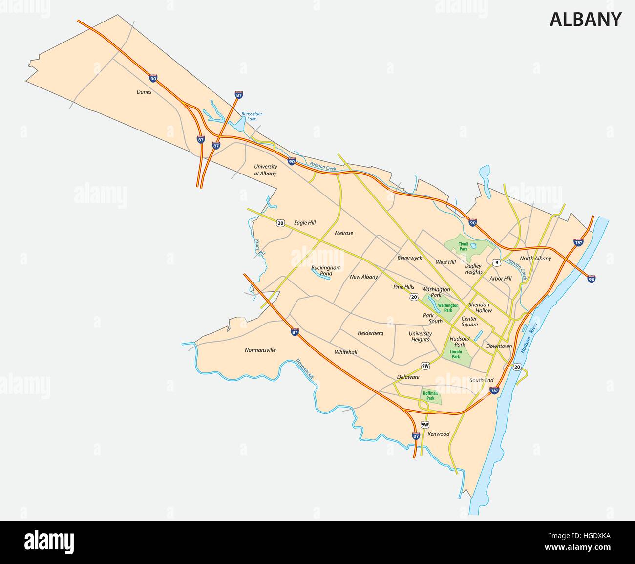 map of Albany the capital of the US State of New York Stock Vectorhttps://www.alamy.com/image-license-details/?v=1https://www.alamy.com/stock-photo-map-of-albany-the-capital-of-the-us-state-of-new-york-130613374.html
RFHGDXKA–map of Albany the capital of the US State of New York
 Antique map, circa 1875, of New York Stock Photohttps://www.alamy.com/image-license-details/?v=1https://www.alamy.com/antique-map-circa-1875-of-new-york-image157493849.html
RMK46D09–Antique map, circa 1875, of New York
 1827 Finley Map of New York State Stock Photohttps://www.alamy.com/image-license-details/?v=1https://www.alamy.com/stock-photo-1827-finley-map-of-new-york-state-50537083.html
RMCX64FR–1827 Finley Map of New York State
 New York state map. US state map. New York silhouette symbol. Vector illustration Stock Vectorhttps://www.alamy.com/image-license-details/?v=1https://www.alamy.com/new-york-state-map-us-state-map-new-york-silhouette-symbol-vector-illustration-image545067643.html
RF2PJNY9F–New York state map. US state map. New York silhouette symbol. Vector illustration
 New York state map polygonal illustration made of lines and dots, isolated on white background. US state low poly design Stock Photohttps://www.alamy.com/image-license-details/?v=1https://www.alamy.com/new-york-state-map-polygonal-illustration-made-of-lines-and-dots-isolated-on-white-background-us-state-low-poly-design-image596064080.html
RF2WHN1PT–New York state map polygonal illustration made of lines and dots, isolated on white background. US state low poly design
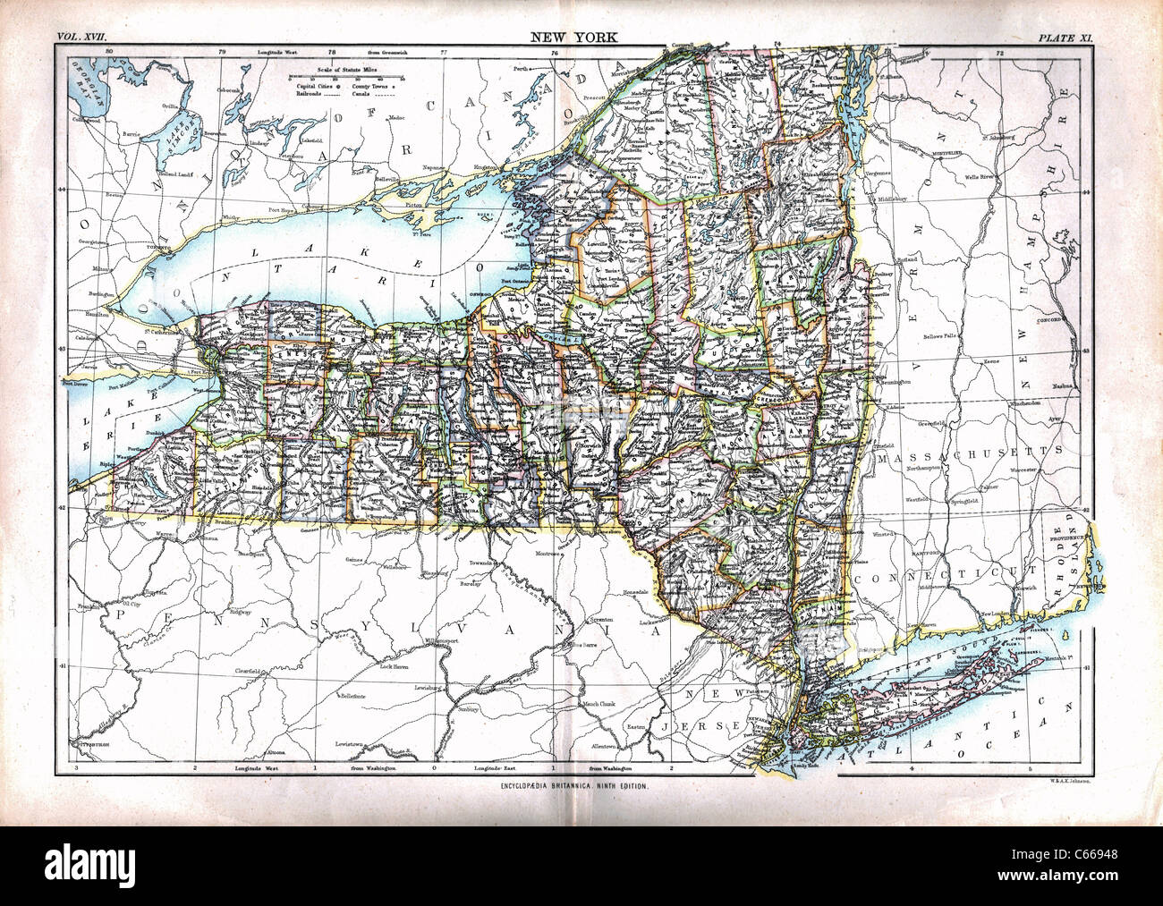 1884 Map of New York State - Vintage Antiquarian Map by Johnston Stock Photohttps://www.alamy.com/image-license-details/?v=1https://www.alamy.com/stock-photo-1884-map-of-new-york-state-vintage-antiquarian-map-by-johnston-38247560.html
RFC66948–1884 Map of New York State - Vintage Antiquarian Map by Johnston
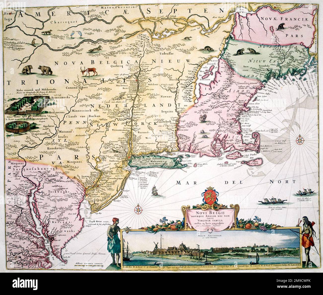 17th century Map of New Belgium, America - New York, New Jersey and Pennsylvania - Nova Belgii Novaque Angliae nec non Partis Virginiae Tabula Stock Photohttps://www.alamy.com/image-license-details/?v=1https://www.alamy.com/17th-century-map-of-new-belgium-america-new-york-new-jersey-and-pennsylvania-nova-belgii-novaque-angliae-nec-non-partis-virginiae-tabula-image504916039.html
RM2M9CWFK–17th century Map of New Belgium, America - New York, New Jersey and Pennsylvania - Nova Belgii Novaque Angliae nec non Partis Virginiae Tabula
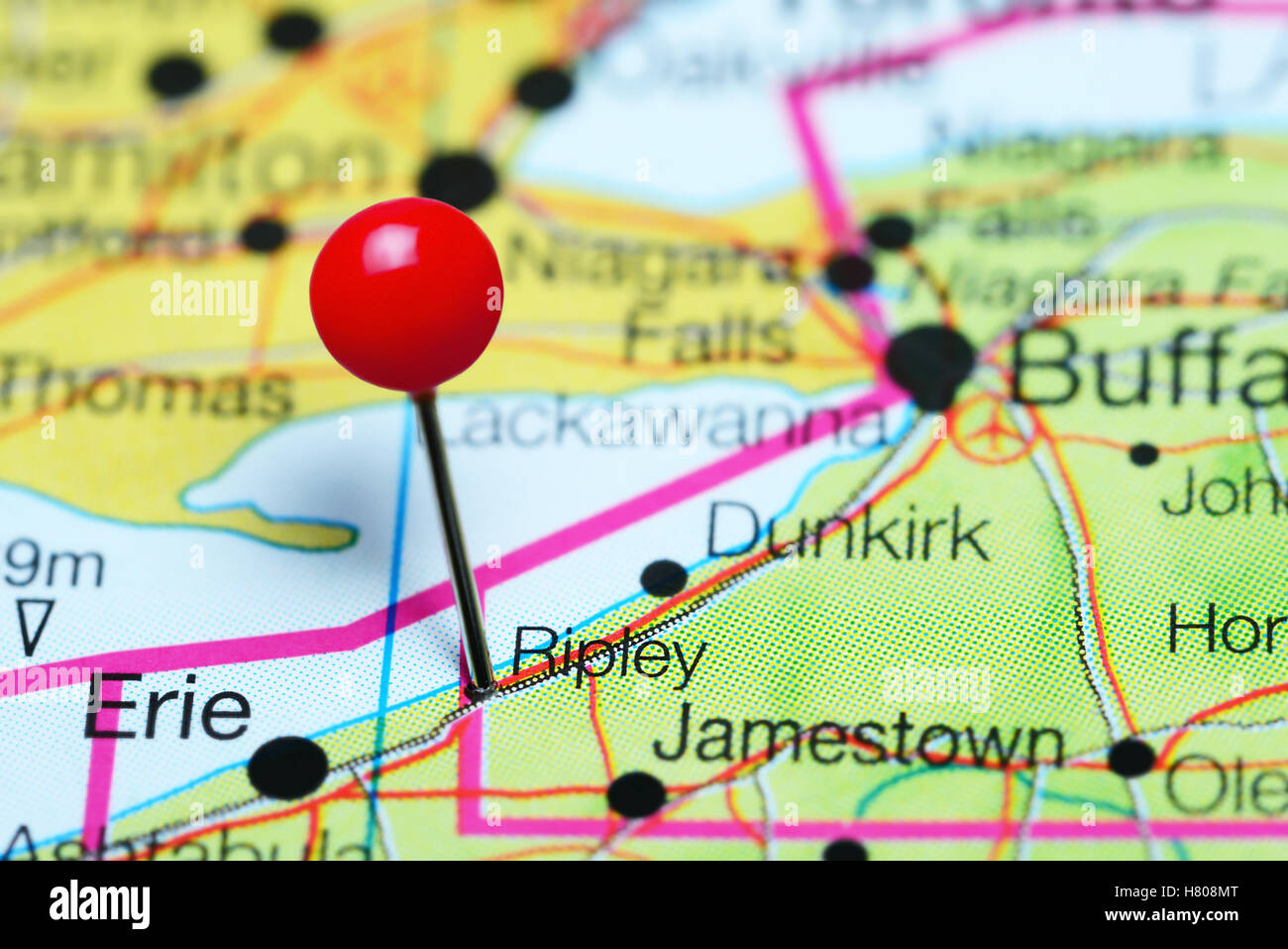 Ripley pinned on a map of New York state, USA Stock Photohttps://www.alamy.com/image-license-details/?v=1https://www.alamy.com/stock-photo-ripley-pinned-on-a-map-of-new-york-state-usa-125396680.html
RFH808MT–Ripley pinned on a map of New York state, USA
 New York Stock Vectorhttps://www.alamy.com/image-license-details/?v=1https://www.alamy.com/stock-photo-new-york-115478692.html
RFGKTE70–New York
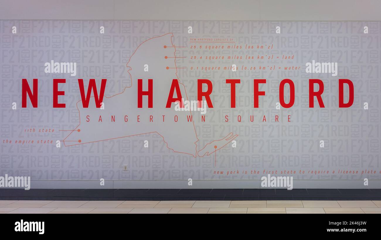 New Hartford, New York - Sep 6, 2022: Closeup Landscape View of New York State Map on the Wall of Sangertown Mall Entrance with Info about New Hartfor Stock Photohttps://www.alamy.com/image-license-details/?v=1https://www.alamy.com/new-hartford-new-york-sep-6-2022-closeup-landscape-view-of-new-york-state-map-on-the-wall-of-sangertown-mall-entrance-with-info-about-new-hartfor-image484494861.html
RF2K46J3W–New Hartford, New York - Sep 6, 2022: Closeup Landscape View of New York State Map on the Wall of Sangertown Mall Entrance with Info about New Hartfor
 Map of New Hackensack 1867 Stock Photohttps://www.alamy.com/image-license-details/?v=1https://www.alamy.com/map-of-new-hackensack-1867-image184425735.html
RMMM18WB–Map of New Hackensack 1867
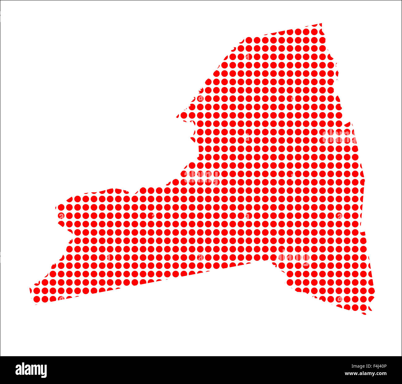 A map of the state of New York created from a series of red dots over a white background Stock Photohttps://www.alamy.com/image-license-details/?v=1https://www.alamy.com/stock-photo-a-map-of-the-state-of-new-york-created-from-a-series-of-red-dots-over-88908758.html
RFF4J40P–A map of the state of New York created from a series of red dots over a white background
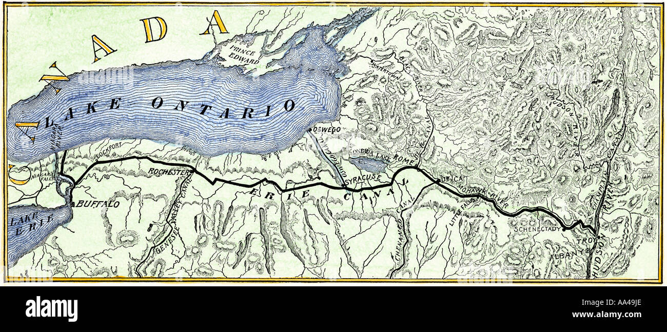 Map of the Erie Canal across New York State 1800s. Hand-colored woodcut Stock Photohttps://www.alamy.com/image-license-details/?v=1https://www.alamy.com/map-of-the-erie-canal-across-new-york-state-1800s-hand-colored-woodcut-image7148269.html
RMAA49JE–Map of the Erie Canal across New York State 1800s. Hand-colored woodcut
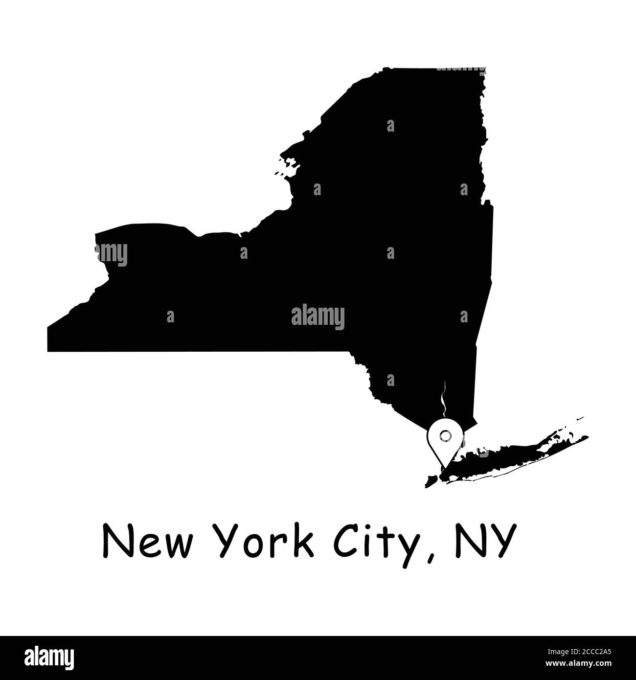 New York City on New York State Map. Detailed NY State Map with Location Pin on NYC City. Black silhouette vector maps isolated on white background. Stock Vectorhttps://www.alamy.com/image-license-details/?v=1https://www.alamy.com/new-york-city-on-new-york-state-map-detailed-ny-state-map-with-location-pin-on-nyc-city-black-silhouette-vector-maps-isolated-on-white-background-image369058877.html
RF2CCC2A5–New York City on New York State Map. Detailed NY State Map with Location Pin on NYC City. Black silhouette vector maps isolated on white background.
 Merry Christmas illustration theme with map of Buffalo New York Stock Vectorhttps://www.alamy.com/image-license-details/?v=1https://www.alamy.com/merry-christmas-illustration-theme-with-map-of-buffalo-new-york-image226996509.html
RFR58GA5–Merry Christmas illustration theme with map of Buffalo New York
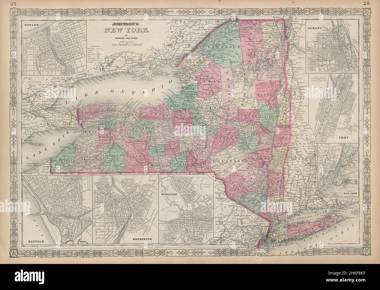 Johnson's New York state map. Albany Troy Rochester Buffalo Syracuse 1865 Stock Photohttps://www.alamy.com/image-license-details/?v=1https://www.alamy.com/johnsons-new-york-state-map-albany-troy-rochester-buffalo-syracuse-1865-image451493603.html
RF2H6F8KF–Johnson's New York state map. Albany Troy Rochester Buffalo Syracuse 1865
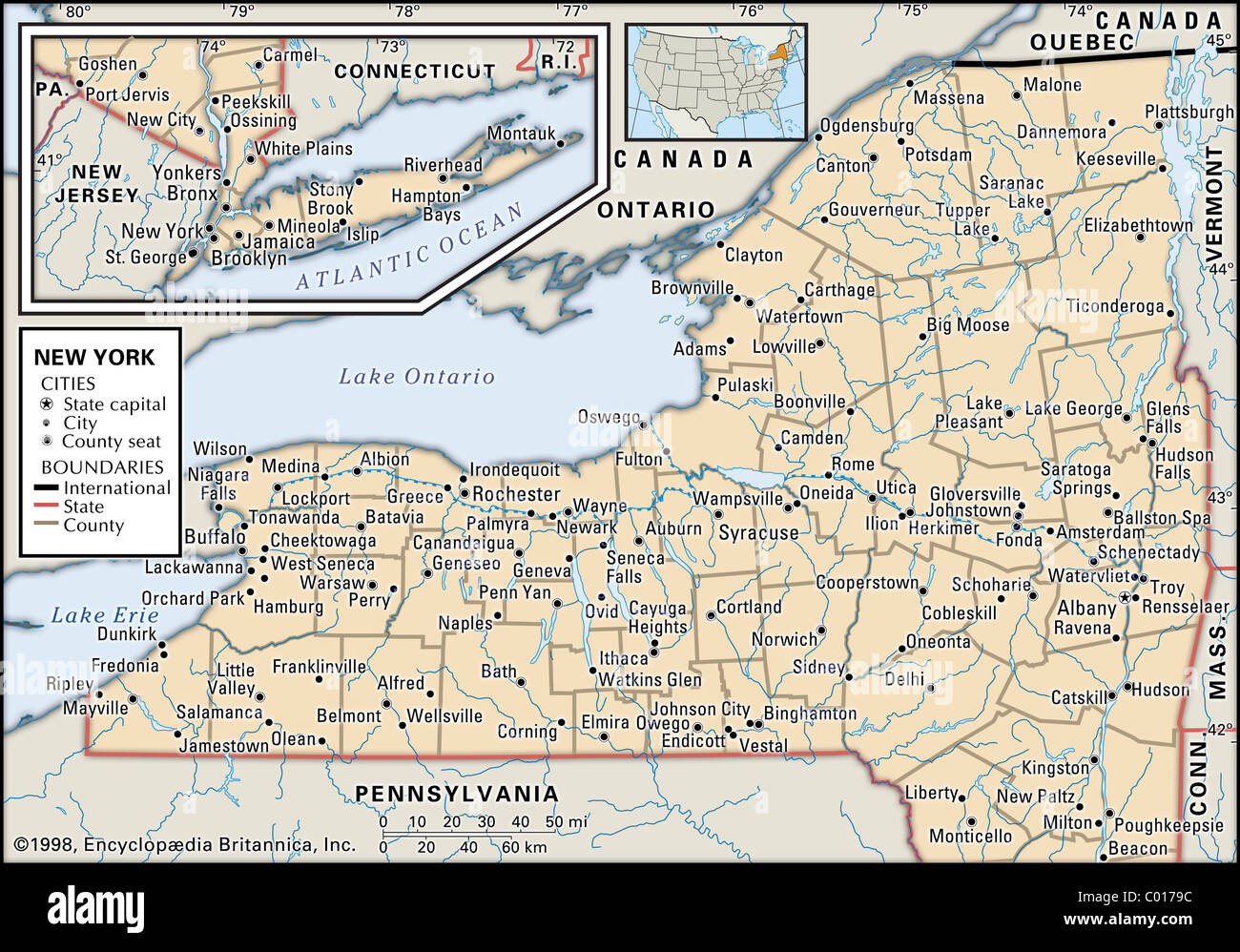 Political map of New York Stock Photohttps://www.alamy.com/image-license-details/?v=1https://www.alamy.com/stock-photo-political-map-of-new-york-34448440.html
RMC0179C–Political map of New York
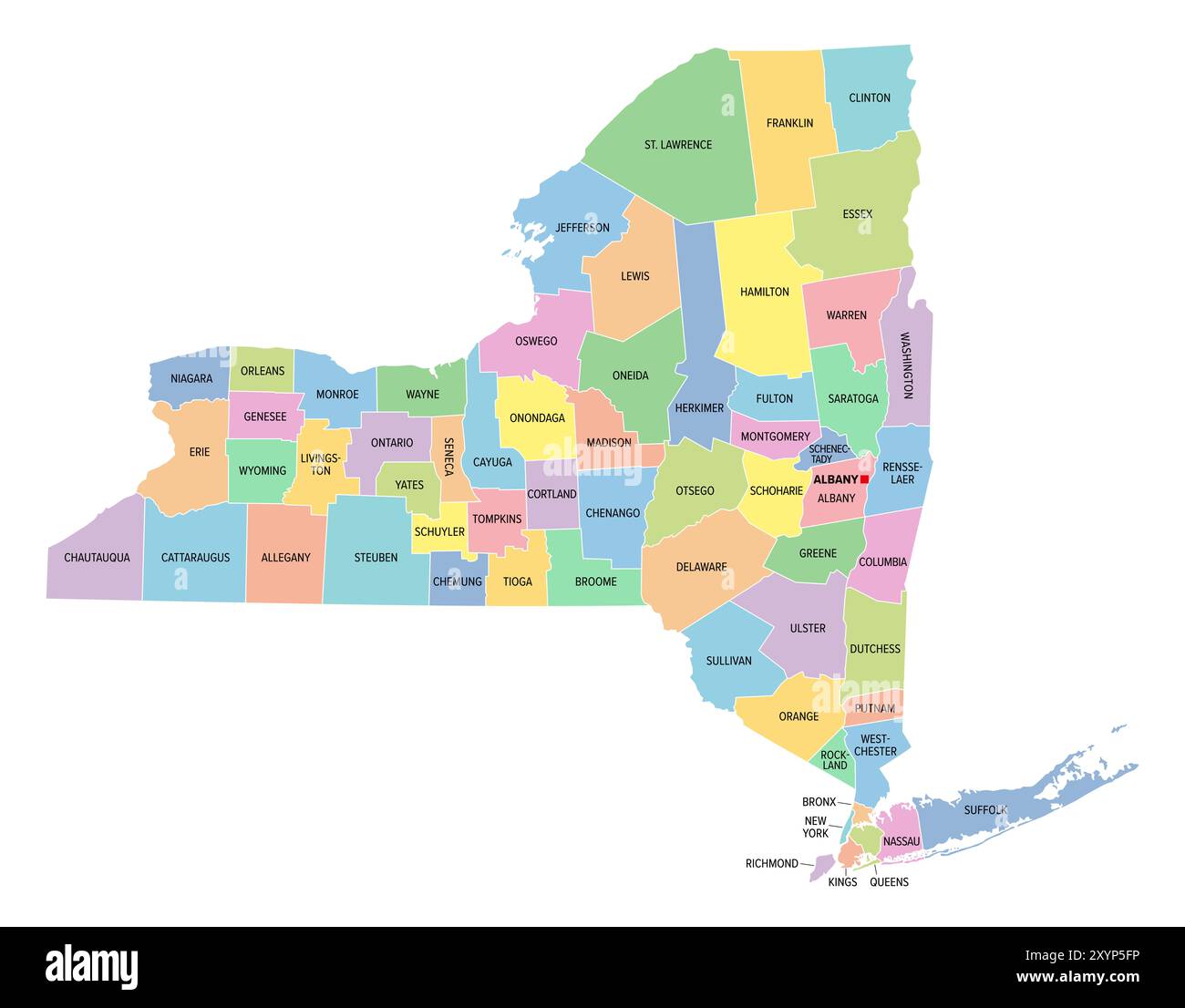 New York, U.S. state, subdivided into 62 counties, multi colored political map with capital Albany, borders and county names. Stock Photohttps://www.alamy.com/image-license-details/?v=1https://www.alamy.com/new-york-us-state-subdivided-into-62-counties-multi-colored-political-map-with-capital-albany-borders-and-county-names-image619445898.html
RF2XYP5FP–New York, U.S. state, subdivided into 62 counties, multi colored political map with capital Albany, borders and county names.
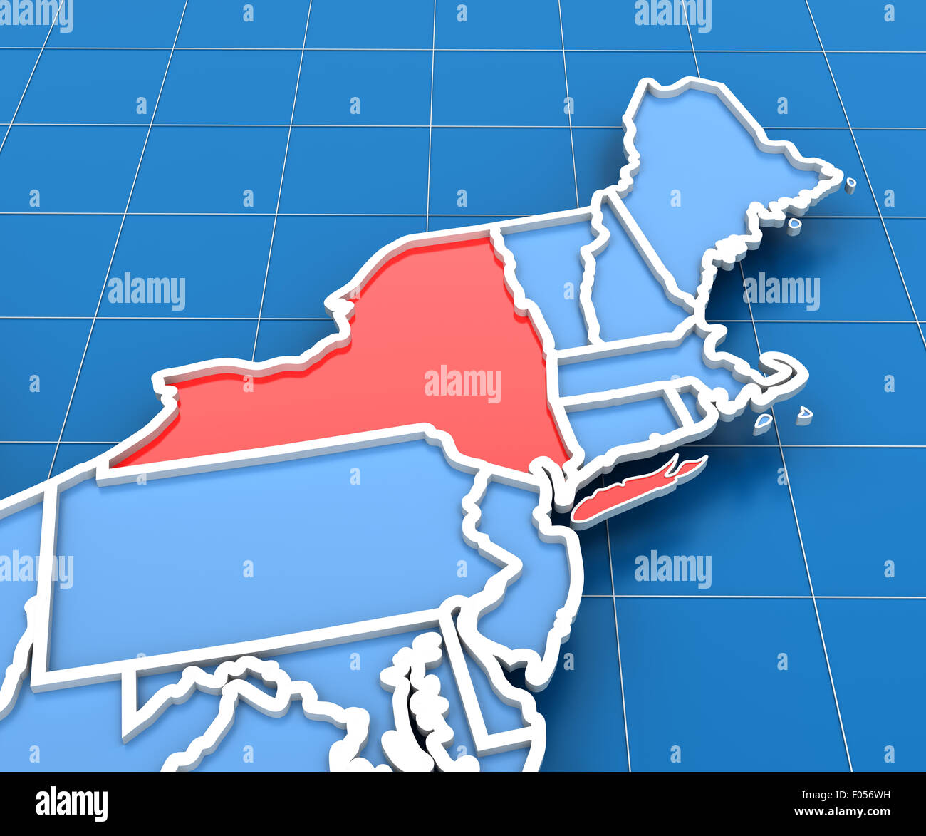 3d render of USA map with New York state highlighted Stock Photohttps://www.alamy.com/image-license-details/?v=1https://www.alamy.com/stock-photo-3d-render-of-usa-map-with-new-york-state-highlighted-86167021.html
RFF056WH–3d render of USA map with New York state highlighted
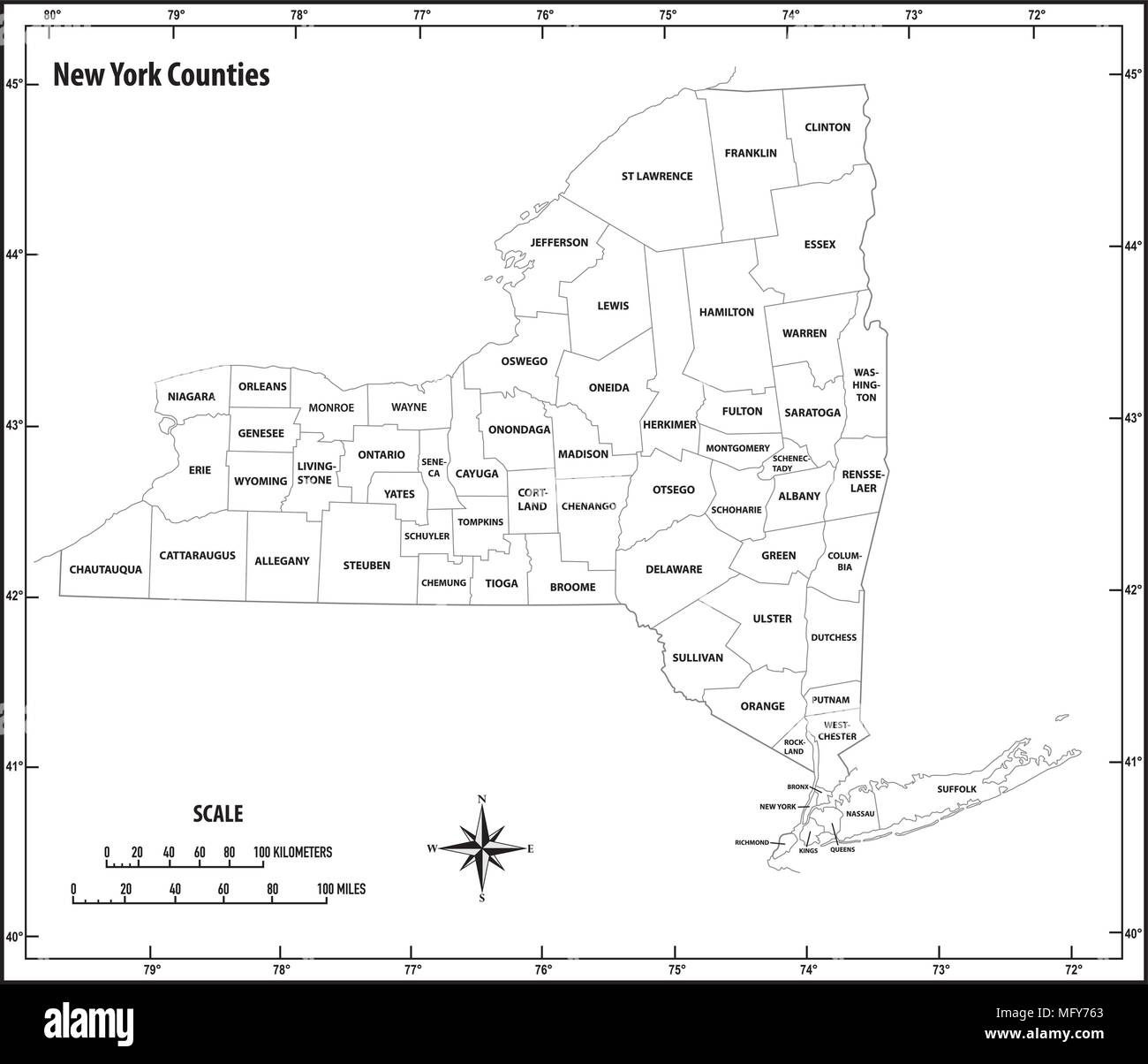 new york state outline administrative and political vector map in black and white Stock Vectorhttps://www.alamy.com/image-license-details/?v=1https://www.alamy.com/new-york-state-outline-administrative-and-political-vector-map-in-black-and-white-image181921883.html
RFMFY763–new york state outline administrative and political vector map in black and white
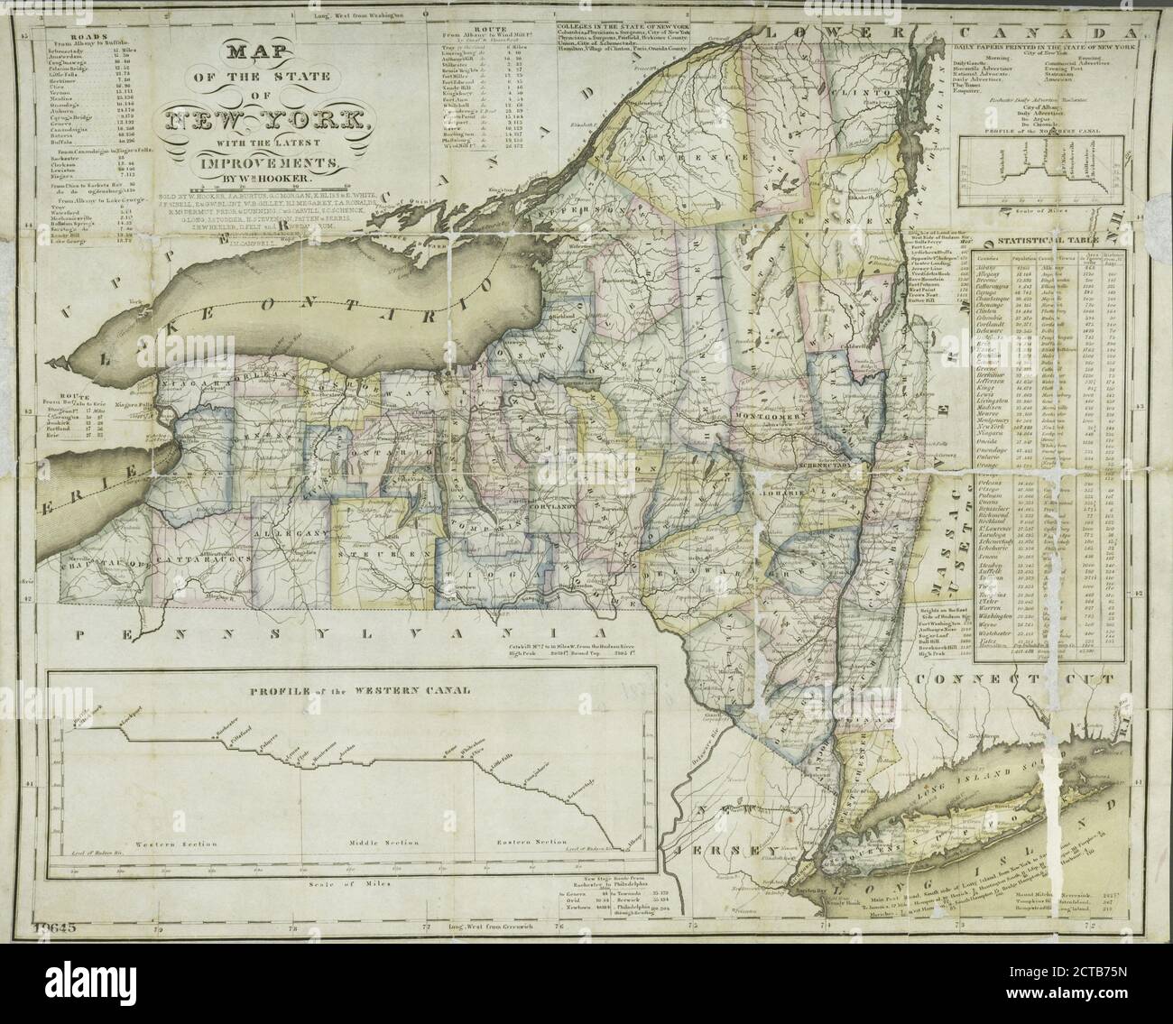 Map of the State of New York : with the latest improvements, cartographic, Maps, 1827 Stock Photohttps://www.alamy.com/image-license-details/?v=1https://www.alamy.com/map-of-the-state-of-new-york-with-the-latest-improvements-cartographic-maps-1827-image376416593.html
RM2CTB75N–Map of the State of New York : with the latest improvements, cartographic, Maps, 1827
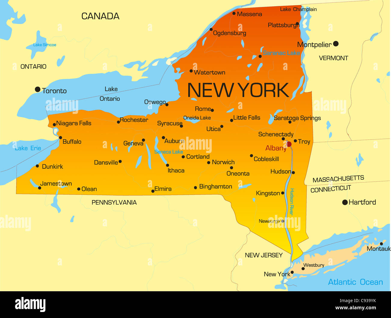 Vector color map of New York state. Usa Stock Photohttps://www.alamy.com/image-license-details/?v=1https://www.alamy.com/stock-photo-vector-color-map-of-new-york-state-usa-40026327.html
RFC939YK–Vector color map of New York state. Usa
 New York state map. US state map. New York outline symbol. Vector illustration Stock Vectorhttps://www.alamy.com/image-license-details/?v=1https://www.alamy.com/new-york-state-map-us-state-map-new-york-outline-symbol-vector-illustration-image545067756.html
RF2PJNYDG–New York state map. US state map. New York outline symbol. Vector illustration
 New York state map polygonal illustration made of lines and dots, isolated on white background. US state low poly design Stock Photohttps://www.alamy.com/image-license-details/?v=1https://www.alamy.com/new-york-state-map-polygonal-illustration-made-of-lines-and-dots-isolated-on-white-background-us-state-low-poly-design-image596100680.html
RF2WHPME0–New York state map polygonal illustration made of lines and dots, isolated on white background. US state low poly design
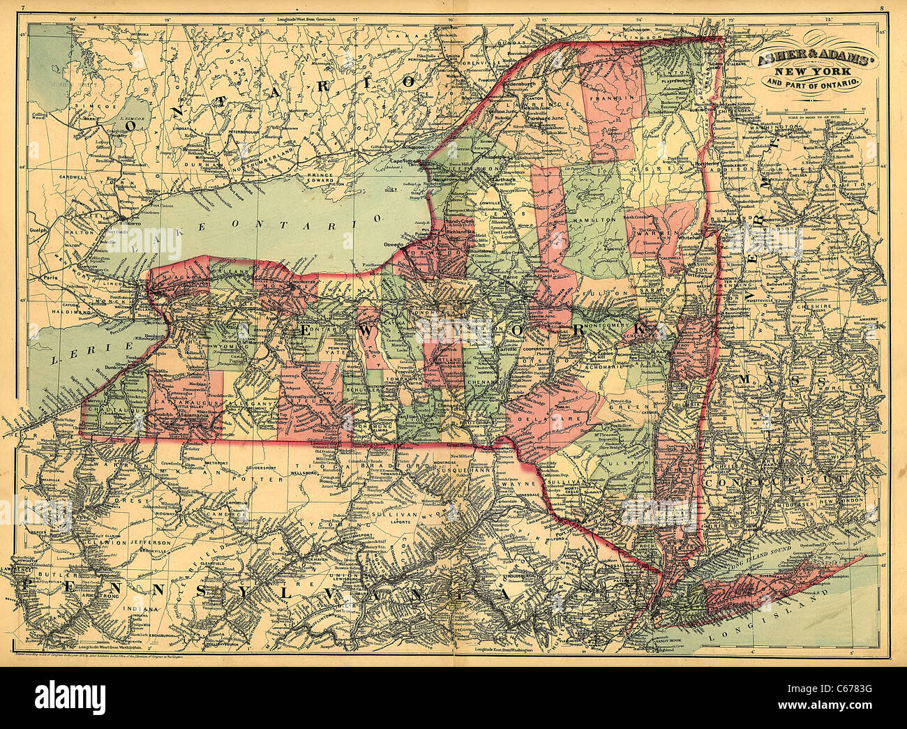 1871 Map of New York State - Vintage Antiquarian Map by Asher Stock Photohttps://www.alamy.com/image-license-details/?v=1https://www.alamy.com/stock-photo-1871-map-of-new-york-state-vintage-antiquarian-map-by-asher-38268708.html
RFC6783G–1871 Map of New York State - Vintage Antiquarian Map by Asher
 American State of New York flag in flat web design style. Stock Photohttps://www.alamy.com/image-license-details/?v=1https://www.alamy.com/stock-photo-american-state-of-new-york-flag-in-flat-web-design-style-82275767.html
RMENRYG7–American State of New York flag in flat web design style.
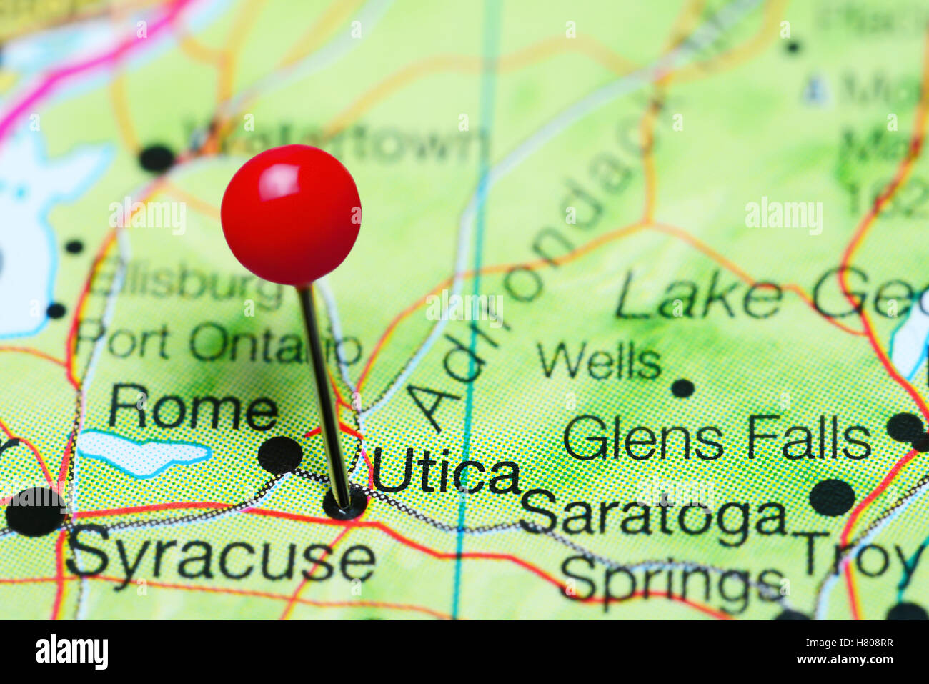 Utica pinned on a map of New York state, USA Stock Photohttps://www.alamy.com/image-license-details/?v=1https://www.alamy.com/stock-photo-utica-pinned-on-a-map-of-new-york-state-usa-125396763.html
RFH808RR–Utica pinned on a map of New York state, USA
 New York Map Brand Stock Vectorhttps://www.alamy.com/image-license-details/?v=1https://www.alamy.com/stock-photo-new-york-map-brand-116261495.html
RFGN44M7–New York Map Brand
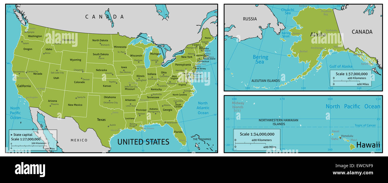 A map of America with all state names, state capitals and other major cities. Organised in vector version in easy to use layers. Stock Photohttps://www.alamy.com/image-license-details/?v=1https://www.alamy.com/stock-photo-a-map-of-america-with-all-state-names-state-capitals-and-other-major-84488189.html
RFEWCNF9–A map of America with all state names, state capitals and other major cities. Organised in vector version in easy to use layers.
 Map of New Hamburgh. 1867 Stock Photohttps://www.alamy.com/image-license-details/?v=1https://www.alamy.com/map-of-new-hamburgh-1867-image184425752.html
RMMM18X0–Map of New Hamburgh. 1867
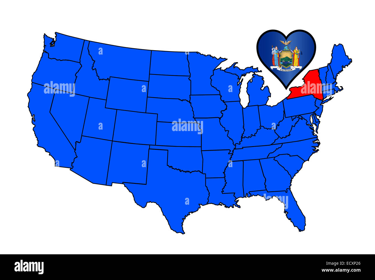 Map od the United States of America with the state of New York highlied in red with a heart shaped state flag. Stock Photohttps://www.alamy.com/image-license-details/?v=1https://www.alamy.com/stock-photo-map-od-the-united-states-of-america-with-the-state-of-new-york-highlied-76805406.html
RFECXP26–Map od the United States of America with the state of New York highlied in red with a heart shaped state flag.
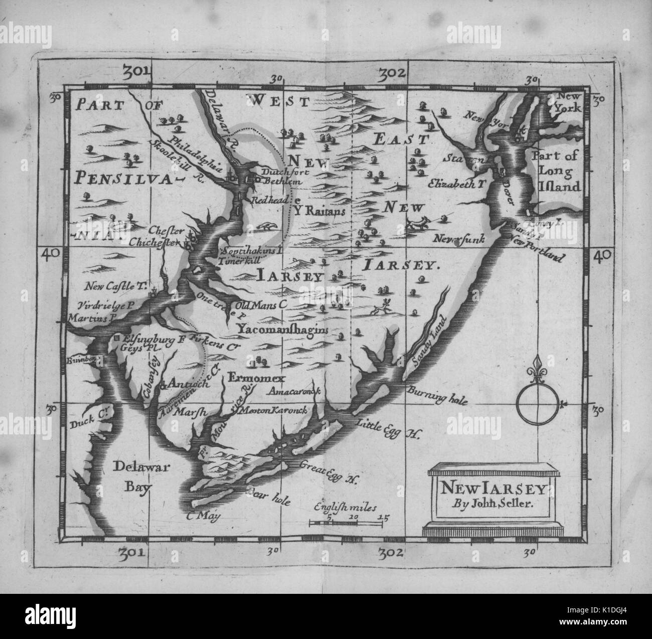 Early map of the State of New Jersey and parts of Pennsylvania, 1703. From the New York Public Library. Stock Photohttps://www.alamy.com/image-license-details/?v=1https://www.alamy.com/early-map-of-the-state-of-new-jersey-and-parts-of-pennsylvania-1703-image155806396.html
RMK1DGJ4–Early map of the State of New Jersey and parts of Pennsylvania, 1703. From the New York Public Library.
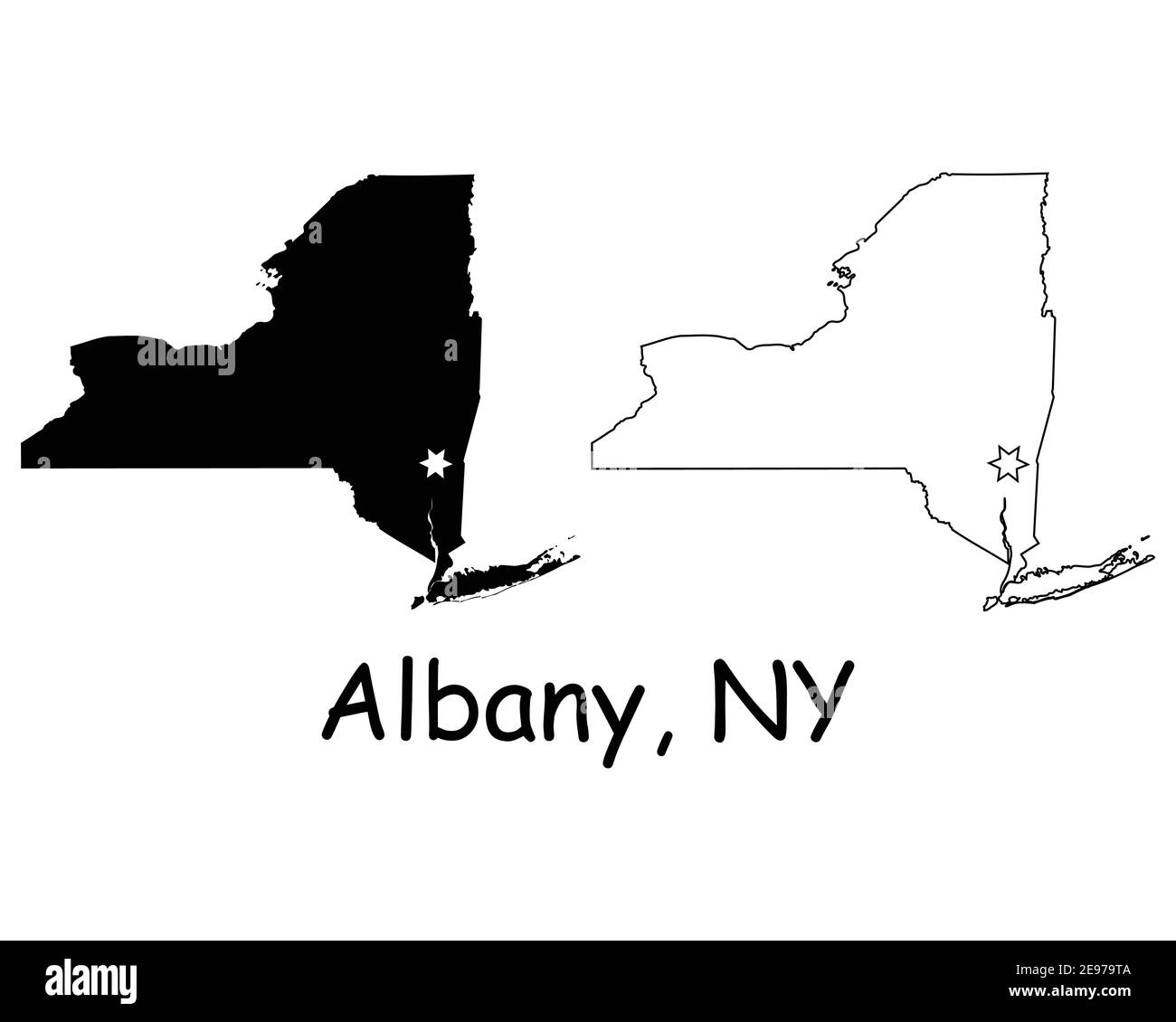 New York NY state Map USA with Capital City Star at Albany. Black silhouette and outline isolated on a white background. EPS Vector Stock Vectorhttps://www.alamy.com/image-license-details/?v=1https://www.alamy.com/new-york-ny-state-map-usa-with-capital-city-star-at-albany-black-silhouette-and-outline-isolated-on-a-white-background-eps-vector-image401531770.html
RF2E979TA–New York NY state Map USA with Capital City Star at Albany. Black silhouette and outline isolated on a white background. EPS Vector
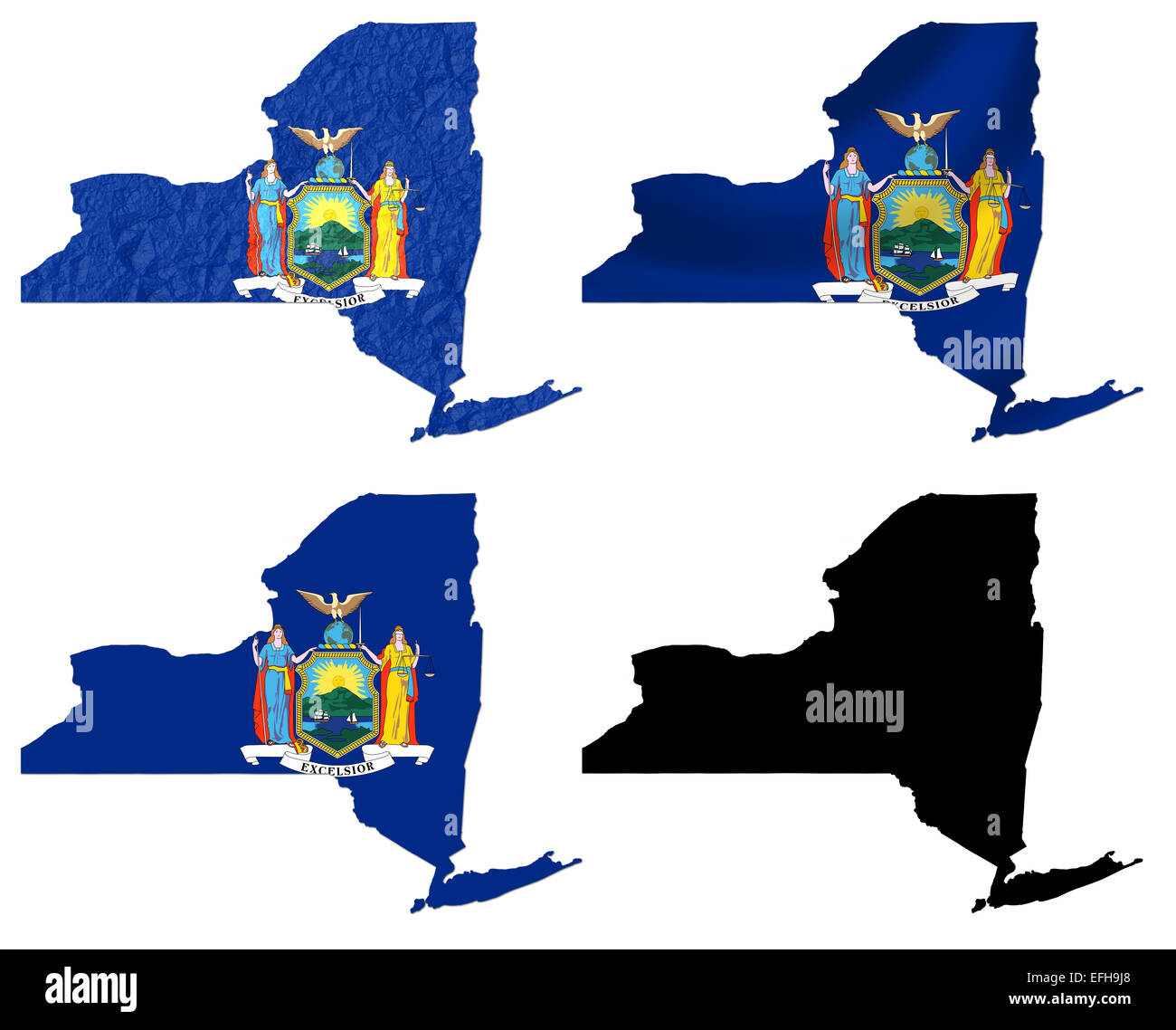 US New York state flag over map Stock Photohttps://www.alamy.com/image-license-details/?v=1https://www.alamy.com/stock-photo-us-new-york-state-flag-over-map-78442064.html
RFEFH9J8–US New York state flag over map
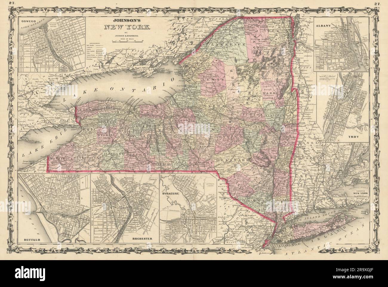 Johnson's New York state map. Albany Troy Rochester Buffalo Syracuse 1861 Stock Photohttps://www.alamy.com/image-license-details/?v=1https://www.alamy.com/johnsons-new-york-state-map-albany-troy-rochester-buffalo-syracuse-1861-image556847495.html
RF2R9XGJF–Johnson's New York state map. Albany Troy Rochester Buffalo Syracuse 1861
 Map of New York State Stock Photohttps://www.alamy.com/image-license-details/?v=1https://www.alamy.com/stock-photo-map-of-new-york-state-35956376.html
RMC2DXM8–Map of New York State
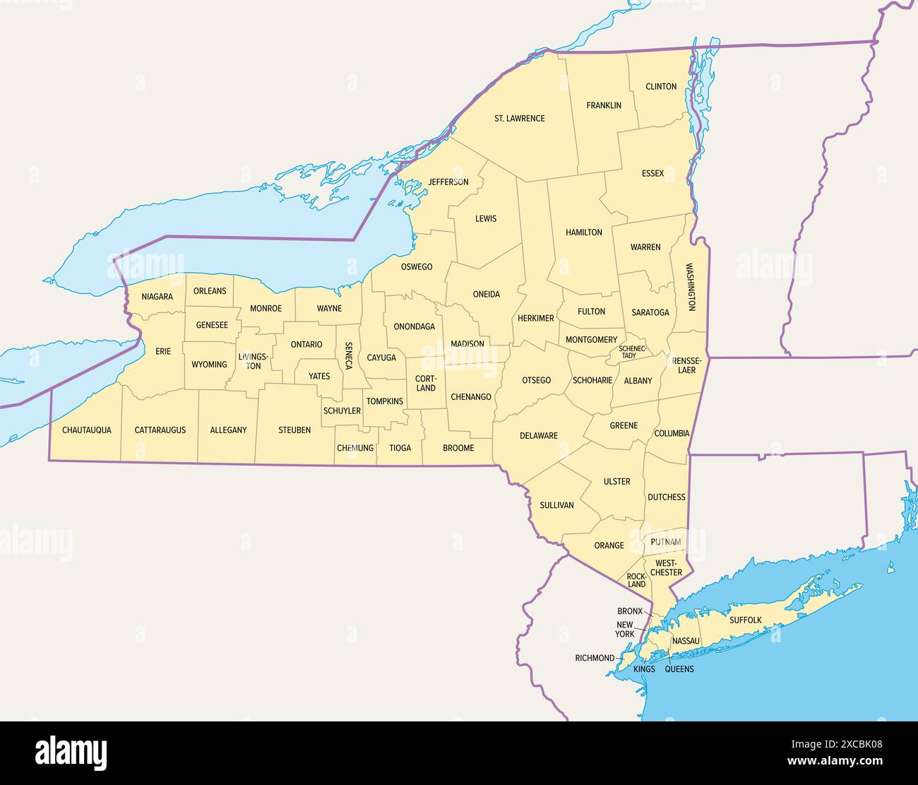 New York State counties, political map. New York, state of Northeastern United States, one of Mid-Atlantic states, is subdivided into 62 counties. Stock Photohttps://www.alamy.com/image-license-details/?v=1https://www.alamy.com/new-york-state-counties-political-map-new-york-state-of-northeastern-united-states-one-of-mid-atlantic-states-is-subdivided-into-62-counties-image609995128.html
RF2XCBK08–New York State counties, political map. New York, state of Northeastern United States, one of Mid-Atlantic states, is subdivided into 62 counties.
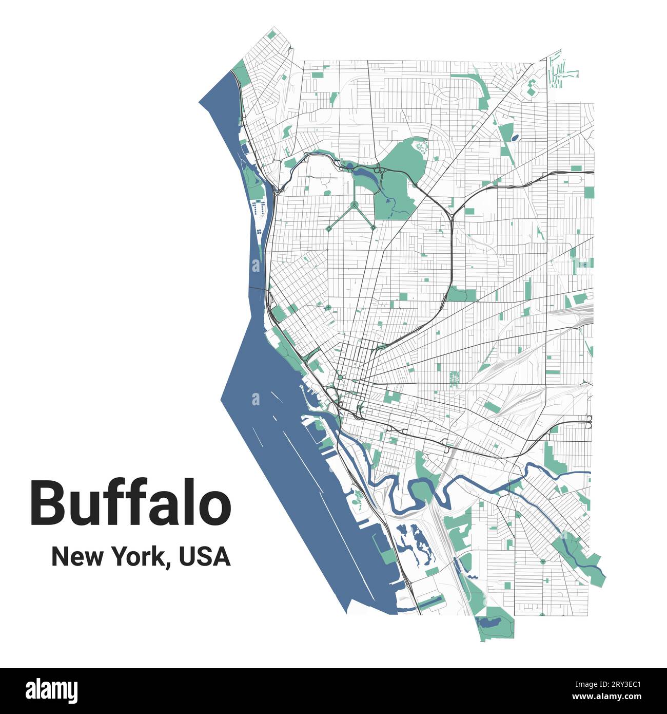 Buffalo map, New York, American city. Municipal administrative area map with rivers and roads, parks and railways. Vector illustration. Stock Vectorhttps://www.alamy.com/image-license-details/?v=1https://www.alamy.com/buffalo-map-new-york-american-city-municipal-administrative-area-map-with-rivers-and-roads-parks-and-railways-vector-illustration-image567404657.html
RF2RY3EC1–Buffalo map, New York, American city. Municipal administrative area map with rivers and roads, parks and railways. Vector illustration.
