Quick filters:
Norristown map Stock Photos and Images
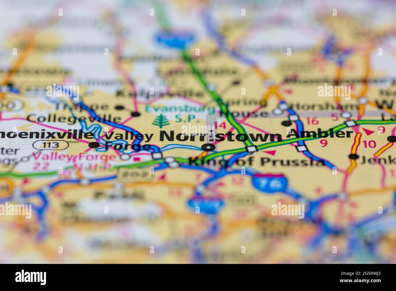 Norristown Pennsylvania USA shown on a Geography map or Road map Stock Photohttps://www.alamy.com/image-license-details/?v=1https://www.alamy.com/norristown-pennsylvania-usa-shown-on-a-geography-map-or-road-map-image433857483.html
RM2G5RWJ3–Norristown Pennsylvania USA shown on a Geography map or Road map
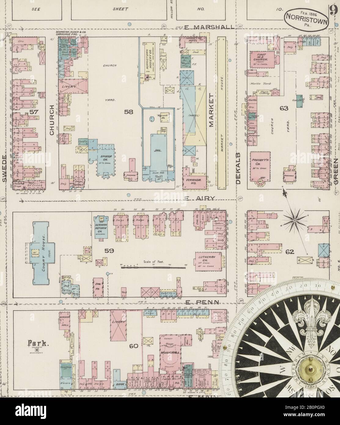 Image 9 of Sanborn Fire Insurance Map from Norristown, Montgomery County, Pennsylvania. Feb 1886. 11 Sheet(s), America, street map with a Nineteenth Century compass Stock Photohttps://www.alamy.com/image-license-details/?v=1https://www.alamy.com/image-9-of-sanborn-fire-insurance-map-from-norristown-montgomery-county-pennsylvania-feb-1886-11-sheets-america-street-map-with-a-nineteenth-century-compass-image344703576.html
RM2B0PGX0–Image 9 of Sanborn Fire Insurance Map from Norristown, Montgomery County, Pennsylvania. Feb 1886. 11 Sheet(s), America, street map with a Nineteenth Century compass
 Norristown, Montgomery County, US, United States, Pennsylvania, N 40 7' 17'', S 75 20' 23'', map, Cartascapes Map published in 2024. Explore Cartascapes, a map revealing Earth's diverse landscapes, cultures, and ecosystems. Journey through time and space, discovering the interconnectedness of our planet's past, present, and future. Stock Photohttps://www.alamy.com/image-license-details/?v=1https://www.alamy.com/norristown-montgomery-county-us-united-states-pennsylvania-n-40-7-17-s-75-20-23-map-cartascapes-map-published-in-2024-explore-cartascapes-a-map-revealing-earths-diverse-landscapes-cultures-and-ecosystems-journey-through-time-and-space-discovering-the-interconnectedness-of-our-planets-past-present-and-future-image621158661.html
RM2Y2G65W–Norristown, Montgomery County, US, United States, Pennsylvania, N 40 7' 17'', S 75 20' 23'', map, Cartascapes Map published in 2024. Explore Cartascapes, a map revealing Earth's diverse landscapes, cultures, and ecosystems. Journey through time and space, discovering the interconnectedness of our planet's past, present, and future.
![Airs his concerns for Shannon's prospects in Philadelphia and Norristown; advises him to follow his inclinations regarding the law, and promises aid. Discussion of trade and prices. Requests Shannon's opinion of his book and map, and discusses publishing prospects. Title: Contemporary copy of letter signed WC [William Clark], St. Louis, to George [Shannon], August 8, 1811 . 8 August 1811. Clark, William, 1770-1838 Stock Photo Airs his concerns for Shannon's prospects in Philadelphia and Norristown; advises him to follow his inclinations regarding the law, and promises aid. Discussion of trade and prices. Requests Shannon's opinion of his book and map, and discusses publishing prospects. Title: Contemporary copy of letter signed WC [William Clark], St. Louis, to George [Shannon], August 8, 1811 . 8 August 1811. Clark, William, 1770-1838 Stock Photo](https://c8.alamy.com/comp/MAKRDD/airs-his-concerns-for-shannons-prospects-in-philadelphia-and-norristown-advises-him-to-follow-his-inclinations-regarding-the-law-and-promises-aid-discussion-of-trade-and-prices-requests-shannons-opinion-of-his-book-and-map-and-discusses-publishing-prospects-title-contemporary-copy-of-letter-signed-wc-william-clark-st-louis-to-george-shannon-august-8-1811-8-august-1811-clark-william-1770-1838-MAKRDD.jpg) Airs his concerns for Shannon's prospects in Philadelphia and Norristown; advises him to follow his inclinations regarding the law, and promises aid. Discussion of trade and prices. Requests Shannon's opinion of his book and map, and discusses publishing prospects. Title: Contemporary copy of letter signed WC [William Clark], St. Louis, to George [Shannon], August 8, 1811 . 8 August 1811. Clark, William, 1770-1838 Stock Photohttps://www.alamy.com/image-license-details/?v=1https://www.alamy.com/airs-his-concerns-for-shannons-prospects-in-philadelphia-and-norristown-advises-him-to-follow-his-inclinations-regarding-the-law-and-promises-aid-discussion-of-trade-and-prices-requests-shannons-opinion-of-his-book-and-map-and-discusses-publishing-prospects-title-contemporary-copy-of-letter-signed-wc-william-clark-st-louis-to-george-shannon-august-8-1811-8-august-1811-clark-william-1770-1838-image178685737.html
Airs his concerns for Shannon's prospects in Philadelphia and Norristown; advises him to follow his inclinations regarding the law, and promises aid. Discussion of trade and prices. Requests Shannon's opinion of his book and map, and discusses publishing prospects. Title: Contemporary copy of letter signed WC [William Clark], St. Louis, to George [Shannon], August 8, 1811 . 8 August 1811. Clark, William, 1770-1838 Stock Photohttps://www.alamy.com/image-license-details/?v=1https://www.alamy.com/airs-his-concerns-for-shannons-prospects-in-philadelphia-and-norristown-advises-him-to-follow-his-inclinations-regarding-the-law-and-promises-aid-discussion-of-trade-and-prices-requests-shannons-opinion-of-his-book-and-map-and-discusses-publishing-prospects-title-contemporary-copy-of-letter-signed-wc-william-clark-st-louis-to-george-shannon-august-8-1811-8-august-1811-clark-william-1770-1838-image178685737.htmlRMMAKRDD–Airs his concerns for Shannon's prospects in Philadelphia and Norristown; advises him to follow his inclinations regarding the law, and promises aid. Discussion of trade and prices. Requests Shannon's opinion of his book and map, and discusses publishing prospects. Title: Contemporary copy of letter signed WC [William Clark], St. Louis, to George [Shannon], August 8, 1811 . 8 August 1811. Clark, William, 1770-1838
 Montgomery County, Pennsylvania outline map set Stock Vectorhttps://www.alamy.com/image-license-details/?v=1https://www.alamy.com/stock-photo-montgomery-county-pennsylvania-outline-map-set-104093404.html
RFG19T5G–Montgomery County, Pennsylvania outline map set
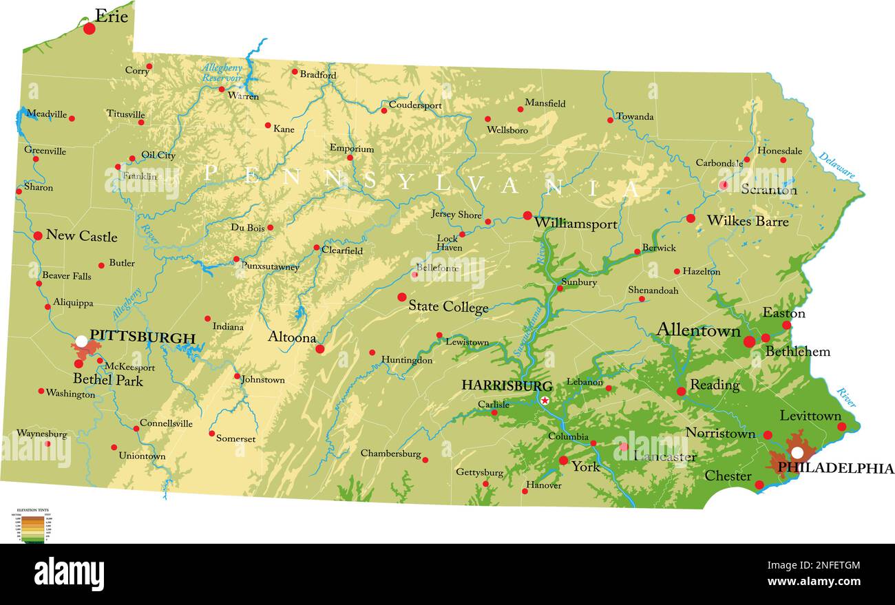 Highly detailed physical map of the Pennsylvania, in vector format,with all the relief forms,regions and big cities. Stock Vectorhttps://www.alamy.com/image-license-details/?v=1https://www.alamy.com/highly-detailed-physical-map-of-the-pennsylvania-in-vector-formatwith-all-the-relief-formsregions-and-big-cities-image525857492.html
RF2NFETGM–Highly detailed physical map of the Pennsylvania, in vector format,with all the relief forms,regions and big cities.
 View of the Sweeds Ford near Norristown (NYPL b12349150 421645) Stock Photohttps://www.alamy.com/image-license-details/?v=1https://www.alamy.com/stock-photo-view-of-the-sweeds-ford-near-norristown-nypl-b12349150-421645-140713808.html
RMJ4X1W4–View of the Sweeds Ford near Norristown (NYPL b12349150 421645)
 USGS TOPO Map Georgia GA Norristown 20110311 TM Restoration Stock Photohttps://www.alamy.com/image-license-details/?v=1https://www.alamy.com/usgs-topo-map-georgia-ga-norristown-20110311-tm-restoration-image244701286.html
RMT632YJ–USGS TOPO Map Georgia GA Norristown 20110311 TM Restoration
 Architectural drawing Norristown PA train station Joseph Hoxie 1858 Stock Photohttps://www.alamy.com/image-license-details/?v=1https://www.alamy.com/stock-photo-architectural-drawing-norristown-pa-train-station-joseph-hoxie-1858-139556186.html
RMJ3199E–Architectural drawing Norristown PA train station Joseph Hoxie 1858
 USGS TOPO Map Pennsylvania PA Norristown 20100630 TM Restoration Stock Photohttps://www.alamy.com/image-license-details/?v=1https://www.alamy.com/usgs-topo-map-pennsylvania-pa-norristown-20100630-tm-restoration-image334506369.html
RM2AC6281–USGS TOPO Map Pennsylvania PA Norristown 20100630 TM Restoration
 Montgomery County, Commonwealth of Pennsylvania (U.S. county, United States of America, USA, U.S., US) map vector illustration, scribble sketch Montgo Stock Vectorhttps://www.alamy.com/image-license-details/?v=1https://www.alamy.com/montgomery-county-commonwealth-of-pennsylvania-us-county-united-states-of-america-usa-us-us-map-vector-illustration-scribble-sketch-montgo-image426010076.html
RF2FN2C5G–Montgomery County, Commonwealth of Pennsylvania (U.S. county, United States of America, USA, U.S., US) map vector illustration, scribble sketch Montgo
 USGS TOPO Map Georgia GA Norristown 246545 1971 24000 Restoration Stock Photohttps://www.alamy.com/image-license-details/?v=1https://www.alamy.com/usgs-topo-map-georgia-ga-norristown-246545-1971-24000-restoration-image244701305.html
RMT63309–USGS TOPO Map Georgia GA Norristown 246545 1971 24000 Restoration
 USGS TOPO Map Georgia GA Norristown 20110311 TM Inverted Restoration Stock Photohttps://www.alamy.com/image-license-details/?v=1https://www.alamy.com/usgs-topo-map-georgia-ga-norristown-20110311-tm-inverted-restoration-image244701283.html
RMT632YF–USGS TOPO Map Georgia GA Norristown 20110311 TM Inverted Restoration
 USGS TOPO Map Pennsylvania PA Norristown 20100630 TM Inverted Restoration Stock Photohttps://www.alamy.com/image-license-details/?v=1https://www.alamy.com/usgs-topo-map-pennsylvania-pa-norristown-20100630-tm-inverted-restoration-image334506328.html
RM2AC626G–USGS TOPO Map Pennsylvania PA Norristown 20100630 TM Inverted Restoration
 Image 8 of Sanborn Fire Insurance Map from Norristown, Montgomery County, Pennsylvania. Feb 1886. 11 Sheet(s), America, street map with a Nineteenth Century compass Stock Photohttps://www.alamy.com/image-license-details/?v=1https://www.alamy.com/image-8-of-sanborn-fire-insurance-map-from-norristown-montgomery-county-pennsylvania-feb-1886-11-sheets-america-street-map-with-a-nineteenth-century-compass-image344703575.html
RM2B0PGWY–Image 8 of Sanborn Fire Insurance Map from Norristown, Montgomery County, Pennsylvania. Feb 1886. 11 Sheet(s), America, street map with a Nineteenth Century compass
 Norristown, Montgomery County, US, United States, Pennsylvania, N 40 7' 17'', S 75 20' 23'', map, Cartascapes Map published in 2024. Explore Cartascapes, a map revealing Earth's diverse landscapes, cultures, and ecosystems. Journey through time and space, discovering the interconnectedness of our planet's past, present, and future. Stock Photohttps://www.alamy.com/image-license-details/?v=1https://www.alamy.com/norristown-montgomery-county-us-united-states-pennsylvania-n-40-7-17-s-75-20-23-map-cartascapes-map-published-in-2024-explore-cartascapes-a-map-revealing-earths-diverse-landscapes-cultures-and-ecosystems-journey-through-time-and-space-discovering-the-interconnectedness-of-our-planets-past-present-and-future-image621438761.html
RM2Y30YDD–Norristown, Montgomery County, US, United States, Pennsylvania, N 40 7' 17'', S 75 20' 23'', map, Cartascapes Map published in 2024. Explore Cartascapes, a map revealing Earth's diverse landscapes, cultures, and ecosystems. Journey through time and space, discovering the interconnectedness of our planet's past, present, and future.
 Montgomery County, Commonwealth of Pennsylvania (U.S. county, United States of America, USA, U.S., US) map vector illustration, scribble sketch Montgo Stock Vectorhttps://www.alamy.com/image-license-details/?v=1https://www.alamy.com/montgomery-county-commonwealth-of-pennsylvania-us-county-united-states-of-america-usa-us-us-map-vector-illustration-scribble-sketch-montgo-image414787337.html
RF2F2R5DD–Montgomery County, Commonwealth of Pennsylvania (U.S. county, United States of America, USA, U.S., US) map vector illustration, scribble sketch Montgo
 USGS TOPO Map Pennsylvania PA Norristown 461872 1943 62500 Restoration Stock Photohttps://www.alamy.com/image-license-details/?v=1https://www.alamy.com/usgs-topo-map-pennsylvania-pa-norristown-461872-1943-62500-restoration-image334506403.html
RM2AC6297–USGS TOPO Map Pennsylvania PA Norristown 461872 1943 62500 Restoration
 Image 5 of Sanborn Fire Insurance Map from Norristown, Montgomery County, Pennsylvania. Feb 1886. 11 Sheet(s), America, street map with a Nineteenth Century compass Stock Photohttps://www.alamy.com/image-license-details/?v=1https://www.alamy.com/image-5-of-sanborn-fire-insurance-map-from-norristown-montgomery-county-pennsylvania-feb-1886-11-sheets-america-street-map-with-a-nineteenth-century-compass-image344703568.html
RM2B0PGWM–Image 5 of Sanborn Fire Insurance Map from Norristown, Montgomery County, Pennsylvania. Feb 1886. 11 Sheet(s), America, street map with a Nineteenth Century compass
 Norristown, Carroll County, US, United States, Ohio, N 40 39' 55'', S 80 57' 5'', map, Cartascapes Map published in 2024. Explore Cartascapes, a map revealing Earth's diverse landscapes, cultures, and ecosystems. Journey through time and space, discovering the interconnectedness of our planet's past, present, and future. Stock Photohttps://www.alamy.com/image-license-details/?v=1https://www.alamy.com/norristown-carroll-county-us-united-states-ohio-n-40-39-55-s-80-57-5-map-cartascapes-map-published-in-2024-explore-cartascapes-a-map-revealing-earths-diverse-landscapes-cultures-and-ecosystems-journey-through-time-and-space-discovering-the-interconnectedness-of-our-planets-past-present-and-future-image621279580.html
RM2Y2NMCC–Norristown, Carroll County, US, United States, Ohio, N 40 39' 55'', S 80 57' 5'', map, Cartascapes Map published in 2024. Explore Cartascapes, a map revealing Earth's diverse landscapes, cultures, and ecosystems. Journey through time and space, discovering the interconnectedness of our planet's past, present, and future.
 Montgomery County, Commonwealth of Pennsylvania (U.S. county, United States of America, USA, U.S., US) map vector illustration, scribble sketch Montgo Stock Vectorhttps://www.alamy.com/image-license-details/?v=1https://www.alamy.com/montgomery-county-commonwealth-of-pennsylvania-us-county-united-states-of-america-usa-us-us-map-vector-illustration-scribble-sketch-montgo-image388137720.html
RF2DFD5HC–Montgomery County, Commonwealth of Pennsylvania (U.S. county, United States of America, USA, U.S., US) map vector illustration, scribble sketch Montgo
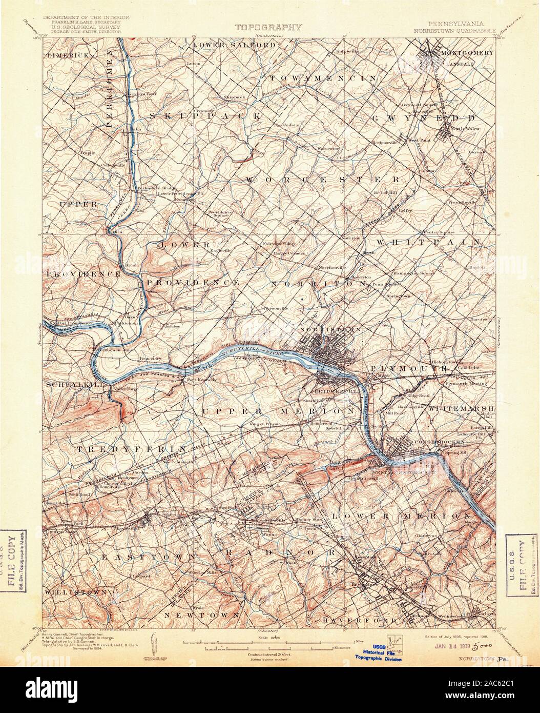 USGS TOPO Map Pennsylvania PA Norristown 461874 1895 62500 Restoration Stock Photohttps://www.alamy.com/image-license-details/?v=1https://www.alamy.com/usgs-topo-map-pennsylvania-pa-norristown-461874-1895-62500-restoration-image334506481.html
RM2AC62C1–USGS TOPO Map Pennsylvania PA Norristown 461874 1895 62500 Restoration
 Image 2 of Sanborn Fire Insurance Map from Norristown, Montgomery County, Pennsylvania. Feb 1886. 11 Sheet(s), America, street map with a Nineteenth Century compass Stock Photohttps://www.alamy.com/image-license-details/?v=1https://www.alamy.com/image-2-of-sanborn-fire-insurance-map-from-norristown-montgomery-county-pennsylvania-feb-1886-11-sheets-america-street-map-with-a-nineteenth-century-compass-image344703565.html
RM2B0PGWH–Image 2 of Sanborn Fire Insurance Map from Norristown, Montgomery County, Pennsylvania. Feb 1886. 11 Sheet(s), America, street map with a Nineteenth Century compass
 Norristown, Shelby County, US, United States, Indiana, N 39 21' 55'', S 85 45' 37'', map, Cartascapes Map published in 2024. Explore Cartascapes, a map revealing Earth's diverse landscapes, cultures, and ecosystems. Journey through time and space, discovering the interconnectedness of our planet's past, present, and future. Stock Photohttps://www.alamy.com/image-license-details/?v=1https://www.alamy.com/norristown-shelby-county-us-united-states-indiana-n-39-21-55-s-85-45-37-map-cartascapes-map-published-in-2024-explore-cartascapes-a-map-revealing-earths-diverse-landscapes-cultures-and-ecosystems-journey-through-time-and-space-discovering-the-interconnectedness-of-our-planets-past-present-and-future-image621202008.html
RM2Y2J5E0–Norristown, Shelby County, US, United States, Indiana, N 39 21' 55'', S 85 45' 37'', map, Cartascapes Map published in 2024. Explore Cartascapes, a map revealing Earth's diverse landscapes, cultures, and ecosystems. Journey through time and space, discovering the interconnectedness of our planet's past, present, and future.
 USGS TOPO Map Pennsylvania PA Norristown 169899 1896 62500 Restoration Stock Photohttps://www.alamy.com/image-license-details/?v=1https://www.alamy.com/usgs-topo-map-pennsylvania-pa-norristown-169899-1896-62500-restoration-image334505713.html
RM2AC61CH–USGS TOPO Map Pennsylvania PA Norristown 169899 1896 62500 Restoration
 Image 6 of Sanborn Fire Insurance Map from Norristown, Montgomery County, Pennsylvania. Feb 1886. 11 Sheet(s), America, street map with a Nineteenth Century compass Stock Photohttps://www.alamy.com/image-license-details/?v=1https://www.alamy.com/image-6-of-sanborn-fire-insurance-map-from-norristown-montgomery-county-pennsylvania-feb-1886-11-sheets-america-street-map-with-a-nineteenth-century-compass-image344703571.html
RM2B0PGWR–Image 6 of Sanborn Fire Insurance Map from Norristown, Montgomery County, Pennsylvania. Feb 1886. 11 Sheet(s), America, street map with a Nineteenth Century compass
 Norristown, Pope County, US, United States, Arkansas, N 35 16' 30'', S 93 10' 0'', map, Cartascapes Map published in 2024. Explore Cartascapes, a map revealing Earth's diverse landscapes, cultures, and ecosystems. Journey through time and space, discovering the interconnectedness of our planet's past, present, and future. Stock Photohttps://www.alamy.com/image-license-details/?v=1https://www.alamy.com/norristown-pope-county-us-united-states-arkansas-n-35-16-30-s-93-10-0-map-cartascapes-map-published-in-2024-explore-cartascapes-a-map-revealing-earths-diverse-landscapes-cultures-and-ecosystems-journey-through-time-and-space-discovering-the-interconnectedness-of-our-planets-past-present-and-future-image621308119.html
RM2Y2R0RK–Norristown, Pope County, US, United States, Arkansas, N 35 16' 30'', S 93 10' 0'', map, Cartascapes Map published in 2024. Explore Cartascapes, a map revealing Earth's diverse landscapes, cultures, and ecosystems. Journey through time and space, discovering the interconnectedness of our planet's past, present, and future.
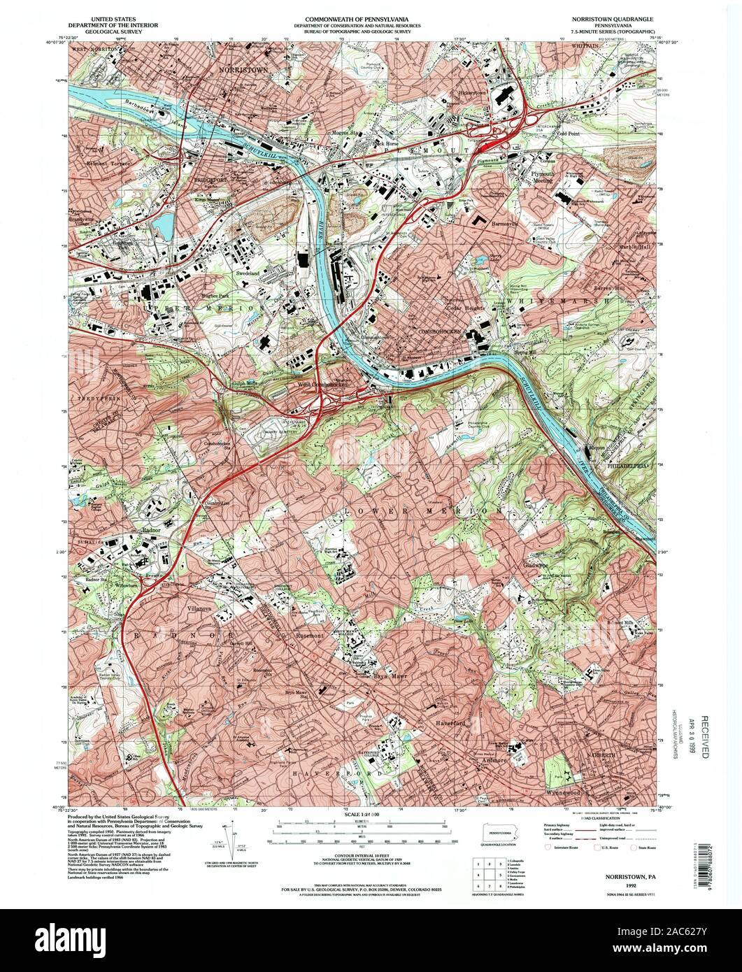 USGS TOPO Map Pennsylvania PA Norristown 223870 1992 24000 Restoration Stock Photohttps://www.alamy.com/image-license-details/?v=1https://www.alamy.com/usgs-topo-map-pennsylvania-pa-norristown-223870-1992-24000-restoration-image334506367.html
RM2AC627Y–USGS TOPO Map Pennsylvania PA Norristown 223870 1992 24000 Restoration
 Image 11 of Sanborn Fire Insurance Map from Norristown, Montgomery County, Pennsylvania. Feb 1886. 11 Sheet(s), America, street map with a Nineteenth Century compass Stock Photohttps://www.alamy.com/image-license-details/?v=1https://www.alamy.com/image-11-of-sanborn-fire-insurance-map-from-norristown-montgomery-county-pennsylvania-feb-1886-11-sheets-america-street-map-with-a-nineteenth-century-compass-image344703579.html
RM2B0PGX3–Image 11 of Sanborn Fire Insurance Map from Norristown, Montgomery County, Pennsylvania. Feb 1886. 11 Sheet(s), America, street map with a Nineteenth Century compass
 Norristown, Emanuel County, US, United States, Georgia, N 32 30' 24'', S 82 29' 39'', map, Cartascapes Map published in 2024. Explore Cartascapes, a map revealing Earth's diverse landscapes, cultures, and ecosystems. Journey through time and space, discovering the interconnectedness of our planet's past, present, and future. Stock Photohttps://www.alamy.com/image-license-details/?v=1https://www.alamy.com/norristown-emanuel-county-us-united-states-georgia-n-32-30-24-s-82-29-39-map-cartascapes-map-published-in-2024-explore-cartascapes-a-map-revealing-earths-diverse-landscapes-cultures-and-ecosystems-journey-through-time-and-space-discovering-the-interconnectedness-of-our-planets-past-present-and-future-image621415291.html
RM2Y2YWF7–Norristown, Emanuel County, US, United States, Georgia, N 32 30' 24'', S 82 29' 39'', map, Cartascapes Map published in 2024. Explore Cartascapes, a map revealing Earth's diverse landscapes, cultures, and ecosystems. Journey through time and space, discovering the interconnectedness of our planet's past, present, and future.
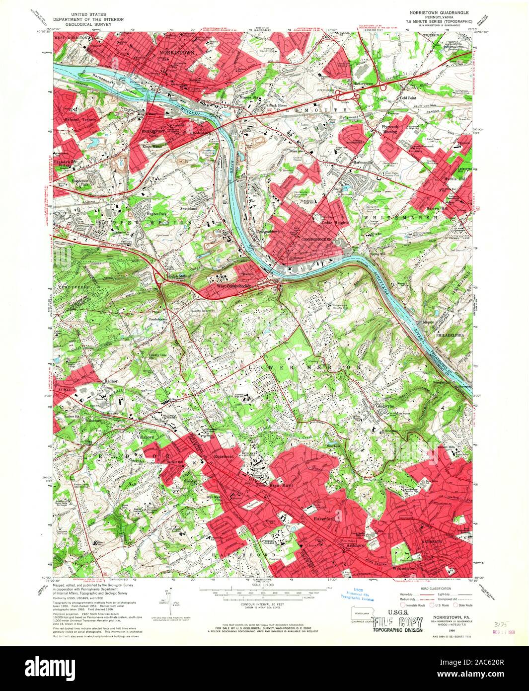 USGS TOPO Map Pennsylvania PA Norristown 171403 1966 24000 Restoration Stock Photohttps://www.alamy.com/image-license-details/?v=1https://www.alamy.com/usgs-topo-map-pennsylvania-pa-norristown-171403-1966-24000-restoration-image334506167.html
RM2AC620R–USGS TOPO Map Pennsylvania PA Norristown 171403 1966 24000 Restoration
 Image 7 of Sanborn Fire Insurance Map from Norristown, Montgomery County, Pennsylvania. Feb 1886. 11 Sheet(s), America, street map with a Nineteenth Century compass Stock Photohttps://www.alamy.com/image-license-details/?v=1https://www.alamy.com/image-7-of-sanborn-fire-insurance-map-from-norristown-montgomery-county-pennsylvania-feb-1886-11-sheets-america-street-map-with-a-nineteenth-century-compass-image344703573.html
RM2B0PGWW–Image 7 of Sanborn Fire Insurance Map from Norristown, Montgomery County, Pennsylvania. Feb 1886. 11 Sheet(s), America, street map with a Nineteenth Century compass
 Norristown Junction, Emanuel County, US, United States, Georgia, N 32 33' 27'', S 82 29' 18'', map, Cartascapes Map published in 2024. Explore Cartascapes, a map revealing Earth's diverse landscapes, cultures, and ecosystems. Journey through time and space, discovering the interconnectedness of our planet's past, present, and future. Stock Photohttps://www.alamy.com/image-license-details/?v=1https://www.alamy.com/norristown-junction-emanuel-county-us-united-states-georgia-n-32-33-27-s-82-29-18-map-cartascapes-map-published-in-2024-explore-cartascapes-a-map-revealing-earths-diverse-landscapes-cultures-and-ecosystems-journey-through-time-and-space-discovering-the-interconnectedness-of-our-planets-past-present-and-future-image621244633.html
RM2Y2M3T9–Norristown Junction, Emanuel County, US, United States, Georgia, N 32 33' 27'', S 82 29' 18'', map, Cartascapes Map published in 2024. Explore Cartascapes, a map revealing Earth's diverse landscapes, cultures, and ecosystems. Journey through time and space, discovering the interconnectedness of our planet's past, present, and future.
 USGS TOPO Map Pennsylvania PA Norristown 171399 1895 62500 Restoration Stock Photohttps://www.alamy.com/image-license-details/?v=1https://www.alamy.com/usgs-topo-map-pennsylvania-pa-norristown-171399-1895-62500-restoration-image334506005.html
RM2AC61R1–USGS TOPO Map Pennsylvania PA Norristown 171399 1895 62500 Restoration
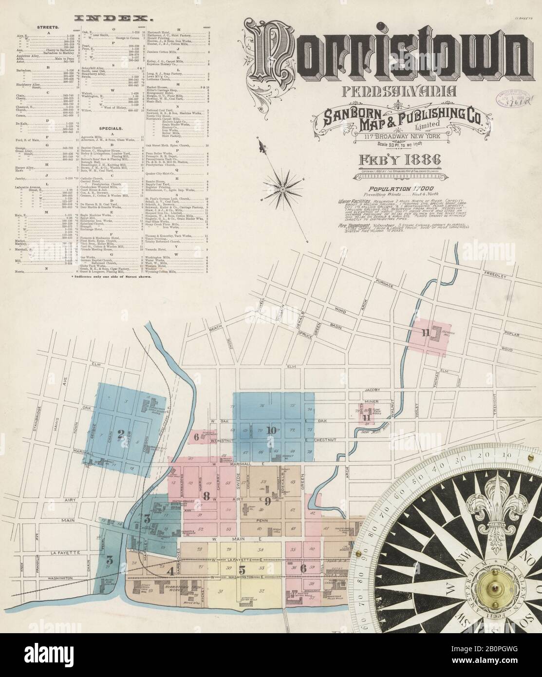 Image 1 of Sanborn Fire Insurance Map from Norristown, Montgomery County, Pennsylvania. Feb 1886. 11 Sheet(s), America, street map with a Nineteenth Century compass Stock Photohttps://www.alamy.com/image-license-details/?v=1https://www.alamy.com/image-1-of-sanborn-fire-insurance-map-from-norristown-montgomery-county-pennsylvania-feb-1886-11-sheets-america-street-map-with-a-nineteenth-century-compass-image344703564.html
RM2B0PGWG–Image 1 of Sanborn Fire Insurance Map from Norristown, Montgomery County, Pennsylvania. Feb 1886. 11 Sheet(s), America, street map with a Nineteenth Century compass
 Borough of Norristown, Montgomery County, US, United States, Pennsylvania, N 40 7' 20'', S 75 20' 23'', map, Cartascapes Map published in 2024. Explore Cartascapes, a map revealing Earth's diverse landscapes, cultures, and ecosystems. Journey through time and space, discovering the interconnectedness of our planet's past, present, and future. Stock Photohttps://www.alamy.com/image-license-details/?v=1https://www.alamy.com/borough-of-norristown-montgomery-county-us-united-states-pennsylvania-n-40-7-20-s-75-20-23-map-cartascapes-map-published-in-2024-explore-cartascapes-a-map-revealing-earths-diverse-landscapes-cultures-and-ecosystems-journey-through-time-and-space-discovering-the-interconnectedness-of-our-planets-past-present-and-future-image633906477.html
RM2YR8X51–Borough of Norristown, Montgomery County, US, United States, Pennsylvania, N 40 7' 20'', S 75 20' 23'', map, Cartascapes Map published in 2024. Explore Cartascapes, a map revealing Earth's diverse landscapes, cultures, and ecosystems. Journey through time and space, discovering the interconnectedness of our planet's past, present, and future.
 USGS TOPO Map Pennsylvania PA Norristown 169900 1895 62500 Restoration Stock Photohttps://www.alamy.com/image-license-details/?v=1https://www.alamy.com/usgs-topo-map-pennsylvania-pa-norristown-169900-1895-62500-restoration-image334505816.html
RM2AC61G8–USGS TOPO Map Pennsylvania PA Norristown 169900 1895 62500 Restoration
 Image 13 of Sanborn Fire Insurance Map from Norristown, Montgomery County, Pennsylvania. Sep 1891. 17 Sheet(s). Includes Bridgeport, America, street map with a Nineteenth Century compass Stock Photohttps://www.alamy.com/image-license-details/?v=1https://www.alamy.com/image-13-of-sanborn-fire-insurance-map-from-norristown-montgomery-county-pennsylvania-sep-1891-17-sheets-includes-bridgeport-america-street-map-with-a-nineteenth-century-compass-image344703610.html
RM2B0PGY6–Image 13 of Sanborn Fire Insurance Map from Norristown, Montgomery County, Pennsylvania. Sep 1891. 17 Sheet(s). Includes Bridgeport, America, street map with a Nineteenth Century compass
 Norristown, Pennsylvania, map 1896, 1:62500, United States of America by Timeless Maps, data U.S. Geological Survey Stock Photohttps://www.alamy.com/image-license-details/?v=1https://www.alamy.com/norristown-pennsylvania-map-1896-162500-united-states-of-america-by-timeless-maps-data-us-geological-survey-image414207532.html
RM2F1TNX4–Norristown, Pennsylvania, map 1896, 1:62500, United States of America by Timeless Maps, data U.S. Geological Survey
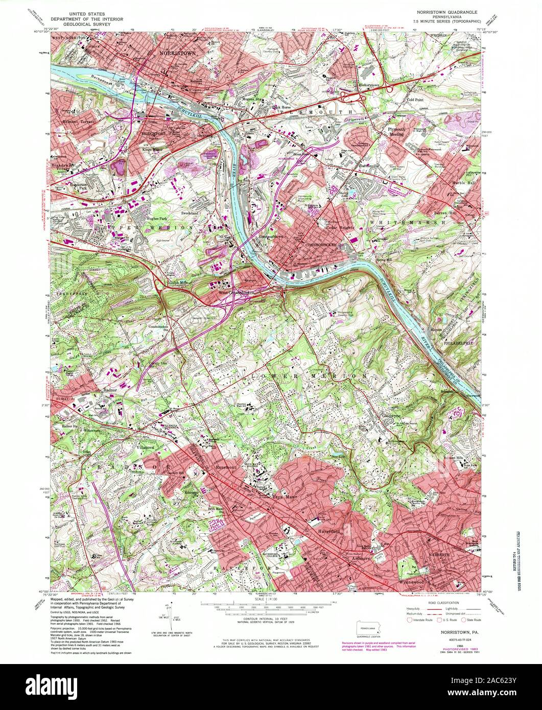 USGS TOPO Map Pennsylvania PA Norristown 171406 1966 24000 Restoration Stock Photohttps://www.alamy.com/image-license-details/?v=1https://www.alamy.com/usgs-topo-map-pennsylvania-pa-norristown-171406-1966-24000-restoration-image334506255.html
RM2AC623Y–USGS TOPO Map Pennsylvania PA Norristown 171406 1966 24000 Restoration
 Image 9 of Sanborn Fire Insurance Map from Norristown, Montgomery County, Pennsylvania. Oct 1896. 27 Sheet(s). Includes Bridgeport, America, street map with a Nineteenth Century compass Stock Photohttps://www.alamy.com/image-license-details/?v=1https://www.alamy.com/image-9-of-sanborn-fire-insurance-map-from-norristown-montgomery-county-pennsylvania-oct-1896-27-sheets-includes-bridgeport-america-street-map-with-a-nineteenth-century-compass-image344703638.html
RM2B0PH06–Image 9 of Sanborn Fire Insurance Map from Norristown, Montgomery County, Pennsylvania. Oct 1896. 27 Sheet(s). Includes Bridgeport, America, street map with a Nineteenth Century compass
 Norristown, Georgia, map 1971, 1:24000, United States of America by Timeless Maps, data U.S. Geological Survey Stock Photohttps://www.alamy.com/image-license-details/?v=1https://www.alamy.com/norristown-georgia-map-1971-124000-united-states-of-america-by-timeless-maps-data-us-geological-survey-image406280483.html
RM2EGYJW7–Norristown, Georgia, map 1971, 1:24000, United States of America by Timeless Maps, data U.S. Geological Survey
 USGS TOPO Map Pennsylvania PA Norristown 169905 1895 62500 Restoration Stock Photohttps://www.alamy.com/image-license-details/?v=1https://www.alamy.com/usgs-topo-map-pennsylvania-pa-norristown-169905-1895-62500-restoration-image334505905.html
RM2AC61KD–USGS TOPO Map Pennsylvania PA Norristown 169905 1895 62500 Restoration
 Image 14 of Sanborn Fire Insurance Map from Norristown, Montgomery County, Pennsylvania. Oct 1896. 27 Sheet(s). Includes Bridgeport, America, street map with a Nineteenth Century compass Stock Photohttps://www.alamy.com/image-license-details/?v=1https://www.alamy.com/image-14-of-sanborn-fire-insurance-map-from-norristown-montgomery-county-pennsylvania-oct-1896-27-sheets-includes-bridgeport-america-street-map-with-a-nineteenth-century-compass-image344703650.html
RM2B0PH0J–Image 14 of Sanborn Fire Insurance Map from Norristown, Montgomery County, Pennsylvania. Oct 1896. 27 Sheet(s). Includes Bridgeport, America, street map with a Nineteenth Century compass
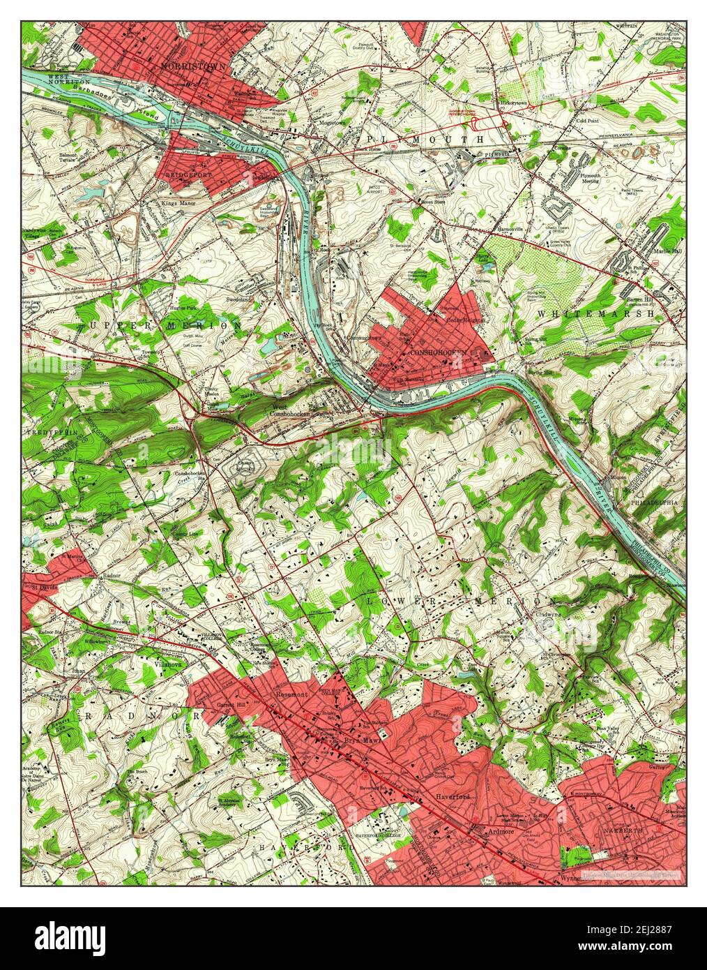 Norristown, Pennsylvania, map 1952, 1:24000, United States of America by Timeless Maps, data U.S. Geological Survey Stock Photohttps://www.alamy.com/image-license-details/?v=1https://www.alamy.com/norristown-pennsylvania-map-1952-124000-united-states-of-america-by-timeless-maps-data-us-geological-survey-image406952679.html
RM2EJ2887–Norristown, Pennsylvania, map 1952, 1:24000, United States of America by Timeless Maps, data U.S. Geological Survey
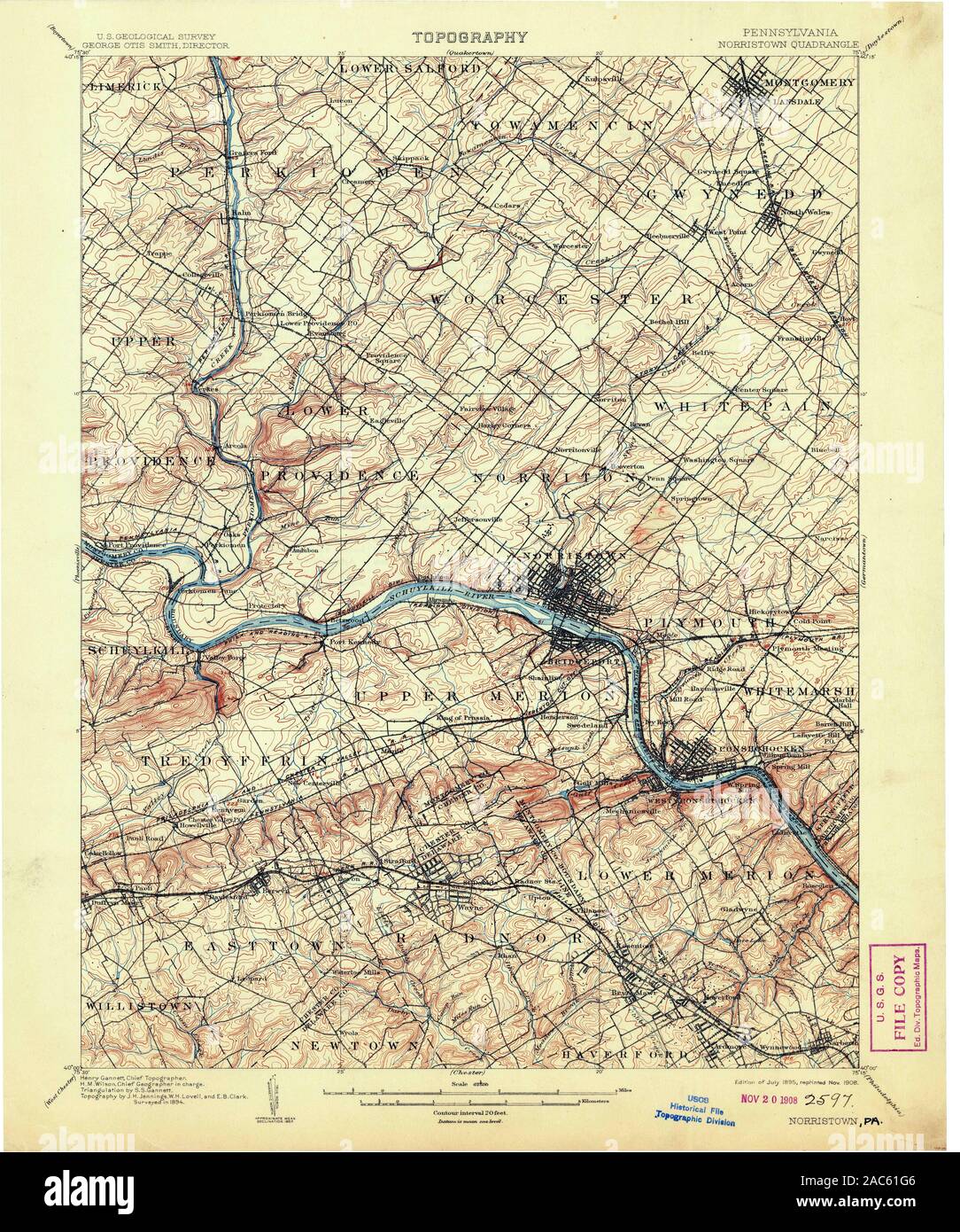 USGS TOPO Map Pennsylvania PA Norristown 169903 1895 62500 Restoration Stock Photohttps://www.alamy.com/image-license-details/?v=1https://www.alamy.com/usgs-topo-map-pennsylvania-pa-norristown-169903-1895-62500-restoration-image334505814.html
RM2AC61G6–USGS TOPO Map Pennsylvania PA Norristown 169903 1895 62500 Restoration
 Image 27 of Sanborn Fire Insurance Map from Norristown, Montgomery County, Pennsylvania. Oct 1896. 27 Sheet(s). Includes Bridgeport, America, street map with a Nineteenth Century compass Stock Photohttps://www.alamy.com/image-license-details/?v=1https://www.alamy.com/image-27-of-sanborn-fire-insurance-map-from-norristown-montgomery-county-pennsylvania-oct-1896-27-sheets-includes-bridgeport-america-street-map-with-a-nineteenth-century-compass-image344703676.html
RM2B0PH1G–Image 27 of Sanborn Fire Insurance Map from Norristown, Montgomery County, Pennsylvania. Oct 1896. 27 Sheet(s). Includes Bridgeport, America, street map with a Nineteenth Century compass
 Norristown, Pennsylvania, map 1895, 1:62500, United States of America by Timeless Maps, data U.S. Geological Survey Stock Photohttps://www.alamy.com/image-license-details/?v=1https://www.alamy.com/norristown-pennsylvania-map-1895-162500-united-states-of-america-by-timeless-maps-data-us-geological-survey-image414207529.html
RM2F1TNX1–Norristown, Pennsylvania, map 1895, 1:62500, United States of America by Timeless Maps, data U.S. Geological Survey
 USGS TOPO Map Pennsylvania PA Norristown 169901 1895 62500 Restoration Stock Photohttps://www.alamy.com/image-license-details/?v=1https://www.alamy.com/usgs-topo-map-pennsylvania-pa-norristown-169901-1895-62500-restoration-image334505710.html
RM2AC61CE–USGS TOPO Map Pennsylvania PA Norristown 169901 1895 62500 Restoration
 Image 8 of Sanborn Fire Insurance Map from Norristown, Montgomery County, Pennsylvania. Oct 1896. 27 Sheet(s). Includes Bridgeport, America, street map with a Nineteenth Century compass Stock Photohttps://www.alamy.com/image-license-details/?v=1https://www.alamy.com/image-8-of-sanborn-fire-insurance-map-from-norristown-montgomery-county-pennsylvania-oct-1896-27-sheets-includes-bridgeport-america-street-map-with-a-nineteenth-century-compass-image344703636.html
RM2B0PH04–Image 8 of Sanborn Fire Insurance Map from Norristown, Montgomery County, Pennsylvania. Oct 1896. 27 Sheet(s). Includes Bridgeport, America, street map with a Nineteenth Century compass
 Norristown, Pennsylvania, map 1895, 1:62500, United States of America by Timeless Maps, data U.S. Geological Survey Stock Photohttps://www.alamy.com/image-license-details/?v=1https://www.alamy.com/norristown-pennsylvania-map-1895-162500-united-states-of-america-by-timeless-maps-data-us-geological-survey-image414207530.html
RM2F1TNX2–Norristown, Pennsylvania, map 1895, 1:62500, United States of America by Timeless Maps, data U.S. Geological Survey
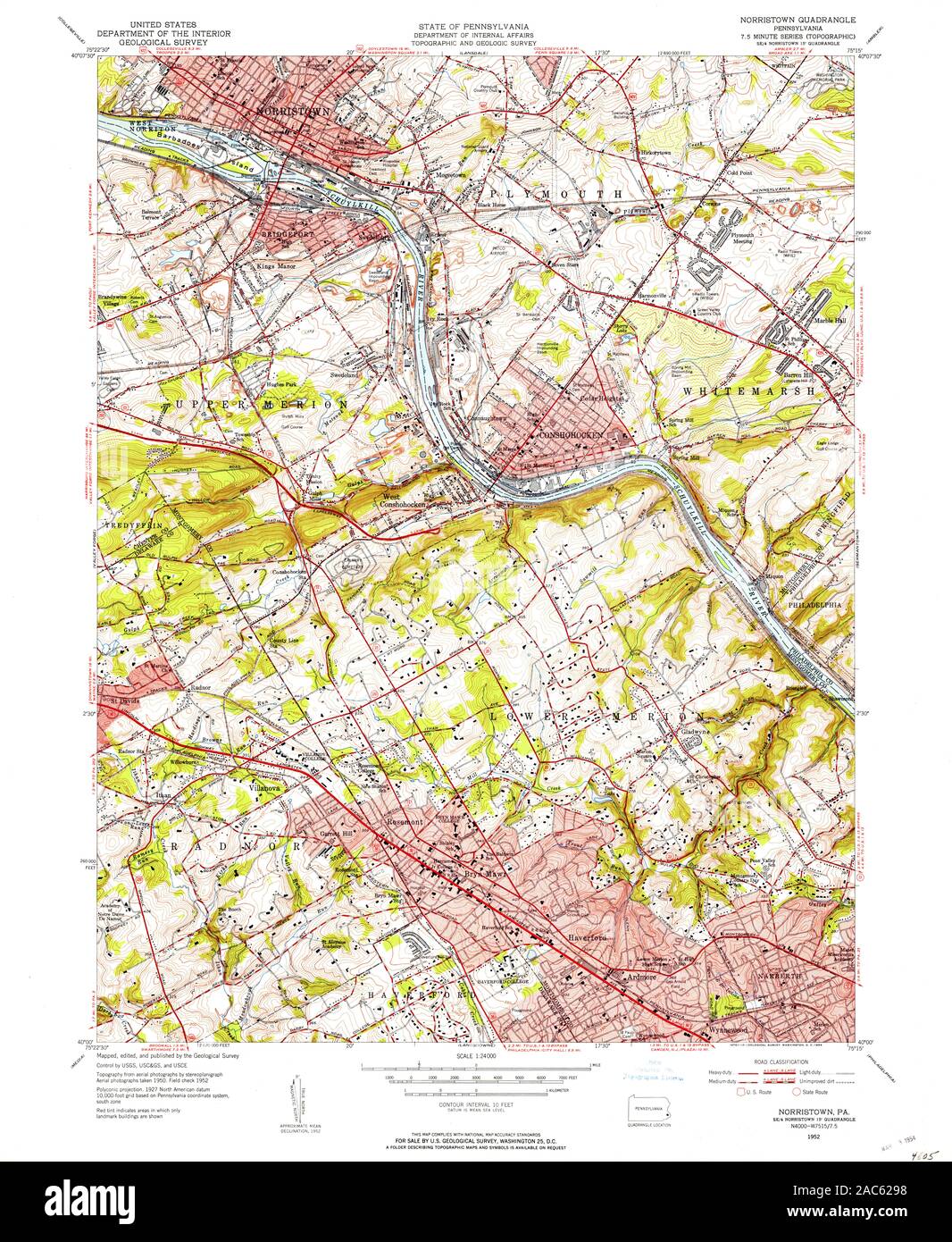 USGS TOPO Map Pennsylvania PA Norristown 461871 1952 24000 Restoration Stock Photohttps://www.alamy.com/image-license-details/?v=1https://www.alamy.com/usgs-topo-map-pennsylvania-pa-norristown-461871-1952-24000-restoration-image334506404.html
RM2AC6298–USGS TOPO Map Pennsylvania PA Norristown 461871 1952 24000 Restoration
 Image 20 of Sanborn Fire Insurance Map from Norristown, Montgomery County, Pennsylvania. Oct 1896. 27 Sheet(s). Includes Bridgeport, America, street map with a Nineteenth Century compass Stock Photohttps://www.alamy.com/image-license-details/?v=1https://www.alamy.com/image-20-of-sanborn-fire-insurance-map-from-norristown-montgomery-county-pennsylvania-oct-1896-27-sheets-includes-bridgeport-america-street-map-with-a-nineteenth-century-compass-image344703662.html
RM2B0PH12–Image 20 of Sanborn Fire Insurance Map from Norristown, Montgomery County, Pennsylvania. Oct 1896. 27 Sheet(s). Includes Bridgeport, America, street map with a Nineteenth Century compass
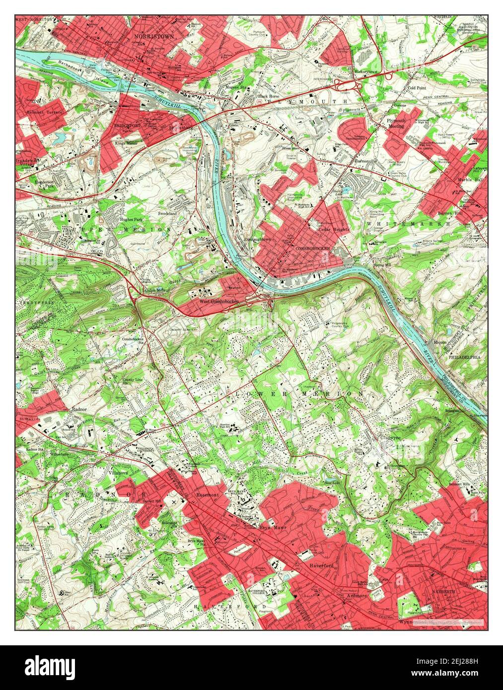 Norristown, Pennsylvania, map 1966, 1:24000, United States of America by Timeless Maps, data U.S. Geological Survey Stock Photohttps://www.alamy.com/image-license-details/?v=1https://www.alamy.com/norristown-pennsylvania-map-1966-124000-united-states-of-america-by-timeless-maps-data-us-geological-survey-image406952689.html
RM2EJ288H–Norristown, Pennsylvania, map 1966, 1:24000, United States of America by Timeless Maps, data U.S. Geological Survey
 USGS TOPO Map Pennsylvania PA Norristown 171400 1895 62500 Restoration Stock Photohttps://www.alamy.com/image-license-details/?v=1https://www.alamy.com/usgs-topo-map-pennsylvania-pa-norristown-171400-1895-62500-restoration-image334506087.html
RM2AC61WY–USGS TOPO Map Pennsylvania PA Norristown 171400 1895 62500 Restoration
 Image 8 of Sanborn Fire Insurance Map from Norristown, Montgomery County, Pennsylvania. Sep 1891. 17 Sheet(s). Includes Bridgeport, America, street map with a Nineteenth Century compass Stock Photohttps://www.alamy.com/image-license-details/?v=1https://www.alamy.com/image-8-of-sanborn-fire-insurance-map-from-norristown-montgomery-county-pennsylvania-sep-1891-17-sheets-includes-bridgeport-america-street-map-with-a-nineteenth-century-compass-image344703599.html
RM2B0PGXR–Image 8 of Sanborn Fire Insurance Map from Norristown, Montgomery County, Pennsylvania. Sep 1891. 17 Sheet(s). Includes Bridgeport, America, street map with a Nineteenth Century compass
 Norristown, Pennsylvania, map 1895, 1:62500, United States of America by Timeless Maps, data U.S. Geological Survey Stock Photohttps://www.alamy.com/image-license-details/?v=1https://www.alamy.com/norristown-pennsylvania-map-1895-162500-united-states-of-america-by-timeless-maps-data-us-geological-survey-image414207675.html
RM2F1TP37–Norristown, Pennsylvania, map 1895, 1:62500, United States of America by Timeless Maps, data U.S. Geological Survey
 USGS TOPO Map Pennsylvania PA Norristown 169904 1895 62500 Restoration Stock Photohttps://www.alamy.com/image-license-details/?v=1https://www.alamy.com/usgs-topo-map-pennsylvania-pa-norristown-169904-1895-62500-restoration-image334505937.html
RM2AC61MH–USGS TOPO Map Pennsylvania PA Norristown 169904 1895 62500 Restoration
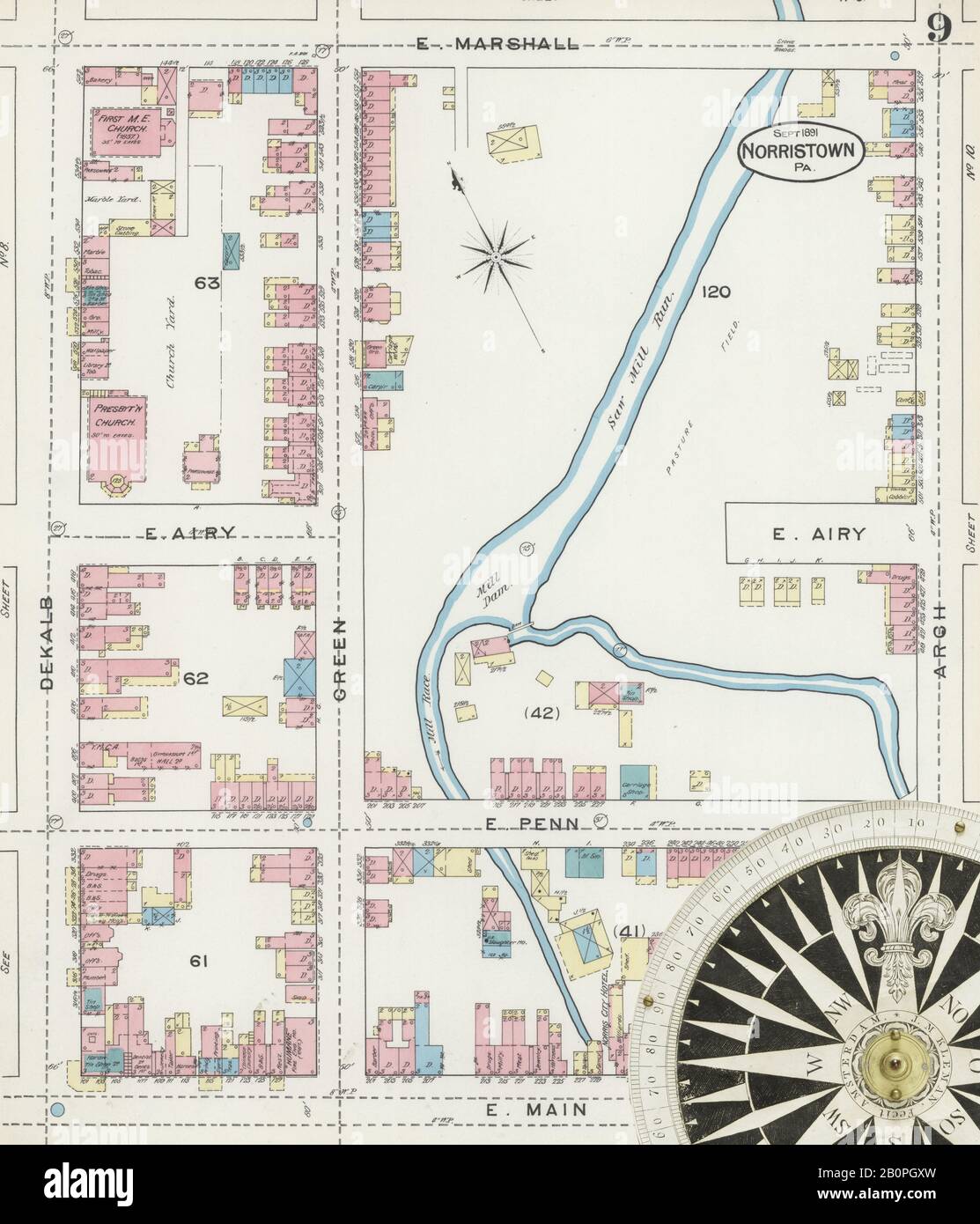 Image 9 of Sanborn Fire Insurance Map from Norristown, Montgomery County, Pennsylvania. Sep 1891. 17 Sheet(s). Includes Bridgeport, America, street map with a Nineteenth Century compass Stock Photohttps://www.alamy.com/image-license-details/?v=1https://www.alamy.com/image-9-of-sanborn-fire-insurance-map-from-norristown-montgomery-county-pennsylvania-sep-1891-17-sheets-includes-bridgeport-america-street-map-with-a-nineteenth-century-compass-image344703601.html
RM2B0PGXW–Image 9 of Sanborn Fire Insurance Map from Norristown, Montgomery County, Pennsylvania. Sep 1891. 17 Sheet(s). Includes Bridgeport, America, street map with a Nineteenth Century compass
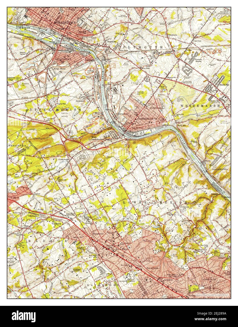 Norristown, Pennsylvania, map 1952, 1:24000, United States of America by Timeless Maps, data U.S. Geological Survey Stock Photohttps://www.alamy.com/image-license-details/?v=1https://www.alamy.com/norristown-pennsylvania-map-1952-124000-united-states-of-america-by-timeless-maps-data-us-geological-survey-image406952710.html
RM2EJ289A–Norristown, Pennsylvania, map 1952, 1:24000, United States of America by Timeless Maps, data U.S. Geological Survey
 USGS TOPO Map Pennsylvania PA Norristown 461873 1942 125000 Restoration Stock Photohttps://www.alamy.com/image-license-details/?v=1https://www.alamy.com/usgs-topo-map-pennsylvania-pa-norristown-461873-1942-125000-restoration-image334506413.html
RM2AC629H–USGS TOPO Map Pennsylvania PA Norristown 461873 1942 125000 Restoration
 Image 21 of Sanborn Fire Insurance Map from Norristown, Montgomery County, Pennsylvania. Oct 1896. 27 Sheet(s). Includes Bridgeport, America, street map with a Nineteenth Century compass Stock Photohttps://www.alamy.com/image-license-details/?v=1https://www.alamy.com/image-21-of-sanborn-fire-insurance-map-from-norristown-montgomery-county-pennsylvania-oct-1896-27-sheets-includes-bridgeport-america-street-map-with-a-nineteenth-century-compass-image344703666.html
RM2B0PH16–Image 21 of Sanborn Fire Insurance Map from Norristown, Montgomery County, Pennsylvania. Oct 1896. 27 Sheet(s). Includes Bridgeport, America, street map with a Nineteenth Century compass
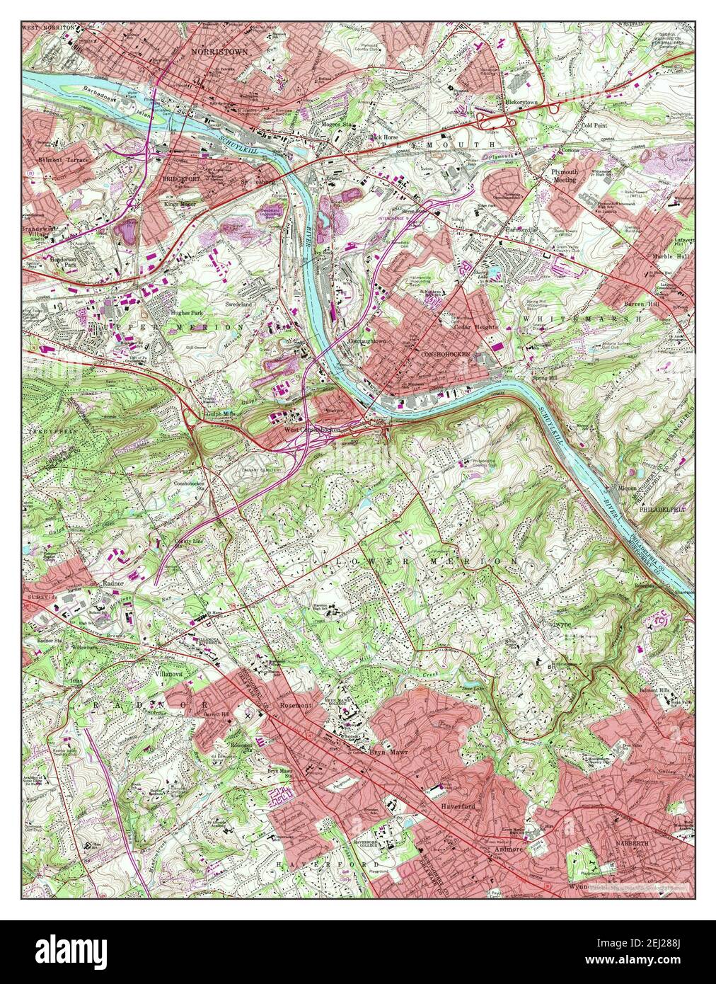 Norristown, Pennsylvania, map 1966, 1:24000, United States of America by Timeless Maps, data U.S. Geological Survey Stock Photohttps://www.alamy.com/image-license-details/?v=1https://www.alamy.com/norristown-pennsylvania-map-1966-124000-united-states-of-america-by-timeless-maps-data-us-geological-survey-image406952690.html
RM2EJ288J–Norristown, Pennsylvania, map 1966, 1:24000, United States of America by Timeless Maps, data U.S. Geological Survey
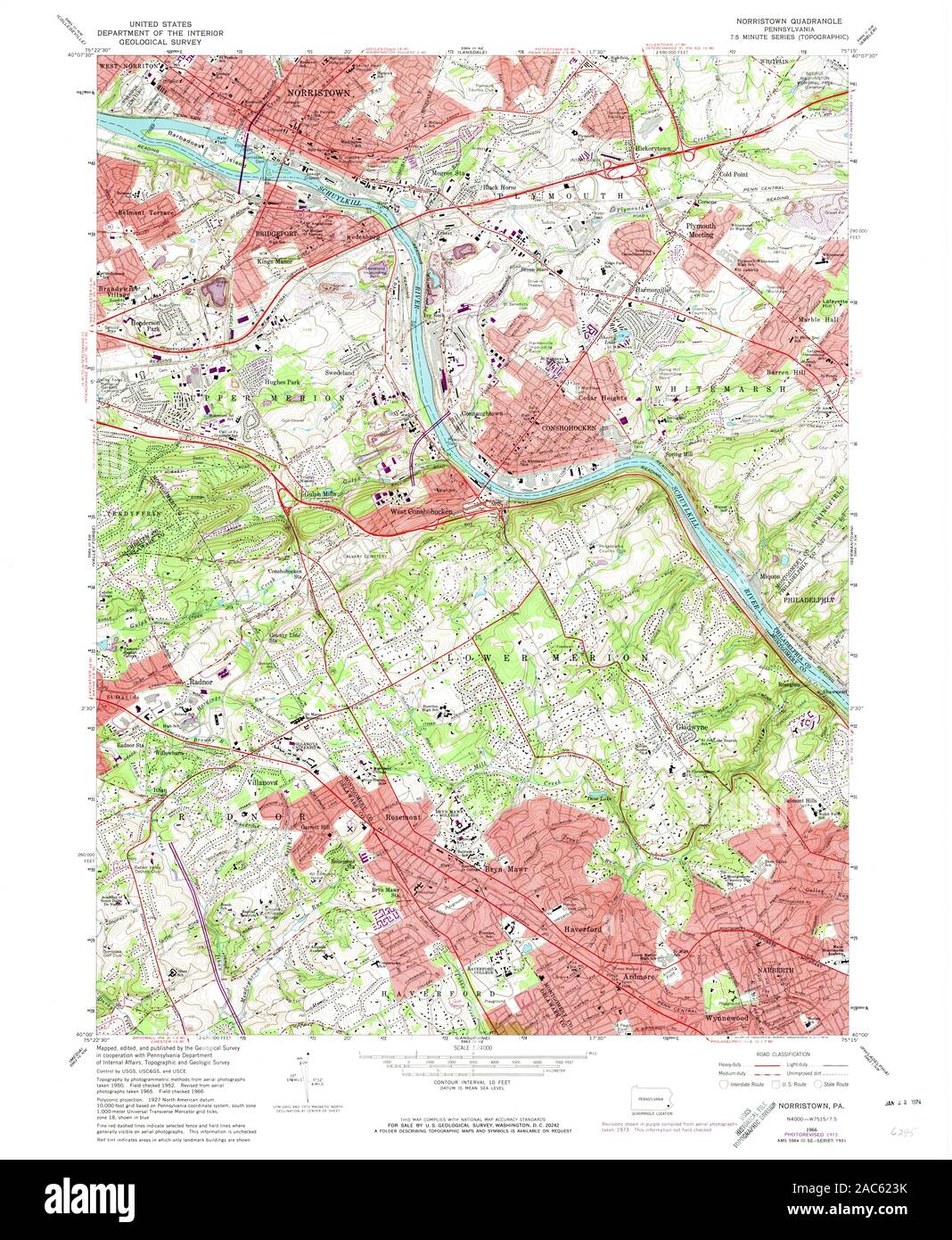 USGS TOPO Map Pennsylvania PA Norristown 171404 1966 24000 Restoration Stock Photohttps://www.alamy.com/image-license-details/?v=1https://www.alamy.com/usgs-topo-map-pennsylvania-pa-norristown-171404-1966-24000-restoration-image334506247.html
RM2AC623K–USGS TOPO Map Pennsylvania PA Norristown 171404 1966 24000 Restoration
 Image 18 of Sanborn Fire Insurance Map from Norristown, Montgomery County, Pennsylvania. Oct 1896. 27 Sheet(s). Includes Bridgeport, America, street map with a Nineteenth Century compass Stock Photohttps://www.alamy.com/image-license-details/?v=1https://www.alamy.com/image-18-of-sanborn-fire-insurance-map-from-norristown-montgomery-county-pennsylvania-oct-1896-27-sheets-includes-bridgeport-america-street-map-with-a-nineteenth-century-compass-image344703658.html
RM2B0PH0X–Image 18 of Sanborn Fire Insurance Map from Norristown, Montgomery County, Pennsylvania. Oct 1896. 27 Sheet(s). Includes Bridgeport, America, street map with a Nineteenth Century compass
 Norristown, Pennsylvania, map 1895, 1:62500, United States of America by Timeless Maps, data U.S. Geological Survey Stock Photohttps://www.alamy.com/image-license-details/?v=1https://www.alamy.com/norristown-pennsylvania-map-1895-162500-united-states-of-america-by-timeless-maps-data-us-geological-survey-image414207676.html
RM2F1TP38–Norristown, Pennsylvania, map 1895, 1:62500, United States of America by Timeless Maps, data U.S. Geological Survey
 USGS TOPO Map Pennsylvania PA Norristown 169907 1895 62500 Restoration Stock Photohttps://www.alamy.com/image-license-details/?v=1https://www.alamy.com/usgs-topo-map-pennsylvania-pa-norristown-169907-1895-62500-restoration-image334506011.html
RM2AC61R7–USGS TOPO Map Pennsylvania PA Norristown 169907 1895 62500 Restoration
 Image 10 of Sanborn Fire Insurance Map from Norristown, Montgomery County, Pennsylvania. Oct 1896. 27 Sheet(s). Includes Bridgeport, America, street map with a Nineteenth Century compass Stock Photohttps://www.alamy.com/image-license-details/?v=1https://www.alamy.com/image-10-of-sanborn-fire-insurance-map-from-norristown-montgomery-county-pennsylvania-oct-1896-27-sheets-includes-bridgeport-america-street-map-with-a-nineteenth-century-compass-image344703639.html
RM2B0PH07–Image 10 of Sanborn Fire Insurance Map from Norristown, Montgomery County, Pennsylvania. Oct 1896. 27 Sheet(s). Includes Bridgeport, America, street map with a Nineteenth Century compass
 Norristown, Pennsylvania, map 1895, 1:62500, United States of America by Timeless Maps, data U.S. Geological Survey Stock Photohttps://www.alamy.com/image-license-details/?v=1https://www.alamy.com/norristown-pennsylvania-map-1895-162500-united-states-of-america-by-timeless-maps-data-us-geological-survey-image414207654.html
RM2F1TP2E–Norristown, Pennsylvania, map 1895, 1:62500, United States of America by Timeless Maps, data U.S. Geological Survey
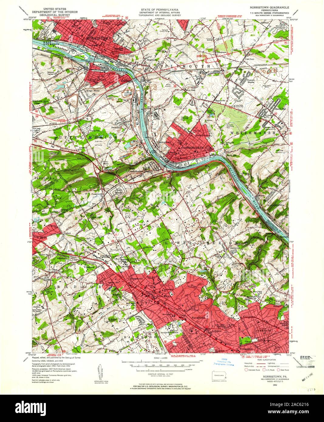 USGS TOPO Map Pennsylvania PA Norristown 171402 1952 24000 Restoration Stock Photohttps://www.alamy.com/image-license-details/?v=1https://www.alamy.com/usgs-topo-map-pennsylvania-pa-norristown-171402-1952-24000-restoration-image334506178.html
RM2AC6216–USGS TOPO Map Pennsylvania PA Norristown 171402 1952 24000 Restoration
 Image 5 of Sanborn Fire Insurance Map from Norristown, Montgomery County, Pennsylvania. Sep 1891. 17 Sheet(s). Includes Bridgeport, America, street map with a Nineteenth Century compass Stock Photohttps://www.alamy.com/image-license-details/?v=1https://www.alamy.com/image-5-of-sanborn-fire-insurance-map-from-norristown-montgomery-county-pennsylvania-sep-1891-17-sheets-includes-bridgeport-america-street-map-with-a-nineteenth-century-compass-image344703590.html
RM2B0PGXE–Image 5 of Sanborn Fire Insurance Map from Norristown, Montgomery County, Pennsylvania. Sep 1891. 17 Sheet(s). Includes Bridgeport, America, street map with a Nineteenth Century compass
 Norristown, Pennsylvania, map 1895, 1:62500, United States of America by Timeless Maps, data U.S. Geological Survey Stock Photohttps://www.alamy.com/image-license-details/?v=1https://www.alamy.com/norristown-pennsylvania-map-1895-162500-united-states-of-america-by-timeless-maps-data-us-geological-survey-image414207531.html
RM2F1TNX3–Norristown, Pennsylvania, map 1895, 1:62500, United States of America by Timeless Maps, data U.S. Geological Survey
 USGS TOPO Map Pennsylvania PA Norristown 171397 1894 62500 Restoration Stock Photohttps://www.alamy.com/image-license-details/?v=1https://www.alamy.com/usgs-topo-map-pennsylvania-pa-norristown-171397-1894-62500-restoration-image334506023.html
RM2AC61RK–USGS TOPO Map Pennsylvania PA Norristown 171397 1894 62500 Restoration
 Image 17 of Sanborn Fire Insurance Map from Norristown, Montgomery County, Pennsylvania. Oct 1896. 27 Sheet(s). Includes Bridgeport, America, street map with a Nineteenth Century compass Stock Photohttps://www.alamy.com/image-license-details/?v=1https://www.alamy.com/image-17-of-sanborn-fire-insurance-map-from-norristown-montgomery-county-pennsylvania-oct-1896-27-sheets-includes-bridgeport-america-street-map-with-a-nineteenth-century-compass-image344703656.html
RM2B0PH0T–Image 17 of Sanborn Fire Insurance Map from Norristown, Montgomery County, Pennsylvania. Oct 1896. 27 Sheet(s). Includes Bridgeport, America, street map with a Nineteenth Century compass
 Norristown, Pennsylvania, map 1895, 1:62500, United States of America by Timeless Maps, data U.S. Geological Survey Stock Photohttps://www.alamy.com/image-license-details/?v=1https://www.alamy.com/norristown-pennsylvania-map-1895-162500-united-states-of-america-by-timeless-maps-data-us-geological-survey-image414207677.html
RM2F1TP39–Norristown, Pennsylvania, map 1895, 1:62500, United States of America by Timeless Maps, data U.S. Geological Survey
 USGS TOPO Map Pennsylvania PA Norristown 171401 1895 62500 Restoration Stock Photohttps://www.alamy.com/image-license-details/?v=1https://www.alamy.com/usgs-topo-map-pennsylvania-pa-norristown-171401-1895-62500-restoration-image334506080.html
RM2AC61WM–USGS TOPO Map Pennsylvania PA Norristown 171401 1895 62500 Restoration
 Image 14 of Sanborn Fire Insurance Map from Norristown, Montgomery County, Pennsylvania. Sep 1891. 17 Sheet(s). Includes Bridgeport, America, street map with a Nineteenth Century compass Stock Photohttps://www.alamy.com/image-license-details/?v=1https://www.alamy.com/image-14-of-sanborn-fire-insurance-map-from-norristown-montgomery-county-pennsylvania-sep-1891-17-sheets-includes-bridgeport-america-street-map-with-a-nineteenth-century-compass-image344703613.html
RM2B0PGY9–Image 14 of Sanborn Fire Insurance Map from Norristown, Montgomery County, Pennsylvania. Sep 1891. 17 Sheet(s). Includes Bridgeport, America, street map with a Nineteenth Century compass
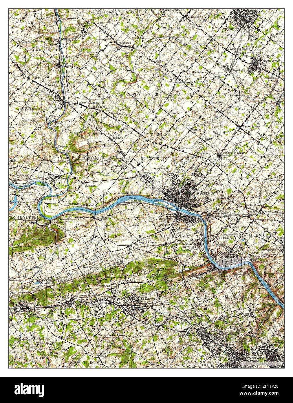 Norristown, Pennsylvania, map 1943, 1:62500, United States of America by Timeless Maps, data U.S. Geological Survey Stock Photohttps://www.alamy.com/image-license-details/?v=1https://www.alamy.com/norristown-pennsylvania-map-1943-162500-united-states-of-america-by-timeless-maps-data-us-geological-survey-image414207648.html
RM2F1TP28–Norristown, Pennsylvania, map 1943, 1:62500, United States of America by Timeless Maps, data U.S. Geological Survey
 USGS TOPO Map Pennsylvania PA Norristown 169902 1895 62500 Restoration Stock Photohttps://www.alamy.com/image-license-details/?v=1https://www.alamy.com/usgs-topo-map-pennsylvania-pa-norristown-169902-1895-62500-restoration-image334505903.html
RM2AC61KB–USGS TOPO Map Pennsylvania PA Norristown 169902 1895 62500 Restoration
 USGS TOPO Map Georgia GA Norristown 246545 1971 24000 Inverted Restoration Stock Photohttps://www.alamy.com/image-license-details/?v=1https://www.alamy.com/usgs-topo-map-georgia-ga-norristown-246545-1971-24000-inverted-restoration-image244701302.html
RMT63306–USGS TOPO Map Georgia GA Norristown 246545 1971 24000 Inverted Restoration
 USGS TOPO Map Pennsylvania PA Norristown 171397 1894 62500 Inverted Restoration Stock Photohttps://www.alamy.com/image-license-details/?v=1https://www.alamy.com/usgs-topo-map-pennsylvania-pa-norristown-171397-1894-62500-inverted-restoration-image334506027.html
RM2AC61RR–USGS TOPO Map Pennsylvania PA Norristown 171397 1894 62500 Inverted Restoration
 Image 11 of Sanborn Fire Insurance Map from Norristown, Montgomery County, Pennsylvania. Sep 1891. 17 Sheet(s). Includes Bridgeport, America, street map with a Nineteenth Century compass Stock Photohttps://www.alamy.com/image-license-details/?v=1https://www.alamy.com/image-11-of-sanborn-fire-insurance-map-from-norristown-montgomery-county-pennsylvania-sep-1891-17-sheets-includes-bridgeport-america-street-map-with-a-nineteenth-century-compass-image344703605.html
RM2B0PGY1–Image 11 of Sanborn Fire Insurance Map from Norristown, Montgomery County, Pennsylvania. Sep 1891. 17 Sheet(s). Includes Bridgeport, America, street map with a Nineteenth Century compass
 Norristown, Pennsylvania, map 1894, 1:62500, United States of America by Timeless Maps, data U.S. Geological Survey Stock Photohttps://www.alamy.com/image-license-details/?v=1https://www.alamy.com/norristown-pennsylvania-map-1894-162500-united-states-of-america-by-timeless-maps-data-us-geological-survey-image414207679.html
RM2F1TP3B–Norristown, Pennsylvania, map 1894, 1:62500, United States of America by Timeless Maps, data U.S. Geological Survey
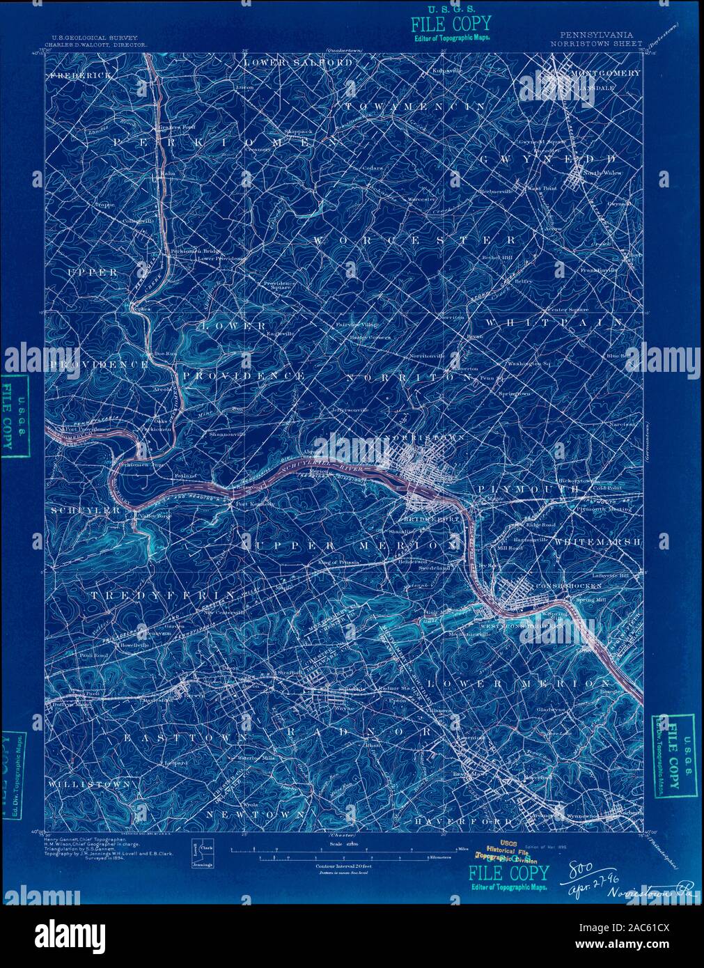 USGS TOPO Map Pennsylvania PA Norristown 169899 1896 62500 Inverted Restoration Stock Photohttps://www.alamy.com/image-license-details/?v=1https://www.alamy.com/usgs-topo-map-pennsylvania-pa-norristown-169899-1896-62500-inverted-restoration-image334505722.html
RM2AC61CX–USGS TOPO Map Pennsylvania PA Norristown 169899 1896 62500 Inverted Restoration
 Image 19 of Sanborn Fire Insurance Map from Norristown, Montgomery County, Pennsylvania. Oct 1896. 27 Sheet(s). Includes Bridgeport, America, street map with a Nineteenth Century compass Stock Photohttps://www.alamy.com/image-license-details/?v=1https://www.alamy.com/image-19-of-sanborn-fire-insurance-map-from-norristown-montgomery-county-pennsylvania-oct-1896-27-sheets-includes-bridgeport-america-street-map-with-a-nineteenth-century-compass-image344703661.html
RM2B0PH11–Image 19 of Sanborn Fire Insurance Map from Norristown, Montgomery County, Pennsylvania. Oct 1896. 27 Sheet(s). Includes Bridgeport, America, street map with a Nineteenth Century compass
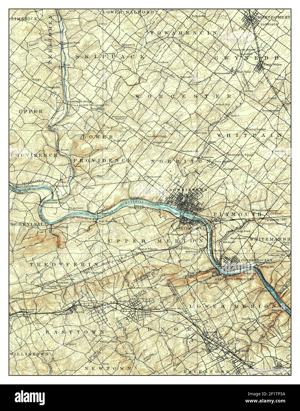 Norristown, Pennsylvania, map 1895, 1:62500, United States of America by Timeless Maps, data U.S. Geological Survey Stock Photohttps://www.alamy.com/image-license-details/?v=1https://www.alamy.com/norristown-pennsylvania-map-1895-162500-united-states-of-america-by-timeless-maps-data-us-geological-survey-image414207678.html
RM2F1TP3A–Norristown, Pennsylvania, map 1895, 1:62500, United States of America by Timeless Maps, data U.S. Geological Survey
 USGS TOPO Map Pennsylvania PA Norristown 223870 1992 24000 Inverted Restoration Stock Photohttps://www.alamy.com/image-license-details/?v=1https://www.alamy.com/usgs-topo-map-pennsylvania-pa-norristown-223870-1992-24000-inverted-restoration-image334506366.html
RM2AC627X–USGS TOPO Map Pennsylvania PA Norristown 223870 1992 24000 Inverted Restoration
 Image 16 of Sanborn Fire Insurance Map from Norristown, Montgomery County, Pennsylvania. Oct 1896. 27 Sheet(s). Includes Bridgeport, America, street map with a Nineteenth Century compass Stock Photohttps://www.alamy.com/image-license-details/?v=1https://www.alamy.com/image-16-of-sanborn-fire-insurance-map-from-norristown-montgomery-county-pennsylvania-oct-1896-27-sheets-includes-bridgeport-america-street-map-with-a-nineteenth-century-compass-image344703655.html
RM2B0PH0R–Image 16 of Sanborn Fire Insurance Map from Norristown, Montgomery County, Pennsylvania. Oct 1896. 27 Sheet(s). Includes Bridgeport, America, street map with a Nineteenth Century compass
 Norristown, Pennsylvania, map 1992, 1:24000, United States of America by Timeless Maps, data U.S. Geological Survey Stock Photohttps://www.alamy.com/image-license-details/?v=1https://www.alamy.com/norristown-pennsylvania-map-1992-124000-united-states-of-america-by-timeless-maps-data-us-geological-survey-image406952688.html
RM2EJ288G–Norristown, Pennsylvania, map 1992, 1:24000, United States of America by Timeless Maps, data U.S. Geological Survey
 USGS TOPO Map Pennsylvania PA Norristown 169903 1895 62500 Inverted Restoration Stock Photohttps://www.alamy.com/image-license-details/?v=1https://www.alamy.com/usgs-topo-map-pennsylvania-pa-norristown-169903-1895-62500-inverted-restoration-image334505894.html
RM2AC61K2–USGS TOPO Map Pennsylvania PA Norristown 169903 1895 62500 Inverted Restoration
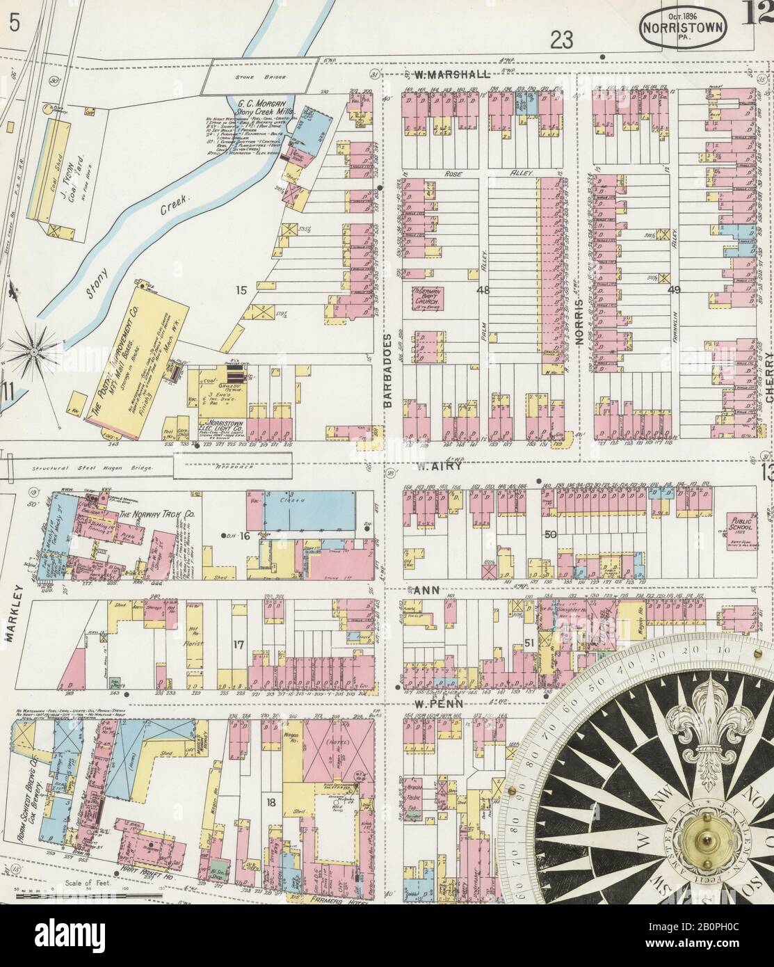 Image 12 of Sanborn Fire Insurance Map from Norristown, Montgomery County, Pennsylvania. Oct 1896. 27 Sheet(s). Includes Bridgeport, America, street map with a Nineteenth Century compass Stock Photohttps://www.alamy.com/image-license-details/?v=1https://www.alamy.com/image-12-of-sanborn-fire-insurance-map-from-norristown-montgomery-county-pennsylvania-oct-1896-27-sheets-includes-bridgeport-america-street-map-with-a-nineteenth-century-compass-image344703644.html
RM2B0PH0C–Image 12 of Sanborn Fire Insurance Map from Norristown, Montgomery County, Pennsylvania. Oct 1896. 27 Sheet(s). Includes Bridgeport, America, street map with a Nineteenth Century compass
 Norristown, Pennsylvania, map 1895, 1:62500, United States of America by Timeless Maps, data U.S. Geological Survey Stock Photohttps://www.alamy.com/image-license-details/?v=1https://www.alamy.com/norristown-pennsylvania-map-1895-162500-united-states-of-america-by-timeless-maps-data-us-geological-survey-image414207647.html
RM2F1TP27–Norristown, Pennsylvania, map 1895, 1:62500, United States of America by Timeless Maps, data U.S. Geological Survey
 USGS TOPO Map Pennsylvania PA Norristown 461872 1943 62500 Inverted Restoration Stock Photohttps://www.alamy.com/image-license-details/?v=1https://www.alamy.com/usgs-topo-map-pennsylvania-pa-norristown-461872-1943-62500-inverted-restoration-image334506406.html
RM2AC629A–USGS TOPO Map Pennsylvania PA Norristown 461872 1943 62500 Inverted Restoration
 Image 6 of Sanborn Fire Insurance Map from Norristown, Montgomery County, Pennsylvania. Sep 1891. 17 Sheet(s). Includes Bridgeport, America, street map with a Nineteenth Century compass Stock Photohttps://www.alamy.com/image-license-details/?v=1https://www.alamy.com/image-6-of-sanborn-fire-insurance-map-from-norristown-montgomery-county-pennsylvania-sep-1891-17-sheets-includes-bridgeport-america-street-map-with-a-nineteenth-century-compass-image344703592.html
RM2B0PGXG–Image 6 of Sanborn Fire Insurance Map from Norristown, Montgomery County, Pennsylvania. Sep 1891. 17 Sheet(s). Includes Bridgeport, America, street map with a Nineteenth Century compass
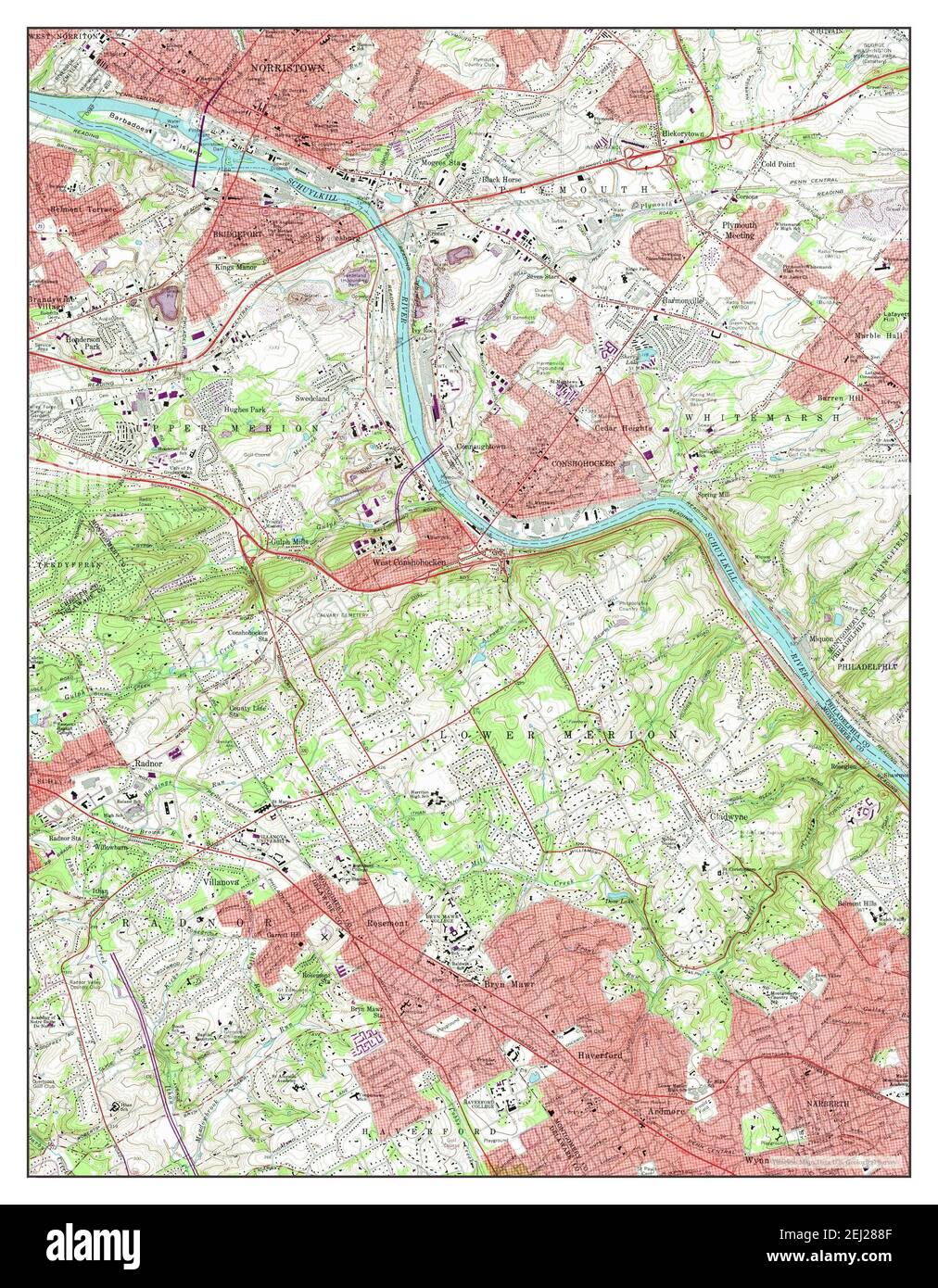 Norristown, Pennsylvania, map 1966, 1:24000, United States of America by Timeless Maps, data U.S. Geological Survey Stock Photohttps://www.alamy.com/image-license-details/?v=1https://www.alamy.com/norristown-pennsylvania-map-1966-124000-united-states-of-america-by-timeless-maps-data-us-geological-survey-image406952687.html
RM2EJ288F–Norristown, Pennsylvania, map 1966, 1:24000, United States of America by Timeless Maps, data U.S. Geological Survey
 USGS TOPO Map Pennsylvania PA Norristown 461873 1942 125000 Inverted Restoration Stock Photohttps://www.alamy.com/image-license-details/?v=1https://www.alamy.com/usgs-topo-map-pennsylvania-pa-norristown-461873-1942-125000-inverted-restoration-image334506412.html
RM2AC629G–USGS TOPO Map Pennsylvania PA Norristown 461873 1942 125000 Inverted Restoration
 Image 12 of Sanborn Fire Insurance Map from Norristown, Montgomery County, Pennsylvania. Sep 1891. 17 Sheet(s). Includes Bridgeport, America, street map with a Nineteenth Century compass Stock Photohttps://www.alamy.com/image-license-details/?v=1https://www.alamy.com/image-12-of-sanborn-fire-insurance-map-from-norristown-montgomery-county-pennsylvania-sep-1891-17-sheets-includes-bridgeport-america-street-map-with-a-nineteenth-century-compass-image344703608.html
RM2B0PGY4–Image 12 of Sanborn Fire Insurance Map from Norristown, Montgomery County, Pennsylvania. Sep 1891. 17 Sheet(s). Includes Bridgeport, America, street map with a Nineteenth Century compass
 Norristown, Pennsylvania, map 1895, 1:62500, United States of America by Timeless Maps, data U.S. Geological Survey Stock Photohttps://www.alamy.com/image-license-details/?v=1https://www.alamy.com/norristown-pennsylvania-map-1895-162500-united-states-of-america-by-timeless-maps-data-us-geological-survey-image414207533.html
RM2F1TNX5–Norristown, Pennsylvania, map 1895, 1:62500, United States of America by Timeless Maps, data U.S. Geological Survey
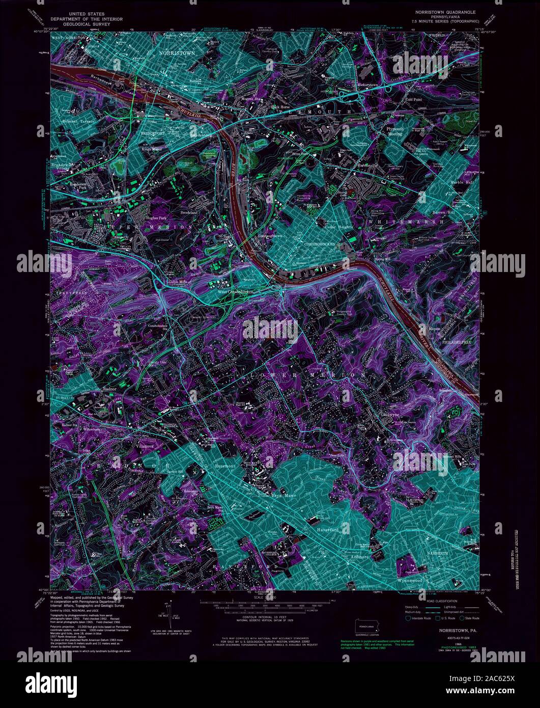 USGS TOPO Map Pennsylvania PA Norristown 171406 1966 24000 Inverted Restoration Stock Photohttps://www.alamy.com/image-license-details/?v=1https://www.alamy.com/usgs-topo-map-pennsylvania-pa-norristown-171406-1966-24000-inverted-restoration-image334506310.html
RM2AC625X–USGS TOPO Map Pennsylvania PA Norristown 171406 1966 24000 Inverted Restoration
 Image 13 of Sanborn Fire Insurance Map from Norristown, Montgomery County, Pennsylvania. Oct 1896. 27 Sheet(s). Includes Bridgeport, America, street map with a Nineteenth Century compass Stock Photohttps://www.alamy.com/image-license-details/?v=1https://www.alamy.com/image-13-of-sanborn-fire-insurance-map-from-norristown-montgomery-county-pennsylvania-oct-1896-27-sheets-includes-bridgeport-america-street-map-with-a-nineteenth-century-compass-image344703647.html
RM2B0PH0F–Image 13 of Sanborn Fire Insurance Map from Norristown, Montgomery County, Pennsylvania. Oct 1896. 27 Sheet(s). Includes Bridgeport, America, street map with a Nineteenth Century compass