Quick filters:
North america maps Stock Photos and Images
 1698, Louis Hennepin Map of North America Stock Photohttps://www.alamy.com/image-license-details/?v=1https://www.alamy.com/stock-image-1698-louis-hennepin-map-of-north-america-162575206.html
RMKCDX9A–1698, Louis Hennepin Map of North America
 North America - 1844 Stock Photohttps://www.alamy.com/image-license-details/?v=1https://www.alamy.com/stock-photo-north-america-1844-36034124.html
RMC2HDW0–North America - 1844
 map, north america, maps, north americas Stock Photohttps://www.alamy.com/image-license-details/?v=1https://www.alamy.com/map-north-america-maps-north-americas-image455825615.html
RF2HDGJ67–map, north america, maps, north americas
 North America - 1844 Stock Photohttps://www.alamy.com/image-license-details/?v=1https://www.alamy.com/north-america-1844-image370867506.html
RM2CFAD82–North America - 1844
 1550 Swiss map of newly discovered Western Hemisphere. The Caribbean Sea is disproportionately large, most of North America is Stock Photohttps://www.alamy.com/image-license-details/?v=1https://www.alamy.com/stock-photo-1550-swiss-map-of-newly-discovered-western-hemisphere-the-caribbean-50010885.html
RMCWA5B1–1550 Swiss map of newly discovered Western Hemisphere. The Caribbean Sea is disproportionately large, most of North America is
 . English: A beautiful 1855 first edition example of Colton's map of the Mexico. Includes all of modern day Mexico as well as most of Texas, Guatemala, Belize, and adjacent regions. Like most of Colton's North America maps, this map is largely derived from an earlier wall map of North America produced by Colton and D. Griffing Johnson. Includes some interesting notations such here and there as Uninhabited, and isolated maintains without grass wood or waters... An inset map in the lower left corner details the Territory and Isthmus of Tehuantepec - the site of a proposed but never built Panama Stock Photohttps://www.alamy.com/image-license-details/?v=1https://www.alamy.com/english-a-beautiful-1855-first-edition-example-of-coltons-map-of-the-mexico-includes-all-of-modern-day-mexico-as-well-as-most-of-texas-guatemala-belize-and-adjacent-regions-like-most-of-coltons-north-america-maps-this-map-is-largely-derived-from-an-earlier-wall-map-of-north-america-produced-by-colton-and-d-griffing-johnson-includes-some-interesting-notations-such-here-and-there-as-uninhabited-and-isolated-maintains-without-grass-wood-or-waters-an-inset-map-in-the-lower-left-corner-details-the-territory-and-isthmus-of-tehuantepec-the-site-of-a-proposed-but-never-built-panama-image184959781.html
RMMMWJ2D–. English: A beautiful 1855 first edition example of Colton's map of the Mexico. Includes all of modern day Mexico as well as most of Texas, Guatemala, Belize, and adjacent regions. Like most of Colton's North America maps, this map is largely derived from an earlier wall map of North America produced by Colton and D. Griffing Johnson. Includes some interesting notations such here and there as Uninhabited, and isolated maintains without grass wood or waters... An inset map in the lower left corner details the Territory and Isthmus of Tehuantepec - the site of a proposed but never built Panama
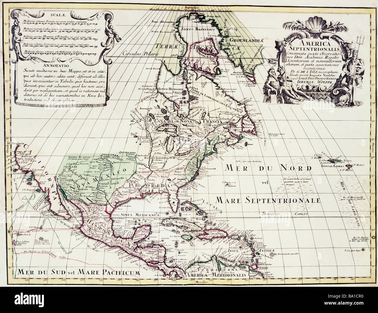 cartography, maps, North America, map by Guillaume de l'Isle (1675 - 1726), copper engraving, coloured, by Jeremias Wolff, Augsburg, Germany, circa 1710, Artist's Copyright has not to be cleared Stock Photohttps://www.alamy.com/image-license-details/?v=1https://www.alamy.com/stock-photo-cartography-maps-north-america-map-by-guillaume-de-lisle-1675-1726-23388932.html
RMBA1CR0–cartography, maps, North America, map by Guillaume de l'Isle (1675 - 1726), copper engraving, coloured, by Jeremias Wolff, Augsburg, Germany, circa 1710, Artist's Copyright has not to be cleared
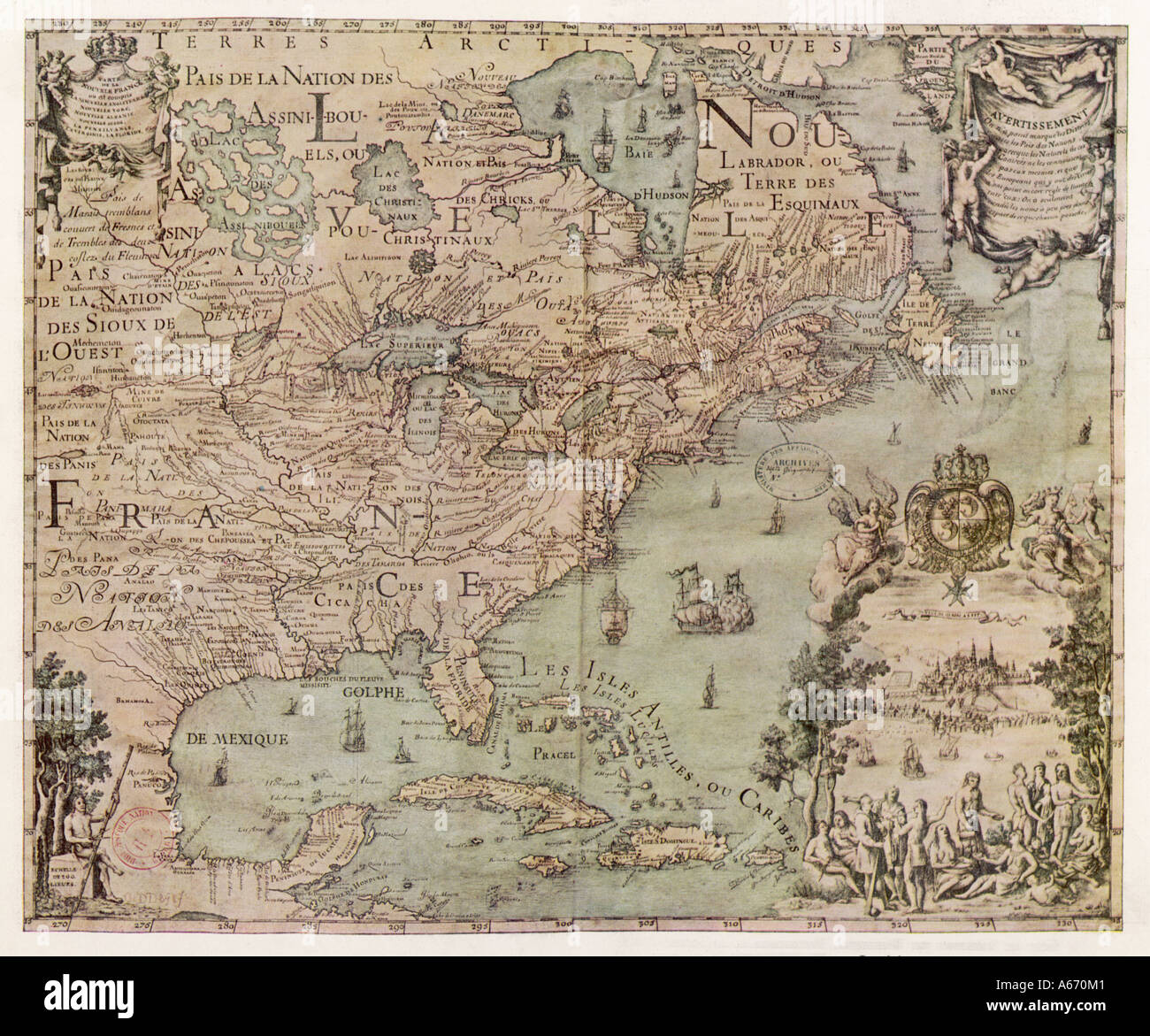 Map North America 1702 Stock Photohttps://www.alamy.com/image-license-details/?v=1https://www.alamy.com/map-north-america-1702-image6560576.html
RMA670M1–Map North America 1702
 north America globe on orange background Stock Photohttps://www.alamy.com/image-license-details/?v=1https://www.alamy.com/north-america-globe-on-orange-background-image726007.html
RMAB13F7–north America globe on orange background
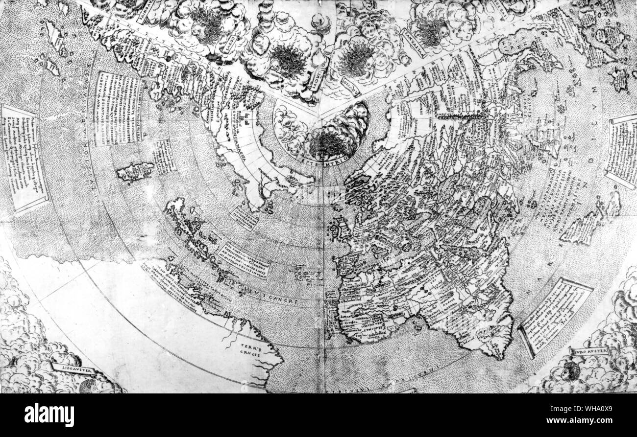 One of the first maps showing the discoveries of Columbus, dated 1506. North America is omitted. Stock Photohttps://www.alamy.com/image-license-details/?v=1https://www.alamy.com/one-of-the-first-maps-showing-the-discoveries-of-columbus-dated-1506-north-america-is-omitted-image268824929.html
RMWHA0X9–One of the first maps showing the discoveries of Columbus, dated 1506. North America is omitted.
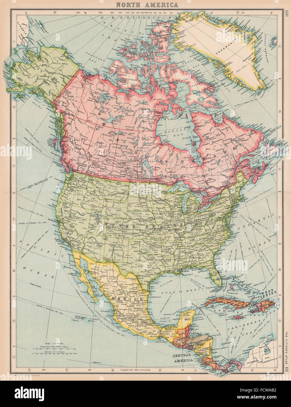 NORTH AMERICA: General map. BARTHOLOMEW, 1924 Stock Photohttps://www.alamy.com/image-license-details/?v=1https://www.alamy.com/stock-photo-north-america-general-map-bartholomew-1924-93984662.html
RFFCWAB2–NORTH AMERICA: General map. BARTHOLOMEW, 1924
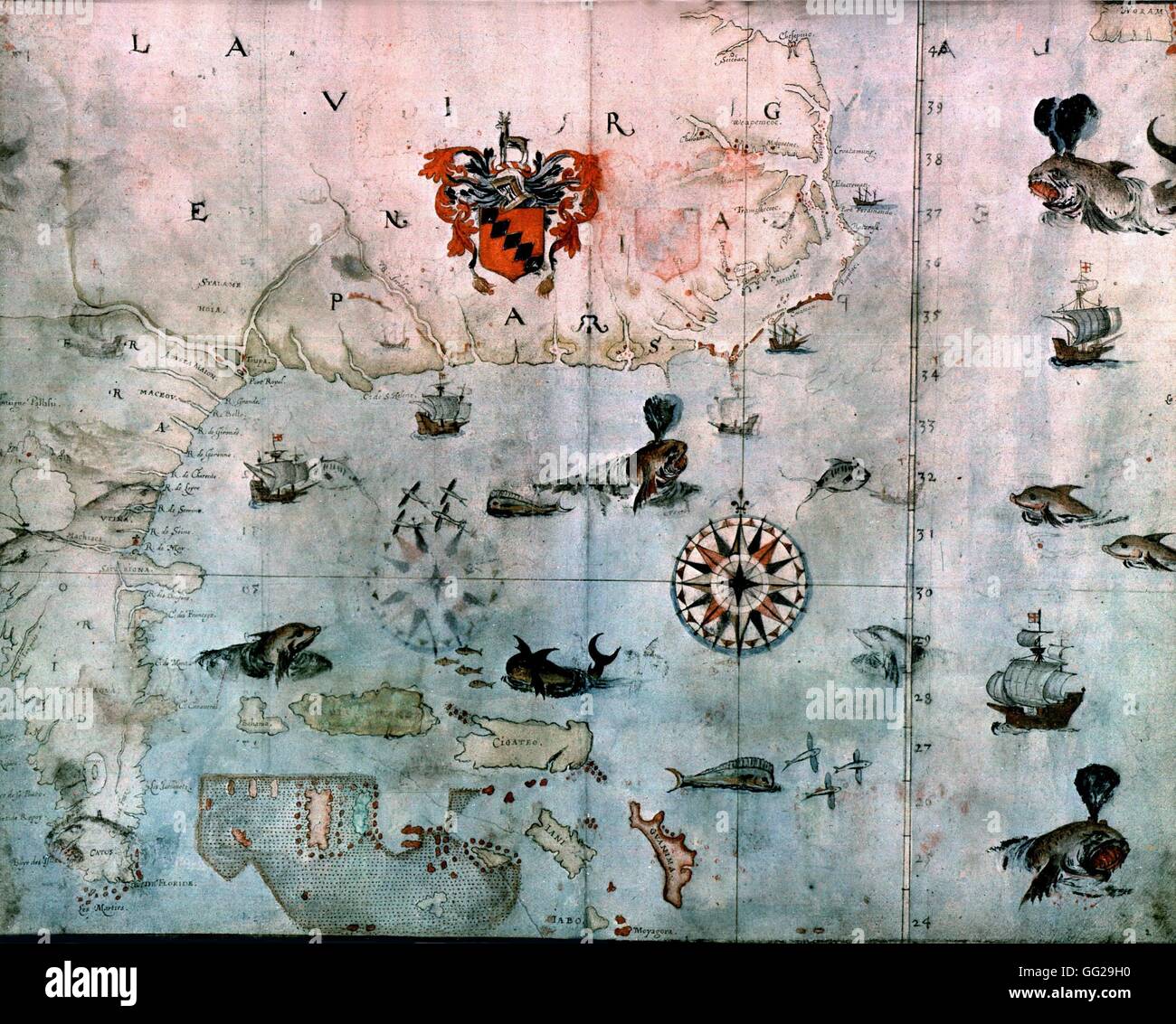 Map of North America 1640 London. British museum Stock Photohttps://www.alamy.com/image-license-details/?v=1https://www.alamy.com/stock-photo-map-of-north-america-1640-london-british-museum-113148140.html
RMGG29H0–Map of North America 1640 London. British museum
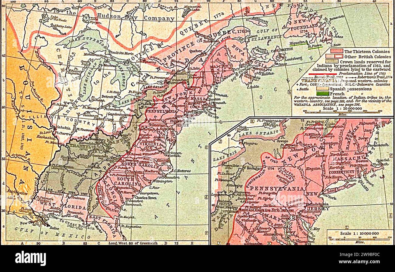 Thirteen Colonies. Map of the thirteen British colonies in North America, 1763-1775, 1911 Stock Photohttps://www.alamy.com/image-license-details/?v=1https://www.alamy.com/thirteen-colonies-map-of-the-thirteen-british-colonies-in-north-america-1763-1775-1911-image590937660.html
RM2W9BF0C–Thirteen Colonies. Map of the thirteen British colonies in North America, 1763-1775, 1911
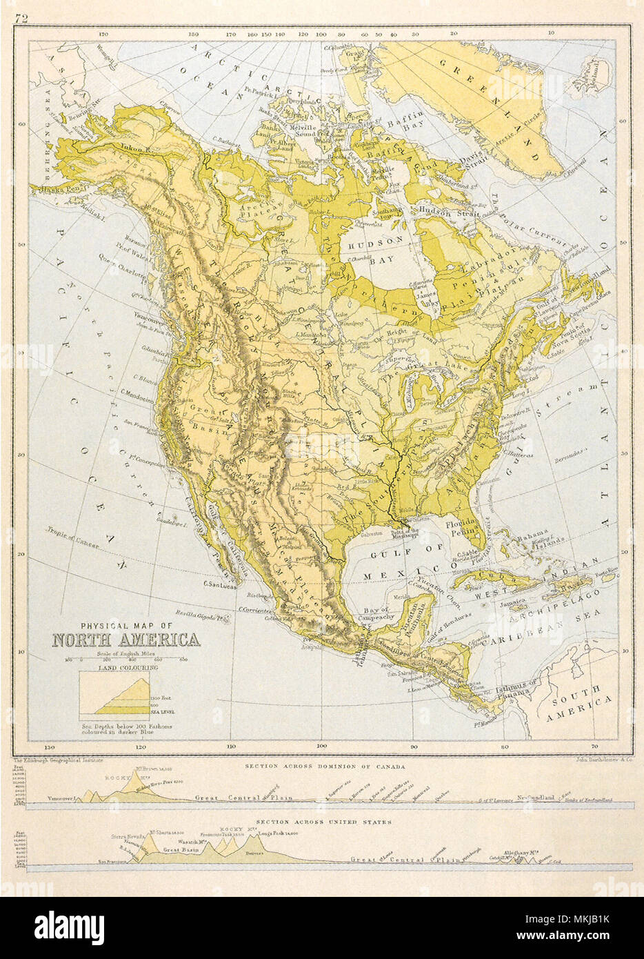 North America 1892 Stock Photohttps://www.alamy.com/image-license-details/?v=1https://www.alamy.com/north-america-1892-image184185951.html
RMMKJB1K–North America 1892
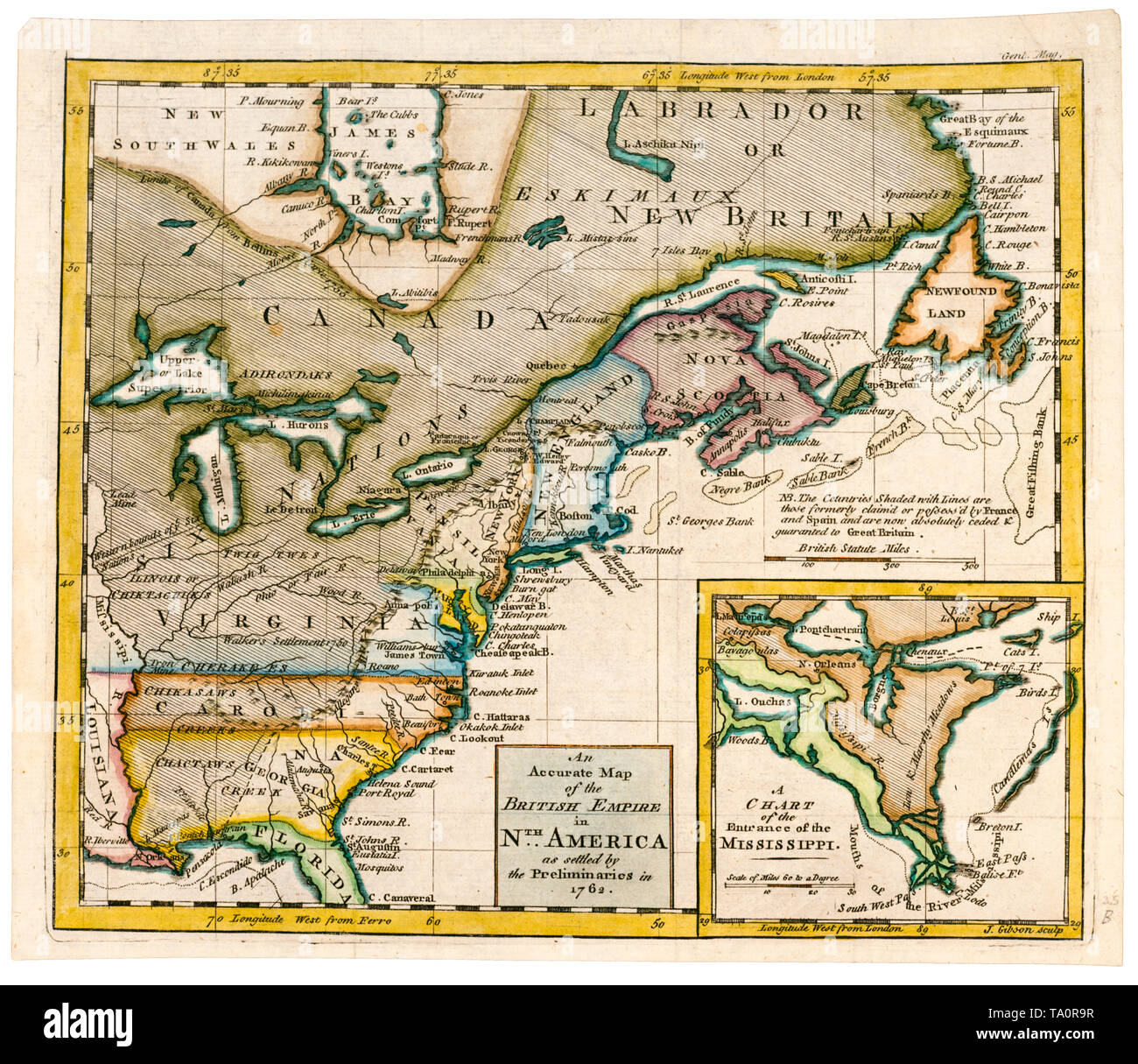 An accurate map of the British Empire in North America as settled by the preliminaries in 1762, 18th Century Stock Photohttps://www.alamy.com/image-license-details/?v=1https://www.alamy.com/an-accurate-map-of-the-british-empire-in-north-america-as-settled-by-the-preliminaries-in-1762-18th-century-image247110019.html
RMTA0R9R–An accurate map of the British Empire in North America as settled by the preliminaries in 1762, 18th Century
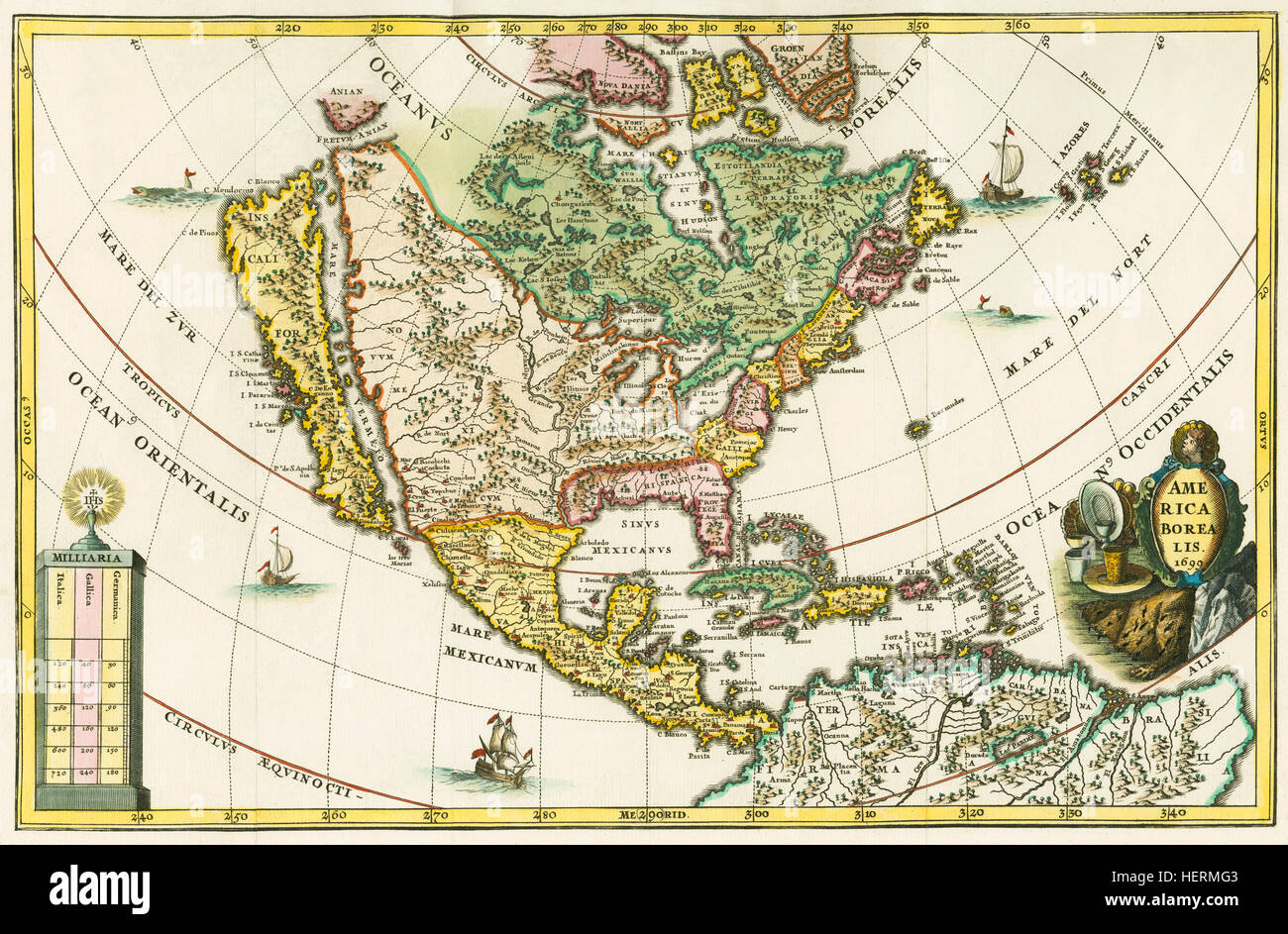 America borealis. Map of North America showing California as an island. From Heinrich Scherer's Geographia hierarchica, one of a seven volume set called Atlas Novus, first published between 1702 and 1710. The 180 maps in the collection were probably prepared around 1699-1700. This particular map is dated 1699 in the cartouche. Stock Photohttps://www.alamy.com/image-license-details/?v=1https://www.alamy.com/stock-photo-america-borealis-map-of-north-america-showing-california-as-an-island-129598787.html
RMHERMG3–America borealis. Map of North America showing California as an island. From Heinrich Scherer's Geographia hierarchica, one of a seven volume set called Atlas Novus, first published between 1702 and 1710. The 180 maps in the collection were probably prepared around 1699-1700. This particular map is dated 1699 in the cartouche.
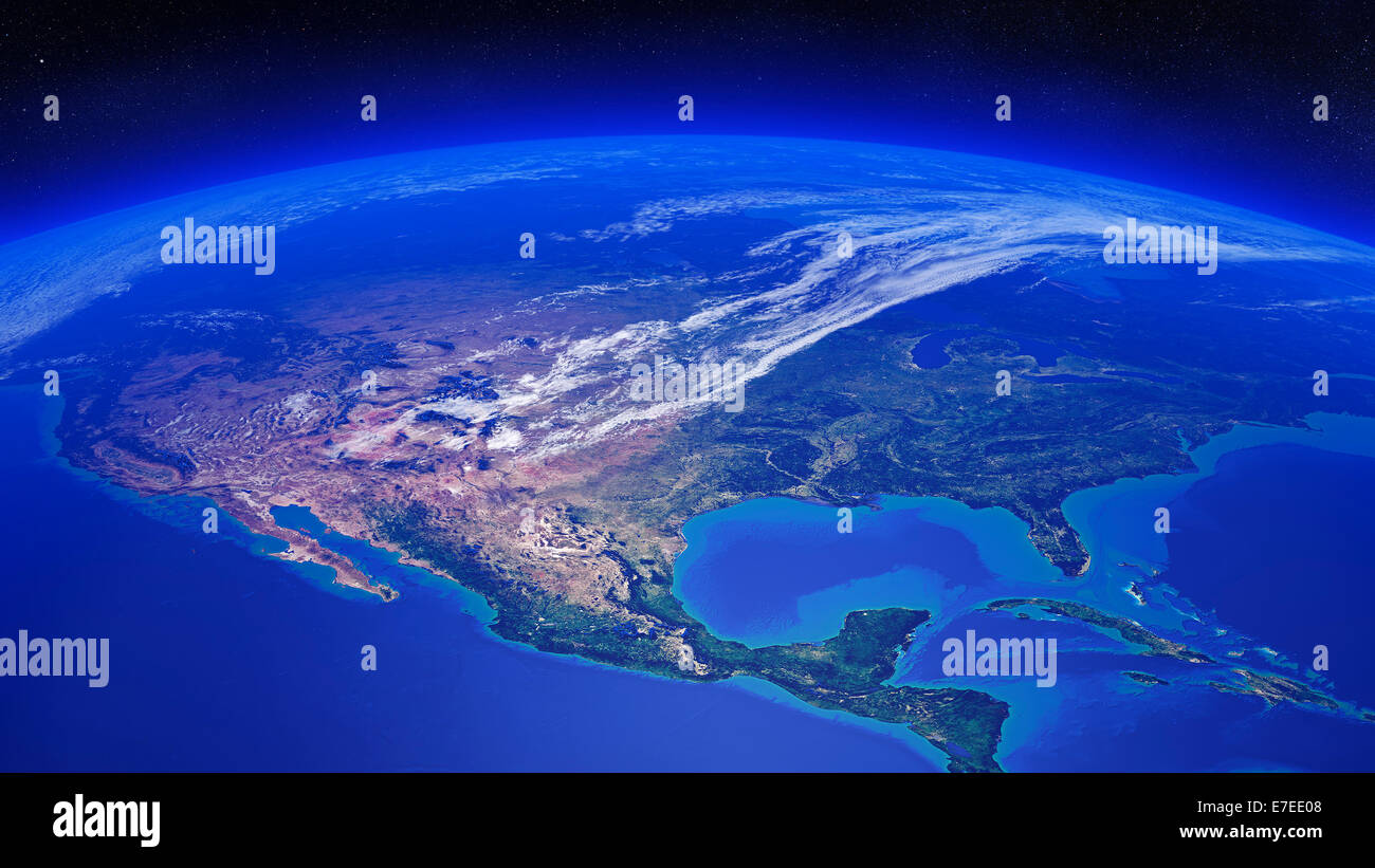 North America seen from space - 3D render - animation also available (Texture maps courtesy of NASA) Stock Photohttps://www.alamy.com/image-license-details/?v=1https://www.alamy.com/stock-photo-north-america-seen-from-space-3d-render-animation-also-available-texture-73462376.html
RFE7EE08–North America seen from space - 3D render - animation also available (Texture maps courtesy of NASA)
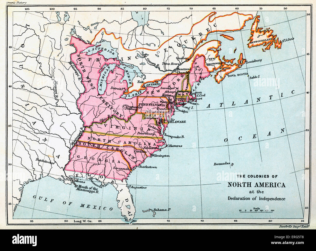 Colonies of North America in 1776, at the United States Declaration of Independence. Statement adopted by the Continental Stock Photohttps://www.alamy.com/image-license-details/?v=1https://www.alamy.com/stock-photo-colonies-of-north-america-in-1776-at-the-united-states-declaration-83334392.html
RMERG5T8–Colonies of North America in 1776, at the United States Declaration of Independence. Statement adopted by the Continental
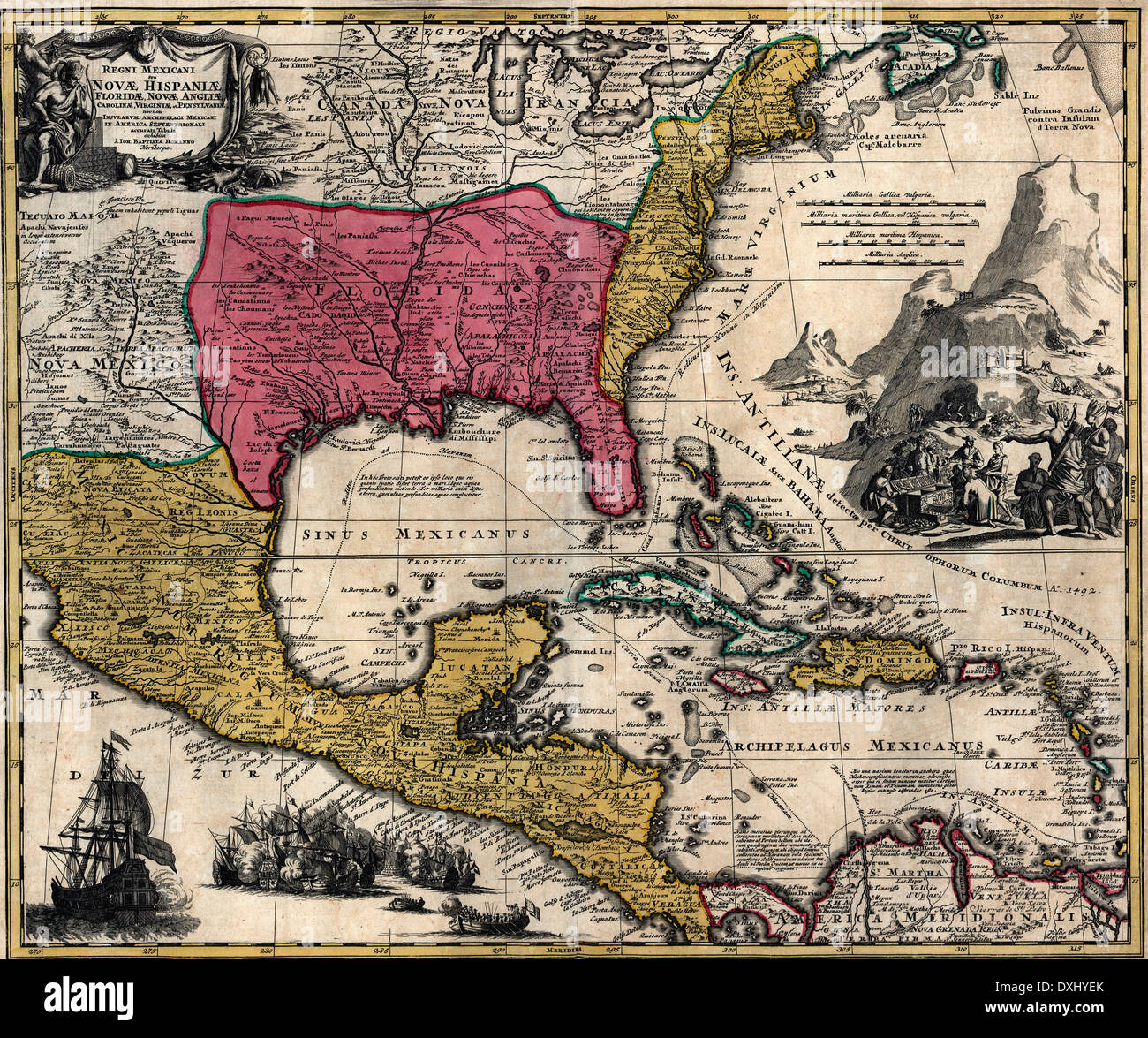 Maps of the Kingdom of New Spain or Mexico, Florida, New England, Carolina, Virginia, and Pennsylvania, Mexico in North America 1759 Stock Photohttps://www.alamy.com/image-license-details/?v=1https://www.alamy.com/maps-of-the-kingdom-of-new-spain-or-mexico-florida-new-england-carolina-image68006923.html
RMDXHYEK–Maps of the Kingdom of New Spain or Mexico, Florida, New England, Carolina, Virginia, and Pennsylvania, Mexico in North America 1759
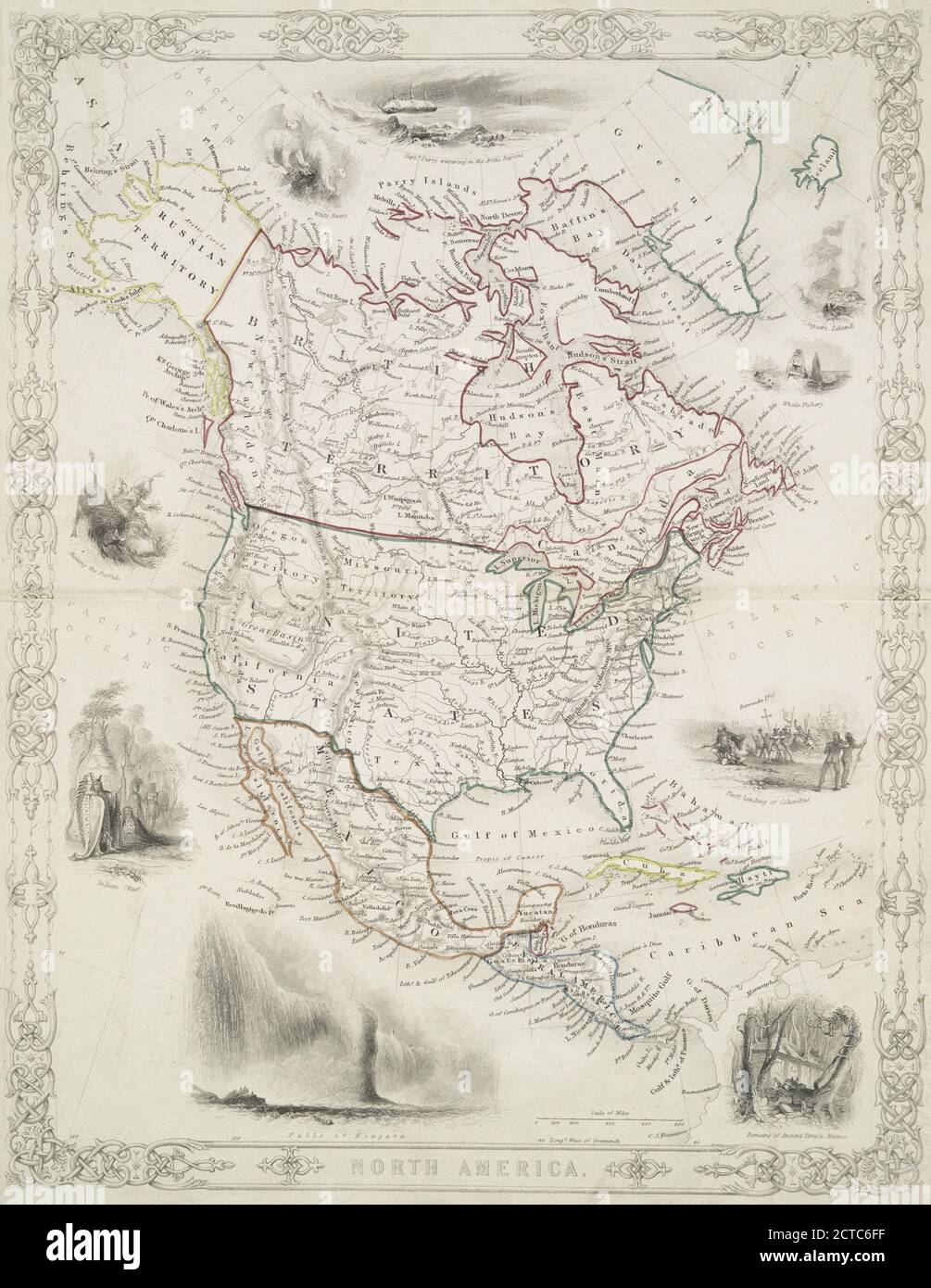 North America., still image, Maps, 1850 Stock Photohttps://www.alamy.com/image-license-details/?v=1https://www.alamy.com/north-america-still-image-maps-1850-image376438035.html
RM2CTC6FF–North America., still image, Maps, 1850
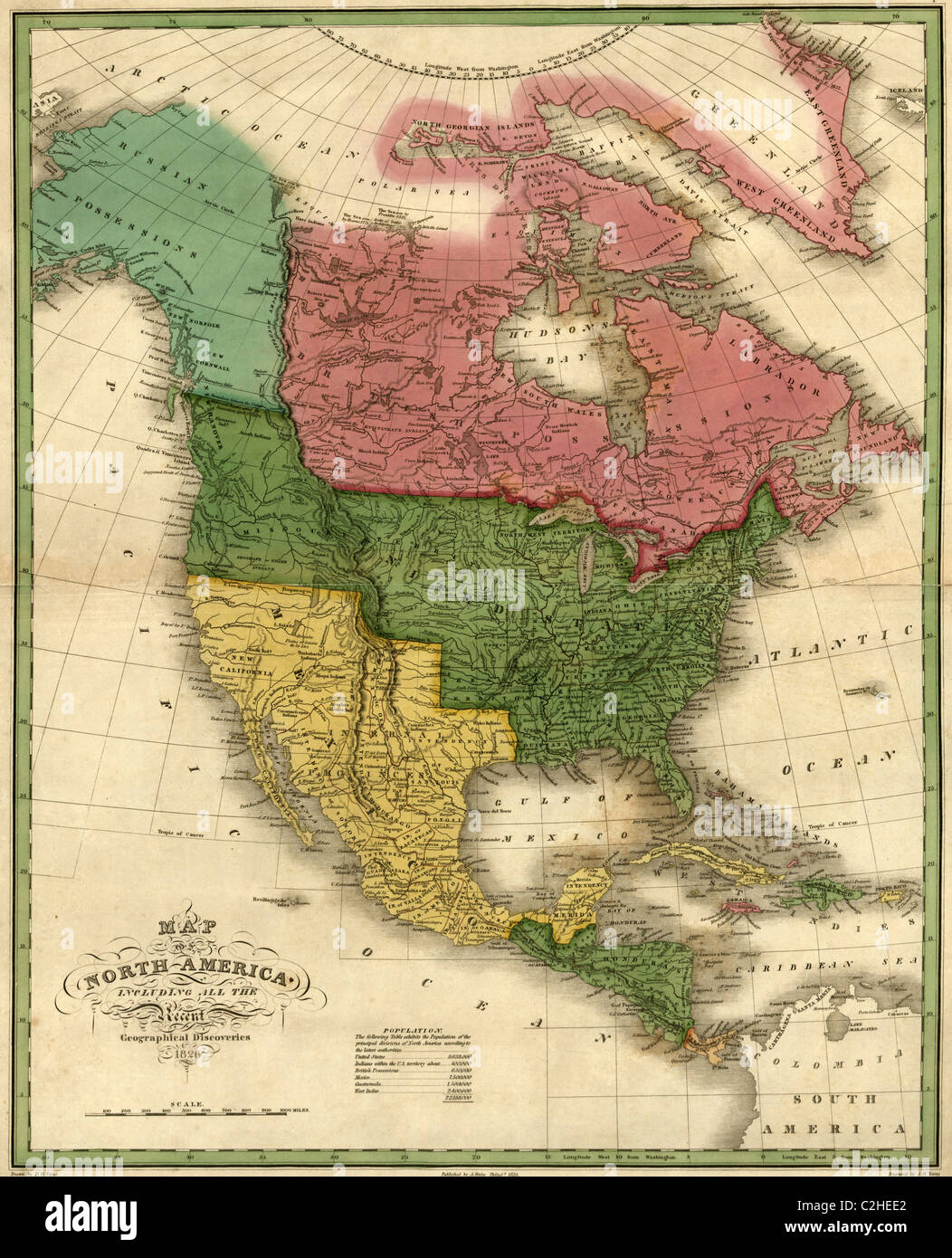 North America - 1826 Stock Photohttps://www.alamy.com/image-license-details/?v=1https://www.alamy.com/stock-photo-north-america-1826-36034602.html
RMC2HEE2–North America - 1826
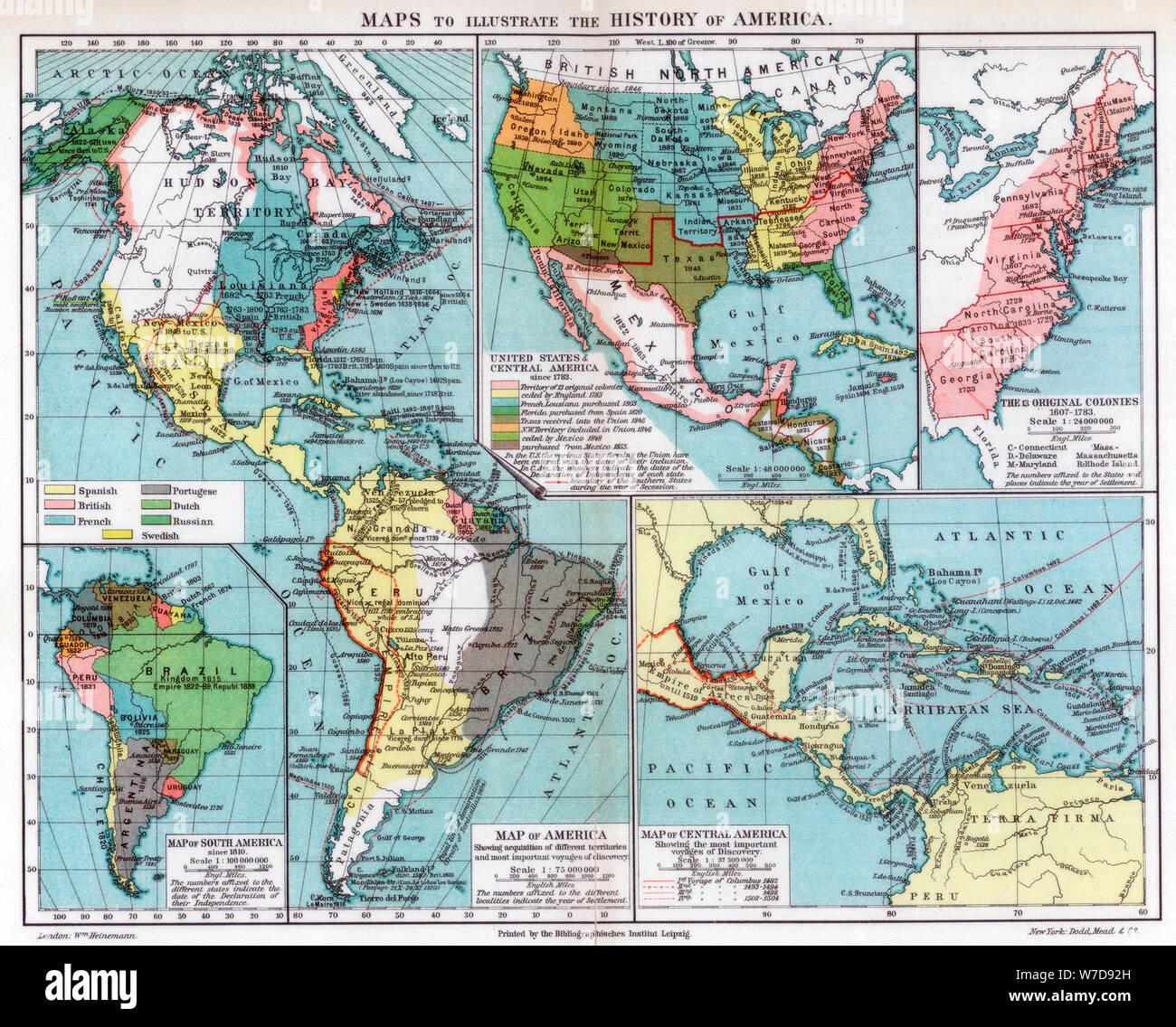 Maps to illustrate the history of America, 1901. Artist: Unknown Stock Photohttps://www.alamy.com/image-license-details/?v=1https://www.alamy.com/maps-to-illustrate-the-history-of-america-1901-artist-unknown-image262750617.html
RMW7D92H–Maps to illustrate the history of America, 1901. Artist: Unknown
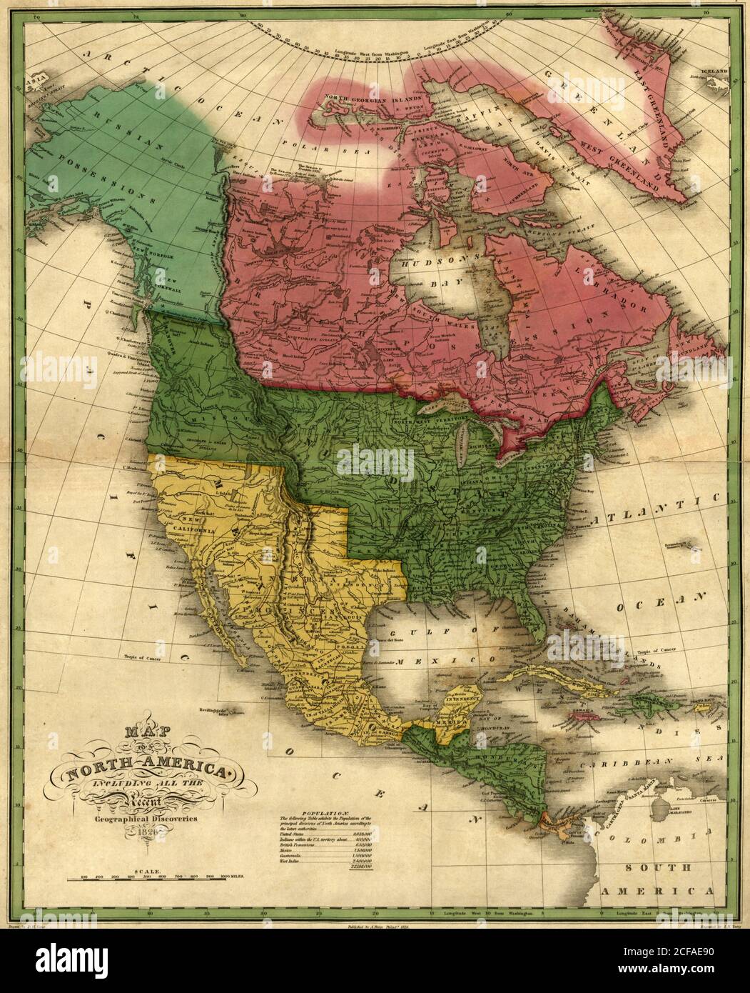 North America - 1826 Stock Photohttps://www.alamy.com/image-license-details/?v=1https://www.alamy.com/north-america-1826-image370868316.html
RM2CFAE90–North America - 1826
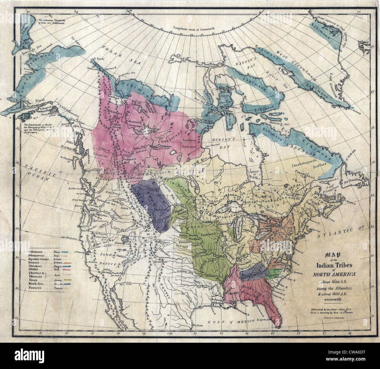 1836 Map of the Indian tribes of North America, about 1600 A.D. along the Atlantic, and about 1800 A.D. in the western areas. Stock Photohttps://www.alamy.com/image-license-details/?v=1https://www.alamy.com/stock-photo-1836-map-of-the-indian-tribes-of-north-america-about-1600-ad-along-50011748.html
RMCWA6DT–1836 Map of the Indian tribes of North America, about 1600 A.D. along the Atlantic, and about 1800 A.D. in the western areas.
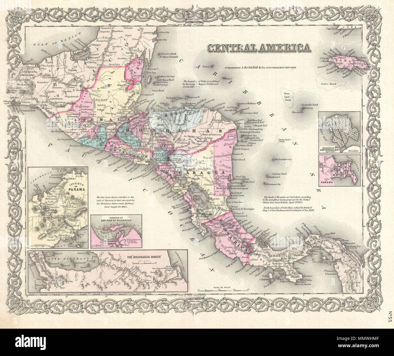 . English: A beautiful 1855 first edition example of Colton's map of the Central America and Jamaica. Covers from the Yucatan southeast as far as Panama and north as far as Jamaica. Like most of Colton's North America maps, this map is largely derived from an earlier wall map of North America produced by Colton and D. Griffing Johnson. Features several insets, including the Isthmus of Panama, the Harbor of San Juan de Nicaragua, the Nicaragua Route, Aspinwall City, and the City of Panama. Throughout the map, Colton identifies various cities, towns, forts, rivers, rapids, fords, and an assortm Stock Photohttps://www.alamy.com/image-license-details/?v=1https://www.alamy.com/english-a-beautiful-1855-first-edition-example-of-coltons-map-of-the-central-america-and-jamaica-covers-from-the-yucatan-southeast-as-far-as-panama-and-north-as-far-as-jamaica-like-most-of-coltons-north-america-maps-this-map-is-largely-derived-from-an-earlier-wall-map-of-north-america-produced-by-colton-and-d-griffing-johnson-features-several-insets-including-the-isthmus-of-panama-the-harbor-of-san-juan-de-nicaragua-the-nicaragua-route-aspinwall-city-and-the-city-of-panama-throughout-the-map-colton-identifies-various-cities-towns-forts-rivers-rapids-fords-and-an-assortm-image184959503.html
RMMMWHMF–. English: A beautiful 1855 first edition example of Colton's map of the Central America and Jamaica. Covers from the Yucatan southeast as far as Panama and north as far as Jamaica. Like most of Colton's North America maps, this map is largely derived from an earlier wall map of North America produced by Colton and D. Griffing Johnson. Features several insets, including the Isthmus of Panama, the Harbor of San Juan de Nicaragua, the Nicaragua Route, Aspinwall City, and the City of Panama. Throughout the map, Colton identifies various cities, towns, forts, rivers, rapids, fords, and an assortm
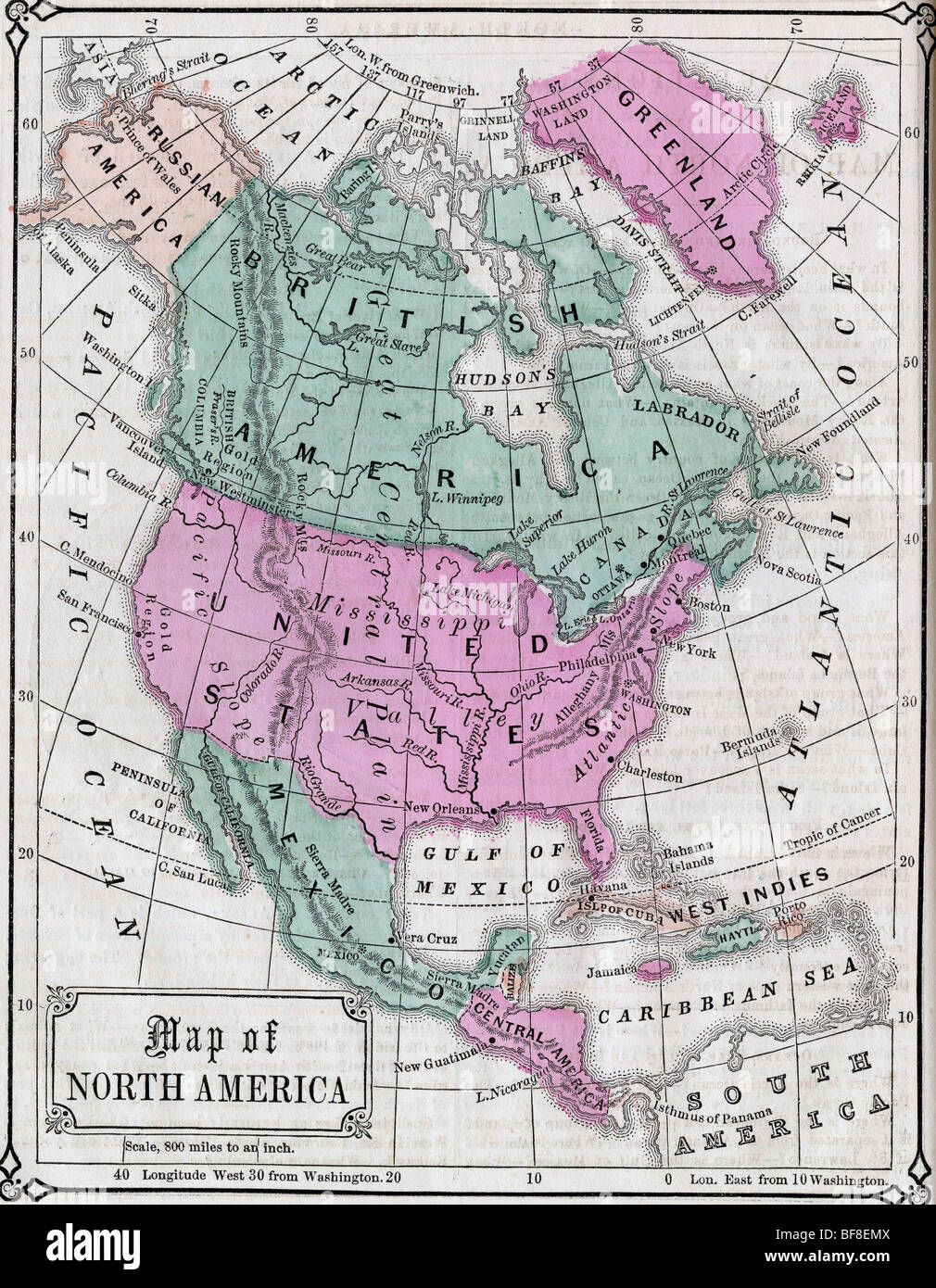 Original old map of Canada and Northern United States from 1865 geography textbook Stock Photohttps://www.alamy.com/image-license-details/?v=1https://www.alamy.com/stock-photo-original-old-map-of-canada-and-northern-united-states-from-1865-geography-26617386.html
RMBF8EMX–Original old map of Canada and Northern United States from 1865 geography textbook
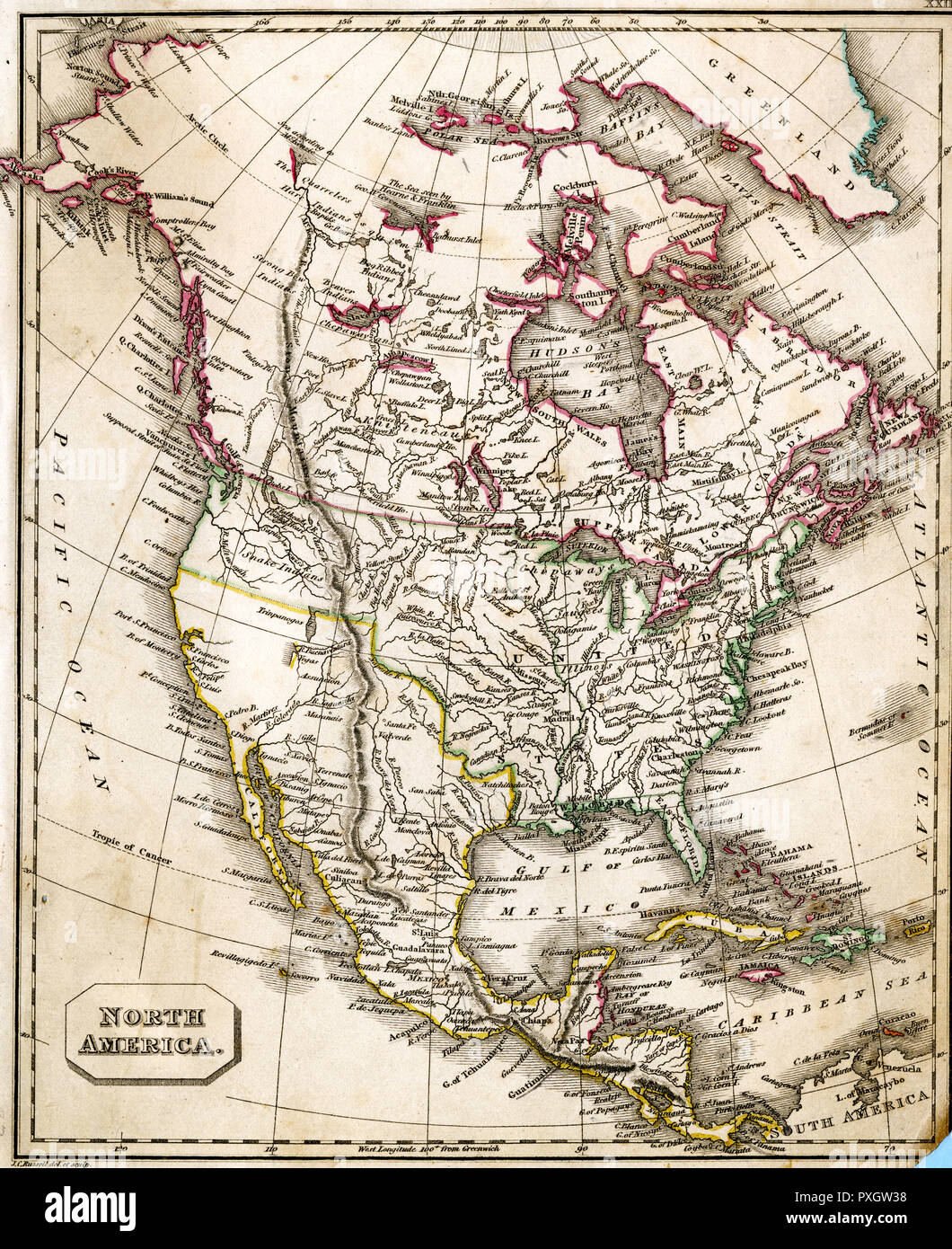 MAP/NORTH AMERICA 1827 Stock Photohttps://www.alamy.com/image-license-details/?v=1https://www.alamy.com/mapnorth-america-1827-image222876396.html
RMPXGW38–MAP/NORTH AMERICA 1827
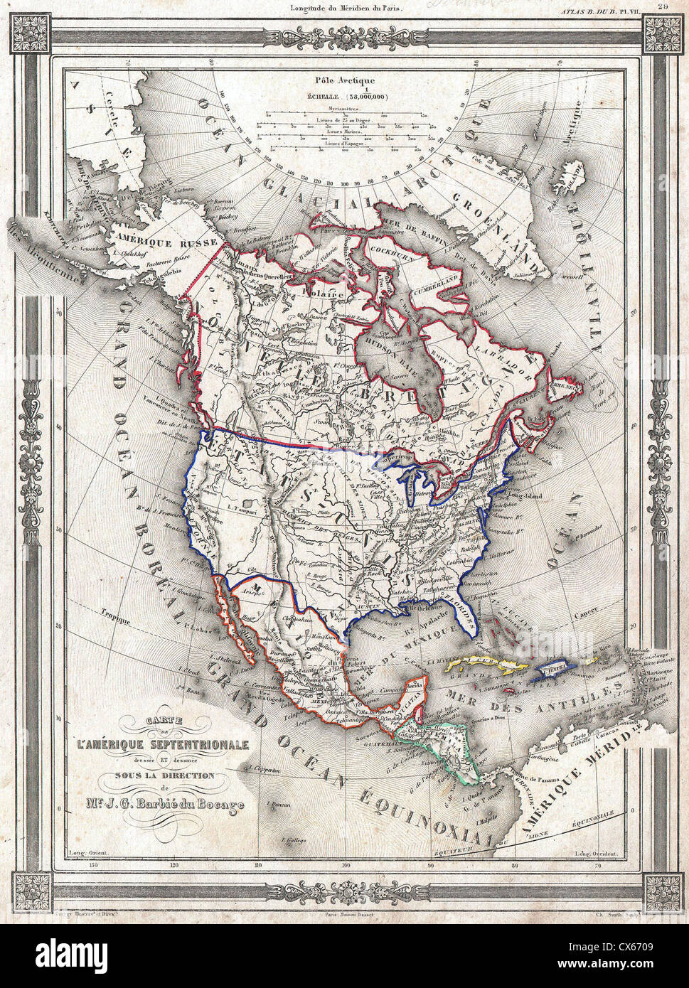 1852 Bocage Map of North America - Stock Photohttps://www.alamy.com/image-license-details/?v=1https://www.alamy.com/stock-photo-1852-bocage-map-of-north-america-50539001.html
RMCX6709–1852 Bocage Map of North America -
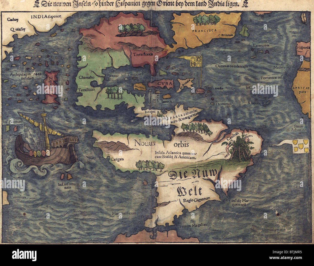 1550 Swiss map of newly discovered Western Hemisphere. The Caribbean Sea is disproportionately large, most of North America is still unknown, and California is represented as an island. Stock Photohttps://www.alamy.com/image-license-details/?v=1https://www.alamy.com/stock-photo-1550-swiss-map-of-newly-discovered-western-hemisphere-the-caribbean-32373577.html
RMBTJMR5–1550 Swiss map of newly discovered Western Hemisphere. The Caribbean Sea is disproportionately large, most of North America is still unknown, and California is represented as an island.
 NORTH AMERICA: Vegetation, 1900 antique map Stock Photohttps://www.alamy.com/image-license-details/?v=1https://www.alamy.com/stock-photo-north-america-vegetation-1900-antique-map-94687372.html
RFFE1AKT–NORTH AMERICA: Vegetation, 1900 antique map
 Globe showing North and South America Stock Photohttps://www.alamy.com/image-license-details/?v=1https://www.alamy.com/globe-showing-north-and-south-america-image17987.html
RMA04643–Globe showing North and South America
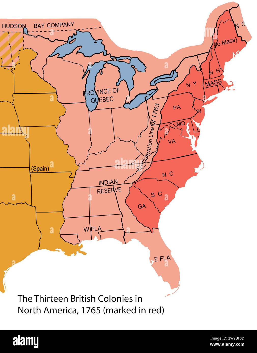 Thirteen Colonies. Map of the 13 British colonies in North America, 1765 (marked in red) with modern borders overlaid Stock Photohttps://www.alamy.com/image-license-details/?v=1https://www.alamy.com/thirteen-colonies-map-of-the-13-british-colonies-in-north-america-1765-marked-in-red-with-modern-borders-overlaid-image590937661.html
RM2W9BF0D–Thirteen Colonies. Map of the 13 British colonies in North America, 1765 (marked in red) with modern borders overlaid
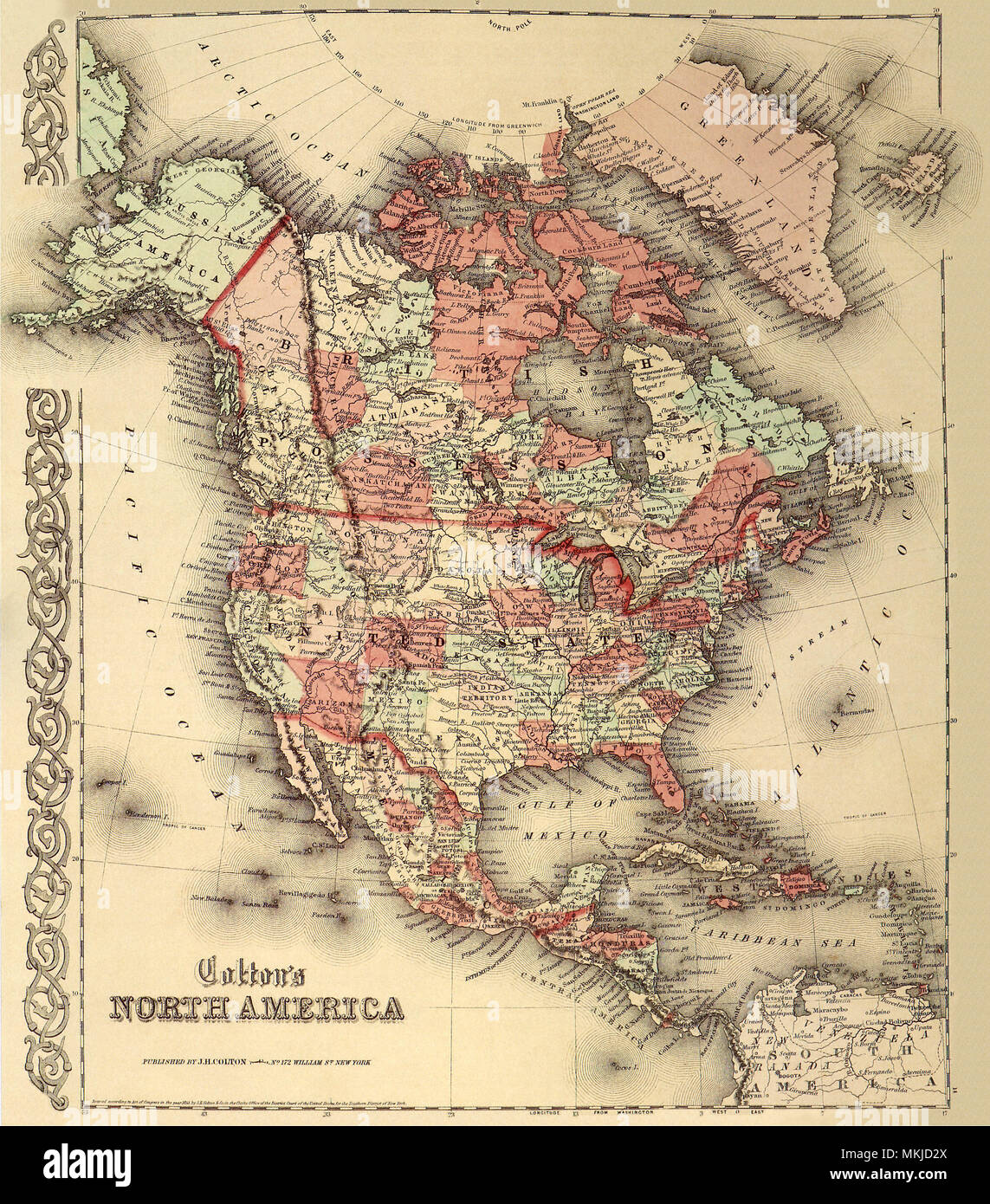 North America 1865 Stock Photohttps://www.alamy.com/image-license-details/?v=1https://www.alamy.com/north-america-1865-image184187554.html
RMMKJD2X–North America 1865
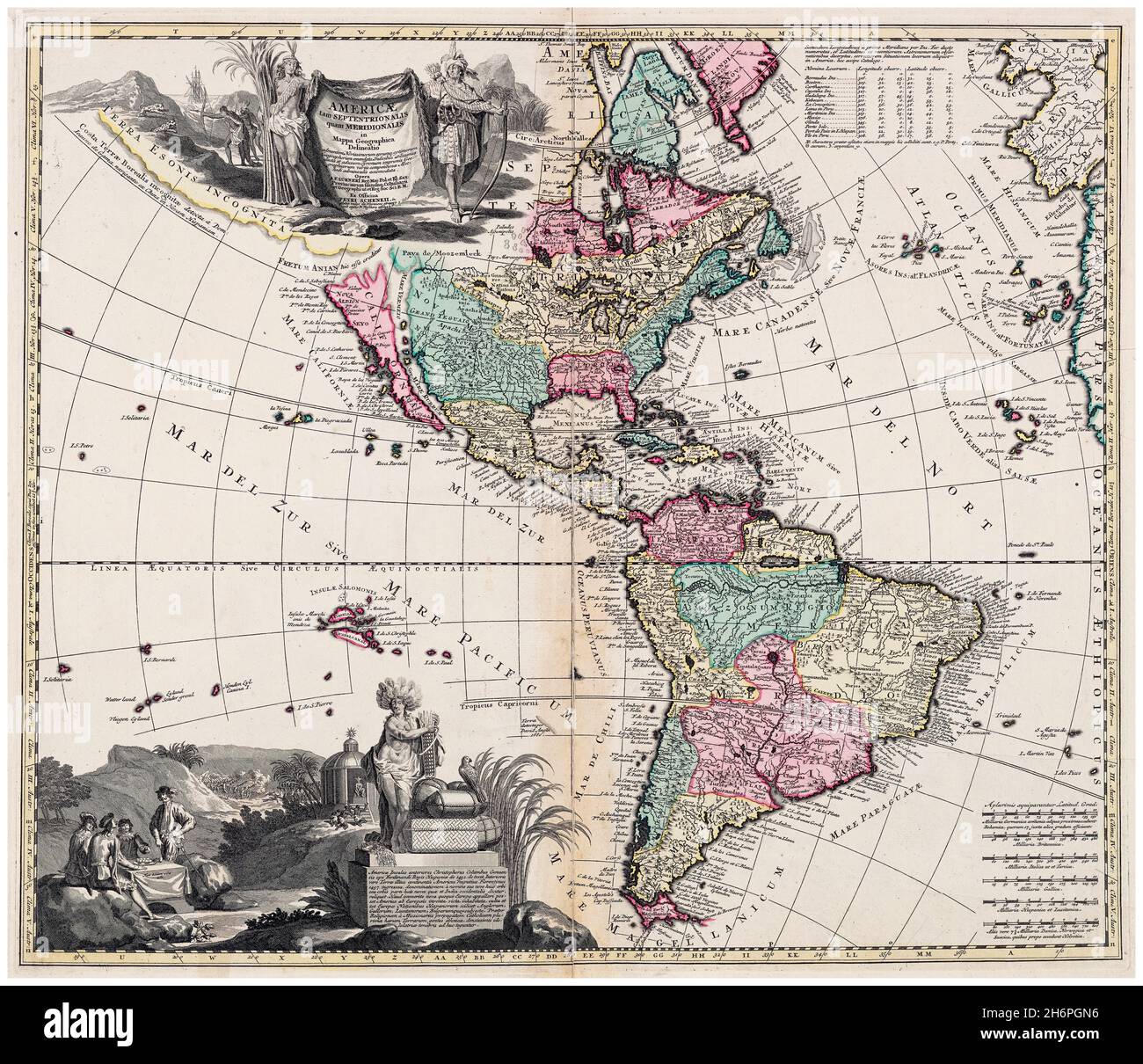 18th Century, Dutch vintage Map of North and South America (The Americas), cartography by Adam Friedrich Zuerner, 1700-1749 Stock Photohttps://www.alamy.com/image-license-details/?v=1https://www.alamy.com/18th-century-dutch-vintage-map-of-north-and-south-america-the-americas-cartography-by-adam-friedrich-zuerner-1700-1749-image451653586.html
RM2H6PGN6–18th Century, Dutch vintage Map of North and South America (The Americas), cartography by Adam Friedrich Zuerner, 1700-1749
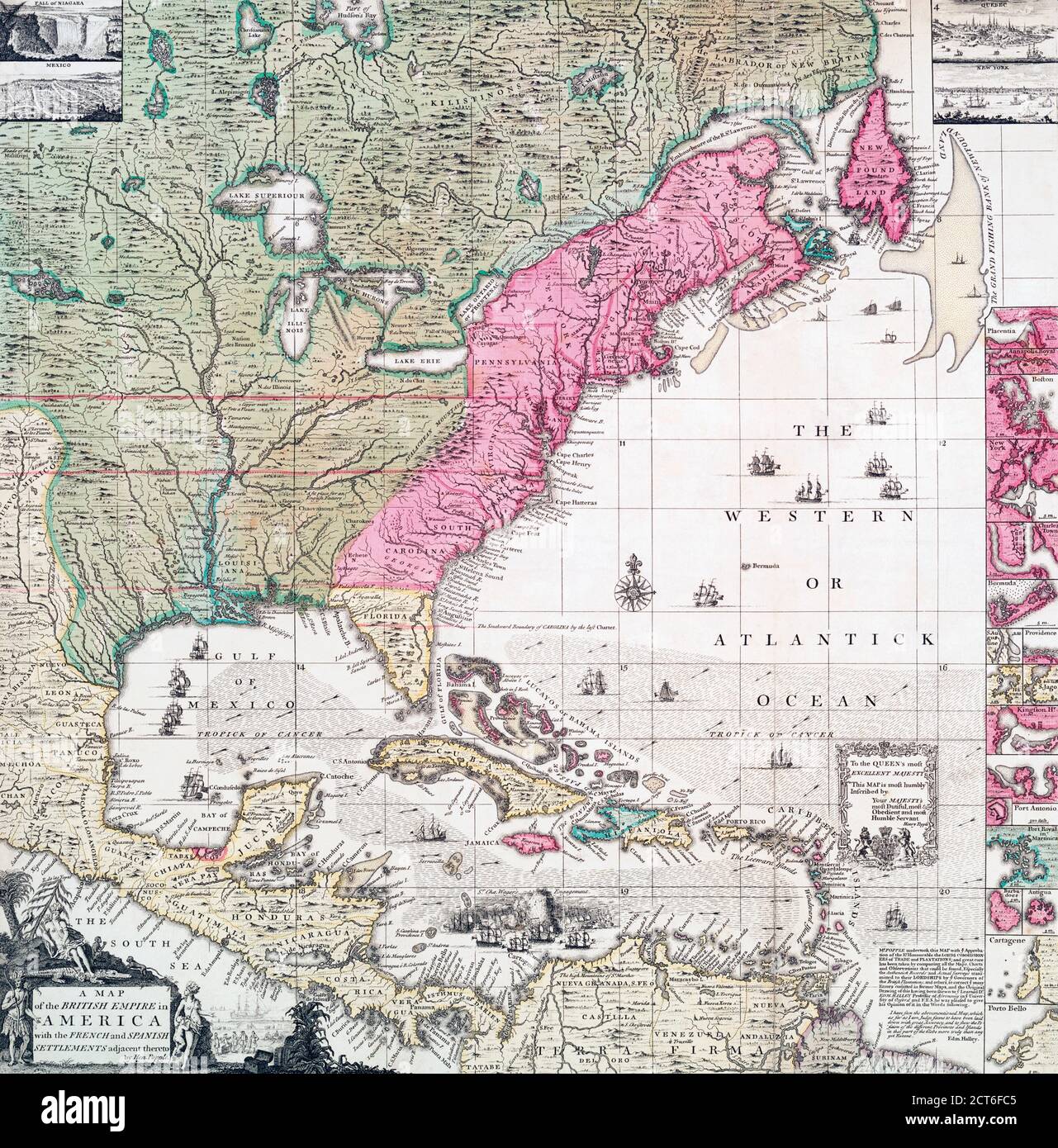 An early 18th century map of the British Empire in North America also showing French, Spanish and Dutch settlements. After a work by British cartographer Henry Popple, ? - died 1743. Stock Photohttps://www.alamy.com/image-license-details/?v=1https://www.alamy.com/an-early-18th-century-map-of-the-british-empire-in-north-america-also-showing-french-spanish-and-dutch-settlements-after-a-work-by-british-cartographer-henry-popple-died-1743-image376313285.html
RM2CT6FC5–An early 18th century map of the British Empire in North America also showing French, Spanish and Dutch settlements. After a work by British cartographer Henry Popple, ? - died 1743.
 Earth Globe Showing North America Stock Photohttps://www.alamy.com/image-license-details/?v=1https://www.alamy.com/earth-globe-showing-north-america-image273158859.html
RFWTBCWF–Earth Globe Showing North America
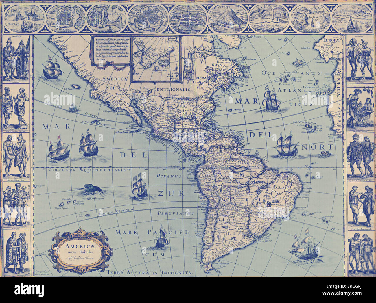 Map of North and South America - published in W.J Blaeu and J. Blaeu 's 'Nieuwe Atlas', 1642-3. (Full title: 'Tooneel des Stock Photohttps://www.alamy.com/image-license-details/?v=1https://www.alamy.com/stock-photo-map-of-north-and-south-america-published-in-wj-blaeu-and-j-blaeu-s-83342970.html
RMERGGPJ–Map of North and South America - published in W.J Blaeu and J. Blaeu 's 'Nieuwe Atlas', 1642-3. (Full title: 'Tooneel des
 Linguistic families of American Indians north of Mexico. 1907 by Powell, John Wesley, 1834-1902 Stock Photohttps://www.alamy.com/image-license-details/?v=1https://www.alamy.com/linguistic-families-of-american-indians-north-of-mexico-1907-by-powell-john-wesley-1834-1902-image633059738.html
RM2YNXA4A–Linguistic families of American Indians north of Mexico. 1907 by Powell, John Wesley, 1834-1902
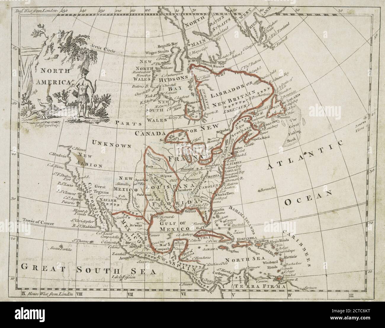 North America, still image, Maps, 1766, Jefferys, Thomas (d. 1771 Stock Photohttps://www.alamy.com/image-license-details/?v=1https://www.alamy.com/north-america-still-image-maps-1766-jefferys-thomas-d-1771-image376438156.html
RM2CTC6KT–North America, still image, Maps, 1766, Jefferys, Thomas (d. 1771
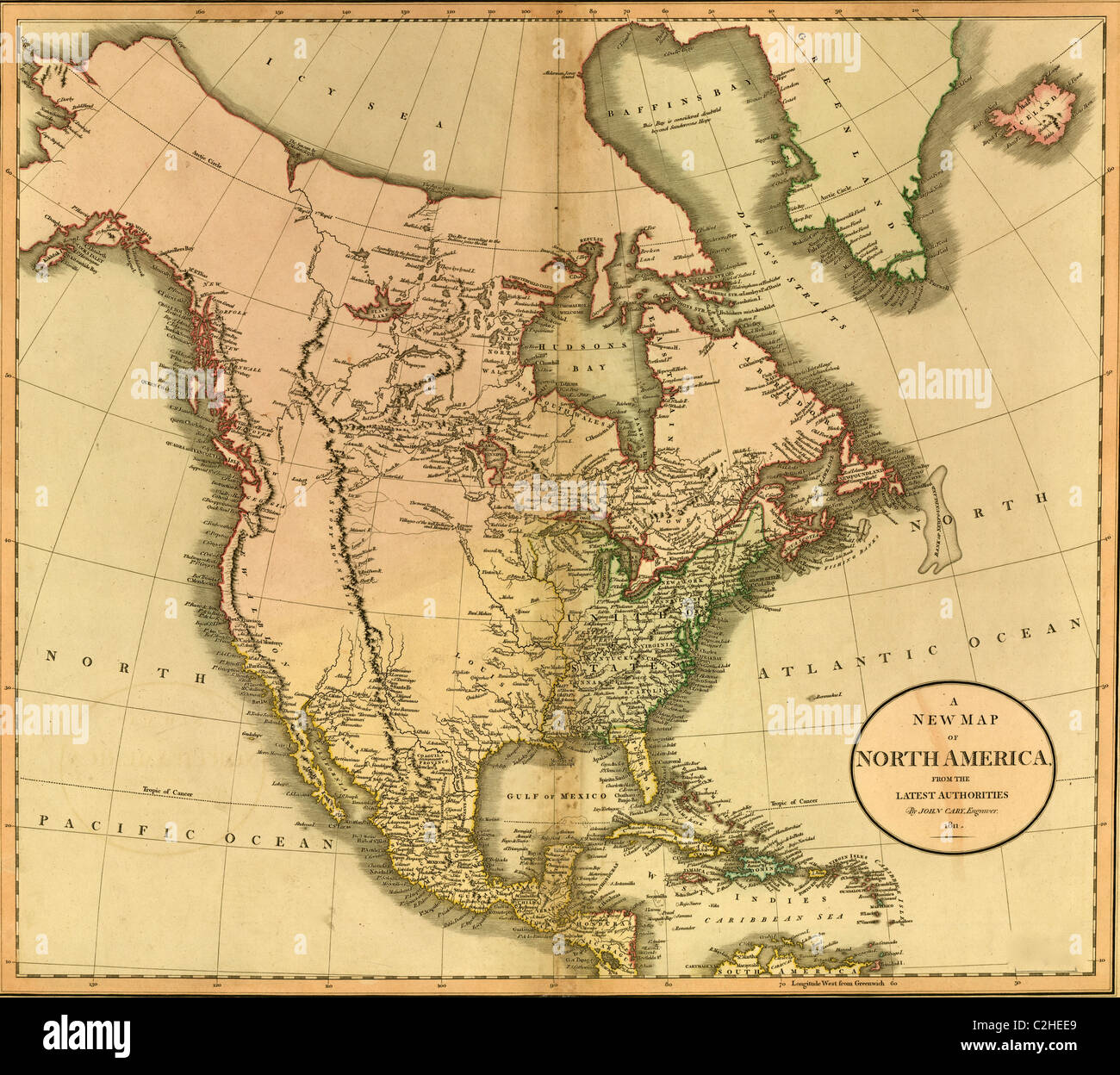 North America -1811 Stock Photohttps://www.alamy.com/image-license-details/?v=1https://www.alamy.com/stock-photo-north-america-1811-36034609.html
RMC2HEE9–North America -1811
 North America , North America, Maps Norman B. Leventhal Map Center Collection Stock Photohttps://www.alamy.com/image-license-details/?v=1https://www.alamy.com/north-america-north-america-maps-norman-b-leventhal-map-center-collection-image501349068.html
RM2M3JBRT–North America , North America, Maps Norman B. Leventhal Map Center Collection
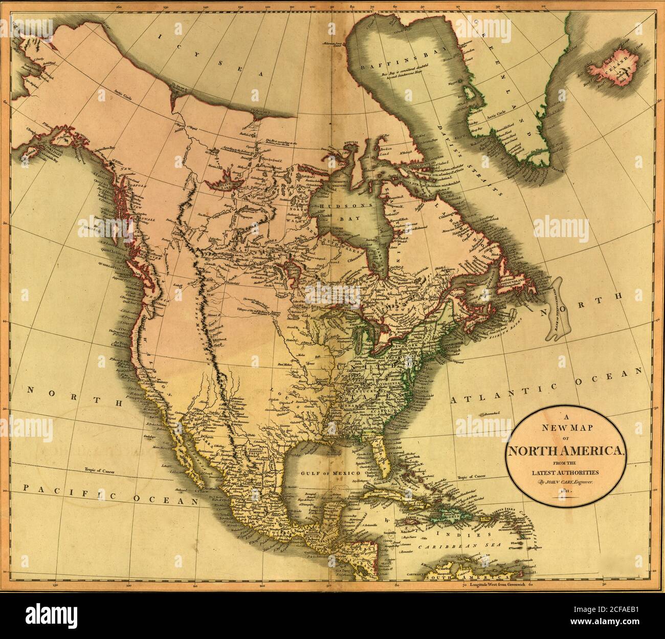 North America -1811 Stock Photohttps://www.alamy.com/image-license-details/?v=1https://www.alamy.com/north-america-1811-image370868373.html
RM2CFAEB1–North America -1811
 1932 aerial map of Greater Los Angeles, the wonder city of America. Stock Photohttps://www.alamy.com/image-license-details/?v=1https://www.alamy.com/stock-photo-1932-aerial-map-of-greater-los-angeles-the-wonder-city-of-america-50010789.html
RMCWA57H–1932 aerial map of Greater Los Angeles, the wonder city of America.
 . English: A beautiful 1866 example of Johnson's map of the Central America and Jamaica. Covers from the Yucatan southeast as far as Panama and north as far as Jamaica. Like most of Johnson's North America maps, this map is largely derived from an earlier wall map of North America produced by Colton and D. Griffing Johnson. Features several insets, including the Isthmus of Panama, the Harbor of San Juan de Nicaragua, the Nicaragua Route, Aspinwall City, and the City of Panama. Throughout the map, Johnson identifies various cities, towns, forts, rivers, rapids, fords, and an assortment of addi Stock Photohttps://www.alamy.com/image-license-details/?v=1https://www.alamy.com/english-a-beautiful-1866-example-of-johnsons-map-of-the-central-america-and-jamaica-covers-from-the-yucatan-southeast-as-far-as-panama-and-north-as-far-as-jamaica-like-most-of-johnsons-north-america-maps-this-map-is-largely-derived-from-an-earlier-wall-map-of-north-america-produced-by-colton-and-d-griffing-johnson-features-several-insets-including-the-isthmus-of-panama-the-harbor-of-san-juan-de-nicaragua-the-nicaragua-route-aspinwall-city-and-the-city-of-panama-throughout-the-map-johnson-identifies-various-cities-towns-forts-rivers-rapids-fords-and-an-assortment-of-addi-image184967748.html
RMMMX070–. English: A beautiful 1866 example of Johnson's map of the Central America and Jamaica. Covers from the Yucatan southeast as far as Panama and north as far as Jamaica. Like most of Johnson's North America maps, this map is largely derived from an earlier wall map of North America produced by Colton and D. Griffing Johnson. Features several insets, including the Isthmus of Panama, the Harbor of San Juan de Nicaragua, the Nicaragua Route, Aspinwall City, and the City of Panama. Throughout the map, Johnson identifies various cities, towns, forts, rivers, rapids, fords, and an assortment of addi
RF2J8RMKN–GENERAL MAP SHOWING THE COURSES OF EARLY EXPLORERS IN THE NEIGHBOURHOOD OF MANHATTAN ISLAND 1498-1619 from The iconography of Manhattan Island, 1498-1909 compiled from original sources and illustrated by photo-intaglio reproductions of important maps, plans, views, and documents in public and private collections - Volume 2 by Stokes, I. N. Phelps (Isaac Newton Phelps), 1867-1944 Publisher New York : Robert H. Dodd 1915. Including Cartography: an essay on the development of knowledge regarding the geography of the east coast of North America; Manhattan Island and its environs on early maps an
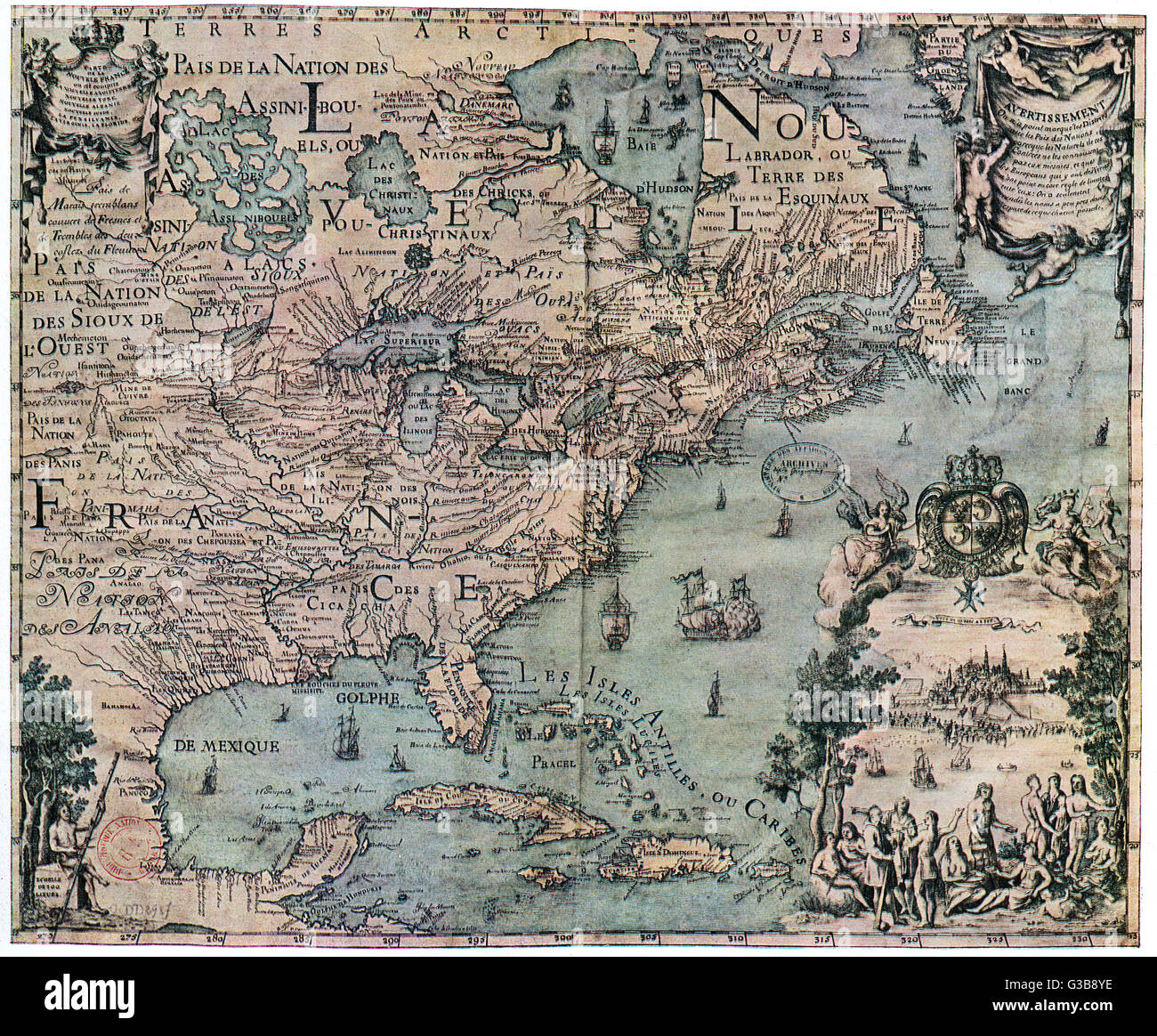 Map - North America - 1702 Stock Photohttps://www.alamy.com/image-license-details/?v=1https://www.alamy.com/stock-photo-map-north-america-1702-105354690.html
RMG3B8YE–Map - North America - 1702
 1850 Tallis Map of North America ( Texas at fullest Stock Photohttps://www.alamy.com/image-license-details/?v=1https://www.alamy.com/stock-photo-1850-tallis-map-of-north-america-texas-at-fullest-49967863.html
RMCW86EF–1850 Tallis Map of North America ( Texas at fullest
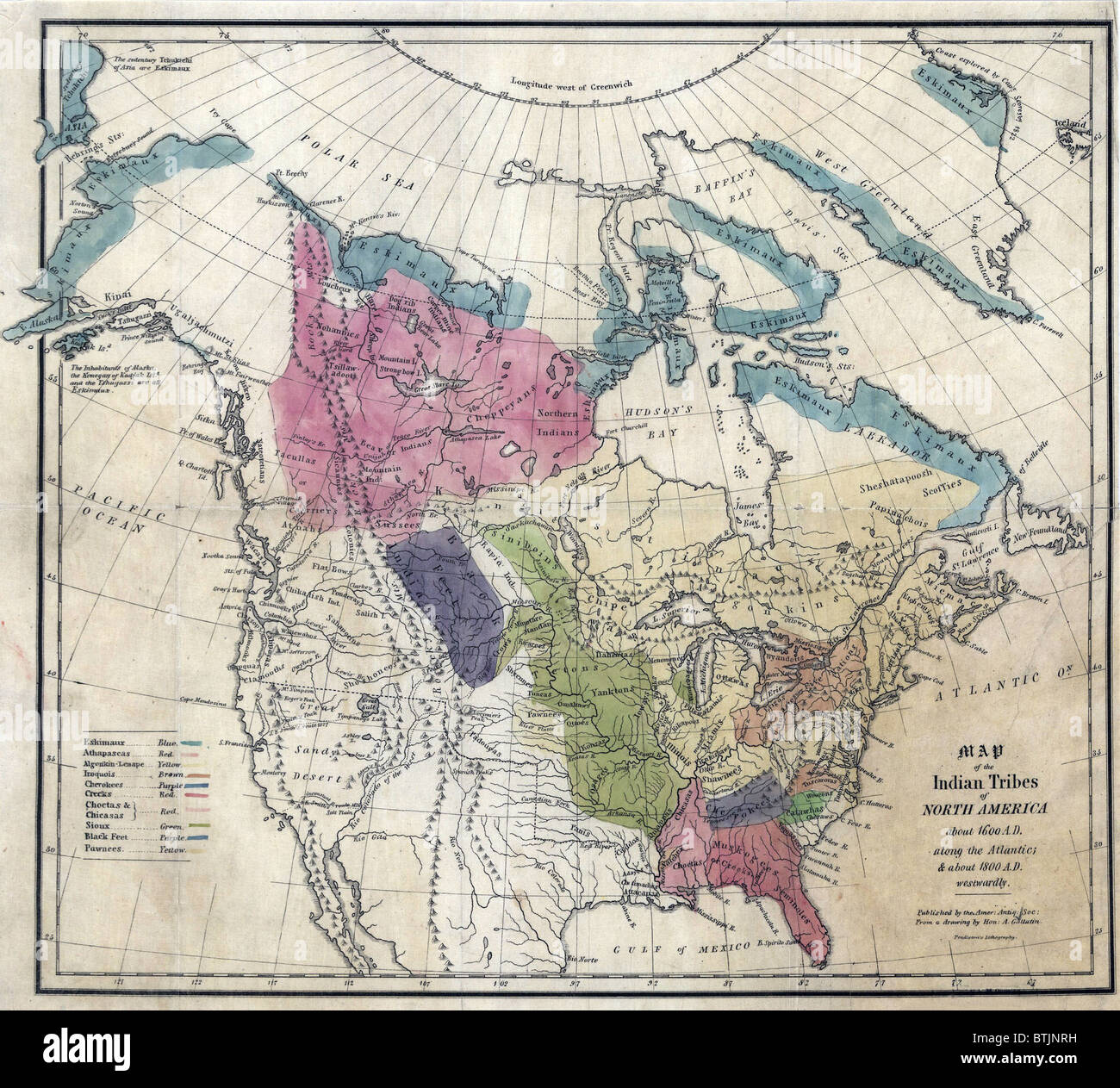 1836 Map of the Indian tribes of North America, about 1600 A.D. along the Atlantic, and about 1800 A.D. in the western areas. Stock Photohttps://www.alamy.com/image-license-details/?v=1https://www.alamy.com/stock-photo-1836-map-of-the-indian-tribes-of-north-america-about-1600-ad-along-32374373.html
RMBTJNRH–1836 Map of the Indian tribes of North America, about 1600 A.D. along the Atlantic, and about 1800 A.D. in the western areas.
 North America from the best authorities by Richard Brookes 1812 old map Stock Photohttps://www.alamy.com/image-license-details/?v=1https://www.alamy.com/north-america-from-the-best-authorities-by-richard-brookes-1812-old-map-image401430638.html
RF2E92MTE–North America from the best authorities by Richard Brookes 1812 old map
 Globe crystal globe showing North America Stock Photohttps://www.alamy.com/image-license-details/?v=1https://www.alamy.com/globe-crystal-globe-showing-north-america-image17959.html
RMA04627–Globe crystal globe showing North America
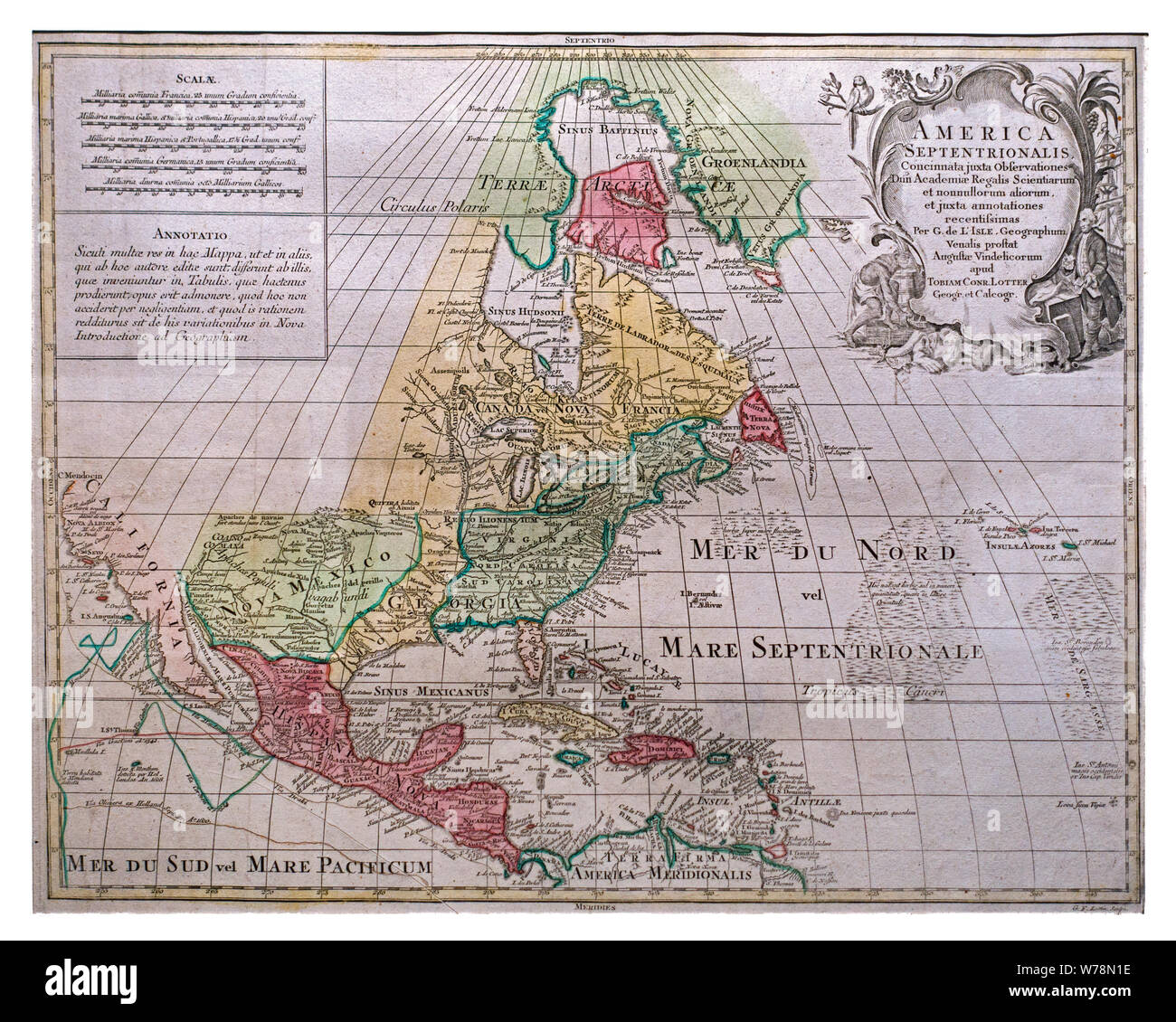 18th century Lotter's map America Septentrionalis of North America by Guillaume De L'Isle / Guillaume Delisle showing California as an island Stock Photohttps://www.alamy.com/image-license-details/?v=1https://www.alamy.com/18th-century-lotters-map-america-septentrionalis-of-north-america-by-guillaume-de-lisle-guillaume-delisle-showing-california-as-an-island-image262650234.html
RMW78N1E–18th century Lotter's map America Septentrionalis of North America by Guillaume De L'Isle / Guillaume Delisle showing California as an island
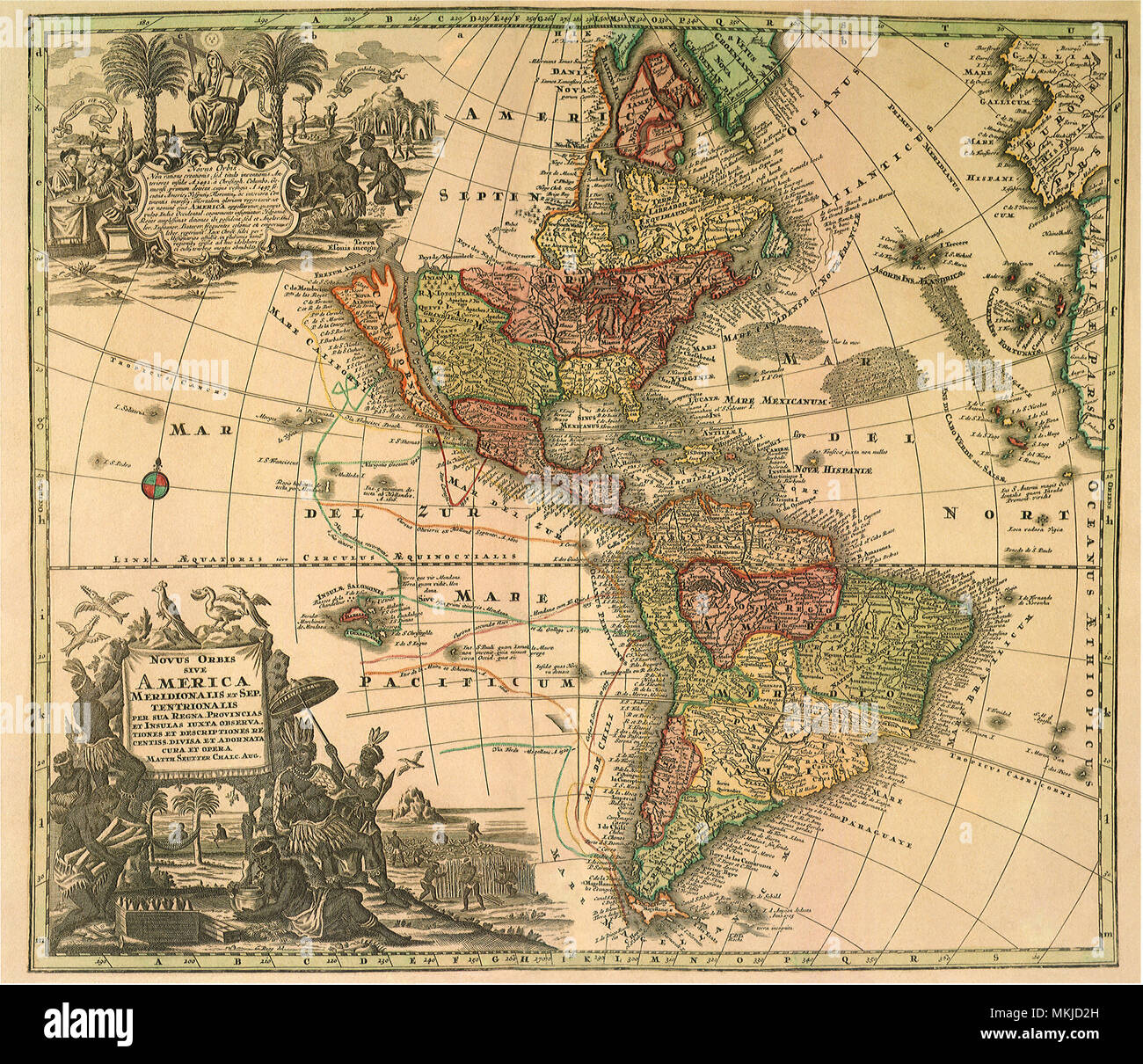 North and South America 1726 Stock Photohttps://www.alamy.com/image-license-details/?v=1https://www.alamy.com/north-and-south-america-1726-image184187545.html
RMMKJD2H–North and South America 1726
 Continent of North America as a green jigsaw puzzle Stock Photohttps://www.alamy.com/image-license-details/?v=1https://www.alamy.com/continent-of-north-america-as-a-green-jigsaw-puzzle-image272595889.html
RFWRDPRD–Continent of North America as a green jigsaw puzzle
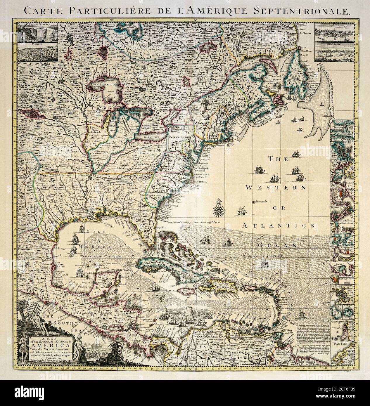 A mid-18th century map of the British Empire in North America also showing French, Spanish and Dutch settlements. After a work by British cartographer Henry Popple, ? - died 1743. This is a later edition of Popple’s map, published by Covens and Mortier in Amsterdam, circa 1750. Stock Photohttps://www.alamy.com/image-license-details/?v=1https://www.alamy.com/a-mid-18th-century-map-of-the-british-empire-in-north-america-also-showing-french-spanish-and-dutch-settlements-after-a-work-by-british-cartographer-henry-popple-died-1743-this-is-a-later-edition-of-popples-map-published-by-covens-and-mortier-in-amsterdam-circa-1750-image376313261.html
RM2CT6FB9–A mid-18th century map of the British Empire in North America also showing French, Spanish and Dutch settlements. After a work by British cartographer Henry Popple, ? - died 1743. This is a later edition of Popple’s map, published by Covens and Mortier in Amsterdam, circa 1750.
 Maps and globes Stock Photohttps://www.alamy.com/image-license-details/?v=1https://www.alamy.com/stock-photo-maps-and-globes-77404004.html
RMEDX1GM–Maps and globes
 Toy helicopter on map of North America Stock Photohttps://www.alamy.com/image-license-details/?v=1https://www.alamy.com/stock-photo-toy-helicopter-on-map-of-north-america-13812143.html
RMAF2P6T–Toy helicopter on map of North America
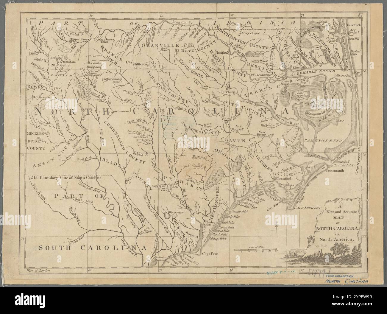 A new and accurate map of North Carolina in North America 1779 Stock Photohttps://www.alamy.com/image-license-details/?v=1https://www.alamy.com/a-new-and-accurate-map-of-north-carolina-in-north-america-1779-image633422883.html
RM2YPEW9R–A new and accurate map of North Carolina in North America 1779
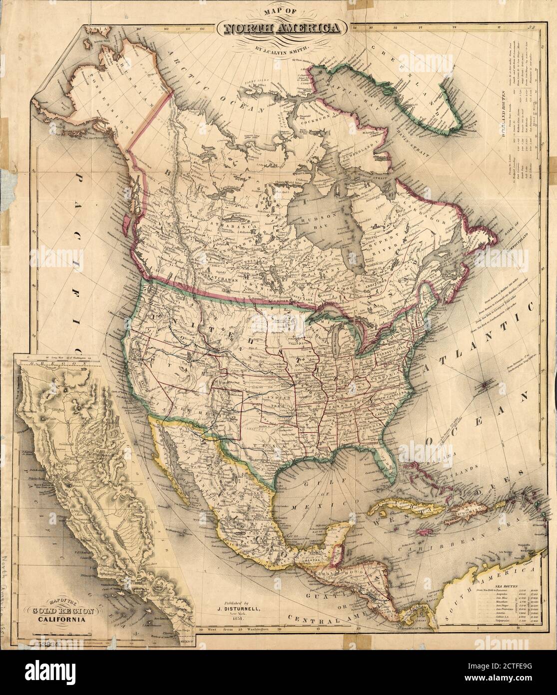 Map of North America, cartographic, Maps, 1851, Smith, J. Calvin (John Calvin Stock Photohttps://www.alamy.com/image-license-details/?v=1https://www.alamy.com/map-of-north-america-cartographic-maps-1851-smith-j-calvin-john-calvin-image376509996.html
RM2CTFE9G–Map of North America, cartographic, Maps, 1851, Smith, J. Calvin (John Calvin
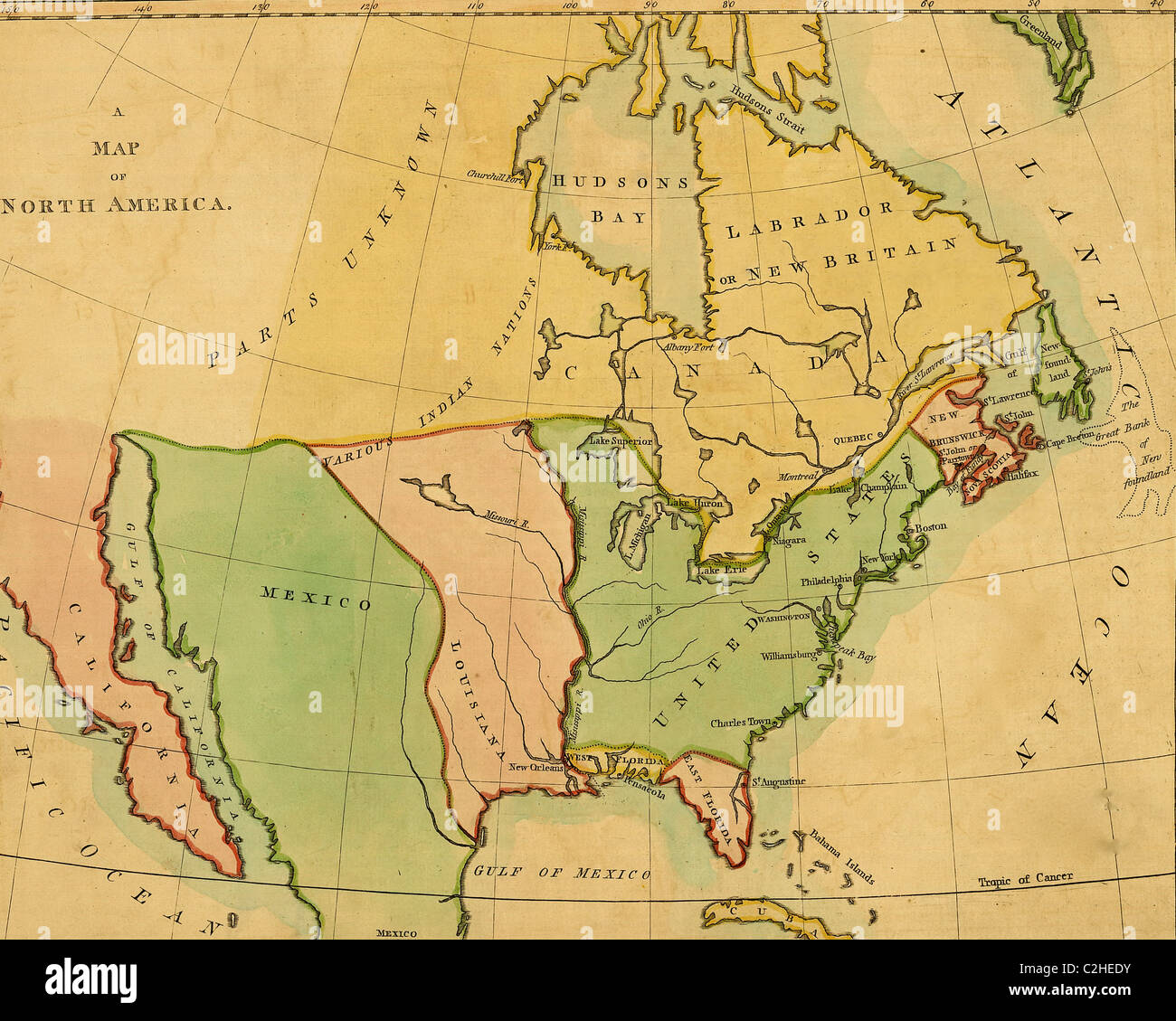 North America - 1803 Stock Photohttps://www.alamy.com/image-license-details/?v=1https://www.alamy.com/stock-photo-north-america-1803-36034599.html
RMC2HEDY–North America - 1803
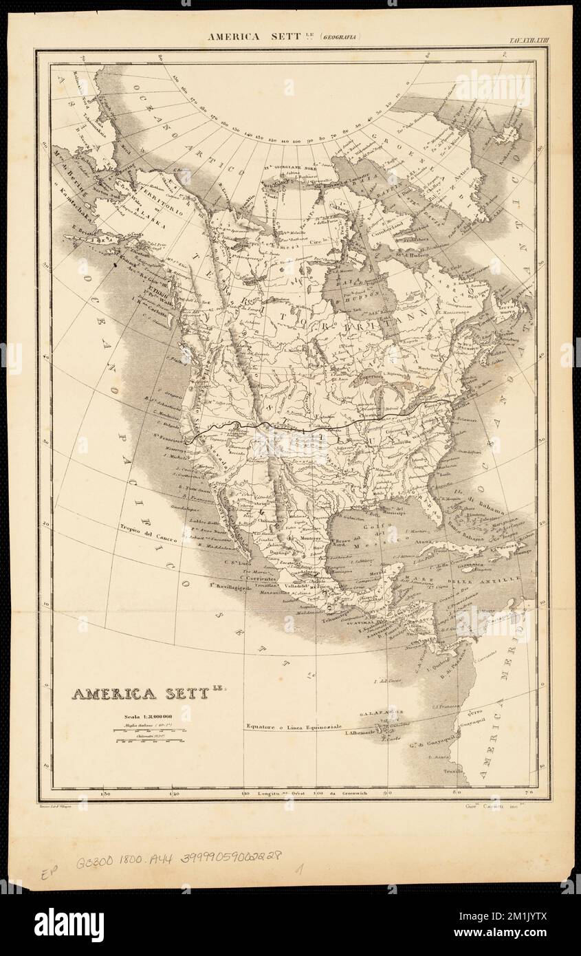 America settle , North America, Maps Norman B. Leventhal Map Center Collection Stock Photohttps://www.alamy.com/image-license-details/?v=1https://www.alamy.com/america-settle-north-america-maps-norman-b-leventhal-map-center-collection-image500132330.html
RM2M1JYTX–America settle , North America, Maps Norman B. Leventhal Map Center Collection
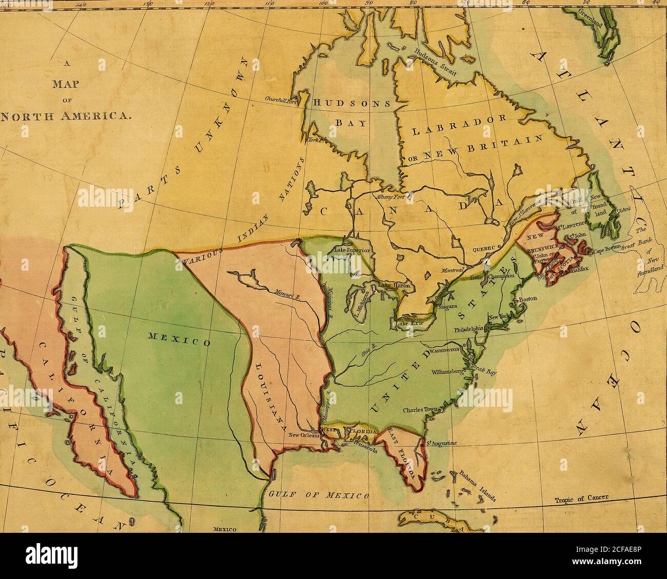 North America - 1803 Stock Photohttps://www.alamy.com/image-license-details/?v=1https://www.alamy.com/north-america-1803-image370868310.html
RM2CFAE8P–North America - 1803
 1915 aerial view of West Palm Beach, North Palm Beach and Lake Worth, Florida. Stock Photohttps://www.alamy.com/image-license-details/?v=1https://www.alamy.com/stock-photo-1915-aerial-view-of-west-palm-beach-north-palm-beach-and-lake-worth-50010719.html
RMCWA553–1915 aerial view of West Palm Beach, North Palm Beach and Lake Worth, Florida.
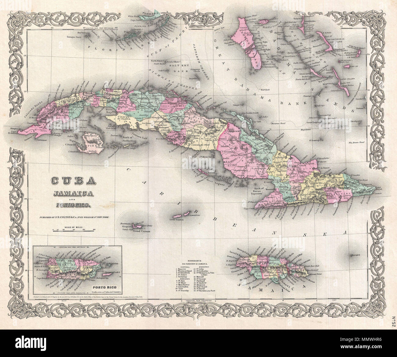 . English: A beautiful 1855 first edition example of Colton's map of Cuba, Jamaica, Porto Rico and the Bahamas. Centered on Cuba, this map extends north to include the Florida Coast and New Providence Island, extends south as far A Jamaica. Includes the Cayman Islands and a detailed inset of Porto Rico in the lower left quadrant. Like most of Colton's North America maps, this map is largely derived from an earlier wall map of North America produced by Colton and D. Griffing Johnson. Colton identifies various cities, towns, forts, rivers, rapids, fords, and an assortment of additional offshore Stock Photohttps://www.alamy.com/image-license-details/?v=1https://www.alamy.com/english-a-beautiful-1855-first-edition-example-of-coltons-map-of-cuba-jamaica-porto-rico-and-the-bahamas-centered-on-cuba-this-map-extends-north-to-include-the-florida-coast-and-new-providence-island-extends-south-as-far-a-jamaica-includes-the-cayman-islands-and-a-detailed-inset-of-porto-rico-in-the-lower-left-quadrant-like-most-of-coltons-north-america-maps-this-map-is-largely-derived-from-an-earlier-wall-map-of-north-america-produced-by-colton-and-d-griffing-johnson-colton-identifies-various-cities-towns-forts-rivers-rapids-fords-and-an-assortment-of-additional-offshore-image184959578.html
RMMMWHR6–. English: A beautiful 1855 first edition example of Colton's map of Cuba, Jamaica, Porto Rico and the Bahamas. Centered on Cuba, this map extends north to include the Florida Coast and New Providence Island, extends south as far A Jamaica. Includes the Cayman Islands and a detailed inset of Porto Rico in the lower left quadrant. Like most of Colton's North America maps, this map is largely derived from an earlier wall map of North America produced by Colton and D. Griffing Johnson. Colton identifies various cities, towns, forts, rivers, rapids, fords, and an assortment of additional offshore
RF2J8RMKM–GENERAL MAP SHOWING THE COURSES OF EARLY EXPLORERS IN THE NEIGHBOURHOOD OF MANHATTAN ISLAND 1498-1619 from The iconography of Manhattan Island, 1498-1909 compiled from original sources and illustrated by photo-intaglio reproductions of important maps, plans, views, and documents in public and private collections - Volume 2 by Stokes, I. N. Phelps (Isaac Newton Phelps), 1867-1944 Publisher New York : Robert H. Dodd 1915. Including Cartography: an essay on the development of knowledge regarding the geography of the east coast of North America; Manhattan Island and its environs on early maps an
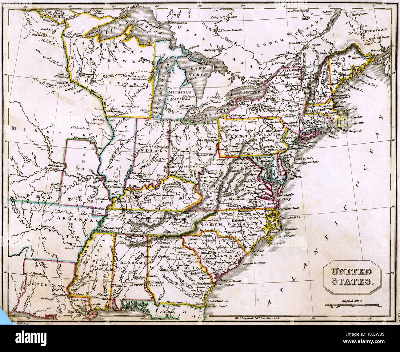 MAP/NORTH AMERICA 1827 Stock Photohttps://www.alamy.com/image-license-details/?v=1https://www.alamy.com/mapnorth-america-1827-image222876397.html
RMPXGW39–MAP/NORTH AMERICA 1827
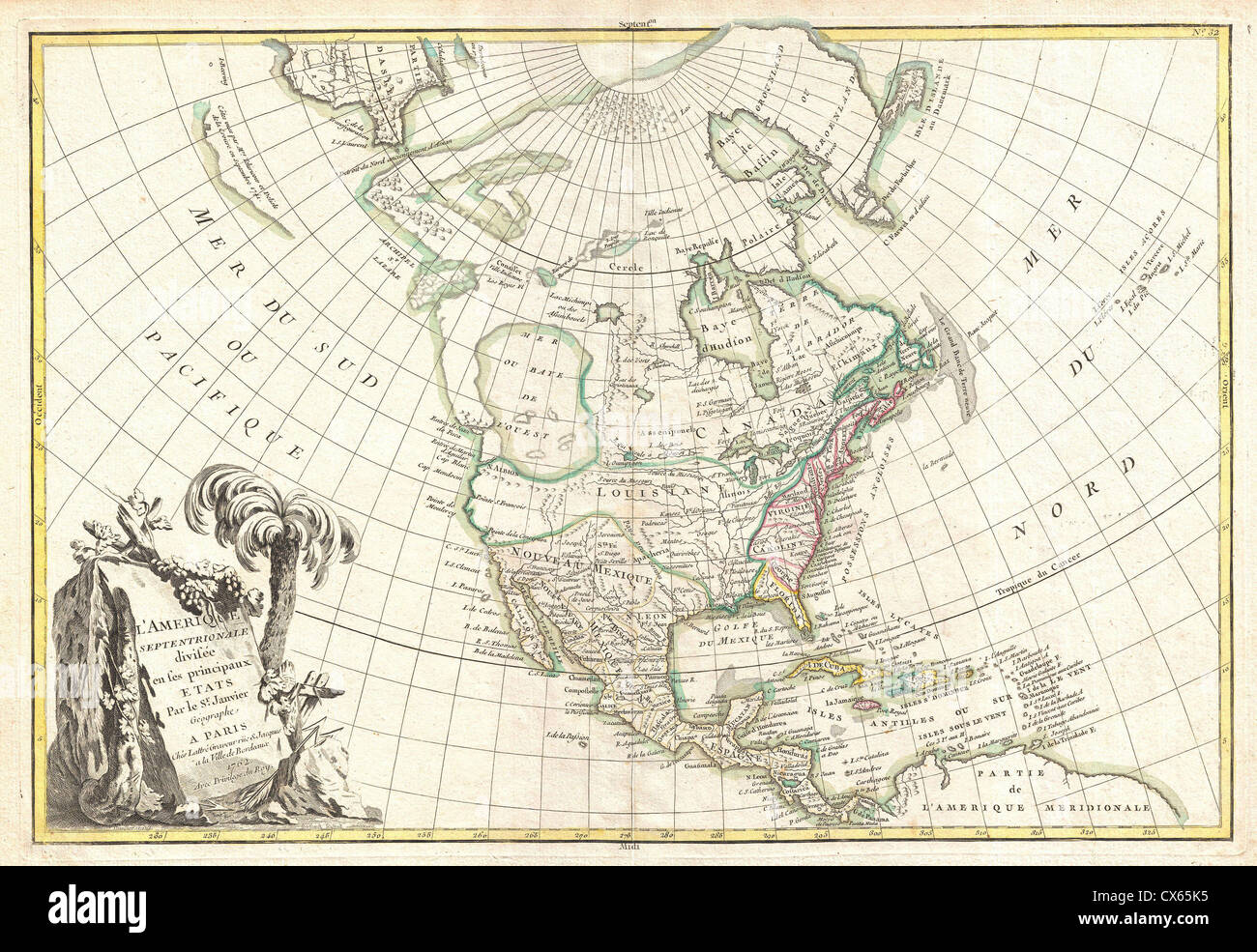 1762 Janvier Map of North America (Sea of the West) Stock Photohttps://www.alamy.com/image-license-details/?v=1https://www.alamy.com/stock-photo-1762-janvier-map-of-north-america-sea-of-the-west-50537961.html
RMCX65K5–1762 Janvier Map of North America (Sea of the West)
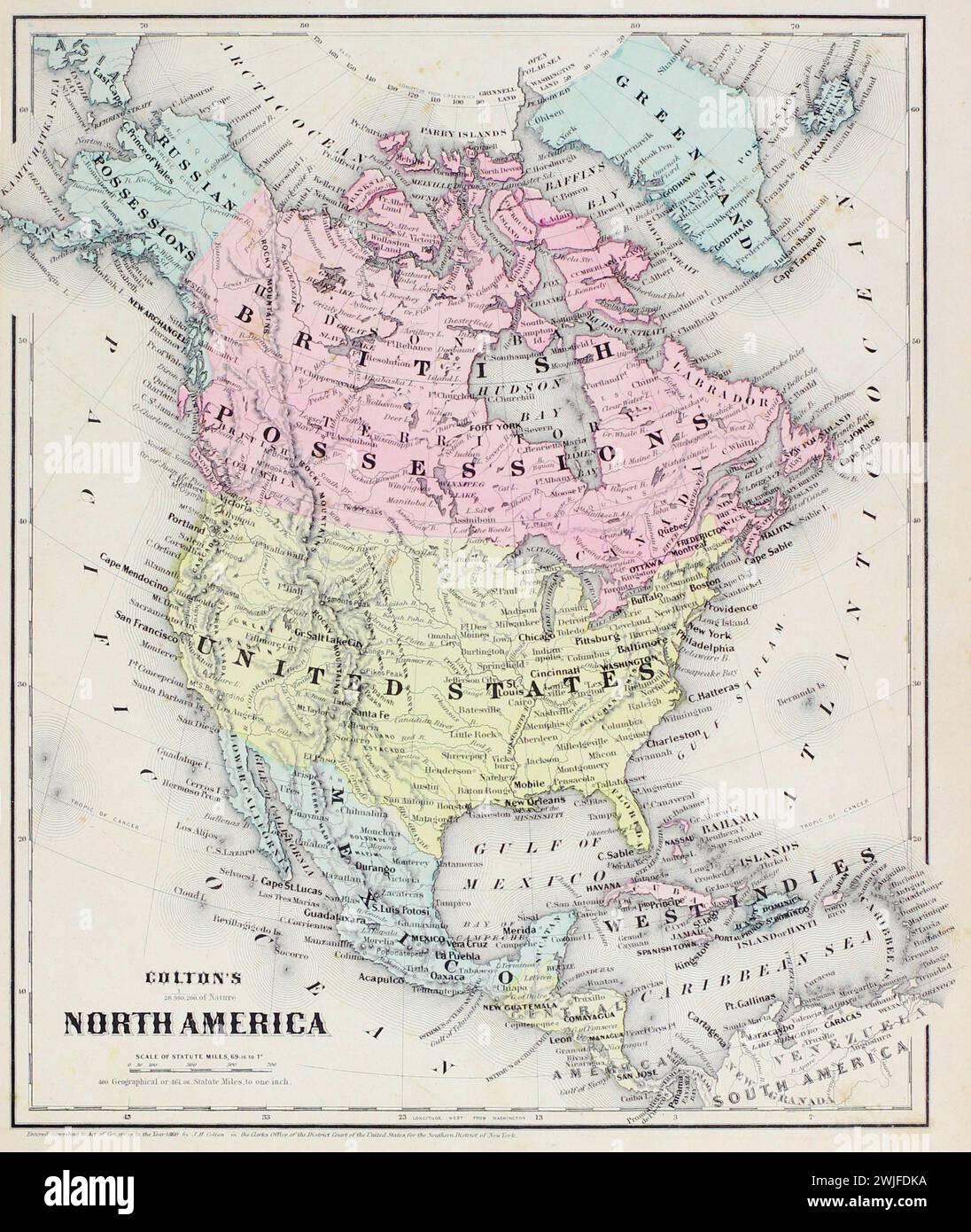 Vintage Colton Map. North America, with coloured countries including 'British Possession' and 'West Indies' labels. From J.H Colton's School Atlas. 1860 Stock Photohttps://www.alamy.com/image-license-details/?v=1https://www.alamy.com/vintage-colton-map-north-america-with-coloured-countries-including-british-possession-and-west-indies-labels-from-jh-coltons-school-atlas-1860-image596556334.html
RM2WJFDKA–Vintage Colton Map. North America, with coloured countries including 'British Possession' and 'West Indies' labels. From J.H Colton's School Atlas. 1860
 British Possessions in North America by Arrowsmith & Lewis. Canada 1812 map Stock Photohttps://www.alamy.com/image-license-details/?v=1https://www.alamy.com/british-possessions-in-north-america-by-arrowsmith-lewis-canada-1812-map-image419497674.html
RF2FADNFP–British Possessions in North America by Arrowsmith & Lewis. Canada 1812 map
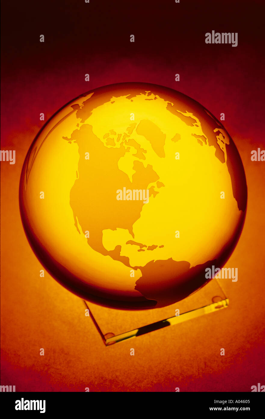 Globe crystal globe showing North America Stock Photohttps://www.alamy.com/image-license-details/?v=1https://www.alamy.com/globe-crystal-globe-showing-north-america-image17925.html
RMA04605–Globe crystal globe showing North America
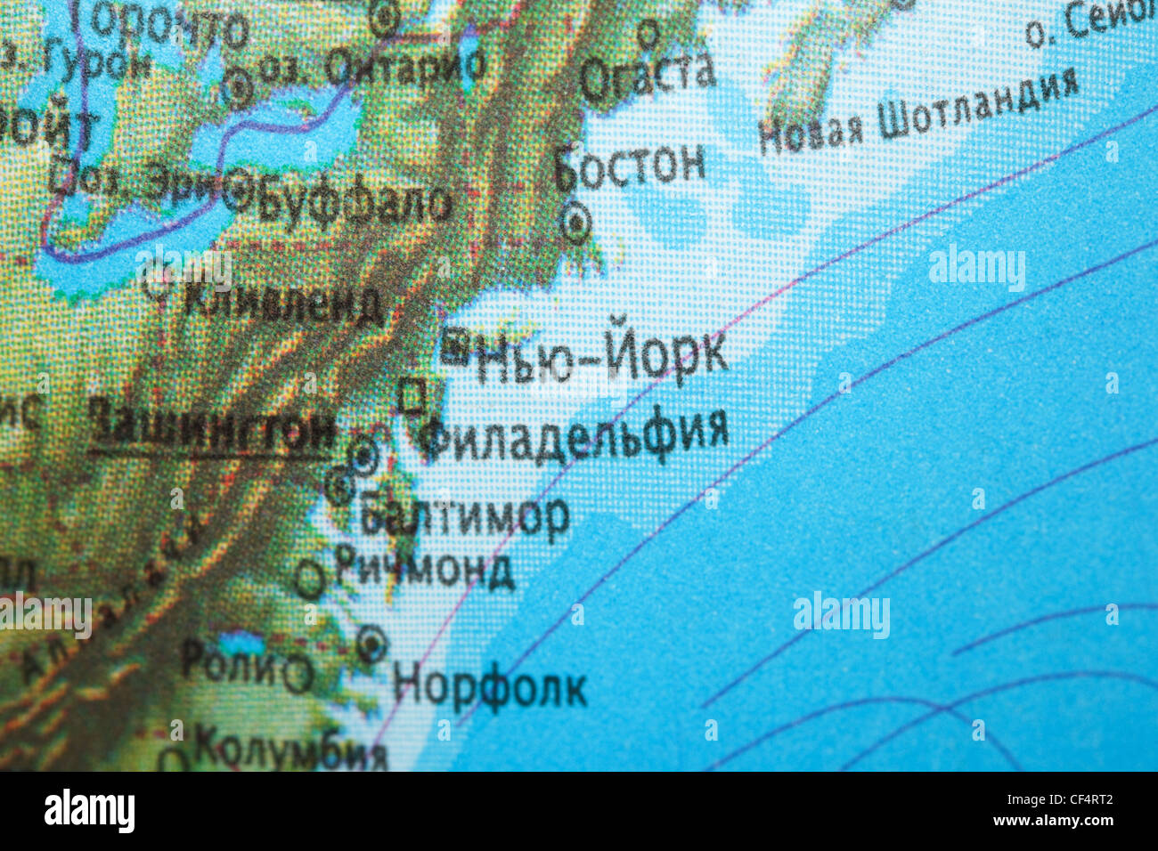 fragment maps of North America,texture of paint. streamline Stock Photohttps://www.alamy.com/image-license-details/?v=1https://www.alamy.com/stock-photo-fragment-maps-of-north-americatexture-of-paint-streamline-43747090.html
RFCF4RT2–fragment maps of North America,texture of paint. streamline
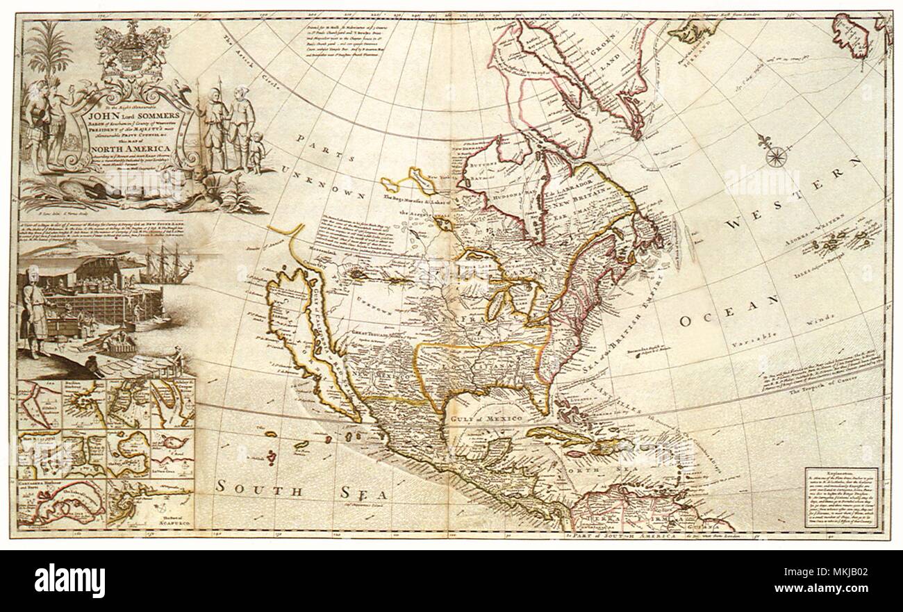 North America 1720 Stock Photohttps://www.alamy.com/image-license-details/?v=1https://www.alamy.com/north-america-1720-image184185906.html
RMMKJB02–North America 1720
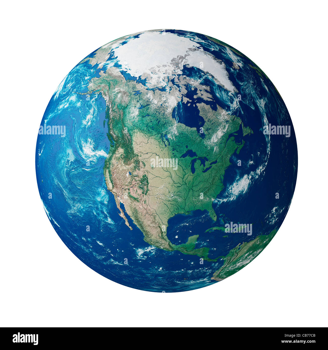 Globe showing the continent of North America on planet earth Stock Photohttps://www.alamy.com/image-license-details/?v=1https://www.alamy.com/stock-photo-globe-showing-the-continent-of-north-america-on-planet-earth-41341451.html
RFCB77CB–Globe showing the continent of North America on planet earth
 Map of the northern united states of North America circa 1760 Stock Photohttps://www.alamy.com/image-license-details/?v=1https://www.alamy.com/map-of-the-northern-united-states-of-north-america-circa-1760-image2449660.html
RMACP0FD–Map of the northern united states of North America circa 1760
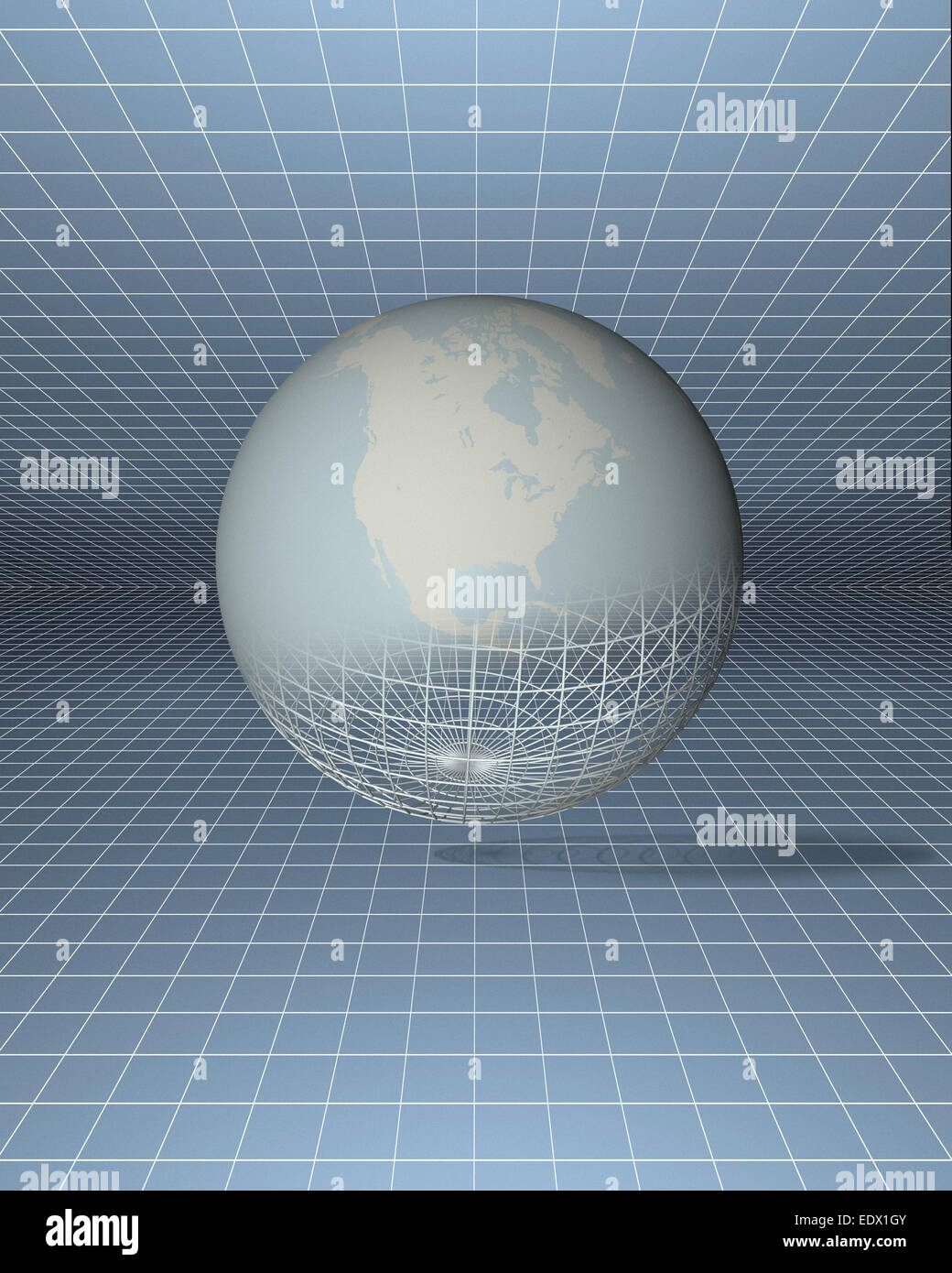 Maps and globes Stock Photohttps://www.alamy.com/image-license-details/?v=1https://www.alamy.com/stock-photo-maps-and-globes-77404011.html
RMEDX1GY–Maps and globes
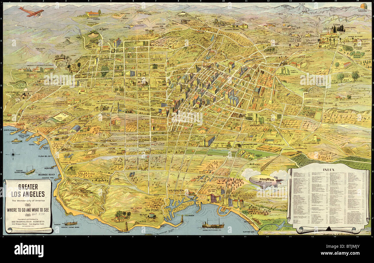 1932 aerial map of Greater Los Angeles, the wonder city of America. Stock Photohttps://www.alamy.com/image-license-details/?v=1https://www.alamy.com/stock-photo-1932-aerial-map-of-greater-los-angeles-the-wonder-city-of-america-32373459.html
RMBTJMJY–1932 aerial map of Greater Los Angeles, the wonder city of America.
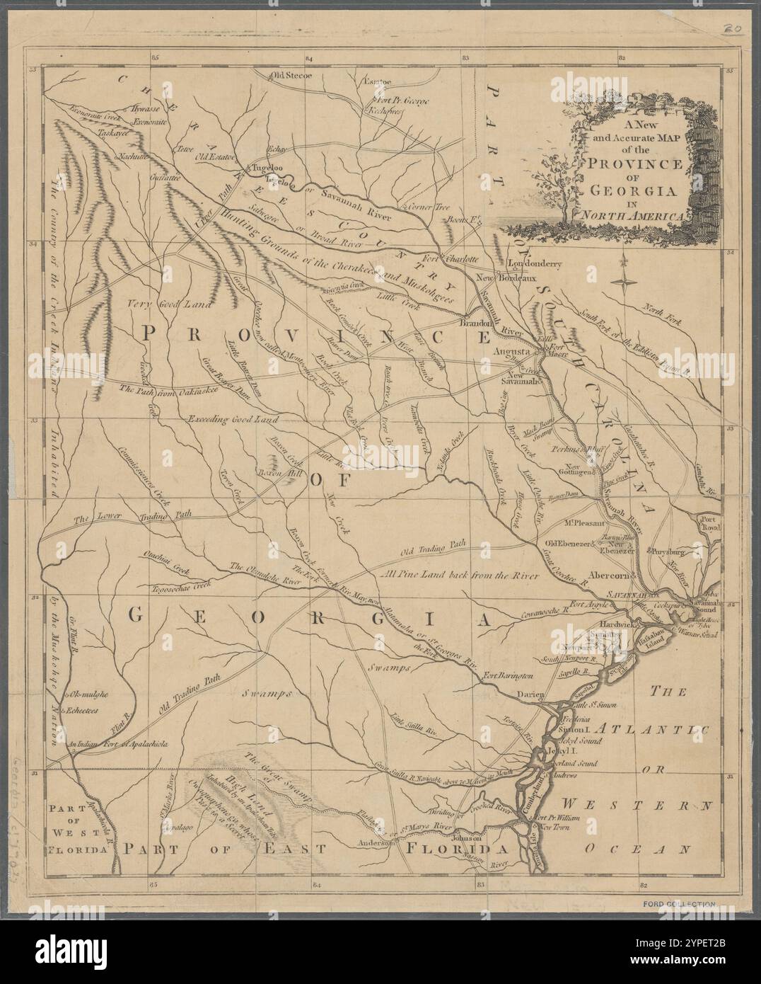 A new and accurate map of the province of Georgia in North America 1779 Stock Photohttps://www.alamy.com/image-license-details/?v=1https://www.alamy.com/a-new-and-accurate-map-of-the-province-of-georgia-in-north-america-1779-image633421891.html
RM2YPET2B–A new and accurate map of the province of Georgia in North America 1779
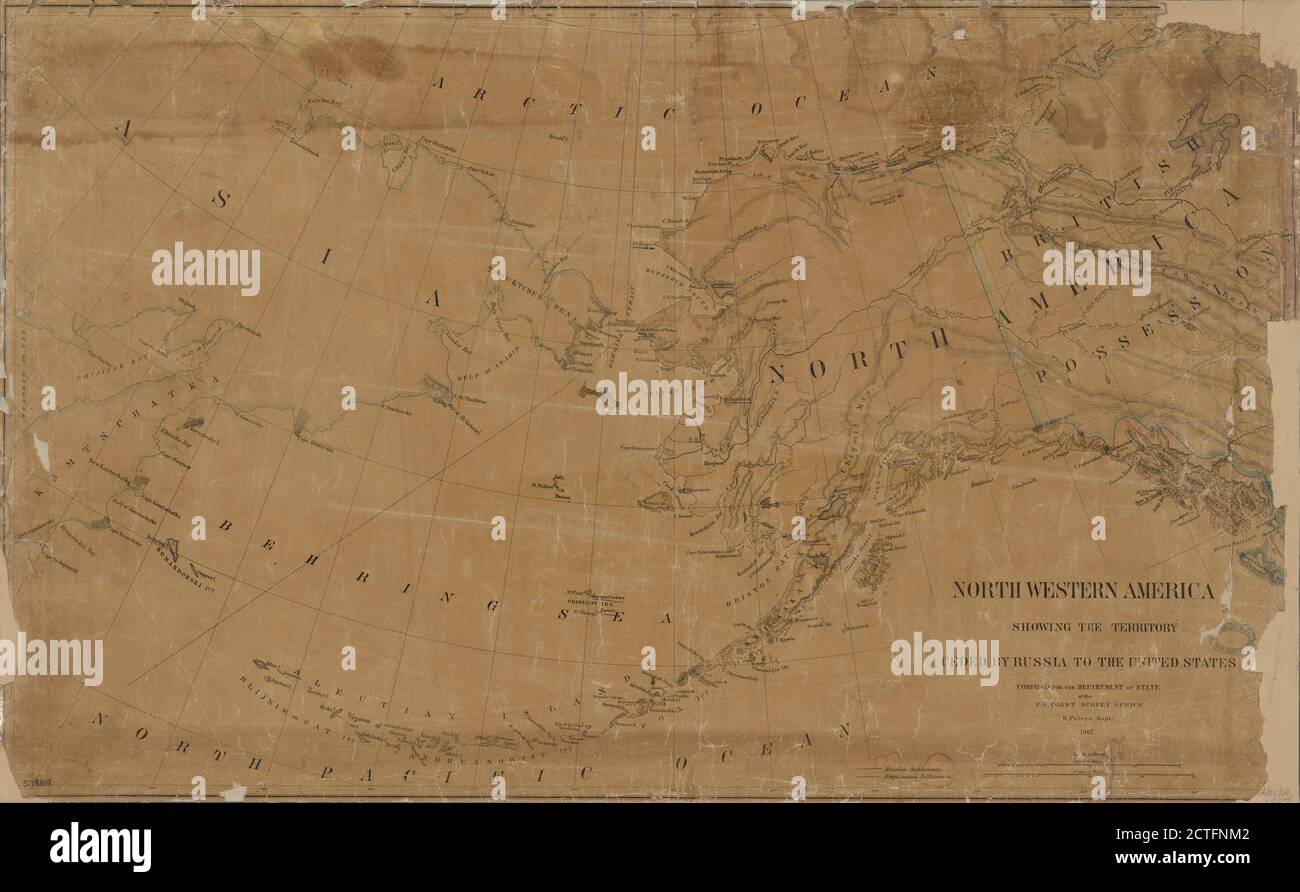 North western America , cartographic, Maps, 1867, Pierce, B., Krebs, Charles G Stock Photohttps://www.alamy.com/image-license-details/?v=1https://www.alamy.com/north-western-america-cartographic-maps-1867-pierce-b-krebs-charles-g-image376515778.html
RM2CTFNM2–North western America , cartographic, Maps, 1867, Pierce, B., Krebs, Charles G
 North America - 1763 Stock Photohttps://www.alamy.com/image-license-details/?v=1https://www.alamy.com/stock-photo-north-america-1763-36034614.html
RMC2HEEE–North America - 1763
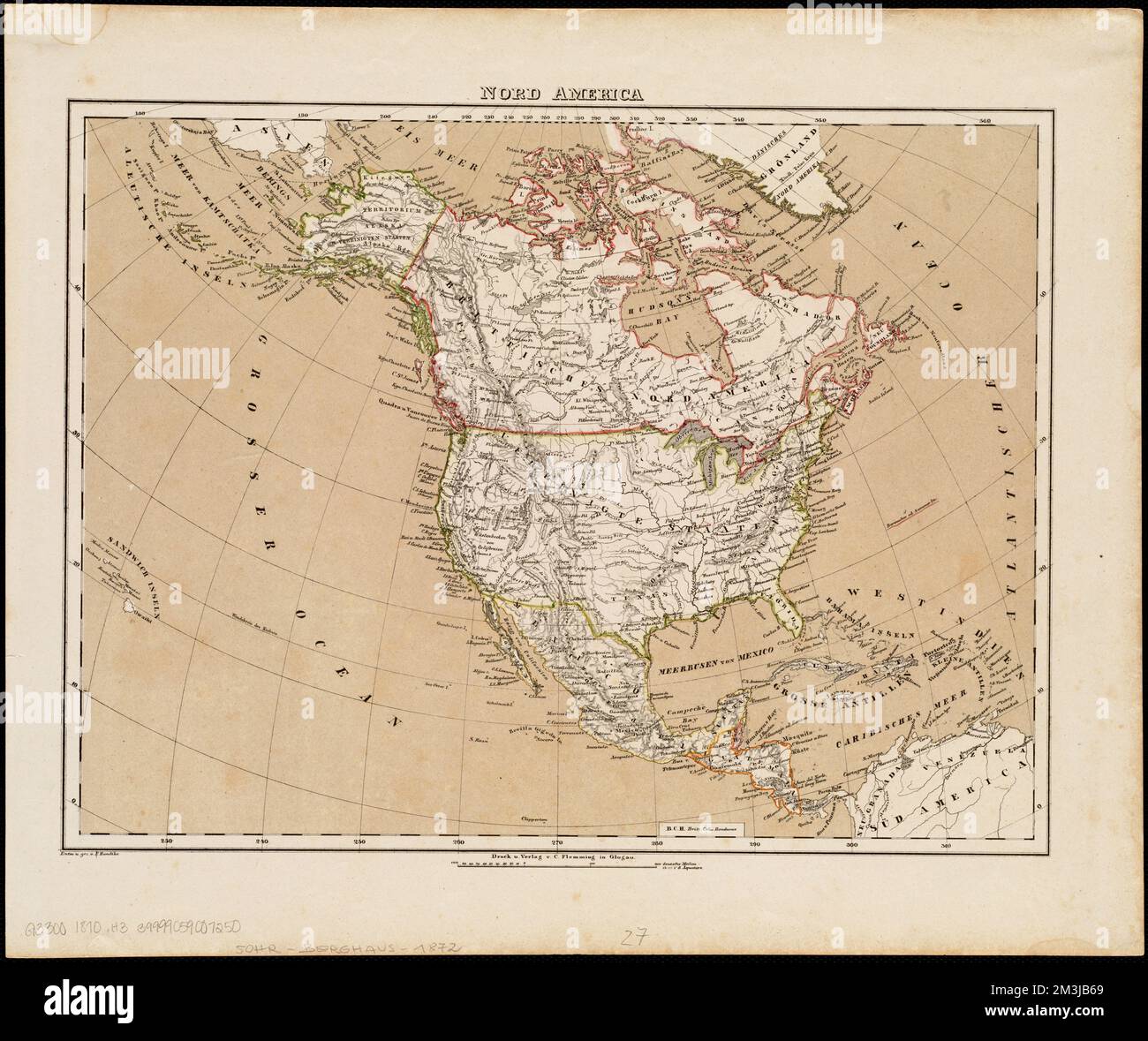 Nord America , North America, Maps Norman B. Leventhal Map Center Collection Stock Photohttps://www.alamy.com/image-license-details/?v=1https://www.alamy.com/nord-america-north-america-maps-norman-b-leventhal-map-center-collection-image501348577.html
RM2M3JB69–Nord America , North America, Maps Norman B. Leventhal Map Center Collection
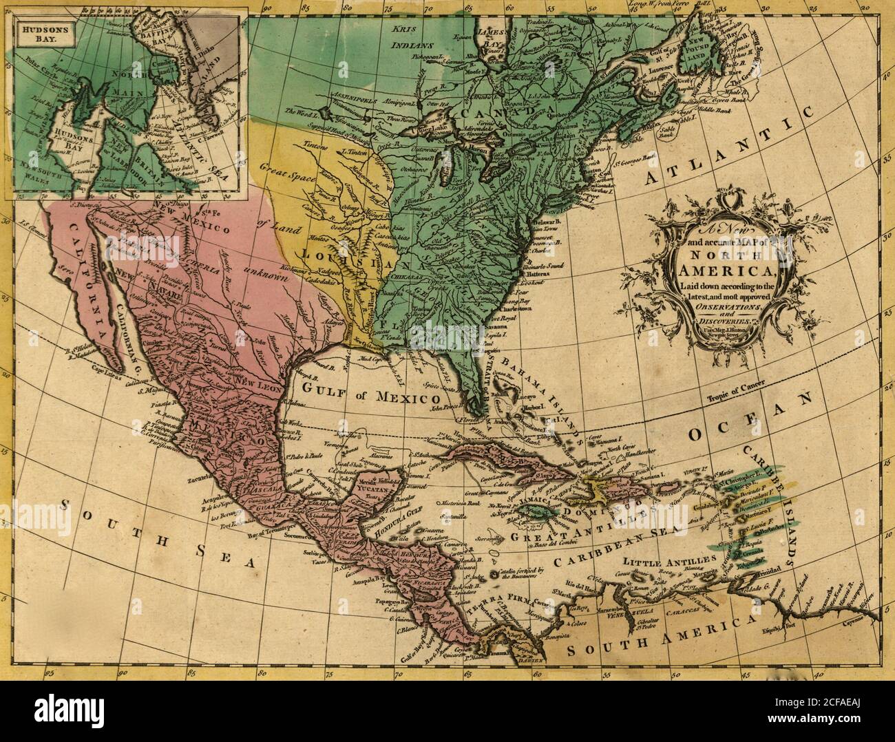 North America - 1763 Stock Photohttps://www.alamy.com/image-license-details/?v=1https://www.alamy.com/north-america-1763-image370868362.html
RM2CFAEAJ–North America - 1763
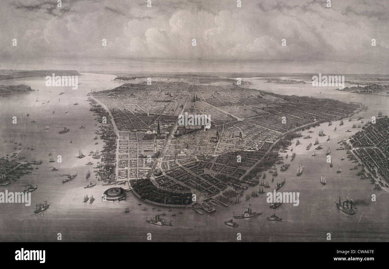 1851 bird's eye view of New-York, looking north over the length of Manhattan with Battery Park and Castle Garden in the Stock Photohttps://www.alamy.com/image-license-details/?v=1https://www.alamy.com/stock-photo-1851-birds-eye-view-of-new-york-looking-north-over-the-length-of-manhattan-50011570.html
RMCWA67E–1851 bird's eye view of New-York, looking north over the length of Manhattan with Battery Park and Castle Garden in the
RFDNP18W–Vector Map Icon of the world in Globe form - North America
RF2J8RMXG–PLAN OF MANHATTAN ISLAND IN 1908 (Sections) from The iconography of Manhattan Island, 1498-1909 compiled from original sources and illustrated by photo-intaglio reproductions of important maps, plans, views, and documents in public and private collections - Volume 2 by Stokes, I. N. Phelps (Isaac Newton Phelps), 1867-1944 Publisher New York : Robert H. Dodd 1915. Including Cartography: an essay on the development of knowledge regarding the geography of the east coast of North America; Manhattan Island and its environs on early maps and charts / by F.C. Wieder and I.N. Phelps Stokes. The Manat
 MAP/NORTH AMERICA/BLACKI Stock Photohttps://www.alamy.com/image-license-details/?v=1https://www.alamy.com/stock-photo-mapnorth-americablacki-56735936.html
RMD88F7C–MAP/NORTH AMERICA/BLACKI
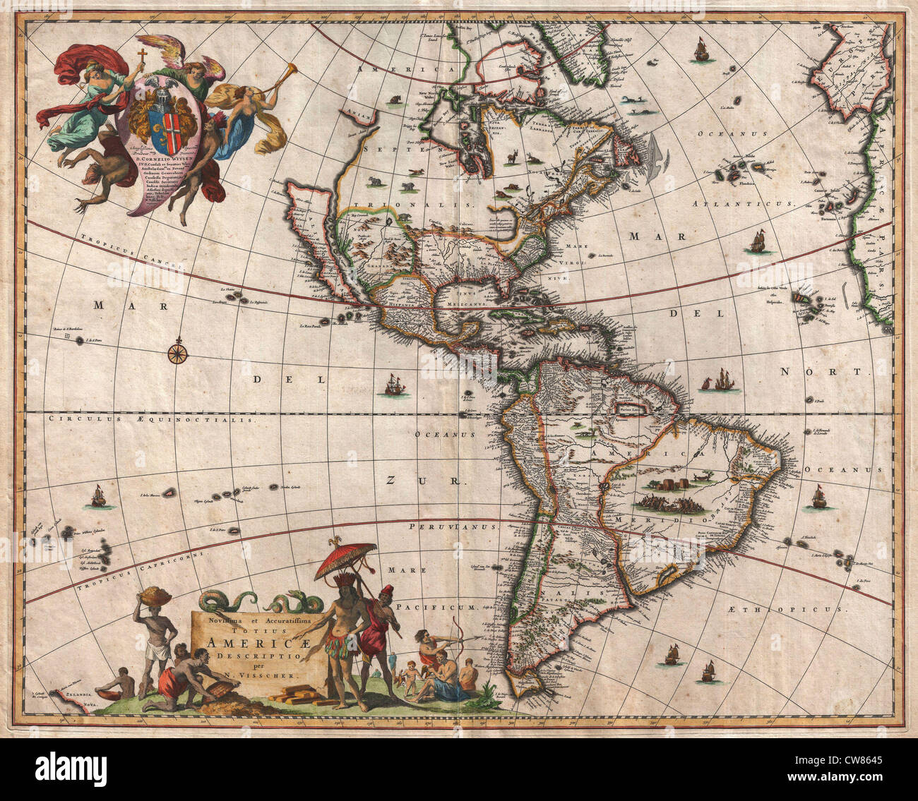 1658 Visscher Map of North America and South America Stock Photohttps://www.alamy.com/image-license-details/?v=1https://www.alamy.com/stock-photo-1658-visscher-map-of-north-america-and-south-america-49967573.html
RMCW8645–1658 Visscher Map of North America and South America
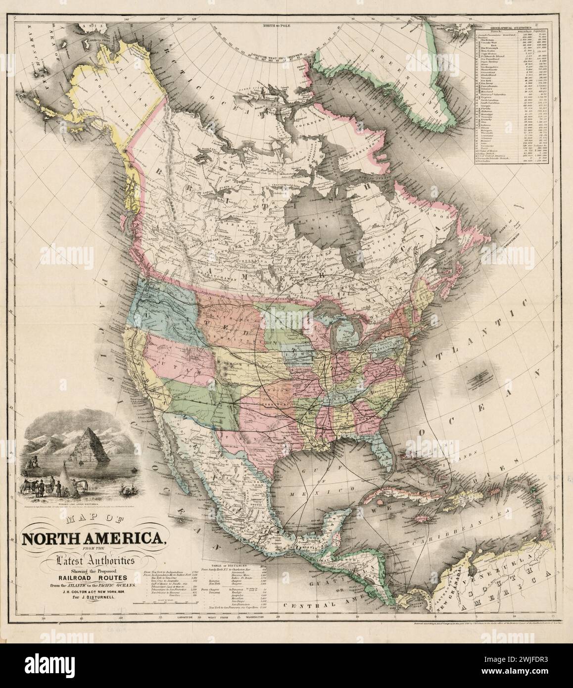 Vintage Colton Map. Title: Map of North America from the latest authorities, showing the proposed railroad routes from the Atlantic to the Pacific Oceans. 1854. Published by J.H. Colton Stock Photohttps://www.alamy.com/image-license-details/?v=1https://www.alamy.com/vintage-colton-map-title-map-of-north-america-from-the-latest-authorities-showing-the-proposed-railroad-routes-from-the-atlantic-to-the-pacific-oceans-1854-published-by-jh-colton-image596556439.html
RM2WJFDR3–Vintage Colton Map. Title: Map of North America from the latest authorities, showing the proposed railroad routes from the Atlantic to the Pacific Oceans. 1854. Published by J.H. Colton
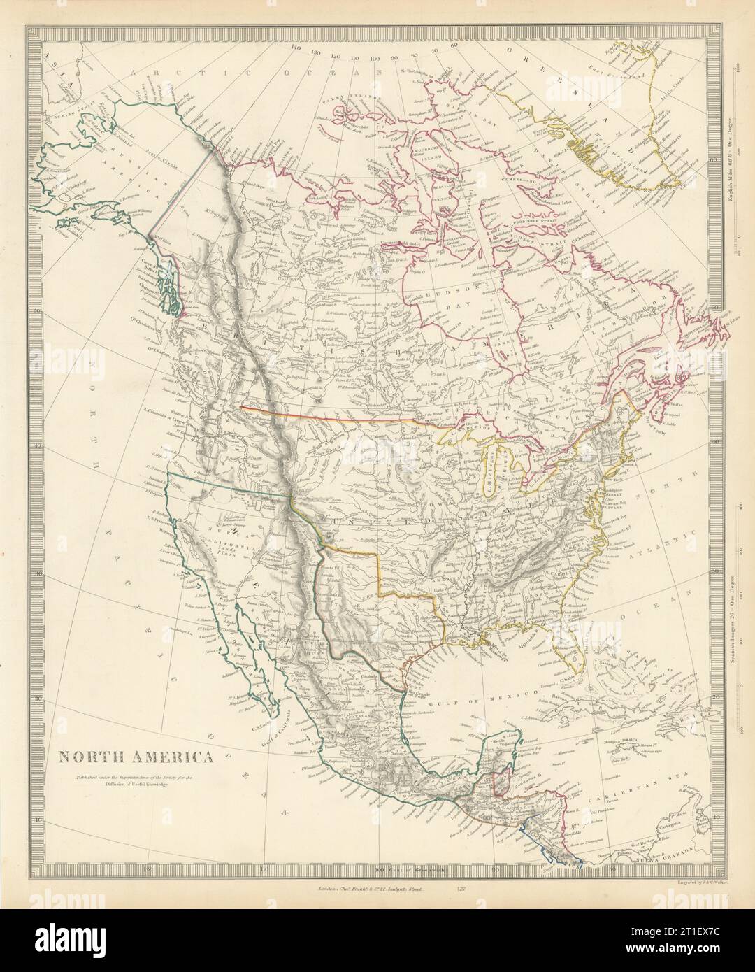 NORTH AMERICA.Texas Republic.Mexican California.Russian America.SDUK 1844 map Stock Photohttps://www.alamy.com/image-license-details/?v=1https://www.alamy.com/north-americatexas-republicmexican-californiarussian-americasduk-1844-map-image568884720.html
RF2T1EX7C–NORTH AMERICA.Texas Republic.Mexican California.Russian America.SDUK 1844 map
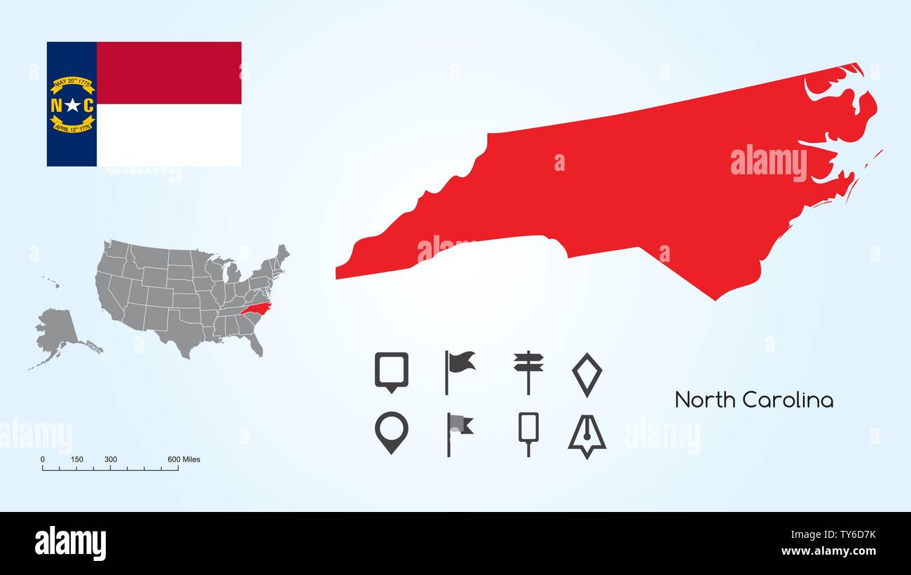 Map of The United States of America with the Selected State of North Carolina And North Carolina Flag with Locator Collection. Stock Vectorhttps://www.alamy.com/image-license-details/?v=1https://www.alamy.com/map-of-the-united-states-of-america-with-the-selected-state-of-north-carolina-and-north-carolina-flag-with-locator-collection-image257682983.html
RFTY6D7K–Map of The United States of America with the Selected State of North Carolina And North Carolina Flag with Locator Collection.
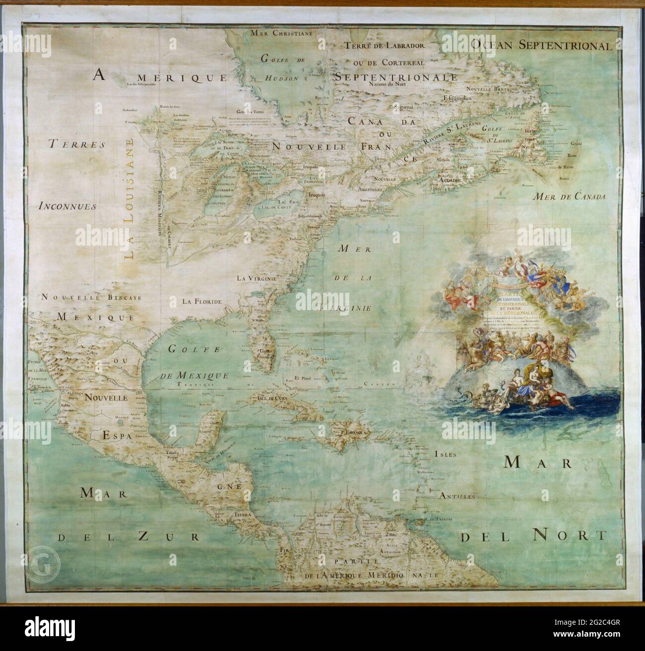 Vintage Map of the Americas, Old Map of America, Vintage Americas Map, The Americas Map, Old Americas Map, North America Map, America Map, Map of USA Stock Photohttps://www.alamy.com/image-license-details/?v=1https://www.alamy.com/vintage-map-of-the-americas-old-map-of-america-vintage-americas-map-the-americas-map-old-americas-map-north-america-map-america-map-map-of-usa-image431755543.html
RF2G2C4GR–Vintage Map of the Americas, Old Map of America, Vintage Americas Map, The Americas Map, Old Americas Map, North America Map, America Map, Map of USA
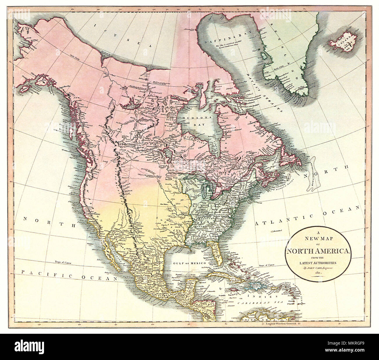 Map of North America 1811 Stock Photohttps://www.alamy.com/image-license-details/?v=1https://www.alamy.com/map-of-north-america-1811-image184300013.html
RMMKRGF9–Map of North America 1811
 Globe jigsaw puzzle showing a piece missing over the continent of North America on planet earth Stock Photohttps://www.alamy.com/image-license-details/?v=1https://www.alamy.com/globe-jigsaw-puzzle-showing-a-piece-missing-over-the-continent-of-north-america-on-planet-earth-image342412787.html
RF2AW2703–Globe jigsaw puzzle showing a piece missing over the continent of North America on planet earth
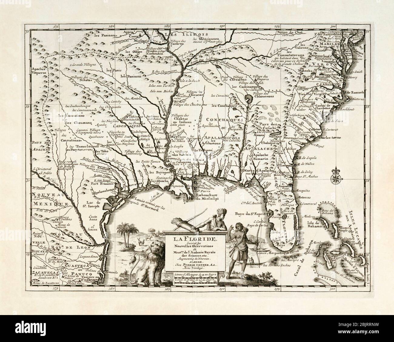 La Floride. Map of south-east North America, including Florida, showing Native American villages and French, Spanish and English settlements. Published by Pieter van der Aa, Leiden, circa 1713. Stock Photohttps://www.alamy.com/image-license-details/?v=1https://www.alamy.com/la-floride-map-of-south-east-north-america-including-florida-showing-native-american-villages-and-french-spanish-and-english-settlements-published-by-pieter-van-der-aa-leiden-circa-1713-image355794709.html
RM2BJRRNW–La Floride. Map of south-east North America, including Florida, showing Native American villages and French, Spanish and English settlements. Published by Pieter van der Aa, Leiden, circa 1713.
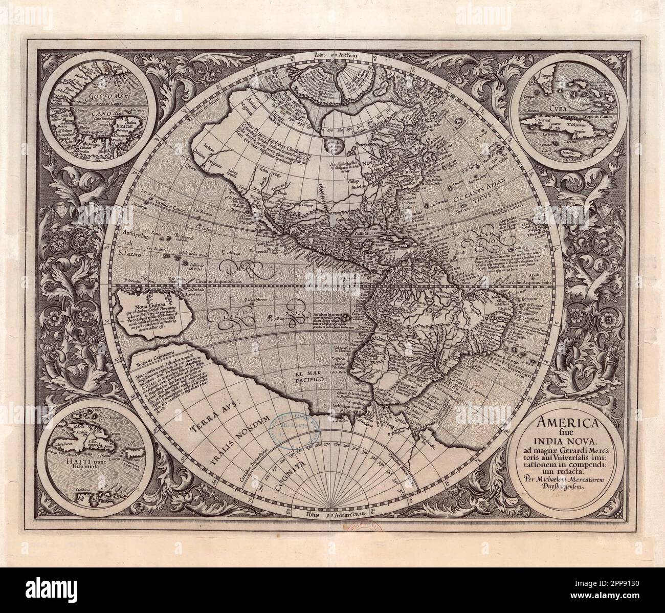 Antique map of the New World (the Americas) c. 1607 by Michael Mercator, Flemish (1567-1614), America Sive India Nova (America and New India) Stock Photohttps://www.alamy.com/image-license-details/?v=1https://www.alamy.com/antique-map-of-the-new-world-the-americas-c-1607-by-michael-mercator-flemish-1567-1614-america-sive-india-nova-america-and-new-india-image547242276.html
RM2PP9130–Antique map of the New World (the Americas) c. 1607 by Michael Mercator, Flemish (1567-1614), America Sive India Nova (America and New India)
 1915 aerial view of West Palm Beach, North Palm Beach and Lake Worth, Florida. Stock Photohttps://www.alamy.com/image-license-details/?v=1https://www.alamy.com/stock-photo-1915-aerial-view-of-west-palm-beach-north-palm-beach-and-lake-worth-32373369.html
RMBTJMFN–1915 aerial view of West Palm Beach, North Palm Beach and Lake Worth, Florida.
 A chart of the harbour of Rhode Island and Narraganset Bay surveyed in pursuance of directions from the Lords of Trade to His Majesty's surveyor general for the northern district of North America 1776 by Des Barres, Joseph F. W.(Joseph Frederick Wallet), 1722-1824 Stock Photohttps://www.alamy.com/image-license-details/?v=1https://www.alamy.com/a-chart-of-the-harbour-of-rhode-island-and-narraganset-bay-surveyed-in-pursuance-of-directions-from-the-lords-of-trade-to-his-majestys-surveyor-general-for-the-northern-district-of-north-america-1776-by-des-barres-joseph-f-wjoseph-frederick-wallet-1722-1824-image633422020.html
RM2YPET70–A chart of the harbour of Rhode Island and Narraganset Bay surveyed in pursuance of directions from the Lords of Trade to His Majesty's surveyor general for the northern district of North America 1776 by Des Barres, Joseph F. W.(Joseph Frederick Wallet), 1722-1824
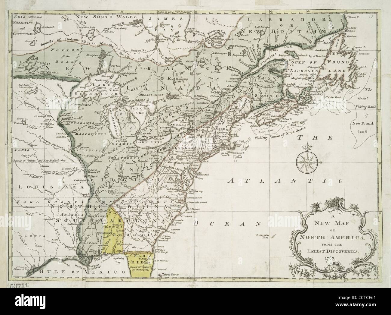 A new map of North America from the latest discoveries, 1763, cartographic, Maps, 1763 Stock Photohttps://www.alamy.com/image-license-details/?v=1https://www.alamy.com/a-new-map-of-north-america-from-the-latest-discoveries-1763-cartographic-maps-1763-image376444041.html
RM2CTCE61–A new map of North America from the latest discoveries, 1763, cartographic, Maps, 1763
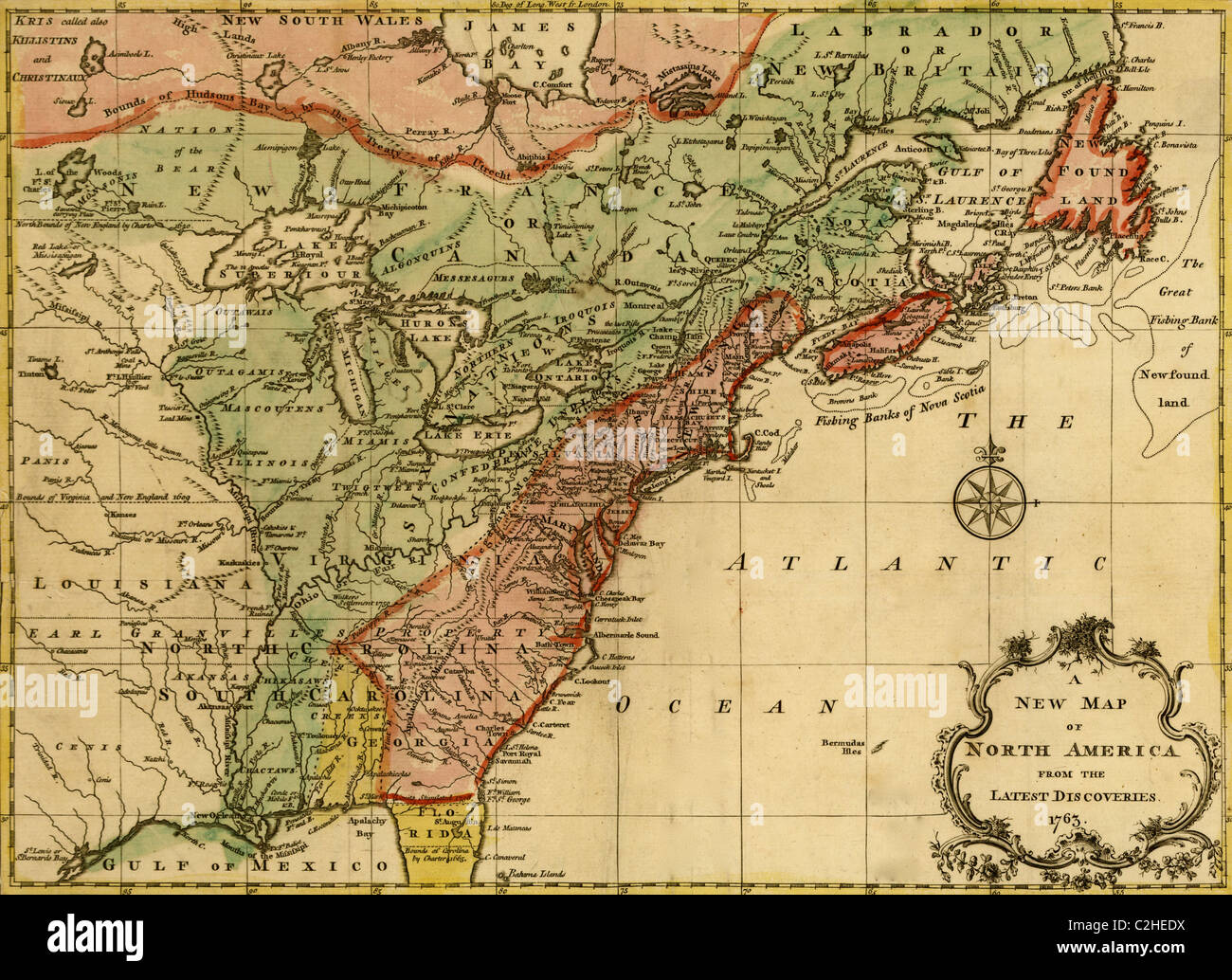 North America - 1763 Stock Photohttps://www.alamy.com/image-license-details/?v=1https://www.alamy.com/stock-photo-north-america-1763-36034598.html
RMC2HEDX–North America - 1763
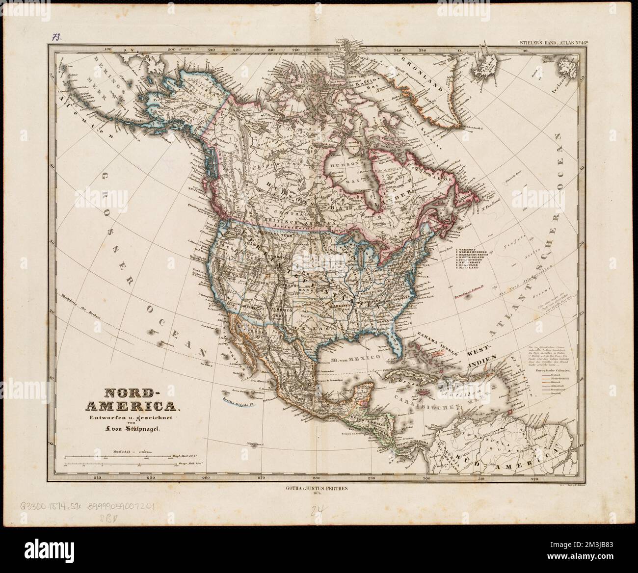 Nord-America , North America, Maps Norman B. Leventhal Map Center Collection Stock Photohttps://www.alamy.com/image-license-details/?v=1https://www.alamy.com/nord-america-north-america-maps-norman-b-leventhal-map-center-collection-image501348627.html
RM2M3JB83–Nord-America , North America, Maps Norman B. Leventhal Map Center Collection
