North american map medieval Stock Photos and Images
(14)See north american map medieval stock video clipsNorth american map medieval Stock Photos and Images
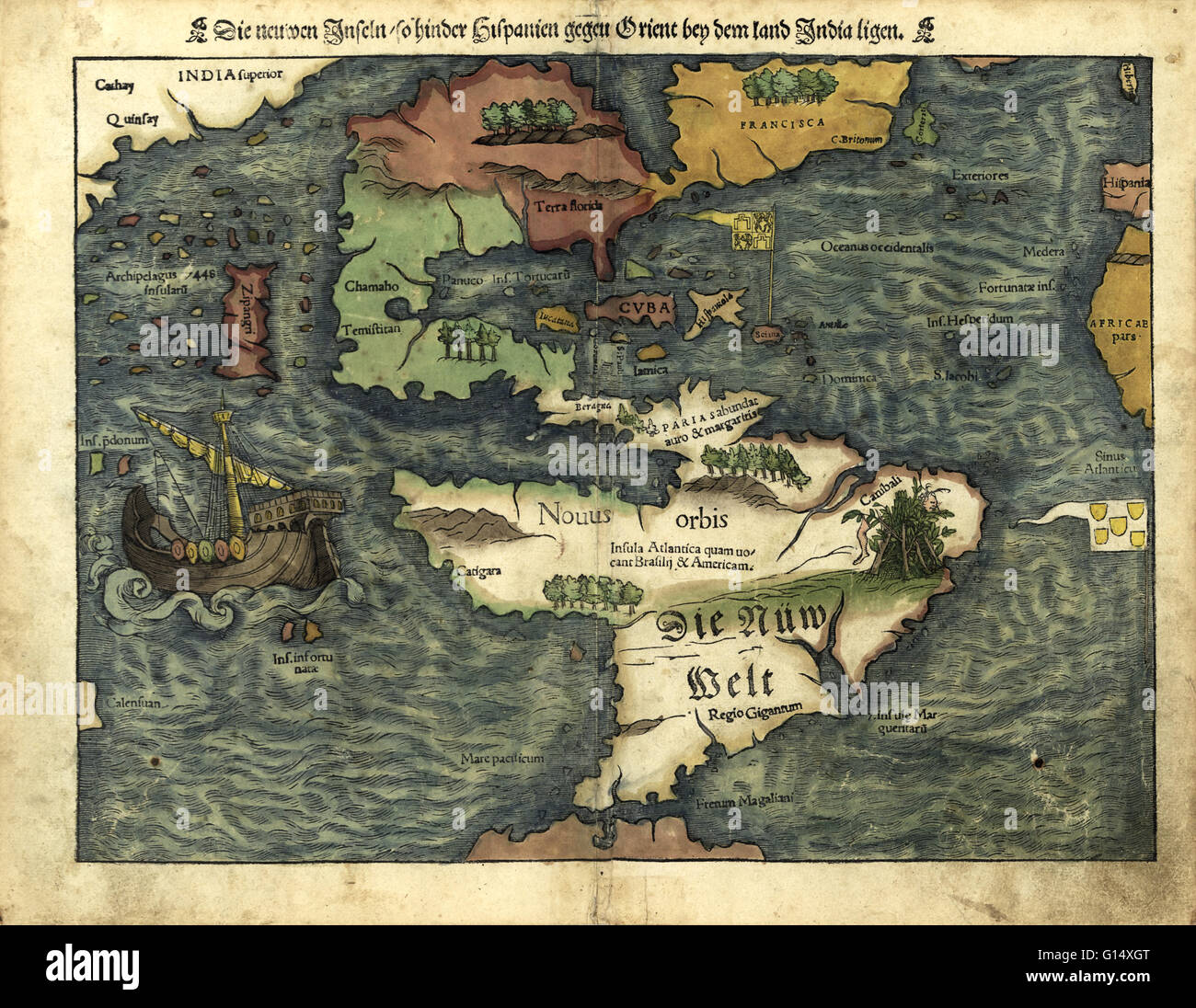 16th century map of the Americas. Published in 1550, this German map shows a rudimentary geography of the newly-discovered Americas. The inscriptions on South America are in German; the other place names are in Latin. Areas explored by the Spanish from th Stock Photohttps://www.alamy.com/image-license-details/?v=1https://www.alamy.com/stock-photo-16th-century-map-of-the-americas-published-in-1550-this-german-map-103985528.html
RMG14XGT–16th century map of the Americas. Published in 1550, this German map shows a rudimentary geography of the newly-discovered Americas. The inscriptions on South America are in German; the other place names are in Latin. Areas explored by the Spanish from th
 Map showing trade routes during the medieval period and the Muscovite East and West Route. This photograph was taken by a photographer from the Signal Corps, U.S.A. The map displays symbols for European trade routes. Ling 62541 note indicates North and South trade routes, as well as the Muscovite East and West Route, marked in black on the map. Stock Photohttps://www.alamy.com/image-license-details/?v=1https://www.alamy.com/map-showing-trade-routes-during-the-medieval-period-and-the-muscovite-east-and-west-route-this-photograph-was-taken-by-a-photographer-from-the-signal-corps-usa-the-map-displays-symbols-for-european-trade-routes-ling-62541-note-indicates-north-and-south-trade-routes-as-well-as-the-muscovite-east-and-west-route-marked-in-black-on-the-map-image558558562.html
RM2RCMF42–Map showing trade routes during the medieval period and the Muscovite East and West Route. This photograph was taken by a photographer from the Signal Corps, U.S.A. The map displays symbols for European trade routes. Ling 62541 note indicates North and South trade routes, as well as the Muscovite East and West Route, marked in black on the map.
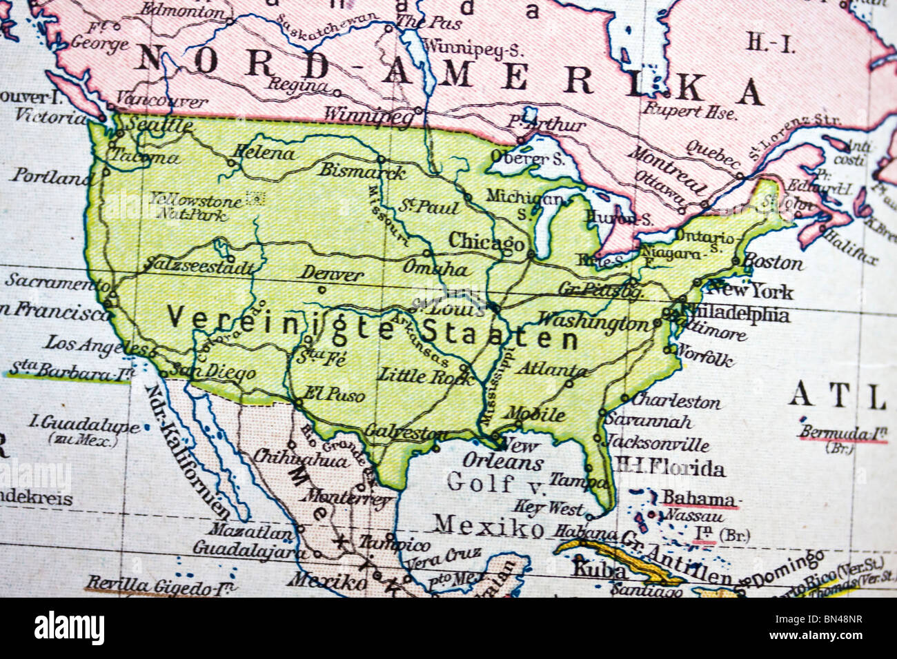 America map. Map of America. Map of USA Stock Photohttps://www.alamy.com/image-license-details/?v=1https://www.alamy.com/stock-photo-america-map-map-of-america-map-of-usa-30212835.html
RFBN48NR–America map. Map of America. Map of USA
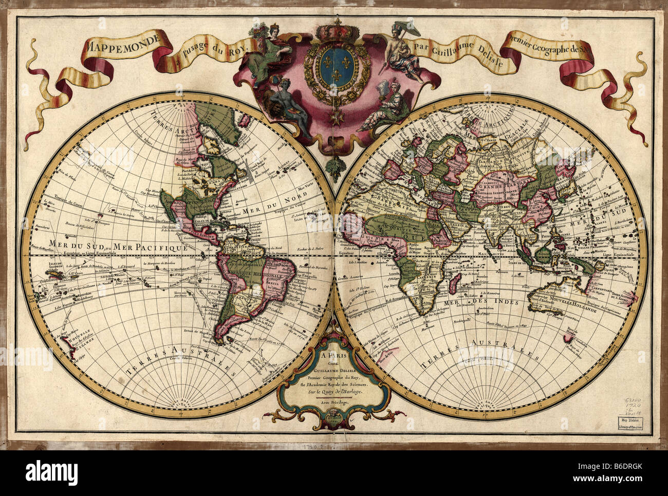 18th century map of the world. Published in Parisin 1720, this French map shows the known world. Stock Photohttps://www.alamy.com/image-license-details/?v=1https://www.alamy.com/stock-photo-18th-century-map-of-the-world-published-in-parisin-1720-this-french-21202179.html
RFB6DRGK–18th century map of the world. Published in Parisin 1720, this French map shows the known world.
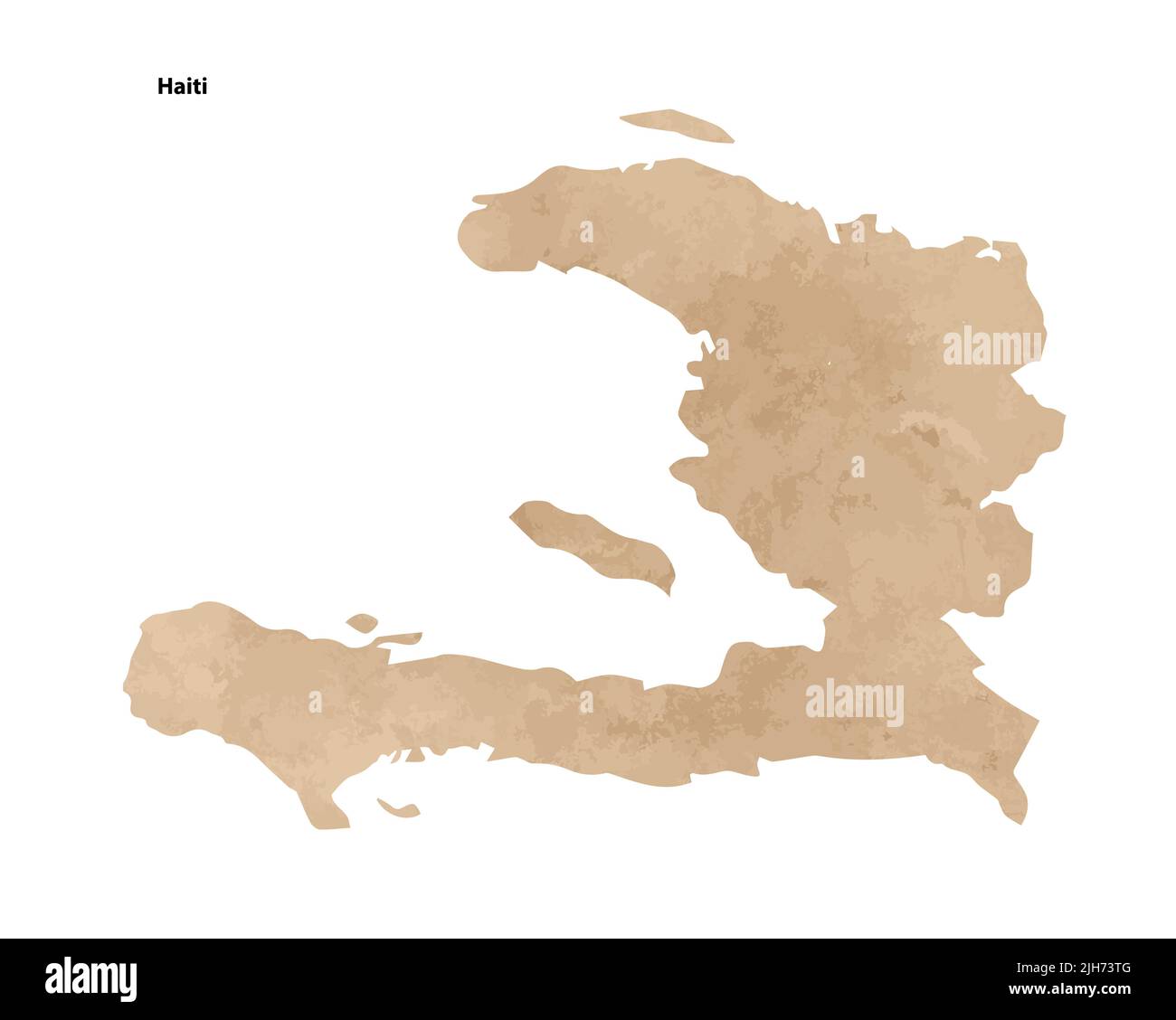 Old vintage paper textured map of Haiti Country - Vector illustration Stock Vectorhttps://www.alamy.com/image-license-details/?v=1https://www.alamy.com/old-vintage-paper-textured-map-of-haiti-country-vector-illustration-image475285792.html
RF2JH73TG–Old vintage paper textured map of Haiti Country - Vector illustration
 World map, before 1482. Europe, North Africa, the Middle East, Russia and India, with 'terra incognita' below. From "Geographia", published in Florence. Stock Photohttps://www.alamy.com/image-license-details/?v=1https://www.alamy.com/world-map-before-1482-europe-north-africa-the-middle-east-russia-and-india-with-terra-incognita-below-from-quotgeographiaquot-published-in-florence-image571914251.html
RM2T6CXCY–World map, before 1482. Europe, North Africa, the Middle East, Russia and India, with 'terra incognita' below. From "Geographia", published in Florence.
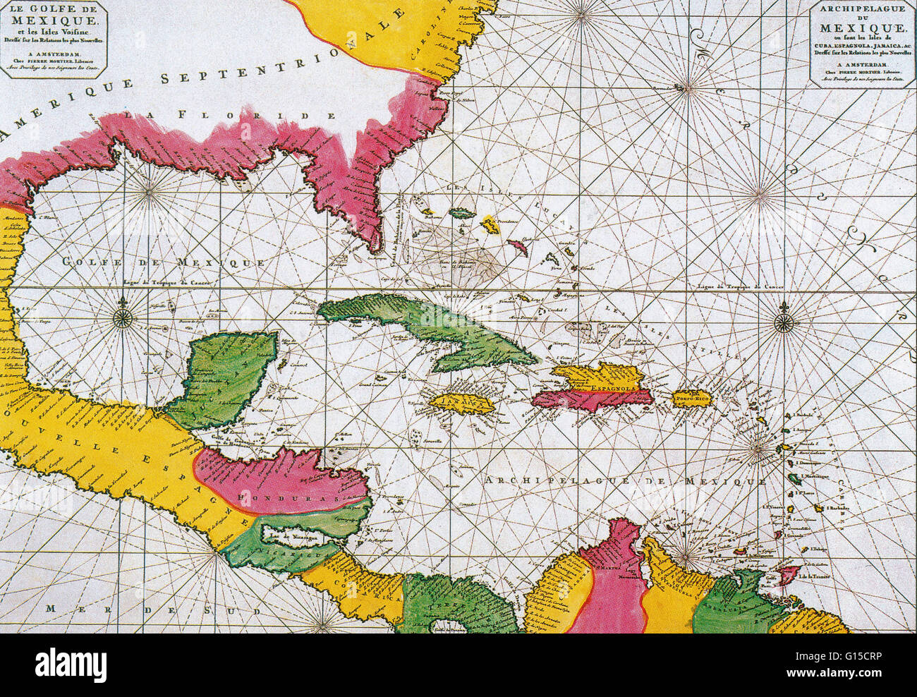 A Dutch map of 1708 showing the Spanish Main, the mainland coast of the Spanish Empire, toward the end of the great era of Spanish treasure fleets. Stock Photohttps://www.alamy.com/image-license-details/?v=1https://www.alamy.com/stock-photo-a-dutch-map-of-1708-showing-the-spanish-main-the-mainland-coast-of-103996698.html
RMG15CRP–A Dutch map of 1708 showing the Spanish Main, the mainland coast of the Spanish Empire, toward the end of the great era of Spanish treasure fleets.
 Old vintage paper textured map of Dominican Republic Country - Vector illustration Stock Vectorhttps://www.alamy.com/image-license-details/?v=1https://www.alamy.com/old-vintage-paper-textured-map-of-dominican-republic-country-vector-illustration-image475285781.html
RF2JH73T5–Old vintage paper textured map of Dominican Republic Country - Vector illustration
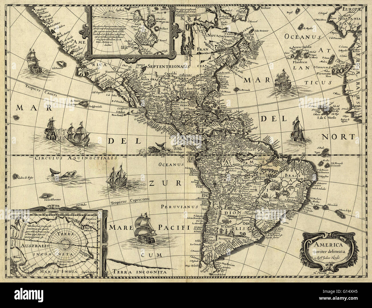 17th century map of the Americas. Published in Paris around 1640, this map is by the Flemish cartographer Jodocus Hondius (1563-1612). The map shows the geography of the Americas, the New World being explored by Europeans. Most of Central and South Americ Stock Photohttps://www.alamy.com/image-license-details/?v=1https://www.alamy.com/stock-photo-17th-century-map-of-the-americas-published-in-paris-around-1640-this-103985537.html
RMG14XH5–17th century map of the Americas. Published in Paris around 1640, this map is by the Flemish cartographer Jodocus Hondius (1563-1612). The map shows the geography of the Americas, the New World being explored by Europeans. Most of Central and South Americ
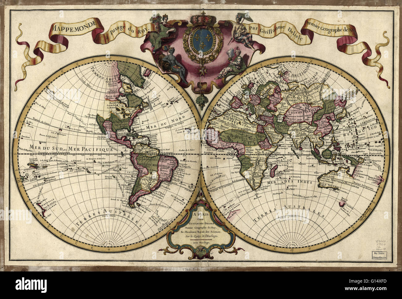 18th century map of the world. Published in Paris in 1720, this French map shows the known world, including the new lands that had been discovered in the preceding centuries by Europeans exploring across the Atlantic and far to the East around Africa. It Stock Photohttps://www.alamy.com/image-license-details/?v=1https://www.alamy.com/stock-photo-18th-century-map-of-the-world-published-in-paris-in-1720-this-french-103985489.html
RMG14XFD–18th century map of the world. Published in Paris in 1720, this French map shows the known world, including the new lands that had been discovered in the preceding centuries by Europeans exploring across the Atlantic and far to the East around Africa. It
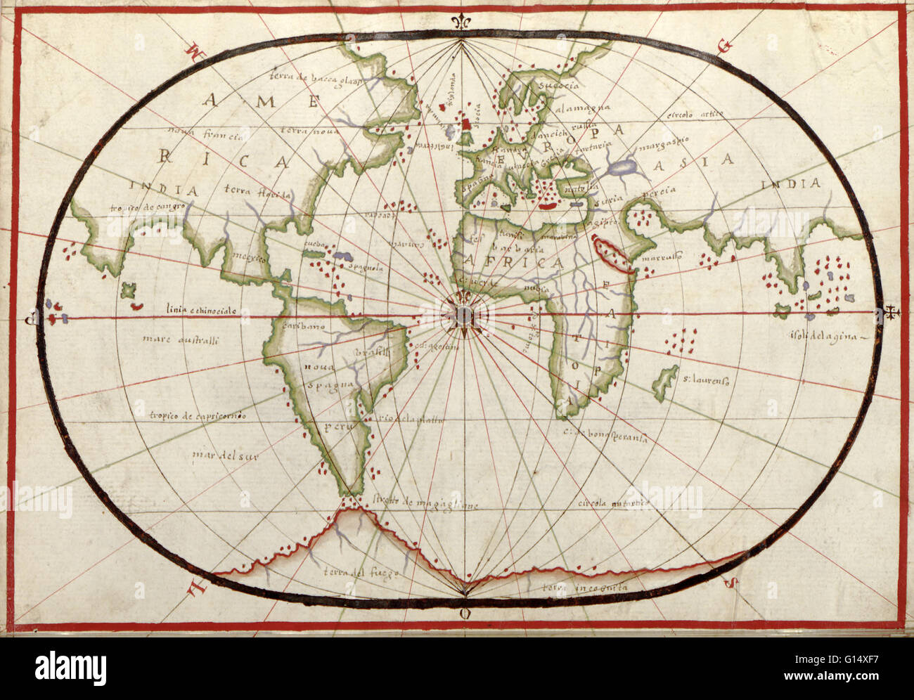 16th century map of the world. Published around 1590, this map shows the known world, including the new lands being discovered by Europeans exploring across the Atlantic and far to the East around Africa. It forms part of a portolan atlas (a collection of Stock Photohttps://www.alamy.com/image-license-details/?v=1https://www.alamy.com/stock-photo-16th-century-map-of-the-world-published-around-1590-this-map-shows-103985483.html
RMG14XF7–16th century map of the world. Published around 1590, this map shows the known world, including the new lands being discovered by Europeans exploring across the Atlantic and far to the East around Africa. It forms part of a portolan atlas (a collection of
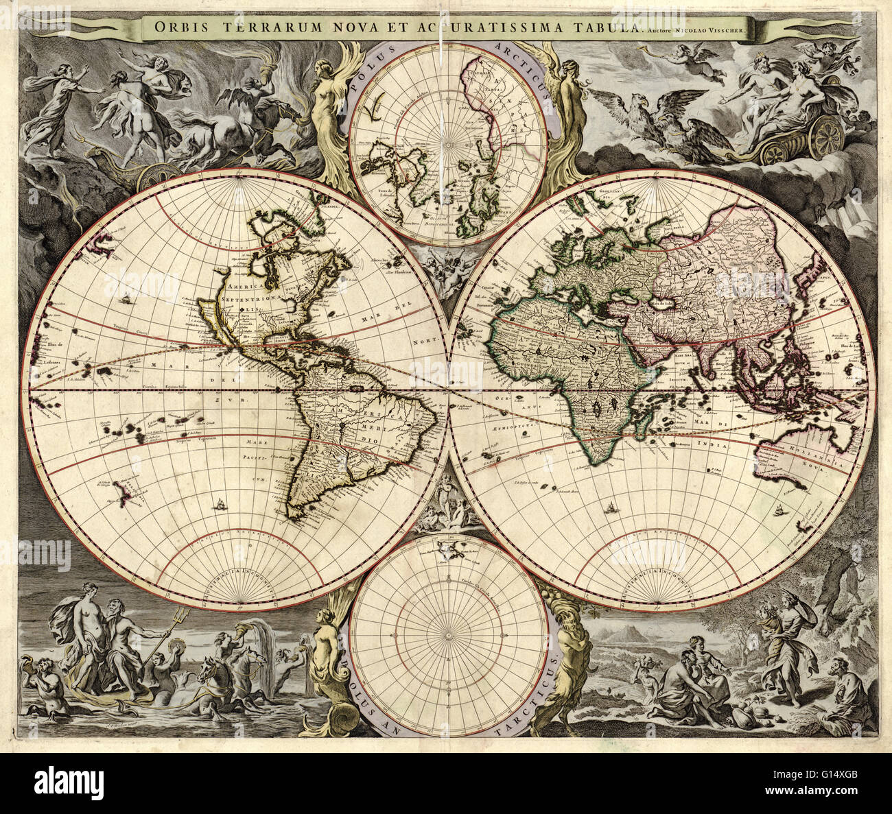 17th century map of the world. Published in Amsterdam, this is a 1690 edition of a 1658 map by the Dutch cartographer Nicolaes Visscher (1649-1702). It shows the expanding exploration of the known world. The map divides the Earth into a western and easter Stock Photohttps://www.alamy.com/image-license-details/?v=1https://www.alamy.com/stock-photo-17th-century-map-of-the-world-published-in-amsterdam-this-is-a-1690-103985515.html
RMG14XGB–17th century map of the world. Published in Amsterdam, this is a 1690 edition of a 1658 map by the Dutch cartographer Nicolaes Visscher (1649-1702). It shows the expanding exploration of the known world. The map divides the Earth into a western and easter
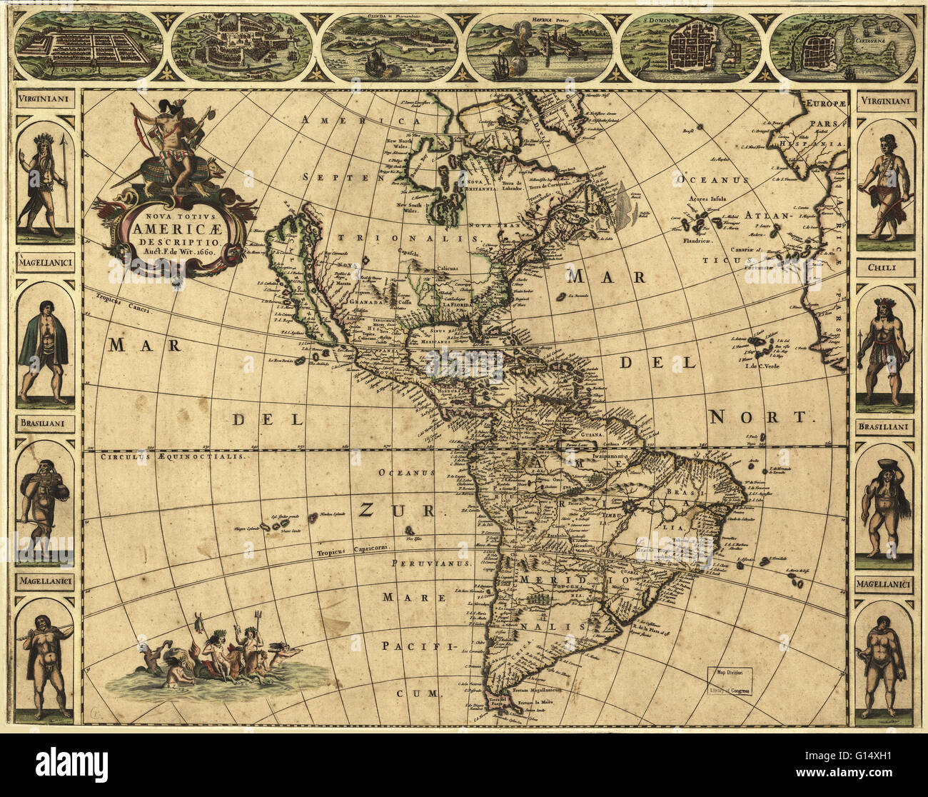 17th century map of the Americas. Published in Amsterdam in 1660, this map by the Dutch cartographer Frederick de Wit (c.1630-1706) shows the geography of the Americas, the New World being explored by Europeans. The exploration of South America was well a Stock Photohttps://www.alamy.com/image-license-details/?v=1https://www.alamy.com/stock-photo-17th-century-map-of-the-americas-published-in-amsterdam-in-1660-this-103985533.html
RMG14XH1–17th century map of the Americas. Published in Amsterdam in 1660, this map by the Dutch cartographer Frederick de Wit (c.1630-1706) shows the geography of the Americas, the New World being explored by Europeans. The exploration of South America was well a
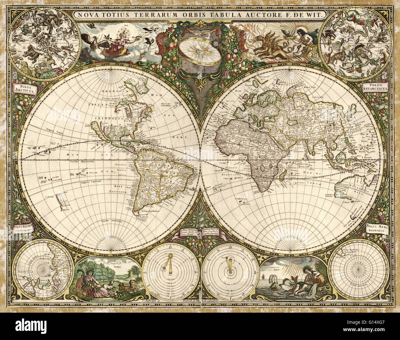 17th century map of the world. Published in Amsterdam in 1660, this map by the Dutch cartographer Frederick de Wit (c.1630-1706) shows the expanding exploration of the known world. The map divides the Earth into a western and eastern hemisphere. In the up Stock Photohttps://www.alamy.com/image-license-details/?v=1https://www.alamy.com/stock-photo-17th-century-map-of-the-world-published-in-amsterdam-in-1660-this-103985511.html
RMG14XG7–17th century map of the world. Published in Amsterdam in 1660, this map by the Dutch cartographer Frederick de Wit (c.1630-1706) shows the expanding exploration of the known world. The map divides the Earth into a western and eastern hemisphere. In the up