Quick filters:
North india map Stock Photos and Images
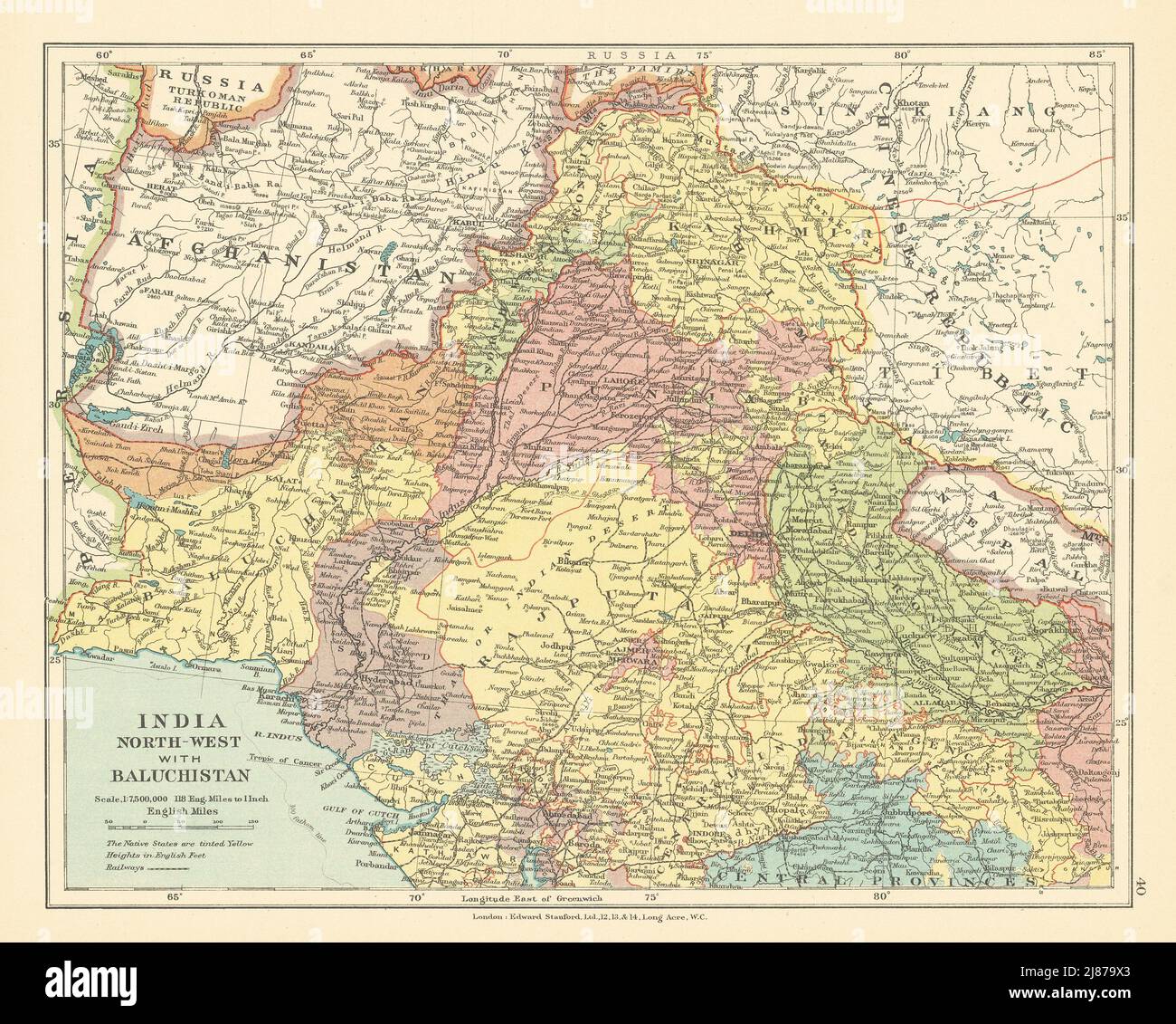 British India North-West & Baluchistan. Pakistan Afghanistan. STANFORD c1925 map Stock Photohttps://www.alamy.com/image-license-details/?v=1https://www.alamy.com/british-india-north-west-baluchistan-pakistan-afghanistan-stanford-c1925-map-image469758635.html
RF2J879X3–British India North-West & Baluchistan. Pakistan Afghanistan. STANFORD c1925 map
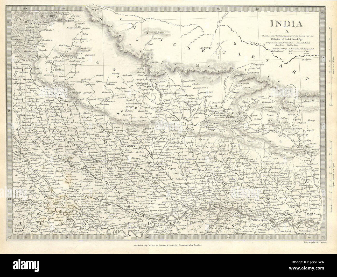 1834 S.D.U.K. Map of North India, Nepal, and Allahabad - Geographicus - IndiaX-sduk-1834 Stock Photohttps://www.alamy.com/image-license-details/?v=1https://www.alamy.com/stock-photo-1834-sduk-map-of-north-india-nepal-and-allahabad-geographicus-indiax-139472742.html
RMJ2WEWA–1834 S.D.U.K. Map of North India, Nepal, and Allahabad - Geographicus - IndiaX-sduk-1834
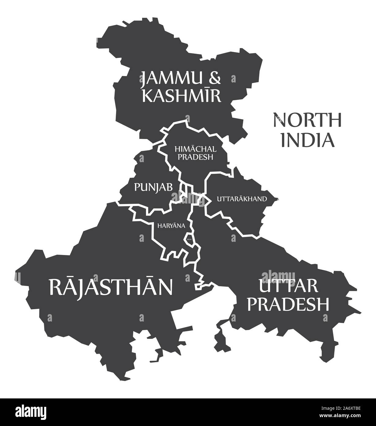 North India region map labelled black illustration Stock Vectorhttps://www.alamy.com/image-license-details/?v=1https://www.alamy.com/north-india-region-map-labelled-black-illustration-image331274818.html
RF2A6XTBE–North India region map labelled black illustration
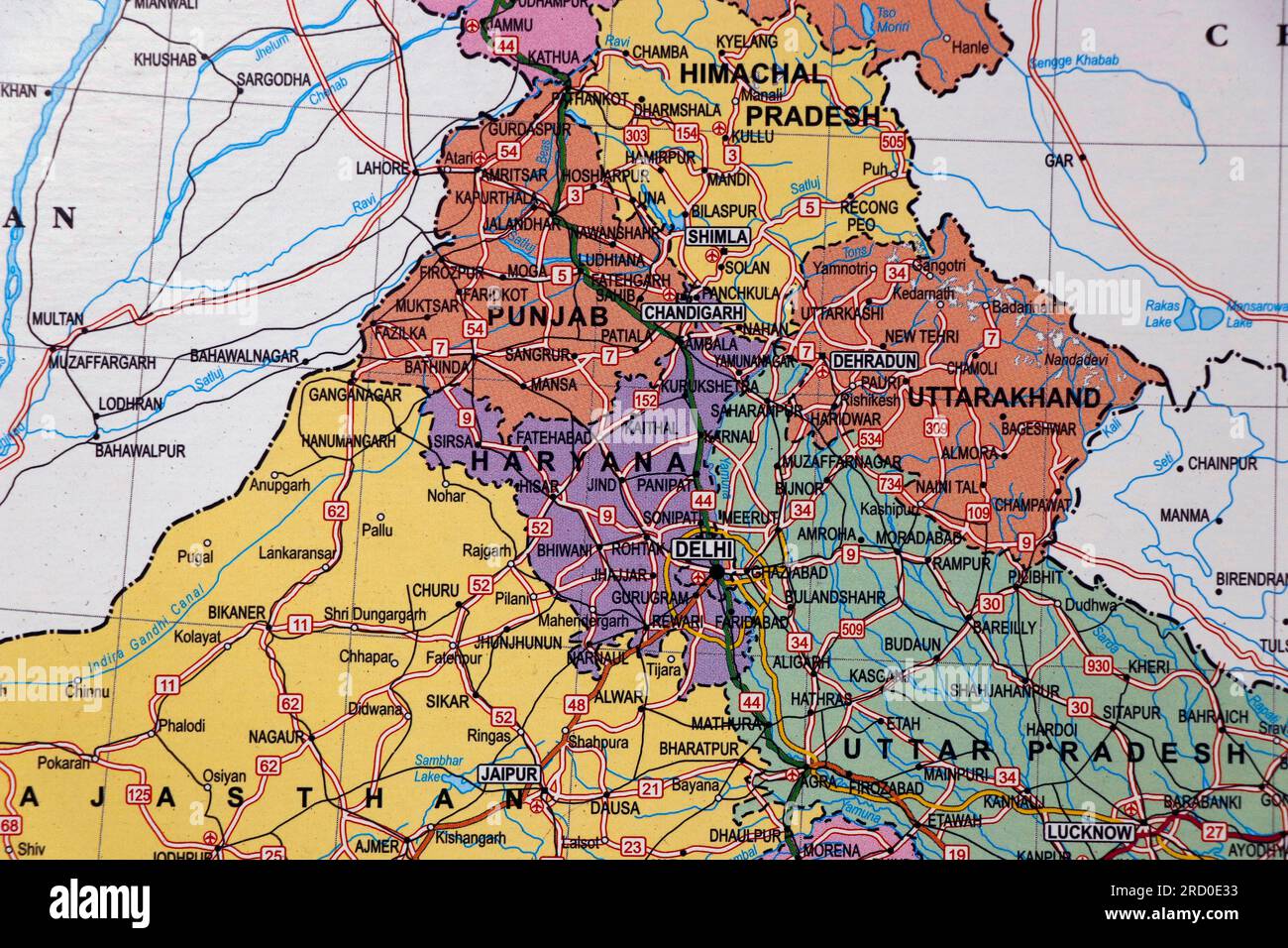 north india map with state borders, delhi, punjab, haryana in close up Stock Photohttps://www.alamy.com/image-license-details/?v=1https://www.alamy.com/north-india-map-with-state-borders-delhi-punjab-haryana-in-close-up-image558733367.html
RF2RD0E33–north india map with state borders, delhi, punjab, haryana in close up
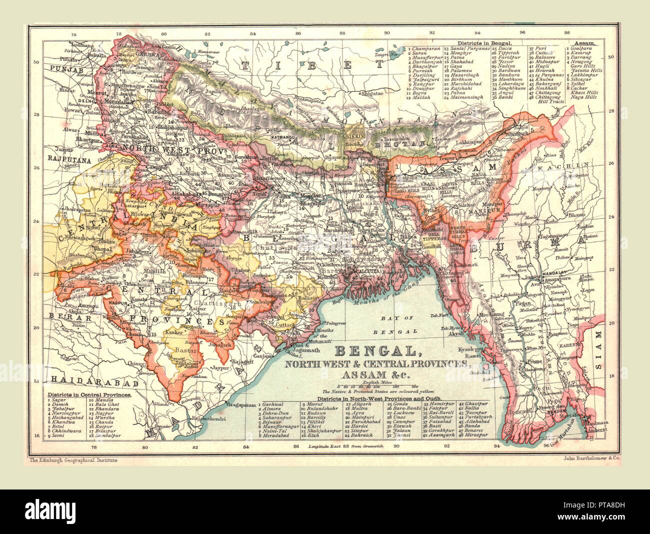 Map of Bengal, the North West and Central Provinces, and Assam, 1902. Creator: Unknown. Stock Photohttps://www.alamy.com/image-license-details/?v=1https://www.alamy.com/map-of-bengal-the-north-west-and-central-provinces-and-assam-1902-creator-unknown-image221502333.html
RMPTA8DH–Map of Bengal, the North West and Central Provinces, and Assam, 1902. Creator: Unknown.
 Illustration, north east region map, india, asia Stock Photohttps://www.alamy.com/image-license-details/?v=1https://www.alamy.com/stock-photo-illustration-north-east-region-map-india-asia-90369604.html
RMF70K9T–Illustration, north east region map, india, asia
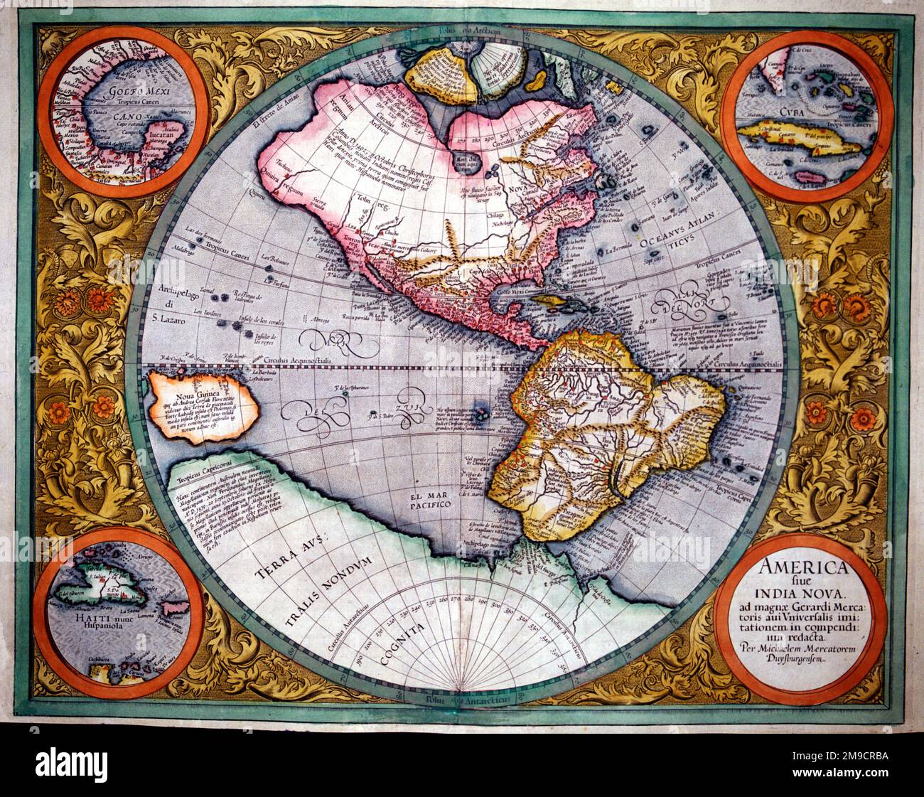 17th century Map of North and South America, India Nova Stock Photohttps://www.alamy.com/image-license-details/?v=1https://www.alamy.com/17th-century-map-of-north-and-south-america-india-nova-image504914350.html
RM2M9CRBA–17th century Map of North and South America, India Nova
 1834, S.D.U.K. Map of North India, Nepal, and Allahabad Stock Photohttps://www.alamy.com/image-license-details/?v=1https://www.alamy.com/stock-image-1834-sduk-map-of-north-india-nepal-and-allahabad-162568207.html
RMKCDHBB–1834, S.D.U.K. Map of North India, Nepal, and Allahabad
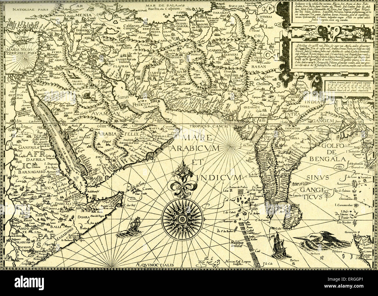 'North East Africa, Arabia, Persia and India'- map in Linschoten's 'Navigatio ac Itinerarium, etc.', 1599. Jan Huyghen van Stock Photohttps://www.alamy.com/image-license-details/?v=1https://www.alamy.com/stock-photo-north-east-africa-arabia-persia-and-india-map-in-linschotens-navigatio-83342953.html
RMERGGP1–'North East Africa, Arabia, Persia and India'- map in Linschoten's 'Navigatio ac Itinerarium, etc.', 1599. Jan Huyghen van
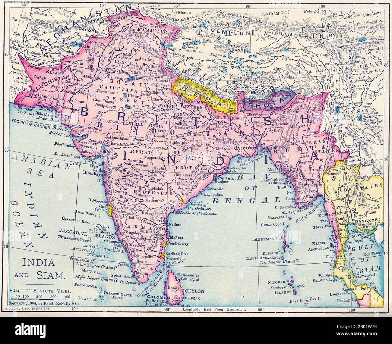 India: Map of the British Raj, including present-day India, Pakistan, Bangladesh, Burma and Sri Lanka, 1904. This map was produced at the height of British Imperial power and shows direct British rule extending all the way from Iran (Persia) to Thailand (Siam). Most of the contiguous Indian Ocean littoral, from South Africa to Singapore and Australia, was also under British administration or de facto control. It is relevant to note that the map shows Sikkim extending north into the present-day territory of China's Tibetan Autonomous Region. Similarly Darjeeling is shown in eastern Nepal. Stock Photohttps://www.alamy.com/image-license-details/?v=1https://www.alamy.com/india-map-of-the-british-raj-including-present-day-india-pakistan-bangladesh-burma-and-sri-lanka-1904-this-map-was-produced-at-the-height-of-british-imperial-power-and-shows-direct-british-rule-extending-all-the-way-from-iran-persia-to-thailand-siam-most-of-the-contiguous-indian-ocean-littoral-from-south-africa-to-singapore-and-australia-was-also-under-british-administration-or-de-facto-control-it-is-relevant-to-note-that-the-map-shows-sikkim-extending-north-into-the-present-day-territory-of-chinas-tibetan-autonomous-region-similarly-darjeeling-is-shown-in-eastern-nepal-image344249131.html
RM2B01W7R–India: Map of the British Raj, including present-day India, Pakistan, Bangladesh, Burma and Sri Lanka, 1904. This map was produced at the height of British Imperial power and shows direct British rule extending all the way from Iran (Persia) to Thailand (Siam). Most of the contiguous Indian Ocean littoral, from South Africa to Singapore and Australia, was also under British administration or de facto control. It is relevant to note that the map shows Sikkim extending north into the present-day territory of China's Tibetan Autonomous Region. Similarly Darjeeling is shown in eastern Nepal.
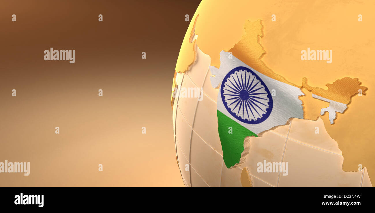 Map of the India on Earth in the national colors. 3d Stock Photohttps://www.alamy.com/image-license-details/?v=1https://www.alamy.com/stock-photo-map-of-the-india-on-earth-in-the-national-colors-3d-52942873.html
RFD23N4W–Map of the India on Earth in the national colors. 3d
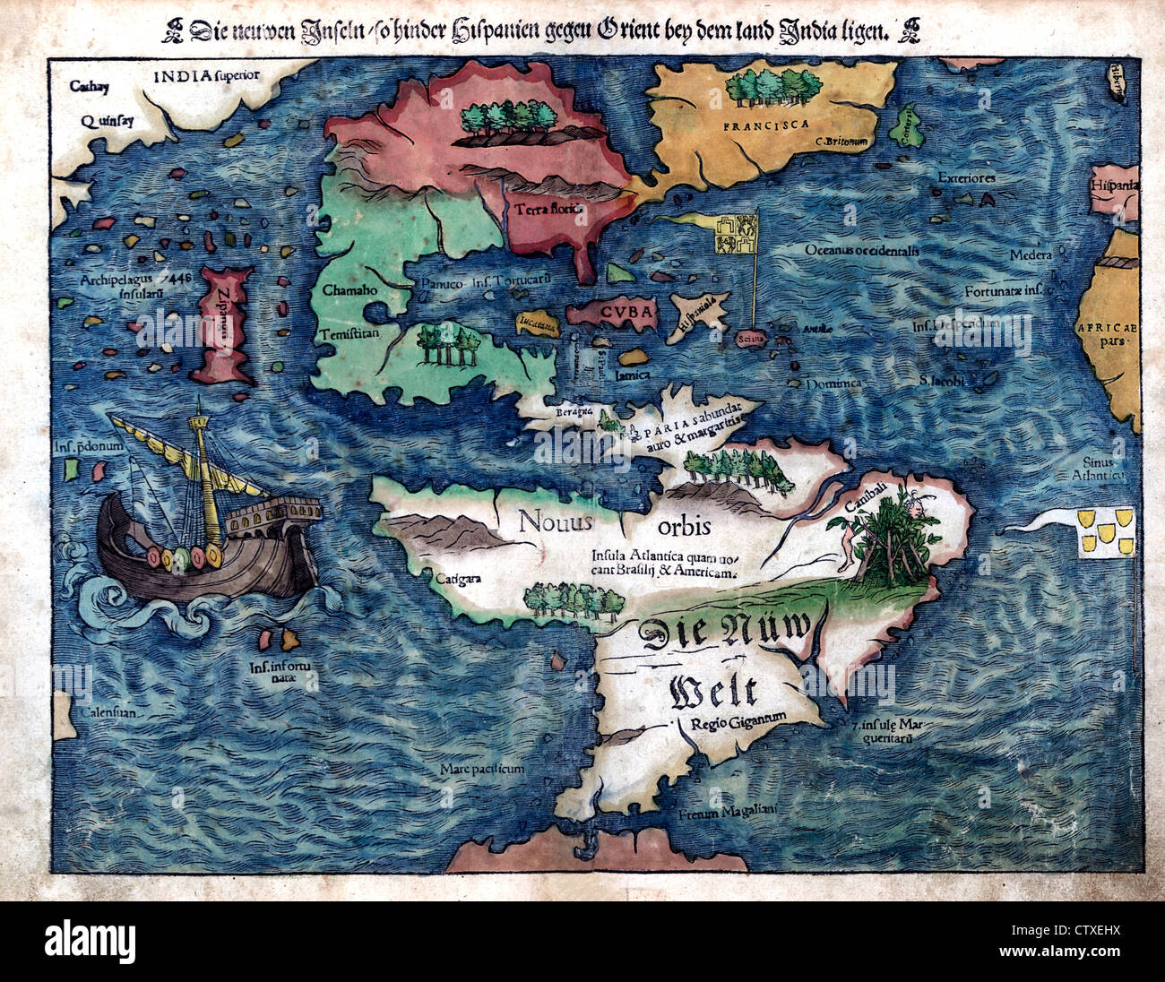 Map of the New World, circa 1550 - Die neuen Inseln, so hinder Hispanien gegen Orient bey dem land India ligen Stock Photohttps://www.alamy.com/image-license-details/?v=1https://www.alamy.com/stock-photo-map-of-the-new-world-circa-1550-die-neuen-inseln-so-hinder-hispanien-49754710.html
RMCTXEHX–Map of the New World, circa 1550 - Die neuen Inseln, so hinder Hispanien gegen Orient bey dem land India ligen
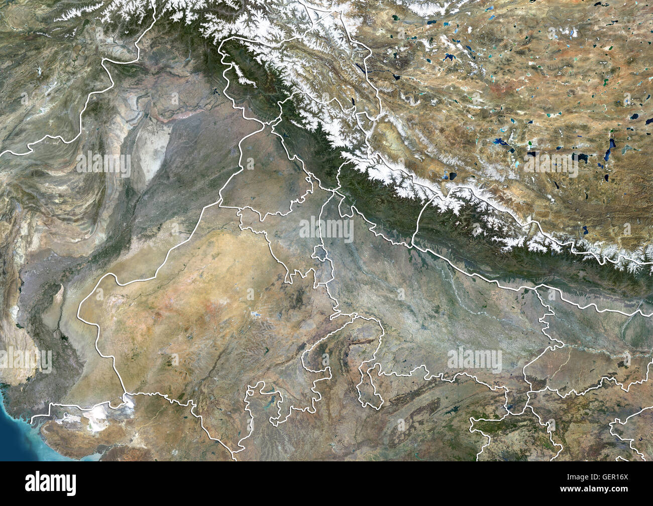 Satellite view of North India (with administrative boundaries). This image was compiled from data acquired by Landsat 8 satellite in 2014. Stock Photohttps://www.alamy.com/image-license-details/?v=1https://www.alamy.com/stock-photo-satellite-view-of-north-india-with-administrative-boundaries-this-112373266.html
RMGER16X–Satellite view of North India (with administrative boundaries). This image was compiled from data acquired by Landsat 8 satellite in 2014.
 16th century Portugese map of the Indian Ocean, Persian Gulf, India and North Africa. Miller. B.N., Paris Stock Photohttps://www.alamy.com/image-license-details/?v=1https://www.alamy.com/stock-photo-16th-century-portugese-map-of-the-indian-ocean-persian-gulf-india-57294776.html
RMD96020–16th century Portugese map of the Indian Ocean, Persian Gulf, India and North Africa. Miller. B.N., Paris
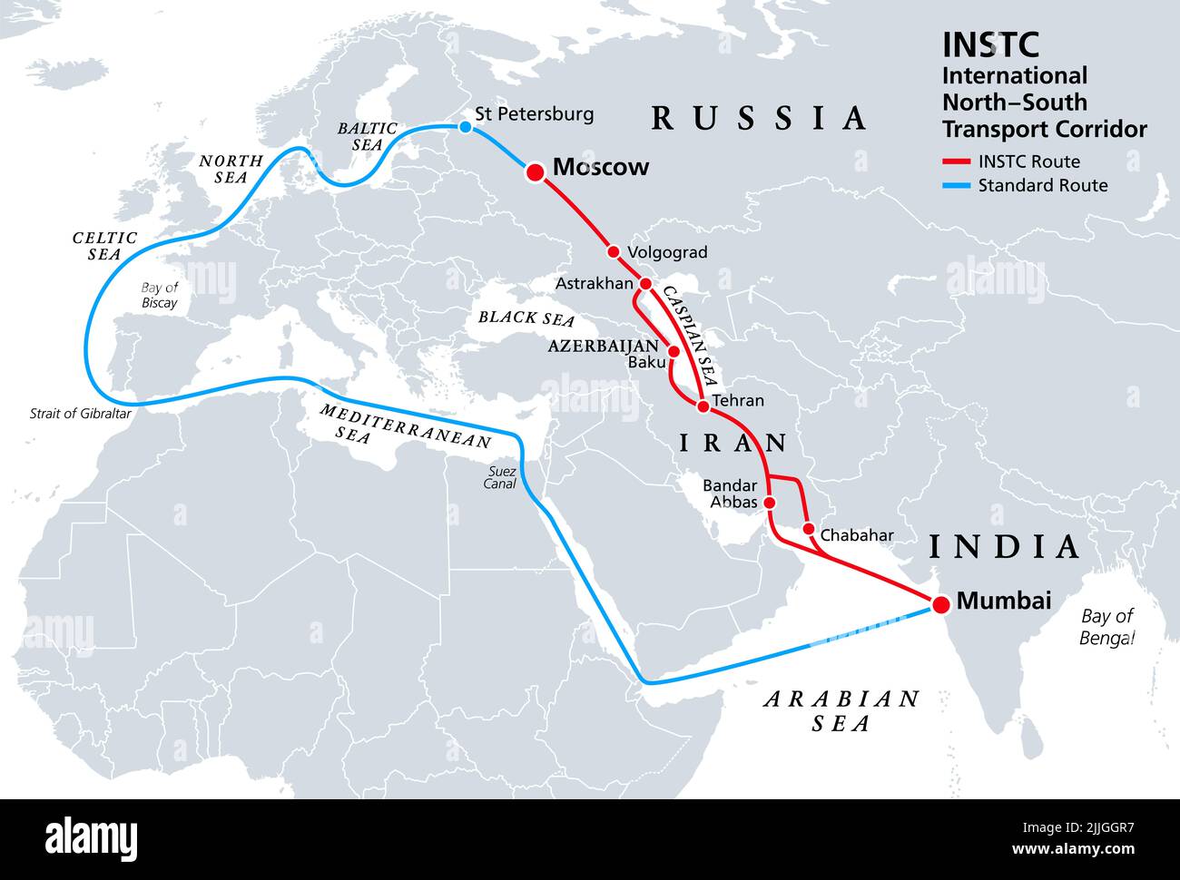 INSTC, International North–South Transport Corridor, political map. Network for moving freight, with Moscow as north end and Mumbai as south end. Stock Photohttps://www.alamy.com/image-license-details/?v=1https://www.alamy.com/instc-international-northsouth-transport-corridor-political-map-network-for-moving-freight-with-moscow-as-north-end-and-mumbai-as-south-end-image476108171.html
RF2JJGGR7–INSTC, International North–South Transport Corridor, political map. Network for moving freight, with Moscow as north end and Mumbai as south end.
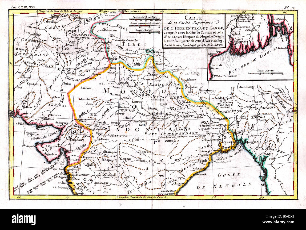 1780 Bonne Antique Map of North India, Nepal, Tibet, Punjab or Pakistan and Afghanistan Stock Photohttps://www.alamy.com/image-license-details/?v=1https://www.alamy.com/1780-bonne-antique-map-of-north-india-nepal-tibet-punjab-or-pakistan-image152050475.html
RFJRADX3–1780 Bonne Antique Map of North India, Nepal, Tibet, Punjab or Pakistan and Afghanistan
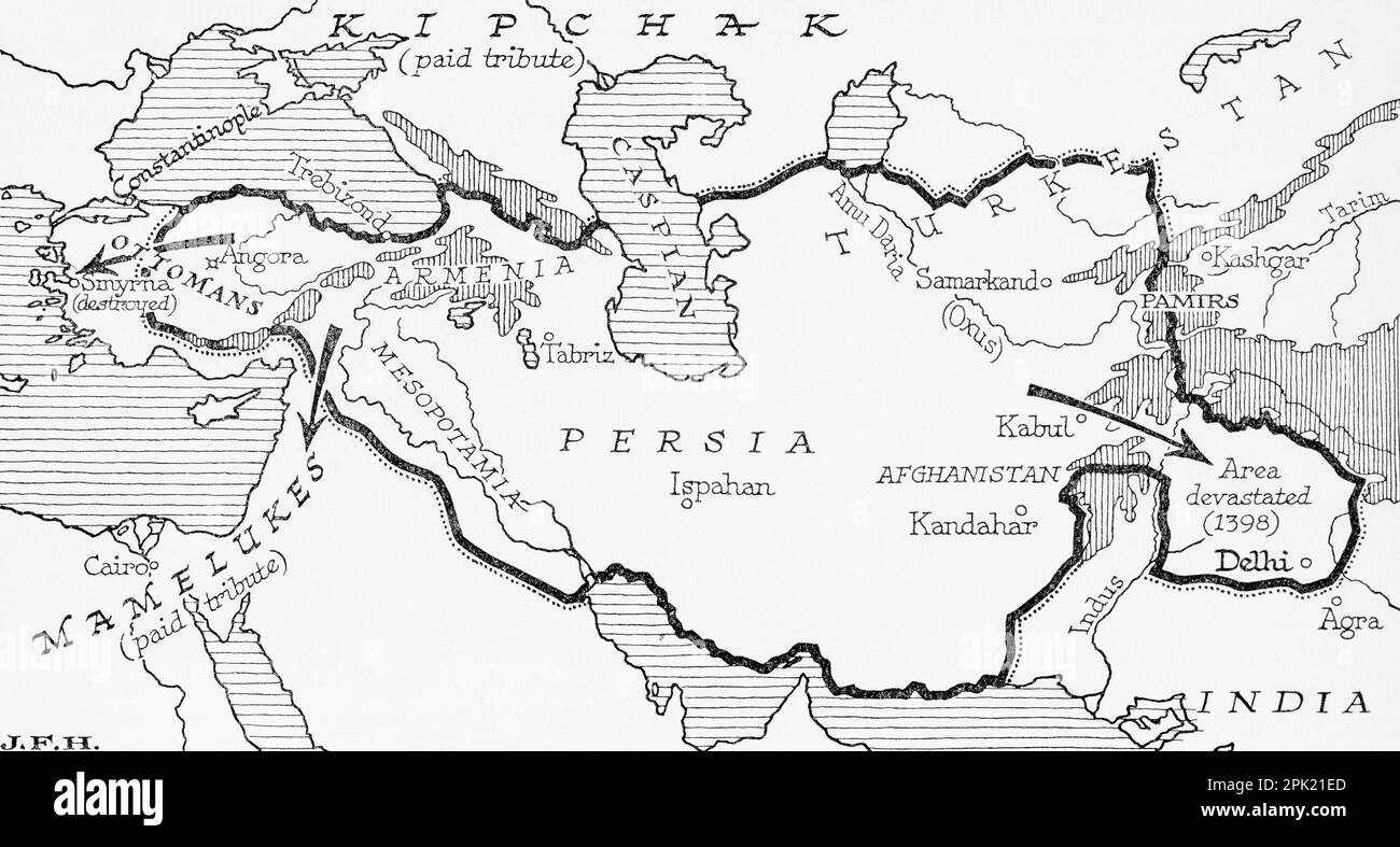 Map showing the Timurid Empire, (modern-day Afghanistan, Iran, Iraq and Central Asia, also parts of Pakistan, North India and Turkey) founded by Timur, aka Tamerlane, 1336 – 1405. From the book Outline of History by H.G. Wells, published 1920. Stock Photohttps://www.alamy.com/image-license-details/?v=1https://www.alamy.com/map-showing-the-timurid-empire-modern-day-afghanistan-iran-iraq-and-central-asia-also-parts-of-pakistan-north-india-and-turkey-founded-by-timur-aka-tamerlane-1336-1405-from-the-book-outline-of-history-by-hg-wells-published-1920-image545244965.html
RM2PK21ED–Map showing the Timurid Empire, (modern-day Afghanistan, Iran, Iraq and Central Asia, also parts of Pakistan, North India and Turkey) founded by Timur, aka Tamerlane, 1336 – 1405. From the book Outline of History by H.G. Wells, published 1920.
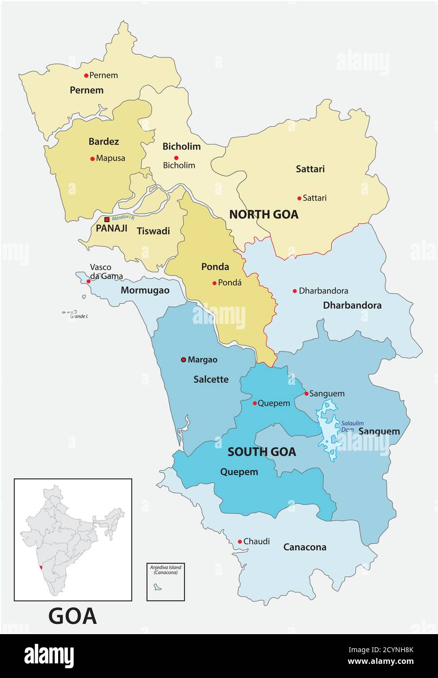 Administrative and political vector map of the Indian state of Goa Stock Vectorhttps://www.alamy.com/image-license-details/?v=1https://www.alamy.com/administrative-and-political-vector-map-of-the-indian-state-of-goa-image378488003.html
RF2CYNH8K–Administrative and political vector map of the Indian state of Goa
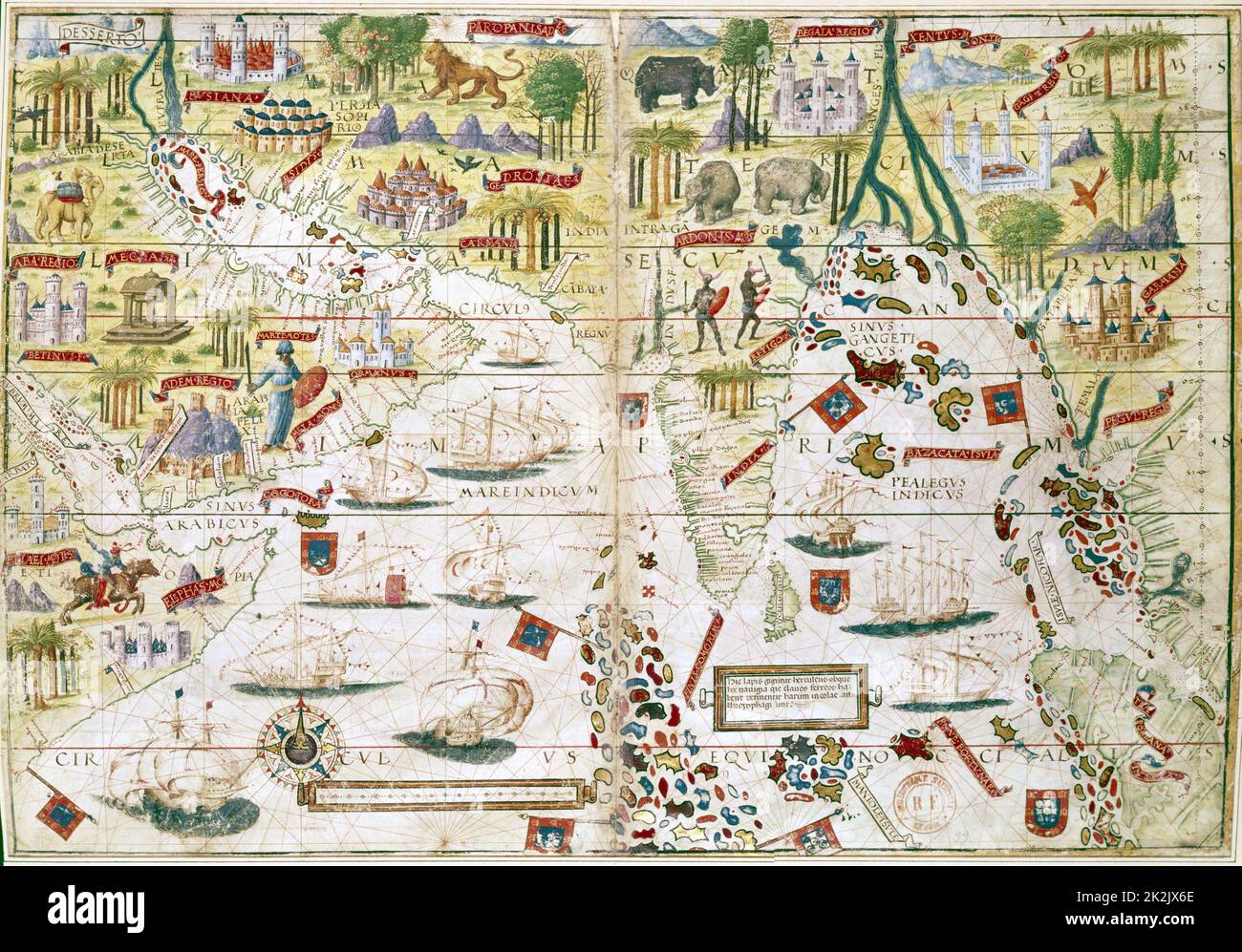 16th century Portugese map of the Indian Ocean, Persian Gulf, India and North Africa. Miller. B.N., Paris Stock Photohttps://www.alamy.com/image-license-details/?v=1https://www.alamy.com/16th-century-portugese-map-of-the-indian-ocean-persian-gulf-india-and-north-africa-miller-bn-paris-image483535318.html
RM2K2JX6E–16th century Portugese map of the Indian Ocean, Persian Gulf, India and North Africa. Miller. B.N., Paris
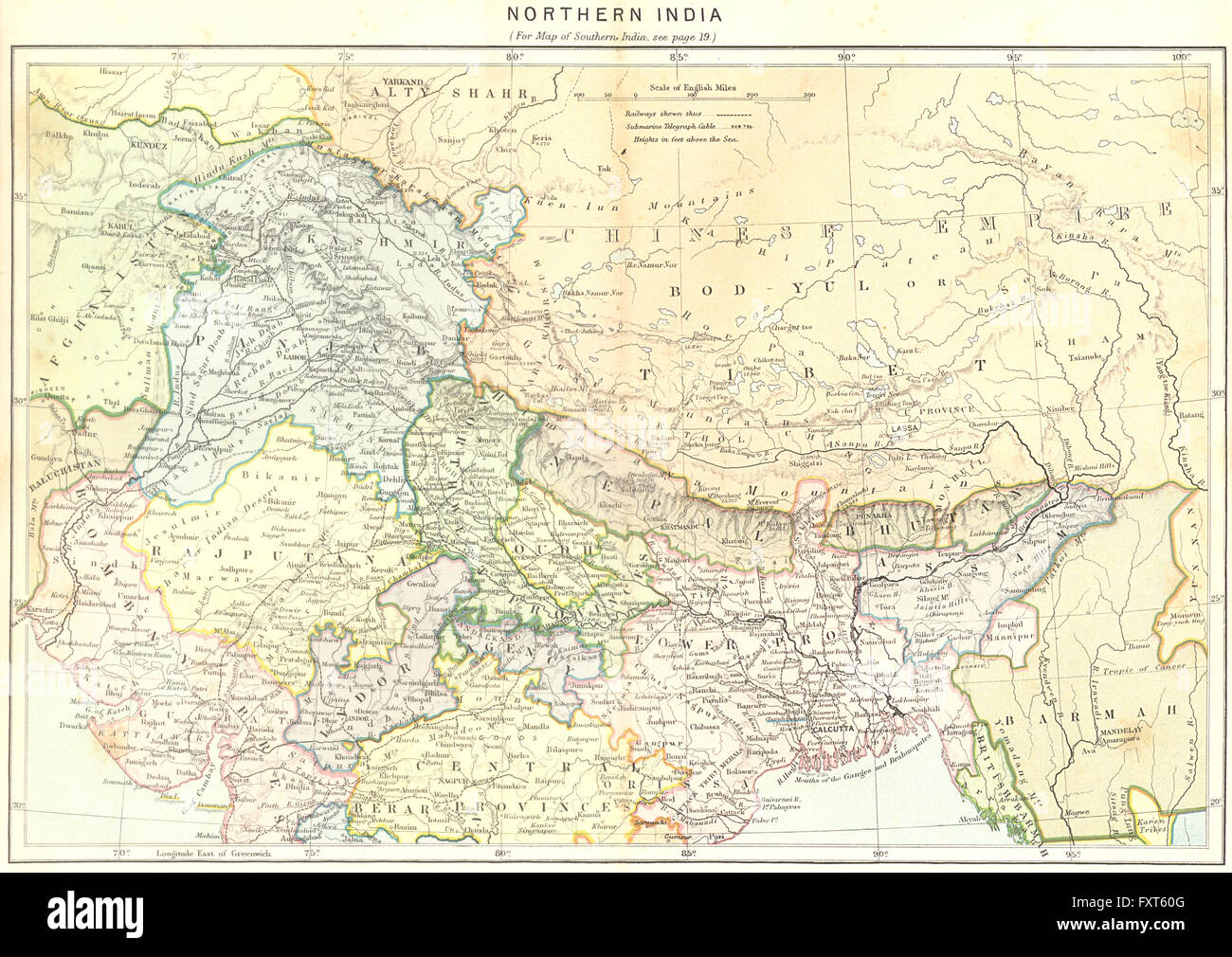 INDIA: North, c1885 antique map Stock Photohttps://www.alamy.com/image-license-details/?v=1https://www.alamy.com/stock-photo-india-north-c1885-antique-map-102564464.html
RFFXT60G–INDIA: North, c1885 antique map
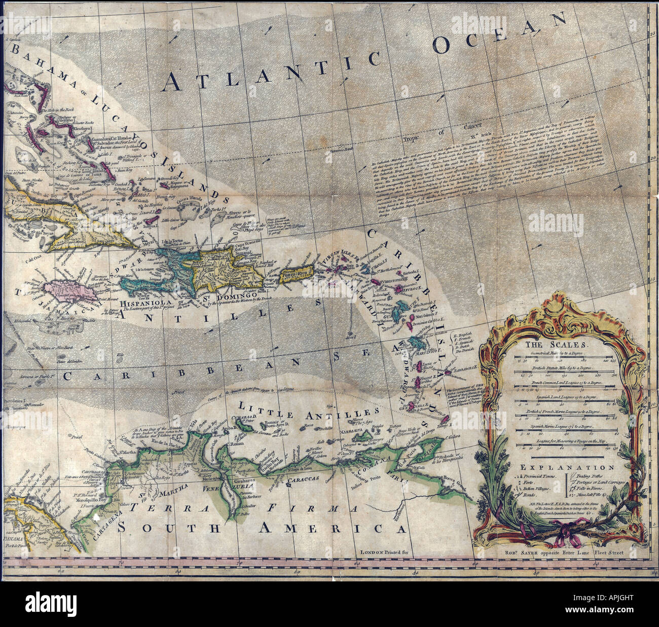 Map of North America Page 4 of 4, 1763 Stock Photohttps://www.alamy.com/image-license-details/?v=1https://www.alamy.com/stock-photo-map-of-north-america-page-4-of-4-1763-15804755.html
RMAPJGHT–Map of North America Page 4 of 4, 1763
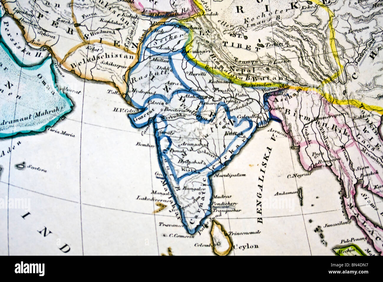 Ancient map of India. Handmade in 1881 Stock Photohttps://www.alamy.com/image-license-details/?v=1https://www.alamy.com/stock-photo-ancient-map-of-india-handmade-in-1881-30216739.html
RFBN4DN7–Ancient map of India. Handmade in 1881
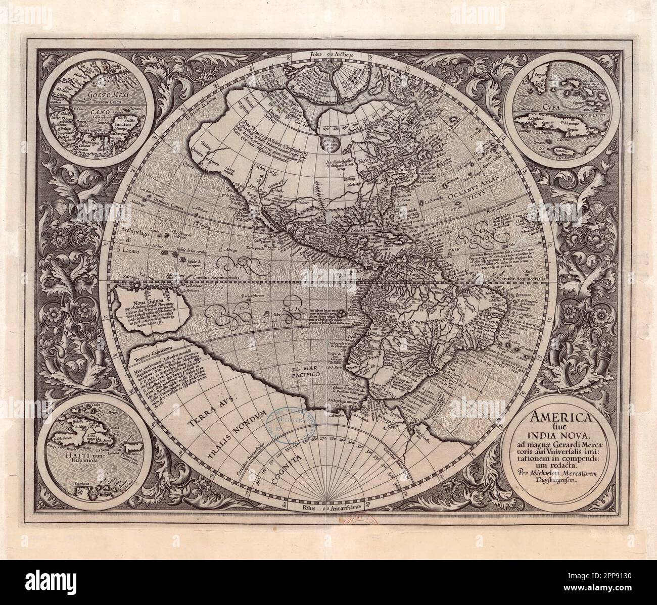 Antique map of the New World (the Americas) c. 1607 by Michael Mercator, Flemish (1567-1614), America Sive India Nova (America and New India) Stock Photohttps://www.alamy.com/image-license-details/?v=1https://www.alamy.com/antique-map-of-the-new-world-the-americas-c-1607-by-michael-mercator-flemish-1567-1614-america-sive-india-nova-america-and-new-india-image547242276.html
RM2PP9130–Antique map of the New World (the Americas) c. 1607 by Michael Mercator, Flemish (1567-1614), America Sive India Nova (America and New India)
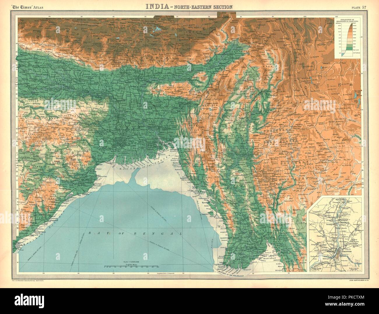 Geographical map of the north-eastern section of India, early 20th century. Artist: Unknown. Stock Photohttps://www.alamy.com/image-license-details/?v=1https://www.alamy.com/geographical-map-of-the-north-eastern-section-of-india-early-20th-century-artist-unknown-image218485868.html
RMPKCTXM–Geographical map of the north-eastern section of India, early 20th century. Artist: Unknown.
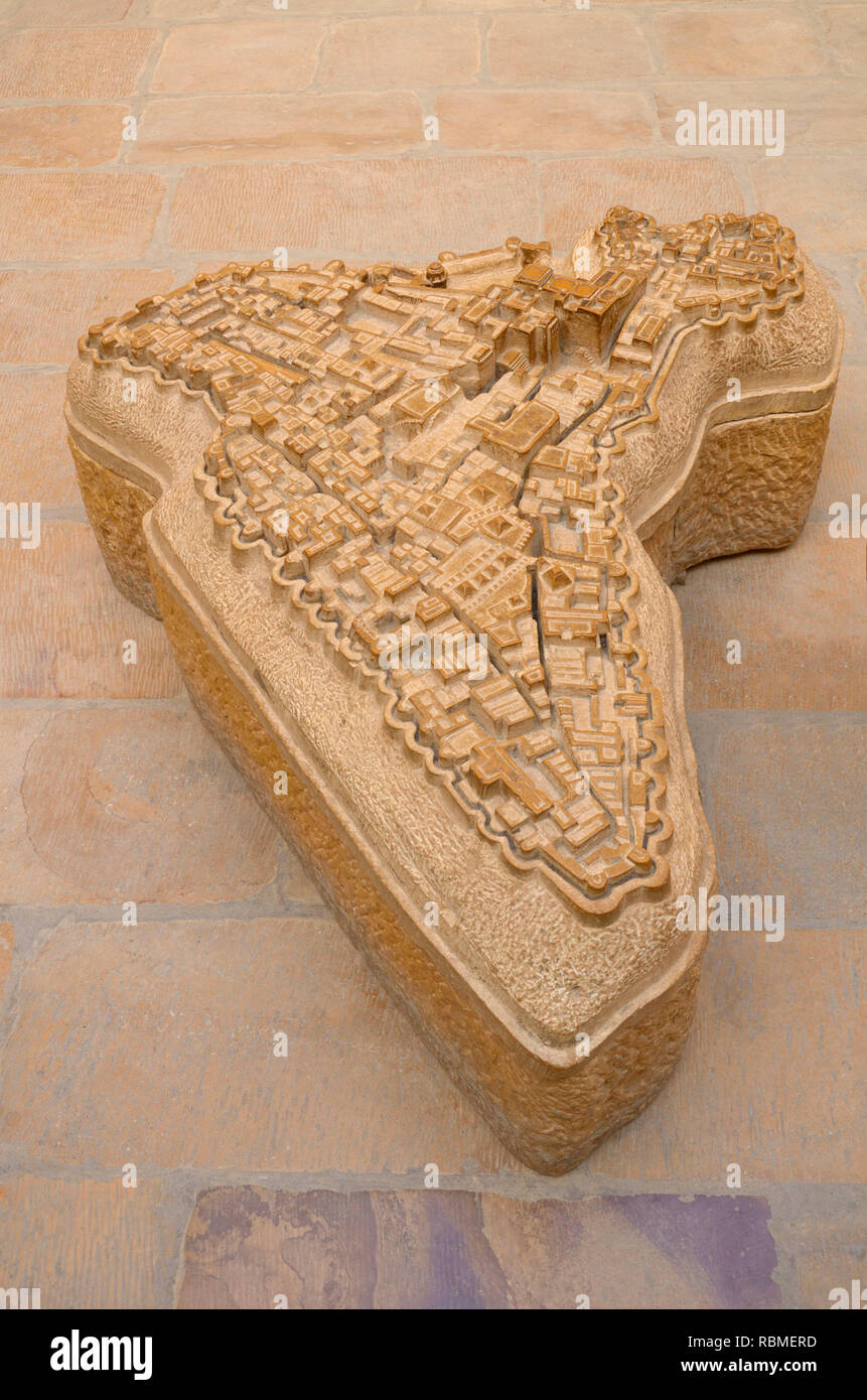 Jaisalmer fort map carved in sandstone, Jaisalmer, Rajasthan, India, Asia Stock Photohttps://www.alamy.com/image-license-details/?v=1https://www.alamy.com/jaisalmer-fort-map-carved-in-sandstone-jaisalmer-rajasthan-india-asia-image230946673.html
RMRBMERD–Jaisalmer fort map carved in sandstone, Jaisalmer, Rajasthan, India, Asia
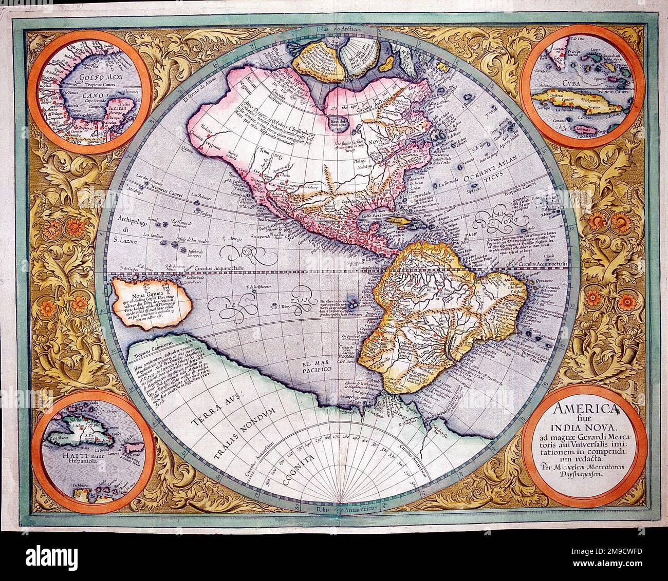 16th century Map of North and South America - America Sive India Nova with insets of the Gulf Coast, Hispaniola and Cuba and the Bahamas and southern Florida Stock Photohttps://www.alamy.com/image-license-details/?v=1https://www.alamy.com/16th-century-map-of-north-and-south-america-america-sive-india-nova-with-insets-of-the-gulf-coast-hispaniola-and-cuba-and-the-bahamas-and-southern-florida-image504916033.html
RM2M9CWFD–16th century Map of North and South America - America Sive India Nova with insets of the Gulf Coast, Hispaniola and Cuba and the Bahamas and southern Florida
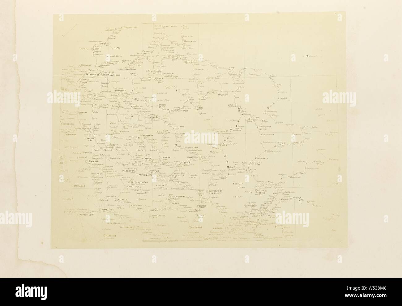 Map of North India, Philip Henry Egerton (British, active 1860s), London, England, 1864, Albumen silver print, 21.2 × 26.6 cm (8 3/8 × 10 1/2 in Stock Photohttps://www.alamy.com/image-license-details/?v=1https://www.alamy.com/map-of-north-india-philip-henry-egerton-british-active-1860s-london-england-1864-albumen-silver-print-212-266-cm-8-38-10-12-in-image261301496.html
RMW538M8–Map of North India, Philip Henry Egerton (British, active 1860s), London, England, 1864, Albumen silver print, 21.2 × 26.6 cm (8 3/8 × 10 1/2 in
 map world Stock Vectorhttps://www.alamy.com/image-license-details/?v=1https://www.alamy.com/stock-photo-map-world-114966468.html
RFGK14W8–map world
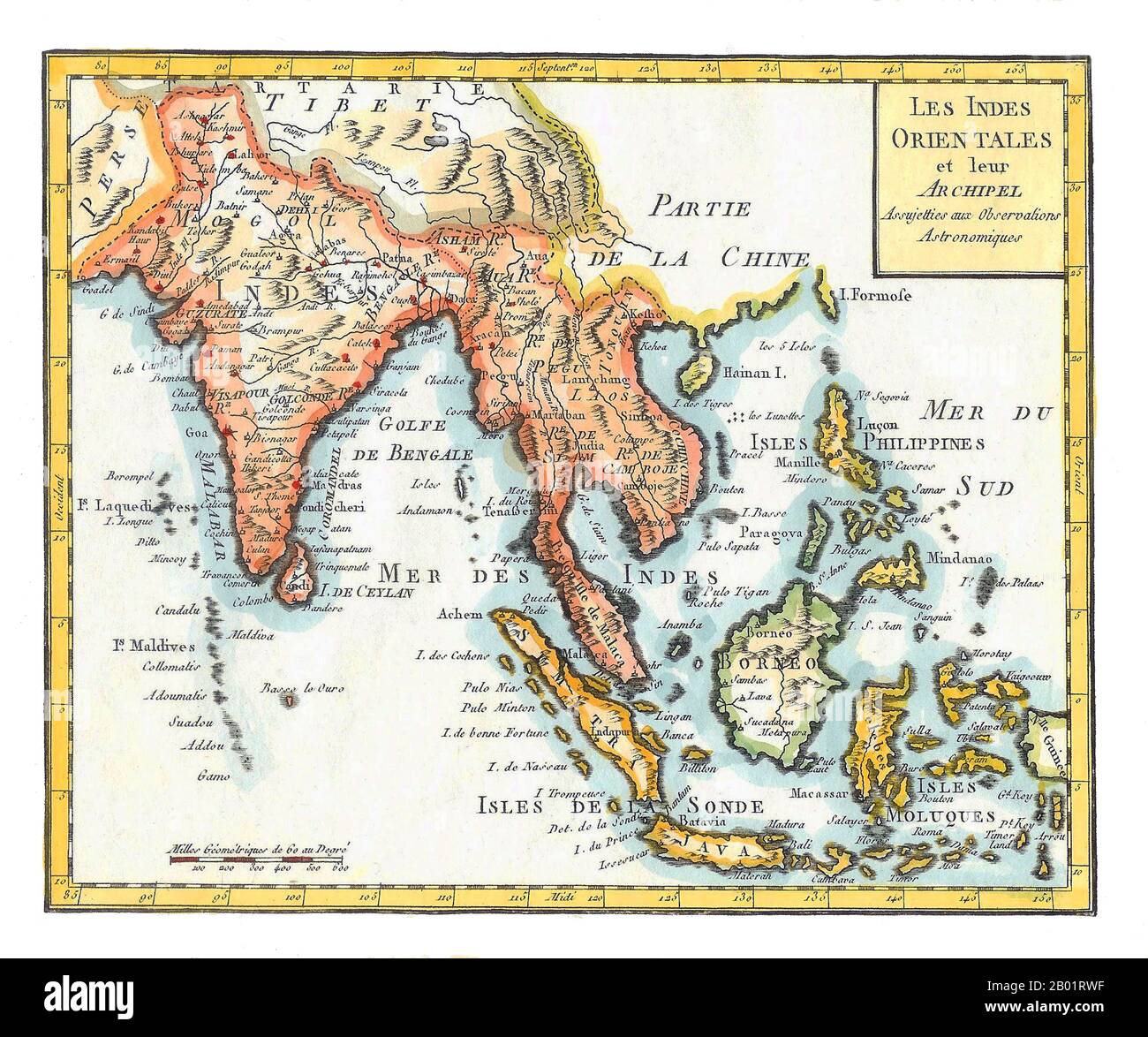 Asia/Indian Ocean: 'East Indies'. Hand-coloured map by Joseph de La Porte (19 January 1714 - 19 December 1779) from his 'Atlas Moderne Portatif', 1799. East Indies is a term used by Europeans from the 16th century onwards to identify what is now known as the Indian subcontinent or South Asia, Southeastern Asia, and the islands of Oceania, including the Malay Archipelago and the Philippines. The term has traditionally excluded China, Japan, and other countries to the north of India and the Himalayas. The names 'India' and 'the Indies', derived from the Indus River in modern-day Pakistan. Stock Photohttps://www.alamy.com/image-license-details/?v=1https://www.alamy.com/asiaindian-ocean-east-indies-hand-coloured-map-by-joseph-de-la-porte-19-january-1714-19-december-1779-from-his-atlas-moderne-portatif-1799-east-indies-is-a-term-used-by-europeans-from-the-16th-century-onwards-to-identify-what-is-now-known-as-the-indian-subcontinent-or-south-asia-southeastern-asia-and-the-islands-of-oceania-including-the-malay-archipelago-and-the-philippines-the-term-has-traditionally-excluded-china-japan-and-other-countries-to-the-north-of-india-and-the-himalayas-the-names-india-and-the-indies-derived-from-the-indus-river-in-modern-day-pakistan-image344248059.html
RM2B01RWF–Asia/Indian Ocean: 'East Indies'. Hand-coloured map by Joseph de La Porte (19 January 1714 - 19 December 1779) from his 'Atlas Moderne Portatif', 1799. East Indies is a term used by Europeans from the 16th century onwards to identify what is now known as the Indian subcontinent or South Asia, Southeastern Asia, and the islands of Oceania, including the Malay Archipelago and the Philippines. The term has traditionally excluded China, Japan, and other countries to the north of India and the Himalayas. The names 'India' and 'the Indies', derived from the Indus River in modern-day Pakistan.
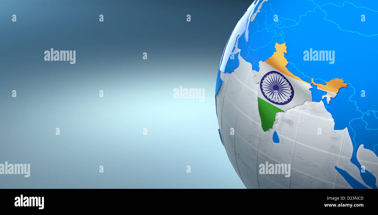 Map of the India on Earth in the national colors. 3d Stock Photohttps://www.alamy.com/image-license-details/?v=1https://www.alamy.com/stock-photo-map-of-the-india-on-earth-in-the-national-colors-3d-52943085.html
RFD23NCD–Map of the India on Earth in the national colors. 3d
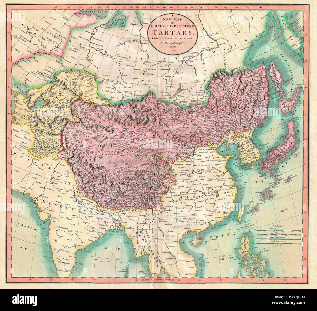 A New Map of Chinese & Independent Tartary - An exceptionally beautiful example of John Cary’s important 1806 map of Chinese and Independent Tartary. Covers Central Asia from the Caspian Sea to Japan, extends as far north as the Obskaia Sea and as far south as India, Burma and the Philippines. Includes the modern day nations of Uzbekistan, Kazakhstan, Turkmenistan, Kirgizstan, Tajikistan and Mongolia. One of Cary’s most interesting maps. Central Asia, despite hundreds of years of passing trade on the Silk Routes, was still, at the turn of the century a largely unknown land. 1806 Stock Photohttps://www.alamy.com/image-license-details/?v=1https://www.alamy.com/a-new-map-of-chinese-independent-tartary-an-exceptionally-beautiful-example-of-john-carys-important-1806-map-of-chinese-and-independent-tartary-covers-central-asia-from-the-caspian-sea-to-japan-extends-as-far-north-as-the-obskaia-sea-and-as-far-south-as-india-burma-and-the-philippines-includes-the-modern-day-nations-of-uzbekistan-kazakhstan-turkmenistan-kirgizstan-tajikistan-and-mongolia-one-of-carys-most-interesting-maps-central-asia-despite-hundreds-of-years-of-passing-trade-on-the-silk-routes-was-still-at-the-turn-of-the-century-a-largely-unknown-land-1806-image262863804.html
RMW7JDD0–A New Map of Chinese & Independent Tartary - An exceptionally beautiful example of John Cary’s important 1806 map of Chinese and Independent Tartary. Covers Central Asia from the Caspian Sea to Japan, extends as far north as the Obskaia Sea and as far south as India, Burma and the Philippines. Includes the modern day nations of Uzbekistan, Kazakhstan, Turkmenistan, Kirgizstan, Tajikistan and Mongolia. One of Cary’s most interesting maps. Central Asia, despite hundreds of years of passing trade on the Silk Routes, was still, at the turn of the century a largely unknown land. 1806
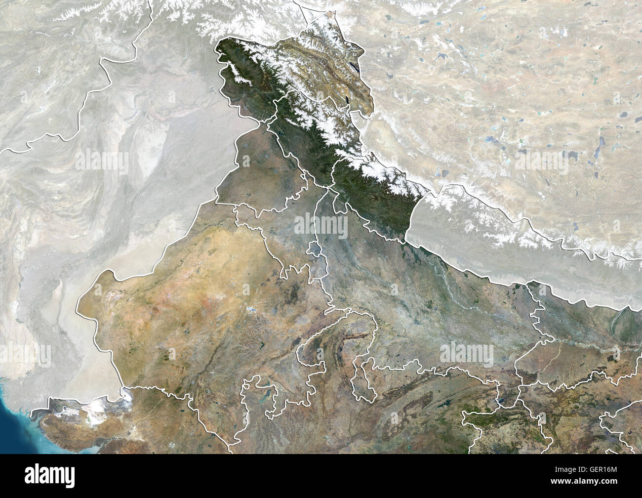 Satellite view of North India (with administrative boundaries and mask). This image was compiled from data acquired by Landsat 8 satellite in 2014. Stock Photohttps://www.alamy.com/image-license-details/?v=1https://www.alamy.com/stock-photo-satellite-view-of-north-india-with-administrative-boundaries-and-mask-112373260.html
RMGER16M–Satellite view of North India (with administrative boundaries and mask). This image was compiled from data acquired by Landsat 8 satellite in 2014.
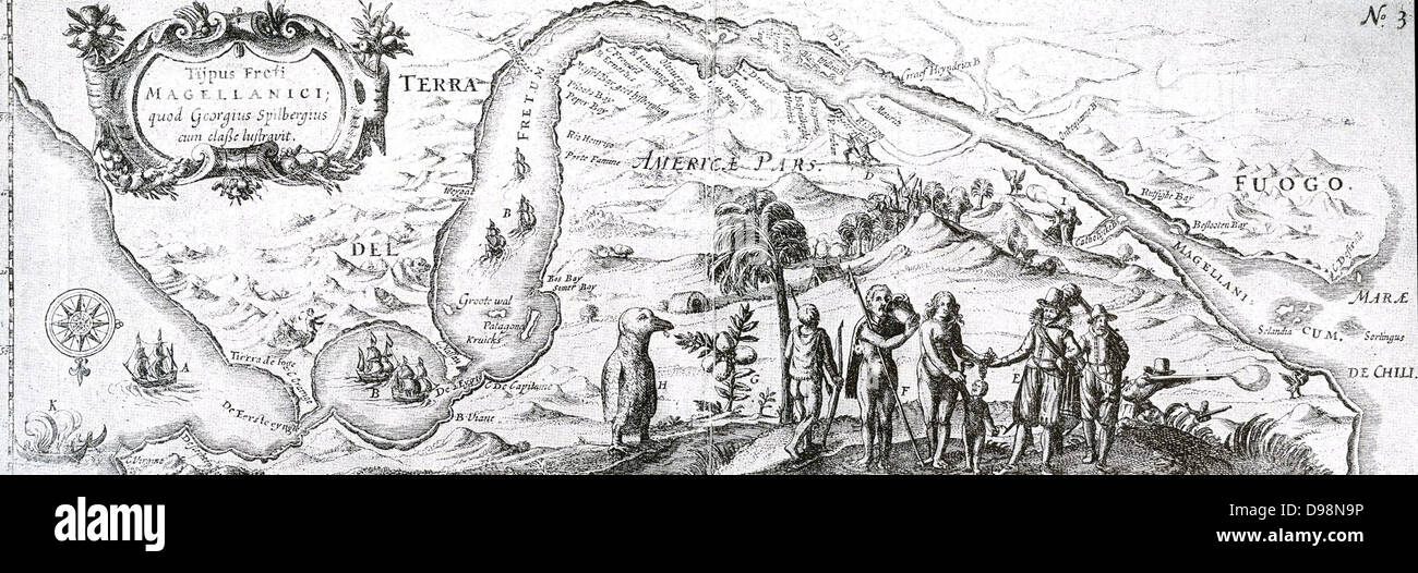 17th century Dutch East India Company map of the Strait of Magellan; a navigable sea route immediately south of mainland South America and north of Tierra del Fuego. Ferdinand Magellan (Portuguese: Fernão de Magalhães), a Portuguese sailor in the service of Charles I of Spain, became the first European to navigate the strait in 1520 during his global circumnavigation voyage. Stock Photohttps://www.alamy.com/image-license-details/?v=1https://www.alamy.com/stock-photo-17th-century-dutch-east-india-company-map-of-the-strait-of-magellan-57355362.html
RMD98N9P–17th century Dutch East India Company map of the Strait of Magellan; a navigable sea route immediately south of mainland South America and north of Tierra del Fuego. Ferdinand Magellan (Portuguese: Fernão de Magalhães), a Portuguese sailor in the service of Charles I of Spain, became the first European to navigate the strait in 1520 during his global circumnavigation voyage.
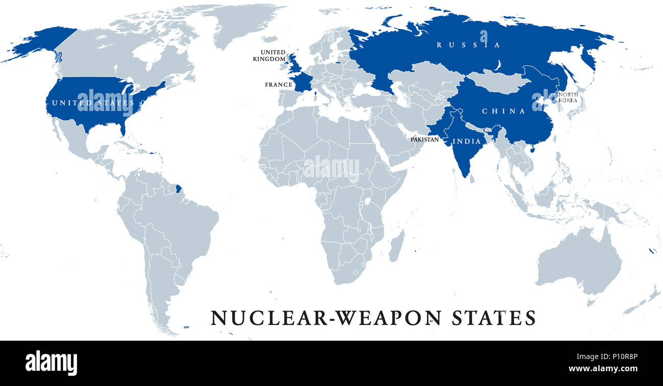 Nuclear-weapon states, political map. Eight sovereign states that have successfully detonated nuclear weapons, shown in blue color. English labeling. Stock Photohttps://www.alamy.com/image-license-details/?v=1https://www.alamy.com/nuclear-weapon-states-political-map-eight-sovereign-states-that-have-successfully-detonated-nuclear-weapons-shown-in-blue-color-english-labeling-image207157350.html
RFP10R8P–Nuclear-weapon states, political map. Eight sovereign states that have successfully detonated nuclear weapons, shown in blue color. English labeling.
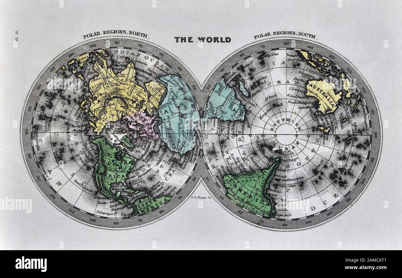 1834 Carey World Map Polar Projections Arctic North Pole Antarctica Stock Photohttps://www.alamy.com/image-license-details/?v=1https://www.alamy.com/1834-carey-world-map-polar-projections-arctic-north-pole-antarctica-image339558913.html
RF2AMC6T1–1834 Carey World Map Polar Projections Arctic North Pole Antarctica
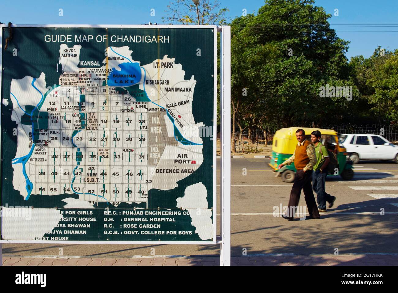 India, Punjab and Haryana, Chandigarh, map of the Le Corbusier city Stock Photohttps://www.alamy.com/image-license-details/?v=1https://www.alamy.com/india-punjab-and-haryana-chandigarh-map-of-the-le-corbusier-city-image431041399.html
RM2G17HKK–India, Punjab and Haryana, Chandigarh, map of the Le Corbusier city
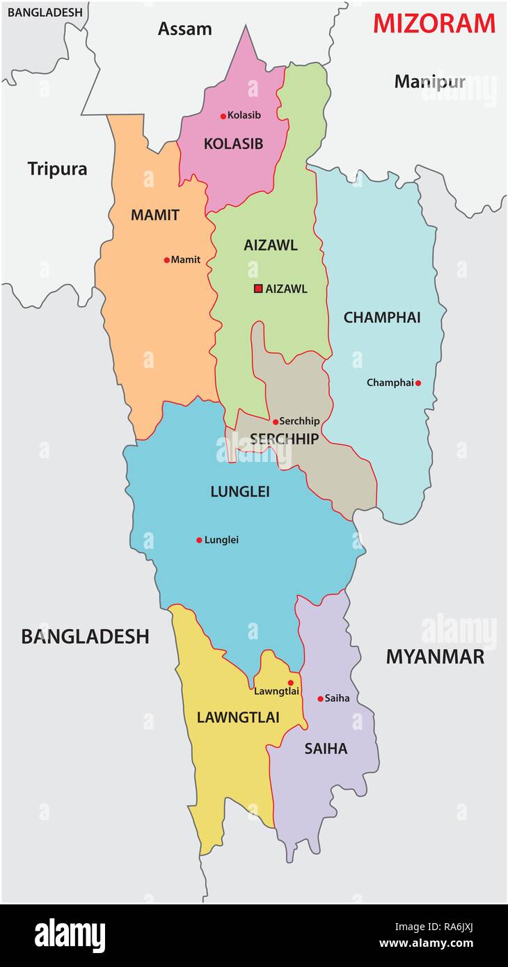 Mizoram (North Eastern Region) administrative and political vector map Stock Vectorhttps://www.alamy.com/image-license-details/?v=1https://www.alamy.com/mizoram-north-eastern-region-administrative-and-political-vector-map-image230027914.html
RFRA6JXJ–Mizoram (North Eastern Region) administrative and political vector map
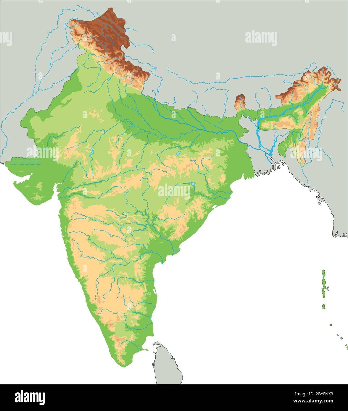 High detailed India physical map. Stock Vectorhttps://www.alamy.com/image-license-details/?v=1https://www.alamy.com/high-detailed-india-physical-map-image361149547.html
RF2BYFNX3–High detailed India physical map.
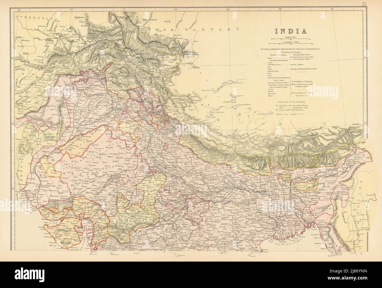 BRITISH INDIA NORTH. Shows railways actual & planned.Independent states 1886 map Stock Photohttps://www.alamy.com/image-license-details/?v=1https://www.alamy.com/british-india-north-shows-railways-actual-plannedindependent-states-1886-map-image469750673.html
RF2J86YNN–BRITISH INDIA NORTH. Shows railways actual & planned.Independent states 1886 map
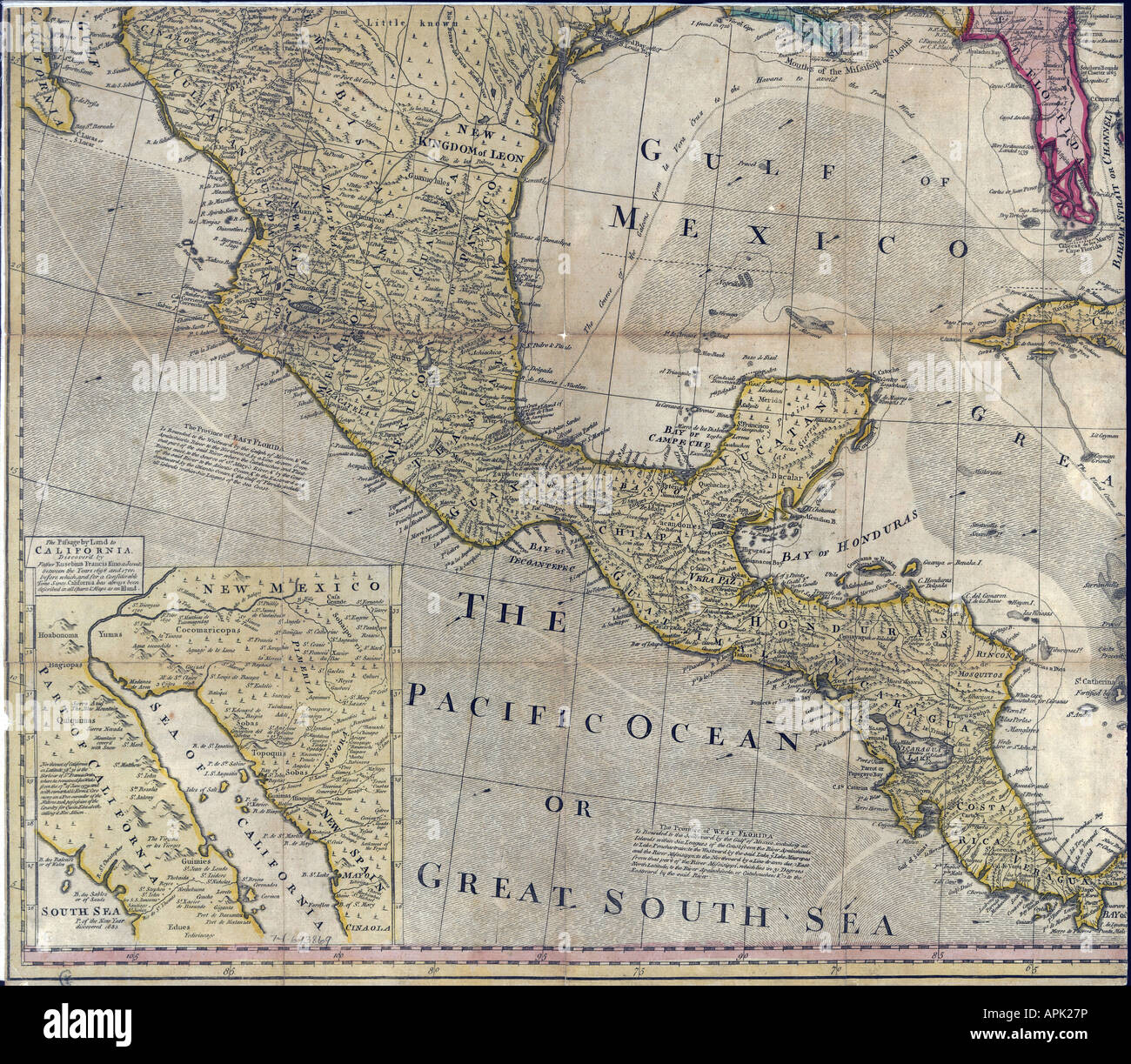 Map of North America Page 3 of 4, 1763 Stock Photohttps://www.alamy.com/image-license-details/?v=1https://www.alamy.com/stock-photo-map-of-north-america-page-3-of-4-1763-15809337.html
RMAPK27P–Map of North America Page 3 of 4, 1763
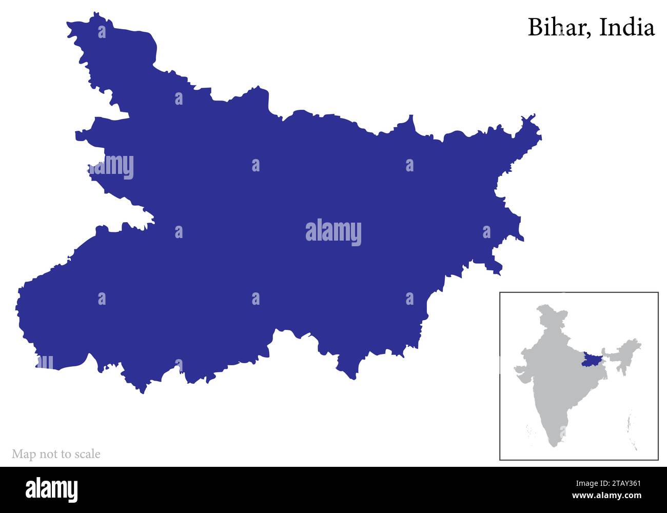 Indian state Bihar map vector , Bihar map Stock Vectorhttps://www.alamy.com/image-license-details/?v=1https://www.alamy.com/indian-state-bihar-map-vector-bihar-map-image574683929.html
RF2TAY361–Indian state Bihar map vector , Bihar map
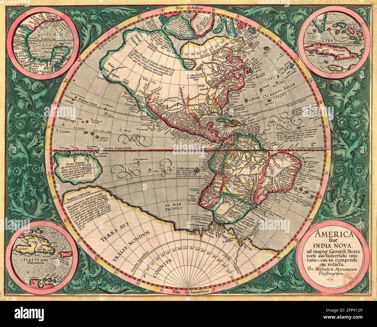 Colored antique map of the New World (the Americas) c. 1607 by Michael Mercator, Flemish (1567-1614), America Sive India Nova (America and New India) Stock Photohttps://www.alamy.com/image-license-details/?v=1https://www.alamy.com/colored-antique-map-of-the-new-world-the-americas-c-1607-by-michael-mercator-flemish-1567-1614-america-sive-india-nova-america-and-new-india-image547242270.html
RM2PP912P–Colored antique map of the New World (the Americas) c. 1607 by Michael Mercator, Flemish (1567-1614), America Sive India Nova (America and New India)
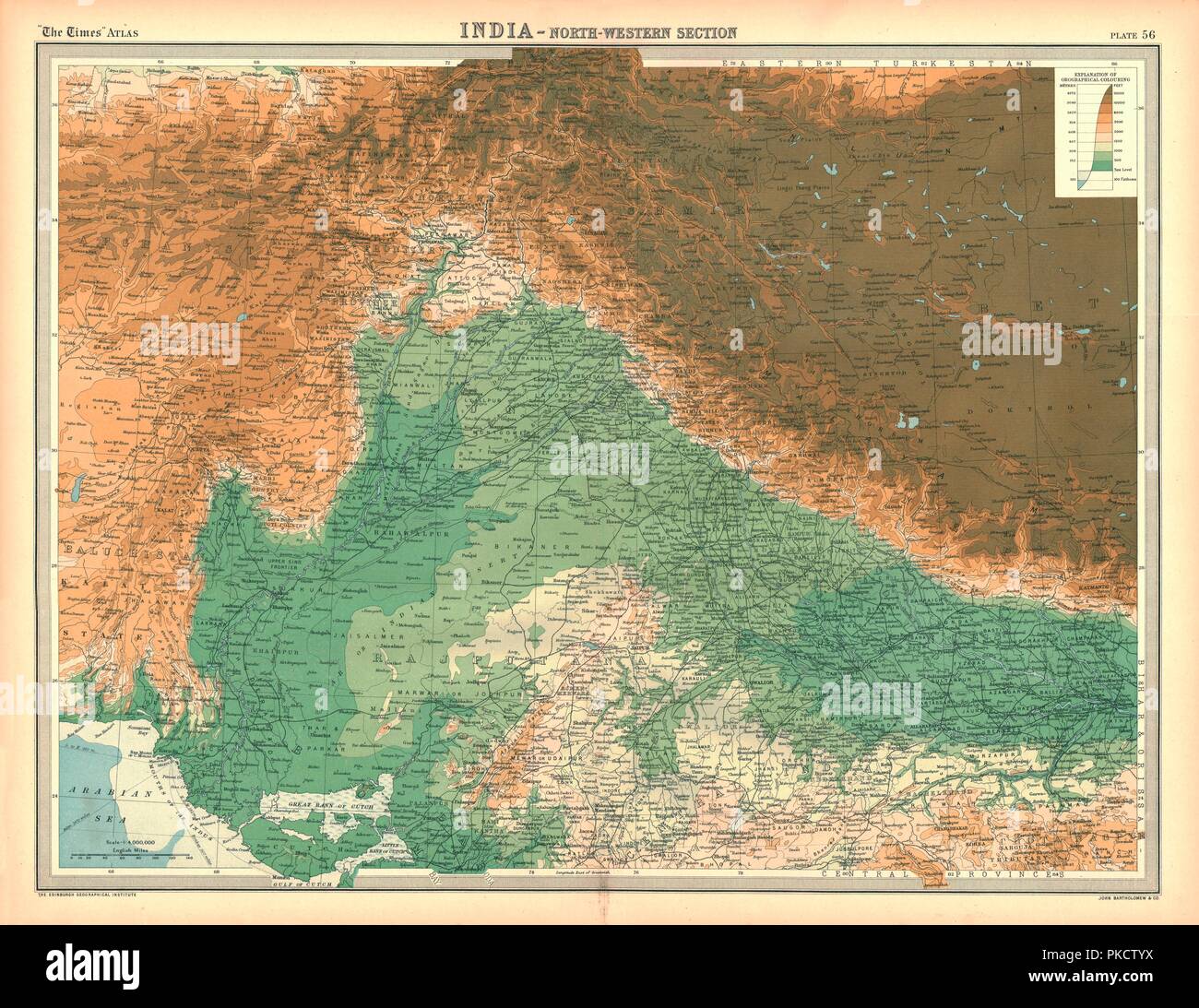 Map of India - North Western Section. Artist: Unknown. Stock Photohttps://www.alamy.com/image-license-details/?v=1https://www.alamy.com/map-of-india-north-western-section-artist-unknown-image218485902.html
RMPKCTYX–Map of India - North Western Section. Artist: Unknown.
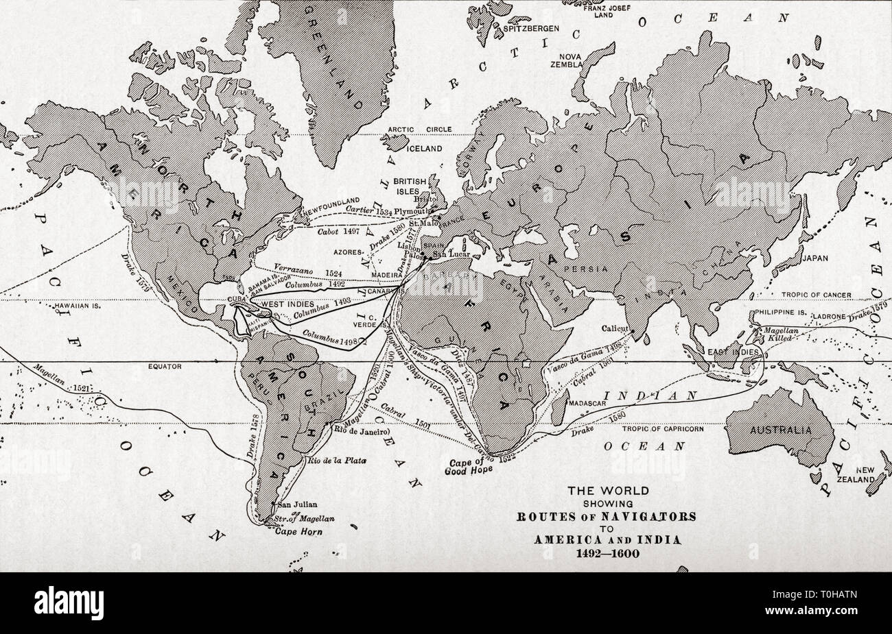 world map showing sea routes of navigators to America and India Stock Photohttps://www.alamy.com/image-license-details/?v=1https://www.alamy.com/world-map-showing-sea-routes-of-navigators-to-america-and-india-image241326869.html
RMT0HATN–world map showing sea routes of navigators to America and India
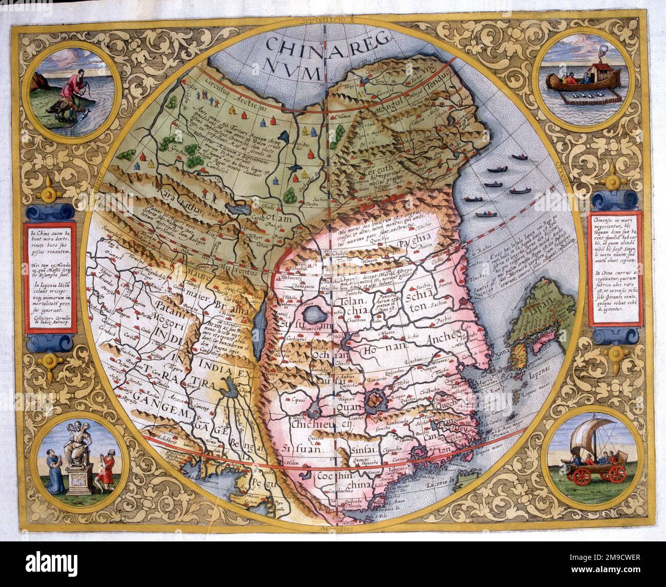 16th century Map of China including North East Tartary, Northern India and inner Asia as well as part of Japan Stock Photohttps://www.alamy.com/image-license-details/?v=1https://www.alamy.com/16th-century-map-of-china-including-north-east-tartary-northern-india-and-inner-asia-as-well-as-part-of-japan-image504916015.html
RM2M9CWER–16th century Map of China including North East Tartary, Northern India and inner Asia as well as part of Japan
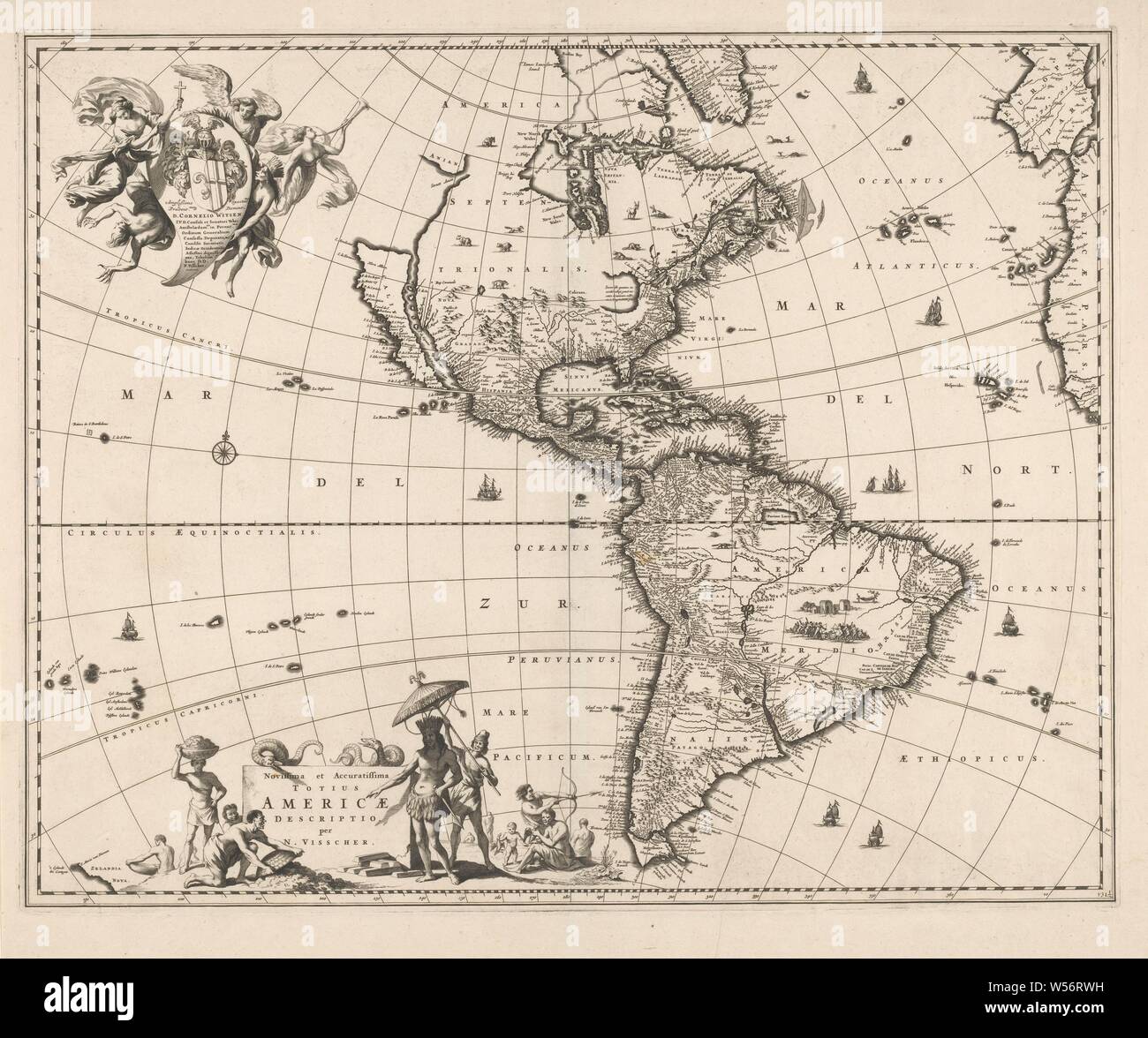 Map of America, Novissima et accuratissima totius Americae descriptio (title on object), Map of North and South America. Ships in the sea, mountains, trees, animals, people and buildings on land. Left under cartouche with title, snakes, locals and a local monarch engaged in specific local activities. Above left the assignment to Amsterdam mayor Cornelis Witsen and governor of the WIC, with coat of arms and helmet, worn by three angels and an Indian, (map of) America, colored races of America, North and Central America, South America, Cornelis Witsen, West India Company, Gerrit Lucasz van Stock Photohttps://www.alamy.com/image-license-details/?v=1https://www.alamy.com/map-of-america-novissima-et-accuratissima-totius-americae-descriptio-title-on-object-map-of-north-and-south-america-ships-in-the-sea-mountains-trees-animals-people-and-buildings-on-land-left-under-cartouche-with-title-snakes-locals-and-a-local-monarch-engaged-in-specific-local-activities-above-left-the-assignment-to-amsterdam-mayor-cornelis-witsen-and-governor-of-the-wic-with-coat-of-arms-and-helmet-worn-by-three-angels-and-an-indian-map-of-america-colored-races-of-america-north-and-central-america-south-america-cornelis-witsen-west-india-company-gerrit-lucasz-van-image261379261.html
RMW56RWH–Map of America, Novissima et accuratissima totius Americae descriptio (title on object), Map of North and South America. Ships in the sea, mountains, trees, animals, people and buildings on land. Left under cartouche with title, snakes, locals and a local monarch engaged in specific local activities. Above left the assignment to Amsterdam mayor Cornelis Witsen and governor of the WIC, with coat of arms and helmet, worn by three angels and an Indian, (map of) America, colored races of America, North and Central America, South America, Cornelis Witsen, West India Company, Gerrit Lucasz van
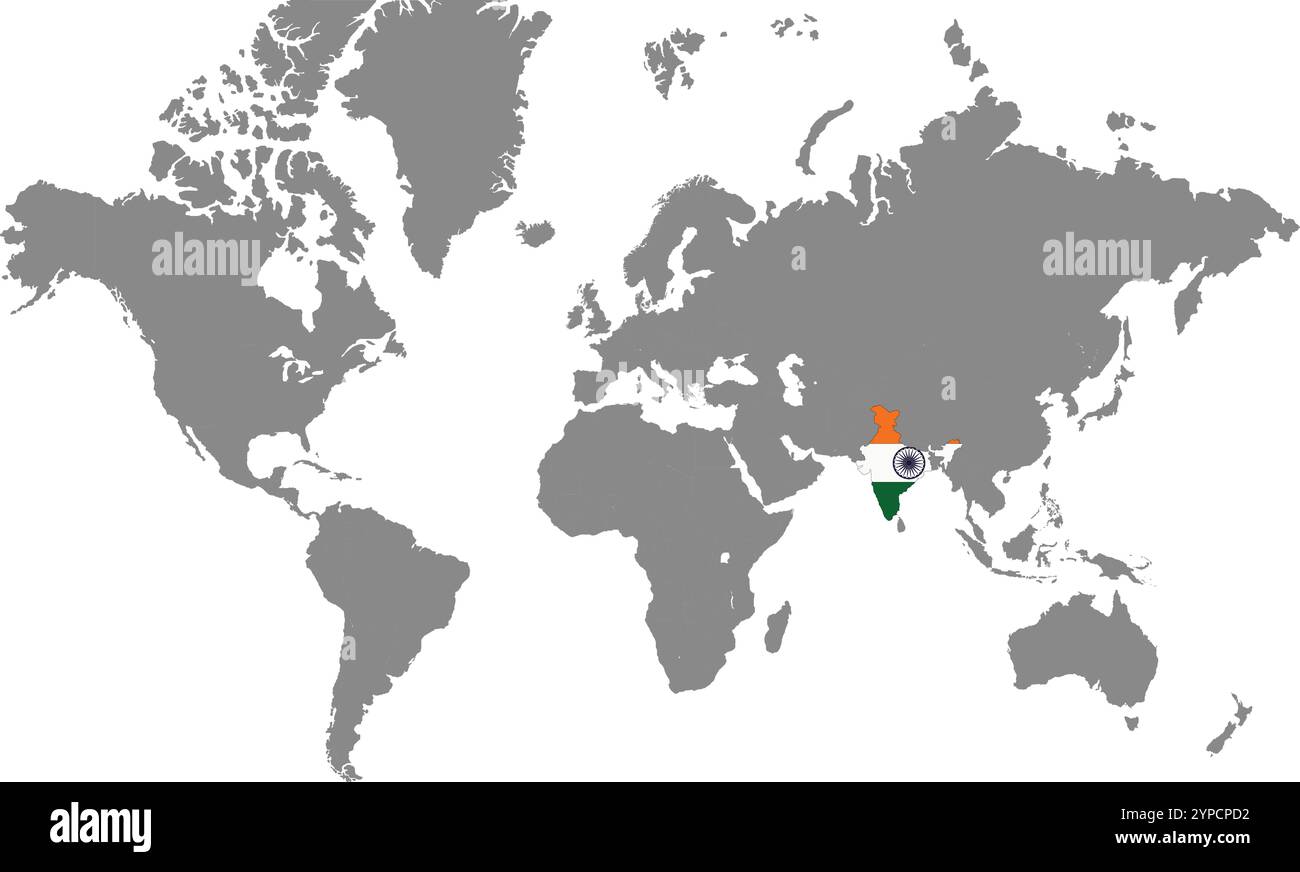 India in World Map, World Map, Geographic Map, India map, India Border line, Asia, Africa, Europe, North America, South America, Australia Oceania Stock Vectorhttps://www.alamy.com/image-license-details/?v=1https://www.alamy.com/india-in-world-map-world-map-geographic-map-india-map-india-border-line-asia-africa-europe-north-america-south-america-australia-oceania-image633376718.html
RF2YPCPD2–India in World Map, World Map, Geographic Map, India map, India Border line, Asia, Africa, Europe, North America, South America, Australia Oceania
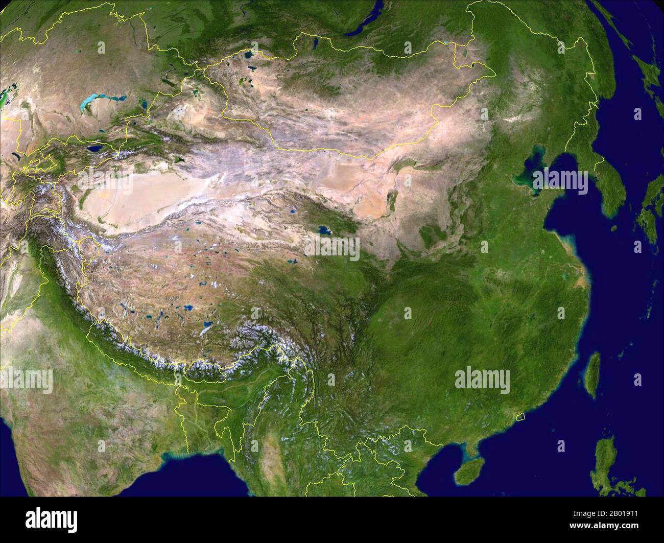 China: Composite Satellite image of China created by NASA and with contemporary frontiers superimposed in yellow, 30 March 2009. China ranges from mostly plateaus and mountains in the west to lower lands in the east. Principal rivers flow from west to east, including the Yangtze (central), the Yellow River (Huang He, north-central), and the Amur (northeast), and sometimes toward the south (including the Pearl River, Mekong (river), and Brahmaputra), with most Chinese rivers emptying into the Pacific Ocean. Stock Photohttps://www.alamy.com/image-license-details/?v=1https://www.alamy.com/china-composite-satellite-image-of-china-created-by-nasa-and-with-contemporary-frontiers-superimposed-in-yellow-30-march-2009-china-ranges-from-mostly-plateaus-and-mountains-in-the-west-to-lower-lands-in-the-east-principal-rivers-flow-from-west-to-east-including-the-yangtze-central-the-yellow-river-huang-he-north-central-and-the-amur-northeast-and-sometimes-toward-the-south-including-the-pearl-river-mekong-river-and-brahmaputra-with-most-chinese-rivers-emptying-into-the-pacific-ocean-image344237041.html
RM2B019T1–China: Composite Satellite image of China created by NASA and with contemporary frontiers superimposed in yellow, 30 March 2009. China ranges from mostly plateaus and mountains in the west to lower lands in the east. Principal rivers flow from west to east, including the Yangtze (central), the Yellow River (Huang He, north-central), and the Amur (northeast), and sometimes toward the south (including the Pearl River, Mekong (river), and Brahmaputra), with most Chinese rivers emptying into the Pacific Ocean.
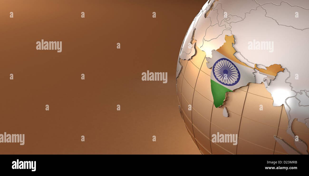 Map of the India on Earth in the national colors. 3d Stock Photohttps://www.alamy.com/image-license-details/?v=1https://www.alamy.com/stock-photo-map-of-the-india-on-earth-in-the-national-colors-3d-52942607.html
RFD23MRB–Map of the India on Earth in the national colors. 3d
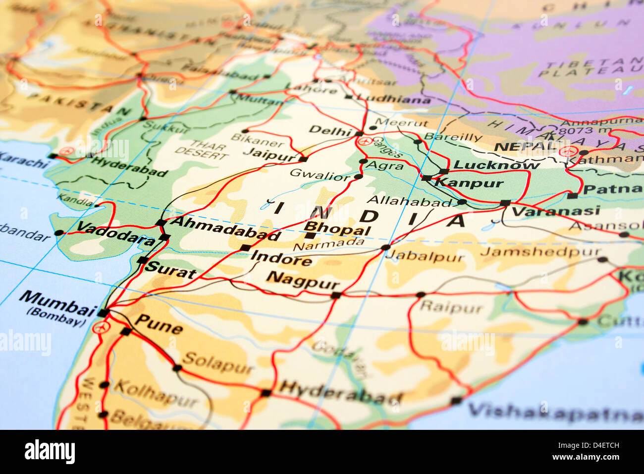 India map with mountains and rivers. Stock Photohttps://www.alamy.com/image-license-details/?v=1https://www.alamy.com/stock-photo-india-map-with-mountains-and-rivers-54416225.html
RFD4ETCH–India map with mountains and rivers.
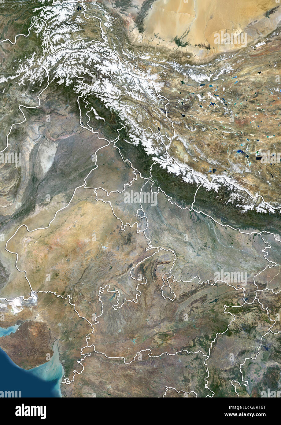 Satellite view of North India with administrative boundaries, including boundaries of Jammu and Kashmir disputed areas. This image was compiled from data acquired by Landsat 8 satellite in 2014. Stock Photohttps://www.alamy.com/image-license-details/?v=1https://www.alamy.com/stock-photo-satellite-view-of-north-india-with-administrative-boundaries-including-112373264.html
RMGER16T–Satellite view of North India with administrative boundaries, including boundaries of Jammu and Kashmir disputed areas. This image was compiled from data acquired by Landsat 8 satellite in 2014.
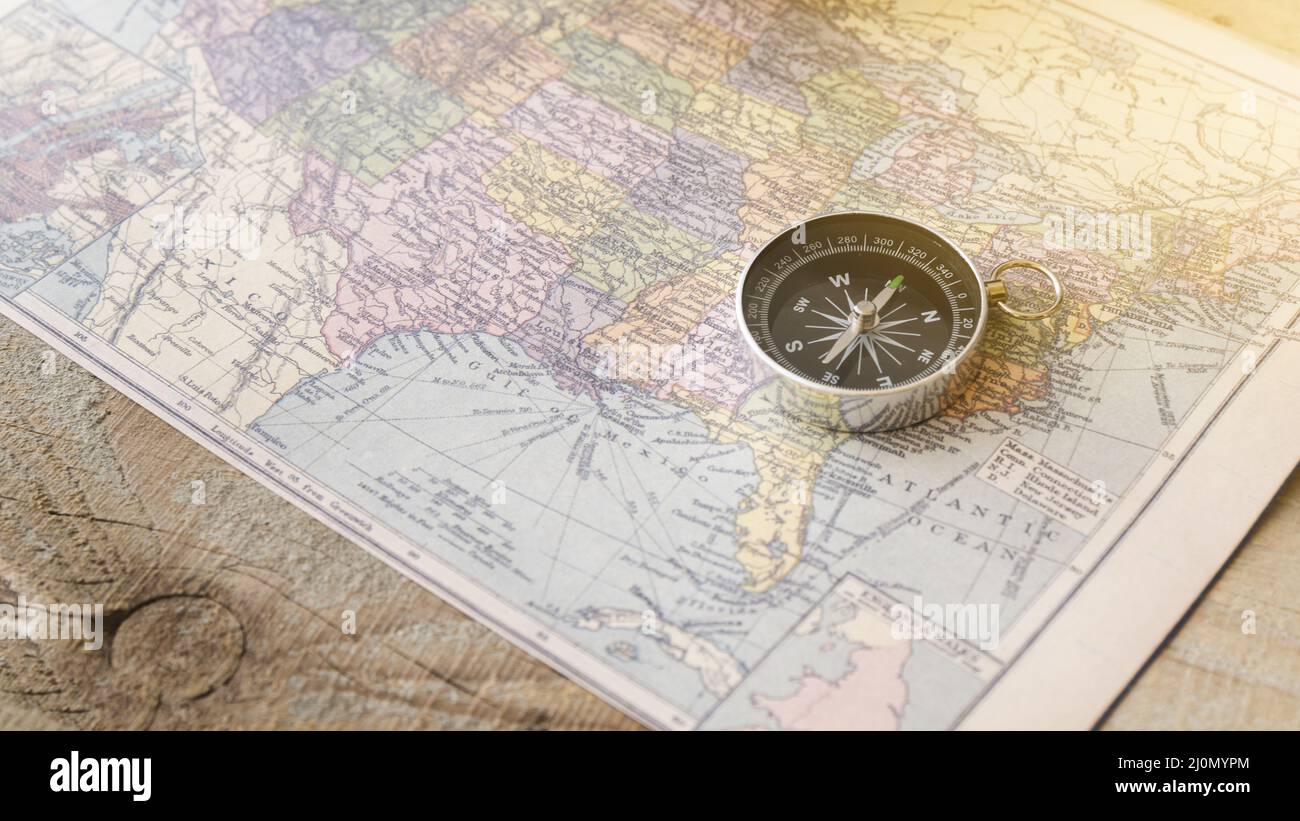 Close up compass north america map Stock Photohttps://www.alamy.com/image-license-details/?v=1https://www.alamy.com/close-up-compass-north-america-map-image465140780.html
RF2J0MYPM–Close up compass north america map
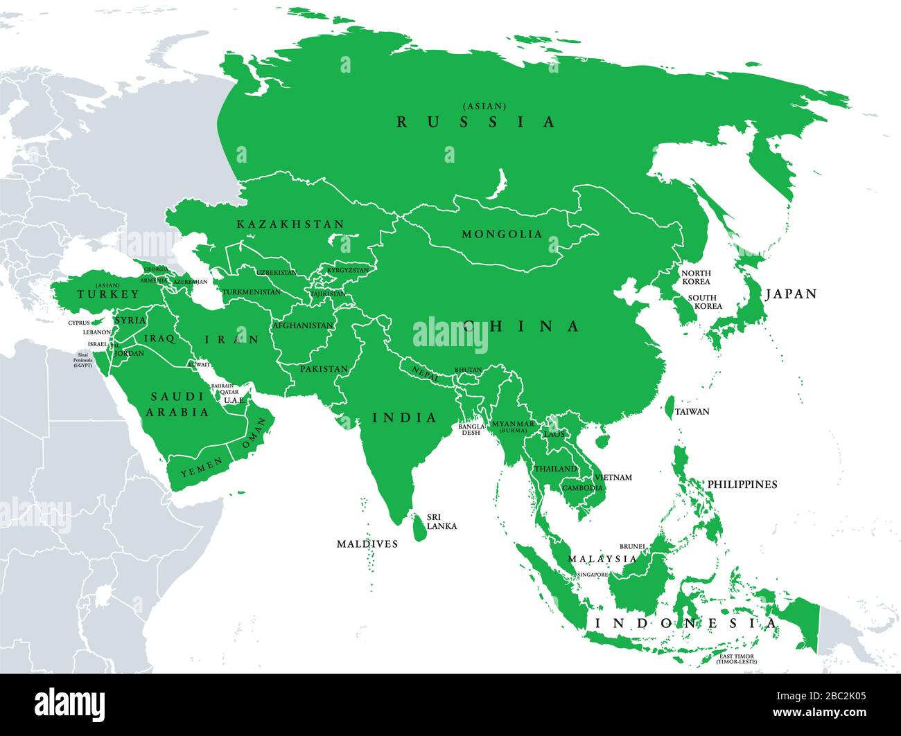 Asia, political map, states and countries of the largest continent. With the Asian part of Russia and Turkey and the Sinai Peninsula as African part. Stock Photohttps://www.alamy.com/image-license-details/?v=1https://www.alamy.com/asia-political-map-states-and-countries-of-the-largest-continent-with-the-asian-part-of-russia-and-turkey-and-the-sinai-peninsula-as-african-part-image351642037.html
RF2BC2K05–Asia, political map, states and countries of the largest continent. With the Asian part of Russia and Turkey and the Sinai Peninsula as African part.
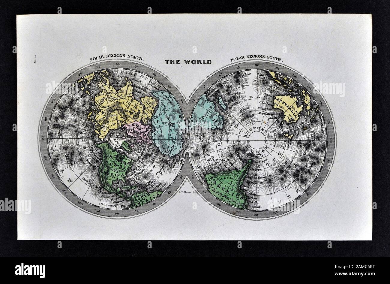 1834 Carey World Map Polar Projections Arctic North Pole Antarctica Stock Photohttps://www.alamy.com/image-license-details/?v=1https://www.alamy.com/1834-carey-world-map-polar-projections-arctic-north-pole-antarctica-image339558908.html
RF2AMC6RT–1834 Carey World Map Polar Projections Arctic North Pole Antarctica
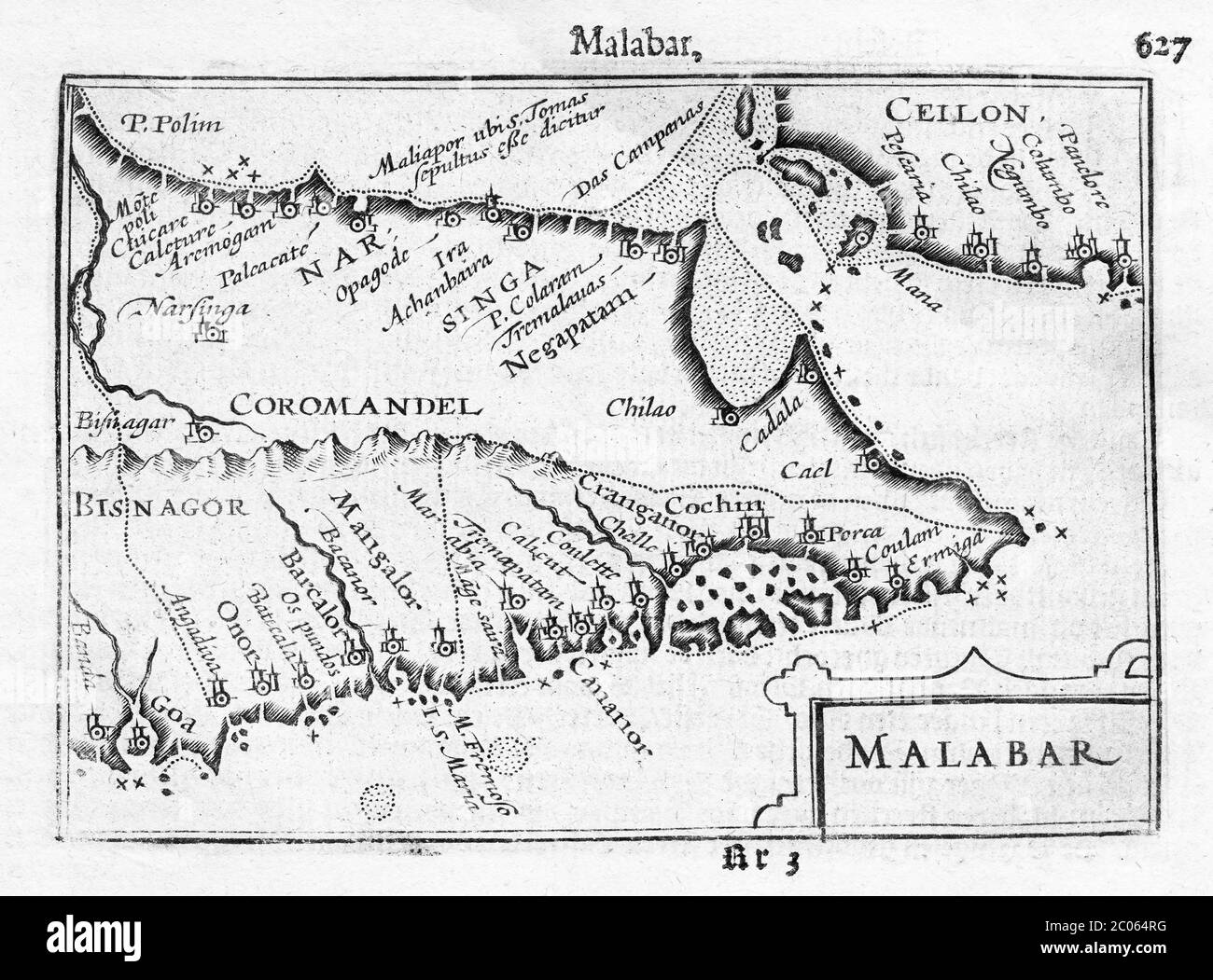 Malabar and Coromandel Coast, South India, copper engraved map by Petrus Bertius and Jodocus Hondius, 1616, Amsterdam, Netherlands Stock Photohttps://www.alamy.com/image-license-details/?v=1https://www.alamy.com/malabar-and-coromandel-coast-south-india-copper-engraved-map-by-petrus-bertius-and-jodocus-hondius-1616-amsterdam-netherlands-image361553236.html
RF2C064RG–Malabar and Coromandel Coast, South India, copper engraved map by Petrus Bertius and Jodocus Hondius, 1616, Amsterdam, Netherlands
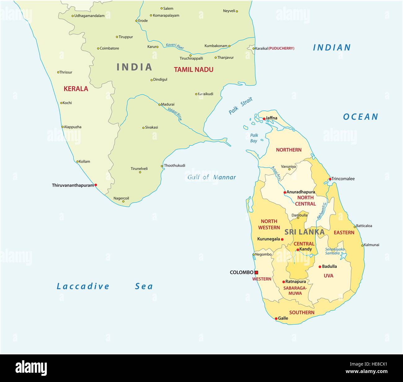 sri lanca and south india administrative map Stock Vectorhttps://www.alamy.com/image-license-details/?v=1https://www.alamy.com/stock-photo-sri-lanca-and-south-india-administrative-map-129263513.html
RFHE8CX1–sri lanca and south india administrative map
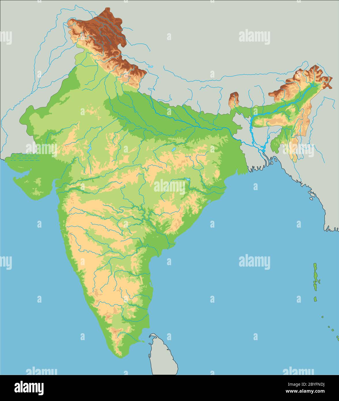 High detailed India physical map. Stock Vectorhttps://www.alamy.com/image-license-details/?v=1https://www.alamy.com/high-detailed-india-physical-map-image361149198.html
RF2BYFNDJ–High detailed India physical map.
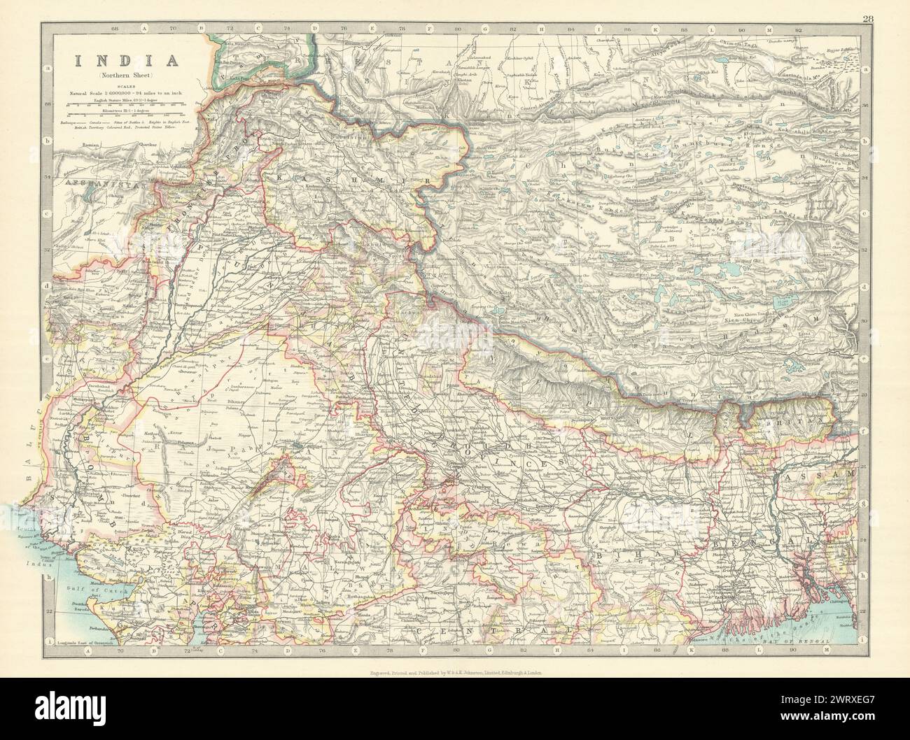 NORTH BRITISH INDIA showing battlefields & dates. Nepal Tibet. JOHNSTON 1913 map Stock Photohttps://www.alamy.com/image-license-details/?v=1https://www.alamy.com/north-british-india-showing-battlefields-dates-nepal-tibet-johnston-1913-map-image599871783.html
RF2WRXEG7–NORTH BRITISH INDIA showing battlefields & dates. Nepal Tibet. JOHNSTON 1913 map
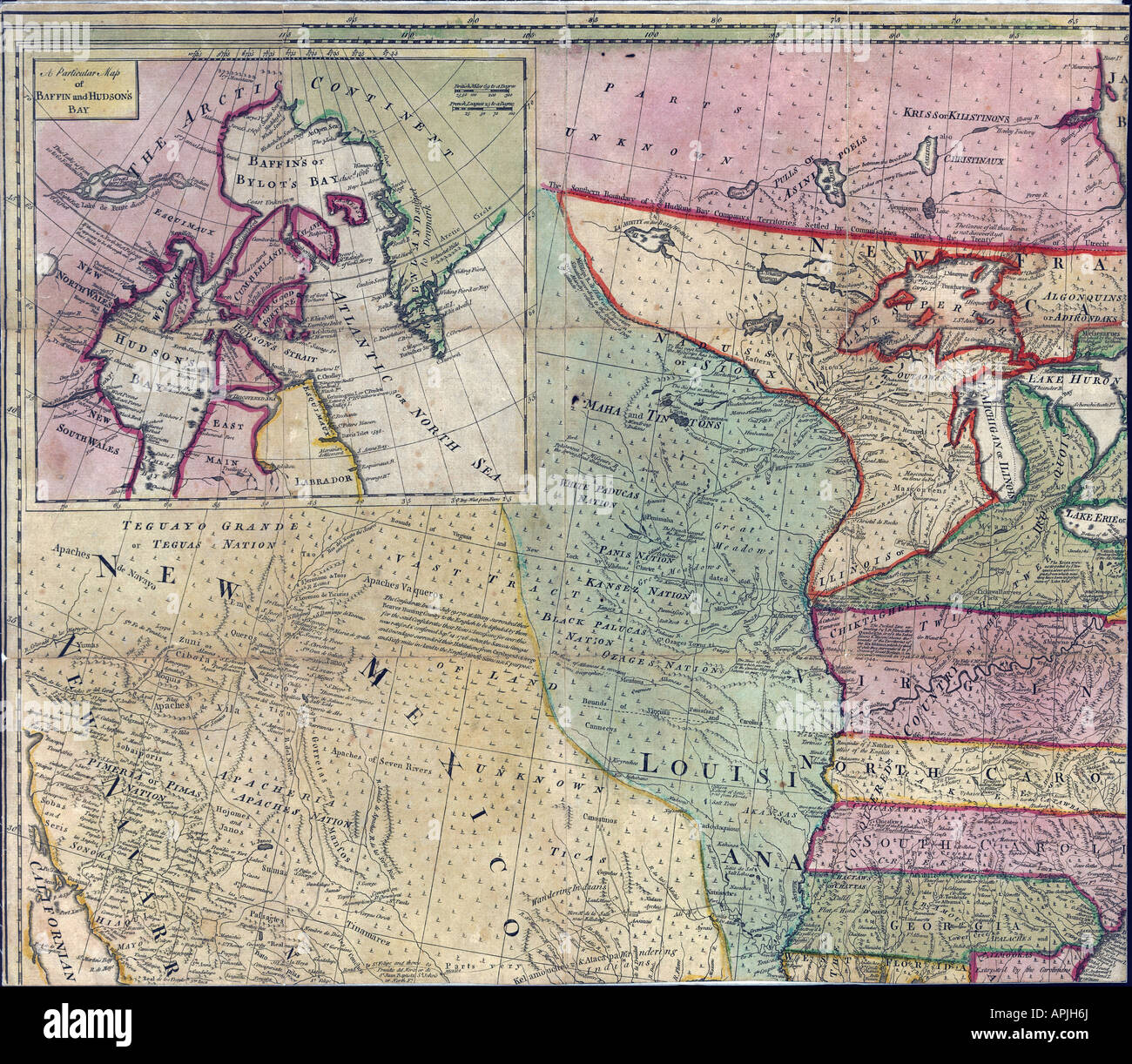 Map of North America Page 1 of 4, 1763 Stock Photohttps://www.alamy.com/image-license-details/?v=1https://www.alamy.com/stock-photo-map-of-north-america-page-1-of-4-1763-15804953.html
RMAPJH6J–Map of North America Page 1 of 4, 1763
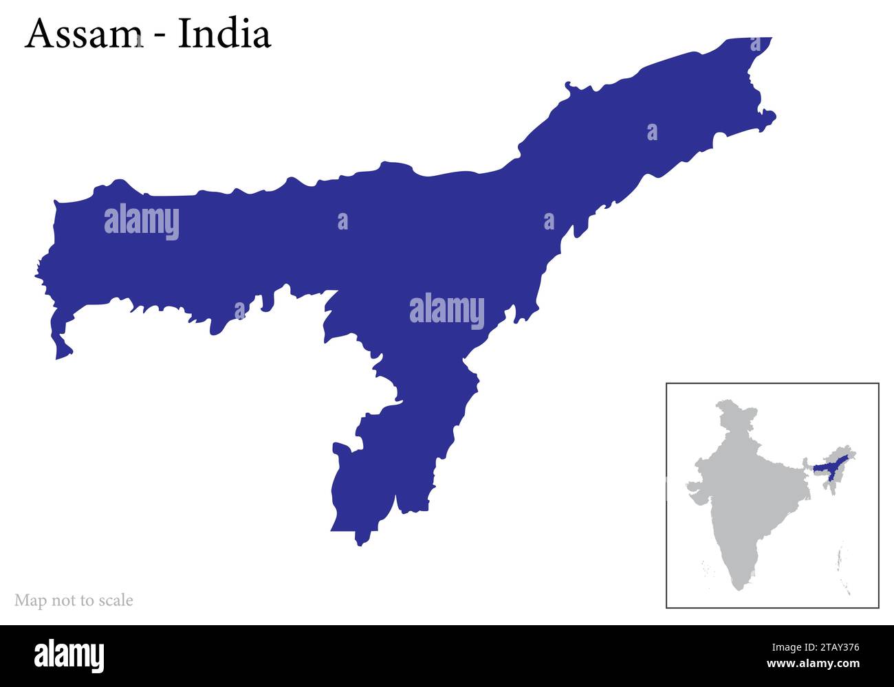 Indian state Andhra Pradesh map vector , Andhra Pradesh map Stock Vectorhttps://www.alamy.com/image-license-details/?v=1https://www.alamy.com/indian-state-andhra-pradesh-map-vector-andhra-pradesh-map-image574683962.html
RF2TAY376–Indian state Andhra Pradesh map vector , Andhra Pradesh map
RF2Y3308W–Vector isolated simplified illustration icon with black silhouette of India map with marked some disputed area on the north. White background
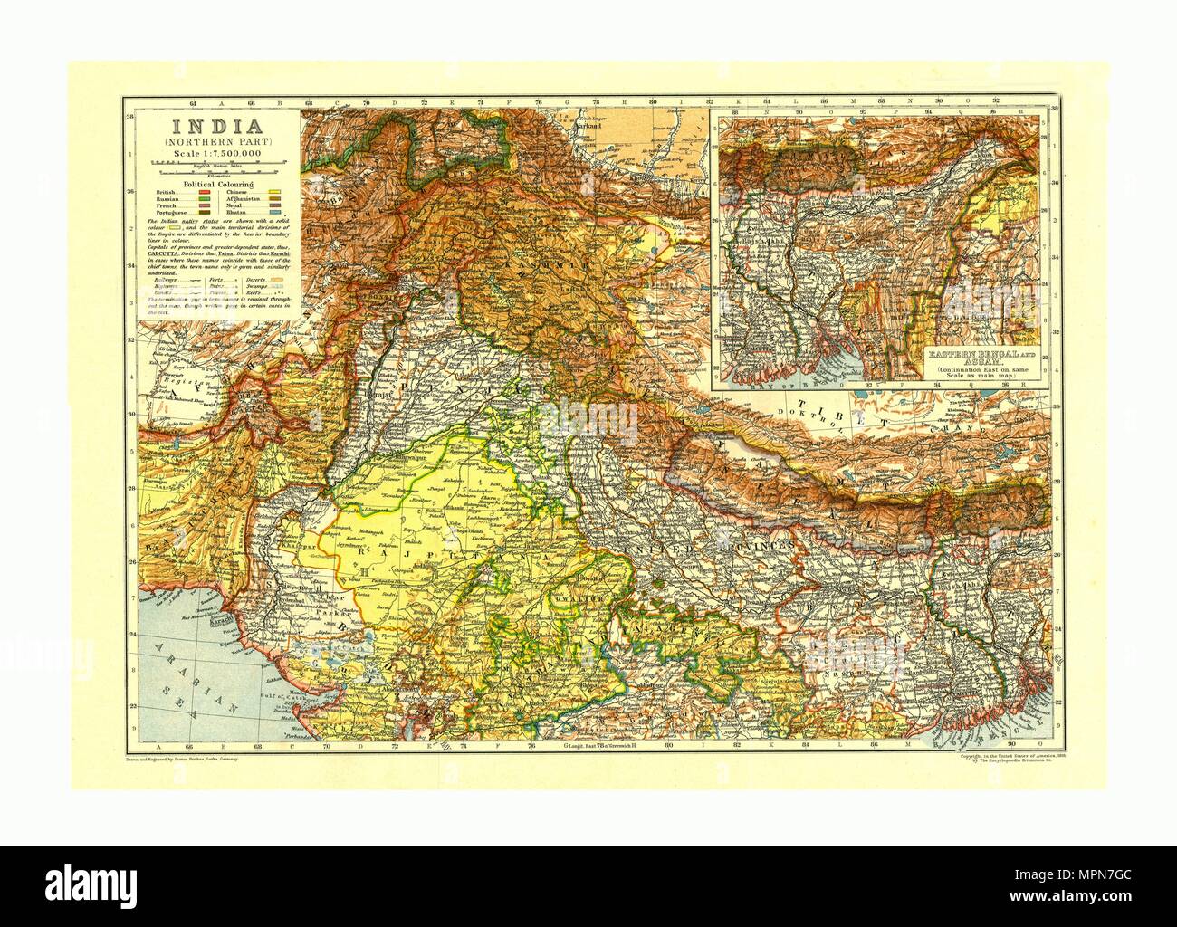 Map of India Northern part, c1910. Artist: Johann Georg Justus Perthes. Stock Photohttps://www.alamy.com/image-license-details/?v=1https://www.alamy.com/map-of-india-northern-part-c1910-artist-johann-georg-justus-perthes-image186093052.html
RMMPN7GC–Map of India Northern part, c1910. Artist: Johann Georg Justus Perthes.
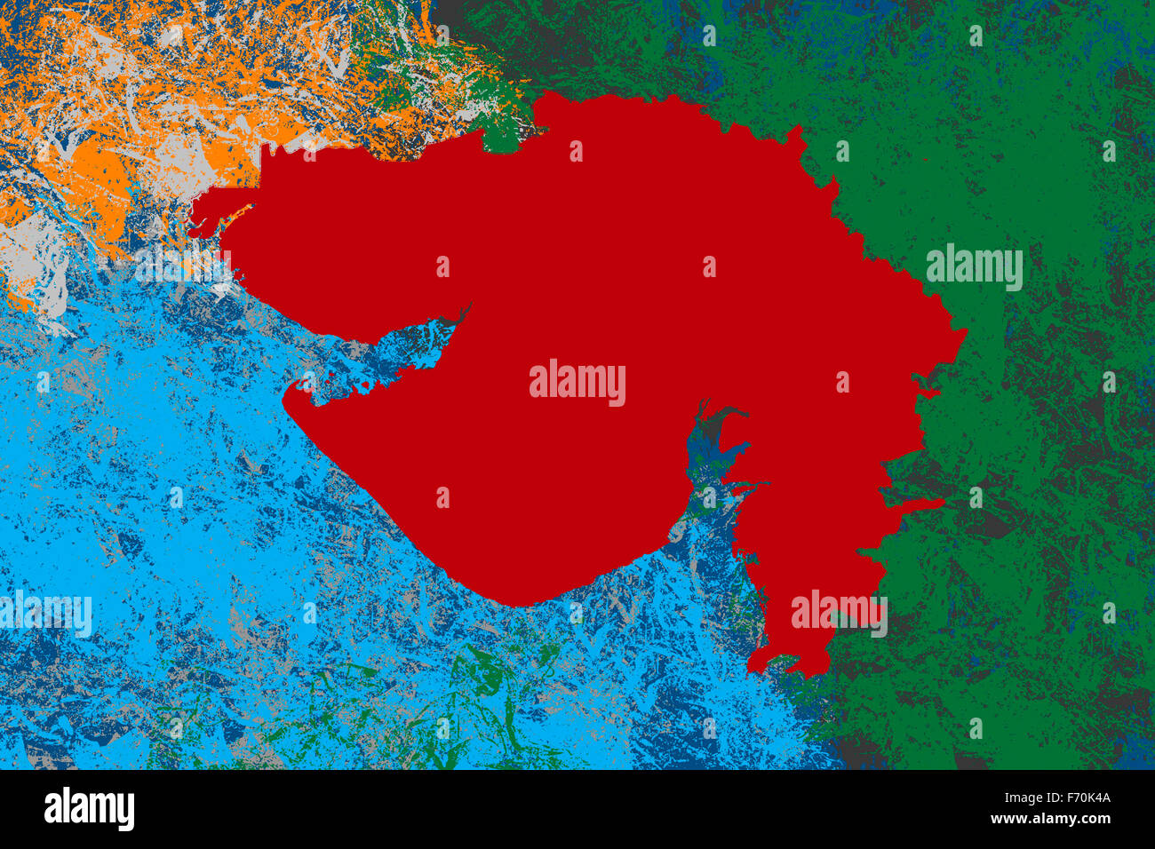 Illustration, Gujarat location map, India, Asia Stock Photohttps://www.alamy.com/image-license-details/?v=1https://www.alamy.com/stock-photo-illustration-gujarat-location-map-india-asia-90369450.html
RMF70K4A–Illustration, Gujarat location map, India, Asia
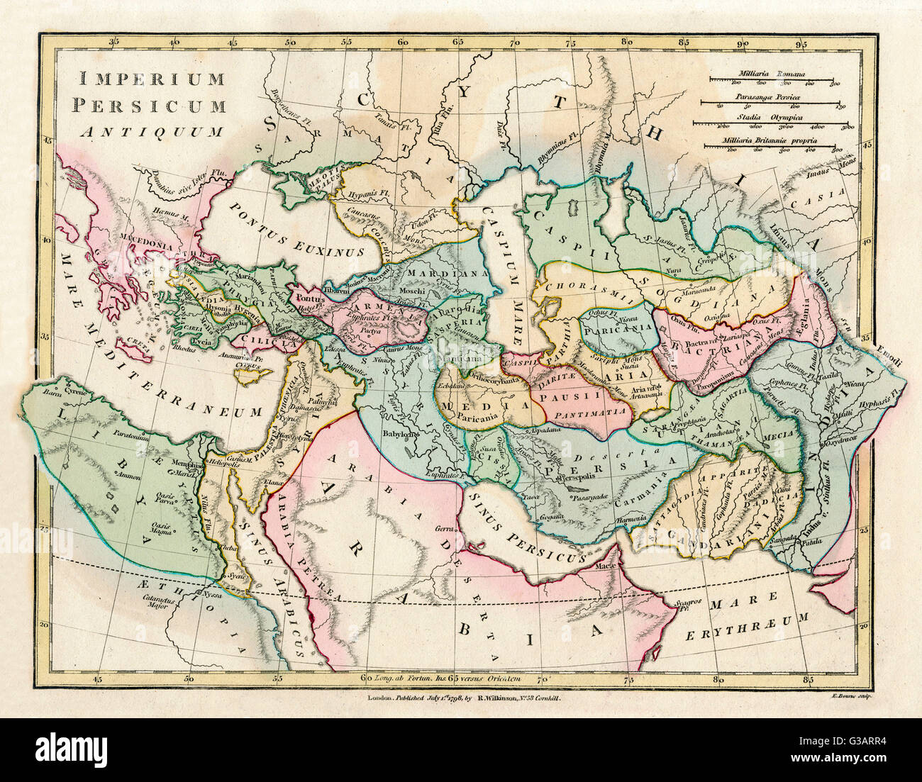 Map of the Ancient Persian Empire, encompassing Greece to the north west, Arabia to the south east, Egypt and Libya to the south west and deep in the Caucasus in the north east. Date: 1798 Stock Photohttps://www.alamy.com/image-license-details/?v=1https://www.alamy.com/stock-photo-map-of-the-ancient-persian-empire-encompassing-greece-to-the-north-105344376.html
RMG3ARR4–Map of the Ancient Persian Empire, encompassing Greece to the north west, Arabia to the south east, Egypt and Libya to the south west and deep in the Caucasus in the north east. Date: 1798
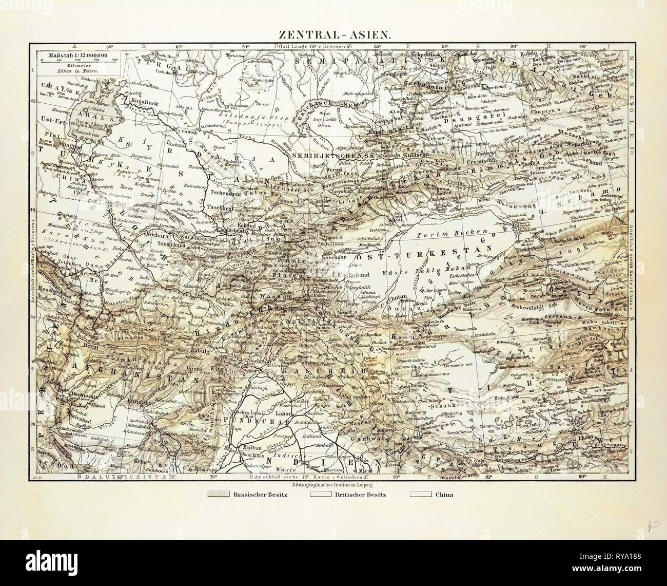 Map of Central Asia Afghanistan Pakistan Republic of Tajikistan Turkmenistan the Republic of Uzbekistan Tibet and the North of India 1899 Stock Photohttps://www.alamy.com/image-license-details/?v=1https://www.alamy.com/map-of-central-asia-afghanistan-pakistan-republic-of-tajikistan-turkmenistan-the-republic-of-uzbekistan-tibet-and-the-north-of-india-1899-image240551032.html
RMRYA188–Map of Central Asia Afghanistan Pakistan Republic of Tajikistan Turkmenistan the Republic of Uzbekistan Tibet and the North of India 1899
 Bangkok, Thailand - September 20, 2021 India flag on world map background. flag on world map background. Stock Photohttps://www.alamy.com/image-license-details/?v=1https://www.alamy.com/bangkok-thailand-september-20-2021-india-flag-on-world-map-background-flag-on-world-map-background-image460916655.html
RM2HNTFW3–Bangkok, Thailand - September 20, 2021 India flag on world map background. flag on world map background.
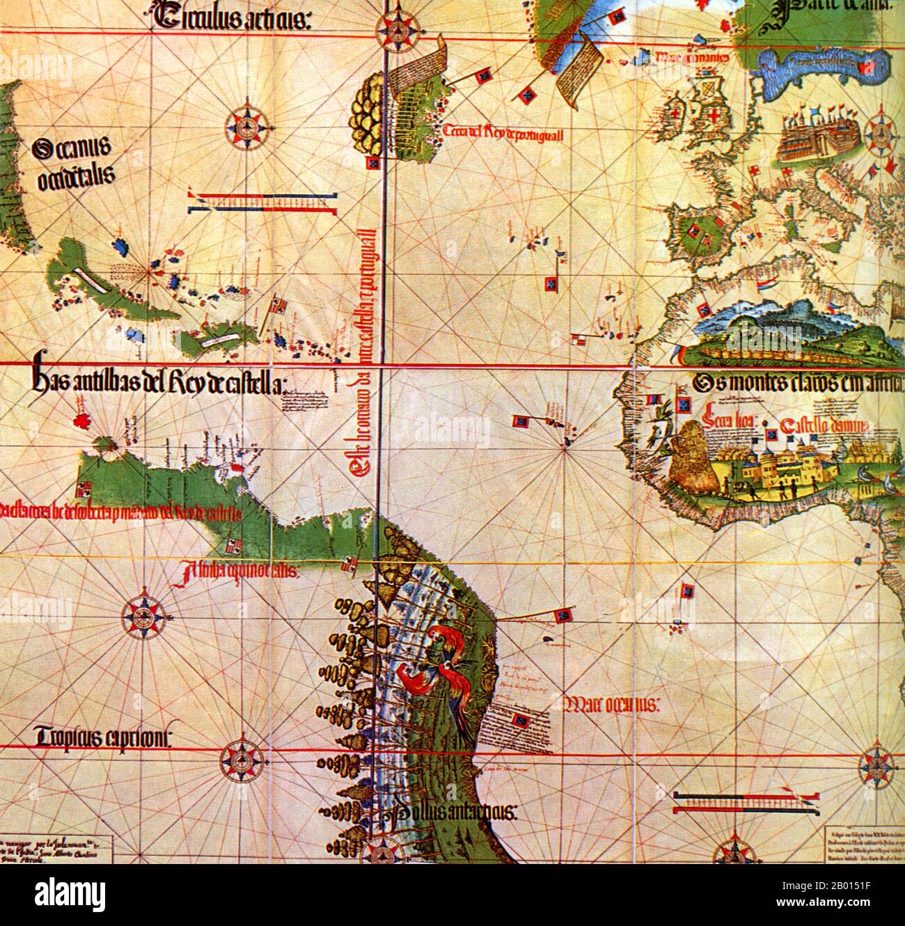 Spain/Portugal: Alberto Cantino's (fl. 15th-16th century) map of 1502 shows the meridian line in the Atlantic that demarcates Spanish territory (west of the line) from Portuguese possessions (east). Supervised by Spanish-born Pope Alexander VI, the Treaty of Tordesillas in 1494 divided the world in half - into Spanish and Portuguese territories. Following Portuguese navigator Vasco da Gama's success in discovering a sea route around Africa to India in 1498, King Manuel I commissioned Pedro Alvares Cabral to lead a second voyage of 13 ships and 1,500 men to India. Stock Photohttps://www.alamy.com/image-license-details/?v=1https://www.alamy.com/spainportugal-alberto-cantinos-fl-15th-16th-century-map-of-1502-shows-the-meridian-line-in-the-atlantic-that-demarcates-spanish-territory-west-of-the-line-from-portuguese-possessions-east-supervised-by-spanish-born-pope-alexander-vi-the-treaty-of-tordesillas-in-1494-divided-the-world-in-half-into-spanish-and-portuguese-territories-following-portuguese-navigator-vasco-da-gamas-success-in-discovering-a-sea-route-around-africa-to-india-in-1498-king-manuel-i-commissioned-pedro-alvares-cabral-to-lead-a-second-voyage-of-13-ships-and-1500-men-to-india-image344233275.html
RM2B0151F–Spain/Portugal: Alberto Cantino's (fl. 15th-16th century) map of 1502 shows the meridian line in the Atlantic that demarcates Spanish territory (west of the line) from Portuguese possessions (east). Supervised by Spanish-born Pope Alexander VI, the Treaty of Tordesillas in 1494 divided the world in half - into Spanish and Portuguese territories. Following Portuguese navigator Vasco da Gama's success in discovering a sea route around Africa to India in 1498, King Manuel I commissioned Pedro Alvares Cabral to lead a second voyage of 13 ships and 1,500 men to India.
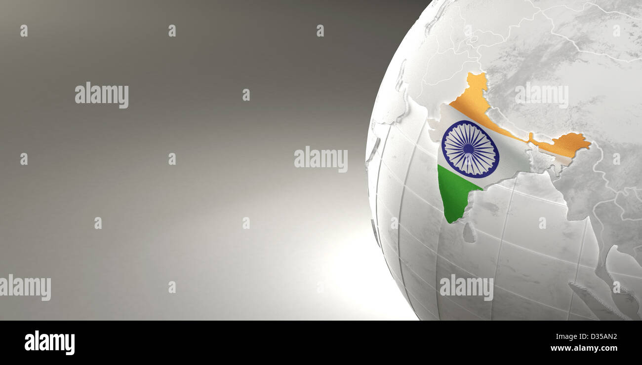 Map of the India on Earth in the national colors. 3d Stock Photohttps://www.alamy.com/image-license-details/?v=1https://www.alamy.com/stock-photo-map-of-the-india-on-earth-in-the-national-colors-3d-53593262.html
RFD35AN2–Map of the India on Earth in the national colors. 3d
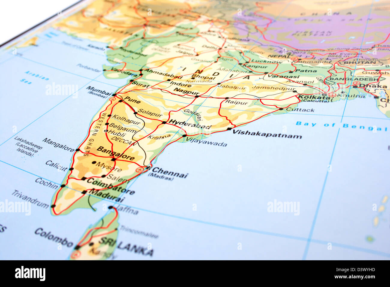 India map with mountains and rivers. Stock Photohttps://www.alamy.com/image-license-details/?v=1https://www.alamy.com/stock-photo-india-map-with-mountains-and-rivers-54045529.html
RFD3WYHD–India map with mountains and rivers.
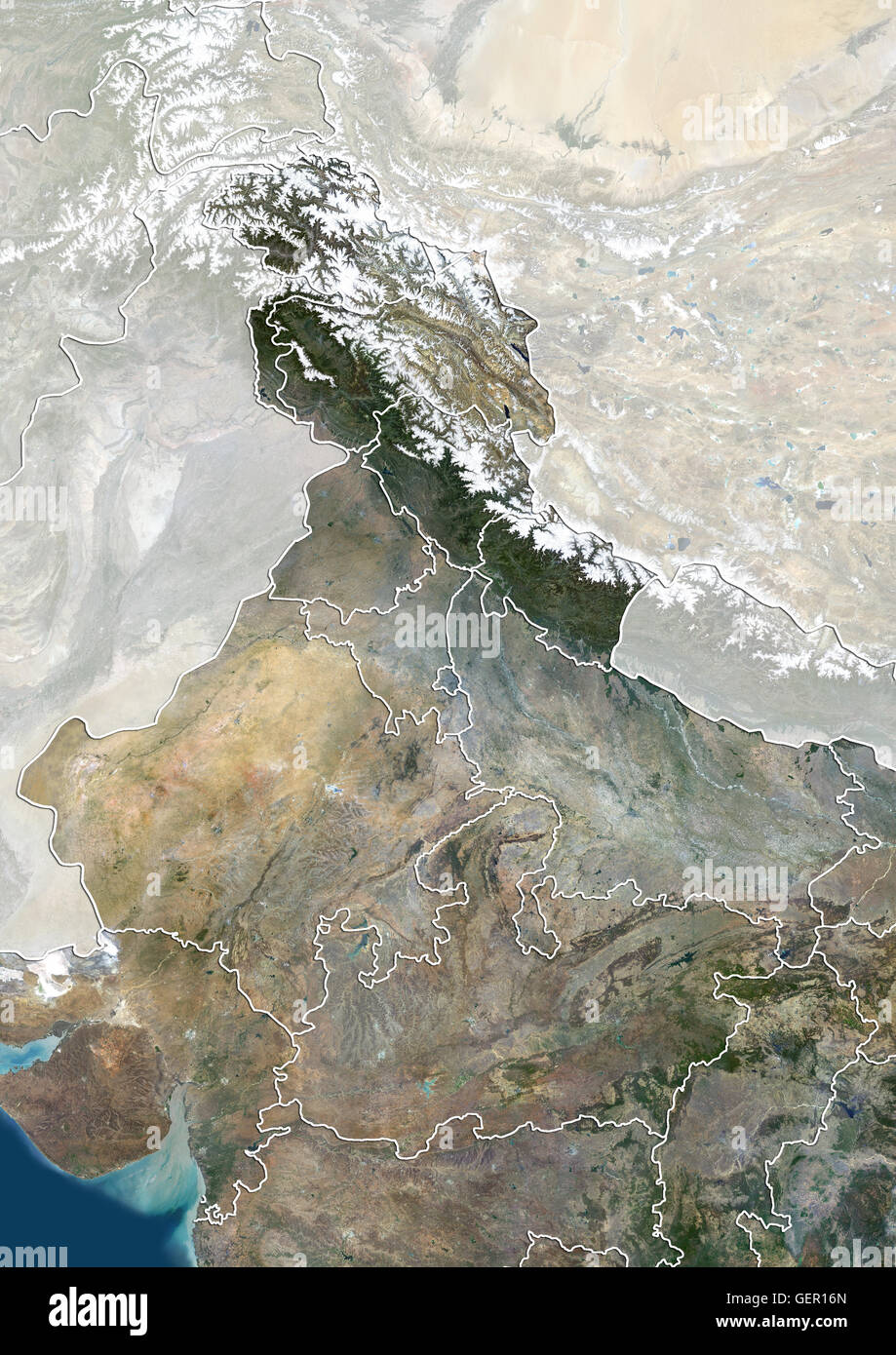 Satellite view of North India with administrative boundaries and mask, including boundaries of Jammu and Kashmir disputed areas. This image was compiled from data acquired by Landsat 8 satellite in 2014. Stock Photohttps://www.alamy.com/image-license-details/?v=1https://www.alamy.com/stock-photo-satellite-view-of-north-india-with-administrative-boundaries-and-mask-112373261.html
RMGER16N–Satellite view of North India with administrative boundaries and mask, including boundaries of Jammu and Kashmir disputed areas. This image was compiled from data acquired by Landsat 8 satellite in 2014.
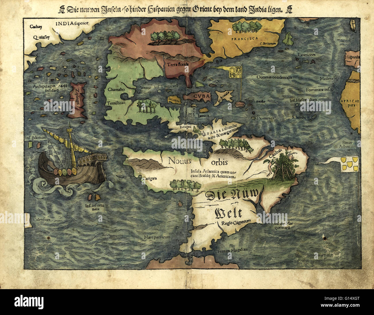 16th century map of the Americas. Published in 1550, this German map shows a rudimentary geography of the newly-discovered Americas. The inscriptions on South America are in German; the other place names are in Latin. Areas explored by the Spanish from th Stock Photohttps://www.alamy.com/image-license-details/?v=1https://www.alamy.com/stock-photo-16th-century-map-of-the-americas-published-in-1550-this-german-map-103985528.html
RMG14XGT–16th century map of the Americas. Published in 1550, this German map shows a rudimentary geography of the newly-discovered Americas. The inscriptions on South America are in German; the other place names are in Latin. Areas explored by the Spanish from th
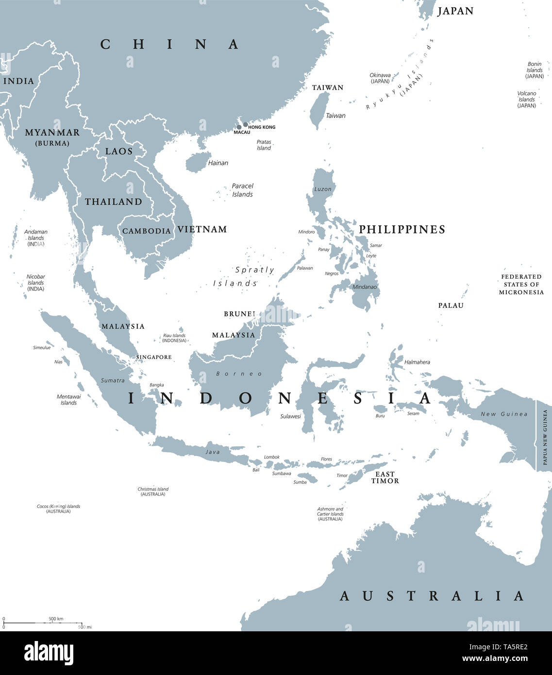 Southeast Asia, political map with borders. Subregion of Asia with countries south of China, east of India, west of New Guinea, north of Australia. Stock Photohttps://www.alamy.com/image-license-details/?v=1https://www.alamy.com/southeast-asia-political-map-with-borders-subregion-of-asia-with-countries-south-of-china-east-of-india-west-of-new-guinea-north-of-australia-image247219898.html
RFTA5RE2–Southeast Asia, political map with borders. Subregion of Asia with countries south of China, east of India, west of New Guinea, north of Australia.
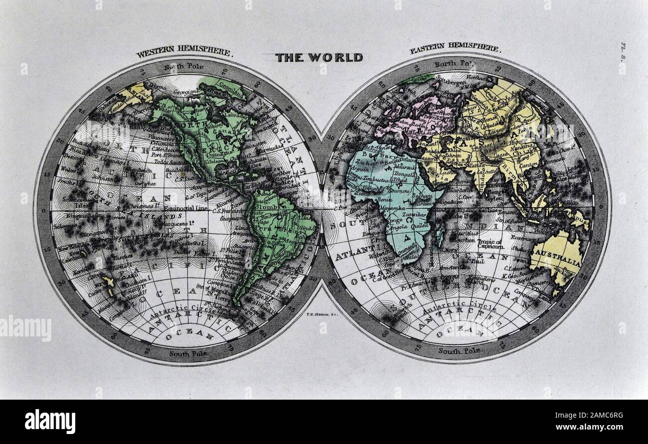 1834 Carey World Map Africa Europe Asia North & South America Stock Photohttps://www.alamy.com/image-license-details/?v=1https://www.alamy.com/1834-carey-world-map-africa-europe-asia-north-south-america-image339558900.html
RF2AMC6RG–1834 Carey World Map Africa Europe Asia North & South America
 An accurate map of North America : describing and distinguishing the British and Spanish dominions of this great continent according to the definitive treaty concluded at Paris 10th Feby. 1763 : also all the West India Islands belonging to, and possessed by the several European princes and states 1775-07-02 by Bowen, Emanuel, 1693 or 1694-1767 Stock Photohttps://www.alamy.com/image-license-details/?v=1https://www.alamy.com/an-accurate-map-of-north-america-describing-and-distinguishing-the-british-and-spanish-dominions-of-this-great-continent-according-to-the-definitive-treaty-concluded-at-paris-10th-feby-1763-also-all-the-west-india-islands-belonging-to-and-possessed-by-the-several-european-princes-and-states-1775-07-02-by-bowen-emanuel-1693-or-1694-1767-image633087328.html
RM2YNYH9M–An accurate map of North America : describing and distinguishing the British and Spanish dominions of this great continent according to the definitive treaty concluded at Paris 10th Feby. 1763 : also all the West India Islands belonging to, and possessed by the several European princes and states 1775-07-02 by Bowen, Emanuel, 1693 or 1694-1767
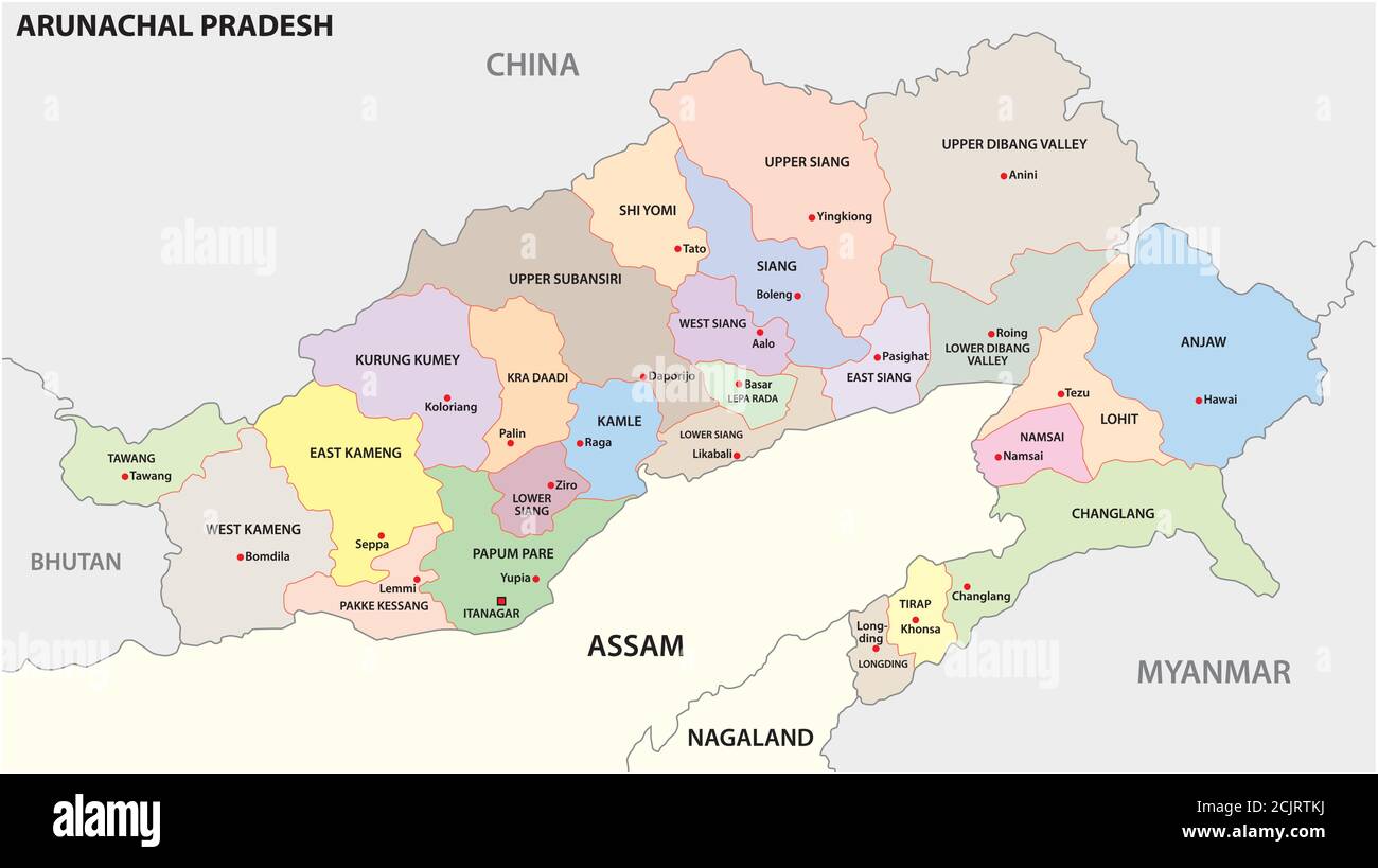 administrative and political map of indian state of Arunachal Pradesh 2020, india Stock Vectorhttps://www.alamy.com/image-license-details/?v=1https://www.alamy.com/administrative-and-political-map-of-indian-state-of-arunachal-pradesh-2020-india-image373005798.html
RF2CJRTKJ–administrative and political map of indian state of Arunachal Pradesh 2020, india
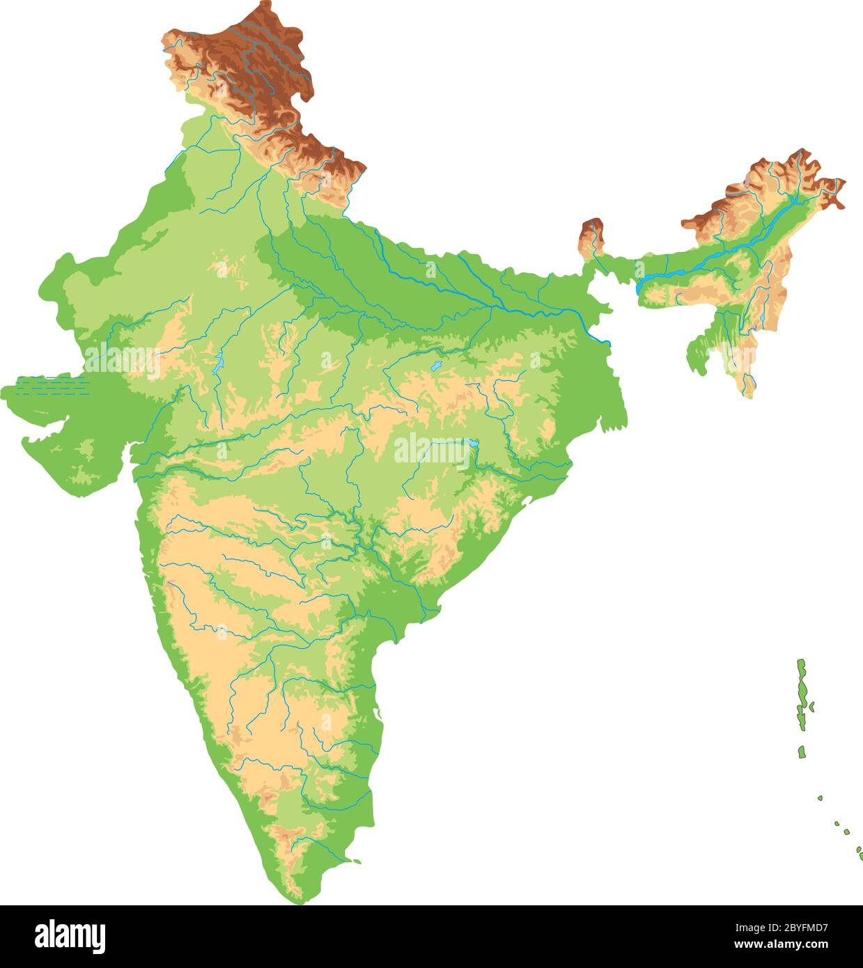 High detailed India physical map. Stock Vectorhttps://www.alamy.com/image-license-details/?v=1https://www.alamy.com/high-detailed-india-physical-map-image361148403.html
RF2BYFMD7–High detailed India physical map.
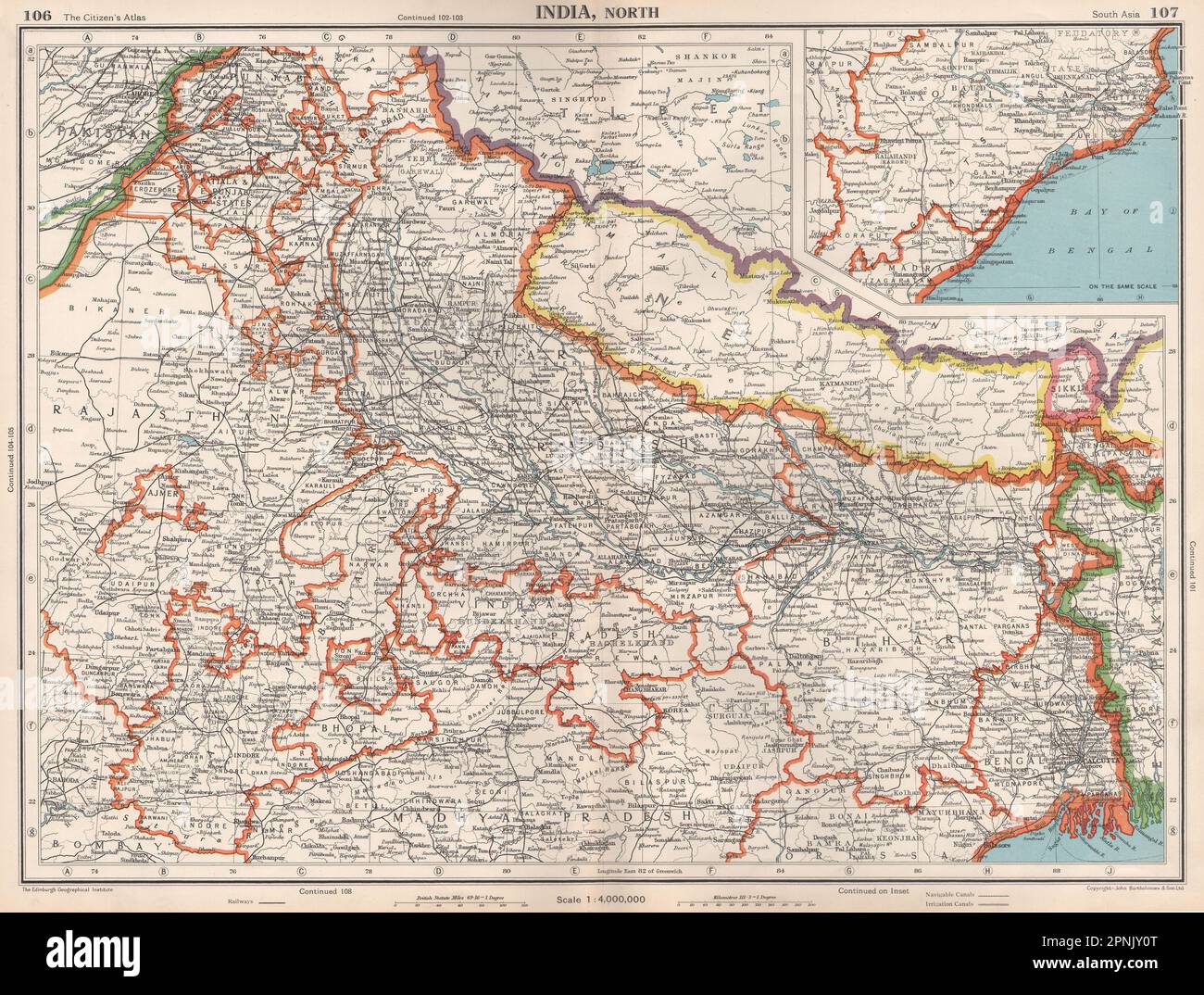 INDIA NORTH & NEPAL. Shows independent Sikkim. Bengal Orrissa 1952 old map Stock Photohttps://www.alamy.com/image-license-details/?v=1https://www.alamy.com/india-north-nepal-shows-independent-sikkim-bengal-orrissa-1952-old-map-image546845512.html
RF2PNJY0T–INDIA NORTH & NEPAL. Shows independent Sikkim. Bengal Orrissa 1952 old map
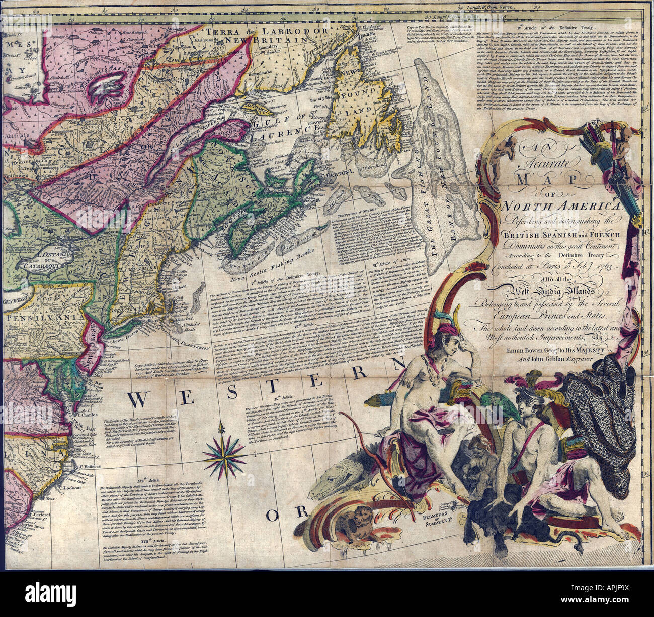 Map of North America Page 2 of 4, 1763 Stock Photohttps://www.alamy.com/image-license-details/?v=1https://www.alamy.com/stock-photo-map-of-north-america-page-2-of-4-1763-15804325.html
RMAPJF9X–Map of North America Page 2 of 4, 1763
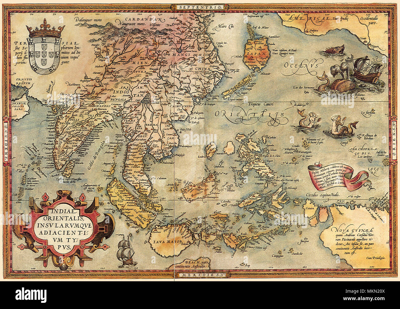 Map of the Pacific 1570 Stock Photohttps://www.alamy.com/image-license-details/?v=1https://www.alamy.com/map-of-the-pacific-1570-image184244730.html
RMMKN20X–Map of the Pacific 1570
 India map on white background. Vector illustration. Stock Vectorhttps://www.alamy.com/image-license-details/?v=1https://www.alamy.com/india-map-on-white-background-vector-illustration-image334055710.html
RF2ABDFD2–India map on white background. Vector illustration.
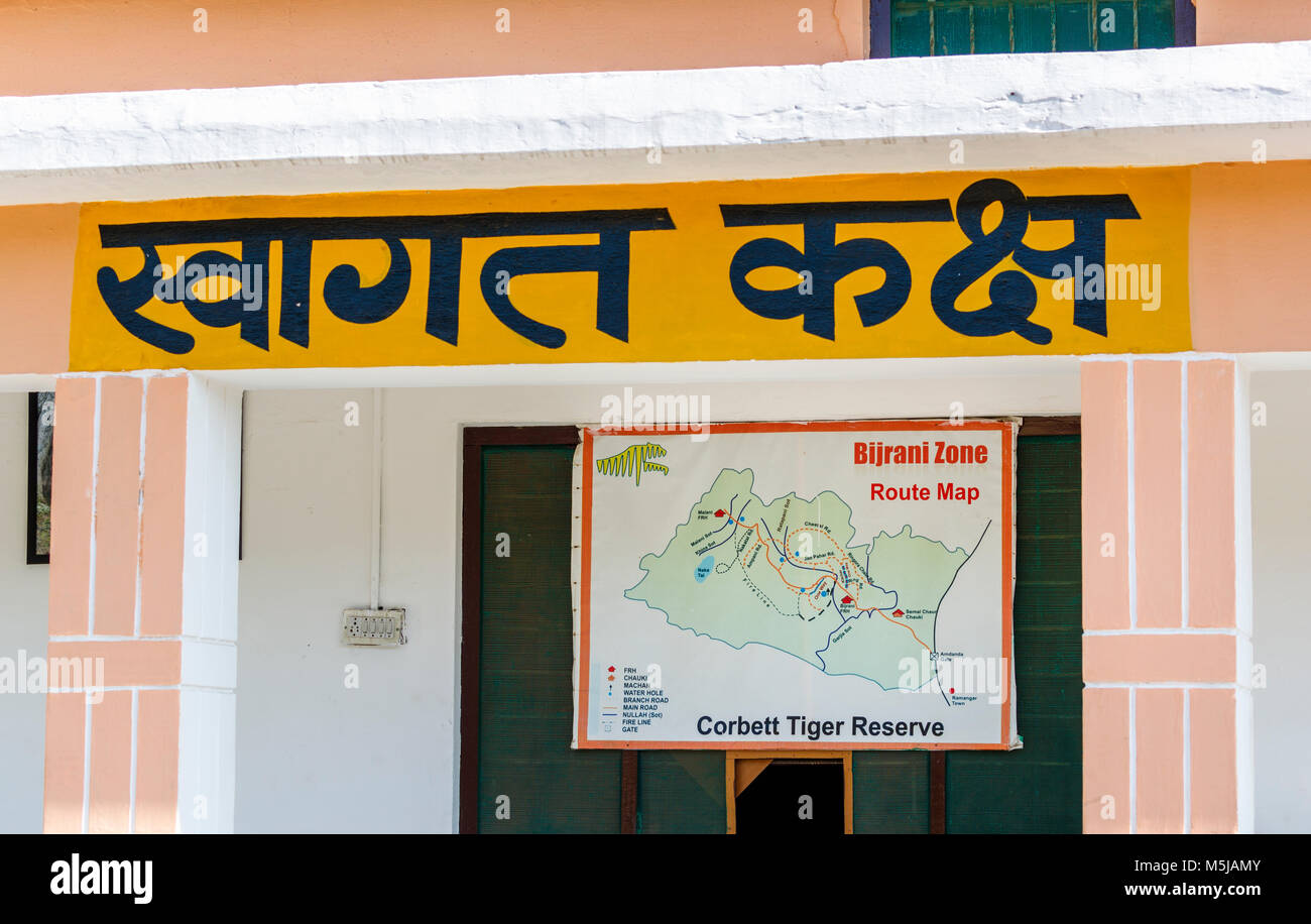 Bijrani Zone route map at the entrnace to Jim Corbett National Park wildlife sanctuary, Ramnagar, Uttarakhand State, northern India Stock Photohttps://www.alamy.com/image-license-details/?v=1https://www.alamy.com/stock-photo-bijrani-zone-route-map-at-the-entrnace-to-jim-corbett-national-park-175580523.html
RMM5JAMY–Bijrani Zone route map at the entrnace to Jim Corbett National Park wildlife sanctuary, Ramnagar, Uttarakhand State, northern India
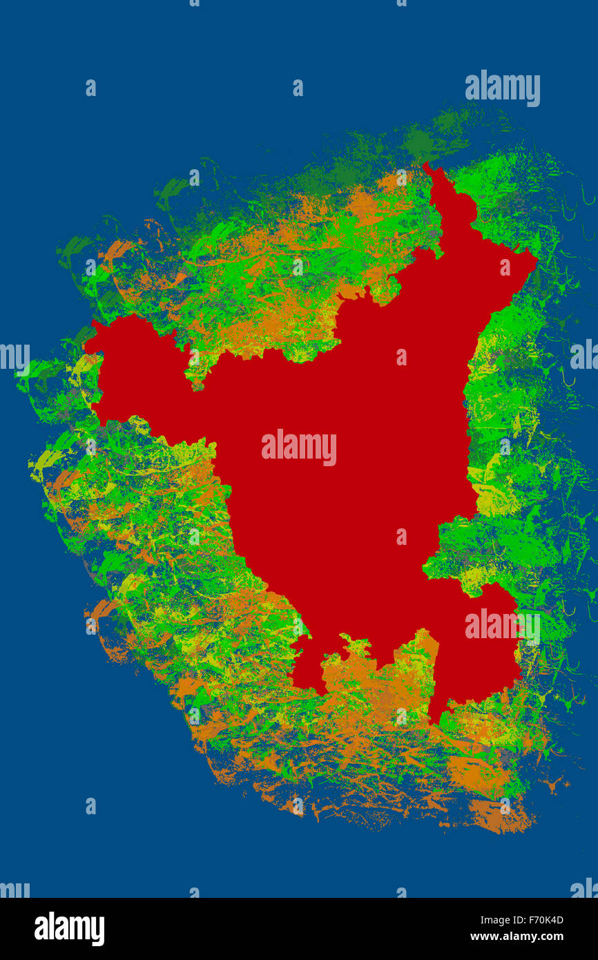 Illustration, haryana location map, india, asia Stock Photohttps://www.alamy.com/image-license-details/?v=1https://www.alamy.com/stock-photo-illustration-haryana-location-map-india-asia-90369453.html
RMF70K4D–Illustration, haryana location map, india, asia
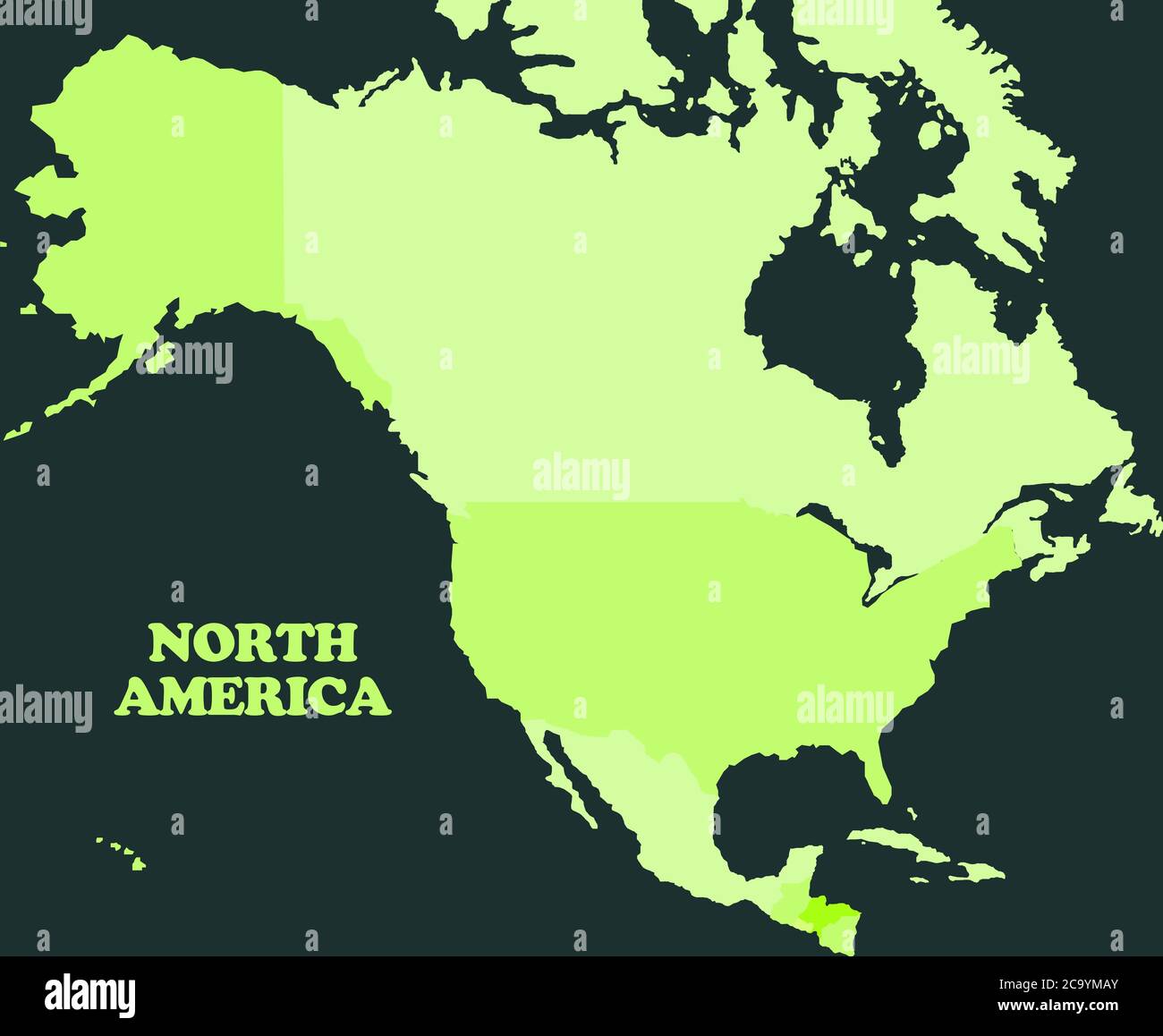 Map of North America continent Stock Photohttps://www.alamy.com/image-license-details/?v=1https://www.alamy.com/map-of-north-america-continent-image367558323.html
RF2C9YMAY–Map of North America continent
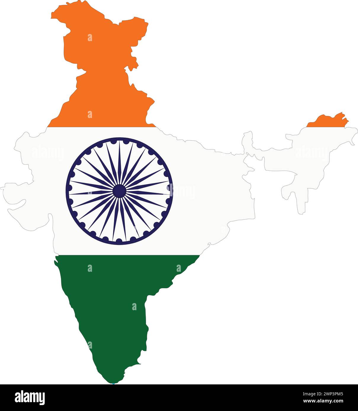 India Flag in India Map, India Map with Flag, Country Map, India with Flag, Nation Flag Stock Vectorhttps://www.alamy.com/image-license-details/?v=1https://www.alamy.com/india-flag-in-india-map-india-map-with-flag-country-map-india-with-flag-nation-flag-image598758613.html
RF2WP3PM5–India Flag in India Map, India Map with Flag, Country Map, India with Flag, Nation Flag
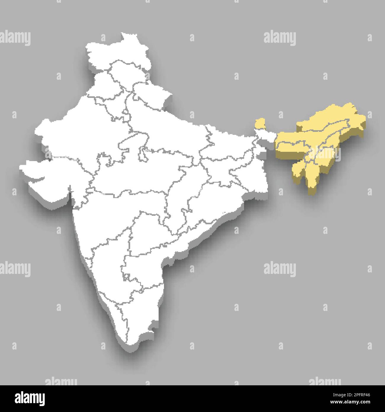 North Eastern Zone location within India 3d isometric map Stock Vectorhttps://www.alamy.com/image-license-details/?v=1https://www.alamy.com/north-eastern-zone-location-within-india-3d-isometric-map-image543258022.html
RF2PFRF46–North Eastern Zone location within India 3d isometric map
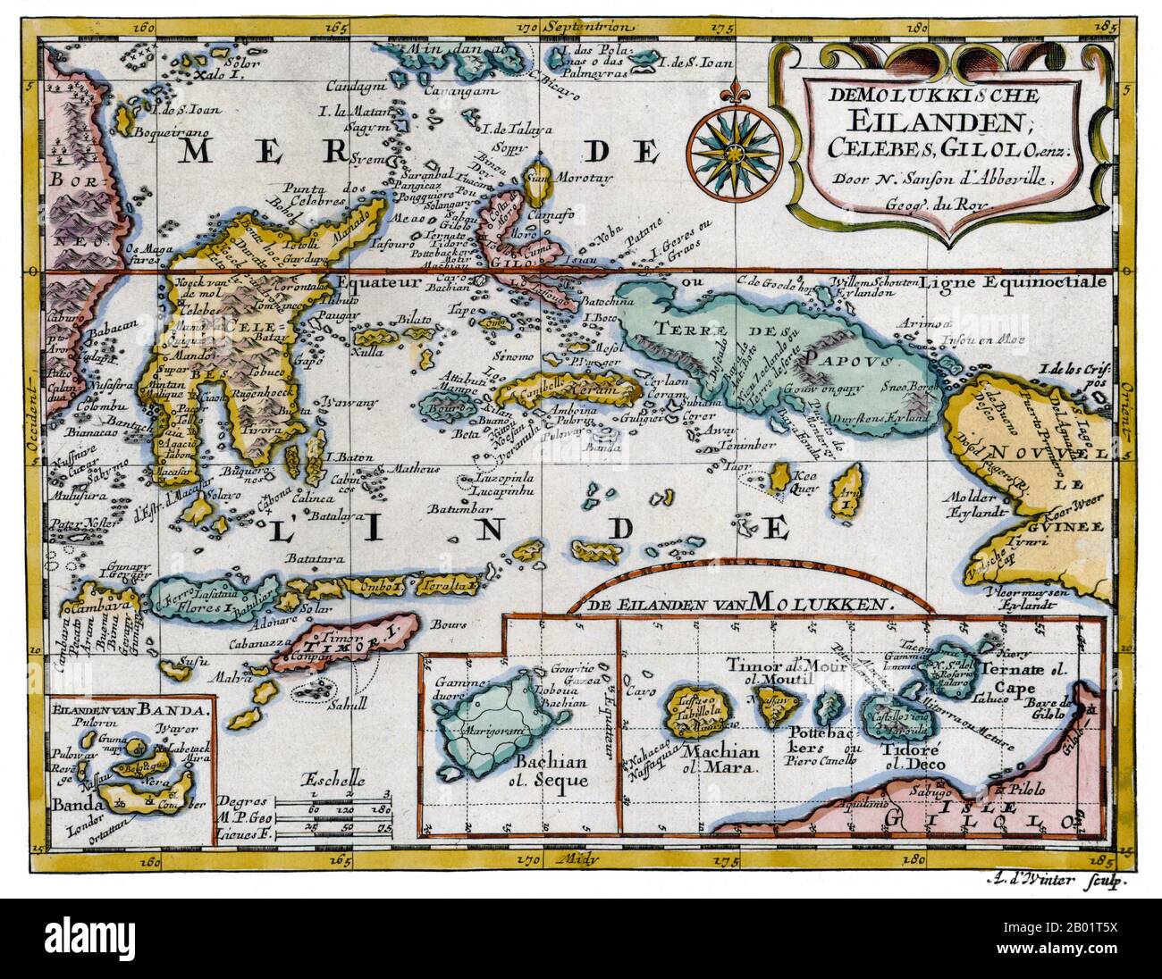 Indonesia: 'The Mioluccas, Celebes, Gilolo'. Copperplate map by Nicolas Sanson, Utrecht, 1683. The Maluku Islands (also known as the Moluccas, Moluccan Islands and the Spice Islands) are an archipelago that is part of Indonesia, and part of the larger Maritime Southeast Asia region. Tectonically they are located on the Halmahera Plate within the Molucca Sea Collision Zone. Geographically they are located east of Sulawesi (Celebes), west of New Guinea, and north and east of Timor. Most of the islands are mountainous, some with active volcanoes, and enjoy a wet climate. Stock Photohttps://www.alamy.com/image-license-details/?v=1https://www.alamy.com/indonesia-the-mioluccas-celebes-gilolo-copperplate-map-by-nicolas-sanson-utrecht-1683-the-maluku-islands-also-known-as-the-moluccas-moluccan-islands-and-the-spice-islands-are-an-archipelago-that-is-part-of-indonesia-and-part-of-the-larger-maritime-southeast-asia-region-tectonically-they-are-located-on-the-halmahera-plate-within-the-molucca-sea-collision-zone-geographically-they-are-located-east-of-sulawesi-celebes-west-of-new-guinea-and-north-and-east-of-timor-most-of-the-islands-are-mountainous-some-with-active-volcanoes-and-enjoy-a-wet-climate-image344248294.html
RM2B01T5X–Indonesia: 'The Mioluccas, Celebes, Gilolo'. Copperplate map by Nicolas Sanson, Utrecht, 1683. The Maluku Islands (also known as the Moluccas, Moluccan Islands and the Spice Islands) are an archipelago that is part of Indonesia, and part of the larger Maritime Southeast Asia region. Tectonically they are located on the Halmahera Plate within the Molucca Sea Collision Zone. Geographically they are located east of Sulawesi (Celebes), west of New Guinea, and north and east of Timor. Most of the islands are mountainous, some with active volcanoes, and enjoy a wet climate.
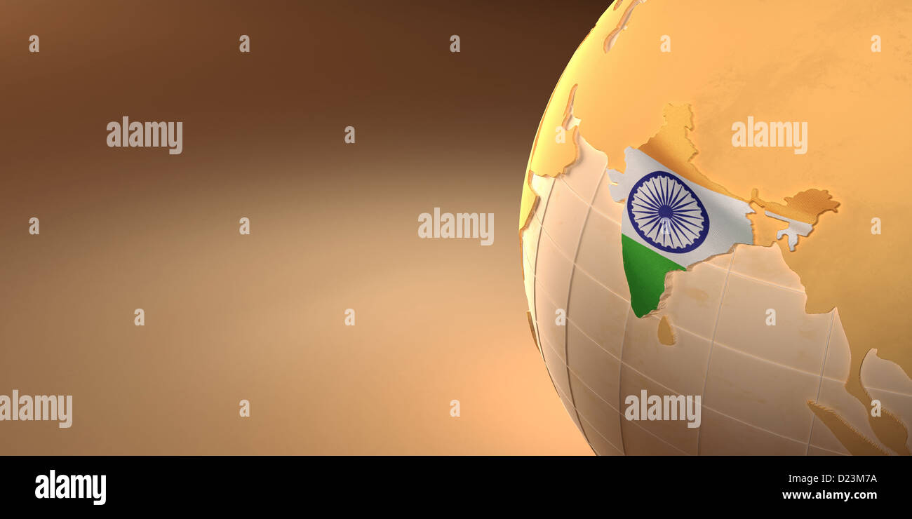 Map of the India on Earth in the national colors. 3d Stock Photohttps://www.alamy.com/image-license-details/?v=1https://www.alamy.com/stock-photo-map-of-the-india-on-earth-in-the-national-colors-3d-52942158.html
RFD23M7A–Map of the India on Earth in the national colors. 3d
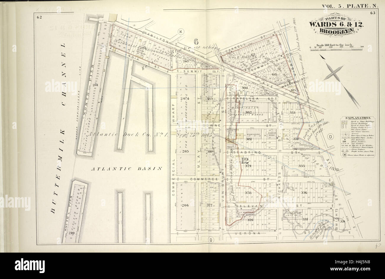 Vol. 5. Plate, N. Map bound by Hamilton Ave., Carroll St., Columbia St., Verona St., East River; Including India St. Stock Photohttps://www.alamy.com/image-license-details/?v=1https://www.alamy.com/stock-photo-vol-5-plate-n-map-bound-by-hamilton-ave-carroll-st-columbia-st-verona-123330852.html
RMH4J5N8–Vol. 5. Plate, N. Map bound by Hamilton Ave., Carroll St., Columbia St., Verona St., East River; Including India St.
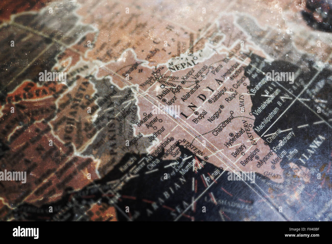 India map on vintage crack paper background, selective focus Stock Photohttps://www.alamy.com/image-license-details/?v=1https://www.alamy.com/stock-photo-india-map-on-vintage-crack-paper-background-selective-focus-102121027.html
RFFX40BF–India map on vintage crack paper background, selective focus
 Planet night map 3d rendering Stock Photohttps://www.alamy.com/image-license-details/?v=1https://www.alamy.com/stock-photo-planet-night-map-3d-rendering-176043086.html
RFM6BCN2–Planet night map 3d rendering
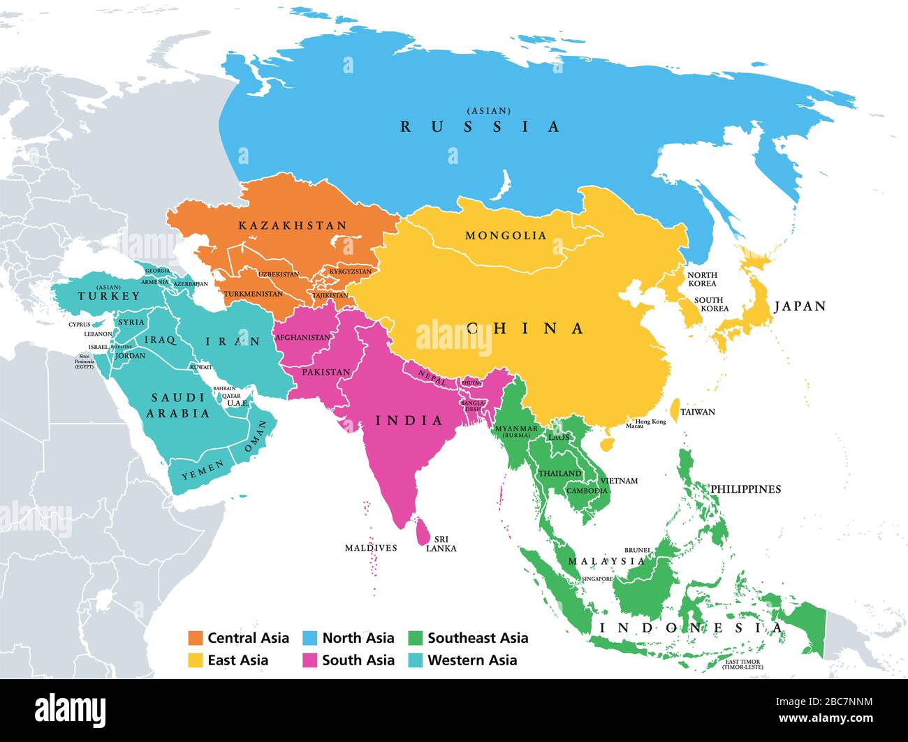 Asia. Regions. Political map with single countries. Colored subregions of the Asian continent. Central, East, North, South, Southeast, Western Asia. Stock Photohttps://www.alamy.com/image-license-details/?v=1https://www.alamy.com/asia-regions-political-map-with-single-countries-colored-subregions-of-the-asian-continent-central-east-north-south-southeast-western-asia-image351753968.html
RF2BC7NNM–Asia. Regions. Political map with single countries. Colored subregions of the Asian continent. Central, East, North, South, Southeast, Western Asia.
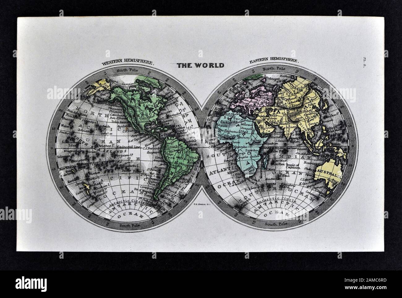 1834 Carey World Map Africa Europe Asia North & South America Stock Photohttps://www.alamy.com/image-license-details/?v=1https://www.alamy.com/1834-carey-world-map-africa-europe-asia-north-south-america-image339558897.html
RF2AMC6RD–1834 Carey World Map Africa Europe Asia North & South America
 A new map of North America with the West India Islands : divided according to the preliminary articles of peace, signed at Versailles, 20 Jan. 1783, wherein are particularly distinguished the United States, and the several provinces, governments &ca which compose the British Dominions laid down according to the latest surveys and corrected from the original materials, of Goverr. Pownall, Membr. of Parliamt. London. 1794-05-12 Stock Photohttps://www.alamy.com/image-license-details/?v=1https://www.alamy.com/a-new-map-of-north-america-with-the-west-india-islands-divided-according-to-the-preliminary-articles-of-peace-signed-at-versailles-20-jan-1783-wherein-are-particularly-distinguished-the-united-states-and-the-several-provinces-governments-ca-which-compose-the-british-dominions-laid-down-according-to-the-latest-surveys-and-corrected-from-the-original-materials-of-goverr-pownall-membr-of-parliamt-london-1794-05-12-image633087318.html
RM2YNYH9A–A new map of North America with the West India Islands : divided according to the preliminary articles of peace, signed at Versailles, 20 Jan. 1783, wherein are particularly distinguished the United States, and the several provinces, governments &ca which compose the British Dominions laid down according to the latest surveys and corrected from the original materials, of Goverr. Pownall, Membr. of Parliamt. London. 1794-05-12
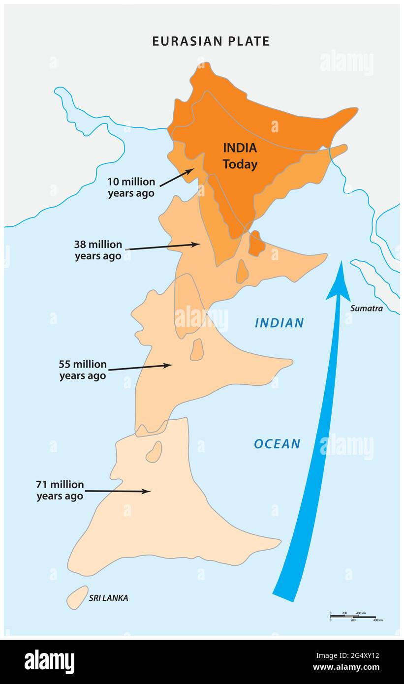 Map of the medium-sized Indian continental plate moving north Stock Vectorhttps://www.alamy.com/image-license-details/?v=1https://www.alamy.com/map-of-the-medium-sized-indian-continental-plate-moving-north-image433309774.html
RF2G4XY12–Map of the medium-sized Indian continental plate moving north
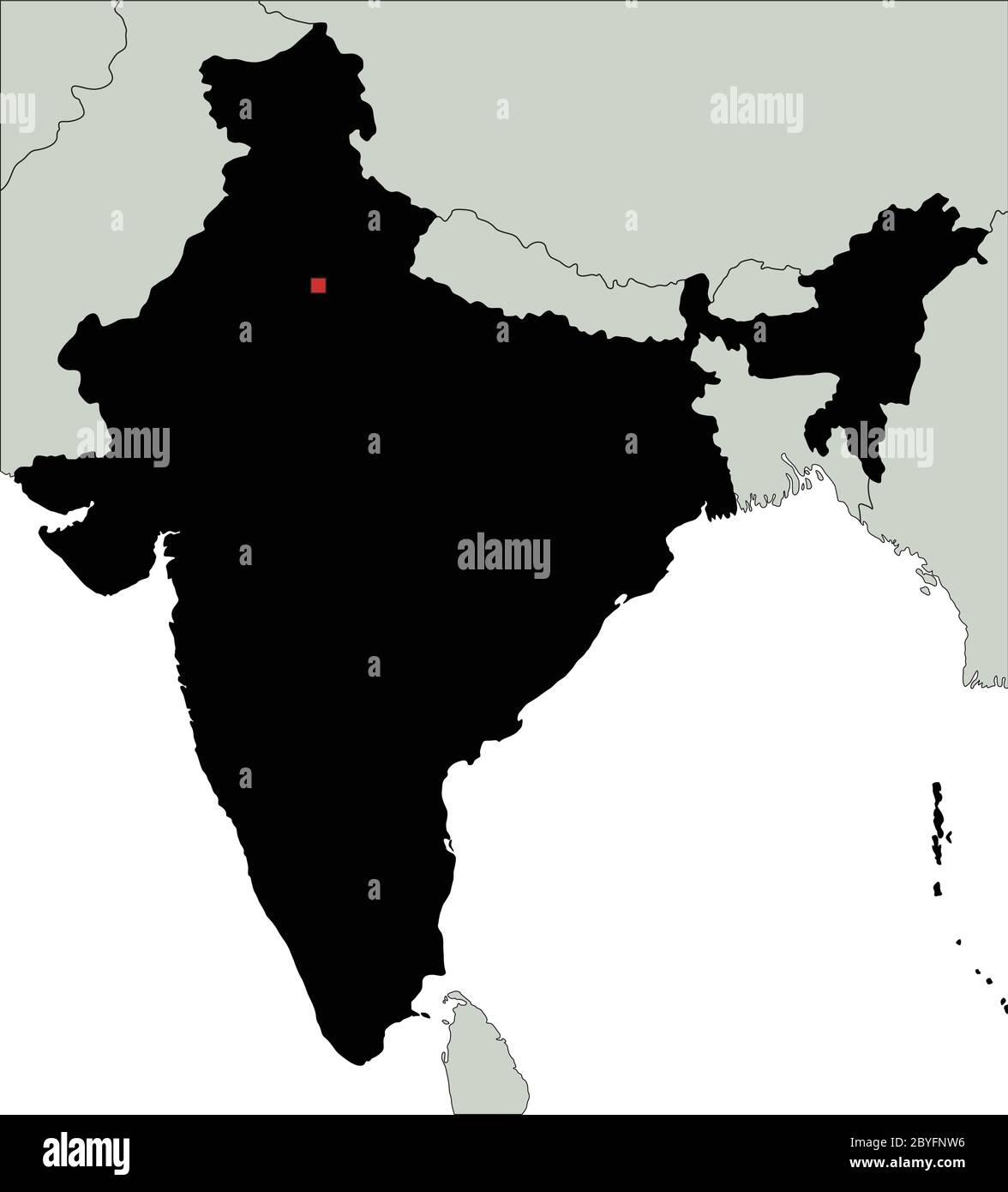 Highly Detailed India Silhouette map. Stock Vectorhttps://www.alamy.com/image-license-details/?v=1https://www.alamy.com/highly-detailed-india-silhouette-map-image361149522.html
RF2BYFNW6–Highly Detailed India Silhouette map.
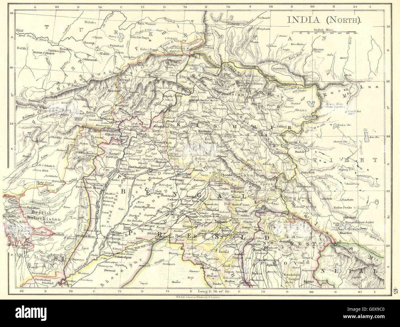 INDIA: India(North), 1897 antique map Stock Photohttps://www.alamy.com/image-license-details/?v=1https://www.alamy.com/stock-photo-india-indianorth-1897-antique-map-103840352.html
RFG0X9C0–INDIA: India(North), 1897 antique map
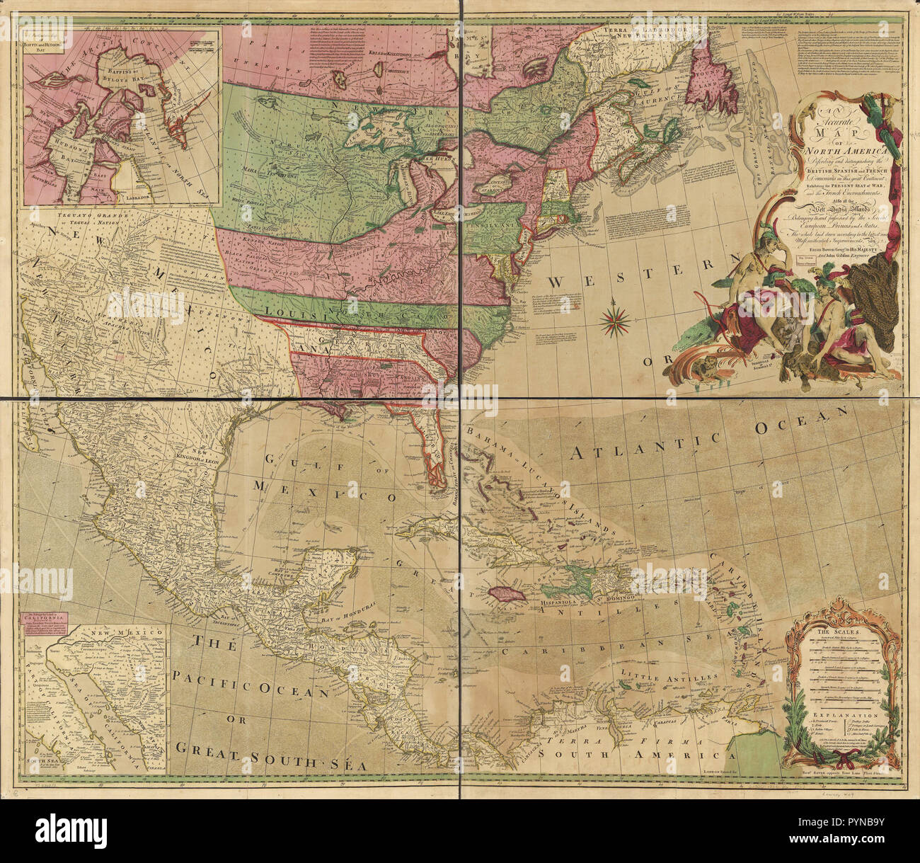 Vintage Maps / Antique Maps - An accurate map of North America. Describing and distinguishing the British, Spanish and French dominions on this great continent; exhibiting the present seat of war, and the French encroachments. Also all the West India Islands belonging to, and possessed by the several European princes and states. The whole laid down according to the latest and most authentick improvements Stock Photohttps://www.alamy.com/image-license-details/?v=1https://www.alamy.com/vintage-maps-antique-maps-an-accurate-map-of-north-america-describing-and-distinguishing-the-british-spanish-and-french-dominions-on-this-great-continent-exhibiting-the-present-seat-of-war-and-the-french-encroachments-also-all-the-west-india-islands-belonging-to-and-possessed-by-the-several-european-princes-and-states-the-whole-laid-down-according-to-the-latest-and-most-authentick-improvements-image223590023.html
RMPYNB9Y–Vintage Maps / Antique Maps - An accurate map of North America. Describing and distinguishing the British, Spanish and French dominions on this great continent; exhibiting the present seat of war, and the French encroachments. Also all the West India Islands belonging to, and possessed by the several European princes and states. The whole laid down according to the latest and most authentick improvements
RF2FJWF3A–Map of India glyph icon
