Northeast region map us Stock Photos and Images
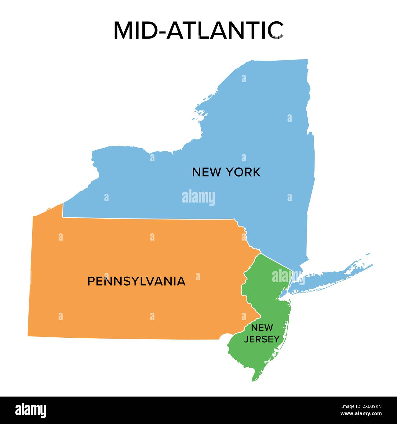 Mid-Atlantic, or Middle Atlantic states, multi colored political map. United States Census division of the Northeast region. Stock Photohttps://www.alamy.com/image-license-details/?v=1https://www.alamy.com/mid-atlantic-or-middle-atlantic-states-multi-colored-political-map-united-states-census-division-of-the-northeast-region-image610426873.html
RF2XD39KN–Mid-Atlantic, or Middle Atlantic states, multi colored political map. United States Census division of the Northeast region.
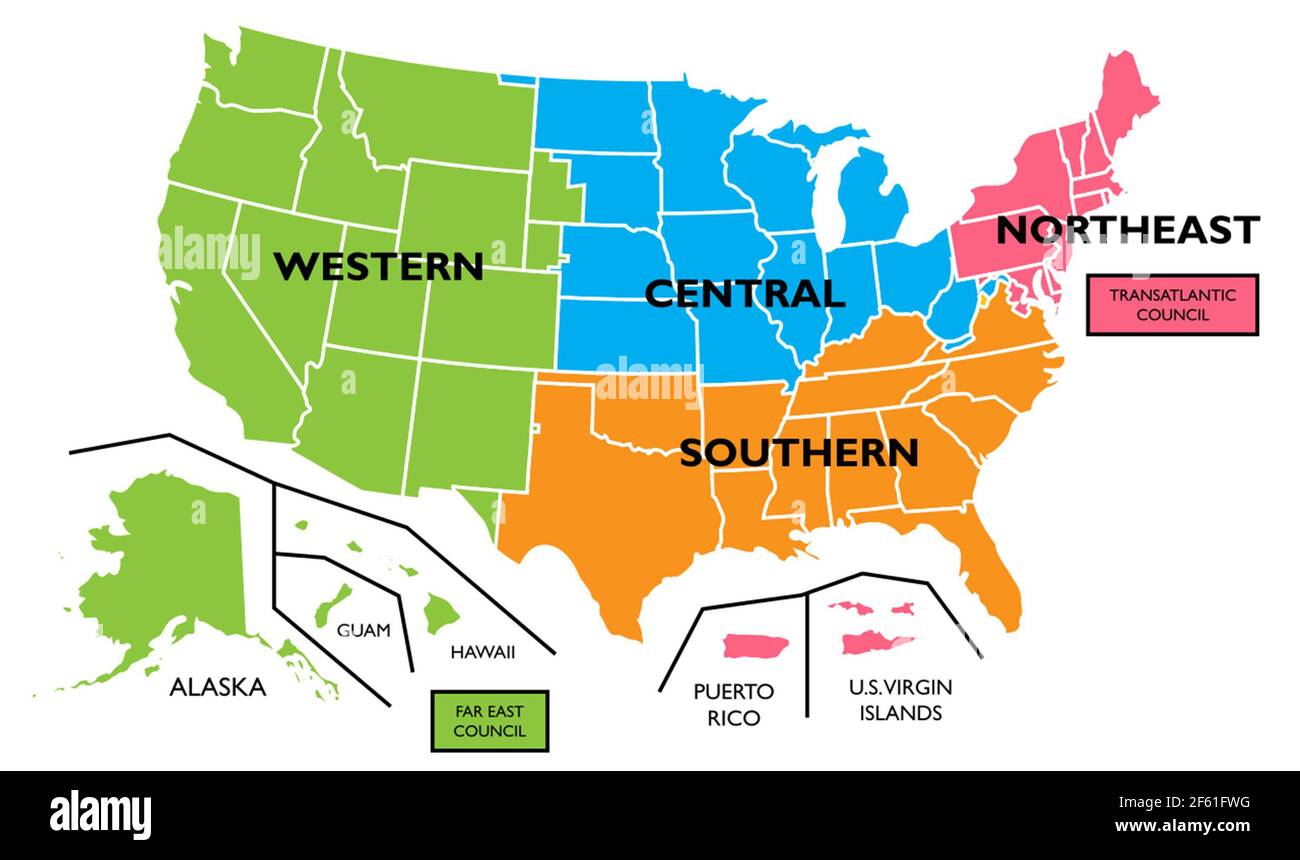 US Regions, Map Stock Photohttps://www.alamy.com/image-license-details/?v=1https://www.alamy.com/us-regions-map-image416771196.html
RM2F61FWG–US Regions, Map
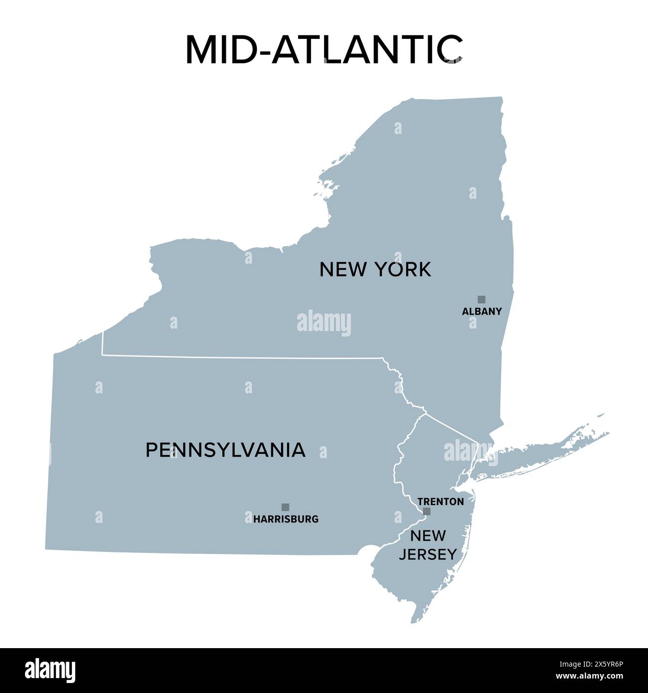 Mid-Atlantic, or Middle Atlantic states, gray political map, with capitals. United States Census division of the Northeast region. Stock Photohttps://www.alamy.com/image-license-details/?v=1https://www.alamy.com/mid-atlantic-or-middle-atlantic-states-gray-political-map-with-capitals-united-states-census-division-of-the-northeast-region-image606047086.html
RF2X5YR6P–Mid-Atlantic, or Middle Atlantic states, gray political map, with capitals. United States Census division of the Northeast region.
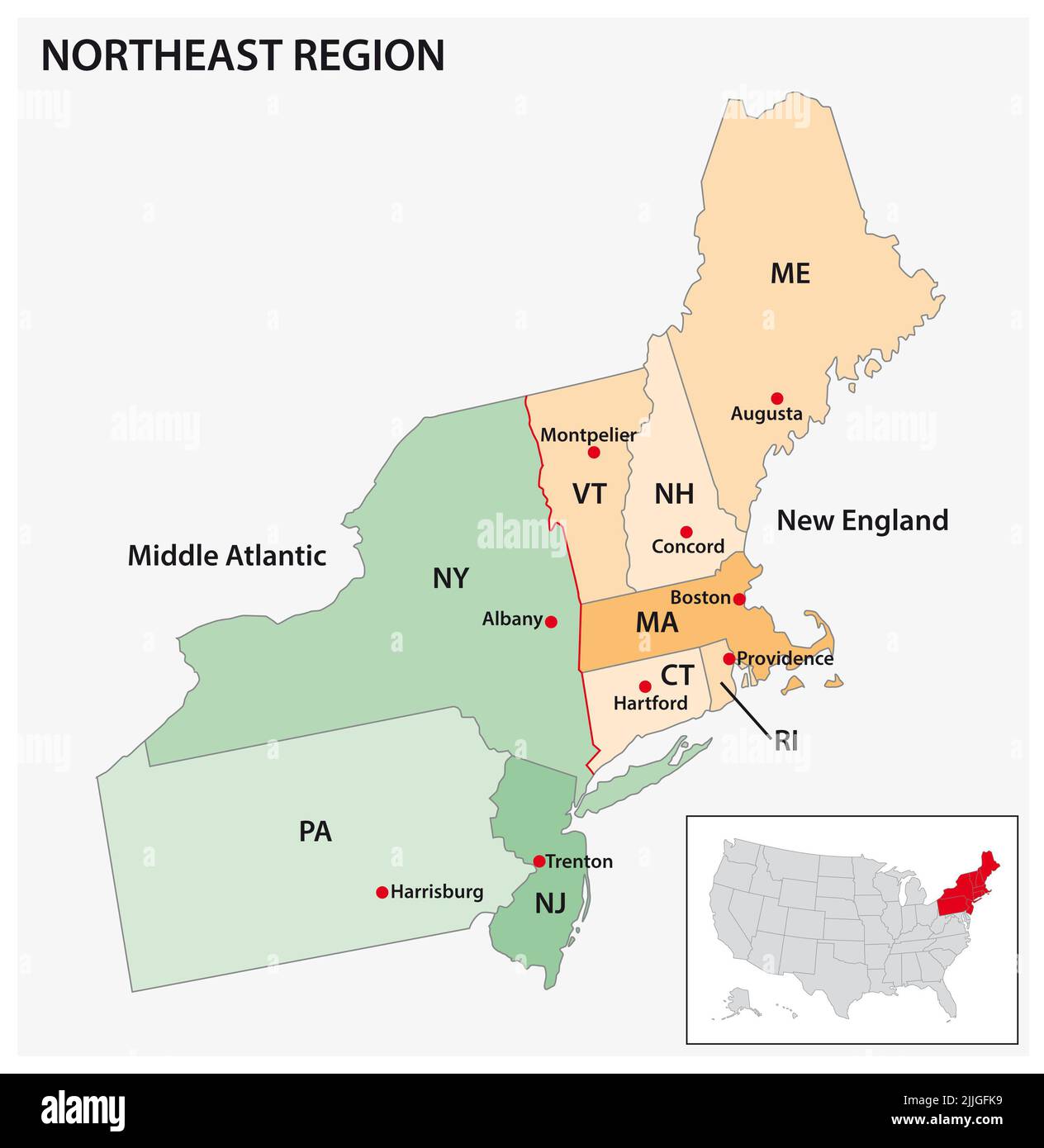 Administrative vector map of the US Census Region Northeast Stock Photohttps://www.alamy.com/image-license-details/?v=1https://www.alamy.com/administrative-vector-map-of-the-us-census-region-northeast-image476107277.html
RF2JJGFK9–Administrative vector map of the US Census Region Northeast
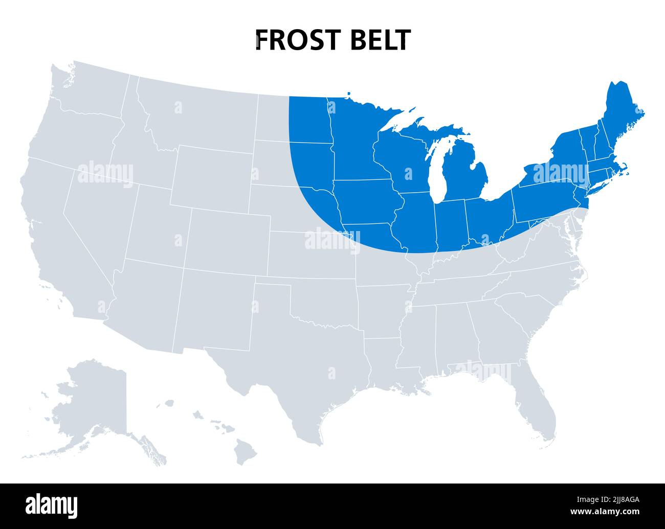 Frost Belt of the United States, political map. Region in the northeast, including the Great Lakes region and part of Upper Midwest. Stock Photohttps://www.alamy.com/image-license-details/?v=1https://www.alamy.com/frost-belt-of-the-united-states-political-map-region-in-the-northeast-including-the-great-lakes-region-and-part-of-upper-midwest-image475927658.html
RF2JJ8AGA–Frost Belt of the United States, political map. Region in the northeast, including the Great Lakes region and part of Upper Midwest.
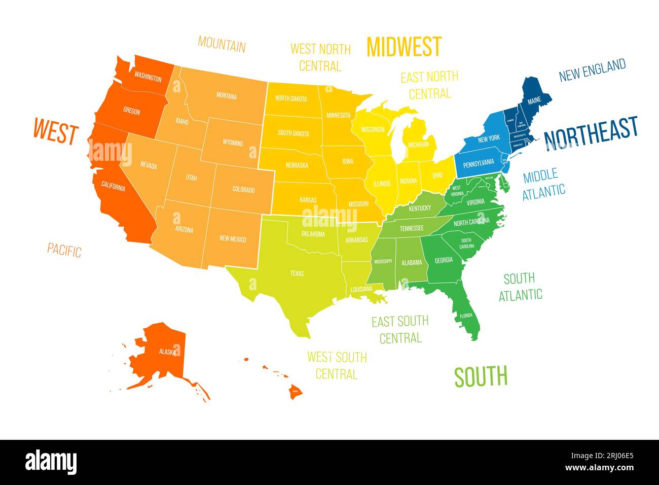 Regions and Divisions of United States - statistical units defined by US Census Bureau. Colorful vector map. Stock Vectorhttps://www.alamy.com/image-license-details/?v=1https://www.alamy.com/regions-and-divisions-of-united-states-statistical-units-defined-by-us-census-bureau-colorful-vector-map-image561800685.html
RF2RJ06E5–Regions and Divisions of United States - statistical units defined by US Census Bureau. Colorful vector map.
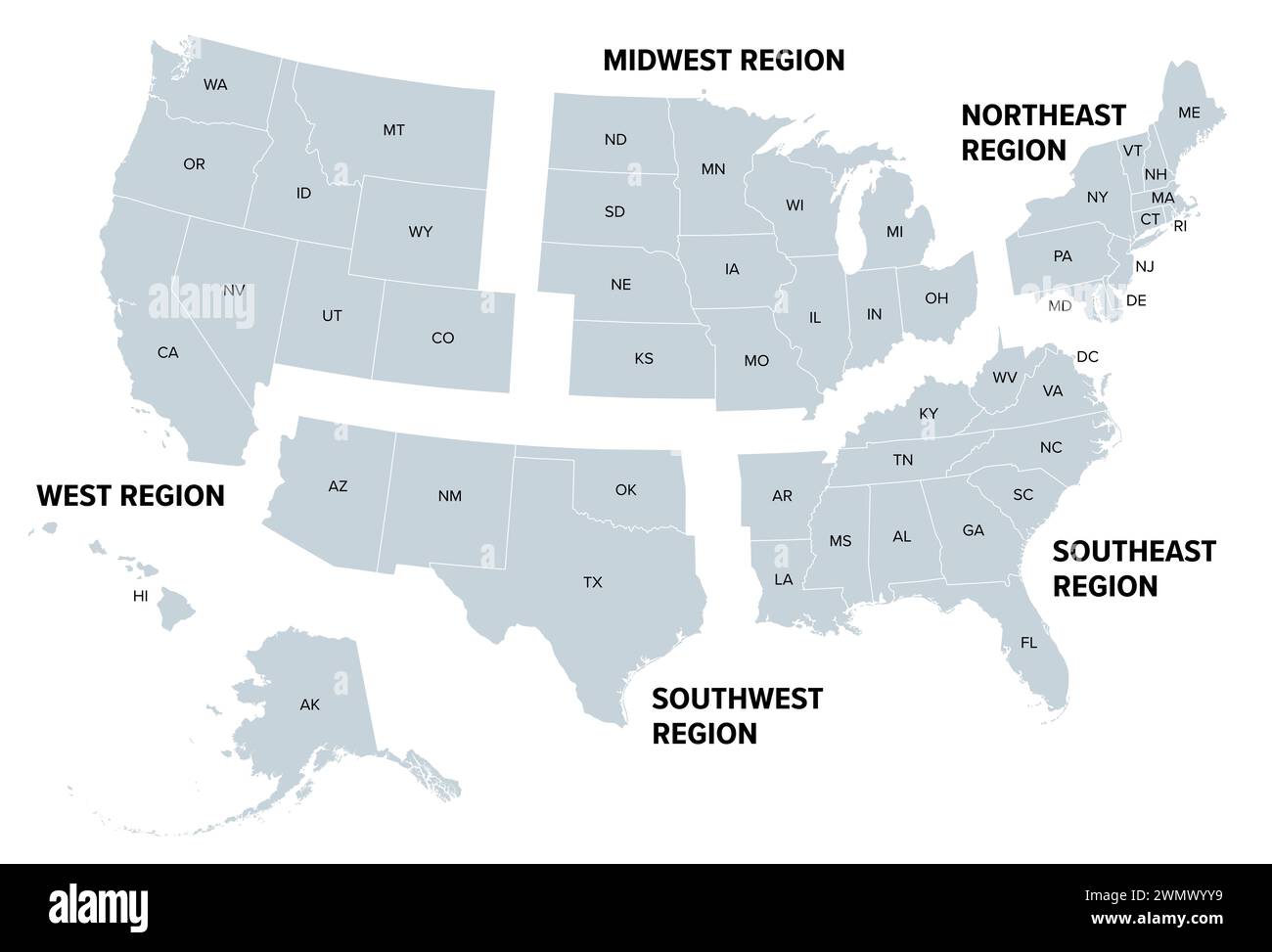 United States, geographic regions, gray political map. Five regions, according to their geographic position on the continent. Stock Photohttps://www.alamy.com/image-license-details/?v=1https://www.alamy.com/united-states-geographic-regions-gray-political-map-five-regions-according-to-their-geographic-position-on-the-continent-image598016365.html
RF2WMWYY9–United States, geographic regions, gray political map. Five regions, according to their geographic position on the continent.
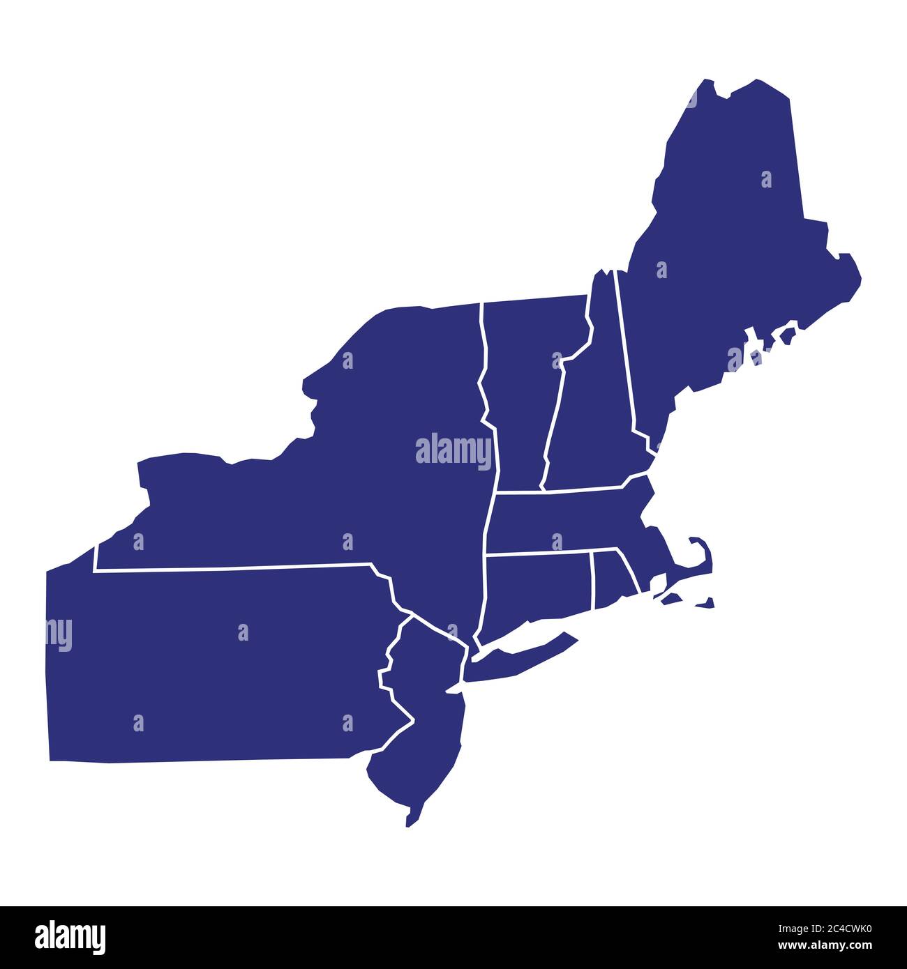 High Quality map of Northeast region of United States of America with borders of the states Stock Vectorhttps://www.alamy.com/image-license-details/?v=1https://www.alamy.com/high-quality-map-of-northeast-region-of-united-states-of-america-with-borders-of-the-states-image364159908.html
RF2C4CWK0–High Quality map of Northeast region of United States of America with borders of the states
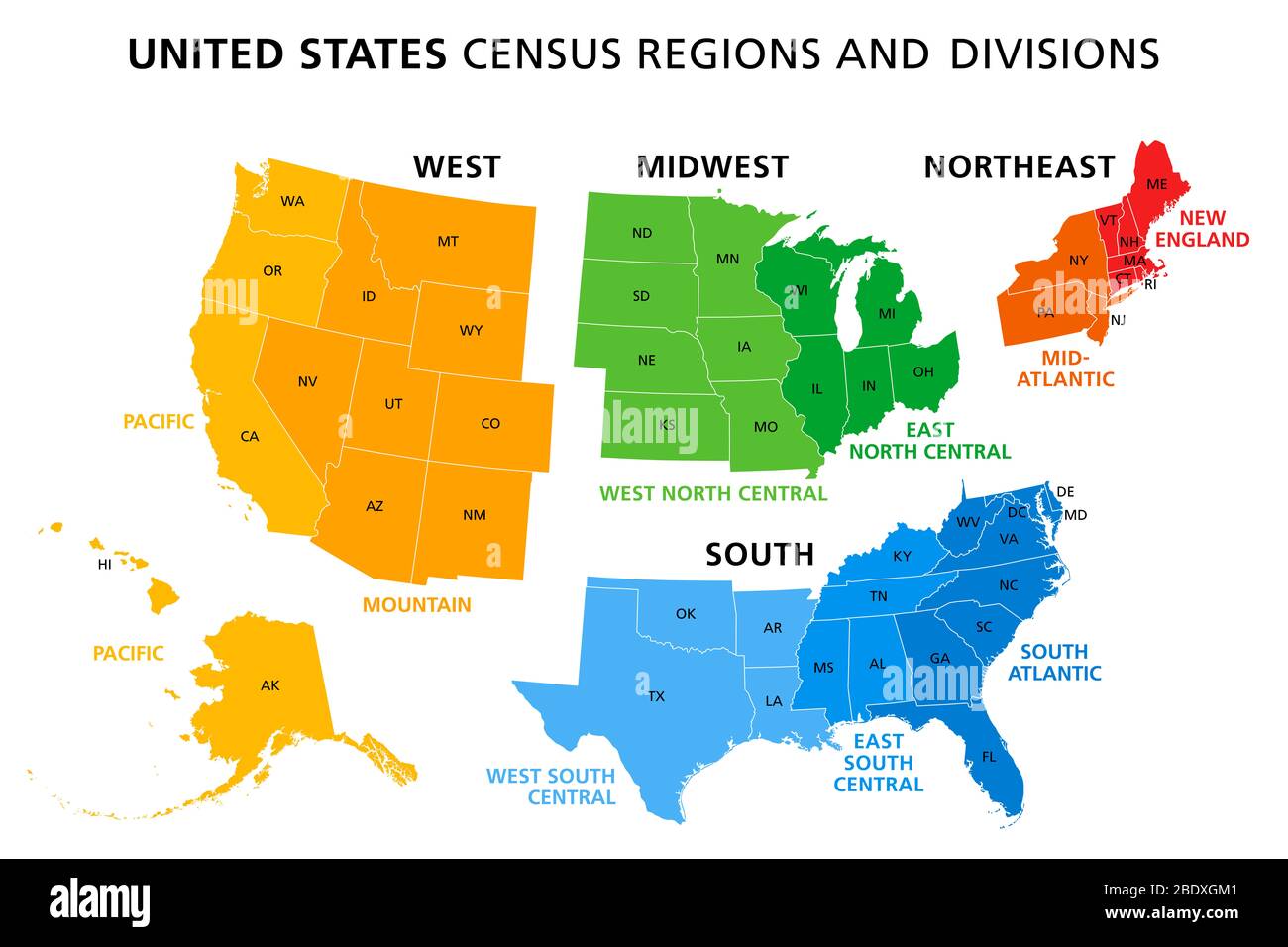 Map of United States split into Census regions and divisions. Region definition, widely used for data collection and analysis. Stock Photohttps://www.alamy.com/image-license-details/?v=1https://www.alamy.com/map-of-united-states-split-into-census-regions-and-divisions-region-definition-widely-used-for-data-collection-and-analysis-image352781745.html
RF2BDXGM1–Map of United States split into Census regions and divisions. Region definition, widely used for data collection and analysis.
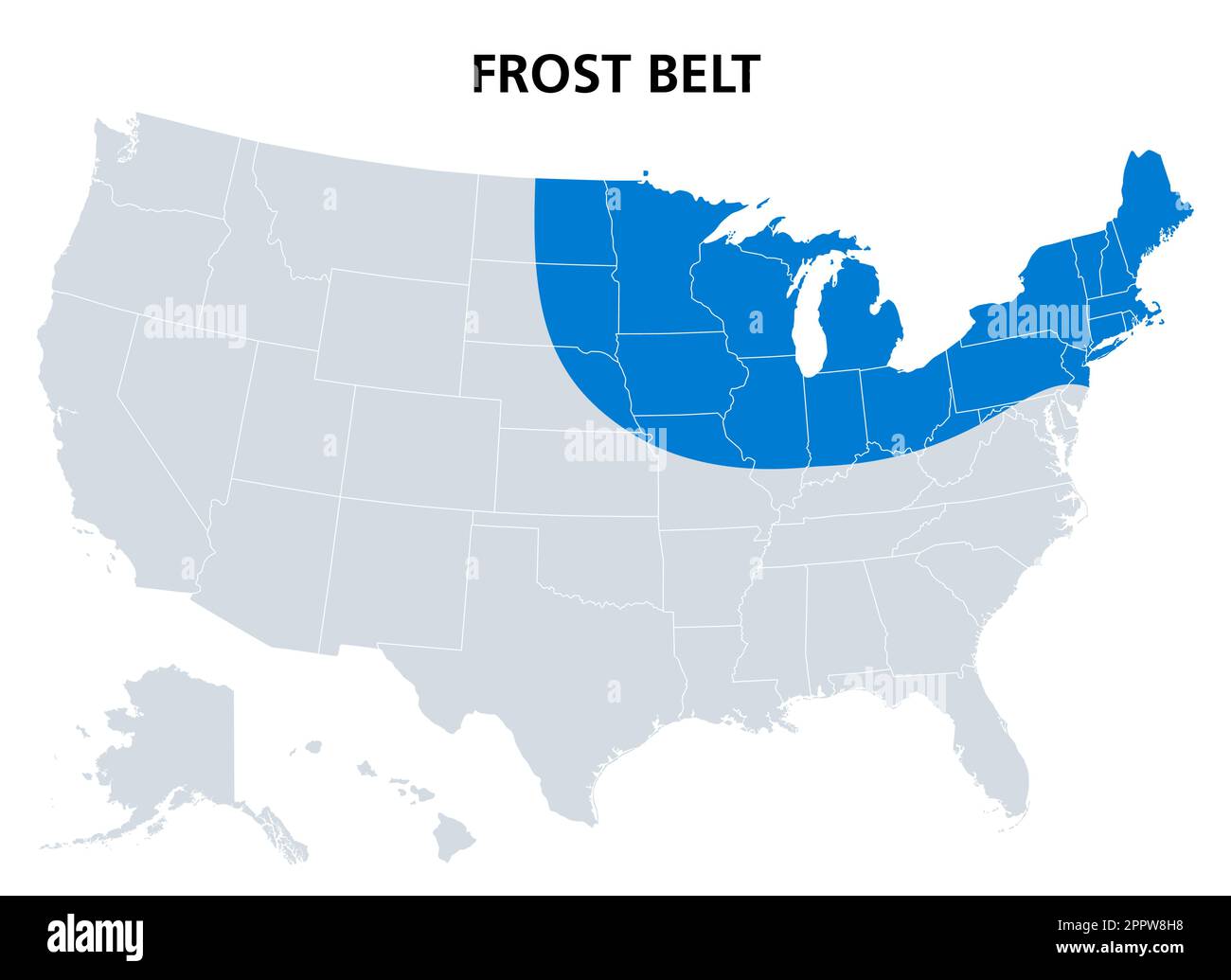 Frost Belt of the United States, region in the northeast, political map Stock Vectorhttps://www.alamy.com/image-license-details/?v=1https://www.alamy.com/frost-belt-of-the-united-states-region-in-the-northeast-political-map-image547599396.html
RF2PPW8H8–Frost Belt of the United States, region in the northeast, political map
 Northeast, Hartford County, US, United States, Connecticut, N 41 47' 37'', S 72 40' 13'', map, Cartascapes Map published in 2024. Explore Cartascapes, a map revealing Earth's diverse landscapes, cultures, and ecosystems. Journey through time and space, discovering the interconnectedness of our planet's past, present, and future. Stock Photohttps://www.alamy.com/image-license-details/?v=1https://www.alamy.com/northeast-hartford-county-us-united-states-connecticut-n-41-47-37-s-72-40-13-map-cartascapes-map-published-in-2024-explore-cartascapes-a-map-revealing-earths-diverse-landscapes-cultures-and-ecosystems-journey-through-time-and-space-discovering-the-interconnectedness-of-our-planets-past-present-and-future-image620865518.html
RM2Y22T8E–Northeast, Hartford County, US, United States, Connecticut, N 41 47' 37'', S 72 40' 13'', map, Cartascapes Map published in 2024. Explore Cartascapes, a map revealing Earth's diverse landscapes, cultures, and ecosystems. Journey through time and space, discovering the interconnectedness of our planet's past, present, and future.
 Detailed vintage map of the United States of America split into individual states with the abbreviations 50 states, vector illustration Stock Vectorhttps://www.alamy.com/image-license-details/?v=1https://www.alamy.com/detailed-vintage-map-of-the-united-states-of-america-split-into-individual-states-with-the-abbreviations-50-states-vector-illustration-image468578994.html
RF2J69H82–Detailed vintage map of the United States of America split into individual states with the abbreviations 50 states, vector illustration
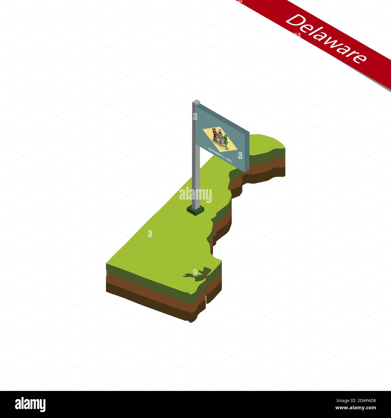 Isometric map and flag of Delaware. 3D isometric shape of Delaware State. Vector Illustration. Stock Vectorhttps://www.alamy.com/image-license-details/?v=1https://www.alamy.com/isometric-map-and-flag-of-delaware-3d-isometric-shape-of-delaware-state-vector-illustration-image381577876.html
RF2D4PAD8–Isometric map and flag of Delaware. 3D isometric shape of Delaware State. Vector Illustration.
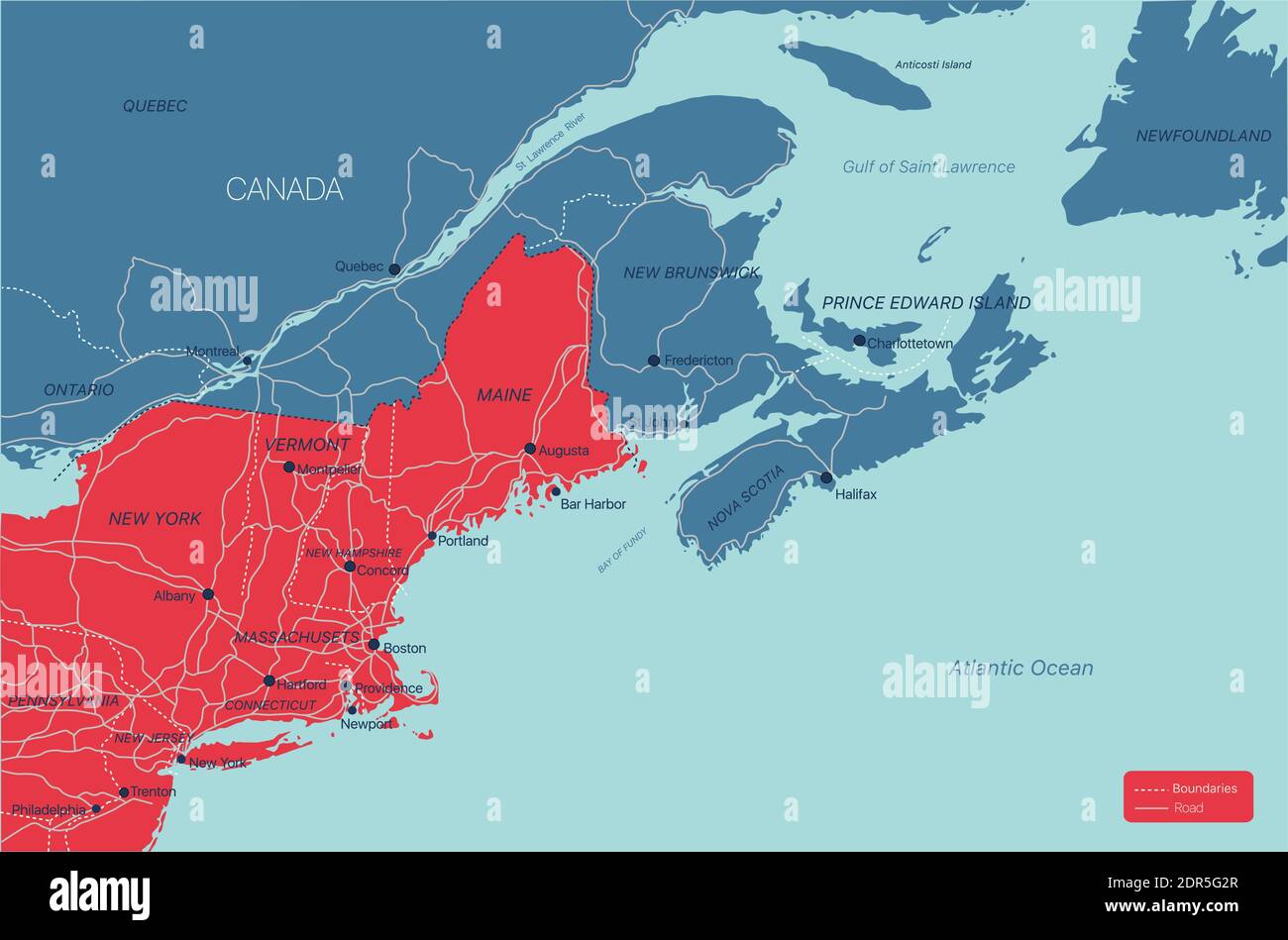 New England region detailed editable map with cities and towns, geographic sites, roads, railways, interstates and U.S. highways. Vector EPS-10 file, Stock Vectorhttps://www.alamy.com/image-license-details/?v=1https://www.alamy.com/new-england-region-detailed-editable-map-with-cities-and-towns-geographic-sites-roads-railways-interstates-and-us-highways-vector-eps-10-file-image392887567.html
RF2DR5G2R–New England region detailed editable map with cities and towns, geographic sites, roads, railways, interstates and U.S. highways. Vector EPS-10 file,
 Woodlawn Cemetery. Webster Avenue corner East 233rd Street. Woodlawn M 4 (Mon-Sun 8:30-17 / under photographs prior permission Stock Photohttps://www.alamy.com/image-license-details/?v=1https://www.alamy.com/stock-photo-woodlawn-cemetery-webster-avenue-corner-east-233rd-street-woodlawn-84597953.html
RMEWHNFD–Woodlawn Cemetery. Webster Avenue corner East 233rd Street. Woodlawn M 4 (Mon-Sun 8:30-17 / under photographs prior permission
 Woodlawn Cemetery. Webster Avenue corner East 233rd Street. Woodlawn M 4 (Mon-Sun 8:30-17 / under photographs prior permission Stock Photohttps://www.alamy.com/image-license-details/?v=1https://www.alamy.com/woodlawn-cemetery-webster-avenue-corner-east-233rd-street-woodlawn-image67655586.html
RMDX1YAX–Woodlawn Cemetery. Webster Avenue corner East 233rd Street. Woodlawn M 4 (Mon-Sun 8:30-17 / under photographs prior permission
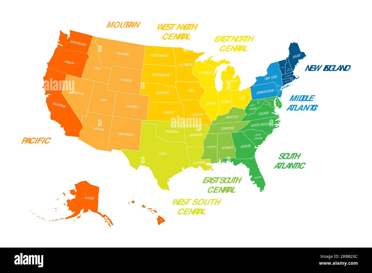 Regions and Divisions of United States - statistical units defined by US Census Bureau. Colorful vector map. Stock Vectorhttps://www.alamy.com/image-license-details/?v=1https://www.alamy.com/regions-and-divisions-of-united-states-statistical-units-defined-by-us-census-bureau-colorful-vector-map-image557736772.html
RF2RBB2XC–Regions and Divisions of United States - statistical units defined by US Census Bureau. Colorful vector map.
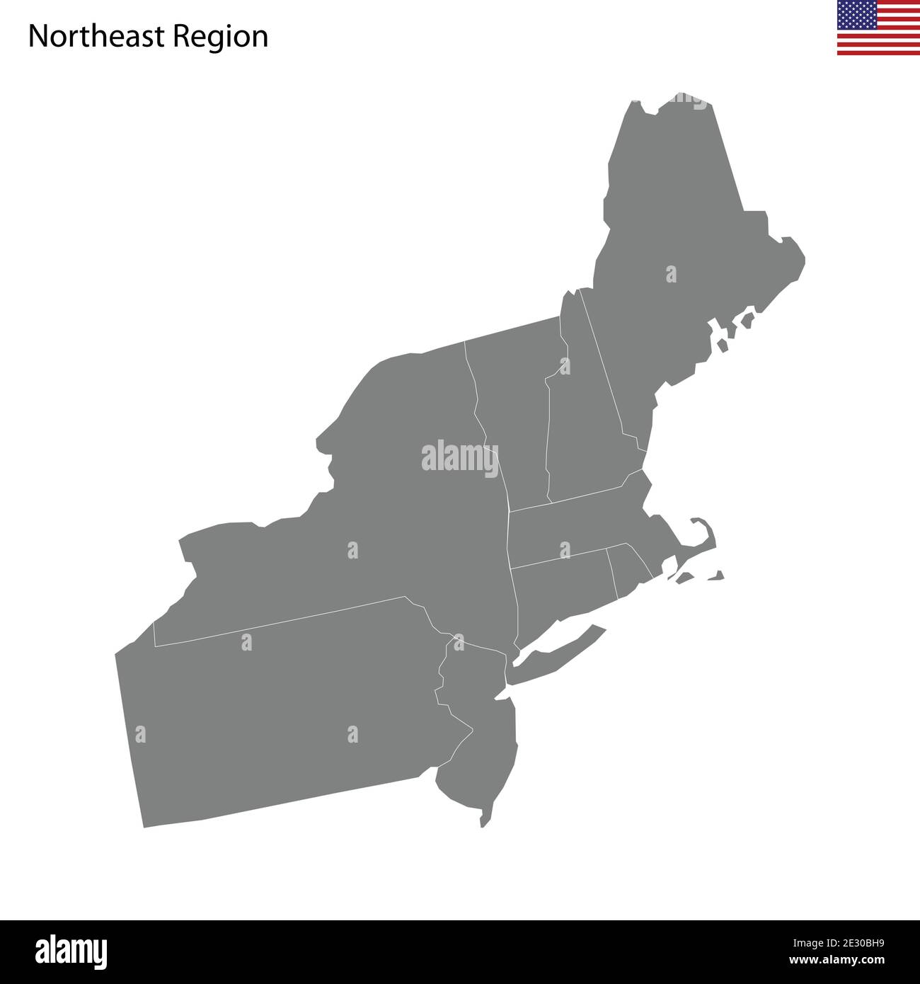 High Quality map of Northeast region of United States of America with borders of the states Stock Vectorhttps://www.alamy.com/image-license-details/?v=1https://www.alamy.com/high-quality-map-of-northeast-region-of-united-states-of-america-with-borders-of-the-states-image397691541.html
RF2E30BH9–High Quality map of Northeast region of United States of America with borders of the states
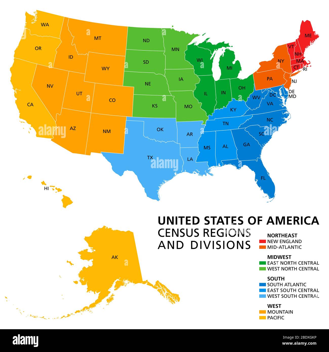 United States, Census regions and divisions, political map. Region definition widely used for data collection and analysis. Stock Photohttps://www.alamy.com/image-license-details/?v=1https://www.alamy.com/united-states-census-regions-and-divisions-political-map-region-definition-widely-used-for-data-collection-and-analysis-image352781738.html
RF2BDXGKP–United States, Census regions and divisions, political map. Region definition widely used for data collection and analysis.
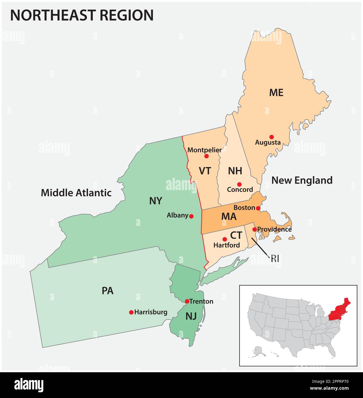 Administrative, vector, map, USA, Census, Region, Northeast Stock Vectorhttps://www.alamy.com/image-license-details/?v=1https://www.alamy.com/administrative-vector-map-usa-census-region-northeast-image547566180.html
RF2PPRP70–Administrative, vector, map, USA, Census, Region, Northeast
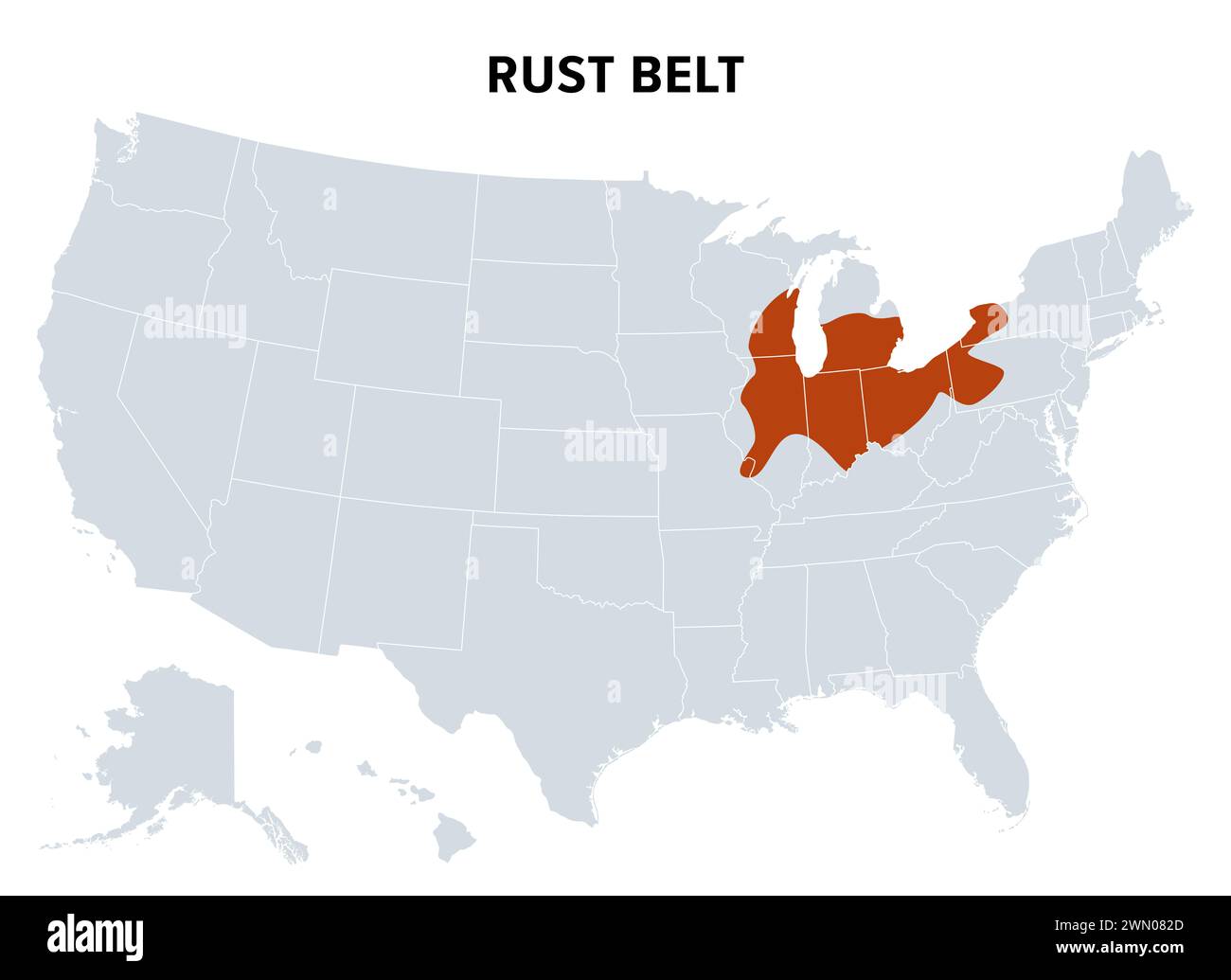 Rust Belt of the United States, political map. Region in the Northeastern and Midwestern United States, experiencing industrial and economic decline. Stock Photohttps://www.alamy.com/image-license-details/?v=1https://www.alamy.com/rust-belt-of-the-united-states-political-map-region-in-the-northeastern-and-midwestern-united-states-experiencing-industrial-and-economic-decline-image598066629.html
RF2WN082D–Rust Belt of the United States, political map. Region in the Northeastern and Midwestern United States, experiencing industrial and economic decline.
 Northeast Harris, Harris County, US, United States, Texas, N 29 58' 9'', S 95 3' 14'', map, Cartascapes Map published in 2024. Explore Cartascapes, a map revealing Earth's diverse landscapes, cultures, and ecosystems. Journey through time and space, discovering the interconnectedness of our planet's past, present, and future. Stock Photohttps://www.alamy.com/image-license-details/?v=1https://www.alamy.com/northeast-harris-harris-county-us-united-states-texas-n-29-58-9-s-95-3-14-map-cartascapes-map-published-in-2024-explore-cartascapes-a-map-revealing-earths-diverse-landscapes-cultures-and-ecosystems-journey-through-time-and-space-discovering-the-interconnectedness-of-our-planets-past-present-and-future-image620819422.html
RM2Y20NE6–Northeast Harris, Harris County, US, United States, Texas, N 29 58' 9'', S 95 3' 14'', map, Cartascapes Map published in 2024. Explore Cartascapes, a map revealing Earth's diverse landscapes, cultures, and ecosystems. Journey through time and space, discovering the interconnectedness of our planet's past, present, and future.
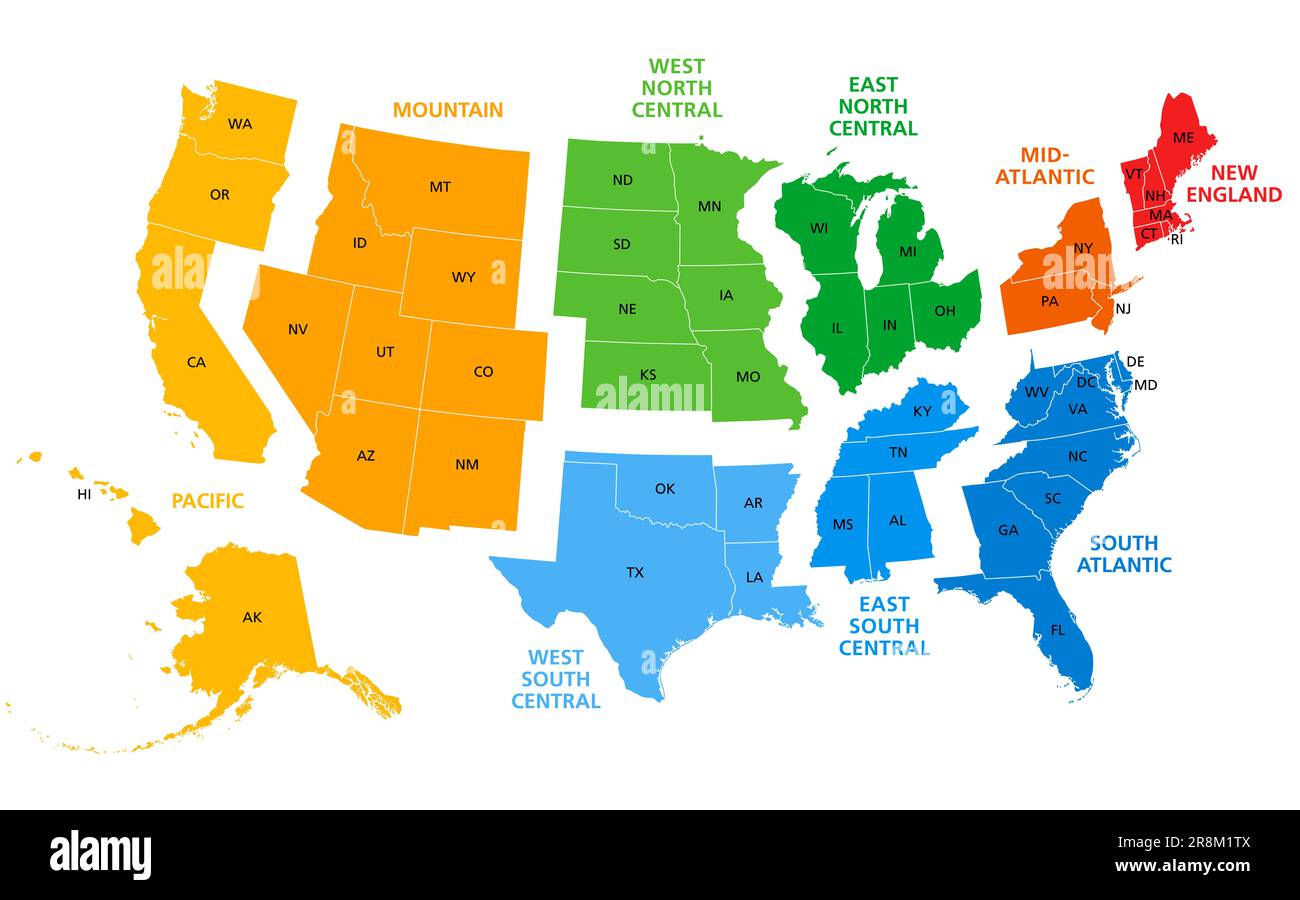 United States, split into Census regions and divisions, political map. Region definition, widely used for data collection, statistics and analysis. Stock Photohttps://www.alamy.com/image-license-details/?v=1https://www.alamy.com/united-states-split-into-census-regions-and-divisions-political-map-region-definition-widely-used-for-data-collection-statistics-and-analysis-image556089546.html
RF2R8M1TX–United States, split into Census regions and divisions, political map. Region definition, widely used for data collection, statistics and analysis.
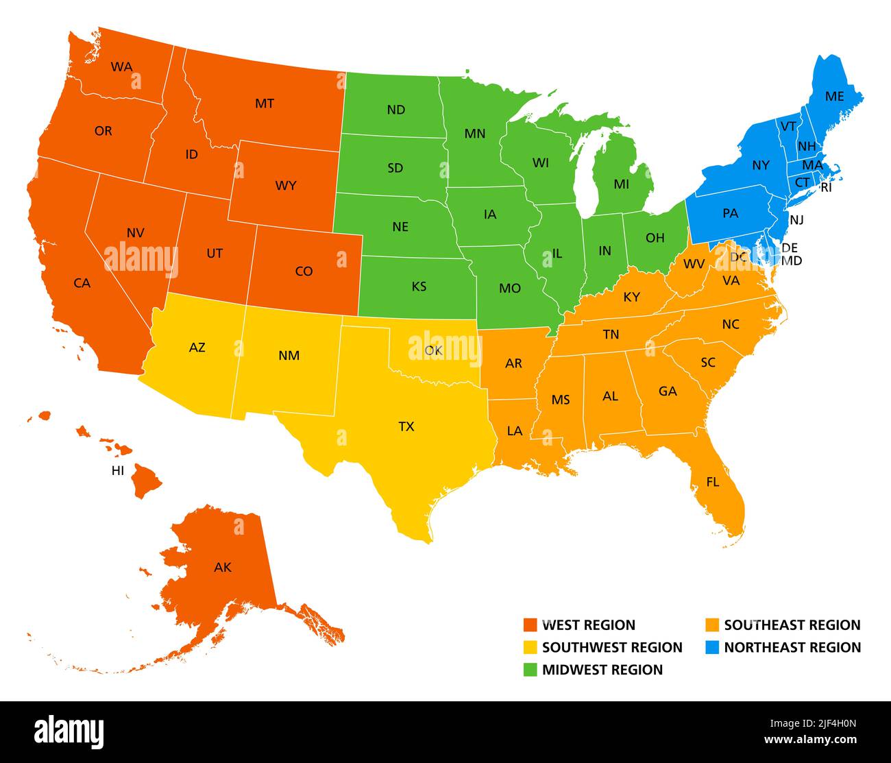 Geographic regions of the United States, political map. Five regions, according to their geographic position on the continent. Stock Photohttps://www.alamy.com/image-license-details/?v=1https://www.alamy.com/geographic-regions-of-the-united-states-political-map-five-regions-according-to-their-geographic-position-on-the-continent-image474000933.html
RF2JF4H0N–Geographic regions of the United States, political map. Five regions, according to their geographic position on the continent.
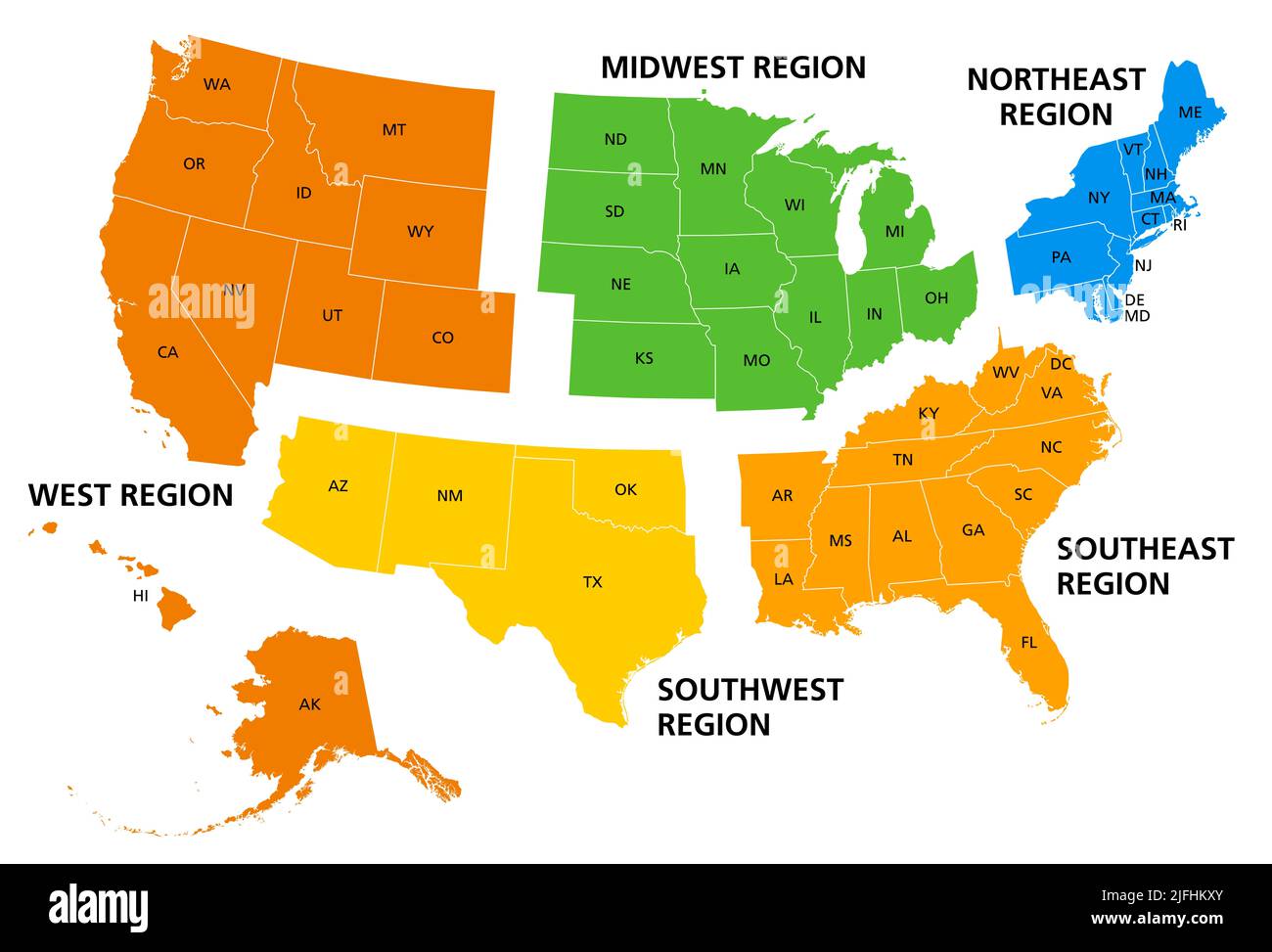 United States, geographic regions, colored political map. Five regions, according to their geographic position on the continent. Stock Photohttps://www.alamy.com/image-license-details/?v=1https://www.alamy.com/united-states-geographic-regions-colored-political-map-five-regions-according-to-their-geographic-position-on-the-continent-image474288611.html
RF2JFHKXY–United States, geographic regions, colored political map. Five regions, according to their geographic position on the continent.
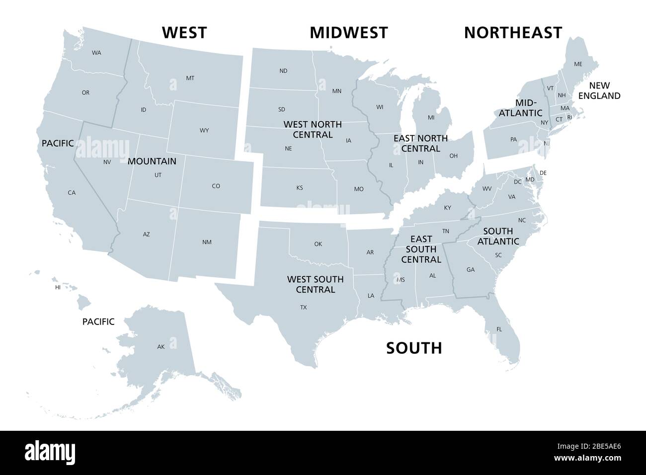 United States divided in Census regions and divisions, gray map. Region definition used for data collection and analysis. Stock Photohttps://www.alamy.com/image-license-details/?v=1https://www.alamy.com/united-states-divided-in-census-regions-and-divisions-gray-map-region-definition-used-for-data-collection-and-analysis-image352930542.html
RF2BE5AE6–United States divided in Census regions and divisions, gray map. Region definition used for data collection and analysis.
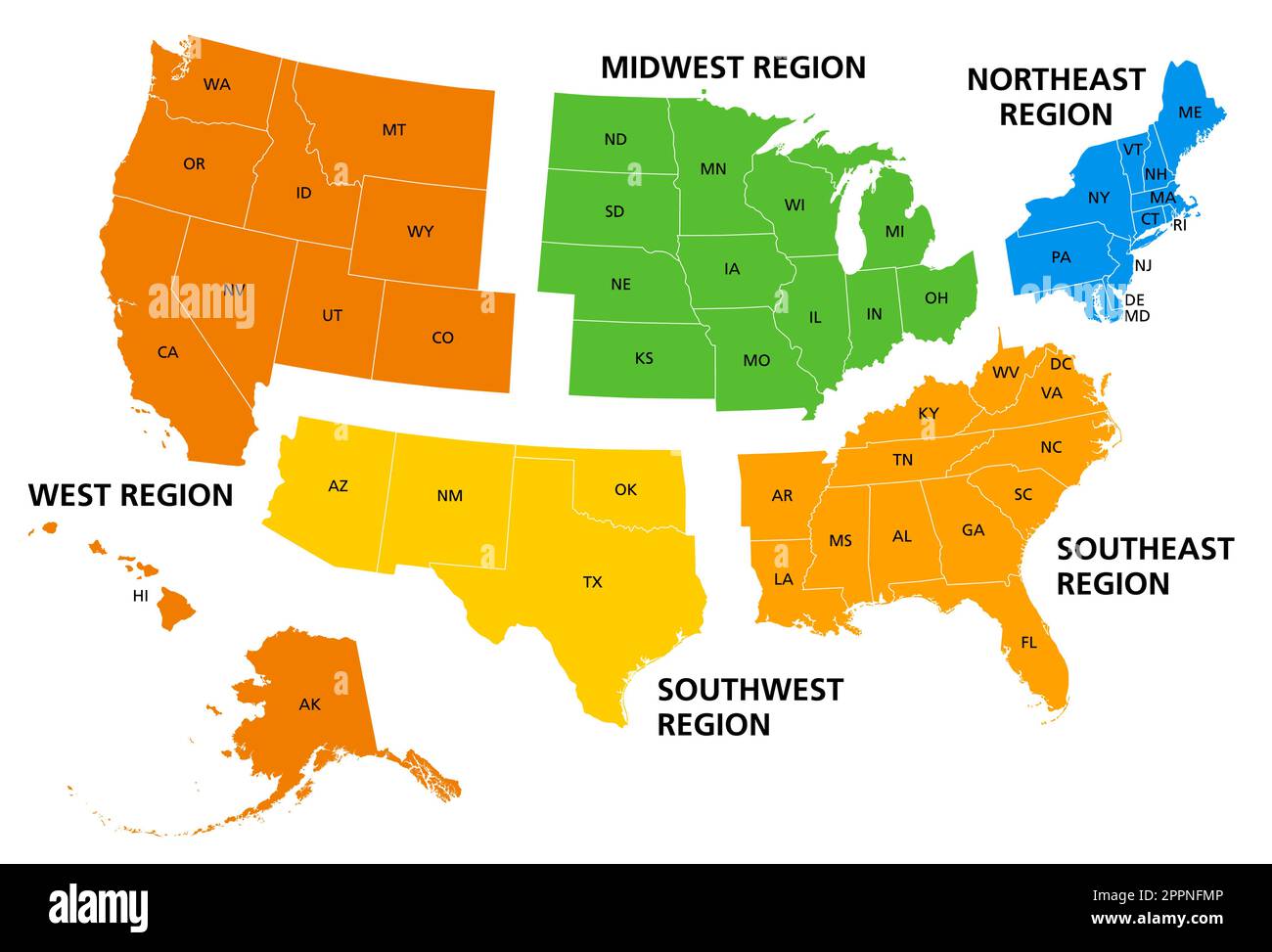 United States of America, geographic regions, colored political map Stock Vectorhttps://www.alamy.com/image-license-details/?v=1https://www.alamy.com/united-states-of-america-geographic-regions-colored-political-map-image547517174.html
RF2PPNFMP–United States of America, geographic regions, colored political map
 Northeast Glades, Glades County, US, United States, Florida, N 27 3' 58'', S 81 2' 37'', map, Cartascapes Map published in 2024. Explore Cartascapes, a map revealing Earth's diverse landscapes, cultures, and ecosystems. Journey through time and space, discovering the interconnectedness of our planet's past, present, and future. Stock Photohttps://www.alamy.com/image-license-details/?v=1https://www.alamy.com/northeast-glades-glades-county-us-united-states-florida-n-27-3-58-s-81-2-37-map-cartascapes-map-published-in-2024-explore-cartascapes-a-map-revealing-earths-diverse-landscapes-cultures-and-ecosystems-journey-through-time-and-space-discovering-the-interconnectedness-of-our-planets-past-present-and-future-image620887794.html
RM2Y23TM2–Northeast Glades, Glades County, US, United States, Florida, N 27 3' 58'', S 81 2' 37'', map, Cartascapes Map published in 2024. Explore Cartascapes, a map revealing Earth's diverse landscapes, cultures, and ecosystems. Journey through time and space, discovering the interconnectedness of our planet's past, present, and future.
 Northeast Neighbors, Alachua County, US, United States, Florida, N 29 39' 27'', S 82 18' 46'', map, Cartascapes Map published in 2024. Explore Cartascapes, a map revealing Earth's diverse landscapes, cultures, and ecosystems. Journey through time and space, discovering the interconnectedness of our planet's past, present, and future. Stock Photohttps://www.alamy.com/image-license-details/?v=1https://www.alamy.com/northeast-neighbors-alachua-county-us-united-states-florida-n-29-39-27-s-82-18-46-map-cartascapes-map-published-in-2024-explore-cartascapes-a-map-revealing-earths-diverse-landscapes-cultures-and-ecosystems-journey-through-time-and-space-discovering-the-interconnectedness-of-our-planets-past-present-and-future-image620870049.html
RM2Y23229–Northeast Neighbors, Alachua County, US, United States, Florida, N 29 39' 27'', S 82 18' 46'', map, Cartascapes Map published in 2024. Explore Cartascapes, a map revealing Earth's diverse landscapes, cultures, and ecosystems. Journey through time and space, discovering the interconnectedness of our planet's past, present, and future.
 Northeast Guadalupe, Guadalupe County, US, United States, Texas, N 29 37' 31'', S 97 46' 57'', map, Cartascapes Map published in 2024. Explore Cartascapes, a map revealing Earth's diverse landscapes, cultures, and ecosystems. Journey through time and space, discovering the interconnectedness of our planet's past, present, and future. Stock Photohttps://www.alamy.com/image-license-details/?v=1https://www.alamy.com/northeast-guadalupe-guadalupe-county-us-united-states-texas-n-29-37-31-s-97-46-57-map-cartascapes-map-published-in-2024-explore-cartascapes-a-map-revealing-earths-diverse-landscapes-cultures-and-ecosystems-journey-through-time-and-space-discovering-the-interconnectedness-of-our-planets-past-present-and-future-image620785736.html
RM2Y1Y6F4–Northeast Guadalupe, Guadalupe County, US, United States, Texas, N 29 37' 31'', S 97 46' 57'', map, Cartascapes Map published in 2024. Explore Cartascapes, a map revealing Earth's diverse landscapes, cultures, and ecosystems. Journey through time and space, discovering the interconnectedness of our planet's past, present, and future.
 Northeast Bleckley, Bleckley County, US, United States, Georgia, N 32 28' 54'', S 83 13' 51'', map, Cartascapes Map published in 2024. Explore Cartascapes, a map revealing Earth's diverse landscapes, cultures, and ecosystems. Journey through time and space, discovering the interconnectedness of our planet's past, present, and future. Stock Photohttps://www.alamy.com/image-license-details/?v=1https://www.alamy.com/northeast-bleckley-bleckley-county-us-united-states-georgia-n-32-28-54-s-83-13-51-map-cartascapes-map-published-in-2024-explore-cartascapes-a-map-revealing-earths-diverse-landscapes-cultures-and-ecosystems-journey-through-time-and-space-discovering-the-interconnectedness-of-our-planets-past-present-and-future-image620776570.html
RM2Y1XPRP–Northeast Bleckley, Bleckley County, US, United States, Georgia, N 32 28' 54'', S 83 13' 51'', map, Cartascapes Map published in 2024. Explore Cartascapes, a map revealing Earth's diverse landscapes, cultures, and ecosystems. Journey through time and space, discovering the interconnectedness of our planet's past, present, and future.
 Alpine Northeast, Lincoln County, US, United States, Wyoming, N 43 11' 39'', S 111 0' 26'', map, Cartascapes Map published in 2024. Explore Cartascapes, a map revealing Earth's diverse landscapes, cultures, and ecosystems. Journey through time and space, discovering the interconnectedness of our planet's past, present, and future. Stock Photohttps://www.alamy.com/image-license-details/?v=1https://www.alamy.com/alpine-northeast-lincoln-county-us-united-states-wyoming-n-43-11-39-s-111-0-26-map-cartascapes-map-published-in-2024-explore-cartascapes-a-map-revealing-earths-diverse-landscapes-cultures-and-ecosystems-journey-through-time-and-space-discovering-the-interconnectedness-of-our-planets-past-present-and-future-image620790600.html
RM2Y1YCMT–Alpine Northeast, Lincoln County, US, United States, Wyoming, N 43 11' 39'', S 111 0' 26'', map, Cartascapes Map published in 2024. Explore Cartascapes, a map revealing Earth's diverse landscapes, cultures, and ecosystems. Journey through time and space, discovering the interconnectedness of our planet's past, present, and future.
 Helena Valley Northeast, Lewis and Clark County, US, United States, Montana, N 46 41' 55'', S 111 57' 7'', map, Cartascapes Map published in 2024. Explore Cartascapes, a map revealing Earth's diverse landscapes, cultures, and ecosystems. Journey through time and space, discovering the interconnectedness of our planet's past, present, and future. Stock Photohttps://www.alamy.com/image-license-details/?v=1https://www.alamy.com/helena-valley-northeast-lewis-and-clark-county-us-united-states-montana-n-46-41-55-s-111-57-7-map-cartascapes-map-published-in-2024-explore-cartascapes-a-map-revealing-earths-diverse-landscapes-cultures-and-ecosystems-journey-through-time-and-space-discovering-the-interconnectedness-of-our-planets-past-present-and-future-image620855887.html
RM2Y22C0F–Helena Valley Northeast, Lewis and Clark County, US, United States, Montana, N 46 41' 55'', S 111 57' 7'', map, Cartascapes Map published in 2024. Explore Cartascapes, a map revealing Earth's diverse landscapes, cultures, and ecosystems. Journey through time and space, discovering the interconnectedness of our planet's past, present, and future.
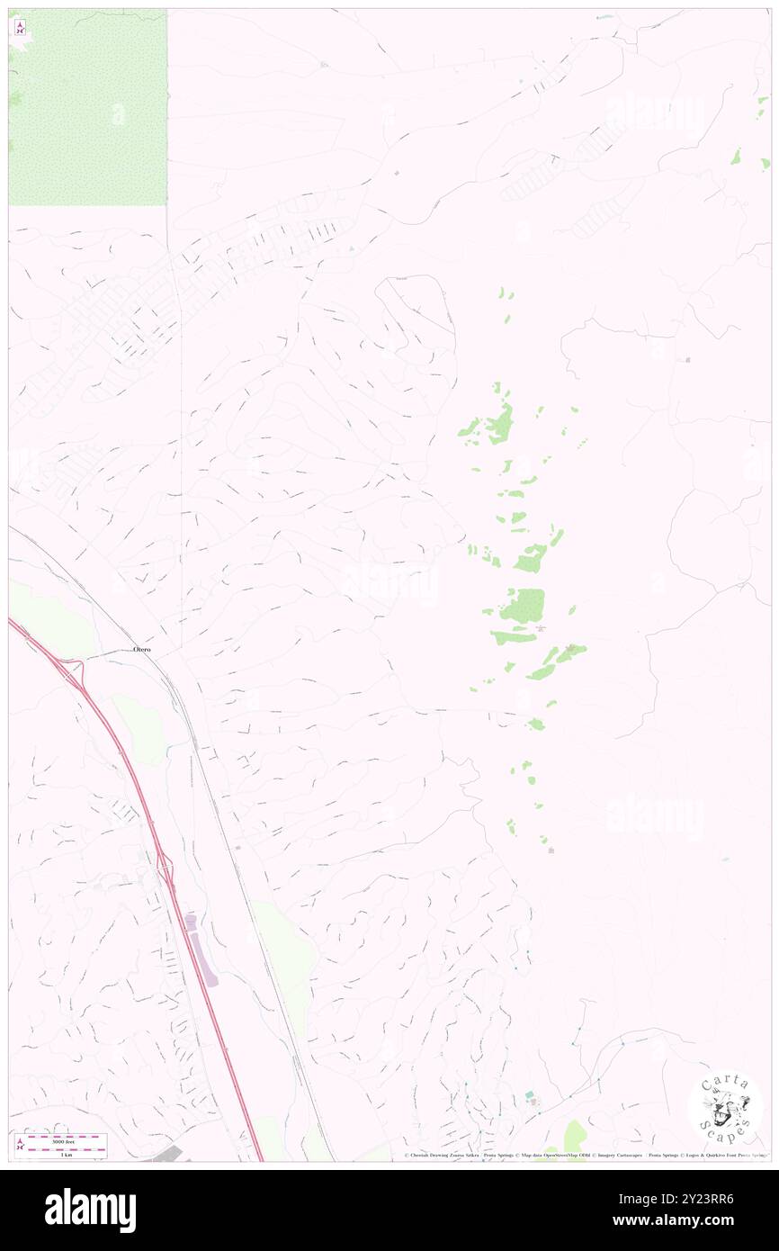 Rio Rico Northeast, Santa Cruz County, US, United States, Arizona, N 31 32' 16'', S 110 58' 55'', map, Cartascapes Map published in 2024. Explore Cartascapes, a map revealing Earth's diverse landscapes, cultures, and ecosystems. Journey through time and space, discovering the interconnectedness of our planet's past, present, and future. Stock Photohttps://www.alamy.com/image-license-details/?v=1https://www.alamy.com/rio-rico-northeast-santa-cruz-county-us-united-states-arizona-n-31-32-16-s-110-58-55-map-cartascapes-map-published-in-2024-explore-cartascapes-a-map-revealing-earths-diverse-landscapes-cultures-and-ecosystems-journey-through-time-and-space-discovering-the-interconnectedness-of-our-planets-past-present-and-future-image620887098.html
RM2Y23RR6–Rio Rico Northeast, Santa Cruz County, US, United States, Arizona, N 31 32' 16'', S 110 58' 55'', map, Cartascapes Map published in 2024. Explore Cartascapes, a map revealing Earth's diverse landscapes, cultures, and ecosystems. Journey through time and space, discovering the interconnectedness of our planet's past, present, and future.
 Northeast Annexation Trailer Court, Gallatin County, US, United States, Montana, N 45 42' 6'', S 111 1' 32'', map, Cartascapes Map published in 2024. Explore Cartascapes, a map revealing Earth's diverse landscapes, cultures, and ecosystems. Journey through time and space, discovering the interconnectedness of our planet's past, present, and future. Stock Photohttps://www.alamy.com/image-license-details/?v=1https://www.alamy.com/northeast-annexation-trailer-court-gallatin-county-us-united-states-montana-n-45-42-6-s-111-1-32-map-cartascapes-map-published-in-2024-explore-cartascapes-a-map-revealing-earths-diverse-landscapes-cultures-and-ecosystems-journey-through-time-and-space-discovering-the-interconnectedness-of-our-planets-past-present-and-future-image620862081.html
RM2Y22KWN–Northeast Annexation Trailer Court, Gallatin County, US, United States, Montana, N 45 42' 6'', S 111 1' 32'', map, Cartascapes Map published in 2024. Explore Cartascapes, a map revealing Earth's diverse landscapes, cultures, and ecosystems. Journey through time and space, discovering the interconnectedness of our planet's past, present, and future.
 Central Northeast, Washington County, US, United States, Washington, D.C., N 38 53' 45'', S 76 56' 28'', map, Cartascapes Map published in 2024. Explore Cartascapes, a map revealing Earth's diverse landscapes, cultures, and ecosystems. Journey through time and space, discovering the interconnectedness of our planet's past, present, and future. Stock Photohttps://www.alamy.com/image-license-details/?v=1https://www.alamy.com/central-northeast-washington-county-us-united-states-washington-dc-n-38-53-45-s-76-56-28-map-cartascapes-map-published-in-2024-explore-cartascapes-a-map-revealing-earths-diverse-landscapes-cultures-and-ecosystems-journey-through-time-and-space-discovering-the-interconnectedness-of-our-planets-past-present-and-future-image620877139.html
RM2Y23B3F–Central Northeast, Washington County, US, United States, Washington, D.C., N 38 53' 45'', S 76 56' 28'', map, Cartascapes Map published in 2024. Explore Cartascapes, a map revealing Earth's diverse landscapes, cultures, and ecosystems. Journey through time and space, discovering the interconnectedness of our planet's past, present, and future.
 Northeast Boundary, Washington County, US, United States, Washington, D.C., N 38 53' 33'', S 76 54' 58'', map, Cartascapes Map published in 2024. Explore Cartascapes, a map revealing Earth's diverse landscapes, cultures, and ecosystems. Journey through time and space, discovering the interconnectedness of our planet's past, present, and future. Stock Photohttps://www.alamy.com/image-license-details/?v=1https://www.alamy.com/northeast-boundary-washington-county-us-united-states-washington-dc-n-38-53-33-s-76-54-58-map-cartascapes-map-published-in-2024-explore-cartascapes-a-map-revealing-earths-diverse-landscapes-cultures-and-ecosystems-journey-through-time-and-space-discovering-the-interconnectedness-of-our-planets-past-present-and-future-image620843138.html
RM2Y21RN6–Northeast Boundary, Washington County, US, United States, Washington, D.C., N 38 53' 33'', S 76 54' 58'', map, Cartascapes Map published in 2024. Explore Cartascapes, a map revealing Earth's diverse landscapes, cultures, and ecosystems. Journey through time and space, discovering the interconnectedness of our planet's past, present, and future.