Northeast united states map Stock Photos and Images
(485)See northeast united states map stock video clipsQuick filters:
Northeast united states map Stock Photos and Images
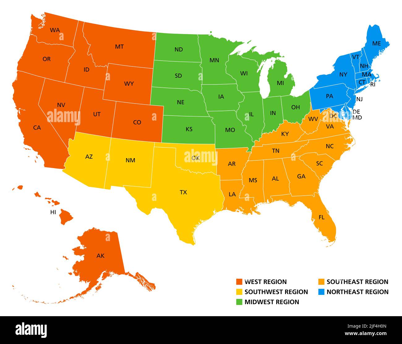 Geographic regions of the United States, political map. Five regions, according to their geographic position on the continent. Stock Photohttps://www.alamy.com/image-license-details/?v=1https://www.alamy.com/geographic-regions-of-the-united-states-political-map-five-regions-according-to-their-geographic-position-on-the-continent-image474000933.html
RF2JF4H0N–Geographic regions of the United States, political map. Five regions, according to their geographic position on the continent.
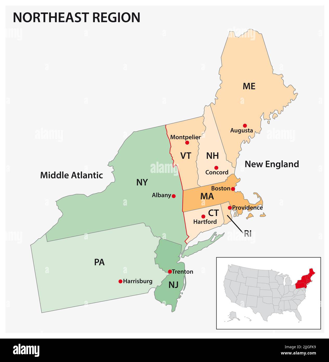 Administrative vector map of the US Census Region Northeast Stock Photohttps://www.alamy.com/image-license-details/?v=1https://www.alamy.com/administrative-vector-map-of-the-us-census-region-northeast-image476107277.html
RF2JJGFK9–Administrative vector map of the US Census Region Northeast
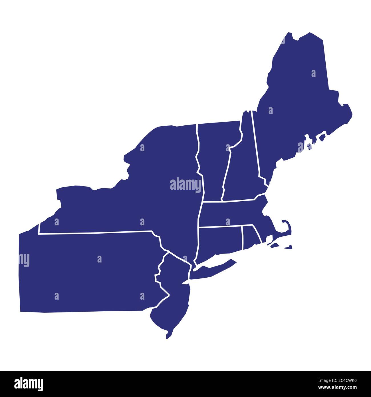 High Quality map of Northeast region of United States of America with borders of the states Stock Vectorhttps://www.alamy.com/image-license-details/?v=1https://www.alamy.com/high-quality-map-of-northeast-region-of-united-states-of-america-with-borders-of-the-states-image364159908.html
RF2C4CWK0–High Quality map of Northeast region of United States of America with borders of the states
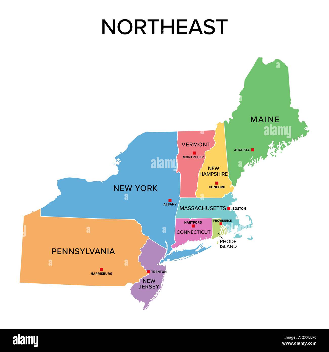 Northeast, U.S. census region, multi colored political map. Census region 1 of the United States, consisting of 9 single states. Colored silhouettes. Stock Photohttps://www.alamy.com/image-license-details/?v=1https://www.alamy.com/northeast-us-census-region-multi-colored-political-map-census-region-1-of-the-united-states-consisting-of-9-single-states-colored-silhouettes-image618662856.html
RF2XXEEP0–Northeast, U.S. census region, multi colored political map. Census region 1 of the United States, consisting of 9 single states. Colored silhouettes.
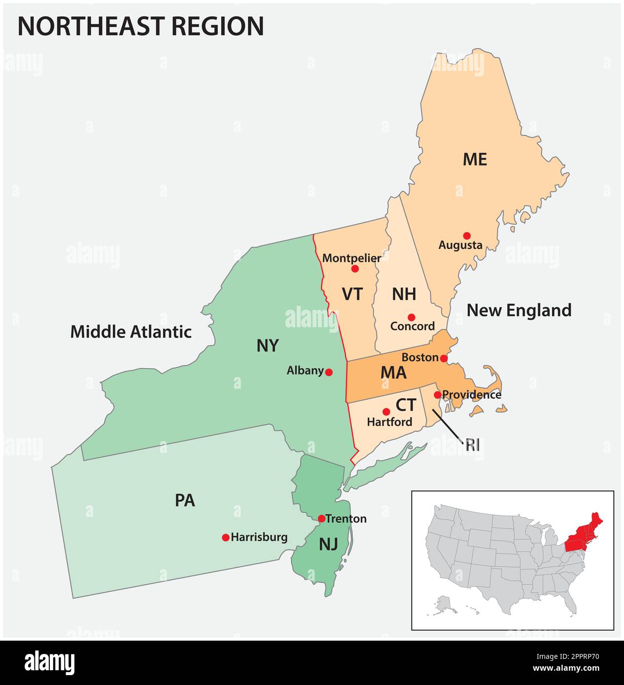 Administrative, vector, map, USA, Census, Region, Northeast Stock Vectorhttps://www.alamy.com/image-license-details/?v=1https://www.alamy.com/administrative-vector-map-usa-census-region-northeast-image547566180.html
RF2PPRP70–Administrative, vector, map, USA, Census, Region, Northeast
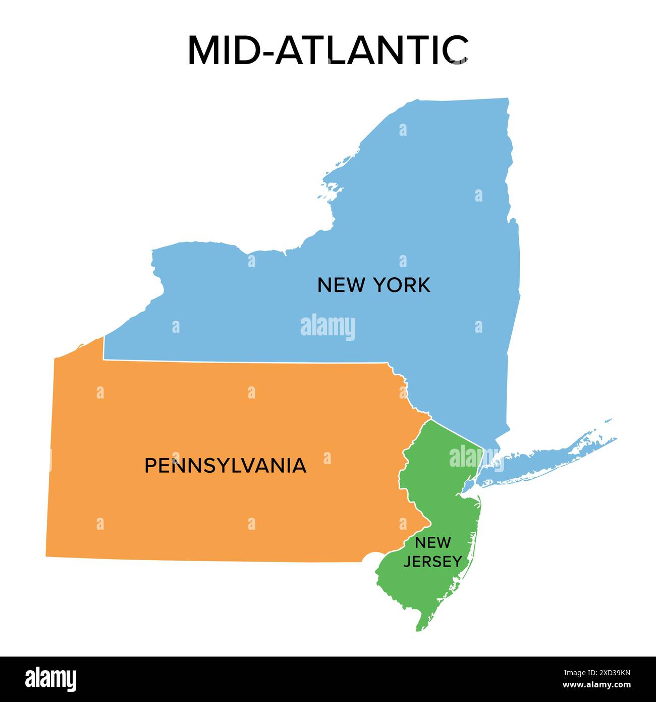 Mid-Atlantic, or Middle Atlantic states, multi colored political map. United States Census division of the Northeast region. Stock Photohttps://www.alamy.com/image-license-details/?v=1https://www.alamy.com/mid-atlantic-or-middle-atlantic-states-multi-colored-political-map-united-states-census-division-of-the-northeast-region-image610426873.html
RF2XD39KN–Mid-Atlantic, or Middle Atlantic states, multi colored political map. United States Census division of the Northeast region.
 Northeast, Tioga County, US, United States, Pennsylvania, N 41 48' 51'', S 77 4' 34'', map, Cartascapes Map published in 2024. Explore Cartascapes, a map revealing Earth's diverse landscapes, cultures, and ecosystems. Journey through time and space, discovering the interconnectedness of our planet's past, present, and future. Stock Photohttps://www.alamy.com/image-license-details/?v=1https://www.alamy.com/northeast-tioga-county-us-united-states-pennsylvania-n-41-48-51-s-77-4-34-map-cartascapes-map-published-in-2024-explore-cartascapes-a-map-revealing-earths-diverse-landscapes-cultures-and-ecosystems-journey-through-time-and-space-discovering-the-interconnectedness-of-our-planets-past-present-and-future-image621206666.html
RM2Y2JBCA–Northeast, Tioga County, US, United States, Pennsylvania, N 41 48' 51'', S 77 4' 34'', map, Cartascapes Map published in 2024. Explore Cartascapes, a map revealing Earth's diverse landscapes, cultures, and ecosystems. Journey through time and space, discovering the interconnectedness of our planet's past, present, and future.
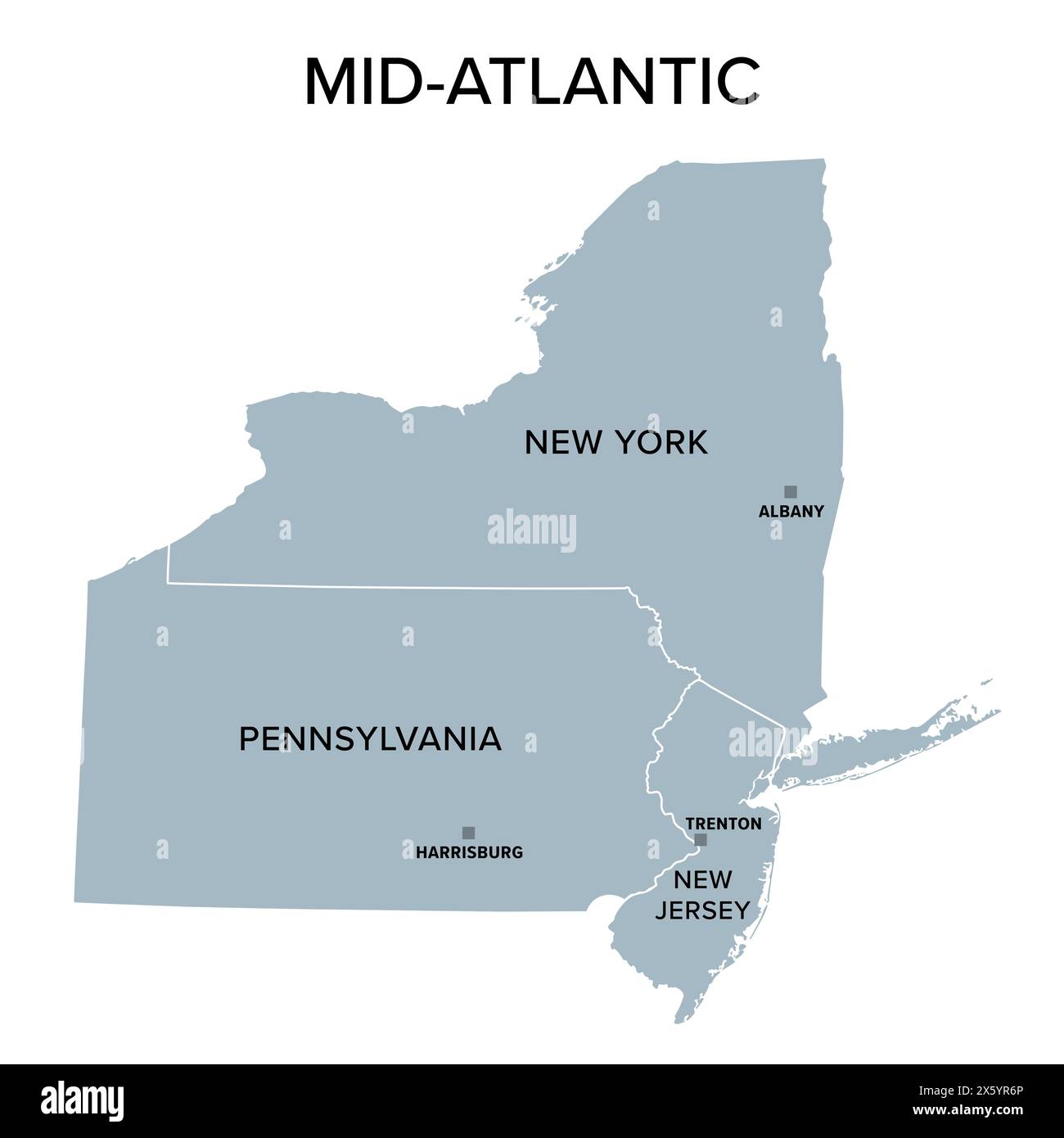 Mid-Atlantic, or Middle Atlantic states, gray political map, with capitals. United States Census division of the Northeast region. Stock Photohttps://www.alamy.com/image-license-details/?v=1https://www.alamy.com/mid-atlantic-or-middle-atlantic-states-gray-political-map-with-capitals-united-states-census-division-of-the-northeast-region-image606047086.html
RF2X5YR6P–Mid-Atlantic, or Middle Atlantic states, gray political map, with capitals. United States Census division of the Northeast region.
 Map of Virginia and the Northeast Coast 1597 Stock Photohttps://www.alamy.com/image-license-details/?v=1https://www.alamy.com/map-of-virginia-and-the-northeast-coast-1597-image184299981.html
RMMKRGE5–Map of Virginia and the Northeast Coast 1597
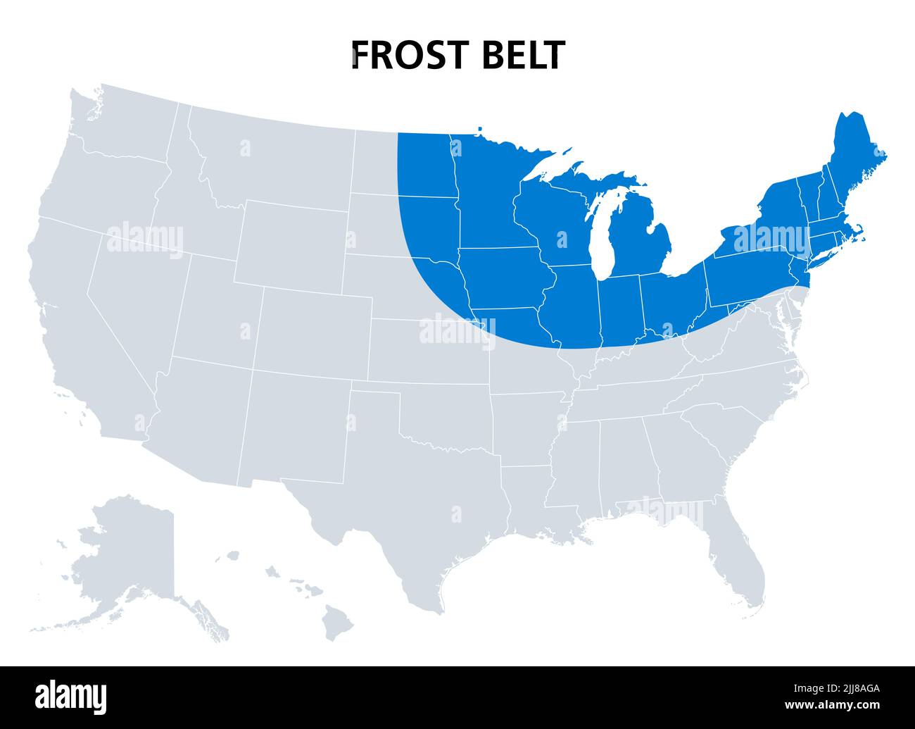 Frost Belt of the United States, political map. Region in the northeast, including the Great Lakes region and part of Upper Midwest. Stock Photohttps://www.alamy.com/image-license-details/?v=1https://www.alamy.com/frost-belt-of-the-united-states-political-map-region-in-the-northeast-including-the-great-lakes-region-and-part-of-upper-midwest-image475927658.html
RF2JJ8AGA–Frost Belt of the United States, political map. Region in the northeast, including the Great Lakes region and part of Upper Midwest.
 Outline city map of Seattle, Washington, United States Stock Photohttps://www.alamy.com/image-license-details/?v=1https://www.alamy.com/outline-city-map-of-seattle-washington-united-states-image480303777.html
RF2JWBMA9–Outline city map of Seattle, Washington, United States
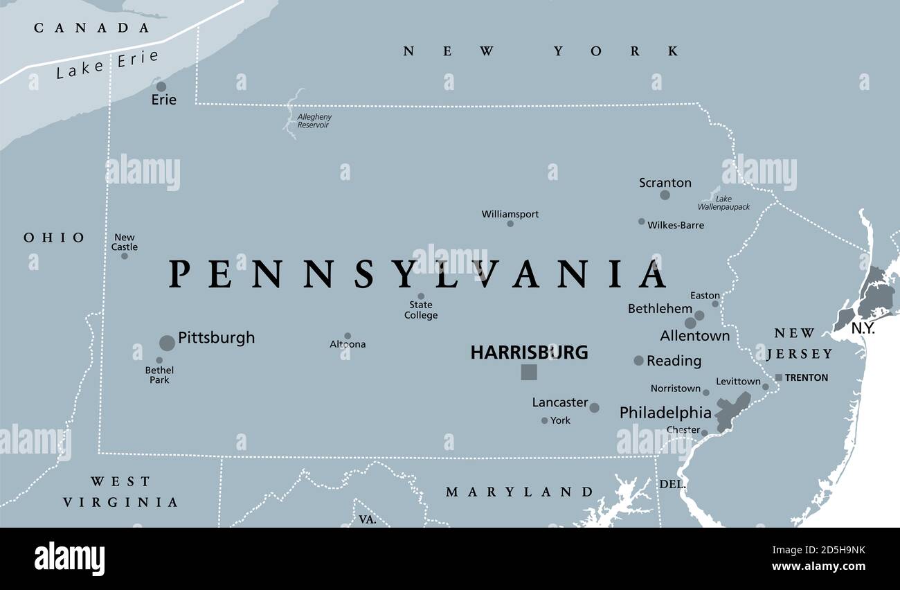 Pennsylvania, PA, gray political map. The Commonwealth of Pennsylvania, a state in the Northeastern United States of America with capital Harrisburg. Stock Photohttps://www.alamy.com/image-license-details/?v=1https://www.alamy.com/pennsylvania-pa-gray-political-map-the-commonwealth-of-pennsylvania-a-state-in-the-northeastern-united-states-of-america-with-capital-harrisburg-image382082223.html
RF2D5H9NK–Pennsylvania, PA, gray political map. The Commonwealth of Pennsylvania, a state in the Northeastern United States of America with capital Harrisburg.
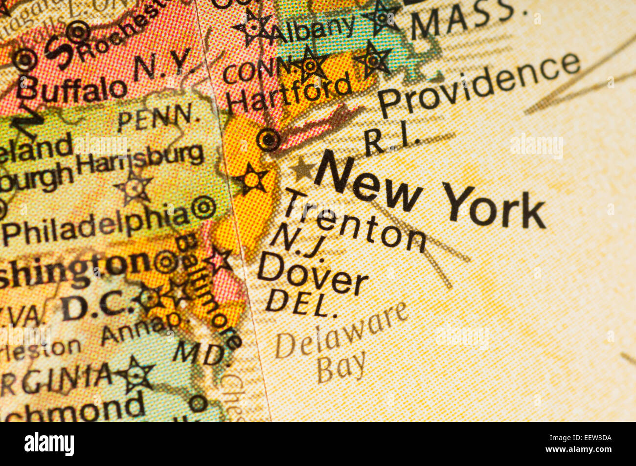 Map of New York and Northeastern United States Stock Photohttps://www.alamy.com/image-license-details/?v=1https://www.alamy.com/stock-photo-map-of-new-york-and-northeastern-united-states-77998182.html
RFEEW3DA–Map of New York and Northeastern United States
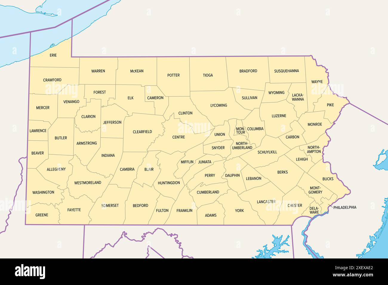 Pennsylvania counties, political map. Commonwealth of Pennsylvania, state of Mid-Atlantic and Northeastern United States, subdivided into 67 counties. Stock Photohttps://www.alamy.com/image-license-details/?v=1https://www.alamy.com/pennsylvania-counties-political-map-commonwealth-of-pennsylvania-state-of-mid-atlantic-and-northeastern-united-states-subdivided-into-67-counties-image611547050.html
RF2XEXAE2–Pennsylvania counties, political map. Commonwealth of Pennsylvania, state of Mid-Atlantic and Northeastern United States, subdivided into 67 counties.
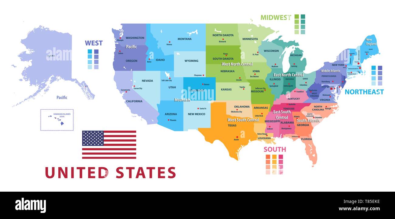 United States census bureau regions and divisions vector map Stock Vectorhttps://www.alamy.com/image-license-details/?v=1https://www.alamy.com/united-states-census-bureau-regions-and-divisions-vector-map-image245983682.html
RFT85EKE–United States census bureau regions and divisions vector map
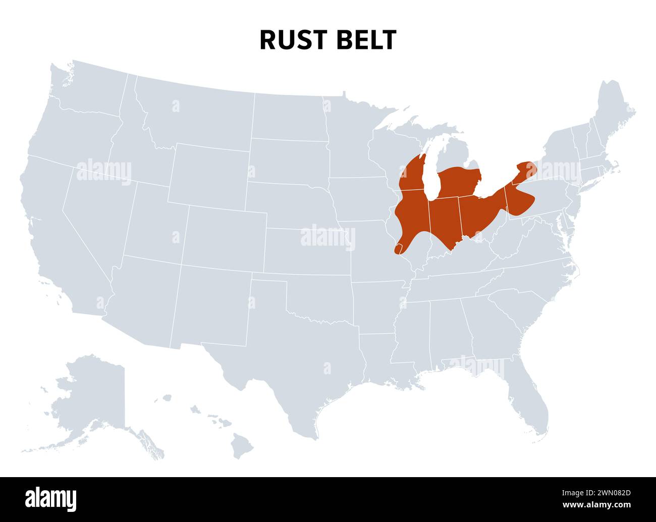 Rust Belt of the United States, political map. Region in the Northeastern and Midwestern United States, experiencing industrial and economic decline. Stock Photohttps://www.alamy.com/image-license-details/?v=1https://www.alamy.com/rust-belt-of-the-united-states-political-map-region-in-the-northeastern-and-midwestern-united-states-experiencing-industrial-and-economic-decline-image598066629.html
RF2WN082D–Rust Belt of the United States, political map. Region in the Northeastern and Midwestern United States, experiencing industrial and economic decline.
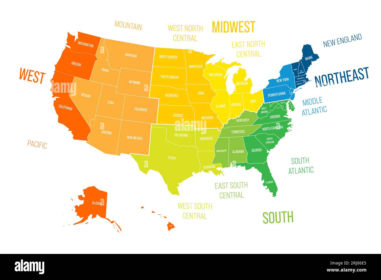 Regions and Divisions of United States - statistical units defined by US Census Bureau. Colorful vector map. Stock Vectorhttps://www.alamy.com/image-license-details/?v=1https://www.alamy.com/regions-and-divisions-of-united-states-statistical-units-defined-by-us-census-bureau-colorful-vector-map-image561800685.html
RF2RJ06E5–Regions and Divisions of United States - statistical units defined by US Census Bureau. Colorful vector map.
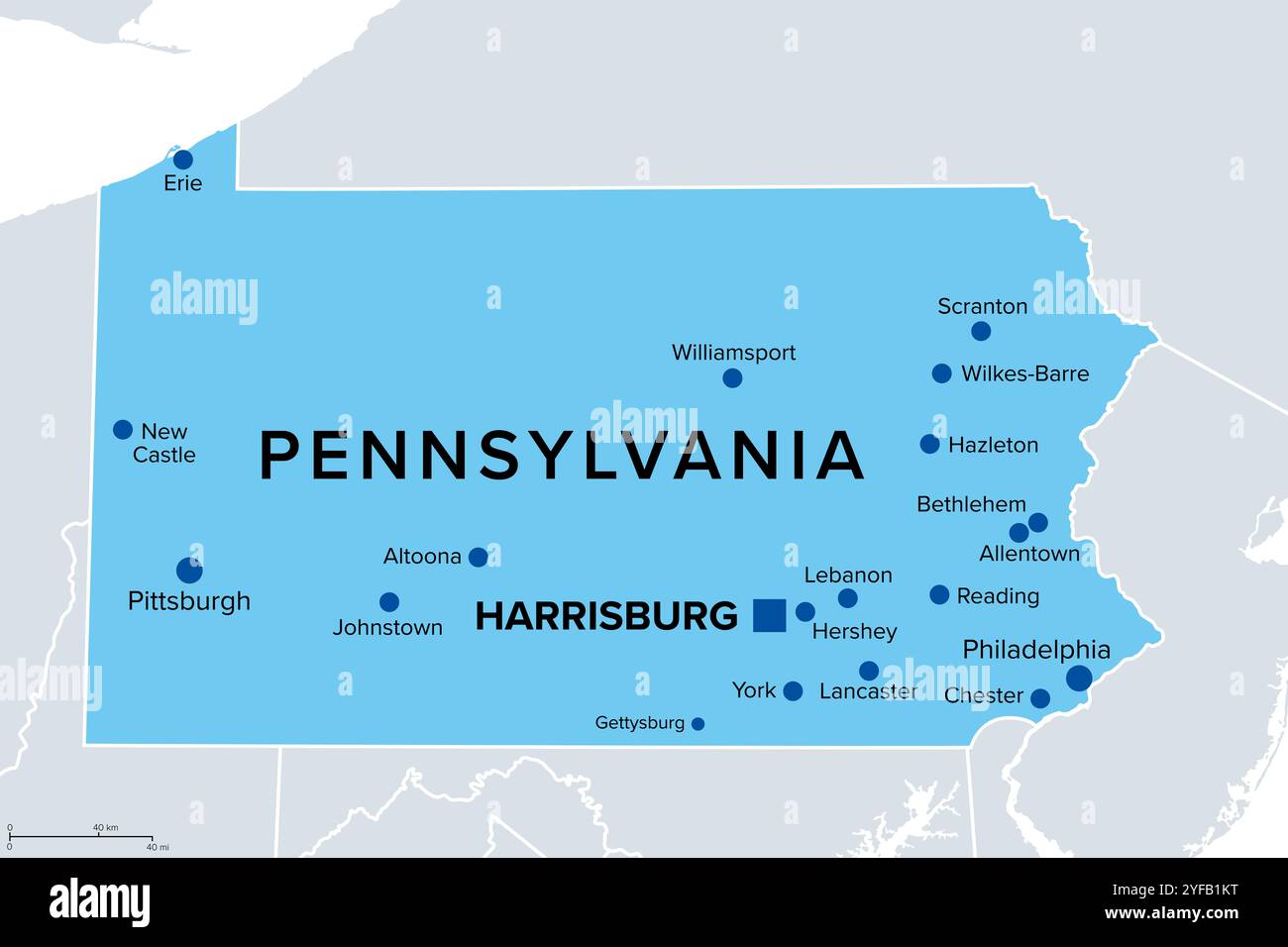 Pennsylvania, U.S. state, political map. Commonwealth of Pennsylvania, a state in the Northeastern United States of America with capital Harrisburg. Stock Photohttps://www.alamy.com/image-license-details/?v=1https://www.alamy.com/pennsylvania-us-state-political-map-commonwealth-of-pennsylvania-a-state-in-the-northeastern-united-states-of-america-with-capital-harrisburg-image629035900.html
RF2YFB1KT–Pennsylvania, U.S. state, political map. Commonwealth of Pennsylvania, a state in the Northeastern United States of America with capital Harrisburg.
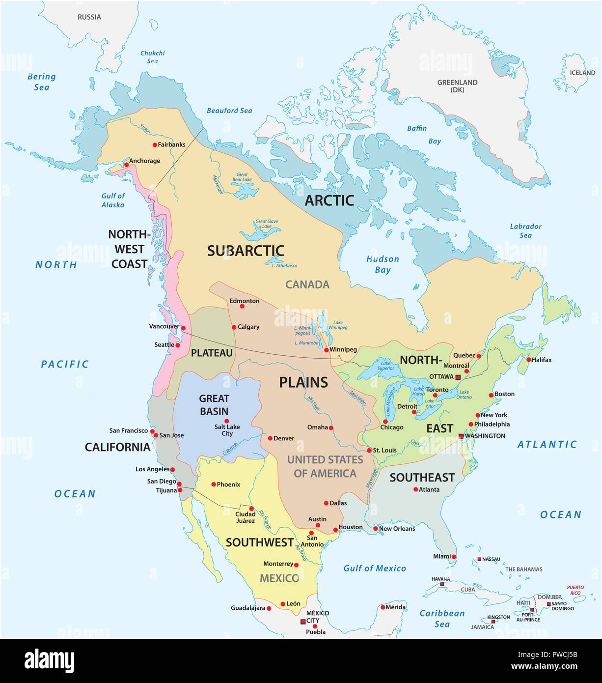 The traditional cultural areas of the North American indigenous peoples vector map. Stock Vectorhttps://www.alamy.com/image-license-details/?v=1https://www.alamy.com/the-traditional-cultural-areas-of-the-north-american-indigenous-peoples-vector-map-image222168503.html
RFPWCJ5B–The traditional cultural areas of the North American indigenous peoples vector map.
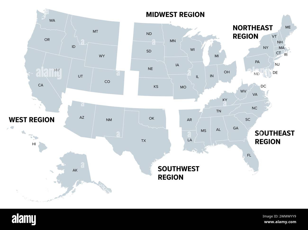 United States, geographic regions, gray political map. Five regions, according to their geographic position on the continent. Stock Photohttps://www.alamy.com/image-license-details/?v=1https://www.alamy.com/united-states-geographic-regions-gray-political-map-five-regions-according-to-their-geographic-position-on-the-continent-image598016365.html
RF2WMWYY9–United States, geographic regions, gray political map. Five regions, according to their geographic position on the continent.
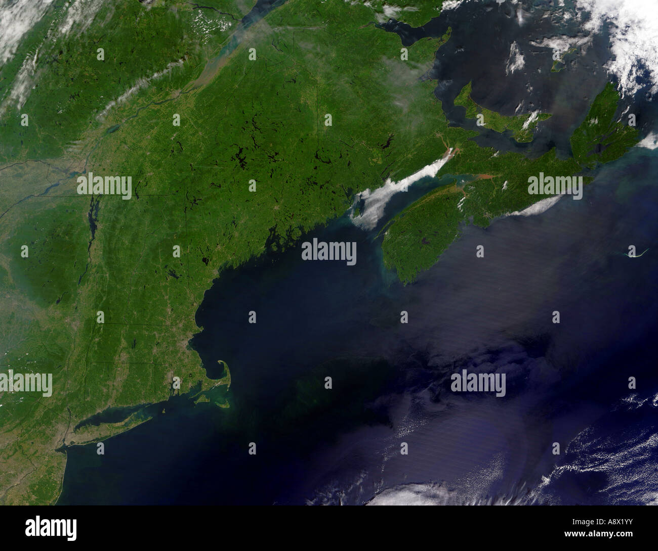 Northeast United States viewed from space Stock Photohttps://www.alamy.com/image-license-details/?v=1https://www.alamy.com/stock-photo-northeast-united-states-viewed-from-space-12187166.html
RMA8X1YY–Northeast United States viewed from space
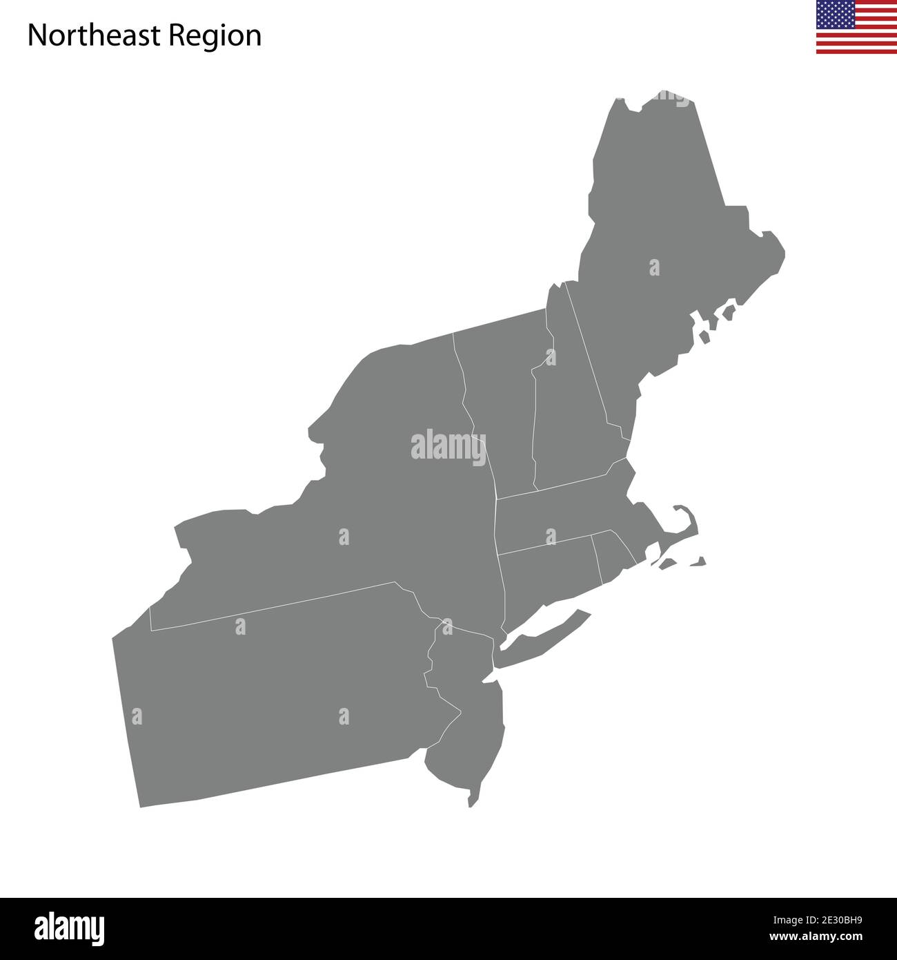 High Quality map of Northeast region of United States of America with borders of the states Stock Vectorhttps://www.alamy.com/image-license-details/?v=1https://www.alamy.com/high-quality-map-of-northeast-region-of-united-states-of-america-with-borders-of-the-states-image397691541.html
RF2E30BH9–High Quality map of Northeast region of United States of America with borders of the states
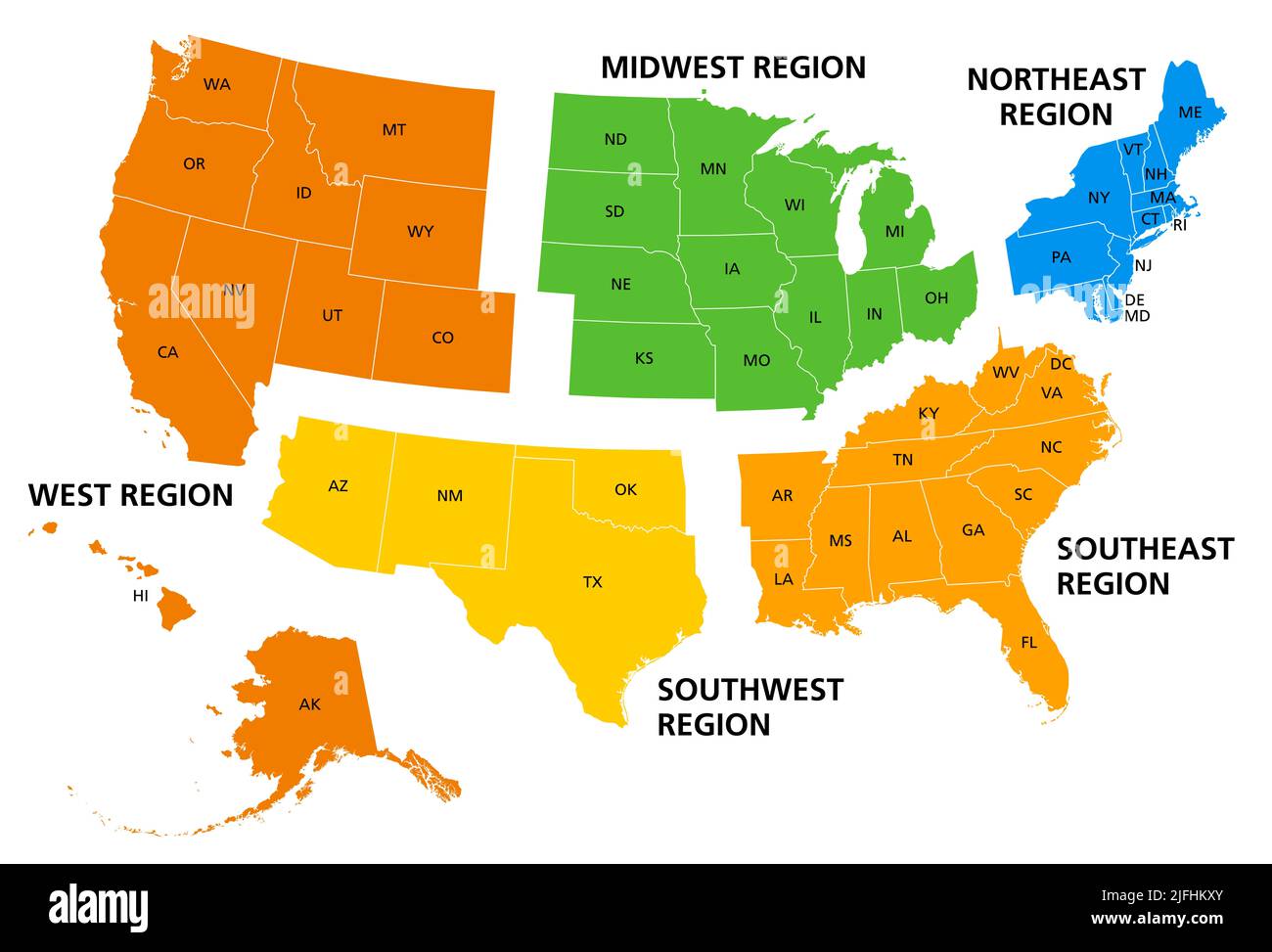 United States, geographic regions, colored political map. Five regions, according to their geographic position on the continent. Stock Photohttps://www.alamy.com/image-license-details/?v=1https://www.alamy.com/united-states-geographic-regions-colored-political-map-five-regions-according-to-their-geographic-position-on-the-continent-image474288611.html
RF2JFHKXY–United States, geographic regions, colored political map. Five regions, according to their geographic position on the continent.
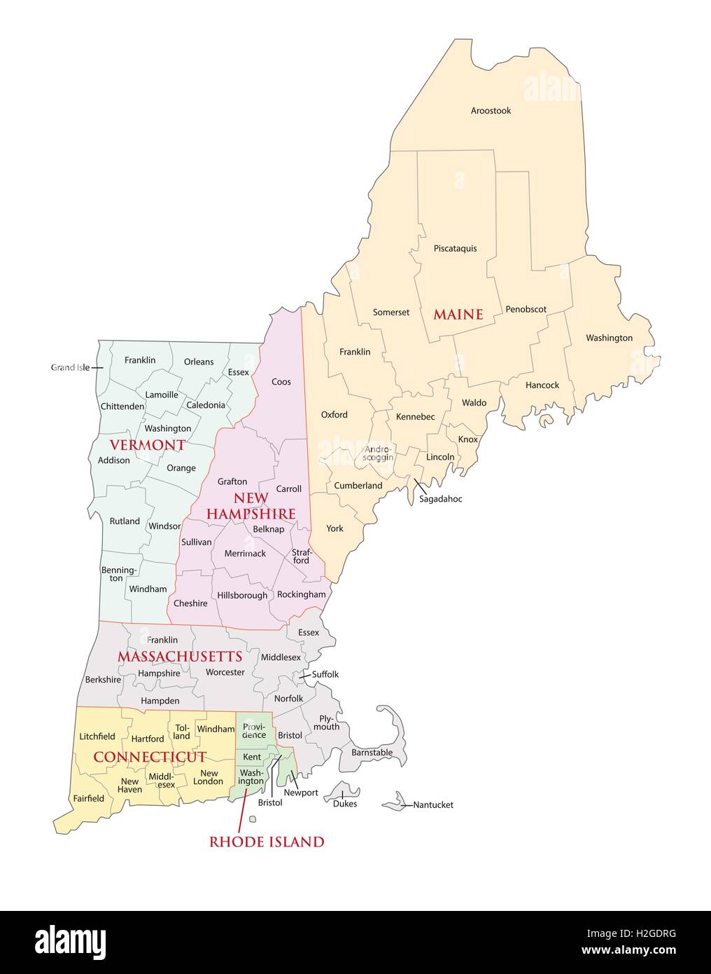 new england states administrative map Stock Vectorhttps://www.alamy.com/image-license-details/?v=1https://www.alamy.com/stock-photo-new-england-states-administrative-map-122063972.html
RFH2GDRG–new england states administrative map
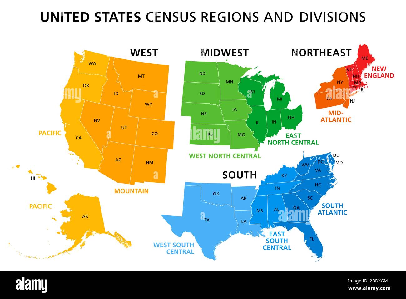 Map of United States split into Census regions and divisions. Region definition, widely used for data collection and analysis. Stock Photohttps://www.alamy.com/image-license-details/?v=1https://www.alamy.com/map-of-united-states-split-into-census-regions-and-divisions-region-definition-widely-used-for-data-collection-and-analysis-image352781745.html
RF2BDXGM1–Map of United States split into Census regions and divisions. Region definition, widely used for data collection and analysis.
 Northeast Travis, Travis County, US, United States, Texas, N 30 24' 25'', S 97 27' 33'', map, Cartascapes Map published in 2024. Explore Cartascapes, a map revealing Earth's diverse landscapes, cultures, and ecosystems. Journey through time and space, discovering the interconnectedness of our planet's past, present, and future. Stock Photohttps://www.alamy.com/image-license-details/?v=1https://www.alamy.com/northeast-travis-travis-county-us-united-states-texas-n-30-24-25-s-97-27-33-map-cartascapes-map-published-in-2024-explore-cartascapes-a-map-revealing-earths-diverse-landscapes-cultures-and-ecosystems-journey-through-time-and-space-discovering-the-interconnectedness-of-our-planets-past-present-and-future-image621237487.html
RM2Y2KPN3–Northeast Travis, Travis County, US, United States, Texas, N 30 24' 25'', S 97 27' 33'', map, Cartascapes Map published in 2024. Explore Cartascapes, a map revealing Earth's diverse landscapes, cultures, and ecosystems. Journey through time and space, discovering the interconnectedness of our planet's past, present, and future.
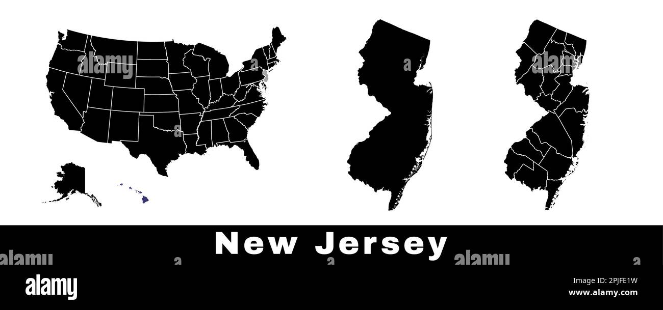 New Jersey state map, USA. Set of New Jersey maps with outline border, counties and US states map. Black and white color vector illustration. Stock Vectorhttps://www.alamy.com/image-license-details/?v=1https://www.alamy.com/new-jersey-state-map-usa-set-of-new-jersey-maps-with-outline-border-counties-and-us-states-map-black-and-white-color-vector-illustration-image544925525.html
RF2PJFE1W–New Jersey state map, USA. Set of New Jersey maps with outline border, counties and US states map. Black and white color vector illustration.
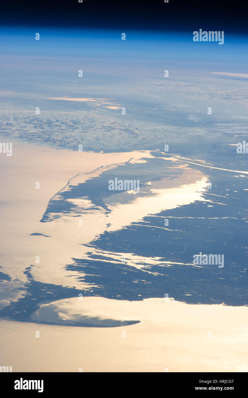 Sunglint, Northeast US Stock Photohttps://www.alamy.com/image-license-details/?v=1https://www.alamy.com/stock-photo-sunglint-northeast-us-135014663.html
RMHRJCG7–Sunglint, Northeast US
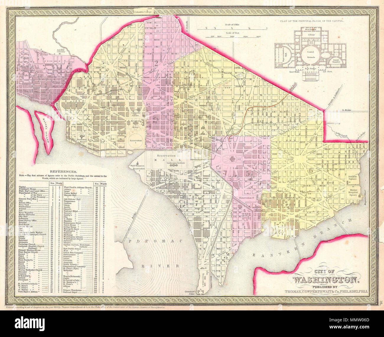 . English: This is beautiful hand colored 1850 map of Washington D.C., Capital of the United States. The map covers all of Washington D.C. as well as parts of adjacent Georgetown. The whole is highly detailed with individual buildings noted and color coding to define city wards. Some seventy-five buildings, including the Capitol, the White House, the Cemetery, the Brewery, various markets, the Masonic Hall, and the Tobacco Warehouse, and many others, are identified. Produced by the American map publisher S. A. Mitchell Sr. from his offices on the northeast corner of Market and 7th Street, Phi Stock Photohttps://www.alamy.com/image-license-details/?v=1https://www.alamy.com/english-this-is-beautiful-hand-colored-1850-map-of-washington-dc-capital-of-the-united-states-the-map-covers-all-of-washington-dc-as-well-as-parts-of-adjacent-georgetown-the-whole-is-highly-detailed-with-individual-buildings-noted-and-color-coding-to-define-city-wards-some-seventy-five-buildings-including-the-capitol-the-white-house-the-cemetery-the-brewery-various-markets-the-masonic-hall-and-the-tobacco-warehouse-and-many-others-are-identified-produced-by-the-american-map-publisher-s-a-mitchell-sr-from-his-offices-on-the-northeast-corner-of-market-and-7th-street-phi-image184945781.html
RMMMW06D–. English: This is beautiful hand colored 1850 map of Washington D.C., Capital of the United States. The map covers all of Washington D.C. as well as parts of adjacent Georgetown. The whole is highly detailed with individual buildings noted and color coding to define city wards. Some seventy-five buildings, including the Capitol, the White House, the Cemetery, the Brewery, various markets, the Masonic Hall, and the Tobacco Warehouse, and many others, are identified. Produced by the American map publisher S. A. Mitchell Sr. from his offices on the northeast corner of Market and 7th Street, Phi
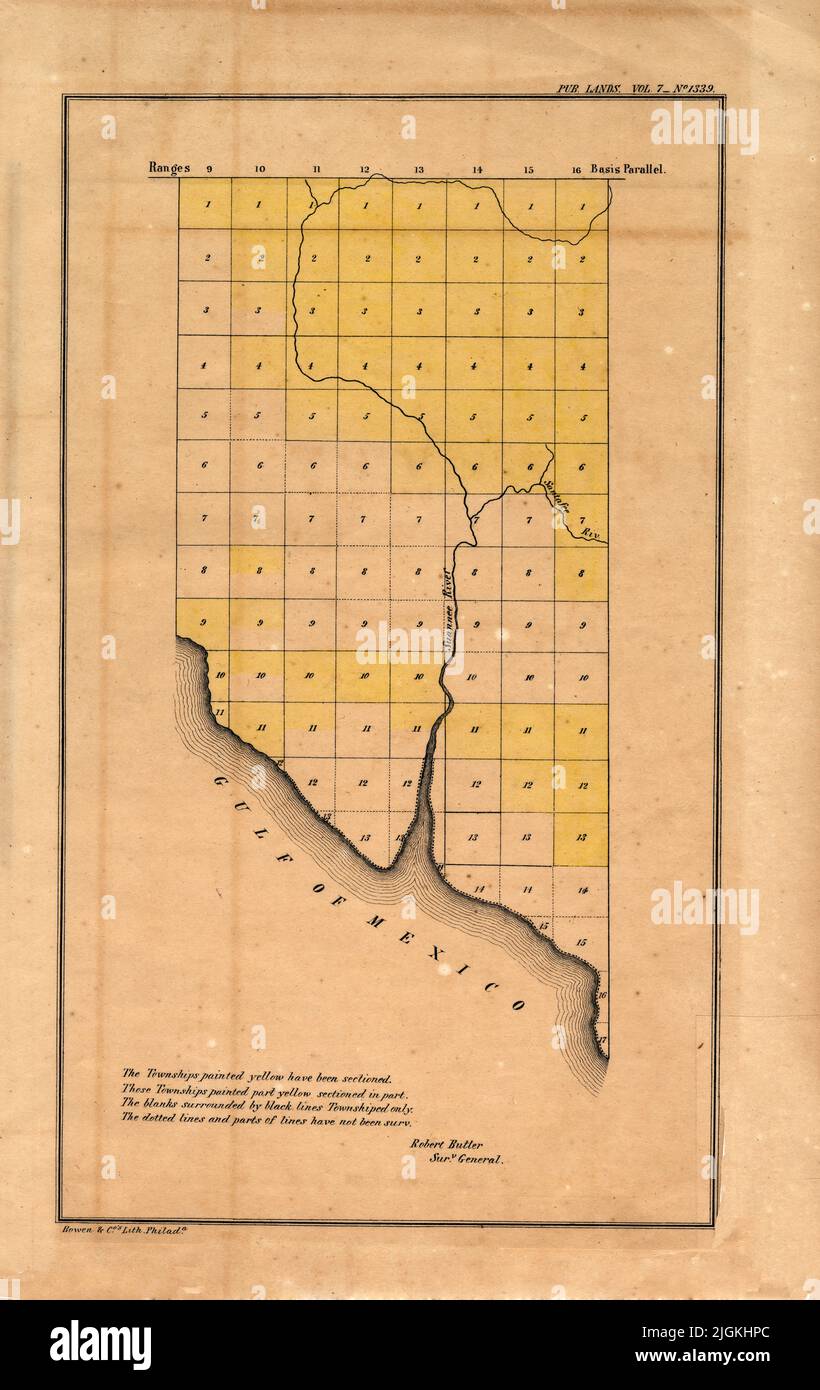 Map of Townships of Northeast Section of Florida, 1857, by Robert Butler Stock Photohttps://www.alamy.com/image-license-details/?v=1https://www.alamy.com/map-of-townships-of-northeast-section-of-florida-1857-by-robert-butler-image474945476.html
RF2JGKHPC–Map of Townships of Northeast Section of Florida, 1857, by Robert Butler
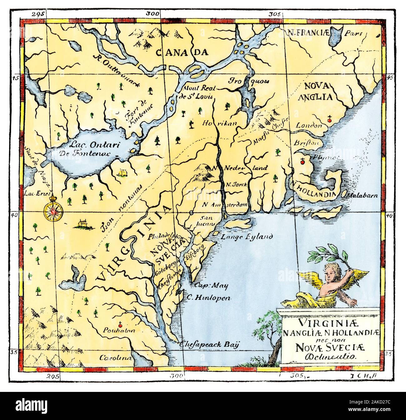 Map of the Atlantic colonies, 1600s. Hand-colored woodcut of illustration by New Sweden colonist John Campanius Stock Photohttps://www.alamy.com/image-license-details/?v=1https://www.alamy.com/map-of-the-atlantic-colonies-1600s-hand-colored-woodcut-of-illustration-by-new-sweden-colonist-john-campanius-image338962608.html
RM2AKD27C–Map of the Atlantic colonies, 1600s. Hand-colored woodcut of illustration by New Sweden colonist John Campanius
 Map of New York and Northeastern United States Stock Photohttps://www.alamy.com/image-license-details/?v=1https://www.alamy.com/stock-photo-map-of-new-york-and-northeastern-united-states-77998185.html
RFEEW3DD–Map of New York and Northeastern United States
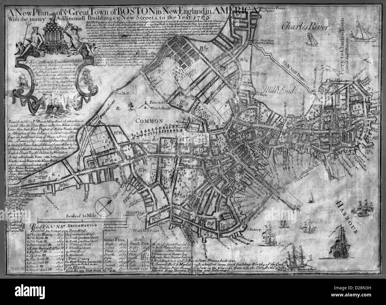 MAP A new plan of ye great town of Boston in New England in America with the many additionall buildings & new streets, to the year, 1769. Stock Photohttps://www.alamy.com/image-license-details/?v=1https://www.alamy.com/stock-photo-map-a-new-plan-of-ye-great-town-of-boston-in-new-england-in-america-53052597.html
RMD28N3H–MAP A new plan of ye great town of Boston in New England in America with the many additionall buildings & new streets, to the year, 1769.
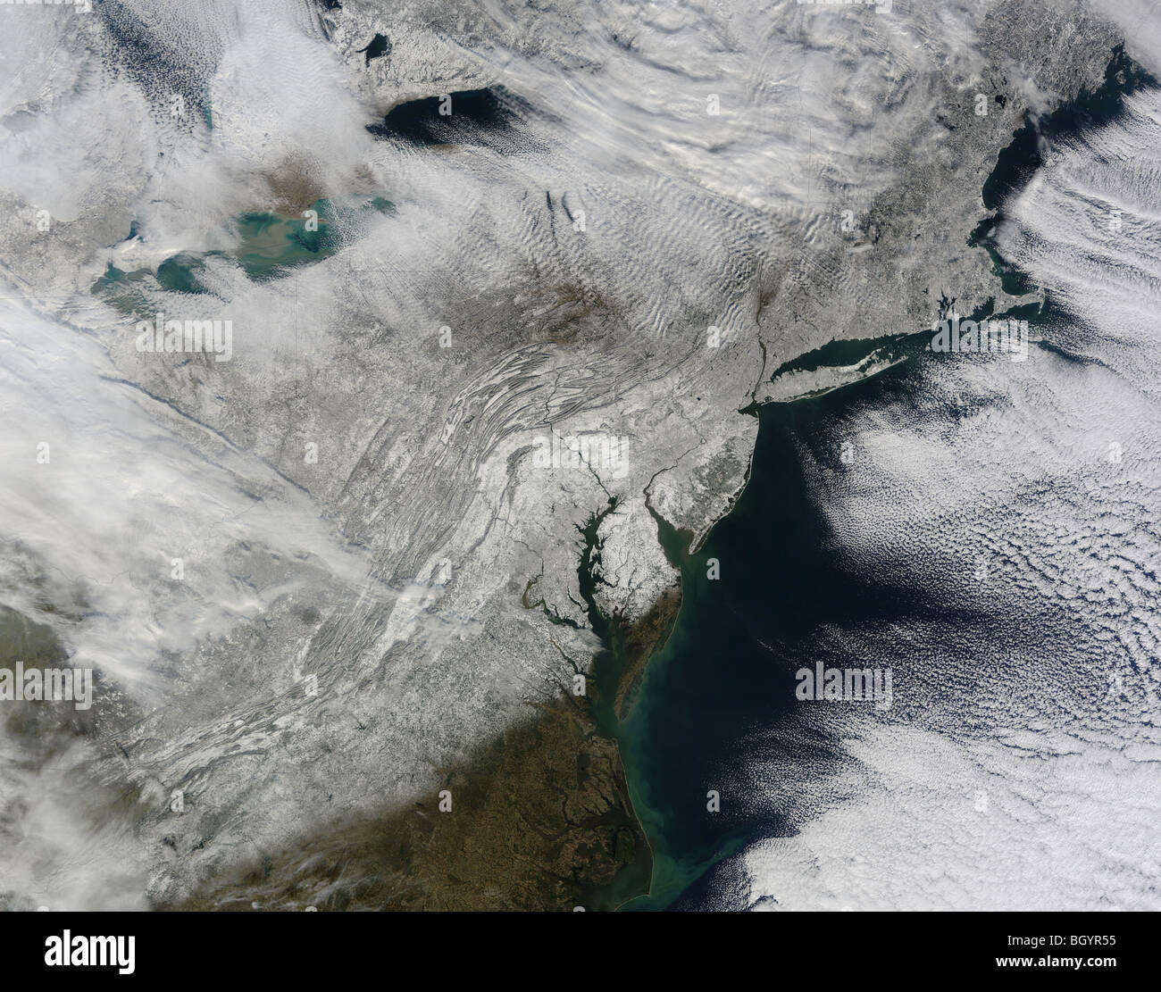 Snow across the northeastern United States, Satellite: Terra. Credit NASA Stock Photohttps://www.alamy.com/image-license-details/?v=1https://www.alamy.com/stock-photo-snow-across-the-northeastern-united-states-satellite-terra-credit-27655745.html
RFBGYR55–Snow across the northeastern United States, Satellite: Terra. Credit NASA
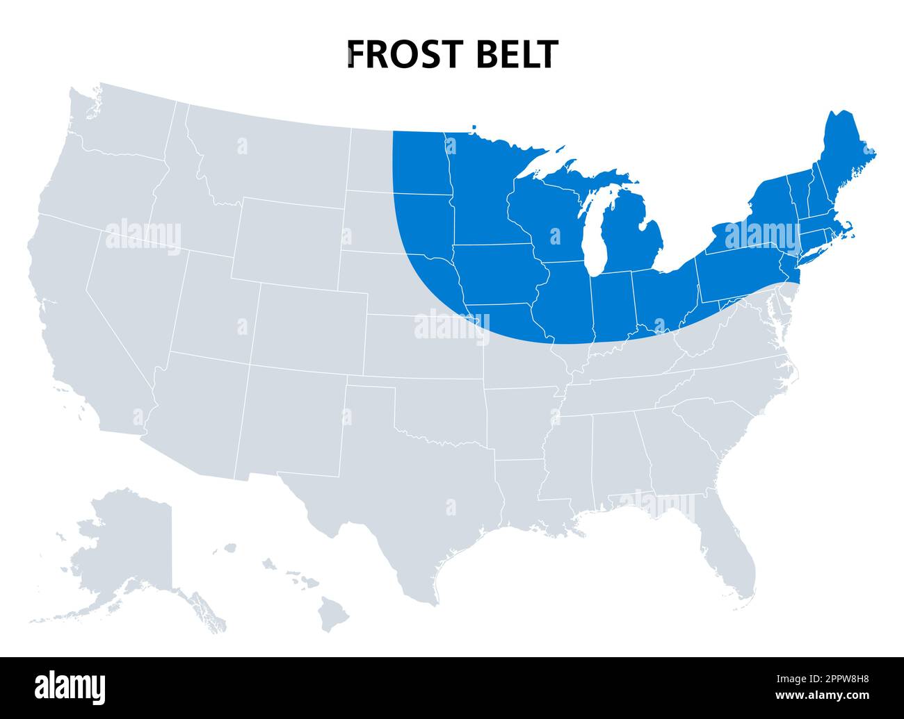 Frost Belt of the United States, region in the northeast, political map Stock Vectorhttps://www.alamy.com/image-license-details/?v=1https://www.alamy.com/frost-belt-of-the-united-states-region-in-the-northeast-political-map-image547599396.html
RF2PPW8H8–Frost Belt of the United States, region in the northeast, political map
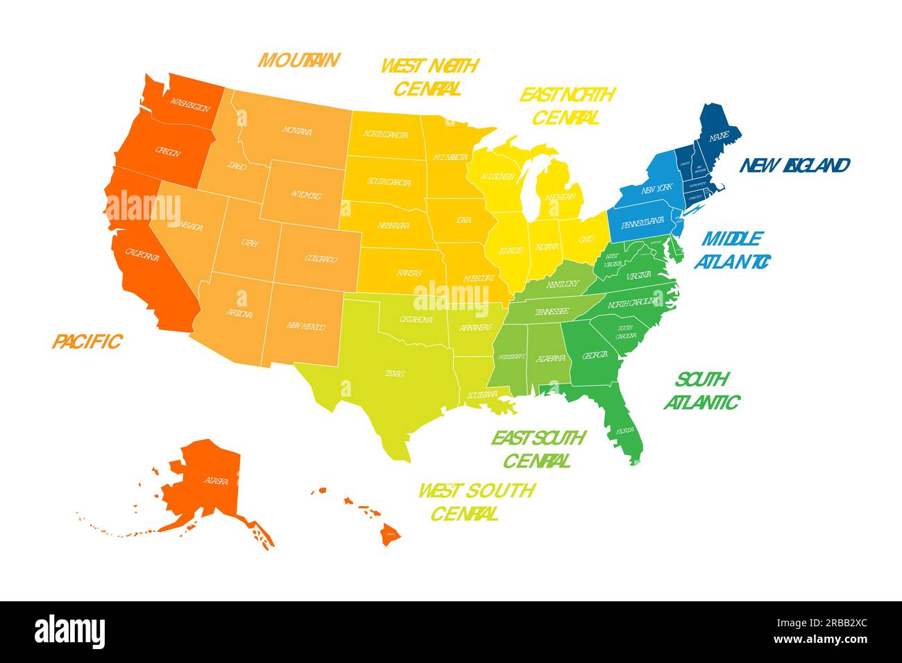 Regions and Divisions of United States - statistical units defined by US Census Bureau. Colorful vector map. Stock Vectorhttps://www.alamy.com/image-license-details/?v=1https://www.alamy.com/regions-and-divisions-of-united-states-statistical-units-defined-by-us-census-bureau-colorful-vector-map-image557736772.html
RF2RBB2XC–Regions and Divisions of United States - statistical units defined by US Census Bureau. Colorful vector map.
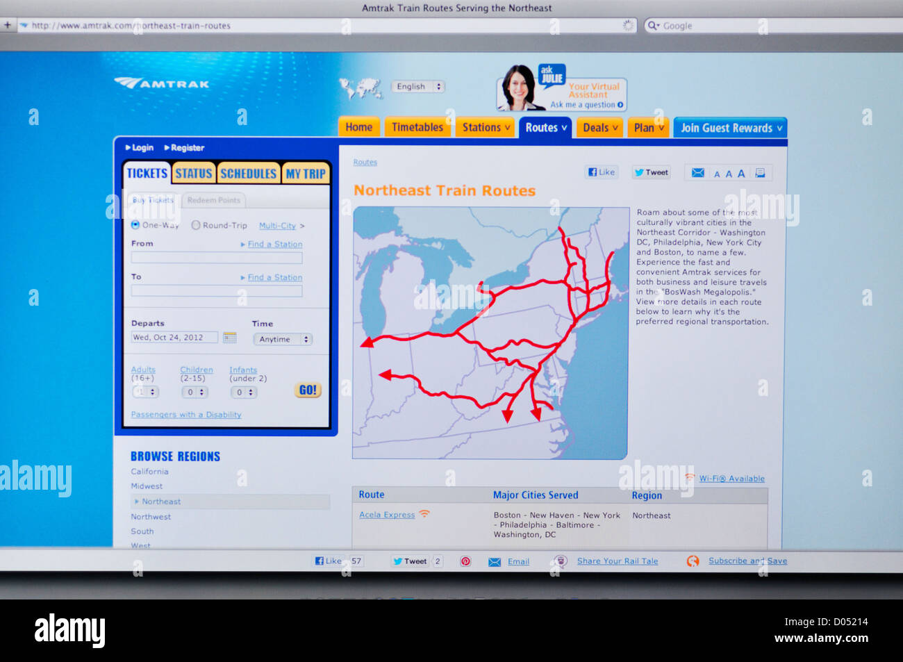 Amtrak routes website - Northeast train routes Stock Photohttps://www.alamy.com/image-license-details/?v=1https://www.alamy.com/stock-photo-amtrak-routes-website-northeast-train-routes-51742464.html
RMD05214–Amtrak routes website - Northeast train routes
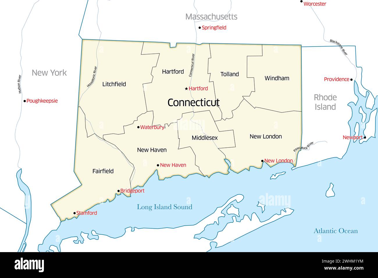 Political map of the state of Connecticut outlining the various counties that make up the region Stock Photohttps://www.alamy.com/image-license-details/?v=1https://www.alamy.com/political-map-of-the-state-of-connecticut-outlining-the-various-counties-that-make-up-the-region-image596042264.html
RF2WHM1YM–Political map of the state of Connecticut outlining the various counties that make up the region
 Hotel desk clerk using a map to give directions in the town of Ashland New Hampshire USA Stock Photohttps://www.alamy.com/image-license-details/?v=1https://www.alamy.com/stock-photo-hotel-desk-clerk-using-a-map-to-give-directions-in-the-town-of-ashland-21568164.html
RMB72EBG–Hotel desk clerk using a map to give directions in the town of Ashland New Hampshire USA
 Detailed vintage map of the United States of America split into individual states with the abbreviations 50 states, vector illustration Stock Vectorhttps://www.alamy.com/image-license-details/?v=1https://www.alamy.com/detailed-vintage-map-of-the-united-states-of-america-split-into-individual-states-with-the-abbreviations-50-states-vector-illustration-image468578994.html
RF2J69H82–Detailed vintage map of the United States of America split into individual states with the abbreviations 50 states, vector illustration
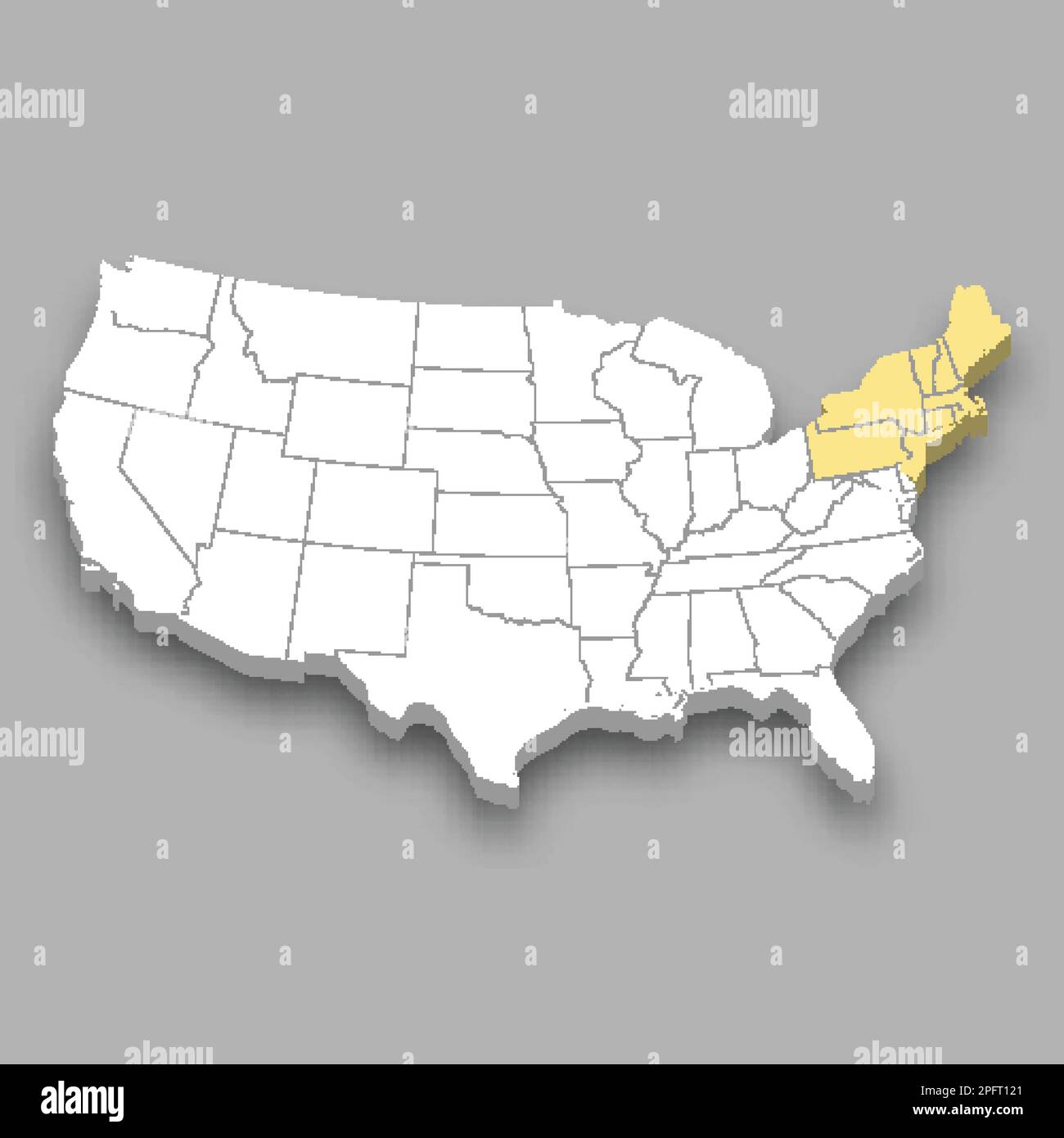 Northeast region location within United States 3d isometric map Stock Vectorhttps://www.alamy.com/image-license-details/?v=1https://www.alamy.com/northeast-region-location-within-united-states-3d-isometric-map-image543268937.html
RF2PFT121–Northeast region location within United States 3d isometric map
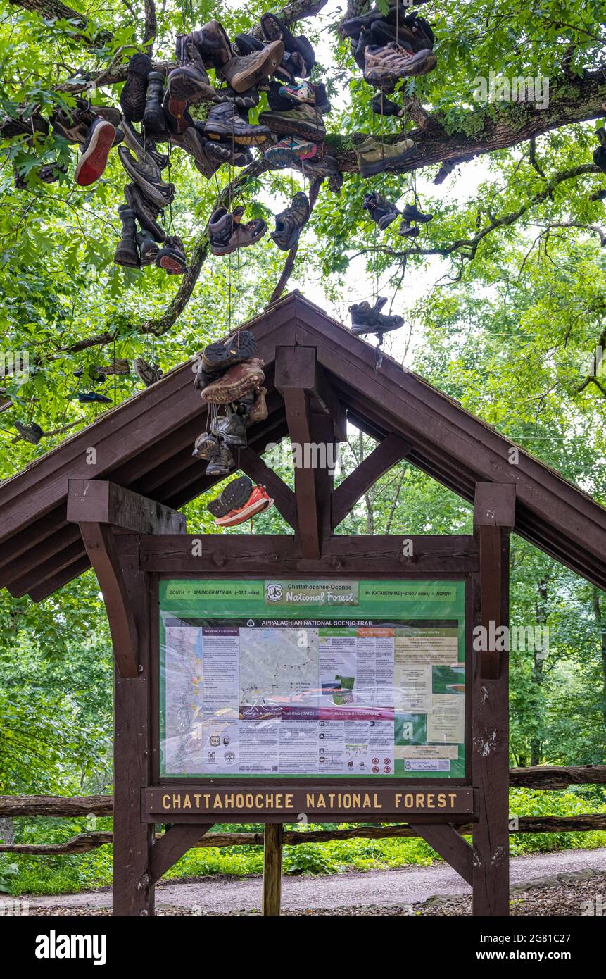 Appalachian Trail map and info board beneath Shoe Tree at Walasi-Yi along the Appalachian Trail in Georgia's Chattahoochee National Forest. (USA) Stock Photohttps://www.alamy.com/image-license-details/?v=1https://www.alamy.com/appalachian-trail-map-and-info-board-beneath-shoe-tree-at-walasi-yi-along-the-appalachian-trail-in-georgias-chattahoochee-national-forest-usa-image435207871.html
RM2G81C27–Appalachian Trail map and info board beneath Shoe Tree at Walasi-Yi along the Appalachian Trail in Georgia's Chattahoochee National Forest. (USA)
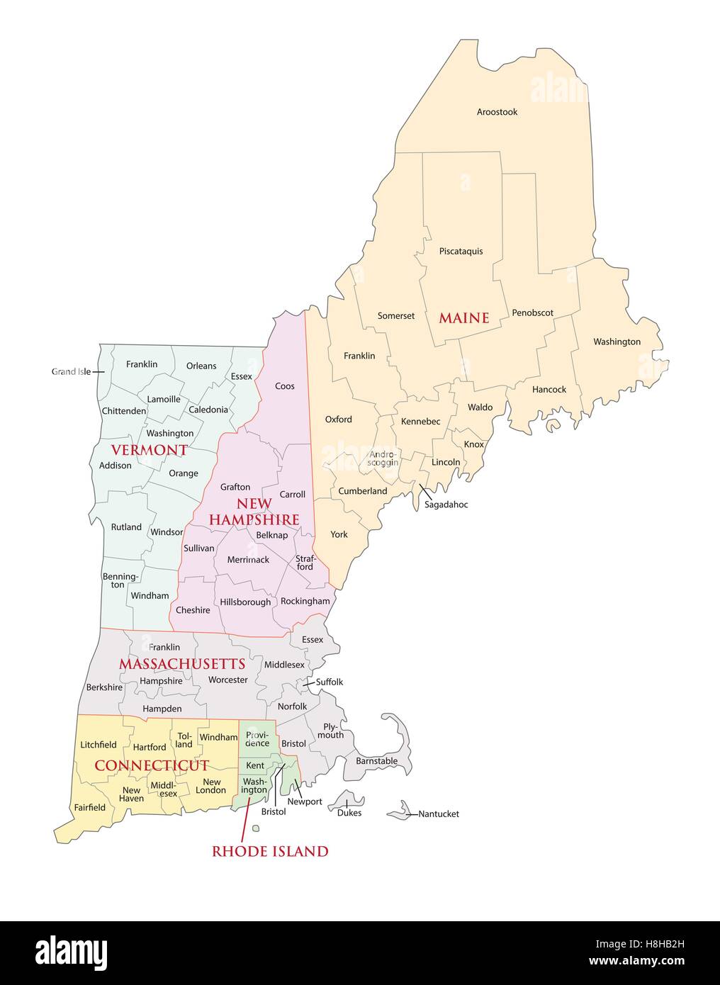 new england states administrative map Stock Vectorhttps://www.alamy.com/image-license-details/?v=1https://www.alamy.com/stock-photo-new-england-states-administrative-map-125771705.html
RFH8HB2H–new england states administrative map
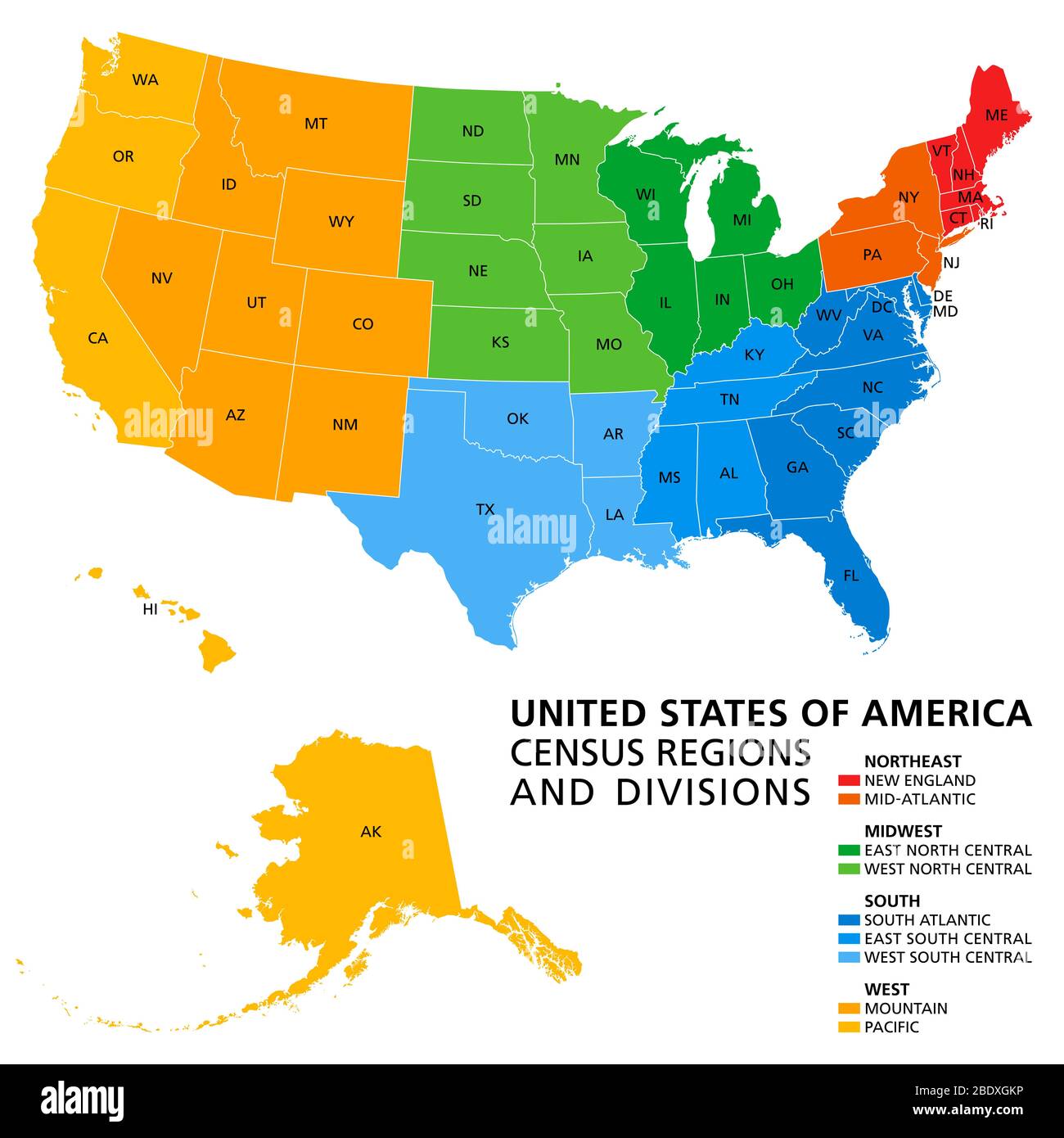 United States, Census regions and divisions, political map. Region definition widely used for data collection and analysis. Stock Photohttps://www.alamy.com/image-license-details/?v=1https://www.alamy.com/united-states-census-regions-and-divisions-political-map-region-definition-widely-used-for-data-collection-and-analysis-image352781738.html
RF2BDXGKP–United States, Census regions and divisions, political map. Region definition widely used for data collection and analysis.
 Northeast Heights, Cecil County, US, United States, Maryland, N 39 34' 23'', S 75 57' 1'', map, Cartascapes Map published in 2024. Explore Cartascapes, a map revealing Earth's diverse landscapes, cultures, and ecosystems. Journey through time and space, discovering the interconnectedness of our planet's past, present, and future. Stock Photohttps://www.alamy.com/image-license-details/?v=1https://www.alamy.com/northeast-heights-cecil-county-us-united-states-maryland-n-39-34-23-s-75-57-1-map-cartascapes-map-published-in-2024-explore-cartascapes-a-map-revealing-earths-diverse-landscapes-cultures-and-ecosystems-journey-through-time-and-space-discovering-the-interconnectedness-of-our-planets-past-present-and-future-image621414388.html
RM2Y2YTB0–Northeast Heights, Cecil County, US, United States, Maryland, N 39 34' 23'', S 75 57' 1'', map, Cartascapes Map published in 2024. Explore Cartascapes, a map revealing Earth's diverse landscapes, cultures, and ecosystems. Journey through time and space, discovering the interconnectedness of our planet's past, present, and future.
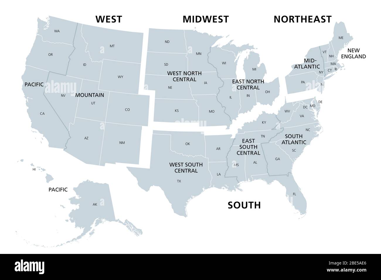 United States divided in Census regions and divisions, gray map. Region definition used for data collection and analysis. Stock Photohttps://www.alamy.com/image-license-details/?v=1https://www.alamy.com/united-states-divided-in-census-regions-and-divisions-gray-map-region-definition-used-for-data-collection-and-analysis-image352930542.html
RF2BE5AE6–United States divided in Census regions and divisions, gray map. Region definition used for data collection and analysis.
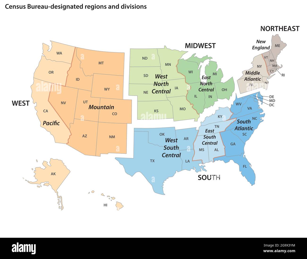 Vector map of the United States census bureau designated regions and divisions Stock Vectorhttps://www.alamy.com/image-license-details/?v=1https://www.alamy.com/vector-map-of-the-united-states-census-bureau-designated-regions-and-divisions-image436364984.html
RF2G9X3YM–Vector map of the United States census bureau designated regions and divisions
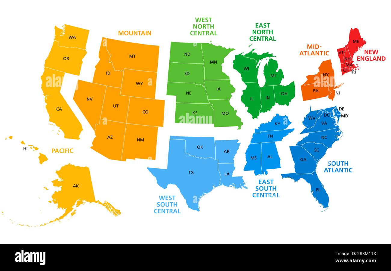 United States, split into Census regions and divisions, political map. Region definition, widely used for data collection, statistics and analysis. Stock Photohttps://www.alamy.com/image-license-details/?v=1https://www.alamy.com/united-states-split-into-census-regions-and-divisions-political-map-region-definition-widely-used-for-data-collection-statistics-and-analysis-image556089546.html
RF2R8M1TX–United States, split into Census regions and divisions, political map. Region definition, widely used for data collection, statistics and analysis.
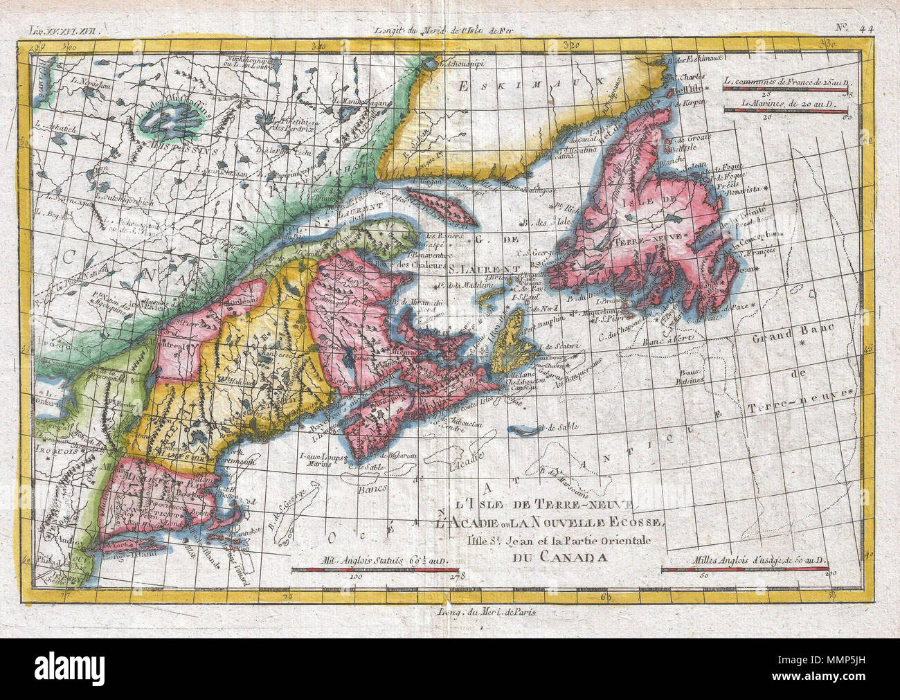 . English: A fine example of Rigobert Bonne and Guilleme Raynal’s 1780 map of the Northeast United States and Eastern Canada. This highly detailed map covers the eastern coast of the United States from a portion of New Jersey and New York in the south as far north as the Canadian Maritime Provinces of Nova Scotia, New Brunswick, and Newfoundland. Identifies Martha’s Vineyard and Nantucket Island. Shows all principal harbors, ports, bays and islands. Along the coast, shoals such as the Grand Banks and the fisheries off Cape Cod are depicted, as this area was extremely important to the North Am Stock Photohttps://www.alamy.com/image-license-details/?v=1https://www.alamy.com/english-a-fine-example-of-rigobert-bonne-and-guilleme-raynals-1780-map-of-the-northeast-united-states-and-eastern-canada-this-highly-detailed-map-covers-the-eastern-coast-of-the-united-states-from-a-portion-of-new-jersey-and-new-york-in-the-south-as-far-north-as-the-canadian-maritime-provinces-of-nova-scotia-new-brunswick-and-newfoundland-identifies-marthas-vineyard-and-nantucket-island-shows-all-principal-harbors-ports-bays-and-islands-along-the-coast-shoals-such-as-the-grand-banks-and-the-fisheries-off-cape-cod-are-depicted-as-this-area-was-extremely-important-to-the-north-am-image184884185.html
RMMMP5JH–. English: A fine example of Rigobert Bonne and Guilleme Raynal’s 1780 map of the Northeast United States and Eastern Canada. This highly detailed map covers the eastern coast of the United States from a portion of New Jersey and New York in the south as far north as the Canadian Maritime Provinces of Nova Scotia, New Brunswick, and Newfoundland. Identifies Martha’s Vineyard and Nantucket Island. Shows all principal harbors, ports, bays and islands. Along the coast, shoals such as the Grand Banks and the fisheries off Cape Cod are depicted, as this area was extremely important to the North Am
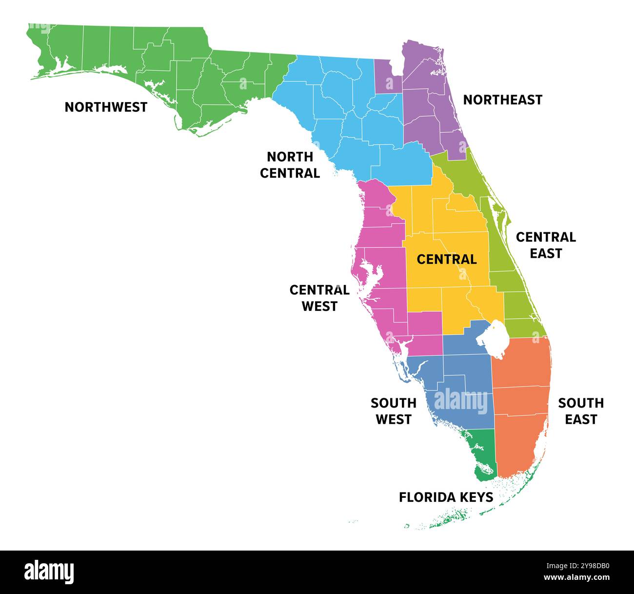 Regions of Florida, a state in the Southeastern United States, colored map. Frequently used division of the U.S. state into 9 main regions. Stock Photohttps://www.alamy.com/image-license-details/?v=1https://www.alamy.com/regions-of-florida-a-state-in-the-southeastern-united-states-colored-map-frequently-used-division-of-the-us-state-into-9-main-regions-image625291268.html
RF2Y98DB0–Regions of Florida, a state in the Southeastern United States, colored map. Frequently used division of the U.S. state into 9 main regions.
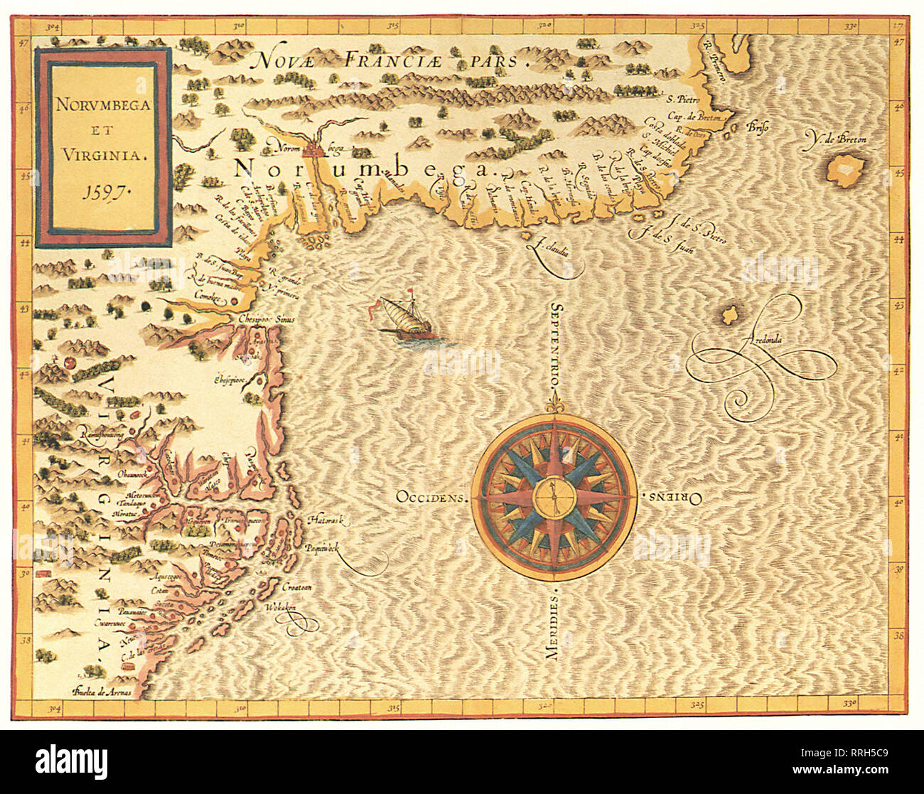 Map of Virginia and the Northeast Coast 1597. Stock Photohttps://www.alamy.com/image-license-details/?v=1https://www.alamy.com/map-of-virginia-and-the-northeast-coast-1597-image238249321.html
RMRRH5C9–Map of Virginia and the Northeast Coast 1597.
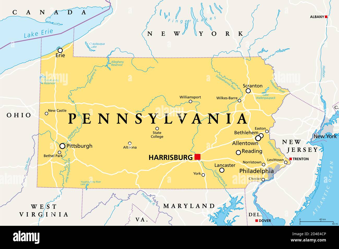 Pennsylvania, PA, political map. Officially the Commonwealth of Pennsylvania. State in the northeastern United States of America. Capital Harrisburg. Stock Photohttps://www.alamy.com/image-license-details/?v=1https://www.alamy.com/pennsylvania-pa-political-map-officially-the-commonwealth-of-pennsylvania-state-in-the-northeastern-united-states-of-america-capital-harrisburg-image381397542.html
RF2D4E4CP–Pennsylvania, PA, political map. Officially the Commonwealth of Pennsylvania. State in the northeastern United States of America. Capital Harrisburg.
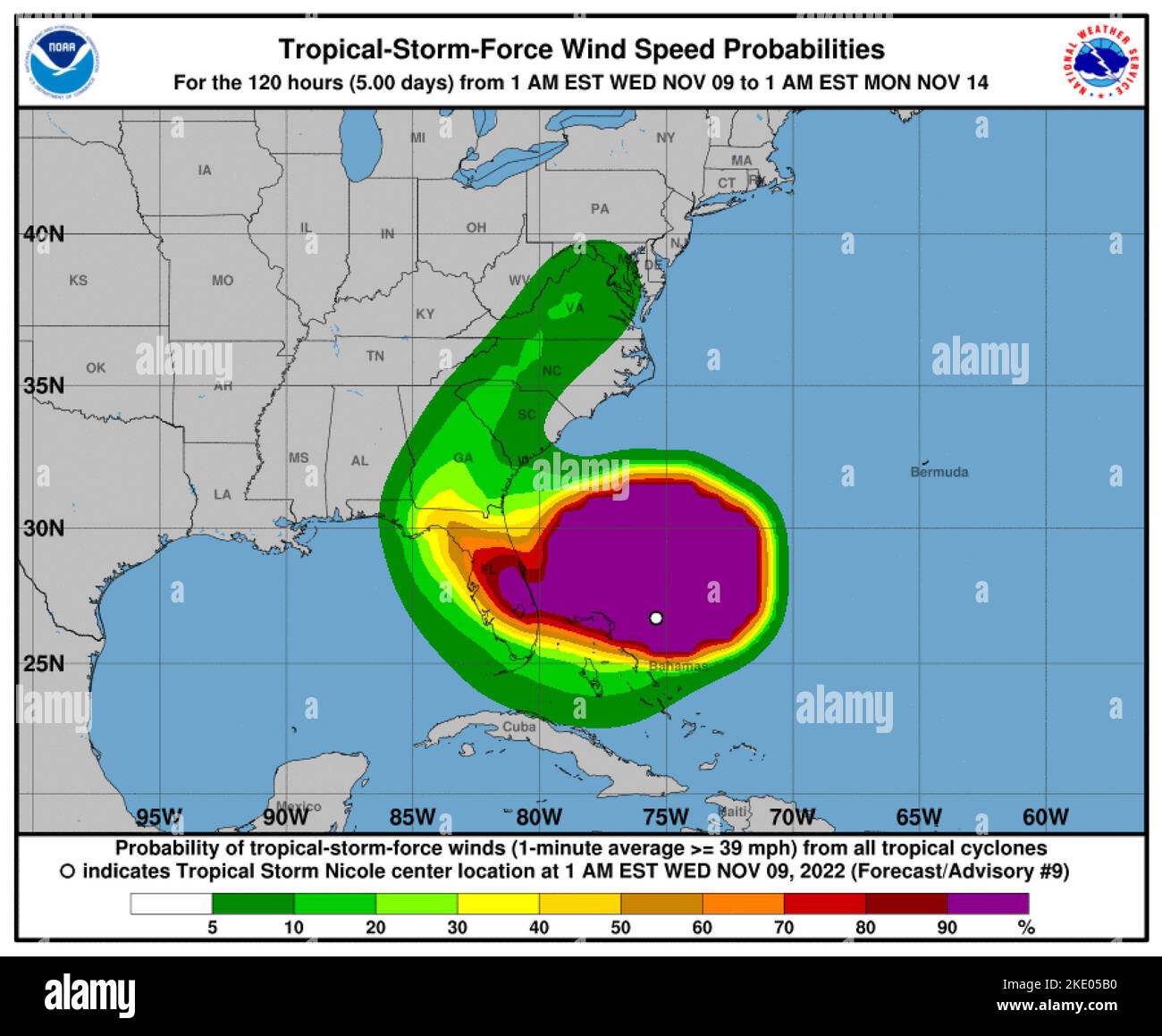 Washington, United States. 09th Nov, 2022. Hurricane conditions are expected for the northwest Bahamas and the east coast of Florida as Tropical Storm Nicole gathers strength on Wednesday, November 9, 2022. In its 4 a.m. EST update on Wednesday, the National Hurricane Center said that Nicole was approximately 90 miles east-northeast of Great Abaco Island in the northwestern Bahamas and about 270 miles east of West Palm Beach on Florida's east coast. Nicole's maximum sustained winds are picking up at 70 mph with higher gusts. NOAA/UPI Credit: UPI/Alamy Live News Stock Photohttps://www.alamy.com/image-license-details/?v=1https://www.alamy.com/washington-united-states-09th-nov-2022-hurricane-conditions-are-expected-for-the-northwest-bahamas-and-the-east-coast-of-florida-as-tropical-storm-nicole-gathers-strength-on-wednesday-november-9-2022-in-its-4-am-est-update-on-wednesday-the-national-hurricane-center-said-that-nicole-was-approximately-90-miles-east-northeast-of-great-abaco-island-in-the-northwestern-bahamas-and-about-270-miles-east-of-west-palm-beach-on-floridas-east-coast-nicoles-maximum-sustained-winds-are-picking-up-at-70-mph-with-higher-gusts-noaaupi-credit-upialamy-live-news-image490499716.html
RM2KE05B0–Washington, United States. 09th Nov, 2022. Hurricane conditions are expected for the northwest Bahamas and the east coast of Florida as Tropical Storm Nicole gathers strength on Wednesday, November 9, 2022. In its 4 a.m. EST update on Wednesday, the National Hurricane Center said that Nicole was approximately 90 miles east-northeast of Great Abaco Island in the northwestern Bahamas and about 270 miles east of West Palm Beach on Florida's east coast. Nicole's maximum sustained winds are picking up at 70 mph with higher gusts. NOAA/UPI Credit: UPI/Alamy Live News
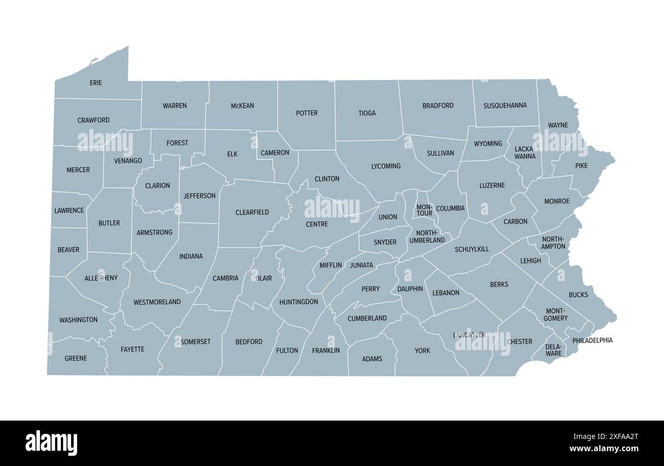 Pennsylvania counties, gray political map. Commonwealth of Pennsylvania, state of Mid-Atlantic and Northeastern USA, subdivided into 67 counties. Stock Photohttps://www.alamy.com/image-license-details/?v=1https://www.alamy.com/pennsylvania-counties-gray-political-map-commonwealth-of-pennsylvania-state-of-mid-atlantic-and-northeastern-usa-subdivided-into-67-counties-image611810160.html
RF2XFAA2T–Pennsylvania counties, gray political map. Commonwealth of Pennsylvania, state of Mid-Atlantic and Northeastern USA, subdivided into 67 counties.
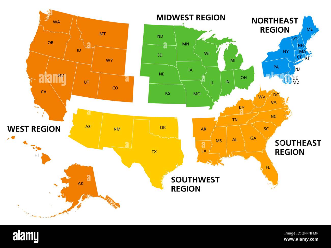 United States of America, geographic regions, colored political map Stock Vectorhttps://www.alamy.com/image-license-details/?v=1https://www.alamy.com/united-states-of-america-geographic-regions-colored-political-map-image547517174.html
RF2PPNFMP–United States of America, geographic regions, colored political map
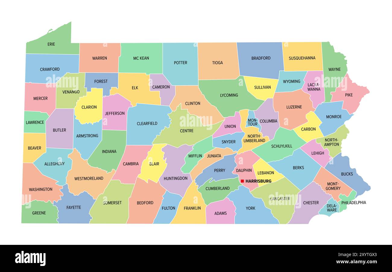 Pennsylvania, U.S. state, subdivided into 67 counties, multi colored political map with capital Harrisburg, and borders. Stock Photohttps://www.alamy.com/image-license-details/?v=1https://www.alamy.com/pennsylvania-us-state-subdivided-into-67-counties-multi-colored-political-map-with-capital-harrisburg-and-borders-image619498715.html
RF2XYTGX3–Pennsylvania, U.S. state, subdivided into 67 counties, multi colored political map with capital Harrisburg, and borders.
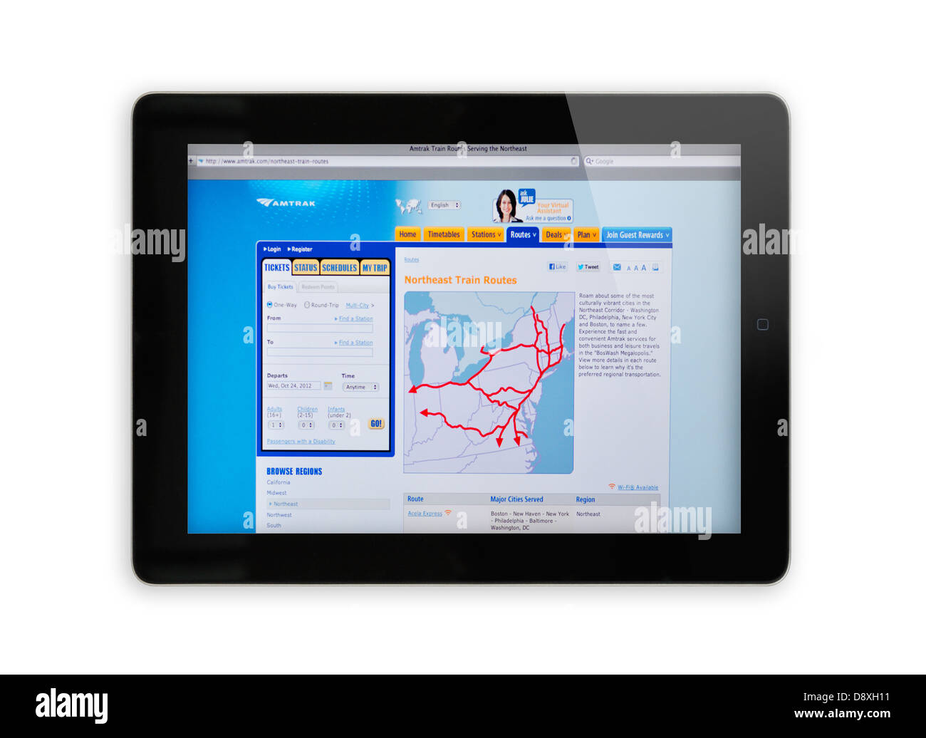 Amtrak routes website on iPad screen - Northeast train routes Stock Photohttps://www.alamy.com/image-license-details/?v=1https://www.alamy.com/stock-photo-amtrak-routes-website-on-ipad-screen-northeast-train-routes-57132461.html
RMD8XH11–Amtrak routes website on iPad screen - Northeast train routes
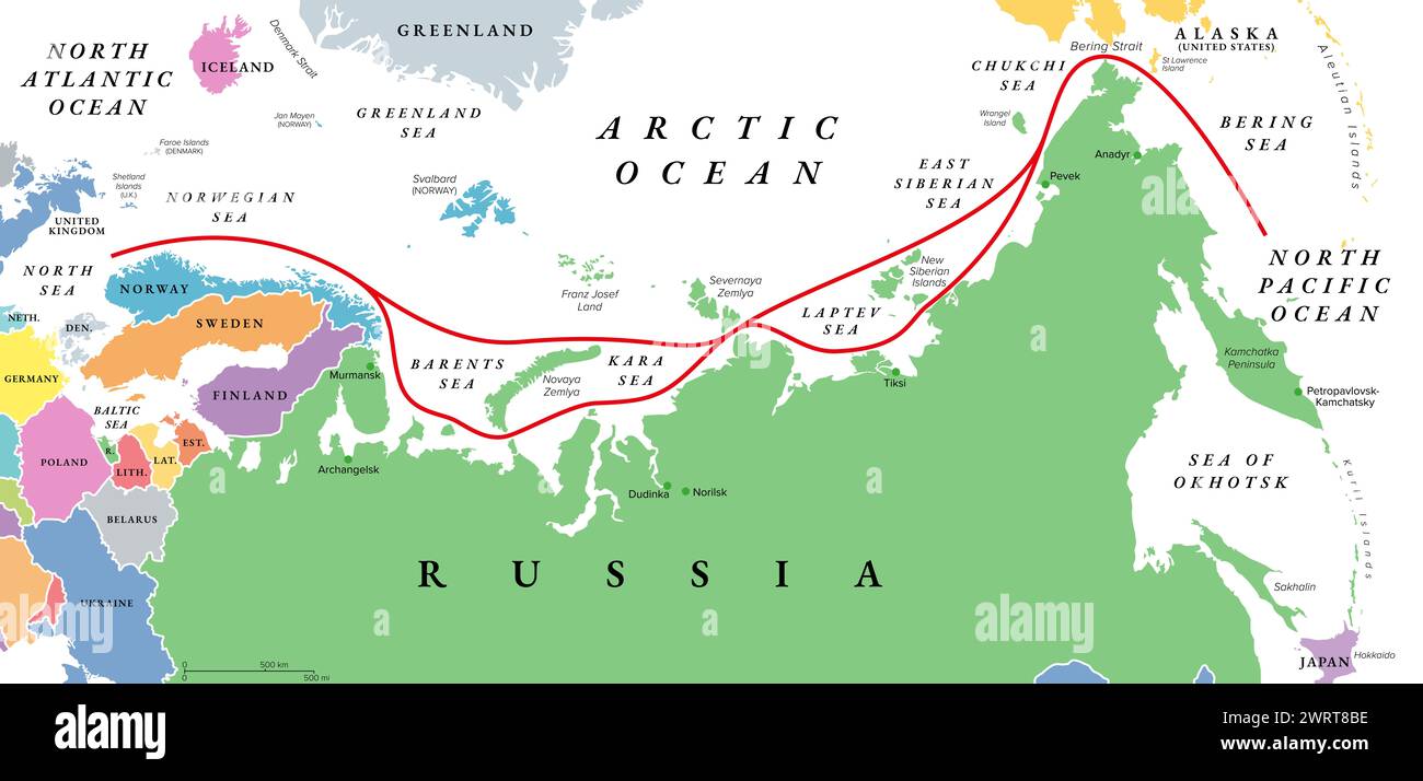 Northeast Passage, NEP, including Northern Sea Route, political map. Shipping route between Atlantic and Pacific Oceans, along the Arctic coast. Stock Photohttps://www.alamy.com/image-license-details/?v=1https://www.alamy.com/northeast-passage-nep-including-northern-sea-route-political-map-shipping-route-between-atlantic-and-pacific-oceans-along-the-arctic-coast-image599823042.html
RF2WRT8BE–Northeast Passage, NEP, including Northern Sea Route, political map. Shipping route between Atlantic and Pacific Oceans, along the Arctic coast.
 Hotel desk clerk using a map to give directions in the town of Ashland New Hampshire USA Stock Photohttps://www.alamy.com/image-license-details/?v=1https://www.alamy.com/stock-photo-hotel-desk-clerk-using-a-map-to-give-directions-in-the-town-of-ashland-21569649.html
RMB72G8H–Hotel desk clerk using a map to give directions in the town of Ashland New Hampshire USA
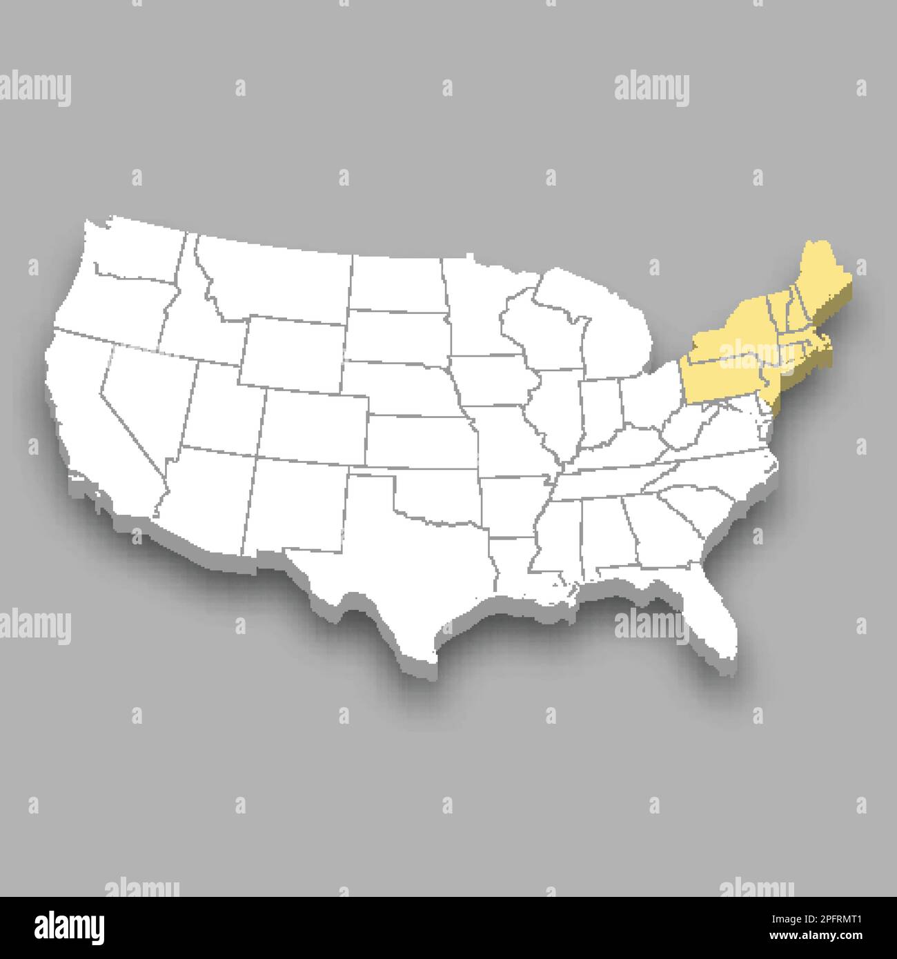 Northeast region location within United States 3d isometric map Stock Vectorhttps://www.alamy.com/image-license-details/?v=1https://www.alamy.com/northeast-region-location-within-united-states-3d-isometric-map-image543262497.html
RF2PFRMT1–Northeast region location within United States 3d isometric map
 Rand, McNally & Co.'s map of the United States showing, in six degrees the density of population, 1890, (1892). This map, published in 1892 by the Chicago-based Rand McNally and Company, shows the population density of the United States in 1890. Six shades of color are used to indicate the different levels of population density by location, ranging from fewer than two inhabitants per square mile (2.59 square kilometers) to more than 90 inhabitants per square mile. The most densely populated parts of the country are in the Northeast and parts of the Midwest. The West is for the most part sp Stock Photohttps://www.alamy.com/image-license-details/?v=1https://www.alamy.com/rand-mcnally-amp-cos-map-of-the-united-states-showing-in-six-degrees-the-density-of-population-1890-1892-this-map-published-in-1892-by-the-chicago-based-rand-mcnally-and-company-shows-the-population-density-of-the-united-states-in-1890-six-shades-of-color-are-used-to-indicate-the-different-levels-of-population-density-by-location-ranging-from-fewer-than-two-inhabitants-per-square-mile-259-square-kilometers-to-more-than-90-inhabitants-per-square-mile-the-most-densely-populated-parts-of-the-country-are-in-the-northeast-and-parts-of-the-midwest-the-west-is-for-the-most-part-sp-image595002797.html
RM2WG0M3W–Rand, McNally & Co.'s map of the United States showing, in six degrees the density of population, 1890, (1892). This map, published in 1892 by the Chicago-based Rand McNally and Company, shows the population density of the United States in 1890. Six shades of color are used to indicate the different levels of population density by location, ranging from fewer than two inhabitants per square mile (2.59 square kilometers) to more than 90 inhabitants per square mile. The most densely populated parts of the country are in the Northeast and parts of the Midwest. The West is for the most part sp
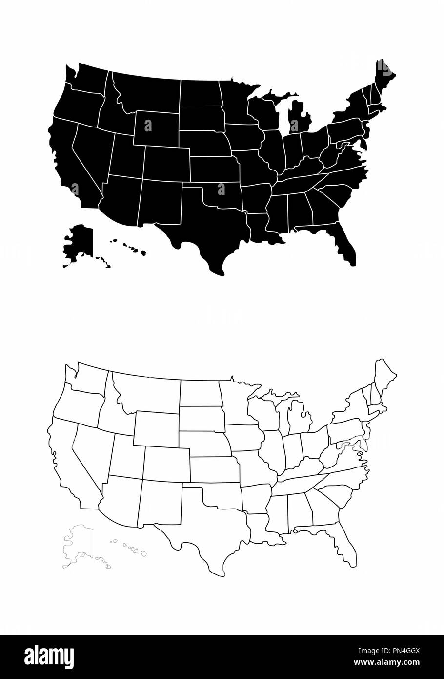 Maps of the USA Stock Vectorhttps://www.alamy.com/image-license-details/?v=1https://www.alamy.com/maps-of-the-usa-image219533018.html
RFPN4GGX–Maps of the USA
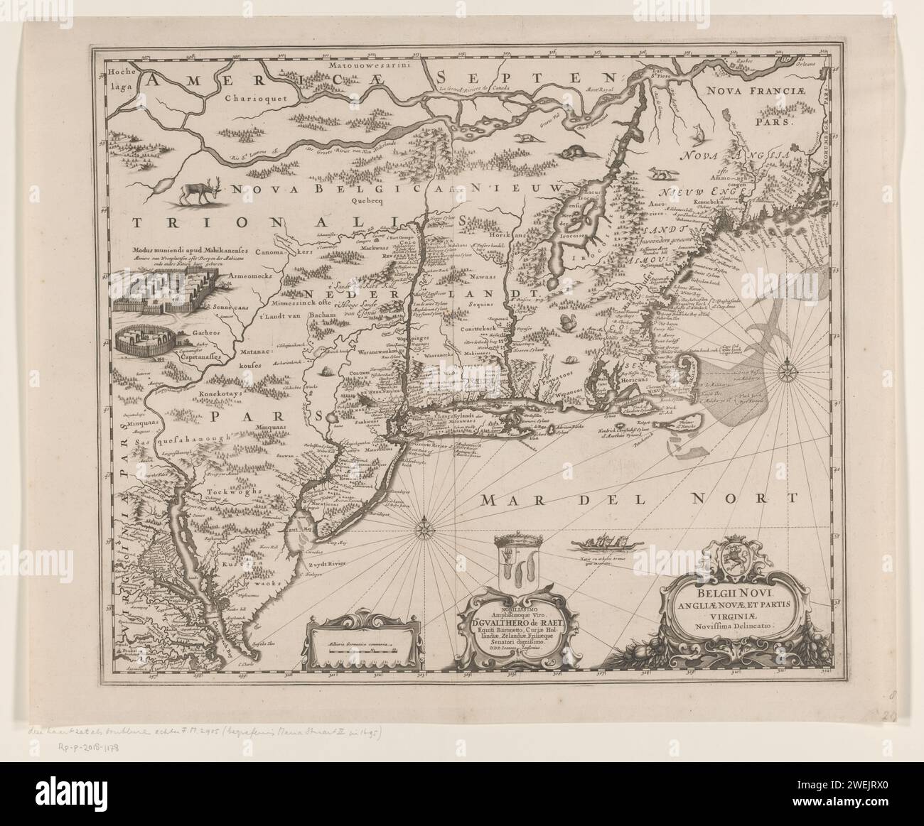 Map of the Northeast Coast of America, Anonymous, 1666 print Map of the northeast coast of America, today called New Netherlands and New England. paper engraving maps of separate countries or regions. armorial bearing, heraldry. Native peoples of North America New Amsterdam. United States of America Stock Photohttps://www.alamy.com/image-license-details/?v=1https://www.alamy.com/map-of-the-northeast-coast-of-america-anonymous-1666-print-map-of-the-northeast-coast-of-america-today-called-new-netherlands-and-new-england-paper-engraving-maps-of-separate-countries-or-regions-armorial-bearing-heraldry-native-peoples-of-north-america-new-amsterdam-united-states-of-america-image594171592.html
RM2WEJRX0–Map of the Northeast Coast of America, Anonymous, 1666 print Map of the northeast coast of America, today called New Netherlands and New England. paper engraving maps of separate countries or regions. armorial bearing, heraldry. Native peoples of North America New Amsterdam. United States of America
 Northeast Leon, Leon County, US, United States, Florida, N 30 36' 44'', S 84 12' 13'', map, Cartascapes Map published in 2024. Explore Cartascapes, a map revealing Earth's diverse landscapes, cultures, and ecosystems. Journey through time and space, discovering the interconnectedness of our planet's past, present, and future. Stock Photohttps://www.alamy.com/image-license-details/?v=1https://www.alamy.com/northeast-leon-leon-county-us-united-states-florida-n-30-36-44-s-84-12-13-map-cartascapes-map-published-in-2024-explore-cartascapes-a-map-revealing-earths-diverse-landscapes-cultures-and-ecosystems-journey-through-time-and-space-discovering-the-interconnectedness-of-our-planets-past-present-and-future-image621444889.html
RM2Y31789–Northeast Leon, Leon County, US, United States, Florida, N 30 36' 44'', S 84 12' 13'', map, Cartascapes Map published in 2024. Explore Cartascapes, a map revealing Earth's diverse landscapes, cultures, and ecosystems. Journey through time and space, discovering the interconnectedness of our planet's past, present, and future.
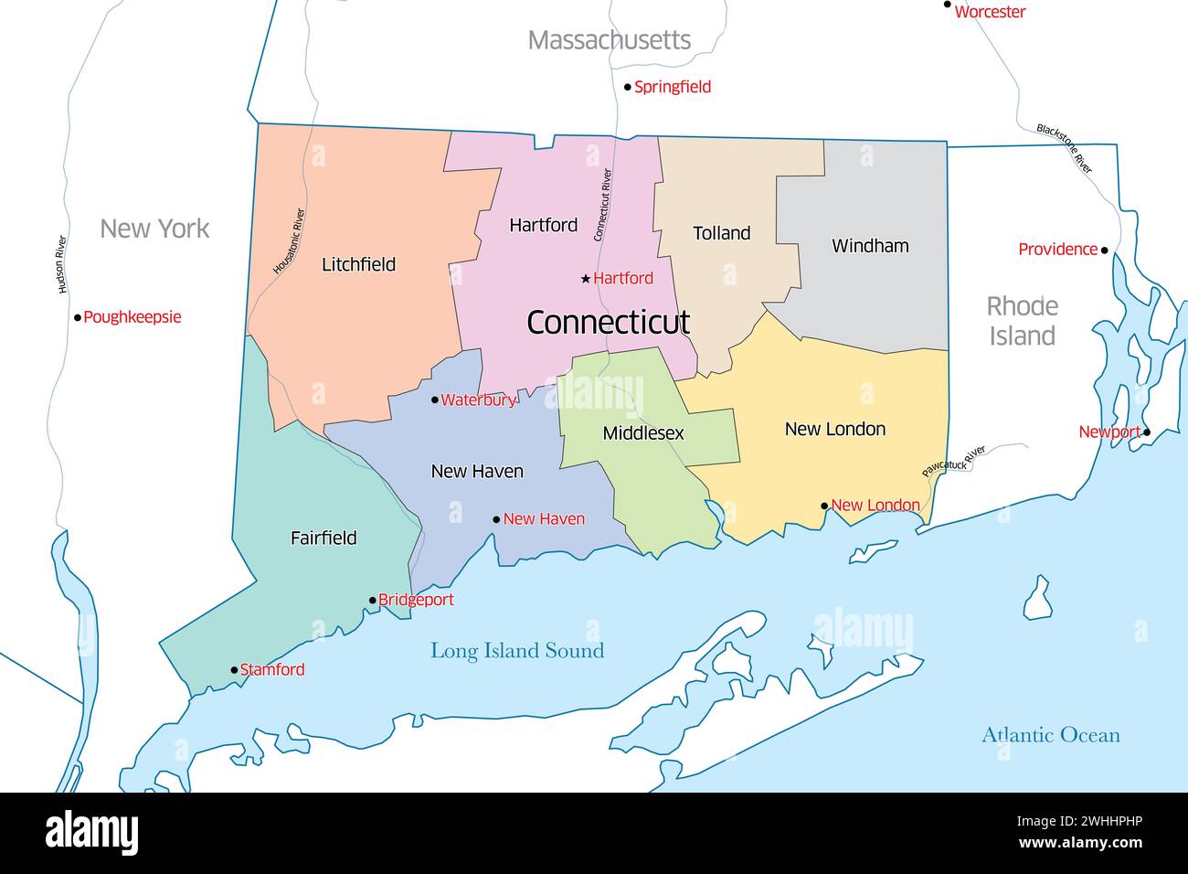 Colorful political map of the state of Connecticut outlining the various counties that make up the region Stock Photohttps://www.alamy.com/image-license-details/?v=1https://www.alamy.com/colorful-political-map-of-the-state-of-connecticut-outlining-the-various-counties-that-make-up-the-region-image595992594.html
RF2WHHPHP–Colorful political map of the state of Connecticut outlining the various counties that make up the region
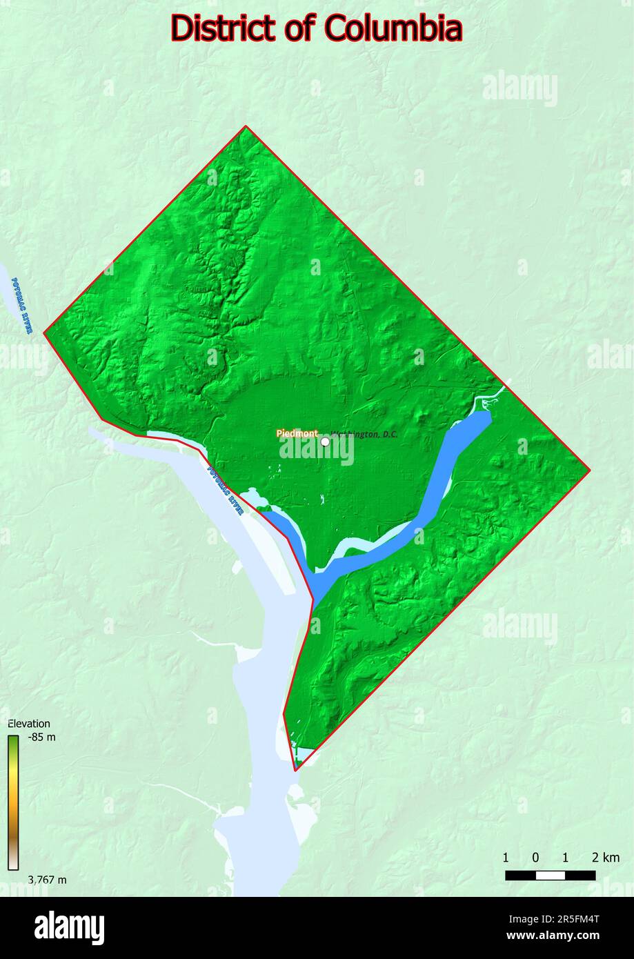 The physical map of District of Columbia displays a varied terrain with rolling hills, fertile river valleys, and dense forests. Stock Photohttps://www.alamy.com/image-license-details/?v=1https://www.alamy.com/the-physical-map-of-district-of-columbia-displays-a-varied-terrain-with-rolling-hills-fertile-river-valleys-and-dense-forests-image554150152.html
RF2R5FM4T–The physical map of District of Columbia displays a varied terrain with rolling hills, fertile river valleys, and dense forests.
 Informational map of Bar Harbor village center displayed at Grant Park, on Shore Path. Stock Photohttps://www.alamy.com/image-license-details/?v=1https://www.alamy.com/informational-map-of-bar-harbor-village-center-displayed-at-grant-park-on-shore-path-image222900923.html
RMPXJ0B7–Informational map of Bar Harbor village center displayed at Grant Park, on Shore Path.
 Map blocks are some of the toys on display at the Bennington Museum in Bennington, Vermont. Stock Photohttps://www.alamy.com/image-license-details/?v=1https://www.alamy.com/stock-photo-map-blocks-are-some-of-the-toys-on-display-at-the-bennington-museum-82087441.html
RMENFBA9–Map blocks are some of the toys on display at the Bennington Museum in Bennington, Vermont.
 Tourist Couple Reading Map, Central Park, NYC Stock Photohttps://www.alamy.com/image-license-details/?v=1https://www.alamy.com/tourist-couple-reading-map-central-park-nyc-image62791699.html
RMDJ4BCK–Tourist Couple Reading Map, Central Park, NYC
 Skiers take a break and consult a map at a log cabin during a backcountry ski trip to Jerusalem Vermont Stock Photohttps://www.alamy.com/image-license-details/?v=1https://www.alamy.com/stock-photo-skiers-take-a-break-and-consult-a-map-at-a-log-cabin-during-a-backcountry-16974533.html
RMAY2X3J–Skiers take a break and consult a map at a log cabin during a backcountry ski trip to Jerusalem Vermont
 Part of the United States, Lower Canada & New Brunswick 1840 by Mason, J.M. (Jemima M.) Stock Photohttps://www.alamy.com/image-license-details/?v=1https://www.alamy.com/part-of-the-united-states-lower-canada-new-brunswick-1840-by-mason-jm-jemima-m-image633089468.html
RM2YNYM24–Part of the United States, Lower Canada & New Brunswick 1840 by Mason, J.M. (Jemima M.)
 Washington, United States. 09th Nov, 2022. Hurricane conditions are expected for the northwest Bahamas and the east coast of Florida as Tropical Storm Nicole gathers strength on Wednesday, November 9, 2022. In its 4 a.m. EST update on Wednesday, the National Hurricane Center said that Nicole was approximately 90 miles east-northeast of Great Abaco Island in the northwestern Bahamas and about 270 miles east of West Palm Beach on Florida's east coast. Nicole's maximum sustained winds are picking up at 70 mph with higher gusts. NOAA/UPI Credit: UPI/Alamy Live News Stock Photohttps://www.alamy.com/image-license-details/?v=1https://www.alamy.com/washington-united-states-09th-nov-2022-hurricane-conditions-are-expected-for-the-northwest-bahamas-and-the-east-coast-of-florida-as-tropical-storm-nicole-gathers-strength-on-wednesday-november-9-2022-in-its-4-am-est-update-on-wednesday-the-national-hurricane-center-said-that-nicole-was-approximately-90-miles-east-northeast-of-great-abaco-island-in-the-northwestern-bahamas-and-about-270-miles-east-of-west-palm-beach-on-floridas-east-coast-nicoles-maximum-sustained-winds-are-picking-up-at-70-mph-with-higher-gusts-noaaupi-credit-upialamy-live-news-image490499729.html
RM2KE05BD–Washington, United States. 09th Nov, 2022. Hurricane conditions are expected for the northwest Bahamas and the east coast of Florida as Tropical Storm Nicole gathers strength on Wednesday, November 9, 2022. In its 4 a.m. EST update on Wednesday, the National Hurricane Center said that Nicole was approximately 90 miles east-northeast of Great Abaco Island in the northwestern Bahamas and about 270 miles east of West Palm Beach on Florida's east coast. Nicole's maximum sustained winds are picking up at 70 mph with higher gusts. NOAA/UPI Credit: UPI/Alamy Live News
 Caucasian woman standing in front of fabric map Stock Photohttps://www.alamy.com/image-license-details/?v=1https://www.alamy.com/stock-photo-caucasian-woman-standing-in-front-of-fabric-map-87758499.html
RFF2NMT3–Caucasian woman standing in front of fabric map
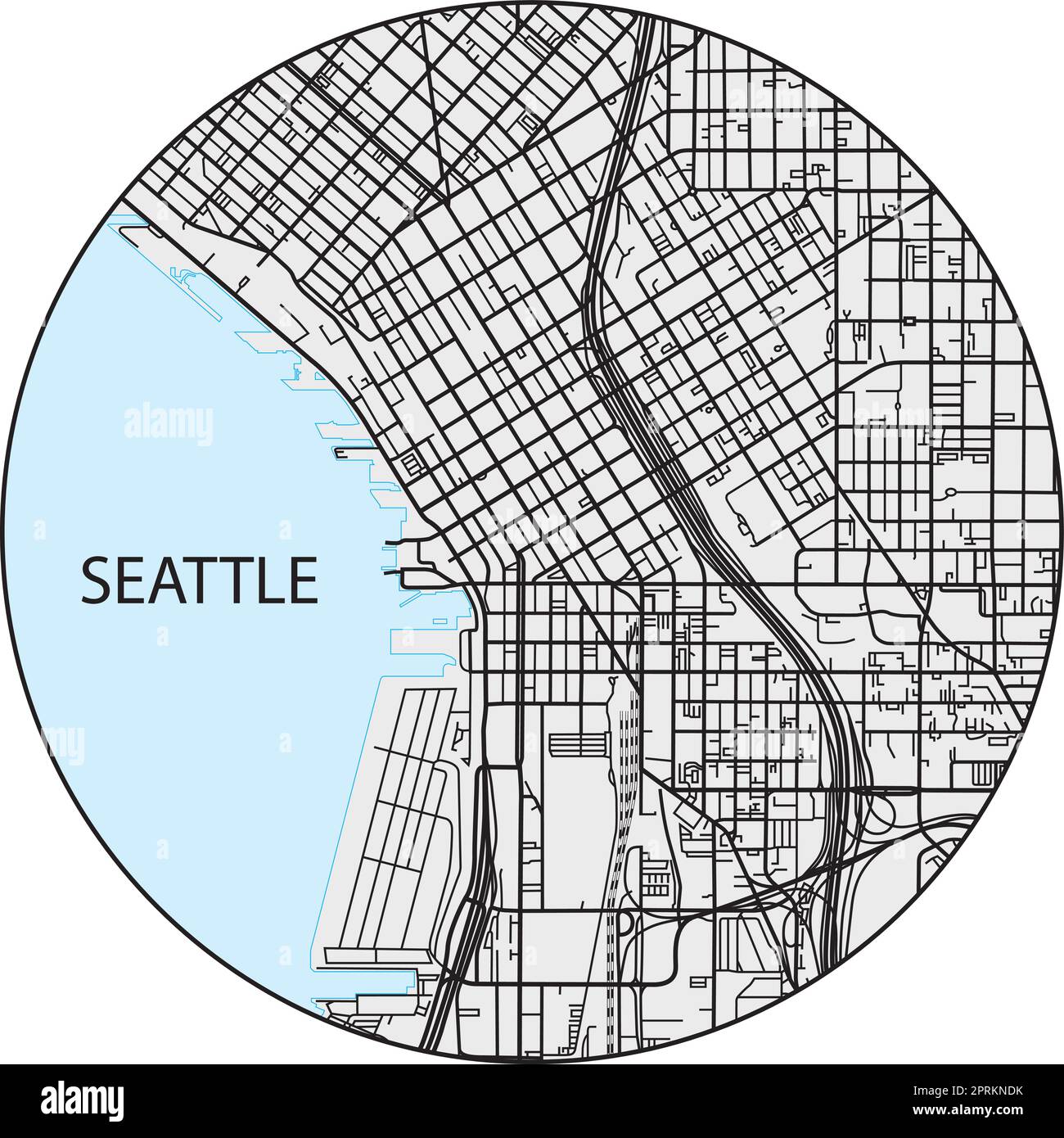 Outline city map of Seattle, Washington, United States Stock Vectorhttps://www.alamy.com/image-license-details/?v=1https://www.alamy.com/outline-city-map-of-seattle-washington-united-states-image548092431.html
RF2PRKNDK–Outline city map of Seattle, Washington, United States
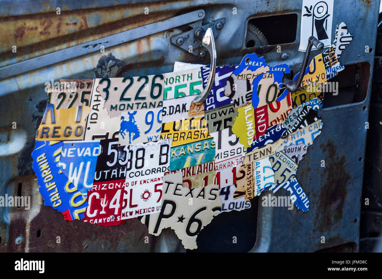 USA, Massachusetts, Cape Ann, Gloucester, classic cars, 1950's-car interior with US map made of license plates Stock Photohttps://www.alamy.com/image-license-details/?v=1https://www.alamy.com/stock-photo-usa-massachusetts-cape-ann-gloucester-classic-cars-1950s-car-interior-147352252.html
RMJFMD8C–USA, Massachusetts, Cape Ann, Gloucester, classic cars, 1950's-car interior with US map made of license plates
 Amtrak routes website on laptop screen - Northeast train routes Stock Photohttps://www.alamy.com/image-license-details/?v=1https://www.alamy.com/stock-photo-amtrak-routes-website-on-laptop-screen-northeast-train-routes-57132473.html
RMD8XH1D–Amtrak routes website on laptop screen - Northeast train routes
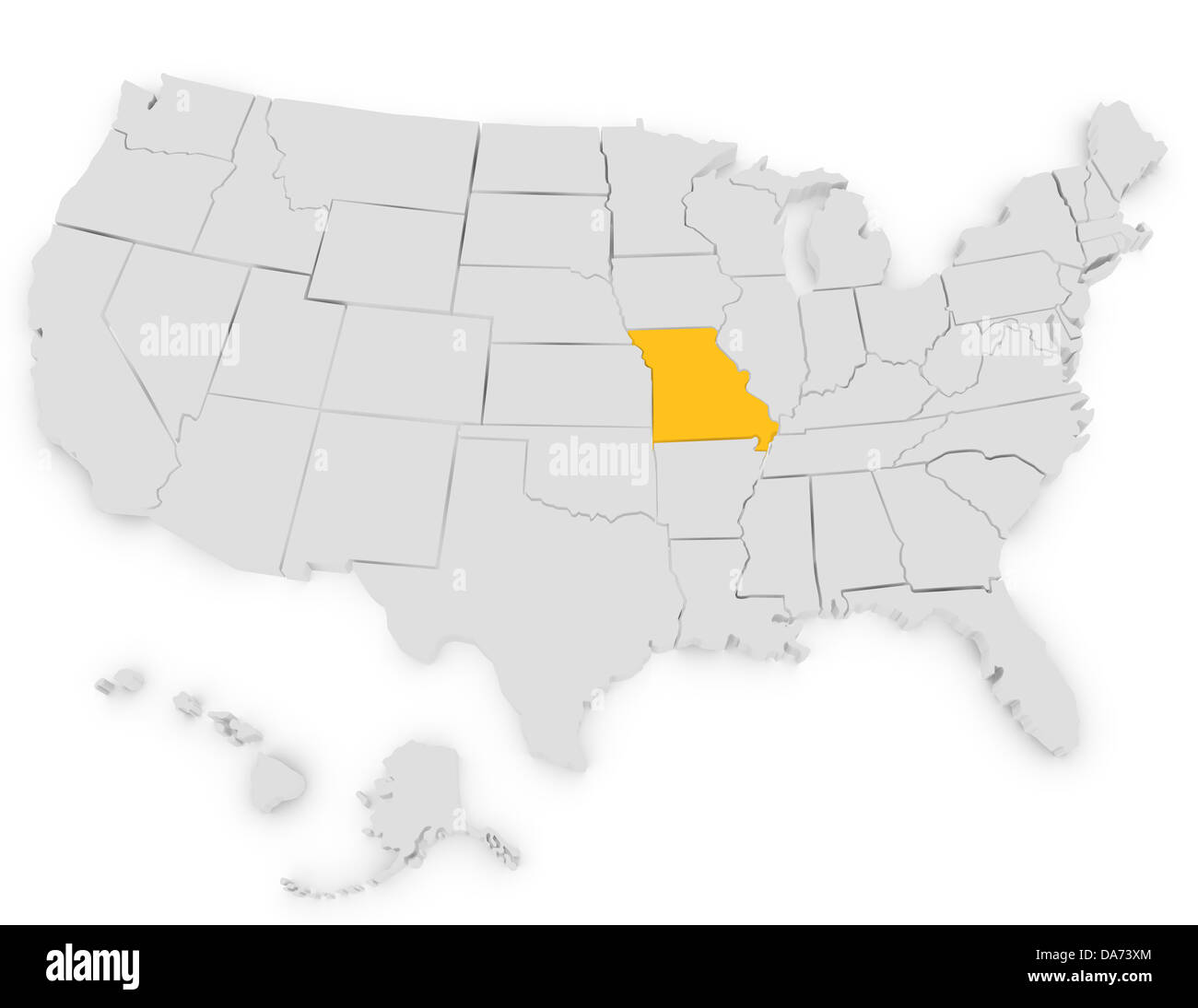 3d Render of the United States Highlighting Missouri Stock Photohttps://www.alamy.com/image-license-details/?v=1https://www.alamy.com/stock-photo-3d-render-of-the-united-states-highlighting-missouri-57934428.html
RFDA73XM–3d Render of the United States Highlighting Missouri
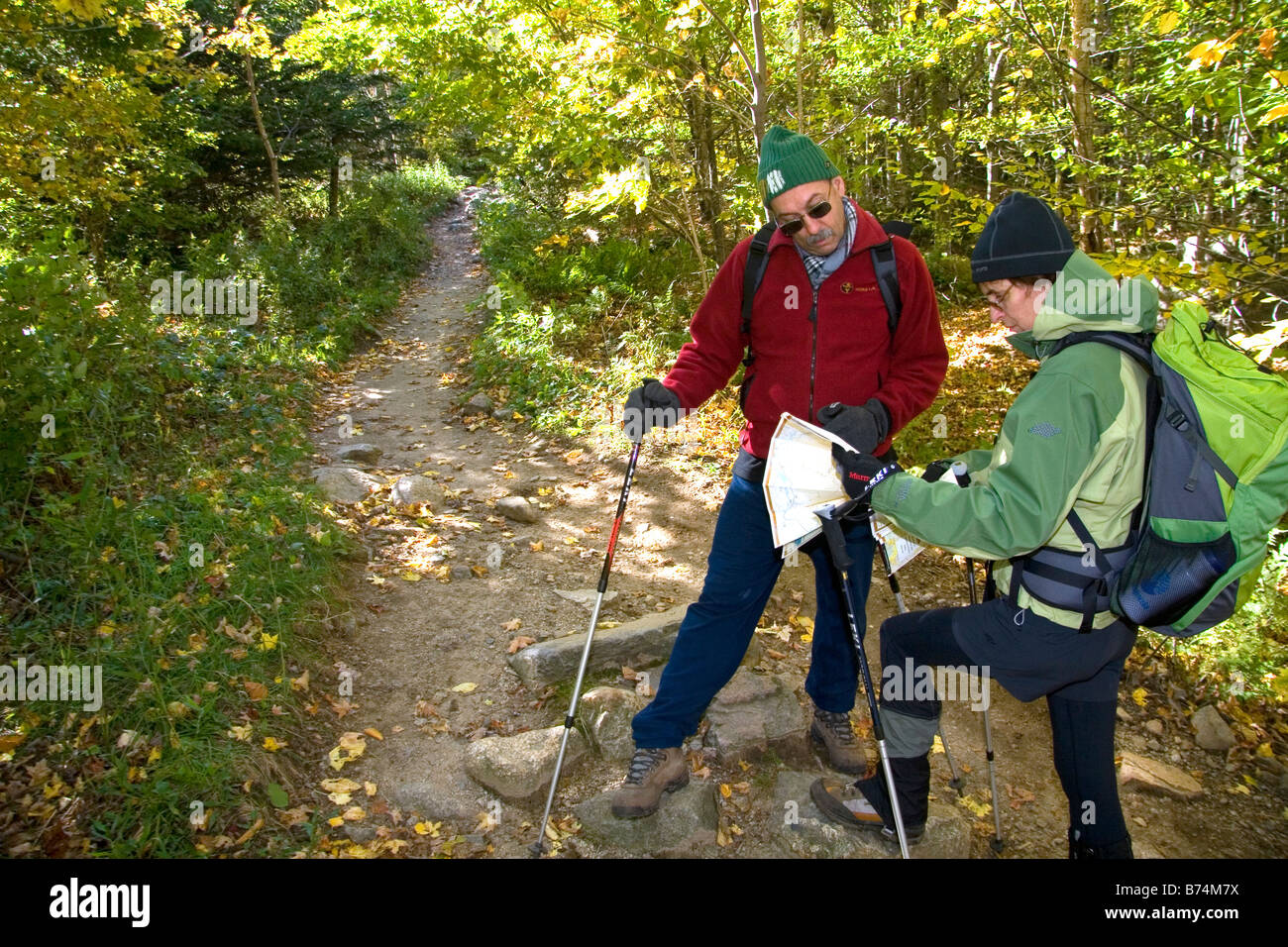 Hikers read a map at the northern end of the Franconia Range in the White Mountain National Forest New Hampshire USA Stock Photohttps://www.alamy.com/image-license-details/?v=1https://www.alamy.com/stock-photo-hikers-read-a-map-at-the-northern-end-of-the-franconia-range-in-the-21616670.html
RMB74M7X–Hikers read a map at the northern end of the Franconia Range in the White Mountain National Forest New Hampshire USA
 High Quality map Northeast region of Brazil, with borders of the states Stock Vectorhttps://www.alamy.com/image-license-details/?v=1https://www.alamy.com/high-quality-map-northeast-region-of-brazil-with-borders-of-the-states-image397691277.html
RF2E30B7W–High Quality map Northeast region of Brazil, with borders of the states
 (King1893NYC) pg724 NORTHEAST FROM UNITED STATES ARMY BUILDING, SHOWING EAST RIVER AND BROOKLYN Stock Photohttps://www.alamy.com/image-license-details/?v=1https://www.alamy.com/stock-photo-king1893nyc-pg724-northeast-from-united-states-army-building-showing-74170683.html
RME8JNCY–(King1893NYC) pg724 NORTHEAST FROM UNITED STATES ARMY BUILDING, SHOWING EAST RIVER AND BROOKLYN
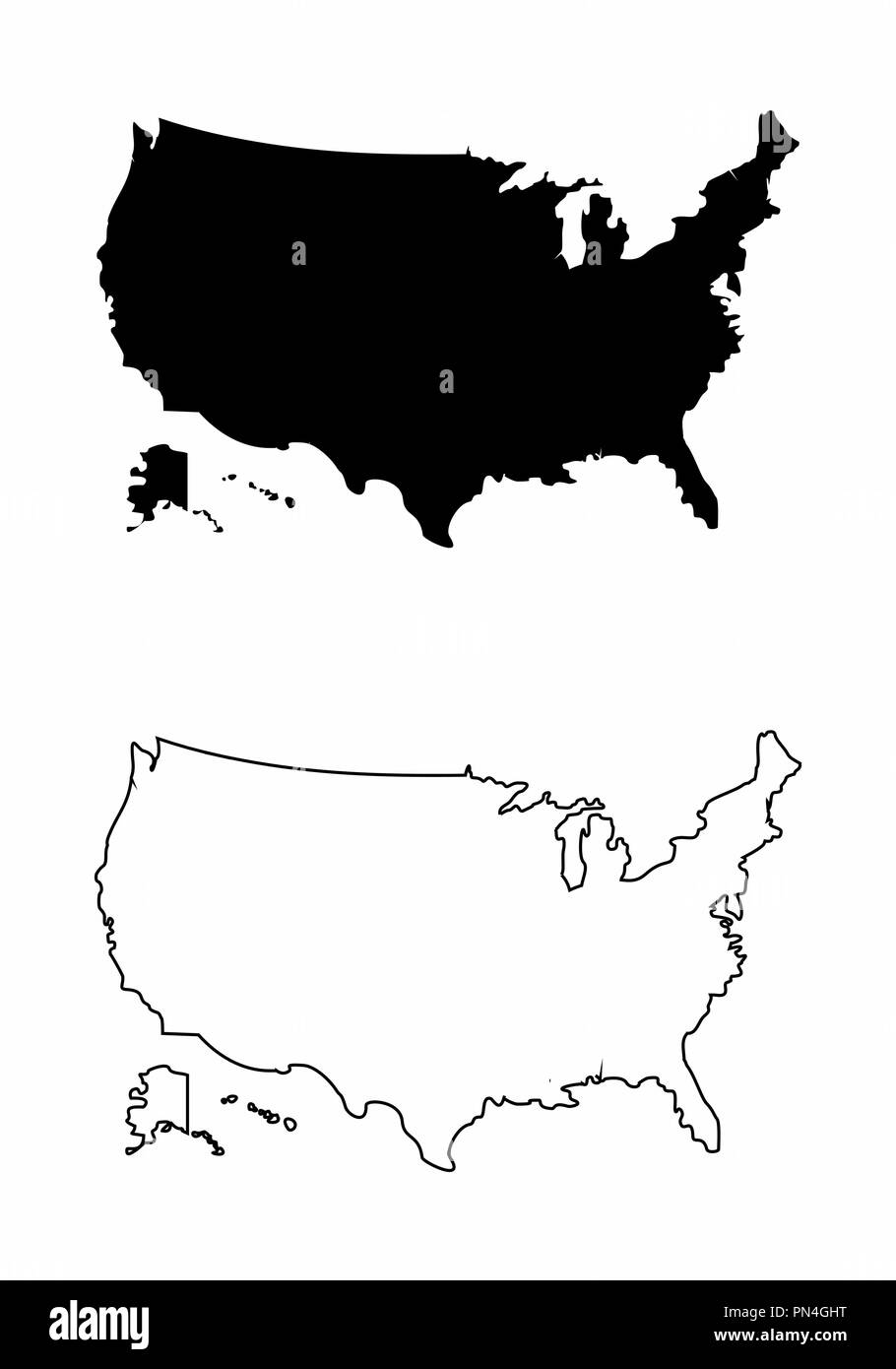 Maps of the USA Stock Vectorhttps://www.alamy.com/image-license-details/?v=1https://www.alamy.com/maps-of-the-usa-image219533044.html
RFPN4GHT–Maps of the USA
![Map of the disputed territory [Maine] : reduced from the original of Messrs. Featherstonehaugh & Mudge, British commissioners , Maine, Maps, Northeast boundary of the United States, Maps, United States, Boundaries, Canada, Maps, Canada, Boundaries, United States, Maps Norman B. Leventhal Map Center Collection Stock Photo Map of the disputed territory [Maine] : reduced from the original of Messrs. Featherstonehaugh & Mudge, British commissioners , Maine, Maps, Northeast boundary of the United States, Maps, United States, Boundaries, Canada, Maps, Canada, Boundaries, United States, Maps Norman B. Leventhal Map Center Collection Stock Photo](https://c8.alamy.com/comp/2M3F815/map-of-the-disputed-territory-maine-reduced-from-the-original-of-messrs-featherstonehaugh-mudge-british-commissioners-maine-maps-northeast-boundary-of-the-united-states-maps-united-states-boundaries-canada-maps-canada-boundaries-united-states-maps-norman-b-leventhal-map-center-collection-2M3F815.jpg) Map of the disputed territory [Maine] : reduced from the original of Messrs. Featherstonehaugh & Mudge, British commissioners , Maine, Maps, Northeast boundary of the United States, Maps, United States, Boundaries, Canada, Maps, Canada, Boundaries, United States, Maps Norman B. Leventhal Map Center Collection Stock Photohttps://www.alamy.com/image-license-details/?v=1https://www.alamy.com/map-of-the-disputed-territory-maine-reduced-from-the-original-of-messrs-featherstonehaugh-mudge-british-commissioners-maine-maps-northeast-boundary-of-the-united-states-maps-united-states-boundaries-canada-maps-canada-boundaries-united-states-maps-norman-b-leventhal-map-center-collection-image501280225.html
Map of the disputed territory [Maine] : reduced from the original of Messrs. Featherstonehaugh & Mudge, British commissioners , Maine, Maps, Northeast boundary of the United States, Maps, United States, Boundaries, Canada, Maps, Canada, Boundaries, United States, Maps Norman B. Leventhal Map Center Collection Stock Photohttps://www.alamy.com/image-license-details/?v=1https://www.alamy.com/map-of-the-disputed-territory-maine-reduced-from-the-original-of-messrs-featherstonehaugh-mudge-british-commissioners-maine-maps-northeast-boundary-of-the-united-states-maps-united-states-boundaries-canada-maps-canada-boundaries-united-states-maps-norman-b-leventhal-map-center-collection-image501280225.htmlRM2M3F815–Map of the disputed territory [Maine] : reduced from the original of Messrs. Featherstonehaugh & Mudge, British commissioners , Maine, Maps, Northeast boundary of the United States, Maps, United States, Boundaries, Canada, Maps, Canada, Boundaries, United States, Maps Norman B. Leventhal Map Center Collection
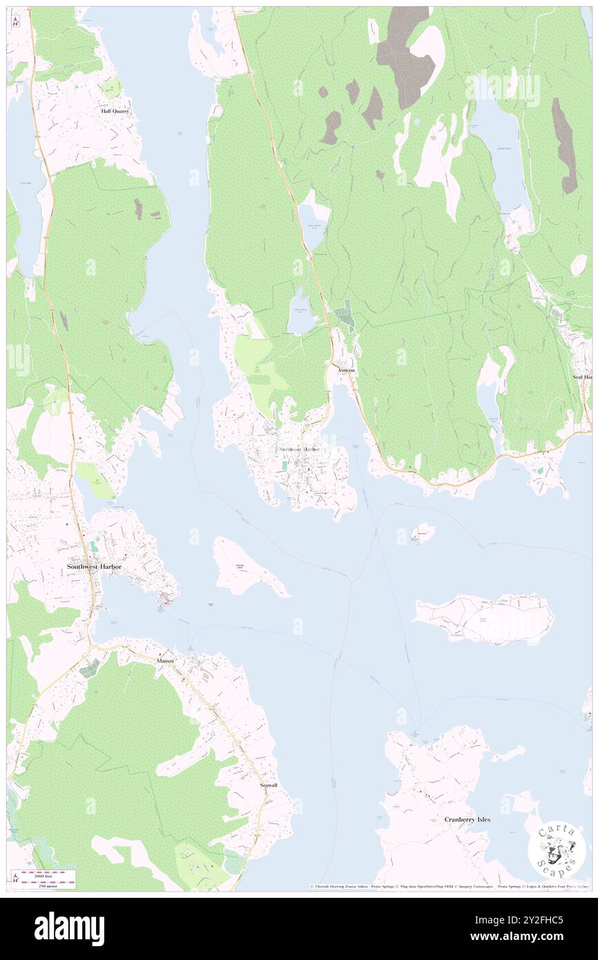 Northeast Harbor, Hancock County, US, United States, Maine, N 44 17' 39'', S 68 17' 23'', map, Cartascapes Map published in 2024. Explore Cartascapes, a map revealing Earth's diverse landscapes, cultures, and ecosystems. Journey through time and space, discovering the interconnectedness of our planet's past, present, and future. Stock Photohttps://www.alamy.com/image-license-details/?v=1https://www.alamy.com/northeast-harbor-hancock-county-us-united-states-maine-n-44-17-39-s-68-17-23-map-cartascapes-map-published-in-2024-explore-cartascapes-a-map-revealing-earths-diverse-landscapes-cultures-and-ecosystems-journey-through-time-and-space-discovering-the-interconnectedness-of-our-planets-past-present-and-future-image621145509.html
RM2Y2FHC5–Northeast Harbor, Hancock County, US, United States, Maine, N 44 17' 39'', S 68 17' 23'', map, Cartascapes Map published in 2024. Explore Cartascapes, a map revealing Earth's diverse landscapes, cultures, and ecosystems. Journey through time and space, discovering the interconnectedness of our planet's past, present, and future.
 Hiker pointing out the sights from the summit of Eagle Cap in Oregon's Wallowa Mountains. Stock Photohttps://www.alamy.com/image-license-details/?v=1https://www.alamy.com/stock-photo-hiker-pointing-out-the-sights-from-the-summit-of-eagle-cap-in-oregons-47483815.html
RMCN722F–Hiker pointing out the sights from the summit of Eagle Cap in Oregon's Wallowa Mountains.
 AJD53939, Roanoke, VA, Virginia, Roanoke Valley, Historic Downtown, sculpture map of Virginia's cities Stock Photohttps://www.alamy.com/image-license-details/?v=1https://www.alamy.com/stock-photo-ajd53939-roanoke-va-virginia-roanoke-valley-historic-downtown-sculpture-10937449.html
RMA456GX–AJD53939, Roanoke, VA, Virginia, Roanoke Valley, Historic Downtown, sculpture map of Virginia's cities
 Couple consulting a map of Bar Harbor, Maine, sitting on a bench at Agamont Park . Stock Photohttps://www.alamy.com/image-license-details/?v=1https://www.alamy.com/couple-consulting-a-map-of-bar-harbor-maine-sitting-on-a-bench-at-agamont-park-image256818207.html
RMTWR26R–Couple consulting a map of Bar Harbor, Maine, sitting on a bench at Agamont Park .
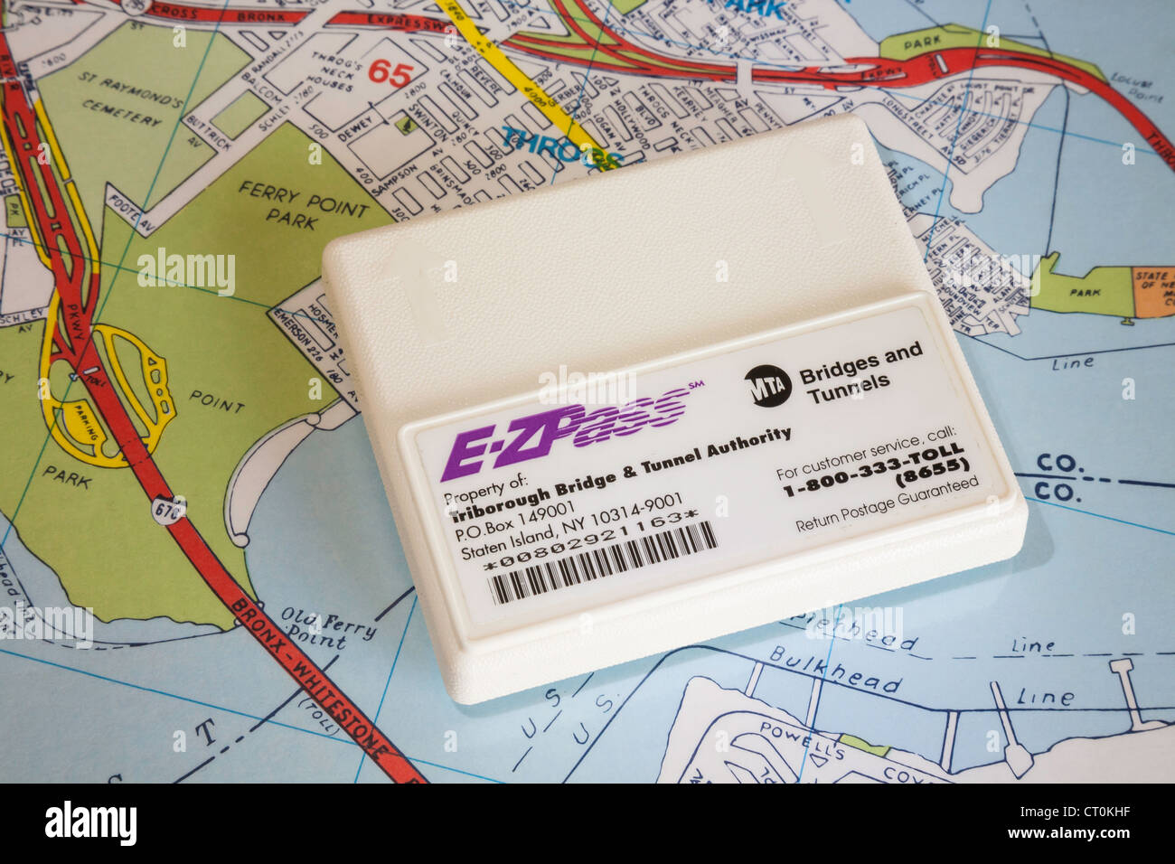 An E-ZPass system transponder unit (also known as a 'tag' or a 'pack'), USA Stock Photohttps://www.alamy.com/image-license-details/?v=1https://www.alamy.com/stock-photo-an-e-zpass-system-transponder-unit-also-known-as-a-tag-or-a-pack-usa-49187867.html
RMCT0KHF–An E-ZPass system transponder unit (also known as a 'tag' or a 'pack'), USA
 Ashuwillticook Rail Trail in Adams, Massachusetts gives hikers and bikers information about the trail. Stock Photohttps://www.alamy.com/image-license-details/?v=1https://www.alamy.com/stock-photo-ashuwillticook-rail-trail-in-adams-massachusetts-gives-hikers-and-91137316.html
RFF87JG4–Ashuwillticook Rail Trail in Adams, Massachusetts gives hikers and bikers information about the trail.
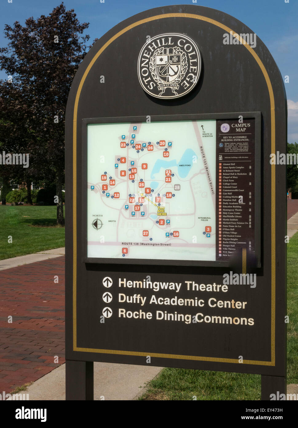 Stonehill College Campus, Easton, MA Stock Photohttps://www.alamy.com/image-license-details/?v=1https://www.alamy.com/stock-photo-stonehill-college-campus-easton-ma-85530581.html
RMEY473H–Stonehill College Campus, Easton, MA
 Map of that portion of her majesty's colonies of New Brunswick and Lower Canada: the title to which is disputed by the Government of the U. States with parts of the adjacent country 1840 by Featherstonhaugh, James D Stock Photohttps://www.alamy.com/image-license-details/?v=1https://www.alamy.com/map-of-that-portion-of-her-majestys-colonies-of-new-brunswick-and-lower-canada-the-title-to-which-is-disputed-by-the-government-of-the-u-states-with-parts-of-the-adjacent-country-1840-by-featherstonhaugh-james-d-image633089469.html
RM2YNYM25–Map of that portion of her majesty's colonies of New Brunswick and Lower Canada: the title to which is disputed by the Government of the U. States with parts of the adjacent country 1840 by Featherstonhaugh, James D
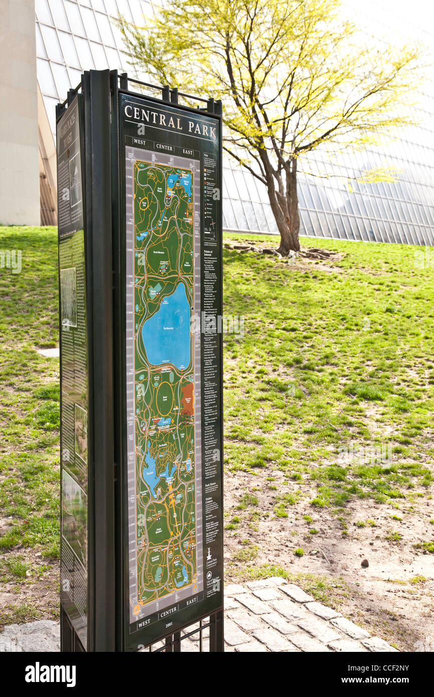 Information Sign, Central Park, NYC Stock Photohttps://www.alamy.com/image-license-details/?v=1https://www.alamy.com/stock-photo-information-sign-central-park-nyc-42128071.html
RMCCF2NY–Information Sign, Central Park, NYC
 Caucasian woman standing in front of fabric map Stock Photohttps://www.alamy.com/image-license-details/?v=1https://www.alamy.com/stock-photo-caucasian-woman-standing-in-front-of-fabric-map-87758506.html
RFF2NMTA–Caucasian woman standing in front of fabric map
 (King1893NYC) pg724 NORTHEAST FROM UNITED STATES ARMY BUILDING, SHOWING EAST RIVER AND BROOKLYN Stock Photohttps://www.alamy.com/image-license-details/?v=1https://www.alamy.com/king1893nyc-pg724-northeast-from-united-states-army-building-showing-image154725683.html
RMJYMA57–(King1893NYC) pg724 NORTHEAST FROM UNITED STATES ARMY BUILDING, SHOWING EAST RIVER AND BROOKLYN
 High angle view of coffee, maps, photographs, camera and cell phone Stock Photohttps://www.alamy.com/image-license-details/?v=1https://www.alamy.com/stock-photo-high-angle-view-of-coffee-maps-photographs-camera-and-cell-phone-86702523.html
RFF11HXK–High angle view of coffee, maps, photographs, camera and cell phone
 Amtrak routes website on laptop screen - Northeast train routes Stock Photohttps://www.alamy.com/image-license-details/?v=1https://www.alamy.com/stock-photo-amtrak-routes-website-on-laptop-screen-northeast-train-routes-57132467.html
RMD8XH17–Amtrak routes website on laptop screen - Northeast train routes
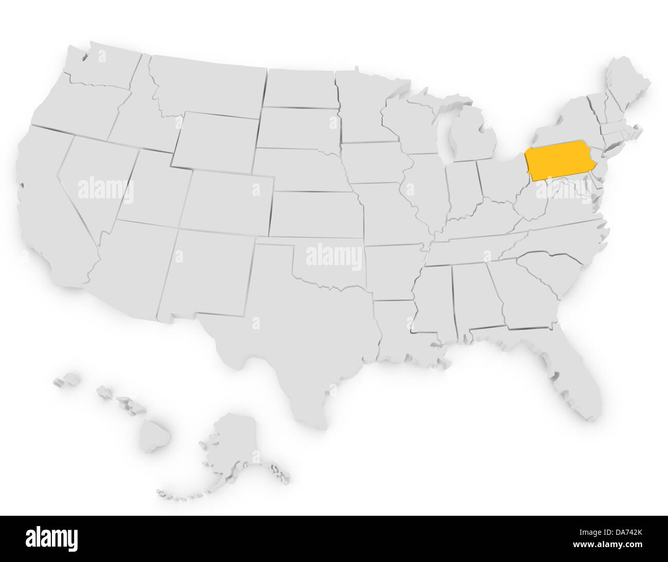 3d Render of the United States Highlighting Pennsylvania Stock Photohttps://www.alamy.com/image-license-details/?v=1https://www.alamy.com/stock-photo-3d-render-of-the-united-states-highlighting-pennsylvania-57934539.html
RFDA742K–3d Render of the United States Highlighting Pennsylvania
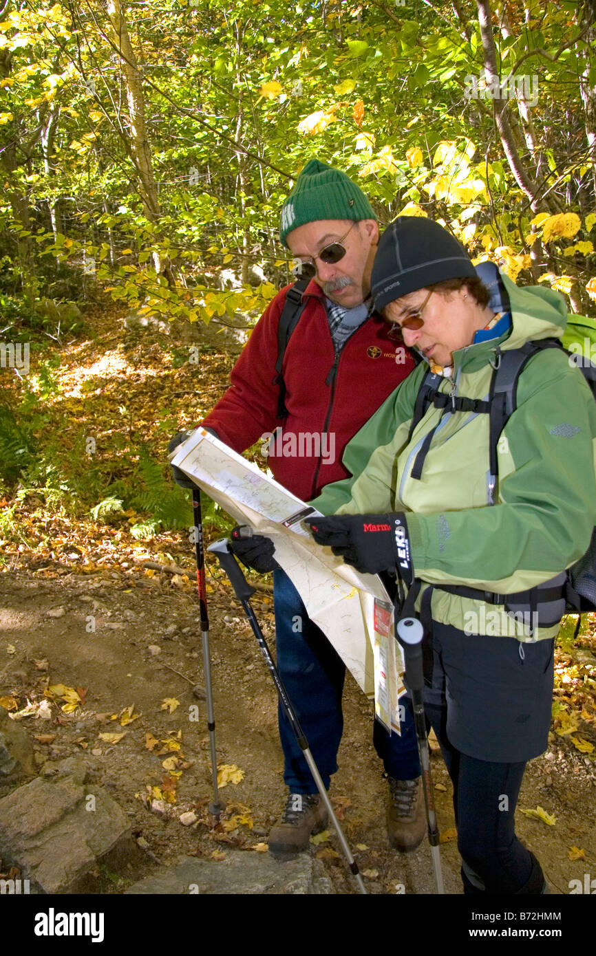 Hikers read a map at the northern end of the Franconia Range in the White Mountain National Forest New Hampshire USA Stock Photohttps://www.alamy.com/image-license-details/?v=1https://www.alamy.com/stock-photo-hikers-read-a-map-at-the-northern-end-of-the-franconia-range-in-the-21570772.html
RMB72HMM–Hikers read a map at the northern end of the Franconia Range in the White Mountain National Forest New Hampshire USA
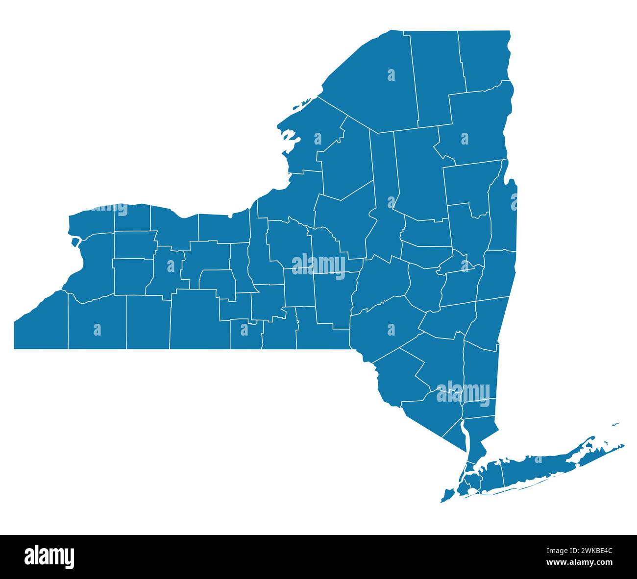 Editable vector file of the counties that make up New York State. Stock Vectorhttps://www.alamy.com/image-license-details/?v=1https://www.alamy.com/editable-vector-file-of-the-counties-that-make-up-new-york-state-image597083548.html
RF2WKBE4C–Editable vector file of the counties that make up New York State.
 (King1893NYC) pg724 NORTHEAST FROM UNITED STATES ARMY BUILDING, SHOWING EAST RIVER AND BROOKLYN Stock Photohttps://www.alamy.com/image-license-details/?v=1https://www.alamy.com/stock-photo-king1893nyc-pg724-northeast-from-united-states-army-building-showing-76714641.html
RMECPJ8H–(King1893NYC) pg724 NORTHEAST FROM UNITED STATES ARMY BUILDING, SHOWING EAST RIVER AND BROOKLYN
 Pennsylvania, state of United States of America. Open Street Map Stock Photohttps://www.alamy.com/image-license-details/?v=1https://www.alamy.com/pennsylvania-state-of-united-states-of-america-open-street-map-image546019822.html
RF2PM99RX–Pennsylvania, state of United States of America. Open Street Map