Quick filters:
Northfield map Stock Photos and Images
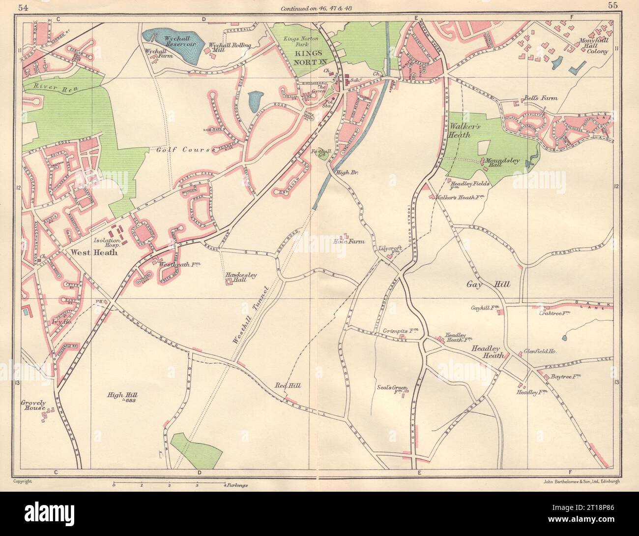 BIRMINGHAM SOUTH WEST West/Walker's Heath King's Norton Northfield 1954 map Stock Photohttps://www.alamy.com/image-license-details/?v=1https://www.alamy.com/birmingham-south-west-westwalkers-heath-kings-norton-northfield-1954-map-image568749894.html
RF2T18P86–BIRMINGHAM SOUTH WEST West/Walker's Heath King's Norton Northfield 1954 map
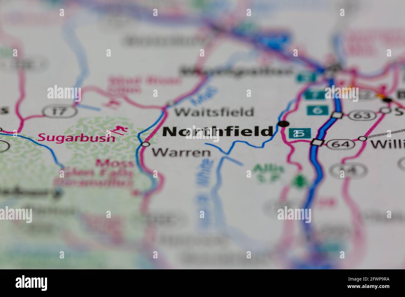 Northfield New Hampshire USA shown on a Geography map or Road map Stock Photohttps://www.alamy.com/image-license-details/?v=1https://www.alamy.com/northfield-new-hampshire-usa-shown-on-a-geography-map-or-road-map-image428905886.html
RM2FWP9RA–Northfield New Hampshire USA shown on a Geography map or Road map
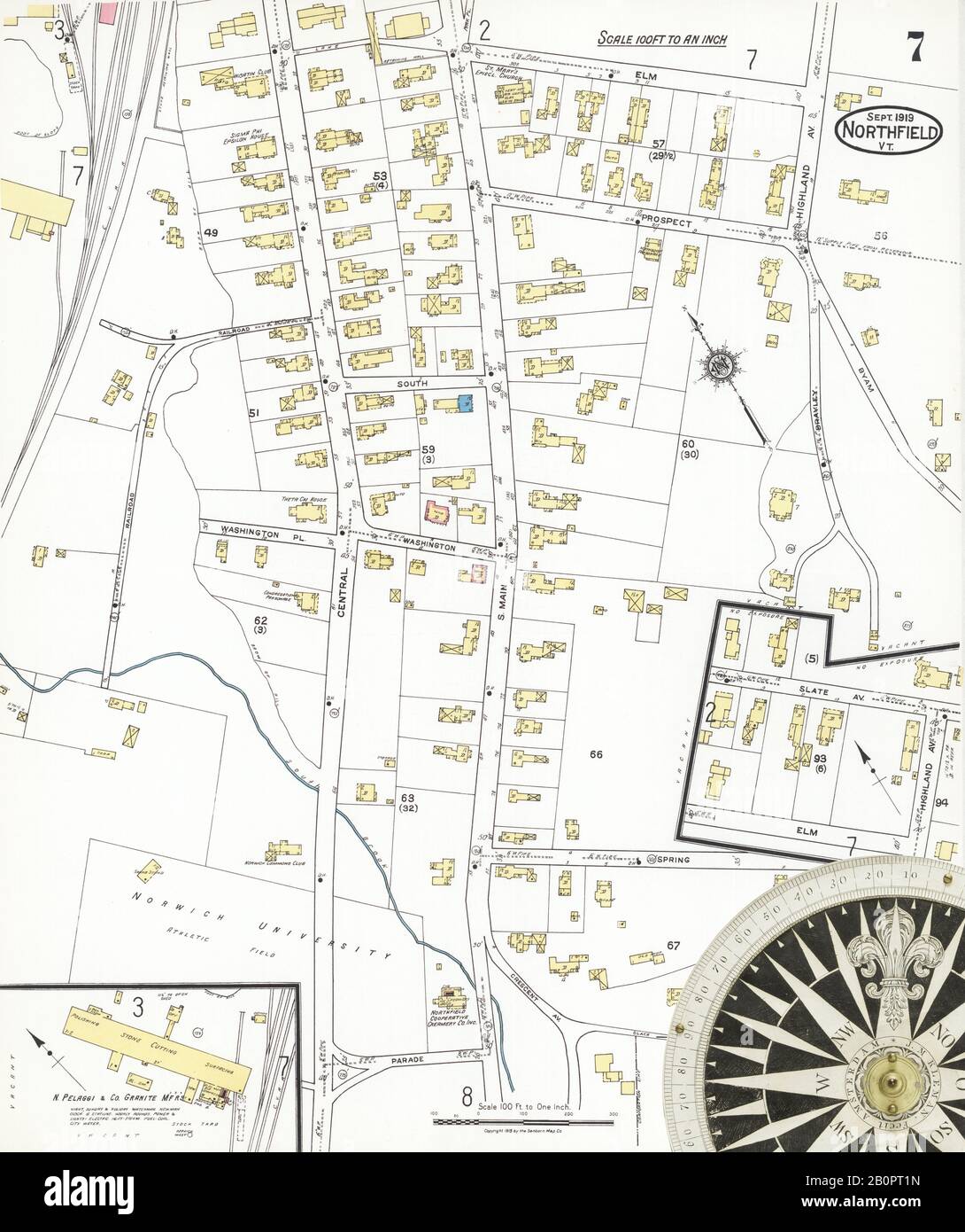 Image 7 of Sanborn Fire Insurance Map from Northfield, Washington County, Vermont. Sep 1919. 8 Sheet(s), America, street map with a Nineteenth Century compass Stock Photohttps://www.alamy.com/image-license-details/?v=1https://www.alamy.com/image-7-of-sanborn-fire-insurance-map-from-northfield-washington-county-vermont-sep-1919-8-sheets-america-street-map-with-a-nineteenth-century-compass-image344709169.html
RM2B0PT1N–Image 7 of Sanborn Fire Insurance Map from Northfield, Washington County, Vermont. Sep 1919. 8 Sheet(s), America, street map with a Nineteenth Century compass
 Northfield Reserve, , AU, Australia, South Australia, S 34 50' 45'', N 138 37' 32'', map, Cartascapes Map published in 2024. Explore Cartascapes, a map revealing Earth's diverse landscapes, cultures, and ecosystems. Journey through time and space, discovering the interconnectedness of our planet's past, present, and future. Stock Photohttps://www.alamy.com/image-license-details/?v=1https://www.alamy.com/northfield-reserve-au-australia-south-australia-s-34-50-45-n-138-37-32-map-cartascapes-map-published-in-2024-explore-cartascapes-a-map-revealing-earths-diverse-landscapes-cultures-and-ecosystems-journey-through-time-and-space-discovering-the-interconnectedness-of-our-planets-past-present-and-future-image625729654.html
RM2YA0CFJ–Northfield Reserve, , AU, Australia, South Australia, S 34 50' 45'', N 138 37' 32'', map, Cartascapes Map published in 2024. Explore Cartascapes, a map revealing Earth's diverse landscapes, cultures, and ecosystems. Journey through time and space, discovering the interconnectedness of our planet's past, present, and future.
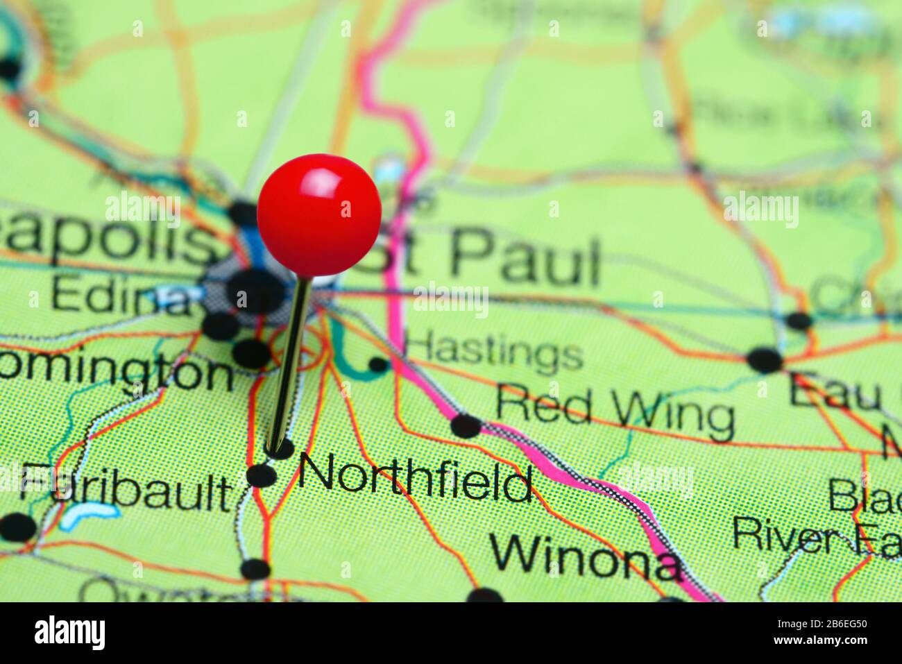 Northfield pinned on a map of Minnesota, USA Stock Photohttps://www.alamy.com/image-license-details/?v=1https://www.alamy.com/northfield-pinned-on-a-map-of-minnesota-usa-image348215308.html
RF2B6EG50–Northfield pinned on a map of Minnesota, USA
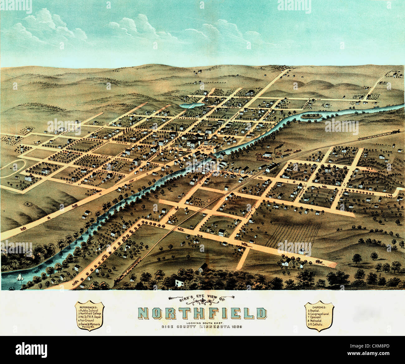 Bird's eye view of Northfield, Rice County, Minnesota 1869. Stock Photohttps://www.alamy.com/image-license-details/?v=1https://www.alamy.com/stock-photo-birds-eye-view-of-northfield-rice-county-minnesota-1869-50847733.html
RMCXM8PD–Bird's eye view of Northfield, Rice County, Minnesota 1869.
![Staten Island, V. 2, Plate No. 121 [Map bounded by Davidson, Lockman Ave., Northfield Ave.] 1884 - 1936 Stock Photo Staten Island, V. 2, Plate No. 121 [Map bounded by Davidson, Lockman Ave., Northfield Ave.] 1884 - 1936 Stock Photo](https://c8.alamy.com/comp/2YP96T9/staten-island-v-2-plate-no-121-map-bounded-by-davidson-lockman-ave-northfield-ave-1884-1936-2YP96T9.jpg) Staten Island, V. 2, Plate No. 121 [Map bounded by Davidson, Lockman Ave., Northfield Ave.] 1884 - 1936 Stock Photohttps://www.alamy.com/image-license-details/?v=1https://www.alamy.com/staten-island-v-2-plate-no-121-map-bounded-by-davidson-lockman-ave-northfield-ave-1884-1936-image633298633.html
Staten Island, V. 2, Plate No. 121 [Map bounded by Davidson, Lockman Ave., Northfield Ave.] 1884 - 1936 Stock Photohttps://www.alamy.com/image-license-details/?v=1https://www.alamy.com/staten-island-v-2-plate-no-121-map-bounded-by-davidson-lockman-ave-northfield-ave-1884-1936-image633298633.htmlRM2YP96T9–Staten Island, V. 2, Plate No. 121 [Map bounded by Davidson, Lockman Ave., Northfield Ave.] 1884 - 1936
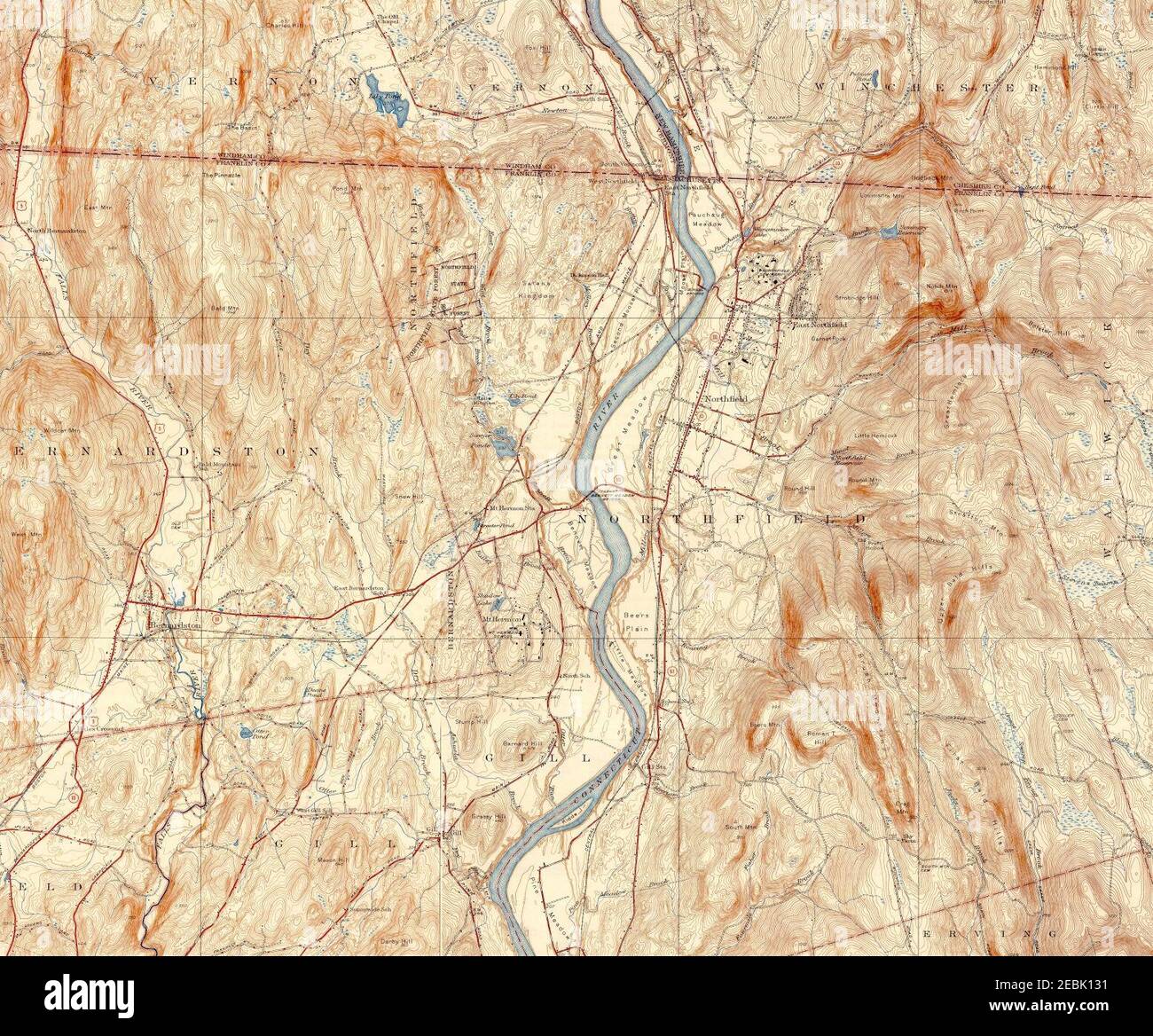 Northfield Mount Hermon School topo map. Stock Photohttps://www.alamy.com/image-license-details/?v=1https://www.alamy.com/northfield-mount-hermon-school-topo-map-image403017637.html
RM2EBK131–Northfield Mount Hermon School topo map.
 US-MN(1891) p431 NORTHFIELD, CARLETTON COLLEGE OBSERVATORY Stock Photohttps://www.alamy.com/image-license-details/?v=1https://www.alamy.com/stock-photo-us-mn1891-p431-northfield-carletton-college-observatory-73670321.html
RME7RY6W–US-MN(1891) p431 NORTHFIELD, CARLETTON COLLEGE OBSERVATORY
 Northfield Free Library Stock Photohttps://www.alamy.com/image-license-details/?v=1https://www.alamy.com/stock-photo-northfield-free-library-140314021.html
RMJ47RY1–Northfield Free Library
 Cartographic, Maps. 1874. Lionel Pincus and Princess Firyal Map Division. Staten Island (New York, N.Y.) Part of Northfield Section 10 Stock Photohttps://www.alamy.com/image-license-details/?v=1https://www.alamy.com/cartographic-maps-1874-lionel-pincus-and-princess-firyal-map-division-staten-island-new-york-ny-part-of-northfield-section-10-image483731762.html
RM2K2YTPA–Cartographic, Maps. 1874. Lionel Pincus and Princess Firyal Map Division. Staten Island (New York, N.Y.) Part of Northfield Section 10
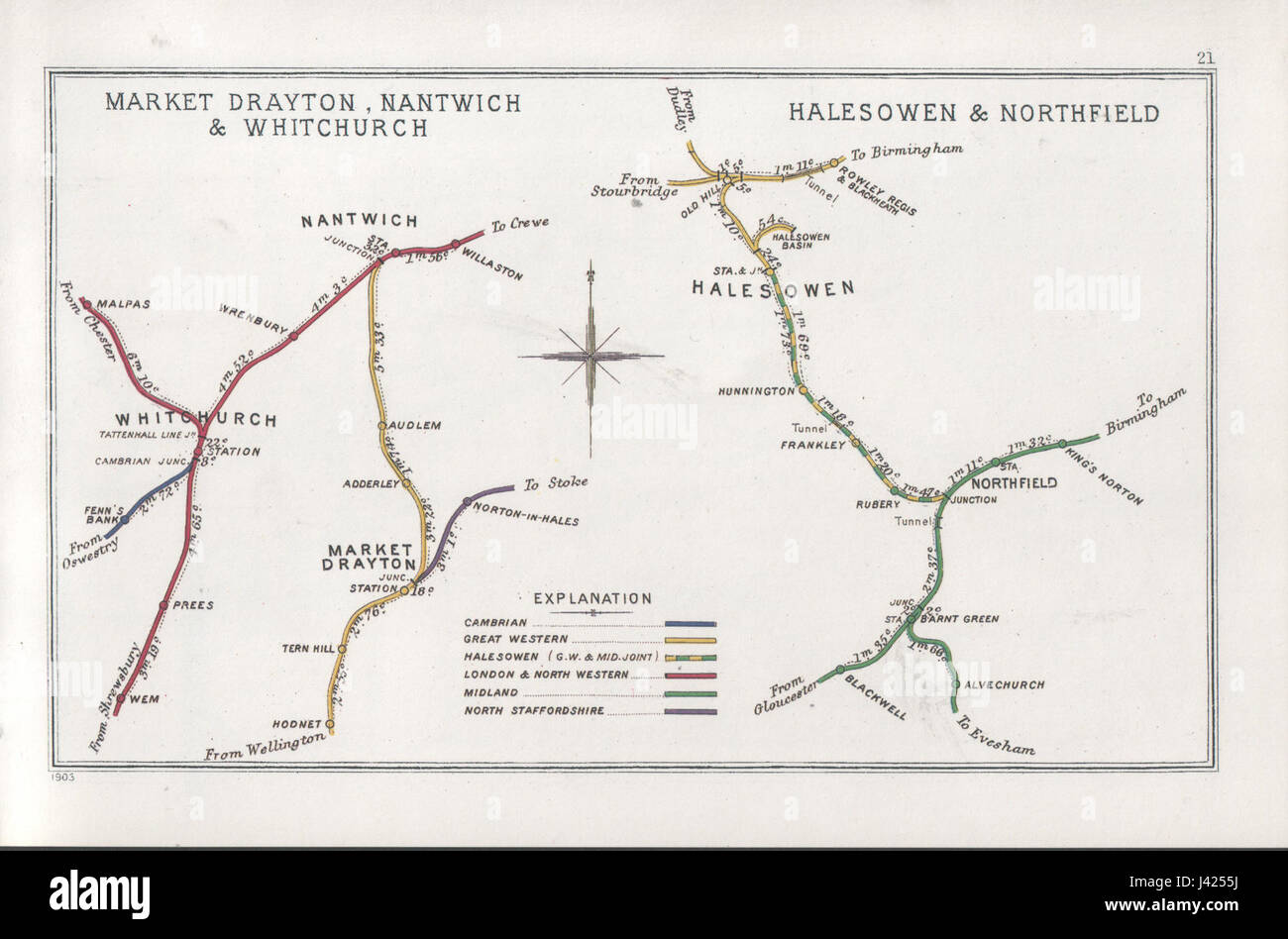 Market Drayton, Nantwich & Whitchurch Halesowen & Northfield RJD 21 Stock Photohttps://www.alamy.com/image-license-details/?v=1https://www.alamy.com/stock-photo-market-drayton-nantwich-whitchurch-halesowen-northfield-rjd-21-140189550.html
RMJ4255J–Market Drayton, Nantwich & Whitchurch Halesowen & Northfield RJD 21
 Part of Northfield & Middletown. Staten Island, 187. Reimagined by Gibon. Classic art with a modern twist reimagined Stock Photohttps://www.alamy.com/image-license-details/?v=1https://www.alamy.com/part-of-northfield-middletown-staten-island-187-reimagined-by-gibon-classic-art-with-a-modern-twist-reimagined-image230181922.html
RFRADKAX–Part of Northfield & Middletown. Staten Island, 187. Reimagined by Gibon. Classic art with a modern twist reimagined
 Word cloud map of Vermont state Stock Vectorhttps://www.alamy.com/image-license-details/?v=1https://www.alamy.com/word-cloud-map-of-vermont-state-image225172576.html
RFR29DWM–Word cloud map of Vermont state
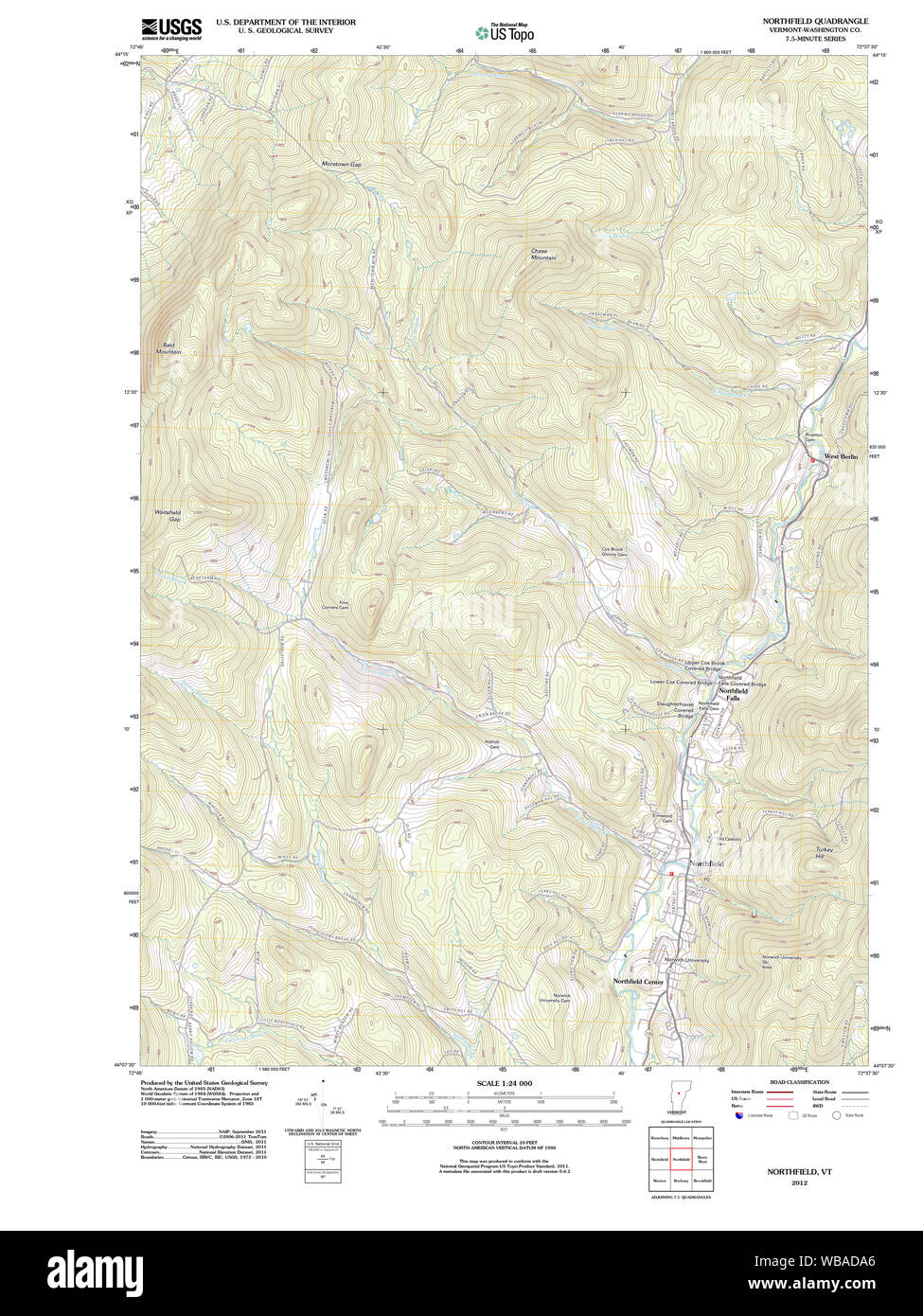 USGS Topo Map Vermont VT Northfield 20120607 TM Restoration Stock Photohttps://www.alamy.com/image-license-details/?v=1https://www.alamy.com/usgs-topo-map-vermont-vt-northfield-20120607-tm-restoration-image265146734.html
RMWBADA6–USGS Topo Map Vermont VT Northfield 20120607 TM Restoration
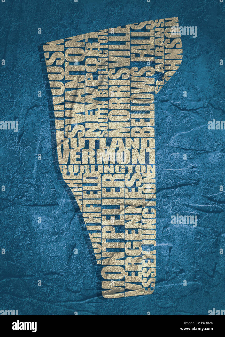 Word cloud map of Vermont state Stock Photohttps://www.alamy.com/image-license-details/?v=1https://www.alamy.com/word-cloud-map-of-vermont-state-image222721132.html
RFPX9R24–Word cloud map of Vermont state
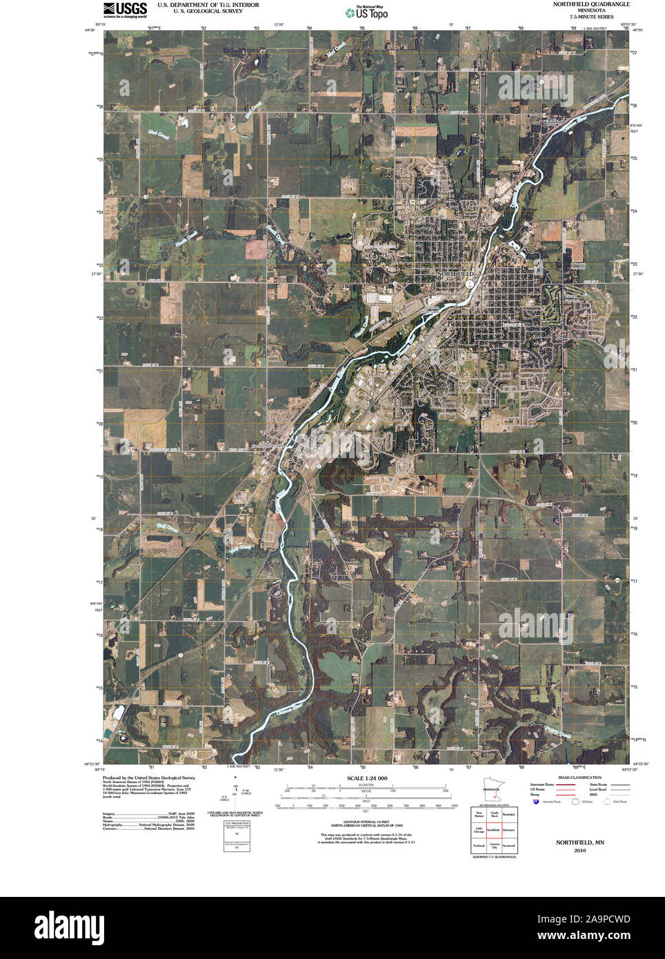 USGS TOPO Map MInnesota MN Northfield 20100812 TM Restoration Stock Photohttps://www.alamy.com/image-license-details/?v=1https://www.alamy.com/usgs-topo-map-minnesota-mn-northfield-20100812-tm-restoration-image333021961.html
RM2A9PCWD–USGS TOPO Map MInnesota MN Northfield 20100812 TM Restoration
 . History of Vermont, natural, civil, and statistical, in three parts, with a new map of the state, and 200 engravings . east longitude. Thesetwo lines intersect each other near thewestern line of Northfield, and about 10miles south westerly from Montpelier, andthe point of intersection is the geogrujihi-cal cadre of the stale. Divisions.—The Green Mountains ex-tend quite through the state from southto north, and, following the western range,divide it into two very nearly equal parts.These form the only natural division,with the exception of the waters of lakeChamplain, which divide the county Stock Photohttps://www.alamy.com/image-license-details/?v=1https://www.alamy.com/history-of-vermont-natural-civil-and-statistical-in-three-parts-with-a-new-map-of-the-state-and-200-engravings-east-longitude-thesetwo-lines-intersect-each-other-near-thewestern-line-of-northfield-and-about-10miles-south-westerly-from-montpelier-andthe-point-of-intersection-is-the-geogrujihi-cal-cadre-of-the-stale-divisionsthe-green-mountains-ex-tend-quite-through-the-state-from-southto-north-and-following-the-western-rangedivide-it-into-two-very-nearly-equal-partsthese-form-the-only-natural-divisionwith-the-exception-of-the-waters-of-lakechamplain-which-divide-the-county-image370028794.html
RM2CE07E2–. History of Vermont, natural, civil, and statistical, in three parts, with a new map of the state, and 200 engravings . east longitude. Thesetwo lines intersect each other near thewestern line of Northfield, and about 10miles south westerly from Montpelier, andthe point of intersection is the geogrujihi-cal cadre of the stale. Divisions.—The Green Mountains ex-tend quite through the state from southto north, and, following the western range,divide it into two very nearly equal parts.These form the only natural division,with the exception of the waters of lakeChamplain, which divide the county
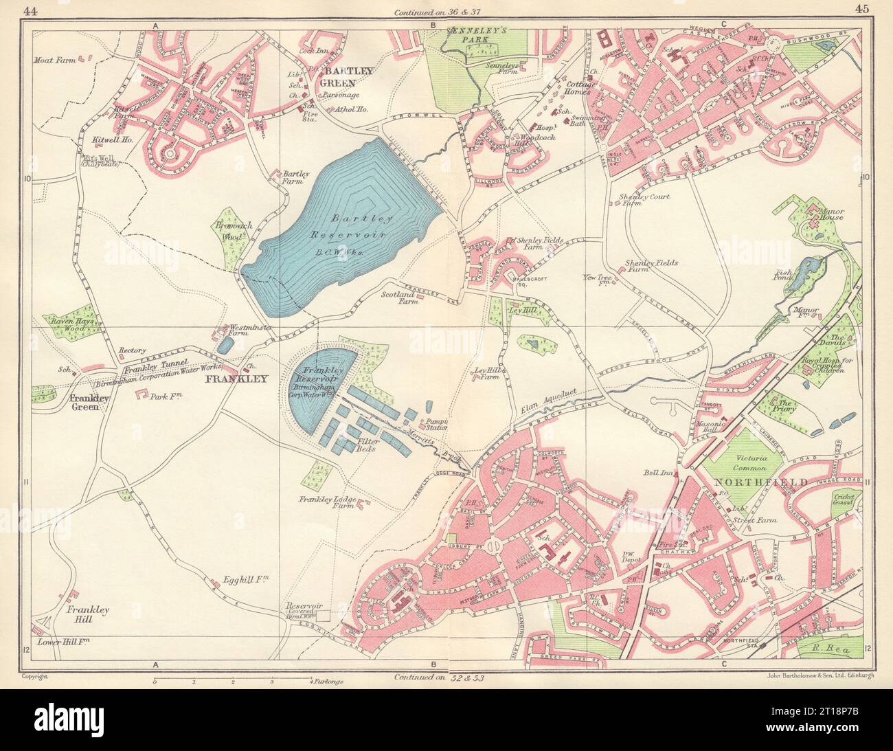 BIRMINGHAM SOUTH WEST Frankley Bartley Green Northfield Weoley 1954 old map Stock Photohttps://www.alamy.com/image-license-details/?v=1https://www.alamy.com/birmingham-south-west-frankley-bartley-green-northfield-weoley-1954-old-map-image568749871.html
RF2T18P7B–BIRMINGHAM SOUTH WEST Frankley Bartley Green Northfield Weoley 1954 old map
 Image 3 of Sanborn Fire Insurance Map from Northfield, Washington County, Vermont. Nov 1910. 14 Sheet(s), America, street map with a Nineteenth Century compass Stock Photohttps://www.alamy.com/image-license-details/?v=1https://www.alamy.com/image-3-of-sanborn-fire-insurance-map-from-northfield-washington-county-vermont-nov-1910-14-sheets-america-street-map-with-a-nineteenth-century-compass-image344709151.html
RM2B0PT13–Image 3 of Sanborn Fire Insurance Map from Northfield, Washington County, Vermont. Nov 1910. 14 Sheet(s), America, street map with a Nineteenth Century compass
 Northfield, Cook County, US, United States, Illinois, N 42 5' 59'', S 87 46' 51'', map, Cartascapes Map published in 2024. Explore Cartascapes, a map revealing Earth's diverse landscapes, cultures, and ecosystems. Journey through time and space, discovering the interconnectedness of our planet's past, present, and future. Stock Photohttps://www.alamy.com/image-license-details/?v=1https://www.alamy.com/northfield-cook-county-us-united-states-illinois-n-42-5-59-s-87-46-51-map-cartascapes-map-published-in-2024-explore-cartascapes-a-map-revealing-earths-diverse-landscapes-cultures-and-ecosystems-journey-through-time-and-space-discovering-the-interconnectedness-of-our-planets-past-present-and-future-image621220140.html
RM2Y2K0HG–Northfield, Cook County, US, United States, Illinois, N 42 5' 59'', S 87 46' 51'', map, Cartascapes Map published in 2024. Explore Cartascapes, a map revealing Earth's diverse landscapes, cultures, and ecosystems. Journey through time and space, discovering the interconnectedness of our planet's past, present, and future.
 Part of Northfield & Middletown 1874 by Beers, F. W. (Frederick W.) Stock Photohttps://www.alamy.com/image-license-details/?v=1https://www.alamy.com/part-of-northfield-middletown-1874-by-beers-f-w-frederick-w-image634412075.html
RM2YT3Y23–Part of Northfield & Middletown 1874 by Beers, F. W. (Frederick W.)
 Northfield Mountain Tailrace Tunnel - USGS map. Stock Photohttps://www.alamy.com/image-license-details/?v=1https://www.alamy.com/northfield-mountain-tailrace-tunnel-usgs-map-image403017634.html
RM2EBK12X–Northfield Mountain Tailrace Tunnel - USGS map.
 US-MN(1891) p431 NORTHFIELD, CARLETTON COLLEGE OBSERVATORY Stock Photohttps://www.alamy.com/image-license-details/?v=1https://www.alamy.com/stock-photo-us-mn1891-p431-northfield-carletton-college-observatory-75596660.html
RMEAYM8M–US-MN(1891) p431 NORTHFIELD, CARLETTON COLLEGE OBSERVATORY
 Cartographic, Maps. 1874. Lionel Pincus and Princess Firyal Map Division. Staten Island (New York, N.Y.) Part of Northfield Section 5 Stock Photohttps://www.alamy.com/image-license-details/?v=1https://www.alamy.com/cartographic-maps-1874-lionel-pincus-and-princess-firyal-map-division-staten-island-new-york-ny-part-of-northfield-section-5-image483727805.html
RM2K2YKN1–Cartographic, Maps. 1874. Lionel Pincus and Princess Firyal Map Division. Staten Island (New York, N.Y.) Part of Northfield Section 5
 US MN(1891) p431 NORTHFIELD, CARLETTON COLLEGE OBSERVATORY Stock Photohttps://www.alamy.com/image-license-details/?v=1https://www.alamy.com/us-mn1891-p431-northfield-carletton-college-observatory-image154605132.html
RMJYETBT–US MN(1891) p431 NORTHFIELD, CARLETTON COLLEGE OBSERVATORY
 Part of Northfield & Middletown. Staten Island, 1874, New York, USA. Reimagined by Gibon. Classic art with a modern reimagined Stock Photohttps://www.alamy.com/image-license-details/?v=1https://www.alamy.com/part-of-northfield-middletown-staten-island-1874-new-york-usa-reimagined-by-gibon-classic-art-with-a-modern-reimagined-image230374056.html
RFRAPCCT–Part of Northfield & Middletown. Staten Island, 1874, New York, USA. Reimagined by Gibon. Classic art with a modern reimagined
 Side table, made by Joseph Steele and Samuel W Bayer, Northfield VT, c 1875, faux painting on wood Bennington Museum Bennington, VT DSC09087 Stock Photohttps://www.alamy.com/image-license-details/?v=1https://www.alamy.com/side-table-made-by-joseph-steele-and-samuel-w-bayer-northfield-vt-image153757847.html
RMJX47KK–Side table, made by Joseph Steele and Samuel W Bayer, Northfield VT, c 1875, faux painting on wood Bennington Museum Bennington, VT DSC09087
 Word cloud map of Vermont state Stock Vectorhttps://www.alamy.com/image-license-details/?v=1https://www.alamy.com/word-cloud-map-of-vermont-state-image342232920.html
RF2ATP1G8–Word cloud map of Vermont state
 USGS TOPO Map Ohio OH Northfield 20100803 TM Restoration Stock Photohttps://www.alamy.com/image-license-details/?v=1https://www.alamy.com/usgs-topo-map-ohio-oh-northfield-20100803-tm-restoration-image336977427.html
RM2AG6J43–USGS TOPO Map Ohio OH Northfield 20100803 TM Restoration
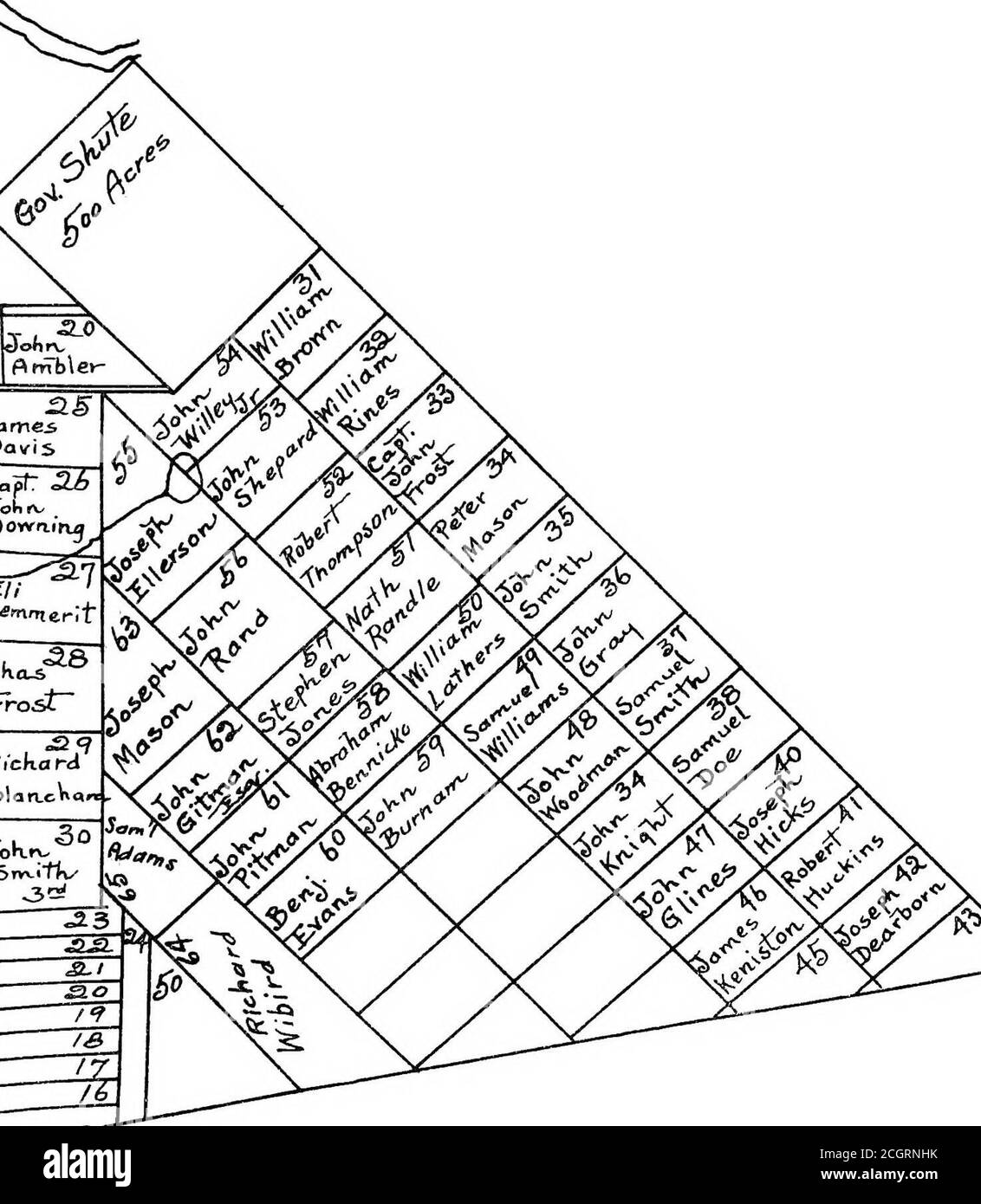 . History of Northfield, New Hampshire 1780-1905. In two parts with many biographical sketches and portraits also pictures of public buildings and private residences . l-n ino« ^—; a 1/or ■^^ //*fe7: ^//r // /[£*-^er /^!;^If° /[^■^•i/i ^^^^^viYffr L/ J ^ isJl /^JwoSf/tc <--ao L^^nd^ j/fosfe,- /[T.tjbTts LZ^331 t <- TV- in ■e<r/e bh^ //P ^ •ieu ■ -40 IJl ifleM »-.. ES MAP. Proprietors Map are to be found in thecontains Mrs. Cross Historical Records.) HISTORICAL. 6 and, in accordance with a vote of the town of Canterbury, passedMarch 18, 1779, which vote also provided that Capt. JosiahM Stock Photohttps://www.alamy.com/image-license-details/?v=1https://www.alamy.com/history-of-northfield-new-hampshire-1780-1905-in-two-parts-with-many-biographical-sketches-and-portraits-also-pictures-of-public-buildings-and-private-residences-l-n-ino-a-1or-fe7-r-er-!if-ii-viyffr-l-j-isjl-jwosftc-lt-ao-lnd-jfosfe-ttjbtts-lz331-t-lt-tv-in-eltre-bh-p-ieu-40-ijl-iflem-es-map-proprietors-map-are-to-be-found-in-thecontains-mrs-cross-historical-records-historical-6-and-in-accordance-with-a-vote-of-the-town-of-canterbury-passedmarch-18-1779-which-vote-also-provided-that-capt-josiahm-image371774079.html
RM2CGRNHK–. History of Northfield, New Hampshire 1780-1905. In two parts with many biographical sketches and portraits also pictures of public buildings and private residences . l-n ino« ^—; a 1/or ■^^ //*fe7: ^//r // /[£*-^er /^!;^If° /[^■^•i/i ^^^^^viYffr L/ J ^ isJl /^JwoSf/tc <--ao L^^nd^ j/fosfe,- /[T.tjbTts LZ^331 t <- TV- in ■e<r/e bh^ //P ^ •ieu ■ -40 IJl ifleM »-.. ES MAP. Proprietors Map are to be found in thecontains Mrs. Cross Historical Records.) HISTORICAL. 6 and, in accordance with a vote of the town of Canterbury, passedMarch 18, 1779, which vote also provided that Capt. JosiahM
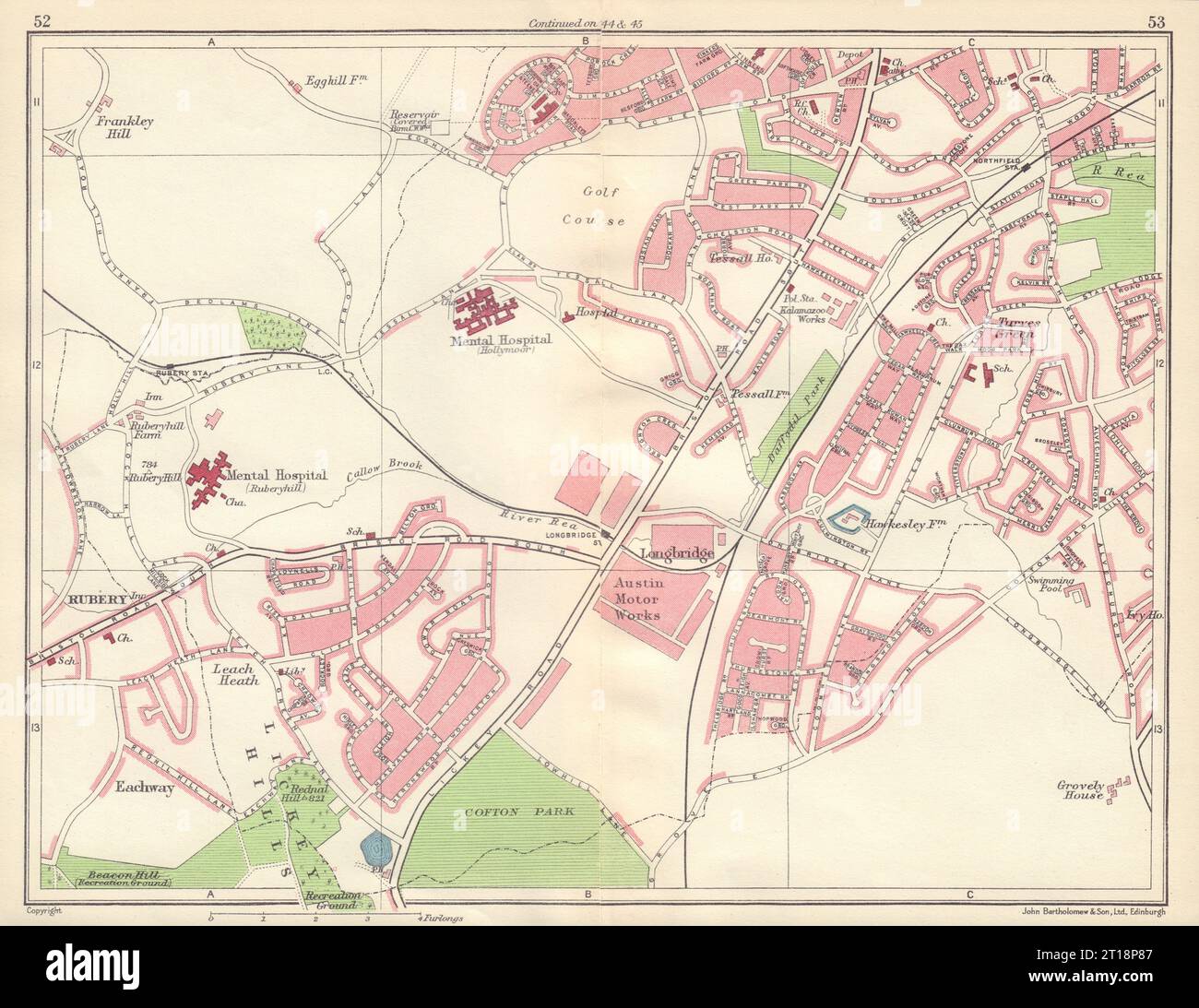 BIRMINGHAM SOUTH WEST Rubery Longbridge Northfield Austin Lickey Hills 1954 map Stock Photohttps://www.alamy.com/image-license-details/?v=1https://www.alamy.com/birmingham-south-west-rubery-longbridge-northfield-austin-lickey-hills-1954-map-image568749895.html
RF2T18P87–BIRMINGHAM SOUTH WEST Rubery Longbridge Northfield Austin Lickey Hills 1954 map
 Image 4 of Sanborn Fire Insurance Map from Northfield, Washington County, Vermont. Aug 1892. 5 Sheet(s), America, street map with a Nineteenth Century compass Stock Photohttps://www.alamy.com/image-license-details/?v=1https://www.alamy.com/image-4-of-sanborn-fire-insurance-map-from-northfield-washington-county-vermont-aug-1892-5-sheets-america-street-map-with-a-nineteenth-century-compass-image344709132.html
RM2B0PT0C–Image 4 of Sanborn Fire Insurance Map from Northfield, Washington County, Vermont. Aug 1892. 5 Sheet(s), America, street map with a Nineteenth Century compass
 Northfield, Washington County, US, United States, Maine, N 44 49' 44'', S 67 34' 13'', map, Cartascapes Map published in 2024. Explore Cartascapes, a map revealing Earth's diverse landscapes, cultures, and ecosystems. Journey through time and space, discovering the interconnectedness of our planet's past, present, and future. Stock Photohttps://www.alamy.com/image-license-details/?v=1https://www.alamy.com/northfield-washington-county-us-united-states-maine-n-44-49-44-s-67-34-13-map-cartascapes-map-published-in-2024-explore-cartascapes-a-map-revealing-earths-diverse-landscapes-cultures-and-ecosystems-journey-through-time-and-space-discovering-the-interconnectedness-of-our-planets-past-present-and-future-image621492742.html
RM2Y33C9A–Northfield, Washington County, US, United States, Maine, N 44 49' 44'', S 67 34' 13'', map, Cartascapes Map published in 2024. Explore Cartascapes, a map revealing Earth's diverse landscapes, cultures, and ecosystems. Journey through time and space, discovering the interconnectedness of our planet's past, present, and future.
![Plate 23, Part of Ward 3 [Map bound by Northfield Ave (Franklin), Richmond Terrace, Pierhead and Bulkhead Line, De Hart Ave (Central), Staten Island Rapid Transit R.R., Union Ave, Brabant St (Beech), Gridley Ave (Columbus), Harbor Road, Lockman Ave, Andros Ave, Mersereau Ave, Grandview Ave, South Ave; Shooters Island - Standard Ship Building Co.] 1917 by Bromley, George Washington Stock Photo Plate 23, Part of Ward 3 [Map bound by Northfield Ave (Franklin), Richmond Terrace, Pierhead and Bulkhead Line, De Hart Ave (Central), Staten Island Rapid Transit R.R., Union Ave, Brabant St (Beech), Gridley Ave (Columbus), Harbor Road, Lockman Ave, Andros Ave, Mersereau Ave, Grandview Ave, South Ave; Shooters Island - Standard Ship Building Co.] 1917 by Bromley, George Washington Stock Photo](https://c8.alamy.com/comp/2YRC891/plate-23-part-of-ward-3-map-bound-by-northfield-ave-franklin-richmond-terrace-pierhead-and-bulkhead-line-de-hart-ave-central-staten-island-rapid-transit-rr-union-ave-brabant-st-beech-gridley-ave-columbus-harbor-road-lockman-ave-andros-ave-mersereau-ave-grandview-ave-south-ave-shooters-island-standard-ship-building-co-1917-by-bromley-george-washington-2YRC891.jpg) Plate 23, Part of Ward 3 [Map bound by Northfield Ave (Franklin), Richmond Terrace, Pierhead and Bulkhead Line, De Hart Ave (Central), Staten Island Rapid Transit R.R., Union Ave, Brabant St (Beech), Gridley Ave (Columbus), Harbor Road, Lockman Ave, Andros Ave, Mersereau Ave, Grandview Ave, South Ave; Shooters Island - Standard Ship Building Co.] 1917 by Bromley, George Washington Stock Photohttps://www.alamy.com/image-license-details/?v=1https://www.alamy.com/plate-23-part-of-ward-3-map-bound-by-northfield-ave-franklin-richmond-terrace-pierhead-and-bulkhead-line-de-hart-ave-central-staten-island-rapid-transit-rr-union-ave-brabant-st-beech-gridley-ave-columbus-harbor-road-lockman-ave-andros-ave-mersereau-ave-grandview-ave-south-ave-shooters-island-standard-ship-building-co-1917-by-bromley-george-washington-image633980285.html
Plate 23, Part of Ward 3 [Map bound by Northfield Ave (Franklin), Richmond Terrace, Pierhead and Bulkhead Line, De Hart Ave (Central), Staten Island Rapid Transit R.R., Union Ave, Brabant St (Beech), Gridley Ave (Columbus), Harbor Road, Lockman Ave, Andros Ave, Mersereau Ave, Grandview Ave, South Ave; Shooters Island - Standard Ship Building Co.] 1917 by Bromley, George Washington Stock Photohttps://www.alamy.com/image-license-details/?v=1https://www.alamy.com/plate-23-part-of-ward-3-map-bound-by-northfield-ave-franklin-richmond-terrace-pierhead-and-bulkhead-line-de-hart-ave-central-staten-island-rapid-transit-rr-union-ave-brabant-st-beech-gridley-ave-columbus-harbor-road-lockman-ave-andros-ave-mersereau-ave-grandview-ave-south-ave-shooters-island-standard-ship-building-co-1917-by-bromley-george-washington-image633980285.htmlRM2YRC891–Plate 23, Part of Ward 3 [Map bound by Northfield Ave (Franklin), Richmond Terrace, Pierhead and Bulkhead Line, De Hart Ave (Central), Staten Island Rapid Transit R.R., Union Ave, Brabant St (Beech), Gridley Ave (Columbus), Harbor Road, Lockman Ave, Andros Ave, Mersereau Ave, Grandview Ave, South Ave; Shooters Island - Standard Ship Building Co.] 1917 by Bromley, George Washington
 US-MN(1891) p431 NORTHFIELD, CARLETTON COLLEGE OBSERVATORY Stock Photohttps://www.alamy.com/image-license-details/?v=1https://www.alamy.com/stock-photo-us-mn1891-p431-northfield-carletton-college-observatory-74956768.html
RME9XG3C–US-MN(1891) p431 NORTHFIELD, CARLETTON COLLEGE OBSERVATORY
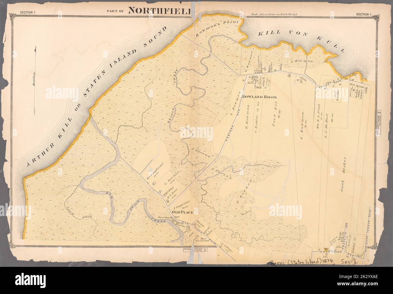 Cartographic, Maps. 1874. Lionel Pincus and Princess Firyal Map Division. Staten Island (New York, N.Y.) Part of Northfield Section 1 Stock Photohttps://www.alamy.com/image-license-details/?v=1https://www.alamy.com/cartographic-maps-1874-lionel-pincus-and-princess-firyal-map-division-staten-island-new-york-ny-part-of-northfield-section-1-image483732998.html
RM2K2YXAE–Cartographic, Maps. 1874. Lionel Pincus and Princess Firyal Map Division. Staten Island (New York, N.Y.) Part of Northfield Section 1
 Side table, made by Joseph Steele and Samuel W Bayer, Northfield VT, c 1875, faux painting on wood Bennington Museum Bennington, VT DSC09087 Stock Photohttps://www.alamy.com/image-license-details/?v=1https://www.alamy.com/side-table-made-by-joseph-steele-and-samuel-w-bayer-northfield-vt-image153145526.html
RMJW4AK2–Side table, made by Joseph Steele and Samuel W Bayer, Northfield VT, c 1875, faux painting on wood Bennington Museum Bennington, VT DSC09087
 Vermont state cities list Stock Photohttps://www.alamy.com/image-license-details/?v=1https://www.alamy.com/vermont-state-cities-list-image228514019.html
RFR7NKXY–Vermont state cities list
 USGS TOPO Map Texas TX Northfield 20121113 TM Restoration Stock Photohttps://www.alamy.com/image-license-details/?v=1https://www.alamy.com/usgs-topo-map-texas-tx-northfield-20121113-tm-restoration-image332550533.html
RM2A90YGN–USGS TOPO Map Texas TX Northfield 20121113 TM Restoration
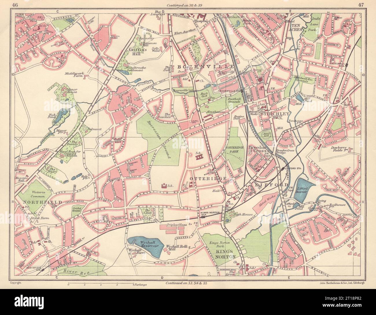 BIRMINGHAM SOUTH WEST Bournville Northfield King's Norton Lifford 1954 old map Stock Photohttps://www.alamy.com/image-license-details/?v=1https://www.alamy.com/birmingham-south-west-bournville-northfield-kings-norton-lifford-1954-old-map-image568749890.html
RF2T18P82–BIRMINGHAM SOUTH WEST Bournville Northfield King's Norton Lifford 1954 old map
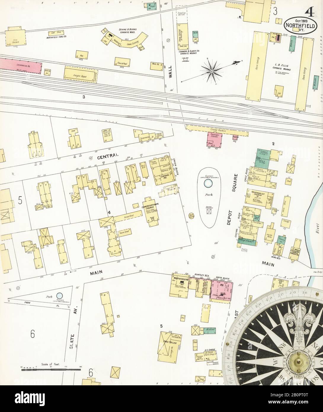 Image 4 of Sanborn Fire Insurance Map from Northfield, Washington County, Vermont. Oct 1903. 8 Sheet(s), America, street map with a Nineteenth Century compass Stock Photohttps://www.alamy.com/image-license-details/?v=1https://www.alamy.com/image-4-of-sanborn-fire-insurance-map-from-northfield-washington-county-vermont-oct-1903-8-sheets-america-street-map-with-a-nineteenth-century-compass-image344709144.html
RM2B0PT0T–Image 4 of Sanborn Fire Insurance Map from Northfield, Washington County, Vermont. Oct 1903. 8 Sheet(s), America, street map with a Nineteenth Century compass
 Northfield, Jackson County, US, United States, Wisconsin, N 44 27' 32'', S 91 5' 58'', map, Cartascapes Map published in 2024. Explore Cartascapes, a map revealing Earth's diverse landscapes, cultures, and ecosystems. Journey through time and space, discovering the interconnectedness of our planet's past, present, and future. Stock Photohttps://www.alamy.com/image-license-details/?v=1https://www.alamy.com/northfield-jackson-county-us-united-states-wisconsin-n-44-27-32-s-91-5-58-map-cartascapes-map-published-in-2024-explore-cartascapes-a-map-revealing-earths-diverse-landscapes-cultures-and-ecosystems-journey-through-time-and-space-discovering-the-interconnectedness-of-our-planets-past-present-and-future-image621264060.html
RM2Y2N0J4–Northfield, Jackson County, US, United States, Wisconsin, N 44 27' 32'', S 91 5' 58'', map, Cartascapes Map published in 2024. Explore Cartascapes, a map revealing Earth's diverse landscapes, cultures, and ecosystems. Journey through time and space, discovering the interconnectedness of our planet's past, present, and future.
![Plate 43, Part of Ward 3 [Map bound by Sedge Pond, Old Place Creek, Western Ave, Washington Ave, John St, Northfield Ave (Franklin Ave), South Ave, Harbor RD, Brabant St (Beech), Union Ave, Lisk Ave, Henry St, East Broadway, Canal St, Gauldy Ave, Herman Ave, Lamberts Lane, Merrill Ave, Bloomfield Ave (Decker Ave), Chelsea Rd (Bloomfield RD), River RD (Water St), Pralls River, Arthur Kill or Long Island Sound] 1917 by Bromley, George Washington Stock Photo Plate 43, Part of Ward 3 [Map bound by Sedge Pond, Old Place Creek, Western Ave, Washington Ave, John St, Northfield Ave (Franklin Ave), South Ave, Harbor RD, Brabant St (Beech), Union Ave, Lisk Ave, Henry St, East Broadway, Canal St, Gauldy Ave, Herman Ave, Lamberts Lane, Merrill Ave, Bloomfield Ave (Decker Ave), Chelsea Rd (Bloomfield RD), River RD (Water St), Pralls River, Arthur Kill or Long Island Sound] 1917 by Bromley, George Washington Stock Photo](https://c8.alamy.com/comp/2YRC8EK/plate-43-part-of-ward-3-map-bound-by-sedge-pond-old-place-creek-western-ave-washington-ave-john-st-northfield-ave-franklin-ave-south-ave-harbor-rd-brabant-st-beech-union-ave-lisk-ave-henry-st-east-broadway-canal-st-gauldy-ave-herman-ave-lamberts-lane-merrill-ave-bloomfield-ave-decker-ave-chelsea-rd-bloomfield-rd-river-rd-water-st-pralls-river-arthur-kill-or-long-island-sound-1917-by-bromley-george-washington-2YRC8EK.jpg) Plate 43, Part of Ward 3 [Map bound by Sedge Pond, Old Place Creek, Western Ave, Washington Ave, John St, Northfield Ave (Franklin Ave), South Ave, Harbor RD, Brabant St (Beech), Union Ave, Lisk Ave, Henry St, East Broadway, Canal St, Gauldy Ave, Herman Ave, Lamberts Lane, Merrill Ave, Bloomfield Ave (Decker Ave), Chelsea Rd (Bloomfield RD), River RD (Water St), Pralls River, Arthur Kill or Long Island Sound] 1917 by Bromley, George Washington Stock Photohttps://www.alamy.com/image-license-details/?v=1https://www.alamy.com/plate-43-part-of-ward-3-map-bound-by-sedge-pond-old-place-creek-western-ave-washington-ave-john-st-northfield-ave-franklin-ave-south-ave-harbor-rd-brabant-st-beech-union-ave-lisk-ave-henry-st-east-broadway-canal-st-gauldy-ave-herman-ave-lamberts-lane-merrill-ave-bloomfield-ave-decker-ave-chelsea-rd-bloomfield-rd-river-rd-water-st-pralls-river-arthur-kill-or-long-island-sound-1917-by-bromley-george-washington-image633980443.html
Plate 43, Part of Ward 3 [Map bound by Sedge Pond, Old Place Creek, Western Ave, Washington Ave, John St, Northfield Ave (Franklin Ave), South Ave, Harbor RD, Brabant St (Beech), Union Ave, Lisk Ave, Henry St, East Broadway, Canal St, Gauldy Ave, Herman Ave, Lamberts Lane, Merrill Ave, Bloomfield Ave (Decker Ave), Chelsea Rd (Bloomfield RD), River RD (Water St), Pralls River, Arthur Kill or Long Island Sound] 1917 by Bromley, George Washington Stock Photohttps://www.alamy.com/image-license-details/?v=1https://www.alamy.com/plate-43-part-of-ward-3-map-bound-by-sedge-pond-old-place-creek-western-ave-washington-ave-john-st-northfield-ave-franklin-ave-south-ave-harbor-rd-brabant-st-beech-union-ave-lisk-ave-henry-st-east-broadway-canal-st-gauldy-ave-herman-ave-lamberts-lane-merrill-ave-bloomfield-ave-decker-ave-chelsea-rd-bloomfield-rd-river-rd-water-st-pralls-river-arthur-kill-or-long-island-sound-1917-by-bromley-george-washington-image633980443.htmlRM2YRC8EK–Plate 43, Part of Ward 3 [Map bound by Sedge Pond, Old Place Creek, Western Ave, Washington Ave, John St, Northfield Ave (Franklin Ave), South Ave, Harbor RD, Brabant St (Beech), Union Ave, Lisk Ave, Henry St, East Broadway, Canal St, Gauldy Ave, Herman Ave, Lamberts Lane, Merrill Ave, Bloomfield Ave (Decker Ave), Chelsea Rd (Bloomfield RD), River RD (Water St), Pralls River, Arthur Kill or Long Island Sound] 1917 by Bromley, George Washington
 Centennial proceedings and historical incidents of the early settlers of Northfield, Vt. - with biographical sketches of prominent business men who have been and are now residents of the town (1878) Stock Photohttps://www.alamy.com/image-license-details/?v=1https://www.alamy.com/stock-photo-centennial-proceedings-and-historical-incidents-of-the-early-settlers-114067050.html
RMGHG5K6–Centennial proceedings and historical incidents of the early settlers of Northfield, Vt. - with biographical sketches of prominent business men who have been and are now residents of the town (1878)
 Cartographic, Maps. 1874. Lionel Pincus and Princess Firyal Map Division. Staten Island (New York, N.Y.) Part of Northfield and Middletown Section 11 Stock Photohttps://www.alamy.com/image-license-details/?v=1https://www.alamy.com/cartographic-maps-1874-lionel-pincus-and-princess-firyal-map-division-staten-island-new-york-ny-part-of-northfield-and-middletown-section-11-image483733337.html
RM2K2YXPH–Cartographic, Maps. 1874. Lionel Pincus and Princess Firyal Map Division. Staten Island (New York, N.Y.) Part of Northfield and Middletown Section 11
 Vermont state cities list Stock Vectorhttps://www.alamy.com/image-license-details/?v=1https://www.alamy.com/vermont-state-cities-list-image342232616.html
RF2ATP15C–Vermont state cities list
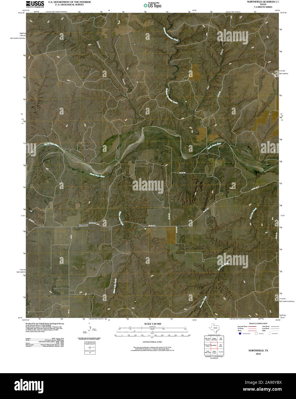 USGS TOPO Map Texas TX Northfield 20100323 TM Restoration Stock Photohttps://www.alamy.com/image-license-details/?v=1https://www.alamy.com/usgs-topo-map-texas-tx-northfield-20100323-tm-restoration-image332550398.html
RM2A90YBX–USGS TOPO Map Texas TX Northfield 20100323 TM Restoration
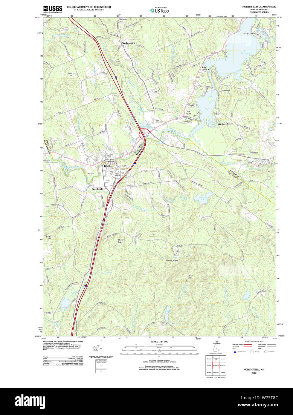 USGS TOPO Map New Hampshire NH Northfield 20120608 TM Restoration Stock Photohttps://www.alamy.com/image-license-details/?v=1https://www.alamy.com/usgs-topo-map-new-hampshire-nh-northfield-20120608-tm-restoration-image262586924.html
RMW75T8C–USGS TOPO Map New Hampshire NH Northfield 20120608 TM Restoration
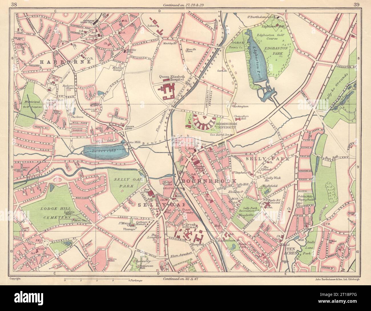 BIRMINGHAM SOUTH WEST Harborne Selly Oak/Park Bournbrook Edgbaston 1954 map Stock Photohttps://www.alamy.com/image-license-details/?v=1https://www.alamy.com/birmingham-south-west-harborne-selly-oakpark-bournbrook-edgbaston-1954-map-image568749876.html
RF2T18P7G–BIRMINGHAM SOUTH WEST Harborne Selly Oak/Park Bournbrook Edgbaston 1954 map
 Massachusetts USGS Historical Topo Map MA Northfield 20120606 TM Restoration Stock Photohttps://www.alamy.com/image-license-details/?v=1https://www.alamy.com/massachusetts-usgs-historical-topo-map-ma-northfield-20120606-tm-restoration-image261435833.html
RMW59C21–Massachusetts USGS Historical Topo Map MA Northfield 20120606 TM Restoration
 Image 9 of Sanborn Fire Insurance Map from Northfield, Washington County, Vermont. Nov 1910. 14 Sheet(s), America, street map with a Nineteenth Century compass Stock Photohttps://www.alamy.com/image-license-details/?v=1https://www.alamy.com/image-9-of-sanborn-fire-insurance-map-from-northfield-washington-county-vermont-nov-1910-14-sheets-america-street-map-with-a-nineteenth-century-compass-image344709157.html
RM2B0PT19–Image 9 of Sanborn Fire Insurance Map from Northfield, Washington County, Vermont. Nov 1910. 14 Sheet(s), America, street map with a Nineteenth Century compass
 Northfield, Harris County, US, United States, Texas, N 29 38' 49'', S 95 30' 48'', map, Cartascapes Map published in 2024. Explore Cartascapes, a map revealing Earth's diverse landscapes, cultures, and ecosystems. Journey through time and space, discovering the interconnectedness of our planet's past, present, and future. Stock Photohttps://www.alamy.com/image-license-details/?v=1https://www.alamy.com/northfield-harris-county-us-united-states-texas-n-29-38-49-s-95-30-48-map-cartascapes-map-published-in-2024-explore-cartascapes-a-map-revealing-earths-diverse-landscapes-cultures-and-ecosystems-journey-through-time-and-space-discovering-the-interconnectedness-of-our-planets-past-present-and-future-image621413666.html
RM2Y2YRD6–Northfield, Harris County, US, United States, Texas, N 29 38' 49'', S 95 30' 48'', map, Cartascapes Map published in 2024. Explore Cartascapes, a map revealing Earth's diverse landscapes, cultures, and ecosystems. Journey through time and space, discovering the interconnectedness of our planet's past, present, and future.
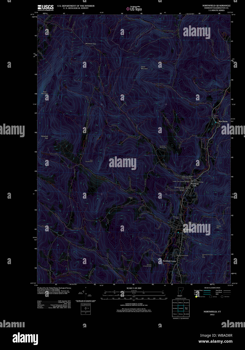 USGS Topo Map Vermont VT Northfield 20120607 TM Inverted Restoration Stock Photohttps://www.alamy.com/image-license-details/?v=1https://www.alamy.com/usgs-topo-map-vermont-vt-northfield-20120607-tm-inverted-restoration-image265146695.html
RMWBAD8R–USGS Topo Map Vermont VT Northfield 20120607 TM Inverted Restoration
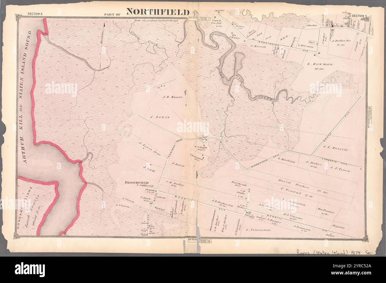 Part of Northfield 1874 by Beers, F. W. (Frederick W.) Stock Photohttps://www.alamy.com/image-license-details/?v=1https://www.alamy.com/part-of-northfield-1874-by-beers-f-w-frederick-w-image633977746.html
RM2YRC52A–Part of Northfield 1874 by Beers, F. W. (Frederick W.)
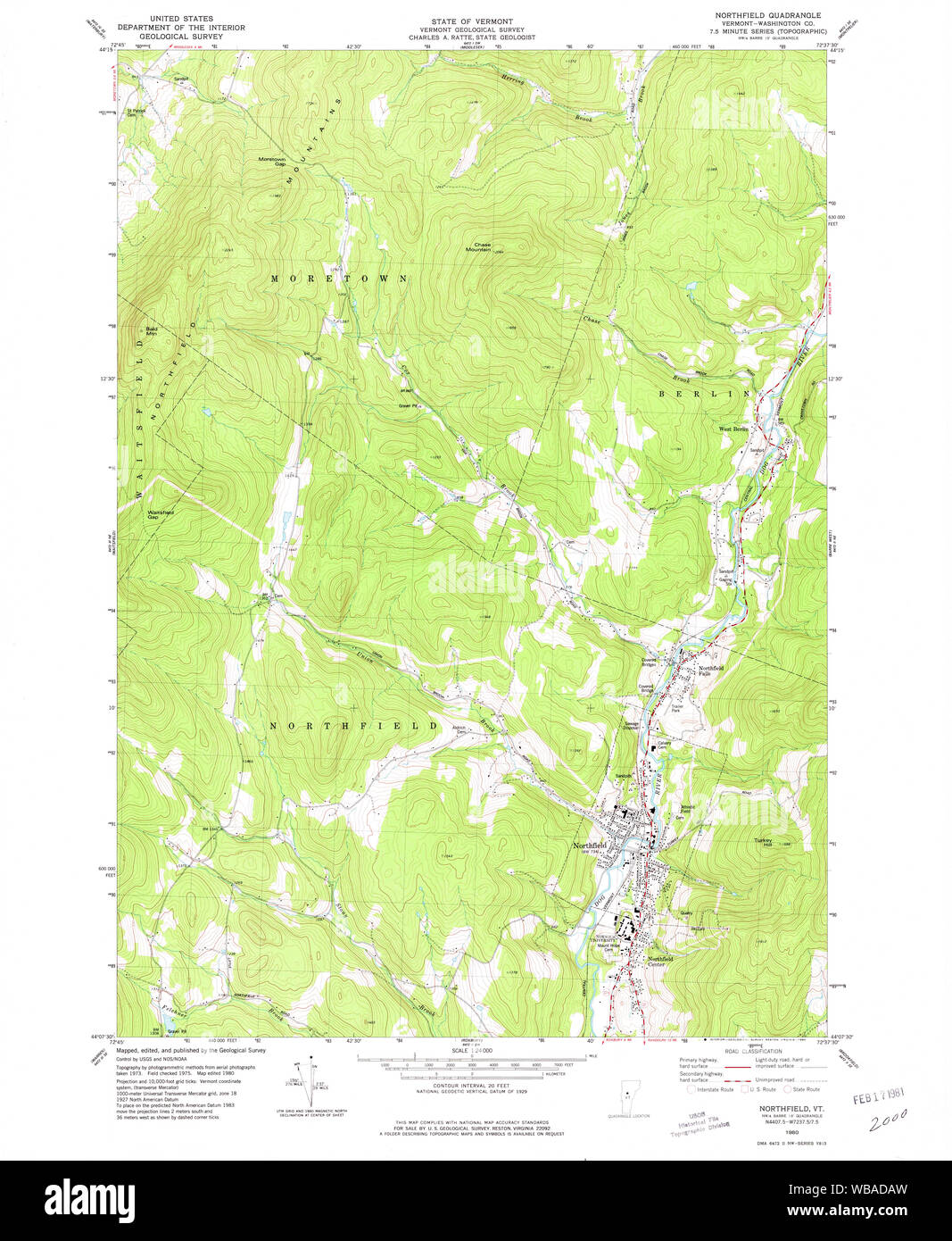 USGS Topo Map Vermont VT Northfield 337568 1980 24000 Restoration Stock Photohttps://www.alamy.com/image-license-details/?v=1https://www.alamy.com/usgs-topo-map-vermont-vt-northfield-337568-1980-24000-restoration-image265146753.html
RMWBADAW–USGS Topo Map Vermont VT Northfield 337568 1980 24000 Restoration
 Cartographic, Maps. 1874. Lionel Pincus and Princess Firyal Map Division. Staten Island (New York, N.Y.) Part of Northfield & Westfield Section 19 Stock Photohttps://www.alamy.com/image-license-details/?v=1https://www.alamy.com/cartographic-maps-1874-lionel-pincus-and-princess-firyal-map-division-staten-island-new-york-ny-part-of-northfield-westfield-section-19-image483732369.html
RM2K2YWG1–Cartographic, Maps. 1874. Lionel Pincus and Princess Firyal Map Division. Staten Island (New York, N.Y.) Part of Northfield & Westfield Section 19
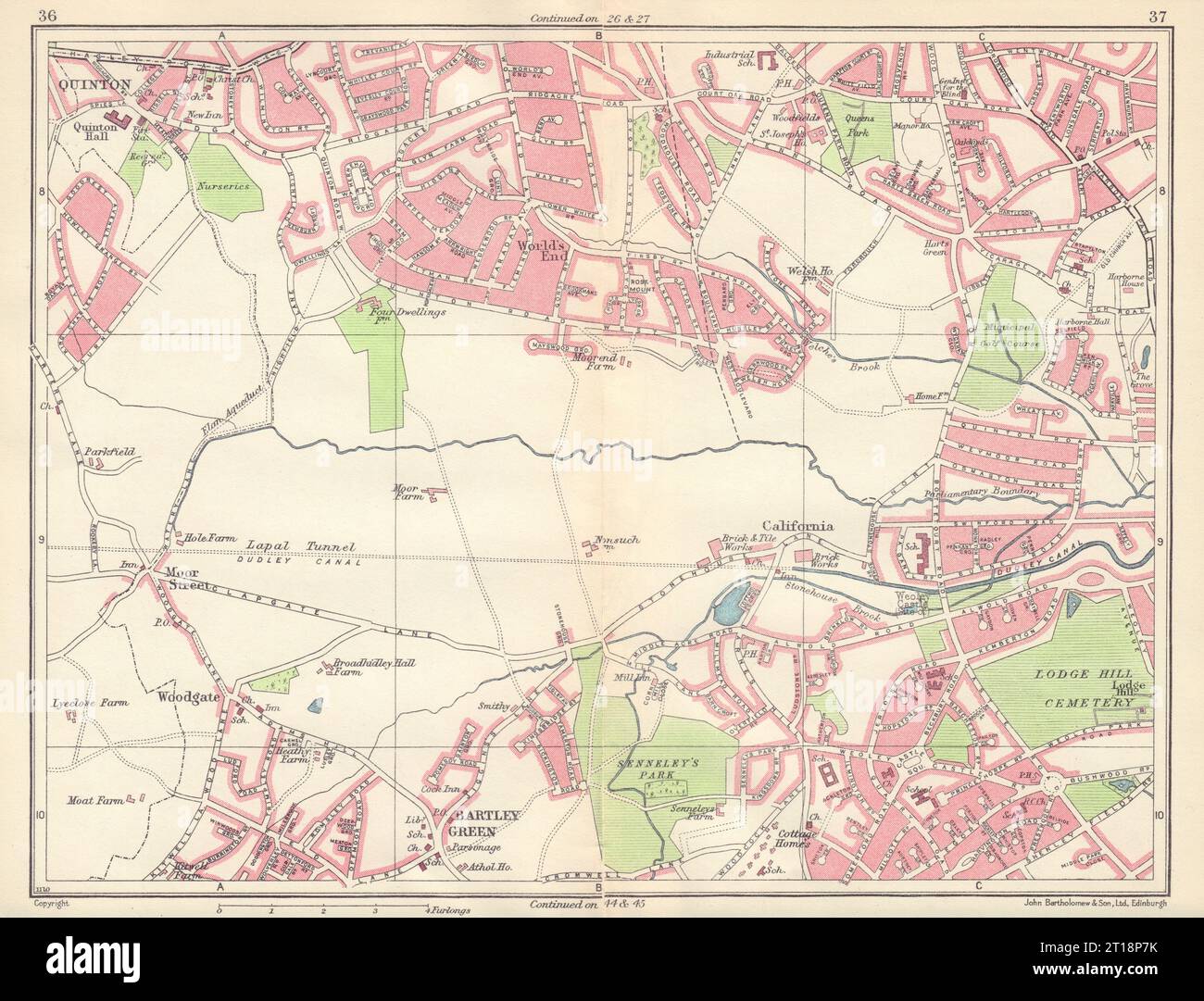 BIRMINGHAM SOUTH WEST Quinton World's End Bartley Green Harborne Weoley 1954 map Stock Photohttps://www.alamy.com/image-license-details/?v=1https://www.alamy.com/birmingham-south-west-quinton-worlds-end-bartley-green-harborne-weoley-1954-map-image568749879.html
RF2T18P7K–BIRMINGHAM SOUTH WEST Quinton World's End Bartley Green Harborne Weoley 1954 map
 Image 5 of Sanborn Fire Insurance Map from Northfield, Washington County, Vermont. Aug 1897. 6 Sheet(s), America, street map with a Nineteenth Century compass Stock Photohttps://www.alamy.com/image-license-details/?v=1https://www.alamy.com/image-5-of-sanborn-fire-insurance-map-from-northfield-washington-county-vermont-aug-1897-6-sheets-america-street-map-with-a-nineteenth-century-compass-image344709138.html
RM2B0PT0J–Image 5 of Sanborn Fire Insurance Map from Northfield, Washington County, Vermont. Aug 1897. 6 Sheet(s), America, street map with a Nineteenth Century compass
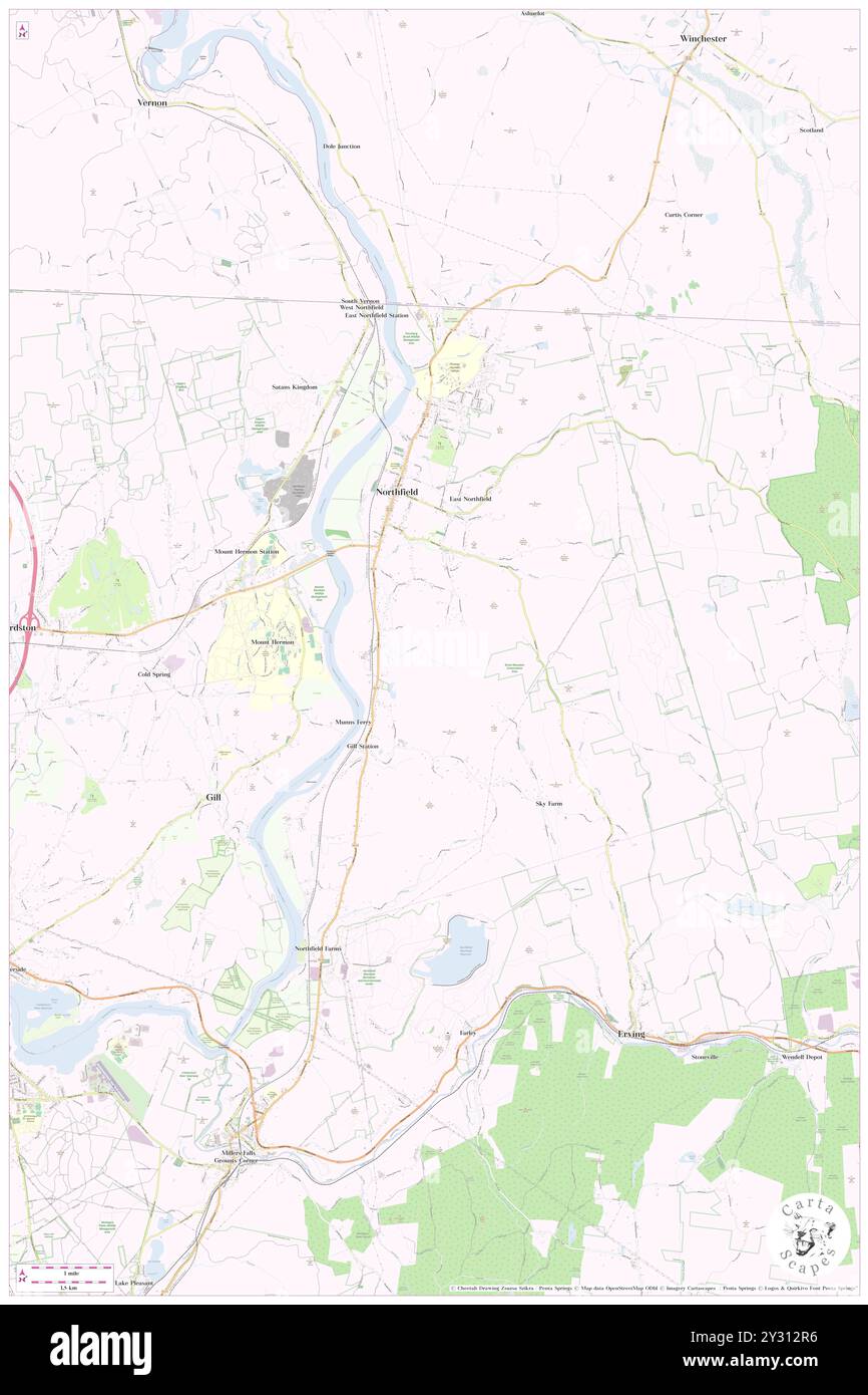 Northfield, Litchfield County, US, United States, Connecticut, N 41 41' 41'', S 73 6' 38'', map, Cartascapes Map published in 2024. Explore Cartascapes, a map revealing Earth's diverse landscapes, cultures, and ecosystems. Journey through time and space, discovering the interconnectedness of our planet's past, present, and future. Stock Photohttps://www.alamy.com/image-license-details/?v=1https://www.alamy.com/northfield-litchfield-county-us-united-states-connecticut-n-41-41-41-s-73-6-38-map-cartascapes-map-published-in-2024-explore-cartascapes-a-map-revealing-earths-diverse-landscapes-cultures-and-ecosystems-journey-through-time-and-space-discovering-the-interconnectedness-of-our-planets-past-present-and-future-image621441386.html
RM2Y312R6–Northfield, Litchfield County, US, United States, Connecticut, N 41 41' 41'', S 73 6' 38'', map, Cartascapes Map published in 2024. Explore Cartascapes, a map revealing Earth's diverse landscapes, cultures, and ecosystems. Journey through time and space, discovering the interconnectedness of our planet's past, present, and future.
 OS #54 Severn Valley & Arden. Solihull Worcester Stratford-upon-Avon 1831 map Stock Photohttps://www.alamy.com/image-license-details/?v=1https://www.alamy.com/os-54-severn-valley-arden-solihull-worcester-stratford-upon-avon-1831-map-image568765459.html
RF2T19E43–OS #54 Severn Valley & Arden. Solihull Worcester Stratford-upon-Avon 1831 map
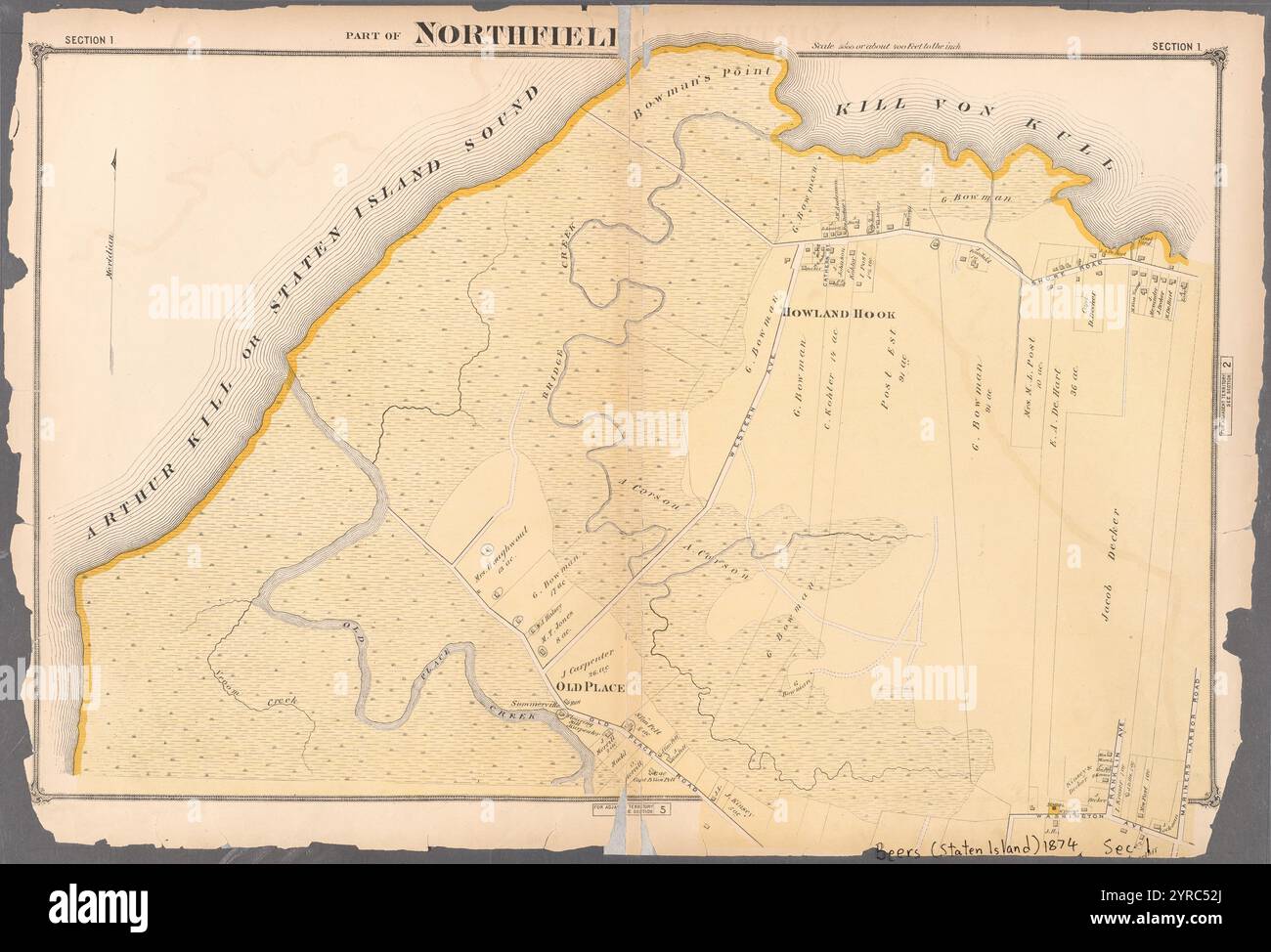 Part of Northfield 1874 by Beers, F. W. (Frederick W.) Stock Photohttps://www.alamy.com/image-license-details/?v=1https://www.alamy.com/part-of-northfield-1874-by-beers-f-w-frederick-w-image633977754.html
RM2YRC52J–Part of Northfield 1874 by Beers, F. W. (Frederick W.)
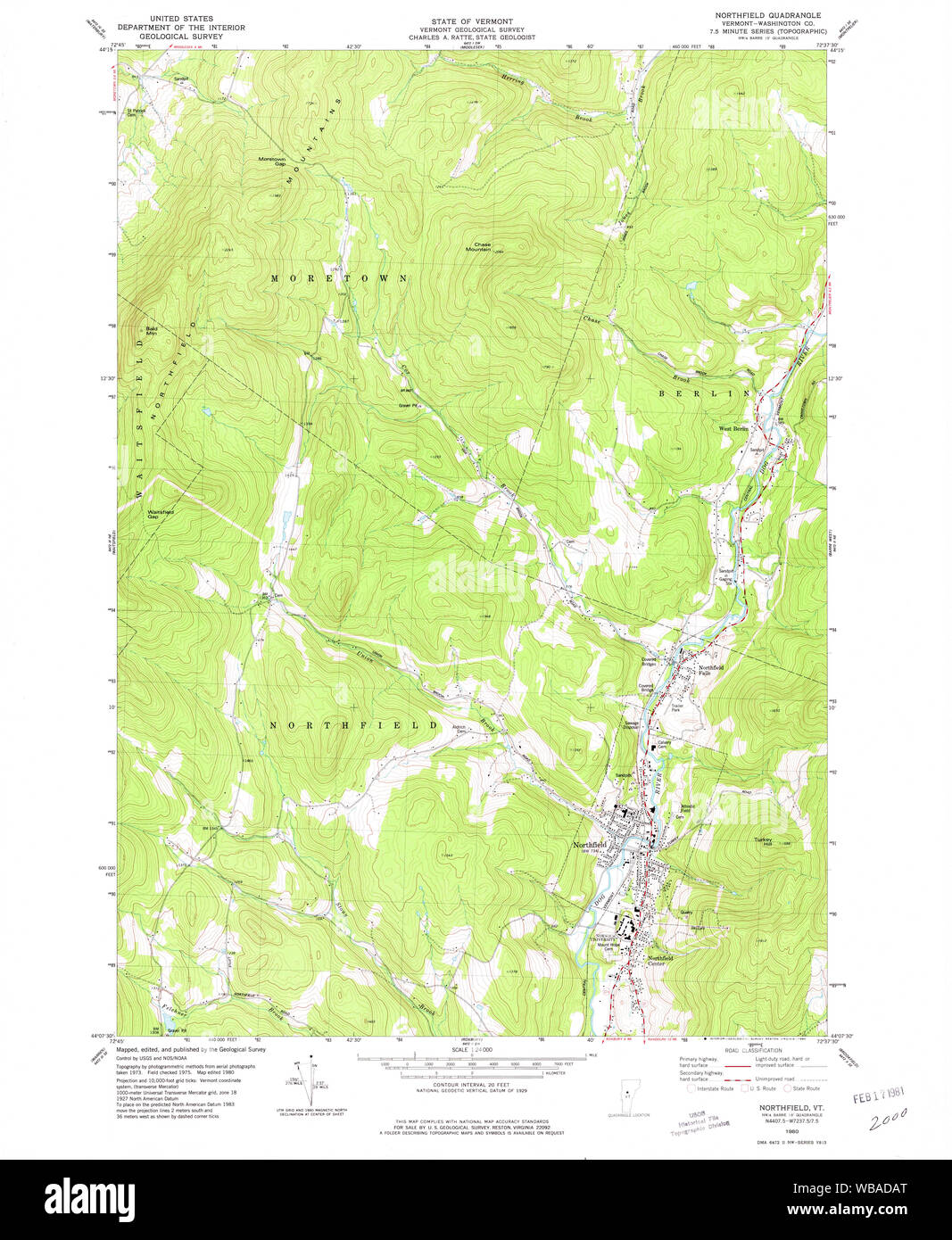 USGS Topo Map Vermont VT Northfield 460035 1980 24000 Restoration Stock Photohttps://www.alamy.com/image-license-details/?v=1https://www.alamy.com/usgs-topo-map-vermont-vt-northfield-460035-1980-24000-restoration-image265146752.html
RMWBADAT–USGS Topo Map Vermont VT Northfield 460035 1980 24000 Restoration
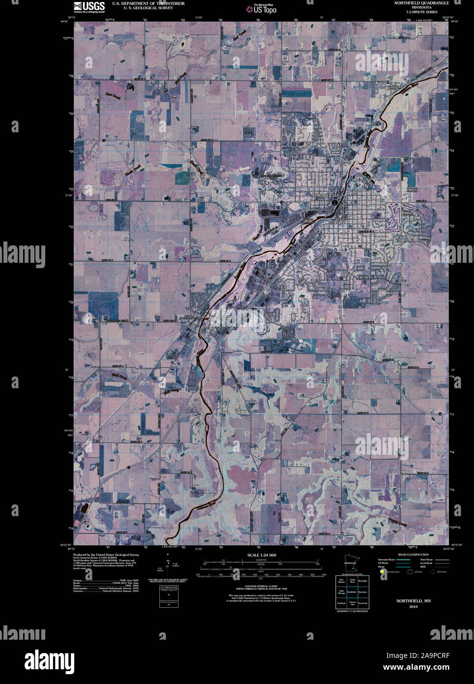 USGS TOPO Map MInnesota MN Northfield 20100812 TM Inverted Restoration Stock Photohttps://www.alamy.com/image-license-details/?v=1https://www.alamy.com/usgs-topo-map-minnesota-mn-northfield-20100812-tm-inverted-restoration-image333021907.html
RM2A9PCRF–USGS TOPO Map MInnesota MN Northfield 20100812 TM Inverted Restoration
 Cartographic, Maps. 1874. Lionel Pincus and Princess Firyal Map Division. Staten Island (New York, N.Y.) Part of Northfield & Westfield Section 14 Stock Photohttps://www.alamy.com/image-license-details/?v=1https://www.alamy.com/cartographic-maps-1874-lionel-pincus-and-princess-firyal-map-division-staten-island-new-york-ny-part-of-northfield-westfield-section-14-image483738603.html
RM2K305EK–Cartographic, Maps. 1874. Lionel Pincus and Princess Firyal Map Division. Staten Island (New York, N.Y.) Part of Northfield & Westfield Section 14
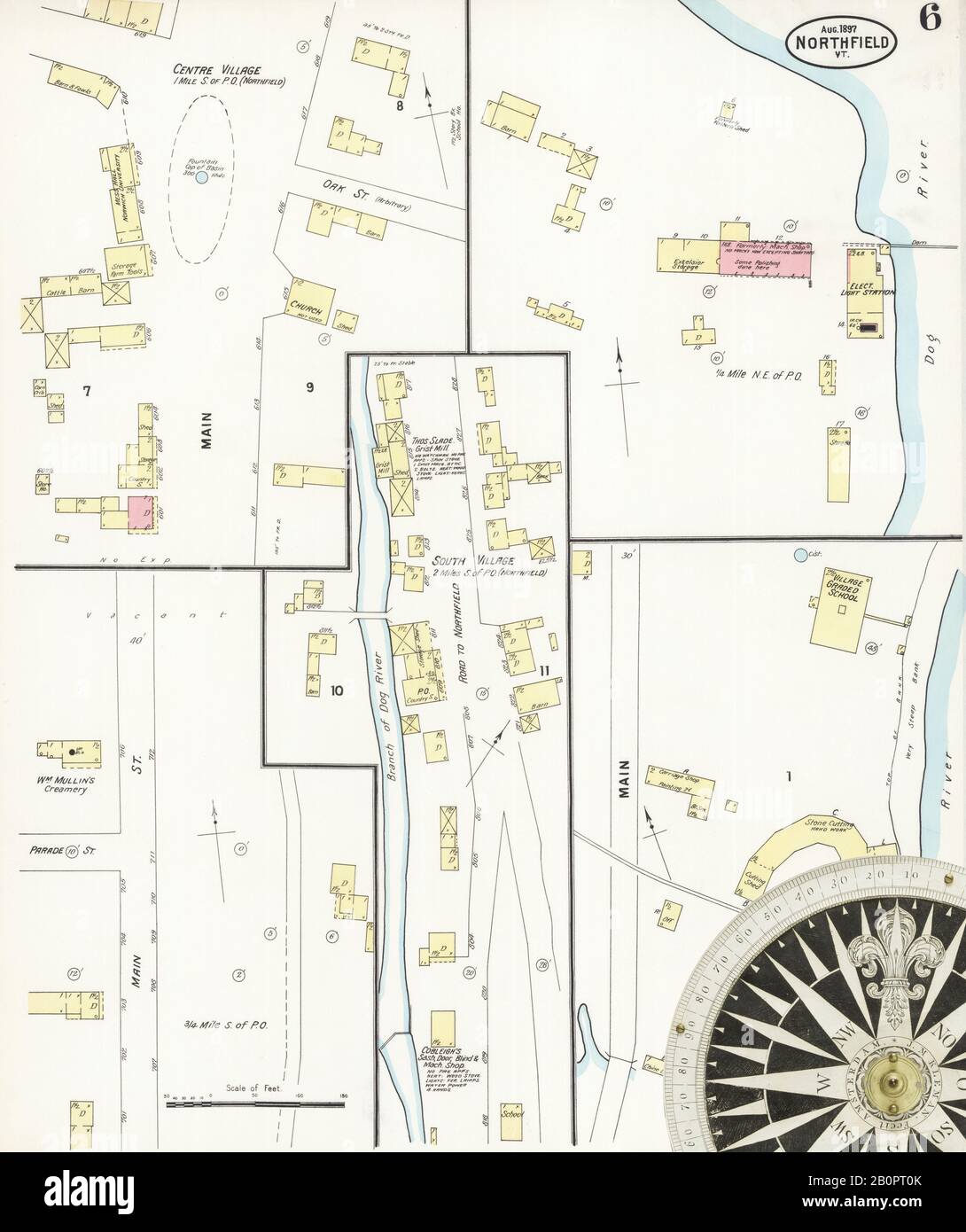 Image 6 of Sanborn Fire Insurance Map from Northfield, Washington County, Vermont. Aug 1897. 6 Sheet(s), America, street map with a Nineteenth Century compass Stock Photohttps://www.alamy.com/image-license-details/?v=1https://www.alamy.com/image-6-of-sanborn-fire-insurance-map-from-northfield-washington-county-vermont-aug-1897-6-sheets-america-street-map-with-a-nineteenth-century-compass-image344709139.html
RM2B0PT0K–Image 6 of Sanborn Fire Insurance Map from Northfield, Washington County, Vermont. Aug 1897. 6 Sheet(s), America, street map with a Nineteenth Century compass
 Northfield, Jefferson County, US, United States, Kentucky, N 38 17' 13'', S 85 38' 27'', map, Cartascapes Map published in 2024. Explore Cartascapes, a map revealing Earth's diverse landscapes, cultures, and ecosystems. Journey through time and space, discovering the interconnectedness of our planet's past, present, and future. Stock Photohttps://www.alamy.com/image-license-details/?v=1https://www.alamy.com/northfield-jefferson-county-us-united-states-kentucky-n-38-17-13-s-85-38-27-map-cartascapes-map-published-in-2024-explore-cartascapes-a-map-revealing-earths-diverse-landscapes-cultures-and-ecosystems-journey-through-time-and-space-discovering-the-interconnectedness-of-our-planets-past-present-and-future-image621379670.html
RM2Y2X832–Northfield, Jefferson County, US, United States, Kentucky, N 38 17' 13'', S 85 38' 27'', map, Cartascapes Map published in 2024. Explore Cartascapes, a map revealing Earth's diverse landscapes, cultures, and ecosystems. Journey through time and space, discovering the interconnectedness of our planet's past, present, and future.
 Part of Northfield 1874 by Beers, F. W. (Frederick W.) Stock Photohttps://www.alamy.com/image-license-details/?v=1https://www.alamy.com/part-of-northfield-1874-by-beers-f-w-frederick-w-image633977759.html
RM2YRC52R–Part of Northfield 1874 by Beers, F. W. (Frederick W.)
 USGS TOPO Map MInnesota MN Northfield 805128 1960 24000 Restoration Stock Photohttps://www.alamy.com/image-license-details/?v=1https://www.alamy.com/usgs-topo-map-minnesota-mn-northfield-805128-1960-24000-restoration-image333022022.html
RM2A9PCYJ–USGS TOPO Map MInnesota MN Northfield 805128 1960 24000 Restoration
 Cartographic, Maps. 1874. Lionel Pincus and Princess Firyal Map Division. Staten Island (New York, N.Y.) Part of Northfield & Castleton Section 6 Stock Photohttps://www.alamy.com/image-license-details/?v=1https://www.alamy.com/cartographic-maps-1874-lionel-pincus-and-princess-firyal-map-division-staten-island-new-york-ny-part-of-northfield-castleton-section-6-image483729756.html
RM2K2YP6M–Cartographic, Maps. 1874. Lionel Pincus and Princess Firyal Map Division. Staten Island (New York, N.Y.) Part of Northfield & Castleton Section 6
 Image 2 of Sanborn Fire Insurance Map from Northfield, Washington County, Vermont. Jun 1885. 2 Sheet(s), America, street map with a Nineteenth Century compass Stock Photohttps://www.alamy.com/image-license-details/?v=1https://www.alamy.com/image-2-of-sanborn-fire-insurance-map-from-northfield-washington-county-vermont-jun-1885-2-sheets-america-street-map-with-a-nineteenth-century-compass-image344709128.html
RM2B0PT08–Image 2 of Sanborn Fire Insurance Map from Northfield, Washington County, Vermont. Jun 1885. 2 Sheet(s), America, street map with a Nineteenth Century compass
 Northfield, Washtenaw County, US, United States, Michigan, N 42 20' 38'', S 83 43' 34'', map, Cartascapes Map published in 2024. Explore Cartascapes, a map revealing Earth's diverse landscapes, cultures, and ecosystems. Journey through time and space, discovering the interconnectedness of our planet's past, present, and future. Stock Photohttps://www.alamy.com/image-license-details/?v=1https://www.alamy.com/northfield-washtenaw-county-us-united-states-michigan-n-42-20-38-s-83-43-34-map-cartascapes-map-published-in-2024-explore-cartascapes-a-map-revealing-earths-diverse-landscapes-cultures-and-ecosystems-journey-through-time-and-space-discovering-the-interconnectedness-of-our-planets-past-present-and-future-image621442641.html
RM2Y314C1–Northfield, Washtenaw County, US, United States, Michigan, N 42 20' 38'', S 83 43' 34'', map, Cartascapes Map published in 2024. Explore Cartascapes, a map revealing Earth's diverse landscapes, cultures, and ecosystems. Journey through time and space, discovering the interconnectedness of our planet's past, present, and future.
 Part of Northfield and Middletown 1874 by Beers, F. W. (Frederick W.) Stock Photohttps://www.alamy.com/image-license-details/?v=1https://www.alamy.com/part-of-northfield-and-middletown-1874-by-beers-f-w-frederick-w-image633977760.html
RM2YRC52T–Part of Northfield and Middletown 1874 by Beers, F. W. (Frederick W.)
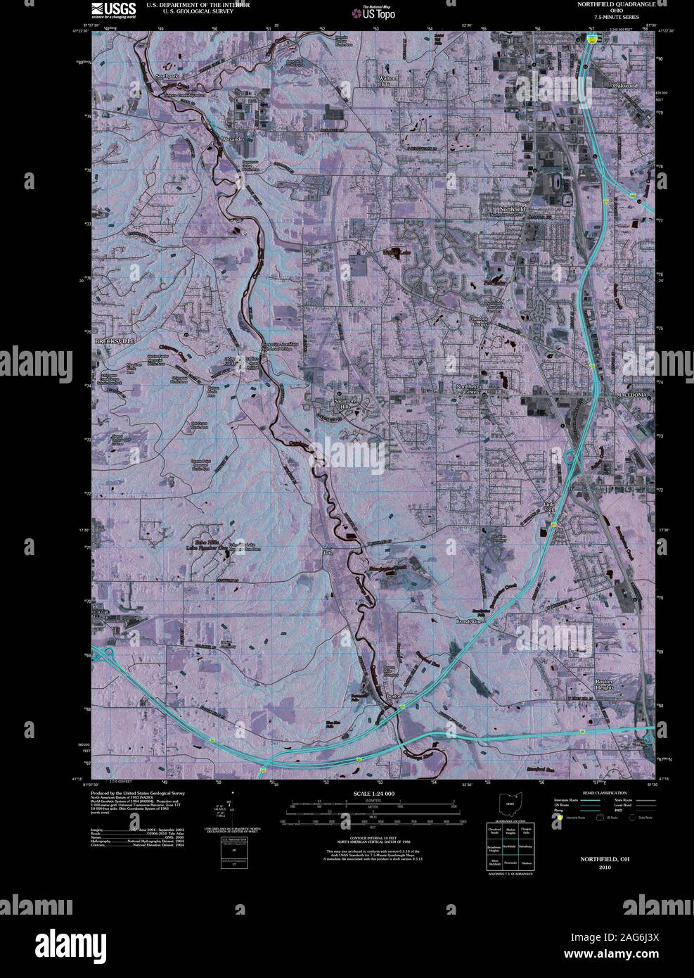 USGS TOPO Map Ohio OH Northfield 20100803 TM Inverted Restoration Stock Photohttps://www.alamy.com/image-license-details/?v=1https://www.alamy.com/usgs-topo-map-ohio-oh-northfield-20100803-tm-inverted-restoration-image336977422.html
RM2AG6J3X–USGS TOPO Map Ohio OH Northfield 20100803 TM Inverted Restoration
 Cartographic, Maps. 1874. Lionel Pincus and Princess Firyal Map Division. Staten Island (New York, N.Y.) Part of Northfield & Middletown Section 15 Stock Photohttps://www.alamy.com/image-license-details/?v=1https://www.alamy.com/cartographic-maps-1874-lionel-pincus-and-princess-firyal-map-division-staten-island-new-york-ny-part-of-northfield-middletown-section-15-image483735856.html
RM2K3020G–Cartographic, Maps. 1874. Lionel Pincus and Princess Firyal Map Division. Staten Island (New York, N.Y.) Part of Northfield & Middletown Section 15
 Image 5 of Sanborn Fire Insurance Map from Northfield, Washington County, Vermont. Aug 1892. 5 Sheet(s), America, street map with a Nineteenth Century compass Stock Photohttps://www.alamy.com/image-license-details/?v=1https://www.alamy.com/image-5-of-sanborn-fire-insurance-map-from-northfield-washington-county-vermont-aug-1892-5-sheets-america-street-map-with-a-nineteenth-century-compass-image344709133.html
RM2B0PT0D–Image 5 of Sanborn Fire Insurance Map from Northfield, Washington County, Vermont. Aug 1892. 5 Sheet(s), America, street map with a Nineteenth Century compass
 Northfield, Washington County, US, United States, Vermont, N 44 9' 4'', S 72 39' 23'', map, Cartascapes Map published in 2024. Explore Cartascapes, a map revealing Earth's diverse landscapes, cultures, and ecosystems. Journey through time and space, discovering the interconnectedness of our planet's past, present, and future. Stock Photohttps://www.alamy.com/image-license-details/?v=1https://www.alamy.com/northfield-washington-county-us-united-states-vermont-n-44-9-4-s-72-39-23-map-cartascapes-map-published-in-2024-explore-cartascapes-a-map-revealing-earths-diverse-landscapes-cultures-and-ecosystems-journey-through-time-and-space-discovering-the-interconnectedness-of-our-planets-past-present-and-future-image621445750.html
RM2Y318B2–Northfield, Washington County, US, United States, Vermont, N 44 9' 4'', S 72 39' 23'', map, Cartascapes Map published in 2024. Explore Cartascapes, a map revealing Earth's diverse landscapes, cultures, and ecosystems. Journey through time and space, discovering the interconnectedness of our planet's past, present, and future.
 Part of Northfield & Westfield 1874 by Beers, F. W. (Frederick W.) Stock Photohttps://www.alamy.com/image-license-details/?v=1https://www.alamy.com/part-of-northfield-westfield-1874-by-beers-f-w-frederick-w-image633977741.html
RM2YRC525–Part of Northfield & Westfield 1874 by Beers, F. W. (Frederick W.)
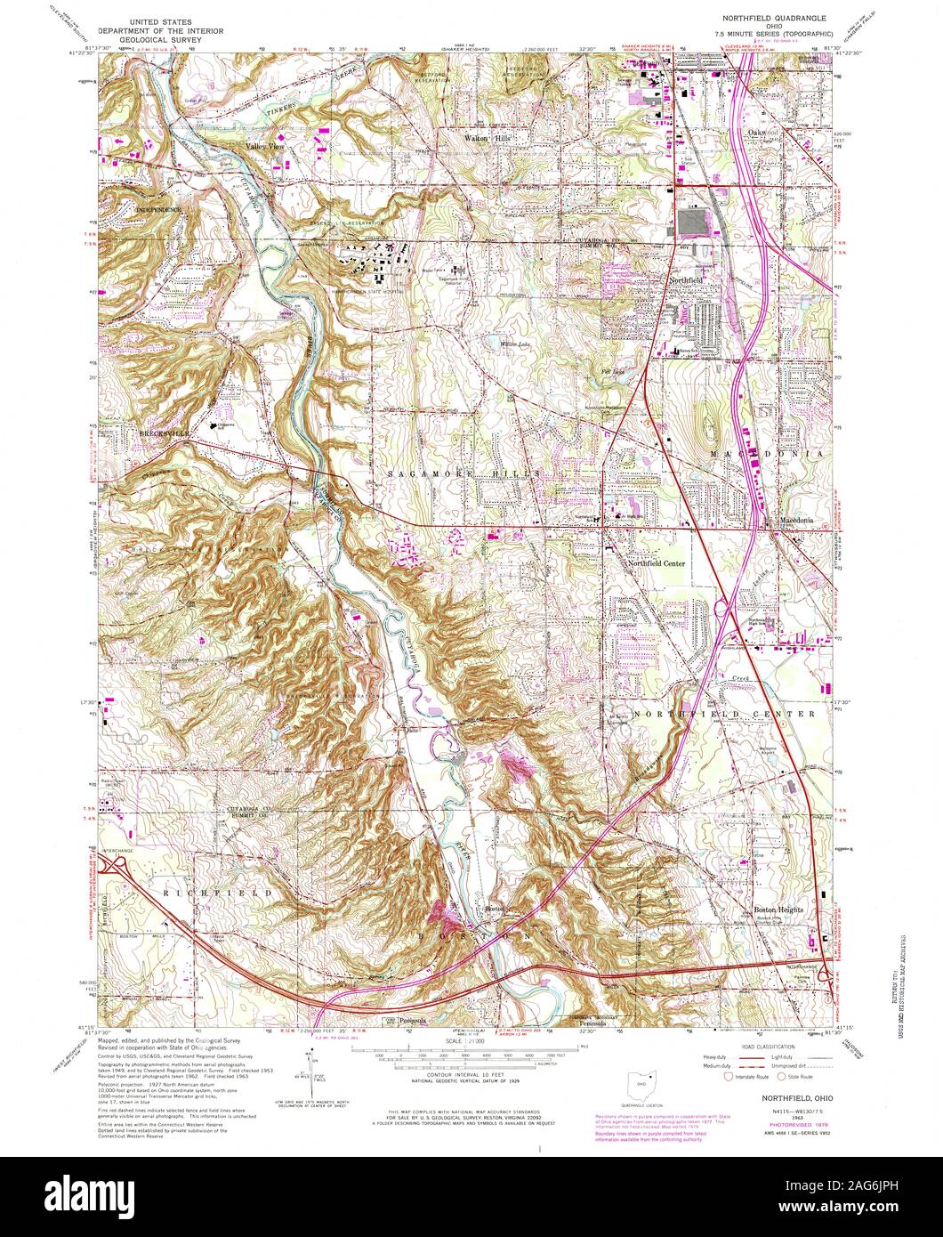 USGS TOPO Map Ohio OH Northfield 227748 1963 24000 Restoration Stock Photohttps://www.alamy.com/image-license-details/?v=1https://www.alamy.com/usgs-topo-map-ohio-oh-northfield-227748-1963-24000-restoration-image336977945.html
RM2AG6JPH–USGS TOPO Map Ohio OH Northfield 227748 1963 24000 Restoration
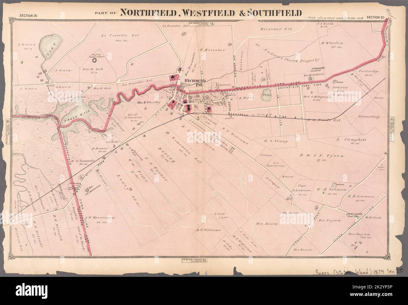 Cartographic, Maps. 1874. Lionel Pincus and Princess Firyal Map Division. Staten Island (New York, N.Y.) Part of Northfield, Westfield & Southfield Section 20 Stock Photohttps://www.alamy.com/image-license-details/?v=1https://www.alamy.com/cartographic-maps-1874-lionel-pincus-and-princess-firyal-map-division-staten-island-new-york-ny-part-of-northfield-westfield-southfield-section-20-image483729674.html
RM2K2YP3P–Cartographic, Maps. 1874. Lionel Pincus and Princess Firyal Map Division. Staten Island (New York, N.Y.) Part of Northfield, Westfield & Southfield Section 20
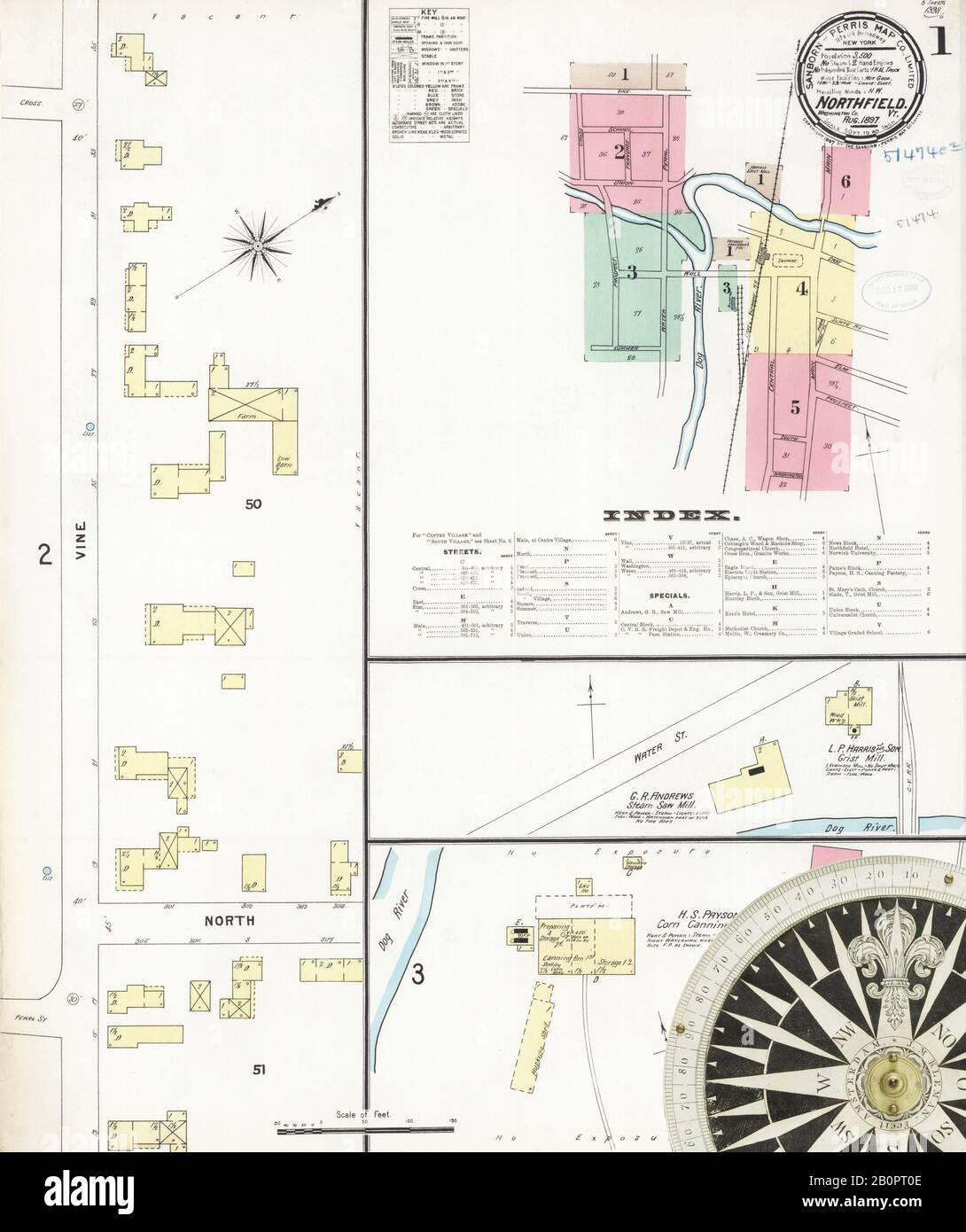 Image 1 of Sanborn Fire Insurance Map from Northfield, Washington County, Vermont. Aug 1897. 6 Sheet(s), America, street map with a Nineteenth Century compass Stock Photohttps://www.alamy.com/image-license-details/?v=1https://www.alamy.com/image-1-of-sanborn-fire-insurance-map-from-northfield-washington-county-vermont-aug-1897-6-sheets-america-street-map-with-a-nineteenth-century-compass-image344709134.html
RM2B0PT0E–Image 1 of Sanborn Fire Insurance Map from Northfield, Washington County, Vermont. Aug 1897. 6 Sheet(s), America, street map with a Nineteenth Century compass
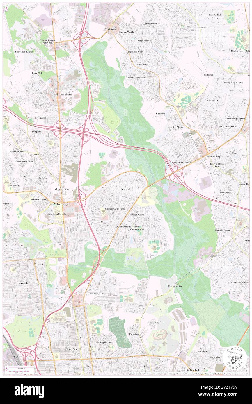 Northfield, Henrico County, US, United States, Virginia, N 37 38' 22'', S 77 25' 58'', map, Cartascapes Map published in 2024. Explore Cartascapes, a map revealing Earth's diverse landscapes, cultures, and ecosystems. Journey through time and space, discovering the interconnectedness of our planet's past, present, and future. Stock Photohttps://www.alamy.com/image-license-details/?v=1https://www.alamy.com/northfield-henrico-county-us-united-states-virginia-n-37-38-22-s-77-25-58-map-cartascapes-map-published-in-2024-explore-cartascapes-a-map-revealing-earths-diverse-landscapes-cultures-and-ecosystems-journey-through-time-and-space-discovering-the-interconnectedness-of-our-planets-past-present-and-future-image621335063.html
RM2Y2T75Y–Northfield, Henrico County, US, United States, Virginia, N 37 38' 22'', S 77 25' 58'', map, Cartascapes Map published in 2024. Explore Cartascapes, a map revealing Earth's diverse landscapes, cultures, and ecosystems. Journey through time and space, discovering the interconnectedness of our planet's past, present, and future.
 Part of Northfield & Westfield 1874 by Beers, F. W. (Frederick W.) Stock Photohttps://www.alamy.com/image-license-details/?v=1https://www.alamy.com/part-of-northfield-westfield-1874-by-beers-f-w-frederick-w-image633977914.html
RM2YRC58A–Part of Northfield & Westfield 1874 by Beers, F. W. (Frederick W.)
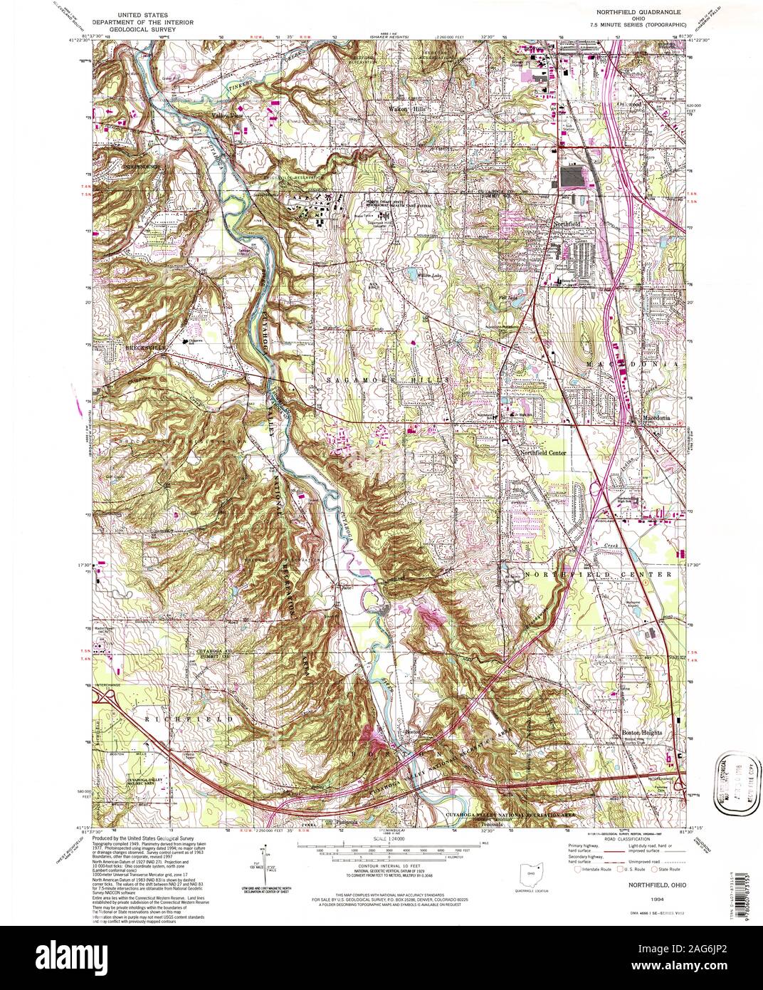 USGS TOPO Map Ohio OH Northfield 227986 1994 24000 Restoration Stock Photohttps://www.alamy.com/image-license-details/?v=1https://www.alamy.com/usgs-topo-map-ohio-oh-northfield-227986-1994-24000-restoration-image336977930.html
RM2AG6JP2–USGS TOPO Map Ohio OH Northfield 227986 1994 24000 Restoration
 Cartographic, Maps. 1884 - 1936. Lionel Pincus and Princess Firyal Map Division. Fire insurance , New York (State), Real property , New York (State), Cities & towns , New York (State) Staten Island, V. 2, Plate No. 121 Map bounded by Davidson, Lockman Ave., Northfield Ave. Stock Photohttps://www.alamy.com/image-license-details/?v=1https://www.alamy.com/cartographic-maps-1884-1936-lionel-pincus-and-princess-firyal-map-division-fire-insurance-new-york-state-real-property-new-york-state-cities-towns-new-york-state-staten-island-v-2-plate-no-121-map-bounded-by-davidson-lockman-ave-northfield-ave-image483571824.html
RM2K2MGP8–Cartographic, Maps. 1884 - 1936. Lionel Pincus and Princess Firyal Map Division. Fire insurance , New York (State), Real property , New York (State), Cities & towns , New York (State) Staten Island, V. 2, Plate No. 121 Map bounded by Davidson, Lockman Ave., Northfield Ave.
 Image 14 of Sanborn Fire Insurance Map from Northfield, Washington County, Vermont. Nov 1910. 14 Sheet(s), America, street map with a Nineteenth Century compass Stock Photohttps://www.alamy.com/image-license-details/?v=1https://www.alamy.com/image-14-of-sanborn-fire-insurance-map-from-northfield-washington-county-vermont-nov-1910-14-sheets-america-street-map-with-a-nineteenth-century-compass-image344709162.html
RM2B0PT1E–Image 14 of Sanborn Fire Insurance Map from Northfield, Washington County, Vermont. Nov 1910. 14 Sheet(s), America, street map with a Nineteenth Century compass
 Northfield, Franklin County, US, United States, Massachusetts, N 42 41' 45'', S 72 27' 10'', map, Cartascapes Map published in 2024. Explore Cartascapes, a map revealing Earth's diverse landscapes, cultures, and ecosystems. Journey through time and space, discovering the interconnectedness of our planet's past, present, and future. Stock Photohttps://www.alamy.com/image-license-details/?v=1https://www.alamy.com/northfield-franklin-county-us-united-states-massachusetts-n-42-41-45-s-72-27-10-map-cartascapes-map-published-in-2024-explore-cartascapes-a-map-revealing-earths-diverse-landscapes-cultures-and-ecosystems-journey-through-time-and-space-discovering-the-interconnectedness-of-our-planets-past-present-and-future-image621344712.html
RM2Y2TKEG–Northfield, Franklin County, US, United States, Massachusetts, N 42 41' 45'', S 72 27' 10'', map, Cartascapes Map published in 2024. Explore Cartascapes, a map revealing Earth's diverse landscapes, cultures, and ecosystems. Journey through time and space, discovering the interconnectedness of our planet's past, present, and future.
 Part of Northfield & Castleton 1874 by Beers, F. W. (Frederick W.) Stock Photohttps://www.alamy.com/image-license-details/?v=1https://www.alamy.com/part-of-northfield-castleton-1874-by-beers-f-w-frederick-w-image633977669.html
RM2YRC4YH–Part of Northfield & Castleton 1874 by Beers, F. W. (Frederick W.)
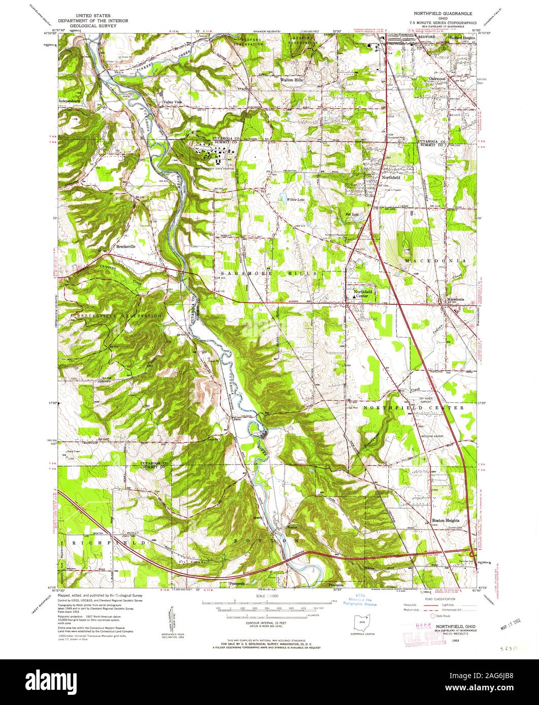 USGS TOPO Map Ohio OH Northfield 227742 1953 24000 Restoration Stock Photohttps://www.alamy.com/image-license-details/?v=1https://www.alamy.com/usgs-topo-map-ohio-oh-northfield-227742-1953-24000-restoration-image336977628.html
RM2AG6JB8–USGS TOPO Map Ohio OH Northfield 227742 1953 24000 Restoration
 Cartographic, Maps. 1917. Lionel Pincus and Princess Firyal Map Division. Staten Island (New York, N.Y.) Plate 23, Part of Ward 3 Map bound by Northfield Ave (Franklin), Richmond Terrace, Pierhead and Bulkhead Line, De Hart Ave (Central), Staten Island Rapid Transit R.R., Union Ave, Brabant St (Beech), Gridley Ave (Columbus), Harbor Road, Lockman Ave, Andros Ave, Mersereau Ave, Grandview Ave, South Ave; Shooters Island - Standard Ship Building Co. Stock Photohttps://www.alamy.com/image-license-details/?v=1https://www.alamy.com/cartographic-maps-1917-lionel-pincus-and-princess-firyal-map-division-staten-island-new-york-ny-plate-23-part-of-ward-3-map-bound-by-northfield-ave-franklin-richmond-terrace-pierhead-and-bulkhead-line-de-hart-ave-central-staten-island-rapid-transit-rr-union-ave-brabant-st-beech-gridley-ave-columbus-harbor-road-lockman-ave-andros-ave-mersereau-ave-grandview-ave-south-ave-shooters-island-standard-ship-building-co-image483721742.html
RM2K2YC0E–Cartographic, Maps. 1917. Lionel Pincus and Princess Firyal Map Division. Staten Island (New York, N.Y.) Plate 23, Part of Ward 3 Map bound by Northfield Ave (Franklin), Richmond Terrace, Pierhead and Bulkhead Line, De Hart Ave (Central), Staten Island Rapid Transit R.R., Union Ave, Brabant St (Beech), Gridley Ave (Columbus), Harbor Road, Lockman Ave, Andros Ave, Mersereau Ave, Grandview Ave, South Ave; Shooters Island - Standard Ship Building Co.
 Image 7 of Sanborn Fire Insurance Map from Northfield, Washington County, Vermont. Oct 1903. 8 Sheet(s), America, street map with a Nineteenth Century compass Stock Photohttps://www.alamy.com/image-license-details/?v=1https://www.alamy.com/image-7-of-sanborn-fire-insurance-map-from-northfield-washington-county-vermont-oct-1903-8-sheets-america-street-map-with-a-nineteenth-century-compass-image344709147.html
RM2B0PT0Y–Image 7 of Sanborn Fire Insurance Map from Northfield, Washington County, Vermont. Oct 1903. 8 Sheet(s), America, street map with a Nineteenth Century compass
 Northfield, Motley County, US, United States, Texas, N 34 17' 14'', S 100 35' 55'', map, Cartascapes Map published in 2024. Explore Cartascapes, a map revealing Earth's diverse landscapes, cultures, and ecosystems. Journey through time and space, discovering the interconnectedness of our planet's past, present, and future. Stock Photohttps://www.alamy.com/image-license-details/?v=1https://www.alamy.com/northfield-motley-county-us-united-states-texas-n-34-17-14-s-100-35-55-map-cartascapes-map-published-in-2024-explore-cartascapes-a-map-revealing-earths-diverse-landscapes-cultures-and-ecosystems-journey-through-time-and-space-discovering-the-interconnectedness-of-our-planets-past-present-and-future-image621423180.html
RM2Y307H0–Northfield, Motley County, US, United States, Texas, N 34 17' 14'', S 100 35' 55'', map, Cartascapes Map published in 2024. Explore Cartascapes, a map revealing Earth's diverse landscapes, cultures, and ecosystems. Journey through time and space, discovering the interconnectedness of our planet's past, present, and future.
 Part of Northfield, Westfield & Southfield 1874 by Beers, F. W. (Frederick W.) Stock Photohttps://www.alamy.com/image-license-details/?v=1https://www.alamy.com/part-of-northfield-westfield-southfield-1874-by-beers-f-w-frederick-w-image633977687.html
RM2YRC507–Part of Northfield, Westfield & Southfield 1874 by Beers, F. W. (Frederick W.)
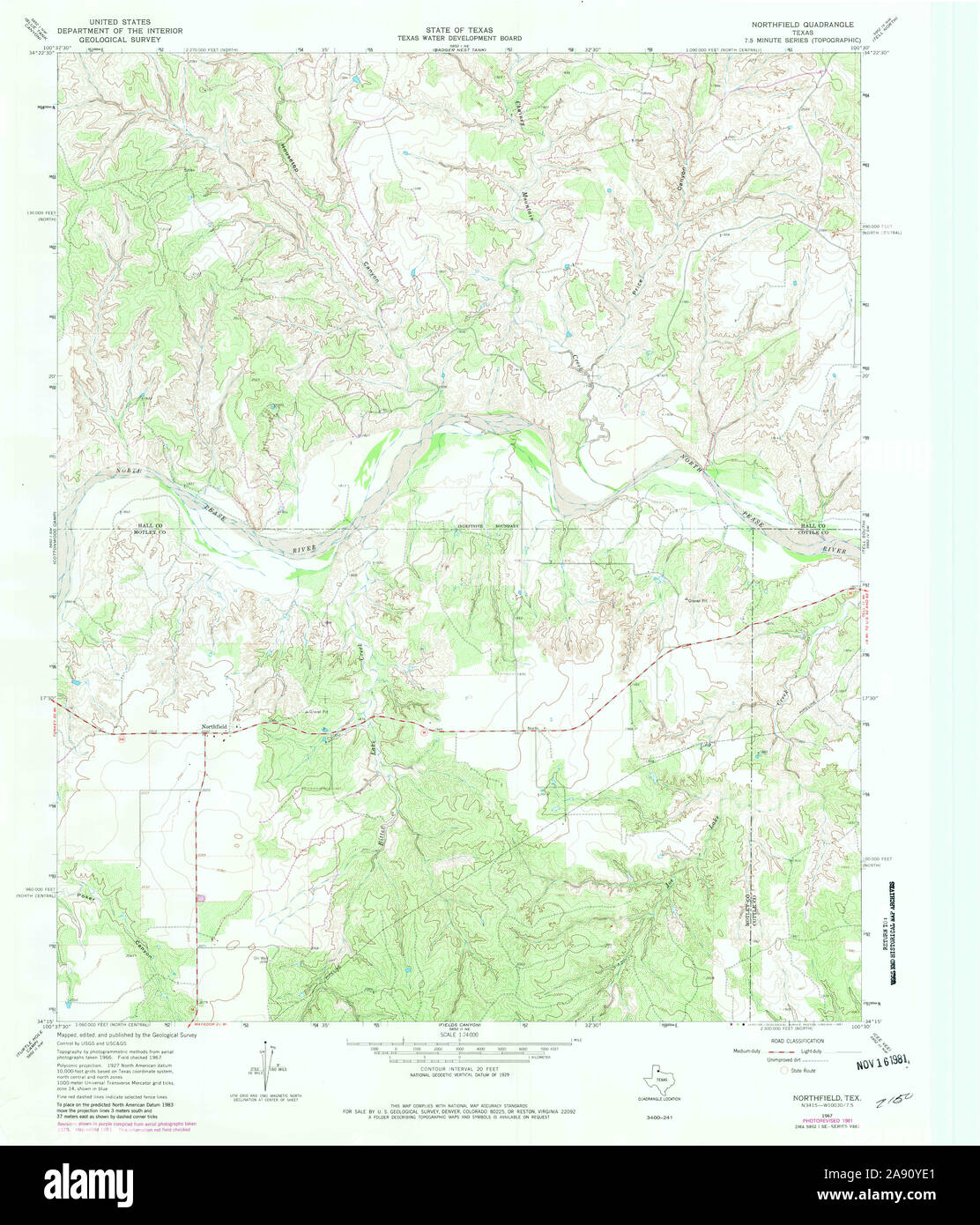 USGS TOPO Map Texas TX Northfield 114748 1967 24000 Restoration Stock Photohttps://www.alamy.com/image-license-details/?v=1https://www.alamy.com/usgs-topo-map-texas-tx-northfield-114748-1967-24000-restoration-image332550457.html
RM2A90YE1–USGS TOPO Map Texas TX Northfield 114748 1967 24000 Restoration
 Map of Summit Co., Ohio. Includes directories, distance chart, statistics, 24 insets, and 4 views of public, and commercial properties. Insets: Akron -- Boston -- Hudson Village -- Middlebury -- Richfield -- Tallmadge -- Hammonds Corners -- Bates Corners -- Cuyahoga Falls -- Northfield Village -- Macedonia -- Johnsons Corners -- Montrose -- Stow Corners -- Twinsburg Center -- Darrow Ville, Stow Township -- Ghent, Bath Township --Mogadore Village, Springfield Village -- East Liberty in Green Township -- Copley Center -- Manchester Village -- Greensburgh Village -- Clinton Village -- Peninsula. Stock Photohttps://www.alamy.com/image-license-details/?v=1https://www.alamy.com/map-of-summit-co-ohio-includes-directories-distance-chart-statistics-24-insets-and-4-views-of-public-and-commercial-properties-insets-akron-boston-hudson-village-middlebury-richfield-tallmadge-hammonds-corners-bates-corners-cuyahoga-falls-northfield-village-macedonia-johnsons-corners-montrose-stow-corners-twinsburg-center-darrow-ville-stow-township-ghent-bath-township-mogadore-village-springfield-village-east-liberty-in-green-township-copley-center-manchester-village-greensburgh-village-clinton-village-peninsula-image502712858.html
RM2M5TFAJ–Map of Summit Co., Ohio. Includes directories, distance chart, statistics, 24 insets, and 4 views of public, and commercial properties. Insets: Akron -- Boston -- Hudson Village -- Middlebury -- Richfield -- Tallmadge -- Hammonds Corners -- Bates Corners -- Cuyahoga Falls -- Northfield Village -- Macedonia -- Johnsons Corners -- Montrose -- Stow Corners -- Twinsburg Center -- Darrow Ville, Stow Township -- Ghent, Bath Township --Mogadore Village, Springfield Village -- East Liberty in Green Township -- Copley Center -- Manchester Village -- Greensburgh Village -- Clinton Village -- Peninsula.
 Image 3 of Sanborn Fire Insurance Map from Northfield, Washington County, Vermont. Aug 1897. 6 Sheet(s), America, street map with a Nineteenth Century compass Stock Photohttps://www.alamy.com/image-license-details/?v=1https://www.alamy.com/image-3-of-sanborn-fire-insurance-map-from-northfield-washington-county-vermont-aug-1897-6-sheets-america-street-map-with-a-nineteenth-century-compass-image344709136.html
RM2B0PT0G–Image 3 of Sanborn Fire Insurance Map from Northfield, Washington County, Vermont. Aug 1897. 6 Sheet(s), America, street map with a Nineteenth Century compass
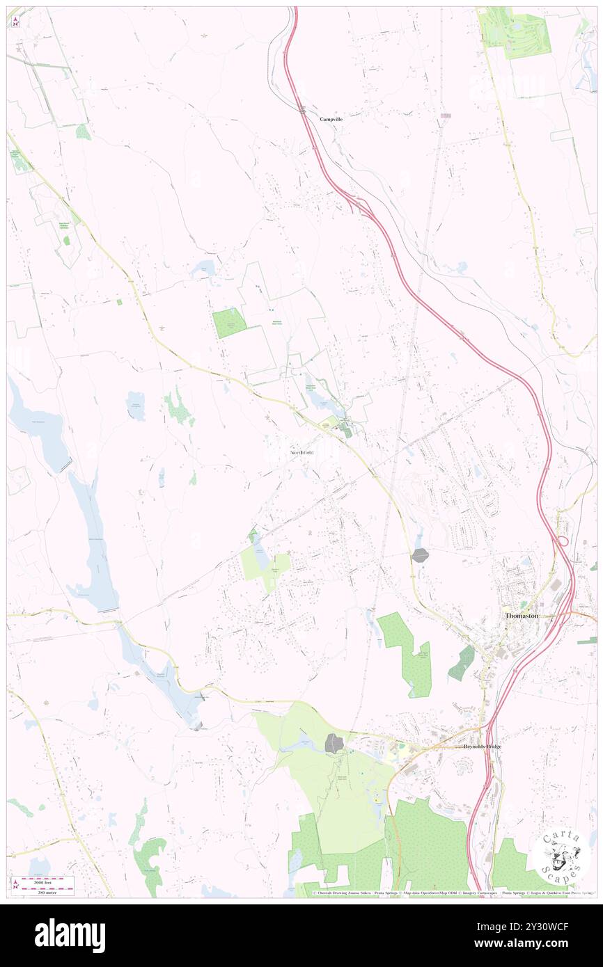 Northfield, Litchfield County, US, United States, Connecticut, N 41 41' 41'', S 73 6' 38'', map, Cartascapes Map published in 2024. Explore Cartascapes, a map revealing Earth's diverse landscapes, cultures, and ecosystems. Journey through time and space, discovering the interconnectedness of our planet's past, present, and future. Stock Photohttps://www.alamy.com/image-license-details/?v=1https://www.alamy.com/northfield-litchfield-county-us-united-states-connecticut-n-41-41-41-s-73-6-38-map-cartascapes-map-published-in-2024-explore-cartascapes-a-map-revealing-earths-diverse-landscapes-cultures-and-ecosystems-journey-through-time-and-space-discovering-the-interconnectedness-of-our-planets-past-present-and-future-image621437167.html
RM2Y30WCF–Northfield, Litchfield County, US, United States, Connecticut, N 41 41' 41'', S 73 6' 38'', map, Cartascapes Map published in 2024. Explore Cartascapes, a map revealing Earth's diverse landscapes, cultures, and ecosystems. Journey through time and space, discovering the interconnectedness of our planet's past, present, and future.
 USGS TOPO Map MInnesota MN Northfield 805816 1991 24000 Restoration Stock Photohttps://www.alamy.com/image-license-details/?v=1https://www.alamy.com/usgs-topo-map-minnesota-mn-northfield-805816-1991-24000-restoration-image333022021.html
RM2A9PCYH–USGS TOPO Map MInnesota MN Northfield 805816 1991 24000 Restoration
 Cartographic, Maps. 1917. Lionel Pincus and Princess Firyal Map Division. Staten Island (New York, N.Y.) Plate 43, Part of Ward 3 Map bound by Sedge Pond, Old Place Creek, Western Ave, Washington Ave, John St, Northfield Ave (Franklin Ave), South Ave, Harbor RD, Brabant St (Beech), Union Ave, Lisk Ave, Henry St, East Broadway, Canal St, Gauldy Ave, Herman Ave, Lamberts Lane, Merrill Ave, Bloomfield Ave (Decker Ave), Chelsea Rd (Bloomfield RD), River RD (Water St), Pralls River, Arthur Kill or Long Island Sound Stock Photohttps://www.alamy.com/image-license-details/?v=1https://www.alamy.com/cartographic-maps-1917-lionel-pincus-and-princess-firyal-map-division-staten-island-new-york-ny-plate-43-part-of-ward-3-map-bound-by-sedge-pond-old-place-creek-western-ave-washington-ave-john-st-northfield-ave-franklin-ave-south-ave-harbor-rd-brabant-st-beech-union-ave-lisk-ave-henry-st-east-broadway-canal-st-gauldy-ave-herman-ave-lamberts-lane-merrill-ave-bloomfield-ave-decker-ave-chelsea-rd-bloomfield-rd-river-rd-water-st-pralls-river-arthur-kill-or-long-island-sound-image483526752.html
RM2K2JF8G–Cartographic, Maps. 1917. Lionel Pincus and Princess Firyal Map Division. Staten Island (New York, N.Y.) Plate 43, Part of Ward 3 Map bound by Sedge Pond, Old Place Creek, Western Ave, Washington Ave, John St, Northfield Ave (Franklin Ave), South Ave, Harbor RD, Brabant St (Beech), Union Ave, Lisk Ave, Henry St, East Broadway, Canal St, Gauldy Ave, Herman Ave, Lamberts Lane, Merrill Ave, Bloomfield Ave (Decker Ave), Chelsea Rd (Bloomfield RD), River RD (Water St), Pralls River, Arthur Kill or Long Island Sound
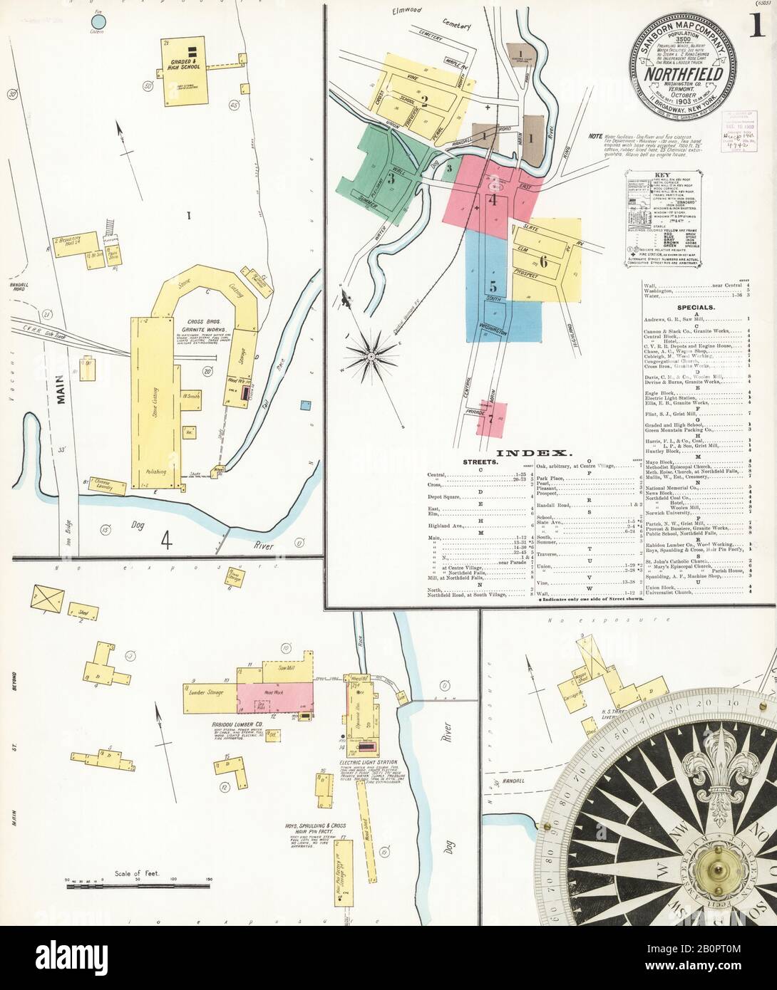 Image 1 of Sanborn Fire Insurance Map from Northfield, Washington County, Vermont. Oct 1903. 8 Sheet(s), America, street map with a Nineteenth Century compass Stock Photohttps://www.alamy.com/image-license-details/?v=1https://www.alamy.com/image-1-of-sanborn-fire-insurance-map-from-northfield-washington-county-vermont-oct-1903-8-sheets-america-street-map-with-a-nineteenth-century-compass-image344709140.html
RM2B0PT0M–Image 1 of Sanborn Fire Insurance Map from Northfield, Washington County, Vermont. Oct 1903. 8 Sheet(s), America, street map with a Nineteenth Century compass