Quick filters:
Nortonville kentucky map Stock Photos and Images
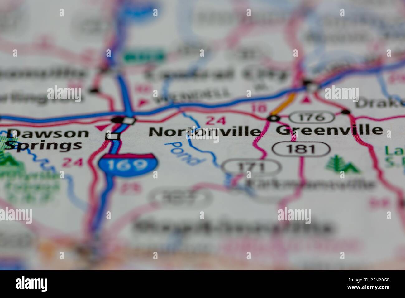 Nortonville Kentucky USA shown on a Geography map or road map Stock Photohttps://www.alamy.com/image-license-details/?v=1https://www.alamy.com/nortonville-kentucky-usa-shown-on-a-geography-map-or-road-map-image426000982.html
RM2FN20GP–Nortonville Kentucky USA shown on a Geography map or road map
 Nortonville, Hopkins County, US, United States, Kentucky, N 37 11' 27'', S 87 27' 10'', map, Cartascapes Map published in 2024. Explore Cartascapes, a map revealing Earth's diverse landscapes, cultures, and ecosystems. Journey through time and space, discovering the interconnectedness of our planet's past, present, and future. Stock Photohttps://www.alamy.com/image-license-details/?v=1https://www.alamy.com/nortonville-hopkins-county-us-united-states-kentucky-n-37-11-27-s-87-27-10-map-cartascapes-map-published-in-2024-explore-cartascapes-a-map-revealing-earths-diverse-landscapes-cultures-and-ecosystems-journey-through-time-and-space-discovering-the-interconnectedness-of-our-planets-past-present-and-future-image621215290.html
RM2Y2JPCA–Nortonville, Hopkins County, US, United States, Kentucky, N 37 11' 27'', S 87 27' 10'', map, Cartascapes Map published in 2024. Explore Cartascapes, a map revealing Earth's diverse landscapes, cultures, and ecosystems. Journey through time and space, discovering the interconnectedness of our planet's past, present, and future.
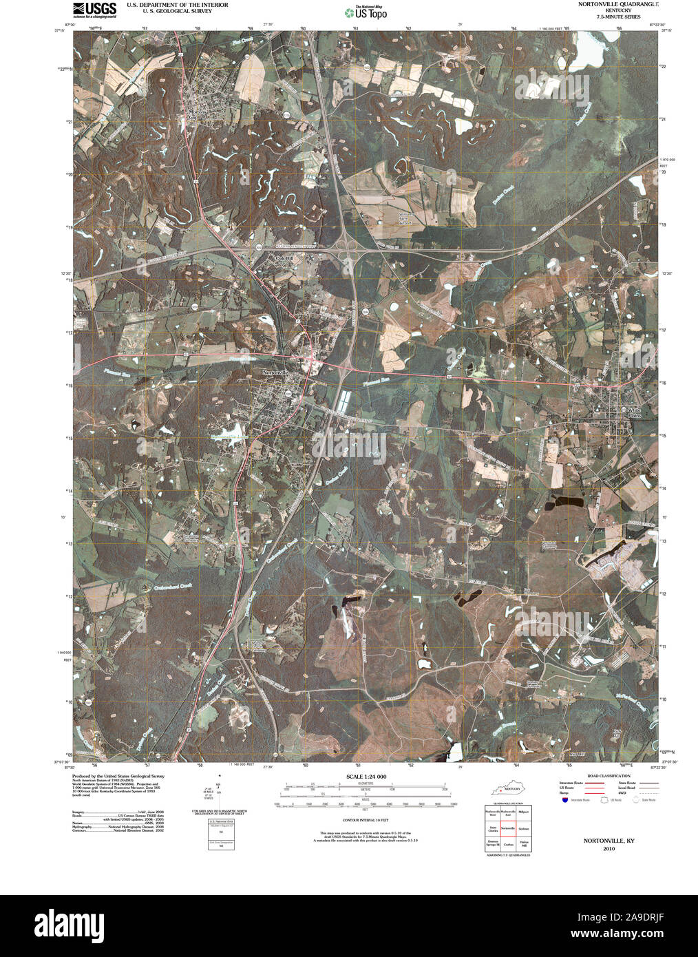 USGS TOPO Map Kentucky KY Nortonville 20100421 TM Stock Photohttps://www.alamy.com/image-license-details/?v=1https://www.alamy.com/usgs-topo-map-kentucky-ky-nortonville-20100421-tm-image332832823.html
RM2A9DRJF–USGS TOPO Map Kentucky KY Nortonville 20100421 TM
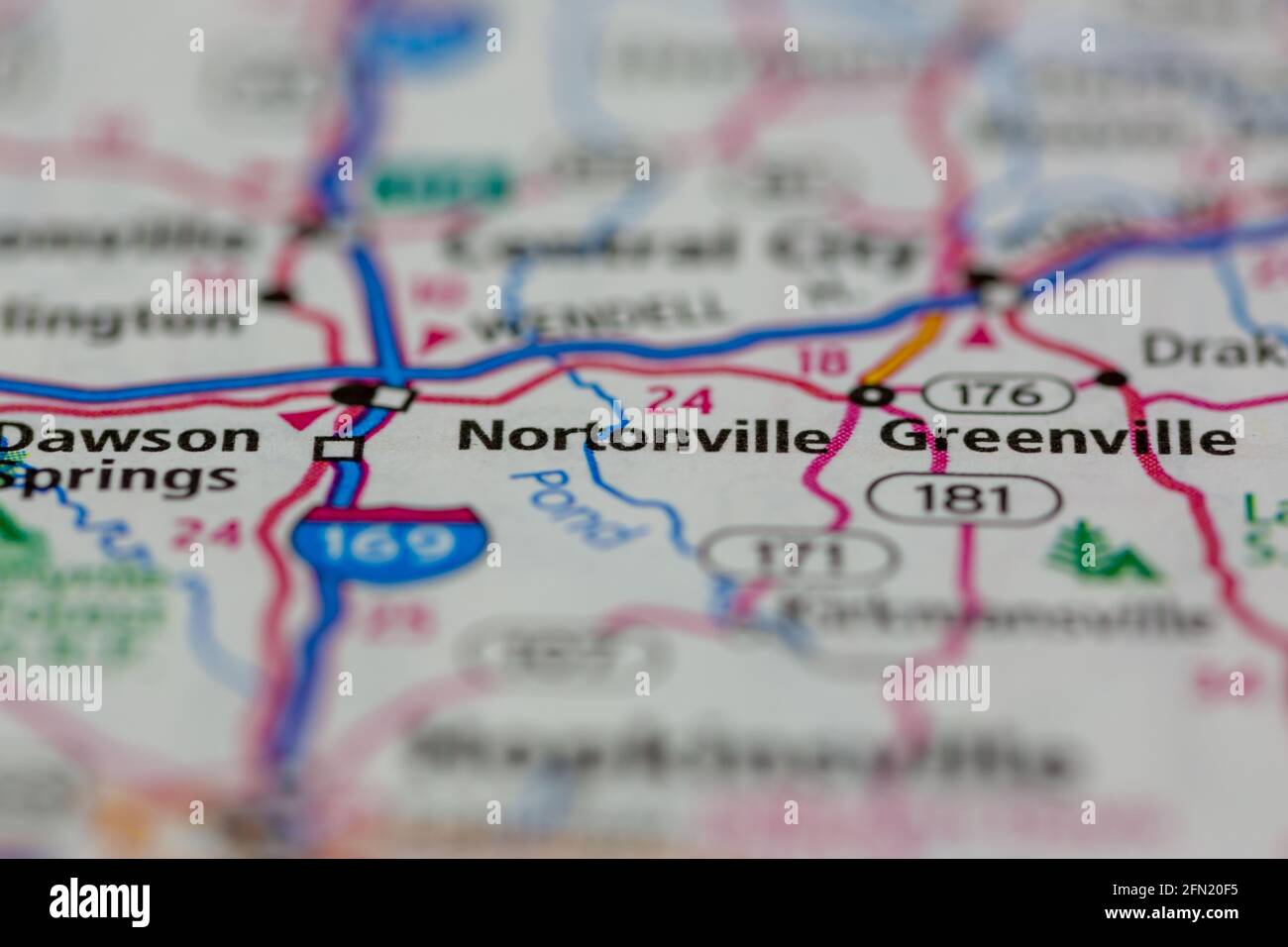 Nortonville Kentucky USA shown on a Geography map or road map Stock Photohttps://www.alamy.com/image-license-details/?v=1https://www.alamy.com/nortonville-kentucky-usa-shown-on-a-geography-map-or-road-map-image426000937.html
RM2FN20F5–Nortonville Kentucky USA shown on a Geography map or road map
 Nortonville, Hopkins County, US, United States, Kentucky, N 37 11' 27'', S 87 27' 10'', map, Cartascapes Map published in 2024. Explore Cartascapes, a map revealing Earth's diverse landscapes, cultures, and ecosystems. Journey through time and space, discovering the interconnectedness of our planet's past, present, and future. Stock Photohttps://www.alamy.com/image-license-details/?v=1https://www.alamy.com/nortonville-hopkins-county-us-united-states-kentucky-n-37-11-27-s-87-27-10-map-cartascapes-map-published-in-2024-explore-cartascapes-a-map-revealing-earths-diverse-landscapes-cultures-and-ecosystems-journey-through-time-and-space-discovering-the-interconnectedness-of-our-planets-past-present-and-future-image621177249.html
RM2Y2H1WN–Nortonville, Hopkins County, US, United States, Kentucky, N 37 11' 27'', S 87 27' 10'', map, Cartascapes Map published in 2024. Explore Cartascapes, a map revealing Earth's diverse landscapes, cultures, and ecosystems. Journey through time and space, discovering the interconnectedness of our planet's past, present, and future.
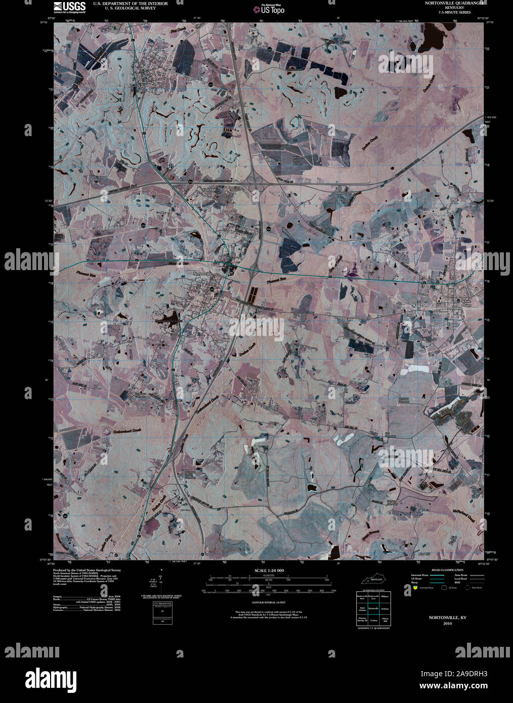 USGS TOPO Map Kentucky KY Nortonville 20100421 TM Inverted Stock Photohttps://www.alamy.com/image-license-details/?v=1https://www.alamy.com/usgs-topo-map-kentucky-ky-nortonville-20100421-tm-inverted-image332832783.html
RM2A9DRH3–USGS TOPO Map Kentucky KY Nortonville 20100421 TM Inverted
 City of Nortonville, Hopkins County, US, United States, Kentucky, N 37 11' 9'', S 87 27' 22'', map, Cartascapes Map published in 2024. Explore Cartascapes, a map revealing Earth's diverse landscapes, cultures, and ecosystems. Journey through time and space, discovering the interconnectedness of our planet's past, present, and future. Stock Photohttps://www.alamy.com/image-license-details/?v=1https://www.alamy.com/city-of-nortonville-hopkins-county-us-united-states-kentucky-n-37-11-9-s-87-27-22-map-cartascapes-map-published-in-2024-explore-cartascapes-a-map-revealing-earths-diverse-landscapes-cultures-and-ecosystems-journey-through-time-and-space-discovering-the-interconnectedness-of-our-planets-past-present-and-future-image633881953.html
RM2YR7PW5–City of Nortonville, Hopkins County, US, United States, Kentucky, N 37 11' 9'', S 87 27' 22'', map, Cartascapes Map published in 2024. Explore Cartascapes, a map revealing Earth's diverse landscapes, cultures, and ecosystems. Journey through time and space, discovering the interconnectedness of our planet's past, present, and future.
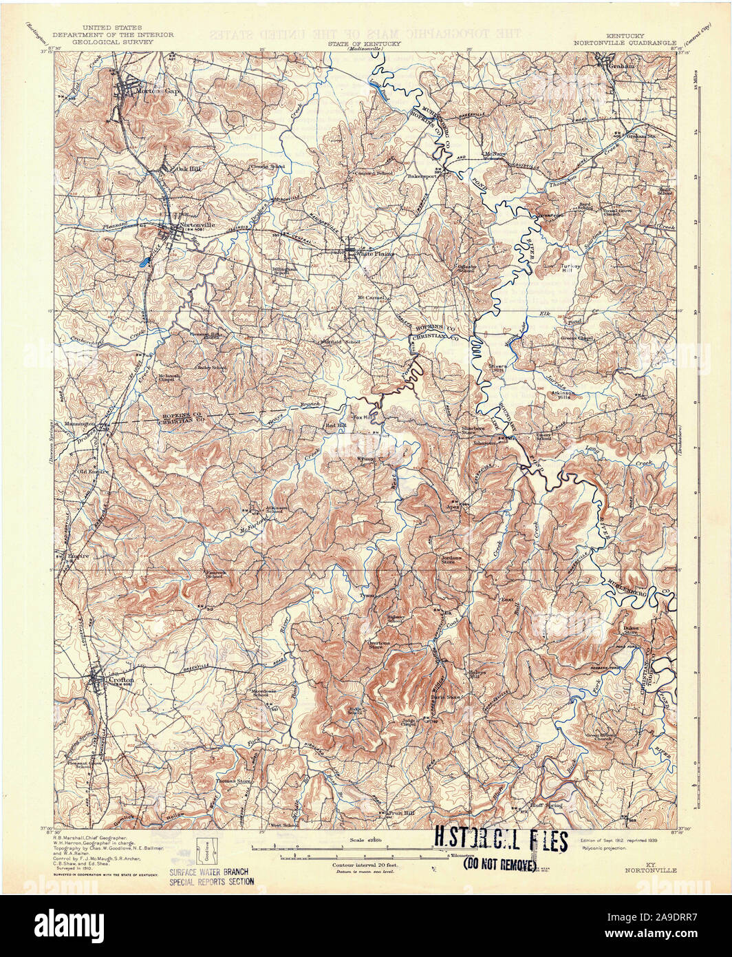 USGS TOPO Map Kentucky KY Nortonville 803836 1912 62500 Stock Photohttps://www.alamy.com/image-license-details/?v=1https://www.alamy.com/usgs-topo-map-kentucky-ky-nortonville-803836-1912-62500-image332832955.html
RM2A9DRR7–USGS TOPO Map Kentucky KY Nortonville 803836 1912 62500
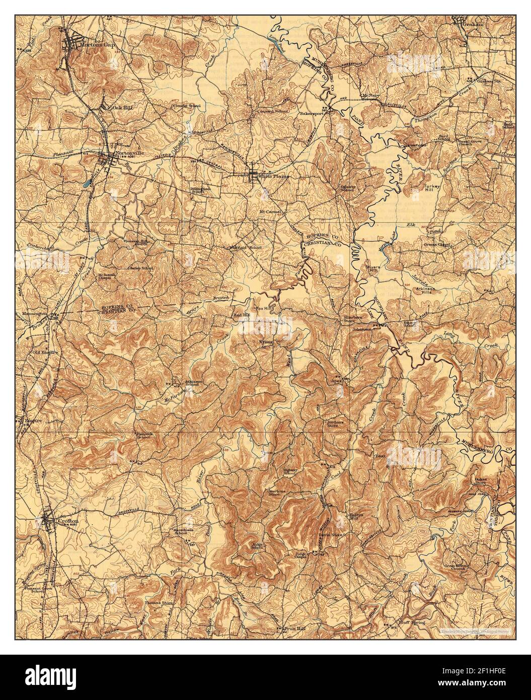 Nortonville, Kentucky, map 1912, 1:62500, United States of America by Timeless Maps, data U.S. Geological Survey Stock Photohttps://www.alamy.com/image-license-details/?v=1https://www.alamy.com/nortonville-kentucky-map-1912-162500-united-states-of-america-by-timeless-maps-data-us-geological-survey-image414048446.html
RM2F1HF0E–Nortonville, Kentucky, map 1912, 1:62500, United States of America by Timeless Maps, data U.S. Geological Survey
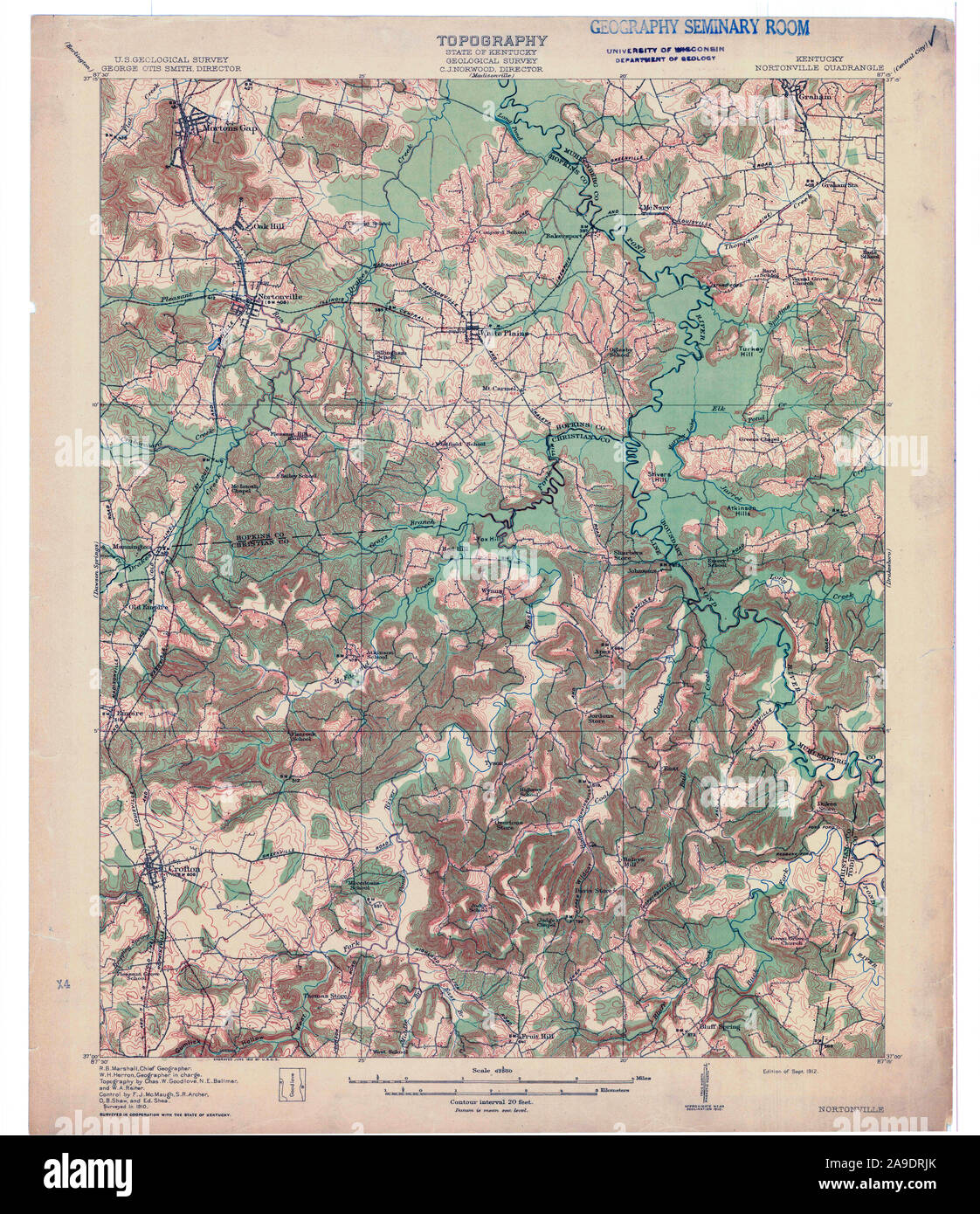 USGS TOPO Map Kentucky KY Nortonville 709417 1912 62500 Stock Photohttps://www.alamy.com/image-license-details/?v=1https://www.alamy.com/usgs-topo-map-kentucky-ky-nortonville-709417-1912-62500-image332832827.html
RM2A9DRJK–USGS TOPO Map Kentucky KY Nortonville 709417 1912 62500
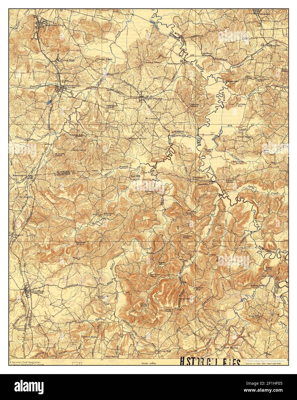 Nortonville, Kentucky, map 1912, 1:62500, United States of America by Timeless Maps, data U.S. Geological Survey Stock Photohttps://www.alamy.com/image-license-details/?v=1https://www.alamy.com/nortonville-kentucky-map-1912-162500-united-states-of-america-by-timeless-maps-data-us-geological-survey-image414048437.html
RM2F1HF05–Nortonville, Kentucky, map 1912, 1:62500, United States of America by Timeless Maps, data U.S. Geological Survey
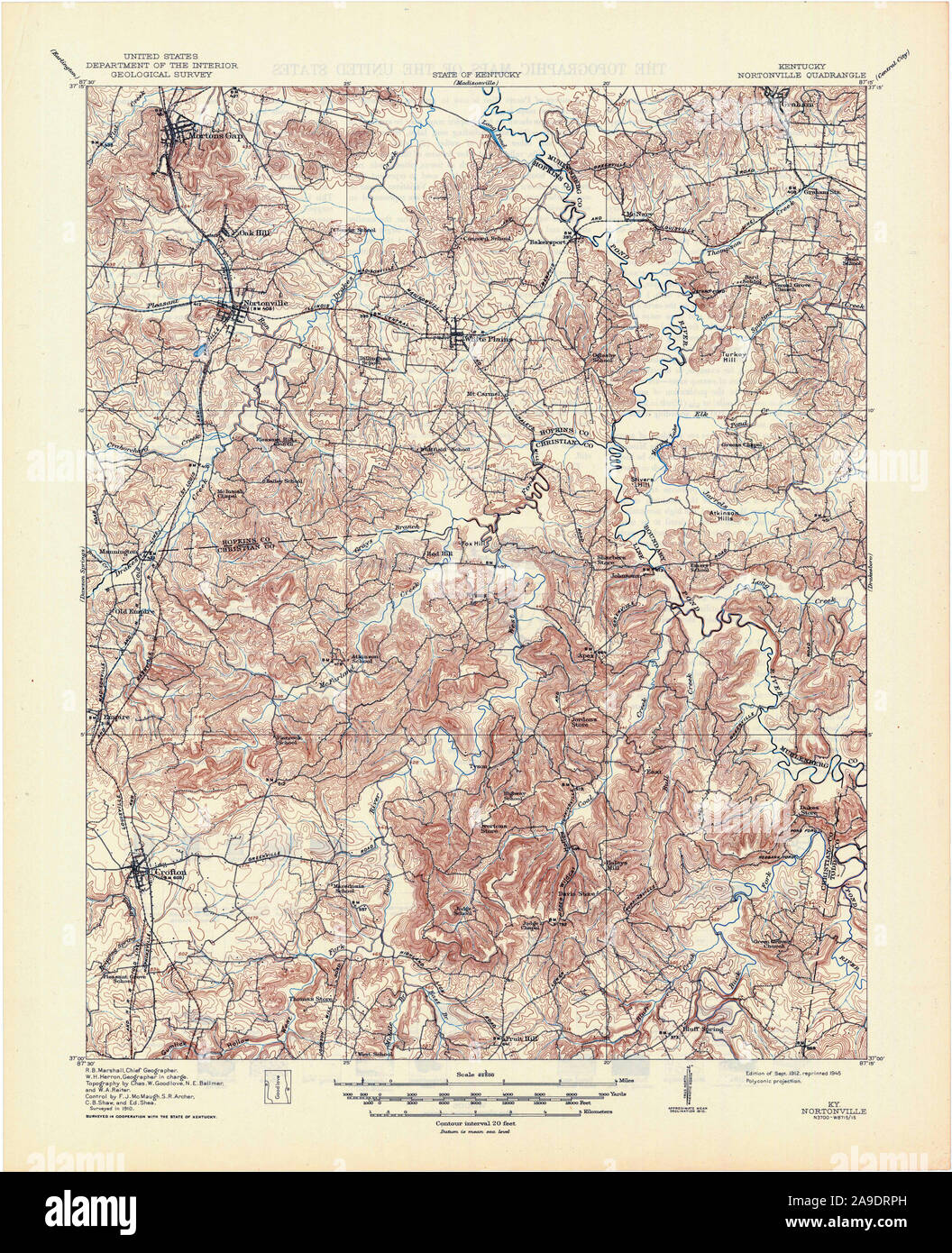 USGS TOPO Map Kentucky KY Nortonville 803835 1912 62500 Stock Photohttps://www.alamy.com/image-license-details/?v=1https://www.alamy.com/usgs-topo-map-kentucky-ky-nortonville-803835-1912-62500-image332832937.html
RM2A9DRPH–USGS TOPO Map Kentucky KY Nortonville 803835 1912 62500
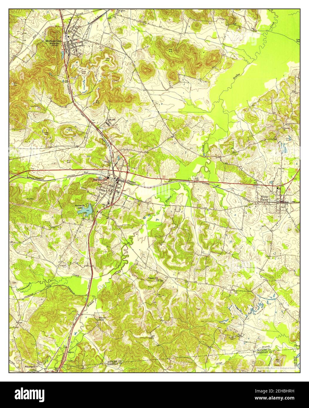 Nortonville, Kentucky, map 1953, 1:24000, United States of America by Timeless Maps, data U.S. Geological Survey Stock Photohttps://www.alamy.com/image-license-details/?v=1https://www.alamy.com/nortonville-kentucky-map-1953-124000-united-states-of-america-by-timeless-maps-data-us-geological-survey-image406543077.html
RM2EHBHRH–Nortonville, Kentucky, map 1953, 1:24000, United States of America by Timeless Maps, data U.S. Geological Survey
 USGS TOPO Map Kentucky KY Nortonville 709418 1953 24000 Stock Photohttps://www.alamy.com/image-license-details/?v=1https://www.alamy.com/usgs-topo-map-kentucky-ky-nortonville-709418-1953-24000-image332832885.html
RM2A9DRMN–USGS TOPO Map Kentucky KY Nortonville 709418 1953 24000
 Nortonville, Kentucky, map 1963, 1:24000, United States of America by Timeless Maps, data U.S. Geological Survey Stock Photohttps://www.alamy.com/image-license-details/?v=1https://www.alamy.com/nortonville-kentucky-map-1963-124000-united-states-of-america-by-timeless-maps-data-us-geological-survey-image406543130.html
RM2EHBHWE–Nortonville, Kentucky, map 1963, 1:24000, United States of America by Timeless Maps, data U.S. Geological Survey
 USGS TOPO Map Kentucky KY Nortonville 709419 1963 24000 Stock Photohttps://www.alamy.com/image-license-details/?v=1https://www.alamy.com/usgs-topo-map-kentucky-ky-nortonville-709419-1963-24000-image332832882.html
RM2A9DRMJ–USGS TOPO Map Kentucky KY Nortonville 709419 1963 24000
 Nortonville, Kentucky, map 1912, 1:62500, United States of America by Timeless Maps, data U.S. Geological Survey Stock Photohttps://www.alamy.com/image-license-details/?v=1https://www.alamy.com/nortonville-kentucky-map-1912-162500-united-states-of-america-by-timeless-maps-data-us-geological-survey-image414048451.html
RM2F1HF0K–Nortonville, Kentucky, map 1912, 1:62500, United States of America by Timeless Maps, data U.S. Geological Survey
 USGS TOPO Map Kentucky KY Nortonville 803836 1912 62500 Inverted Stock Photohttps://www.alamy.com/image-license-details/?v=1https://www.alamy.com/usgs-topo-map-kentucky-ky-nortonville-803836-1912-62500-inverted-image332832943.html
RM2A9DRPR–USGS TOPO Map Kentucky KY Nortonville 803836 1912 62500 Inverted
 USGS TOPO Map Kentucky KY Nortonville 709417 1912 62500 Inverted Stock Photohttps://www.alamy.com/image-license-details/?v=1https://www.alamy.com/usgs-topo-map-kentucky-ky-nortonville-709417-1912-62500-inverted-image332832821.html
RM2A9DRJD–USGS TOPO Map Kentucky KY Nortonville 709417 1912 62500 Inverted
 USGS TOPO Map Kentucky KY Nortonville 803835 1912 62500 Inverted Stock Photohttps://www.alamy.com/image-license-details/?v=1https://www.alamy.com/usgs-topo-map-kentucky-ky-nortonville-803835-1912-62500-inverted-image332832944.html
RM2A9DRPT–USGS TOPO Map Kentucky KY Nortonville 803835 1912 62500 Inverted
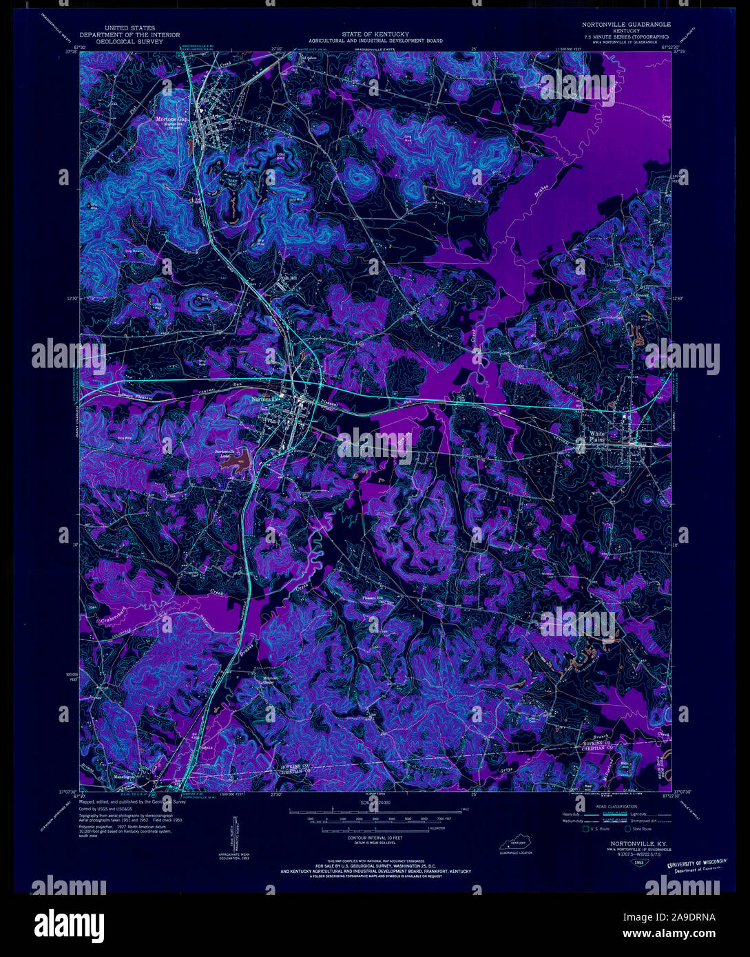 USGS TOPO Map Kentucky KY Nortonville 709418 1953 24000 Inverted Stock Photohttps://www.alamy.com/image-license-details/?v=1https://www.alamy.com/usgs-topo-map-kentucky-ky-nortonville-709418-1953-24000-inverted-image332832902.html
RM2A9DRNA–USGS TOPO Map Kentucky KY Nortonville 709418 1953 24000 Inverted
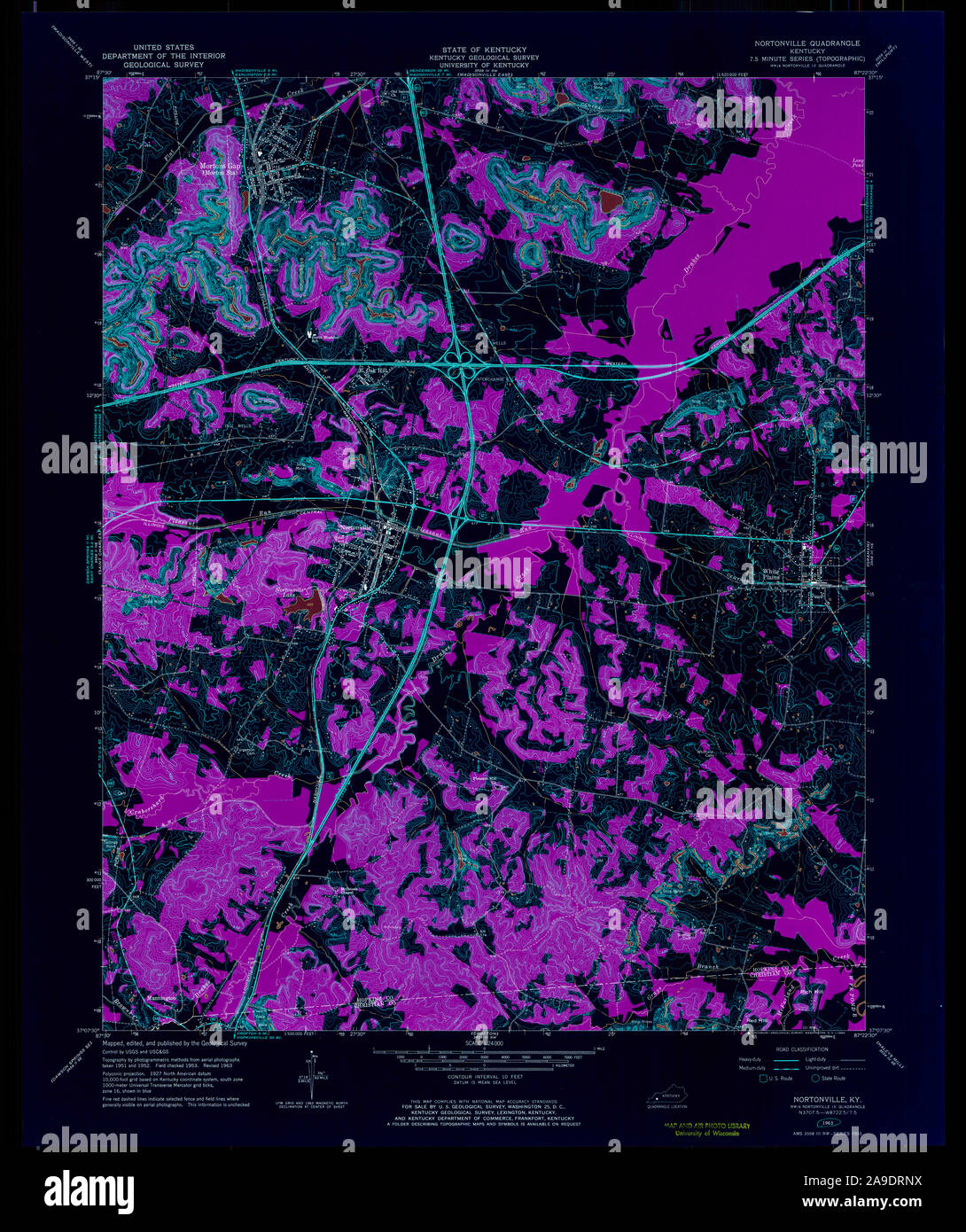 USGS TOPO Map Kentucky KY Nortonville 709419 1963 24000 Inverted Stock Photohttps://www.alamy.com/image-license-details/?v=1https://www.alamy.com/usgs-topo-map-kentucky-ky-nortonville-709419-1963-24000-inverted-image332832918.html
RM2A9DRNX–USGS TOPO Map Kentucky KY Nortonville 709419 1963 24000 Inverted