Quick filters:
Oaxaca province Stock Photos and Images
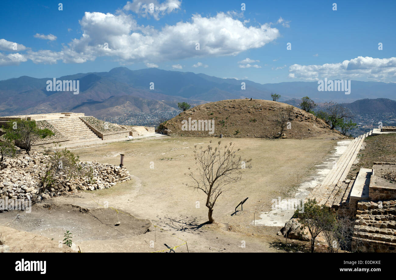 Main Plaza Zapotec ruins Atzompa Oaxaca Province Mexico Stock Photohttps://www.alamy.com/image-license-details/?v=1https://www.alamy.com/main-plaza-zapotec-ruins-atzompa-oaxaca-province-mexico-image69142290.html
RME0DKKE–Main Plaza Zapotec ruins Atzompa Oaxaca Province Mexico
 Skulls covered with glass beads on display in an art gallery in Oaxaca City, Mexico. Stock Photohttps://www.alamy.com/image-license-details/?v=1https://www.alamy.com/skulls-covered-with-glass-beads-on-display-in-an-art-gallery-in-oaxaca-city-mexico-image344666759.html
RM2B0MWY3–Skulls covered with glass beads on display in an art gallery in Oaxaca City, Mexico.
 Mexican Forest in Oaxaca Province Stock Photohttps://www.alamy.com/image-license-details/?v=1https://www.alamy.com/stock-photo-mexican-forest-in-oaxaca-province-142682264.html
RFJ83MK4–Mexican Forest in Oaxaca Province
 Oaxaca, Mexico - Agave plants growing in front of Santo Domingo church. Agave is grown throughout the province to make mezcal. Stock Photohttps://www.alamy.com/image-license-details/?v=1https://www.alamy.com/stock-photo-oaxaca-mexico-agave-plants-growing-in-front-of-santo-domingo-church-78361959.html
RMEFDKDB–Oaxaca, Mexico - Agave plants growing in front of Santo Domingo church. Agave is grown throughout the province to make mezcal.
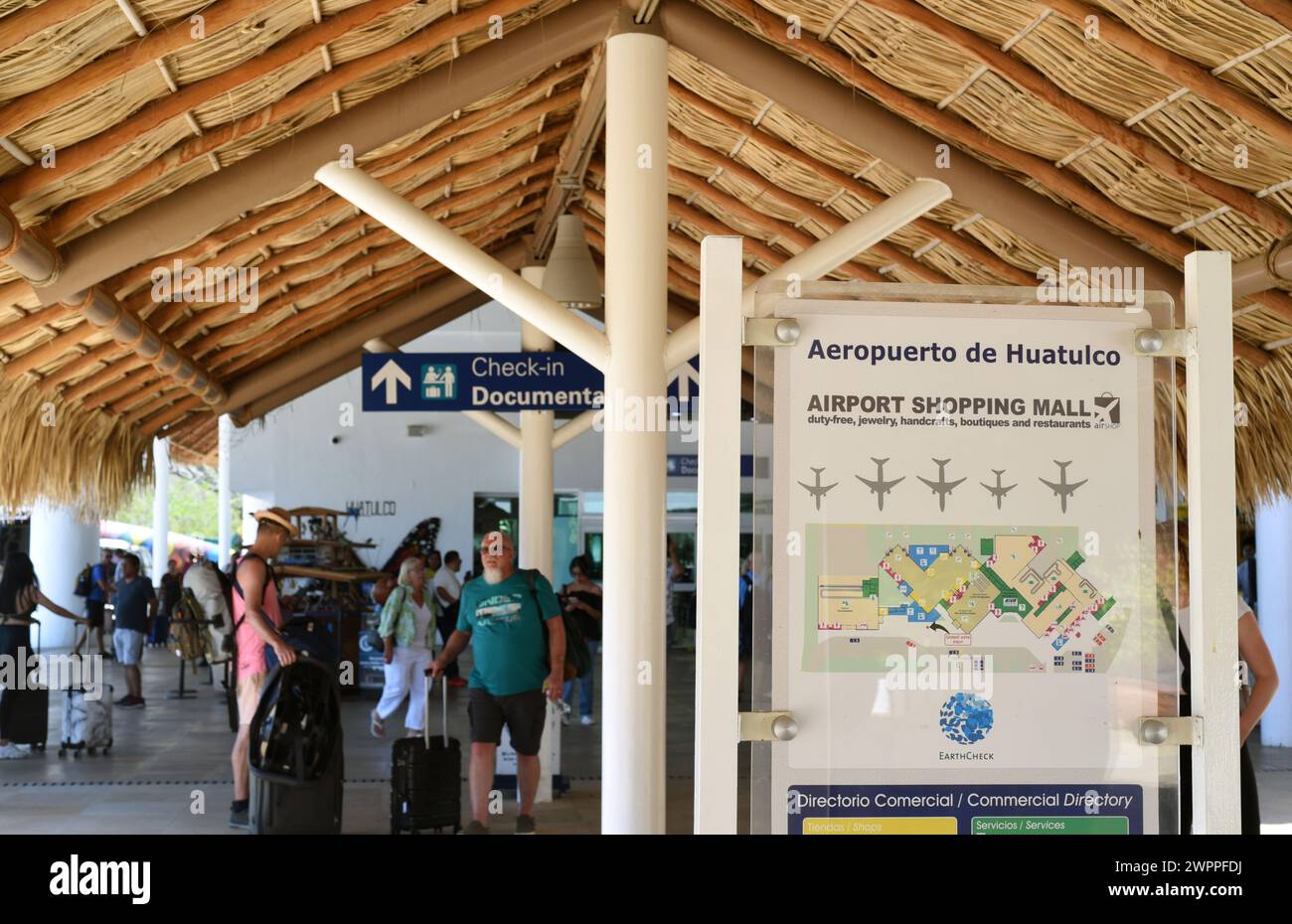 A directory map outside Bahias De Huatulco International Airport (HUX) in Huatulco, Oaxaca, Mexico Stock Photohttps://www.alamy.com/image-license-details/?v=1https://www.alamy.com/a-directory-map-outside-bahias-de-huatulco-international-airport-hux-in-huatulco-oaxaca-mexico-image599170030.html
RM2WPPFDJ–A directory map outside Bahias De Huatulco International Airport (HUX) in Huatulco, Oaxaca, Mexico
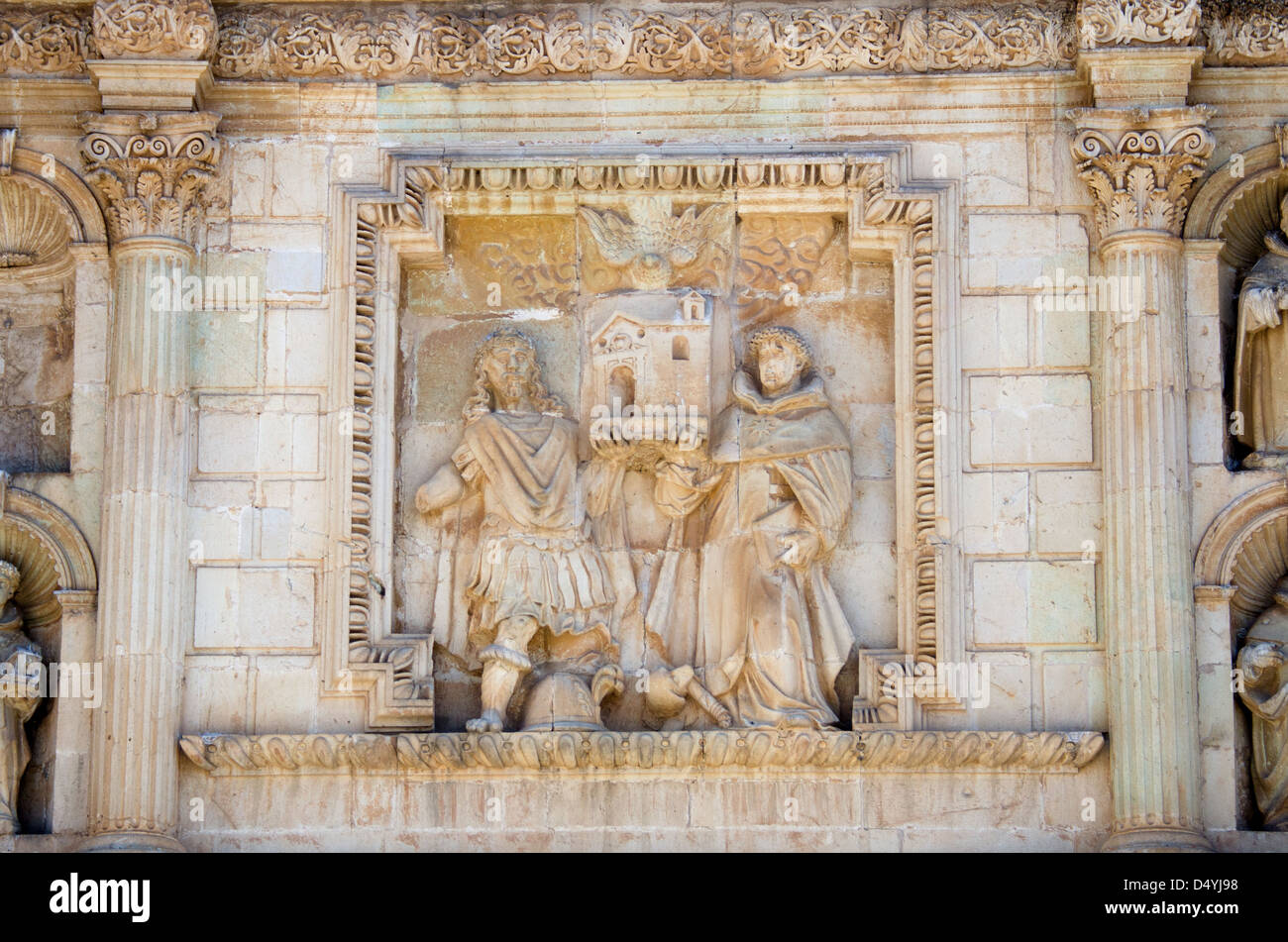 St. Dominic and St. Hippolytus the Martyr holding up the church: a carving on the Church of Santo Domingo, Oaxaca, Mexico. Stock Photohttps://www.alamy.com/image-license-details/?v=1https://www.alamy.com/stock-photo-st-dominic-and-st-hippolytus-the-martyr-holding-up-the-church-a-carving-54696804.html
RMD4YJ98–St. Dominic and St. Hippolytus the Martyr holding up the church: a carving on the Church of Santo Domingo, Oaxaca, Mexico.
 Hill landscape in Oaxaca province, Mexico, Hierve el Agua Stock Photohttps://www.alamy.com/image-license-details/?v=1https://www.alamy.com/hill-landscape-in-oaxaca-province-mexico-hierve-el-agua-image182322587.html
RFMGHE8Y–Hill landscape in Oaxaca province, Mexico, Hierve el Agua
 Oaxaca, Mexico - November 16, 2014: Teachers protest on Zocalo square in the city of Oaxaca, tents are seen everywhere, in Oaxaca, Mexico. Stock Photohttps://www.alamy.com/image-license-details/?v=1https://www.alamy.com/stock-photo-oaxaca-mexico-november-16-2014-teachers-protest-on-zocalo-square-in-133585359.html
RFHN99DK–Oaxaca, Mexico - November 16, 2014: Teachers protest on Zocalo square in the city of Oaxaca, tents are seen everywhere, in Oaxaca, Mexico.
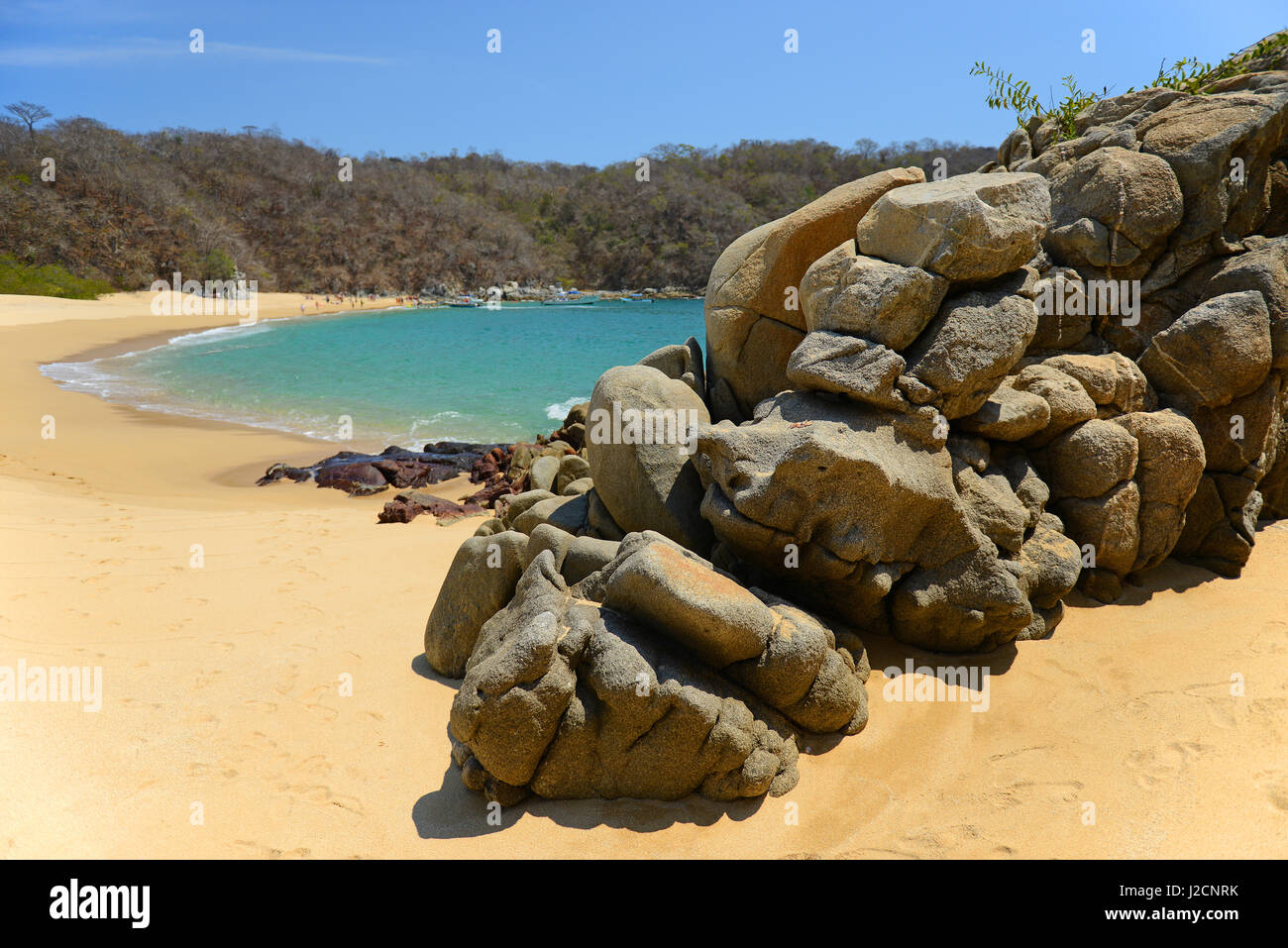 Playa del Organo in Huatulco during daytime, Mexico. Stock Photohttps://www.alamy.com/image-license-details/?v=1https://www.alamy.com/stock-photo-playa-del-organo-in-huatulco-during-daytime-mexico-139192807.html
RMJ2CNRK–Playa del Organo in Huatulco during daytime, Mexico.
 Symbol Map of the State Oaxaca (Mexico) showing the territory with a pattern of colorful buttons Stock Photohttps://www.alamy.com/image-license-details/?v=1https://www.alamy.com/symbol-map-of-the-state-oaxaca-mexico-showing-the-territory-with-a-pattern-of-colorful-buttons-image615806397.html
RF2XNTB9H–Symbol Map of the State Oaxaca (Mexico) showing the territory with a pattern of colorful buttons
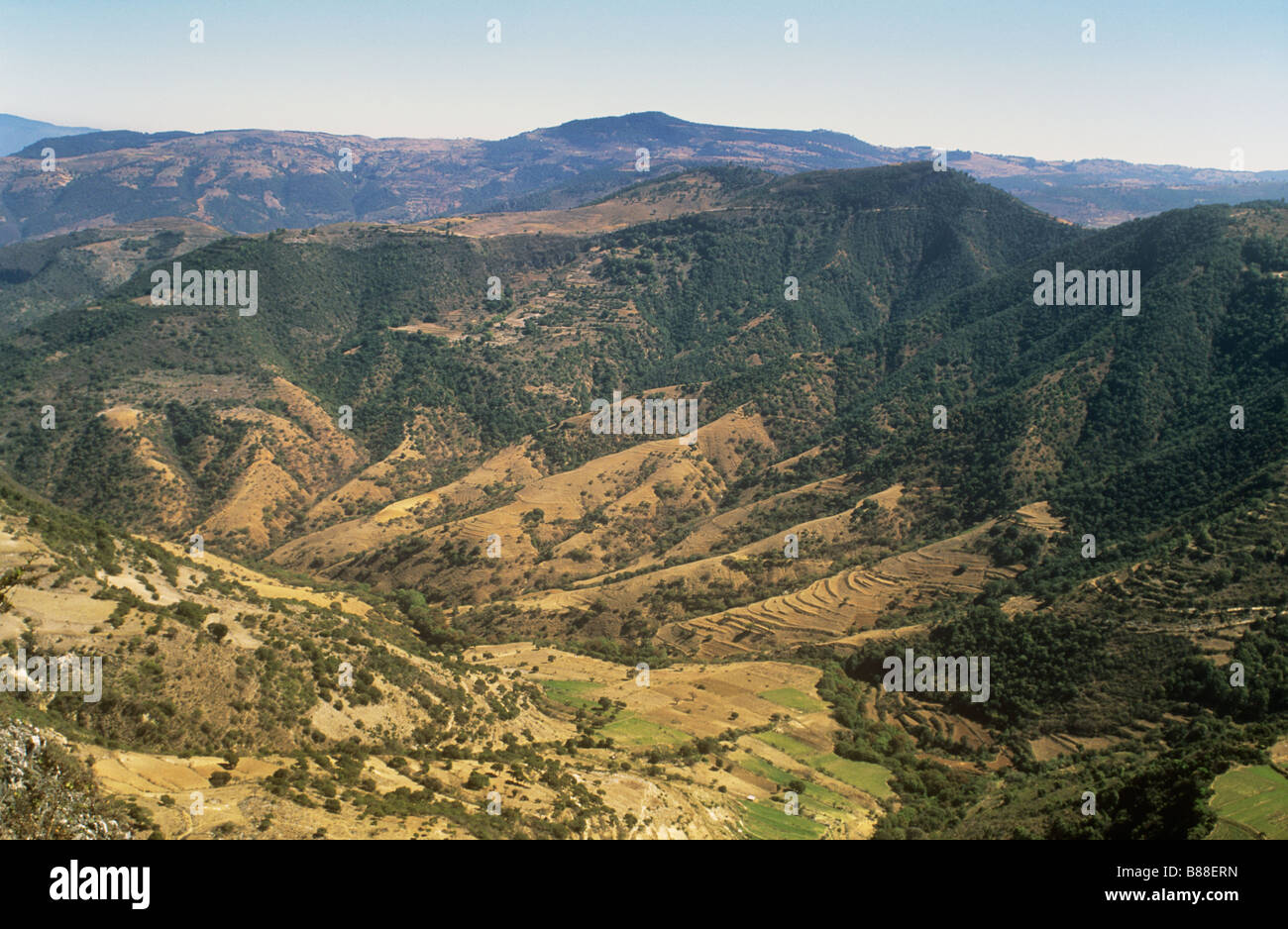 Mixteca mountains and valley in Mexico's Oaxaca province Stock Photohttps://www.alamy.com/image-license-details/?v=1https://www.alamy.com/stock-photo-mixteca-mountains-and-valley-in-mexicos-oaxaca-province-22314873.html
RMB88ERN–Mixteca mountains and valley in Mexico's Oaxaca province
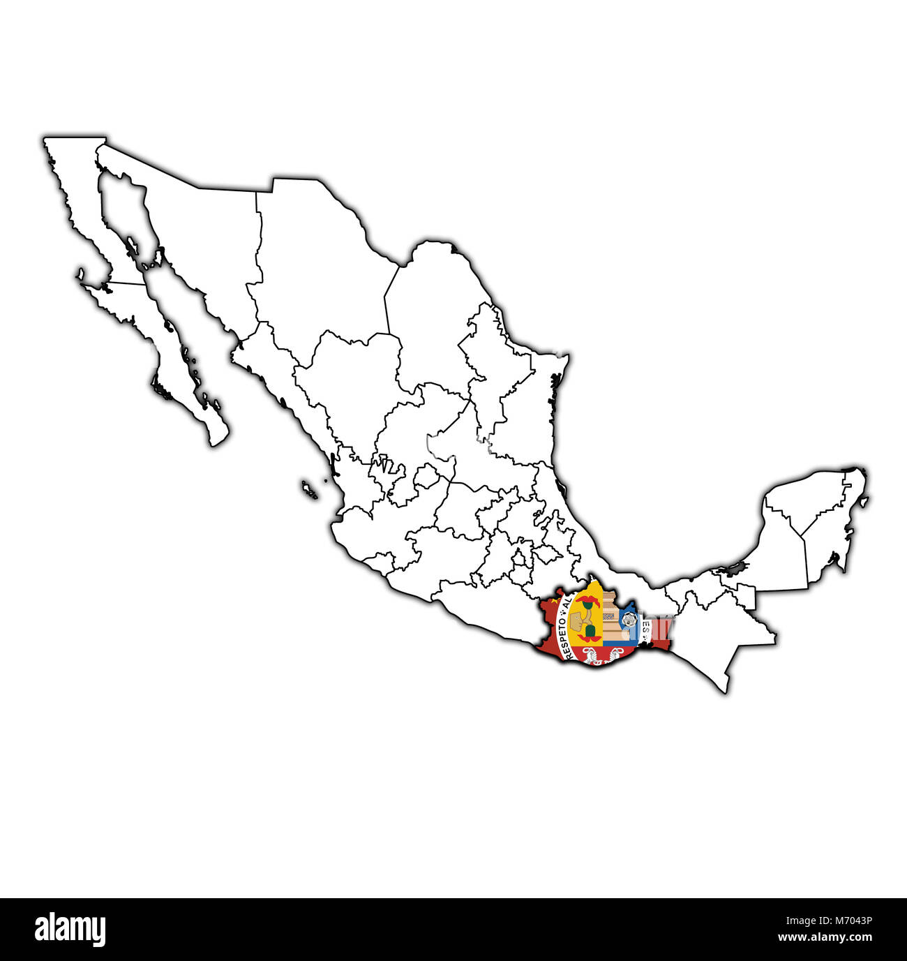 emblem of Oaxacaa state on map with administrative divisions and borders of Mexico Stock Photohttps://www.alamy.com/image-license-details/?v=1https://www.alamy.com/stock-photo-emblem-of-oaxacaa-state-on-map-with-administrative-divisions-and-borders-176409514.html
RFM7043P–emblem of Oaxacaa state on map with administrative divisions and borders of Mexico
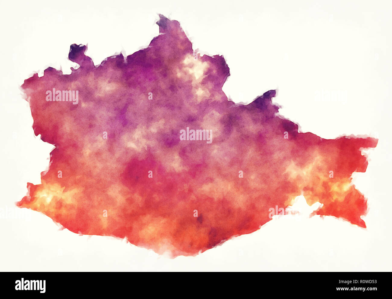 Oaxaca state map of Mexico in front of a white background Stock Photohttps://www.alamy.com/image-license-details/?v=1https://www.alamy.com/oaxaca-state-map-of-mexico-in-front-of-a-white-background-image224293919.html
RFR0WD53–Oaxaca state map of Mexico in front of a white background
 Festival of the traditional mexican drink Tejate in the village of St Andres Huayapam in The province of Oaxaca Mexico Stock Photohttps://www.alamy.com/image-license-details/?v=1https://www.alamy.com/festival-of-the-traditional-mexican-drink-tejate-in-the-village-of-image7911028.html
RMAF65Y5–Festival of the traditional mexican drink Tejate in the village of St Andres Huayapam in The province of Oaxaca Mexico
 Mexico, Oaxaca, Santo Domingo Church, Baroque exterior facade with twin bell towers. Stock Photohttps://www.alamy.com/image-license-details/?v=1https://www.alamy.com/stock-photo-mexico-oaxaca-santo-domingo-church-baroque-exterior-facade-with-twin-40231301.html
RMC9CKC5–Mexico, Oaxaca, Santo Domingo Church, Baroque exterior facade with twin bell towers.
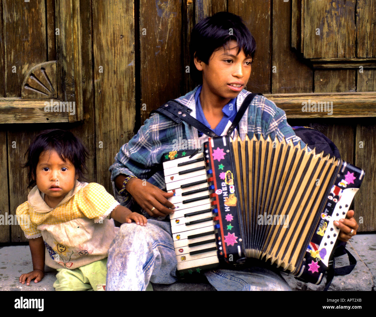 Oaxaca Music boy accordion accordionist Mexico Stock Photohttps://www.alamy.com/image-license-details/?v=1https://www.alamy.com/oaxaca-music-boy-accordion-accordionist-mexico-image9060906.html
RMAPT2XB–Oaxaca Music boy accordion accordionist Mexico
 Mexican colorful skulls. Mexican / hispanic ceramic pottery Day of the Dead (Dia de los Muertos) skulls. Stock Photohttps://www.alamy.com/image-license-details/?v=1https://www.alamy.com/stock-photo-mexican-colorful-skulls-mexican-hispanic-ceramic-pottery-day-of-the-126480601.html
RFH9NK89–Mexican colorful skulls. Mexican / hispanic ceramic pottery Day of the Dead (Dia de los Muertos) skulls.
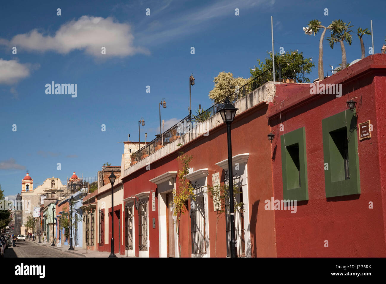 Mexico, Oaxaca Province, shops and restaurants on street with Spanish colonial architecture Stock Photohttps://www.alamy.com/image-license-details/?v=1https://www.alamy.com/stock-photo-mexico-oaxaca-province-shops-and-restaurants-on-street-with-spanish-139268071.html
RMJ2G5RK–Mexico, Oaxaca Province, shops and restaurants on street with Spanish colonial architecture
 Domburg, Niederlande. 27th Aug, 2024. Queen Maxima of The Netherlands at the beach of Domburg, on August 27, 2024, to visit Beach Club Oaxaca during a regional visit to Walcheren in the province of Zeeland Credit: Albert Nieboer/Netherlands OUT/Point de Vue OUT/dpa/Alamy Live News Stock Photohttps://www.alamy.com/image-license-details/?v=1https://www.alamy.com/domburg-niederlande-27th-aug-2024-queen-maxima-of-the-netherlands-at-the-beach-of-domburg-on-august-27-2024-to-visit-beach-club-oaxaca-during-a-regional-visit-to-walcheren-in-the-province-of-zeeland-credit-albert-nieboernetherlands-outpoint-de-vue-outdpaalamy-live-news-image619008302.html
RM2XY27BA–Domburg, Niederlande. 27th Aug, 2024. Queen Maxima of The Netherlands at the beach of Domburg, on August 27, 2024, to visit Beach Club Oaxaca during a regional visit to Walcheren in the province of Zeeland Credit: Albert Nieboer/Netherlands OUT/Point de Vue OUT/dpa/Alamy Live News
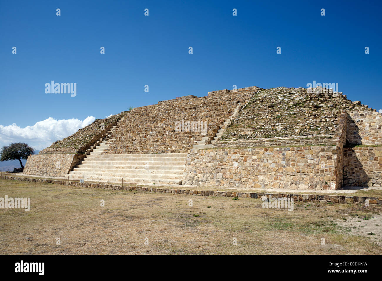 Pyramid at summit Zapotec ruins Atzompa Oaxaca Province Mexico Stock Photohttps://www.alamy.com/image-license-details/?v=1https://www.alamy.com/pyramid-at-summit-zapotec-ruins-atzompa-oaxaca-province-mexico-image69142357.html
RME0DKNW–Pyramid at summit Zapotec ruins Atzompa Oaxaca Province Mexico
 The theatre in Oaxaca City, Mexico. Stock Photohttps://www.alamy.com/image-license-details/?v=1https://www.alamy.com/the-theatre-in-oaxaca-city-mexico-image344005423.html
RM2AYJPBY–The theatre in Oaxaca City, Mexico.
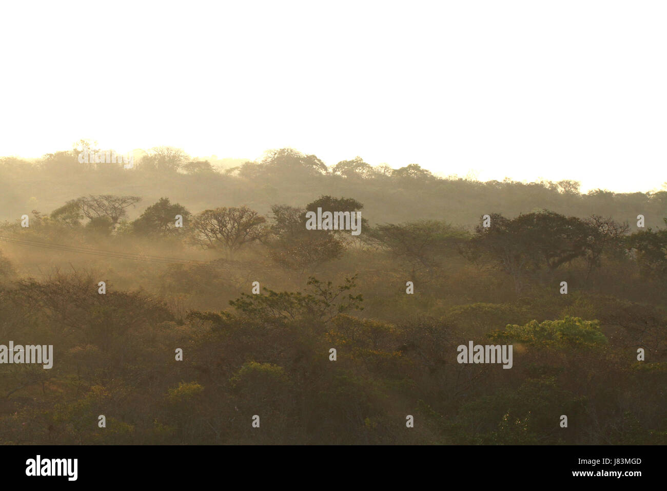 Mexican Forest Sunrise in Oaxaca Province Mexiko Stock Photohttps://www.alamy.com/image-license-details/?v=1https://www.alamy.com/stock-photo-mexican-forest-sunrise-in-oaxaca-province-mexiko-142682189.html
RFJ83MGD–Mexican Forest Sunrise in Oaxaca Province Mexiko
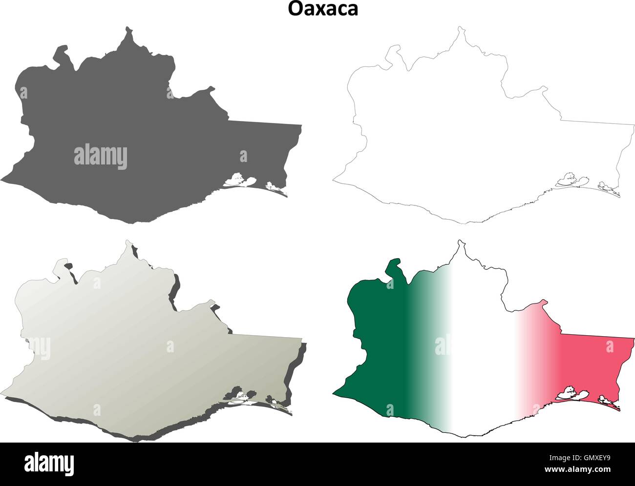 Oaxaca blank outline map set Stock Vectorhttps://www.alamy.com/image-license-details/?v=1https://www.alamy.com/stock-photo-oaxaca-blank-outline-map-set-116137821.html
RFGMXEY9–Oaxaca blank outline map set
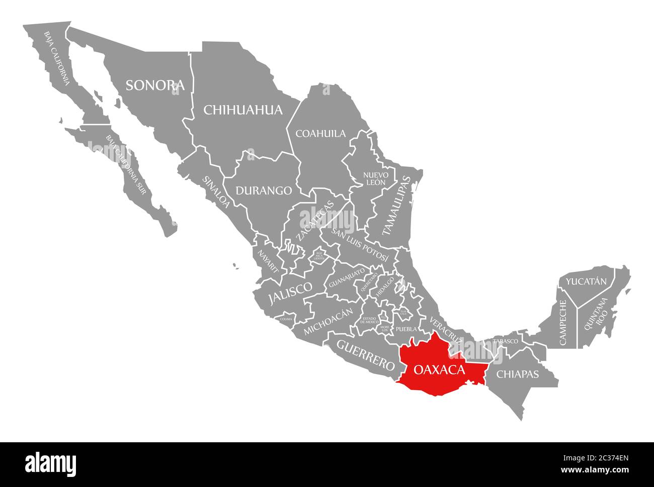 Oaxaca red highlighted in map of Mexico Stock Photohttps://www.alamy.com/image-license-details/?v=1https://www.alamy.com/oaxaca-red-highlighted-in-map-of-mexico-image363418909.html
RF2C374EN–Oaxaca red highlighted in map of Mexico
 Oaxaca state flag, Mexico waving banner collection. 3D illustration Stock Photohttps://www.alamy.com/image-license-details/?v=1https://www.alamy.com/oaxaca-state-flag-mexico-waving-banner-collection-3d-illustration-image460925878.html
RF2HNTYJE–Oaxaca state flag, Mexico waving banner collection. 3D illustration
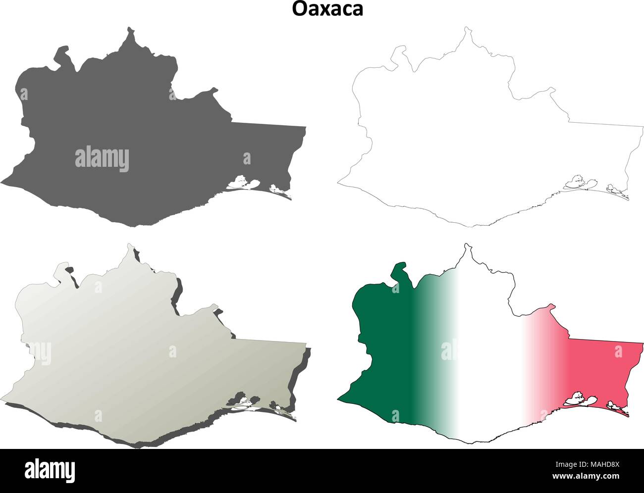 Oaxaca blank outline map set Stock Vectorhttps://www.alamy.com/image-license-details/?v=1https://www.alamy.com/oaxaca-blank-outline-map-set-image178633866.html
RFMAHD8X–Oaxaca blank outline map set
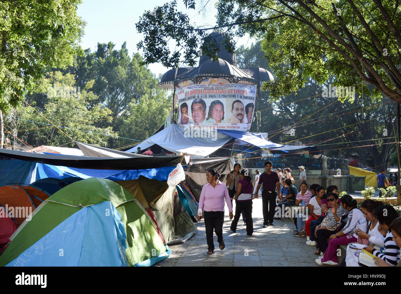 Oaxaca, Mexico - November 16, 2014: Teachers protest on Zocalo square in the city of Oaxaca, tents are seen everywhere, in Oaxaca, Mexico. Stock Photohttps://www.alamy.com/image-license-details/?v=1https://www.alamy.com/stock-photo-oaxaca-mexico-november-16-2014-teachers-protest-on-zocalo-square-in-133585358.html
RFHN99DJ–Oaxaca, Mexico - November 16, 2014: Teachers protest on Zocalo square in the city of Oaxaca, tents are seen everywhere, in Oaxaca, Mexico.
 Oaxaca state flag, Mexico waving banner collection. 3D illustration Stock Photohttps://www.alamy.com/image-license-details/?v=1https://www.alamy.com/oaxaca-state-flag-mexico-waving-banner-collection-3d-illustration-image449077831.html
RF2H2H79Y–Oaxaca state flag, Mexico waving banner collection. 3D illustration
 Aerial View of Two People Fishing Stock Photohttps://www.alamy.com/image-license-details/?v=1https://www.alamy.com/stock-photo-aerial-view-of-two-people-fishing-14690808.html
RFAJC58W–Aerial View of Two People Fishing
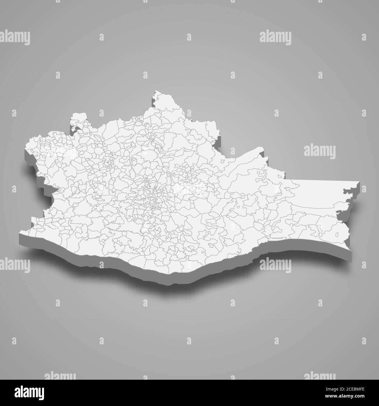 3d map of Oaxaca is a state of Mexico, Stock Vectorhttps://www.alamy.com/image-license-details/?v=1https://www.alamy.com/3d-map-of-oaxaca-is-a-state-of-mexico-image370280498.html
RF2CEBMFE–3d map of Oaxaca is a state of Mexico,
 emblem of Oaxacaa state on map with administrative divisions and borders of Mexico Stock Photohttps://www.alamy.com/image-license-details/?v=1https://www.alamy.com/stock-photo-emblem-of-oaxacaa-state-on-map-with-administrative-divisions-and-borders-176409596.html
RFM7046M–emblem of Oaxacaa state on map with administrative divisions and borders of Mexico
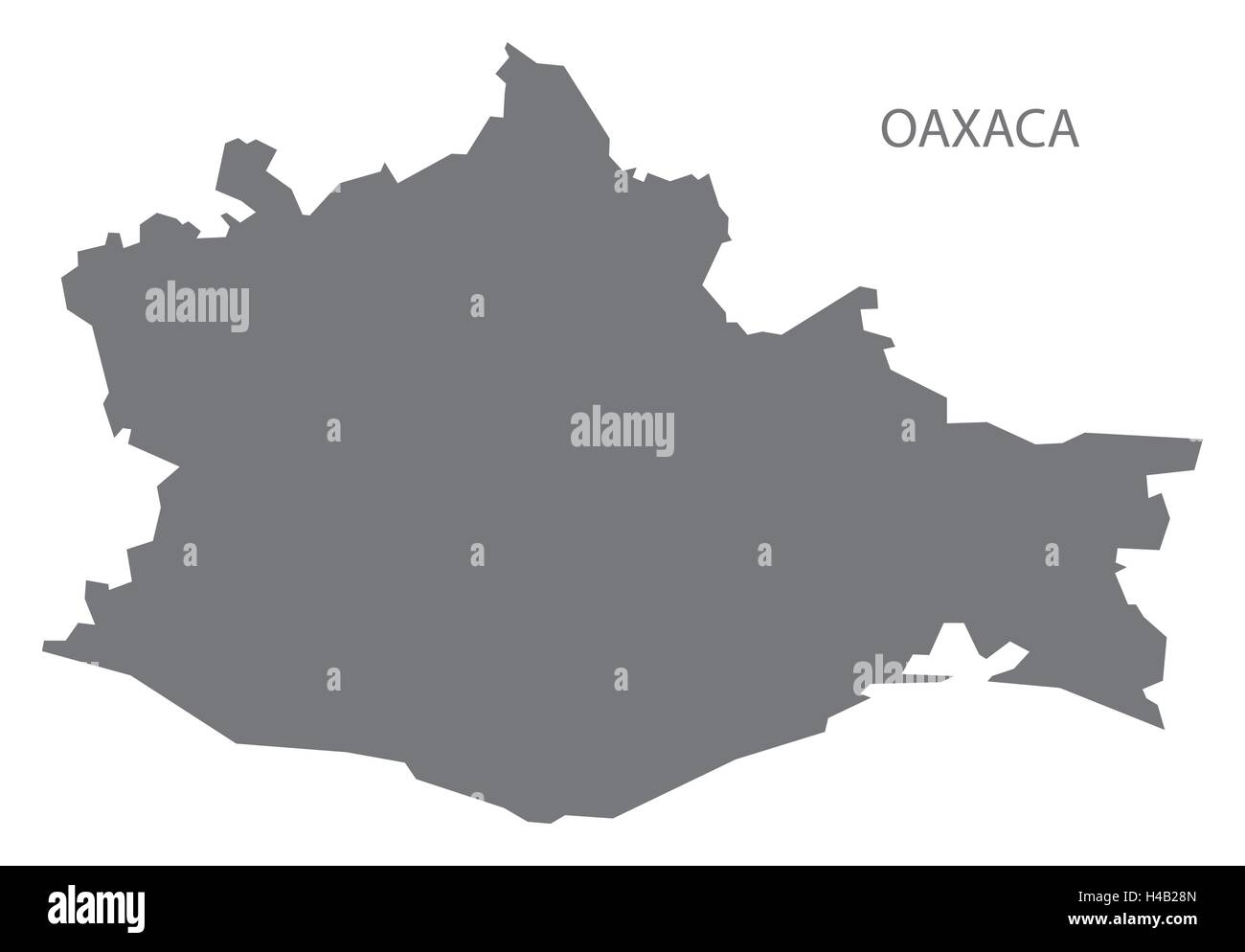 Oaxaca Mexico Map grey Stock Vectorhttps://www.alamy.com/image-license-details/?v=1https://www.alamy.com/stock-photo-oaxaca-mexico-map-grey-123174485.html
RFH4B28N–Oaxaca Mexico Map grey
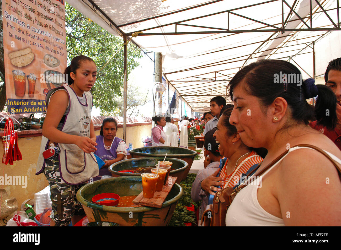 Festival of the traditional mexican drink Tejate in the village of St Andres Huayapam in The province of Oaxaca Mexico Stock Photohttps://www.alamy.com/image-license-details/?v=1https://www.alamy.com/festival-of-the-traditional-mexican-drink-tejate-in-the-village-of-image7959757.html
RMAFF7TE–Festival of the traditional mexican drink Tejate in the village of St Andres Huayapam in The province of Oaxaca Mexico
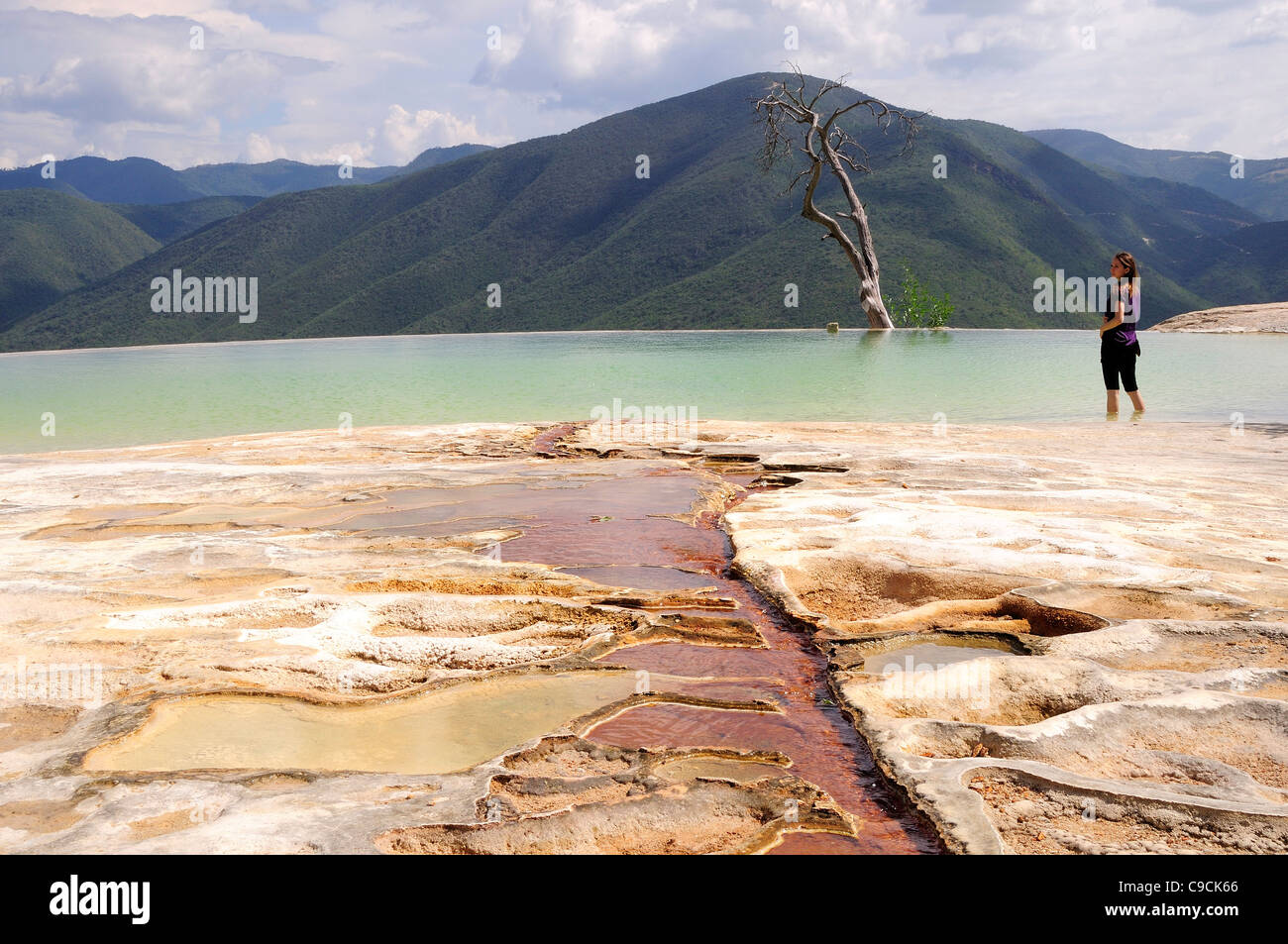 Mexico, Oaxaca, Hierve el Agua, Female tourist standing in limestone pool with view towards mountainous landscape Stock Photohttps://www.alamy.com/image-license-details/?v=1https://www.alamy.com/stock-photo-mexico-oaxaca-hierve-el-agua-female-tourist-standing-in-limestone-40231134.html
RMC9CK66–Mexico, Oaxaca, Hierve el Agua, Female tourist standing in limestone pool with view towards mountainous landscape
 Oaxaca Mexico Mexican Folklore Traditional parade Stock Photohttps://www.alamy.com/image-license-details/?v=1https://www.alamy.com/oaxaca-mexico-mexican-folklore-traditional-parade-image9060927.html
RMAPT3G0–Oaxaca Mexico Mexican Folklore Traditional parade
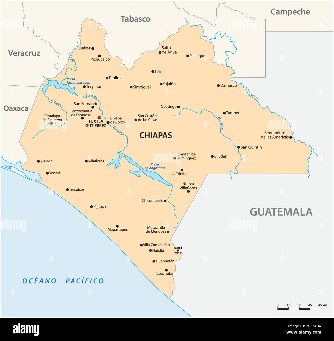 vector map of the Mexican state of Chiapas Stock Vectorhttps://www.alamy.com/image-license-details/?v=1https://www.alamy.com/vector-map-of-the-mexican-state-of-chiapas-image410642270.html
RF2ET2ABA–vector map of the Mexican state of Chiapas
 Mexico, Oaxaca Province, night procession with an illuminated Virgin Mary on All Saints Day Stock Photohttps://www.alamy.com/image-license-details/?v=1https://www.alamy.com/stock-photo-mexico-oaxaca-province-night-procession-with-an-illuminated-virgin-139268081.html
RMJ2G5T1–Mexico, Oaxaca Province, night procession with an illuminated Virgin Mary on All Saints Day
 Domburg, Niederlande. 27th Aug, 2024. Queen Maxima of The Netherlands at the beach of Domburg, on August 27, 2024, to visit Beach Club Oaxaca during a regional visit to Walcheren in the province of Zeeland Credit: Albert Nieboer/Netherlands OUT/Point de Vue OUT/dpa/Alamy Live News Stock Photohttps://www.alamy.com/image-license-details/?v=1https://www.alamy.com/domburg-niederlande-27th-aug-2024-queen-maxima-of-the-netherlands-at-the-beach-of-domburg-on-august-27-2024-to-visit-beach-club-oaxaca-during-a-regional-visit-to-walcheren-in-the-province-of-zeeland-credit-albert-nieboernetherlands-outpoint-de-vue-outdpaalamy-live-news-image619008328.html
RM2XY27C8–Domburg, Niederlande. 27th Aug, 2024. Queen Maxima of The Netherlands at the beach of Domburg, on August 27, 2024, to visit Beach Club Oaxaca during a regional visit to Walcheren in the province of Zeeland Credit: Albert Nieboer/Netherlands OUT/Point de Vue OUT/dpa/Alamy Live News
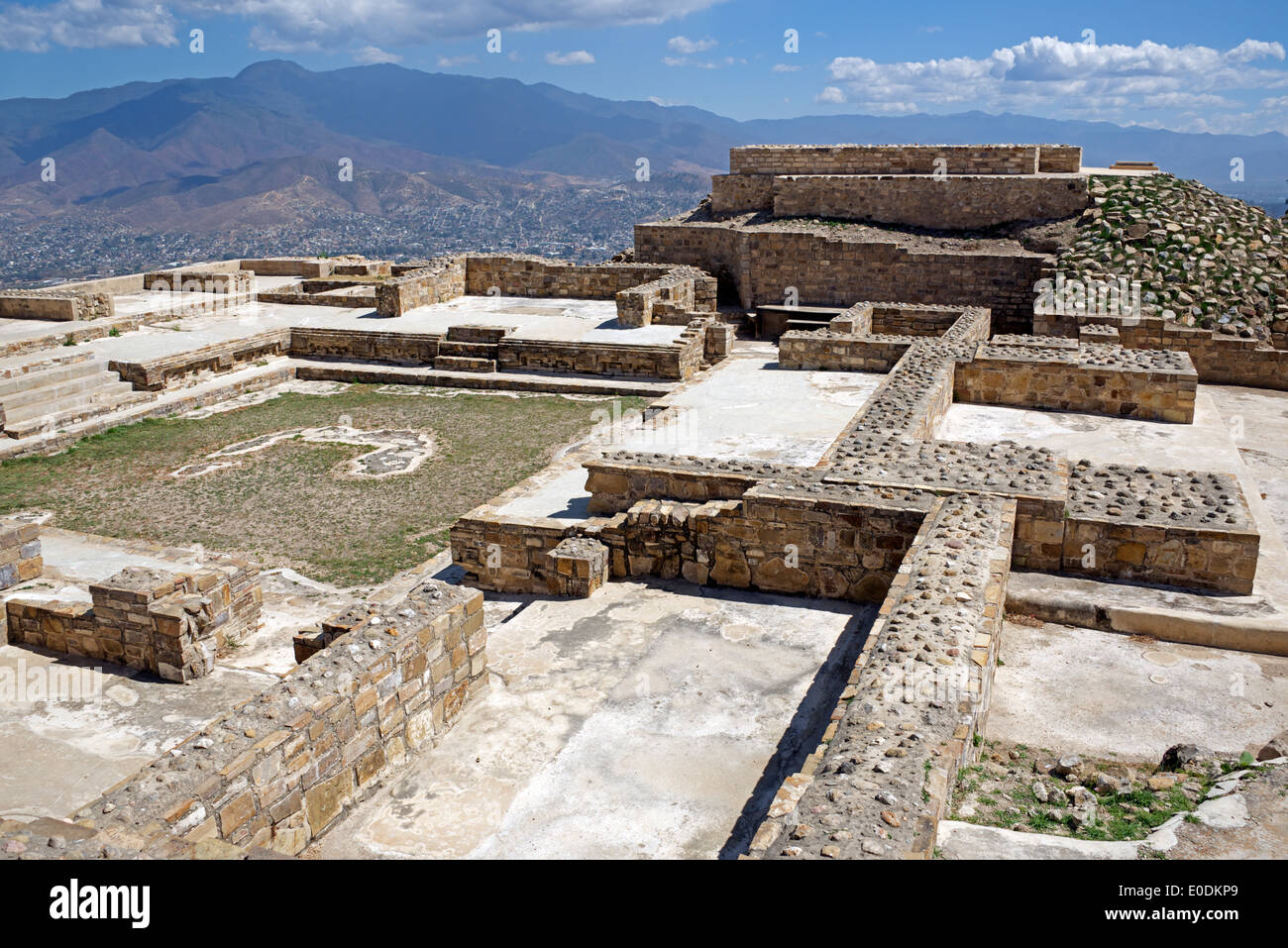 Restored houses and Plaza Zapotec ruins Atzompa Oaxaca Province Mexico Stock Photohttps://www.alamy.com/image-license-details/?v=1https://www.alamy.com/restored-houses-and-plaza-zapotec-ruins-atzompa-oaxaca-province-mexico-image69142369.html
RME0DKP9–Restored houses and Plaza Zapotec ruins Atzompa Oaxaca Province Mexico
 The theatre in Oaxaca City, Mexico. Stock Photohttps://www.alamy.com/image-license-details/?v=1https://www.alamy.com/the-theatre-in-oaxaca-city-mexico-image344005455.html
RM2AYJPD3–The theatre in Oaxaca City, Mexico.
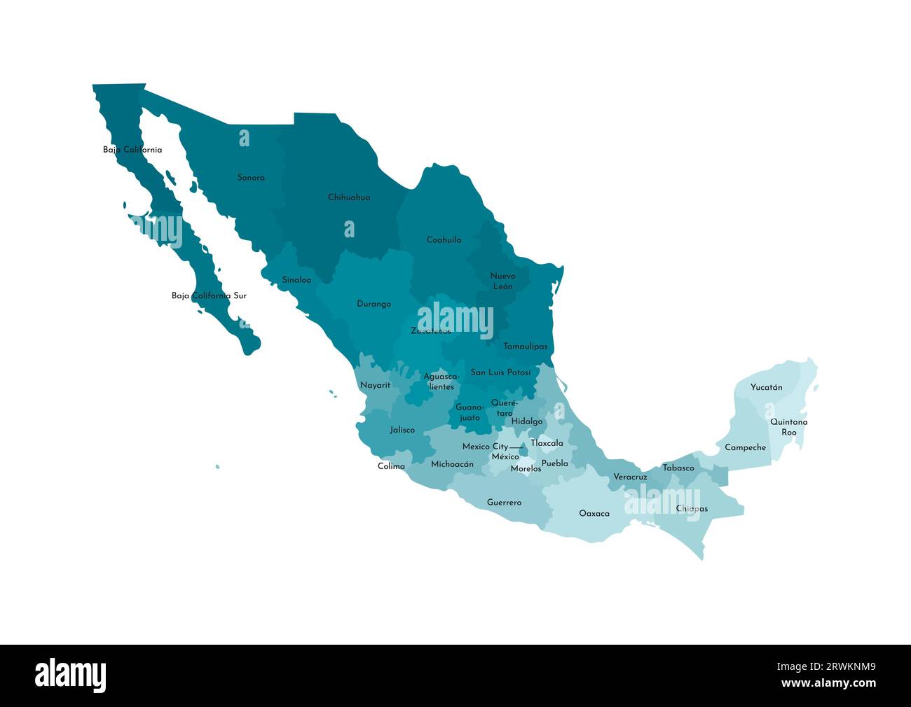 Vector isolated illustration of simplified administrative map of Mexico (United Mexican States). Borders and names of the regions. Colorful blue khak Stock Vectorhttps://www.alamy.com/image-license-details/?v=1https://www.alamy.com/vector-isolated-illustration-of-simplified-administrative-map-of-mexico-united-mexican-states-borders-and-names-of-the-regions-colorful-blue-khak-image566532297.html
RF2RWKNM9–Vector isolated illustration of simplified administrative map of Mexico (United Mexican States). Borders and names of the regions. Colorful blue khak
 Oaxaca, Mexico, Mezcal stores Stock Photohttps://www.alamy.com/image-license-details/?v=1https://www.alamy.com/stock-photo-oaxaca-mexico-mezcal-stores-70821081.html
RME36509–Oaxaca, Mexico, Mezcal stores
 Oaxaca state flag, Mexico waving banner collection. 3D illustration Stock Photohttps://www.alamy.com/image-license-details/?v=1https://www.alamy.com/oaxaca-state-flag-mexico-waving-banner-collection-3d-illustration-image549681990.html
RF2PX84YJ–Oaxaca state flag, Mexico waving banner collection. 3D illustration
 Researches, concerning the institutions & monuments of the ancient inhabitants of America : with descriptions and views of some of the most striking scenes in the Cordilleras! . ?fc* y //,- 5^L^ ,/? //<£< 153 RUINS OF MIGUITLAN, on MITLA, IN THE PROVINCE OF OAXACA, PLAN AND ELEVATION. PLATES XLIX & L. After having given in this work the descrip-tion of so many barbarous monuments, which arc-interesting merely as they are connected withhistory, I feel some pleasure in bringing forwardto notice a building constructed by the Tzapo-tecks, anciently inhabiting Oaxaca, and coveredwith ornament Stock Photohttps://www.alamy.com/image-license-details/?v=1https://www.alamy.com/researches-concerning-the-institutions-monuments-of-the-ancient-inhabitants-of-america-with-descriptions-and-views-of-some-of-the-most-striking-scenes-in-the-cordilleras!-fc-y-5l-ltlt-153-ruins-of-miguitlan-on-mitla-in-the-province-of-oaxaca-plan-and-elevation-plates-xlix-l-after-having-given-in-this-work-the-descrip-tion-of-so-many-barbarous-monuments-which-arc-interesting-merely-as-they-are-connected-withhistory-i-feel-some-pleasure-in-bringing-forwardto-notice-a-building-constructed-by-the-tzapo-tecks-anciently-inhabiting-oaxaca-and-coveredwith-ornament-image339458556.html
RM2AM7JRT–Researches, concerning the institutions & monuments of the ancient inhabitants of America : with descriptions and views of some of the most striking scenes in the Cordilleras! . ?fc* y //,- 5^L^ ,/? //<£< 153 RUINS OF MIGUITLAN, on MITLA, IN THE PROVINCE OF OAXACA, PLAN AND ELEVATION. PLATES XLIX & L. After having given in this work the descrip-tion of so many barbarous monuments, which arc-interesting merely as they are connected withhistory, I feel some pleasure in bringing forwardto notice a building constructed by the Tzapo-tecks, anciently inhabiting Oaxaca, and coveredwith ornament
 The Cathedral of Our Lady of the Assumption of Oaxaca, Mexico Stock Photohttps://www.alamy.com/image-license-details/?v=1https://www.alamy.com/stock-photo-the-cathedral-of-our-lady-of-the-assumption-of-oaxaca-mexico-122914146.html
RFH3Y66X–The Cathedral of Our Lady of the Assumption of Oaxaca, Mexico
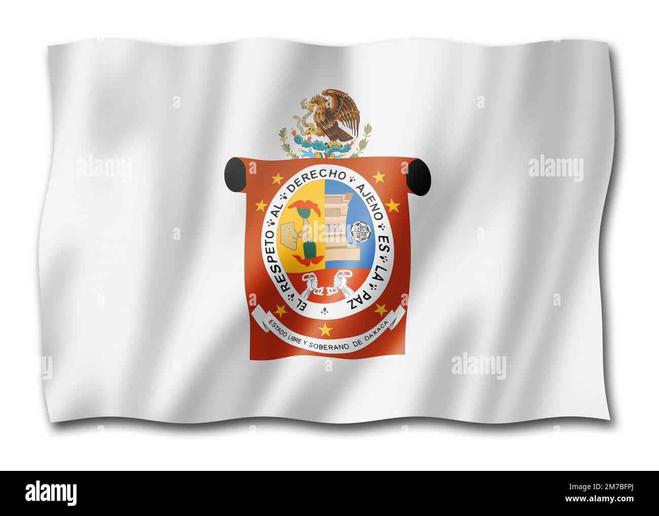 Oaxaca state flag, Mexico waving banner collection. 3D illustration Stock Photohttps://www.alamy.com/image-license-details/?v=1https://www.alamy.com/oaxaca-state-flag-mexico-waving-banner-collection-3d-illustration-image503657130.html
RF2M7BFPJ–Oaxaca state flag, Mexico waving banner collection. 3D illustration
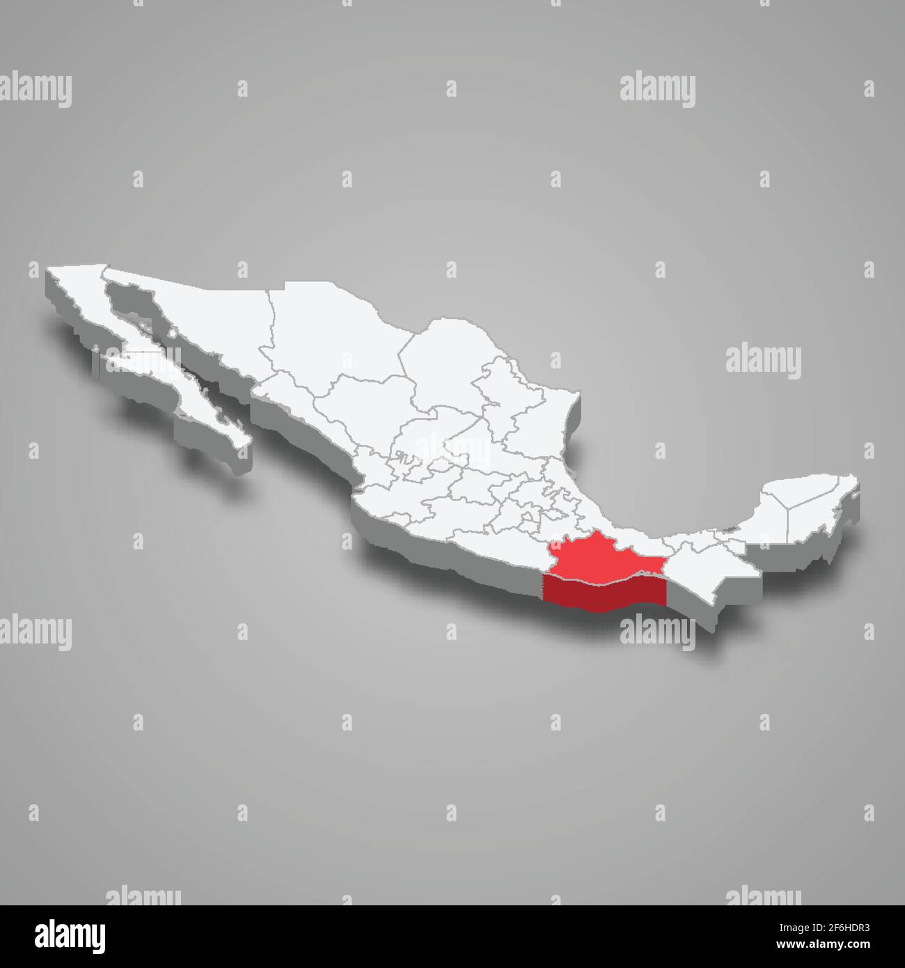 Oaxaca region location within Mexico 3d isometric map Stock Vectorhttps://www.alamy.com/image-license-details/?v=1https://www.alamy.com/oaxaca-region-location-within-mexico-3d-isometric-map-image417120791.html
RF2F6HDR3–Oaxaca region location within Mexico 3d isometric map
 emblem of Oaxacaa state on map with administrative divisions and borders of Mexico Stock Photohttps://www.alamy.com/image-license-details/?v=1https://www.alamy.com/stock-photo-emblem-of-oaxacaa-state-on-map-with-administrative-divisions-and-borders-176409565.html
RFM7045H–emblem of Oaxacaa state on map with administrative divisions and borders of Mexico
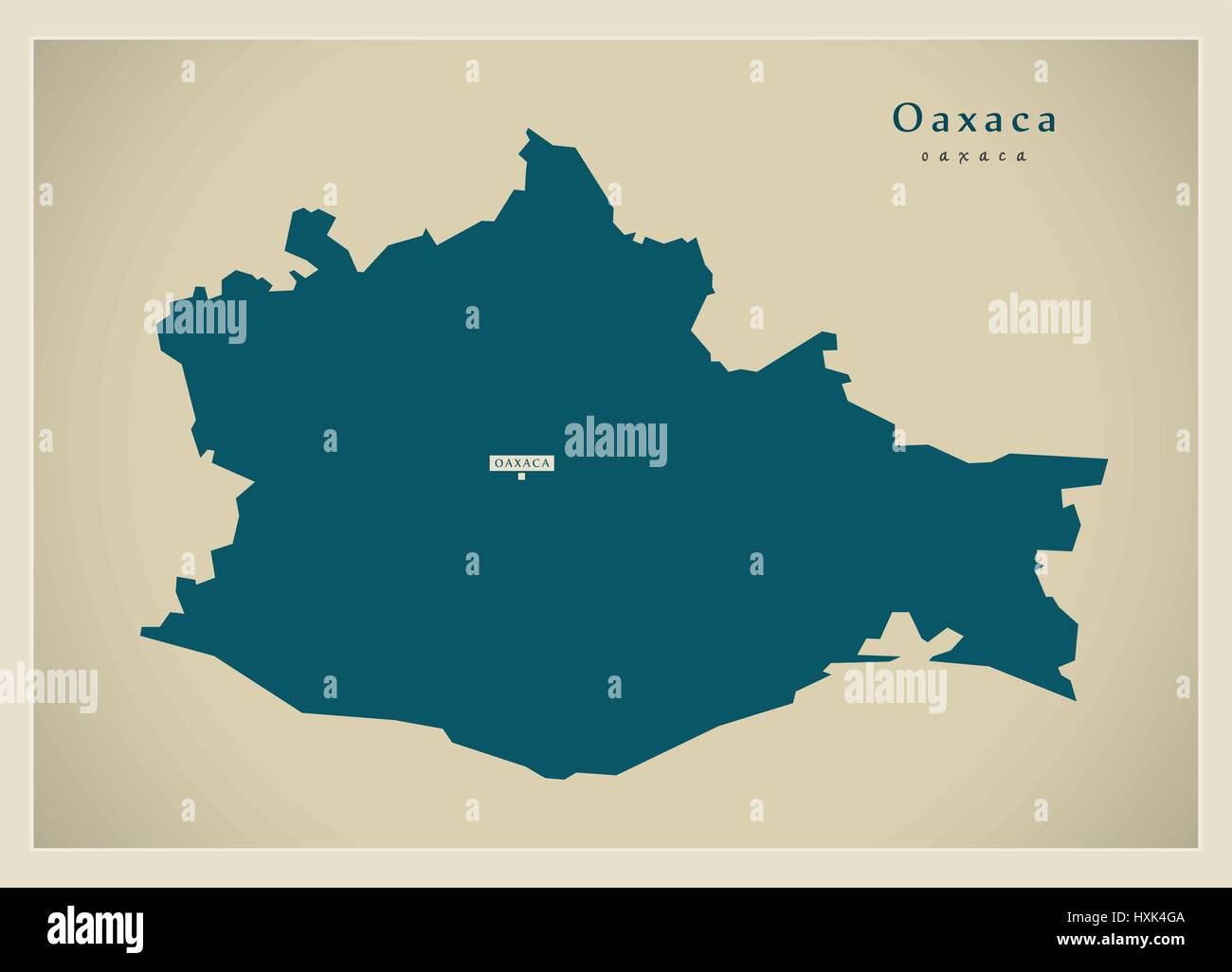 Modern Map - Oaxaca MX Stock Vectorhttps://www.alamy.com/image-license-details/?v=1https://www.alamy.com/stock-photo-modern-map-oaxaca-mx-136874314.html
RFHXK4GA–Modern Map - Oaxaca MX
 Festival of the traditional mexican drink Tejate in the village of St Andres Huayapam in The province of Oaxaca Mexico Stock Photohttps://www.alamy.com/image-license-details/?v=1https://www.alamy.com/festival-of-the-traditional-mexican-drink-tejate-in-the-village-of-image7911023.html
RMAF65Y0–Festival of the traditional mexican drink Tejate in the village of St Andres Huayapam in The province of Oaxaca Mexico
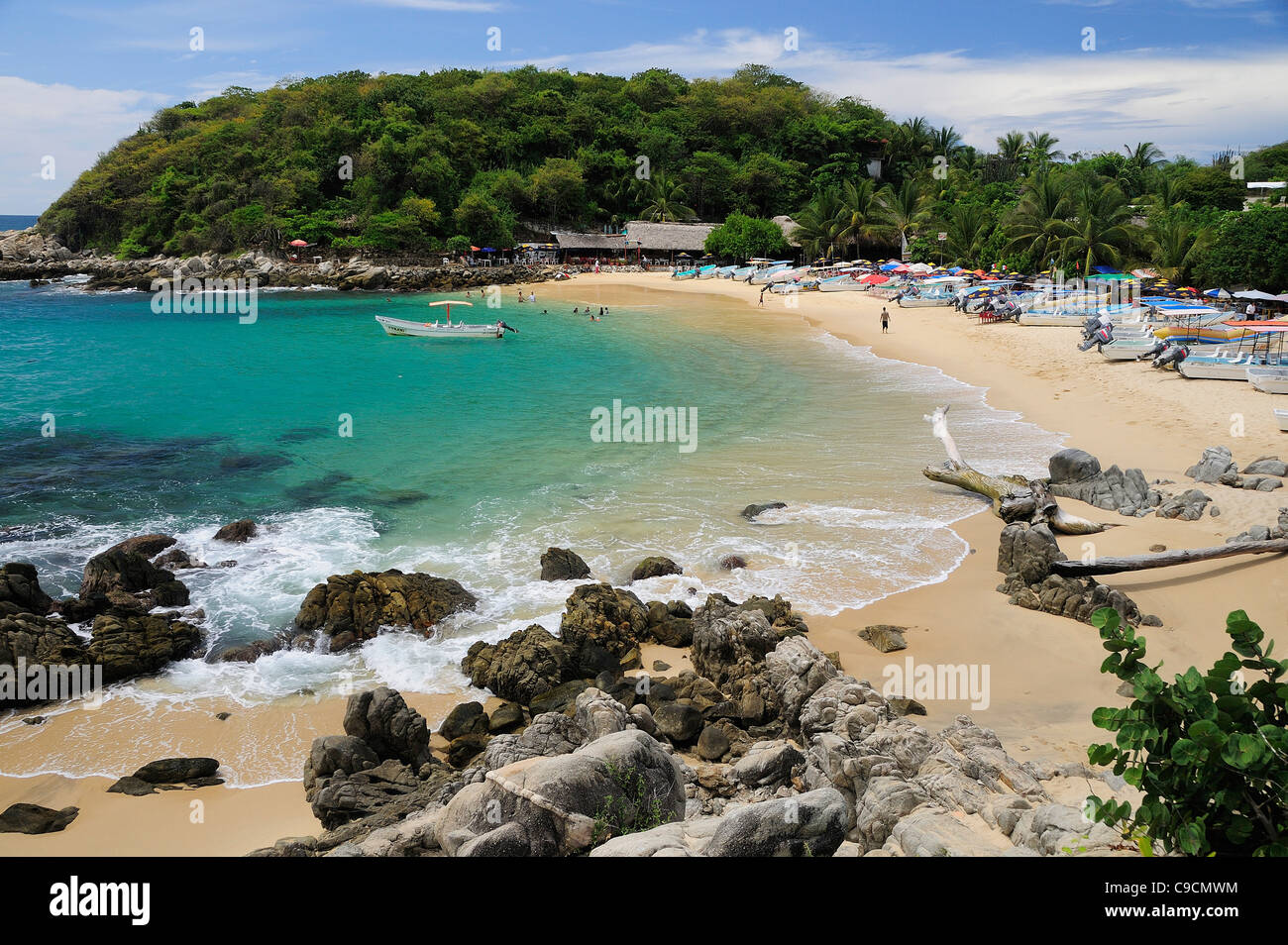 Mexico, Oaxaca, Puerto Escondido, View onto Playa Manzanillo beach with rocks and tourists Stock Photohttps://www.alamy.com/image-license-details/?v=1https://www.alamy.com/stock-photo-mexico-oaxaca-puerto-escondido-view-onto-playa-manzanillo-beach-with-40232464.html
RMC9CMWM–Mexico, Oaxaca, Puerto Escondido, View onto Playa Manzanillo beach with rocks and tourists
 Market Mercado Mexico grocer Oaxaca mexican Stock Photohttps://www.alamy.com/image-license-details/?v=1https://www.alamy.com/market-mercado-mexico-grocer-oaxaca-mexican-image9060988.html
RMAPT3KD–Market Mercado Mexico grocer Oaxaca mexican
 Mexico, Oaxaca Province, Etla, woman selling garlic in market Stock Photohttps://www.alamy.com/image-license-details/?v=1https://www.alamy.com/stock-photo-mexico-oaxaca-province-etla-woman-selling-garlic-in-market-139268085.html
RMJ2G5T5–Mexico, Oaxaca Province, Etla, woman selling garlic in market
 Domburg, Niederlande. 27th Aug, 2024. Queen Maxima of The Netherlands at the beach of Domburg, on August 27, 2024, to visit Beach Club Oaxaca during a regional visit to Walcheren in the province of Zeeland Credit: Albert Nieboer/Netherlands OUT/Point de Vue OUT/dpa/Alamy Live News Stock Photohttps://www.alamy.com/image-license-details/?v=1https://www.alamy.com/domburg-niederlande-27th-aug-2024-queen-maxima-of-the-netherlands-at-the-beach-of-domburg-on-august-27-2024-to-visit-beach-club-oaxaca-during-a-regional-visit-to-walcheren-in-the-province-of-zeeland-credit-albert-nieboernetherlands-outpoint-de-vue-outdpaalamy-live-news-image619008325.html
RM2XY27C5–Domburg, Niederlande. 27th Aug, 2024. Queen Maxima of The Netherlands at the beach of Domburg, on August 27, 2024, to visit Beach Club Oaxaca during a regional visit to Walcheren in the province of Zeeland Credit: Albert Nieboer/Netherlands OUT/Point de Vue OUT/dpa/Alamy Live News
 South Platform Zapotec ruins Monte Alban Oaxaca Province Mexico Stock Photohttps://www.alamy.com/image-license-details/?v=1https://www.alamy.com/south-platform-zapotec-ruins-monte-alban-oaxaca-province-mexico-image69142393.html
RME0DKR5–South Platform Zapotec ruins Monte Alban Oaxaca Province Mexico
 The theatre in Oaxaca City, Mexico. Stock Photohttps://www.alamy.com/image-license-details/?v=1https://www.alamy.com/the-theatre-in-oaxaca-city-mexico-image344005420.html
RM2AYJPBT–The theatre in Oaxaca City, Mexico.
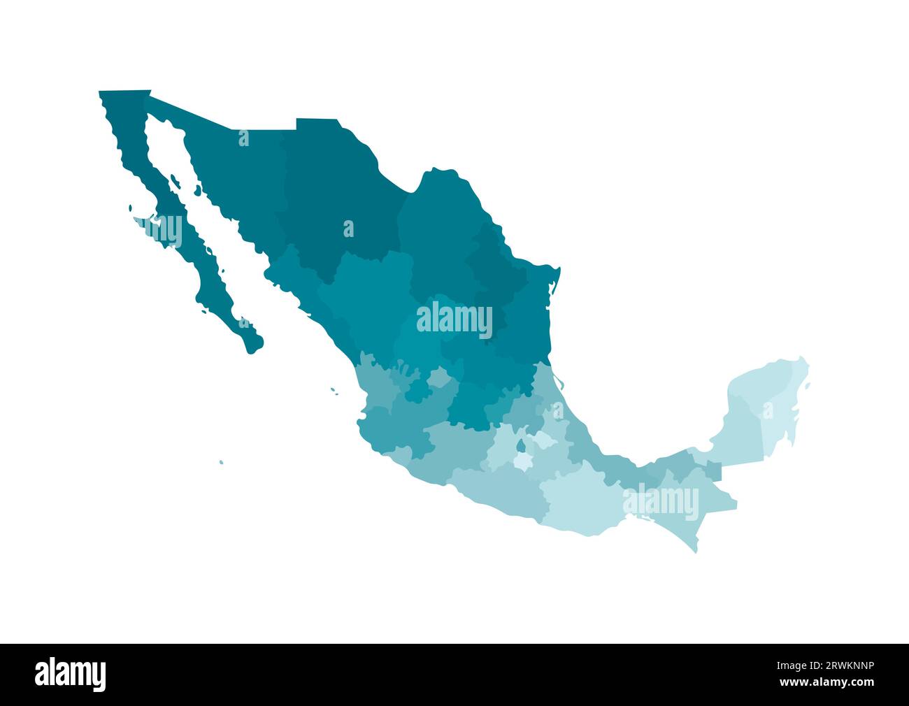 Vector isolated illustration of simplified administrative map of Mexico (United Mexican States). Borders of the regions. Colorful blue khaki silhouet Stock Vectorhttps://www.alamy.com/image-license-details/?v=1https://www.alamy.com/vector-isolated-illustration-of-simplified-administrative-map-of-mexico-united-mexican-states-borders-of-the-regions-colorful-blue-khaki-silhouet-image566532338.html
RF2RWKNNP–Vector isolated illustration of simplified administrative map of Mexico (United Mexican States). Borders of the regions. Colorful blue khaki silhouet
 Oaxaca, Mexico, Mezcal stores Stock Photohttps://www.alamy.com/image-license-details/?v=1https://www.alamy.com/stock-photo-oaxaca-mexico-mezcal-stores-70822813.html
RME36765–Oaxaca, Mexico, Mezcal stores
 Oaxaca state flag, Mexico waving banner collection. 3D illustration Stock Photohttps://www.alamy.com/image-license-details/?v=1https://www.alamy.com/oaxaca-state-flag-mexico-waving-banner-collection-3d-illustration-image549399824.html
RF2PWR928–Oaxaca state flag, Mexico waving banner collection. 3D illustration
 . Biology of New World Microtus. Rodents; Rodents; Microtus; Voles. Zoogeography 99. Fig. 10. Distribution of Microtus chrotorrhinus (modified from Hall, 1981). Sub- species are: 1, M. c. carolinensis; 2, M. c. chrotorrhinus; 3, M. c. ravus. Diablian, Californian, San Bernardinian provinces). The Mexican vole, M. mexicanus, occurs from the southern Rocky Mountains southward in the Sierra Madre of Mexico to central Oaxaca (Mad- rean-Cordilleran province) (Fig. 12). Both species usually inhabit grassy habitats within or adjacent to, oak and pine woodlands, re- spectively (Getz, this volume). The Stock Photohttps://www.alamy.com/image-license-details/?v=1https://www.alamy.com/biology-of-new-world-microtus-rodents-rodents-microtus-voles-zoogeography-99-fig-10-distribution-of-microtus-chrotorrhinus-modified-from-hall-1981-sub-species-are-1-m-c-carolinensis-2-m-c-chrotorrhinus-3-m-c-ravus-diablian-californian-san-bernardinian-provinces-the-mexican-vole-m-mexicanus-occurs-from-the-southern-rocky-mountains-southward-in-the-sierra-madre-of-mexico-to-central-oaxaca-mad-rean-cordilleran-province-fig-12-both-species-usually-inhabit-grassy-habitats-within-or-adjacent-to-oak-and-pine-woodlands-re-spectively-getz-this-volume-the-image234605840.html
RMRHK640–. Biology of New World Microtus. Rodents; Rodents; Microtus; Voles. Zoogeography 99. Fig. 10. Distribution of Microtus chrotorrhinus (modified from Hall, 1981). Sub- species are: 1, M. c. carolinensis; 2, M. c. chrotorrhinus; 3, M. c. ravus. Diablian, Californian, San Bernardinian provinces). The Mexican vole, M. mexicanus, occurs from the southern Rocky Mountains southward in the Sierra Madre of Mexico to central Oaxaca (Mad- rean-Cordilleran province) (Fig. 12). Both species usually inhabit grassy habitats within or adjacent to, oak and pine woodlands, re- spectively (Getz, this volume). The
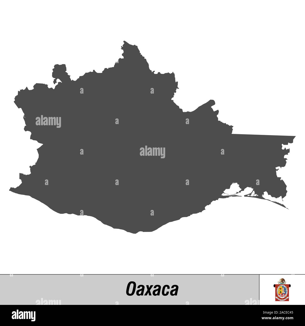 High quality map with flag state of Mexico - Oaxaca Stock Vectorhttps://www.alamy.com/image-license-details/?v=1https://www.alamy.com/high-quality-map-with-flag-state-of-mexico-oaxaca-image334689717.html
RF2ACEC45–High quality map with flag state of Mexico - Oaxaca
 emblem of Oaxacaa state on map with administrative divisions and borders of Mexico Stock Photohttps://www.alamy.com/image-license-details/?v=1https://www.alamy.com/stock-photo-emblem-of-oaxacaa-state-on-map-with-administrative-divisions-and-borders-176409482.html
RFM7042J–emblem of Oaxacaa state on map with administrative divisions and borders of Mexico
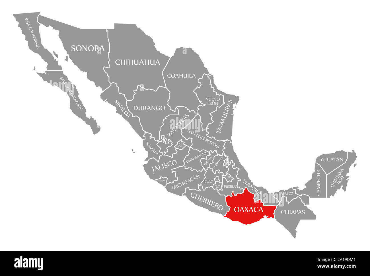 Oaxaca red highlighted in map of Mexico Stock Photohttps://www.alamy.com/image-license-details/?v=1https://www.alamy.com/oaxaca-red-highlighted-in-map-of-mexico-image327819969.html
RF2A19DM1–Oaxaca red highlighted in map of Mexico
 Festival of the traditional mexican drink Tejate in the village of St Andres Huayapam in The province of Oaxaca Mexico Stock Photohttps://www.alamy.com/image-license-details/?v=1https://www.alamy.com/festival-of-the-traditional-mexican-drink-tejate-in-the-village-of-image7911027.html
RMAF65Y4–Festival of the traditional mexican drink Tejate in the village of St Andres Huayapam in The province of Oaxaca Mexico
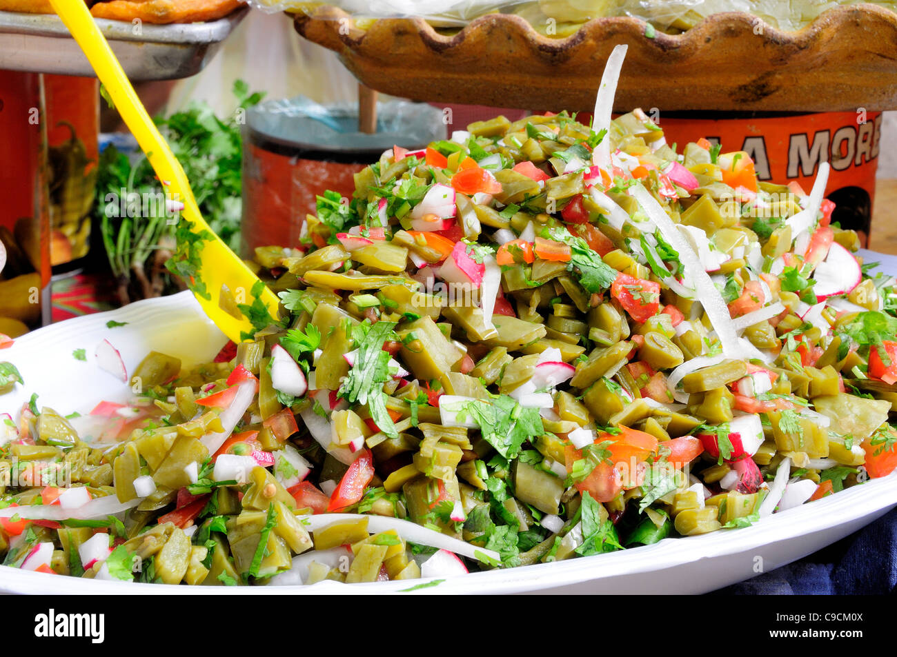 Mexico, Oaxaca, Nopales or cactus leaf salad. Stock Photohttps://www.alamy.com/image-license-details/?v=1https://www.alamy.com/stock-photo-mexico-oaxaca-nopales-or-cactus-leaf-salad-40231770.html
RMC9CM0X–Mexico, Oaxaca, Nopales or cactus leaf salad.
 Oaxaca State, church built by the Spaniards in the very center of the Mixtec city of Mitla. Stock Photohttps://www.alamy.com/image-license-details/?v=1https://www.alamy.com/oaxaca-state-church-built-by-the-spaniards-in-the-very-center-of-the-image9060901.html
RMAPT2X6–Oaxaca State, church built by the Spaniards in the very center of the Mixtec city of Mitla.
 Mexico, Oaxaca Province, palm tree in garden of small hotel. (PR) Stock Photohttps://www.alamy.com/image-license-details/?v=1https://www.alamy.com/stock-photo-mexico-oaxaca-province-palm-tree-in-garden-of-small-hotel-pr-139268079.html
RMJ2G5RY–Mexico, Oaxaca Province, palm tree in garden of small hotel. (PR)
 Domburg, Niederlande. 27th Aug, 2024. Queen Maxima of The Netherlands at the beach of Domburg, on August 27, 2024, to visit Beach Club Oaxaca during a regional visit to Walcheren in the province of Zeeland Credit: Albert Nieboer/Netherlands OUT/Point de Vue OUT/dpa/Alamy Live News Stock Photohttps://www.alamy.com/image-license-details/?v=1https://www.alamy.com/domburg-niederlande-27th-aug-2024-queen-maxima-of-the-netherlands-at-the-beach-of-domburg-on-august-27-2024-to-visit-beach-club-oaxaca-during-a-regional-visit-to-walcheren-in-the-province-of-zeeland-credit-albert-nieboernetherlands-outpoint-de-vue-outdpaalamy-live-news-image619008317.html
RM2XY27BW–Domburg, Niederlande. 27th Aug, 2024. Queen Maxima of The Netherlands at the beach of Domburg, on August 27, 2024, to visit Beach Club Oaxaca during a regional visit to Walcheren in the province of Zeeland Credit: Albert Nieboer/Netherlands OUT/Point de Vue OUT/dpa/Alamy Live News
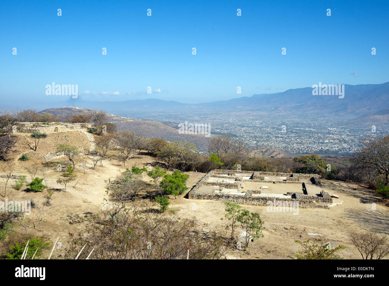 Tombs 103 and 104 Zapotec ruins Monte Alban Oaxaca Province Mexico Stock Photohttps://www.alamy.com/image-license-details/?v=1https://www.alamy.com/tombs-103-and-104-zapotec-ruins-monte-alban-oaxaca-province-mexico-image69142437.html
RME0DKTN–Tombs 103 and 104 Zapotec ruins Monte Alban Oaxaca Province Mexico
 The theatre in Oaxaca City, Mexico. Stock Photohttps://www.alamy.com/image-license-details/?v=1https://www.alamy.com/the-theatre-in-oaxaca-city-mexico-image344005453.html
RM2AYJPD1–The theatre in Oaxaca City, Mexico.
 Vector isolated illustration of simplified administrative map of Mexico (United Mexican States). Borders of the provinces (regions). Grey silhouettes Stock Vectorhttps://www.alamy.com/image-license-details/?v=1https://www.alamy.com/vector-isolated-illustration-of-simplified-administrative-map-of-mexico-united-mexican-states-borders-of-the-provinces-regions-grey-silhouettes-image566532355.html
RF2RWKNPB–Vector isolated illustration of simplified administrative map of Mexico (United Mexican States). Borders of the provinces (regions). Grey silhouettes
 Oaxaca, Mexico, Mezcal stores Stock Photohttps://www.alamy.com/image-license-details/?v=1https://www.alamy.com/stock-photo-oaxaca-mexico-mezcal-stores-70822483.html
RME366PB–Oaxaca, Mexico, Mezcal stores
 Oaxaca state flag, Mexico waving banner collection. 3D illustration Stock Photohttps://www.alamy.com/image-license-details/?v=1https://www.alamy.com/oaxaca-state-flag-mexico-waving-banner-collection-3d-illustration-image549545595.html
RF2PX1Y0B–Oaxaca state flag, Mexico waving banner collection. 3D illustration
 . Review of American birds in the Museum of the Smithsonian Institution: pt. 1 . Birds. 446 EEVIEW or AMERICAN BIKIIS. [part I. 1857, 213.—ScLATEK, p. Z. S. 1864,173 (City of Mexico).—Co%no excubitoroides, Baied, Birds N. Am. 1858, 327. f Lanius mexicanus, Bkehm. Cab. Jour. II, 1854, 145.—Solater, Catal. 1861, 46 (Mexico). Lanius ludovicianus, Max. Cab. Jour. 1858, 191 (Upper Missouri). Bab. Western province of North America, as far north as California ; Middle North America, to the Saskatchewan, and east to Wisconsin, Michigan and Illinois ; south to Orizaba and Oaxaca, and City of Mexico; Ca Stock Photohttps://www.alamy.com/image-license-details/?v=1https://www.alamy.com/review-of-american-birds-in-the-museum-of-the-smithsonian-institution-pt-1-birds-446-eeview-or-american-bikiis-part-i-1857-213sclatek-p-z-s-1864173-city-of-mexicocono-excubitoroides-baied-birds-n-am-1858-327-f-lanius-mexicanus-bkehm-cab-jour-ii-1854-145solater-catal-1861-46-mexico-lanius-ludovicianus-max-cab-jour-1858-191-upper-missouri-bab-western-province-of-north-america-as-far-north-as-california-middle-north-america-to-the-saskatchewan-and-east-to-wisconsin-michigan-and-illinois-south-to-orizaba-and-oaxaca-and-city-of-mexico-ca-image232451068.html
RMRE51KT–. Review of American birds in the Museum of the Smithsonian Institution: pt. 1 . Birds. 446 EEVIEW or AMERICAN BIKIIS. [part I. 1857, 213.—ScLATEK, p. Z. S. 1864,173 (City of Mexico).—Co%no excubitoroides, Baied, Birds N. Am. 1858, 327. f Lanius mexicanus, Bkehm. Cab. Jour. II, 1854, 145.—Solater, Catal. 1861, 46 (Mexico). Lanius ludovicianus, Max. Cab. Jour. 1858, 191 (Upper Missouri). Bab. Western province of North America, as far north as California ; Middle North America, to the Saskatchewan, and east to Wisconsin, Michigan and Illinois ; south to Orizaba and Oaxaca, and City of Mexico; Ca
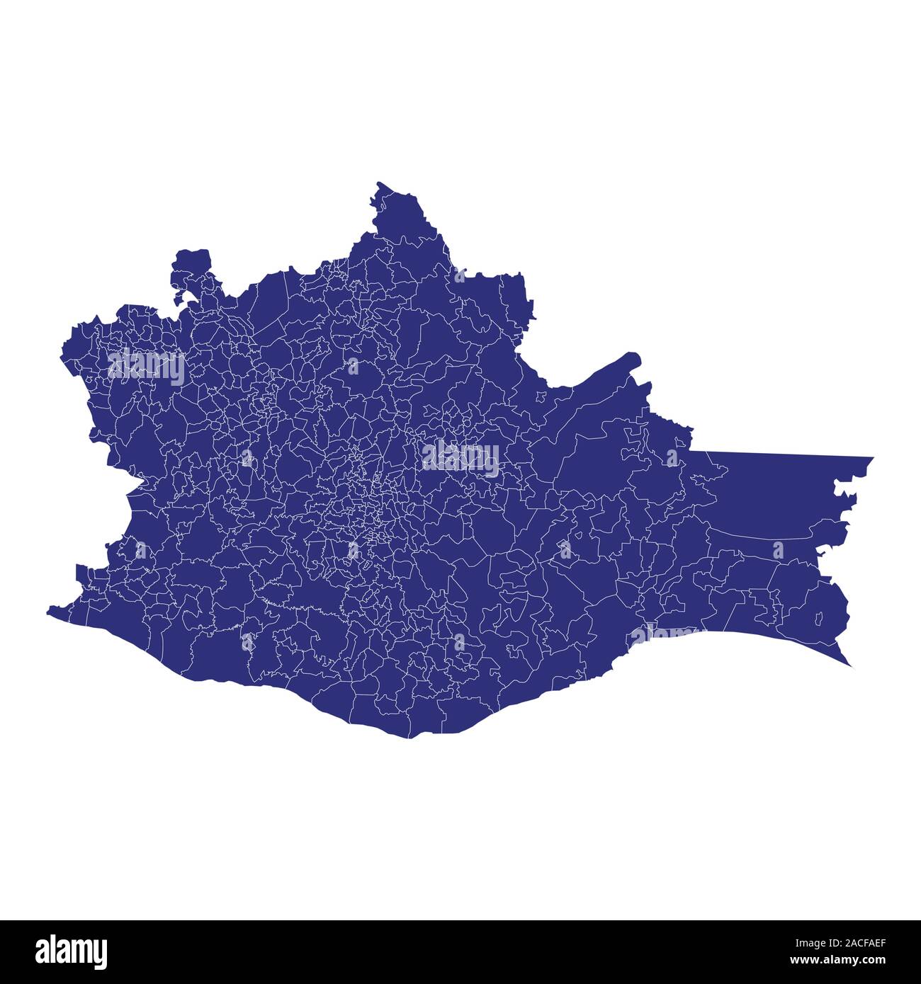 High Quality map of Oaxaca is a state of Mexico, with borders of the municipalities Stock Vectorhttps://www.alamy.com/image-license-details/?v=1https://www.alamy.com/high-quality-map-of-oaxaca-is-a-state-of-mexico-with-borders-of-the-municipalities-image334710391.html
RF2ACFAEF–High Quality map of Oaxaca is a state of Mexico, with borders of the municipalities
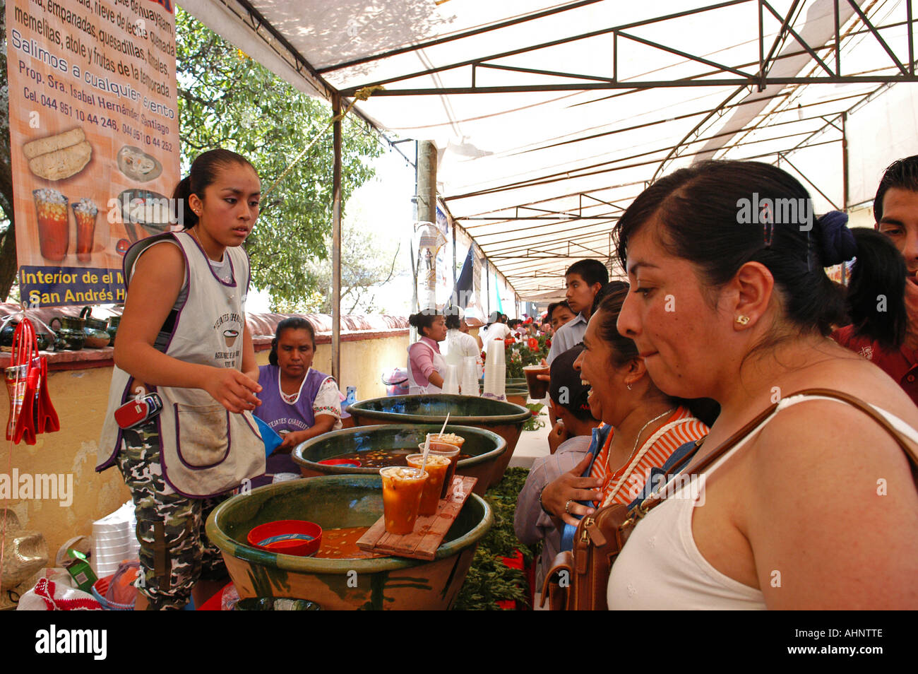 Festival of the traditional mexican drink Tejate in the village of St Andres Huayapam in The province of Oaxaca Mexico Stock Photohttps://www.alamy.com/image-license-details/?v=1https://www.alamy.com/festival-of-the-traditional-mexican-drink-tejate-in-the-village-of-image8296333.html
RMAHNTTE–Festival of the traditional mexican drink Tejate in the village of St Andres Huayapam in The province of Oaxaca Mexico
 Mexico, Oaxaca, Spools of coloured wools on loom ready for weaving. Stock Photohttps://www.alamy.com/image-license-details/?v=1https://www.alamy.com/stock-photo-mexico-oaxaca-spools-of-coloured-wools-on-loom-ready-for-weaving-40231368.html
RMC9CKEG–Mexico, Oaxaca, Spools of coloured wools on loom ready for weaving.
 North America, Mexico, Oaxaca Province, Oaxaca, papaya on display in market Stock Photohttps://www.alamy.com/image-license-details/?v=1https://www.alamy.com/stock-photo-north-america-mexico-oaxaca-province-oaxaca-papaya-on-display-in-market-139268094.html
RFJ2G5TE–North America, Mexico, Oaxaca Province, Oaxaca, papaya on display in market
 Domburg, Niederlande. 27th Aug, 2024. Queen Maxima of The Netherlands at the beach of Domburg, on August 27, 2024, to visit Beach Club Oaxaca during a regional visit to Walcheren in the province of Zeeland Credit: Albert Nieboer/Netherlands OUT/Point de Vue OUT/dpa/Alamy Live News Stock Photohttps://www.alamy.com/image-license-details/?v=1https://www.alamy.com/domburg-niederlande-27th-aug-2024-queen-maxima-of-the-netherlands-at-the-beach-of-domburg-on-august-27-2024-to-visit-beach-club-oaxaca-during-a-regional-visit-to-walcheren-in-the-province-of-zeeland-credit-albert-nieboernetherlands-outpoint-de-vue-outdpaalamy-live-news-image619008316.html
RM2XY27BT–Domburg, Niederlande. 27th Aug, 2024. Queen Maxima of The Netherlands at the beach of Domburg, on August 27, 2024, to visit Beach Club Oaxaca during a regional visit to Walcheren in the province of Zeeland Credit: Albert Nieboer/Netherlands OUT/Point de Vue OUT/dpa/Alamy Live News
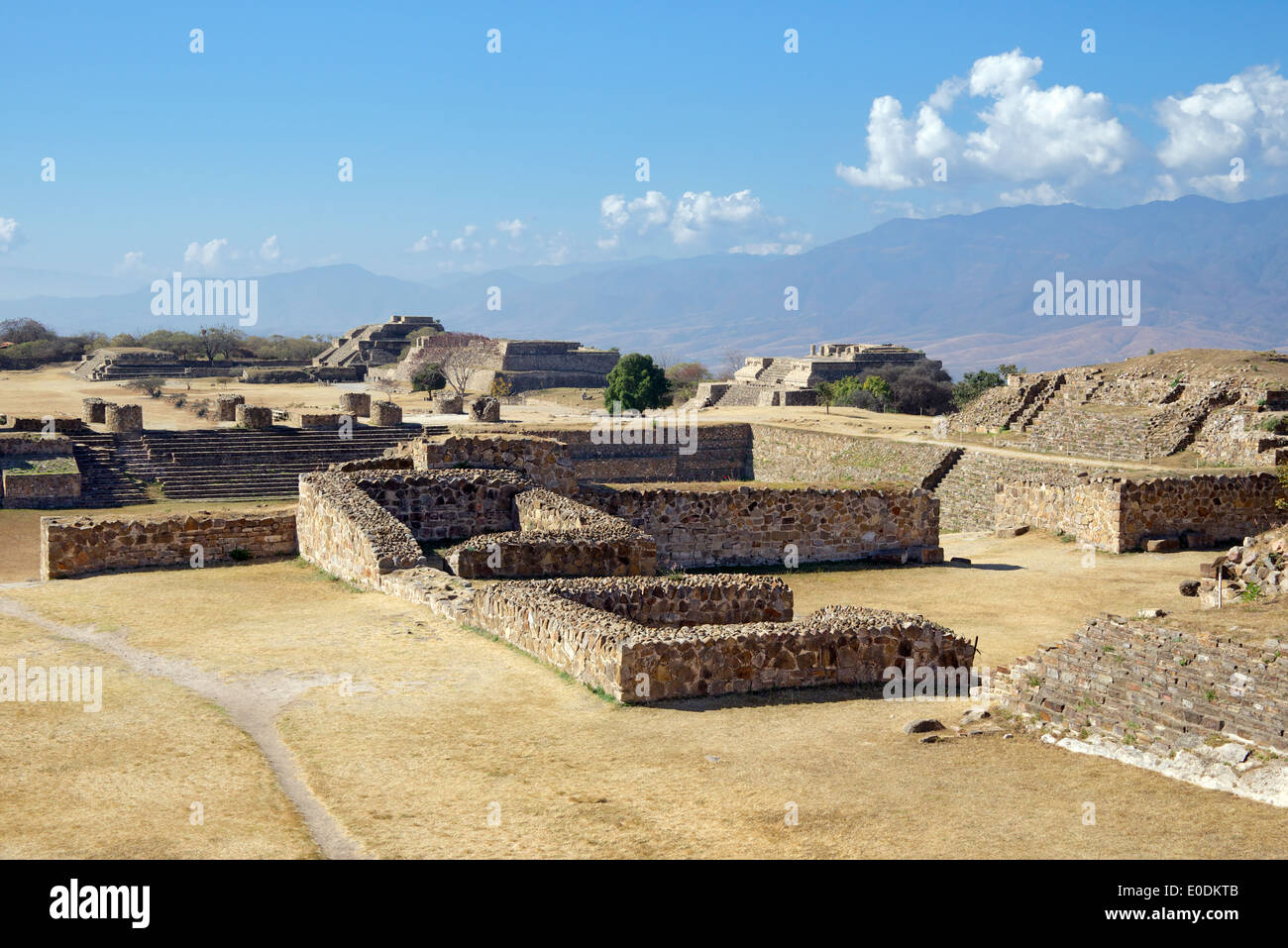 Sunken Patio North Platform Zapotec ruins Monte Alban Oaxaca Province Mexico Stock Photohttps://www.alamy.com/image-license-details/?v=1https://www.alamy.com/sunken-patio-north-platform-zapotec-ruins-monte-alban-oaxaca-province-image69142427.html
RME0DKTB–Sunken Patio North Platform Zapotec ruins Monte Alban Oaxaca Province Mexico
 Street scene with people in Oaxaca City, Mexico. Stock Photohttps://www.alamy.com/image-license-details/?v=1https://www.alamy.com/street-scene-with-people-in-oaxaca-city-mexico-image344005397.html
RM2AYJPB1–Street scene with people in Oaxaca City, Mexico.
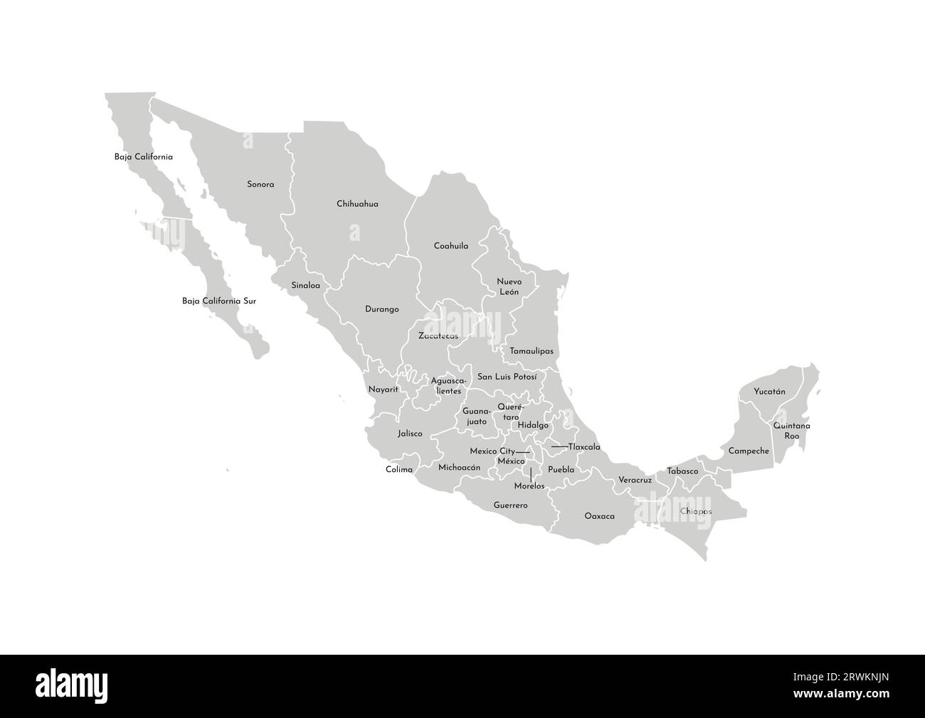 Vector isolated illustration of simplified administrative map of Mexico (United Mexican States). Borders and names of the provinces (regions). Grey s Stock Vectorhttps://www.alamy.com/image-license-details/?v=1https://www.alamy.com/vector-isolated-illustration-of-simplified-administrative-map-of-mexico-united-mexican-states-borders-and-names-of-the-provinces-regions-grey-s-image566532253.html
RF2RWKNJN–Vector isolated illustration of simplified administrative map of Mexico (United Mexican States). Borders and names of the provinces (regions). Grey s
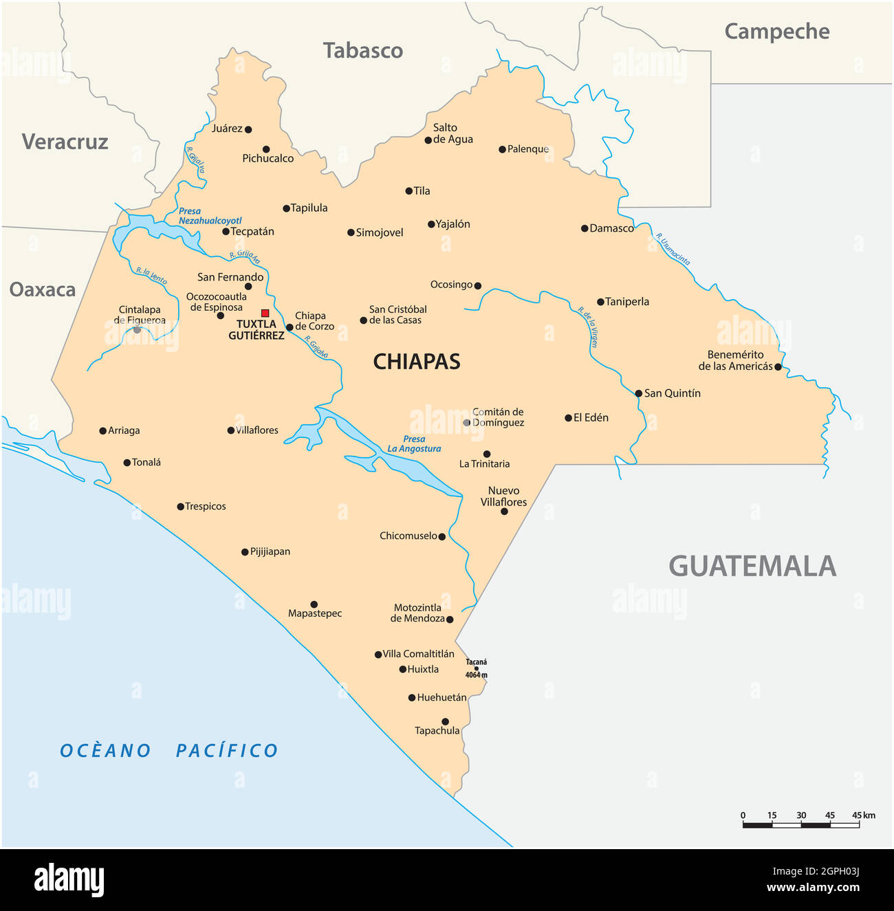 vector map of the Mexican state of Chiapas Stock Vectorhttps://www.alamy.com/image-license-details/?v=1https://www.alamy.com/vector-map-of-the-mexican-state-of-chiapas-image444154918.html
RF2GPH03J–vector map of the Mexican state of Chiapas
 . Bulletin - United States National Museum. Science. 64 BULLETIN 160, UNITED STATES NATIONAL MUSEUM Range.—From Mazatlan in Sinaloa, Sierra Madre in Zacatecas, and Orizaba in Vera Cruz, south through Nayarit, JaUsco, Guanajuato, Hidalgo, Morelos, Puebla, and Guerrero to the Isthmus of Tehuan- tepec in Oaxaca; exact limits of range not known; occurs in the province of Bocas del Toro in northeastern Panama and in the Andes of Ecuador. Reported from: Vera Cruz, Tetela (Gadow); Sinaloa, Presidio (Giinther); Durango, Milpas (Forrer); Guanajuato, Guana- juato, Huazteca Potosina, and Silao (Duges); P Stock Photohttps://www.alamy.com/image-license-details/?v=1https://www.alamy.com/bulletin-united-states-national-museum-science-64-bulletin-160-united-states-national-museum-rangefrom-mazatlan-in-sinaloa-sierra-madre-in-zacatecas-and-orizaba-in-vera-cruz-south-through-nayarit-jausco-guanajuato-hidalgo-morelos-puebla-and-guerrero-to-the-isthmus-of-tehuan-tepec-in-oaxaca-exact-limits-of-range-not-known-occurs-in-the-province-of-bocas-del-toro-in-northeastern-panama-and-in-the-andes-of-ecuador-reported-from-vera-cruz-tetela-gadow-sinaloa-presidio-giinther-durango-milpas-forrer-guanajuato-guana-juato-huazteca-potosina-and-silao-duges-p-image233743480.html
RMRG7X5C–. Bulletin - United States National Museum. Science. 64 BULLETIN 160, UNITED STATES NATIONAL MUSEUM Range.—From Mazatlan in Sinaloa, Sierra Madre in Zacatecas, and Orizaba in Vera Cruz, south through Nayarit, JaUsco, Guanajuato, Hidalgo, Morelos, Puebla, and Guerrero to the Isthmus of Tehuan- tepec in Oaxaca; exact limits of range not known; occurs in the province of Bocas del Toro in northeastern Panama and in the Andes of Ecuador. Reported from: Vera Cruz, Tetela (Gadow); Sinaloa, Presidio (Giinther); Durango, Milpas (Forrer); Guanajuato, Guana- juato, Huazteca Potosina, and Silao (Duges); P
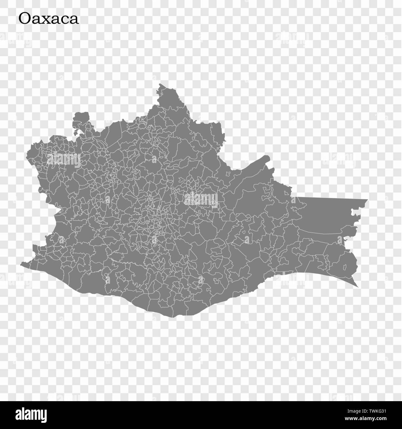 High Quality map of Oaxaca is a state of Mexico, with borders of the municipalities Stock Vectorhttps://www.alamy.com/image-license-details/?v=1https://www.alamy.com/high-quality-map-of-oaxaca-is-a-state-of-mexico-with-borders-of-the-municipalities-image256741269.html
RFTWKG31–High Quality map of Oaxaca is a state of Mexico, with borders of the municipalities
 Mexico, Oaxaca, Mitla archaeological site, Detail of stone geometric mosaics on the Templo de las Columnas. Stock Photohttps://www.alamy.com/image-license-details/?v=1https://www.alamy.com/stock-photo-mexico-oaxaca-mitla-archaeological-site-detail-of-stone-geometric-40231168.html
RMC9CK7C–Mexico, Oaxaca, Mitla archaeological site, Detail of stone geometric mosaics on the Templo de las Columnas.
 North America, Mexico, Oaxaca Province, Oaxaca, taquitos on display in market Stock Photohttps://www.alamy.com/image-license-details/?v=1https://www.alamy.com/stock-photo-north-america-mexico-oaxaca-province-oaxaca-taquitos-on-display-in-139268091.html
RFJ2G5TB–North America, Mexico, Oaxaca Province, Oaxaca, taquitos on display in market
 Domburg, Niederlande. 27th Aug, 2024. Queen Maxima of The Netherlands at the beach of Domburg, on August 27, 2024, to visit Beach Club Oaxaca during a regional visit to Walcheren in the province of Zeeland Credit: Albert Nieboer/Netherlands OUT/Point de Vue OUT/dpa/Alamy Live News Stock Photohttps://www.alamy.com/image-license-details/?v=1https://www.alamy.com/domburg-niederlande-27th-aug-2024-queen-maxima-of-the-netherlands-at-the-beach-of-domburg-on-august-27-2024-to-visit-beach-club-oaxaca-during-a-regional-visit-to-walcheren-in-the-province-of-zeeland-credit-albert-nieboernetherlands-outpoint-de-vue-outdpaalamy-live-news-image619008296.html
RM2XY27B4–Domburg, Niederlande. 27th Aug, 2024. Queen Maxima of The Netherlands at the beach of Domburg, on August 27, 2024, to visit Beach Club Oaxaca during a regional visit to Walcheren in the province of Zeeland Credit: Albert Nieboer/Netherlands OUT/Point de Vue OUT/dpa/Alamy Live News
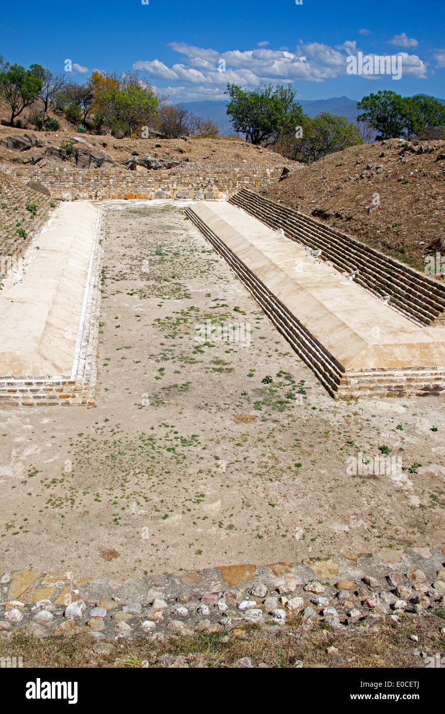 Ballcourt Zapotec ruins Atzompa Oaxaca Province Mexico Stock Photohttps://www.alamy.com/image-license-details/?v=1https://www.alamy.com/ballcourt-zapotec-ruins-atzompa-oaxaca-province-mexico-image69116562.html
RME0CETJ–Ballcourt Zapotec ruins Atzompa Oaxaca Province Mexico
 Street scene with people in Oaxaca City, Mexico. Stock Photohttps://www.alamy.com/image-license-details/?v=1https://www.alamy.com/street-scene-with-people-in-oaxaca-city-mexico-image344005378.html
RM2AYJPAA–Street scene with people in Oaxaca City, Mexico.
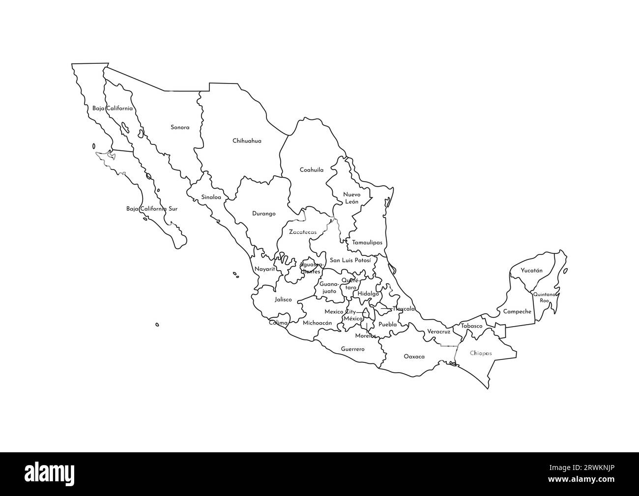 Vector isolated illustration of simplified administrative map of Mexico (United Mexican States). Borders and names of the regions. Black line silhoue Stock Vectorhttps://www.alamy.com/image-license-details/?v=1https://www.alamy.com/vector-isolated-illustration-of-simplified-administrative-map-of-mexico-united-mexican-states-borders-and-names-of-the-regions-black-line-silhoue-image566532254.html
RF2RWKNJP–Vector isolated illustration of simplified administrative map of Mexico (United Mexican States). Borders and names of the regions. Black line silhoue
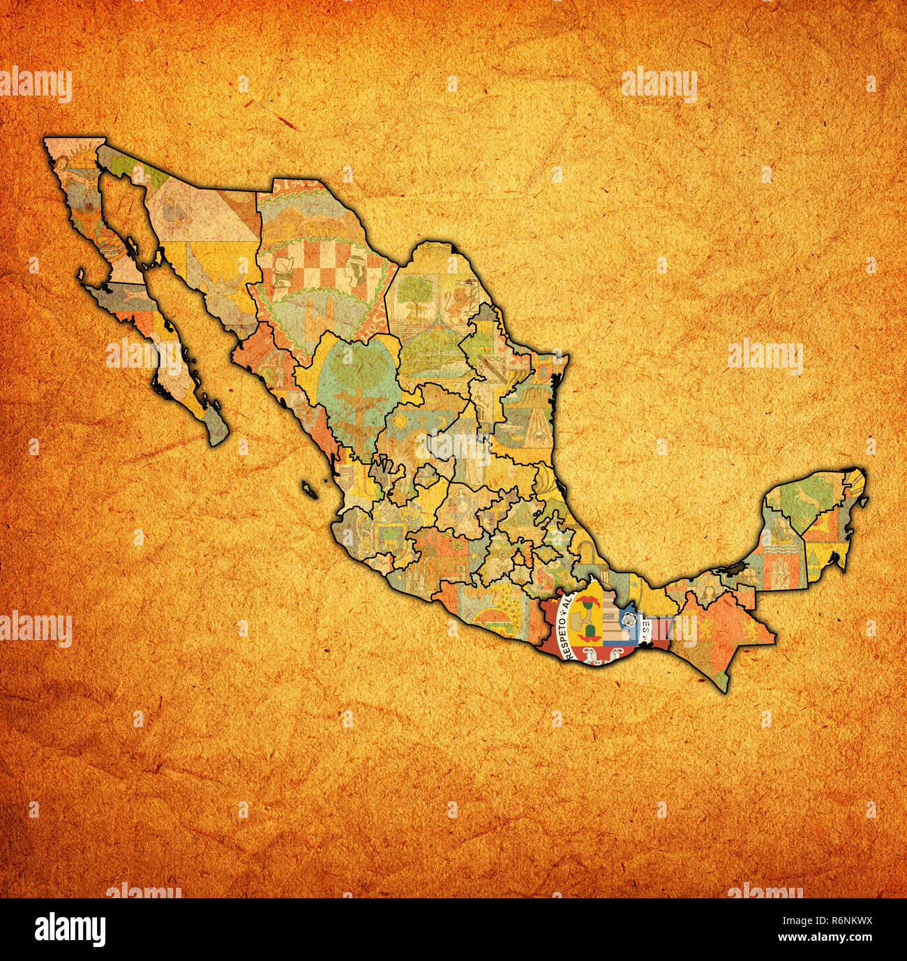 Oaxaca on administration map of Mexico Stock Photohttps://www.alamy.com/image-license-details/?v=1https://www.alamy.com/oaxaca-on-administration-map-of-mexico-image227899334.html
RFR6NKWX–Oaxaca on administration map of Mexico
![. Review of American birds in the Museum of the Smithsonian Instution. [microform]. Birds; Oiseaux. 1857, 213.—ScLATKR, p. Z. 8. 18«J4,173 (City of M«xico).—CV/^no exruliitoiaides, Uaiud, IMuIa N. Am. 1858, !i'27. t LuniuH tnexicaiiua, Hkeiim. tab. Jour. II, 18.04, 145.—Sclateb, Catal. 1801, 4fi (Mexico). Lanius luiiovicianus, Max. Cab. Jour. 1868, 191 (Upper Mlesouri). Hah. Western province of North America, as far north as California; Middle North America, to the Saskatchewan, and east to Wisconsin, Micliigan and lliinois; Houth to Orizaba and Oaxaca, and City of Mexico; Cape St. Lucas. (No. Stock Photo . Review of American birds in the Museum of the Smithsonian Instution. [microform]. Birds; Oiseaux. 1857, 213.—ScLATKR, p. Z. 8. 18«J4,173 (City of M«xico).—CV/^no exruliitoiaides, Uaiud, IMuIa N. Am. 1858, !i'27. t LuniuH tnexicaiiua, Hkeiim. tab. Jour. II, 18.04, 145.—Sclateb, Catal. 1801, 4fi (Mexico). Lanius luiiovicianus, Max. Cab. Jour. 1868, 191 (Upper Mlesouri). Hah. Western province of North America, as far north as California; Middle North America, to the Saskatchewan, and east to Wisconsin, Micliigan and lliinois; Houth to Orizaba and Oaxaca, and City of Mexico; Cape St. Lucas. (No. Stock Photo](https://c8.alamy.com/comp/RJ6T64/review-of-american-birds-in-the-museum-of-the-smithsonian-instution-microform-birds-oiseaux-1857-213sclatkr-p-z-8-18j4173-city-of-mxicocvno-exruliitoiaides-uaiud-imuia-n-am-1858-!i27-t-luniuh-tnexicaiiua-hkeiim-tab-jour-ii-1804-145sclateb-catal-1801-4fi-mexico-lanius-luiiovicianus-max-cab-jour-1868-191-upper-mlesouri-hah-western-province-of-north-america-as-far-north-as-california-middle-north-america-to-the-saskatchewan-and-east-to-wisconsin-micliigan-and-lliinois-houth-to-orizaba-and-oaxaca-and-city-of-mexico-cape-st-lucas-no-RJ6T64.jpg) . Review of American birds in the Museum of the Smithsonian Instution. [microform]. Birds; Oiseaux. 1857, 213.—ScLATKR, p. Z. 8. 18«J4,173 (City of M«xico).—CV/^no exruliitoiaides, Uaiud, IMuIa N. Am. 1858, !i'27. t LuniuH tnexicaiiua, Hkeiim. tab. Jour. II, 18.04, 145.—Sclateb, Catal. 1801, 4fi (Mexico). Lanius luiiovicianus, Max. Cab. Jour. 1868, 191 (Upper Mlesouri). Hah. Western province of North America, as far north as California; Middle North America, to the Saskatchewan, and east to Wisconsin, Micliigan and lliinois; Houth to Orizaba and Oaxaca, and City of Mexico; Cape St. Lucas. (No. Stock Photohttps://www.alamy.com/image-license-details/?v=1https://www.alamy.com/review-of-american-birds-in-the-museum-of-the-smithsonian-instution-microform-birds-oiseaux-1857-213sclatkr-p-z-8-18j4173-city-of-mxicocvno-exruliitoiaides-uaiud-imuia-n-am-1858-!i27-t-luniuh-tnexicaiiua-hkeiim-tab-jour-ii-1804-145sclateb-catal-1801-4fi-mexico-lanius-luiiovicianus-max-cab-jour-1868-191-upper-mlesouri-hah-western-province-of-north-america-as-far-north-as-california-middle-north-america-to-the-saskatchewan-and-east-to-wisconsin-micliigan-and-lliinois-houth-to-orizaba-and-oaxaca-and-city-of-mexico-cape-st-lucas-no-image234949292.html
. Review of American birds in the Museum of the Smithsonian Instution. [microform]. Birds; Oiseaux. 1857, 213.—ScLATKR, p. Z. 8. 18«J4,173 (City of M«xico).—CV/^no exruliitoiaides, Uaiud, IMuIa N. Am. 1858, !i'27. t LuniuH tnexicaiiua, Hkeiim. tab. Jour. II, 18.04, 145.—Sclateb, Catal. 1801, 4fi (Mexico). Lanius luiiovicianus, Max. Cab. Jour. 1868, 191 (Upper Mlesouri). Hah. Western province of North America, as far north as California; Middle North America, to the Saskatchewan, and east to Wisconsin, Micliigan and lliinois; Houth to Orizaba and Oaxaca, and City of Mexico; Cape St. Lucas. (No. Stock Photohttps://www.alamy.com/image-license-details/?v=1https://www.alamy.com/review-of-american-birds-in-the-museum-of-the-smithsonian-instution-microform-birds-oiseaux-1857-213sclatkr-p-z-8-18j4173-city-of-mxicocvno-exruliitoiaides-uaiud-imuia-n-am-1858-!i27-t-luniuh-tnexicaiiua-hkeiim-tab-jour-ii-1804-145sclateb-catal-1801-4fi-mexico-lanius-luiiovicianus-max-cab-jour-1868-191-upper-mlesouri-hah-western-province-of-north-america-as-far-north-as-california-middle-north-america-to-the-saskatchewan-and-east-to-wisconsin-micliigan-and-lliinois-houth-to-orizaba-and-oaxaca-and-city-of-mexico-cape-st-lucas-no-image234949292.htmlRMRJ6T64–. Review of American birds in the Museum of the Smithsonian Instution. [microform]. Birds; Oiseaux. 1857, 213.—ScLATKR, p. Z. 8. 18«J4,173 (City of M«xico).—CV/^no exruliitoiaides, Uaiud, IMuIa N. Am. 1858, !i'27. t LuniuH tnexicaiiua, Hkeiim. tab. Jour. II, 18.04, 145.—Sclateb, Catal. 1801, 4fi (Mexico). Lanius luiiovicianus, Max. Cab. Jour. 1868, 191 (Upper Mlesouri). Hah. Western province of North America, as far north as California; Middle North America, to the Saskatchewan, and east to Wisconsin, Micliigan and lliinois; Houth to Orizaba and Oaxaca, and City of Mexico; Cape St. Lucas. (No.
 Waving ribbon or banner with flag of Oaxaca. State of Mexico. Template for poster design Stock Vectorhttps://www.alamy.com/image-license-details/?v=1https://www.alamy.com/waving-ribbon-or-banner-with-flag-of-oaxaca-state-of-mexico-template-for-poster-design-image334589777.html
RF2AC9TJW–Waving ribbon or banner with flag of Oaxaca. State of Mexico. Template for poster design
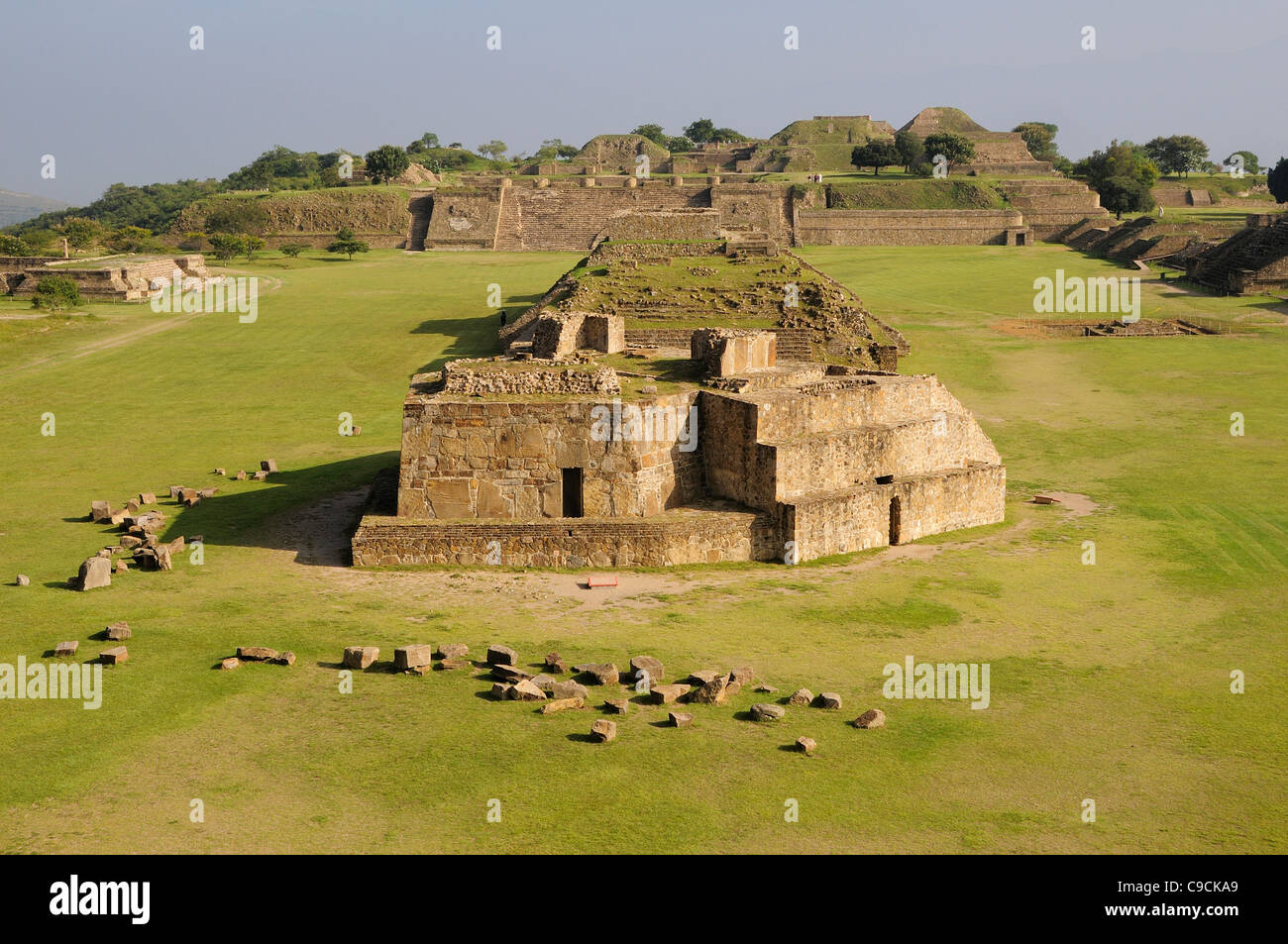 Mexico, Oaxaca, Monte Alban, Edificio buildings G, H and I in the central plaza. Stock Photohttps://www.alamy.com/image-license-details/?v=1https://www.alamy.com/stock-photo-mexico-oaxaca-monte-alban-edificio-buildings-g-h-and-i-in-the-central-40231249.html
RMC9CKA9–Mexico, Oaxaca, Monte Alban, Edificio buildings G, H and I in the central plaza.
 Mexico, Oaxaca Province, trolley takes tourists on tour of city's Spanish colonial architecture. Stock Photohttps://www.alamy.com/image-license-details/?v=1https://www.alamy.com/stock-photo-mexico-oaxaca-province-trolley-takes-tourists-on-tour-of-citys-spanish-139268076.html
RMJ2G5RT–Mexico, Oaxaca Province, trolley takes tourists on tour of city's Spanish colonial architecture.
 Domburg, Niederlande. 27th Aug, 2024. Queen Maxima of The Netherlands at the beach of Domburg, on August 27, 2024, to visit Beach Club Oaxaca during a regional visit to Walcheren in the province of Zeeland Credit: Albert Nieboer/Netherlands OUT/Point de Vue OUT/dpa/Alamy Live News Stock Photohttps://www.alamy.com/image-license-details/?v=1https://www.alamy.com/domburg-niederlande-27th-aug-2024-queen-maxima-of-the-netherlands-at-the-beach-of-domburg-on-august-27-2024-to-visit-beach-club-oaxaca-during-a-regional-visit-to-walcheren-in-the-province-of-zeeland-credit-albert-nieboernetherlands-outpoint-de-vue-outdpaalamy-live-news-image619008293.html
RM2XY27B1–Domburg, Niederlande. 27th Aug, 2024. Queen Maxima of The Netherlands at the beach of Domburg, on August 27, 2024, to visit Beach Club Oaxaca during a regional visit to Walcheren in the province of Zeeland Credit: Albert Nieboer/Netherlands OUT/Point de Vue OUT/dpa/Alamy Live News
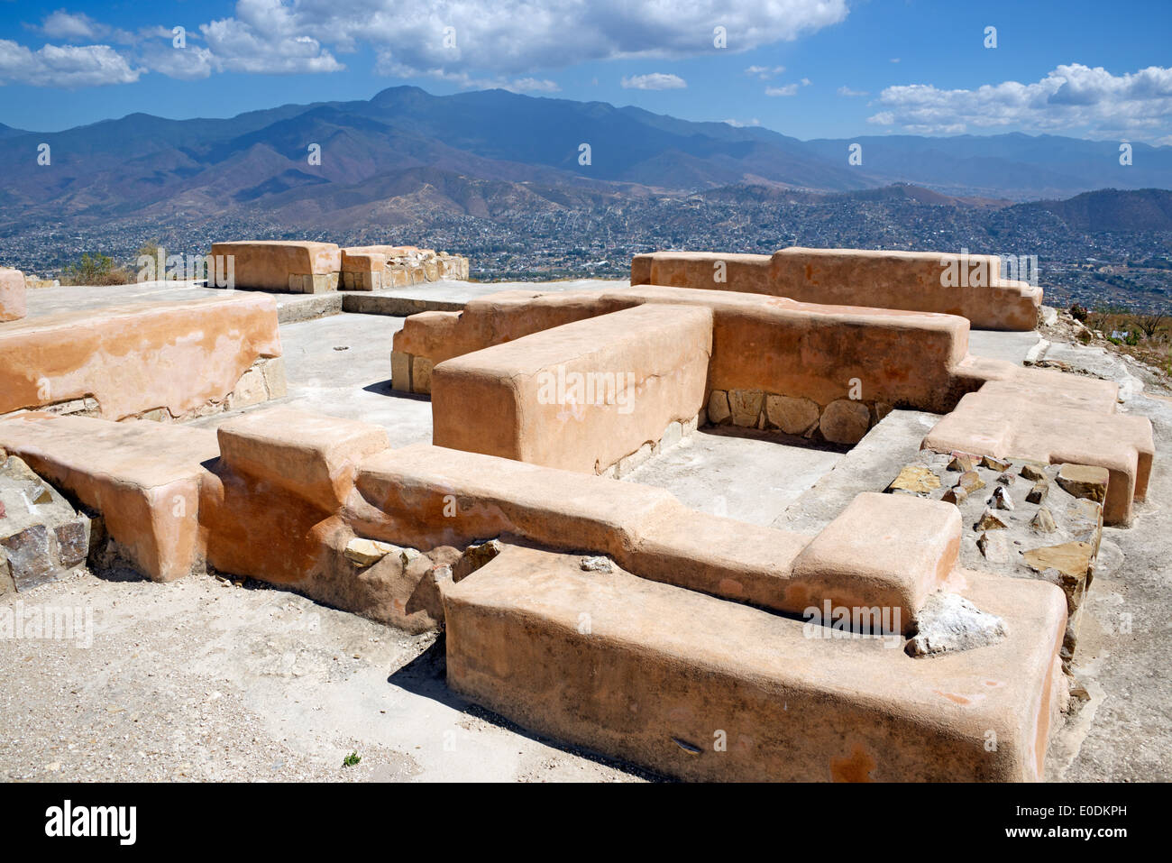 Resored houses Zapotec ruins Atzompa Oaxaca Province Mexico Stock Photohttps://www.alamy.com/image-license-details/?v=1https://www.alamy.com/resored-houses-zapotec-ruins-atzompa-oaxaca-province-mexico-image69142377.html
RME0DKPH–Resored houses Zapotec ruins Atzompa Oaxaca Province Mexico
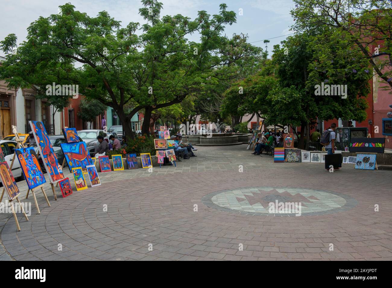 Street scene with people in Oaxaca City, Mexico. Stock Photohttps://www.alamy.com/image-license-details/?v=1https://www.alamy.com/street-scene-with-people-in-oaxaca-city-mexico-image344005476.html
RM2AYJPDT–Street scene with people in Oaxaca City, Mexico.
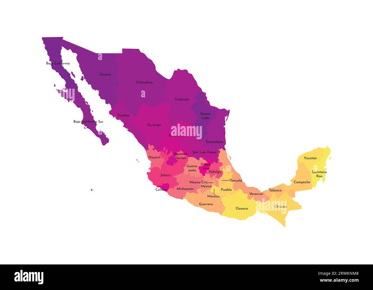 Vector isolated illustration of simplified administrative map of Mexico (United Mexican States). Borders and names of the regions. Multi colored silh Stock Vectorhttps://www.alamy.com/image-license-details/?v=1https://www.alamy.com/vector-isolated-illustration-of-simplified-administrative-map-of-mexico-united-mexican-states-borders-and-names-of-the-regions-multi-colored-silh-image566532296.html
RF2RWKNM8–Vector isolated illustration of simplified administrative map of Mexico (United Mexican States). Borders and names of the regions. Multi colored silh