Quick filters:
Old map abyssinia Stock Photos and Images
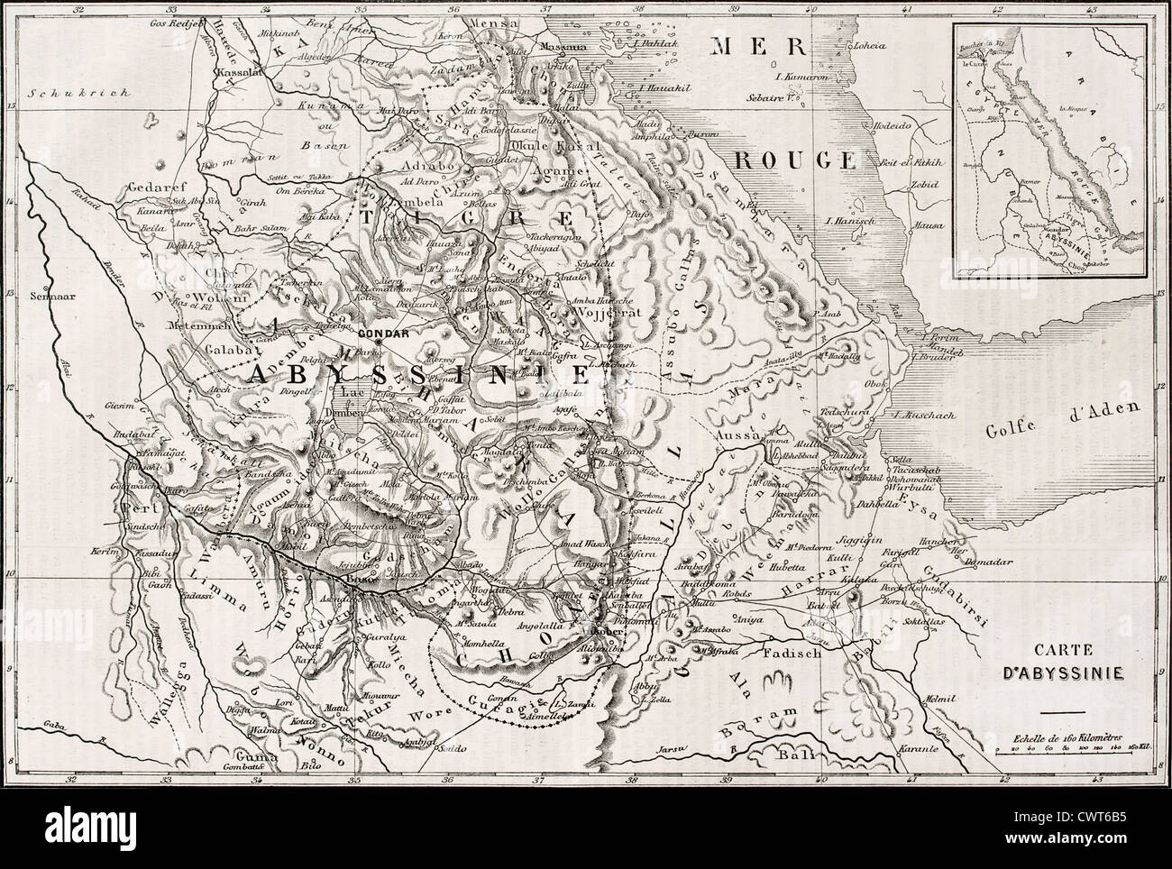 Old map of Abyssinia Stock Photohttps://www.alamy.com/image-license-details/?v=1https://www.alamy.com/stock-photo-old-map-of-abyssinia-50319001.html
RFCWT6B5–Old map of Abyssinia
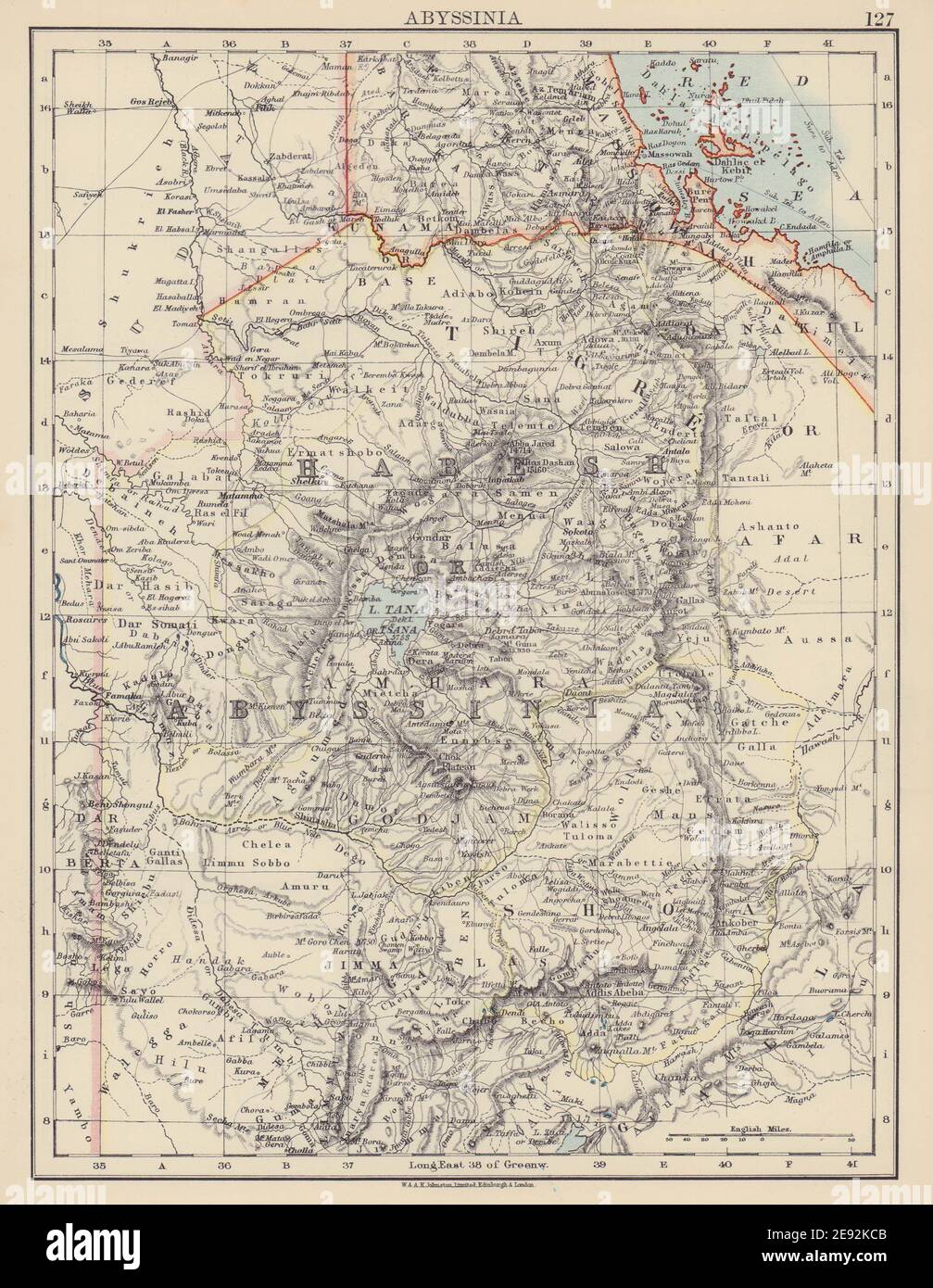 ABYSSINIA. Tigre Amhara Shoa Godjam. Ethiopia Eritrea. JOHNSTON 1901 old map Stock Photohttps://www.alamy.com/image-license-details/?v=1https://www.alamy.com/abyssinia-tigre-amhara-shoa-godjam-ethiopia-eritrea-johnston-1901-old-map-image401429515.html
RF2E92KCB–ABYSSINIA. Tigre Amhara Shoa Godjam. Ethiopia Eritrea. JOHNSTON 1901 old map
 A 1940s map of Abyssinia (Ethiopea) and surrounding states. - Khariidaddii 1940-kii ee Abyssinia (Itoobiya) iyo dawladaha ku xeeran Stock Photohttps://www.alamy.com/image-license-details/?v=1https://www.alamy.com/a-1940s-map-of-abyssinia-ethiopea-and-surrounding-states-khariidaddii-1940-kii-ee-abyssinia-itoobiya-iyo-dawladaha-ku-xeeran-image636450313.html
RM2YYCPT9–A 1940s map of Abyssinia (Ethiopea) and surrounding states. - Khariidaddii 1940-kii ee Abyssinia (Itoobiya) iyo dawladaha ku xeeran
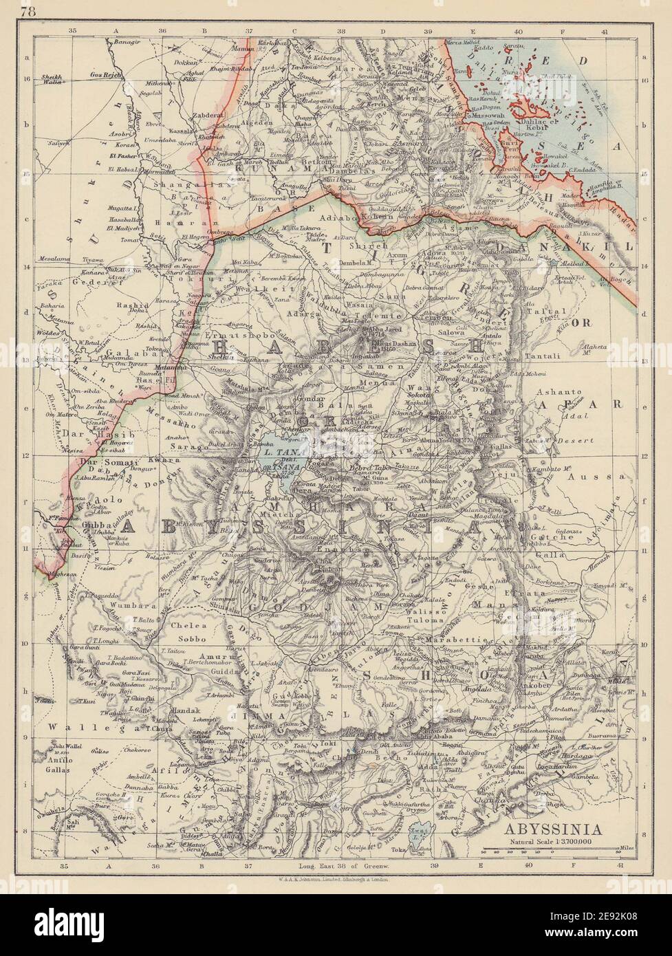 ABYSSINIA. Tigre Amhara Shoa Godjam. Ethiopia Eritrea. JOHNSTON 1910 old map Stock Photohttps://www.alamy.com/image-license-details/?v=1https://www.alamy.com/abyssinia-tigre-amhara-shoa-godjam-ethiopia-eritrea-johnston-1910-old-map-image401429176.html
RF2E92K08–ABYSSINIA. Tigre Amhara Shoa Godjam. Ethiopia Eritrea. JOHNSTON 1910 old map
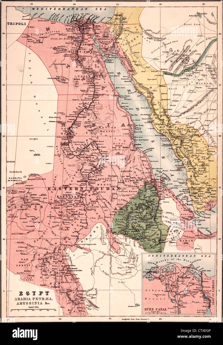 Egypt, Arabia Petræa, Abyssinia Map, circa 1885 Stock Photohttps://www.alamy.com/image-license-details/?v=1https://www.alamy.com/stock-photo-egypt-arabia-petra-abyssinia-map-circa-1885-49754678.html
RMCTXEGP–Egypt, Arabia Petræa, Abyssinia Map, circa 1885
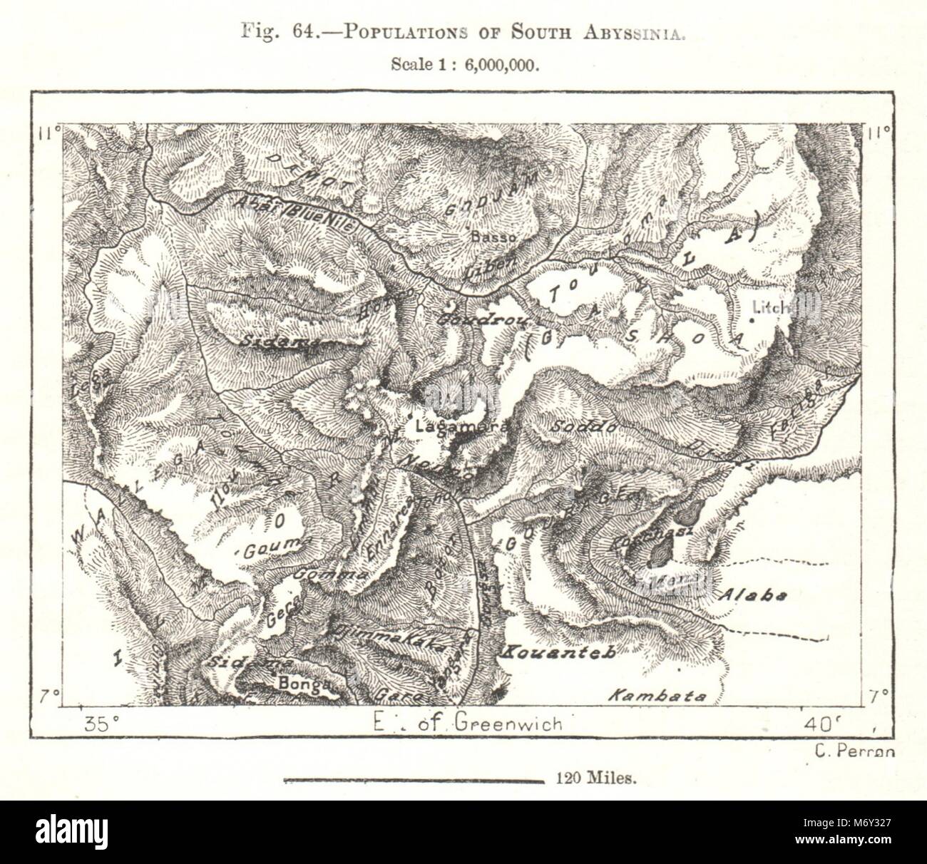 Populations of South Abyssinia. Ethiopia. Sketch map 1885 old antique Stock Photohttps://www.alamy.com/image-license-details/?v=1https://www.alamy.com/stock-photo-populations-of-south-abyssinia-ethiopia-sketch-map-1885-old-antique-176386735.html
RFM6Y327–Populations of South Abyssinia. Ethiopia. Sketch map 1885 old antique
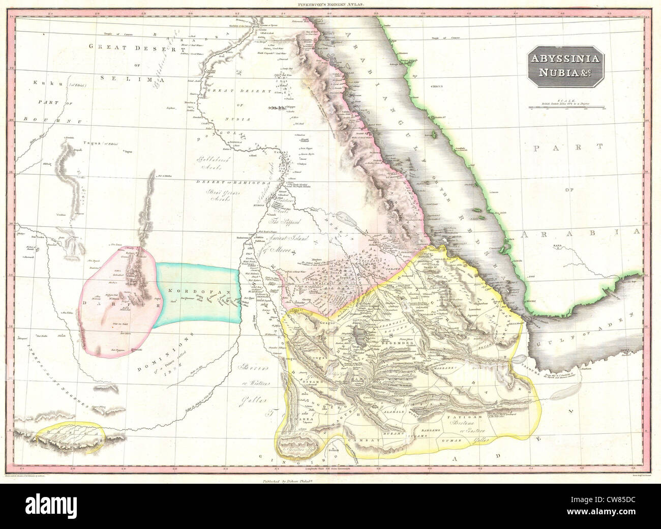 1818 Pinkerton Map of Abyssinia ( Ethiopia ), Sudan ^ Nubia Stock Photohttps://www.alamy.com/image-license-details/?v=1https://www.alamy.com/stock-photo-1818-pinkerton-map-of-abyssinia-ethiopia-sudan-nubia-49967048.html
RMCW85DC–1818 Pinkerton Map of Abyssinia ( Ethiopia ), Sudan ^ Nubia
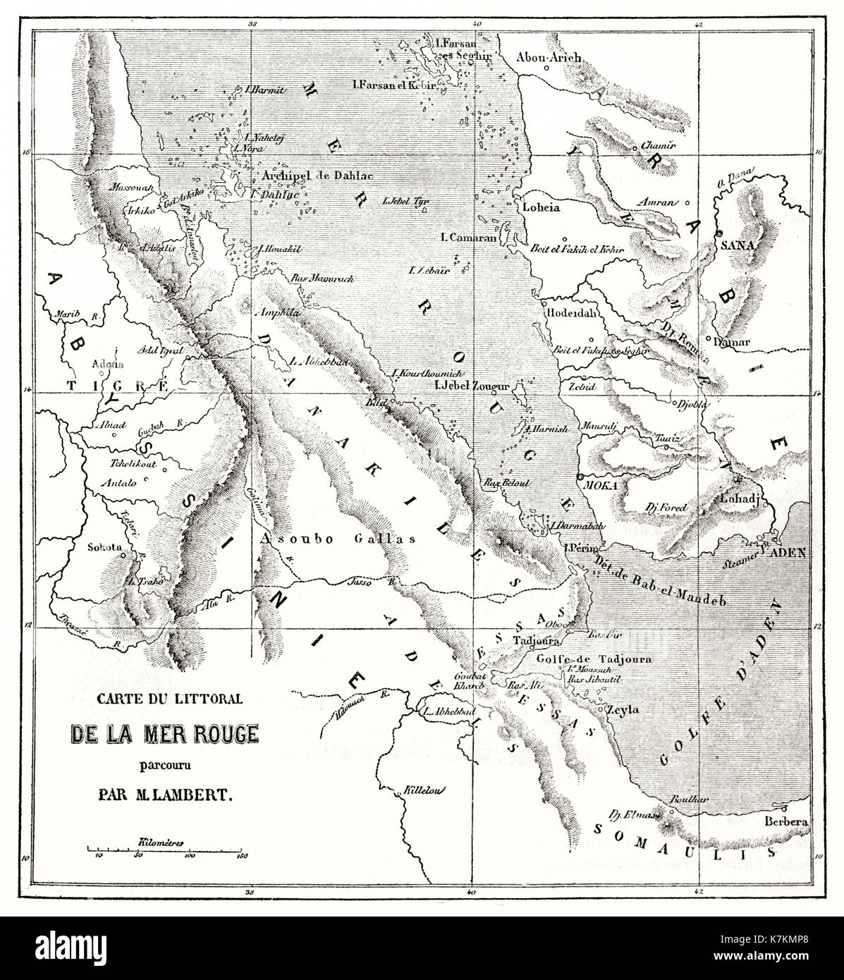 Old map of the Red sea. By Erhard and Bonaparte, publ. on Le Tour du Monde, Paris, 1862 Stock Photohttps://www.alamy.com/image-license-details/?v=1https://www.alamy.com/old-map-of-the-red-sea-by-erhard-and-bonaparte-publ-on-le-tour-du-image159629296.html
RFK7KMP8–Old map of the Red sea. By Erhard and Bonaparte, publ. on Le Tour du Monde, Paris, 1862
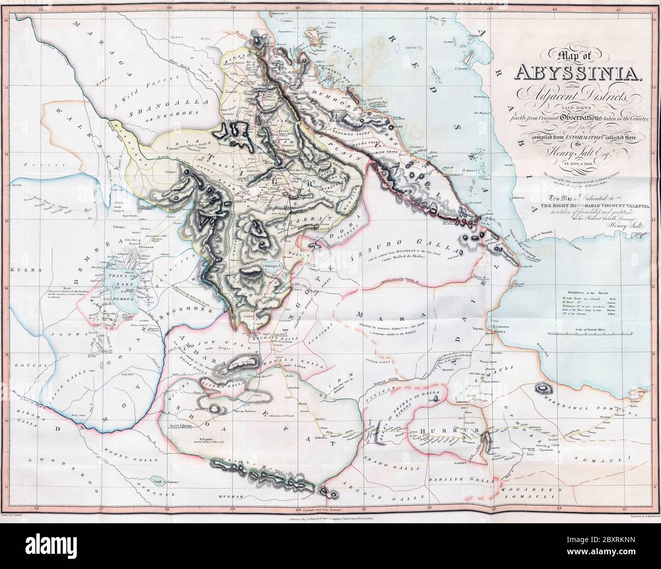 Map of Abyssinia and the Adjacent Districts. From observations taken by British traveller and artist Henry Salt in 1809 and 1810. Drawn by J. Outhett and engraved by A. Macpherson. Published 1814. Used in Henry Salt’s book A voyage to Abyssinia, and Travels into the Interior of that Country. Stock Photohttps://www.alamy.com/image-license-details/?v=1https://www.alamy.com/map-of-abyssinia-and-the-adjacent-districts-from-observations-taken-by-british-traveller-and-artist-henry-salt-in-1809-and-1810-drawn-by-j-outhett-and-engraved-by-a-macpherson-published-1814-used-in-henry-salts-book-a-voyage-to-abyssinia-and-travels-into-the-interior-of-that-country-image360708817.html
RM2BXRKNN–Map of Abyssinia and the Adjacent Districts. From observations taken by British traveller and artist Henry Salt in 1809 and 1810. Drawn by J. Outhett and engraved by A. Macpherson. Published 1814. Used in Henry Salt’s book A voyage to Abyssinia, and Travels into the Interior of that Country.
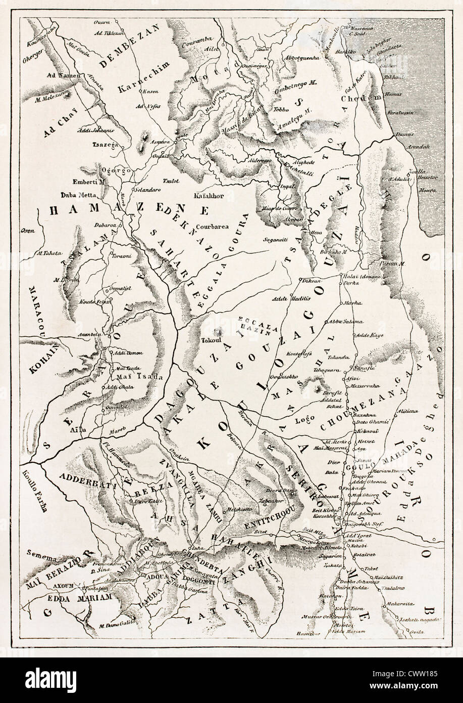 Ethiopia old map, from Massawa to Adwa Stock Photohttps://www.alamy.com/image-license-details/?v=1https://www.alamy.com/stock-photo-ethiopia-old-map-from-massawa-to-adwa-50336949.html
RFCWW185–Ethiopia old map, from Massawa to Adwa
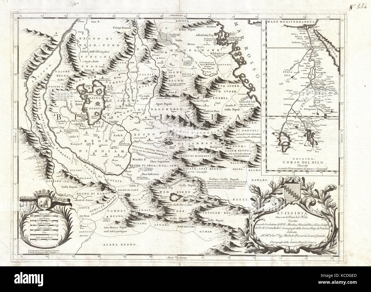 1690, Coronelli Map of Ethiopia, Abyssinia, and the Source of the Blue Nile Stock Photohttps://www.alamy.com/image-license-details/?v=1https://www.alamy.com/stock-image-1690-coronelli-map-of-ethiopia-abyssinia-and-the-source-of-the-blue-162567509.html
RMKCDGED–1690, Coronelli Map of Ethiopia, Abyssinia, and the Source of the Blue Nile
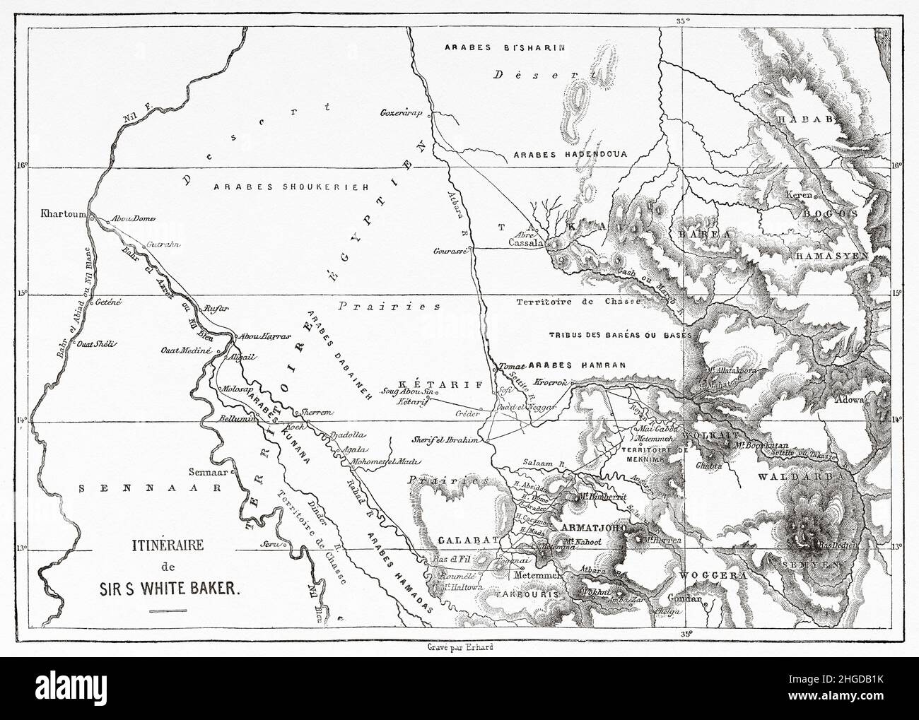 Map with the route made by the British explorer Sir Samuel White Baker to Abyssinia. Africa. Old 19th century engraved illustration from Exploration of the Nile tributaries of Abyssinia, 1861-1862 by Samuel Baker, Le Tour du Monde 1870 Stock Photohttps://www.alamy.com/image-license-details/?v=1https://www.alamy.com/map-with-the-route-made-by-the-british-explorer-sir-samuel-white-baker-to-abyssinia-africa-old-19th-century-engraved-illustration-from-exploration-of-the-nile-tributaries-of-abyssinia-1861-1862-by-samuel-baker-le-tour-du-monde-1870-image457598111.html
RM2HGDB1K–Map with the route made by the British explorer Sir Samuel White Baker to Abyssinia. Africa. Old 19th century engraved illustration from Exploration of the Nile tributaries of Abyssinia, 1861-1862 by Samuel Baker, Le Tour du Monde 1870
 Coloured map of the continent of Africa in 1901 showing names of countries,borders,territories etc Stock Photohttps://www.alamy.com/image-license-details/?v=1https://www.alamy.com/coloured-map-of-the-continent-of-africa-in-1901-showing-names-of-countriesbordersterritories-etc-image236215723.html
RMRM8FFR–Coloured map of the continent of Africa in 1901 showing names of countries,borders,territories etc
 Traveling in the history is an important part of education Stock Photohttps://www.alamy.com/image-license-details/?v=1https://www.alamy.com/stock-photo-traveling-in-the-history-is-an-important-part-of-education-71476571.html
RFE4812K–Traveling in the history is an important part of education
 Egypt Tripoli Sudan Abyssinia Saudi Arabia Palestine africa atlantic public domain antique vintage map world royaltyfree old det Stock Photohttps://www.alamy.com/image-license-details/?v=1https://www.alamy.com/stock-photo-egypt-tripoli-sudan-abyssinia-saudi-arabia-palestine-africa-atlantic-52760884.html
RMD1RD18–Egypt Tripoli Sudan Abyssinia Saudi Arabia Palestine africa atlantic public domain antique vintage map world royaltyfree old det
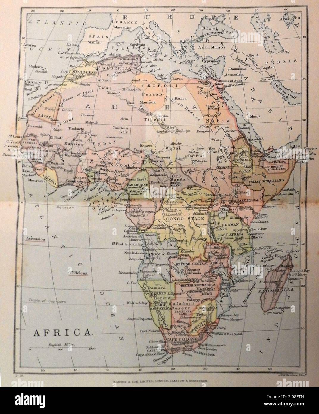 A late 19th century map of Africa showing lots of old former names and boundaries / borders. Stock Photohttps://www.alamy.com/image-license-details/?v=1https://www.alamy.com/a-late-19th-century-map-of-africa-showing-lots-of-old-former-names-and-boundaries-borders-image464868005.html
RM2J08FTN–A late 19th century map of Africa showing lots of old former names and boundaries / borders.
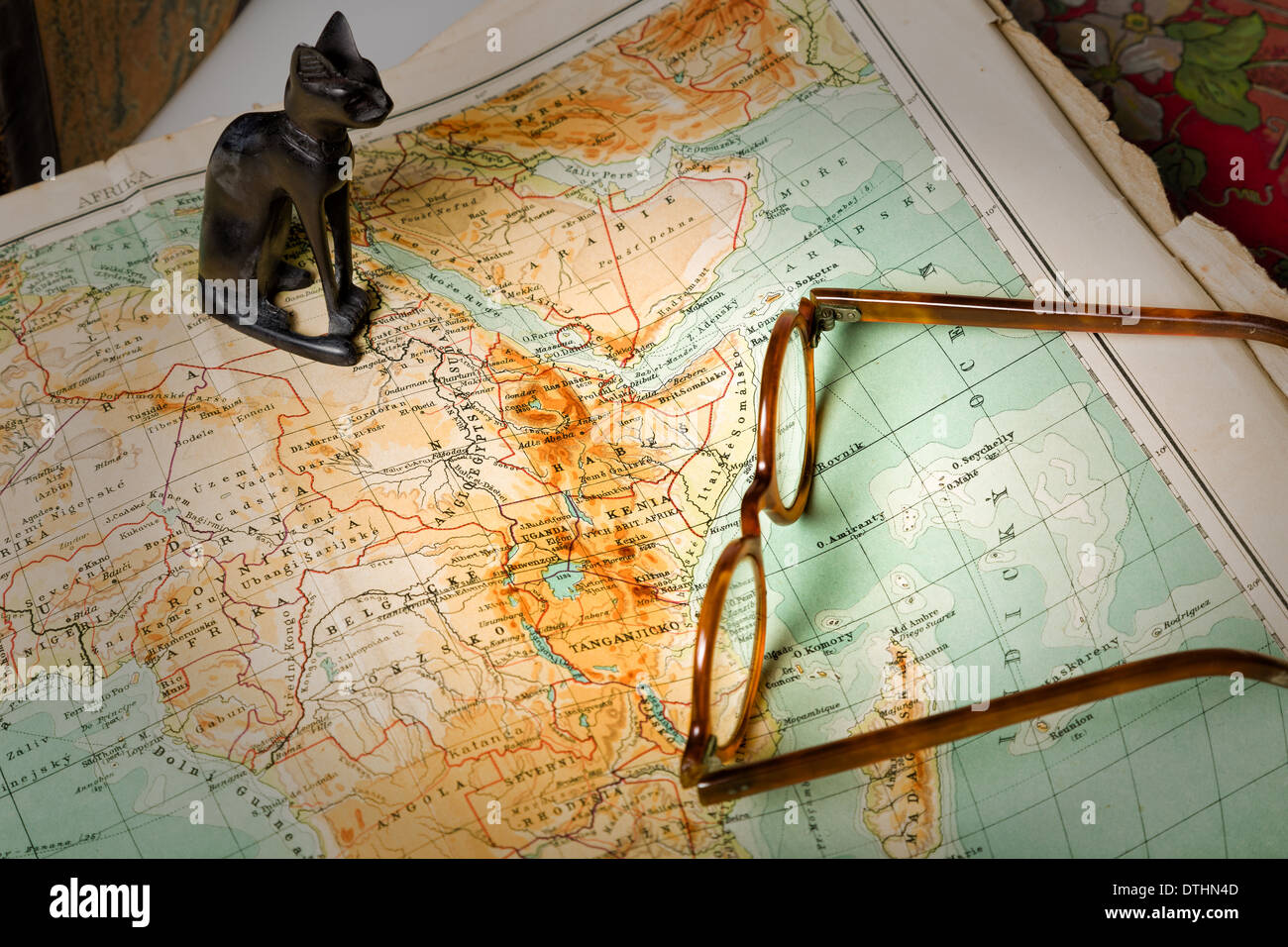 Old maps are large and interesting source of knowledge Stock Photohttps://www.alamy.com/image-license-details/?v=1https://www.alamy.com/old-maps-are-large-and-interesting-source-of-knowledge-image66772621.html
RFDTHN4D–Old maps are large and interesting source of knowledge
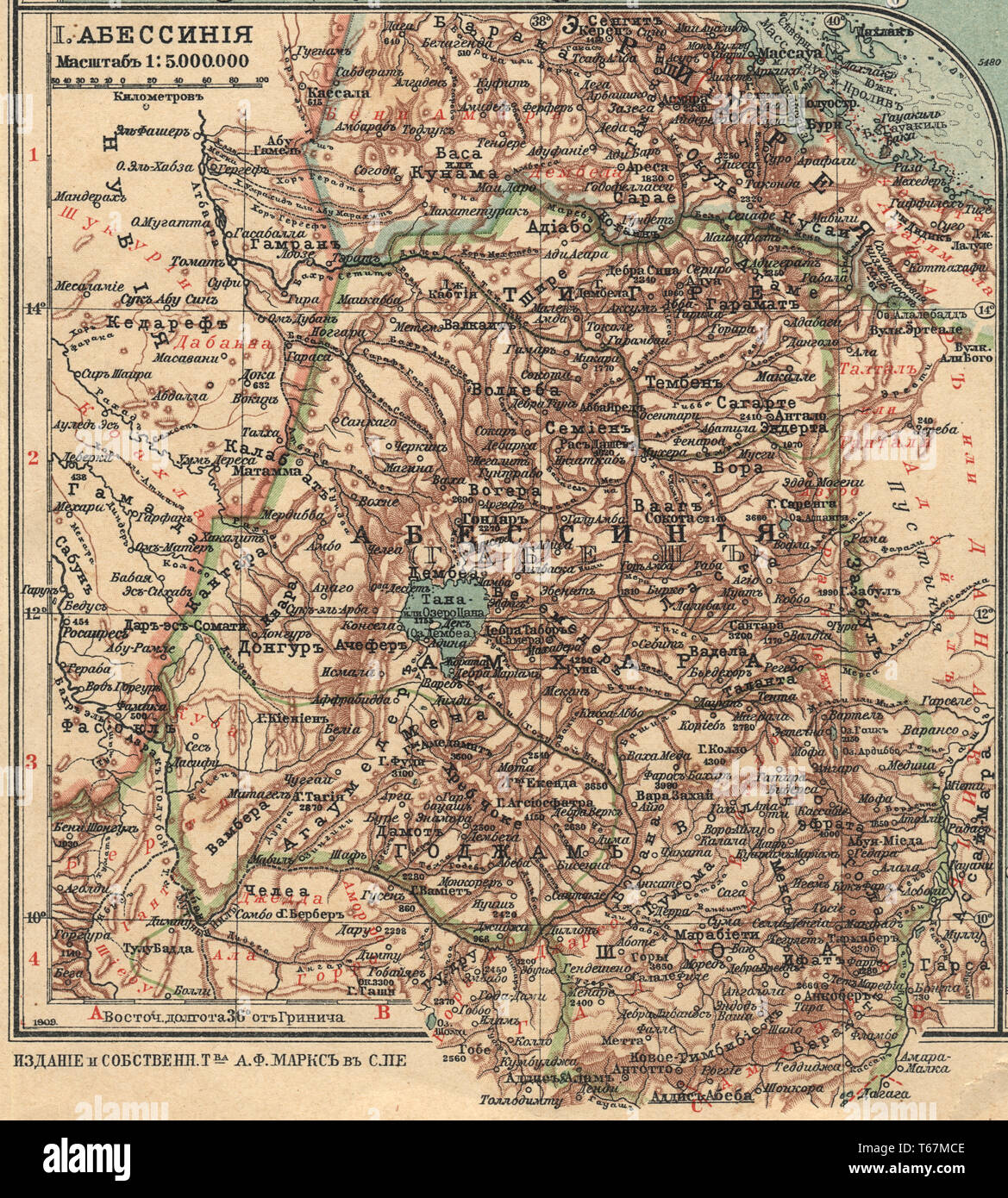 Abyssinia New table atlas A.F. Marcks St. Petersburg, 1910 Stock Photohttps://www.alamy.com/image-license-details/?v=1https://www.alamy.com/abyssinia-new-table-atlas-af-marcks-st-petersburg-1910-image244802782.html
RMT67MCE–Abyssinia New table atlas A.F. Marcks St. Petersburg, 1910
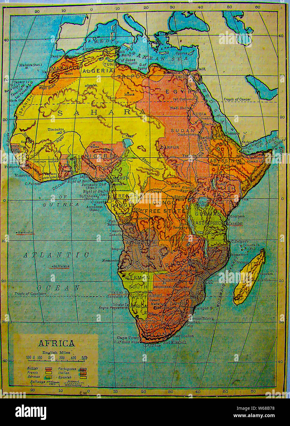 1901 Map of Africa from an old school atlas Stock Photohttps://www.alamy.com/image-license-details/?v=1https://www.alamy.com/1901-map-of-africa-from-an-old-school-atlas-image262027900.html
RMW68B78–1901 Map of Africa from an old school atlas
 Beautiful vintage hand drawn Pinkerton's map of Abyssinia from 1818 with beautiful colorful maps and illustrations of countries, regions and oceans. Stock Photohttps://www.alamy.com/image-license-details/?v=1https://www.alamy.com/beautiful-vintage-hand-drawn-pinkertons-map-of-abyssinia-from-1818-with-beautiful-colorful-maps-and-illustrations-of-countries-regions-and-oceans-image418990572.html
RF2F9JJN0–Beautiful vintage hand drawn Pinkerton's map of Abyssinia from 1818 with beautiful colorful maps and illustrations of countries, regions and oceans.
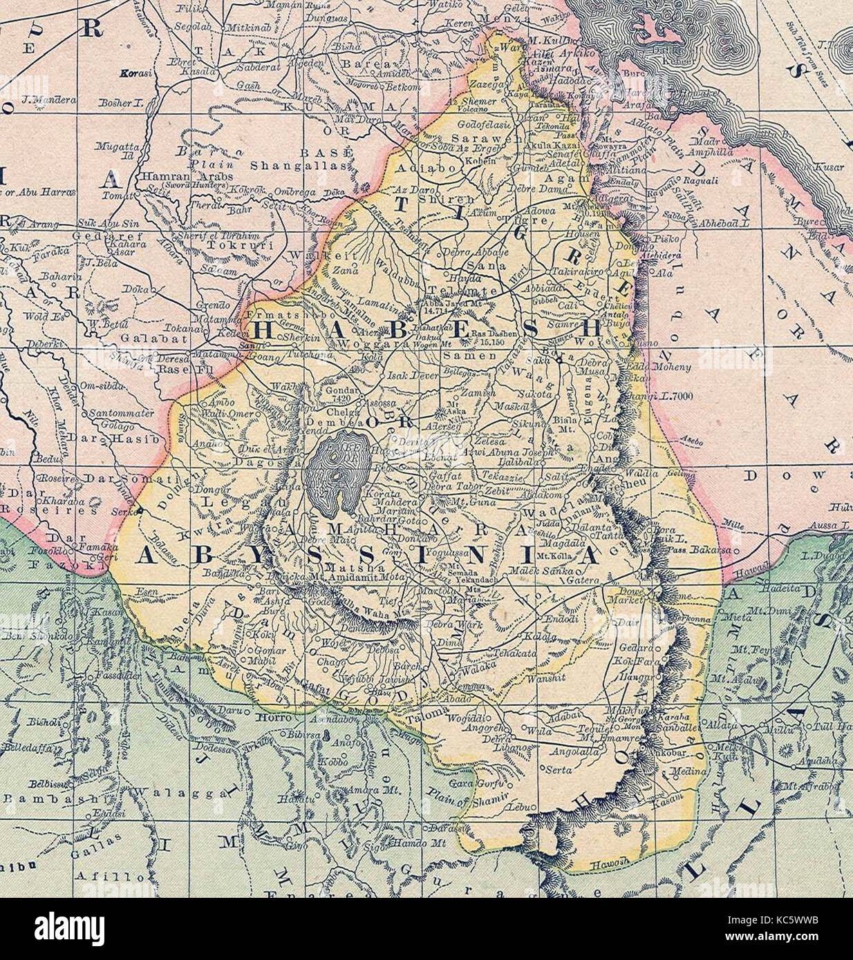 Map of Abyssinia (Ethiopia) in the 19th century. Stock Photohttps://www.alamy.com/image-license-details/?v=1https://www.alamy.com/stock-image-map-of-abyssinia-ethiopia-in-the-19th-century-162399255.html
RMKC5WWB–Map of Abyssinia (Ethiopia) in the 19th century.
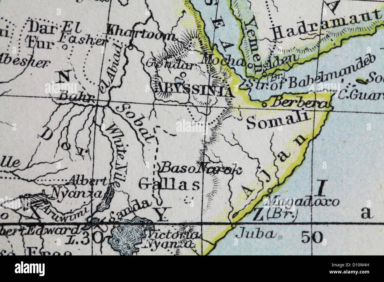 Antique map by W and A&K Johnston, printed in c.1888. Illustrating the World in hemispheres. Zoomed in on Abyssinia (Ethiopia) Stock Photohttps://www.alamy.com/image-license-details/?v=1https://www.alamy.com/stock-photo-antique-map-by-w-and-ak-johnston-printed-in-c1888-illustrating-the-52265489.html
RMD10W4H–Antique map by W and A&K Johnston, printed in c.1888. Illustrating the World in hemispheres. Zoomed in on Abyssinia (Ethiopia)
 Historic map of Abyssina, departments of Tigrie and Amhara, Ethiopia, East Africa, Dr. Richard Andree, Abessinien, Land und Volk, Leipzig 1869 Stock Photohttps://www.alamy.com/image-license-details/?v=1https://www.alamy.com/historic-map-of-abyssina-departments-of-tigrie-and-amhara-ethiopia-east-africa-dr-richard-andree-abessinien-land-und-volk-leipzig-1869-image410799097.html
RM2ET9EC9–Historic map of Abyssina, departments of Tigrie and Amhara, Ethiopia, East Africa, Dr. Richard Andree, Abessinien, Land und Volk, Leipzig 1869
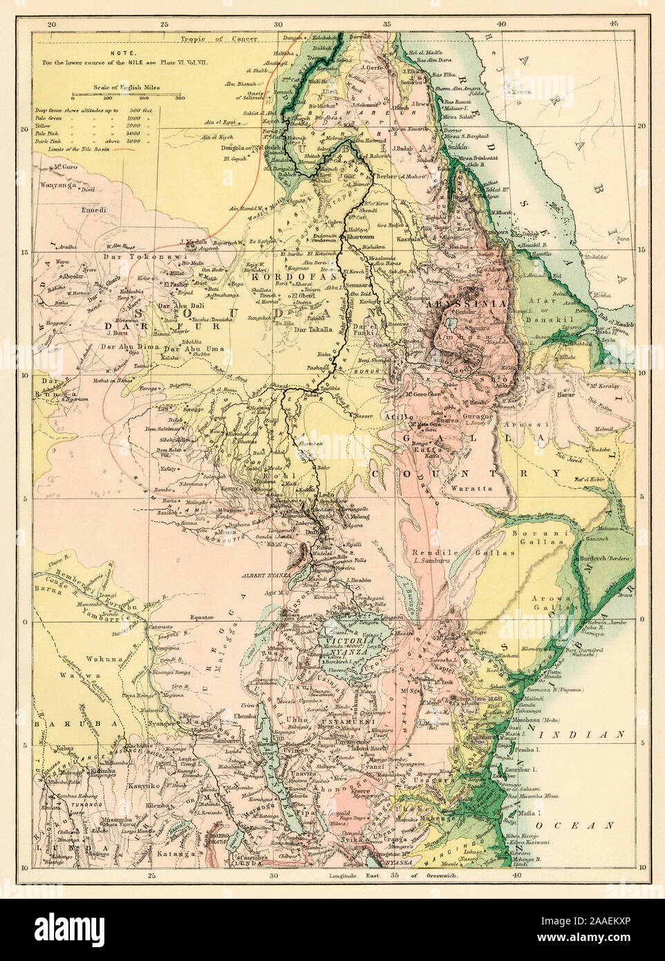 Map of the Nile River, 1870s. Color lithograph Stock Photohttps://www.alamy.com/image-license-details/?v=1https://www.alamy.com/map-of-the-nile-river-1870s-color-lithograph-image333466526.html
RM2AAEKXP–Map of the Nile River, 1870s. Color lithograph
 Inhabitants of Abyssinia. Ethiopia. Sketch map 1885 old antique plan chart Stock Photohttps://www.alamy.com/image-license-details/?v=1https://www.alamy.com/stock-photo-inhabitants-of-abyssinia-ethiopia-sketch-map-1885-old-antique-plan-176386722.html
RFM6Y31P–Inhabitants of Abyssinia. Ethiopia. Sketch map 1885 old antique plan chart
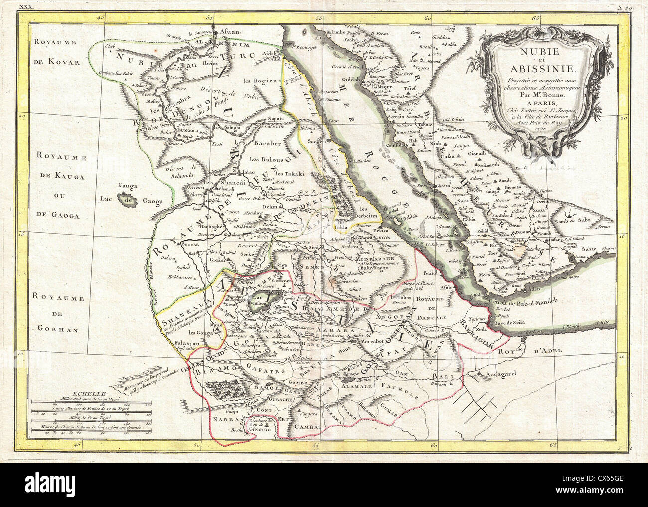 1771 Bonne Map of Abyssinia (Ethiopia), Sudan and the Red Sea Stock Photohttps://www.alamy.com/image-license-details/?v=1https://www.alamy.com/stock-photo-1771-bonne-map-of-abyssinia-ethiopia-sudan-and-the-red-sea-50537886.html
RMCX65GE–1771 Bonne Map of Abyssinia (Ethiopia), Sudan and the Red Sea
 1828 old antique vintage map plan chart Stock Photohttps://www.alamy.com/image-license-details/?v=1https://www.alamy.com/1828-old-antique-vintage-map-plan-chart-image242555353.html
RFT2H9R5–1828 old antique vintage map plan chart
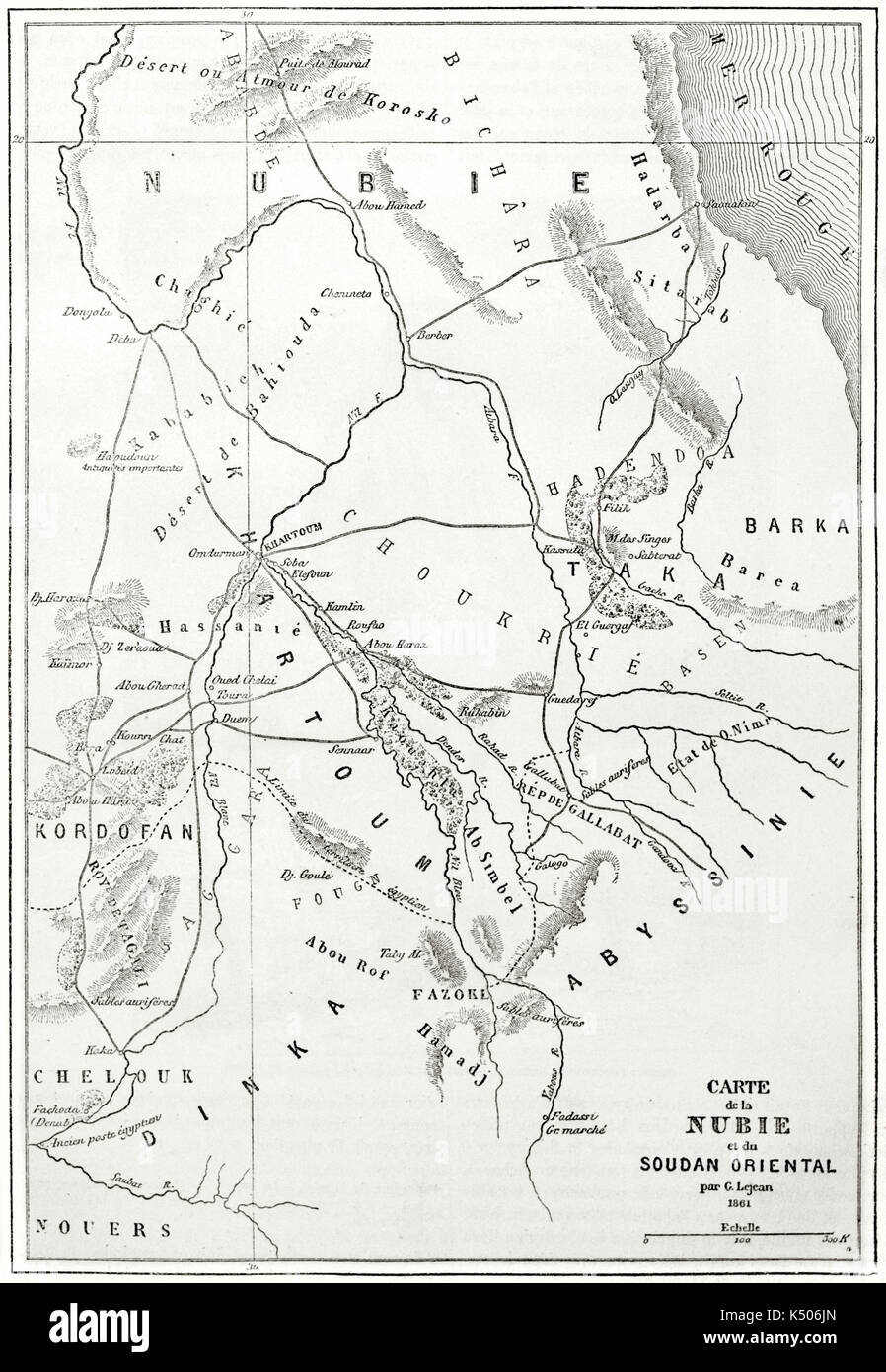 Old topographic map of Nubia region eastern Africa. Created by Erhard and Bonaparte published on Le Tour du Monde Paris 1862 Stock Photohttps://www.alamy.com/image-license-details/?v=1https://www.alamy.com/old-topographic-map-of-nubia-region-eastern-africa-created-by-erhard-image157971821.html
RFK506JN–Old topographic map of Nubia region eastern Africa. Created by Erhard and Bonaparte published on Le Tour du Monde Paris 1862
 Ethiopia old map, from Gondar to Takeze river Stock Photohttps://www.alamy.com/image-license-details/?v=1https://www.alamy.com/stock-photo-ethiopia-old-map-from-gondar-to-takeze-river-50336947.html
RFCWW183–Ethiopia old map, from Gondar to Takeze river
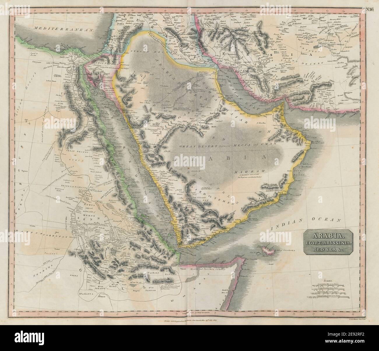 'Arabia, Egypt, Abyssinia, Red Sea' Hajj caravan routes. THOMSON 1817 old map Stock Photohttps://www.alamy.com/image-license-details/?v=1https://www.alamy.com/arabia-egypt-abyssinia-red-sea-hajj-caravan-routes-thomson-1817-old-map-image401432726.html
RF2E92RF2–'Arabia, Egypt, Abyssinia, Red Sea' Hajj caravan routes. THOMSON 1817 old map
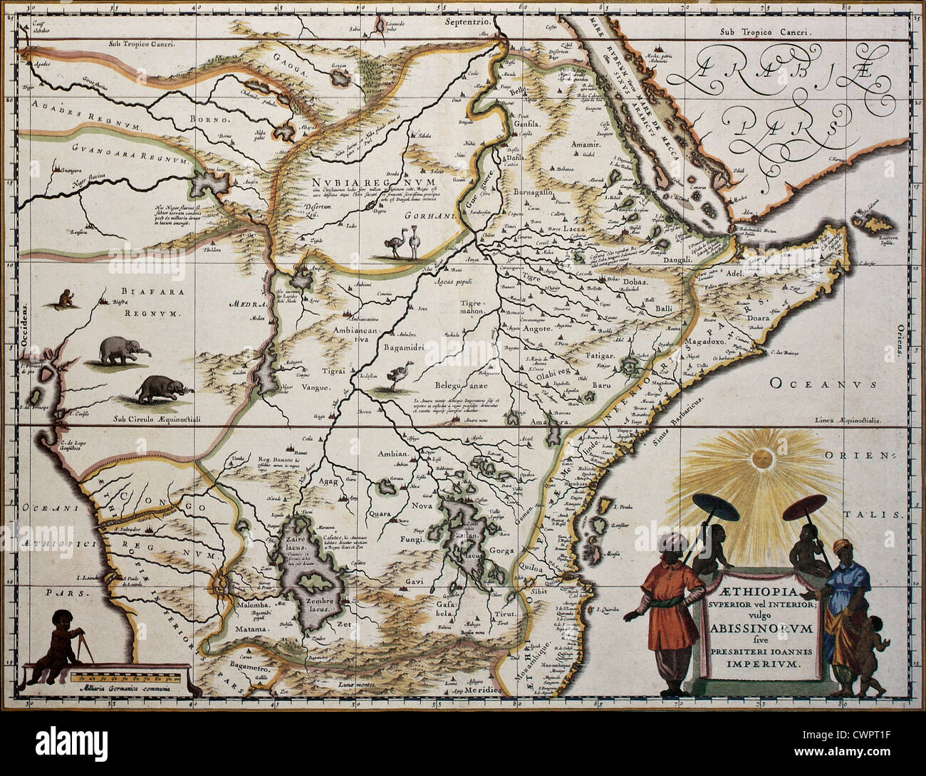 Ethiopia old map Stock Photohttps://www.alamy.com/image-license-details/?v=1https://www.alamy.com/stock-photo-ethiopia-old-map-50288939.html
RFCWPT1F–Ethiopia old map
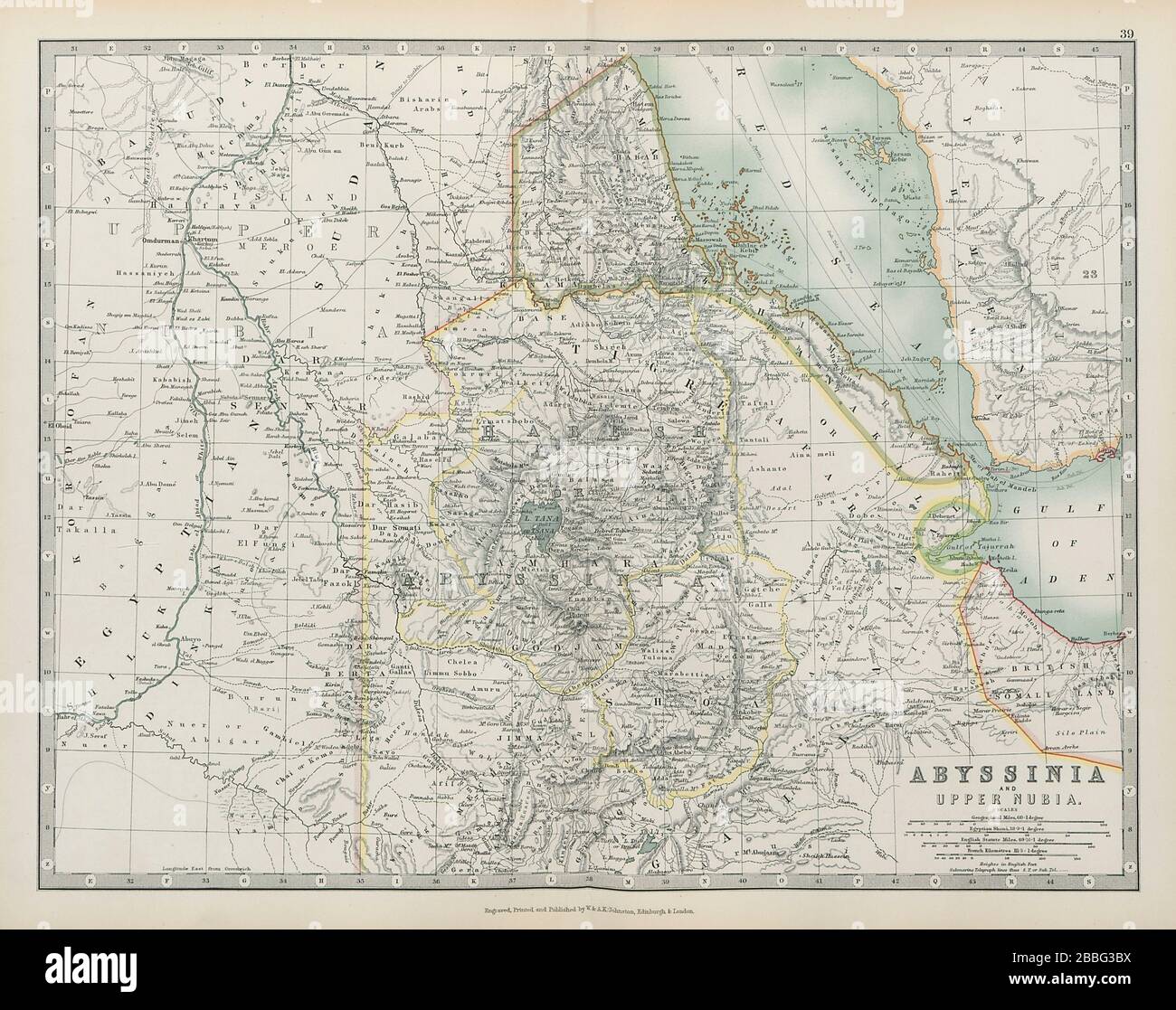 ETHIOPIA Abyssinia Upper Nubia Italian Eritrea JOHNSTON 1901 old antique map Stock Photohttps://www.alamy.com/image-license-details/?v=1https://www.alamy.com/ethiopia-abyssinia-upper-nubia-italian-eritrea-johnston-1901-old-antique-map-image351322494.html
RF2BBG3BX–ETHIOPIA Abyssinia Upper Nubia Italian Eritrea JOHNSTON 1901 old antique map
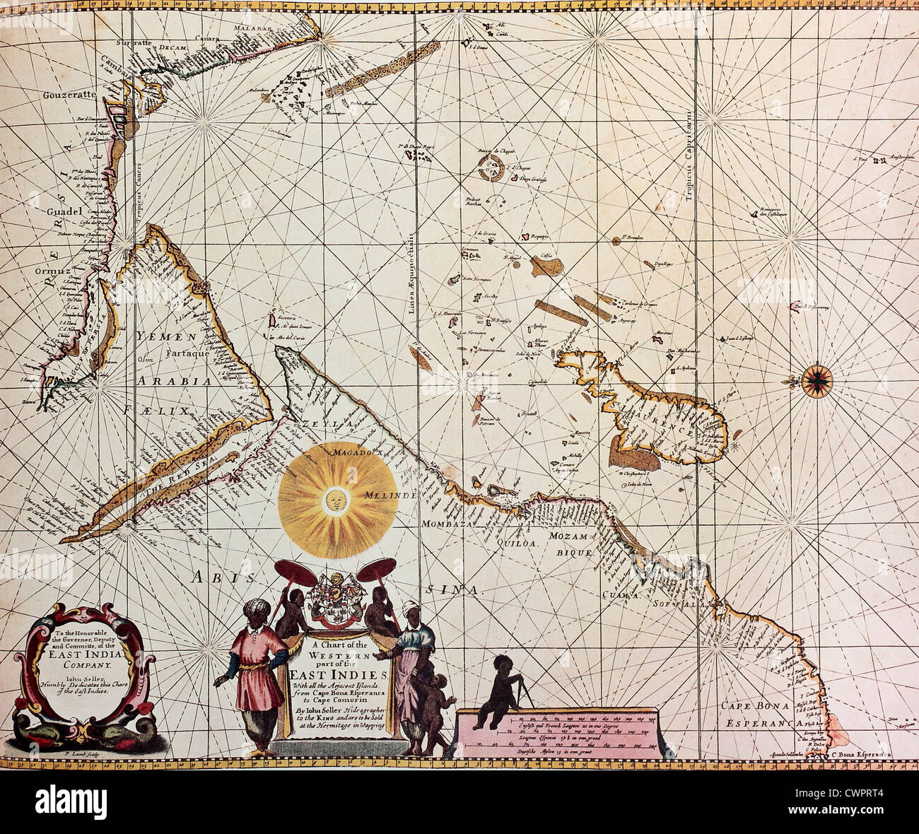 Eastern Africa and south-western Asia old map Stock Photohttps://www.alamy.com/image-license-details/?v=1https://www.alamy.com/stock-photo-eastern-africa-and-south-western-asia-old-map-50288788.html
RFCWPRT4–Eastern Africa and south-western Asia old map
 Egypt, Nubia, Abyssinia & the Soudan. Red Sea. HUGHES 1876 old antique map Stock Photohttps://www.alamy.com/image-license-details/?v=1https://www.alamy.com/egypt-nubia-abyssinia-the-soudan-red-sea-hughes-1876-old-antique-map-image376641889.html
RF2CTNEG1–Egypt, Nubia, Abyssinia & the Soudan. Red Sea. HUGHES 1876 old antique map
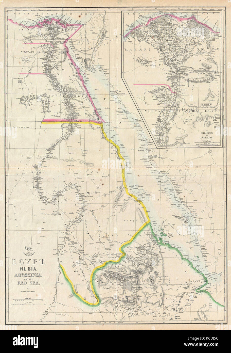 1858, Dispatch Atlas Map of Egypt, Nubia, Abyssinia and the Red Sea Stock Photohttps://www.alamy.com/image-license-details/?v=1https://www.alamy.com/stock-image-1858-dispatch-atlas-map-of-egypt-nubia-abyssinia-and-the-red-sea-162568824.html
RMKCDJ5C–1858, Dispatch Atlas Map of Egypt, Nubia, Abyssinia and the Red Sea
 EGYPT SUDAN ABYSSINIA: Alexandria; Eastern Continuation; Aden, 1907 old map Stock Photohttps://www.alamy.com/image-license-details/?v=1https://www.alamy.com/stock-photo-egypt-sudan-abyssinia-alexandria-eastern-continuation-aden-1907-old-94244478.html
RFFD95P6–EGYPT SUDAN ABYSSINIA: Alexandria; Eastern Continuation; Aden, 1907 old map
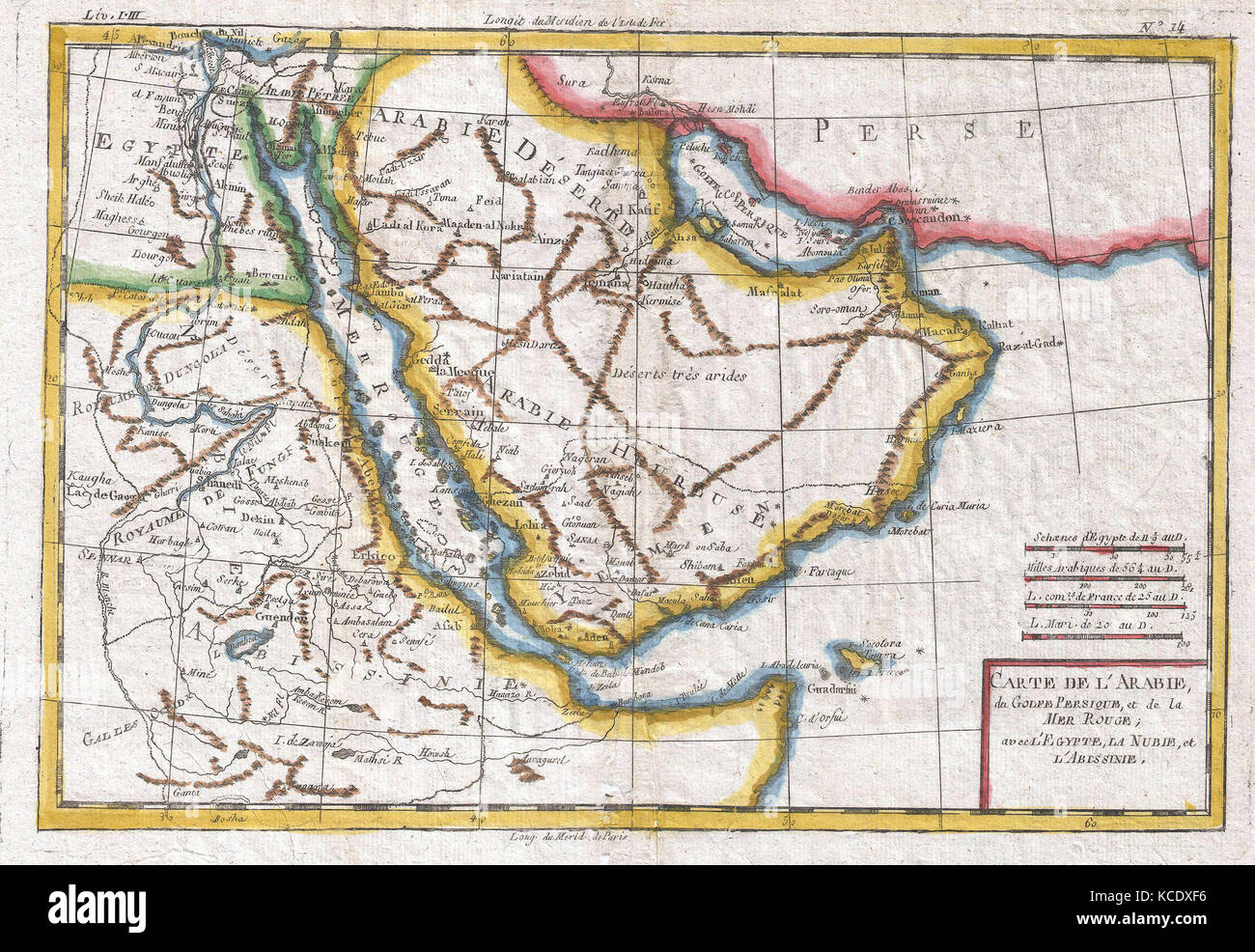 1780, Raynal and Bonne Map of Arabia and Abyssinia, Rigobert Bonne 1727 – 1794 Stock Photohttps://www.alamy.com/image-license-details/?v=1https://www.alamy.com/stock-image-1780-raynal-and-bonne-map-of-arabia-and-abyssinia-rigobert-bonne-1727-162575370.html
RMKCDXF6–1780, Raynal and Bonne Map of Arabia and Abyssinia, Rigobert Bonne 1727 – 1794
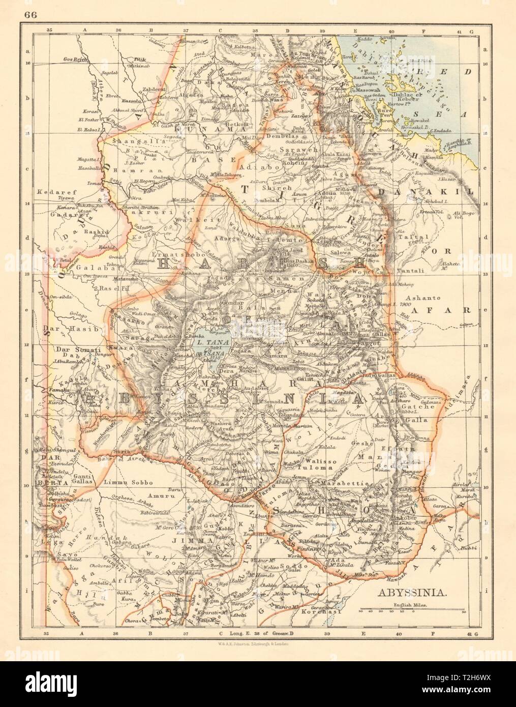 HABESH or ABYSSINIA Tigre Amhara Shoa Godjam Ethiopia JOHNSTON 1892 old map Stock Photohttps://www.alamy.com/image-license-details/?v=1https://www.alamy.com/habesh-or-abyssinia-tigre-amhara-shoa-godjam-ethiopia-johnston-1892-old-map-image242553078.html
RFT2H6WX–HABESH or ABYSSINIA Tigre Amhara Shoa Godjam Ethiopia JOHNSTON 1892 old map
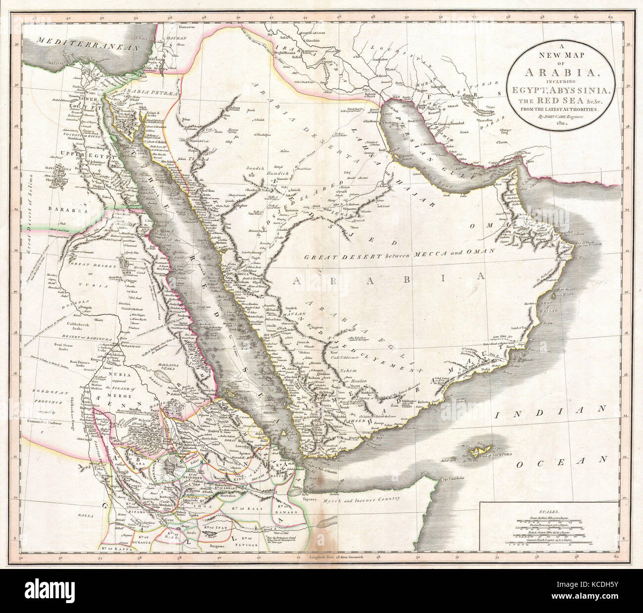 1811, Cary Map of Arabia, Egypt and Abyssinia, John Cary, 1754 – 1835, English cartographer Stock Photohttps://www.alamy.com/image-license-details/?v=1https://www.alamy.com/stock-image-1811-cary-map-of-arabia-egypt-and-abyssinia-john-cary-1754-1835-english-162568055.html
RMKCDH5Y–1811, Cary Map of Arabia, Egypt and Abyssinia, John Cary, 1754 – 1835, English cartographer
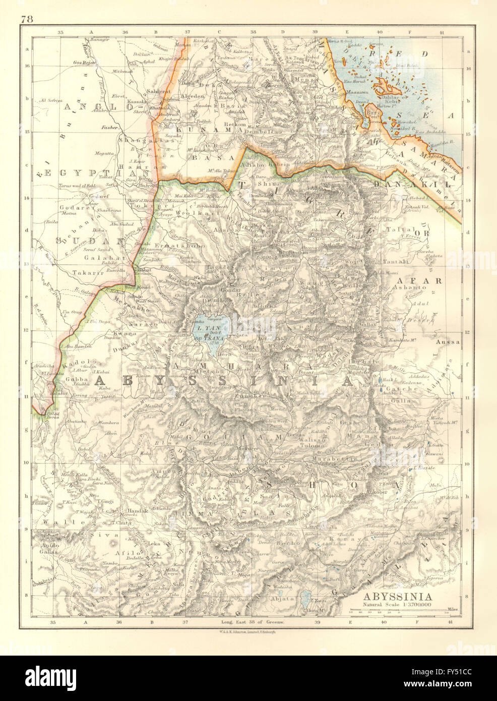 ABYSSINIA. Tigre Amhara Shoa Gojjam. Ethiopia. Eritrea. JOHNSTON, 1920 old map Stock Photohttps://www.alamy.com/image-license-details/?v=1https://www.alamy.com/stock-photo-abyssinia-tigre-amhara-shoa-gojjam-ethiopia-eritrea-johnston-1920-102758444.html
RFFY51CC–ABYSSINIA. Tigre Amhara Shoa Gojjam. Ethiopia. Eritrea. JOHNSTON, 1920 old map
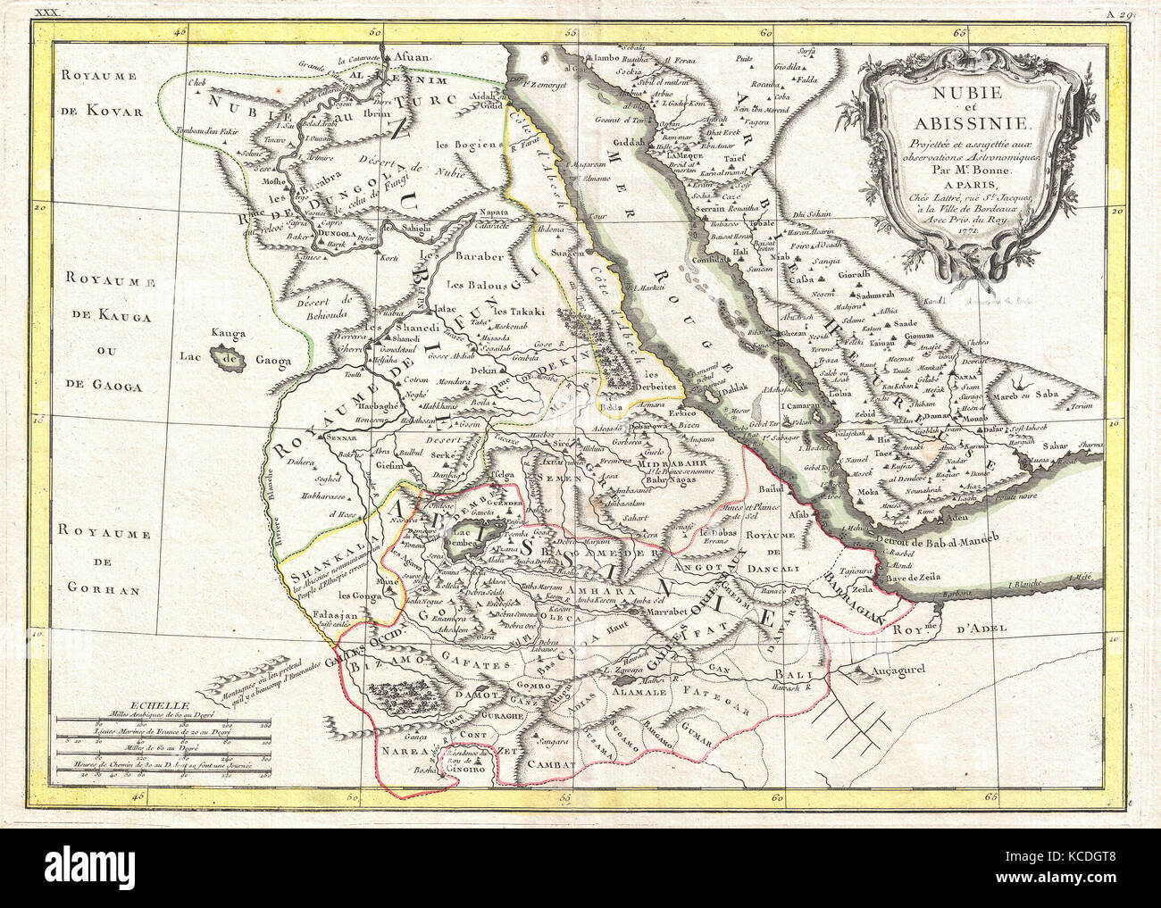 1771, Bonne Map of Abyssinia, Ethiopia, Sudan and the Red Sea, Rigobert Bonne 1727 – 1794 Stock Photohttps://www.alamy.com/image-license-details/?v=1https://www.alamy.com/stock-image-1771-bonne-map-of-abyssinia-ethiopia-sudan-and-the-red-sea-rigobert-162567784.html
RMKCDGT8–1771, Bonne Map of Abyssinia, Ethiopia, Sudan and the Red Sea, Rigobert Bonne 1727 – 1794
 Map with the route made by the British explorer Sir Samuel White Baker to Abyssinia. Africa. Old 19th century engraved illustration from Exploration of the Nile tributaries of Abyssinia, 1861-1862 by Samuel Baker, Le Tour du Monde 1870 Stock Photohttps://www.alamy.com/image-license-details/?v=1https://www.alamy.com/map-with-the-route-made-by-the-british-explorer-sir-samuel-white-baker-to-abyssinia-africa-old-19th-century-engraved-illustration-from-exploration-of-the-nile-tributaries-of-abyssinia-1861-1862-by-samuel-baker-le-tour-du-monde-1870-image459152093.html
RM2HK0551–Map with the route made by the British explorer Sir Samuel White Baker to Abyssinia. Africa. Old 19th century engraved illustration from Exploration of the Nile tributaries of Abyssinia, 1861-1862 by Samuel Baker, Le Tour du Monde 1870
 1818, Pinkerton Map of Nubia, Sudan and Abyssinia, John Pinkerton, 1758 – 1826, Scottish antiquarian, cartographer, UK Stock Photohttps://www.alamy.com/image-license-details/?v=1https://www.alamy.com/stock-image-1818-pinkerton-map-of-nubia-sudan-and-abyssinia-john-pinkerton-1758-162568119.html
RMKCDH87–1818, Pinkerton Map of Nubia, Sudan and Abyssinia, John Pinkerton, 1758 – 1826, Scottish antiquarian, cartographer, UK
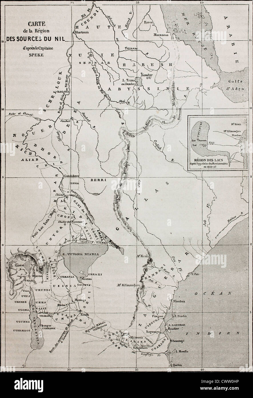 Old map of Nile sources region Stock Photohttps://www.alamy.com/image-license-details/?v=1https://www.alamy.com/stock-photo-old-map-of-nile-sources-region-50336434.html
RFCWW0HP–Old map of Nile sources region
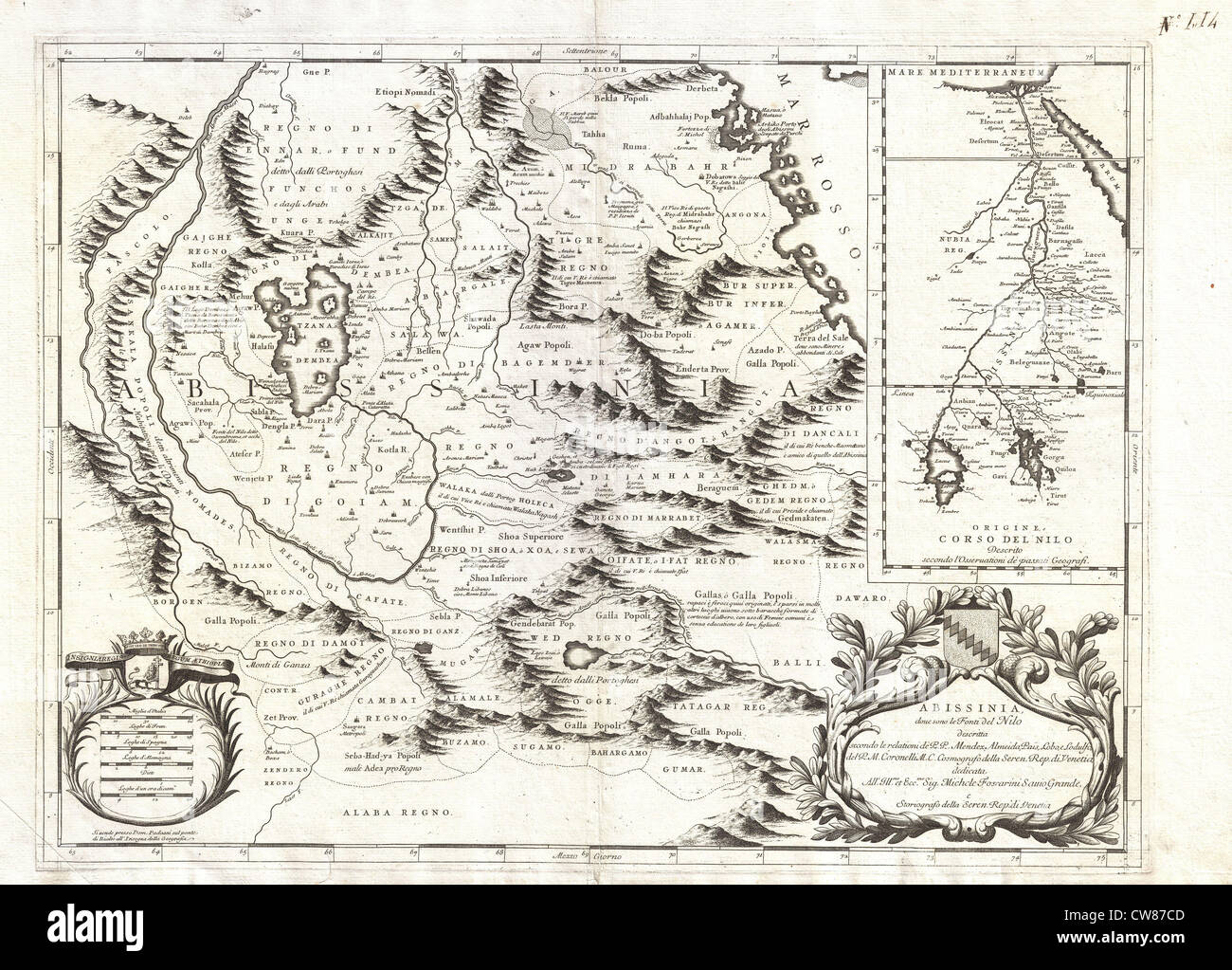 1690 Coronelli Map of Ethiopia, Abyssinia, and the Source of the Blue Nile Stock Photohttps://www.alamy.com/image-license-details/?v=1https://www.alamy.com/stock-photo-1690-coronelli-map-of-ethiopia-abyssinia-and-the-source-of-the-blue-49968589.html
RMCW87CD–1690 Coronelli Map of Ethiopia, Abyssinia, and the Source of the Blue Nile
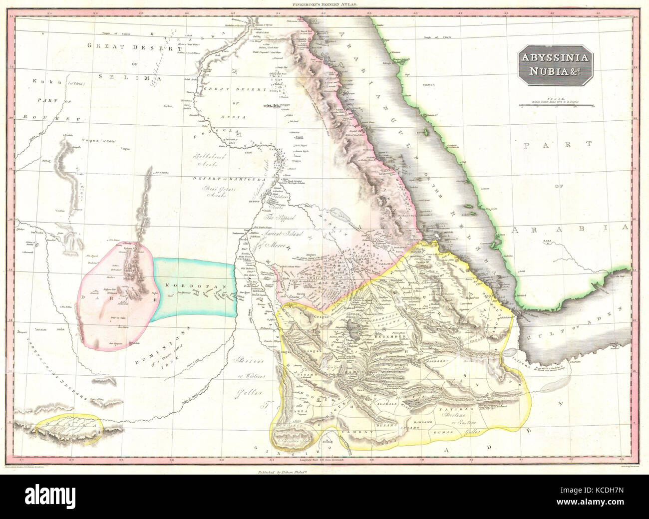 1818, Pinkerton Map of Abyssinia, Ethiopia , Sudan and Nubia, John Pinkerton, 1758 – 1826, Scottish antiquarian, cartographer Stock Photohttps://www.alamy.com/image-license-details/?v=1https://www.alamy.com/stock-image-1818-pinkerton-map-of-abyssinia-ethiopia-sudan-and-nubia-john-pinkerton-162568105.html
RMKCDH7N–1818, Pinkerton Map of Abyssinia, Ethiopia , Sudan and Nubia, John Pinkerton, 1758 – 1826, Scottish antiquarian, cartographer
 Map of the Red Sea coast traveled by Henri Lambert. Middle East, drawing by Alexandre de Bar (1821 - 1908) Voyage of Henri Lambert. Le Tour du Monde 1862 Stock Photohttps://www.alamy.com/image-license-details/?v=1https://www.alamy.com/map-of-the-red-sea-coast-traveled-by-henri-lambert-middle-east-drawing-by-alexandre-de-bar-1821-1908-voyage-of-henri-lambert-le-tour-du-monde-1862-image612429556.html
RM2XGAG44–Map of the Red Sea coast traveled by Henri Lambert. Middle East, drawing by Alexandre de Bar (1821 - 1908) Voyage of Henri Lambert. Le Tour du Monde 1862
 Old maps are large and interesting source of knowledge Stock Photohttps://www.alamy.com/image-license-details/?v=1https://www.alamy.com/old-maps-are-large-and-interesting-source-of-knowledge-image66773375.html
RFDTHP3B–Old maps are large and interesting source of knowledge
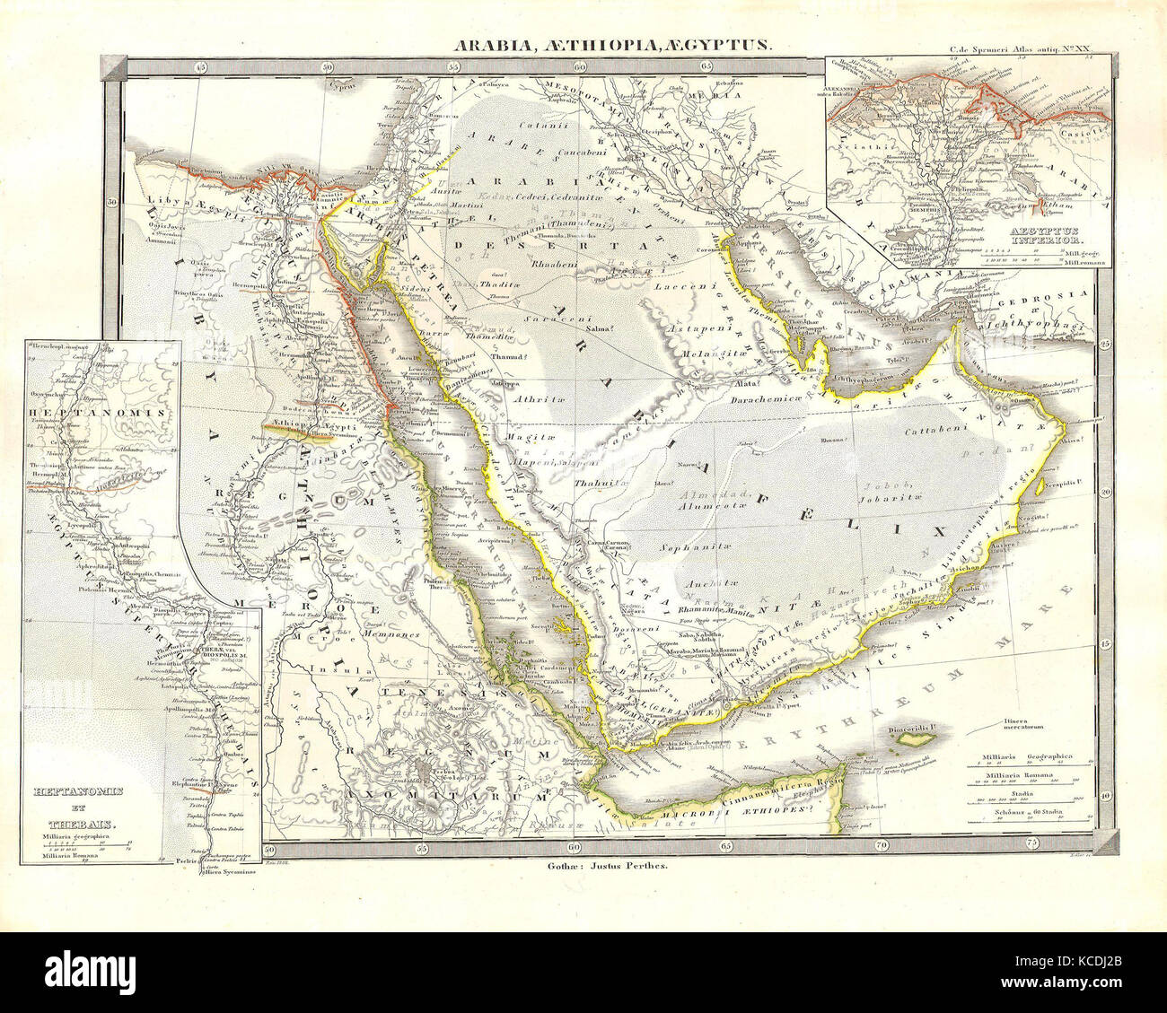 1855, Spruneri Map of Arabia, Egypt and Ethiopia or Abyssinia Stock Photohttps://www.alamy.com/image-license-details/?v=1https://www.alamy.com/stock-image-1855-spruneri-map-of-arabia-egypt-and-ethiopia-or-abyssinia-162568739.html
RMKCDJ2B–1855, Spruneri Map of Arabia, Egypt and Ethiopia or Abyssinia
 Egypt Tripoli Sudan Abyssinia Saudi Arabia Palestine - antique map Stock Photohttps://www.alamy.com/image-license-details/?v=1https://www.alamy.com/stock-photo-egypt-tripoli-sudan-abyssinia-saudi-arabia-palestine-antique-map-48610526.html
RMCR2B66–Egypt Tripoli Sudan Abyssinia Saudi Arabia Palestine - antique map
 Vintage copper engraved map of Ethiopia from 17th century. All maps are beautifully colored and illustrated showing the world at the time. Stock Photohttps://www.alamy.com/image-license-details/?v=1https://www.alamy.com/vintage-copper-engraved-map-of-ethiopia-from-17th-century-all-maps-are-beautifully-colored-and-illustrated-showing-the-world-at-the-time-image425757030.html
RF2FMJWC6–Vintage copper engraved map of Ethiopia from 17th century. All maps are beautifully colored and illustrated showing the world at the time.
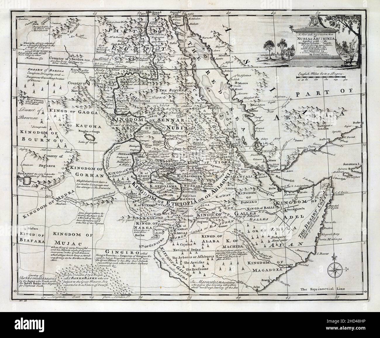 An eighteenth-nineteenth century vintage accurate map of Nubia and Abyssinia Stock Photohttps://www.alamy.com/image-license-details/?v=1https://www.alamy.com/an-eighteenth-nineteenth-century-vintage-accurate-map-of-nubia-and-abyssinia-image455554674.html
RF2HD48HP–An eighteenth-nineteenth century vintage accurate map of Nubia and Abyssinia
 The Nile Valley. Blue & White Niles. Egypt Sudan Ethiopia. HUGHES 1860 old map Stock Photohttps://www.alamy.com/image-license-details/?v=1https://www.alamy.com/the-nile-valley-blue-white-niles-egypt-sudan-ethiopia-hughes-1860-old-map-image599847345.html
RF2WRWBBD–The Nile Valley. Blue & White Niles. Egypt Sudan Ethiopia. HUGHES 1860 old map
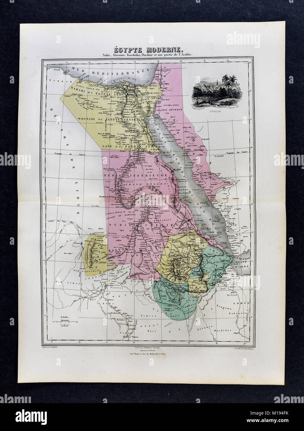 1877 Migeon Map Stock Photohttps://www.alamy.com/image-license-details/?v=1https://www.alamy.com/stock-photo-1877-migeon-map-172919479.html
RFM194FK–1877 Migeon Map
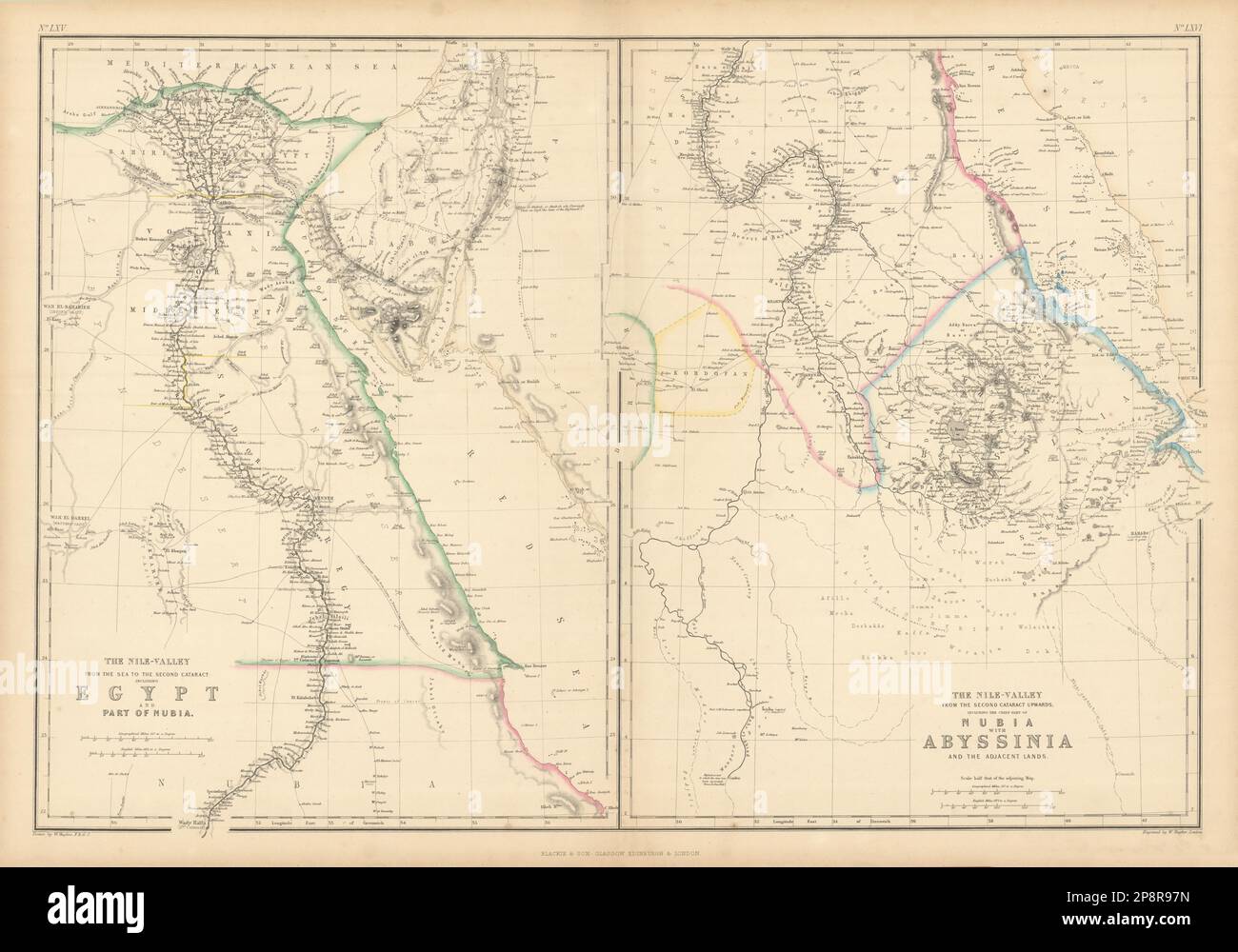 The Nile Valley. Blue & White Niles. Egypt Sudan Ethiopia. HUGHES 1859 old map Stock Photohttps://www.alamy.com/image-license-details/?v=1https://www.alamy.com/the-nile-valley-blue-white-niles-egypt-sudan-ethiopia-hughes-1859-old-map-image538950825.html
RF2P8R97N–The Nile Valley. Blue & White Niles. Egypt Sudan Ethiopia. HUGHES 1859 old map
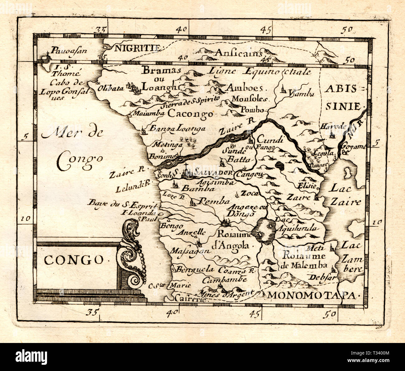 Antique Map of Africa showing the Congo by Pierre Duval, published in Paris, 1682 Stock Photohttps://www.alamy.com/image-license-details/?v=1https://www.alamy.com/antique-map-of-africa-showing-the-congo-by-pierre-duval-published-in-paris-1682-image242876948.html
RFT3400M–Antique Map of Africa showing the Congo by Pierre Duval, published in Paris, 1682
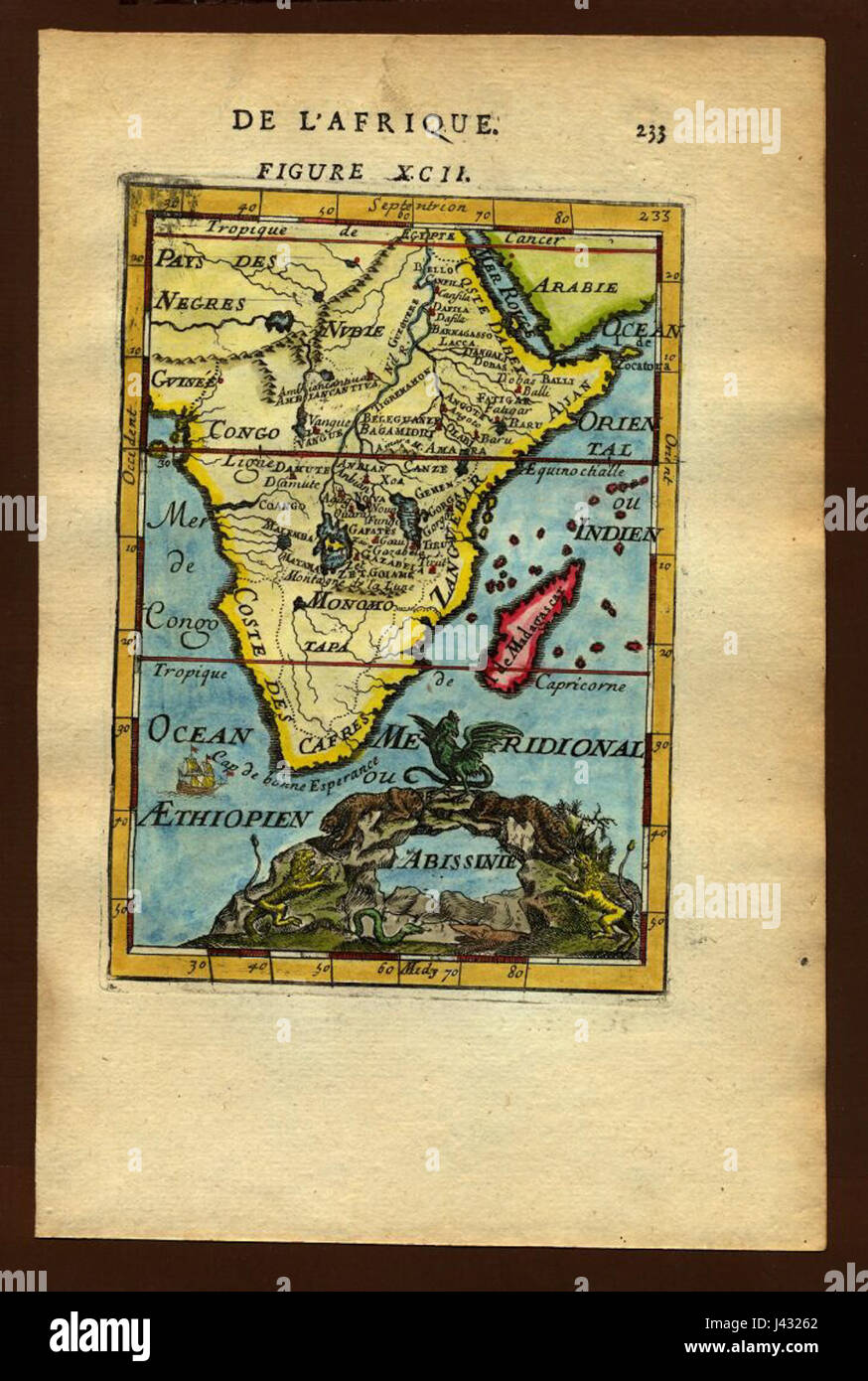 Map of Abyssinia, 1719 Stock Photohttps://www.alamy.com/image-license-details/?v=1https://www.alamy.com/stock-photo-map-of-abyssinia-1719-140209162.html
RMJ43262–Map of Abyssinia, 1719
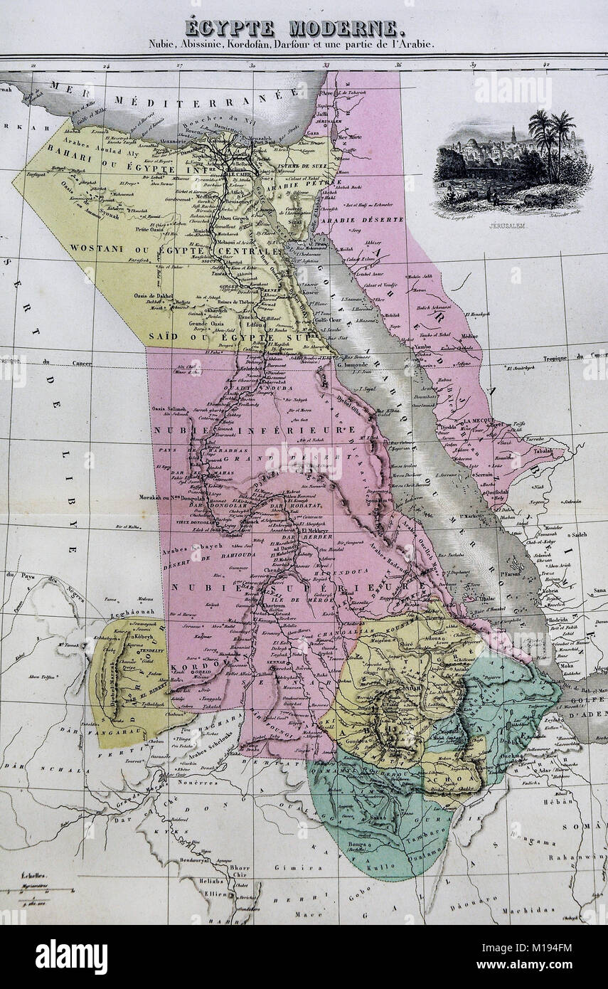 1877 Migeon Map - Egypt - Cairo Alexandria Nubia Red Sea Nile River North Africa Stock Photohttps://www.alamy.com/image-license-details/?v=1https://www.alamy.com/stock-photo-1877-migeon-map-egypt-cairo-alexandria-nubia-red-sea-nile-river-north-172919480.html
RFM194FM–1877 Migeon Map - Egypt - Cairo Alexandria Nubia Red Sea Nile River North Africa
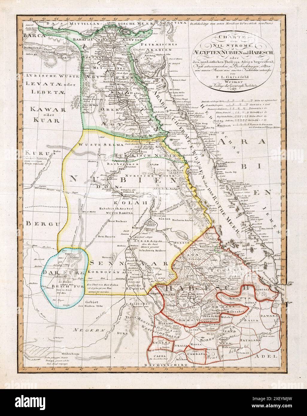 Vintage Historical Map: Nile River Egypt Nubia and Abyssinia, by Weimar Geographische Institut 1817 Stock Photohttps://www.alamy.com/image-license-details/?v=1https://www.alamy.com/vintage-historical-map-nile-river-egypt-nubia-and-abyssinia-by-weimar-geographische-institut-1817-image611576977.html
RM2XEYMJW–Vintage Historical Map: Nile River Egypt Nubia and Abyssinia, by Weimar Geographische Institut 1817
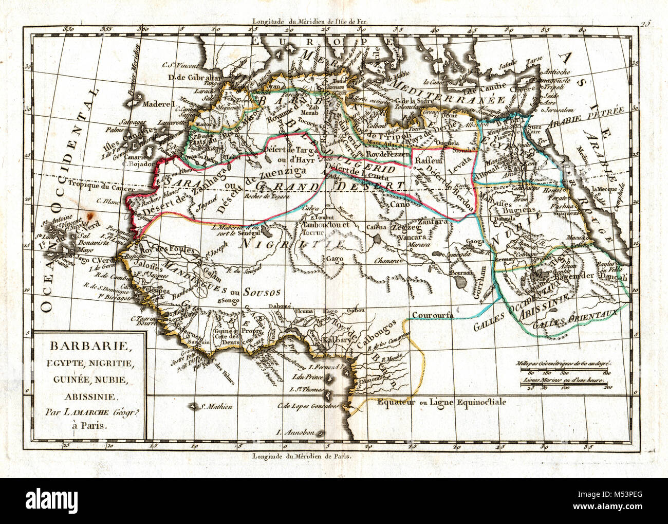 1830 Delamarche Atlas Map - North Africa - Morocco Sahara Desert Guinea Egypt Stock Photohttps://www.alamy.com/image-license-details/?v=1https://www.alamy.com/stock-photo-1830-delamarche-atlas-map-north-africa-morocco-sahara-desert-guinea-175260472.html
RFM53PEG–1830 Delamarche Atlas Map - North Africa - Morocco Sahara Desert Guinea Egypt
 Antique map of Northeast Africa showing Egypt, Tripoli, Sudan, Abyssinia, Saudi Arabia and Palestine From Atlas by F. A. Garnier, 1862. Stock Photohttps://www.alamy.com/image-license-details/?v=1https://www.alamy.com/antique-map-of-northeast-africa-showing-egypt-tripoli-sudan-abyssinia-saudi-arabia-and-palestine-from-atlas-by-f-a-garnier-1862-image394037404.html
RM2DW1XMC–Antique map of Northeast Africa showing Egypt, Tripoli, Sudan, Abyssinia, Saudi Arabia and Palestine From Atlas by F. A. Garnier, 1862.
 1877 Migeon Map - Africa - Cape Colony Guinea Sudan Egypt Morocco Madagascar Angola Stock Photohttps://www.alamy.com/image-license-details/?v=1https://www.alamy.com/stock-photo-1877-migeon-map-africa-cape-colony-guinea-sudan-egypt-morocco-madagascar-172919477.html
RFM194FH–1877 Migeon Map - Africa - Cape Colony Guinea Sudan Egypt Morocco Madagascar Angola
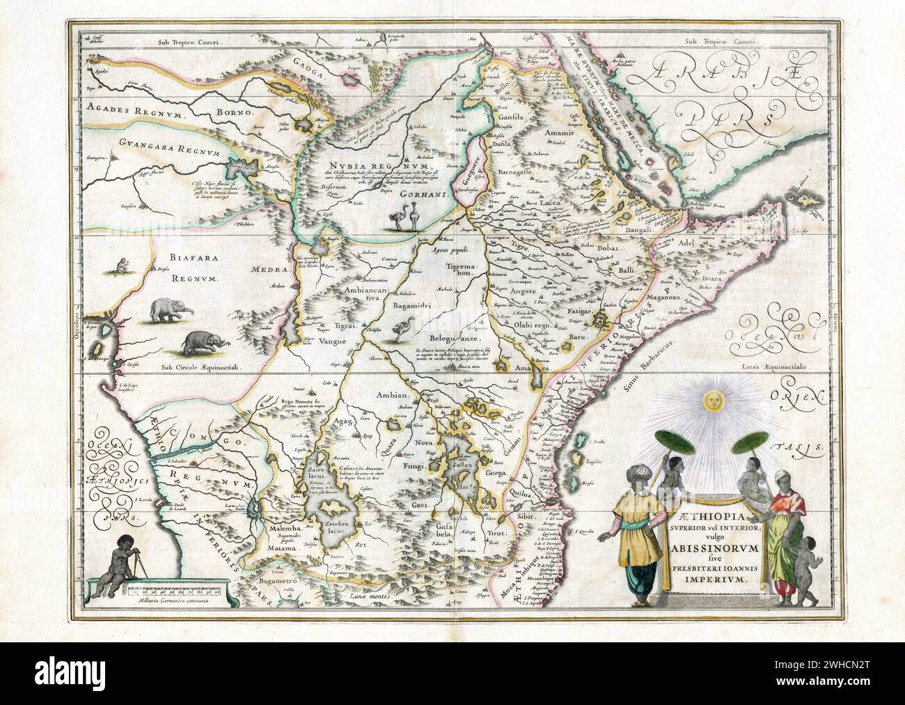 Map of Ethiopia, Willem and Johannes Joan Blaeu, ca 1650 Stock Photohttps://www.alamy.com/image-license-details/?v=1https://www.alamy.com/map-of-ethiopia-willem-and-johannes-joan-blaeu-ca-1650-image595881632.html
RM2WHCN2T–Map of Ethiopia, Willem and Johannes Joan Blaeu, ca 1650
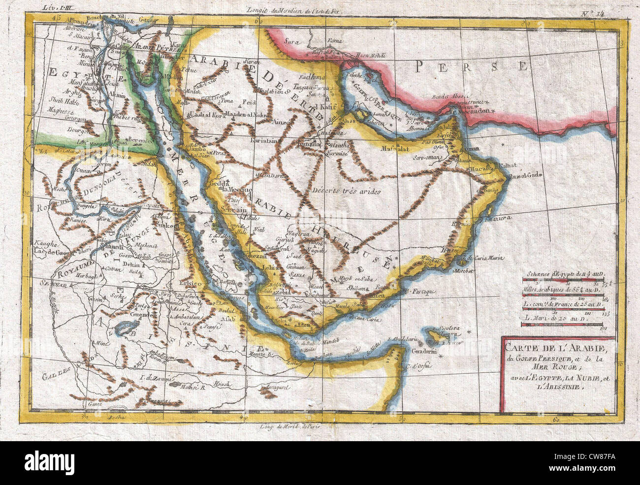 1780 Raynal and Bonne Map of Arabia and Abyssinia Stock Photohttps://www.alamy.com/image-license-details/?v=1https://www.alamy.com/stock-photo-1780-raynal-and-bonne-map-of-arabia-and-abyssinia-49968670.html
RMCW87FA–1780 Raynal and Bonne Map of Arabia and Abyssinia
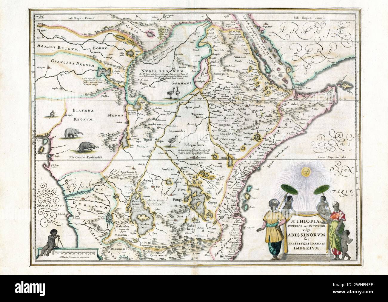 Map of Ethiopia, Willem and Johannes Joan Blaeu, ca 1650 *** Map of Ethiopia, Willem and Johannes Joan Blaeu, ca 1650 Stock Photohttps://www.alamy.com/image-license-details/?v=1https://www.alamy.com/map-of-ethiopia-willem-and-johannes-joan-blaeu-ca-1650-map-of-ethiopia-willem-and-johannes-joan-blaeu-ca-1650-image595947814.html
RM2WHFNEE–Map of Ethiopia, Willem and Johannes Joan Blaeu, ca 1650 *** Map of Ethiopia, Willem and Johannes Joan Blaeu, ca 1650
 Map of the Red Sea coast traveled by Henri Lambert. Middle East, drawing by Alexandre de Bar (1821 - 1908) Voyage of Henri Lambert. Le Tour du Monde 1862 Stock Photohttps://www.alamy.com/image-license-details/?v=1https://www.alamy.com/map-of-the-red-sea-coast-traveled-by-henri-lambert-middle-east-drawing-by-alexandre-de-bar-1821-1908-voyage-of-henri-lambert-le-tour-du-monde-1862-image619674088.html
RM2Y04GHC–Map of the Red Sea coast traveled by Henri Lambert. Middle East, drawing by Alexandre de Bar (1821 - 1908) Voyage of Henri Lambert. Le Tour du Monde 1862
 Old maps are large and interesting source of knowledge Stock Photohttps://www.alamy.com/image-license-details/?v=1https://www.alamy.com/old-maps-are-large-and-interesting-source-of-knowledge-image66777935.html
RFDTHYX7–Old maps are large and interesting source of knowledge
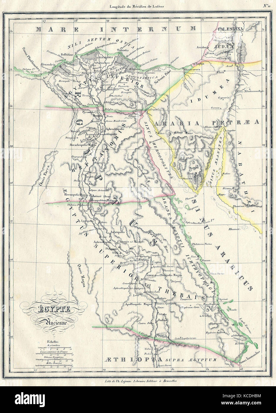 1837, Malte-Brun Map of Ancient Egypt, Nubia, Sudan and Abyssinia, Ethiopia Stock Photohttps://www.alamy.com/image-license-details/?v=1https://www.alamy.com/stock-image-1837-malte-brun-map-of-ancient-egypt-nubia-sudan-and-abyssinia-ethiopia-162568216.html
RMKCDHBM–1837, Malte-Brun Map of Ancient Egypt, Nubia, Sudan and Abyssinia, Ethiopia
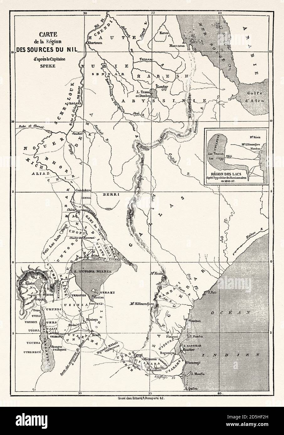 Old map of Nile sources region, Africa. Old XIX century engraved from Le Tour du Monde 1864 Stock Photohttps://www.alamy.com/image-license-details/?v=1https://www.alamy.com/old-map-of-nile-sources-region-africa-old-xix-century-engraved-from-le-tour-du-monde-1864-image382086393.html
RM2D5HF2H–Old map of Nile sources region, Africa. Old XIX century engraved from Le Tour du Monde 1864
 Vintage copper engraved map of Ethiopia from 18th century. All maps are beautifully colored and illustrated showing the world at the time. Stock Photohttps://www.alamy.com/image-license-details/?v=1https://www.alamy.com/vintage-copper-engraved-map-of-ethiopia-from-18th-century-all-maps-are-beautifully-colored-and-illustrated-showing-the-world-at-the-time-image425690533.html
RF2FMFTH9–Vintage copper engraved map of Ethiopia from 18th century. All maps are beautifully colored and illustrated showing the world at the time.
 Old map, from Massawa to Adwa, Ethiopia. East Africa. Travel in Abyssinia, 1862-1863 by Guillaume Lejean (1828 -1871) Le Tour du Monde 1867 Stock Photohttps://www.alamy.com/image-license-details/?v=1https://www.alamy.com/old-map-from-massawa-to-adwa-ethiopia-east-africa-travel-in-abyssinia-1862-1863-by-guillaume-lejean-1828-1871-le-tour-du-monde-1867-image637599875.html
RM2S19543–Old map, from Massawa to Adwa, Ethiopia. East Africa. Travel in Abyssinia, 1862-1863 by Guillaume Lejean (1828 -1871) Le Tour du Monde 1867
 1811, Cary Map of Arabia, Egypt and Abyssinia, John Cary, 1754 – 1835, English cartographer. Reimagined Stock Photohttps://www.alamy.com/image-license-details/?v=1https://www.alamy.com/1811-cary-map-of-arabia-egypt-and-abyssinia-john-cary-1754-1835-english-cartographer-reimagined-image230087681.html
RFRA9B55–1811, Cary Map of Arabia, Egypt and Abyssinia, John Cary, 1754 – 1835, English cartographer. Reimagined
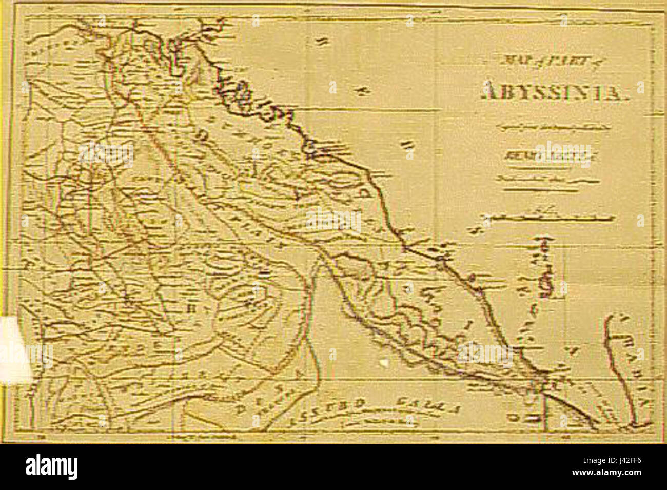 Map of part of Abyssinia Stock Photohttps://www.alamy.com/image-license-details/?v=1https://www.alamy.com/stock-photo-map-of-part-of-abyssinia-140197658.html
RMJ42FF6–Map of part of Abyssinia
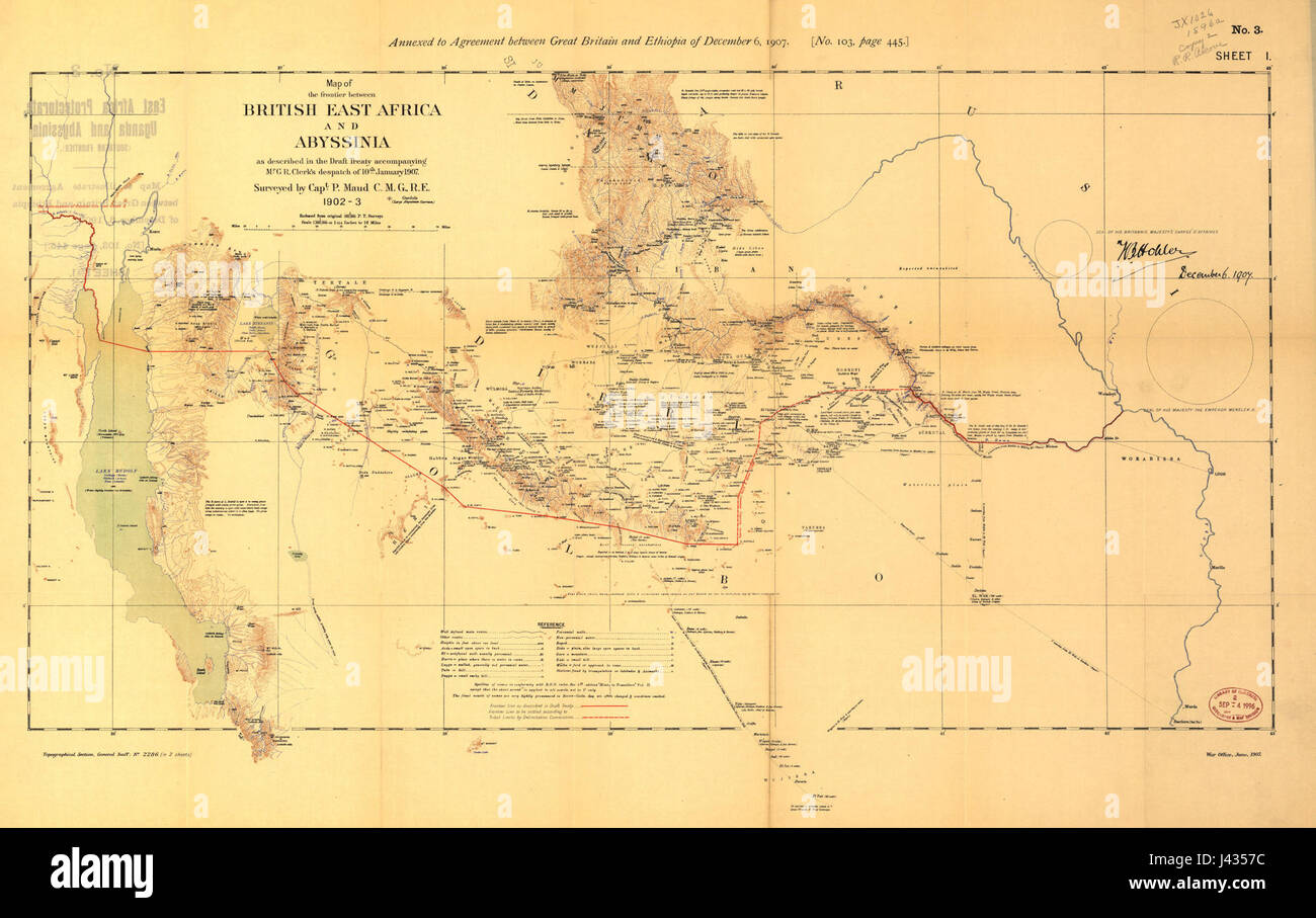 Map of the frontier between British East Africa and Abyssinia in 1902 3 Stock Photohttps://www.alamy.com/image-license-details/?v=1https://www.alamy.com/stock-photo-map-of-the-frontier-between-british-east-africa-and-abyssinia-in-1902-140211552.html
RMJ4357C–Map of the frontier between British East Africa and Abyssinia in 1902 3
 1858 Dispatch Atlas Map of Egypt, Nubia, Abyssinia and the Red Sea - Geographicus - EgyptNubia-dispatch-1858 Stock Photohttps://www.alamy.com/image-license-details/?v=1https://www.alamy.com/stock-photo-1858-dispatch-atlas-map-of-egypt-nubia-abyssinia-and-the-red-sea-geographicus-139473467.html
RMJ2WFR7–1858 Dispatch Atlas Map of Egypt, Nubia, Abyssinia and the Red Sea - Geographicus - EgyptNubia-dispatch-1858
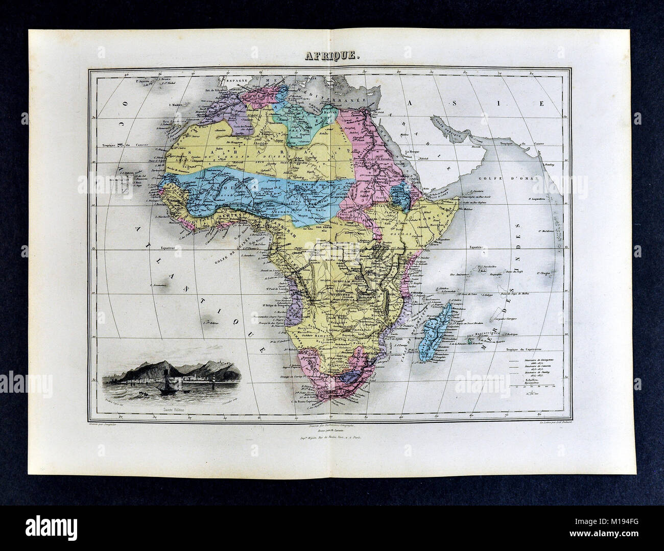 1877 Migeon Map - Africa - Cape Colony Guinea Sudan Egypt Morocco Madagascar Angola Stock Photohttps://www.alamy.com/image-license-details/?v=1https://www.alamy.com/stock-photo-1877-migeon-map-africa-cape-colony-guinea-sudan-egypt-morocco-madagascar-172919476.html
RFM194FG–1877 Migeon Map - Africa - Cape Colony Guinea Sudan Egypt Morocco Madagascar Angola
 Antique map of Northeast Africa showing Egypt, Tripoli, Sudan, Abyssinia, Saudi Arabia and Palestine From Atlas by F. A. Garnier, 1862. Stock Photohttps://www.alamy.com/image-license-details/?v=1https://www.alamy.com/antique-map-of-northeast-africa-showing-egypt-tripoli-sudan-abyssinia-saudi-arabia-and-palestine-from-atlas-by-f-a-garnier-1862-image384039645.html
RM2D8PEDH–Antique map of Northeast Africa showing Egypt, Tripoli, Sudan, Abyssinia, Saudi Arabia and Palestine From Atlas by F. A. Garnier, 1862.
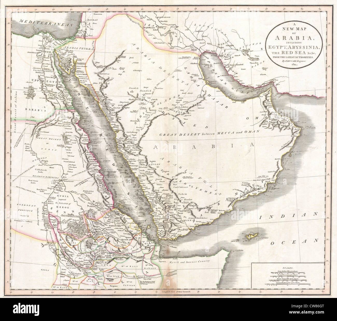 1811 Cary Map of Arabia, Egypt ^ Abyssinia Stock Photohttps://www.alamy.com/image-license-details/?v=1https://www.alamy.com/stock-photo-1811-cary-map-of-arabia-egypt-abyssinia-49967928.html
RMCW86GT–1811 Cary Map of Arabia, Egypt ^ Abyssinia
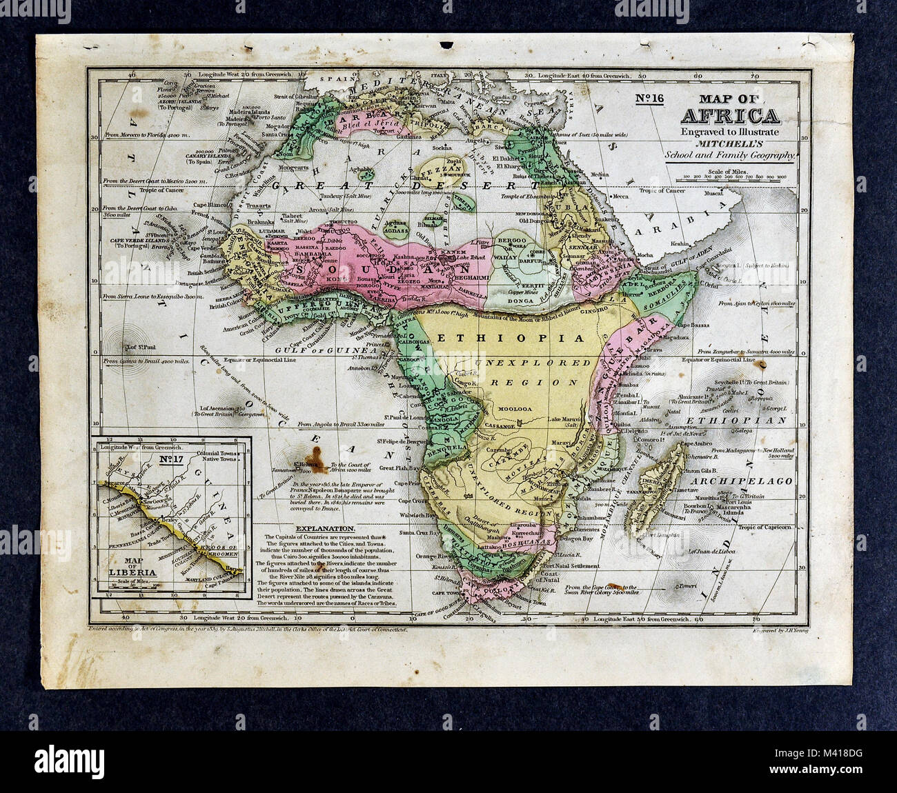 1839 Mitchell Map - Africa - Guinea Sudan Ethiopia Egypt Liberia Congo Cape Colony South Africa Stock Photohttps://www.alamy.com/image-license-details/?v=1https://www.alamy.com/stock-photo-1839-mitchell-map-africa-guinea-sudan-ethiopia-egypt-liberia-congo-174590908.html
RFM418DG–1839 Mitchell Map - Africa - Guinea Sudan Ethiopia Egypt Liberia Congo Cape Colony South Africa
 Old maps are large and interesting source of knowledge Stock Photohttps://www.alamy.com/image-license-details/?v=1https://www.alamy.com/old-maps-are-large-and-interesting-source-of-knowledge-image66773755.html
RFDTHPGY–Old maps are large and interesting source of knowledge
 Old map, from Gondar to Takeze river, Ethiopia. East Africa. Travel in Abyssinia, 1862-1863 by Guillaume Lejean (1828 -1871) Le Tour du Monde 1867 Stock Photohttps://www.alamy.com/image-license-details/?v=1https://www.alamy.com/old-map-from-gondar-to-takeze-river-ethiopia-east-africa-travel-in-abyssinia-1862-1863-by-guillaume-lejean-1828-1871-le-tour-du-monde-1867-image637599783.html
RM2S1950R–Old map, from Gondar to Takeze river, Ethiopia. East Africa. Travel in Abyssinia, 1862-1863 by Guillaume Lejean (1828 -1871) Le Tour du Monde 1867
 1690, Coronelli Map of Ethiopia, Abyssinia, and the Source of the Blue Nile. Reimagined by Gibon. Classic art with a reimagined Stock Photohttps://www.alamy.com/image-license-details/?v=1https://www.alamy.com/1690-coronelli-map-of-ethiopia-abyssinia-and-the-source-of-the-blue-nile-reimagined-by-gibon-classic-art-with-a-reimagined-image230087275.html
RFRA9AJK–1690, Coronelli Map of Ethiopia, Abyssinia, and the Source of the Blue Nile. Reimagined by Gibon. Classic art with a reimagined
 Map of the Nile south of Gondokoro, drawn up by Baker and Speke. East Africa. Journey to Lake Albert, 1861-1864 by Samuel White Baker (1821-1893) Le Tour du Monde 1867 Stock Photohttps://www.alamy.com/image-license-details/?v=1https://www.alamy.com/map-of-the-nile-south-of-gondokoro-drawn-up-by-baker-and-speke-east-africa-journey-to-lake-albert-1861-1864-by-samuel-white-baker-1821-1893-le-tour-du-monde-1867-image637598616.html
RM2S193F4–Map of the Nile south of Gondokoro, drawn up by Baker and Speke. East Africa. Journey to Lake Albert, 1861-1864 by Samuel White Baker (1821-1893) Le Tour du Monde 1867
 1837 Malte-Brun Map of Ancient Egypt, Nubia ( Sudan ) and Abyssinia ( Ethiopia ) - Geographicus - EgyptAncient-mb-1837 Stock Photohttps://www.alamy.com/image-license-details/?v=1https://www.alamy.com/stock-photo-1837-malte-brun-map-of-ancient-egypt-nubia-sudan-and-abyssinia-ethiopia-139473162.html
RMJ2WFCA–1837 Malte-Brun Map of Ancient Egypt, Nubia ( Sudan ) and Abyssinia ( Ethiopia ) - Geographicus - EgyptAncient-mb-1837
 Antique map of Northeast Africa showing Egypt, Tripoli, Sudan, Abyssinia, Saudi Arabia and Palestine From Atlas by F. A. Garnier, 1862. Stock Photohttps://www.alamy.com/image-license-details/?v=1https://www.alamy.com/antique-map-of-northeast-africa-showing-egypt-tripoli-sudan-abyssinia-saudi-arabia-and-palestine-from-atlas-by-f-a-garnier-1862-image384364948.html
RM2D999BG–Antique map of Northeast Africa showing Egypt, Tripoli, Sudan, Abyssinia, Saudi Arabia and Palestine From Atlas by F. A. Garnier, 1862.
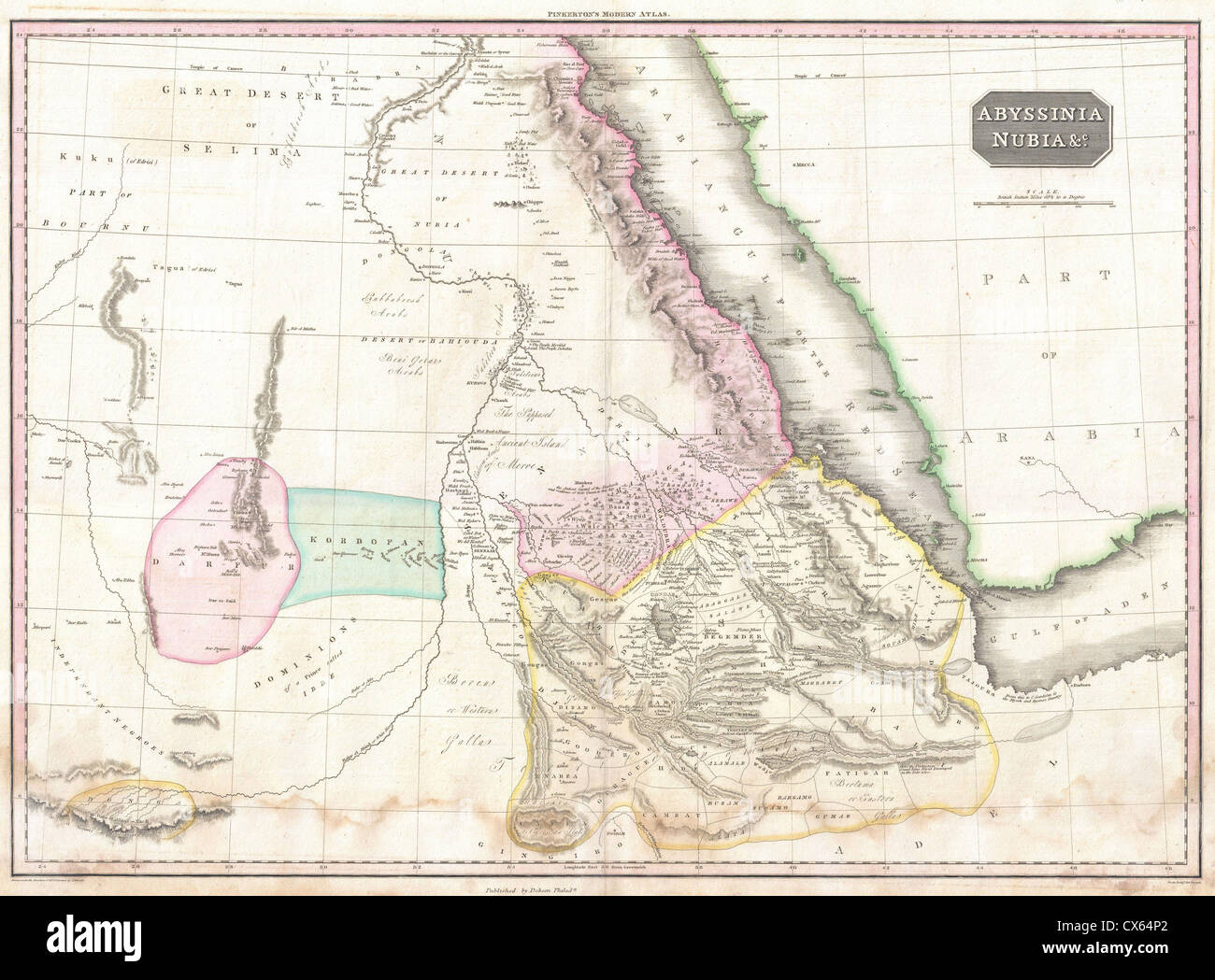 1818 Pinkerton Map of Nubia, Sudan and Abyssinia Stock Photohttps://www.alamy.com/image-license-details/?v=1https://www.alamy.com/stock-photo-1818-pinkerton-map-of-nubia-sudan-and-abyssinia-50537258.html
RMCX64P2–1818 Pinkerton Map of Nubia, Sudan and Abyssinia
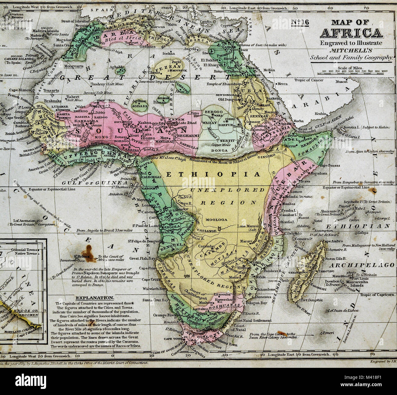 1839 Mitchell Map - Africa - Guinea Sudan Ethiopia Egypt Liberia Congo Cape Colony South Africa Stock Photohttps://www.alamy.com/image-license-details/?v=1https://www.alamy.com/stock-photo-1839-mitchell-map-africa-guinea-sudan-ethiopia-egypt-liberia-congo-174590949.html
RFM418F1–1839 Mitchell Map - Africa - Guinea Sudan Ethiopia Egypt Liberia Congo Cape Colony South Africa
 Old maps are large and interesting source of knowledge Stock Photohttps://www.alamy.com/image-license-details/?v=1https://www.alamy.com/old-maps-are-large-and-interesting-source-of-knowledge-image66773038.html
RFDTHNKA–Old maps are large and interesting source of knowledge
 1818, Pinkerton Map of Abyssinia, Ethiopia , Sudan and Nubia, John Pinkerton, 1758 – 1826, Scottish antiquarian reimagined Stock Photohttps://www.alamy.com/image-license-details/?v=1https://www.alamy.com/1818-pinkerton-map-of-abyssinia-ethiopia-sudan-and-nubia-john-pinkerton-1758-1826-scottish-antiquarian-reimagined-image230087718.html
RFRA9B6E–1818, Pinkerton Map of Abyssinia, Ethiopia , Sudan and Nubia, John Pinkerton, 1758 – 1826, Scottish antiquarian reimagined
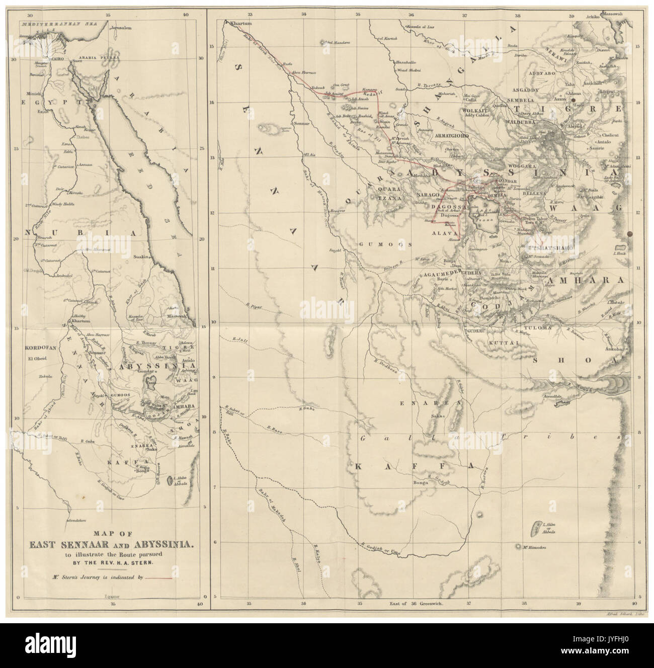 STERN(1862) p018 MAP OF ABYSSINIA Stock Photohttps://www.alamy.com/image-license-details/?v=1https://www.alamy.com/stern1862-p018-map-of-abyssinia-image154621768.html
RMJYFHJ0–STERN(1862) p018 MAP OF ABYSSINIA
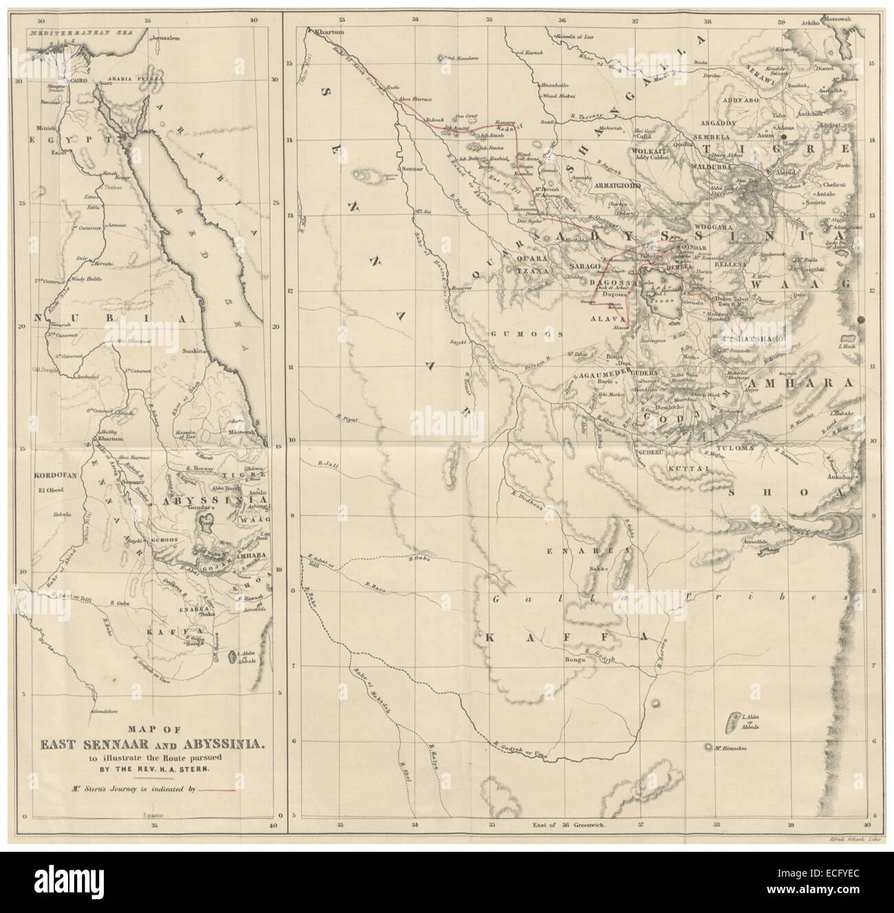 STERN(1862) p018 MAP OF ABYSSINIA Stock Photohttps://www.alamy.com/image-license-details/?v=1https://www.alamy.com/stock-photo-stern1862-p018-map-of-abyssinia-76568196.html
RMECFYEC–STERN(1862) p018 MAP OF ABYSSINIA
 1839 Mitchell Map - Africa - Guinea Sudan Ethiopia Egypt Liberia Congo Cape Colony South Africa Stock Photohttps://www.alamy.com/image-license-details/?v=1https://www.alamy.com/stock-photo-1839-mitchell-map-africa-guinea-sudan-ethiopia-egypt-liberia-congo-174590929.html
RFM418E9–1839 Mitchell Map - Africa - Guinea Sudan Ethiopia Egypt Liberia Congo Cape Colony South Africa
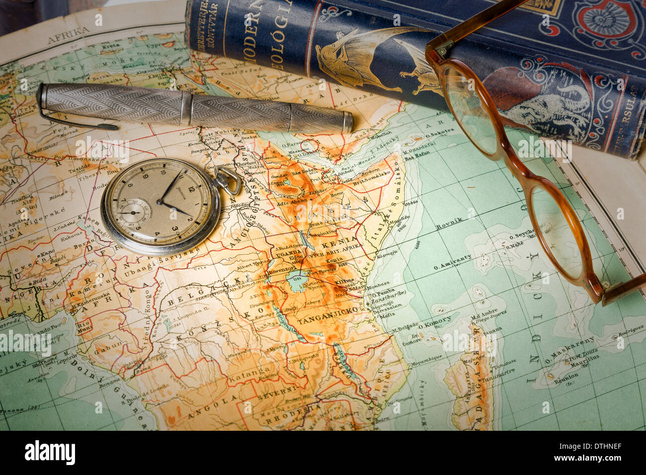 Old maps are large and interesting source of knowledge Stock Photohttps://www.alamy.com/image-license-details/?v=1https://www.alamy.com/old-maps-are-large-and-interesting-source-of-knowledge-image66772903.html
RFDTHNEF–Old maps are large and interesting source of knowledge
 Traveling in the history is an important part of education Stock Photohttps://www.alamy.com/image-license-details/?v=1https://www.alamy.com/stock-photo-traveling-in-the-history-is-an-important-part-of-education-71471682.html
RFE47PT2–Traveling in the history is an important part of education
 1818, Pinkerton Map of Nubia, Sudan and Abyssinia, John Pinkerton, 1758 – 1826, Scottish antiquarian, cartographer reimagined Stock Photohttps://www.alamy.com/image-license-details/?v=1https://www.alamy.com/1818-pinkerton-map-of-nubia-sudan-and-abyssinia-john-pinkerton-1758-1826-scottish-antiquarian-cartographer-reimagined-image230087733.html
RFRA9B71–1818, Pinkerton Map of Nubia, Sudan and Abyssinia, John Pinkerton, 1758 – 1826, Scottish antiquarian, cartographer reimagined
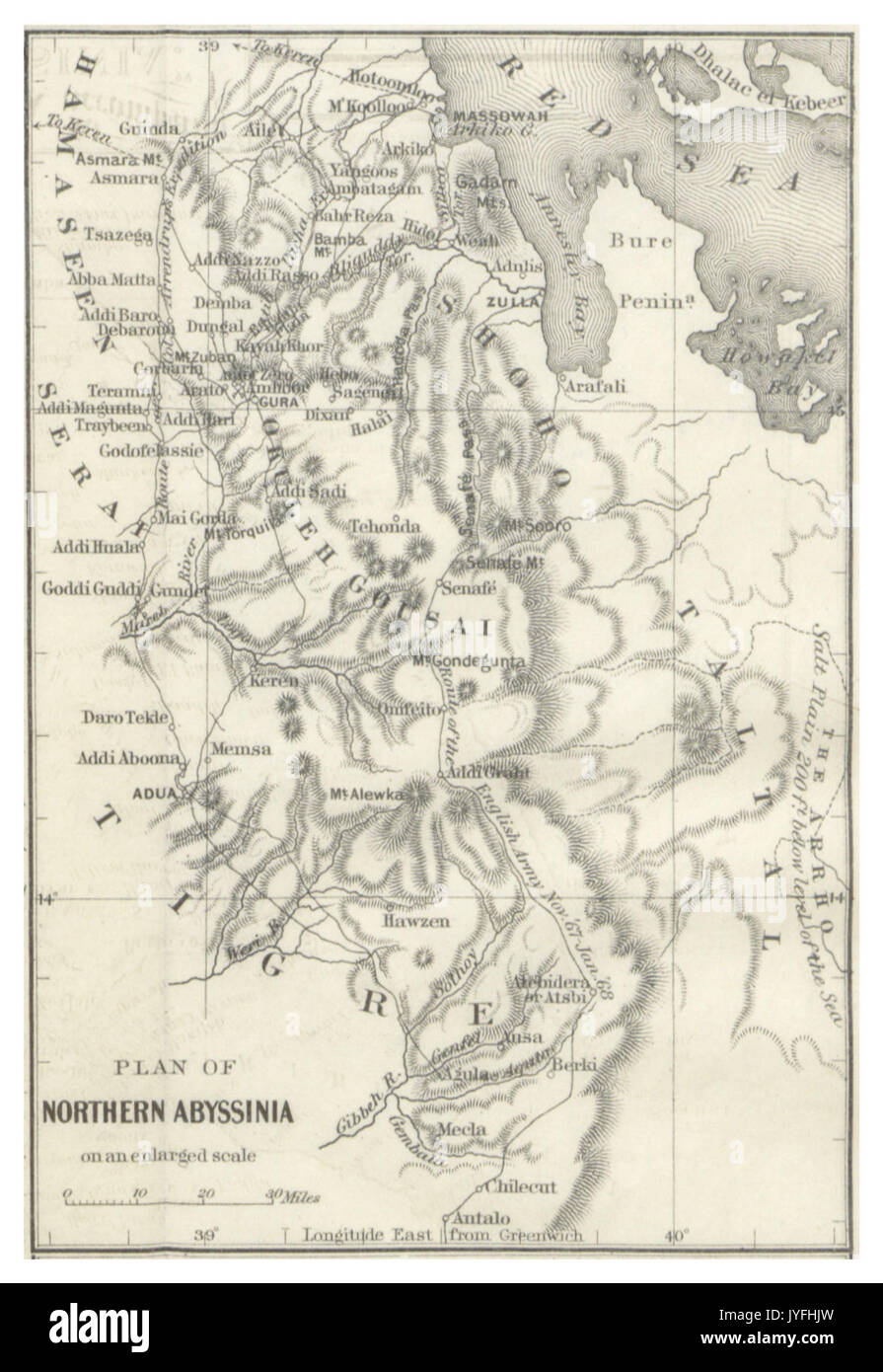 DYE(1880) p519 Map of Northern Abyssinia Stock Photohttps://www.alamy.com/image-license-details/?v=1https://www.alamy.com/dye1880-p519-map-of-northern-abyssinia-image154621793.html
RMJYFHJW–DYE(1880) p519 Map of Northern Abyssinia
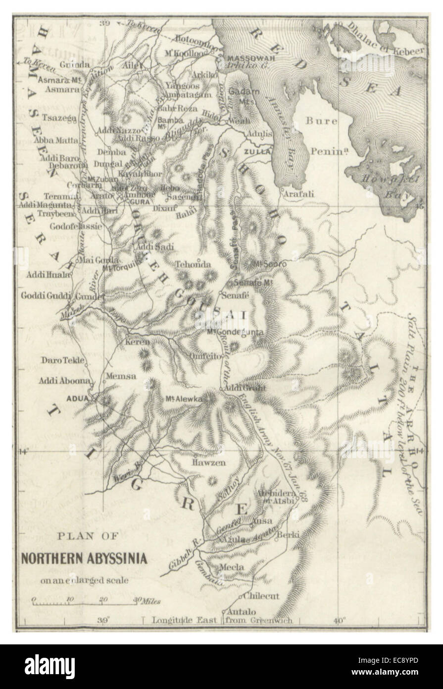 DYE(1880) p519 Map of Northern Abyssinia Stock Photohttps://www.alamy.com/image-license-details/?v=1https://www.alamy.com/stock-photo-dye1880-p519-map-of-northern-abyssinia-76414757.html
RMEC8YPD–DYE(1880) p519 Map of Northern Abyssinia
 Traveling in the history is an important part of education Stock Photohttps://www.alamy.com/image-license-details/?v=1https://www.alamy.com/stock-photo-traveling-in-the-history-is-an-important-part-of-education-71471644.html
RFE47PPM–Traveling in the history is an important part of education
 1858, Dispatch Atlas Map of Egypt, Nubia, Abyssinia and the Red Sea. Reimagined by Gibon. Classic art with a modern reimagined Stock Photohttps://www.alamy.com/image-license-details/?v=1https://www.alamy.com/1858-dispatch-atlas-map-of-egypt-nubia-abyssinia-and-the-red-sea-reimagined-by-gibon-classic-art-with-a-modern-reimagined-image230061912.html
RFRA868T–1858, Dispatch Atlas Map of Egypt, Nubia, Abyssinia and the Red Sea. Reimagined by Gibon. Classic art with a modern reimagined
