Old map navigation chart sailing Stock Photos and Images
(405)See old map navigation chart sailing stock video clipsQuick filters:
Old map navigation chart sailing Stock Photos and Images
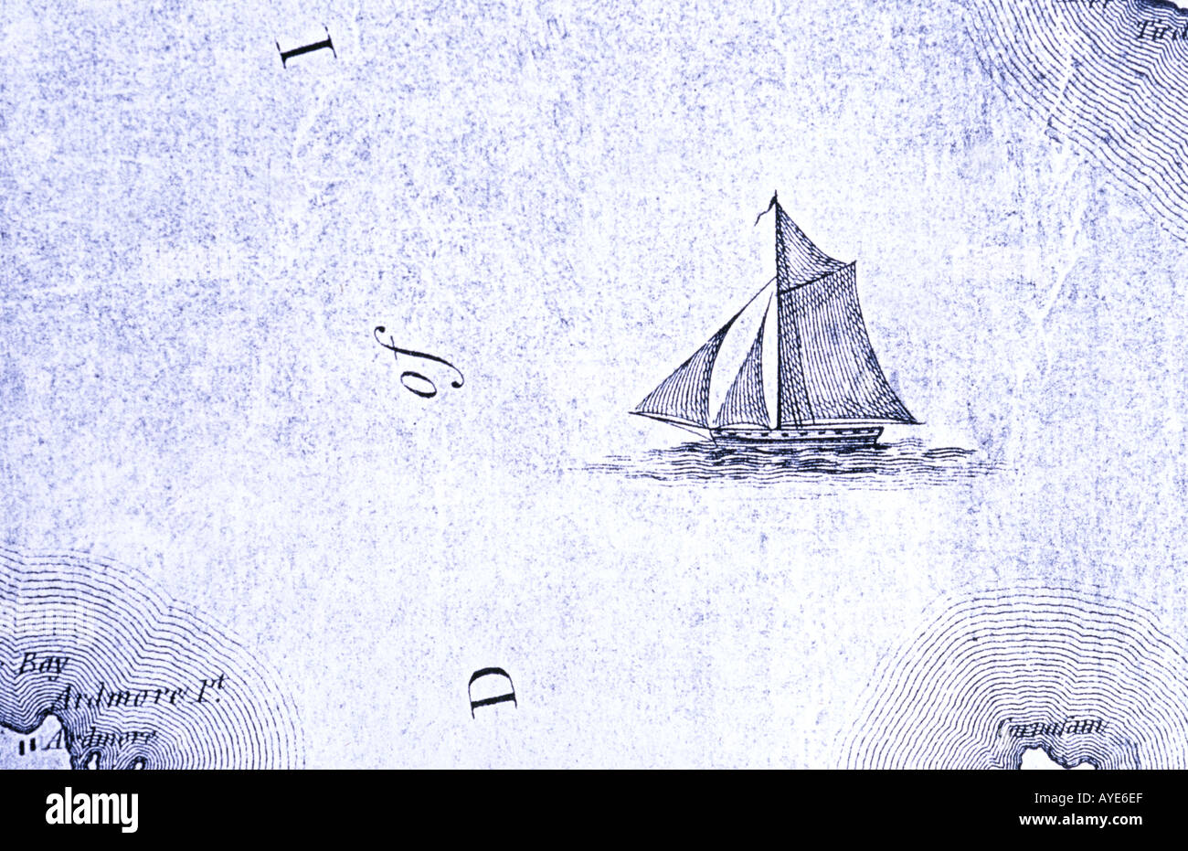 Old map navigation chart with sailing ship Stock Photohttps://www.alamy.com/image-license-details/?v=1https://www.alamy.com/old-map-navigation-chart-with-sailing-ship-image1828590.html
RMAYE6EF–Old map navigation chart with sailing ship
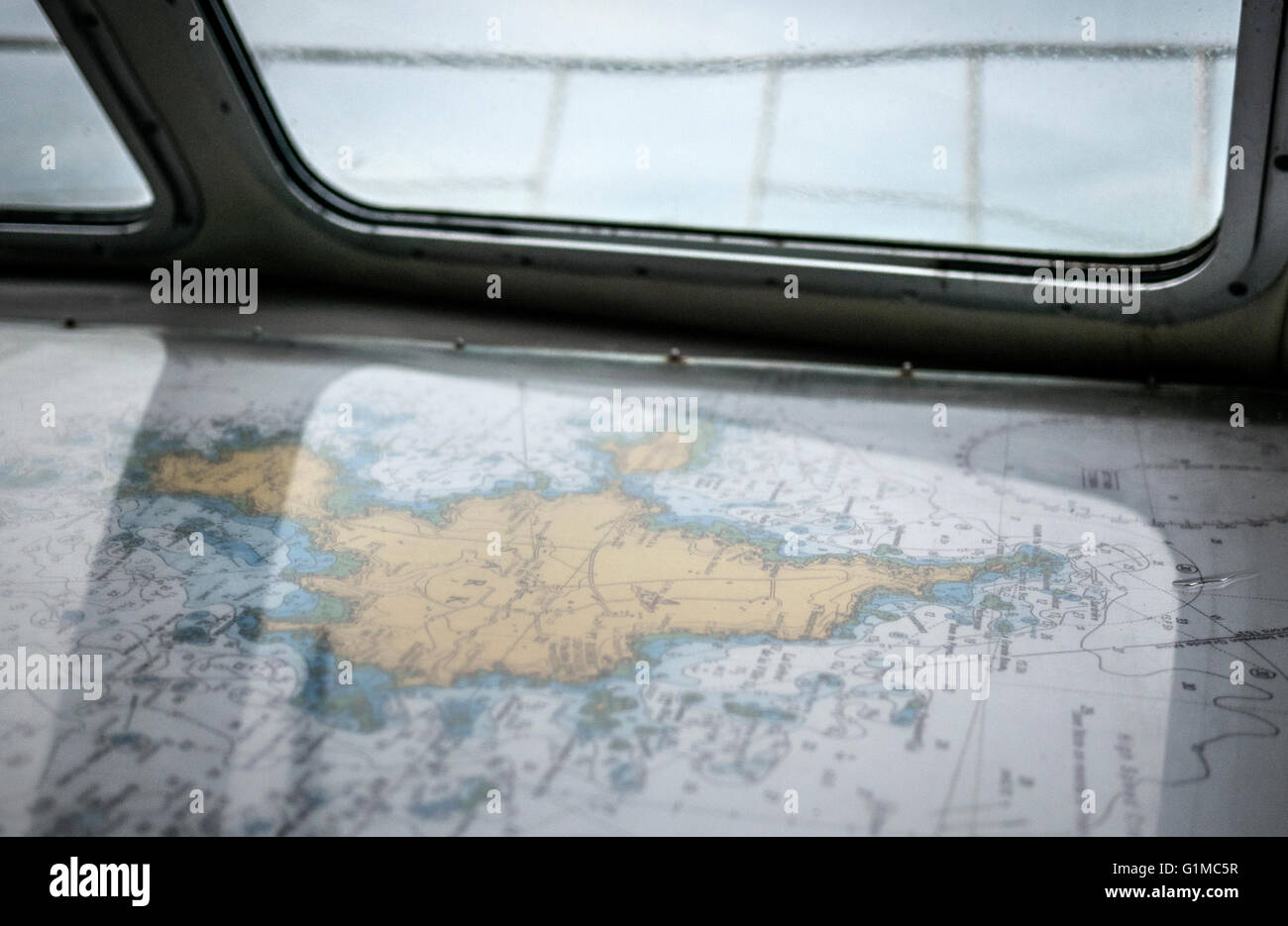 Close up photos of a shipping navigation map / chart of an island on a yacht sailing the sea. Stock Photohttps://www.alamy.com/image-license-details/?v=1https://www.alamy.com/stock-photo-close-up-photos-of-a-shipping-navigation-map-chart-of-an-island-on-104325475.html
RFG1MC5R–Close up photos of a shipping navigation map / chart of an island on a yacht sailing the sea.
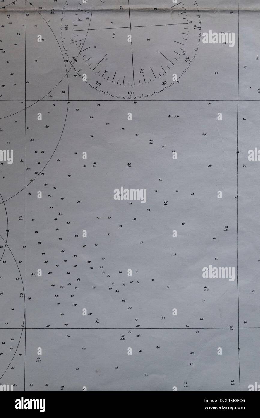 Detail of an old nautical navigational chart with compass deviation symbol on paper. Stock Photohttps://www.alamy.com/image-license-details/?v=1https://www.alamy.com/detail-of-an-old-nautical-navigational-chart-with-compass-deviation-symbol-on-paper-image563388240.html
RF2RMGFCG–Detail of an old nautical navigational chart with compass deviation symbol on paper.
 'Irlandiae regnum' or Kingdom of Ireland. The map is in Latin and is lying with its northern coast to the west. The map, was created in the late 16th century by Gerardus Mercator (1512-1594), a 16th-century geographer, cosmographer and cartographer from the County of Flanders, renowned for creating the 1569 world map based on a new projection which represented sailing courses of constant bearing as straight lines—an innovation that is still employed in nautical charts. Stock Photohttps://www.alamy.com/image-license-details/?v=1https://www.alamy.com/irlandiae-regnum-or-kingdom-of-ireland-the-map-is-in-latin-and-is-lying-with-its-northern-coast-to-the-west-the-map-was-created-in-the-late-16th-century-by-gerardus-mercator-1512-1594-a-16th-century-geographer-cosmographer-and-cartographer-from-the-county-of-flanders-renowned-for-creating-the-1569-world-map-based-on-a-new-projection-which-represented-sailing-courses-of-constant-bearing-as-straight-linesan-innovation-that-is-still-employed-in-nautical-charts-image445908407.html
RM2GWCTM7–'Irlandiae regnum' or Kingdom of Ireland. The map is in Latin and is lying with its northern coast to the west. The map, was created in the late 16th century by Gerardus Mercator (1512-1594), a 16th-century geographer, cosmographer and cartographer from the County of Flanders, renowned for creating the 1569 world map based on a new projection which represented sailing courses of constant bearing as straight lines—an innovation that is still employed in nautical charts.
 Conception about space and time. Old chart, compass and clock Stock Photohttps://www.alamy.com/image-license-details/?v=1https://www.alamy.com/stock-photo-conception-about-space-and-time-old-chart-compass-and-clock-47899635.html
RFCNX0D7–Conception about space and time. Old chart, compass and clock
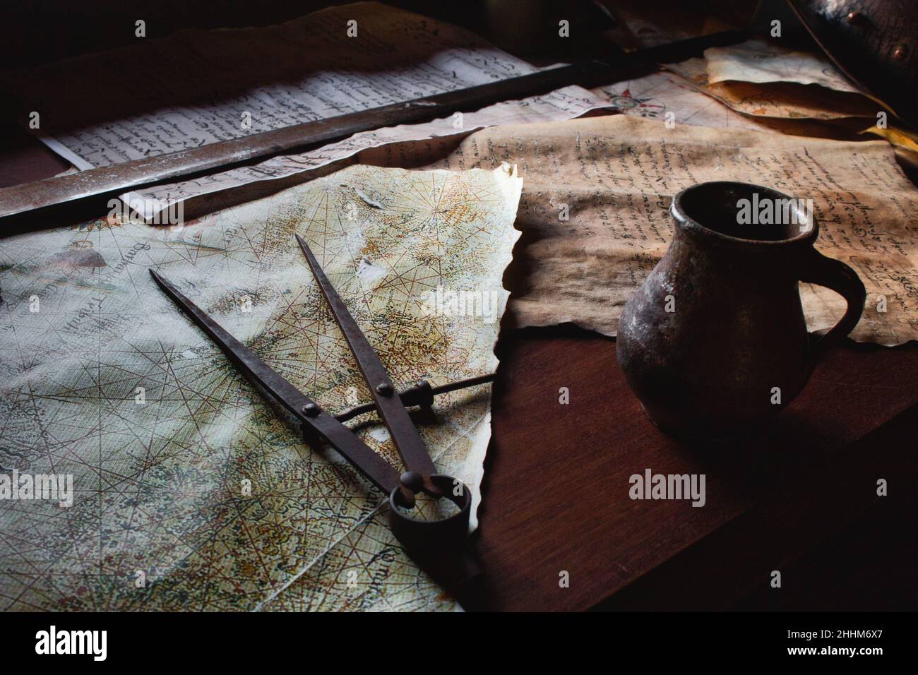 Old metal divider on a map on the captain's table aboard a pirate ship Stock Photohttps://www.alamy.com/image-license-details/?v=1https://www.alamy.com/old-metal-divider-on-a-map-on-the-captains-table-aboard-a-pirate-ship-image458363199.html
RF2HHM6X7–Old metal divider on a map on the captain's table aboard a pirate ship
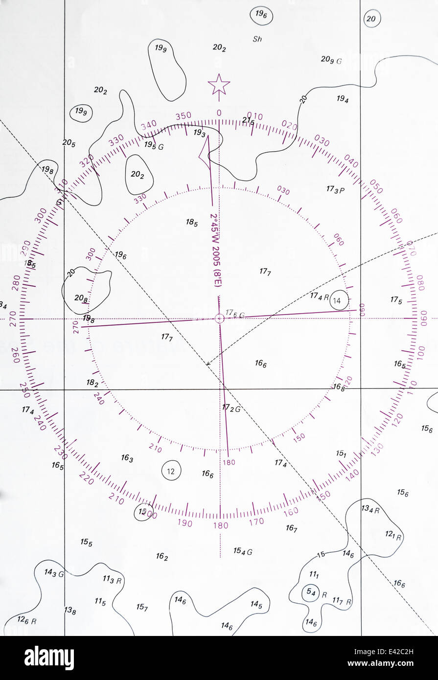 Navigation chart fragment with compass deviation symbol Stock Photohttps://www.alamy.com/image-license-details/?v=1https://www.alamy.com/stock-photo-navigation-chart-fragment-with-compass-deviation-symbol-71353481.html
RFE42C2H–Navigation chart fragment with compass deviation symbol
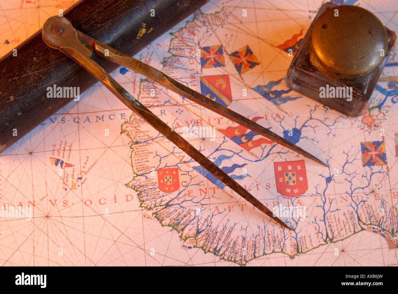 Navigators dividers on old map. Stock Photohttps://www.alamy.com/image-license-details/?v=1https://www.alamy.com/stock-photo-navigators-dividers-on-old-map-16789248.html
RFAXB6JW–Navigators dividers on old map.
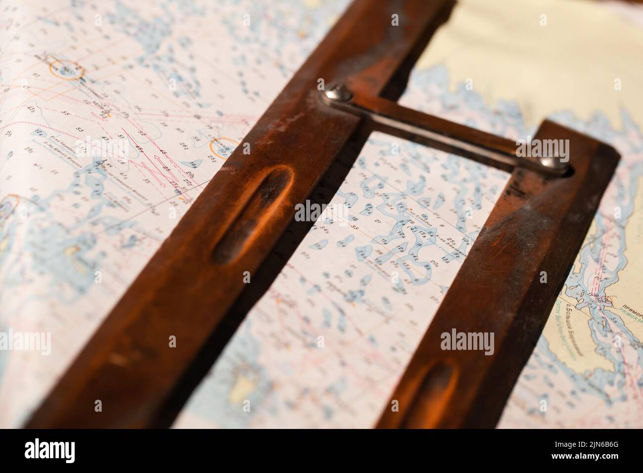 Vintage wooden parallel ruler lays on a nautical paper chart. It is a drafting instrument used by navigators to draw parallel lines on charts Stock Photohttps://www.alamy.com/image-license-details/?v=1https://www.alamy.com/vintage-wooden-parallel-ruler-lays-on-a-nautical-paper-chart-it-is-a-drafting-instrument-used-by-navigators-to-draw-parallel-lines-on-charts-image477728232.html
RF2JN6B6G–Vintage wooden parallel ruler lays on a nautical paper chart. It is a drafting instrument used by navigators to draw parallel lines on charts
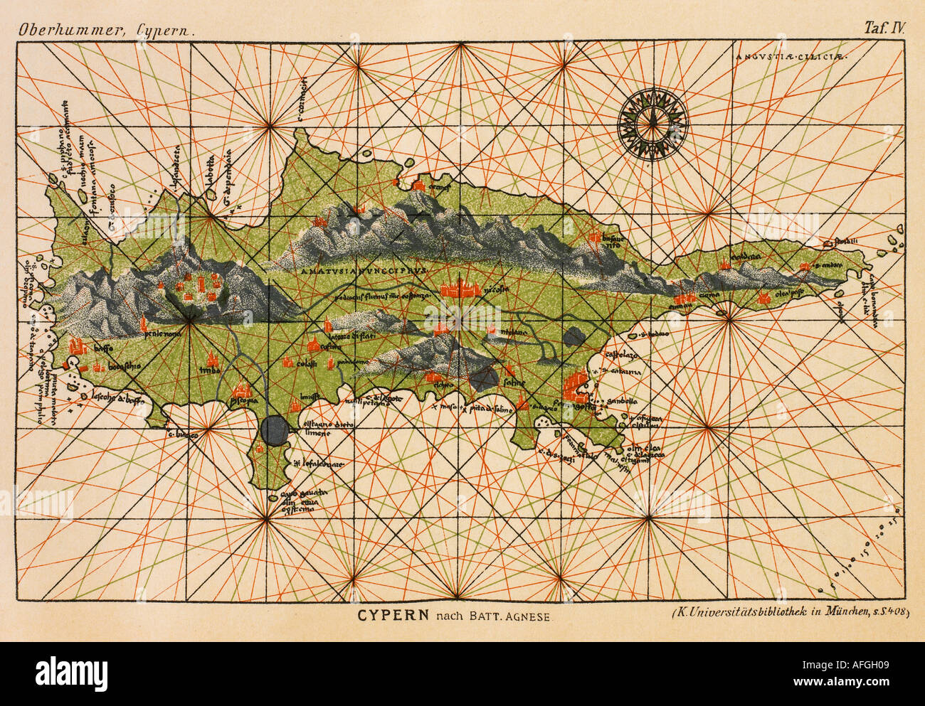 PORTOLAN MAP OF CYPRUS BY BATTISTA AGNESE Stock Photohttps://www.alamy.com/image-license-details/?v=1https://www.alamy.com/portolan-map-of-cyprus-by-battista-agnese-image4550920.html
RMAFGH09–PORTOLAN MAP OF CYPRUS BY BATTISTA AGNESE
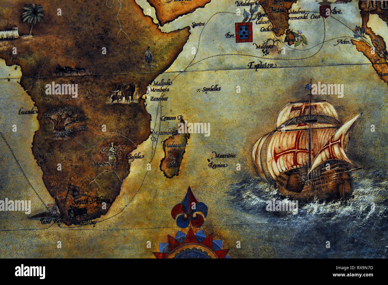 Close Up of a colorful and interesting antique map of Africa and some countries in Asia. Note the navigational routes for sailing ships. Stock Photohttps://www.alamy.com/image-license-details/?v=1https://www.alamy.com/close-up-of-a-colorful-and-interesting-antique-map-of-africa-and-some-countries-in-asia-note-the-navigational-routes-for-sailing-ships-image239930081.html
RFRX9N7D–Close Up of a colorful and interesting antique map of Africa and some countries in Asia. Note the navigational routes for sailing ships.
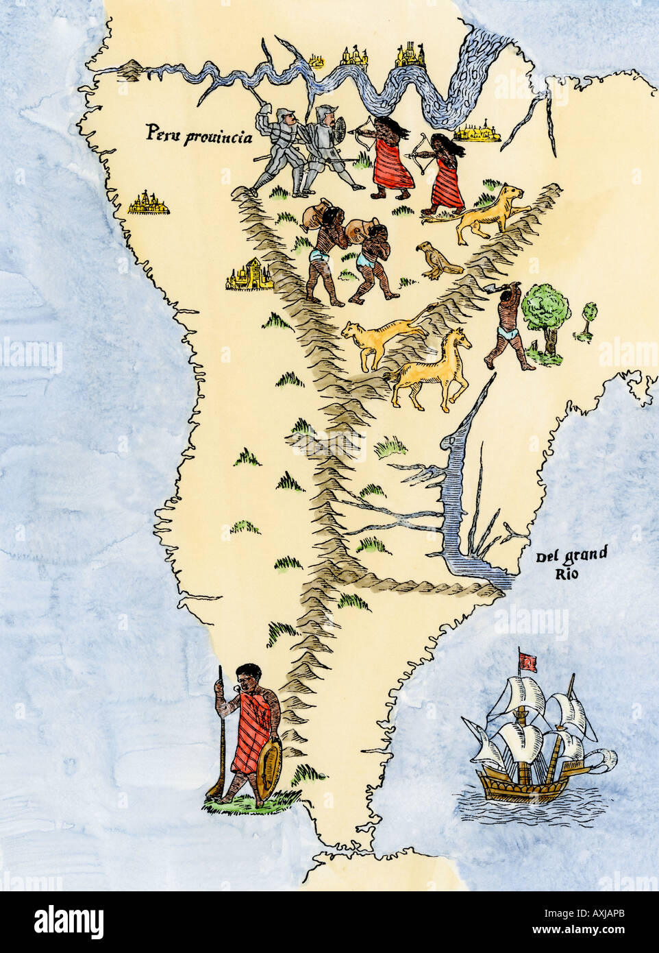 Map of South America from the Sebastian Cabot map of the world 1544. Hand-colored woodcut Stock Photohttps://www.alamy.com/image-license-details/?v=1https://www.alamy.com/map-of-south-america-from-the-sebastian-cabot-map-of-the-world-1544-image9632234.html
RMAXJAPB–Map of South America from the Sebastian Cabot map of the world 1544. Hand-colored woodcut
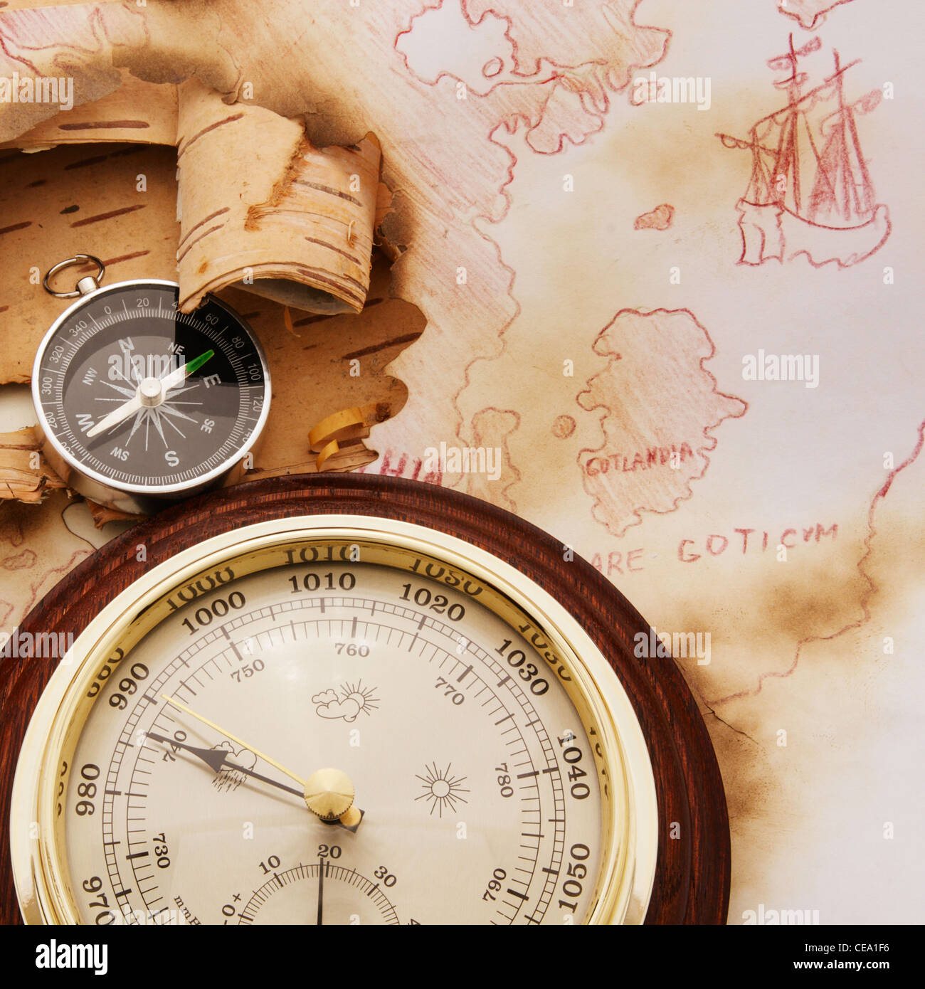 Compass and barometer on old chart of North Europe Stock Photohttps://www.alamy.com/image-license-details/?v=1https://www.alamy.com/stock-photo-compass-and-barometer-on-old-chart-of-north-europe-43246650.html
RFCEA1F6–Compass and barometer on old chart of North Europe
 illustration of Vintage word map grunge background with retro compass and silhouette of retro sailing ship Stock Photohttps://www.alamy.com/image-license-details/?v=1https://www.alamy.com/stock-photo-illustration-of-vintage-word-map-grunge-background-with-retro-compass-39825768.html
RFC8P64T–illustration of Vintage word map grunge background with retro compass and silhouette of retro sailing ship
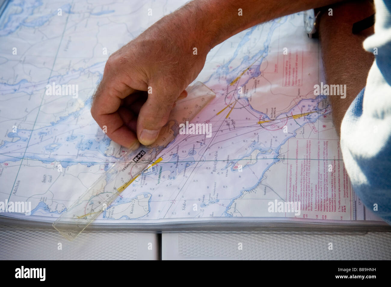 Calculating distance on nautical chart Stock Photohttps://www.alamy.com/image-license-details/?v=1https://www.alamy.com/stock-photo-calculating-distance-on-nautical-chart-22339117.html
RFB89HNH–Calculating distance on nautical chart
 Old Parchment with Compass, Ancient Nautical Chart Stock Photohttps://www.alamy.com/image-license-details/?v=1https://www.alamy.com/old-parchment-with-compass-ancient-nautical-chart-image369954394.html
RM2CDTTGX–Old Parchment with Compass, Ancient Nautical Chart
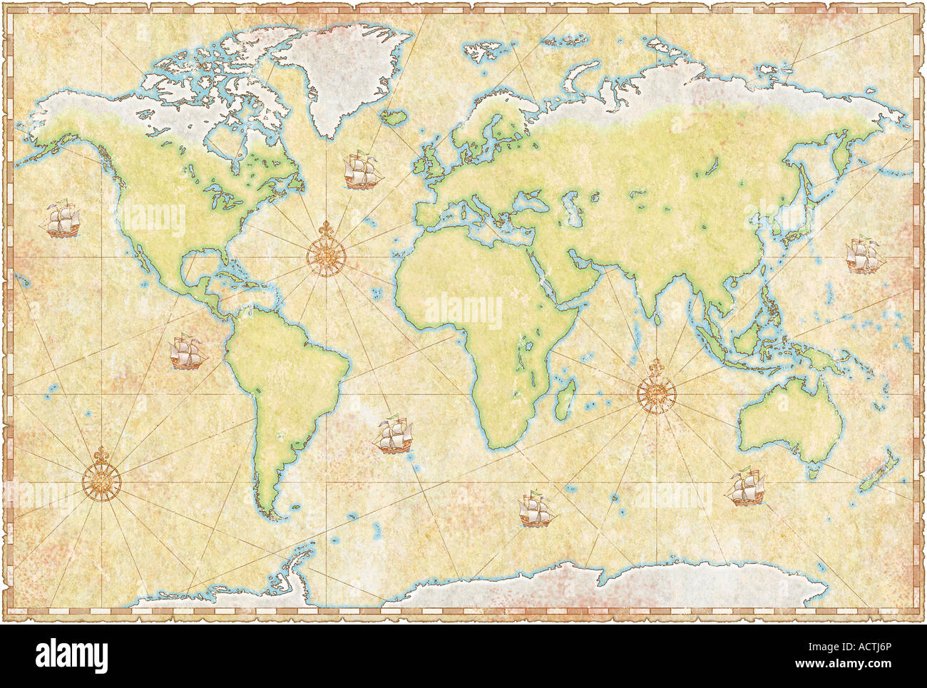 World Map On Parchment Stock Photohttps://www.alamy.com/image-license-details/?v=1https://www.alamy.com/stock-photo-world-map-on-parchment-13227501.html
RFACTJ6P–World Map On Parchment
RF2MC7JMG–Antique Vintage Map Style Decorative Compass Rose Icon with a Fleur-de-lis as North Arrow Mark Symbol. Vector Image.
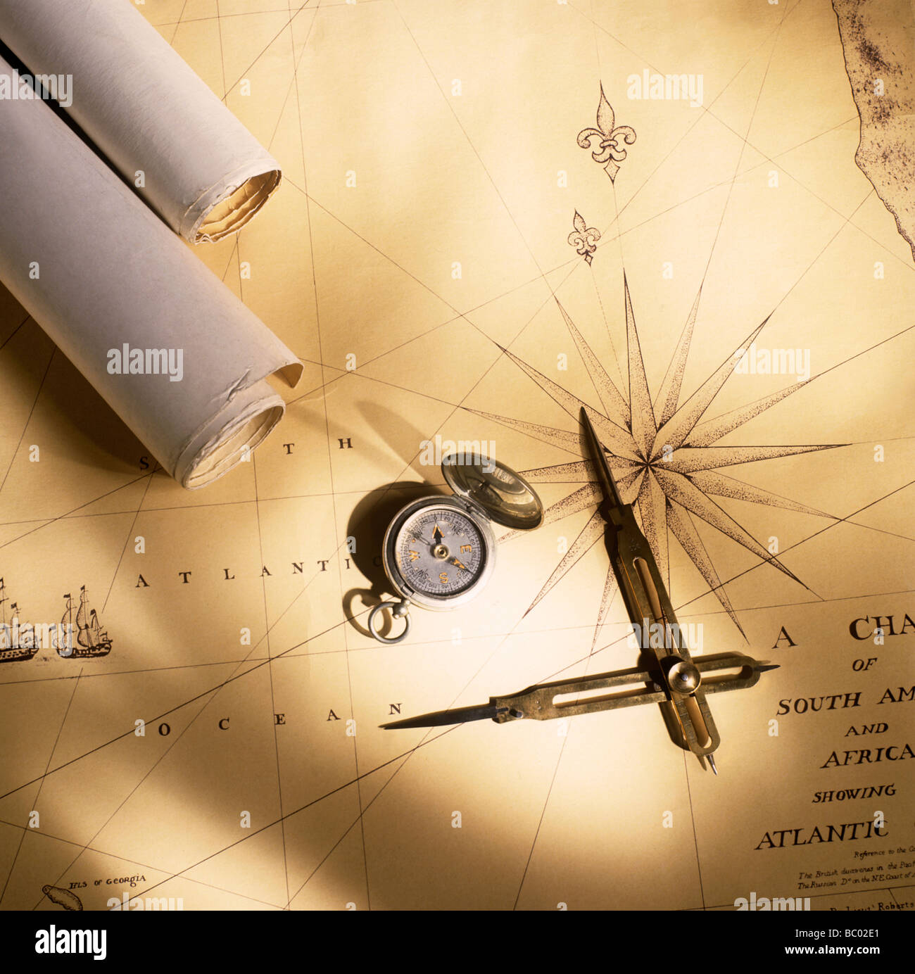 Antique map with compass and dividers Stock Photohttps://www.alamy.com/image-license-details/?v=1https://www.alamy.com/stock-photo-antique-map-with-compass-and-dividers-24588201.html
RMBC02E1–Antique map with compass and dividers
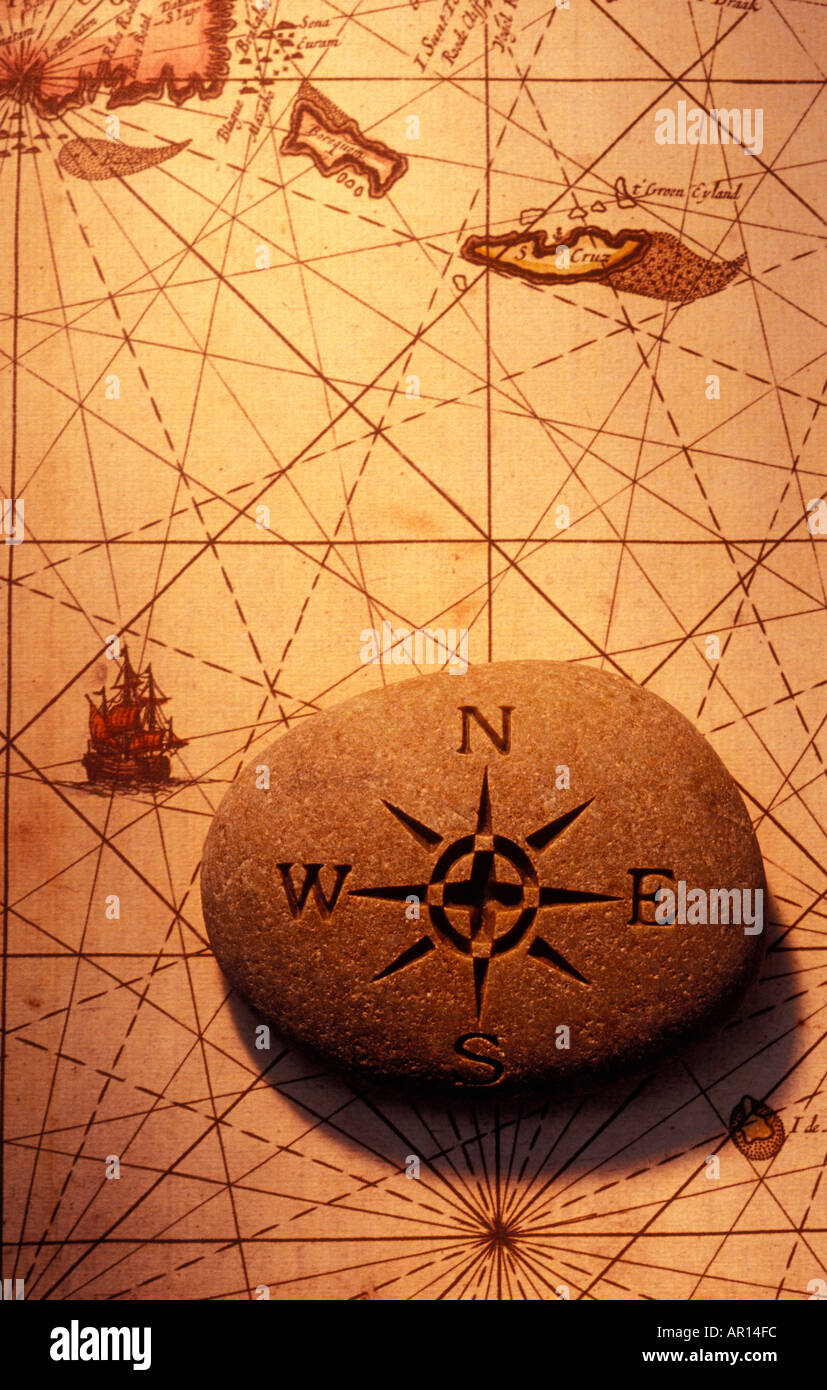 Stone compass on old map Stock Photohttps://www.alamy.com/image-license-details/?v=1https://www.alamy.com/stone-compass-on-old-map-image1512699.html
RMAR14FC–Stone compass on old map
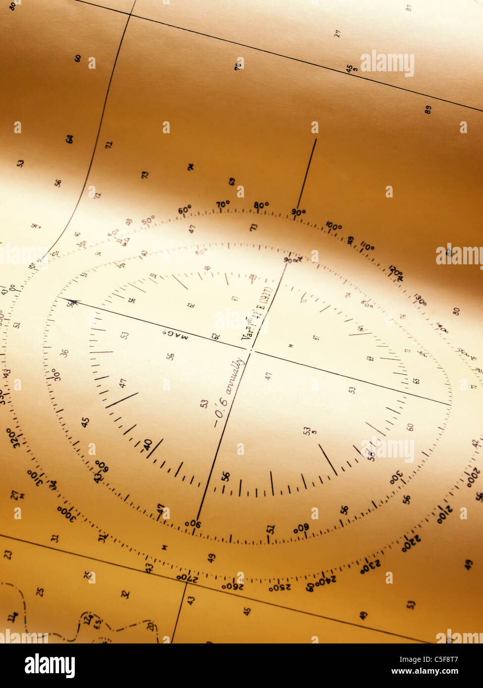 Closeup view of a wind or compass rose of some old nautical chart . Stock Photohttps://www.alamy.com/image-license-details/?v=1https://www.alamy.com/stock-photo-closeup-view-of-a-wind-or-compass-rose-of-some-old-nautical-chart-37830247.html
RFC5F8T7–Closeup view of a wind or compass rose of some old nautical chart .
 Map Angola with pin Stock Vectorhttps://www.alamy.com/image-license-details/?v=1https://www.alamy.com/map-angola-with-pin-image64555023.html
RFDN0MGF–Map Angola with pin
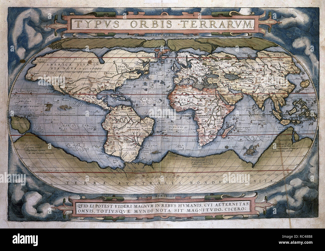 Theatrum Orbis Terrarum (Theatre of the World). Is considered to be the first true modern atlas. Written by Abraham Ortelius and originally printed on May 20, 1570, in Antwerp. World Map. Stock Photohttps://www.alamy.com/image-license-details/?v=1https://www.alamy.com/theatrum-orbis-terrarum-theatre-of-the-world-is-considered-to-be-the-first-true-modern-atlas-written-by-abraham-ortelius-and-originally-printed-on-may-20-1570-in-antwerp-world-map-image231205052.html
RMRC48B8–Theatrum Orbis Terrarum (Theatre of the World). Is considered to be the first true modern atlas. Written by Abraham Ortelius and originally printed on May 20, 1570, in Antwerp. World Map.
 Vintage marine wind rose, nautical chart. Monochrome navigational compass with cardinal directions of North, East, South, West. Geographical position Stock Vectorhttps://www.alamy.com/image-license-details/?v=1https://www.alamy.com/vintage-marine-wind-rose-nautical-chart-monochrome-navigational-compass-with-cardinal-directions-of-north-east-south-west-geographical-position-image469460669.html
RF2J7NNTD–Vintage marine wind rose, nautical chart. Monochrome navigational compass with cardinal directions of North, East, South, West. Geographical position
 Ancient nautical instrument, antique traveling equipment Stock Photohttps://www.alamy.com/image-license-details/?v=1https://www.alamy.com/stock-photo-ancient-nautical-instrument-antique-traveling-equipment-103534448.html
RMG0CB6T–Ancient nautical instrument, antique traveling equipment
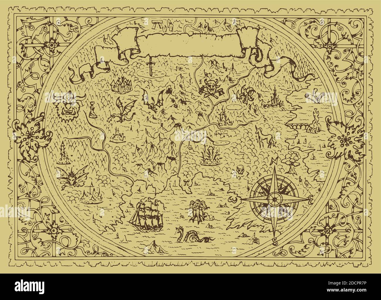 Vector fantasy map with baroque decorative frame and mythology creatures. Hand drawn graphic illustration, old transportation background in vintage st Stock Vectorhttps://www.alamy.com/image-license-details/?v=1https://www.alamy.com/vector-fantasy-map-with-baroque-decorative-frame-and-mythology-creatures-hand-drawn-graphic-illustration-old-transportation-background-in-vintage-st-image386505162.html
RF2DCPR7P–Vector fantasy map with baroque decorative frame and mythology creatures. Hand drawn graphic illustration, old transportation background in vintage st
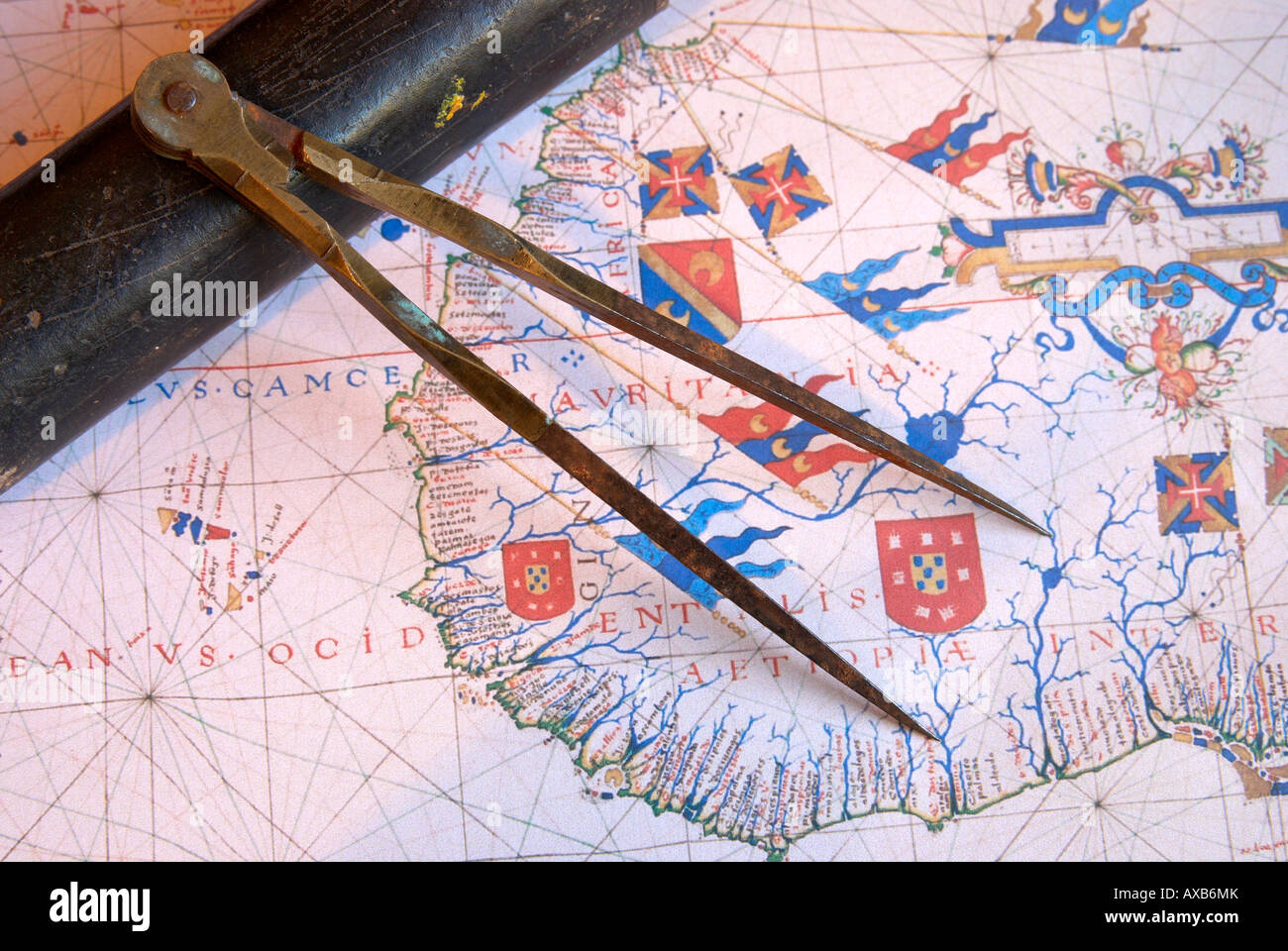 Navigators dividers on old map. Stock Photohttps://www.alamy.com/image-license-details/?v=1https://www.alamy.com/stock-photo-navigators-dividers-on-old-map-16789266.html
RFAXB6MK–Navigators dividers on old map.
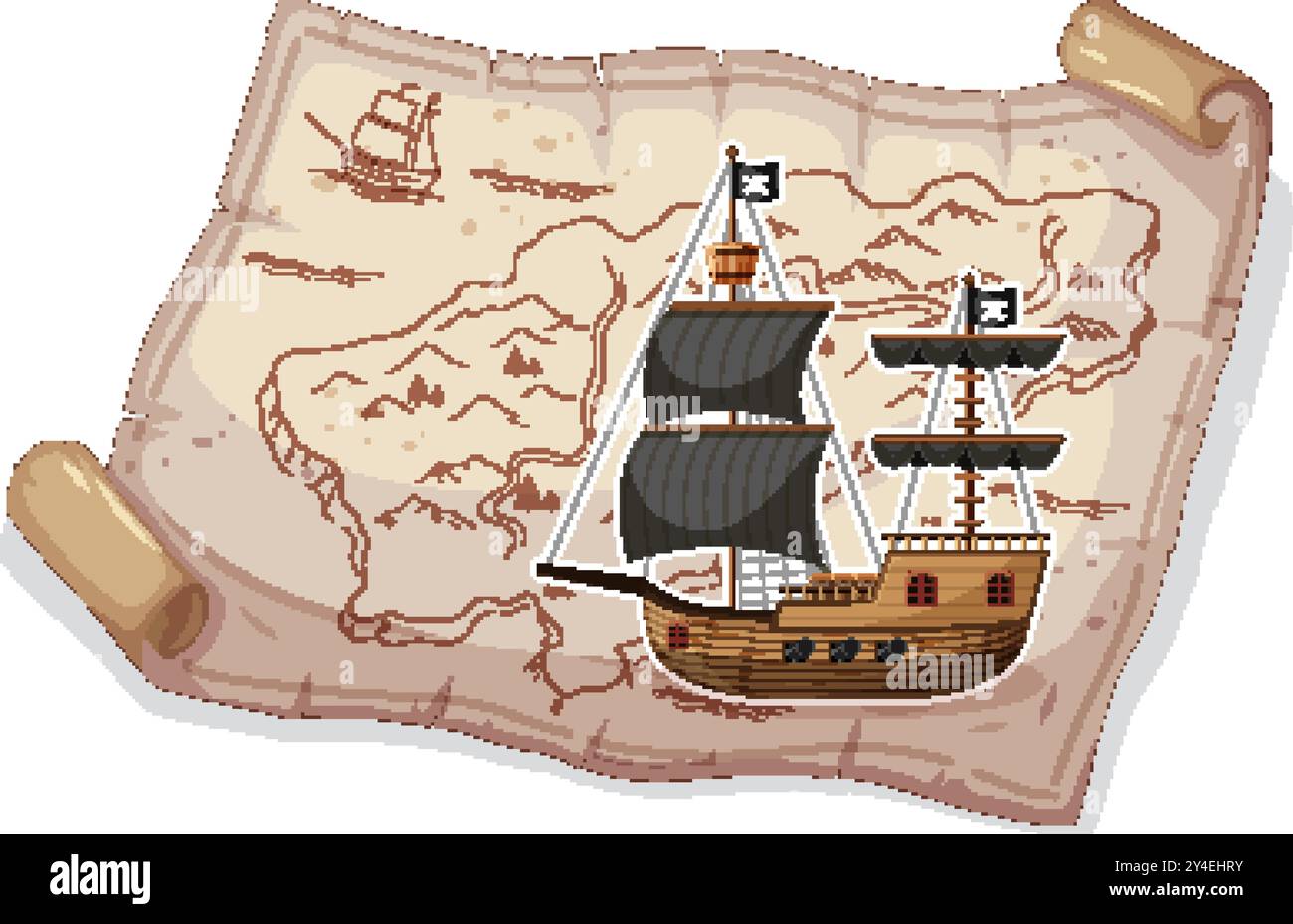 Pirate ship sailing on an ancient map Stock Vectorhttps://www.alamy.com/image-license-details/?v=1https://www.alamy.com/pirate-ship-sailing-on-an-ancient-map-image622353199.html
RF2Y4EHRY–Pirate ship sailing on an ancient map
RF2YM1PKR–8 horns Nautical star icon symbol. Compass marine navigation logo sign. Wind rose. Vector illustration. Isolated on white background.
 Map of the sea,the toy boat and marine characters on journey Stock Photohttps://www.alamy.com/image-license-details/?v=1https://www.alamy.com/stock-photo-map-of-the-seathe-toy-boat-and-marine-characters-on-journey-117793323.html
RFGRHXGB–Map of the sea,the toy boat and marine characters on journey
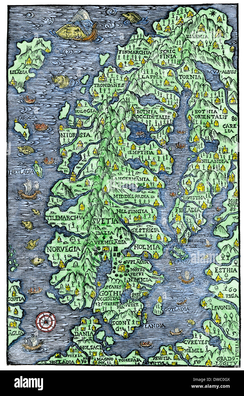 Map of Scandinavia, from the Carta Marina of Olaus Magnus, 1555. Hand-colored woodcut Stock Photohttps://www.alamy.com/image-license-details/?v=1https://www.alamy.com/map-of-scandinavia-from-the-carta-marina-of-olaus-magnus-1555-hand-image67261402.html
RMDWC0GX–Map of Scandinavia, from the Carta Marina of Olaus Magnus, 1555. Hand-colored woodcut
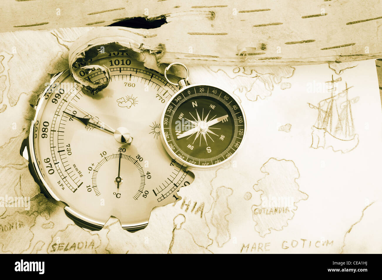 Compass, barometer and old navigating chart of North Europe Stock Photohttps://www.alamy.com/image-license-details/?v=1https://www.alamy.com/stock-photo-compass-barometer-and-old-navigating-chart-of-north-europe-43246718.html
RFCEA1HJ–Compass, barometer and old navigating chart of North Europe
 illustration of cool grunge background with Vintage word map and retro compass Stock Photohttps://www.alamy.com/image-license-details/?v=1https://www.alamy.com/stock-photo-illustration-of-cool-grunge-background-with-vintage-word-map-and-retro-39745567.html
RFC8JFTF–illustration of cool grunge background with Vintage word map and retro compass
 Barbaria?Jan Janssonius, shows the coast of North Africa, an area known in the 17th century as Barbaria, frequented by pirate fleets in the period. c.1650. Stock Photohttps://www.alamy.com/image-license-details/?v=1https://www.alamy.com/barbariajan-janssonius-shows-the-coast-of-north-africa-an-area-known-in-the-17th-century-as-barbaria-frequented-by-pirate-fleets-in-the-period-c1650-image634320944.html
RM2YRYPRC–Barbaria?Jan Janssonius, shows the coast of North Africa, an area known in the 17th century as Barbaria, frequented by pirate fleets in the period. c.1650.
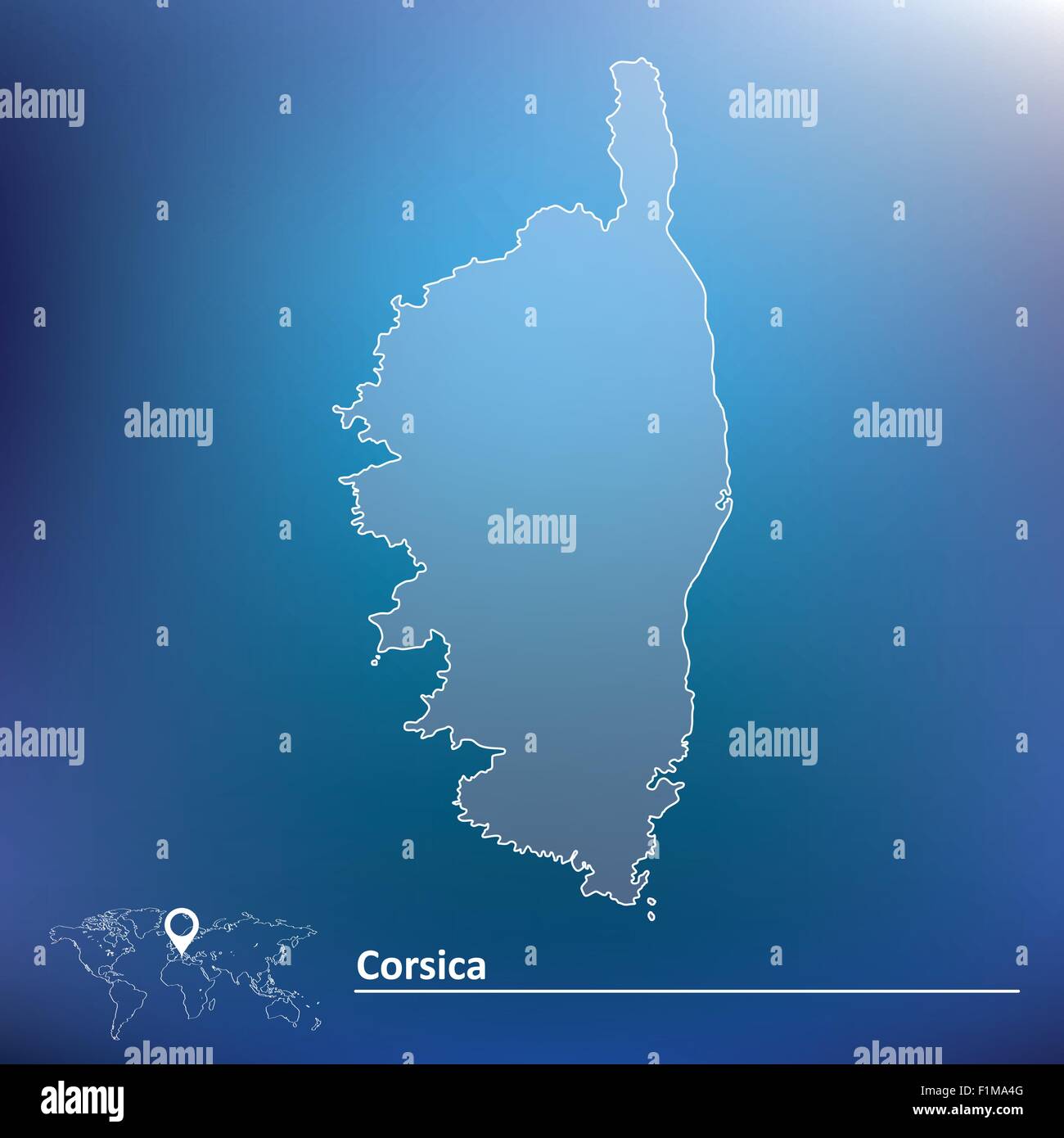 Map of Corsica - vector illustration Stock Vectorhttps://www.alamy.com/image-license-details/?v=1https://www.alamy.com/stock-photo-map-of-corsica-vector-illustration-87113504.html
RFF1MA4G–Map of Corsica - vector illustration
 Antique golden compass and old ocean chars in a low lit vintage look. High quality photo Stock Photohttps://www.alamy.com/image-license-details/?v=1https://www.alamy.com/antique-golden-compass-and-old-ocean-chars-in-a-low-lit-vintage-look-high-quality-photo-image387516387.html
RF2DECW2Y–Antique golden compass and old ocean chars in a low lit vintage look. High quality photo
 Old map with a pirate ship illustration Stock Vectorhttps://www.alamy.com/image-license-details/?v=1https://www.alamy.com/old-map-with-a-pirate-ship-illustration-image619205158.html
RF2XYB6DX–Old map with a pirate ship illustration
 Old vintage paper with wind rose compass sign. Highly detailed vector illustration. Template with empty copy space for text. Pirate map, concept. Aged Stock Vectorhttps://www.alamy.com/image-license-details/?v=1https://www.alamy.com/old-vintage-paper-with-wind-rose-compass-sign-highly-detailed-vector-illustration-template-with-empty-copy-space-for-text-pirate-map-concept-aged-image229877198.html
RFR9YPKX–Old vintage paper with wind rose compass sign. Highly detailed vector illustration. Template with empty copy space for text. Pirate map, concept. Aged
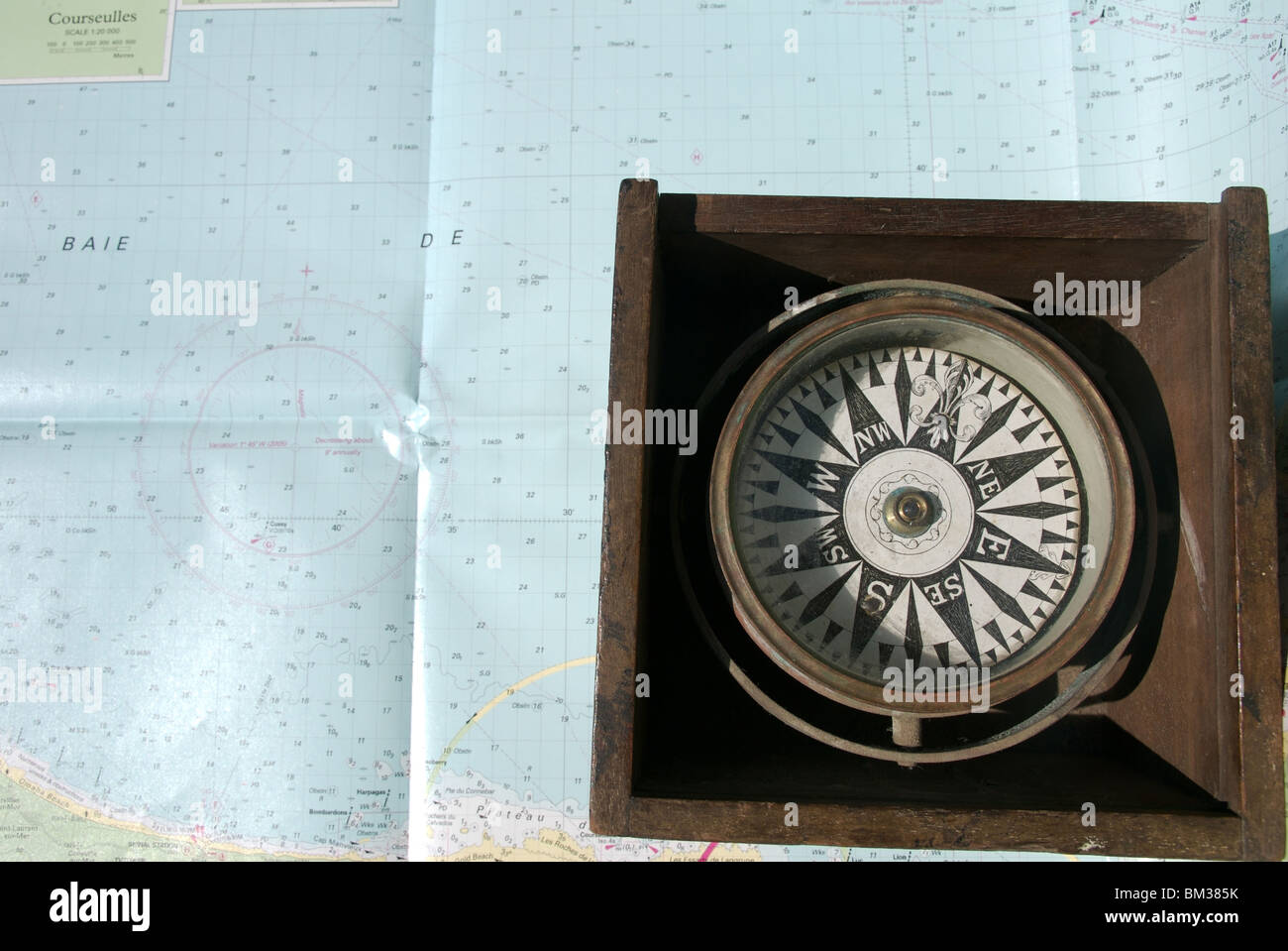 Nautical compass binnacle box on seachart background Stock Photohttps://www.alamy.com/image-license-details/?v=1https://www.alamy.com/stock-photo-nautical-compass-binnacle-box-on-seachart-background-29575775.html
RMBM385K–Nautical compass binnacle box on seachart background
 Vector illustration of Vintage word map grunge background with retro compass and silhouette of retro sailing ship Stock Vectorhttps://www.alamy.com/image-license-details/?v=1https://www.alamy.com/vector-illustration-of-vintage-word-map-grunge-background-with-retro-image63199026.html
RFDJPY02–Vector illustration of Vintage word map grunge background with retro compass and silhouette of retro sailing ship
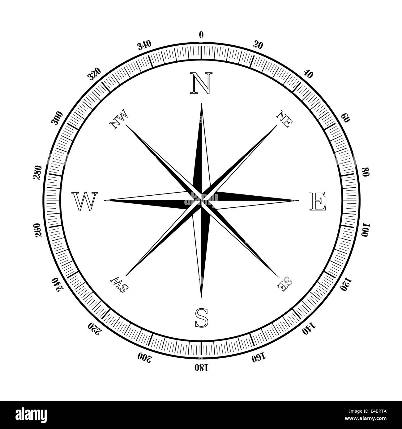 compass rose Stock Photohttps://www.alamy.com/image-license-details/?v=1https://www.alamy.com/stock-photo-compass-rose-71560282.html
RFE4BRTA–compass rose
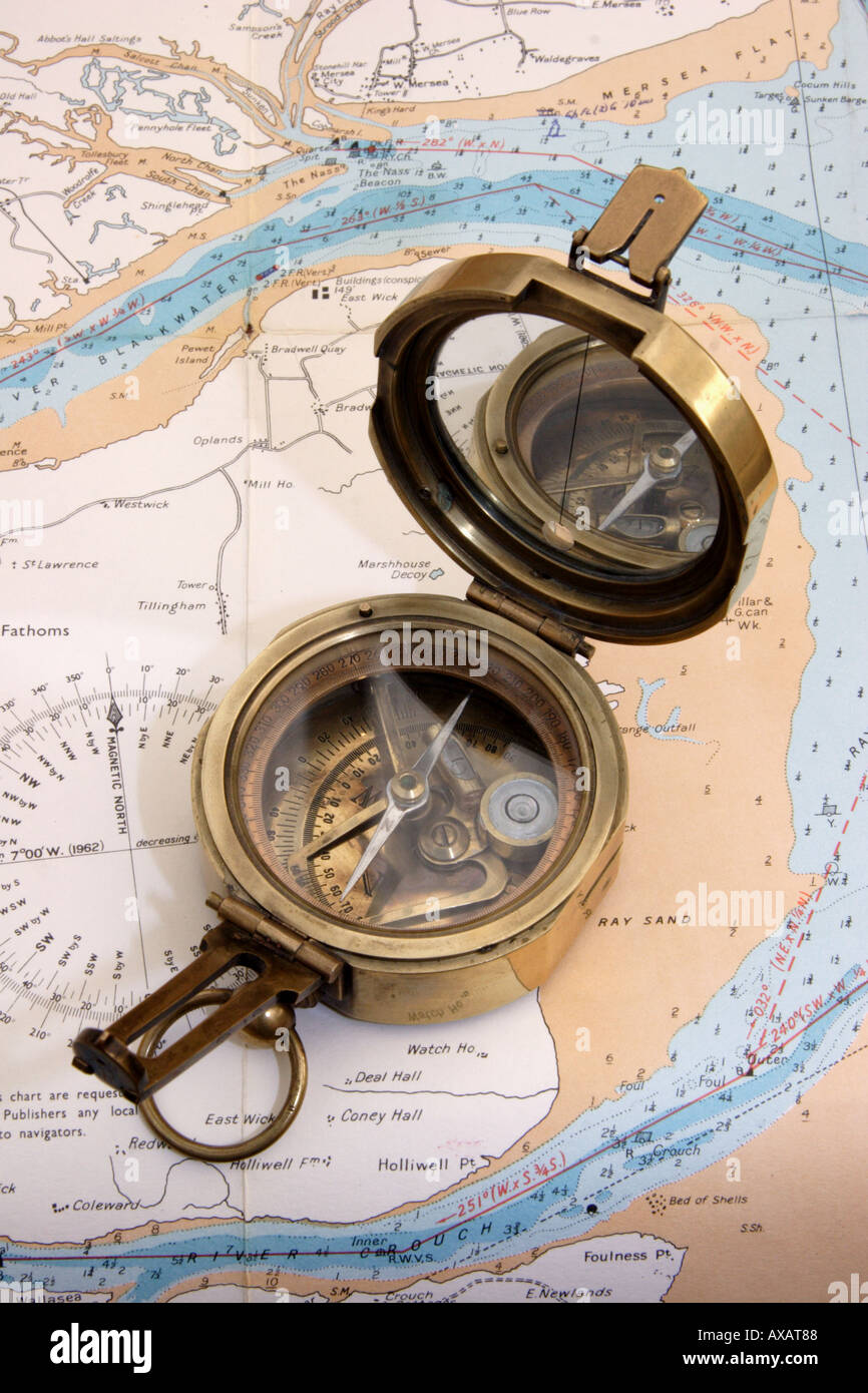 Antique brass compass Stock Photohttps://www.alamy.com/image-license-details/?v=1https://www.alamy.com/antique-brass-compass-image5480583.html
RMAXAT88–Antique brass compass
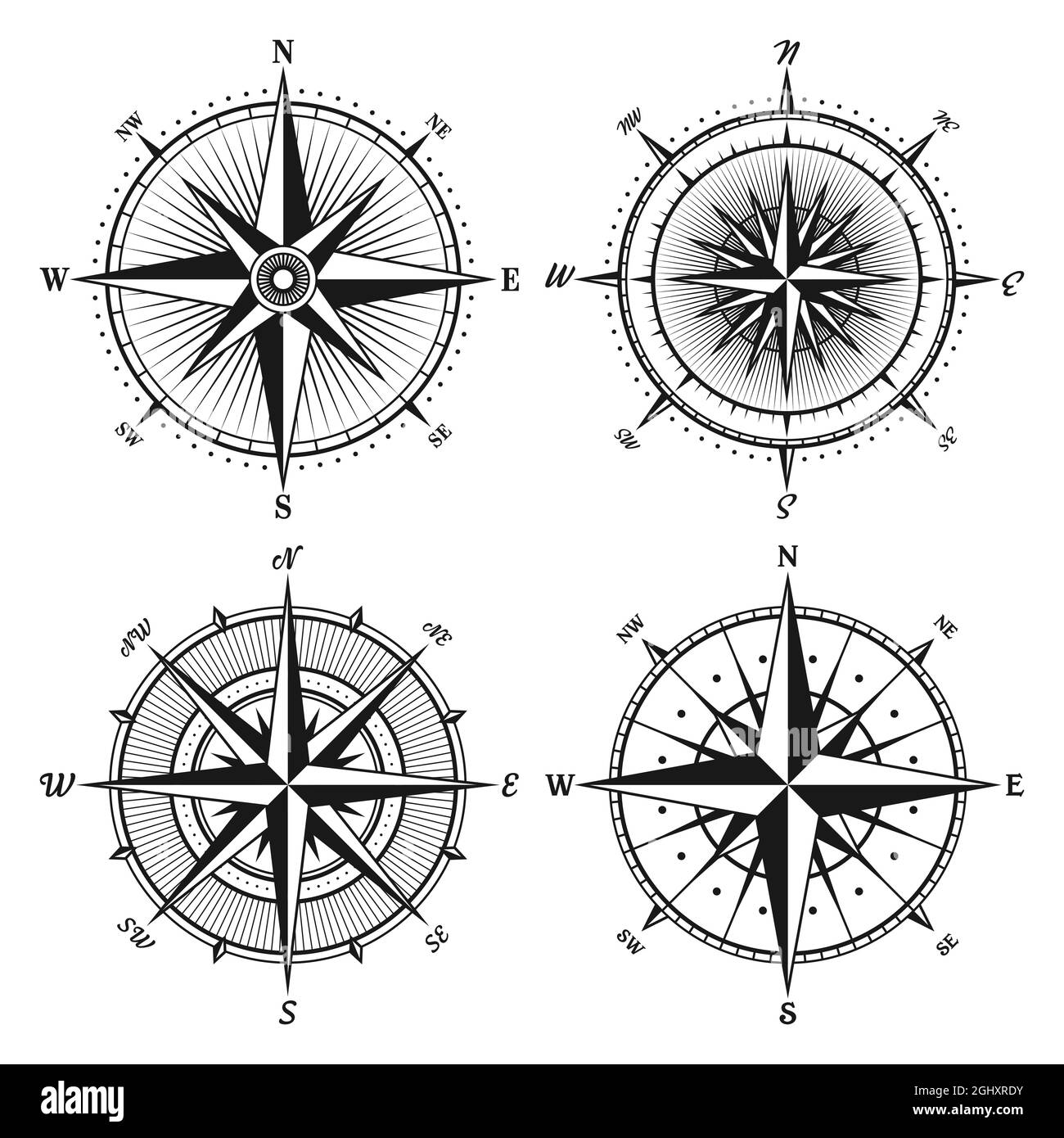 Vintage marine wind rose, nautical chart. Monochrome navigational compass with cardinal directions of North, East, South, West. Geographical position Stock Vectorhttps://www.alamy.com/image-license-details/?v=1https://www.alamy.com/vintage-marine-wind-rose-nautical-chart-monochrome-navigational-compass-with-cardinal-directions-of-north-east-south-west-geographical-position-image441297527.html
RF2GHXRDY–Vintage marine wind rose, nautical chart. Monochrome navigational compass with cardinal directions of North, East, South, West. Geographical position
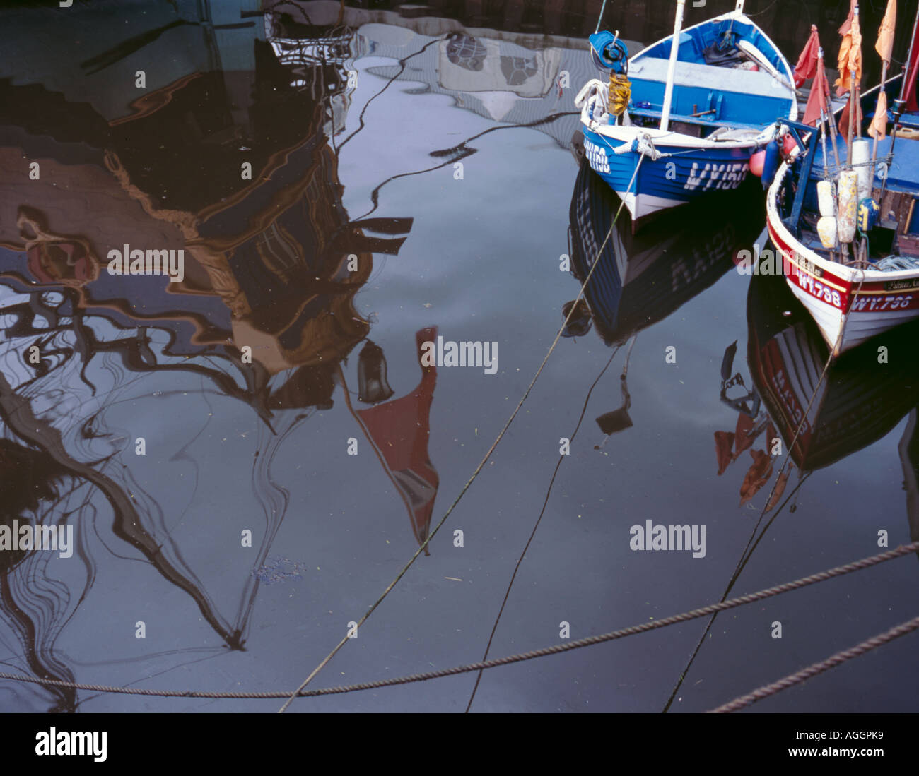 Reflection of stern of Endeavour replica and two fishing boats, Whitby, North Yorkshire, England, UK Stock Photohttps://www.alamy.com/image-license-details/?v=1https://www.alamy.com/reflection-of-stern-of-endeavour-replica-and-two-fishing-boats-whitby-image8118456.html
RMAGGPK9–Reflection of stern of Endeavour replica and two fishing boats, Whitby, North Yorkshire, England, UK
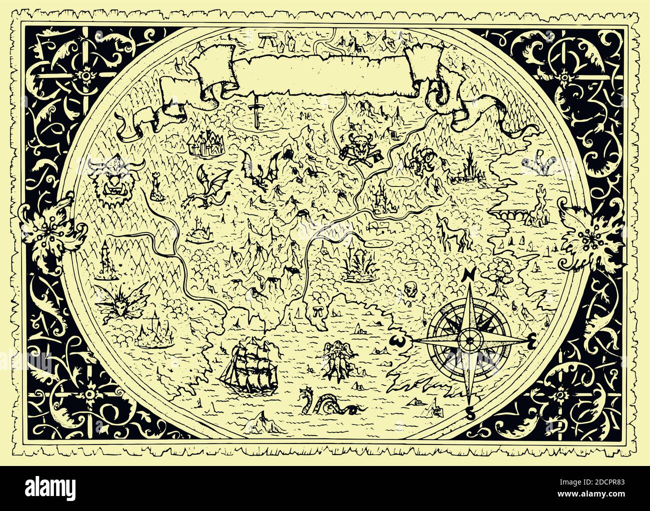 Vector map of fantasy land with pirates, compass, dragons, mermaids and gnomes. Hand drawn graphic illustration, old transportation background in vint Stock Vectorhttps://www.alamy.com/image-license-details/?v=1https://www.alamy.com/vector-map-of-fantasy-land-with-pirates-compass-dragons-mermaids-and-gnomes-hand-drawn-graphic-illustration-old-transportation-background-in-vint-image386505171.html
RF2DCPR83–Vector map of fantasy land with pirates, compass, dragons, mermaids and gnomes. Hand drawn graphic illustration, old transportation background in vint
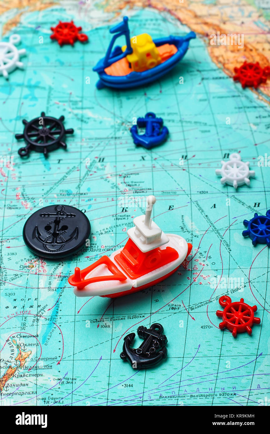 Map of the sea,the toy boat and marine characters on journey Stock Photohttps://www.alamy.com/image-license-details/?v=1https://www.alamy.com/stock-image-map-of-the-seathe-toy-boat-and-marine-characters-on-journey-169243441.html
RFKR9KMH–Map of the sea,the toy boat and marine characters on journey
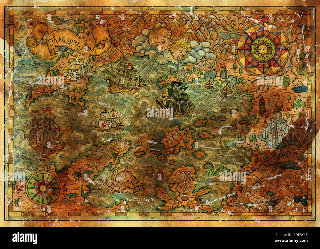 Ancient pirate map with old pirate sailboats, treasure islands. Decorative antique background with nautical chart, adventure treasures hunt concept Stock Photohttps://www.alamy.com/image-license-details/?v=1https://www.alamy.com/ancient-pirate-map-with-old-pirate-sailboats-treasure-islands-decorative-antique-background-with-nautical-chart-adventure-treasures-hunt-concept-image388110618.html
RF2DFBY1E–Ancient pirate map with old pirate sailboats, treasure islands. Decorative antique background with nautical chart, adventure treasures hunt concept
RF2YPG29T–8 horns Nautical star grunge stamp icon symbol. Compass marine navigation logo sign. Wind rose. Vector illustration. Isolated on white background.
 Map of the sea,the toy boat and marine characters on journey Stock Photohttps://www.alamy.com/image-license-details/?v=1https://www.alamy.com/stock-photo-map-of-the-seathe-toy-boat-and-marine-characters-on-journey-117793336.html
RFGRHXGT–Map of the sea,the toy boat and marine characters on journey
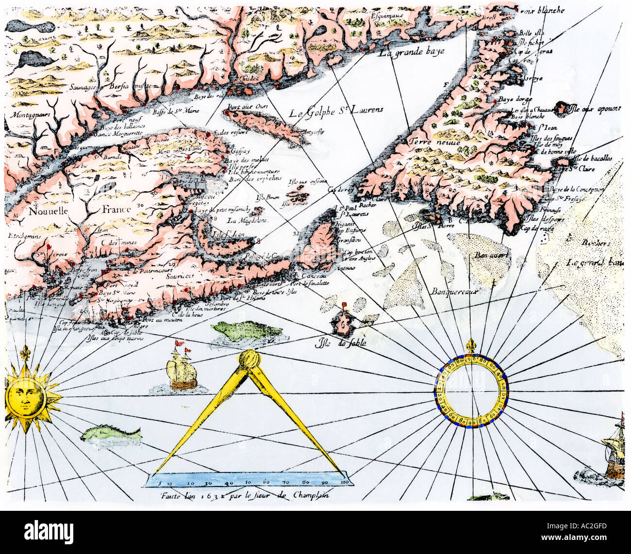 Samuel de Champlain map of the Gaspee and Gulf of the Saint Lawrence River 1632. Hand-colored woodcut Stock Photohttps://www.alamy.com/image-license-details/?v=1https://www.alamy.com/samuel-de-champlain-map-of-the-gaspee-and-gulf-of-the-saint-lawrence-image4249852.html
RMAC2GFD–Samuel de Champlain map of the Gaspee and Gulf of the Saint Lawrence River 1632. Hand-colored woodcut
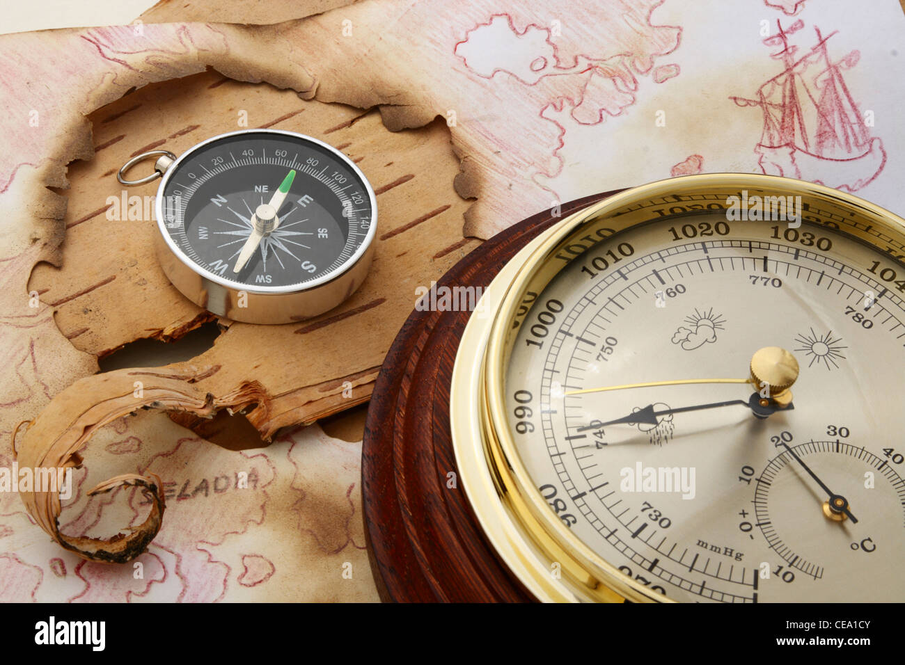 Compass and barometer on old chart of North Europe Stock Photohttps://www.alamy.com/image-license-details/?v=1https://www.alamy.com/stock-photo-compass-and-barometer-on-old-chart-of-north-europe-43246587.html
RFCEA1CY–Compass and barometer on old chart of North Europe
 FINLAND - CIRCA 1998: stamp printed by Finland, shows Shipping, 'Vega', circa 1998 Stock Photohttps://www.alamy.com/image-license-details/?v=1https://www.alamy.com/finland-circa-1998-stamp-printed-by-finland-shows-shipping-vega-circa-1998-image453677265.html
RF2HA2NYD–FINLAND - CIRCA 1998: stamp printed by Finland, shows Shipping, 'Vega', circa 1998
 Map of Corsica with flag - vector illustration Stock Vectorhttps://www.alamy.com/image-license-details/?v=1https://www.alamy.com/stock-photo-map-of-corsica-with-flag-vector-illustration-87113506.html
RFF1MA4J–Map of Corsica with flag - vector illustration
 Antique golden compass and old ocean chars in a low lit vintage look. High quality photo Stock Photohttps://www.alamy.com/image-license-details/?v=1https://www.alamy.com/antique-golden-compass-and-old-ocean-chars-in-a-low-lit-vintage-look-high-quality-photo-image387511688.html
RF2DECK34–Antique golden compass and old ocean chars in a low lit vintage look. High quality photo
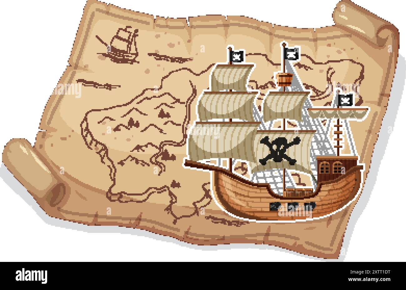 Pirate ship sailing on an ancient map Stock Vectorhttps://www.alamy.com/image-license-details/?v=1https://www.alamy.com/pirate-ship-sailing-on-an-ancient-map-image617642644.html
RF2XTT1DT–Pirate ship sailing on an ancient map
 Old vintage paper with wind rose compass sign. Highly detailed vector illustration. Template with empty copy space for text. Pirate map, concept. Aged Stock Vectorhttps://www.alamy.com/image-license-details/?v=1https://www.alamy.com/old-vintage-paper-with-wind-rose-compass-sign-highly-detailed-vector-illustration-template-with-empty-copy-space-for-text-pirate-map-concept-aged-image229658316.html
RFR9HREM–Old vintage paper with wind rose compass sign. Highly detailed vector illustration. Template with empty copy space for text. Pirate map, concept. Aged
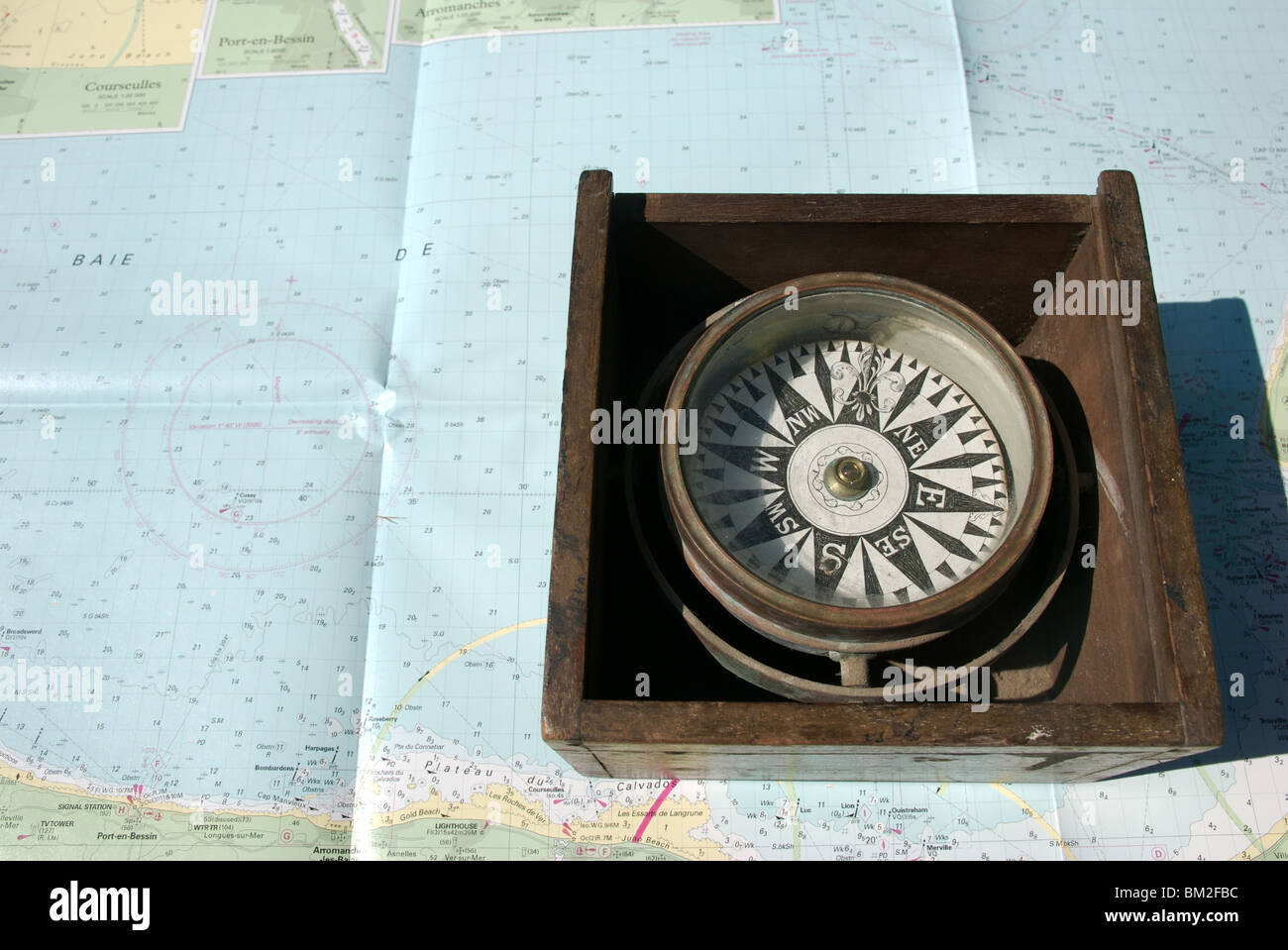 Nautical compass binnacle box on seachart background Stock Photohttps://www.alamy.com/image-license-details/?v=1https://www.alamy.com/stock-photo-nautical-compass-binnacle-box-on-seachart-background-29559472.html
RMBM2FBC–Nautical compass binnacle box on seachart background
 Old vintage lined paper with wind rose compass sign. Highly detailed vector illustration. Template with copy space for text. Pirates map, concept. Age Stock Vectorhttps://www.alamy.com/image-license-details/?v=1https://www.alamy.com/old-vintage-lined-paper-with-wind-rose-compass-sign-highly-detailed-vector-illustration-template-with-copy-space-for-text-pirates-map-concept-age-image229661415.html
RFR9HYDB–Old vintage lined paper with wind rose compass sign. Highly detailed vector illustration. Template with copy space for text. Pirates map, concept. Age
 collection of antique compass Stock Photohttps://www.alamy.com/image-license-details/?v=1https://www.alamy.com/collection-of-antique-compass-image5480582.html
RMAXAT87–collection of antique compass
 Vintage marine wind rose, nautical chart. Colorful navigational compass with cardinal directions of North, East, South, West. Geographical position Stock Vectorhttps://www.alamy.com/image-license-details/?v=1https://www.alamy.com/vintage-marine-wind-rose-nautical-chart-colorful-navigational-compass-with-cardinal-directions-of-north-east-south-west-geographical-position-image617009875.html
RF2XRR6AY–Vintage marine wind rose, nautical chart. Colorful navigational compass with cardinal directions of North, East, South, West. Geographical position
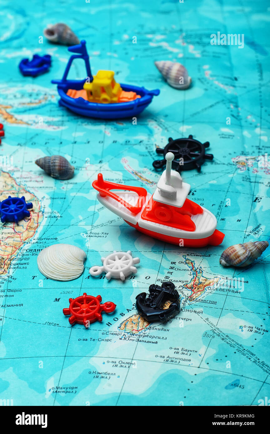 Map of the sea,the toy boat and marine characters on journey Stock Photohttps://www.alamy.com/image-license-details/?v=1https://www.alamy.com/stock-image-map-of-the-seathe-toy-boat-and-marine-characters-on-journey-169243440.html
RFKR9KMG–Map of the sea,the toy boat and marine characters on journey
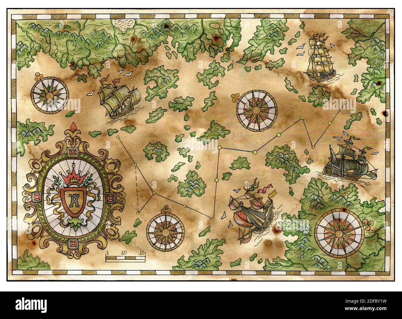 Ancient pirate map with old pirate sailboats, treasure islands. Decorative antique background with nautical chart, adventure treasures hunt concept Stock Photohttps://www.alamy.com/image-license-details/?v=1https://www.alamy.com/ancient-pirate-map-with-old-pirate-sailboats-treasure-islands-decorative-antique-background-with-nautical-chart-adventure-treasures-hunt-concept-image388110629.html
RF2DFBY1W–Ancient pirate map with old pirate sailboats, treasure islands. Decorative antique background with nautical chart, adventure treasures hunt concept
 Map of the sea,the toy boat and marine characters on journey Stock Photohttps://www.alamy.com/image-license-details/?v=1https://www.alamy.com/stock-photo-map-of-the-seathe-toy-boat-and-marine-characters-on-journey-117793340.html
RFGRHXH0–Map of the sea,the toy boat and marine characters on journey
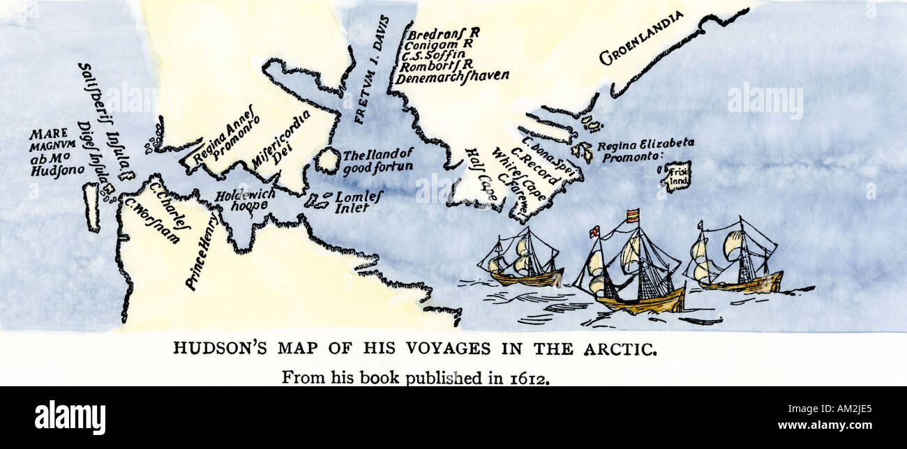 Map of Henry Hudson voyages in the Arctic published in 1612. Hand-colored woodcut Stock Photohttps://www.alamy.com/image-license-details/?v=1https://www.alamy.com/map-of-henry-hudson-voyages-in-the-arctic-published-in-1612-hand-colored-image4938468.html
RMAM2JE5–Map of Henry Hudson voyages in the Arctic published in 1612. Hand-colored woodcut
 Compass and barometer on old chart of North Europe Stock Photohttps://www.alamy.com/image-license-details/?v=1https://www.alamy.com/stock-photo-compass-and-barometer-on-old-chart-of-north-europe-43246624.html
RFCEA1E8–Compass and barometer on old chart of North Europe
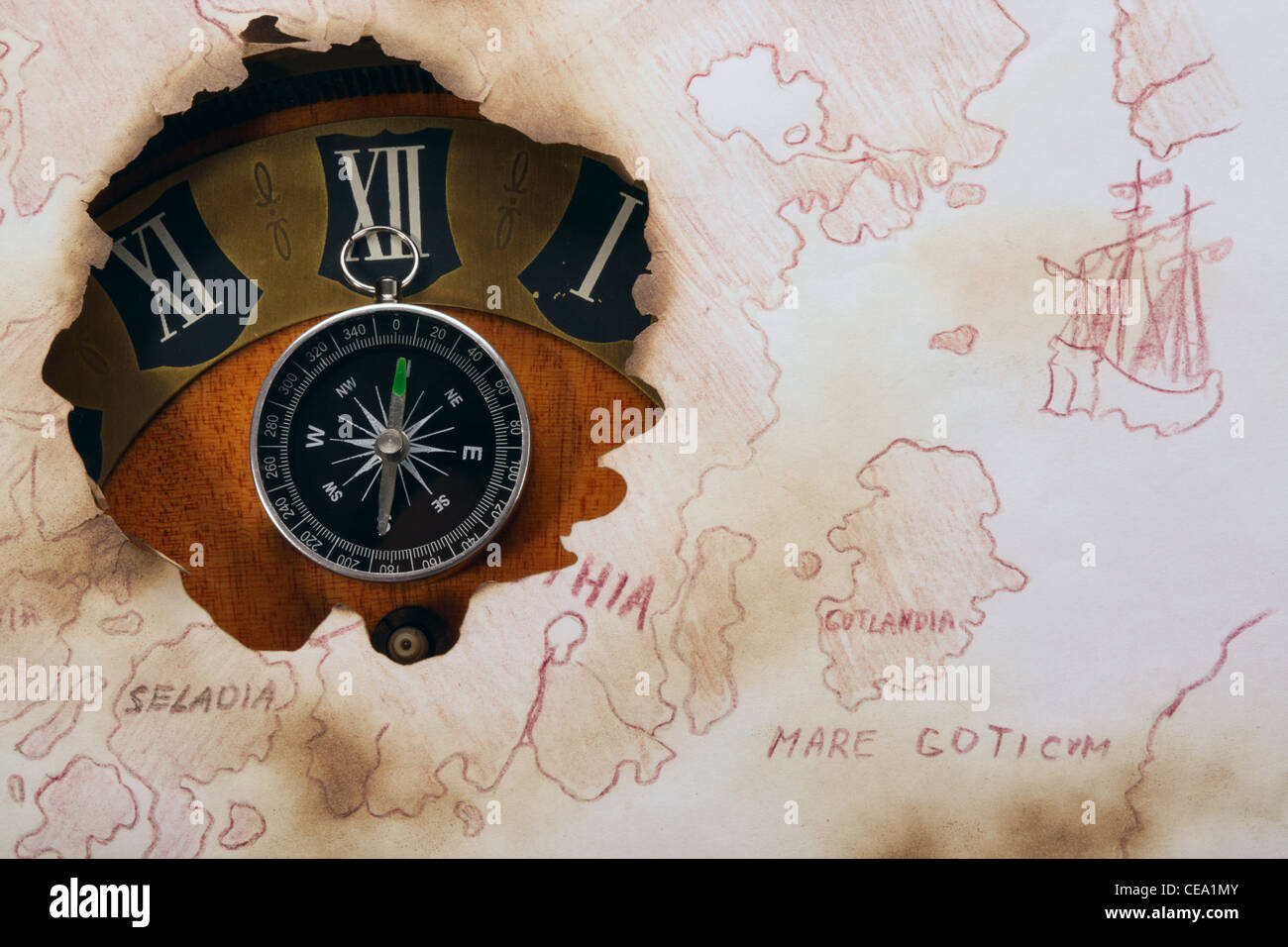 Concept about space and time. Old chart of North Europe. Compass and clock Stock Photohttps://www.alamy.com/image-license-details/?v=1https://www.alamy.com/stock-photo-concept-about-space-and-time-old-chart-of-north-europe-compass-and-43246811.html
RFCEA1MY–Concept about space and time. Old chart of North Europe. Compass and clock
 Flag of Corsica - vector illustration Stock Vectorhttps://www.alamy.com/image-license-details/?v=1https://www.alamy.com/stock-photo-flag-of-corsica-vector-illustration-87113507.html
RFF1MA4K–Flag of Corsica - vector illustration
 Tulip on old marine map Stock Photohttps://www.alamy.com/image-license-details/?v=1https://www.alamy.com/stock-photo-tulip-on-old-marine-map-41484601.html
RFCBDP0W–Tulip on old marine map
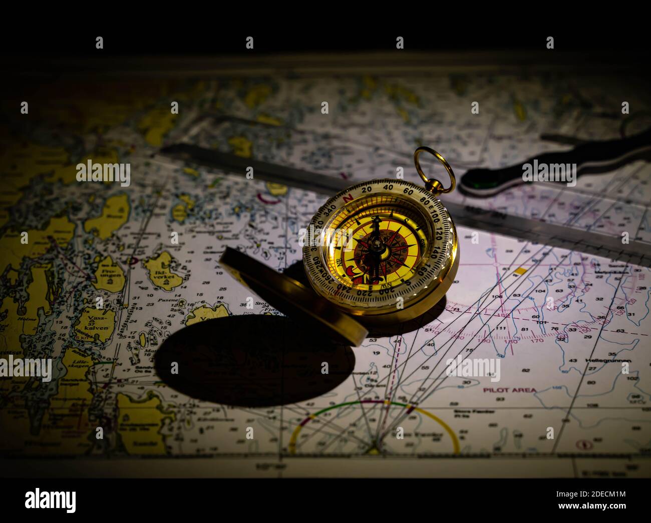 Antique golden compass and old ocean chars in a low lit vintage look. High quality photo Stock Photohttps://www.alamy.com/image-license-details/?v=1https://www.alamy.com/antique-golden-compass-and-old-ocean-chars-in-a-low-lit-vintage-look-high-quality-photo-image387512432.html
RF2DECM1M–Antique golden compass and old ocean chars in a low lit vintage look. High quality photo
 Pirate ship sailing on an ancient map Stock Vectorhttps://www.alamy.com/image-license-details/?v=1https://www.alamy.com/pirate-ship-sailing-on-an-ancient-map-image628662065.html
RF2YEP0TH–Pirate ship sailing on an ancient map
 Old vintage lined paper with wind rose compass sign. Highly detailed vector illustration. Template with copy space for text. Pirates map, concept. Age Stock Vectorhttps://www.alamy.com/image-license-details/?v=1https://www.alamy.com/old-vintage-lined-paper-with-wind-rose-compass-sign-highly-detailed-vector-illustration-template-with-copy-space-for-text-pirates-map-concept-age-image229658198.html
RFR9HRAE–Old vintage lined paper with wind rose compass sign. Highly detailed vector illustration. Template with copy space for text. Pirates map, concept. Age
 Vintage marine wind rose, nautical chart. Colorful navigational compass with cardinal directions of North, East, South, West. Geographical position Stock Vectorhttps://www.alamy.com/image-license-details/?v=1https://www.alamy.com/vintage-marine-wind-rose-nautical-chart-colorful-navigational-compass-with-cardinal-directions-of-north-east-south-west-geographical-position-image615640644.html
RF2XNGRWT–Vintage marine wind rose, nautical chart. Colorful navigational compass with cardinal directions of North, East, South, West. Geographical position
 Map of the sea,the toy boat and marine characters on journey Stock Photohttps://www.alamy.com/image-license-details/?v=1https://www.alamy.com/stock-image-map-of-the-seathe-toy-boat-and-marine-characters-on-journey-169243443.html
RFKR9KMK–Map of the sea,the toy boat and marine characters on journey
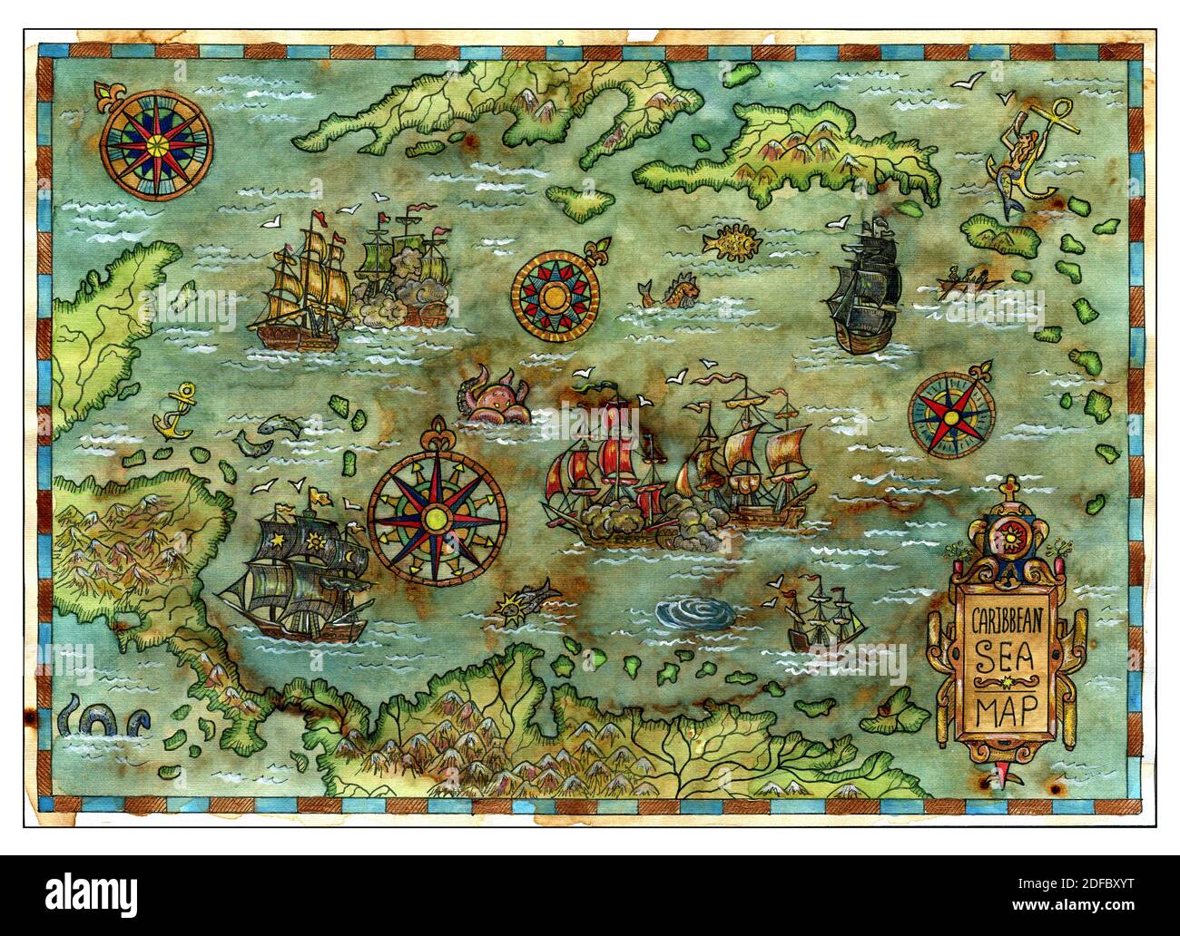 Ancient pirate map with old pirate sailboats, treasure islands. Decorative antique background with nautical chart, adventure treasures hunt concept Stock Photohttps://www.alamy.com/image-license-details/?v=1https://www.alamy.com/ancient-pirate-map-with-old-pirate-sailboats-treasure-islands-decorative-antique-background-with-nautical-chart-adventure-treasures-hunt-concept-image388110572.html
RF2DFBXYT–Ancient pirate map with old pirate sailboats, treasure islands. Decorative antique background with nautical chart, adventure treasures hunt concept
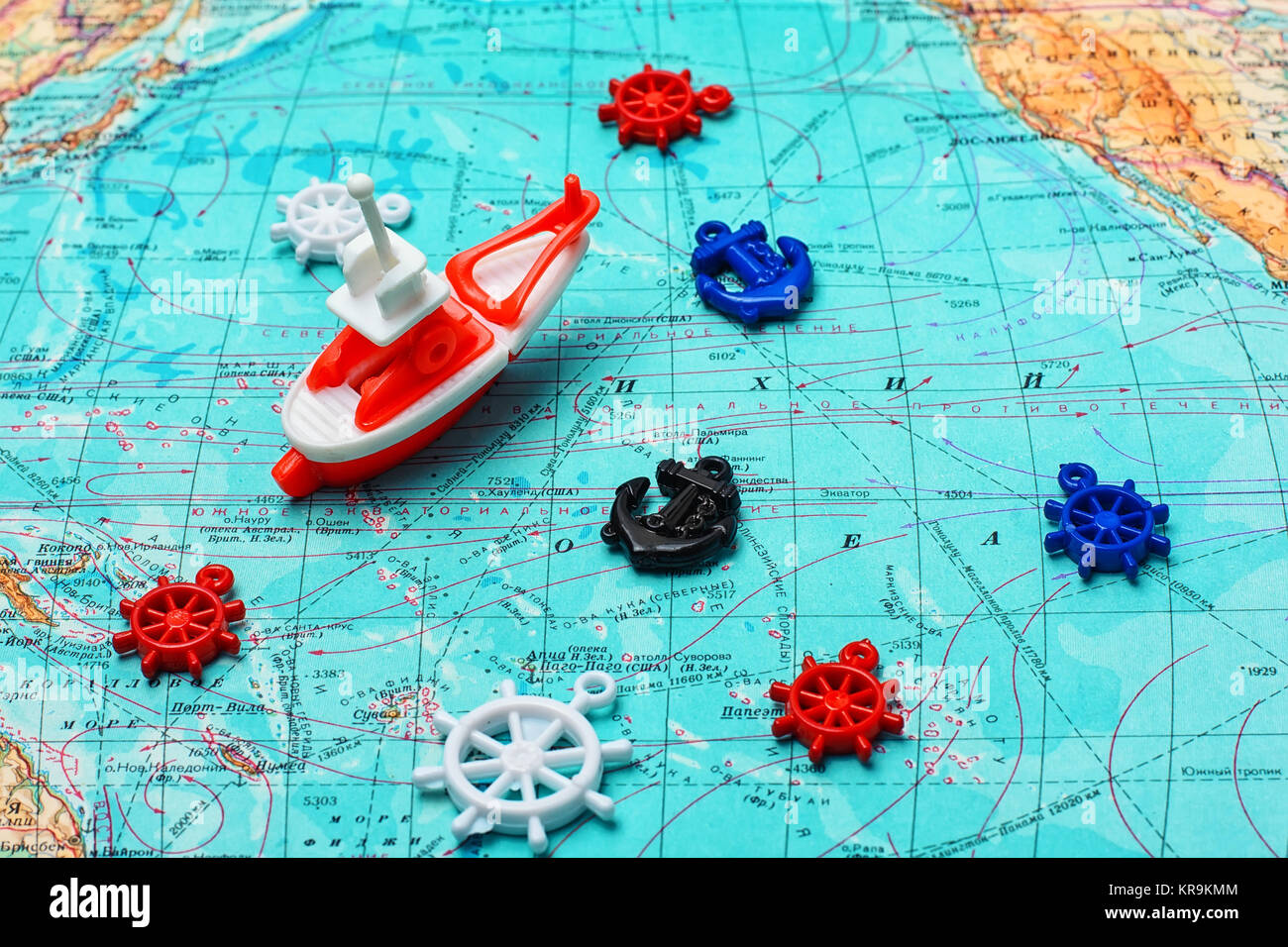 Map of the sea,the toy boat and marine characters on journey Stock Photohttps://www.alamy.com/image-license-details/?v=1https://www.alamy.com/stock-image-map-of-the-seathe-toy-boat-and-marine-characters-on-journey-169243444.html
RFKR9KMM–Map of the sea,the toy boat and marine characters on journey
 Map of the sea,the toy boat and marine characters on journey Stock Photohttps://www.alamy.com/image-license-details/?v=1https://www.alamy.com/stock-photo-map-of-the-seathe-toy-boat-and-marine-characters-on-journey-117793322.html
RFGRHXGA–Map of the sea,the toy boat and marine characters on journey
 Three tulips on old marine map Stock Photohttps://www.alamy.com/image-license-details/?v=1https://www.alamy.com/stock-photo-three-tulips-on-old-marine-map-41793066.html
RFCBYRDE–Three tulips on old marine map
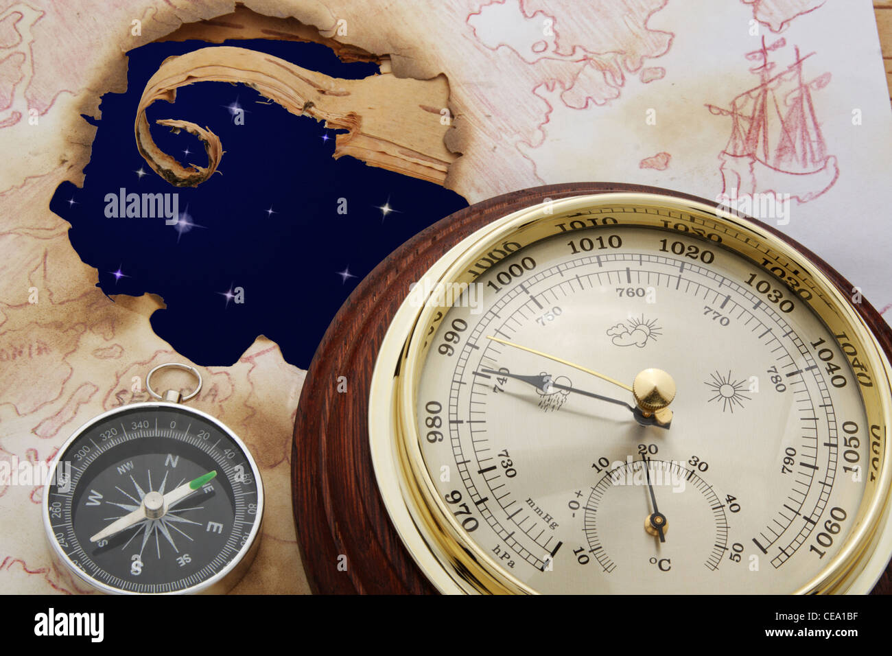 Abstract. Astral sky in hole of old chart. Compass and barometer Stock Photohttps://www.alamy.com/image-license-details/?v=1https://www.alamy.com/stock-photo-abstract-astral-sky-in-hole-of-old-chart-compass-and-barometer-43246547.html
RFCEA1BF–Abstract. Astral sky in hole of old chart. Compass and barometer
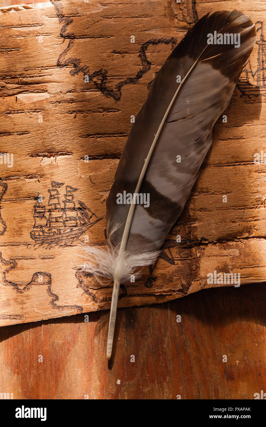 Sea map with illustrations of sailing vessels and compass rose on the order of antiquities on birchbark Stock Photohttps://www.alamy.com/image-license-details/?v=1https://www.alamy.com/sea-map-with-illustrations-of-sailing-vessels-and-compass-rose-on-the-order-of-antiquities-on-birchbark-image222742539.html
RFPXAPAK–Sea map with illustrations of sailing vessels and compass rose on the order of antiquities on birchbark
 Vintage marine wind rose, nautical chart. Colorful navigational compass with cardinal directions of North, East, South, West. Geographical position Stock Vectorhttps://www.alamy.com/image-license-details/?v=1https://www.alamy.com/vintage-marine-wind-rose-nautical-chart-colorful-navigational-compass-with-cardinal-directions-of-north-east-south-west-geographical-position-image615626781.html
RF2XNG66N–Vintage marine wind rose, nautical chart. Colorful navigational compass with cardinal directions of North, East, South, West. Geographical position
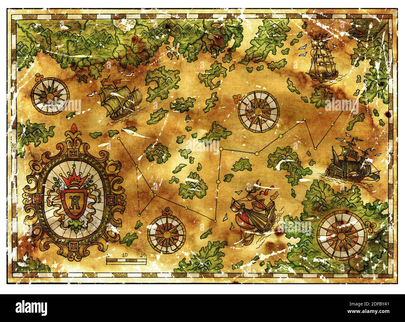 Ancient pirate map with old pirate sailboats, treasure islands. Decorative antique background with nautical chart, adventure treasures hunt concept Stock Photohttps://www.alamy.com/image-license-details/?v=1https://www.alamy.com/ancient-pirate-map-with-old-pirate-sailboats-treasure-islands-decorative-antique-background-with-nautical-chart-adventure-treasures-hunt-concept-image388110689.html
RF2DFBY41–Ancient pirate map with old pirate sailboats, treasure islands. Decorative antique background with nautical chart, adventure treasures hunt concept
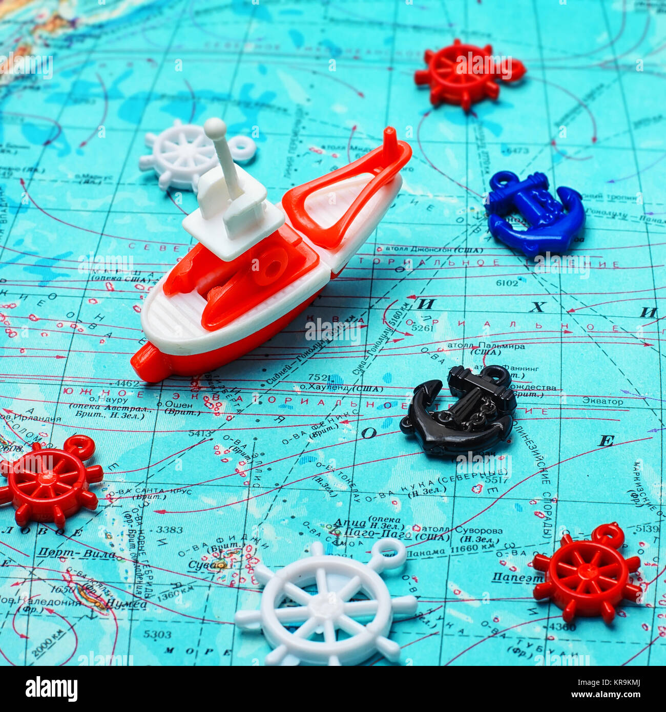 Map of the sea,the toy boat and marine characters on journey Stock Photohttps://www.alamy.com/image-license-details/?v=1https://www.alamy.com/stock-image-map-of-the-seathe-toy-boat-and-marine-characters-on-journey-169243442.html
RFKR9KMJ–Map of the sea,the toy boat and marine characters on journey
 Map of the sea,the toy boat and marine characters on journey Stock Photohttps://www.alamy.com/image-license-details/?v=1https://www.alamy.com/stock-photo-map-of-the-seathe-toy-boat-and-marine-characters-on-journey-117793344.html
RFGRHXH4–Map of the sea,the toy boat and marine characters on journey
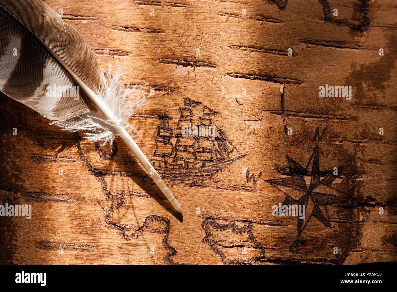 Sea map with illustrations of sailing vessels and compass rose on the order of antiquities on birchbark Stock Photohttps://www.alamy.com/image-license-details/?v=1https://www.alamy.com/sea-map-with-illustrations-of-sailing-vessels-and-compass-rose-on-the-order-of-antiquities-on-birchbark-image222742576.html
RFPXAPC0–Sea map with illustrations of sailing vessels and compass rose on the order of antiquities on birchbark
 Vintage marine wind rose, nautical chart. Monochrome navigational compass with cardinal directions of North, East, South, West. Geographical position Stock Vectorhttps://www.alamy.com/image-license-details/?v=1https://www.alamy.com/vintage-marine-wind-rose-nautical-chart-monochrome-navigational-compass-with-cardinal-directions-of-north-east-south-west-geographical-position-image433913359.html
RF2G5XCWK–Vintage marine wind rose, nautical chart. Monochrome navigational compass with cardinal directions of North, East, South, West. Geographical position
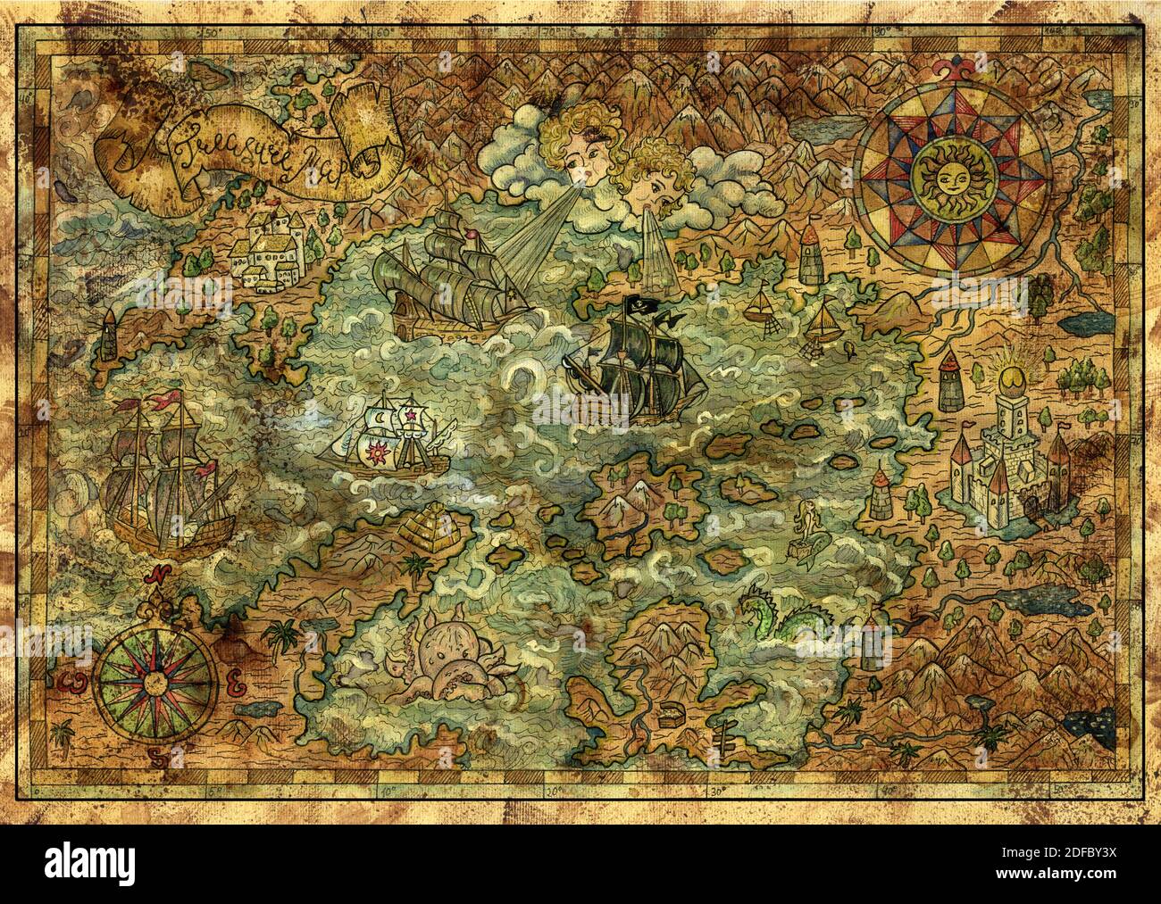 Ancient pirate map with old pirate sailboats, treasure islands. Decorative antique background with nautical chart, adventure treasures hunt concept Stock Photohttps://www.alamy.com/image-license-details/?v=1https://www.alamy.com/ancient-pirate-map-with-old-pirate-sailboats-treasure-islands-decorative-antique-background-with-nautical-chart-adventure-treasures-hunt-concept-image388110686.html
RF2DFBY3X–Ancient pirate map with old pirate sailboats, treasure islands. Decorative antique background with nautical chart, adventure treasures hunt concept
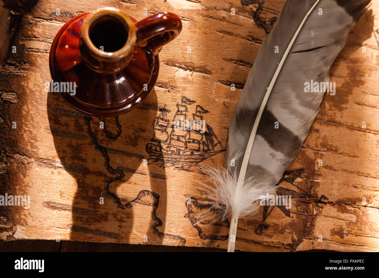 Sea map with illustrations of sailing vessels and compass rose on the order of antiquities on birchbark Stock Photohttps://www.alamy.com/image-license-details/?v=1https://www.alamy.com/sea-map-with-illustrations-of-sailing-vessels-and-compass-rose-on-the-order-of-antiquities-on-birchbark-image222742644.html
RFPXAPEC–Sea map with illustrations of sailing vessels and compass rose on the order of antiquities on birchbark
 Vintage marine wind rose, nautical chart. Colorful navigational compass with cardinal directions of North, East, South, West. Geographical position Stock Vectorhttps://www.alamy.com/image-license-details/?v=1https://www.alamy.com/vintage-marine-wind-rose-nautical-chart-colorful-navigational-compass-with-cardinal-directions-of-north-east-south-west-geographical-position-image632387860.html
RF2YMRN4M–Vintage marine wind rose, nautical chart. Colorful navigational compass with cardinal directions of North, East, South, West. Geographical position
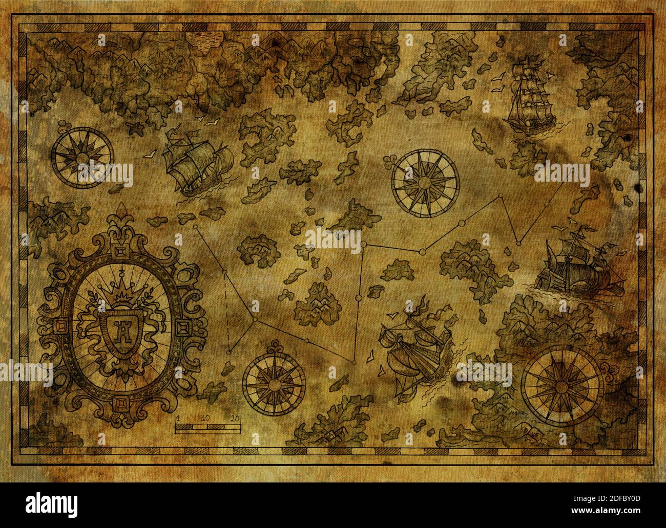 Ancient pirate map with old pirate sailboats, treasure islands. Decorative antique background with nautical chart, adventure treasures hunt concept Stock Photohttps://www.alamy.com/image-license-details/?v=1https://www.alamy.com/ancient-pirate-map-with-old-pirate-sailboats-treasure-islands-decorative-antique-background-with-nautical-chart-adventure-treasures-hunt-concept-image388110589.html
RF2DFBY0D–Ancient pirate map with old pirate sailboats, treasure islands. Decorative antique background with nautical chart, adventure treasures hunt concept
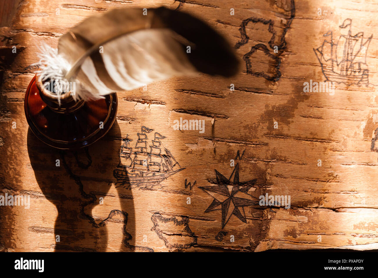 Sea map with illustrations of sailing vessels and compass rose on the order of antiquities on birchbark Stock Photohttps://www.alamy.com/image-license-details/?v=1https://www.alamy.com/sea-map-with-illustrations-of-sailing-vessels-and-compass-rose-on-the-order-of-antiquities-on-birchbark-image222742631.html
RFPXAPDY–Sea map with illustrations of sailing vessels and compass rose on the order of antiquities on birchbark
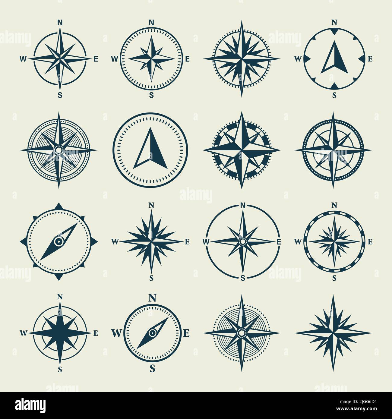 Vintage marine wind rose, nautical chart. Monochrome navigational compass with cardinal directions of North, East, South, West. Geographical position Stock Vectorhttps://www.alamy.com/image-license-details/?v=1https://www.alamy.com/vintage-marine-wind-rose-nautical-chart-monochrome-navigational-compass-with-cardinal-directions-of-north-east-south-west-geographical-position-image474870736.html
RF2JGG6D4–Vintage marine wind rose, nautical chart. Monochrome navigational compass with cardinal directions of North, East, South, West. Geographical position
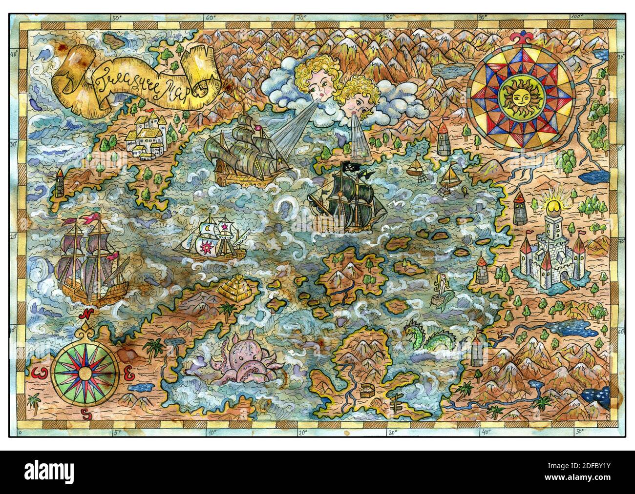 Ancient pirate map with old pirate sailboats, treasure islands. Decorative antique background with nautical chart, adventure treasures hunt concept Stock Photohttps://www.alamy.com/image-license-details/?v=1https://www.alamy.com/ancient-pirate-map-with-old-pirate-sailboats-treasure-islands-decorative-antique-background-with-nautical-chart-adventure-treasures-hunt-concept-image388110631.html
RF2DFBY1Y–Ancient pirate map with old pirate sailboats, treasure islands. Decorative antique background with nautical chart, adventure treasures hunt concept
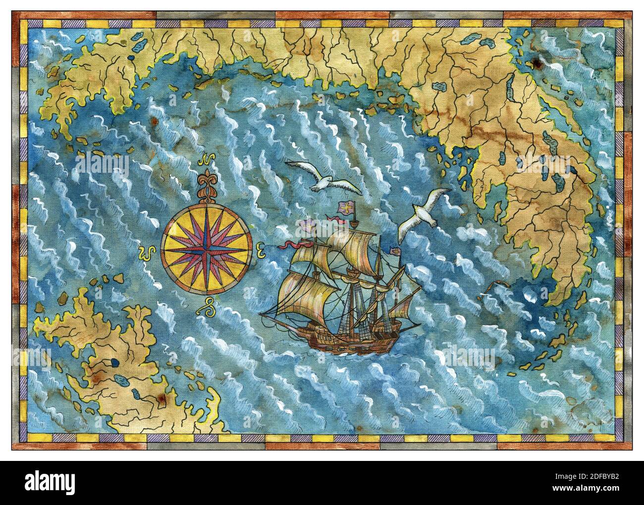 Ancient pirate map with old pirate sailboats, treasure islands. Decorative antique background with nautical chart, adventure treasures hunt concept Stock Photohttps://www.alamy.com/image-license-details/?v=1https://www.alamy.com/ancient-pirate-map-with-old-pirate-sailboats-treasure-islands-decorative-antique-background-with-nautical-chart-adventure-treasures-hunt-concept-image388110886.html
RF2DFBYB2–Ancient pirate map with old pirate sailboats, treasure islands. Decorative antique background with nautical chart, adventure treasures hunt concept
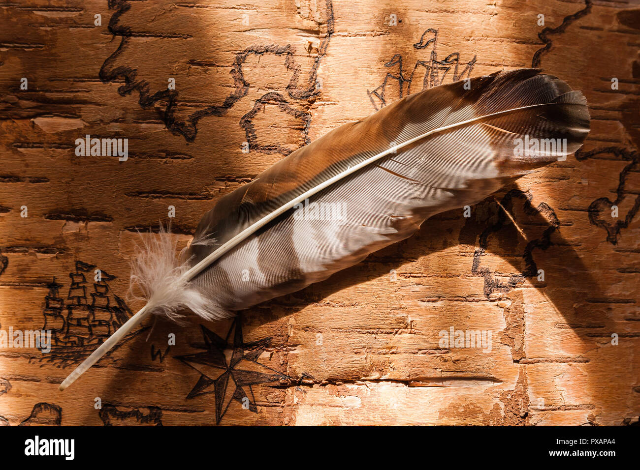 Sea map with illustrations of sailing vessels and compass rose on the order of antiquities on birchbark Stock Photohttps://www.alamy.com/image-license-details/?v=1https://www.alamy.com/sea-map-with-illustrations-of-sailing-vessels-and-compass-rose-on-the-order-of-antiquities-on-birchbark-image222742524.html
RFPXAPA4–Sea map with illustrations of sailing vessels and compass rose on the order of antiquities on birchbark
 Vintage marine wind rose, nautical chart. Colorful navigational compass with cardinal directions of North, East, South, West. Geographical position Stock Vectorhttps://www.alamy.com/image-license-details/?v=1https://www.alamy.com/vintage-marine-wind-rose-nautical-chart-colorful-navigational-compass-with-cardinal-directions-of-north-east-south-west-geographical-position-image620084781.html
RF2Y0R8D1–Vintage marine wind rose, nautical chart. Colorful navigational compass with cardinal directions of North, East, South, West. Geographical position
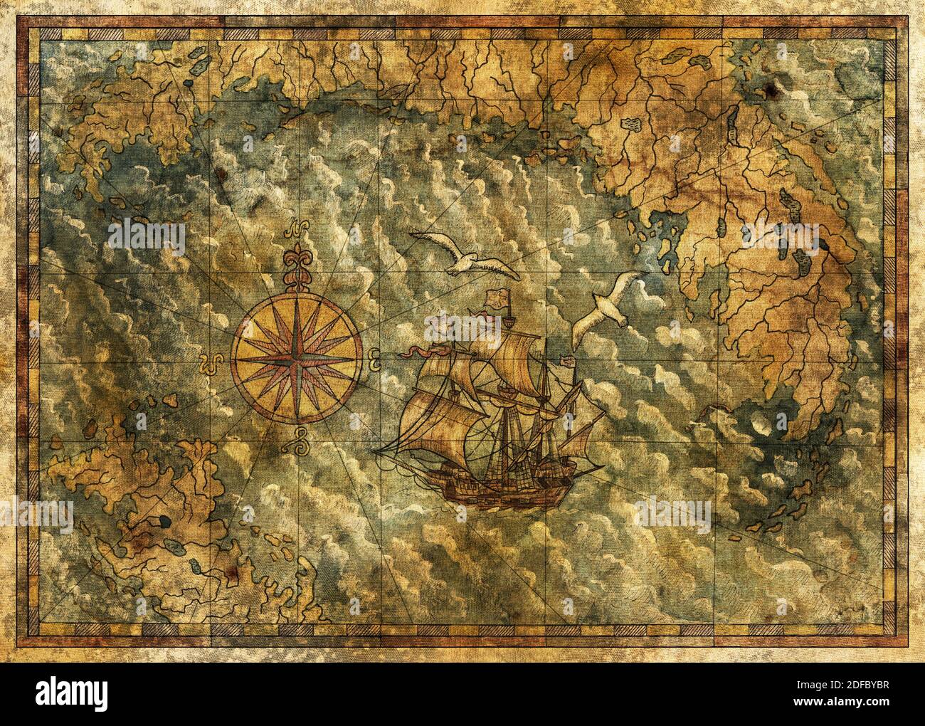 Ancient pirate map with old pirate sailboats, treasure islands. Decorative antique background with nautical chart, adventure treasures hunt concept Stock Photohttps://www.alamy.com/image-license-details/?v=1https://www.alamy.com/ancient-pirate-map-with-old-pirate-sailboats-treasure-islands-decorative-antique-background-with-nautical-chart-adventure-treasures-hunt-concept-image388110907.html
RF2DFBYBR–Ancient pirate map with old pirate sailboats, treasure islands. Decorative antique background with nautical chart, adventure treasures hunt concept
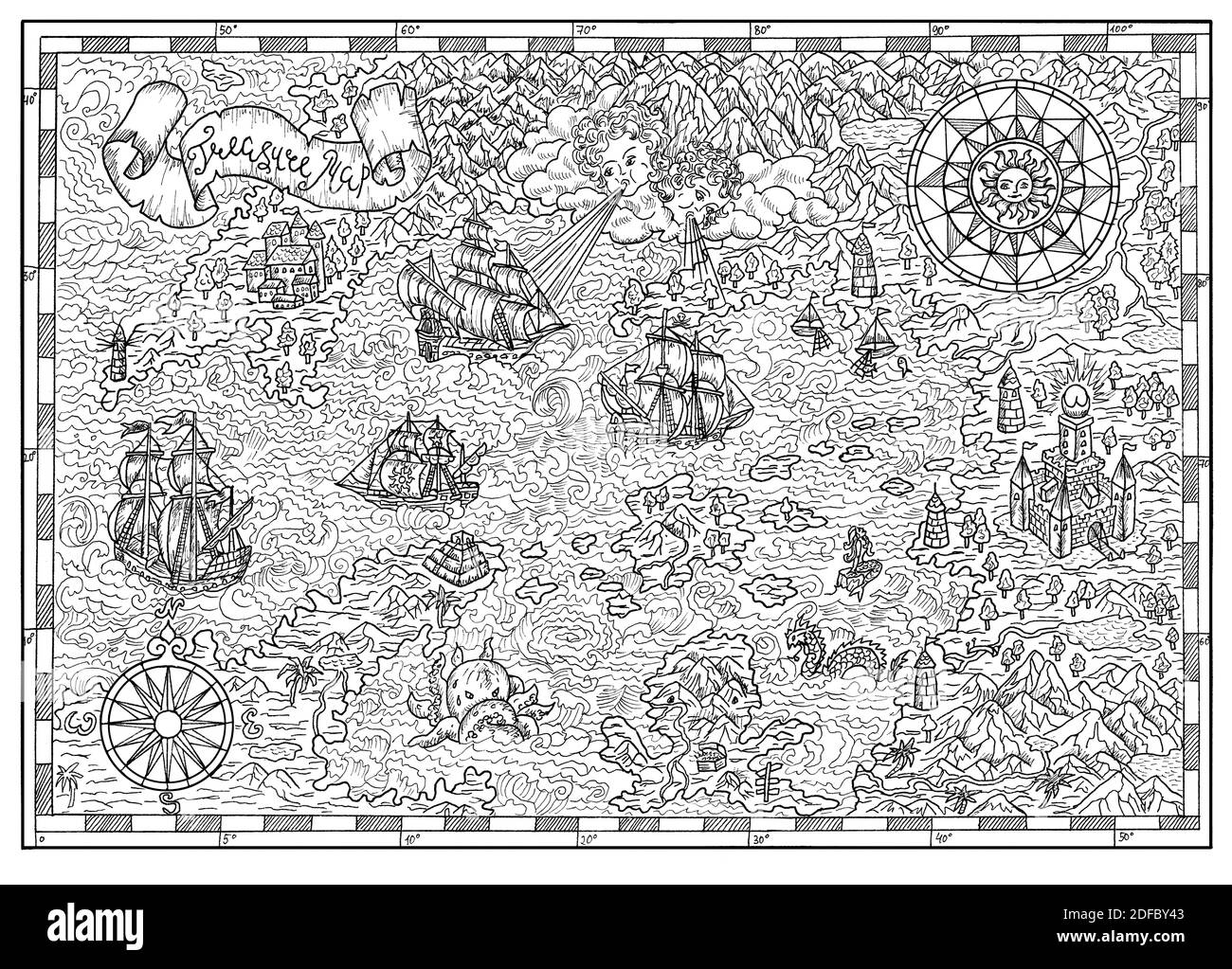 Ancient pirate map with old pirate sailboats, treasure islands. Decorative antique background with nautical chart, adventure treasures hunt concept Stock Photohttps://www.alamy.com/image-license-details/?v=1https://www.alamy.com/ancient-pirate-map-with-old-pirate-sailboats-treasure-islands-decorative-antique-background-with-nautical-chart-adventure-treasures-hunt-concept-image388110691.html
RF2DFBY43–Ancient pirate map with old pirate sailboats, treasure islands. Decorative antique background with nautical chart, adventure treasures hunt concept
 Sea map with illustrations of sailing vessels and compass rose on the order of antiquities on birchbark Stock Photohttps://www.alamy.com/image-license-details/?v=1https://www.alamy.com/sea-map-with-illustrations-of-sailing-vessels-and-compass-rose-on-the-order-of-antiquities-on-birchbark-image222742650.html
RFPXAPEJ–Sea map with illustrations of sailing vessels and compass rose on the order of antiquities on birchbark
 Vintage marine wind rose, nautical chart. Monochrome navigational compass with cardinal directions of North, East, South, West. Geographical position Stock Vectorhttps://www.alamy.com/image-license-details/?v=1https://www.alamy.com/vintage-marine-wind-rose-nautical-chart-monochrome-navigational-compass-with-cardinal-directions-of-north-east-south-west-geographical-position-image472987143.html
RF2JDEBWY–Vintage marine wind rose, nautical chart. Monochrome navigational compass with cardinal directions of North, East, South, West. Geographical position
 Ancient pirate map with old pirate sailboats, treasure islands. Decorative antique background with nautical chart, adventure treasures hunt concept Stock Photohttps://www.alamy.com/image-license-details/?v=1https://www.alamy.com/ancient-pirate-map-with-old-pirate-sailboats-treasure-islands-decorative-antique-background-with-nautical-chart-adventure-treasures-hunt-concept-image388110685.html
RF2DFBY3W–Ancient pirate map with old pirate sailboats, treasure islands. Decorative antique background with nautical chart, adventure treasures hunt concept