Quick filters:
Old map of ceylon Stock Photos and Images
 Map Of Ceylon 1692 Stock Photohttps://www.alamy.com/image-license-details/?v=1https://www.alamy.com/stock-photo-map-of-ceylon-1692-131040739.html
RFHH5BPB–Map Of Ceylon 1692
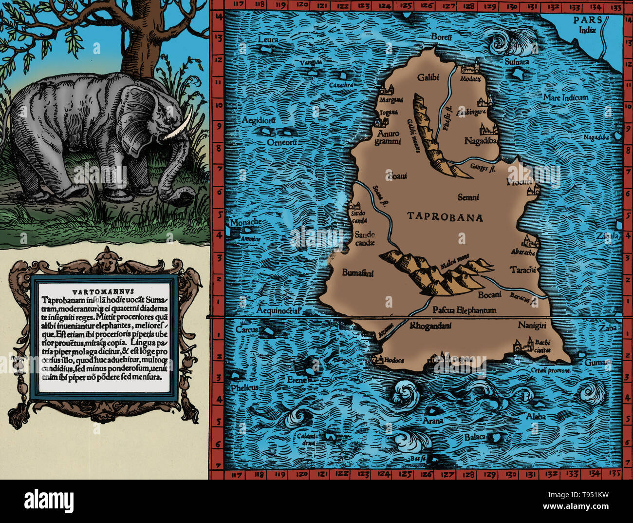 Ptolemy's map of Ceylon based on the description contained in Ptolemy's book Geographia, written 150 AD. Although authentic maps have never been found, the Geographia contains thousands of references to various parts of the old world, with coordinates for most, which allowed cartographers to reconstruct Ptolemy's world view when the manuscript was re-discovered around 1300 AD. Stock Photohttps://www.alamy.com/image-license-details/?v=1https://www.alamy.com/ptolemys-map-of-ceylon-based-on-the-description-contained-in-ptolemys-book-geographia-written-150-ad-although-authentic-maps-have-never-been-found-the-geographia-contains-thousands-of-references-to-various-parts-of-the-old-world-with-coordinates-for-most-which-allowed-cartographers-to-reconstruct-ptolemys-world-view-when-the-manuscript-was-re-discovered-around-1300-ad-image246588157.html
RMT951KW–Ptolemy's map of Ceylon based on the description contained in Ptolemy's book Geographia, written 150 AD. Although authentic maps have never been found, the Geographia contains thousands of references to various parts of the old world, with coordinates for most, which allowed cartographers to reconstruct Ptolemy's world view when the manuscript was re-discovered around 1300 AD.
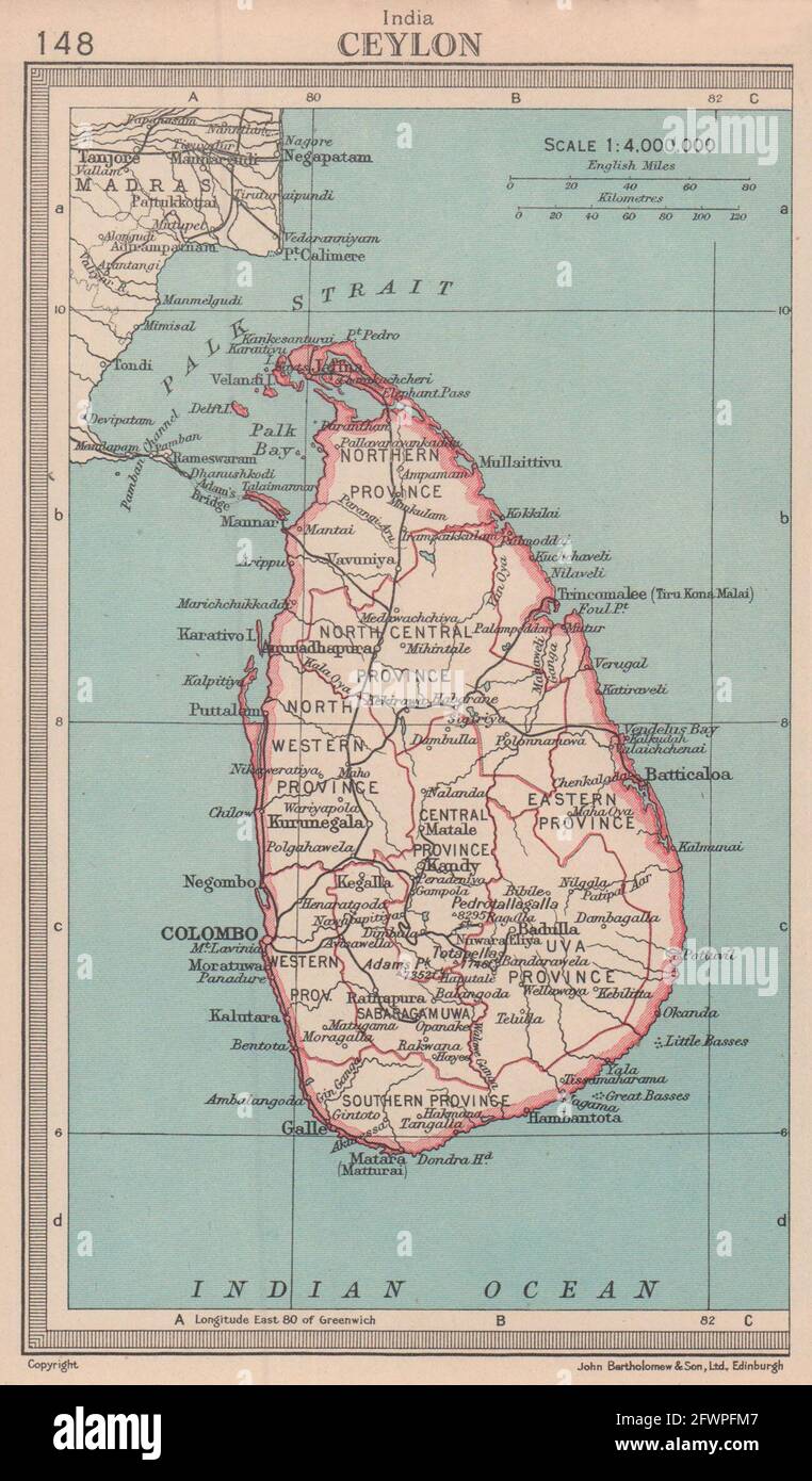 Sri Lanka. Ceylon. BARTHOLOMEW 1949 old vintage map plan chart Stock Photohttps://www.alamy.com/image-license-details/?v=1https://www.alamy.com/sri-lanka-ceylon-bartholomew-1949-old-vintage-map-plan-chart-image428910503.html
RF2FWPFM7–Sri Lanka. Ceylon. BARTHOLOMEW 1949 old vintage map plan chart
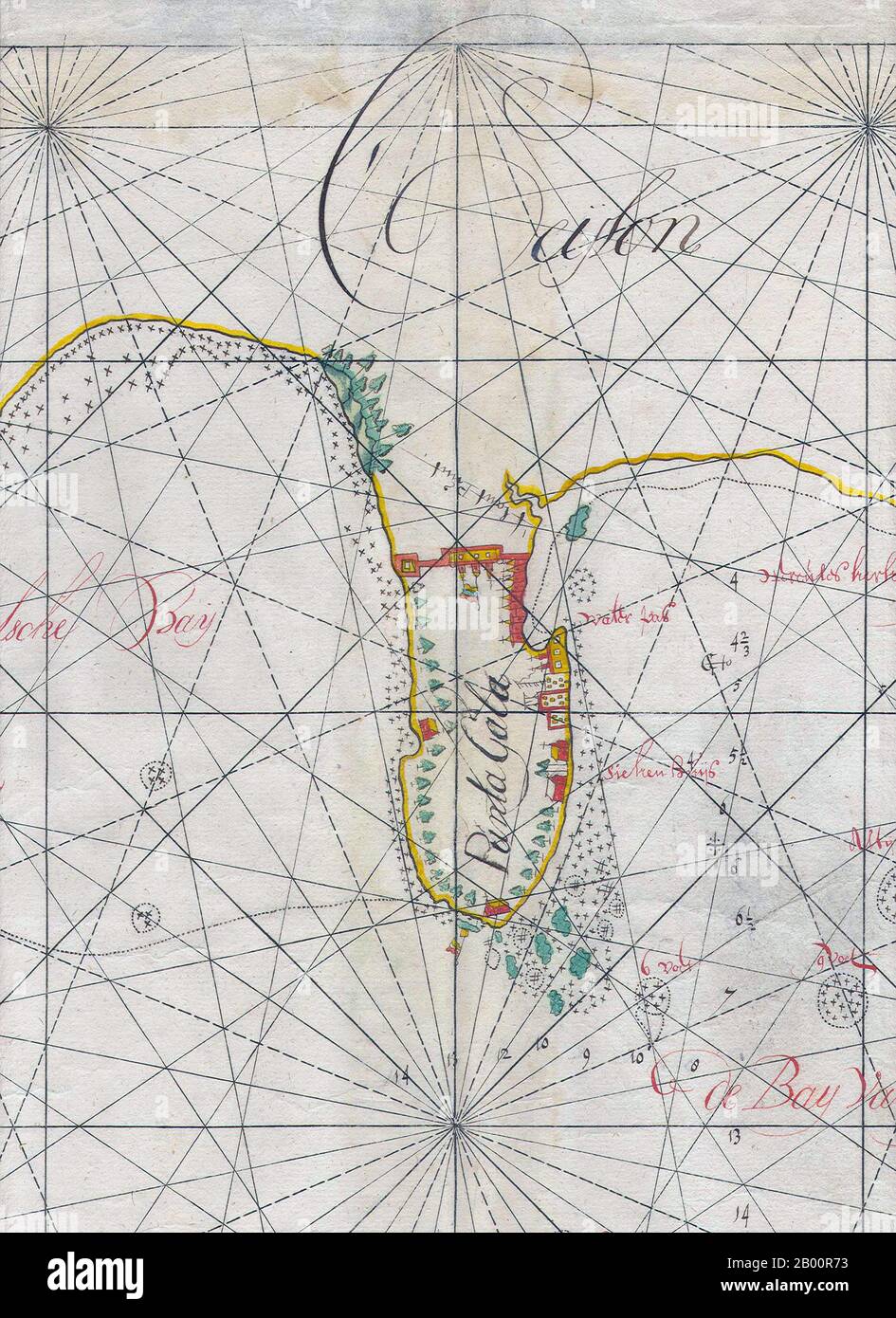 Sri Lanka: 17th century Dutch East India Company manuscript map of Galle (detail). The Dutch East India Company (VOC) was set up in 1602 to gain a foothold in the East Indies (Indonesia) for the Dutch in the lucrative spice trade, which until that point was dominated by the Portuguese. It was a chartered company granted a monopoly by the Dutch government to carry out colonial activities in Asia, including establishing colonies in Ceylon (Sri Lanka) and India. Stock Photohttps://www.alamy.com/image-license-details/?v=1https://www.alamy.com/sri-lanka-17th-century-dutch-east-india-company-manuscript-map-of-galle-detail-the-dutch-east-india-company-voc-was-set-up-in-1602-to-gain-a-foothold-in-the-east-indies-indonesia-for-the-dutch-in-the-lucrative-spice-trade-which-until-that-point-was-dominated-by-the-portuguese-it-was-a-chartered-company-granted-a-monopoly-by-the-dutch-government-to-carry-out-colonial-activities-in-asia-including-establishing-colonies-in-ceylon-sri-lanka-and-india-image344225591.html
RM2B00R73–Sri Lanka: 17th century Dutch East India Company manuscript map of Galle (detail). The Dutch East India Company (VOC) was set up in 1602 to gain a foothold in the East Indies (Indonesia) for the Dutch in the lucrative spice trade, which until that point was dominated by the Portuguese. It was a chartered company granted a monopoly by the Dutch government to carry out colonial activities in Asia, including establishing colonies in Ceylon (Sri Lanka) and India.
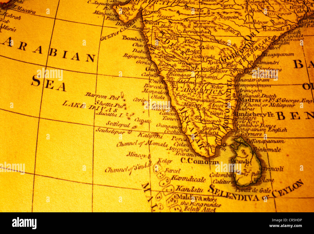 Old map of India and Sri Lanka or Ceylon and Arabian Sea. Map is from 1799 and is out of copyright. Stock Photohttps://www.alamy.com/image-license-details/?v=1https://www.alamy.com/stock-photo-old-map-of-india-and-sri-lanka-or-ceylon-and-arabian-sea-map-is-from-48681298.html
RFCR5HDP–Old map of India and Sri Lanka or Ceylon and Arabian Sea. Map is from 1799 and is out of copyright.
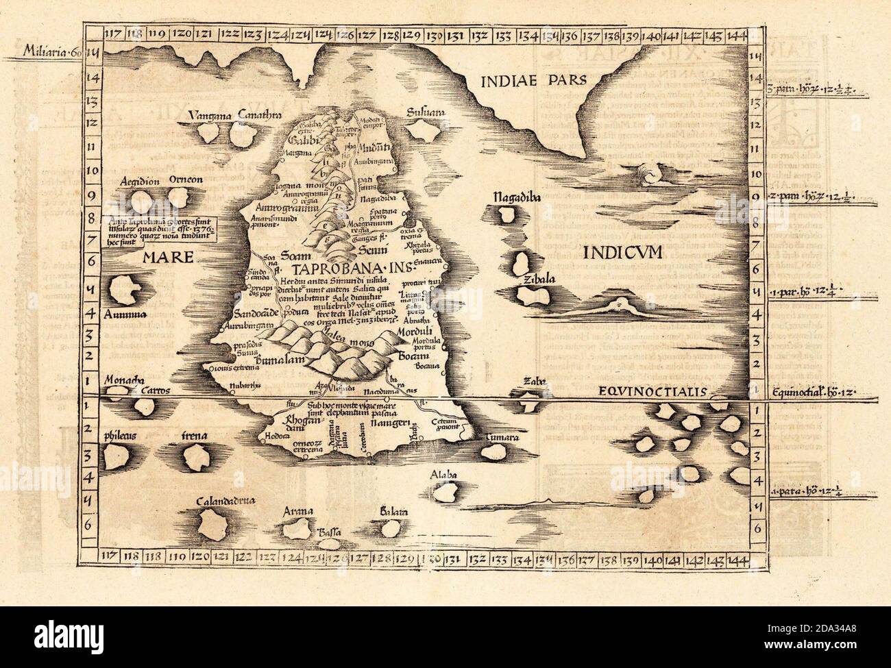 Ptolemy's world map of Ceylon, first century CE, in a 1535 publication Stock Photohttps://www.alamy.com/image-license-details/?v=1https://www.alamy.com/ptolemys-world-map-of-ceylon-first-century-ce-in-a-1535-publication-image384843936.html
RM2DA34A8–Ptolemy's world map of Ceylon, first century CE, in a 1535 publication
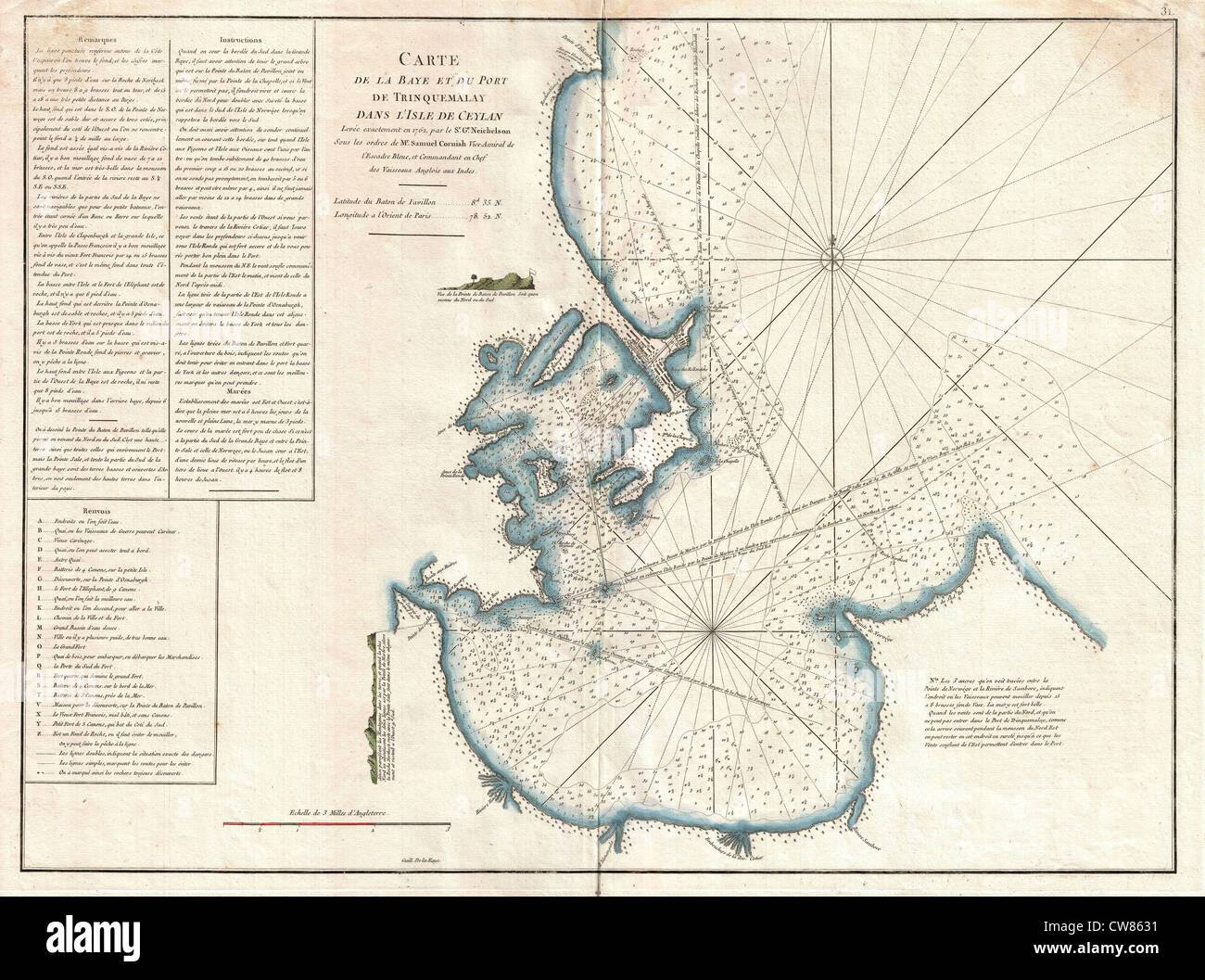 1775 Mannevillette Map of Trincomalee, Ceylon or Sri Lanka Stock Photohttps://www.alamy.com/image-license-details/?v=1https://www.alamy.com/stock-photo-1775-mannevillette-map-of-trincomalee-ceylon-or-sri-lanka-49967541.html
RMCW8631–1775 Mannevillette Map of Trincomalee, Ceylon or Sri Lanka
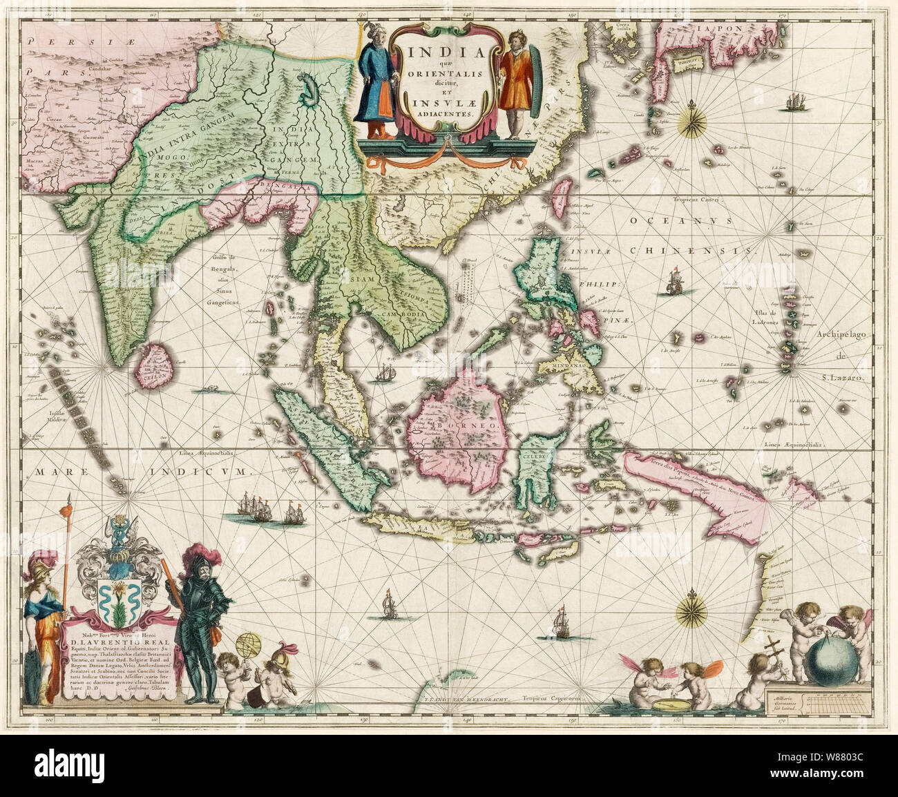 Map of South-East Asia, including Indonesia, India, Ceylon etc, published by Willem Janszoon Blaeu in 1635. Stock Photohttps://www.alamy.com/image-license-details/?v=1https://www.alamy.com/map-of-south-east-asia-including-indonesia-india-ceylon-etc-published-by-willem-janszoon-blaeu-in-1635-image263248480.html
RMW8803C–Map of South-East Asia, including Indonesia, India, Ceylon etc, published by Willem Janszoon Blaeu in 1635.
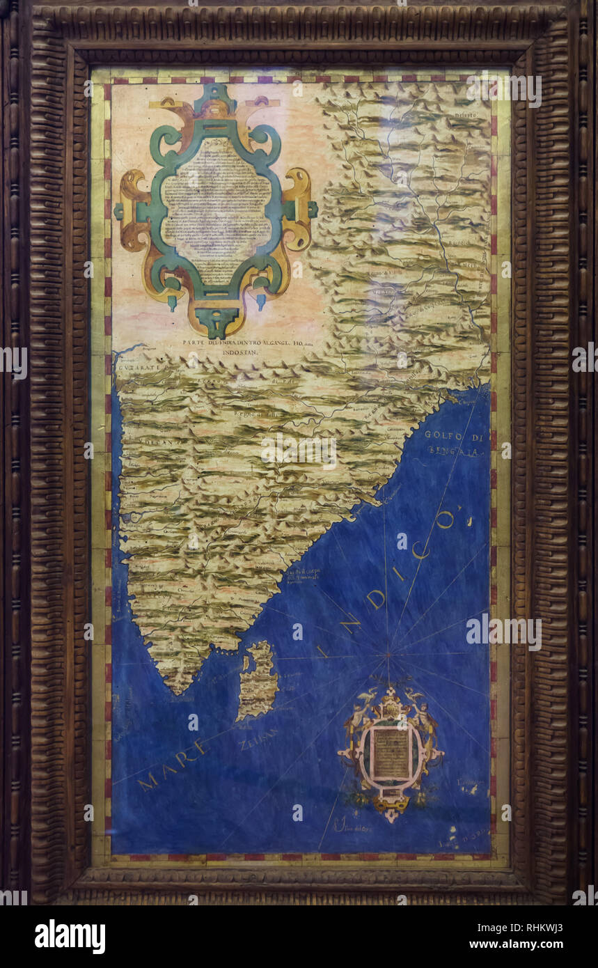 Map of Indian subcontinent and the island of Ceylon (Sri Lanka) dated from 1564-1586 on display in the Hall of Geographical Maps (Sala delle Carte Geografiche) in the Palazzo Vecchio in Florence, Tuscany, Italy. Stock Photohttps://www.alamy.com/image-license-details/?v=1https://www.alamy.com/map-of-indian-subcontinent-and-the-island-of-ceylon-sri-lanka-dated-from-1564-1586-on-display-in-the-hall-of-geographical-maps-sala-delle-carte-geografiche-in-the-palazzo-vecchio-in-florence-tuscany-italy-image234621131.html
RMRHKWJ3–Map of Indian subcontinent and the island of Ceylon (Sri Lanka) dated from 1564-1586 on display in the Hall of Geographical Maps (Sala delle Carte Geografiche) in the Palazzo Vecchio in Florence, Tuscany, Italy.
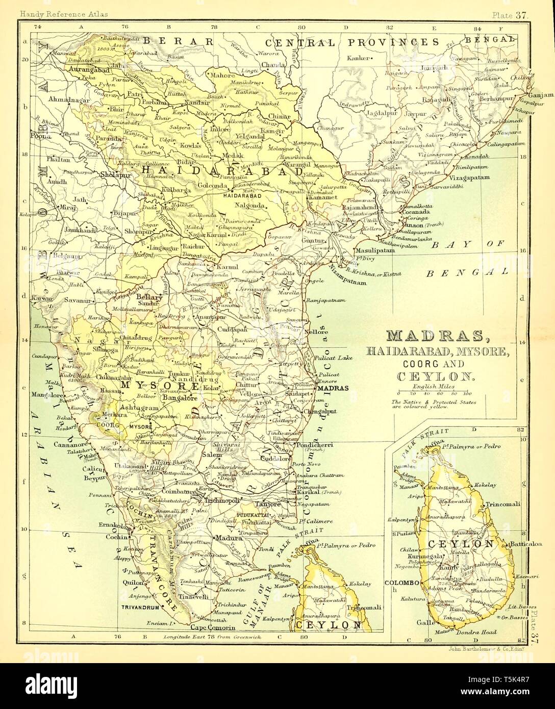 Beautiful vintage hand drawn map illustrations of Madras and Ceylon from old book. Can be used as poster or decorative element for interior design. Stock Photohttps://www.alamy.com/image-license-details/?v=1https://www.alamy.com/beautiful-vintage-hand-drawn-map-illustrations-of-madras-and-ceylon-from-old-book-can-be-used-as-poster-or-decorative-element-for-interior-design-image244439307.html
RFT5K4R7–Beautiful vintage hand drawn map illustrations of Madras and Ceylon from old book. Can be used as poster or decorative element for interior design.
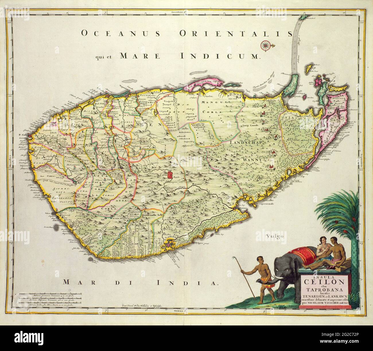 Ceylon Map, Map of Ceylon, Old Ceylon Map, Retro Ceylon Map, Sri Lanka Map, Map of Sri Lanka, Old Sri Lanka Map, Sri Lanka Poster, Sri Lanka Print Stock Photohttps://www.alamy.com/image-license-details/?v=1https://www.alamy.com/ceylon-map-map-of-ceylon-old-ceylon-map-retro-ceylon-map-sri-lanka-map-map-of-sri-lanka-old-sri-lanka-map-sri-lanka-poster-sri-lanka-print-image431757502.html
RF2G2C72P–Ceylon Map, Map of Ceylon, Old Ceylon Map, Retro Ceylon Map, Sri Lanka Map, Map of Sri Lanka, Old Sri Lanka Map, Sri Lanka Poster, Sri Lanka Print
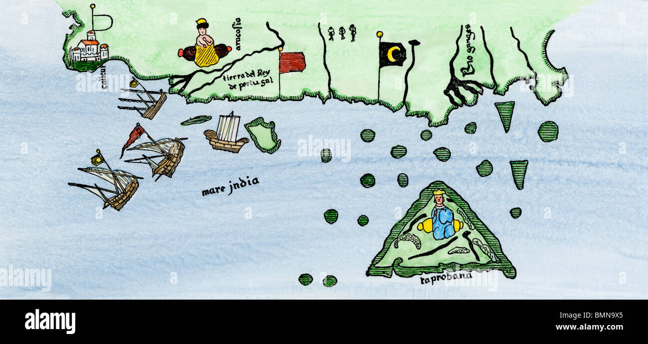 Calcutta and the southern coast of India, from Juan de la Cosa's map, 1500. Hand-colored woodcut Stock Photohttps://www.alamy.com/image-license-details/?v=1https://www.alamy.com/stock-photo-calcutta-and-the-southern-coast-of-india-from-juan-de-la-cosas-map-29972269.html
RMBMN9X5–Calcutta and the southern coast of India, from Juan de la Cosa's map, 1500. Hand-colored woodcut
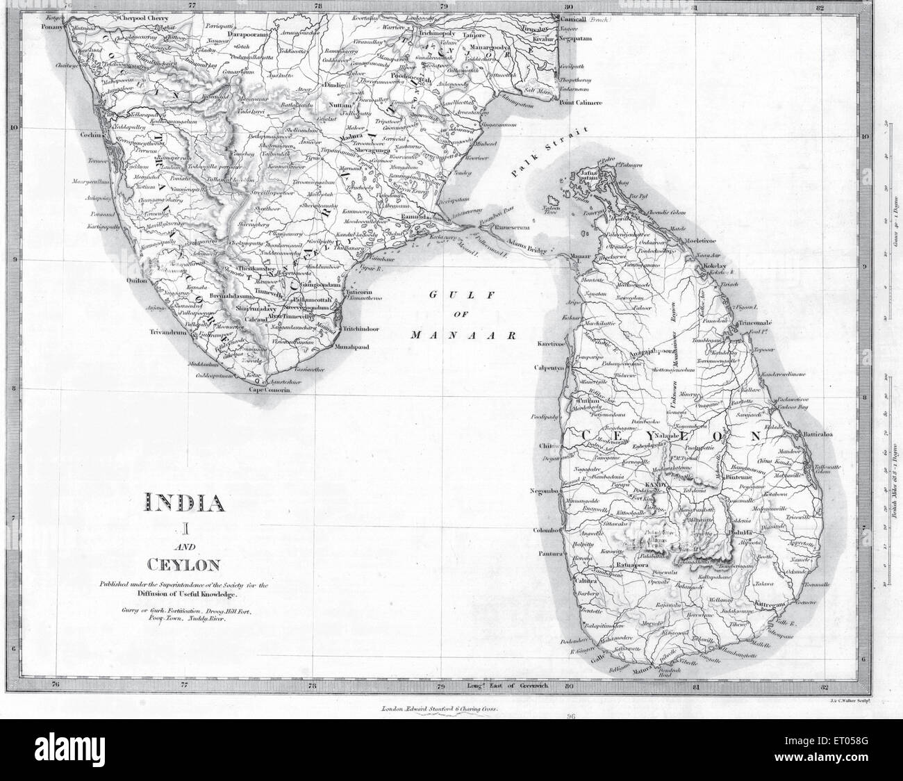 A map of India and Ceylon Stock Photohttps://www.alamy.com/image-license-details/?v=1https://www.alamy.com/stock-photo-a-map-of-india-and-ceylon-83597376.html
RMET058G–A map of India and Ceylon
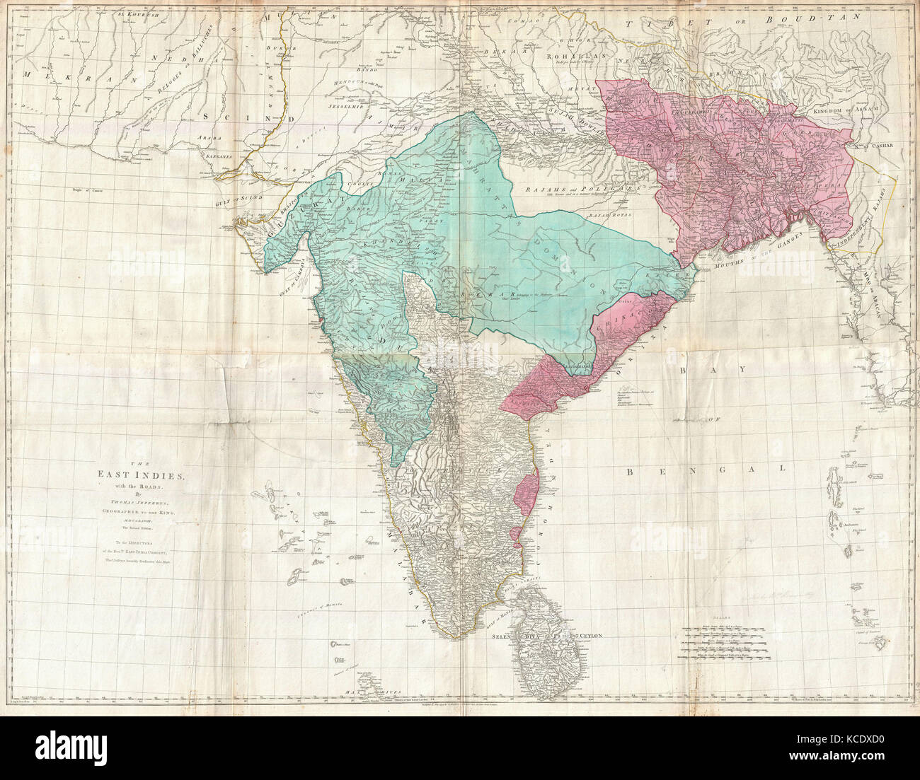 1768, Jeffreys Wall Map of India and Ceylon Stock Photohttps://www.alamy.com/image-license-details/?v=1https://www.alamy.com/stock-image-1768-jeffreys-wall-map-of-india-and-ceylon-162575308.html
RMKCDXD0–1768, Jeffreys Wall Map of India and Ceylon
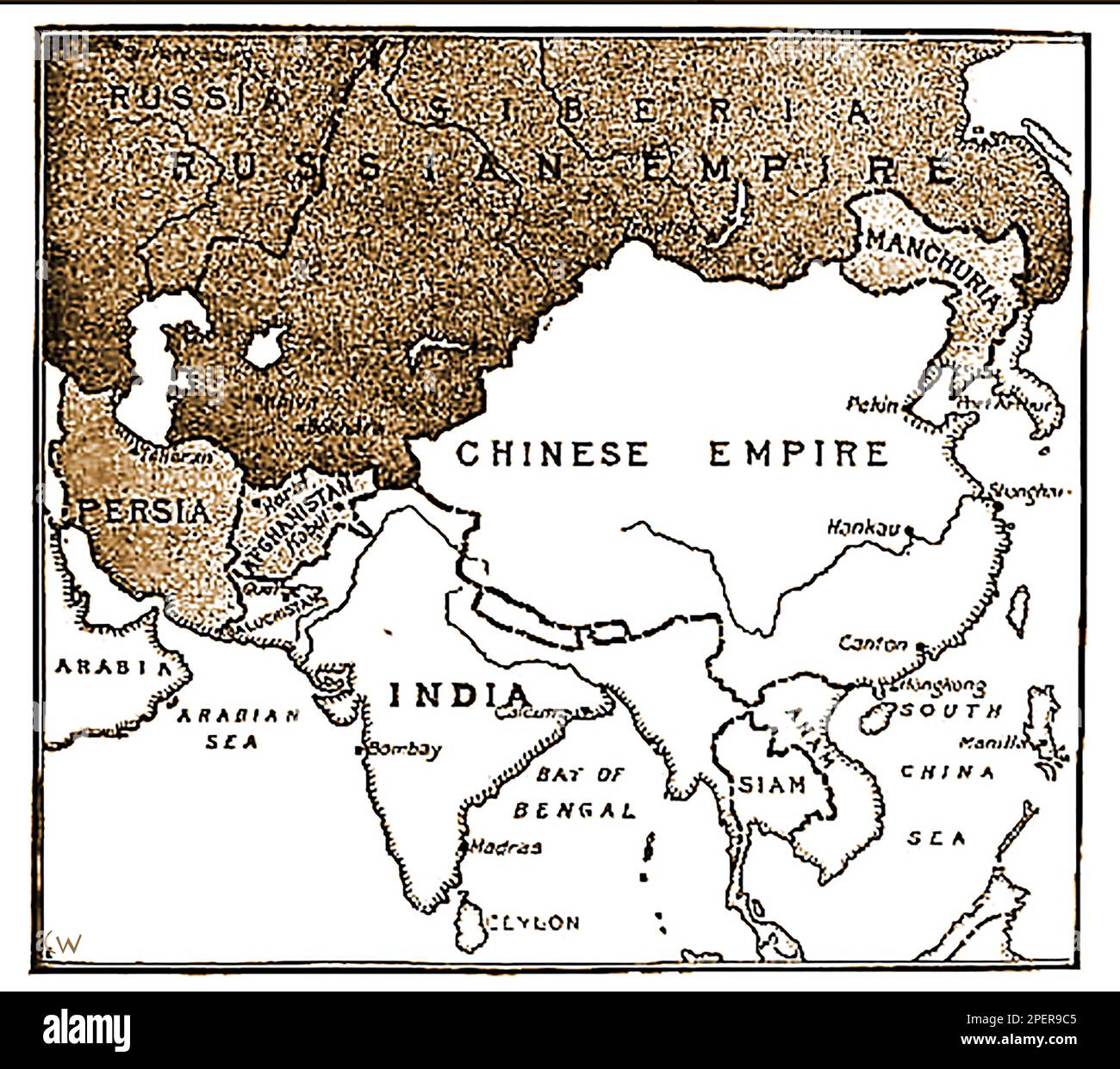 An 1892 map showing the advance of Russian forces on India. (In the 19th century Russia wanted to take India from British control?, a pan only defeated following the assassination of Russian Emperor Paul I -- Карта 1892 года, показывающая продвижение русских войск на Индию. (В 19-м веке Россия хотела отвести Индию из-под британского контроля?, пан побежден только по1892 ----का एक नक्शा जो भारत पर रूसी सेना की प्रगति को दर्शाता है। उल आई -сле убийства российского -- императора Павла I..-----1892 کا ایک نقشہ جس میں ہندوستان پر روسی افواج کی پیش قدمی کو دکھایا گیا ہے۔ میں -- Stock Photohttps://www.alamy.com/image-license-details/?v=1https://www.alamy.com/an-1892-map-showing-the-advance-of-russian-forces-on-india-in-the-19th-century-russia-wanted-to-take-india-from-british-control-a-pan-only-defeated-following-the-assassination-of-russian-emperor-paul-i-1892-19-1892-i-1892-image542638885.html
RM2PER9C5–An 1892 map showing the advance of Russian forces on India. (In the 19th century Russia wanted to take India from British control?, a pan only defeated following the assassination of Russian Emperor Paul I -- Карта 1892 года, показывающая продвижение русских войск на Индию. (В 19-м веке Россия хотела отвести Индию из-под британского контроля?, пан побежден только по1892 ----का एक नक्शा जो भारत पर रूसी सेना की प्रगति को दर्शाता है। उल आई -сле убийства российского -- императора Павла I..-----1892 کا ایک نقشہ جس میں ہندوستان پر روسی افواج کی پیش قدمی کو دکھایا گیا ہے۔ میں --
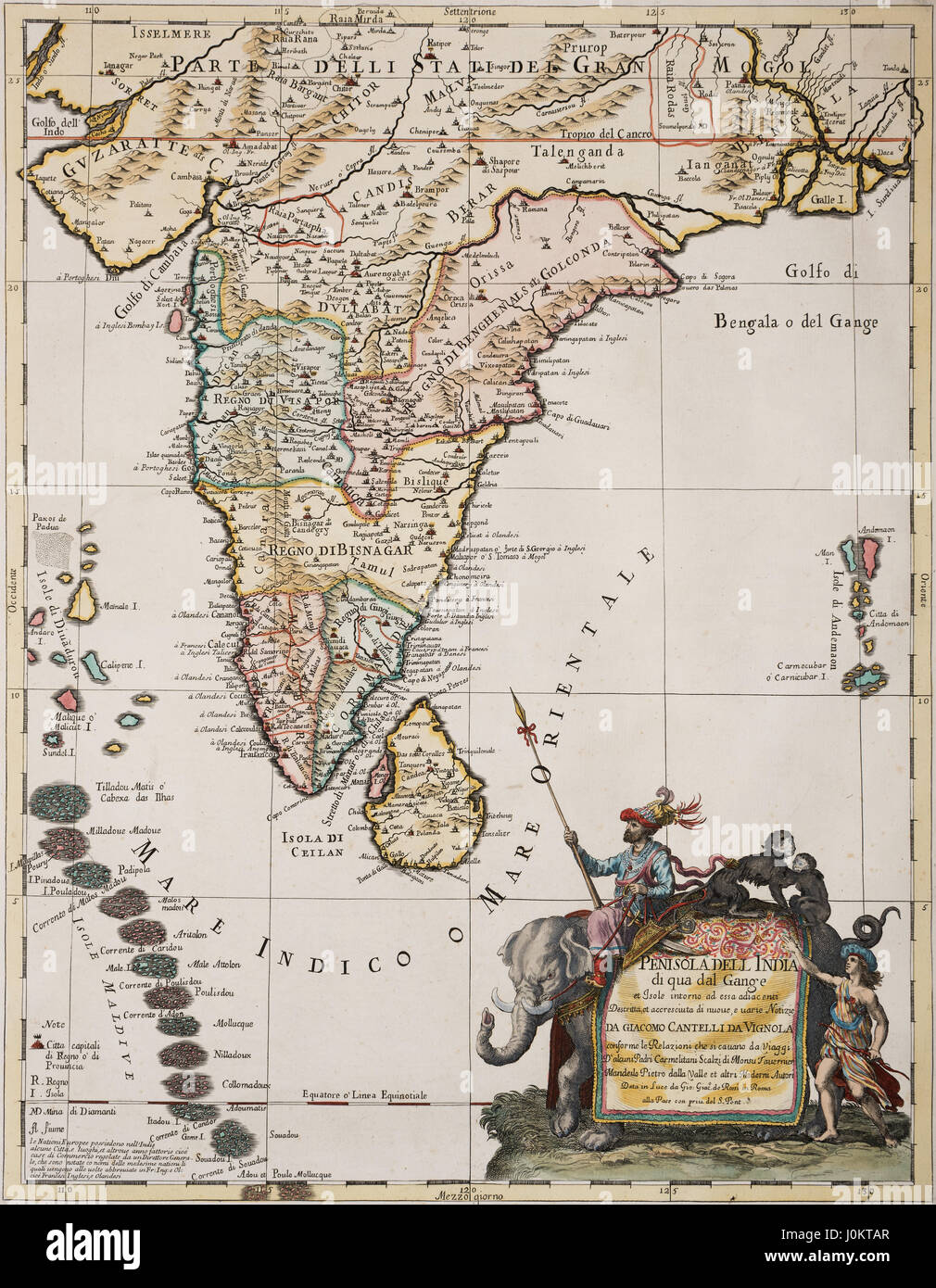 India, Ceylon and the Maldives, handcoloured copper engraving, historical map of Giacomo Cantelli da Vignola, published in Stock Photohttps://www.alamy.com/image-license-details/?v=1https://www.alamy.com/stock-photo-india-ceylon-and-the-maldives-handcoloured-copper-engraving-historical-138119151.html
RMJ0KTAR–India, Ceylon and the Maldives, handcoloured copper engraving, historical map of Giacomo Cantelli da Vignola, published in
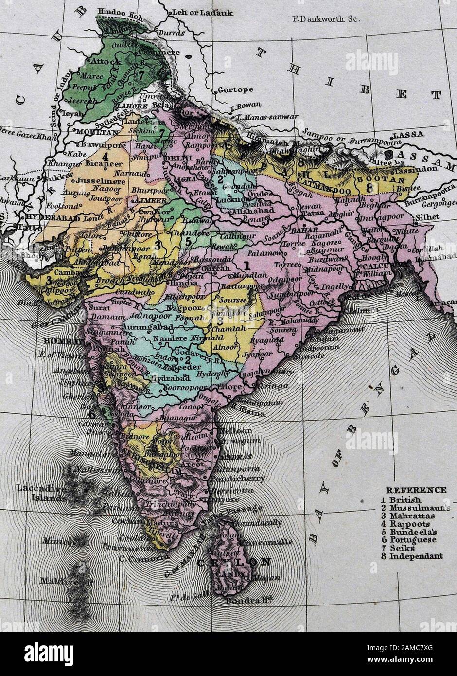 1834 Carey Map India Bombay Calcutta Delhi Ceylon Goa Madras Nepal Tibet Stock Photohttps://www.alamy.com/image-license-details/?v=1https://www.alamy.com/1834-carey-map-india-bombay-calcutta-delhi-ceylon-goa-madras-nepal-tibet-image339559768.html
RF2AMC7XG–1834 Carey Map India Bombay Calcutta Delhi Ceylon Goa Madras Nepal Tibet
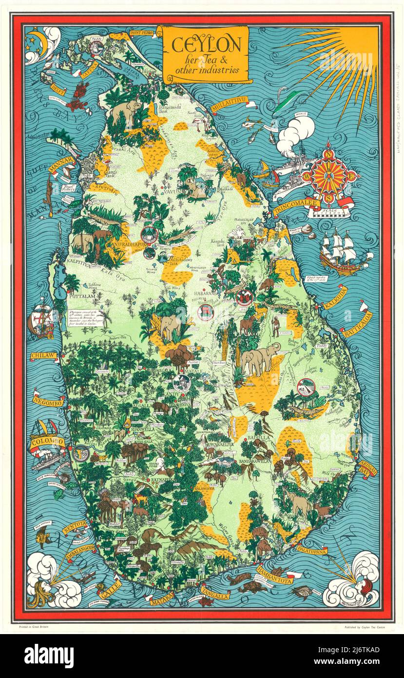 MacDonald Gill - Ceylon - Her Tea and Other Industries - 1933 Stock Photohttps://www.alamy.com/image-license-details/?v=1https://www.alamy.com/macdonald-gill-ceylon-her-tea-and-other-industries-1933-image468909909.html
RF2J6TKAD–MacDonald Gill - Ceylon - Her Tea and Other Industries - 1933
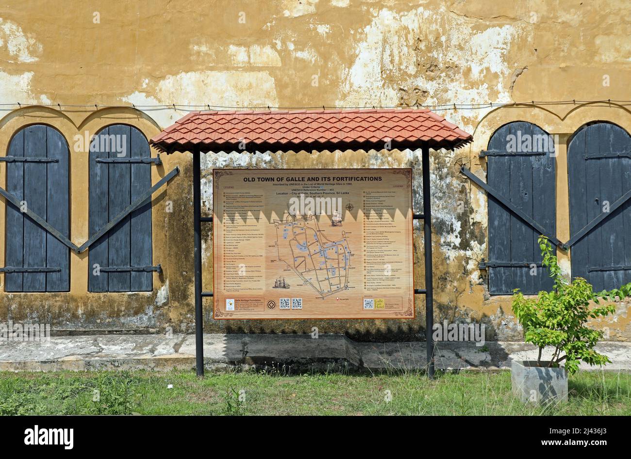 Old Town of Galle Map Stock Photohttps://www.alamy.com/image-license-details/?v=1https://www.alamy.com/old-town-of-galle-map-image467209627.html
RM2J436J3–Old Town of Galle Map
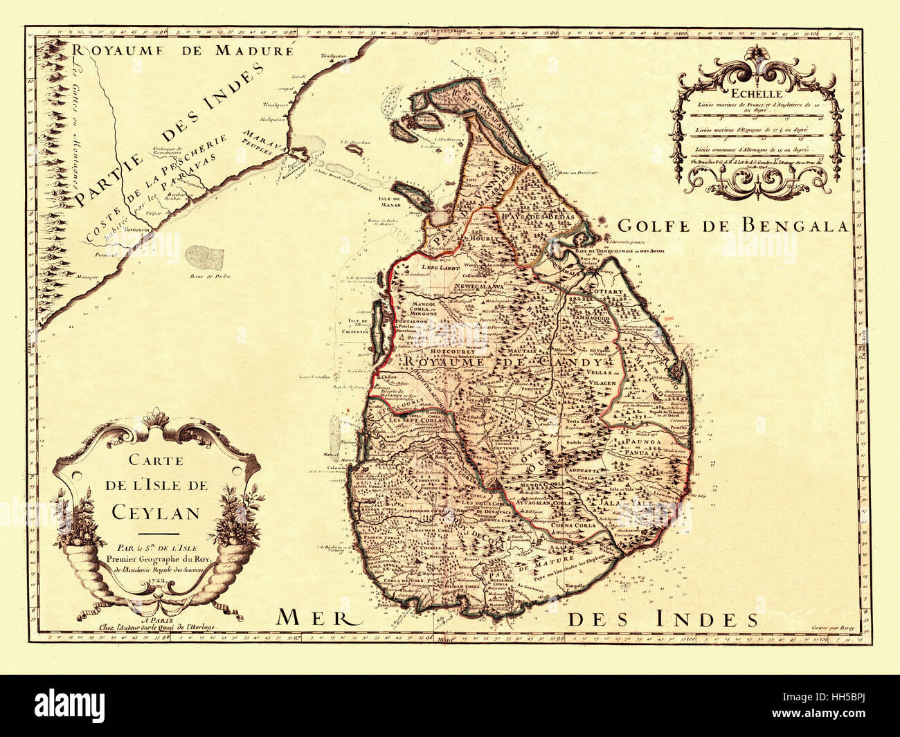 Map Of Ceylon 1722 Stock Photohttps://www.alamy.com/image-license-details/?v=1https://www.alamy.com/stock-photo-map-of-ceylon-1722-131040746.html
RFHH5BPJ–Map Of Ceylon 1722
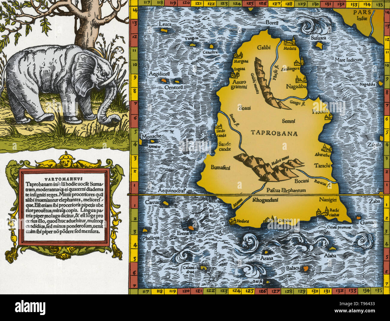 Ptolemy's map of Ceylon based on the description contained in Ptolemy's book Geographia, written 150 AD. Although authentic maps have never been found, the Geographia contains thousands of references to various parts of the old world, with coordinates for most, which allowed cartographers to reconstruct Ptolemy's world view when the manuscript was re-discovered around 1300 AD. Stock Photohttps://www.alamy.com/image-license-details/?v=1https://www.alamy.com/ptolemys-map-of-ceylon-based-on-the-description-contained-in-ptolemys-book-geographia-written-150-ad-although-authentic-maps-have-never-been-found-the-geographia-contains-thousands-of-references-to-various-parts-of-the-old-world-with-coordinates-for-most-which-allowed-cartographers-to-reconstruct-ptolemys-world-view-when-the-manuscript-was-re-discovered-around-1300-ad-image246611991.html
RMT96433–Ptolemy's map of Ceylon based on the description contained in Ptolemy's book Geographia, written 150 AD. Although authentic maps have never been found, the Geographia contains thousands of references to various parts of the old world, with coordinates for most, which allowed cartographers to reconstruct Ptolemy's world view when the manuscript was re-discovered around 1300 AD.
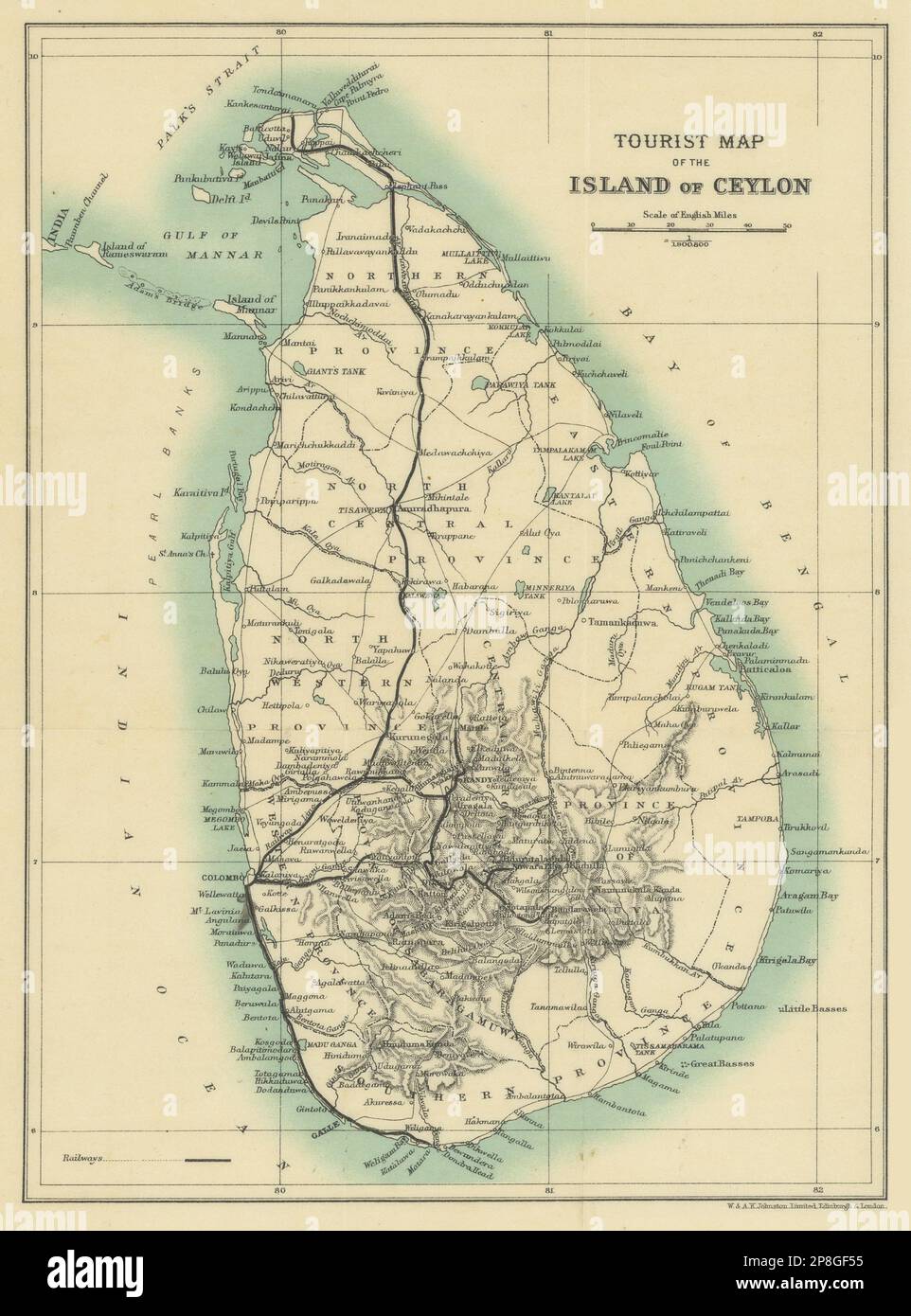 Tourist map of the island of Ceylon. Sri Lanka. British India 1905 old Stock Photohttps://www.alamy.com/image-license-details/?v=1https://www.alamy.com/tourist-map-of-the-island-of-ceylon-sri-lanka-british-india-1905-old-image538801793.html
RF2P8GF55–Tourist map of the island of Ceylon. Sri Lanka. British India 1905 old
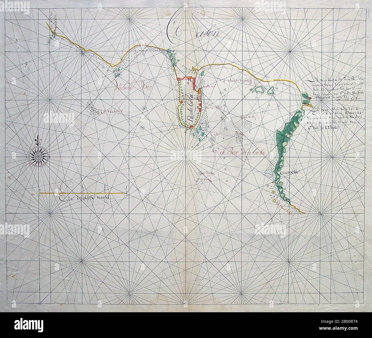 Sri Lanka: 17th century Dutch East India Company manuscript map of the Galle region. The Dutch East India Company (VOC) was set up in 1602 to gain a foothold in the East Indies (Indonesia) for the Dutch in the lucrative spice trade, which until that point was dominated by the Portuguese. It was a chartered company granted a monopoly by the Dutch government to carry out colonial activities in Asia, including establishing colonies in Ceylon (Sri Lanka) and India. Stock Photohttps://www.alamy.com/image-license-details/?v=1https://www.alamy.com/sri-lanka-17th-century-dutch-east-india-company-manuscript-map-of-the-galle-region-the-dutch-east-india-company-voc-was-set-up-in-1602-to-gain-a-foothold-in-the-east-indies-indonesia-for-the-dutch-in-the-lucrative-spice-trade-which-until-that-point-was-dominated-by-the-portuguese-it-was-a-chartered-company-granted-a-monopoly-by-the-dutch-government-to-carry-out-colonial-activities-in-asia-including-establishing-colonies-in-ceylon-sri-lanka-and-india-image344225592.html
RM2B00R74–Sri Lanka: 17th century Dutch East India Company manuscript map of the Galle region. The Dutch East India Company (VOC) was set up in 1602 to gain a foothold in the East Indies (Indonesia) for the Dutch in the lucrative spice trade, which until that point was dominated by the Portuguese. It was a chartered company granted a monopoly by the Dutch government to carry out colonial activities in Asia, including establishing colonies in Ceylon (Sri Lanka) and India.
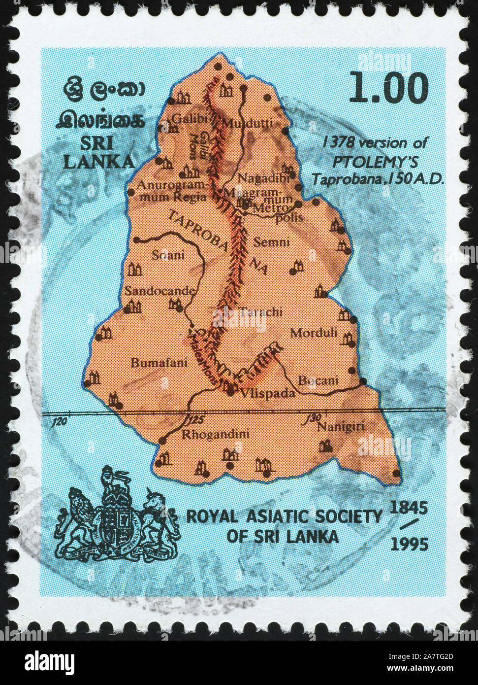 Rough map of Sri Lanka on postage stamp Stock Photohttps://www.alamy.com/image-license-details/?v=1https://www.alamy.com/rough-map-of-sri-lanka-on-postage-stamp-image331839045.html
RF2A7TG2D–Rough map of Sri Lanka on postage stamp
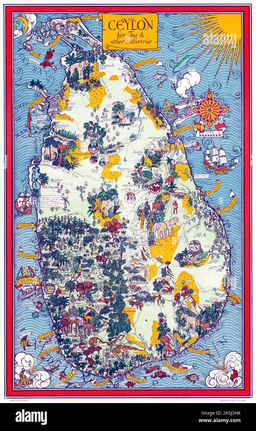 Map of Ceylon, her tea and other industries, Gill MacDonald 1933 Stock Photohttps://www.alamy.com/image-license-details/?v=1https://www.alamy.com/map-of-ceylon-her-tea-and-other-industries-gill-macdonald-1933-image482288291.html
RM2K0J3HR–Map of Ceylon, her tea and other industries, Gill MacDonald 1933
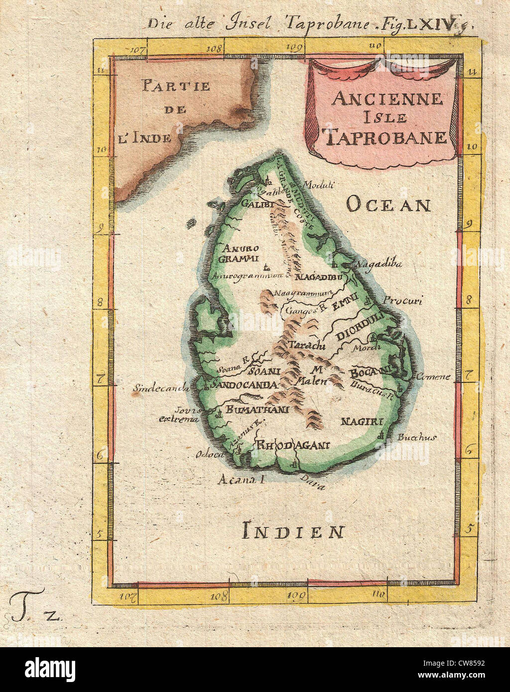 686 Mallet Map of Ceylon or Sri Lanka (Taprobane) Stock Photohttps://www.alamy.com/image-license-details/?v=1https://www.alamy.com/stock-photo-686-mallet-map-of-ceylon-or-sri-lanka-taprobane-49966926.html
RMCW8592–686 Mallet Map of Ceylon or Sri Lanka (Taprobane)
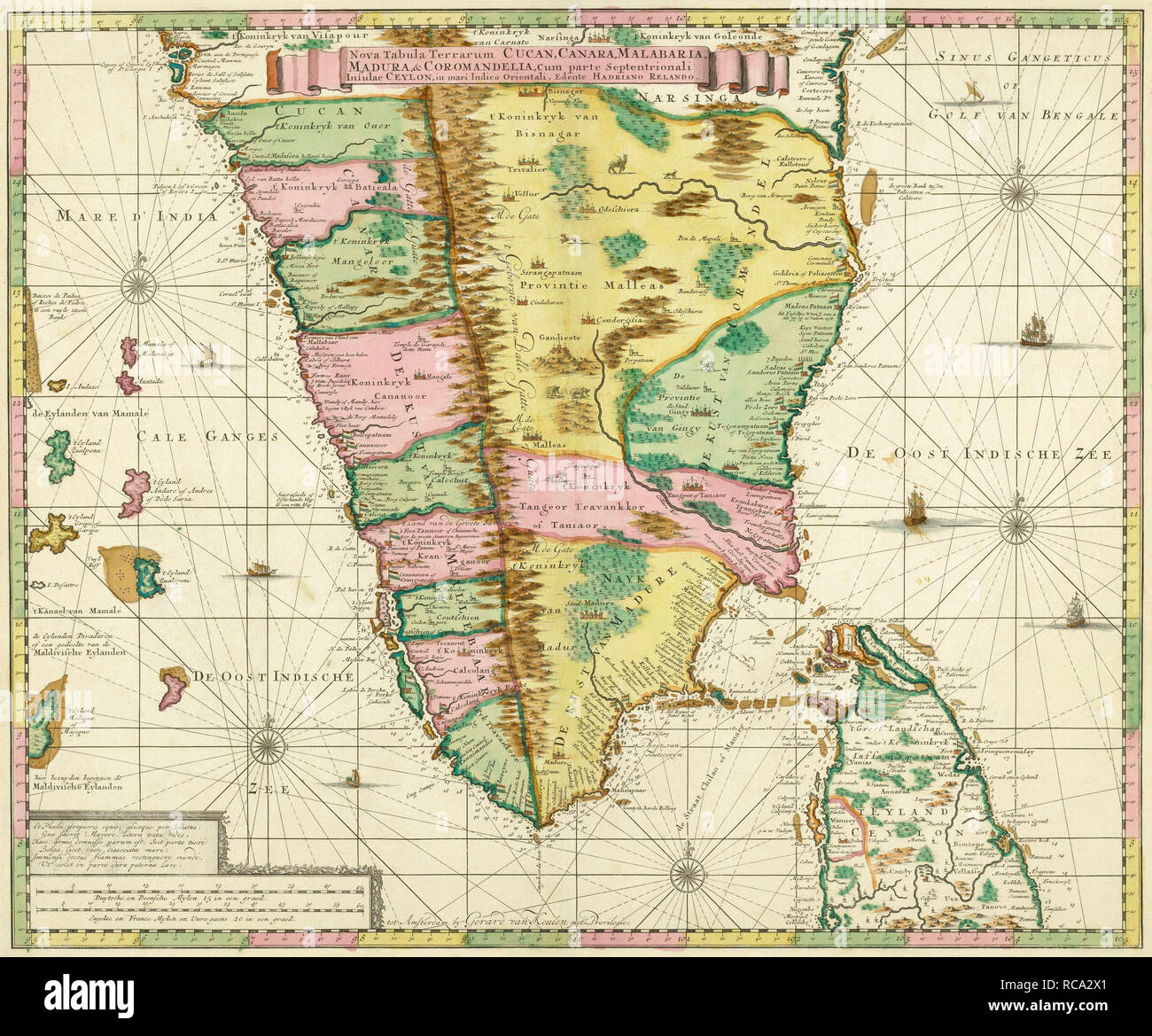 Map of Southern India and Ceylon, after a work made circa 1720 by Dutch cartographer Adriaan Reland. Adam’s Bridge between the two nations is clearly marked. Stock Photohttps://www.alamy.com/image-license-details/?v=1https://www.alamy.com/map-of-southern-india-and-ceylon-after-a-work-made-circa-1720-by-dutch-cartographer-adriaan-reland-adams-bridge-between-the-two-nations-is-clearly-marked-image231332473.html
RMRCA2X1–Map of Southern India and Ceylon, after a work made circa 1720 by Dutch cartographer Adriaan Reland. Adam’s Bridge between the two nations is clearly marked.
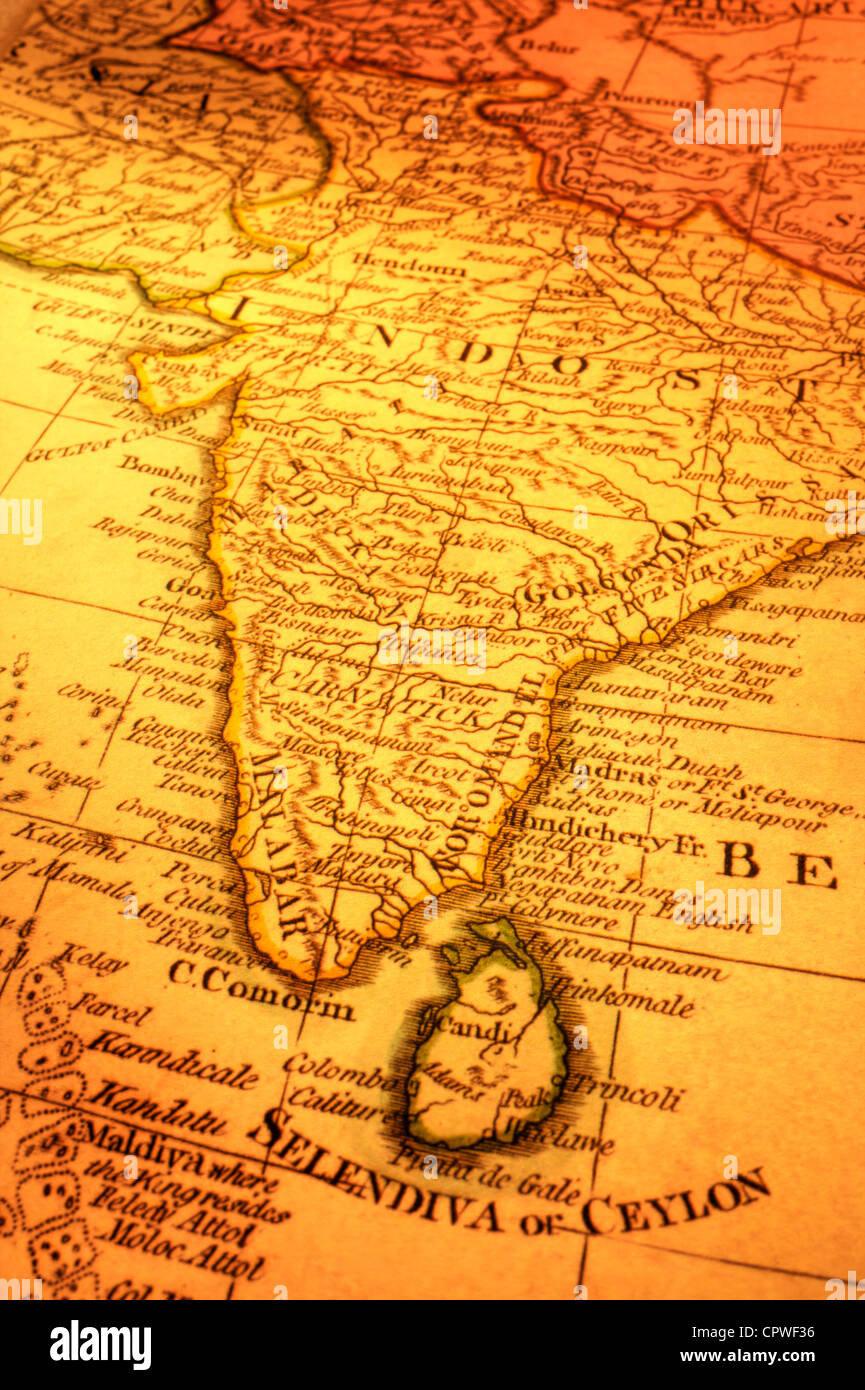 Ancient map of India and Sri Lanka. Focus is on Madras. Map is from 1799 and is out of copyright. Stock Photohttps://www.alamy.com/image-license-details/?v=1https://www.alamy.com/stock-photo-ancient-map-of-india-and-sri-lanka-focus-is-on-madras-map-is-from-48503818.html
RFCPWF36–Ancient map of India and Sri Lanka. Focus is on Madras. Map is from 1799 and is out of copyright.
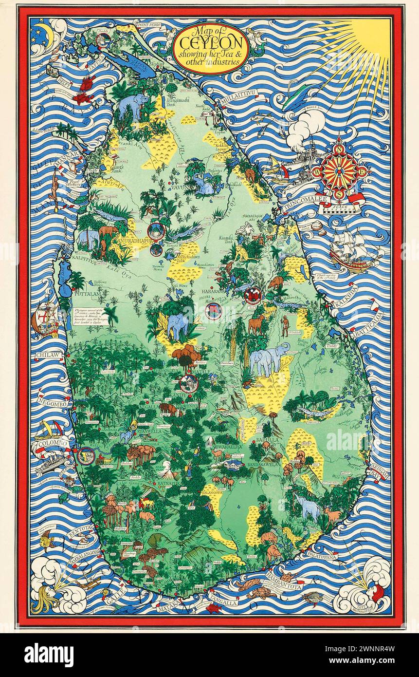 Vintage Illustrated Specialised Map. Ceylon, Showing her Tea and Other Industries. by MacDonald Gill lithograph in colours, 1933, Stock Photohttps://www.alamy.com/image-license-details/?v=1https://www.alamy.com/vintage-illustrated-specialised-map-ceylon-showing-her-tea-and-other-industries-by-macdonald-gill-lithograph-in-colours-1933-image598539449.html
RM2WNNR4W–Vintage Illustrated Specialised Map. Ceylon, Showing her Tea and Other Industries. by MacDonald Gill lithograph in colours, 1933,
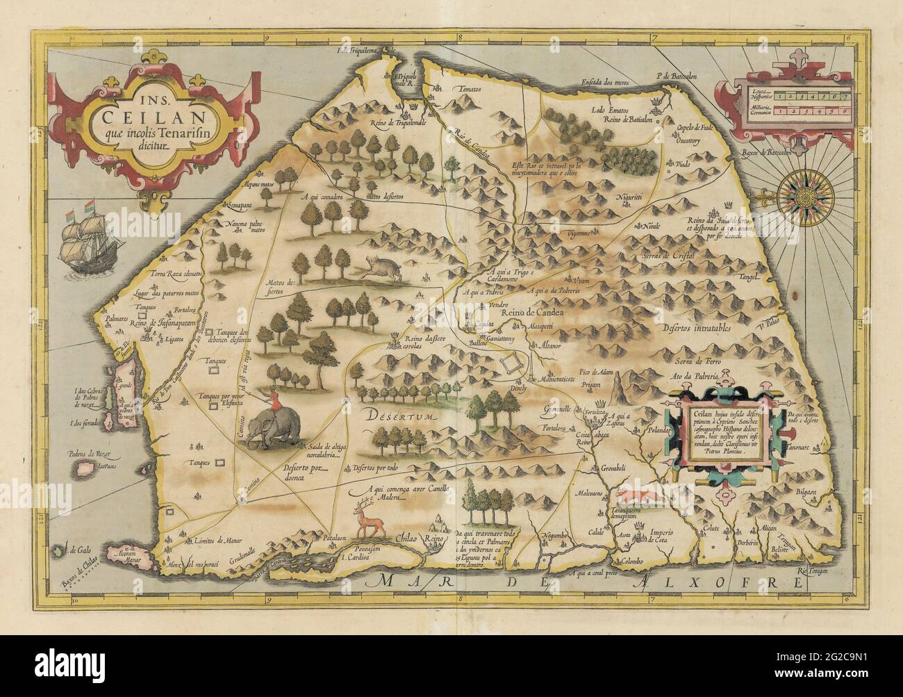 Ceylon Map, Map of Ceylon, Old Ceylon Map, Retro Ceylon Map, Sri Lanka Map, Map of Sri Lanka, Old Sri Lanka Map, Sri Lanka Poster, Sri Lanka Print Stock Photohttps://www.alamy.com/image-license-details/?v=1https://www.alamy.com/ceylon-map-map-of-ceylon-old-ceylon-map-retro-ceylon-map-sri-lanka-map-map-of-sri-lanka-old-sri-lanka-map-sri-lanka-poster-sri-lanka-print-image431759581.html
RF2G2C9N1–Ceylon Map, Map of Ceylon, Old Ceylon Map, Retro Ceylon Map, Sri Lanka Map, Map of Sri Lanka, Old Sri Lanka Map, Sri Lanka Poster, Sri Lanka Print
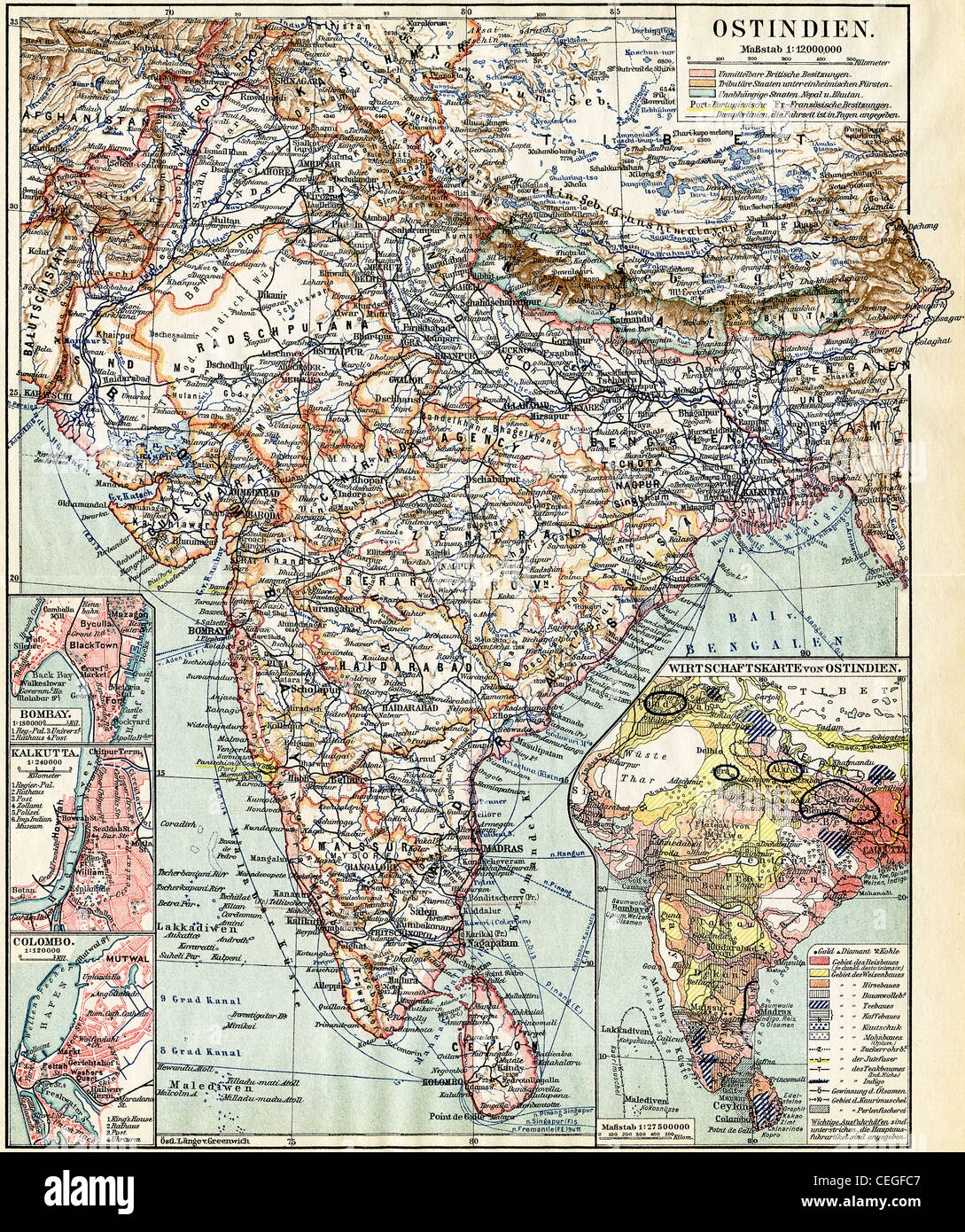 Map of India. Publication of the book 'Meyers Konversations-Lexikon', Volume 7, Leipzig, Germany, 1910 Stock Photohttps://www.alamy.com/image-license-details/?v=1https://www.alamy.com/stock-photo-map-of-india-publication-of-the-book-meyers-konversations-lexikon-43389255.html
RFCEGFC7–Map of India. Publication of the book 'Meyers Konversations-Lexikon', Volume 7, Leipzig, Germany, 1910
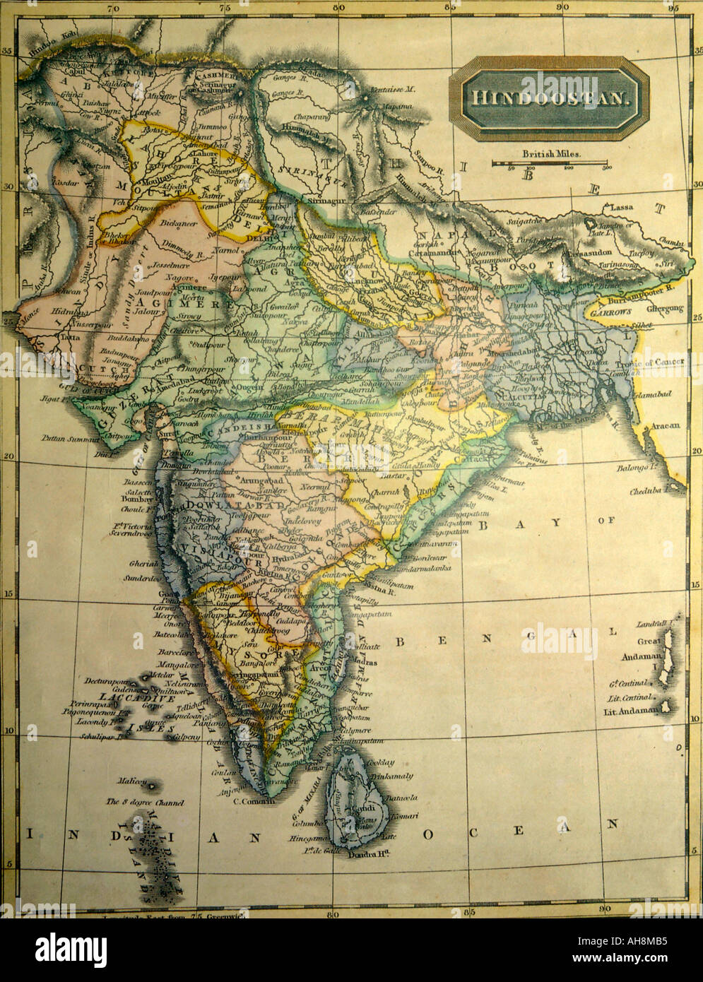 Old map of India showing Hindoostan Indian Ocean Bay of Bengal Ceylon Sri Lanka Pakistan Tibet Persia Laccadive Isles Andaman Nicobar Islands India Stock Photohttps://www.alamy.com/image-license-details/?v=1https://www.alamy.com/old-map-of-india-showing-hindoostan-indian-ocean-bay-of-bengal-ceylon-image4699316.html
RFAH8MB5–Old map of India showing Hindoostan Indian Ocean Bay of Bengal Ceylon Sri Lanka Pakistan Tibet Persia Laccadive Isles Andaman Nicobar Islands India
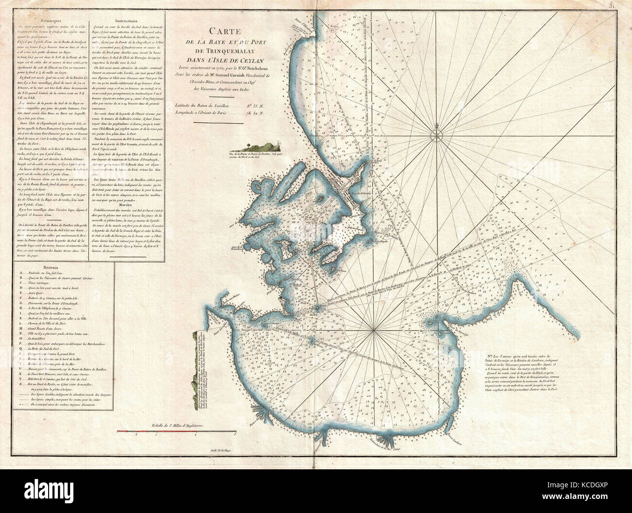 1775, Mannevillette Map of Trincomalee, Ceylon or Sri Lanka Stock Photohttps://www.alamy.com/image-license-details/?v=1https://www.alamy.com/stock-image-1775-mannevillette-map-of-trincomalee-ceylon-or-sri-lanka-162567854.html
RMKCDGXP–1775, Mannevillette Map of Trincomalee, Ceylon or Sri Lanka
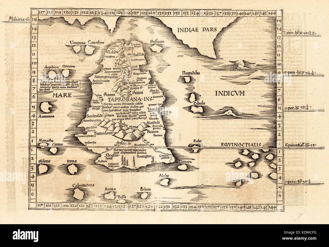 map of Ceylon, first century CE, Stock Photohttps://www.alamy.com/image-license-details/?v=1https://www.alamy.com/stock-image-map-of-ceylon-first-century-ce-163332724.html
RMKDMCFG–map of Ceylon, first century CE,
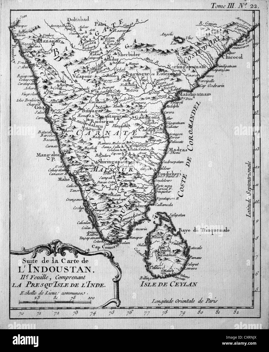 Historical engraving, map of Ceylon and South India, Jacques Nicolas Bellin, Suite de la Carte de l'Industan, circa 1763 Stock Photohttps://www.alamy.com/image-license-details/?v=1https://www.alamy.com/stock-photo-historical-engraving-map-of-ceylon-and-south-india-jacques-nicolas-50923682.html
RMCXRNJX–Historical engraving, map of Ceylon and South India, Jacques Nicolas Bellin, Suite de la Carte de l'Industan, circa 1763
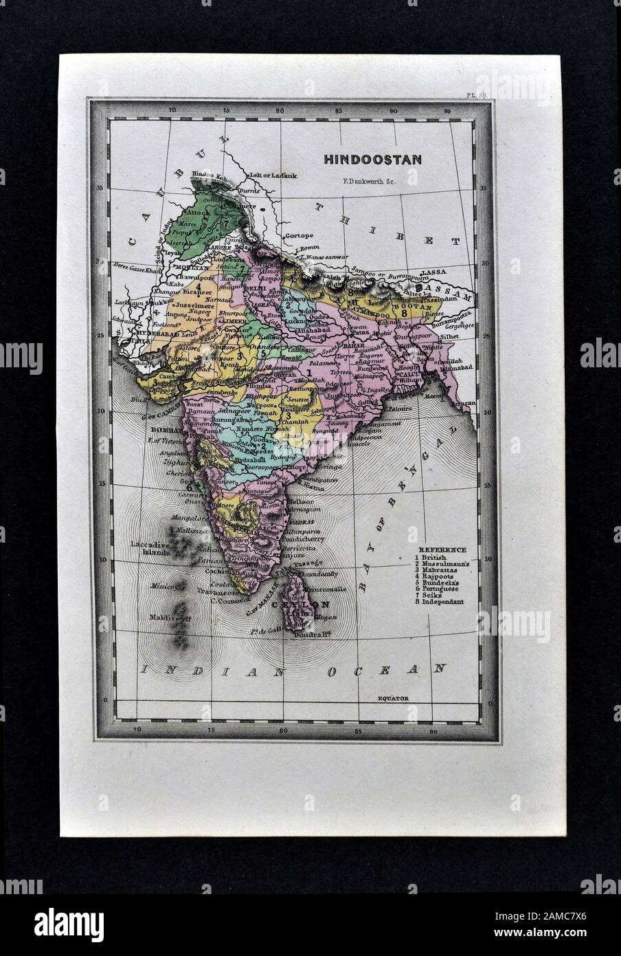 1834 Carey Map India Bombay Calcutta Delhi Ceylon Goa Madras Nepal Tibet Stock Photohttps://www.alamy.com/image-license-details/?v=1https://www.alamy.com/1834-carey-map-india-bombay-calcutta-delhi-ceylon-goa-madras-nepal-tibet-image339559758.html
RF2AMC7X6–1834 Carey Map India Bombay Calcutta Delhi Ceylon Goa Madras Nepal Tibet
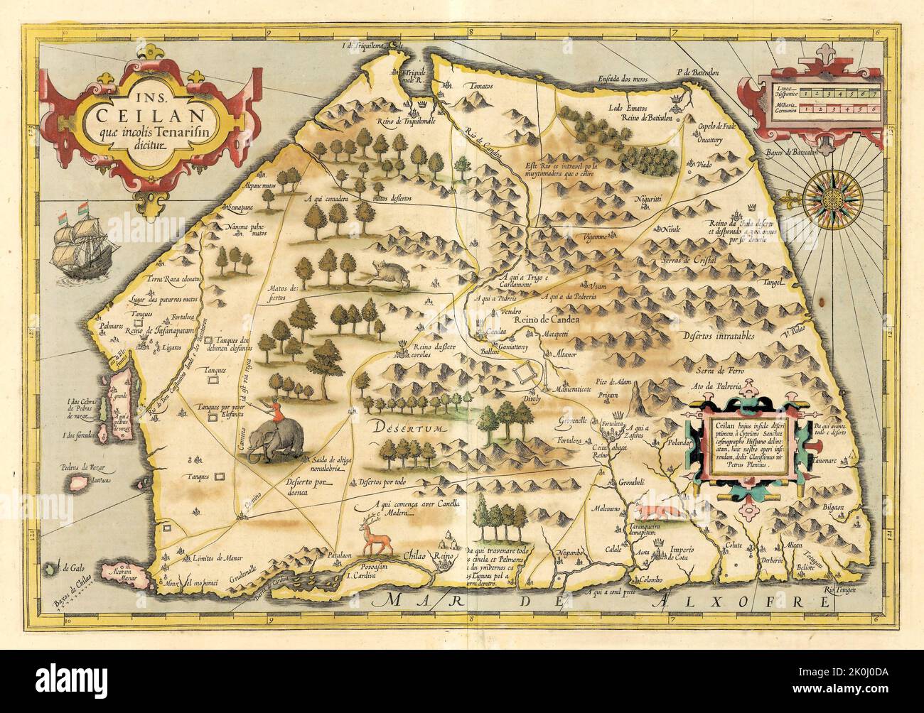 Ancient vintage map of Ceylon. Modern name Sri Lanka. 1598 Stock Photohttps://www.alamy.com/image-license-details/?v=1https://www.alamy.com/ancient-vintage-map-of-ceylon-modern-name-sri-lanka-1598-image482285814.html
RF2K0J0DA–Ancient vintage map of Ceylon. Modern name Sri Lanka. 1598
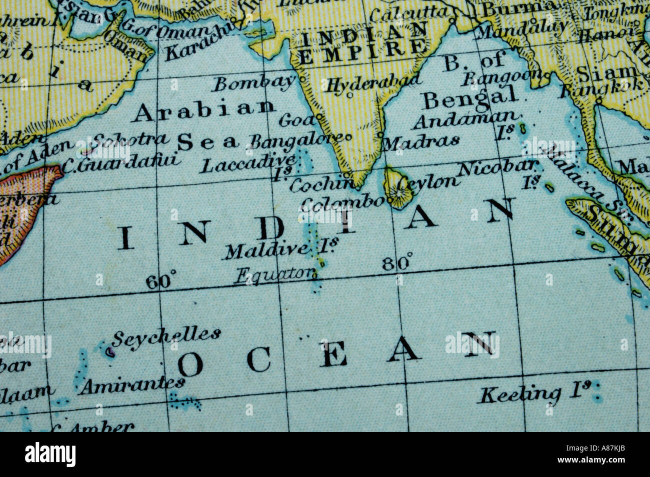 Map of the Indian Ocean Stock Photohttps://www.alamy.com/image-license-details/?v=1https://www.alamy.com/map-of-the-indian-ocean-image6865258.html
RFA87KJB–Map of the Indian Ocean
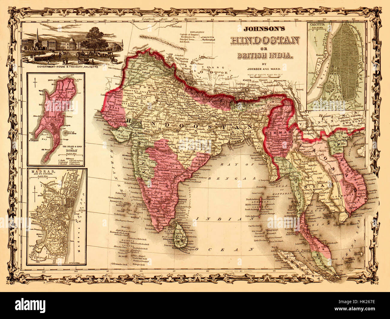 Map Of India 1867 Stock Photohttps://www.alamy.com/image-license-details/?v=1https://www.alamy.com/stock-photo-map-of-india-1867-132199858.html
RFHK267E–Map Of India 1867
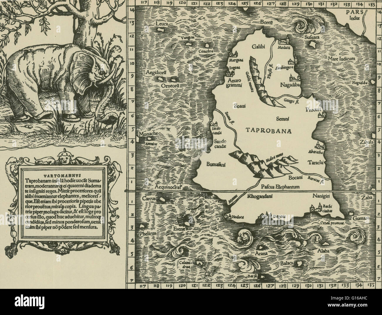 Ptolemy's map of Ceylon based on the description contained in Ptolemy's book Geographia, written 150 AD. Although authentic maps have never been found, the Geographia contains thousands of references to various parts of the old world, with coordinates for Stock Photohttps://www.alamy.com/image-license-details/?v=1https://www.alamy.com/stock-photo-ptolemys-map-of-ceylon-based-on-the-description-contained-in-ptolemys-104016904.html
RMG16AHC–Ptolemy's map of Ceylon based on the description contained in Ptolemy's book Geographia, written 150 AD. Although authentic maps have never been found, the Geographia contains thousands of references to various parts of the old world, with coordinates for
 Map of Railway systems in India, Burmah & Ceylon. TROTT. March 1911 old Stock Photohttps://www.alamy.com/image-license-details/?v=1https://www.alamy.com/map-of-railway-systems-in-india-burmah-ceylon-trott-march-1911-old-image610578395.html
RF2XDA6Y7–Map of Railway systems in India, Burmah & Ceylon. TROTT. March 1911 old
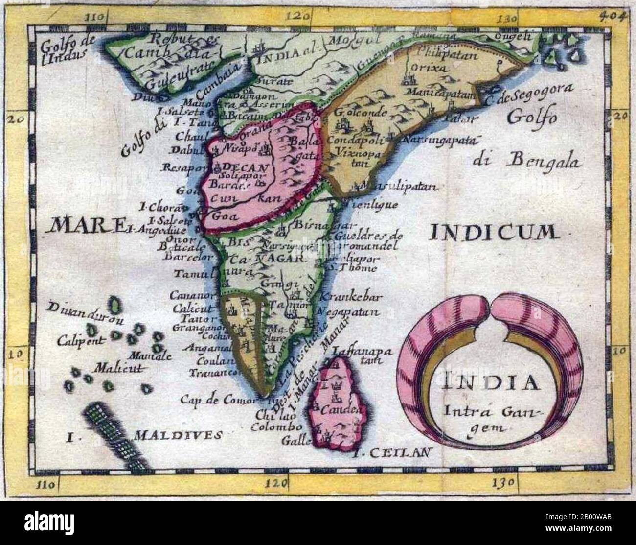 India: 'India Intra-Gangem', a miniature map of the Malabar and Coromandel coasts, from Pierre Duval's 'Geographiae Universalis', 1679. In classical usage, 'India Intra Gangem' refers to South Asia west of the Ganges, while 'India Extra Gangem' refers to peninsular Southeast Asia. Stock Photohttps://www.alamy.com/image-license-details/?v=1https://www.alamy.com/india-india-intra-gangem-a-miniature-map-of-the-malabar-and-coromandel-coasts-from-pierre-duvals-geographiae-universalis-1679-in-classical-usage-india-intra-gangem-refers-to-south-asia-west-of-the-ganges-while-india-extra-gangem-refers-to-peninsular-southeast-asia-image344227251.html
RM2B00WAB–India: 'India Intra-Gangem', a miniature map of the Malabar and Coromandel coasts, from Pierre Duval's 'Geographiae Universalis', 1679. In classical usage, 'India Intra Gangem' refers to South Asia west of the Ganges, while 'India Extra Gangem' refers to peninsular Southeast Asia.
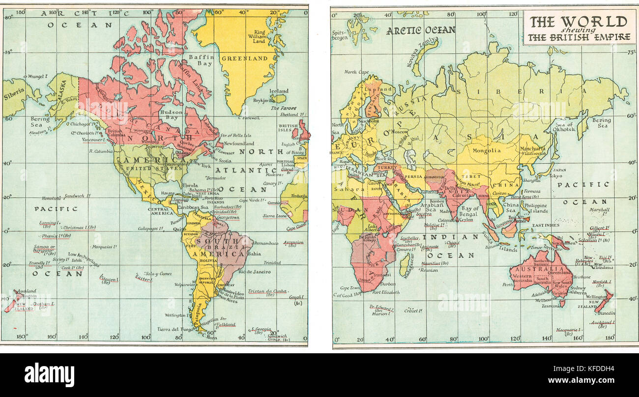 Pre World War 2 Map of the British Empire in 1935 Stock Photohttps://www.alamy.com/image-license-details/?v=1https://www.alamy.com/stock-image-pre-world-war-2-map-of-the-british-empire-in-1935-164409200.html
RMKFDDH4–Pre World War 2 Map of the British Empire in 1935
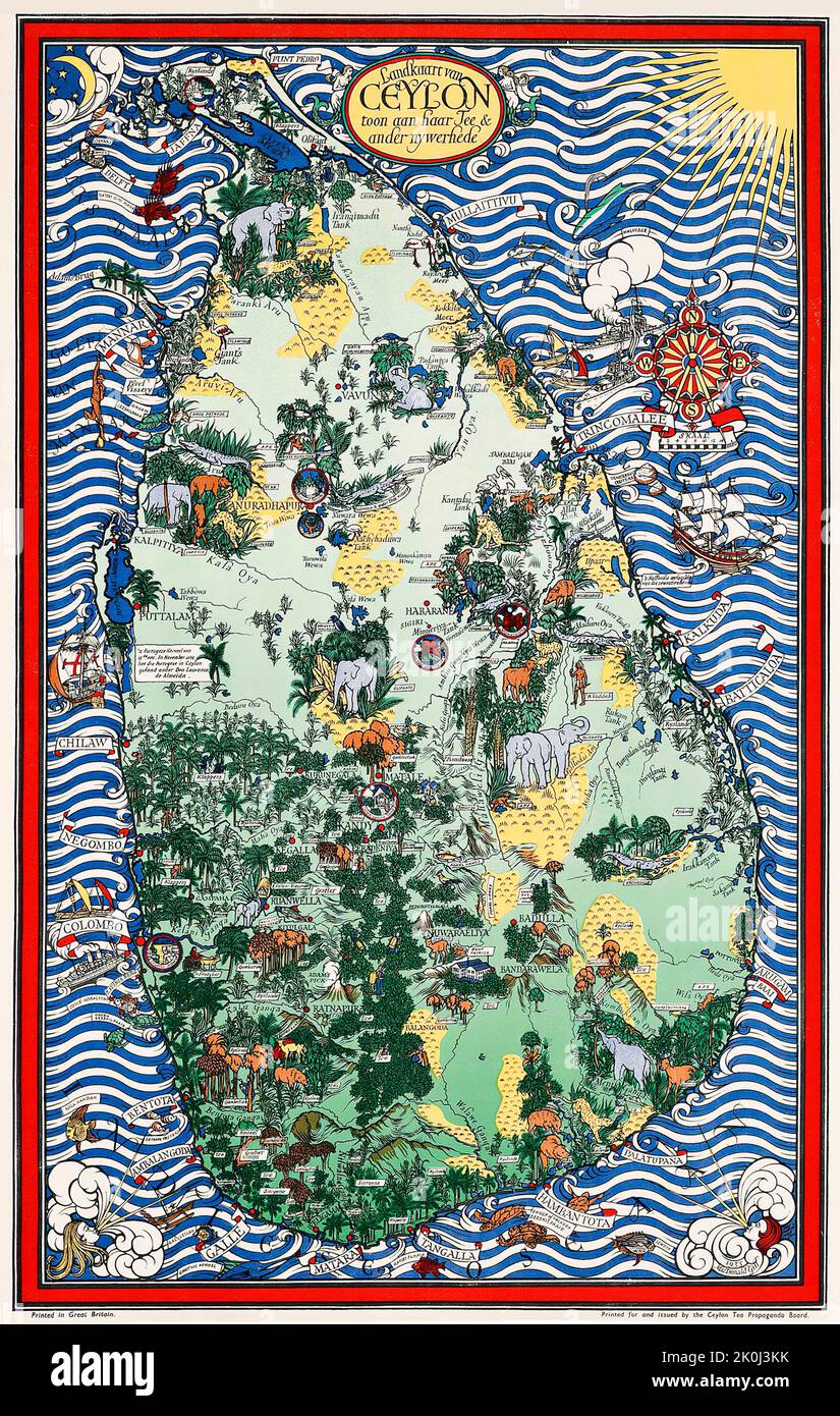 Gill MacDonald - LANDKAART VAN CEYLON 1933 - Map of Ceylon Stock Photohttps://www.alamy.com/image-license-details/?v=1https://www.alamy.com/gill-macdonald-landkaart-van-ceylon-1933-map-of-ceylon-image482288343.html
RM2K0J3KK–Gill MacDonald - LANDKAART VAN CEYLON 1933 - Map of Ceylon
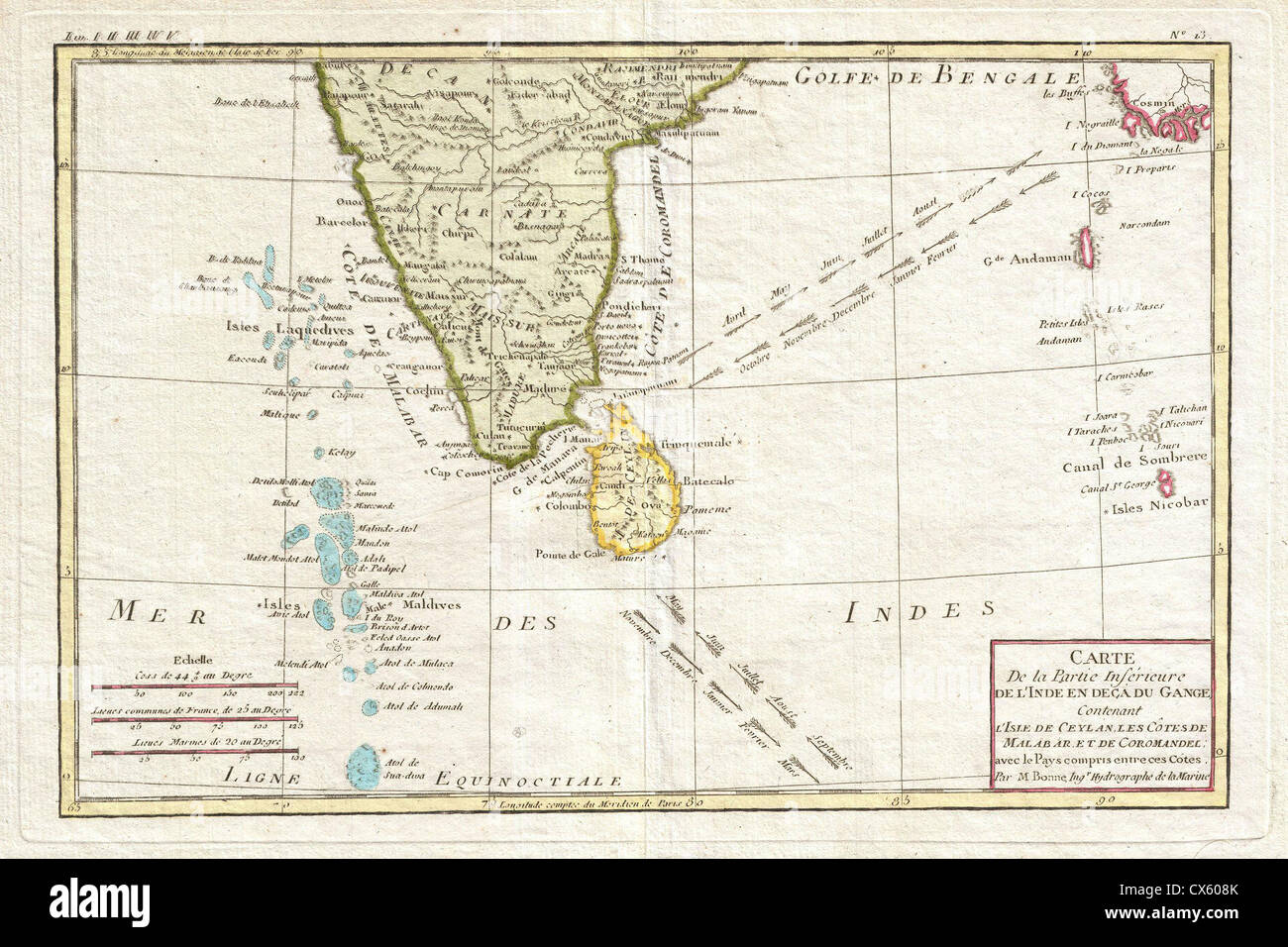 1780 Bonne Map of Southern India, Ceylon, and the Maldives Stock Photohttps://www.alamy.com/image-license-details/?v=1https://www.alamy.com/stock-photo-1780-bonne-map-of-southern-india-ceylon-and-the-maldives-50533747.html
RMCX608K–1780 Bonne Map of Southern India, Ceylon, and the Maldives
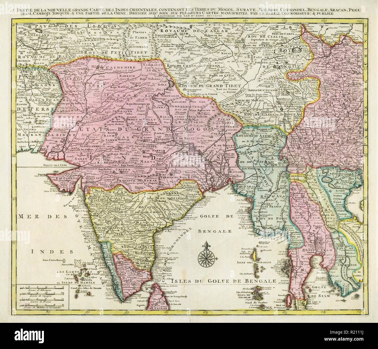 Map of India and Southern Asia dating from 1792 Stock Photohttps://www.alamy.com/image-license-details/?v=1https://www.alamy.com/map-of-india-and-southern-asia-dating-from-1792-image224986878.html
RMR2111J–Map of India and Southern Asia dating from 1792
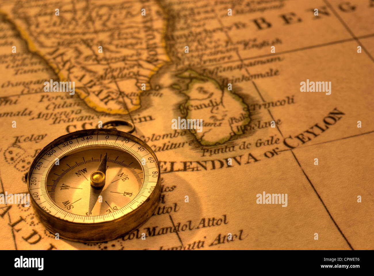 Ancient compass and map of Southern India and Sri Lanka. Map is from 1799 and is out of copyright. Stock Photohttps://www.alamy.com/image-license-details/?v=1https://www.alamy.com/stock-photo-ancient-compass-and-map-of-southern-india-and-sri-lanka-map-is-from-48503622.html
RFCPWET6–Ancient compass and map of Southern India and Sri Lanka. Map is from 1799 and is out of copyright.
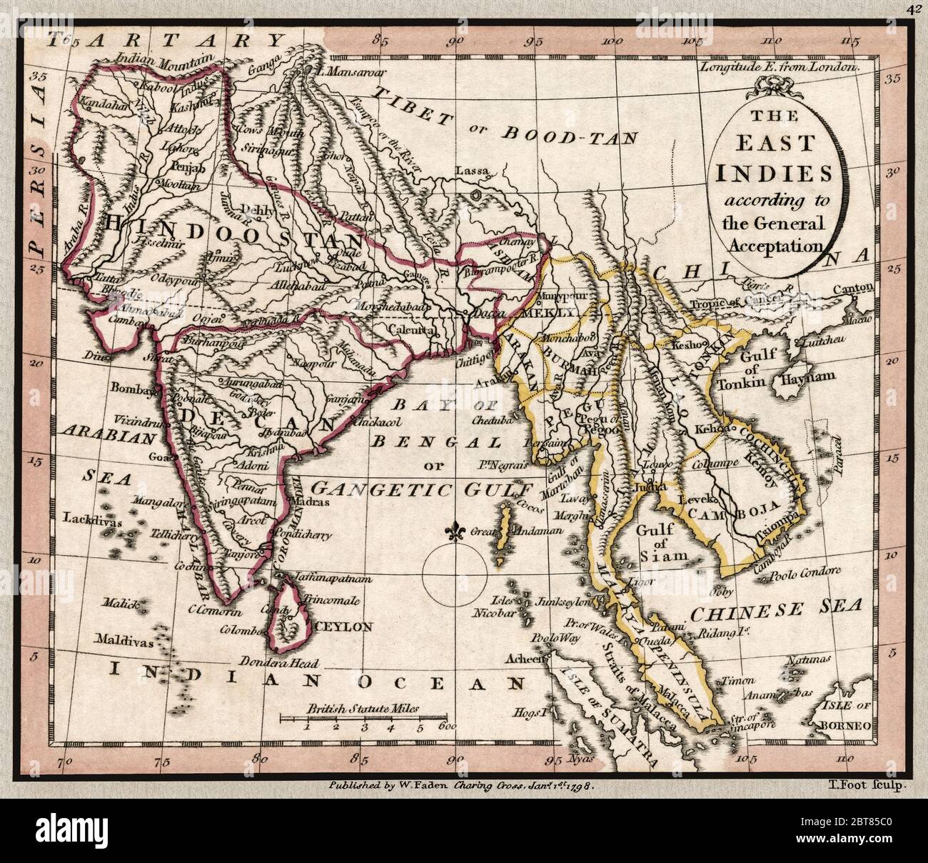 'The East Indies according to the general acceptation.' Map shows important landmarks of the Indian subcontinent at the time of British colonization. This is a beautifully detailed historic map reproduction. Original from a British atlas published by famed cartographer William Faden was created circa 1798. Stock Photohttps://www.alamy.com/image-license-details/?v=1https://www.alamy.com/the-east-indies-according-to-the-general-acceptation-map-shows-important-landmarks-of-the-indian-subcontinent-at-the-time-of-british-colonization-this-is-a-beautifully-detailed-historic-map-reproduction-original-from-a-british-atlas-published-by-famed-cartographer-william-faden-was-created-circa-1798-image359138976.html
RM2BT85C0–'The East Indies according to the general acceptation.' Map shows important landmarks of the Indian subcontinent at the time of British colonization. This is a beautifully detailed historic map reproduction. Original from a British atlas published by famed cartographer William Faden was created circa 1798.
 india, map, atlas, map of the world, city, town, colour, mountains, industry, Stock Photohttps://www.alamy.com/image-license-details/?v=1https://www.alamy.com/stock-photo-india-map-atlas-map-of-the-world-city-town-colour-mountains-industry-143216649.html
RFJ90289–india, map, atlas, map of the world, city, town, colour, mountains, industry,
 Vintage pictorial map of Ceylon, now Sri Lanka, published by W. Faden, geographer to His Majesty, 1813 Stock Photohttps://www.alamy.com/image-license-details/?v=1https://www.alamy.com/vintage-pictorial-map-of-ceylon-now-sri-lanka-published-by-w-faden-geographer-to-his-majesty-1813-image624132306.html
RM2Y7BK3E–Vintage pictorial map of Ceylon, now Sri Lanka, published by W. Faden, geographer to His Majesty, 1813
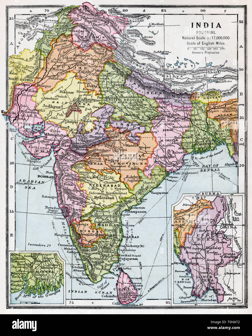 Indian political map of India, published circa 1930 Stock Photohttps://www.alamy.com/image-license-details/?v=1https://www.alamy.com/indian-political-map-of-india-published-circa-1930-image241326850.html
RMT0HAT2–Indian political map of India, published circa 1930
 1686, Mallet Map of Ceylon or Sri Lanka, Taprobane Stock Photohttps://www.alamy.com/image-license-details/?v=1https://www.alamy.com/stock-image-1686-mallet-map-of-ceylon-or-sri-lanka-taprobane-162583947.html
RMKCE9DF–1686, Mallet Map of Ceylon or Sri Lanka, Taprobane
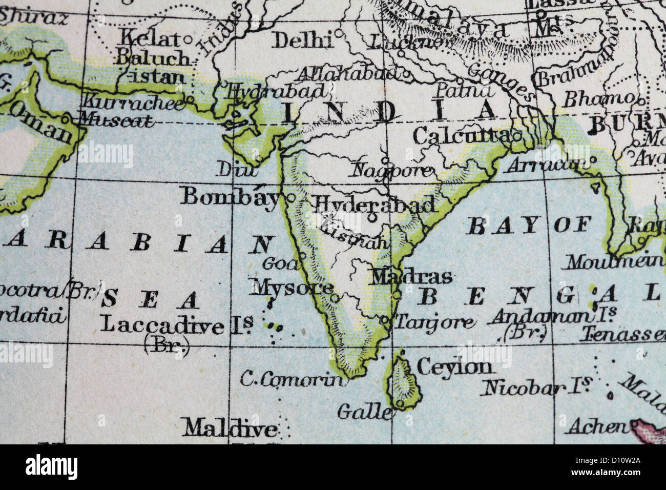 Antique map by W and A&K Johnston, printed in c.1888. Illustrating the World in hemispheres. Zoomed in on India Stock Photohttps://www.alamy.com/image-license-details/?v=1https://www.alamy.com/stock-photo-antique-map-by-w-and-ak-johnston-printed-in-c1888-illustrating-the-52265426.html
RMD10W2A–Antique map by W and A&K Johnston, printed in c.1888. Illustrating the World in hemispheres. Zoomed in on India
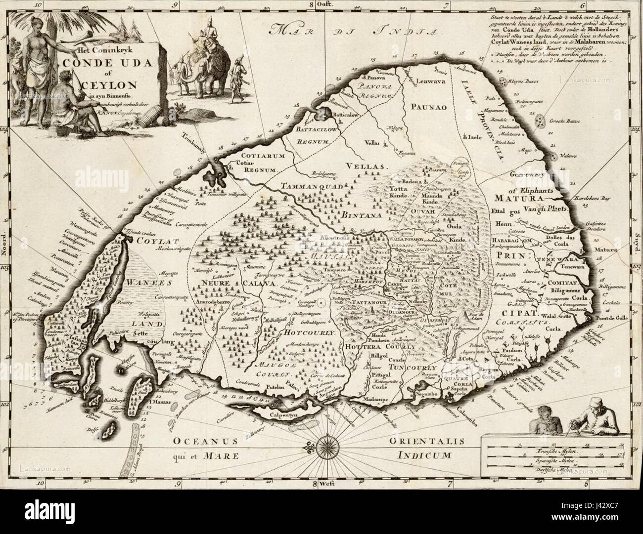 Map of ceylon c1692 Stock Photohttps://www.alamy.com/image-license-details/?v=1https://www.alamy.com/stock-photo-map-of-ceylon-c1692-140206199.html
RMJ42XC7–Map of ceylon c1692
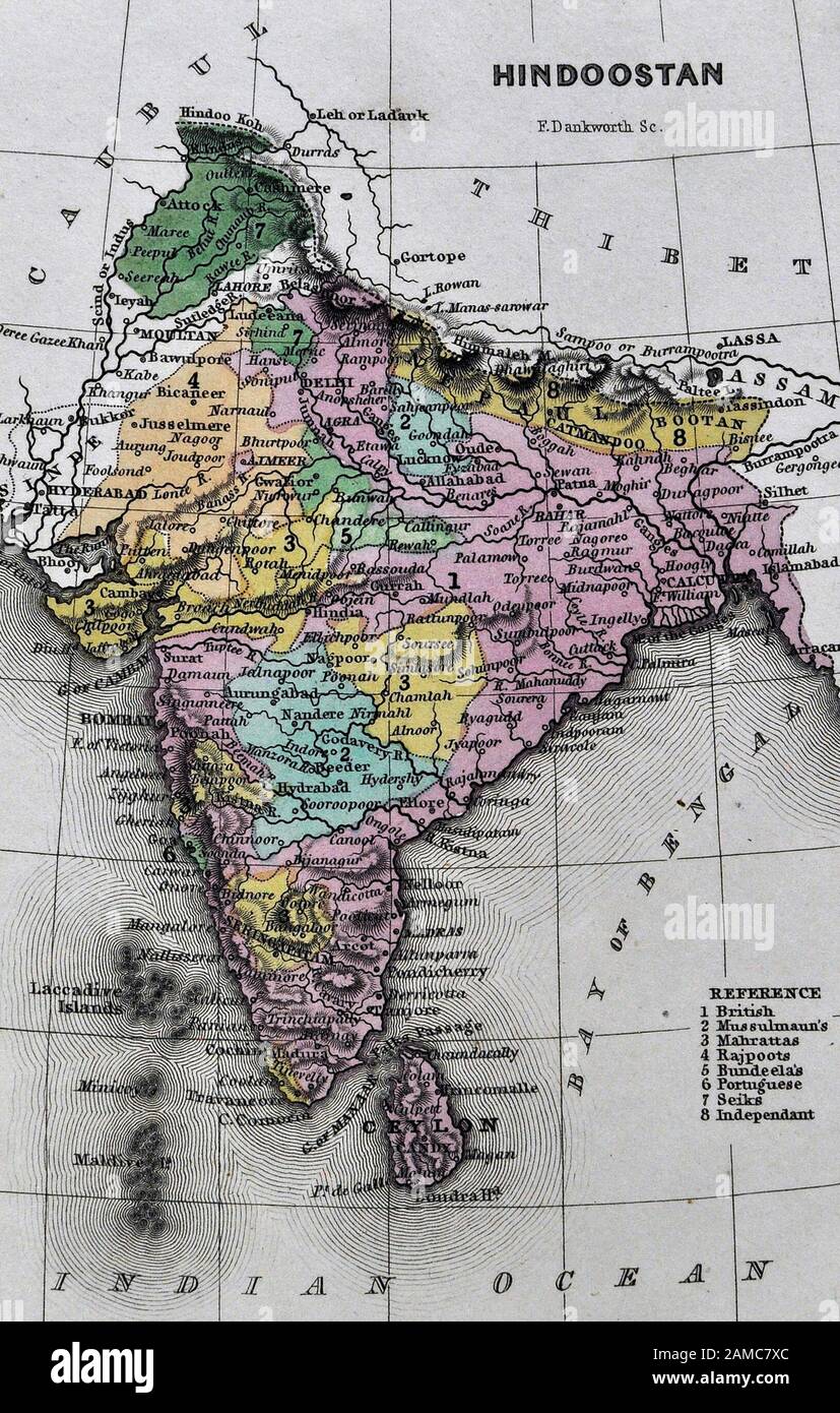 1834 Carey Map India Bombay Calcutta Delhi Ceylon Goa Madras Nepal Tibet Stock Photohttps://www.alamy.com/image-license-details/?v=1https://www.alamy.com/1834-carey-map-india-bombay-calcutta-delhi-ceylon-goa-madras-nepal-tibet-image339559764.html
RF2AMC7XC–1834 Carey Map India Bombay Calcutta Delhi Ceylon Goa Madras Nepal Tibet
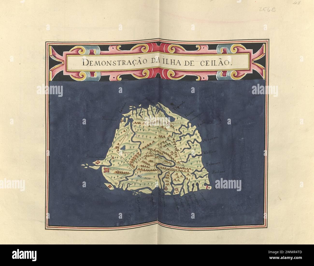 Description of the Island of Ceilao (Ceylon? or Sri Lanka?) 1615 Stock Photohttps://www.alamy.com/image-license-details/?v=1https://www.alamy.com/description-of-the-island-of-ceilao-ceylon-or-sri-lanka-1615-image597954349.html
RF2WMR4TD–Description of the Island of Ceilao (Ceylon? or Sri Lanka?) 1615
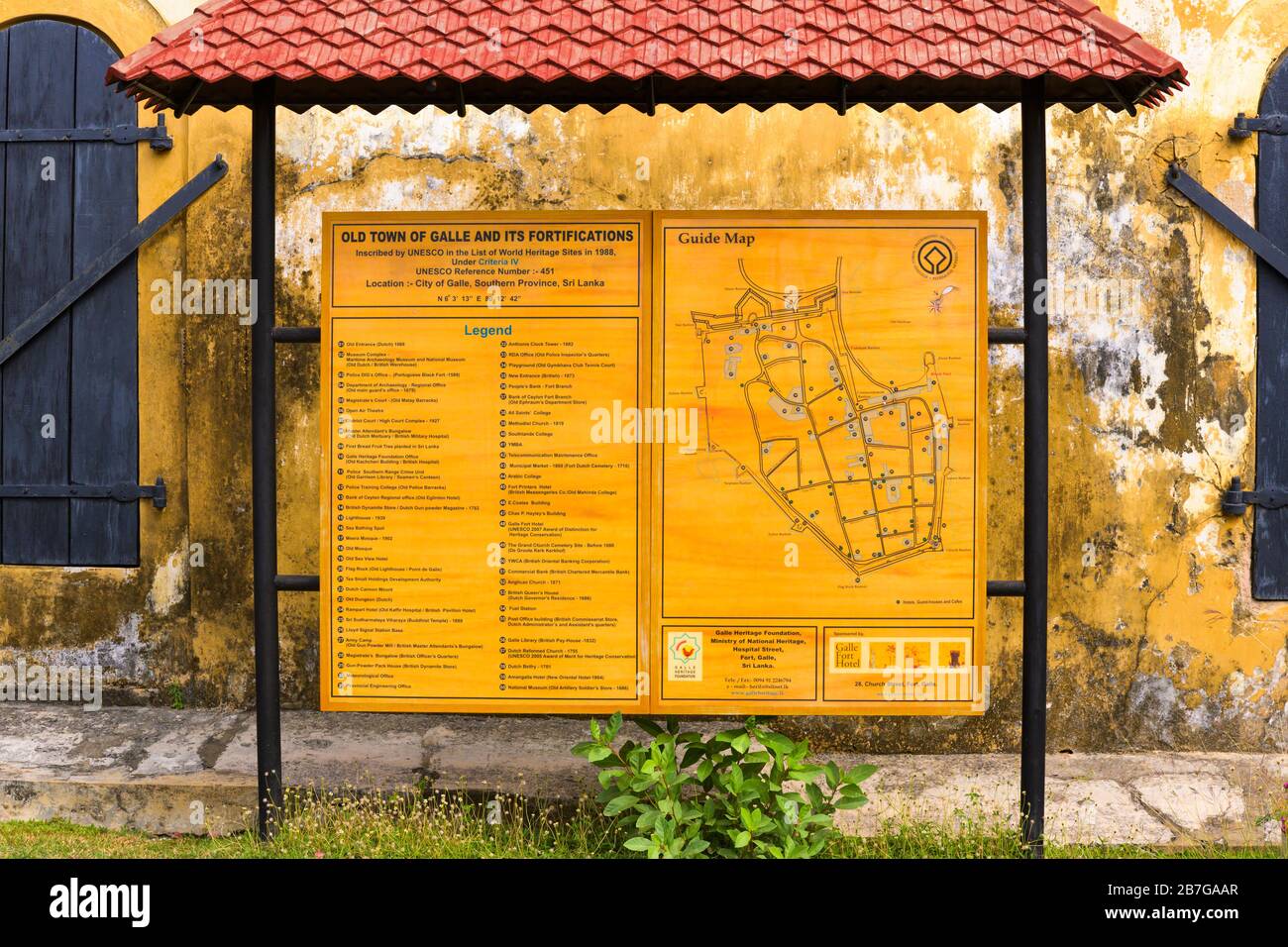 South Asia Sri Lanka Fort Galle colonial town centre ancient harbour port guide map sign of old town & fortifications World Heritage Site town wall Stock Photohttps://www.alamy.com/image-license-details/?v=1https://www.alamy.com/south-asia-sri-lanka-fort-galle-colonial-town-centre-ancient-harbour-port-guide-map-sign-of-old-town-fortifications-world-heritage-site-town-wall-image348869327.html
RF2B7GAAR–South Asia Sri Lanka Fort Galle colonial town centre ancient harbour port guide map sign of old town & fortifications World Heritage Site town wall
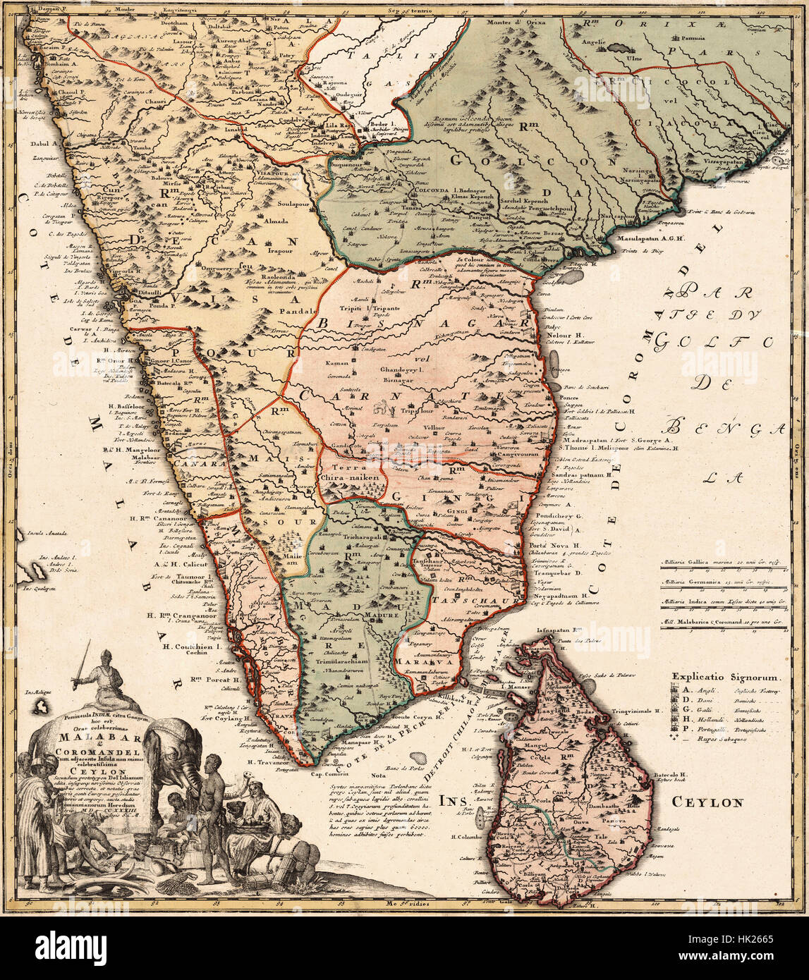 Map Of India 1733 Stock Photohttps://www.alamy.com/image-license-details/?v=1https://www.alamy.com/stock-photo-map-of-india-1733-132199821.html
RFHK2665–Map Of India 1733
 Sri Lanka on the map of South Asia in soft grunge and vintage style, like old paper with watercolor painting. Stock Photohttps://www.alamy.com/image-license-details/?v=1https://www.alamy.com/sri-lanka-on-the-map-of-south-asia-in-soft-grunge-and-vintage-style-like-old-paper-with-watercolor-painting-image570688176.html
RF2T4D2GG–Sri Lanka on the map of South Asia in soft grunge and vintage style, like old paper with watercolor painting.
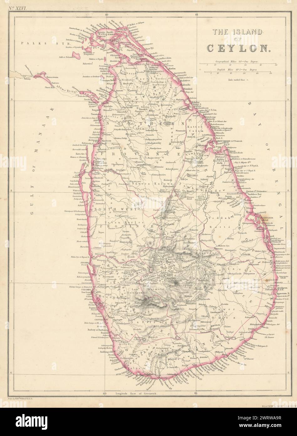 The Island of Ceylon by Edward Weller. Sri Lanka 1860 old antique map chart Stock Photohttps://www.alamy.com/image-license-details/?v=1https://www.alamy.com/the-island-of-ceylon-by-edward-weller-sri-lanka-1860-old-antique-map-chart-image599846515.html
RF2WRWA9R–The Island of Ceylon by Edward Weller. Sri Lanka 1860 old antique map chart
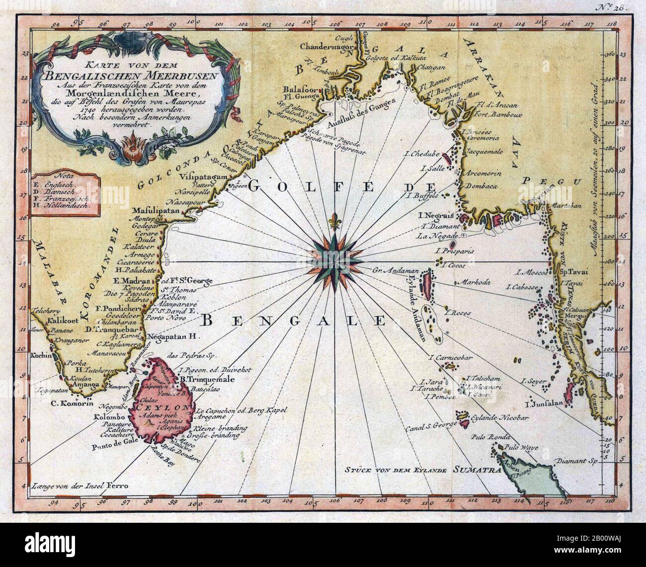 Bay of Bengal: Map of the 'Golfe de Bengal' and its shipping ports, including the Coromandel Coast, by Jacques-Nicolas Bellin (1703-1772), c. 1747. The southeastern coastline of India, known as the Coromandel Coast, was home to three Portuguese settlements by late 1530 at Nagapattinam, São Tomé de Meliapore, and Pulicat. Later, in the 17th and 18th centuries, the Coromandel Coast was the scene of rivalries among European powers for control of the India trade and the 'Spice Trade'. Stock Photohttps://www.alamy.com/image-license-details/?v=1https://www.alamy.com/bay-of-bengal-map-of-the-golfe-de-bengal-and-its-shipping-ports-including-the-coromandel-coast-by-jacques-nicolas-bellin-1703-1772-c-1747-the-southeastern-coastline-of-india-known-as-the-coromandel-coast-was-home-to-three-portuguese-settlements-by-late-1530-at-nagapattinam-so-tom-de-meliapore-and-pulicat-later-in-the-17th-and-18th-centuries-the-coromandel-coast-was-the-scene-of-rivalries-among-european-powers-for-control-of-the-india-trade-and-the-spice-trade-image344227258.html
RM2B00WAJ–Bay of Bengal: Map of the 'Golfe de Bengal' and its shipping ports, including the Coromandel Coast, by Jacques-Nicolas Bellin (1703-1772), c. 1747. The southeastern coastline of India, known as the Coromandel Coast, was home to three Portuguese settlements by late 1530 at Nagapattinam, São Tomé de Meliapore, and Pulicat. Later, in the 17th and 18th centuries, the Coromandel Coast was the scene of rivalries among European powers for control of the India trade and the 'Spice Trade'.
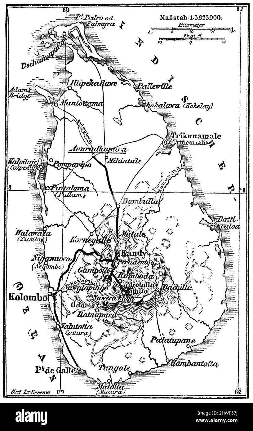 Map of Ceylon, , (encyclopedia, 1893), Karte von Ceylon, Carte de Ceylan Stock Photohttps://www.alamy.com/image-license-details/?v=1https://www.alamy.com/map-of-ceylon-encyclopedia-1893-karte-von-ceylon-carte-de-ceylan-image463323046.html
RM2HWP57J–Map of Ceylon, , (encyclopedia, 1893), Karte von Ceylon, Carte de Ceylan
 Gill MacDonald - MAP OF CEYLON SHOWING HER TEA AND OTHER INDUSTRIES - 1933 Stock Photohttps://www.alamy.com/image-license-details/?v=1https://www.alamy.com/gill-macdonald-map-of-ceylon-showing-her-tea-and-other-industries-1933-image482288350.html
RM2K0J3KX–Gill MacDonald - MAP OF CEYLON SHOWING HER TEA AND OTHER INDUSTRIES - 1933
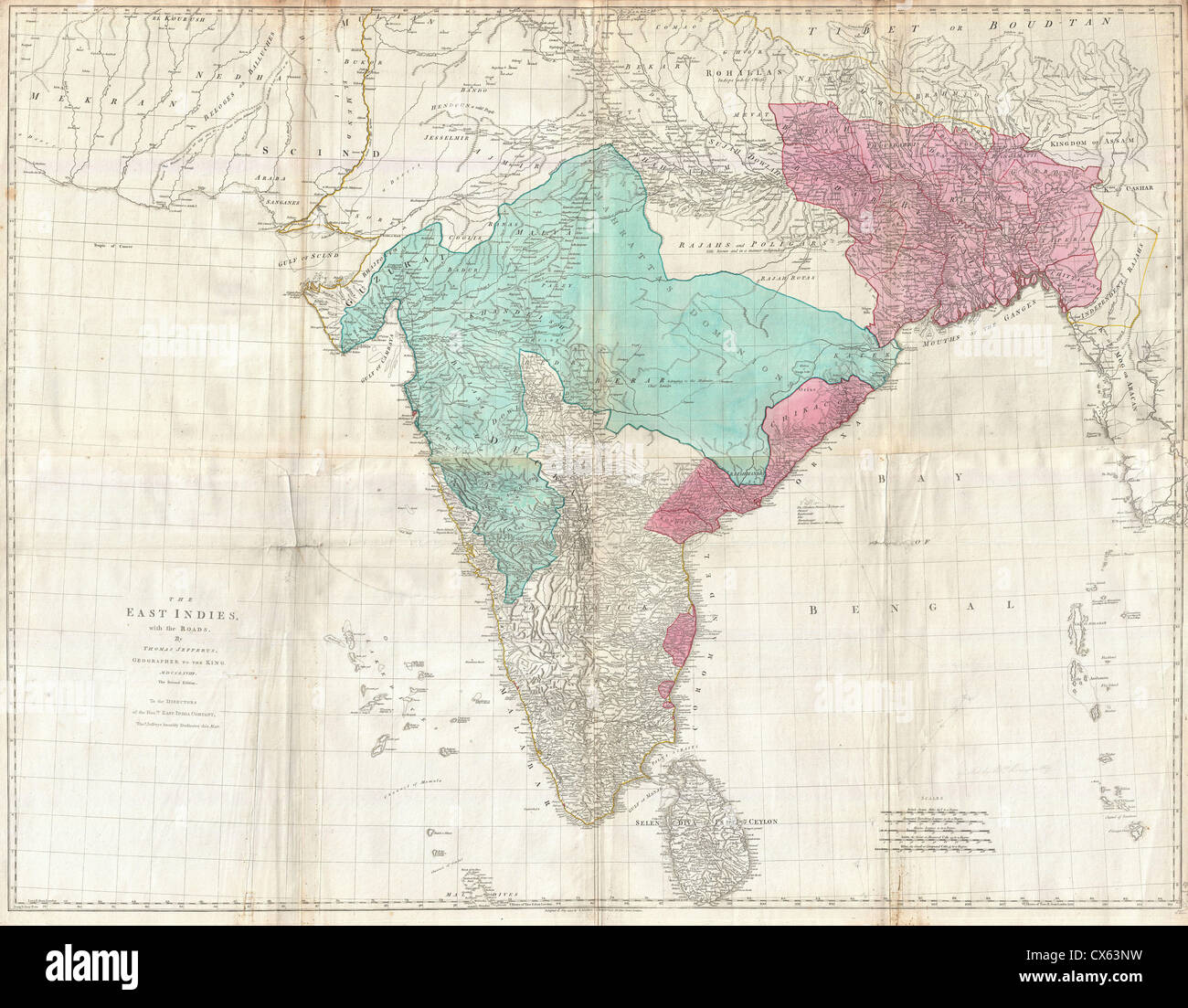 1768 Jeffreys Wall Map of India and Ceylon Stock Photohttps://www.alamy.com/image-license-details/?v=1https://www.alamy.com/stock-photo-1768-jeffreys-wall-map-of-india-and-ceylon-50536469.html
RMCX63NW–1768 Jeffreys Wall Map of India and Ceylon
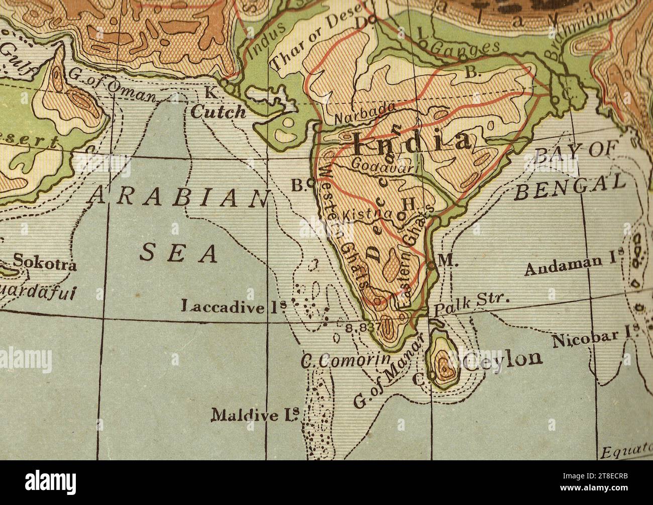 Antique geographical map in sepia of India and Ceylon. Stock Photohttps://www.alamy.com/image-license-details/?v=1https://www.alamy.com/antique-geographical-map-in-sepia-of-india-and-ceylon-image573176783.html
RF2T8ECRB–Antique geographical map in sepia of India and Ceylon.
 Vintage map of India printed in 1750. Old map of India, 1750. Stock Photohttps://www.alamy.com/image-license-details/?v=1https://www.alamy.com/vintage-map-of-india-printed-in-1750-old-map-of-india-1750-image215389638.html
RFPEBRK2–Vintage map of India printed in 1750. Old map of India, 1750.
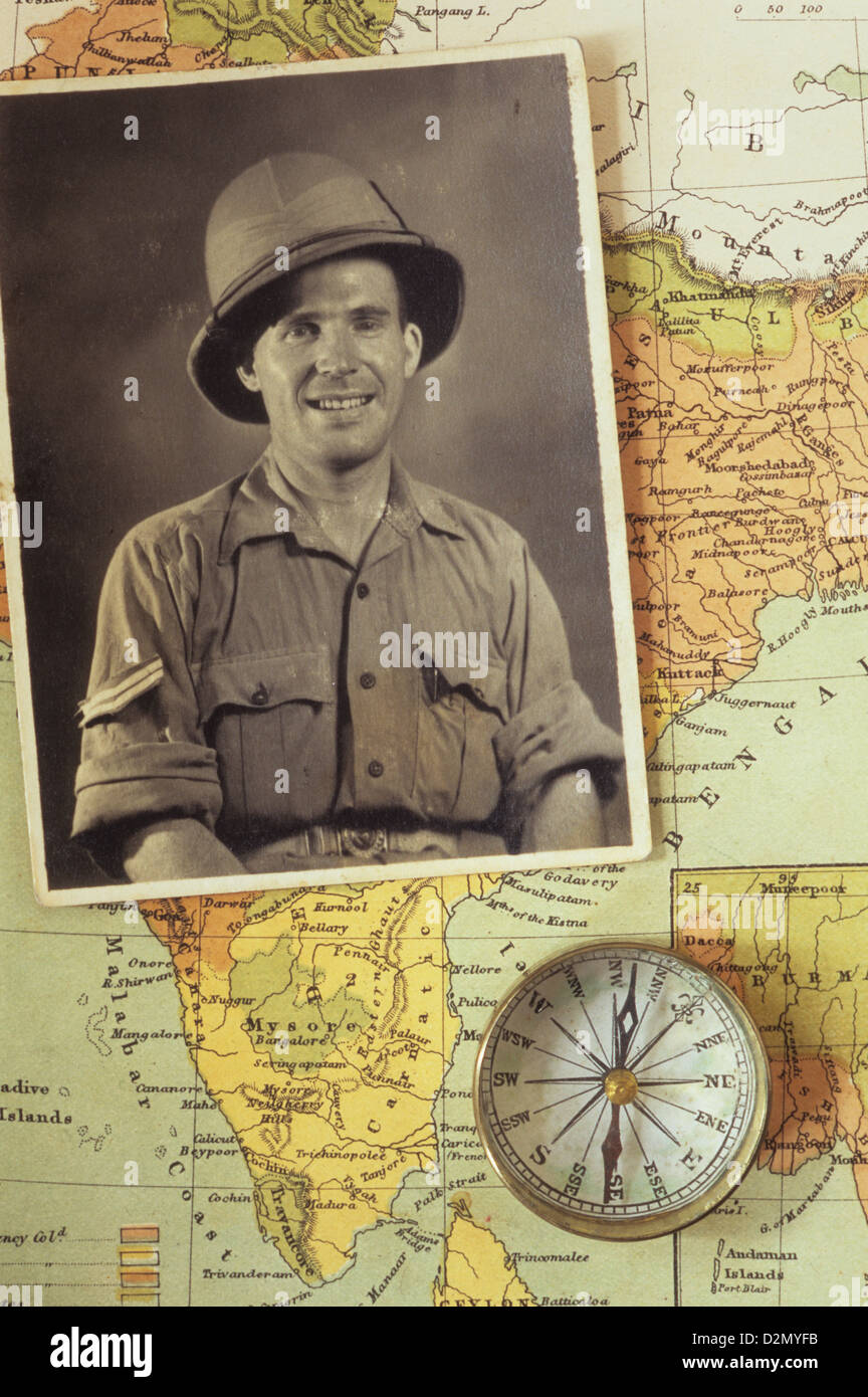 Black and white photograph of man in tropical military uniform placed with compass on map of India Stock Photohttps://www.alamy.com/image-license-details/?v=1https://www.alamy.com/stock-photo-black-and-white-photograph-of-man-in-tropical-military-uniform-placed-53321055.html
RMD2MYFB–Black and white photograph of man in tropical military uniform placed with compass on map of India
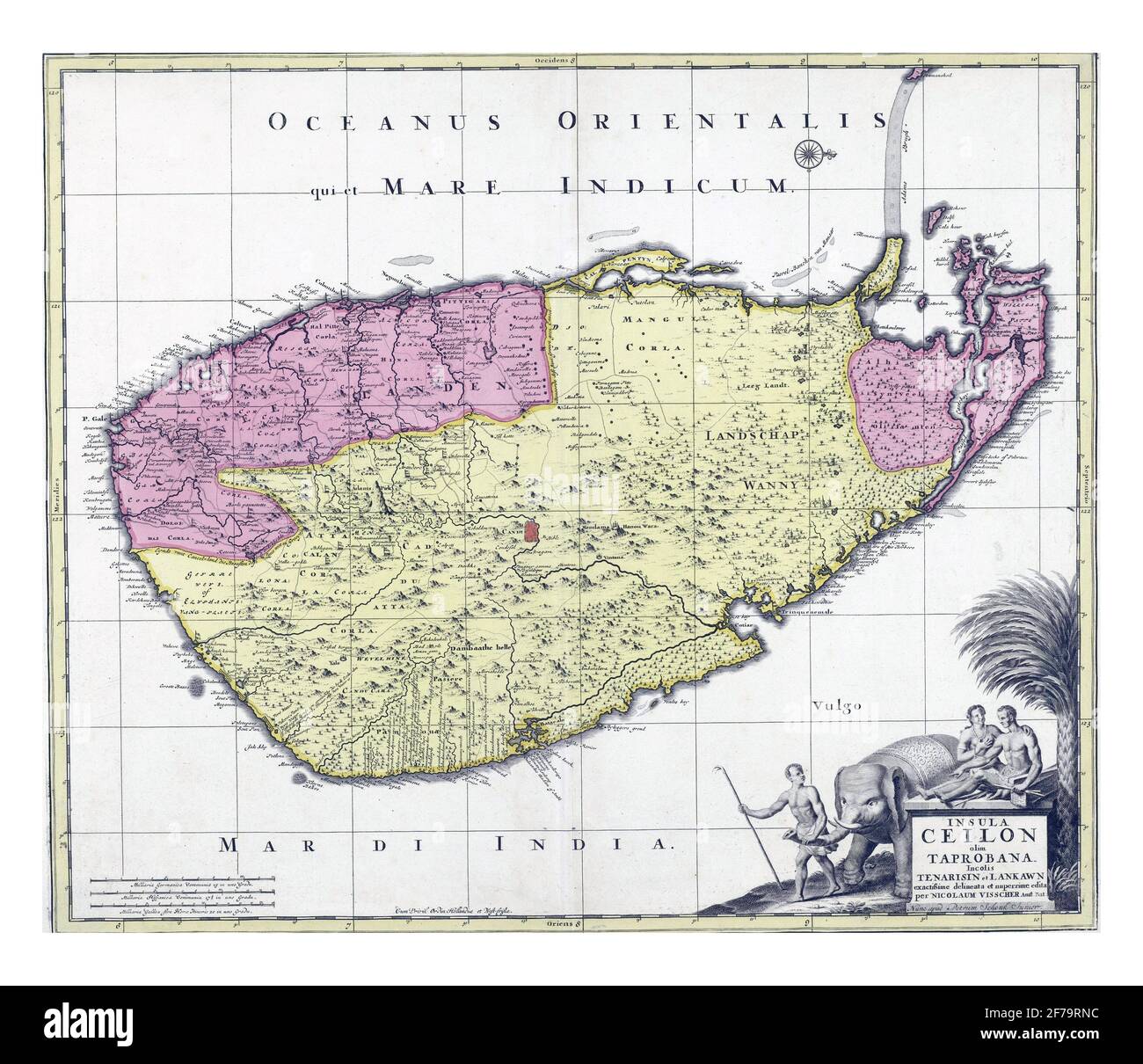 Map of Ceylon, Nicolaes Visscher, vintage engraving. Stock Photohttps://www.alamy.com/image-license-details/?v=1https://www.alamy.com/map-of-ceylon-nicolaes-visscher-vintage-engraving-image417567624.html
RF2F79RNC–Map of Ceylon, Nicolaes Visscher, vintage engraving.
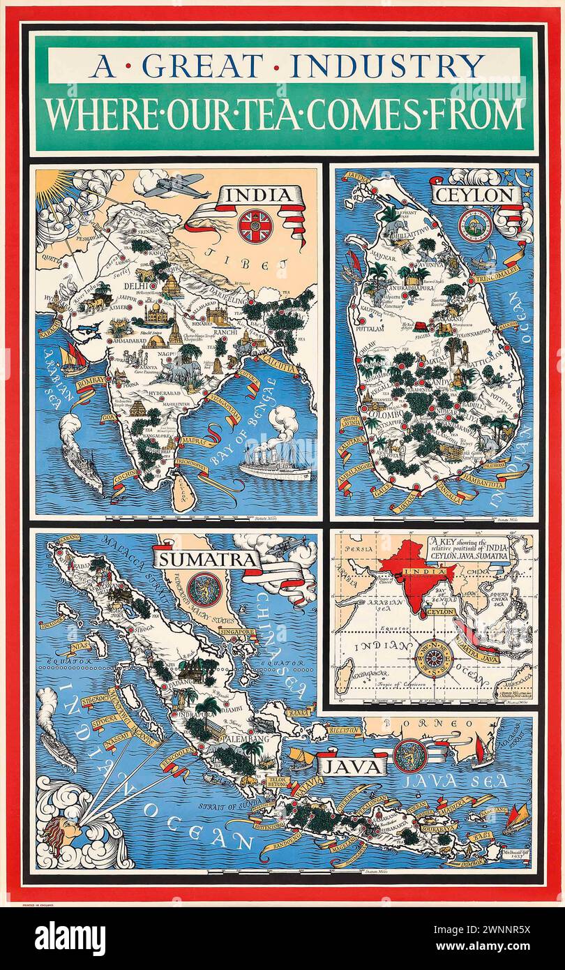 Vintage Illustrated Specialised Map. 'A Great Industry- Where our Tea Comes From' by MacDonald Gill lithograph in colours, 1937 , Featuring maps of India, Ceylon (Sri Lanka) . Java and Sumatra. Stock Photohttps://www.alamy.com/image-license-details/?v=1https://www.alamy.com/vintage-illustrated-specialised-map-a-great-industry-where-our-tea-comes-from-by-macdonald-gill-lithograph-in-colours-1937-featuring-maps-of-india-ceylon-sri-lanka-java-and-sumatra-image598539478.html
RM2WNNR5X–Vintage Illustrated Specialised Map. 'A Great Industry- Where our Tea Comes From' by MacDonald Gill lithograph in colours, 1937 , Featuring maps of India, Ceylon (Sri Lanka) . Java and Sumatra.
 Map of Muhammadan India, beginning of Mughal Empire, Indian map, 1490 Stock Photohttps://www.alamy.com/image-license-details/?v=1https://www.alamy.com/map-of-muhammadan-india-beginning-of-mughal-empire-indian-map-1490-image241326909.html
RMT0HAX5–Map of Muhammadan India, beginning of Mughal Empire, Indian map, 1490
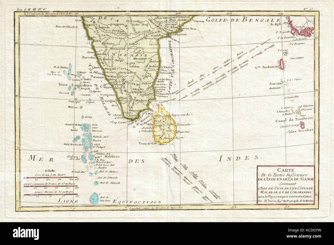 1780, Bonne Map of Southern India, Ceylon, and the Maldives, Rigobert Bonne 1727 – 1794 Stock Photohttps://www.alamy.com/image-license-details/?v=1https://www.alamy.com/stock-image-1780-bonne-map-of-southern-india-ceylon-and-the-maldives-rigobert-162567885.html
RMKCDGYW–1780, Bonne Map of Southern India, Ceylon, and the Maldives, Rigobert Bonne 1727 – 1794
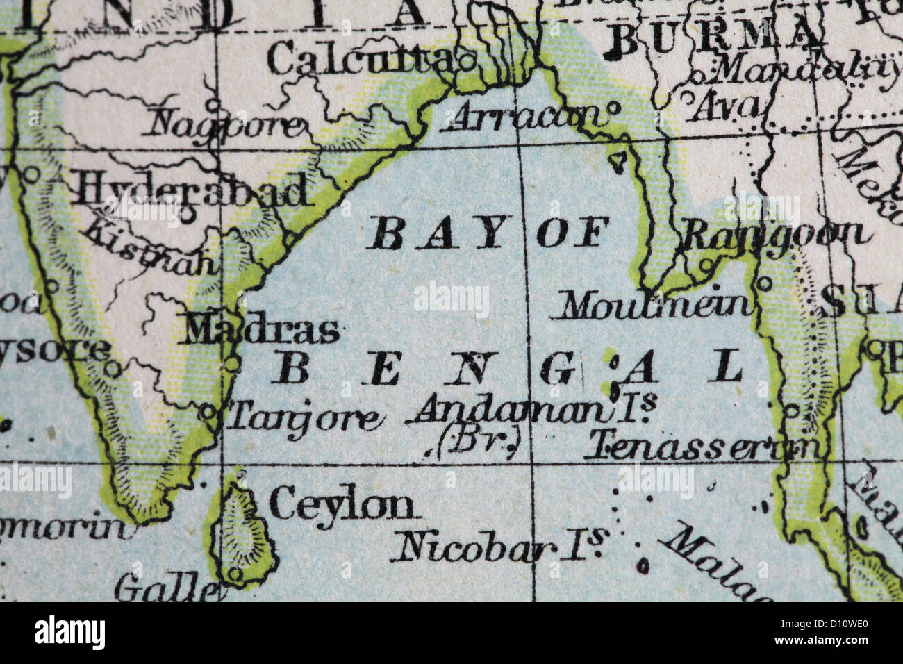 Antique map by W and A&K Johnston, printed in c.1888. Illustrating the World in hemispheres. Zoomed in on Bay of Bengal Stock Photohttps://www.alamy.com/image-license-details/?v=1https://www.alamy.com/stock-photo-antique-map-by-w-and-ak-johnston-printed-in-c1888-illustrating-the-52265752.html
RMD10WE0–Antique map by W and A&K Johnston, printed in c.1888. Illustrating the World in hemispheres. Zoomed in on Bay of Bengal
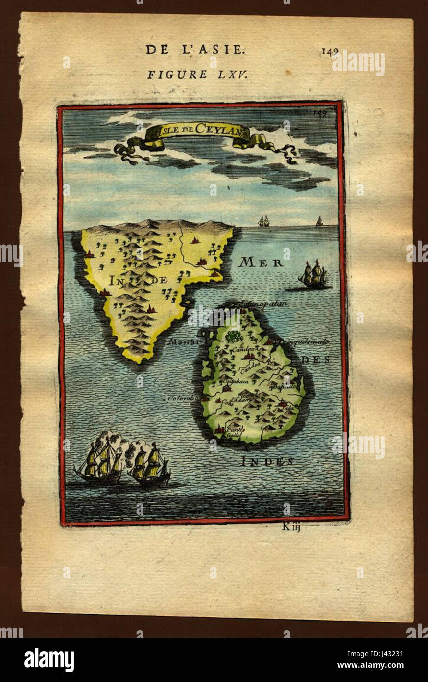 Map of Ceylon, 1683 Stock Photohttps://www.alamy.com/image-license-details/?v=1https://www.alamy.com/stock-photo-map-of-ceylon-1683-140209077.html
RMJ43231–Map of Ceylon, 1683
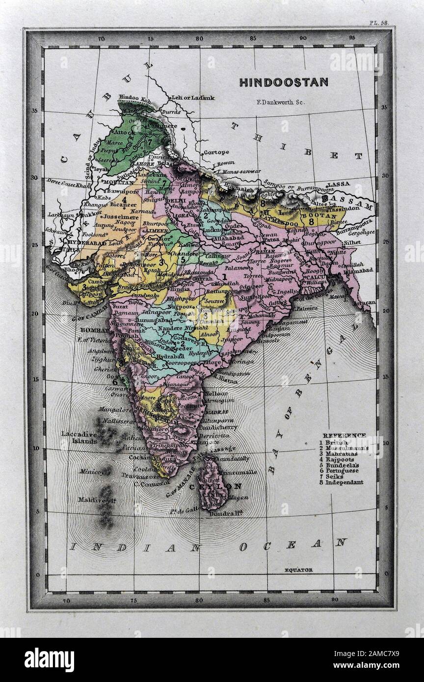 1834 Carey Map India Bombay Calcutta Delhi Ceylon Goa Madras Nepal Tibet Stock Photohttps://www.alamy.com/image-license-details/?v=1https://www.alamy.com/1834-carey-map-india-bombay-calcutta-delhi-ceylon-goa-madras-nepal-tibet-image339559761.html
RF2AMC7X9–1834 Carey Map India Bombay Calcutta Delhi Ceylon Goa Madras Nepal Tibet
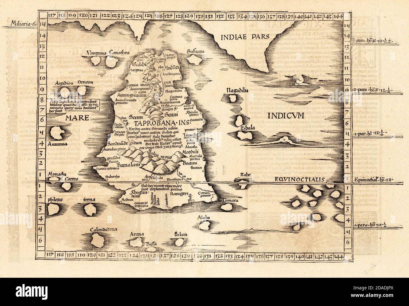 Ptolemy's world map of Ceylon, first century CE, in a 1535 publication Stock Photohttps://www.alamy.com/image-license-details/?v=1https://www.alamy.com/ptolemys-world-map-of-ceylon-first-century-ce-in-a-1535-publication-image385074786.html
RM2DADJPX–Ptolemy's world map of Ceylon, first century CE, in a 1535 publication
 isolated emblem asia vintage illustration flag rusty geography old cartography map atlas map of the world pictogram symbol Stock Photohttps://www.alamy.com/image-license-details/?v=1https://www.alamy.com/stock-photo-isolated-emblem-asia-vintage-illustration-flag-rusty-geography-old-124675892.html
RFH6RDAC–isolated emblem asia vintage illustration flag rusty geography old cartography map atlas map of the world pictogram symbol
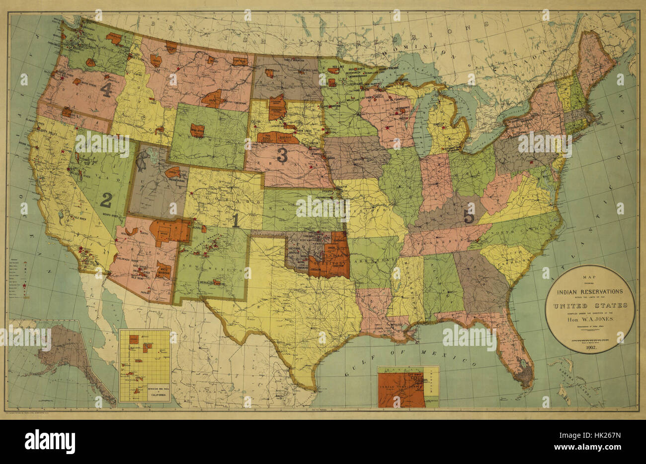 Map Of India 1902 Stock Photohttps://www.alamy.com/image-license-details/?v=1https://www.alamy.com/stock-photo-map-of-india-1902-132199865.html
RFHK267N–Map Of India 1902
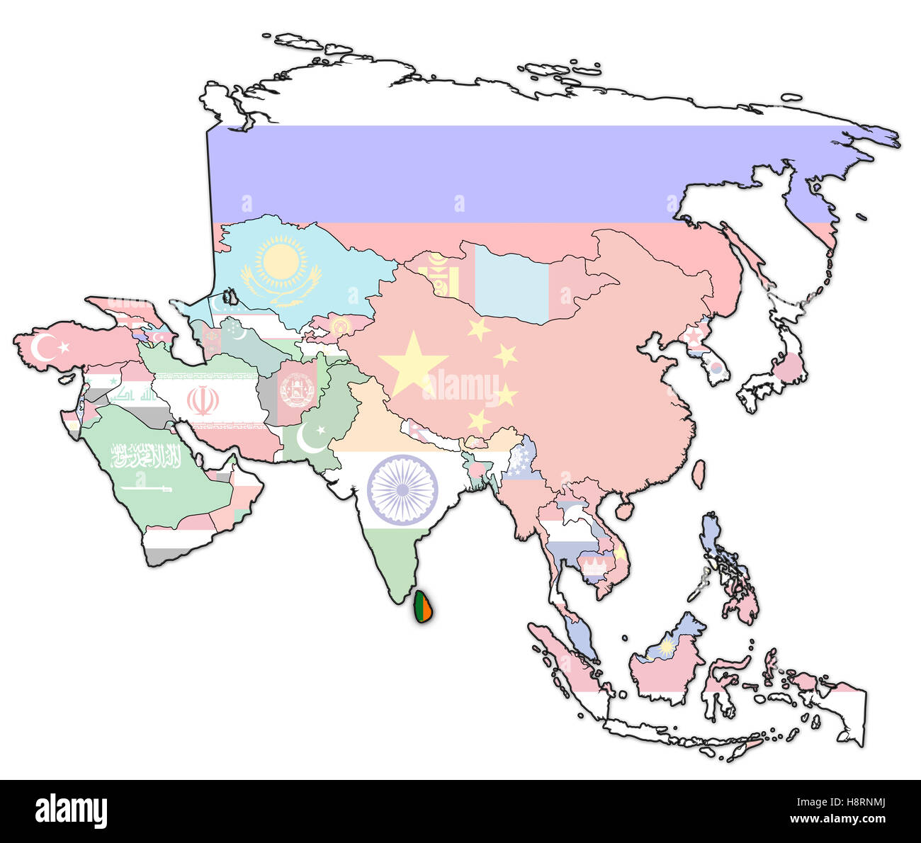 old political map of asia with flag of sri lanka Stock Photohttps://www.alamy.com/image-license-details/?v=1https://www.alamy.com/stock-photo-old-political-map-of-asia-with-flag-of-sri-lanka-125911762.html
RFH8RNMJ–old political map of asia with flag of sri lanka
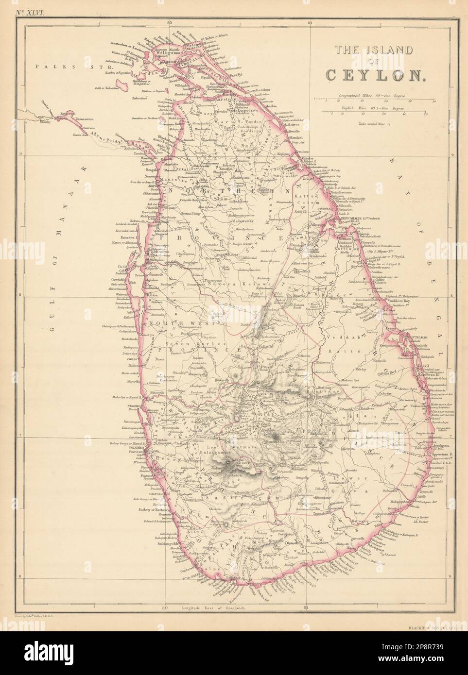 The Island of Ceylon by Edward Weller. Sri Lanka 1859 old antique map chart Stock Photohttps://www.alamy.com/image-license-details/?v=1https://www.alamy.com/the-island-of-ceylon-by-edward-weller-sri-lanka-1859-old-antique-map-chart-image538949133.html
RF2P8R739–The Island of Ceylon by Edward Weller. Sri Lanka 1859 old antique map chart
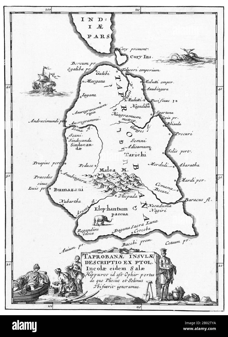 The Dutch East India Company (VOC) was set up in 1602 to gain a foothold in the East Indies (Indonesia) for the Dutch in the lucrative spice trade, which until that point was dominated by the Portuguese. It was a chartered company granted a monopoly by the Dutch government to carry out colonial activities in Asia, including establishing colonies in Ceylon (Sri Lanka) and India. Stock Photohttps://www.alamy.com/image-license-details/?v=1https://www.alamy.com/the-dutch-east-india-company-voc-was-set-up-in-1602-to-gain-a-foothold-in-the-east-indies-indonesia-for-the-dutch-in-the-lucrative-spice-trade-which-until-that-point-was-dominated-by-the-portuguese-it-was-a-chartered-company-granted-a-monopoly-by-the-dutch-government-to-carry-out-colonial-activities-in-asia-including-establishing-colonies-in-ceylon-sri-lanka-and-india-image344270846.html
RM2B02TYA–The Dutch East India Company (VOC) was set up in 1602 to gain a foothold in the East Indies (Indonesia) for the Dutch in the lucrative spice trade, which until that point was dominated by the Portuguese. It was a chartered company granted a monopoly by the Dutch government to carry out colonial activities in Asia, including establishing colonies in Ceylon (Sri Lanka) and India.
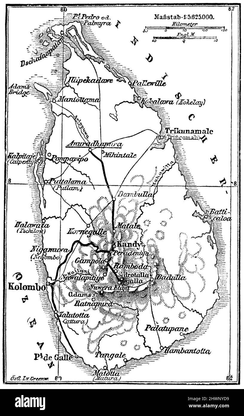 Map of Ceylon, , (encyclopedia, 1893), Karte von Ceylon, Carte de Ceylan Stock Photohttps://www.alamy.com/image-license-details/?v=1https://www.alamy.com/map-of-ceylon-encyclopedia-1893-karte-von-ceylon-carte-de-ceylan-image463318501.html
RM2HWNYD9–Map of Ceylon, , (encyclopedia, 1893), Karte von Ceylon, Carte de Ceylan
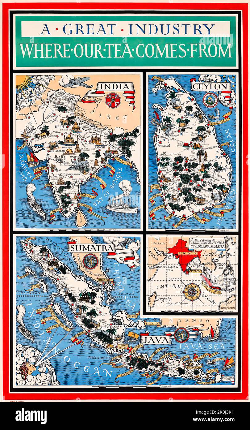 Gill MacDonald - A Great Industry WHERE OUR TEA COMES FROM 1937, India Ceylon Sumatra maps Stock Photohttps://www.alamy.com/image-license-details/?v=1https://www.alamy.com/gill-macdonald-a-great-industry-where-our-tea-comes-from-1937-india-ceylon-sumatra-maps-image482288341.html
RM2K0J3KH–Gill MacDonald - A Great Industry WHERE OUR TEA COMES FROM 1937, India Ceylon Sumatra maps
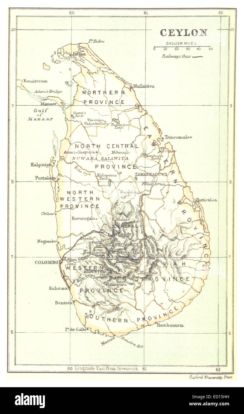 Map of Ceylon (1888) Stock Photohttps://www.alamy.com/image-license-details/?v=1https://www.alamy.com/stock-photo-map-of-ceylon-1888-76858365.html
RMED15HH–Map of Ceylon (1888)
 Vintage geographical map in sepia showing Madras and Ceylon, India. Stock Photohttps://www.alamy.com/image-license-details/?v=1https://www.alamy.com/vintage-geographical-map-in-sepia-showing-madras-and-ceylon-india-image575767270.html
RF2TCMD0P–Vintage geographical map in sepia showing Madras and Ceylon, India.
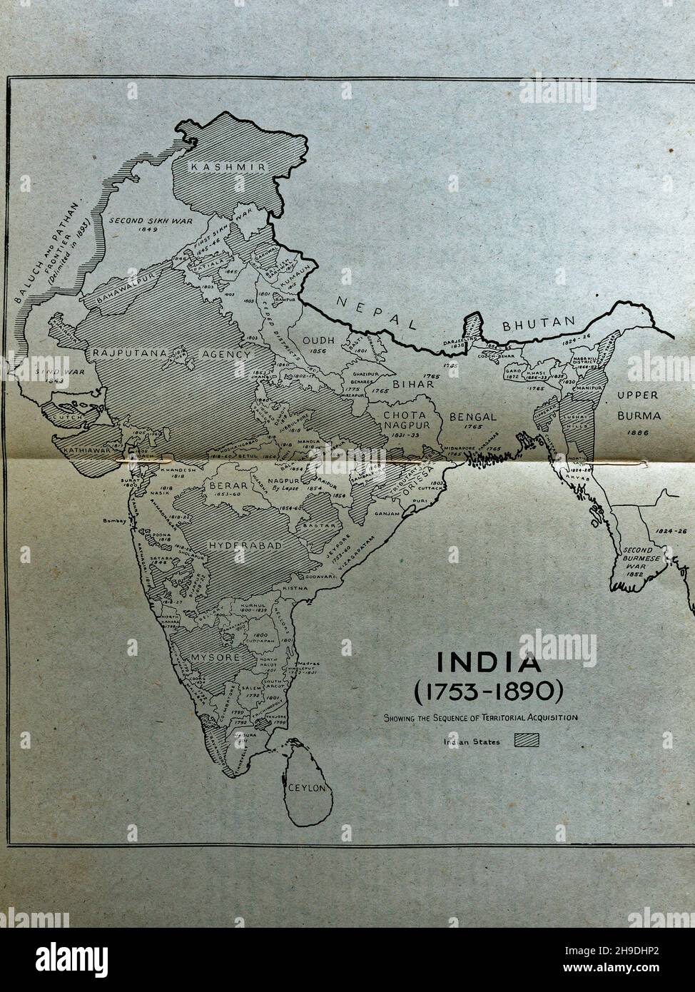 03 04 2019 Vintage Map of old 1753 to1890 studio shot Lokgram Kalyan Maharashtra India. Stock Photohttps://www.alamy.com/image-license-details/?v=1https://www.alamy.com/03-04-2019-vintage-map-of-old-1753-to1890-studio-shot-lokgram-kalyan-maharashtra-india-image453300794.html
RF2H9DHP2–03 04 2019 Vintage Map of old 1753 to1890 studio shot Lokgram Kalyan Maharashtra India.
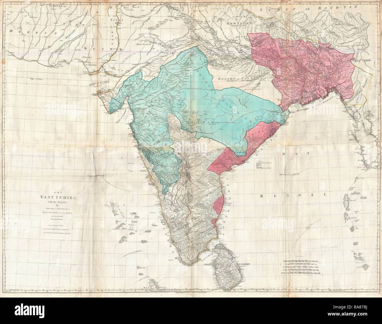 1768, Jeffreys Wall Map of India and Ceylon. Reimagined by Gibon. Classic art with a modern twist reimagined Stock Photohttps://www.alamy.com/image-license-details/?v=1https://www.alamy.com/1768-jeffreys-wall-map-of-india-and-ceylon-reimagined-by-gibon-classic-art-with-a-modern-twist-reimagined-image230062690.html
RFRA878J–1768, Jeffreys Wall Map of India and Ceylon. Reimagined by Gibon. Classic art with a modern twist reimagined
 Belgrade, Serbia - August 08, 2021: Vintage Old World German Globe at Desk in Antique Shop. Stock Photohttps://www.alamy.com/image-license-details/?v=1https://www.alamy.com/belgrade-serbia-august-08-2021-vintage-old-world-german-globe-at-desk-in-antique-shop-image449648258.html
RF2H3F6XA–Belgrade, Serbia - August 08, 2021: Vintage Old World German Globe at Desk in Antique Shop.
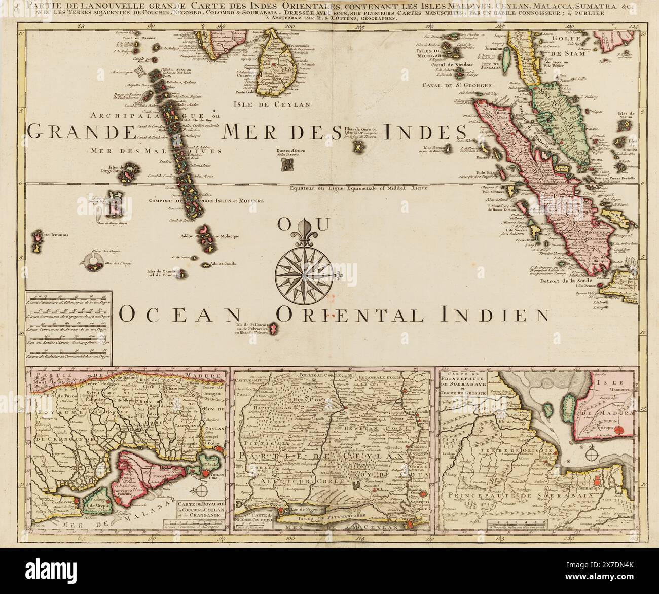 Vintage 18th century Map of the East Indies in regions by R&J Ottens, circa 1740s. The New Large Map of the East Indies Containing the Isles Maldives, Ceylon, Malacca, Sumatra &c. with the adjacent lands of Couchin, Negombo, Colombo & Sourabaia carefully drawn up on several handwritten maps, by a skilful connoisseur, & published. Stock Photohttps://www.alamy.com/image-license-details/?v=1https://www.alamy.com/vintage-18th-century-map-of-the-east-indies-in-regions-by-rj-ottens-circa-1740s-the-new-large-map-of-the-east-indies-containing-the-isles-maldives-ceylon-malacca-sumatra-c-with-the-adjacent-lands-of-couchin-negombo-colombo-sourabaia-carefully-drawn-up-on-several-handwritten-maps-by-a-skilful-connoisseur-published-image606967443.html
RM2X7DN4K–Vintage 18th century Map of the East Indies in regions by R&J Ottens, circa 1740s. The New Large Map of the East Indies Containing the Isles Maldives, Ceylon, Malacca, Sumatra &c. with the adjacent lands of Couchin, Negombo, Colombo & Sourabaia carefully drawn up on several handwritten maps, by a skilful connoisseur, & published.
 Sri Lanka outdoor stamp. Round sticker with map of country with topographic isolines. Vector illustration. Can be used as insignia, logotype, label, s Stock Vectorhttps://www.alamy.com/image-license-details/?v=1https://www.alamy.com/sri-lanka-outdoor-stamp-round-sticker-with-map-of-country-with-topographic-isolines-vector-illustration-can-be-used-as-insignia-logotype-label-s-image556875294.html
RF2R9YT3A–Sri Lanka outdoor stamp. Round sticker with map of country with topographic isolines. Vector illustration. Can be used as insignia, logotype, label, s
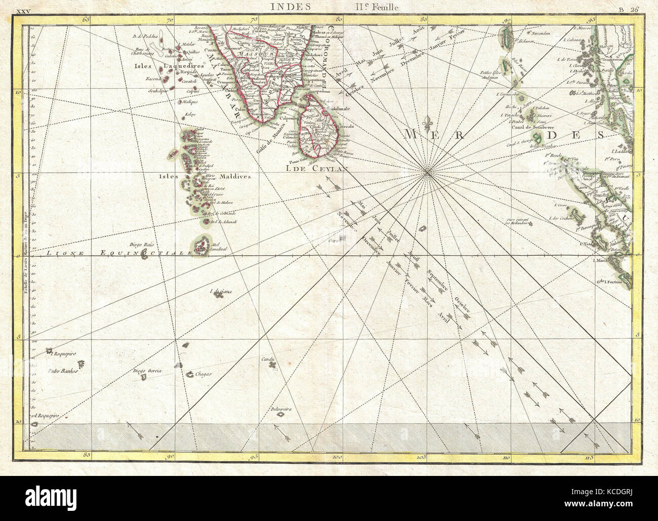 1770, Bonne Map of Southern India, Sri Lanka, Ceylon, the Maldives, and the Indian Ocean, Rigobert Bonne 1727 – 1794 Stock Photohttps://www.alamy.com/image-license-details/?v=1https://www.alamy.com/stock-image-1770-bonne-map-of-southern-india-sri-lanka-ceylon-the-maldives-and-162567766.html
RMKCDGRJ–1770, Bonne Map of Southern India, Sri Lanka, Ceylon, the Maldives, and the Indian Ocean, Rigobert Bonne 1727 – 1794
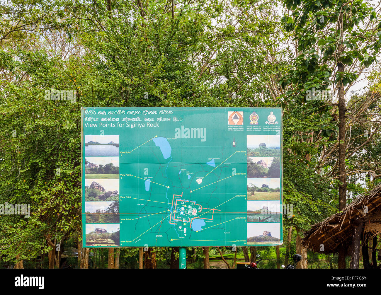 Sign listing view points of interest at Sigiriya or Lion Rock in the Cultural Triangle of Sri Lanka, a leading historic monument tourist attraction Stock Photohttps://www.alamy.com/image-license-details/?v=1https://www.alamy.com/sign-listing-view-points-of-interest-at-sigiriya-or-lion-rock-in-the-cultural-triangle-of-sri-lanka-a-leading-historic-monument-tourist-attraction-image215910659.html
RMPF7G6Y–Sign listing view points of interest at Sigiriya or Lion Rock in the Cultural Triangle of Sri Lanka, a leading historic monument tourist attraction
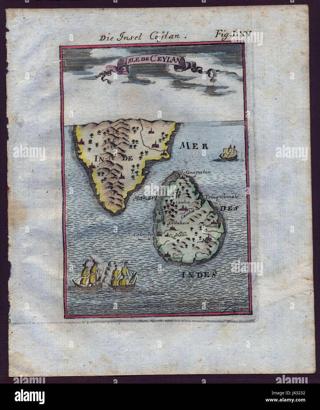 Map of Ceylon, 1719 Stock Photohttps://www.alamy.com/image-license-details/?v=1https://www.alamy.com/stock-photo-map-of-ceylon-1719-140209078.html
RMJ43232–Map of Ceylon, 1719
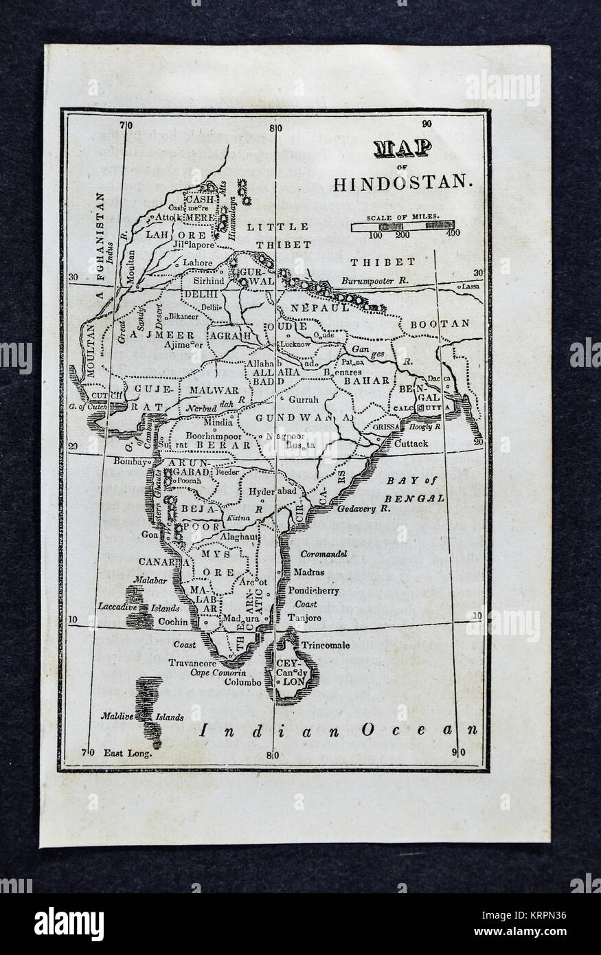 1830 Nathan Hale Map - India - Bombay Calcutta Delhi Ceylon Goa Madras Nepal Tibet Stock Photohttps://www.alamy.com/image-license-details/?v=1https://www.alamy.com/stock-image-1830-nathan-hale-map-india-bombay-calcutta-delhi-ceylon-goa-madras-169529898.html
RFKRPN36–1830 Nathan Hale Map - India - Bombay Calcutta Delhi Ceylon Goa Madras Nepal Tibet
 This is a detail from a period map showing the major coastal colonial outposts in southern India and Ceylon in 1794. Control of many of these outposts changed hands during the 18th century; which state (usually France, the Dutch Republic, or the United Kingdom) controls which locations is not shown. Stock Photohttps://www.alamy.com/image-license-details/?v=1https://www.alamy.com/this-is-a-detail-from-a-period-map-showing-the-major-coastal-colonial-outposts-in-southern-india-and-ceylon-in-1794-control-of-many-of-these-outposts-changed-hands-during-the-18th-century-which-state-usually-france-the-dutch-republic-or-the-united-kingdom-controls-which-locations-is-not-shown-image506008586.html
RM2MB6K36–This is a detail from a period map showing the major coastal colonial outposts in southern India and Ceylon in 1794. Control of many of these outposts changed hands during the 18th century; which state (usually France, the Dutch Republic, or the United Kingdom) controls which locations is not shown.
 Ceylon, Minnesota, map 1970, 1:24000, United States of America by Timeless Maps, data U.S. Geological Survey Stock Photohttps://www.alamy.com/image-license-details/?v=1https://www.alamy.com/ceylon-minnesota-map-1970-124000-united-states-of-america-by-timeless-maps-data-us-geological-survey-image406708607.html
RM2EHK4YB–Ceylon, Minnesota, map 1970, 1:24000, United States of America by Timeless Maps, data U.S. Geological Survey
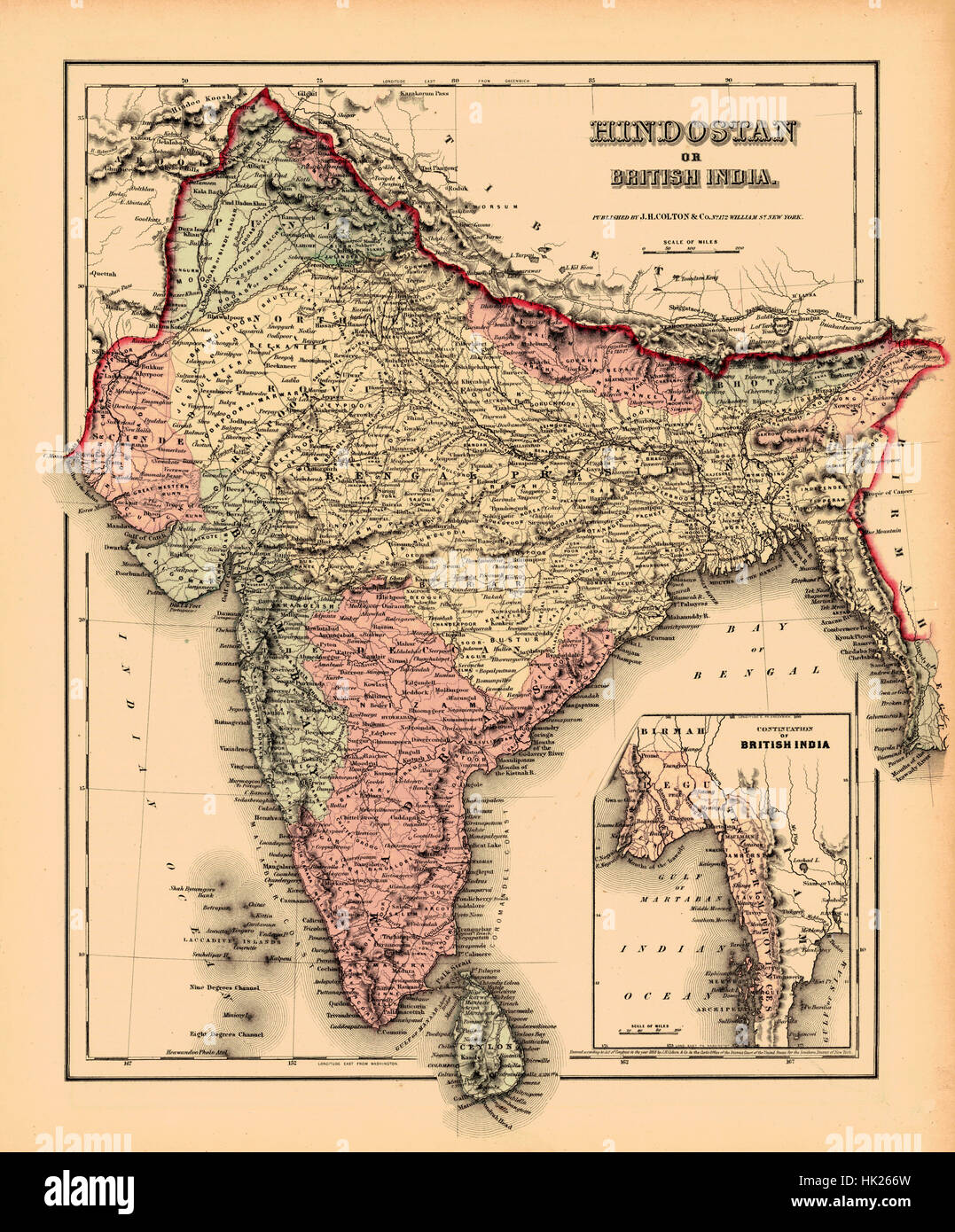 Map Of India 1857 Stock Photohttps://www.alamy.com/image-license-details/?v=1https://www.alamy.com/stock-photo-map-of-india-1857-132199841.html
RFHK266W–Map Of India 1857
 old political map of asia with flag of sri lanka Stock Photohttps://www.alamy.com/image-license-details/?v=1https://www.alamy.com/stock-photo-old-political-map-of-asia-with-flag-of-sri-lanka-125911782.html
RFH8RNNA–old political map of asia with flag of sri lanka
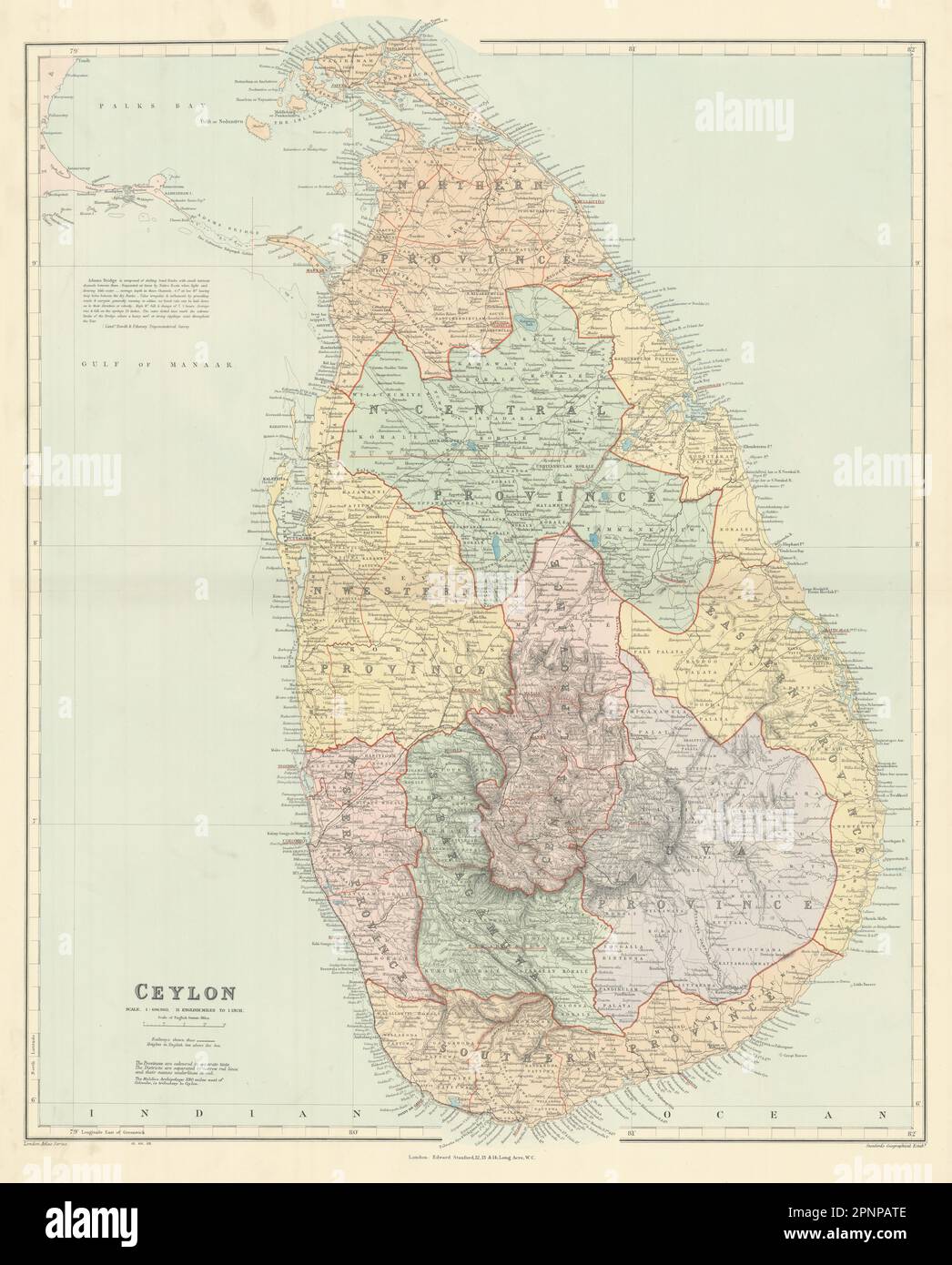 Ceylon. Sri Lanka. Provinces & railways. Large 66x53cm. STANFORD 1904 old map Stock Photohttps://www.alamy.com/image-license-details/?v=1https://www.alamy.com/ceylon-sri-lanka-provinces-railways-large-66x53cm-stanford-1904-old-map-image546920654.html
RF2PNPATE–Ceylon. Sri Lanka. Provinces & railways. Large 66x53cm. STANFORD 1904 old map
 Sri Lanka, Colombo, Old Parliament Building, travel landmark vector illustration Stock Vectorhttps://www.alamy.com/image-license-details/?v=1https://www.alamy.com/sri-lanka-colombo-old-parliament-building-travel-landmark-vector-illustration-image544935150.html
RF2PJFX9J–Sri Lanka, Colombo, Old Parliament Building, travel landmark vector illustration
 A handbook for travellers in India, Burma, and Ceylon . . ustrated. Paper, Rs.1.8.Cloth, Rs.2.8. Thackers Simla Guide. Rs.4. Simla Illustrated. Paper, Rs.2.8.Cloth, Rs.3.8. Thackers DarjeeHng Guide. Rs.2. Dukes Cashmere Guide. Rs.7.8. Hearns Seven Cities of Delhi.Rs.6.8. Cashmir En Famille. Rs.2. Gores Pindari Glacier. Ks 2. Thackers Reduced Survey Mapof India. Ks.6. Thackers Railway Map. Rs.3.8. Thackers Map of Jummoo andKashmir. Rs.3. Thackers Sportsmans Manualfor Kulu, &c. Rs.4. Busteeds Echoes from Old Cal-cutta Rs.7.7. Blechyndens Calcutta, Past andPresent. Rs.6. Our Stock of English Book Stock Photohttps://www.alamy.com/image-license-details/?v=1https://www.alamy.com/a-handbook-for-travellers-in-india-burma-and-ceylon-ustrated-paper-rs18cloth-rs28-thackers-simla-guide-rs4-simla-illustrated-paper-rs28cloth-rs38-thackers-darjeehng-guide-rs2-dukes-cashmere-guide-rs78-hearns-seven-cities-of-delhirs68-cashmir-en-famille-rs2-gores-pindari-glacier-ks-2-thackers-reduced-survey-mapof-india-ks6-thackers-railway-map-rs38-thackers-map-of-jummoo-andkashmir-rs3-thackers-sportsmans-manualfor-kulu-c-rs4-busteeds-echoes-from-old-cal-cutta-rs77-blechyndens-calcutta-past-andpresent-rs6-our-stock-of-english-book-image340000525.html
RM2AN4A3W–A handbook for travellers in India, Burma, and Ceylon . . ustrated. Paper, Rs.1.8.Cloth, Rs.2.8. Thackers Simla Guide. Rs.4. Simla Illustrated. Paper, Rs.2.8.Cloth, Rs.3.8. Thackers DarjeeHng Guide. Rs.2. Dukes Cashmere Guide. Rs.7.8. Hearns Seven Cities of Delhi.Rs.6.8. Cashmir En Famille. Rs.2. Gores Pindari Glacier. Ks 2. Thackers Reduced Survey Mapof India. Ks.6. Thackers Railway Map. Rs.3.8. Thackers Map of Jummoo andKashmir. Rs.3. Thackers Sportsmans Manualfor Kulu, &c. Rs.4. Busteeds Echoes from Old Cal-cutta Rs.7.7. Blechyndens Calcutta, Past andPresent. Rs.6. Our Stock of English Book