Quick filters:
Old map of sardinia Stock Photos and Images
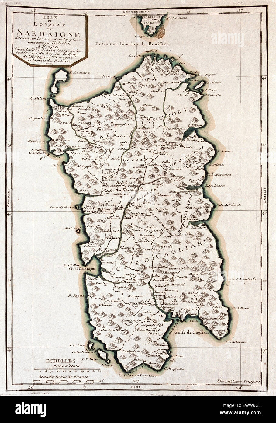 old map of Sardinia, Italy Stock Photohttps://www.alamy.com/image-license-details/?v=1https://www.alamy.com/stock-photo-old-map-of-sardinia-italy-84761829.html
RFEWW6G5–old map of Sardinia, Italy
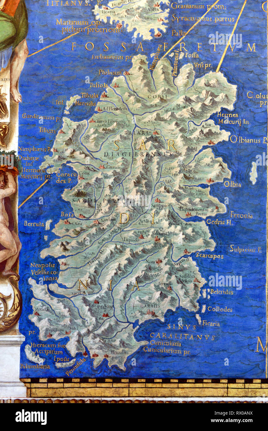 Vintage Map or Old Map of Sardinia. Wall Map, Fresco or Wall Painting in Gallery of Maps (1580-83) based on Drawings by Ignazio Danti Vatican Museums Stock Photohttps://www.alamy.com/image-license-details/?v=1https://www.alamy.com/vintage-map-or-old-map-of-sardinia-wall-map-fresco-or-wall-painting-in-gallery-of-maps-1580-83-based-on-drawings-by-ignazio-danti-vatican-museums-image239724294.html
RMRX0ANX–Vintage Map or Old Map of Sardinia. Wall Map, Fresco or Wall Painting in Gallery of Maps (1580-83) based on Drawings by Ignazio Danti Vatican Museums
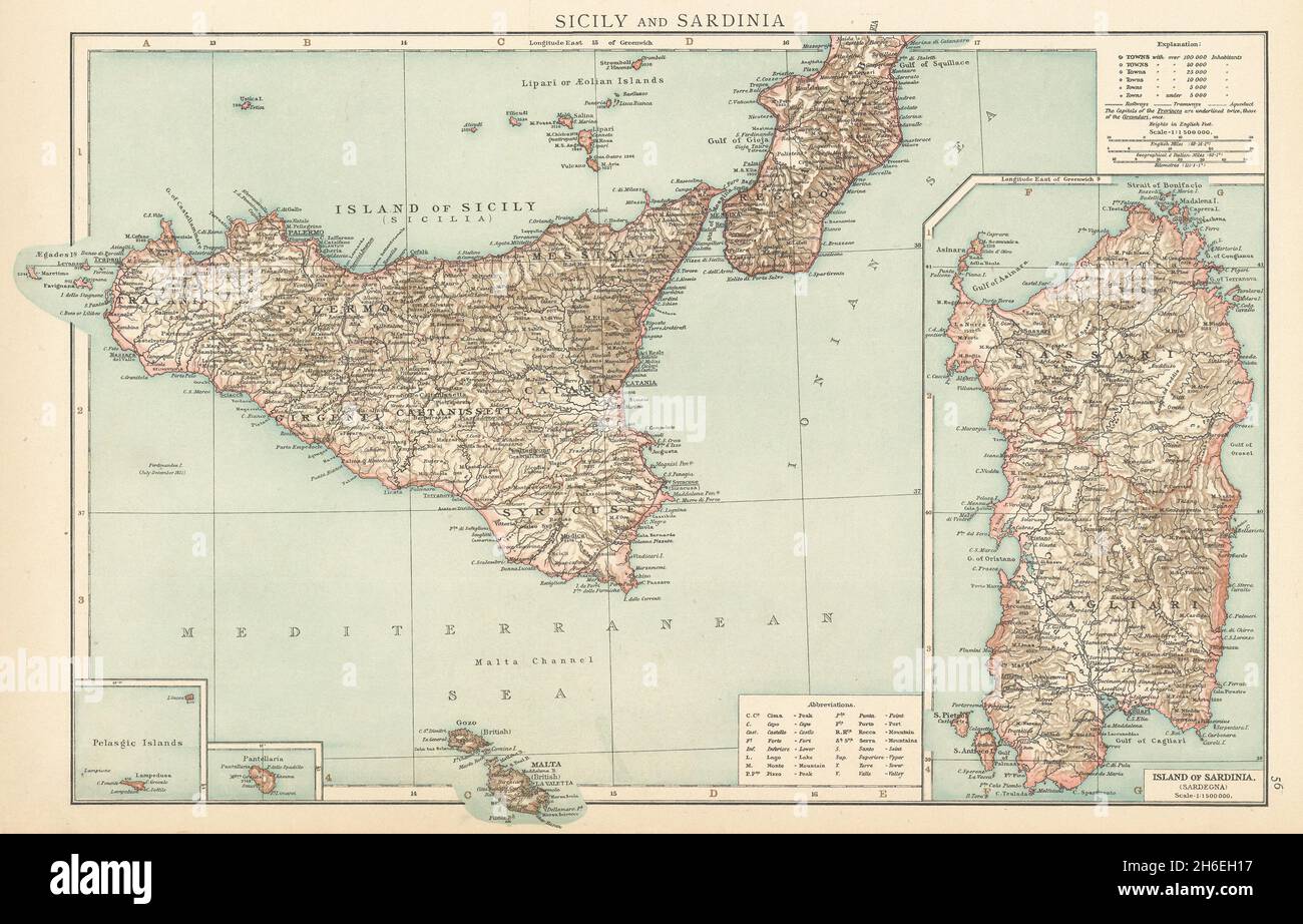 Sicily and Sardinia. Italian islands. THE TIMES 1895 old antique map chart Stock Photohttps://www.alamy.com/image-license-details/?v=1https://www.alamy.com/sicily-and-sardinia-italian-islands-the-times-1895-old-antique-map-chart-image451478195.html
RF2H6EH17–Sicily and Sardinia. Italian islands. THE TIMES 1895 old antique map chart
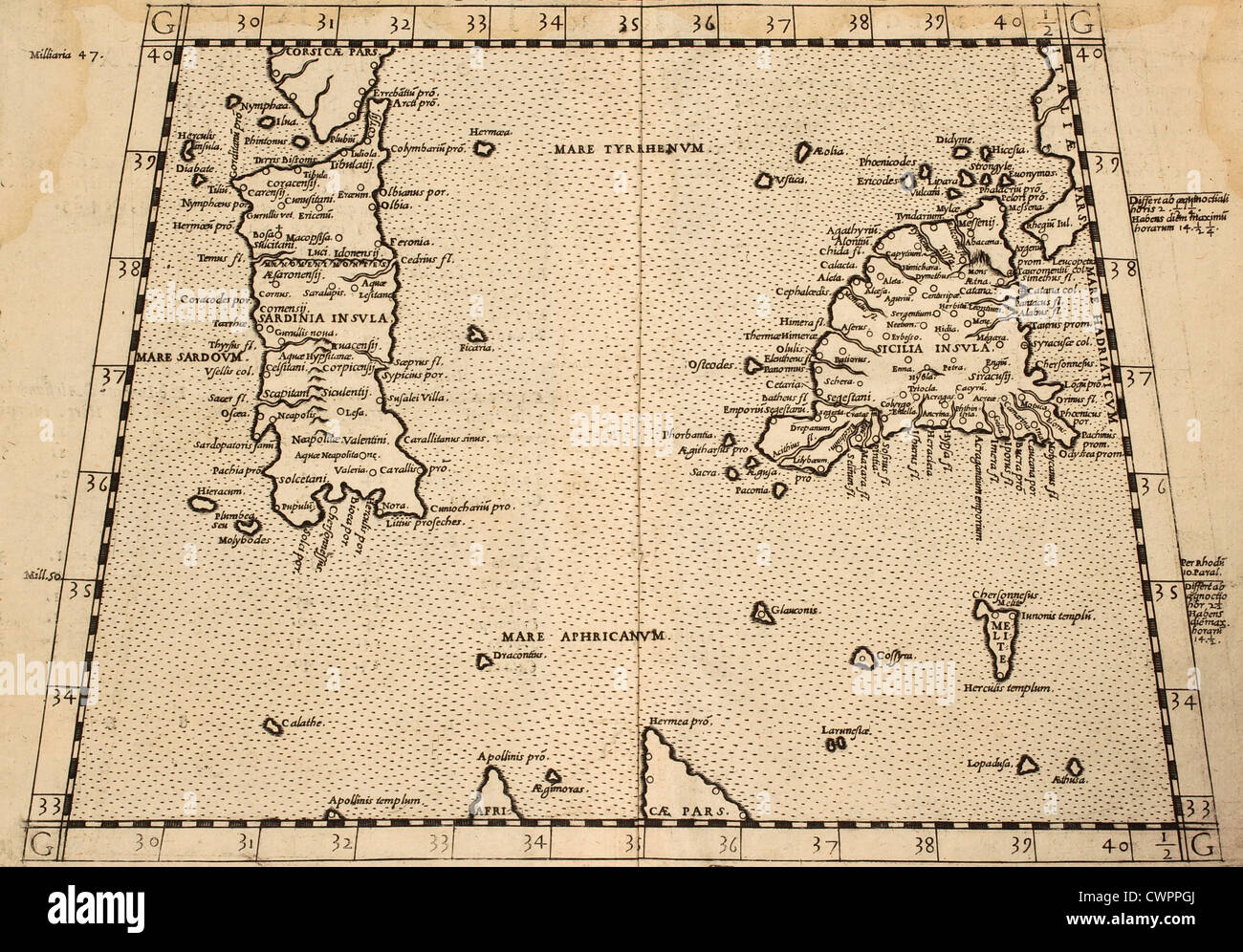 Sicily and Sardinia old map from old atla Stock Photohttps://www.alamy.com/image-license-details/?v=1https://www.alamy.com/stock-photo-sicily-and-sardinia-old-map-from-old-atla-50287794.html
RFCWPPGJ–Sicily and Sardinia old map from old atla
 ITALY. Sicily and Sardinia Sardegna. Aeolian islands. BARTHOLOMEW 1952 old map Stock Photohttps://www.alamy.com/image-license-details/?v=1https://www.alamy.com/italy-sicily-and-sardinia-sardegna-aeolian-islands-bartholomew-1952-old-map-image546845171.html
RF2PNJXGK–ITALY. Sicily and Sardinia Sardegna. Aeolian islands. BARTHOLOMEW 1952 old map
 Map of Sardinia. Mediterranean Sea. Italian engraving. 16th century. Stock Photohttps://www.alamy.com/image-license-details/?v=1https://www.alamy.com/stock-photo-map-of-sardinia-mediterranean-sea-italian-engraving-16th-century-82423972.html
RMEP2MH8–Map of Sardinia. Mediterranean Sea. Italian engraving. 16th century.
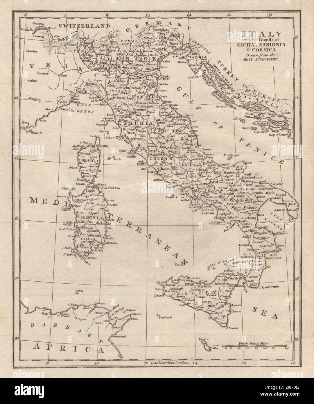 Italy with the Islands of Sicily, Sardinia & Corsica. COOKE 1801 old map Stock Photohttps://www.alamy.com/image-license-details/?v=1https://www.alamy.com/italy-with-the-islands-of-sicily-sardinia-corsica-cooke-1801-old-map-image469751354.html
RF2J870J2–Italy with the Islands of Sicily, Sardinia & Corsica. COOKE 1801 old map
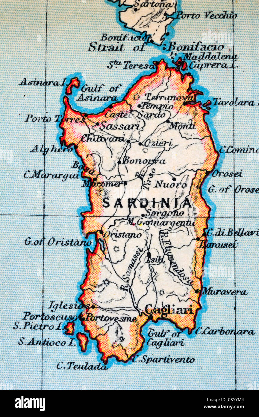 Macro of an old atlas map (about 100 years old) of Sardinia, slightly stained and foxed (especially upper part) Stock Photohttps://www.alamy.com/image-license-details/?v=1https://www.alamy.com/stock-photo-macro-of-an-old-atlas-map-about-100-years-old-of-sardinia-slightly-39952420.html
RFC8YYM4–Macro of an old atlas map (about 100 years old) of Sardinia, slightly stained and foxed (especially upper part)
 South Italy and Sardinia. Bay of Naples. Large 50x60cm. JOHNSTON 1876 old map Stock Photohttps://www.alamy.com/image-license-details/?v=1https://www.alamy.com/south-italy-and-sardinia-bay-of-naples-large-50x60cm-johnston-1876-old-map-image623236855.html
RF2Y5XTY3–South Italy and Sardinia. Bay of Naples. Large 50x60cm. JOHNSTON 1876 old map
 19th century Map of Great Greece and of the Islands of Sardinia and Corsica by Guillaume Delisle, 1675 to 1726. Stock Photohttps://www.alamy.com/image-license-details/?v=1https://www.alamy.com/stock-photo-19th-century-map-of-great-greece-and-of-the-islands-of-sardinia-and-11607150.html
RMA6MBNK–19th century Map of Great Greece and of the Islands of Sardinia and Corsica by Guillaume Delisle, 1675 to 1726.
 Isles de Corse et de Sardaigne. Corsica and Sardinia. BONNE 1787 old map Stock Photohttps://www.alamy.com/image-license-details/?v=1https://www.alamy.com/isles-de-corse-et-de-sardaigne-corsica-and-sardinia-bonne-1787-old-map-image401434019.html
RF2E92W57–Isles de Corse et de Sardaigne. Corsica and Sardinia. BONNE 1787 old map
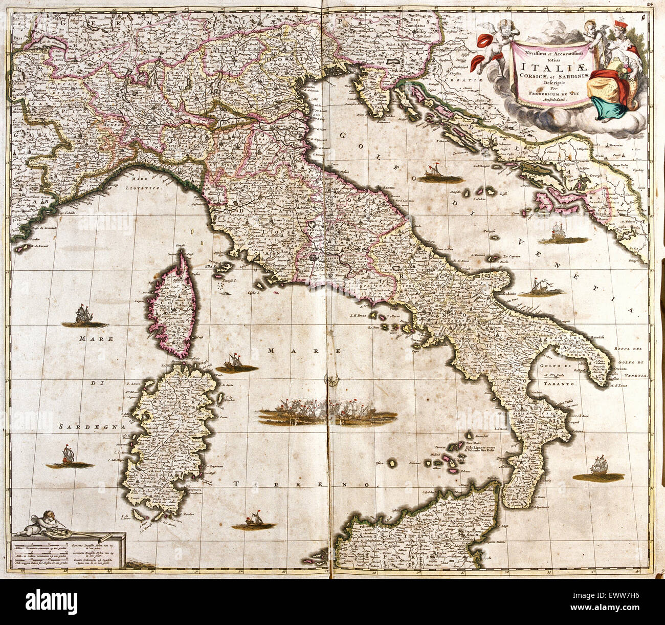 old map of Italy, with Corsica and Sardinia Stock Photohttps://www.alamy.com/image-license-details/?v=1https://www.alamy.com/stock-photo-old-map-of-italy-with-corsica-and-sardinia-84762642.html
RFEWW7H6–old map of Italy, with Corsica and Sardinia
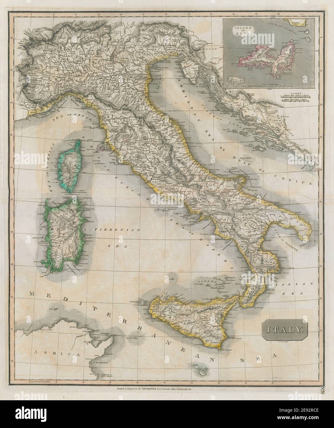 Italy by John Thomson. Island of Elba. Sicily Sardinia Corsica 1817 old map Stock Photohttps://www.alamy.com/image-license-details/?v=1https://www.alamy.com/italy-by-john-thomson-island-of-elba-sicily-sardinia-corsica-1817-old-map-image401432654.html
RF2E92RCE–Italy by John Thomson. Island of Elba. Sicily Sardinia Corsica 1817 old map
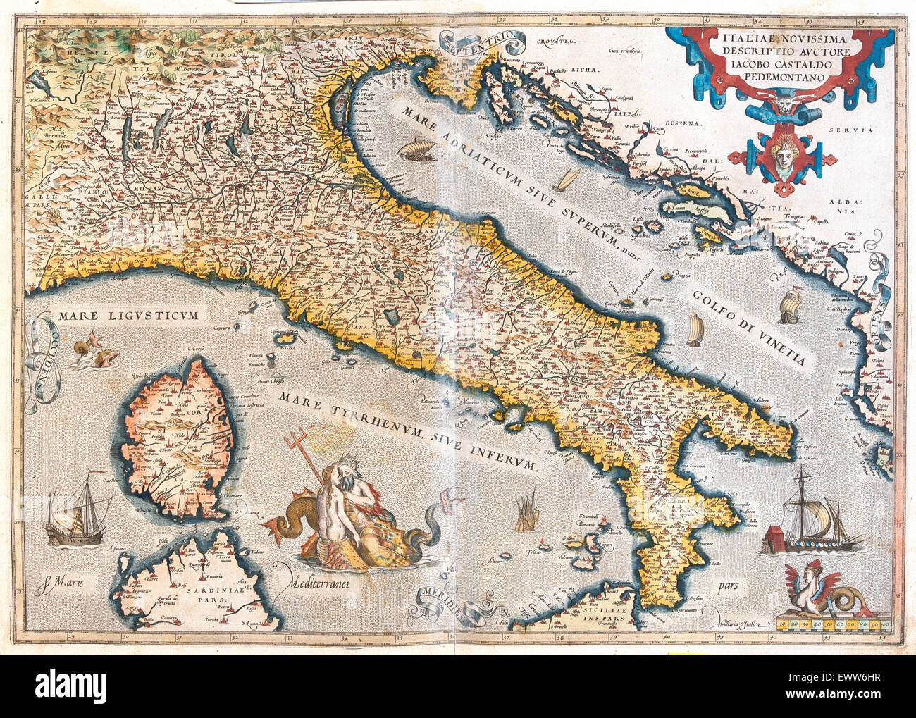 old map of Italy, with Corsica and Sardinia Stock Photohttps://www.alamy.com/image-license-details/?v=1https://www.alamy.com/stock-photo-old-map-of-italy-with-corsica-and-sardinia-84761875.html
RFEWW6HR–old map of Italy, with Corsica and Sardinia
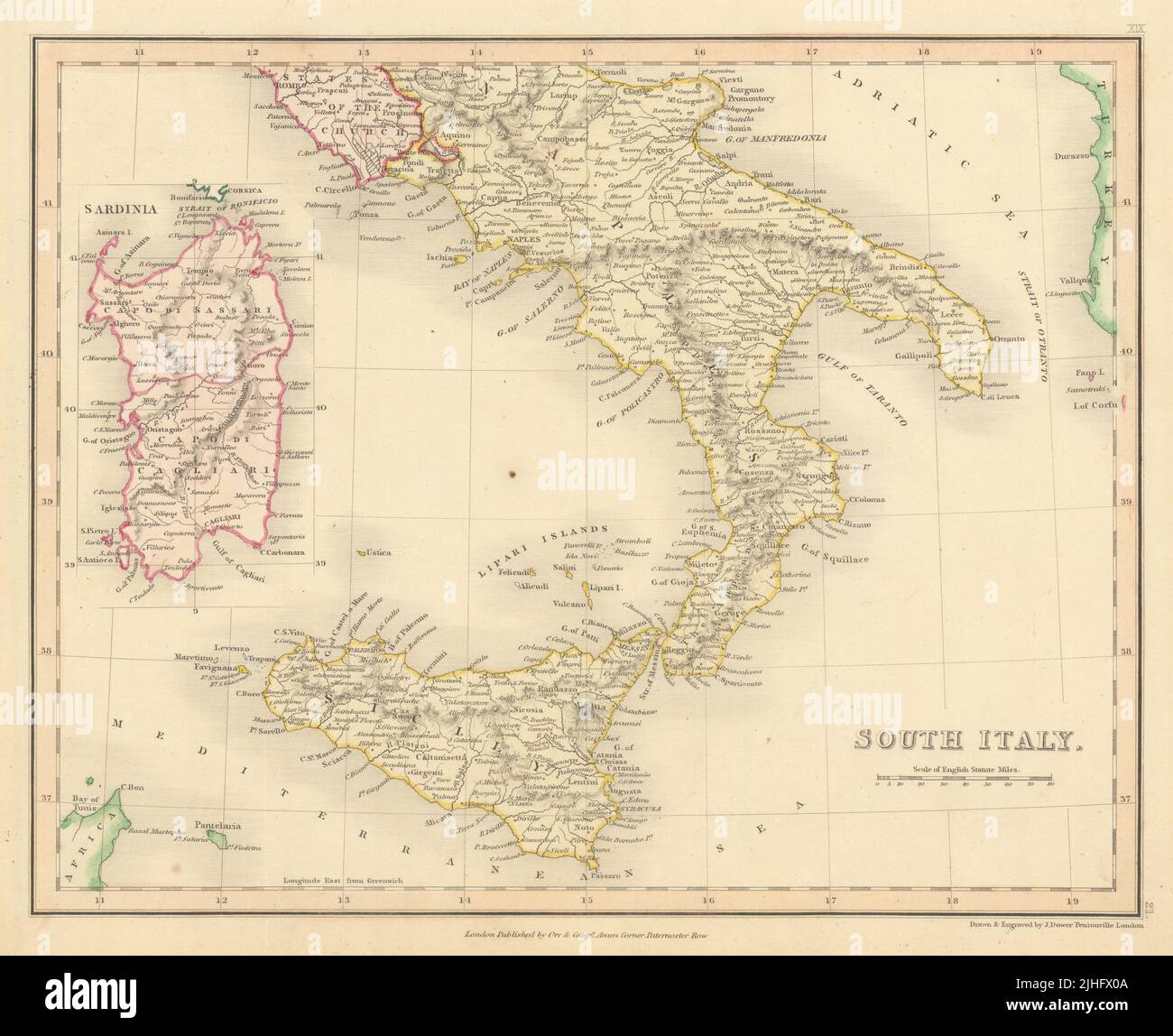 South Italy by John Dower. Sicily Naples & Sardinia 1845 old antique map chart Stock Photohttps://www.alamy.com/image-license-details/?v=1https://www.alamy.com/south-italy-by-john-dower-sicily-naples-sardinia-1845-old-antique-map-chart-image475478762.html
RF2JHFX0A–South Italy by John Dower. Sicily Naples & Sardinia 1845 old antique map chart
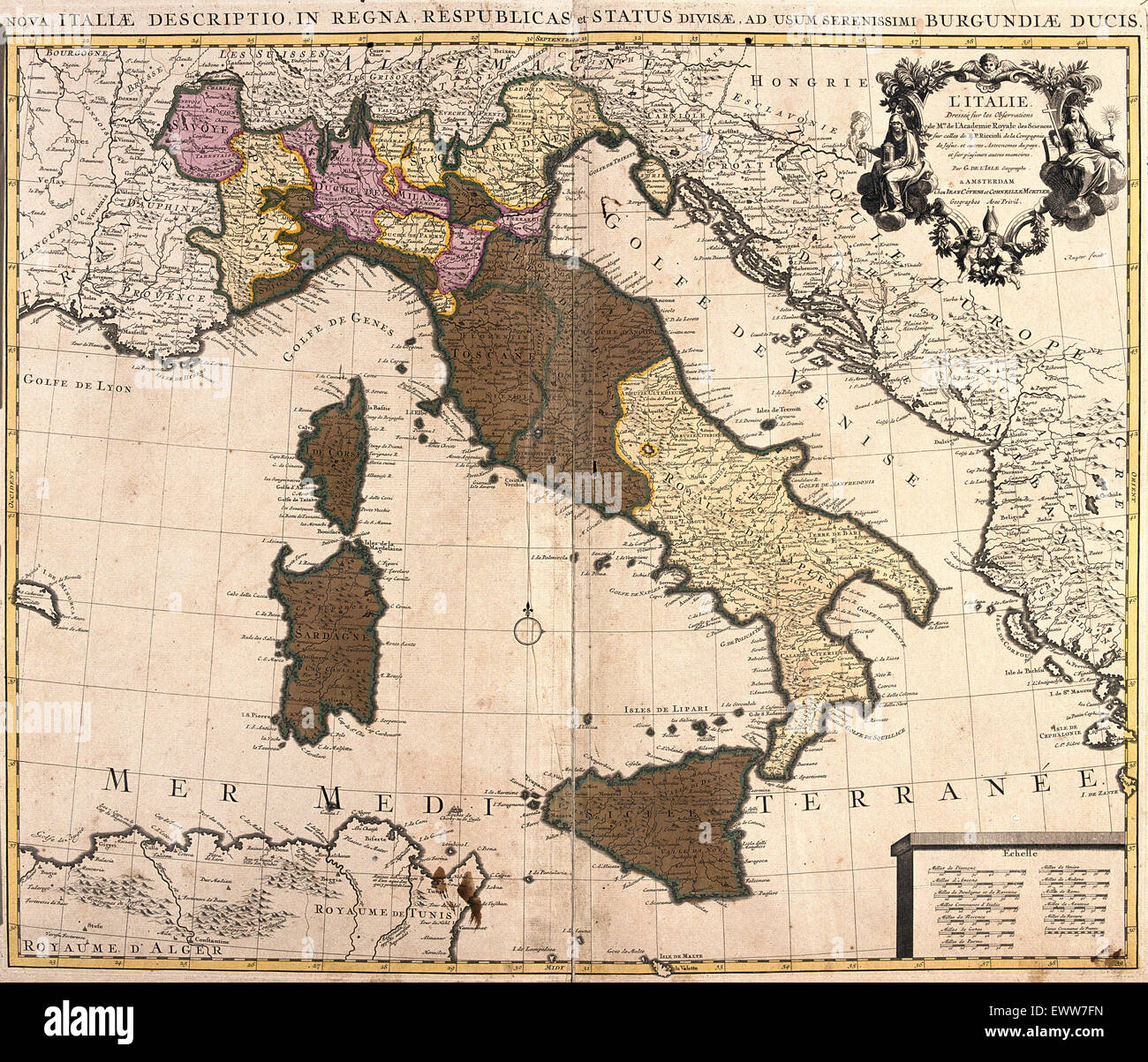 old map of Italy, with Corsica and Sardinia Stock Photohttps://www.alamy.com/image-license-details/?v=1https://www.alamy.com/stock-photo-old-map-of-italy-with-corsica-and-sardinia-84762601.html
RFEWW7FN–old map of Italy, with Corsica and Sardinia
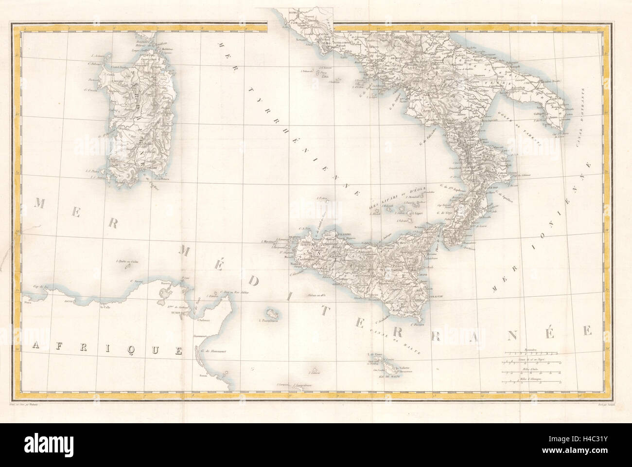 Southern Italy, Sicily and Sardinia c1835 old antique vintage map plan chart Stock Photohttps://www.alamy.com/image-license-details/?v=1https://www.alamy.com/stock-photo-southern-italy-sicily-and-sardinia-c1835-old-antique-vintage-map-plan-123197031.html
RFH4C31Y–Southern Italy, Sicily and Sardinia c1835 old antique vintage map plan chart
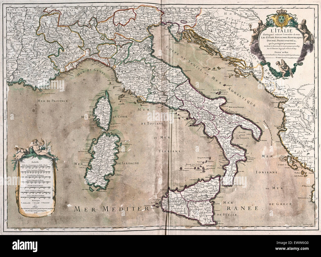 old map of Italy, with Corsica and Sardinia Stock Photohttps://www.alamy.com/image-license-details/?v=1https://www.alamy.com/stock-photo-old-map-of-italy-with-corsica-and-sardinia-84761824.html
RFEWW6G0–old map of Italy, with Corsica and Sardinia
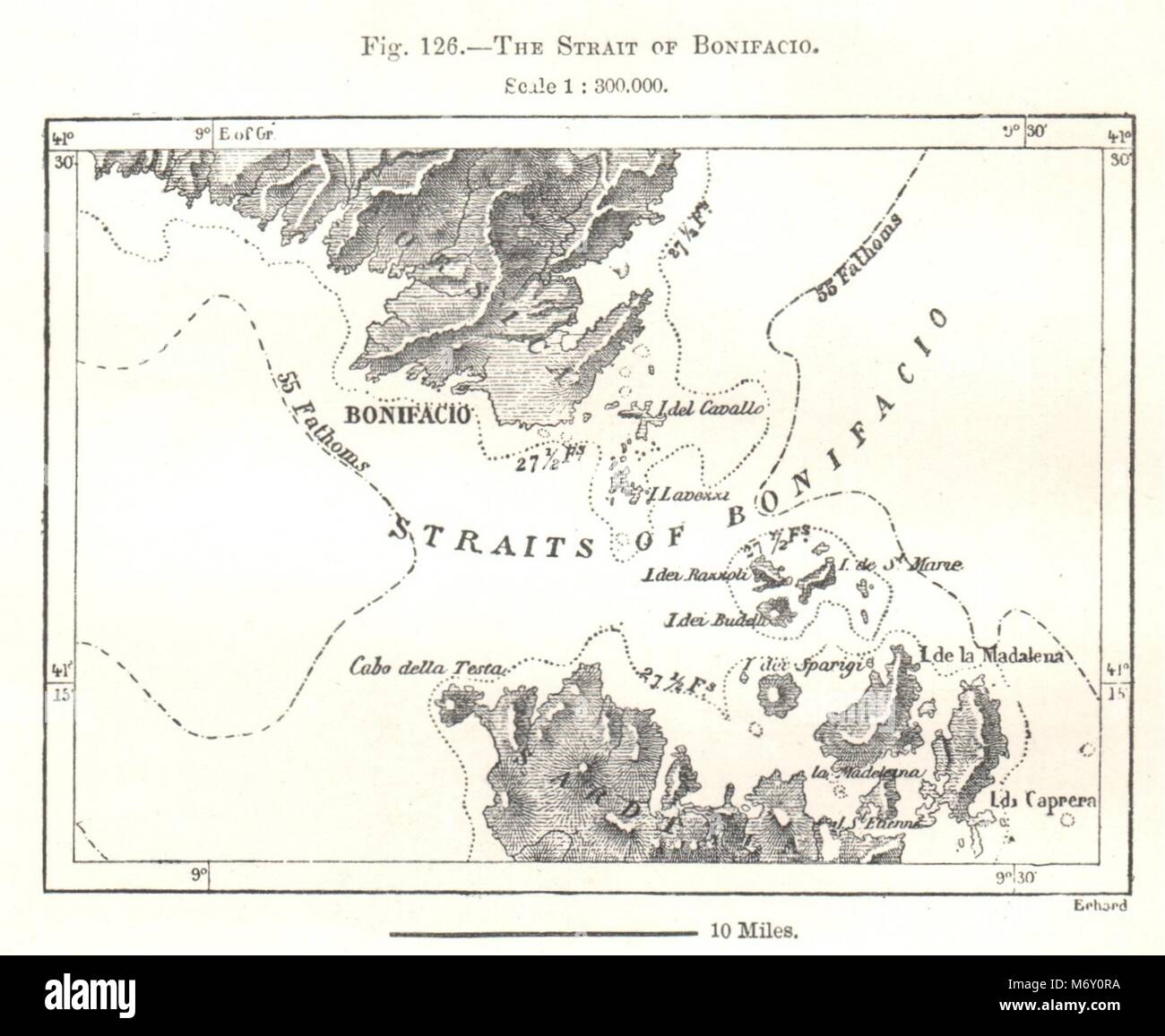 The Strait of Bonifacio. Corsica Sardinia. Sketch map 1885 old antique Stock Photohttps://www.alamy.com/image-license-details/?v=1https://www.alamy.com/stock-photo-the-strait-of-bonifacio-corsica-sardinia-sketch-map-1885-old-antique-176384974.html
RFM6Y0RA–The Strait of Bonifacio. Corsica Sardinia. Sketch map 1885 old antique
 Old detailed map of Mediterranenan islands, Italy. Excellent state of preservation realized in ancient style. All the graphic composition is inside a frame. By Ortelius, Theatrum Orbis Terrarum, Antwerp, 1570 Stock Photohttps://www.alamy.com/image-license-details/?v=1https://www.alamy.com/old-detailed-map-of-mediterranenan-islands-italy-excellent-state-of-image156840511.html
RFK34KJR–Old detailed map of Mediterranenan islands, Italy. Excellent state of preservation realized in ancient style. All the graphic composition is inside a frame. By Ortelius, Theatrum Orbis Terrarum, Antwerp, 1570
 Sicily and Sardinia. Italian islands. THE TIMES 1900 old antique map chart Stock Photohttps://www.alamy.com/image-license-details/?v=1https://www.alamy.com/sicily-and-sardinia-italian-islands-the-times-1900-old-antique-map-chart-image242582235.html
RFT2JG37–Sicily and Sardinia. Italian islands. THE TIMES 1900 old antique map chart
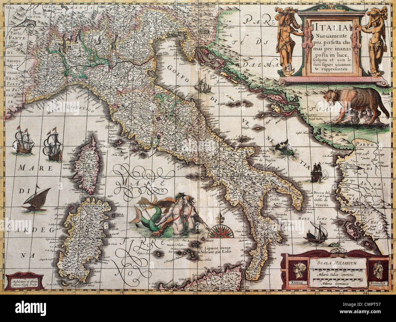 Italy old map Stock Photohttps://www.alamy.com/image-license-details/?v=1https://www.alamy.com/stock-photo-italy-old-map-50289043.html
RFCWPT57–Italy old map
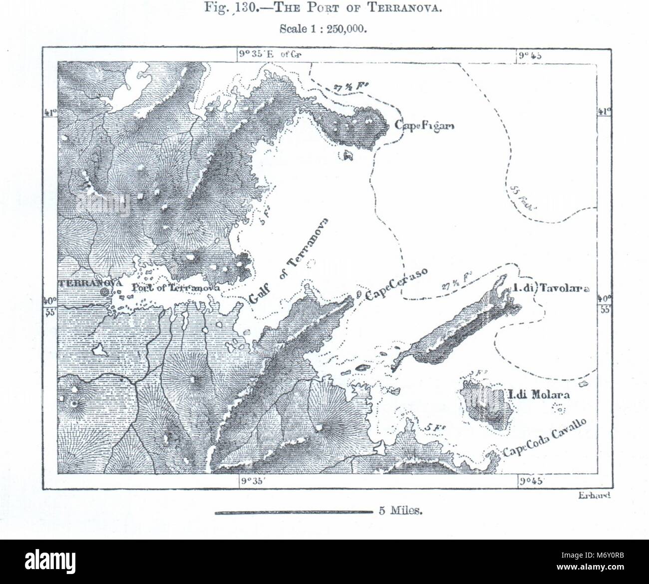 The Port of Olbia. Terranova. Sardinia. Sketch map 1885 old antique chart Stock Photohttps://www.alamy.com/image-license-details/?v=1https://www.alamy.com/stock-photo-the-port-of-olbia-terranova-sardinia-sketch-map-1885-old-antique-chart-176384975.html
RFM6Y0RB–The Port of Olbia. Terranova. Sardinia. Sketch map 1885 old antique chart
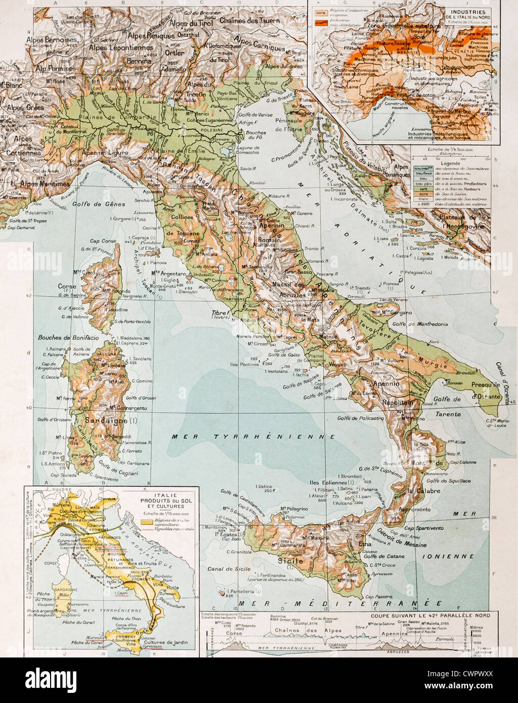 Old physical map of Italy Stock Photohttps://www.alamy.com/image-license-details/?v=1https://www.alamy.com/stock-photo-old-physical-map-of-italy-50290434.html
RFCWPWXX–Old physical map of Italy
 1747 old antique vintage map plan chart Stock Photohttps://www.alamy.com/image-license-details/?v=1https://www.alamy.com/1747-old-antique-vintage-map-plan-chart-image546918879.html
RF2PNP8H3–1747 old antique vintage map plan chart
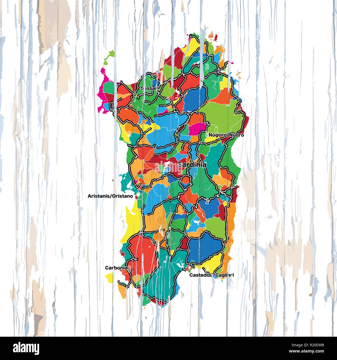 Vintage map of Sardinia. Vector illustration template for wall art and marketing in square format. Stock Vectorhttps://www.alamy.com/image-license-details/?v=1https://www.alamy.com/vintage-map-of-sardinia-vector-illustration-template-for-wall-art-and-marketing-in-square-format-image224975643.html
RFR20EMB–Vintage map of Sardinia. Vector illustration template for wall art and marketing in square format.
 A 1908 map showing the expeditions and settlements of the Norsemen (Vikings). With dates Stock Photohttps://www.alamy.com/image-license-details/?v=1https://www.alamy.com/a-1908-map-showing-the-expeditions-and-settlements-of-the-norsemen-vikings-with-dates-image448824843.html
RM2H25MJK–A 1908 map showing the expeditions and settlements of the Norsemen (Vikings). With dates
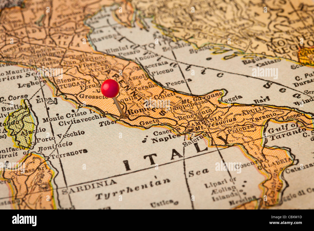 Italy vintage 1920s map (printed in 1926 - copyrights expired) with a red pushpin on Rome, selective focus Stock Photohttps://www.alamy.com/image-license-details/?v=1https://www.alamy.com/stock-photo-italy-vintage-1920s-map-printed-in-1926-copyrights-expired-with-a-41768425.html
RFCBXM1D–Italy vintage 1920s map (printed in 1926 - copyrights expired) with a red pushpin on Rome, selective focus
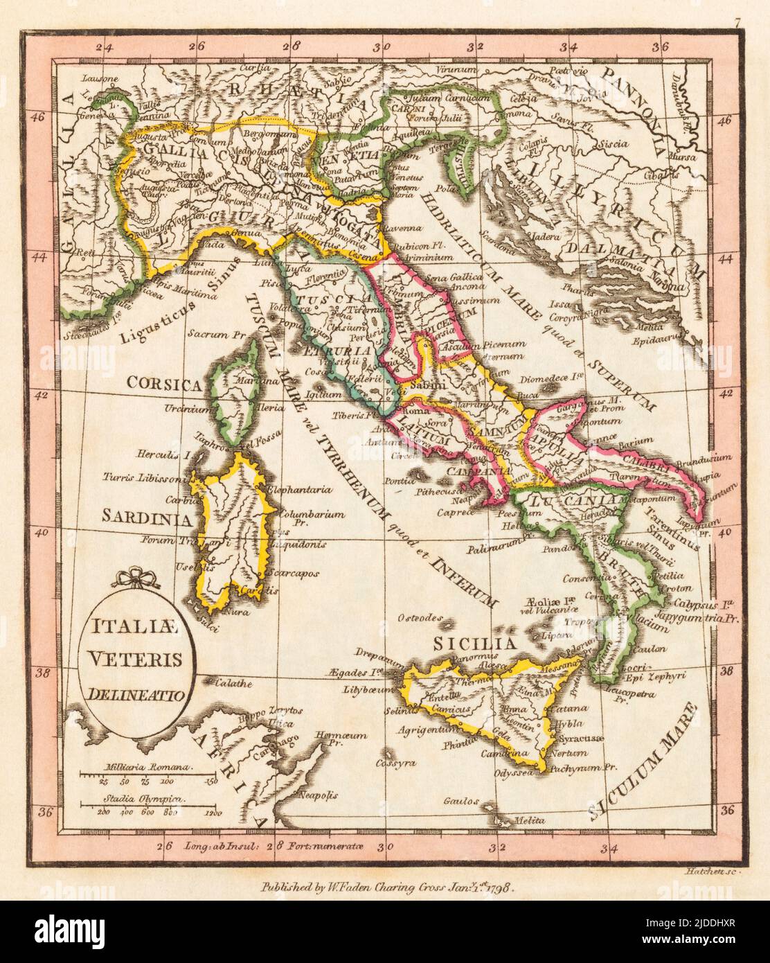 Italiae veteris delineatio. Ancient Italy. 1798 map by cartographer William Faden, engraved by Hatchett. Faden was the royal geographer to King George III. This map comes from his Atlas minimus universalis which was designed mainly for use in schools. Stock Photohttps://www.alamy.com/image-license-details/?v=1https://www.alamy.com/italiae-veteris-delineatio-ancient-italy-1798-map-by-cartographer-william-faden-engraved-by-hatchett-faden-was-the-royal-geographer-to-king-george-iii-this-map-comes-from-his-atlas-minimus-universalis-which-was-designed-mainly-for-use-in-schools-image472969919.html
RM2JDDHXR–Italiae veteris delineatio. Ancient Italy. 1798 map by cartographer William Faden, engraved by Hatchett. Faden was the royal geographer to King George III. This map comes from his Atlas minimus universalis which was designed mainly for use in schools.
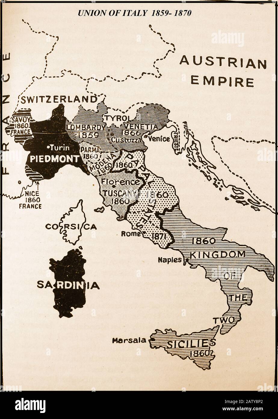 UNION OF ITALY - 1929 map showing the steps leading up to the union of Italy with its various constituent parts with dates 1859-1870 Stock Photohttps://www.alamy.com/image-license-details/?v=1https://www.alamy.com/union-of-italy-1929-map-showing-the-steps-leading-up-to-the-union-of-italy-with-its-various-constituent-parts-with-dates-1859-1870-image342348330.html
RM2ATY8P2–UNION OF ITALY - 1929 map showing the steps leading up to the union of Italy with its various constituent parts with dates 1859-1870
 Ancient map of Sardinia island in the Mediterranean Sea and one of the regions of Italy west of the Italian Peninsula, with geographical Italian names and descriptions Stock Photohttps://www.alamy.com/image-license-details/?v=1https://www.alamy.com/ancient-map-of-sardinia-island-in-the-mediterranean-sea-and-one-of-the-regions-of-italy-west-of-the-italian-peninsula-with-geographical-italian-names-and-descriptions-image352329184.html
RF2BD5YD4–Ancient map of Sardinia island in the Mediterranean Sea and one of the regions of Italy west of the Italian Peninsula, with geographical Italian names and descriptions
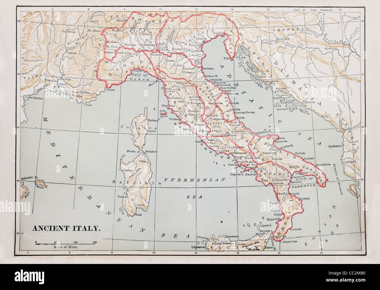 map of ancient Italy from 1896 book Stock Photohttps://www.alamy.com/image-license-details/?v=1https://www.alamy.com/stock-photo-map-of-ancient-italy-from-1896-book-41856500.html
RFCC2MB0–map of ancient Italy from 1896 book
 1867 Andriveau-Goujon Case Map of Southern Italy, Naples, Sicily and Sardinia Stock Photohttps://www.alamy.com/image-license-details/?v=1https://www.alamy.com/stock-photo-1867-andriveau-goujon-case-map-of-southern-italy-naples-sicily-and-49968030.html
RMCW86ME–1867 Andriveau-Goujon Case Map of Southern Italy, Naples, Sicily and Sardinia
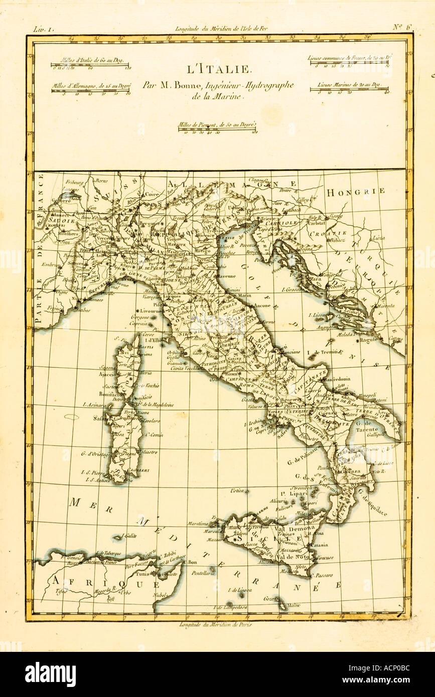 Map of Italy circa 1760 Stock Photohttps://www.alamy.com/image-license-details/?v=1https://www.alamy.com/map-of-italy-circa-1760-image2449595.html
RMACP0BC–Map of Italy circa 1760
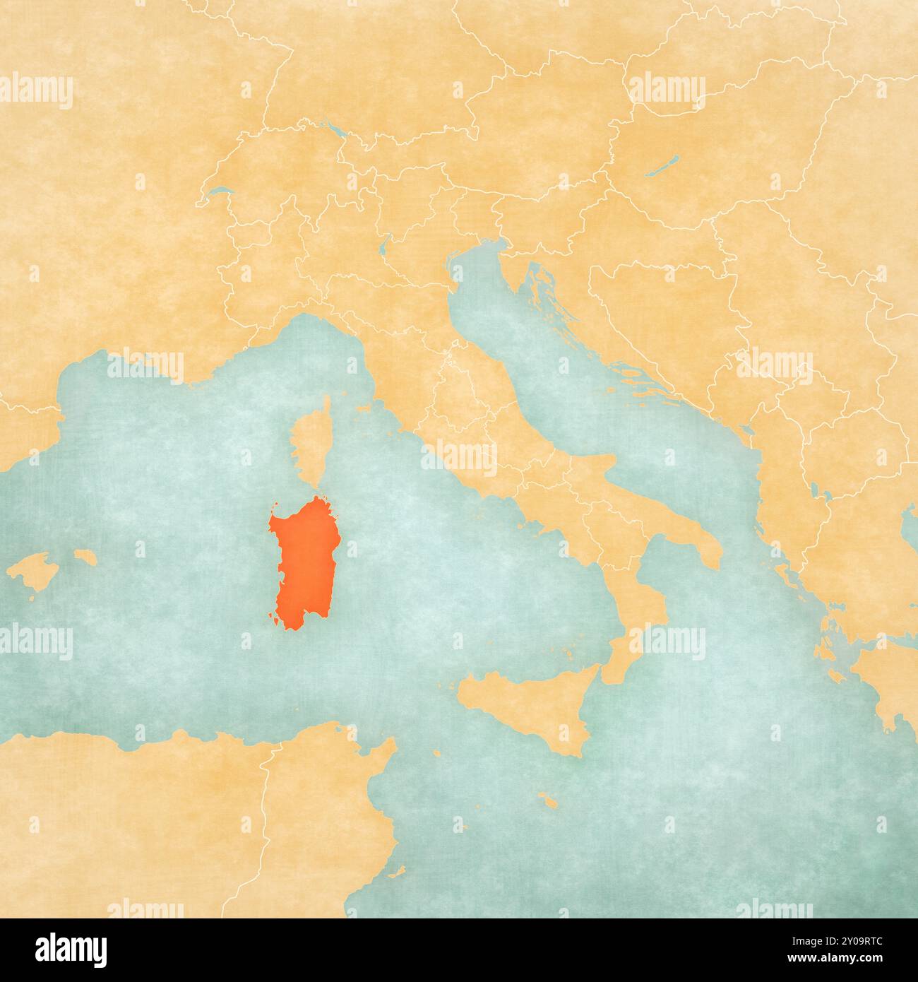 Sardinia on the map of Italy in soft grunge and vintage style, like old paper with watercolor painting. Stock Photohttps://www.alamy.com/image-license-details/?v=1https://www.alamy.com/sardinia-on-the-map-of-italy-in-soft-grunge-and-vintage-style-like-old-paper-with-watercolor-painting-image619789532.html
RF2Y09RTC–Sardinia on the map of Italy in soft grunge and vintage style, like old paper with watercolor painting.
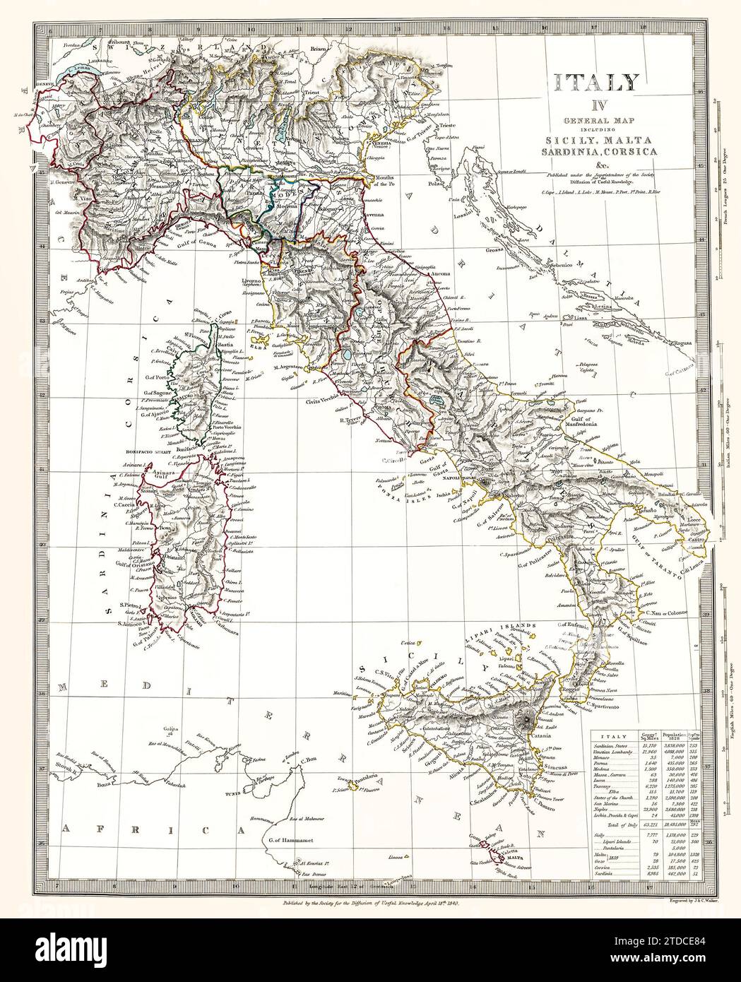 This is a digitally enhanced, restored reproduction of a beautifully detailed antique map of Italy showing political boundaries, outlined in color as existed around 1840. Population data is in a table on the lower right. The map was published in 1844. This is one of a series of maps published by the Society for the Diffusion of Useful Knowledge, a British organization. Stock Photohttps://www.alamy.com/image-license-details/?v=1https://www.alamy.com/this-is-a-digitally-enhanced-restored-reproduction-of-a-beautifully-detailed-antique-map-of-italy-showing-political-boundaries-outlined-in-color-as-existed-around-1840-population-data-is-in-a-table-on-the-lower-right-the-map-was-published-in-1844-this-is-one-of-a-series-of-maps-published-by-the-society-for-the-diffusion-of-useful-knowledge-a-british-organization-image576207300.html
RM2TDCE84–This is a digitally enhanced, restored reproduction of a beautifully detailed antique map of Italy showing political boundaries, outlined in color as existed around 1840. Population data is in a table on the lower right. The map was published in 1844. This is one of a series of maps published by the Society for the Diffusion of Useful Knowledge, a British organization.
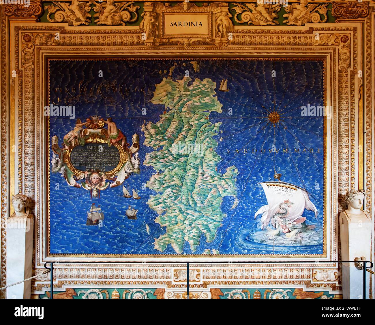 Ancient map of Sardinia painted on a wall in Musei Vaticani, Rome Stock Photohttps://www.alamy.com/image-license-details/?v=1https://www.alamy.com/ancient-map-of-sardinia-painted-on-a-wall-in-musei-vaticani-rome-image428975695.html
RF2FWWETF–Ancient map of Sardinia painted on a wall in Musei Vaticani, Rome
 Traveler route - Sardinia and Corsica. Photos from my successful set 'Traveler's route'. This time processing in vintage effects Stock Photohttps://www.alamy.com/image-license-details/?v=1https://www.alamy.com/stock-photo-traveler-route-sardinia-and-corsica-photos-from-my-successful-set-80239349.html
RFEJF631–Traveler route - Sardinia and Corsica. Photos from my successful set 'Traveler's route'. This time processing in vintage effects
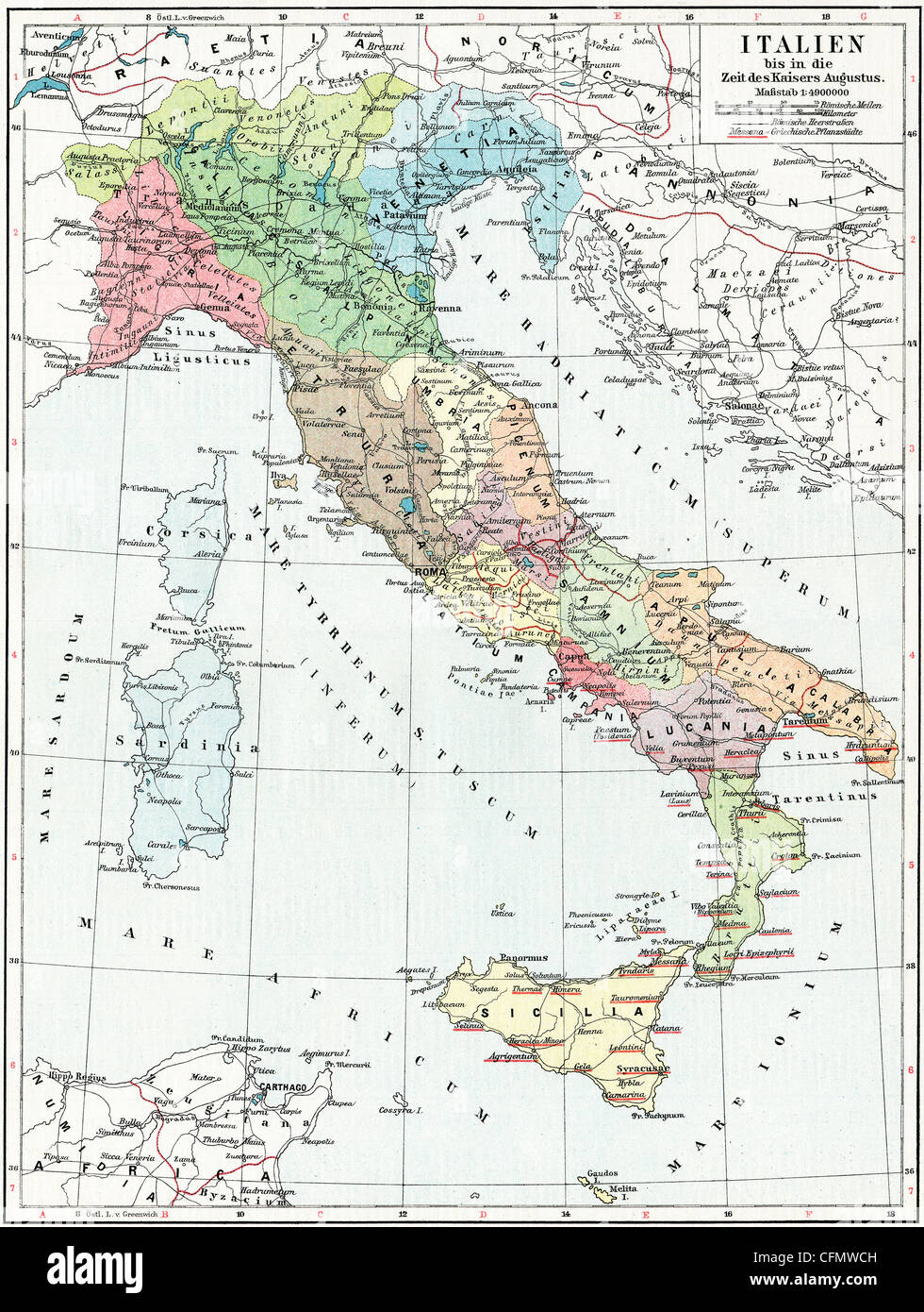 Map of Italy, the time of Emperor Augustus. Stock Photohttps://www.alamy.com/image-license-details/?v=1https://www.alamy.com/stock-photo-map-of-italy-the-time-of-emperor-augustus-44099569.html
RFCFMWCH–Map of Italy, the time of Emperor Augustus.
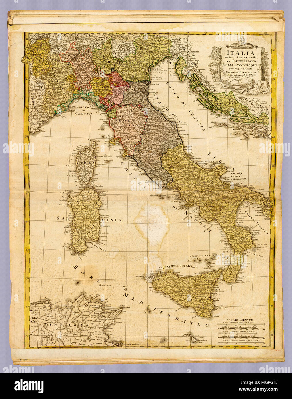 Italia Antique 1790 Italy Map: Date Created: 1790. Homann, Johann Baptist, 1663-1724 (Cartographer) Stock Photohttps://www.alamy.com/image-license-details/?v=1https://www.alamy.com/italia-antique-1790-italy-map-date-created-1790-homann-johann-baptist-1663-1724-cartographer-image182434341.html
RFMGPGT5–Italia Antique 1790 Italy Map: Date Created: 1790. Homann, Johann Baptist, 1663-1724 (Cartographer)
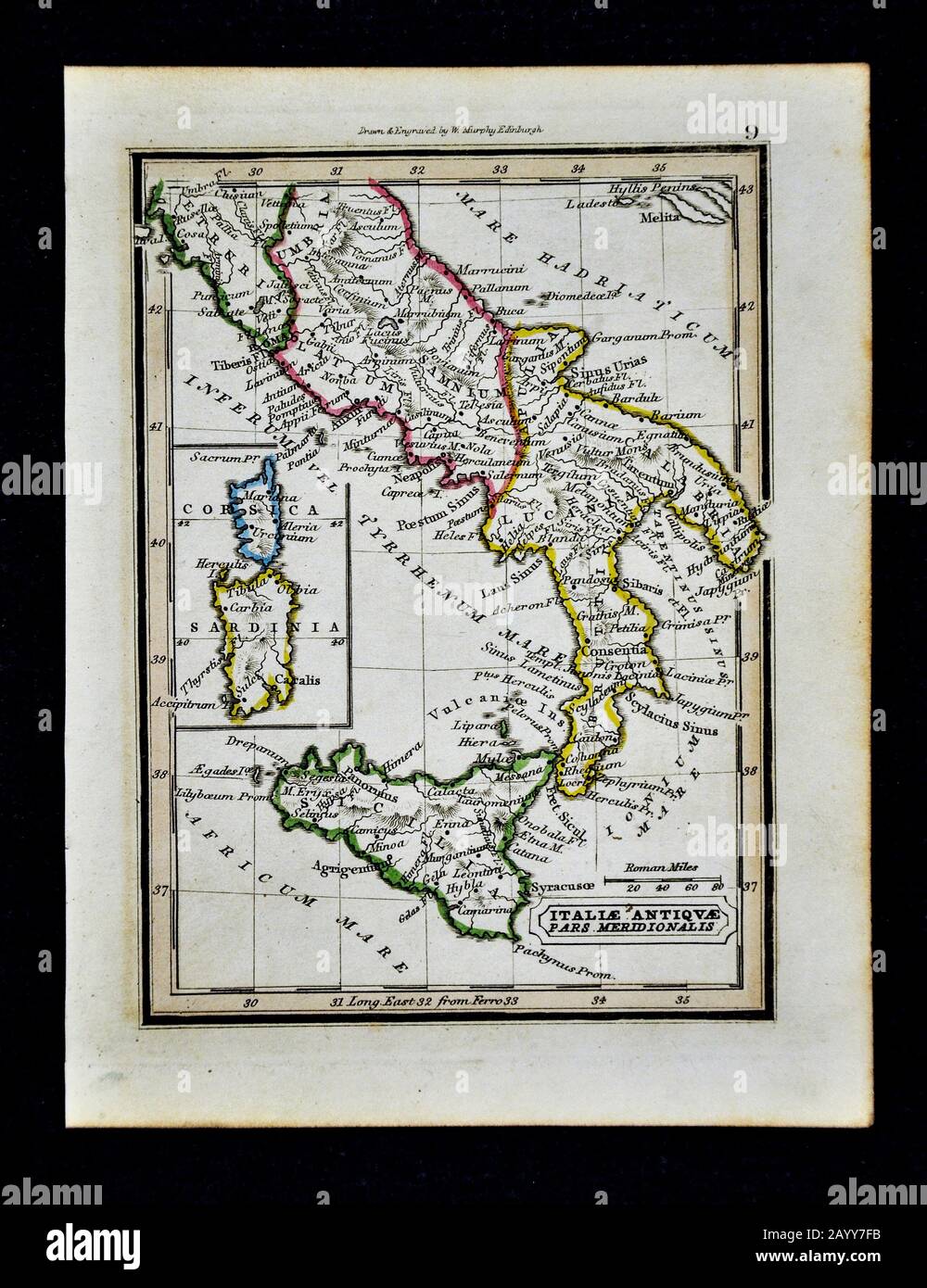 1832 Murphy Map Ancient Italiae Antiquae pars Meridionalis Ancient Italy Rome Roman Roma Italia Stock Photohttps://www.alamy.com/image-license-details/?v=1https://www.alamy.com/1832-murphy-map-ancient-italiae-antiquae-pars-meridionalis-ancient-italy-rome-roman-roma-italia-image344191327.html
RM2AYY7FB–1832 Murphy Map Ancient Italiae Antiquae pars Meridionalis Ancient Italy Rome Roman Roma Italia
 Sardinia Italy Stock Photohttps://www.alamy.com/image-license-details/?v=1https://www.alamy.com/stock-photo-sardinia-italy-14710627.html
RMAJE88M–Sardinia Italy
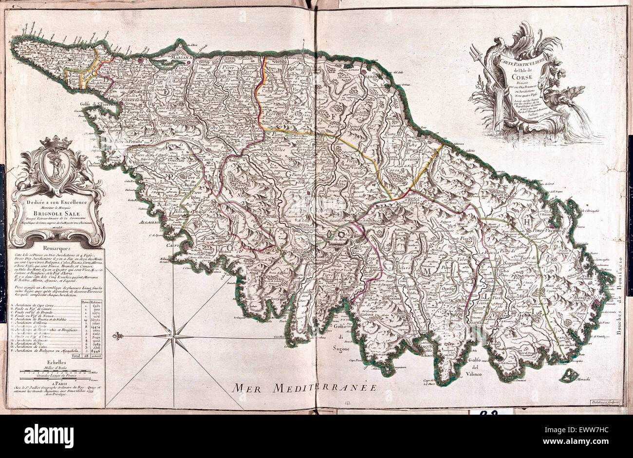 old map of Corsica, France Stock Photohttps://www.alamy.com/image-license-details/?v=1https://www.alamy.com/stock-photo-old-map-of-corsica-france-84762648.html
RFEWW7HC–old map of Corsica, France
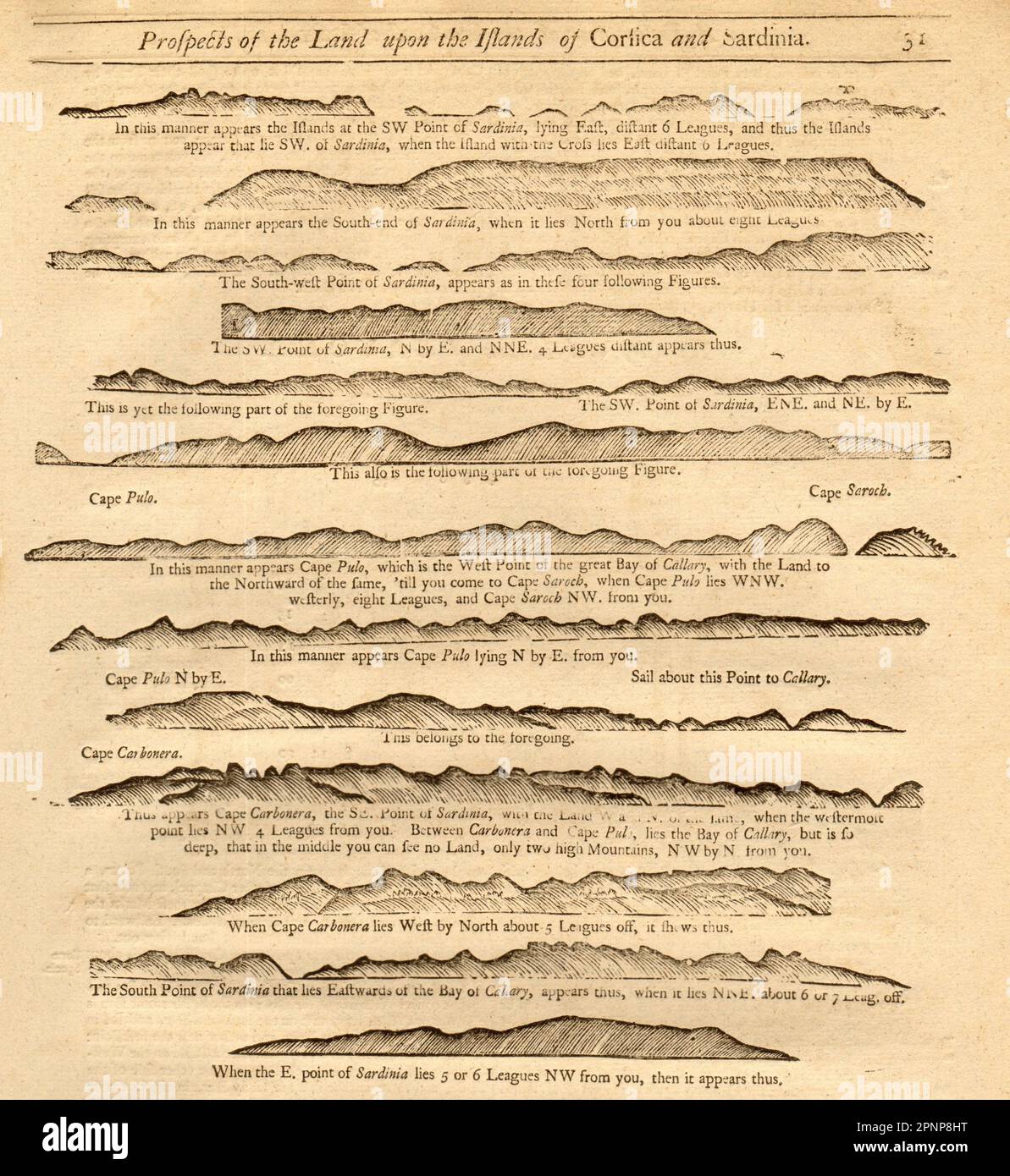 1747 old antique vintage map plan chart Stock Photohttps://www.alamy.com/image-license-details/?v=1https://www.alamy.com/1747-old-antique-vintage-map-plan-chart-image546918900.html
RF2PNP8HT–1747 old antique vintage map plan chart
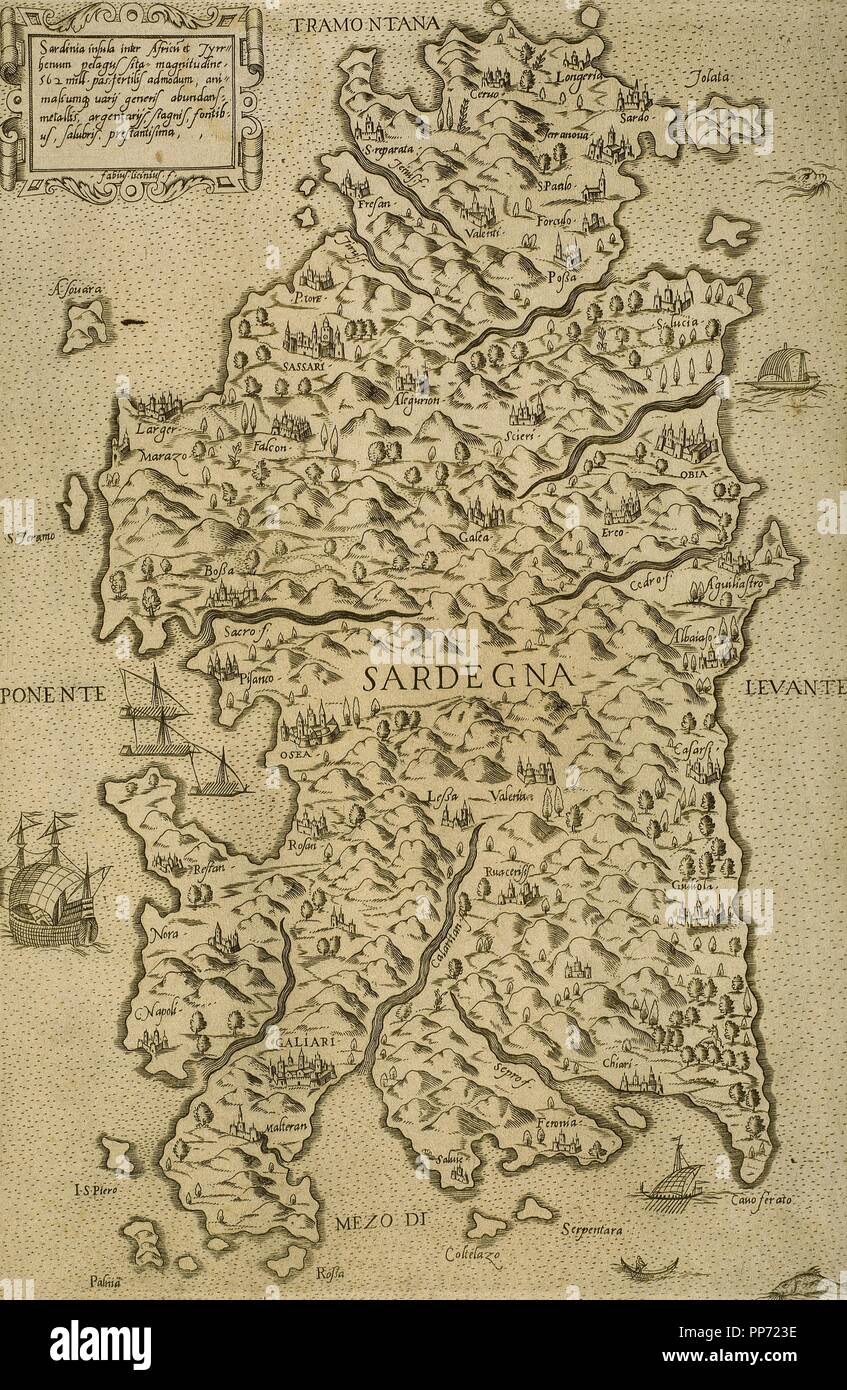 Map of Sardinia. Mediterranean Sea. Italian engraving. 16th century. Stock Photohttps://www.alamy.com/image-license-details/?v=1https://www.alamy.com/map-of-sardinia-mediterranean-sea-italian-engraving-16th-century-image220202178.html
RMPP723E–Map of Sardinia. Mediterranean Sea. Italian engraving. 16th century.
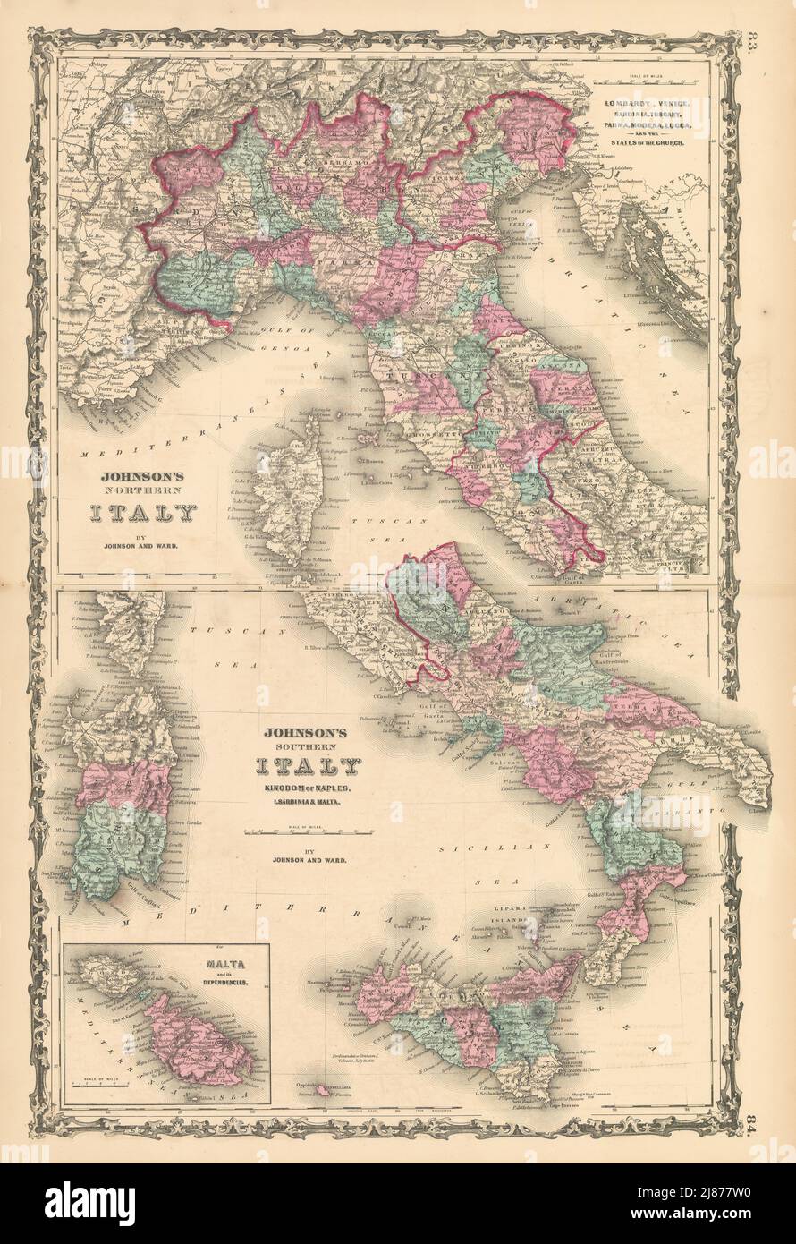 Johnson's Northern & Southern Italy. Malta. Unusual juxtaposition 1862 old map Stock Photohttps://www.alamy.com/image-license-details/?v=1https://www.alamy.com/johnsons-northern-southern-italy-malta-unusual-juxtaposition-1862-old-map-image469757036.html
RF2J877W0–Johnson's Northern & Southern Italy. Malta. Unusual juxtaposition 1862 old map
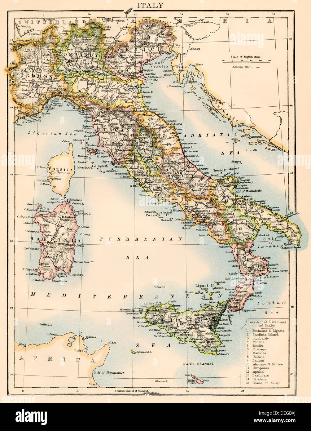 Map of Italy, 1870s. Color lithograph Stock Photohttps://www.alamy.com/image-license-details/?v=1https://www.alamy.com/map-of-italy-1870s-color-lithograph-image60596890.html
RMDEGBXJ–Map of Italy, 1870s. Color lithograph
 La Giara. Sardinia. Sketch map 1885 old antique vintage plan chart Stock Photohttps://www.alamy.com/image-license-details/?v=1https://www.alamy.com/stock-photo-la-giara-sardinia-sketch-map-1885-old-antique-vintage-plan-chart-176384970.html
RFM6Y0R6–La Giara. Sardinia. Sketch map 1885 old antique vintage plan chart
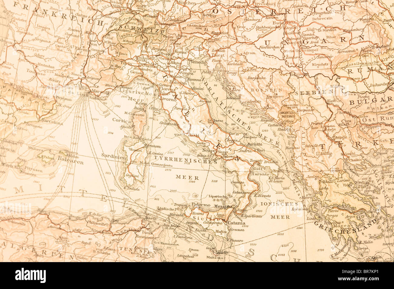 Old map of Italy,1895. Stock Photohttps://www.alamy.com/image-license-details/?v=1https://www.alamy.com/stock-photo-old-map-of-italy1895-31516633.html
RFBR7KP1–Old map of Italy,1895.
 Index map south part. Southern Italy. Sardinia Sicily. CHAUCHARD 1800 old Stock Photohttps://www.alamy.com/image-license-details/?v=1https://www.alamy.com/index-map-south-part-southern-italy-sardinia-sicily-chauchard-1800-old-image247691310.html
RFTAY8P6–Index map south part. Southern Italy. Sardinia Sicily. CHAUCHARD 1800 old
 1855, Colton's Map of Southern Italy, Sicily, Sardinia and Malta Stock Photohttps://www.alamy.com/image-license-details/?v=1https://www.alamy.com/stock-image-1855-coltons-map-of-southern-italy-sicily-sardinia-and-malta-162568658.html
RMKCDHYE–1855, Colton's Map of Southern Italy, Sicily, Sardinia and Malta
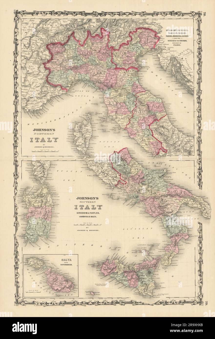 Johnson's Northern & Southern Italy. Malta. Unusual juxtaposition 1861 old map Stock Photohttps://www.alamy.com/image-license-details/?v=1https://www.alamy.com/johnsons-northern-southern-italy-malta-unusual-juxtaposition-1861-old-map-image556848499.html
RF2R9XHXB–Johnson's Northern & Southern Italy. Malta. Unusual juxtaposition 1861 old map
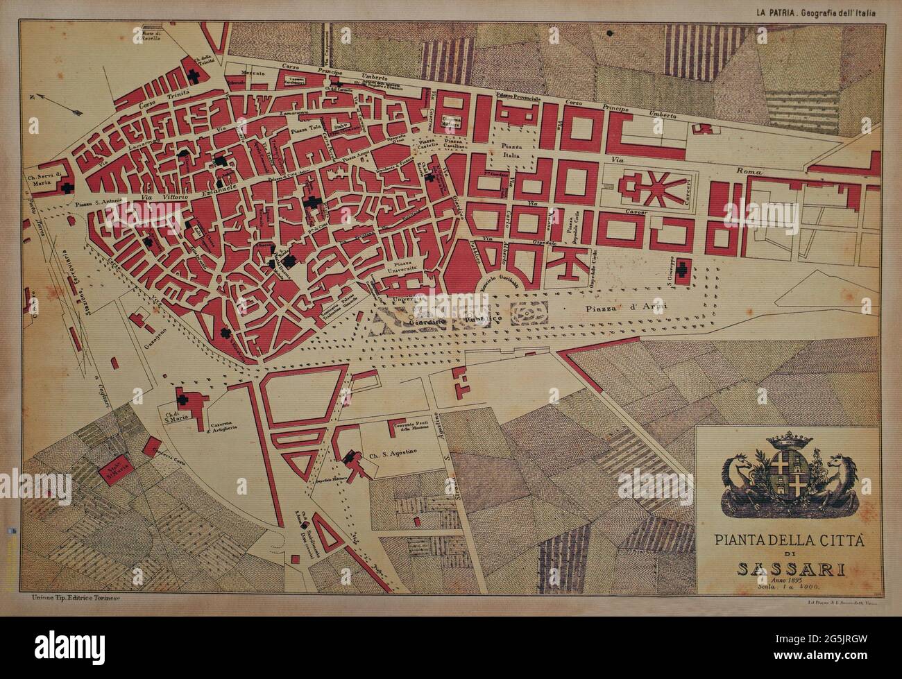 Old map of Sassari city, Sardinia, Italy. 1895 Stock Photohttps://www.alamy.com/image-license-details/?v=1https://www.alamy.com/old-map-of-sassari-city-sardinia-italy-1895-image433746121.html
RF2G5JRGW–Old map of Sassari city, Sardinia, Italy. 1895
 ITALY NORTH. Showing provinces & railways. BLACKIE 1886 old antique map chart Stock Photohttps://www.alamy.com/image-license-details/?v=1https://www.alamy.com/italy-north-showing-provinces-railways-blackie-1886-old-antique-map-chart-image469750559.html
RF2J86YHK–ITALY NORTH. Showing provinces & railways. BLACKIE 1886 old antique map chart
 Sardinia on the map of Italy in soft grunge and vintage style, like old paper with watercolor painting. Stock Photohttps://www.alamy.com/image-license-details/?v=1https://www.alamy.com/sardinia-on-the-map-of-italy-in-soft-grunge-and-vintage-style-like-old-paper-with-watercolor-painting-image633552239.html
RF2YPMP9K–Sardinia on the map of Italy in soft grunge and vintage style, like old paper with watercolor painting.
 'Italie Septentrionale'. MIGEON. Northern Italy c1883 old antique map chart Stock Photohttps://www.alamy.com/image-license-details/?v=1https://www.alamy.com/italie-septentrionale-migeon-northern-italy-c1883-old-antique-map-chart-image568885763.html
RF2T1EYGK–'Italie Septentrionale'. MIGEON. Northern Italy c1883 old antique map chart
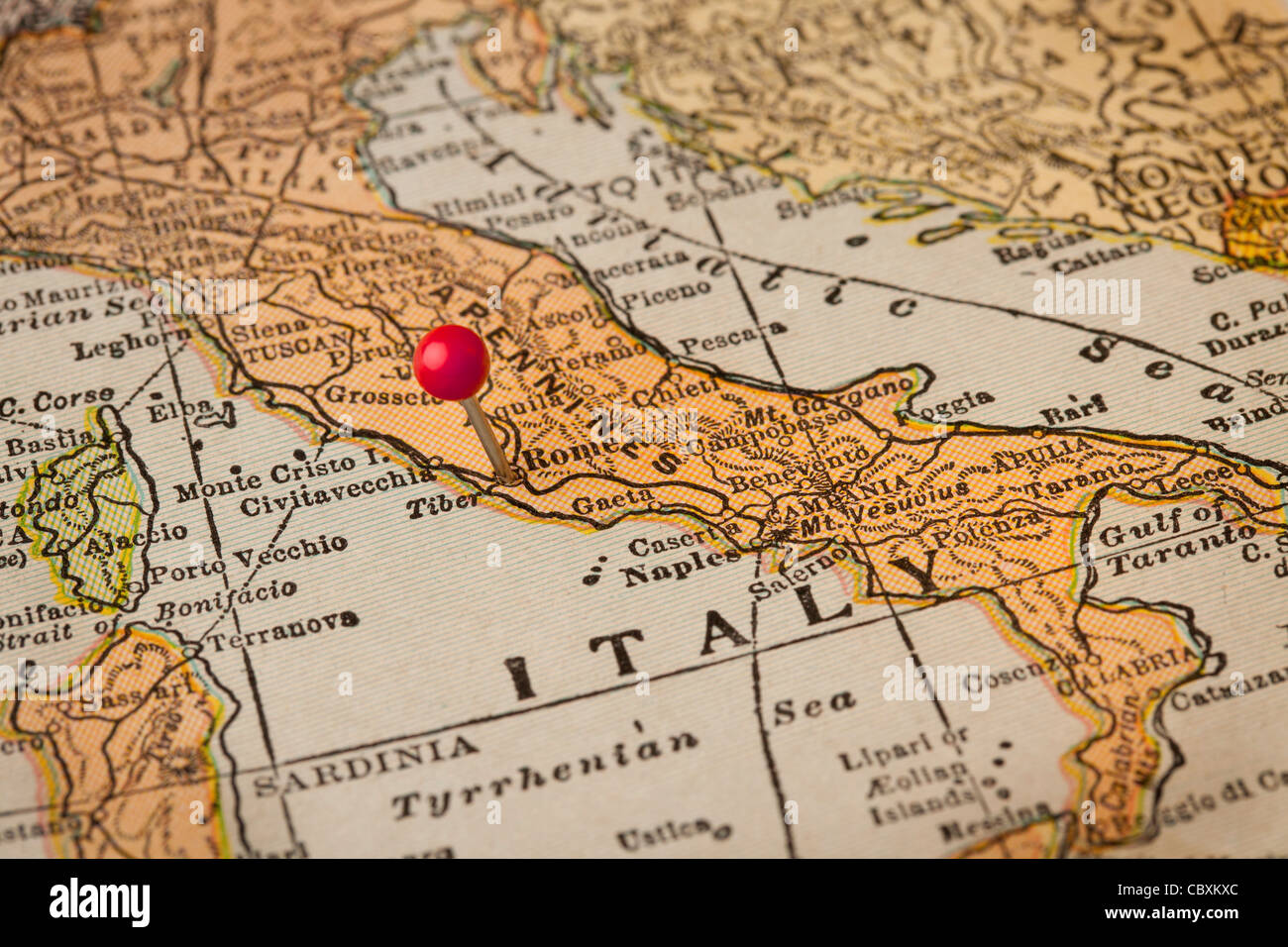 Italy vintage 1920s map (printed in 1926 - copyrights expired) with a red pushpin on Rome, selective focus Stock Photohttps://www.alamy.com/image-license-details/?v=1https://www.alamy.com/stock-photo-italy-vintage-1920s-map-printed-in-1926-copyrights-expired-with-a-41768340.html
RFCBXKXC–Italy vintage 1920s map (printed in 1926 - copyrights expired) with a red pushpin on Rome, selective focus
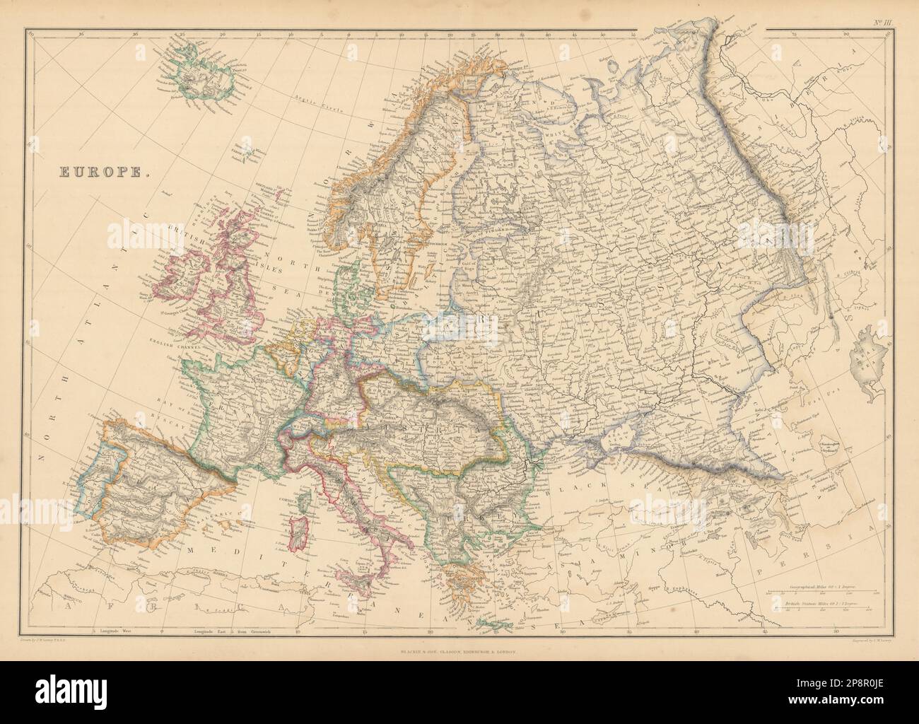 Europe by Joseph Wilson Lowry. Great Powers 1859 old antique map plan chart Stock Photohttps://www.alamy.com/image-license-details/?v=1https://www.alamy.com/europe-by-joseph-wilson-lowry-great-powers-1859-old-antique-map-plan-chart-image538944070.html
RF2P8R0JE–Europe by Joseph Wilson Lowry. Great Powers 1859 old antique map plan chart
 1855 Colton's Map of Southern Italy, Sicily, Sardinia and Malta Stock Photohttps://www.alamy.com/image-license-details/?v=1https://www.alamy.com/stock-photo-1855-coltons-map-of-southern-italy-sicily-sardinia-and-malta-50535972.html
RMCX6344–1855 Colton's Map of Southern Italy, Sicily, Sardinia and Malta
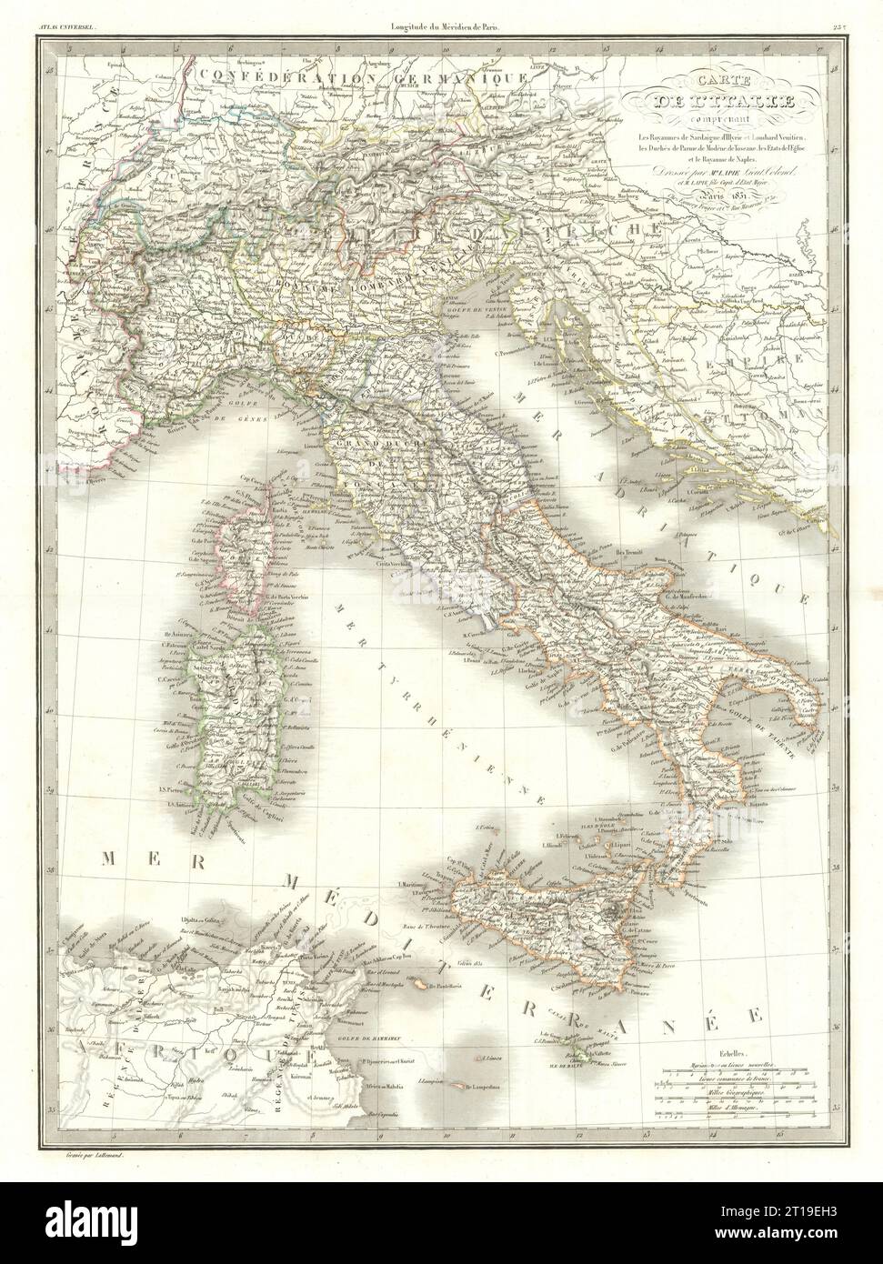 Carte de l'Italie… Italian states. Italy. LAPIE 1831 old antique map chart Stock Photohttps://www.alamy.com/image-license-details/?v=1https://www.alamy.com/carte-de-litalie-italian-states-italy-lapie-1831-old-antique-map-chart-image568765823.html
RF2T19EH3–Carte de l'Italie… Italian states. Italy. LAPIE 1831 old antique map chart
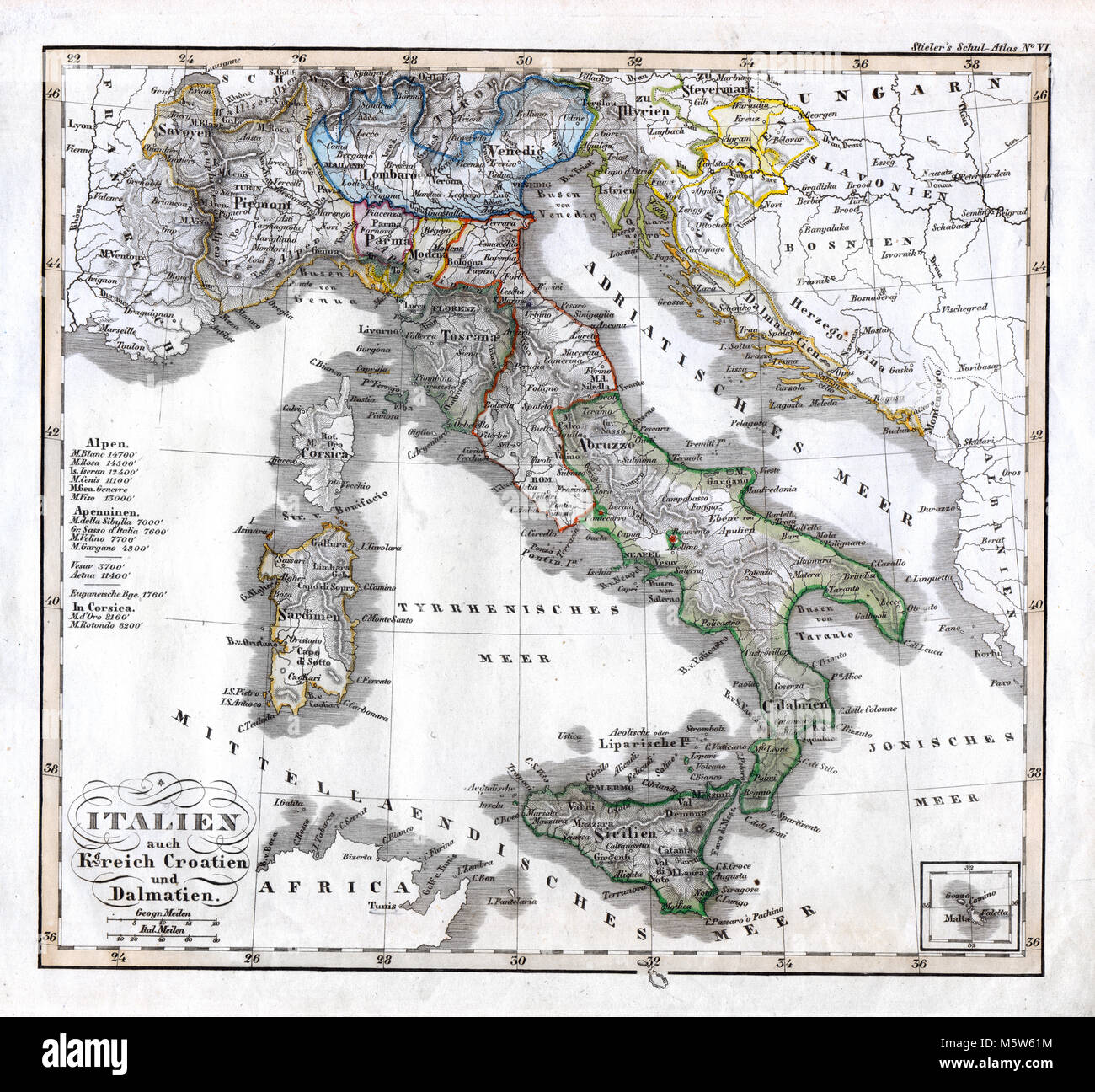 1844 Stieler Map - Italy Croatia Dalmatia Naples Vatican Sardinia Stock Photohttps://www.alamy.com/image-license-details/?v=1https://www.alamy.com/stock-photo-1844-stieler-map-italy-croatia-dalmatia-naples-vatican-sardinia-175730512.html
RFM5W61M–1844 Stieler Map - Italy Croatia Dalmatia Naples Vatican Sardinia
 Italy, south part. Inset Malta. Sardinia Sicily. SIDNEY HALL 1862 old map Stock Photohttps://www.alamy.com/image-license-details/?v=1https://www.alamy.com/italy-south-part-inset-malta-sardinia-sicily-sidney-hall-1862-old-map-image538841419.html
RF2P8J9MB–Italy, south part. Inset Malta. Sardinia Sicily. SIDNEY HALL 1862 old map
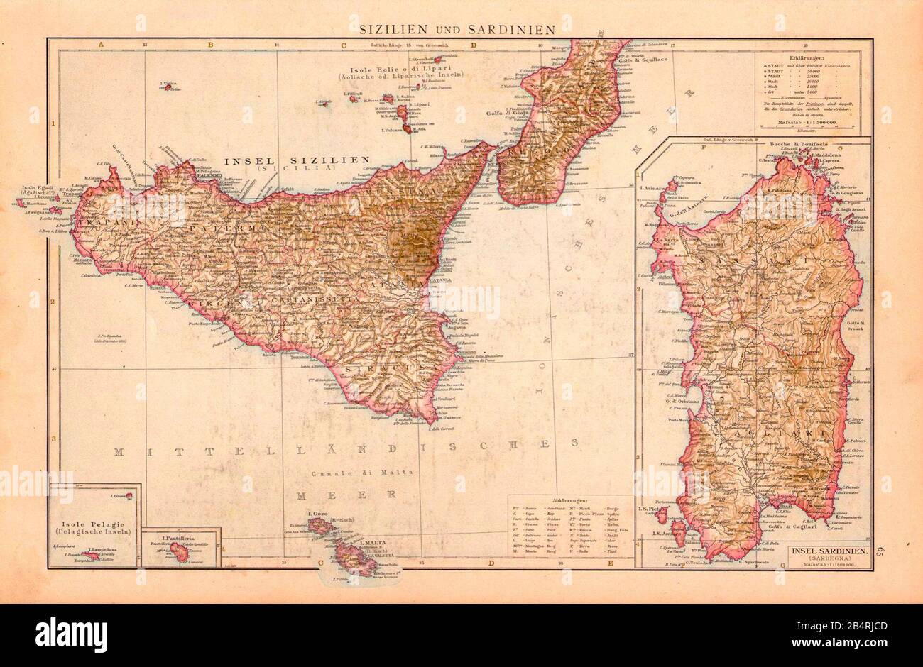 Ancient map of Sicilia and Sardinia from 1886 Stock Photohttps://www.alamy.com/image-license-details/?v=1https://www.alamy.com/ancient-map-of-sicilia-and-sardinia-from-1886-image347185341.html
RM2B4RJCD–Ancient map of Sicilia and Sardinia from 1886
 Conceptual creative map of Italy, Sardinia and Sicily formed of old wine corks in an artistic arrangement on an old wooden count Stock Photohttps://www.alamy.com/image-license-details/?v=1https://www.alamy.com/stock-photo-conceptual-creative-map-of-italy-sardinia-and-sicily-formed-of-old-118199504.html
RFGT8CJT–Conceptual creative map of Italy, Sardinia and Sicily formed of old wine corks in an artistic arrangement on an old wooden count
![Original title: 'Map of the Austrian Empire, Italian States, Turkey in Europe, and Greece; Maltese Islands [inset].' Map publication date was 1863. This is a beautifully detailed historic map reproduction showing political borders and important landmarks.Note that longitude is given from both Greenwich and Washington, D.C. Shows political boundaries, cities, and seas. Stock Photo Original title: 'Map of the Austrian Empire, Italian States, Turkey in Europe, and Greece; Maltese Islands [inset].' Map publication date was 1863. This is a beautifully detailed historic map reproduction showing political borders and important landmarks.Note that longitude is given from both Greenwich and Washington, D.C. Shows political boundaries, cities, and seas. Stock Photo](https://c8.alamy.com/comp/2FKT607/original-title-map-of-the-austrian-empire-italian-states-turkey-in-europe-and-greece-maltese-islands-inset-map-publication-date-was-1863-this-is-a-beautifully-detailed-historic-map-reproduction-showing-political-borders-and-important-landmarksnote-that-longitude-is-given-from-both-greenwich-and-washington-dc-shows-political-boundaries-cities-and-seas-2FKT607.jpg) Original title: 'Map of the Austrian Empire, Italian States, Turkey in Europe, and Greece; Maltese Islands [inset].' Map publication date was 1863. This is a beautifully detailed historic map reproduction showing political borders and important landmarks.Note that longitude is given from both Greenwich and Washington, D.C. Shows political boundaries, cities, and seas. Stock Photohttps://www.alamy.com/image-license-details/?v=1https://www.alamy.com/original-title-map-of-the-austrian-empire-italian-states-turkey-in-europe-and-greece-maltese-islands-inset-map-publication-date-was-1863-this-is-a-beautifully-detailed-historic-map-reproduction-showing-political-borders-and-important-landmarksnote-that-longitude-is-given-from-both-greenwich-and-washington-dc-shows-political-boundaries-cities-and-seas-image425258855.html
Original title: 'Map of the Austrian Empire, Italian States, Turkey in Europe, and Greece; Maltese Islands [inset].' Map publication date was 1863. This is a beautifully detailed historic map reproduction showing political borders and important landmarks.Note that longitude is given from both Greenwich and Washington, D.C. Shows political boundaries, cities, and seas. Stock Photohttps://www.alamy.com/image-license-details/?v=1https://www.alamy.com/original-title-map-of-the-austrian-empire-italian-states-turkey-in-europe-and-greece-maltese-islands-inset-map-publication-date-was-1863-this-is-a-beautifully-detailed-historic-map-reproduction-showing-political-borders-and-important-landmarksnote-that-longitude-is-given-from-both-greenwich-and-washington-dc-shows-political-boundaries-cities-and-seas-image425258855.htmlRF2FKT607–Original title: 'Map of the Austrian Empire, Italian States, Turkey in Europe, and Greece; Maltese Islands [inset].' Map publication date was 1863. This is a beautifully detailed historic map reproduction showing political borders and important landmarks.Note that longitude is given from both Greenwich and Washington, D.C. Shows political boundaries, cities, and seas.
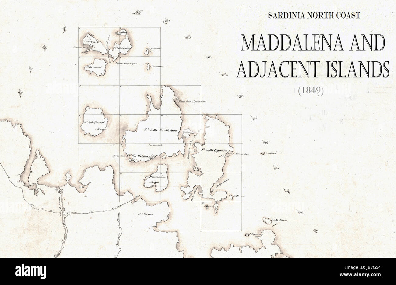 Sardinia. La Maddalena Archipelago old map 1849 Stock Photohttps://www.alamy.com/image-license-details/?v=1https://www.alamy.com/stock-photo-sardinia-la-maddalena-archipelago-old-map-1849-144610512.html
RFJB7G54–Sardinia. La Maddalena Archipelago old map 1849
 Grunge map of Sardinia printed on an old paper. Stock Photohttps://www.alamy.com/image-license-details/?v=1https://www.alamy.com/grunge-map-of-sardinia-printed-on-an-old-paper-image609534949.html
RF2XBJM19–Grunge map of Sardinia printed on an old paper.
 Italy map as island. Map separated on blue wave water background. Stock Vectorhttps://www.alamy.com/image-license-details/?v=1https://www.alamy.com/italy-map-as-island-map-separated-on-blue-wave-water-background-image243572862.html
RFT47KJP–Italy map as island. Map separated on blue wave water background.
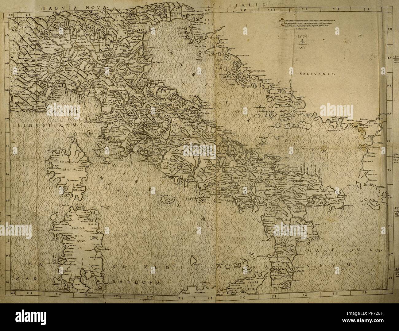 Map of Italian Peninsula, Islands of Corsica and Sardinia and Adriatic coast. Engraving. 16th century. Stock Photohttps://www.alamy.com/image-license-details/?v=1https://www.alamy.com/map-of-italian-peninsula-islands-of-corsica-and-sardinia-and-adriatic-coast-engraving-16th-century-image220202489.html
RMPP72EH–Map of Italian Peninsula, Islands of Corsica and Sardinia and Adriatic coast. Engraving. 16th century.
 1867, Andriveau-Goujon Case Map of Southern Italy, Naples, Sicily and Sardinia Stock Photohttps://www.alamy.com/image-license-details/?v=1https://www.alamy.com/stock-image-1867-andriveau-goujon-case-map-of-southern-italy-naples-sicily-and-162589164.html
RMKCEG3T–1867, Andriveau-Goujon Case Map of Southern Italy, Naples, Sicily and Sardinia
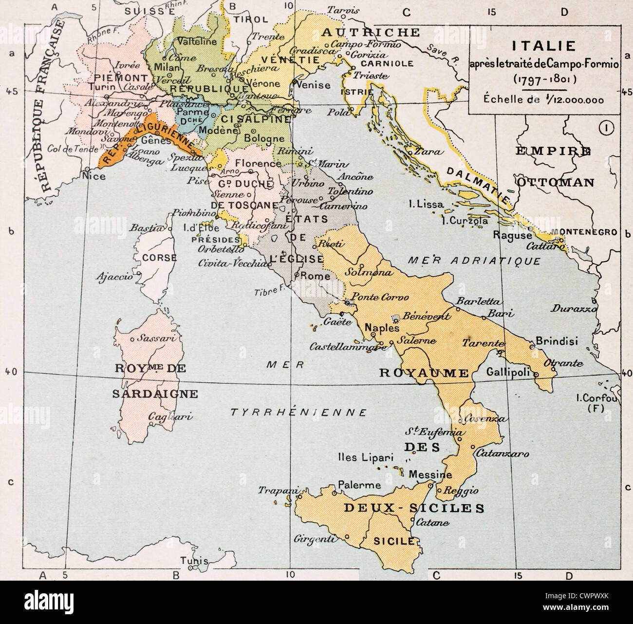 Italy map Stock Photohttps://www.alamy.com/image-license-details/?v=1https://www.alamy.com/stock-photo-italy-map-50290427.html
RFCWPWXK–Italy map
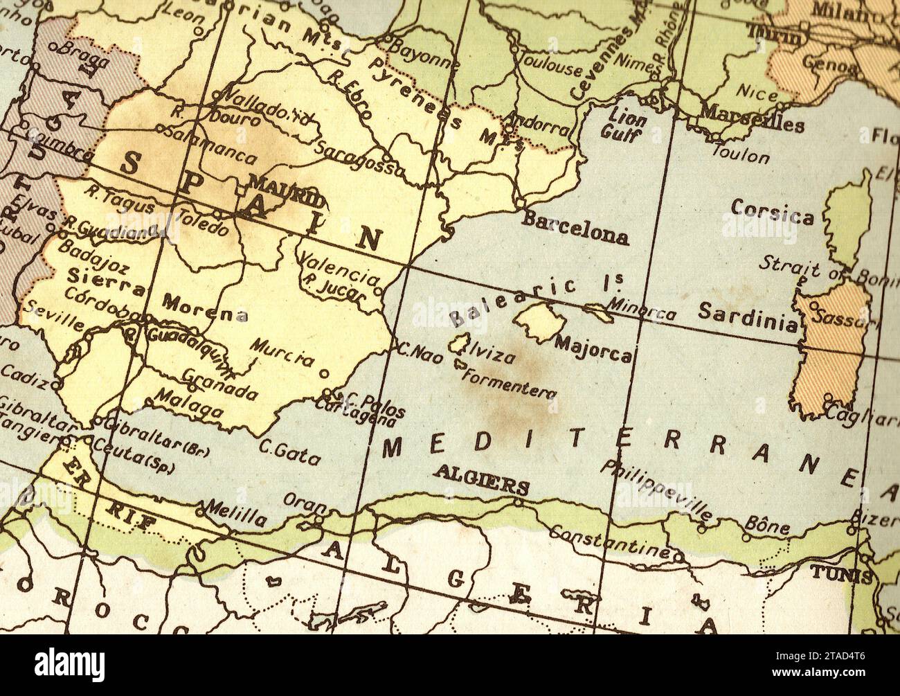 A vintage political map of Spain and Algeria in sepia. Stock Photohttps://www.alamy.com/image-license-details/?v=1https://www.alamy.com/a-vintage-political-map-of-spain-and-algeria-in-sepia-image574377894.html
RF2TAD4T6–A vintage political map of Spain and Algeria in sepia.
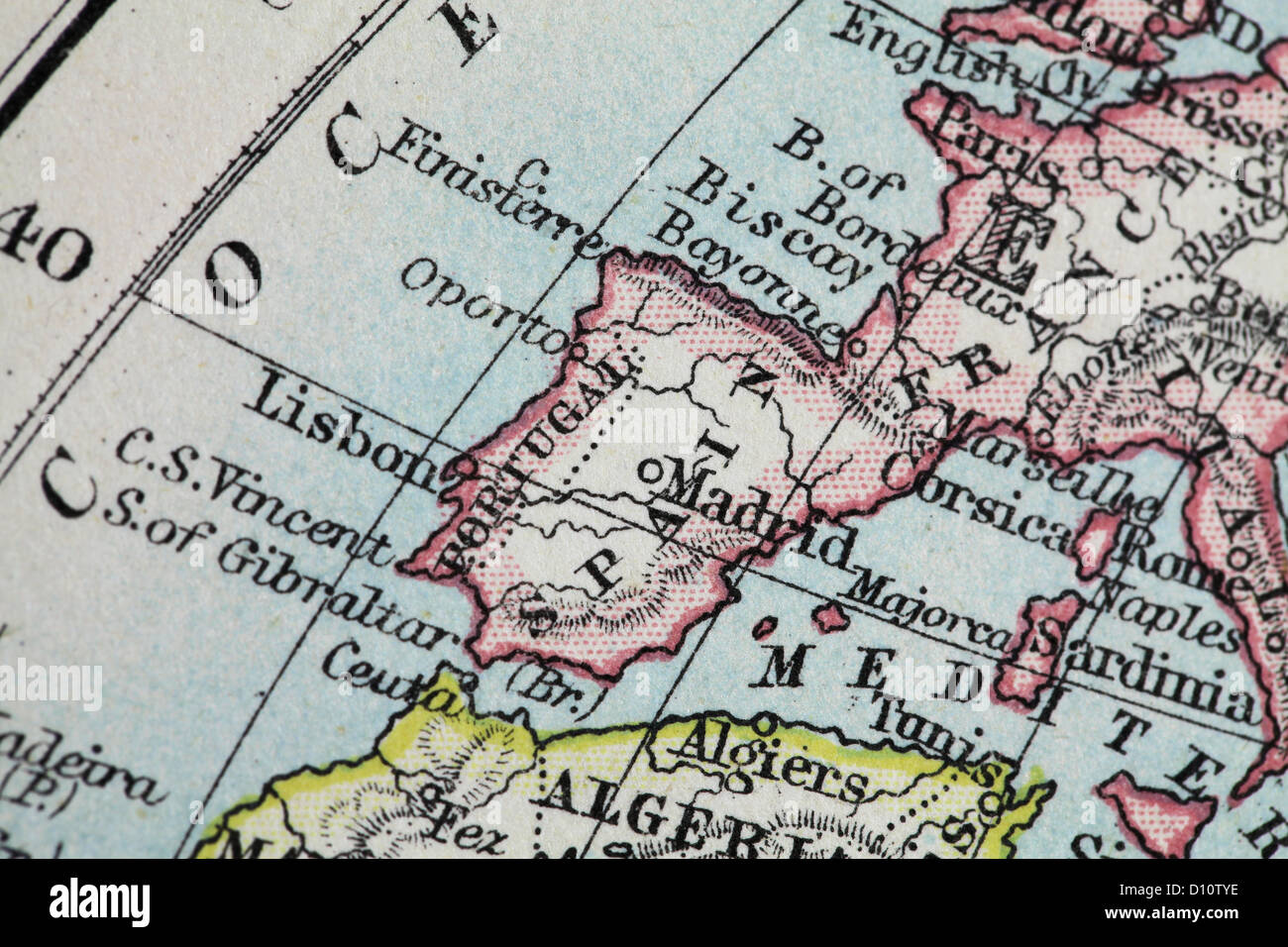 Antique map by W and A&K Johnston, printed in c.1888. Illustrating the World in hemispheres. Zoomed in on Spain Stock Photohttps://www.alamy.com/image-license-details/?v=1https://www.alamy.com/stock-photo-antique-map-by-w-and-ak-johnston-printed-in-c1888-illustrating-the-52265346.html
RMD10TYE–Antique map by W and A&K Johnston, printed in c.1888. Illustrating the World in hemispheres. Zoomed in on Spain
 Old geographical map of Southern Europe with Italy and Northern African with Tunisia, Algeria and Libia, famous migration routes to Europe Stock Photohttps://www.alamy.com/image-license-details/?v=1https://www.alamy.com/old-geographical-map-of-southern-europe-with-italy-and-northern-african-with-tunisia-algeria-and-libia-famous-migration-routes-to-europe-image612251511.html
RM2XG2D1B–Old geographical map of Southern Europe with Italy and Northern African with Tunisia, Algeria and Libia, famous migration routes to Europe
 Map of Sardinia 1600 Stock Photohttps://www.alamy.com/image-license-details/?v=1https://www.alamy.com/stock-photo-map-of-sardinia-1600-140178526.html
RMJ41K3X–Map of Sardinia 1600
 Bed & Breakfast OLD CARALIS, Provincia di Cagliari, IT, Italy, Sardinia, N 39 12' 46'', N 9 6' 53'', map, Cartascapes Map published in 2024. Explore Cartascapes, a map revealing Earth's diverse landscapes, cultures, and ecosystems. Journey through time and space, discovering the interconnectedness of our planet's past, present, and future. Stock Photohttps://www.alamy.com/image-license-details/?v=1https://www.alamy.com/bed-breakfast-old-caralis-provincia-di-cagliari-it-italy-sardinia-n-39-12-46-n-9-6-53-map-cartascapes-map-published-in-2024-explore-cartascapes-a-map-revealing-earths-diverse-landscapes-cultures-and-ecosystems-journey-through-time-and-space-discovering-the-interconnectedness-of-our-planets-past-present-and-future-image614577980.html
RM2XKTCDG–Bed & Breakfast OLD CARALIS, Provincia di Cagliari, IT, Italy, Sardinia, N 39 12' 46'', N 9 6' 53'', map, Cartascapes Map published in 2024. Explore Cartascapes, a map revealing Earth's diverse landscapes, cultures, and ecosystems. Journey through time and space, discovering the interconnectedness of our planet's past, present, and future.
 Map of Sardinia Bordone Benedetto 1547 Stock Photohttps://www.alamy.com/image-license-details/?v=1https://www.alamy.com/stock-photo-map-of-sardinia-bordone-benedetto-1547-140206123.html
RMJ42X9F–Map of Sardinia Bordone Benedetto 1547
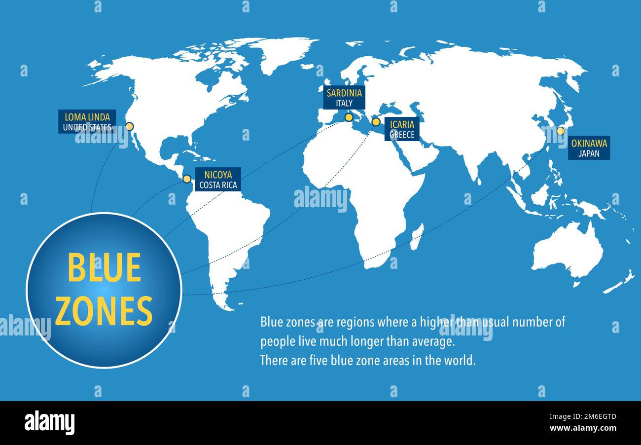 Map of the blue zones of longevity where people live longer than the rest of the world Stock Photohttps://www.alamy.com/image-license-details/?v=1https://www.alamy.com/map-of-the-blue-zones-of-longevity-where-people-live-longer-than-the-rest-of-the-world-image503109165.html
RF2M6EGTD–Map of the blue zones of longevity where people live longer than the rest of the world
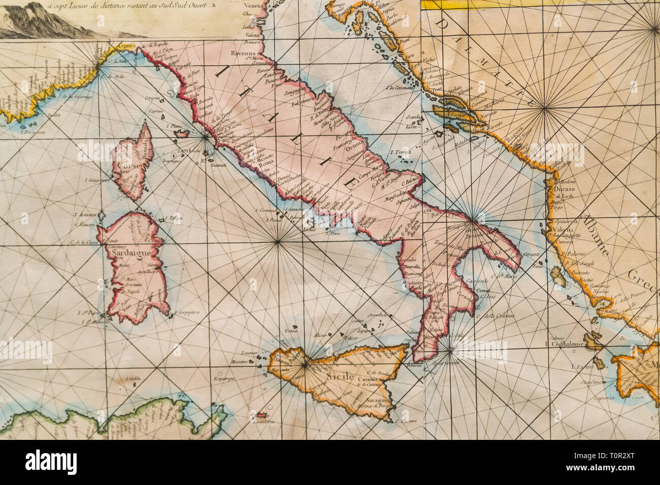 Old naval map of Italy, Sicily, Corsica and Sardinia Stock Photohttps://www.alamy.com/image-license-details/?v=1https://www.alamy.com/old-naval-map-of-italy-sicily-corsica-and-sardinia-image241452368.html
RFT0R2XT–Old naval map of Italy, Sicily, Corsica and Sardinia
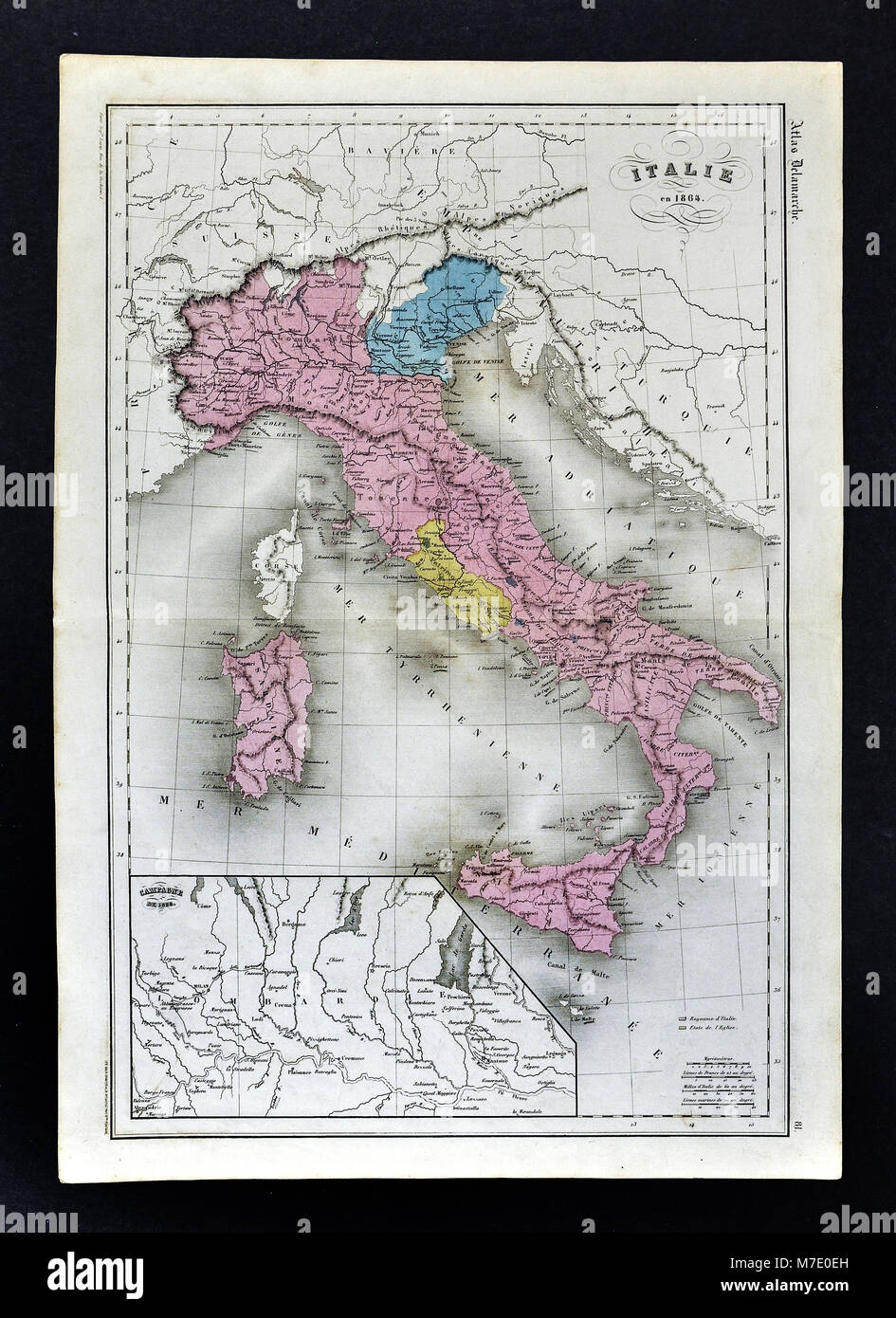 1864 Delamarche Map of Italy with Venice and Vatican Stock Photohttps://www.alamy.com/image-license-details/?v=1https://www.alamy.com/stock-photo-1864-delamarche-map-of-italy-with-venice-and-vatican-176714009.html
RFM7E0EH–1864 Delamarche Map of Italy with Venice and Vatican
 Italy, south part. Inset Malta. Sardinia Sicily. SIDNEY HALL 1862 old map Stock Photohttps://www.alamy.com/image-license-details/?v=1https://www.alamy.com/italy-south-part-inset-malta-sardinia-sicily-sidney-hall-1862-old-map-image538846052.html
RF2P8JFHT–Italy, south part. Inset Malta. Sardinia Sicily. SIDNEY HALL 1862 old map
 1795 Delamarche Atlas Map - Italy Stock Photohttps://www.alamy.com/image-license-details/?v=1https://www.alamy.com/stock-photo-1795-delamarche-atlas-map-italy-175260464.html
RFM53PE8–1795 Delamarche Atlas Map - Italy
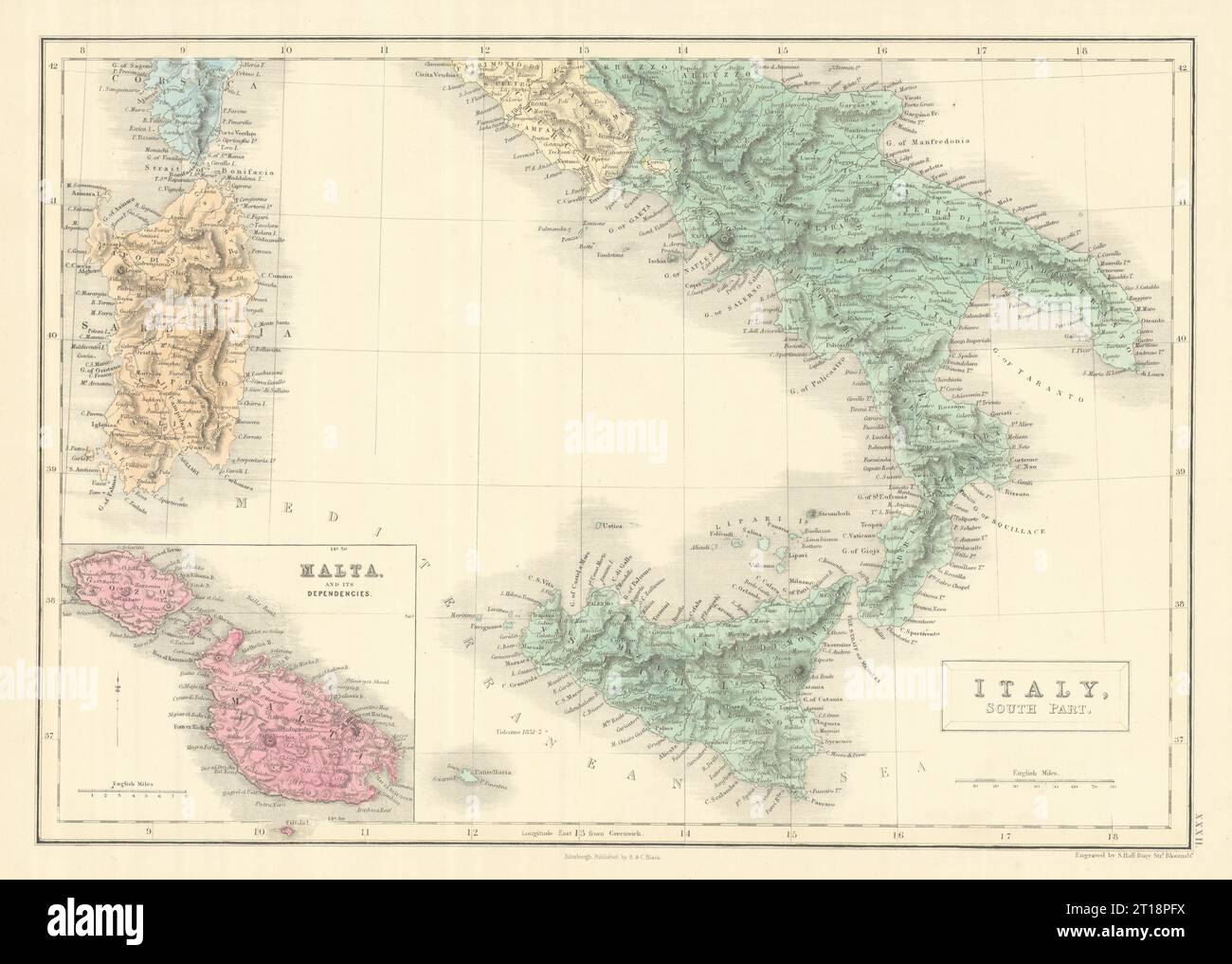 Italy, south part. Inset Malta. Sardinia Sicily. SIDNEY HALL 1854 old map Stock Photohttps://www.alamy.com/image-license-details/?v=1https://www.alamy.com/italy-south-part-inset-malta-sardinia-sicily-sidney-hall-1854-old-map-image568750110.html
RF2T18PFX–Italy, south part. Inset Malta. Sardinia Sicily. SIDNEY HALL 1854 old map
 1877 Migeon Map - Ancient Italy during Roman Period with Vignettes of the Colosseum and Temple of Vesta at Tivoli Stock Photohttps://www.alamy.com/image-license-details/?v=1https://www.alamy.com/stock-photo-1877-migeon-map-ancient-italy-during-roman-period-with-vignettes-of-172919380.html
RFM194C4–1877 Migeon Map - Ancient Italy during Roman Period with Vignettes of the Colosseum and Temple of Vesta at Tivoli
 Southern Italy. Sardinia & Sicily. Railways. HUGHES 1876 old antique map chart Stock Photohttps://www.alamy.com/image-license-details/?v=1https://www.alamy.com/southern-italy-sardinia-sicily-railways-hughes-1876-old-antique-map-chart-image376641830.html
RF2CTNEDX–Southern Italy. Sardinia & Sicily. Railways. HUGHES 1876 old antique map chart
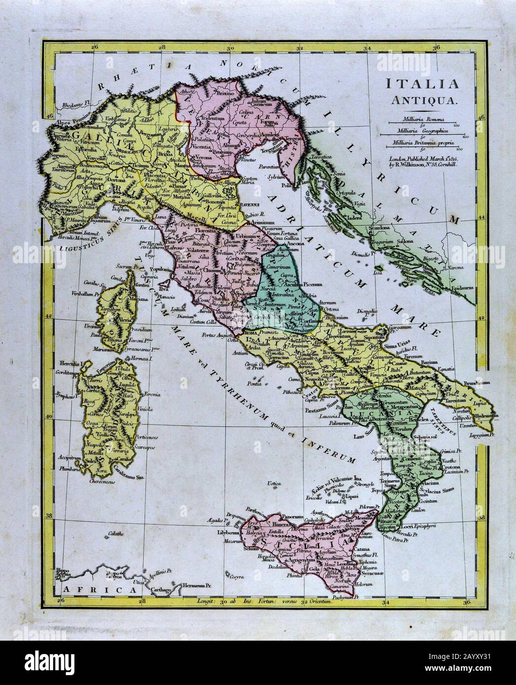 1808 Wilkinson Map Ancient Italy - Italia Antiqua Rome Venice Florence Sicily Naples Stock Photohttps://www.alamy.com/image-license-details/?v=1https://www.alamy.com/1808-wilkinson-map-ancient-italy-italia-antiqua-rome-venice-florence-sicily-naples-image344184709.html
RM2AYXY31–1808 Wilkinson Map Ancient Italy - Italia Antiqua Rome Venice Florence Sicily Naples
 Italy South sheet. Sardinia Sicily Calabria. DELAROCHETTE / FADEN 1800 old map Stock Photohttps://www.alamy.com/image-license-details/?v=1https://www.alamy.com/italy-south-sheet-sardinia-sicily-calabria-delarochette-faden-1800-old-map-image349785104.html
RF2B922D4–Italy South sheet. Sardinia Sicily Calabria. DELAROCHETTE / FADEN 1800 old map
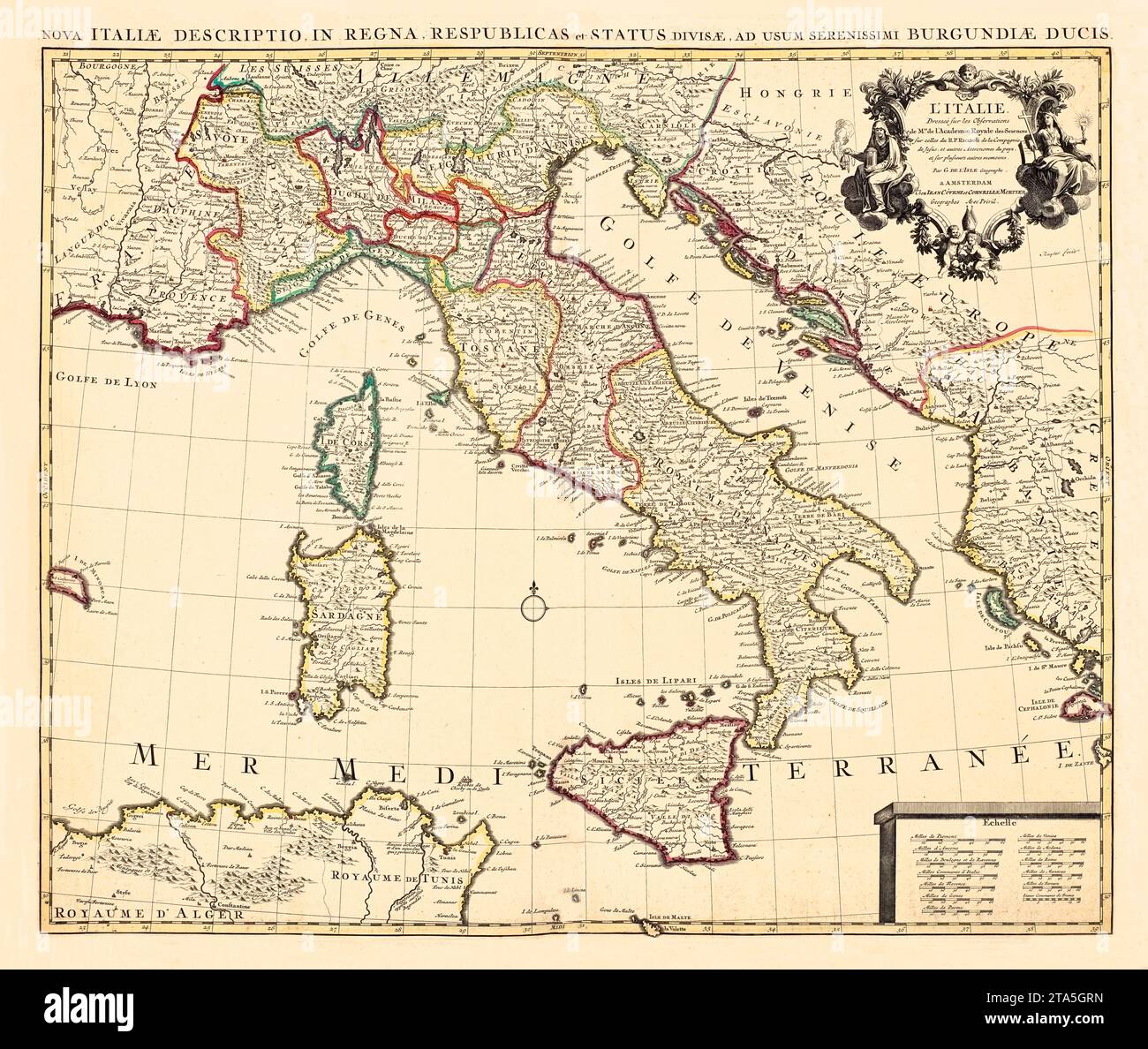 Old map of Italy. By L'Isle, publ. in 1733 Stock Photohttps://www.alamy.com/image-license-details/?v=1https://www.alamy.com/old-map-of-italy-by-lisle-publ-in-1733-image574211673.html
RF2TA5GRN–Old map of Italy. By L'Isle, publ. in 1733
 ITALY. Sicily and Sardinia Sardegna. Aeolian islands. BARTHOLOMEW 1947 old map Stock Photohttps://www.alamy.com/image-license-details/?v=1https://www.alamy.com/italy-sicily-and-sardinia-sardegna-aeolian-islands-bartholomew-1947-old-map-image248875956.html
RFTCW7R0–ITALY. Sicily and Sardinia Sardegna. Aeolian islands. BARTHOLOMEW 1947 old map
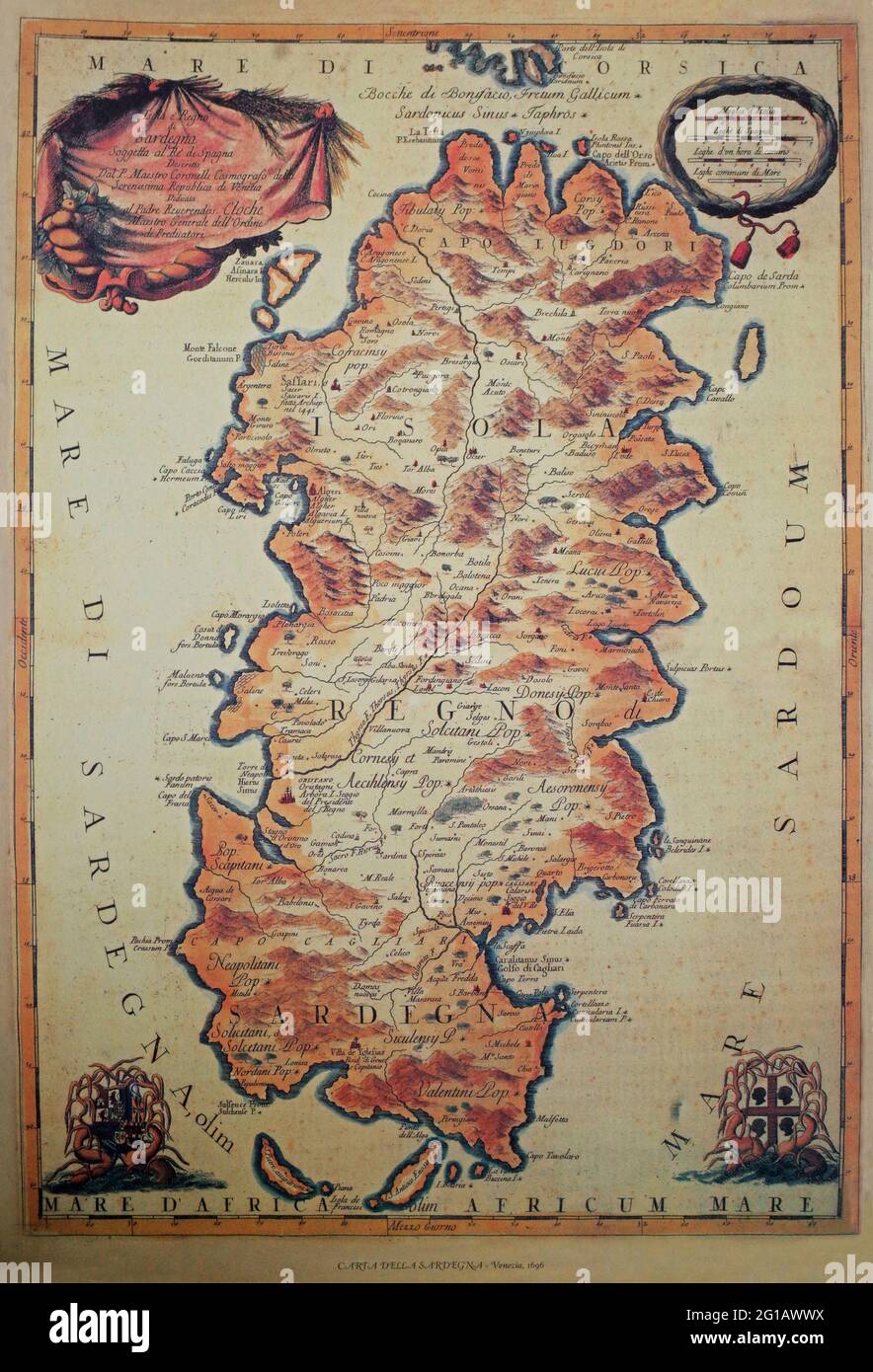 Reproduction of an ancient geographical map of Sardinia printed in Venice in 1696 Stock Photohttps://www.alamy.com/image-license-details/?v=1https://www.alamy.com/reproduction-of-an-ancient-geographical-map-of-sardinia-printed-in-venice-in-1696-image431113702.html
RF2G1AWWX–Reproduction of an ancient geographical map of Sardinia printed in Venice in 1696
 ITALY. Sicily and Sardinia Sardegna. Aeolian islands. BARTHOLOMEW 1944 old map Stock Photohttps://www.alamy.com/image-license-details/?v=1https://www.alamy.com/stock-photo-italy-sicily-and-sardinia-sardegna-aeolian-islands-bartholomew-1944-123162647.html
RFH4AF5Y–ITALY. Sicily and Sardinia Sardegna. Aeolian islands. BARTHOLOMEW 1944 old map
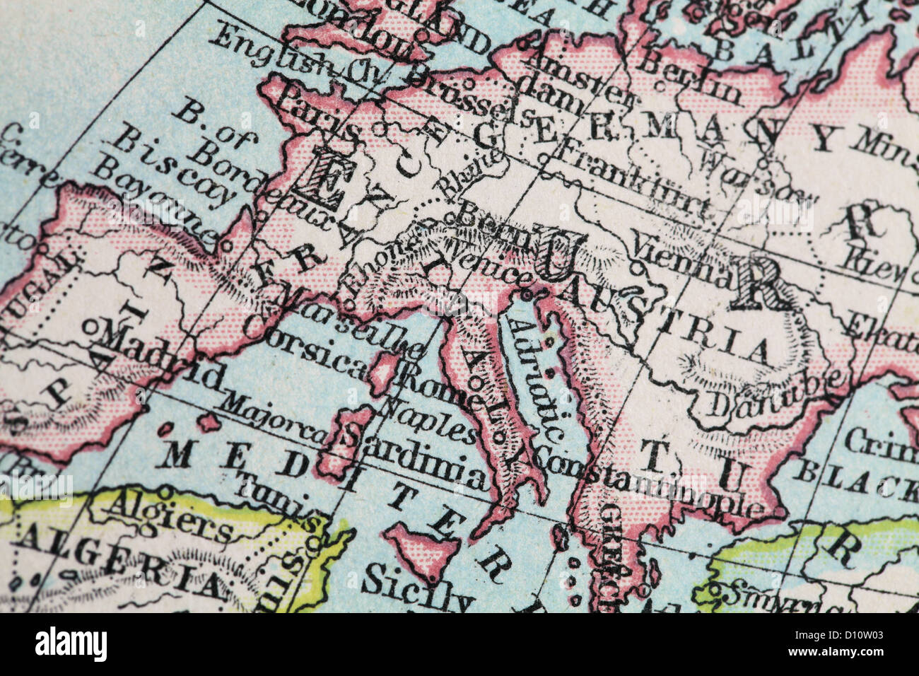 Antique map by W and A&K Johnston, printed in c.1888. Illustrating the World in hemispheres. Zoomed in on Mainland Europe Stock Photohttps://www.alamy.com/image-license-details/?v=1https://www.alamy.com/stock-photo-antique-map-by-w-and-ak-johnston-printed-in-c1888-illustrating-the-52265363.html
RMD10W03–Antique map by W and A&K Johnston, printed in c.1888. Illustrating the World in hemispheres. Zoomed in on Mainland Europe
 SARDINIA: inset Palermo. Telegraph cables. Rome Tunis Sardegna, 1920 old map Stock Photohttps://www.alamy.com/image-license-details/?v=1https://www.alamy.com/stock-photo-sardinia-inset-palermo-telegraph-cables-rome-tunis-sardegna-1920-old-94286496.html
RFFDB3AT–SARDINIA: inset Palermo. Telegraph cables. Rome Tunis Sardegna, 1920 old map
 Castelsardo, Italy, a billboard shows in relief the floor plan and a map Stock Photohttps://www.alamy.com/image-license-details/?v=1https://www.alamy.com/stock-photo-castelsardo-italy-a-billboard-shows-in-relief-the-floor-plan-and-a-55985667.html
RMD72A83–Castelsardo, Italy, a billboard shows in relief the floor plan and a map
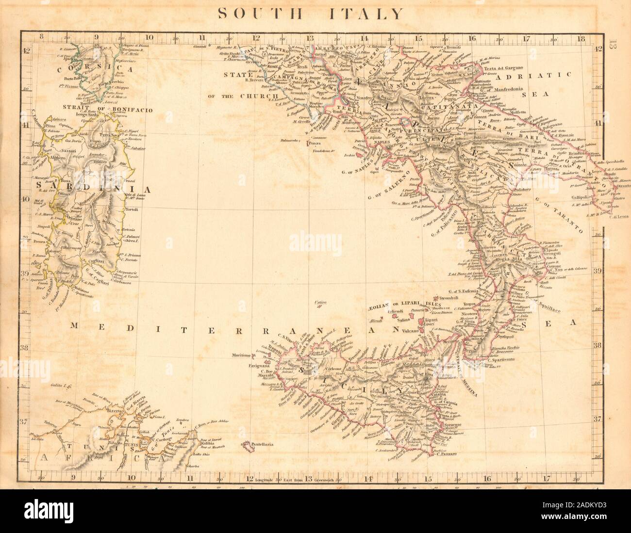 SOUTHERN ITALY. Naples Sardinia Sicily. ARROWSMITH 1828 old antique map chart Stock Photohttps://www.alamy.com/image-license-details/?v=1https://www.alamy.com/southern-italy-naples-sardinia-sicily-arrowsmith-1828-old-antique-map-chart-image335426143.html
RF2ADKYD3–SOUTHERN ITALY. Naples Sardinia Sicily. ARROWSMITH 1828 old antique map chart
 Map italy monferrato CG 38 KINGDOM OF SARDINIA Stock Photohttps://www.alamy.com/image-license-details/?v=1https://www.alamy.com/stock-photo-map-italy-monferrato-cg-38-kingdom-of-sardinia-142924242.html
RMJ8EN96–Map italy monferrato CG 38 KINGDOM OF SARDINIA
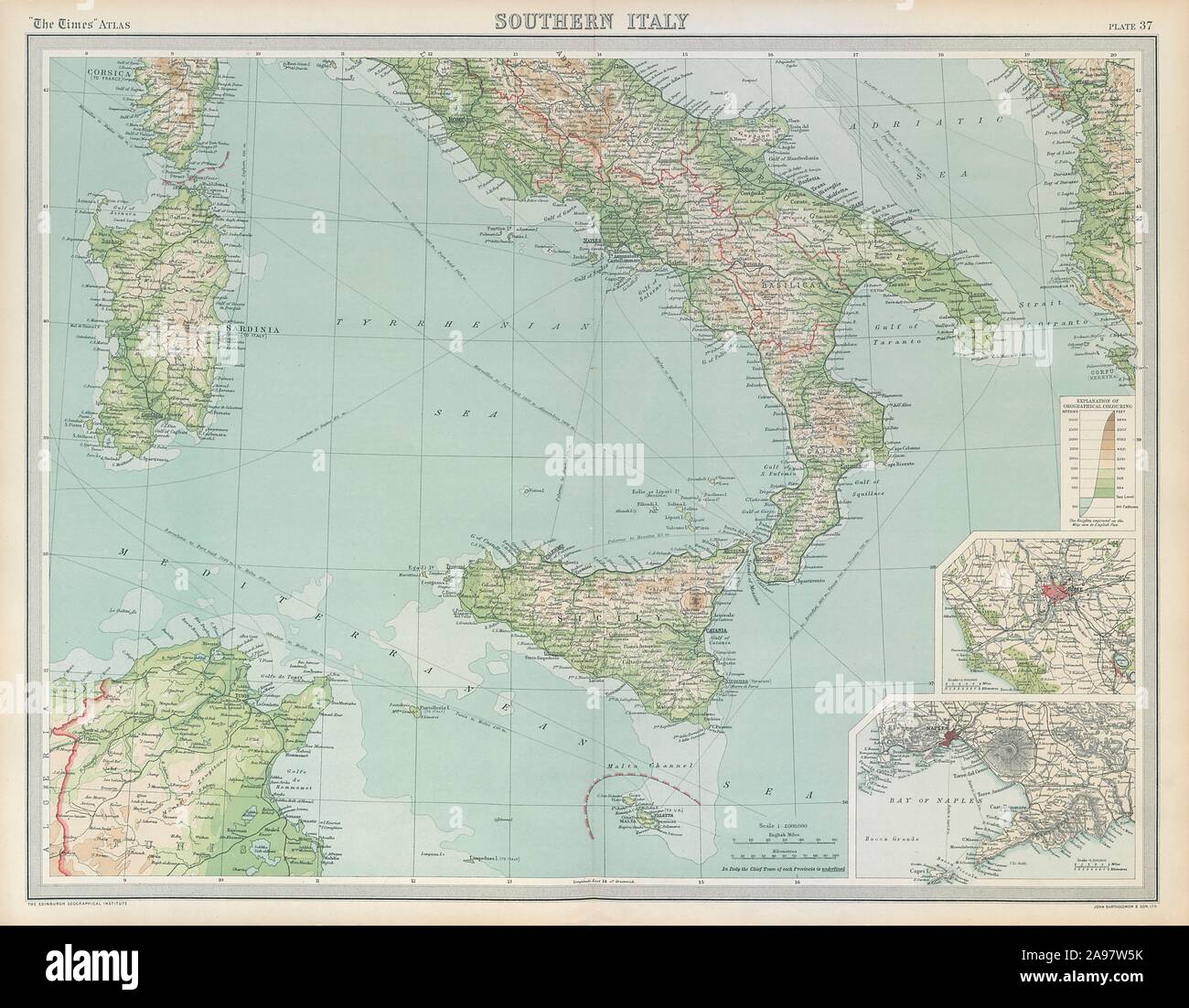 Southern Italy. Sardinia Sicily. Rome Naples. THE TIMES 1922 old vintage map Stock Photohttps://www.alamy.com/image-license-details/?v=1https://www.alamy.com/southern-italy-sardinia-sicily-rome-naples-the-times-1922-old-vintage-map-image332702319.html
RF2A97W5K–Southern Italy. Sardinia Sicily. Rome Naples. THE TIMES 1922 old vintage map
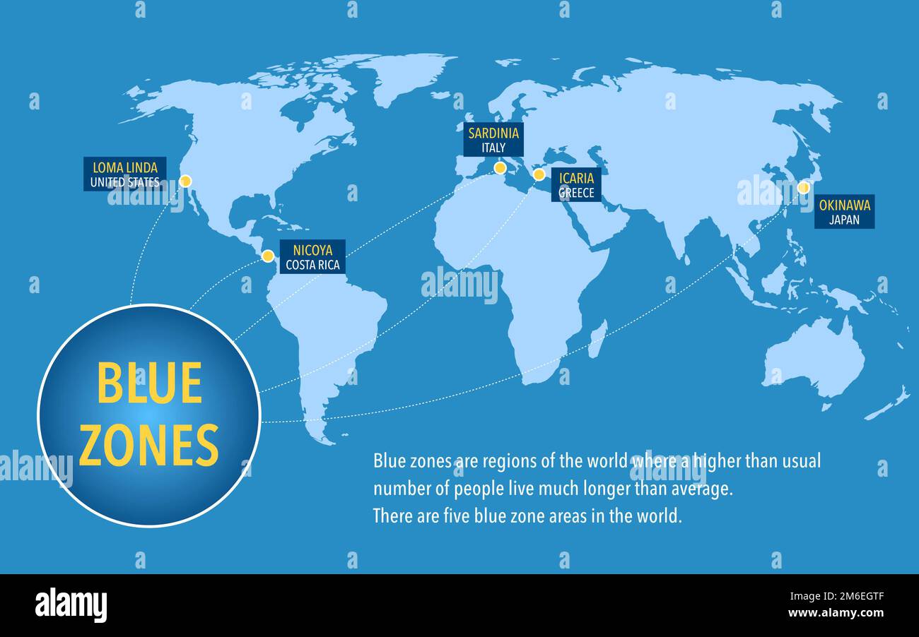 Map of the blue zones of longevity where people live longer than the rest of the world Stock Photohttps://www.alamy.com/image-license-details/?v=1https://www.alamy.com/map-of-the-blue-zones-of-longevity-where-people-live-longer-than-the-rest-of-the-world-image503109167.html
RF2M6EGTF–Map of the blue zones of longevity where people live longer than the rest of the world
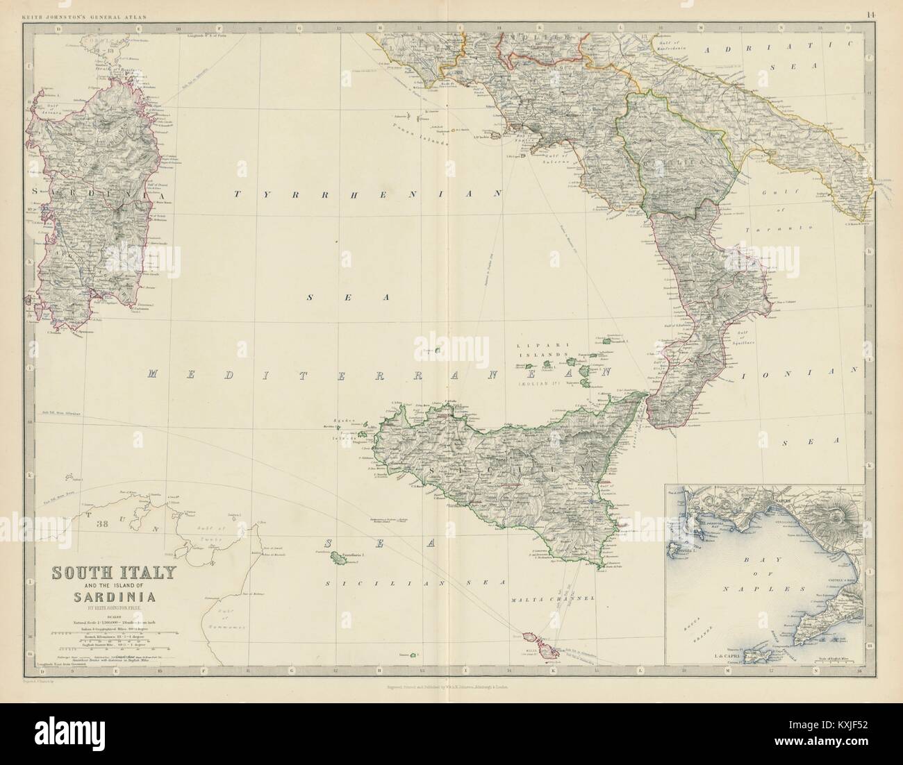 South Italy and Sardinia. Bay of Naples. Large 50x60cm. JOHNSTON 1879 old map Stock Photohttps://www.alamy.com/image-license-details/?v=1https://www.alamy.com/stock-photo-south-italy-and-sardinia-bay-of-naples-large-50x60cm-johnston-1879-171281406.html
RFKXJF52–South Italy and Sardinia. Bay of Naples. Large 50x60cm. JOHNSTON 1879 old map
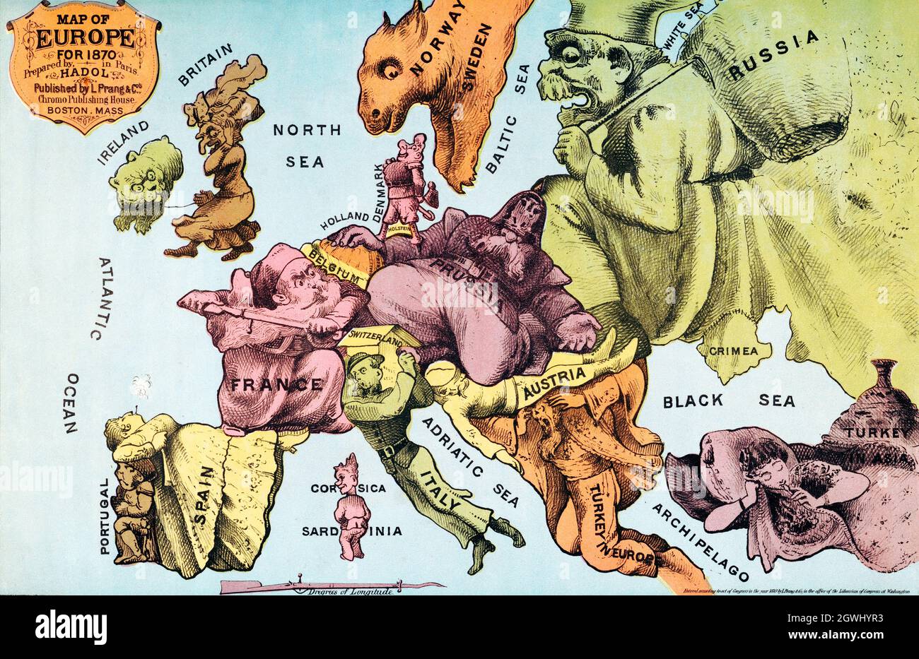 War Map of Europe: As seen through French eyes by Paul Hadol. Satirical map. Stock Photohttps://www.alamy.com/image-license-details/?v=1https://www.alamy.com/war-map-of-europe-as-seen-through-french-eyes-by-paul-hadol-satirical-map-image446020599.html
RF2GWHYR3–War Map of Europe: As seen through French eyes by Paul Hadol. Satirical map.