Quick filters:
Old west canada map Stock Photos and Images
 Dominion of Canada (West). Ontario Quebec. 50x60cm. JOHNSTON 1876 old map Stock Photohttps://www.alamy.com/image-license-details/?v=1https://www.alamy.com/dominion-of-canada-west-ontario-quebec-50x60cm-johnston-1876-old-map-image623239537.html
RF2Y5Y0AW–Dominion of Canada (West). Ontario Quebec. 50x60cm. JOHNSTON 1876 old map
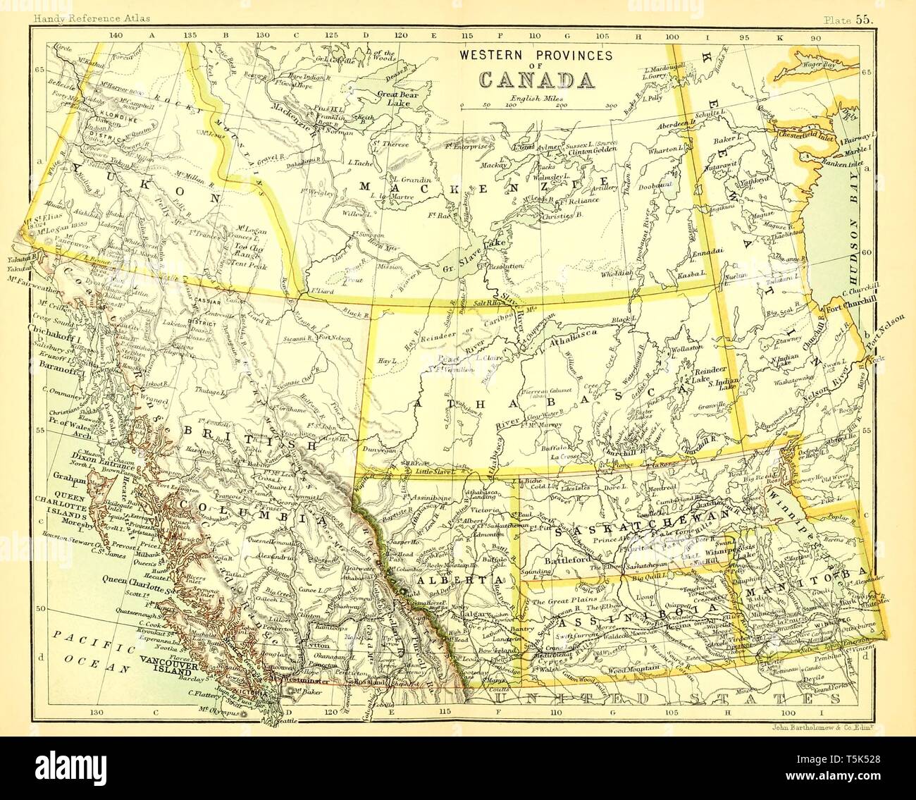 Beautiful vintage hand drawn map illustrations of West Canada from old book. Can be used as poster or decorative element for interior design. Stock Photohttps://www.alamy.com/image-license-details/?v=1https://www.alamy.com/beautiful-vintage-hand-drawn-map-illustrations-of-west-canada-from-old-book-can-be-used-as-poster-or-decorative-element-for-interior-design-image244439504.html
RFT5K528–Beautiful vintage hand drawn map illustrations of West Canada from old book. Can be used as poster or decorative element for interior design.
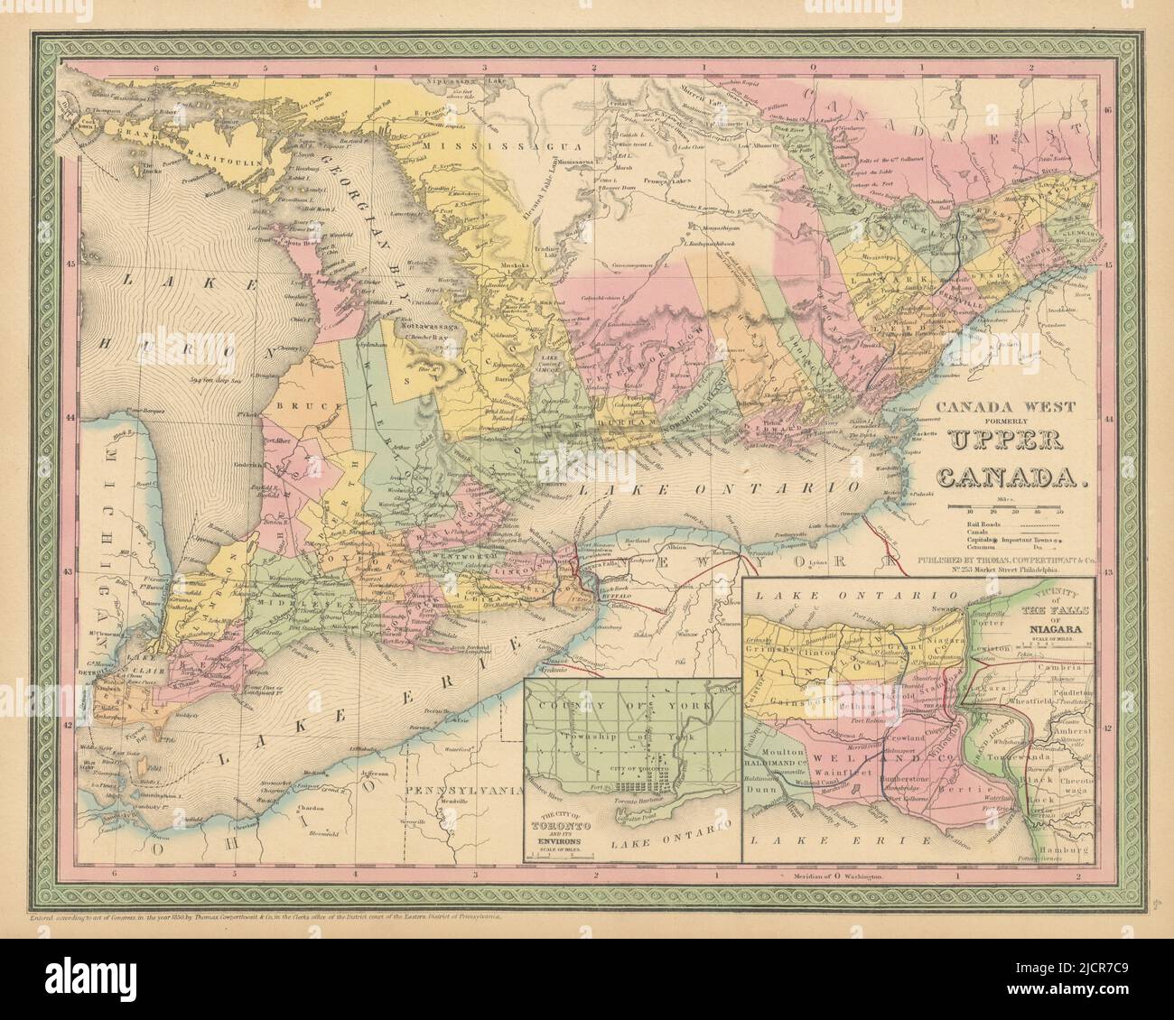 Canada West formerly Upper Canada. Toronto Niagara. COWPERTHWAIT 1852 old map Stock Photohttps://www.alamy.com/image-license-details/?v=1https://www.alamy.com/canada-west-formerly-upper-canada-toronto-niagara-cowperthwait-1852-old-map-image472566537.html
RF2JCR7C9–Canada West formerly Upper Canada. Toronto Niagara. COWPERTHWAIT 1852 old map
 1850, Tallis Map of West Canada or Ontario, includes Great Lakes Stock Photohttps://www.alamy.com/image-license-details/?v=1https://www.alamy.com/stock-image-1850-tallis-map-of-west-canada-or-ontario-includes-great-lakes-162568357.html
RMKCDHGN–1850, Tallis Map of West Canada or Ontario, includes Great Lakes
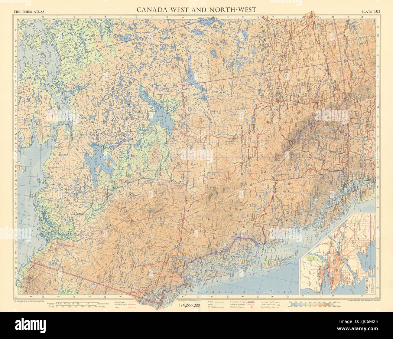 Canada west. Vancouver British Columbia Alberta Yukon. TIMES 1957 old map Stock Photohttps://www.alamy.com/image-license-details/?v=1https://www.alamy.com/canada-west-vancouver-british-columbia-alberta-yukon-times-1957-old-map-image472203261.html
RF2JC6M25–Canada west. Vancouver British Columbia Alberta Yukon. TIMES 1957 old map
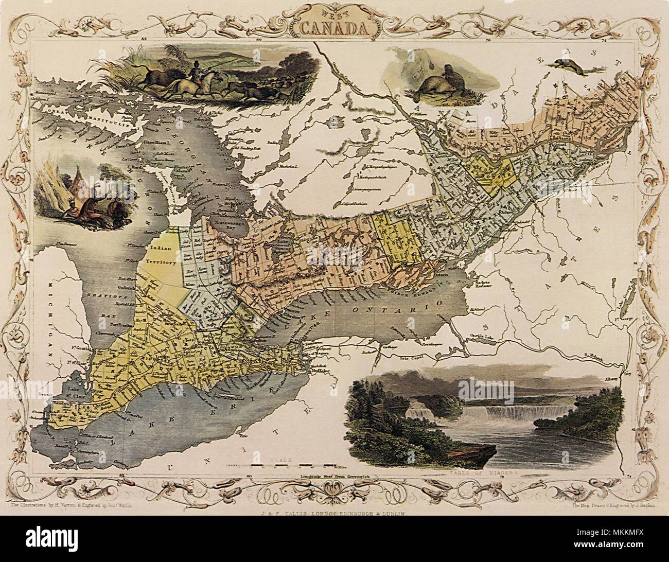 Western Canada Map 1851 Stock Photohttps://www.alamy.com/image-license-details/?v=1https://www.alamy.com/western-canada-map-1851-image184215358.html
RMMKKMFX–Western Canada Map 1851
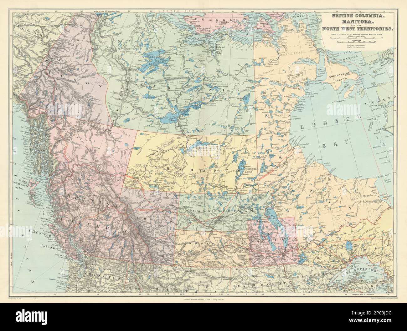 British Columbia & Northwest Territory. Manitoba Canada. STANFORD 1904 old map Stock Photohttps://www.alamy.com/image-license-details/?v=1https://www.alamy.com/british-columbia-northwest-territory-manitoba-canada-stanford-1904-old-map-image541109336.html
RF2PC9JDC–British Columbia & Northwest Territory. Manitoba Canada. STANFORD 1904 old map
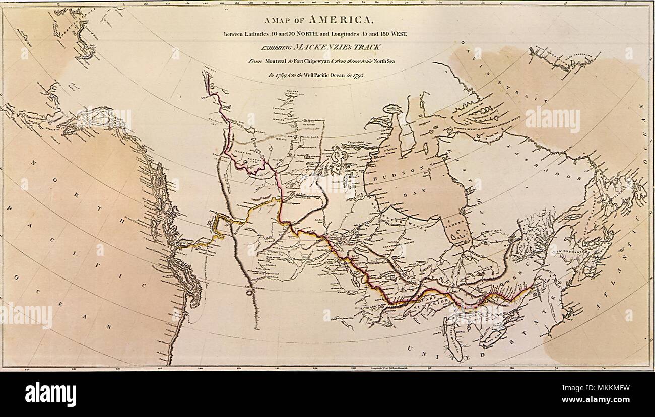 Canada Map 1801 Stock Photohttps://www.alamy.com/image-license-details/?v=1https://www.alamy.com/canada-map-1801-image184215357.html
RMMKKMFW–Canada Map 1801
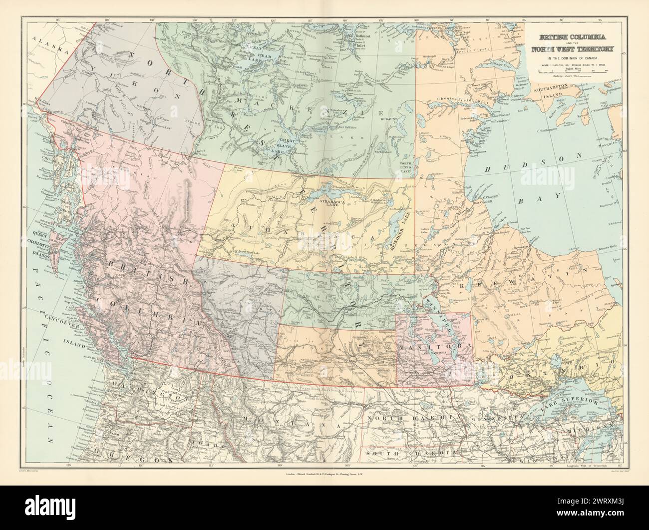 British Columbia & Northwest Territory. Manitoba Canada. STANFORD 1896 old map Stock Photohttps://www.alamy.com/image-license-details/?v=1https://www.alamy.com/british-columbia-northwest-territory-manitoba-canada-stanford-1896-old-map-image599876134.html
RF2WRXM3J–British Columbia & Northwest Territory. Manitoba Canada. STANFORD 1896 old map
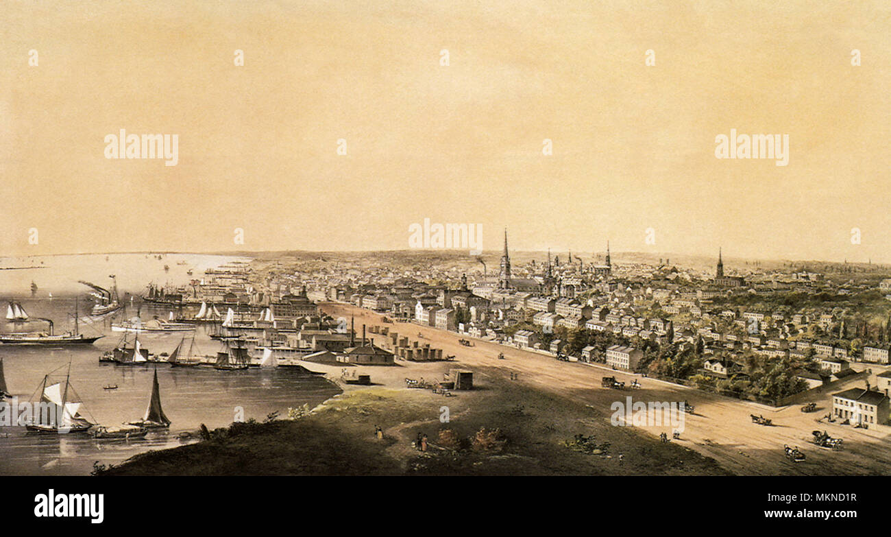 Toronto, Canada, West from the Top of the Jail 1854 Stock Photohttps://www.alamy.com/image-license-details/?v=1https://www.alamy.com/toronto-canada-west-from-the-top-of-the-jail-1854-image184253379.html
RMMKND1R–Toronto, Canada, West from the Top of the Jail 1854
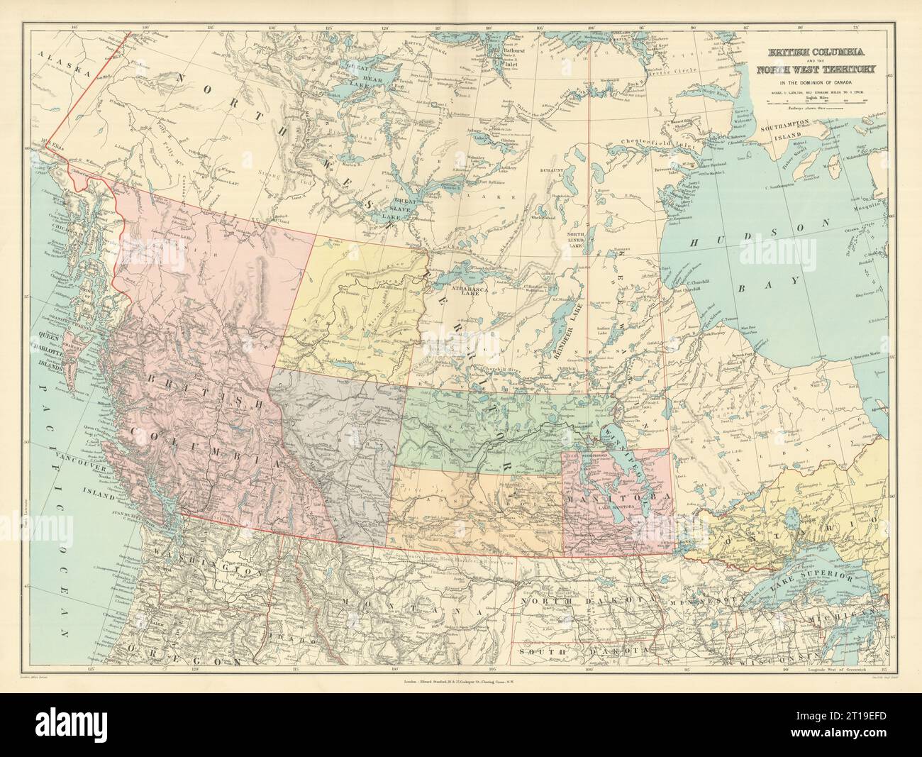 British Columbia & Northwest Territory. Manitoba Canada. STANFORD 1894 old map Stock Photohttps://www.alamy.com/image-license-details/?v=1https://www.alamy.com/british-columbia-northwest-territory-manitoba-canada-stanford-1894-old-map-image568765777.html
RF2T19EFD–British Columbia & Northwest Territory. Manitoba Canada. STANFORD 1894 old map
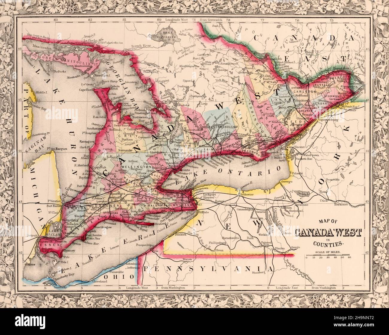 Nineteenth century map of Canada West ca. 1863 Stock Photohttps://www.alamy.com/image-license-details/?v=1https://www.alamy.com/nineteenth-century-map-of-canada-west-ca-1863-image453479126.html
RM2H9NN72–Nineteenth century map of Canada West ca. 1863
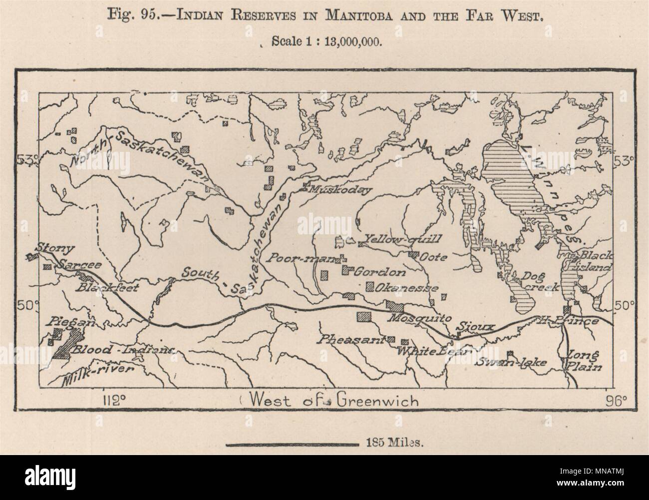 Indian reserves in Manitoba and the far west. Canada 1885 old antique map Stock Photohttps://www.alamy.com/image-license-details/?v=1https://www.alamy.com/indian-reserves-in-manitoba-and-the-far-west-canada-1885-old-antique-map-image185250370.html
RFMNATMJ–Indian reserves in Manitoba and the far west. Canada 1885 old antique map
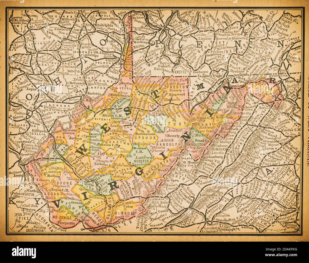 19th century map of West Virginia.Published in New Dollar Atlas of the United States and Dominion of Canada. (Rand McNally & Co's, Chicago, 1884). Stock Photohttps://www.alamy.com/image-license-details/?v=1https://www.alamy.com/19th-century-map-of-west-virginiapublished-in-new-dollar-atlas-of-the-united-states-and-dominion-of-canada-rand-mcnally-cos-chicago-1884-image385204052.html
RF2DAKFKG–19th century map of West Virginia.Published in New Dollar Atlas of the United States and Dominion of Canada. (Rand McNally & Co's, Chicago, 1884).
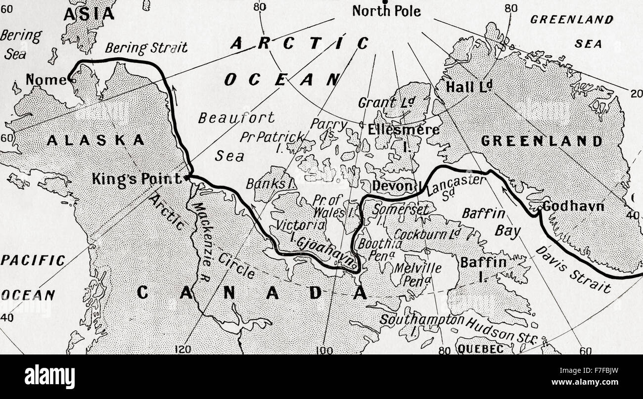 Map showing the route of Amundsen's voyage through the North West Passage, 1903-1906. From Heroes of Modern Adventure, published 1927 Stock Photohttps://www.alamy.com/image-license-details/?v=1https://www.alamy.com/stock-photo-map-showing-the-route-of-amundsens-voyage-through-the-north-west-passage-90692865.html
RMF7FBJW–Map showing the route of Amundsen's voyage through the North West Passage, 1903-1906. From Heroes of Modern Adventure, published 1927
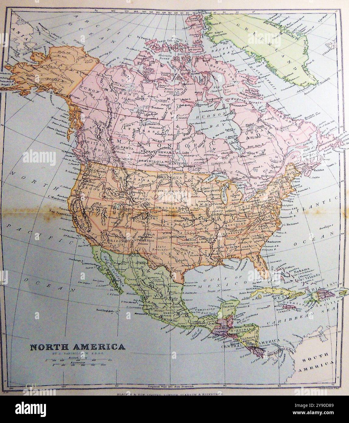 A late 19th century coloured map of North America Stock Photohttps://www.alamy.com/image-license-details/?v=1https://www.alamy.com/a-late-19th-century-coloured-map-of-north-america-image625115577.html
RM2Y90D89–A late 19th century coloured map of North America
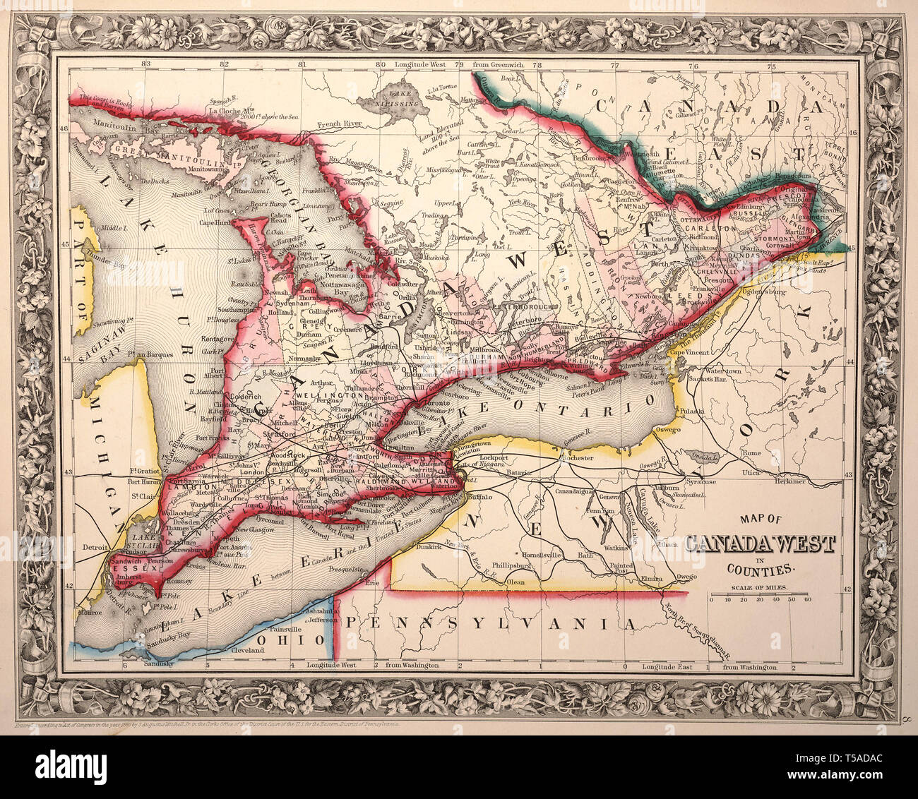 Beautiful vintage hand drawn map illustrations of West Canada from old book. Can be used as poster or decorative element for interior design. Stock Photohttps://www.alamy.com/image-license-details/?v=1https://www.alamy.com/beautiful-vintage-hand-drawn-map-illustrations-of-west-canada-from-old-book-can-be-used-as-poster-or-decorative-element-for-interior-design-image244248436.html
RFT5ADAC–Beautiful vintage hand drawn map illustrations of West Canada from old book. Can be used as poster or decorative element for interior design.
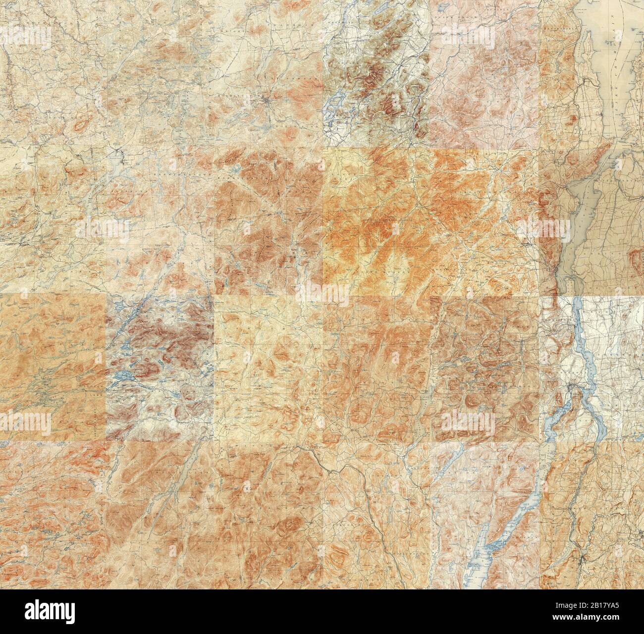 Topographic Map of the Adirondacks - Compilation of 24 individual 15 minute quadrangles in the Adirondack Park Stock Photohttps://www.alamy.com/image-license-details/?v=1https://www.alamy.com/topographic-map-of-the-adirondacks-compilation-of-24-individual-15-minute-quadrangles-in-the-adirondack-park-image344997133.html
RF2B17YA5–Topographic Map of the Adirondacks - Compilation of 24 individual 15 minute quadrangles in the Adirondack Park
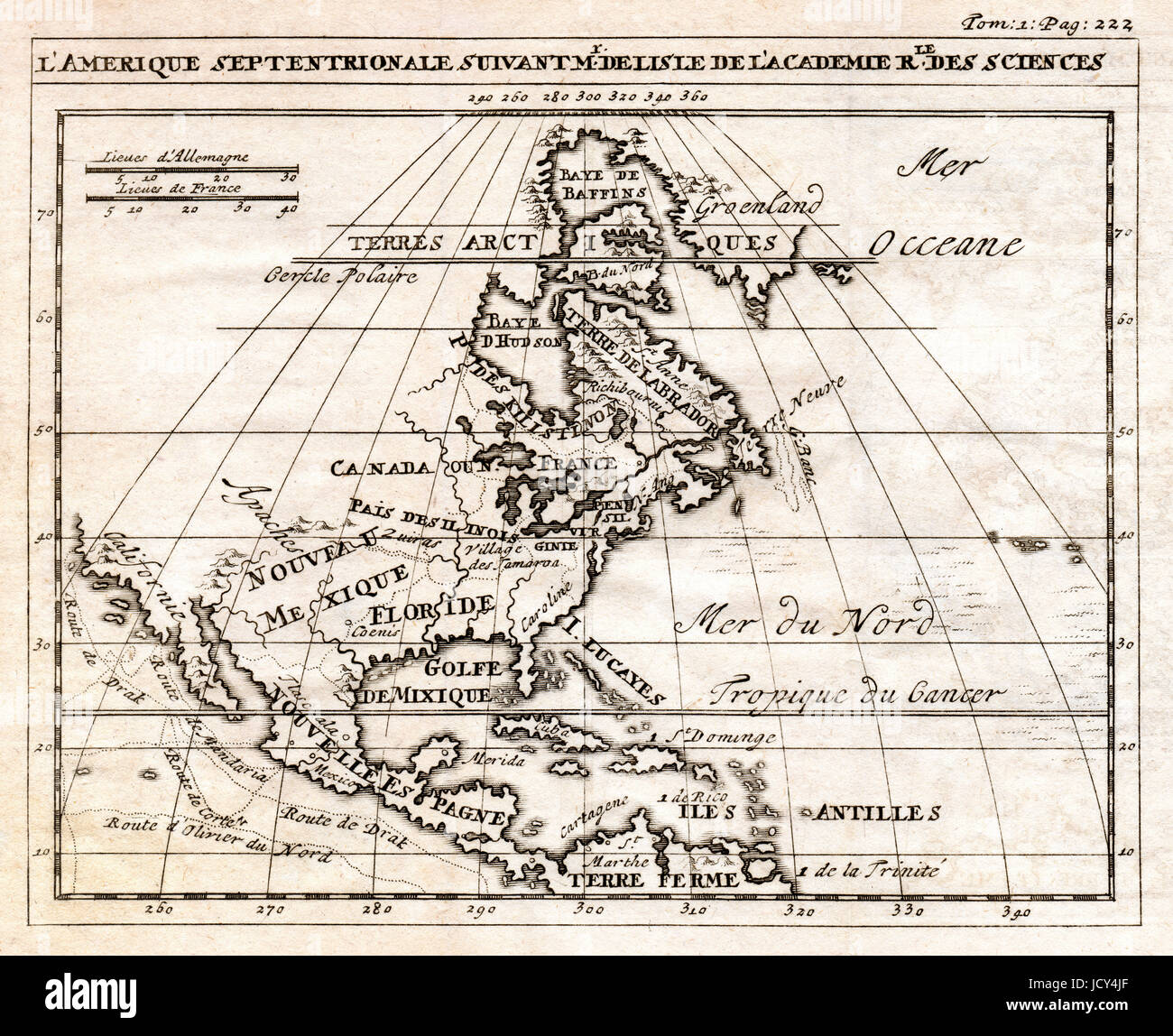 An early antique map of North America showing Canada, Mexico and the British Colonies prior the Revolution Stock Photohttps://www.alamy.com/image-license-details/?v=1https://www.alamy.com/stock-photo-an-early-antique-map-of-north-america-showing-canada-mexico-and-the-145655175.html
RMJCY4JF–An early antique map of North America showing Canada, Mexico and the British Colonies prior the Revolution
 Map of West and Northern Canada Stock Photohttps://www.alamy.com/image-license-details/?v=1https://www.alamy.com/map-of-west-and-northern-canada-image69318925.html
RME0NMYW–Map of West and Northern Canada
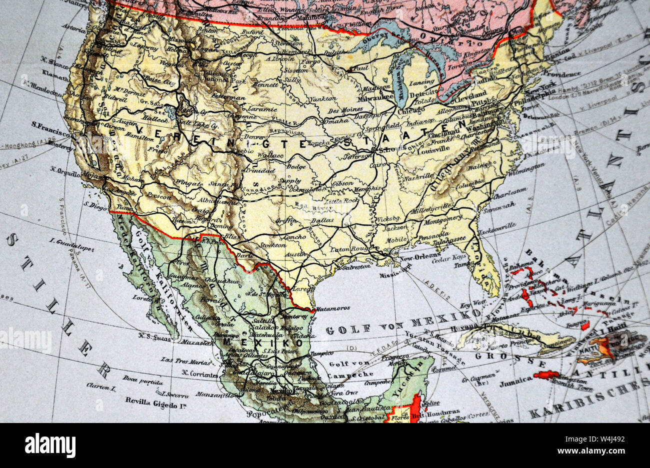 1900 Meyer Map of North America showing Canada, the United States, Mexico, Alaska and West Indies Stock Photohttps://www.alamy.com/image-license-details/?v=1https://www.alamy.com/1900-meyer-map-of-north-america-showing-canada-the-united-states-mexico-alaska-and-west-indies-image261012670.html
RFW4J492–1900 Meyer Map of North America showing Canada, the United States, Mexico, Alaska and West Indies
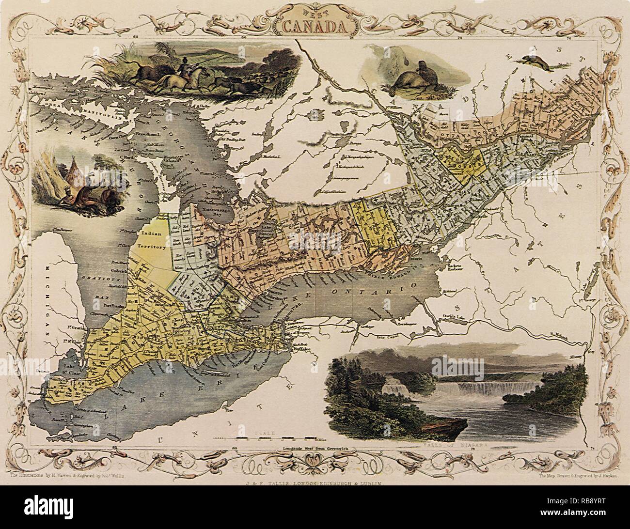 Western Canada Map 1851 Stock Photohttps://www.alamy.com/image-license-details/?v=1https://www.alamy.com/western-canada-map-1851-image230693452.html
RMRB8YRT–Western Canada Map 1851
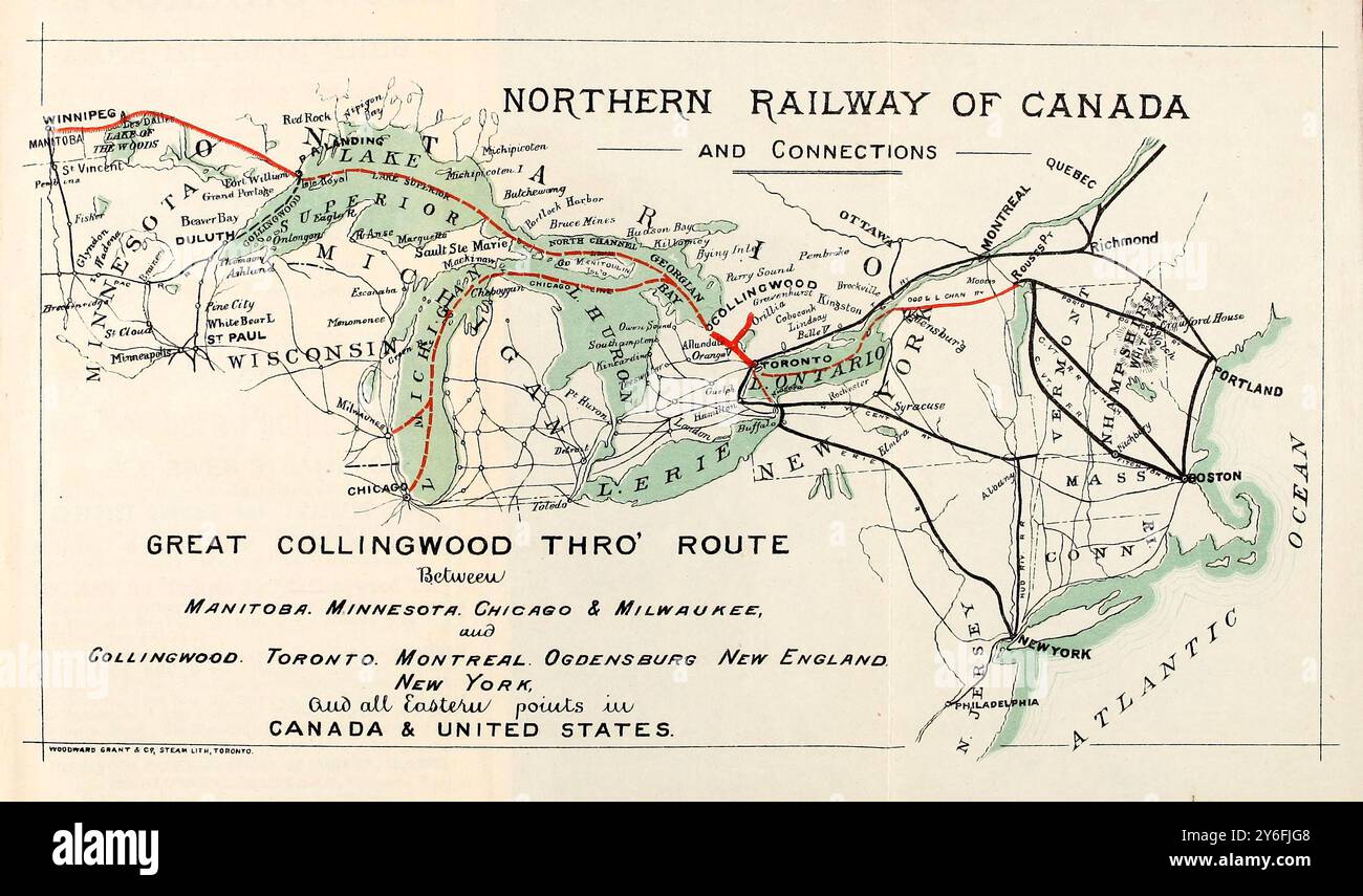 19th century map of the Northern railway of Canada and Great rail & lake connections, 1878, the Great Collinwood thro' route towards the West shower steamer routes on the Great Lakes Stock Photohttps://www.alamy.com/image-license-details/?v=1https://www.alamy.com/19th-century-map-of-the-northern-railway-of-canada-and-great-rail-lake-connections-1878-the-great-collinwood-thro-route-towards-the-west-shower-steamer-routes-on-the-great-lakes-image623605032.html
RM2Y6FJG8–19th century map of the Northern railway of Canada and Great rail & lake connections, 1878, the Great Collinwood thro' route towards the West shower steamer routes on the Great Lakes
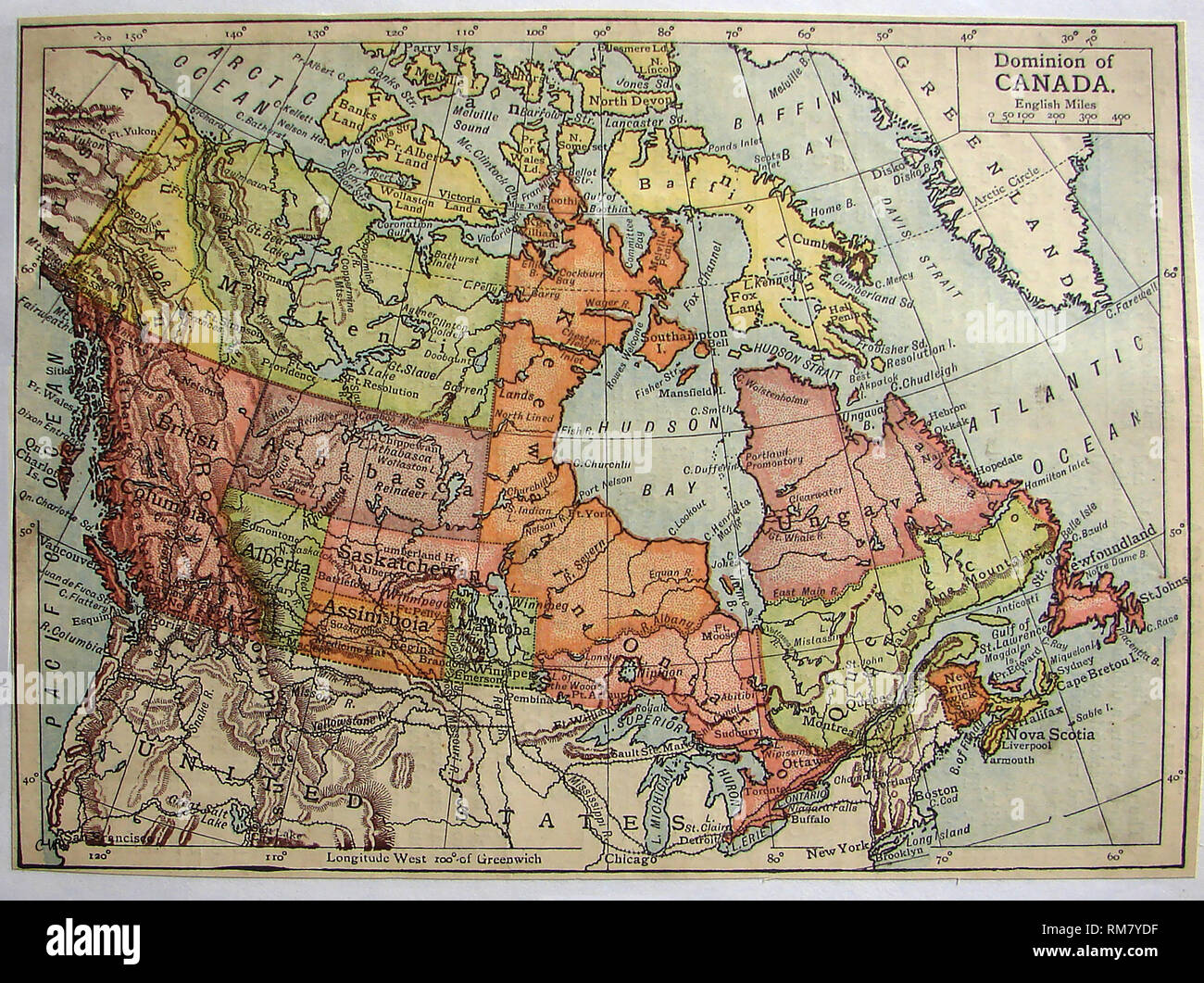 1901 coloured map of the Dominion of Canada.showing districts of Saskatchewan, Alberta, Assiniboia, Athabasca, Franklin, Keewatin, Mackenzie, and Ungava etc. Stock Photohttps://www.alamy.com/image-license-details/?v=1https://www.alamy.com/1901-coloured-map-of-the-dominion-of-canadashowing-districts-of-saskatchewan-alberta-assiniboia-athabasca-franklin-keewatin-mackenzie-and-ungava-etc-image236203115.html
RMRM7YDF–1901 coloured map of the Dominion of Canada.showing districts of Saskatchewan, Alberta, Assiniboia, Athabasca, Franklin, Keewatin, Mackenzie, and Ungava etc.
 A vintage/antique political map in sepia showing the the west coast of Canada and the USA. Stock Photohttps://www.alamy.com/image-license-details/?v=1https://www.alamy.com/a-vintageantique-political-map-in-sepia-showing-the-the-west-coast-of-canada-and-the-usa-image575661597.html
RF2TCFJ6N–A vintage/antique political map in sepia showing the the west coast of Canada and the USA.
 Vintage Map shewing mounted police stations & patrols throughout the North-West Territories, during the year 1886, Produced by Canadian Dept. of the Interior, likely around same time Stock Photohttps://www.alamy.com/image-license-details/?v=1https://www.alamy.com/vintage-map-shewing-mounted-police-stations-patrols-throughout-the-north-west-territories-during-the-year-1886-produced-by-canadian-dept-of-the-interior-likely-around-same-time-image596299063.html
RM2WJ3NF3–Vintage Map shewing mounted police stations & patrols throughout the North-West Territories, during the year 1886, Produced by Canadian Dept. of the Interior, likely around same time
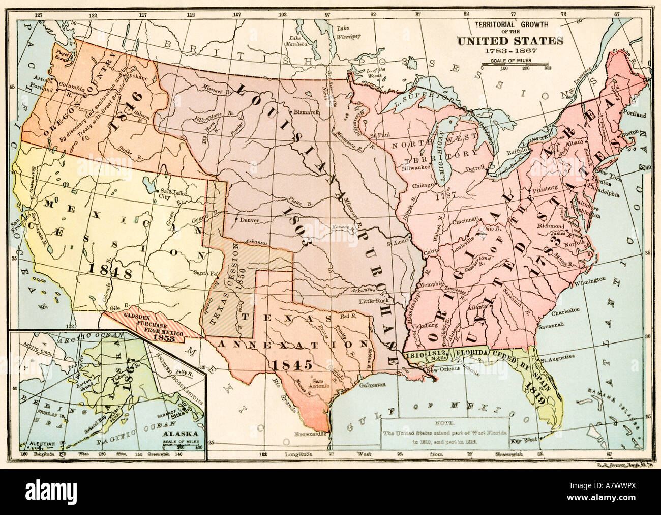 Map of territorial growth of the US from 1783 to 1867. Color lithograph Stock Photohttps://www.alamy.com/image-license-details/?v=1https://www.alamy.com/stock-photo-map-of-territorial-growth-of-the-us-from-1783-to-1867-color-lithograph-11922337.html
RMA7WWPX–Map of territorial growth of the US from 1783 to 1867. Color lithograph
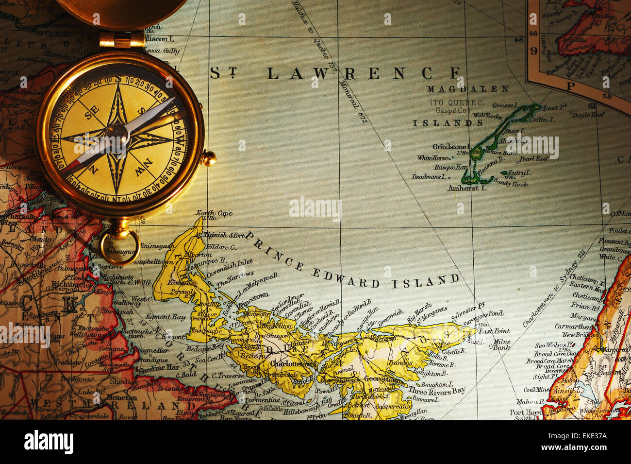 Antique brass compass over old Canadian map Stock Photohttps://www.alamy.com/image-license-details/?v=1https://www.alamy.com/stock-photo-antique-brass-compass-over-old-canadian-map-80829822.html
RFEKE37A–Antique brass compass over old Canadian map
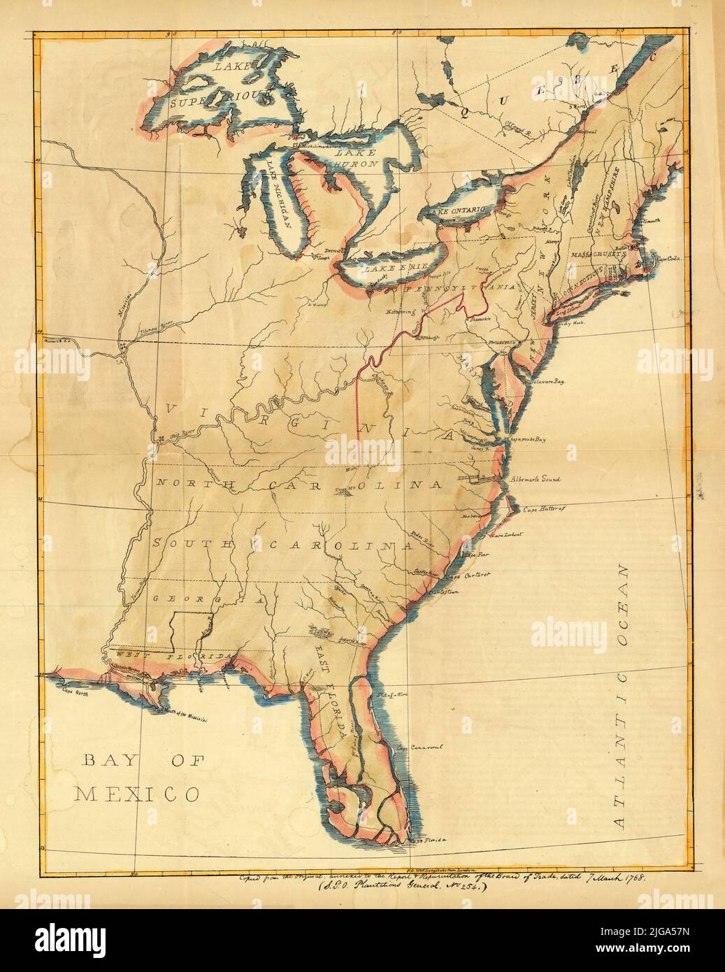 British Map of Eastern North America with East and West Florida, 1768 Stock Photohttps://www.alamy.com/image-license-details/?v=1https://www.alamy.com/british-map-of-eastern-north-america-with-east-and-west-florida-1768-image474738089.html
RF2JGA57N–British Map of Eastern North America with East and West Florida, 1768
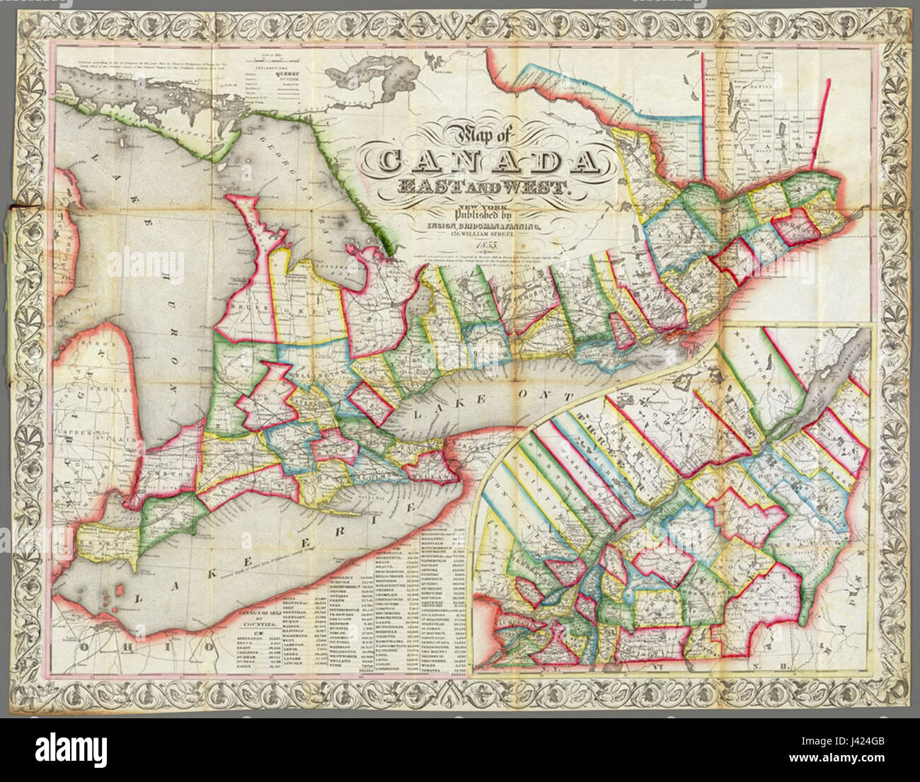 Map of Canada East and West, 1855 Stock Photohttps://www.alamy.com/image-license-details/?v=1https://www.alamy.com/stock-photo-map-of-canada-east-and-west-1855-140189067.html
RMJ424GB–Map of Canada East and West, 1855
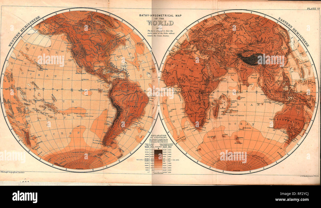 An 1893 printed world map from a British school atlas. Stock Photohttps://www.alamy.com/image-license-details/?v=1https://www.alamy.com/an-1893-printed-world-map-from-a-british-school-atlas-image233020050.html
RMRF2YCJ–An 1893 printed world map from a British school atlas.
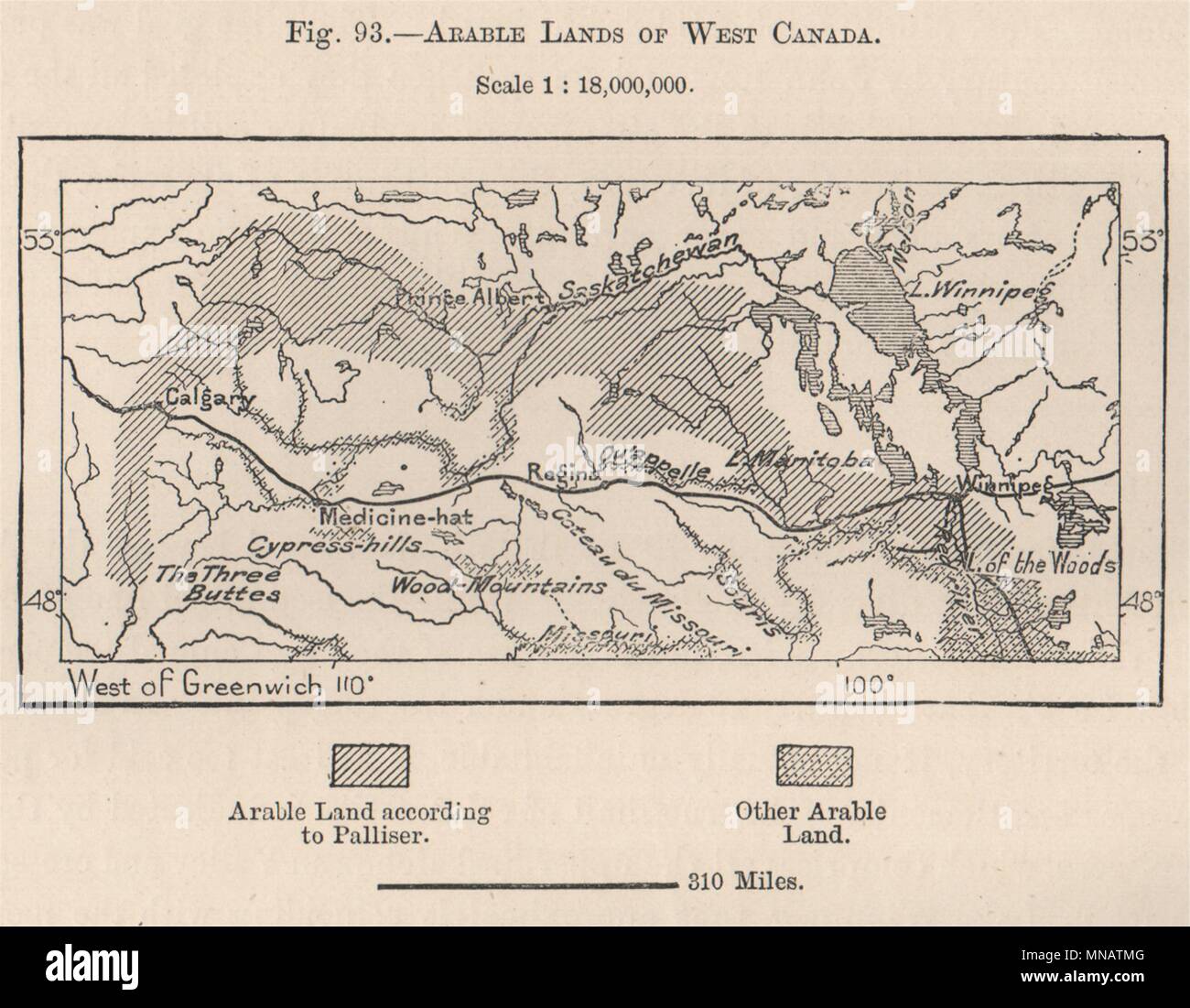 Arable lands of West Canada 1885 old antique vintage map plan chart Stock Photohttps://www.alamy.com/image-license-details/?v=1https://www.alamy.com/arable-lands-of-west-canada-1885-old-antique-vintage-map-plan-chart-image185250368.html
RFMNATMG–Arable lands of West Canada 1885 old antique vintage map plan chart
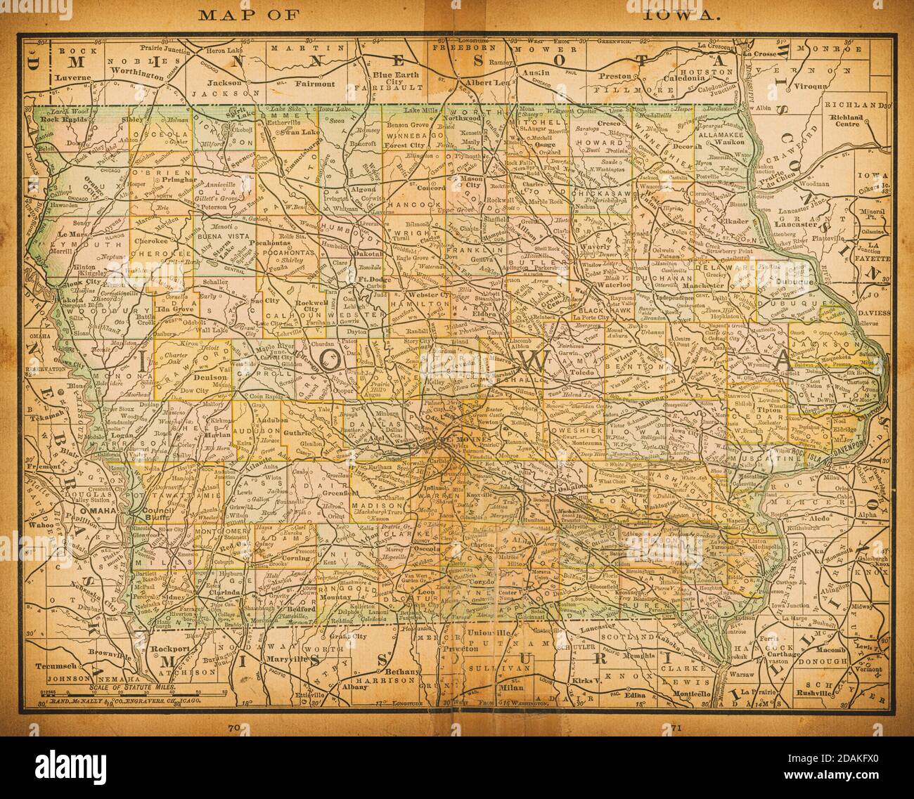 19th century map of Iowa. Published in New Dollar Atlas of the United States and Dominion of Canada. (Rand McNally & Co's, Chicago, 1884). Stock Photohttps://www.alamy.com/image-license-details/?v=1https://www.alamy.com/19th-century-map-of-iowa-published-in-new-dollar-atlas-of-the-united-states-and-dominion-of-canada-rand-mcnally-cos-chicago-1884-image385204232.html
RF2DAKFX0–19th century map of Iowa. Published in New Dollar Atlas of the United States and Dominion of Canada. (Rand McNally & Co's, Chicago, 1884).
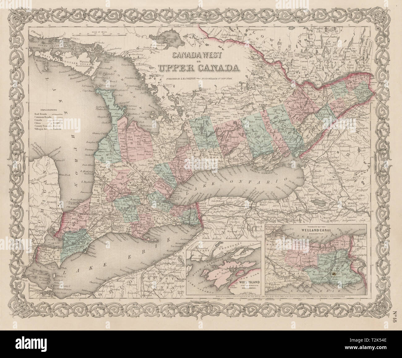 Canada West or Upper Canada. Lower Ontario. Antique map. COLTON 1863 old Stock Photohttps://www.alamy.com/image-license-details/?v=1https://www.alamy.com/canada-west-or-upper-canada-lower-ontario-antique-map-colton-1863-old-image242595598.html
RFT2K54E–Canada West or Upper Canada. Lower Ontario. Antique map. COLTON 1863 old
 1850 Tallis Map of West Canada or Ontario ( includes Great Lakes ) - Geographicus - WestCanada-tallis-1850 Stock Photohttps://www.alamy.com/image-license-details/?v=1https://www.alamy.com/stock-photo-1850-tallis-map-of-west-canada-or-ontario-includes-great-lakes-geographicus-139472483.html
RMJ2WEG3–1850 Tallis Map of West Canada or Ontario ( includes Great Lakes ) - Geographicus - WestCanada-tallis-1850
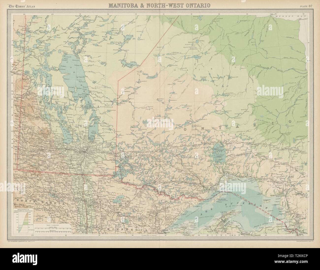 Manitoba & North-west Ontario. Canada. THE TIMES 1922 old vintage map chart Stock Photohttps://www.alamy.com/image-license-details/?v=1https://www.alamy.com/manitoba-north-west-ontario-canada-the-times-1922-old-vintage-map-chart-image242606806.html
RFT2KKCP–Manitoba & North-west Ontario. Canada. THE TIMES 1922 old vintage map chart
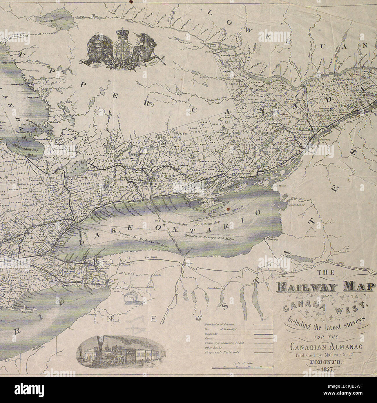 Railway map of Canada West Stock Photohttps://www.alamy.com/image-license-details/?v=1https://www.alamy.com/stock-image-railway-map-of-canada-west-166203227.html
RMKJB5WF–Railway map of Canada West
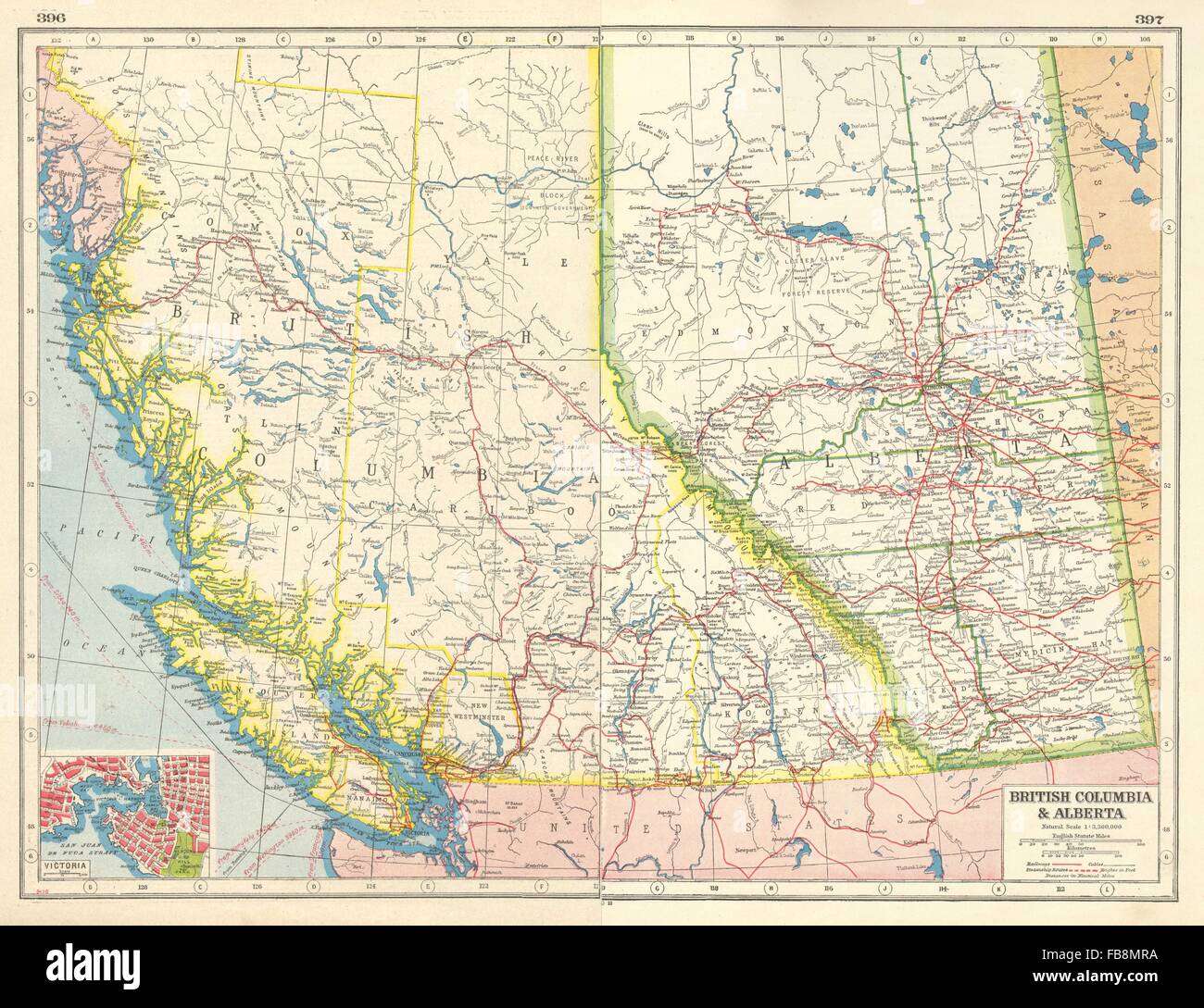 CANADA WEST: British Columbia & Alberta. Victoria plan. Railways, 1920 old map Stock Photohttps://www.alamy.com/image-license-details/?v=1https://www.alamy.com/stock-photo-canada-west-british-columbia-alberta-victoria-plan-railways-1920-old-93005006.html
RFFB8MRA–CANADA WEST: British Columbia & Alberta. Victoria plan. Railways, 1920 old map
 1850 Tallis Map of West Canada or Ontario ( includes Great Lakes ) Geographicus WestCanada tallis 1850 Stock Photohttps://www.alamy.com/image-license-details/?v=1https://www.alamy.com/stock-photo-1850-tallis-map-of-west-canada-or-ontario-includes-great-lakes-geographicus-132432581.html
RMHKCR31–1850 Tallis Map of West Canada or Ontario ( includes Great Lakes ) Geographicus WestCanada tallis 1850
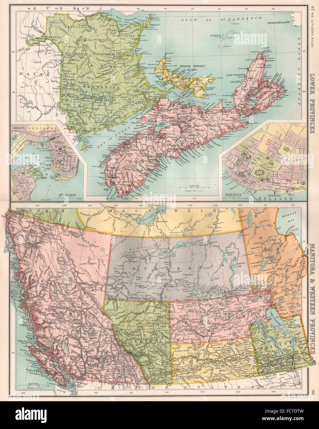 CANADA MARITIME WEST: NB NS PE BC. St. John Halifax. BARTHOLOMEW, 1898 old map Stock Photohttps://www.alamy.com/image-license-details/?v=1https://www.alamy.com/stock-photo-canada-maritime-west-nb-ns-pe-bc-st-john-halifax-bartholomew-1898-93965449.html
RFFCTDTW–CANADA MARITIME WEST: NB NS PE BC. St. John Halifax. BARTHOLOMEW, 1898 old map
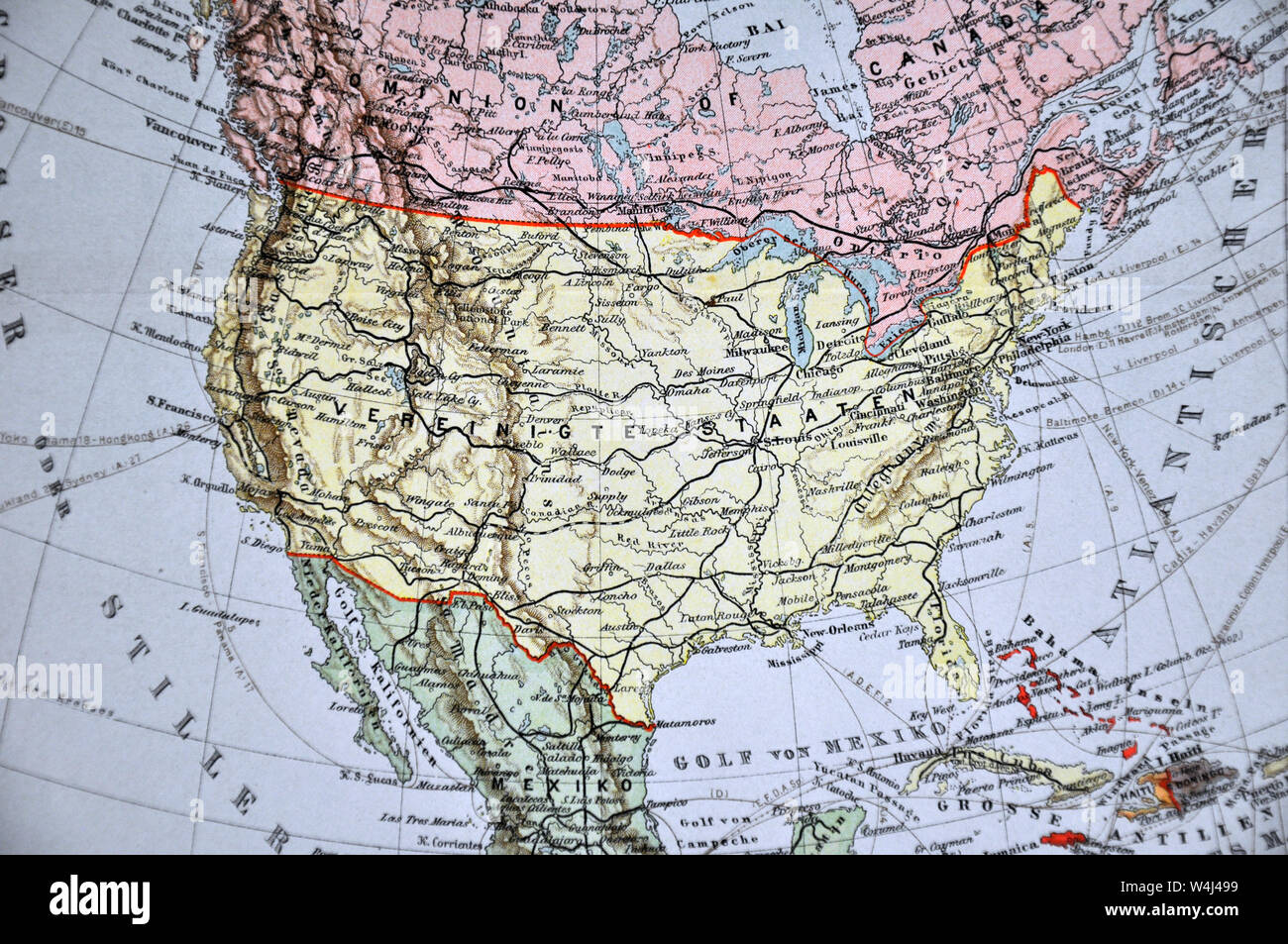 1900 Meyer Map of North America showing Canada, the United States, Mexico, Alaska and West Indies Stock Photohttps://www.alamy.com/image-license-details/?v=1https://www.alamy.com/1900-meyer-map-of-north-america-showing-canada-the-united-states-mexico-alaska-and-west-indies-image261012677.html
RFW4J499–1900 Meyer Map of North America showing Canada, the United States, Mexico, Alaska and West Indies
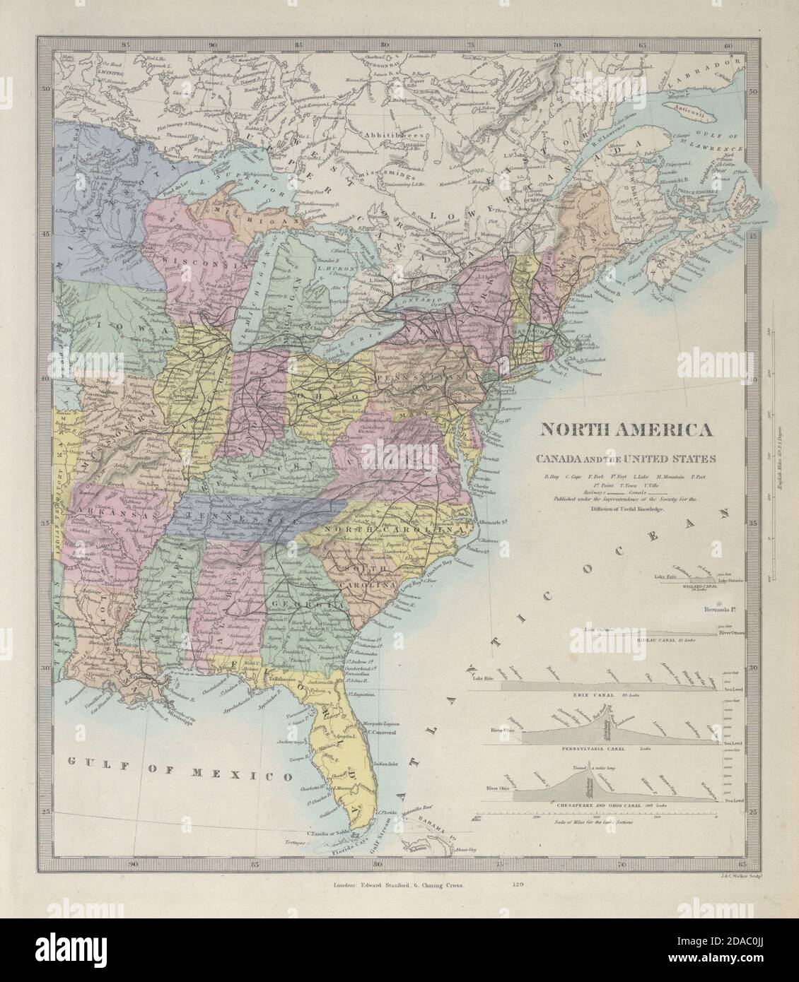 UNITED STATES EAST. USA Canada. Pre West Virginia accession. SDUK 1857 old map Stock Photohttps://www.alamy.com/image-license-details/?v=1https://www.alamy.com/united-states-east-usa-canada-pre-west-virginia-accession-sduk-1857-old-map-image385038602.html
RF2DAC0JJ–UNITED STATES EAST. USA Canada. Pre West Virginia accession. SDUK 1857 old map
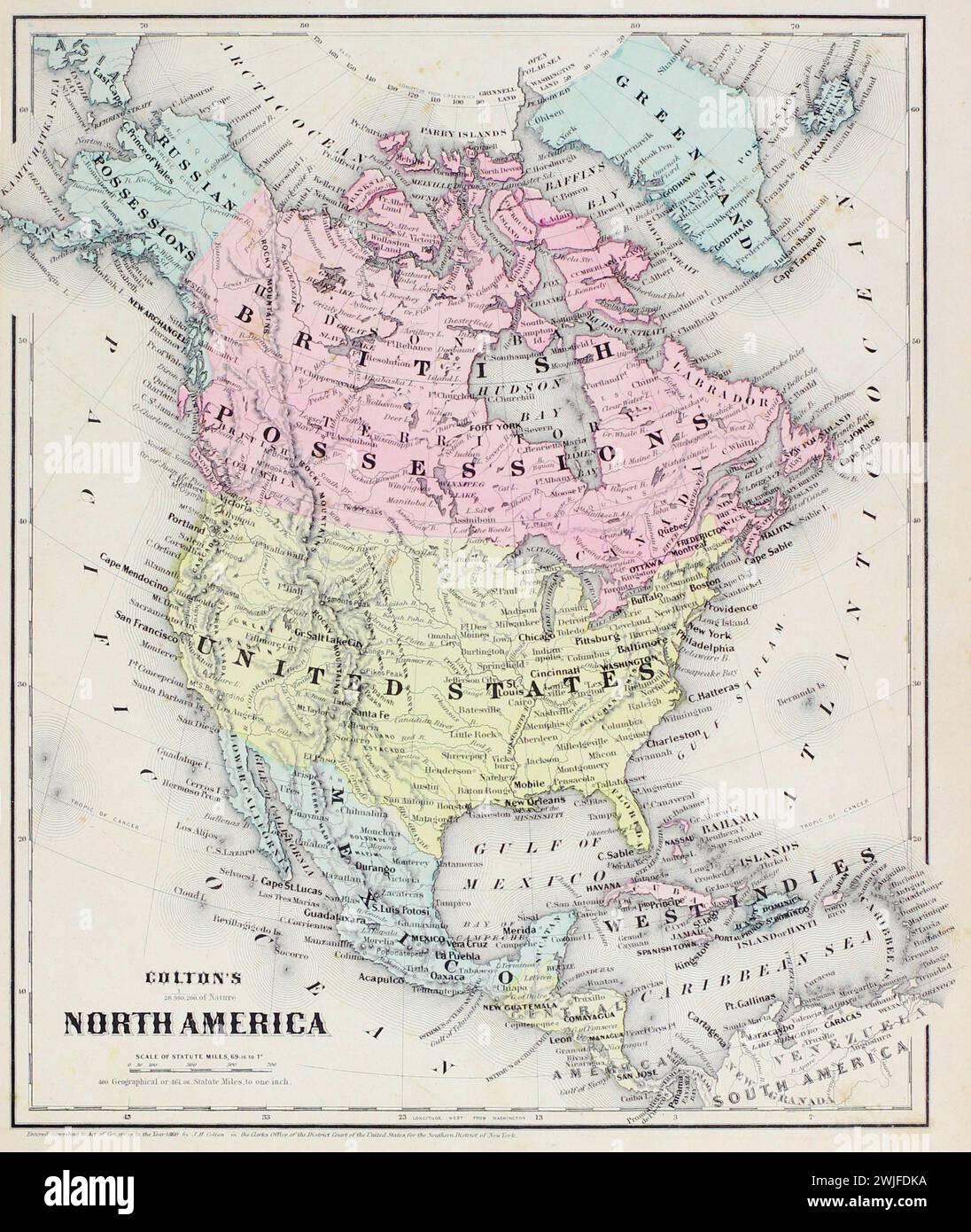 Vintage Colton Map. North America, with coloured countries including 'British Possession' and 'West Indies' labels. From J.H Colton's School Atlas. 1860 Stock Photohttps://www.alamy.com/image-license-details/?v=1https://www.alamy.com/vintage-colton-map-north-america-with-coloured-countries-including-british-possession-and-west-indies-labels-from-jh-coltons-school-atlas-1860-image596556334.html
RM2WJFDKA–Vintage Colton Map. North America, with coloured countries including 'British Possession' and 'West Indies' labels. From J.H Colton's School Atlas. 1860
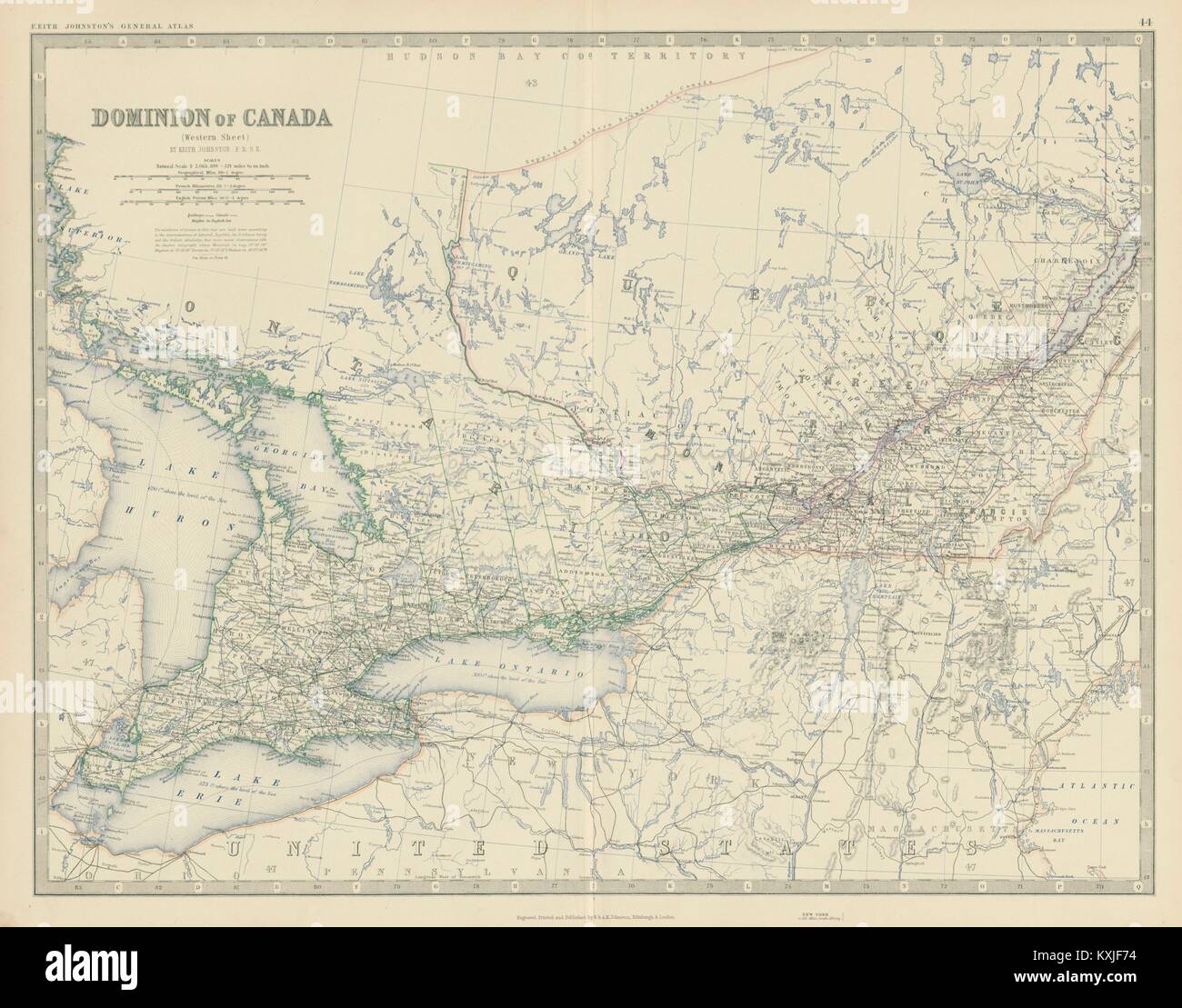 Dominion of Canada (West). Ontario Quebec. 50x60cm. JOHNSTON 1879 old map Stock Photohttps://www.alamy.com/image-license-details/?v=1https://www.alamy.com/stock-photo-dominion-of-canada-west-ontario-quebec-50x60cm-johnston-1879-old-map-171281464.html
RFKXJF74–Dominion of Canada (West). Ontario Quebec. 50x60cm. JOHNSTON 1879 old map
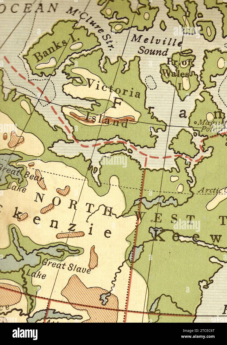 A vintage/antique geographical map in sepia showing Victoria Island and the North West Territories of Canada. Stock Photohttps://www.alamy.com/image-license-details/?v=1https://www.alamy.com/a-vintageantique-geographical-map-in-sepia-showing-victoria-island-and-the-north-west-territories-of-canada-image575634944.html
RF2TCEC6T–A vintage/antique geographical map in sepia showing Victoria Island and the North West Territories of Canada.
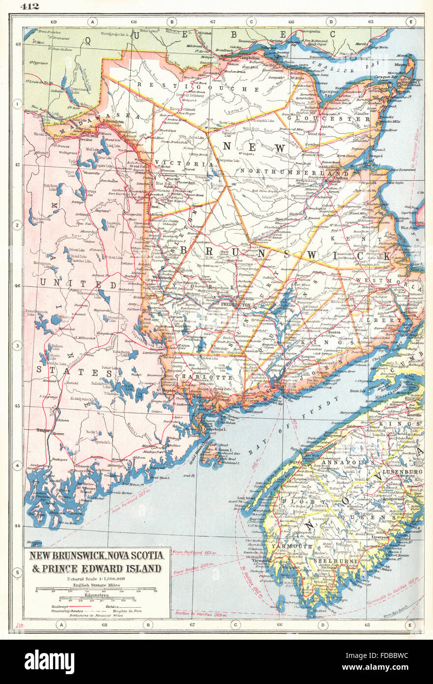 NEW BRUNSWICK: & Nova Scotia West. Canada. Railways. HARMSWORTH, 1920 old map Stock Photohttps://www.alamy.com/image-license-details/?v=1https://www.alamy.com/stock-photo-new-brunswick-nova-scotia-west-canada-railways-harmsworth-1920-old-94293176.html
RFFDBBWC–NEW BRUNSWICK: & Nova Scotia West. Canada. Railways. HARMSWORTH, 1920 old map
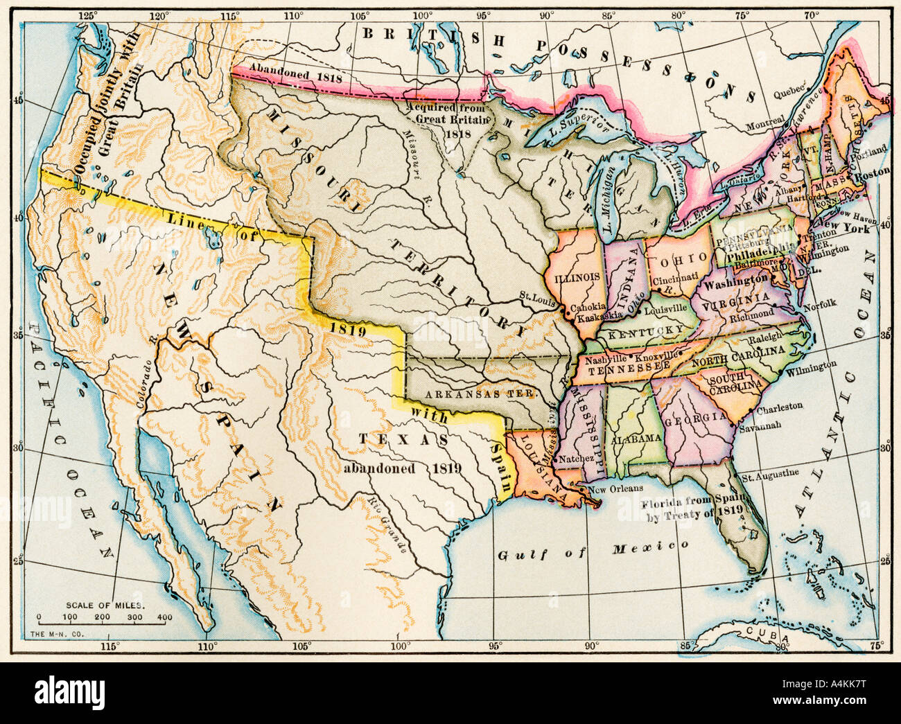 Map of the United States in 1819, showing territory under Spanish and British control. Color lithograph Stock Photohttps://www.alamy.com/image-license-details/?v=1https://www.alamy.com/stock-photo-map-of-the-united-states-in-1819-showing-territory-under-spanish-and-11073419.html
RMA4KK7T–Map of the United States in 1819, showing territory under Spanish and British control. Color lithograph
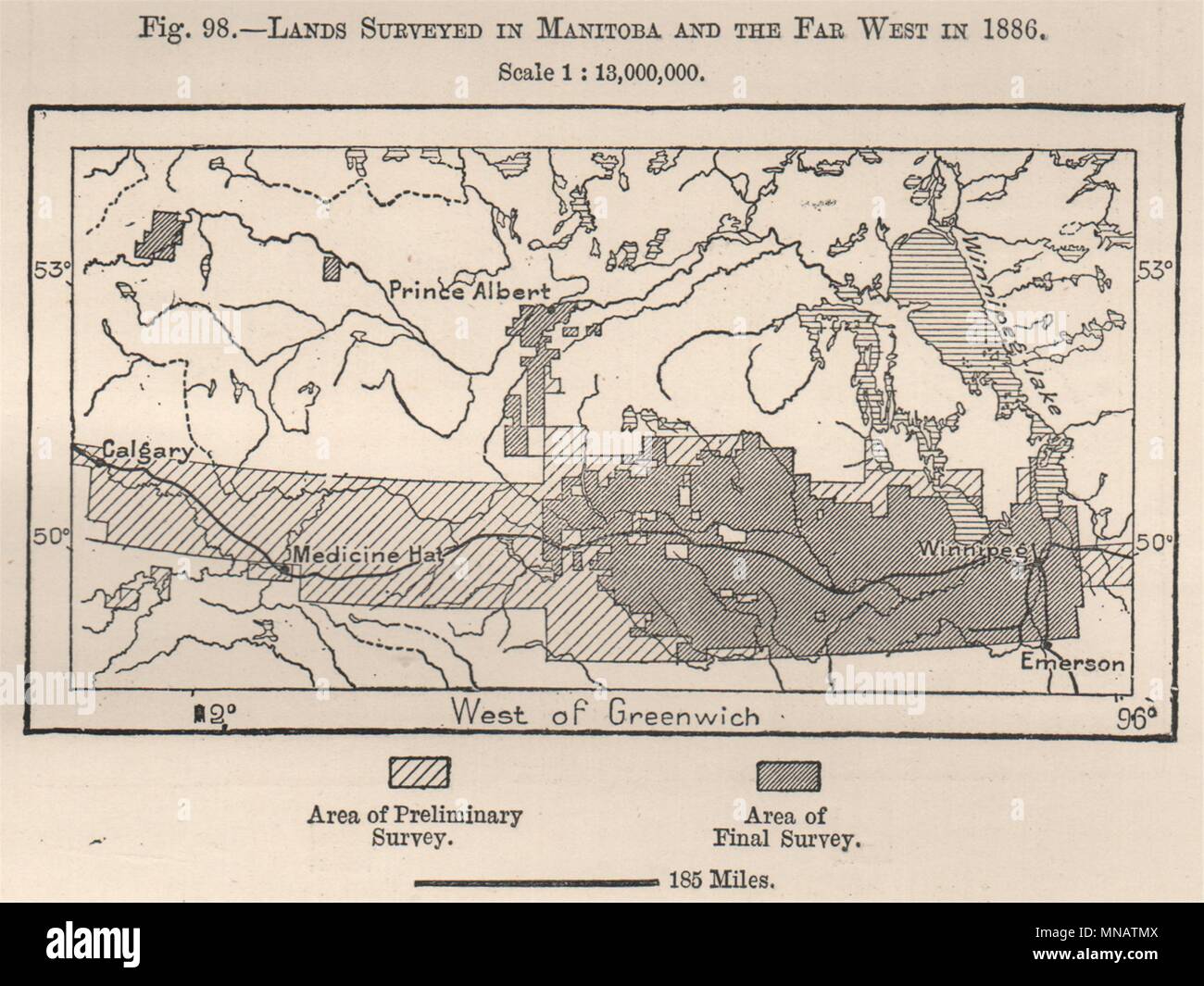 Lands surveyed in Manitoba and the far west in 1886. Canada 1885 old map Stock Photohttps://www.alamy.com/image-license-details/?v=1https://www.alamy.com/lands-surveyed-in-manitoba-and-the-far-west-in-1886-canada-1885-old-map-image185250378.html
RFMNATMX–Lands surveyed in Manitoba and the far west in 1886. Canada 1885 old map
 Antique brass compass over old Canadian map Stock Photohttps://www.alamy.com/image-license-details/?v=1https://www.alamy.com/stock-photo-antique-brass-compass-over-old-canadian-map-80831917.html
RFEKE5X5–Antique brass compass over old Canadian map
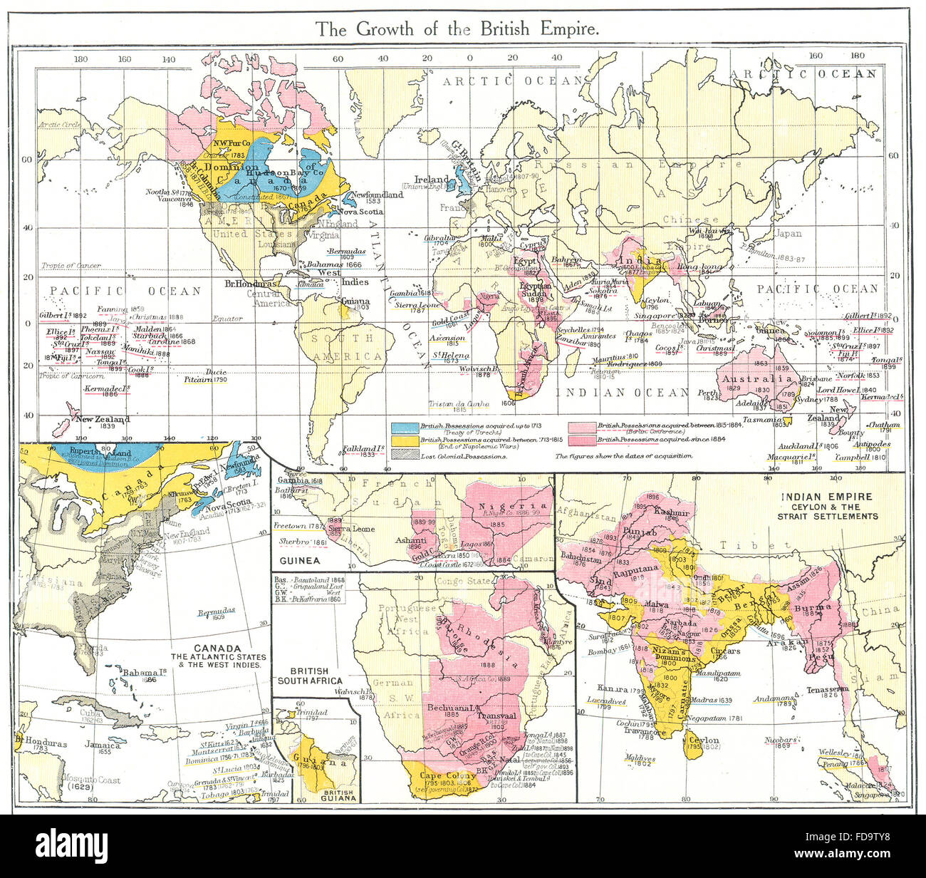 BRITISH EMPIRE: Canada, West Indies; Guinea; South Africa; India, 1907 old map Stock Photohttps://www.alamy.com/image-license-details/?v=1https://www.alamy.com/stock-photo-british-empire-canada-west-indies-guinea-south-africa-india-1907-old-94259516.html
RFFD9TY8–BRITISH EMPIRE: Canada, West Indies; Guinea; South Africa; India, 1907 old map
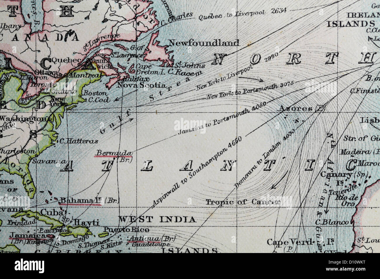 Antique map by W and A&K Johnston, printed in c.1888. Illustrating the world. Zoomed in on North Atlantic Ocean Stock Photohttps://www.alamy.com/image-license-details/?v=1https://www.alamy.com/stock-photo-antique-map-by-w-and-ak-johnston-printed-in-c1888-illustrating-the-52265916.html
RMD10WKT–Antique map by W and A&K Johnston, printed in c.1888. Illustrating the world. Zoomed in on North Atlantic Ocean
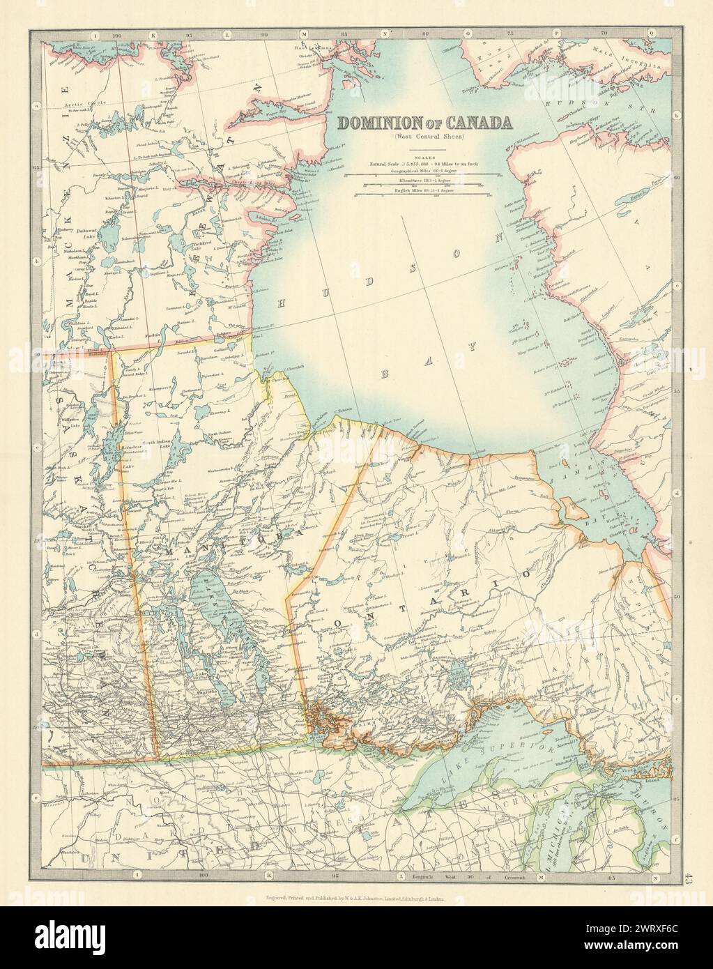 HUDSON BAY & CENTRAL CANADA. Manitoba. Northern Ontario. JOHNSTON 1913 old map Stock Photohttps://www.alamy.com/image-license-details/?v=1https://www.alamy.com/hudson-bay-central-canada-manitoba-northern-ontario-johnston-1913-old-map-image599872292.html
RF2WRXF6C–HUDSON BAY & CENTRAL CANADA. Manitoba. Northern Ontario. JOHNSTON 1913 old map
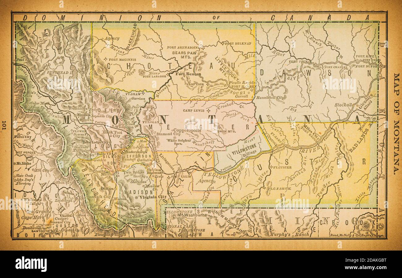 19th century map of Montana. Published in New Dollar Atlas of the United States and Dominion of Canada. (Rand McNally & Co's, Chicago, 1884). Stock Photohttps://www.alamy.com/image-license-details/?v=1https://www.alamy.com/19th-century-map-of-montana-published-in-new-dollar-atlas-of-the-united-states-and-dominion-of-canada-rand-mcnally-cos-chicago-1884-image385204620.html
RF2DAKGBT–19th century map of Montana. Published in New Dollar Atlas of the United States and Dominion of Canada. (Rand McNally & Co's, Chicago, 1884).
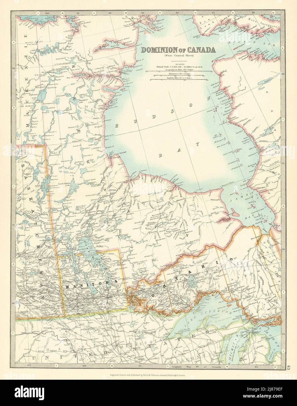 HUDSON BAY & CENTRAL CANADA. Manitoba. Northern Ontario. JOHNSTON 1911 old map Stock Photohttps://www.alamy.com/image-license-details/?v=1https://www.alamy.com/hudson-bay-central-canada-manitoba-northern-ontario-johnston-1911-old-map-image469758311.html
RF2J879EF–HUDSON BAY & CENTRAL CANADA. Manitoba. Northern Ontario. JOHNSTON 1911 old map
 Vintage map, Clayoquot Sound, British Columbia, Canada Stock Photohttps://www.alamy.com/image-license-details/?v=1https://www.alamy.com/stock-photo-vintage-map-clayoquot-sound-british-columbia-canada-19610580.html
RFB3W9DT–Vintage map, Clayoquot Sound, British Columbia, Canada
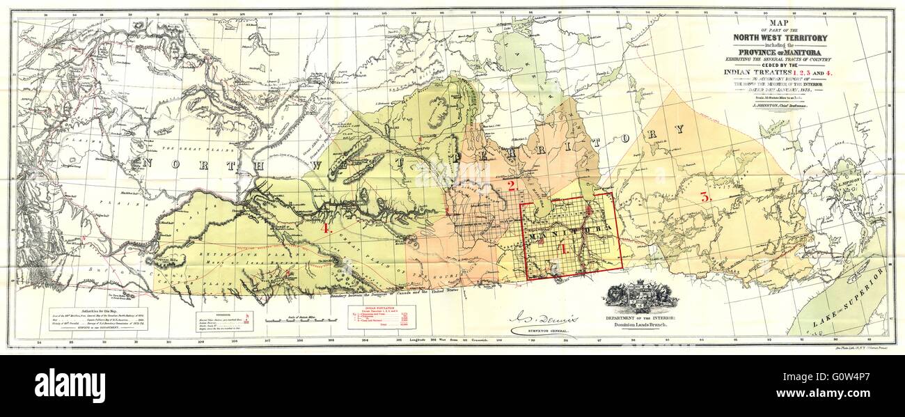 CANADA: North west Territory Manitoba ceded Indian Treaties 1875, 1914 old map Stock Photohttps://www.alamy.com/image-license-details/?v=1https://www.alamy.com/stock-photo-canada-north-west-territory-manitoba-ceded-indian-treaties-1875-1914-103814767.html
RFG0W4P7–CANADA: North west Territory Manitoba ceded Indian Treaties 1875, 1914 old map
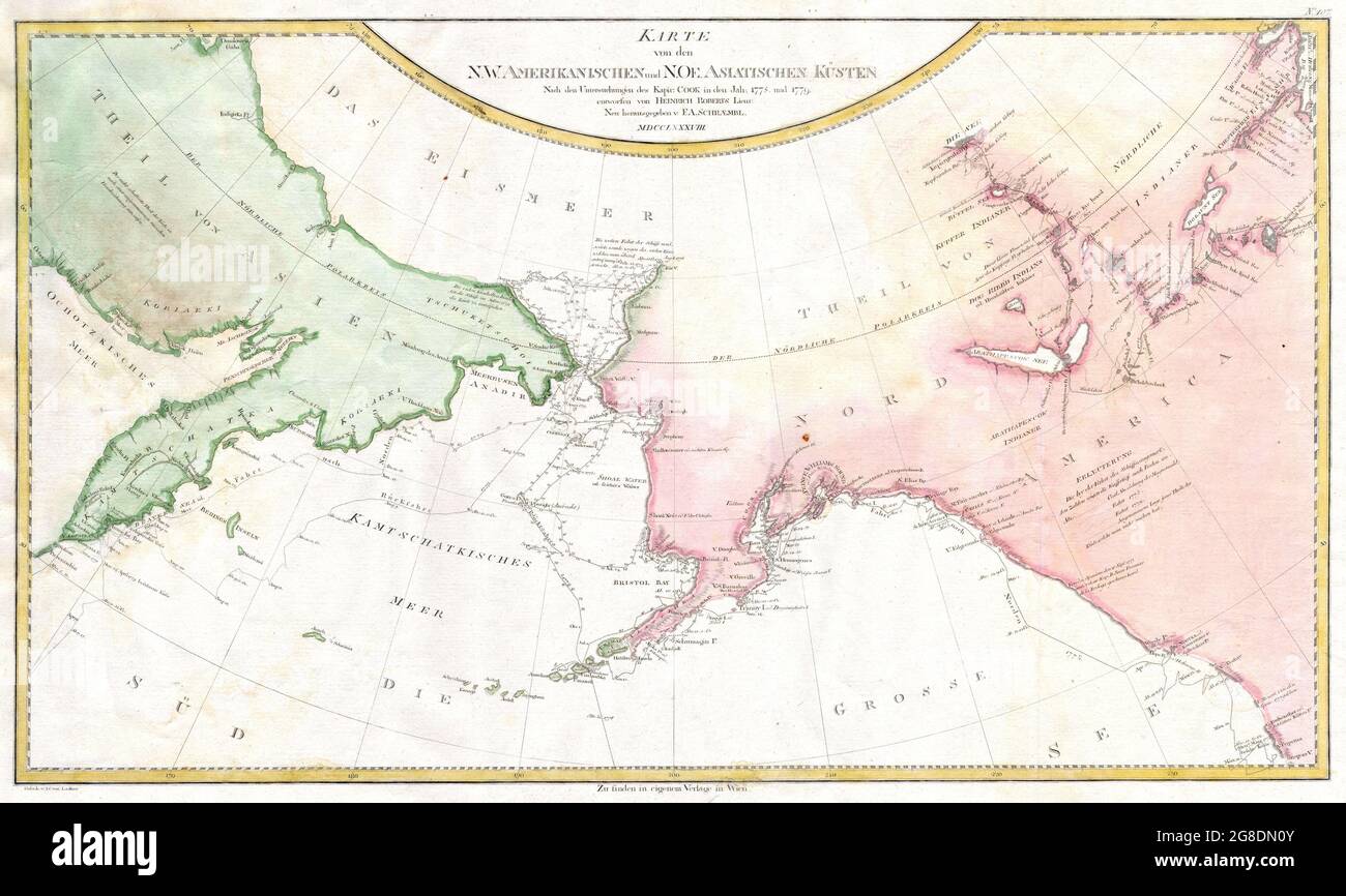 map of James Cook’s explorations along the northwest coast of America and the northeast coast of Asia. Based upon original work by Cook’s cartographer Henry Roberts. Depicts much of Siberia and Kamtschaka in Asia and, in America, shows Canada as far east as the western portions of Hudson Bay. Alaska and Asia are shown with considerable accuracy though Vancouver Island is missing. Shows several lakes west of Hudson Bay in what is today northwestern Canada. Numerous depth soundings detailed along the exploration tracks. Date 1788 Stock Photohttps://www.alamy.com/image-license-details/?v=1https://www.alamy.com/map-of-james-cooks-explorations-along-the-northwest-coast-of-america-and-the-northeast-coast-of-asia-based-upon-original-work-by-cooks-cartographer-henry-roberts-depicts-much-of-siberia-and-kamtschaka-in-asia-and-in-america-shows-canada-as-far-east-as-the-western-portions-of-hudson-bay-alaska-and-asia-are-shown-with-considerable-accuracy-though-vancouver-island-is-missing-shows-several-lakes-west-of-hudson-bay-in-what-is-today-northwestern-canada-numerous-depth-soundings-detailed-along-the-exploration-tracks-date-1788-image435478315.html
RM2G8DN0Y–map of James Cook’s explorations along the northwest coast of America and the northeast coast of Asia. Based upon original work by Cook’s cartographer Henry Roberts. Depicts much of Siberia and Kamtschaka in Asia and, in America, shows Canada as far east as the western portions of Hudson Bay. Alaska and Asia are shown with considerable accuracy though Vancouver Island is missing. Shows several lakes west of Hudson Bay in what is today northwestern Canada. Numerous depth soundings detailed along the exploration tracks. Date 1788
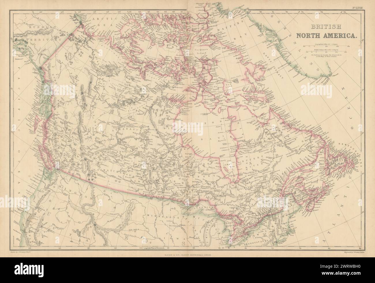 British North America by Joseph Wilson Lowry. Canada 1860 old antique map Stock Photohttps://www.alamy.com/image-license-details/?v=1https://www.alamy.com/british-north-america-by-joseph-wilson-lowry-canada-1860-old-antique-map-image599847500.html
RF2WRWBH0–British North America by Joseph Wilson Lowry. Canada 1860 old antique map
 1850 Tallis Map of West Canada or Ontario ( includes Great Lakes ) Geographicus WestCanada tallis 1850 Stock Photohttps://www.alamy.com/image-license-details/?v=1https://www.alamy.com/stock-photo-1850-tallis-map-of-west-canada-or-ontario-includes-great-lakes-geographicus-136444328.html
RMHWYG3M–1850 Tallis Map of West Canada or Ontario ( includes Great Lakes ) Geographicus WestCanada tallis 1850
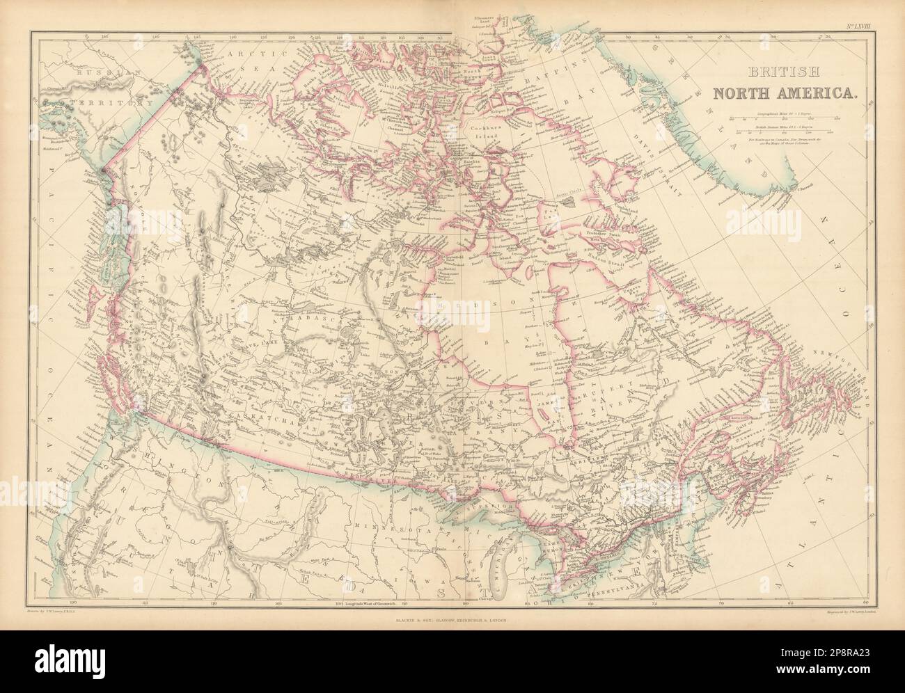 British North America by Joseph Wilson Lowry. Canada 1859 old antique map Stock Photohttps://www.alamy.com/image-license-details/?v=1https://www.alamy.com/british-north-america-by-joseph-wilson-lowry-canada-1859-old-antique-map-image538951451.html
RF2P8RA23–British North America by Joseph Wilson Lowry. Canada 1859 old antique map
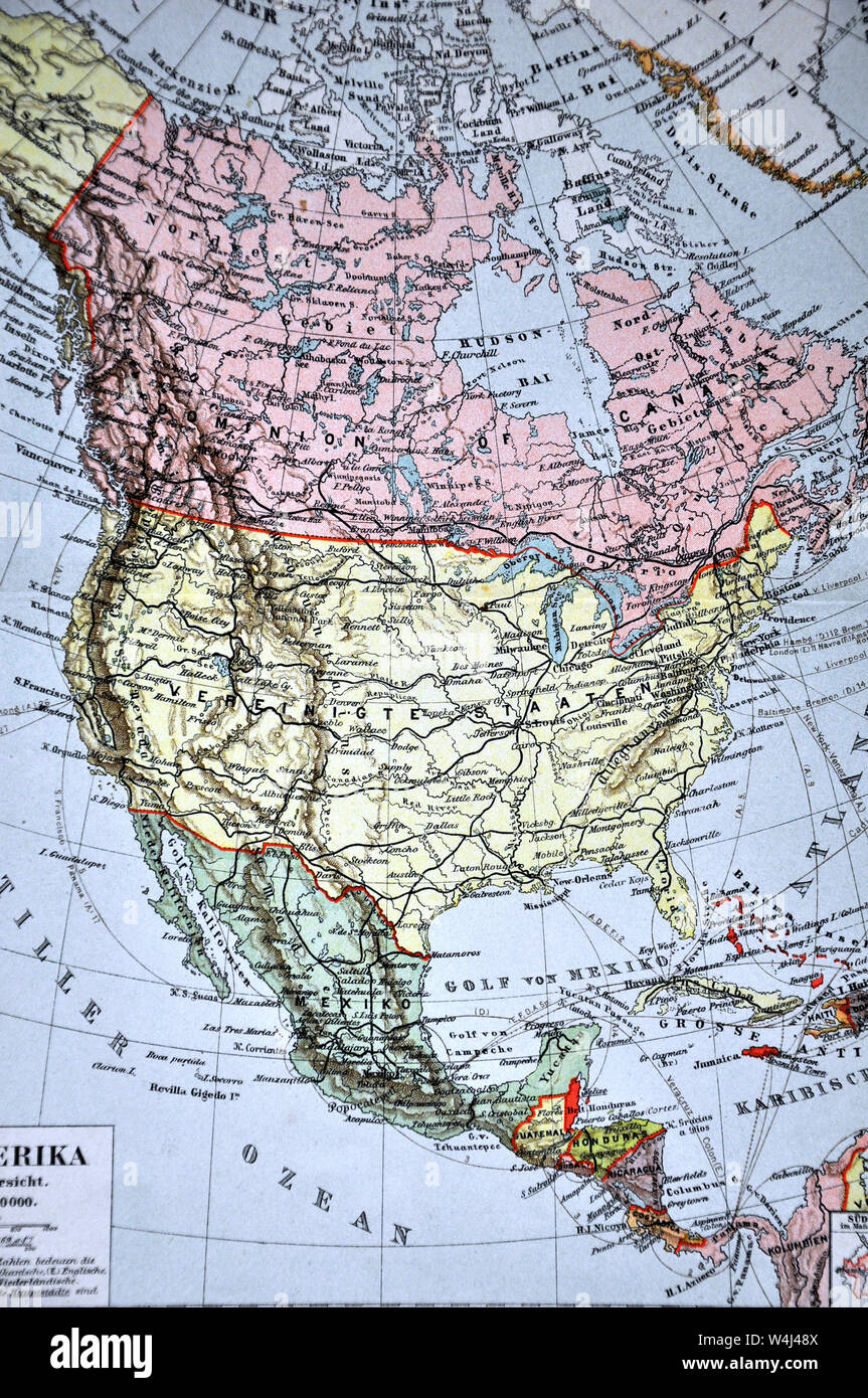 1900 Meyer Map of North America showing Canada, the United States, Mexico, Alaska and West Indies Stock Photohttps://www.alamy.com/image-license-details/?v=1https://www.alamy.com/1900-meyer-map-of-north-america-showing-canada-the-united-states-mexico-alaska-and-west-indies-image261012666.html
RFW4J48X–1900 Meyer Map of North America showing Canada, the United States, Mexico, Alaska and West Indies
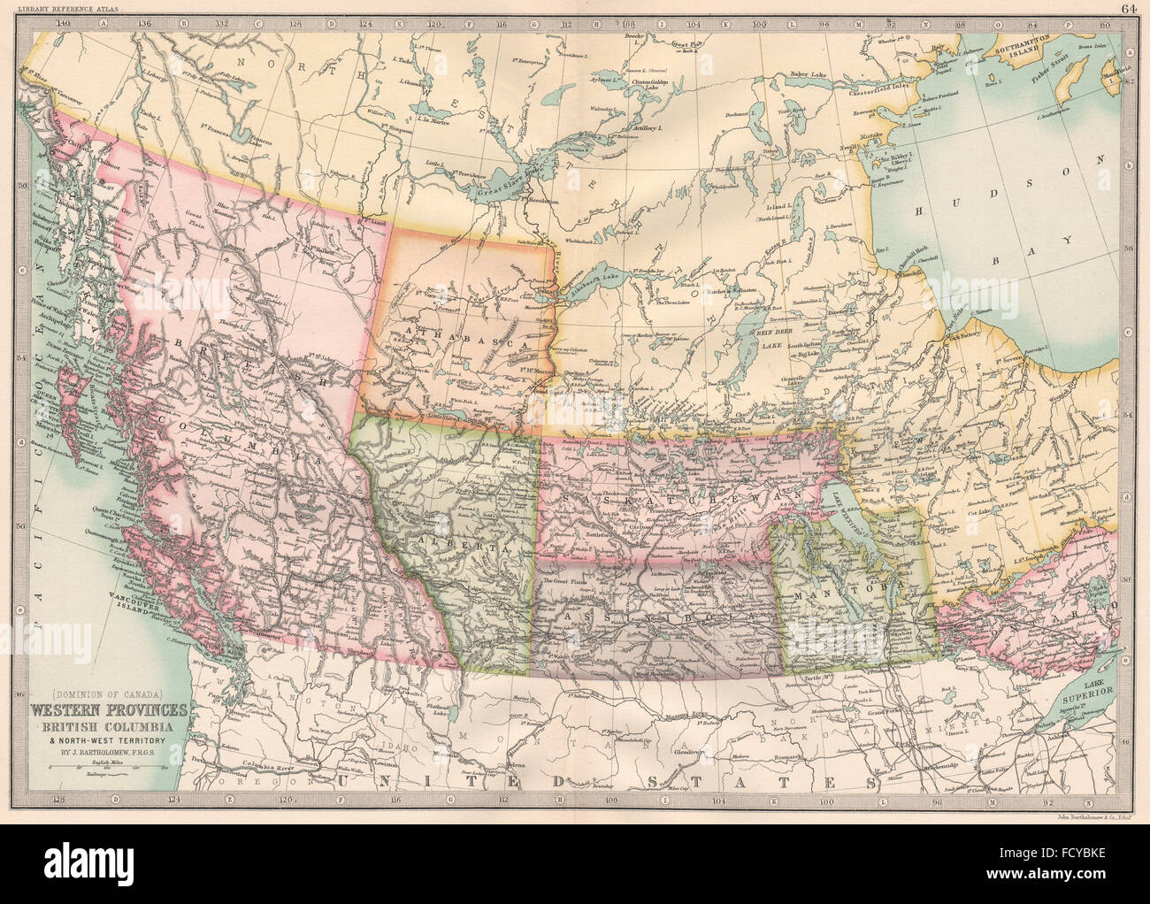 CANADA WESTERN PROVINCES: British Columbia Athabasca Alberta SK, 1890 old map Stock Photohttps://www.alamy.com/image-license-details/?v=1https://www.alamy.com/stock-photo-canada-western-provinces-british-columbia-athabasca-alberta-sk-1890-94029586.html
RFFCYBKE–CANADA WESTERN PROVINCES: British Columbia Athabasca Alberta SK, 1890 old map
 North West Canada Medal Stock Photohttps://www.alamy.com/image-license-details/?v=1https://www.alamy.com/stock-photo-north-west-canada-medal-140272915.html
RMJ45YEY–North West Canada Medal
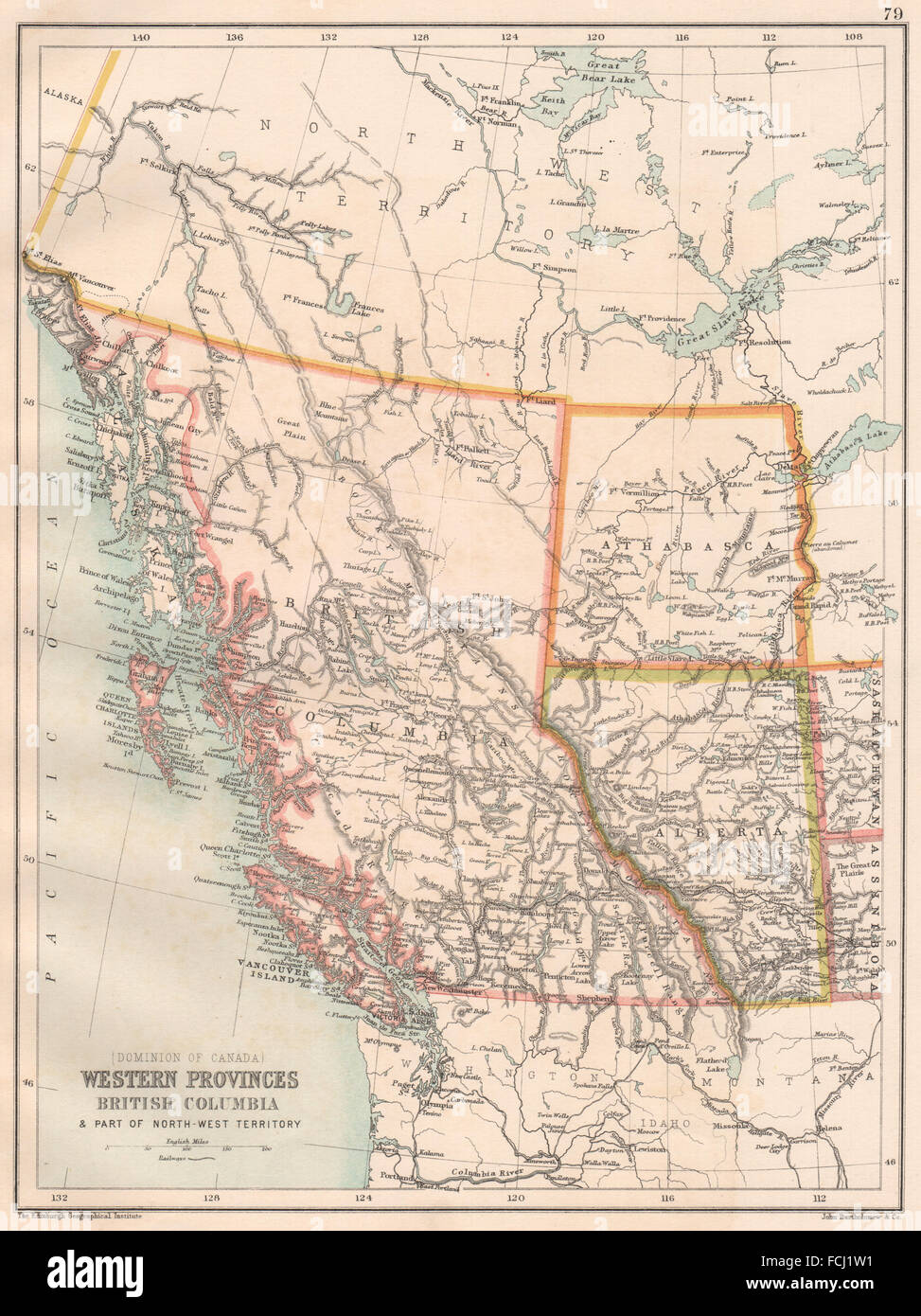 WESTERN CANADA: British Columbia Alberta Athabasca. NW Territory, 1891 old map Stock Photohttps://www.alamy.com/image-license-details/?v=1https://www.alamy.com/stock-photo-western-canada-british-columbia-alberta-athabasca-nw-territory-1891-93824333.html
RFFCJ1W1–WESTERN CANADA: British Columbia Alberta Athabasca. NW Territory, 1891 old map
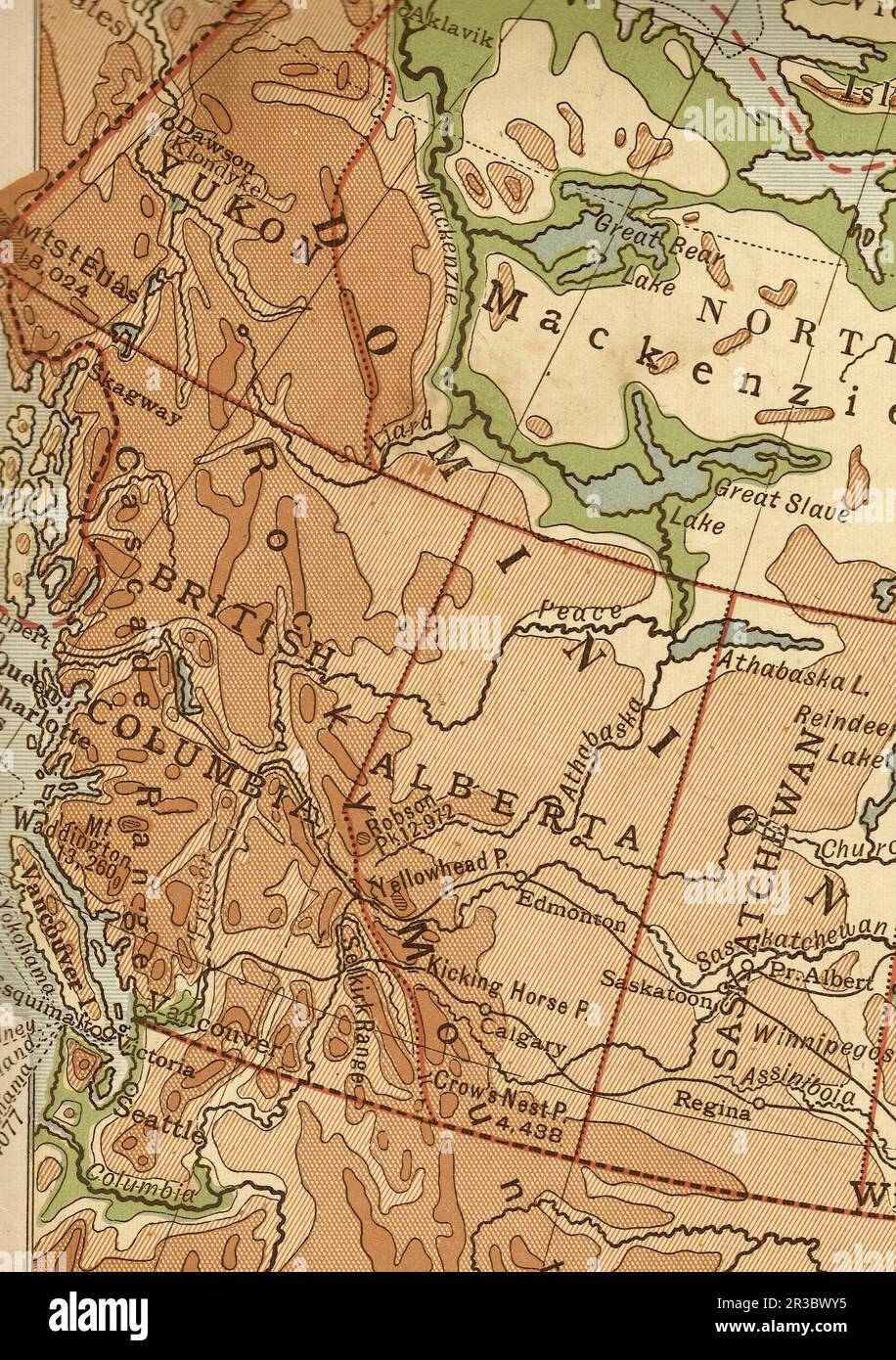 Vintage geographical map of west Canada in sepia. Stock Photohttps://www.alamy.com/image-license-details/?v=1https://www.alamy.com/vintage-geographical-map-of-west-canada-in-sepia-image552837577.html
RF2R3BWY5–Vintage geographical map of west Canada in sepia.
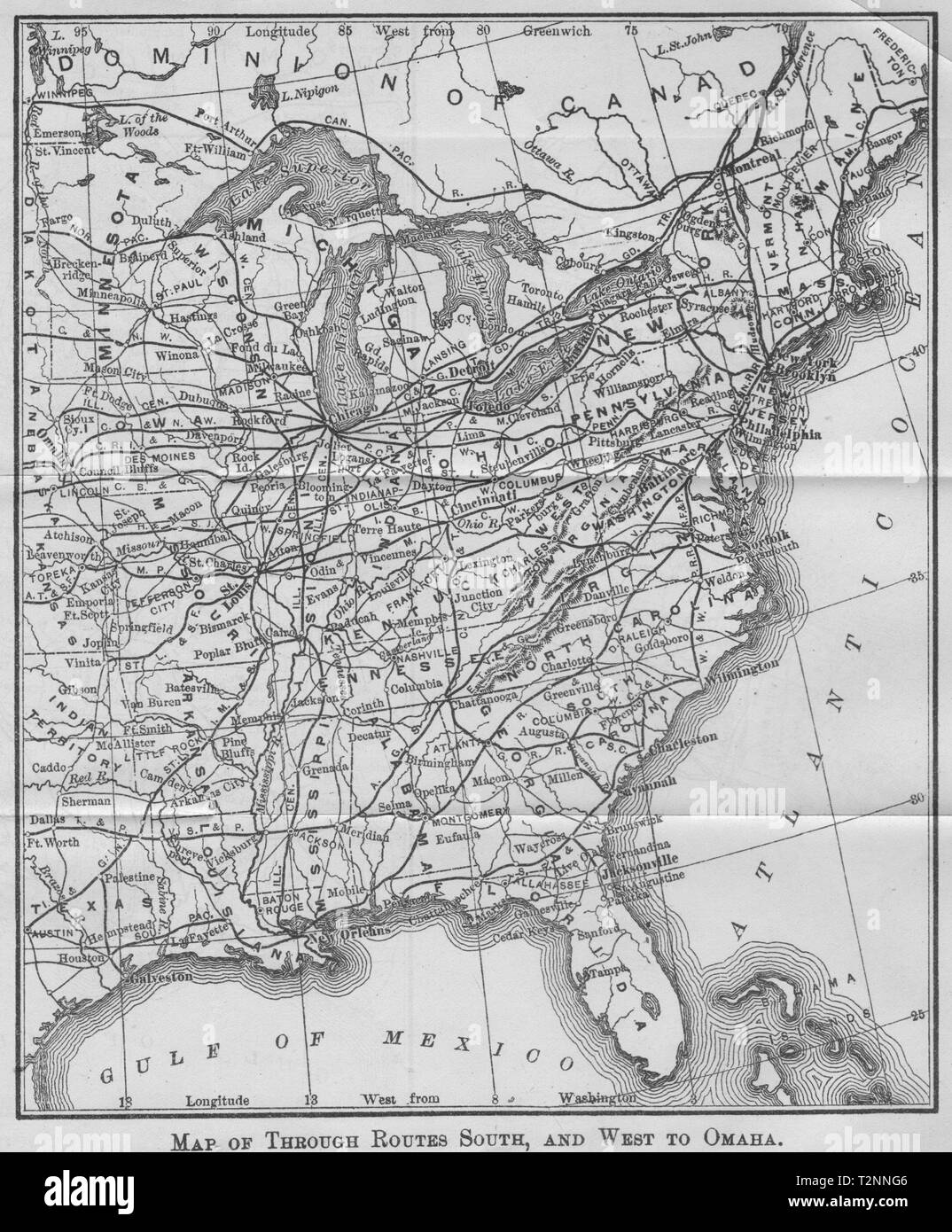 USA. Railroad routes south & west to Ohama 1893 old antique map plan chart Stock Photohttps://www.alamy.com/image-license-details/?v=1https://www.alamy.com/usa-railroad-routes-south-west-to-ohama-1893-old-antique-map-plan-chart-image242652374.html
RFT2NNG6–USA. Railroad routes south & west to Ohama 1893 old antique map plan chart
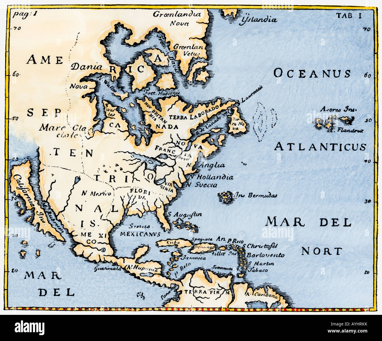 Map of North America as known in the mid-1600s with California as an island. Hand-colored woodcut Stock Photohttps://www.alamy.com/image-license-details/?v=1https://www.alamy.com/stock-photo-map-of-north-america-as-known-in-the-mid-1600s-with-california-as-17114838.html
RMAYHRKK–Map of North America as known in the mid-1600s with California as an island. Hand-colored woodcut
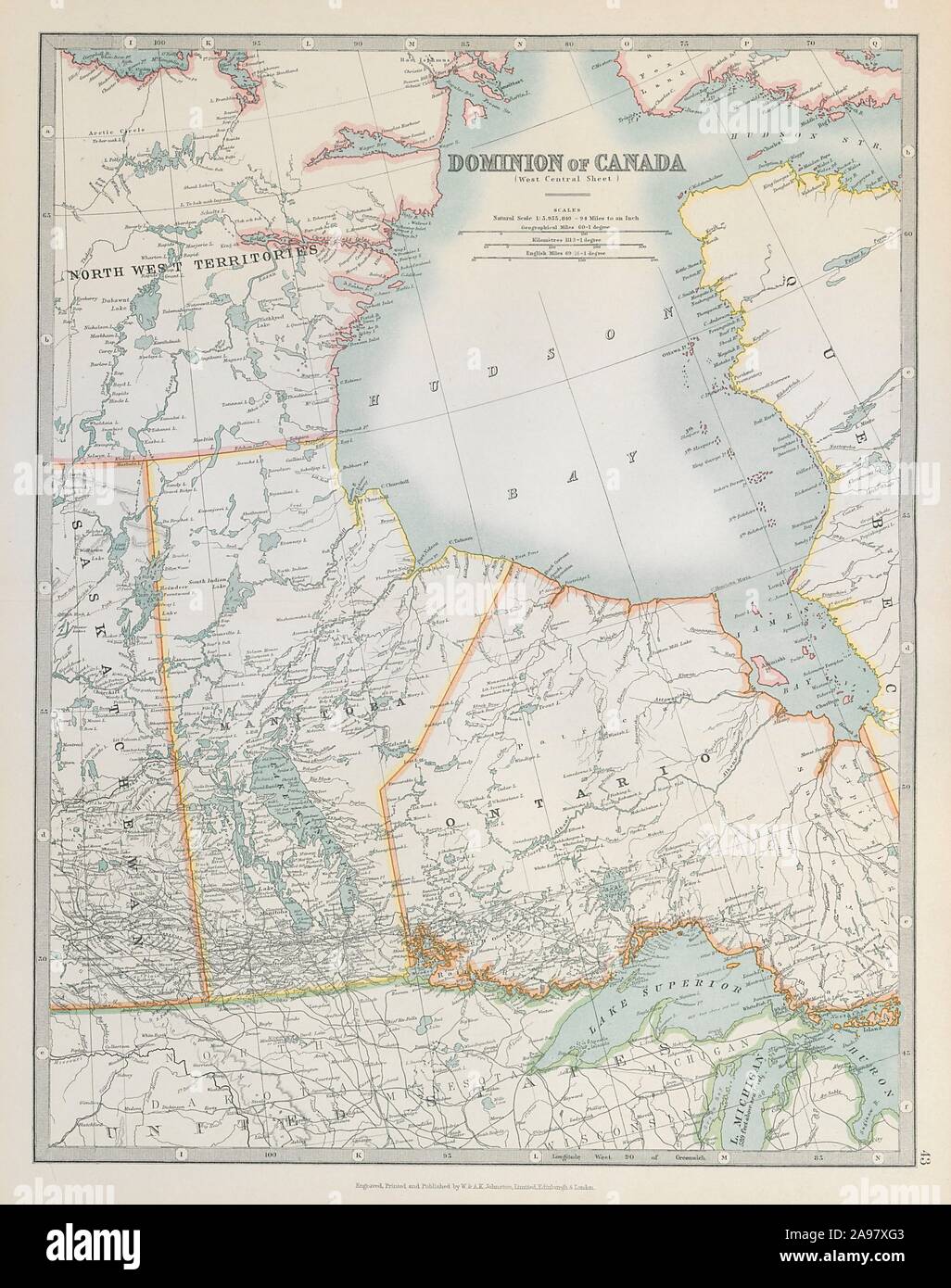 HUDSON BAY & CENTRAL CANADA. Manitoba. Northern Ontario. JOHNSTON 1915 old map Stock Photohttps://www.alamy.com/image-license-details/?v=1https://www.alamy.com/hudson-bay-central-canada-manitoba-northern-ontario-johnston-1915-old-map-image332703395.html
RF2A97XG3–HUDSON BAY & CENTRAL CANADA. Manitoba. Northern Ontario. JOHNSTON 1915 old map
 Antique brass compass over old Canadian map Stock Photohttps://www.alamy.com/image-license-details/?v=1https://www.alamy.com/stock-photo-antique-brass-compass-over-old-canadian-map-80831918.html
RFEKE5X6–Antique brass compass over old Canadian map
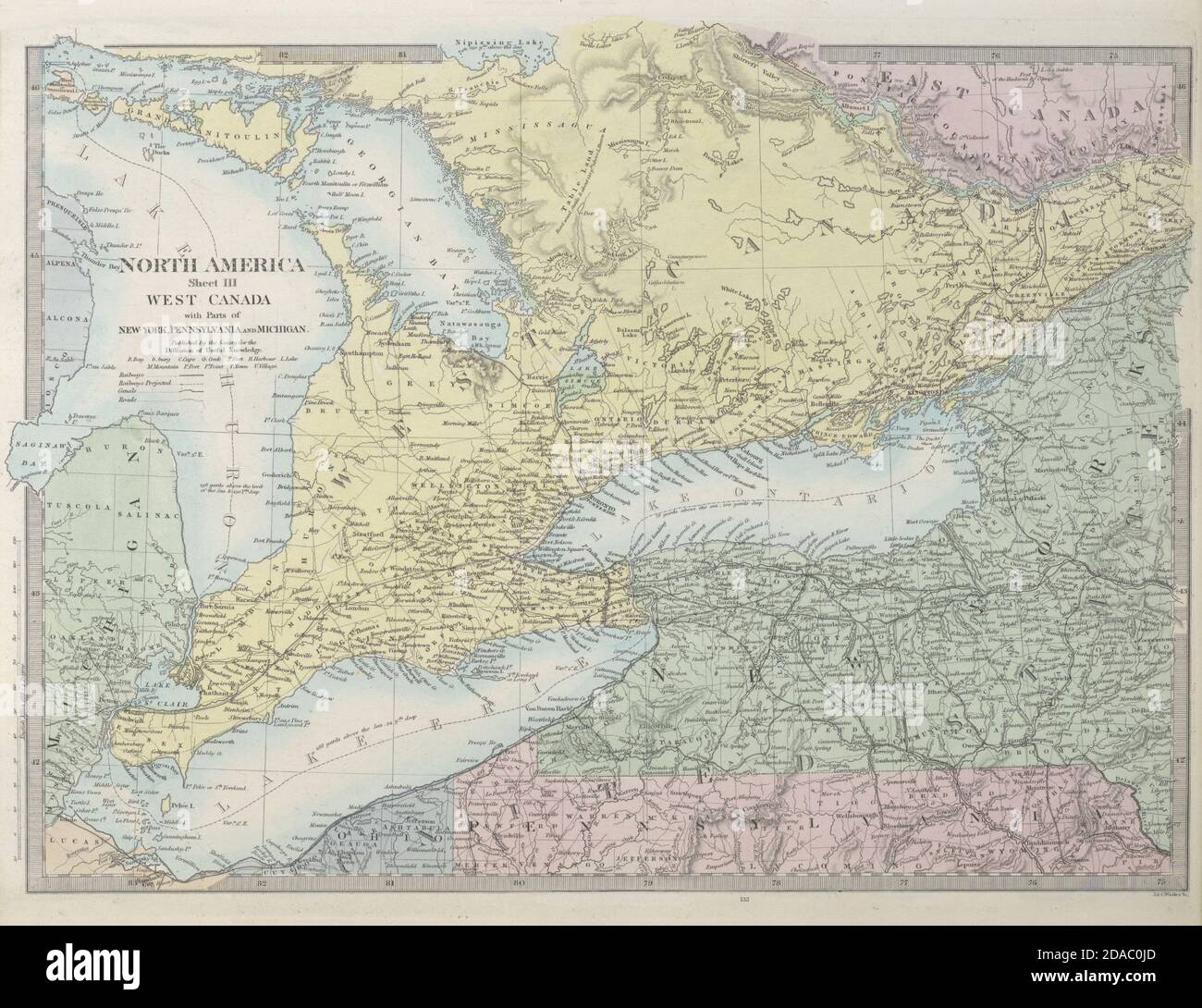 GREAT LAKES Huron Erie Ontario. Upstate New York. Railways. SDUK 1857 old map Stock Photohttps://www.alamy.com/image-license-details/?v=1https://www.alamy.com/great-lakes-huron-erie-ontario-upstate-new-york-railways-sduk-1857-old-map-image385038597.html
RF2DAC0JD–GREAT LAKES Huron Erie Ontario. Upstate New York. Railways. SDUK 1857 old map
 Free homes and cheap railway lands! : one hundred million acres! open for settlement along the lines of the Canadian Pacific Railway in Manitoba, Assiniboia, Alberta, Saskatchewan, the four great provinces of the Canadian North-West ; with maps, and illustrations made from photographs. by Canadian Pacific Railway Company, 1890 Stock Photohttps://www.alamy.com/image-license-details/?v=1https://www.alamy.com/free-homes-and-cheap-railway-lands!-one-hundred-million-acres!-open-for-settlement-along-the-lines-of-the-canadian-pacific-railway-in-manitoba-assiniboia-alberta-saskatchewan-the-four-great-provinces-of-the-canadian-north-west-with-maps-and-illustrations-made-from-photographs-by-canadian-pacific-railway-company-1890-image616553713.html
RM2XR2CFD–Free homes and cheap railway lands! : one hundred million acres! open for settlement along the lines of the Canadian Pacific Railway in Manitoba, Assiniboia, Alberta, Saskatchewan, the four great provinces of the Canadian North-West ; with maps, and illustrations made from photographs. by Canadian Pacific Railway Company, 1890
 19th century map of Colorado. Published in New Dollar Atlas of the United States and Dominion of Canada. (Rand McNally & Co's, Chicago, 1884). Stock Photohttps://www.alamy.com/image-license-details/?v=1https://www.alamy.com/19th-century-map-of-colorado-published-in-new-dollar-atlas-of-the-united-states-and-dominion-of-canada-rand-mcnally-cos-chicago-1884-image385204149.html
RF2DAKFR1–19th century map of Colorado. Published in New Dollar Atlas of the United States and Dominion of Canada. (Rand McNally & Co's, Chicago, 1884).
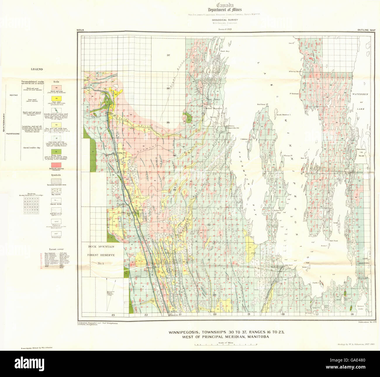 MANITOBA:Winnipegosis,townships 30-37,ranges 16-23 Geological, 1921 old map Stock Photohttps://www.alamy.com/image-license-details/?v=1https://www.alamy.com/stock-photo-manitobawinnipegosistownships-30-37ranges-16-23-geological-1921-old-109719456.html
RFGAE480–MANITOBA:Winnipegosis,townships 30-37,ranges 16-23 Geological, 1921 old map
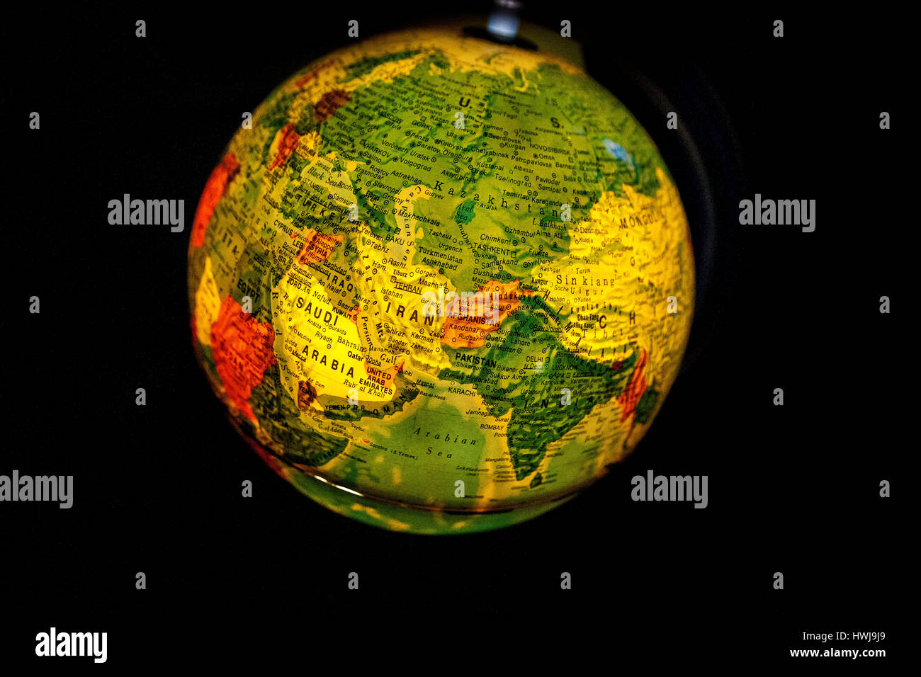 close up of old fashioned world globe a ball shaped map lit from within focusing on Pacific ocean California North America Canada Stock Photohttps://www.alamy.com/image-license-details/?v=1https://www.alamy.com/stock-photo-close-up-of-old-fashioned-world-globe-a-ball-shaped-map-lit-from-within-136241681.html
RMHWJ9J9–close up of old fashioned world globe a ball shaped map lit from within focusing on Pacific ocean California North America Canada
 compass in the open map atlas Stock Photohttps://www.alamy.com/image-license-details/?v=1https://www.alamy.com/stock-photo-compass-in-the-open-map-atlas-122448269.html
RFH3600D–compass in the open map atlas
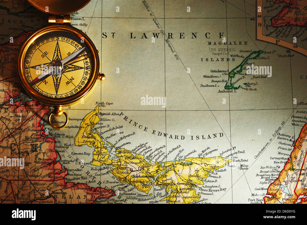 Antique brass compass over old Canadian map Stock Photohttps://www.alamy.com/image-license-details/?v=1https://www.alamy.com/stock-photo-antique-brass-compass-over-old-canadian-map-55605188.html
RFD6D0YG–Antique brass compass over old Canadian map
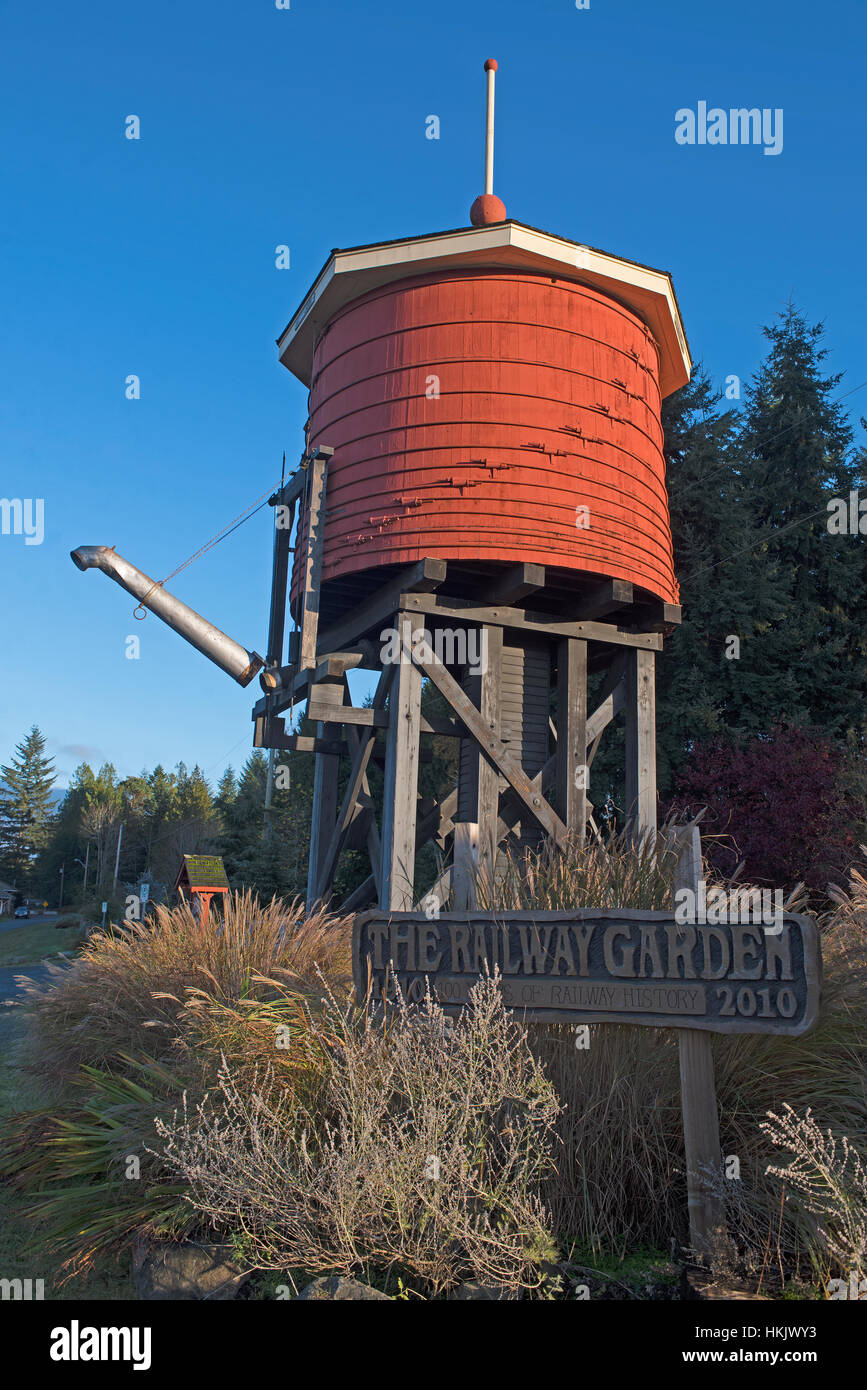 The Esquimalt and Nanaimo rail line from Victoria - Port Alberni Water tower at Parksville old Station in BC Canada. SCO 11,713. Stock Photohttps://www.alamy.com/image-license-details/?v=1https://www.alamy.com/stock-photo-the-esquimalt-and-nanaimo-rail-line-from-victoria-port-alberni-water-132566535.html
RMHKJWY3–The Esquimalt and Nanaimo rail line from Victoria - Port Alberni Water tower at Parksville old Station in BC Canada. SCO 11,713.
 Reports of the commissioners appointed to inquire into a series of accidents and detentions on the Great Western railway, Canada West (1855) Stock Photohttps://www.alamy.com/image-license-details/?v=1https://www.alamy.com/stock-photo-reports-of-the-commissioners-appointed-to-inquire-into-a-series-of-99623088.html
RMFP267C–Reports of the commissioners appointed to inquire into a series of accidents and detentions on the Great Western railway, Canada West (1855)
 Antique brass compass over old Canadian map Stock Photohttps://www.alamy.com/image-license-details/?v=1https://www.alamy.com/stock-photo-antique-brass-compass-over-old-canadian-map-55603621.html
RFD6CXYH–Antique brass compass over old Canadian map
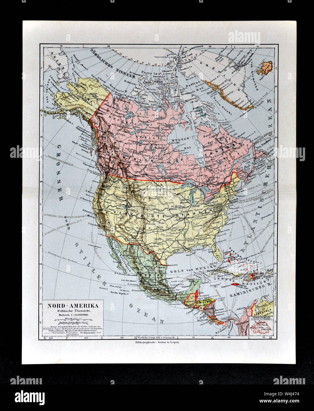 1900 Meyer Map of North America showing Canada, the United States, Mexico, Alaska and West Indies Stock Photohttps://www.alamy.com/image-license-details/?v=1https://www.alamy.com/1900-meyer-map-of-north-america-showing-canada-the-united-states-mexico-alaska-and-west-indies-image261012616.html
RFW4J474–1900 Meyer Map of North America showing Canada, the United States, Mexico, Alaska and West Indies
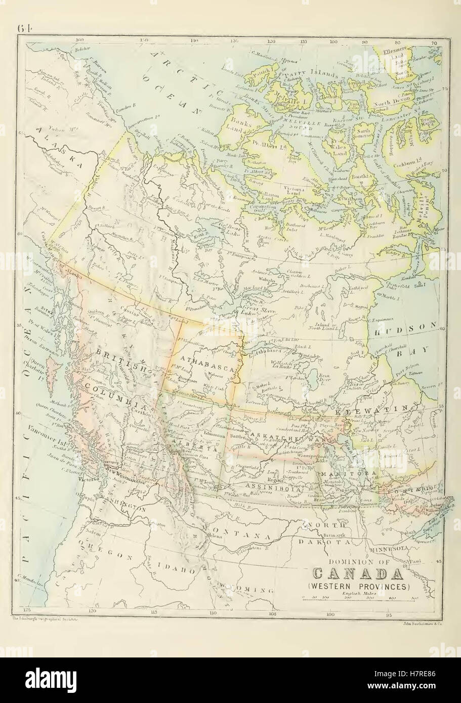 The Graphic atlas and gazetteer of the world 255 Scales vary. Edited by J.G. Bartholomew. Published 1892 by Thomas Nelson & Sons Stock Photohttps://www.alamy.com/image-license-details/?v=1https://www.alamy.com/stock-photo-the-graphic-atlas-and-gazetteer-of-the-world-255-scales-vary-edited-125291270.html
RMH7RE86–The Graphic atlas and gazetteer of the world 255 Scales vary. Edited by J.G. Bartholomew. Published 1892 by Thomas Nelson & Sons
 Eby Auf nach West Canada Stock Photohttps://www.alamy.com/image-license-details/?v=1https://www.alamy.com/stock-photo-eby-auf-nach-west-canada-139794836.html
RMJ3C5MM–Eby Auf nach West Canada
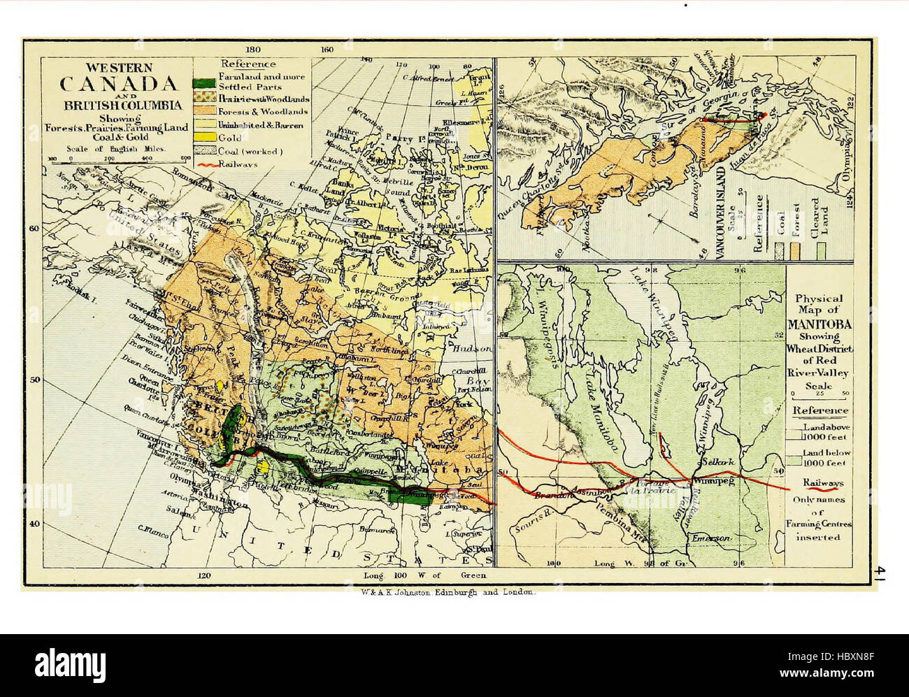 Atlas of commercial geography, containing 48 maps, with explanatory letterpress Stock Photohttps://www.alamy.com/image-license-details/?v=1https://www.alamy.com/stock-photo-atlas-of-commercial-geography-containing-48-maps-with-explanatory-127821247.html
RMHBXN8F–Atlas of commercial geography, containing 48 maps, with explanatory letterpress
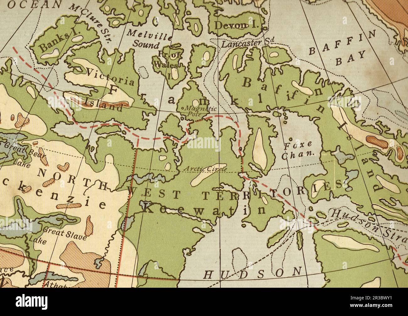 Vintage geographical map of North West Territories, Canada in sepia. Stock Photohttps://www.alamy.com/image-license-details/?v=1https://www.alamy.com/vintage-geographical-map-of-north-west-territories-canada-in-sepia-image552837573.html
RF2R3BWY1–Vintage geographical map of North West Territories, Canada in sepia.
 Imperial wine bowl in the west Iranian style, inscribed with Arabic Shi'ite prayers, Hindustan, 1620 1630 AD, copper inlaid with black compound Aga Khan Museum Toronto, Canada DSC07012 Stock Photohttps://www.alamy.com/image-license-details/?v=1https://www.alamy.com/stock-photo-imperial-wine-bowl-in-the-west-iranian-style-inscribed-with-arabic-142954141.html
RMJ8G3D1–Imperial wine bowl in the west Iranian style, inscribed with Arabic Shi'ite prayers, Hindustan, 1620 1630 AD, copper inlaid with black compound Aga Khan Museum Toronto, Canada DSC07012
 1850, Tallis Map of West Canada or Ontario, includes Great Lakes . Reimagined by Gibon. Classic art with a modern reimagined Stock Photohttps://www.alamy.com/image-license-details/?v=1https://www.alamy.com/1850-tallis-map-of-west-canada-or-ontario-includes-great-lakes-reimagined-by-gibon-classic-art-with-a-modern-reimagined-image230087946.html
RFRA9BEJ–1850, Tallis Map of West Canada or Ontario, includes Great Lakes . Reimagined by Gibon. Classic art with a modern reimagined
 Herd of buffaloes in the National Park, Banff North West Territories, Canada Photo C (HS85 10 11287) Stock Photohttps://www.alamy.com/image-license-details/?v=1https://www.alamy.com/stock-image-herd-of-buffaloes-in-the-national-park-banff-north-west-territories-162732758.html
RMKCN386–Herd of buffaloes in the National Park, Banff North West Territories, Canada Photo C (HS85 10 11287)
 Antique brass compass over old Canadian map Stock Photohttps://www.alamy.com/image-license-details/?v=1https://www.alamy.com/stock-photo-antique-brass-compass-over-old-canadian-map-80826874.html
RFEKDYE2–Antique brass compass over old Canadian map
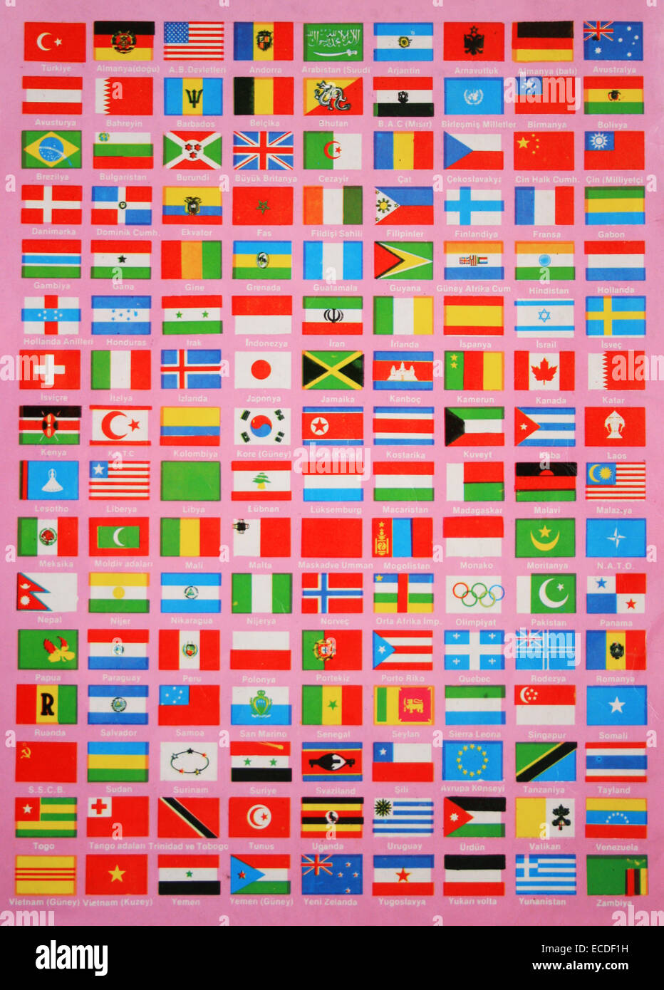 Flags of The World,Names are in Turkish Language Stock Photohttps://www.alamy.com/image-license-details/?v=1https://www.alamy.com/stock-photo-flags-of-the-worldnames-are-in-turkish-language-76514525.html
RFECDF1H–Flags of The World,Names are in Turkish Language
 Seamless background with green flowers Stock Vectorhttps://www.alamy.com/image-license-details/?v=1https://www.alamy.com/stock-photo-seamless-background-with-green-flowers-126578605.html
RFH9X48D–Seamless background with green flowers
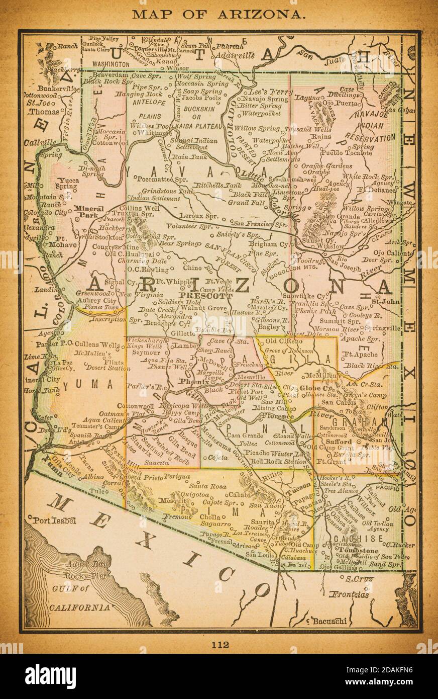 19th century map of Arizona. Published in New Dollar Atlas of the United States and Dominion of Canada. (Rand McNally & Co's, Chicago, 1884). Stock Photohttps://www.alamy.com/image-license-details/?v=1https://www.alamy.com/19th-century-map-of-arizona-published-in-new-dollar-atlas-of-the-united-states-and-dominion-of-canada-rand-mcnally-cos-chicago-1884-image385204098.html
RF2DAKFN6–19th century map of Arizona. Published in New Dollar Atlas of the United States and Dominion of Canada. (Rand McNally & Co's, Chicago, 1884).
 vintage american map Stock Photohttps://www.alamy.com/image-license-details/?v=1https://www.alamy.com/vintage-american-map-image223892764.html
RFR075E4–vintage american map
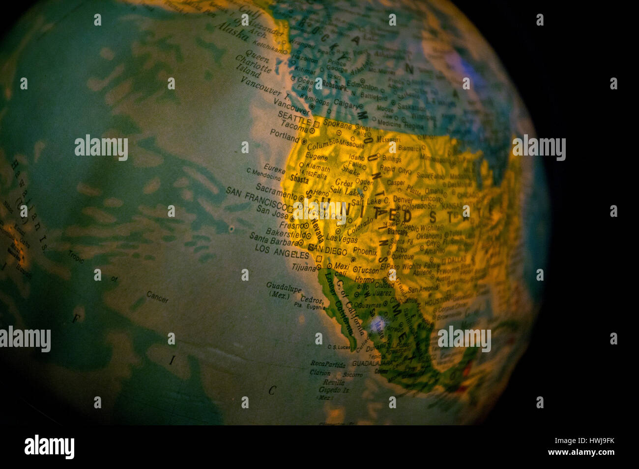 close up of old fashioned world globe a ball shaped map lit from within focusing on Atlantic east coast North America Canada Stock Photohttps://www.alamy.com/image-license-details/?v=1https://www.alamy.com/stock-photo-close-up-of-old-fashioned-world-globe-a-ball-shaped-map-lit-from-within-136241607.html
RMHWJ9FK–close up of old fashioned world globe a ball shaped map lit from within focusing on Atlantic east coast North America Canada
 vintage american map Stock Photohttps://www.alamy.com/image-license-details/?v=1https://www.alamy.com/vintage-american-map-image223892919.html
RFR075KK–vintage american map
 West Canada Lakes, New York, map 1903, 1:62500, United States of America by Timeless Maps, data U.S. Geological Survey Stock Photohttps://www.alamy.com/image-license-details/?v=1https://www.alamy.com/west-canada-lakes-new-york-map-1903-162500-united-states-of-america-by-timeless-maps-data-us-geological-survey-image414158270.html
RM2F1PF2P–West Canada Lakes, New York, map 1903, 1:62500, United States of America by Timeless Maps, data U.S. Geological Survey
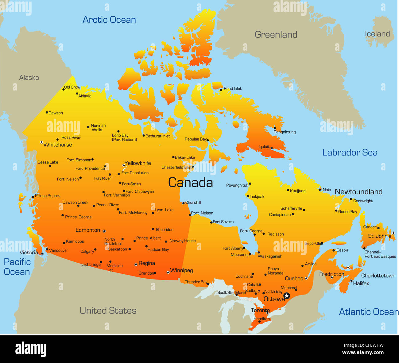 Abstract vector color map of Canada country Stock Photohttps://www.alamy.com/image-license-details/?v=1https://www.alamy.com/stock-photo-abstract-vector-color-map-of-canada-country-43968005.html
RFCFEWHW–Abstract vector color map of Canada country
 Reports of the commissioners appointed to inquire into a series of accidents and detentions on the Great Western railway, Canada West (1855) Stock Photohttps://www.alamy.com/image-license-details/?v=1https://www.alamy.com/stock-photo-reports-of-the-commissioners-appointed-to-inquire-into-a-series-of-99623092.html
RMFP267G–Reports of the commissioners appointed to inquire into a series of accidents and detentions on the Great Western railway, Canada West (1855)
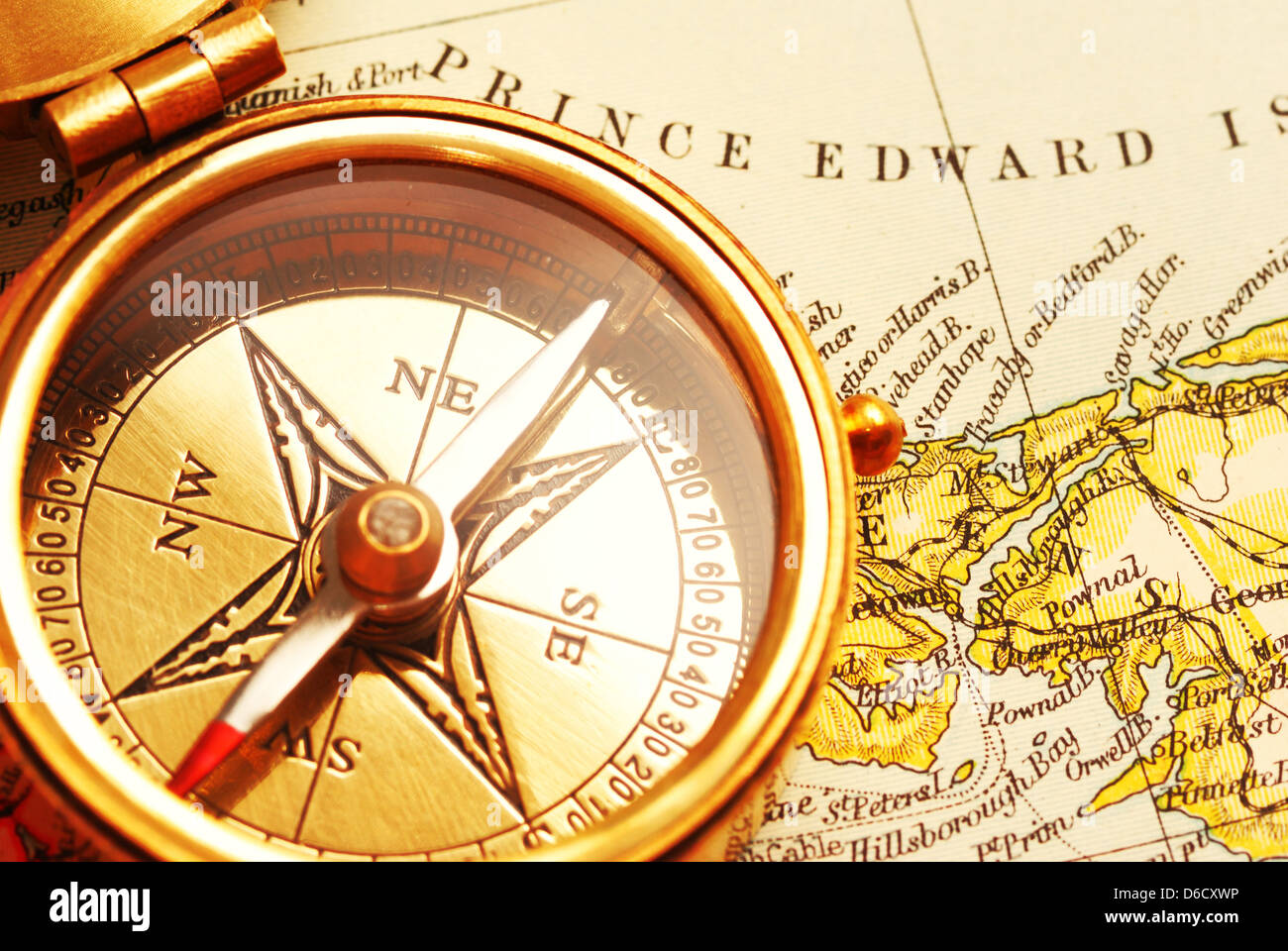 Antique brass compass over old Canadian map Stock Photohttps://www.alamy.com/image-license-details/?v=1https://www.alamy.com/stock-photo-antique-brass-compass-over-old-canadian-map-55603570.html
RFD6CXWP–Antique brass compass over old Canadian map
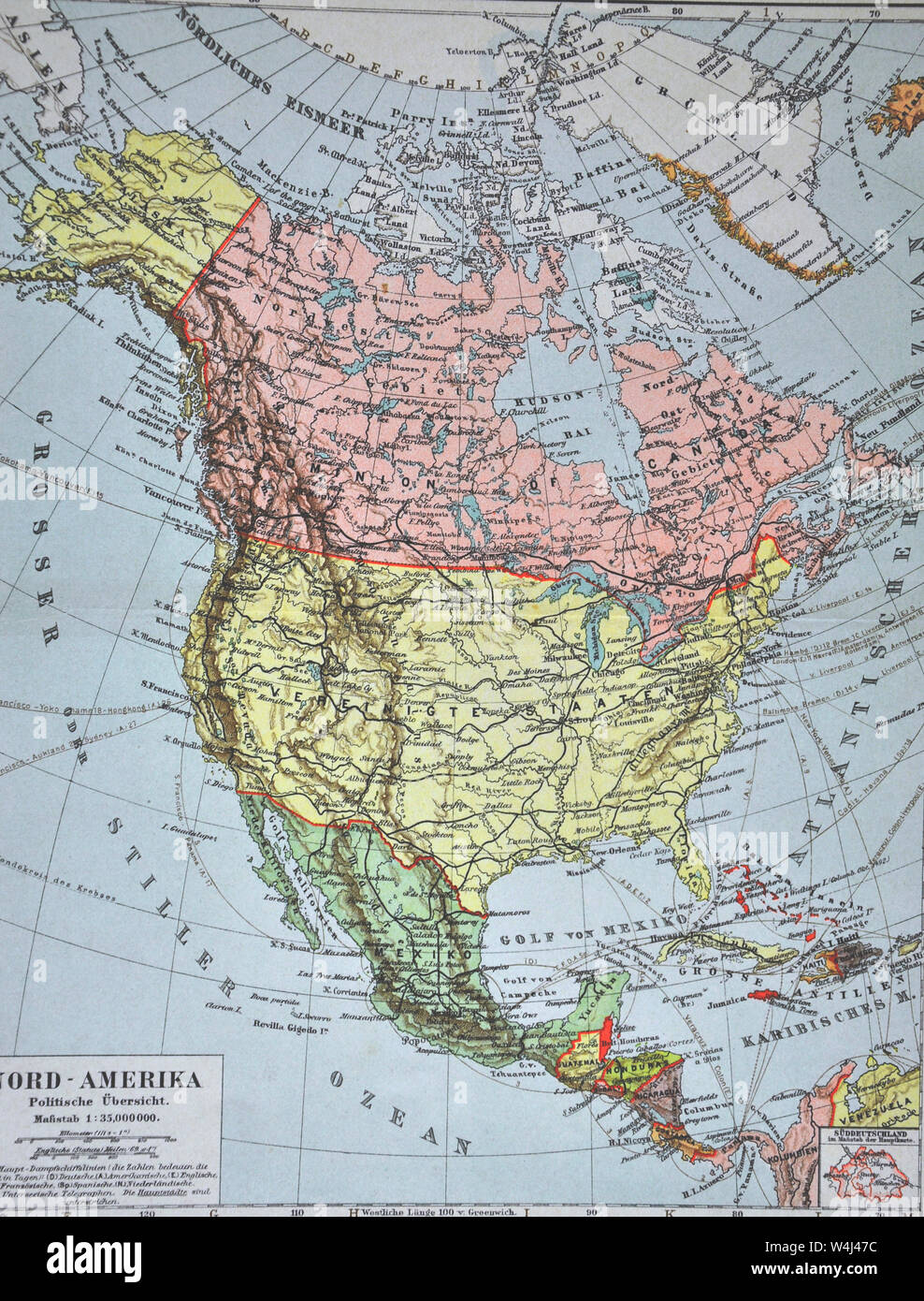 1900 Meyer Map of North America showing Canada, the United States, Mexico, Alaska and West Indies Stock Photohttps://www.alamy.com/image-license-details/?v=1https://www.alamy.com/1900-meyer-map-of-north-america-showing-canada-the-united-states-mexico-alaska-and-west-indies-image261012624.html
RFW4J47C–1900 Meyer Map of North America showing Canada, the United States, Mexico, Alaska and West Indies
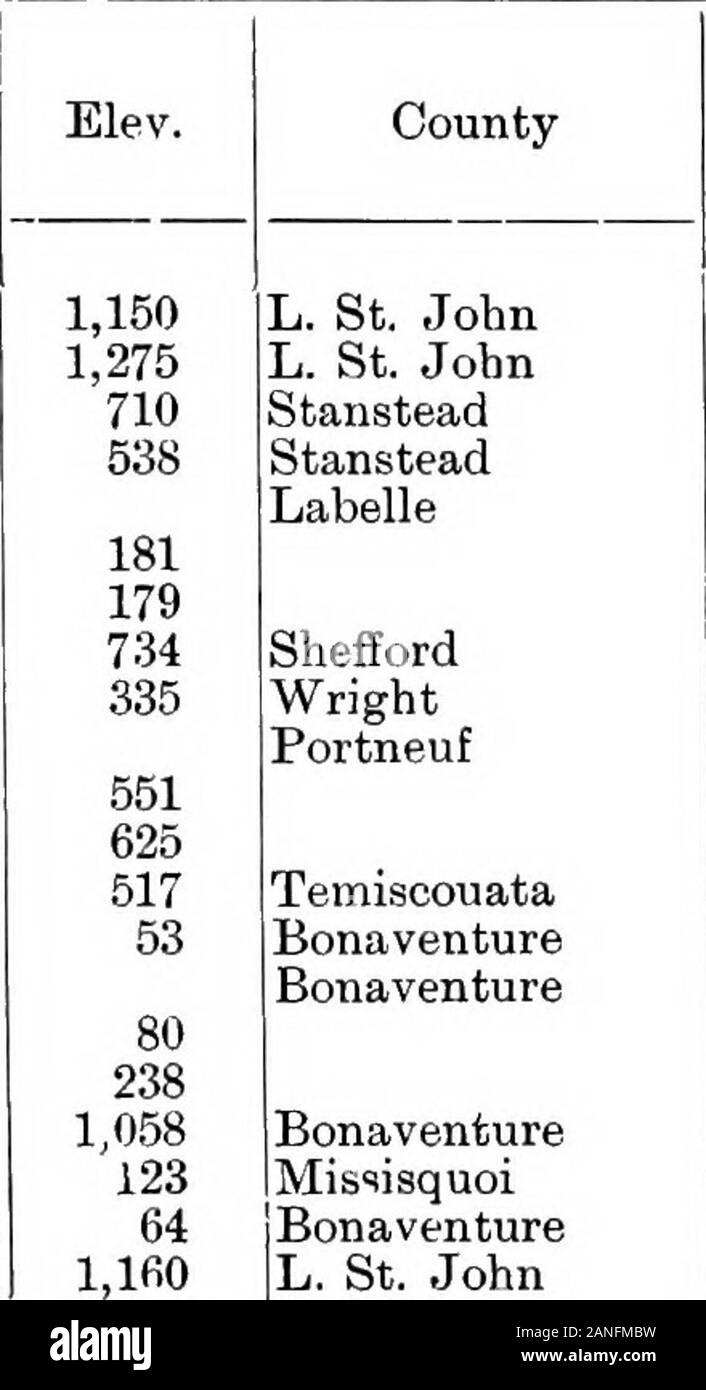 Dictionary of altitudes in the Dominion of Canada with a relief map of Canada . 41; rail North Stukely North Wakefield Notre Dame des Anges Station Svimmit, 22 miles W., ground, 636; rail Notre Dame du Lae Nouvelle Nouvelle West Station Summit, 2 6 miles, W, Nouvelle mountain Noyan Oak Bay Obamiskachi lake Obaska lake Obashing lake . Obashing lake, Little Obatagamau lake Obikoba lake. ODonnell siding Old Lake Road ?Old-man mountain Old-man lake Olga lake ?Opatawaga lake Opawakau lake Opemiska lake Orford lake, high water, 923; low water Orford mountain ?Orleans island Ormstown Osaokmanuan Lake Stock Photohttps://www.alamy.com/image-license-details/?v=1https://www.alamy.com/dictionary-of-altitudes-in-the-dominion-of-canada-with-a-relief-map-of-canada-41-rail-north-stukely-north-wakefield-notre-dame-des-anges-station-svimmit-22-miles-w-ground-636-rail-notre-dame-du-lae-nouvelle-nouvelle-west-station-summit-2-6-miles-w-nouvelle-mountain-noyan-oak-bay-obamiskachi-lake-obaska-lake-obashing-lake-obashing-lake-little-obatagamau-lake-obikoba-lake-odonnell-siding-old-lake-road-old-man-mountain-old-man-lake-olga-lake-opatawaga-lake-opawakau-lake-opemiska-lake-orford-lake-high-water-923-low-water-orford-mountain-orleans-island-ormstown-osaokmanuan-lake-image340250061.html
RM2ANFMBW–Dictionary of altitudes in the Dominion of Canada with a relief map of Canada . 41; rail North Stukely North Wakefield Notre Dame des Anges Station Svimmit, 22 miles W., ground, 636; rail Notre Dame du Lae Nouvelle Nouvelle West Station Summit, 2 6 miles, W, Nouvelle mountain Noyan Oak Bay Obamiskachi lake Obaska lake Obashing lake . Obashing lake, Little Obatagamau lake Obikoba lake. ODonnell siding Old Lake Road ?Old-man mountain Old-man lake Olga lake ?Opatawaga lake Opawakau lake Opemiska lake Orford lake, high water, 923; low water Orford mountain ?Orleans island Ormstown Osaokmanuan Lake