Ordino map Cut Out Stock Images
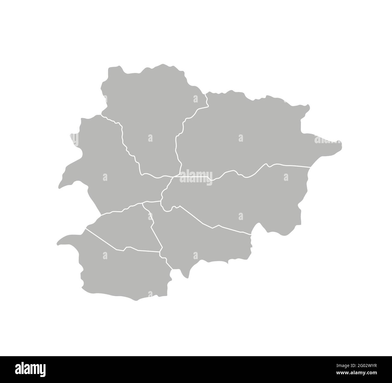
 Vector isolated illustration of simplified administrative map of Andorra. Borders of the parishes (regions). Grey silhouettes. White outline. Stock Vectorhttps://www.alamy.com/image-license-details/?v=1https://www.alamy.com/vector-isolated-illustration-of-simplified-administrative-map-of-andorra-borders-of-the-parishes-regions-grey-silhouettes-white-outline-image430323483.html
RF2G02WYR–Vector isolated illustration of simplified administrative map of Andorra. Borders of the parishes (regions). Grey silhouettes. White outline.
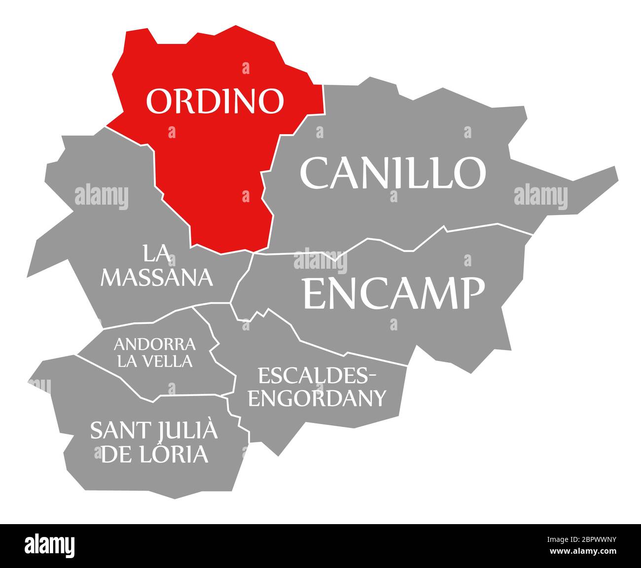
 Ordino red highlighted in map of Andorra Stock Photohttps://www.alamy.com/image-license-details/?v=1https://www.alamy.com/ordino-red-highlighted-in-map-of-andorra-image358298807.html
RF2BPWWNY–Ordino red highlighted in map of Andorra
 Ordino Parish isolated on Andorra map. Geographical map backgrounds. Stock Vectorhttps://www.alamy.com/image-license-details/?v=1https://www.alamy.com/ordino-parish-isolated-on-andorra-map-geographical-map-backgrounds-image424633525.html
RF2FJRMB1–Ordino Parish isolated on Andorra map. Geographical map backgrounds.
 The black and white administrative maps of Andorra Stock Vectorhttps://www.alamy.com/image-license-details/?v=1https://www.alamy.com/the-black-and-white-administrative-maps-of-andorra-image605280858.html
RF2X4MWWE–The black and white administrative maps of Andorra
 Andorra administrative map Stock Vectorhttps://www.alamy.com/image-license-details/?v=1https://www.alamy.com/andorra-administrative-map-image385795254.html
RF2DBJDNX–Andorra administrative map
 Vector isolated illustration of simplified administrative map of Andorra. Borders and names of the parishes (regions). Colorful blue khaki silhouettes Stock Vectorhttps://www.alamy.com/image-license-details/?v=1https://www.alamy.com/vector-isolated-illustration-of-simplified-administrative-map-of-andorra-borders-and-names-of-the-parishes-regions-colorful-blue-khaki-silhouettes-image430323389.html
RF2G02WTD–Vector isolated illustration of simplified administrative map of Andorra. Borders and names of the parishes (regions). Colorful blue khaki silhouettes
 The administrative map of Andorra isolated on white background Stock Vectorhttps://www.alamy.com/image-license-details/?v=1https://www.alamy.com/the-administrative-map-of-andorra-isolated-on-white-background-image602017033.html
RF2WYC6T9–The administrative map of Andorra isolated on white background
 Vector isolated illustration of simplified administrative map of Andorra. Borders and names of the parishes (regions). Grey silhouettes. White outline Stock Vectorhttps://www.alamy.com/image-license-details/?v=1https://www.alamy.com/vector-isolated-illustration-of-simplified-administrative-map-of-andorra-borders-and-names-of-the-parishes-regions-grey-silhouettes-white-outline-image430321165.html
RF2G02R11–Vector isolated illustration of simplified administrative map of Andorra. Borders and names of the parishes (regions). Grey silhouettes. White outline