Quick filters:
Oroville dam Stock Photos and Images
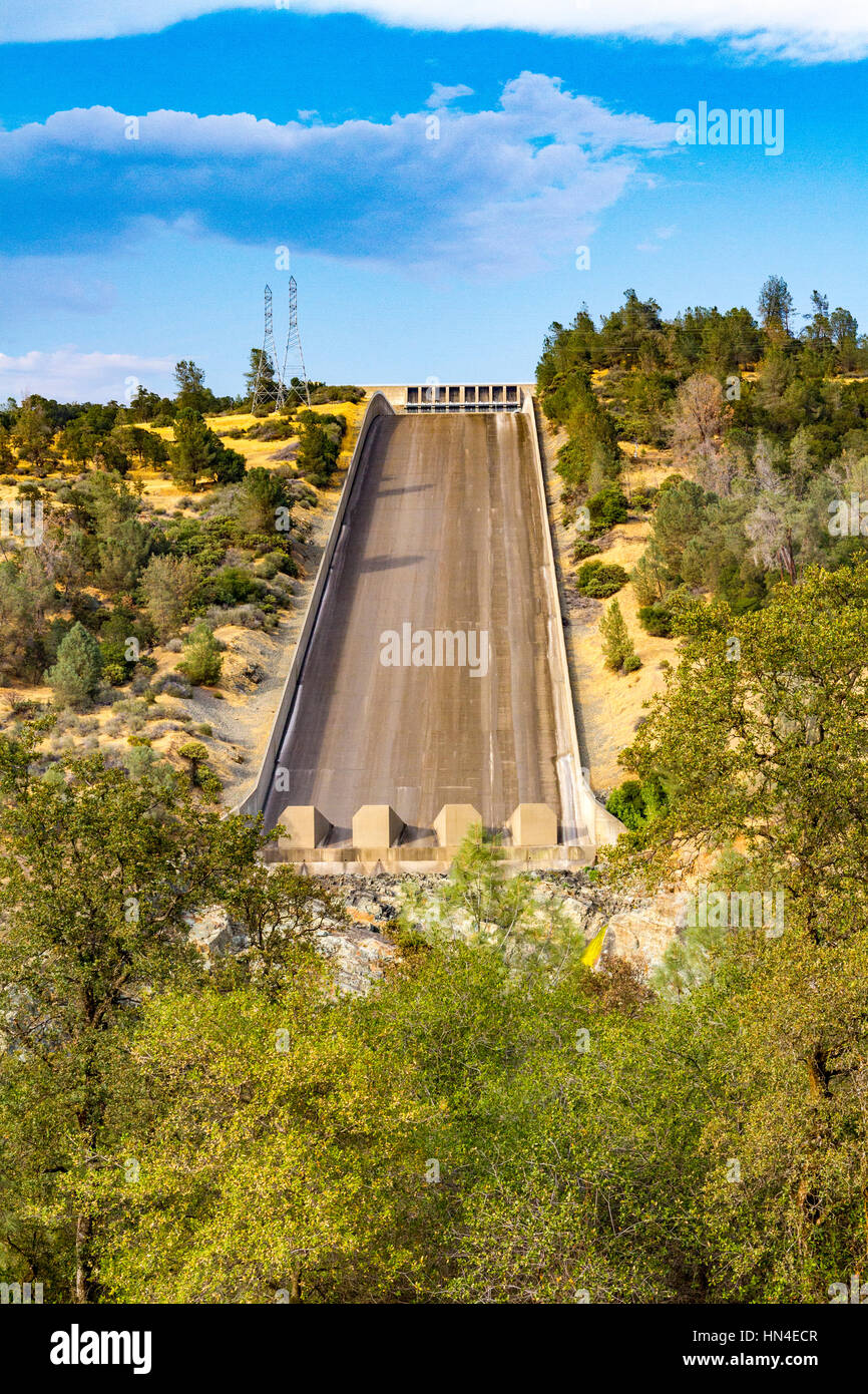 The spillway at Lake Oroville California which recently started to disintegrate when water was released through the flood gates. Stock Photohttps://www.alamy.com/image-license-details/?v=1https://www.alamy.com/stock-photo-the-spillway-at-lake-oroville-california-which-recently-started-to-133479495.html
RMHN4ECR–The spillway at Lake Oroville California which recently started to disintegrate when water was released through the flood gates.
 Oroville California Dam Stock Photohttps://www.alamy.com/image-license-details/?v=1https://www.alamy.com/stock-photo-oroville-california-dam-56421912.html
RFD7P6M8–Oroville California Dam
 Lake Oroville and Oroville Dam in Northern California Stock Photohttps://www.alamy.com/image-license-details/?v=1https://www.alamy.com/stock-photo-lake-oroville-and-oroville-dam-in-northern-california-28159707.html
RMBHPNYR–Lake Oroville and Oroville Dam in Northern California
 Aerial view of the new Lake Oroville dam spillway in action discharging water into the Feather River below Stock Photohttps://www.alamy.com/image-license-details/?v=1https://www.alamy.com/aerial-view-of-the-new-lake-oroville-dam-spillway-in-action-discharging-water-into-the-feather-river-below-image615214038.html
RF2XMWBNX–Aerial view of the new Lake Oroville dam spillway in action discharging water into the Feather River below
 Aerial view showing the damaged spillway spilling massive volumes of water at the Oroville Dam February 26, 2017 in Oroville, California. (Kelly M. Grow/California DWR via Planetpix) Stock Photohttps://www.alamy.com/image-license-details/?v=1https://www.alamy.com/stock-photo-aerial-view-showing-the-damaged-spillway-spilling-massive-volumes-135410383.html
RMHT8D93–Aerial view showing the damaged spillway spilling massive volumes of water at the Oroville Dam February 26, 2017 in Oroville, California. (Kelly M. Grow/California DWR via Planetpix)
 Oroville Dam during California's severe drought Stock Photohttps://www.alamy.com/image-license-details/?v=1https://www.alamy.com/oroville-dam-during-californias-severe-drought-image479360229.html
RF2JRTMT5–Oroville Dam during California's severe drought
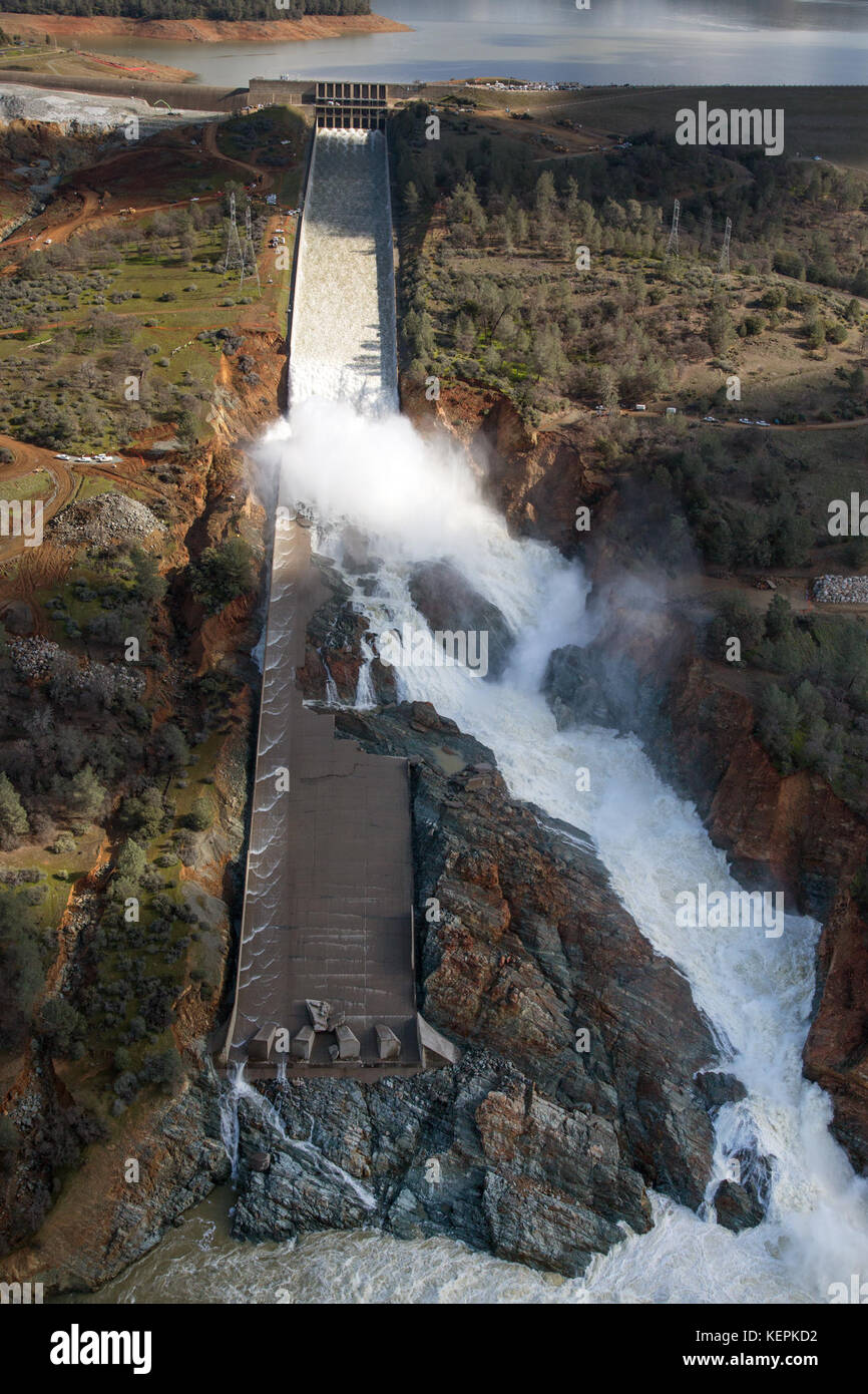 Oroville Dam spillway damage February 27 2017 Stock Photohttps://www.alamy.com/image-license-details/?v=1https://www.alamy.com/stock-image-oroville-dam-spillway-damage-february-27-2017-163996702.html
RMKEPKD2–Oroville Dam spillway damage February 27 2017
 Dramatic storm clouds and a rainbow over the Oroville Dam and the foothills in the background. Stock Photohttps://www.alamy.com/image-license-details/?v=1https://www.alamy.com/dramatic-storm-clouds-and-a-rainbow-over-the-oroville-dam-and-the-foothills-in-the-background-image255726119.html
RFTT197K–Dramatic storm clouds and a rainbow over the Oroville Dam and the foothills in the background.
 Oroville Dam spillway damage 7 Feb 2017 10235 Stock Photohttps://www.alamy.com/image-license-details/?v=1https://www.alamy.com/stock-image-oroville-dam-spillway-damage-7-feb-2017-10235-163996619.html
RMKEPKA3–Oroville Dam spillway damage 7 Feb 2017 10235
 Houseboats sit in low water on Lake Oroville, one of California's largest reservoirs, as lake levels plunge to record lows, 200 feet below normal. Stock Photohttps://www.alamy.com/image-license-details/?v=1https://www.alamy.com/houseboats-sit-in-low-water-on-lake-oroville-one-of-californias-largest-reservoirs-as-lake-levels-plunge-to-record-lows-200-feet-below-normal-image531969964.html
RM2NWD938–Houseboats sit in low water on Lake Oroville, one of California's largest reservoirs, as lake levels plunge to record lows, 200 feet below normal.
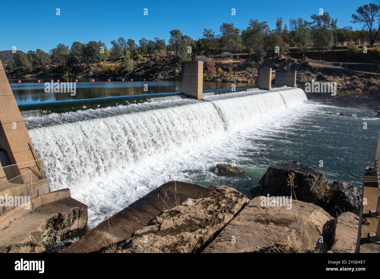 A small dam in the Feather river near Oroville, California. Stock Photohttps://www.alamy.com/image-license-details/?v=1https://www.alamy.com/a-small-dam-in-the-feather-river-near-oroville-california-image629411279.html
RM2YG04E7–A small dam in the Feather river near Oroville, California.
 The Thermalito Power Canal in Oroville, Butte County, North California Stock Photohttps://www.alamy.com/image-license-details/?v=1https://www.alamy.com/the-thermalito-power-canal-in-oroville-butte-county-north-california-image245091129.html
RFT6MT6H–The Thermalito Power Canal in Oroville, Butte County, North California
 Concrete trucks, Oroville Dam emergency spillway, 2017 Stock Photohttps://www.alamy.com/image-license-details/?v=1https://www.alamy.com/stock-image-concrete-trucks-oroville-dam-emergency-spillway-2017-163996676.html
RMKEPKC4–Concrete trucks, Oroville Dam emergency spillway, 2017
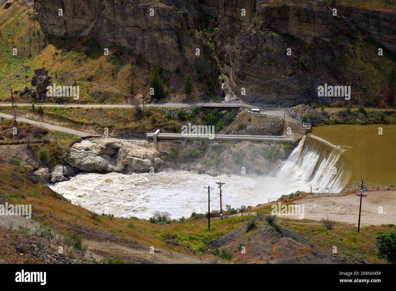 Enloe Dam Similkameen River Washington State. The Enloe Dam on the Similkameen River in Okanogan County, Washington State, USA. Stock Photohttps://www.alamy.com/image-license-details/?v=1https://www.alamy.com/enloe-dam-similkameen-river-washington-state-the-enloe-dam-on-the-similkameen-river-in-okanogan-county-washington-state-usa-image607755196.html
RF2X8NHXM–Enloe Dam Similkameen River Washington State. The Enloe Dam on the Similkameen River in Okanogan County, Washington State, USA.
 Oroville Dam emergency repairs closeup 19 February 2017 Stock Photohttps://www.alamy.com/image-license-details/?v=1https://www.alamy.com/stock-image-oroville-dam-emergency-repairs-closeup-19-february-2017-163996681.html
RMKEPKC9–Oroville Dam emergency repairs closeup 19 February 2017
 usdagov 15642041979 20141119-OC-CM-0066 Stock Photohttps://www.alamy.com/image-license-details/?v=1https://www.alamy.com/stock-photo-usdagov-15642041979-20141119-oc-cm-0066-126628860.html
RMHA0CB8–usdagov 15642041979 20141119-OC-CM-0066
 Oroville Dam wide view 15 February 2017 Stock Photohttps://www.alamy.com/image-license-details/?v=1https://www.alamy.com/stock-image-oroville-dam-wide-view-15-february-2017-163996674.html
RMKEPKC2–Oroville Dam wide view 15 February 2017
 The forked main spillway of the Oroville Dam following the 2017 Oroville Dam crisis ca. 20 February 2017 Stock Photohttps://www.alamy.com/image-license-details/?v=1https://www.alamy.com/the-forked-main-spillway-of-the-oroville-dam-following-the-2017-oroville-dam-crisis-ca-20-february-2017-image451157254.html
RM2H5YYK2–The forked main spillway of the Oroville Dam following the 2017 Oroville Dam crisis ca. 20 February 2017
 Chico, California, USA. 13th Feb, 2017. People gather at an emergency shelter at the Neighborhood Church after the Oroville Dam spillway failure prompted emergency evacuations of up to 180,000 people in Chico, California. Credit: Joel Angel Juarez/ZUMA Wire/Alamy Live News Stock Photohttps://www.alamy.com/image-license-details/?v=1https://www.alamy.com/stock-photo-chico-california-usa-13th-feb-2017-people-gather-at-an-emergency-shelter-133766354.html
RMHNHG9P–Chico, California, USA. 13th Feb, 2017. People gather at an emergency shelter at the Neighborhood Church after the Oroville Dam spillway failure prompted emergency evacuations of up to 180,000 people in Chico, California. Credit: Joel Angel Juarez/ZUMA Wire/Alamy Live News
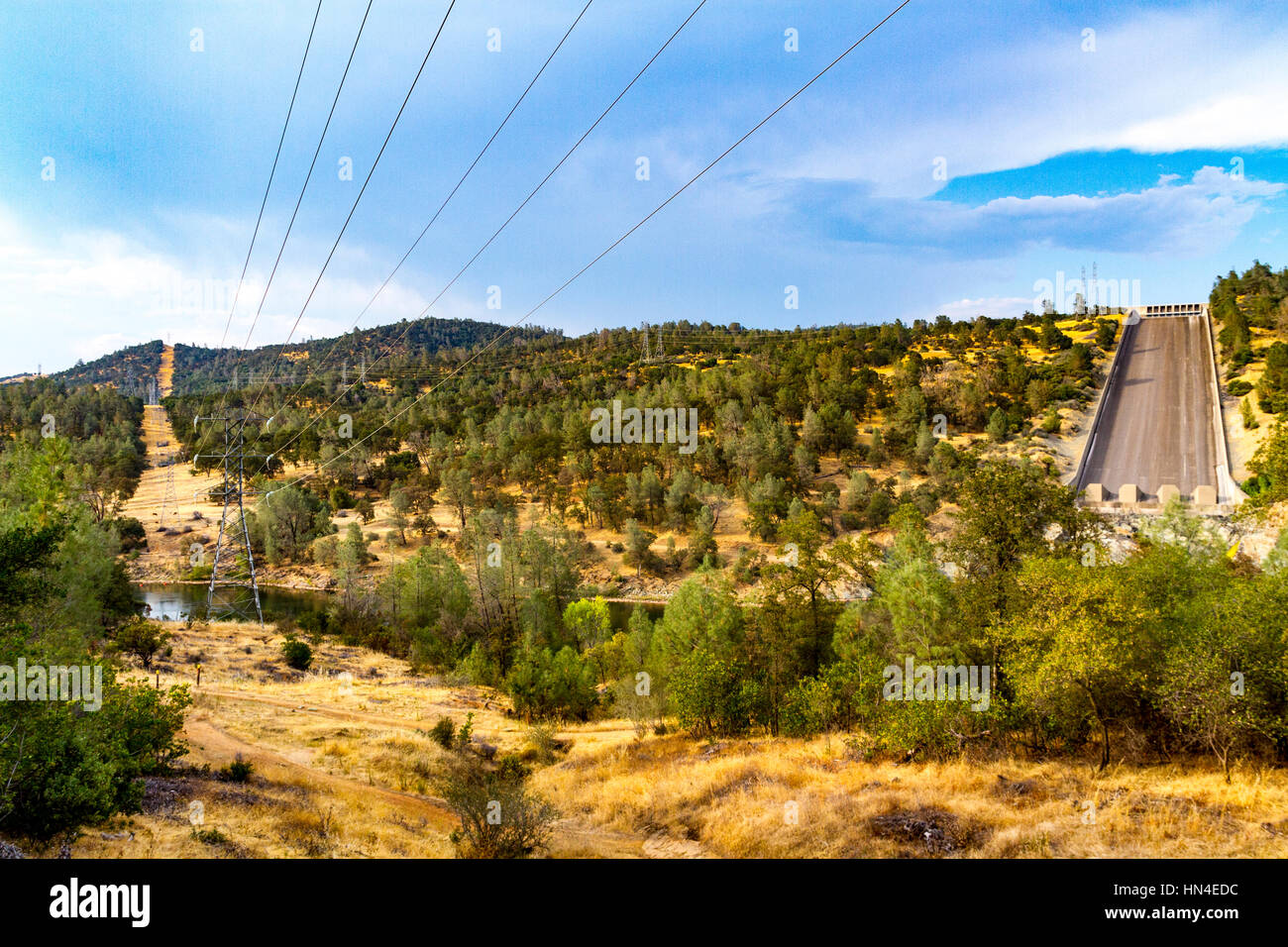 The spillway at Lake Oroville California which recently started to disintegrate when water was released through the flood gates. Stock Photohttps://www.alamy.com/image-license-details/?v=1https://www.alamy.com/stock-photo-the-spillway-at-lake-oroville-california-which-recently-started-to-133479512.html
RMHN4EDC–The spillway at Lake Oroville California which recently started to disintegrate when water was released through the flood gates.
 Draw down and cut off of releases from the damaged spillway at Oroville Dam. Taken on Feburary 27, 2017 Stock Photohttps://www.alamy.com/image-license-details/?v=1https://www.alamy.com/draw-down-and-cut-off-of-releases-from-the-damaged-spillway-at-oroville-dam-taken-on-feburary-27-2017-image451156494.html
RM2H5YXKX–Draw down and cut off of releases from the damaged spillway at Oroville Dam. Taken on Feburary 27, 2017
 Chico, California, USA. 12th Feb, 2017. People gather at an emergency shelter at the Neighborhood Church after the Oroville Dam spillway failure prompted emergency evacuations of up to 180,000 people in Chico, California. Credit: Joel Angel Juarez/ZUMA Wire/Alamy Live News Stock Photohttps://www.alamy.com/image-license-details/?v=1https://www.alamy.com/stock-photo-chico-california-usa-12th-feb-2017-people-gather-at-an-emergency-shelter-133766356.html
RMHNHG9T–Chico, California, USA. 12th Feb, 2017. People gather at an emergency shelter at the Neighborhood Church after the Oroville Dam spillway failure prompted emergency evacuations of up to 180,000 people in Chico, California. Credit: Joel Angel Juarez/ZUMA Wire/Alamy Live News
 Aerial view of the new Lake Oroville dam spillway in action discharging water into the Feather River below Stock Photohttps://www.alamy.com/image-license-details/?v=1https://www.alamy.com/aerial-view-of-the-new-lake-oroville-dam-spillway-in-action-discharging-water-into-the-feather-river-below-image615214035.html
RF2XMWBNR–Aerial view of the new Lake Oroville dam spillway in action discharging water into the Feather River below
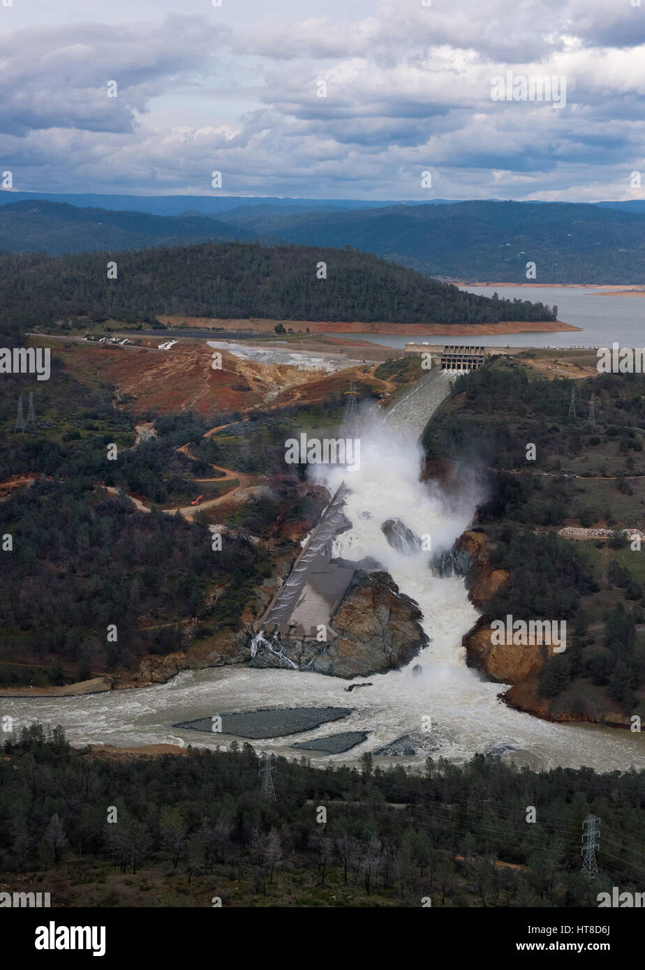 Aerial view showing the damaged spillway spilling massive volumes of water at the Oroville Dam February 26, 2017 in Oroville, California. (Kelly M. Grow/California DWR via Planetpix) Stock Photohttps://www.alamy.com/image-license-details/?v=1https://www.alamy.com/stock-photo-aerial-view-showing-the-damaged-spillway-spilling-massive-volumes-135410314.html
RMHT8D6J–Aerial view showing the damaged spillway spilling massive volumes of water at the Oroville Dam February 26, 2017 in Oroville, California. (Kelly M. Grow/California DWR via Planetpix)
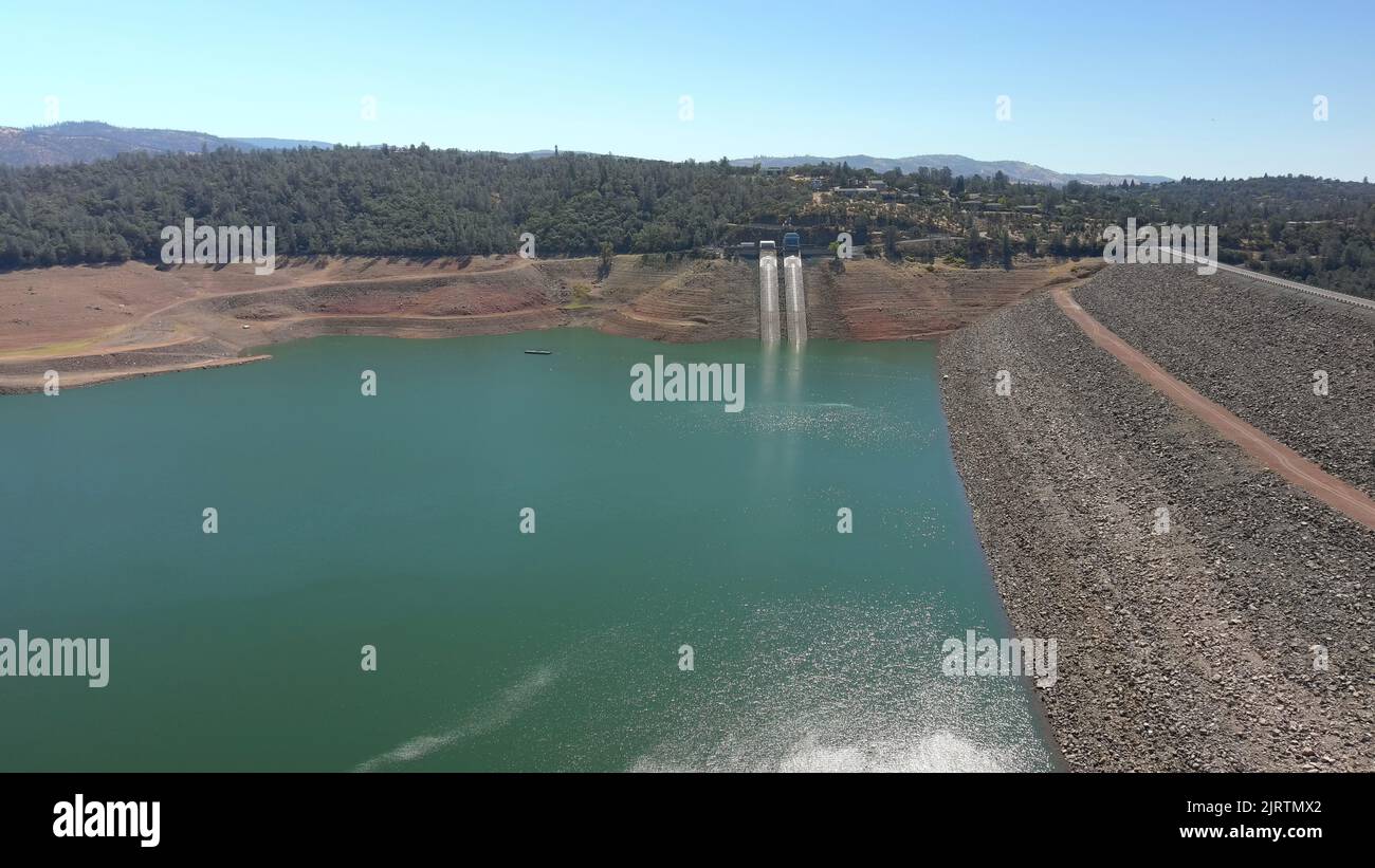 Oroville Dam during California's severe drought Stock Photohttps://www.alamy.com/image-license-details/?v=1https://www.alamy.com/oroville-dam-during-californias-severe-drought-image479360282.html
RF2JRTMX2–Oroville Dam during California's severe drought
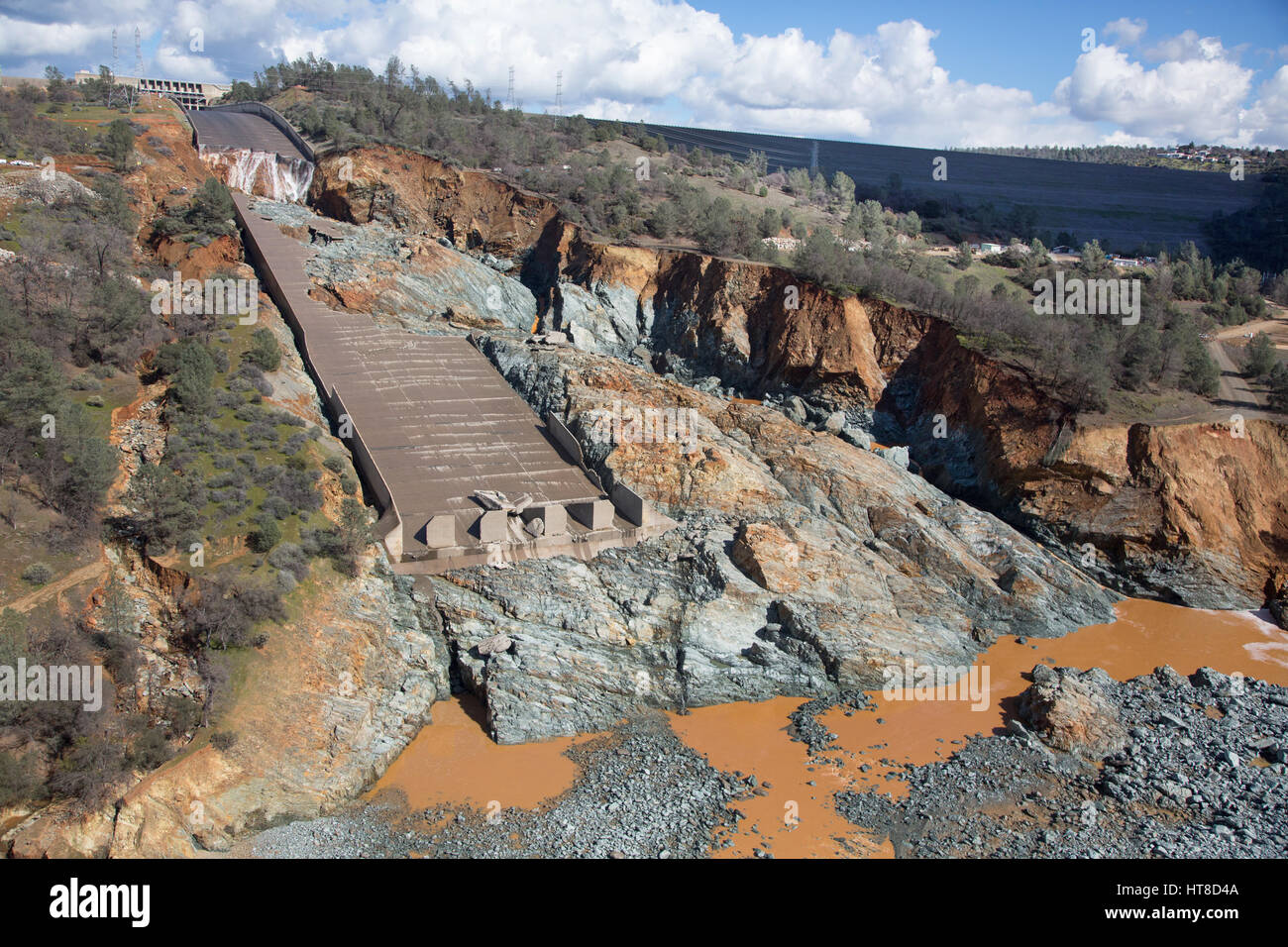 Aerial view showing the damaged spillway as California Department of Water Resources gradually reduced the outflow to begin repairs at the Oroville Dam February 27, 2017 in Oroville, California. (Dale Kolke/California DWR via Planetpix) Stock Photohttps://www.alamy.com/image-license-details/?v=1https://www.alamy.com/stock-photo-aerial-view-showing-the-damaged-spillway-as-california-department-135410250.html
RMHT8D4A–Aerial view showing the damaged spillway as California Department of Water Resources gradually reduced the outflow to begin repairs at the Oroville Dam February 27, 2017 in Oroville, California. (Dale Kolke/California DWR via Planetpix)
 Concrete reinforcement on the emergency spillway of the Oroville Dam during the 2017 Oroville Dam crisis ca. 22 February 2017 Stock Photohttps://www.alamy.com/image-license-details/?v=1https://www.alamy.com/concrete-reinforcement-on-the-emergency-spillway-of-the-oroville-dam-during-the-2017-oroville-dam-crisis-ca-22-february-2017-image451156703.html
RM2H5YXYB–Concrete reinforcement on the emergency spillway of the Oroville Dam during the 2017 Oroville Dam crisis ca. 22 February 2017
 The damaged roadway and eroded hillside as massive amounts of water are discharged from the damaged Oroville Dam spillway February 12, 2017 in Oroville, California. A mandatory evacuation order was issued for 200,000 residents surrounding the nation's tallest dam. Stock Photohttps://www.alamy.com/image-license-details/?v=1https://www.alamy.com/stock-photo-the-damaged-roadway-and-eroded-hillside-as-massive-amounts-of-water-133770048.html
RMHNHN1M–The damaged roadway and eroded hillside as massive amounts of water are discharged from the damaged Oroville Dam spillway February 12, 2017 in Oroville, California. A mandatory evacuation order was issued for 200,000 residents surrounding the nation's tallest dam.
 Excavators load rocks for helicopters to transport from the Oroville Dam parking lot, to the eroded site at the Oroville Dam auxiliary spillway in California, to help fight further erosion, February 13, 2017 Stock Photohttps://www.alamy.com/image-license-details/?v=1https://www.alamy.com/excavators-load-rocks-for-helicopters-to-transport-from-the-oroville-dam-parking-lot-to-the-eroded-site-at-the-oroville-dam-auxiliary-spillway-in-california-to-help-fight-further-erosion-february-13-2017-image451165242.html
RM2H609TA–Excavators load rocks for helicopters to transport from the Oroville Dam parking lot, to the eroded site at the Oroville Dam auxiliary spillway in California, to help fight further erosion, February 13, 2017
 Aerial view showing the damaged spillway as California Department of Water Resources gradually reduced the outflow to begin repairs at the Oroville Dam February 27, 2017 in Oroville, California. Water can be see flowing off the side into the mountain as the volume is reduced. (Dale Kolke/California DWR via Planetpix) Stock Photohttps://www.alamy.com/image-license-details/?v=1https://www.alamy.com/stock-photo-aerial-view-showing-the-damaged-spillway-as-california-department-135410367.html
RMHT8D8F–Aerial view showing the damaged spillway as California Department of Water Resources gradually reduced the outflow to begin repairs at the Oroville Dam February 27, 2017 in Oroville, California. Water can be see flowing off the side into the mountain as the volume is reduced. (Dale Kolke/California DWR via Planetpix)
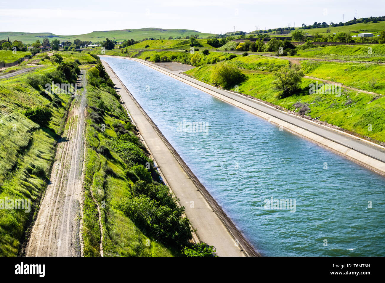 The Thermalito Power Canal in Oroville, Butte County, North California Stock Photohttps://www.alamy.com/image-license-details/?v=1https://www.alamy.com/the-thermalito-power-canal-in-oroville-butte-county-north-california-image245091133.html
RFT6MT6N–The Thermalito Power Canal in Oroville, Butte County, North California
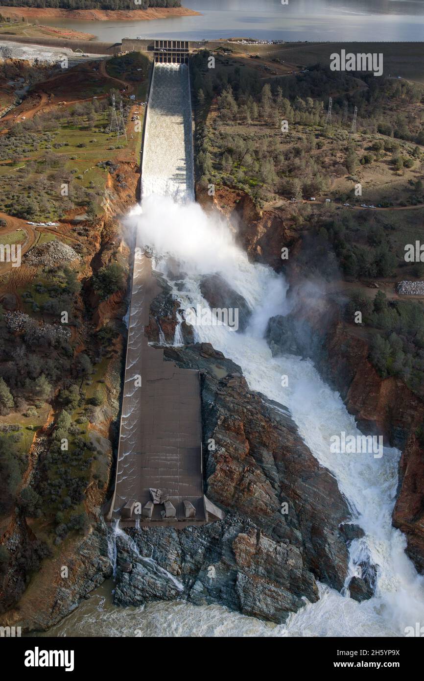 An aerial view of the damaged Oroville Dam spillway as the California Department of Water Resources gradually reduced the outflow from the spillway from 50,000 cubic feet per second (cfs) to zero on February 27, 2017. Stock Photohttps://www.alamy.com/image-license-details/?v=1https://www.alamy.com/an-aerial-view-of-the-damaged-oroville-dam-spillway-as-the-california-department-of-water-resources-gradually-reduced-the-outflow-from-the-spillway-from-50000-cubic-feet-per-second-cfs-to-zero-on-february-27-2017-image451153078.html
RM2H5YP9X–An aerial view of the damaged Oroville Dam spillway as the California Department of Water Resources gradually reduced the outflow from the spillway from 50,000 cubic feet per second (cfs) to zero on February 27, 2017.
 Chico, California, USA. 13th Feb, 2017. Volunteers carry supplies an emergency shelter at the Neighborhood Church after the Oroville Dam spillway failure prompted emergency evacuations of up to 180,000 people in Chico, California. Credit: Joel Angel Juarez/ZUMA Wire/Alamy Live News Stock Photohttps://www.alamy.com/image-license-details/?v=1https://www.alamy.com/stock-photo-chico-california-usa-13th-feb-2017-volunteers-carry-supplies-an-emergency-133766293.html
RMHNHG7H–Chico, California, USA. 13th Feb, 2017. Volunteers carry supplies an emergency shelter at the Neighborhood Church after the Oroville Dam spillway failure prompted emergency evacuations of up to 180,000 people in Chico, California. Credit: Joel Angel Juarez/ZUMA Wire/Alamy Live News
 This aerial view looks east toward Oroville Dam and Lake Oroville, showing the damaged spillway with its outflow of 100,000 cubic feet per second (cfs) at the Butte County site. The California Department of Water Resources has a goal to lower the lake level by 50 feet to handle the next round of winter storms. Photo taken February 15, 2017. Stock Photohttps://www.alamy.com/image-license-details/?v=1https://www.alamy.com/this-aerial-view-looks-east-toward-oroville-dam-and-lake-oroville-showing-the-damaged-spillway-with-its-outflow-of-100000-cubic-feet-per-second-cfs-at-the-butte-county-site-the-california-department-of-water-resources-has-a-goal-to-lower-the-lake-level-by-50-feet-to-handle-the-next-round-of-winter-storms-photo-taken-february-15-2017-image451151168.html
RM2H5YKWM–This aerial view looks east toward Oroville Dam and Lake Oroville, showing the damaged spillway with its outflow of 100,000 cubic feet per second (cfs) at the Butte County site. The California Department of Water Resources has a goal to lower the lake level by 50 feet to handle the next round of winter storms. Photo taken February 15, 2017.
 Oroville, CALIFORNIA, USA. 16th Feb, 2017. Construction crews address the damaged spillway of the Oroville Dam on the feather river in Oroville, California on Thursday 16 February 2017.RODOLFO DE LUNA Credit: Rodolfo De Luna/Prensa Internacional/ZUMA Wire/Alamy Live News Stock Photohttps://www.alamy.com/image-license-details/?v=1https://www.alamy.com/stock-photo-oroville-california-usa-16th-feb-2017-construction-crews-address-the-133914401.html
RMHNT955–Oroville, CALIFORNIA, USA. 16th Feb, 2017. Construction crews address the damaged spillway of the Oroville Dam on the feather river in Oroville, California on Thursday 16 February 2017.RODOLFO DE LUNA Credit: Rodolfo De Luna/Prensa Internacional/ZUMA Wire/Alamy Live News
 Oroville Dam spillways 15 February 2017 Stock Photohttps://www.alamy.com/image-license-details/?v=1https://www.alamy.com/stock-image-oroville-dam-spillways-15-february-2017-163996672.html
RMKEPKC0–Oroville Dam spillways 15 February 2017
 A long line of concrete trucks wait on the top of Oroville Dam to deliver concrete for the erosion repair work at the base of the Oroville Dam emergency spillway. The California Department of Water Resources continues to examine and repair the erosion with many construction crews working around the clock, placing tons of material on the spillway each hour at the Butte County site. Photo taken February 17, 2017. ca. 17 February 2017 Stock Photohttps://www.alamy.com/image-license-details/?v=1https://www.alamy.com/a-long-line-of-concrete-trucks-wait-on-the-top-of-oroville-dam-to-deliver-concrete-for-the-erosion-repair-work-at-the-base-of-the-oroville-dam-emergency-spillway-the-california-department-of-water-resources-continues-to-examine-and-repair-the-erosion-with-many-construction-crews-working-around-the-clock-placing-tons-of-material-on-the-spillway-each-hour-at-the-butte-county-site-photo-taken-february-17-2017-ca-17-february-2017-image451161804.html
RM2H605DG–A long line of concrete trucks wait on the top of Oroville Dam to deliver concrete for the erosion repair work at the base of the Oroville Dam emergency spillway. The California Department of Water Resources continues to examine and repair the erosion with many construction crews working around the clock, placing tons of material on the spillway each hour at the Butte County site. Photo taken February 17, 2017. ca. 17 February 2017
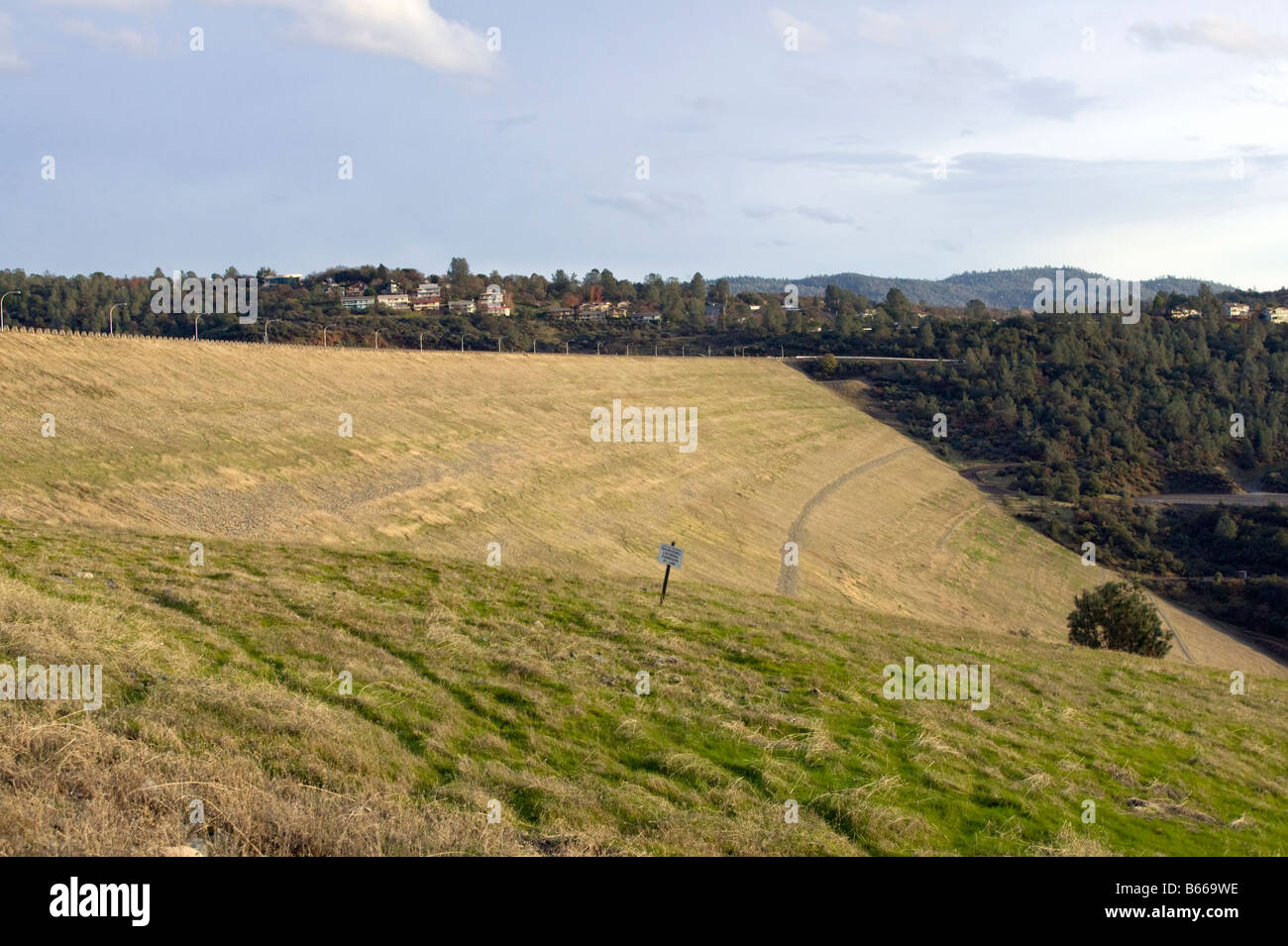 Oroville Earth-fill Dam Stock Photohttps://www.alamy.com/image-license-details/?v=1https://www.alamy.com/stock-photo-oroville-earth-fill-dam-21037786.html
RMB669WE–Oroville Earth-fill Dam
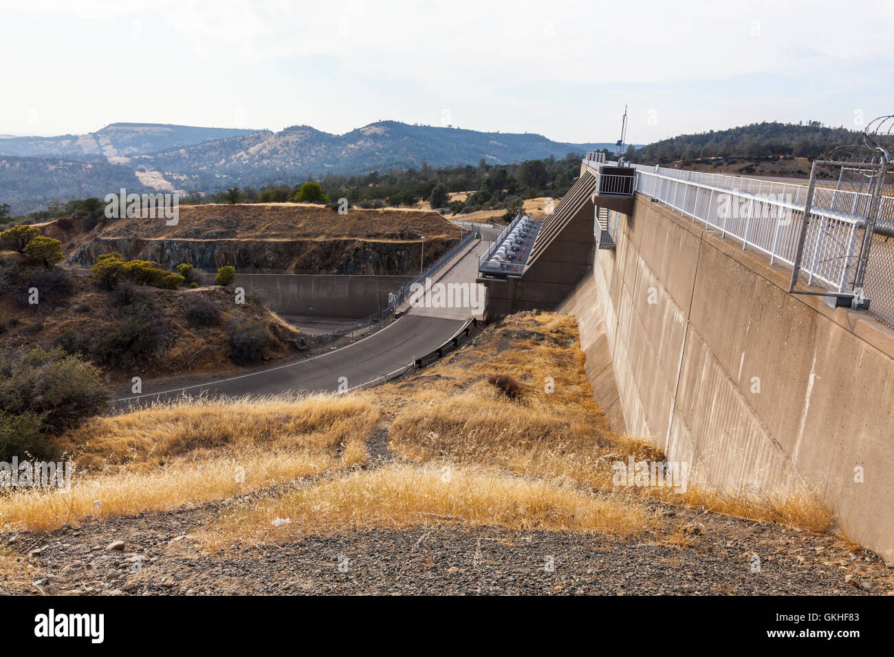 The Dam and spillway gates at Lake Oroville California Stock Photohttps://www.alamy.com/image-license-details/?v=1https://www.alamy.com/stock-photo-the-dam-and-spillway-gates-at-lake-oroville-california-115325843.html
RMGKHF83–The Dam and spillway gates at Lake Oroville California
 The California Department of Water Resources has suspended flows from the Oroville Dam spillway after a concrete section eroded on the middle section of the spillway. There is no anticipated threat to the dam or the public. DWR engineers are assessing the options to repair the spillway and control the reservoir water level. The Butte County facility is the tallest dam in the United States at 770 feet and is a key part of the State Water Project. Photo taken February 7, 2017. Stock Photohttps://www.alamy.com/image-license-details/?v=1https://www.alamy.com/the-california-department-of-water-resources-has-suspended-flows-from-the-oroville-dam-spillway-after-a-concrete-section-eroded-on-the-middle-section-of-the-spillway-there-is-no-anticipated-threat-to-the-dam-or-the-public-dwr-engineers-are-assessing-the-options-to-repair-the-spillway-and-control-the-reservoir-water-level-the-butte-county-facility-is-the-tallest-dam-in-the-united-states-at-770-feet-and-is-a-key-part-of-the-state-water-project-photo-taken-february-7-2017-image451161087.html
RM2H604FY–The California Department of Water Resources has suspended flows from the Oroville Dam spillway after a concrete section eroded on the middle section of the spillway. There is no anticipated threat to the dam or the public. DWR engineers are assessing the options to repair the spillway and control the reservoir water level. The Butte County facility is the tallest dam in the United States at 770 feet and is a key part of the State Water Project. Photo taken February 7, 2017.
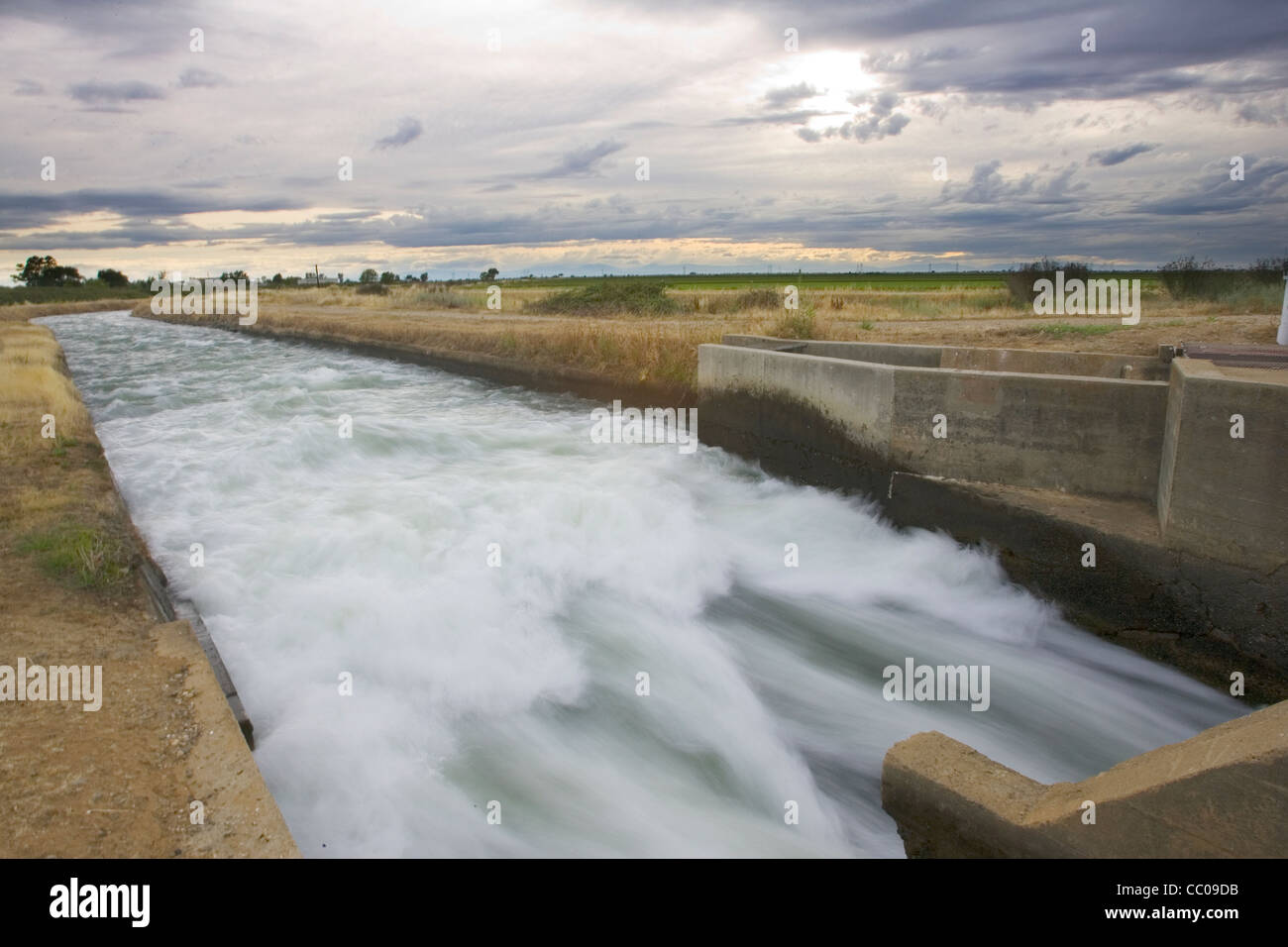 Water Diversion to Agriculture Fields, near Oroville, CA Stock Photohttps://www.alamy.com/image-license-details/?v=1https://www.alamy.com/stock-photo-water-diversion-to-agriculture-fields-near-oroville-ca-41804039.html
RMCC09DB–Water Diversion to Agriculture Fields, near Oroville, CA
 Aerial view of the Lake Oroville Dam with the new spillway in action entering the Feather River in northern California Stock Photohttps://www.alamy.com/image-license-details/?v=1https://www.alamy.com/aerial-view-of-the-lake-oroville-dam-with-the-new-spillway-in-action-entering-the-feather-river-in-northern-california-image615214034.html
RF2XMWBNP–Aerial view of the Lake Oroville Dam with the new spillway in action entering the Feather River in northern California
 This aerial view looks over the eroded landscape just below the Oroville Dam Emergency Spillway, as the California Department of Water Resources continued to examine and repair the erosion with construction crews working around the clock, placing 1,200 tons of material on the spillway per hour using helicopters and heavy construction equipment. The damaged Oroville Spillway continues to outflow 100,000 cubic feet per second (cfs) of water to lower the lakes level by 50 feet. Photo taken February 15, 2017. Stock Photohttps://www.alamy.com/image-license-details/?v=1https://www.alamy.com/this-aerial-view-looks-over-the-eroded-landscape-just-below-the-oroville-dam-emergency-spillway-as-the-california-department-of-water-resources-continued-to-examine-and-repair-the-erosion-with-construction-crews-working-around-the-clock-placing-1200-tons-of-material-on-the-spillway-per-hour-using-helicopters-and-heavy-construction-equipment-the-damaged-oroville-spillway-continues-to-outflow-100000-cubic-feet-per-second-cfs-of-water-to-lower-the-lakes-level-by-50-feet-photo-taken-february-15-2017-image451151749.html
RM2H5YMJD–This aerial view looks over the eroded landscape just below the Oroville Dam Emergency Spillway, as the California Department of Water Resources continued to examine and repair the erosion with construction crews working around the clock, placing 1,200 tons of material on the spillway per hour using helicopters and heavy construction equipment. The damaged Oroville Spillway continues to outflow 100,000 cubic feet per second (cfs) of water to lower the lakes level by 50 feet. Photo taken February 15, 2017.
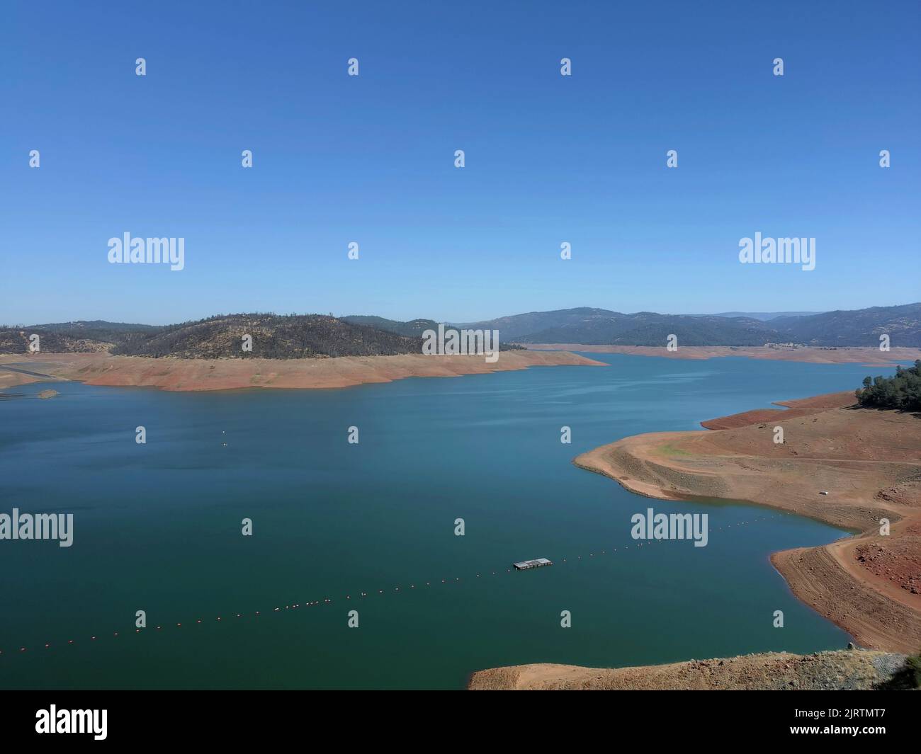 Oroville Dam during California's severe drought Stock Photohttps://www.alamy.com/image-license-details/?v=1https://www.alamy.com/oroville-dam-during-californias-severe-drought-image479360231.html
RF2JRTMT7–Oroville Dam during California's severe drought
 California Oroville Lake Oroville view from road along top of dam 6920' wide and tallest 770 ' one of largest earthen dams Stock Photohttps://www.alamy.com/image-license-details/?v=1https://www.alamy.com/california-oroville-lake-oroville-view-from-road-along-top-of-dam-image4778839.html
RMAJ6K58–California Oroville Lake Oroville view from road along top of dam 6920' wide and tallest 770 ' one of largest earthen dams
 Fireworks light up the night sky at Lake Oroville in northern California during the 2006 4th of July celebration Stock Photohttps://www.alamy.com/image-license-details/?v=1https://www.alamy.com/stock-photo-fireworks-light-up-the-night-sky-at-lake-oroville-in-northern-california-14189042.html
RFAGERXY–Fireworks light up the night sky at Lake Oroville in northern California during the 2006 4th of July celebration
 U.S. Soldiers with the California Army National Guard (CAARNG) conduct flood damage assessment in Oroville, Calif., Feb. 25, 2017. The CAARNG and federal agencies assisted state officials and local residents in the aftermath of a dam failure near Oroville, California, resulting from record precipitation over several months. (U.S. Army National Guard photo) Stock Photohttps://www.alamy.com/image-license-details/?v=1https://www.alamy.com/us-soldiers-with-the-california-army-national-guard-caarng-conduct-flood-damage-assessment-in-oroville-calif-feb-25-2017-the-caarng-and-federal-agencies-assisted-state-officials-and-local-residents-in-the-aftermath-of-a-dam-failure-near-oroville-california-resulting-from-record-precipitation-over-several-months-us-army-national-guard-photo-image185999125.html
RMMPGYNW–U.S. Soldiers with the California Army National Guard (CAARNG) conduct flood damage assessment in Oroville, Calif., Feb. 25, 2017. The CAARNG and federal agencies assisted state officials and local residents in the aftermath of a dam failure near Oroville, California, resulting from record precipitation over several months. (U.S. Army National Guard photo)
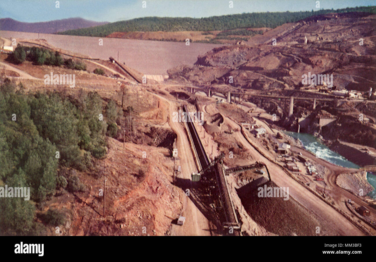 Feather River Dam. Oroville. 1960 Stock Photohttps://www.alamy.com/image-license-details/?v=1https://www.alamy.com/feather-river-dam-oroville-1960-image184471703.html
RMMM3BF3–Feather River Dam. Oroville. 1960
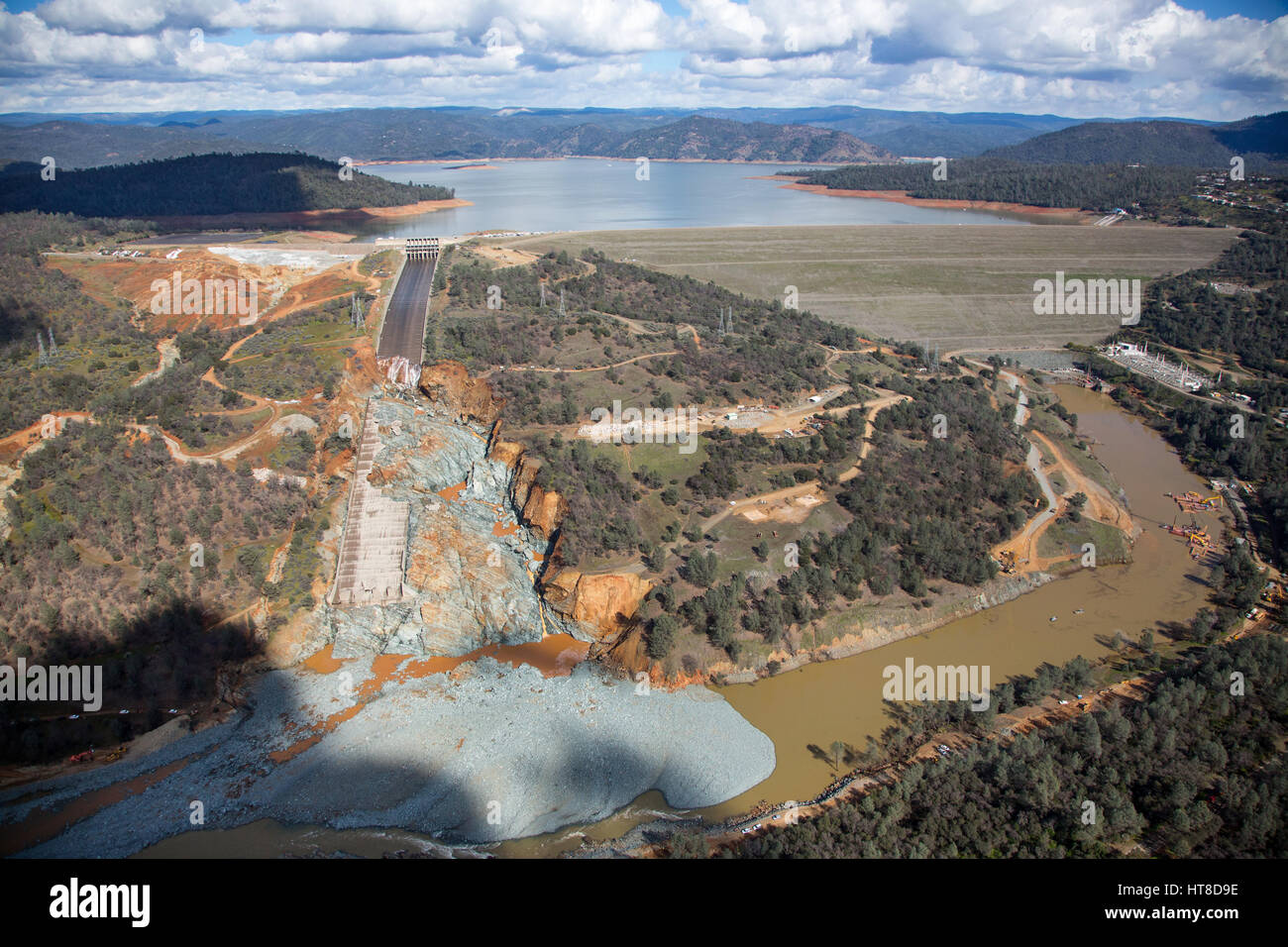 Aerial view showing the damaged spillway and and the huge debris field in the diversion pool just below as California Department of Water Resources gradually reduced the outflow to begin repairs at the Oroville Dam February 27, 2017 in Oroville, California. (Dale Kolke/California DWR via Planetpix) Stock Photohttps://www.alamy.com/image-license-details/?v=1https://www.alamy.com/stock-photo-aerial-view-showing-the-damaged-spillway-and-and-the-huge-debris-field-135410394.html
RMHT8D9E–Aerial view showing the damaged spillway and and the huge debris field in the diversion pool just below as California Department of Water Resources gradually reduced the outflow to begin repairs at the Oroville Dam February 27, 2017 in Oroville, California. (Dale Kolke/California DWR via Planetpix)
 LN 524945 'DIVERTED AT THE DAM' SACRAMENTO, CALIFORNIA USA: Diversion tunnel, keeps water flowing around area (background) where Oroville Dam is currently under construction. The Dam, is the largest in the California Water Project, will rise 770 feet above Feather River, making it tallest dam in the U.S. and the highest earth-filled dam in the world. 31 August 1966 Stock Photohttps://www.alamy.com/image-license-details/?v=1https://www.alamy.com/ln-524945-diverted-at-the-dam-sacramento-california-usa-diversion-tunnel-keeps-water-flowing-around-area-background-where-oroville-dam-is-currently-under-construction-the-dam-is-the-largest-in-the-california-water-project-will-rise-770-feet-above-feather-river-making-it-tallest-dam-in-the-us-and-the-highest-earth-filled-dam-in-the-world-31-august-1966-image623904789.html
RM2Y718WW–LN 524945 'DIVERTED AT THE DAM' SACRAMENTO, CALIFORNIA USA: Diversion tunnel, keeps water flowing around area (background) where Oroville Dam is currently under construction. The Dam, is the largest in the California Water Project, will rise 770 feet above Feather River, making it tallest dam in the U.S. and the highest earth-filled dam in the world. 31 August 1966
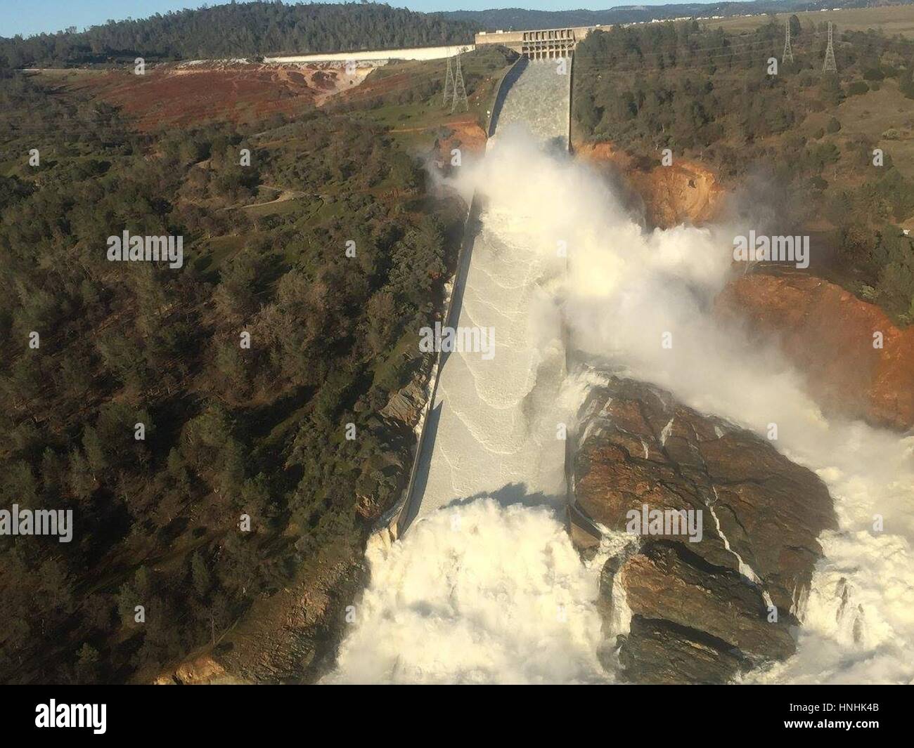 Oroville, USA. 12th Feb, 2017. Aerial photo of the massive amounts of water overwhelming the Oroville Dam spillway eroding the hillside February 12, 2017 in Oroville, California. A mandatory evacuation order was issued for 200,000 residents surrounding the nation's tallest dam. (William Croyle/California DWR via Planetpix) Credit: Planetpix/Alamy Live News Stock Photohttps://www.alamy.com/image-license-details/?v=1https://www.alamy.com/stock-photo-oroville-usa-12th-feb-2017-aerial-photo-of-the-massive-amounts-of-133768555.html
RMHNHK4B–Oroville, USA. 12th Feb, 2017. Aerial photo of the massive amounts of water overwhelming the Oroville Dam spillway eroding the hillside February 12, 2017 in Oroville, California. A mandatory evacuation order was issued for 200,000 residents surrounding the nation's tallest dam. (William Croyle/California DWR via Planetpix) Credit: Planetpix/Alamy Live News
 Oroville dam California Stock Photohttps://www.alamy.com/image-license-details/?v=1https://www.alamy.com/oroville-dam-california-image1207584.html
RMAJ6D21–Oroville dam California
 Oroville, California, USA. 15th February 2017. Oroville, United States Of America. 15th Feb, 2017. Aerial view showing the damaged spillway spilling massive volumes of water at the Oroville Dam February 15, 2017 in Oroville, California. Repairs continue on the lake edge and spillway as the mandatory evacuation order was lifted for residents surrounding the nation's tallest dam. Credit: Planetpix/Alamy Live News Stock Photohttps://www.alamy.com/image-license-details/?v=1https://www.alamy.com/stock-photo-oroville-california-usa-15th-february-2017-oroville-united-states-133907339.html
RMHNT04Y–Oroville, California, USA. 15th February 2017. Oroville, United States Of America. 15th Feb, 2017. Aerial view showing the damaged spillway spilling massive volumes of water at the Oroville Dam February 15, 2017 in Oroville, California. Repairs continue on the lake edge and spillway as the mandatory evacuation order was lifted for residents surrounding the nation's tallest dam. Credit: Planetpix/Alamy Live News
 Oroville, CALIFORNIA, USA. 16th Feb, 2017. Construction crews address the damaged spillway of the Oroville Dam on the feather river in Oroville, California on Thursday 16 February 2017.RODOLFO DE LUNA Credit: Rodolfo De Luna/Prensa Internacional/ZUMA Wire/Alamy Live News Stock Photohttps://www.alamy.com/image-license-details/?v=1https://www.alamy.com/stock-photo-oroville-california-usa-16th-feb-2017-construction-crews-address-the-133914402.html
RMHNT956–Oroville, CALIFORNIA, USA. 16th Feb, 2017. Construction crews address the damaged spillway of the Oroville Dam on the feather river in Oroville, California on Thursday 16 February 2017.RODOLFO DE LUNA Credit: Rodolfo De Luna/Prensa Internacional/ZUMA Wire/Alamy Live News
 Oroville Dam aerial of damage 16 Feb 2017 Stock Photohttps://www.alamy.com/image-license-details/?v=1https://www.alamy.com/stock-image-oroville-dam-aerial-of-damage-16-feb-2017-163996670.html
RMKEPKBX–Oroville Dam aerial of damage 16 Feb 2017
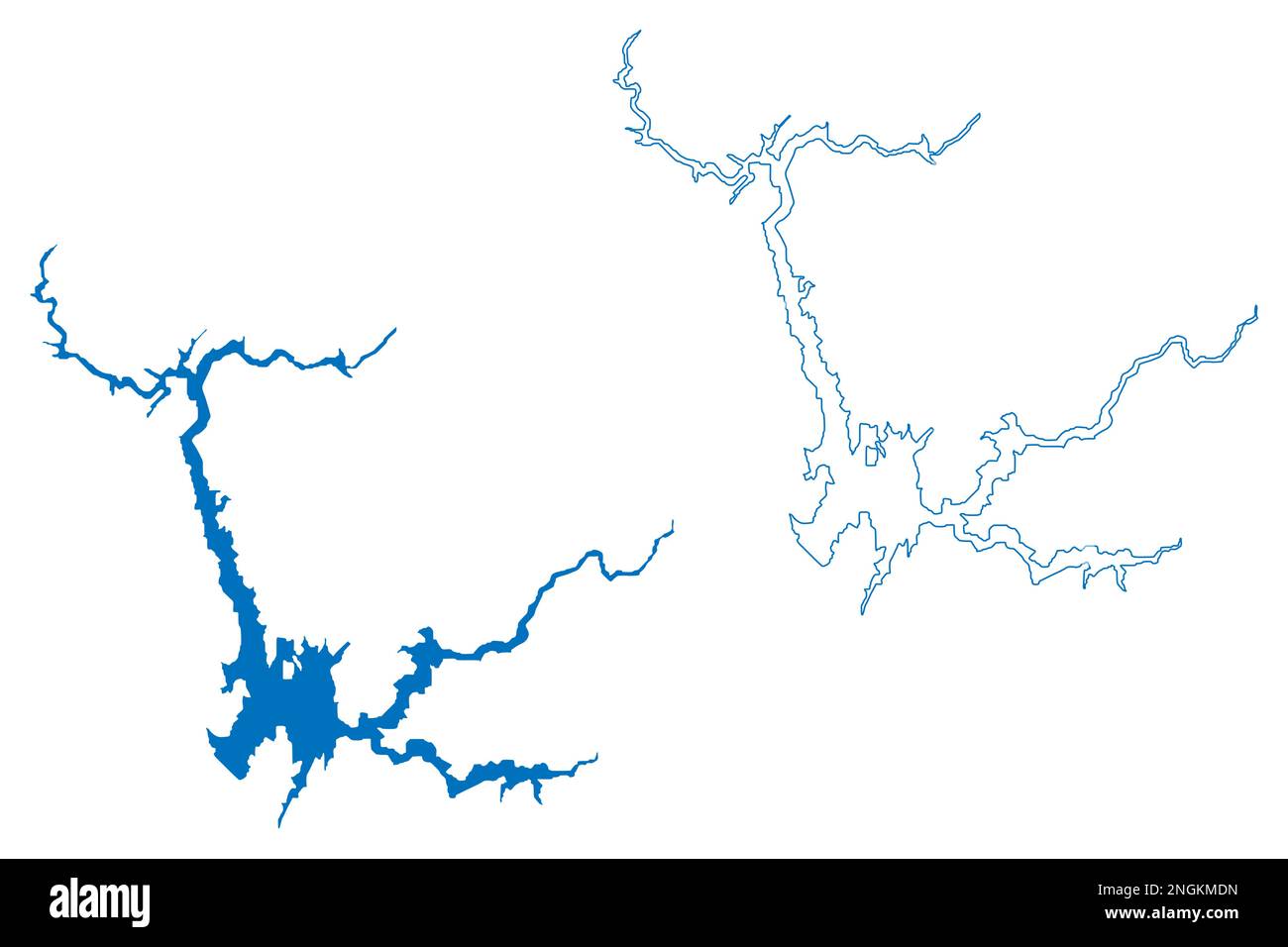 Lake Oroville Reservoir (United States of America, North America, us, usa, California) map vector illustration, scribble sketch Oroville Dam map Stock Vectorhttps://www.alamy.com/image-license-details/?v=1https://www.alamy.com/lake-oroville-reservoir-united-states-of-america-north-america-us-usa-california-map-vector-illustration-scribble-sketch-oroville-dam-map-image526578689.html
RF2NGKMDN–Lake Oroville Reservoir (United States of America, North America, us, usa, California) map vector illustration, scribble sketch Oroville Dam map
 Oroville Dam main spillway 30 March 2011 Stock Photohttps://www.alamy.com/image-license-details/?v=1https://www.alamy.com/stock-image-oroville-dam-main-spillway-30-march-2011-163945441.html
RMKEMA29–Oroville Dam main spillway 30 March 2011
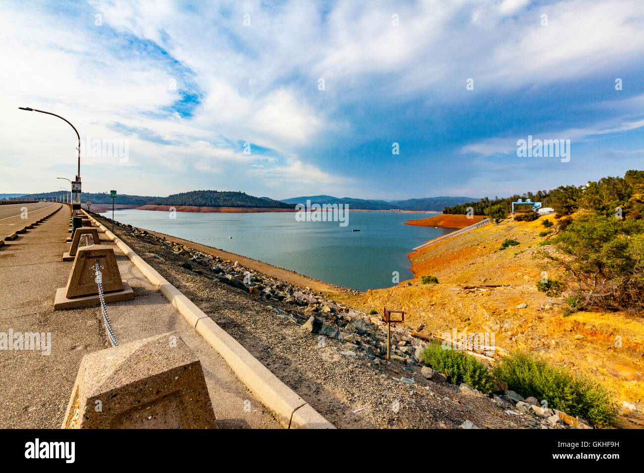 Lake Oroville and the dam in Oroville California Stock Photohttps://www.alamy.com/image-license-details/?v=1https://www.alamy.com/stock-photo-lake-oroville-and-the-dam-in-oroville-california-115325885.html
RMGKHF9H–Lake Oroville and the dam in Oroville California
 Oroville Dam spillway debris in Feather River 27 February 2017 Stock Photohttps://www.alamy.com/image-license-details/?v=1https://www.alamy.com/stock-image-oroville-dam-spillway-debris-in-feather-river-27-february-2017-163996705.html
RMKEPKD5–Oroville Dam spillway debris in Feather River 27 February 2017
 The new spillway at Oroville Dam in California USA 2021 Stock Photohttps://www.alamy.com/image-license-details/?v=1https://www.alamy.com/the-new-spillway-at-oroville-dam-in-california-usa-2021-image432489141.html
RM2G3HG8N–The new spillway at Oroville Dam in California USA 2021
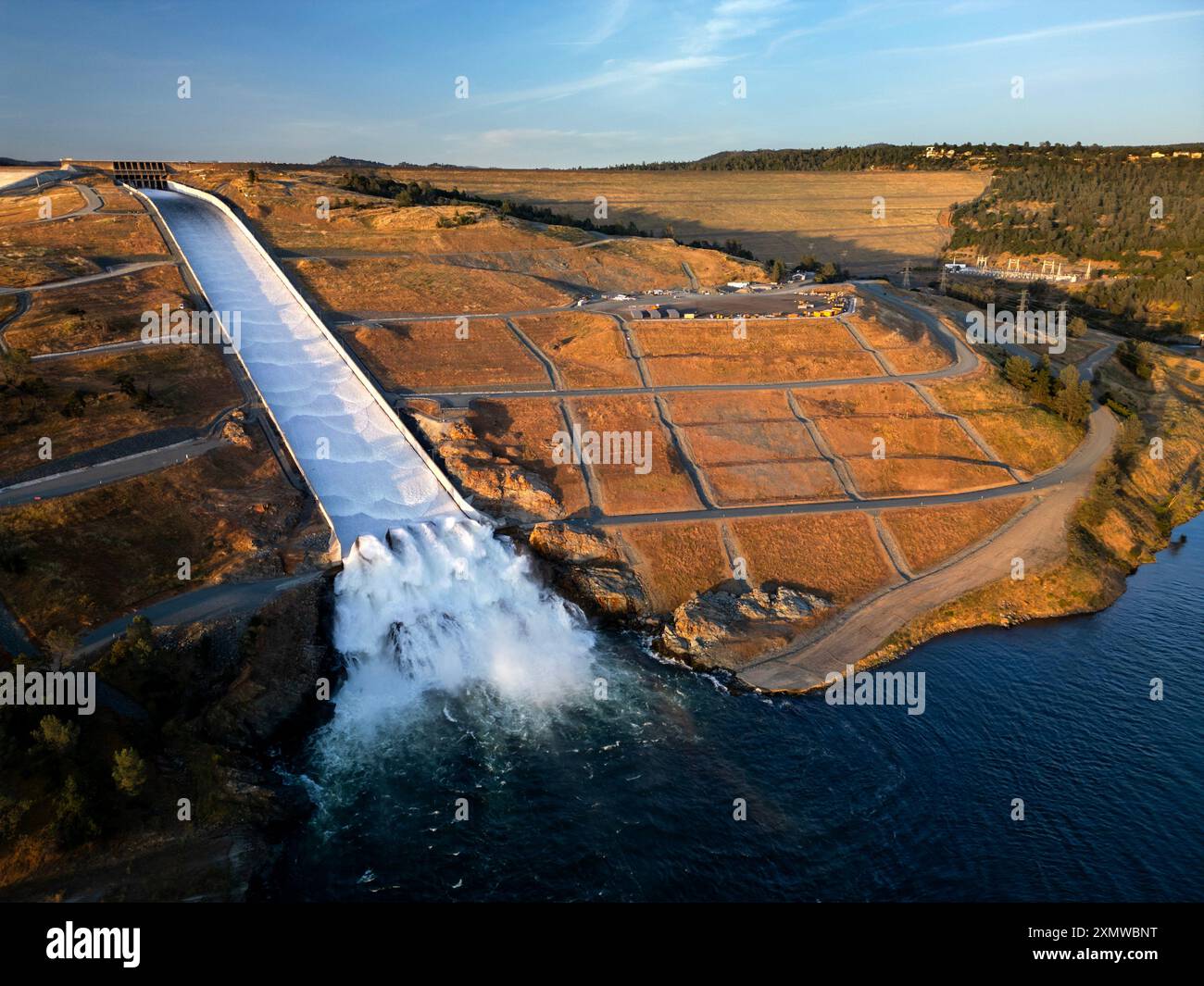 Aerial view of the Lake Oroville Dam with the new spillway in action entering the Feather River in northern California Stock Photohttps://www.alamy.com/image-license-details/?v=1https://www.alamy.com/aerial-view-of-the-lake-oroville-dam-with-the-new-spillway-in-action-entering-the-feather-river-in-northern-california-image615214036.html
RF2XMWBNT–Aerial view of the Lake Oroville Dam with the new spillway in action entering the Feather River in northern California
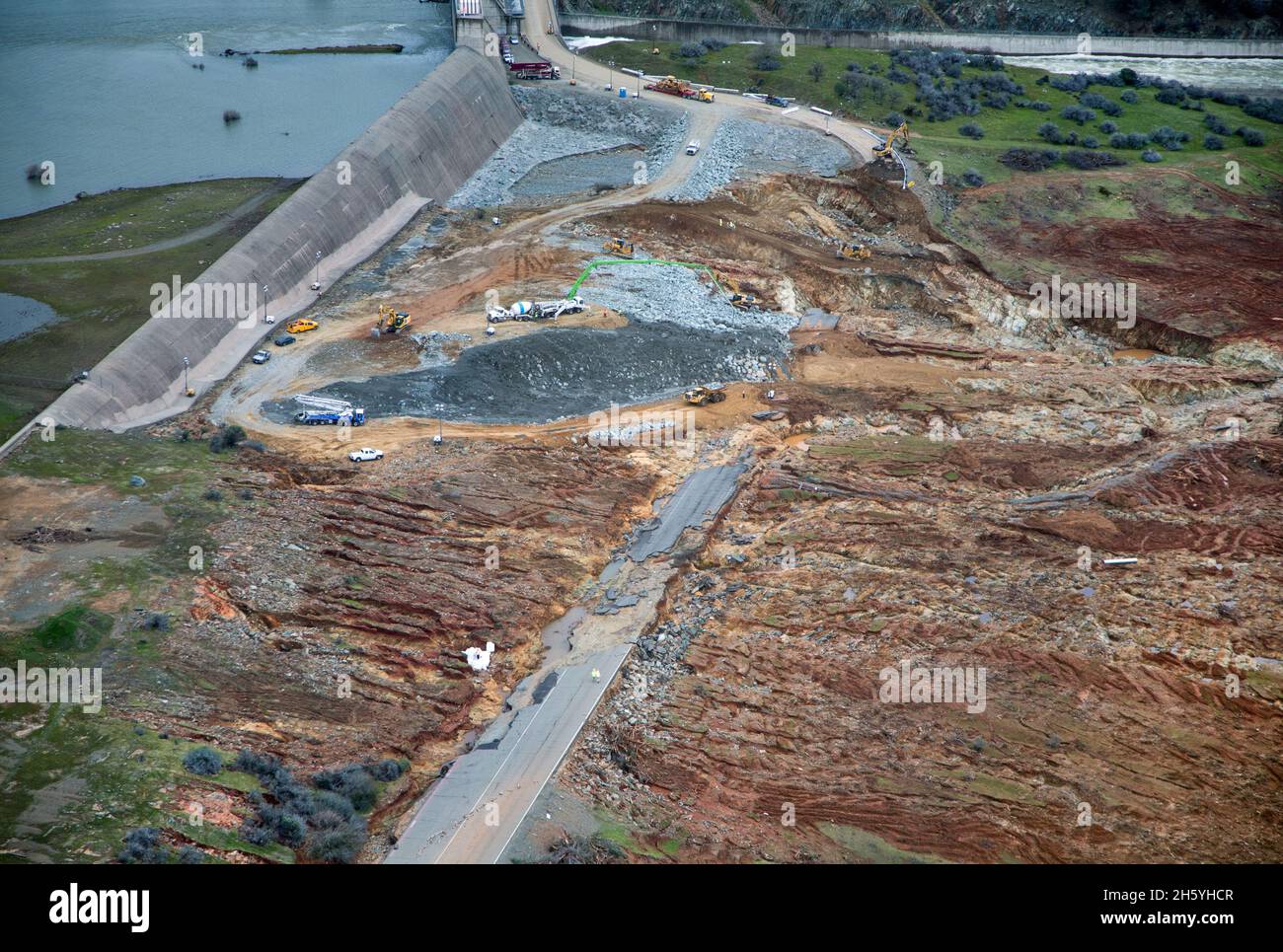 This aerial view looks over the eroded landscape just below the Oroville Dam Emergency Spillway, as the California Department of Water Resources continues to examine and repair the erosion with construction crews working around the clock, placing 1,200 tons of material on the spillway per hour using helicopters and heavy construction equipment. The damaged Oroville Spillway continues to outflow 100,000 cubic feet per second (cfs) of water to lower the lakes level by 50 feet. Photo taken February 15, 2017. ca. 15 February 2017, 11:24:26 Stock Photohttps://www.alamy.com/image-license-details/?v=1https://www.alamy.com/this-aerial-view-looks-over-the-eroded-landscape-just-below-the-oroville-dam-emergency-spillway-as-the-california-department-of-water-resources-continues-to-examine-and-repair-the-erosion-with-construction-crews-working-around-the-clock-placing-1200-tons-of-material-on-the-spillway-per-hour-using-helicopters-and-heavy-construction-equipment-the-damaged-oroville-spillway-continues-to-outflow-100000-cubic-feet-per-second-cfs-of-water-to-lower-the-lakes-level-by-50-feet-photo-taken-february-15-2017-ca-15-february-2017-112426-image451149239.html
RM2H5YHCR–This aerial view looks over the eroded landscape just below the Oroville Dam Emergency Spillway, as the California Department of Water Resources continues to examine and repair the erosion with construction crews working around the clock, placing 1,200 tons of material on the spillway per hour using helicopters and heavy construction equipment. The damaged Oroville Spillway continues to outflow 100,000 cubic feet per second (cfs) of water to lower the lakes level by 50 feet. Photo taken February 15, 2017. ca. 15 February 2017, 11:24:26
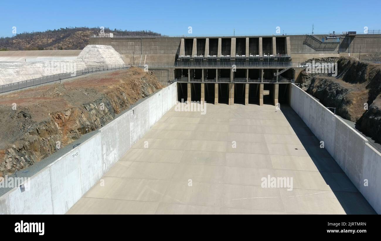 Oroville Dam during California's severe drought Stock Photohttps://www.alamy.com/image-license-details/?v=1https://www.alamy.com/oroville-dam-during-californias-severe-drought-image479360217.html
RF2JRTMRN–Oroville Dam during California's severe drought
 An aerial view of the damaged Oroville Dam spillway site and the huge debris field in the diversion pool just below the spillway. The California Department of Water Resources gradually reduced the outflow from the spillway from 50,000 cubic feet per second (cfs) to zero on February 27, 2017. The reduction allows work to begin to remove the debris and reduce water surface elevation in the diversion pool, so the Edward Hyatt Powerplant can go operational. This will allow for better management of reservoir levels during the upcoming spring runoff season. Photo taken February 27, 2017. Stock Photohttps://www.alamy.com/image-license-details/?v=1https://www.alamy.com/an-aerial-view-of-the-damaged-oroville-dam-spillway-site-and-the-huge-debris-field-in-the-diversion-pool-just-below-the-spillway-the-california-department-of-water-resources-gradually-reduced-the-outflow-from-the-spillway-from-50000-cubic-feet-per-second-cfs-to-zero-on-february-27-2017-the-reduction-allows-work-to-begin-to-remove-the-debris-and-reduce-water-surface-elevation-in-the-diversion-pool-so-the-edward-hyatt-powerplant-can-go-operational-this-will-allow-for-better-management-of-reservoir-levels-during-the-upcoming-spring-runoff-season-photo-taken-february-27-2017-image451148621.html
RM2H5YGJN–An aerial view of the damaged Oroville Dam spillway site and the huge debris field in the diversion pool just below the spillway. The California Department of Water Resources gradually reduced the outflow from the spillway from 50,000 cubic feet per second (cfs) to zero on February 27, 2017. The reduction allows work to begin to remove the debris and reduce water surface elevation in the diversion pool, so the Edward Hyatt Powerplant can go operational. This will allow for better management of reservoir levels during the upcoming spring runoff season. Photo taken February 27, 2017.
 Thermalito Diversion Dam - Water being diverted from the Feather River to Oroville, California Stock Photohttps://www.alamy.com/image-license-details/?v=1https://www.alamy.com/stock-photo-thermalito-diversion-dam-water-being-diverted-from-the-feather-river-24387192.html
RMBBJX34–Thermalito Diversion Dam - Water being diverted from the Feather River to Oroville, California
 Water from the Oroville Dam Auxiliary Spillway at Lake Oroville continues to flow toward the diversion pool of the Feather River on Sunday February 12, 2017. The volume of water poses no flood threat downstream and should remain within the capacity of the Feather River and other channels to handle. Oroville Dam in Butte County itself remains safe with no imminent threat to the public. Stock Photohttps://www.alamy.com/image-license-details/?v=1https://www.alamy.com/water-from-the-oroville-dam-auxiliary-spillway-at-lake-oroville-continues-to-flow-toward-the-diversion-pool-of-the-feather-river-on-sunday-february-12-2017-the-volume-of-water-poses-no-flood-threat-downstream-and-should-remain-within-the-capacity-of-the-feather-river-and-other-channels-to-handle-oroville-dam-in-butte-county-itself-remains-safe-with-no-imminent-threat-to-the-public-image451156637.html
RM2H5YXW1–Water from the Oroville Dam Auxiliary Spillway at Lake Oroville continues to flow toward the diversion pool of the Feather River on Sunday February 12, 2017. The volume of water poses no flood threat downstream and should remain within the capacity of the Feather River and other channels to handle. Oroville Dam in Butte County itself remains safe with no imminent threat to the public.
 Fireworks light up the night sky at Lake Oroville in northern California during the 2006 4th of July celebration Stock Photohttps://www.alamy.com/image-license-details/?v=1https://www.alamy.com/stock-photo-fireworks-light-up-the-night-sky-at-lake-oroville-in-northern-california-14165721.html
RFAGCAFP–Fireworks light up the night sky at Lake Oroville in northern California during the 2006 4th of July celebration
 U.S. Soldiers with the California Army National Guard (CAARNG) flood damage assessment in Oroville, Calif., Feb. 25, 2017. The CAARNG and federal agencies assisted state officials and local residents in the aftermath of a dam failure near Oroville, California, resulting from record precipitation over several months. (U.S. Army National Guard photo) Stock Photohttps://www.alamy.com/image-license-details/?v=1https://www.alamy.com/us-soldiers-with-the-california-army-national-guard-caarng-flood-damage-assessment-in-oroville-calif-feb-25-2017-the-caarng-and-federal-agencies-assisted-state-officials-and-local-residents-in-the-aftermath-of-a-dam-failure-near-oroville-california-resulting-from-record-precipitation-over-several-months-us-army-national-guard-photo-image185999126.html
RMMPGYNX–U.S. Soldiers with the California Army National Guard (CAARNG) flood damage assessment in Oroville, Calif., Feb. 25, 2017. The CAARNG and federal agencies assisted state officials and local residents in the aftermath of a dam failure near Oroville, California, resulting from record precipitation over several months. (U.S. Army National Guard photo)
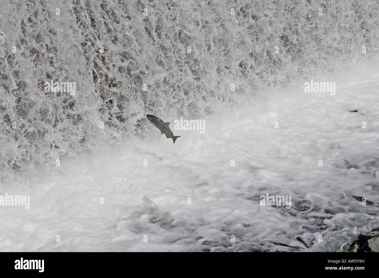 A large fall run salmon jumps at the diversion dam Feather River Salmon and Steelhead Fish Hatchery Oroville CA Stock Photohttps://www.alamy.com/image-license-details/?v=1https://www.alamy.com/stock-photo-a-large-fall-run-salmon-jumps-at-the-diversion-dam-feather-river-salmon-16476316.html
RMAW5Y9H–A large fall run salmon jumps at the diversion dam Feather River Salmon and Steelhead Fish Hatchery Oroville CA
 Damage to main spillway of Oroville Dam on 8 February 2017 Stock Photohttps://www.alamy.com/image-license-details/?v=1https://www.alamy.com/damage-to-main-spillway-of-oroville-dam-on-8-february-2017-image451157731.html
RM2H60083–Damage to main spillway of Oroville Dam on 8 February 2017
 Fireworks light up the night sky at Lake Oroville in northern California during the 2006 4th of July celebration Stock Photohttps://www.alamy.com/image-license-details/?v=1https://www.alamy.com/stock-photo-fireworks-light-up-the-night-sky-at-lake-oroville-in-northern-california-14202293.html
RFAGG7BJ–Fireworks light up the night sky at Lake Oroville in northern California during the 2006 4th of July celebration
 Oroville, California, USA. 15th February 2017. Oroville, United States Of America. 15th Feb, 2017. Aerial view showing the damaged spillway spilling massive volumes of water at the Oroville Dam February 15, 2017 in Oroville, California. Repairs continue on the lake edge and spillway as the mandatory evacuation order was lifted for residents surrounding the nation's tallest dam. Credit: Planetpix/Alamy Live News Stock Photohttps://www.alamy.com/image-license-details/?v=1https://www.alamy.com/stock-photo-oroville-california-usa-15th-february-2017-oroville-united-states-133907342.html
RMHNT052–Oroville, California, USA. 15th February 2017. Oroville, United States Of America. 15th Feb, 2017. Aerial view showing the damaged spillway spilling massive volumes of water at the Oroville Dam February 15, 2017 in Oroville, California. Repairs continue on the lake edge and spillway as the mandatory evacuation order was lifted for residents surrounding the nation's tallest dam. Credit: Planetpix/Alamy Live News
 Oroville, CALIFORNIA, USA. 16th Feb, 2017. Construction crews address the damaged spillway of the Oroville Dam on the feather river in Oroville, California on Thursday 16 February 2017.RODOLFO DE LUNA Credit: Rodolfo De Luna/Prensa Internacional/ZUMA Wire/Alamy Live News Stock Photohttps://www.alamy.com/image-license-details/?v=1https://www.alamy.com/stock-photo-oroville-california-usa-16th-feb-2017-construction-crews-address-the-133914405.html
RMHNT959–Oroville, CALIFORNIA, USA. 16th Feb, 2017. Construction crews address the damaged spillway of the Oroville Dam on the feather river in Oroville, California on Thursday 16 February 2017.RODOLFO DE LUNA Credit: Rodolfo De Luna/Prensa Internacional/ZUMA Wire/Alamy Live News
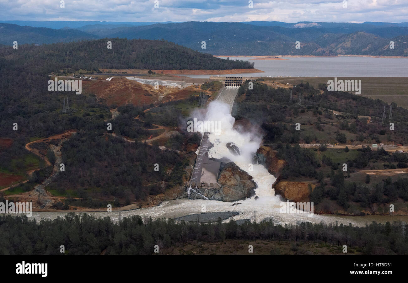 Aerial view showing the damaged spillway spilling massive volumes of water at the Oroville Dam February 26, 2017 in Oroville, California. (Kelly M. Grow/California DWR via Planetpix) Stock Photohttps://www.alamy.com/image-license-details/?v=1https://www.alamy.com/stock-photo-aerial-view-showing-the-damaged-spillway-spilling-massive-volumes-135410269.html
RMHT8D51–Aerial view showing the damaged spillway spilling massive volumes of water at the Oroville Dam February 26, 2017 in Oroville, California. (Kelly M. Grow/California DWR via Planetpix)
 Lake Oroville Reservoir (United States of America, North America, us, usa, California) map vector illustration, scribble sketch Oroville Dam map Stock Vectorhttps://www.alamy.com/image-license-details/?v=1https://www.alamy.com/lake-oroville-reservoir-united-states-of-america-north-america-us-usa-california-map-vector-illustration-scribble-sketch-oroville-dam-map-image557188911.html
RF2RAE43Y–Lake Oroville Reservoir (United States of America, North America, us, usa, California) map vector illustration, scribble sketch Oroville Dam map
 PLAN AND SECTION DRAWINGS OF SPILLWAY, HEADGATES AND MACHINERY, PENSTOCKS, SURGE TANKS, AND POWERHOUSE General plan and sections, Drawing F1709. Prepared by the Washington Water Power Company, April 23, 1924. - Enloe Dam, On Similkameen River, Oroville, Okanogan County, WA; Uhden, C E; Broderick, D J Stock Photohttps://www.alamy.com/image-license-details/?v=1https://www.alamy.com/plan-and-section-drawings-of-spillway-headgates-and-machinery-penstocks-surge-tanks-and-powerhouse-general-plan-and-sections-drawing-f1709-prepared-by-the-washington-water-power-company-april-23-1924-enloe-dam-on-similkameen-river-oroville-okanogan-county-wa-uhden-c-e-broderick-d-j-image249396336.html
RMTDMYG0–PLAN AND SECTION DRAWINGS OF SPILLWAY, HEADGATES AND MACHINERY, PENSTOCKS, SURGE TANKS, AND POWERHOUSE General plan and sections, Drawing F1709. Prepared by the Washington Water Power Company, April 23, 1924. - Enloe Dam, On Similkameen River, Oroville, Okanogan County, WA; Uhden, C E; Broderick, D J
 Alaska-Canada Highway Bridge. Original caption: 43-257 - Alaska-Canada Highway Bridge dismantling at Oroville, California. Looking at Pile Driving rig from east span. January 1, 1943. Original caption: 43-258 - Alaska-Canada Highway bridge dismantling at Oroville, California. Driving piles west span. January 4, 1943. Dismantling railroad bridge abandoned because of construction of The Shasta dam at Oroville, California. This bridge will be used on The Alaska Highway. State: California. Stock Photohttps://www.alamy.com/image-license-details/?v=1https://www.alamy.com/alaska-canada-highway-bridge-original-caption-43-257-alaska-canada-highway-bridge-dismantling-at-oroville-california-looking-at-pile-driving-rig-from-east-span-january-1-1943-original-caption-43-258-alaska-canada-highway-bridge-dismantling-at-oroville-california-driving-piles-west-span-january-4-1943-dismantling-railroad-bridge-abandoned-because-of-construction-of-the-shasta-dam-at-oroville-california-this-bridge-will-be-used-on-the-alaska-highway-state-california-image501692436.html
RM2M461R0–Alaska-Canada Highway Bridge. Original caption: 43-257 - Alaska-Canada Highway Bridge dismantling at Oroville, California. Looking at Pile Driving rig from east span. January 1, 1943. Original caption: 43-258 - Alaska-Canada Highway bridge dismantling at Oroville, California. Driving piles west span. January 4, 1943. Dismantling railroad bridge abandoned because of construction of The Shasta dam at Oroville, California. This bridge will be used on The Alaska Highway. State: California.
 Oroville Dam spillway damage 27 Feb 2017 Stock Photohttps://www.alamy.com/image-license-details/?v=1https://www.alamy.com/stock-image-oroville-dam-spillway-damage-27-feb-2017-163996704.html
RMKEPKD4–Oroville Dam spillway damage 27 Feb 2017
 The new spillway at Oroville Dam in California USA 2021 Stock Photohttps://www.alamy.com/image-license-details/?v=1https://www.alamy.com/the-new-spillway-at-oroville-dam-in-california-usa-2021-image432489136.html
RM2G3HG8G–The new spillway at Oroville Dam in California USA 2021
 Aerial view of the Lake Oroville Dam with the new spillway in action entering the Feather River in northern California Stock Photohttps://www.alamy.com/image-license-details/?v=1https://www.alamy.com/aerial-view-of-the-lake-oroville-dam-with-the-new-spillway-in-action-entering-the-feather-river-in-northern-california-image615214040.html
RF2XMWBP0–Aerial view of the Lake Oroville Dam with the new spillway in action entering the Feather River in northern California
 Rock loaded for helicopter transport during Oroville Dam crisis Stock Photohttps://www.alamy.com/image-license-details/?v=1https://www.alamy.com/stock-image-rock-loaded-for-helicopter-transport-during-oroville-dam-crisis-163996659.html
RMKEPKBF–Rock loaded for helicopter transport during Oroville Dam crisis
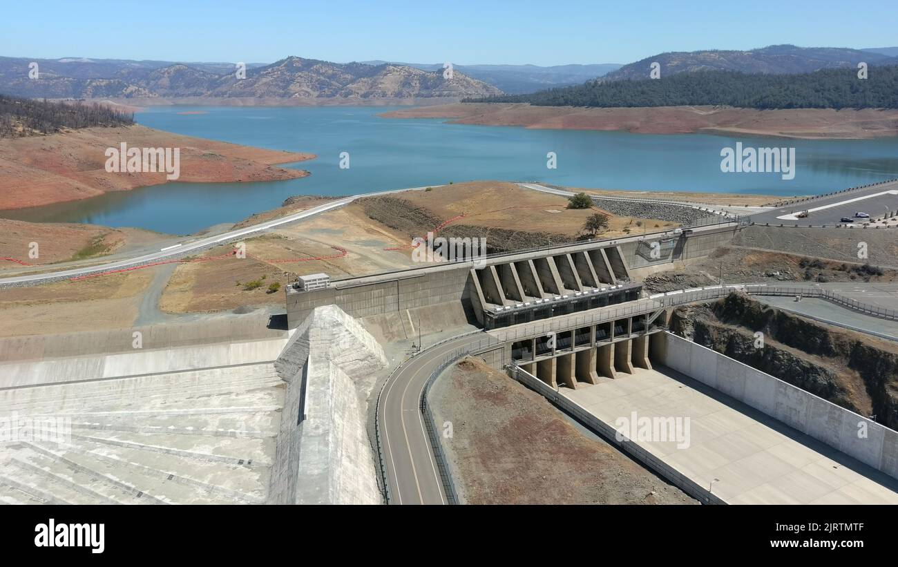 Oroville Dam during California's severe drought Stock Photohttps://www.alamy.com/image-license-details/?v=1https://www.alamy.com/oroville-dam-during-californias-severe-drought-image479360239.html
RF2JRTMTF–Oroville Dam during California's severe drought
 ISS-50 Lake Oroville and the Oroville Dam Stock Photohttps://www.alamy.com/image-license-details/?v=1https://www.alamy.com/stock-image-iss-50-lake-oroville-and-the-oroville-dam-169500659.html
RMKRNBPY–ISS-50 Lake Oroville and the Oroville Dam
 360 degree panoramic view of Big Bald Rock (3274'/998m) summithttps://www.alamy.com/image-license-details/?v=1https://www.alamy.com/360-degree-panoramic-view-of-big-bald-rock-3274998m-summit-image219555001.html
RF360°PN5GJ1–Big Bald Rock (3274'/998m) summit
 Oroville Dam main spillway damage 8 Feb 2017 Stock Photohttps://www.alamy.com/image-license-details/?v=1https://www.alamy.com/stock-image-oroville-dam-main-spillway-damage-8-feb-2017-163996687.html
RMKEPKCF–Oroville Dam main spillway damage 8 Feb 2017
 . California fish and game. Fisheries -- California; Game and game-birds -- California; Fishes -- California; Animal Population Groups; Pêches; Gibier; Poissons. WATER PROJECTS. Arfisi's conception of Oroville Dam, key unit in the California Water Plan. (Department of Water Resources Photo from drawing by Warren S. Ludlow of the Division of Highways) Unprecedented demands for water throughout the State has kept the department hustling during the bi- ennium to preserve and protect streams for fishing while simultaneously exploring the fish production possibilities of existing impoundments and f Stock Photohttps://www.alamy.com/image-license-details/?v=1https://www.alamy.com/california-fish-and-game-fisheries-california-game-and-game-birds-california-fishes-california-animal-population-groups-pches-gibier-poissons-water-projects-arfisis-conception-of-oroville-dam-key-unit-in-the-california-water-plan-department-of-water-resources-photo-from-drawing-by-warren-s-ludlow-of-the-division-of-highways-unprecedented-demands-for-water-throughout-the-state-has-kept-the-department-hustling-during-the-bi-ennium-to-preserve-and-protect-streams-for-fishing-while-simultaneously-exploring-the-fish-production-possibilities-of-existing-impoundments-and-f-image233639861.html
RMRG360N–. California fish and game. Fisheries -- California; Game and game-birds -- California; Fishes -- California; Animal Population Groups; Pêches; Gibier; Poissons. WATER PROJECTS. Arfisi's conception of Oroville Dam, key unit in the California Water Plan. (Department of Water Resources Photo from drawing by Warren S. Ludlow of the Division of Highways) Unprecedented demands for water throughout the State has kept the department hustling during the bi- ennium to preserve and protect streams for fishing while simultaneously exploring the fish production possibilities of existing impoundments and f
 U.S. Soldiers with the California Army National Guard (CAARNG) assist with flood damage recovery efforts in Oroville, Calif., Feb. 25, 2017. The CAARNG and federal agencies assisted state officials and local residents in the aftermath of a dam failure near Oroville, California, resulting from record precipitation over several months. (U.S. Army National Guard photo) Stock Photohttps://www.alamy.com/image-license-details/?v=1https://www.alamy.com/us-soldiers-with-the-california-army-national-guard-caarng-assist-with-flood-damage-recovery-efforts-in-oroville-calif-feb-25-2017-the-caarng-and-federal-agencies-assisted-state-officials-and-local-residents-in-the-aftermath-of-a-dam-failure-near-oroville-california-resulting-from-record-precipitation-over-several-months-us-army-national-guard-photo-image185999116.html
RMMPGYNG–U.S. Soldiers with the California Army National Guard (CAARNG) assist with flood damage recovery efforts in Oroville, Calif., Feb. 25, 2017. The CAARNG and federal agencies assisted state officials and local residents in the aftermath of a dam failure near Oroville, California, resulting from record precipitation over several months. (U.S. Army National Guard photo)
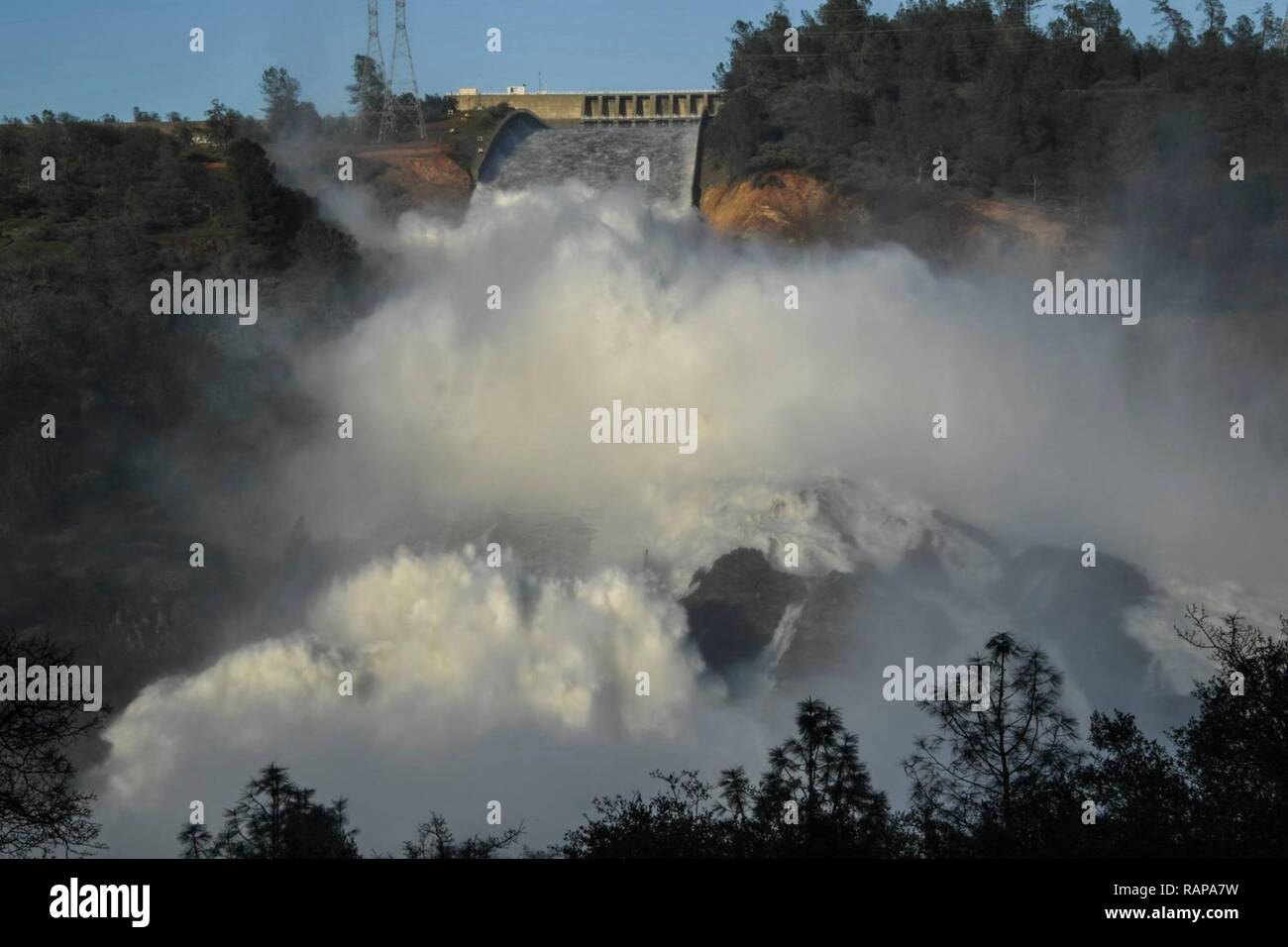 U.S. Soldiers with the California Army National Guard (CAARNG) flood damage assessment in Oroville, Calif., Feb. 25, 2017. The CAARNG and federal agencies assisted state officials and local residents in the aftermath of a dam failure near Oroville, California, resulting from record precipitation over several months. Stock Photohttps://www.alamy.com/image-license-details/?v=1https://www.alamy.com/us-soldiers-with-the-california-army-national-guard-caarng-flood-damage-assessment-in-oroville-calif-feb-25-2017-the-caarng-and-federal-agencies-assisted-state-officials-and-local-residents-in-the-aftermath-of-a-dam-failure-near-oroville-california-resulting-from-record-precipitation-over-several-months-image230372349.html
RMRAPA7W–U.S. Soldiers with the California Army National Guard (CAARNG) flood damage assessment in Oroville, Calif., Feb. 25, 2017. The CAARNG and federal agencies assisted state officials and local residents in the aftermath of a dam failure near Oroville, California, resulting from record precipitation over several months.
 Chart of the inflow and outflow volumes at Lake Oroville during the Oroville Dam crisis in February 2017 Stock Photohttps://www.alamy.com/image-license-details/?v=1https://www.alamy.com/chart-of-the-inflow-and-outflow-volumes-at-lake-oroville-during-the-oroville-dam-crisis-in-february-2017-image451157985.html
RM2H600H5–Chart of the inflow and outflow volumes at Lake Oroville during the Oroville Dam crisis in February 2017
 Fireworks light up the night sky at Lake Oroville in northern California during the 2006 4th of July celebration Stock Photohttps://www.alamy.com/image-license-details/?v=1https://www.alamy.com/stock-photo-fireworks-light-up-the-night-sky-at-lake-oroville-in-northern-california-14222461.html
RFAGJBBX–Fireworks light up the night sky at Lake Oroville in northern California during the 2006 4th of July celebration
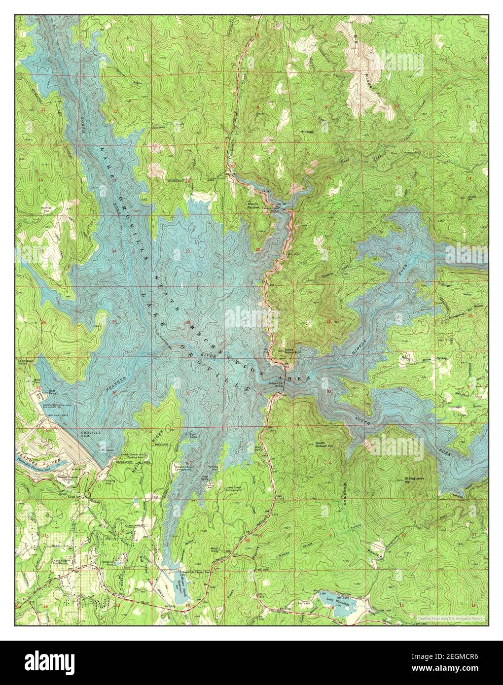 Oroville Dam, California, map 1970, 1:24000, United States of America by Timeless Maps, data U.S. Geological Survey Stock Photohttps://www.alamy.com/image-license-details/?v=1https://www.alamy.com/oroville-dam-california-map-1970-124000-united-states-of-america-by-timeless-maps-data-us-geological-survey-image406122058.html
RM2EGMCR6–Oroville Dam, California, map 1970, 1:24000, United States of America by Timeless Maps, data U.S. Geological Survey
 Oroville, CALIFORNIA, USA. 16th Feb, 2017. Construction crews address the damaged spillway of the Oroville Dam on the feather river in Oroville, California on Thursday 16 February 2017.RODOLFO DE LUNA Credit: Rodolfo De Luna/Prensa Internacional/ZUMA Wire/Alamy Live News Stock Photohttps://www.alamy.com/image-license-details/?v=1https://www.alamy.com/stock-photo-oroville-california-usa-16th-feb-2017-construction-crews-address-the-133914412.html
RMHNT95G–Oroville, CALIFORNIA, USA. 16th Feb, 2017. Construction crews address the damaged spillway of the Oroville Dam on the feather river in Oroville, California on Thursday 16 February 2017.RODOLFO DE LUNA Credit: Rodolfo De Luna/Prensa Internacional/ZUMA Wire/Alamy Live News
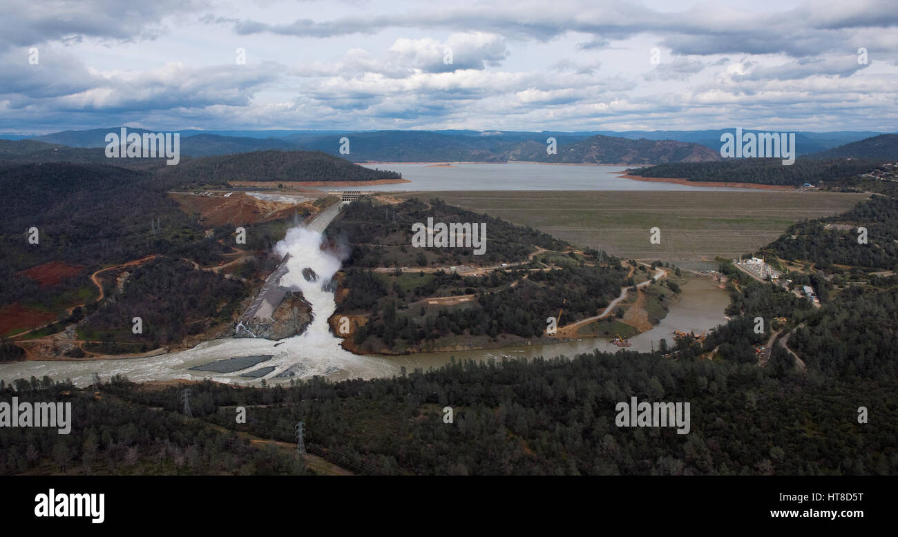 Aerial view showing the damaged spillway spilling massive volumes of water at the Oroville Dam February 26, 2017 in Oroville, California. (Kelly M. Grow/California DWR via Planetpix) Stock Photohttps://www.alamy.com/image-license-details/?v=1https://www.alamy.com/stock-photo-aerial-view-showing-the-damaged-spillway-spilling-massive-volumes-135410292.html
RMHT8D5T–Aerial view showing the damaged spillway spilling massive volumes of water at the Oroville Dam February 26, 2017 in Oroville, California. (Kelly M. Grow/California DWR via Planetpix)
 Chico, California, USA. 12th Feb, 2017. Volunteers carry cots to a Red Cross Emergency Shelter at the Silver Dollar Fairgrounds after the Oroville Dam spillway failure prompted emergency evacuations of up to 180,000 people in Chico, California. Credit: Joel Angel Juarez/ZUMA Wire/Alamy Live News Stock Photohttps://www.alamy.com/image-license-details/?v=1https://www.alamy.com/stock-photo-chico-california-usa-12th-feb-2017-volunteers-carry-cots-to-a-red-133766278.html
RMHNHG72–Chico, California, USA. 12th Feb, 2017. Volunteers carry cots to a Red Cross Emergency Shelter at the Silver Dollar Fairgrounds after the Oroville Dam spillway failure prompted emergency evacuations of up to 180,000 people in Chico, California. Credit: Joel Angel Juarez/ZUMA Wire/Alamy Live News
 Aerial view showing the damaged spillway as California Department of Water Resources gradually reduced the outflow to begin repairs at the Oroville Dam February 27, 2017 in Oroville, California. (Dale Kolke/California DWR via Planetpix) Stock Photohttps://www.alamy.com/image-license-details/?v=1https://www.alamy.com/stock-photo-aerial-view-showing-the-damaged-spillway-as-california-department-135410334.html
RMHT8D7A–Aerial view showing the damaged spillway as California Department of Water Resources gradually reduced the outflow to begin repairs at the Oroville Dam February 27, 2017 in Oroville, California. (Dale Kolke/California DWR via Planetpix)
 Lake Oroville Reservoir (United States of America, North America, us, usa, California) map vector illustration, scribble sketch Oroville Dam map Stock Vectorhttps://www.alamy.com/image-license-details/?v=1https://www.alamy.com/lake-oroville-reservoir-united-states-of-america-north-america-us-usa-california-map-vector-illustration-scribble-sketch-oroville-dam-map-image572079319.html
RF2T6MD07–Lake Oroville Reservoir (United States of America, North America, us, usa, California) map vector illustration, scribble sketch Oroville Dam map
 Massive amounts of water are discharged from the damaged Oroville Dam spillway eroding the hillside February 12, 2017 in Oroville, California. A mandatory evacuation order was issued for 200,000 residents surrounding the nation's tallest dam. Stock Photohttps://www.alamy.com/image-license-details/?v=1https://www.alamy.com/stock-photo-massive-amounts-of-water-are-discharged-from-the-damaged-oroville-133770047.html
RMHNHN1K–Massive amounts of water are discharged from the damaged Oroville Dam spillway eroding the hillside February 12, 2017 in Oroville, California. A mandatory evacuation order was issued for 200,000 residents surrounding the nation's tallest dam.
 New work done at Oroville Dam after the February 2017 failure of the spillway Stock Photohttps://www.alamy.com/image-license-details/?v=1https://www.alamy.com/new-work-done-at-oroville-dam-after-the-february-2017-failure-of-the-spillway-image429079837.html
RM2FX27KW–New work done at Oroville Dam after the February 2017 failure of the spillway
 View of the tallest dam in the United States holding back Lake Oroville is known as an earthfill embankment structure Stock Photohttps://www.alamy.com/image-license-details/?v=1https://www.alamy.com/view-of-the-tallest-dam-in-the-united-states-holding-back-lake-oroville-is-known-as-an-earthfill-embankment-structure-image615214031.html
RF2XMWBNK–View of the tallest dam in the United States holding back Lake Oroville is known as an earthfill embankment structure
 Massive amounts of water are discharged from the damaged Oroville Dam spillway eroding the hillside February 11, 2017 in Oroville, California. A mandatory evacuation order was issued for 200,000 residents surrounding the nation's tallest dam. Stock Photohttps://www.alamy.com/image-license-details/?v=1https://www.alamy.com/stock-photo-massive-amounts-of-water-are-discharged-from-the-damaged-oroville-133770054.html
RMHNHN1X–Massive amounts of water are discharged from the damaged Oroville Dam spillway eroding the hillside February 11, 2017 in Oroville, California. A mandatory evacuation order was issued for 200,000 residents surrounding the nation's tallest dam.