Quick filters:
Oroville washington Stock Photos and Images
 Lake Osoyoos State park beach no lifeguard sign, swim at your own risk. Located in Oroville, Washington this landscape with a picnic bench. Stock Photohttps://www.alamy.com/image-license-details/?v=1https://www.alamy.com/lake-osoyoos-state-park-beach-no-lifeguard-sign-swim-at-your-own-risk-located-in-oroville-washington-this-landscape-with-a-picnic-bench-image347700969.html
RF2B5K43N–Lake Osoyoos State park beach no lifeguard sign, swim at your own risk. Located in Oroville, Washington this landscape with a picnic bench.
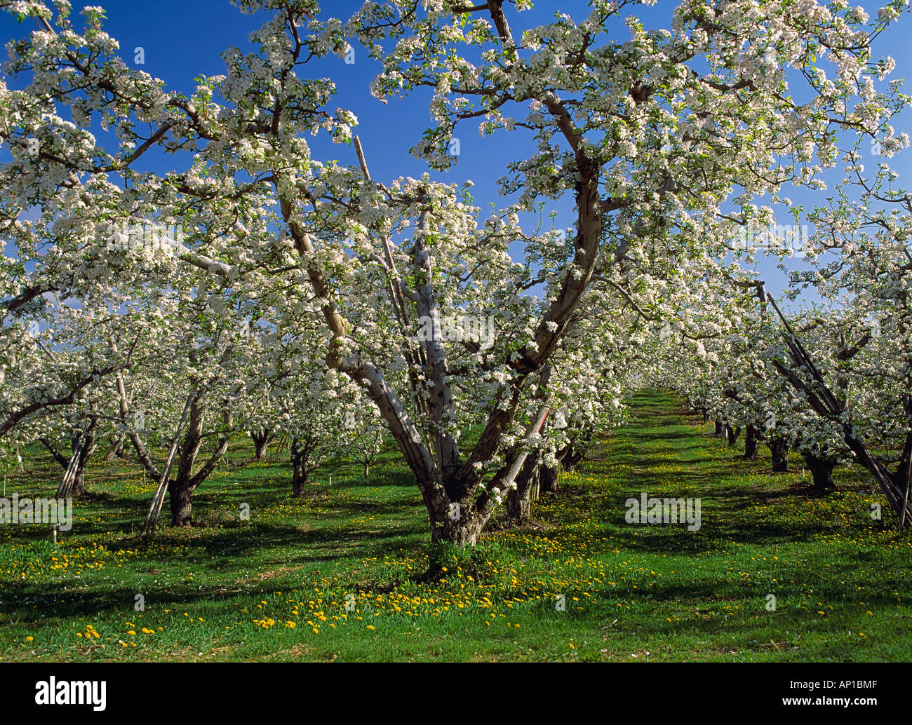 Agriculture - Mature apple orchard in full bloom / Oroville, Washington, USA. Stock Photohttps://www.alamy.com/image-license-details/?v=1https://www.alamy.com/agriculture-mature-apple-orchard-in-full-bloom-oroville-washington-image8938894.html
RMAP1BMF–Agriculture - Mature apple orchard in full bloom / Oroville, Washington, USA.
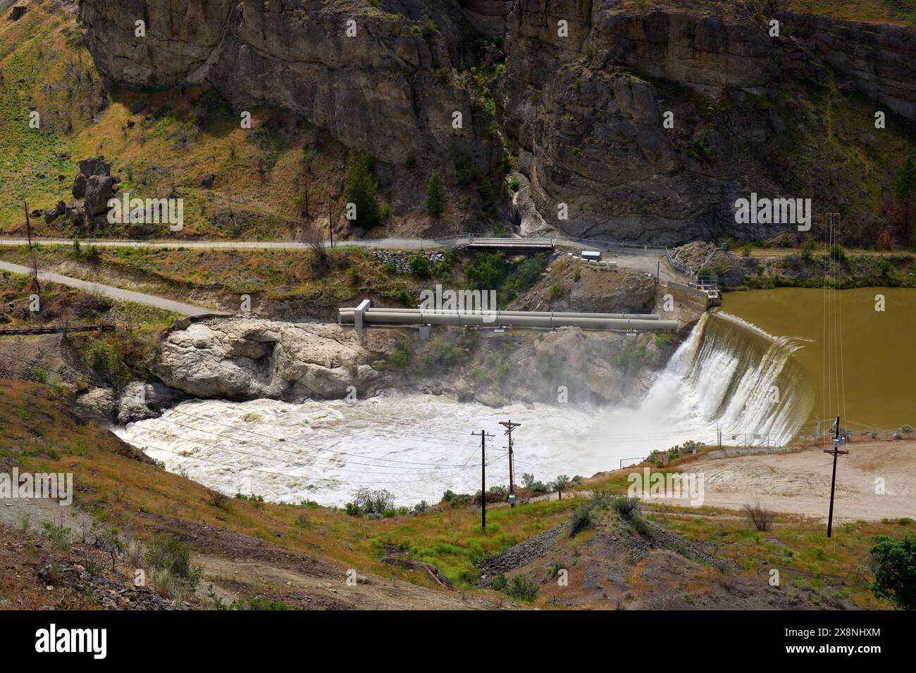 Enloe Dam Similkameen River Washington State. The Enloe Dam on the Similkameen River in Okanogan County, Washington State, USA. Stock Photohttps://www.alamy.com/image-license-details/?v=1https://www.alamy.com/enloe-dam-similkameen-river-washington-state-the-enloe-dam-on-the-similkameen-river-in-okanogan-county-washington-state-usa-image607755196.html
RF2X8NHXM–Enloe Dam Similkameen River Washington State. The Enloe Dam on the Similkameen River in Okanogan County, Washington State, USA.
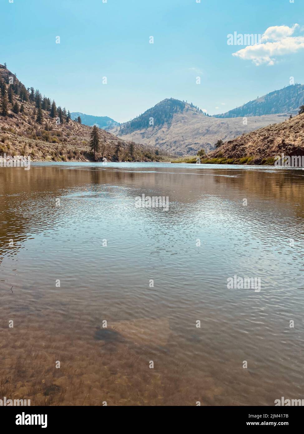 A vertical scenic view of the Similkameen River in Oroville, Washington Stock Photohttps://www.alamy.com/image-license-details/?v=1https://www.alamy.com/a-vertical-scenic-view-of-the-similkameen-river-in-oroville-washington-image477061855.html
RF2JM417B–A vertical scenic view of the Similkameen River in Oroville, Washington
 AJD55819, Oroville, WA, Washington, Okanogan Valley, Roadside Fruit Stand Stock Photohttps://www.alamy.com/image-license-details/?v=1https://www.alamy.com/stock-photo-ajd55819-oroville-wa-washington-okanogan-valley-roadside-fruit-stand-10942207.html
RMA45MNM–AJD55819, Oroville, WA, Washington, Okanogan Valley, Roadside Fruit Stand
 Osoyoos Lake Morning and Moon. A quiet morning on Osoyoos Lake, British Columbia, Canada. Stock Photohttps://www.alamy.com/image-license-details/?v=1https://www.alamy.com/osoyoos-lake-morning-and-moon-a-quiet-morning-on-osoyoos-lake-british-columbia-canada-image260343424.html
RFW3FJKC–Osoyoos Lake Morning and Moon. A quiet morning on Osoyoos Lake, British Columbia, Canada.
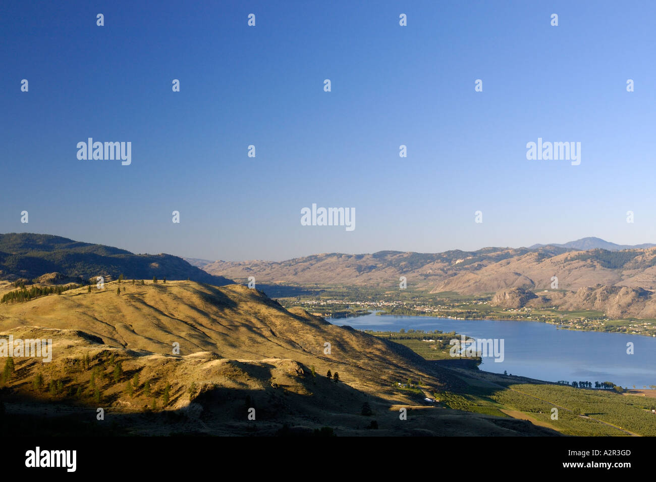 Oroville on Osoyoos lake border with Washington State USA Stock Photohttps://www.alamy.com/image-license-details/?v=1https://www.alamy.com/oroville-on-osoyoos-lake-border-with-washington-state-usa-image6045004.html
RFA2R3GD–Oroville on Osoyoos lake border with Washington State USA
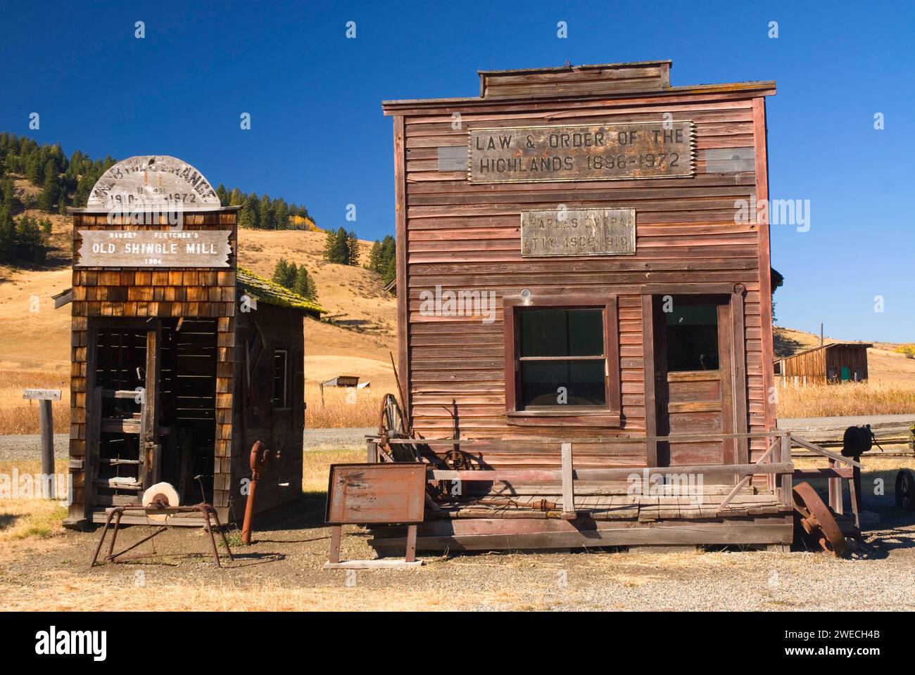 Frontier law office & Old Shingle Mill, Old Molson Museum, Molson, Okanogan County, Washington Stock Photohttps://www.alamy.com/image-license-details/?v=1https://www.alamy.com/frontier-law-office-old-shingle-mill-old-molson-museum-molson-okanogan-county-washington-image594034571.html
RF2WECH4B–Frontier law office & Old Shingle Mill, Old Molson Museum, Molson, Okanogan County, Washington
 NA, USA, Washington, Oroville. Osoyoos Lake with desert hills in background Stock Photohttps://www.alamy.com/image-license-details/?v=1https://www.alamy.com/na-usa-washington-oroville-osoyoos-lake-with-desert-hills-in-background-image3887197.html
RMA7TG5E–NA, USA, Washington, Oroville. Osoyoos Lake with desert hills in background
 Red hydrant at some trees in autumn Stock Photohttps://www.alamy.com/image-license-details/?v=1https://www.alamy.com/red-hydrant-at-some-trees-in-autumn-image241352226.html
RFT0JF6A–Red hydrant at some trees in autumn
 111020-N-IS680-004 GULF OF THAILAND (Oct. 20, 2011) Airman Andrew Grooters from Grand Rapids, Mich., stands by as Gunner's Mate Seaman Apprentice Anthony Byers from Oroville, Calif., fires a shot line from the aircraft carrier USS George Washington (CVN 73) to the Military Sealift Command fleet replenishment oiler USNS Walter S. Diehl (T-AO 193) during a replenishment at sea. George Washington is conducting a patrol in the western Pacific region. (U.S. Navy photo by Mass Communication Specialist Seaman Alysia Hernandez/Released) - Official U.S. Navy Imagery - A Sailor fires a shot line duri Stock Photohttps://www.alamy.com/image-license-details/?v=1https://www.alamy.com/stock-photo-111020-n-is680-004-gulf-of-thailand-oct-20-2011-airman-andrew-grooters-129946762.html
RMHFBGBP–111020-N-IS680-004 GULF OF THAILAND (Oct. 20, 2011) Airman Andrew Grooters from Grand Rapids, Mich., stands by as Gunner's Mate Seaman Apprentice Anthony Byers from Oroville, Calif., fires a shot line from the aircraft carrier USS George Washington (CVN 73) to the Military Sealift Command fleet replenishment oiler USNS Walter S. Diehl (T-AO 193) during a replenishment at sea. George Washington is conducting a patrol in the western Pacific region. (U.S. Navy photo by Mass Communication Specialist Seaman Alysia Hernandez/Released) - Official U.S. Navy Imagery - A Sailor fires a shot line duri
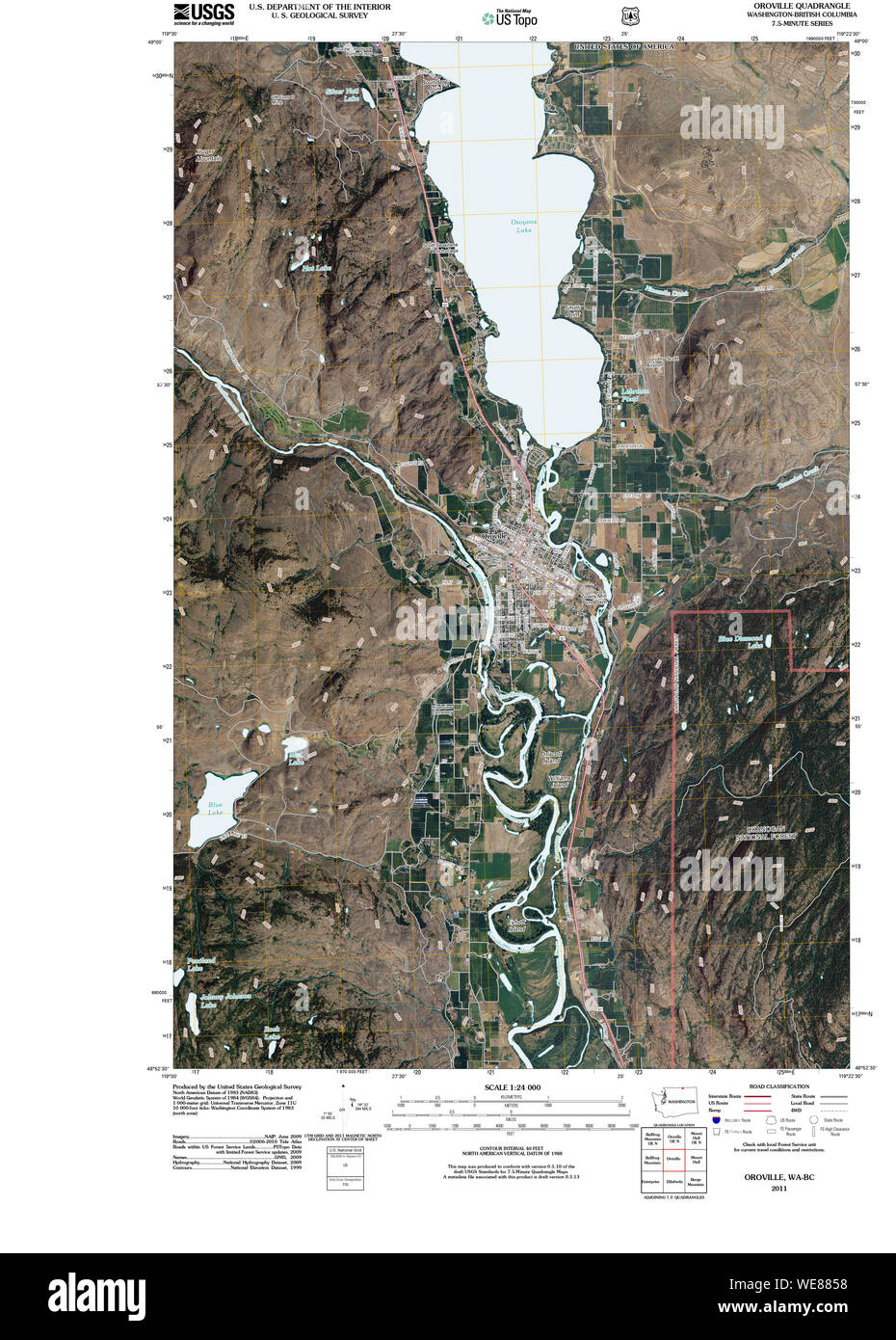 USGS Topo Map Washington State WA Oroville 20110429 TM Restoration Stock Photohttps://www.alamy.com/image-license-details/?v=1https://www.alamy.com/usgs-topo-map-washington-state-wa-oroville-20110429-tm-restoration-image266942740.html
RMWE8858–USGS Topo Map Washington State WA Oroville 20110429 TM Restoration
 Oroville, Okanogan County, US, United States, Washington, N 48 56' 20'', S 119 26' 8'', map, Cartascapes Map published in 2024. Explore Cartascapes, a map revealing Earth's diverse landscapes, cultures, and ecosystems. Journey through time and space, discovering the interconnectedness of our planet's past, present, and future. Stock Photohttps://www.alamy.com/image-license-details/?v=1https://www.alamy.com/oroville-okanogan-county-us-united-states-washington-n-48-56-20-s-119-26-8-map-cartascapes-map-published-in-2024-explore-cartascapes-a-map-revealing-earths-diverse-landscapes-cultures-and-ecosystems-journey-through-time-and-space-discovering-the-interconnectedness-of-our-planets-past-present-and-future-image620863557.html
RM2Y22NPD–Oroville, Okanogan County, US, United States, Washington, N 48 56' 20'', S 119 26' 8'', map, Cartascapes Map published in 2024. Explore Cartascapes, a map revealing Earth's diverse landscapes, cultures, and ecosystems. Journey through time and space, discovering the interconnectedness of our planet's past, present, and future.
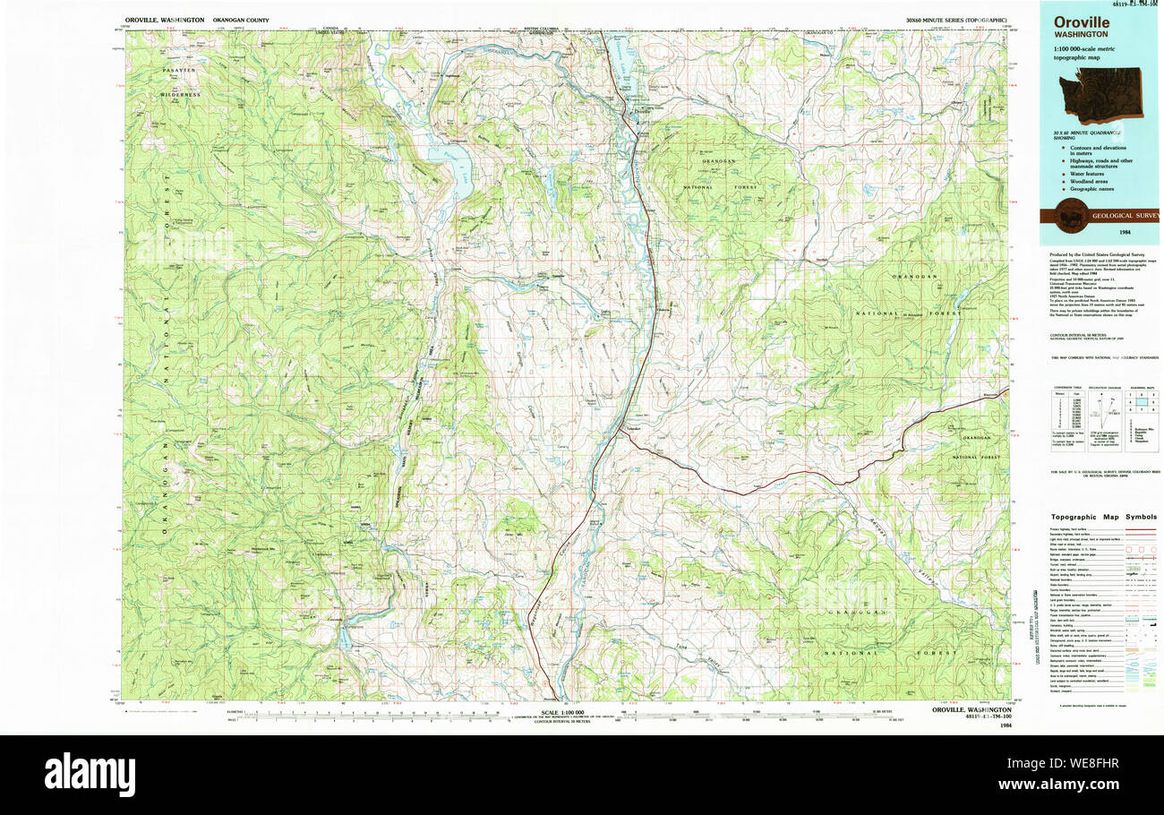 USGS Topo Map Washington State WA Oroville 243002 1984 100000 Restoration Stock Photohttps://www.alamy.com/image-license-details/?v=1https://www.alamy.com/usgs-topo-map-washington-state-wa-oroville-243002-1984-100000-restoration-image266948579.html
RMWE8FHR–USGS Topo Map Washington State WA Oroville 243002 1984 100000 Restoration
 PLAN AND SECTION DRAWINGS OF SPILLWAY, HEADGATES AND MACHINERY, PENSTOCKS, SURGE TANKS, AND POWERHOUSE General plan and sections, Drawing F1709. Prepared by the Washington Water Power Company, April 23, 1924. - Enloe Dam, On Similkameen River, Oroville, Okanogan County, WA; Uhden, C E; Broderick, D J Stock Photohttps://www.alamy.com/image-license-details/?v=1https://www.alamy.com/plan-and-section-drawings-of-spillway-headgates-and-machinery-penstocks-surge-tanks-and-powerhouse-general-plan-and-sections-drawing-f1709-prepared-by-the-washington-water-power-company-april-23-1924-enloe-dam-on-similkameen-river-oroville-okanogan-county-wa-uhden-c-e-broderick-d-j-image249396336.html
RMTDMYG0–PLAN AND SECTION DRAWINGS OF SPILLWAY, HEADGATES AND MACHINERY, PENSTOCKS, SURGE TANKS, AND POWERHOUSE General plan and sections, Drawing F1709. Prepared by the Washington Water Power Company, April 23, 1924. - Enloe Dam, On Similkameen River, Oroville, Okanogan County, WA; Uhden, C E; Broderick, D J
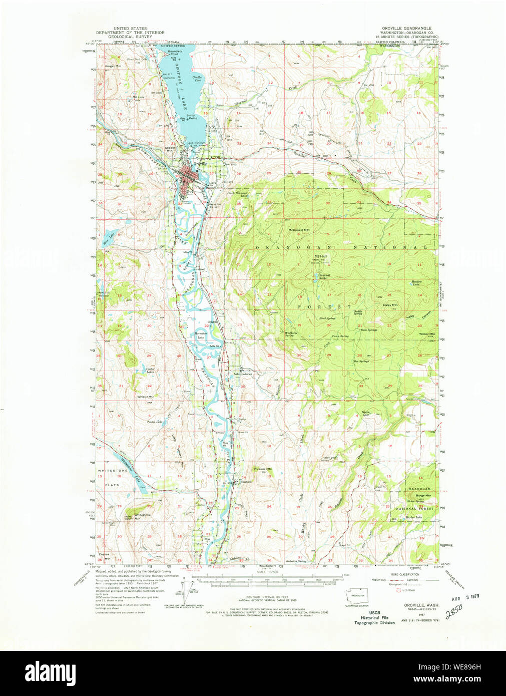 USGS Topo Map Washington State WA Oroville 242997 1957 62500 Restoration Stock Photohttps://www.alamy.com/image-license-details/?v=1https://www.alamy.com/usgs-topo-map-washington-state-wa-oroville-242997-1957-62500-restoration-image266943561.html
RMWE896H–USGS Topo Map Washington State WA Oroville 242997 1957 62500 Restoration
 . Better fruit. Fruit-culture. Photo by Frank Palmer, Spokane Engraving by American Engraving Company, Spokane OROVILLE, WASHINGTON, DISTRICT DISPLAY, NATIONAL APPLE SHOW, SPOKANE, WASHINGTON, NOVEMBER 14-19, 1910. Photo by Frank Palmer, Spokane Lngraving by American Engraving Company, Spokane NATIONAL APPLE SHOW SPECIAL LEAVING SPOKANE, WASHINGTON, FOR CHICAGO, ILLINOIS, MONDAY, NOVEMBER 21, 1910, SECOND SECTION FOLLOWING LATER WITH EXHIBITORS. THE LAST CAR BEING USED FOR THE OFFICIALS OF THE APPLE SHOW. Please note that these images are extracted from scanned page images that may have been d Stock Photohttps://www.alamy.com/image-license-details/?v=1https://www.alamy.com/better-fruit-fruit-culture-photo-by-frank-palmer-spokane-engraving-by-american-engraving-company-spokane-oroville-washington-district-display-national-apple-show-spokane-washington-november-14-19-1910-photo-by-frank-palmer-spokane-lngraving-by-american-engraving-company-spokane-national-apple-show-special-leaving-spokane-washington-for-chicago-illinois-monday-november-21-1910-second-section-following-later-with-exhibitors-the-last-car-being-used-for-the-officials-of-the-apple-show-please-note-that-these-images-are-extracted-from-scanned-page-images-that-may-have-been-d-image234725850.html
RMRHTK62–. Better fruit. Fruit-culture. Photo by Frank Palmer, Spokane Engraving by American Engraving Company, Spokane OROVILLE, WASHINGTON, DISTRICT DISPLAY, NATIONAL APPLE SHOW, SPOKANE, WASHINGTON, NOVEMBER 14-19, 1910. Photo by Frank Palmer, Spokane Lngraving by American Engraving Company, Spokane NATIONAL APPLE SHOW SPECIAL LEAVING SPOKANE, WASHINGTON, FOR CHICAGO, ILLINOIS, MONDAY, NOVEMBER 21, 1910, SECOND SECTION FOLLOWING LATER WITH EXHIBITORS. THE LAST CAR BEING USED FOR THE OFFICIALS OF THE APPLE SHOW. Please note that these images are extracted from scanned page images that may have been d
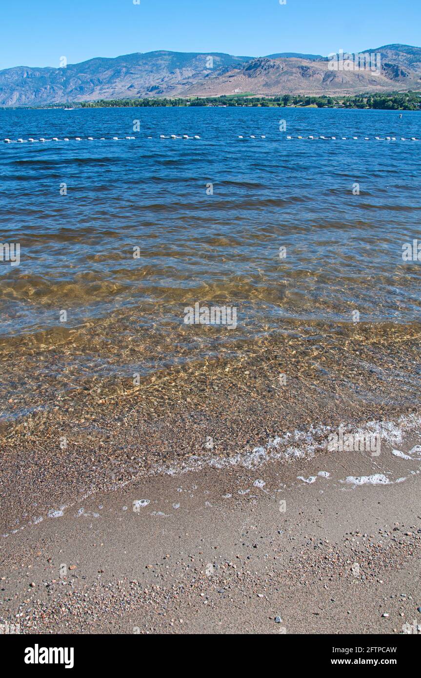 Lake Osoyoos state park in Oroville Washington landscape. Gentle waves are lapping at the shore on the beach in this stunning nature image. Stock Photohttps://www.alamy.com/image-license-details/?v=1https://www.alamy.com/lake-osoyoos-state-park-in-oroville-washington-landscape-gentle-waves-are-lapping-at-the-shore-on-the-beach-in-this-stunning-nature-image-image428293233.html
RF2FTPCAW–Lake Osoyoos state park in Oroville Washington landscape. Gentle waves are lapping at the shore on the beach in this stunning nature image.
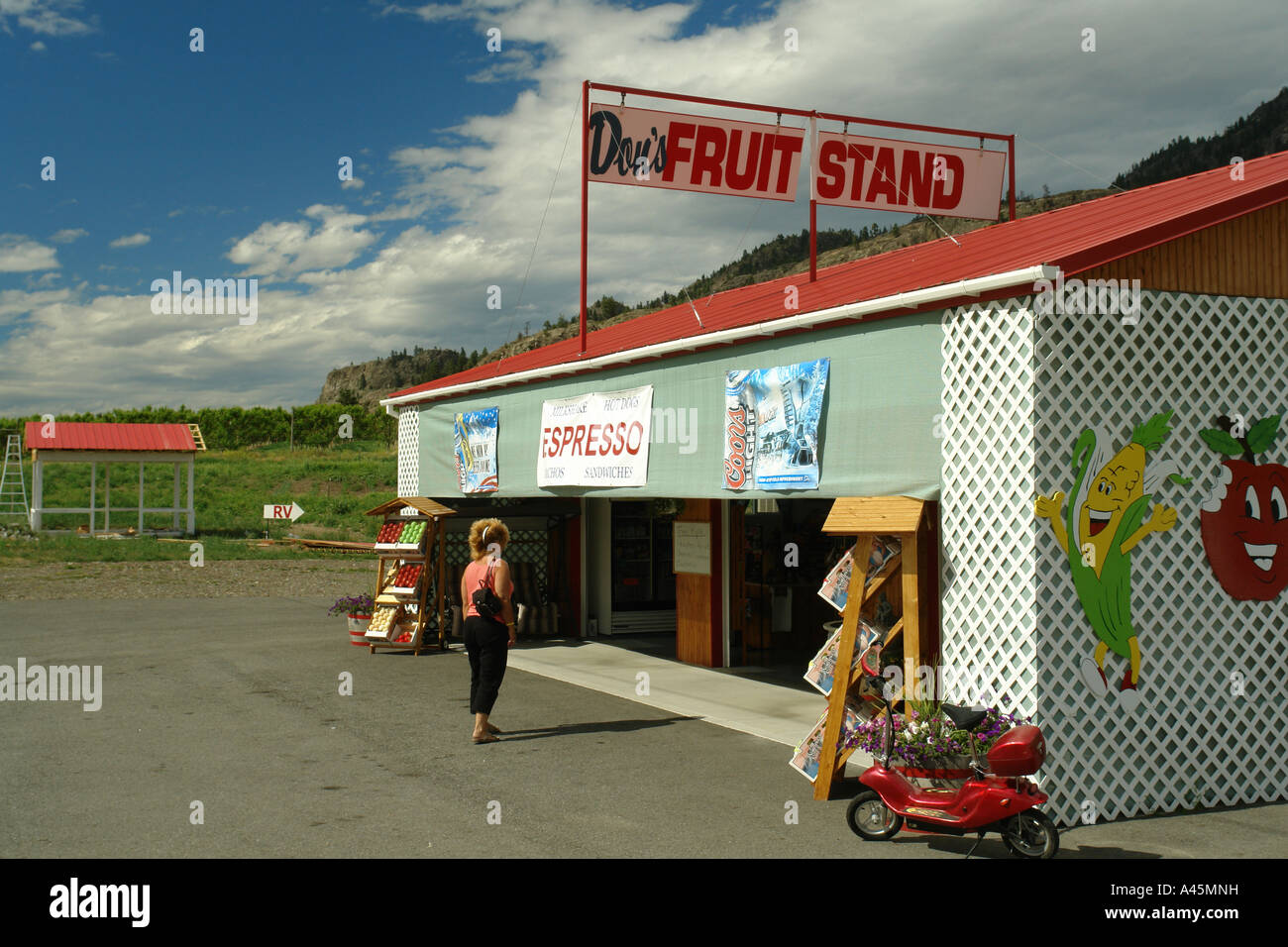 AJD55818, Oroville, WA, Washington, Okanogan Valley, Roadside Fruit Stand Stock Photohttps://www.alamy.com/image-license-details/?v=1https://www.alamy.com/stock-photo-ajd55818-oroville-wa-washington-okanogan-valley-roadside-fruit-stand-10942204.html
RMA45MNH–AJD55818, Oroville, WA, Washington, Okanogan Valley, Roadside Fruit Stand
 Osoyoos Lake Morning and Moon vertical. A quiet morning on Osoyoos Lake, British Columbia, Canada. Stock Photohttps://www.alamy.com/image-license-details/?v=1https://www.alamy.com/osoyoos-lake-morning-and-moon-vertical-a-quiet-morning-on-osoyoos-lake-british-columbia-canada-image260347861.html
RFW3FT9W–Osoyoos Lake Morning and Moon vertical. A quiet morning on Osoyoos Lake, British Columbia, Canada.
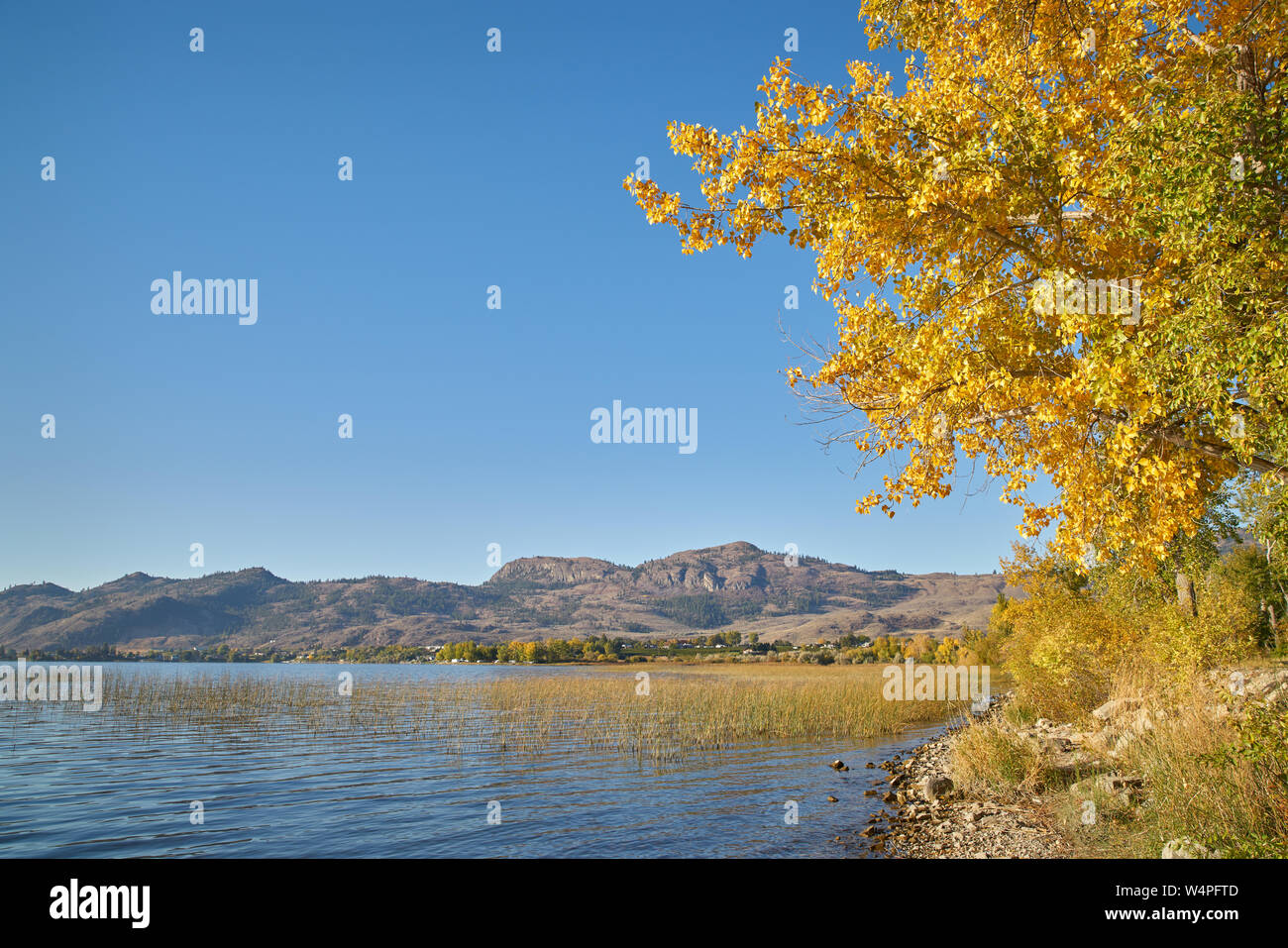 Osoyoos Lake Autumn Sunshine. A quiet morning on Osoyoos Lake, British Columbia, Canada. Stock Photohttps://www.alamy.com/image-license-details/?v=1https://www.alamy.com/osoyoos-lake-autumn-sunshine-a-quiet-morning-on-osoyoos-lake-british-columbia-canada-image261109533.html
RFW4PFTD–Osoyoos Lake Autumn Sunshine. A quiet morning on Osoyoos Lake, British Columbia, Canada.
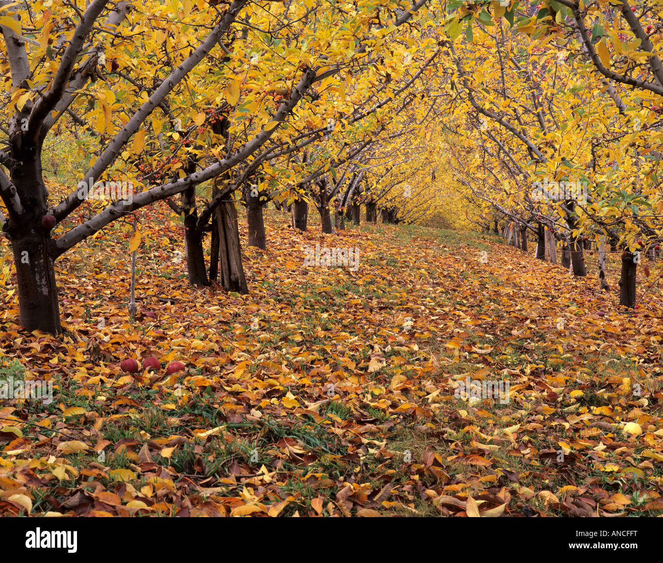 WA, Oroville, Apple Orchard in autumn Stock Photohttps://www.alamy.com/image-license-details/?v=1https://www.alamy.com/stock-photo-wa-oroville-apple-orchard-in-autumn-15484523.html
RFANCFFT–WA, Oroville, Apple Orchard in autumn
 111020-N-IS680-004 GULF OF THAILAND (Oct. 20, 2011) Airman Andrew Grooters from Grand Rapids, Mich., stands by as Gunner's Mate Seaman Apprentice Anthony Byers from Oroville, Calif., fires a shot line from the aircraft carrier USS George Washington (CVN 73) to the Military Sealift Command fleet replenishment oiler USNS Walter S. Diehl (T-AO 193) during a replenishment at sea. George Washington is conducting a patrol in the western Pacific region. (U.S. Navy photo by Mass Communication Specialist Seaman Alysia Hernandez/Released) US Navy 111020-N-IS680-004 irman Andrew Grooters from Grand Rap Stock Photohttps://www.alamy.com/image-license-details/?v=1https://www.alamy.com/stock-photo-111020-n-is680-004-gulf-of-thailand-oct-20-2011-airman-andrew-grooters-130313006.html
RMHG07FX–111020-N-IS680-004 GULF OF THAILAND (Oct. 20, 2011) Airman Andrew Grooters from Grand Rapids, Mich., stands by as Gunner's Mate Seaman Apprentice Anthony Byers from Oroville, Calif., fires a shot line from the aircraft carrier USS George Washington (CVN 73) to the Military Sealift Command fleet replenishment oiler USNS Walter S. Diehl (T-AO 193) during a replenishment at sea. George Washington is conducting a patrol in the western Pacific region. (U.S. Navy photo by Mass Communication Specialist Seaman Alysia Hernandez/Released) US Navy 111020-N-IS680-004 irman Andrew Grooters from Grand Rap
 Oroville, Okanogan County, US, United States, Washington, N 48 56' 20'', S 119 26' 8'', map, Cartascapes Map published in 2024. Explore Cartascapes, a map revealing Earth's diverse landscapes, cultures, and ecosystems. Journey through time and space, discovering the interconnectedness of our planet's past, present, and future. Stock Photohttps://www.alamy.com/image-license-details/?v=1https://www.alamy.com/oroville-okanogan-county-us-united-states-washington-n-48-56-20-s-119-26-8-map-cartascapes-map-published-in-2024-explore-cartascapes-a-map-revealing-earths-diverse-landscapes-cultures-and-ecosystems-journey-through-time-and-space-discovering-the-interconnectedness-of-our-planets-past-present-and-future-image620819722.html
RM2Y20NTX–Oroville, Okanogan County, US, United States, Washington, N 48 56' 20'', S 119 26' 8'', map, Cartascapes Map published in 2024. Explore Cartascapes, a map revealing Earth's diverse landscapes, cultures, and ecosystems. Journey through time and space, discovering the interconnectedness of our planet's past, present, and future.
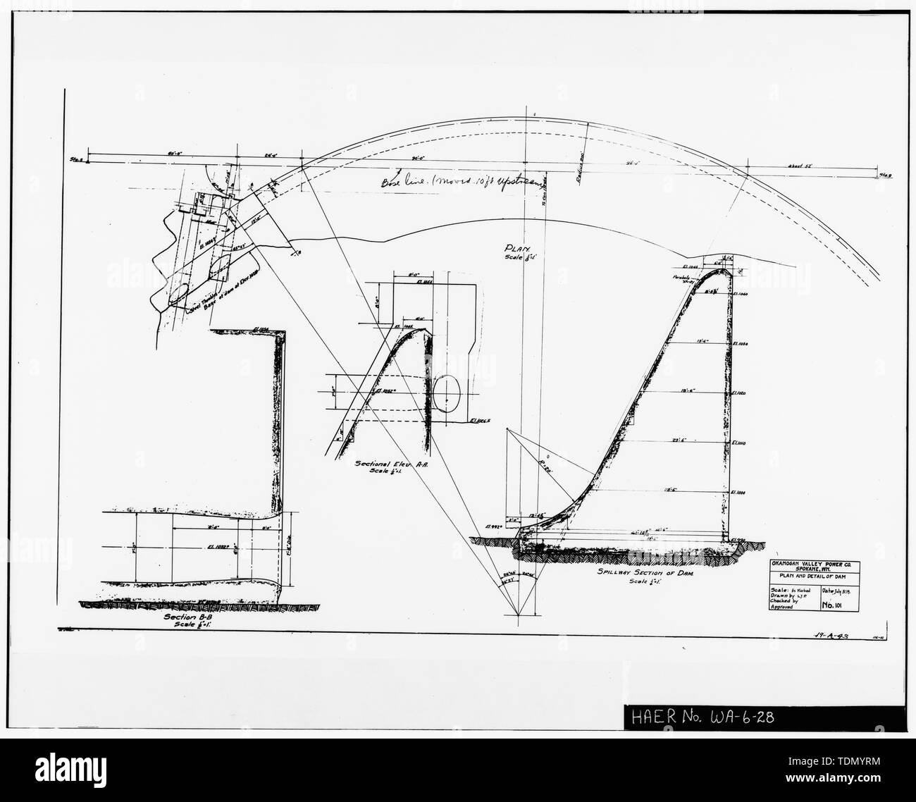 PLAN OF SPILLWAY AND LEFT (EAST) ABUTMENT, AND SECTION DRAWING OF DAM Plan and detail of dam, Drawing No. 101. Prepared by the Okanogan Valley Power Company, Spokane, Washington, July 31, 1919. - Enloe Dam, On Similkameen River, Oroville, Okanogan County, WA; Uhden, C E; Broderick, D J Stock Photohttps://www.alamy.com/image-license-details/?v=1https://www.alamy.com/plan-of-spillway-and-left-east-abutment-and-section-drawing-of-dam-plan-and-detail-of-dam-drawing-no-101-prepared-by-the-okanogan-valley-power-company-spokane-washington-july-31-1919-enloe-dam-on-similkameen-river-oroville-okanogan-county-wa-uhden-c-e-broderick-d-j-image249396552.html
RMTDMYRM–PLAN OF SPILLWAY AND LEFT (EAST) ABUTMENT, AND SECTION DRAWING OF DAM Plan and detail of dam, Drawing No. 101. Prepared by the Okanogan Valley Power Company, Spokane, Washington, July 31, 1919. - Enloe Dam, On Similkameen River, Oroville, Okanogan County, WA; Uhden, C E; Broderick, D J
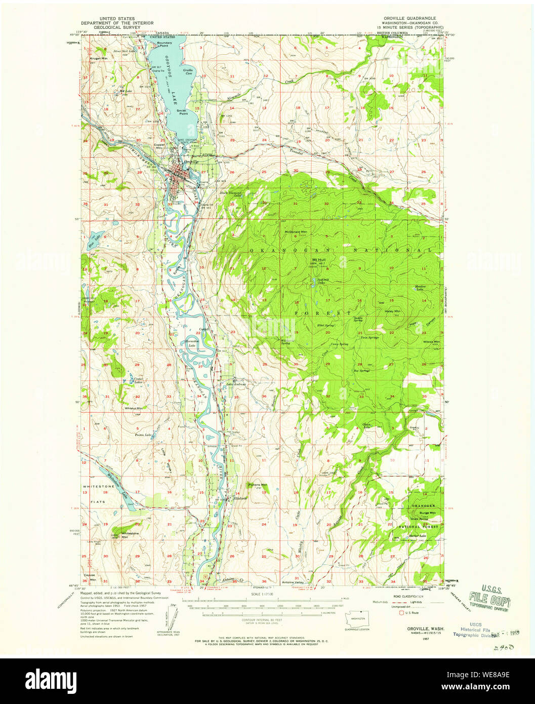 USGS Topo Map Washington State WA Oroville 242999 1957 62500 Restoration Stock Photohttps://www.alamy.com/image-license-details/?v=1https://www.alamy.com/usgs-topo-map-washington-state-wa-oroville-242999-1957-62500-restoration-image266944426.html
RMWE8A9E–USGS Topo Map Washington State WA Oroville 242999 1957 62500 Restoration
 . Better fruit. Fruit-culture. Page 24 BETTER FRUIT January Power Cily And Railro,,« Centre.Where The Big Red Apple Grows. N 0 Longer An Expf^ent. Photo by Frank Palmer, Spokane Engraving by American Engraving Company, Spokane OROVILLE, WASHINGTON, DISTRICT DISPLAY, NATIONAL APPLE SHOW, SPOKANE, WASHINGTON, NOVEMBER 14-19, 1910. Please note that these images are extracted from scanned page images that may have been digitally enhanced for readability - coloration and appearance of these illustrations may not perfectly resemble the original work.. Hood River, Or. , Better fruit publishing compan Stock Photohttps://www.alamy.com/image-license-details/?v=1https://www.alamy.com/better-fruit-fruit-culture-page-24-better-fruit-january-power-cily-and-railro-centrewhere-the-big-red-apple-grows-n-0-longer-an-expfent-photo-by-frank-palmer-spokane-engraving-by-american-engraving-company-spokane-oroville-washington-district-display-national-apple-show-spokane-washington-november-14-19-1910-please-note-that-these-images-are-extracted-from-scanned-page-images-that-may-have-been-digitally-enhanced-for-readability-coloration-and-appearance-of-these-illustrations-may-not-perfectly-resemble-the-original-work-hood-river-or-better-fruit-publishing-compan-image234725861.html
RMRHTK6D–. Better fruit. Fruit-culture. Page 24 BETTER FRUIT January Power Cily And Railro,,« Centre.Where The Big Red Apple Grows. N 0 Longer An Expf^ent. Photo by Frank Palmer, Spokane Engraving by American Engraving Company, Spokane OROVILLE, WASHINGTON, DISTRICT DISPLAY, NATIONAL APPLE SHOW, SPOKANE, WASHINGTON, NOVEMBER 14-19, 1910. Please note that these images are extracted from scanned page images that may have been digitally enhanced for readability - coloration and appearance of these illustrations may not perfectly resemble the original work.. Hood River, Or. , Better fruit publishing compan
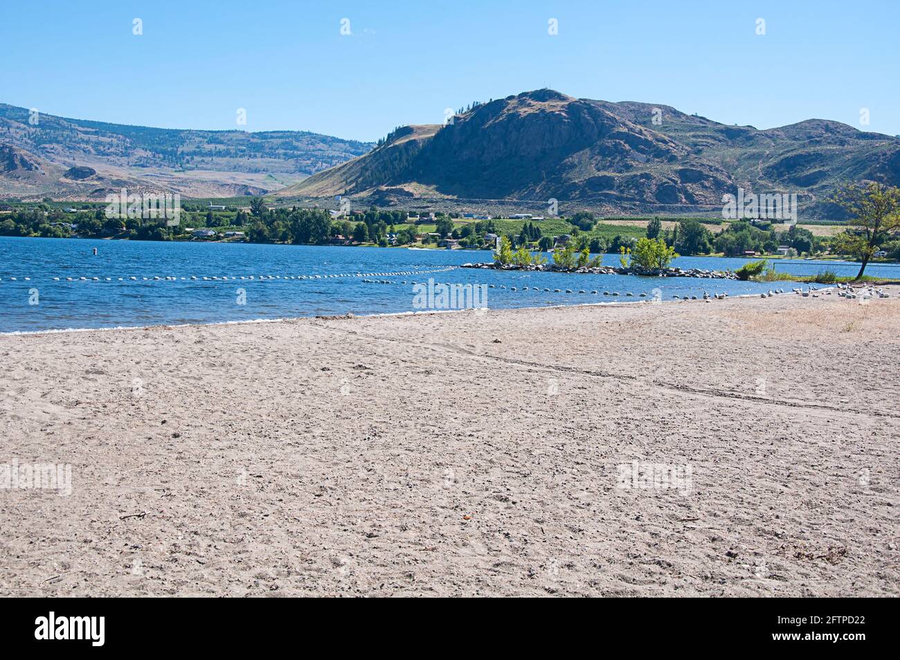 Lake Osoyoos state park Washington state is found in Oroville and here is also the mouth of the Okanogan River. Stunning nature landscape. Stock Photohttps://www.alamy.com/image-license-details/?v=1https://www.alamy.com/lake-osoyoos-state-park-washington-state-is-found-in-oroville-and-here-is-also-the-mouth-of-the-okanogan-river-stunning-nature-landscape-image428293770.html
RF2FTPD22–Lake Osoyoos state park Washington state is found in Oroville and here is also the mouth of the Okanogan River. Stunning nature landscape.
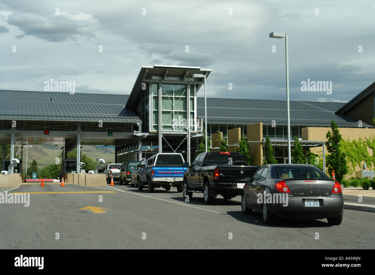 AJD55815, Oroville, WA, Washington, British Columbia, Canada, border, US Customs Stock Photohttps://www.alamy.com/image-license-details/?v=1https://www.alamy.com/stock-photo-ajd55815-oroville-wa-washington-british-columbia-canada-border-us-10943852.html
RMA45WJN–AJD55815, Oroville, WA, Washington, British Columbia, Canada, border, US Customs
 Osoyoos Lake Shore Fall Colors. A quiet morning on Osoyoos Lake, British Columbia, Canada. Stock Photohttps://www.alamy.com/image-license-details/?v=1https://www.alamy.com/osoyoos-lake-shore-fall-colors-a-quiet-morning-on-osoyoos-lake-british-columbia-canada-image261107248.html
RFW4PCXT–Osoyoos Lake Shore Fall Colors. A quiet morning on Osoyoos Lake, British Columbia, Canada.
 City of Oroville, Okanogan County, US, United States, Washington, N 48 56' 12'', S 119 26' 2'', map, Cartascapes Map published in 2024. Explore Cartascapes, a map revealing Earth's diverse landscapes, cultures, and ecosystems. Journey through time and space, discovering the interconnectedness of our planet's past, present, and future. Stock Photohttps://www.alamy.com/image-license-details/?v=1https://www.alamy.com/city-of-oroville-okanogan-county-us-united-states-washington-n-48-56-12-s-119-26-2-map-cartascapes-map-published-in-2024-explore-cartascapes-a-map-revealing-earths-diverse-landscapes-cultures-and-ecosystems-journey-through-time-and-space-discovering-the-interconnectedness-of-our-planets-past-present-and-future-image633904093.html
RM2YR8R3W–City of Oroville, Okanogan County, US, United States, Washington, N 48 56' 12'', S 119 26' 2'', map, Cartascapes Map published in 2024. Explore Cartascapes, a map revealing Earth's diverse landscapes, cultures, and ecosystems. Journey through time and space, discovering the interconnectedness of our planet's past, present, and future.
 PLAN AND SECTION DRAWINGS OF ELECTRICAL SWITCH GEAR, BUSES AND OTHER EQUIPMENT, AS INSTALLED IN POWERHOUSE Switchboard and Low Tension Bus Structure, drawing E1703. Drawn by L. M. Brown for the Washington Water Power Company, March 15, 1924. - Enloe Dam, Power House, On Similkameen River, Oroville, Okanogan County, WA Stock Photohttps://www.alamy.com/image-license-details/?v=1https://www.alamy.com/plan-and-section-drawings-of-electrical-switch-gear-buses-and-other-equipment-as-installed-in-powerhouse-switchboard-and-low-tension-bus-structure-drawing-e1703-drawn-by-l-m-brown-for-the-washington-water-power-company-march-15-1924-enloe-dam-power-house-on-similkameen-river-oroville-okanogan-county-wa-image249396331.html
RMTDMYFR–PLAN AND SECTION DRAWINGS OF ELECTRICAL SWITCH GEAR, BUSES AND OTHER EQUIPMENT, AS INSTALLED IN POWERHOUSE Switchboard and Low Tension Bus Structure, drawing E1703. Drawn by L. M. Brown for the Washington Water Power Company, March 15, 1924. - Enloe Dam, Power House, On Similkameen River, Oroville, Okanogan County, WA
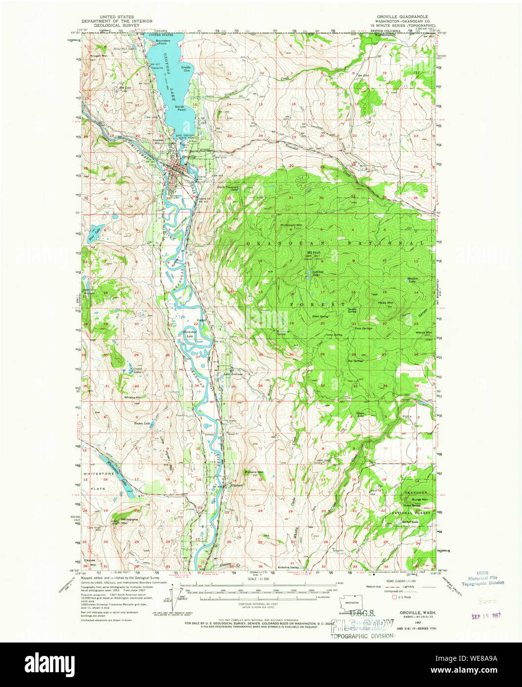 USGS Topo Map Washington State WA Oroville 242998 1957 62500 Restoration Stock Photohttps://www.alamy.com/image-license-details/?v=1https://www.alamy.com/usgs-topo-map-washington-state-wa-oroville-242998-1957-62500-restoration-image266944422.html
RMWE8A9A–USGS Topo Map Washington State WA Oroville 242998 1957 62500 Restoration
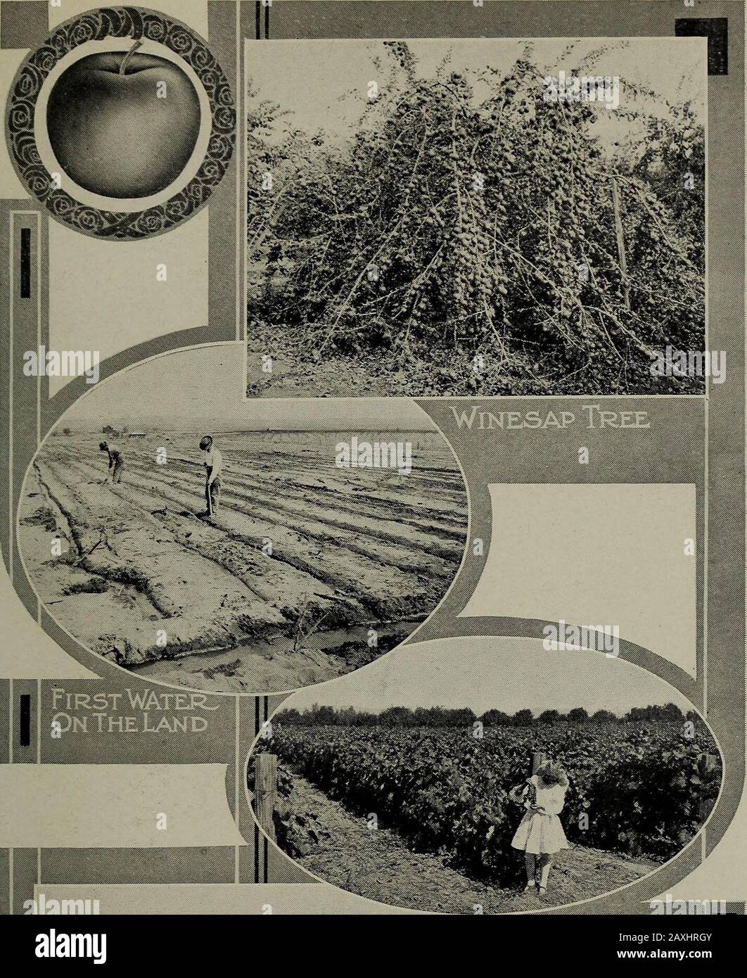 The Beauties of the state of Washington : a book for tourists . at one moment under the dominionof King George of England and the next back under the Starsand Stripes. Cultivated valleys, broad wheat fields, and pic- COLVILLE VALLEY, SIX MILES NORTHWEST OF COLVILLE. turesque canyons are invaded before arriving at the heights fromwhich Oroville appears far below—requiring an hour for thetrain to descend by a series of remarkable switchbacks. Most of the towns in the Okanogan Highlands are still intheir infancy, for its development has been so recent; but there-in lies much of its charm. In the Stock Photohttps://www.alamy.com/image-license-details/?v=1https://www.alamy.com/the-beauties-of-the-state-of-washington-a-book-for-tourists-at-one-moment-under-the-dominionof-king-george-of-england-and-the-next-back-under-the-starsand-stripes-cultivated-valleys-broad-wheat-fields-and-pic-colville-valley-six-miles-northwest-of-colville-turesque-canyons-are-invaded-before-arriving-at-the-heights-fromwhich-oroville-appears-far-belowrequiring-an-hour-for-thetrain-to-descend-by-a-series-of-remarkable-switchbacks-most-of-the-towns-in-the-okanogan-highlands-are-still-intheir-infancy-for-its-development-has-been-so-recent-but-there-in-lies-much-of-its-charm-in-the-image343369739.html
RM2AXHRGY–The Beauties of the state of Washington : a book for tourists . at one moment under the dominionof King George of England and the next back under the Starsand Stripes. Cultivated valleys, broad wheat fields, and pic- COLVILLE VALLEY, SIX MILES NORTHWEST OF COLVILLE. turesque canyons are invaded before arriving at the heights fromwhich Oroville appears far below—requiring an hour for thetrain to descend by a series of remarkable switchbacks. Most of the towns in the Okanogan Highlands are still intheir infancy, for its development has been so recent; but there-in lies much of its charm. In the
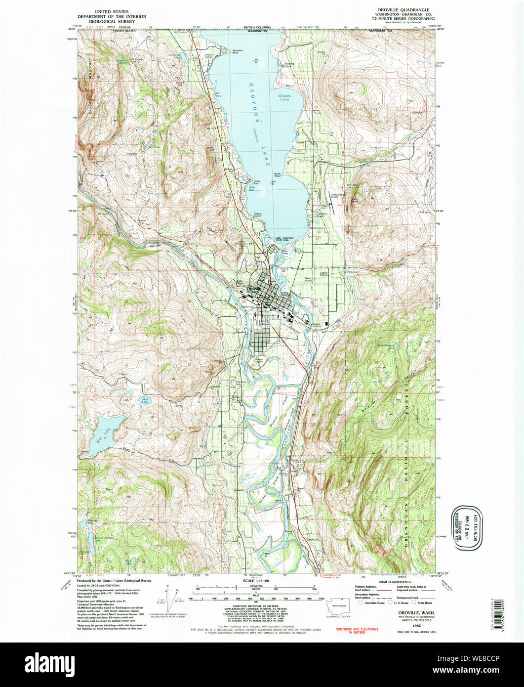 USGS Topo Map Washington State WA Oroville 243000 1982 24000 Restoration Stock Photohttps://www.alamy.com/image-license-details/?v=1https://www.alamy.com/usgs-topo-map-washington-state-wa-oroville-243000-1982-24000-restoration-image266946086.html
RMWE8CCP–USGS Topo Map Washington State WA Oroville 243000 1982 24000 Restoration
 Summer recreation on lake with water sport vehicles with white buoys in the foreground and beautiful mountains in the background. On Osoyoos Lake. Stock Photohttps://www.alamy.com/image-license-details/?v=1https://www.alamy.com/summer-recreation-on-lake-with-water-sport-vehicles-with-white-buoys-in-the-foreground-and-beautiful-mountains-in-the-background-on-osoyoos-lake-image431767434.html
RF2G2CKNE–Summer recreation on lake with water sport vehicles with white buoys in the foreground and beautiful mountains in the background. On Osoyoos Lake.
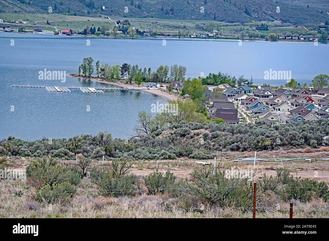 Landscape East Lake Osoyoos, Oroville Wa right on the Canadian border. The little cove community is known as Veranda Beach. Stock Photohttps://www.alamy.com/image-license-details/?v=1https://www.alamy.com/landscape-east-lake-osoyoos-oroville-wa-right-on-the-canadian-border-the-little-cove-community-is-known-as-veranda-beach-image341957397.html
RF2AT9E45–Landscape East Lake Osoyoos, Oroville Wa right on the Canadian border. The little cove community is known as Veranda Beach.
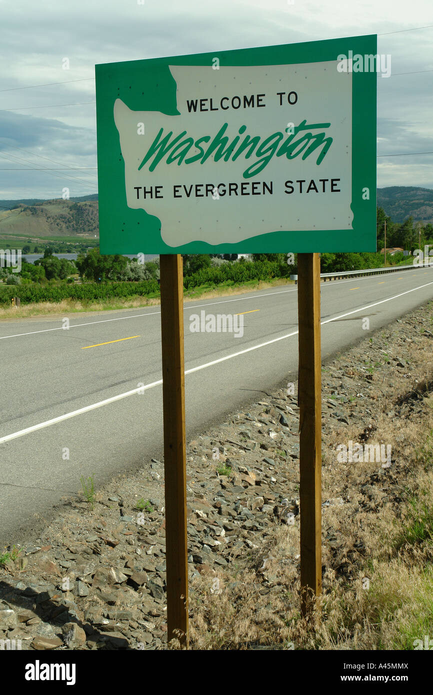 AJD55817, Oroville, WA, Washington, Welcome to Washington State The Evergreen State road sign Stock Photohttps://www.alamy.com/image-license-details/?v=1https://www.alamy.com/stock-photo-ajd55817-oroville-wa-washington-welcome-to-washington-state-the-evergreen-10942201.html
RMA45MMX–AJD55817, Oroville, WA, Washington, Welcome to Washington State The Evergreen State road sign
 This blooming apple tree is part of an apple orchard planted in the 1850's by pioneer and settler Okanogan Smith. Stock Photohttps://www.alamy.com/image-license-details/?v=1https://www.alamy.com/stock-photo-this-blooming-apple-tree-is-part-of-an-apple-orchard-planted-in-the-32321904.html
RMBTGAWM–This blooming apple tree is part of an apple orchard planted in the 1850's by pioneer and settler Okanogan Smith.
 Osoyoos BC Autumn Colors. A quiet morning on Osoyoos Lake, British Columbia, Canada. Stock Photohttps://www.alamy.com/image-license-details/?v=1https://www.alamy.com/osoyoos-bc-autumn-colors-a-quiet-morning-on-osoyoos-lake-british-columbia-canada-image261099657.html
RFW4P37N–Osoyoos BC Autumn Colors. A quiet morning on Osoyoos Lake, British Columbia, Canada.
 Lakeside Camping Osoyoos. Campers on a quiet point on Osoyoos Lake, British Columbia, Canada. Stock Photohttps://www.alamy.com/image-license-details/?v=1https://www.alamy.com/lakeside-camping-osoyoos-campers-on-a-quiet-point-on-osoyoos-lake-british-columbia-canada-image260346650.html
RFW3FPPJ–Lakeside Camping Osoyoos. Campers on a quiet point on Osoyoos Lake, British Columbia, Canada.
 Osoyoos Fall Color Reflections. A quiet morning on Osoyoos Lake, British Columbia, Canada. Stock Photohttps://www.alamy.com/image-license-details/?v=1https://www.alamy.com/osoyoos-fall-color-reflections-a-quiet-morning-on-osoyoos-lake-british-columbia-canada-image263019709.html
RFW7WG91–Osoyoos Fall Color Reflections. A quiet morning on Osoyoos Lake, British Columbia, Canada.
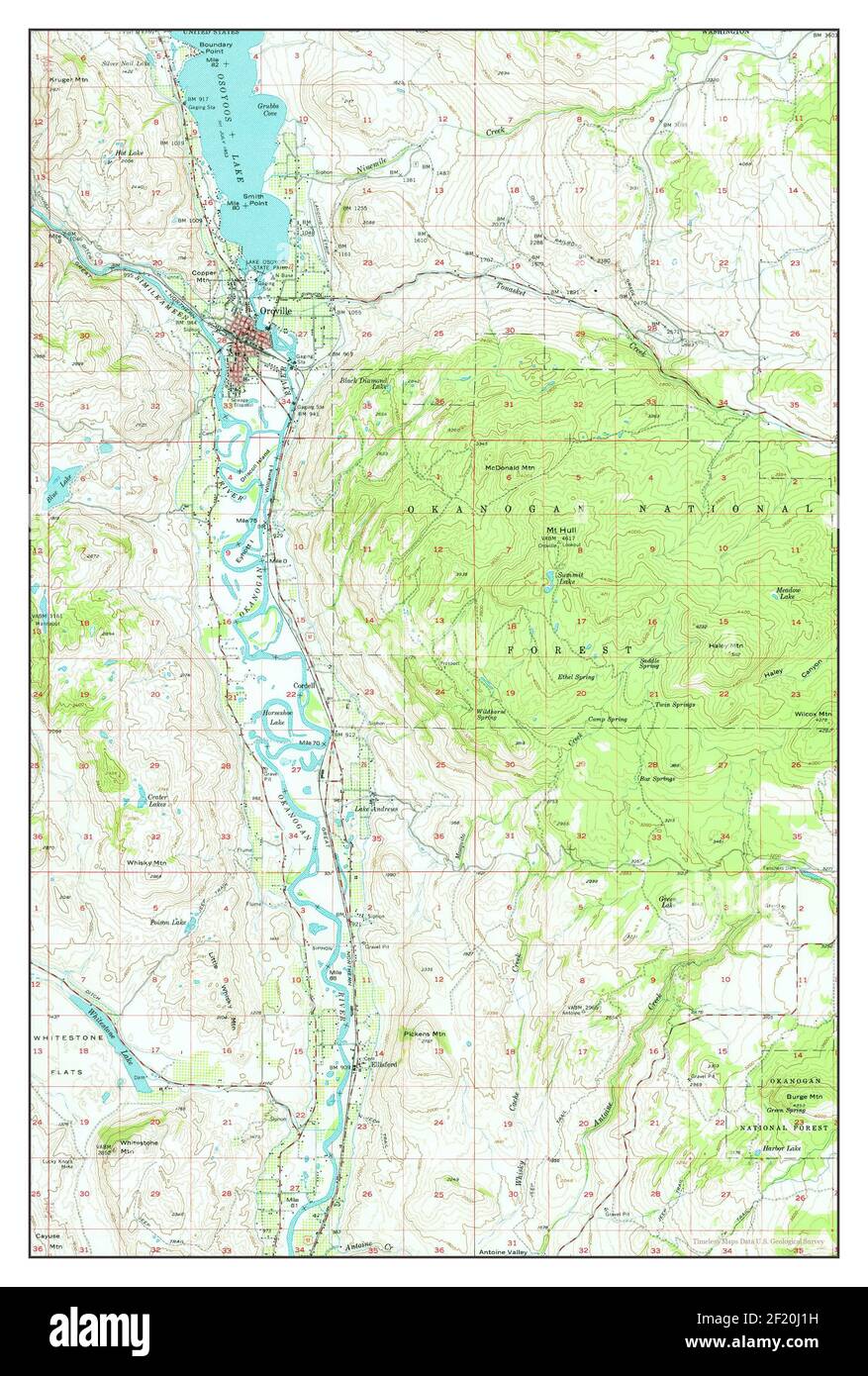 Oroville, Washington, map 1957, 1:62500, United States of America by Timeless Maps, data U.S. Geological Survey Stock Photohttps://www.alamy.com/image-license-details/?v=1https://www.alamy.com/oroville-washington-map-1957-162500-united-states-of-america-by-timeless-maps-data-us-geological-survey-image414292301.html
RM2F20J1H–Oroville, Washington, map 1957, 1:62500, United States of America by Timeless Maps, data U.S. Geological Survey
 The Beauties of the state of Washington : a book for tourists . ,0N LAKE Methow Valley. THE OKANOGAN AND METHOW VALLEYS. 72 The Beauties The valleys of the Pend Oreille, the Colville, the Kettle, andthe Okanogan rivers, are now served by rail; but the San Poiland the Methow are dependent on highway conveyances. Ofextreme interest is the ride from Spokane up the Colville andKettle River valleys to Oroville, with a short side trip to Re-public, the leading gold producing city in the state. The rail-road crosses the boundary line several times, enforcing theunique experience of being at one momen Stock Photohttps://www.alamy.com/image-license-details/?v=1https://www.alamy.com/the-beauties-of-the-state-of-washington-a-book-for-tourists-0n-lake-methow-valley-the-okanogan-and-methow-valleys-72-the-beauties-the-valleys-of-the-pend-oreille-the-colville-the-kettle-andthe-okanogan-rivers-are-now-served-by-rail-but-the-san-poiland-the-methow-are-dependent-on-highway-conveyances-ofextreme-interest-is-the-ride-from-spokane-up-the-colville-andkettle-river-valleys-to-oroville-with-a-short-side-trip-to-re-public-the-leading-gold-producing-city-in-the-state-the-rail-road-crosses-the-boundary-line-several-times-enforcing-theunique-experience-of-being-at-one-momen-image343370178.html
RM2AXHT4J–The Beauties of the state of Washington : a book for tourists . ,0N LAKE Methow Valley. THE OKANOGAN AND METHOW VALLEYS. 72 The Beauties The valleys of the Pend Oreille, the Colville, the Kettle, andthe Okanogan rivers, are now served by rail; but the San Poiland the Methow are dependent on highway conveyances. Ofextreme interest is the ride from Spokane up the Colville andKettle River valleys to Oroville, with a short side trip to Re-public, the leading gold producing city in the state. The rail-road crosses the boundary line several times, enforcing theunique experience of being at one momen
 USGS Topo Map Washington State WA Oroville 243003 2001 24000 Restoration Stock Photohttps://www.alamy.com/image-license-details/?v=1https://www.alamy.com/usgs-topo-map-washington-state-wa-oroville-243003-2001-24000-restoration-image266949395.html
RMWE8GJY–USGS Topo Map Washington State WA Oroville 243003 2001 24000 Restoration
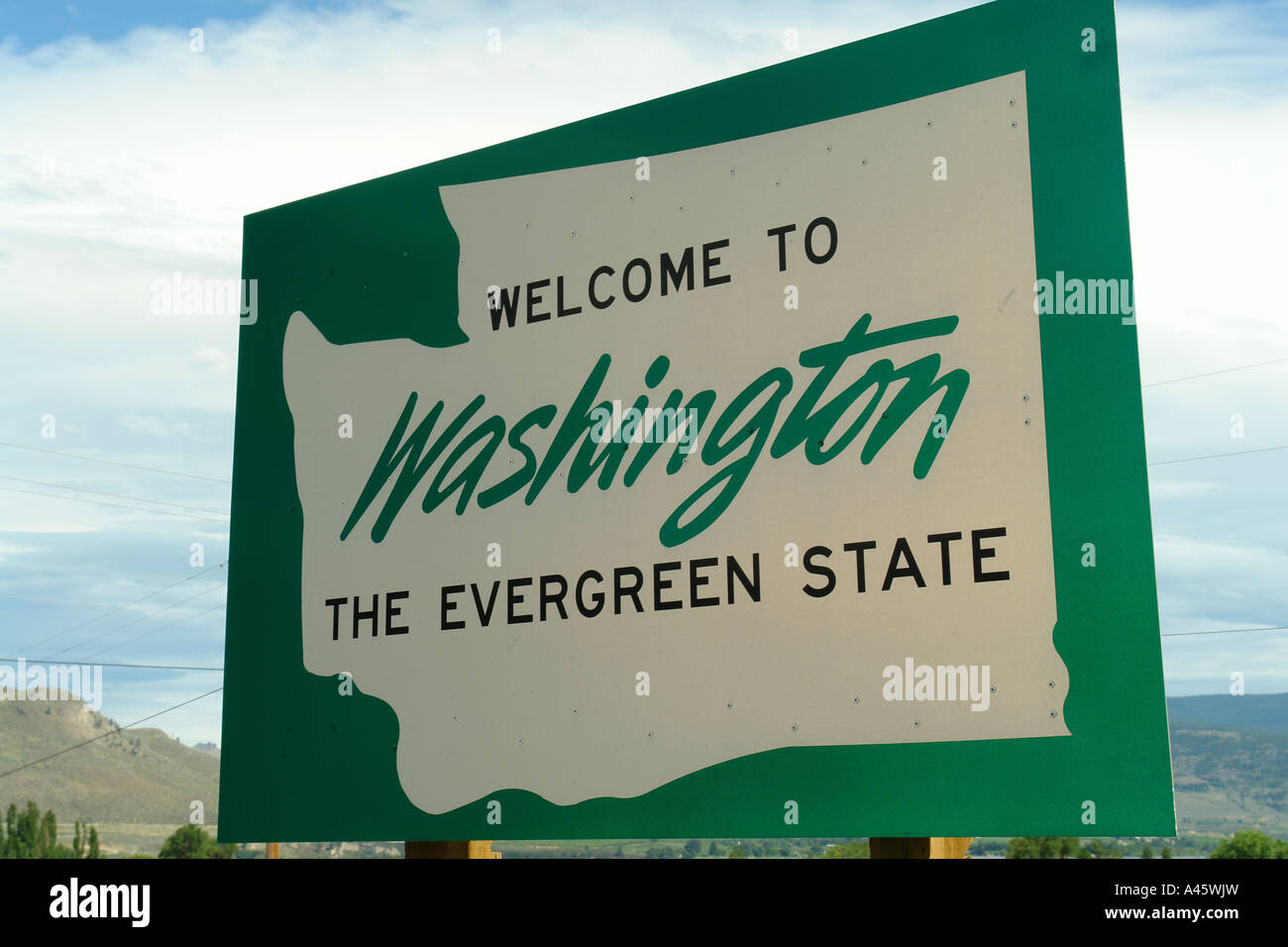 AJD55816, Oroville, WA, Washington, Welcome to Washington State The Evergreen State road sign Stock Photohttps://www.alamy.com/image-license-details/?v=1https://www.alamy.com/stock-photo-ajd55816-oroville-wa-washington-welcome-to-washington-state-the-evergreen-10943856.html
RMA45WJW–AJD55816, Oroville, WA, Washington, Welcome to Washington State The Evergreen State road sign
 Osoyoos Lake Morning Light BC. A quiet morning on Osoyoos Lake, British Columbia, Canada. Stock Photohttps://www.alamy.com/image-license-details/?v=1https://www.alamy.com/osoyoos-lake-morning-light-bc-a-quiet-morning-on-osoyoos-lake-british-columbia-canada-image262677171.html
RFW79YBF–Osoyoos Lake Morning Light BC. A quiet morning on Osoyoos Lake, British Columbia, Canada.
 Oroville, Washington, map 1957, 1:62500, United States of America by Timeless Maps, data U.S. Geological Survey Stock Photohttps://www.alamy.com/image-license-details/?v=1https://www.alamy.com/oroville-washington-map-1957-162500-united-states-of-america-by-timeless-maps-data-us-geological-survey-image414292436.html
RM2F20J6C–Oroville, Washington, map 1957, 1:62500, United States of America by Timeless Maps, data U.S. Geological Survey
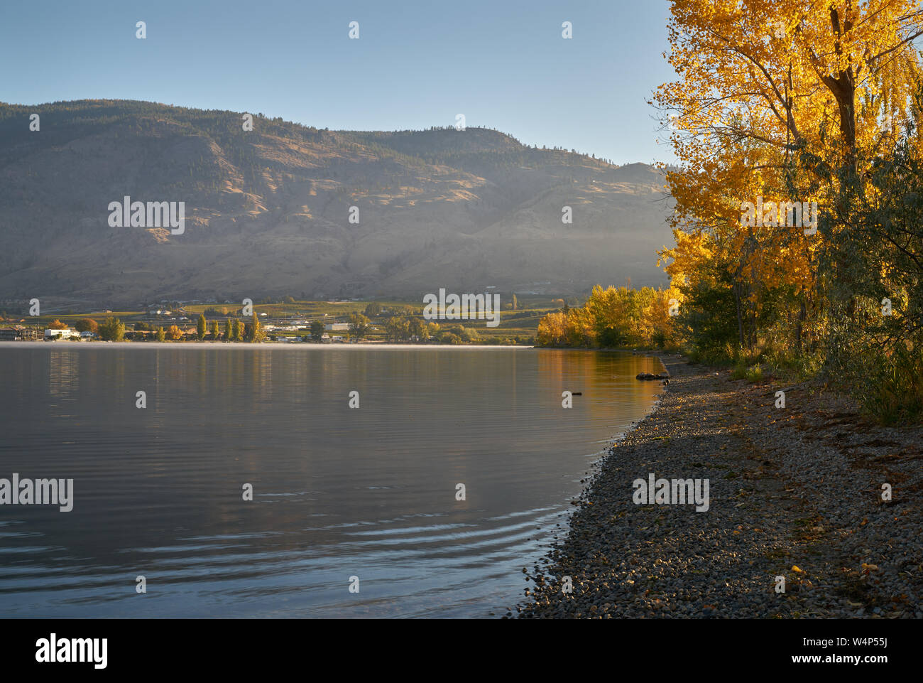 Osoyoos BC Fall Colors. A quiet morning on Osoyoos Lake, British Columbia, Canada. Stock Photohttps://www.alamy.com/image-license-details/?v=1https://www.alamy.com/osoyoos-bc-fall-colors-a-quiet-morning-on-osoyoos-lake-british-columbia-canada-image261101166.html
RFW4P55J–Osoyoos BC Fall Colors. A quiet morning on Osoyoos Lake, British Columbia, Canada.
 The Beauties of the state of Washington : a book for tourists . byRed Apple route and auto stage and boat; Lyman Glacier, 20miles from Lake Chelan—a star trip. Glaciers at head of Entiat river, 38 miles. Horseshoe Basin. Myrtle Lake; Dumpke Lake; Emerald Park, a beautiful naturalpark, between Lake Chelan and Entiat Valley, reached byGovernment trail; good hotels. Waterville by stage along the Columbia, orchards, wheat fields. Okanogan Valley to Oroville by auto stage or train, boat part way ifpreferred. A week or more could be spent to advantage. His-torical sights are numerous. Near Omak is S Stock Photohttps://www.alamy.com/image-license-details/?v=1https://www.alamy.com/the-beauties-of-the-state-of-washington-a-book-for-tourists-byred-apple-route-and-auto-stage-and-boat-lyman-glacier-20miles-from-lake-chelana-star-trip-glaciers-at-head-of-entiat-river-38-miles-horseshoe-basin-myrtle-lake-dumpke-lake-emerald-park-a-beautiful-naturalpark-between-lake-chelan-and-entiat-valley-reached-bygovernment-trail-good-hotels-waterville-by-stage-along-the-columbia-orchards-wheat-fields-okanogan-valley-to-oroville-by-auto-stage-or-train-boat-part-way-ifpreferred-a-week-or-more-could-be-spent-to-advantage-his-torical-sights-are-numerous-near-omak-is-s-image343358441.html
RM2AXH95D–The Beauties of the state of Washington : a book for tourists . byRed Apple route and auto stage and boat; Lyman Glacier, 20miles from Lake Chelan—a star trip. Glaciers at head of Entiat river, 38 miles. Horseshoe Basin. Myrtle Lake; Dumpke Lake; Emerald Park, a beautiful naturalpark, between Lake Chelan and Entiat Valley, reached byGovernment trail; good hotels. Waterville by stage along the Columbia, orchards, wheat fields. Okanogan Valley to Oroville by auto stage or train, boat part way ifpreferred. A week or more could be spent to advantage. His-torical sights are numerous. Near Omak is S
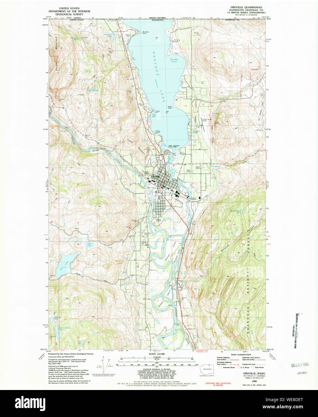 USGS Topo Map Washington State WA Oroville 243001 1982 24000 Restoration Stock Photohttps://www.alamy.com/image-license-details/?v=1https://www.alamy.com/usgs-topo-map-washington-state-wa-oroville-243001-1982-24000-restoration-image266946928.html
RMWE8DET–USGS Topo Map Washington State WA Oroville 243001 1982 24000 Restoration
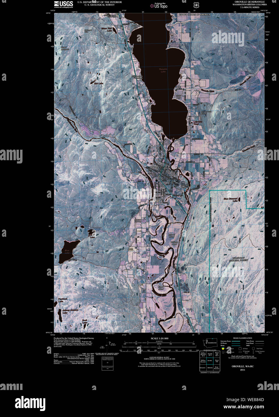 USGS Topo Map Washington State WA Oroville 20110429 TM Inverted Restoration Stock Photohttps://www.alamy.com/image-license-details/?v=1https://www.alamy.com/usgs-topo-map-washington-state-wa-oroville-20110429-tm-inverted-restoration-image266942717.html
RMWE884D–USGS Topo Map Washington State WA Oroville 20110429 TM Inverted Restoration
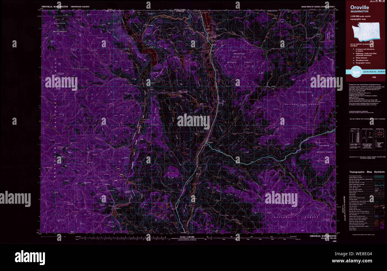 USGS Topo Map Washington State WA Oroville 243002 1984 100000 Inverted Restoration Stock Photohttps://www.alamy.com/image-license-details/?v=1https://www.alamy.com/usgs-topo-map-washington-state-wa-oroville-243002-1984-100000-inverted-restoration-image266947748.html
RMWE8EG4–USGS Topo Map Washington State WA Oroville 243002 1984 100000 Inverted Restoration
 USGS Topo Map Washington State WA Oroville 242999 1957 62500 Inverted Restoration Stock Photohttps://www.alamy.com/image-license-details/?v=1https://www.alamy.com/usgs-topo-map-washington-state-wa-oroville-242999-1957-62500-inverted-restoration-image266944427.html
RMWE8A9F–USGS Topo Map Washington State WA Oroville 242999 1957 62500 Inverted Restoration
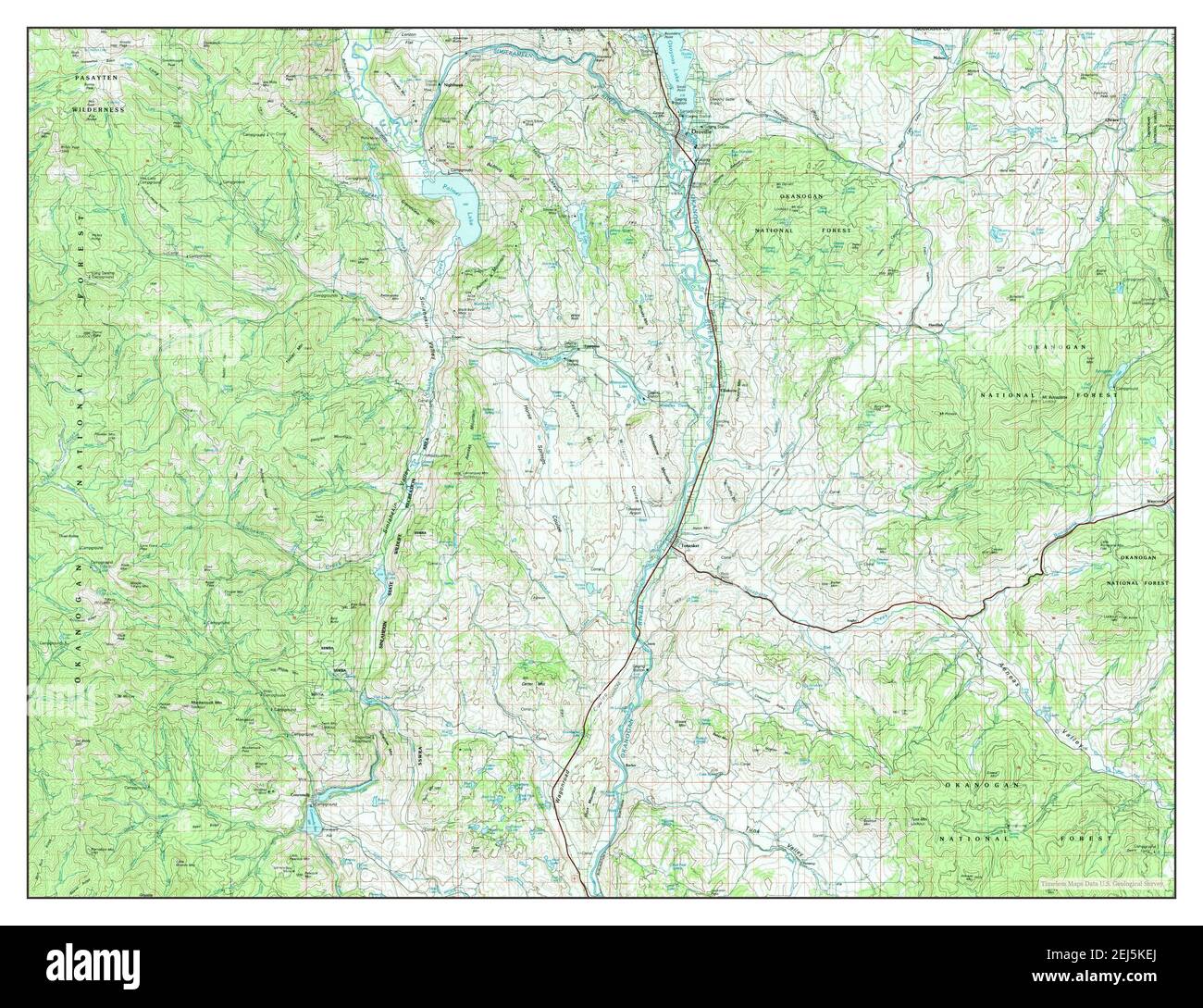 Oroville, Washington, map 1984, 1:100000, United States of America by Timeless Maps, data U.S. Geological Survey Stock Photohttps://www.alamy.com/image-license-details/?v=1https://www.alamy.com/oroville-washington-map-1984-1100000-united-states-of-america-by-timeless-maps-data-us-geological-survey-image407027338.html
RM2EJ5KEJ–Oroville, Washington, map 1984, 1:100000, United States of America by Timeless Maps, data U.S. Geological Survey
 Osoyoos Lake Autumn Leaves. A quiet morning on Osoyoos Lake, British Columbia, Canada. Stock Photohttps://www.alamy.com/image-license-details/?v=1https://www.alamy.com/osoyoos-lake-autumn-leaves-a-quiet-morning-on-osoyoos-lake-british-columbia-canada-image261108585.html
RFW4PEJH–Osoyoos Lake Autumn Leaves. A quiet morning on Osoyoos Lake, British Columbia, Canada.
 Osoyoos Lake Morning Light Reflection BC. A quiet morning on Osoyoos Lake, British Columbia, Canada. Stock Photohttps://www.alamy.com/image-license-details/?v=1https://www.alamy.com/osoyoos-lake-morning-light-reflection-bc-a-quiet-morning-on-osoyoos-lake-british-columbia-canada-image262678031.html
RFW7A0E7–Osoyoos Lake Morning Light Reflection BC. A quiet morning on Osoyoos Lake, British Columbia, Canada.
 USGS Topo Map Washington State WA Oroville 242998 1957 62500 Inverted Restoration Stock Photohttps://www.alamy.com/image-license-details/?v=1https://www.alamy.com/usgs-topo-map-washington-state-wa-oroville-242998-1957-62500-inverted-restoration-image266943564.html
RMWE896M–USGS Topo Map Washington State WA Oroville 242998 1957 62500 Inverted Restoration
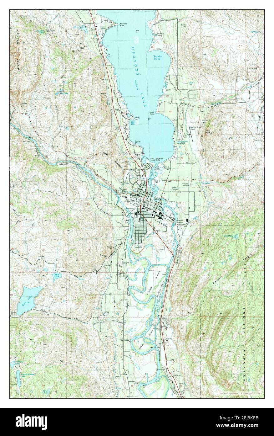 Oroville, Washington, map 1982, 1:24000, United States of America by Timeless Maps, data U.S. Geological Survey Stock Photohttps://www.alamy.com/image-license-details/?v=1https://www.alamy.com/oroville-washington-map-1982-124000-united-states-of-america-by-timeless-maps-data-us-geological-survey-image407027331.html
RM2EJ5KEB–Oroville, Washington, map 1982, 1:24000, United States of America by Timeless Maps, data U.S. Geological Survey
 Lakeside Campers Osoyoos Lake. Campers on a quiet beach on Osoyoos Lake, British Columbia, Canada. Stock Photohttps://www.alamy.com/image-license-details/?v=1https://www.alamy.com/lakeside-campers-osoyoos-lake-campers-on-a-quiet-beach-on-osoyoos-lake-british-columbia-canada-image262687033.html
RFW7ABYN–Lakeside Campers Osoyoos Lake. Campers on a quiet beach on Osoyoos Lake, British Columbia, Canada.
 Osoyoos Lake Evening Black Cloud Sunset. Clouds and sunset over Osoyoos Lake, British Columbia, Canada. Stock Photohttps://www.alamy.com/image-license-details/?v=1https://www.alamy.com/osoyoos-lake-evening-black-cloud-sunset-clouds-and-sunset-over-osoyoos-lake-british-columbia-canada-image607046819.html
RF2X7HABF–Osoyoos Lake Evening Black Cloud Sunset. Clouds and sunset over Osoyoos Lake, British Columbia, Canada.
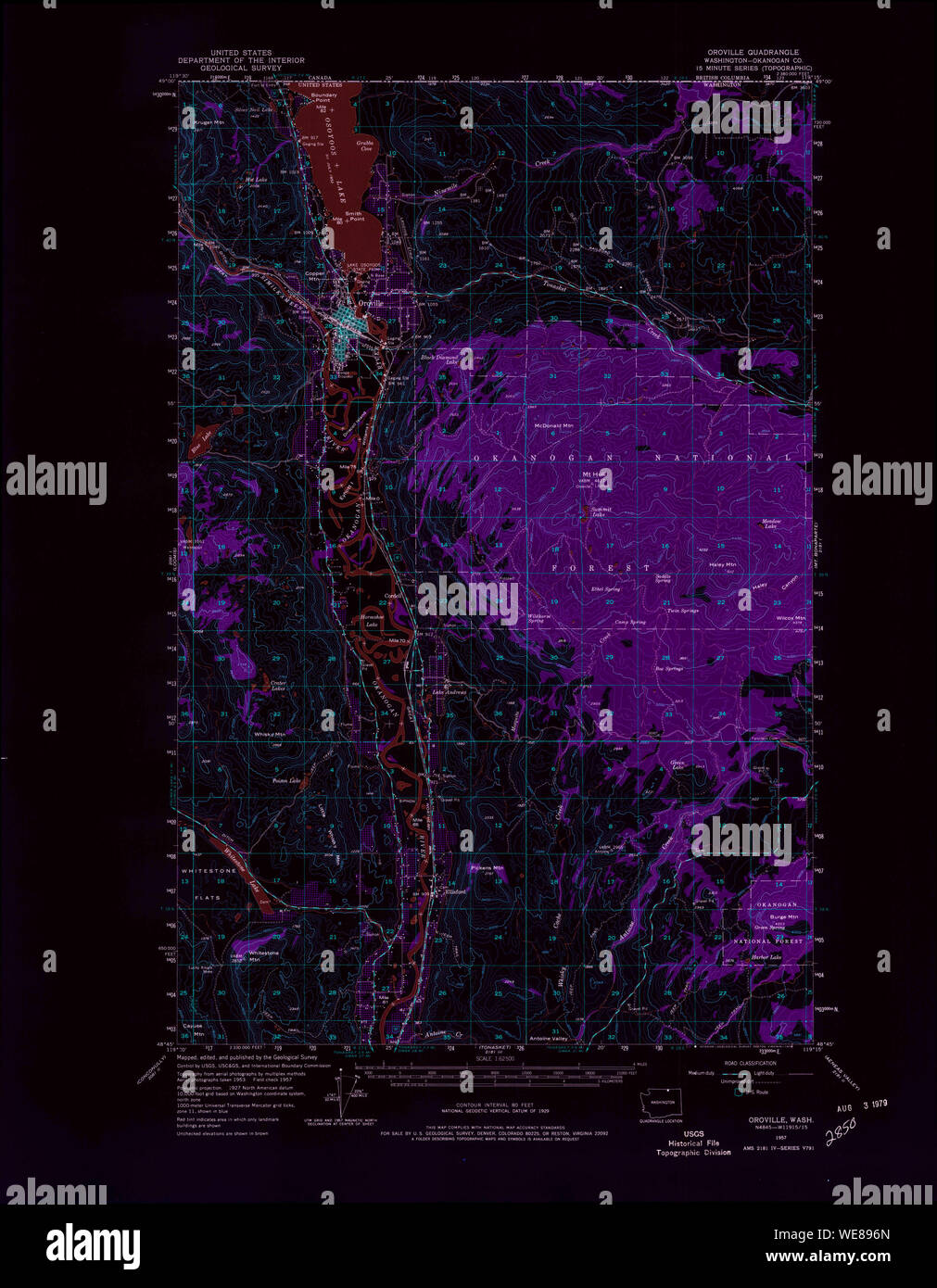 USGS Topo Map Washington State WA Oroville 242997 1957 62500 Inverted Restoration Stock Photohttps://www.alamy.com/image-license-details/?v=1https://www.alamy.com/usgs-topo-map-washington-state-wa-oroville-242997-1957-62500-inverted-restoration-image266943565.html
RMWE896N–USGS Topo Map Washington State WA Oroville 242997 1957 62500 Inverted Restoration
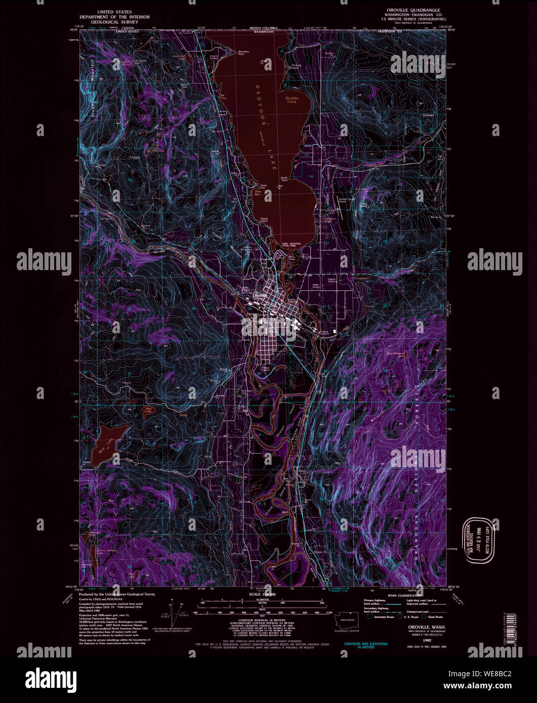 USGS Topo Map Washington State WA Oroville 243000 1982 24000 Inverted Restoration Stock Photohttps://www.alamy.com/image-license-details/?v=1https://www.alamy.com/usgs-topo-map-washington-state-wa-oroville-243000-1982-24000-inverted-restoration-image266945282.html
RMWE8BC2–USGS Topo Map Washington State WA Oroville 243000 1982 24000 Inverted Restoration
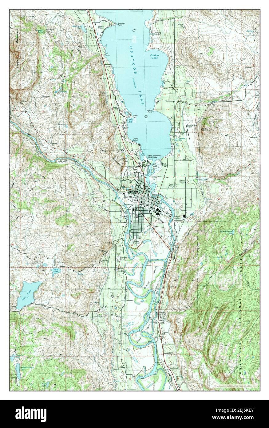 Oroville, Washington, map 1982, 1:24000, United States of America by Timeless Maps, data U.S. Geological Survey Stock Photohttps://www.alamy.com/image-license-details/?v=1https://www.alamy.com/oroville-washington-map-1982-124000-united-states-of-america-by-timeless-maps-data-us-geological-survey-image407027347.html
RM2EJ5KEY–Oroville, Washington, map 1982, 1:24000, United States of America by Timeless Maps, data U.S. Geological Survey
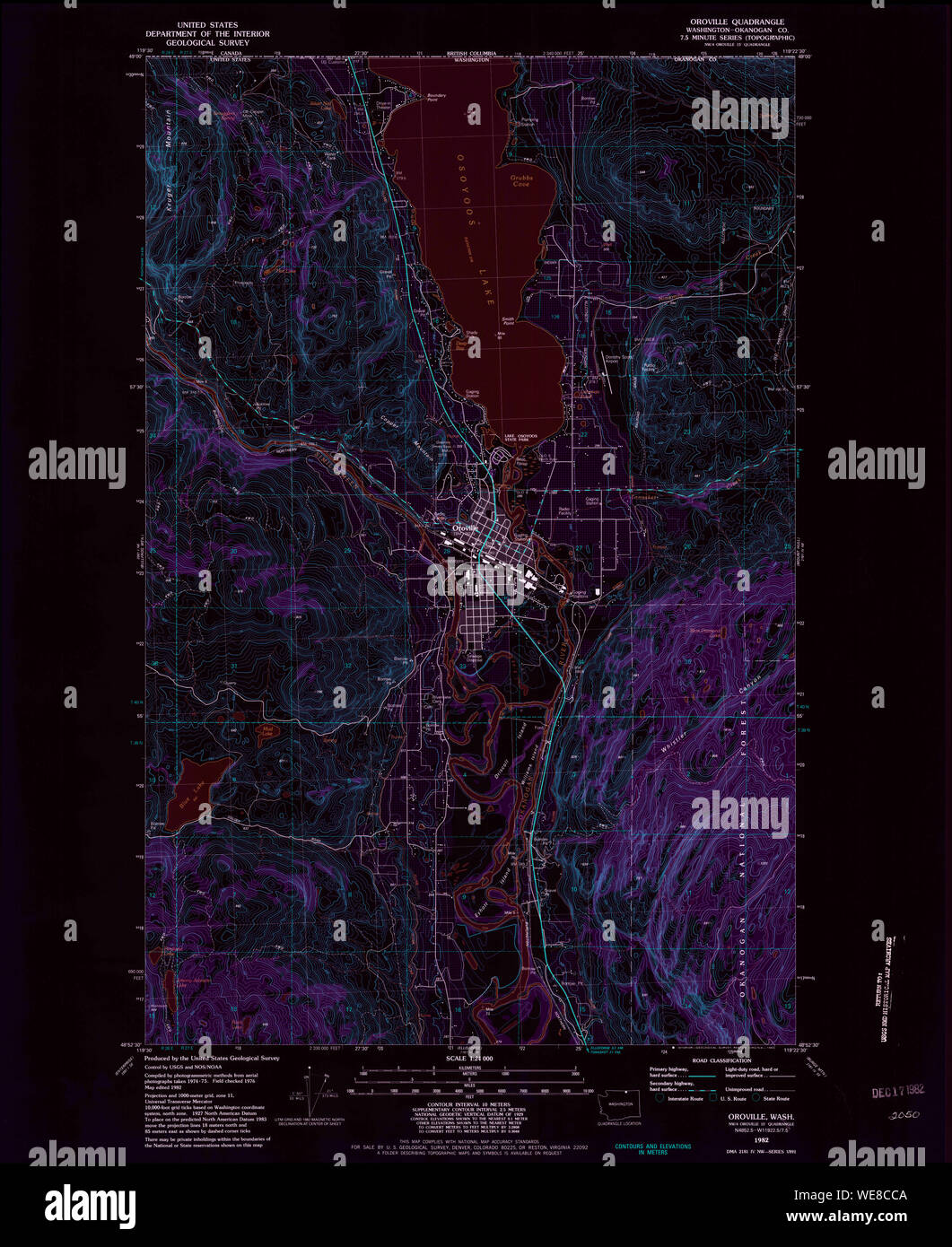 USGS Topo Map Washington State WA Oroville 243001 1982 24000 Inverted Restoration Stock Photohttps://www.alamy.com/image-license-details/?v=1https://www.alamy.com/usgs-topo-map-washington-state-wa-oroville-243001-1982-24000-inverted-restoration-image266946074.html
RMWE8CCA–USGS Topo Map Washington State WA Oroville 243001 1982 24000 Inverted Restoration
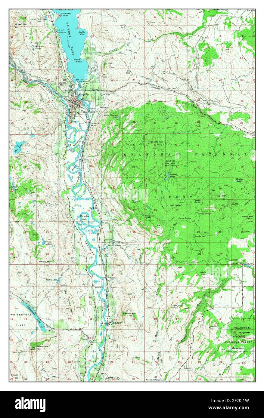 Oroville, Washington, map 1957, 1:62500, United States of America by Timeless Maps, data U.S. Geological Survey Stock Photohttps://www.alamy.com/image-license-details/?v=1https://www.alamy.com/oroville-washington-map-1957-162500-united-states-of-america-by-timeless-maps-data-us-geological-survey-image414292309.html
RM2F20J1W–Oroville, Washington, map 1957, 1:62500, United States of America by Timeless Maps, data U.S. Geological Survey
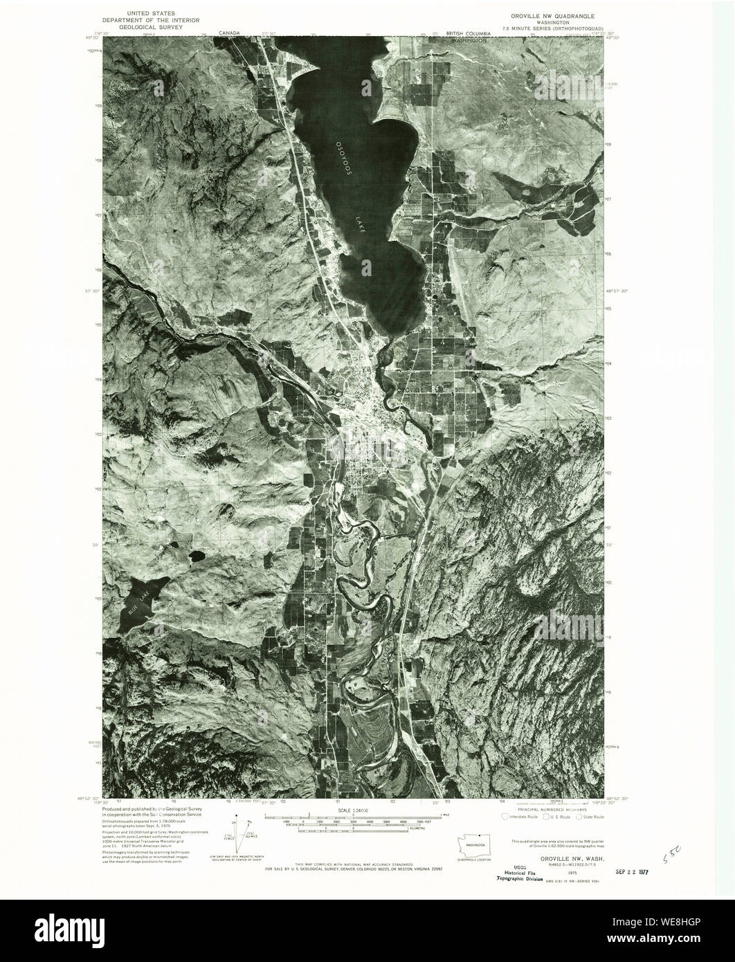 USGS Topo Map Washington State WA Oroville NW 242996 1975 24000 Restoration Stock Photohttps://www.alamy.com/image-license-details/?v=1https://www.alamy.com/usgs-topo-map-washington-state-wa-oroville-nw-242996-1975-24000-restoration-image266950118.html
RMWE8HGP–USGS Topo Map Washington State WA Oroville NW 242996 1975 24000 Restoration
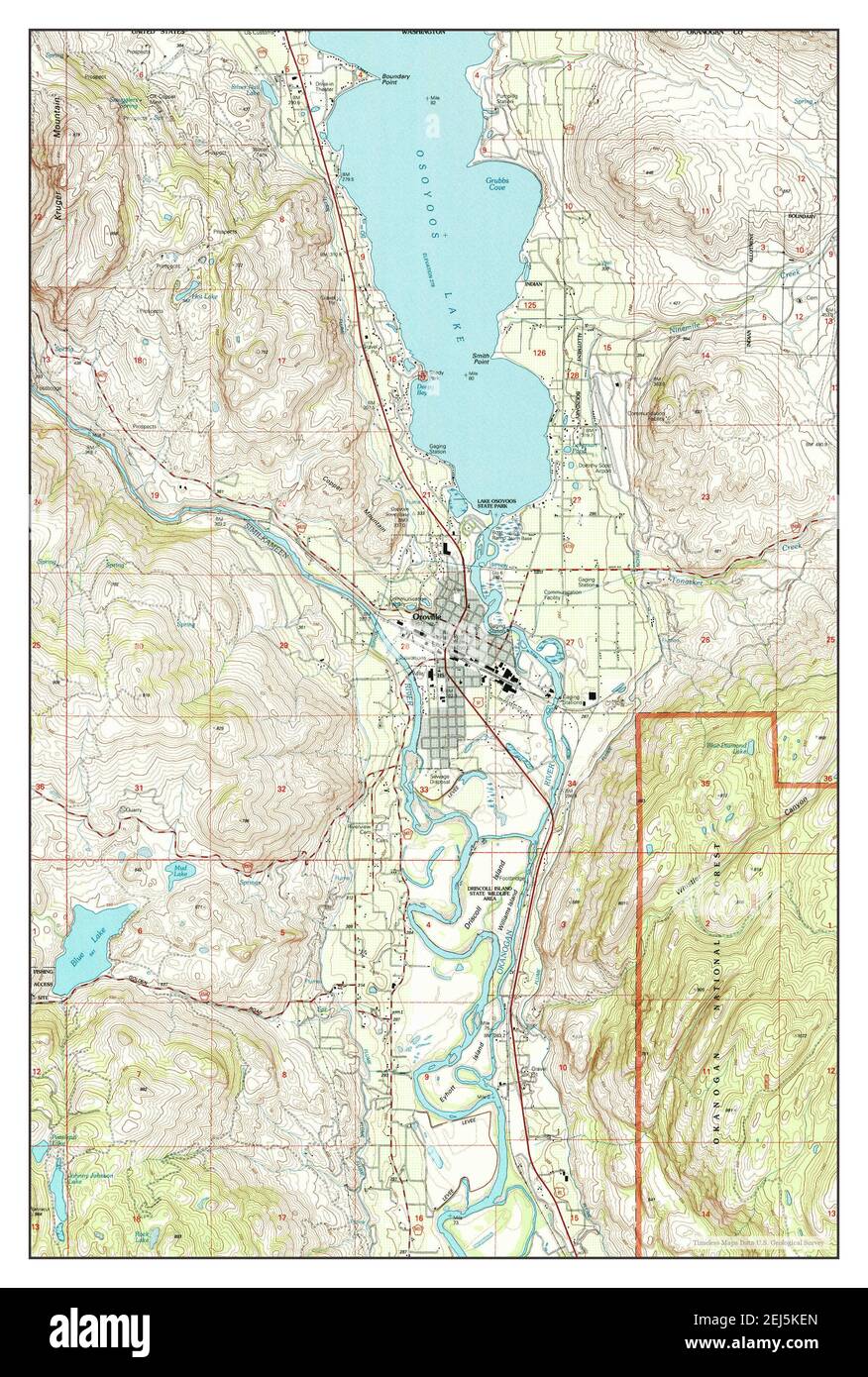 Oroville, Washington, map 2001, 1:24000, United States of America by Timeless Maps, data U.S. Geological Survey Stock Photohttps://www.alamy.com/image-license-details/?v=1https://www.alamy.com/oroville-washington-map-2001-124000-united-states-of-america-by-timeless-maps-data-us-geological-survey-image407027341.html
RM2EJ5KEN–Oroville, Washington, map 2001, 1:24000, United States of America by Timeless Maps, data U.S. Geological Survey
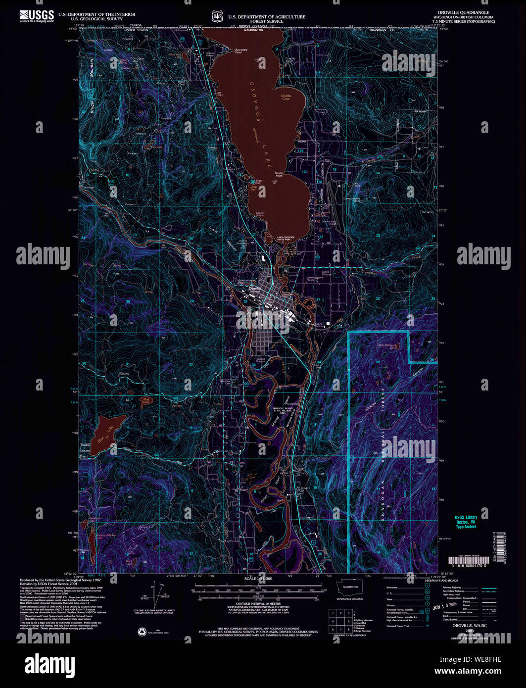 USGS Topo Map Washington State WA Oroville 243003 2001 24000 Inverted Restoration Stock Photohttps://www.alamy.com/image-license-details/?v=1https://www.alamy.com/usgs-topo-map-washington-state-wa-oroville-243003-2001-24000-inverted-restoration-image266948570.html
RMWE8FHE–USGS Topo Map Washington State WA Oroville 243003 2001 24000 Inverted Restoration
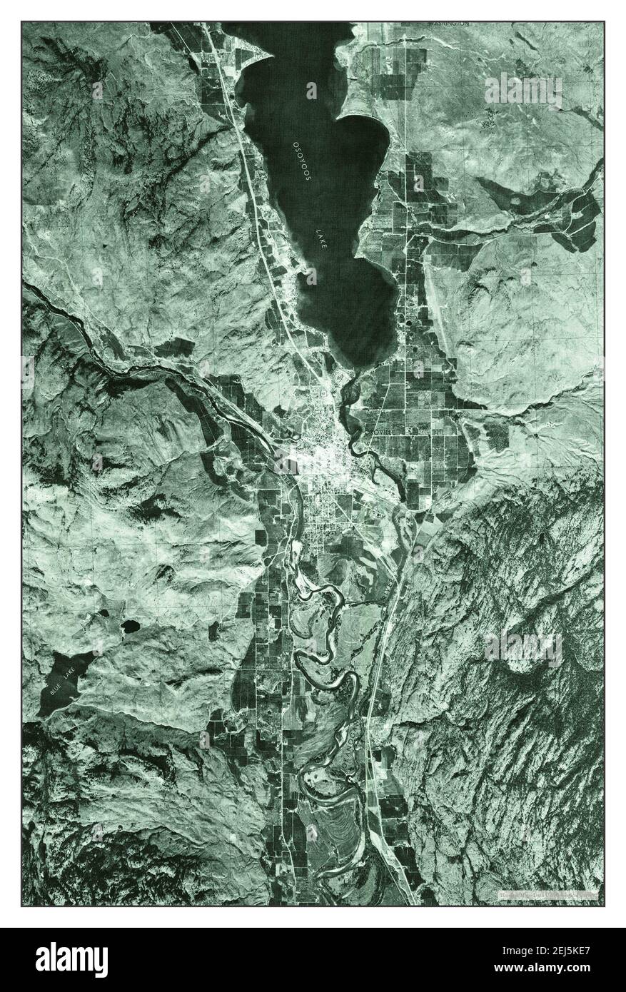 Oroville NW, Washington, map 1975, 1:24000, United States of America by Timeless Maps, data U.S. Geological Survey Stock Photohttps://www.alamy.com/image-license-details/?v=1https://www.alamy.com/oroville-nw-washington-map-1975-124000-united-states-of-america-by-timeless-maps-data-us-geological-survey-image407027327.html
RM2EJ5KE7–Oroville NW, Washington, map 1975, 1:24000, United States of America by Timeless Maps, data U.S. Geological Survey
 USGS Topo Map Washington State WA Oroville NW 242996 1975 24000 Inverted Restoration Stock Photohttps://www.alamy.com/image-license-details/?v=1https://www.alamy.com/usgs-topo-map-washington-state-wa-oroville-nw-242996-1975-24000-inverted-restoration-image266950113.html
RMWE8HGH–USGS Topo Map Washington State WA Oroville NW 242996 1975 24000 Inverted Restoration