Quick filters:
Os maps Stock Photos and Images
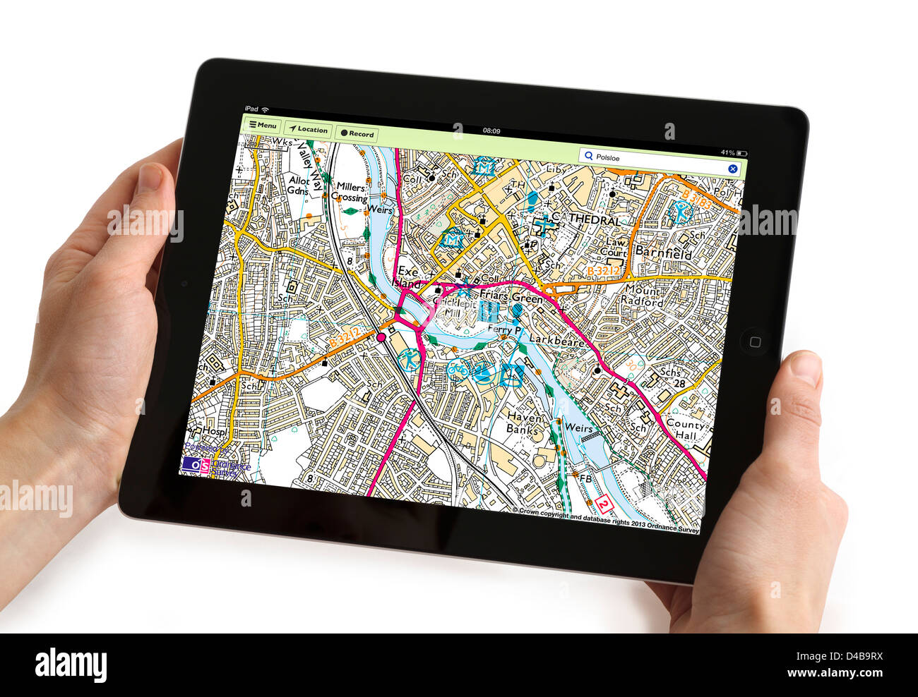 Using the OS MapFinder app on a 4th generation Apple iPad tablet computer Stock Photohttps://www.alamy.com/image-license-details/?v=1https://www.alamy.com/stock-photo-using-the-os-mapfinder-app-on-a-4th-generation-apple-ipad-tablet-computer-54338926.html
RMD4B9RX–Using the OS MapFinder app on a 4th generation Apple iPad tablet computer
 Hillwalking gear, including books, OS maps, walking poles, boots & rucksack, on a map of Scotland Stock Photohttps://www.alamy.com/image-license-details/?v=1https://www.alamy.com/stock-photo-hillwalking-gear-including-books-os-maps-walking-poles-boots-rucksack-48042133.html
RMCP4E6D–Hillwalking gear, including books, OS maps, walking poles, boots & rucksack, on a map of Scotland
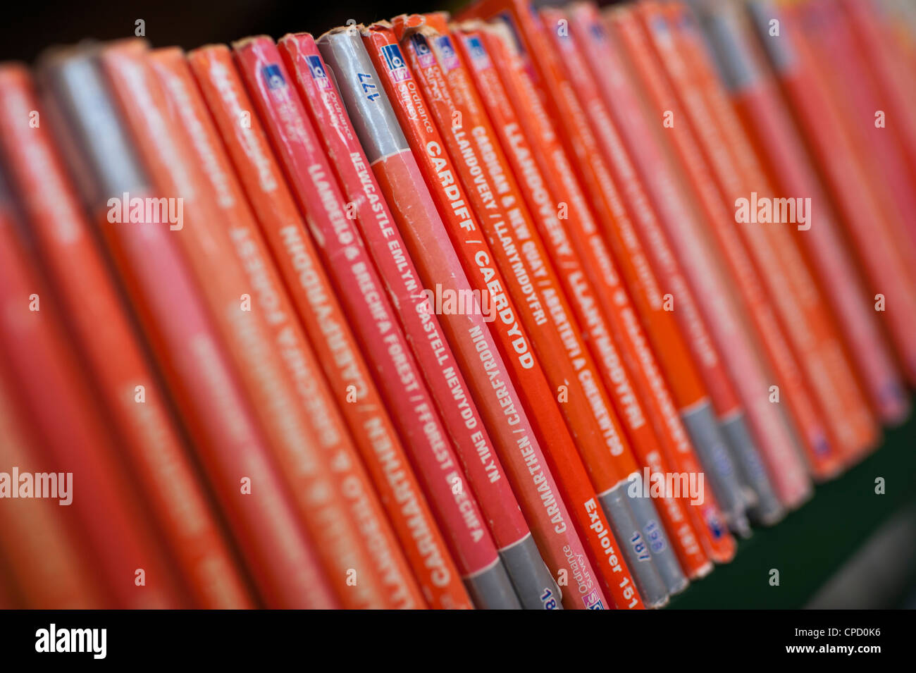 Orange spines of british Ordnance Survey Explorer series maps in the reference section of a public library, UK Stock Photohttps://www.alamy.com/image-license-details/?v=1https://www.alamy.com/stock-photo-orange-spines-of-british-ordnance-survey-explorer-series-maps-in-the-48229082.html
RMCPD0K6–Orange spines of british Ordnance Survey Explorer series maps in the reference section of a public library, UK
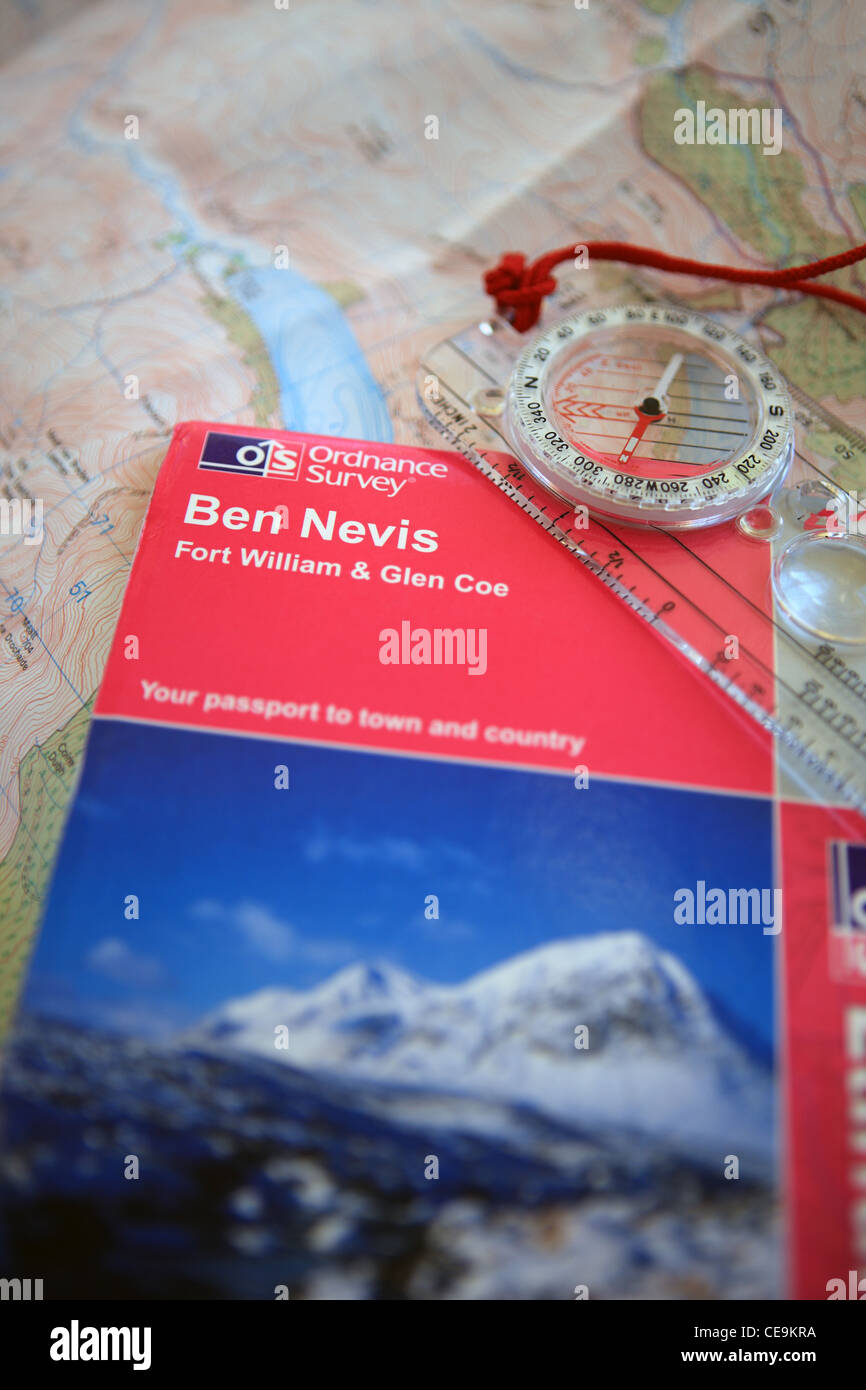 Ordnance survey map for Ben Nevis and a compass on top of another OS map Stock Photohttps://www.alamy.com/image-license-details/?v=1https://www.alamy.com/stock-photo-ordnance-survey-map-for-ben-nevis-and-a-compass-on-top-of-another-43239038.html
RMCE9KRA–Ordnance survey map for Ben Nevis and a compass on top of another OS map
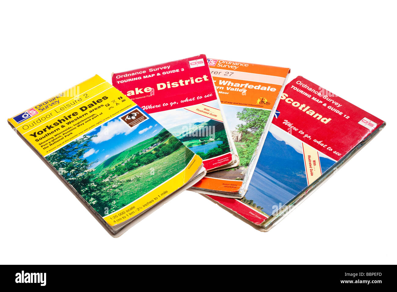 OS Maps on white Stock Photohttps://www.alamy.com/image-license-details/?v=1https://www.alamy.com/stock-photo-os-maps-on-white-24465937.html
RMBBPEFD–OS Maps on white
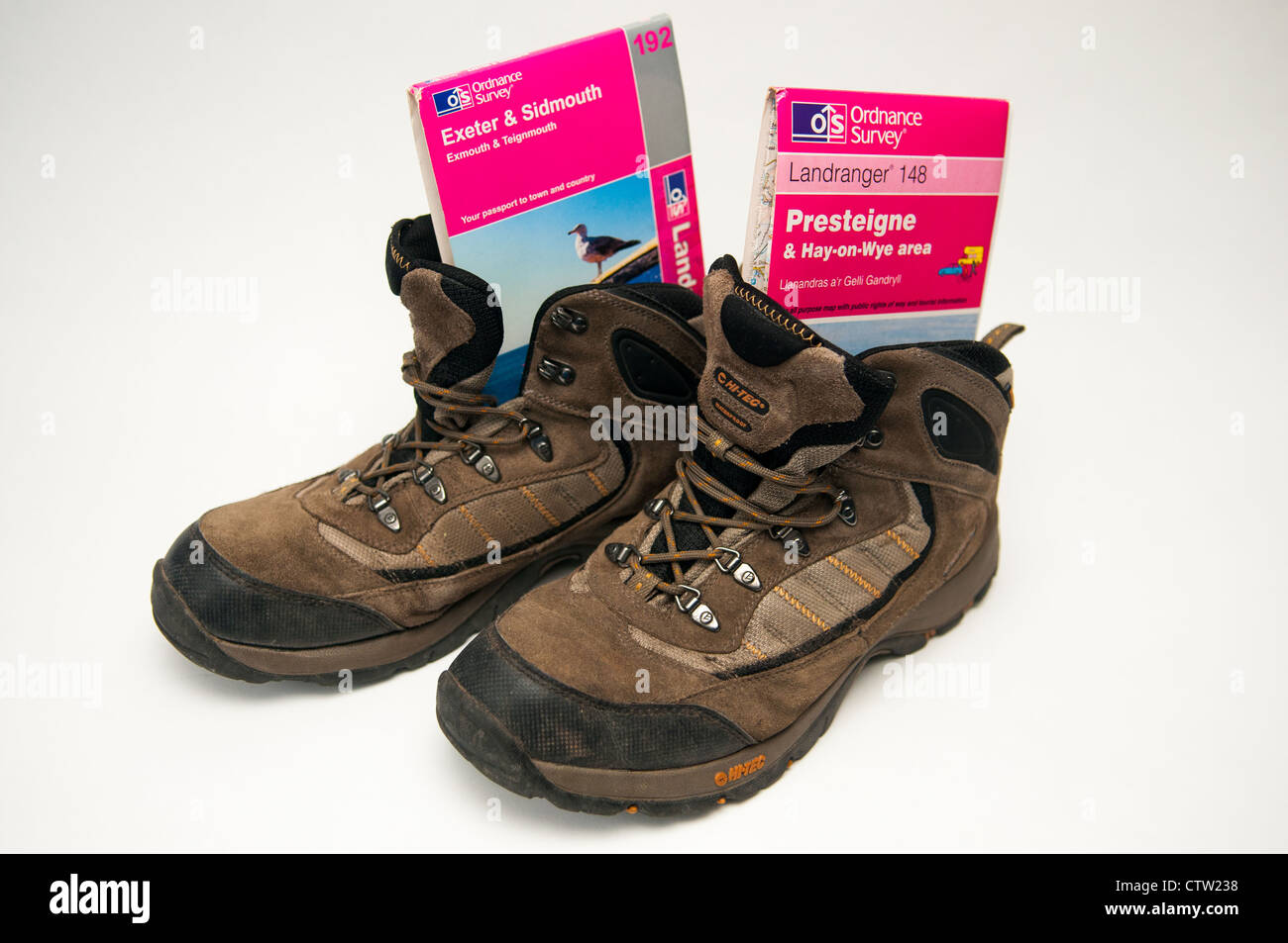 Walking boots with Presteigne and Exeter and Sidmouth OS maps Stock Photohttps://www.alamy.com/image-license-details/?v=1https://www.alamy.com/stock-photo-walking-boots-with-presteigne-and-exeter-and-sidmouth-os-maps-49722940.html
RMCTW238–Walking boots with Presteigne and Exeter and Sidmouth OS maps
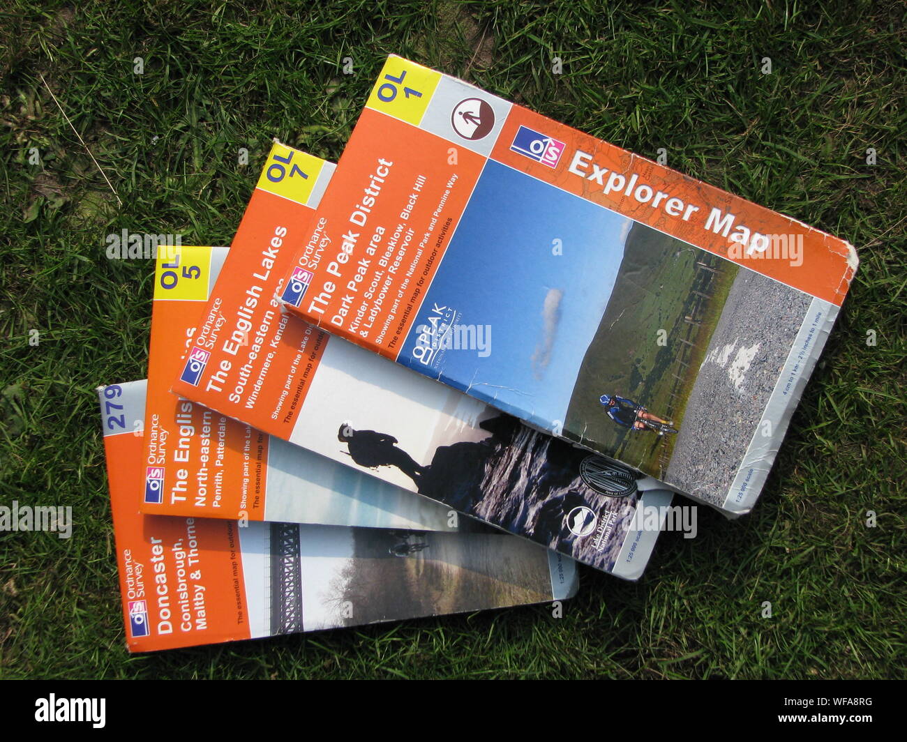 Ordnance Survey OS Maps - selection of laid out on grass Stock Photohttps://www.alamy.com/image-license-details/?v=1https://www.alamy.com/ordnance-survey-os-maps-selection-of-laid-out-on-grass-image267601812.html
RMWFA8RG–Ordnance Survey OS Maps - selection of laid out on grass
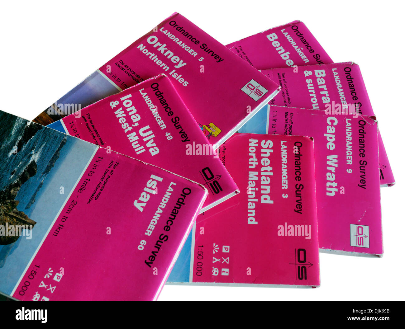 1:50,000 OS maps to the Scottish Islands orkney shetland iona islay barra Stock Photohttps://www.alamy.com/image-license-details/?v=1https://www.alamy.com/150000-os-maps-to-the-scottish-islands-orkney-shetland-iona-islay-image63116967.html
RMDJK69B–1:50,000 OS maps to the Scottish Islands orkney shetland iona islay barra
 British Ordnance Survey OS maps Stock Photohttps://www.alamy.com/image-license-details/?v=1https://www.alamy.com/stock-photo-british-ordnance-survey-os-maps-22814686.html
RMB938A6–British Ordnance Survey OS maps
 A mobile phone or cell phone on a wooden table with the OS maps app open next to a coffee and glasses Stock Photohttps://www.alamy.com/image-license-details/?v=1https://www.alamy.com/a-mobile-phone-or-cell-phone-on-a-wooden-table-with-the-os-maps-app-open-next-to-a-coffee-and-glasses-image408629060.html
RM2EMPJF0–A mobile phone or cell phone on a wooden table with the OS maps app open next to a coffee and glasses
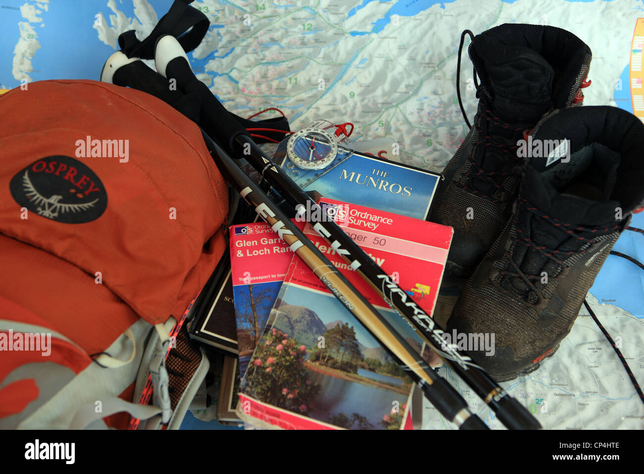 Hillwalking gear, including books, OS maps, walking poles, boots & rucksack, on a map of Scotland Stock Photohttps://www.alamy.com/image-license-details/?v=1https://www.alamy.com/stock-photo-hillwalking-gear-including-books-os-maps-walking-poles-boots-rucksack-48044990.html
RMCP4HTE–Hillwalking gear, including books, OS maps, walking poles, boots & rucksack, on a map of Scotland
 New York, United States - 7 November 2020: OS Maps Walking bike trails app store logo on phone screen, Illustrative Editorial Stock Photohttps://www.alamy.com/image-license-details/?v=1https://www.alamy.com/new-york-united-states-7-november-2020-os-maps-walking-bike-trails-app-store-logo-on-phone-screen-illustrative-editorial-image386417402.html
RF2DCJR9E–New York, United States - 7 November 2020: OS Maps Walking bike trails app store logo on phone screen, Illustrative Editorial
 Old cloth Ordnance Survey one inch maps Stock Photohttps://www.alamy.com/image-license-details/?v=1https://www.alamy.com/stock-photo-old-cloth-ordnance-survey-one-inch-maps-43238968.html
RMCE9KMT–Old cloth Ordnance Survey one inch maps
 Maps and guides for a visitor to the South West UK displayed in an old suitcase at a holiday cottage. Stock Photohttps://www.alamy.com/image-license-details/?v=1https://www.alamy.com/maps-and-guides-for-a-visitor-to-the-south-west-uk-displayed-in-an-old-suitcase-at-a-holiday-cottage-image224402746.html
RMR12BYP–Maps and guides for a visitor to the South West UK displayed in an old suitcase at a holiday cottage.
 A confused young woman with long blonde hair looking lost and confused holding an Ordnance Survey map, UK Stock Photohttps://www.alamy.com/image-license-details/?v=1https://www.alamy.com/stock-photo-a-confused-young-woman-with-long-blonde-hair-looking-lost-and-confused-57592068.html
RMD9KF7G–A confused young woman with long blonde hair looking lost and confused holding an Ordnance Survey map, UK
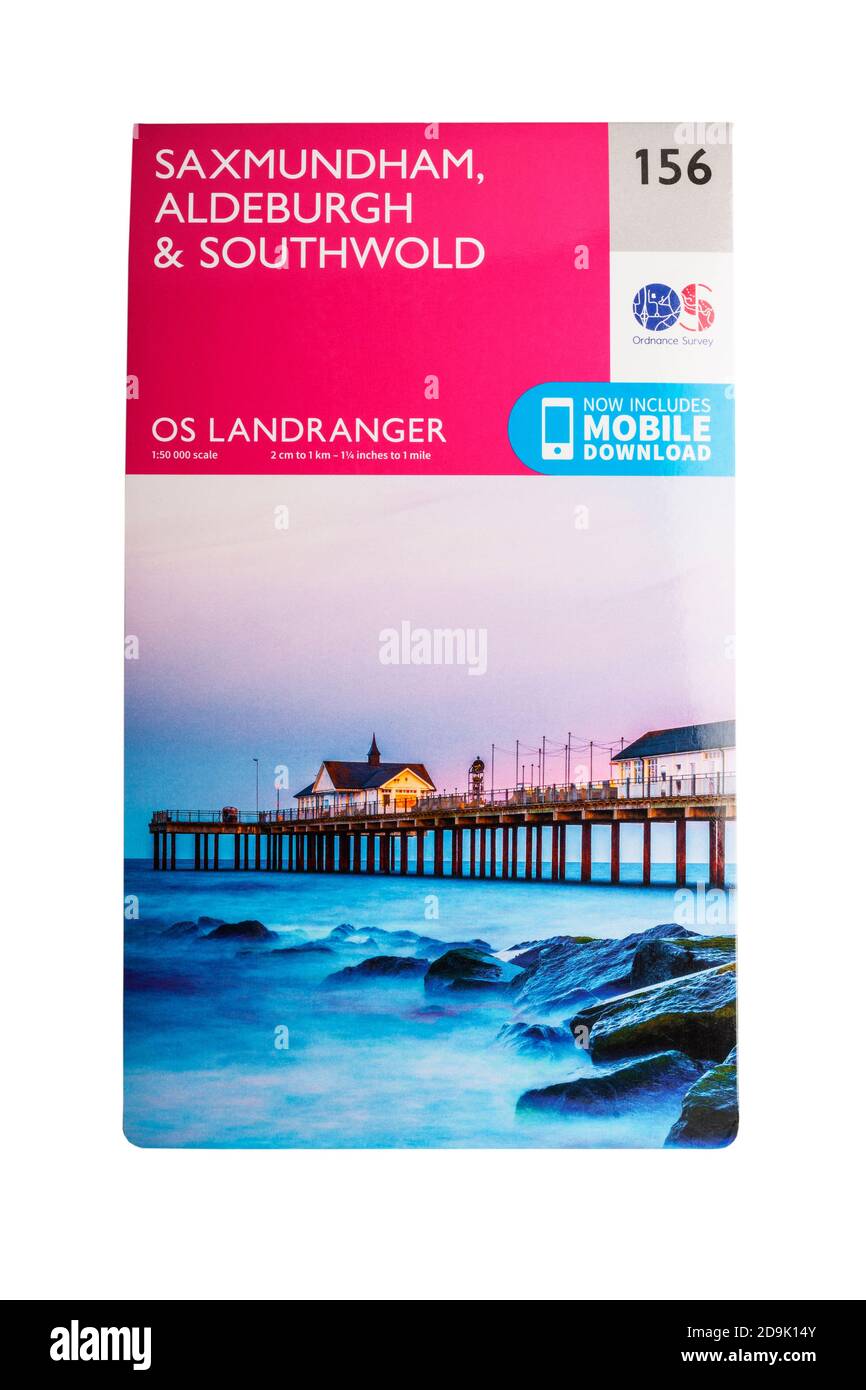 An Ordinance Survey map on a white background Stock Photohttps://www.alamy.com/image-license-details/?v=1https://www.alamy.com/an-ordinance-survey-map-on-a-white-background-image384578011.html
RM2D9K14Y–An Ordinance Survey map on a white background
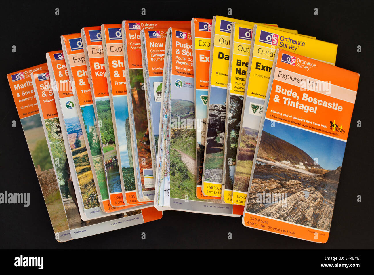 Close up of several Ordnance Survey Maps against a black background Stock Photohttps://www.alamy.com/image-license-details/?v=1https://www.alamy.com/stock-photo-close-up-of-several-ordnance-survey-maps-against-a-black-background-78575599.html
RMEFRBYB–Close up of several Ordnance Survey Maps against a black background
 A stack of OS Explorer Maps inside a Welsh B&B. Stock Photohttps://www.alamy.com/image-license-details/?v=1https://www.alamy.com/stock-photo-a-stack-of-os-explorer-maps-inside-a-welsh-bb-81871250.html
RMEN5FH6–A stack of OS Explorer Maps inside a Welsh B&B.
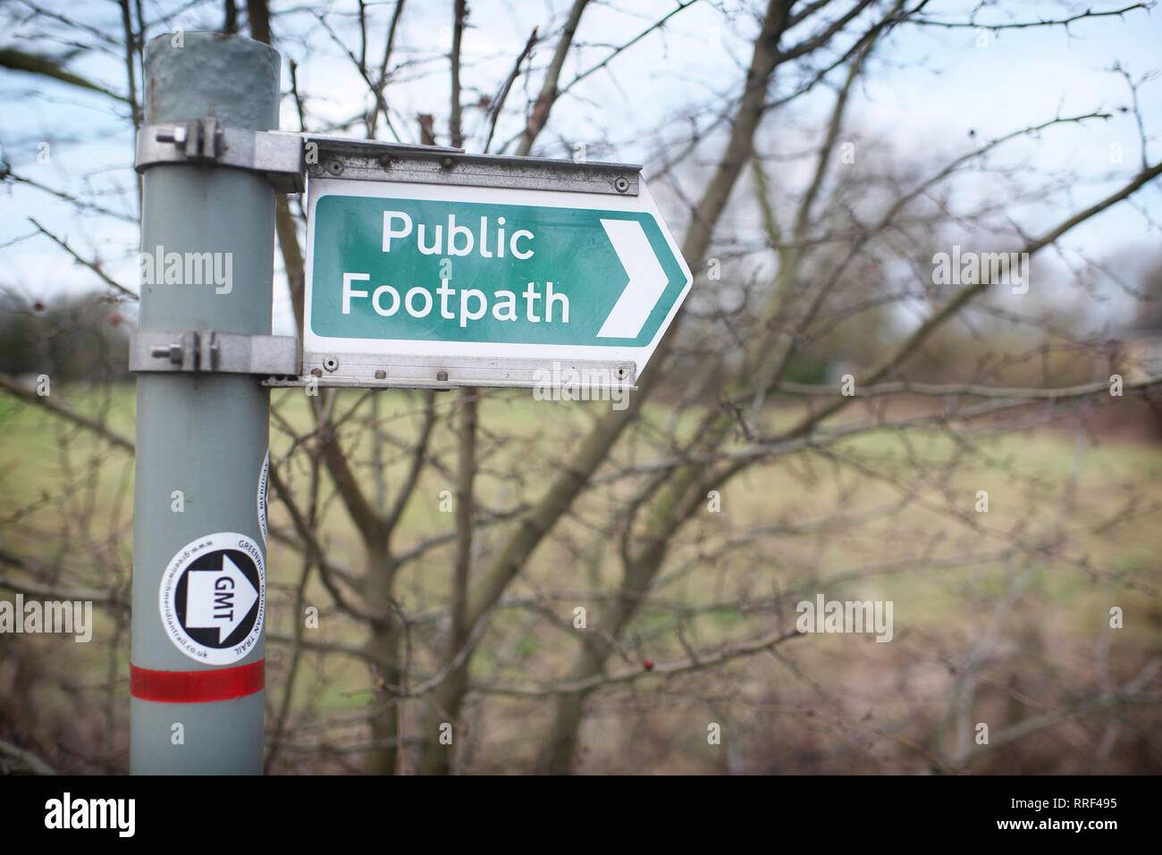 Modern UK public footpath signage in the countryside Stock Photohttps://www.alamy.com/image-license-details/?v=1https://www.alamy.com/modern-uk-public-footpath-signage-in-the-countryside-image238204545.html
RFRRF495–Modern UK public footpath signage in the countryside
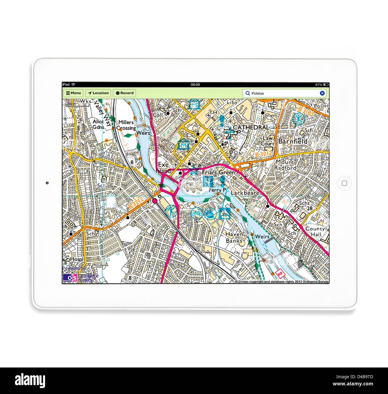 Using the OS MapFinder app on a 4th generation Apple iPad tablet computer Stock Photohttps://www.alamy.com/image-license-details/?v=1https://www.alamy.com/stock-photo-using-the-os-mapfinder-app-on-a-4th-generation-apple-ipad-tablet-computer-54338941.html
RMD4B9TD–Using the OS MapFinder app on a 4th generation Apple iPad tablet computer
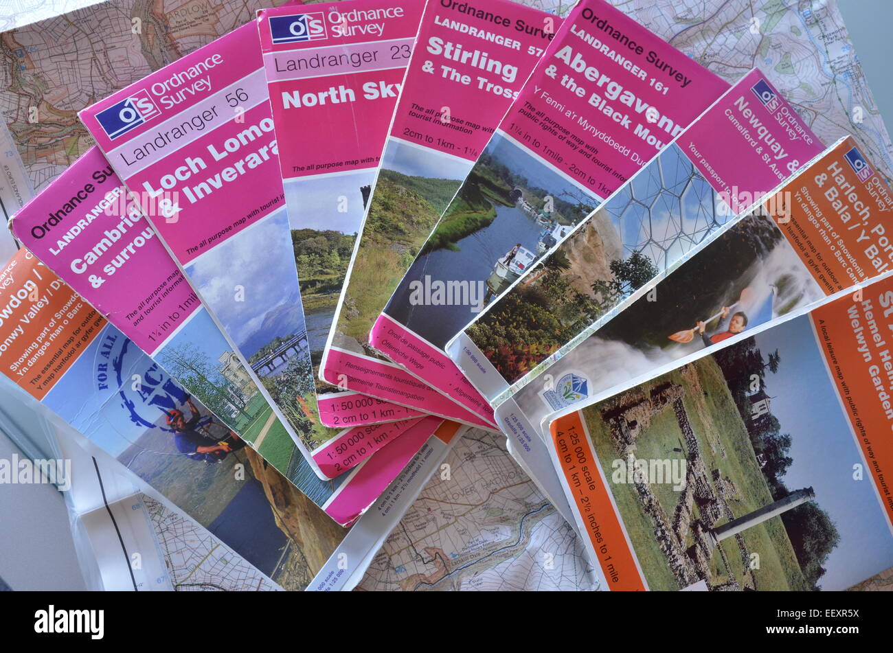 A selection of Ordnance Survey maps Stock Photohttps://www.alamy.com/image-license-details/?v=1https://www.alamy.com/stock-photo-a-selection-of-ordnance-survey-maps-78035606.html
RMEEXR5X–A selection of Ordnance Survey maps
 Selection of OS maps Stock Photohttps://www.alamy.com/image-license-details/?v=1https://www.alamy.com/stock-photo-selection-of-os-maps-17865306.html
RMB11RAJ–Selection of OS maps
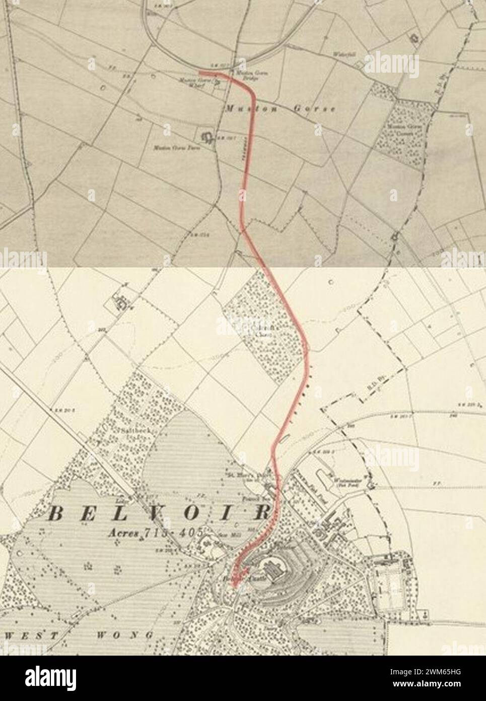 Belvoir Castle Railway on two OS Maps of 1904. Stock Photohttps://www.alamy.com/image-license-details/?v=1https://www.alamy.com/belvoir-castle-railway-on-two-os-maps-of-1904-image597581756.html
RM2WM65HG–Belvoir Castle Railway on two OS Maps of 1904.
 Compass on an Ordnance Survey map, UK Stock Photohttps://www.alamy.com/image-license-details/?v=1https://www.alamy.com/stock-photo-compass-on-an-ordnance-survey-map-uk-53514470.html
RMD31P72–Compass on an Ordnance Survey map, UK
 Ordnance Survey maps on sale in a shop. England, UK Stock Photohttps://www.alamy.com/image-license-details/?v=1https://www.alamy.com/stock-photo-ordnance-survey-maps-on-sale-in-a-shop-england-uk-80050124.html
RMEJ6GN0–Ordnance Survey maps on sale in a shop. England, UK
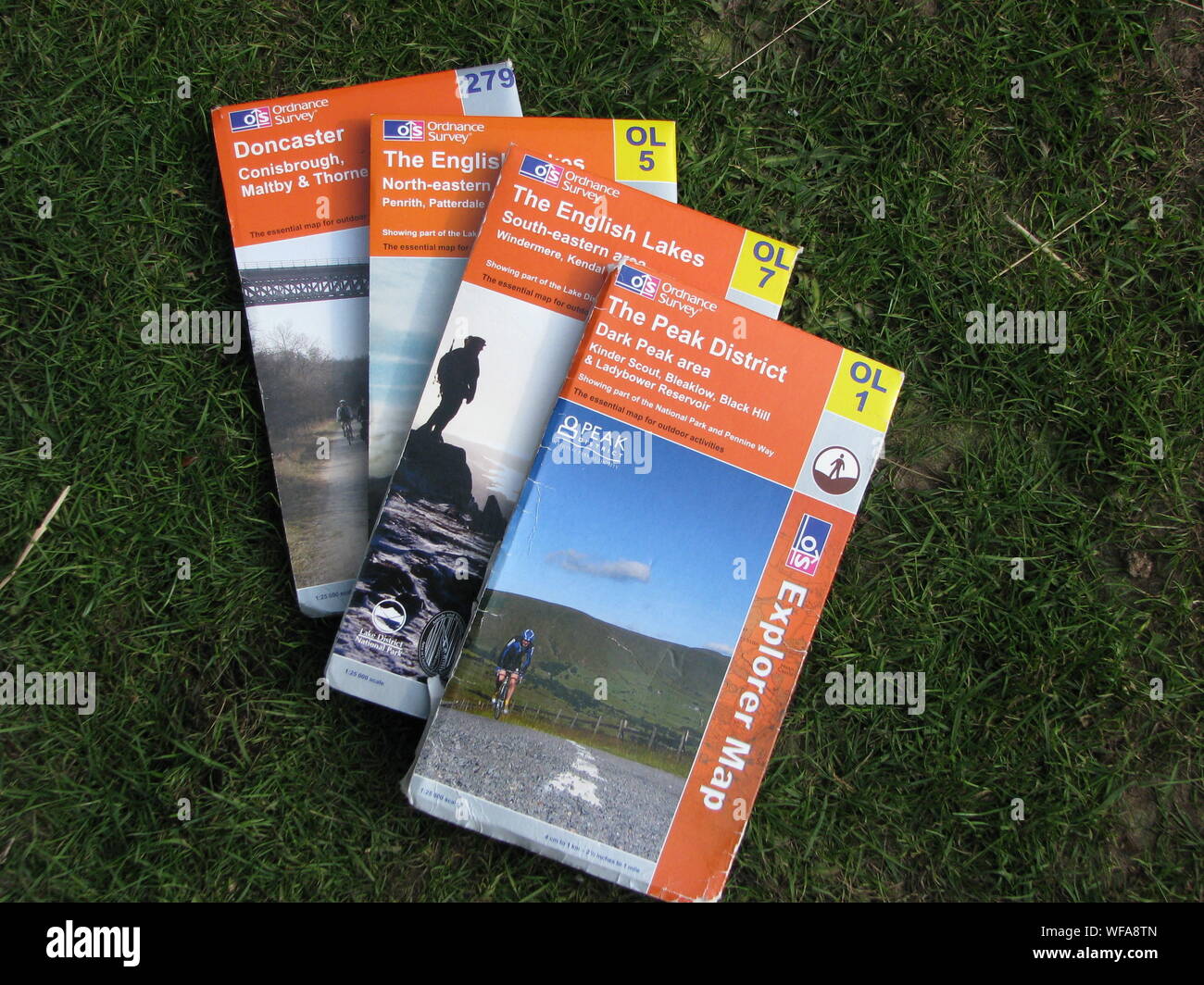 Ordnance Survey OS Maps - selection of laid out on grass Stock Photohttps://www.alamy.com/image-license-details/?v=1https://www.alamy.com/ordnance-survey-os-maps-selection-of-laid-out-on-grass-image267601845.html
RMWFA8TN–Ordnance Survey OS Maps - selection of laid out on grass
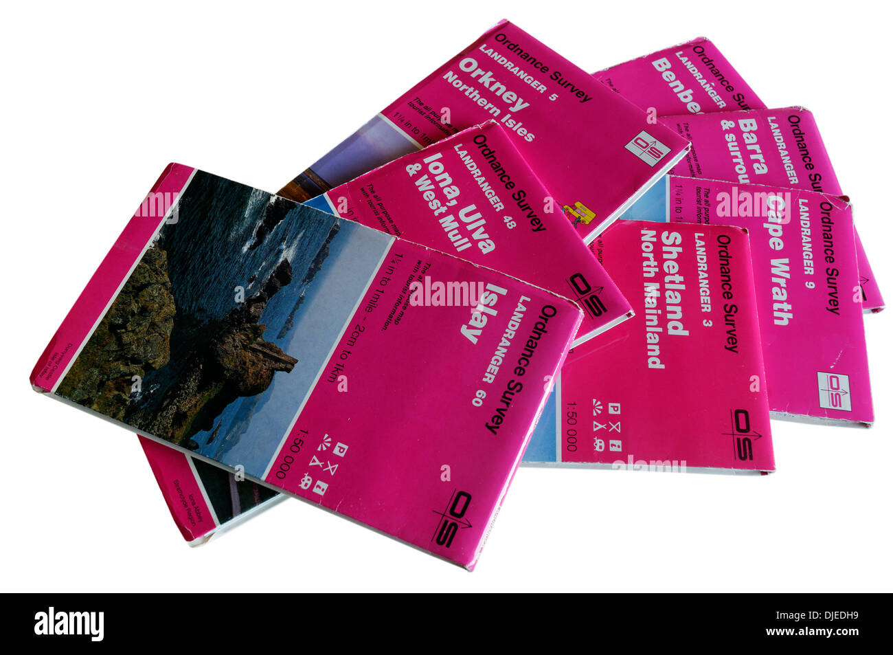 1:50,000 OS maps to the Scottish Islands orkney shetland iona islay barra Stock Photohttps://www.alamy.com/image-license-details/?v=1https://www.alamy.com/150000-os-maps-to-the-scottish-islands-orkney-shetland-iona-islay-image63012917.html
RMDJEDH9–1:50,000 OS maps to the Scottish Islands orkney shetland iona islay barra
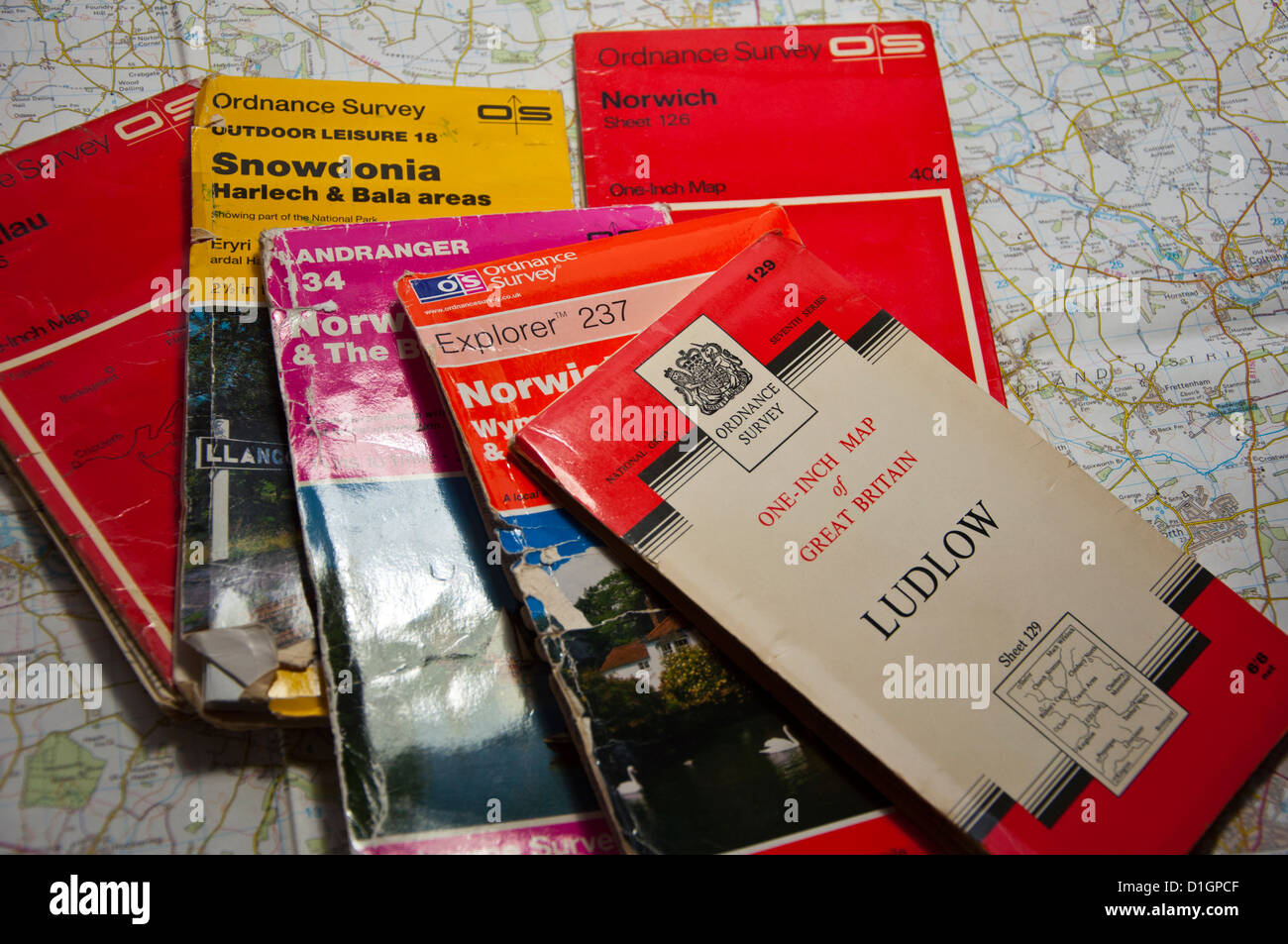 Different editions of OS Ordnance survey maps Stock Photohttps://www.alamy.com/image-license-details/?v=1https://www.alamy.com/stock-photo-different-editions-of-os-ordnance-survey-maps-52614591.html
RMD1GPCF–Different editions of OS Ordnance survey maps
 A mobile phone or cell phone being held by a hand with the OS Maps app open on screen Stock Photohttps://www.alamy.com/image-license-details/?v=1https://www.alamy.com/a-mobile-phone-or-cell-phone-being-held-by-a-hand-with-the-os-maps-app-open-on-screen-image408638988.html
RM2EMR35G–A mobile phone or cell phone being held by a hand with the OS Maps app open on screen
 British OS map collection Stock Photohttps://www.alamy.com/image-license-details/?v=1https://www.alamy.com/british-os-map-collection-image354865455.html
RF2BH9EE7–British OS map collection
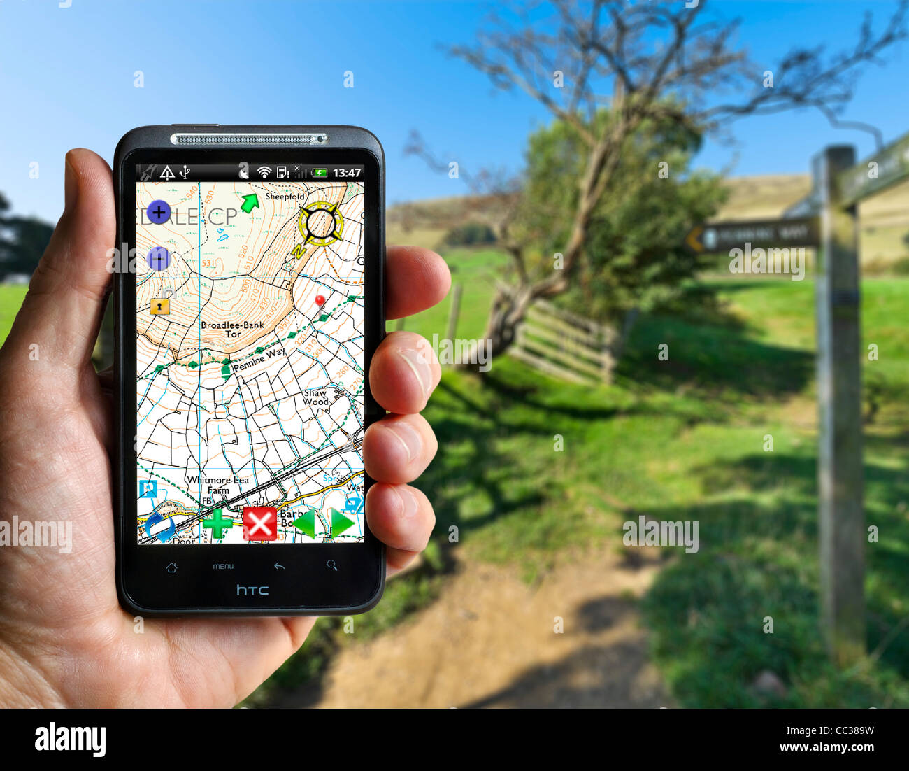 Using an Ordnance Survey App (OS Atlas) on an HTC smartphone on the Pennine Way near Edale, Peak District, Derbyshire, UK Stock Photohttps://www.alamy.com/image-license-details/?v=1https://www.alamy.com/stock-photo-using-an-ordnance-survey-app-os-atlas-on-an-htc-smartphone-on-the-41869013.html
RMCC389W–Using an Ordnance Survey App (OS Atlas) on an HTC smartphone on the Pennine Way near Edale, Peak District, Derbyshire, UK
 A shelf full of secondhand Ordnance Survey maps in a Leominster Antiques Centre Stock Photohttps://www.alamy.com/image-license-details/?v=1https://www.alamy.com/a-shelf-full-of-secondhand-ordnance-survey-maps-in-a-leominster-antiques-centre-image372737369.html
RF2CJBJ8W–A shelf full of secondhand Ordnance Survey maps in a Leominster Antiques Centre
 Os Cuquexos, Ourense, Spain, Galicia, N 41 58' 30'', W 7 44' 2'', map, Timeless Map published in 2021. Travelers, explorers and adventurers like Florence Nightingale, David Livingstone, Ernest Shackleton, Lewis and Clark and Sherlock Holmes relied on maps to plan travels to the world's most remote corners, Timeless Maps is mapping most locations on the globe, showing the achievement of great dreams Stock Photohttps://www.alamy.com/image-license-details/?v=1https://www.alamy.com/os-cuquexos-ourense-spain-galicia-n-41-58-30-w-7-44-2-map-timeless-map-published-in-2021-travelers-explorers-and-adventurers-like-florence-nightingale-david-livingstone-ernest-shackleton-lewis-and-clark-and-sherlock-holmes-relied-on-maps-to-plan-travels-to-the-worlds-most-remote-corners-timeless-maps-is-mapping-most-locations-on-the-globe-showing-the-achievement-of-great-dreams-image457894537.html
RM2HGXW49–Os Cuquexos, Ourense, Spain, Galicia, N 41 58' 30'', W 7 44' 2'', map, Timeless Map published in 2021. Travelers, explorers and adventurers like Florence Nightingale, David Livingstone, Ernest Shackleton, Lewis and Clark and Sherlock Holmes relied on maps to plan travels to the world's most remote corners, Timeless Maps is mapping most locations on the globe, showing the achievement of great dreams
 Stunning panoramic view of Hawk's Neb (meaning hawk's nose) (Hawk's Nib on OS maps) in Kilchattan Bay, Isle of Bute showing coastal erosion Stock Photohttps://www.alamy.com/image-license-details/?v=1https://www.alamy.com/stunning-panoramic-view-of-hawks-neb-meaning-hawks-nose-hawks-nib-on-os-maps-in-kilchattan-bay-isle-of-bute-showing-coastal-erosion-image261171256.html
RMW4WAGT–Stunning panoramic view of Hawk's Neb (meaning hawk's nose) (Hawk's Nib on OS maps) in Kilchattan Bay, Isle of Bute showing coastal erosion
 Ordnance Survey Maps on a bookshelf Stock Photohttps://www.alamy.com/image-license-details/?v=1https://www.alamy.com/ordnance-survey-maps-on-a-bookshelf-image211558236.html
RMP858K8–Ordnance Survey Maps on a bookshelf
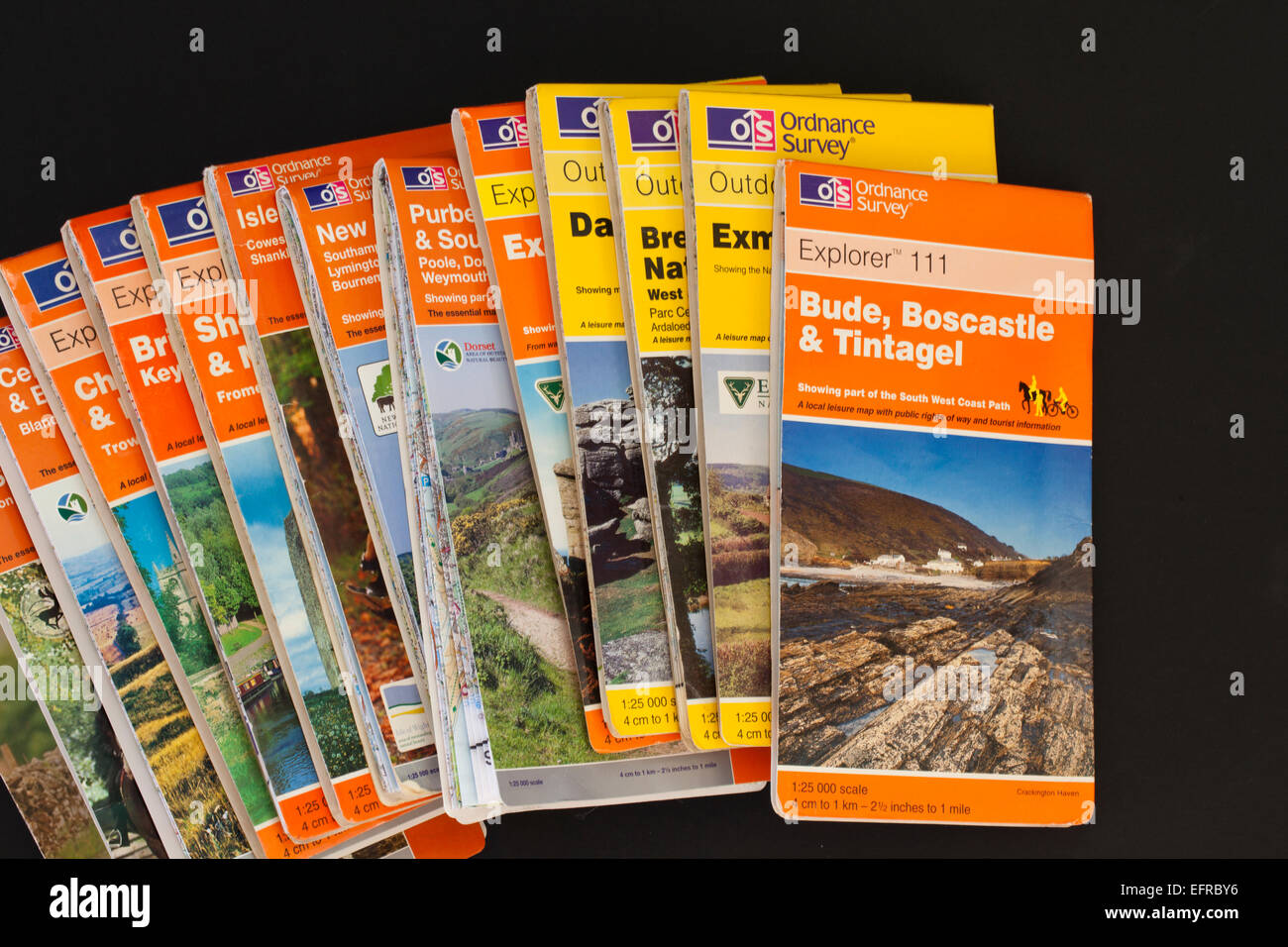 Close up of several Ordnance Survey Maps against a black background Stock Photohttps://www.alamy.com/image-license-details/?v=1https://www.alamy.com/stock-photo-close-up-of-several-ordnance-survey-maps-against-a-black-background-78575594.html
RMEFRBY6–Close up of several Ordnance Survey Maps against a black background
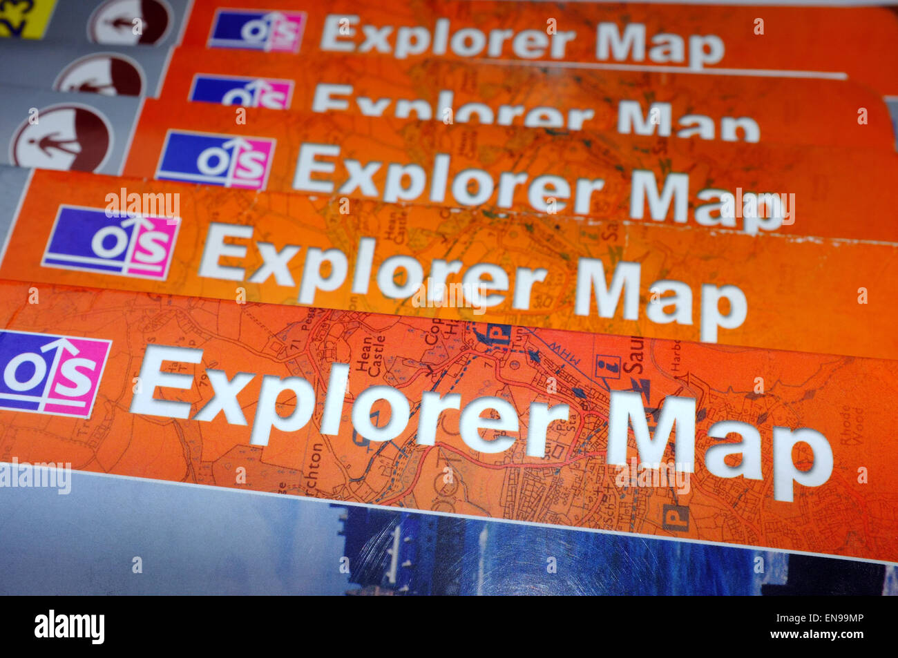 A pile of OS Explorer Maps on display in a Welsh B&B. Stock Photohttps://www.alamy.com/image-license-details/?v=1https://www.alamy.com/stock-photo-a-pile-of-os-explorer-maps-on-display-in-a-welsh-bb-81954454.html
RMEN99MP–A pile of OS Explorer Maps on display in a Welsh B&B.
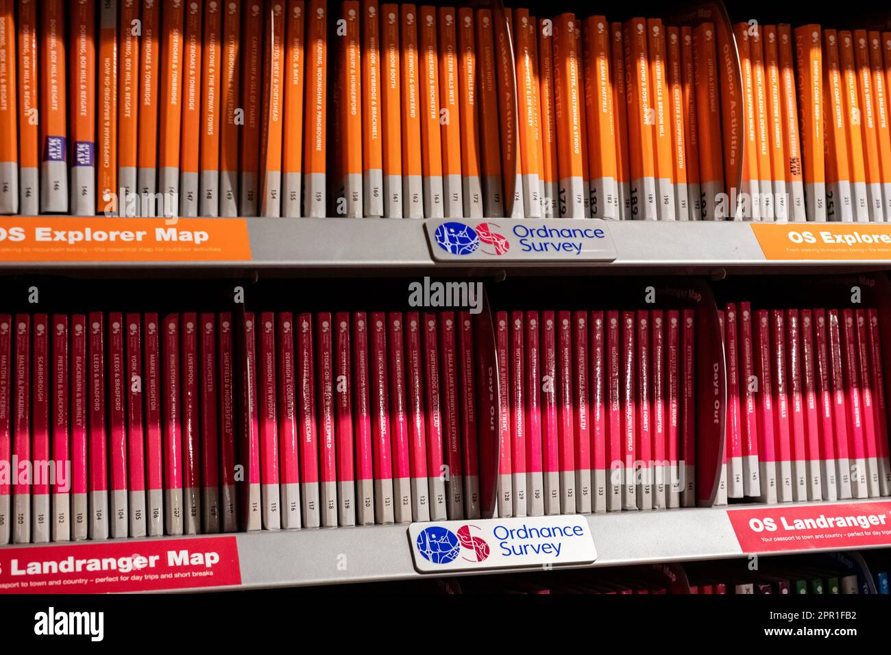 Ordnance Survey Maps Stacked on a Bookshelf Stock Photohttps://www.alamy.com/image-license-details/?v=1https://www.alamy.com/ordnance-survey-maps-stacked-on-a-bookshelf-image547692518.html
RM2PR1FB2–Ordnance Survey Maps Stacked on a Bookshelf
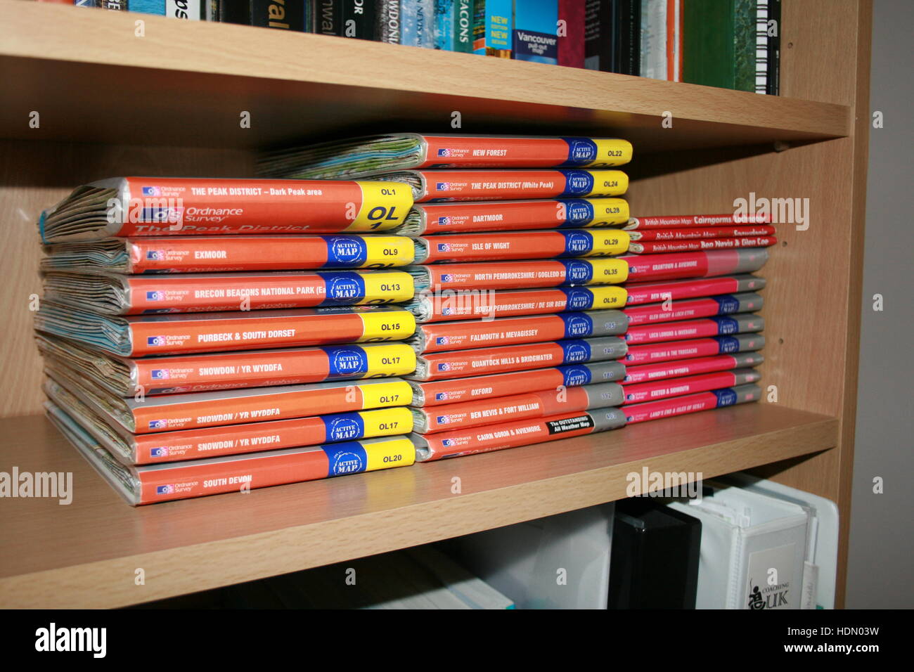 A collection of Ordnance Survey outdoor leisure maps lined up on a bookshelf Stock Photohttps://www.alamy.com/image-license-details/?v=1https://www.alamy.com/stock-photo-a-collection-of-ordnance-survey-outdoor-leisure-maps-lined-up-on-a-128924205.html
RFHDN03W–A collection of Ordnance Survey outdoor leisure maps lined up on a bookshelf
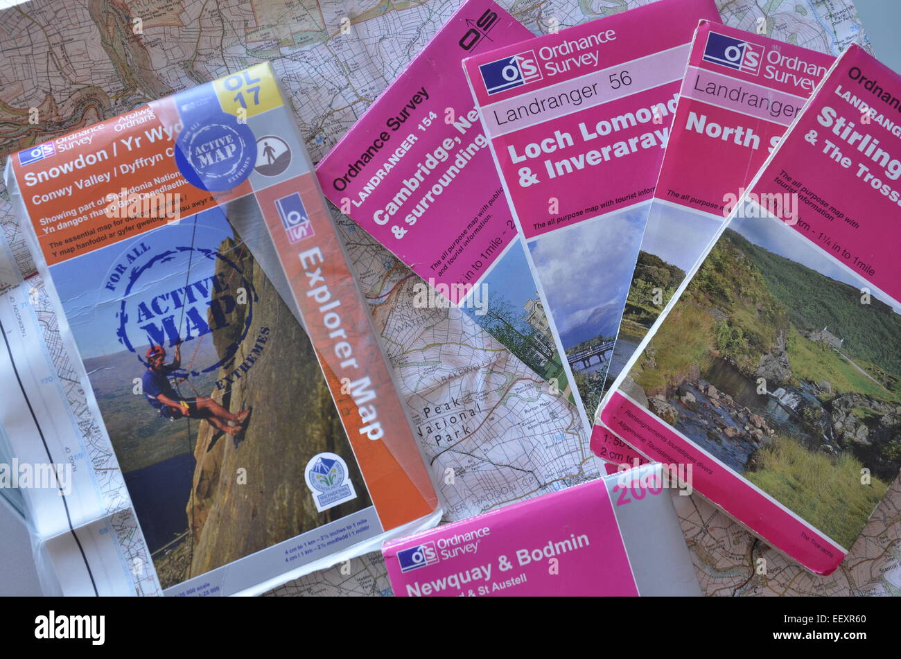 A selection of Ordnance Survey maps Stock Photohttps://www.alamy.com/image-license-details/?v=1https://www.alamy.com/stock-photo-a-selection-of-ordnance-survey-maps-78035608.html
RMEEXR60–A selection of Ordnance Survey maps
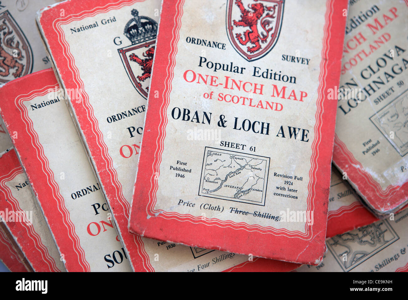 Old cloth Ordnance Survey one inch maps Stock Photohttps://www.alamy.com/image-license-details/?v=1https://www.alamy.com/stock-photo-old-cloth-ordnance-survey-one-inch-maps-43238989.html
RMCE9KNH–Old cloth Ordnance Survey one inch maps
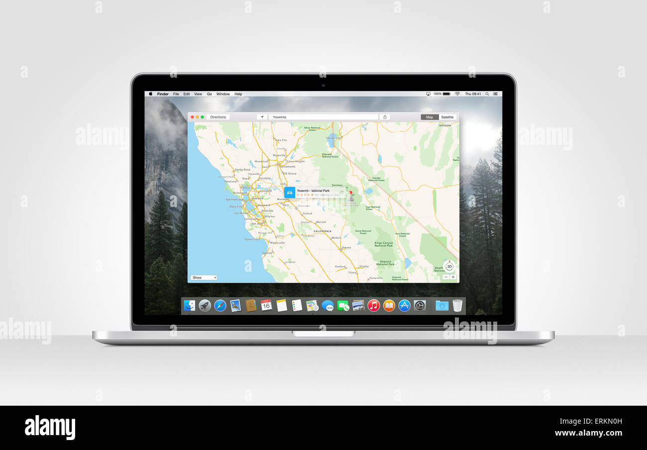 Directly front view of Apple MacBook Pro Retina with an open Maps app on gray background. Varna, Bulgaria - November 03, 2013. Stock Photohttps://www.alamy.com/image-license-details/?v=1https://www.alamy.com/stock-photo-directly-front-view-of-apple-macbook-pro-retina-with-an-open-maps-83412129.html
RMERKN0H–Directly front view of Apple MacBook Pro Retina with an open Maps app on gray background. Varna, Bulgaria - November 03, 2013.
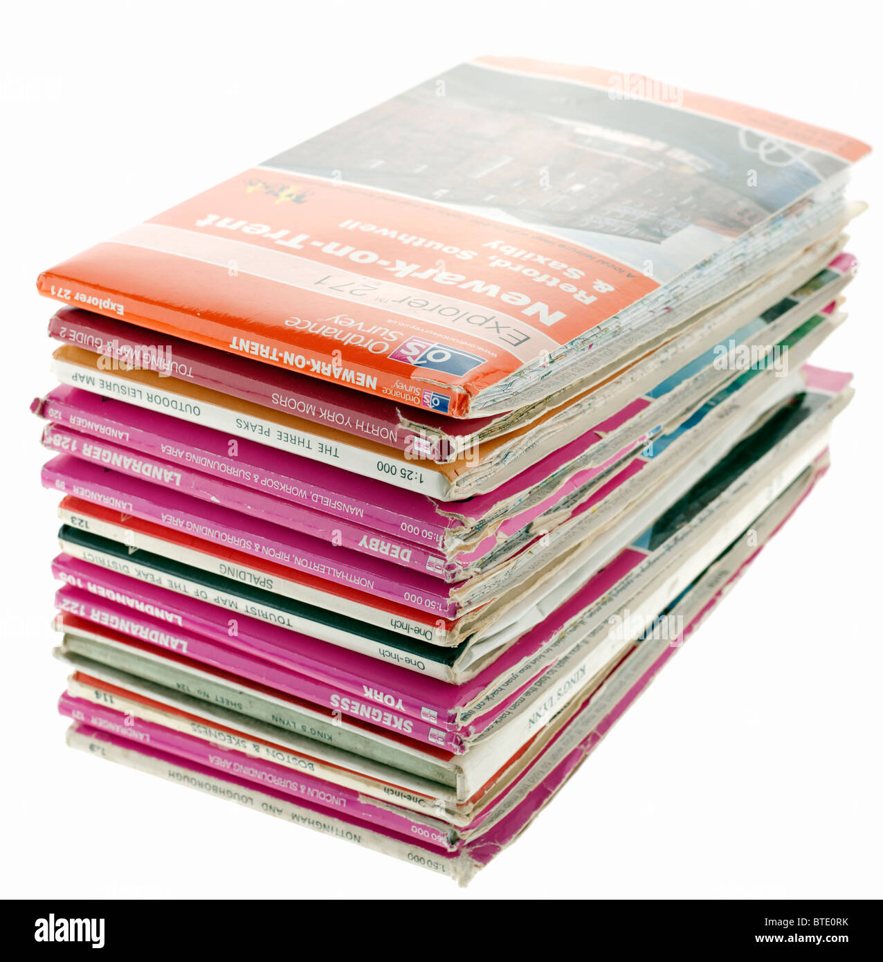 Pile of old and new British maps. EDITORIAL ONLY Stock Photohttps://www.alamy.com/image-license-details/?v=1https://www.alamy.com/stock-photo-pile-of-old-and-new-british-maps-editorial-only-32270103.html
RMBTE0RK–Pile of old and new British maps. EDITORIAL ONLY
RMDNH56Y–The OS Trig point stands tall on the Worcestershire Beacon on the Malvern Hills at sunset.
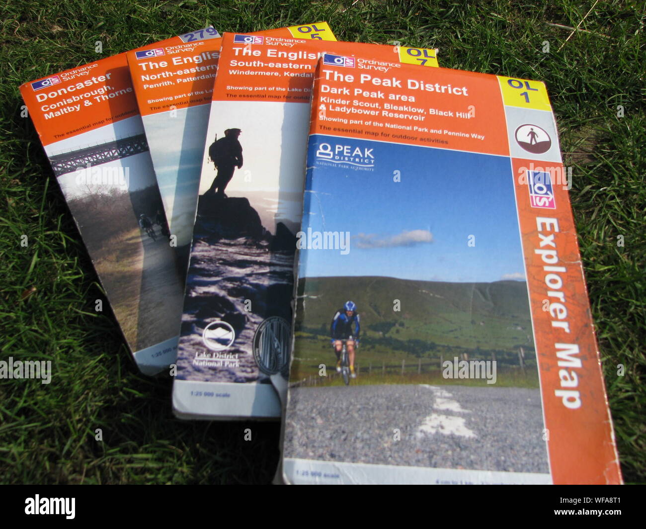 Ordnance Survey OS Maps - selection of laid out on grass Stock Photohttps://www.alamy.com/image-license-details/?v=1https://www.alamy.com/ordnance-survey-os-maps-selection-of-laid-out-on-grass-image267601825.html
RMWFA8T1–Ordnance Survey OS Maps - selection of laid out on grass
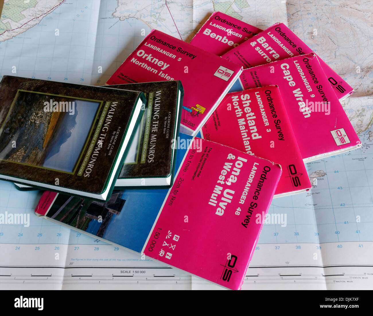 1:50,000 OS maps to the Scottish Islands orkney shetland iona islay barra Stock Photohttps://www.alamy.com/image-license-details/?v=1https://www.alamy.com/150000-os-maps-to-the-scottish-islands-orkney-shetland-iona-islay-image63118231.html
RMDJK7XF–1:50,000 OS maps to the Scottish Islands orkney shetland iona islay barra
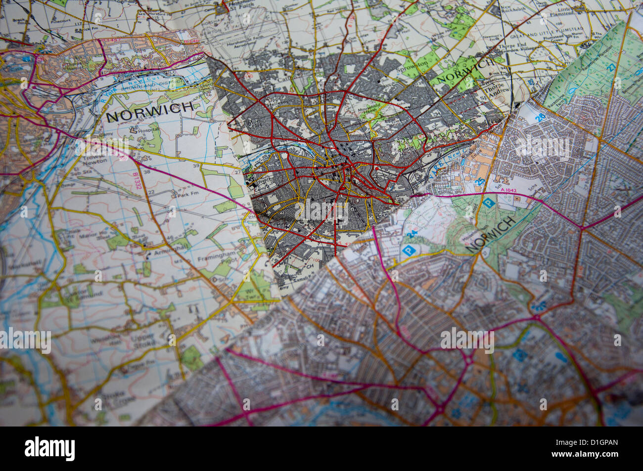 Different editions of OS Ordnance survey maps Stock Photohttps://www.alamy.com/image-license-details/?v=1https://www.alamy.com/stock-photo-different-editions-of-os-ordnance-survey-maps-52614541.html
RMD1GPAN–Different editions of OS Ordnance survey maps
 A mobile phone or cell phone on a wooden table with the OS maps app open next to a coffee and glasses Stock Photohttps://www.alamy.com/image-license-details/?v=1https://www.alamy.com/a-mobile-phone-or-cell-phone-on-a-wooden-table-with-the-os-maps-app-open-next-to-a-coffee-and-glasses-image414344564.html
RM2F230M4–A mobile phone or cell phone on a wooden table with the OS maps app open next to a coffee and glasses
 British OS map collection Stock Photohttps://www.alamy.com/image-license-details/?v=1https://www.alamy.com/british-os-map-collection-image354865363.html
RF2BH9EAY–British OS map collection
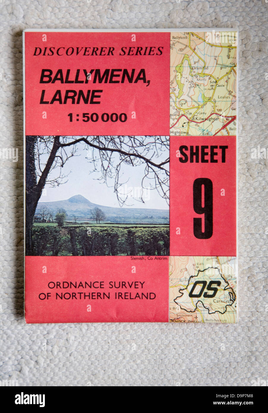 Discoverer series 1:50,000 ordnance survey map of Ballymena Larne, Northern Ireland sheet 9 Stock Photohttps://www.alamy.com/image-license-details/?v=1https://www.alamy.com/stock-photo-discoverer-series-150000-ordnance-survey-map-of-ballymena-larne-northern-57652008.html
RMD9P7M8–Discoverer series 1:50,000 ordnance survey map of Ballymena Larne, Northern Ireland sheet 9
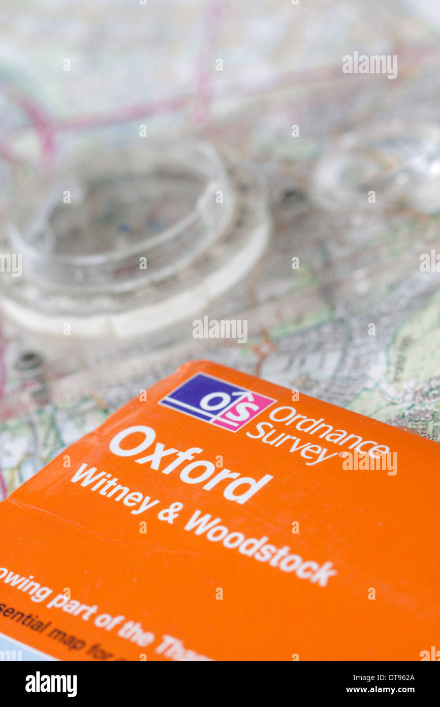 Ordnance Survey OS Explorer Map for Oxford and compass, England, UK Stock Photohttps://www.alamy.com/image-license-details/?v=1https://www.alamy.com/ordnance-survey-os-explorer-map-for-oxford-and-compass-england-uk-image66585186.html
RMDT962A–Ordnance Survey OS Explorer Map for Oxford and compass, England, UK
 Os, Värnamo Kommun, Sweden, Jönköping, N 57 12' 0'', E 14 19' 59'', map, Timeless Map published in 2021. Travelers, explorers and adventurers like Florence Nightingale, David Livingstone, Ernest Shackleton, Lewis and Clark and Sherlock Holmes relied on maps to plan travels to the world's most remote corners, Timeless Maps is mapping most locations on the globe, showing the achievement of great dreams. Stock Photohttps://www.alamy.com/image-license-details/?v=1https://www.alamy.com/os-vrnamo-kommun-sweden-jnkping-n-57-12-0-e-14-19-59-map-timeless-map-published-in-2021-travelers-explorers-and-adventurers-like-florence-nightingale-david-livingstone-ernest-shackleton-lewis-and-clark-and-sherlock-holmes-relied-on-maps-to-plan-travels-to-the-worlds-most-remote-corners-timeless-maps-is-mapping-most-locations-on-the-globe-showing-the-achievement-of-great-dreams-image458024339.html
RM2HH4PM3–Os, Värnamo Kommun, Sweden, Jönköping, N 57 12' 0'', E 14 19' 59'', map, Timeless Map published in 2021. Travelers, explorers and adventurers like Florence Nightingale, David Livingstone, Ernest Shackleton, Lewis and Clark and Sherlock Holmes relied on maps to plan travels to the world's most remote corners, Timeless Maps is mapping most locations on the globe, showing the achievement of great dreams.
 Ordnance Survey maps. 17/11/2020. Photograph: Stuart Boulton. Stock Photohttps://www.alamy.com/image-license-details/?v=1https://www.alamy.com/ordnance-survey-maps-17112020-photograph-stuart-boulton-image386036142.html
RF2DC1D12–Ordnance Survey maps. 17/11/2020. Photograph: Stuart Boulton.
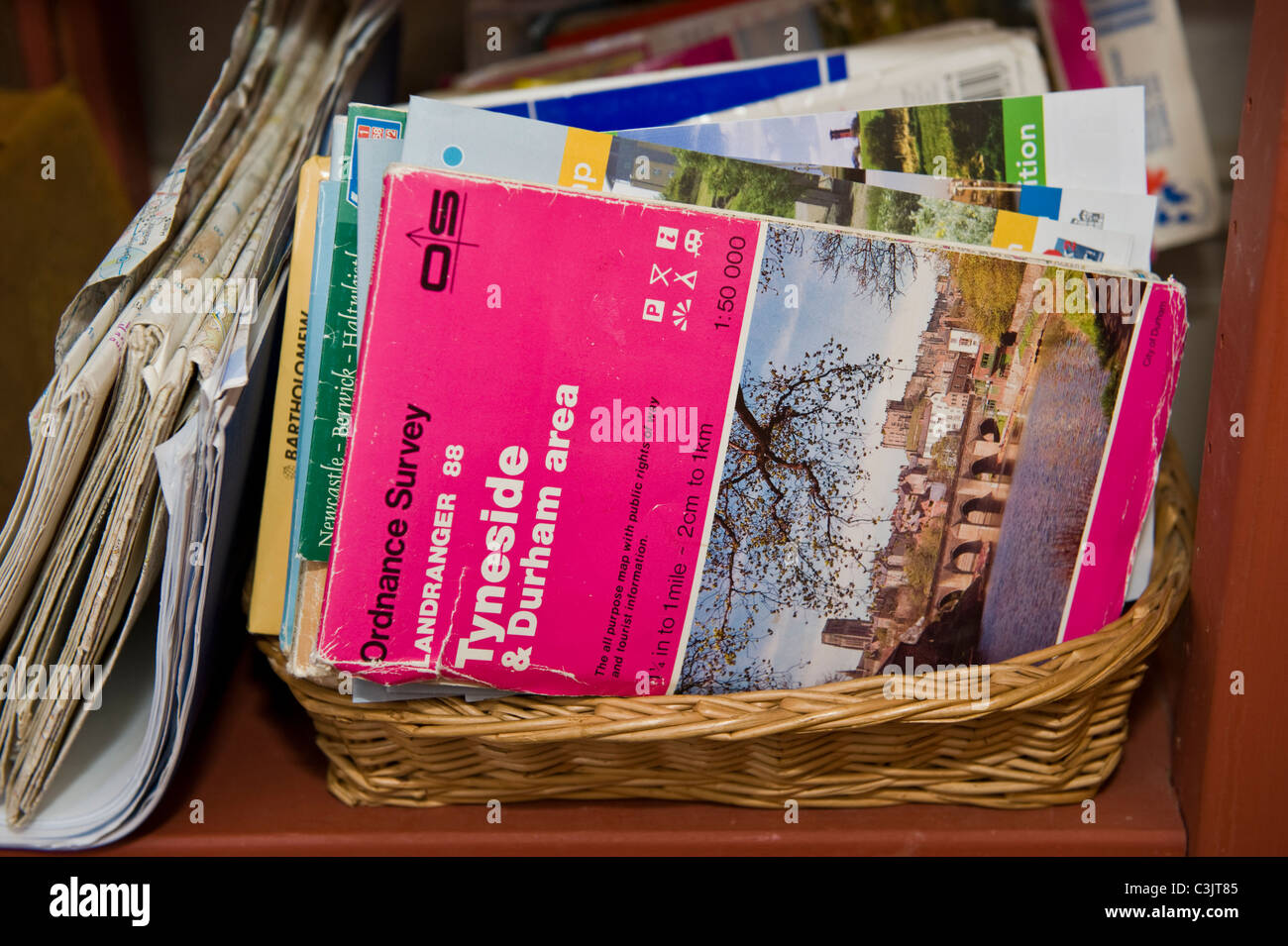 Ordnance Survey maps stored in wicker basket on shelf in family home in UK Stock Photohttps://www.alamy.com/image-license-details/?v=1https://www.alamy.com/stock-photo-ordnance-survey-maps-stored-in-wicker-basket-on-shelf-in-family-home-36678885.html
RMC3JT85–Ordnance Survey maps stored in wicker basket on shelf in family home in UK
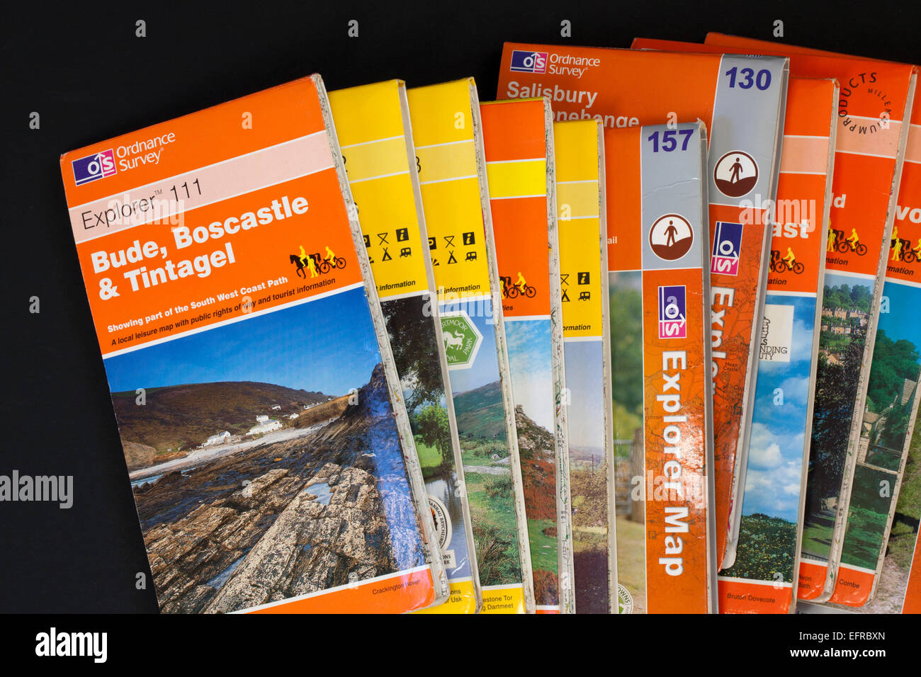 Close up of several Ordnance Survey Maps against a black background Stock Photohttps://www.alamy.com/image-license-details/?v=1https://www.alamy.com/stock-photo-close-up-of-several-ordnance-survey-maps-against-a-black-background-78575581.html
RMEFRBXN–Close up of several Ordnance Survey Maps against a black background
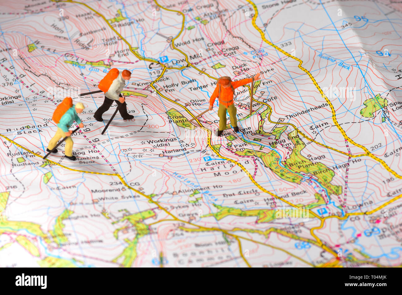 Hikers walking across and Ordinance Survey map Stock Photohttps://www.alamy.com/image-license-details/?v=1https://www.alamy.com/hikers-walking-across-and-ordinance-survey-map-image241049163.html
RFT04MJK–Hikers walking across and Ordinance Survey map
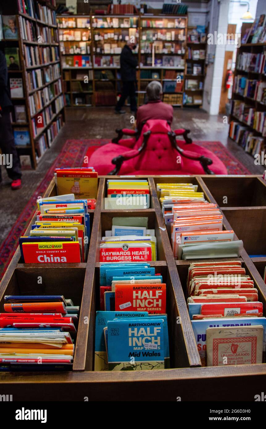 OS maps for sale, Barter Books Alnwick, Northumberland, England Stock Photohttps://www.alamy.com/image-license-details/?v=1https://www.alamy.com/os-maps-for-sale-barter-books-alnwick-northumberland-england-image434235340.html
RM2G6D3H0–OS maps for sale, Barter Books Alnwick, Northumberland, England
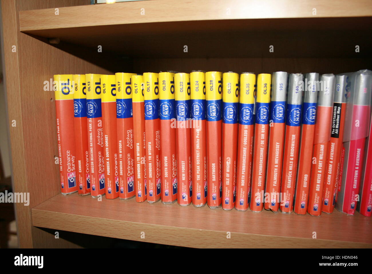 A collection of Ordnance Survey outdoor leisure maps lined up on a bookshelf Stock Photohttps://www.alamy.com/image-license-details/?v=1https://www.alamy.com/stock-photo-a-collection-of-ordnance-survey-outdoor-leisure-maps-lined-up-on-a-128924214.html
RFHDN046–A collection of Ordnance Survey outdoor leisure maps lined up on a bookshelf
 Walking boot with Canada and California maps Stock Photohttps://www.alamy.com/image-license-details/?v=1https://www.alamy.com/stock-photo-walking-boot-with-canada-and-california-maps-49477640.html
RMCTDW6G–Walking boot with Canada and California maps
 Old cloth Ordnance Survey one inch maps Stock Photohttps://www.alamy.com/image-license-details/?v=1https://www.alamy.com/stock-photo-old-cloth-ordnance-survey-one-inch-maps-43238949.html
RMCE9KM5–Old cloth Ordnance Survey one inch maps
 Road Map screwed up into a ball OS Road Map of Cornwall england Stock Photohttps://www.alamy.com/image-license-details/?v=1https://www.alamy.com/road-map-screwed-up-into-a-ball-os-road-map-of-cornwall-england-image3994689.html
RFA93G42–Road Map screwed up into a ball OS Road Map of Cornwall england
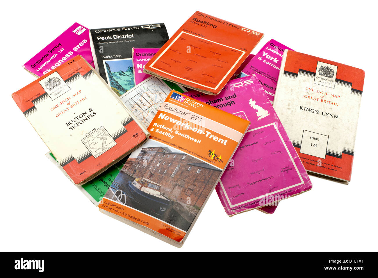 Pile of old and new British maps. EDITORIAL ONLY Stock Photohttps://www.alamy.com/image-license-details/?v=1https://www.alamy.com/stock-photo-pile-of-old-and-new-british-maps-editorial-only-32270976.html
RMBTE1XT–Pile of old and new British maps. EDITORIAL ONLY
 Man reading an OS map on a bench in the Queen Elizabeth Forest Park in the Trossachs Scotland Stock Photohttps://www.alamy.com/image-license-details/?v=1https://www.alamy.com/stock-photo-man-reading-an-os-map-on-a-bench-in-the-queen-elizabeth-forest-park-41335221.html
RMCB6YDW–Man reading an OS map on a bench in the Queen Elizabeth Forest Park in the Trossachs Scotland
 Empty notepad with copy space, OS Map and a pen, Planning a Journey in the UK for holidays. Stock Photohttps://www.alamy.com/image-license-details/?v=1https://www.alamy.com/stock-photo-empty-notepad-with-copy-space-os-map-and-a-pen-planning-a-journey-24612915.html
RFBC160K–Empty notepad with copy space, OS Map and a pen, Planning a Journey in the UK for holidays.
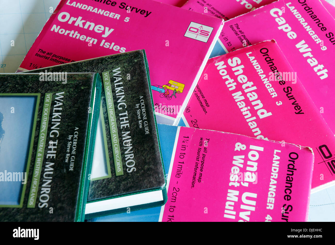 1:50,000 OS maps to the Scottish Islands orkney shetland iona islay barra Stock Photohttps://www.alamy.com/image-license-details/?v=1https://www.alamy.com/150000-os-maps-to-the-scottish-islands-orkney-shetland-iona-islay-image63016056.html
RMDJEHHC–1:50,000 OS maps to the Scottish Islands orkney shetland iona islay barra
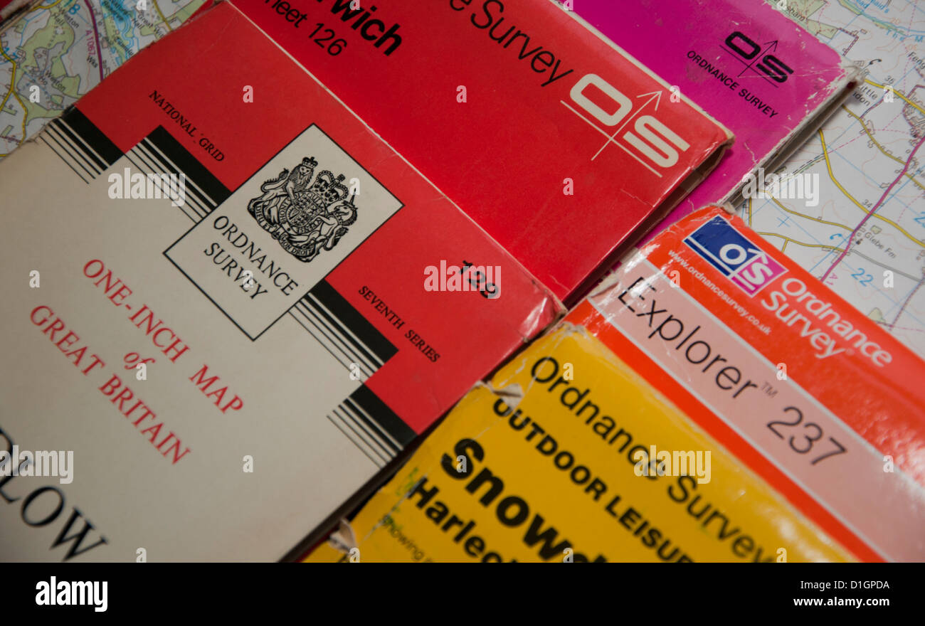 Different editions of OS Ordnance survey maps Stock Photohttps://www.alamy.com/image-license-details/?v=1https://www.alamy.com/stock-photo-different-editions-of-os-ordnance-survey-maps-52614614.html
RMD1GPDA–Different editions of OS Ordnance survey maps
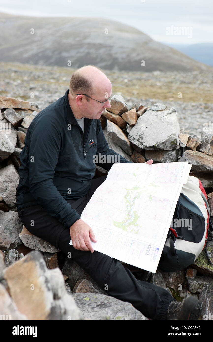 Walker reading an OS map in a summit cairn of one of the Cairngorm mountains Stock Photohttps://www.alamy.com/image-license-details/?v=1https://www.alamy.com/stock-photo-walker-reading-an-os-map-in-a-summit-cairn-of-one-of-the-cairngorm-42028373.html
RMCCAFH9–Walker reading an OS map in a summit cairn of one of the Cairngorm mountains
 British OS map collection Stock Photohttps://www.alamy.com/image-license-details/?v=1https://www.alamy.com/british-os-map-collection-image354865471.html
RF2BH9EER–British OS map collection
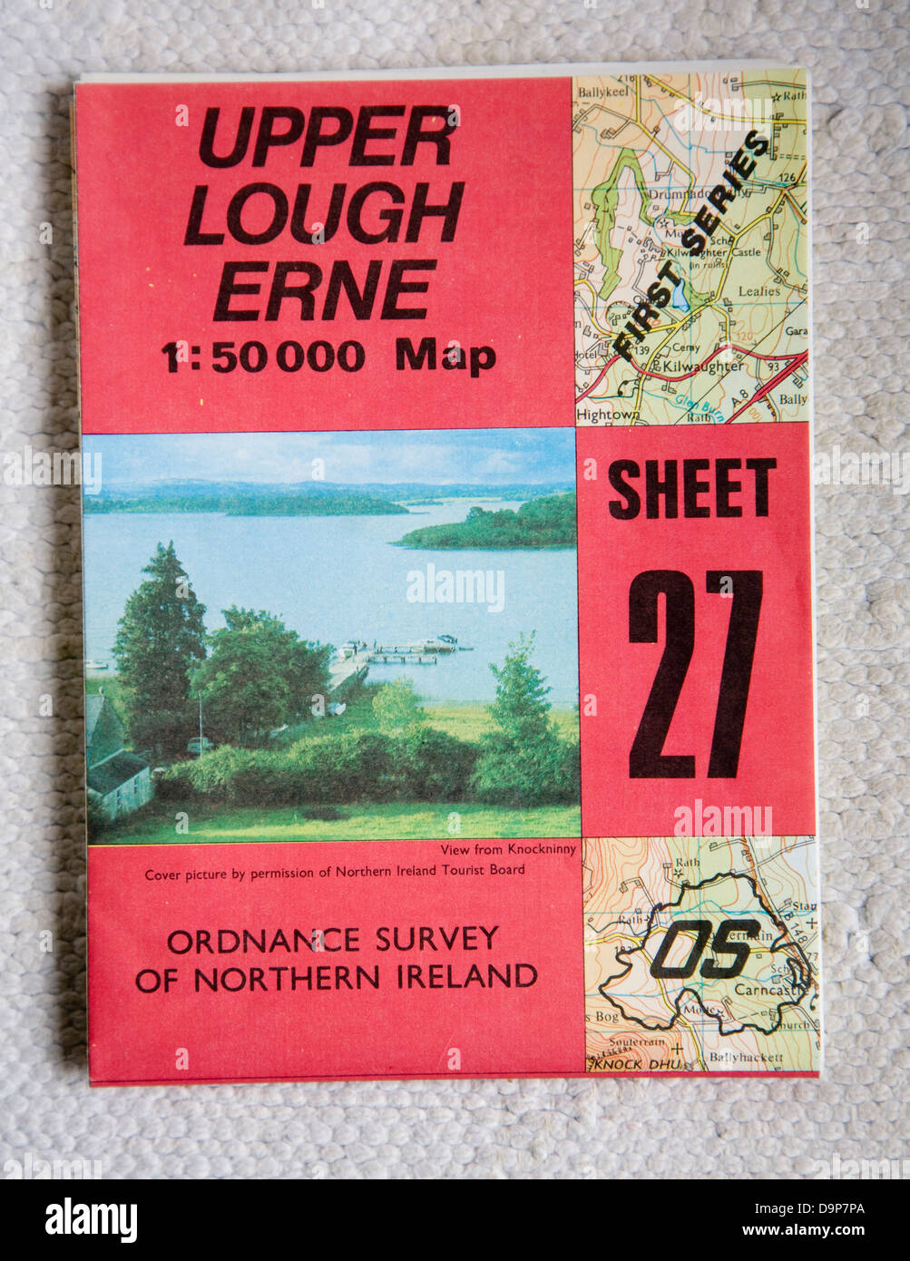 Discoverer series 1:50,000 ordnance survey map of Upper Lough Erne, Northern Ireland sheet 27 Stock Photohttps://www.alamy.com/image-license-details/?v=1https://www.alamy.com/stock-photo-discoverer-series-150000-ordnance-survey-map-of-upper-lough-erne-northern-57652066.html
RMD9P7PA–Discoverer series 1:50,000 ordnance survey map of Upper Lough Erne, Northern Ireland sheet 27
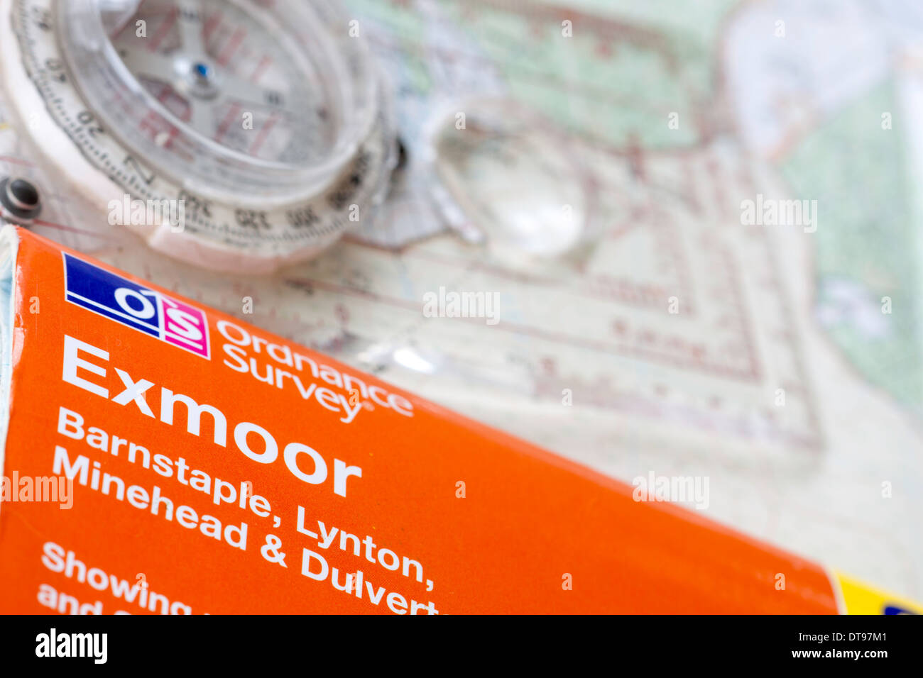 Ordnance Survey OS Explorer Map for Exmoor and compass, England, UK Stock Photohttps://www.alamy.com/image-license-details/?v=1https://www.alamy.com/ordnance-survey-os-explorer-map-for-exmoor-and-compass-england-uk-image66586465.html
RMDT97M1–Ordnance Survey OS Explorer Map for Exmoor and compass, England, UK
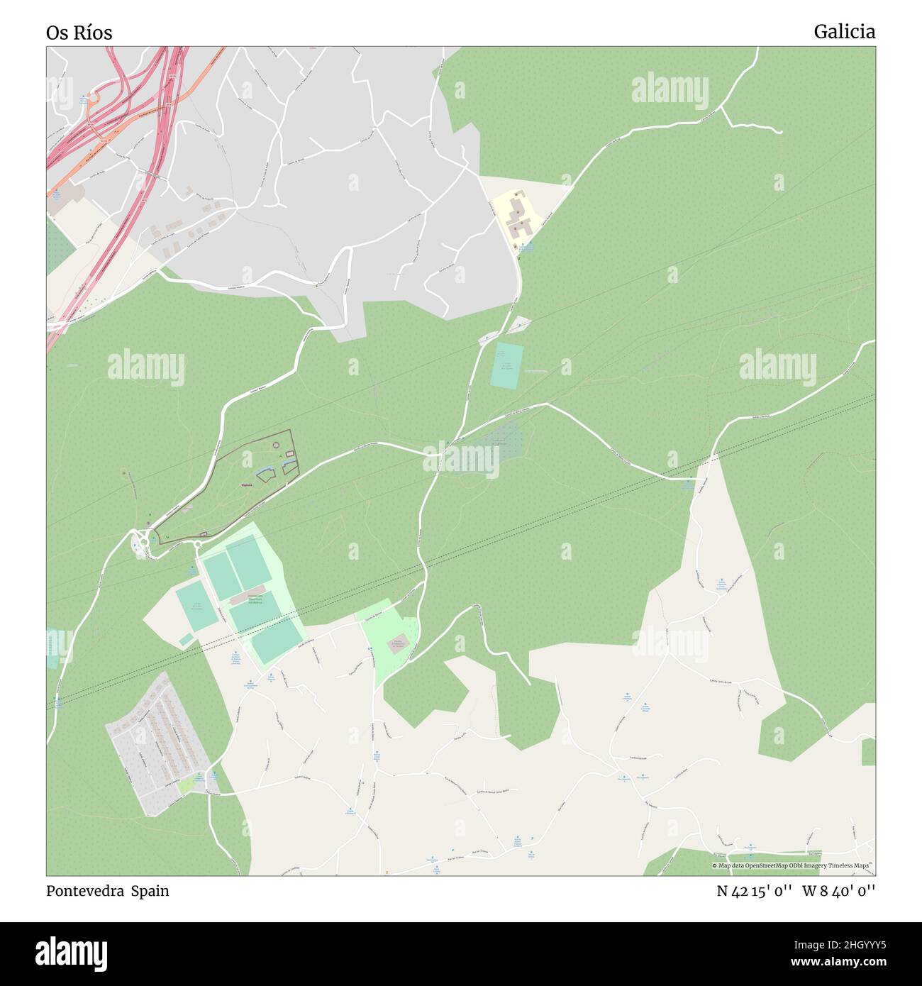 Os Ríos, Pontevedra, Spain, Galicia, N 42 15' 0'', W 8 40' 0'', map, Timeless Map published in 2021. Travelers, explorers and adventurers like Florence Nightingale, David Livingstone, Ernest Shackleton, Lewis and Clark and Sherlock Holmes relied on maps to plan travels to the world's most remote corners, Timeless Maps is mapping most locations on the globe, showing the achievement of great dreams Stock Photohttps://www.alamy.com/image-license-details/?v=1https://www.alamy.com/os-ros-pontevedra-spain-galicia-n-42-15-0-w-8-40-0-map-timeless-map-published-in-2021-travelers-explorers-and-adventurers-like-florence-nightingale-david-livingstone-ernest-shackleton-lewis-and-clark-and-sherlock-holmes-relied-on-maps-to-plan-travels-to-the-worlds-most-remote-corners-timeless-maps-is-mapping-most-locations-on-the-globe-showing-the-achievement-of-great-dreams-image457918697.html
RM2HGYYY5–Os Ríos, Pontevedra, Spain, Galicia, N 42 15' 0'', W 8 40' 0'', map, Timeless Map published in 2021. Travelers, explorers and adventurers like Florence Nightingale, David Livingstone, Ernest Shackleton, Lewis and Clark and Sherlock Holmes relied on maps to plan travels to the world's most remote corners, Timeless Maps is mapping most locations on the globe, showing the achievement of great dreams
 Ordnance Survey maps. 17/11/2020. Photograph: Stuart Boulton. Stock Photohttps://www.alamy.com/image-license-details/?v=1https://www.alamy.com/ordnance-survey-maps-17112020-photograph-stuart-boulton-image386036001.html
RF2DC1CT1–Ordnance Survey maps. 17/11/2020. Photograph: Stuart Boulton.
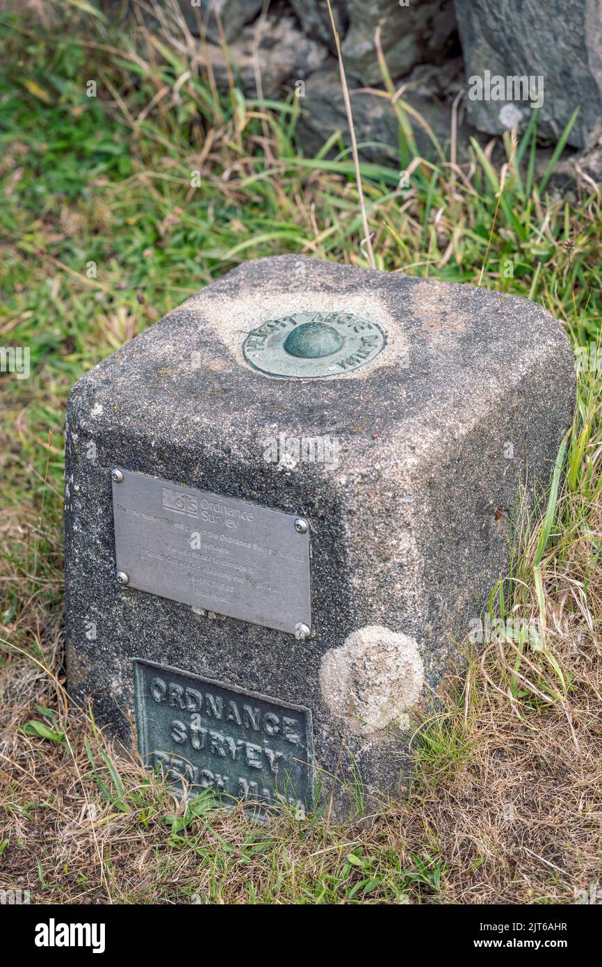 An Ordnance Survey Bench Mark on Exmoor. Stock Photohttps://www.alamy.com/image-license-details/?v=1https://www.alamy.com/an-ordnance-survey-bench-mark-on-exmoor-image479571731.html
RM2JT6AHR–An Ordnance Survey Bench Mark on Exmoor.
 Close up of several Ordnance Survey Maps against a black background Stock Photohttps://www.alamy.com/image-license-details/?v=1https://www.alamy.com/stock-photo-close-up-of-several-ordnance-survey-maps-against-a-black-background-78575589.html
RMEFRBY1–Close up of several Ordnance Survey Maps against a black background
 Hikers walking across and Ordinance Survey map Stock Photohttps://www.alamy.com/image-license-details/?v=1https://www.alamy.com/hikers-walking-across-and-ordinance-survey-map-image241049159.html
RFT04MJF–Hikers walking across and Ordinance Survey map
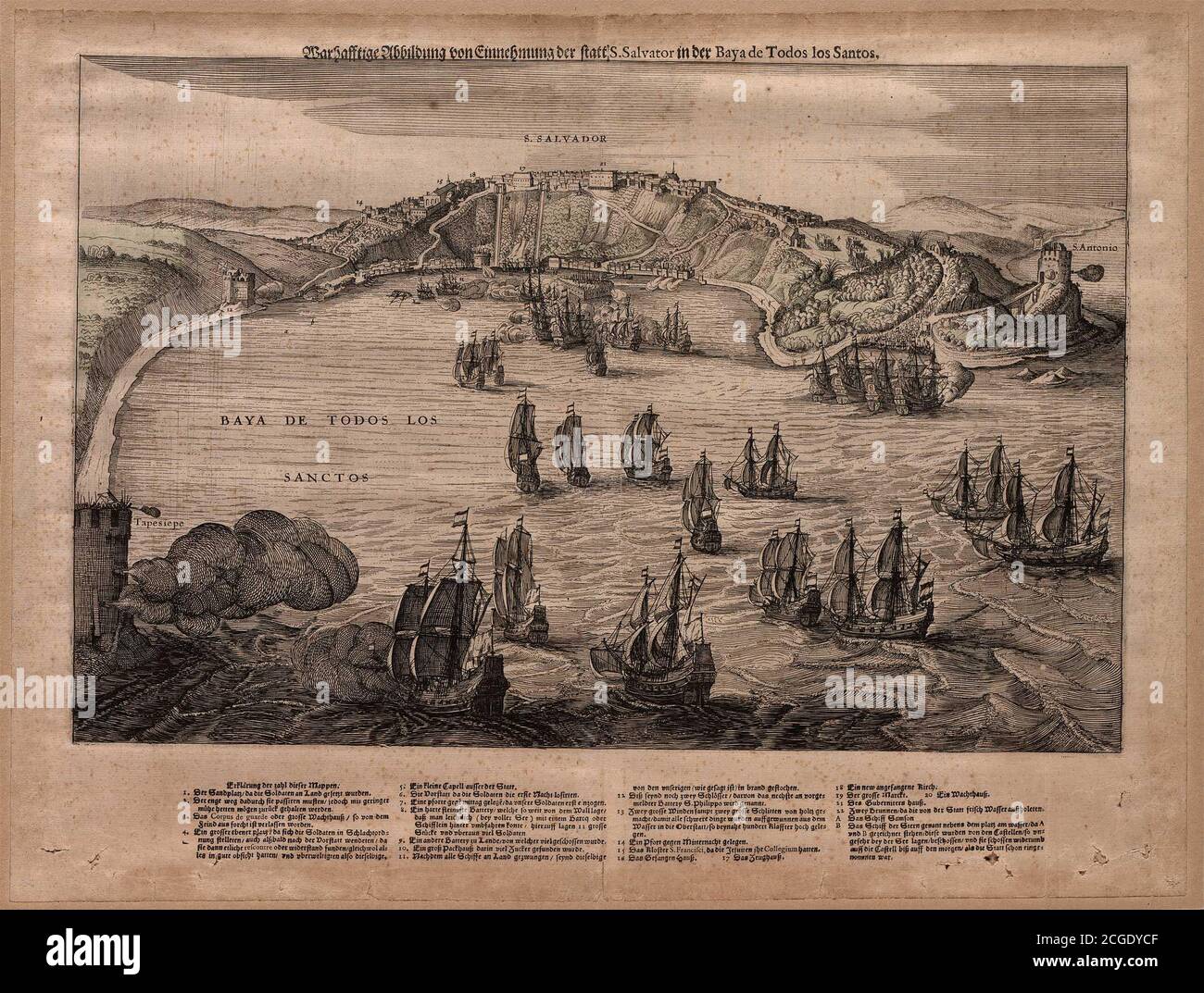 Title: Warhafftige Abbildung von Einnehmung der statt. S. Salvator in der Baya de Todos los Santos - Ilustração de warhed de captura do lugar. S. Salvator na Baya de Todos los Santos. Creator: Emmanuel van Meteren Date: c. 1634 Dimensions: 29,4 x44,8cm Medium: Engraving Location: Fundação Biblioteca Nacional, Rio de Janeiro Stock Photohttps://www.alamy.com/image-license-details/?v=1https://www.alamy.com/title-warhafftige-abbildung-von-einnehmung-der-statt-s-salvator-in-der-baya-de-todos-los-santos-ilustrao-de-warhed-de-captura-do-lugar-s-salvator-na-baya-de-todos-los-santos-creator-emmanuel-van-meteren-date-c-1634-dimensions-294-x448cm-medium-engraving-location-fundao-biblioteca-nacional-rio-de-janeiro-image371559119.html
RM2CGDYCF–Title: Warhafftige Abbildung von Einnehmung der statt. S. Salvator in der Baya de Todos los Santos - Ilustração de warhed de captura do lugar. S. Salvator na Baya de Todos los Santos. Creator: Emmanuel van Meteren Date: c. 1634 Dimensions: 29,4 x44,8cm Medium: Engraving Location: Fundação Biblioteca Nacional, Rio de Janeiro
 Rows of ordinance survey maps on sale in a bookshop in England Stock Photohttps://www.alamy.com/image-license-details/?v=1https://www.alamy.com/stock-photo-rows-of-ordinance-survey-maps-on-sale-in-a-bookshop-in-england-103000386.html
RMFYG216–Rows of ordinance survey maps on sale in a bookshop in England
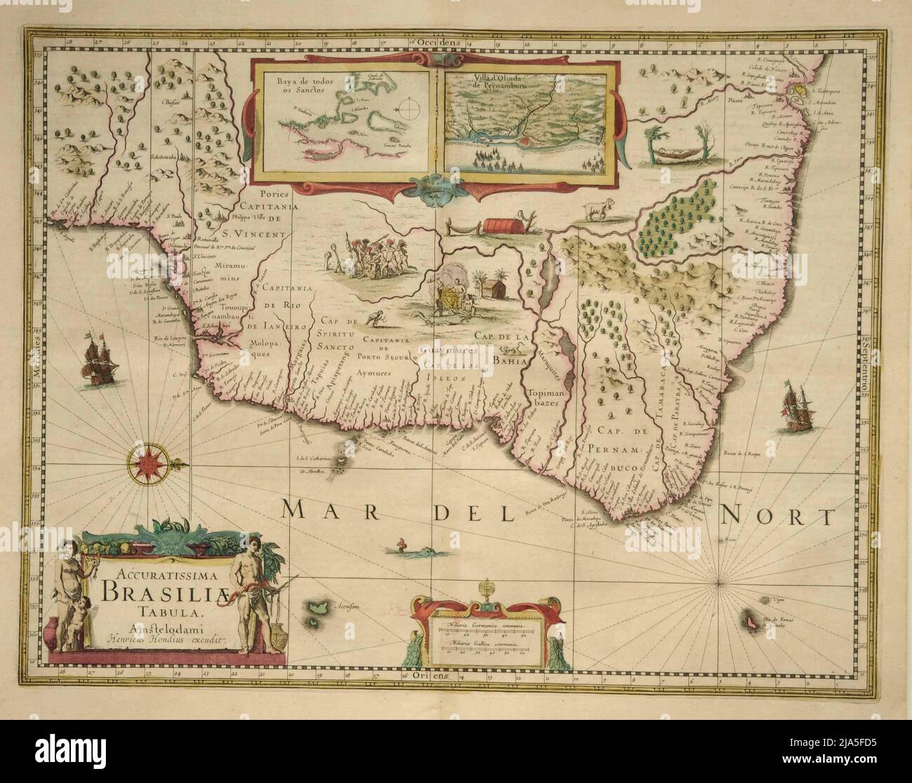 Henricus Hondius catographer Cover engraving. Double in-folio. Fine old colors. Latin edition of 1638. Nice old color example of Jansson's map of Brasil, oriented with West at the top Brazil is divided into Capitanias, with excellent coastal detail and a more speculative detail in the interior parts of the map. Includes inset vignettes of indigenous scenes and animals. Inset maps of the 'Baya de Todos os Sanctos' and 'Villa d'Olinda de Pernambuco © Nederlands Scheepvaartmuseum Amsterdam Stock Photohttps://www.alamy.com/image-license-details/?v=1https://www.alamy.com/henricus-hondius-catographer-cover-engraving-double-in-folio-fine-old-colors-latin-edition-of-1638-nice-old-color-example-of-janssons-map-of-brasil-oriented-with-west-at-the-top-brazil-is-divided-into-capitanias-with-excellent-coastal-detail-and-a-more-speculative-detail-in-the-interior-parts-of-the-map-includes-inset-vignettes-of-indigenous-scenes-and-animals-inset-maps-of-the-baya-de-todos-os-sanctos-and-villa-dolinda-de-pernambuco-nederlands-scheepvaartmuseum-amsterdam-image470948385.html
RM2JA5FD5–Henricus Hondius catographer Cover engraving. Double in-folio. Fine old colors. Latin edition of 1638. Nice old color example of Jansson's map of Brasil, oriented with West at the top Brazil is divided into Capitanias, with excellent coastal detail and a more speculative detail in the interior parts of the map. Includes inset vignettes of indigenous scenes and animals. Inset maps of the 'Baya de Todos os Sanctos' and 'Villa d'Olinda de Pernambuco © Nederlands Scheepvaartmuseum Amsterdam
 Apple website screenshot with OS X Mavericks presentation page Stock Photohttps://www.alamy.com/image-license-details/?v=1https://www.alamy.com/stock-photo-apple-website-screenshot-with-os-x-mavericks-presentation-page-57354049.html
RMD98KJW–Apple website screenshot with OS X Mavericks presentation page
 Road Map screwed up into a ball OS Road Map of Cornwall england Stock Photohttps://www.alamy.com/image-license-details/?v=1https://www.alamy.com/road-map-screwed-up-into-a-ball-os-road-map-of-cornwall-england-image3994690.html
RFA93G43–Road Map screwed up into a ball OS Road Map of Cornwall england
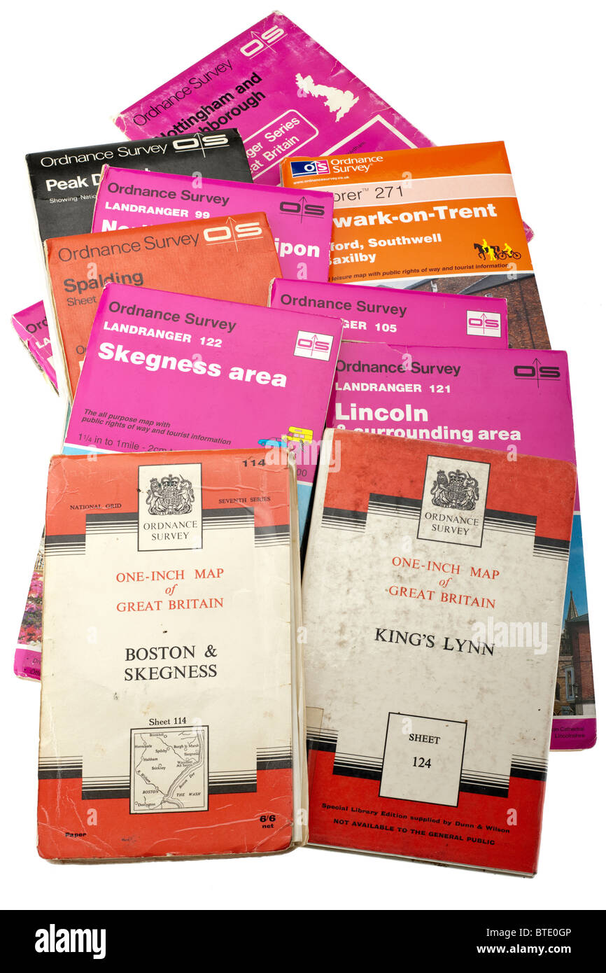 Pile of old and new British maps. EDITORIAL ONLY Stock Photohttps://www.alamy.com/image-license-details/?v=1https://www.alamy.com/stock-photo-pile-of-old-and-new-british-maps-editorial-only-32269910.html
RMBTE0GP–Pile of old and new British maps. EDITORIAL ONLY
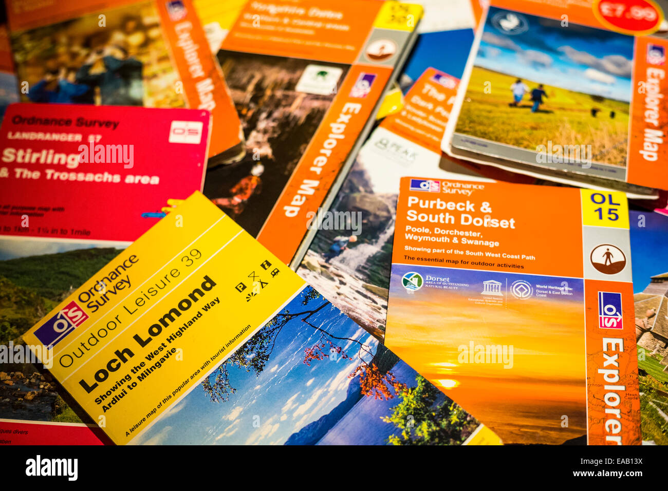 A pile of ordnance survey walking and activity maps Stock Photohttps://www.alamy.com/image-license-details/?v=1https://www.alamy.com/stock-photo-a-pile-of-ordnance-survey-walking-and-activity-maps-75230398.html
RMEAB13X–A pile of ordnance survey walking and activity maps
 A woman looking and crawling on an enormous large Ordnance Survey map of Wales Stock Photohttps://www.alamy.com/image-license-details/?v=1https://www.alamy.com/stock-photo-a-woman-looking-and-crawling-on-an-enormous-large-ordnance-survey-57470563.html
RMD9E083–A woman looking and crawling on an enormous large Ordnance Survey map of Wales
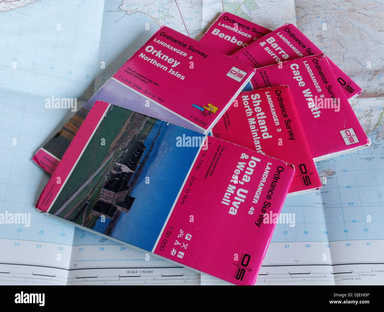 1:50,000 OS maps to the Scottish Islands orkney shetland iona islay barra Stock Photohttps://www.alamy.com/image-license-details/?v=1https://www.alamy.com/150000-os-maps-to-the-scottish-islands-orkney-shetland-iona-islay-image63016038.html
RMDJEHGP–1:50,000 OS maps to the Scottish Islands orkney shetland iona islay barra
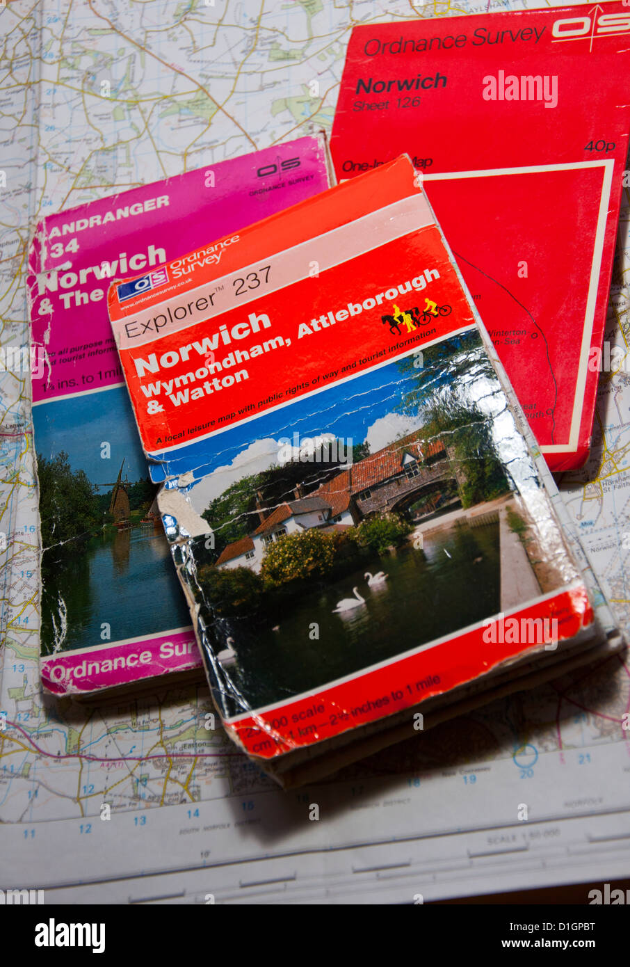 Different editions of OS Ordnance survey maps Stock Photohttps://www.alamy.com/image-license-details/?v=1https://www.alamy.com/stock-photo-different-editions-of-os-ordnance-survey-maps-52614572.html
RMD1GPBT–Different editions of OS Ordnance survey maps
 March 2020 UK: Google Maps Leeds On Chromebook OS Laptop working from home Stock Photohttps://www.alamy.com/image-license-details/?v=1https://www.alamy.com/march-2020-uk-google-maps-leeds-on-chromebook-os-laptop-working-from-home-image348967776.html
RF2B7MRXT–March 2020 UK: Google Maps Leeds On Chromebook OS Laptop working from home
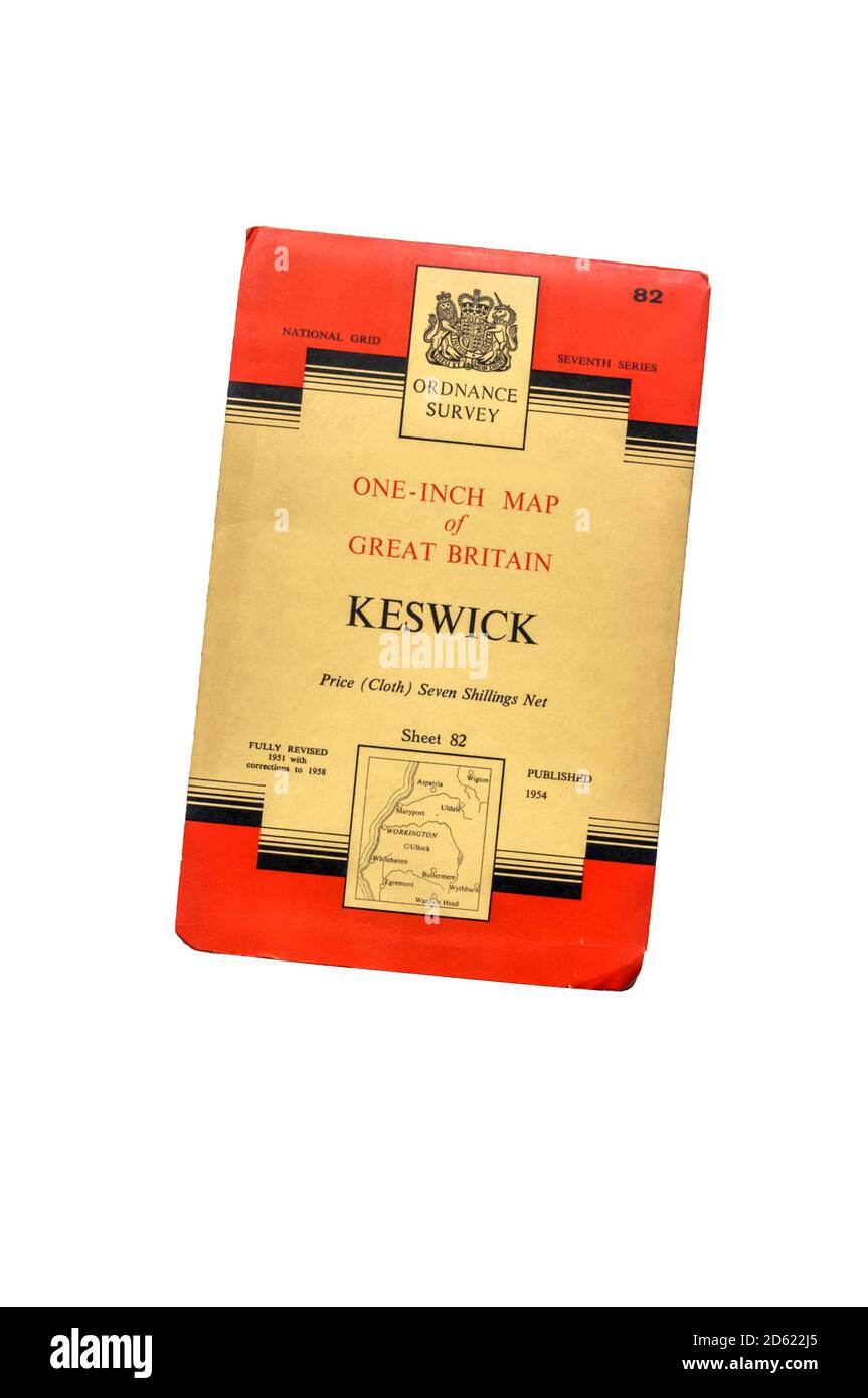 The cover of a 7th Series one-inch OS map of Keswick, published in 1958. Stock Photohttps://www.alamy.com/image-license-details/?v=1https://www.alamy.com/the-cover-of-a-7th-series-one-inch-os-map-of-keswick-published-in-1958-image382362013.html
RM2D622J5–The cover of a 7th Series one-inch OS map of Keswick, published in 1958.
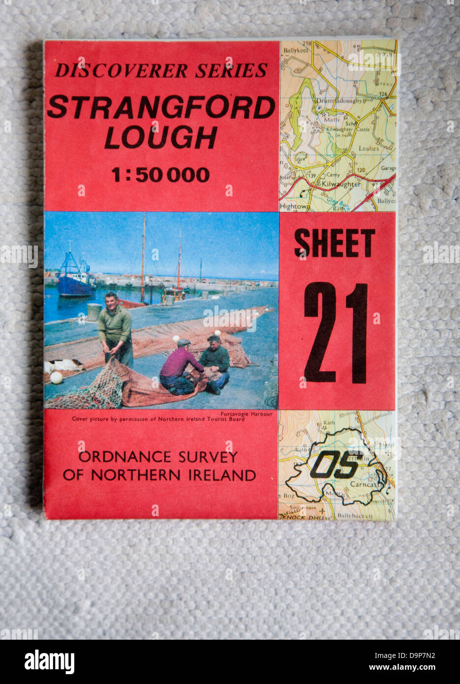 Discoverer series 1:50,000 ordnance survey map of Strangford Lough, Northern Ireland sheet 21 Stock Photohttps://www.alamy.com/image-license-details/?v=1https://www.alamy.com/stock-photo-discoverer-series-150000-ordnance-survey-map-of-strangford-lough-northern-57652030.html
RMD9P7N2–Discoverer series 1:50,000 ordnance survey map of Strangford Lough, Northern Ireland sheet 21
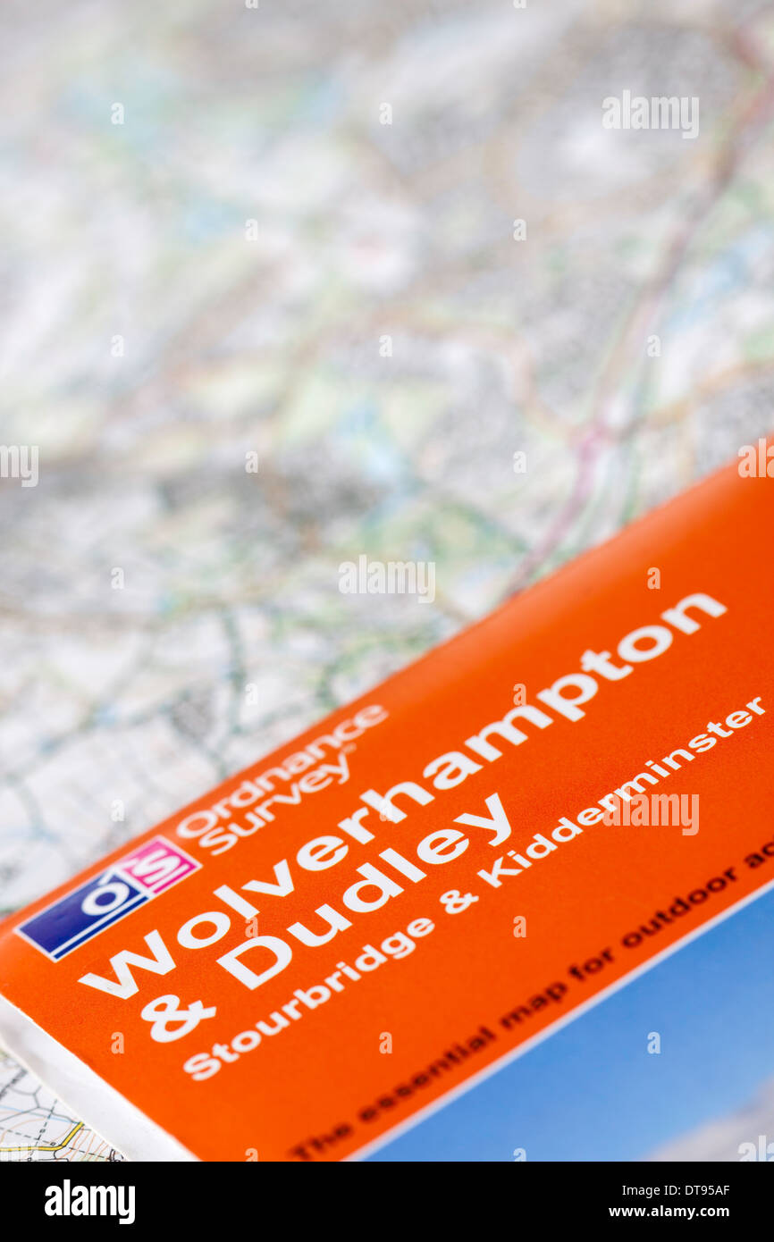 Ordnance Survey OS Explorer Map for Wolverhampton & Dudley, England, UK Stock Photohttps://www.alamy.com/image-license-details/?v=1https://www.alamy.com/ordnance-survey-os-explorer-map-for-wolverhampton-dudley-england-uk-image66584631.html
RMDT95AF–Ordnance Survey OS Explorer Map for Wolverhampton & Dudley, England, UK
 Os Castriños, Lugo, Spain, Galicia, N 42 30' 29'', W 7 37' 32'', map, Timeless Map published in 2021. Travelers, explorers and adventurers like Florence Nightingale, David Livingstone, Ernest Shackleton, Lewis and Clark and Sherlock Holmes relied on maps to plan travels to the world's most remote corners, Timeless Maps is mapping most locations on the globe, showing the achievement of great dreams Stock Photohttps://www.alamy.com/image-license-details/?v=1https://www.alamy.com/os-castrios-lugo-spain-galicia-n-42-30-29-w-7-37-32-map-timeless-map-published-in-2021-travelers-explorers-and-adventurers-like-florence-nightingale-david-livingstone-ernest-shackleton-lewis-and-clark-and-sherlock-holmes-relied-on-maps-to-plan-travels-to-the-worlds-most-remote-corners-timeless-maps-is-mapping-most-locations-on-the-globe-showing-the-achievement-of-great-dreams-image457894659.html
RM2HGXW8K–Os Castriños, Lugo, Spain, Galicia, N 42 30' 29'', W 7 37' 32'', map, Timeless Map published in 2021. Travelers, explorers and adventurers like Florence Nightingale, David Livingstone, Ernest Shackleton, Lewis and Clark and Sherlock Holmes relied on maps to plan travels to the world's most remote corners, Timeless Maps is mapping most locations on the globe, showing the achievement of great dreams
 Ordnance Survey maps. 17/11/2020. Photograph: Stuart Boulton. Stock Photohttps://www.alamy.com/image-license-details/?v=1https://www.alamy.com/ordnance-survey-maps-17112020-photograph-stuart-boulton-image386035941.html
RF2DC1CNW–Ordnance Survey maps. 17/11/2020. Photograph: Stuart Boulton.
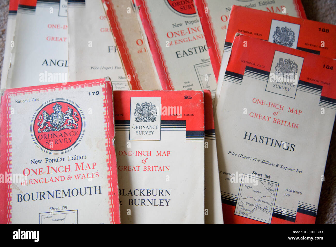 Old one inch Ordnance survey maps Stock Photohttps://www.alamy.com/image-license-details/?v=1https://www.alamy.com/stock-photo-old-one-inch-ordnance-survey-maps-52122983.html
RMD0PBB3–Old one inch Ordnance survey maps
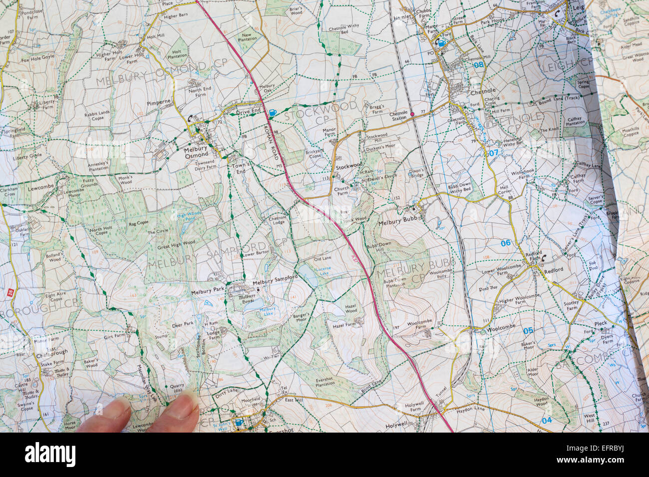 Ordnance Survey Maps Stock Photohttps://www.alamy.com/image-license-details/?v=1https://www.alamy.com/stock-photo-ordnance-survey-maps-78575606.html
RMEFRBYJ–Ordnance Survey Maps
 Hikers walking across and Ordinance Survey map Stock Photohttps://www.alamy.com/image-license-details/?v=1https://www.alamy.com/hikers-walking-across-and-ordinance-survey-map-image241049157.html
RFT04MJD–Hikers walking across and Ordinance Survey map
 Shop window sign for credit cards accepted, UK, Visa, Delta, Eurocard, Mastercard, Switch Stock Photohttps://www.alamy.com/image-license-details/?v=1https://www.alamy.com/shop-window-sign-for-credit-cards-accepted-uk-visa-delta-eurocard-image9261735.html
RMAT5CX8–Shop window sign for credit cards accepted, UK, Visa, Delta, Eurocard, Mastercard, Switch
 Rows of ordinance survey maps on sale in a bookshop in England Stock Photohttps://www.alamy.com/image-license-details/?v=1https://www.alamy.com/stock-photo-rows-of-ordinance-survey-maps-on-sale-in-a-bookshop-in-england-103000304.html
RMFYG1X8–Rows of ordinance survey maps on sale in a bookshop in England
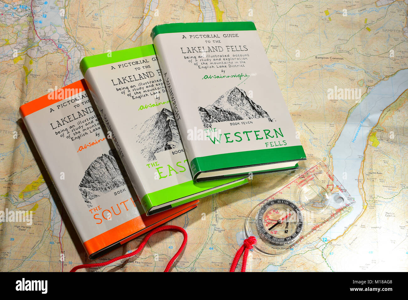 Alfred Wainwright books with compass and OS maps Stock Photohttps://www.alamy.com/image-license-details/?v=1https://www.alamy.com/stock-photo-alfred-wainwright-books-with-compass-and-os-maps-172902248.html
RFM18AG8–Alfred Wainwright books with compass and OS maps
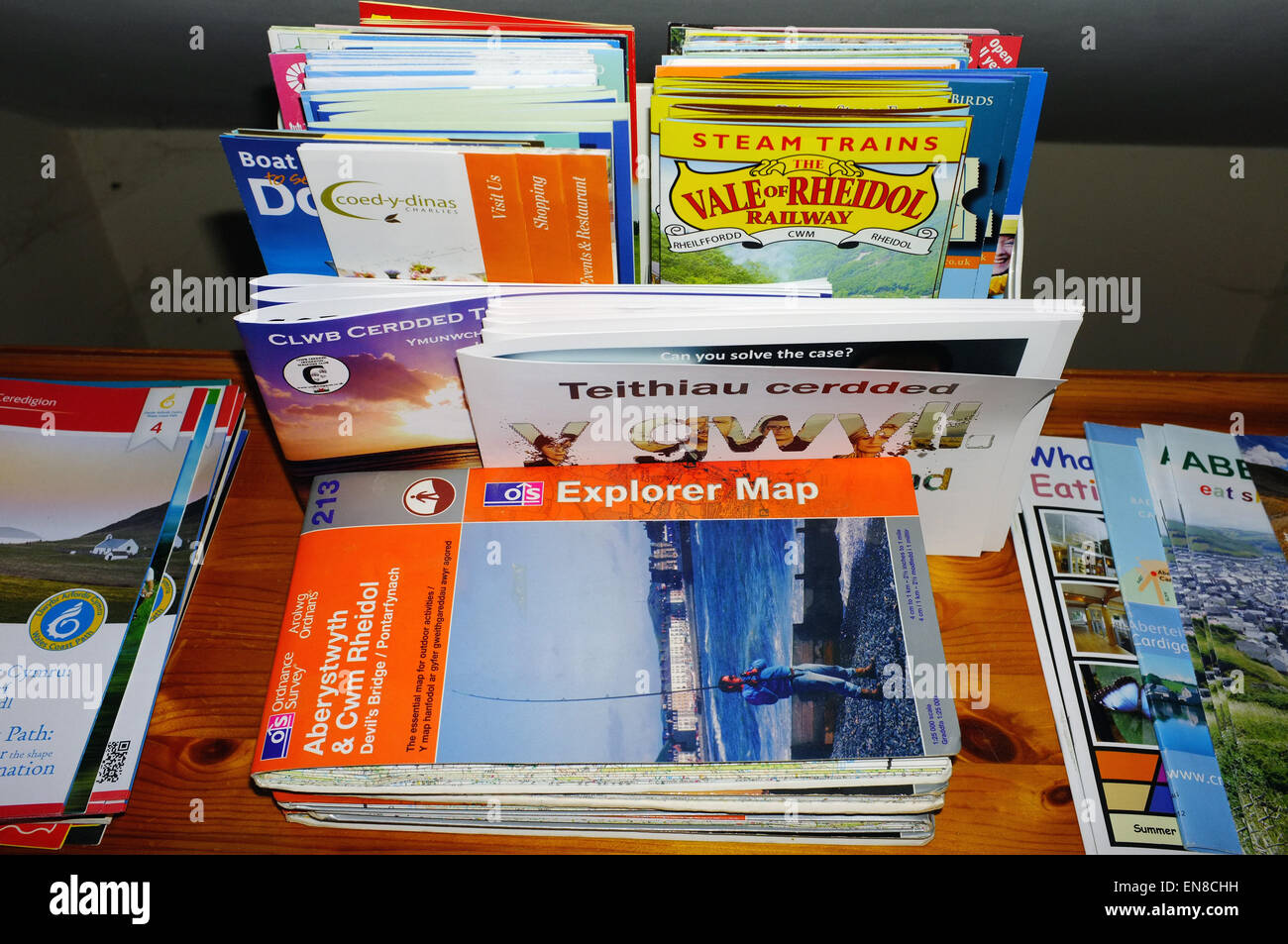 A collection of maps and tourism leaflets on display inside a B&B in Mid Wales. Stock Photohttps://www.alamy.com/image-license-details/?v=1https://www.alamy.com/stock-photo-a-collection-of-maps-and-tourism-leaflets-on-display-inside-a-bb-in-81934765.html
RMEN8CHH–A collection of maps and tourism leaflets on display inside a B&B in Mid Wales.
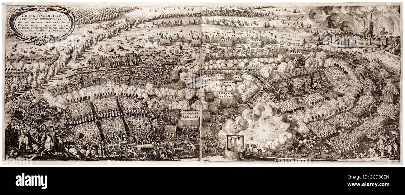 Map of the Battle of Lützen, Saxony, Germany, (6th November 1632 (OS)) in the Thirty Year's War, map by Matthäus Merian the Elder, 1642 Stock Photohttps://www.alamy.com/image-license-details/?v=1https://www.alamy.com/map-of-the-battle-of-ltzen-saxony-germany-6th-november-1632-os-in-the-thirty-years-war-map-by-matthus-merianthe-elder-1642-image369584285.html
RM2CD80EN–Map of the Battle of Lützen, Saxony, Germany, (6th November 1632 (OS)) in the Thirty Year's War, map by Matthäus Merian the Elder, 1642
