Quick filters:
Osaka map Stock Photos and Images
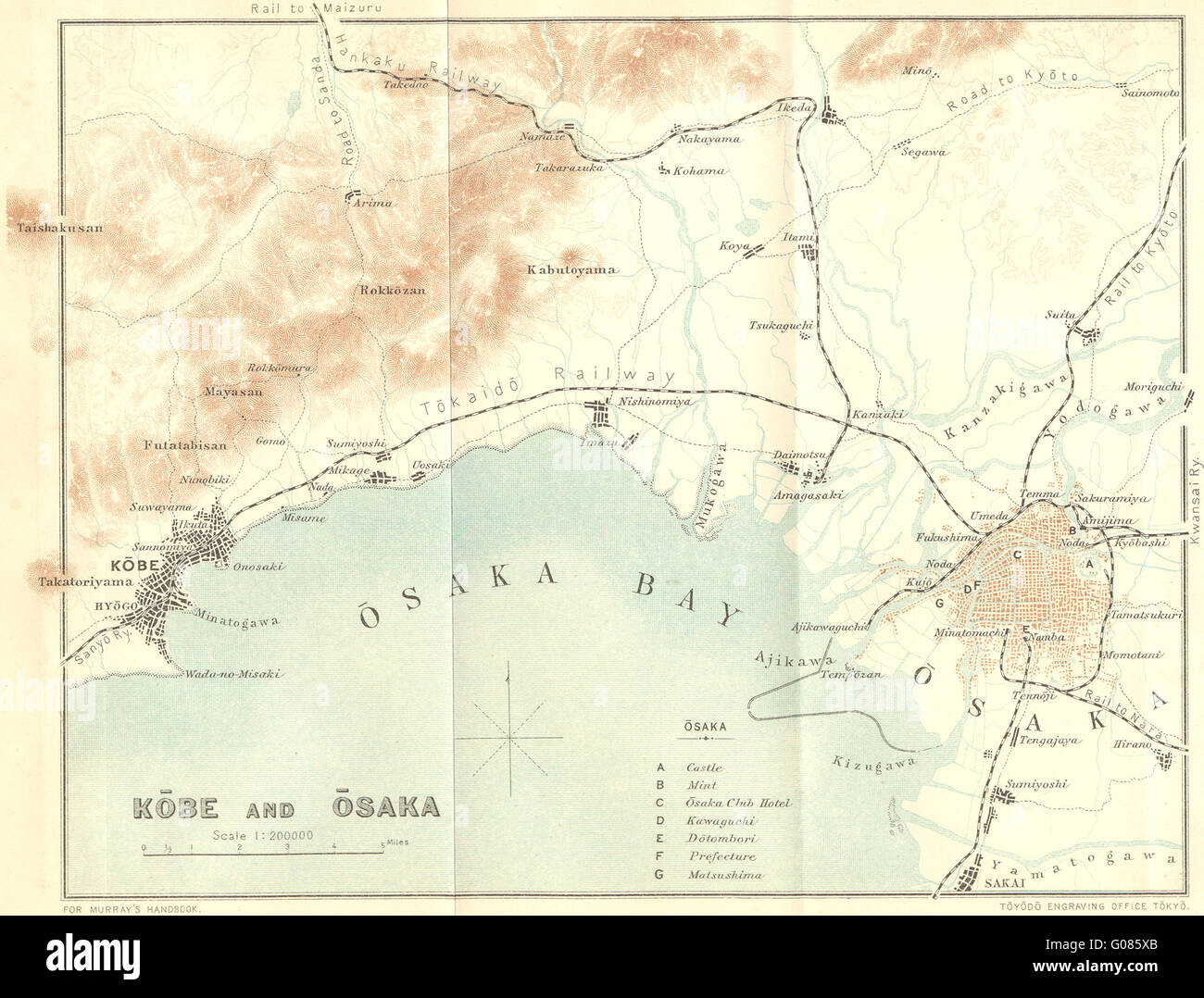 JAPAN: Kobe & Osaka, 1907 antique map Stock Photohttps://www.alamy.com/image-license-details/?v=1https://www.alamy.com/stock-photo-japan-kobe-osaka-1907-antique-map-103442483.html
RFG085XB–JAPAN: Kobe & Osaka, 1907 antique map
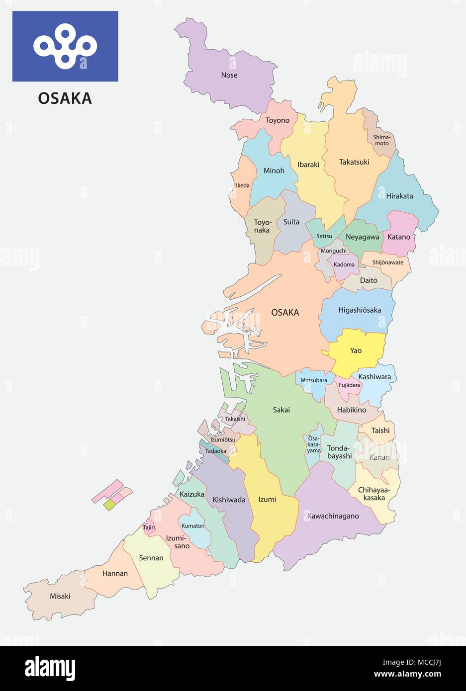 osaka prefecture administrative and political map with flag Stock Vectorhttps://www.alamy.com/image-license-details/?v=1https://www.alamy.com/osaka-prefecture-administrative-and-political-map-with-flag-image179757302.html
RFMCCJ7J–osaka prefecture administrative and political map with flag
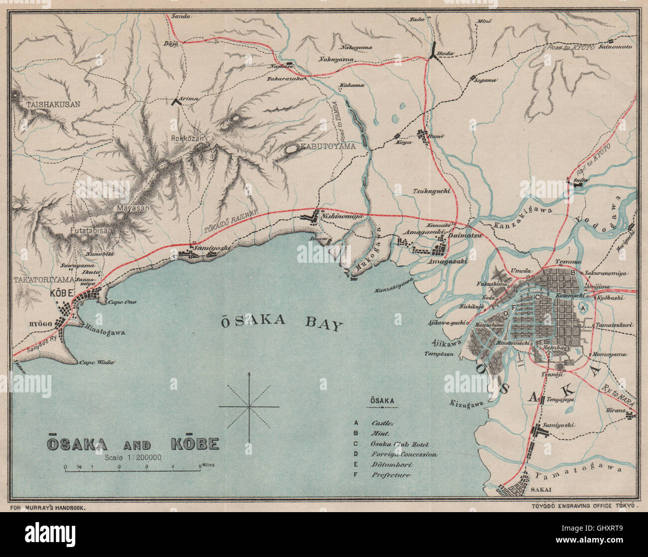 JAPAN. Osaka and Kobe. Osaka bay. MURRAY, 1901 antique map Stock Photohttps://www.alamy.com/image-license-details/?v=1https://www.alamy.com/stock-photo-japan-osaka-and-kobe-osaka-bay-murray-1901-antique-map-114300825.html
RFGHXRT9–JAPAN. Osaka and Kobe. Osaka bay. MURRAY, 1901 antique map
![[ 1920s Japan - Map of Osaka, 1922 ] — Map of Osaka city, printed on Jun 10, 1922 (Taisho 11). 20th century vintage map. Stock Photo [ 1920s Japan - Map of Osaka, 1922 ] — Map of Osaka city, printed on Jun 10, 1922 (Taisho 11). 20th century vintage map. Stock Photo](https://c8.alamy.com/comp/WB57HN/1920s-japan-map-of-osaka-1922-map-of-osaka-city-printed-on-jun-10-1922-taisho-11-20th-century-vintage-map-WB57HN.jpg) [ 1920s Japan - Map of Osaka, 1922 ] — Map of Osaka city, printed on Jun 10, 1922 (Taisho 11). 20th century vintage map. Stock Photohttps://www.alamy.com/image-license-details/?v=1https://www.alamy.com/1920s-japan-map-of-osaka-1922-map-of-osaka-city-printed-on-jun-10-1922-taisho-11-20th-century-vintage-map-image265032481.html
[ 1920s Japan - Map of Osaka, 1922 ] — Map of Osaka city, printed on Jun 10, 1922 (Taisho 11). 20th century vintage map. Stock Photohttps://www.alamy.com/image-license-details/?v=1https://www.alamy.com/1920s-japan-map-of-osaka-1922-map-of-osaka-city-printed-on-jun-10-1922-taisho-11-20th-century-vintage-map-image265032481.htmlRMWB57HN–[ 1920s Japan - Map of Osaka, 1922 ] — Map of Osaka city, printed on Jun 10, 1922 (Taisho 11). 20th century vintage map.
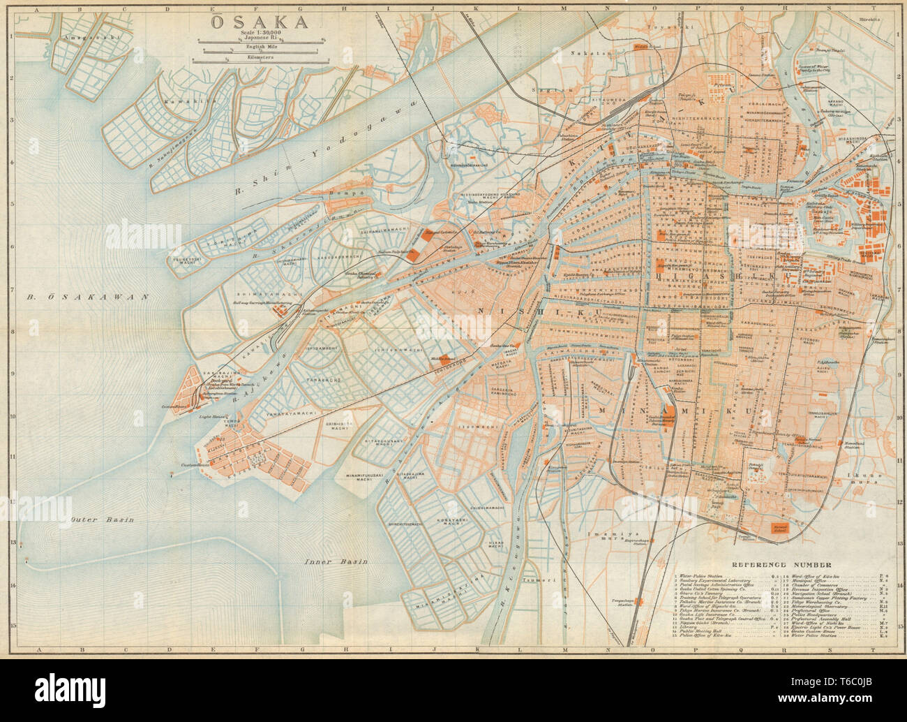 Osaka antique town city plan. Honshu. Japan 1914 old map chart Stock Photohttps://www.alamy.com/image-license-details/?v=1https://www.alamy.com/osaka-antique-town-city-plan-honshu-japan-1914-old-map-chart-image244897027.html
RFT6C0JB–Osaka antique town city plan. Honshu. Japan 1914 old map chart
![[ 1910s Japan - Map of Osaka, 1914 ] — Map of Osaka from An Official Guide to Eastern Asia published by The Imperial Japanese Government Railways, 1914. 20th century vintage map. Stock Photo [ 1910s Japan - Map of Osaka, 1914 ] — Map of Osaka from An Official Guide to Eastern Asia published by The Imperial Japanese Government Railways, 1914. 20th century vintage map. Stock Photo](https://c8.alamy.com/comp/WB4P3G/1910s-japan-map-of-osaka-1914-map-of-osaka-from-an-official-guide-to-eastern-asia-published-by-the-imperial-japanese-government-railways-1914-20th-century-vintage-map-WB4P3G.jpg) [ 1910s Japan - Map of Osaka, 1914 ] — Map of Osaka from An Official Guide to Eastern Asia published by The Imperial Japanese Government Railways, 1914. 20th century vintage map. Stock Photohttps://www.alamy.com/image-license-details/?v=1https://www.alamy.com/1910s-japan-map-of-osaka-1914-map-of-osaka-from-an-official-guide-to-eastern-asia-published-by-the-imperial-japanese-government-railways-1914-20th-century-vintage-map-image265021892.html
[ 1910s Japan - Map of Osaka, 1914 ] — Map of Osaka from An Official Guide to Eastern Asia published by The Imperial Japanese Government Railways, 1914. 20th century vintage map. Stock Photohttps://www.alamy.com/image-license-details/?v=1https://www.alamy.com/1910s-japan-map-of-osaka-1914-map-of-osaka-from-an-official-guide-to-eastern-asia-published-by-the-imperial-japanese-government-railways-1914-20th-century-vintage-map-image265021892.htmlRMWB4P3G–[ 1910s Japan - Map of Osaka, 1914 ] — Map of Osaka from An Official Guide to Eastern Asia published by The Imperial Japanese Government Railways, 1914. 20th century vintage map.
 CENTRAL JAPAN. Kobe Osaka Wakayama Kyoto Nagoya Kofu Fukui. MURRAY, 1901 map Stock Photohttps://www.alamy.com/image-license-details/?v=1https://www.alamy.com/stock-photo-central-japan-kobe-osaka-wakayama-kyoto-nagoya-kofu-fukui-murray-1901-114300820.html
RFGHXRT4–CENTRAL JAPAN. Kobe Osaka Wakayama Kyoto Nagoya Kofu Fukui. MURRAY, 1901 map
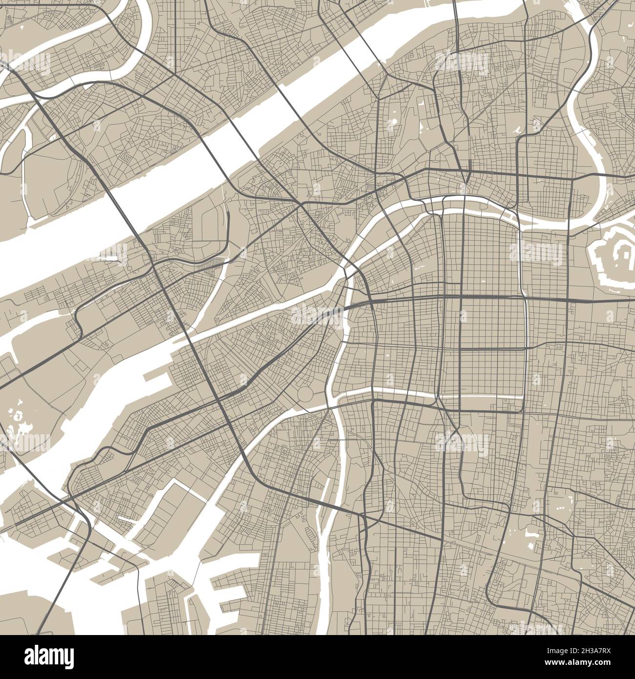 Vector map of Osaka city, Japan, State of Japan. Street map poster illustration. Osaka map art. Stock Vectorhttps://www.alamy.com/image-license-details/?v=1https://www.alamy.com/vector-map-of-osaka-city-japan-state-of-japan-street-map-poster-illustration-osaka-map-art-image449539214.html
RF2H3A7RX–Vector map of Osaka city, Japan, State of Japan. Street map poster illustration. Osaka map art.
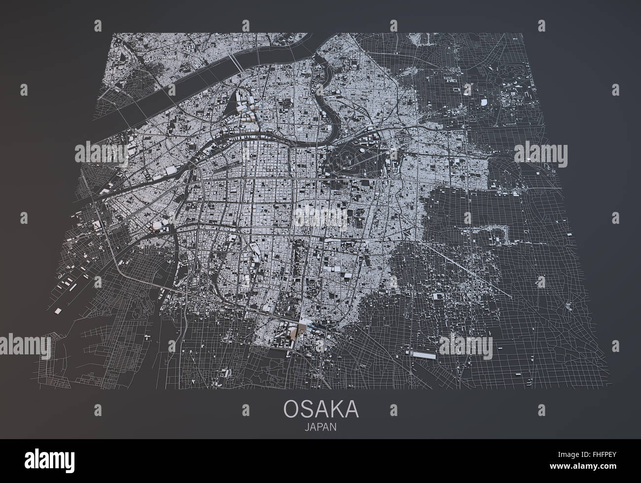 Osaka map, satellite view, Japan Stock Photohttps://www.alamy.com/image-license-details/?v=1https://www.alamy.com/stock-photo-osaka-map-satellite-view-japan-96847939.html
RFFHFPEY–Osaka map, satellite view, Japan
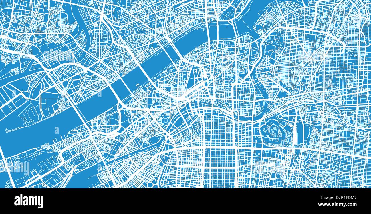 Urban vector city map of Osaka, Japan Stock Vectorhttps://www.alamy.com/image-license-details/?v=1https://www.alamy.com/urban-vector-city-map-of-osaka-japan-image224689479.html
RFR1FDM7–Urban vector city map of Osaka, Japan
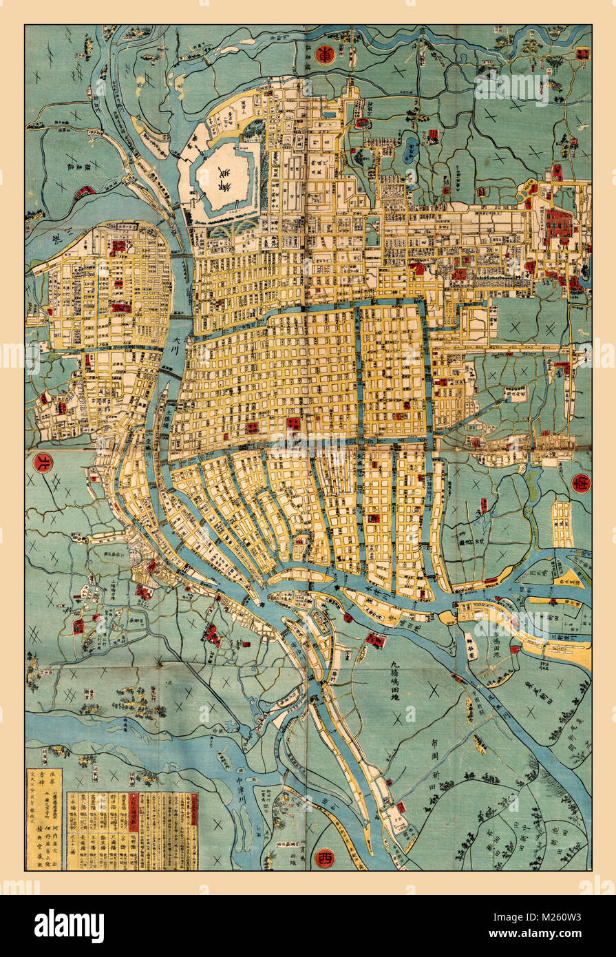 Historical map of Osaka, Japan circa 1853. Stock Photohttps://www.alamy.com/image-license-details/?v=1https://www.alamy.com/stock-photo-historical-map-of-osaka-japan-circa-1853-173465407.html
RFM260W3–Historical map of Osaka, Japan circa 1853.
 Recently measured, new map of Ōsaka Stock Photohttps://www.alamy.com/image-license-details/?v=1https://www.alamy.com/stock-photo-recently-measured-new-map-of-saka-75048291.html
RMEA2MT3–Recently measured, new map of Ōsaka
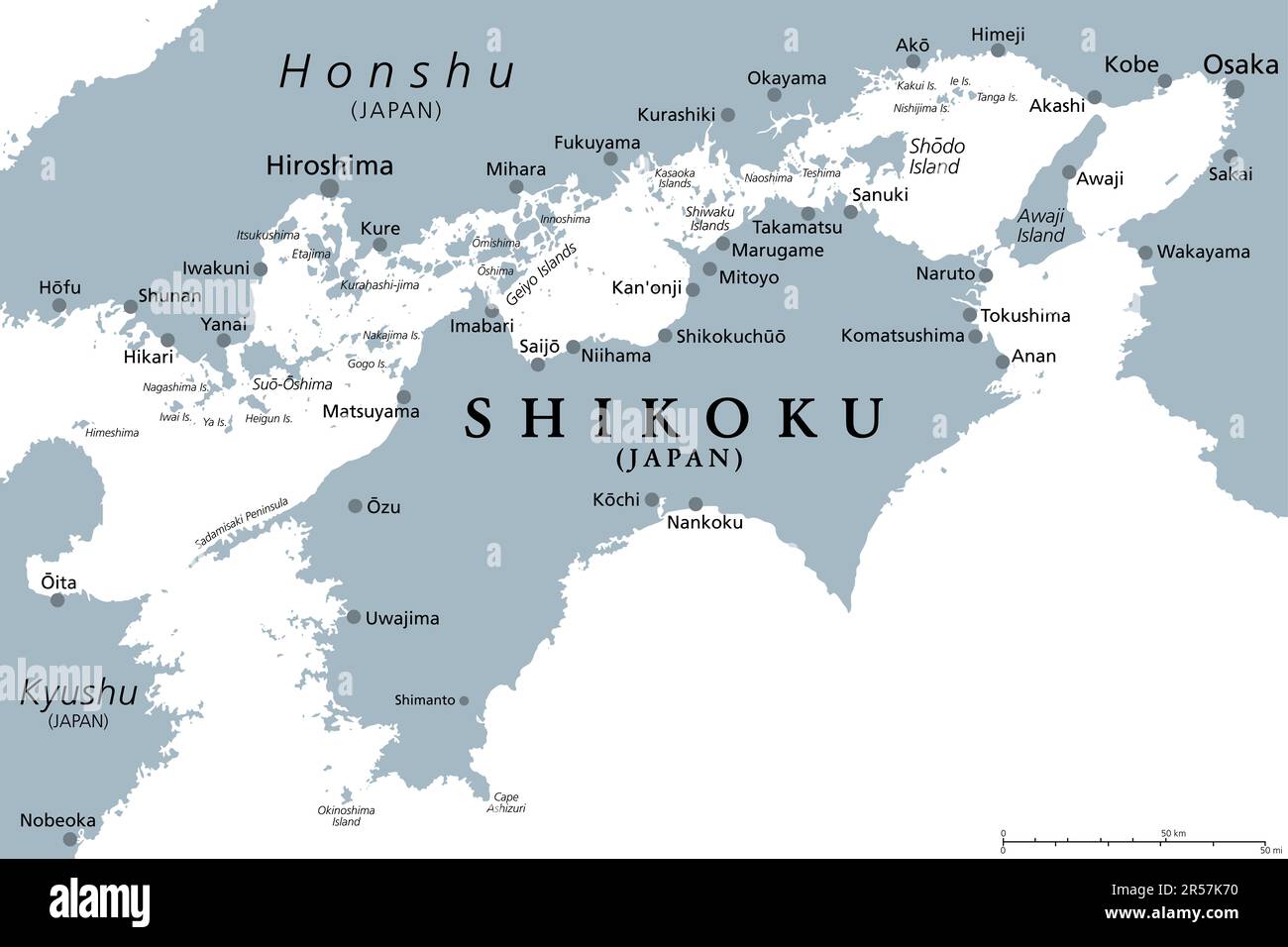 Shikoku, gray political map. Region and smallest of the four main islands of Japan, northeast of Kyushu, and south of Honshu. Stock Photohttps://www.alamy.com/image-license-details/?v=1https://www.alamy.com/shikoku-gray-political-map-region-and-smallest-of-the-four-main-islands-of-japan-northeast-of-kyushu-and-south-of-honshu-image553973812.html
RF2R57K70–Shikoku, gray political map. Region and smallest of the four main islands of Japan, northeast of Kyushu, and south of Honshu.
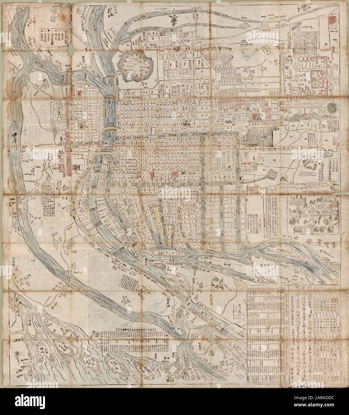 Map of Osaka by Hayashi Yoshinaga in 1686. Stock Photohttps://www.alamy.com/image-license-details/?v=1https://www.alamy.com/map-of-osaka-by-hayashi-yoshinaga-in-1686-image341561736.html
RM2ARKDDC–Map of Osaka by Hayashi Yoshinaga in 1686.
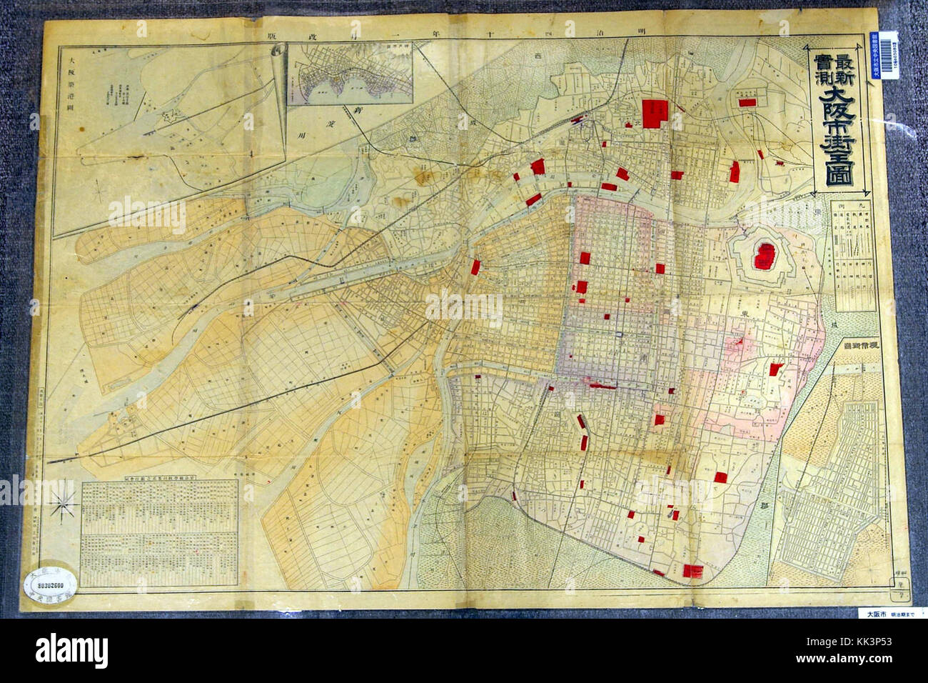 Osaka map 1907 Stock Photohttps://www.alamy.com/image-license-details/?v=1https://www.alamy.com/stock-image-osaka-map-1907-166655023.html
RMKK3P53–Osaka map 1907
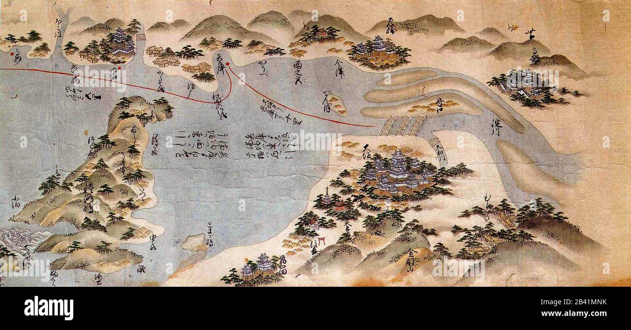 Route map from Osaka to Matsue - Japan - Middle Edo period Stock Photohttps://www.alamy.com/image-license-details/?v=1https://www.alamy.com/route-map-from-osaka-to-matsue-japan-middle-edo-period-image346704223.html
RM2B41MNK–Route map from Osaka to Matsue - Japan - Middle Edo period
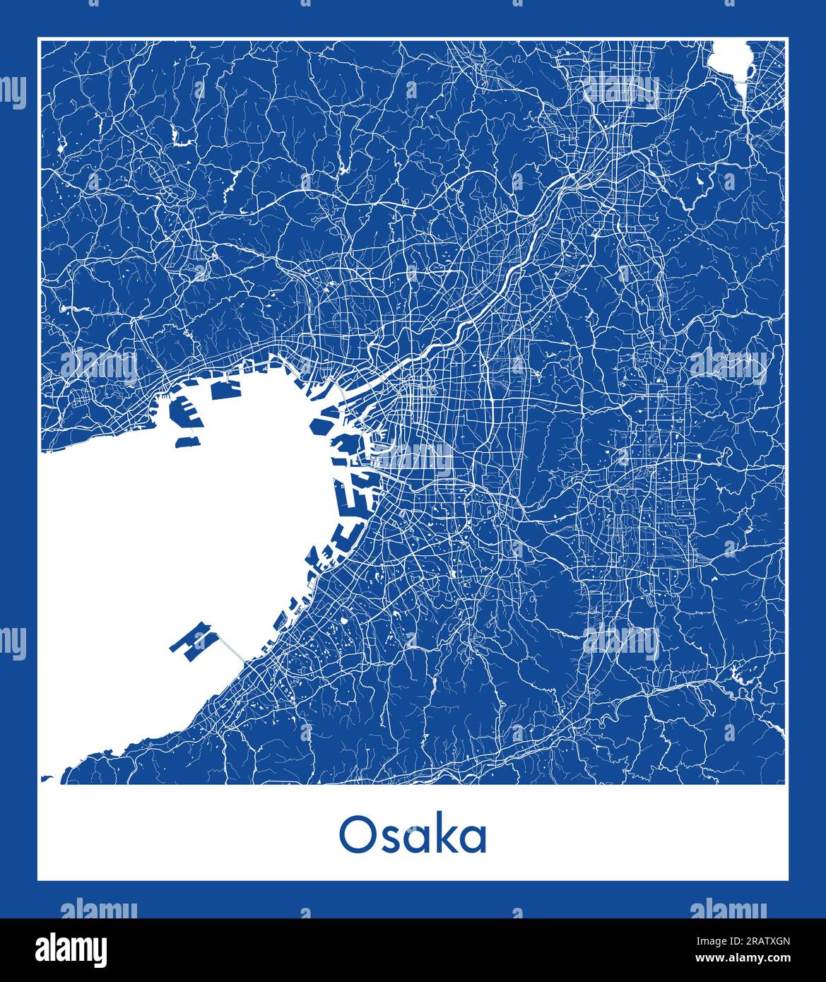 Osaka Japan Asia City map blue print vector illustration Stock Vectorhttps://www.alamy.com/image-license-details/?v=1https://www.alamy.com/osaka-japan-asia-city-map-blue-print-vector-illustration-image557426037.html
RF2RATXGN–Osaka Japan Asia City map blue print vector illustration
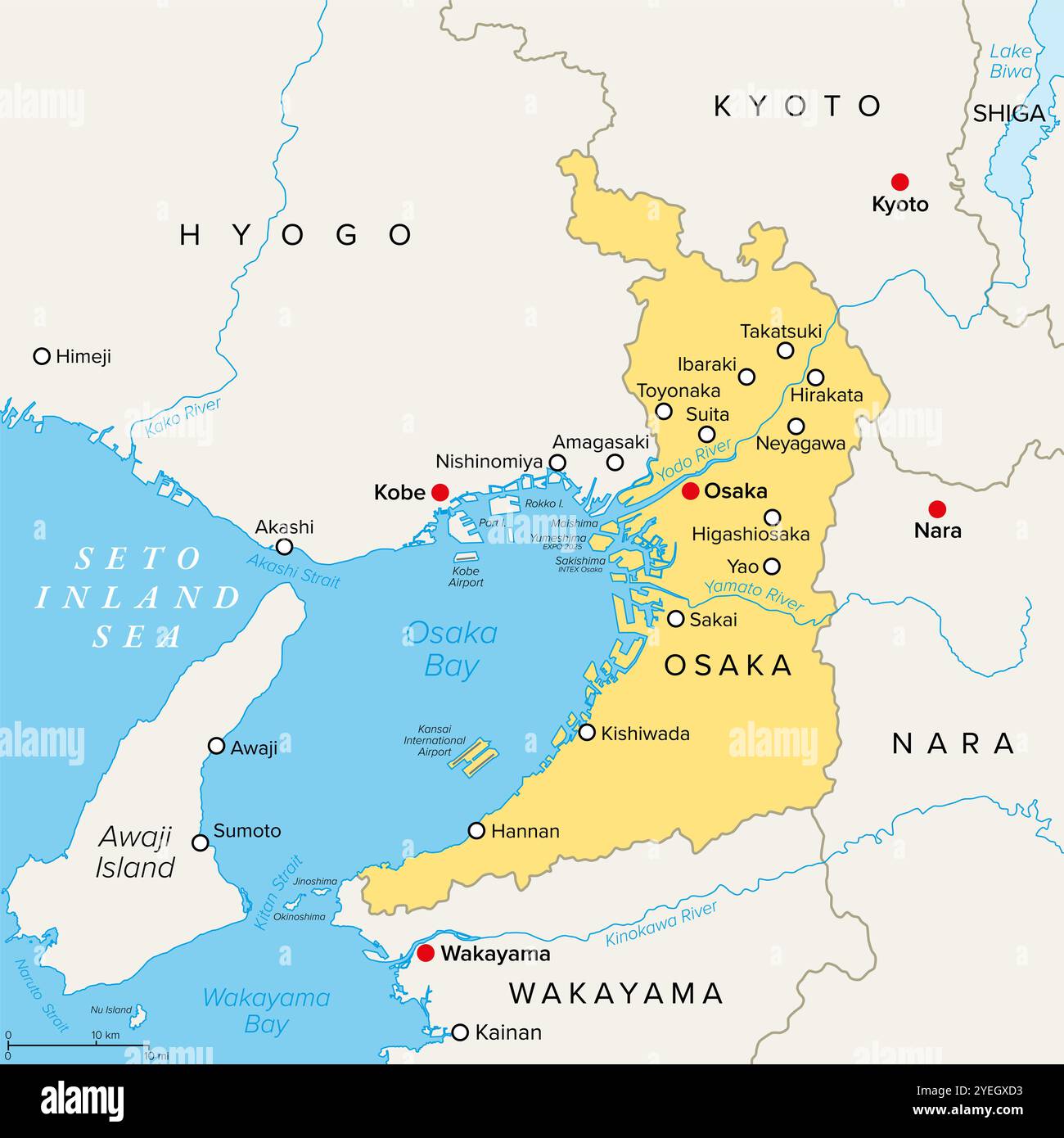 Osaka Prefecture of Japan, political map. Located in Kansai region of Honshu, bordering the prefectures Hyogo, Kyoto, Nara and Wakayama. Stock Photohttps://www.alamy.com/image-license-details/?v=1https://www.alamy.com/osaka-prefecture-of-japan-political-map-located-in-kansai-region-of-honshu-bordering-the-prefectures-hyogo-kyoto-nara-and-wakayama-image628550415.html
RF2YEGXD3–Osaka Prefecture of Japan, political map. Located in Kansai region of Honshu, bordering the prefectures Hyogo, Kyoto, Nara and Wakayama.
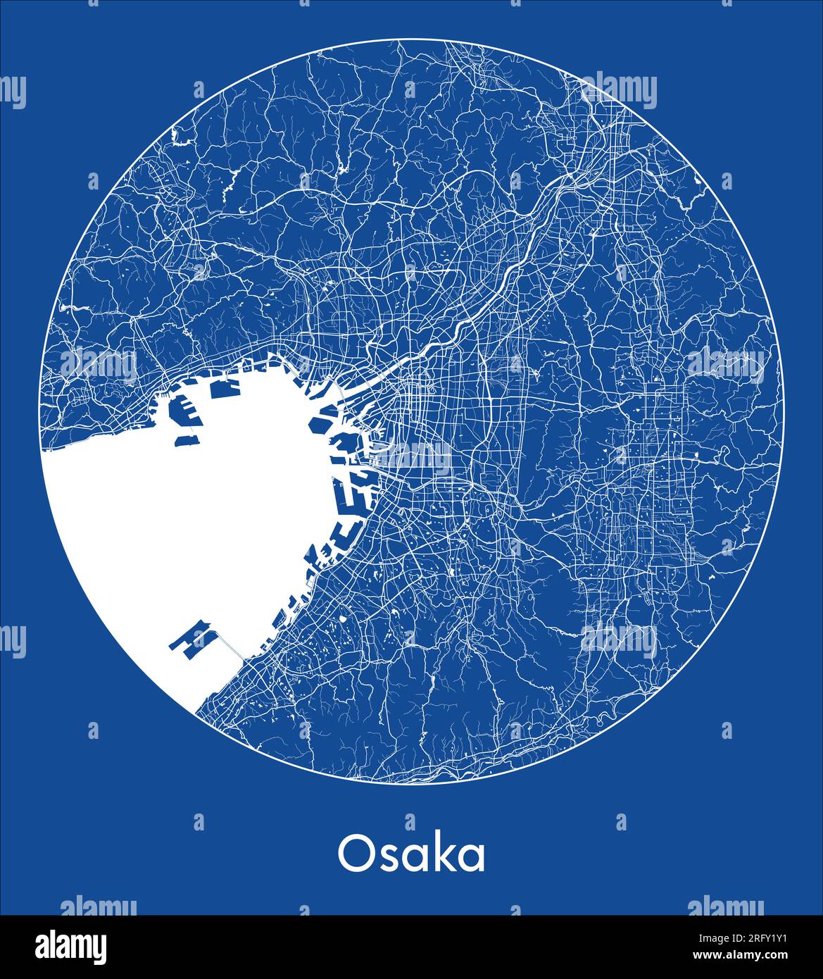 City Map Osaka Japan Asia blue print round Circle vector illustration Stock Vectorhttps://www.alamy.com/image-license-details/?v=1https://www.alamy.com/city-map-osaka-japan-asia-blue-print-round-circle-vector-illustration-image560545861.html
RF2RFY1Y1–City Map Osaka Japan Asia blue print round Circle vector illustration
 Osaka Prefecture of Japan, political map. Located in the Kansai or Kinki region of Honshu, bordering the prefectures Hyogo, Kyoto, Nara and Wakayama. Stock Photohttps://www.alamy.com/image-license-details/?v=1https://www.alamy.com/osaka-prefecture-of-japan-political-map-located-in-the-kansai-or-kinki-region-of-honshu-bordering-the-prefectures-hyogo-kyoto-nara-and-wakayama-image629551734.html
RF2YG6FJE–Osaka Prefecture of Japan, political map. Located in the Kansai or Kinki region of Honshu, bordering the prefectures Hyogo, Kyoto, Nara and Wakayama.
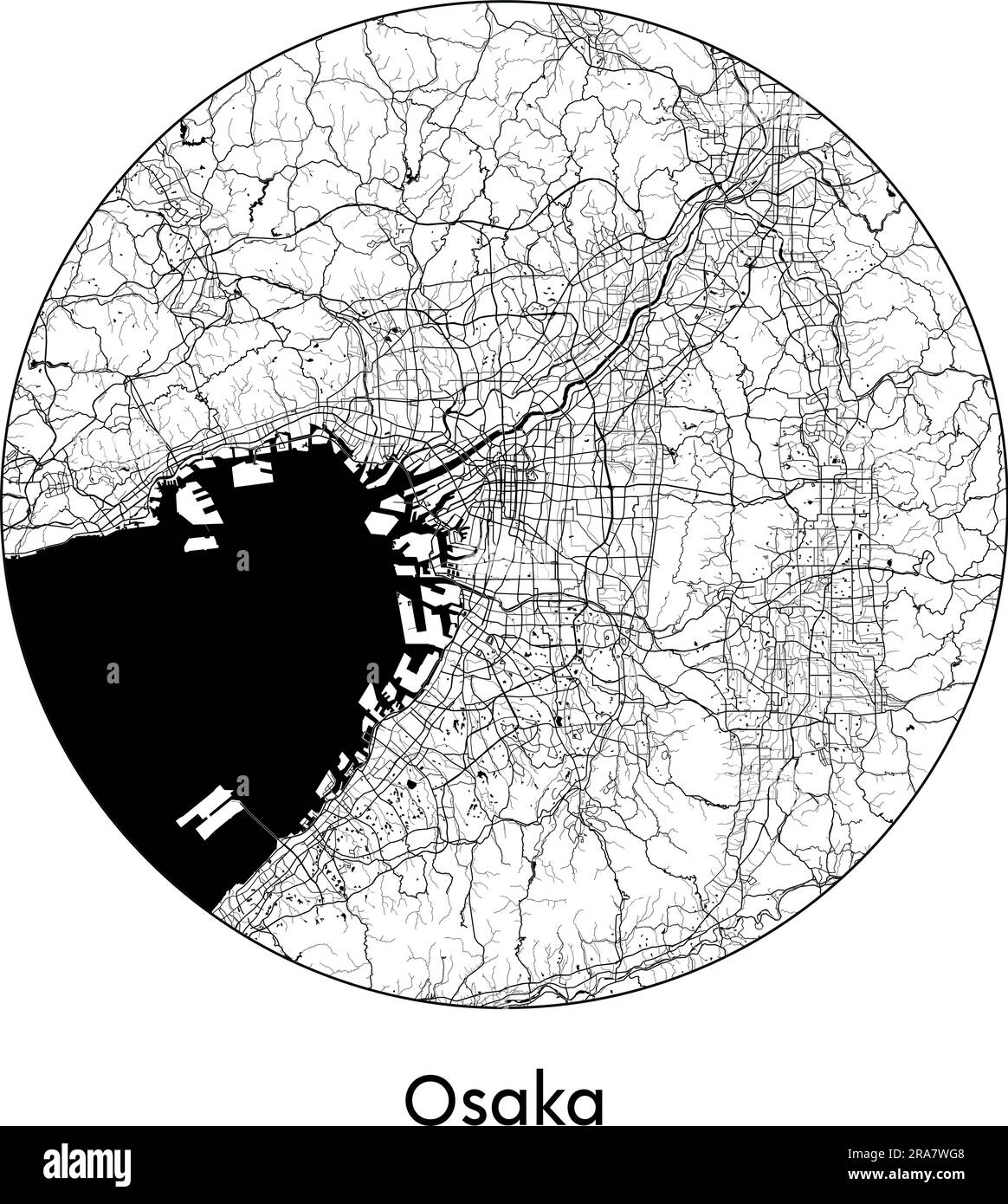 City Map Osaka Japan Asia vector illustration black white Stock Vectorhttps://www.alamy.com/image-license-details/?v=1https://www.alamy.com/city-map-osaka-japan-asia-vector-illustration-black-white-image557052056.html
RF2RA7WG8–City Map Osaka Japan Asia vector illustration black white
 Osaka Prefecture of Japan, gray political map. Located in the Kansai region of Honshu, bordering the prefectures Hyogo, Kyoto, Nara and Wakayama. Stock Photohttps://www.alamy.com/image-license-details/?v=1https://www.alamy.com/osaka-prefecture-of-japan-gray-political-map-located-in-the-kansai-region-of-honshu-bordering-the-prefectures-hyogo-kyoto-nara-and-wakayama-image629035570.html
RF2YFB182–Osaka Prefecture of Japan, gray political map. Located in the Kansai region of Honshu, bordering the prefectures Hyogo, Kyoto, Nara and Wakayama.
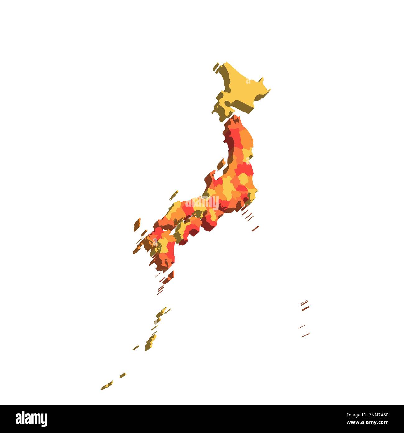 Japan political map of administrative divisions - prefectures, metropilis Tokyo, territory Hokaido and urban prefectures Kyoto and Osaka. Map with labels. Stock Vectorhttps://www.alamy.com/image-license-details/?v=1https://www.alamy.com/japan-political-map-of-administrative-divisions-prefectures-metropilis-tokyo-territory-hokaido-and-urban-prefectures-kyoto-and-osaka-map-with-labels-image529380502.html
RF2NN7A6E–Japan political map of administrative divisions - prefectures, metropilis Tokyo, territory Hokaido and urban prefectures Kyoto and Osaka. Map with labels.
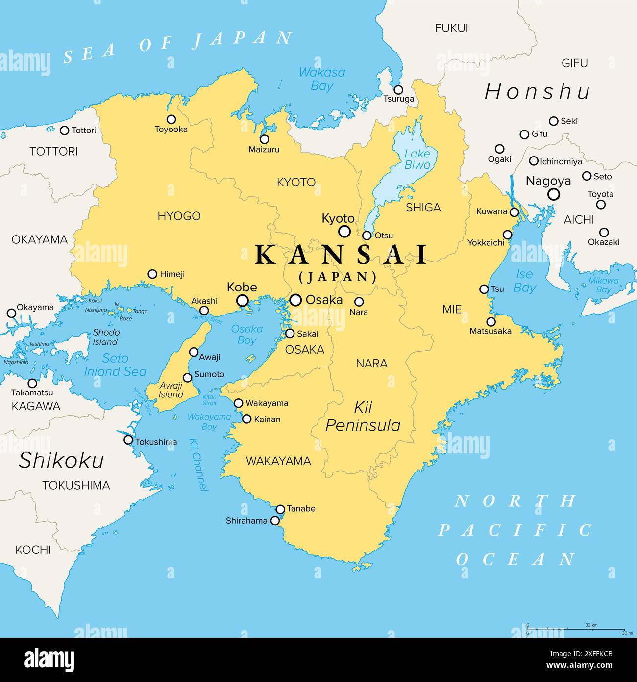 Kansai region, or the Kinki region in Japan, political map. Southern-central region of the main island Honshu. Stock Photohttps://www.alamy.com/image-license-details/?v=1https://www.alamy.com/kansai-region-or-the-kinki-region-in-japan-political-map-southern-central-region-of-the-main-island-honshu-image611927243.html
RF2XFFKCB–Kansai region, or the Kinki region in Japan, political map. Southern-central region of the main island Honshu.
![[ 1910s Japan - Map of Osaka, 1914 ] — Map of 'Osaka and Environs' from An Official Guide to Eastern Asia published by The Imperial Japanese Government Railways, 1914. 20th century vintage map. Stock Photo [ 1910s Japan - Map of Osaka, 1914 ] — Map of 'Osaka and Environs' from An Official Guide to Eastern Asia published by The Imperial Japanese Government Railways, 1914. 20th century vintage map. Stock Photo](https://c8.alamy.com/comp/WB4P8M/1910s-japan-map-of-osaka-1914-map-of-osaka-and-environs-from-an-official-guide-to-eastern-asia-published-by-the-imperial-japanese-government-railways-1914-20th-century-vintage-map-WB4P8M.jpg) [ 1910s Japan - Map of Osaka, 1914 ] — Map of 'Osaka and Environs' from An Official Guide to Eastern Asia published by The Imperial Japanese Government Railways, 1914. 20th century vintage map. Stock Photohttps://www.alamy.com/image-license-details/?v=1https://www.alamy.com/1910s-japan-map-of-osaka-1914-map-of-osaka-and-environs-from-an-official-guide-to-eastern-asia-published-by-the-imperial-japanese-government-railways-1914-20th-century-vintage-map-image265022036.html
[ 1910s Japan - Map of Osaka, 1914 ] — Map of 'Osaka and Environs' from An Official Guide to Eastern Asia published by The Imperial Japanese Government Railways, 1914. 20th century vintage map. Stock Photohttps://www.alamy.com/image-license-details/?v=1https://www.alamy.com/1910s-japan-map-of-osaka-1914-map-of-osaka-and-environs-from-an-official-guide-to-eastern-asia-published-by-the-imperial-japanese-government-railways-1914-20th-century-vintage-map-image265022036.htmlRMWB4P8M–[ 1910s Japan - Map of Osaka, 1914 ] — Map of 'Osaka and Environs' from An Official Guide to Eastern Asia published by The Imperial Japanese Government Railways, 1914. 20th century vintage map.
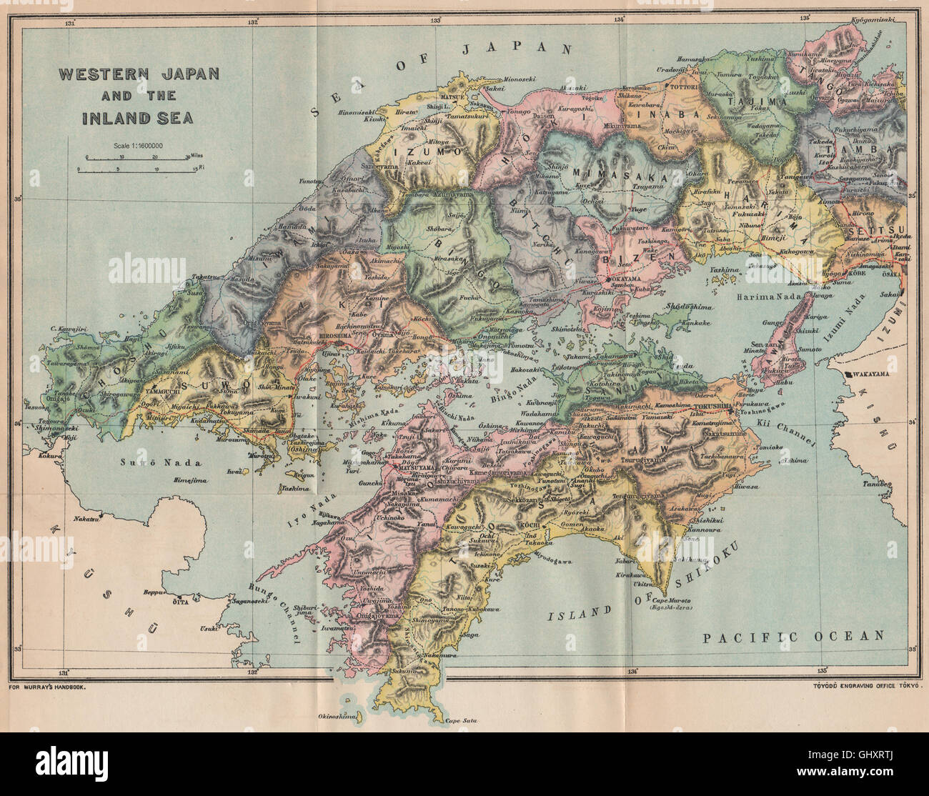 WESTERN JAPAN. Inland sea Kitahiroshima Okoyama Matsuyama Kobe Osaka, 1901 map Stock Photohttps://www.alamy.com/image-license-details/?v=1https://www.alamy.com/stock-photo-western-japan-inland-sea-kitahiroshima-okoyama-matsuyama-kobe-osaka-114300834.html
RFGHXRTJ–WESTERN JAPAN. Inland sea Kitahiroshima Okoyama Matsuyama Kobe Osaka, 1901 map
RM2BKRD5R–[ 1920s Japan - Map of Osaka City, 1924 ] — Famous Panorama Map of Osaka City, printed on May 15, 1924 (Taisho 13). At 300 dpi, the largest size available for this map is 101MB, with the longest side being 7,032 pixels (59 cm or 23 inches). Please ask us about pricing if you require this large size. 20th century vintage map.
 JAPAN: Osaka, sketch map, c1885 Stock Photohttps://www.alamy.com/image-license-details/?v=1https://www.alamy.com/stock-photo-japan-osaka-sketch-map-c1885-102562964.html
RFFXT430–JAPAN: Osaka, sketch map, c1885
 Urban vector city map of Osaka, Japan Stock Vectorhttps://www.alamy.com/image-license-details/?v=1https://www.alamy.com/urban-vector-city-map-of-osaka-japan-image224689449.html
RFR1FDK5–Urban vector city map of Osaka, Japan
![[ 1900s Japan - Map of 5th National Industrial Exhibition in Osaka ] — Map of the 5th Domestic Industrial Exhibition (第五回内国勧業博覧会) held in Osaka in 1903 (Meiji 36). 20th century vintage map. Stock Photo [ 1900s Japan - Map of 5th National Industrial Exhibition in Osaka ] — Map of the 5th Domestic Industrial Exhibition (第五回内国勧業博覧会) held in Osaka in 1903 (Meiji 36). 20th century vintage map. Stock Photo](https://c8.alamy.com/comp/WB6BJ4/1900s-japan-map-of-5th-national-industrial-exhibition-in-osaka-map-of-the-5th-domestic-industrial-exhibition-held-in-osaka-in-1903-meiji-36-20th-century-vintage-map-WB6BJ4.jpg) [ 1900s Japan - Map of 5th National Industrial Exhibition in Osaka ] — Map of the 5th Domestic Industrial Exhibition (第五回内国勧業博覧会) held in Osaka in 1903 (Meiji 36). 20th century vintage map. Stock Photohttps://www.alamy.com/image-license-details/?v=1https://www.alamy.com/1900s-japan-map-of-5th-national-industrial-exhibition-in-osaka-map-of-the-5th-domestic-industrial-exhibition-held-in-osaka-in-1903-meiji-36-20th-century-vintage-map-image265057580.html
[ 1900s Japan - Map of 5th National Industrial Exhibition in Osaka ] — Map of the 5th Domestic Industrial Exhibition (第五回内国勧業博覧会) held in Osaka in 1903 (Meiji 36). 20th century vintage map. Stock Photohttps://www.alamy.com/image-license-details/?v=1https://www.alamy.com/1900s-japan-map-of-5th-national-industrial-exhibition-in-osaka-map-of-the-5th-domestic-industrial-exhibition-held-in-osaka-in-1903-meiji-36-20th-century-vintage-map-image265057580.htmlRMWB6BJ4–[ 1900s Japan - Map of 5th National Industrial Exhibition in Osaka ] — Map of the 5th Domestic Industrial Exhibition (第五回内国勧業博覧会) held in Osaka in 1903 (Meiji 36). 20th century vintage map.
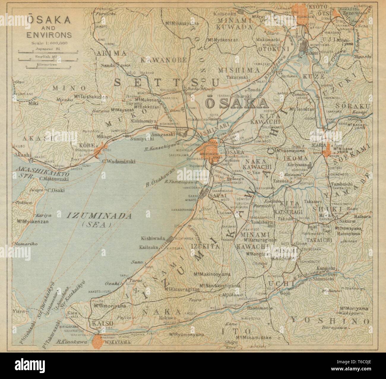 Osaka and environs. Japan 1914 old antique vintage map plan chart Stock Photohttps://www.alamy.com/image-license-details/?v=1https://www.alamy.com/osaka-and-environs-japan-1914-old-antique-vintage-map-plan-chart-image244897030.html
RFT6C0JE–Osaka and environs. Japan 1914 old antique vintage map plan chart
 Detailed map of Osaka city administrative area. Royalty free vector illustration, land panorama. Decorative graphic tourist map of Osaka territory. Stock Vectorhttps://www.alamy.com/image-license-details/?v=1https://www.alamy.com/detailed-map-of-osaka-city-administrative-area-royalty-free-vector-illustration-land-panorama-decorative-graphic-tourist-map-of-osaka-territory-image435403013.html
RF2G8A8YH–Detailed map of Osaka city administrative area. Royalty free vector illustration, land panorama. Decorative graphic tourist map of Osaka territory.
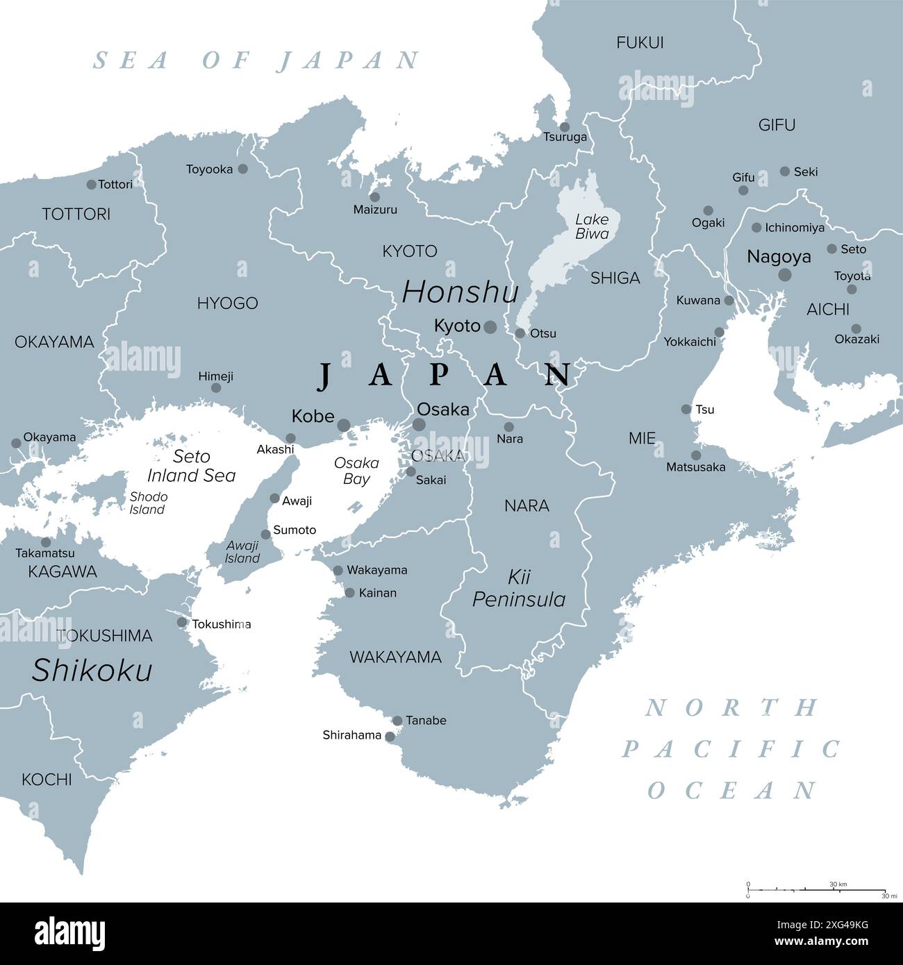 Kansai region, or the Kinki region in Japan, gray political map. Southern-central region of the main island Honshu. Stock Photohttps://www.alamy.com/image-license-details/?v=1https://www.alamy.com/kansai-region-or-the-kinki-region-in-japan-gray-political-map-southern-central-region-of-the-main-island-honshu-image612292788.html
RF2XG49KG–Kansai region, or the Kinki region in Japan, gray political map. Southern-central region of the main island Honshu.
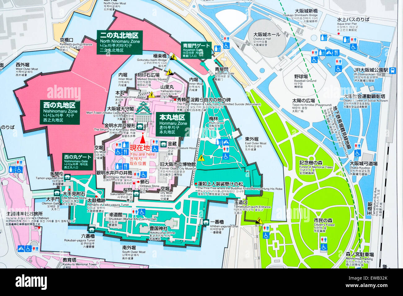 Japan, Osaka castle. Large information colour-coded tourist map in castle grounds detailing views and sights to see of the castle park area. Stock Photohttps://www.alamy.com/image-license-details/?v=1https://www.alamy.com/stock-photo-japan-osaka-castle-large-information-colour-coded-tourist-map-in-castle-84451771.html
RMEWB32K–Japan, Osaka castle. Large information colour-coded tourist map in castle grounds detailing views and sights to see of the castle park area.
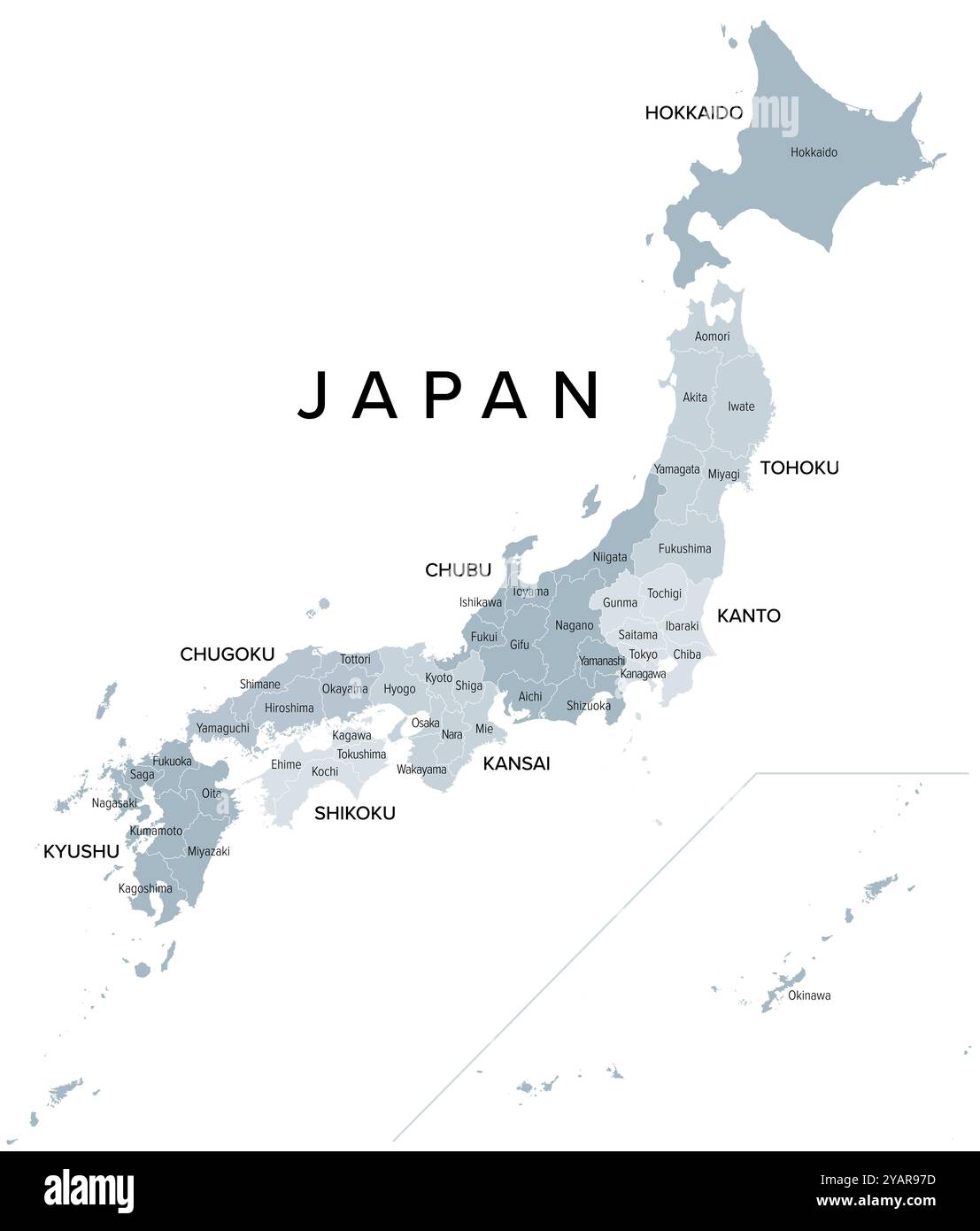 Japan, regions and prefectures, gray political map. Eight regions of Japan, divided into 47 prefectures. Stock Photohttps://www.alamy.com/image-license-details/?v=1https://www.alamy.com/japan-regions-and-prefectures-gray-political-map-eight-regions-of-japan-divided-into-47-prefectures-image626231969.html
RF2YAR97D–Japan, regions and prefectures, gray political map. Eight regions of Japan, divided into 47 prefectures.
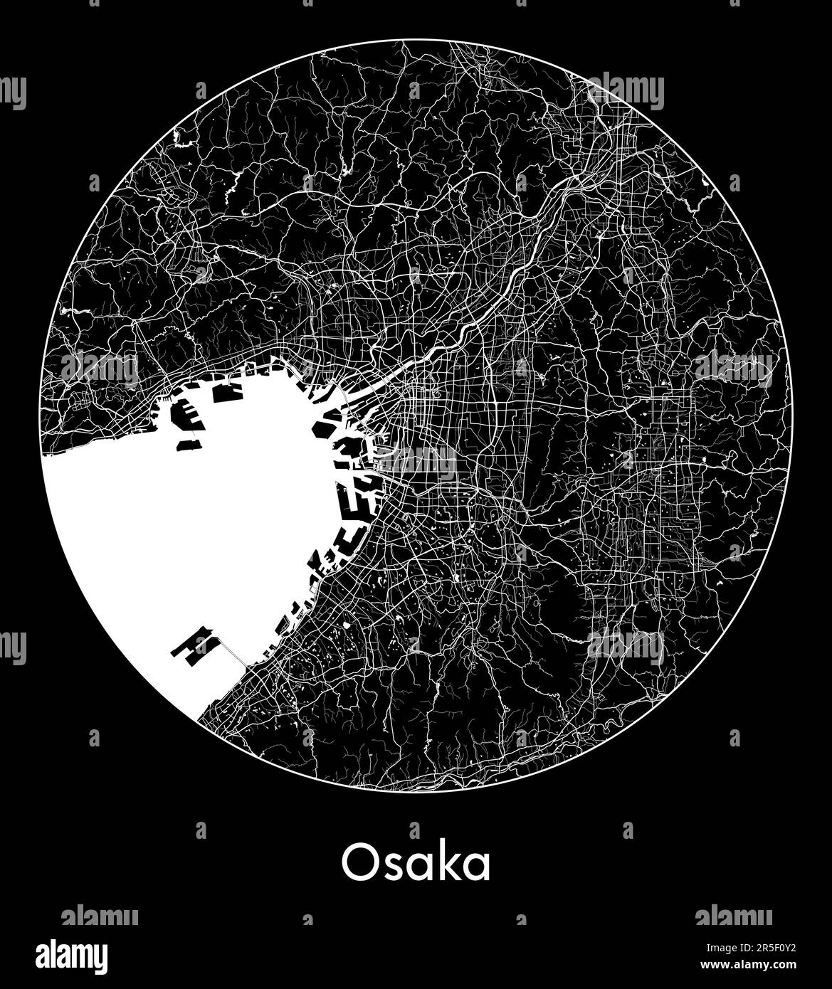 City Map Osaka Japan Asia vector illustration Stock Vectorhttps://www.alamy.com/image-license-details/?v=1https://www.alamy.com/city-map-osaka-japan-asia-vector-illustration-image554135094.html
RF2R5F0Y2–City Map Osaka Japan Asia vector illustration
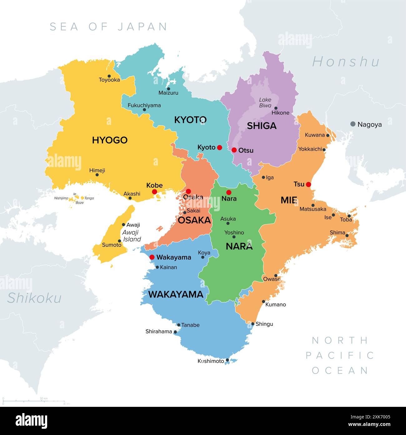 Kansai region, or also Kinki region in Japan, multi colored political map. Southern-central region of main island Honshu. Stock Photohttps://www.alamy.com/image-license-details/?v=1https://www.alamy.com/kansai-region-or-also-kinki-region-in-japan-multi-colored-political-map-southern-central-region-of-main-island-honshu-image614195013.html
RF2XK7005–Kansai region, or also Kinki region in Japan, multi colored political map. Southern-central region of main island Honshu.
 Pushpin on Osaka map background. 3d illustration. Stock Photohttps://www.alamy.com/image-license-details/?v=1https://www.alamy.com/pushpin-on-osaka-map-background-3d-illustration-image157061155.html
RFK3EN2Y–Pushpin on Osaka map background. 3d illustration.
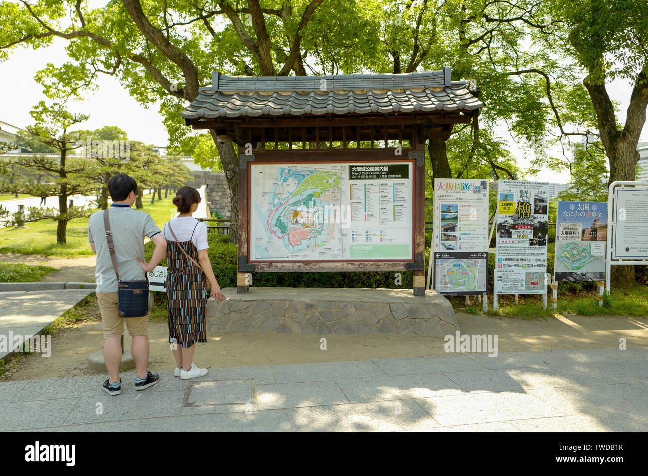 Osaka, Japan, 29th, May, 2017. The Map of Osaka Castle Park. Osaka Castle is one of Japan’s most famous landmarks. Stock Photohttps://www.alamy.com/image-license-details/?v=1https://www.alamy.com/osaka-japan-29th-may-2017-the-map-of-osaka-castle-park-osaka-castle-is-one-of-japans-most-famous-landmarks-image256605599.html
RFTWDB1K–Osaka, Japan, 29th, May, 2017. The Map of Osaka Castle Park. Osaka Castle is one of Japan’s most famous landmarks.
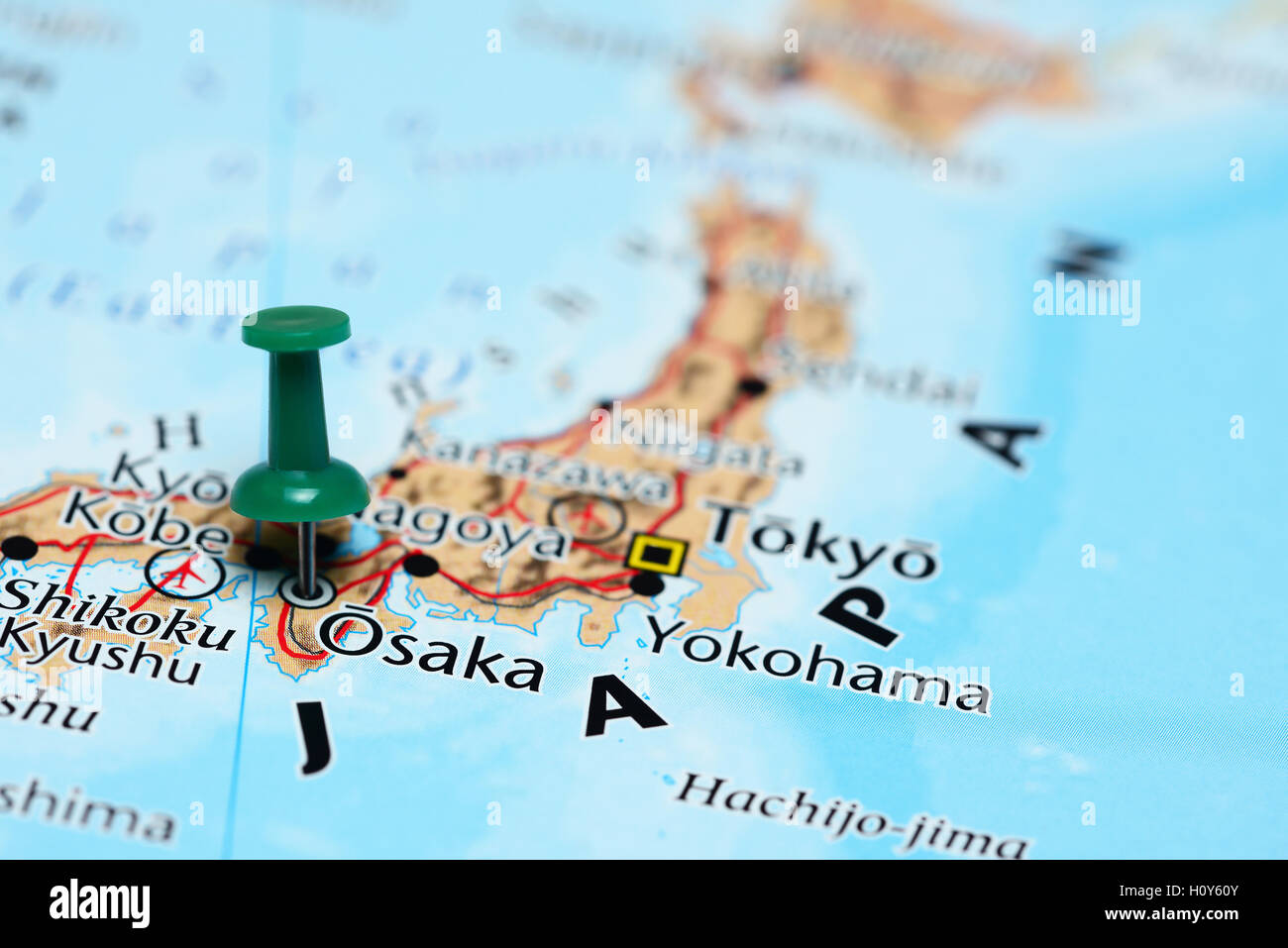 Osaka pinned on a map of Japan Stock Photohttps://www.alamy.com/image-license-details/?v=1https://www.alamy.com/stock-photo-osaka-pinned-on-a-map-of-japan-121070011.html
RFH0Y60Y–Osaka pinned on a map of Japan
![[ 1890s Japan - Map of Osaka, 1893 ] — Map of Osaka city, printed on Jun 5, 1893 (Meiji 26). Features streetcar lines, railway stations, the names of machi, as well as engravings of places of interest. 19th century vintage map. Stock Photo [ 1890s Japan - Map of Osaka, 1893 ] — Map of Osaka city, printed on Jun 5, 1893 (Meiji 26). Features streetcar lines, railway stations, the names of machi, as well as engravings of places of interest. 19th century vintage map. Stock Photo](https://c8.alamy.com/comp/2BKR85R/1890s-japan-map-of-osaka-1893-map-of-osaka-city-printed-on-jun-5-1893-meiji-26-features-streetcar-lines-railway-stations-the-names-of-machi-as-well-as-engravings-of-places-of-interest-19th-century-vintage-map-2BKR85R.jpg) [ 1890s Japan - Map of Osaka, 1893 ] — Map of Osaka city, printed on Jun 5, 1893 (Meiji 26). Features streetcar lines, railway stations, the names of machi, as well as engravings of places of interest. 19th century vintage map. Stock Photohttps://www.alamy.com/image-license-details/?v=1https://www.alamy.com/1890s-japan-map-of-osaka-1893-map-of-osaka-city-printed-on-jun-5-1893-meiji-26-features-streetcar-lines-railway-stations-the-names-of-machi-as-well-as-engravings-of-places-of-interest-19th-century-vintage-map-image356397155.html
[ 1890s Japan - Map of Osaka, 1893 ] — Map of Osaka city, printed on Jun 5, 1893 (Meiji 26). Features streetcar lines, railway stations, the names of machi, as well as engravings of places of interest. 19th century vintage map. Stock Photohttps://www.alamy.com/image-license-details/?v=1https://www.alamy.com/1890s-japan-map-of-osaka-1893-map-of-osaka-city-printed-on-jun-5-1893-meiji-26-features-streetcar-lines-railway-stations-the-names-of-machi-as-well-as-engravings-of-places-of-interest-19th-century-vintage-map-image356397155.htmlRM2BKR85R–[ 1890s Japan - Map of Osaka, 1893 ] — Map of Osaka city, printed on Jun 5, 1893 (Meiji 26). Features streetcar lines, railway stations, the names of machi, as well as engravings of places of interest. 19th century vintage map.
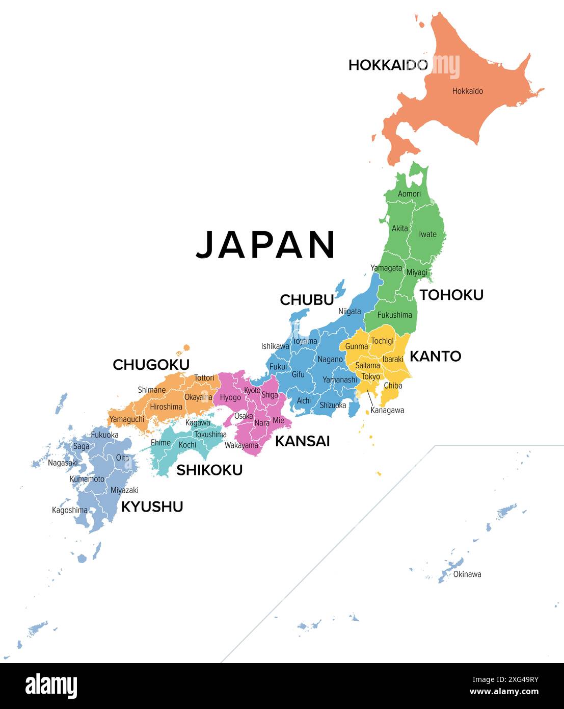 Japan, regions and prefectures, multi colored political map. The eight regions of Japan, divided into 47 prefectures. Stock Photohttps://www.alamy.com/image-license-details/?v=1https://www.alamy.com/japan-regions-and-prefectures-multi-colored-political-map-the-eight-regions-of-japan-divided-into-47-prefectures-image612292911.html
RF2XG49RY–Japan, regions and prefectures, multi colored political map. The eight regions of Japan, divided into 47 prefectures.
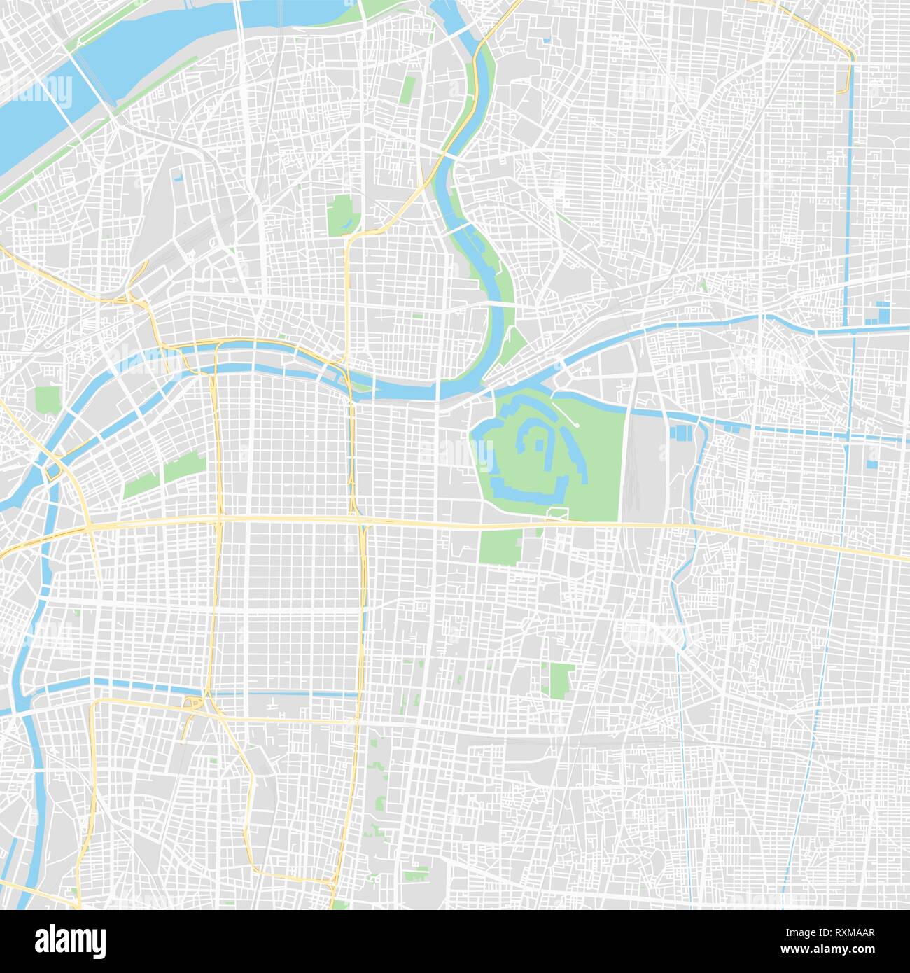 Downtown vector map of Osaka, Japan. This printable map of Osaka contains lines and classic colored shapes for land mass, parks, water, major and mino Stock Vectorhttps://www.alamy.com/image-license-details/?v=1https://www.alamy.com/downtown-vector-map-of-osaka-japan-this-printable-map-of-osaka-contains-lines-and-classic-colored-shapes-for-land-mass-parks-water-major-and-mino-image240163023.html
RFRXMAAR–Downtown vector map of Osaka, Japan. This printable map of Osaka contains lines and classic colored shapes for land mass, parks, water, major and mino
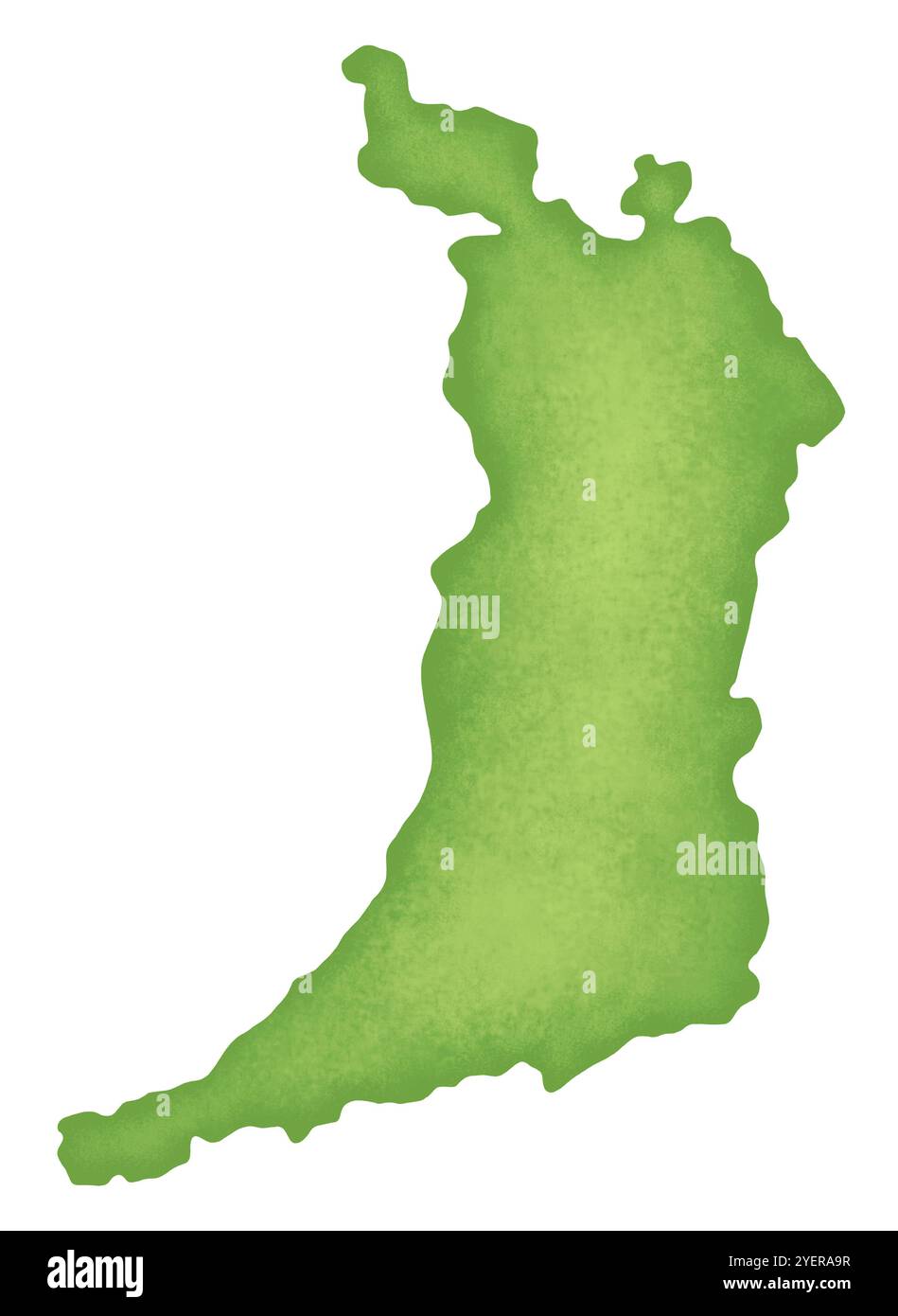 Map of Osaka Prefecture Stock Photohttps://www.alamy.com/image-license-details/?v=1https://www.alamy.com/map-of-osaka-prefecture-image628691443.html
RF2YERA9R–Map of Osaka Prefecture
![[ 1920s Japan - Osaka Bus Advertising ] — Advertising postcard for an Osaka sightseeing bus company featuring an illustration of bus passengers and a map with the bus routes. Japanese text: 大阪乗合自動車株式会社 (Osaka Noriai Jidosha Kabushikigaisha) This postcard was published sometime between March 1918 (Taisho 7) and February 1933 (Showa 8). 20th century vintage postcard. Stock Photo [ 1920s Japan - Osaka Bus Advertising ] — Advertising postcard for an Osaka sightseeing bus company featuring an illustration of bus passengers and a map with the bus routes. Japanese text: 大阪乗合自動車株式会社 (Osaka Noriai Jidosha Kabushikigaisha) This postcard was published sometime between March 1918 (Taisho 7) and February 1933 (Showa 8). 20th century vintage postcard. Stock Photo](https://c8.alamy.com/comp/2BN0X8X/1920s-japan-osaka-bus-advertising-advertising-postcard-for-an-osaka-sightseeing-bus-company-featuring-an-illustration-of-bus-passengers-and-a-map-with-the-bus-routes-japanese-text-osaka-noriai-jidosha-kabushikigaisha-this-postcard-was-published-sometime-between-march-1918-taisho-7-and-february-1933-showa-8-20th-century-vintage-postcard-2BN0X8X.jpg) [ 1920s Japan - Osaka Bus Advertising ] — Advertising postcard for an Osaka sightseeing bus company featuring an illustration of bus passengers and a map with the bus routes. Japanese text: 大阪乗合自動車株式会社 (Osaka Noriai Jidosha Kabushikigaisha) This postcard was published sometime between March 1918 (Taisho 7) and February 1933 (Showa 8). 20th century vintage postcard. Stock Photohttps://www.alamy.com/image-license-details/?v=1https://www.alamy.com/1920s-japan-osaka-bus-advertising-advertising-postcard-for-an-osaka-sightseeing-bus-company-featuring-an-illustration-of-bus-passengers-and-a-map-with-the-bus-routes-japanese-text-osaka-noriai-jidosha-kabushikigaisha-this-postcard-was-published-sometime-between-march-1918-taisho-7-and-february-1933-showa-8-20th-century-vintage-postcard-image357135770.html
[ 1920s Japan - Osaka Bus Advertising ] — Advertising postcard for an Osaka sightseeing bus company featuring an illustration of bus passengers and a map with the bus routes. Japanese text: 大阪乗合自動車株式会社 (Osaka Noriai Jidosha Kabushikigaisha) This postcard was published sometime between March 1918 (Taisho 7) and February 1933 (Showa 8). 20th century vintage postcard. Stock Photohttps://www.alamy.com/image-license-details/?v=1https://www.alamy.com/1920s-japan-osaka-bus-advertising-advertising-postcard-for-an-osaka-sightseeing-bus-company-featuring-an-illustration-of-bus-passengers-and-a-map-with-the-bus-routes-japanese-text-osaka-noriai-jidosha-kabushikigaisha-this-postcard-was-published-sometime-between-march-1918-taisho-7-and-february-1933-showa-8-20th-century-vintage-postcard-image357135770.htmlRM2BN0X8X–[ 1920s Japan - Osaka Bus Advertising ] — Advertising postcard for an Osaka sightseeing bus company featuring an illustration of bus passengers and a map with the bus routes. Japanese text: 大阪乗合自動車株式会社 (Osaka Noriai Jidosha Kabushikigaisha) This postcard was published sometime between March 1918 (Taisho 7) and February 1933 (Showa 8). 20th century vintage postcard.
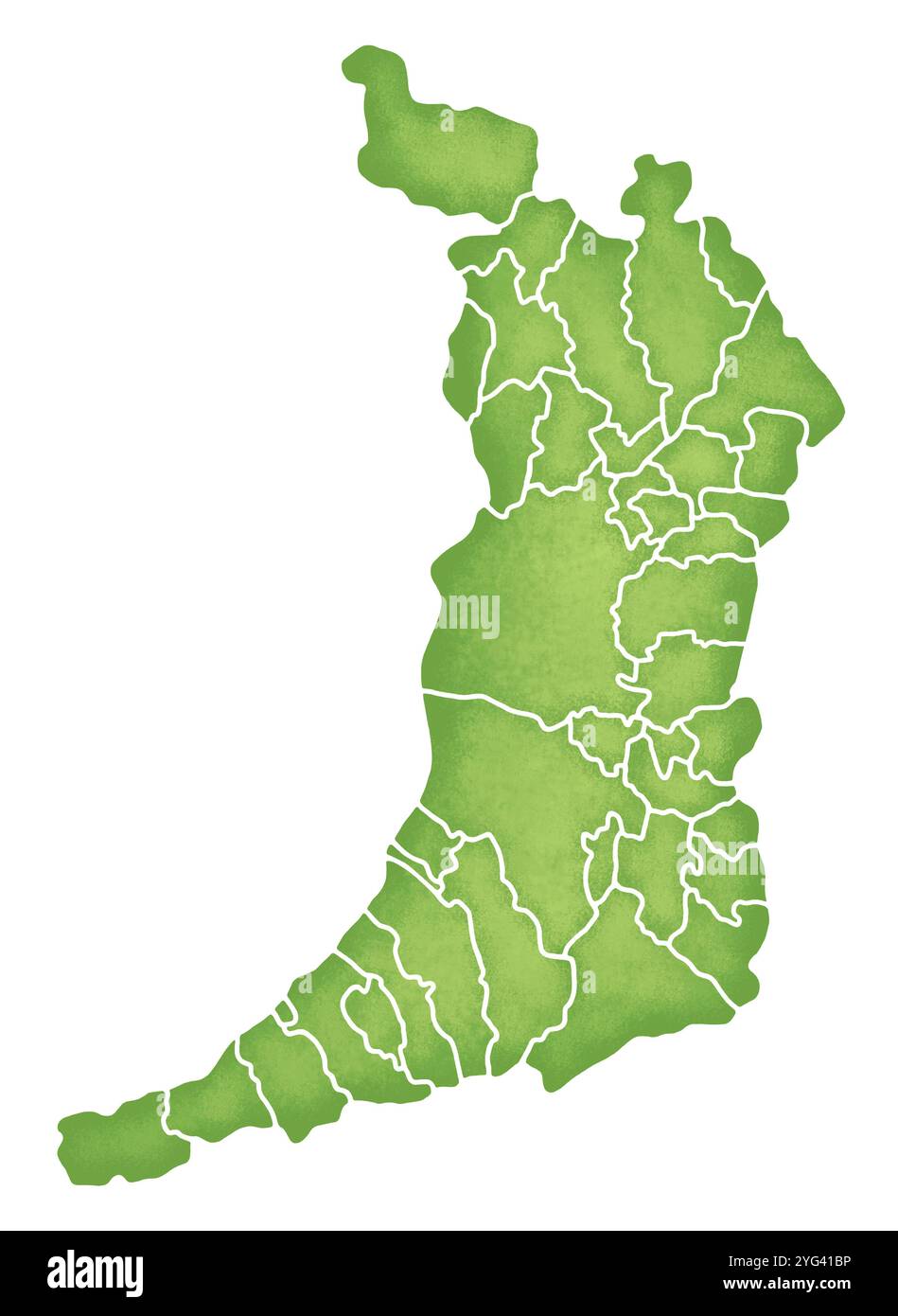 Map of Osaka Prefecture with boundaries Stock Photohttps://www.alamy.com/image-license-details/?v=1https://www.alamy.com/map-of-osaka-prefecture-with-boundaries-image629496666.html
RF2YG41BP–Map of Osaka Prefecture with boundaries
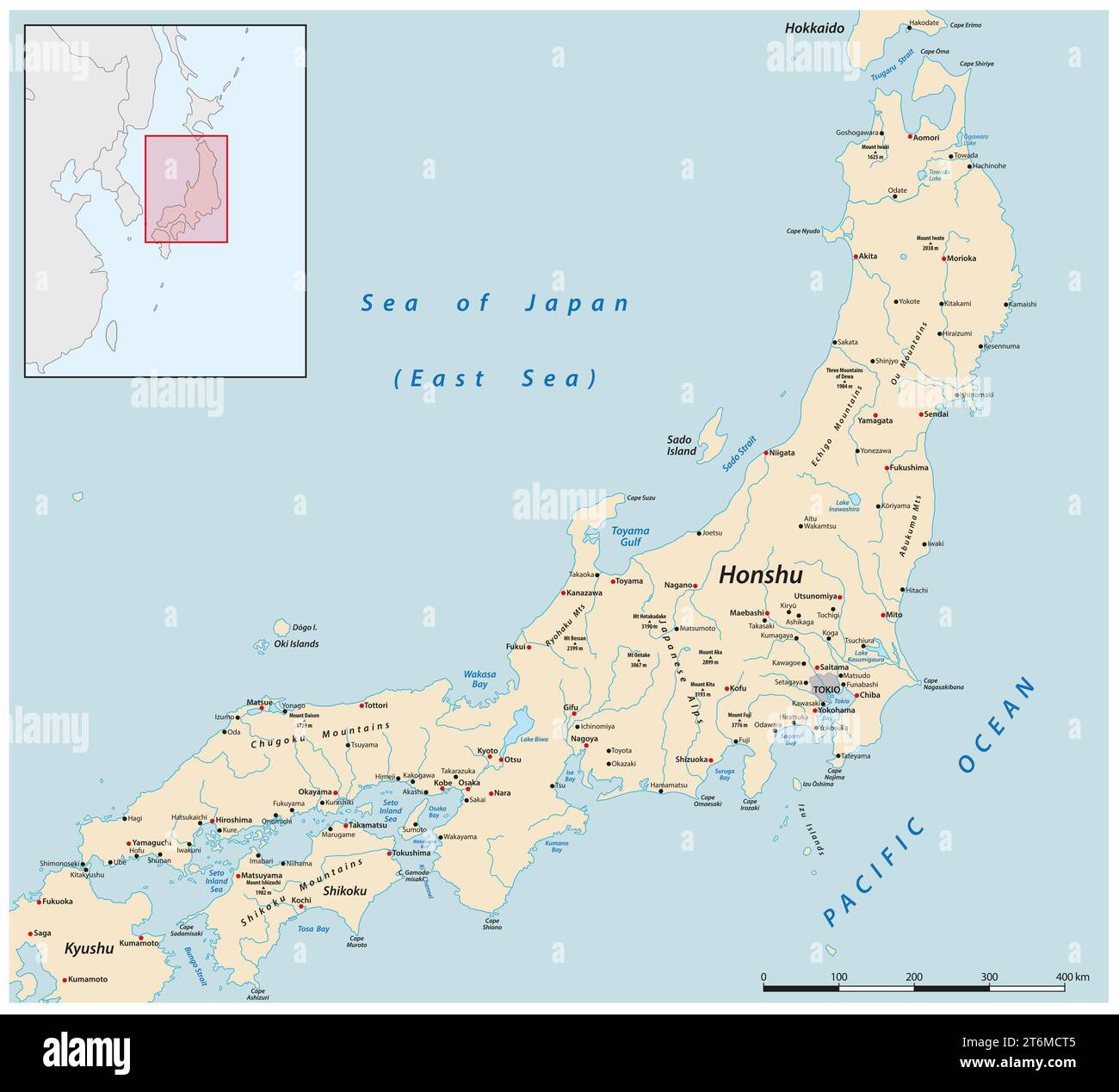 Vector map of the Japanese main island of Honshu Stock Photohttps://www.alamy.com/image-license-details/?v=1https://www.alamy.com/vector-map-of-the-japanese-main-island-of-honshu-image572079205.html
RF2T6MCT5–Vector map of the Japanese main island of Honshu
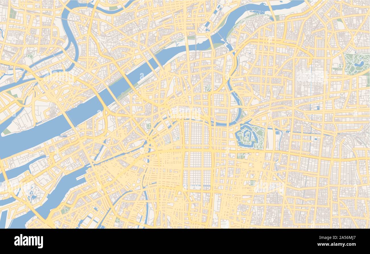 Printable street map of Osaka, Prefecture Osaka, Japan. Map template for business use. Stock Vectorhttps://www.alamy.com/image-license-details/?v=1https://www.alamy.com/printable-street-map-of-osaka-prefecture-osaka-japan-map-template-for-business-use-image330218175.html
RF2A56MJ7–Printable street map of Osaka, Prefecture Osaka, Japan. Map template for business use.
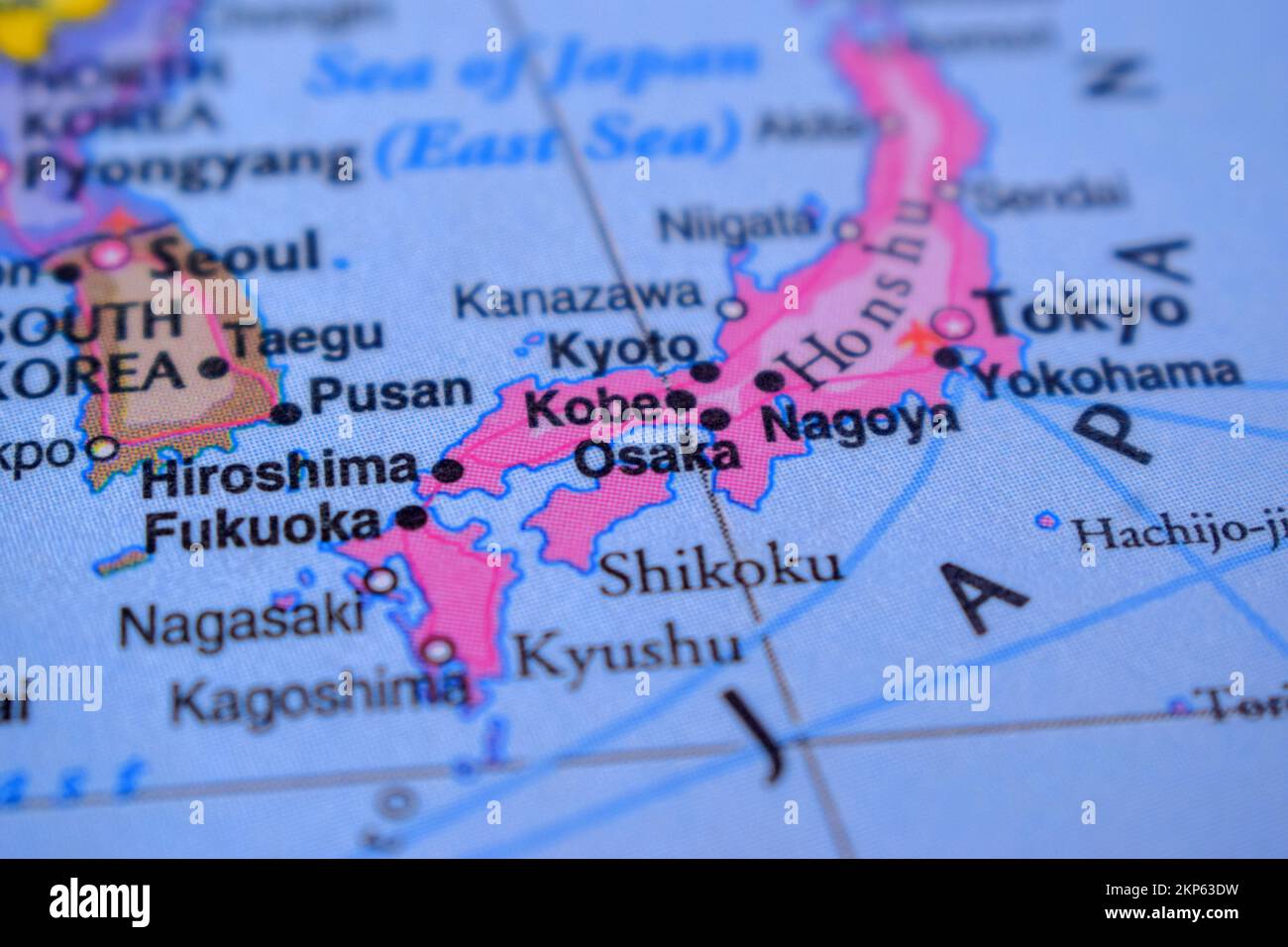 Osaka Country Name On The Political Map Very Macro Close-Up View Stock Photohttps://www.alamy.com/image-license-details/?v=1https://www.alamy.com/osaka-country-name-on-the-political-map-very-macro-close-up-view-image495547189.html
RF2KP63DW–Osaka Country Name On The Political Map Very Macro Close-Up View
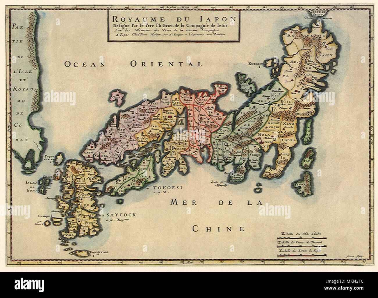 Political Map of Japan 1650 Stock Photohttps://www.alamy.com/image-license-details/?v=1https://www.alamy.com/political-map-of-japan-1650-image184244744.html
RMMKN21C–Political Map of Japan 1650
 Blue Osaka City area vector background map, streets and water cartography illustration. Widescreen proportion, digital flat design streetmap. Stock Vectorhttps://www.alamy.com/image-license-details/?v=1https://www.alamy.com/blue-osaka-city-area-vector-background-map-streets-and-water-cartography-illustration-widescreen-proportion-digital-flat-design-streetmap-image435402978.html
RF2G8A8XA–Blue Osaka City area vector background map, streets and water cartography illustration. Widescreen proportion, digital flat design streetmap.
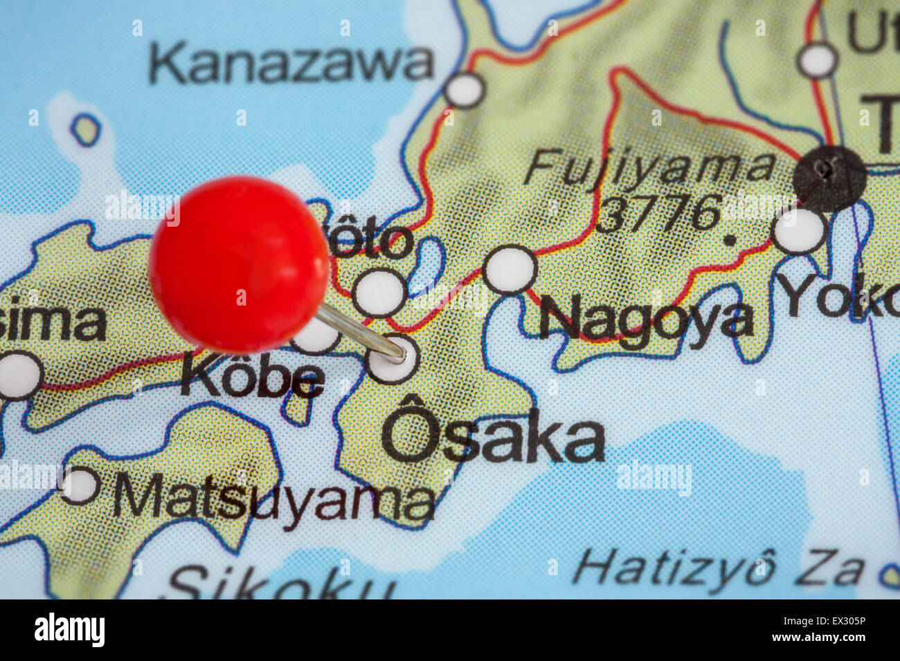 Close-up of a red pushpin on a map of Osaka, Japan Stock Photohttps://www.alamy.com/image-license-details/?v=1https://www.alamy.com/stock-photo-close-up-of-a-red-pushpin-on-a-map-of-osaka-japan-84888546.html
RFEX305P–Close-up of a red pushpin on a map of Osaka, Japan
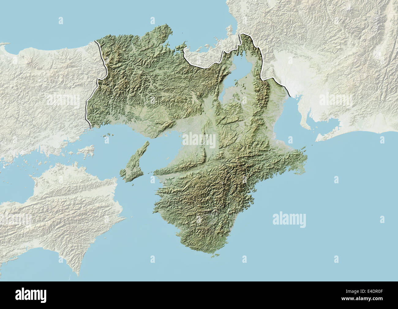 Region of Kansai, Japan, Relief Map Stock Photohttps://www.alamy.com/image-license-details/?v=1https://www.alamy.com/stock-photo-region-of-kansai-japan-relief-map-71603519.html
RME4DR0F–Region of Kansai, Japan, Relief Map
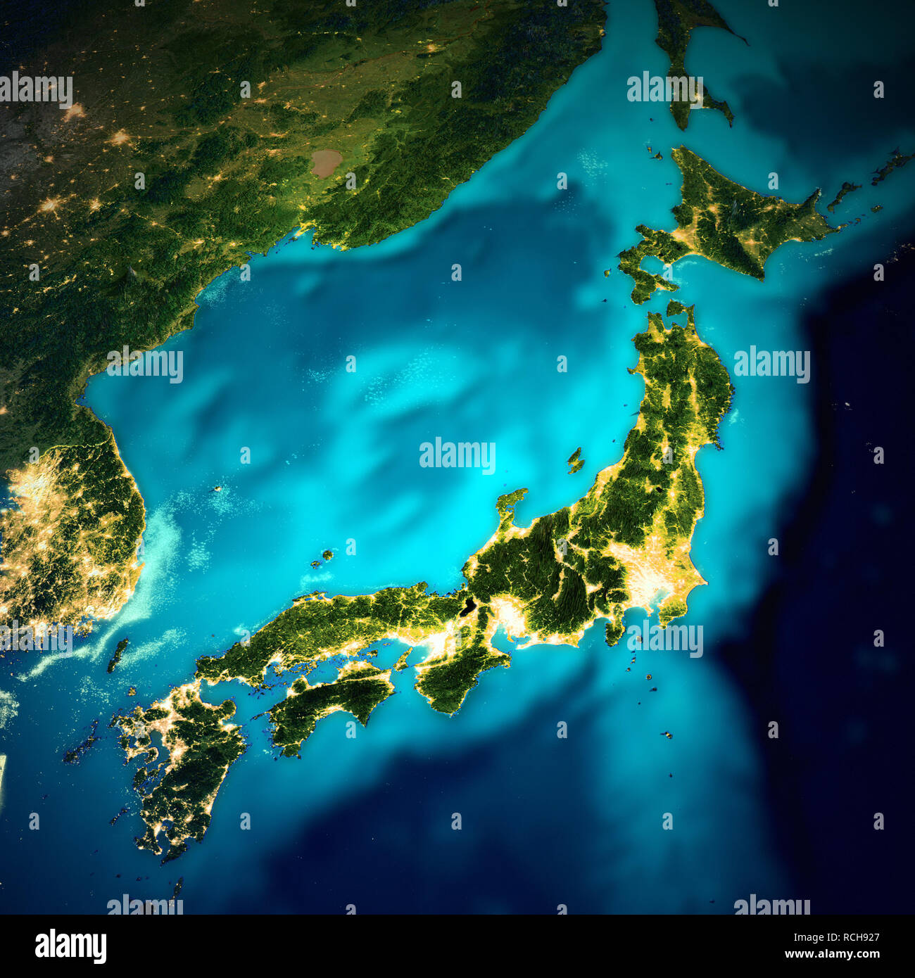 Japan space map Stock Photohttps://www.alamy.com/image-license-details/?v=1https://www.alamy.com/japan-space-map-image231490959.html
RFRCH927–Japan space map
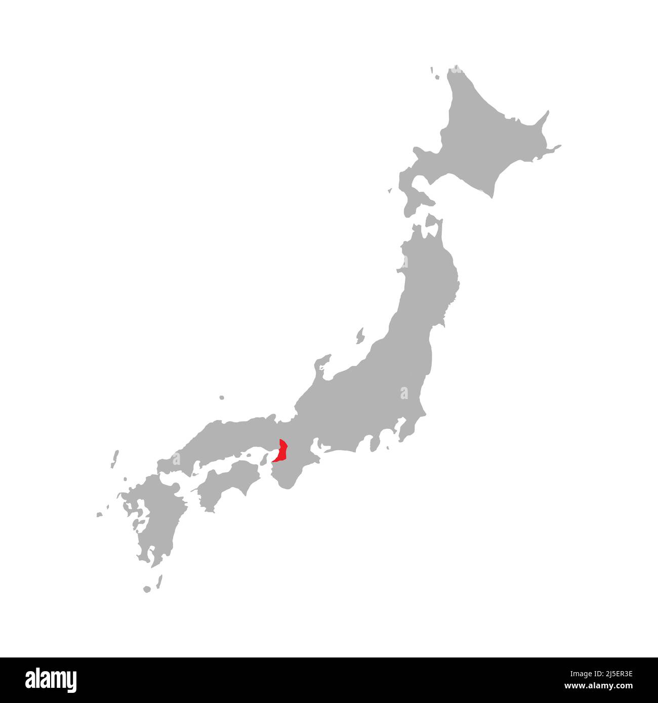 Osaka prefecture highlighted on the map of Japan Stock Vectorhttps://www.alamy.com/image-license-details/?v=1https://www.alamy.com/osaka-prefecture-highlighted-on-the-map-of-japan-image468078674.html
RF2J5ER3E–Osaka prefecture highlighted on the map of Japan
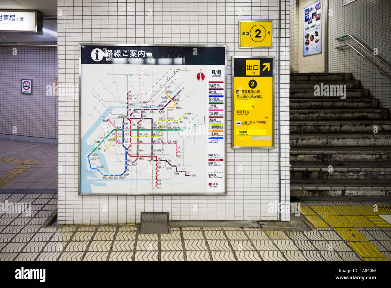 Osaka, Japan, November 02 2018 : Osaka's subway map board in a subway station in Osaka Stock Photohttps://www.alamy.com/image-license-details/?v=1https://www.alamy.com/osaka-japan-november-02-2018-osakas-subway-map-board-in-a-subway-station-in-osaka-image247270484.html
RFTA840M–Osaka, Japan, November 02 2018 : Osaka's subway map board in a subway station in Osaka
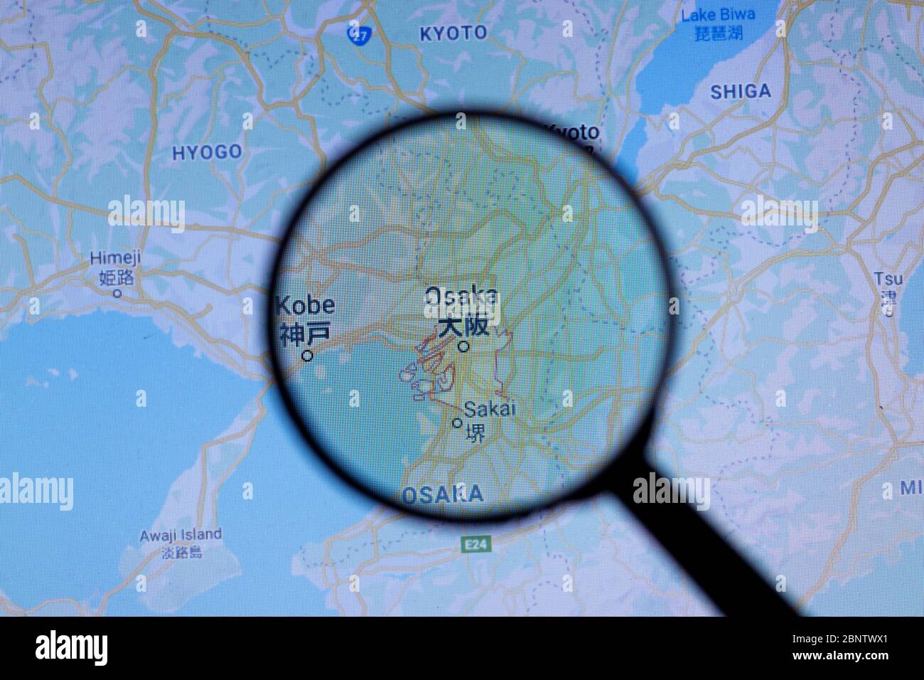 Los Angeles, California, USA - 1 May 2020: Osaka City Town name with location on map close up, Illustrative Editorial Stock Photohttps://www.alamy.com/image-license-details/?v=1https://www.alamy.com/los-angeles-california-usa-1-may-2020-osaka-city-town-name-with-location-on-map-close-up-illustrative-editorial-image357662313.html
RF2BNTWX1–Los Angeles, California, USA - 1 May 2020: Osaka City Town name with location on map close up, Illustrative Editorial
 Osaka, Japan, 29th, May, 2017. The map of Osaka major sightseeing spots. Osaka is a designated city in the Kansai region of Japan. Stock Photohttps://www.alamy.com/image-license-details/?v=1https://www.alamy.com/osaka-japan-29th-may-2017-the-map-of-osaka-major-sightseeing-spots-osaka-is-a-designated-city-in-the-kansai-region-of-japan-image256605566.html
RFTWDB0E–Osaka, Japan, 29th, May, 2017. The map of Osaka major sightseeing spots. Osaka is a designated city in the Kansai region of Japan.
 Osaka pinned on a map of Japan Stock Photohttps://www.alamy.com/image-license-details/?v=1https://www.alamy.com/stock-photo-osaka-pinned-on-a-map-of-japan-121070010.html
RFH0Y60X–Osaka pinned on a map of Japan
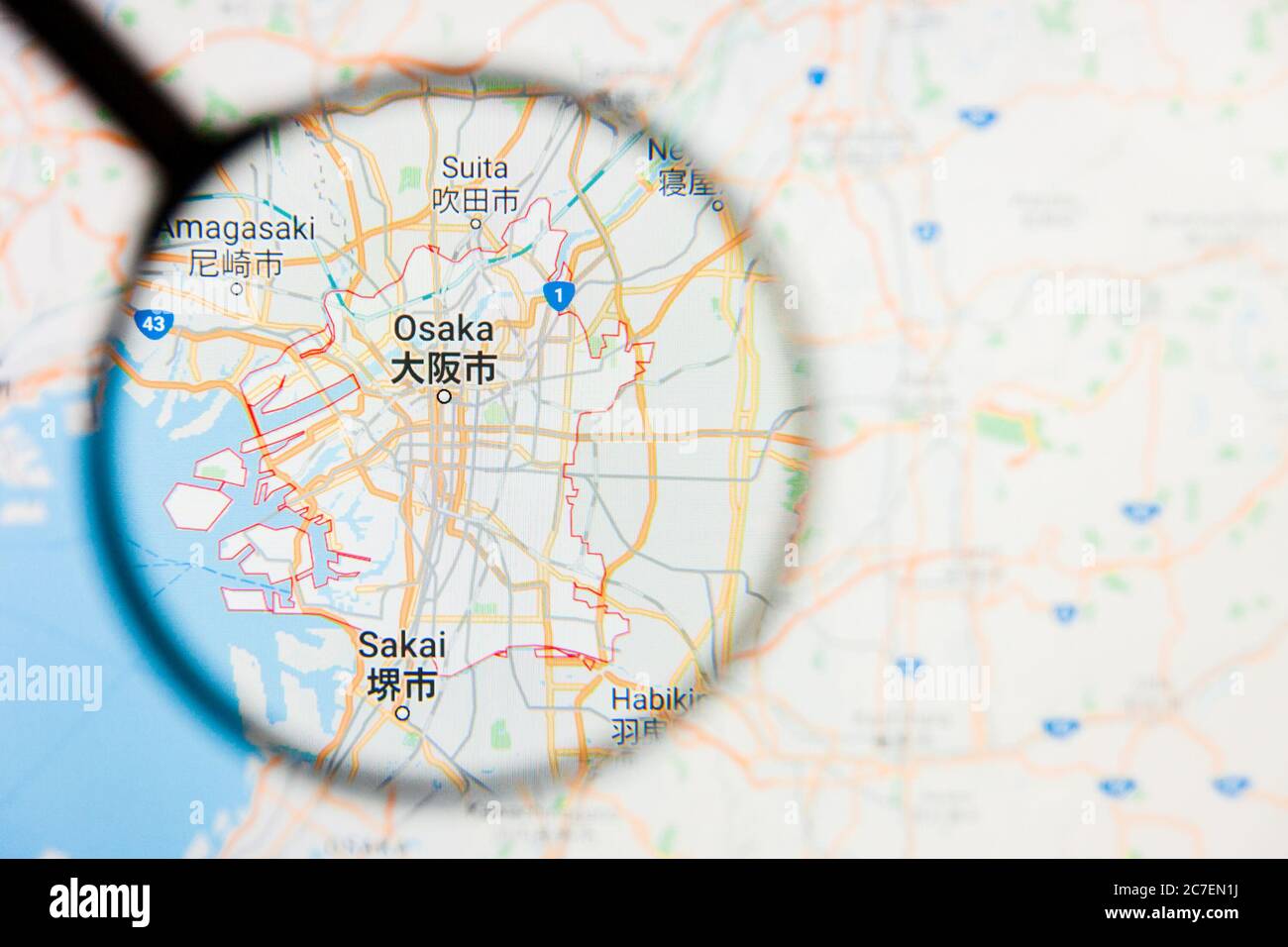 Osaka, Japan city visualization illustrative concept on display screen through magnifying glass Stock Photohttps://www.alamy.com/image-license-details/?v=1https://www.alamy.com/osaka-japan-city-visualization-illustrative-concept-on-display-screen-through-magnifying-glass-image366044158.html
RF2C7EN1J–Osaka, Japan city visualization illustrative concept on display screen through magnifying glass
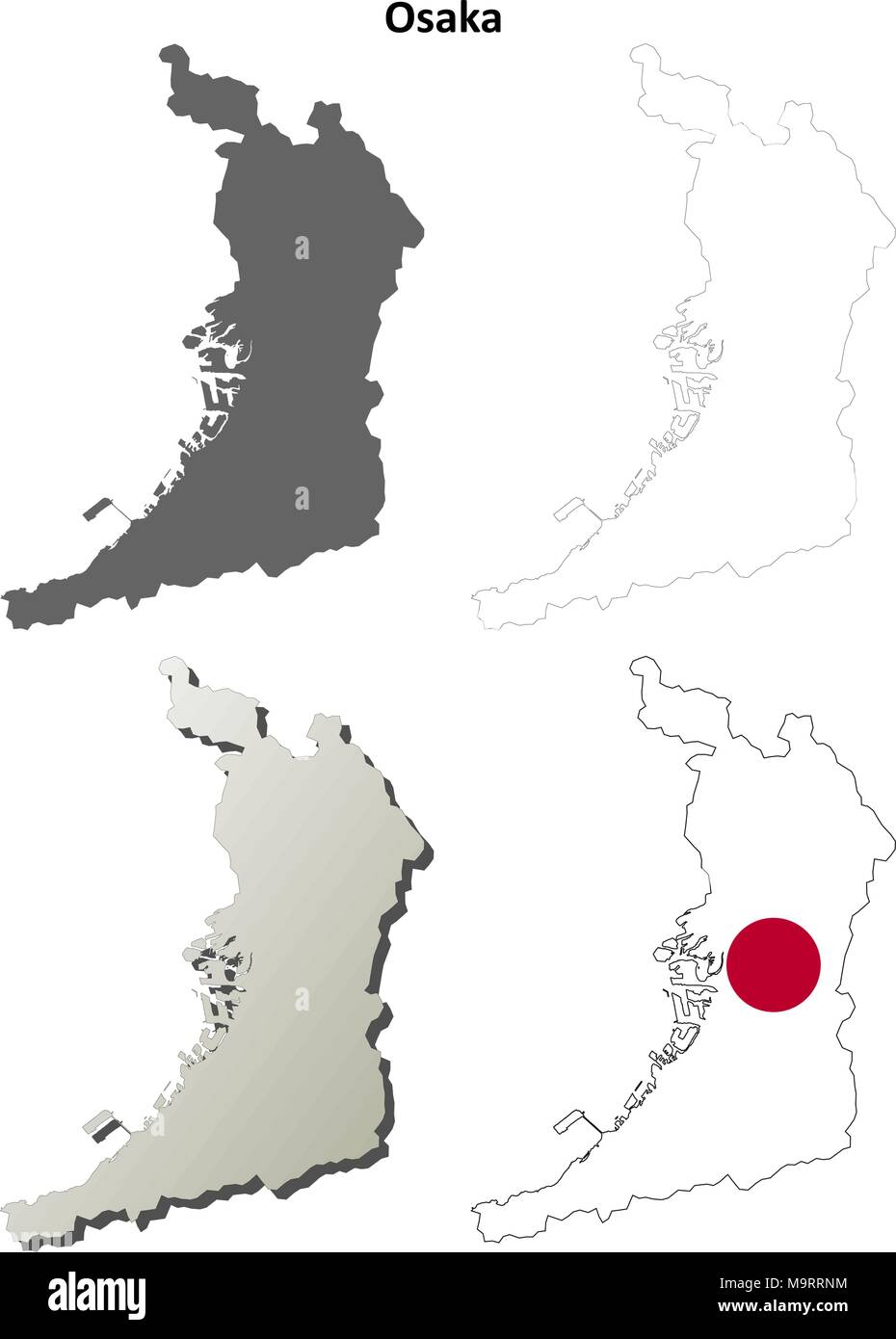 Osaka blank outline map set Stock Vectorhttps://www.alamy.com/image-license-details/?v=1https://www.alamy.com/osaka-blank-outline-map-set-image178159120.html
RFM9RRNM–Osaka blank outline map set
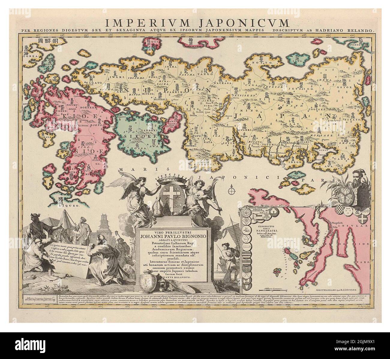 Map of Japan, including Imari, Arita, Nagasaki, Osaka and Edo. Side map: environs of Nagasaki, surrounded by Japanese coats of arms. Entitled IMPERIUM JAPONICUM . 1737 - 1750 Digitally optimised eighteenth century map depicting Japan. IMPERIUM JAPONICUM Stock Photohttps://www.alamy.com/image-license-details/?v=1https://www.alamy.com/map-of-japan-including-imari-arita-nagasaki-osaka-and-edo-side-map-environs-of-nagasaki-surrounded-by-japanese-coats-of-arms-entitled-imperium-japonicum-1737-1750-digitally-optimised-eighteenth-century-map-depicting-japan-imperium-japonicum-image441769833.html
RM2GJM9X1–Map of Japan, including Imari, Arita, Nagasaki, Osaka and Edo. Side map: environs of Nagasaki, surrounded by Japanese coats of arms. Entitled IMPERIUM JAPONICUM . 1737 - 1750 Digitally optimised eighteenth century map depicting Japan. IMPERIUM JAPONICUM
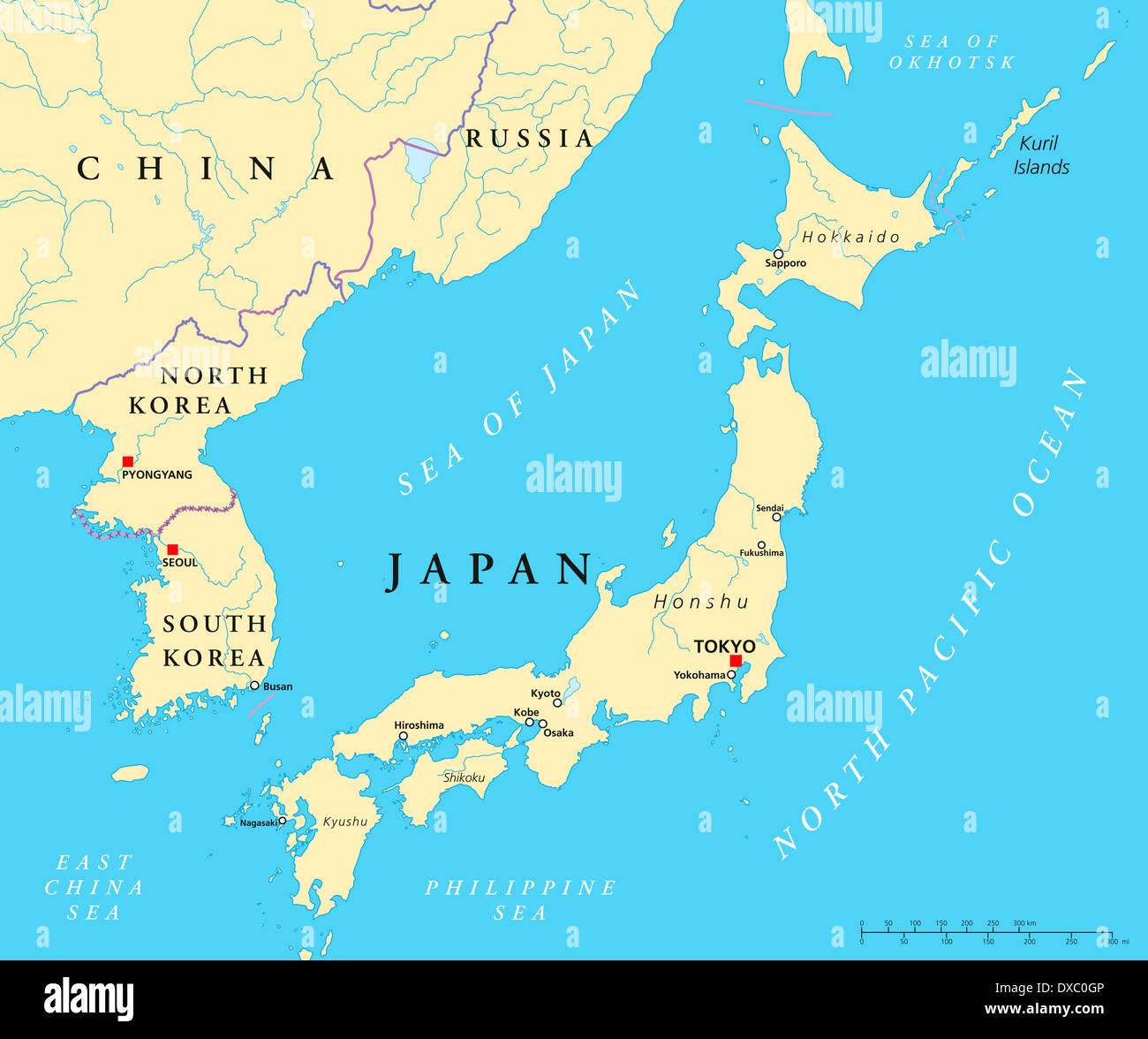 Political map of Japan, North Korea and South Korea with the capitals Tokyo, Pyongyang and Seoul Stock Photohttps://www.alamy.com/image-license-details/?v=1https://www.alamy.com/political-map-of-japan-north-korea-and-south-korea-with-the-capitals-image67876054.html
RFDXC0GP–Political map of Japan, North Korea and South Korea with the capitals Tokyo, Pyongyang and Seoul
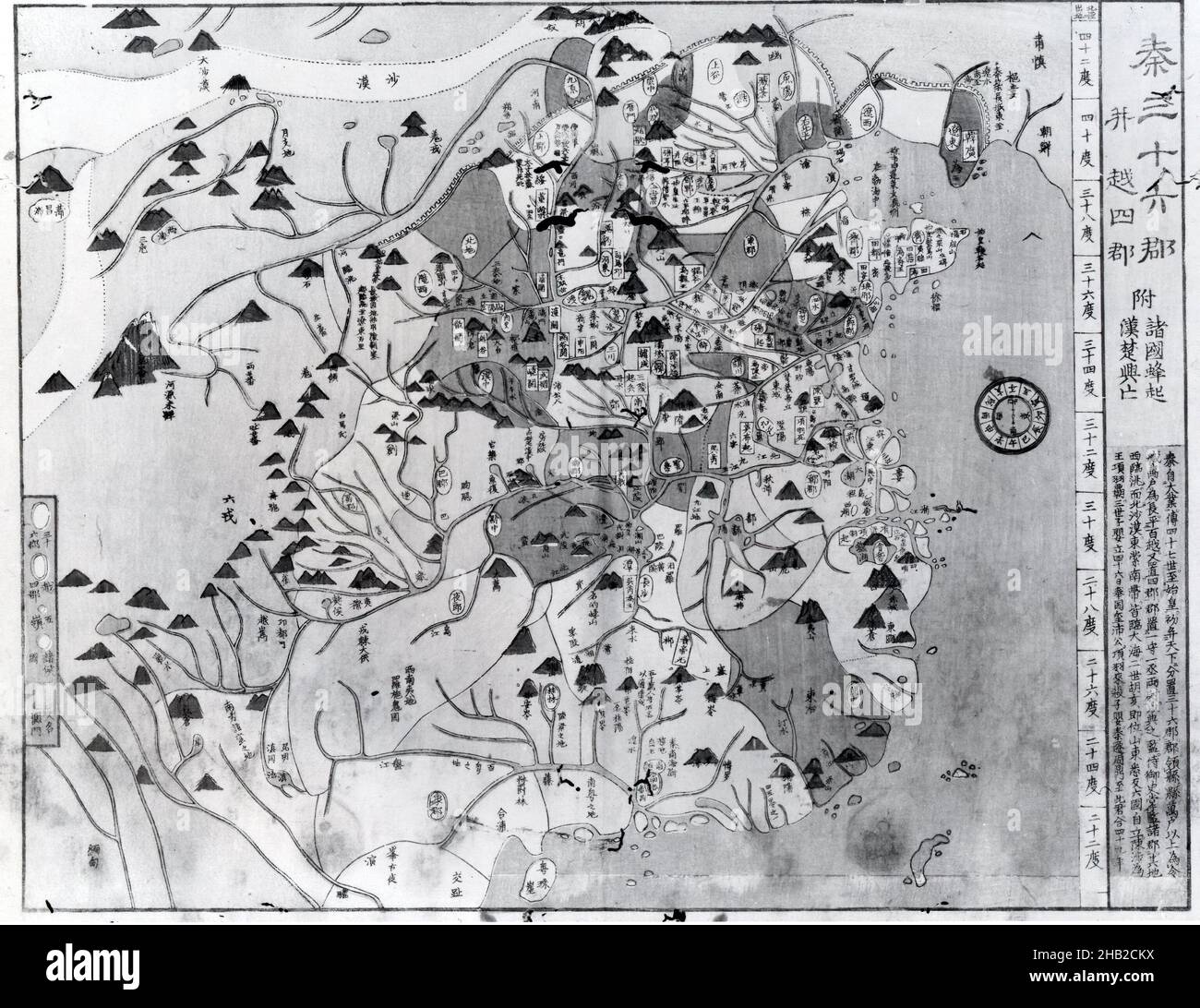 Book: Maps of China, Woodblock printed book, Osaka, Japan, 1857, Edo Period, 14 1/4 x 9 3/8 in., 36.2 x 23.8 cm, cartography, document, geography, historical, map Stock Photohttps://www.alamy.com/image-license-details/?v=1https://www.alamy.com/book-maps-of-china-woodblock-printed-book-osaka-japan-1857-edo-period-14-14-x-9-38-in-362-x-238-cm-cartography-document-geography-historical-map-image454284654.html
RM2HB2CKX–Book: Maps of China, Woodblock printed book, Osaka, Japan, 1857, Edo Period, 14 1/4 x 9 3/8 in., 36.2 x 23.8 cm, cartography, document, geography, historical, map
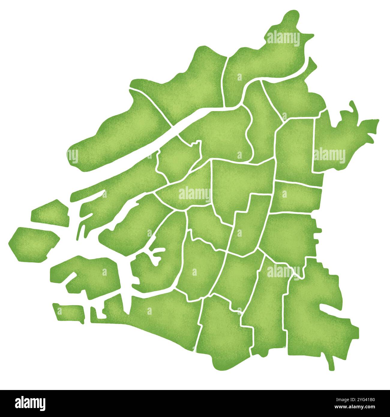 Map of Osaka City with boundaries Stock Photohttps://www.alamy.com/image-license-details/?v=1https://www.alamy.com/map-of-osaka-city-with-boundaries-image629496644.html
RF2YG41B0–Map of Osaka City with boundaries
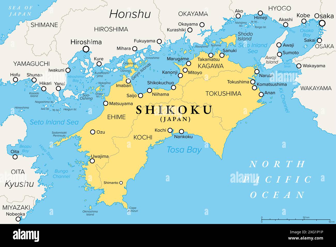 Shikoku island and region in Japan with four prefectures, political map. Region and smallest of the main islands of Japan, northeast of Kyushu. Stock Photohttps://www.alamy.com/image-license-details/?v=1https://www.alamy.com/shikoku-island-and-region-in-japan-with-four-prefectures-political-map-region-and-smallest-of-the-main-islands-of-japan-northeast-of-kyushu-image612236626.html
RF2XG1P1P–Shikoku island and region in Japan with four prefectures, political map. Region and smallest of the main islands of Japan, northeast of Kyushu.
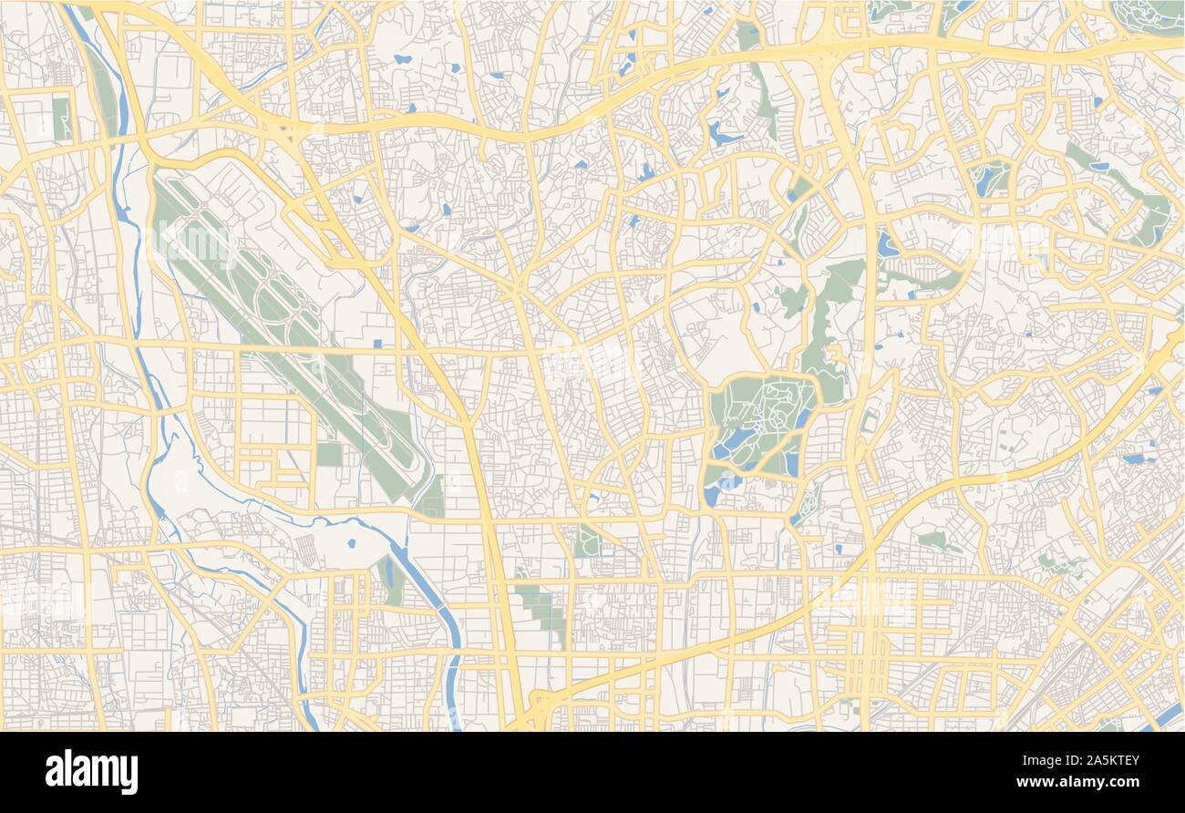 Printable street map of Toyonaka, Prefecture Osaka, Japan. Map template for business use. Stock Vectorhttps://www.alamy.com/image-license-details/?v=1https://www.alamy.com/printable-street-map-of-toyonaka-prefecture-osaka-japan-map-template-for-business-use-image330506595.html
RF2A5KTEY–Printable street map of Toyonaka, Prefecture Osaka, Japan. Map template for business use.
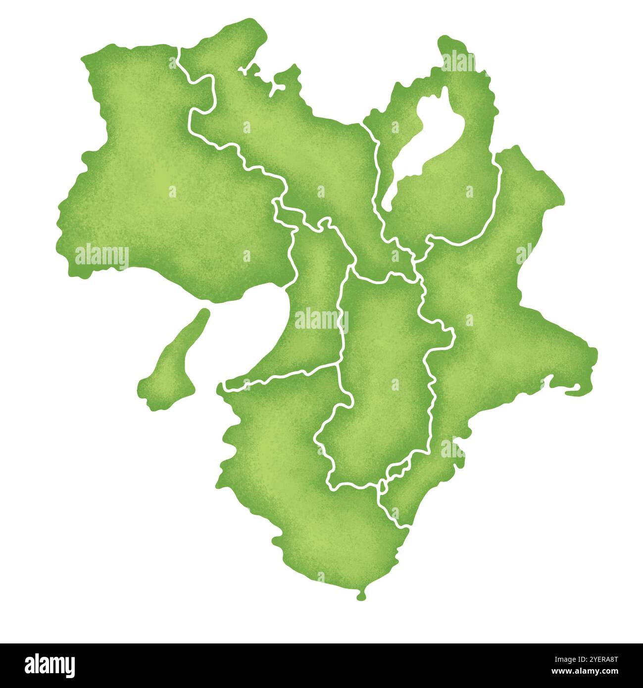 Map of the Kinki region Stock Photohttps://www.alamy.com/image-license-details/?v=1https://www.alamy.com/map-of-the-kinki-region-image628691416.html
RF2YERA8T–Map of the Kinki region
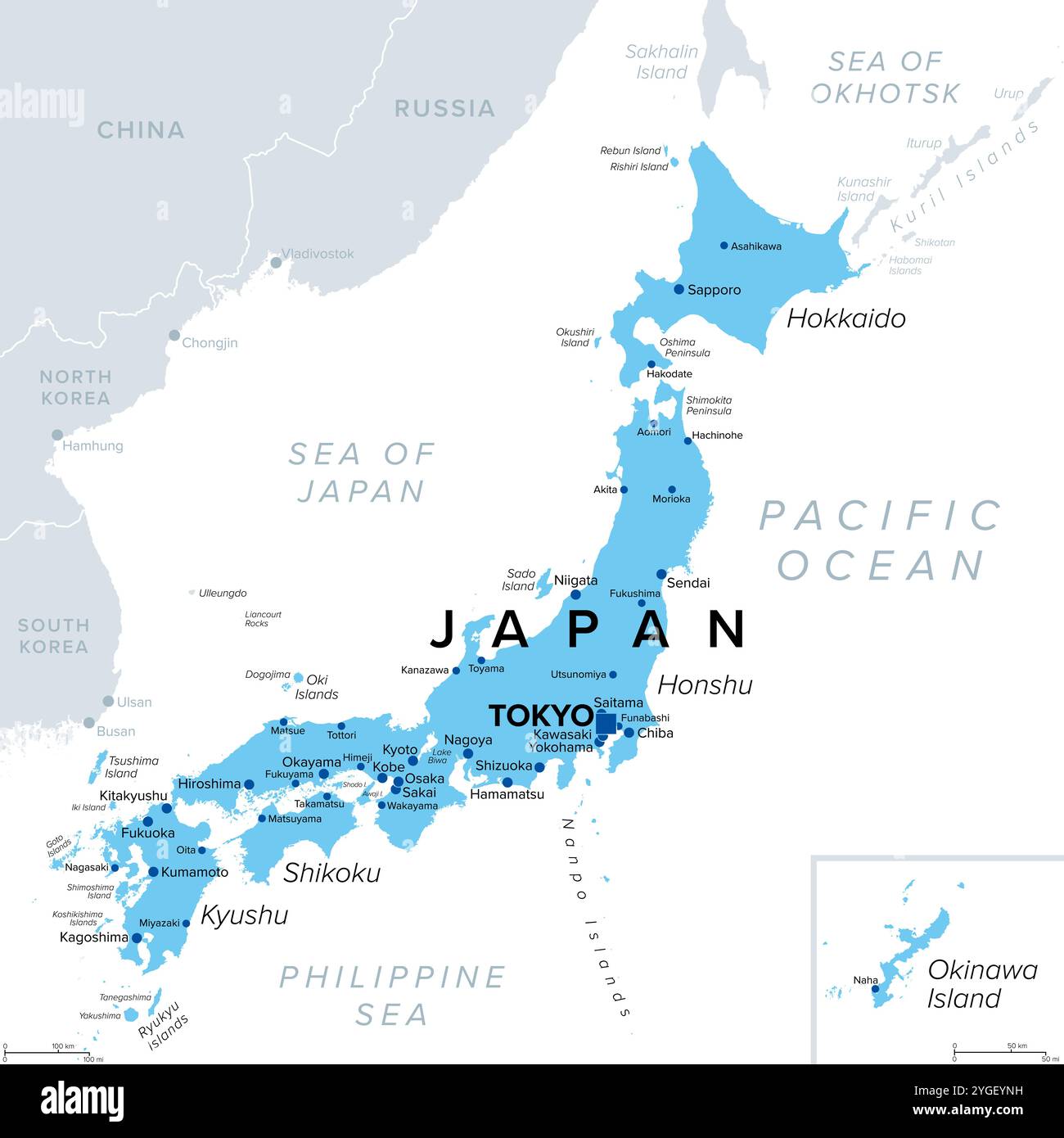 Japan, an island country in East Asia, political map, with capital Tokyo and the main islands Honshu, Hokkaido, Kyushu, Shikoku and Okinawa. Stock Photohttps://www.alamy.com/image-license-details/?v=1https://www.alamy.com/japan-an-island-country-in-east-asia-political-map-with-capital-tokyo-and-the-main-islands-honshu-hokkaido-kyushu-shikoku-and-okinawa-image629736845.html
RF2YGEYNH–Japan, an island country in East Asia, political map, with capital Tokyo and the main islands Honshu, Hokkaido, Kyushu, Shikoku and Okinawa.
 White and light grey Osaka City area vector background map, streets and water cartography illustration. Widescreen proportion, digital flat design str Stock Vectorhttps://www.alamy.com/image-license-details/?v=1https://www.alamy.com/white-and-light-grey-osaka-city-area-vector-background-map-streets-and-water-cartography-illustration-widescreen-proportion-digital-flat-design-str-image435402924.html
RF2G8A8TC–White and light grey Osaka City area vector background map, streets and water cartography illustration. Widescreen proportion, digital flat design str
 Shikoku island and region in Japan with four prefectures, gray political map. Region and smallest of main islands of Japan, northeast of Kyushu. Stock Photohttps://www.alamy.com/image-license-details/?v=1https://www.alamy.com/shikoku-island-and-region-in-japan-with-four-prefectures-gray-political-map-region-and-smallest-of-main-islands-of-japan-northeast-of-kyushu-image630716364.html
RF2YJ3H4C–Shikoku island and region in Japan with four prefectures, gray political map. Region and smallest of main islands of Japan, northeast of Kyushu.
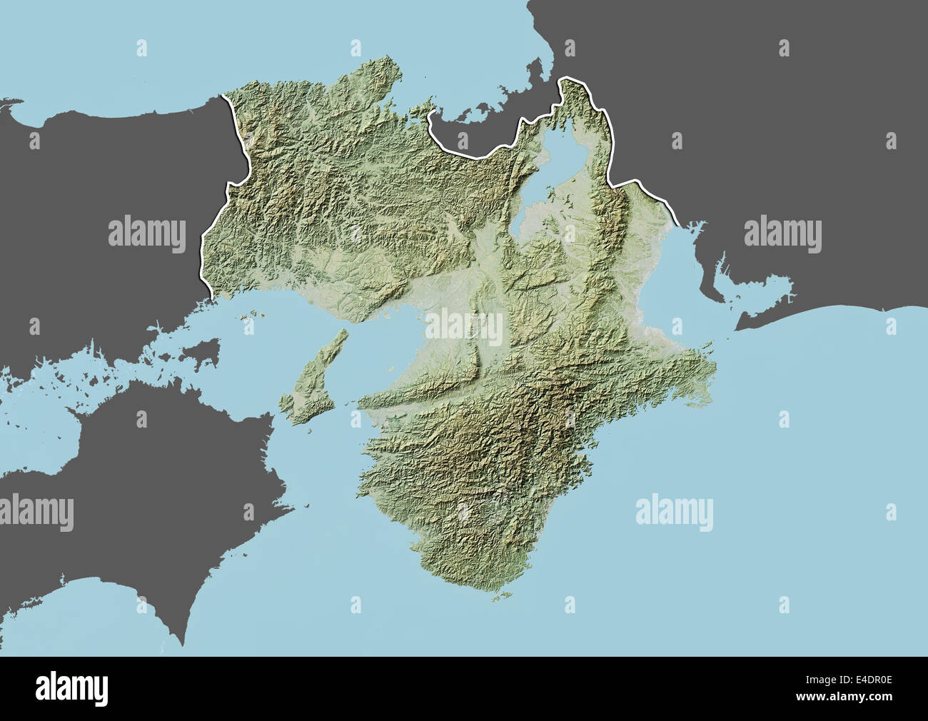 Region of Kansai, Japan, Relief Map Stock Photohttps://www.alamy.com/image-license-details/?v=1https://www.alamy.com/stock-photo-region-of-kansai-japan-relief-map-71603518.html
RME4DR0E–Region of Kansai, Japan, Relief Map
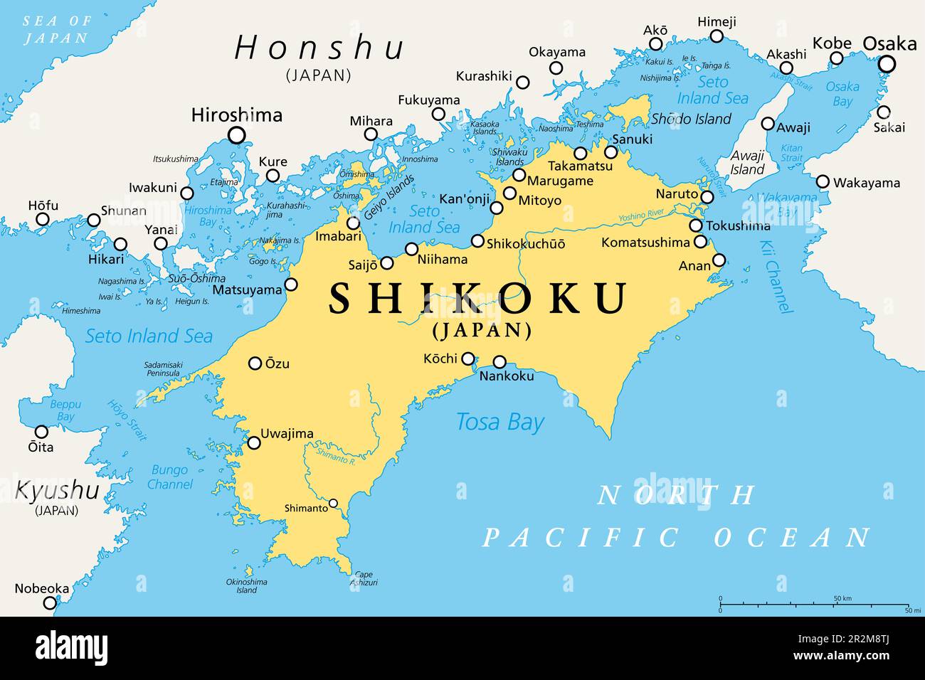 Shikoku, political map. Region and smallest of the four main islands of Japan, northeast of Kyushu, and south of Honshu, separated by Seto Inland Sea. Stock Photohttps://www.alamy.com/image-license-details/?v=1https://www.alamy.com/shikoku-political-map-region-and-smallest-of-the-four-main-islands-of-japan-northeast-of-kyushu-and-south-of-honshu-separated-by-seto-inland-sea-image552407090.html
RF2R2M8TJ–Shikoku, political map. Region and smallest of the four main islands of Japan, northeast of Kyushu, and south of Honshu, separated by Seto Inland Sea.
 Japan and the Region of Kansai, Relief Map Stock Photohttps://www.alamy.com/image-license-details/?v=1https://www.alamy.com/stock-photo-japan-and-the-region-of-kansai-relief-map-71608354.html
RME4E156–Japan and the Region of Kansai, Relief Map
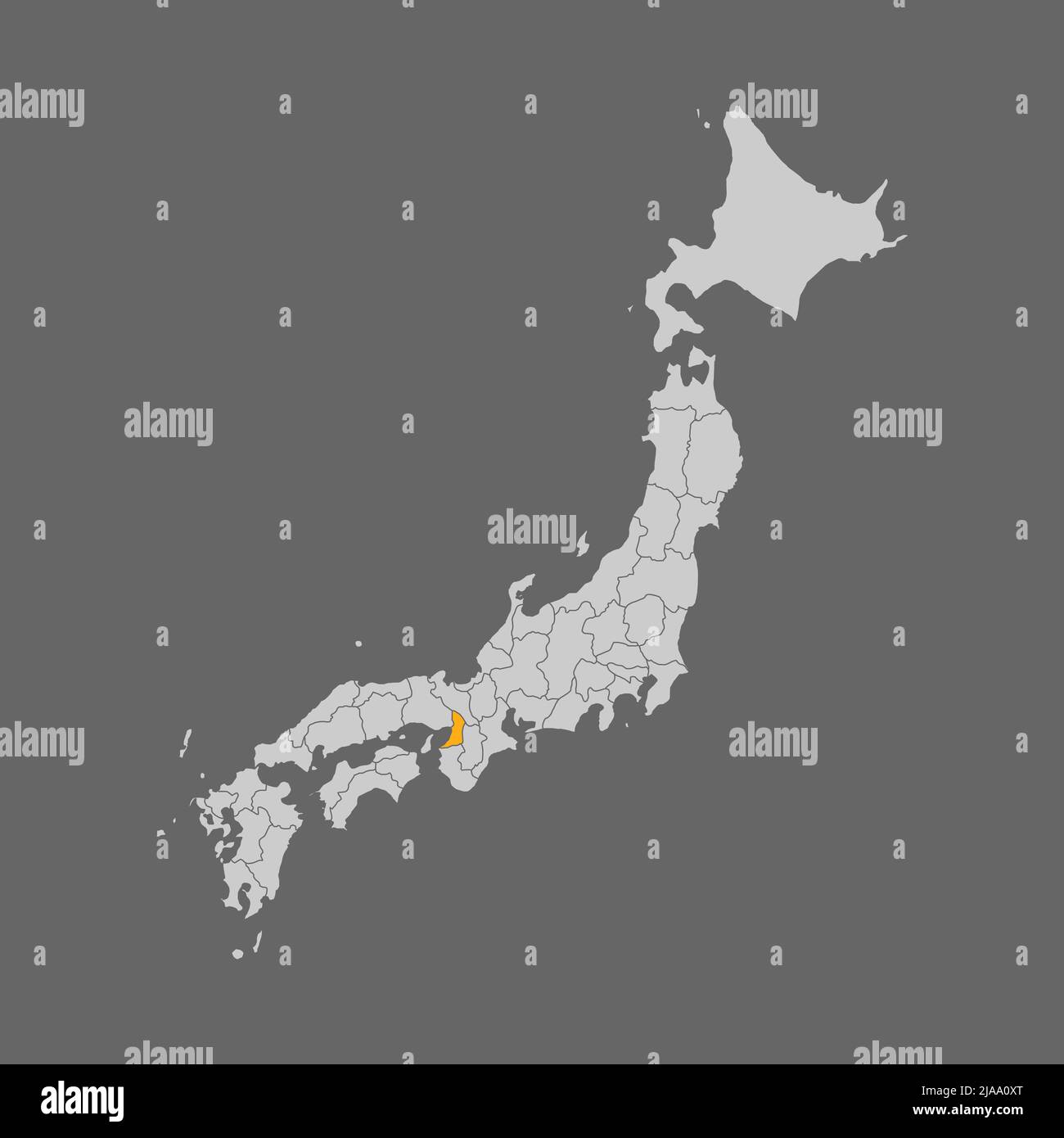 Osaka prefecture highlighted on the map of Japan Stock Vectorhttps://www.alamy.com/image-license-details/?v=1https://www.alamy.com/osaka-prefecture-highlighted-on-the-map-of-japan-image471046768.html
RF2JAA0XT–Osaka prefecture highlighted on the map of Japan
 Osaka, Japan, True Colour Satellite Image. Osaka, Japan. True colour satellite image of the city of Osaka, taken on 15 October 2 Stock Photohttps://www.alamy.com/image-license-details/?v=1https://www.alamy.com/stock-photo-osaka-japan-true-colour-satellite-image-osaka-japan-true-colour-satellite-71605124.html
RME4DW1T–Osaka, Japan, True Colour Satellite Image. Osaka, Japan. True colour satellite image of the city of Osaka, taken on 15 October 2
 Inspired by Book: Maps of China, Woodblock printed book, Osaka, Japan, 1857, Edo Period, 14 1/4 x 9 3/8 in., 36.2 x 23.8 cm, cartography, document, geography, historical, map, Reimagined by Artotop. Classic art reinvented with a modern twist. Design of warm cheerful glowing of brightness and light ray radiance. Photography inspired by surrealism and futurism, embracing dynamic energy of modern technology, movement, speed and revolutionize culture Stock Photohttps://www.alamy.com/image-license-details/?v=1https://www.alamy.com/inspired-by-book-maps-of-china-woodblock-printed-book-osaka-japan-1857-edo-period-14-14-x-9-38-in-362-x-238-cm-cartography-document-geography-historical-map-reimagined-by-artotop-classic-art-reinvented-with-a-modern-twist-design-of-warm-cheerful-glowing-of-brightness-and-light-ray-radiance-photography-inspired-by-surrealism-and-futurism-embracing-dynamic-energy-of-modern-technology-movement-speed-and-revolutionize-culture-image459266312.html
RF2HK5AT8–Inspired by Book: Maps of China, Woodblock printed book, Osaka, Japan, 1857, Edo Period, 14 1/4 x 9 3/8 in., 36.2 x 23.8 cm, cartography, document, geography, historical, map, Reimagined by Artotop. Classic art reinvented with a modern twist. Design of warm cheerful glowing of brightness and light ray radiance. Photography inspired by surrealism and futurism, embracing dynamic energy of modern technology, movement, speed and revolutionize culture
 Osaka pinned on a map of Japan Stock Photohttps://www.alamy.com/image-license-details/?v=1https://www.alamy.com/stock-photo-osaka-pinned-on-a-map-of-japan-121070008.html
RFH0Y60T–Osaka pinned on a map of Japan
 map and pin Stock Photohttps://www.alamy.com/image-license-details/?v=1https://www.alamy.com/map-and-pin-image178889752.html
RFMB13KM–map and pin
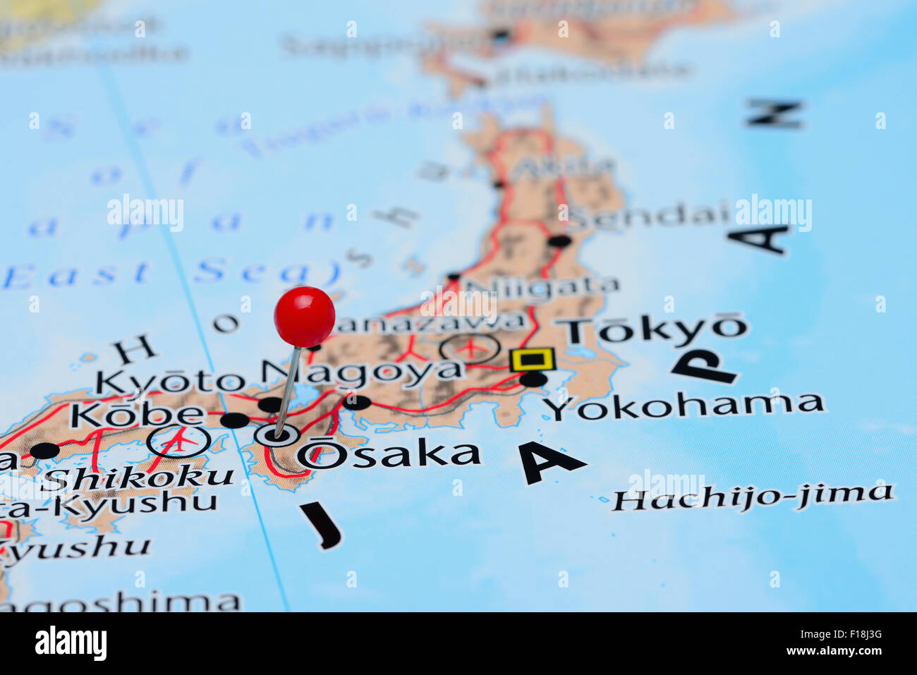 Osaka pinned on a map of Asia Stock Photohttps://www.alamy.com/image-license-details/?v=1https://www.alamy.com/stock-photo-osaka-pinned-on-a-map-of-asia-86856324.html
RFF18J3G–Osaka pinned on a map of Asia
 Searching location on map and pin above Osaka city and network connection, internet of things, satellite navigation system concept Stock Photohttps://www.alamy.com/image-license-details/?v=1https://www.alamy.com/searching-location-on-map-and-pin-above-osaka-city-and-network-connection-image152081742.html
RFJRBWPP–Searching location on map and pin above Osaka city and network connection, internet of things, satellite navigation system concept
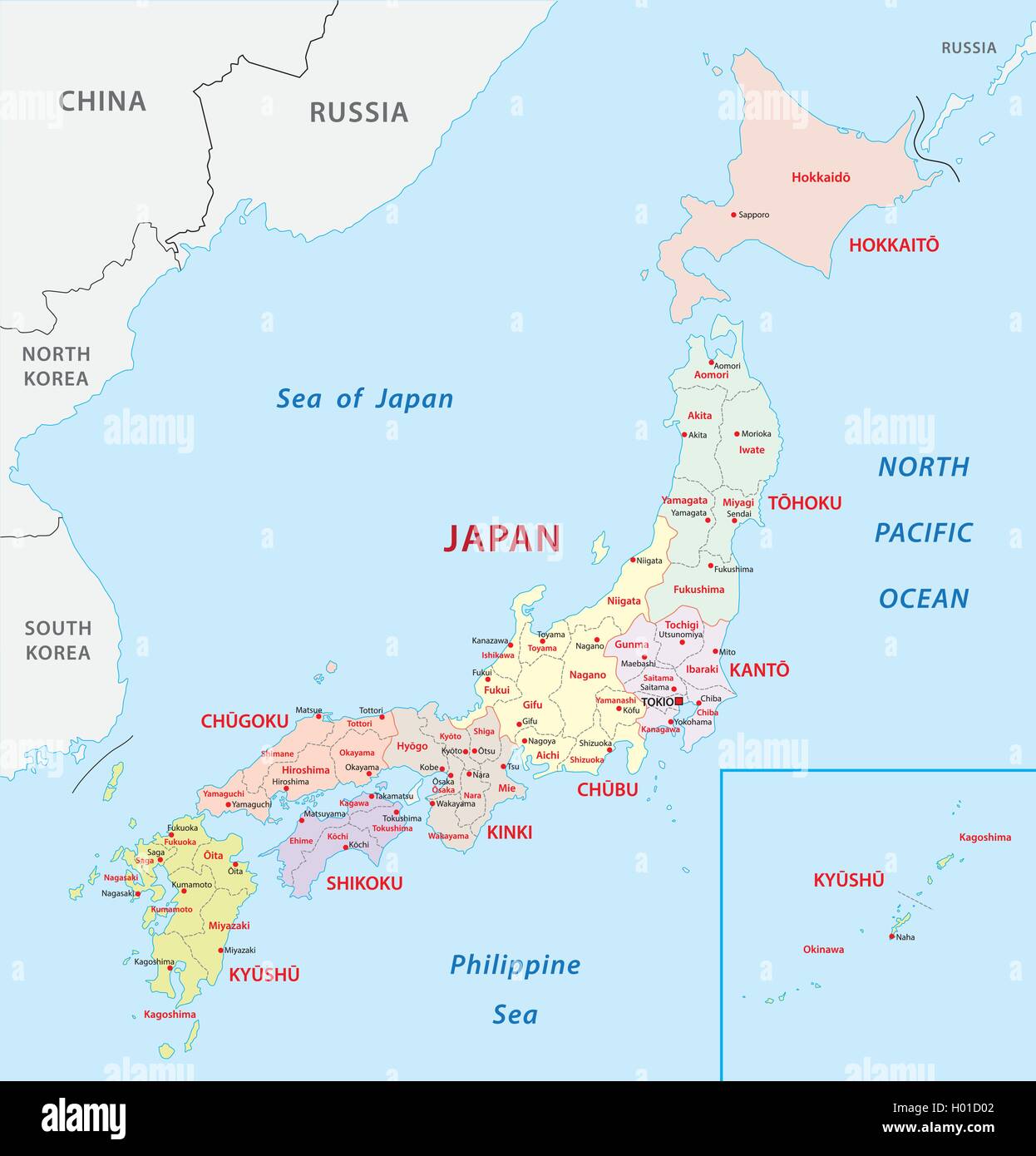 japan administrative map Stock Vectorhttps://www.alamy.com/image-license-details/?v=1https://www.alamy.com/stock-photo-japan-administrative-map-120504722.html
RFH01D02–japan administrative map
 Images of famous places in the Kobe and Osaka area, Hanshin meisho zue (title on object), Album with 30 landscape prints, six per artist; brown-gray brocade cover with blank title strip at top left; seventeen leaves; title page with map; Table of contents; 30 prints with views of the surroundings of Kobe and Osaka., book, print maker: Noda Kyûho, (mentioned on object), print maker: Akamatsu Rinsaku, (mentioned on object), print maker: Mizuno Nihofu, (mentioned on object), print maker: Osaka, print maker: Osaka, print maker: Japan, print maker: Osaka, print maker: Osaka, Japan, printer: Japan Stock Photohttps://www.alamy.com/image-license-details/?v=1https://www.alamy.com/images-of-famous-places-in-the-kobe-and-osaka-area-hanshin-meisho-zue-title-on-object-album-with-30-landscape-prints-six-per-artist-brown-gray-brocade-cover-with-blank-title-strip-at-top-left-seventeen-leaves-title-page-with-map-table-of-contents-30-prints-with-views-of-the-surroundings-of-kobe-and-osaka-book-print-maker-noda-kyho-mentioned-on-object-print-maker-akamatsu-rinsaku-mentioned-on-object-print-maker-mizuno-nihofu-mentioned-on-object-print-maker-osaka-print-maker-osaka-print-maker-japan-print-maker-osaka-print-maker-osaka-japan-printer-japan-image606662666.html
RM2X6YTBP–Images of famous places in the Kobe and Osaka area, Hanshin meisho zue (title on object), Album with 30 landscape prints, six per artist; brown-gray brocade cover with blank title strip at top left; seventeen leaves; title page with map; Table of contents; 30 prints with views of the surroundings of Kobe and Osaka., book, print maker: Noda Kyûho, (mentioned on object), print maker: Akamatsu Rinsaku, (mentioned on object), print maker: Mizuno Nihofu, (mentioned on object), print maker: Osaka, print maker: Osaka, print maker: Japan, print maker: Osaka, print maker: Osaka, Japan, printer: Japan
 Japan on an antique map Stock Photohttps://www.alamy.com/image-license-details/?v=1https://www.alamy.com/japan-on-an-antique-map-image5490814.html
RFAXEG7F–Japan on an antique map
 Osaka, Japan, the way we looked at it in 1949. Stock Photohttps://www.alamy.com/image-license-details/?v=1https://www.alamy.com/stock-photo-osaka-japan-the-way-we-looked-at-it-in-1949-26981724.html
RMBFW3D0–Osaka, Japan, the way we looked at it in 1949.
 Printable street map of Ibaraki, Prefecture Osaka, Japan. Map template for business use. Stock Vectorhttps://www.alamy.com/image-license-details/?v=1https://www.alamy.com/printable-street-map-of-ibaraki-prefecture-osaka-japan-map-template-for-business-use-image330515350.html
RF2A5M7KJ–Printable street map of Ibaraki, Prefecture Osaka, Japan. Map template for business use.
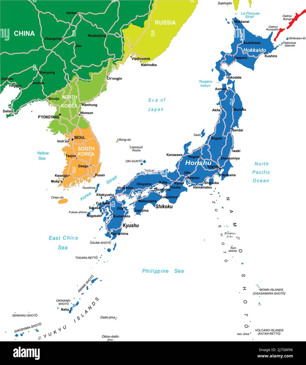 Japan highly detailed vector map with main cities and roads. Stock Vectorhttps://www.alamy.com/image-license-details/?v=1https://www.alamy.com/japan-highly-detailed-vector-map-with-main-cities-and-roads-image469349698.html
RF2J7GM96–Japan highly detailed vector map with main cities and roads.
 Map of Osaka Municipal Subway lines Stock Photohttps://www.alamy.com/image-license-details/?v=1https://www.alamy.com/map-of-osaka-municipal-subway-lines-image628101553.html
RF2YDTDX9–Map of Osaka Municipal Subway lines
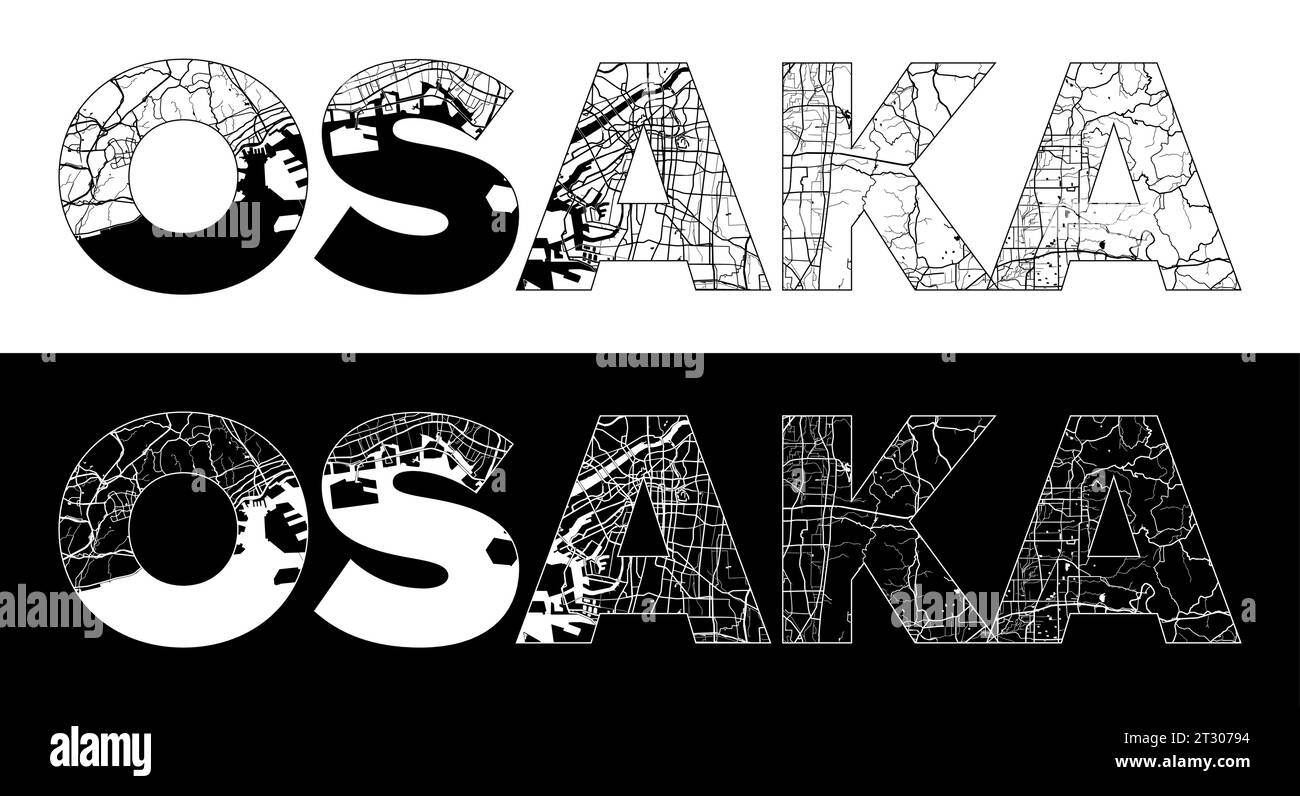 Osaka City Name (Japan, Asia) with black white city map illustration vector Stock Vectorhttps://www.alamy.com/image-license-details/?v=1https://www.alamy.com/osaka-city-name-japan-asia-with-black-white-city-map-illustration-vector-image569791856.html
RF2T30794–Osaka City Name (Japan, Asia) with black white city map illustration vector
 Symbol Map of the Urban Prefecture Osaka (Japan) showing the state with black, crossing lines like Mikado Sticks or a spider web Stock Vectorhttps://www.alamy.com/image-license-details/?v=1https://www.alamy.com/symbol-map-of-the-urban-prefecture-osaka-japan-showing-the-state-with-black-crossing-lines-like-mikado-sticks-or-a-spider-web-image615837807.html
RF2XNWRBB–Symbol Map of the Urban Prefecture Osaka (Japan) showing the state with black, crossing lines like Mikado Sticks or a spider web
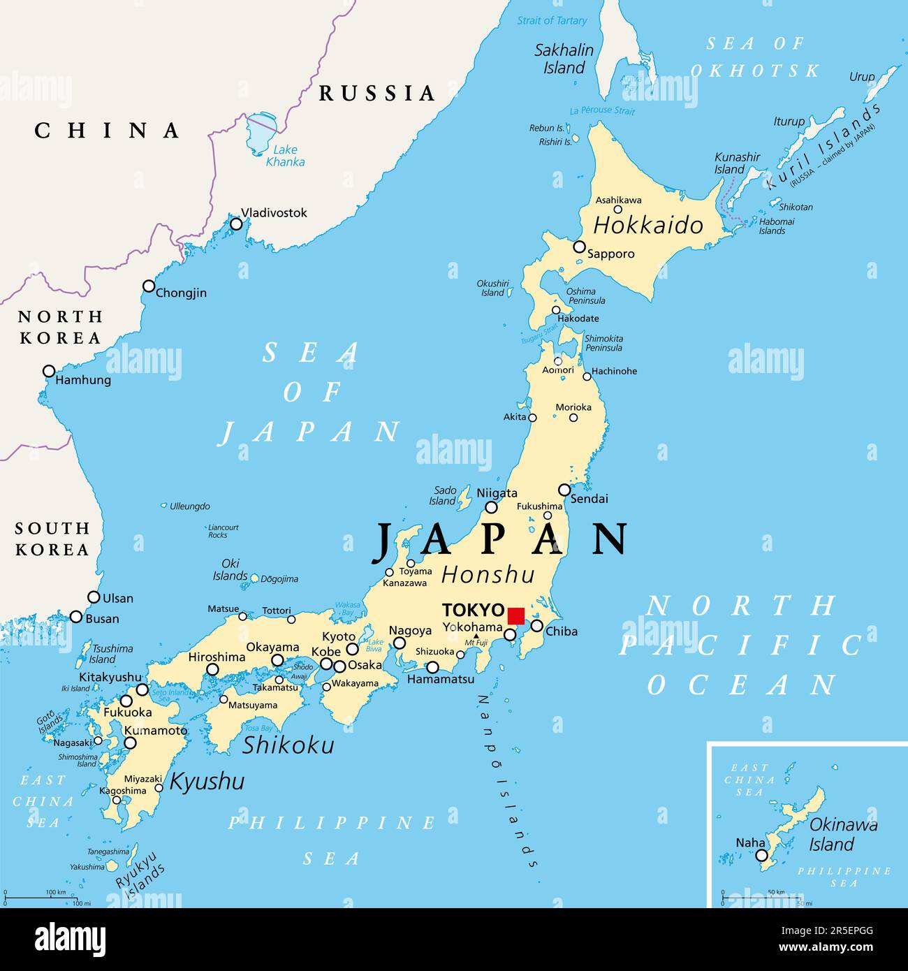 Japan political map. Main islands Honshu, Hokkaido, Kyushu, Shikoku and Okinawa. East Asian island country in the North Pacific. Stock Photohttps://www.alamy.com/image-license-details/?v=1https://www.alamy.com/japan-political-map-main-islands-honshu-hokkaido-kyushu-shikoku-and-okinawa-east-asian-island-country-in-the-north-pacific-image554130096.html
RF2R5EPGG–Japan political map. Main islands Honshu, Hokkaido, Kyushu, Shikoku and Okinawa. East Asian island country in the North Pacific.
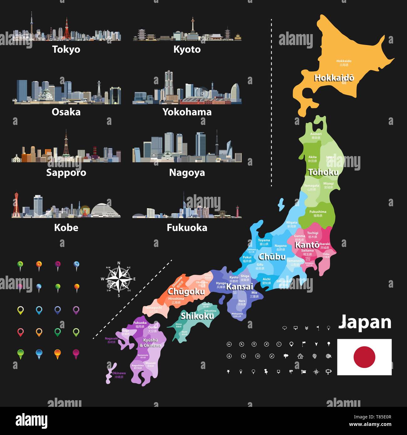 vector illustration of Japanese flag and prefectures map colored by regions Stock Vectorhttps://www.alamy.com/image-license-details/?v=1https://www.alamy.com/vector-illustration-of-japanese-flag-and-prefectures-map-colored-by-regions-image245983159.html
RFT85E0R–vector illustration of Japanese flag and prefectures map colored by regions
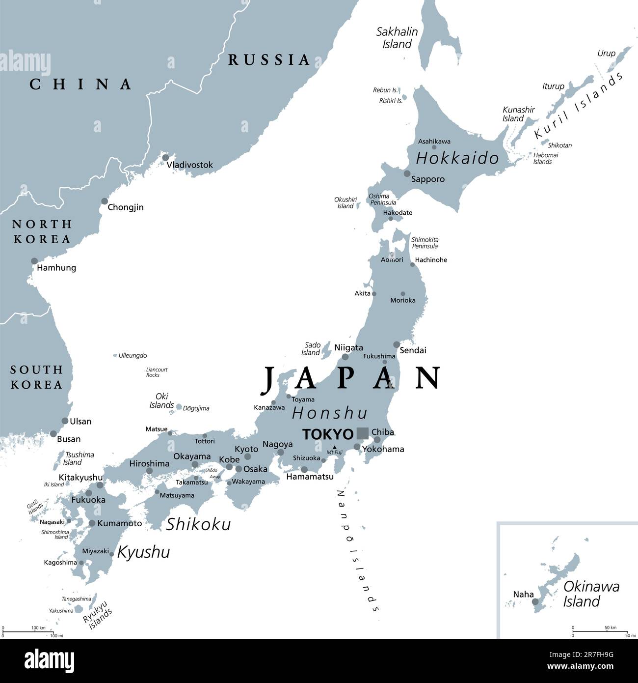 Japan, gray political map. The main islands Honshu, Hokkaido, Kyushu, Shikoku and Okinawa. East Asian island country in the North Pacific Ocean. Stock Photohttps://www.alamy.com/image-license-details/?v=1https://www.alamy.com/japan-gray-political-map-the-main-islands-honshu-hokkaido-kyushu-shikoku-and-okinawa-east-asian-island-country-in-the-north-pacific-ocean-image555377244.html
RF2R7FH9G–Japan, gray political map. The main islands Honshu, Hokkaido, Kyushu, Shikoku and Okinawa. East Asian island country in the North Pacific Ocean.
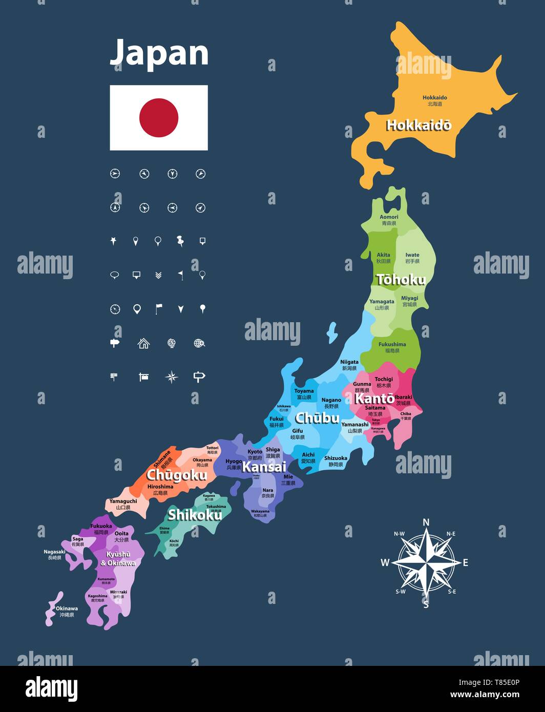 vector illustration of Japanese flag and prefectures map colored by regions Stock Vectorhttps://www.alamy.com/image-license-details/?v=1https://www.alamy.com/vector-illustration-of-japanese-flag-and-prefectures-map-colored-by-regions-image245983158.html
RFT85E0P–vector illustration of Japanese flag and prefectures map colored by regions
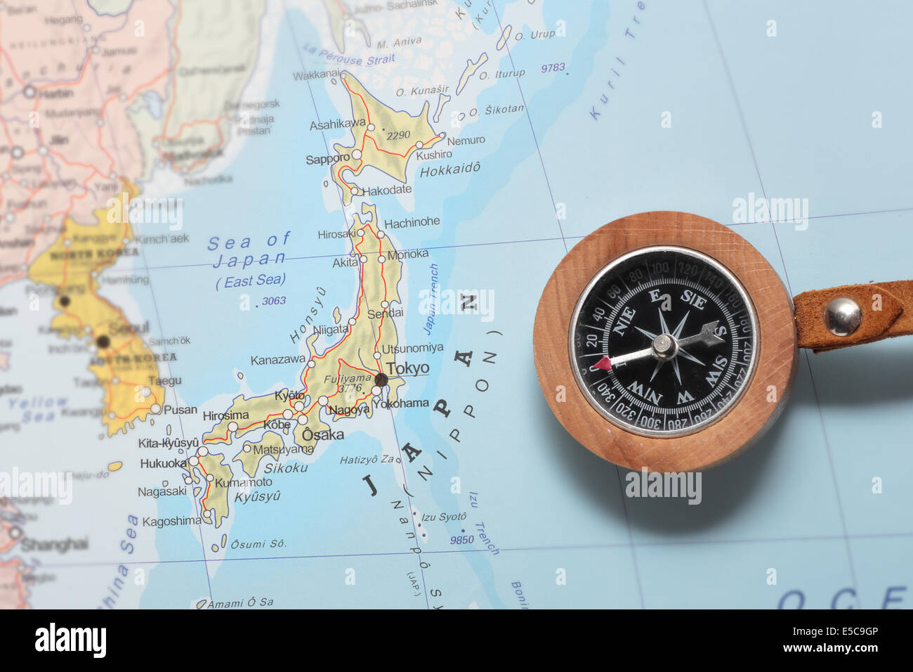 Compass on a map pointing at Japan and planning a travel destination Stock Photohttps://www.alamy.com/image-license-details/?v=1https://www.alamy.com/stock-photo-compass-on-a-map-pointing-at-japan-and-planning-a-travel-destination-72185702.html
RFE5C9GP–Compass on a map pointing at Japan and planning a travel destination
 Art inspired by Book: Maps of China, Woodblock printed book, Osaka, Japan, 1857, Edo Period, 14 1/4 x 9 3/8 in., 36.2 x 23.8 cm, cartography, document, geography, historical, map, Classic works modernized by Artotop with a splash of modernity. Shapes, color and value, eye-catching visual impact on art. Emotions through freedom of artworks in a contemporary way. A timeless message pursuing a wildly creative new direction. Artists turning to the digital medium and creating the Artotop NFT Stock Photohttps://www.alamy.com/image-license-details/?v=1https://www.alamy.com/art-inspired-by-book-maps-of-china-woodblock-printed-book-osaka-japan-1857-edo-period-14-14-x-9-38-in-362-x-238-cm-cartography-document-geography-historical-map-classic-works-modernized-by-artotop-with-a-splash-of-modernity-shapes-color-and-value-eye-catching-visual-impact-on-art-emotions-through-freedom-of-artworks-in-a-contemporary-way-a-timeless-message-pursuing-a-wildly-creative-new-direction-artists-turning-to-the-digital-medium-and-creating-the-artotop-nft-image459574908.html
RF2HKKCDG–Art inspired by Book: Maps of China, Woodblock printed book, Osaka, Japan, 1857, Edo Period, 14 1/4 x 9 3/8 in., 36.2 x 23.8 cm, cartography, document, geography, historical, map, Classic works modernized by Artotop with a splash of modernity. Shapes, color and value, eye-catching visual impact on art. Emotions through freedom of artworks in a contemporary way. A timeless message pursuing a wildly creative new direction. Artists turning to the digital medium and creating the Artotop NFT
 Japan country map, simple black silhouette on gray Stock Vectorhttps://www.alamy.com/image-license-details/?v=1https://www.alamy.com/japan-country-map-simple-black-silhouette-on-gray-image222074835.html
RFPW8AM3–Japan country map, simple black silhouette on gray
 map and pin Stock Photohttps://www.alamy.com/image-license-details/?v=1https://www.alamy.com/map-and-pin-image178889706.html
RFMB13J2–map and pin
 Compass on a map pointing at Japan, planning a travel destination Stock Photohttps://www.alamy.com/image-license-details/?v=1https://www.alamy.com/stock-photo-compass-on-a-map-pointing-at-japan-planning-a-travel-destination-73476760.html
RFE7F4A0–Compass on a map pointing at Japan, planning a travel destination
