Quick filters:
Oulu map Stock Photos and Images
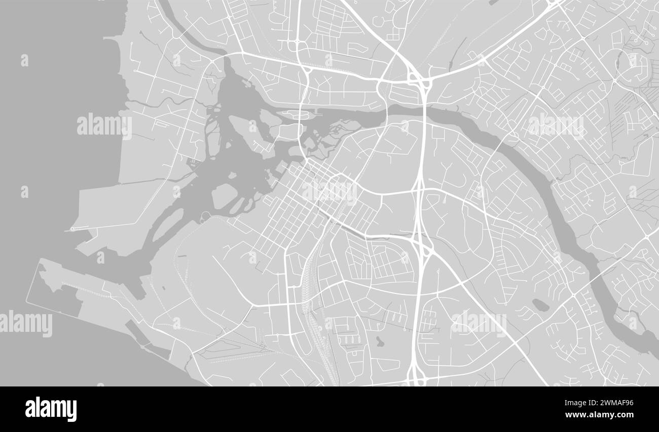 Background Oulu map, Finland, white and light grey city poster. Vector map with roads and water. Widescreen proportion, digital flat design roadmap. Stock Vectorhttps://www.alamy.com/image-license-details/?v=1https://www.alamy.com/background-oulu-map-finland-white-and-light-grey-city-poster-vector-map-with-roads-and-water-widescreen-proportion-digital-flat-design-roadmap-image597677170.html
RF2WMAF96–Background Oulu map, Finland, white and light grey city poster. Vector map with roads and water. Widescreen proportion, digital flat design roadmap.
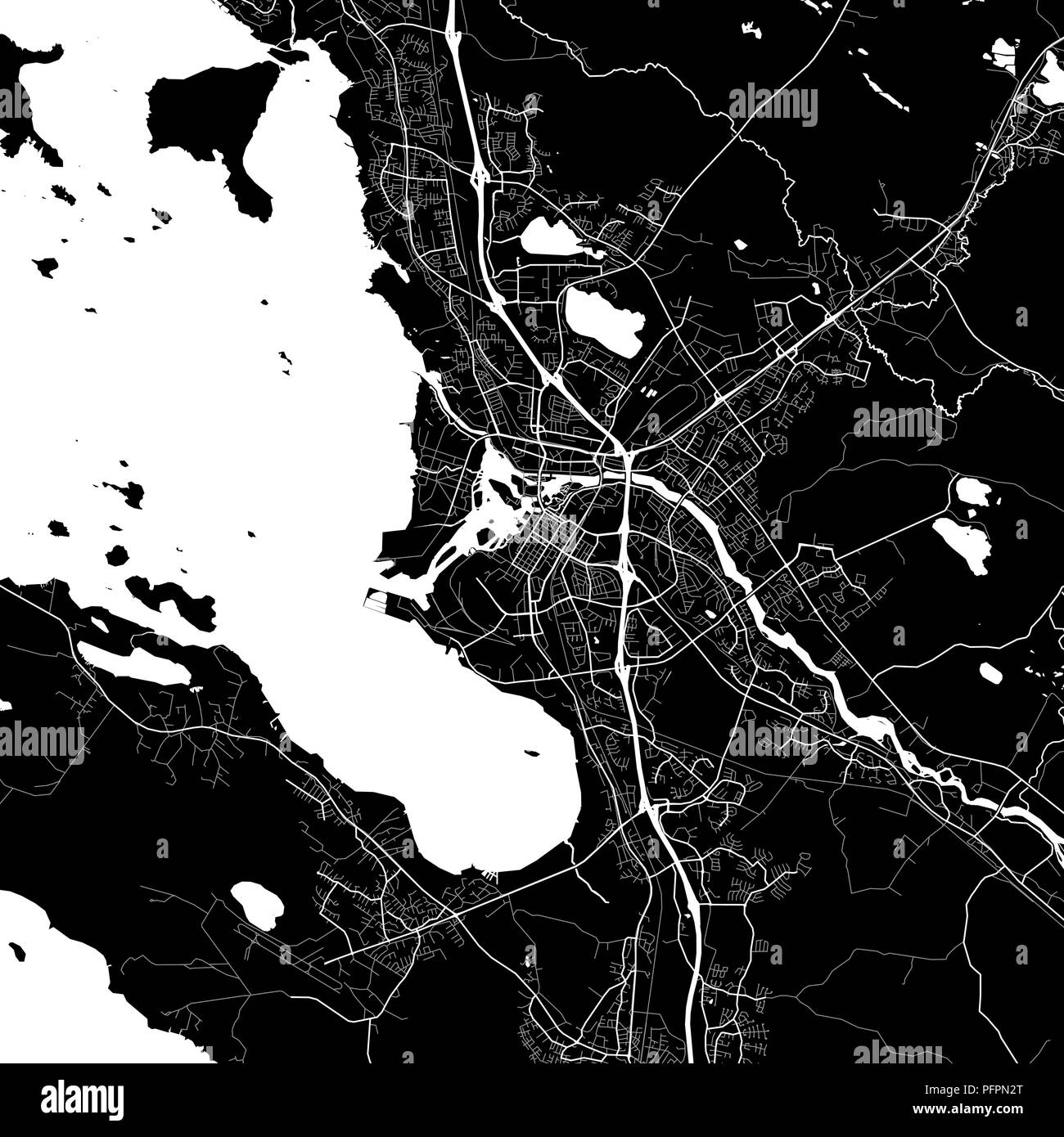 Area map of Oulu, Finland. Dark background version for infographic and marketing projects. This map of Oulu, contains typical landmarks with streets, Stock Vectorhttps://www.alamy.com/image-license-details/?v=1https://www.alamy.com/area-map-of-oulu-finland-dark-background-version-for-infographic-and-marketing-projects-this-map-of-oulu-contains-typical-landmarks-with-streets-image216243744.html
RFPFPN2T–Area map of Oulu, Finland. Dark background version for infographic and marketing projects. This map of Oulu, contains typical landmarks with streets,
 Oulu, Bayfield County, US, United States, Wisconsin, N 46 37' 58'', S 91 31' 54'', map, Cartascapes Map published in 2024. Explore Cartascapes, a map revealing Earth's diverse landscapes, cultures, and ecosystems. Journey through time and space, discovering the interconnectedness of our planet's past, present, and future. Stock Photohttps://www.alamy.com/image-license-details/?v=1https://www.alamy.com/oulu-bayfield-county-us-united-states-wisconsin-n-46-37-58-s-91-31-54-map-cartascapes-map-published-in-2024-explore-cartascapes-a-map-revealing-earths-diverse-landscapes-cultures-and-ecosystems-journey-through-time-and-space-discovering-the-interconnectedness-of-our-planets-past-present-and-future-image621399646.html
RM2Y2Y5GE–Oulu, Bayfield County, US, United States, Wisconsin, N 46 37' 58'', S 91 31' 54'', map, Cartascapes Map published in 2024. Explore Cartascapes, a map revealing Earth's diverse landscapes, cultures, and ecosystems. Journey through time and space, discovering the interconnectedness of our planet's past, present, and future.
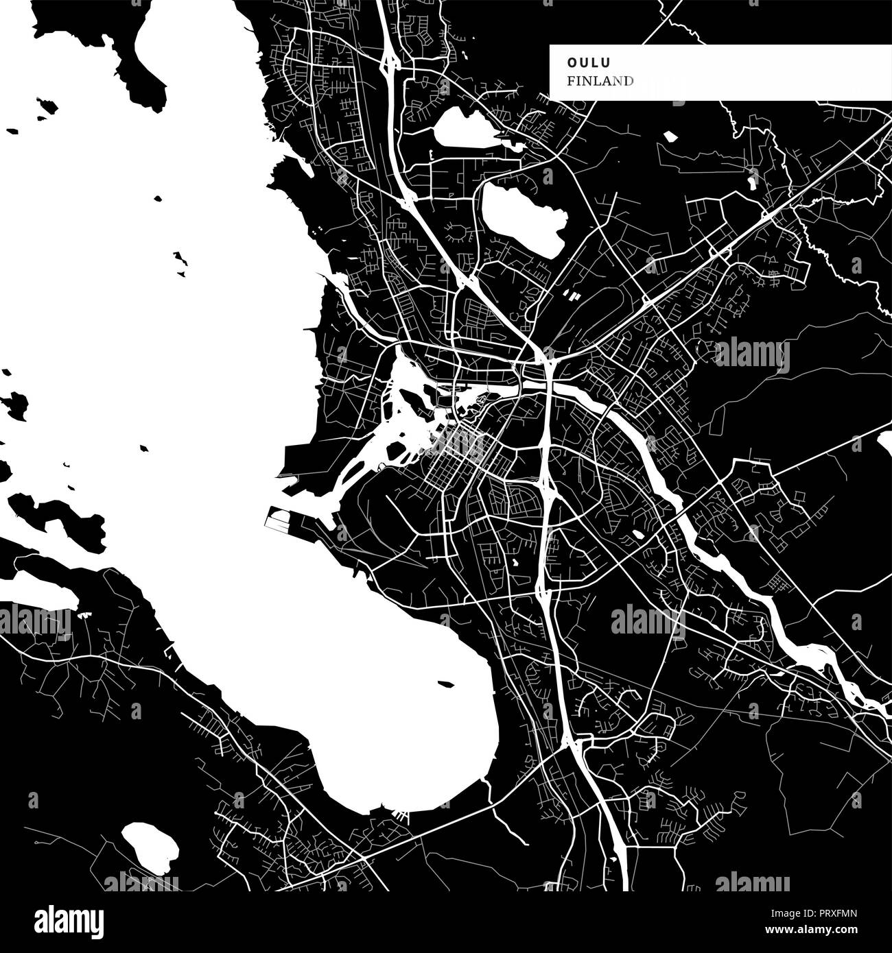 Area map of Oulu, Finland with typical urban landmarks like buildings, roads, waterways and railways as well as smaller streets and park trails. Remov Stock Vectorhttps://www.alamy.com/image-license-details/?v=1https://www.alamy.com/area-map-of-oulu-finland-with-typical-urban-landmarks-like-buildings-roads-waterways-and-railways-as-well-as-smaller-streets-and-park-trails-remov-image221244597.html
RFPRXFMN–Area map of Oulu, Finland with typical urban landmarks like buildings, roads, waterways and railways as well as smaller streets and park trails. Remov
 Oulu pinned on a map of Finland Stock Photohttps://www.alamy.com/image-license-details/?v=1https://www.alamy.com/stock-photo-oulu-pinned-on-a-map-of-finland-125354027.html
RFH7XA9F–Oulu pinned on a map of Finland
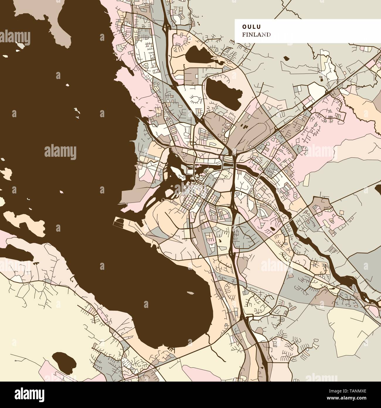 Map of Oulu Finland, art map print template. Brown colored version for Apps, Print or web backgrounds. Stock Vectorhttps://www.alamy.com/image-license-details/?v=1https://www.alamy.com/map-of-oulu-finland-art-map-print-template-brown-colored-version-for-apps-print-or-web-backgrounds-image247569126.html
RFTANMXE–Map of Oulu Finland, art map print template. Brown colored version for Apps, Print or web backgrounds.
 Oulu sub region Map vector1, Finland Map, Region of Finland, with white bg, Finland map with waving flag. Politics, government, people, national day, Stock Vectorhttps://www.alamy.com/image-license-details/?v=1https://www.alamy.com/oulu-sub-region-map-vector1-finland-map-region-of-finland-with-white-bg-finland-map-with-waving-flag-politics-government-people-national-day-image612055948.html
RF2XFNFH0–Oulu sub region Map vector1, Finland Map, Region of Finland, with white bg, Finland map with waving flag. Politics, government, people, national day,
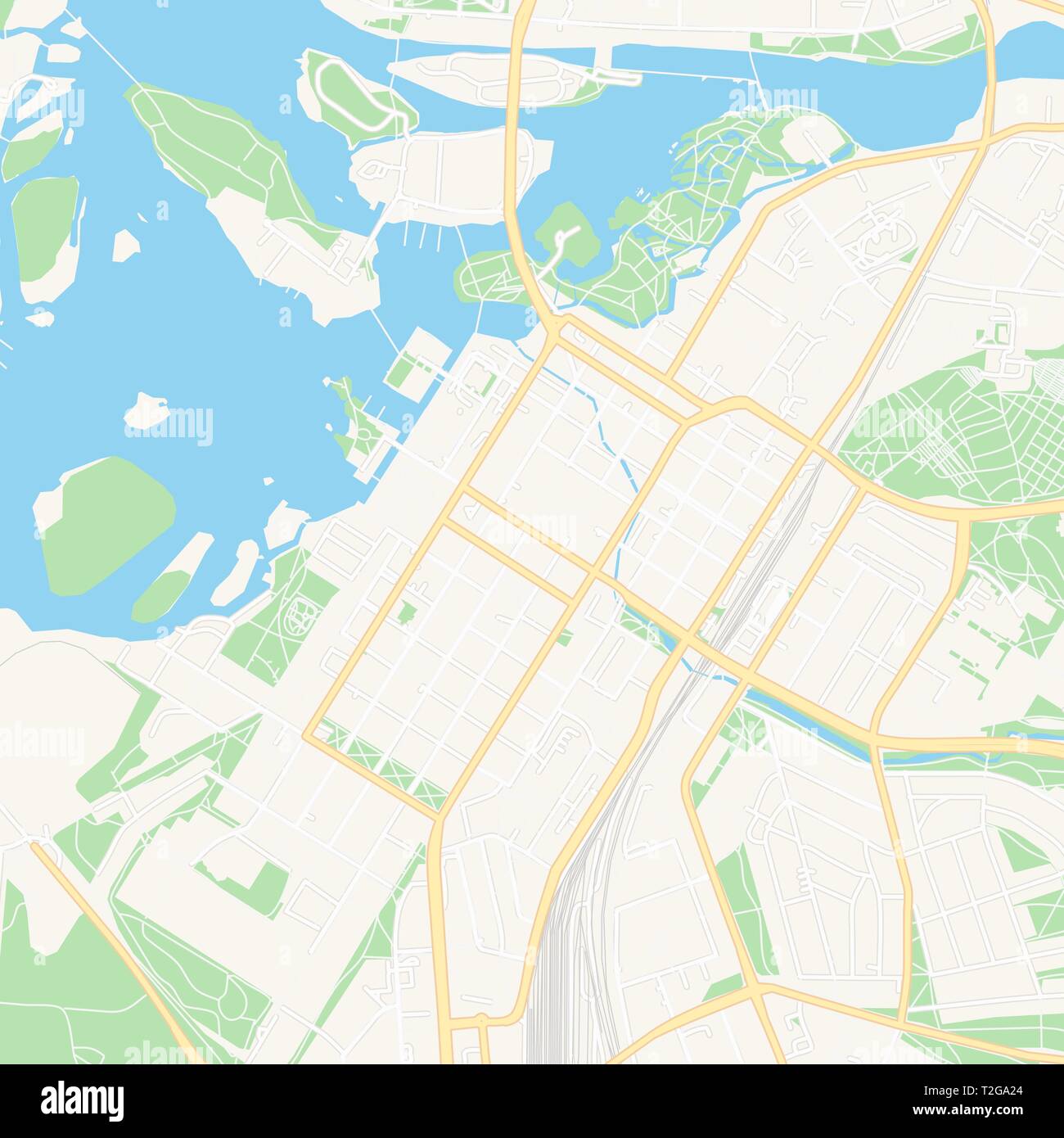 Printable map of Oulu, Finland with main and secondary roads and larger railways. This map is carefully designed for routing and placing individual da Stock Vectorhttps://www.alamy.com/image-license-details/?v=1https://www.alamy.com/printable-map-of-oulu-finland-with-main-and-secondary-roads-and-larger-railways-this-map-is-carefully-designed-for-routing-and-placing-individual-da-image242533596.html
RFT2GA24–Printable map of Oulu, Finland with main and secondary roads and larger railways. This map is carefully designed for routing and placing individual da
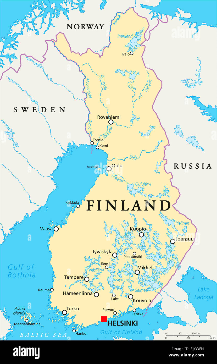 Finland Political Map with capital Helsinki, national borders, important cities, rivers and lakes. English labeling and scaling. Stock Photohttps://www.alamy.com/image-license-details/?v=1https://www.alamy.com/stock-photo-finland-political-map-with-capital-helsinki-national-borders-important-80518025.html
RFEJYWFN–Finland Political Map with capital Helsinki, national borders, important cities, rivers and lakes. English labeling and scaling.
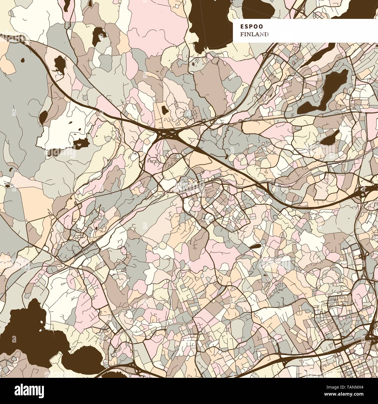 Espoo Finland art map print template, brown colored version for Apps, Print or web backgrounds Stock Vectorhttps://www.alamy.com/image-license-details/?v=1https://www.alamy.com/espoo-finland-art-map-print-template-brown-colored-version-for-apps-print-or-web-backgrounds-image247569116.html
RFTANMX4–Espoo Finland art map print template, brown colored version for Apps, Print or web backgrounds
 Claes Claesson Map Oulu 1651 Stock Photohttps://www.alamy.com/image-license-details/?v=1https://www.alamy.com/stock-photo-claes-claesson-map-oulu-1651-142489098.html
RMJ7PX8A–Claes Claesson Map Oulu 1651
 boundary map of finland with borders in violet Stock Vectorhttps://www.alamy.com/image-license-details/?v=1https://www.alamy.com/stock-photo-boundary-map-of-finland-with-borders-in-violet-146877270.html
RFJEXRCP–boundary map of finland with borders in violet
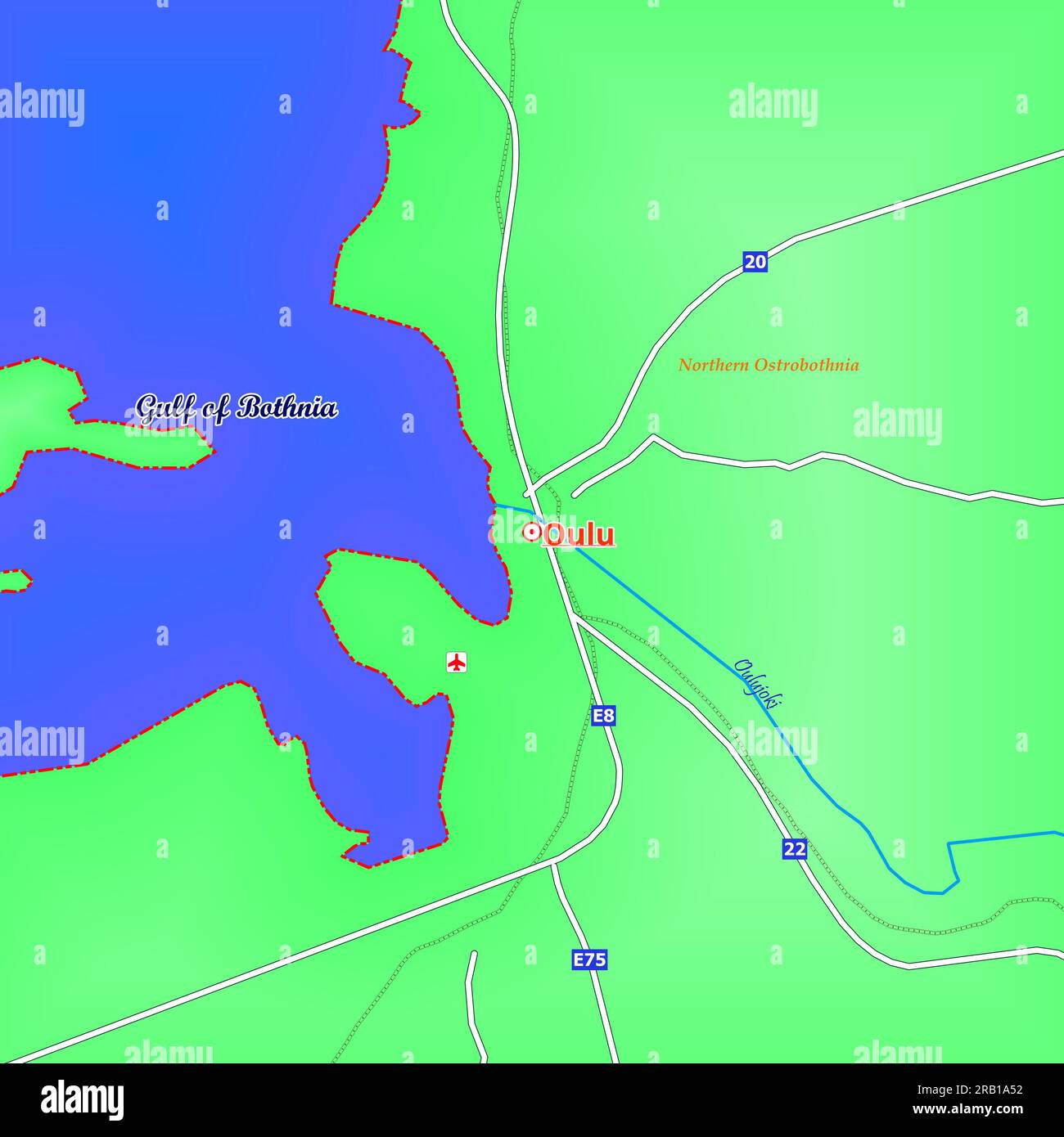 Map of Oulu City in Finland Stock Photohttps://www.alamy.com/image-license-details/?v=1https://www.alamy.com/map-of-oulu-city-in-finland-image557522926.html
RF2RB1A52–Map of Oulu City in Finland
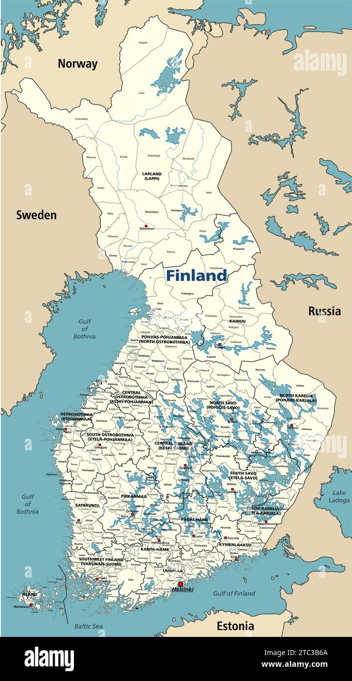 Finland municipalities vector map with regions' capitals, surrounded by neighbouring countries and territories. Stock Vectorhttps://www.alamy.com/image-license-details/?v=1https://www.alamy.com/finland-municipalities-vector-map-with-regions-capitals-surrounded-by-neighbouring-countries-and-territories-image575392674.html
RF2TC3B6A–Finland municipalities vector map with regions' capitals, surrounded by neighbouring countries and territories.
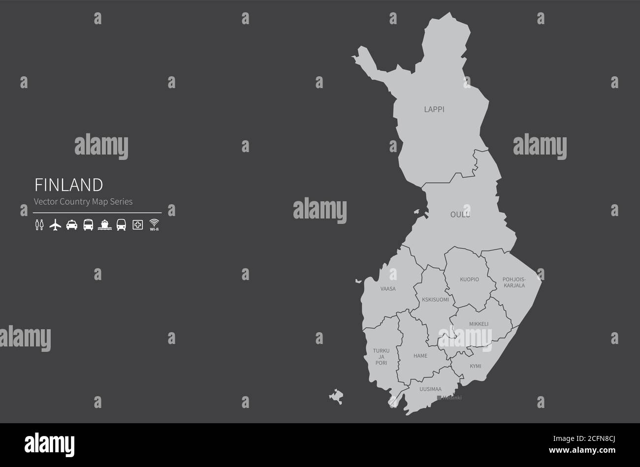 finland map. National map of the world. Gray colored countries map series. Stock Vectorhttps://www.alamy.com/image-license-details/?v=1https://www.alamy.com/finland-map-national-map-of-the-world-gray-colored-countries-map-series-image371105186.html
RF2CFN8CJ–finland map. National map of the world. Gray colored countries map series.
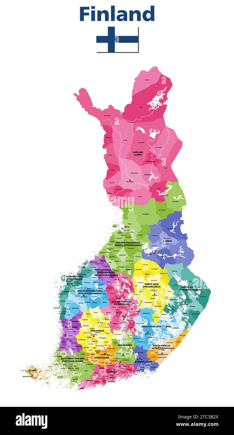 Finland municipalities vector map colored by regions with regions' capitals and municipalities names Stock Vectorhttps://www.alamy.com/image-license-details/?v=1https://www.alamy.com/finland-municipalities-vector-map-colored-by-regions-with-regions-capitals-and-municipalities-names-image575392578.html
RF2TC3B2X–Finland municipalities vector map colored by regions with regions' capitals and municipalities names
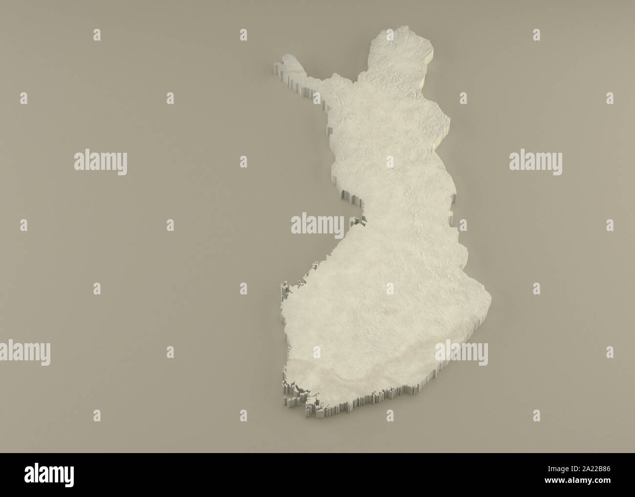 Extruded 3D political Map of Finland with relief as marble sculpture on a light beige background Stock Photohttps://www.alamy.com/image-license-details/?v=1https://www.alamy.com/extruded-3d-political-map-of-finland-with-relief-as-marble-sculpture-on-a-light-beige-background-image328279062.html
RF2A22B86–Extruded 3D political Map of Finland with relief as marble sculpture on a light beige background
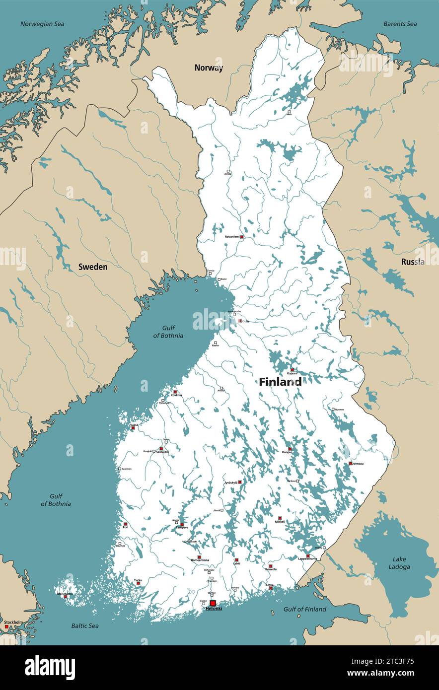 Finland lakes and rivers vector map with regions' capitals, surrounded by neighbouring countries and territories Stock Vectorhttps://www.alamy.com/image-license-details/?v=1https://www.alamy.com/finland-lakes-and-rivers-vector-map-with-regions-capitals-surrounded-by-neighbouring-countries-and-territories-image575395833.html
RF2TC3F75–Finland lakes and rivers vector map with regions' capitals, surrounded by neighbouring countries and territories
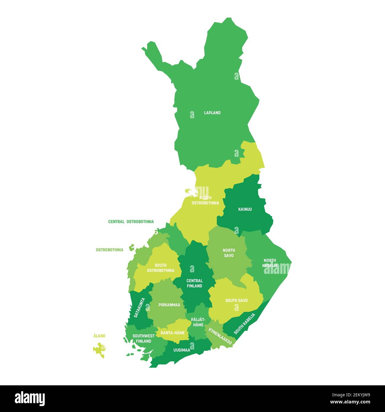 Finland - map of regions Stock Vectorhttps://www.alamy.com/image-license-details/?v=1https://www.alamy.com/finland-map-of-regions-image408124453.html
RF2EKYJW9–Finland - map of regions
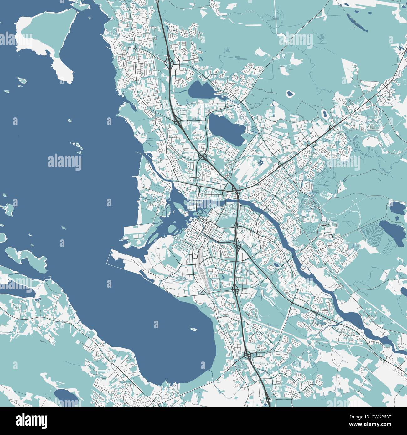 Map of Oulu, Finland. Detailed city vector map, metropolitan area. Streetmap with roads and water. Stock Vectorhttps://www.alamy.com/image-license-details/?v=1https://www.alamy.com/map-of-oulu-finland-detailed-city-vector-map-metropolitan-area-streetmap-with-roads-and-water-image597318732.html
RF2WKP63T–Map of Oulu, Finland. Detailed city vector map, metropolitan area. Streetmap with roads and water.
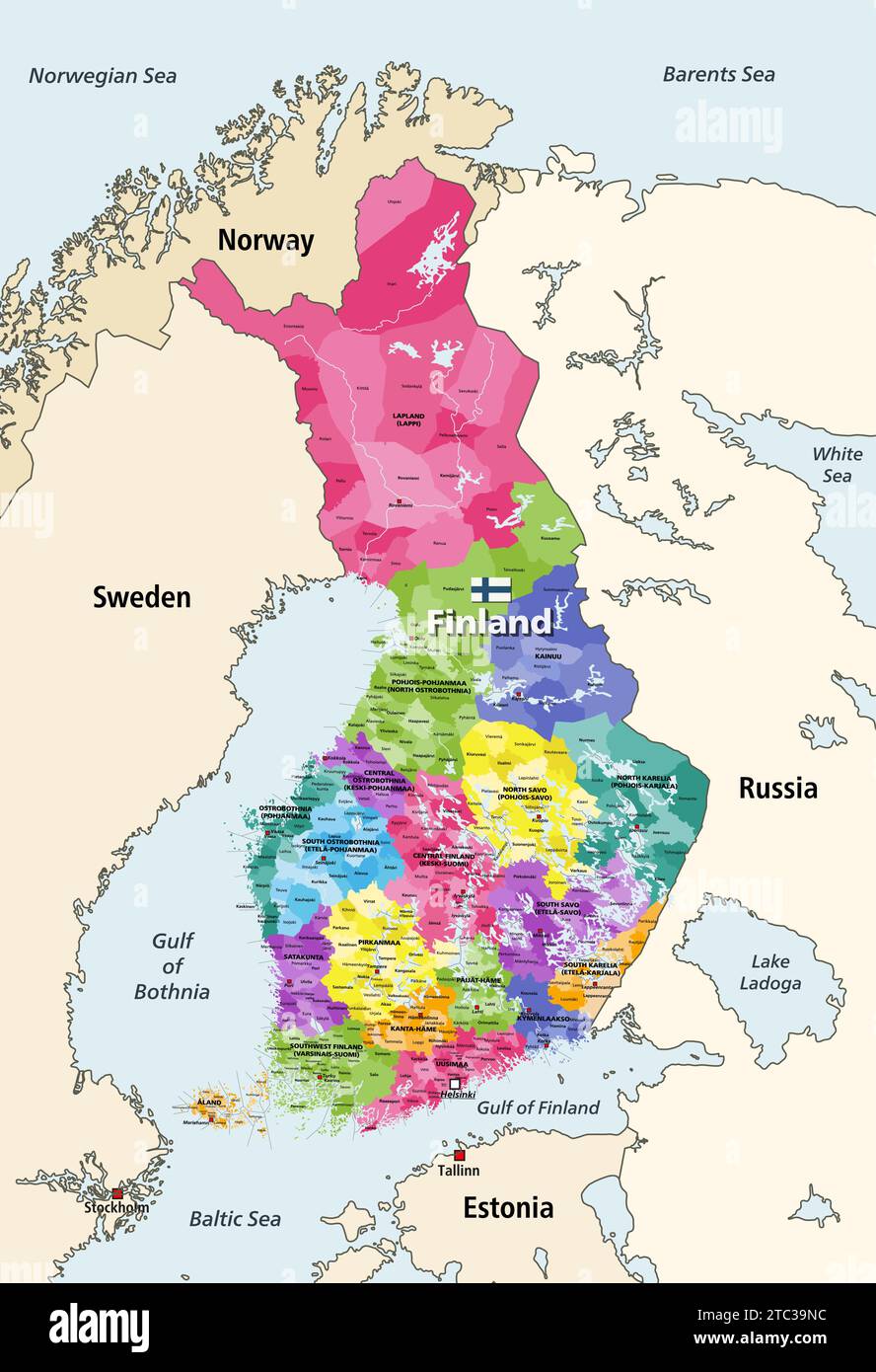 Finland municipalities colored by regions vector map with regions' capitals, surrounded by neighbouring countries and territories Stock Vectorhttps://www.alamy.com/image-license-details/?v=1https://www.alamy.com/finland-municipalities-colored-by-regions-vector-map-with-regions-capitals-surrounded-by-neighbouring-countries-and-territories-image575391528.html
RF2TC39NC–Finland municipalities colored by regions vector map with regions' capitals, surrounded by neighbouring countries and territories
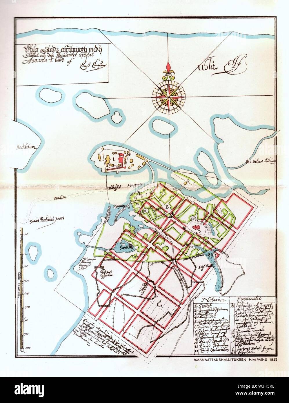 Claes Claesson Map Oulu 1651. Stock Photohttps://www.alamy.com/image-license-details/?v=1https://www.alamy.com/claes-claesson-map-oulu-1651-image260377250.html
RMW3H5RE–Claes Claesson Map Oulu 1651.
 Finland map with main cities on it. Finland biggest cities skylines isolated skylines. Vector set Stock Vectorhttps://www.alamy.com/image-license-details/?v=1https://www.alamy.com/finland-map-with-main-cities-on-it-finland-biggest-cities-skylines-isolated-skylines-vector-set-image626001697.html
RF2YACRFD–Finland map with main cities on it. Finland biggest cities skylines isolated skylines. Vector set
 . English: Map of the governorship of Oulu in Finland from 1798. 1798. Unknown 950 Oulun maaherrakunta 1798 Stock Photohttps://www.alamy.com/image-license-details/?v=1https://www.alamy.com/english-map-of-the-governorship-of-oulu-in-finland-from-1798-1798-unknown-950-oulun-maaherrakunta-1798-image185497361.html
RMMNP3NN–. English: Map of the governorship of Oulu in Finland from 1798. 1798. Unknown 950 Oulun maaherrakunta 1798
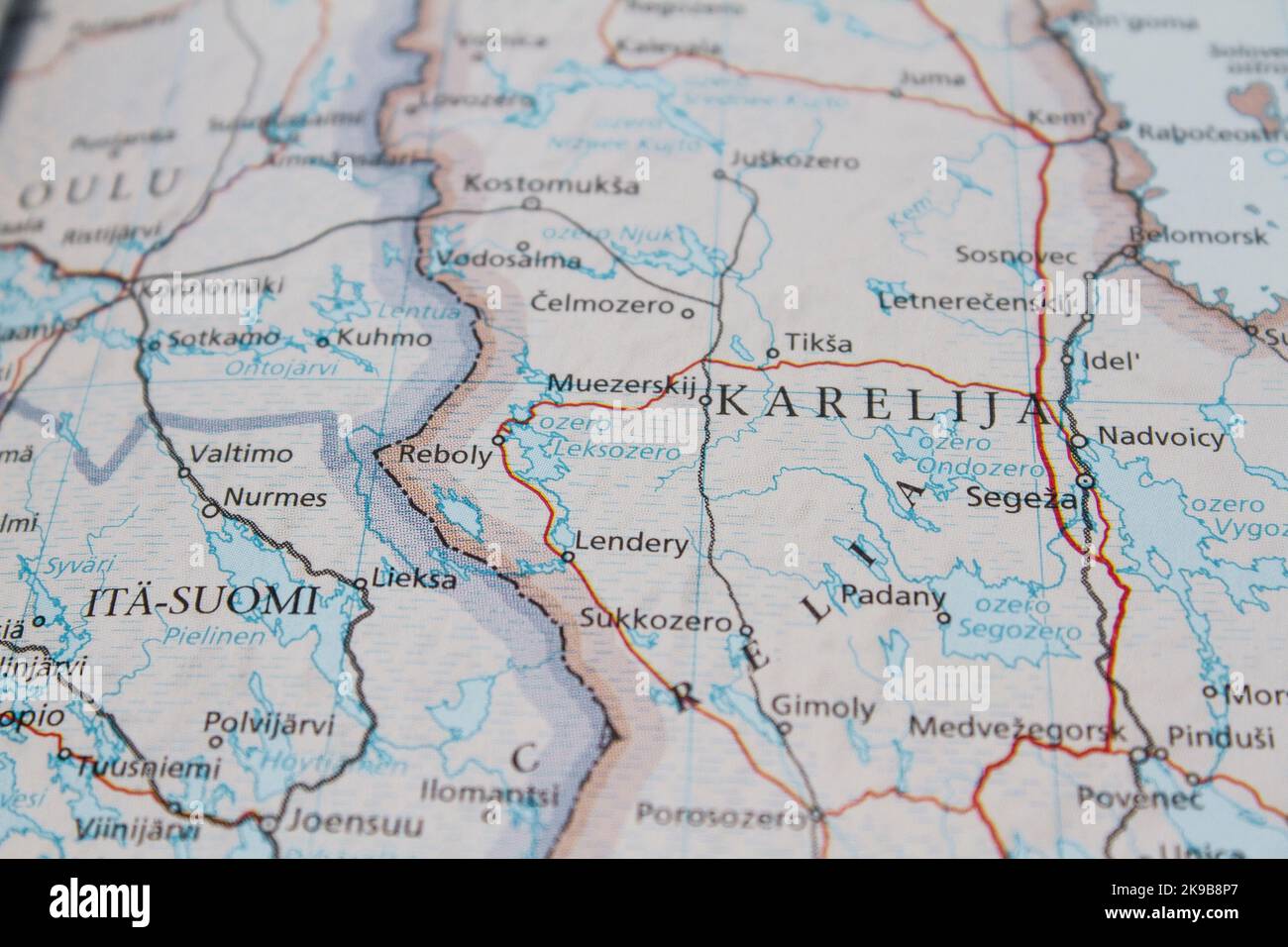 Map of the border between Russia and Finland, with details of Karelia Stock Photohttps://www.alamy.com/image-license-details/?v=1https://www.alamy.com/map-of-the-border-between-russia-and-finland-with-details-of-karelia-image487670575.html
RM2K9B8P7–Map of the border between Russia and Finland, with details of Karelia
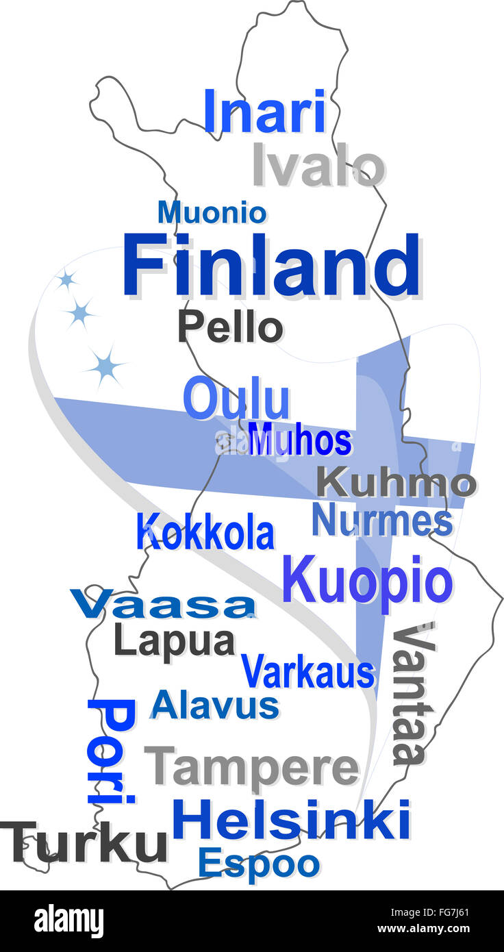 finland map and words cloud with larger cities Stock Photohttps://www.alamy.com/image-license-details/?v=1https://www.alamy.com/stock-photo-finland-map-and-words-cloud-with-larger-cities-96054281.html
RFFG7J61–finland map and words cloud with larger cities
 Sweden Stockholm, 07 April 2018: European cities on map series. Closeup of Oulu Stock Photohttps://www.alamy.com/image-license-details/?v=1https://www.alamy.com/sweden-stockholm-07-april-2018-european-cities-on-map-series-closeup-of-oulu-image215132139.html
RFPE036K–Sweden Stockholm, 07 April 2018: European cities on map series. Closeup of Oulu
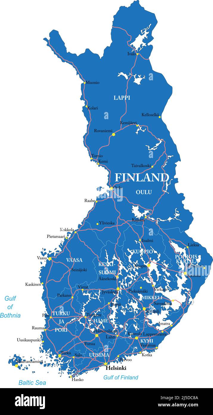 Finland highly detailed vector map with administrative regions,main cities and roads. Stock Vectorhttps://www.alamy.com/image-license-details/?v=1https://www.alamy.com/finland-highly-detailed-vector-map-with-administrative-regionsmain-cities-and-roads-image468048234.html
RF2J5DC8A–Finland highly detailed vector map with administrative regions,main cities and roads.
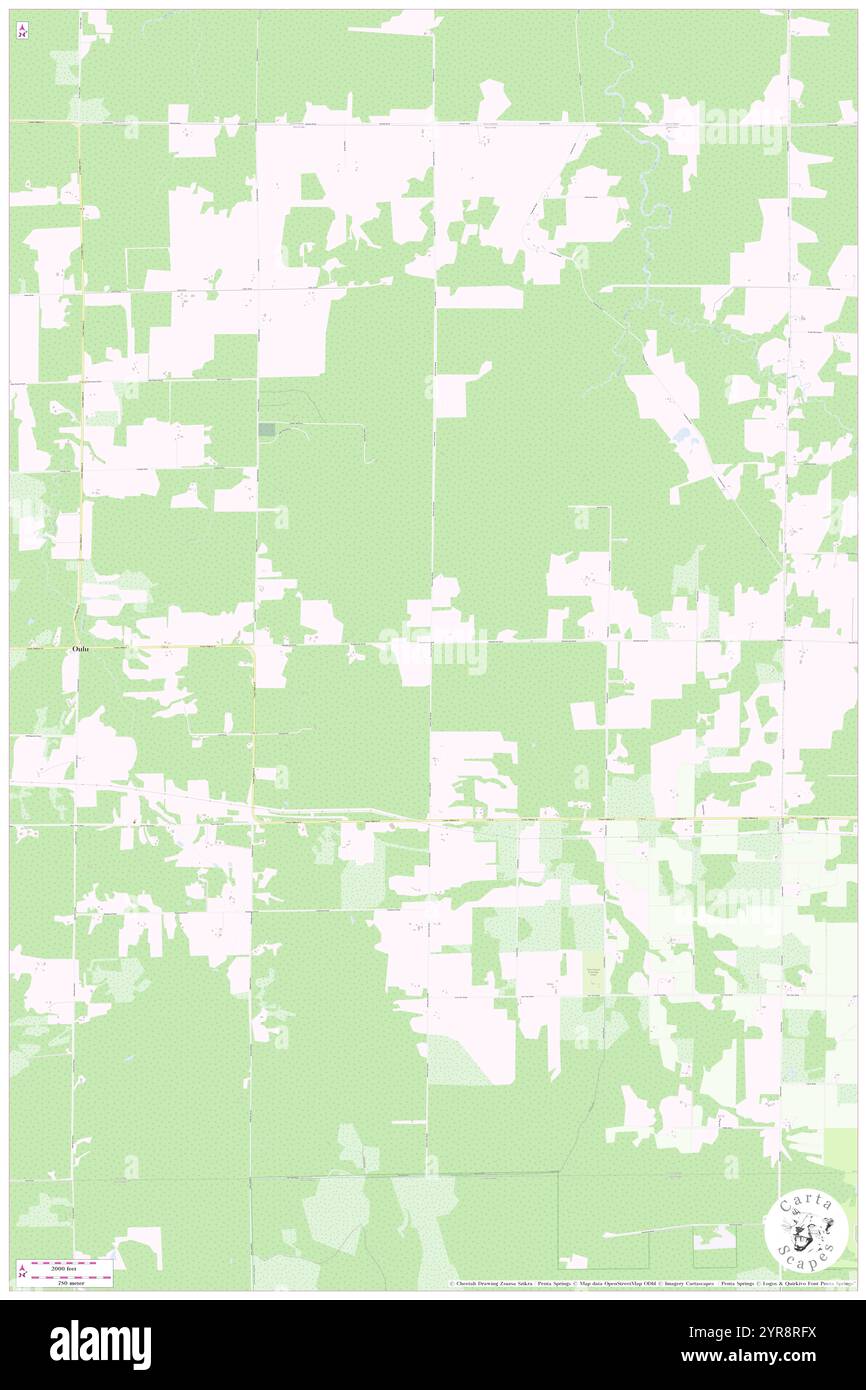 Town of Oulu, Bayfield County, US, United States, Wisconsin, N 46 37' 58'', S 91 29' 23'', map, Cartascapes Map published in 2024. Explore Cartascapes, a map revealing Earth's diverse landscapes, cultures, and ecosystems. Journey through time and space, discovering the interconnectedness of our planet's past, present, and future. Stock Photohttps://www.alamy.com/image-license-details/?v=1https://www.alamy.com/town-of-oulu-bayfield-county-us-united-states-wisconsin-n-46-37-58-s-91-29-23-map-cartascapes-map-published-in-2024-explore-cartascapes-a-map-revealing-earths-diverse-landscapes-cultures-and-ecosystems-journey-through-time-and-space-discovering-the-interconnectedness-of-our-planets-past-present-and-future-image633904430.html
RM2YR8RFX–Town of Oulu, Bayfield County, US, United States, Wisconsin, N 46 37' 58'', S 91 29' 23'', map, Cartascapes Map published in 2024. Explore Cartascapes, a map revealing Earth's diverse landscapes, cultures, and ecosystems. Journey through time and space, discovering the interconnectedness of our planet's past, present, and future.
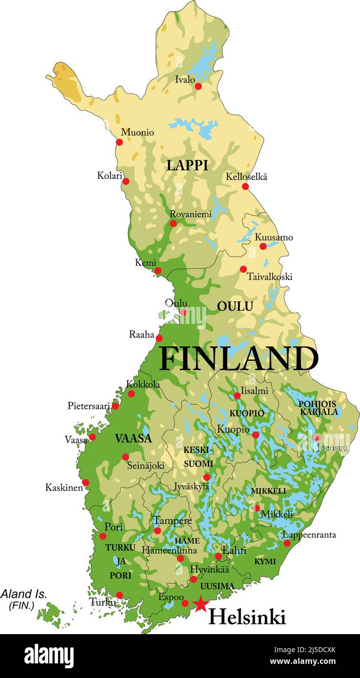 Highly detailed physical map of Finland,in vector format,with all the relief forms,regions and big cities. Stock Vectorhttps://www.alamy.com/image-license-details/?v=1https://www.alamy.com/highly-detailed-physical-map-of-finlandin-vector-formatwith-all-the-relief-formsregions-and-big-cities-image468048747.html
RF2J5DCXK–Highly detailed physical map of Finland,in vector format,with all the relief forms,regions and big cities.
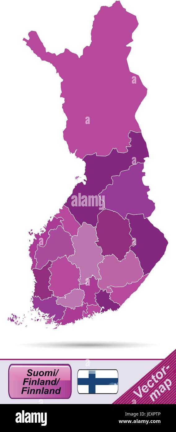 boundary map of finland with borders in violet Stock Vectorhttps://www.alamy.com/image-license-details/?v=1https://www.alamy.com/stock-photo-boundary-map-of-finland-with-borders-in-violet-146876822.html
RFJEXPTP–boundary map of finland with borders in violet
 Anna Riikka tugboat Oulu 20040417 Stock Photohttps://www.alamy.com/image-license-details/?v=1https://www.alamy.com/anna-riikka-tugboat-oulu-20040417-image155568140.html
RMK12MN0–Anna Riikka tugboat Oulu 20040417
 Close up to a Oulu city with a blue pin needle into Finland country political map Stock Photohttps://www.alamy.com/image-license-details/?v=1https://www.alamy.com/close-up-to-a-oulu-city-with-a-blue-pin-needle-into-finland-country-political-map-image612477994.html
RF2XGCNX2–Close up to a Oulu city with a blue pin needle into Finland country political map
 MECHELIN(1894) p066 Oulu (sv UleC3A5borg) Stock Photohttps://www.alamy.com/image-license-details/?v=1https://www.alamy.com/stock-photo-mechelin1894-p066-oulu-sv-ulec3a5borg-73541055.html
RME7J2A7–MECHELIN(1894) p066 Oulu (sv UleC3A5borg)
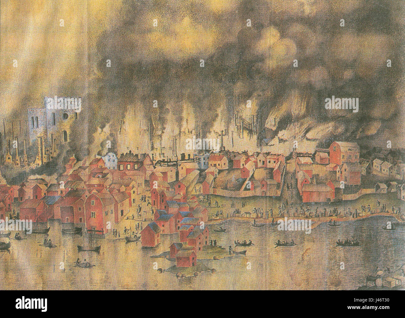 Oulu burning Stock Photohttps://www.alamy.com/image-license-details/?v=1https://www.alamy.com/stock-photo-oulu-burning-140292180.html
RMJ46T30–Oulu burning
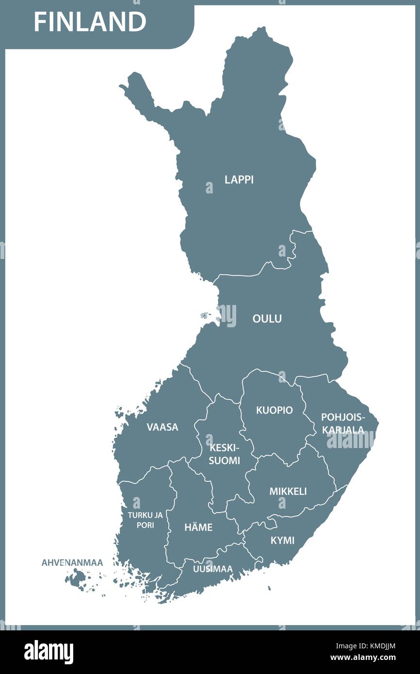 The detailed map of the Finland with regions Stock Vectorhttps://www.alamy.com/image-license-details/?v=1https://www.alamy.com/stock-image-the-detailed-map-of-the-finland-with-regions-167486444.html
RFKMDJJM–The detailed map of the Finland with regions
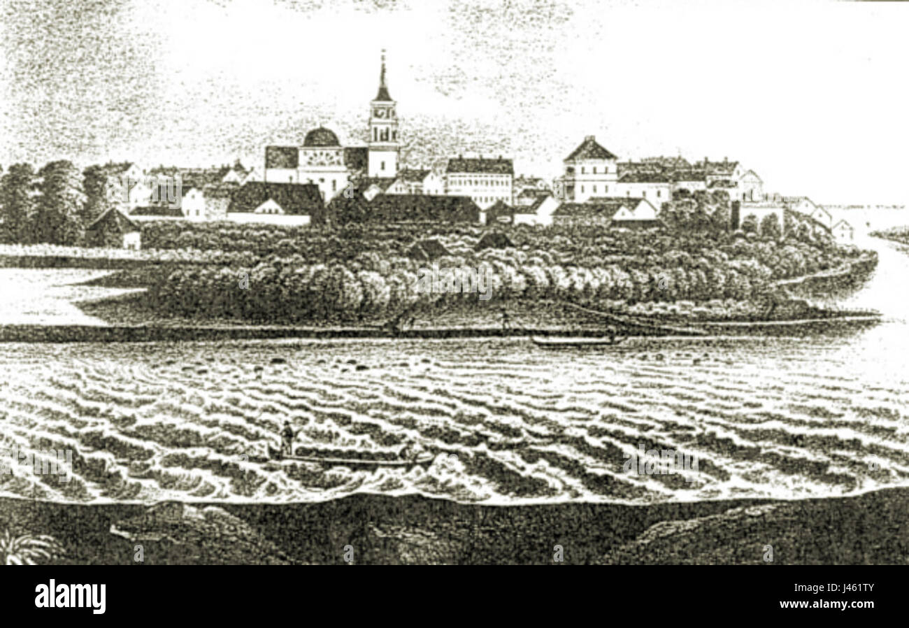 Oulu 1840 Stock Photohttps://www.alamy.com/image-license-details/?v=1https://www.alamy.com/stock-photo-oulu-1840-140274763.html
RMJ461TY–Oulu 1840
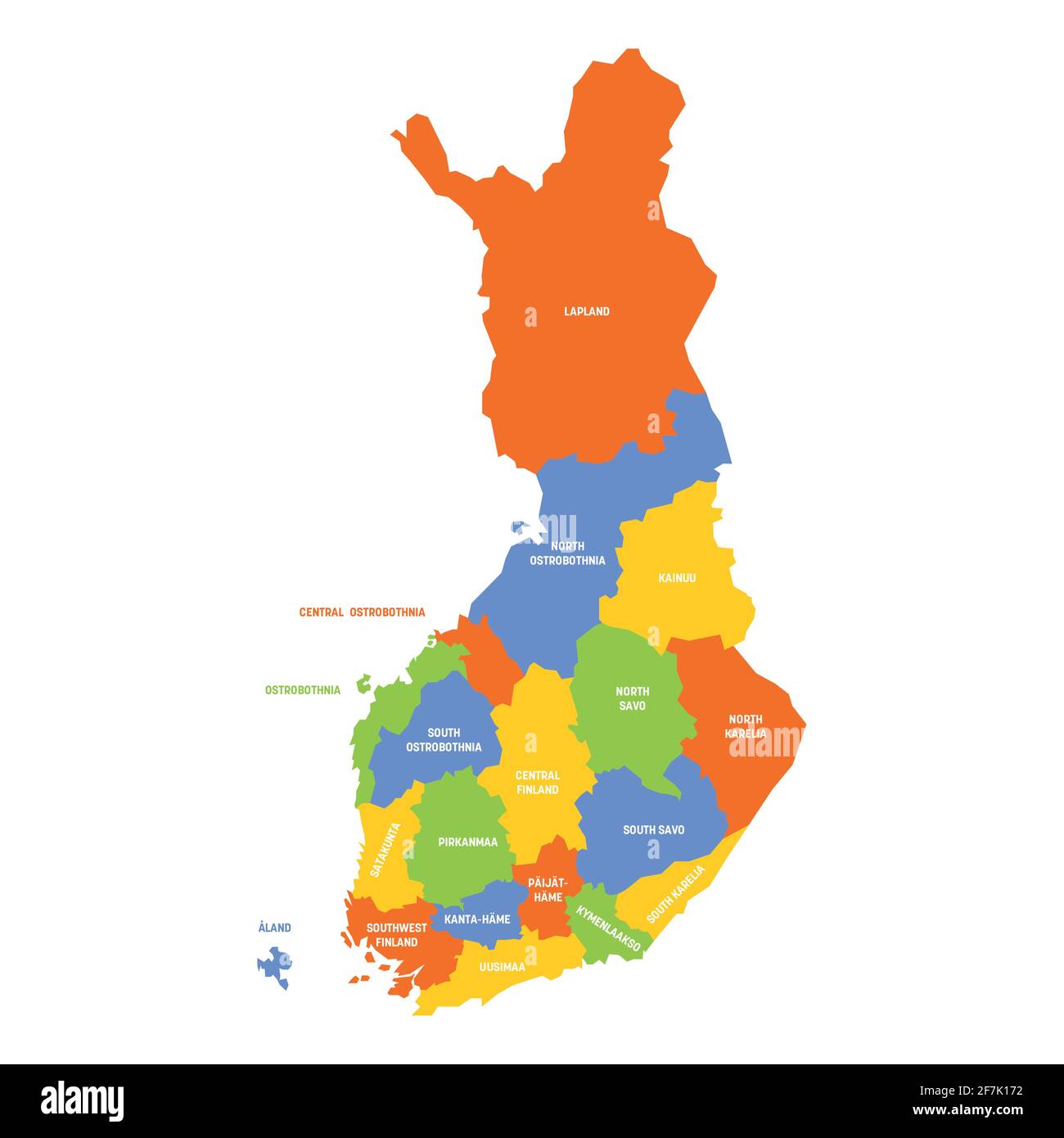 Finland - political map of regions Stock Vectorhttps://www.alamy.com/image-license-details/?v=1https://www.alamy.com/finland-political-map-of-regions-image417769494.html
RF2F7K172–Finland - political map of regions
 Franzen statue Oulu Stock Photohttps://www.alamy.com/image-license-details/?v=1https://www.alamy.com/stock-photo-franzen-statue-oulu-142857886.html
RMJ8BMKA–Franzen statue Oulu
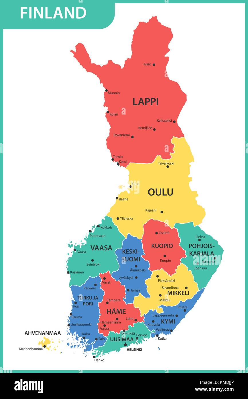 The detailed map of the Finland with regions or states and cities, capitals Stock Vectorhttps://www.alamy.com/image-license-details/?v=1https://www.alamy.com/stock-image-the-detailed-map-of-the-finland-with-regions-or-states-and-cities-167486446.html
RFKMDJJP–The detailed map of the Finland with regions or states and cities, capitals
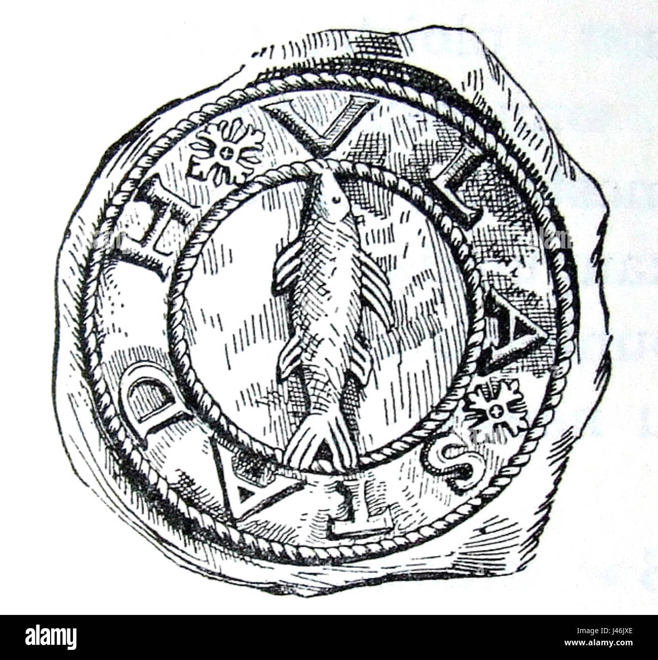 Oulu Seal 1650 Stock Photohttps://www.alamy.com/image-license-details/?v=1https://www.alamy.com/stock-photo-oulu-seal-1650-140288134.html
RMJ46JXE–Oulu Seal 1650
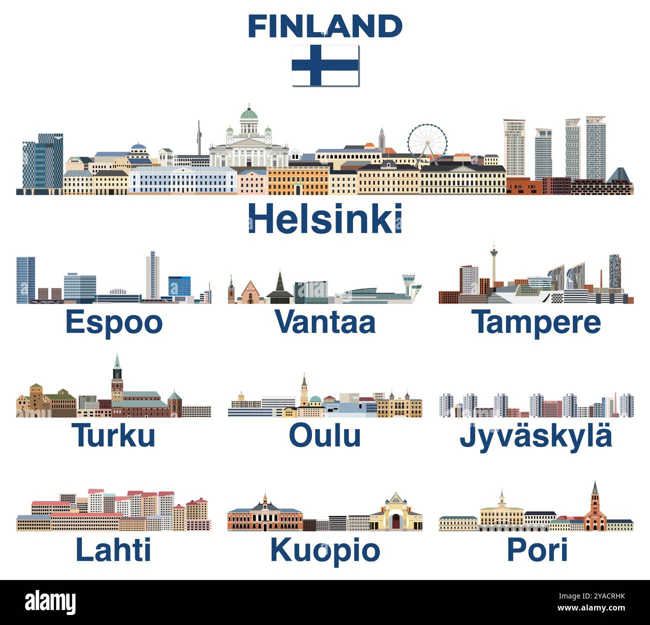 Finland main cities skylines vector set Stock Vectorhttps://www.alamy.com/image-license-details/?v=1https://www.alamy.com/finland-main-cities-skylines-vector-set-image626001759.html
RF2YACRHK–Finland main cities skylines vector set
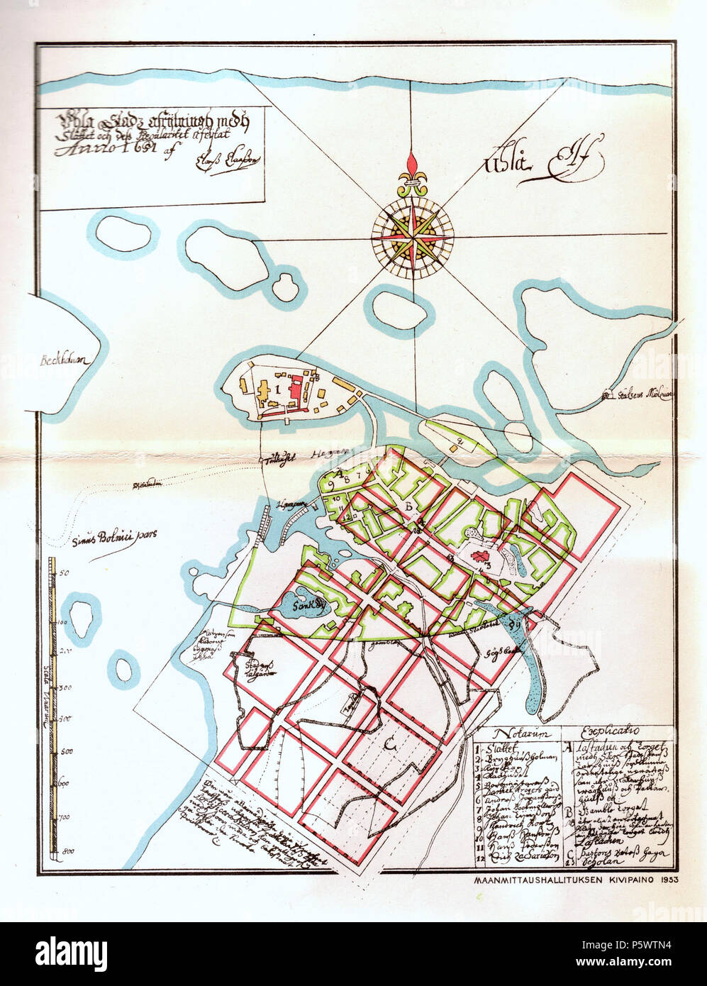 N/A. English: An old map of Oulu, Finland was drawn by Claes Claesson in 1651. The rectangular street layout plan is done with red colour. Suomi: Claes Claessonin vuonna 1651 piirtämä kartta Oulusta. Ruutukaavaa on jo hahmoteltu punaisella. Original 1651 / Source Book 1953 / Scanned 2006-02-04. Claes Claesson 350 Claes Claesson Map Oulu 1651 Stock Photohttps://www.alamy.com/image-license-details/?v=1https://www.alamy.com/na-english-an-old-map-of-oulu-finland-was-drawn-by-claes-claesson-in-1651-the-rectangular-street-layout-plan-is-done-with-red-colour-suomi-claes-claessonin-vuonna-1651-piirtm-kartta-oulusta-ruutukaavaa-on-jo-hahmoteltu-punaisella-original-1651-source-book-1953-scanned-2006-02-04-claes-claesson-350-claes-claesson-map-oulu-1651-image210165904.html
RMP5WTN4–N/A. English: An old map of Oulu, Finland was drawn by Claes Claesson in 1651. The rectangular street layout plan is done with red colour. Suomi: Claes Claessonin vuonna 1651 piirtämä kartta Oulusta. Ruutukaavaa on jo hahmoteltu punaisella. Original 1651 / Source Book 1953 / Scanned 2006-02-04. Claes Claesson 350 Claes Claesson Map Oulu 1651
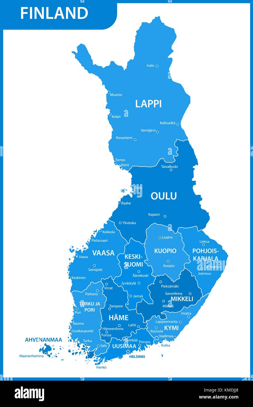 The detailed map of the Finland with regions or states and cities, capitals Stock Vectorhttps://www.alamy.com/image-license-details/?v=1https://www.alamy.com/stock-image-the-detailed-map-of-the-finland-with-regions-or-states-and-cities-167486432.html
RFKMDJJ8–The detailed map of the Finland with regions or states and cities, capitals
 Oulu, Finland pin on map Stock Photohttps://www.alamy.com/image-license-details/?v=1https://www.alamy.com/oulu-finland-pin-on-map-image611858468.html
RF2XFCFM4–Oulu, Finland pin on map
 The detailed map of the Finland with regions or states and cities, capitals, national flag Stock Vectorhttps://www.alamy.com/image-license-details/?v=1https://www.alamy.com/stock-image-the-detailed-map-of-the-finland-with-regions-or-states-and-cities-167486439.html
RFKMDJJF–The detailed map of the Finland with regions or states and cities, capitals, national flag
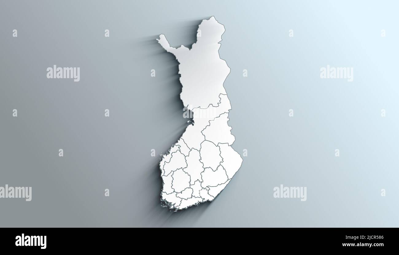 Geographical Map of Finland with Regions with Regions with Shadows Stock Photohttps://www.alamy.com/image-license-details/?v=1https://www.alamy.com/geographical-map-of-finland-with-regions-with-regions-with-shadows-image472564854.html
RF2JCR586–Geographical Map of Finland with Regions with Regions with Shadows
 Town of Oulu, Bayfield County, US, United States, Wisconsin, N 46 37' 58'', S 91 29' 23'', map, Cartascapes Map published in 2024. Explore Cartascapes, a map revealing Earth's diverse landscapes, cultures, and ecosystems. Journey through time and space, discovering the interconnectedness of our planet's past, present, and future. Stock Photohttps://www.alamy.com/image-license-details/?v=1https://www.alamy.com/town-of-oulu-bayfield-county-us-united-states-wisconsin-n-46-37-58-s-91-29-23-map-cartascapes-map-published-in-2024-explore-cartascapes-a-map-revealing-earths-diverse-landscapes-cultures-and-ecosystems-journey-through-time-and-space-discovering-the-interconnectedness-of-our-planets-past-present-and-future-image633870642.html
RM2YR78D6–Town of Oulu, Bayfield County, US, United States, Wisconsin, N 46 37' 58'', S 91 29' 23'', map, Cartascapes Map published in 2024. Explore Cartascapes, a map revealing Earth's diverse landscapes, cultures, and ecosystems. Journey through time and space, discovering the interconnectedness of our planet's past, present, and future.
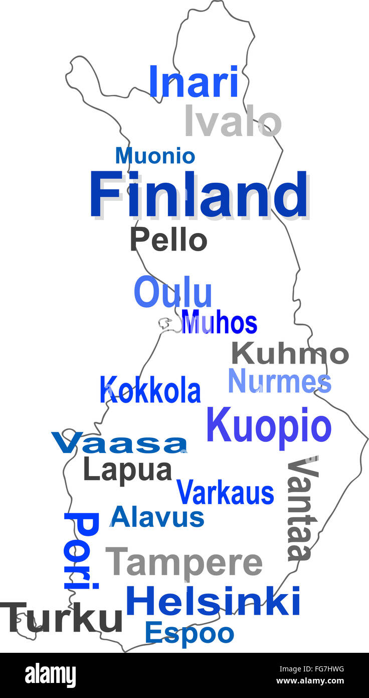 finland map and words cloud with larger cities Stock Photohttps://www.alamy.com/image-license-details/?v=1https://www.alamy.com/stock-photo-finland-map-and-words-cloud-with-larger-cities-96054044.html
RFFG7HWG–finland map and words cloud with larger cities
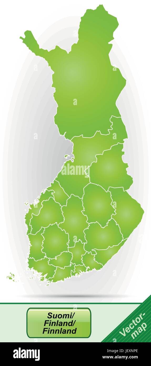 boundary map of finland with borders in green Stock Vectorhttps://www.alamy.com/image-license-details/?v=1https://www.alamy.com/stock-photo-boundary-map-of-finland-with-borders-in-green-146875974.html
RFJEXNPE–boundary map of finland with borders in green
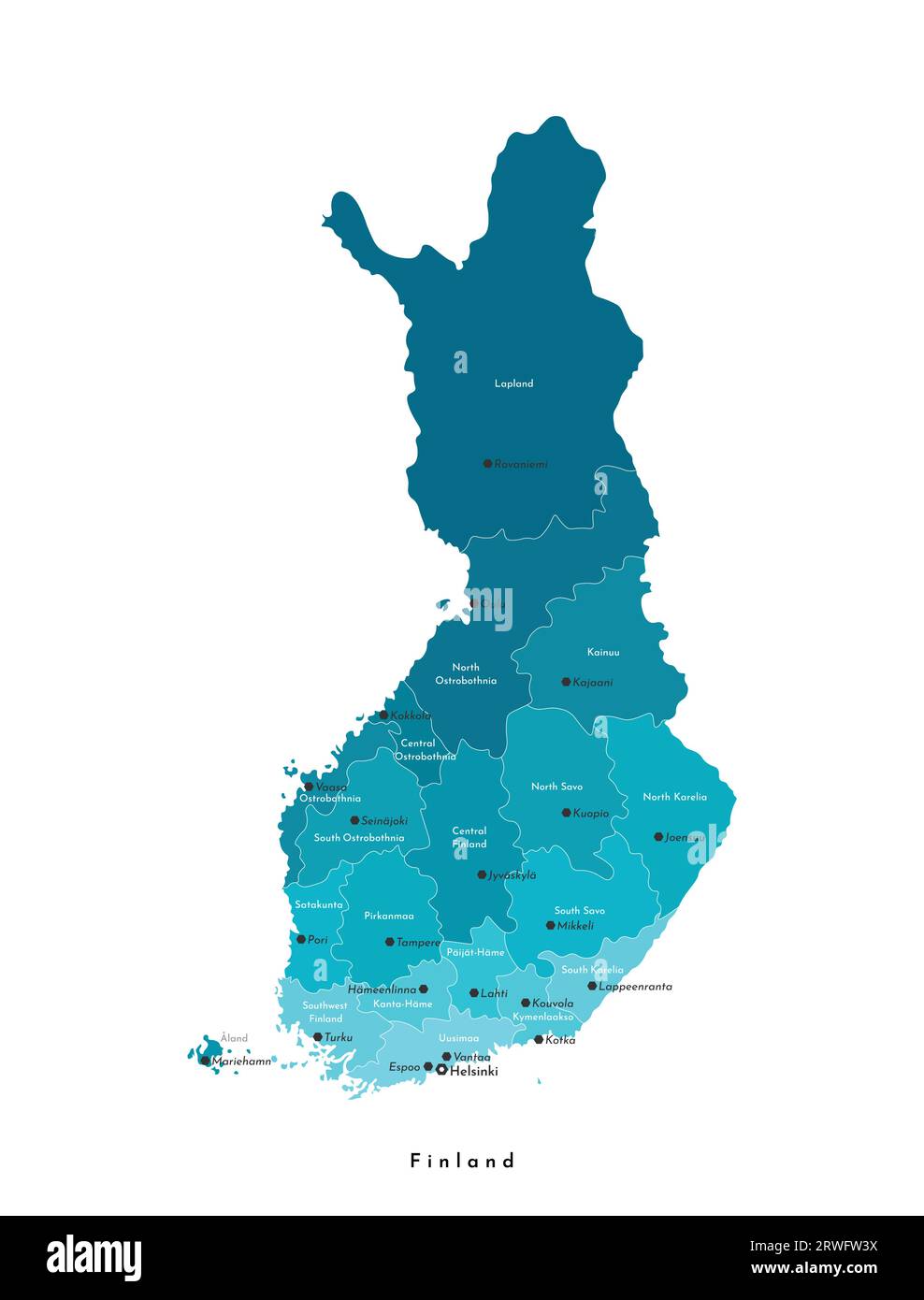 Vector isolated illustration. Simplified administrative map of Finland. Names of big finnish cities and regions. Blue colors. White background Stock Vectorhttps://www.alamy.com/image-license-details/?v=1https://www.alamy.com/vector-isolated-illustration-simplified-administrative-map-of-finland-names-of-big-finnish-cities-and-regions-blue-colors-white-background-image566447166.html
RF2RWFW3X–Vector isolated illustration. Simplified administrative map of Finland. Names of big finnish cities and regions. Blue colors. White background
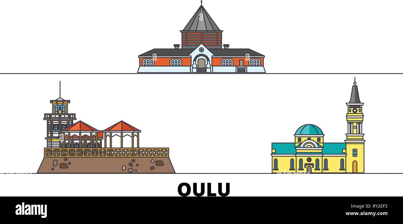 Finland, Oulu flat landmarks vector illustration. Finland, Oulu line city with famous travel sights, skyline, design. Stock Vectorhttps://www.alamy.com/image-license-details/?v=1https://www.alamy.com/finland-oulu-flat-landmarks-vector-illustration-finland-oulu-line-city-with-famous-travel-sights-skyline-design-image240385799.html
RFRY2EF3–Finland, Oulu flat landmarks vector illustration. Finland, Oulu line city with famous travel sights, skyline, design.
 MECHELIN(1894) p066 Oulu (sv UleC3A5borg) Stock Photohttps://www.alamy.com/image-license-details/?v=1https://www.alamy.com/stock-photo-mechelin1894-p066-oulu-sv-ulec3a5borg-74690016.html
RME9EBTG–MECHELIN(1894) p066 Oulu (sv UleC3A5borg)
RFMPKA3W–Oulu silhouette skyline. Finland - Oulu vector city, finnish linear architecture, buildings. Oulu travel illustration, outline landmarks. Finland flat icon, finnish line banner
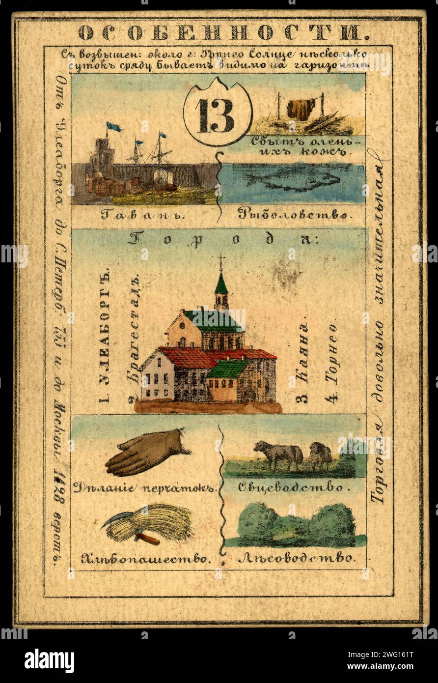 Uleaborg Province, 1856. This card is one of a souvenir set of 82 illustrated cards-one for each province of the Russian Empire as it existed in 1856. Each card presents an overview of a particular province's culture, history, economy, and geography. The front of the card depicts such distinguishing features as rivers, mountains, major cities, and chief industries. The back of each card contains a map of the province, the provincial seal, information about the population, and the local costume of the inhabitants. National Library of Russia Stock Photohttps://www.alamy.com/image-license-details/?v=1https://www.alamy.com/uleaborg-province-1856-this-card-is-one-of-a-souvenir-set-of-82-illustrated-cards-one-for-each-province-of-the-russian-empire-as-it-existed-in-1856-each-card-presents-an-overview-of-a-particular-provinces-culture-history-economy-and-geography-the-front-of-the-card-depicts-such-distinguishing-features-as-rivers-mountains-major-cities-and-chief-industries-the-back-of-each-card-contains-a-map-of-the-province-the-provincial-seal-information-about-the-population-and-the-local-costume-of-the-inhabitants-national-library-of-russia-image595013716.html
RM2WG161T–Uleaborg Province, 1856. This card is one of a souvenir set of 82 illustrated cards-one for each province of the Russian Empire as it existed in 1856. Each card presents an overview of a particular province's culture, history, economy, and geography. The front of the card depicts such distinguishing features as rivers, mountains, major cities, and chief industries. The back of each card contains a map of the province, the provincial seal, information about the population, and the local costume of the inhabitants. National Library of Russia
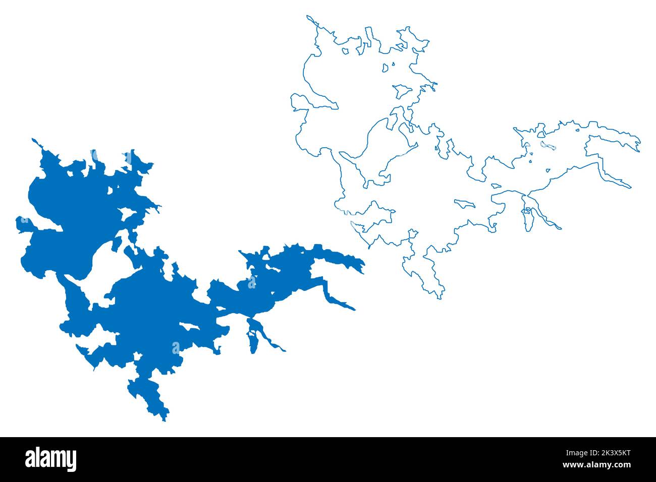 Lake Oulujärvi (Republic of Finland) map vector illustration, scribble sketch Oulujärvi, Oulu or Kainuu Sea map Stock Vectorhttps://www.alamy.com/image-license-details/?v=1https://www.alamy.com/lake-oulujrvi-republic-of-finland-map-vector-illustration-scribble-sketch-oulujrvi-oulu-or-kainuu-sea-map-image484309500.html
RF2K3X5KT–Lake Oulujärvi (Republic of Finland) map vector illustration, scribble sketch Oulujärvi, Oulu or Kainuu Sea map
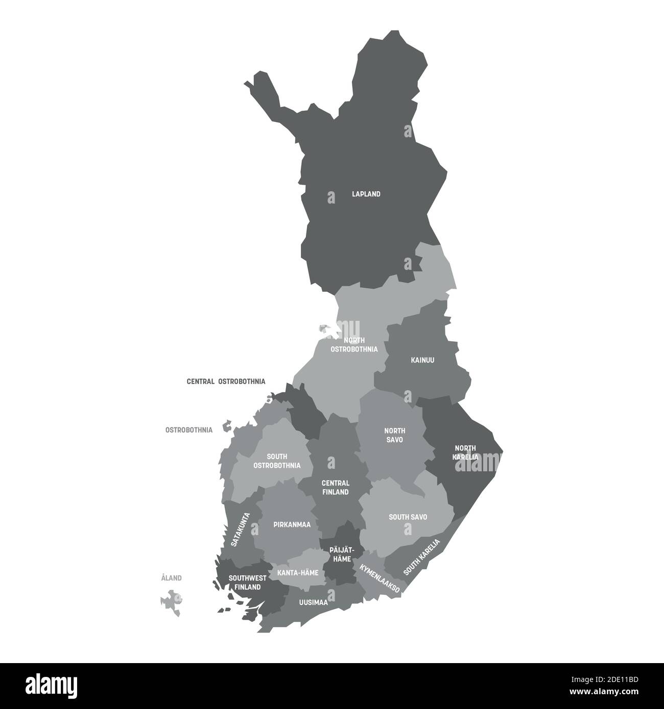 Grey political map of Finland. Administrative divisions - regions. Simple flat vector map with labels. Stock Vectorhttps://www.alamy.com/image-license-details/?v=1https://www.alamy.com/grey-political-map-of-finland-administrative-divisions-regions-simple-flat-vector-map-with-labels-image387256337.html
RF2DE11BD–Grey political map of Finland. Administrative divisions - regions. Simple flat vector map with labels.
 The century dictionary and cyclopedia, a work of universal reference in all departments of knowledge with a new atlas of the world . *Ly . Eiiiiiioulm 111 J ?? iV EojiLh r-« »-• y •ffl E.(U.hF-r CyBii. .Vir, K>l. n^^ r. ? lOo.WMWSW.iW Mokdrn OUlu l ID JlsUfi Ctarrtn. ^«^ (*, jS^ cr,».rfE.f„. « i!CC, inMii!iiis!!iiii!!ingii No. 107CHINESE EMPIRE. No. io7>2 CHINA,Eastern Part. Stock Photohttps://www.alamy.com/image-license-details/?v=1https://www.alamy.com/the-century-dictionary-and-cyclopedia-a-work-of-universal-reference-in-all-departments-of-knowledge-with-a-new-atlas-of-the-world-ly-eiiiiiioulm-111-j-iv-eojilh-r-y-ffl-euhf-r-cybii-vir-kgtl-n-r-loowmwswiw-mokdrn-oulu-l-id-jlsufi-ctarrtn-js-crrfef-i!cc-inmii!iiis!!iiii!!ingii-no-107chinese-empire-no-io7gt2-chinaeastern-part-image343295864.html
RM2AXEDAG–The century dictionary and cyclopedia, a work of universal reference in all departments of knowledge with a new atlas of the world . *Ly . Eiiiiiioulm 111 J ?? iV EojiLh r-« »-• y •ffl E.(U.hF-r CyBii. .Vir, K>l. n^^ r. ? lOo.WMWSW.iW Mokdrn OUlu l ID JlsUfi Ctarrtn. ^«^ (*, jS^ cr,».rfE.f„. « i!CC, inMii!iiis!!iiii!!ingii No. 107CHINESE EMPIRE. No. io7>2 CHINA,Eastern Part.
 Finland official national flag, European Union, vector illustration Stock Vectorhttps://www.alamy.com/image-license-details/?v=1https://www.alamy.com/finland-official-national-flag-european-union-vector-illustration-image428903177.html
RF2FWP6AH–Finland official national flag, European Union, vector illustration
 Kirkkokatu Oulu 1900s Stock Photohttps://www.alamy.com/image-license-details/?v=1https://www.alamy.com/stock-photo-kirkkokatu-oulu-1900s-142887383.html
RMJ8D28R–Kirkkokatu Oulu 1900s
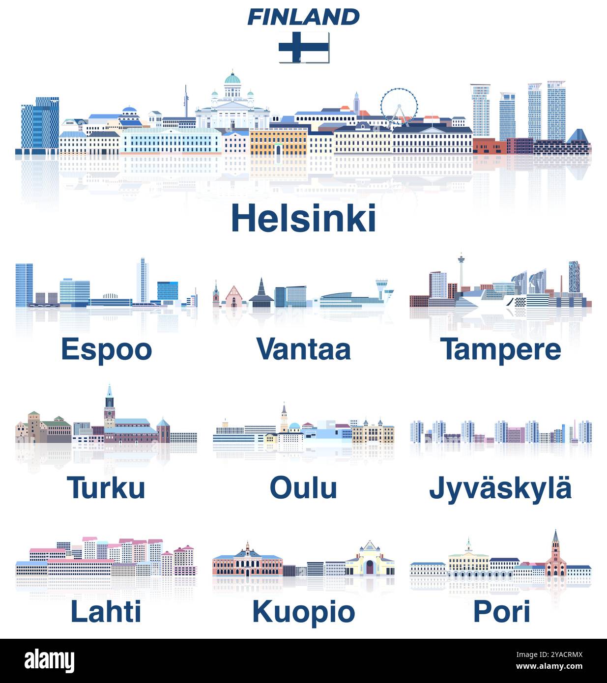 Finland main cities vector skylines in soft cold tones color palette. Crystal and fairy aesthetics style Stock Vectorhttps://www.alamy.com/image-license-details/?v=1https://www.alamy.com/finland-main-cities-vector-skylines-in-soft-cold-tones-color-palette-crystal-and-fairy-aesthetics-style-image626001850.html
RF2YACRMX–Finland main cities vector skylines in soft cold tones color palette. Crystal and fairy aesthetics style
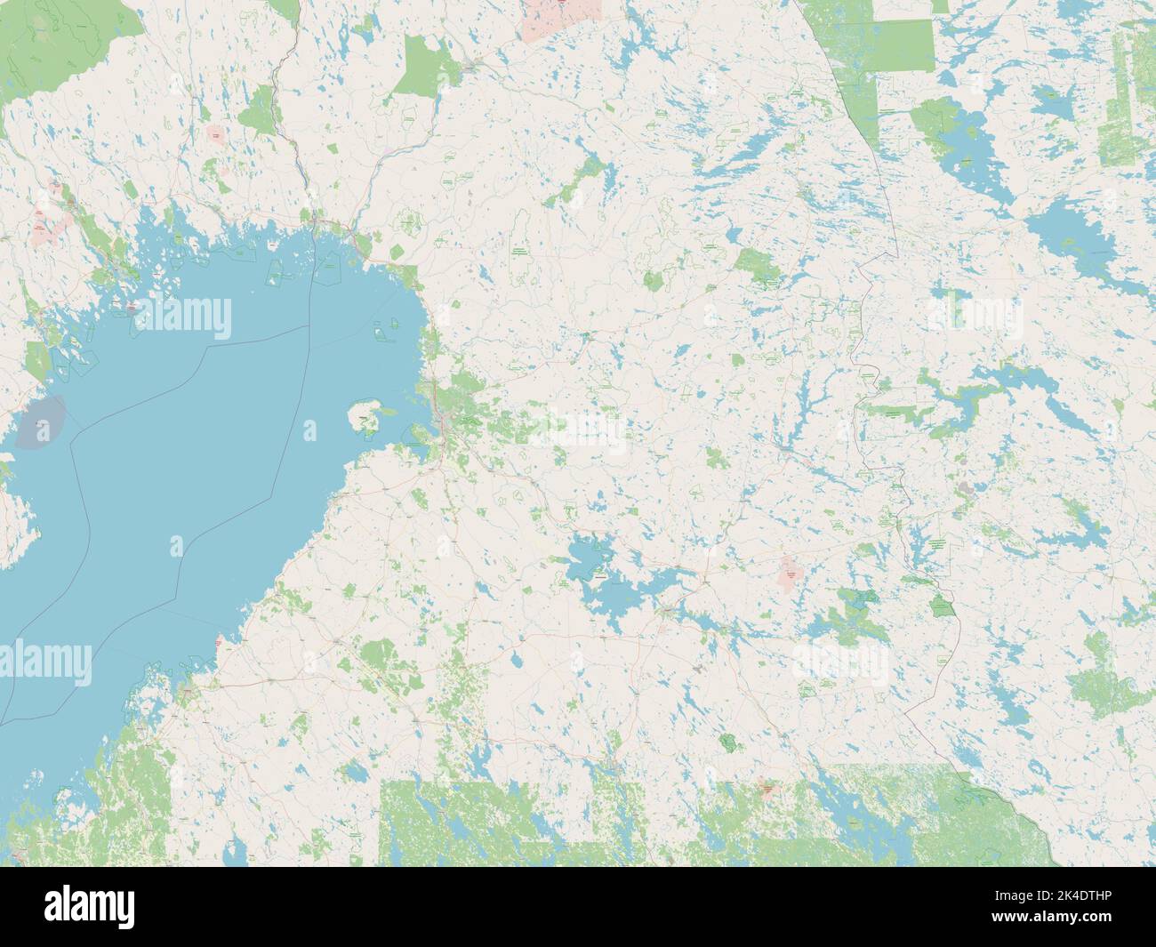 Northern Ostrobothnia, region of Finland. Open Street Map Stock Photohttps://www.alamy.com/image-license-details/?v=1https://www.alamy.com/northern-ostrobothnia-region-of-finland-open-street-map-image484653618.html
RF2K4DTHP–Northern Ostrobothnia, region of Finland. Open Street Map
 WI Oulu 20100803 TM Restoration Stock Photohttps://www.alamy.com/image-license-details/?v=1https://www.alamy.com/wi-oulu-20100803-tm-restoration-image335925192.html
RM2AEEM08–WI Oulu 20100803 TM Restoration
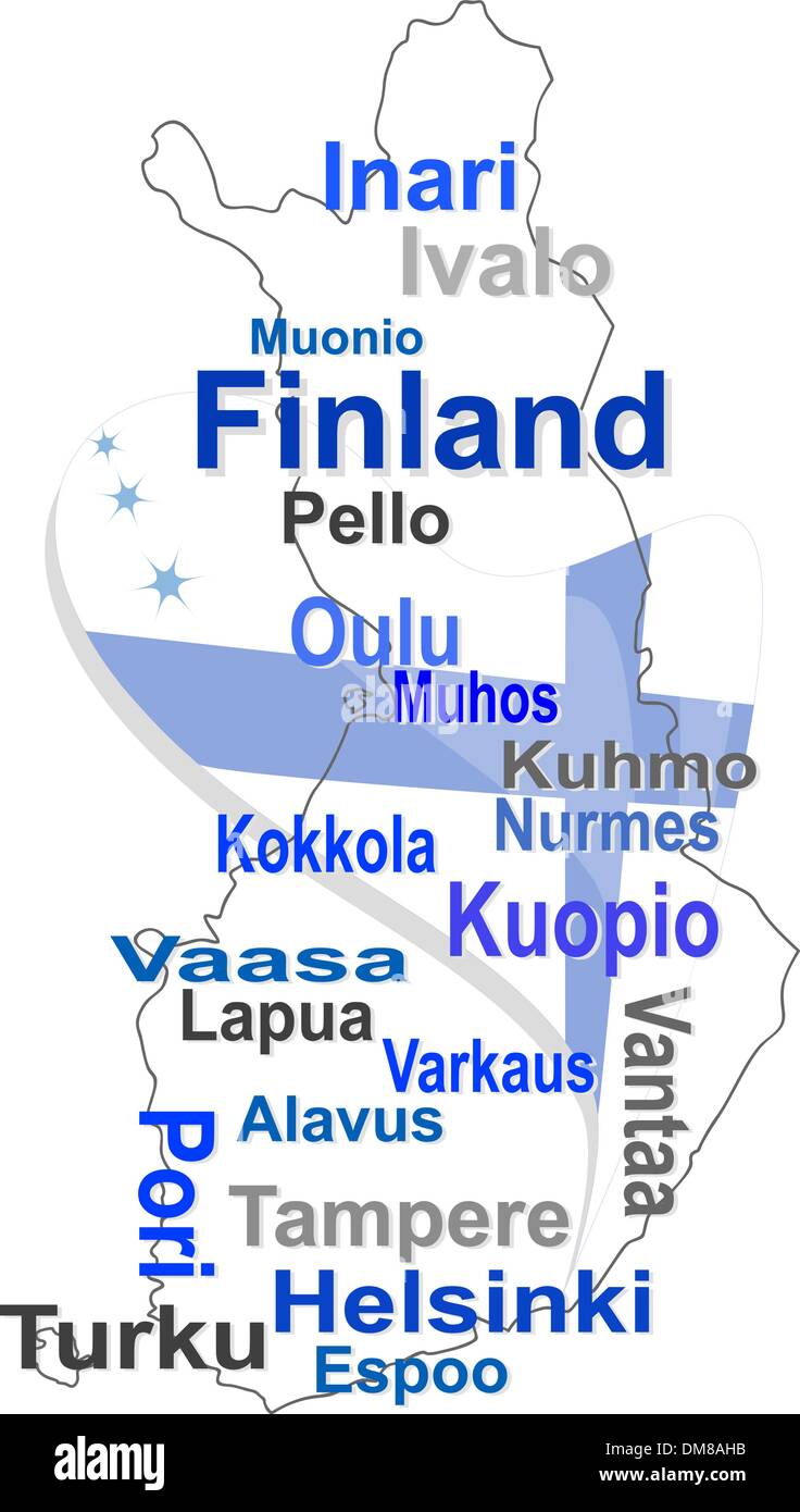 finland map and words cloud with larger cities Stock Vectorhttps://www.alamy.com/image-license-details/?v=1https://www.alamy.com/finland-map-and-words-cloud-with-larger-cities-image64108167.html
RFDM8AHB–finland map and words cloud with larger cities
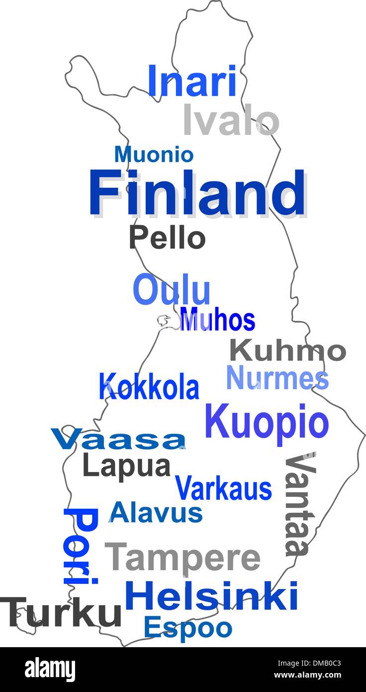 finland map and words cloud with larger cities Stock Vectorhttps://www.alamy.com/image-license-details/?v=1https://www.alamy.com/finland-map-and-words-cloud-with-larger-cities-image64166035.html
RFDMB0C3–finland map and words cloud with larger cities
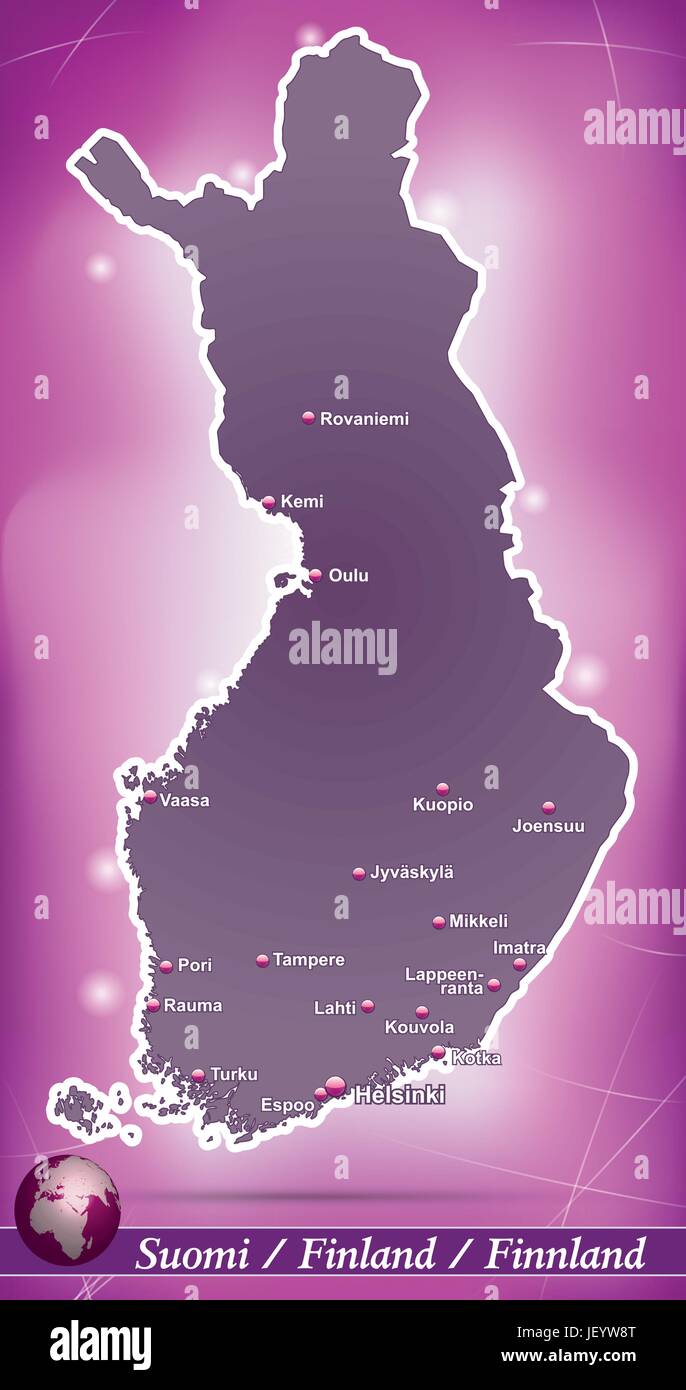 island map of finland abstract background in purple Stock Vectorhttps://www.alamy.com/image-license-details/?v=1https://www.alamy.com/stock-photo-island-map-of-finland-abstract-background-in-purple-146900680.html
RFJEYW8T–island map of finland abstract background in purple
 MECHELIN(1894) p215 Railway bridge near Oulu (sv UleC3A5borg) Stock Photohttps://www.alamy.com/image-license-details/?v=1https://www.alamy.com/stock-photo-mechelin1894-p215-railway-bridge-near-oulu-sv-ulec3a5borg-73541420.html
RME7J2R8–MECHELIN(1894) p215 Railway bridge near Oulu (sv UleC3A5borg)
RF2JMXRT0–Finland, Oulu city skyline isolated vector illustration, icons
 Lake Oulujärvi (Republic of Finland) map vector illustration, scribble sketch Oulujärvi, Oulu or Kainuu Sea map Stock Vectorhttps://www.alamy.com/image-license-details/?v=1https://www.alamy.com/lake-oulujrvi-republic-of-finland-map-vector-illustration-scribble-sketch-oulujrvi-oulu-or-kainuu-sea-map-image568509348.html
RF2T0WRD8–Lake Oulujärvi (Republic of Finland) map vector illustration, scribble sketch Oulujärvi, Oulu or Kainuu Sea map
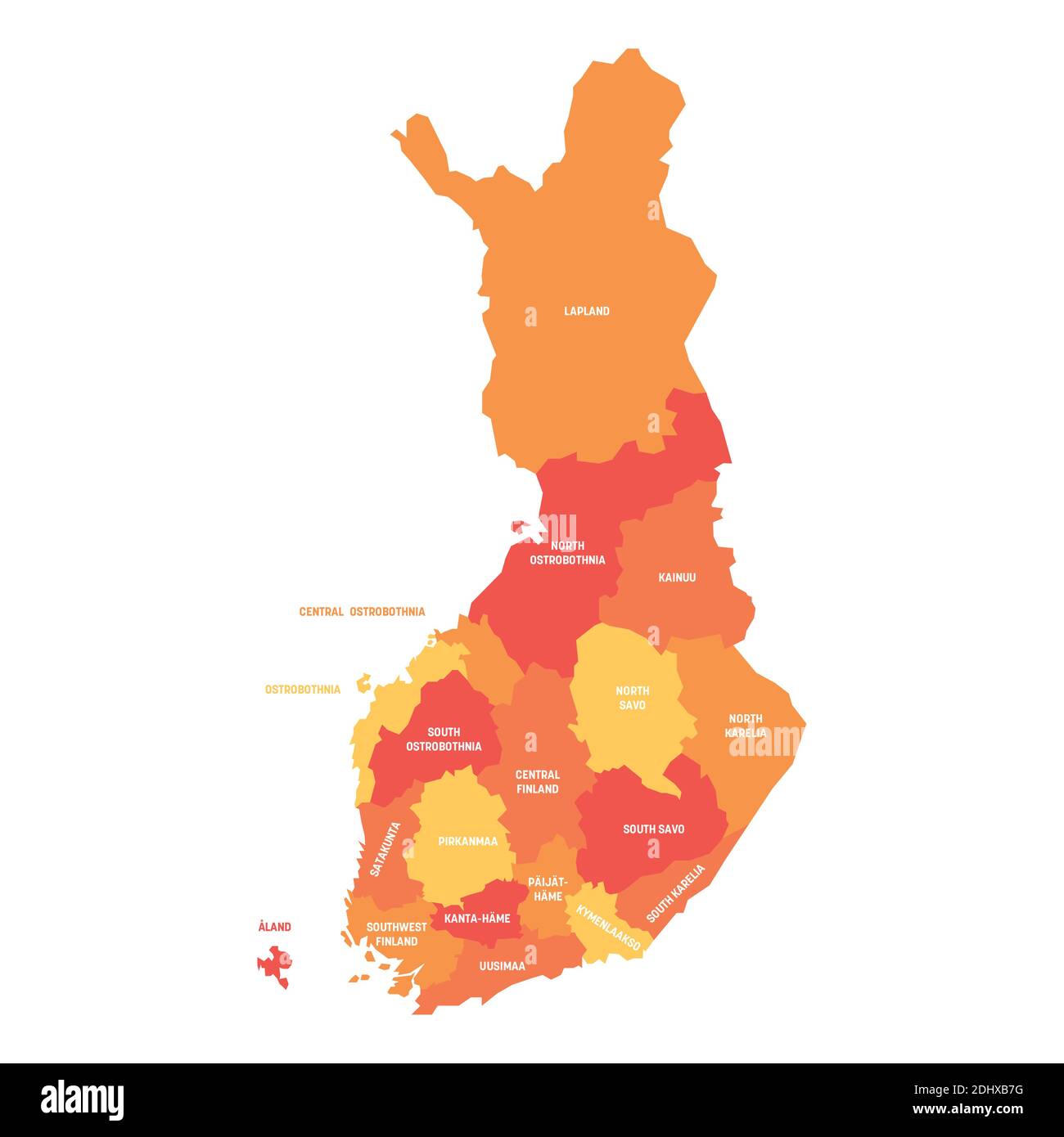 Orange political map of Finland. Administrative divisions - regions. Simple flat vector map with labels. Stock Vectorhttps://www.alamy.com/image-license-details/?v=1https://www.alamy.com/orange-political-map-of-finland-administrative-divisions-regions-simple-flat-vector-map-with-labels-image389656836.html
RF2DHXB7G–Orange political map of Finland. Administrative divisions - regions. Simple flat vector map with labels.
 SDP Oulu 1906 Stock Photohttps://www.alamy.com/image-license-details/?v=1https://www.alamy.com/stock-photo-sdp-oulu-1906-140515215.html
RMJ4H0GF–SDP Oulu 1906
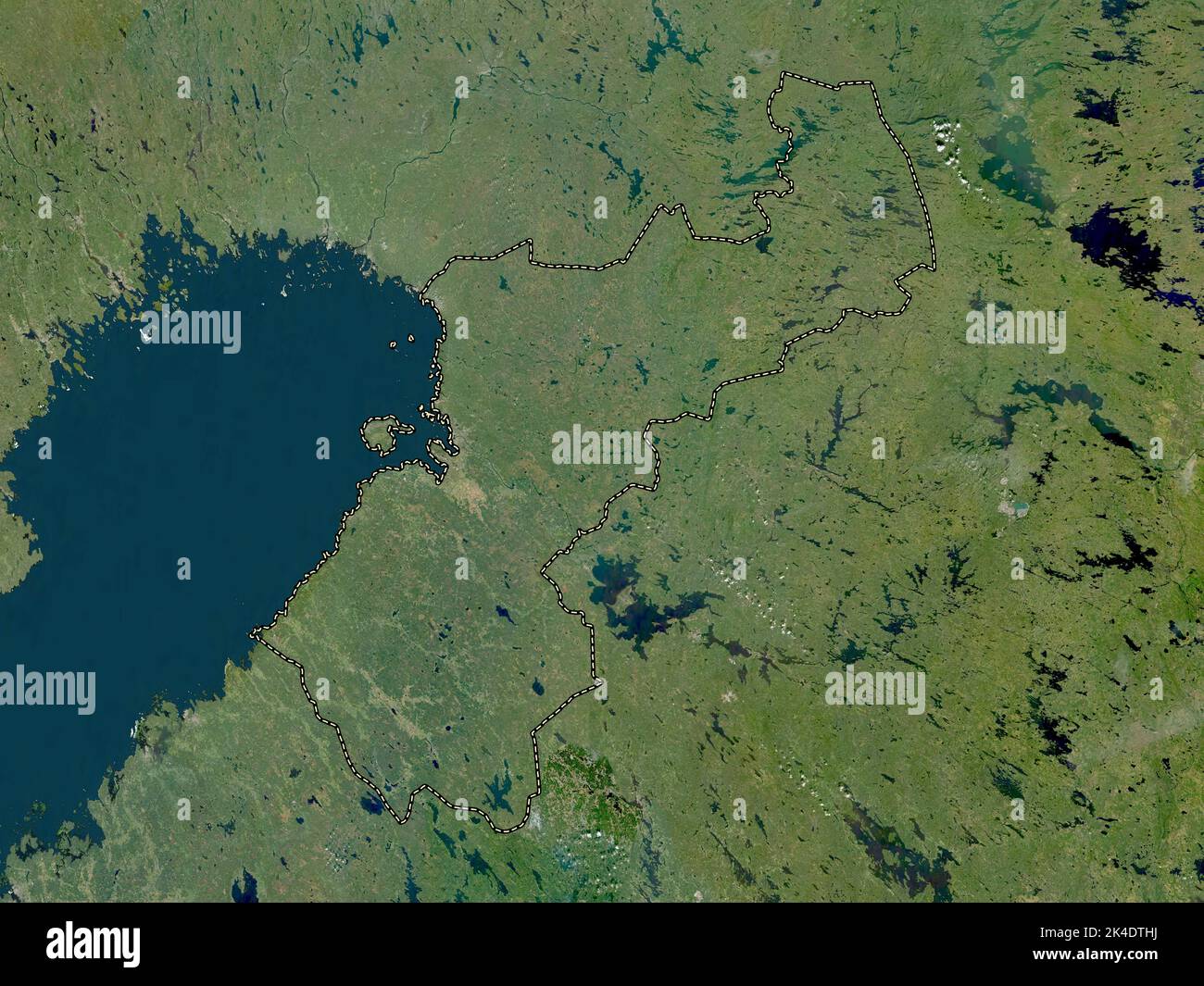 Northern Ostrobothnia, region of Finland. Low resolution satellite map Stock Photohttps://www.alamy.com/image-license-details/?v=1https://www.alamy.com/northern-ostrobothnia-region-of-finland-low-resolution-satellite-map-image484653614.html
RF2K4DTHJ–Northern Ostrobothnia, region of Finland. Low resolution satellite map
 WI Oulu 20130618 TM Restoration Stock Photohttps://www.alamy.com/image-license-details/?v=1https://www.alamy.com/wi-oulu-20130618-tm-restoration-image335925195.html
RM2AEEM0B–WI Oulu 20130618 TM Restoration
 island map of finland abstract background in green Stock Vectorhttps://www.alamy.com/image-license-details/?v=1https://www.alamy.com/stock-photo-island-map-of-finland-abstract-background-in-green-146877935.html
RFJEXT8F–island map of finland abstract background in green
 MECHELIN(1894) p215 Railway bridge near Oulu (sv UleC3A5borg) Stock Photohttps://www.alamy.com/image-license-details/?v=1https://www.alamy.com/stock-photo-mechelin1894-p215-railway-bridge-near-oulu-sv-ulec3a5borg-74691116.html
RME9ED7T–MECHELIN(1894) p215 Railway bridge near Oulu (sv UleC3A5borg)
 Finland, Oulu, Old Observatory In Linnansaari travel landmark vector illustration Stock Vectorhttps://www.alamy.com/image-license-details/?v=1https://www.alamy.com/finland-oulu-old-observatory-in-linnansaari-travel-landmark-vector-illustration-image544522485.html
RF2PHW3YH–Finland, Oulu, Old Observatory In Linnansaari travel landmark vector illustration
 Lake Oulujärvi (Republic of Finland) map vector illustration, scribble sketch Oulujärvi, Oulu or Kainuu Sea map Stock Vectorhttps://www.alamy.com/image-license-details/?v=1https://www.alamy.com/lake-oulujrvi-republic-of-finland-map-vector-illustration-scribble-sketch-oulujrvi-oulu-or-kainuu-sea-map-image552490038.html
RF2R2T2K2–Lake Oulujärvi (Republic of Finland) map vector illustration, scribble sketch Oulujärvi, Oulu or Kainuu Sea map
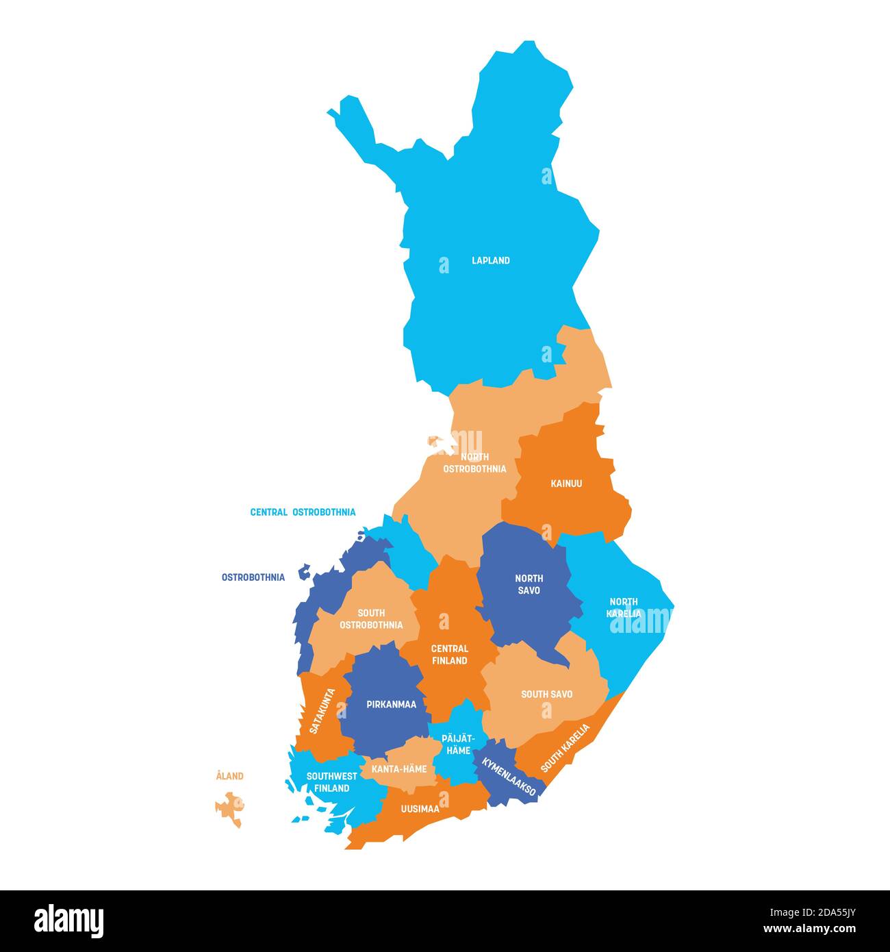 Colorful political map of Finland. Administrative divisions - regions. Simple flat vector map with labels. Stock Vectorhttps://www.alamy.com/image-license-details/?v=1https://www.alamy.com/colorful-political-map-of-finland-administrative-divisions-regions-simple-flat-vector-map-with-labels-image384888867.html
RF2DA55JY–Colorful political map of Finland. Administrative divisions - regions. Simple flat vector map with labels.
 Merikoski Oulu pre1902 Stock Photohttps://www.alamy.com/image-license-details/?v=1https://www.alamy.com/stock-photo-merikoski-oulu-pre1902-140178935.html
RMJ41KJF–Merikoski Oulu pre1902
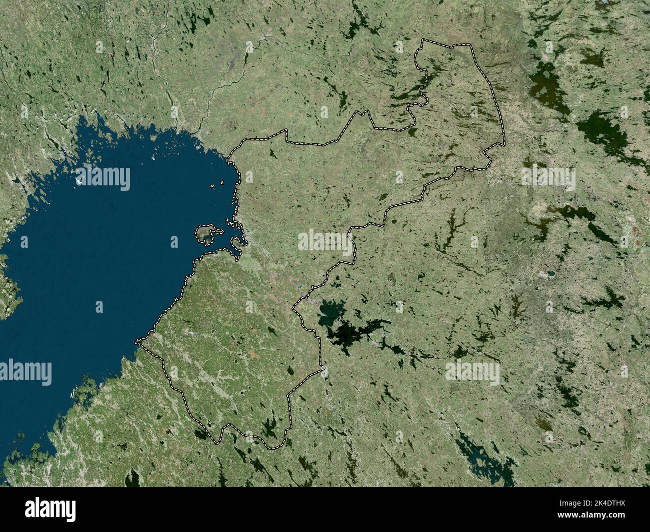 Northern Ostrobothnia, region of Finland. High resolution satellite map Stock Photohttps://www.alamy.com/image-license-details/?v=1https://www.alamy.com/northern-ostrobothnia-region-of-finland-high-resolution-satellite-map-image484653622.html
RF2K4DTHX–Northern Ostrobothnia, region of Finland. High resolution satellite map
 WI Oulu 20100803 TM Inverted Restoration Stock Photohttps://www.alamy.com/image-license-details/?v=1https://www.alamy.com/wi-oulu-20100803-tm-inverted-restoration-image335925209.html
RM2AEEM0W–WI Oulu 20100803 TM Inverted Restoration
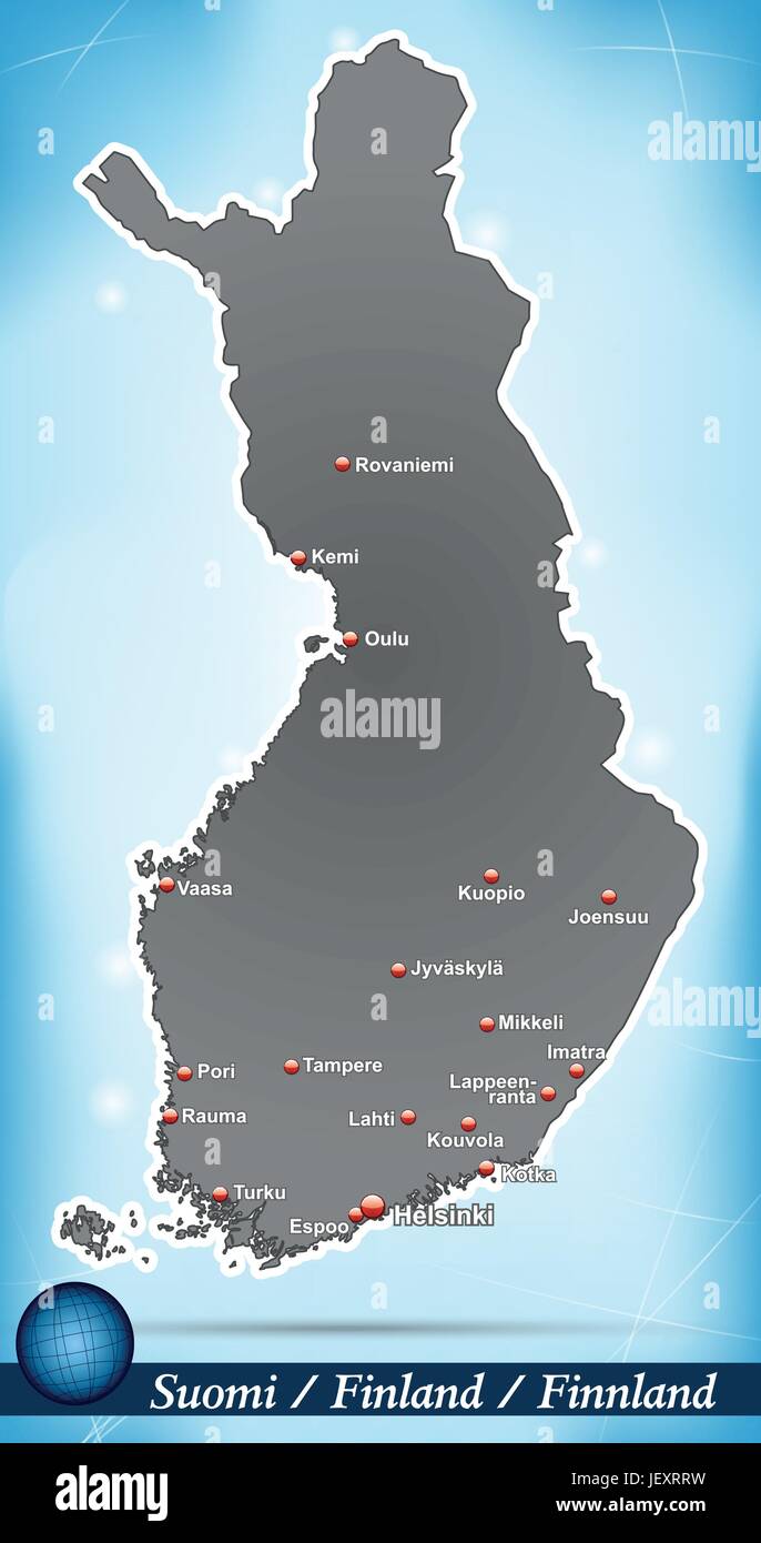 island map of finland abstract background in blue Stock Vectorhttps://www.alamy.com/image-license-details/?v=1https://www.alamy.com/stock-photo-island-map-of-finland-abstract-background-in-blue-146877581.html
RFJEXRRW–island map of finland abstract background in blue
RF2JMXJGN–Finland, Tampere city skyline isolated vector illustration, icons
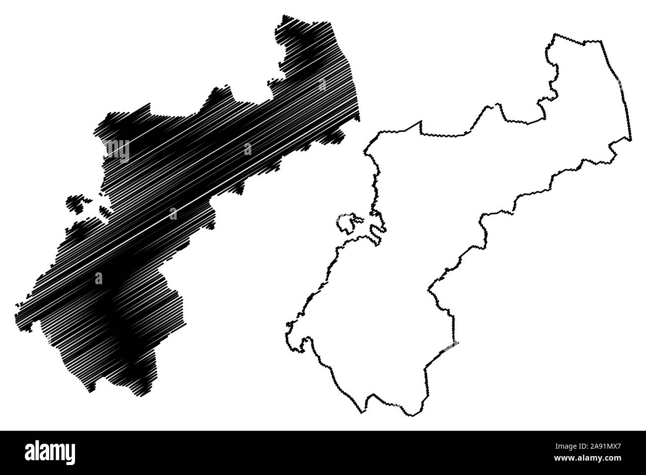 North Ostrobothnia Region (Republic of Finland) map vector illustration, scribble sketch North Ostrobothnia map Stock Vectorhttps://www.alamy.com/image-license-details/?v=1https://www.alamy.com/north-ostrobothnia-region-republic-of-finland-map-vector-illustration-scribble-sketch-north-ostrobothnia-map-image332567263.html
RF2A91MX7–North Ostrobothnia Region (Republic of Finland) map vector illustration, scribble sketch North Ostrobothnia map
 Blank political map of Finland. Administrative divisions - regions. Simple black outline vector map Stock Vectorhttps://www.alamy.com/image-license-details/?v=1https://www.alamy.com/blank-political-map-of-finland-administrative-divisions-regions-simple-black-outline-vector-map-image384033712.html
RF2D8P6WM–Blank political map of Finland. Administrative divisions - regions. Simple black outline vector map
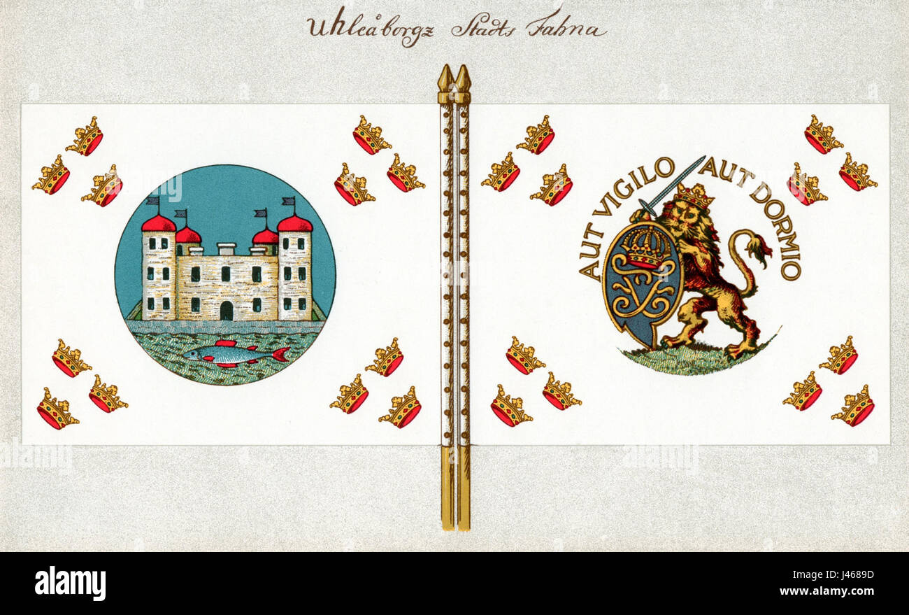 Oulu Flag 1714 Stock Photohttps://www.alamy.com/image-license-details/?v=1https://www.alamy.com/stock-photo-oulu-flag-1714-140279817.html
RMJ4689D–Oulu Flag 1714
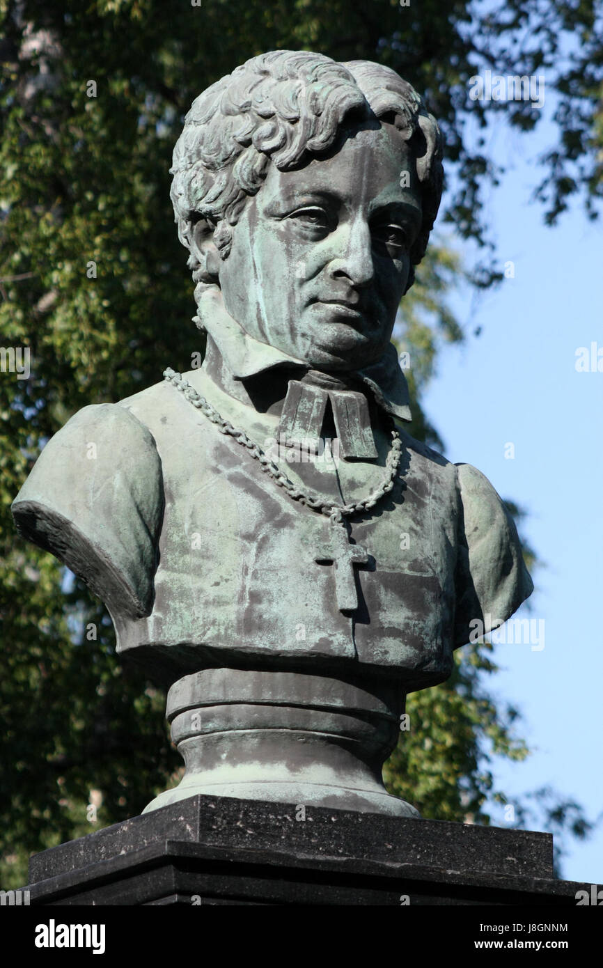 Franzen Statue Oulu 20110617 Stock Photohttps://www.alamy.com/image-license-details/?v=1https://www.alamy.com/stock-photo-franzen-statue-oulu-20110617-142968496.html
RMJ8GNNM–Franzen Statue Oulu 20110617
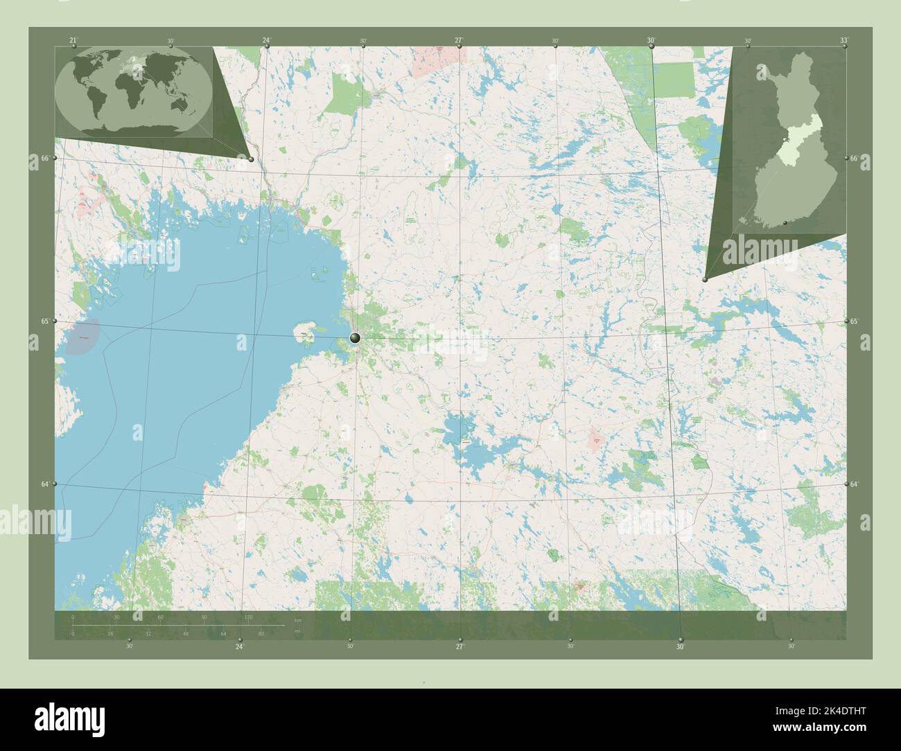 Northern Ostrobothnia, region of Finland. Open Street Map. Corner auxiliary location maps Stock Photohttps://www.alamy.com/image-license-details/?v=1https://www.alamy.com/northern-ostrobothnia-region-of-finland-open-street-map-corner-auxiliary-location-maps-image484653620.html
RF2K4DTHT–Northern Ostrobothnia, region of Finland. Open Street Map. Corner auxiliary location maps
 Kirkkokatu 36 Oulu pre1924 Stock Photohttps://www.alamy.com/image-license-details/?v=1https://www.alamy.com/stock-photo-kirkkokatu-36-oulu-pre1924-140036023.html
RMJ3R5AF–Kirkkokatu 36 Oulu pre1924
 WI Oulu 800489 1984 24000 Restoration Stock Photohttps://www.alamy.com/image-license-details/?v=1https://www.alamy.com/wi-oulu-800489-1984-24000-restoration-image335925246.html
RM2AEEM26–WI Oulu 800489 1984 24000 Restoration
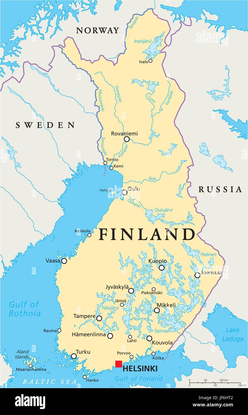 scandinavia, finland, helsinki, map, atlas, map of the world, travel, europe, Stock Vectorhttps://www.alamy.com/image-license-details/?v=1https://www.alamy.com/stock-photo-scandinavia-finland-helsinki-map-atlas-map-of-the-world-travel-europe-147048498.html
RFJF6HT2–scandinavia, finland, helsinki, map, atlas, map of the world, travel, europe,
RF2JMXFA1–Finland, Turku city skyline isolated vector illustration, icons
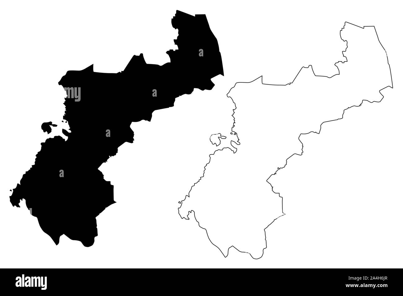 North Ostrobothnia Region (Republic of Finland) map vector illustration, scribble sketch North Ostrobothnia map Stock Vectorhttps://www.alamy.com/image-license-details/?v=1https://www.alamy.com/north-ostrobothnia-region-republic-of-finland-map-vector-illustration-scribble-sketch-north-ostrobothnia-map-image329834031.html
RF2A4H6JR–North Ostrobothnia Region (Republic of Finland) map vector illustration, scribble sketch North Ostrobothnia map
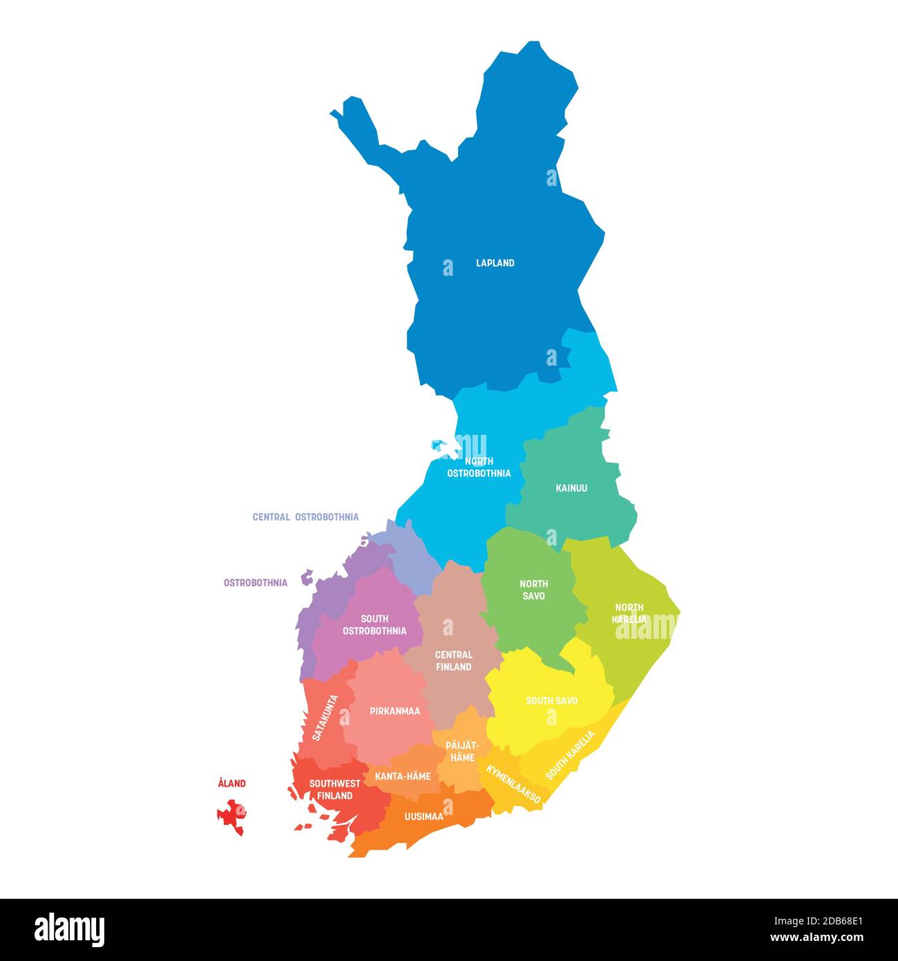 Colorful political map of Finland. Administrative divisions - regions. Simple flat vector map with labels. Stock Vectorhttps://www.alamy.com/image-license-details/?v=1https://www.alamy.com/colorful-political-map-of-finland-administrative-divisions-regions-simple-flat-vector-map-with-labels-image385527689.html
RF2DB68E1–Colorful political map of Finland. Administrative divisions - regions. Simple flat vector map with labels.
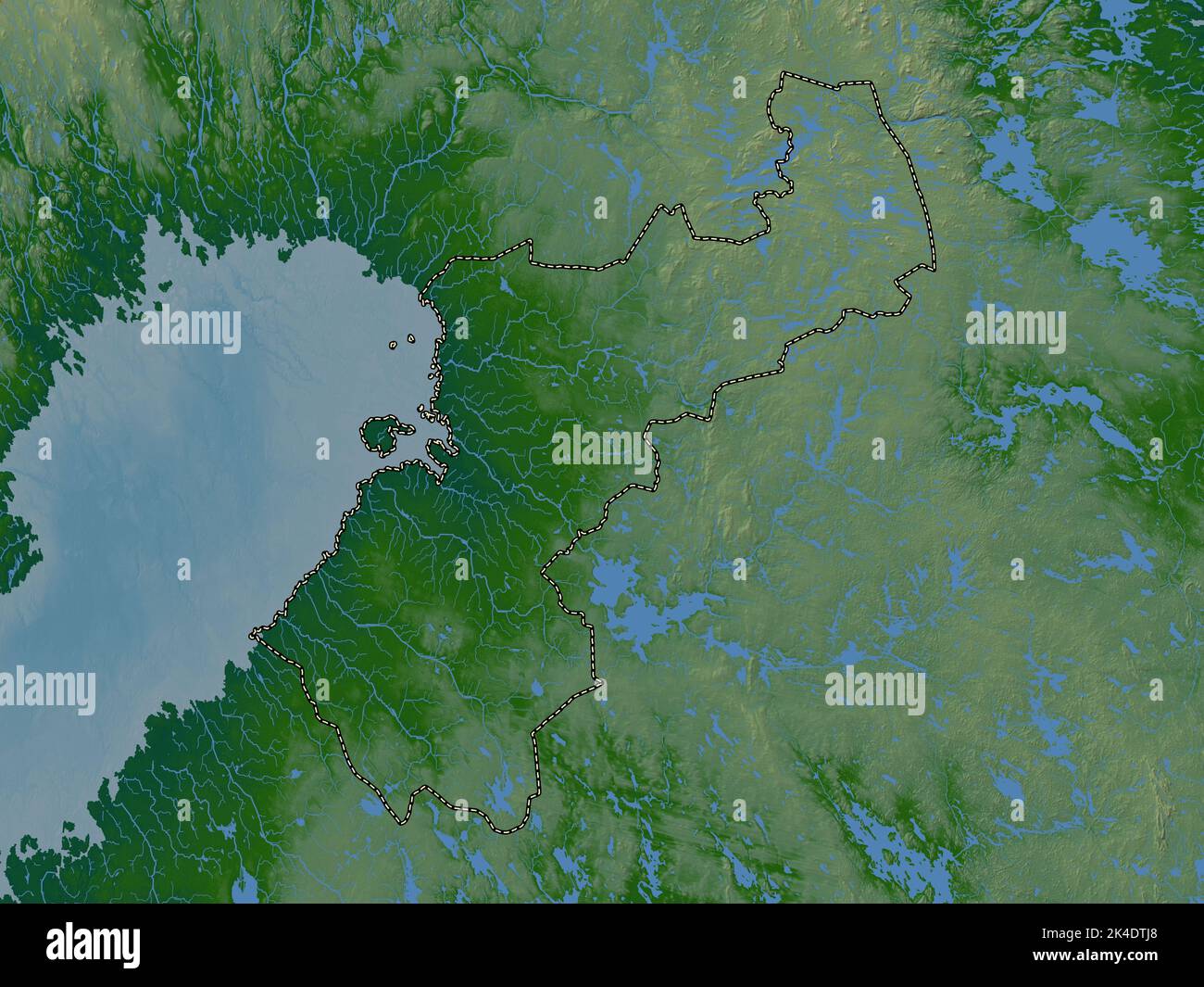 Northern Ostrobothnia, region of Finland. Colored elevation map with lakes and rivers Stock Photohttps://www.alamy.com/image-license-details/?v=1https://www.alamy.com/northern-ostrobothnia-region-of-finland-colored-elevation-map-with-lakes-and-rivers-image484653632.html
RF2K4DTJ8–Northern Ostrobothnia, region of Finland. Colored elevation map with lakes and rivers
 Linnankatu 1 Oulu 1857 Stock Photohttps://www.alamy.com/image-license-details/?v=1https://www.alamy.com/stock-photo-linnankatu-1-oulu-1857-142969109.html
RMJ8GPFH–Linnankatu 1 Oulu 1857
 WI Oulu 20130618 TM Inverted Restoration Stock Photohttps://www.alamy.com/image-license-details/?v=1https://www.alamy.com/wi-oulu-20130618-tm-inverted-restoration-image335925154.html
RM2AEEKXX–WI Oulu 20130618 TM Inverted Restoration
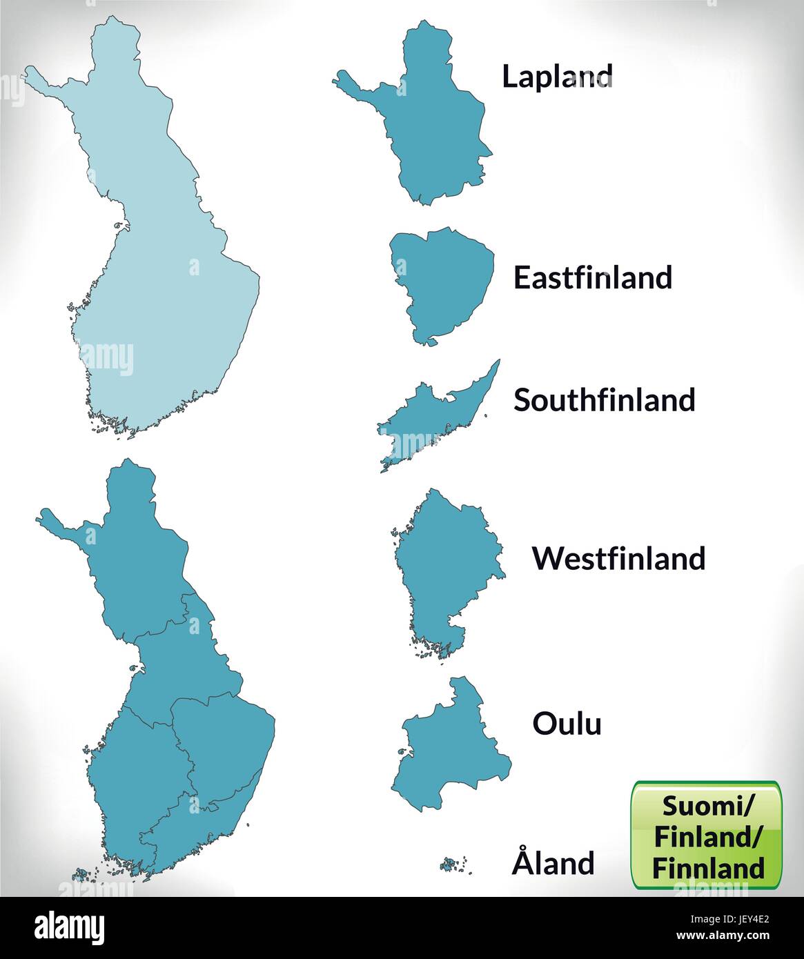 boundary map of finland with borders in blue Stock Vectorhttps://www.alamy.com/image-license-details/?v=1https://www.alamy.com/stock-photo-boundary-map-of-finland-with-borders-in-blue-146884362.html
RFJEY4E2–boundary map of finland with borders in blue
 North Ostrobothnia Region (Republic of Finland) map vector illustration, scribble sketch North Ostrobothnia map Stock Vectorhttps://www.alamy.com/image-license-details/?v=1https://www.alamy.com/north-ostrobothnia-region-republic-of-finland-map-vector-illustration-scribble-sketch-north-ostrobothnia-map-image334111376.html
RF2ABG2D4–North Ostrobothnia Region (Republic of Finland) map vector illustration, scribble sketch North Ostrobothnia map
 Grey political map of Finland. Administrative divisions - regions. Simple flat vector map with labels. Stock Vectorhttps://www.alamy.com/image-license-details/?v=1https://www.alamy.com/grey-political-map-of-finland-administrative-divisions-regions-simple-flat-vector-map-with-labels-image443044572.html
RF2GMPBTC–Grey political map of Finland. Administrative divisions - regions. Simple flat vector map with labels.